Neighbourhood Park Measuring Tool
1 2 3 4 5 6 7 9 8
Committe name :

Member names :
Date :
This document aims to primarily to educate and motivate everyone to con tribute towards the development of their neighbourhood. This document also helps in creating awareness towards people centric urban spaces and hence to consider arrangement of spaces in order to accommodate daily needs of people.
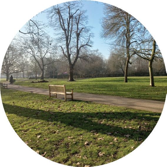
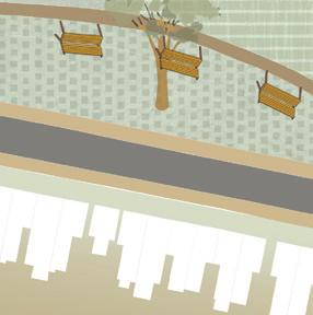
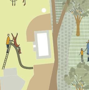
It is important to realise that parks are containers of human activity and social interaction. A well maintained park with an active community partici pation creates a liveable public space. Parks cannot be seen in isolation and hence communities need to step up and participate in shaping common public spaces.
This document allows multidiscplinary professionals to evaluate the quality of parks for their respective purposes. This would enable professionals to undertake various tools to study their area of interest. The document also allows changes and expansion of this toolkit depending on site conditions. Hence it allows professionals to develop their own toolkit within which they can apply their expertise.
Neighbours and planners, should monitor for any changes or additions required.
Neighbours and policy makers, together should describe their shared vision.
Neighbours and planners can collect primary data on site and program the space accordingly
Policy makers and planners, should implement design decisons which can also include neighbours
Professionals with expertise can provide with options for the stated vision.
Neighbours, planners and policy makers, together should develop a strategy to carry out the vision.
1 Introduction
2 Observational Tool
3 Potential Evaluation Tool
4 Intercept Tool
5 Analysis and Recommendation
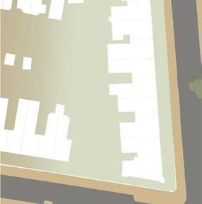
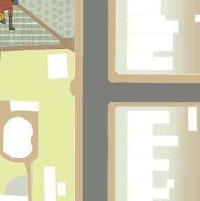
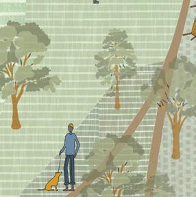
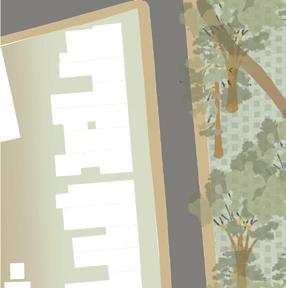
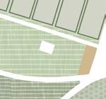
According to Jacobs, parks are ‘volatile’ places and their popularity and quality depends on its neigh bourhood activity. Parks are not mere abstractions as visualised but a reflection of the quality of life in the neighbourhood.
The following section will define the approach of this document and the characteristics of a ‘high potential’ park. Also, it will demonstrate various tools that were used to document the processess.
The aim of this document is to establish a symbiotic relationship between the park and the neighbourhood
1 Basic Needs and Facilities are well maintained
2 Connection and Safety towards all users
3 Provide Positive Experiences for Park users
4 Relevant to communities they serve
5 Economic Generators
6 Adaptable to changing circumstances
Photography
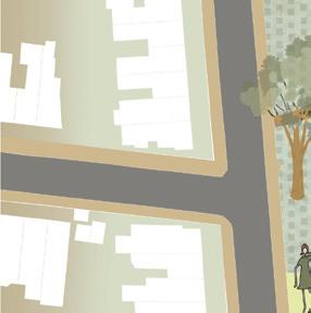
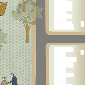
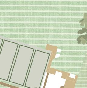
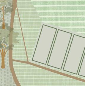
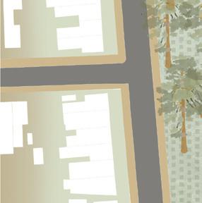
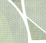
Mapping
Taking test walks Intercept Interviews
Observing Socio Spatial design
Mapping how people spend time
Surveying what are the user groups in the park
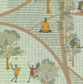
Diverse community activities in the park
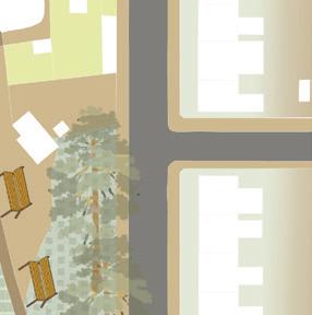
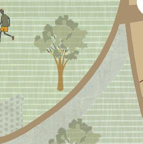
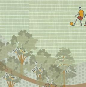
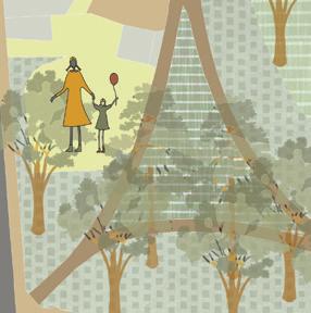
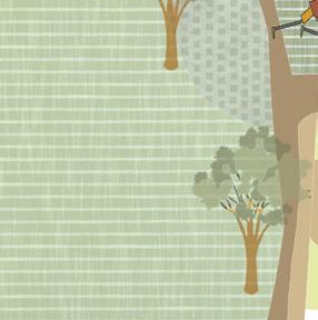
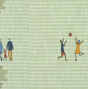
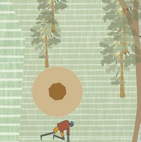
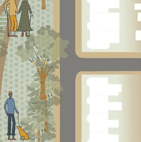
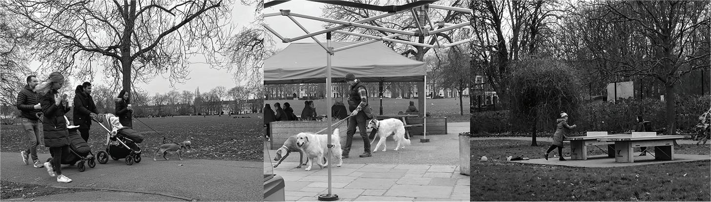
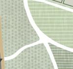
This tool is allows us to record movement of users within the park and their activities. Also it helps us to note the nuances in public space such as a park which may not be obtained by any other method such as interviews.
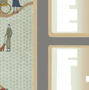
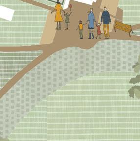
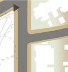
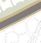
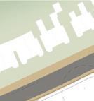
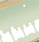
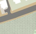
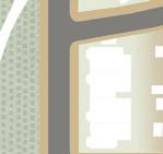
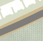
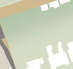
In order to evaluate how a park is functioning, it is important to know the movement of people within that space. Whether stationary or mobile and what kind of activities are they engaged in. This gives us an socio spatial understanding of public space. By observing the level of interaction we can understand how inviting is this public space for different people.
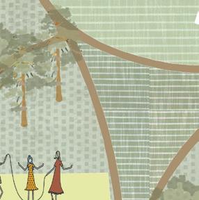
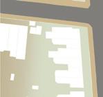
Photographic mapping of people and their activities by standing in a specific area of the site.
Walk through the site taking snap shots of how people use the space. Note the time. This will help cate gorising different types of users.
Use different maps to indicate specific time/ day based activities.
Take notes of unusual activites and the ones happening in large groups.
individuals cycling inspite of the rules not permitting cycling in the park
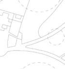
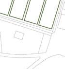
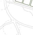
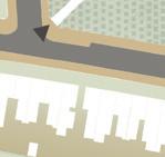
farmers market on salusbury road. Queen’s Park used as a transition path


This tool is primarily for neighborhood and poli cy planners to develop a shared vision for urban parks. This tool will help them evaluate the existing conditions in terms of infrastructural, social, eco nomical and environmental factors. This tool pro vides a framework for future strategies.
The survey gives a broad under standing of how parks function at a neighbourhood scale. This is also to direct a fresh perspective towards looking at urban parks as not mere abstractions but in the context of their surrounding. The tool can be used to kickstart conversations among various stakeholders. This tool aims to create a common language of evaluation for urban parks and yet provide flexibilty in terms of solutions that it suggests.
Take time to understand all the factors and assess the site based on your understanding and experi ence.
This evaluation tool can be used individually as well as in groups.
The tool is flexible to change depending on site. Factors which are not covered can be mentioned in the notes section.
Accessible areas of the park
Free Access
Paid Access
Limited Access
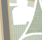
Socio Spatial Patterns
Existing patterns of movement
Imagined Patterns with new activities
Environment
Air pollution in the area
Tree inequity
Park Maintenance
Cleanliness
Toilet Facilties
Garbage Picking
Seating spaces
Connection and Safety
Accessibilty of the park
Loitering in public space
Safety at evenings
Positive Experience
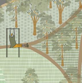
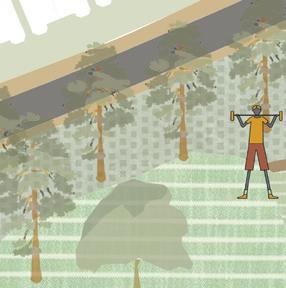
Facilites to play and exercise
Nature observation
Usability under all weather conditions
Community events
Active participation of users in these events
Economic Generators
Funding opportunities
Partnerships with private entities and council
Adaptability
Environmental Resilience
Flexibilty to change


Shortcut route


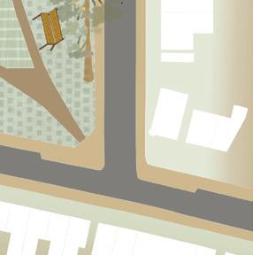
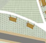
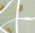
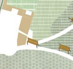
Benches


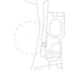
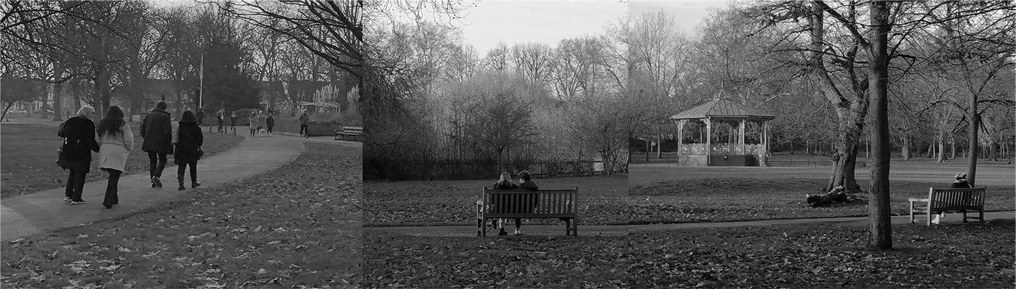
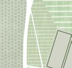
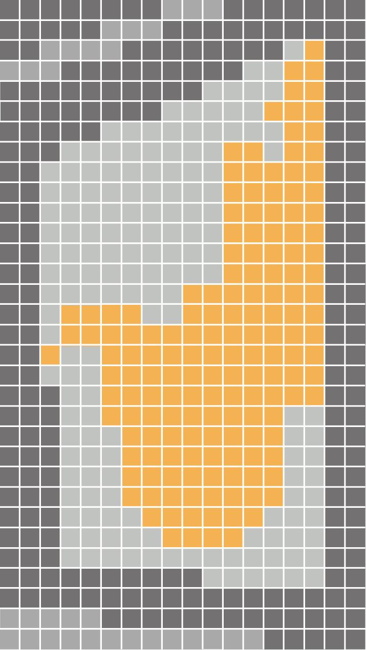
Seating points are an important aspect of physical infrastructure in a public space such as a park. Mapping benches could help us identify spatial structuring of the park and its use in the specific areas. Benches also act as ‘places of solitude’ in a public realm. In the Quiet Garden, no one is seen in large groups and people are often sitting by themselves. Similarly, benches are close to the cafe, since it is the most visited point in the park all through the day.

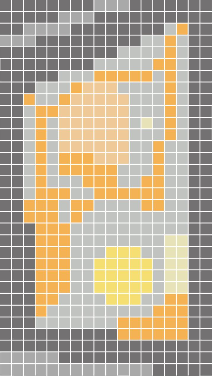
Everyday use (7a.m 6p.m depending on season)
Used mostly in Summer (daytime)
Weekend use (mornings and evenings)
Closed
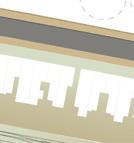
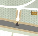
Underused open spaces
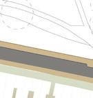
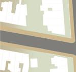
Overground Railway Housing
Queen’s Park Day (Temporal event)
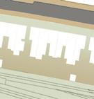
Underused open spaces
Overground Railway Housing
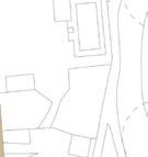
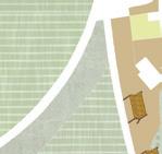
This is a comparison map between everyday use and temporal use of the park to establish the flexibilty of a public space. Mapping socio spatial nature of the park during various days of the week or times in a day and during various events can establish patterns of movement of its users and their relationship with the park.
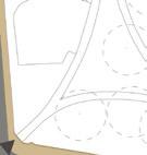
LEGEND : LEGEND :Permission Required for Bandstand (Grade 2 Listed)
Paid entry for Golf Course 1/4th of the park for less than half the users
Paid entry for Tennis Court
Space of ‘expected’ silence in Quiet Garden (subtle boundaries)
Limited access (only children below 12 years, parents and park staff)
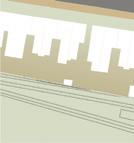
Overground Railway Housing
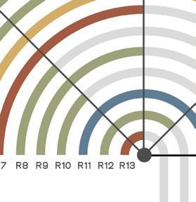
This tool allows us to collect data from park users. Data could vary from site to site, but it fosters en gagement of the users with the park. This tool helps us to uncover many aspects and gain deeper insights into what other tools have provided.
Intercept tools are used to develop an understanding based on user experiences. It also helps to record unique information about the park and its surrounding areas. The sample size is much smaller since this is a time consuming activity. It is a site specific tool but can be used to compare different parks based on the level of user engage ment.
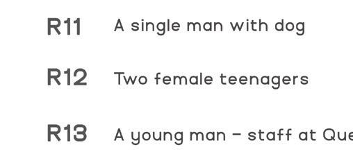
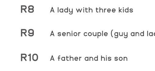
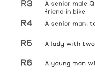
Approach people using the park with a tailor made questions. This tool can be designed based on demographics.
Questions can be asked through card games or model or question naire.
Aim to record answers from vari ous user groups.
Record the day. Specific user groups may be coming to the park only on particular days.
“ I know we are not allowed to cycle here but this park is very convenient for cycling. I try to avoid kids and elderly people who are walking”
“ I notice an evolution in people use this space and be more health conscious. I have been coming to this park 40 years ago”
“ I came here by car. This is my first time coming here be cause my wife has a friend with kids of my kids age. I am from Tottenham”
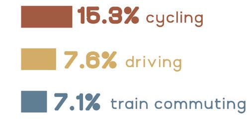
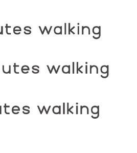
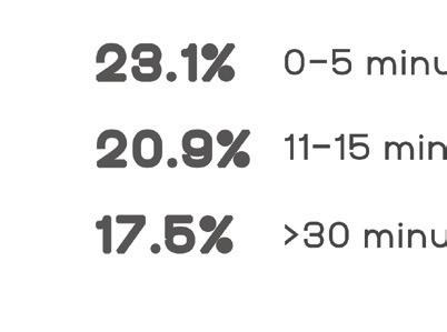
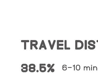
1. How do you come to the park ? walking cycling car train
2. How far away do you stay from the park ? 5 min 10 min 15 min
more than 15 min
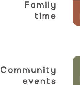
3. What is your reason to visit the park ? Bring children to the park / Family time
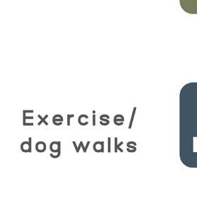
Exercise/ Run/ Play sports/ Walk a dog
Community events / Group activities
Relax and sit in a quiet place
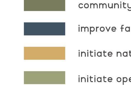
4. According to you, how would you categorise the following themes into ‘important’ and ‘wishful’ ?
The park could have drinking water facilities and better public toilets
Dogs can be let off the lead in some areas of the park
Participation in community events organised in the park
Nature walks in the woodland area should be initiated
Cycle track inside the park
Open air theatre for communal activities
Important
Wishful


The final part of the toolkit consists of summary and analysis of all the data collected with recom mendations or proposals to create equitable urban spaces.
1 Events are organised annually but on a daily basis, civic engagement is far too less
2 Paid entry to sports facility creates subtle boundaries of private and public
3 Golf course occupies 1/4th of the total park area and can only be used for one activity.
4 More community events needed to be organised
5 There are not many passive actors. No one can linger around.
6 Making the garden spatially adapatable for longer sustenance
Repurpose unused land

Create a land bank
Lease out a flower bed

Diversify funding of parks

Temporal function
Breaking functional montony
Adding new elements
Diversify the neighbourhood
Speaker’s Corner, Hyde Park Serpentine Pavillion, 2022 , Hyde Park