John Slinkman is a Master of Landscape Architecture candidate at the University of Michigan with a Bachelor of Science in Horticulture. He blends horticultural knowledge with ecological design to create resilient, biodiverse landscapes that invite ongoing community use. His experience through internships and studio work spans site analysis, AutoCAD production, presentation graphics, and multidisciplinary coordination. John enjoys sharing his love of plants and looks forward to integrating horticulture with ecological principles to deliver aesthetically pleasing and environmentally resilient designs.
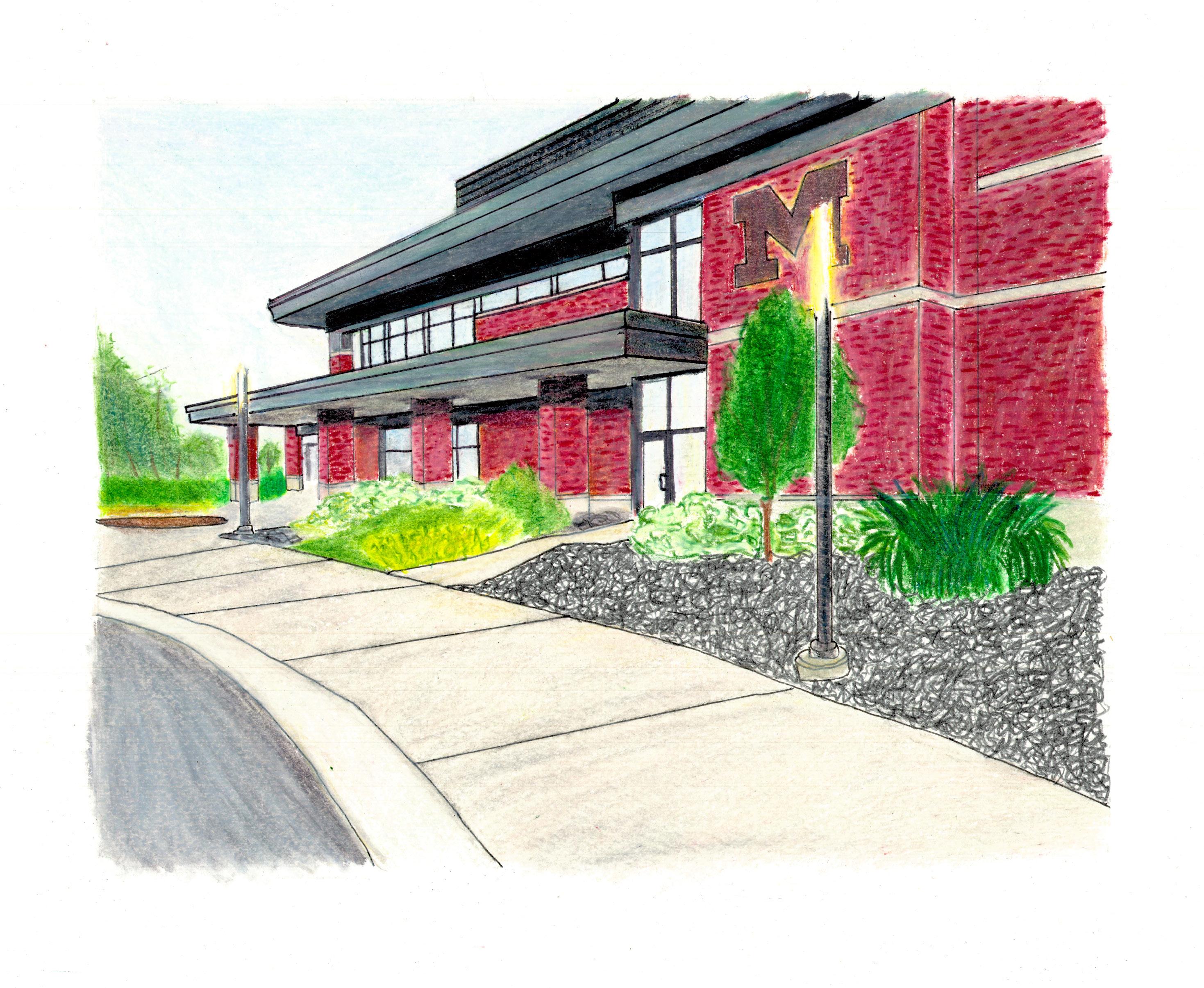
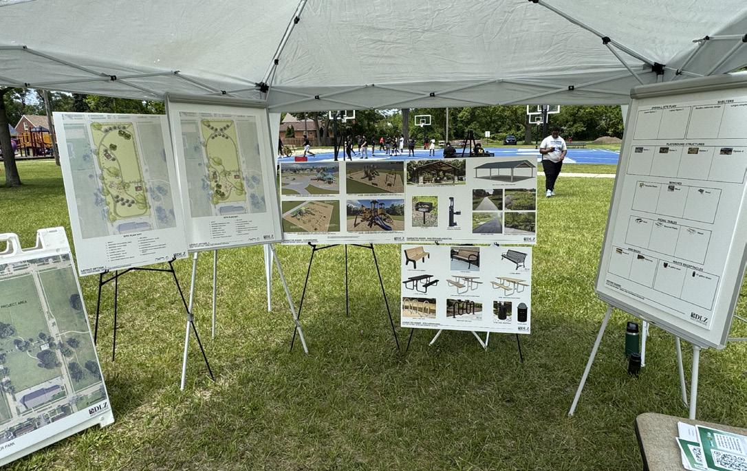
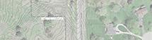
CIVIC CENTER PARK - DLZ CORPORATION INTERNSHIP
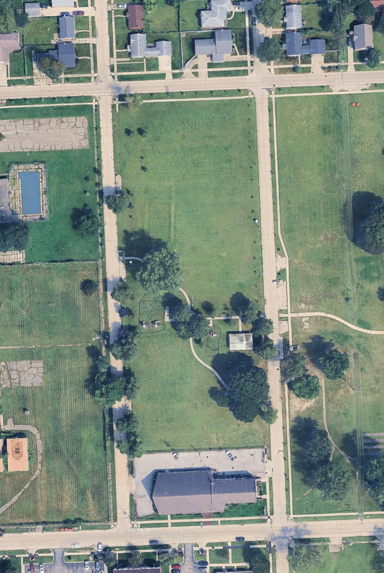
21000 Majestic Ave, Ferndale, MI 48220
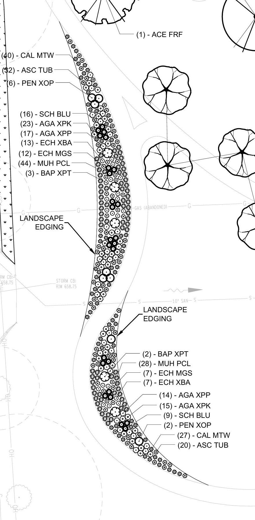
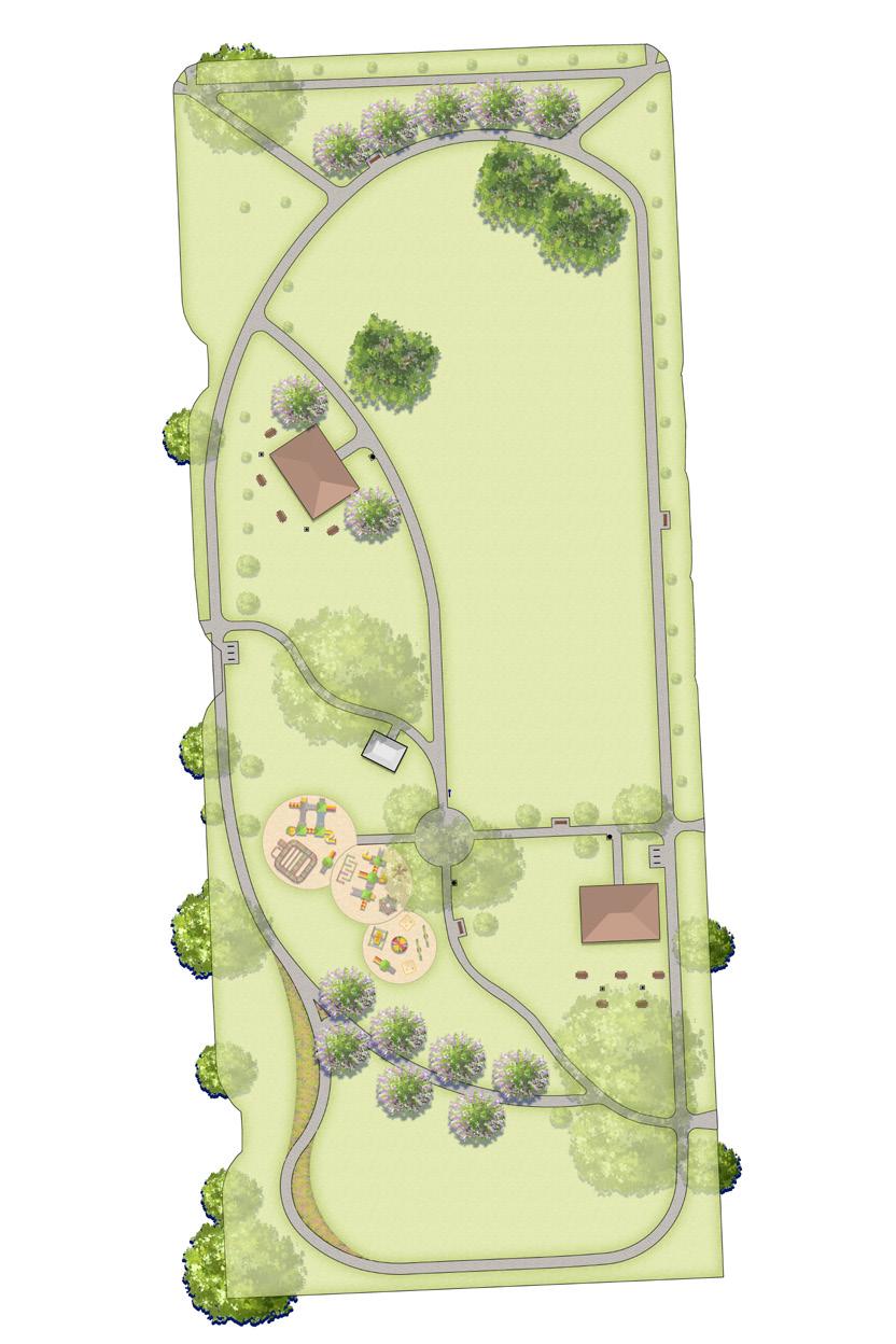
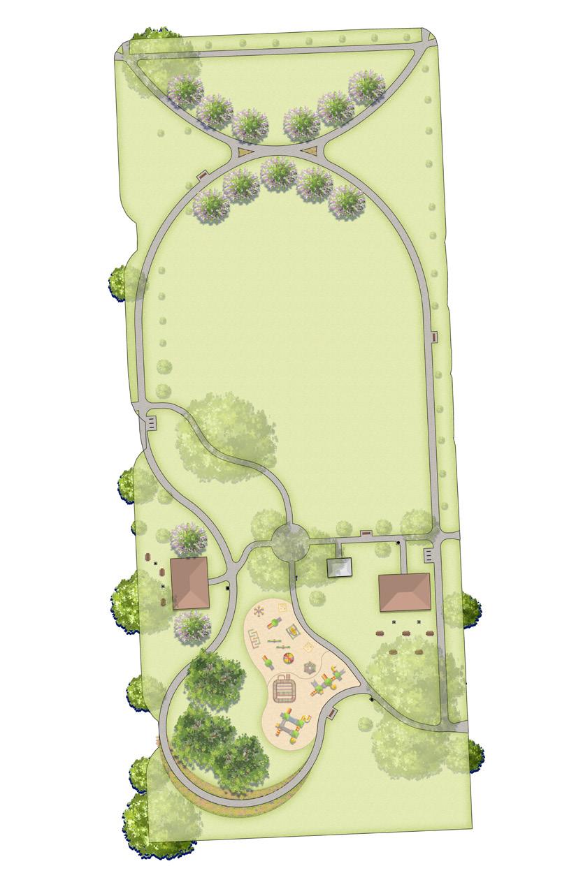
As a summer landscape architecture intern at DLZ, I led conceptual and schematic design for Civic Center Park, as well as the development of the CD sets. The two design options were informed by site conditions, municipal priorities, and community input, with emphasis on new play areas, circulation, lawn space for the football team, a new pavilion, and updated plantings. At an event in June, I was able to interact with the community directly, as well as compile survey responses. In addition to the sheet sets, I produced character image boards to illustrate options for site furnishings and plant palette proposals for beneficial plant installations.
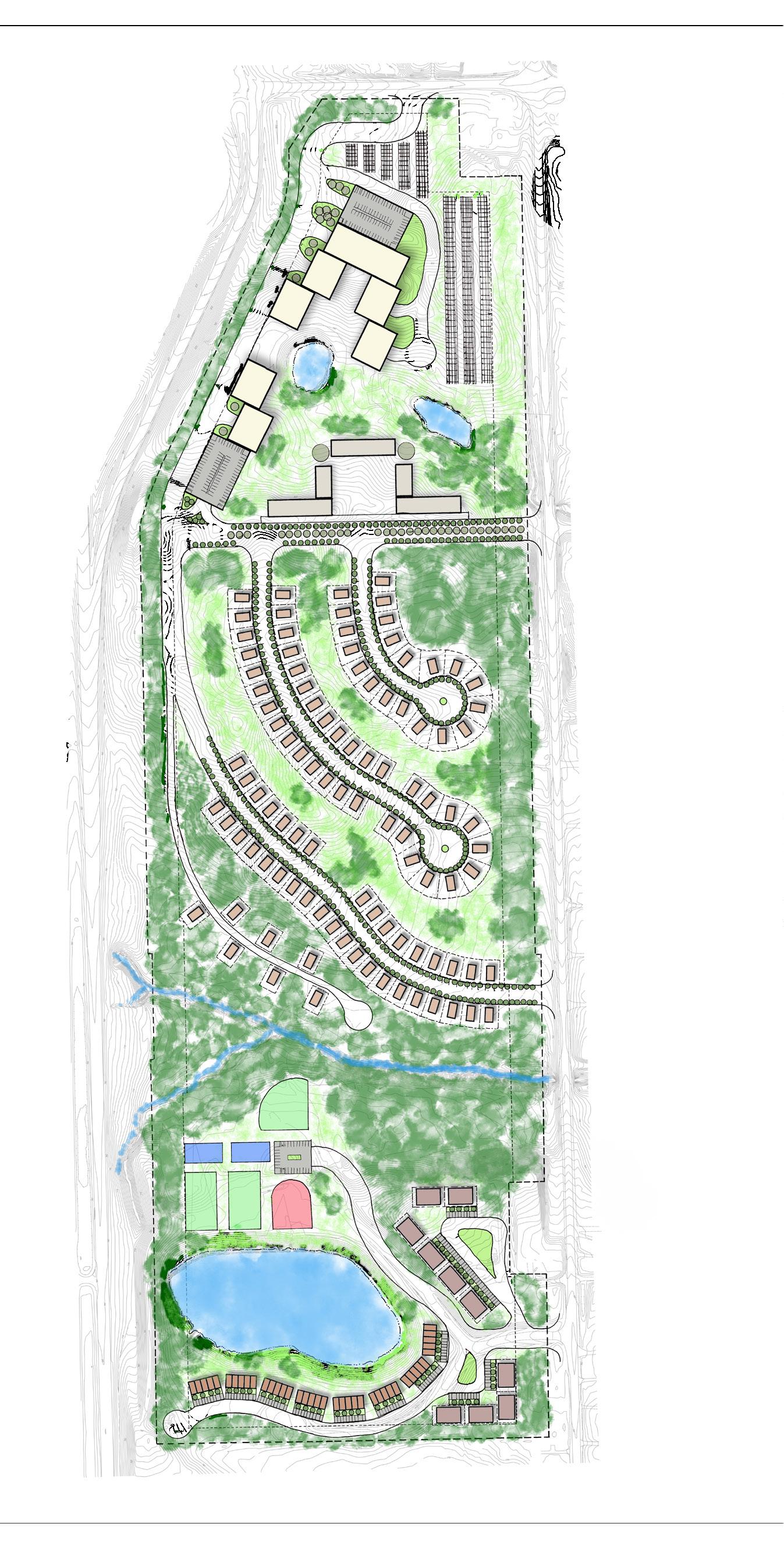
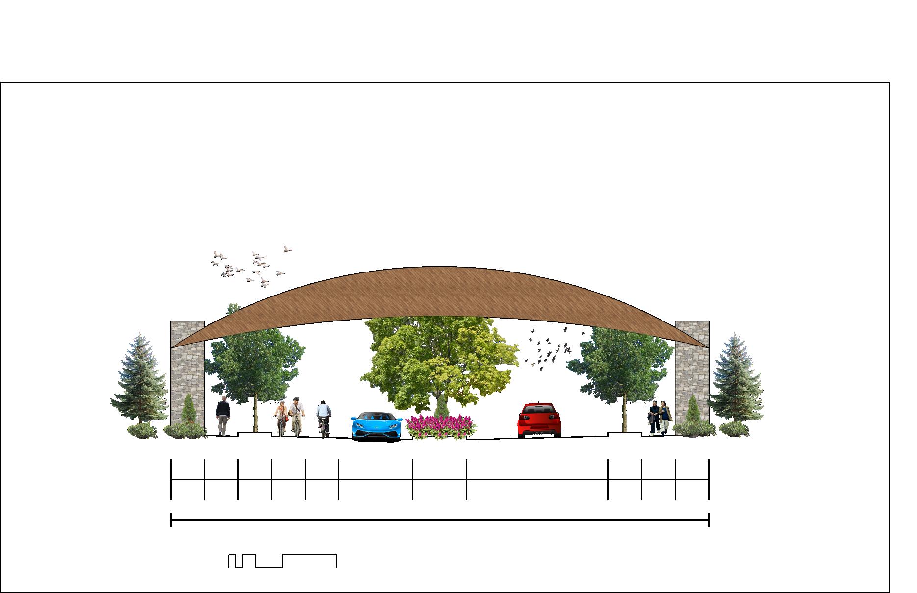
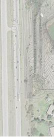
THE GREENS OF YORK
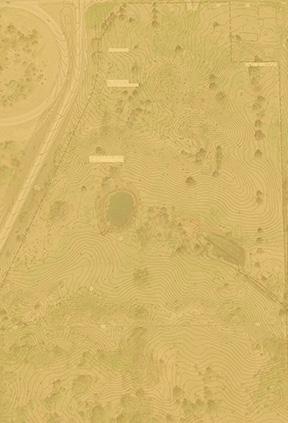
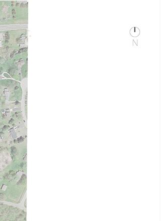
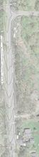
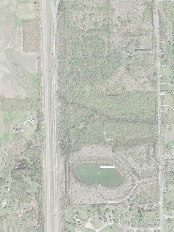
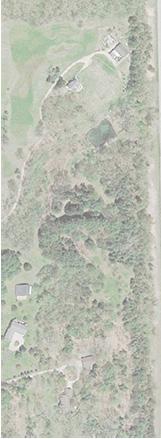
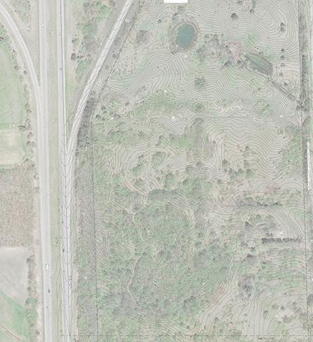
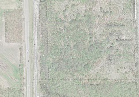
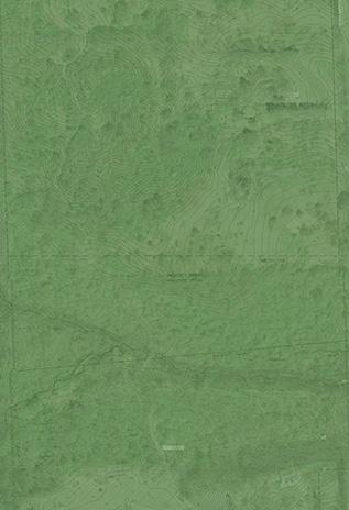
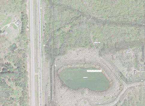
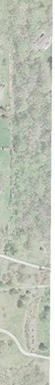
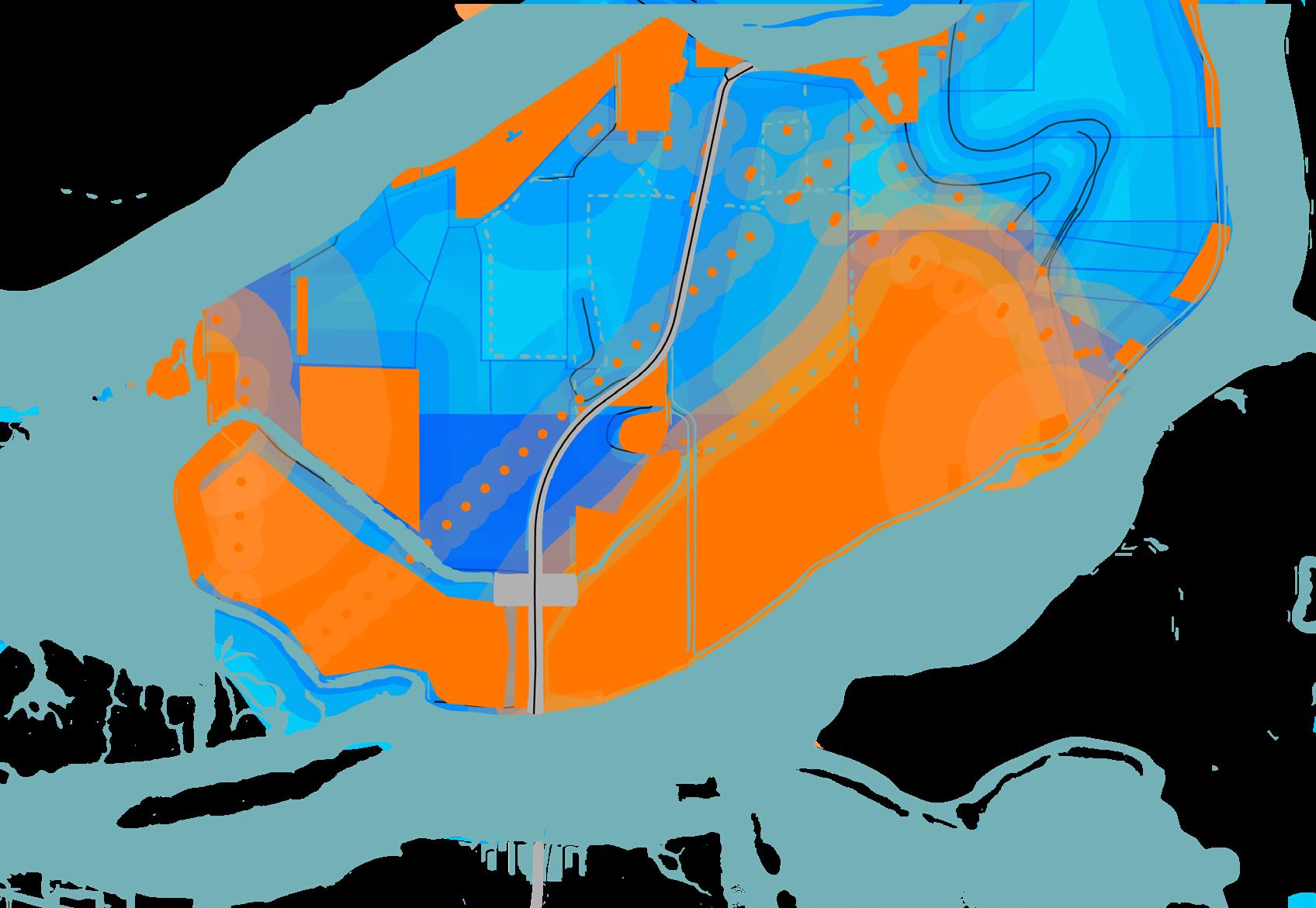
The Greens of York converts a discontinued golf course into a 118‑acre mixed‑use community focused on green infrastructure. Commercial uses occupy the former disturbed footprint on the north end, while agrivoltaic farming, stormwater management, native plantings, and biking/walking networks enhance quality of life and ecosystem services. Development avoids Buck Creek and the adjacent mixed‑oak woodlands to protect and restore vital habitat.
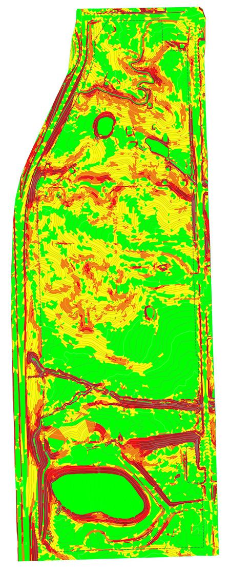
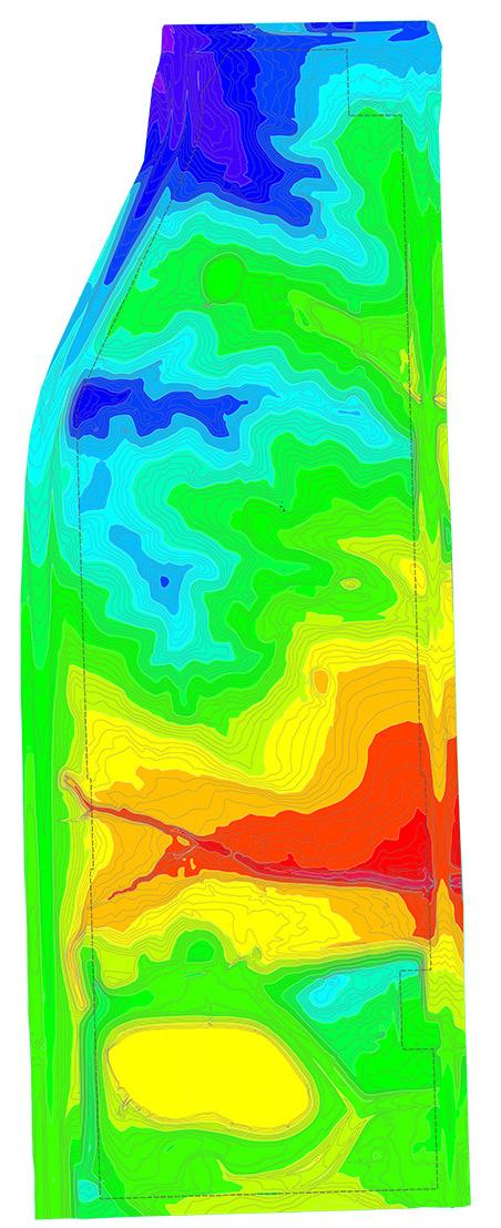
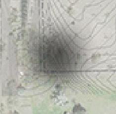
Site Analysis
Opportunities and Constraints
Heavily Vegetated
Discontinued Golf Course
Ponds Lowlands
Residential Homeowners
Entryways Roadways
Slopes >15%
US-23 Noise Pollution
Soil
Willis Rd
US-23
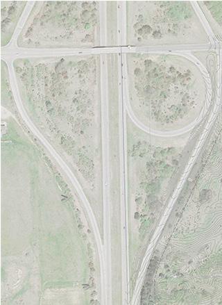
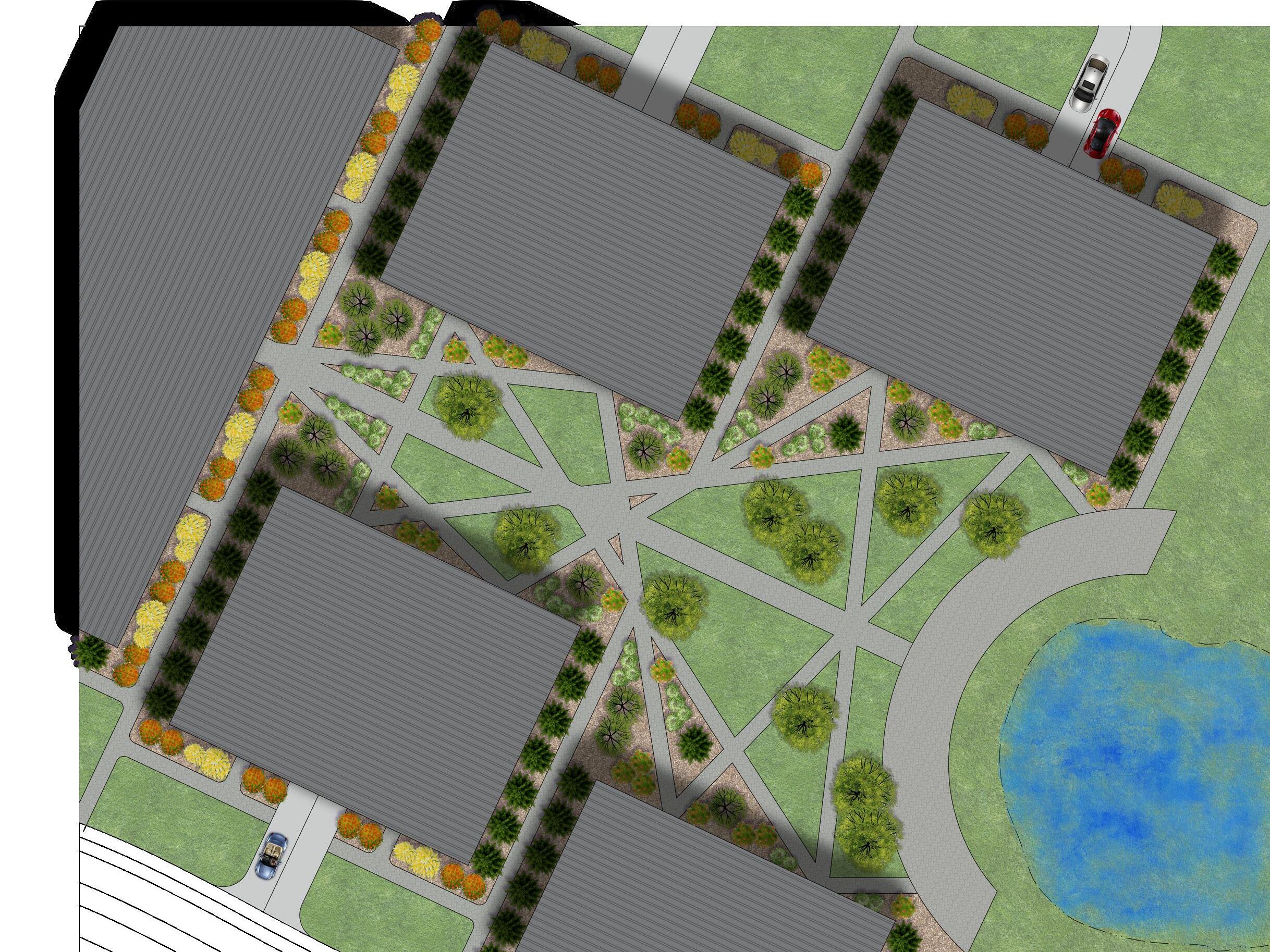
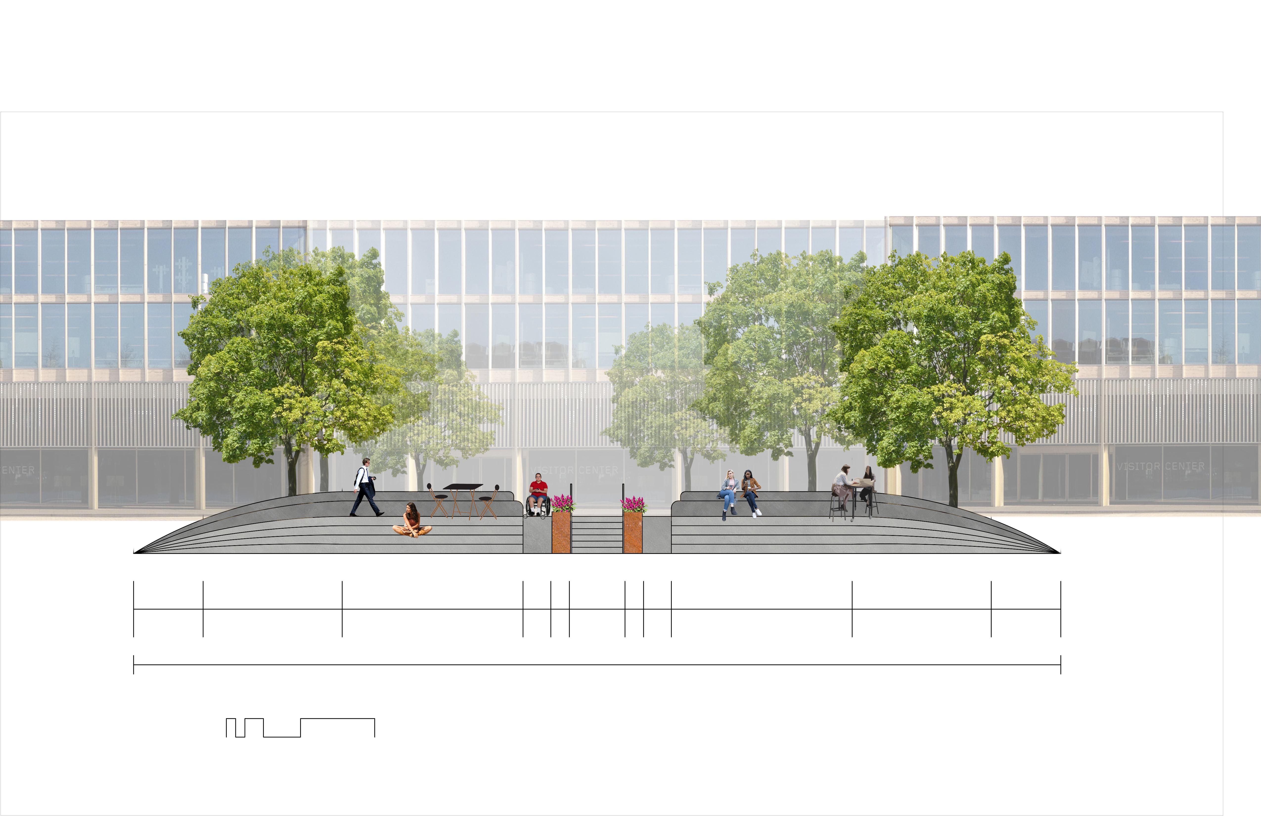
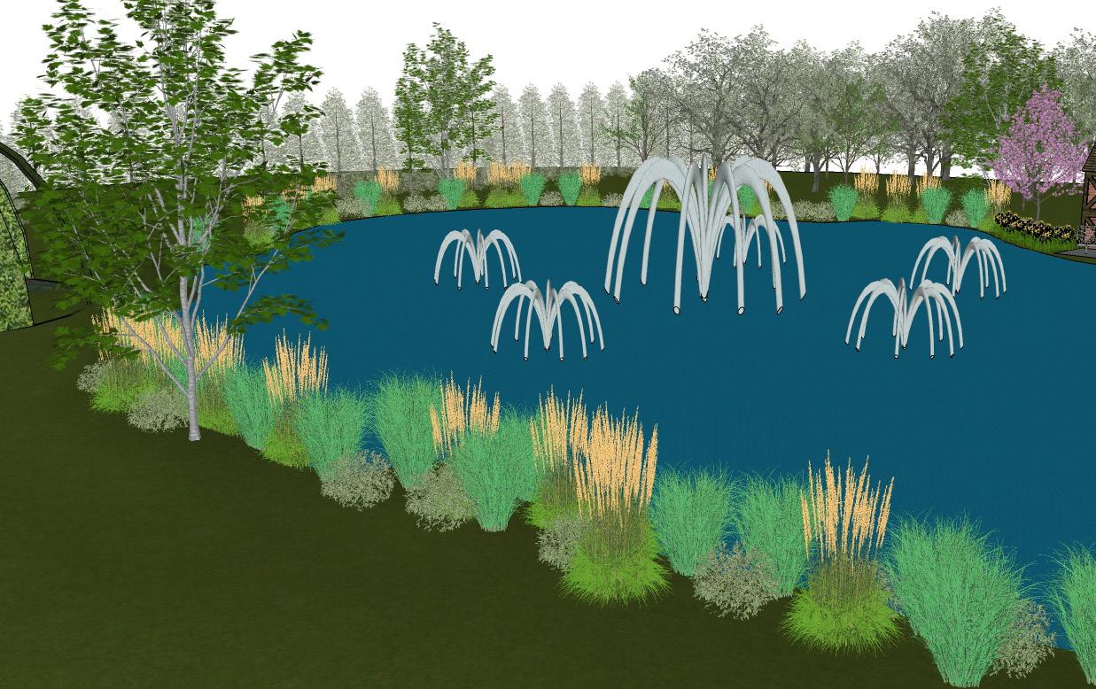
Office Complex
20’ 40’ 0’ 10’ N
Consisting of seven 3 story tall buildings, this office complex is organized around a pond acting as a focal point with fountains and a stepped plaza. Native planting beds frame each building, shaded lawns create picnic areas, and symmetrical walkways provide visual interest while ensuring efficient movement between buildings.
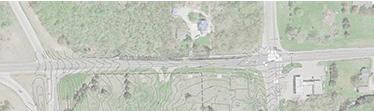
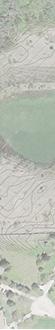
Fairway Park
This multifunctional park for The Greens of York combines recreation and habitat. Trails, boardwalks, play and athletic field amenities are located between restored prairie and riparian edges to the south and preserved mixed‑hardwood forest along Buck Creek to the north. Native plantings frame the entrance, and rain gardens around the parking area manage stormwater.
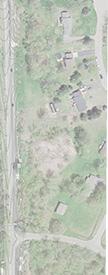
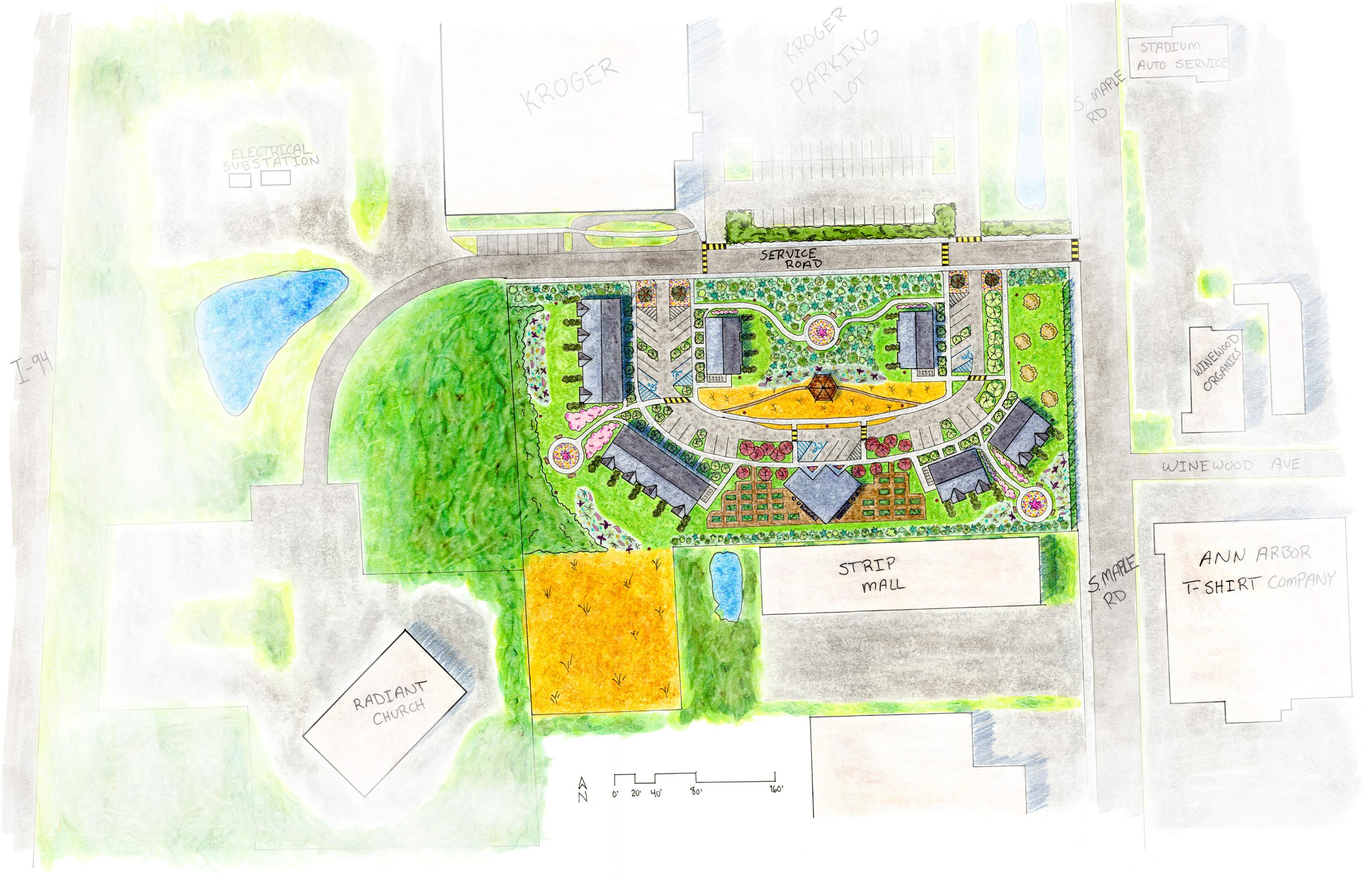
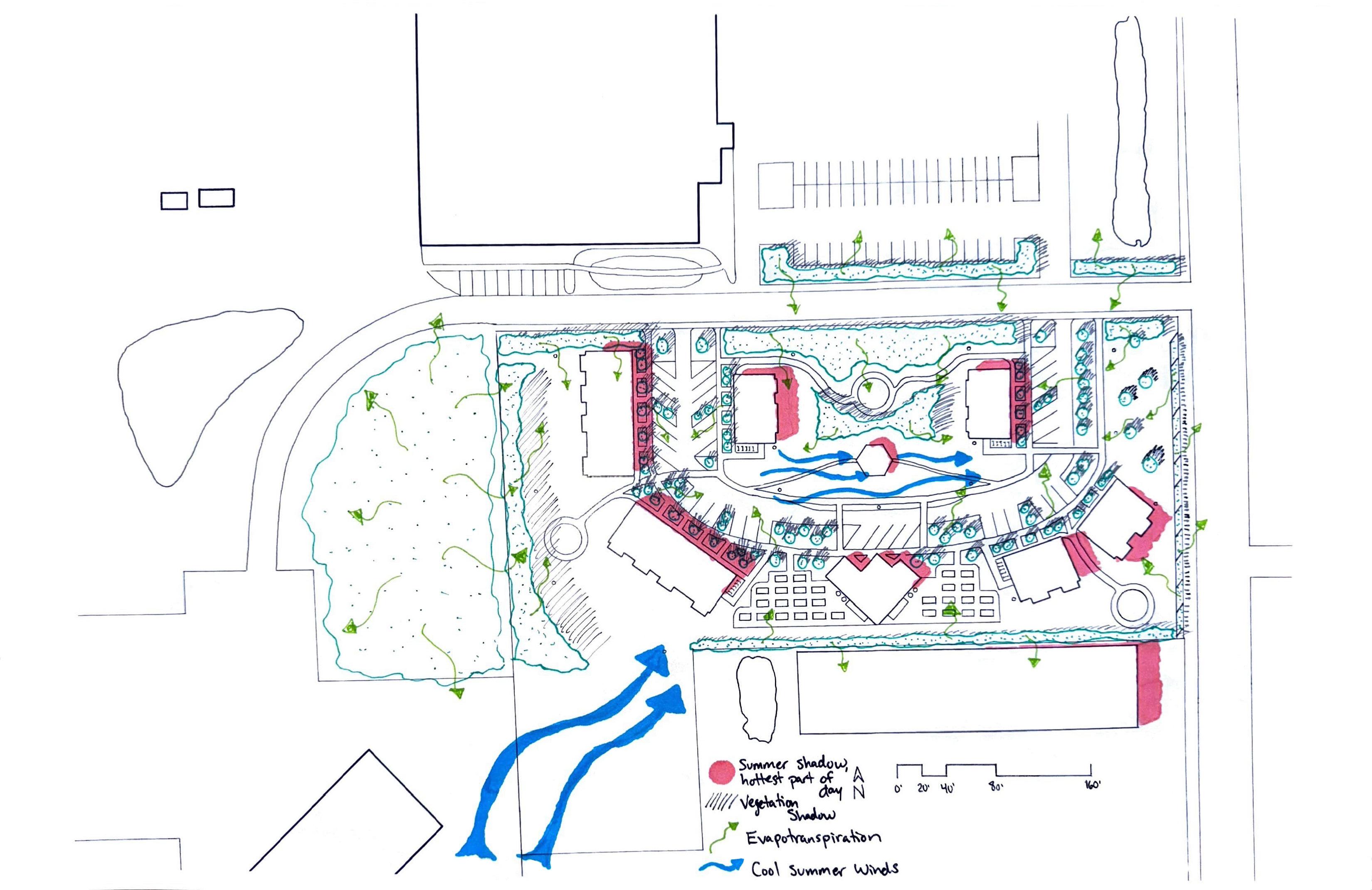
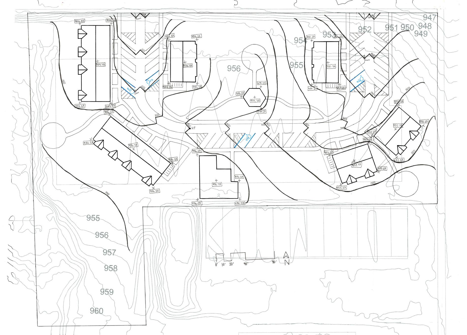
MONARCH BEND APARTMENTS AND TOWNHOMES
Monarch Bend transforms a high‑traffic commercial site into a resilient, community‑focused affordable housing development. Design strategies prioritize thermal comfort and social connectivity, integrate raingardens and native plantings for stormwater retention, and incorporate endangered milkweed species to support monarchs and other pollinators. Building placement creates distinct hierarchies of private, semi‑private, and public spaces while vegetation buffers and solar exposure improve winter snowmelt and summer cooling.
UNITY GARDEN AT MATTHAEI
GARDENS
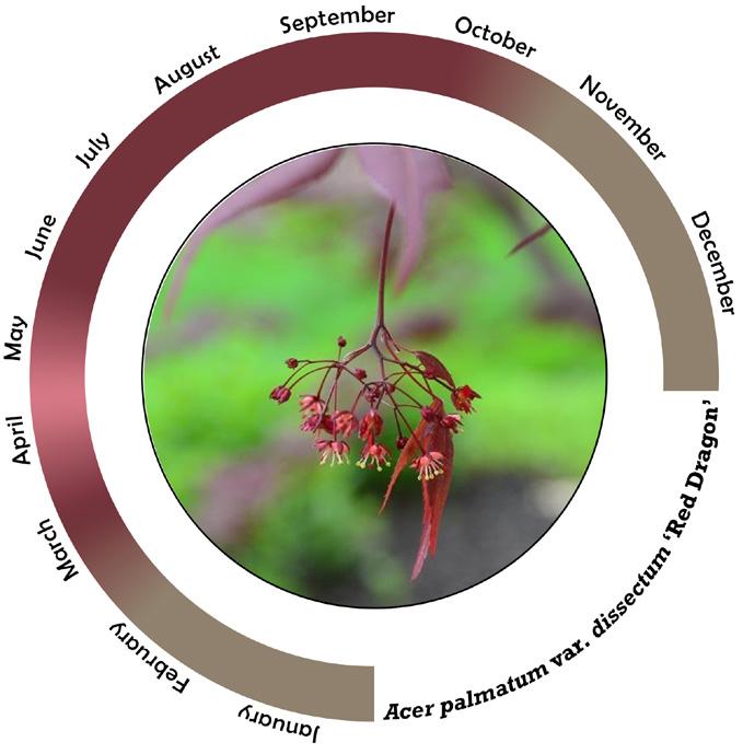
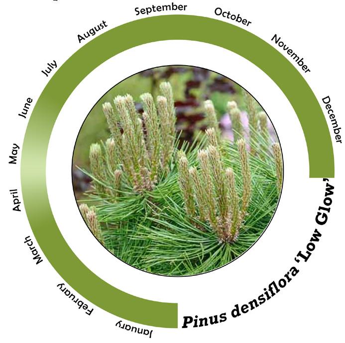
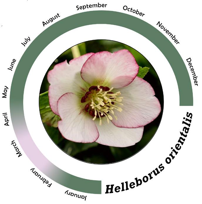
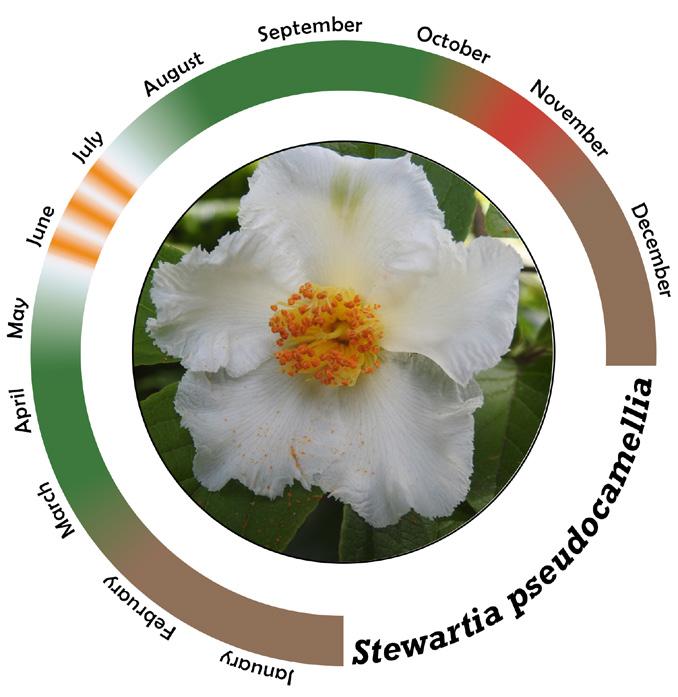
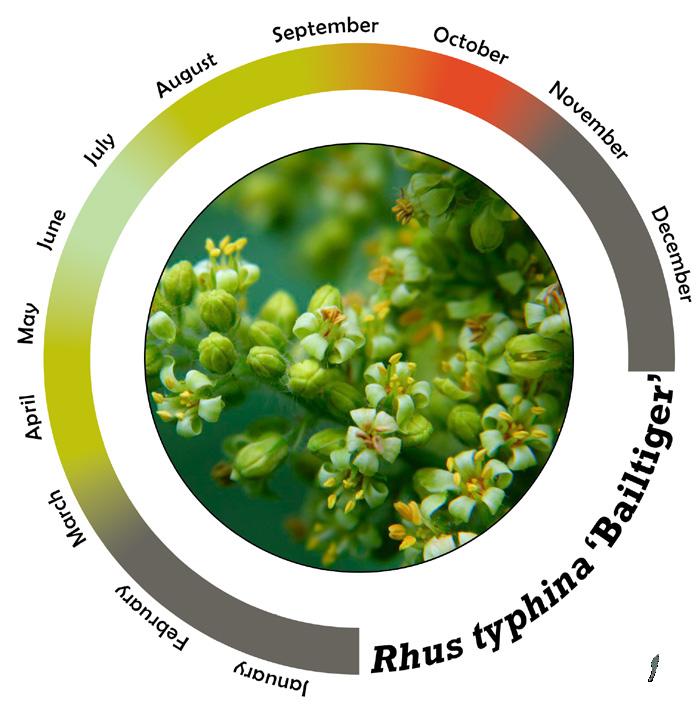
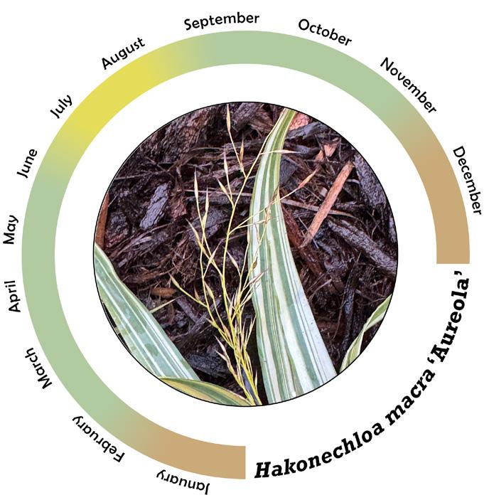
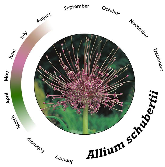
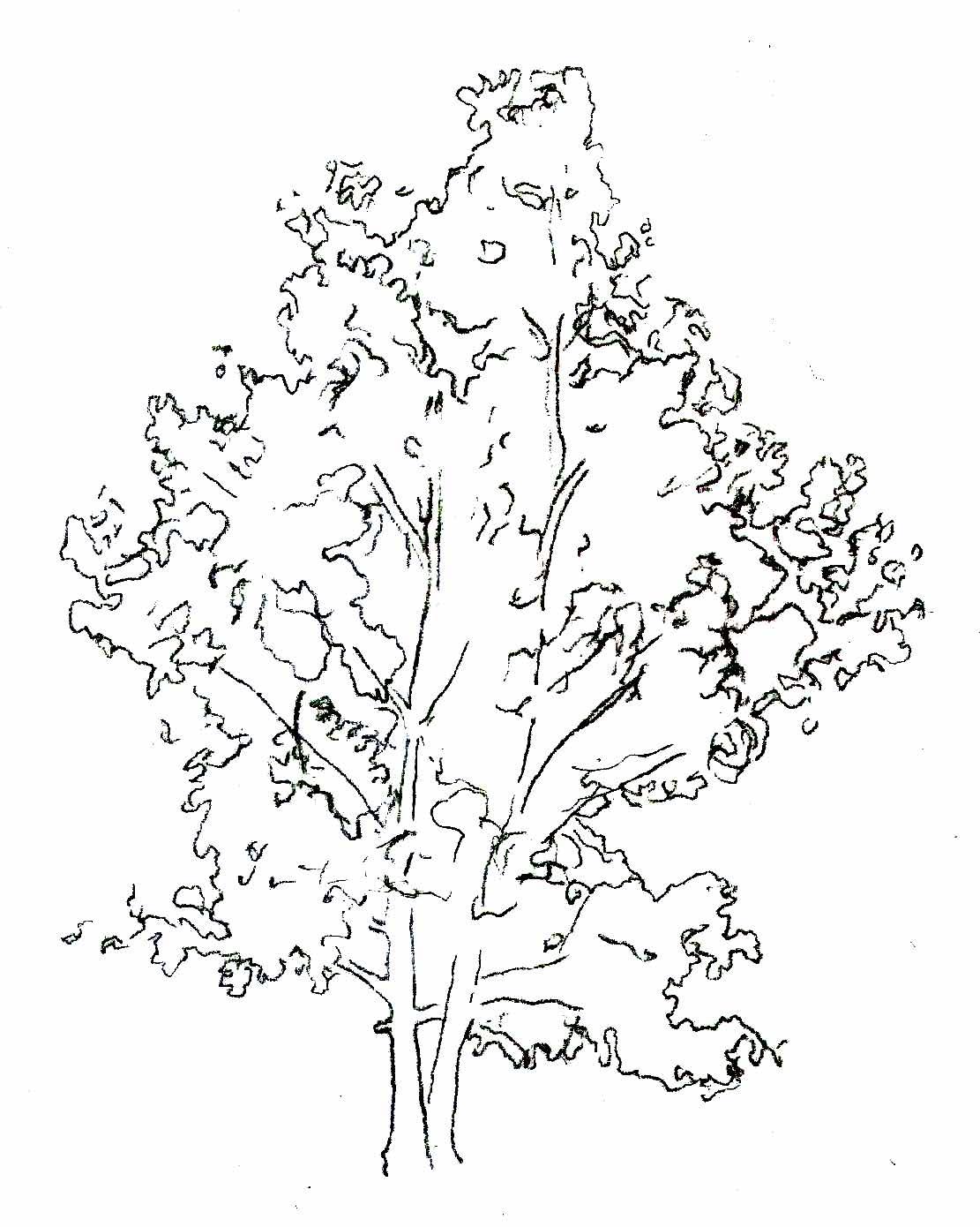
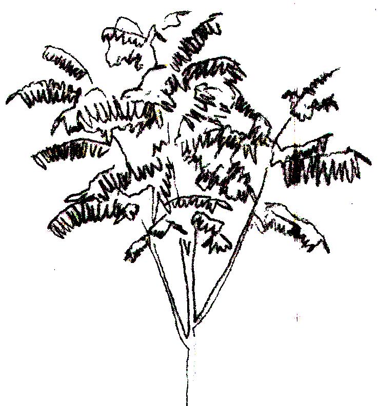
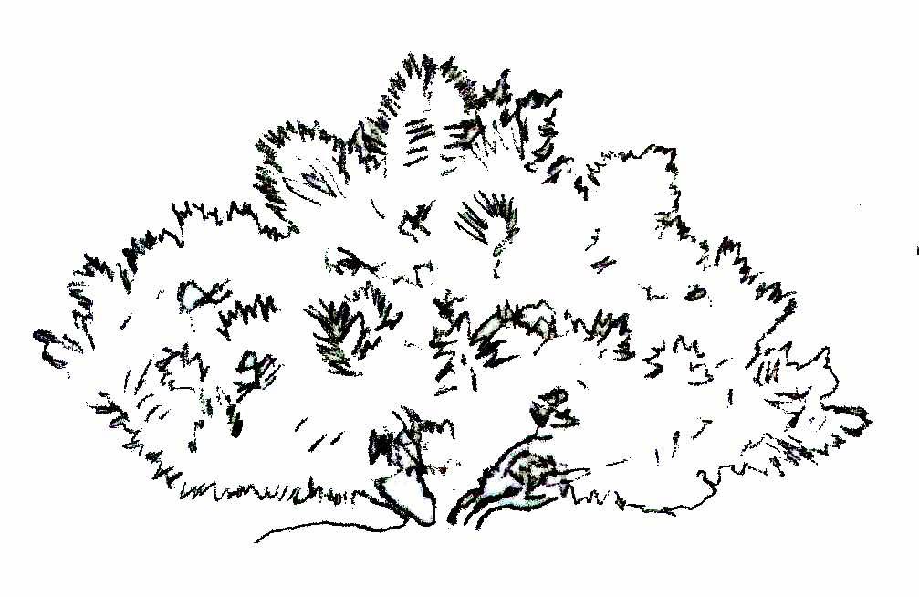
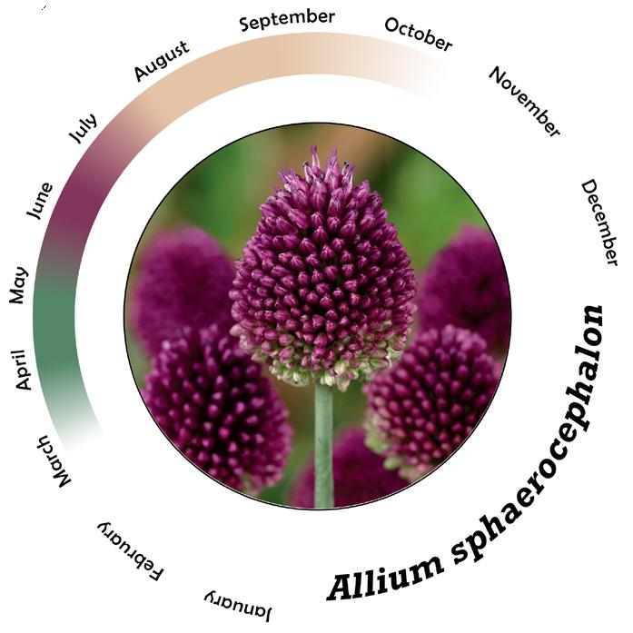
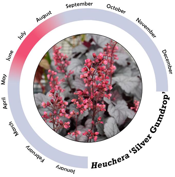
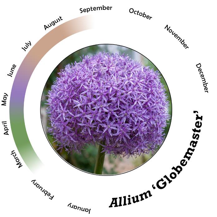
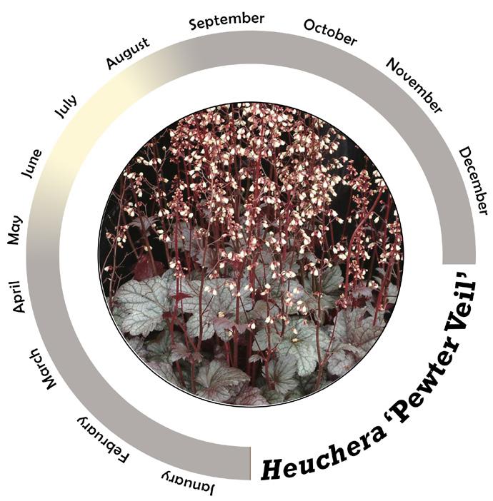
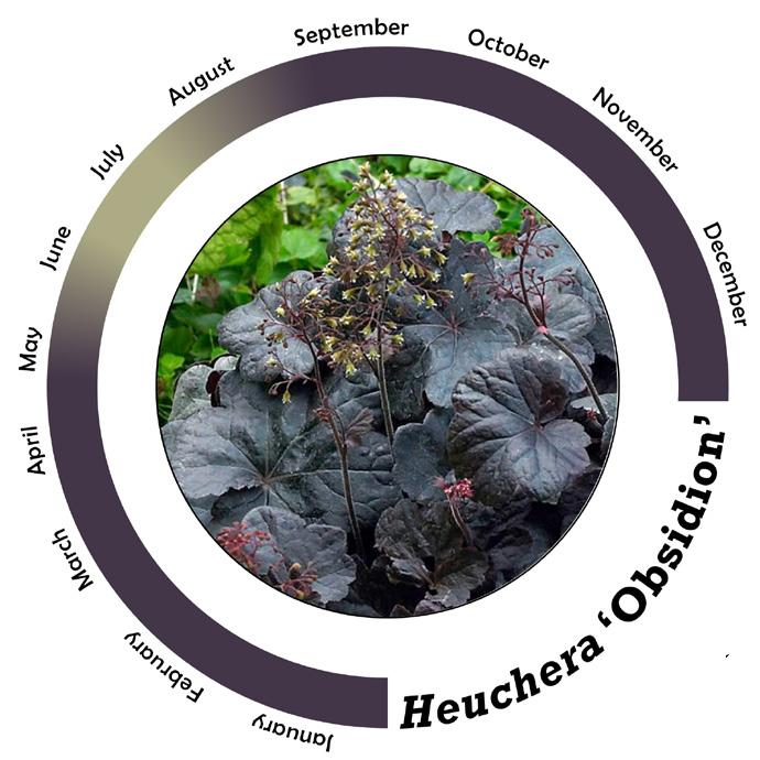
The Unity Garden at Matthaei celebrates marriages that occur nearby while also acting as a unifier to other themed gardens. A green to burgundy plant palette and diverse foliage textures form a continuous gradient, while delicate seasonal flowers subtly change the garden’s character throughout the year.
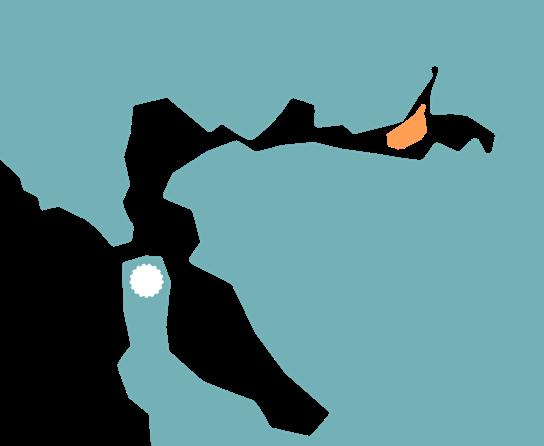
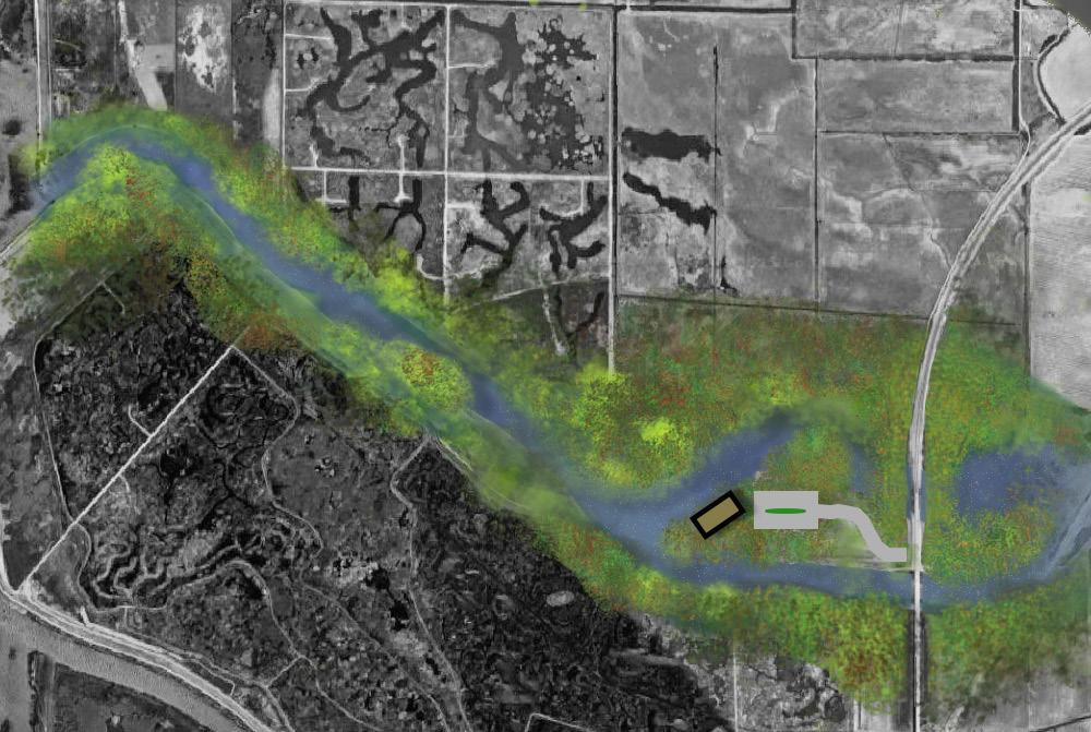
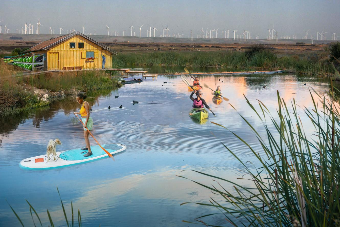
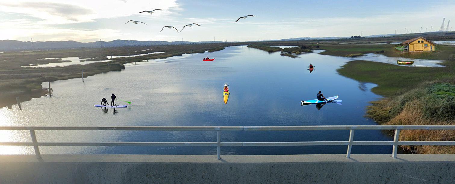
WATER SPORT LIVERY AT SHERMAN ISLAND
Credit: Anya Nona
San Francisco
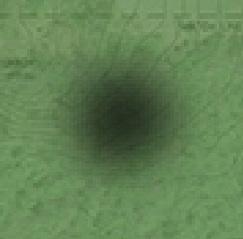
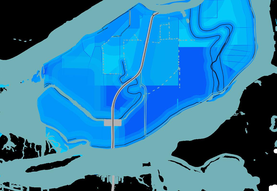
Suitability Analysis Maps
Opportunities
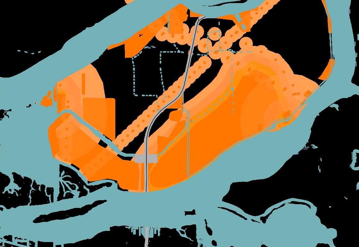
Constraints
Combined Opportunities and Constraints
Suitable site for development
Our team conducted a suitability analysis of Sherman Island in the Sacramento San Joaquin Delta to identify a site for wetland expansion and a water sport livery. We mapped opportunities (water access, road proximity, usable parcels, wetland adjacency) and constraints (motorized launches, protected wetlands, private/ unusable parcels, power lines) to identify a site that met our project goals. The chosen site connects restored marshland on the island’s west canal and provides a launch for canoeing, kayaking, and paddleboarding to engage visitors with the restoration work.
Credit: Anya Nona, Leah Kauffman, Roberto Carriedo Ostos, John Slinkman
Credit: Anya Nona, Leah Kauffman, Roberto Carriedo Ostos, John Slinkman
Credit: Anya Nona, Leah Kauffman, Roberto Carriedo Ostos, John Slinkman