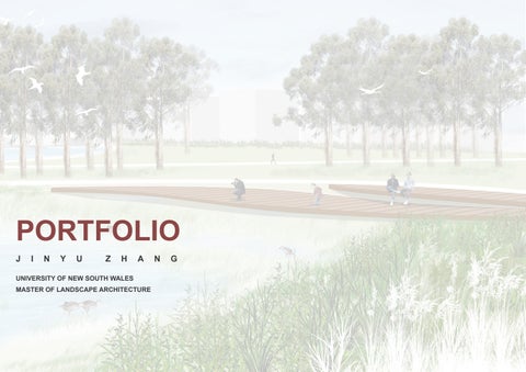

PORTFOLIO JINYU ZHANG
UNIVERSITY OF NEW SOUTH WALES
MASTER OF LANDSCAPE ARCHITECTURE

JINYU ZHANG
Jinyu is interested in urban landscape design and the well-being of the community. She worked with Vital Stone Landscaping as an intern, and had experience in garden design and construction. During this period, Jinyu developed the skill of softwares, including AdobeSuite for design and layout, AutoCAD for documentation, and 3D modelling ability with SketchUp and Enscape. She also developed the ability of communication and collaboration with clients and the construction team. Jinyu also has experience with research, she is now working with the Chinese Academy of Sciences as research assistance, doing literature reviews, case analysis, and data organisation.
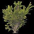
During the study in university, Jinyu got good grades and got the university award from the Dean's List. Besides that, Jinyu also joined various volunteer programs. She became a teaching assistan for year 1 studio course, shared the knowledge about site analysis, graphic making, and the use of programs. Jinyu is enthusiastic about the local community and environment. She joined the bushcare volunteer to rehabitat the endangered ecological community with Randwick City Council.
EDUCATION & AWARD
University of New South Wales, Australia
Bachelor of Landscape Architecture(Hons)
Master of Landscape Architecture (expected in December 2024)
Award: The Faculty of Arts, Design & Architecture Dean's List 2021
WORK EXPERIENCE
Research Assistance
04/2024 to now, with Chinese Academy of Sciences
Collecting and organising data, reviewing literature, conducting case analysis, and assisting in national project application
Bushcare Volunteer
01/2023-10/2023, with Randwick City Council, Sydney
Cleaning weeds and planting new plants, protecting the native endangered ecological community.
Landscape Design Intenrship
05/2022 to 12/2022, with Vital Stone Landscaping, Sydney
Site visit and analysis, CAD drawing, 3D rendering, meeting with client
Teaching assistant
06/2022 to 08/2022, with University of New South Wales
Teaching assistant of Year 1 Studio, share the knowledge about site analysis, drawing skill, and Indesign layout.
SKILL
AdobeSuite
CAD
Rhino & Sketchup
Enscape
QGIS
Grasshopper
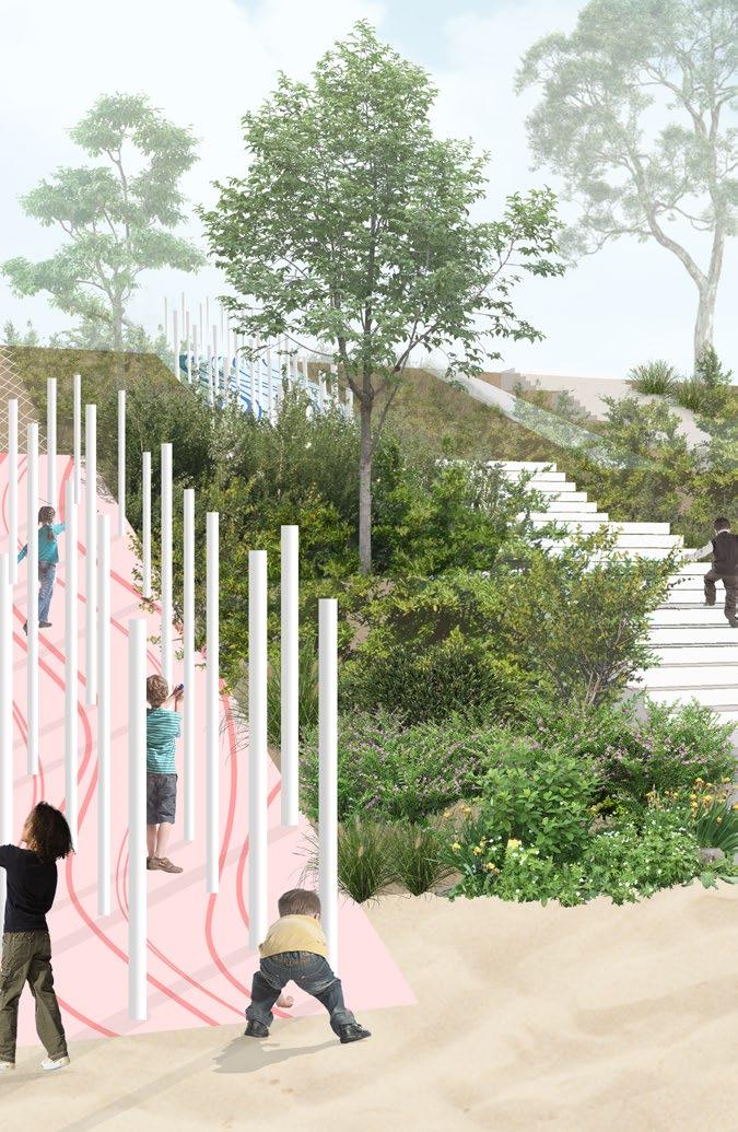
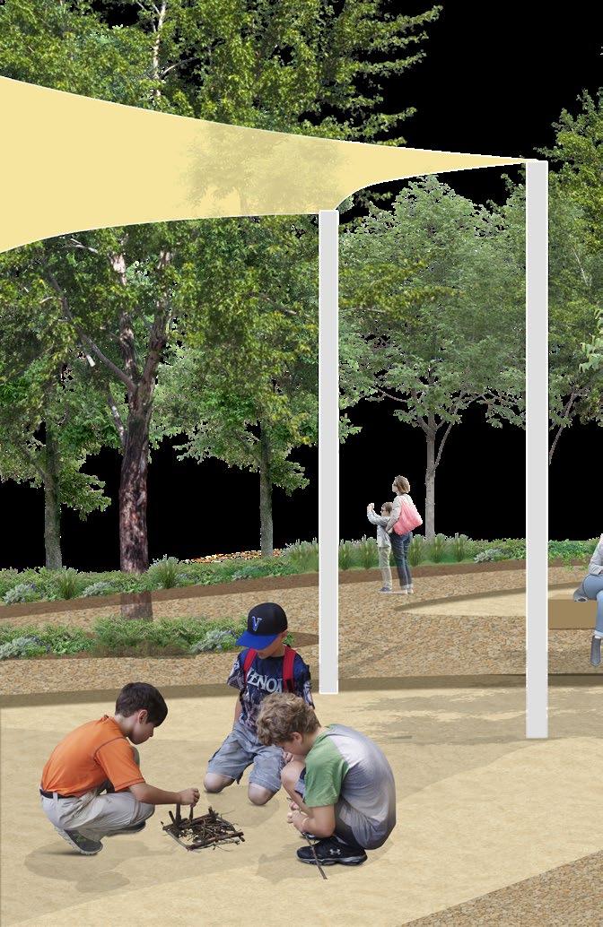
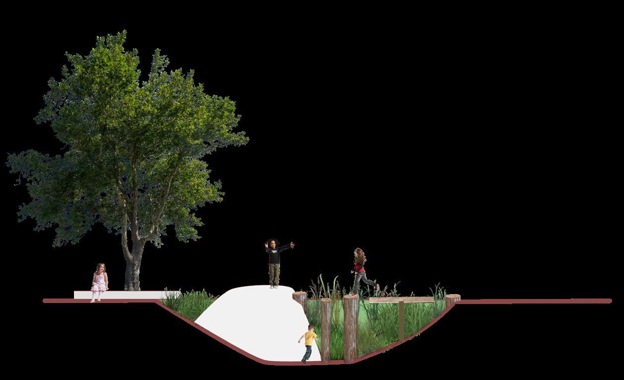
PLAY REVOLUTION
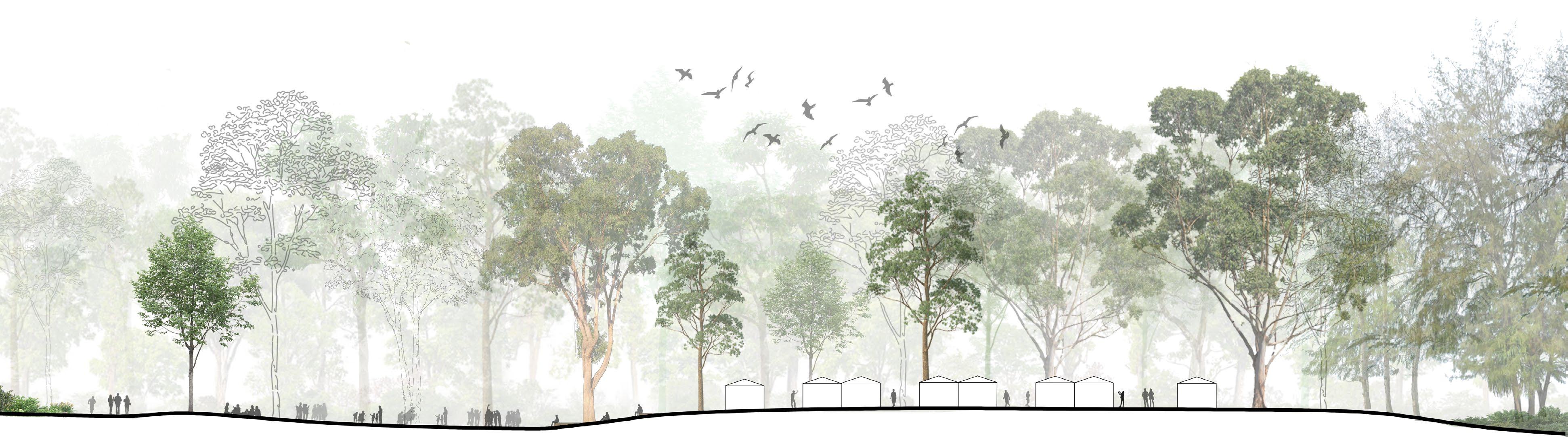
SYDNEY BIRD CENTER LANDSCAPE SYSTEM AND PERFORMANCE 01 02 03 04
MASTER GRADUATING PROJECT
LOCAL MINING
BACHELOR GRADUATING PROJECT

NATURAL SYMPHONY
DESIGN WITH A COMPLEX PROGRAM
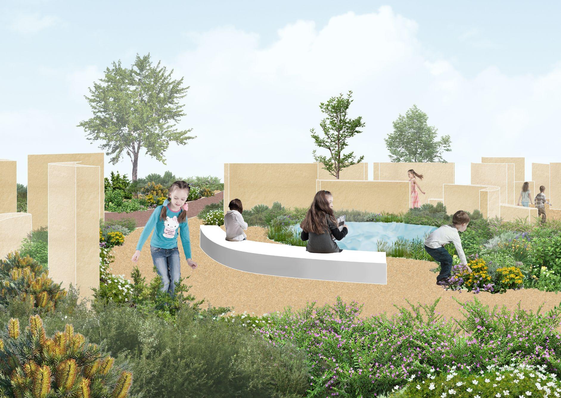
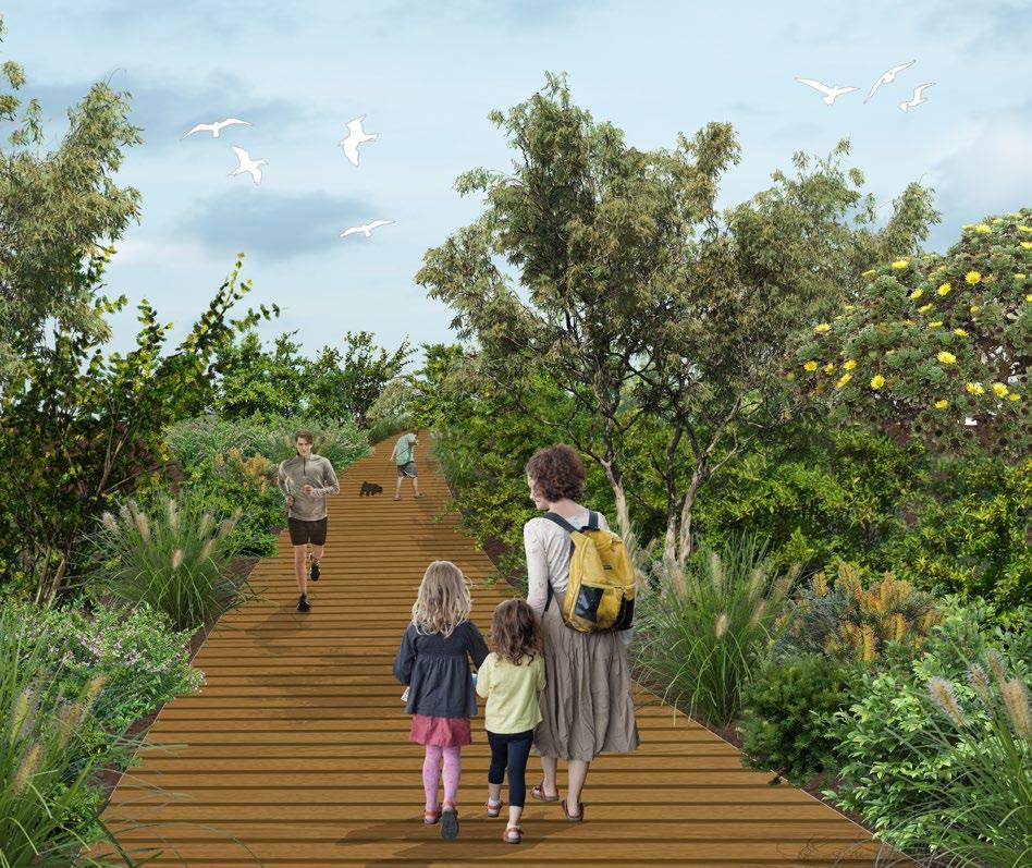
PLAY REVOLUTION


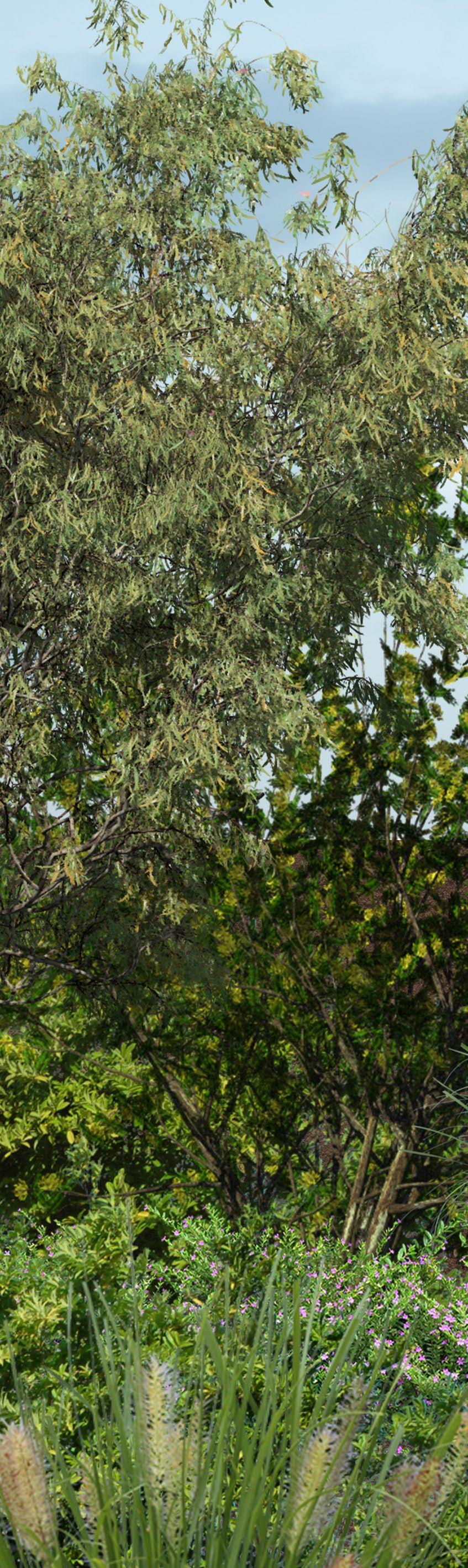
With the process of urban renewal, the building density become higher, and the area of green space is declining. In eastern suburb and inner west, many of the green space is owned privately for golf course, sport club, and racecourse.
As a green space among high density residential area, Moore Park is accessible for resident from city council, Randwick council , and inner west. It plays an important role in outdoor activities for public. However, play space in the community is limited, and playgrounds are mainly built with artificial facilities. Thus, it is important to meet the demand of playscape for children who live in the community around moore park, consider the interaction with nature while playing.


OPPORTUNITY 1:

Increase accessibility to Moore Park and the connection between residential area, Moore Park, and public transport
OPPORTUNITY 2:
ACCESS AND CONNECTION


Increase connectivity with centennial park habitat (wetland and vegetation).


OPPORTUNITY 1:
Use the existing linear vegetation as the edge between proposed park and the remaining golf course.
OPPORTUNITY 2:
Use the existing golf holes shape and structure as play elements.
OPPORTUNITY 1:
Active Mt Steele as the view point and with potential for adventure play
OPPORTUNITY 2:


Active the hidden water body and have potential value in stormwater management


GOLF COURSE
SANDHILL HERITAGE
LAWN
Garden located among
Habitat with opportunity to experience color, texture,
smell of plants
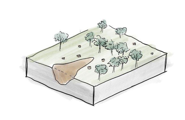
open forest will be kept. There are two wetlands to collect stormwater and as a water resource for water play and urban farm irrigation. Sandhill Play located at the Mt Steele. The steep slope provides opportunities for climbing and sliding.


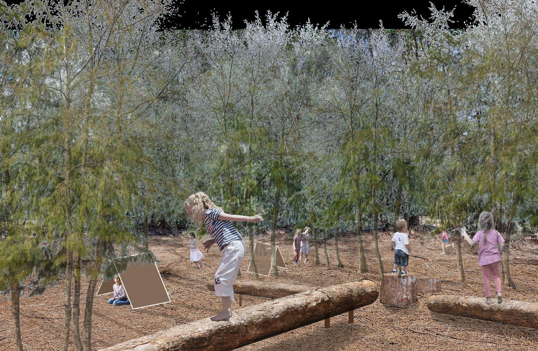
DETAIL DESIGN 1: SANDHILL PLAY
CLIMBING STRUCTURE


VIEW TO SYDNEY CBD
CLIMBING STRUCTURE WITH COLUMNS
TOP OF MT STEELE
SANDHILL PLAY

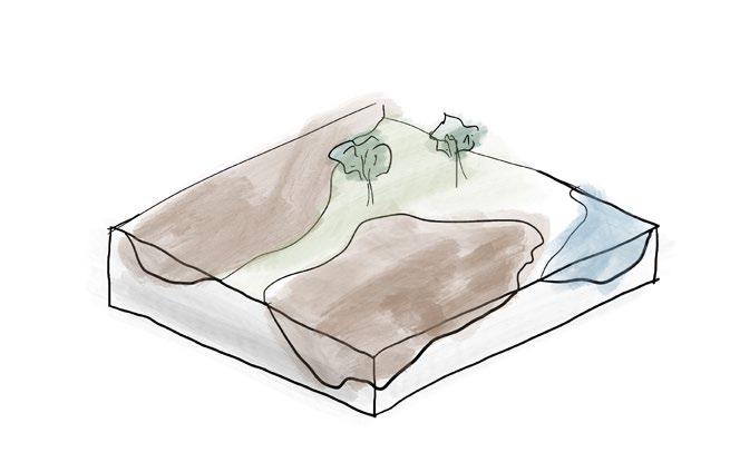
DETAIL DESIGN 2: SUNKEN AND DUNE
BIO-DETENTION BASIN BASED ON GOLF HOLE
LOGS AS PLAY FACILITIES


PIT BASED ON GOLF HOLE
RUBBER DUNE WITH CLIMBING AND SLIDE
SEASONAL WETLAND
UNSTRUCTURED PLAY ZONE

BIO-DETENTION BASIN WITH GRASS AND PLAY SPACE BASED ON GOLF HOLE
EVERGREEN TREES PROVIDE SHADE IN ALL SEASONS 5-10M DECIDUOUS TREES WITH SEASONAL FALLEN LEAVES AND WOOD STICKS


DECIDUOUS TREES WITH SEASONAL FALLEN LEAVES AND WOOD STICKS

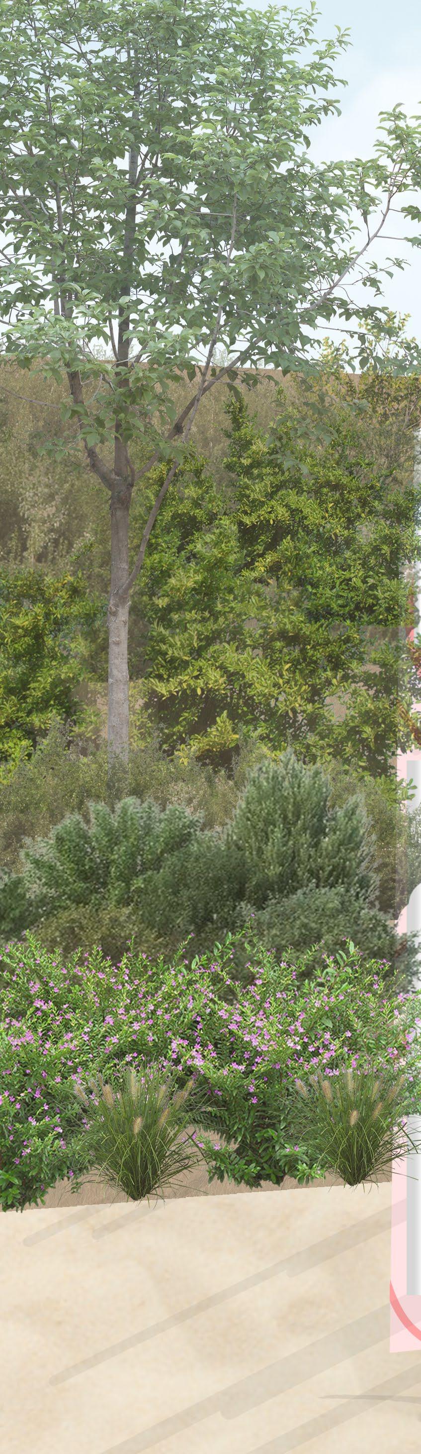
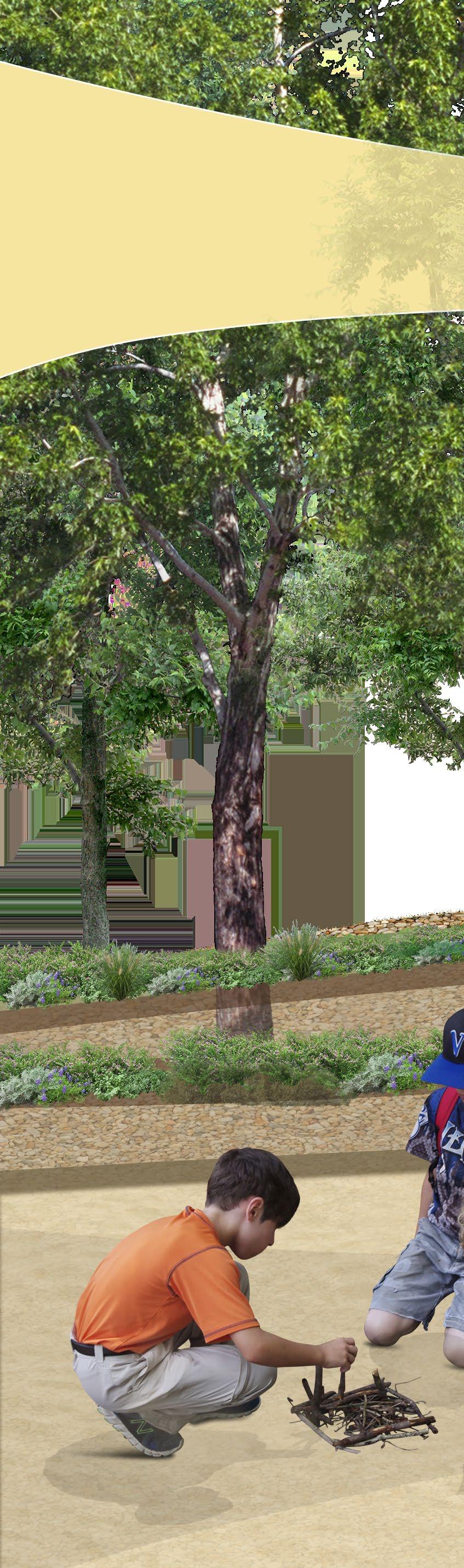
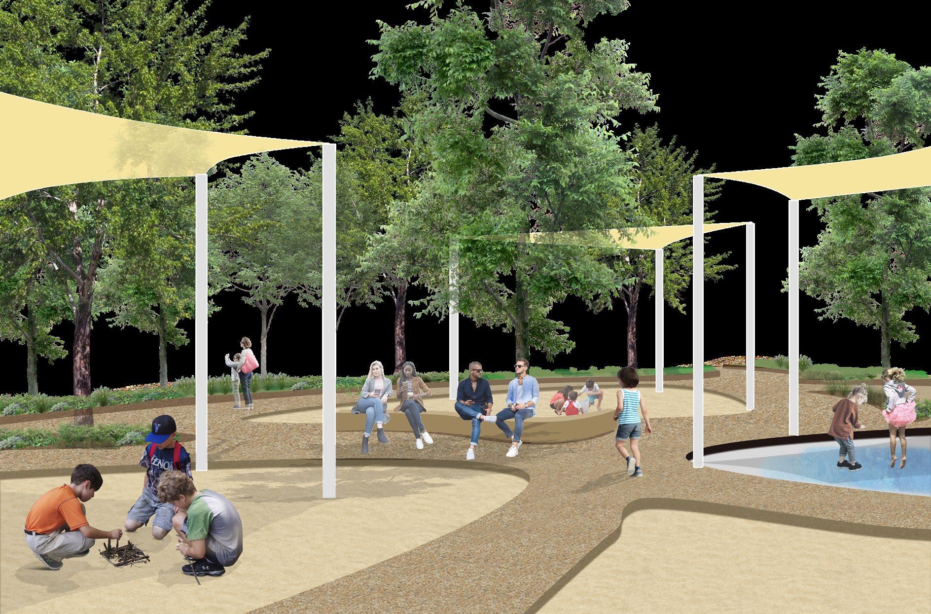
DETAIL DESIGN 3: SENSORY GARDEN
BIO-DETENTION BASIN BASED ON GOLF HOLE
BRIDGE
SECTION AA' SANDSTONE MAZE POLLINATOR GARDEN
SEATING AREA WITH SAND & GRAVEL GROUND
SANDSTONE MAZE WITH POND
BUSHFOOD PLANTS FOR FORAGING


MAZE
LOCAL MINING
In 2021, 34% of people in Liverpool LGA were born overseas. As a multicultural city, local identity plays an important role in promoting social cohesion and social sustainability. While people feel as a part of development process and believe that they and their descendants will benefit from it, social sustainability will increase.
Through social media mining and site analysis, the local characters of Liverpool includes the sand mining history, Geogres River water front spaces, and frequently events to celebrate different culture. This project will transform the Haigh Park at Liverpool to a new district park destination with natural, social, and historical identity.
Firstly, educating and encouraging stewardship through experience key habitat and tide changing of Geogres river. Secondly, generating attachment through upgrading existing informal and small-scale community activities. Thirdly, highlight the sand mining past through wallk experience and materility.


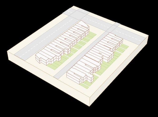
MASTERPLAN

PRINCIPLE 1:
EDUCATING AND ENCOURAGING STEWARDSHIP THROUGH EXPERIENCES KEY HABITAT
PRINCIPLE 2:
GENERATE ATTACHMENT AT HAIGH PARK
PRINCIPLE 3:
INVESTIGATE WAYS TO HIGHLIGHT THE SAND MINING PAST
DESIGN METHODS:


OPEN WOODLAND
1:300@A3

SEASONAL MARKET
1:300@A3
SIMMING PLATFORM---LOW TIDE
1:100@A3


SANDY PLAY
DENSE VEGETATION
DENSE CAUSERINA PLAY
SAND MINING PROCESS
REMOVE TREES MINING SAND PIT
PLAYGROUND PROGRAM

VEGETATION & GRAVEL GROUND MATERIAL
PLAY ZONE 2 -- MINING MAZE
VEGETATION DISAPPEAR

LOSE VEGETATION & SAND PIT PLAY

PLAY ZONE 1 -- CAUSERINA PLAY
PLAY ZONE 3 -- SAND AND WATER PLAY
NATURE SYMPHONY
Moore Park located in the Eastern Suburb of Sydney, near the city center. Noise pollution from cars and planes are serious, affecting people's health and disturbing animals' habitat.
Native vegetation there is Eastern Suburb Banksia Scrub. The area of ESBE reduced due to urban development and become an extremely endangered community.
This project creates serious of soundscape through the habitat recreation of Banksia Scrub, reduce noise and highlight nature sound, let visitors calm and experience the symphony of nature.

NATURE SYMPHONY


MASTERPLAN


MAIN CIRCULATION


ENTRENCE --- WHISPER OF EUCALYPTUS
Vegetation as an edge, block the traffic noise, rich native species, and produce the rustling of eucalyptus, introduce visitors into the park of soundscape.
AMPHITHEATER --- CHORD
The space near heavy traffic road is transformed into an open public space. Based on landform, an amphitheater is proposed for activity, gathering, and communication.
WETLAND --- RHYTHM
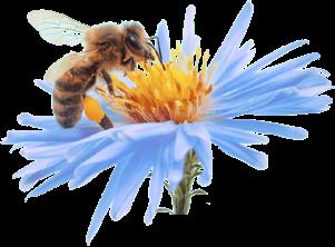
Vegetations around the wetland system are hygrophilous species from ESBS. This area is a lively space where all kinds of natural sound and human voices gather.
BUSHLAND --- DRUMBEATS
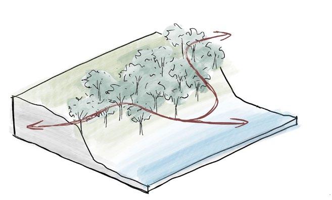
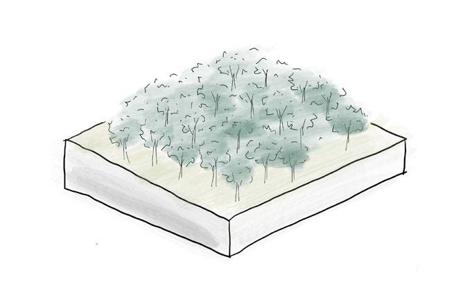
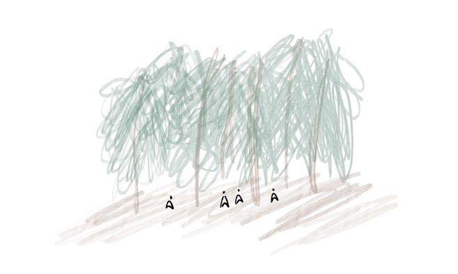
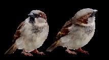
The bushland is a recreation area of ESBS. It is a habitat for native vegetation and birds. Visitors can enjoy the peace of nature, listen to the nature. Programs there include bushwalk and bird watching.
AMPHITHEATER - DAY
WETLAND - WET
WETLAND - DRY
BUSH
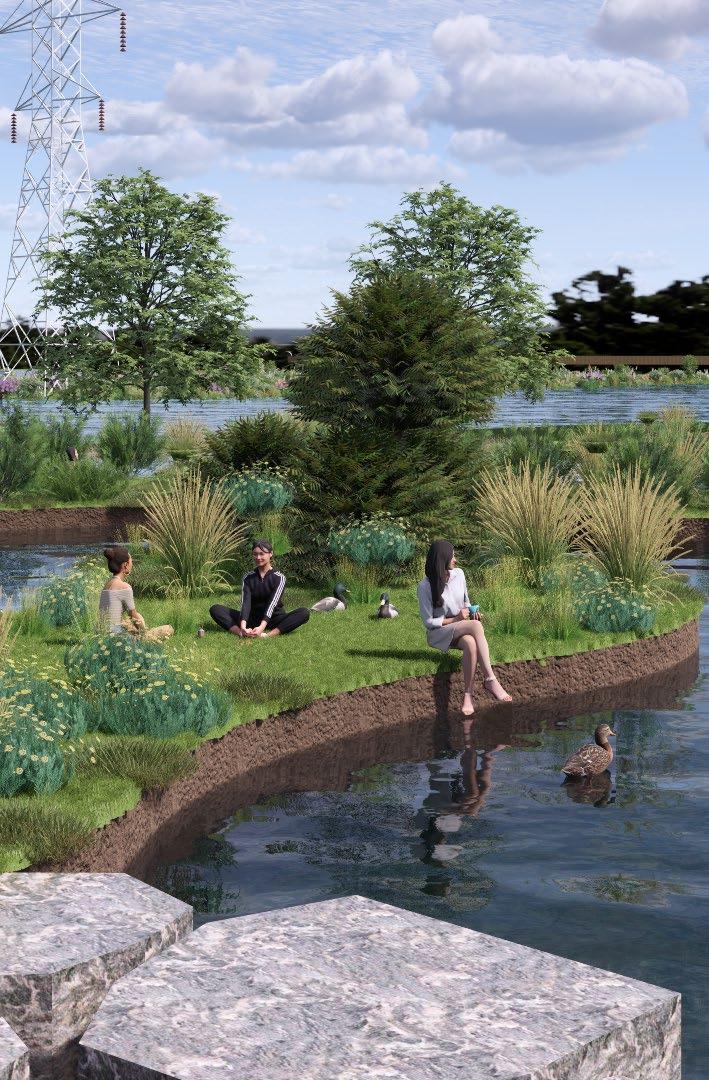
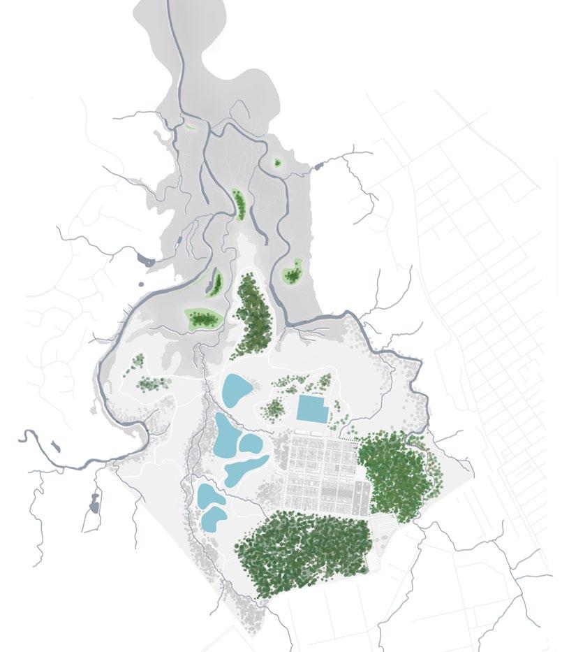
SYDNEY BIRD CENTER --- ANGUS 2050


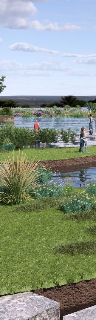
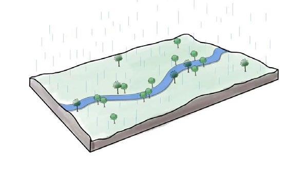
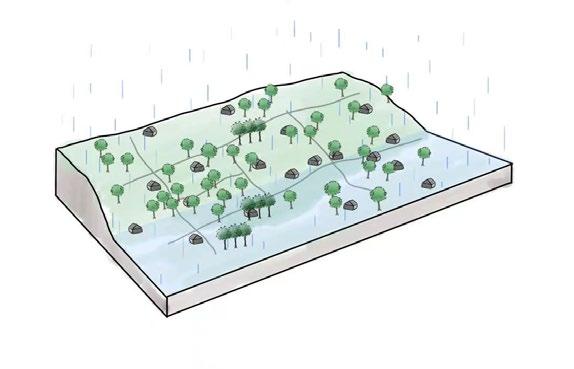
Angus located in the north west of Sydney, it is a rural area with high biodiversity value and serious flood issue. This project aims to transform Angus into a nature reserve, use the seasonal wetland (create by flood) and constructed wetland for(water sensitive urban design) to create bird habitat and achieve flood resilience. Besides that, this area will have the value of tourist, scientific research, and education to support the development of society and local economy.

FOREST

Forests at Angus have high ecological value. Rich native species, multiple vegetation layers, and abundance of leaf little provide habitats for fauna.
WETLAND
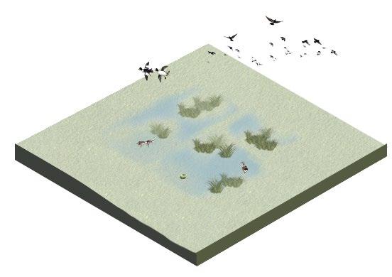
Freshwater wetlands ecological community provides habitats and foraging grounds for birds and amphibians.
Eastern Creek
South Creek


Grassland Shale/Gravel Transition Forest Shale Plains Woodland Alluvial Woodland Castlereagh Scribbly Gum Woodland Cooks River Castlereagh Ironbark Forest
Wianamatta Group Wianamatta Group Wianamatta Group Wianamatta Group
Wianamatta Group Wianamatta Group
1 2 Angus Town:
Mainly used as accommodation for tourists, with low density house and mid density apartment hotel.
Riverstone Cemetery:
The cemetery will be kept as a heritage.
Nature Reserve:
The existing vegetation community will be protected as a habitat for flora and fauna.
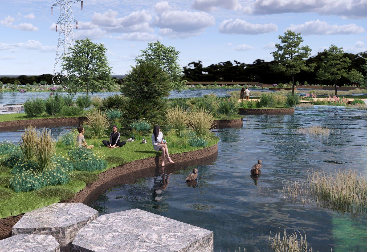
Constructed Wetland:
A series of constructed wetlands become a parkland, manage the stormwater, create habitat, and valuable in touriam.
5 Bird research center:
A breeding and protection base is proposed around meatpond wetland, with bird museum, scientific research building, bird treatment and breeding, and various habitat. Most of the area is open to public with tourism and educational value
Riverstone Wetland:
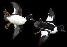
The riverstone wetland is an important habitat for local and international migratory bird. Islands and floating islands are proposed to help birds have a landing place in rain season.

Angus is a rural area with high biodiversity value and serious flood issue. This project aims to transform Angus into a nature reserve, use the seasonal wetland (create by flood) and constructed wetland (water sensitive urban design) to create bird habitat. Besides that, this area will have the value of tourist, scientific research, and education.
PRINCIPLES


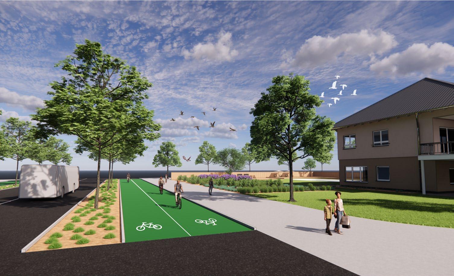
Main street with bus line, cycle way, walkway, and street trees.
Sub street with a shared path for pedestrains and bicycle.
Street furnitures (bike rack, seats).
Accomodation type 1: Mid rise hotel, with stores and restaurants along the street.
Extensive green roof to reduce urban heat and manage stormwater.
Accomodation type 2: Low density house with well-designed backyard.
Accomodation type 3: Low density, natural living house surrounded by existing forest.
Example of accomodation type 2: Low density house


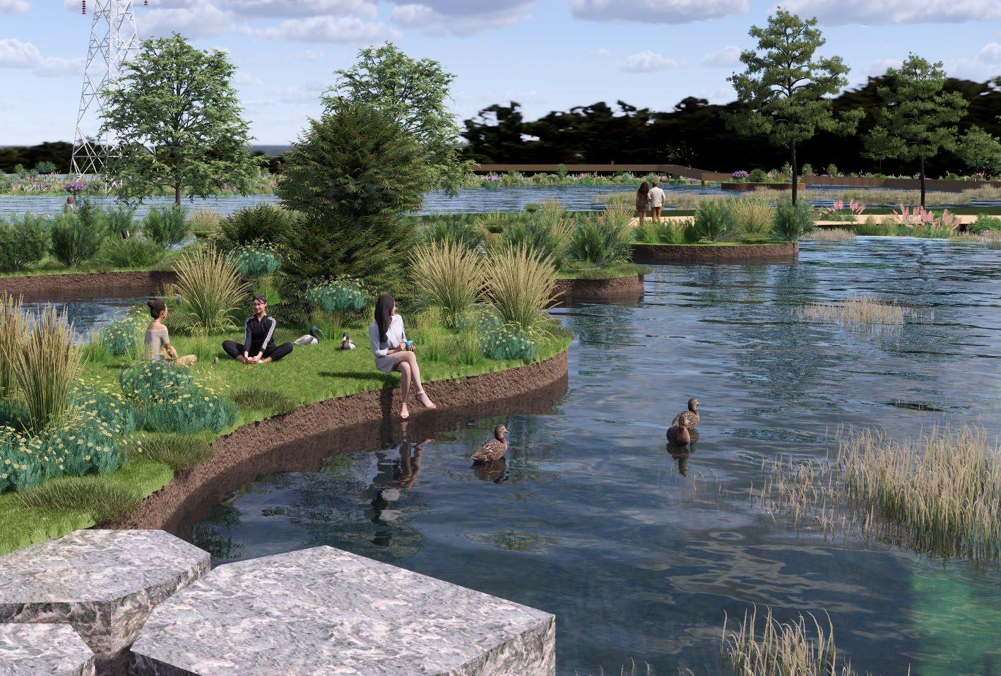
power line corridor with shrub and groundcover
pathway for pedestrian and bicycle
seating area
vegetated island
waterfront platform
Stepping Stone
Bird Observation Platform
Walkway Bridge

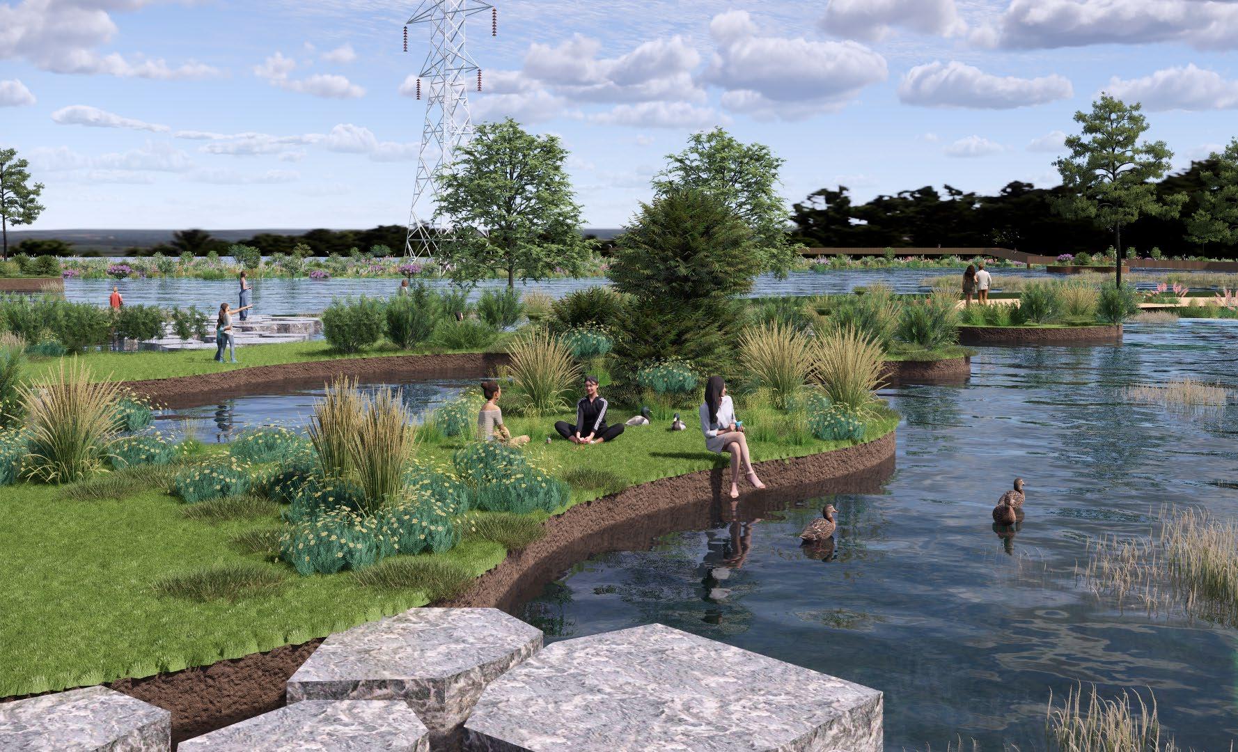

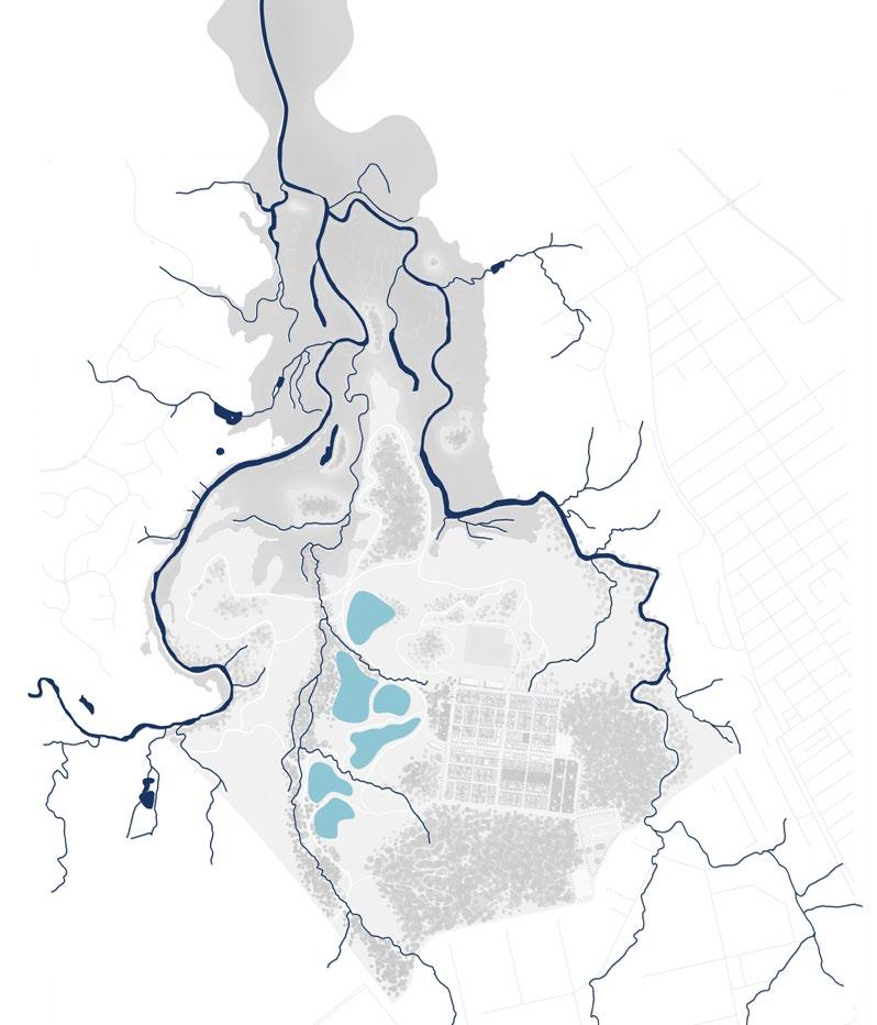
Parkland Detail Plan Scale: 1:1000@ A3
PHONE: 0412194617
EMAIL: zjinyu316@gmail.com