


 Jerome Basilio | Junior Designer | 2016 -2021
PROFILE
LANGUAGES
English
Tagalog
SKILLS
Computer
Adobe Creative Suite
Microsoft Office
AutoCad
Rhinoceros
QGIS
REVIT
Canon and Sony Cameras
iMovie
Final Cut Pro
SketchUp
Mac OS
PC
Manual
Conceptual sketch
Physical modelling
Hand draft
Photo collage
Laser cut (Universal LS)

877 Polson Avenue, Winnipeg, MB R2X 1M4
1.204.292.3252
basilio.eng.jerome@gmail.com
EDUCATION
2012 - 2018 Bachelor of Environmental Design Faculty of Architecture | University of Manitoba
RECOGNITION
2017 - 2018
4th Prize Barkman Design Competition (Group) Annual Landscape Architecture Design Competition University of Manitoba
Engelbert Jerome Basilio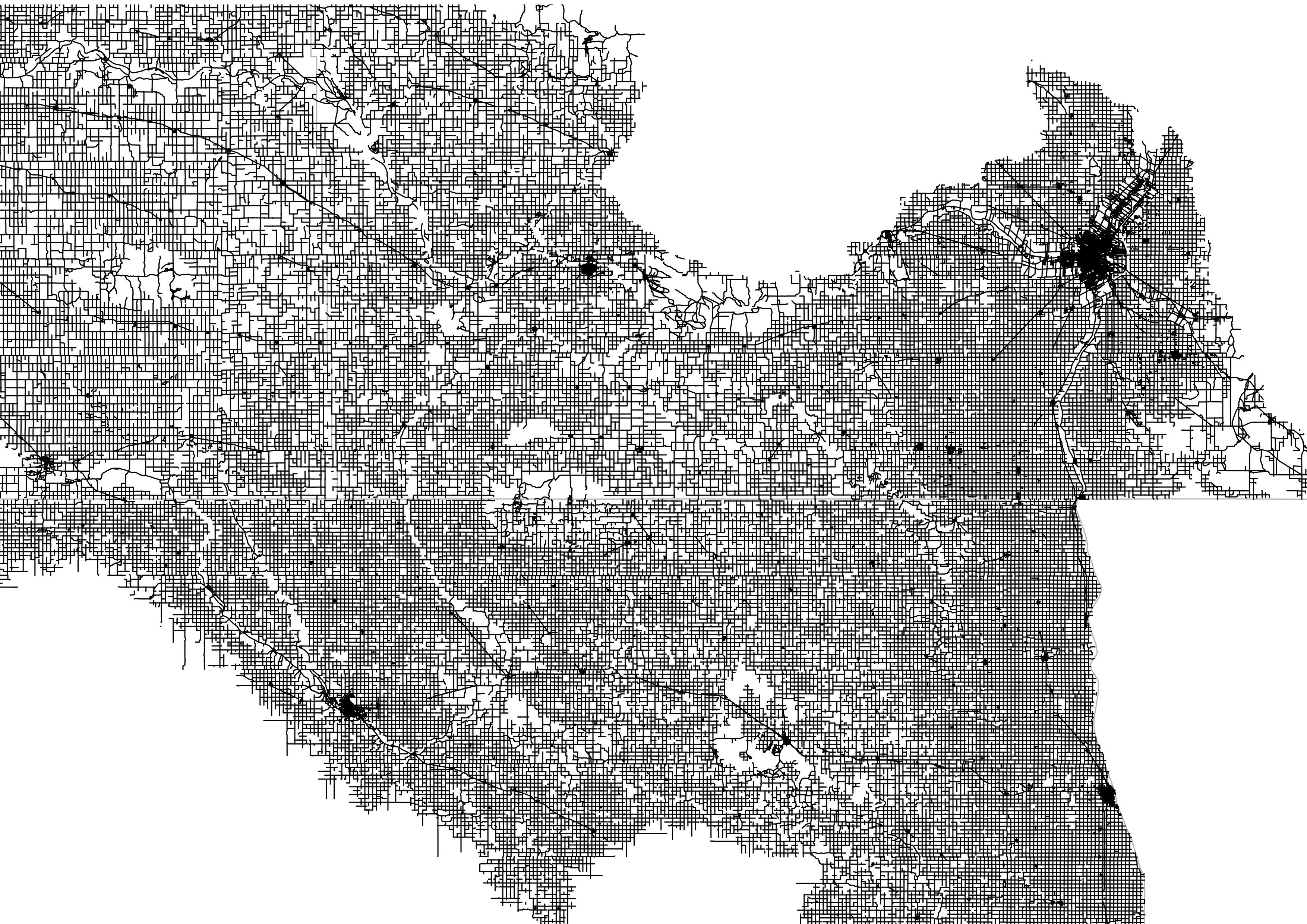
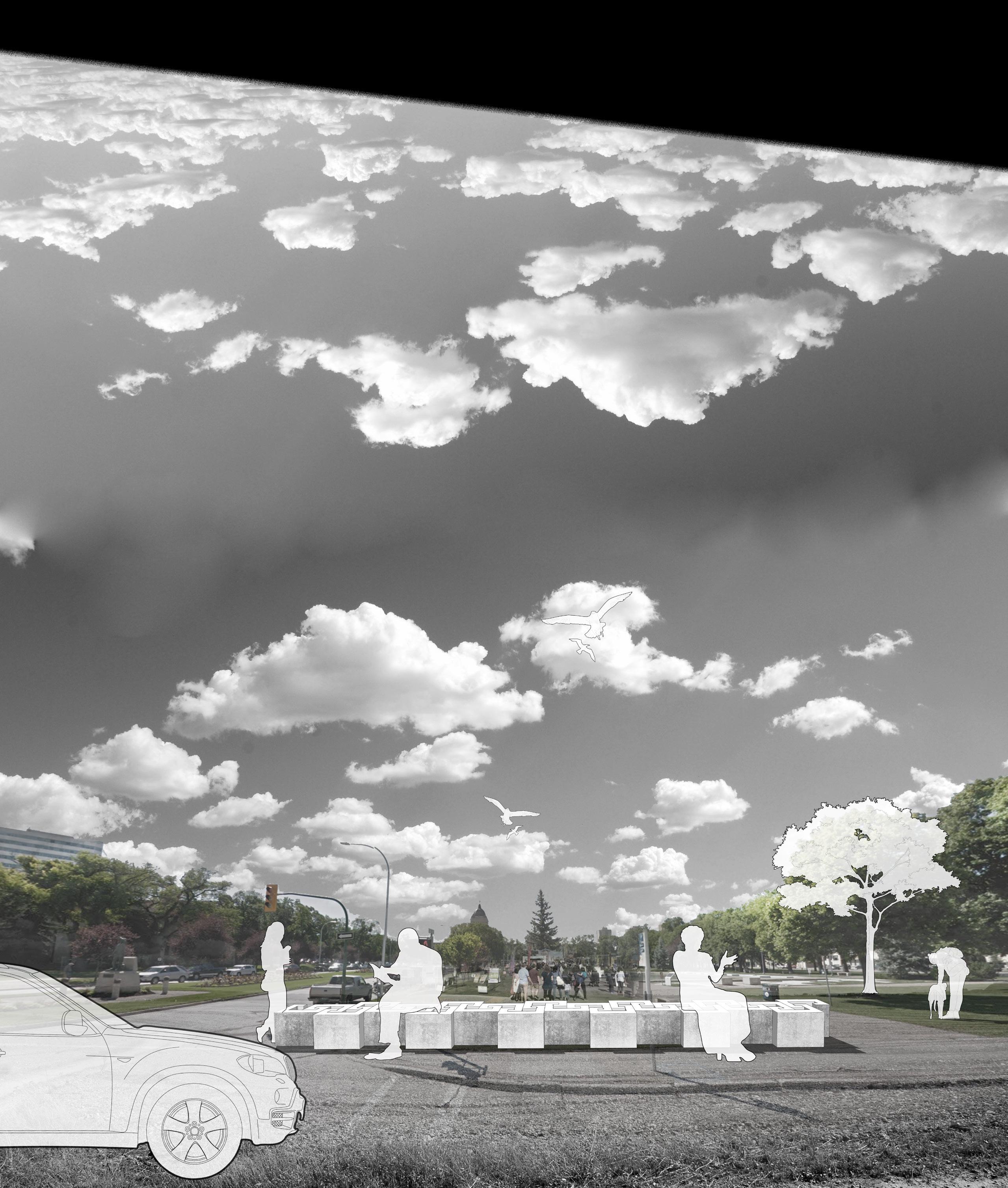
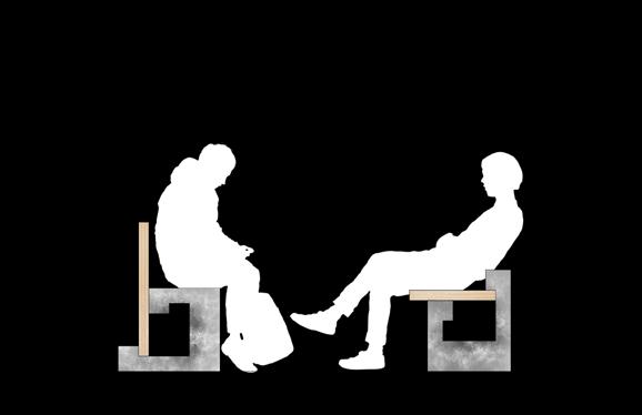
PEACE TRAIL
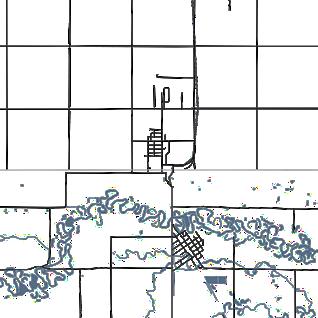
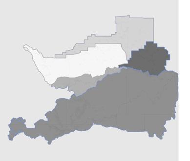
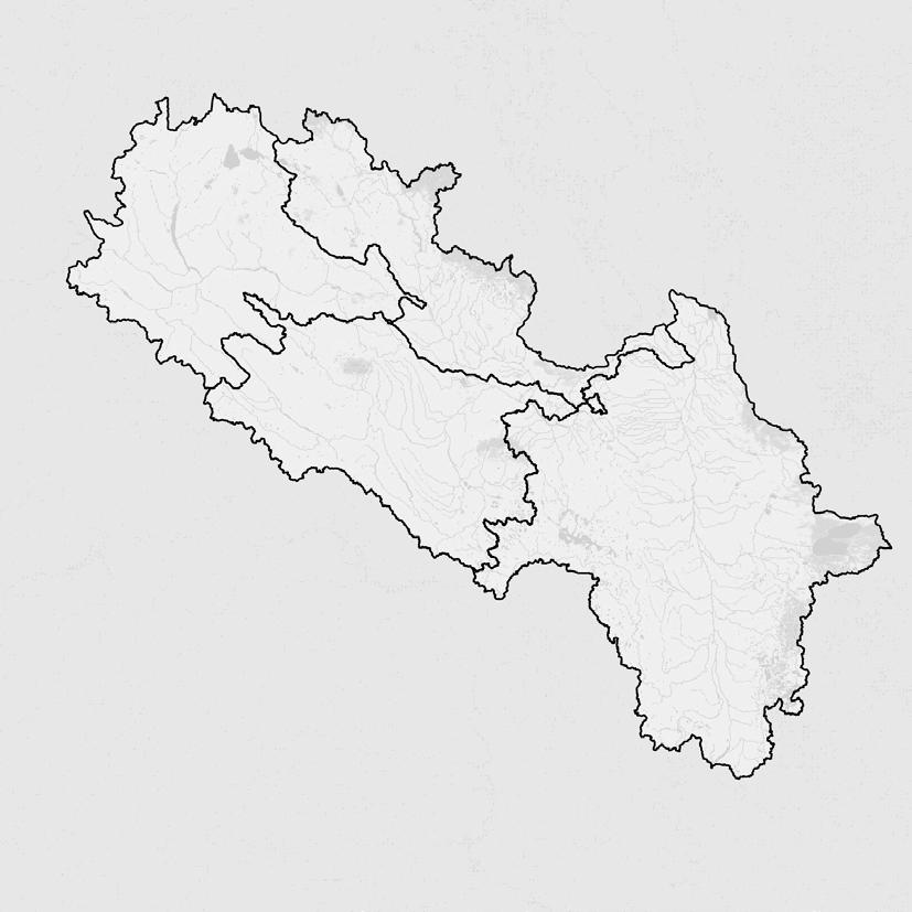
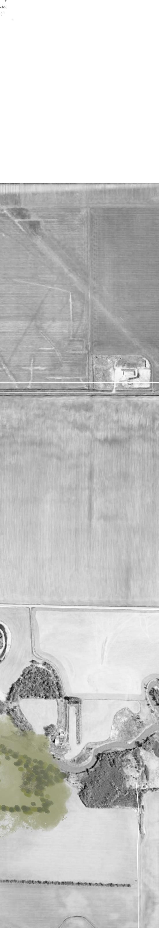
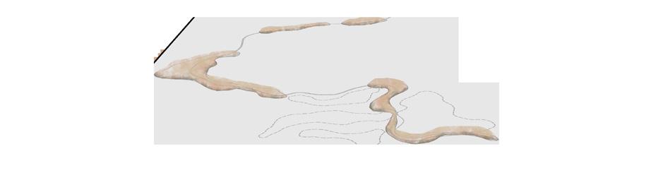
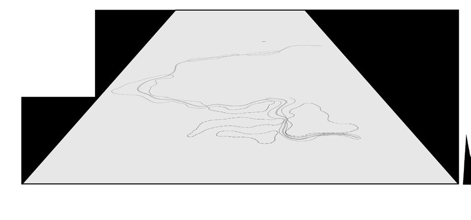
Gretna, MB & Neche, ND (US-Canadian border)
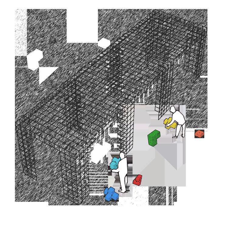
Red River Watershed is the designated location of the studio project. The proposed Peace Trail project is located in the bordering towns of Neche and Gretna. The idea of having a project on the international border is inspired by the research conducted from the recent asylum seekers entering Canada from the United States of America. Peace Trail was also inspired by American and Canadian public spaces such as the Peace Garden west of the Manitoban province. The project was furthered more through site visits and interviews conducted through the community of Gretna and Neche. It is found that Neche and Gretna had more than 50 years of history through being the main entry port of export to having sports teams together.
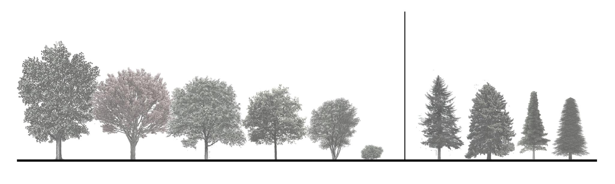
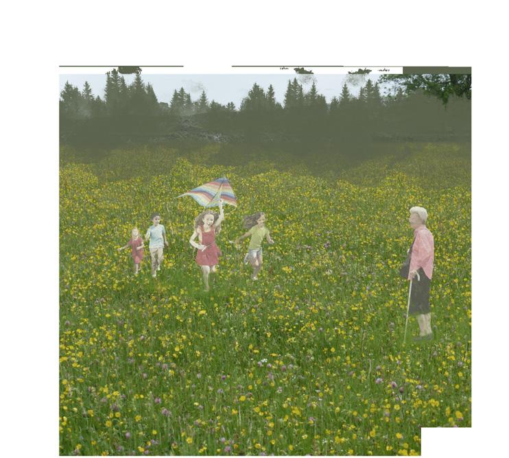
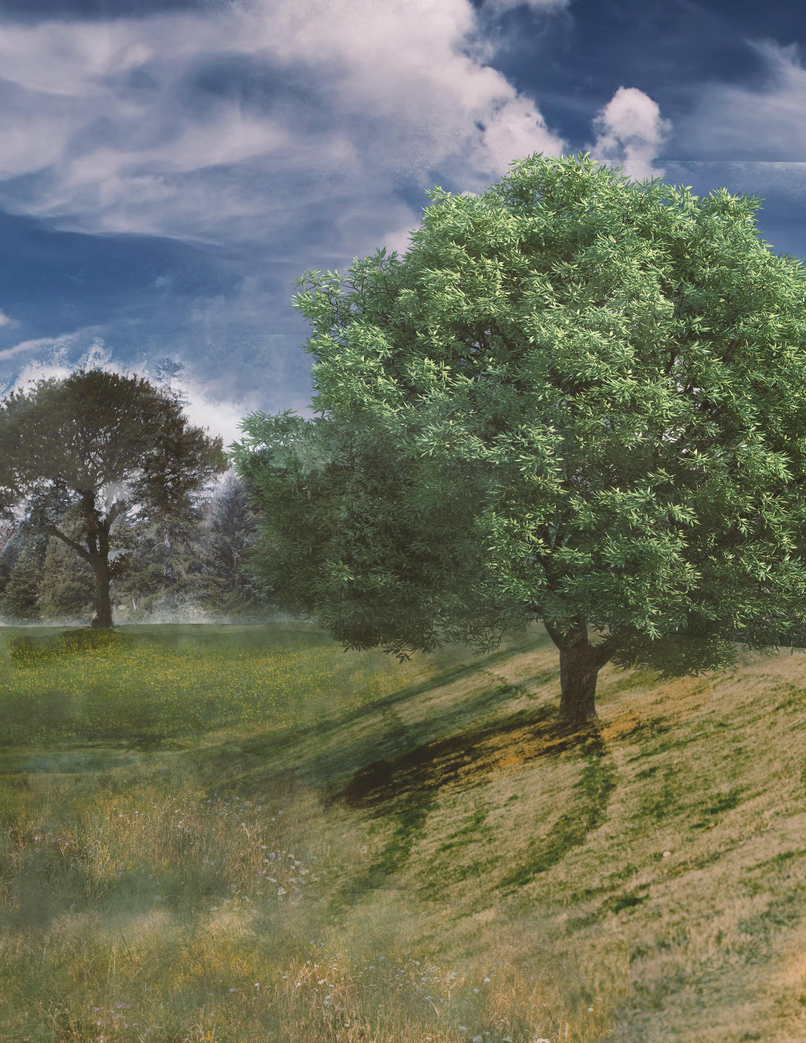
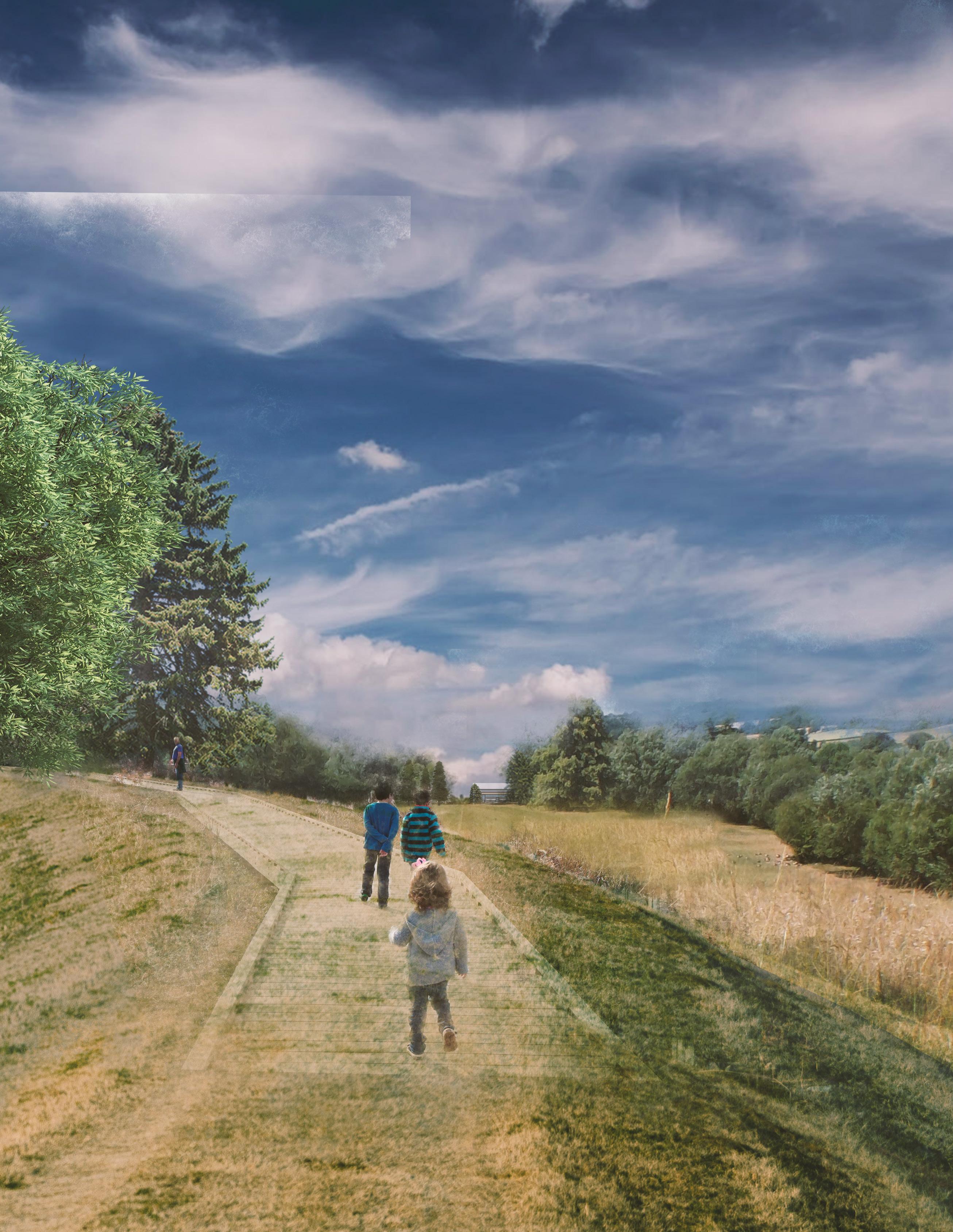
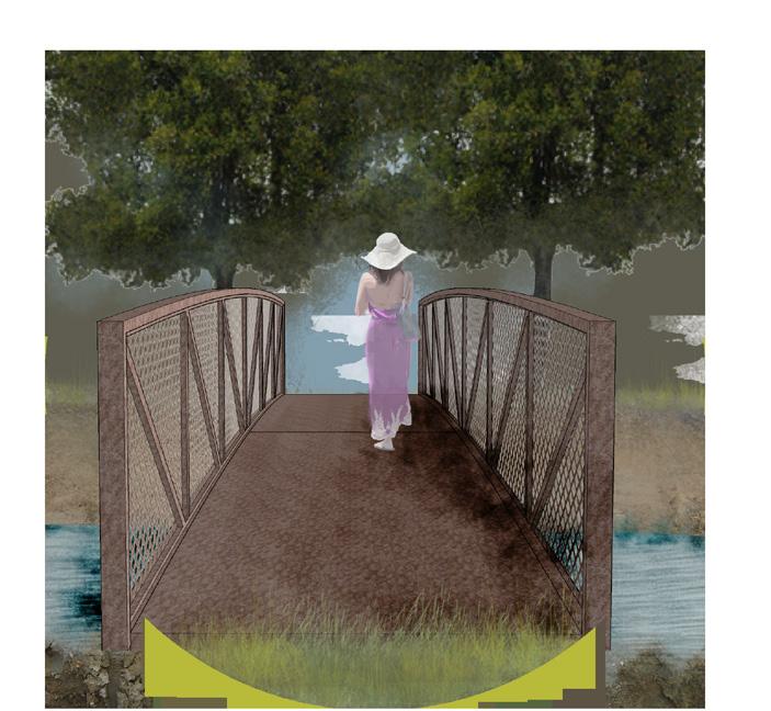
The narrative of Peace Trail is set 20 to 50 years from now, the border towns would serve as an entry point for future asylum seekers, immigrants, and visitors because of government tensions and climate change. The Peace Trail is a green corridor trail that connects the rural town of Neche in the American border to Gretna in the Canadian border. The green corridor aims to flourish the deep history of the two rural towns that represent their friendship. The already existing trail in Neche is extended with prairie vegetation and various trees through Gretna. The trail also has entry points from both towns accommodating residents and visitors. The trail is connected to commercial zones and recreational spaces. Part of Peace Trail is a recreational complex of both indoor and outdoor fields.
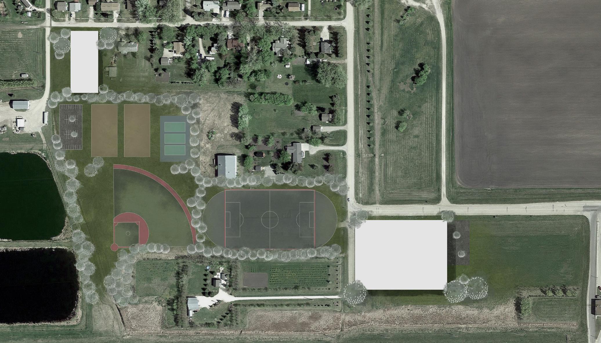
Gretna, Manitoba | Neche, North Dakota
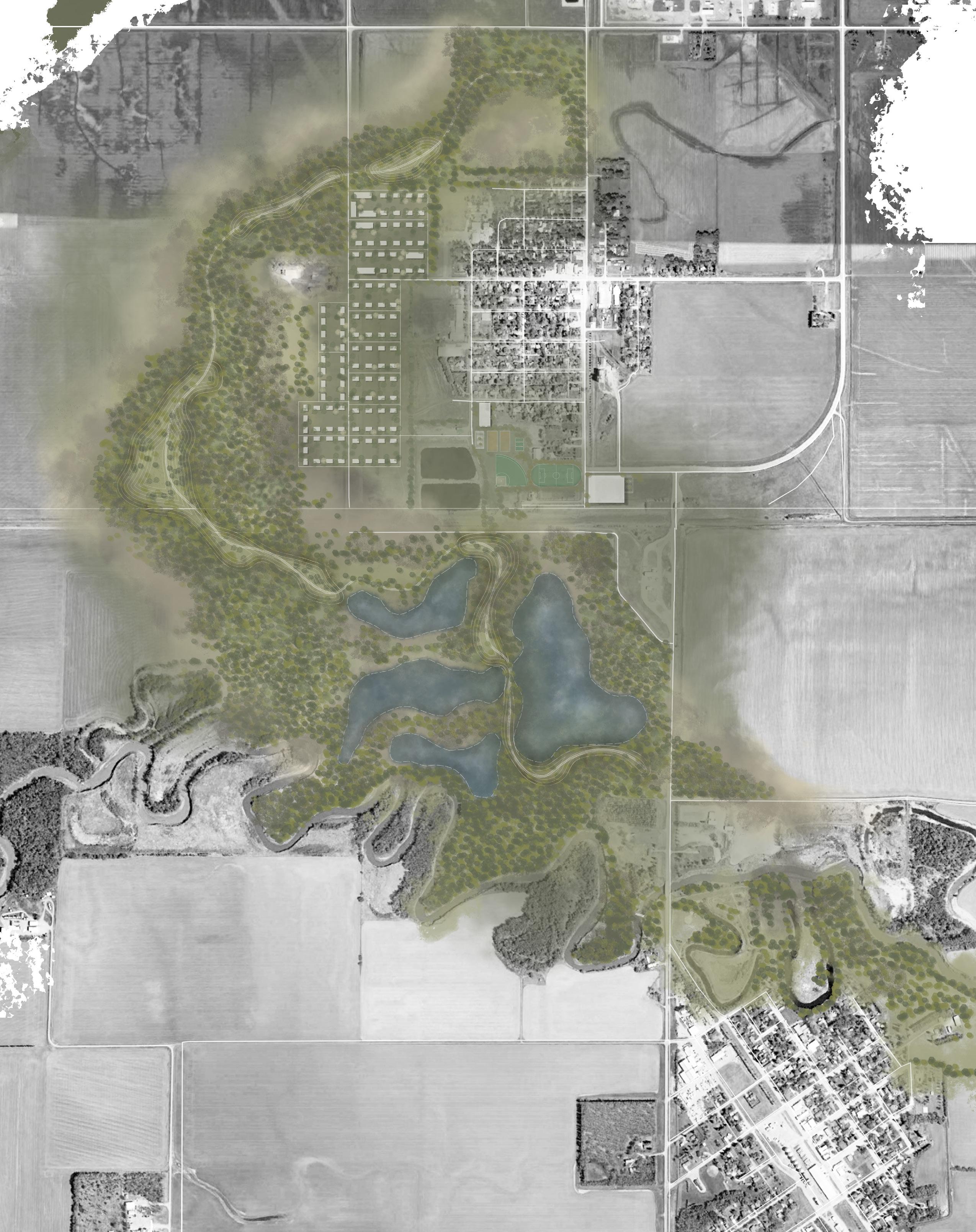
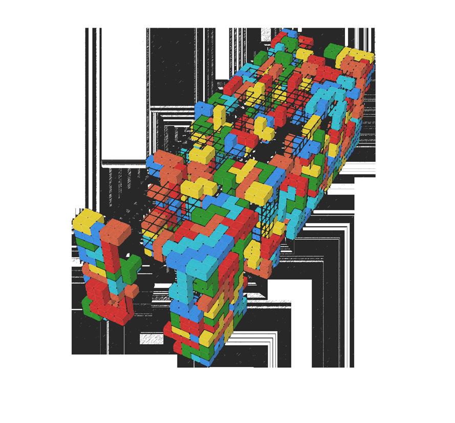
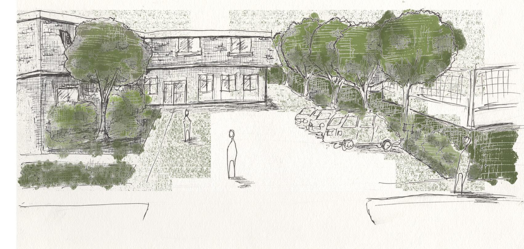
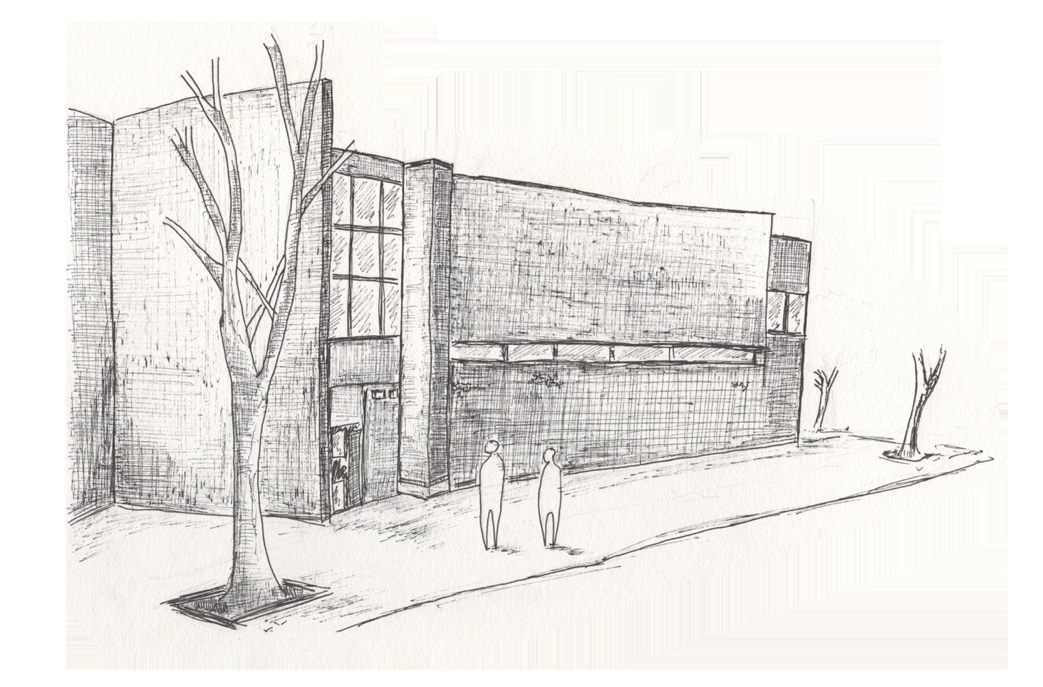
The Peace Trail does not only includes a forested trail but also a Sports Complex Recreational Park. The Recreational Park is created to commemorate the history of the friendship of neighbouring towns through their sports team. The park houses outdoor space for tennis, baseball, soccer, track and field, hockey, and an indoor sports centre. The park is situated south of Gretna’s High School Mennonite Collegiate Institute. Existing outdoor courts are relocated to the Recreation Park with the rural expansion west of town taking over space. The Recreation Park is also strategically placed along the border for Neche residents’ easy accessibility. The lack of a nursing home, a growing problem within Gretna’s population, was an issue that is also considered with the town’s increasing number of elderly. The nursing home is part of the Recreation Park to promote a healthy lifestyle through playing sports and is also along another entry point through the forested trail for easy accessibility. Recreation Park is also designed to attract visitors/border crossers through sports.
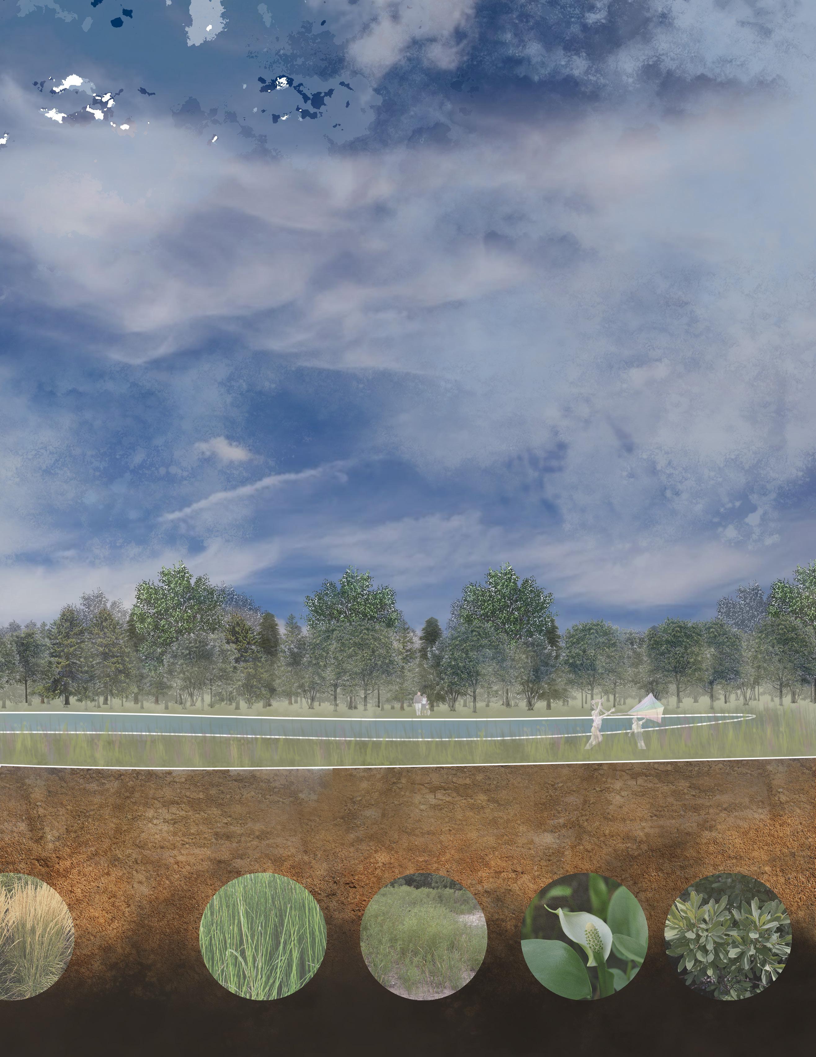
The remediation process starts with land excavation and berm construction. A retention pond is constructed to ease spring flooding. Along the shoreline of Pembina river and along the retention ponds are trees and vegetation planted to extend the riparian forest. The riparian extension would help prevent the flooding moving northwards. Prairies and wetland plants are also planted, which targets better water management and water purification. The vegetations are also specifically chosen to provide habitat and resource for wildlife, promoting biodiversity to the park. The Peace trail acts as a sanctuary for all living things, humans and animal alike.
RETENTION BASIN|POND
BERM & BASISN CONSTRUCTION

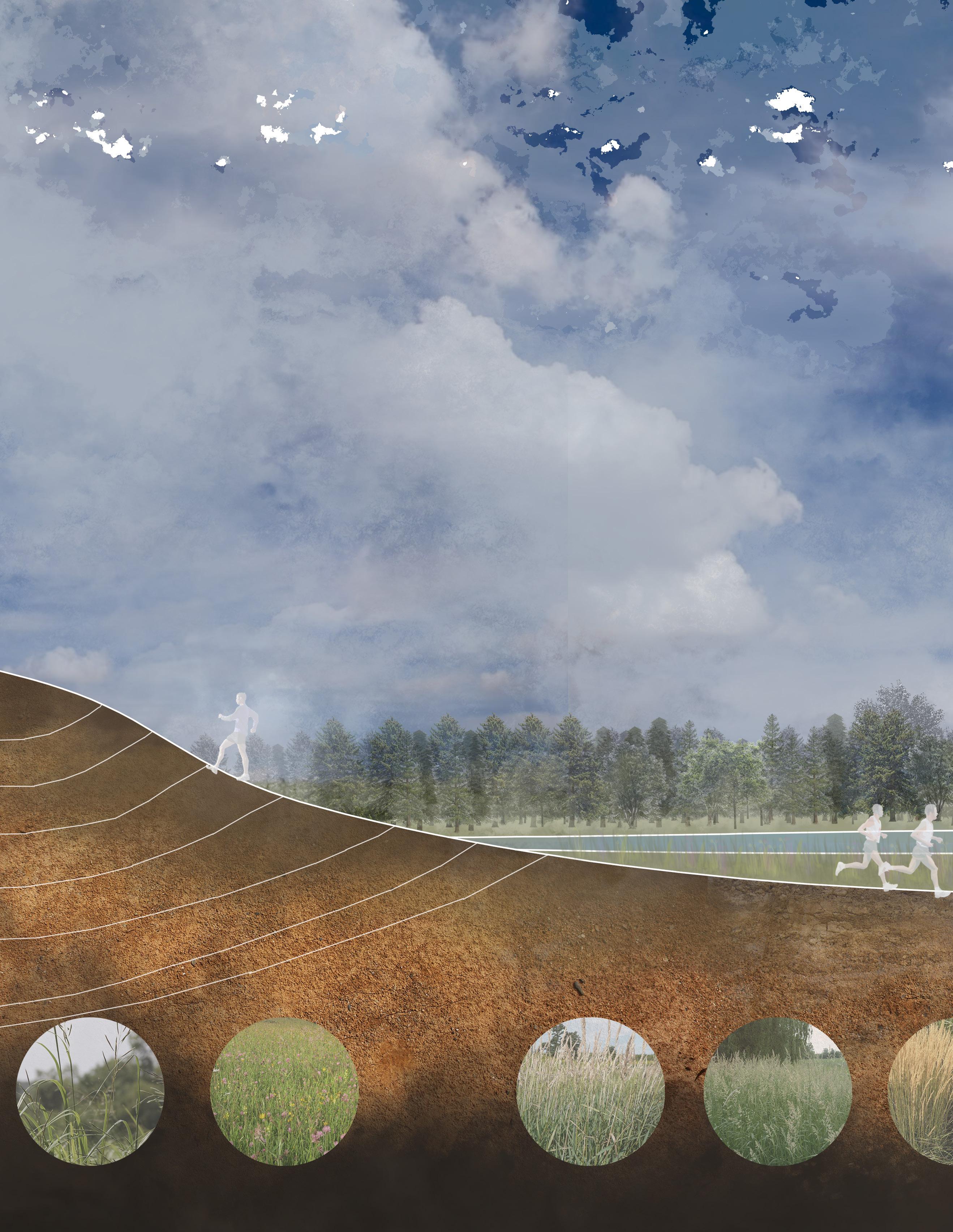
PRAIRIEMEADOW SHORELINE STABILIZER AND DRAINAGE CHANNELS
Prairie Cordgrass Wild Meadow Bluejoint Reed Canary Grass Pedestrian Bridge on Pembina River Context Map