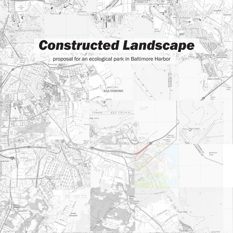
Constructed Landscape
proposal for an ecological park in Baltimore Harbor
This thesis is dedicated to Mom and Dad, who have been supporting me in all ways possible.
Tao DuFour and Greg Keeffe, who have been amazingly insightful and encouraging.
Highland Homies, who have made the past ten semesters memorable. God, who always provides!
Constructed Landscape
proposal for an ecological park in Baltimore Harbor
JAEIN LEE ADVISORS
TAO DUFOUR | GREGORY KEEFFE
A THESIS FOR THE COMPLETION OF THE BACHELOR OF ARCHITECTURE CORNELL UNIVERSITY COLLEGE OF ARCHITECTURE, ART AND PLANNING
MAY 2022
iv
v Profile of Final Panel Transcript of Final Presentation and Critique 4 | Thesis Defense Photographs of Swan Creek and Sparrows Point Bilbliography 5| Appendix Scale of a City Scale of a Neighborhood Scale of an Oyster Back to the Scale of a City 3 | Execution Site Context Swan Creek Sparrows Point The Three Scales 2 | The Site Introduction Research Question Sediment Movement and Dredging 5 7 9 22 24 26 28 108 124 36 44 82 88 3 19 106 35 1 | Where Do We Begin?
vi
vii
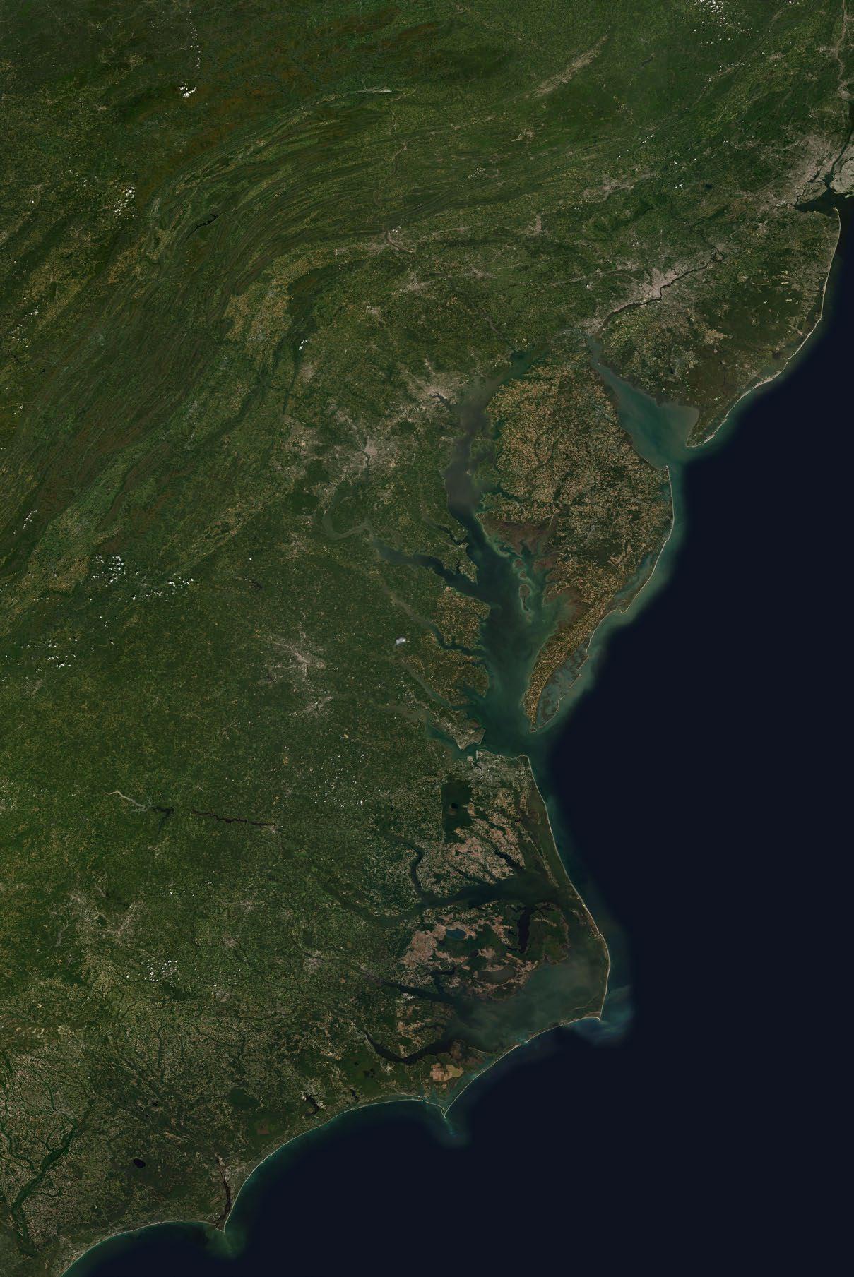
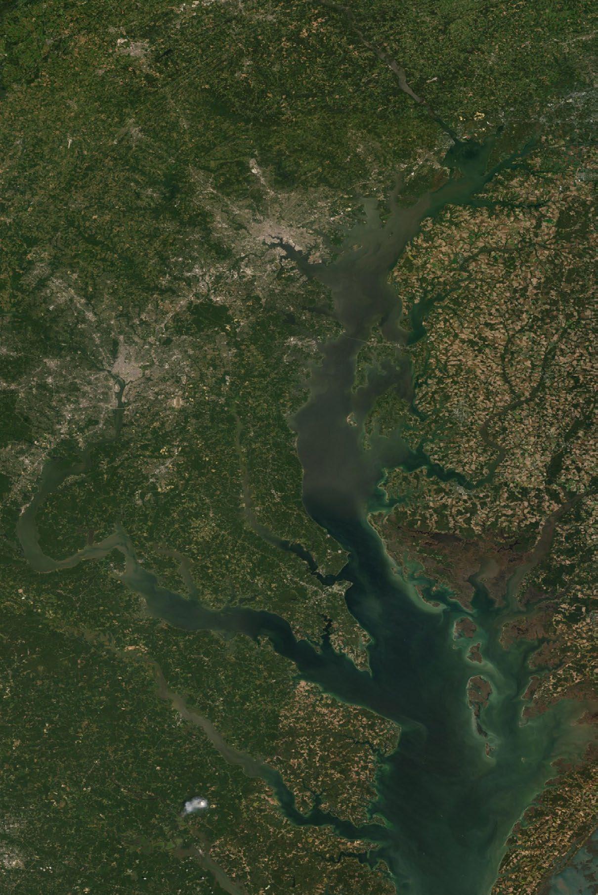
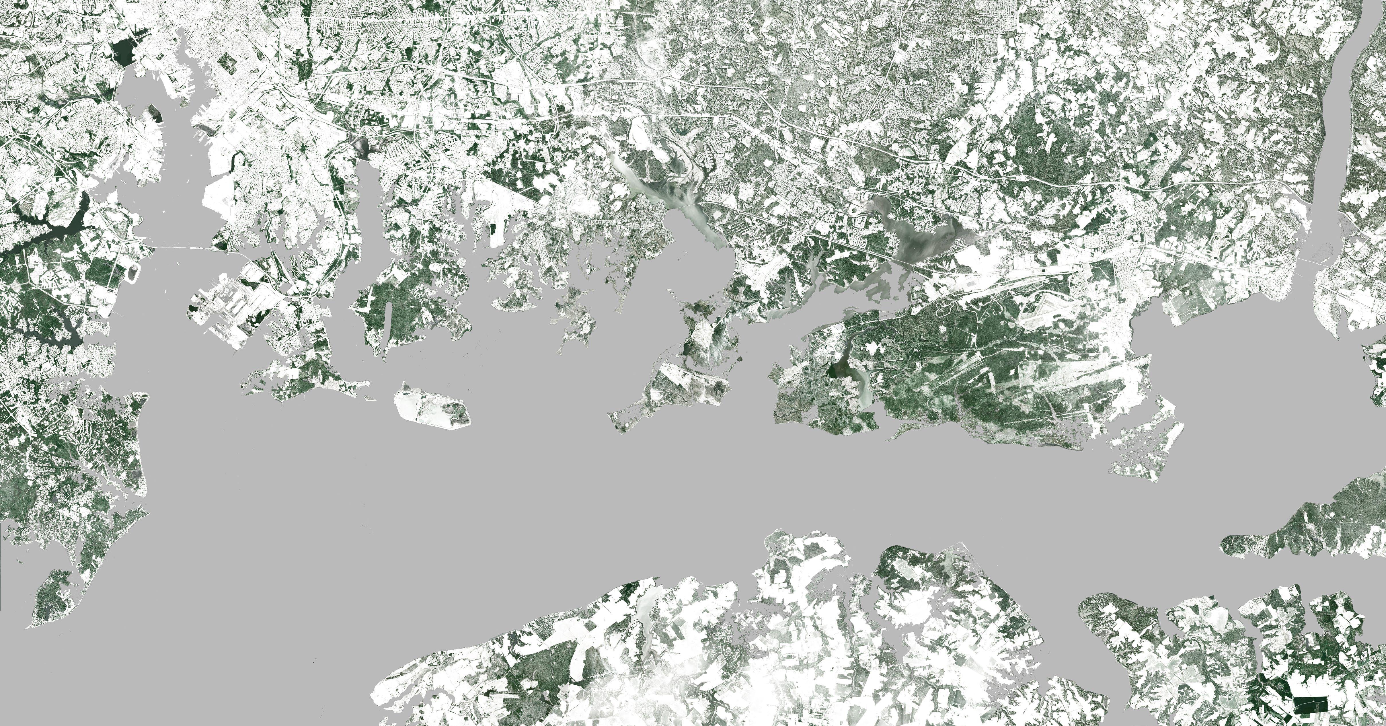
Chesapeake Bay. Sattelite Imagery from ESRI.
viii

ix
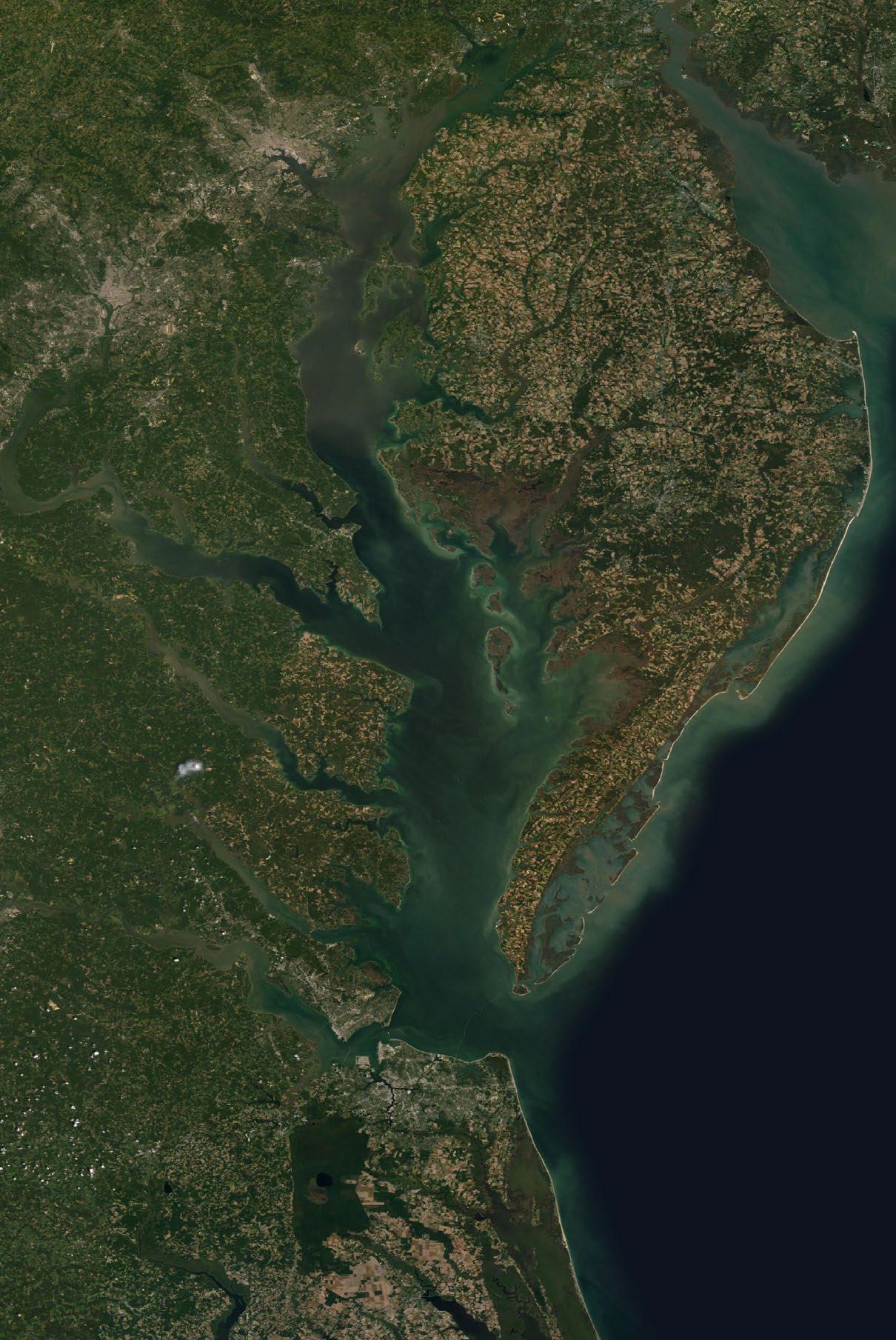
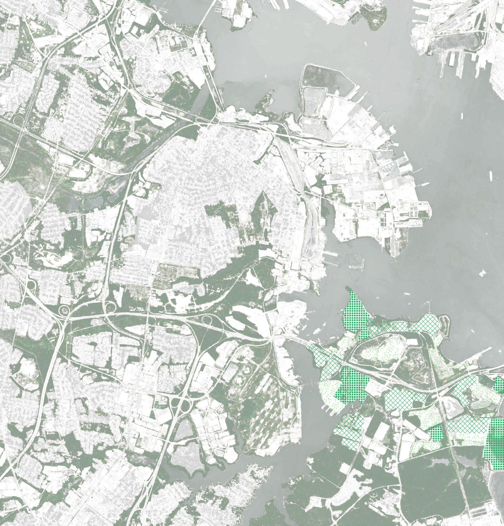
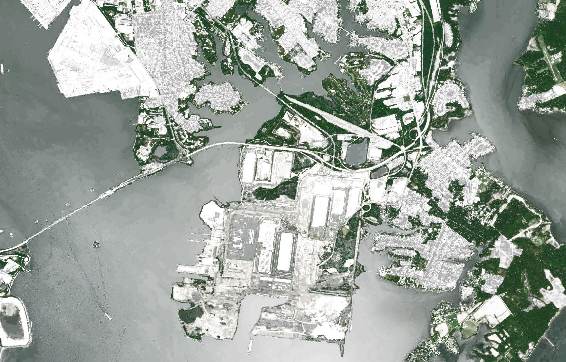
Greater Baltimore. Sattelite Imagery from ESRI.
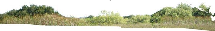
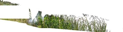
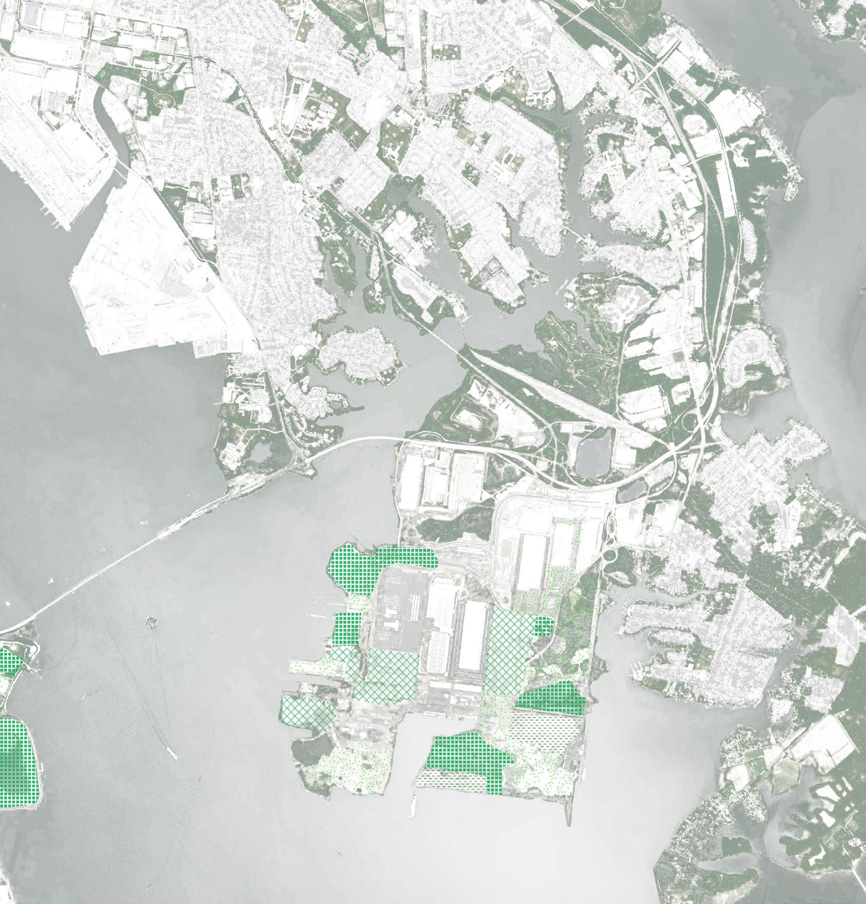 Swan Creek and Sparrows Point
2
1 | Where Do We Begin?
Introduction
Research Question
Sediment and Dredging
3
“All landscapes are constructed. Garden, forest, city, and wilderness are shaped by rivers and rain, plants
and
animals, human hands and minds. They are phenomena of nature and products of culture.“
Constructing Nature - Ann Whiston Spirn from Uncommon Ground
4
Introduction
The United States Environmental Protection Agency (EPA) has been implementing a number of programs for the past decade to ensure pollution control measures needed to fully restore the Chesapeake Bay and its tidal rivers by 2025. Assuming that the Bay is fully restored by 2025, what will happen next?
Chesapeake bay is the final destination for a giant system of creeks, streams, and rivers across New York, Pennsylvania, West Virginia, Maryland, Delaware, Virginia, and the District of Columbia. However, the water that flows into the bay contains excessive amounts of Nitrogen from the fertilizers used in agricultural regions the waters pass through. This activates abnormal algae growth that later depletes the oxygen in the waters - causing the death of marine organisms and deranges the livelihood of nearby fishing communities. Among many endangered marine organisms, the disappearing oysters accelerate hypoxia since these oysters are the largest filtering agents in the Bay ecosystem. Built on the assumption that the EPA’s measures restore Chesapeake Bay, this thesis will propose an ecological park designed around oyster reefs as a rehabilitation and water quality maintenance strategy for Chesapeake Bay’s dead waters.
This will be designed as a reparative landscape that connects the existing yet severed green edge around the waters of Baltimore harbor.
How can a barren post-industrial landscape be transformed into a civic space that gives back to the community? How will it be shaped by nature and man over time?
5
the industrial landscape
the industrial landscape
the industrial landscape
the industrial landscape
the ecological landscape
the ecological landscape
the ecological landscape
the ecological landscape
6
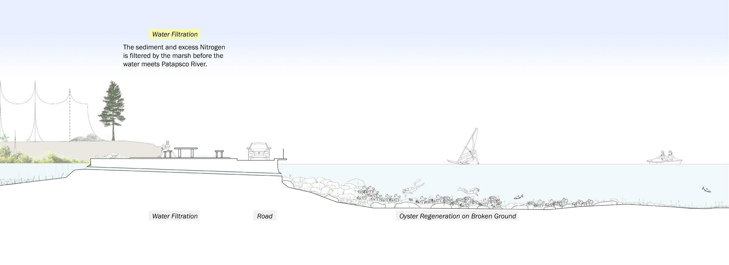
Edge condition diagram. Full drawing in Section 3.
Research Question
The Baltimore harborfront has a rather harsh divide between the industrial landscape and the ecological landscape. This thesis proposes a strategy to soften the hard divide and instead implement a green edge that can be used as a commons for the residents in the neighborhood. Like sunlight, nature is something that is made to be equal to all. I want this post-industrial waterfront, which is currently inaccessible to all people to become a meeting ground. People from all backgrounds can experience nature and despite their differences, they will be able to have a shared memory of a common space.
How can a barren post-industrial landscape be transformed into a civic space that gives back to the community? How will it be shaped by nature and man over time?
These are the two main questions that this thesis aims to answer.
7
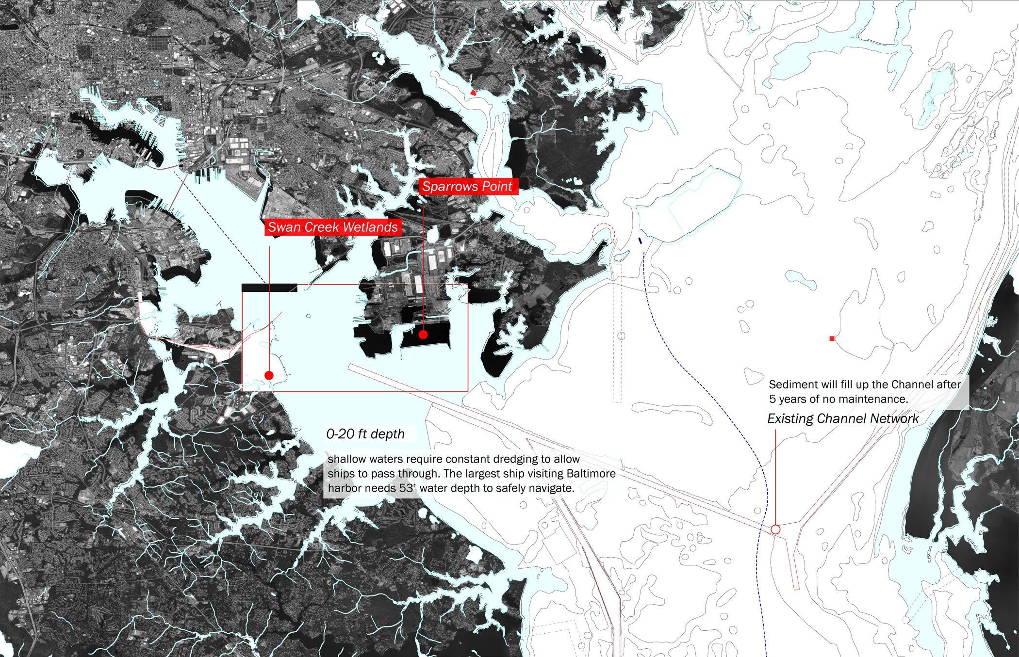
Curtis Bay Channel
Brewerton Channel East Extention
Swan Creek
Wetlands
basin
cutter suction dredger sweeps out sediment at the bottom layer of the river, then transports sediment to disposal water drained through porous barrier drained sediment is taken to landfills Craighill Channel8
navigation channel
Dredging process diagram. Full drawing in Section 3.
Sediment Movement and Dredging
On March 14th, 2022, a ship was stuck in Baltimore harbor. The ship, named Ever Forward, weighed 220,000 metric tons and needs water at least 43ft deep to move, but it was stuck in an area that was just 25ft deep. The ship required dredging 30,000 cubic meters over the span of six days to take the ship out. During the six days, while the ship was stuck, over 400 vessels were delayed from entering the harbor. This cost a global trade delay of around 8 billion dollars per day.
Dredging is the manual removal of sediment from the bottom of a body of water. Compared to the depth that the large ships require to stay afloat, the natural depth of the Patapsco River is very shallow. Baltimore annually uses 22.85 million dollars to dredge the channels, 1.5 million to remove drift, and uses another 1.4 billion to construct landfills out of the dredged material.
My initial approach to this issue was to trace the movement of sediment, compare shoreline changes over time, and map the current dredging areas and the amount of sediment removed.
9
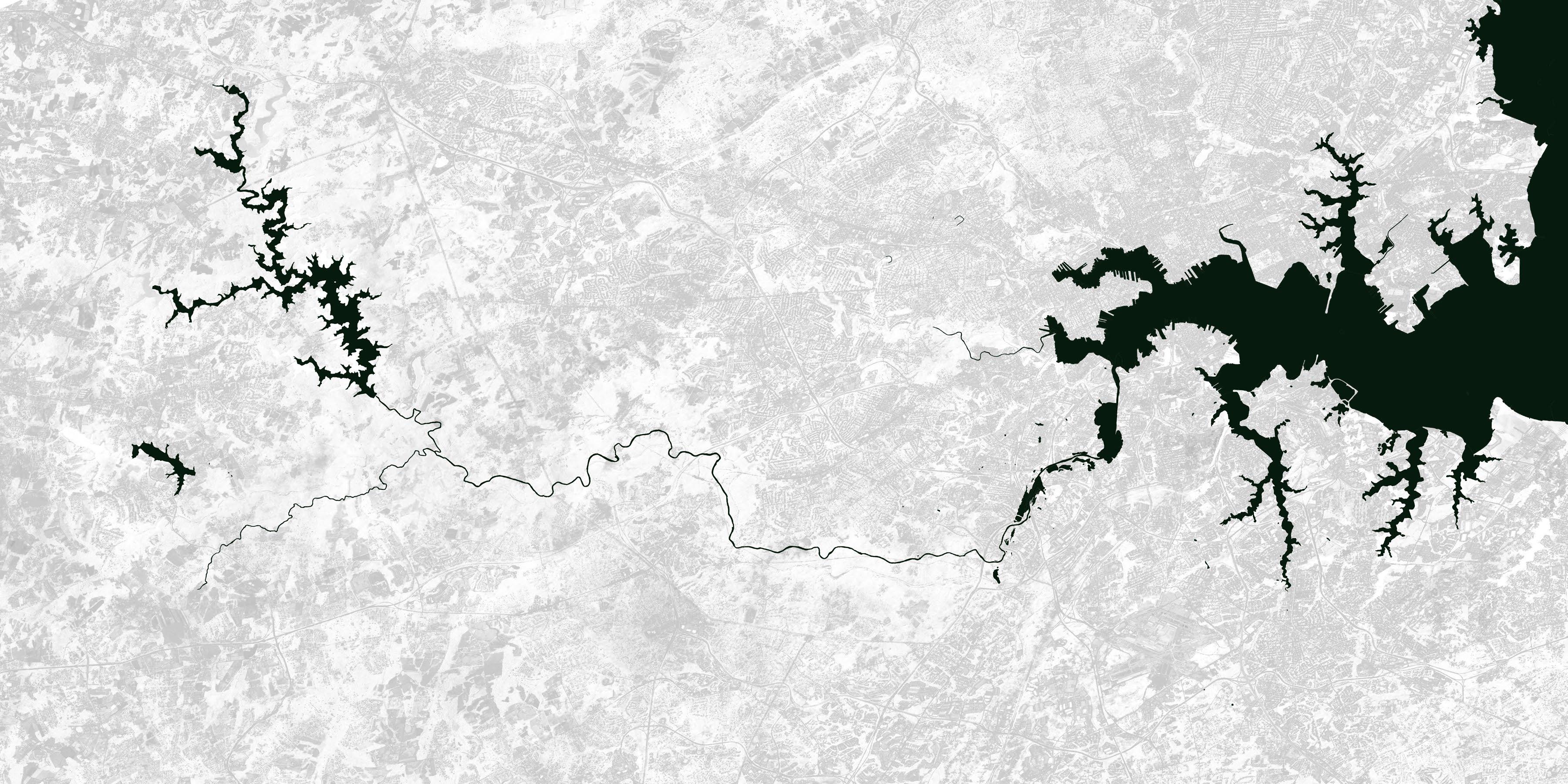
Liberty Reservoir Liberty Dam
Daniels Dam
Patapsco River Reservoir
10
Patapsco River South Branch Patapsco River (Demolished) Union Dam
Inner Harbor
Old Road Bay
Chesapeake Bay
Bear Creek
Avalon Dam
Patapsco River Reservoir
Swan Creek Wetlands
Patapsco River
Curtis Creek
11
(Demolished) Union Dam
Liberty Reservoir and major streams that lead to Patapsco River
12
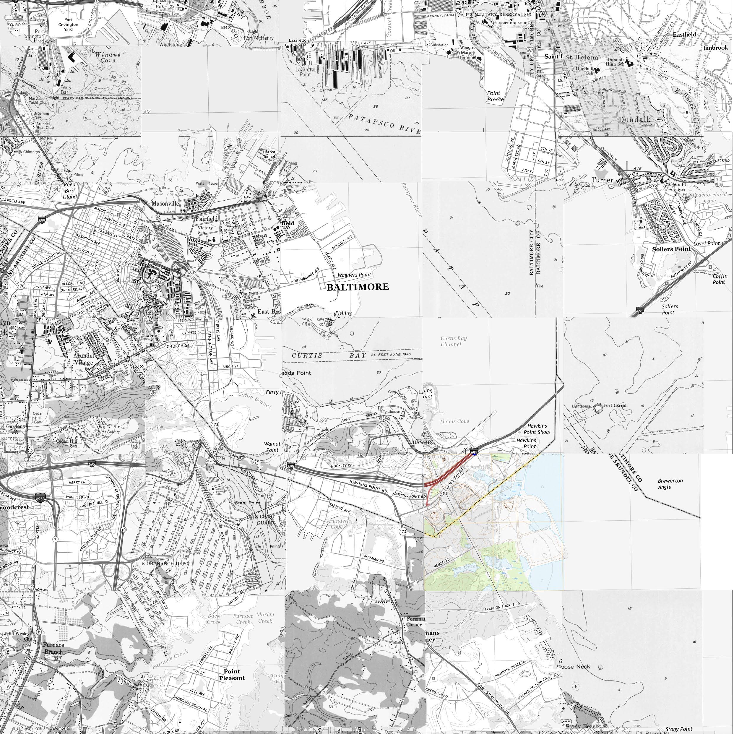
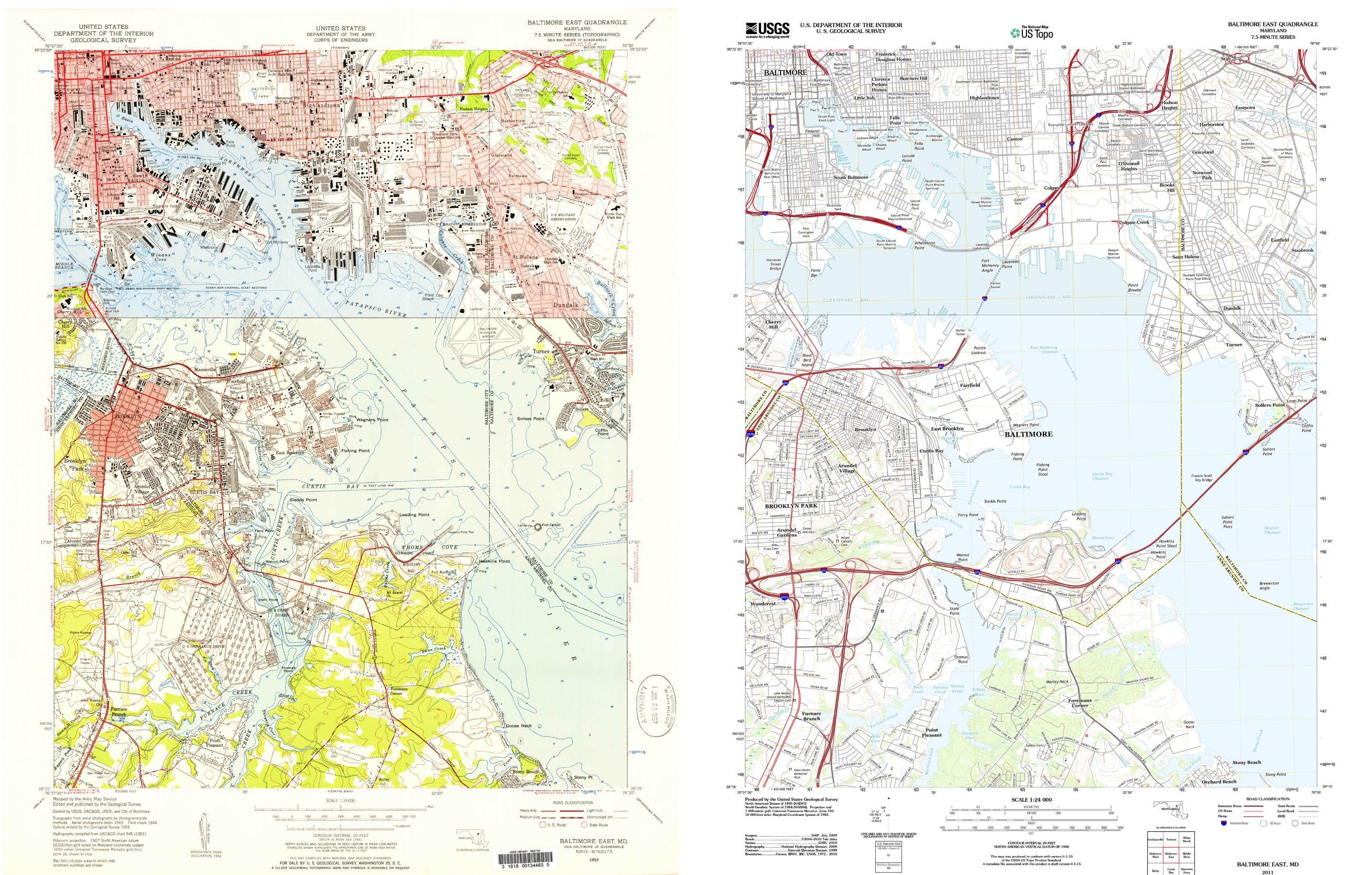
Map of Baltimore by USGS. 1953
13
Map of Baltimore by USGS. 2019
14
Mosaic of 1953 and 2019 maps
basemap tiled between USGS 7.5 minute record from 1953 and 2019
Water body extent is in accordance to measurements made in 2019
waterbody area in 1953
swamp area in 1953
Shoreline in 1953
Cox Creek
Dredge Material
Containment Facility (DMCF)
15 Shoreline changes
between 1953 and 2019
The size of cargo ships are getting substantially larger over time.
1980 Panamax 1890 Maryland Draft Depth 1941 Patrick Henry65 ft 104 ft 192 ft 30 ft 46 ft 53 ft 29 ft 23 ft 529 ft 820 ft 1312 ft 316 ft 382 ft 36 ft 45 ft
1960 Floridian
16
2022 Triton
After investigating the movement of sediment and its resultant shoreline changes, I came to the conclusion that the natural cycle related to sediment movement was not flawed. As seen through the USGS 1953 and 2019 maps, the net change in shorelines is negligible if the 70 years in between the two maps are taken into consideration.
Instead, the necessity behind dredging was due to the naturally shallow waters of Baltimore Harbor. On the left is a drawing showing the growth in ship size between 1890 and now. The length of the cargo ship nearly tripled, and as a result, the depth of water each ship requires to stay afloat has significantly increased. It is extremely likely that ships will continue to grow, and Baltimore Harbor will need to be dredged deeper and deeper. My projection is that there will be a point in the future when dredging will no longer be a sensible solution because the economic and ecological loss caused by the volume of dredged sediment will outweigh the profit made in Baltimore Harbor.
17
18
2 | The Site
Site Context
Swan Creek
Sparrows Point
The Three Scales
19
20
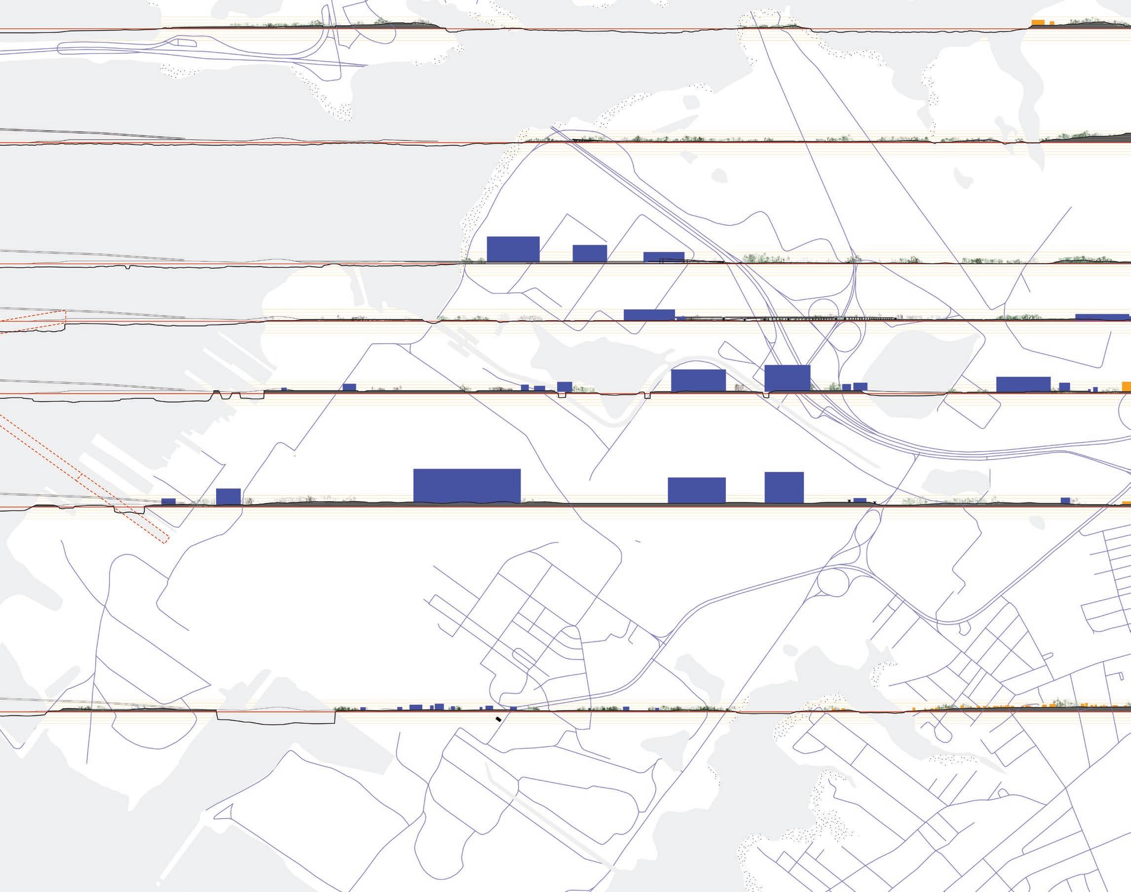
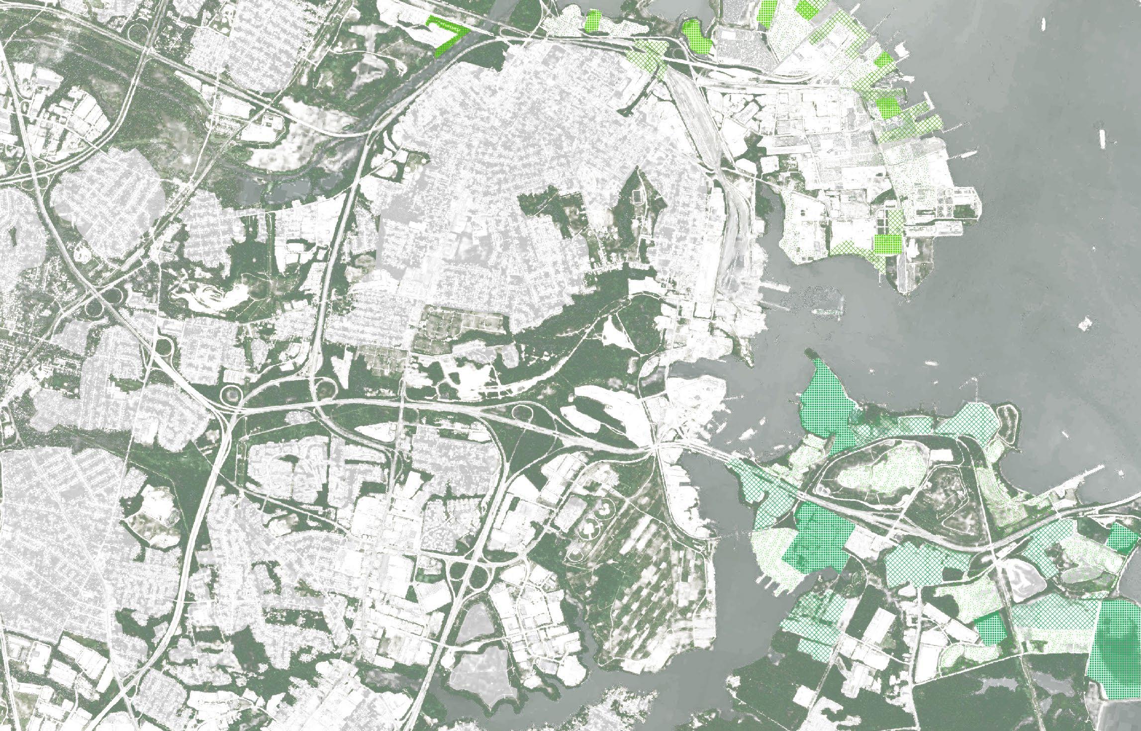
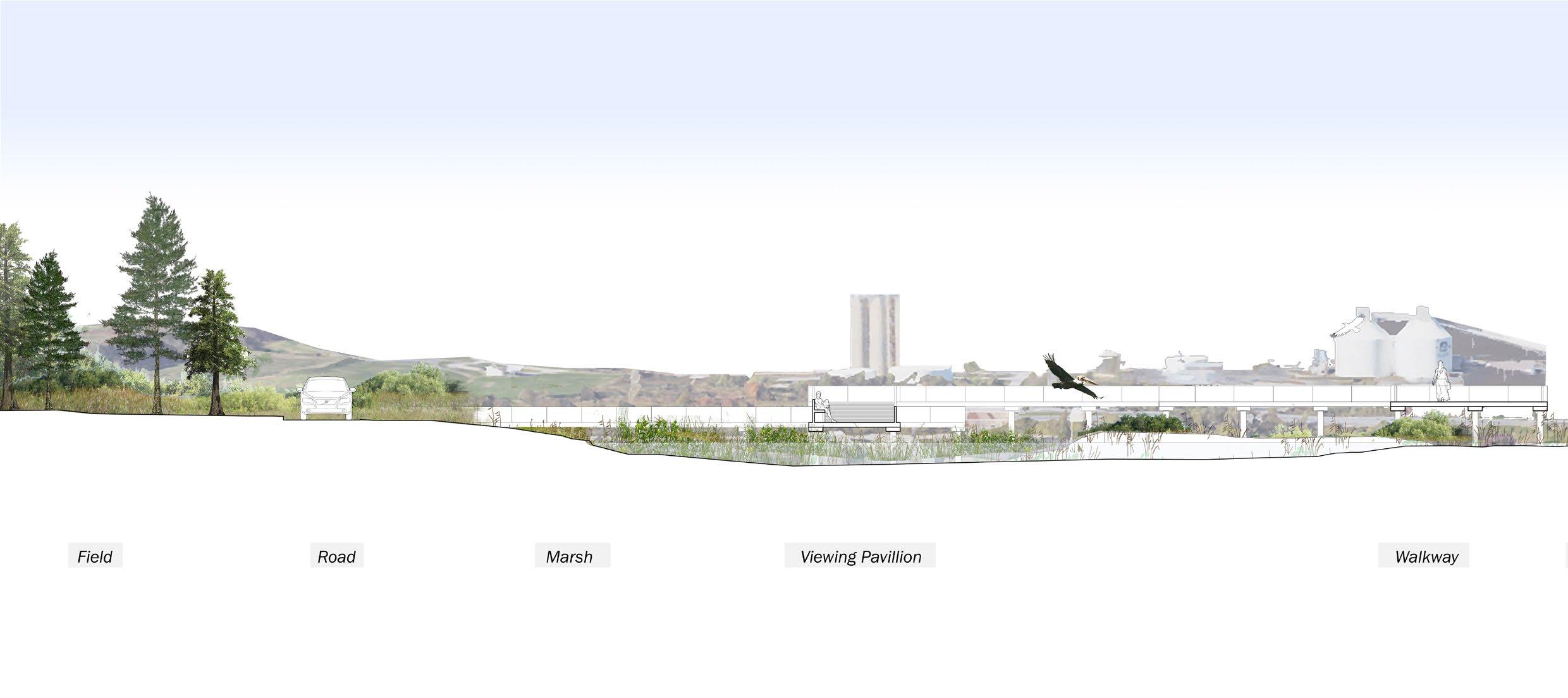
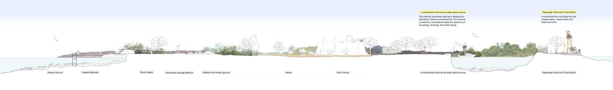
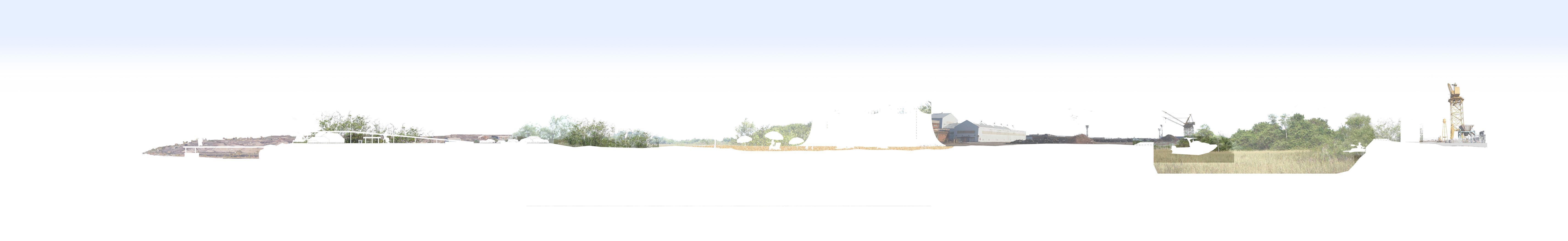
21 Plan and section between Swan Creek and Sparrows Point
the industrial landscape
the industrial landscape
the ecological landscape
the ecological landscape
broken ground solid ground22
Diagram showing solid ground and broken ground. Full drawing in Section 3.
Site Context
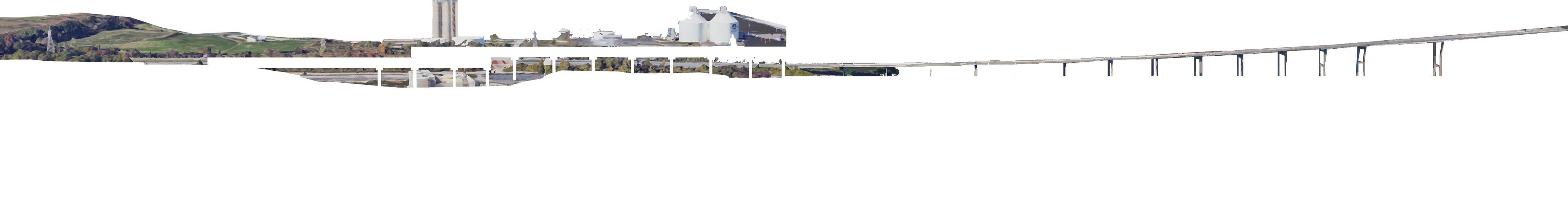
Baltimore Harbor used to be the center of all cultural and economic activity in Baltimore. However, due to rapid industrialization and urbanization, the amount of time that the cargo stays in Baltimore has shortened. This change in the industry decreased the direct economic benefit Baltimore generates from its harbors. Still, Baltimore harbor remains to be the most valuable asset of the city. Through Baltimore Harbor, 37,300 jobs are generated, and it impacts the jobs of 101,880 people. 395 million dollars are generated in state, county, and municipal tax revenues.
The change in harbor management and shift in industries resulted in abandoned land. The previously occupied industrial edge separates the industrial and ecological. The waterfront area of the Patapsco River and other adjacent estuaries have a green edge; flora and fauna have a tendency to propagate near water. However, the previously occupied and now deserted industrial edges draw a hard line between what is ecological and what is industrial because they have a concrete foundation across the land, preventing plant growth and animal inhabitation.
23
24
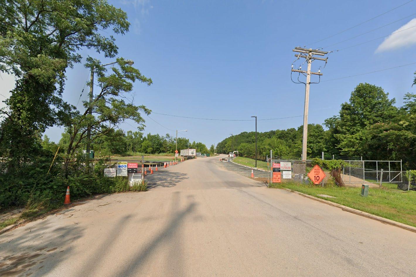
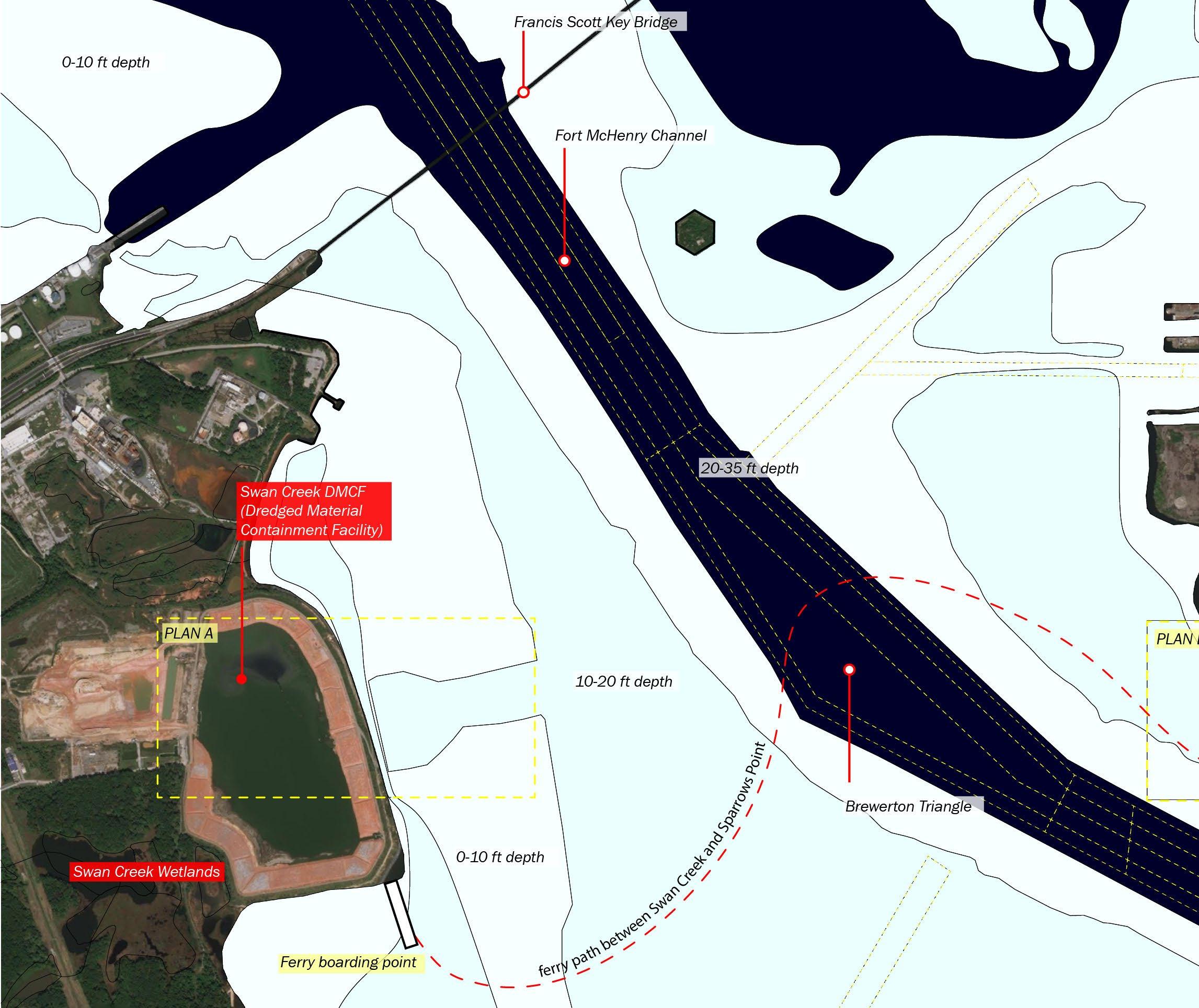
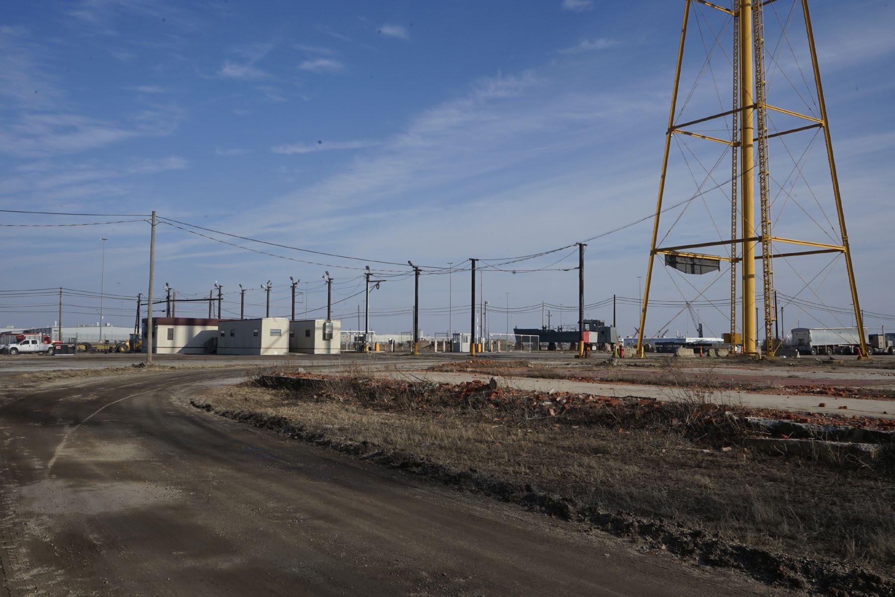
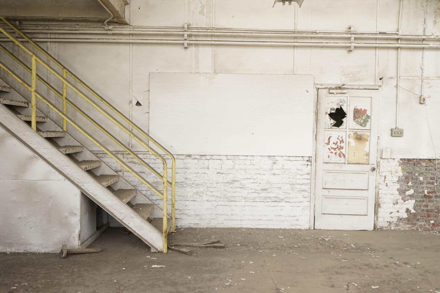
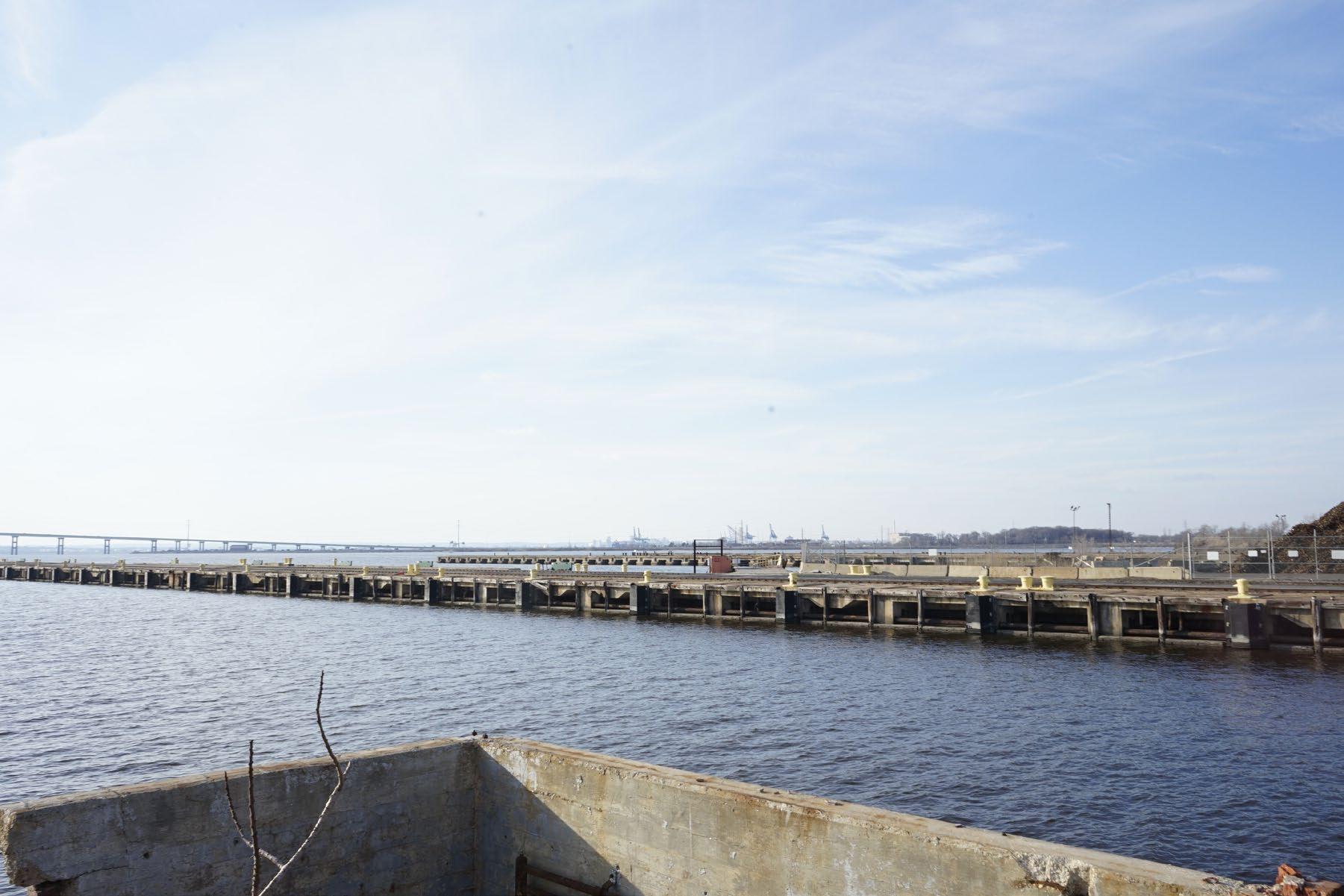
Entrance to Swan Creek Dredged Material Containment Facility. Image from Google Street View.
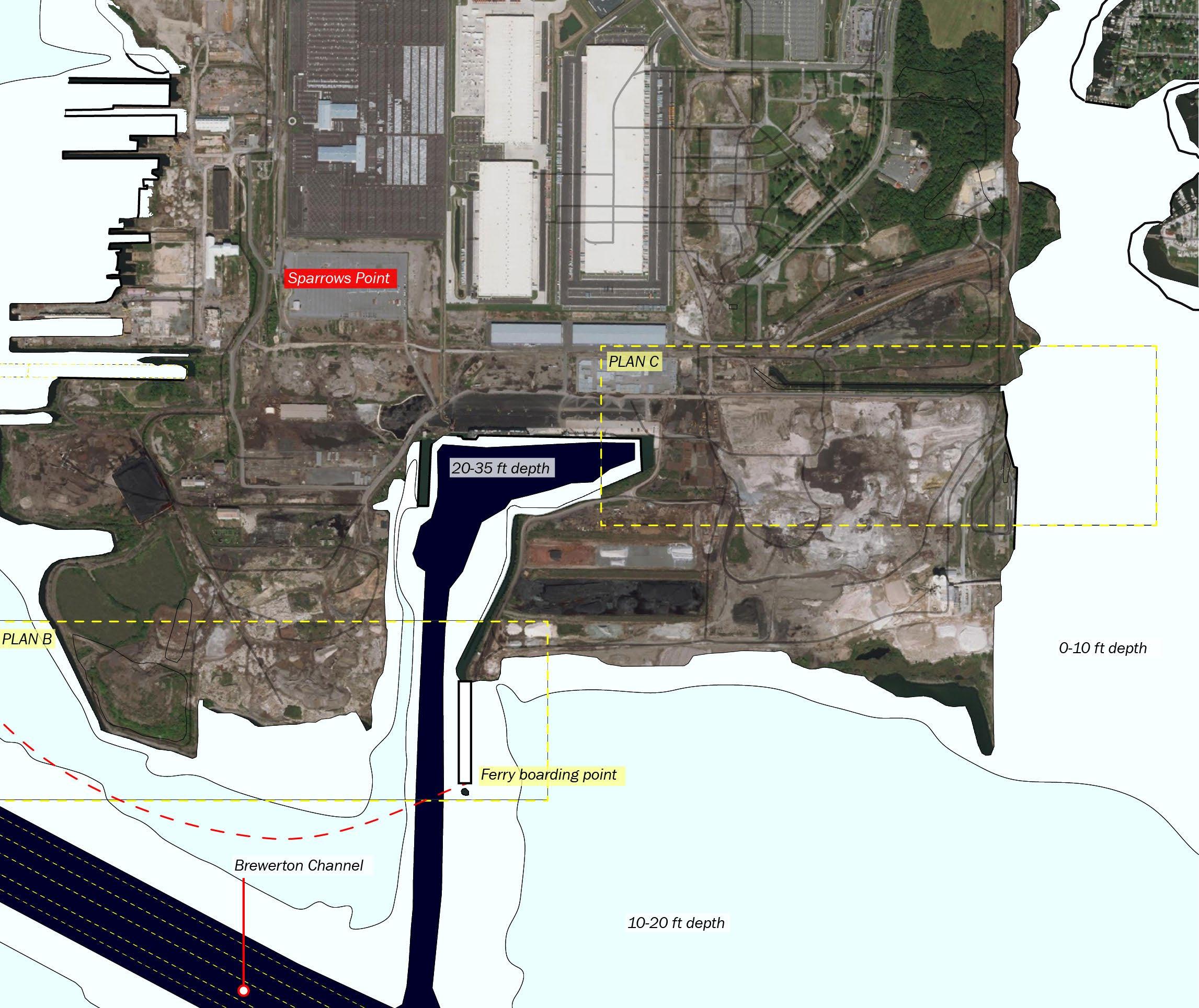
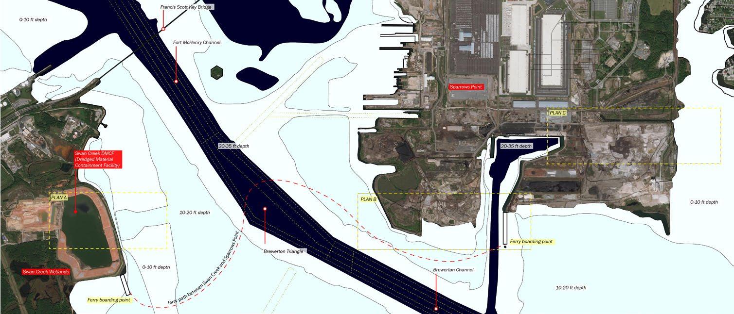
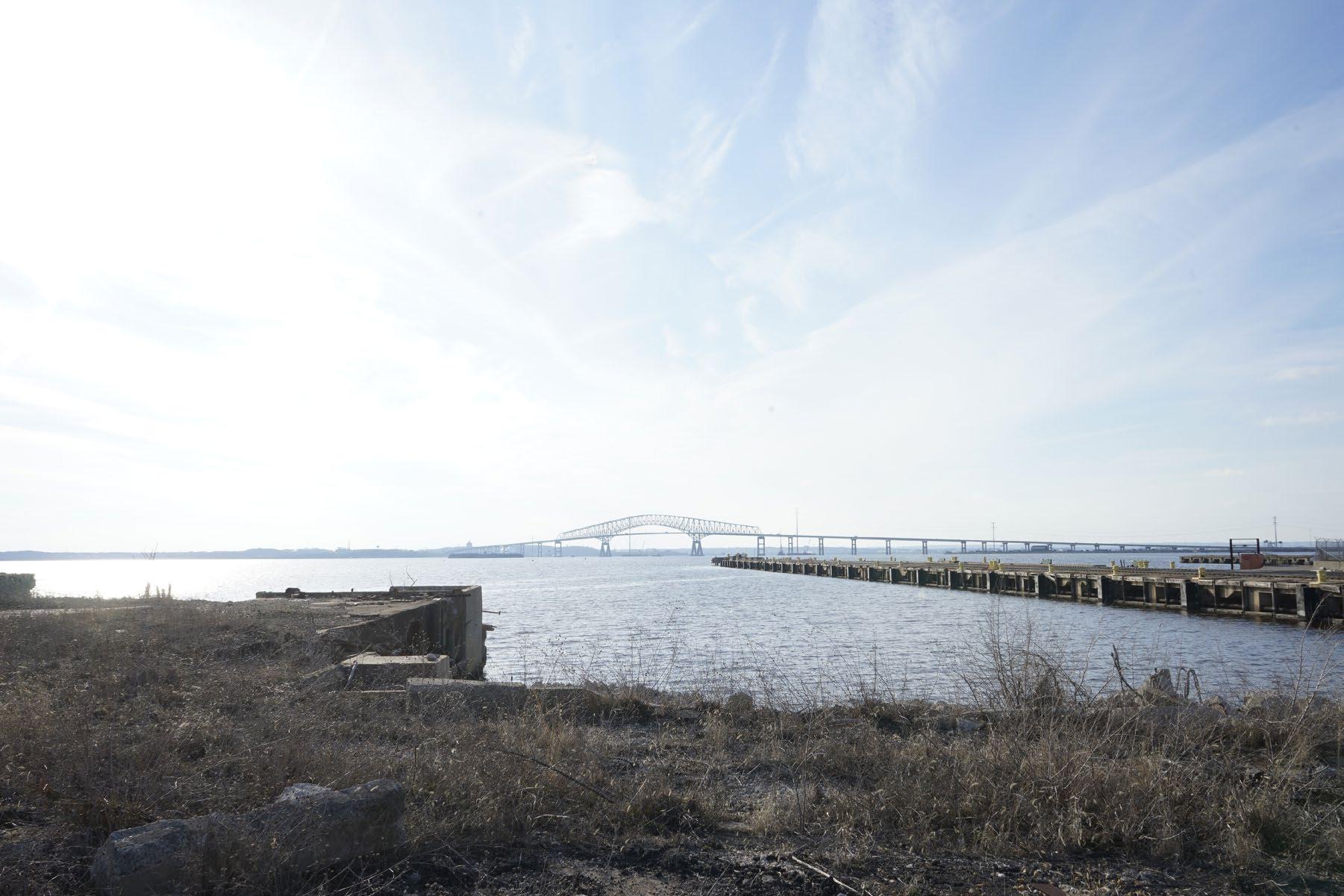
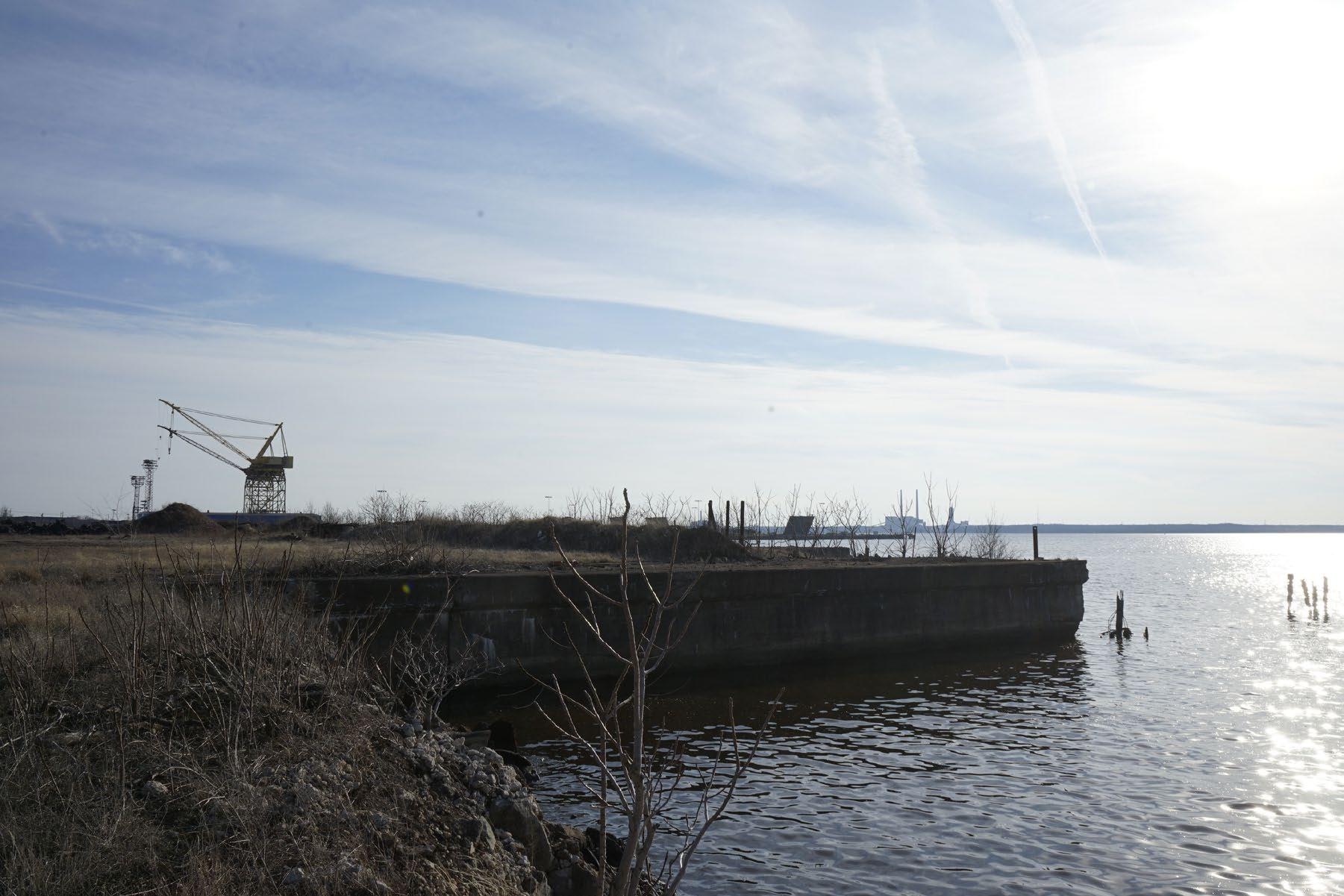
Swan Creek
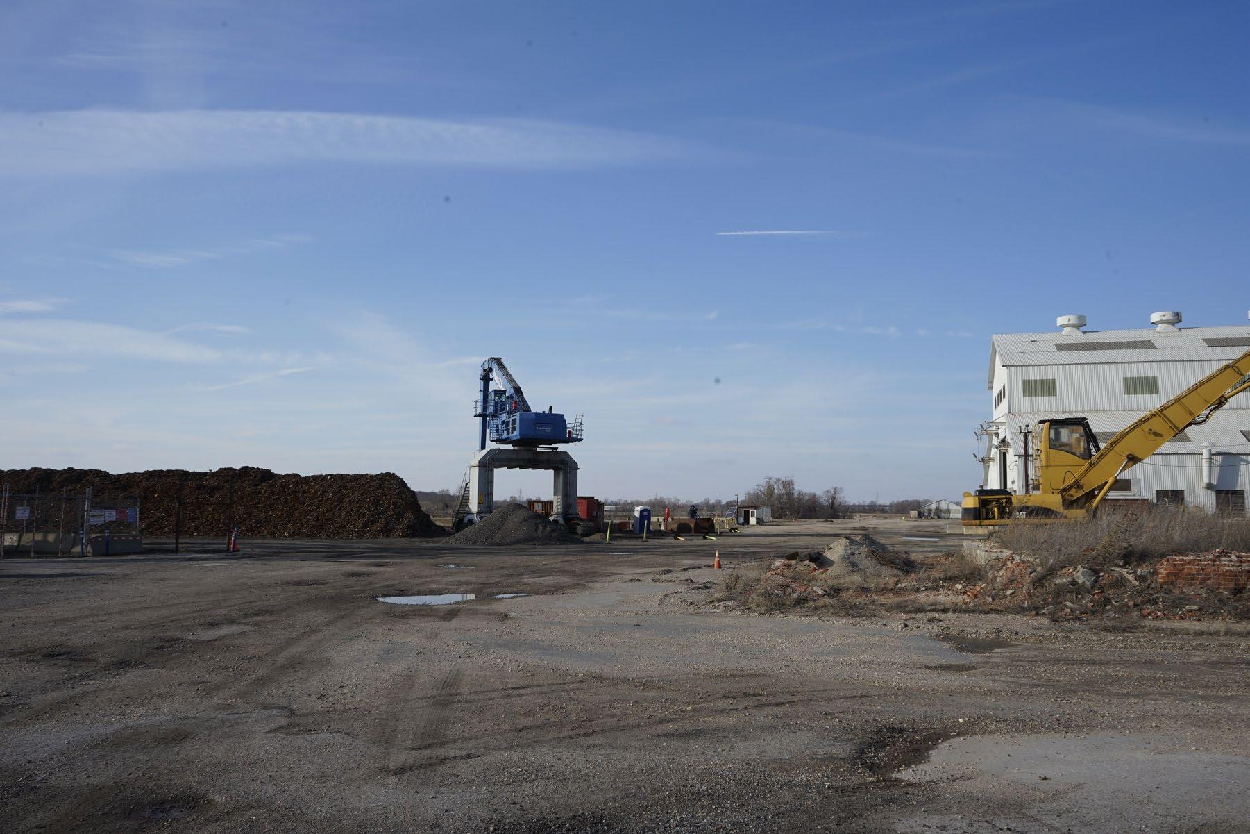
Swan Creek is one of the seven existing creeks along the left side of the Baltimore Harbor. Previously a wetland, the municipality of Baltimore built a landfill (Swan Creek Dredged Material Containment Facility) to contain the dredged sediment from the channels in Baltimore Harbor. Currently, the DMCF is half-filled; it has a ring-like structure; the center is still yet to be filled with sediment. This new patch of land built on the river is currently unmaintained and unoccupied. If dredging is no longer continued in Baltimore, what will the rest of the landfill become? Will it stay as it is? Or is there a potential that this man-made edge condition is remediated and given back to the public as a civic space?
25
26
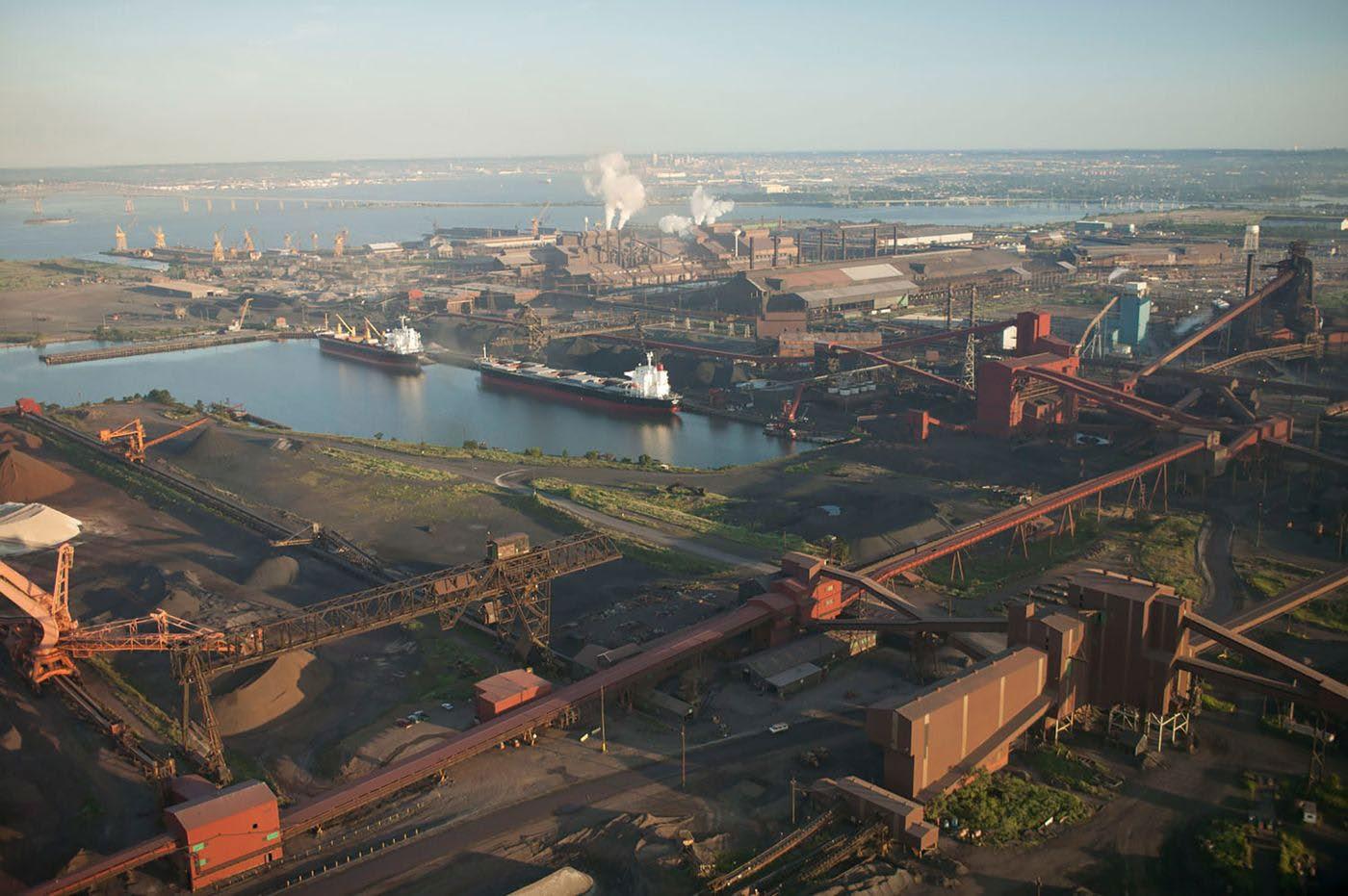
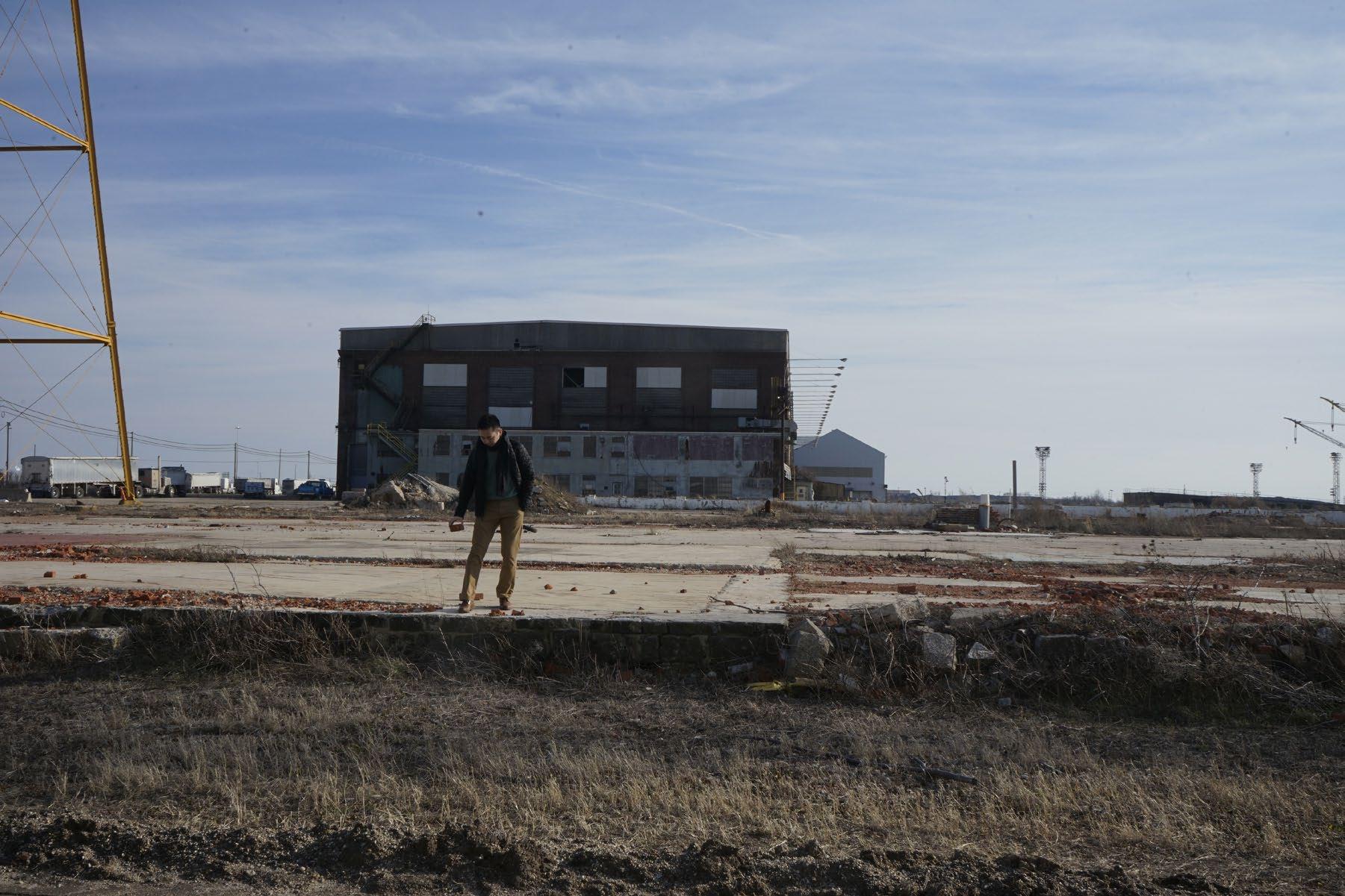
Photograph of Sparrows Point before demolition. Photograph from Bloomberg.
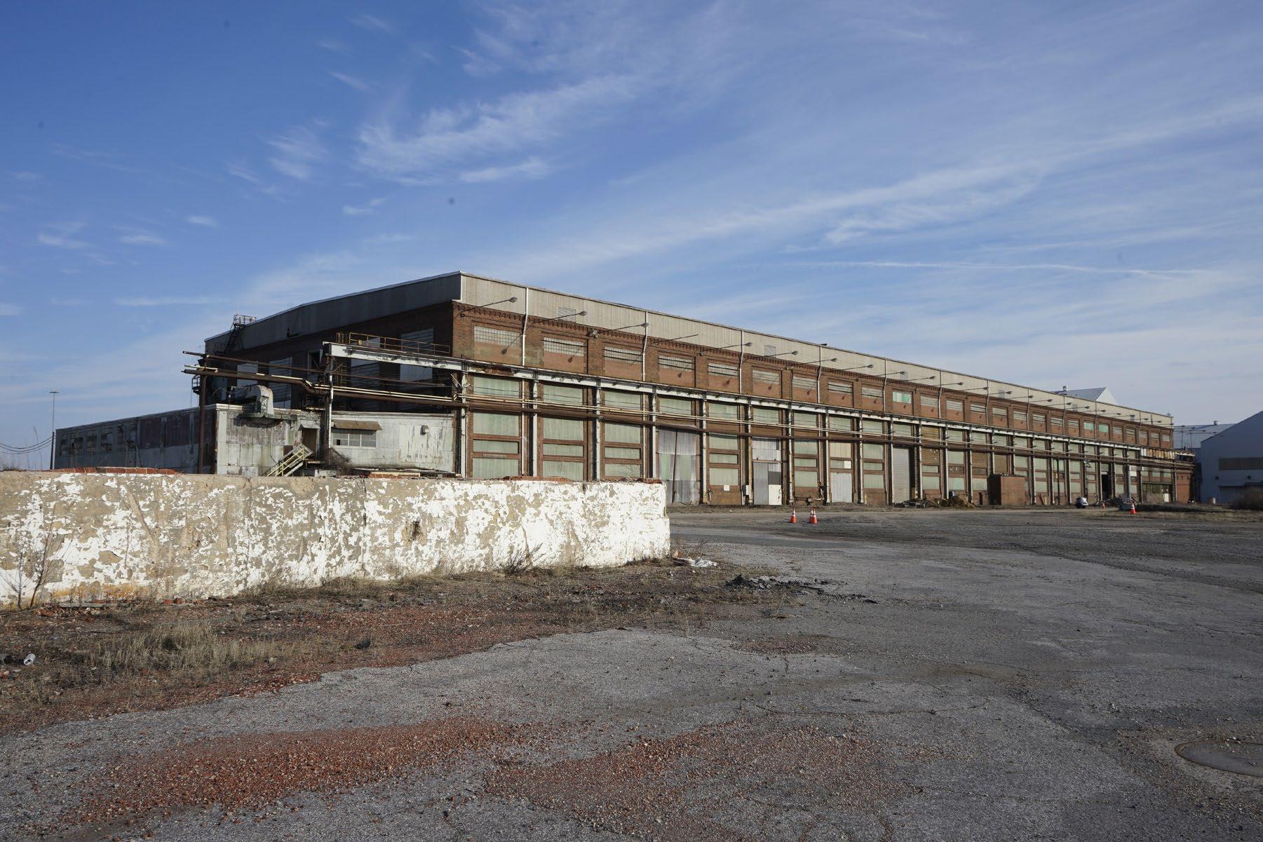
Sparrows Point
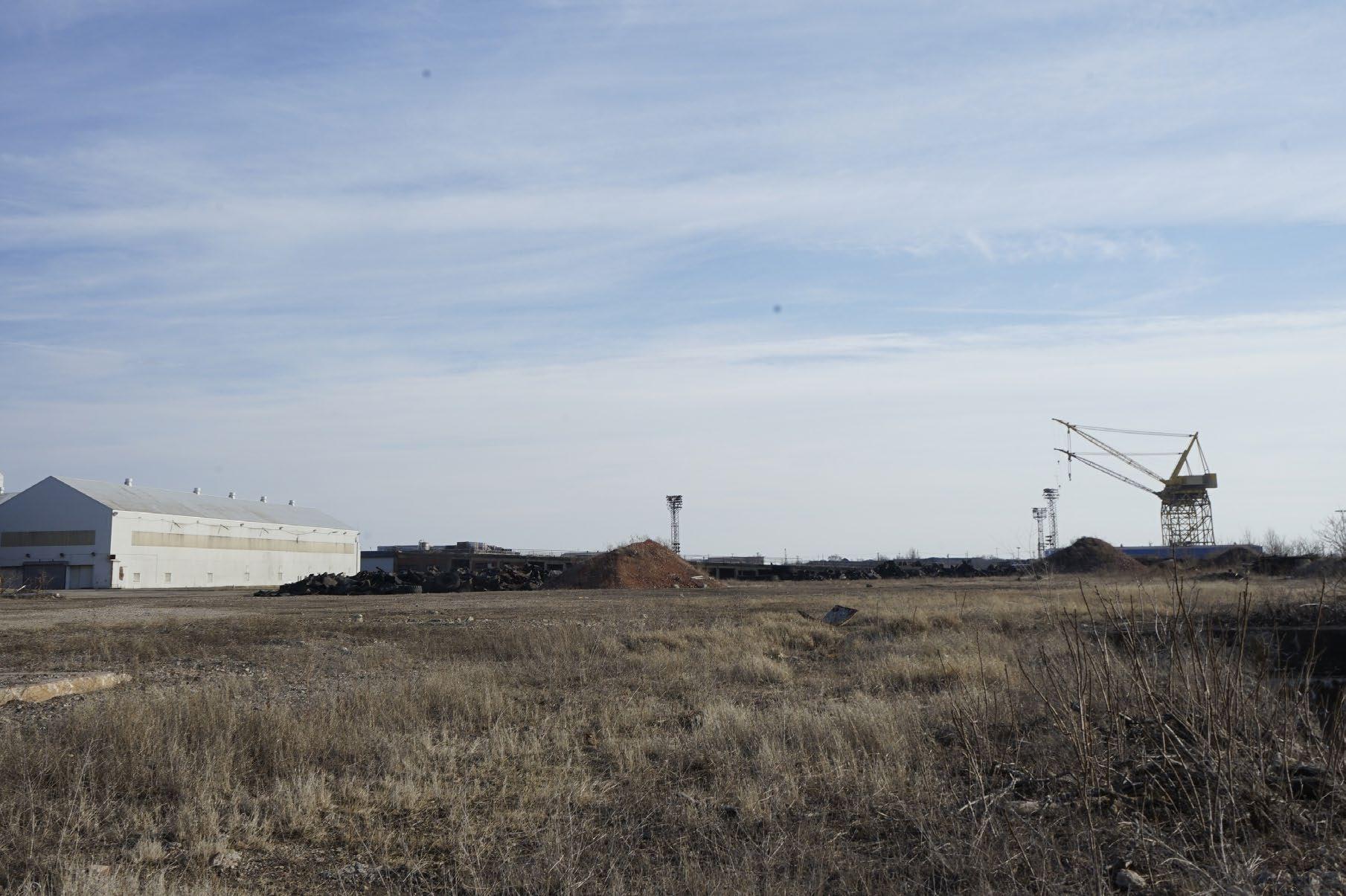
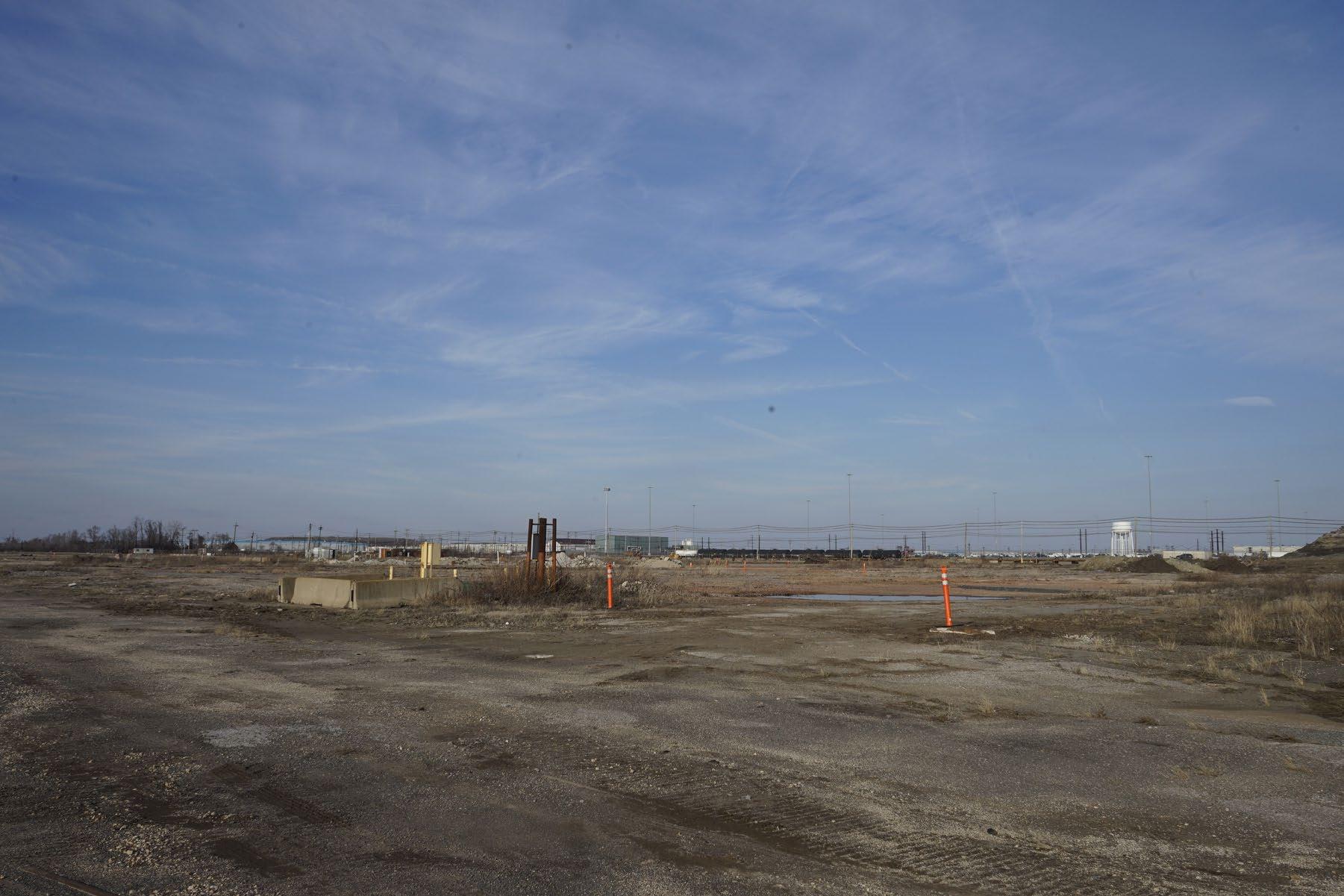
Sparrows Point was previously occupied by Bethlehem Steel. The first buildings were constructed in1887, and it was financed in partnership with The Bethlehem Iron Company and Pennsylvania Steel Company. Sparrows Point was chosen as the location for the mill because it was close to Baltimore Harbor. In 2001, Bethlehem Steel went bankrupt. Between 2001 and 2012, the workforce diminished and parts of the mill were sold off to different companies. The surrounding area is economically suffering, and the land is mostly unoccupied. Recently, shipping centers of companies such as Amazon and Under Armour partially occupy the site. Yet, the waterfront edge remains deserted.
27
28
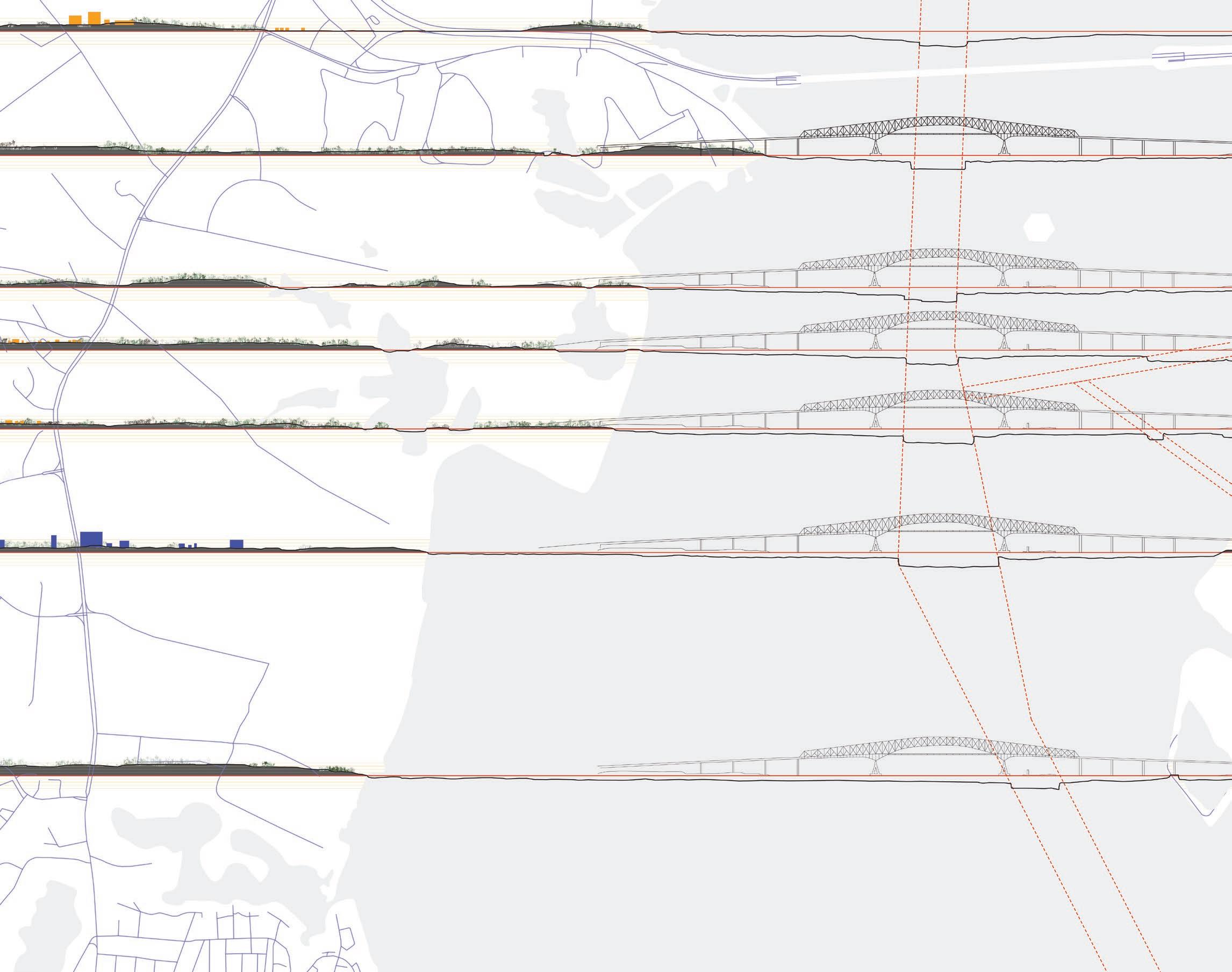
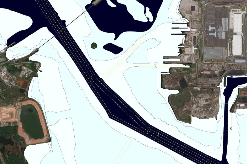
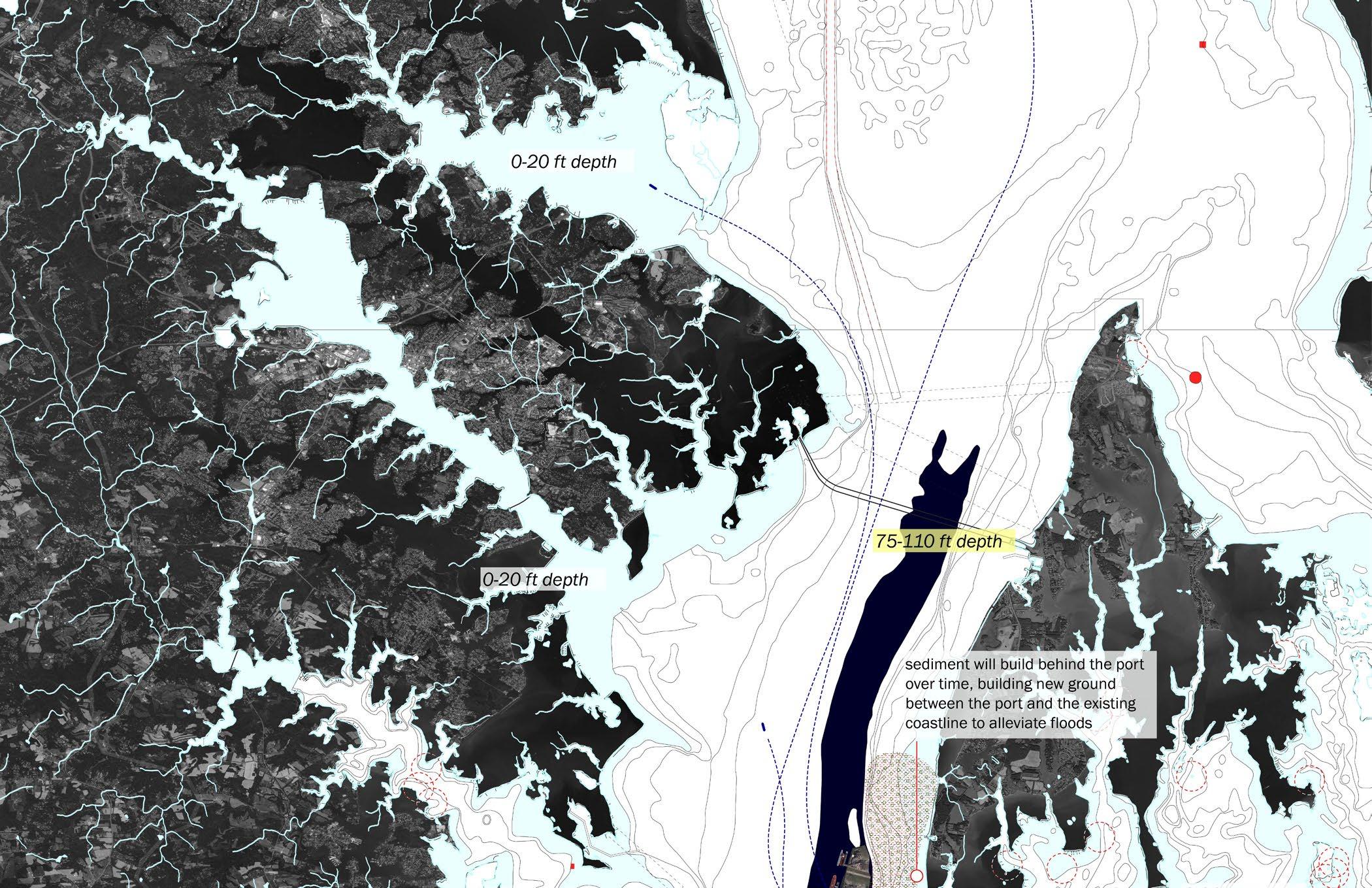
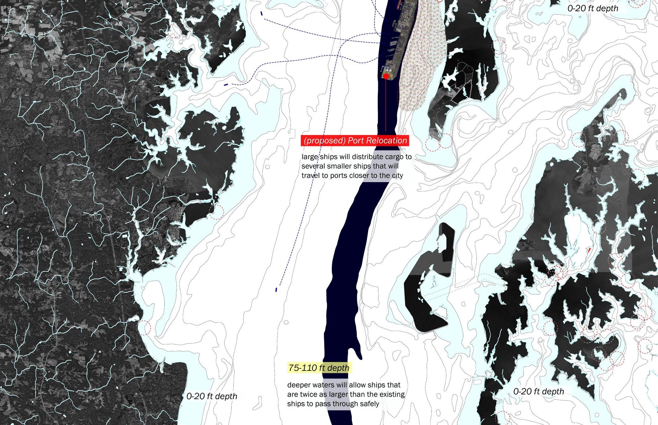
Proposal to move Baltimore Harbor to deeper waters. Full drawing in Section 3.
The Three Scales | Scale of a City
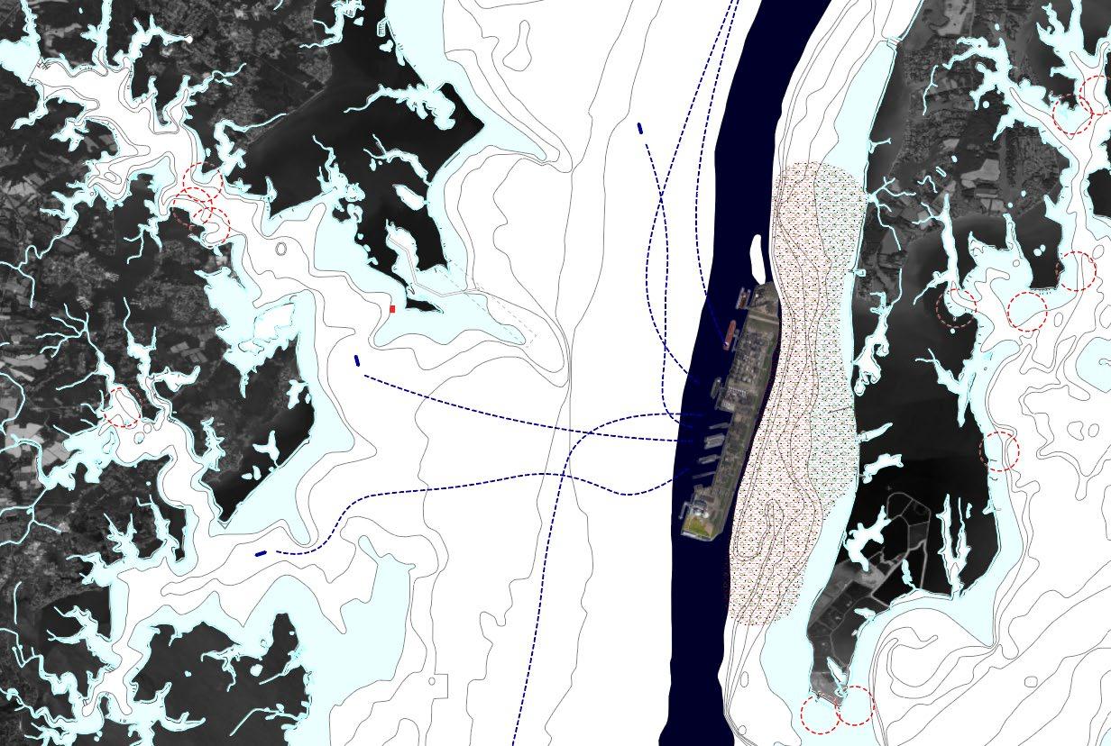
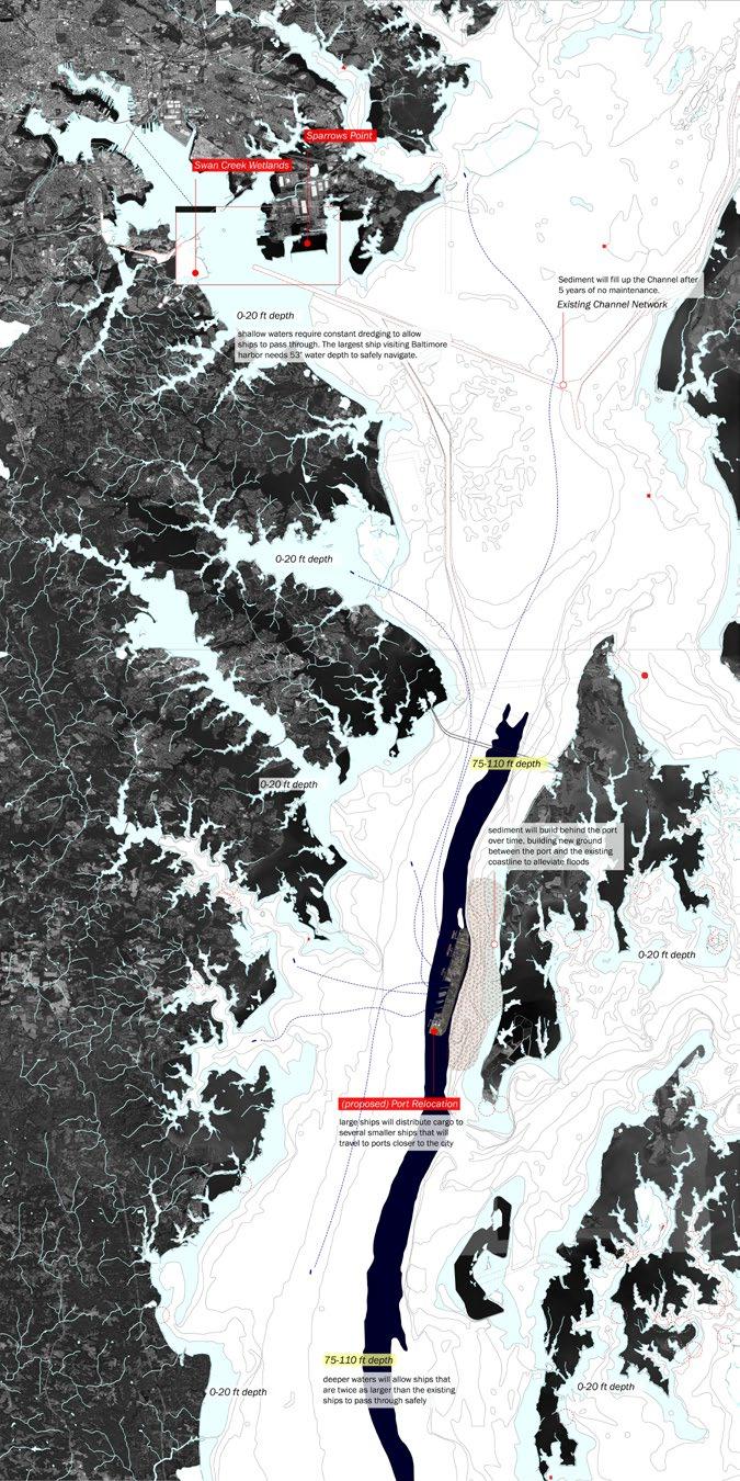
Drawn from previous research (see page 6-17), my projection is that there will be a point in the future when dredging will no longer be a practical solution because the price will outweigh the benefits. Based on this projection, I am proposing that Baltimore Harbor should move to deeper waters.
The natural depth of the current Baltimore Harbor area is around 20ft. The new location, 25 miles away from the current location, has a natural water depth of 75ft-100ft. If the harbor is moved here, the environmental harms that are related to stirring up the sediment and disturbing the ecosystem can be avoided. Also, the harbor will become a more desirable location for ships because of easier access. This harbor will be a distribution center where larger ships meet smaller ships. The smaller ships will unload the cargo from the larger ships and directly head to their final destination.
The harbor will be positioned in reference to the natural grid and water flow. This will allows sediment to build behind this new port area, creating a landbridge. The region currently is experiencing repetitive flooding, but this landbridge could alleviate that problem as well.
29
30
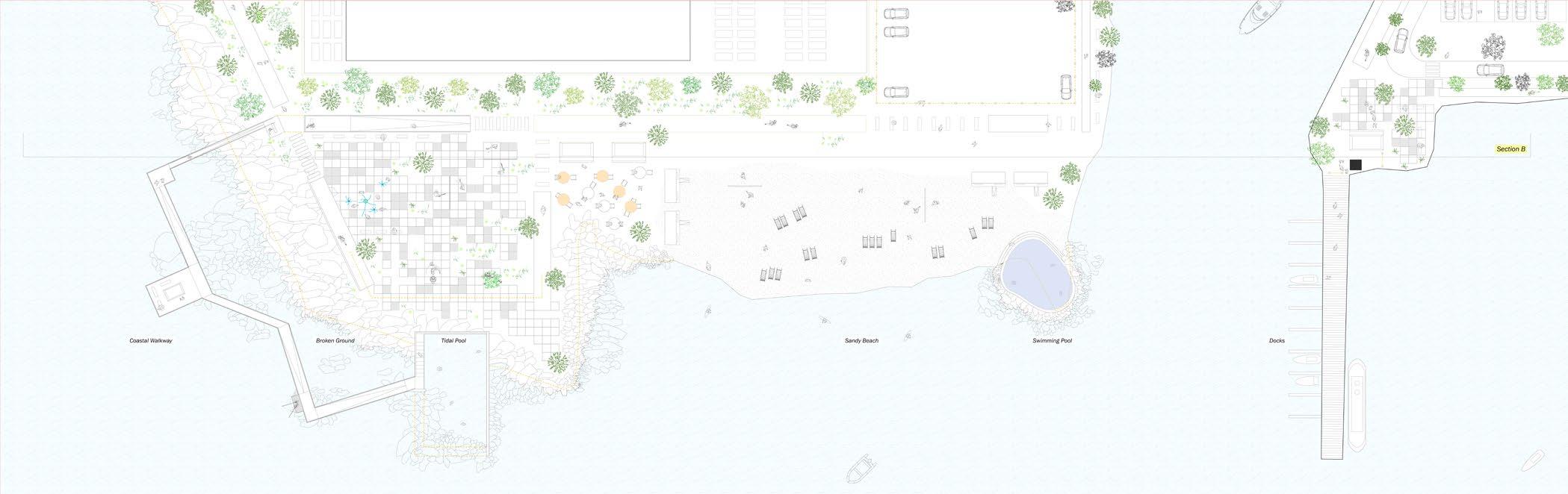
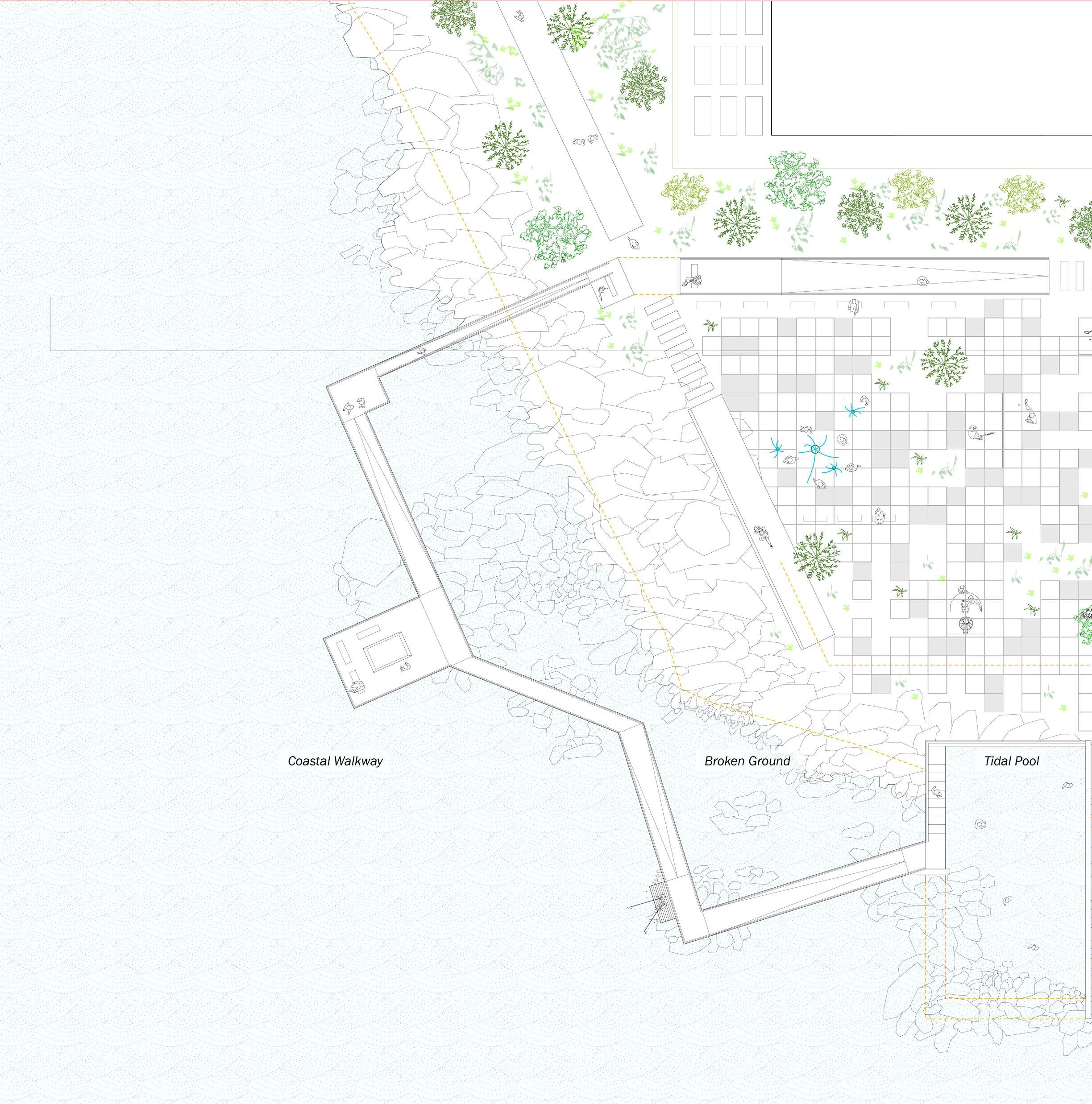
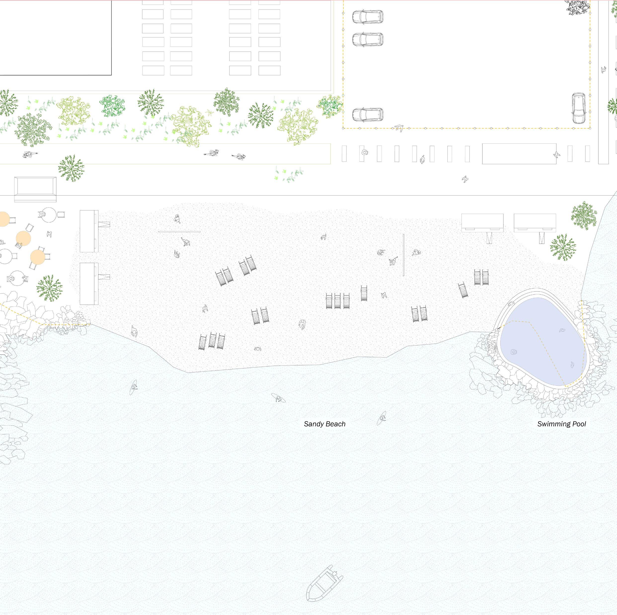
Swan Creek and Sparrows Point. Full drawing in Section 3.
The Three Scales | Scale of a Neighborhood
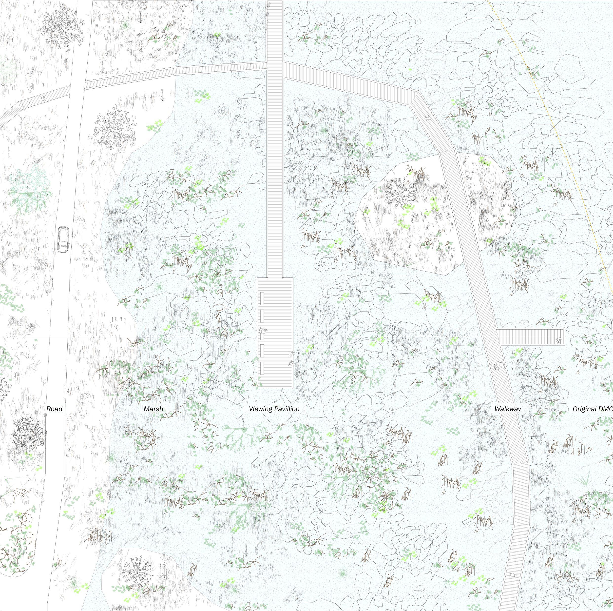
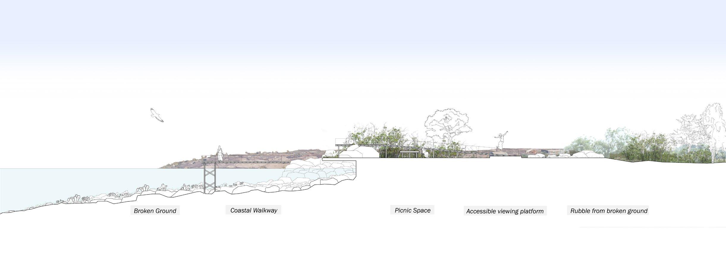
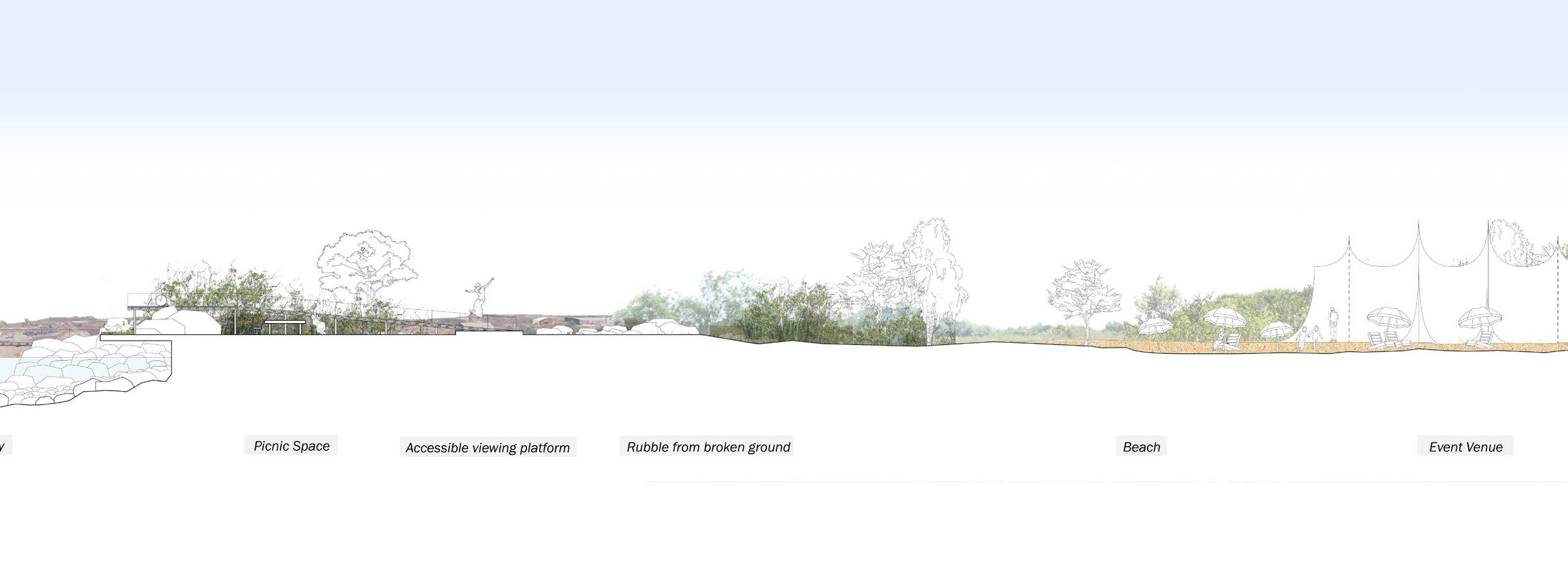
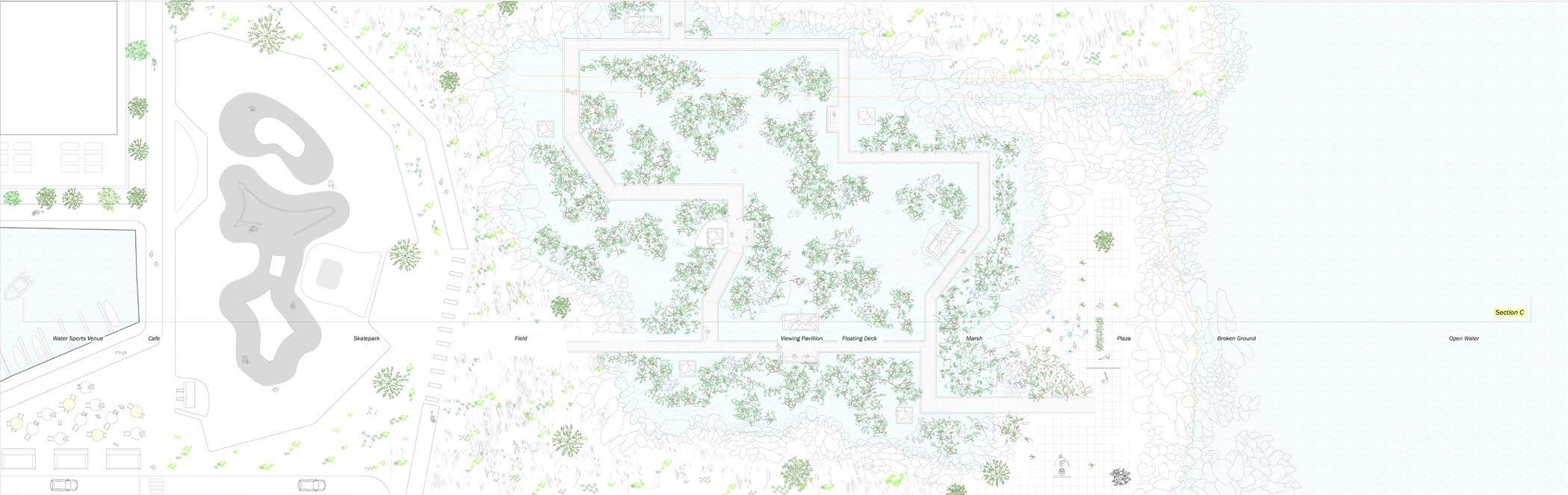
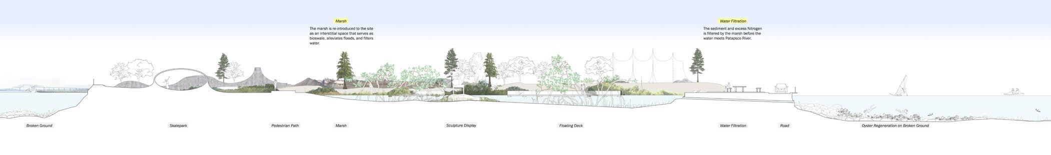
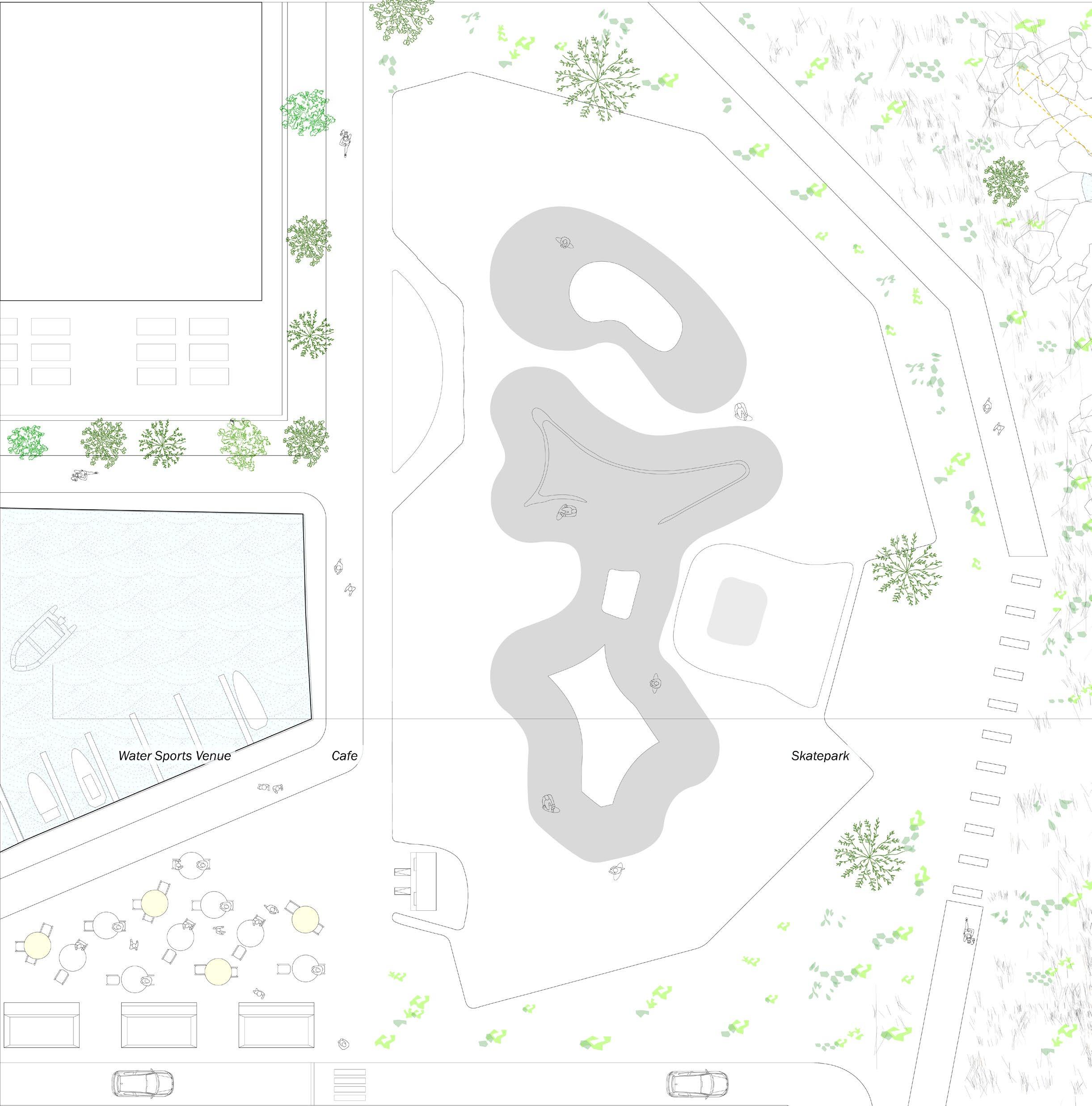
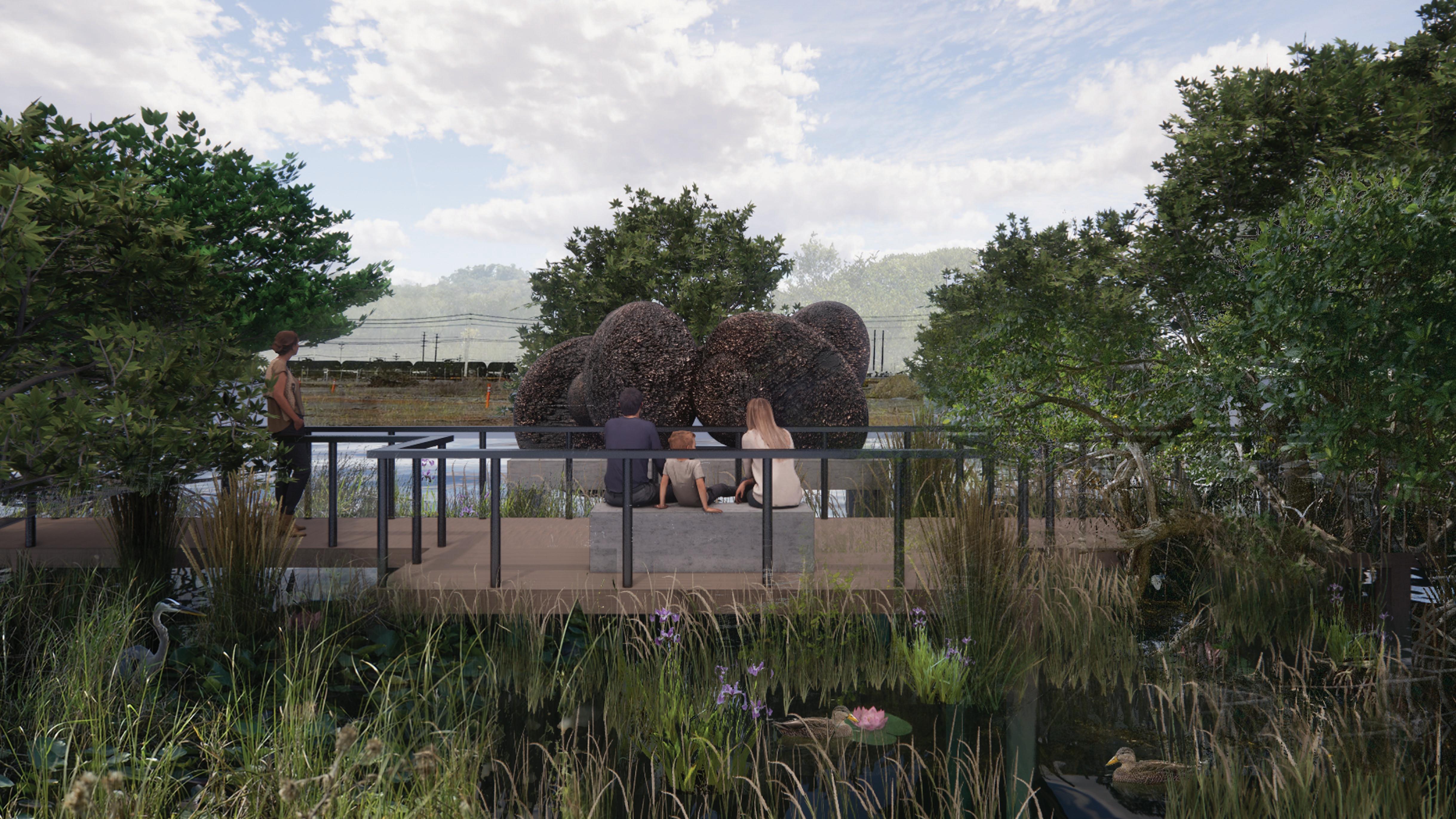
On this scale, I am proposing a series of public program that invites different audiences to this edge. The proposal will be a park that encompasses activities such as kayaking, swimming, skating, and of course walking. This park will propose several spaces where people and nature can co-exist. There is a slight emphasis on sports and education-related activities since one of the existing problems in Baltimore city is insufficient childcare. The ratio of single-parent households is very high in this neighborhood compared to the rest of Maryland. Single parents are usually busy making a living to economically provide for their children, so teenagers and children do not have access to diverse resources or adequate care. Instead of roaming the streets, the teenagers of Baltimore will be able to engage in afterschool programs held in the area.
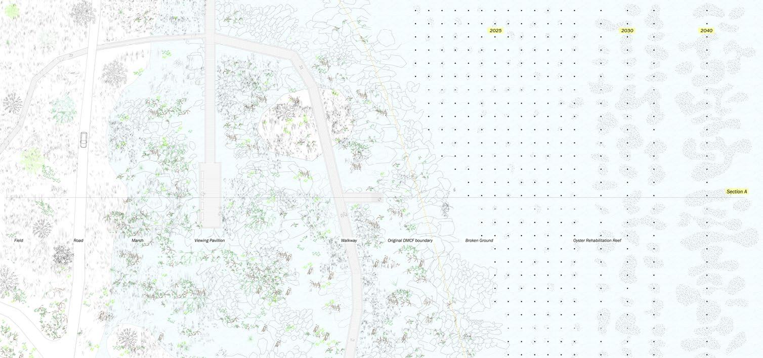
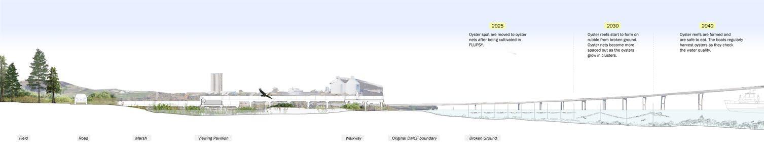
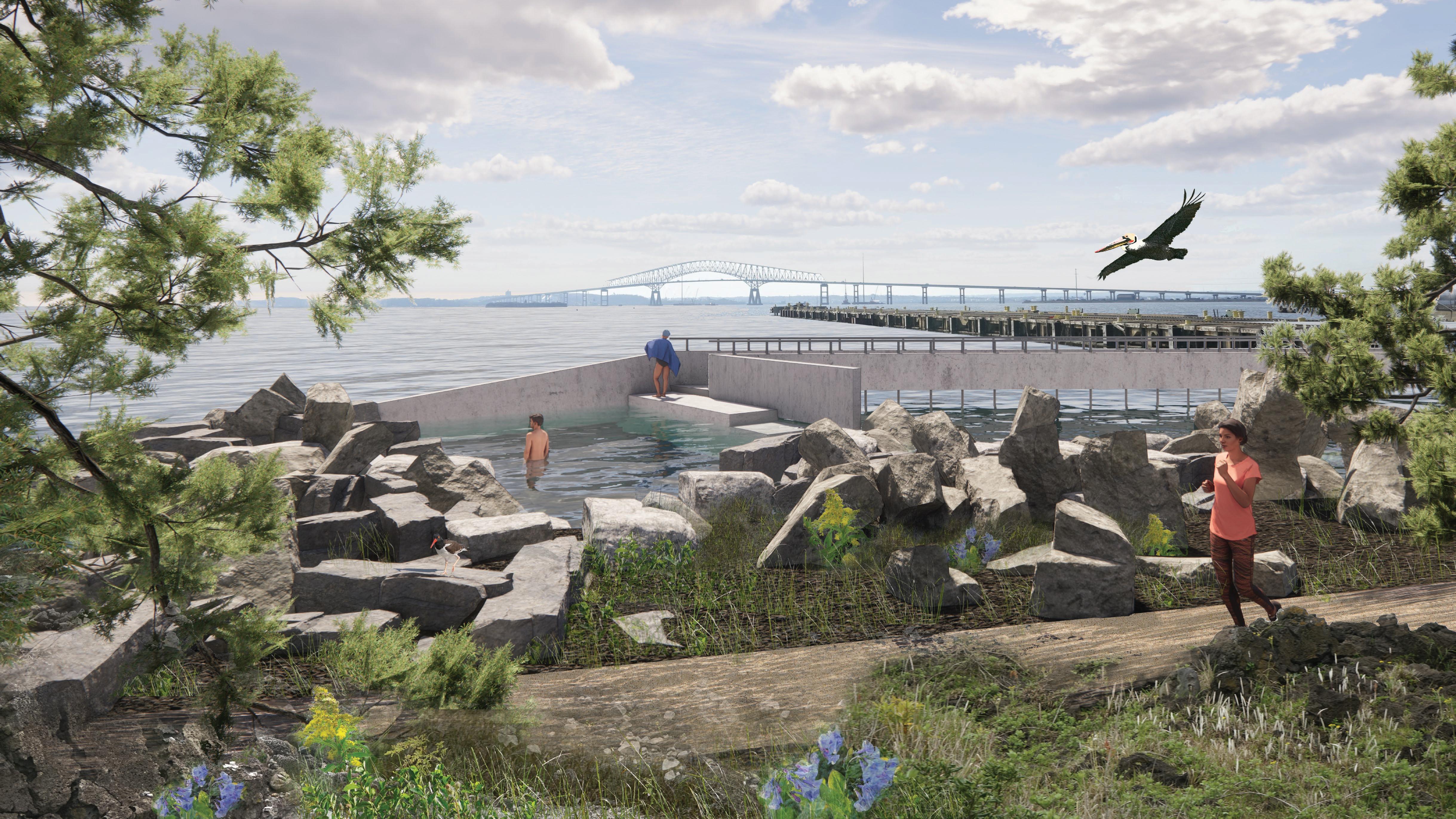
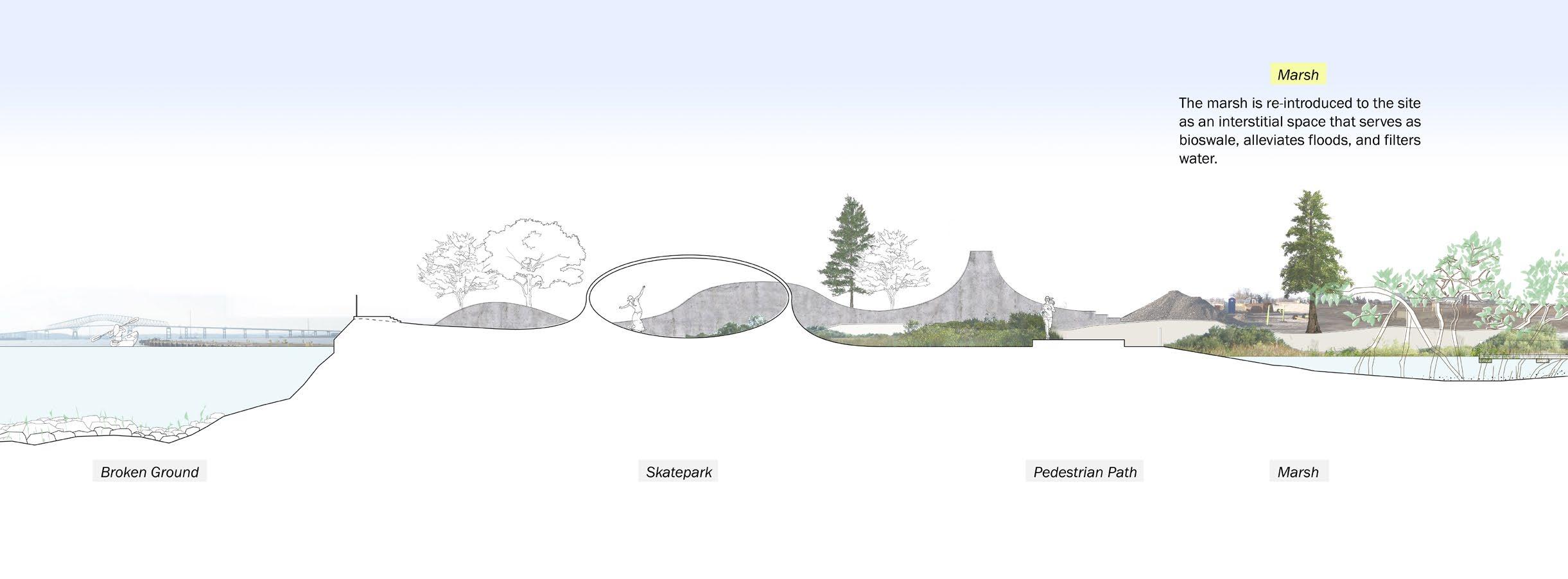
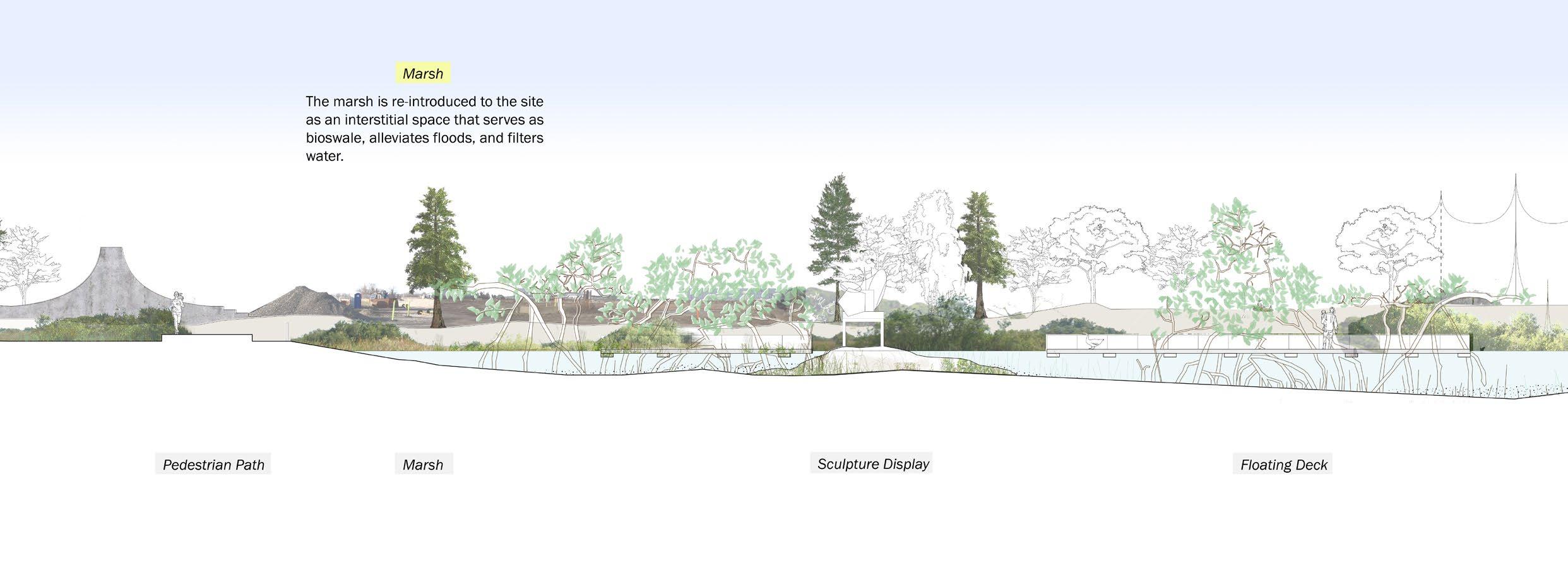
By the act of breaking the existing concrete foundation and letting in water, the hard boundary of the industrial edge will be broken. On top of the rubble, oyster reefs will grow and people will be able to inhabit the edge again.
As time goes by and the current Baltimore Harbor area becomes deserted due to undesirable harbor conditions (such as shallow water depths), there will be more deserted post-industrial edges such as Sparrows Point and Swan Creek. This tactic of land remediation and reclamation as a public commons will be able to be adapted to other deserted edges.
31
32
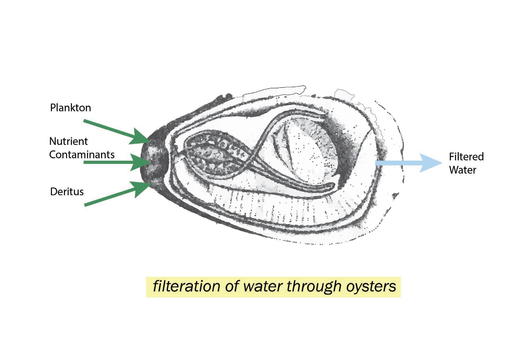
Filtration mechanism of oysters. Full drawing in Section 3.
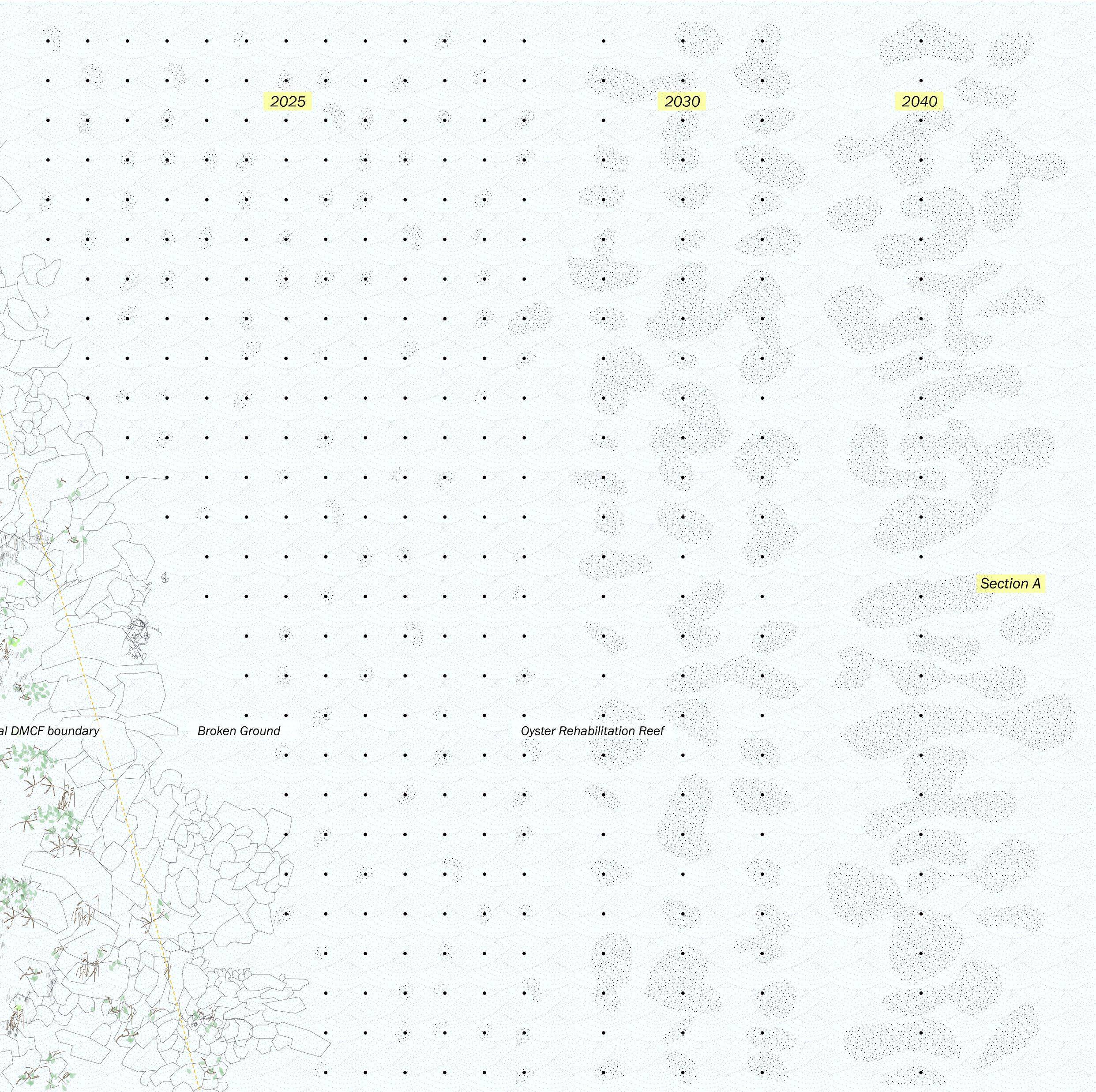
The Three Scales | Scale of an Oyster
The waters flowing into Baltimore harbor contain an excess level of nitrogen, phosphorous, and potassium. This is because the waters pass through agricultural land, and these are the primary ingredients in fertilizers used on farms. However, an excess of these nutrients causes “nutrient pollution.” These nutrients are the cause of abnormal algae growth, which takes away oxygen and adds carbon dioxide to the aquatic environment.
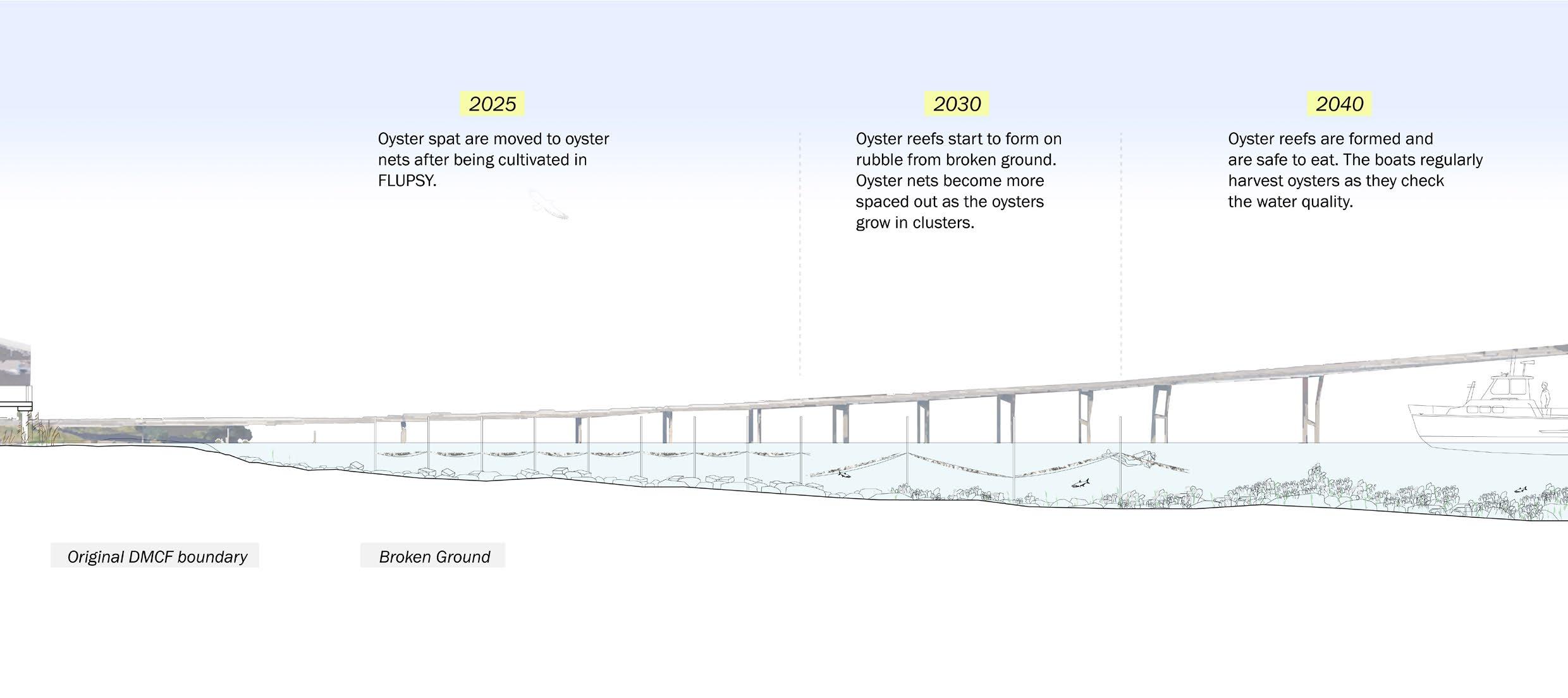
Oysters are a perfect solution for this; oysters feed on nitrogen. Periodic dredging destroyed the historically prolific oyster reefs in the Patapsco River, but rehabilitation of oyster reefs can help filter the waters of the river.
Oyster reefs will be rehabilitated on the broken edge condition; they will be nurtured in nets but gradually form a reef using the rubble as a foundation.
33
34
3 | Execution
Scale of a City
Scale of a Neighborhood
Scale of an Oyster
Back to the Scale of a City
35
36
A - Scale of a City
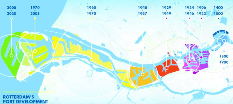
Precedent - port moving out to deeper waters in Rotterdam. Image by Gert-Joost Peek.
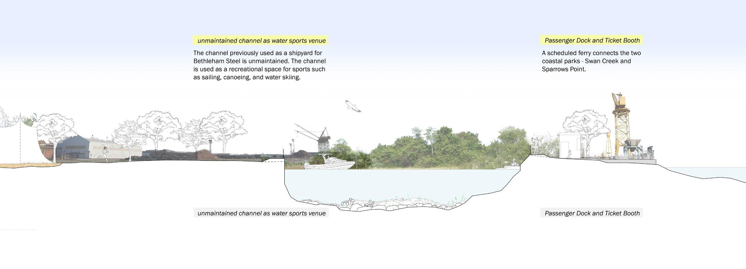
West Channel
East Channel
West Channel
Seagrit Connecting Channel
Dundalk Connecting Channel
Fort McHenry Channel
Ferry Bar Channel
Curtis Bay Channel
Swan Creek Wetlands
cutter suction dredger sweeps out sediment at the bottom layer of the river, then transports sediment to disposal basin
Brewerton Channel
navigation channel
drained sediment is taken to landfills
water drained through porous barrier
Brewerton Channel East Extention
Craighill Channel
to-scale size of 26052 m^2 of annual dredged sediment from Baltimore Harbor requires annual budget $7,500,000 to dredge and drain sediment
Tolchester Channel
Swan Point
37
Channel network and dredging mechanism in Baltimore Harbor
38
Baltimore Harbor logistics at deeper waters
39
40
Baltimore Harbor logistics at deeper waters
41
42
Baltimore Harbor logistics at deeper waters
43
44
B - Scale of a Neighborhood
45
existing green edge extracted from site.
46
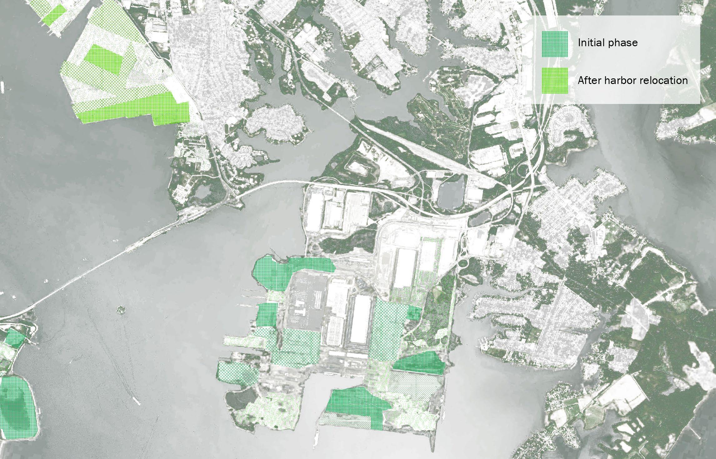
phased continuation of the green edge condition
47
48
49
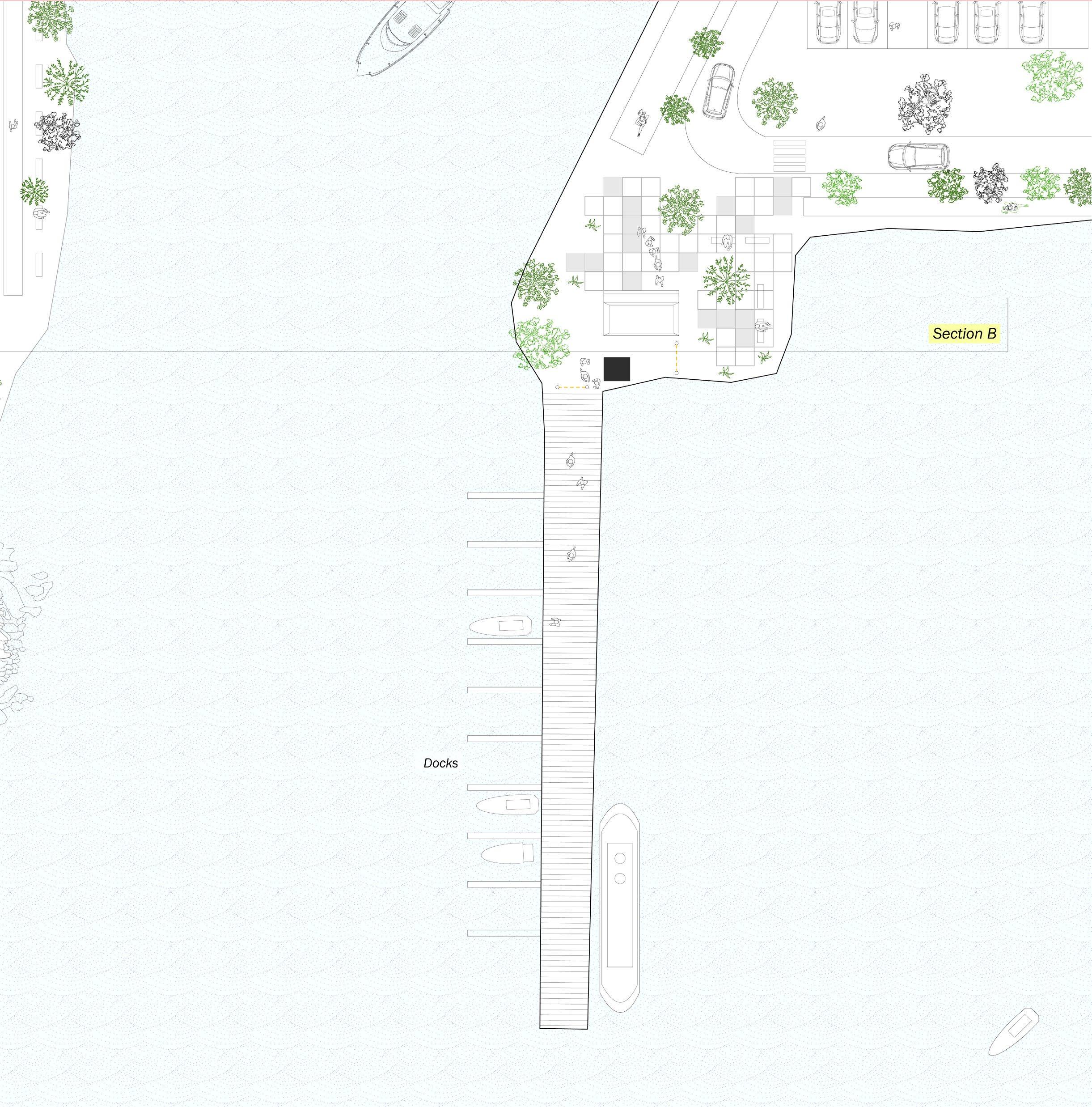
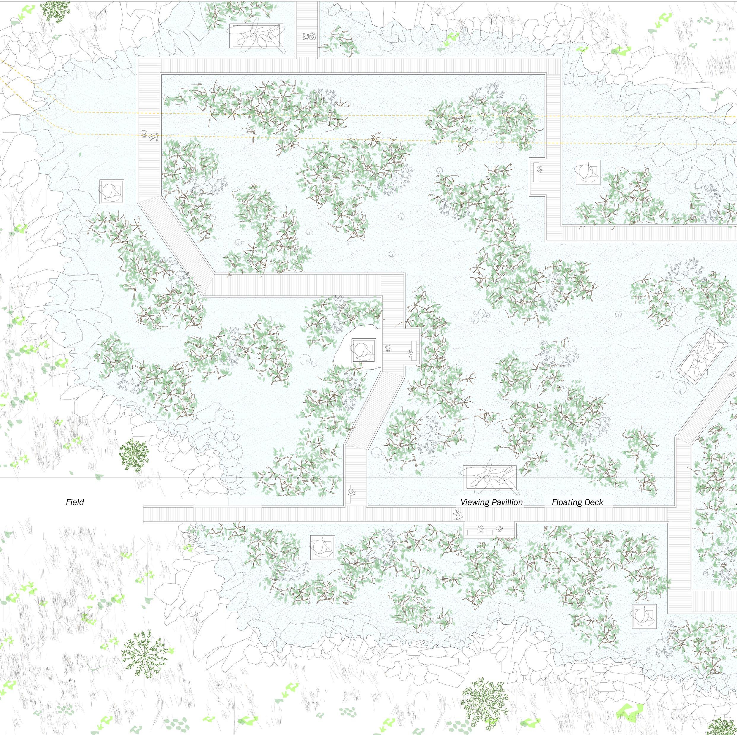
site map showing Swan Creek and Sparrows Point.
50
Swan Creek
51 Plan and Section of
Swan Creek
52
53
54
55
 Bay Scallop
Sea Cabbage
Bay Scallop
Sea Cabbage
56
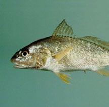
Atlantic Croaker
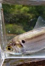
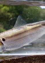
Atlantic Silverside
Double Crested Cormorant Scuba Diver
57
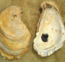
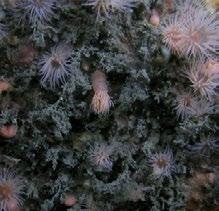
Oyster Reef
58
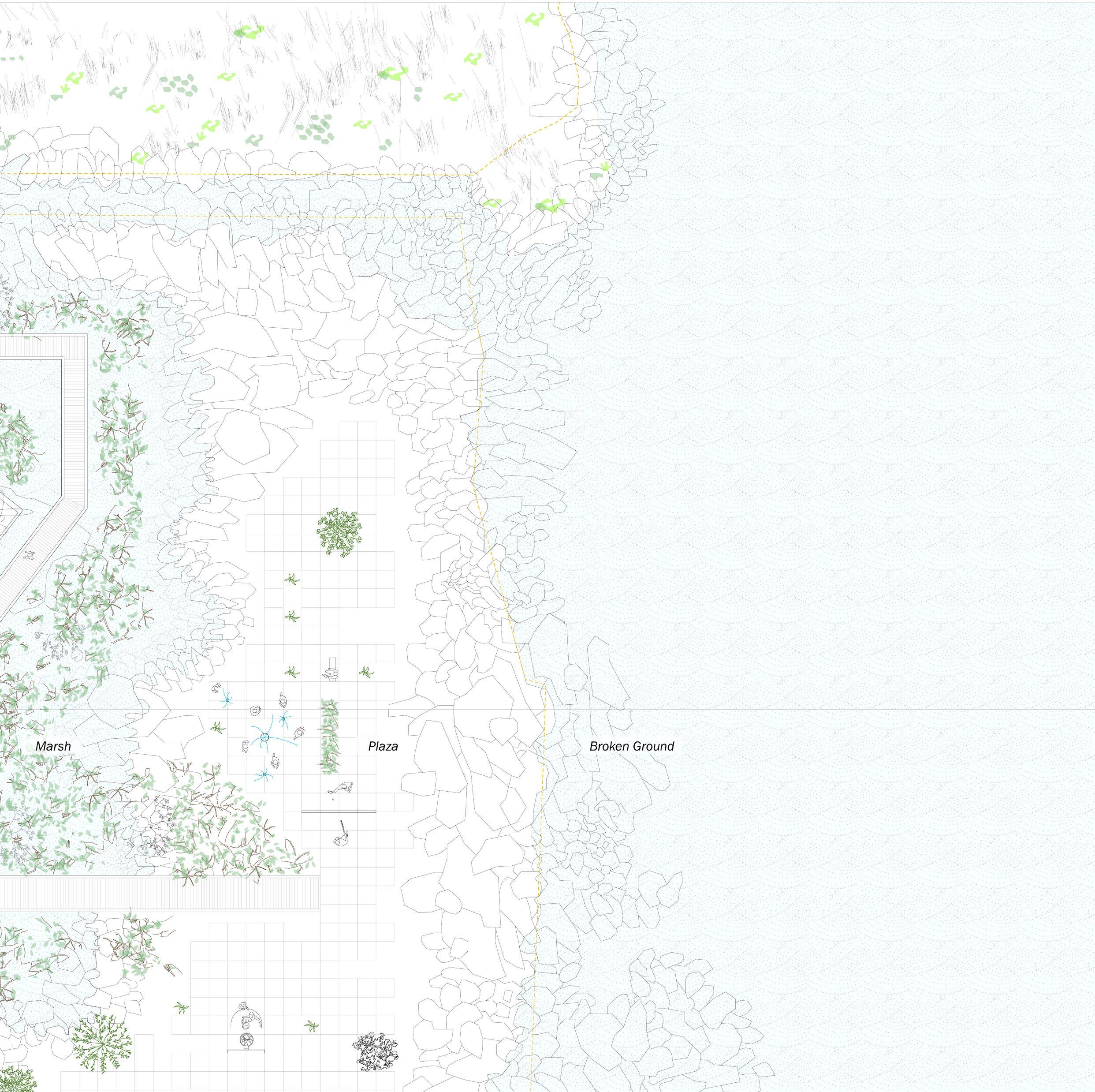
Sparrows Point - Waterfront
59 Plan and Section of Sparrows Point - Waterfront
60 Plan of Sparrows Point - Waterfront
61
62
63
64
Section
of Sparrows Point - Waterfront
65
66
67
 American Oystercatcher
Meadow Cordgrass
American Oystercatcher
Meadow Cordgrass
68
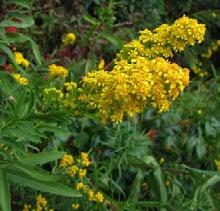
Seaside Goldenrod
Loblolly Pine
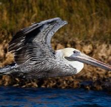
Brown Pelican
69
Bluebell
70
Sparrows Point - Wetland
71 Plan and Section of Sparrows Point - Wetland
72 Plan of Sparrows Point - Wetland
73
74
75
76
Section of Sparrows Point - Wetland
77
78
79
 Great Blue Heron
Smooth Cordgrass
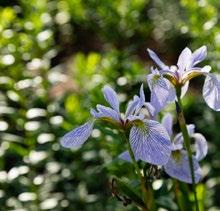
Blue Flag Iris
Great Blue Heron
Smooth Cordgrass
Blue Flag Iris
80
Water Lily
81
American Black Duck Mangrove
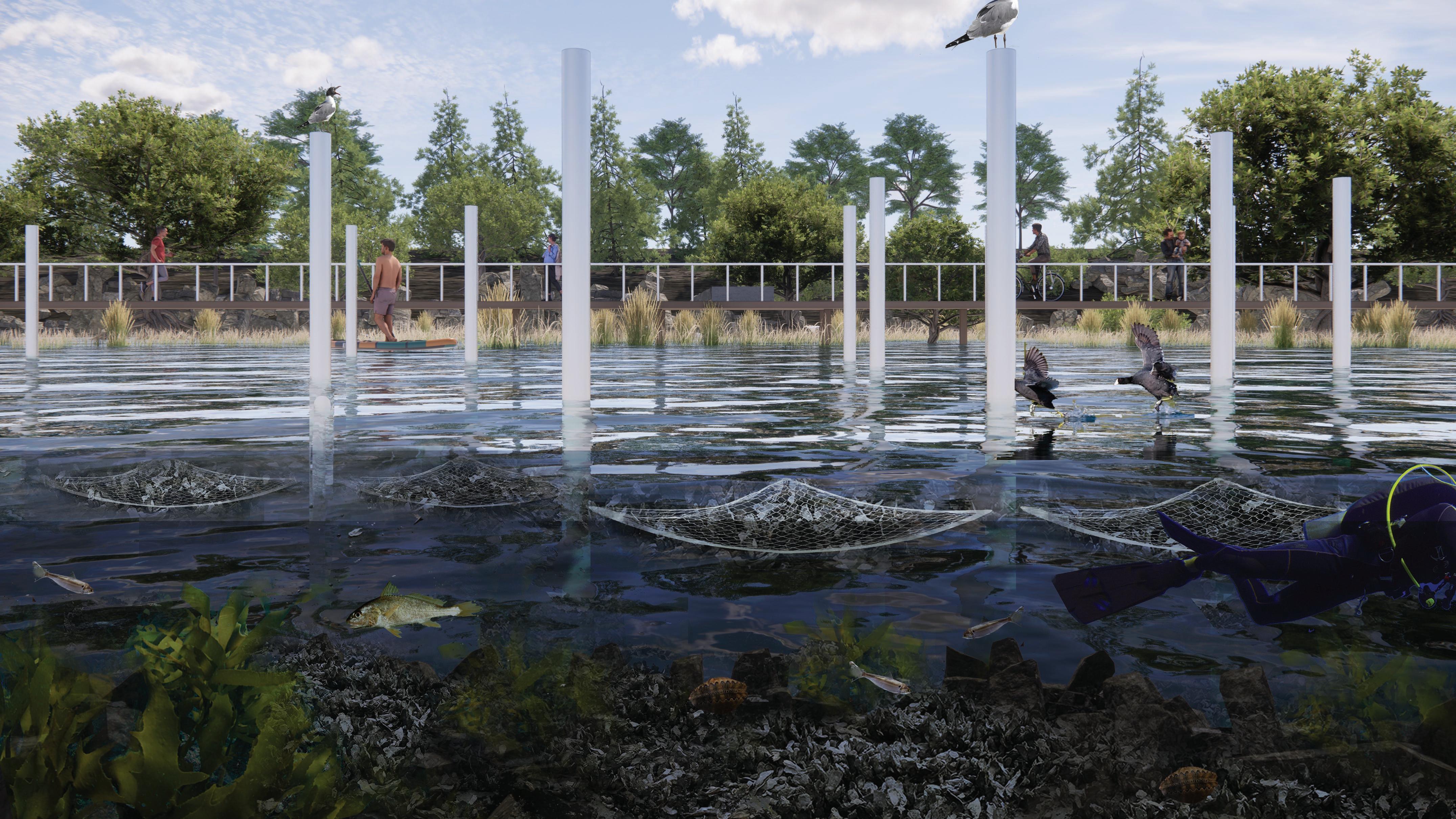
oysters grow between nets in shallow open waters.
Bay Scallop Atlantic Silverside Double Oyster Reef82
Atlantic Croaker
C - Scale of an Oyster
filteration of water through oysters
spat nurtured in FLUPSY (FLoating UPweller SYstem) to protect them from predation until they are large enough to survive on oyster sanctuaries
rehabilitated oyster colony
broken ground
Plankton Deritus Nutrient Contaminants Filtered Water
life cycle of oysters in Baltimore Harbor
harvested and distributed to local restaurants
mature oyster
fertilized egg
83
natural settlement on underwater broken ground
oyster rehabilitation plan
Marshes and Wetlands
Beaches and Tidal Flats

84
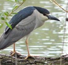
Black Crowned Night Heron
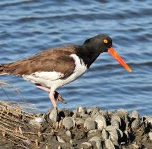
American Oystercatcher
Blue Flag Iris
Blueback Herring
Mason Bee
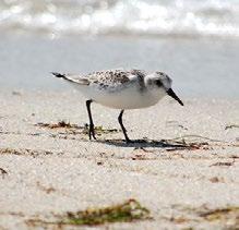
Sanderling
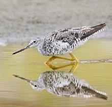
Greater Yellowlegs
Sanderling
Seaside Goldenrod
Brown Pelican
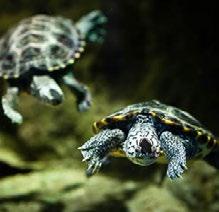
Diamondback Terrapin
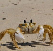
Atlantic Ghost Crab
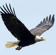
Bald Eagle
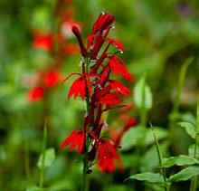
Cardinal Flowers
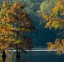
Bald Cypress
American Black Duck
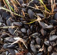
Atlantic Ribbed Mussel
Aquatic Reefs and Open Waters

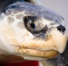
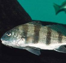
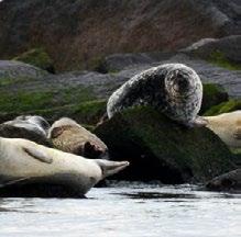
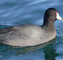
Flora and fauna on site. Images from Chesapeakebay Bay Program.
85
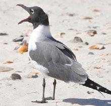
Laughing Gull
Kemp’s Ridley Sea
American Coot
Boring Sponge
Ghost Anemone
Blueback Herring
Black Drum
Harbor Seal
Greater Yellowlegs
Eastern Oyster
Black Sea Bass
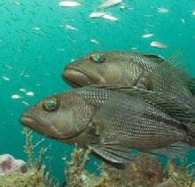
Atlantic Croaker
86 January February March April May June July August September October November December
Beaches and Tidal Flats
Marshes and Wetlands
Aquatic Reefs and Open Waters
Oyster spat are moved to oyster nets after being cultivated in FLUPSY.


Oyster reefs start to form on rubble from broken ground. Oyster nets become more spaced out as the oysters grow in clusters.


Oyster reefs are formed and are safe to eat. The boats regularly harvest oysters as they check the water quality.


2025 2030 2040
Space Accessible viewing platform Rubble from broken ground Beach Event Venue
 Gunpowder River
Chester River
Edgewood
Patapsco River
Gunpowder River
Chester River
Edgewood
Patapsco River
88
Baltimore
A - Scale of a City
adaptation to other edge conditions
Susquehanna River Elk River Bohemia River Harve De Grace89
Aberdeen
106
107
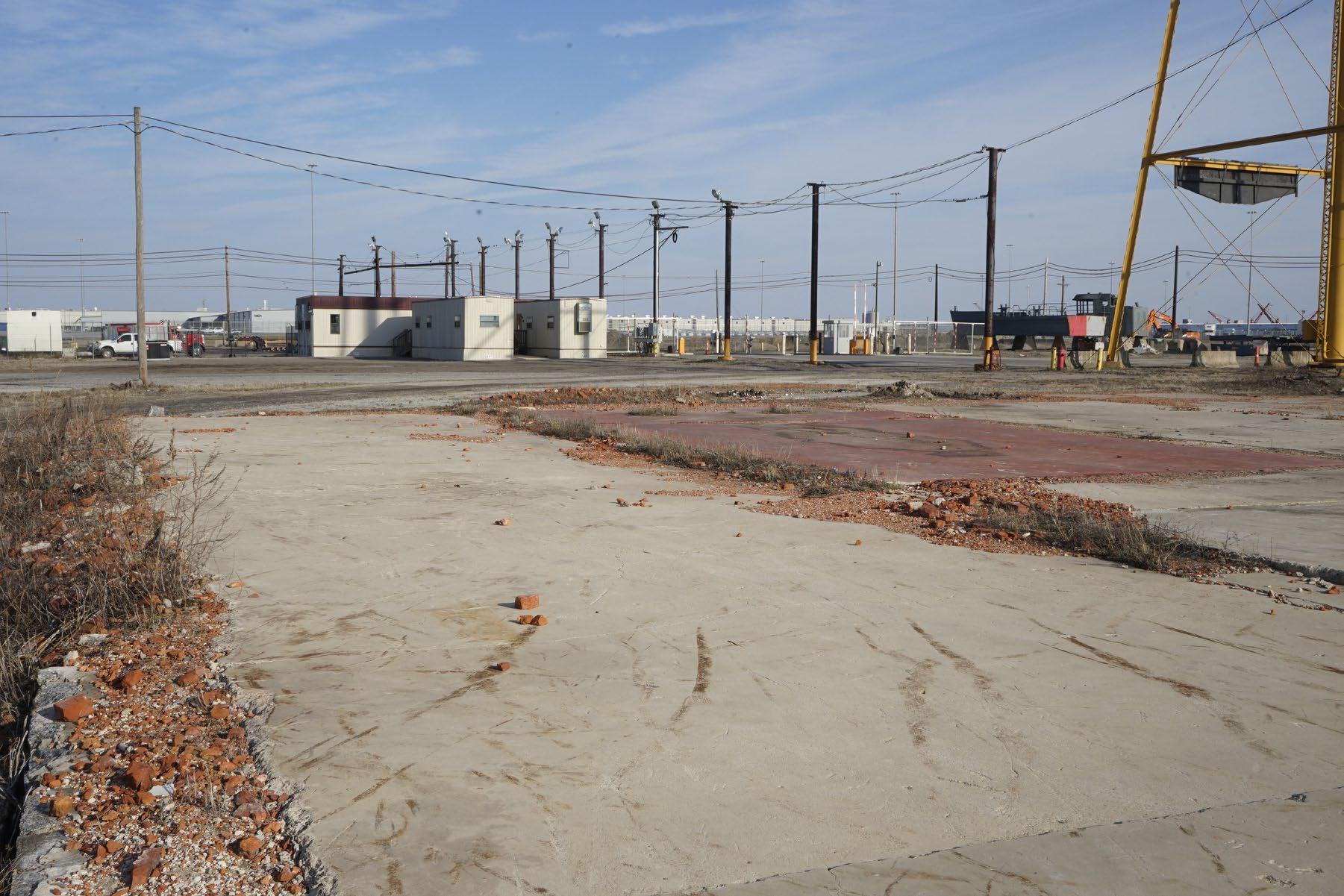
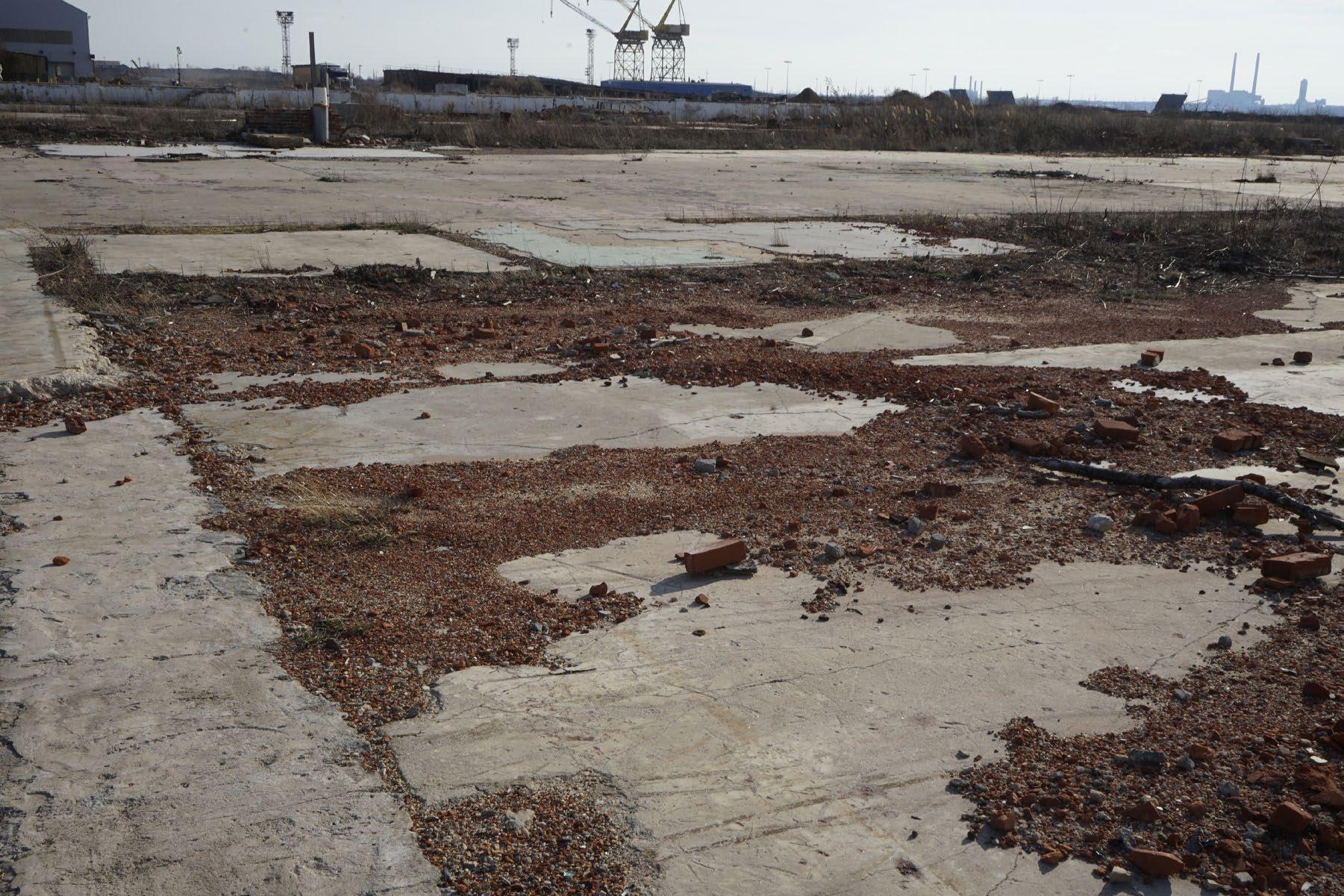
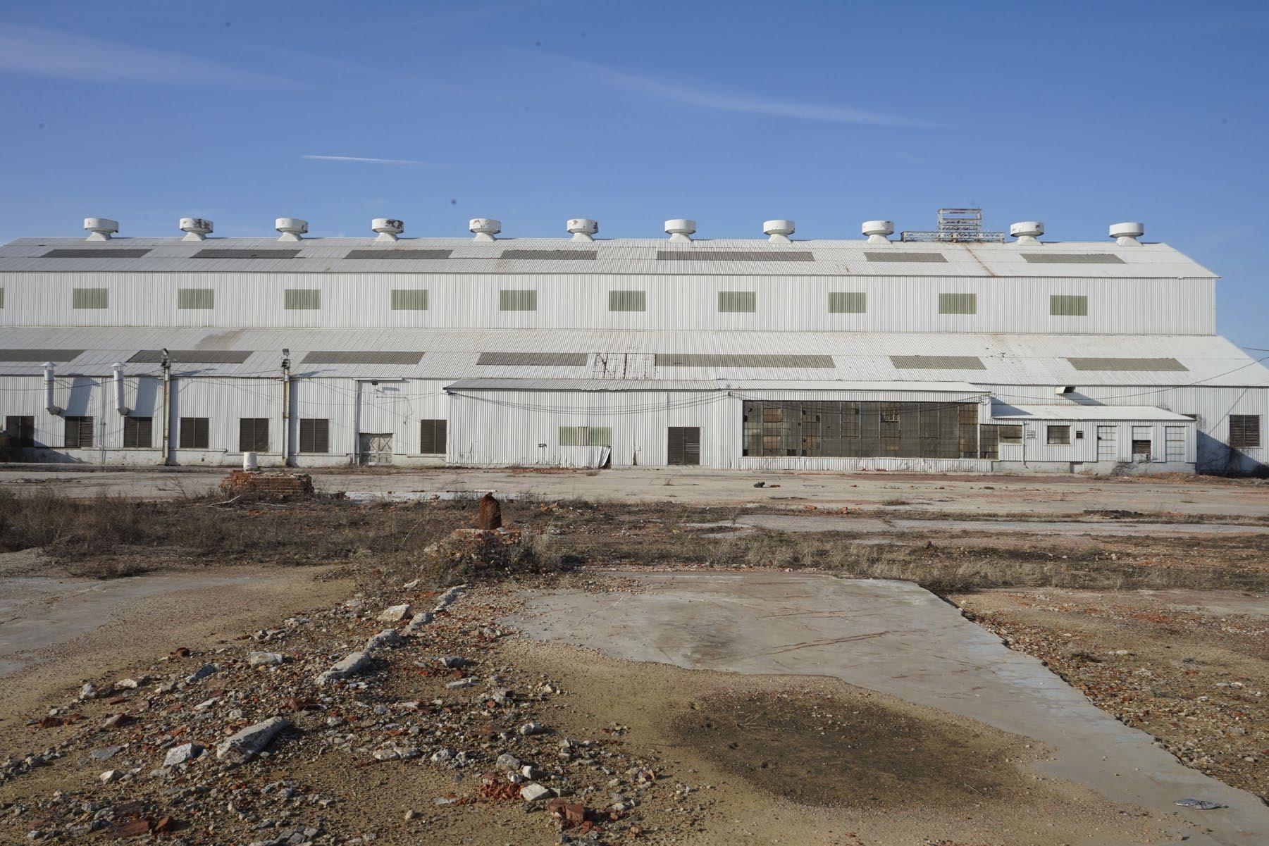
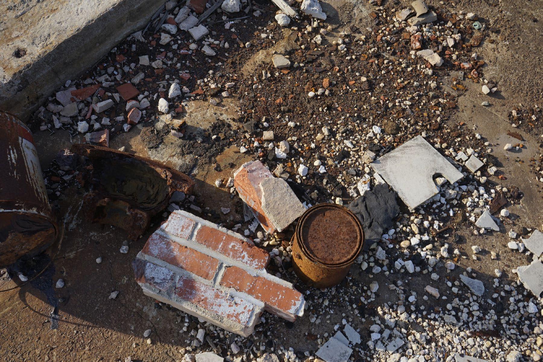
Photographs of Swan Creek and Sparrows Point
Bilbliography
5 | Appendix
108
Photographs of Swan Creek and Sparrows Point
109
110

111
112
113
114
115
116
117
118
119
120
121
122
123
All photos taken by Jaein Lee.
Agrest, Diana, Yael Agmon, D. Graham Burnett, John Angus McPhee, Peter Louis Galison, and Caroline A. Jones. The architecture of Nature: Nature of Architecture. [Novato, CA]: Applied Research and Design Publishing, 2018.
Cox, Jeremy, and Dave Harp. “Dredged Material to Rebuild Two Chesapeake Bay Islands.” Bay Journal, May 13, 2020. https://www. bayjournal.com/news/wildlife_habitat/dredged-material-to-rebuild-two-chesapeake-bay-islands/article_2027487e-8ee5-11ea-8e5597dead4fce2c.html.
Cronon, William. Uncommon Ground: Rethinking the Human Place in Nature. New York: W.W. Norton & Co., 1996.
Curtin, Philip D., Grace Somers. Brush, and George Wescott Fisher, eds. Discovering the Chesapeake: The History of an Ecosystem. Baltimore, Md.: Johns Hopkins University Press, 2001.
Diedrich, Lisa Babette. Translating Harbourscapes: Site-Specific Design Approaches in Contemporary European Harbour Transformation. Copenhagen: University of Copenhagen, Faculty of Science, Department of Geosciences and Natural Resource Management, 2013.
Dudley, William S. Maritime Maryland: a History. Baltimore: Johns Hopkins University Press, 2010.
Duursma, Jan., ed. De Boompjes: Vier Visies Op Een Waterfront = Four Visions on a Waterfront. Rotterdam: Uitgeverij 010, 2001. Fork, Megan L., Jerker B. Fick, Alexander J. Reisinger, and Emma J. Rosi. “Dosing the Coast: Leaking Sewage Infrastructure Delivers Large Annual Doses and Dynamic Mixtures of Pharmaceuticals to Urban Rivers.” Environmental Science & Technology 55, no. 17 (2021): 11637–45. https://doi.org/10.1021/acs.est.1c00379.
Hardaway, C. Scott, and James R. Gunn. “Design and Performance of Headland Bays in Chesapeake Bay, USA.” Coastal Engineering 57, no. 2 (2010): 203–12. https://doi.org/10.1016/j.coastaleng.2009.10.007.
Hong, Bo, Nauth Panday, Jian Shen, Harry V. Wang, Wenping Gong, and Anna Soehl. “Modeling Water Exchange between Baltimore Harbor and Chesapeake Bay Using Artificial Tracers: Seasonal Variations.” Marine Environmental Research 70, no. 1 (2010): 102–19. https://doi.org/10.1016/j.marenvres.2010.03.010.
“Innovative Reuse and Beneficial Use of Dredged Material Guidance Document.” Accessed May 23, 2022. https://mde.maryland. gov/programs/Marylander/Documents/Dredging/FINAL_IBR_GUIDANCE_12.05.2019_MDE.pdf.
Keiner, Christine. The Oyster Question: Scientists, Watermen, and the Maryland Chesapeake Bay since 1880. Athens, GA: The University of Georgia Press, 2010.
Keith, Robert C. Baltimore Harbor: a Pictorial History. 3Rd ed. Baltimore: Johns Hopkins University Press, 2005.
124
Bibliography
Kelly, Jacques. “The Birth and Death of Sparrows Point.” Baltimore Sun, December 19, 2021. https://www.baltimoresun.com/maryland/baltimore-city/bs-md-kelly-beth-steel-20211218-nwx4u2fzirduhg5ilulsqyn3um-story.html.
Kennedy, Victor S. Shifting Baselines in the Chesapeake Bay: an Environmental History. Baltimore, Maryland: Johns Hopkins University Press, 2018.
Kramer, Jonathan G., Jessica Smits, and Kevin G. Sellner. Sediment in Baltimore Harbor: Quality and Suitability for Innovative Reuse: An Independent Technical Review. College Park, MD: Maryland Sea Grant College Program, 2009.
Mathur, Anuradha. Design in the Terrain of Water. USA: Applied Research and Design Publishing, 2014.
Meulder, Bruno de, and Kelly Shannon. Water Urbanisms: East. Zurich: Park Books, 2013.
Meyer, Han. City and Port: Urban Planning as a Cultural Venture in London, Barcelona, New York, and Rotterdam: Changing Relations between Public Urban Space and Large-Scale Infrastructure. Utrecht: International Books, 1999.
Orff, Kate. Toward an Urban Ecology. New York, NY: The Monacelli Press, 2016.
“Protocol for the Field Measurement of Sediment Release from Dredgers.” Accessed May 23, 2022. https://clu-in.org/download/ contaminantfocus/sediments/sediment-relaes-from-dredgers.pdf.
Sinex, Scott A., and George R. Helz. “Entrapment of Zinc and Other Trace Elements in a Rapidly Flushed Industrializaed Harbor.” Environmental Science & Technology 16, no. 11 (1982): 820–25. https://doi.org/10.1021/es00105a018.
Smith, Harry, and Maria Soledad. Garcia Ferrari, eds. Waterfront Regeneration: Experiences in City-Building. Abingdon, Oxon [England]: Earthscan, 2012.
US, EPA. “What Is Hypoxia and What Causes It?” EPA. Environmental Protection Agency. Accessed May 22, 2022. https://www.epa. gov/ms-htf/hypoxia-101.
Wit, Saskia de. Dutch Lowlands: Morphogenesis of a Cultural Landscape. Meppel: SUN, 2009.
125