International Research Journal of Engineering and Technology (IRJET)
e-ISSN: 2395-0056
Volume: 07 Issue: 08 | Aug 2020
p-ISSN: 2395-0072
www.irjet.net
National Conference on Recent Advancements in Communication, Electronics and Signal Processing-RACES’20 Organised by: Department of ECE, Velammal Engineering College, Chennai-66 accuracy of the deterministic kNN algorithm and probabilistic Naïve Bayes algorithm for positioning.
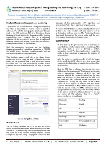
Database Management in green house monitoring A structured set of data held in a computer especially one that is accessible in various ways is called a database. One of the most popular databases that are used is the SQL database. SQL is a Structured Query Language which is a computer language used for storing, manipulating, and retrieving data in a relational database. It allows users to access data in relational database management, to describe the data, to define the data and manipulate it in the database.
A variant of the Dijkstra’s shortest path algorithm is used to find nodes on the shortest path from a source node to a destination node on a server. The Positioning System developed determines the source node and the user provides the destination node as an input. SYSTEM DESIGN In this method, the greenhouse area is surveyed in order to build a radio map for indoor positioning. This radio map built is used to develop a pattern recognition model. The developed pattern recognition model is later reclaimed to appraise the position of target devices.
With the automation anywhere, use the Database Connect command to establish a connection to ACCESS DATABASE. In this database, it performs tasks such as updating data or retrieving data from it. This Database plays a vital role in the Green House Monitoring System Using AR and VR because the user knows all the required data or info about the plant's conditions and that gets automatically updated to the database and that is very helpful for the user to retrieve it.
After the pattern recognition model is built, the target device sends the RSSI values it sees to a server that uses the trained classifier to predict the position of the target device. Now, the RSSI data is collected by using our very own RSSI data collection Android. This Android application induces spontaneous collection of RSSI data and prompts label of the current location from the data collecting personnel. It then forwards the RSSI data and labels to a data collection server running on the Raspberry Pi. The app not only sends the set of RSSI values of Wi-Fi signals it detected but also sends accurate information on the detection of RSSI values with the access points. The MAC address is used to recognize the wireless access points. Once the data for all the access points are collected, the server cut out and stores all the collected data in a NumPy compressed array format (.npz).
Indoor Navigation system INTRODUCTION The increasing demand for accurate and affordable indoor positioning has caused an increase in research to achieve it. The most widely used positioning system like GPS does not have reliable accuracy indoors. Indoor Navigation System using fingerprint compares the
© 2020, IRJET
|
Impact Factor value: 7.529
|
Parameter
Reading
Moisture
0 to 40
pH
9
Distance
0 to 2m
Humidity
0 to 70%
Temperature
34(vary acc to crops)
Co2
106.1ppm
ISO 9001:2008 Certified Journal
|
Page 118