International Research Journal of Engineering and Technology (IRJET)
e-ISSN: 2395-0056
Volume: 12 Issue: 04 | Apr 2025
p-ISSN: 2395-0072
www.irjet.net
Design of Strom water Management system: Using GVF Rational Method Sushant Sadanand Kulkarni At Post Aurangabad Tal. Aurangabad Dist. Aurangabad Pin 431005 Dr. Pritam Malakar, Dept. of civil Engineering, GH Raisoni University, Maharashtra, India ---------------------------------------------------------------------***--------------------------------------------------------------------Abstract – Storm water management refers to the 1.INTRODUCTION practices, policies, and techniques used to manage the flow, quality, and quantity of rainwater runoff. This is essential in urban areas or areas with large amounts of impervious surfaces (e.g., roads, parking lots, buildings) that prevent water from naturally soaking into the ground. Effective storm water management helps prevent flooding, reduces erosion, and protects water quality by controlling the runoff and ensuring that it does not carry pollutants into rivers, lakes, or oceans.
Pune is the second largest city in Maharashtra with an area of about 324.00 sq.km (243.00 sq.km. of Pune city area + 81.00 sq.km. of 11 newly added villages) and with about population of city census (2017) 48.52 Lakh people residing. On 30th June 2021, 23 additional villages (Mhalunge, Sus, Bavdhan, Pisoli, Kondhwe-Dhawade, Kopre, Nanded, Khadakwasla, Mundhwa, Manjari, Narhe, Mantarwadi, Holkarwadi, Handewadi, Wadachiwadi, Shewalewadi, Mangdewadi, Vadgaonsheri, Nandoshi, Bhilarewadi, Jambhulwadi, Gujar-Nimbalkarwadi, Kolewadi) were added to Pune Municipal Corporation. The adjoining villages which are now merged in Pune are already urbanizing rapidly and are expected to grow more now that they are part of the urban conglomerate.
The GVF Rational Method is used to design storm water systems, particularly in urban areas. It's a method that focuses on determining peak flow rates for the design of storm water systems, like culverts, gutters, or pipes. The GVF in the name stands for Generalized Variable Flow which refers to the approach for modelling the flow of storm water through the drainage system, considering varying flow conditions.
Pune Municipal Corporation prepared Storm water master plan in Year 2007. Then after merged 12 Village (Yewalewadi + 11 Village) departments also prepared storm water master plan in year 2018. This includes study of existing Storm network and proposing revamping of inadequate network as well as new network and construction of Culverts facilities in phased manner.
The Key Objective of Storm water management is Flood Control, Water Quality Protection, Groundwater Recharge, Erosion Control and Sustainability In the context of modern urban development, storm water management aims to replicate the natural hydrologic conditions as much as possible. This can be achieved through a variety of techniques designed to capture, store, treat, and safely convey storm water runoff.
Considering the expected rapid growth in the newly merged 23 villages having area approx.181 sqkm, Pune Municipal Corporation aims to prepare a comprehensive Storm master plan for the newly added area. This master plan is proposed to be developed such that it can dovetail into the existing master plan so that a seamless development of Storm water collection and as to provide a system wherein no water logging occurs in the newly merged 23 Village and Bavdhan villages is one of the village from 23 newly Merge village in PMC and we are going to look for Bavdhan storm water management.
Effective storm water management is essential for minimizing the environmental impact of urbanization and preventing flooding, water quality degradation, and erosion. By using a mix of structural solutions, green infrastructure, and best management practices (BMPs), communities can manage storm water in a way that is both sustainable and environmentally responsible. The key is to design systems that mimic natural hydrological processes, improve water quality, and ensure the long-term resilience of both the built environment and the surrounding ecosystem.
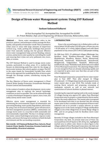
Recently 23 fringe villages included in the Pune Municipal Corporation city limit. At present total area of Pune city increased from 333.69 Sq.km to 581.30 Sq. km., highlighted marked area in yellow color shown in above figure is the villages added in Pune Municipal Corporation city limit and we are going to look for Bavdhan Strom Water Management.
Key words - GVF Rational Method, Flow, Culverts, Flood Control, Water Quality Protection, Erosion Control and Sustainability, Structural solutions.
© 2025, IRJET
|
Impact Factor value: 8.315
|
ISO 9001:2008 Certified Journal
|
Page 1362