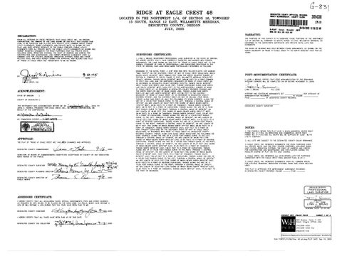
RIDGE AT EAGLE CREST 48
LOCATED IN THE NORTHWEST 1/4, OF SECTION 16, TOWNSHIP 15 SOUTH, RANGE 12 EAST, WILLAMETTE MERIDIAN, DESCHUTES COUNTY, OREGON JULY, 2005

DECLARATION:
KNOW ALL PERSONS BY THESE PRESENTS THAT EAGLE CREST, INC., AN OREGON ORATION, THE OWNERS OF THE LAND SHOWN ON THIS PLAT, HAS CAUSED SAID LAND TO BE SURVEYED AND PLATTED INTO PRIVATE LOTS, COMMON AREAS, PUBLIC UTILITY EASEMENTS, SEWER EASEMENTS, AND PRIVATE WAYS AS SHOWN ON THIS EASEMENTS OVER ALL PRIVATE WAYS THE PUBLIC UTIUTY EASEMENTS AS SHOWN AND HEREBY RESERVES EASEMENTS FOR ROAD PURPOSES OVER ALL PRIVATE WAYS. INCLUDING SIGNS, IRRIGATION SYSTEMS, THE RIGHT OF INGRESS AND EGRESS FOR CONSTRUCTION AND MAINTENANCE, AND HEREBY RESERVES EASEMENTS OVER ALL COMMON LOTS FOR UTILTIES, DRAINAGE, IRRIGATION SYSTEMS, SIGNS AND OTHER RELATED USES, AND DOES HEREBY SUBMIT FOR APPROVAL AND RECORD SAID PLAT OF "RIDGE AT EAGLE CREST 48," HENCEFORTH TO BE SO KNOWN.
SURVEYORS CERTIFICATE: I, LYNN J. BRUNO, REGISTE SIONAL SURVEY MONUMENTS RID STATE OF OREGON, SAID LAND BEING RTICUL BY:
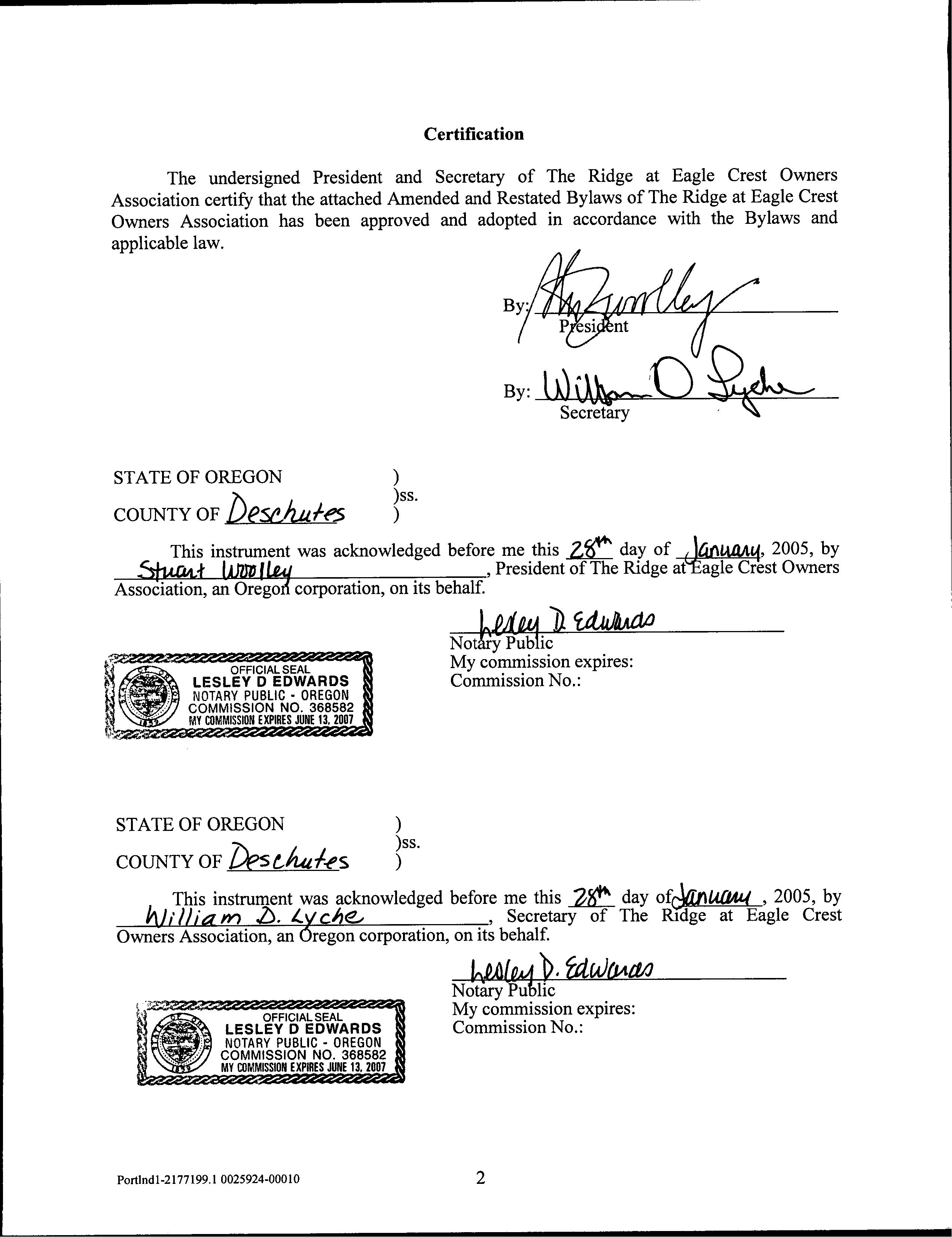
ACKNOWLEDGEMENT: STATE OF OREGON COUNTY OF DESCHUTES)
THIS INSTRUMENT WAS ACKNOWLEDGED BEFORE ME ONStember I2 2005, BY JEROL E. ANDRES, PRESIDENT F JERLE CREST, INC., AN OREGON
Ymda deaula
49 55 TOWNSHIP 1! EAST, SPUT RAILLN: THENCE WEST, 508 NDAR WEST, ALONG SAID NORTH LINE, 25.00 FEET THENCE CON TINUNCE SOUTH 9000,0TH LINE SOUTH 4500 00 WEST, 54.64 FEET TO THE NOR NORTHEAS THEAS OUSE LANE: THENCE NORT 457.99 FEET 37, AS RECORDE COUNTY ALONG THE HE LEFT, CHORD OF TANGENCY; ROUGH A CENTE ORD OF WHICH BE ET) TO A POINT OF TANGENCY: THENCE NORTH THE LEFT, TH CENTRAL ANGLE OF 3816 BEARS NORTH 150016 POINT OF REVERSE CURY RIGHT. THROUGH A CENTRAL ANGLE OF 395 FFF BEARS NORTH 1411'53" WEST ENCY. THENCE NORTH 055418" EAST 497 FEET SOUTHERLY RIGHT-OFRECORDED WTH RIDGE AT EAGLE CREST
DS CS15803; THENCE ALONG SAID EAGLE CREST BOULEVARD THE FOLLOWING OF A 275.00 FOOT RADIU THROUGH A CENTRAL ANGLE OF 12'06'04", AN ARC LENGTH CHORD OF WHICH BEARS NORTH 84*31'25" EAST, 57.97 FEET) TO A POINT OF REVERSE RIGHT THRO L ANGLE N ARC LENGT T (THE C S NORTH 8357 FEET) 89*2635
POST-MONUMENTATION CERTIFICATE:
1, LYNNJ POST INING INTERIO
LYNN J. BRUNO
INTER RLINE MONUMENTS SET Y RECORDS PER AFFIDAVIT OF VOLUME
DESC
NOTES:
1. THE PARCELS W UNICIPAL WATER RIGHT BY CLINE
3. EAGL RESERVES EASEMENTS FOR ROAD PURPOSES OVER SES, RIGH AND FOR CONSTRUCTION AND AND FOR PLAYERS DURING THE REGULAR CO
4. EAGLE CREST, INC. RESERVES ALL DEVELOPER'S LOTS FOR PURPOSES 75.00 HROU ARC LENGTH OF 32.55 FEET (THE CH 32.30 FEET) TO A POINT
5. EAGLE CREST, EASEMENT COMMON AREAS FO
THIS PLAT IS ORDED
RIDGE AT EAGLE CREST 48
LOCATED IN THE NORTHWEST 1/4, OF SECTION 16, TOWNSHIP 15 SOUTH, RANGE 12 EAST, WILLAMETTE MERIDIAN, DESCHUTES COUNTY, OREGON JULY, 2005
Willpick up
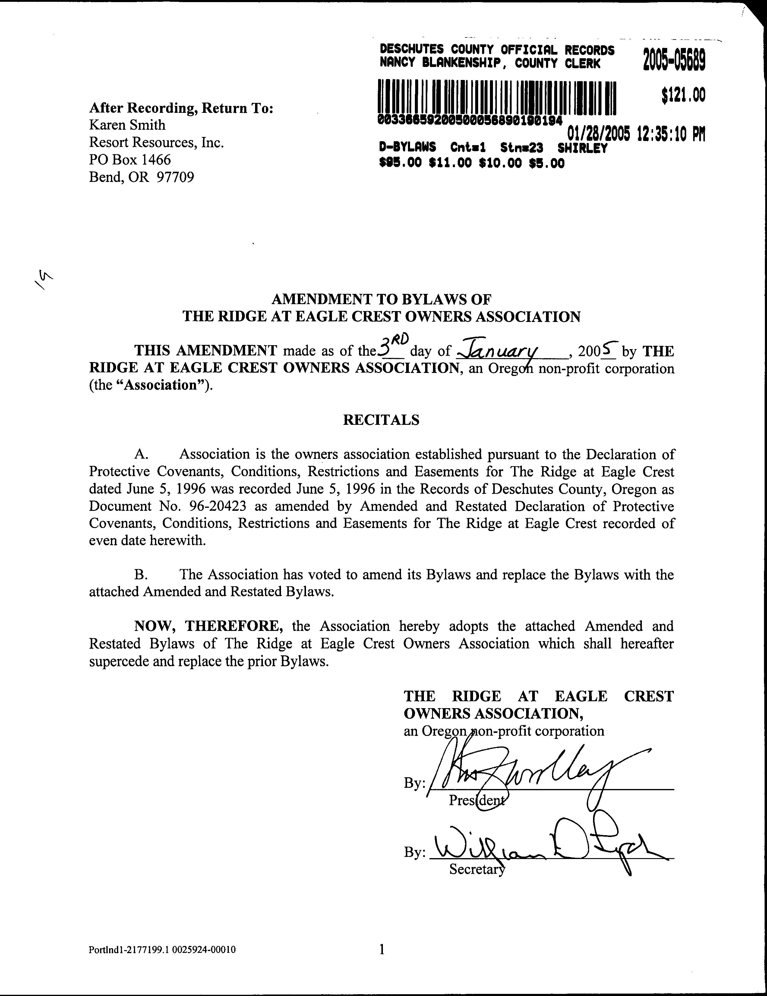
After Recording, Return-to:
Howard M. Feuerstein
Stoel Rives LLP
900 SW-Fifth, Suite 2300
Portland, OR 97204
DECLARATION OF PROTECTIVE COVENANTS, CONDITIONS, RESTRICTIONS AND EASEMENTS FOR THE RIDGE AT EAGLE CREST (A Planned Unit Development at Eagle Crest)
DECLARANT: EAGLE RIDGE PARTNERS, LTD. an Oregon limited partnership
DECLARATION OF PROTECTIVE COVENANTS, CONDITIONS, RESTRICTIONS AND EASEMENTS FOR THE RIDGE AT EAGLE CREST
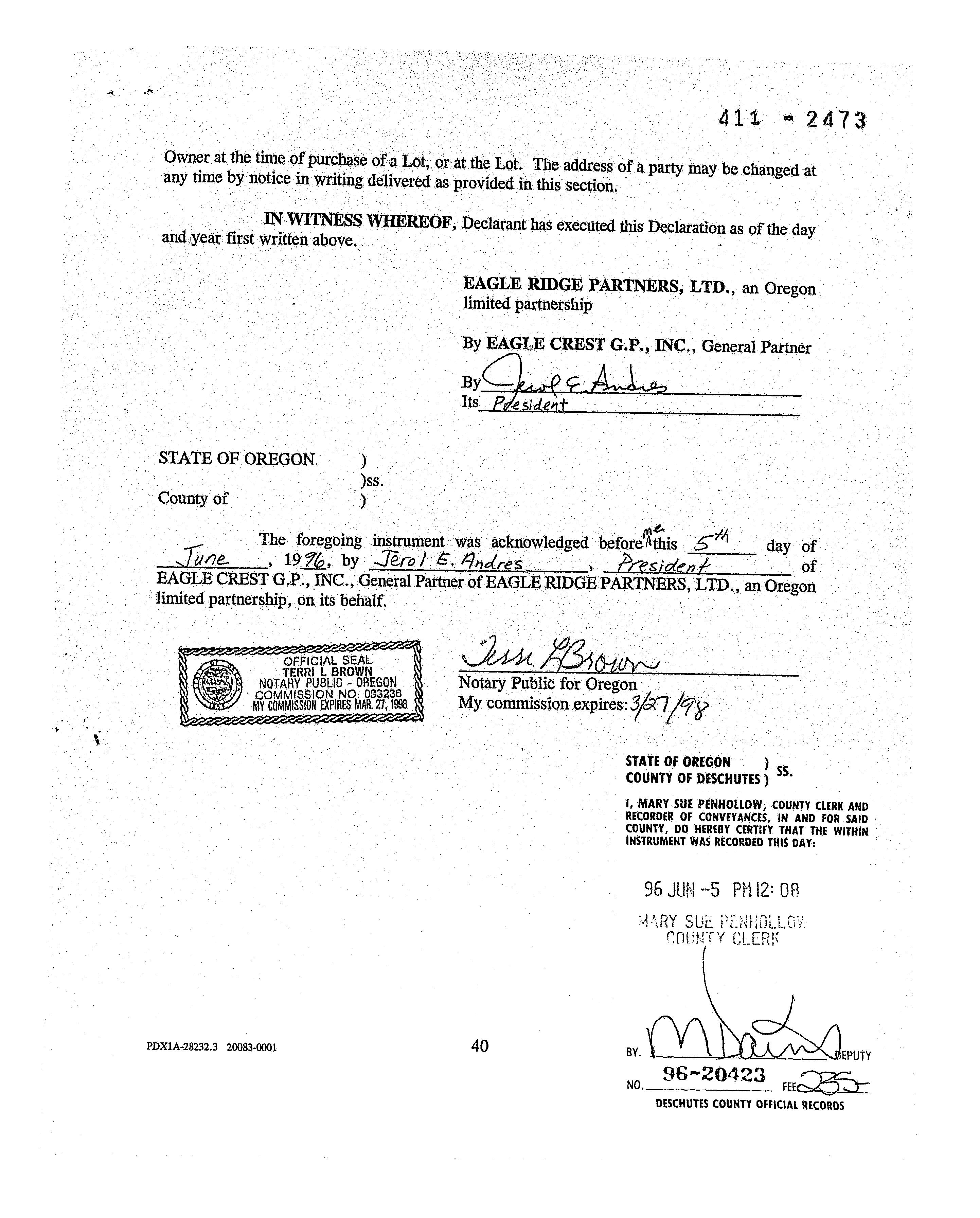
THIS DECLARATION is made this 574 M day of June ,1996, byEAGLE RIDGE PARTNERS, LTD., an Oregon limited partnership ("Declarant").
RECITALS:
A. Declarant owns approximately 710 acres within Deschutes County, Oregon, located across Cline Falls Road from the existing Eagle Crest development ("Eagle Crest"). Declarant proposes to develop portions of such property, together with other property that may subsequently be acquired by Declarant, as a planned development to be known as "The Ridge at Eagle Crest" pursuant to a Master Plan approved by Deschutes County, Oregon. Declarant reserves the right to amend such Master Plan, subject to any approvals required by Deschutes County, Oregon.
B. Purchasers of property within The Ridge at Eagle Crest hereby consent to the Master Plan for The Ridge at Eagle Crest, as the same may hereafter be amended. By adoption of such Master Plan and this Declaration, Declarant is not committing itself to take any action for which definite provision is not made below. One who acquires property in The Ridge at Eagle Crest will have the advantage of any further development of The Ridge at Eagle Crest, but shall not have any legal right to insist that there be development except as provided in this instrument or in the instruments which hereafter may be recorded annexing areas to The Ridge at Eagle Crest and subjecting areas to this Declaration.
C. Declarant anticipates that The Ridge at Eagle Crest may include a variety of different types of development parcels. For example, residential parcels within The Ridge at Eagle Crest may include single-family lots, townhouses, zero lot line or other common wall ty structures, condominiums, fractional ownership dwellings, or timeshare interests. Recreation facilities may include facilities that are common areas for The Ridge at Eagle Crest and available only for use by The Ridge at Eagle Crest owners and, in the event of a cross-use agreement, for use by owners within Eagle Crest. Other recreation facilities, including one or more golf courses, may be privately owned by Declarant or third parties and available for use by the public. Finally, The Ridge at Eagle Crest may include one or more commercial developments, all in accordance with the Master Plan, as the same may hereafter be amended.
D. Declarant anticipates that joint use agreements may be entered into between the various owners associations at Eagle Crest and The Ridge at Eagle Crest that would permit the joint use of facilities upon certain terms and conditions. PDX1A-28232.3 20083-0001
E. Declarant has recorded the plat of Eagle Crest II, Phase I in the Plat Records of Deschutes County, Oregon. Declarant proposes to subject the property described in such plat, except Lots 65-73, Red Wing Loop road, the parcel marked "Common Area D" and the parcel marked "Developer Area," as shown thereon, to the conditions, restrictions, charges and easements set forth in this Declaration for the benefit of such property and its present and subsequent owners, and to establish such property as the first phase of The Ridge at Eagle Crest and as a separate Project within The Ridge at Eagle Crest to be known as "Eagle Ridge Homesites." Additional areas and Projects may be annexed to The Ridge at Eagle Crest in accordance with the provisions set forth in this Declaration.
NOW, THEREFORE, Declarant hereby declares that the property described in the Plat of Eagle Crest II, except Lots 65-73, Red Wing Loop road, the parcel marked "Common Area D" and the parcel marked "Developer Area," as shown thereon, shall be held, sold and conveyed subject to the following easements, covenants, restrictions and charges, which will run with such property and shall be binding upon all parties having or acquiring any right, title or interest in such property or any part thereof and shall inure to the benefit of each owner thereof.
ARTICLE 1.
DEFINITIONS
As used in this Declaration, the terms set forth below shall have the following
meanings:
1.1 "Additional Property" means any land, whether or not owned by Declarant, which is made subject to this Declaration as provided in Section 2.2 below.
1.2 "Assessments" means all assessments and other charges, fines and fees imposed by the Association on an Owner in accordance with this Declaration, including, without limitation, Annual Assessments, Special Assessments, Emergency Assessments, Limited Common Area Assessments and Individual Assessments as described in Article 11.3 below.
1.3 "Assessment Unit" means a factor assigned to each Lot in accordance with Section 11.3 below for purposes of determining such Lot's pro rata share of Annual Assessments, Special Assessments, Limited Common Area Assessments and Emergency Assessments.
1.4 "Association" means the nonprofit corporation to be formed to serve as the owners association as provided in Article 9 below, and its successors and assigns.
1.5 "Architectural Review Committee" or the "Committee" means the committee appointed pursuant to Article 8 hereof.