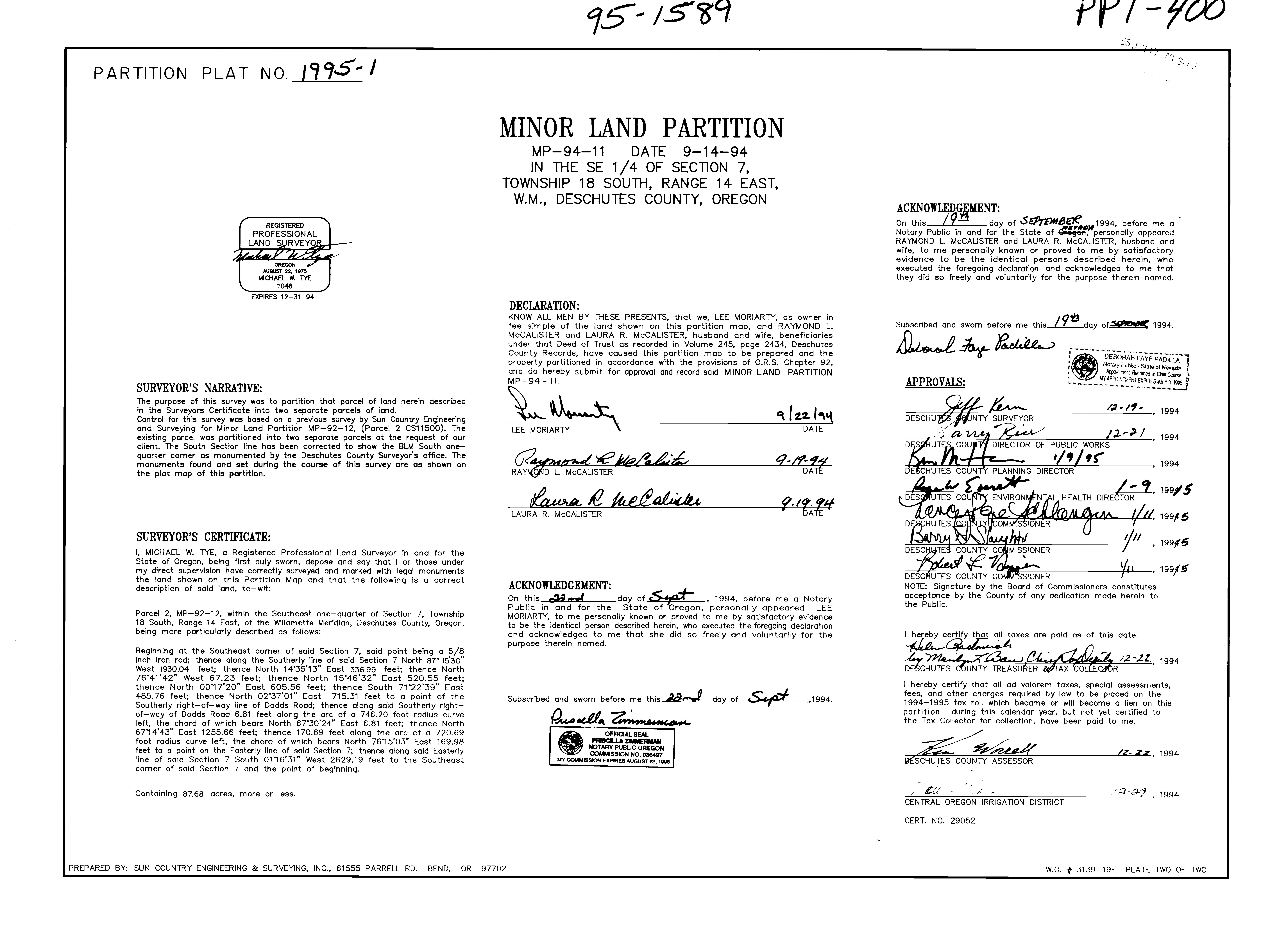

PARTITION PLAT NO.1995-01
REGISTERED PROFESSIONAL LAND SURVEYOR
AUGUST 22, 1975 1046 EXPIRES 12-31-

SURVEYOR'S NARRATIVE:
The purpose of this survey was to partition that parcel of land herein described in the S Certificate into two separate parcels of land. survey was based on a previous survey by Sun Country Engineering tion MP-92-12. (Parcel 2 CS11500). The Tor Ireel 2 CS11500). The existing parcel was partitioned into two separate parcels at the request of our South Sect been corrected to show the BLM South onequarter corner as monumented by the Deschutes County Surveyor's office. The monuments found and set during the course of this surve hown on the plat map of this
MINOR LAND PARTITION
MP-94-11 DATE 9-14-94
IN THE SE 1/4 OF SECTION 7, TOWNSHIP 18 SOUTH, RANGE 14 EAST, W.M., DESCHUTES COUNTY, OREGON
ACKNOWLEDGEMENT:
On this 19
On this day of 1994, SEPTEMBER Notary Public in and for the State of Oregon, personally appeared RAYMOND L. MCCALISTER and LAURA R. MCCALISTER, husband and wife, to me personally known or proved to me by satisfactory evidence to be the identical persons described he executed the foregoing declaration and acknowledqe they did so freely and voluntarily purpose the
DECLARATION:
KNOW AIALE ALL MEN theBY THESE oRESE PRESENTS, that we, LEE MORIARTY, as owner in fee simple of the land shown on this partition map, and RAYMOND L. MCCALISTER and LAURA R. MCCALISTER, husband and wife, beneficiaries under that Deed of Trust as recorded in Volume 245, page 2434, Deschutes County Records, have caused this partition map to be prepared and the property partitioned in accordance with the provisions of O.R.S. Chapter 92, and do hereby submit for approval and record said MINOR LAND PARTITION MP-94 ibed and sworn before me this 19 day ofsooe 1994. Subscribed Detoral
SURVEYOR'S CERTIFICATE:
I, MICHAEL W. TYE, a Registered iongl Ste being firs sworn. depose and say that I or thos Mon and
Parcel 2. MP- one 18 South, Range 14 East, of the Willamette Meridian, Deschutes County, Oregon, being more particularly follows
Beginning at the Southeast corner of sald point being a 5/8 inch iron rod; thence along the Southerly line of sa 7 North 87° 15'30" West 1930.04 feet; thence North 1435 13 East 336.99 feet; thence Nort 76*41'42" West 67.23 feet; thence North 15*46'32" East 520.55 thence North 0017'20" East 605.56 feet; thence South 71*22' 485.76 feet; thence North 02'37'01" East 715.31 feet to a point Southerly right-of-way line of Dodds Road: thence along said Southerly wey of Dodds Rood 6.81 feet olong dd thence d 746.20 footnn of-way of Dodd et along the arc of a 746.20 foot radius left, the chord of which bears North 67*30'24" East 6.81 feet; thence North 6714 43" East 1255.66 feet; thence 170.69 feet along the arc of a 720.69 foot radius curve left, the chord of which bears North 7615'03" East 169.98 feet to a point on the Easterly line of said Section 7; thence along said Easterly line of said Section 7 South 0116'31" West 2629.19 ne Southeast corner id Section point of beginning.
ACKNOWLEDGEMENT:
Containing 87.e On this d day of Sgat, 1994, before me a Notary Publi of Oregon, personally appeared LEE ARTY personally known or proved to me by satisfactory evidence identical person described her execute oing declaration voluntarily for the Pusella Tmmemon
COMMISSIONER NOTE: Signature by the Board of Commissioners constitutes Sgr te cout ard of Comn de herein t acceptance Coun
