The information and maps presented in this report are provided for your convenience. Every reasonable effort has been made to assure the accuracy of the data and associated maps. Deschutes County makes no warranty, representation or guarantee as to the content, sequence, accuracy, timeliness or completeness of any of the data provided herein. Deschutes County explicitly disclaims any representations and warranties, including, without limitation, the implied warranties of merchantability and fitness for a particular purpose. Deschutes County shall assume no liability for any errors, omissions, or inaccuracies in the information provided regardless of how caused. Deschutes County assumes no liability for any decisions made or actions taken or not taken by the user of this information or data furnished hereunder.
Summary
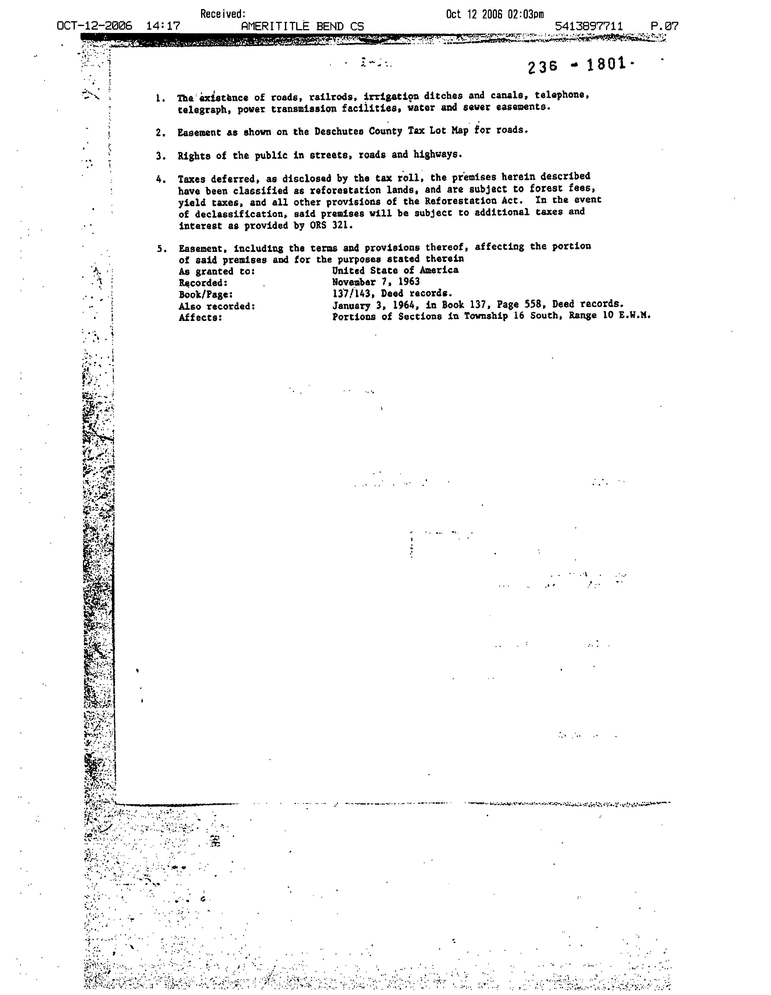
Warnings, Notations, and Special Assessments
Review of digital records maintained by the Deschutes County Assessor’s Office, Tax Office, Finance Office, and the Community Development Department indicates that there are County tax, assessment, or property development related notations associated with this account and that have been identified above. Independent verification of the presence of additional Deschutes County tax, assessment, development, and other property related considerations is recommended. Confirmation is commonly provided by title companies, real estate agents, developers, engineering and surveying firms, and other parties who are involved in property transactions or property development. In addition, County departments may be contacted directly to discuss the information.
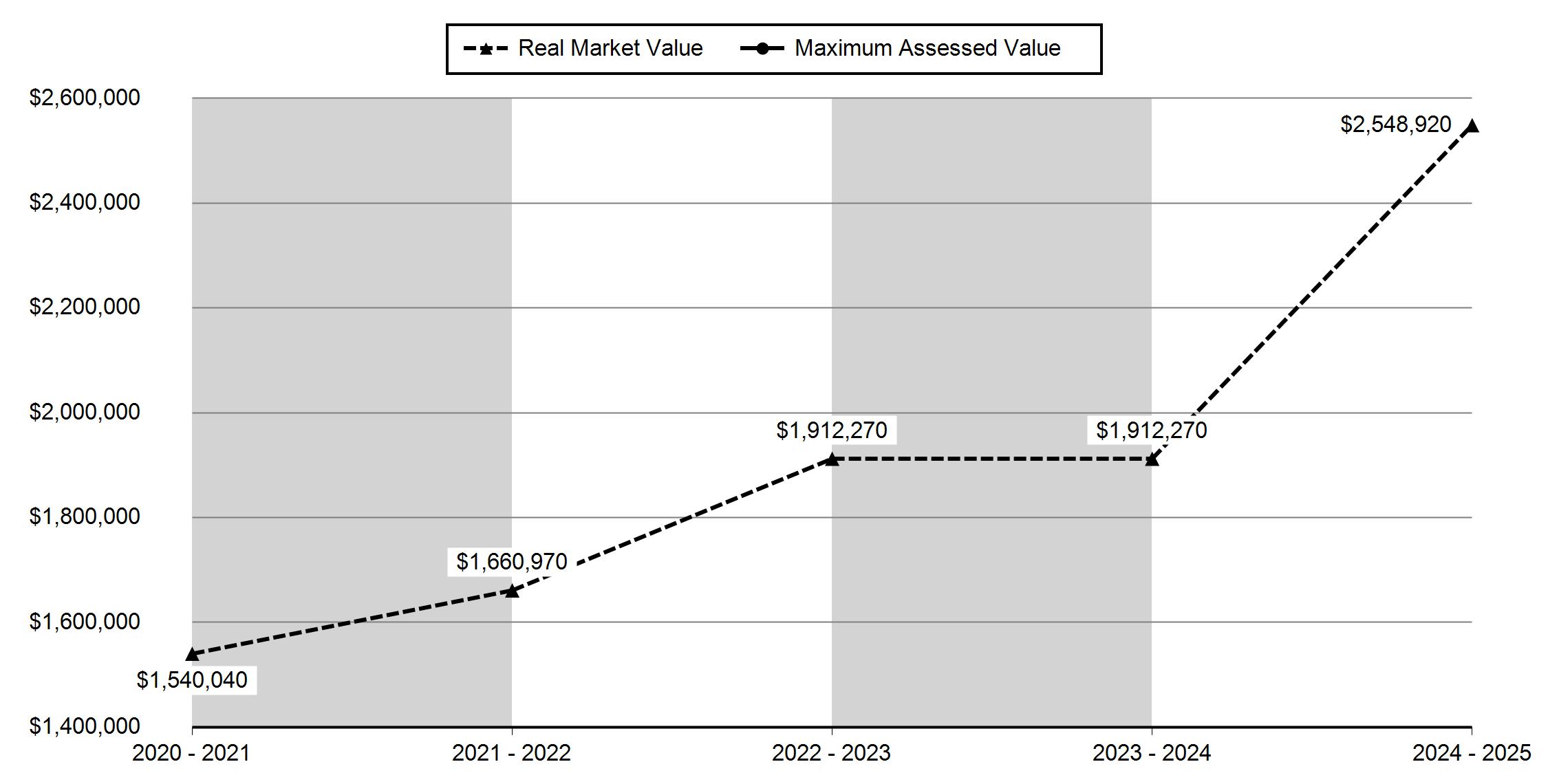
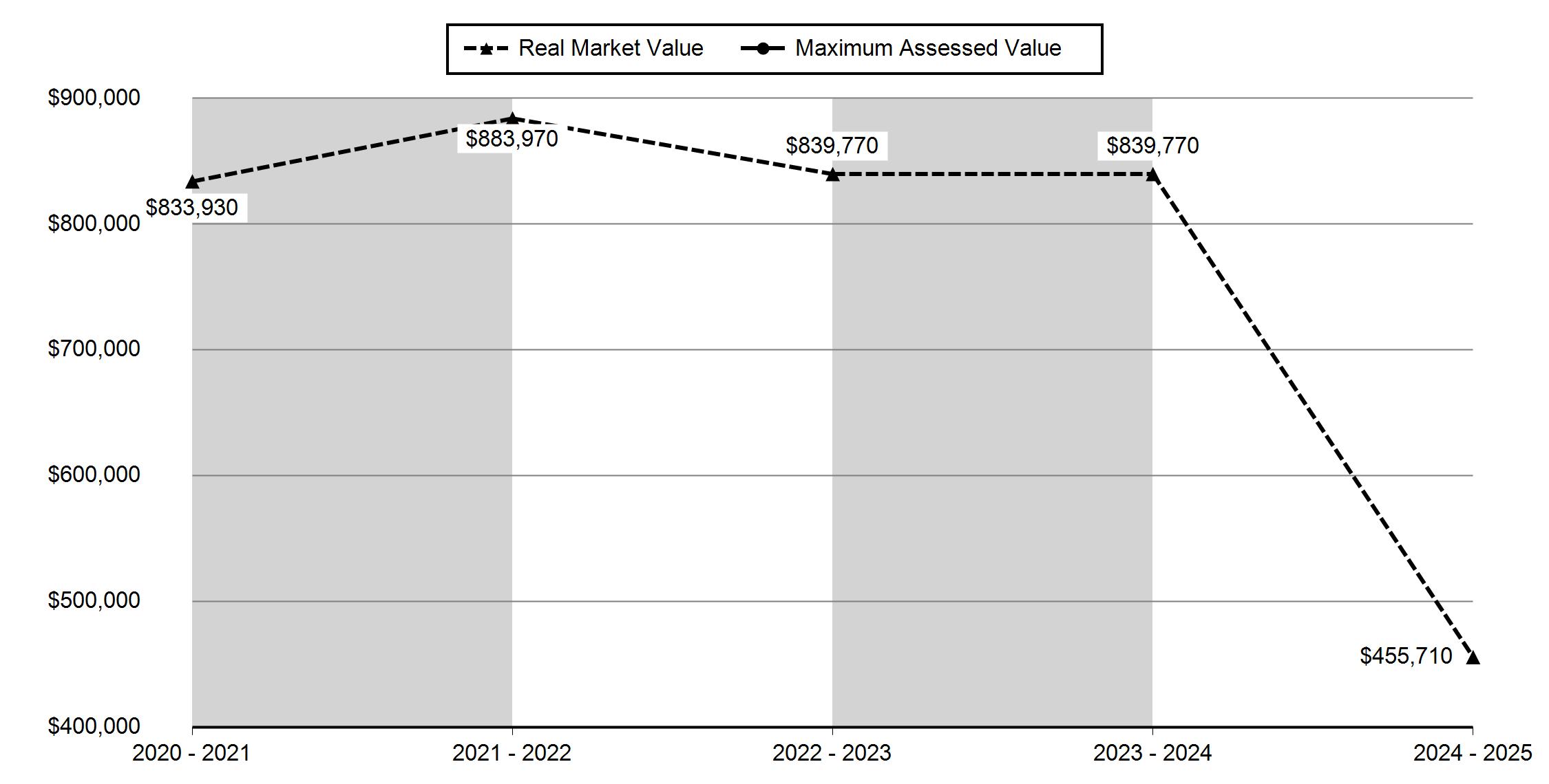
Valuation History All values are as of January 1 of each year. Tax year is July 1st through June 30th of each year.
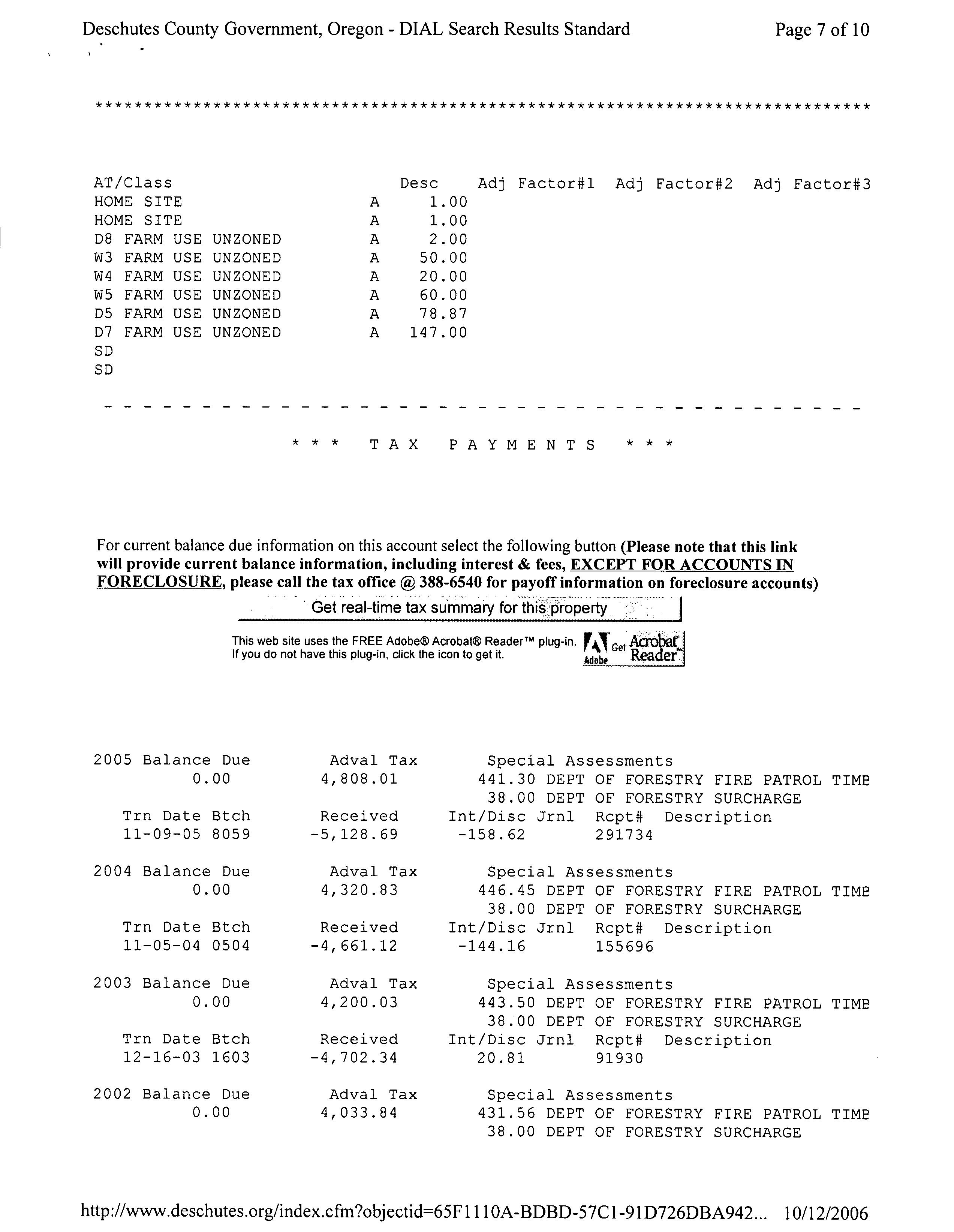
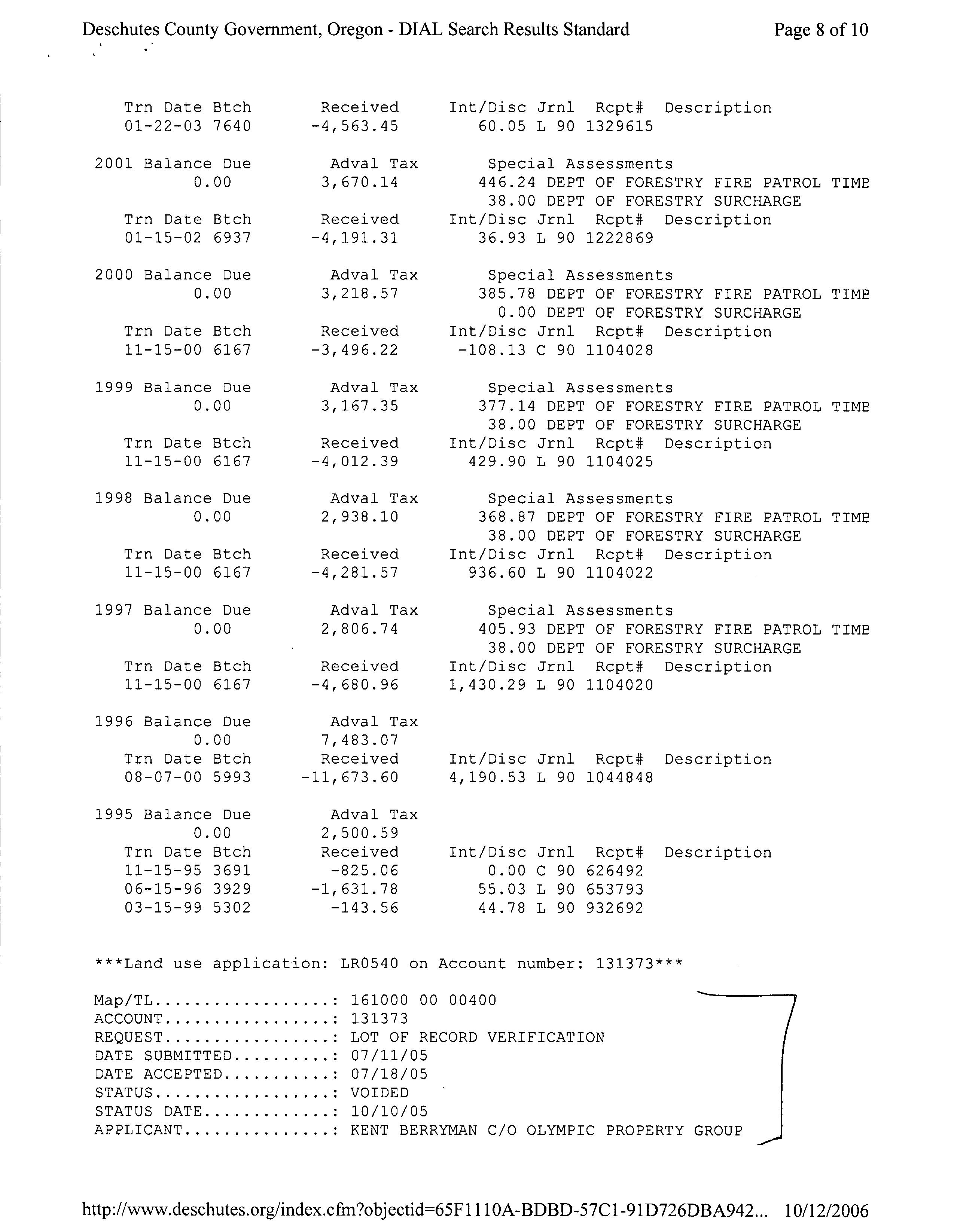
Tax
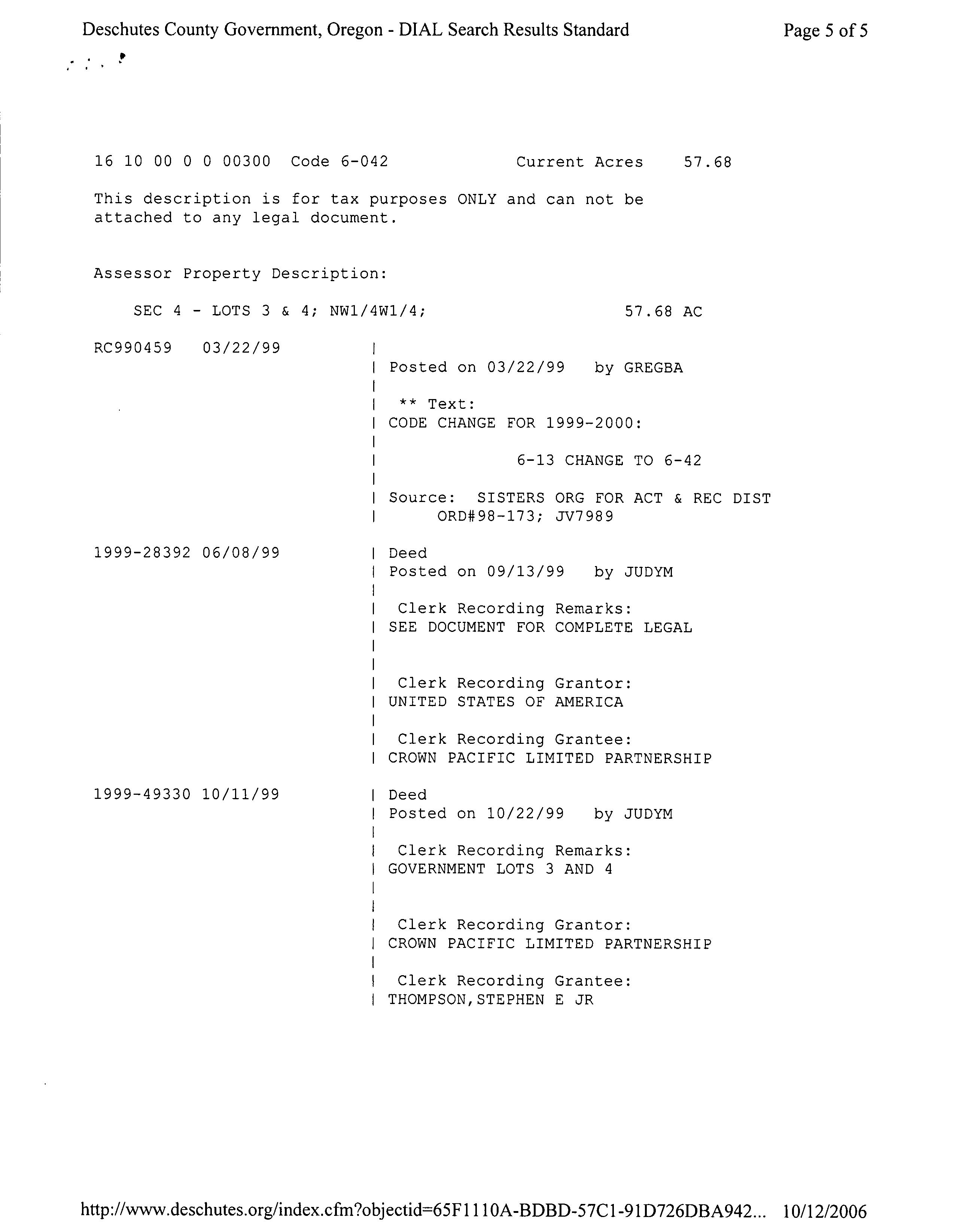
Sales History
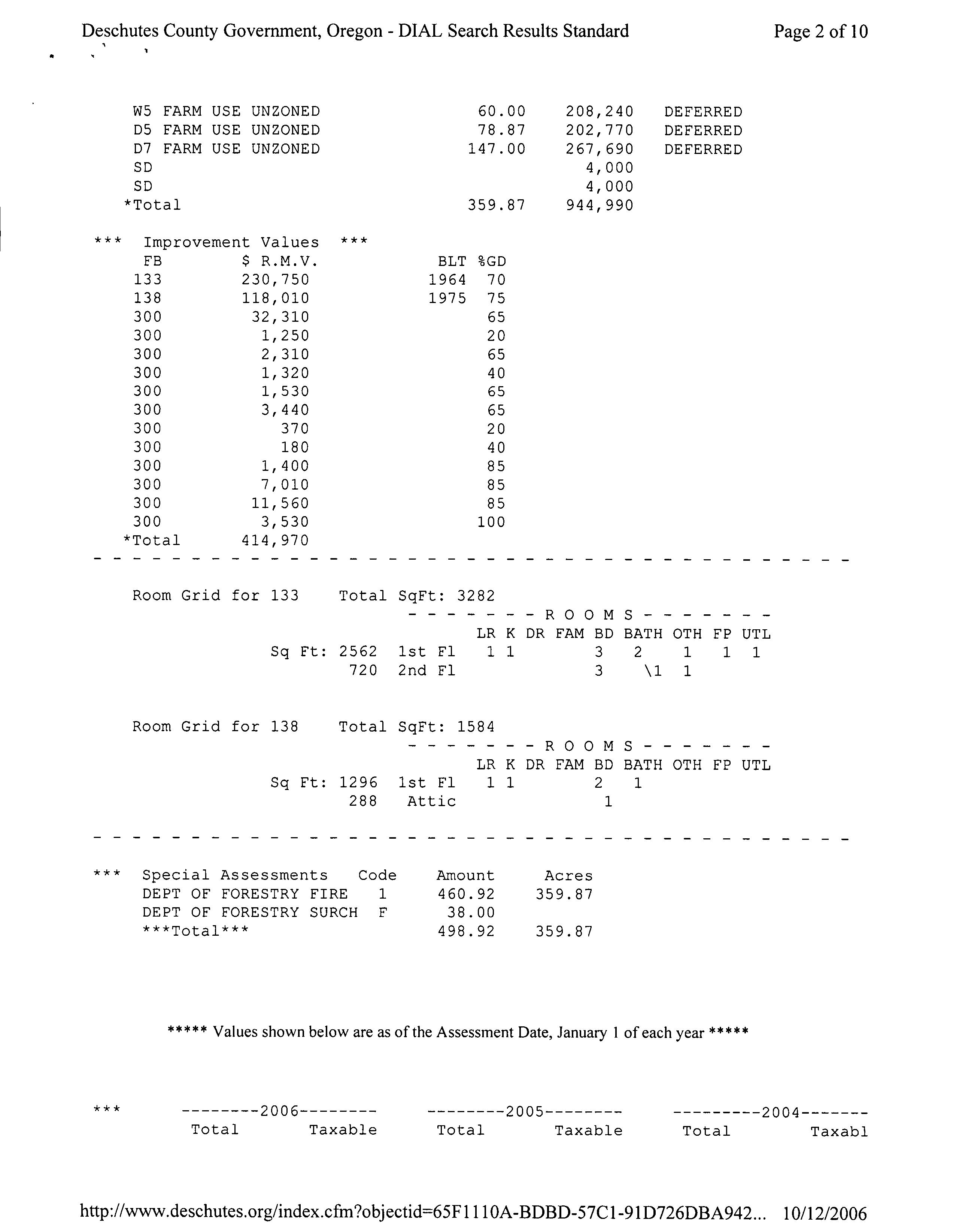
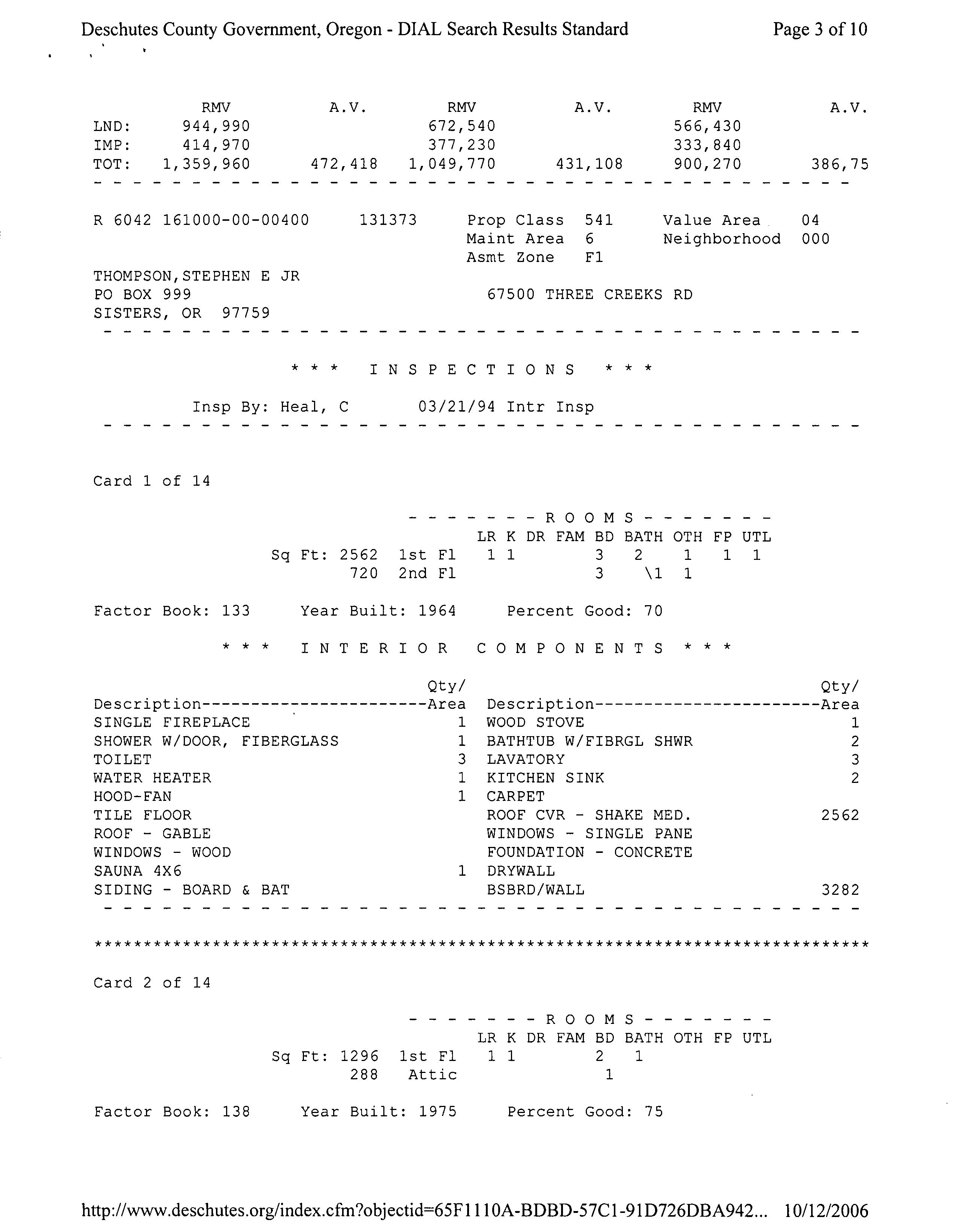
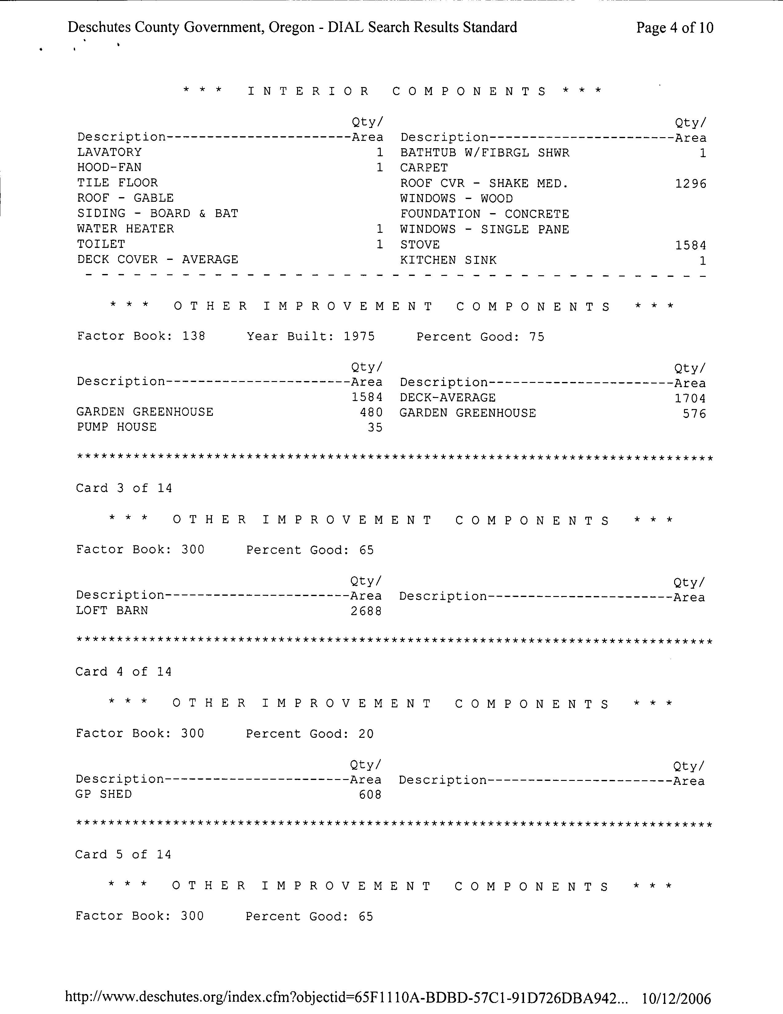
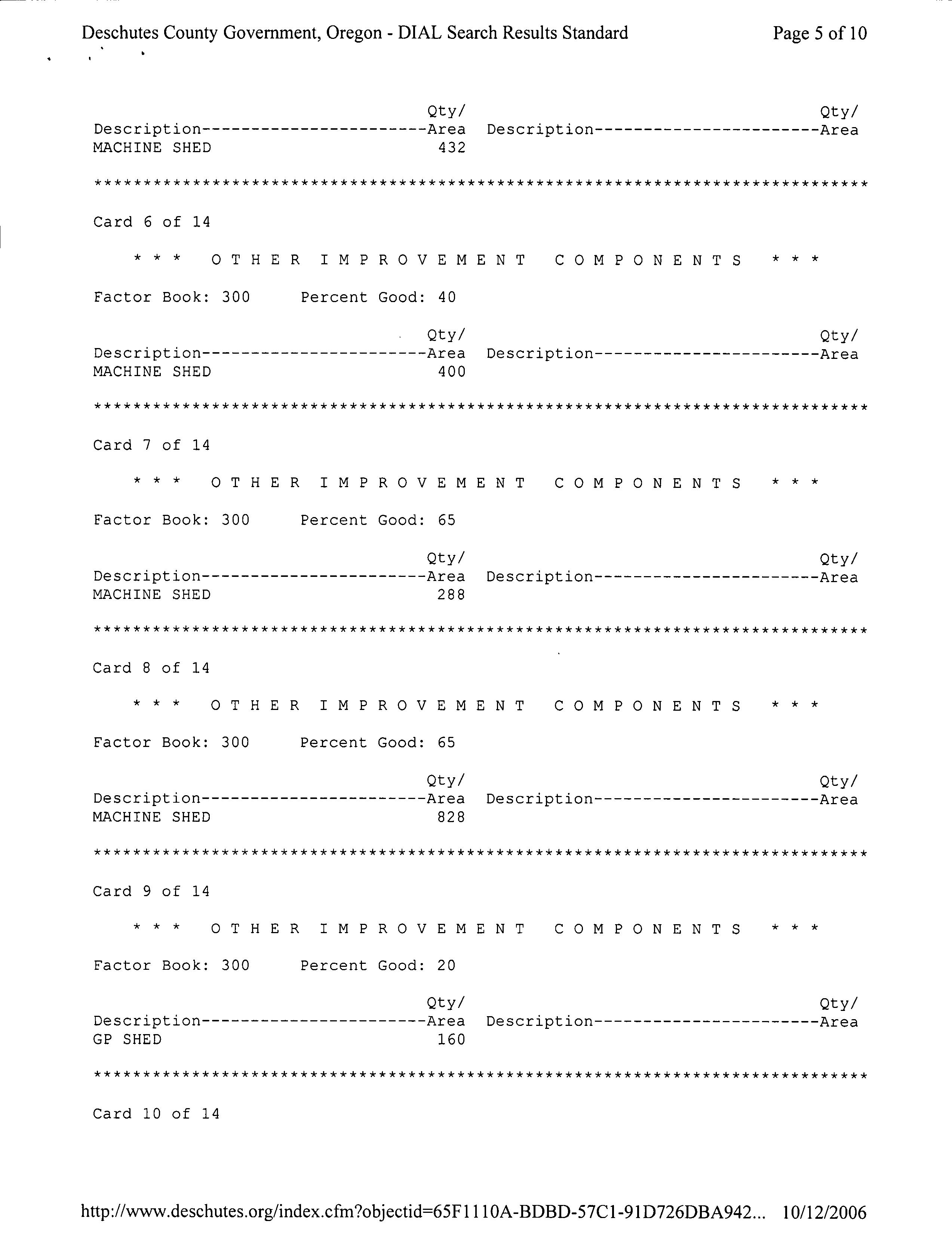
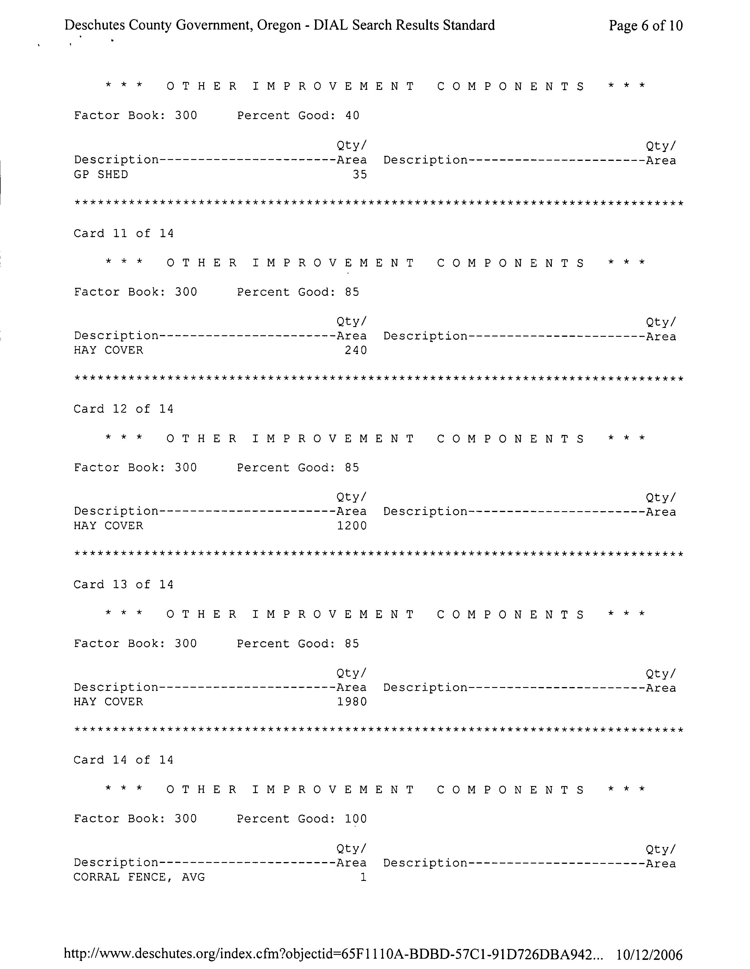
Land Characteristics
Related Accounts
Service Providers Please contact districts to confirm.
SISTERS, OR 97759
HIGH SCHOOL ATTENDANCE AREA SISTERS (541) 549-4045 1700 MCKINNEY BUTTE RD, SISTERS, OR 97759
EDUCATION SERVICE TAX DISTRICT HIGH DESERT EDUCATION
Development Summary
County Development Details
Wetland (National or Local):
Conservation Easement:
FEMA 100 Year Flood Plain: Yes
TDC/PRC Restrictive Covenant:
Not Within 100 Year Flood Plain
No Conservation Easement Recorded No TDC/PRC Restrictive Covenant Found
Ground Snow Load: 36 #/sq. ft.
Deschutes County Permits
Permit ID Permit
247-22-008826ELEC Electrical THOMPSON,STEPHEN E JR
247-24-001152EVAL Feasibility
247-19-000856-LR Land Use
E JR
E JR
E JR
E JR
247-24-000998PRMT Septic THOMPSON,STEPHEN E JR
Permit Detail
Electrical Permit Details
Permit Number:
247-22-008826-ELEC
Permit Name: SCOTTYS ELECTRIC INC
THOMPSON,STEPHEN E JR
Contractor:
Residential Building Class: New - Other Class of Work: TEMP POWER Building Use: Linked Permit:
Service Description: Temp services 200 amps or less
Inspections
Date Init. Comments
11/30/2022 Aaron 4000 Temporary Power Service -- Insp Completed : Approved 11/30/2022 Aaron 4999 Final Electrical -- Insp Completed : Approved 11/28/2022 Aaron 4500 Rough Electrical -- Insp Scheduled : Scheduled Aaron 4000 Temporary Power Service -- Insp Scheduled : Scheduled
Feasibility Permit Details
Permit Number:
247-24-001152-EVAL
THOMPSON,STEPHEN E JR
Permit Name: 10/17/2024 Application Date: 11/26/2024 Issue Date: Final Date:
Site Evaluation Approved Status:
Service Code:
Inspections
Date Init. Comments
Approved System Type Code:
Approved System Type: Standard
11/25/2024 Keoni 7060 Test Holes Dug**Test holes evaluated and approved. Results to follow shortly. -- Insp Cancelled : Information Only
Full Payment with 3% Discount Discount is lost after due date and interest may apply PAYMENT OPTIONS: * Online * By Mail to Deschutes County Tax, PO Box 7559 Bend
Please include this coupon with payment. Please do not staple, paper clip or tape your payment.
Please select payment option
One-Third Payment (No Discount) Next Payment Due
Payment Due
Please make checks payable to Deschutes County Tax Collector
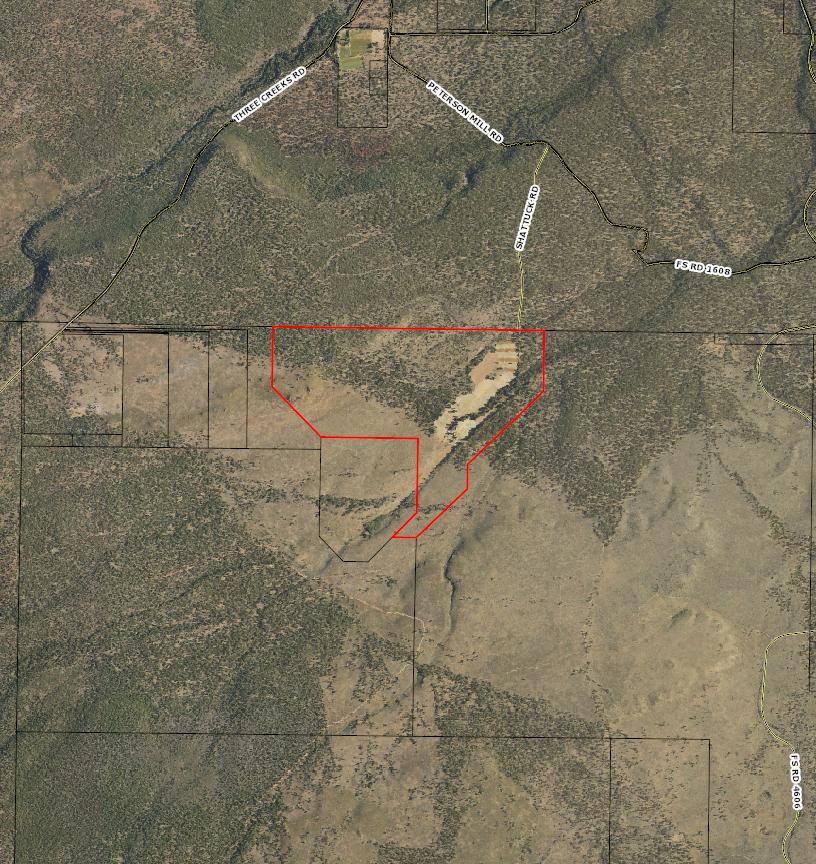
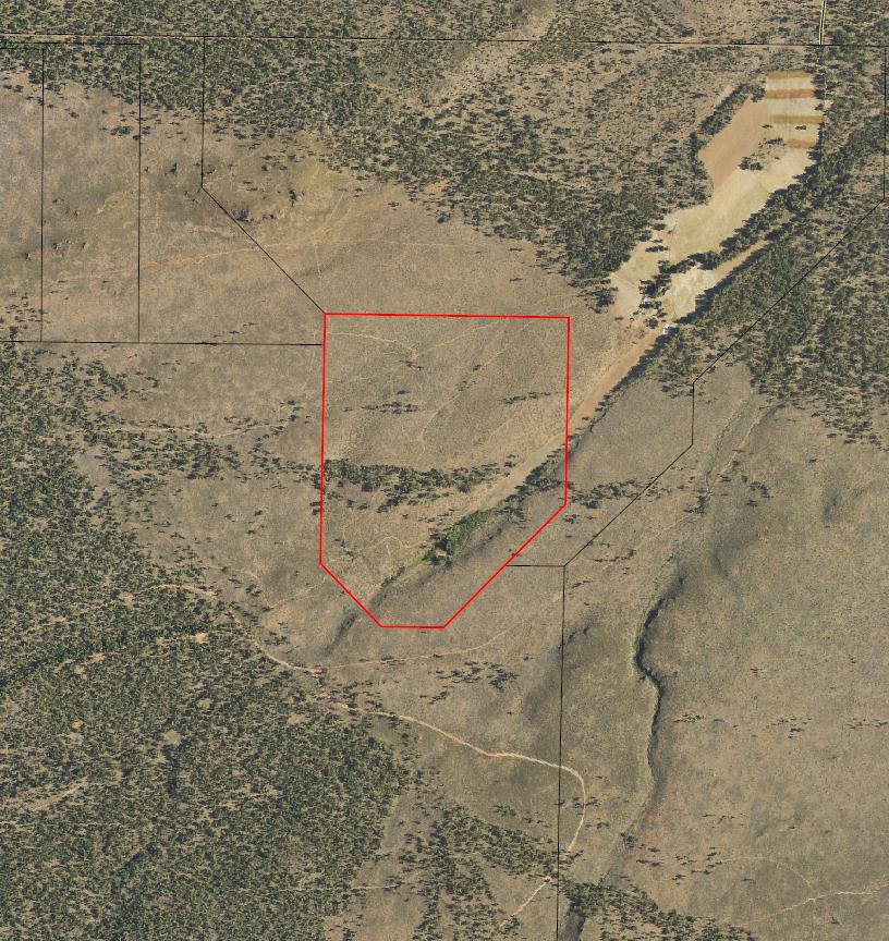
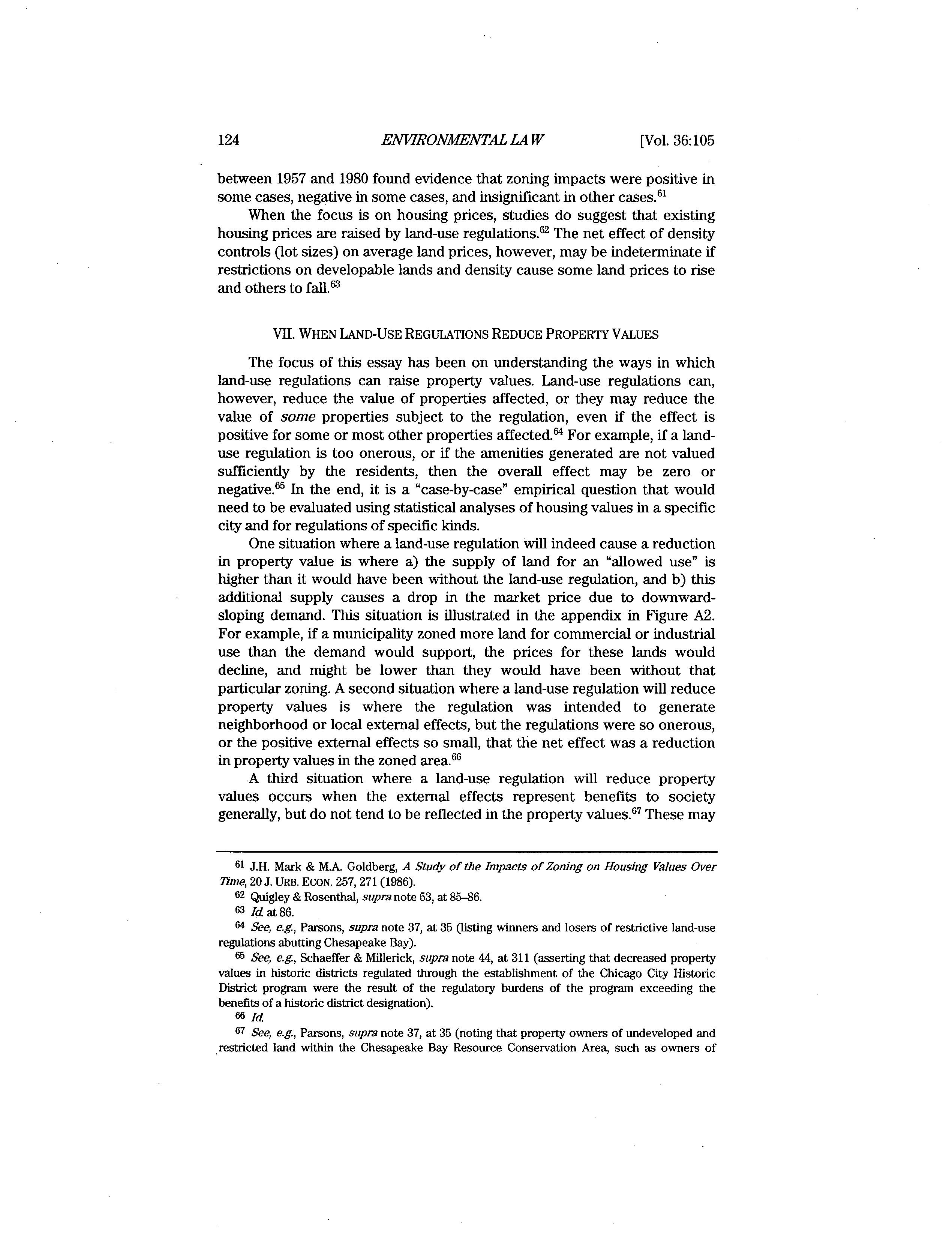
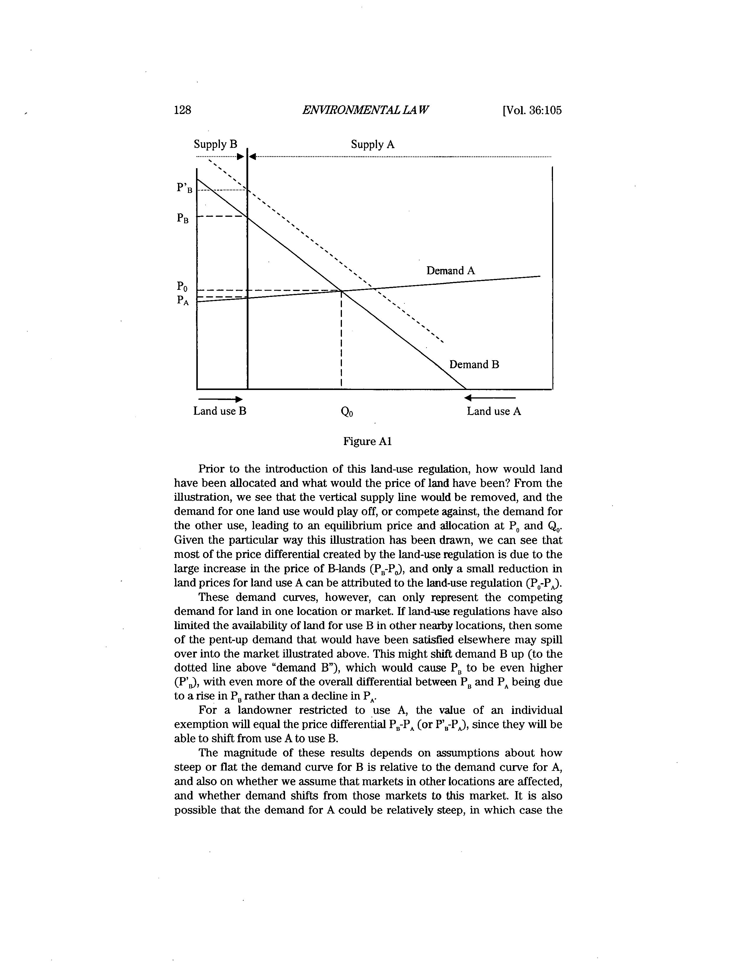
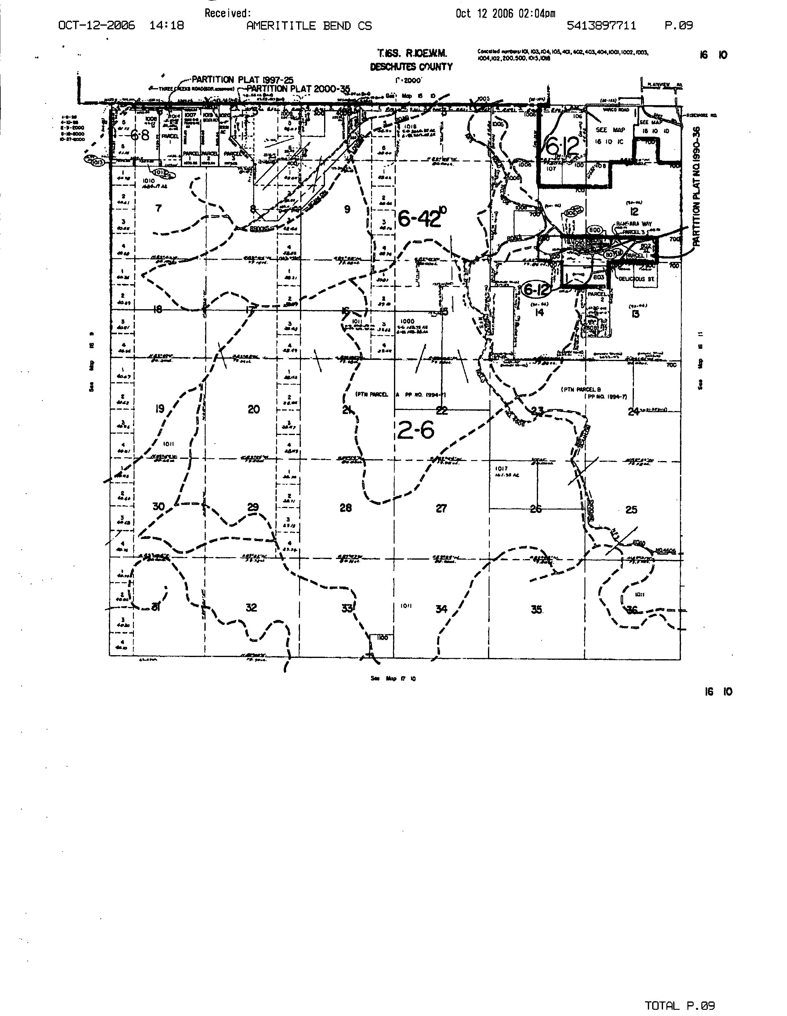
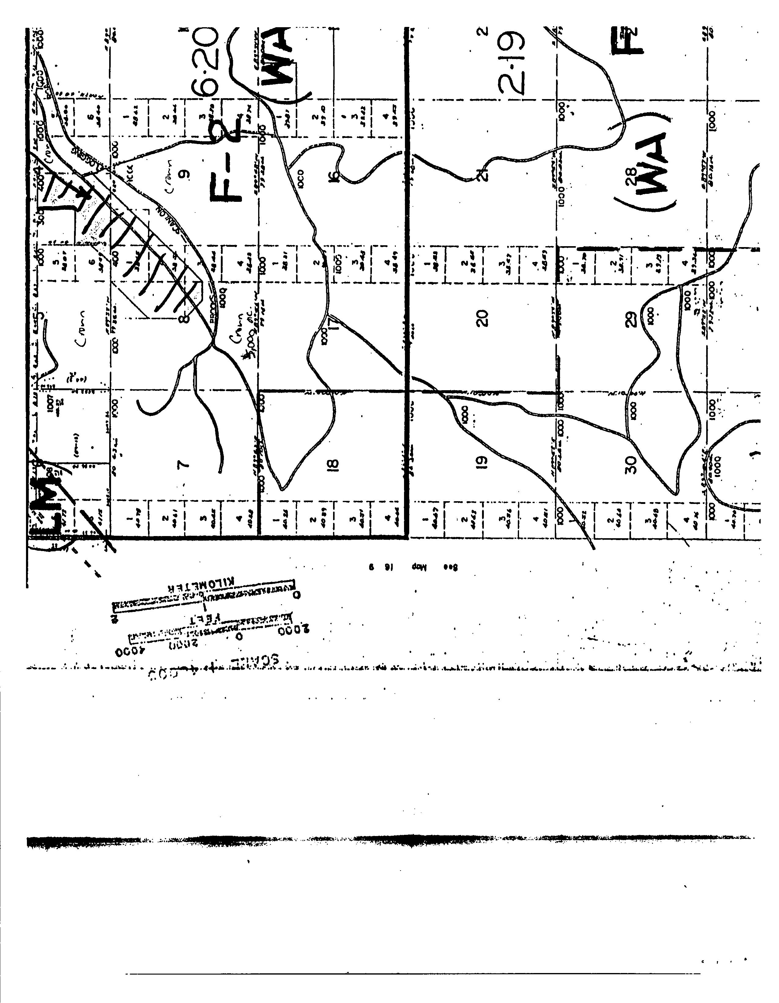
Roa d Map
WARRANTY DEED VOL 161 ALE 2
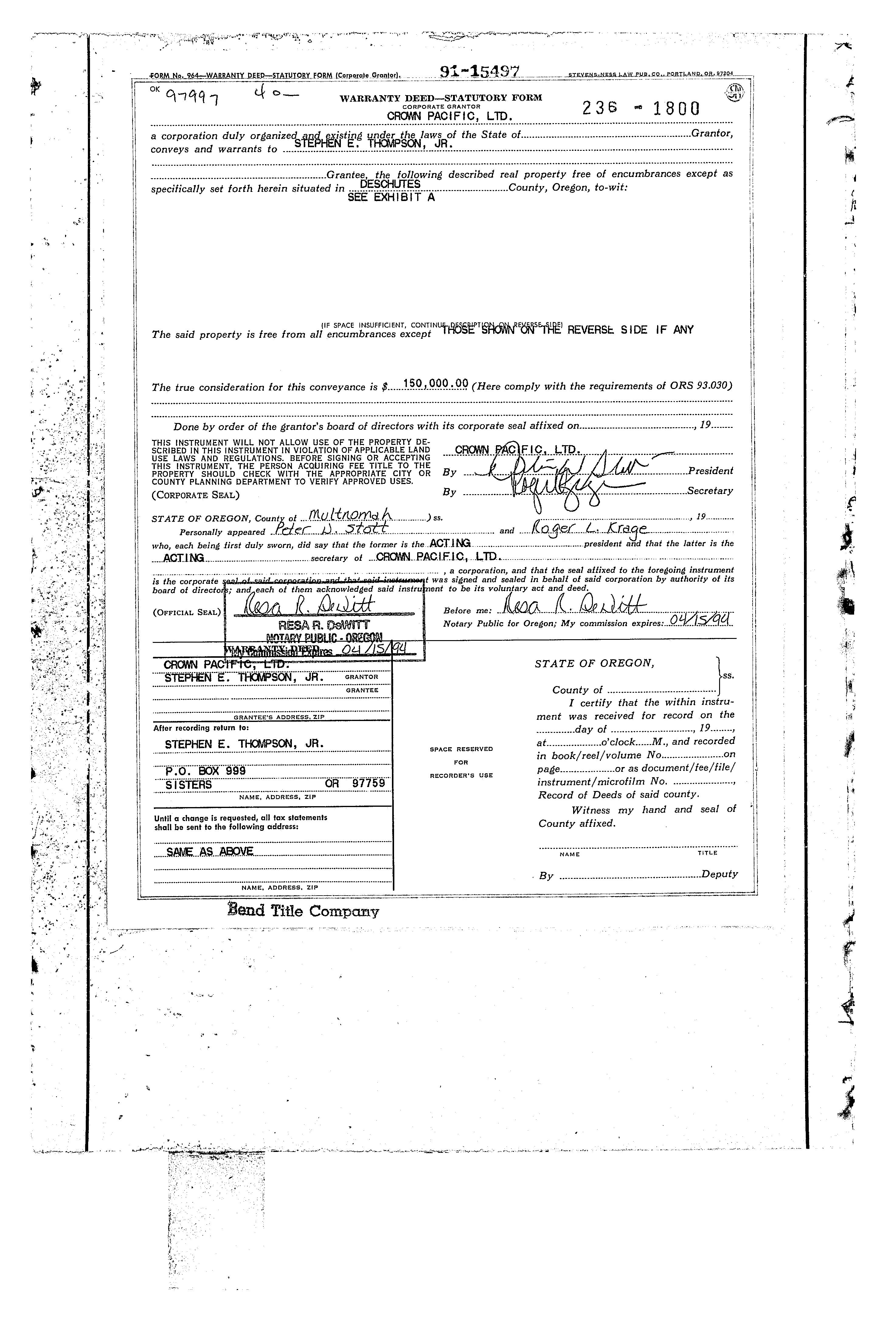
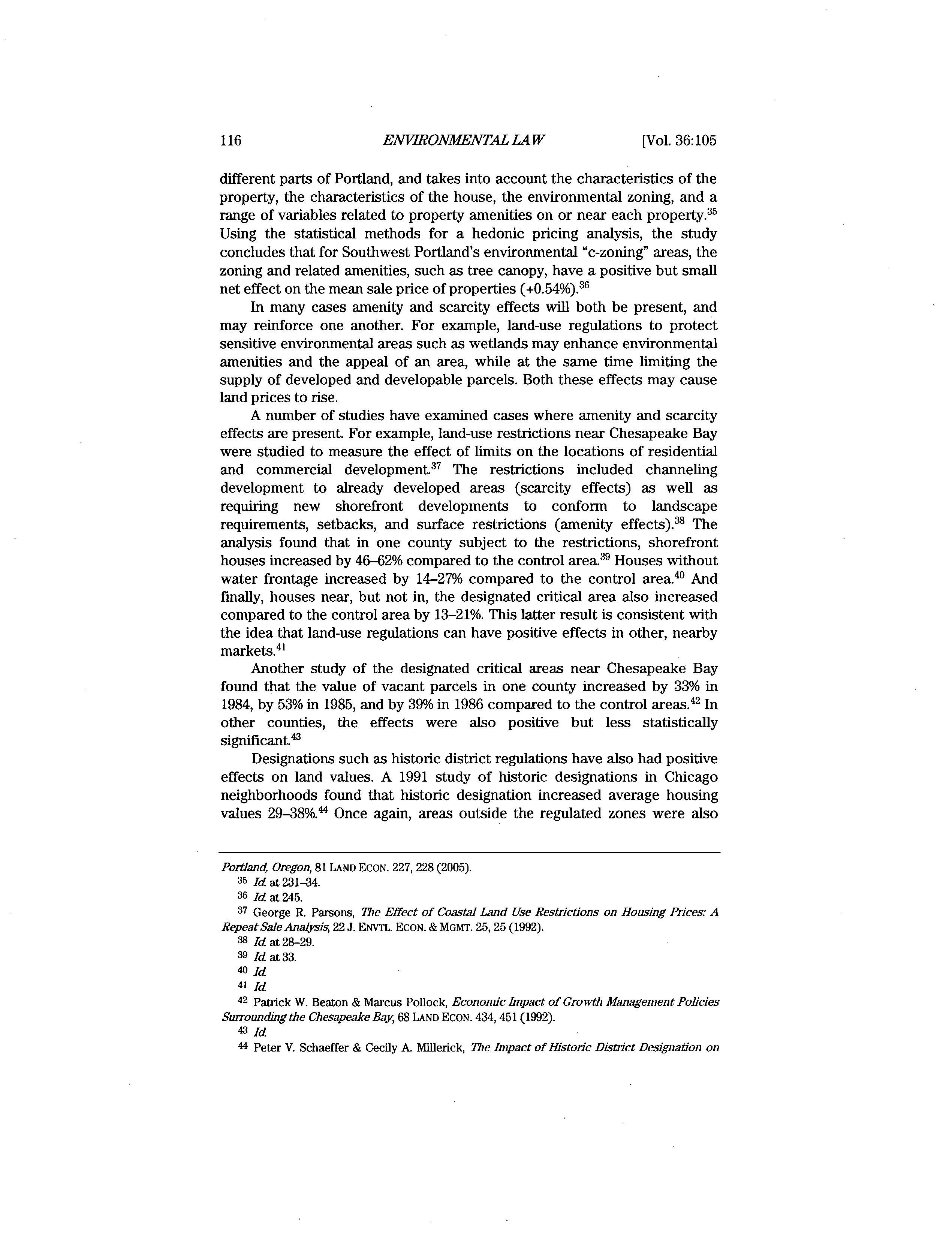
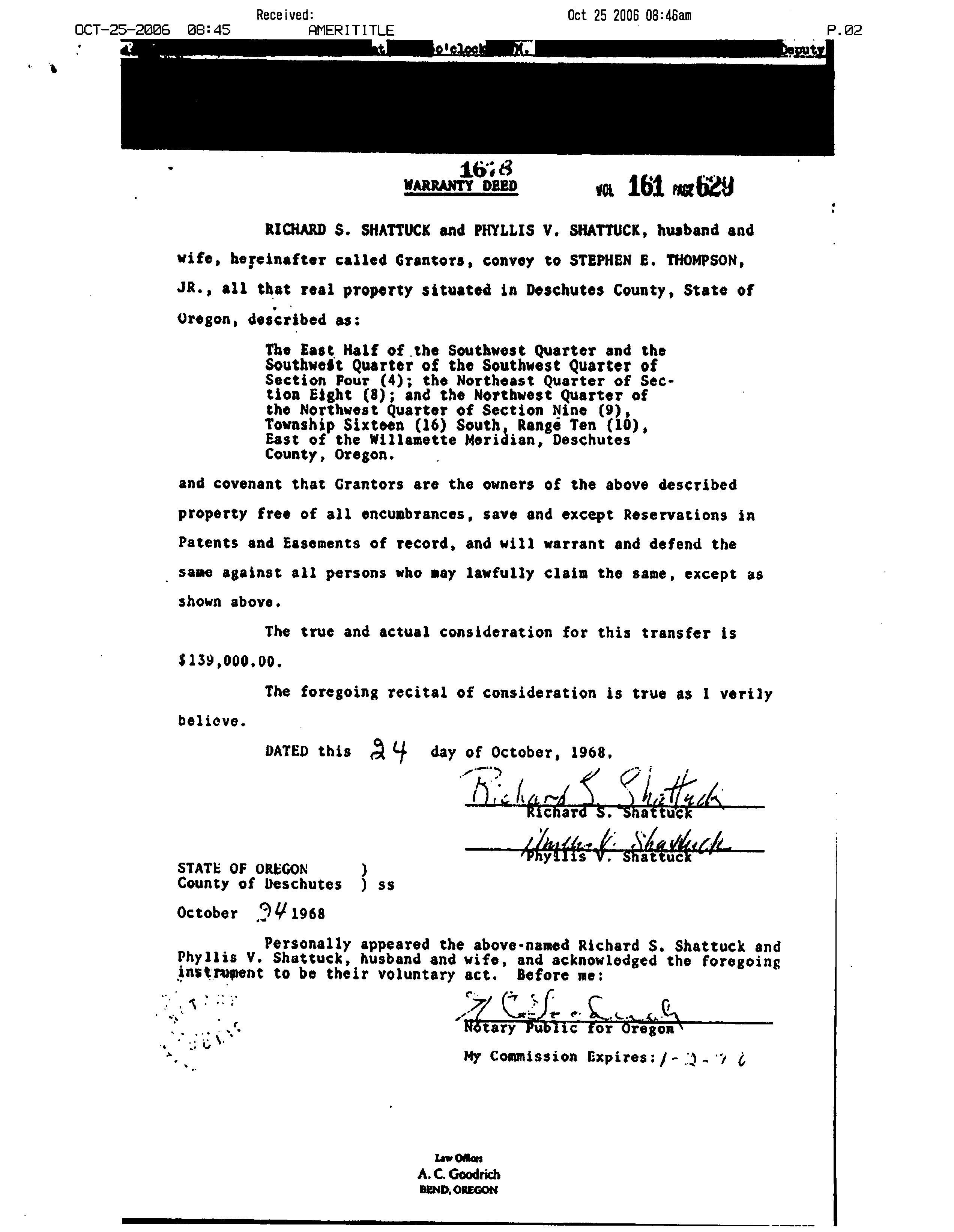
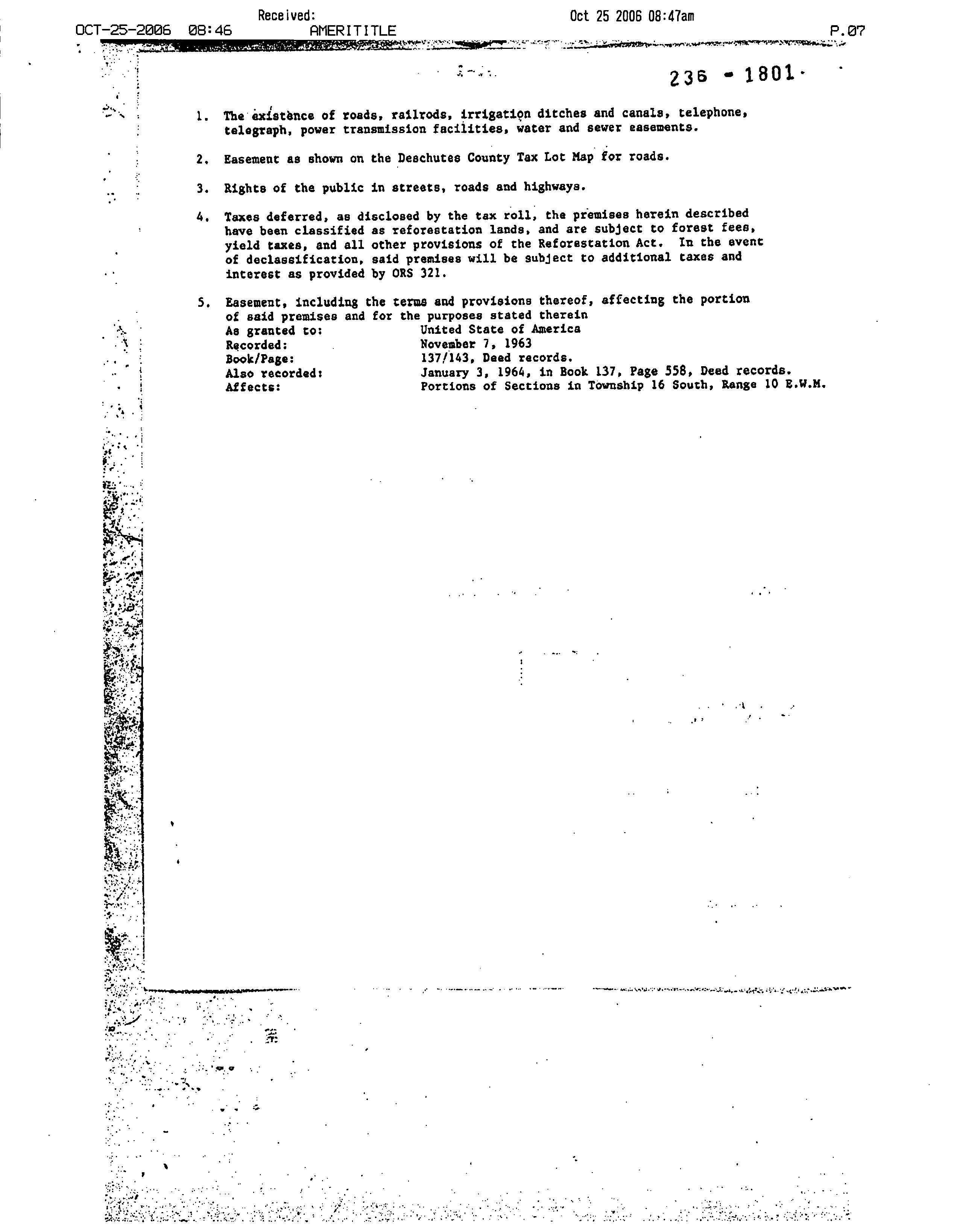
RICHARD S. SHATTUCK and PHYLLIS V. SHATTUCK, husband and wife, hereinafter called Grantors, convey to STEPHEN E. THOMPSON, JR., al1 that real property situated in Deschutes County, State of Oregon, described as:
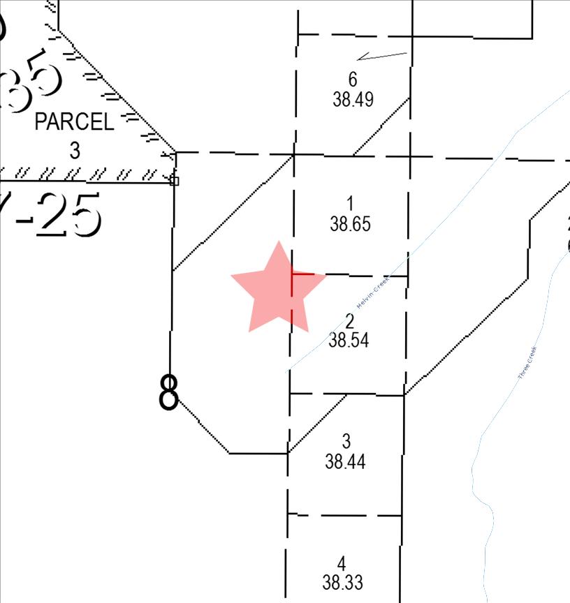
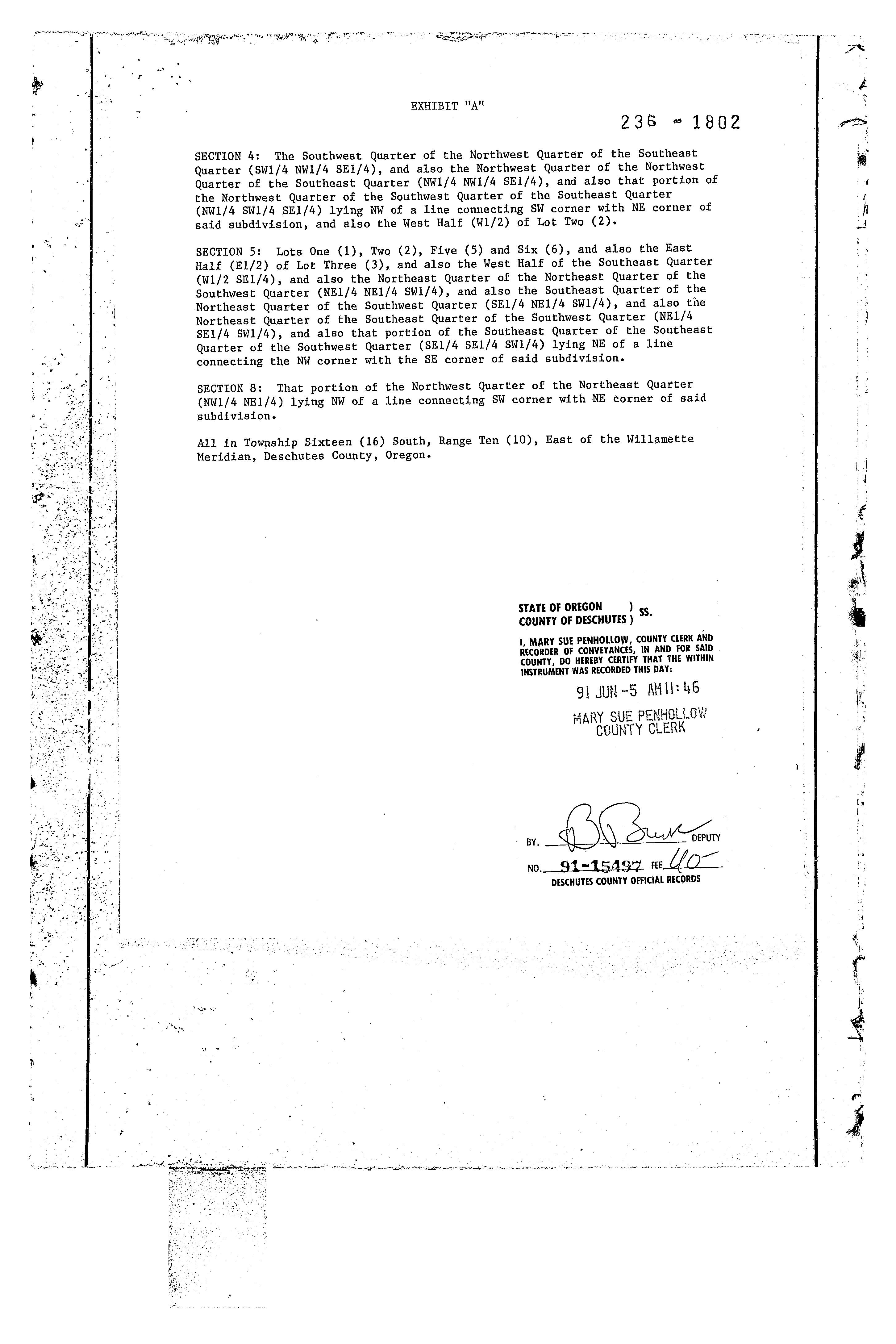
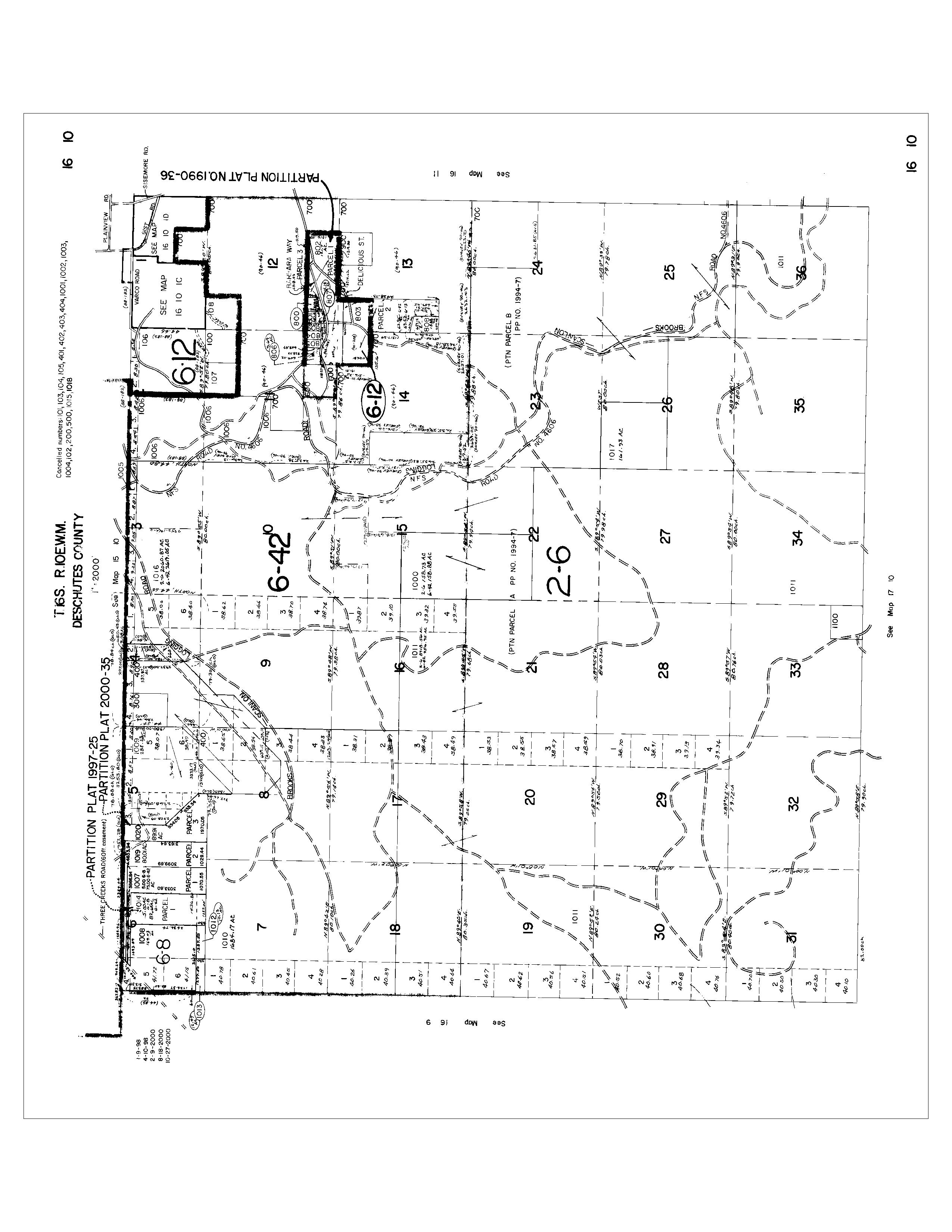
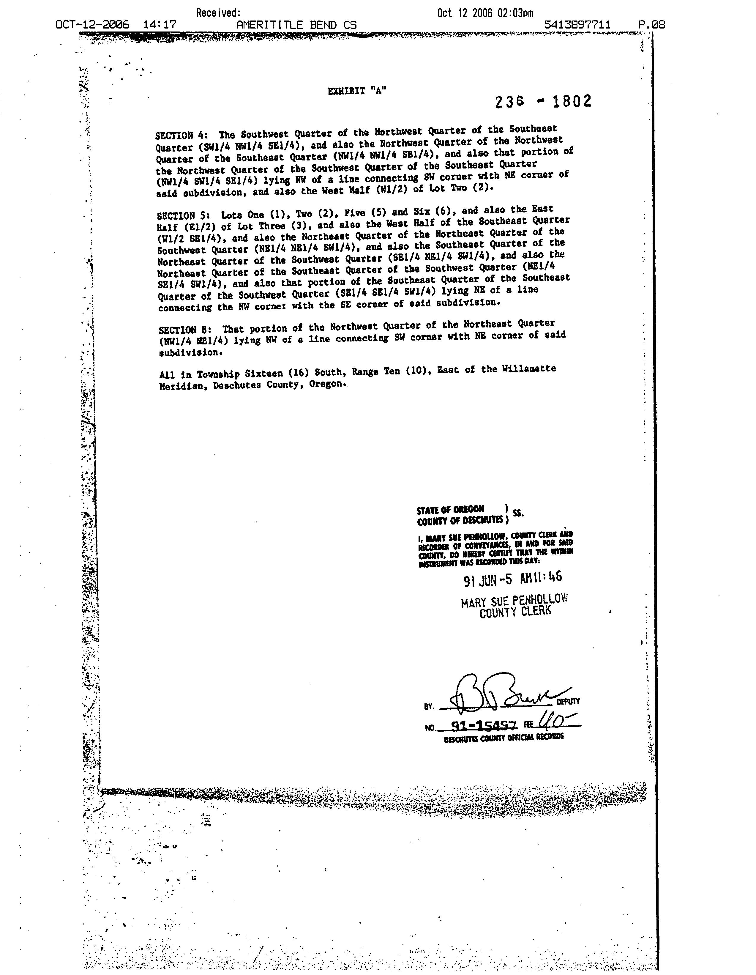
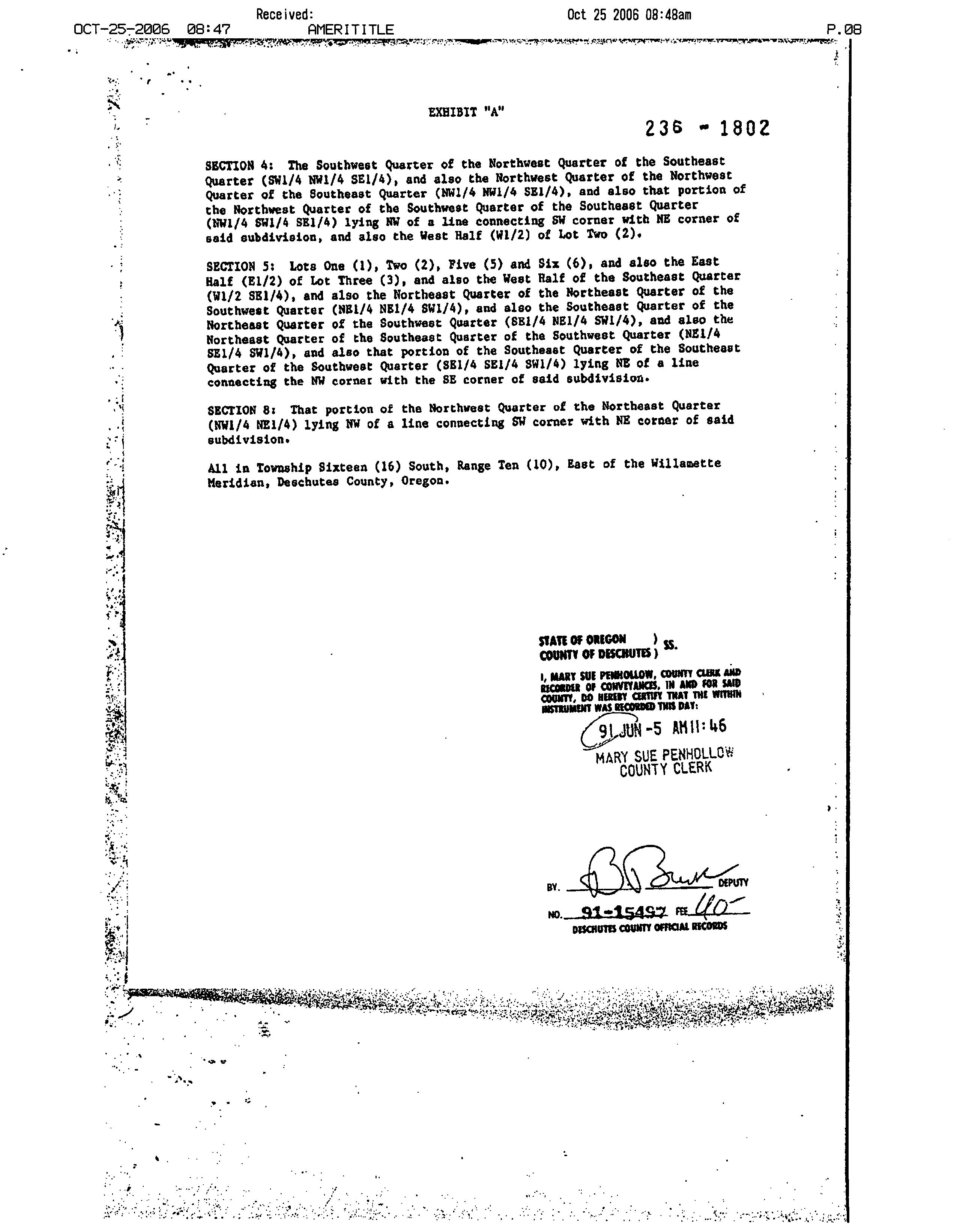
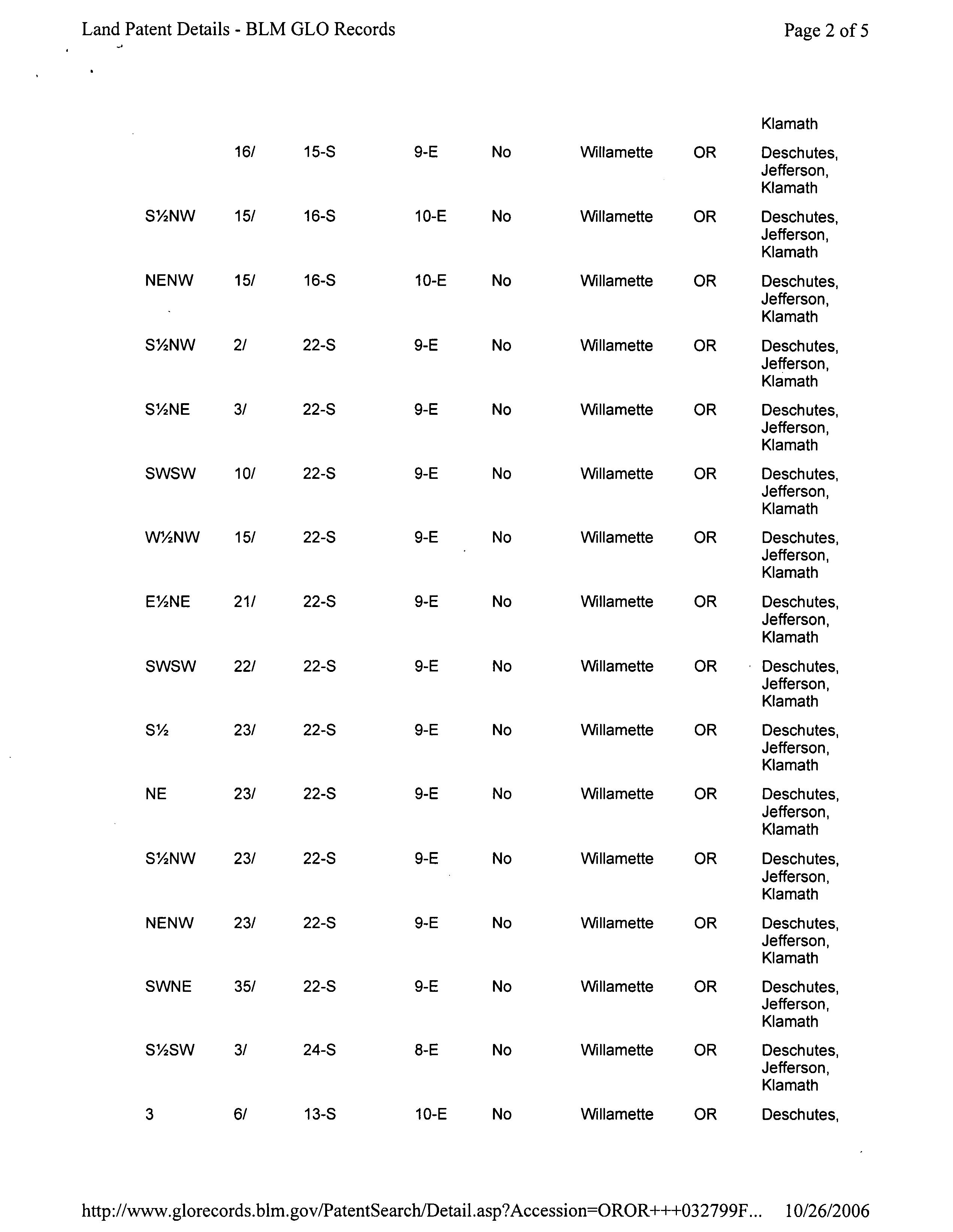
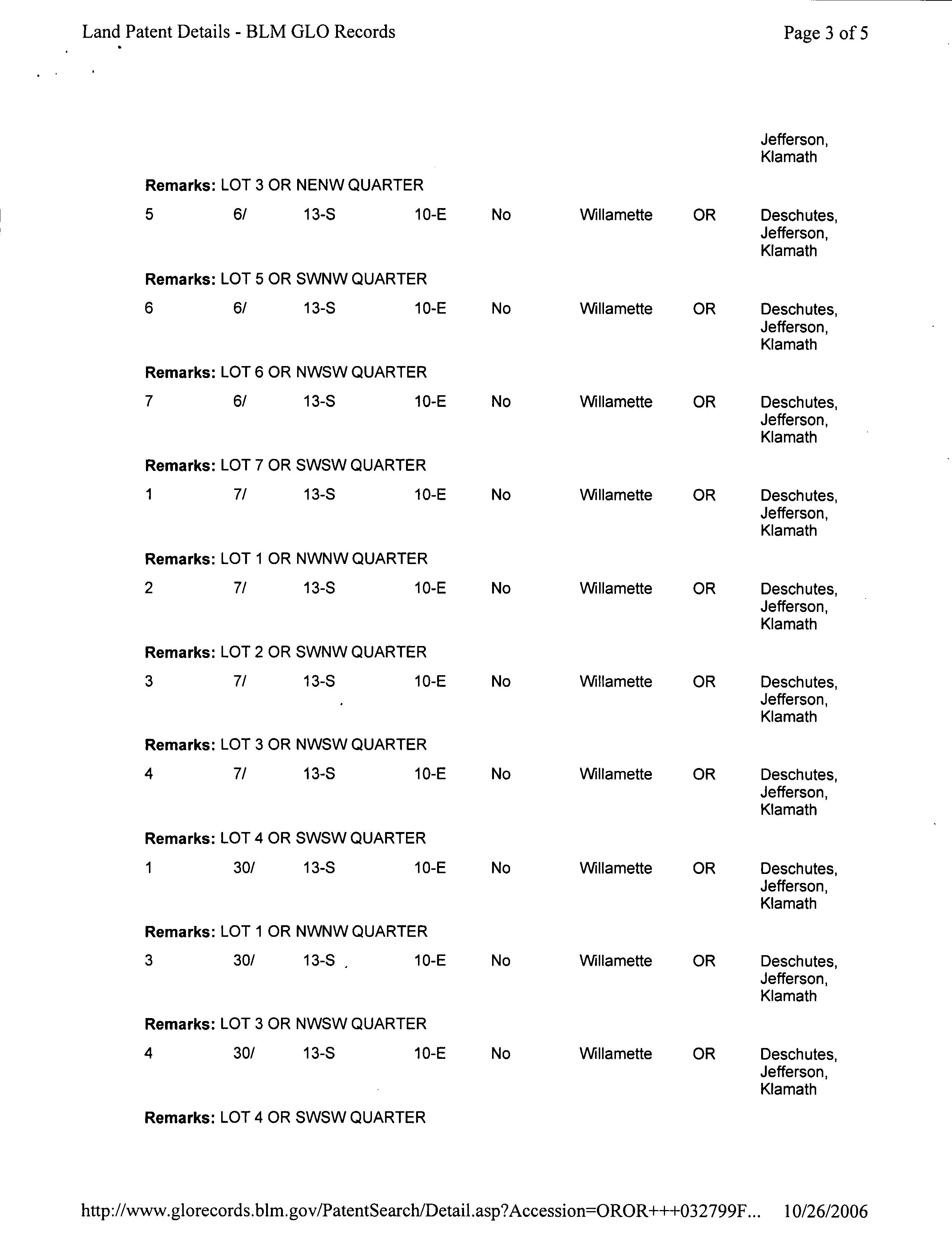
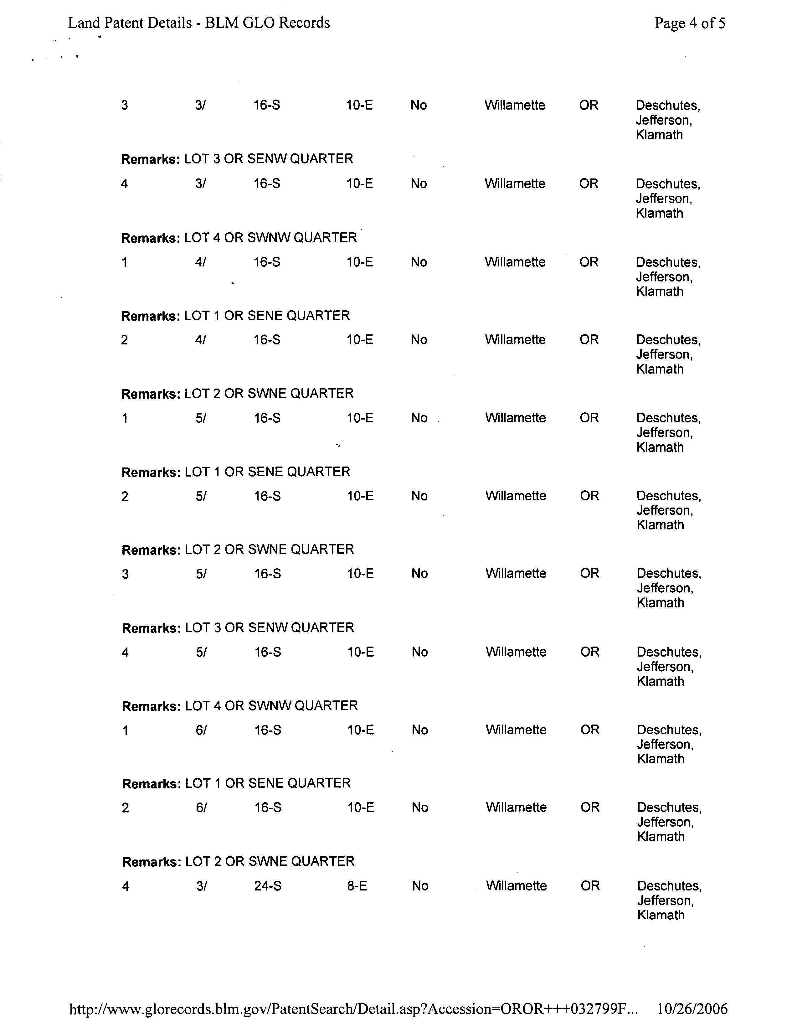
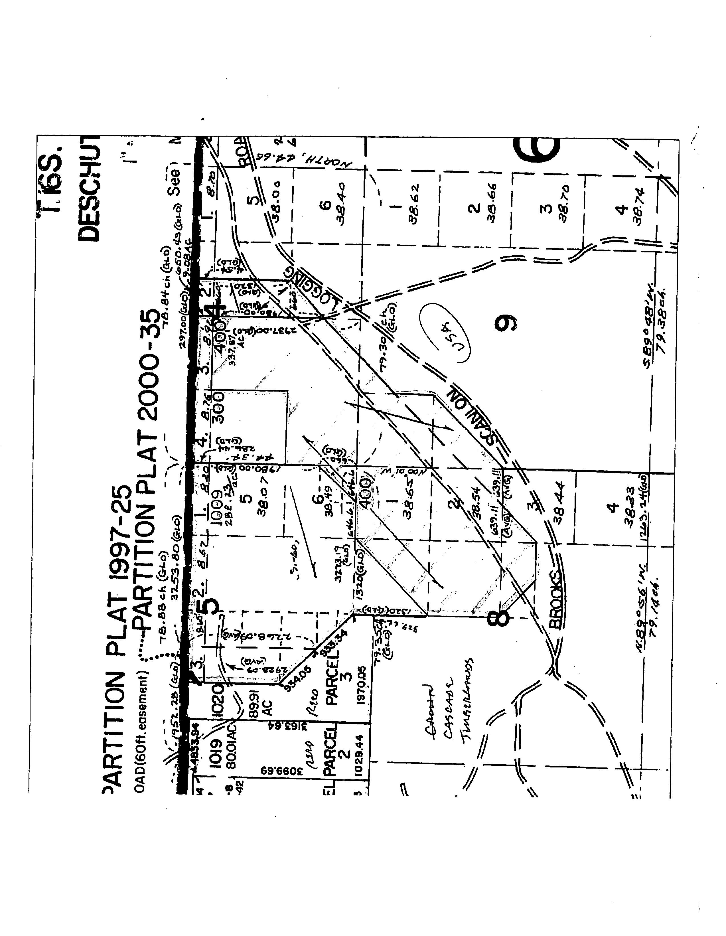
The East llalf of the Southwest Quarter and the Southwest Quarter of the Southwest Quarter of Section Four (4); the Northeast Quarter of Sec- tion Eight (8); and the Northwest Quarter of the Northwest Quarter of Section Nine (9), Township Sixteen (16) South, Range Ten (10), East of the Willamette Meridian, Deschutes County, Oregon.
and covenant that Grantors are the owners of the above described property free of all encumbrances, save and except Reservations in Patents and Easements of record, and will warrant and defend the same against all persons who may lawfully claim the same, except as shown above.
The true and actual consideration for this transfer is $139,000.00,
The foregoing recital of consideration is true as I verily believe.
DATED this 24 day of October, 1968.
Richard S. Shattuck Mll V. Shattuck STATE OF OREGON County of Deschutes
October 341968
Personally appeared the above-named Richard S. Shattuck and Phyllis V. Shattuck, husband and wife, and acknowledged the foregoing instrument to be their voluntary act. Before me:
Notary Public for Oregon
My Commission Expires:/-36
Property Profile Summary
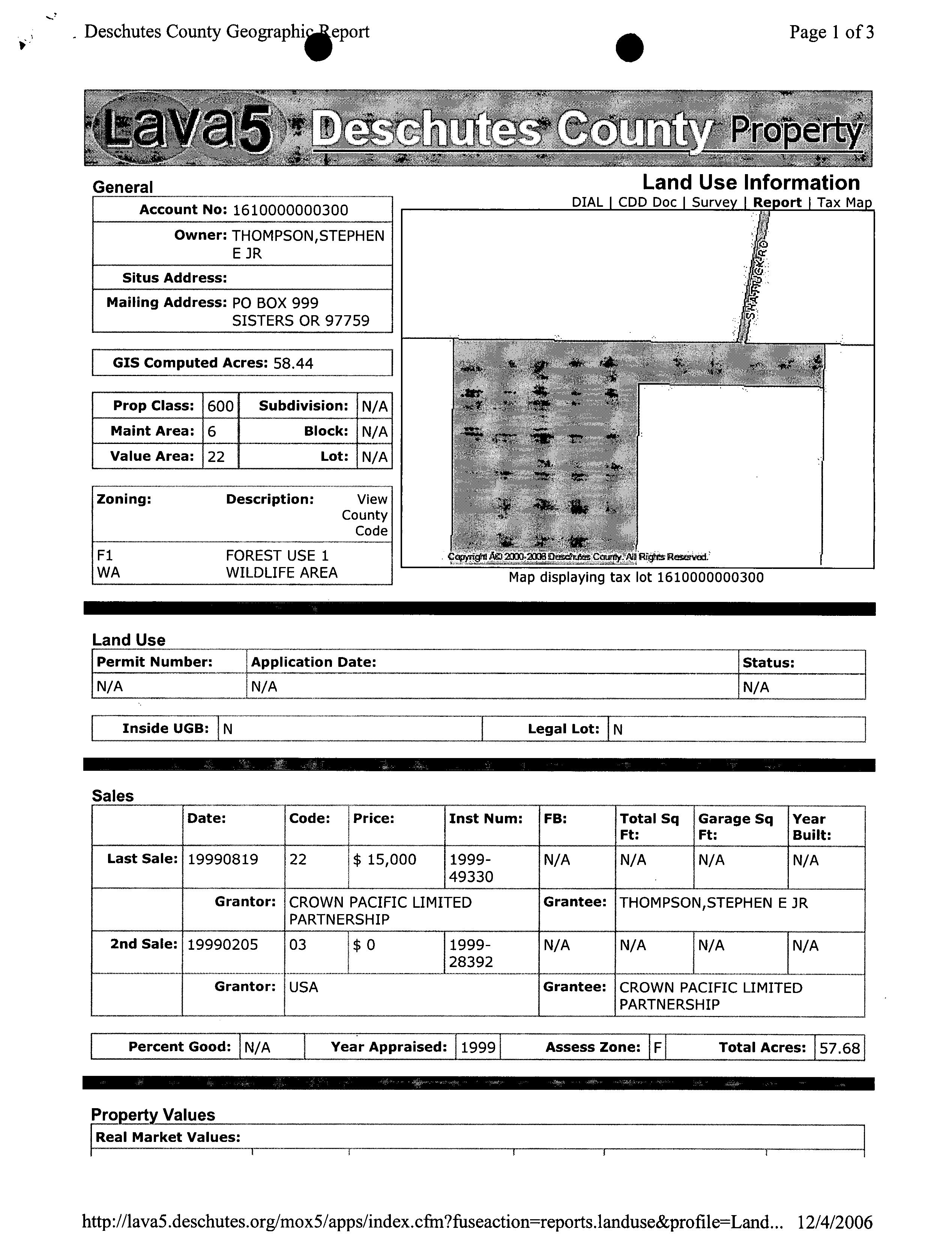
OWNER Thompson, Stephen E Jr
DATE 08/08/2025
PREPARED BY Danetta Rider danettar@deschutestitle.com
The information and maps presented in this report are provided for your convenience. Every reasonable effort has been made to assure the accuracy of the data and associated maps. Deschutes County makes no warranty, representation or guarantee as to the content, sequence, accuracy, timeliness or completeness of any of the data provided herein. Deschutes County explicitly disclaims any representations and warranties, including, without limitation, the implied warranties of merchantability and fitness for a particular purpose. Deschutes County shall assume no liability for any errors, omissions, or inaccuracies in the information provided regardless of how caused. Deschutes County assumes no liability for any decisions made or actions taken or not taken by the user of this information or data furnished hereunder.
Summary
Warnings, Notations, and Special Assessments
Review of digital records maintained by the Deschutes County Assessor’s Office, Tax Office, Finance Office, and the Community Development Department indicates that there are County tax, assessment, or property development related notations associated with this account and that have been identified above. Independent verification of the presence of additional Deschutes County tax, assessment, development, and other property related considerations is recommended. Confirmation is commonly provided by title companies, real estate agents, developers, engineering and surveying firms, and other parties who are involved in property transactions or property development. In addition, County departments may be contacted directly to discuss the information.
Tax Payment History
Land Characteristics
Ownership
Service Providers Please contact districts to confirm.
HWY, SISTERS, OR 97759
HIGH SCHOOL ATTENDANCE AREA SISTERS (541) 549-4045 1700 MCKINNEY BUTTE RD, SISTERS, OR 97759
EDUCATION SERVICE TAX DISTRICT HIGH DESERT EDUCATION SERVICE DISTRICT (541) 693-5600 145 SE SALMON AVE, REDMOND, OR 97756
COLLEGE TAX DISTRICT CENTRAL OREGON COMMUNITY COLLEGE (541) 383-7700 2600 NW COLLEGE WAY, BEND, OR 97703
PARK & RECREATION DISTRICT SISTERS PARK & RECREATION DISTRICT (541) 549-2091 1750 W. McKINNEY BUTTE RD, SISTERS, OR 97759
LIBRARY DISTRICT DESCHUTES PUBLIC LIBRARY (541) 617-7050 601 NW WALL ST, BEND, OR 97703
GARBAGE & RECYCLING SERVICE
Development Summary
Planning Jursidiction:
Urban Growth Boundary: Deschutes County No No
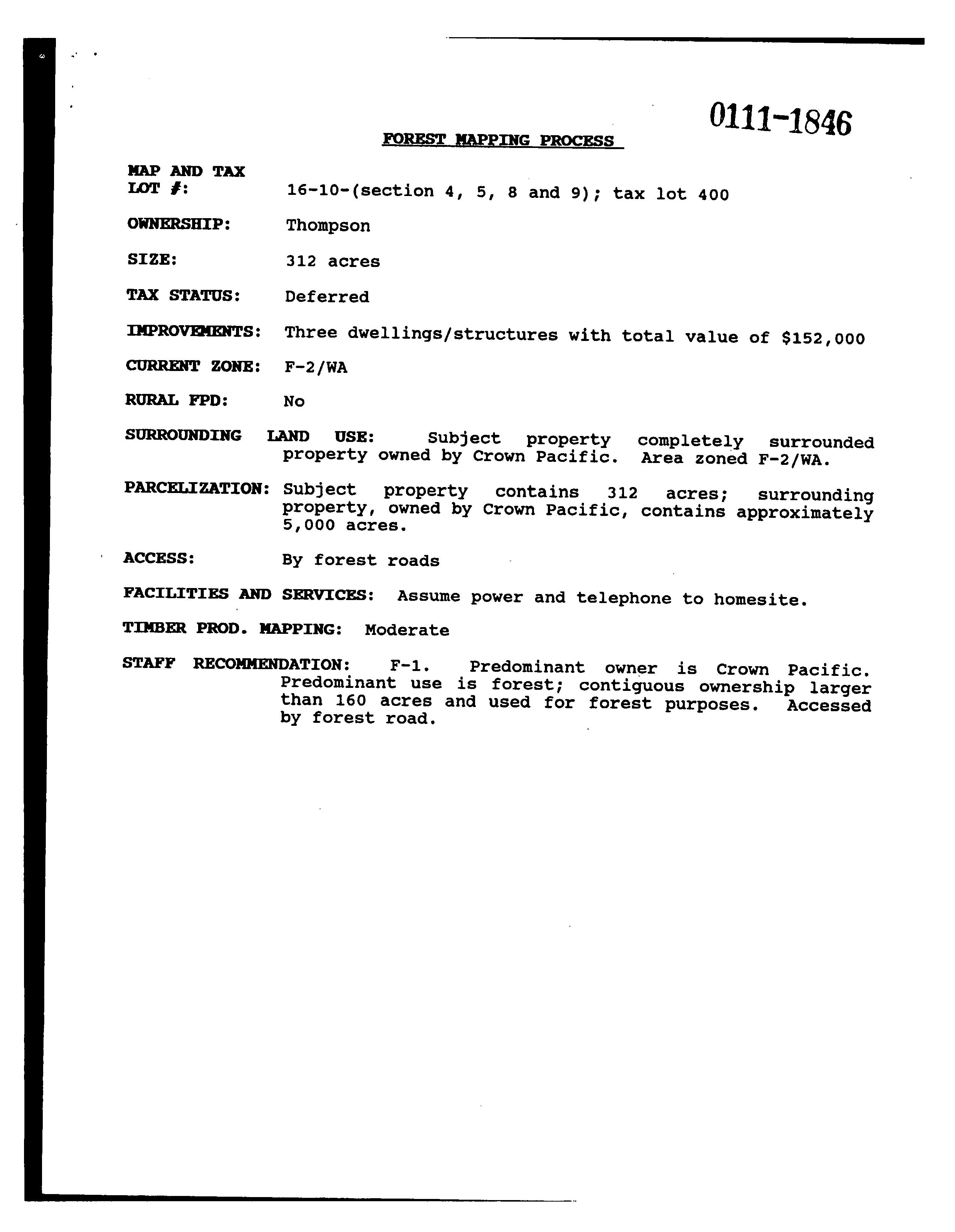
County Zone Description F1 FOREST USE 1 WA WILDLIFE AREA COMBINING ZONE
Urban Reserve Area:
County Development Details
Wetland (National or Local):
Conservation Easement:
FEMA 100 Year Flood Plain: Yes No Conservation Easement Recorded No TDC/PRC Restrictive Covenant Found Not Within 100 Year
If your net taxable value has grown by more than 3% from last year and you have any questions, please contact the Assessor's office at +1 (541) 388-6508.
Full Payment with 3% Discount Discount is lost after due date and interest may apply PAYMENT OPTIONS: * Online
Payment Due November 15, 2024
(3% Discount)
One-Third Payment (No Discount) Next Payment Due
Two-Thirds Payment (2% Discount) Next Payment Due
Please make checks payable to Deschutes County Tax Collector
d Map
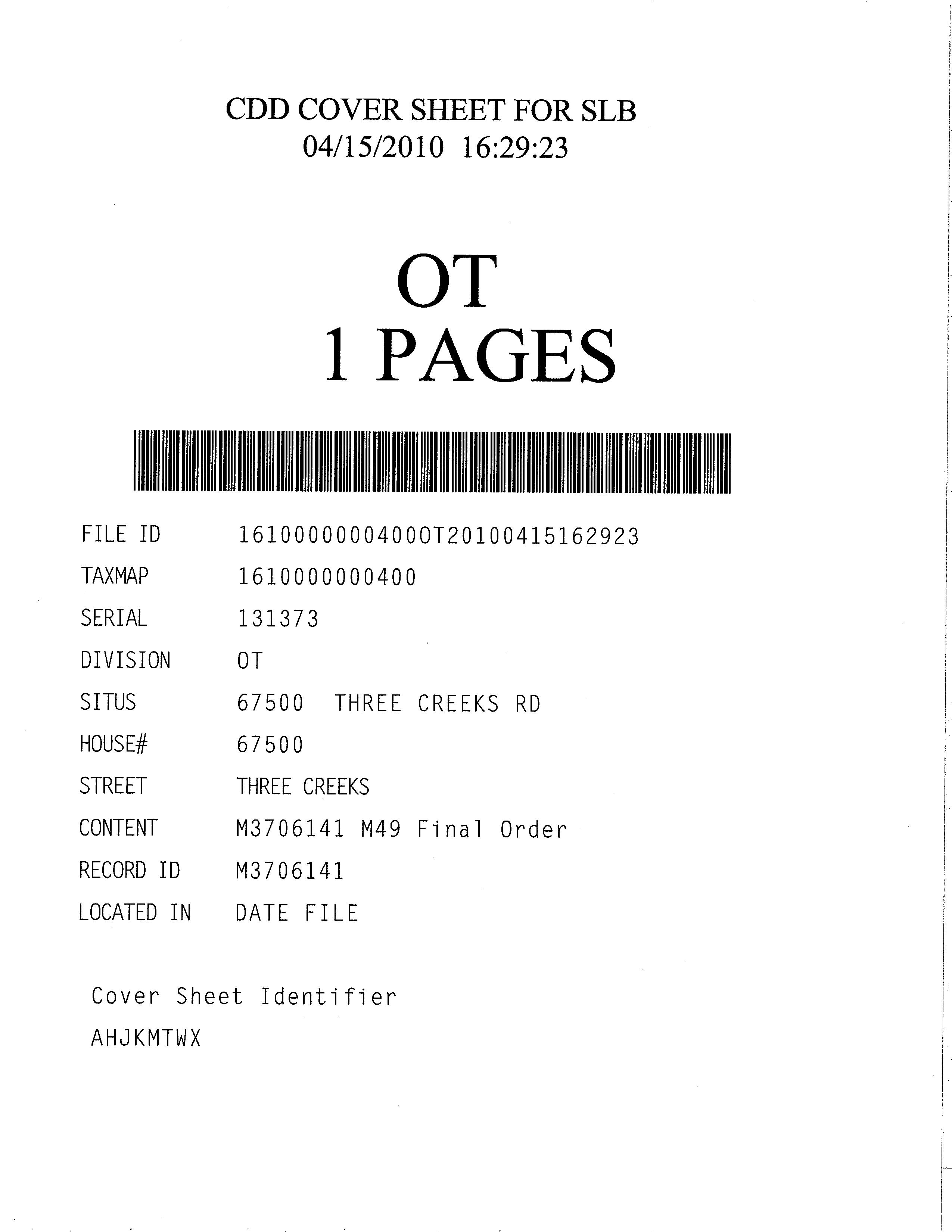
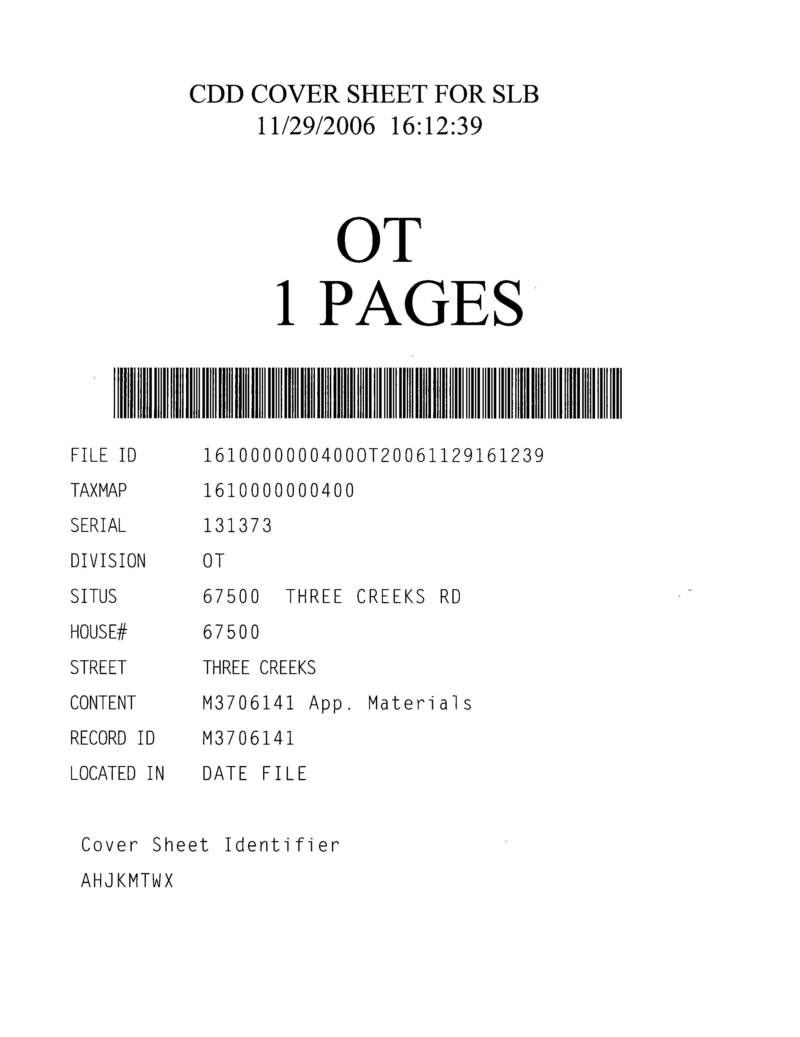
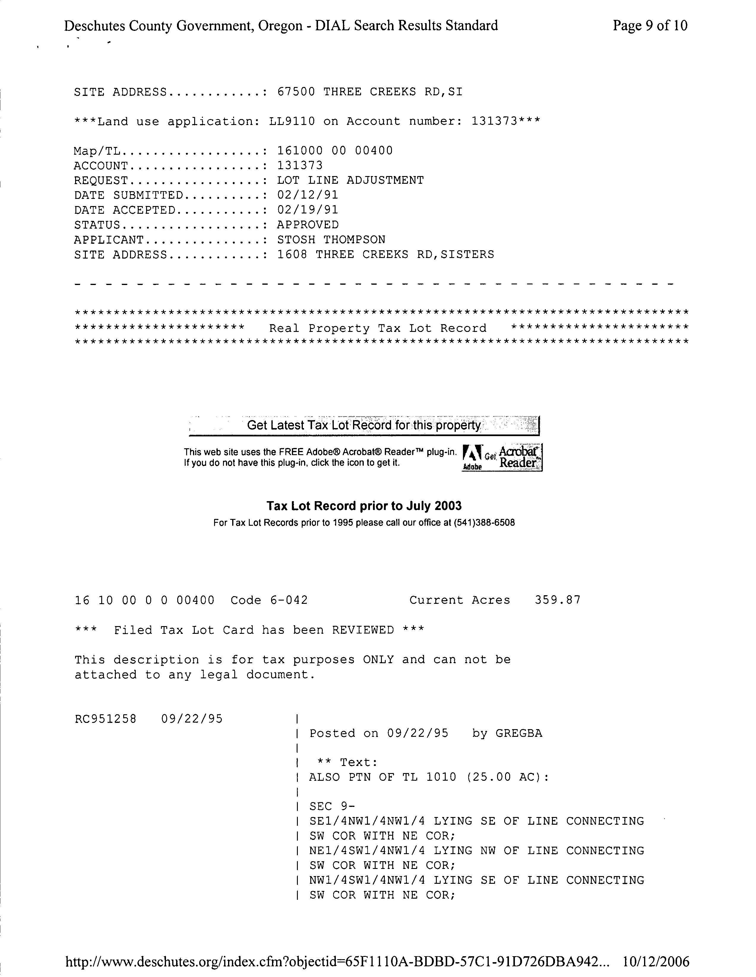
SERIAL 131373
DIVISION OT
SITUS 67500 THREE CREEKS RD
HOUSE# 67500
STREET THREE CREEKS
CONTENT M3706141 M49 Final Order
RECORD ID M3706141
LOCATED IN DATE FILE Cover Sheet Identifier AHJKMTWX
regon
Theodore R. Kulongoski, Governor
April 5, 2010
To: Claimant
From: Richard Whitman, Director
Department of Land Conservation and Development Measure 49 Development Services Division 635 Capitol Street, Suite 150 Salem, Oregon 97301- 2540
Phone: ( 503) 373- 0050
Fax: ( 503) 378- 5318
http://www.oregon.gov/LCD/MEASURE49
APR 7 2010
Re: Ballot Measure 49 (ORS 195.300 to 195.336) Election Number E131123
Claimant: Stephen Thompson
Enclosed is the Department of Land Conservation and Development' s( department) Final Order and Home Site Authorization for the above -referenced Measure 49 election, based on the Supplemental Review of the claimant' s Measure 37 claim.
This Final Order and Home Site Authorization sets forth the department' s decision on the claim under Measure 49 and is final. No further action will be taken on this matter.
OREGON DEPARTMENT OF LAND CONSERVATION AND DEVELOPMENT
ORS 195. 300 to ORS 195. 336 ( MEASURE 49) SUPPLEMENTAL REVIEW OF MEASURE 37 CLAIM
Final Order and Home Site Authorization
STATE ELECTION NUMBER: E131123
CLAIMANT: MEASURE 37 PROPERTY
IDENTIFICATION:
AGENT CONTACT INFORMATION:
Stephen E. Thompson PO Box 999 Sisters, OR 97759
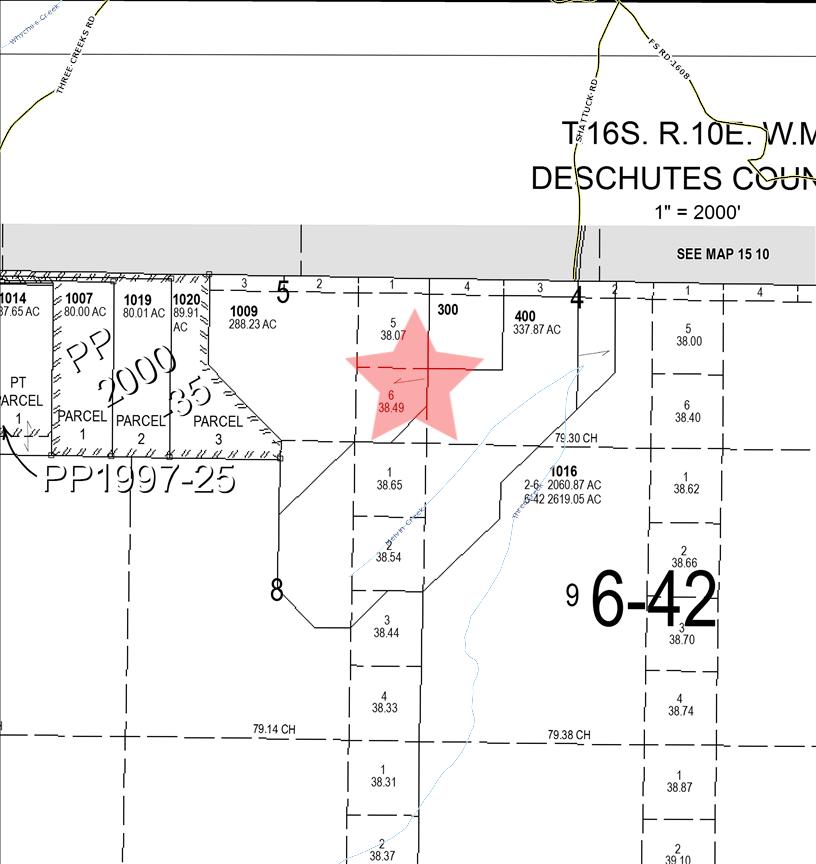
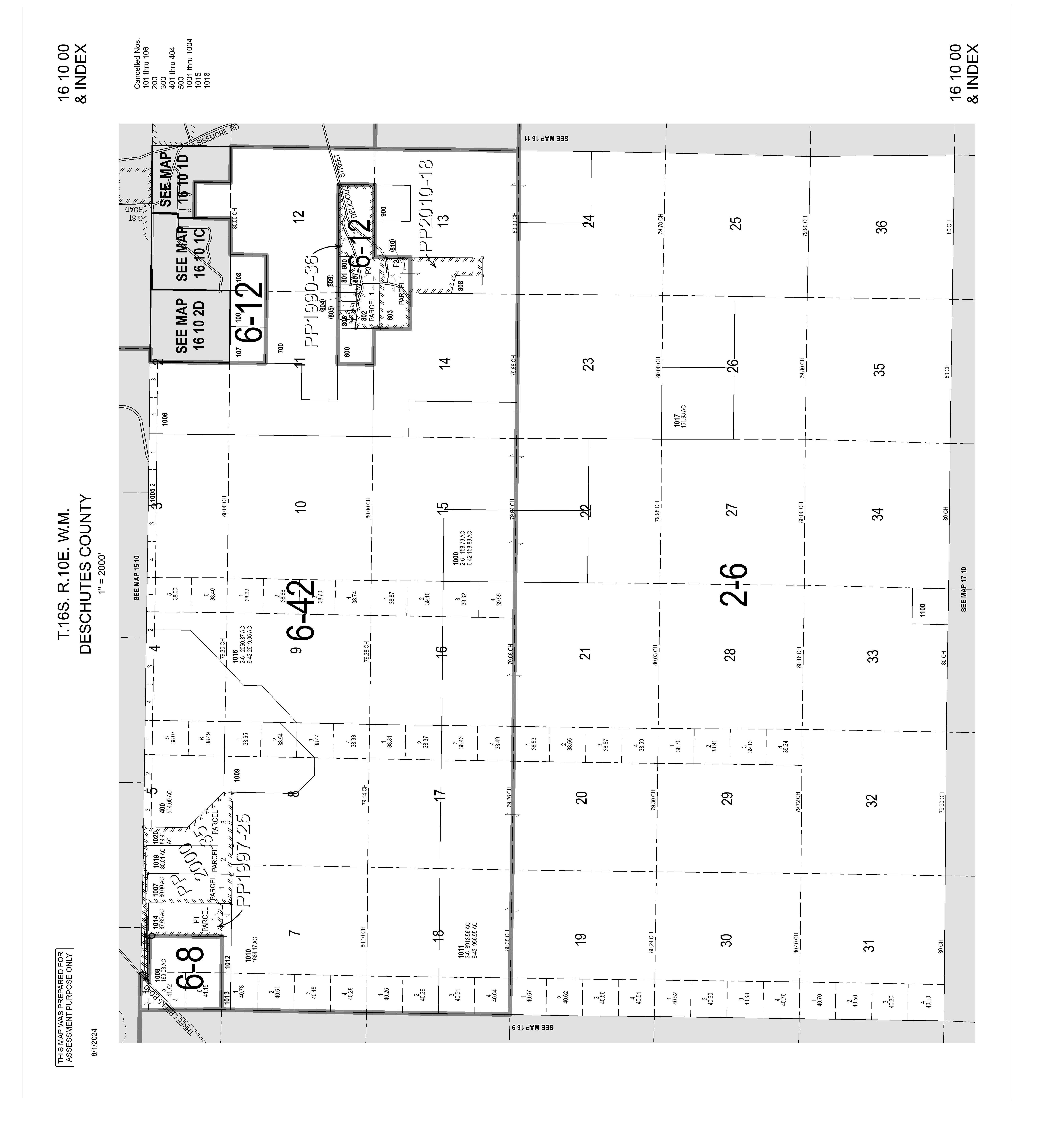
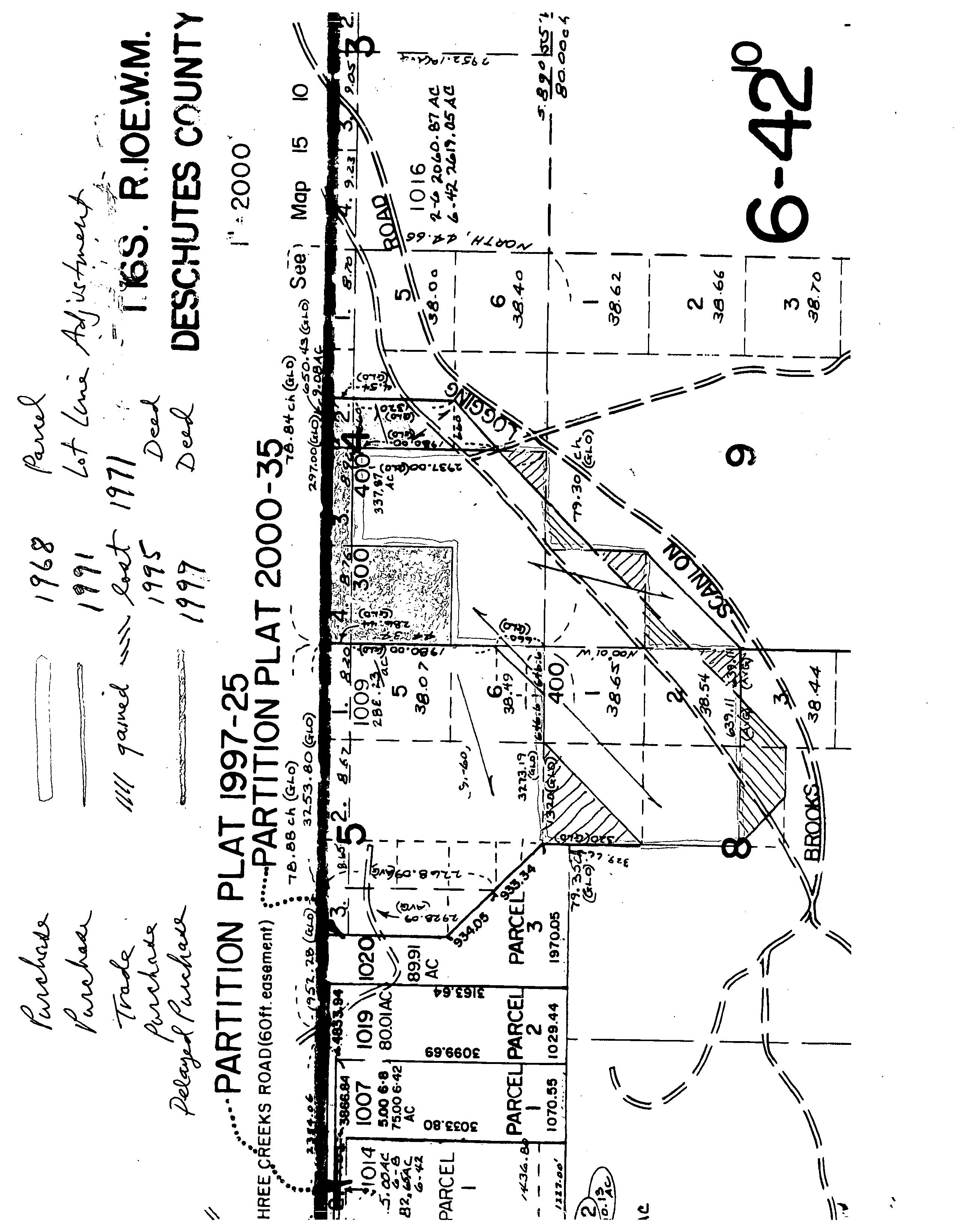
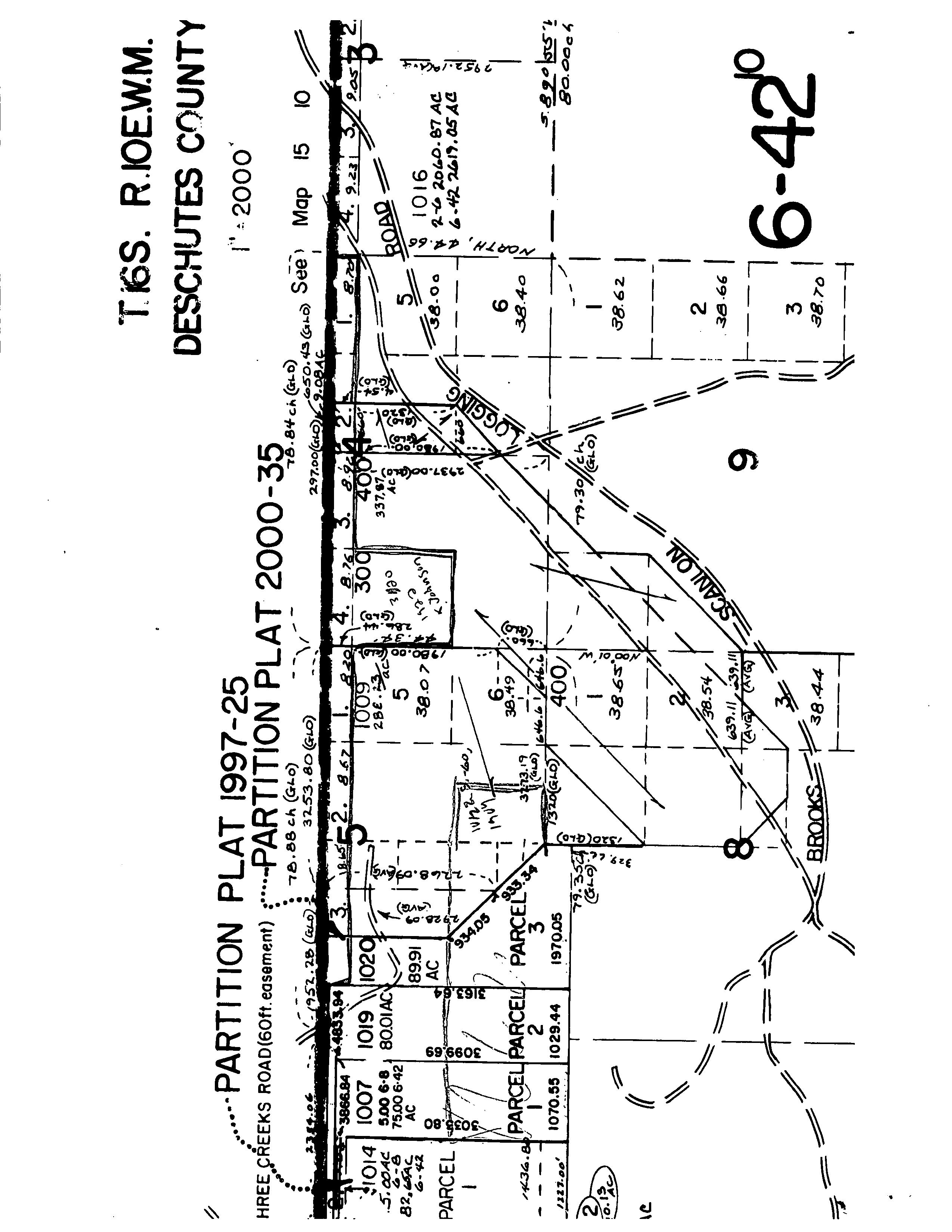
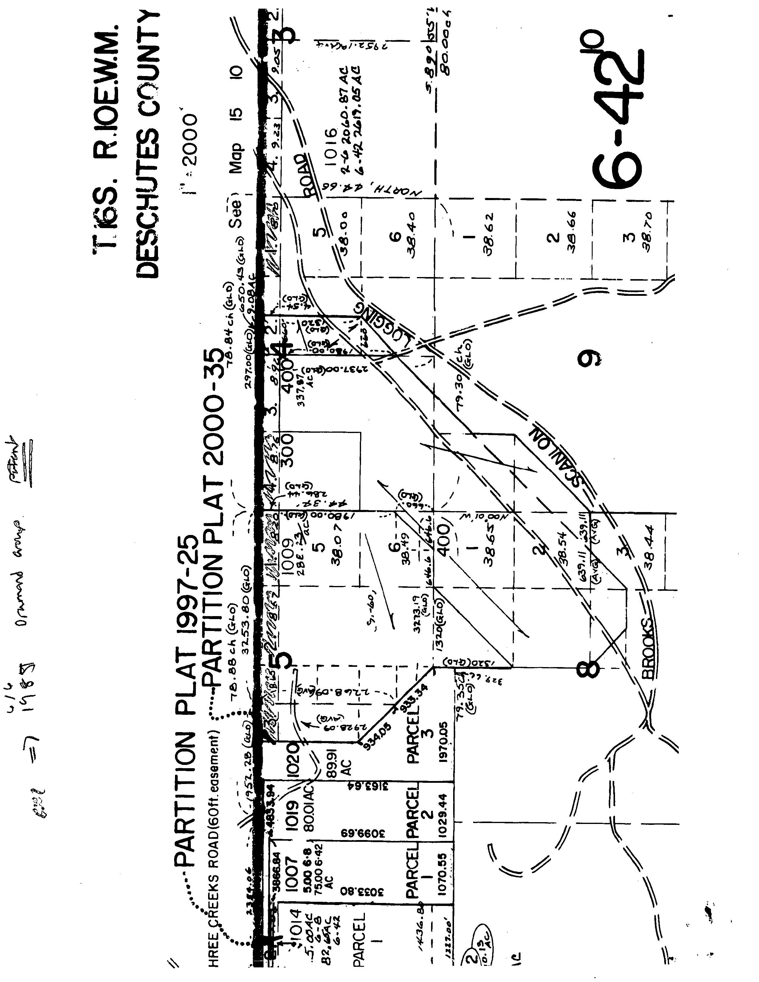
Township 16S, Range 10E
Section 4, Tax lot 300
Sections 4, 5, 8 and 9, Tax lot 400 Sections 5 and 8, Tax lot 1009 Deschutes County
Robert S. Lovlien Bryant, Lovlien & Jarvis, PC PO Box 880 Bend, OR 97709
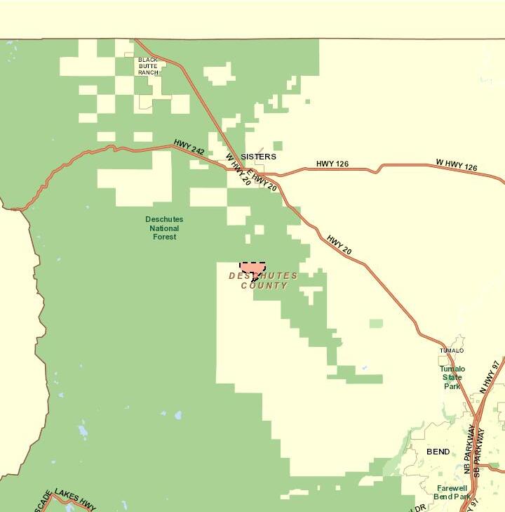
The claimant, Stephen Thompson, filed a claim with the state under ORS 197.352 (2005) Measure 37) on November 22, 2006, for property located at 67500 Three Creeks Road, near Sisters, in Deschutes County. ORS 195. 300 to ORS 195. 336 (Measure 49) entitles claimants who filed Measure 37 claims to elect supplemental review of their claims. The claimant has elected supplemental review of his Measure 37 claim under Section 6 of Measure 49, which allows the Department ofLand Conservation and Development (the department) to authorize up to three home site approvals to qualified claimants.
This Final Order and Home Site Authorization is the conclusion of the supplemental review of this claim.
I. ANALYSIS OF CLAIM
A. Maximum Number of Home Sites for Which the Claimant May Qualify
Under Section 6 ofMeasure 49, the number ofhome site approvals authorized by the department cannot exceed the lesser ofthe following: three; the number stated by the claimant in the election materials; or the number described in a Measure 37 waiver issued by the state, or ifno waiver was issued, the number of home sites described in the Measure 37 claim filed with the state. The
claimant has requested three home site approvals in the election material. No waiver was issued for this claim. The Measure 37 claim filed with the state describes more than three home sites. Therefore, the claimant may qualify for a maximum ofthree home site approvals under Section 6 of Measure 49.
B. Qualification Requirements
To qualify for a home site approval under Section 6 ofMeasure 49, the claimant must meet each of the following requirements:
1. Timeliness of Claim
A claimant must have filed a Measure 37 claim for the property with either the state or the county in which the property is located on or before June 28, 2007, and must have filed a Measure 37 claim with both the state and the county before Measure 49 became effective on December 6, 2007. If the state Measure 37 claim was filed after December 4, 2006, the claim must also have been filed in compliance with the provisions of OAR 660- 041- 0020 then in effect.
Findings of Fact and Conclusions
The claimant, Stephen Thompson, filed a Measure 37 claim, M131123, with the state on November 22, 2006. The claimant filed a Measure 37 claim, M37- 06- 141, with Deschutes County on November 21, 2006. The state claim was filed prior to December 4, 2006.
The claimant timely filed a Measure 37 claim with both the state and Deschutes County.
2. The Claimant Is an Owner of the Property
Measure 49 defines " Owner" as: "( a) The owner of fee title to the property as shown in the deed records ofthe county where the property is located; ( b) The purchaser under a land sale contract, if there is a recorded land sale contract in force for the property; or (c) If the property is owned by the trustee ofa revocable trust, the settlor ofa revocable trust, except that when the trust becomes irrevocable only the trustee is the owner."
Findings of Fact and Conclusions:
According to the deeds submitted by the claimant, Stephen Thompson is the owner offee title to the property as shown in the Deschutes County deed records and, therefore, is an owner ofthe property under Measure 49.
Deschutes County has confirmed that the claimant is the current owner of the property.
3. All Owners of the Property Have Consented in Writing to the Claim
All owners ofthe property must consent to the claim in writing.
Findings of Fact and Conclusions:
All owners ofthe property have consented to the claim in writing.
4. The Property Is Located Entirely Outside Any Urban Growth Boundary and Entirely Outside the Boundaries of Any City
The Measure 37 claim property must be located entirely outside any urban growth boundary and entirely outside the boundaries of any city.
Findings of Fact and Conclusions:
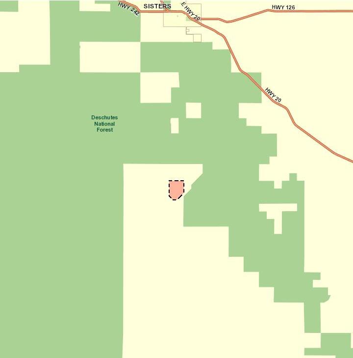
The Measure 37 claim property is located in Deschutes County, outside the urban growth boundary and outside the city limits ofthe nearest city, Sisters.
5. One or More Land Use Regulations Prohibit Establishing the Lot, Parcel or Dwelling
One or more land use regulations must prohibit establishing the requested lot, parcel or dwelling.
Findings of Fact and Conclusions:
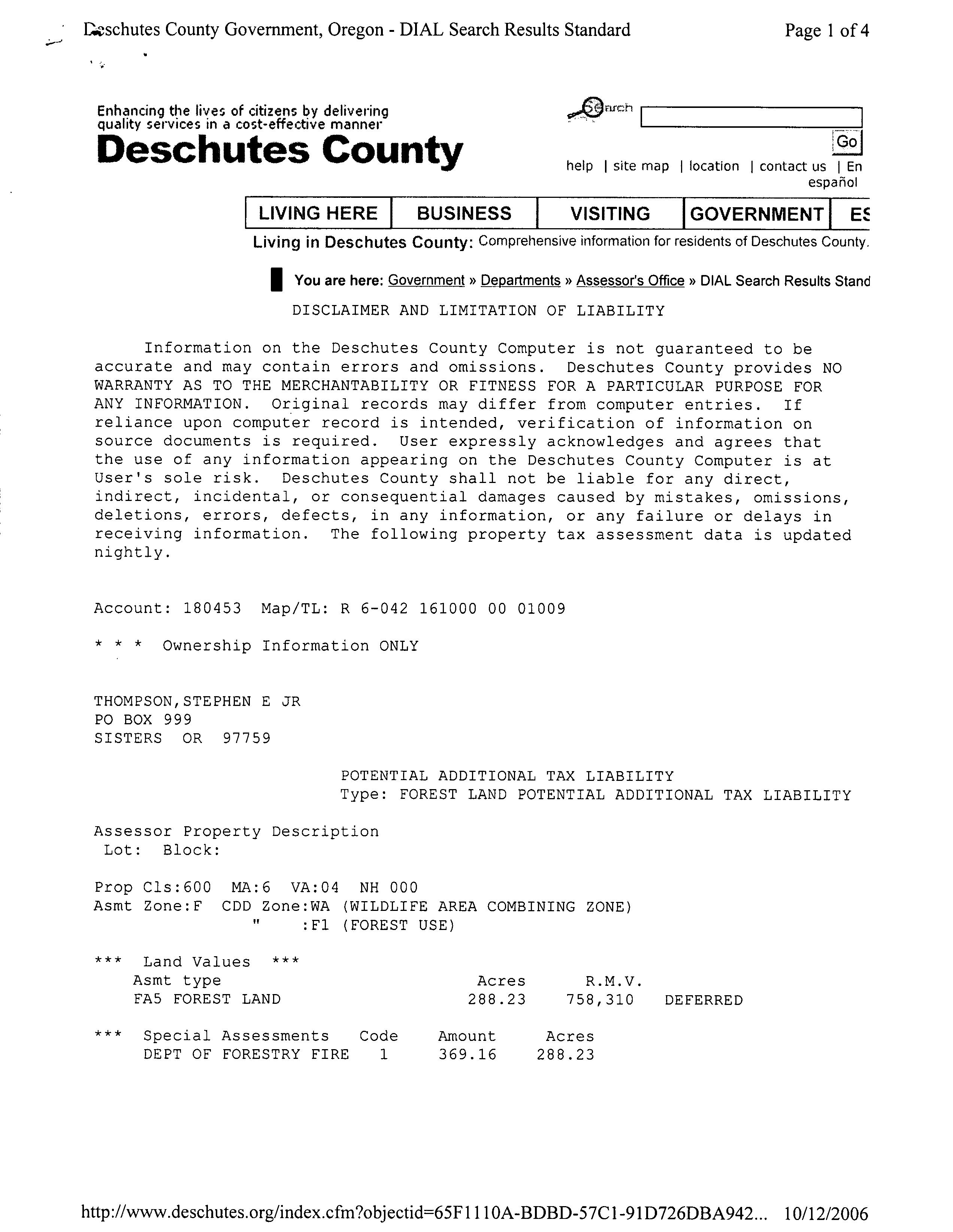
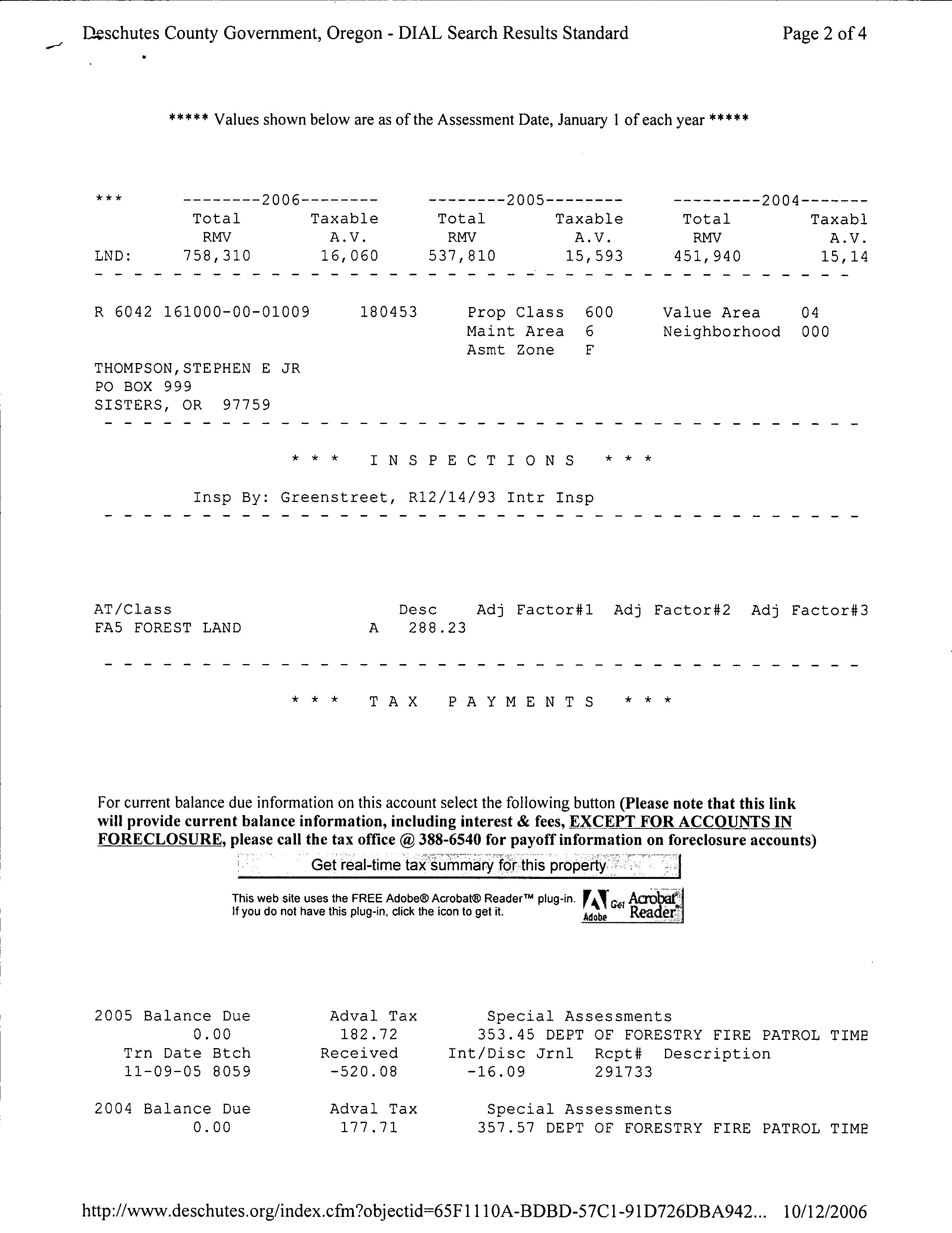
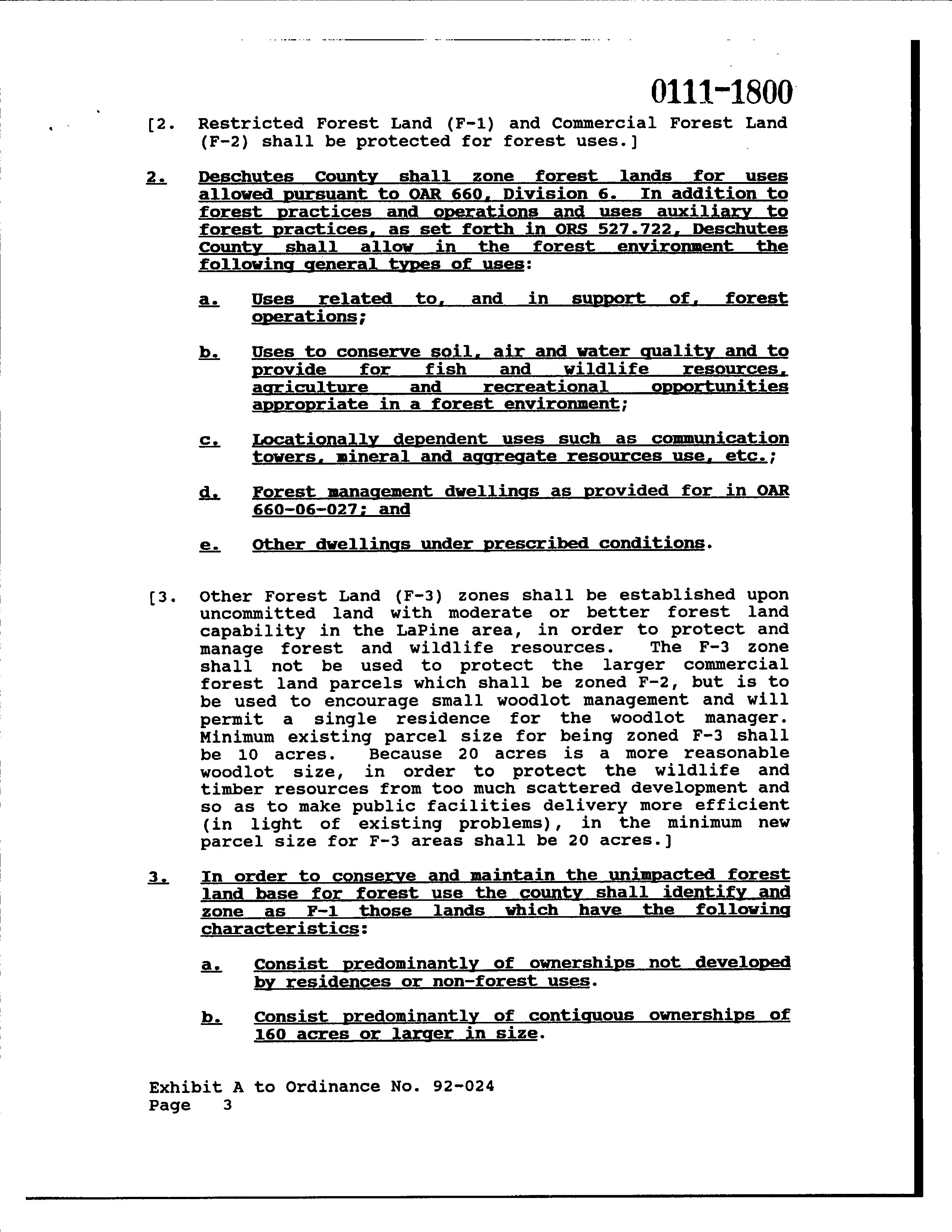
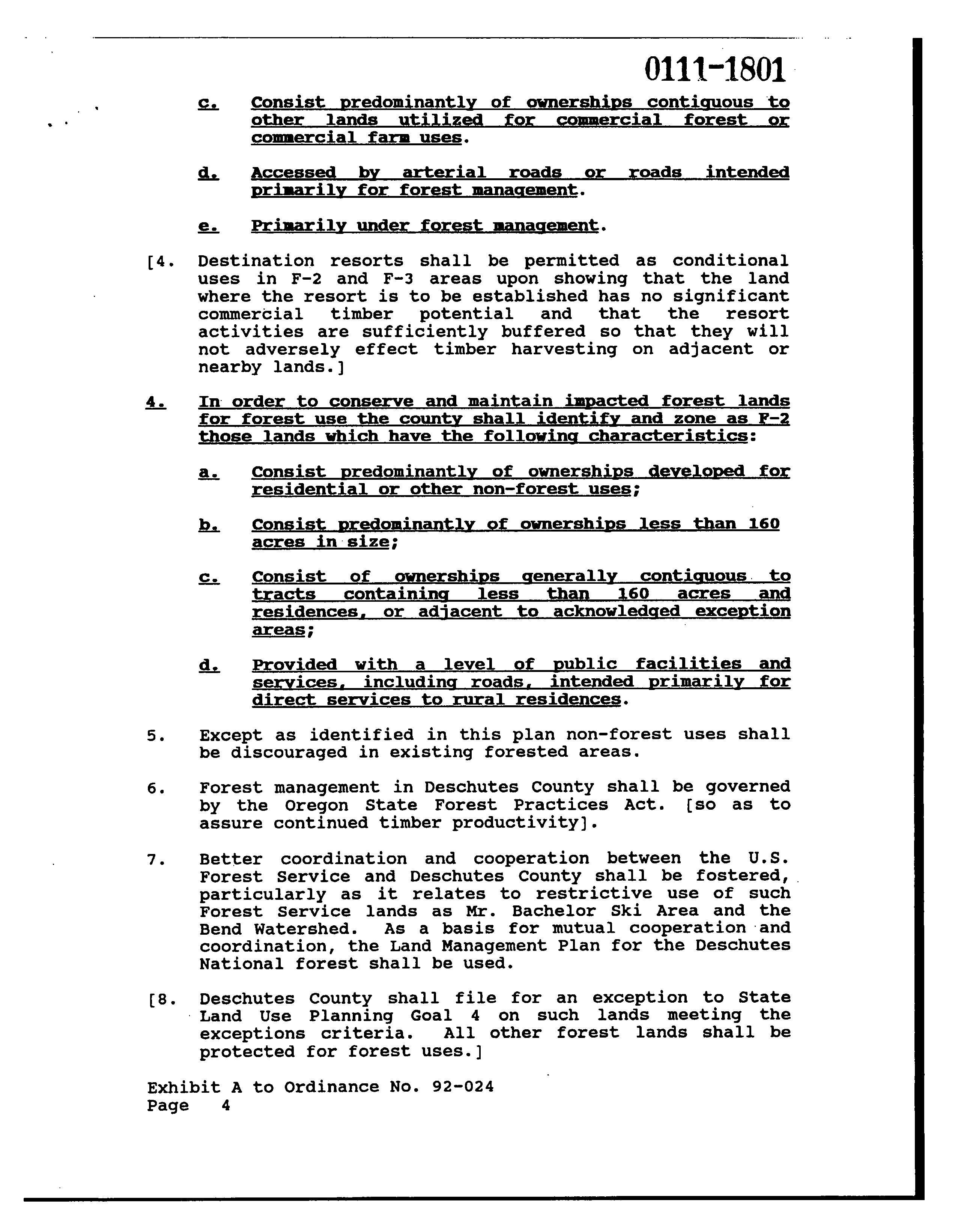
The property is currently zoned Forest (F-1) by Deschutes County, in accordance with ORS chapter 215 and OAR 660, division 6, because the property is " forest land" under Goal 4. Applicable provisions of ORS chapter 215 and OAR 660 division 6, enacted or adopted pursuant to Goal 4, generally prohibit the establishment of a lot or parcel less than 80 acres in size in a forest zone. Those provisions also regulate the establishment ofdwellings on new or existing lots or parcels and include restrictions on establishing more than one dwelling on a single tract.
The claimant' s property consists of 648. 10 acres that make up a single tract. Therefore, state land use regulations prohibit the claimant from establishing on the Measure 37 claim property the three home sites the claimant may qualify for under Section 6 ofMeasure 49.
6. The Establishment of the Lot, Parcel or Dwelling Is Not Prohibited by a Land Use Regulation Described in ORS 195. 305( 3)
ORS 195. 305( 3) exempts from claims under Measure 49 land use regulations:
a) Restricting or prohibiting activities commonly and historically recognized as public nuisances under common law;
b) Restricting or prohibiting activities for the protection ofpublic health and safety;
c) To the extent the land use regulation is required to comply with federal law; or
d) Restricting or prohibiting the use ofa property for the purpose of selling pornography or performing nude dancing.
Findings of Fact and Conclusions
Based on the documentation submitted by the claimant, it does not appear that the establishment of the three home sites for which the claimant may qualify on the property is prohibited by land use regulations described in ORS 195. 305( 3).
7. On the Claimant' s Acquisition Date, the Claimant Lawfully Was Permitted to Establish at Least the Number of Lots, Parcels or Dwellings on the Property That Are Authorized Under Section 6 of Measure 49
A claimant' s acquisition date is " the date the claimant became the owner of the property as shown in the deed records ofthe county in which the property is located. Ifthere is more than one claimant for the same property under the same claim and the claimants have different acquisition dates, the acquisition date is the earliest of those dates."
Findings of Fact and Conclusions
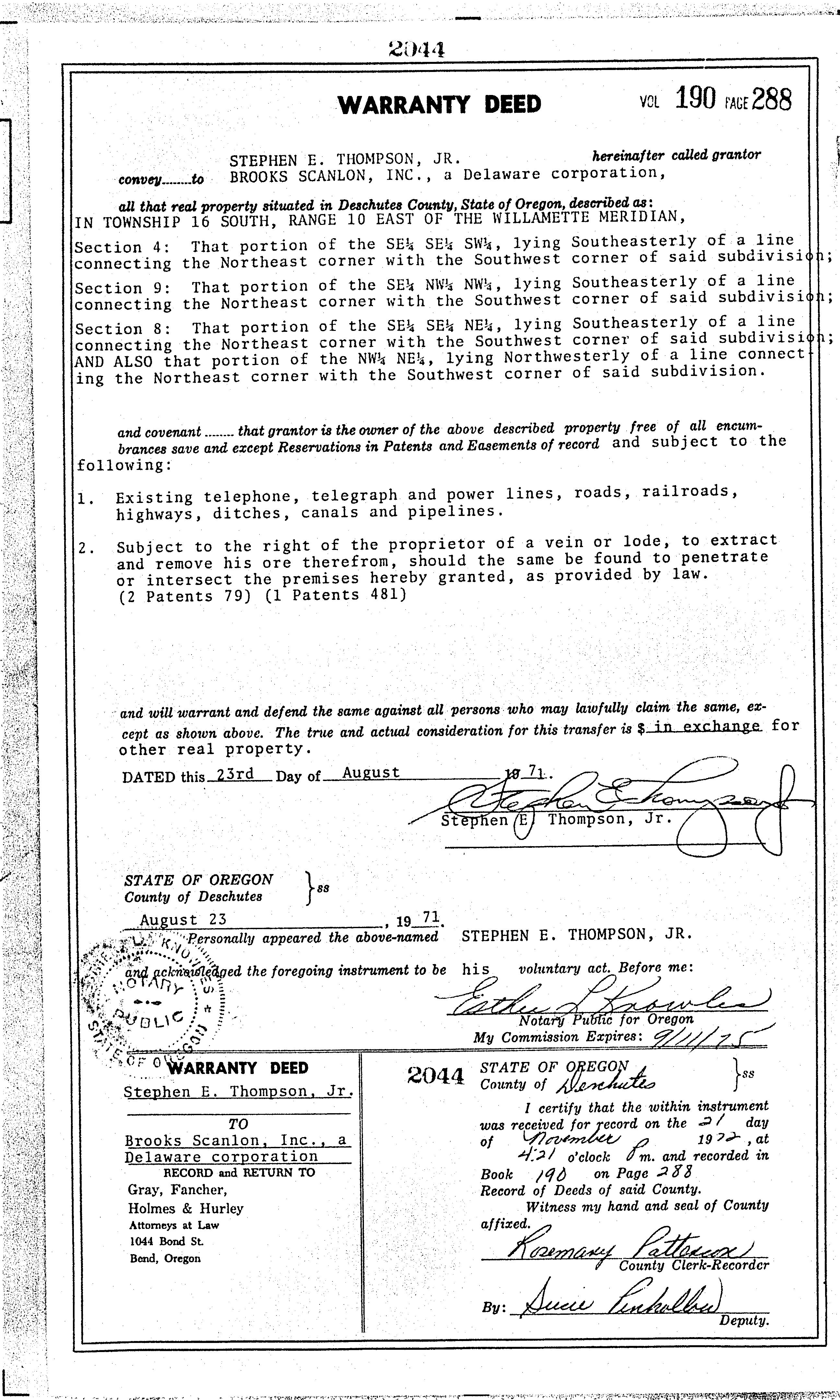
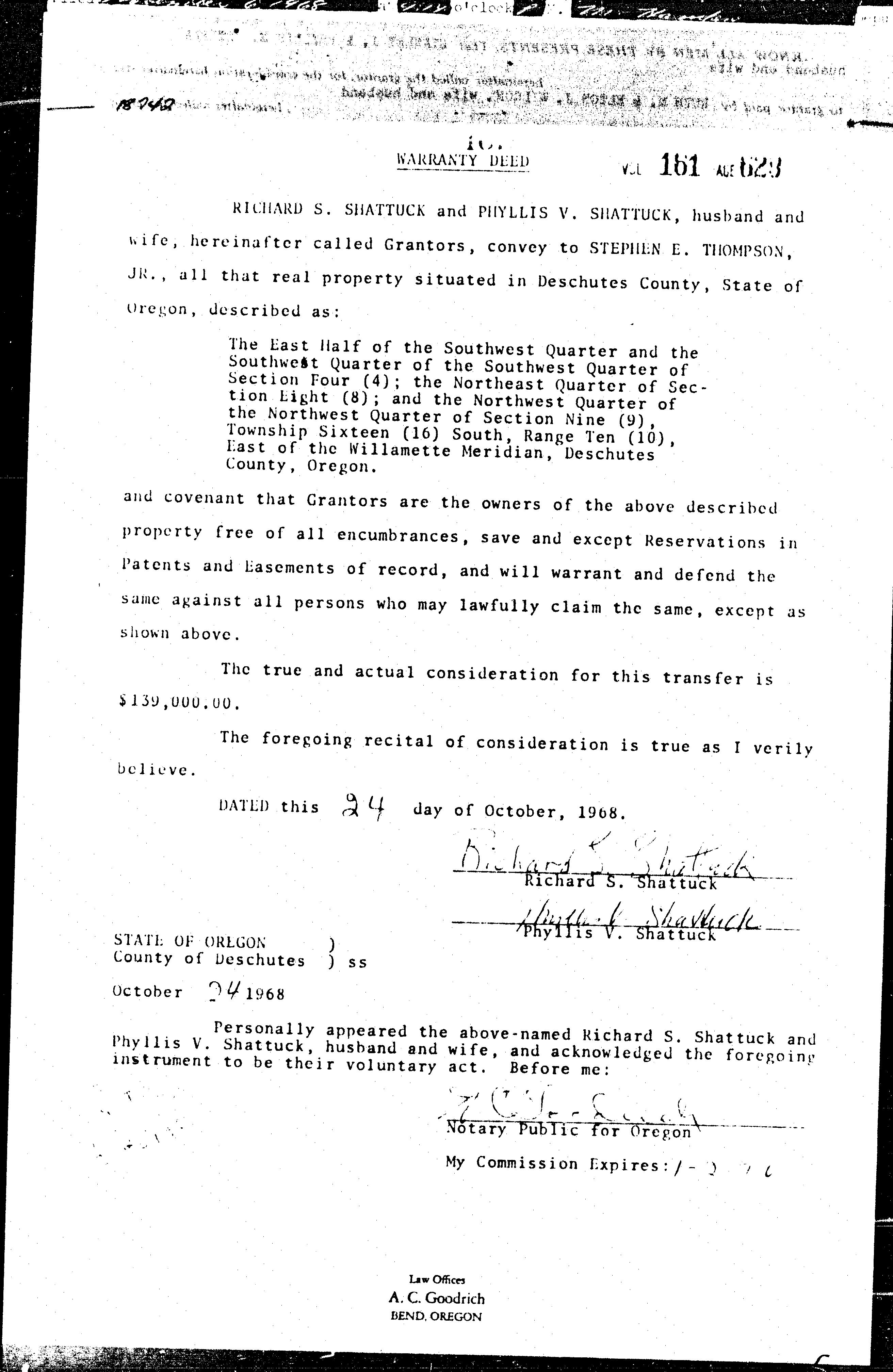
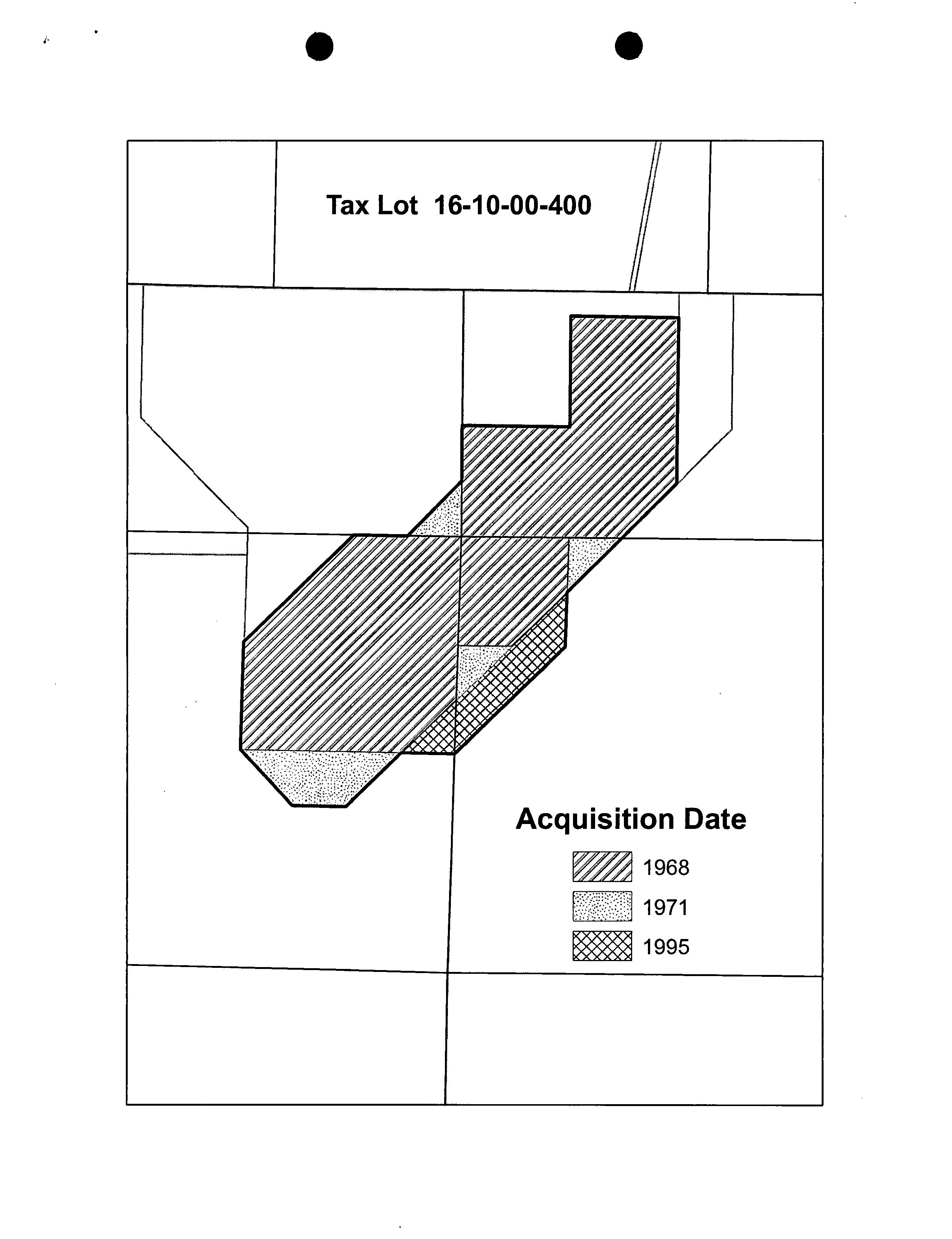
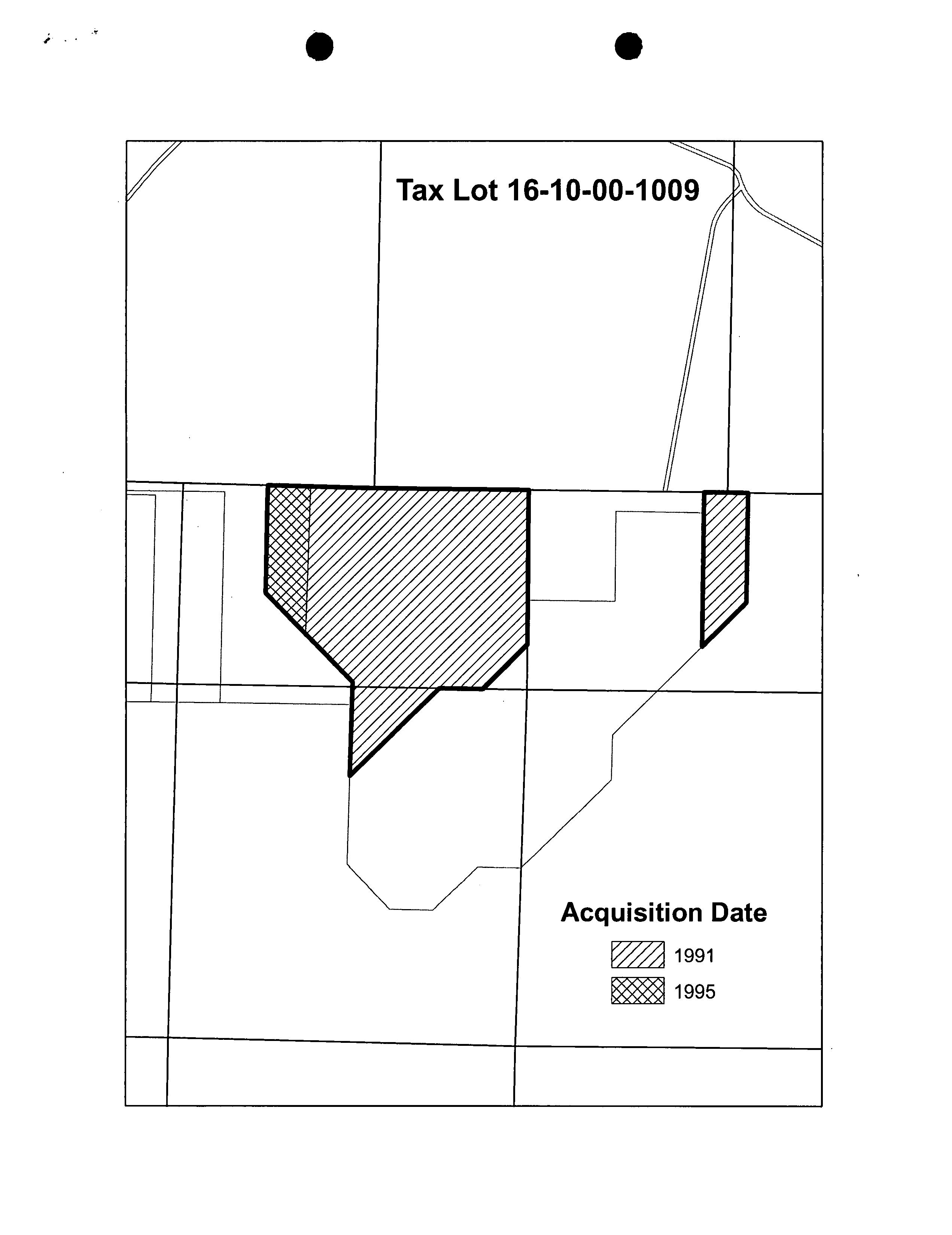
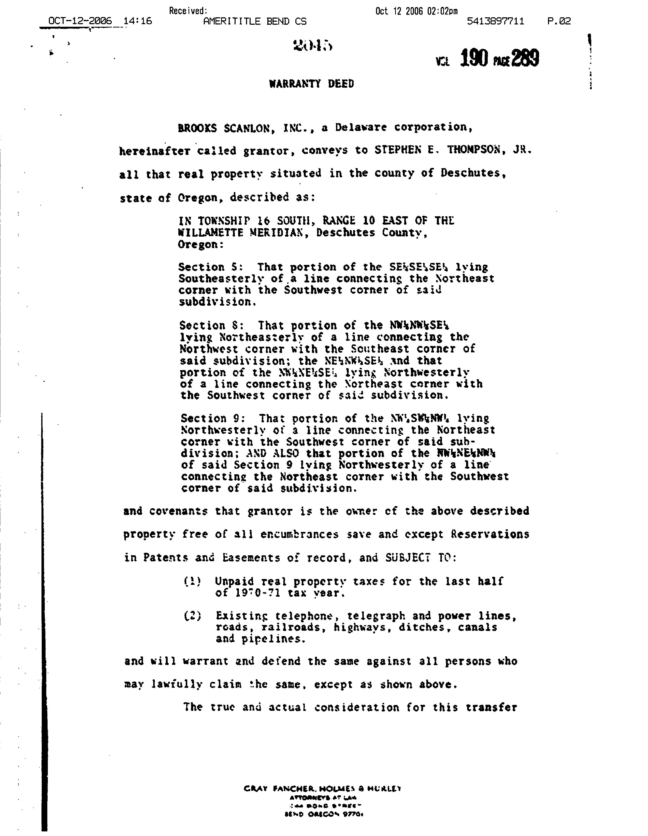
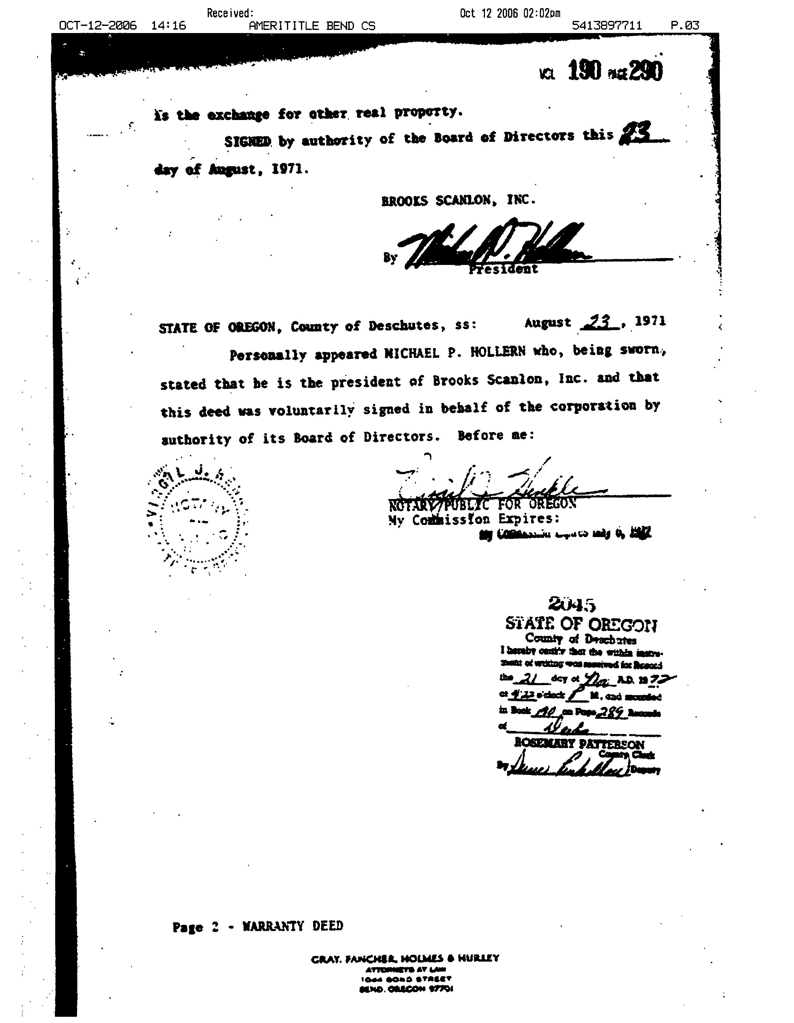
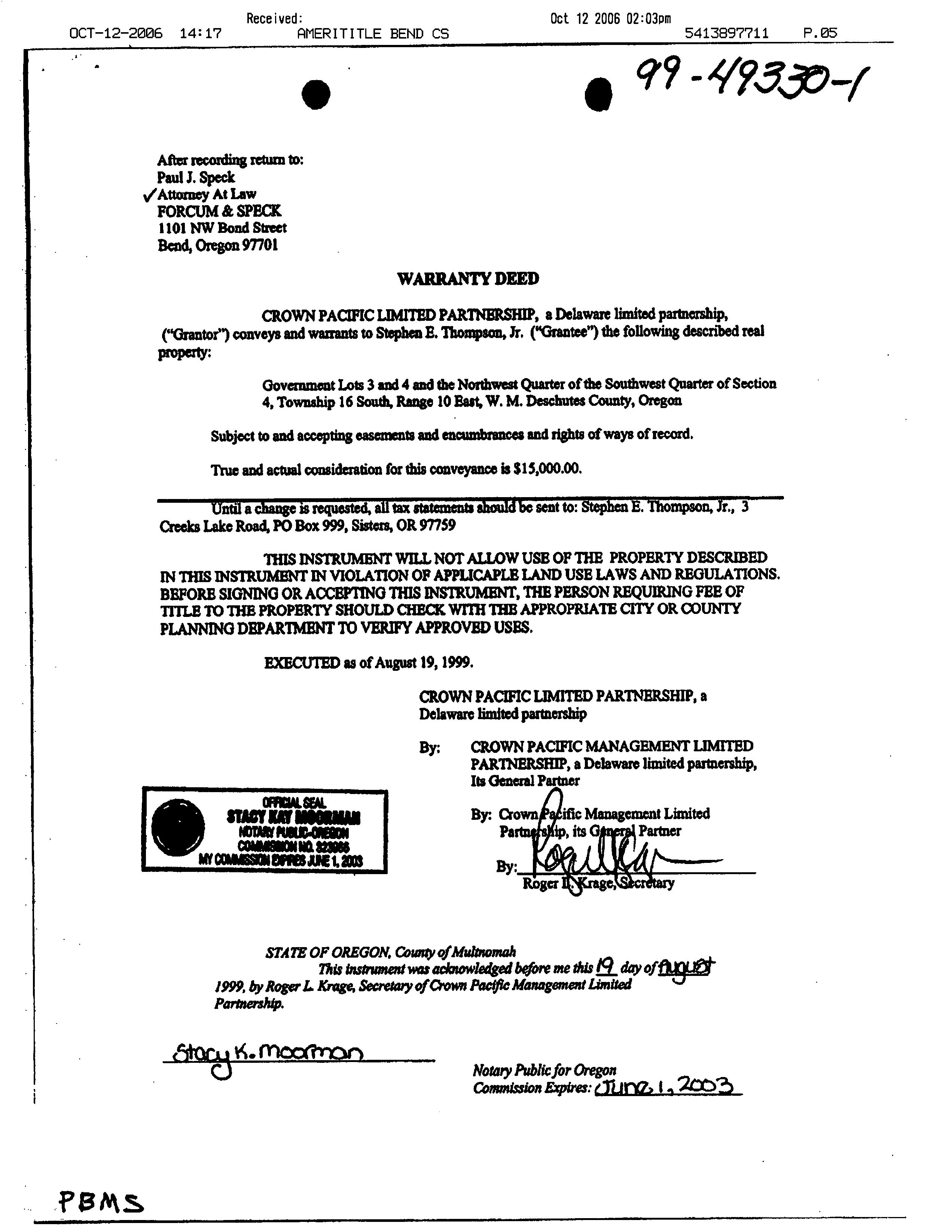
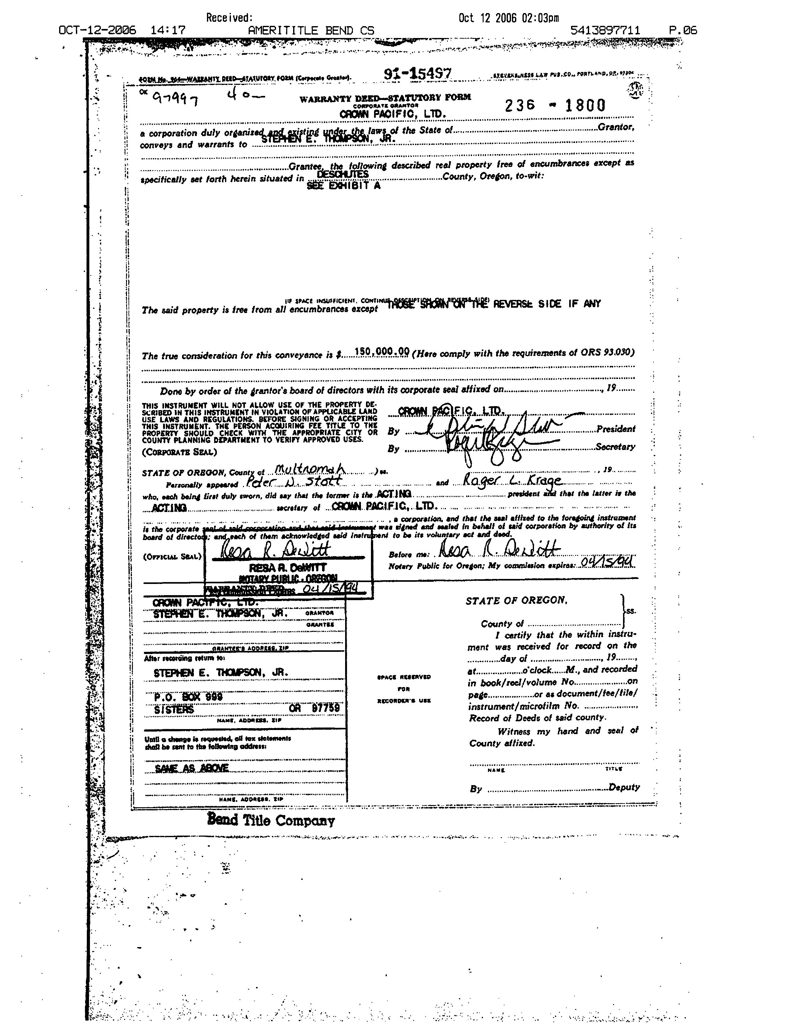
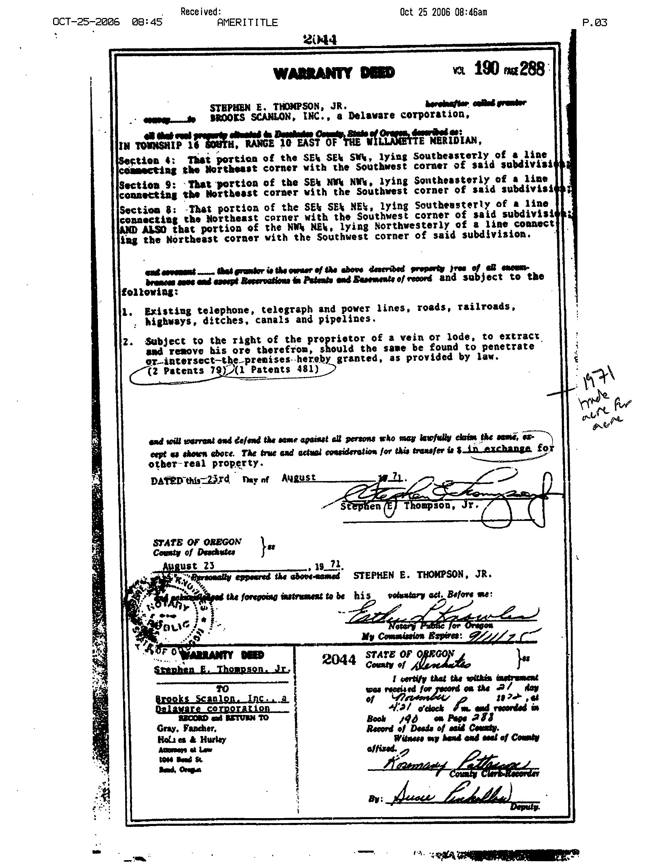
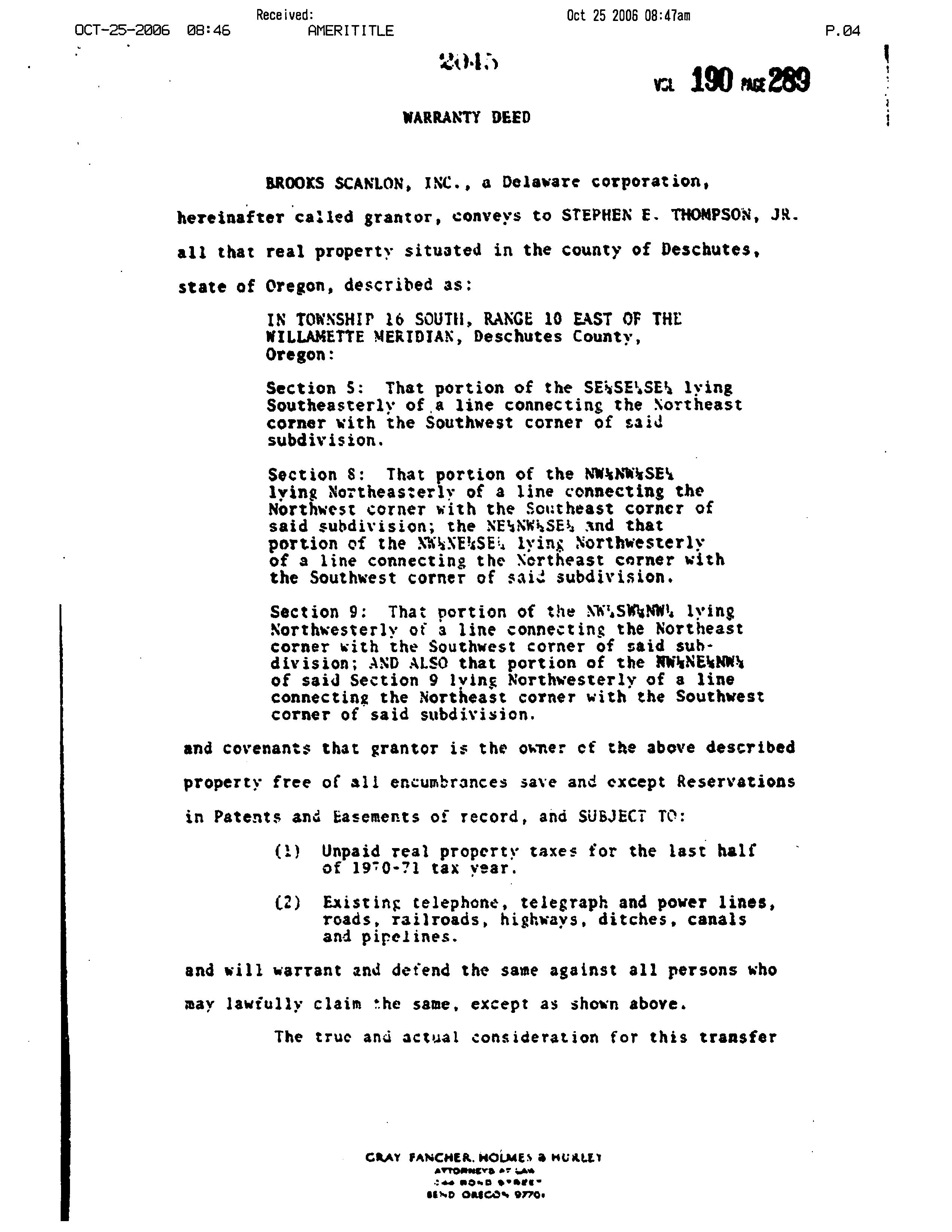
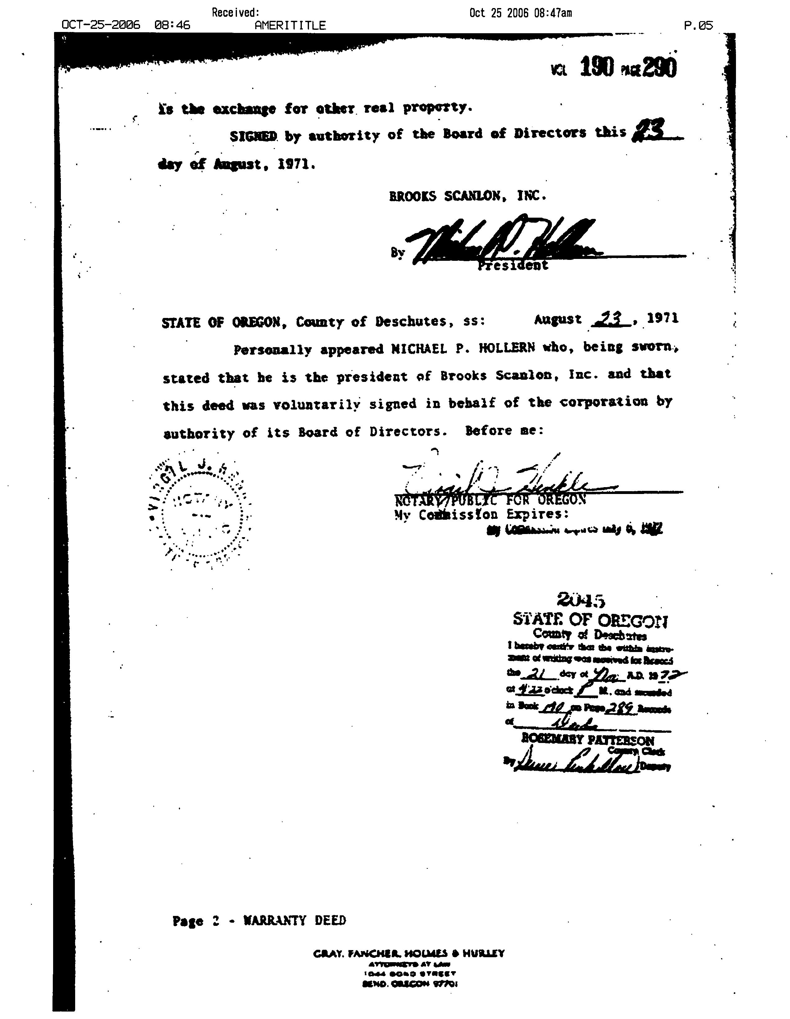
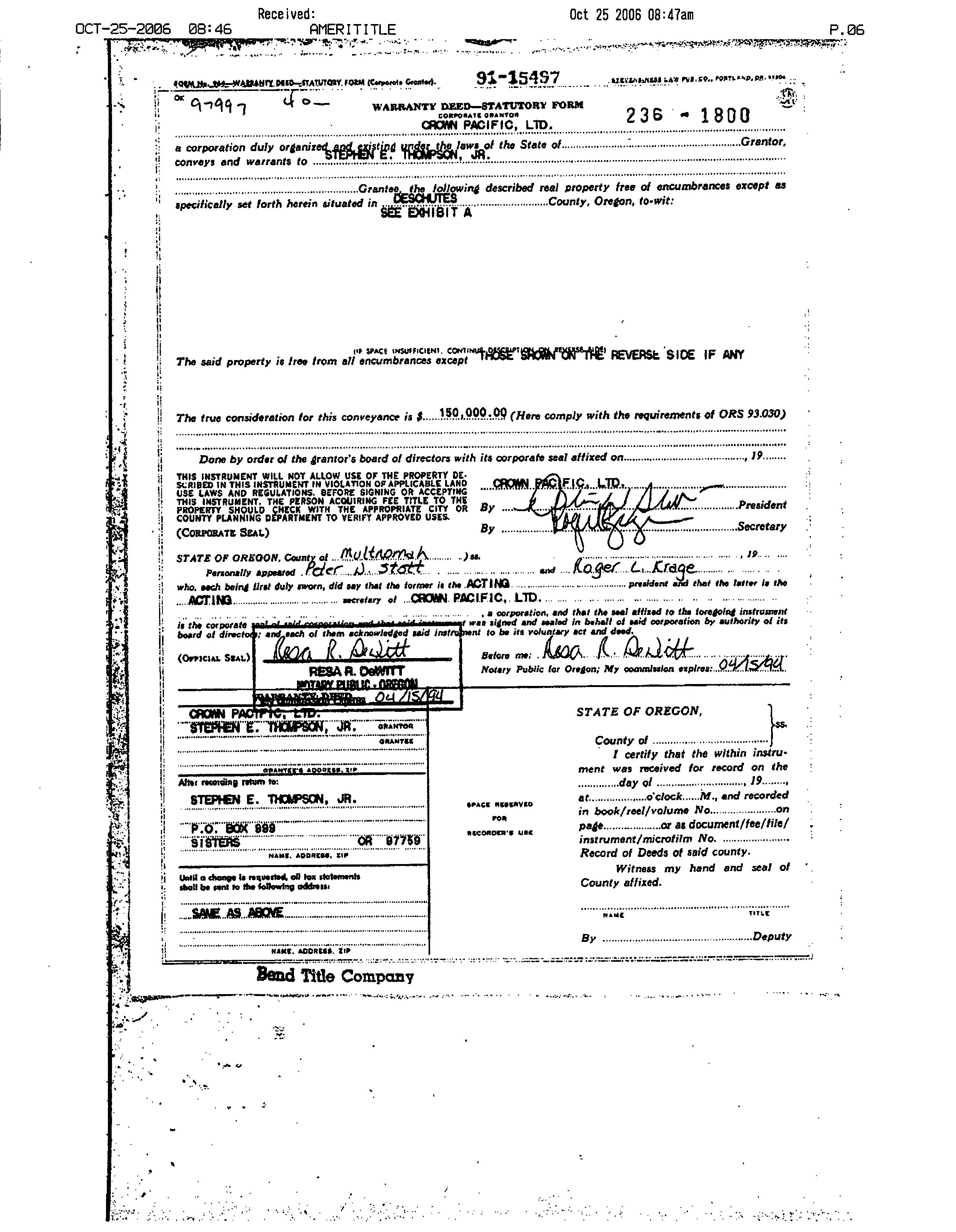
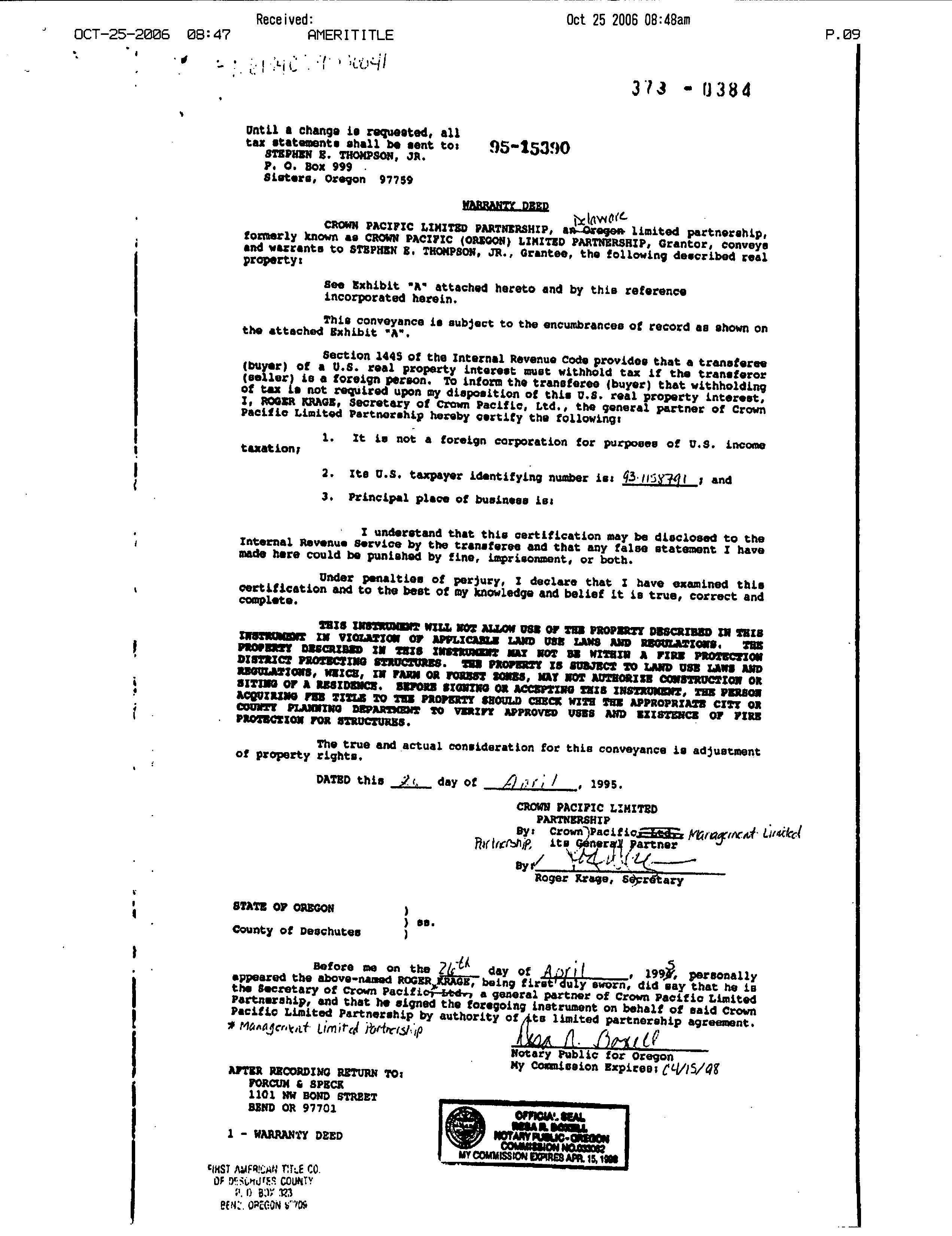
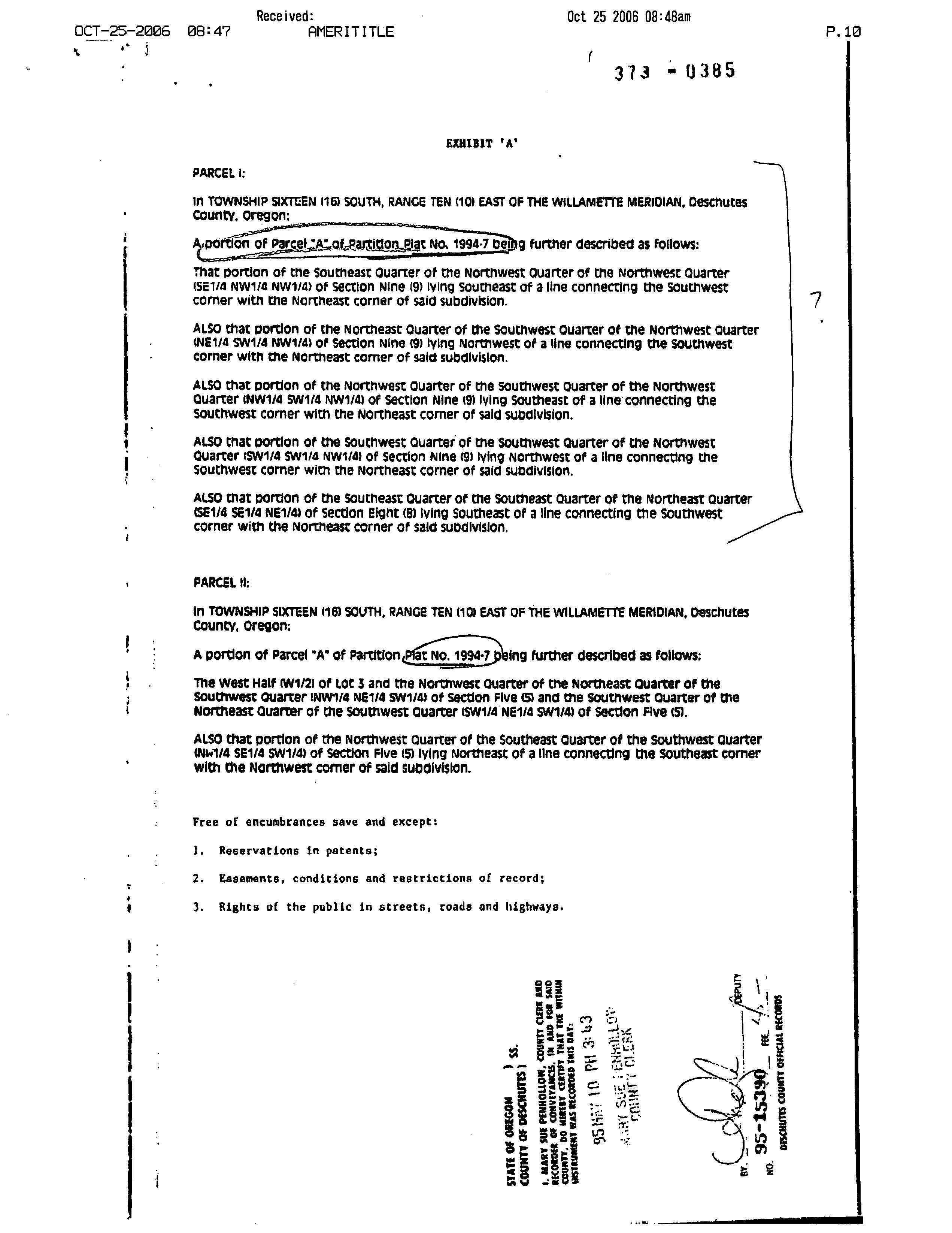
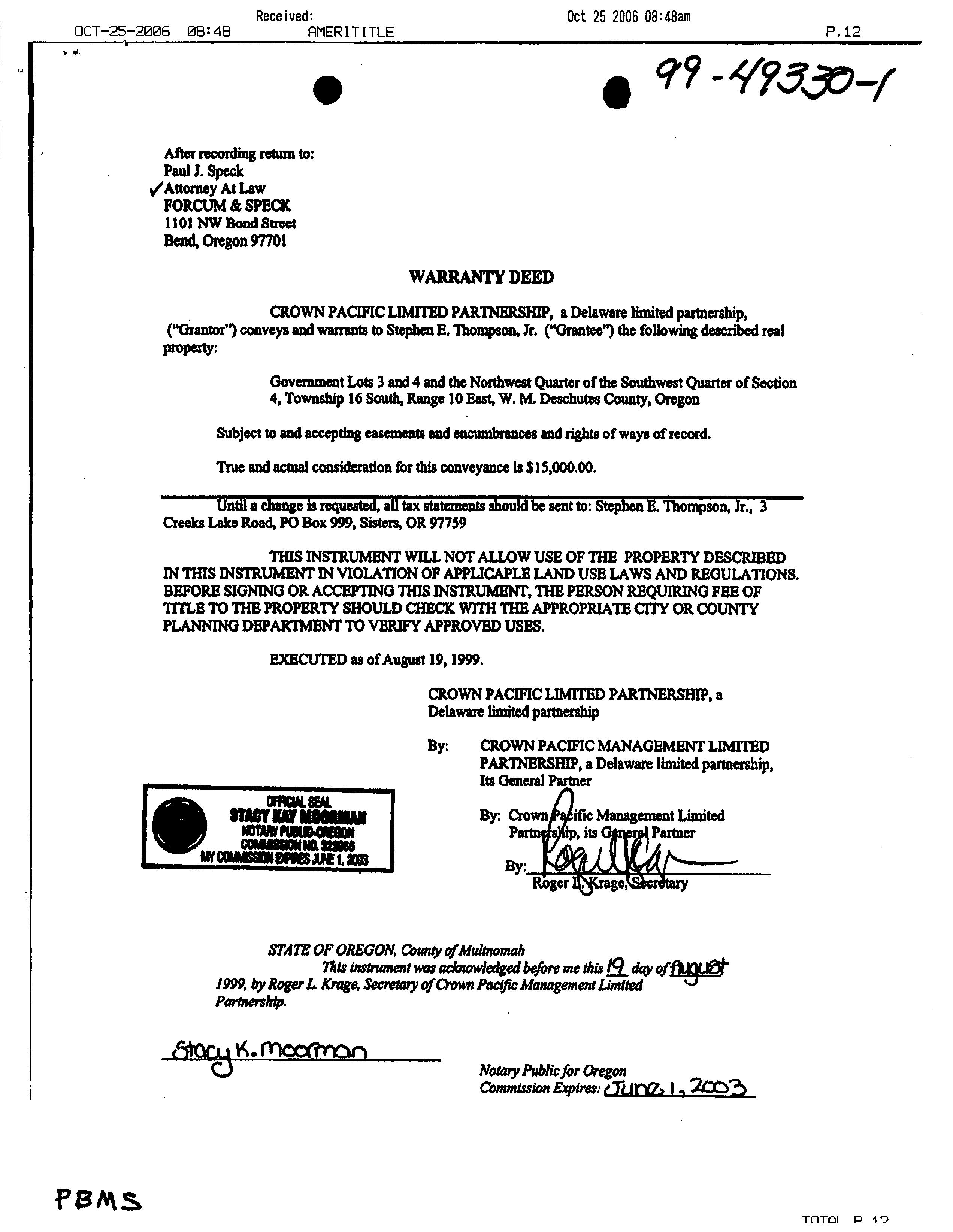
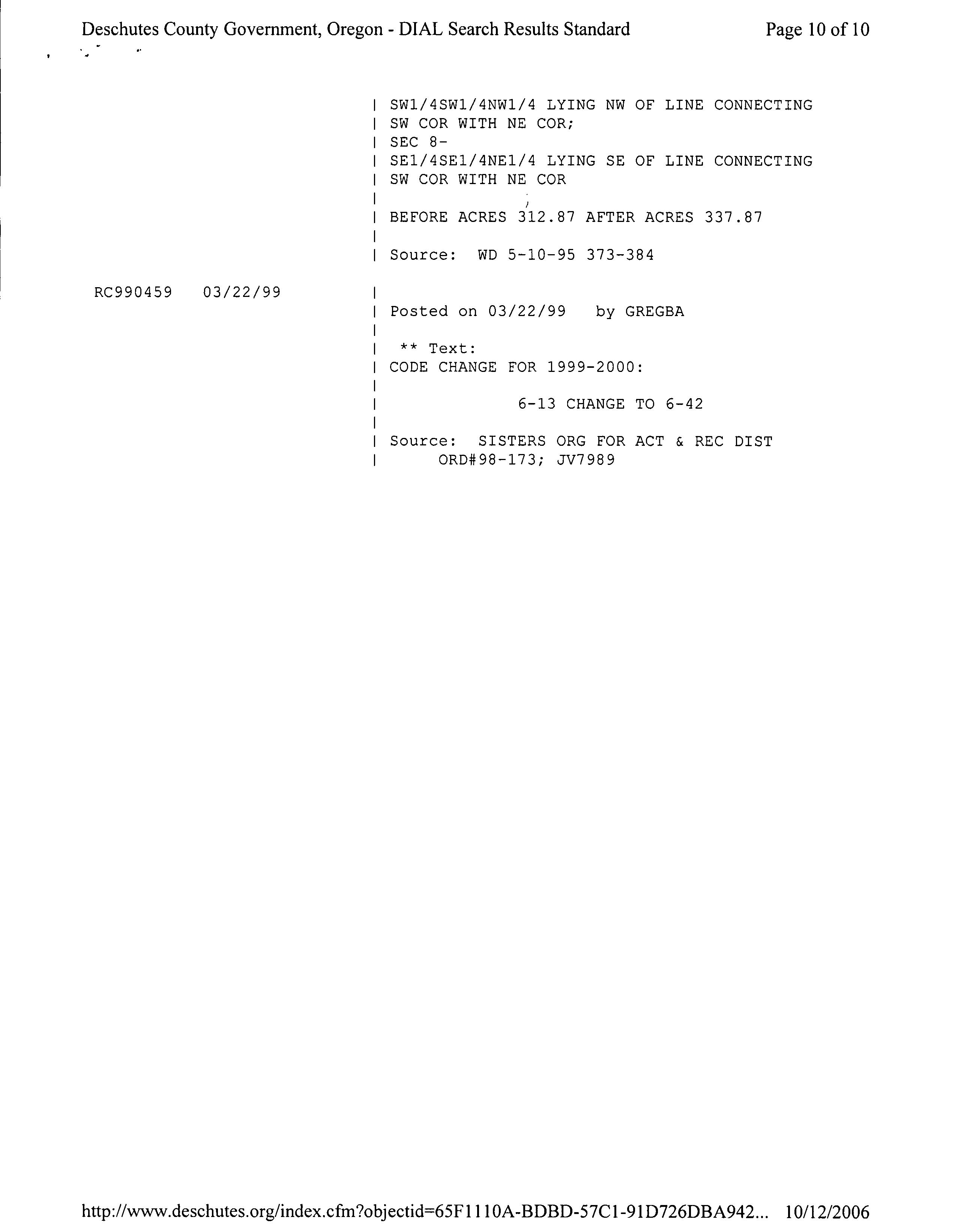
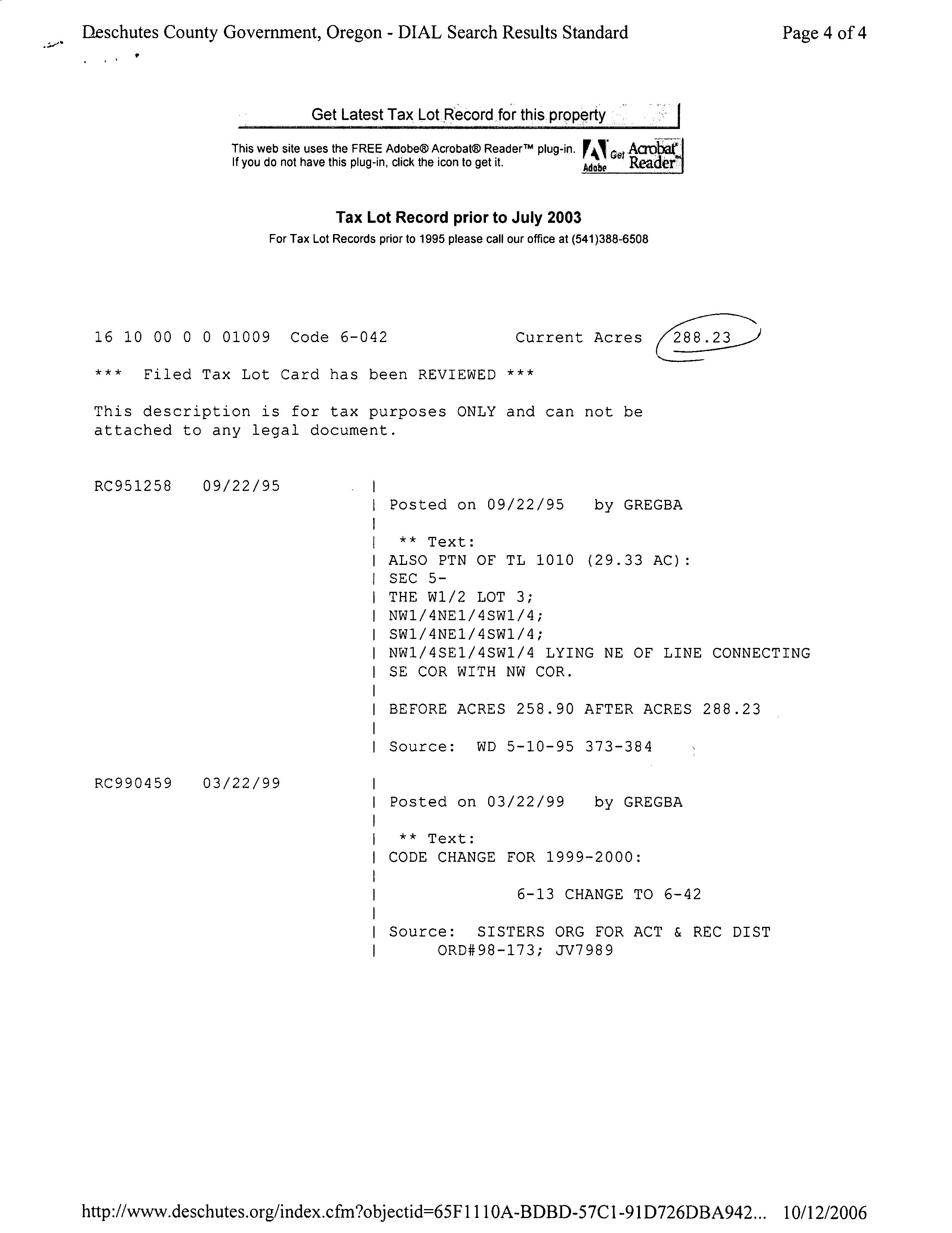
Deschutes County deed records indicate that the claimant acquired an approximately 320 -acre portion of tax lot 400 on October 24, 1968, and small southern portions of tax lot 400 on August 23, 1971, when tax lot 400 was reconfigured. The claimant acquired an approximately 270.23 -acre portion of tax lot 1009 and the approximately 38 -acre extreme eastern portion of tax lot 400 on June 6, 1991. The claimant acquired the approximately 38 -acre western portion of tax lot 1009 on April 26, 1995; and tax lot 300 on August 19, 1999.
On October 24, 1968, and on August 23, 1971, the approximately 320 -acre portion of tax lot 400 ofthe Measure 37 claim property was not subject to any local or state laws that would have prohibited the claimant from establishing at least three lots or parcels and at least three dwellings. The claimant was lawfully permitted to establish more than one dwelling on a tract on his date of acquisition. Therefore, the claimant lawfully could have established on the approximately 320 -acre portion oftax lot 400 acquired on October 24, 1968 the three home sites the claimant may qualify for under Section 6 ofMeasure 49.
On June 6, 1991, the Measure 37 claim property consisted of all oftax lot 400 and the approximately 270.23 -acre portion oftax lot 1009 and was subject to Deschutes County' s acknowledged Forest Use ( F-2) zone. Deschutes County' s F-2 zone required 40 acres for the creation of a new lot or parcel on which a dwelling could be established. The claimant was lawfully permitted to establish more than one dwelling on a tract on June 6, 1991. Tax lot 400 and the approximately 270.23 -acre portion oftax lot 1009 ofthe Measure 37 claim property consisted of 610.1 acres. Therefore, the claimant lawfully could have established on tax lot 400 and the approximately 270.23 -acre portion oftax lot 1009 of the Measure 37 claim property acquired on June 6, 1991, the requested maximum limit of three home sites on his date of acquisition.
On April 26, 1995, the Measure 37 claim property consisted of tax lots 400 and 1009 and was subject to Deschutes County' s acknowledged Forest Use (F-1) zone. Deschutes County' s F- 1 zone required 80 acres for the creation of a new lot or parcel on which a dwelling could be established. The claimant was not lawfully permitted to establish more than one dwelling on a tract on April 26, 1995. The claimant' s property consists of 648. 1 acres that make up a single tract, and is developed with two dwellings. Therefore, the claimant lawfully could not have established on the approximately 38 -acre portion oftax lot 1009 any additional home sites on his date of acquisition. For the same reasons, the claimant could not have lawfully established any additional home sites on tax lot 300 on his date of acquisition on August 19, 1999.
II. COMMENTS ON THE PRELIMINARY EVALUATION
The department issued its Preliminary Evaluation for this claim on January 11, 2010. Pursuant to OAR 660- 041- 0090, the department provided written notice to the owners of surrounding properties. The claimant' s agent submitted a comment stating that tax lots 300 and 1900 are not legal parcels. The analysis above has been modified to reflect this comment; however, the department does not come to a conclusion on this point as a matter of law. The claimant qualifies for three home site approvals and, as stated in Condition 4 of Section VI below, the number of additional lots or parcels the claimant may establish based on these home site approvals is reduced by the number currently existing on both the Measure 37 claim property and contiguous property in the same ownership. If,based on the information available to the department, the department has calculated the number of currently existing lots, parcels or dwellings to be either greater than or less than the number of lots, parcels or dwellings actually in existence on the Measure 37 claim property or contiguous property under the same ownership, then the number of additional lots, parcels or dwellings a claimant may establish pursuant to this home site authorization must be adjusted by Deschutes County according to the methodology stated in Section 6( 2)( b) and 6( 3) of Measure 49.
III. CONCLUSION
Based on the analysis above, the claimant qualifies for up to three home sites on tax lot 400 and the approximately 270. 23 -acre portion of tax lot 1009 of the Measure 37 claim property acquired on June 6, 1991. However, the number of lots, parcels or dwellings that a claimant may establish pursuant to a home site authorization is reduced by the number of lots, parcels or dwellings currently in existence on the Measure 37 claim property and any contiguous property under the same ownership according to the methodology stated in Section 6(2)( b) and 6(3) of Measure 49.
Based on the preliminary analysis, the claimant does not qualify for Measure 49 home site approvals on the western approximately 38 -acre portion of tax lot 1009 or on tax lot 300 because the claimant was not lawfully permitted to establish the lots, parcels or dwellings on those portions of the Measure 37 property on the claimant' s date of acquisition.
Based on the documentation provided by the claimant and information from Deschutes County, the Measure 37 claim property includes one lot or parcel and two dwellings, both ofwhich are located on tax lot 400. There is no contiguous property in the same ownership. Therefore, the three home site approvals the claimant qualifies for under Section 6 of Measure 49 will authorize
the claimant to establish two additional lots or parcels, to authorize or replace his existing dwellings, and to establish one additional dwelling on either tax lot 400 or the approximately 270.23 -acre portion of tax lot 1009 of the Measure 37 claim property acquired on June 6, 1991.
IV. HOME SITE AUTHORIZATION
Based on the analysis set forth above, this claim is approved, and the claimant qualifies for three home site approvals. As explained in section III above, after taking into account the number of existing lots, parcels or dwellings, the claimant is authorized to establish two additional lots or parcels, to authorize or replace his existing dwellings, and to establish one additional dwelling on either tax lot 400 or the approximately 270.23 -acre portion oftax lot 1009 of the Measure 37 claim property acquired on June 6, 1991, on the property on which the claimant is eligible for Measure 49 relief, subject to the following terms:
1. Each dwelling must be on a separate lot or parcel, and must be contained within the property on which the claimant is eligible for Measure 49 relief. The establishment of a land division or dwelling based on this home site authorization must comply with all applicable standards governing the siting or development ofthe land division or dwelling. However, those standards must not be applied in a manner that prohibits the establishment of the land division or dwelling, unless the standards are reasonably necessary to avoid or abate a nuisance, to protect public health or safety, or to carry out federal law.
2. This home site authorization will not authorize the establishment of a land division or dwelling in violation of a land use regulation described in ORS 195.305( 3) or in violation of any other law that is not a land use regulation as defined by ORS 195. 300( 14).
3. A claimant is not eligible for more than 20 home site approvals under Sections 5 to 11 of Measure 49 regardless ofhow many properties a claimant owns or how many claims a claimant filed. Ifthe claimant has developed the limit oftwenty home sites under Measure 49, the claimant is no longer eligible for the home site approvals that are the subject of this order.
4. The number of lots, parcels or dwellings a claimant may establish under this home site authorization is reduced by the number oflots, parcels and dwellings currently in existence on the Measure 37 claim property and contiguous property in the same ownership, regardless ofwhether evidence oftheir existence has been provided to the department. If,based on the information available to the department; the department has calculated the number of currently existing lots, parcels or dwellings to be either greater than or less than the number of lots, parcels or dwellings actually in existence on the Measure 37 claim property or contiguous property under the same ownership, then the number of additional lots, parcels or dwellings a claimant may establish pursuant to this home site authorization must be adjusted according to the methodology stated in Section 6(2)( b) and 6(3) ofMeasure 49. Statements in this fmal order regarding the number of lots, parcels or dwellings currently existing on the Measure 37 claim property and contiguous property are not a determination on the current legal status of those lots, parcels or dwellings.
5. Temporary dwellings are not considered in determining the number ofexisting dwellings currently on the property. The claimant may choose to convert any temporary dwelling currently located on the property on which the claimant is eligible for Measure 49 relief to an authorized home site pursuant to a home site approval. Otherwise, any temporary dwelling is subject to the terms of the local permit requirements under which it was approved, and is subject to removal at the end of the term for which it is allowed.
6. A home site approval only authorizes the establishment ofa new lot, parcel or dwelling on the property on which the claimant is eligible for Measure 49 relief.No additional development is authorized on contiguous property for which no Measure 37 claim was filed or on Measure 37 claim property on which the claimant is not eligible for Measure 49 relief. A lot or parcel established pursuant to a home site approval must either be the site ofa dwelling that is currently in existence or.be the site of a dwelling that may be established pursuant to the home site approval.
7. The claimant may use a home site approval to convert a lot, parcel or dwelling currently located on the property on which the claimant is eligible for Measure 49 reliefto an authorized home site. If the number of lots, parcels or dwellings existing on the property on which the claimant is eligible for Measure 49 relief exceeds the number of home site approvals the claimant qualifies for under a home site authorization, the claimant may select which existing lots, parcels or dwellings to convert to authorized home sites; or may reconfigure existing lots, parcels or dwellings so that the number is equivalent to the number of home site approvals.
8. The claimant maynot implement the reliefdescribed in this Measure 49 home site authorization ifa claimant has been determined to have a common law vested right to a use described in a Measure 37 waiver for the property. Therefore, if a claimant has been determined in a final judgment or final order that is not subject to further appeal to have a common law vested right as described in.Section 5( 3) of Measure 49 to any use on the Measure 37 claim property, then this Measure 49 Home Site Authorization is void. However, so long as no claimant has been determined in such a final judgment or final order to have a common law vested right to a use described in a Measure 37 waiver for the property, a use that has been completed on the property pursuant to a Measure 37 waiver may be converted to an authorized home site.
9. A home site approval does not authorize the establishment of a new dwelling on a lot or parcel that already contains one or more dwellings. The claimant may be required to alter the configuration of the lots or parcels currently in existence on the Measure 37 claim property and contiguous property so that each additional dwelling established on the property on which the claimant is eligible for Measure 49 relief,pursuant to this home site authorization, is sited on a separate lot or parcel.
10. Because the property is located in a forest zone, the home site authorization does not authorize new lots or parcels that exceed five acres. However, existing or remnant lots or parcels may exceed five acres. Before beginning construction, the owner must comply with the requirements ofORS 215.293. Further, the home site authorization will not authorize new
lots or parcels that exceed two acres ifthe new lots or parcels are located on high-value farmland, on high- value forestland or on land within a ground water restricted area. However, existing or remnant lots or parcels may exceed two acres.
11. Because the property is located in a forest zone, Measure 49 requires new home sites to be clustered so as to maximize suitability ofthe remnant lot or parcel for farm or forest use. Further, if an owner ofthe property is authorized by other home site authorizations to subdivide, partition, or establish dwellings on other Measure 37 claim properties, Measure 49 authorizes the owner to cluster some or all of the authorized lots, parcels or dwellings that would otherwise be located on land in an exclusive farm use zone, a forest zone or a mixed farm and forest zone on a single Measure 37 claim property that is zoned residential use or is located in an exclusive farm use zone, a forest zone or a mixed farm and forest zone but is less suitable for farm or forest use than the other Measure 37 claim properties.
12. Ifthe claimant transferred ownership interest in the Measure 37 claim property prior to the date of this order, this order is rendered invalid and authorizes no home site approvals. Provided this order is valid when issued, a home site approval authorized under this order runs with the property and transfers with the property. A home site approval will not expire, except that if a claimant who received this home site authorization later conveys the property to aparty other than the claimant' s spouse or the trustee ofa revocable trust in which the claimant is the settlor, the subsequent owner of the property must establish the authorized lots, parcels and dwellings within 10 years ofthe conveyance. A lot or parcel lawfully created based on this home site authorization will remain a discrete lot or parcel, unless the lot or parcel lines are vacated or the lot or parcel is further divided, as provided by law. A dwelling lawfully created based on a home site approval is a permitted use.
13. To the extent that any law, order, deed, agreement or other legally enforceable public or private requirement provides that the subject property may not be used without a permit, license or other form of authorization or consent, this home site authorization will not authorize the use ofthe property unless the claimant first obtains that permit, license or other form ofauthorization or consent. Such requirements may include, but are not limited to: a building permit, a land use decision, a permit as defined in ORS 215. 402 or 227. 160, other permits or authorizations from local, state or federal agencies, and restrictions on the use of the subject property imposed by private parties.
IT IS HEREBY ORDERED that this Final Order and Home Site Authorization is entered by the Director of the Department of Land Conservation and Development as a final order ofthe department and the Land Conservation and Development Commission under ORS 197. 300 to ORS 195. 336 and OAR 660-041- 0000 to 660-041- 0160.
FOR THE DEPARTMENT AND THE LAND CONSERVATION AND DEVELOPMENT COMMISSION:
Judithoore, Division Manager
Dept. of Lan iconservation and Development
Dated this day ofApril 2010
NOTICE OF RIGHT TO APPEAL OR OTHER JUDICIAL RELIEF
You are entitled, or may be entitled, to judicial remedies including the following:
1. Judicial review is available to anyone who is an owner of the property as defined in Measure 49 that is the subject of this final determination, or a person who timely submitted written evidence or comments to the department concerning this final determination.
2. Judicial review under ORS 183.484 may be obtained by filing a petition for review within 60 days from the service ofthis order. A petition forjudicial review under ORS 183.484 must be filed in the Circuit Court in the county in which the affected property is located. Upon motion of any party to the proceedings, the proceedings may be transferred to any other county with jurisdiction under ORS 183.484 in the manner provided by law for change ofvenue.
3. Judicial review of this final determination is limited to the evidence in the record ofthe department at the time of its fmal determination. Copies of the documents that comprise the record are available for review at the department' s office at 635 Capitol St. NE, Suite 150, Salem, OR 97301- 2540. Judicial review is only available for issues that were raised before the department with sufficient specificity to afford the department an opportunity to respond.
SITUS 67500 THREE CREEKS RD
HOUSE# 67500
STREET THREE CREEKS
Theodore R. Kulongoski, Governor
January 11, 2010
To: Claimant
From: Richard Whitman, Director
Department of Land Conservation and Development
Measure 49 Development Services Division
635 Capitol Street, Suite 150 Salem, Oregon 97301- 2540
Phone: ( 503) 373- 0050
Fax: ( 503) 378- 5318
http:// www.oregon.gov/LCD/MEASURE49
Re: Ballot Measure 49 ( ORS 195.300 to 195.336) Election Number E131123
Claimant: Stephen E. Thompson
Enclosed is the Department of Land Conservation and Development' s( department) Preliminary Evaluation for the above -referenced Measure 49 election, based on the Supplemental Review of the claimant' s Measure 37 claim.
This Preliminary Evaluation sets forth the department' s preliminary analysis ofthe department' s Supplemental Review of the claim under Measure 49 and is not a final decision. Oregon Administrative Rule 660-041- 0090(3) requires the department to mail notice ofthe Preliminary Evaluation to the claimant, the claimant' s authorized agent, the county with land use jurisdiction over the Measure 37 claim property, and to any owner who is an owner ofrecord ofreal property located either within 250 feet of the Measure 37 claim property, if the Measure 37 claim property is not within a farm or forest zone, or within 750 feet ofthe Measure 37 claim property if it is located in a farm or forest zone, and to any neighborhood or community organization( s) whose boundaries include any portion ofthe Measure 37 claim property or that has made a written request for a copy of the Preliminary Evaluation.
A claimant or the claimant' s authorized agent, a county and any third party may submit written comments, evidence and information in response to the Preliminary Evaluation no more than twentyeight (28) days after the date of this Preliminary Evaluation. All materials and written responses must identify the claim number and be mailed or delivered to: Supplemental Measure 49 Claim Review, 635 Capitol Street NE, Suite 150, Salem, OR 97301- 2540, and will be deemed timely filed either ( 1) ifactually delivered to the department before the close of business on the final eligible calendar day, or (2) if mailed on or before the final eligible calendar day. Comments submitted electronically or by facsimile will not be accepted.
The department will then mail a copy of all comments timely filed, ifany are received, to you and your authorized agent. You or your authorized agent may then submit written comments in response to any comments submitted by a third party or county. Your response must be filed as provided in OAR 660-041- 0100 within twenty-one (21) days after the date the department mailed any comments to you and your authorized agent. The department will review all responses submitted, and a final decision on the claim will be issued after such review. Please note that if no third party or county comments are filed in response to the Preliminary Evaluation, the department w CAWED proceed to prepare and issue a final decision.
JAN 1 3 2010
ORS 195.300 to ORS 195.336 (MEASURE 49) SUPPLEMENTAL REVIEW OF MEASURE 37 CLAIM
Preliminary Evaluation
January 11, 2010
STATE ELECTION NUMBER: E131123
CLAIMANT: MEASURE 37 PROPERTY IDENTIFICATION:
AGENT CONTACT INFORMATION:
Stephen E. Thompson PO Box 999 Sisters, OR 97759
Township 16S, Range 10E: Sections 4, 5, 8 and 9, Tax lot 400 Section 4, Tax lot 300 Sections 5 and 8, 1009 Deschutes County
Robert S. Lovlien Bryant, Lovlien & Jarvis, PC PO Box 880 Bend, OR 97709
I. ELECTION
The claimant, Stephen E. Thompson, filed a claim with the state under ORS 197. 352 ( 2005) Measure 37) on November 22, 2006, for property located at 67500 Three Creeks Road, near Sisters, in Deschutes County. ORS 195. 300 to ORS 195. 336 ( Measure 49) entitles claimants who filed Measure 37 claims to elect supplemental review of their claims. The claimant has elected supplemental review of his Measure 37 claim under Section 6 of Measure 49, which allows the Department of Land Conservation and Development (the department) to authorize up to three home site approvals to qualified claimants.
II. SUMMARY OF PRELIMINARY EVALUATION
Based on the department' s preliminary analysis, it appears that the claimant is qualified for up to three home site approvals on tax lot 400 and the approximately 270.23 -acre portion of tax lot 1009 ofthe Measure 37 claim property acquired on June 6, 1991. The claimant' s property, including both the Measure 37 claim property and all contiguous property in the same ownership, currently appears to consist of three lots or parcels, which are developed with two
dwellings, both ofwhich are located on tax lot 400. After taking into account the number oflots, parcels and dwellings currently located on the Measure 37 claim property and the contiguous property under the same ownership, it appears that the home site approvals will allow the claimant to authorize or replace their existing dwellings, establish no additional lots or parcels and establish one additional dwelling on tax lot 400 or the approximately 270.23 -acre portion of tax lot 1009 of the Measure 37 claim property acquired on June 6, 1991. The claimant will be required to alter the configuration ofthe lots or parcels currently in existence on the Measure 37 claim property and contiguous property ifhe intends to authorize his exiting dwellings and establish one additional dwelling, so that each dwelling is sited on a separate lot or parcel and that the total number of lots or parcels located on the Measure 37 claim property and contiguous property does not exceed three.
Based on the department' s preliminary analysis, it appears that the claimant is not eligible for any relief under Measure 49 on tax lot 300 or on the western approximately 38 -acre portion of tax lot 1009 acquired on April 26, 1995 because the claimant would not have been lawfully permitted to establish any additional home sites when he acquired those portions of the property.
III. THE MAXIMUM NUMBER OF HOME SITE APPROVALS FOR WHICH THE CLAIMANT MAY QUALIFY
Under Section 6 of Measure 49, the number ofhome site approvals authorized by the department cannot exceed the lesser of the following: three; the number stated by the claimant in the election materials; or the number described in a Measure 37 waiver issued by the state, or if no waiver was issued, the number of home sites described in the Measure 37 claim filed with the state. The claimant has requested three home site approvals in the election material. No waiver was issued for this claim. The Measure 37 claim filed with the state describes more than three home sites. Therefore, the claimant may qualify for a maximum of three home site approvals under Section 6 of Measure 49.
IV.
1. Preliminary Analysis
To qualifyfor a home site approval under Section 6 ofMeasure 49, a claimant must have filed a Measure 37 claim for the property with either the state or the county in which the property is located on or before June 28, 2007, and must have filed a Measure 37 claim with both the state and the county before Measure 49 became effective on December 6, 2007. Ifthe state Measure 37 claim was filed after December 4, 2006, the claim must also have been filed in compliance with the provisions of OAR 660- 041- 0020 then in effect.
The claimant, Stephen Thompson, filed a Measure 37 claim, M131123, with the state on November 22, 2006. The claimant filed a Measure 37 claim, M37- 06- 141, with Deschutes County on November 21, 2006. The state claim was filed prior to December 4, 2006.
It appears that the claimant timely filed a Measure 37 claim with both the state and Deschutes County.
In addition to filing a claim with both the state and the county in which the property is located, to qualify for a home site approval under Section 6 ofMeasure 49 the claimant must establish each ofthe following:
a) The Claimant is an Owner of the Property
Measure 49 defines " Owner" as: "( a) The owner of fee title to the property as shown in the deed records ofthe county where the property is located;. (b) The purchaser under a land sale contract, if there is a recorded land sale contract in force for the property; or (c) Ifthe property is owned by the trustee of a revocable trust, the settlor of a revocable trust, except that when the trust becomes irrevocable only the trustee is the owner."
According to the deeds submitted by the claimant, Stephen Thompson is the owner of fee title to the property as shown in the Deschutes County deed records and, therefore, is an owner ofthe property under Measure 49.
b) All Owners of the Property Have Consented in Writing to the Claim
It appears that the claimant is the sole owner of the property. Therefore, no additional consent is required.
c) The Measure 37 Claim Property Is Located Entirely Outside Any Urban Growth Boundary and Entirely Outside the Boundaries ofAny City
The Measure 37 claim property is located in Deschutes County, outside the urban growth boundary and outside the city limits ofthe nearest city, Sisters.
d) One or More Land Use Regulations Prohibit Establishing the Lot, Parcel or Dwelling
As stated in Section III above, the claimant may qualify for up to three home site approvals.
The property is currently zoned Forest ( F- 1) by Deschutes County, in accordance with ORS chapter 215 and OAR 660, division 6, because the property is " forest land" under Goal 4. Applicable provisions of ORS chapter 215 and OAR 660 division 6, enacted or adopted pursuant to Goal 4, generally prohibit the establishment of a lot or parcel less than 80 acres in size in a forest zone. Those provisions also regulate the establishment of dwellings on new or existing lots or parcels and include restrictions on establishing more than one dwelling on a single tract.
The claimant' s property consists of 648. 1 acres that make up a single tract. Therefore, state land use regulations prohibit the claimant from establishing on the Measure 37 claim property the three home sites the claimant may qualify for under Section 6 of Measure 49.
e) The Establishment of the Lot, Parcel or Dwelling Is Not Prohibited by a Land Use Regulation Described in ORS 195. 305( 3)
ORS 195. 305( 3) exempts from claims under Measure 49 land use regulations:
a) Restricting or prohibiting activities commonly and historically recognized as public nuisances under common law;
b) Restricting or prohibiting activities for the protection of public health and safety;
c) To the extent the land use regulation is required to comply with federal law; or
d) Restricting or prohibiting the use of a property for the purpose of selling pornography or performing nude dancing.
Based on the documentation submitted by the claimant, it does not appear that the establishment ofthe three home sites for which the claimant may qualify on the property would be prohibited by land use regulations described in ORS 195.305( 3).
f) On the Claimant' s Acquisition Date, the Claimant Lawfully Was Permitted to Establish at Least the Number of Lots, Parcels or Dwellings on the Property That Are Authorized Under Section 6 of Measure 49
A claimant' s acquisition date is " the date the claimant became the owner of the property as shown in the deed records ofthe county in which the property is located. Ifthere is more than one claimant for the same property under the same claim and the claimants have different acquisition dates, the acquisition date is the earliest of those dates."
Deschutes County deed records indicate that the claimant acquired an approximately 320 -acre portion of tax lot 400 on October 24, 1968 and small southern portions of tax lot 400 on August 23, 1971 when tax lot 400 was reconfigured. The claimant acquired an approximately 270.23acre portion of tax lot 1009 and the approximately 38 -acre extreme eastern portion of tax lot 400 on June 6, 1991. The claimant acquired the approximately 38 -acre western portion oftax lot 1009 on April 26, 1995; and tax lot 300 on August 19, 1999.
On October 24, 1968 and on August 23, 1971, the approximately 320 -acre portion of tax lot 400 ofthe Measure 37 claim property was not subject to any local or state laws that would have prohibited the claimant from establishing at least three lots or parcels and at least three dwellings. The claimant was lawfully permitted to establish more than one dwelling on a tract on his date of acquisition. Therefore, the claimant lawfully could have established on the approximately 320 -acre portion oftax lot 400 acquired on October 24, 1968 the three home sites the claimant may qualify for under Section 6 of Measure 49.
On June 6, 1991, the Measure 37 claim property consisted of all of tax lot 400 and the approximately 270.23 -acre portion oftax lot 1009 and was subject to Deschutes County' s acknowledged Forest Use ( F- 2) zone. Deschutes County' s F-2 zone required 40 acres for the creation of a new lot or parcel on which a dwelling could be established. The claimant was lawfully permitted to establish more than one dwelling on a tract on June 6, 1991. Tax lot 400
and the approximately 270. 23 -acre portion of tax lot 1009 of the Measure 37 claim property consisted of 610. 1 acres. Therefore, the claimant lawfully could have established on tax lot 400 and the approximately 270.23 -acre portion of tax lot 1009 of the Measure 37 claim property acquired on June 6, 1991 the requested maximum limit of three home sites on his date of acquisition.
On April 26, 1995, the Measure 37 claim property consisted oftax lots 400 and 1009 and was subject to Deschutes County' s acknowledged Forest Use ( F- 1) zone. Deschutes County' s F- 1 zone required 80 acres for the creation of a new lot or parcel on which a dwelling could be established. The claimant was not lawfully permitted to establish more than one dwelling on a tract on April 26, 1995. The claimant' s property consists of 648. 1 acres that make up a single tract, and is developed with two dwellings. Therefore, the claimant lawfully could not have established on the approximately 38 -acre portion oftax lot 1009 any additional home sites on his date ofacquisition. For the same reasons, the claimant could not have lawfully established any additional home sites on tax lot 300 on his date of acquisition on August 19, 1999.
2. Preliminary Conclusion
Based on the preliminary analysis, it appears that the claimant, Stephen Thompson, qualifies for up to three home site approvals under Section 6 of Measure 49 on tax lot 400 and the approximately 270.23 -acre portion of tax lot 1009 of the Measure 37 claim property acquired on June 6, 1991.
Based on the preliminary analysis, the claimant does not qualify for Measure 49 home site approvals on the western approximately 38 -acre portion oftax lot 1009 or on tax lot 300 because the claimant was not lawfully permitted to establish the lots, parcels or dwellings on those portions of the Measure 37 property on the claimant' s date of acquisition.
V. NUMBER OF LOTS, PARCELS OR DWELLINGS ON OR CONTAINED WITHIN THE PROPERTY
The number of lots, parcels or dwellings that a claimant is authorized to establish pursuant to a home site authorization is reduced by the number oflots, parcels or dwellings currently in existence on the Measure 37 claim property and any contiguous property under the same ownership according to the methodology stated in Section 6(2)( b) and 6(3) of Measure 49. However, if a claimant otherwise qualifies for relief under Section 6 of Measure 49, the claimant will be able to establish at least one additional lot, parcel or dwelling, regardless of the number of lots, parcels or dwellings currently in existence.
Based on the documentation provided by the claimant and information from Deschutes County, the Measure 37 claim property appears to currently include three lots or parcels and two dwellings, both of which are located on tax lot 400. There is no contiguous property in the same ownership. Therefore, the three home site approvals the claimant appears to qualify for under Section 6 of Measure 49 will allow the claimant to establish no additional lots or parcels, to authorize or replace his existing dwellings, and to establish one additional dwelling on either tax lot 400 or the approximately 270.23 -acre portion of tax lot 1009 of the Measure 37 claim
property acquired on June 6, 1991. The additional dwelling must be on a separate lot or parcel, and must be contained within the Measure 37 claim property. The claimant will be required to alter the configuration of the lots or parcels currently in existence on the Measure 37 claim property if he intends to authorize or replace his exiting dwellings and establish one additional dwelling, so that each dwelling is sited on a separate lot or parcel and that the total number of lots or parcels located on the Measure 37 claim property and contiguous property does not exceed three.
VI. PRELIMINARY STATEMENT OF PROPOSED LIMITATIONS AND CONDITIONS ON THE NUMBER AND SCOPE OF HOME SITE APPROVALS
The department has identified the following limitations and conditions that may affect the number or scope of the home site approvals that the claimant would otherwise be entitled to under Section 6 of Measure 49. This list may not be comprehensive and does not preclude the possibility that other considerations, not yet identified by the department, may affect the establishment of a land division or dwelling authorized by a home site approval.
1. The establishment of a land division or dwelling based on a Measure 49 home site authorization must comply with all applicable standards governing the -siting or development of the land division or dwelling. However, those standards must not be applied in a manner that prohibits the establishment ofthe land division or dwelling, unless the standards are reasonably necessary to avoid or abate a nuisance, to protect public health or safety, or to carry out federal law.
2. A home site authorization will not authorize the establishment ofa land division or dwelling in violation of a land use regulation described in ORS 195.305(3) or in violation of any other law that is not a land use regulation as defined by ORS 195. 300( 14).
3. A claimant is not eligible for more than 20 home site approvals under Sections 5 to 11 of Measure 49 regardless of how many properties a claimant owns or how many claims a claimant filed.
4. The number of lots, parcels or dwellings a claimant may establish under a Measure 49 home site authorization is reduced by the number of lots, parcels and dwellings currently in existence on the Measure 37 claim property and contiguous property in the same ownership, regardless of whether evidence of their existence has been provided to the department. If, based on the information available to the department, the department has calculated the number of currently existing lots, parcels or dwellings to be either greater than or less than the number of lots, parcels or dwellings actually in existence on the Measure 37 claim property or contiguous property under the same ownership, then the number of additional lots, parcels or dwellings a claimant may establish pursuant to this home site authorization must be adjusted according to the methodology stated in Section 6(2)( b) and 6(3) of Measure 49. Statements in this preliminary evaluation regarding the number of lots, parcels or dwellings currently existing on the Measure 37 claim property and contiguous property are not a determination on the current legal status of those lots, parcels or dwellings.
5. Temporary dwellings are not considered in determining the number of existing dwellings currently on the property. The claimant may choose to convert any temporary dwelling currently located on the property on which the claimant is eligible for Measure 49 relief to an authorized home site pursuant to a Measure 49 home site approval. Otherwise, any temporary dwelling is subject to the terms of the local permit requirements under which it was approved, and is subject to removal at the end of the term for which it is allowed.
6. A home site approval only authorizes the establishment of a new lot, parcel or dwelling on property on which the claimant is eligible for Measure 49 relief. No additional development is authorized on contiguous property for which no Measure 37 claim was filed or on Measure 37 claim property on which a claimant is not eligible for Measure 49 relief. A lot or parcel established pursuant to a home site approval must either be the site ofa dwelling that is currently in existence or be the future site of a dwelling that may be established pursuant to the home site approval.
7. The claimant may use a home site approval to convert a lot, parcel or dwelling currently located on the property on which the claimant is eligible for Measure 49 relief to an authorized home site. If the number of lots, parcels or dwellings existing on the property on which the claimant is eligible for Measure 49 relief exceeds the number of home site approvals the claimant qualifies for under a home site authorization, the claimant may select which existing lots, parcels or dwellings to convert to authorized home sites; or may . reconfigure existing lots, parcels or dwellings so that the number is equivalent to the number of home site approvals.
8. The claimant may not implement the relief described in a Measure 49 Home Site Authorization if a claimant has been determined to have a common law vested right to a use described in a Measure 37 waiver for the property. Therefore, if a claimant has been determined in a final judgment or final order that is not subject to further appeal to have a common law vested right as described in section 5( 3) of Measure 49 to any use on the Measure 37 claim property, then any Measure 49 Home Site Authorization for the property will be void. However, so long as no claimant has been determined in such a final judgment or final order to have a common law vested right to a use described in a Measure 37 waiver for the property, a use that has been completed on the property pursuant to a Measure 37 waiver may be converted to an authorized home site.
9. A home site approval does not authorize the establishment of a new dwelling on a lot or parcel that already contains one or more dwellings. The claimant may be required to alter the configuration ofthe lots or parcels currently in existence on the Measure 37 claim property and contiguous property so that each additional dwelling established on the property on which the claimant is eligible for Measure 49 relief, pursuant to a home site approval, is sited on a separate lot or parcel.
10. Because the property is located in a forest zone, the home site authorization will not authorize new lots or parcels that exceed five acres. However, existing or remnant lots or parcels may exceed five acres. Before beginning construction in one ofthese zones, the owner must comply with the requirements of ORS 215. 293. Further, the home site
authorization will not authorize new lots or parcels that exceed two acres if the new lots or parcels are located on high- value farmland, on high- value forestland or on land within a ground water restricted area. However, existing or remnant lots or parcels may exceed two acres.
11. Because the property is located a forest zone, Measure 49 requires new home sites to be clustered so as to maximize suitability of the remnant lot or parcel for farm or forest use. Further, if an owner ofthe property is authorized by other home site approvals to subdivide, partition, or establish dwellings on other Measure 37 claim properties, Measure 49 authorizes the owner to cluster some or all of the authorized lots, parcels or dwellings that would otherwise be located on land in an exclusive farm use zone, a forest zone or a mixed farm and forest zone on a single Measure 37 claim property that is zoned residential use or is located in an exclusive farm use zone, a forest zone or a mixed farm and forest zone but is less suitable for farm or forest use than the other Measure 37 claim properties.
12. Once the department issues a final home site authorization, a home site approval granted under that authorization will run with the property and will transfer with the property. A home site approval will not expire, except that if a claimant who received a home site authorization later conveys the property to a party other than the claimant' s spouse or the trustee of a revocable trust in which the claimant is the settlor, the subsequent owner of the property must establish the authorized lots, parcels and dwellings within 10 years of the conveyance. A lot or parcel lawfully created based on the home site authorization will remain a discrete lot or parcel, unless the lot or parcel lines are vacated or the lot or parcel is further divided, as provided by law. A dwelling lawfully created based on a home site approval is a permitted use.
VII. NOTICE OF OPPORTUNITY TO COMMENT
A claimant or a claimant' s authorized agent, a county and any third party may submit written comments, evidence and information in response to the preliminary evaluation. The comments, evidence and information must be filed with the department no more than twenty-eight (28) calendar days after the date this evaluation is mailed to the claimant and the claimant' s agent and notice of this evaluation is mailed to third parties.
The department will mail a copy of all materials timely filed by a county or a third party with the department to the claimant and the claimant' s agent. A claimant or a claimant' s authorized agent may then file written comments, evidence or information in response to the materials filed by the third party or county. That response must be filed no more than twenty- one ( 21) calendar days after the date the department mails the materials to the claimant and the claimant' s authorized agent.
All comments, evidence and information in response to the preliminary evaluation and all responses to materials filed by a third party or a county shall be delivered to Supplemental Measure 49 Claim Review, 635 Capitol Street NE, Suite 150, Salem, Oregon 97301- 2540 and will be deemed timely filed either ( 1) if actually delivered to the department before the close of business on the final eligible calendar day, or (2) if mailed on or before the final eligible calendar day.
Note: Please reference the claim number and claimant name and clearly mark your comments as " Preliminary Evaluation Comments." Comments must be submitted in original written form only. Comments submitted electronically or by facsimile will not be accepted.
CDD COVER SHEET FOR
04/ 30/ 2008 10: 35: 51
DIVISION OT
SITUS 67500 THREE CREEKS RD
HOUSE# 67500
STREET THREE CREEKS
CONTENT M3706141 M49 Election Form
RECORD ID M3706141
LOCATED IN DATE FILE Cover Sheet Identifier
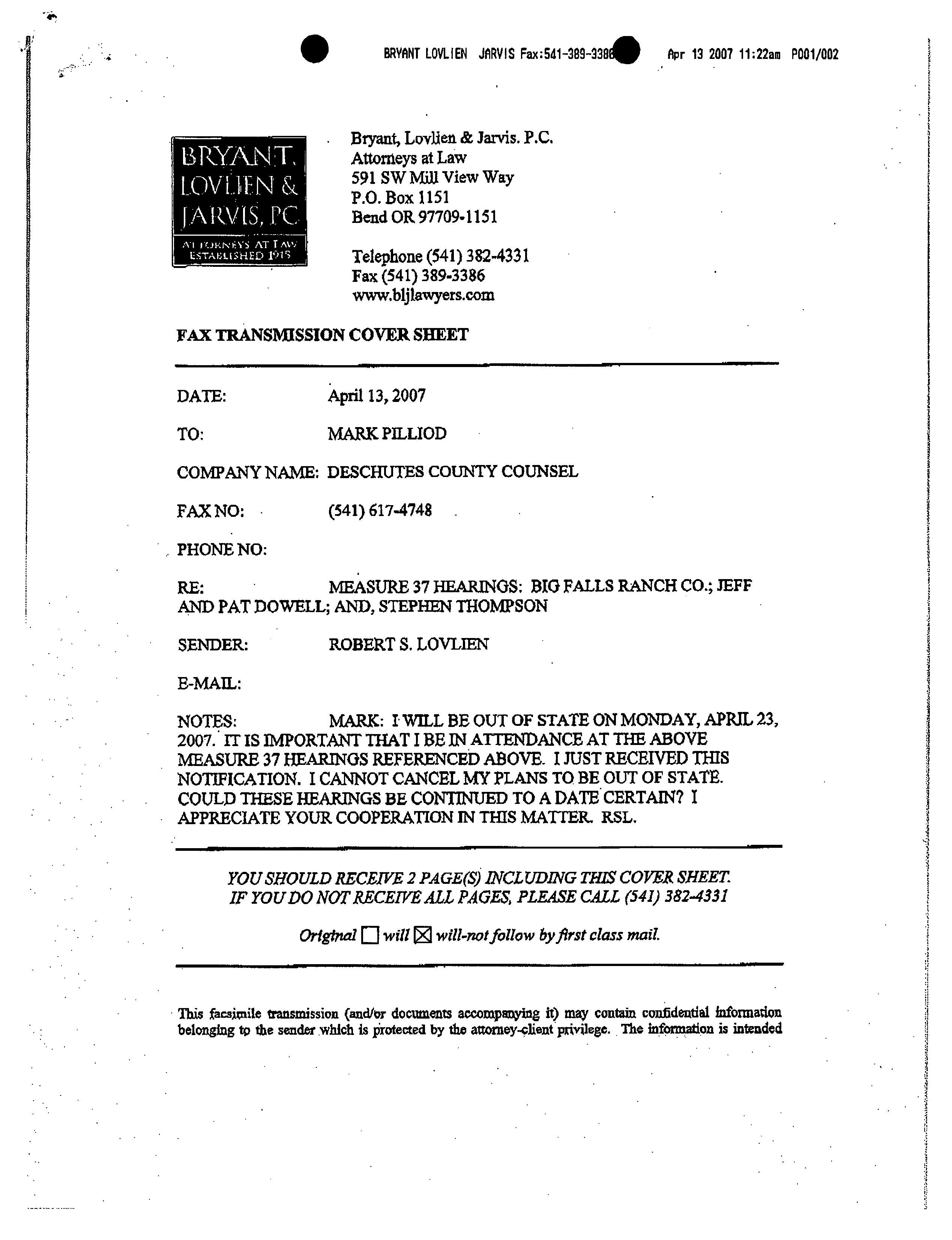
BRYANT, LOVLIEN & JARVIS, PC
ATTORNEYS AT LAW
ESTABLISHED 1915
Neil R. Bryant
Robert S. Lovlien
John A. Berge
Sharon R. Smith
John D. Sorlie
Mark G. Reinecke
Melissa P. Lande
Kitri C. Ford
Paul J. Taylor
Christopher A. Bagley
Kyle D. Wuepper
Jeremy M. Green
Helen L. Eastwood
Leanne Ryan-Nokell
BEND
591 S.W. Mill View Way
Mail: P.O. Box 880
Bend, Oregon 97709
Phone: (541) 382-4331
Fax: ( 541) 389- 3386
WW W.BLJLAWYERS. COM
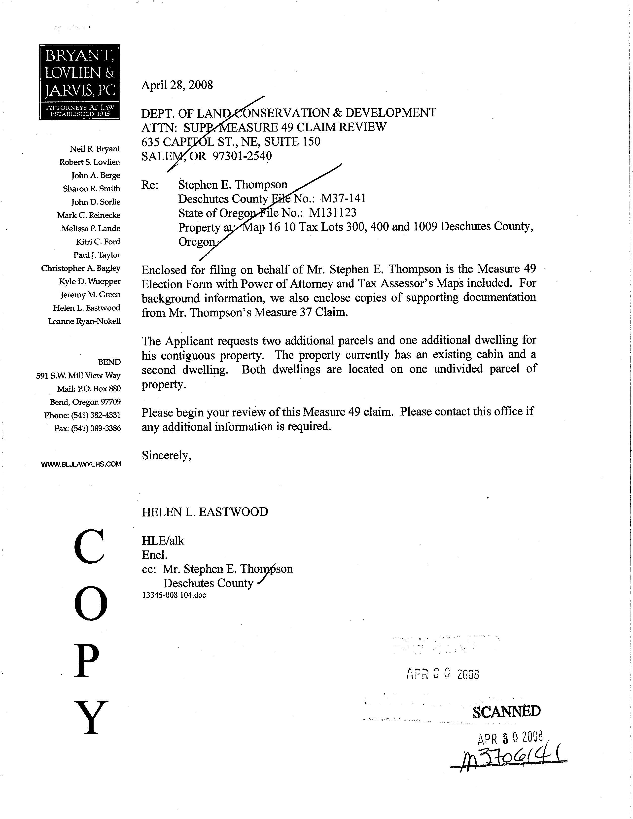
April 28, 2008
DEPT. OF LAND
ATTN: SUP 635 CAPI SALE
ONSERVATION & DEVELOPMENT
EASURE 49 CLAIM REVIEW L ST., NE, SUITE 150 OR 97301- 2540
Re: Stephen E. Thompson
Deschutes County No.: M37- 141
State of Orego . " Ile No.: M131123
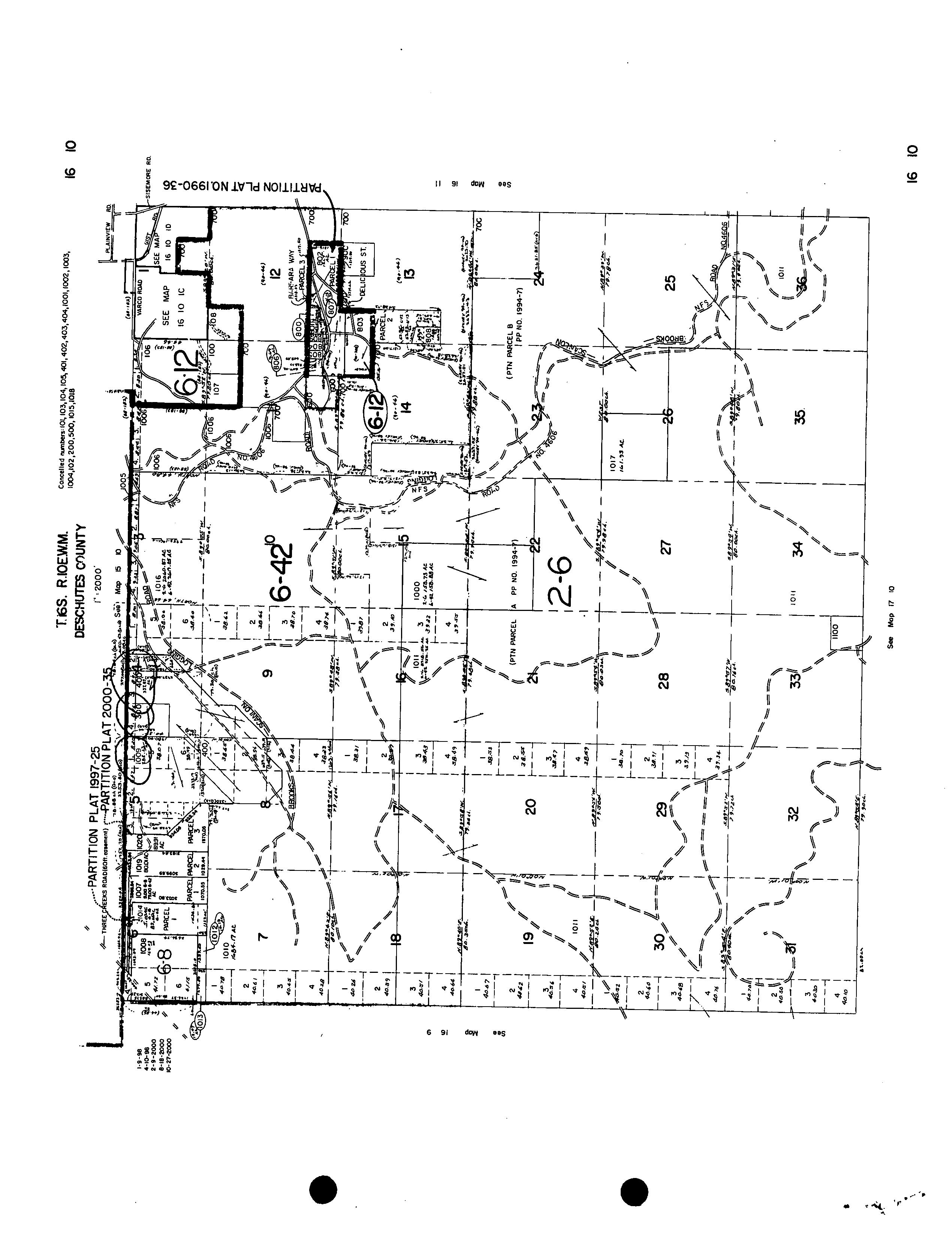
Property a • ap 16 10 Tax Lots 300, 400 and 1009 Deschutes County, Orego
Enclosed for filing on behalf of Mr. Stephen E. Thompson is the Measure 49 Election Form with Power of Attorney and Tax Assessor' s Maps included. For background information, we also enclose copies of supporting documentation from Mr. Thompson' s Measure 37 Claim.
The Applicant requests two additional parcels and one additional dwelling for his contiguous property. The property currently has an existing cabin and a second dwelling. Both dwellings are located on one undivided parcel of property.
Please begin your review of this Measure 49 claim. Please contact this office if any additional information is required.
Sincerely,
HELEN L. EASTWOOD
HLE/alk
Encl.
cc: Mr. Stephen E. Thor} son
Deschutes County 13345-008 104.doc
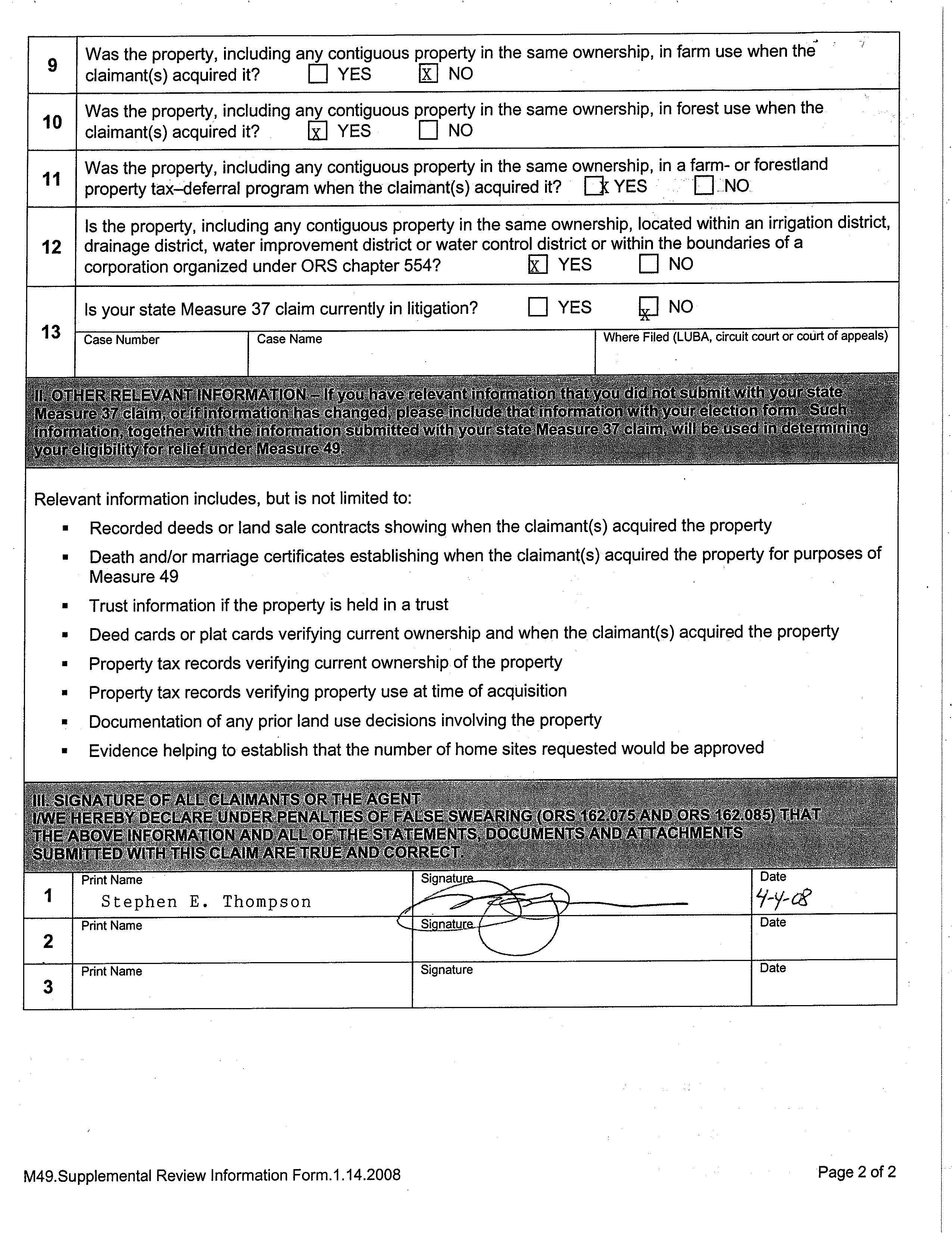
Measure 49 Supplemental Review Information Form
Was the property, including any contiguous property in the same ownership, in farm use when the claimant( s) acquired it? YES X NO
Was the property, including any contiguous property in the same ownership, in forest use when the claimant( s) acquired it? ® YES NO
Was the property, including any contiguous property in the same ownership, in a farm- or forestland property tax -deferral program when the claimant( s) acquired it? 3 YES NO
Is the property, including any contiguous property in the same ownership, located within an irrigation district, drainage district, water improvement district or water control district or within the boundaries of a corporation organized under ORS chapter 554? ® YES NO
Is your state Measure 37 claim currently in litigation? YES [] NO
Recorded deeds or land sale contracts showing when the claimant( s) acquired the property
Death and/ or marriage certificates establishing when the claimant( s) acquired the property for purposes of Measure 49
Trust information if the property is held in a trust
Deed cards or plat cards verifying current ownership and when the claimant(s) acquired the property
Property tax records verifying current ownership of the property
Property tax records verifying property use at time of acquisition
Documentation of any prior land use decisions involving the property
Evidence helping to establish that the number of home sites requested would be approved
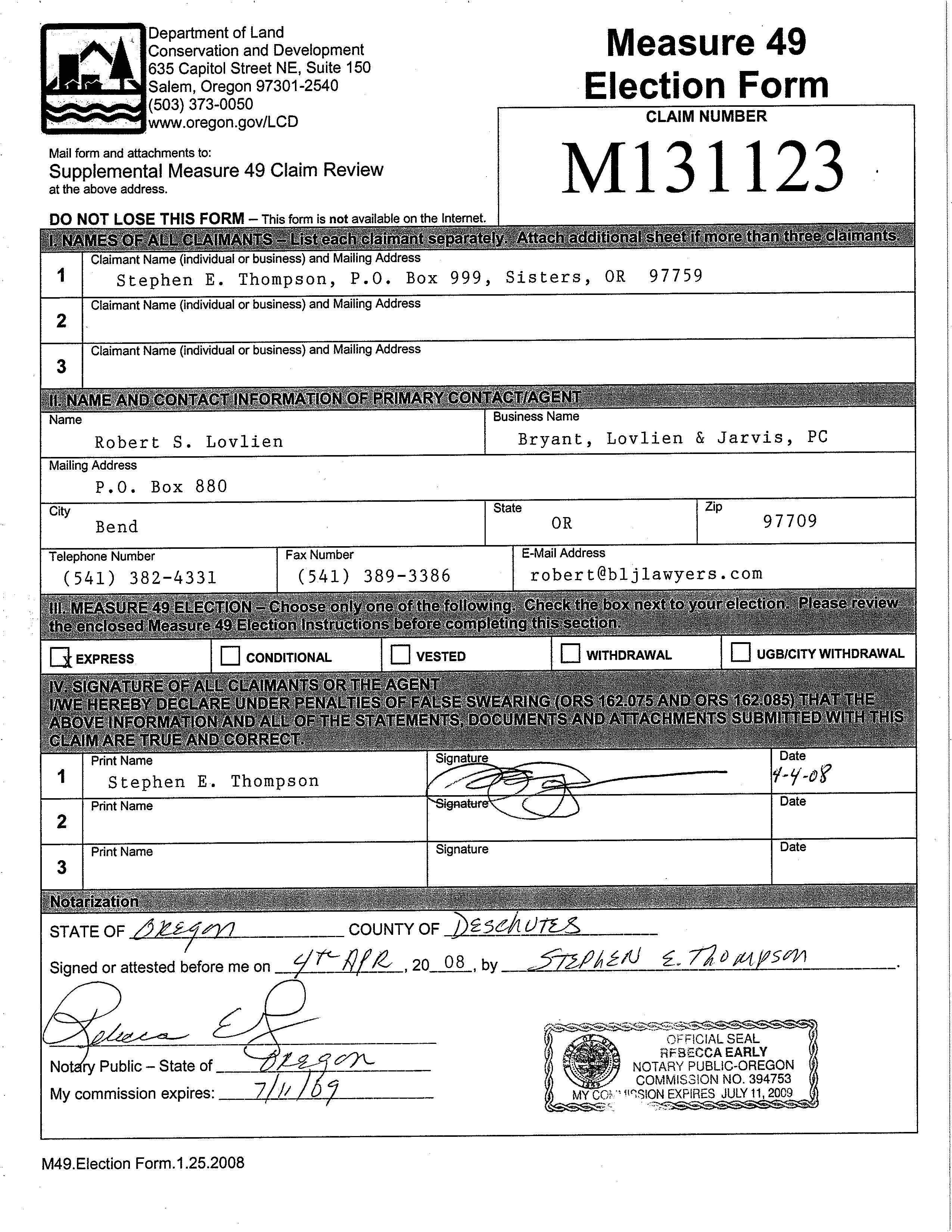
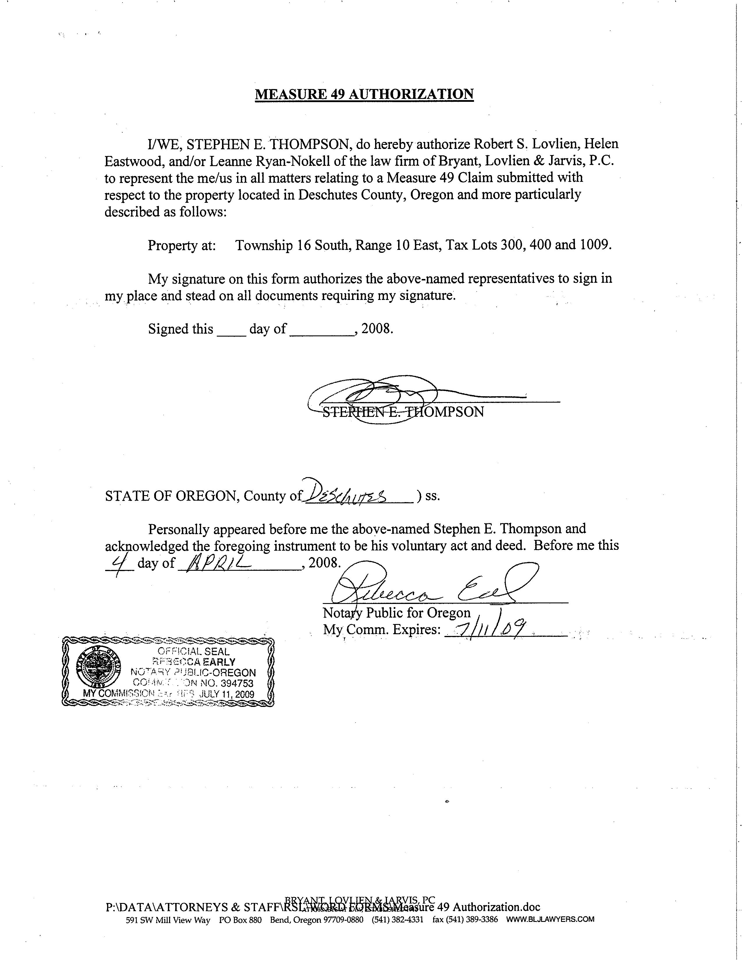
MEASURE 49 AUTHORIZATION
I/WE, STEPHEN E. THOMPSON, do hereby authorize Robert S. Lovlien, Helen Eastwood, and/or Leanne Ryan-Nokell of the law firm of Bryant, Lovlien & Jarvis, P. C. to represent the me/ us in all matters relating to a Measure 49 Claim submitted with respect to the property located in Deschutes County, Oregon and more particularly described as follows:
Property at: Township 16 South, Range 10 East, Tax Lots 300, 400 and 1009.
My signature on this form authorizes the above- named representatives to sign in my place and stead on all documents requiring my signature.
Signed this day of , 2008.
FE- OMPSON
STATE OF OREGON, County of. I.4L t ) ss.
Personally appeared before me the above-named Stephen E. Thompson and acknowledged the foregoing instrument to be his voluntary act and deed. Before me this day of , 2008. OF ECIALSEAL EARLY NOTARY 3iJ3LIC- OREGON co.;;;;. r ) N NO. 394753 MY COMMIS IO , > , JULY 11, 2009
Nota/ y Public for Oregon l My Comm. Expires: 1J/
CDD COVER SHEET FOR SLB
05/29/2007 15: 25: 54
1iiHi i
FILE ID 16100000004000T20070529152554
TAXMAP 1610000000400
SERIAL 131373
DIVISION OT
SITUS 67500 THREE CREEKS RD
HOUSE# 67500
STREET THREE CREEKS
CONTENT M3706141 Notice of Hearing
RECORD ID M3706141
LOCATED IN DATE FILE
Cover Sheet Identifier AHJKMTWX
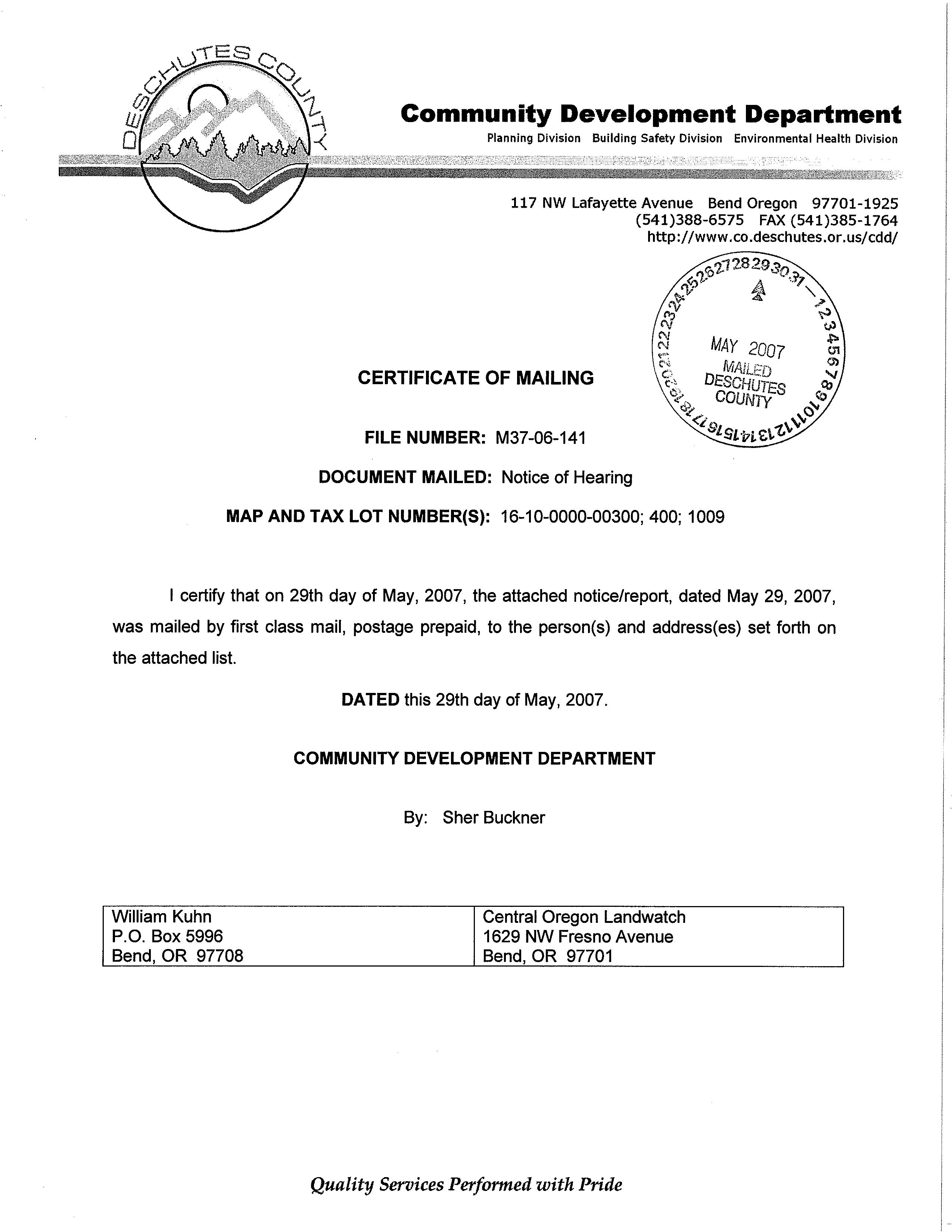
Community Development Department
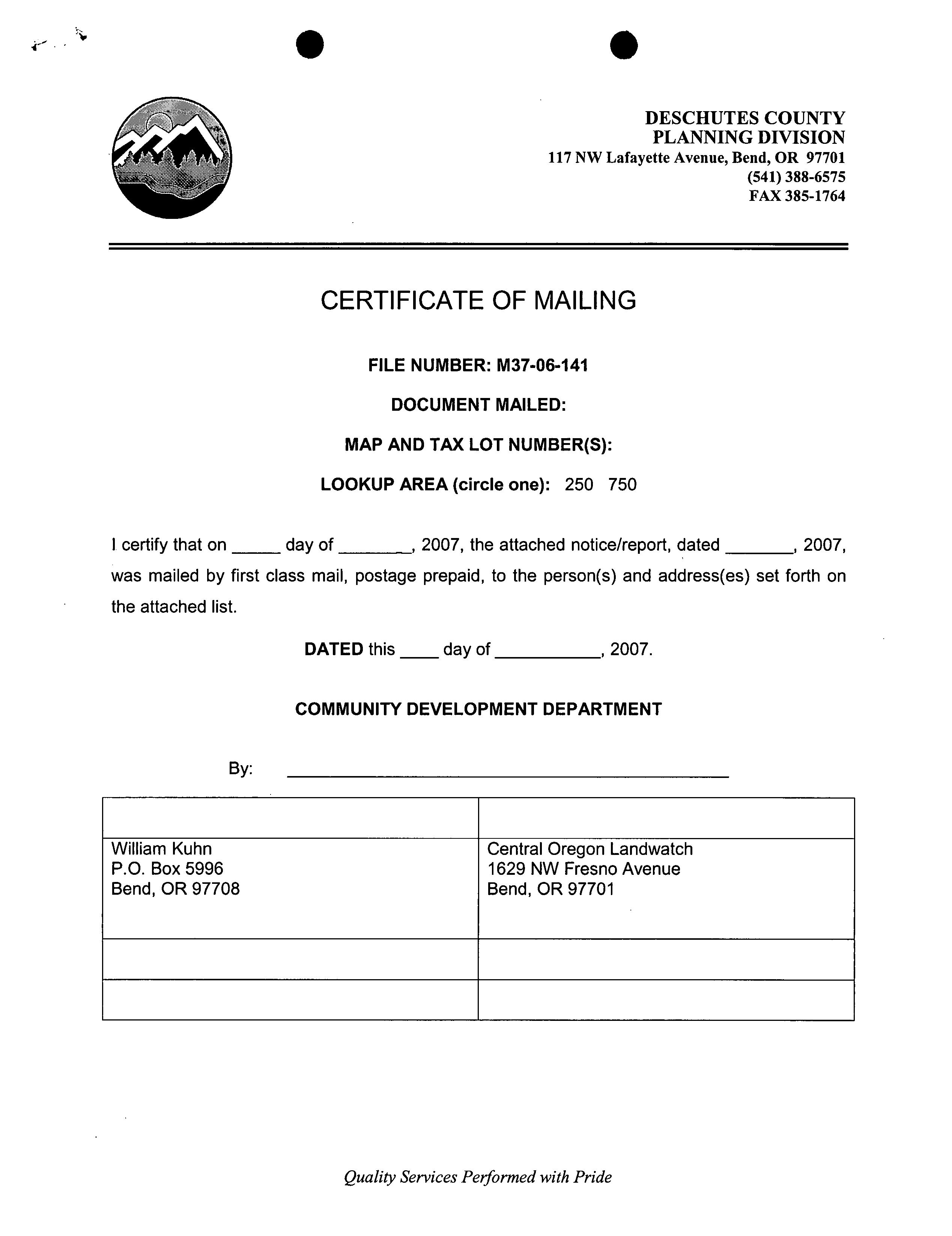
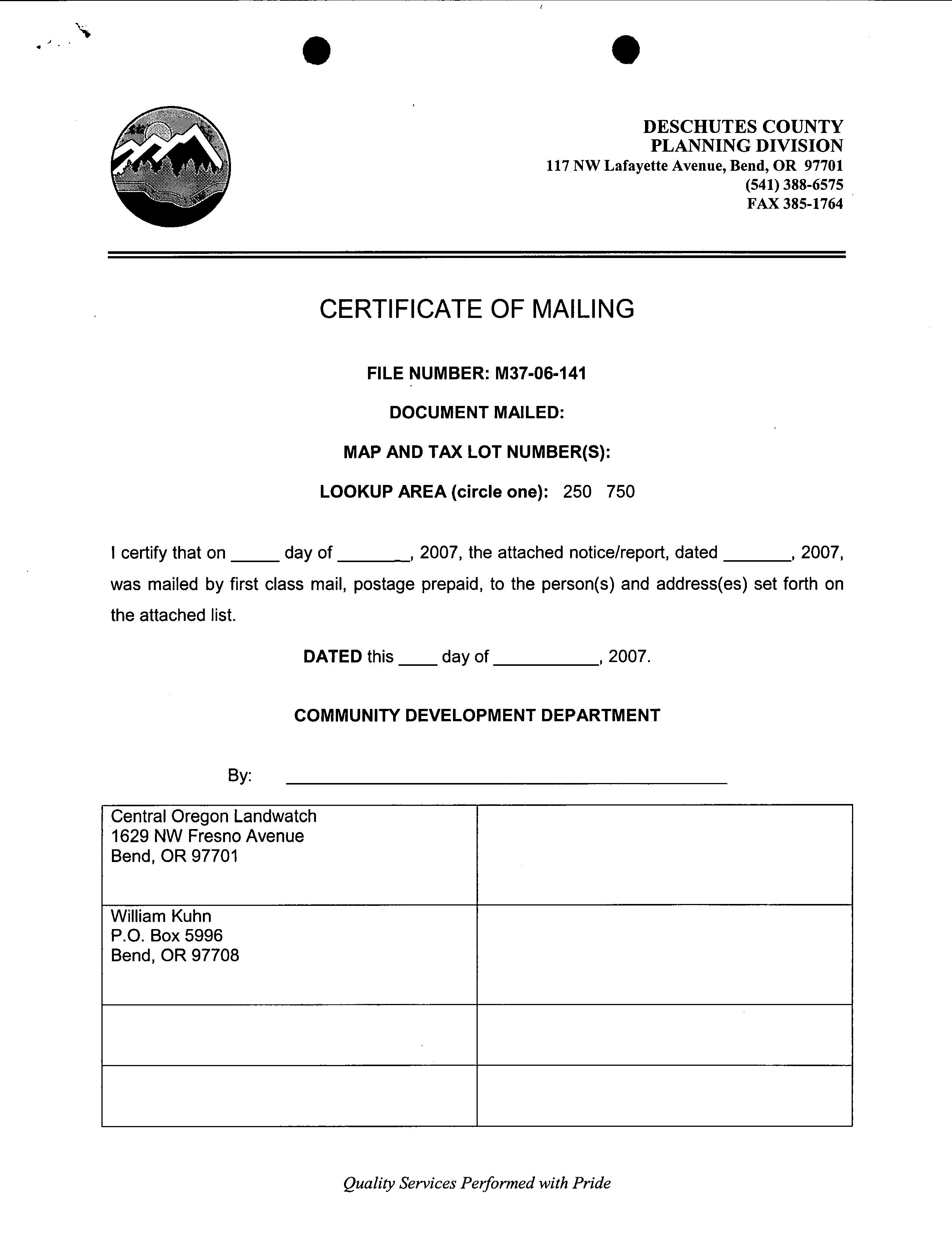
CERTIFICATE OF MAILING
DOCUMENT MAILED: Notice of Hearing
I certify that on 29th day of May, 2007, the attached notice/ report, dated May 29, 2007, was mailed by first class mail, postage prepaid, to the person( s) and address( es) set forth on the attached list.
DATED this 29th day of May, 2007.
COMMUNITY DEVELOPMENT DEPARTMENT
By: Sher Buckner
William Kuhn P. O. Box 5996 Bend, OR 97708
Central Oregon Landwatch 1629 NW Fresno Avenue Bend, OR 97701
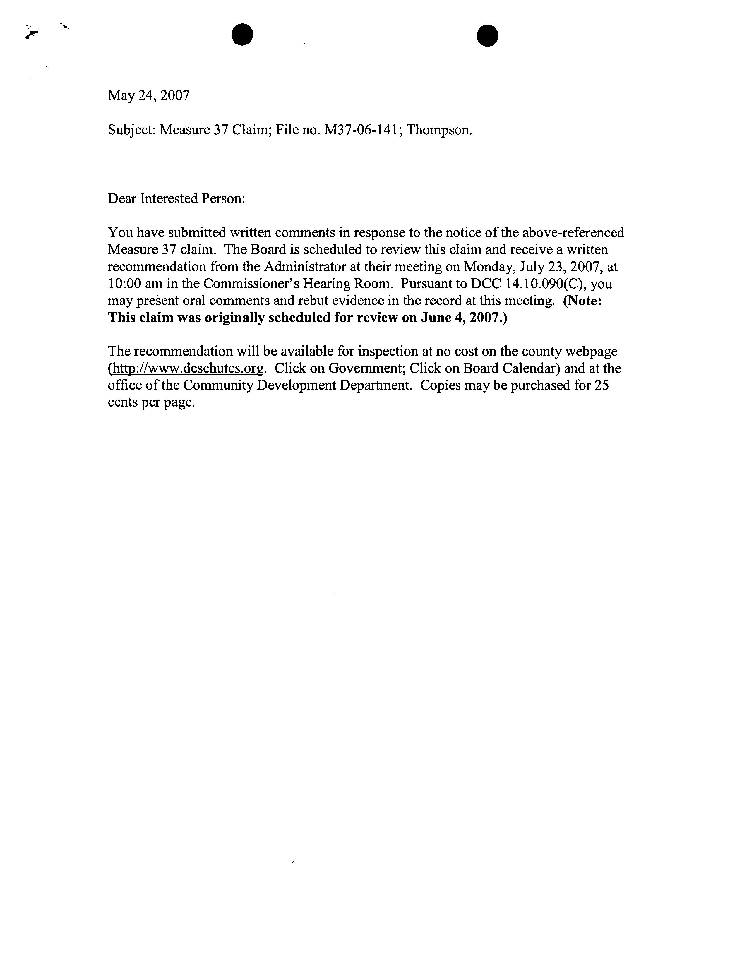
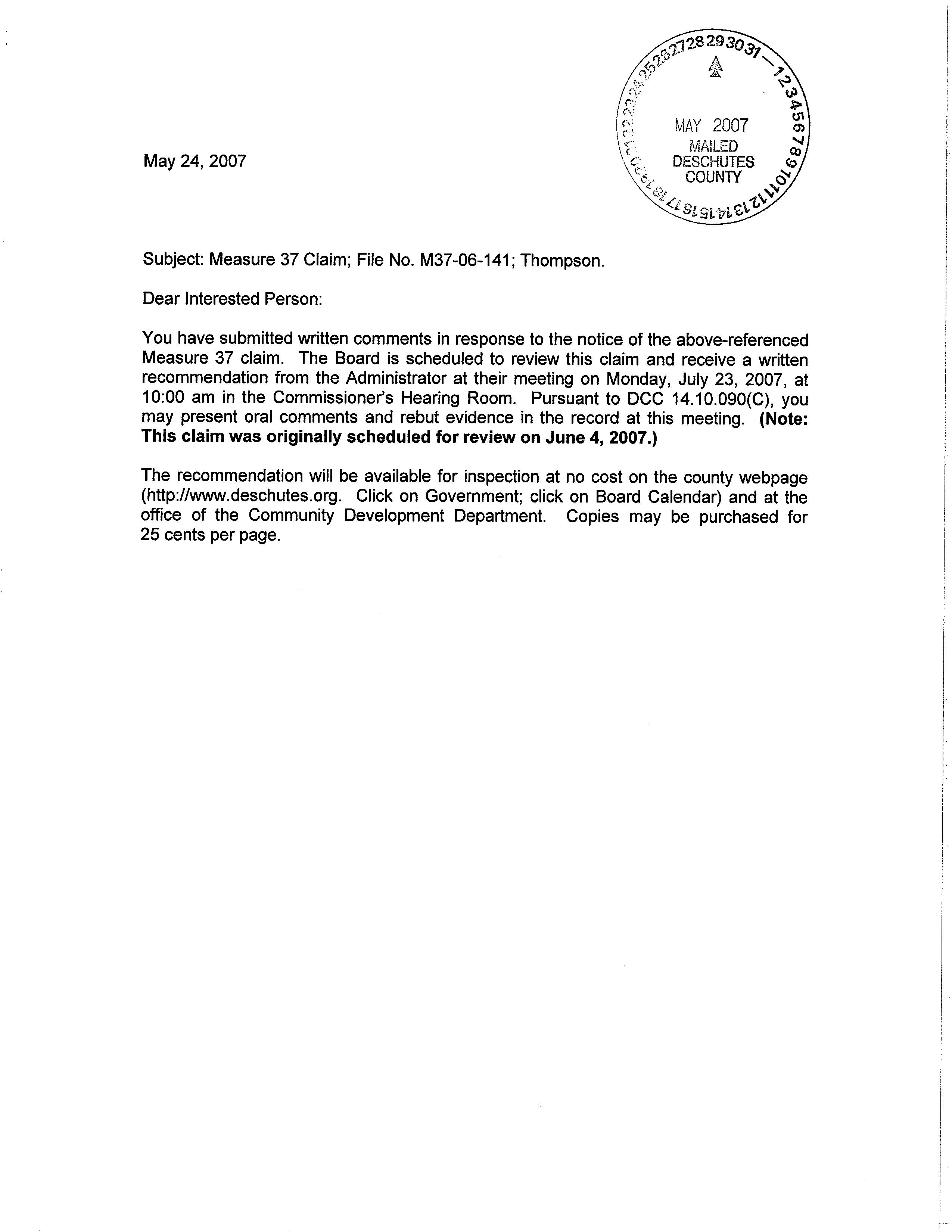
You have submitted written comments in response to the notice of the above -referenced Measure 37 claim. The Board is scheduled to review this claim and receive a written recommendation from the Administrator at their meeting on Monday, July 23, 2007, at 10:00 am in the Commissioner' s Hearing Room. Pursuant to DCC 14.10.090(C), you may present oral comments and rebut evidence in the record at this meeting. ( Note: This claim was originally scheduled for review on June 4, 2007.)
The recommendation will be available for inspection at no cost on the county webpage http:// www.deschutes. org. Click on Government; click on Board Calendar) and at the office of the Community Development Department. Copies may be purchased for 25 cents per page.
23/ 2007 15: 40: 41
TAXMAP 1610000000400
SERIAL 131373
DIVISION OT
SITUS 67500 THREE CREEKS RD
HOUSE# 67500
STREET THREE CREEKS
CONTENT M3706141 Notice of Hearing
RECORD ID M3706141
LOCATED IN DATE FILE
Cover Sheet Identifier AHJKMTWX
Community Development Department
CERTIFICATE OF MAILING
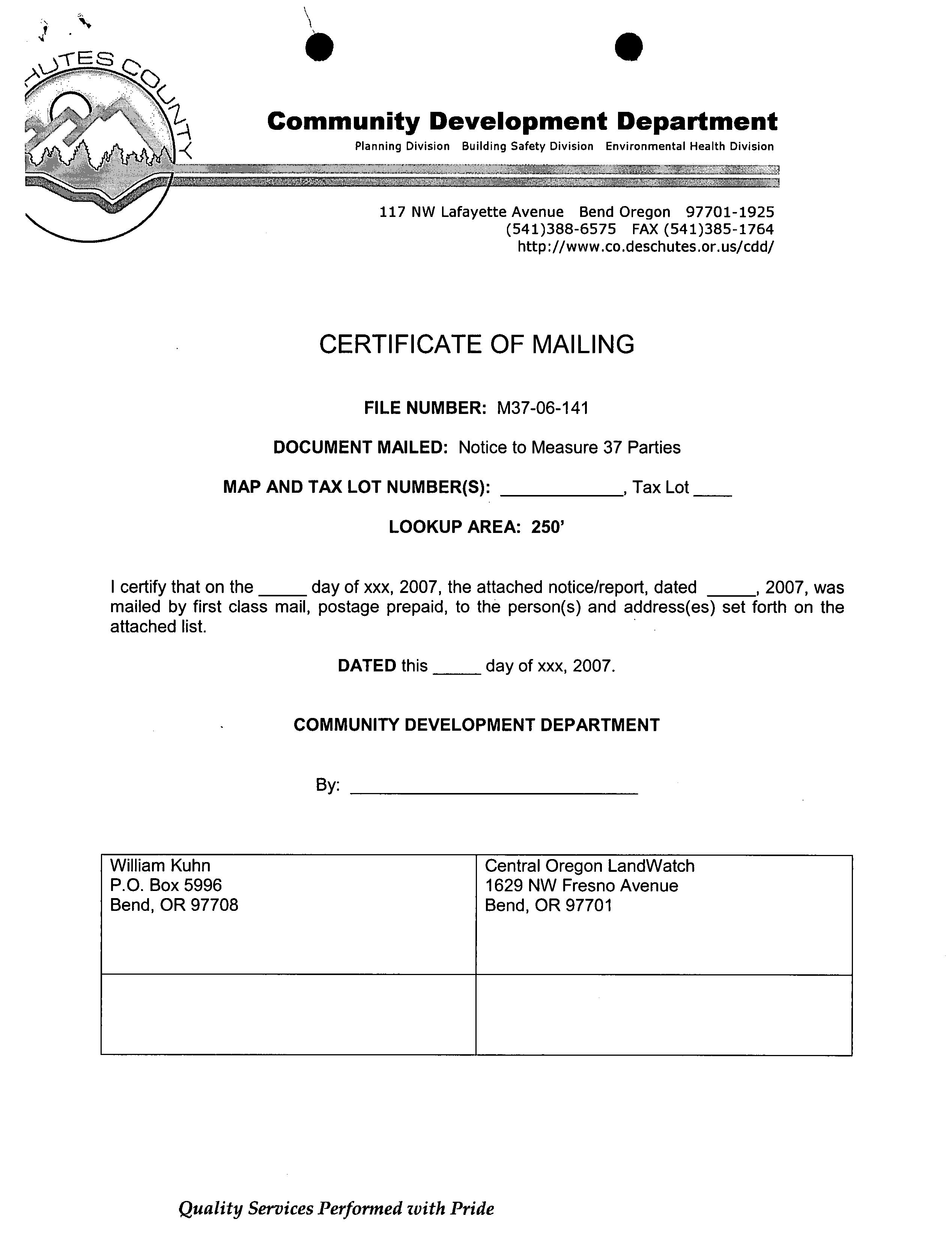
FILE NUMBER: M37- 06- 141
DOCUMENT MAILED: Notice of Hearing
MAP AND TAX LOT NUMBER( S): 1610- 0000- 00300; 00400; 01009
I certify that on the 24th day of May, 2007, the attached notice/ report, dated May 24, 2007, was mailed by first class mail, postage prepaid, to the person(s) and address(es) set forth on the attached list.
Dated this 24th day of May, 2007.
COMMUNITY DEVELOPMENT DEPARTMENT
By: Sher Buckner
Central Oregon Landwatch 1629 NW Fresno Avenue Bend, OR 97701
You have submitted written comments in response to the notice of the above -referenced Measure 37 claim. The Board is scheduled to review this claim and receive a written recommendation from the Administrator at their meeting on Monday, June 4, 2007, at 10: 00 am in the Commissioner' s Hearing Room. Pursuant to DCC 14. 10. 090( C), you may present oral comments and rebut evidence in the record at this meeting.
The recommendation will be available for inspection at no cost on the County webpage http://www.deschutes. org. Click on Government; Click on Board Calendar) and at the office of the Community Development Department. Copies may be purchased for 25 cents per page.
Community Development Department
CERTIFICATE OF MAILING
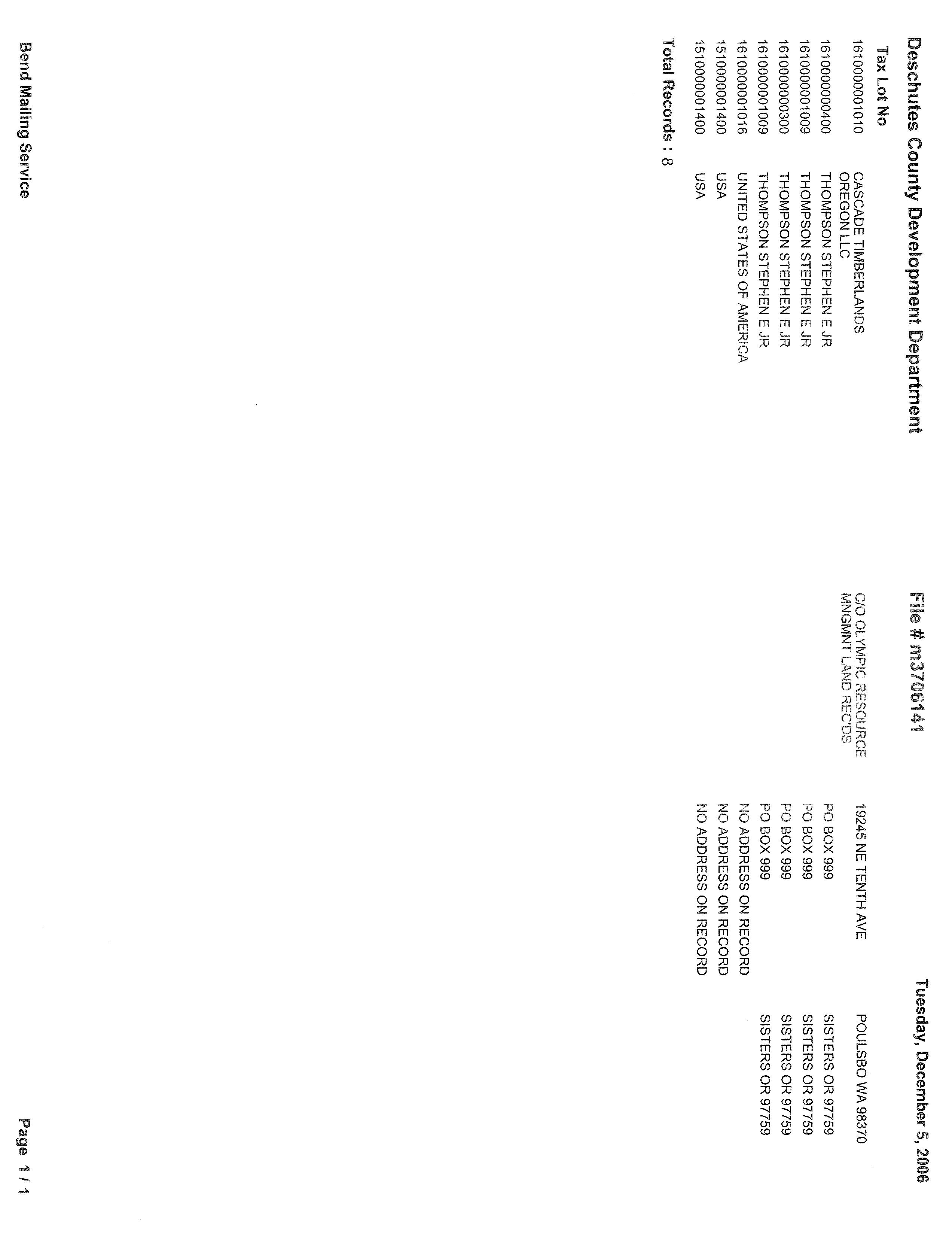
DOCUMENT MAILED: Notice of Measure 37 Claim
MAP AND TAX LOT NUMBER( S): 16- 10 — 300, 400, and 1009
LOOKUP AREA: 250'
certify that on the 5th day of December, 2006, the attached notice/ report, dated December 5, 2006, was mailed by first class mail, postage prepaid, to the person( s) and address( es) set forth on the attached list.
DATED this 5, day of December, 2006.
COMMUNITY DEVELOPMENT DEPARTMENT
By: Bend Mailing Services
8= Names and addresses on attached mailing list
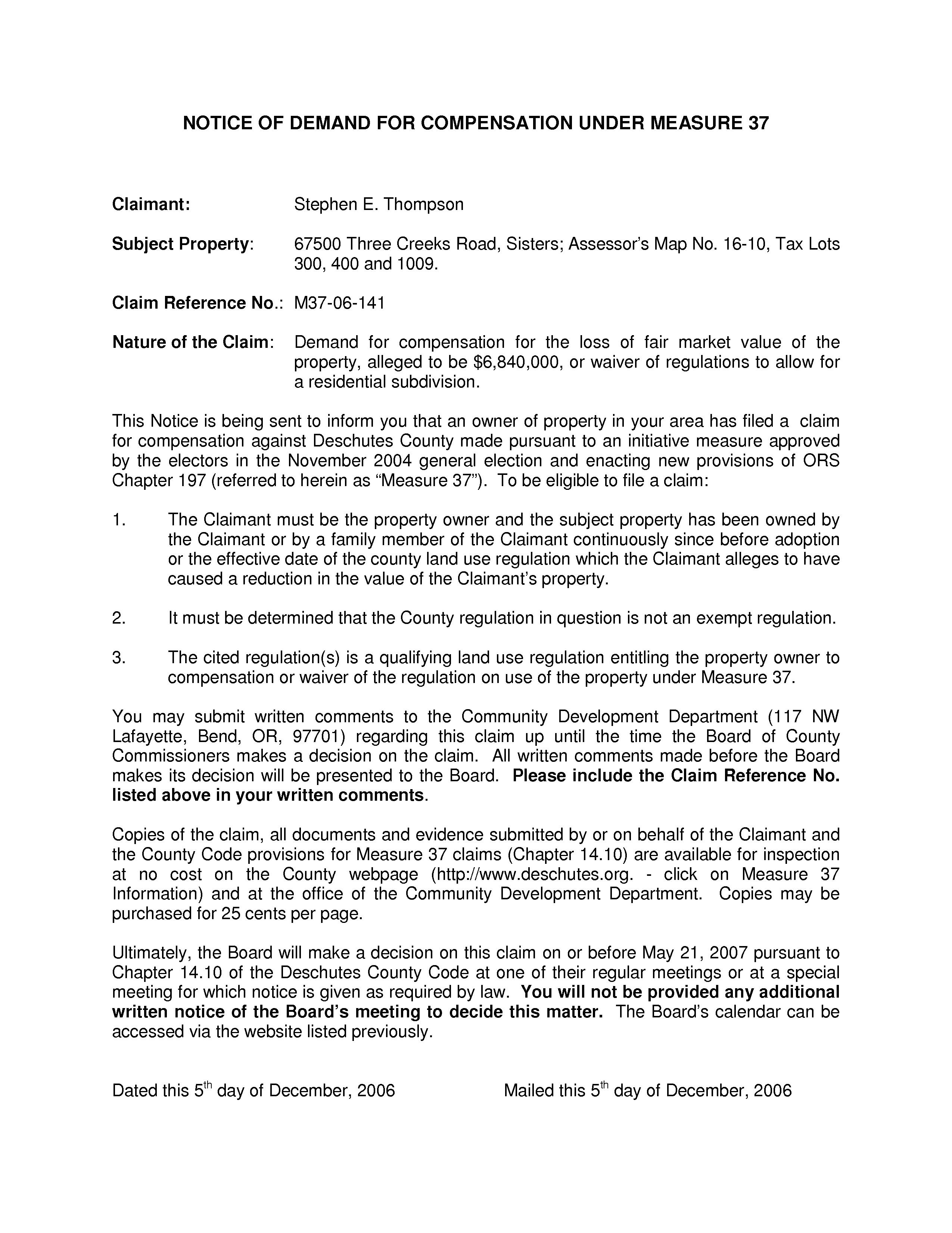
NOTICE OF DEMAND FOR COMPENSATION UNDER MEASURE 37
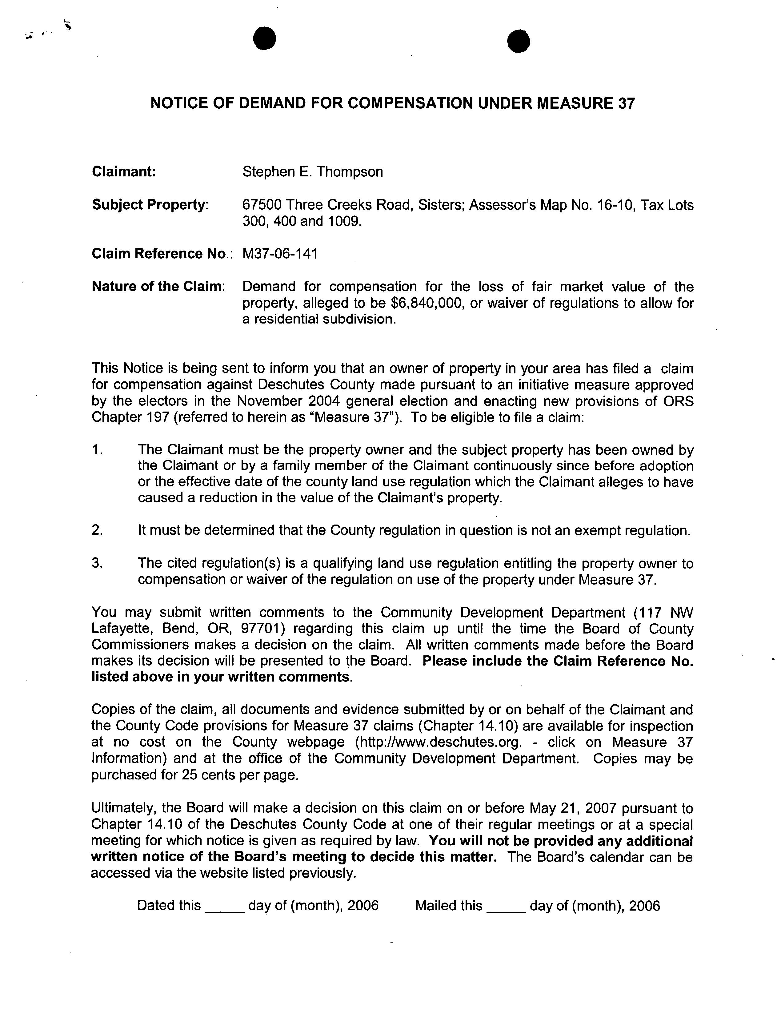
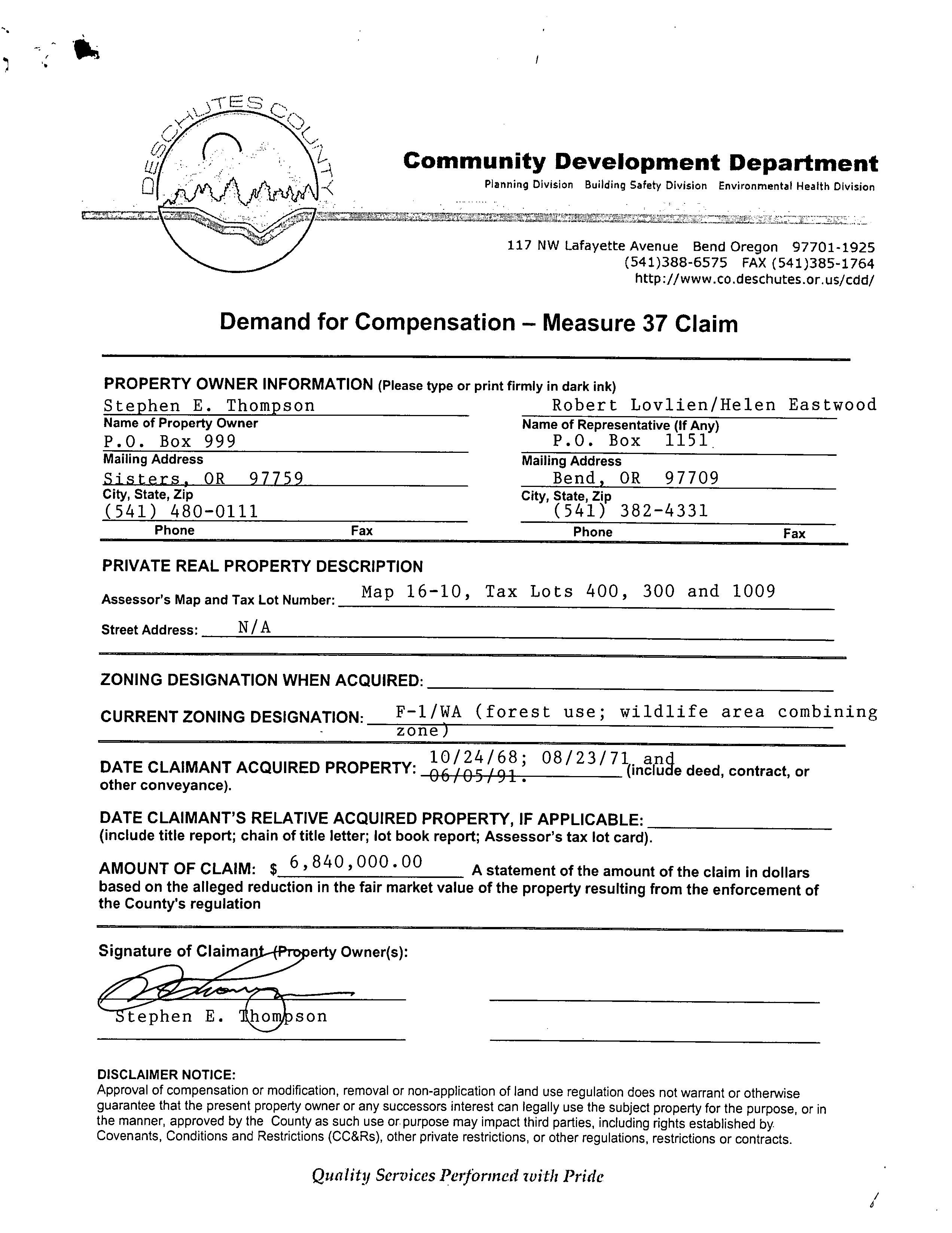
Claimant: Stephen E. Thompson
Subject Property: 67500 Three Creeks Road, Sisters; Assessor' s Map No. 16- 10, Tax Lots 300, 400 and 1009.
Claim Reference No.: M37- 06- 141
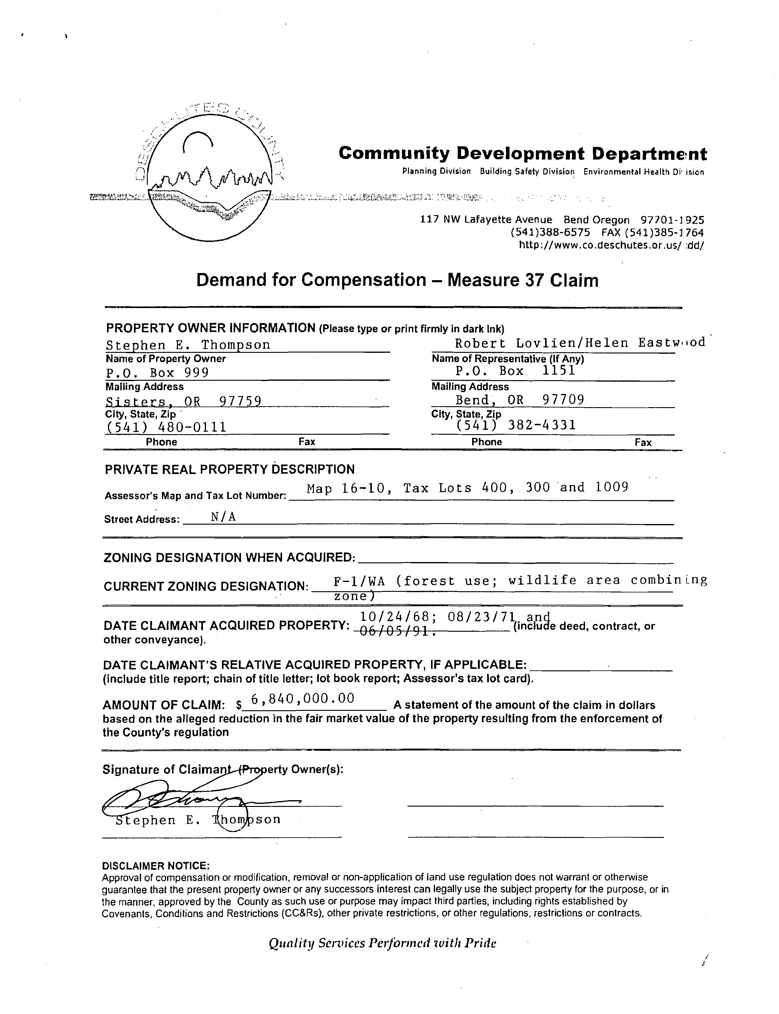
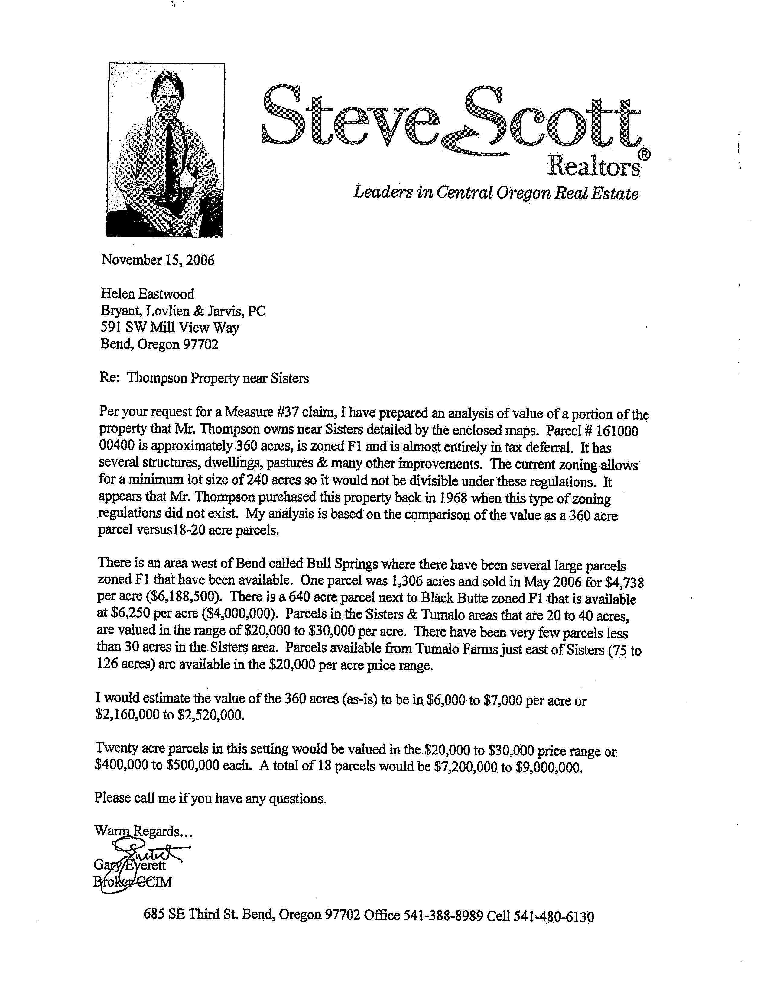
Nature of the Claim: Demand for compensation for the loss of fair market value of the property, alleged to be $ 6,840, 000, or waiver of regulations to allow for a residential subdivision.
This Notice is being sent to inform you that an owner of property in your area has filed a claim for compensation against Deschutes County made pursuant to an initiative measure approved by the electors in the November 2004 general election and enacting new provisions of ORS Chapter 197 ( referred to herein as " Measure 37"). To be eligible to file a claim:
1. The Claimant must be the property owner and the subject property has been owned by the Claimant or by a family member of the Claimant continuously since before adoption or the effective date of the county land use regulation which the Claimant alleges to have caused a reduction in the value of the Claimant' s property.
2. It must be determined that the County regulation in question is not an exempt regulation.
3. The cited regulation( s) is a qualifying land use regulation entitling the property owner to compensation or waiver of the regulation on use of the property under Measure 37.
You may submit written comments to the Community Development Department ( 117 NW Lafayette, Bend, OR, 97701) regarding this claim up until the time the Board of County Commissioners makes a decision on the claim. All written comments made before the Board makes its decision will be presented to the Board. Please include the Claim Reference No. listed above in your written comments.
Copies of the claim, all documents and evidence submitted by or on behalf of the Claimant and the County Code provisions for Measure 37 claims ( Chapter 14. 10) are available for inspection at no cost on the County webpage ( http://www.deschutes. org. - click on Measure 37 Information) and at the office of the Community Development Department. Copies may be purchased for 25 cents per page.
Ultimately, the Board will make a decision on this claim on or before May 21, 2007 pursuant to Chapter 14. 10 of the Deschutes County Code at one of their regular meetings or at a special meeting for which notice is given as required by law. You will not be provided any additional written notice of the Board' s meeting to decide this matter. The Board' s calendar can be accessed via the website listed previously.