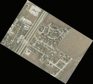
SOUTH CREEK RANCH
Dallas & Ellis County —
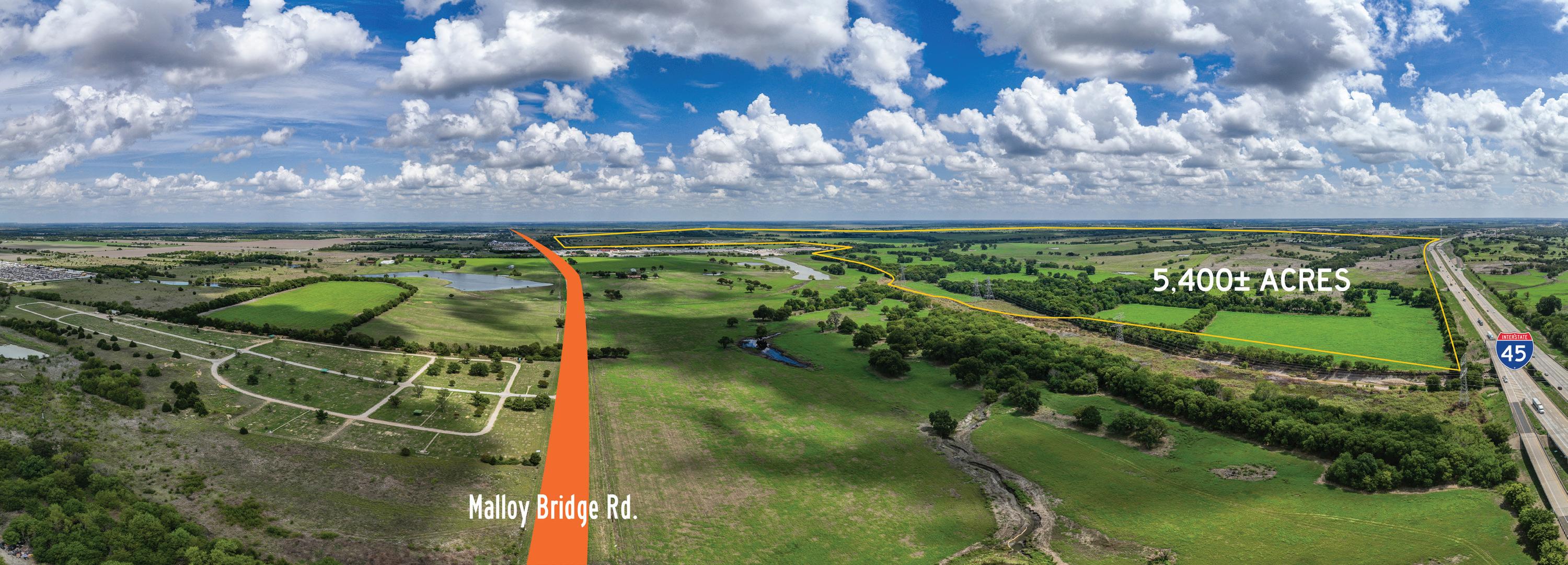
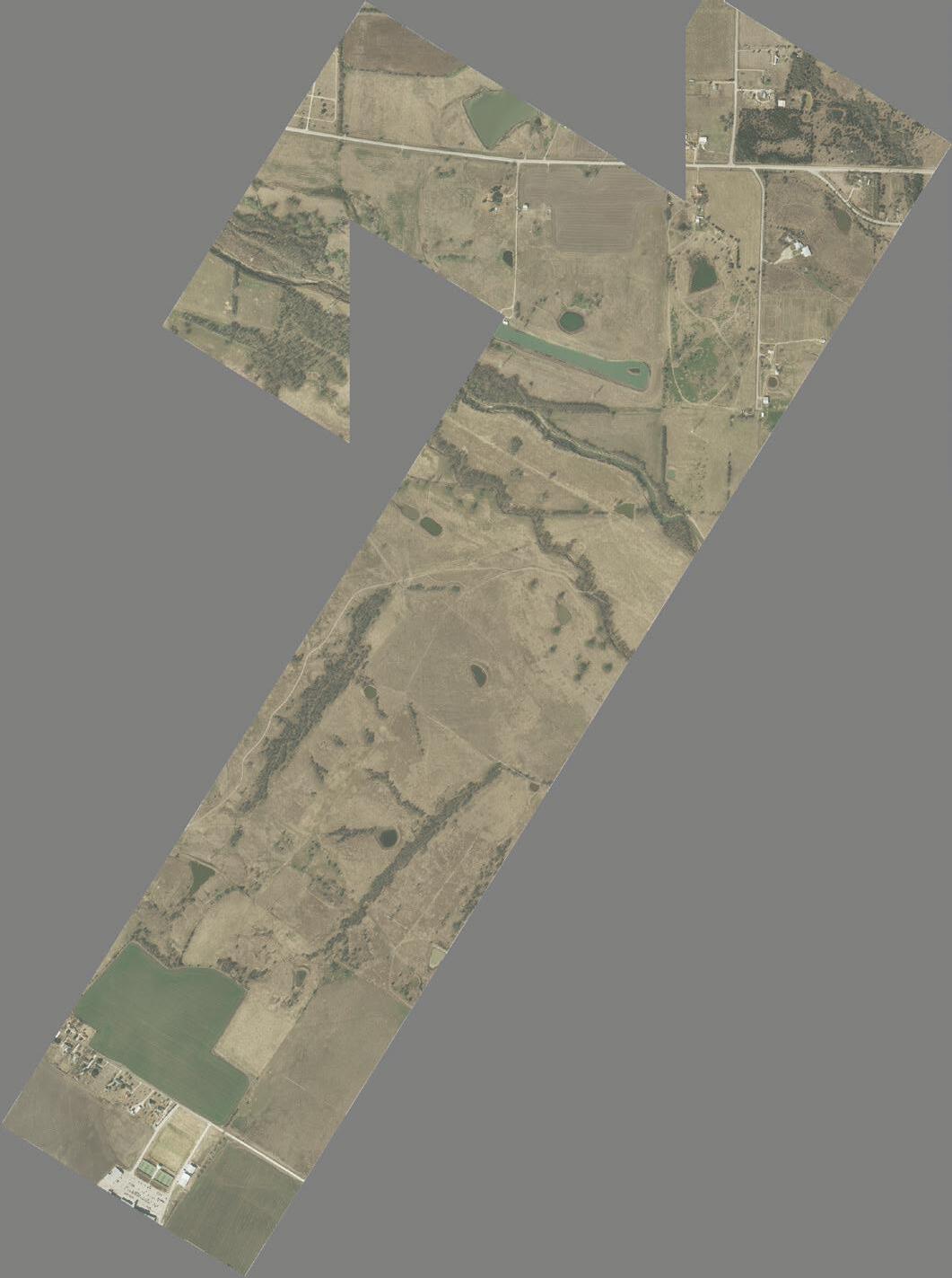
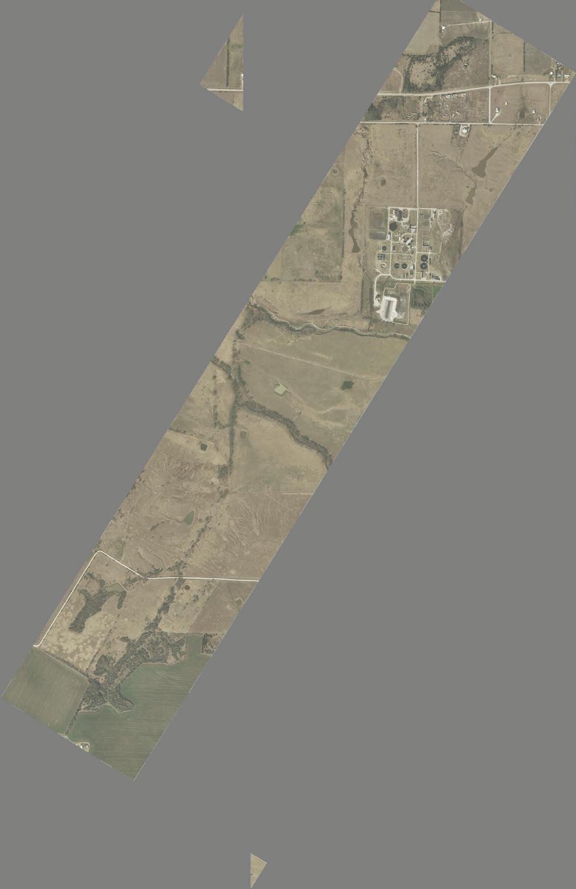
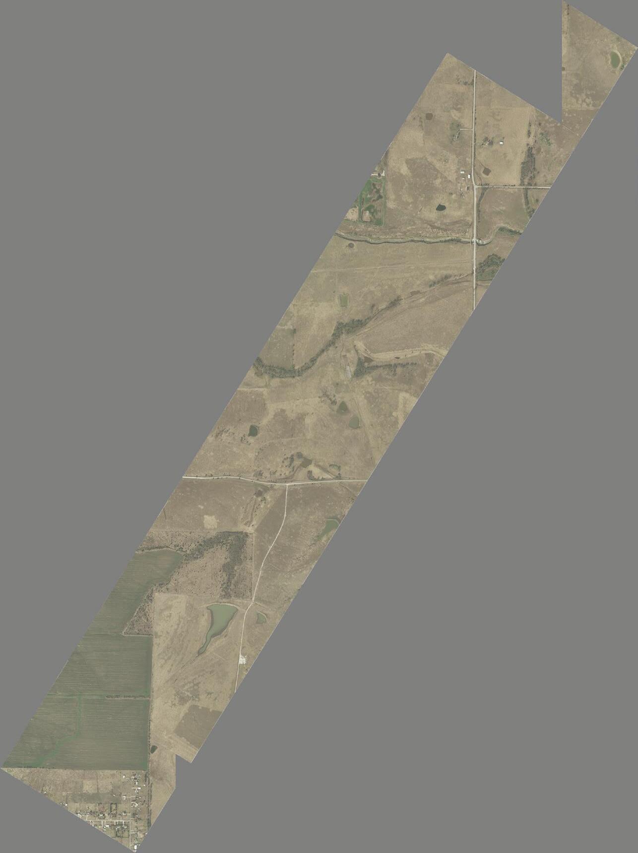
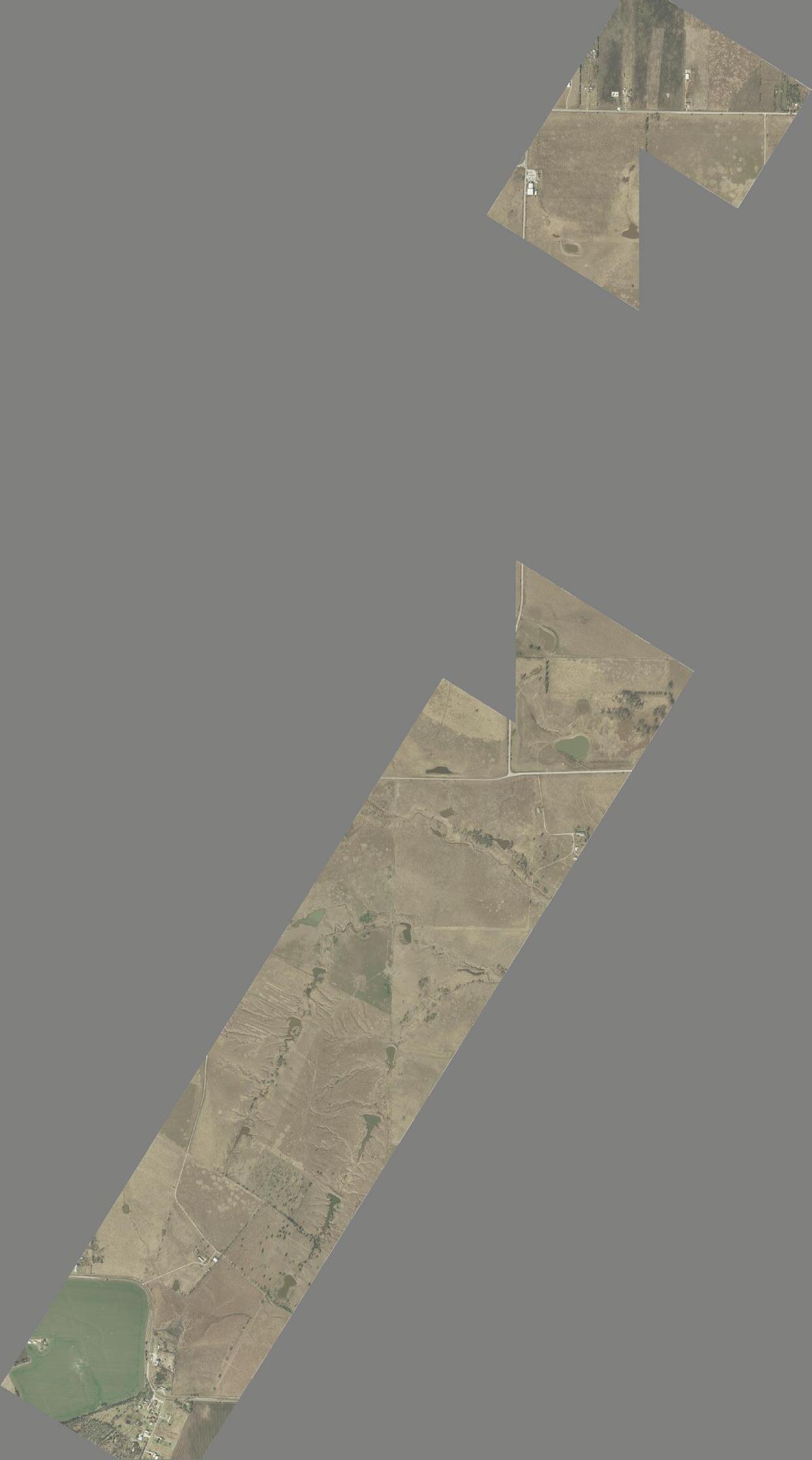
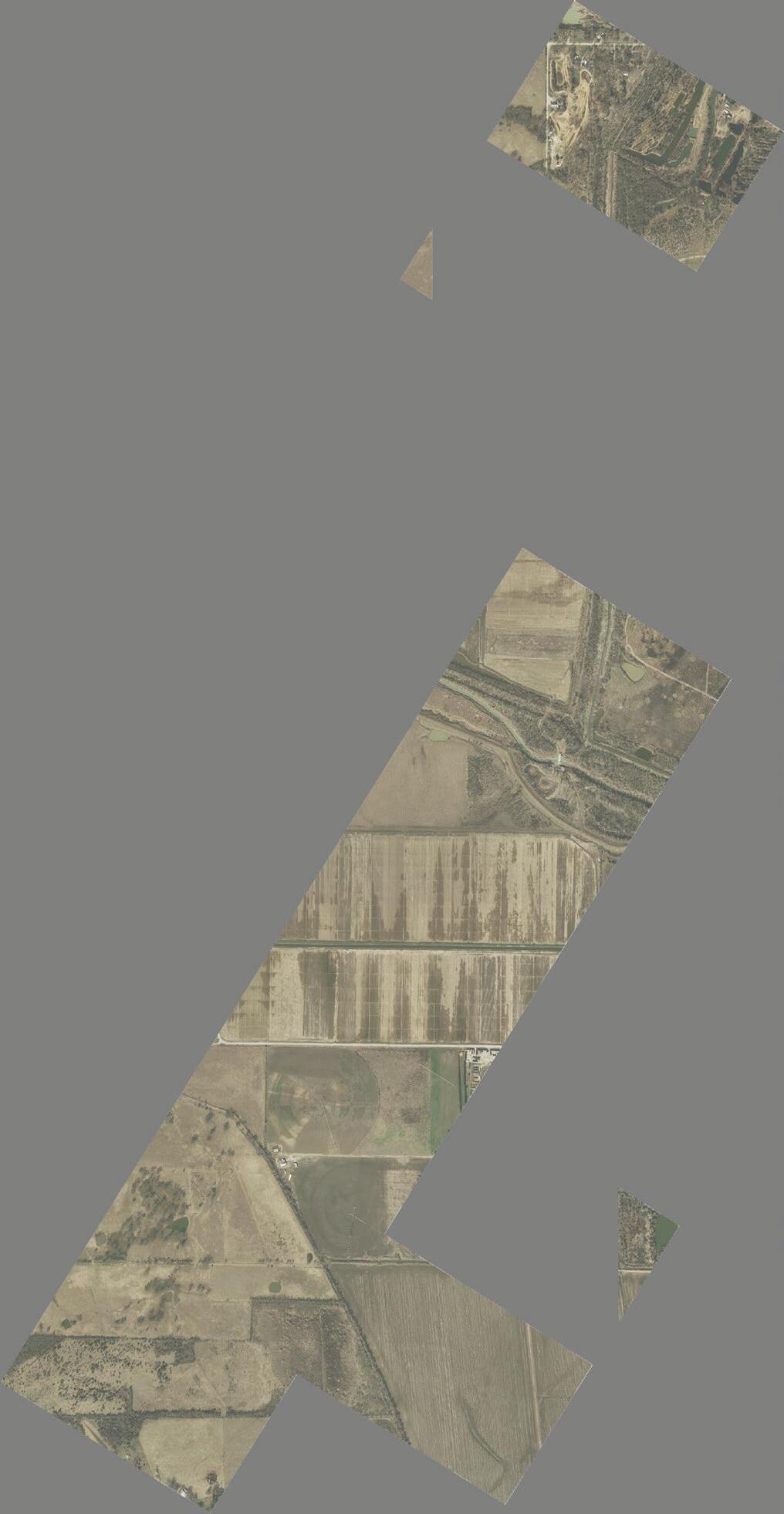
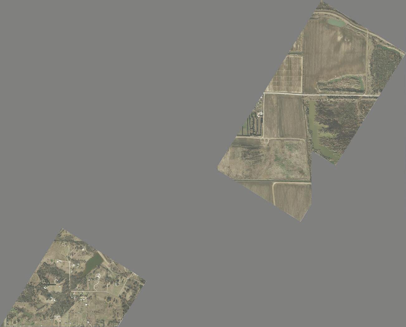
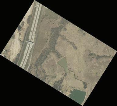
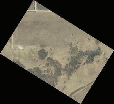
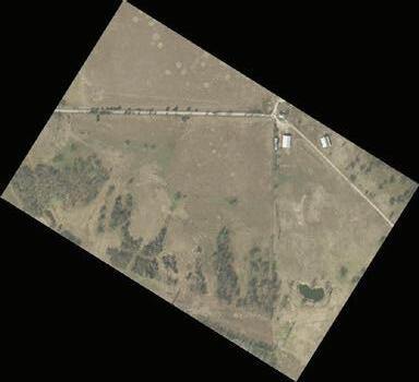
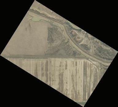
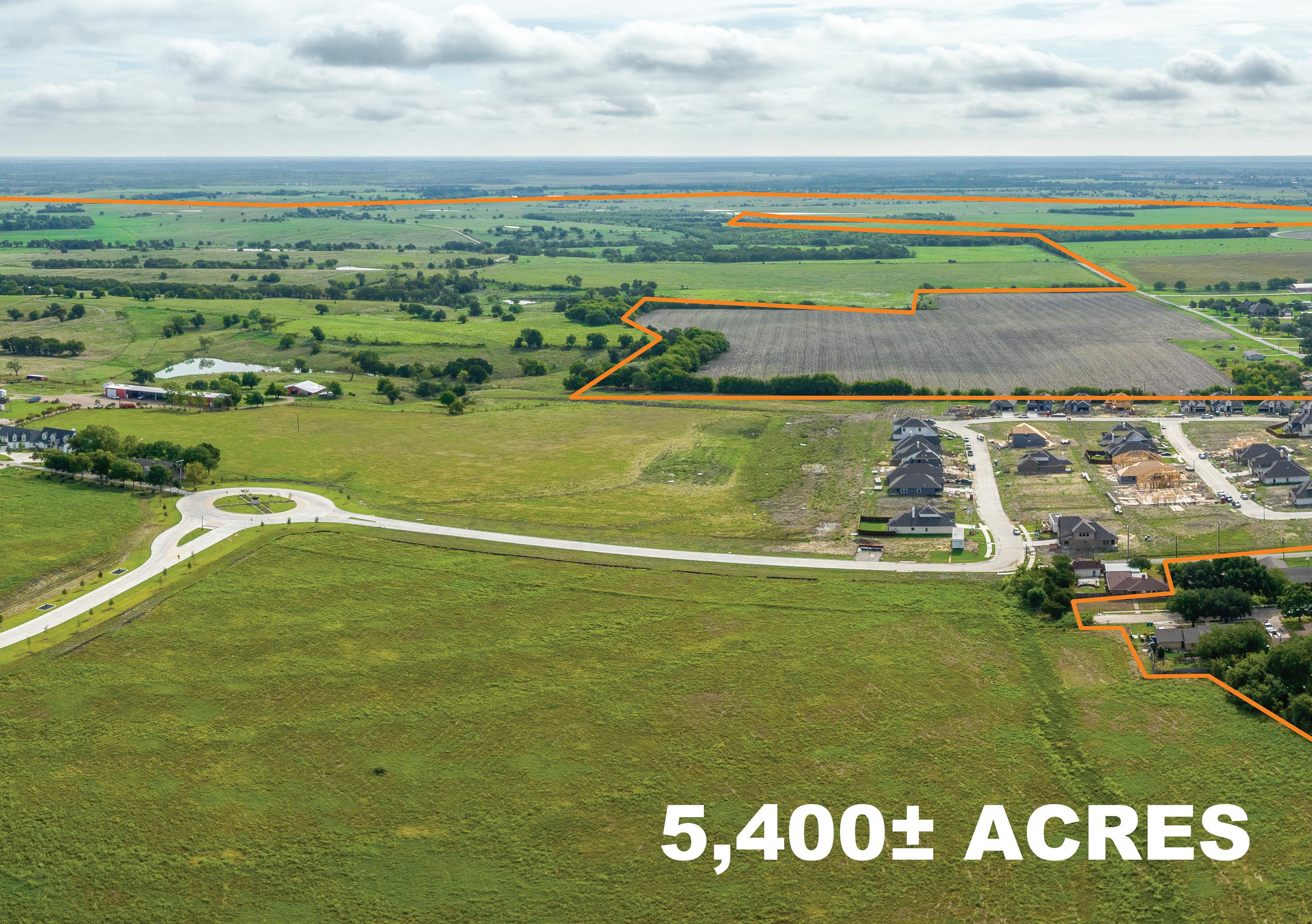
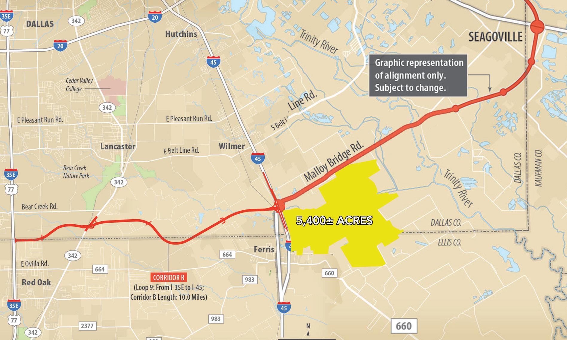
5,400± acres

click or scan to view video & photos >>>
| 214.855.4000 | www.icon.global
SOUTH CREEK RANCH
TALL OAKS HOMESTEAD
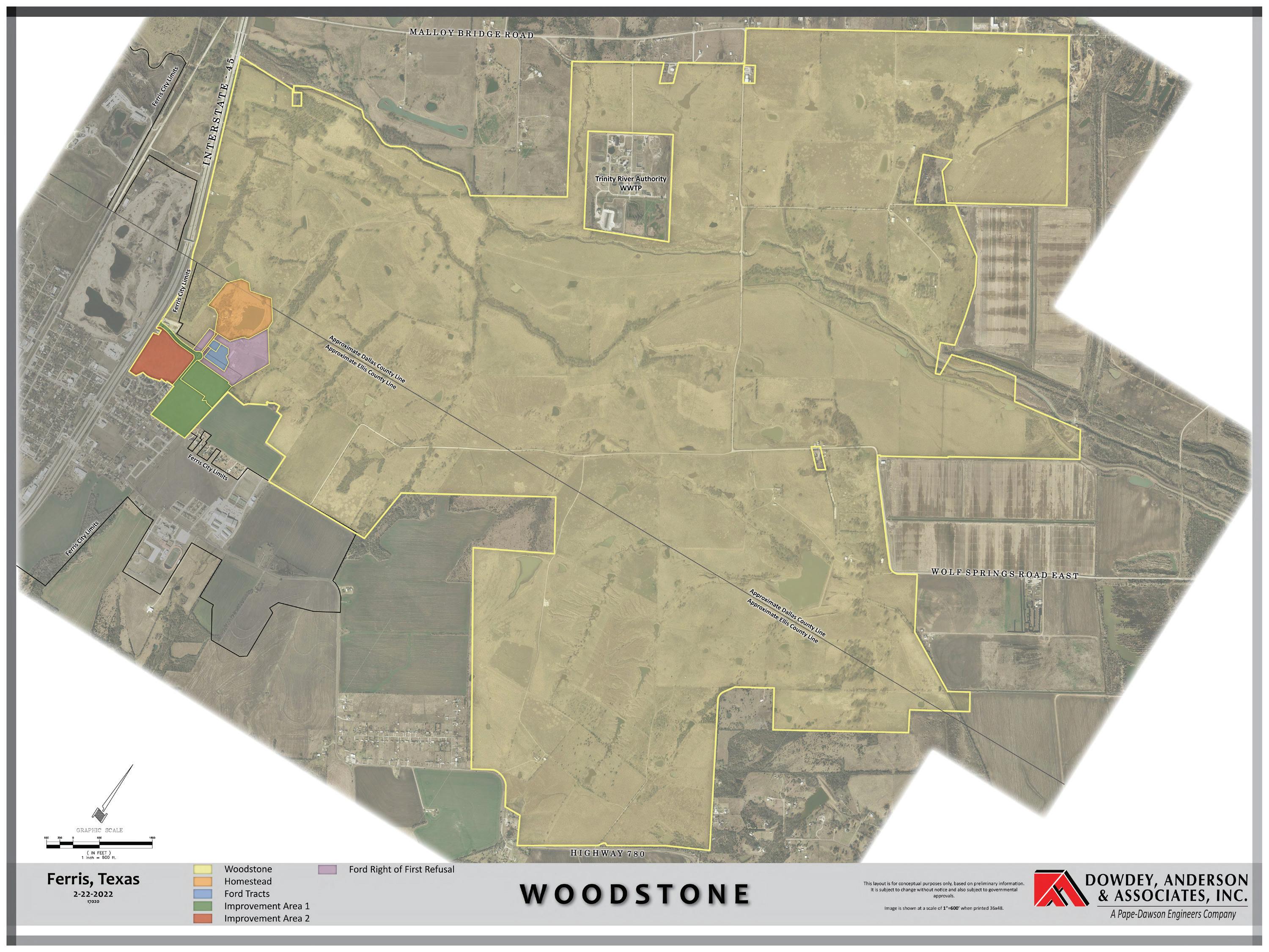
WOODSTONE DEVELOPMENT
Overview
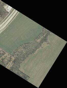
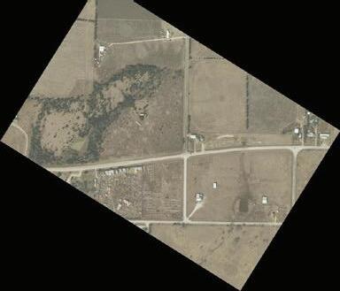
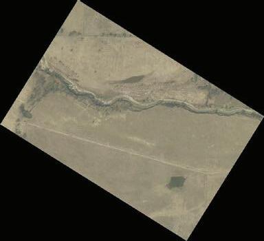
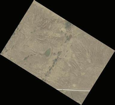
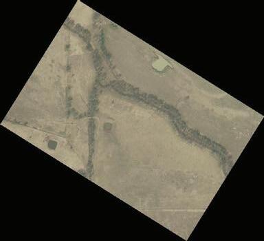
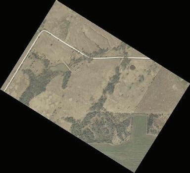
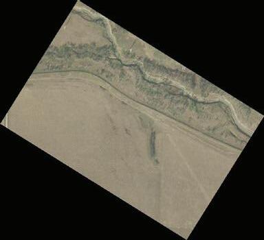
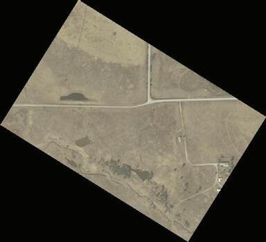
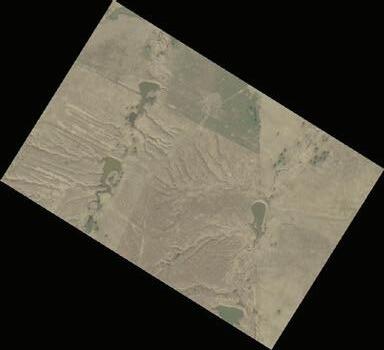
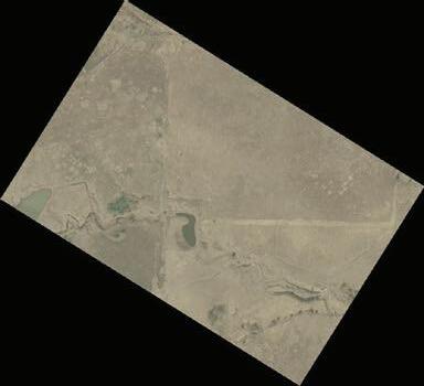
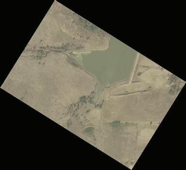
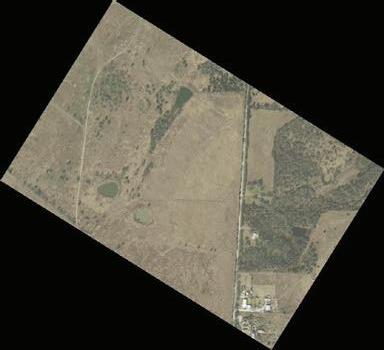
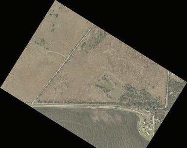
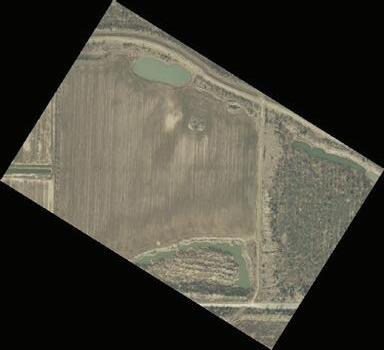
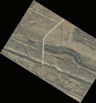
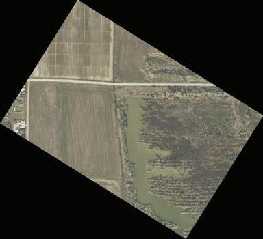
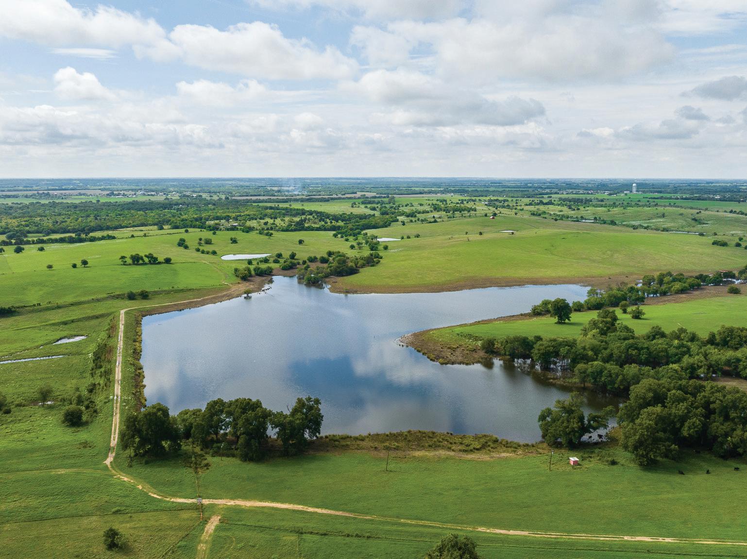
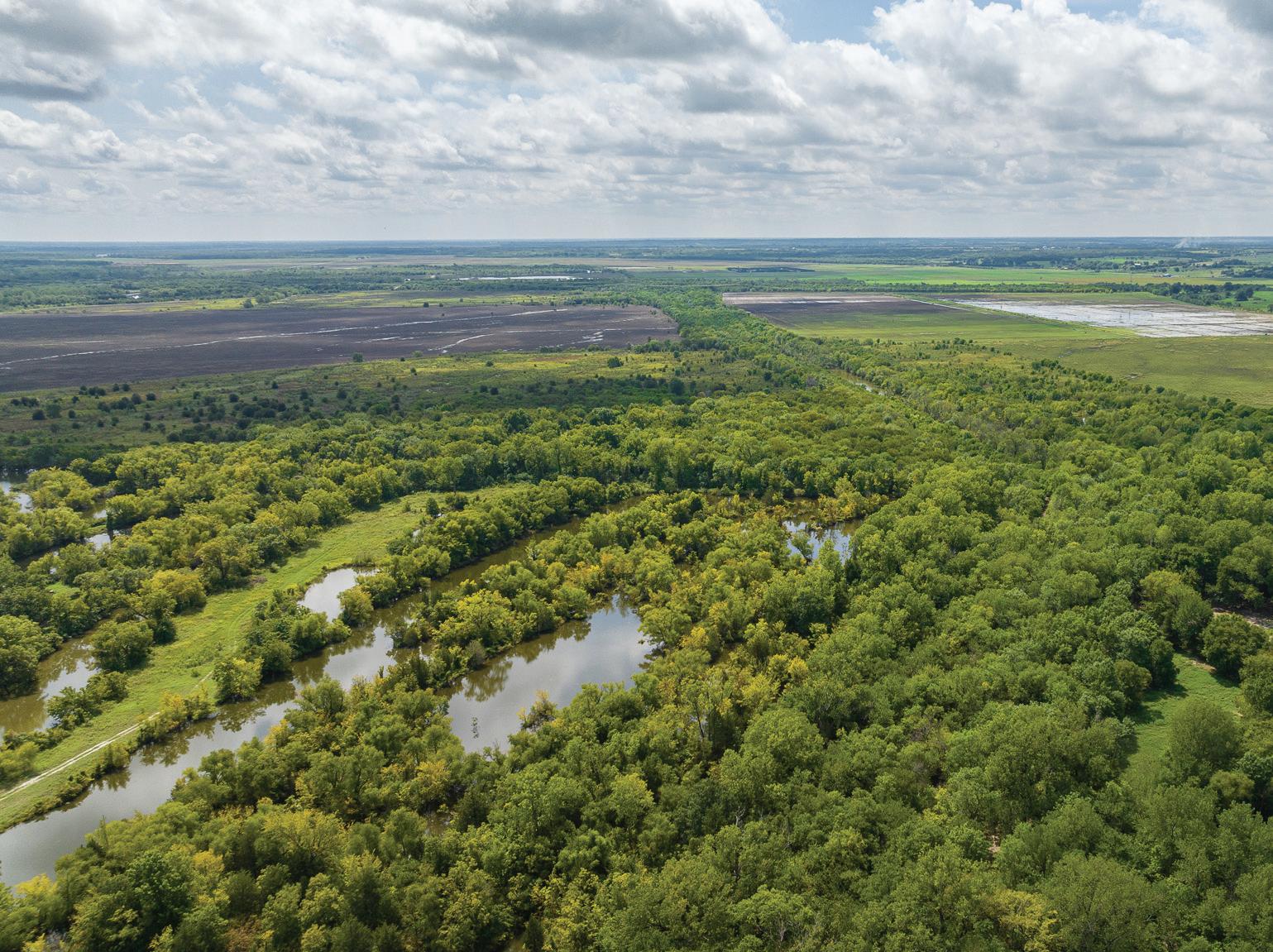
WATER, WETLANDS, CREEKS, ECOSYSTEM
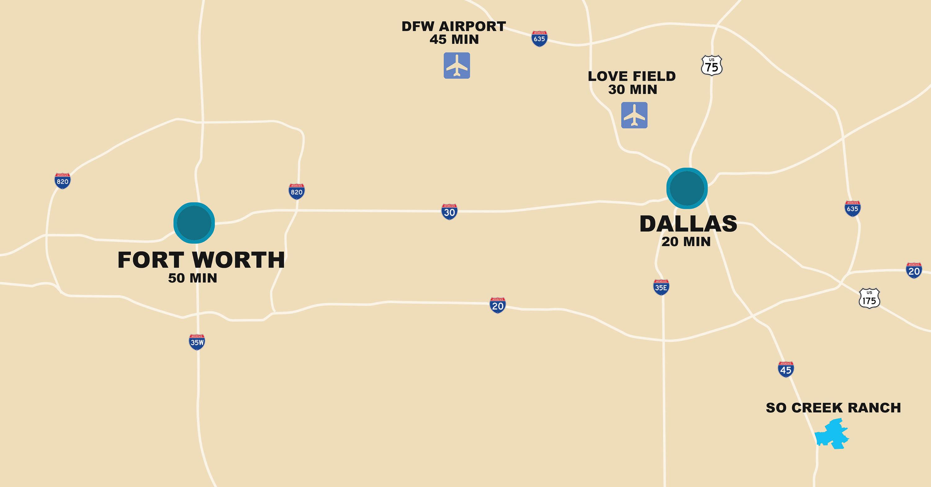
LOCATION, LOCATION, LOCATION
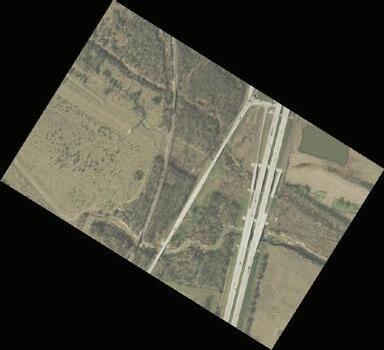
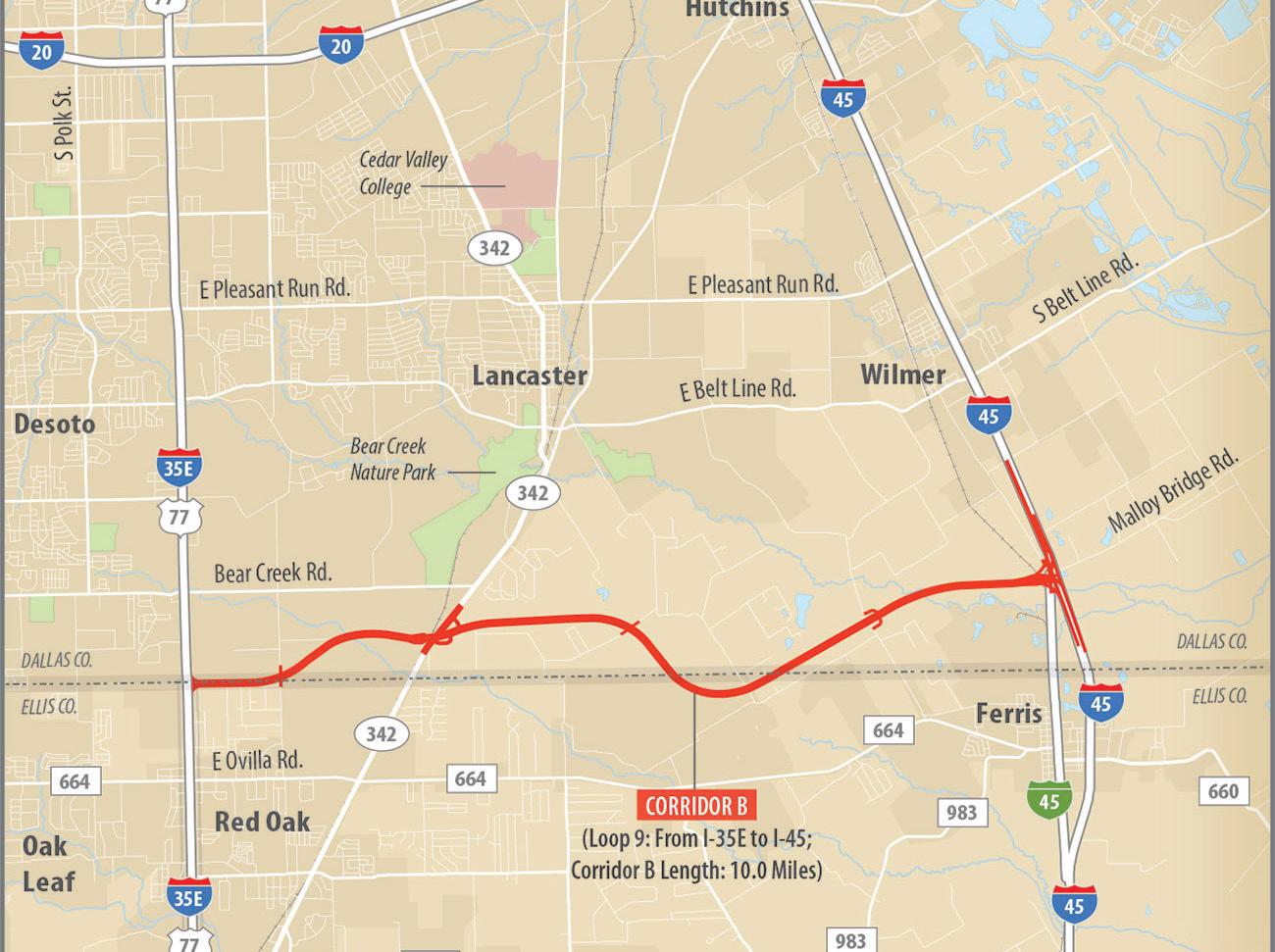
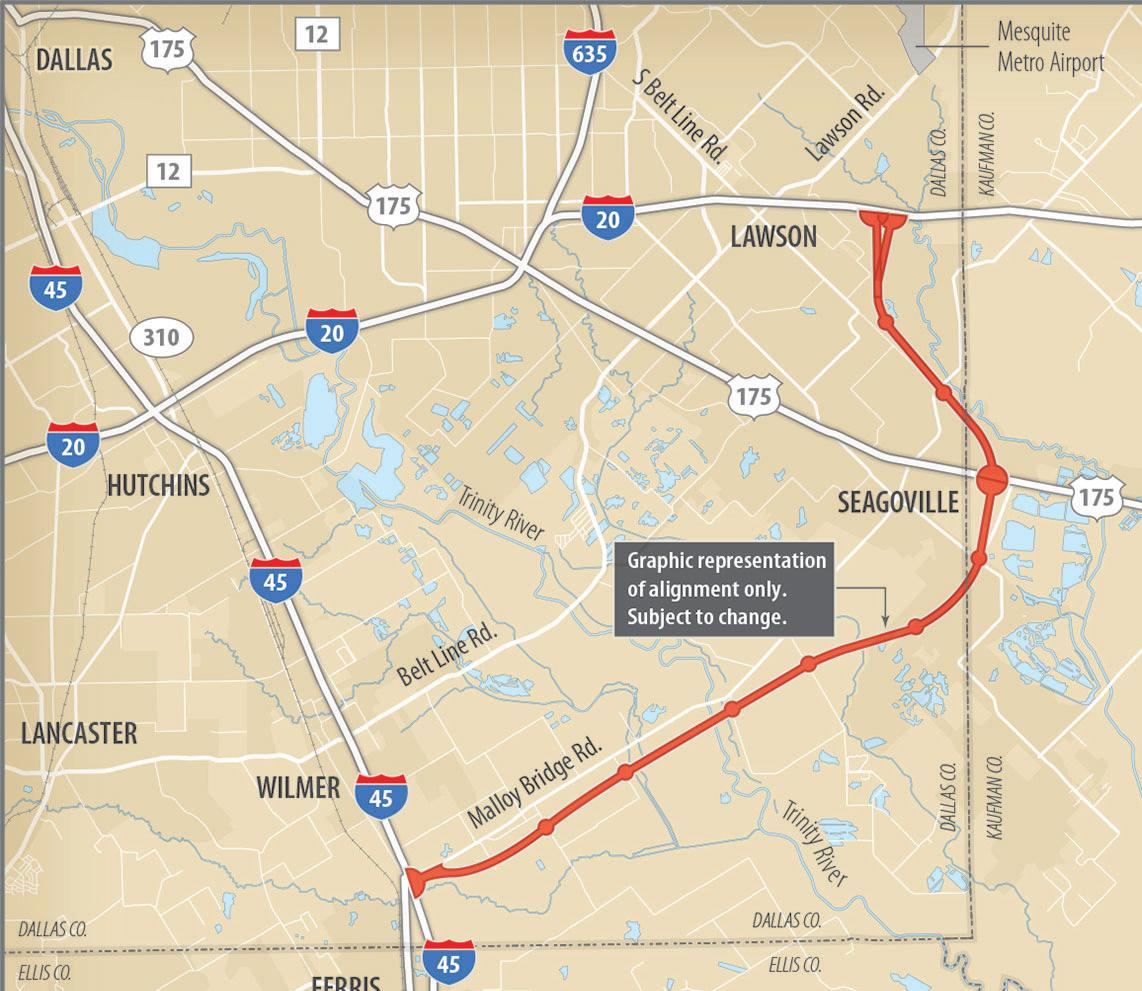
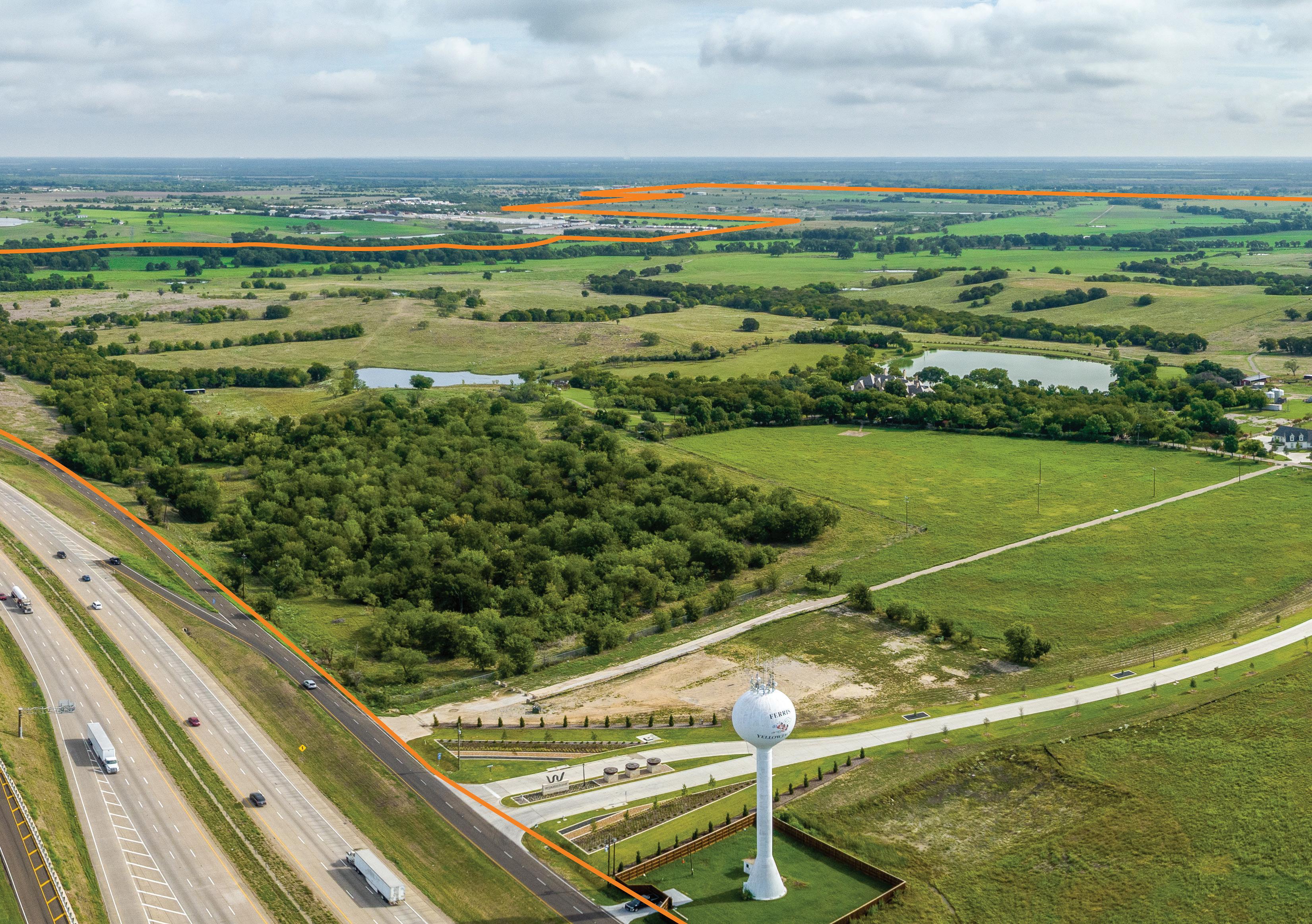
LOOP 9 - NORTHERN BOUNDARY

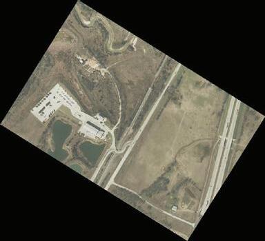
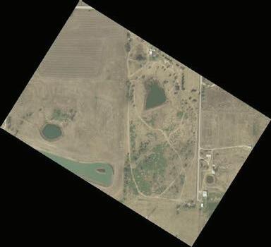
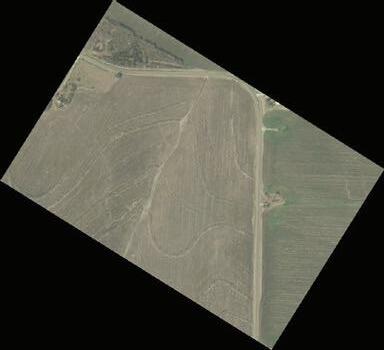
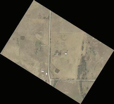
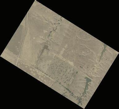
SOUTH CREEK RANCH
South Creek Ranch was founded in 1970 by Ray Wallace, founder of Trinity Industries in Dallas. Continuing over decades the ranch has been expanded upon, increasing in acreage holding size, as well as the upgrading and investing in many ranch and homestead infrastructure improvements and developments to the present day.
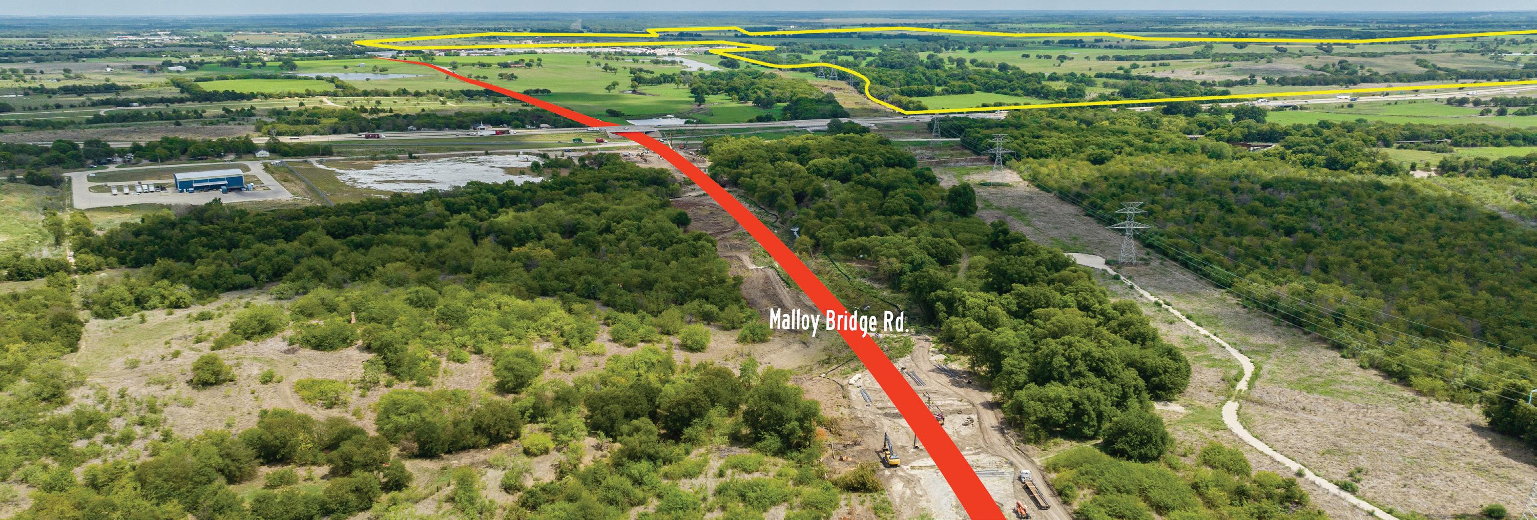
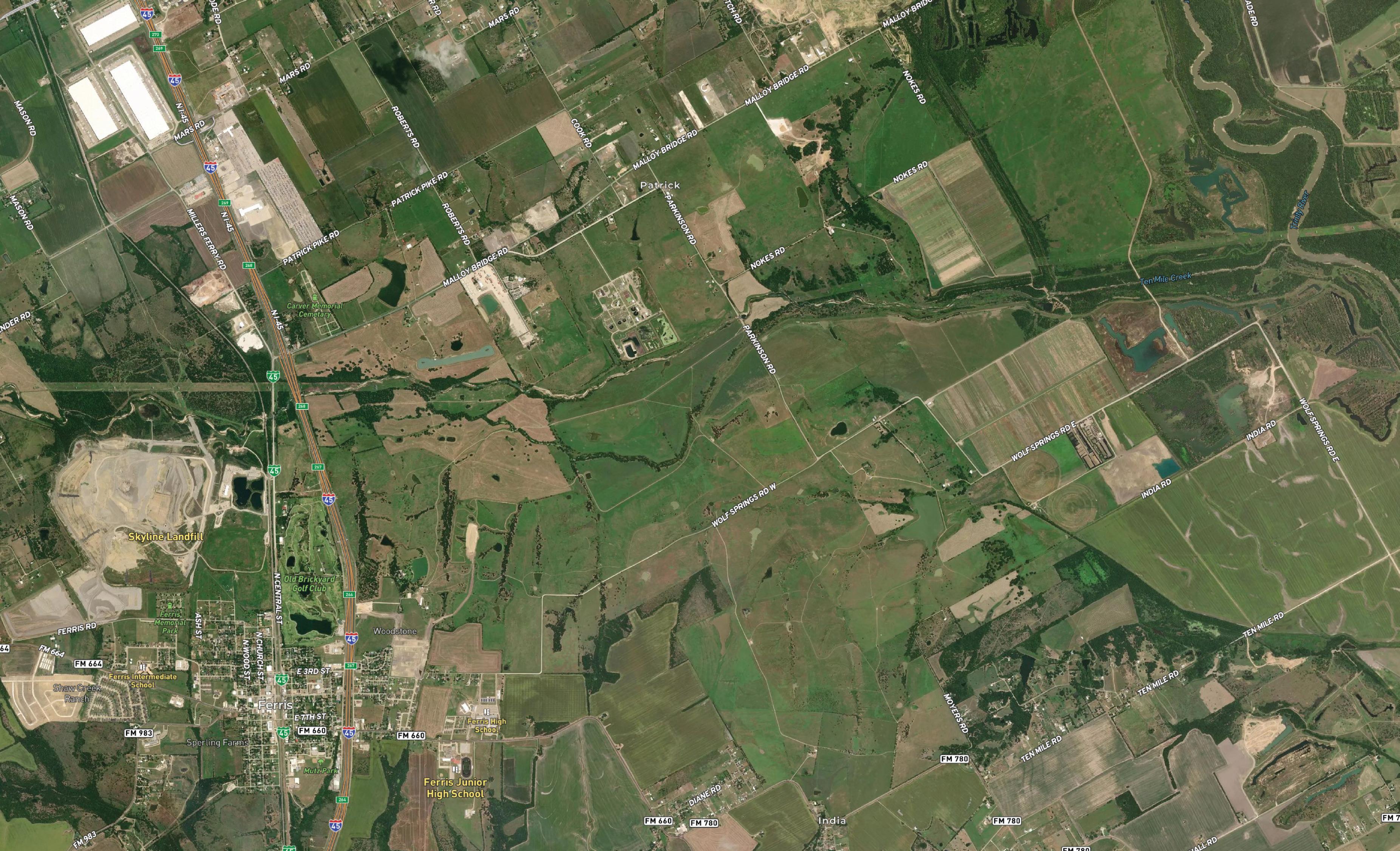
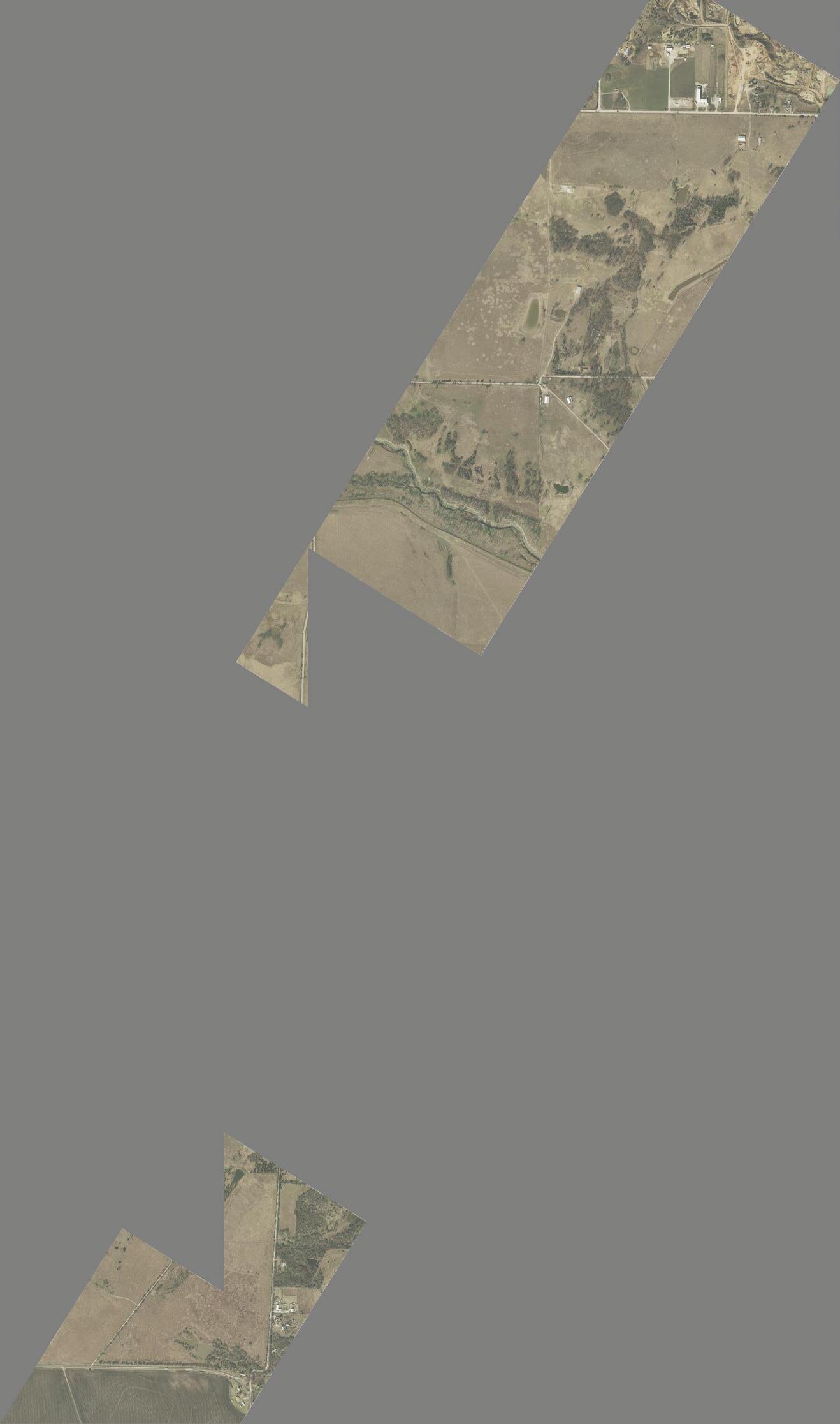
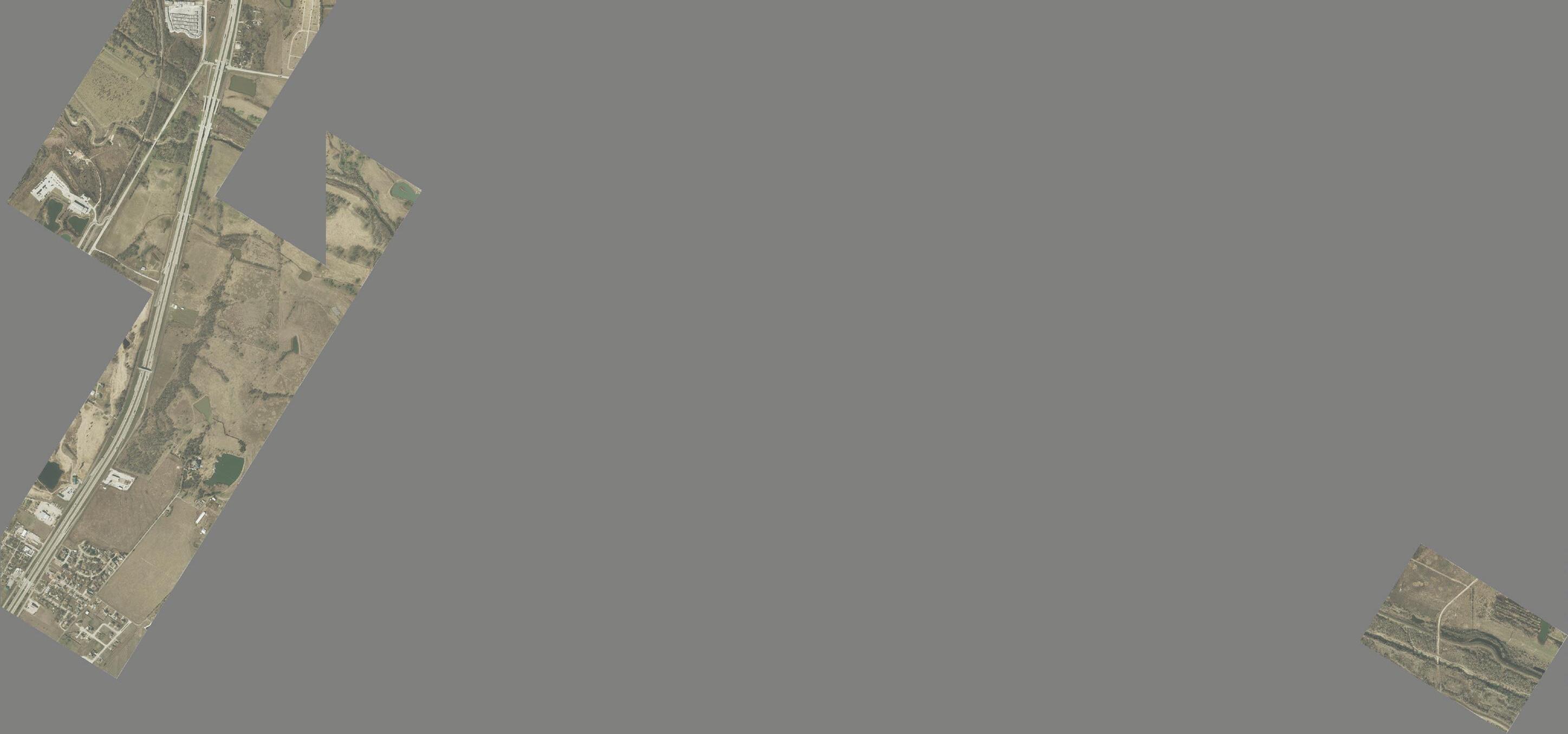
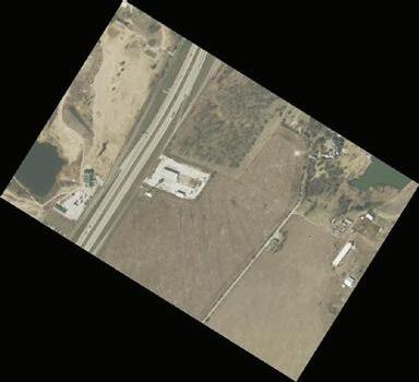
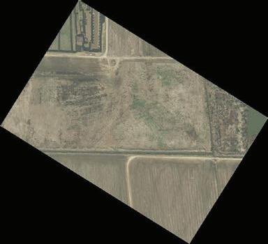
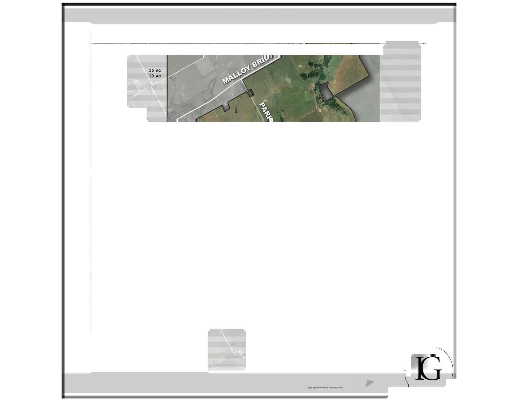
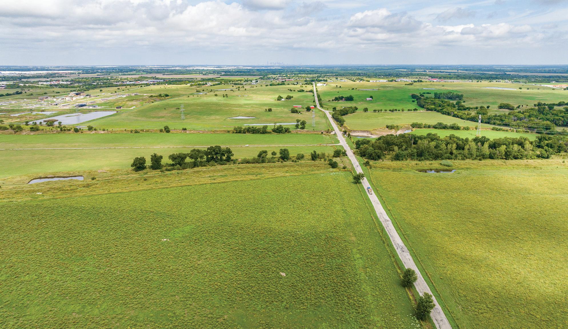
The property is approximately 5,400 acres in size and consists of some 28 tracts, located in Dallas and Ellis Counties. It is located immediately east of and adjacent to, the city of Ferris. The property also fronts and is contiguous to the east side of Interstate-45 between the Ferris and Malloy Bridge Road exits. Malloy Bridge Road, running west to east, also runs along a portion of the northeast boundary of the property on the east side of I-45. Malloy Bridge Road is the next and current extension of the new Loop 9 from I-45 to State Hwy 175 E at Seagoville (which will later extend to Tyler).
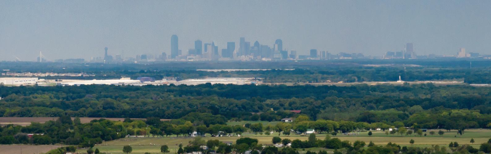
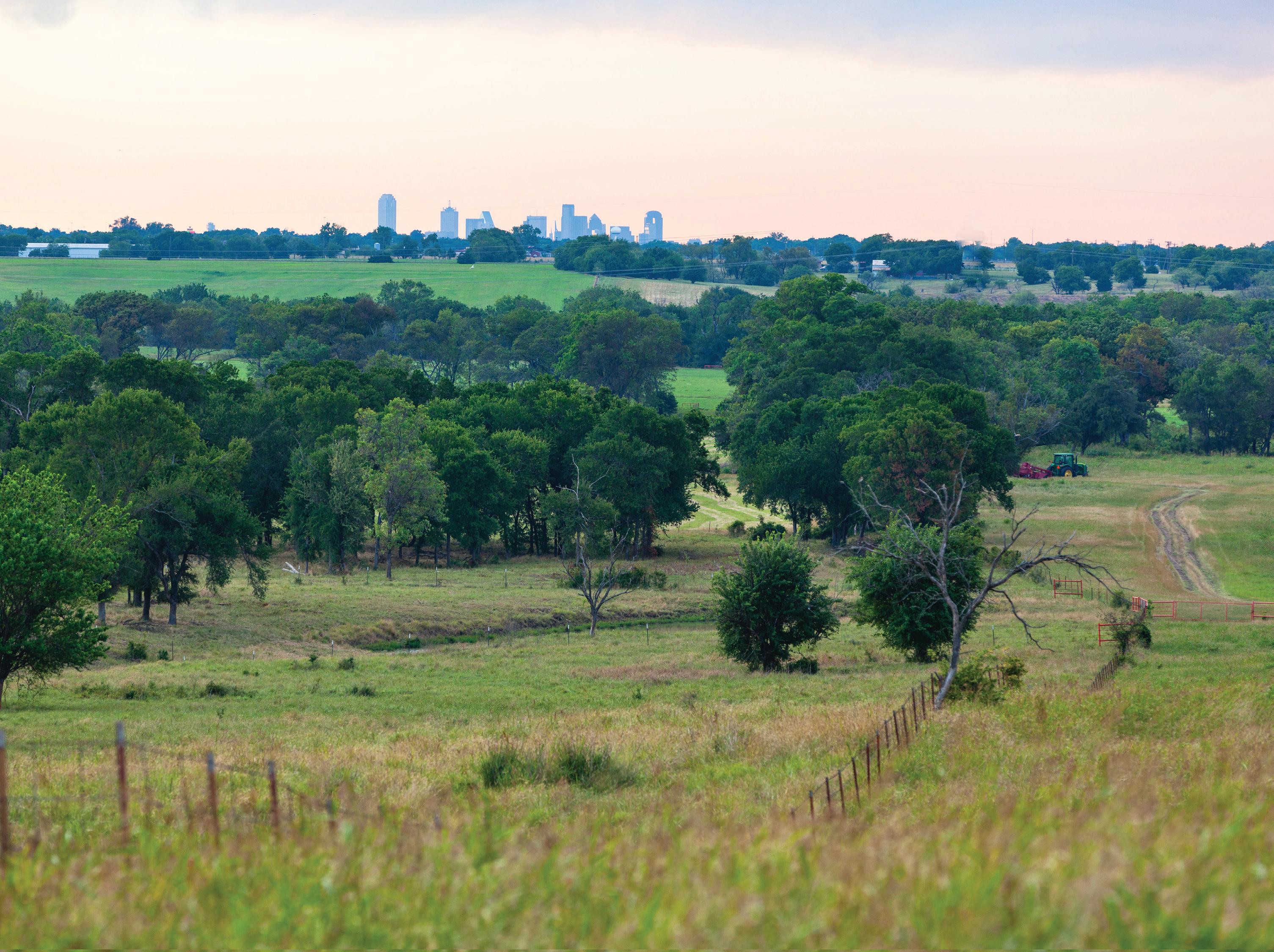
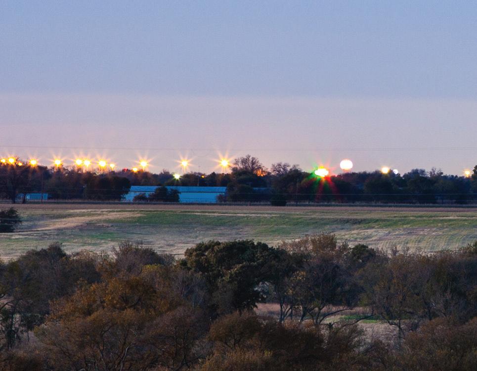
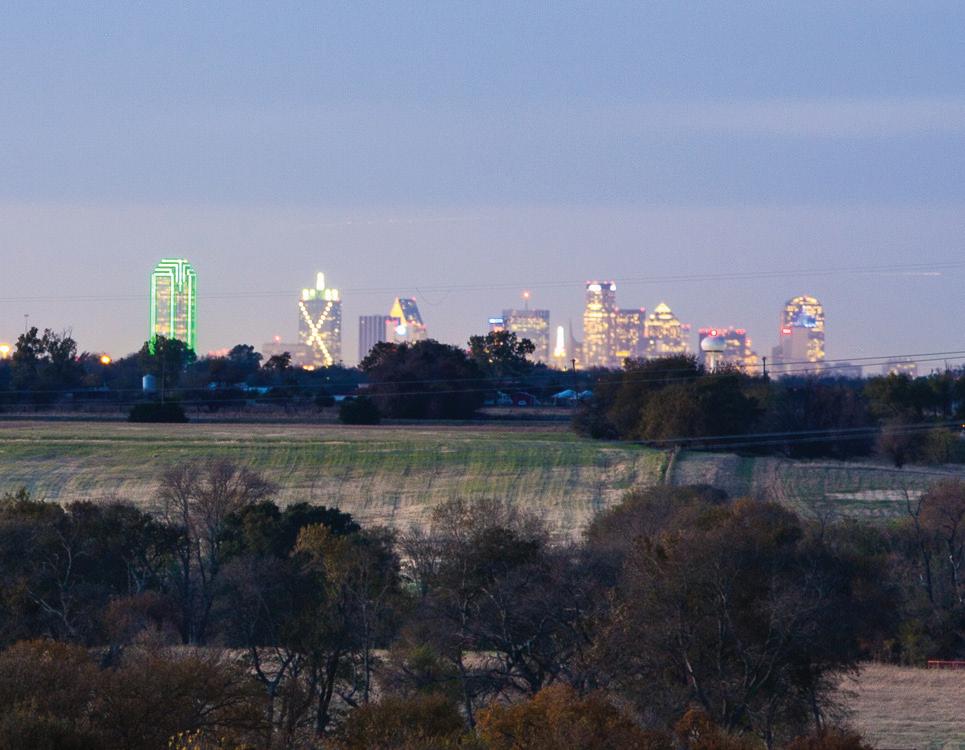
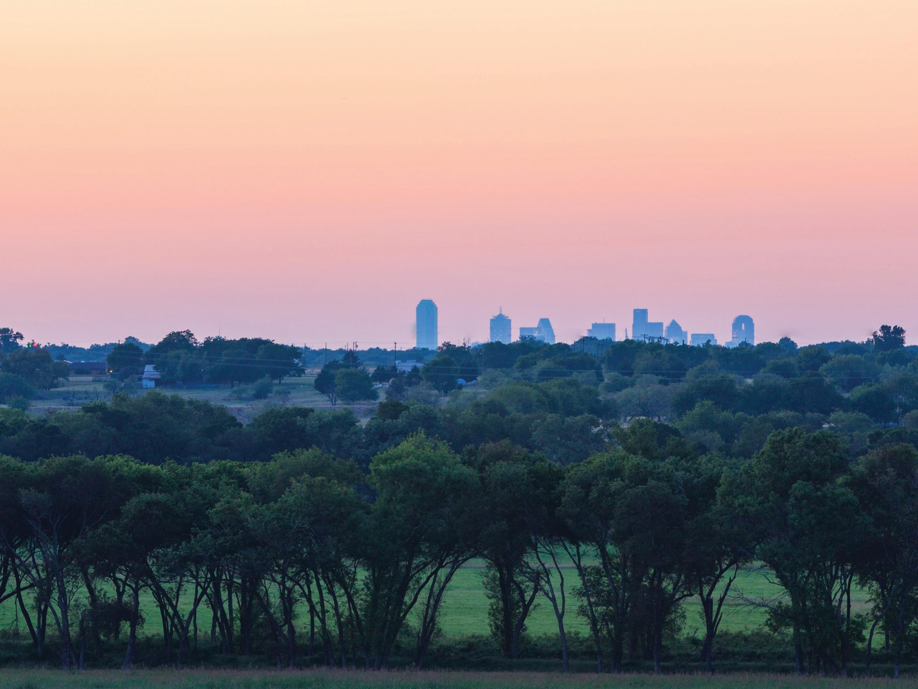
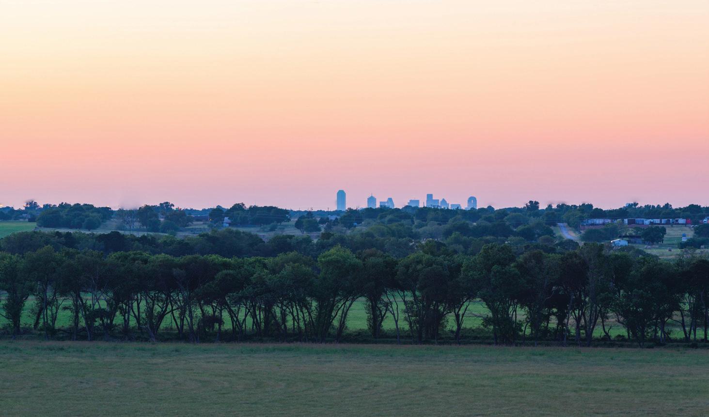
The ranch sits squarely south of Dallas on I-45. By car, it is approximately 20 minutes from the Dallas financial and arts districts, and landmarks such as The Museum Tower and Klyde Warren Park. Looking north from the ranch from any of the many hilltops and ridges by day or night, one can clearly see the backdrop of iconic buildings within the magnificent Dallas Skyline.
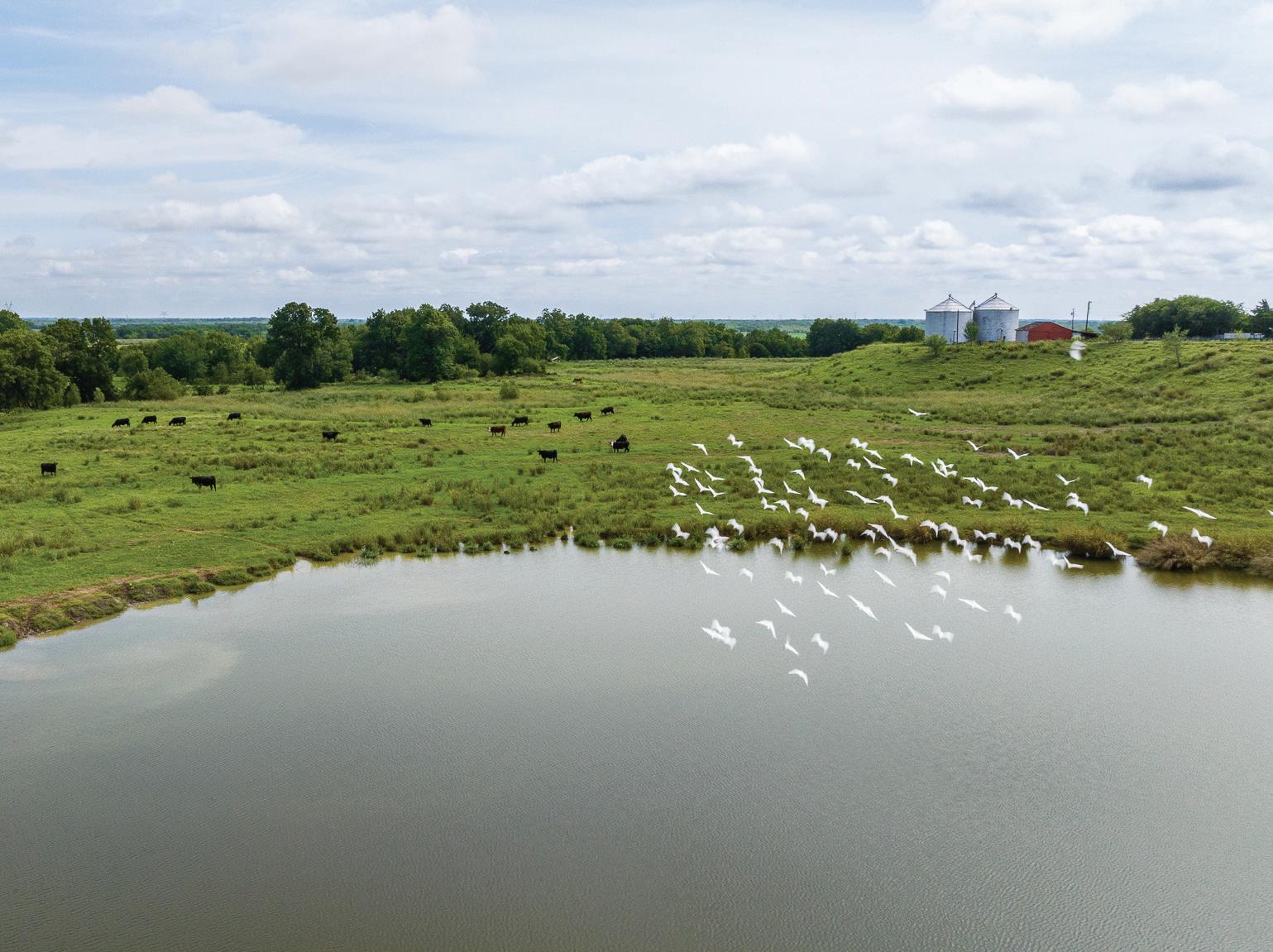
For many years, the ranch has been operated as a working cattle ranch. It also served as a family retreat as well as for entertaining political, social, and corporate guests. However, it was always the idyllic home and ranch retreat for Mr. Wallace, one of Dallas’s most respected and renowned pioneers.
The rolling topography of this property is as spectacular as it is rare and exclusive of any other land within convenience of the DFW Metroplex. Offering almost limitless and unique opportunities for continual private ranch ownership, conservation strategies, mixed-use development, entertainment, recreational enjoyment and investment purposes.
The juxtaposition of this valued and premium investment class asset located front and center to the path of progress, on the very edge of one of the nation’s most mod¬ern and international cities is truly unique.
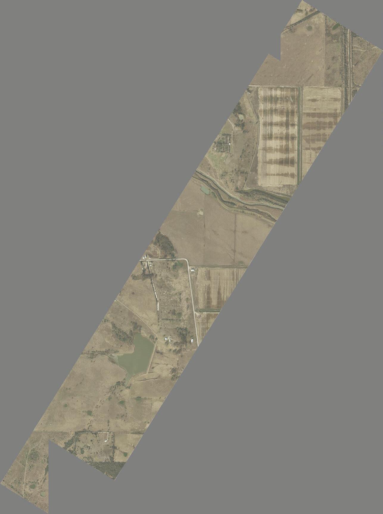
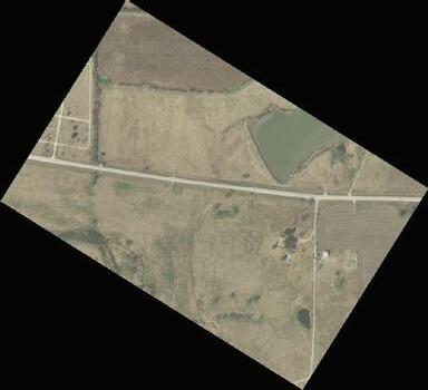
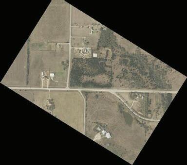
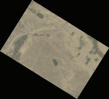
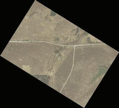
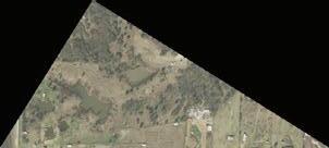
Elevations, views, water, access, and vistas to the North and East are particularly spectacular. The ranch is truly picturesque and includes vignettes and remnants of a life past including old homesteads, barns and structures dotted across a myriad of hills, dales, pastures, draws and farmland. It is a wildlife haven.
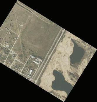
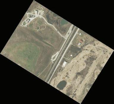
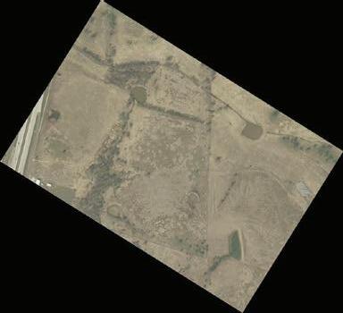
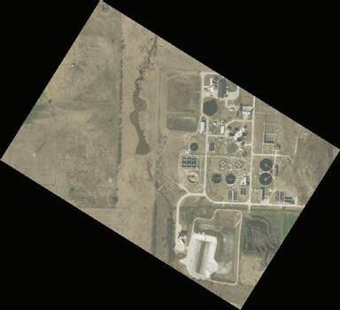
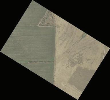
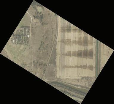
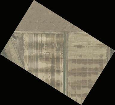
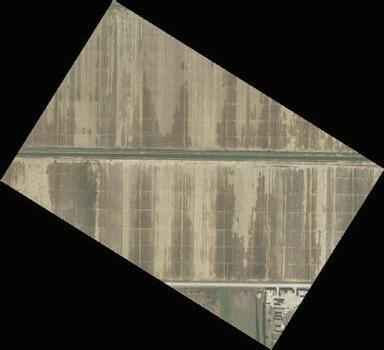
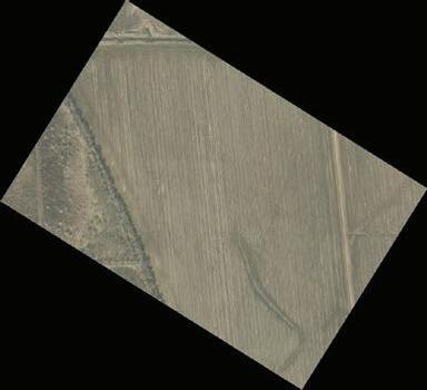
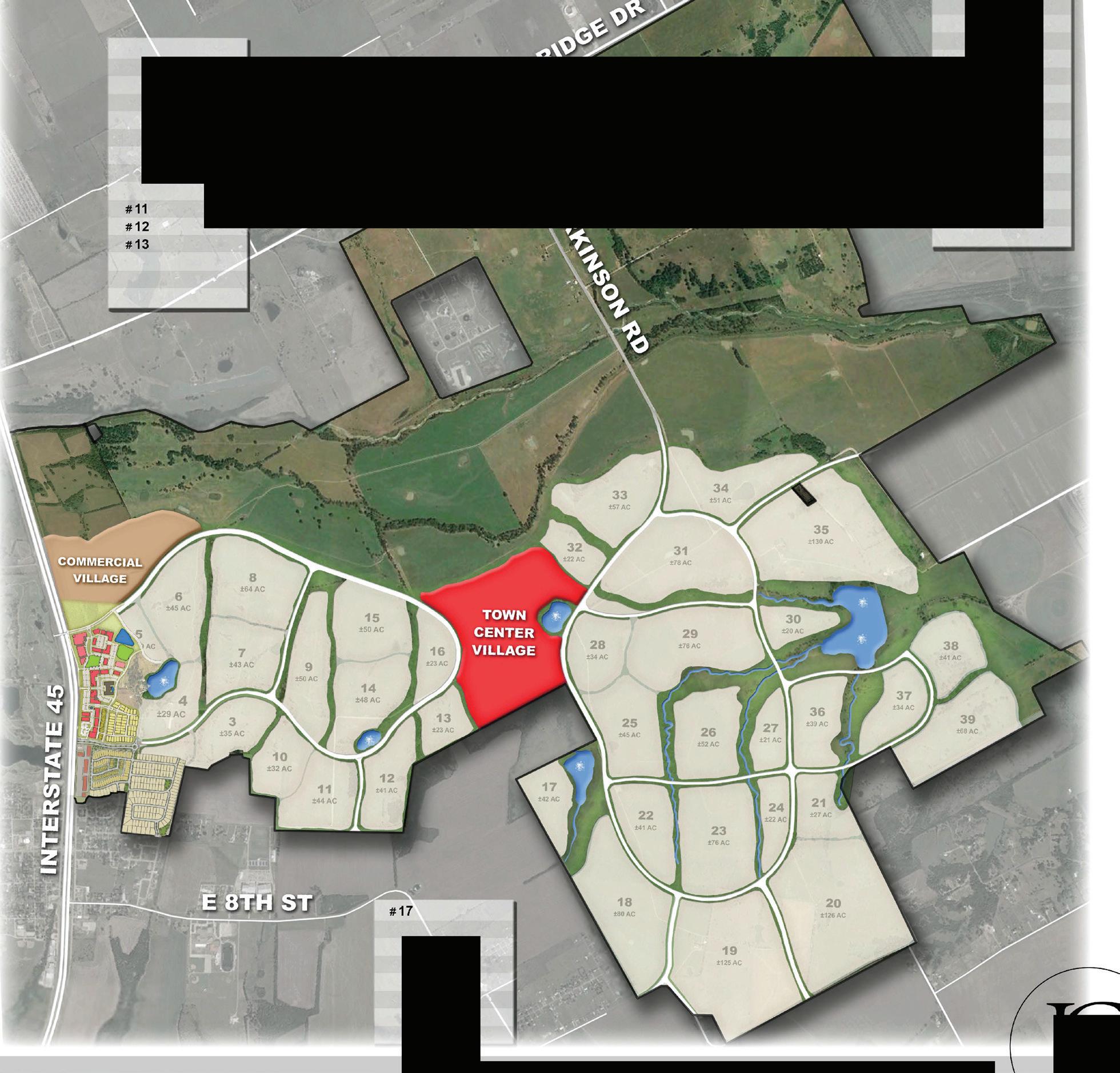
Today, the property is comprised of three main parts. The largest portion continues to operate as a working cattle ranch, earning significant revenues from Cattle leases and Hay production, as well as significant sand and gravel production royalties.
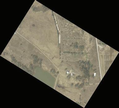
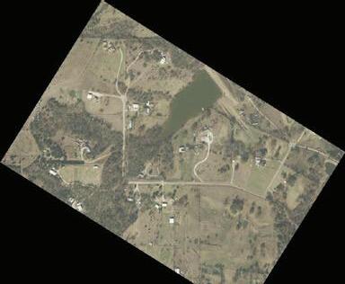
The Tall Oaks homestead and high fenced grounds continue to serve as a weekend and entertainment retreat.
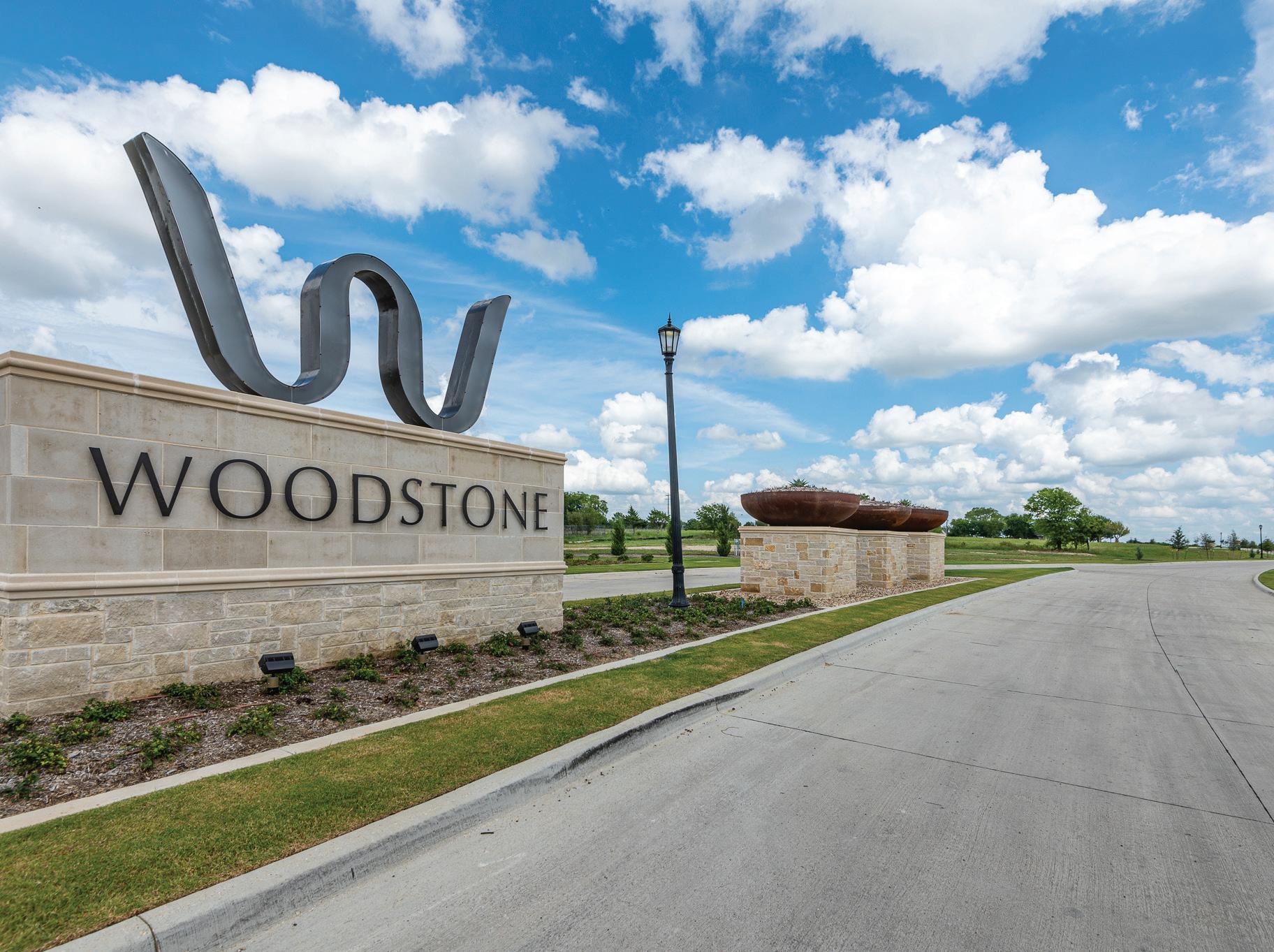
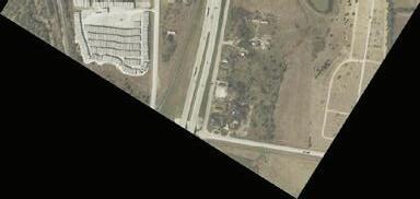
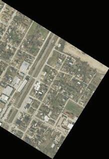
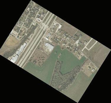
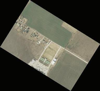
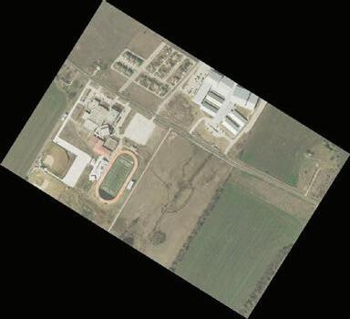
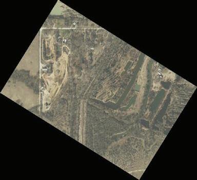
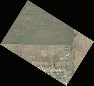
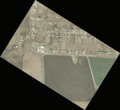
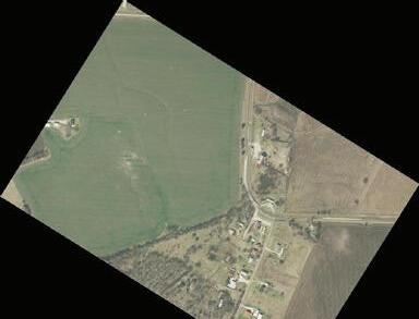
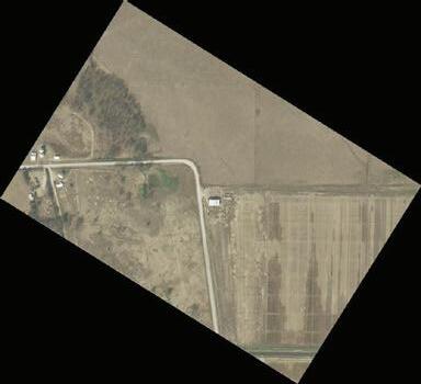
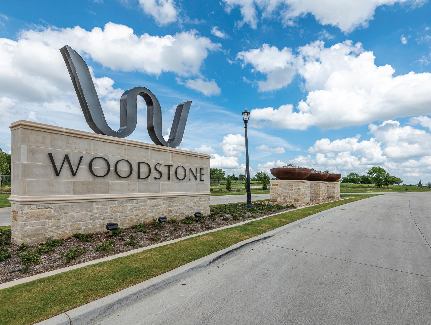
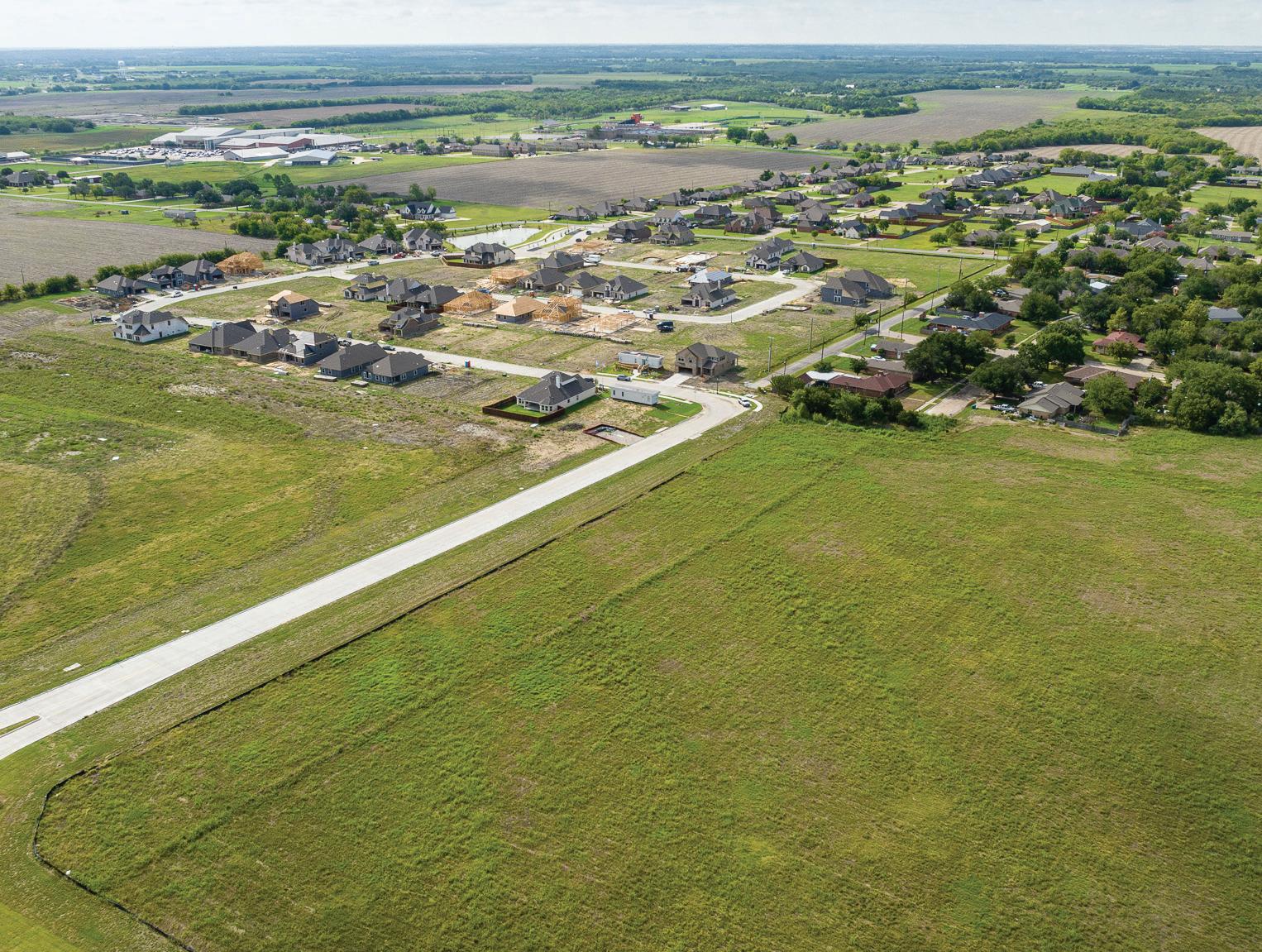
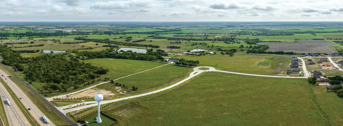
In 2020 the Ranch also commenced the successful development of a small contiguous residential and commercial mixeduse community named Woodstone. This is located on the southeast end of the property. It is accessed via a grand parkway and formal entry on the I 45 frontage road.
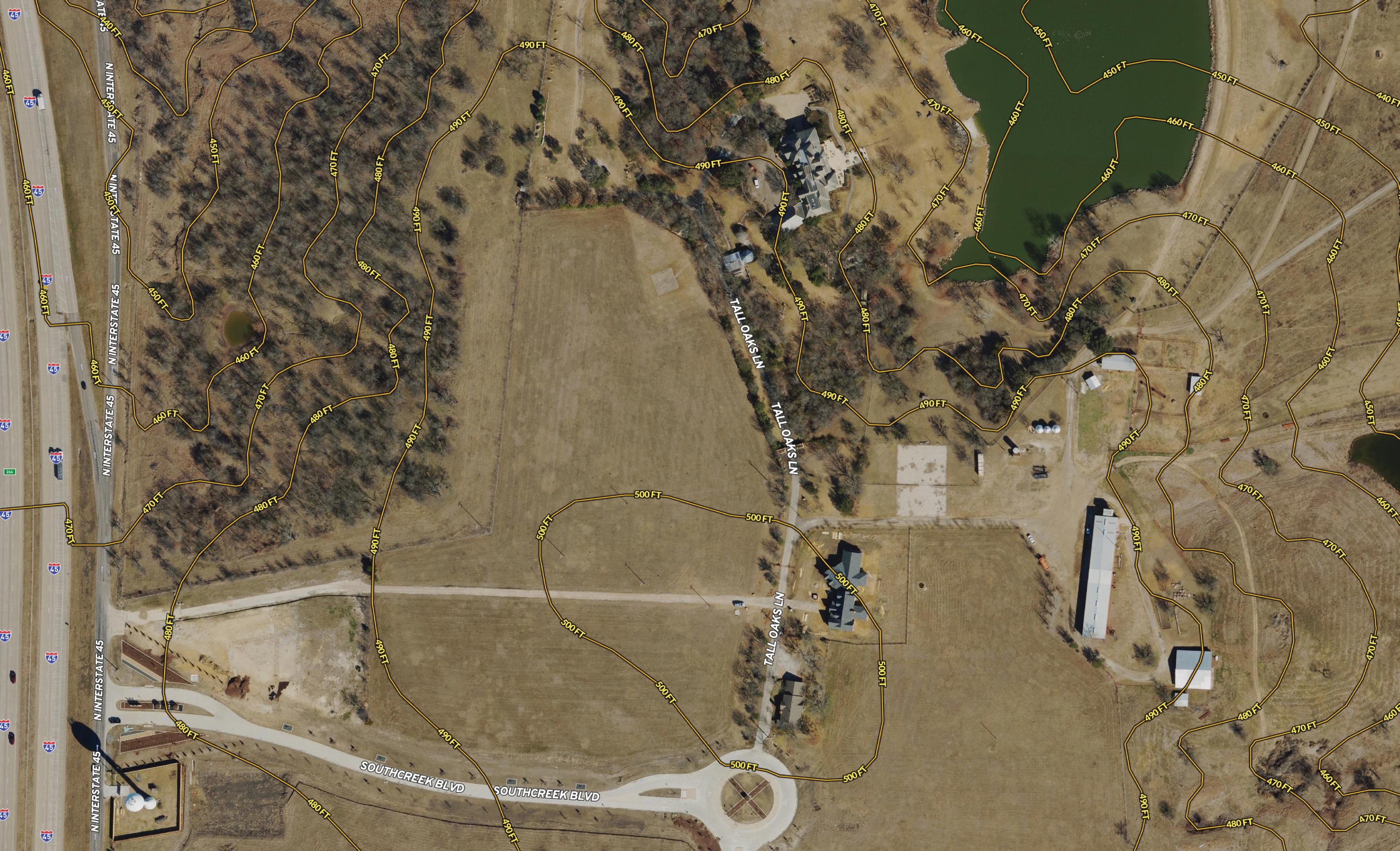
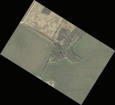
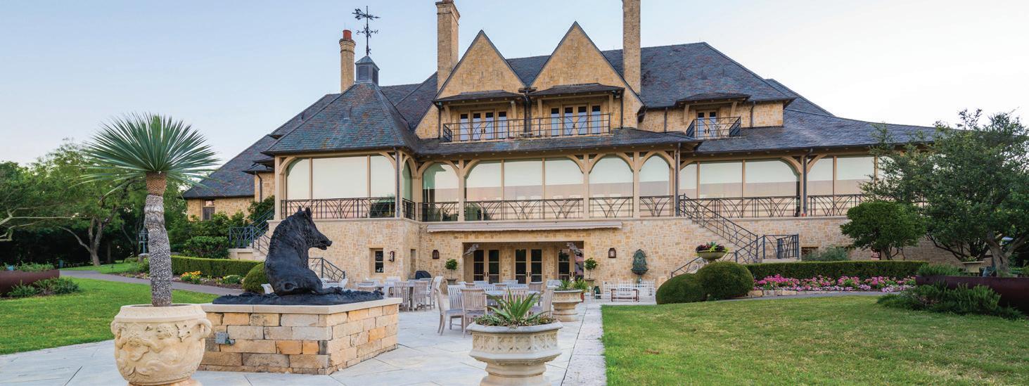
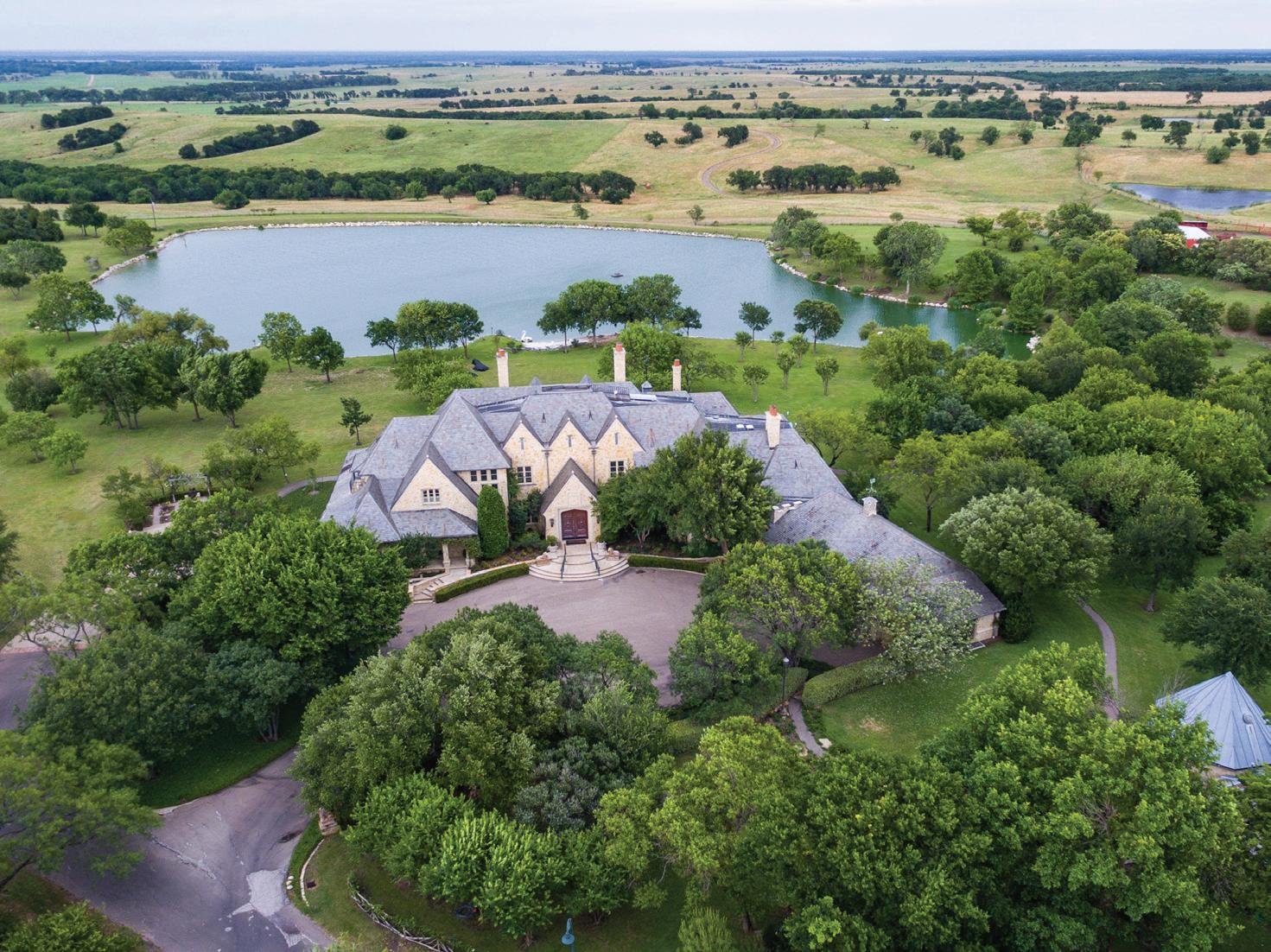
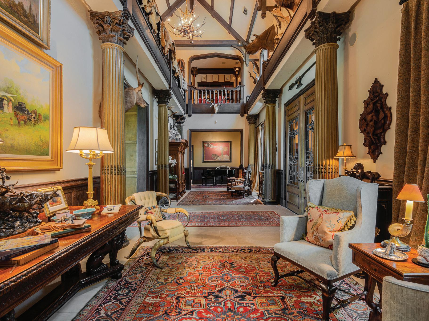
TALL OAKS HOMESTEAD
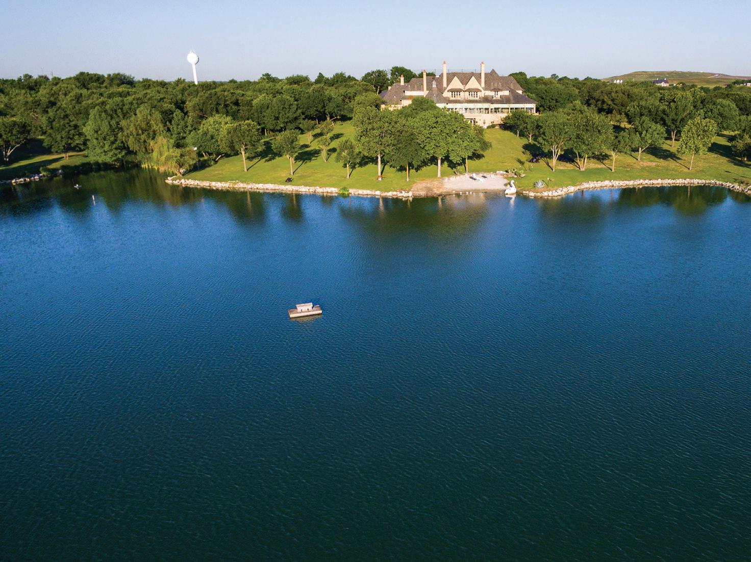
Within the ranch is a spectacular, one-of-a-kind luxury estate home.
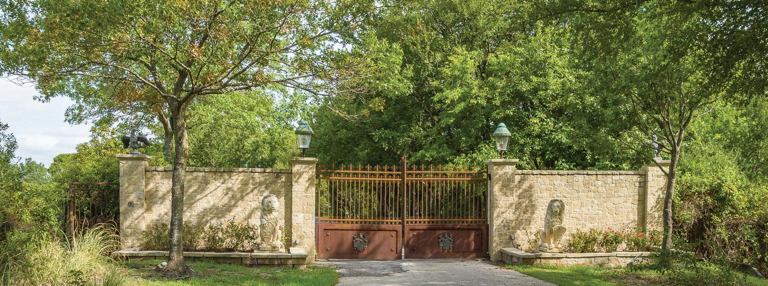
Affectionately known as “Tall Oaks,” the sprawling three-level stone mansion was completed in 2000. Built to include every luxury amenity and to entertain, the home is wrapped with quintessential screen porch verandas to the rear, taking in incredible and unobstructed easterly views over the lake and across the ranch. Tall Oaks is sequestered within a private gated and high-fenced approximately 33-acre tract and includes an exotic game reserve and helipad.
This home and parcel are included within the offering and provide potential ranging from private use and VIP Corporate entertainment to an exclusive community central club amenity use.
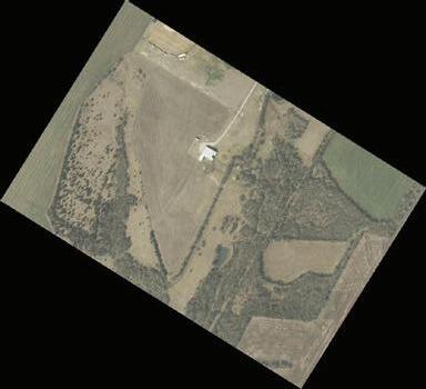
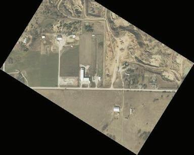
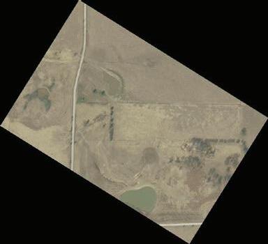
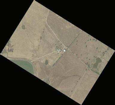
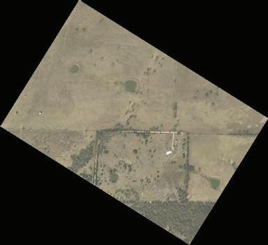
The Ranch also includes significant working ranch headquarters, and shop, pens, and other operational infrastructure along with many other homes, barns, and buildings throughout.
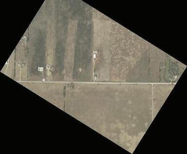
WOODSTONE DEVELOPMENT
Woodstone Development was commenced by the ranch ownership in association with Tommy Ford Homes, led by CEO Cory Ford, breaking ground in May of 2020. Home construction began in December of 2021.
Today, the 64-acre Woodstone development consists of 3 phases (251 lots) of potential residential development and includes an initial 7.7 acres of conceptual commercial area, which faces the I-45 frontage road north of the Woodstone Parkway entry.
Woodstone has proved to be a commercial success. Phase One has completed and sold.
Phase Two along with commercial development concepts opportunities are offered a part of the sale and stand ready for transition and decision making of new ranch ownership.
A high level conceptual futuristic masterplan covering the entire ranch has been developed as an option, potentially incorporating up to 10,000 homes along with mixed-use development, including industrial, commercial, and residential applications throughout.
Conversely, the alternatives to large-scale development include continued operation as a private home and ranch, limiting development to the existing 64-acre Woodstone footprint – alternatively completing a conservation easement strategy, or simply a land bank investment or other combination of other low-density options or use. Certainly, expansion of existing revenue and royalty streams along with a myriad of other opportunities exist.
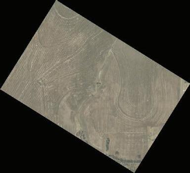
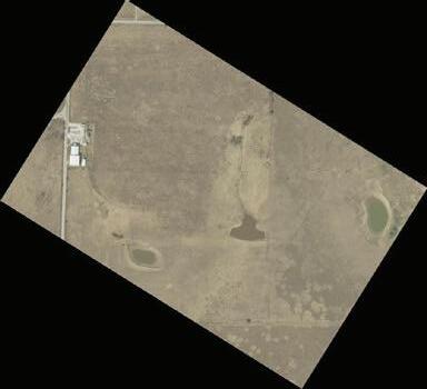
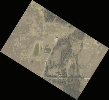
WATER, WETLANDS, CREEKS, ECOSYSTEM
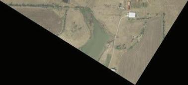
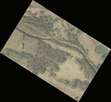
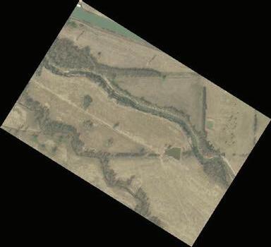
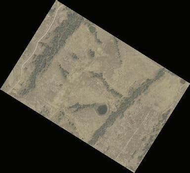
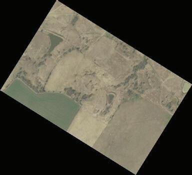
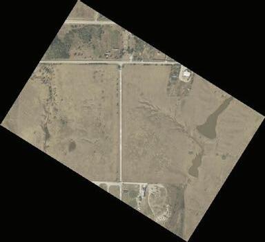
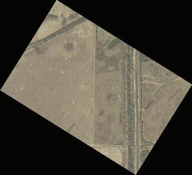
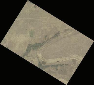
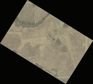
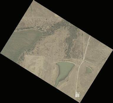
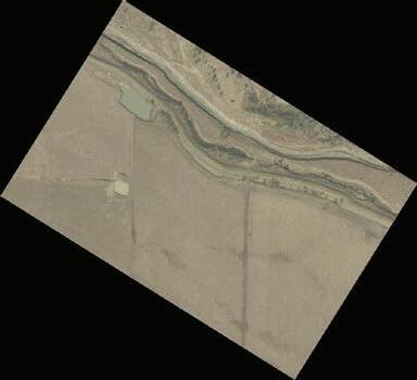
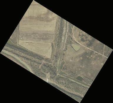
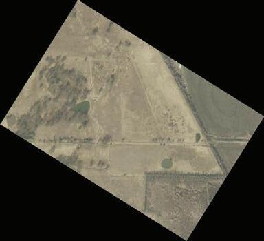
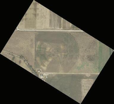
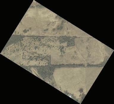
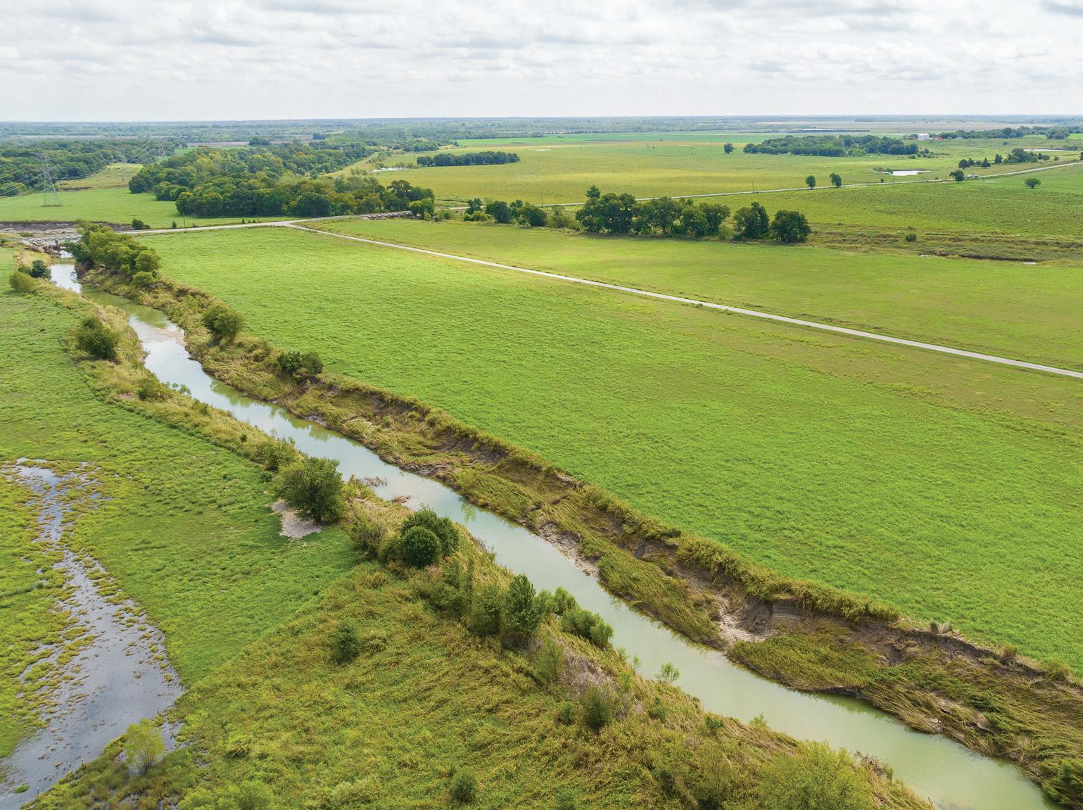
The entirety of the ranch is covered by a myriad of creeks, ponds, and dams, as well as partial flood plain and wetlands (including Ten Mile Creek), providing a spectacular and rare mix of man-made surface impoundment improvements, natural reserves, seasonal creeks and accompanying ecosystems.
Topography of Hill and Dale with elevations of 500 ft not only provide spectacular views and vistas, but moreover naturally important drainage and run-off, creating rich, productive, and stable soils on hilltops optimizing natural filtration, aeration, and moisture to prized fertile and diverse bottomland and flood plain in turn providing a premium use for anything from livestock forage to lifestyle recreation and adventure.

LOCATION, LOCATION, LOCATION >>>
There are few, if any, truly spectacular and genuine working ranches with the size, scale, and versatility of investment opportunity within an hour of DFW such as South Creek.
There are few, if any ranches or land parcels which, during the decades and course of an encroaching major metroplex such as Dallas, which have become larger, not smaller over time.
South Creek ranch is the rare exception. Through decades, as Dallas became larger, so did south Creek. As beltways, thoroughfares, county roads, loops, and intermodal facilities were planned, permitted, built and added to the myriad of the vast South Dallas Metroplex, the owners of the So Creek ranch, also systematically added parcels, tracts, and farmland all the while clearing, improving, and enhancing each addition to the holdings.
Driving the short distance south to the ranch from Dallas Landmark Klyde Warren Park towards Houston, I-45 is intersected by significant throughfares and exits such as SH 175 East (exit 283), TX loop 12 (exit 279), Interstate 20 (Exit I20 E/W) and Beltline Road (exit 270) before crossing Malloy Bridge Road (exit 268-Now loop 9) (Ranch adjacent) and Ferris Exit 266 to access the Ranch via Woodstone.
Today, the ranch has a contiguous boundary of I-45 /Frontage Road on the west side and Malloy Bridge Road on the northeast, with the interiors already being superbly intersected within a natural masterplan subdivision which include three excellent and county-maintained roads, Wolf Springs, Parkinson, and Nokes.
In golfing terms, South Creek ranch is in position A, right in front of the green, ready for a chip and a putt!
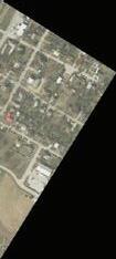
To the South and West is the growing city of Ferris, (population: approx. 3100) which includes new schools, other new developments, and various new city amenities.
Just a few minutes further south of the ranch on each side of I-45, sits The International Inland Port of Dallas (IIPOD) is a - global, national, regional, and local connection to markets. An intermodal and logistics district that encompasses 7,500 acres and 5 municipalities, the IIPOD is located at the hub of the nation’s best logistics transportation infrastructure.
https://www.dallasecodev.org/414/International-Inland-Port-of-Dallas