In 2022 I accepted a position with Rivington Street Studio (RSS), an East London based practice primarily working in the education sector, but also with a lot of work in multi-family housing.
I was immediately resourced to a project in early Stage 3 with BIM Level 2 requirements, the Barnfield Estate Housing project, a great opportunity to develop my revit skills, while I also carried out learning in my own time with software tutorials; I soon joined the practice’s BIM Working Group, meeting monthly to discuss the office’s BIM protocols including our upcoming accreditation for ISO 19650 – Managing information with Building Information Modelling standards.
I worked on a number of projects during my time at RSS, four in particular for considerable periods of time, which are outlined here.
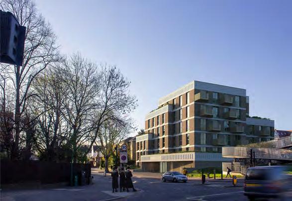
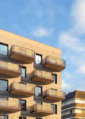
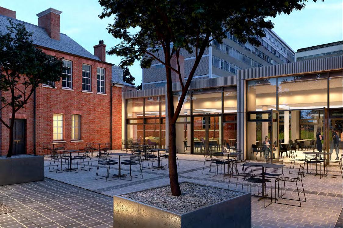
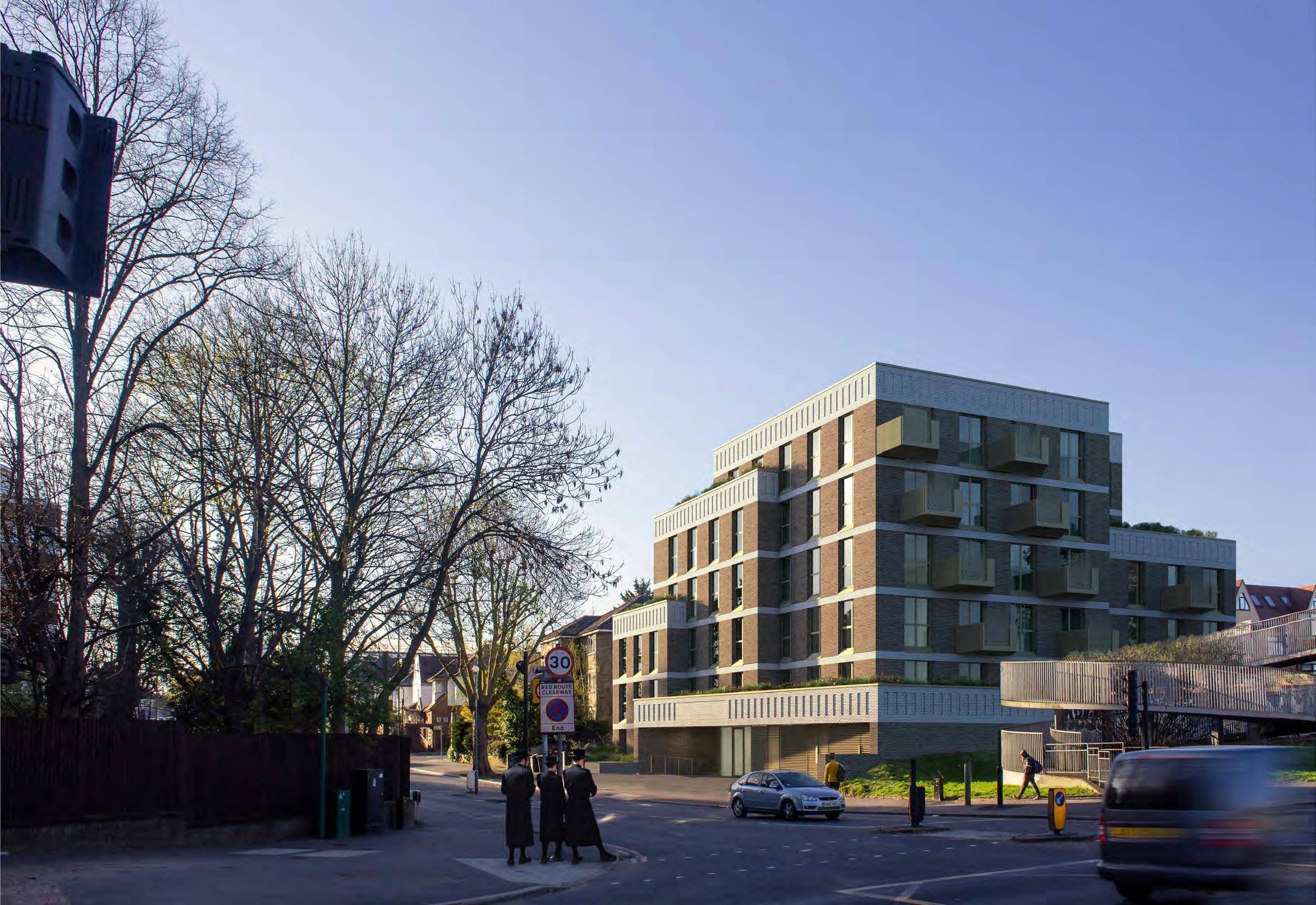
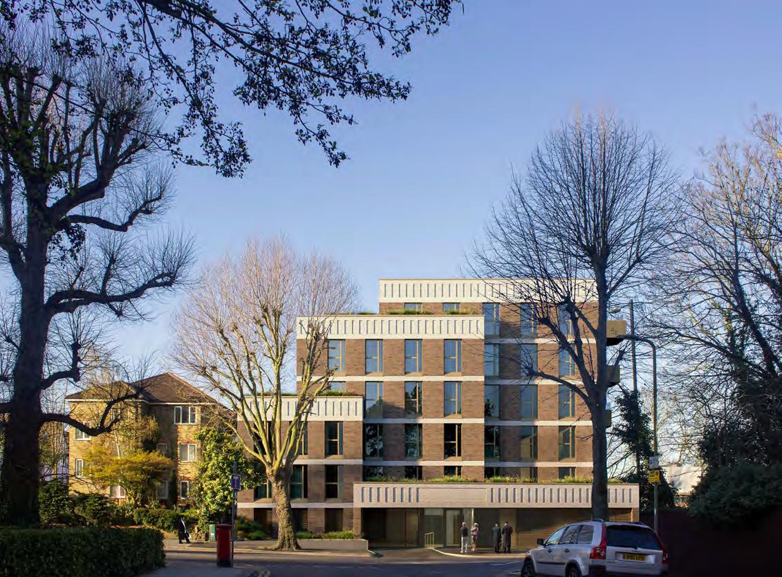
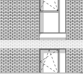
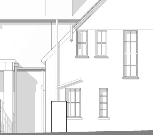
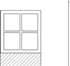
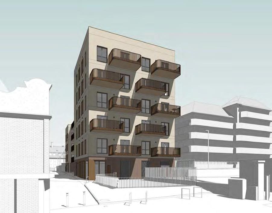
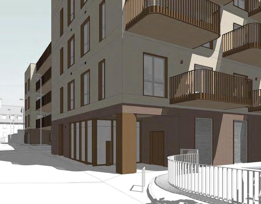
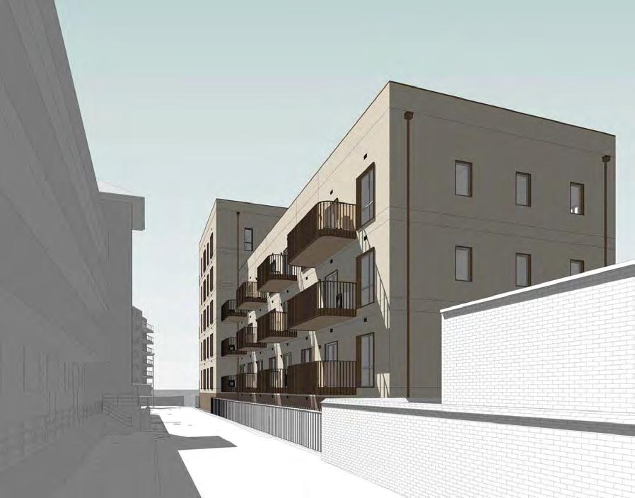
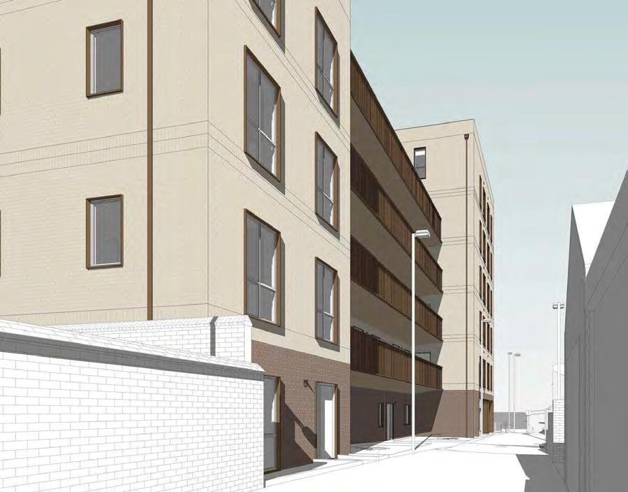
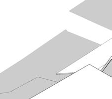
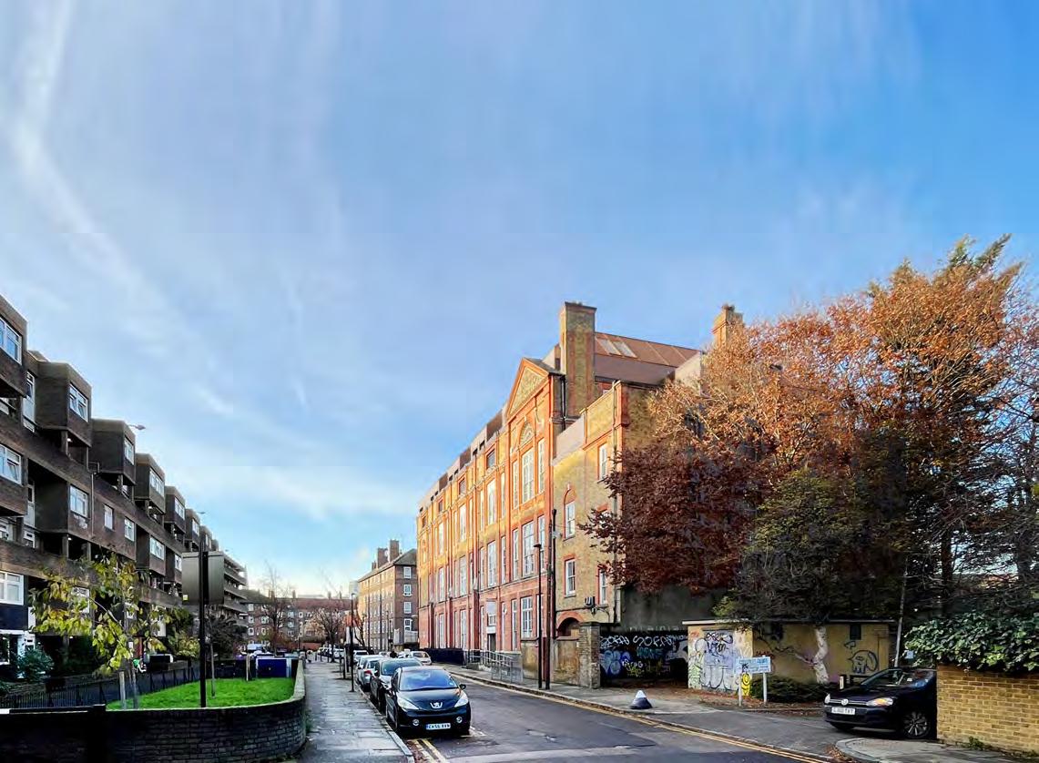
Golders Green
Type: Housing
Client: Agudas Israel Housing Association
Location: Golders Green Road, London
GIA: 30,500 SF
Status: On site, completion due Spring 2025
Cost: $14.35 million
Scope: Demolition of existing residences & New build
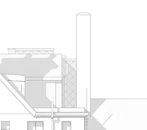
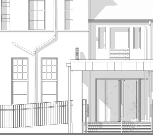
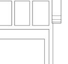
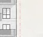
After a lengthy hiatus caused by client / contractor negotiations and statutory consent delays, my involvement began at early Stage 5 with significant detail design outstanding. I worked under an experienced Project Architect and was responsible for all design work including BIM coordination.
The scheme has started in CAD but moved over to Revit prior to my joining, therefore there remained a lot of cross referencing information due to design changes.
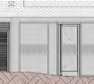
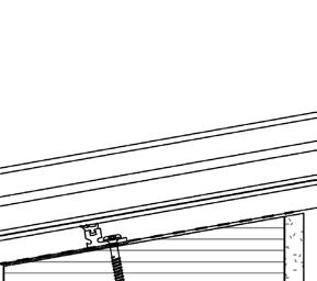
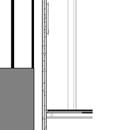
I was responsible for a full issue of construction documentation, updated coordination with MEP information, kitchen design updates as well as updates to the main entrance detailing and landscaping including design coordination for a substation with UK Power Network (UKPN).
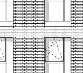
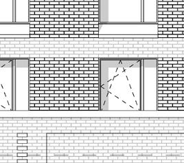
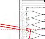
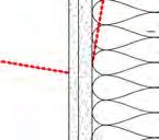
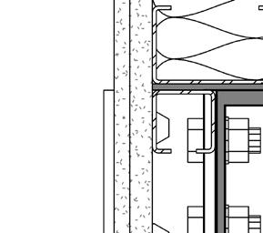
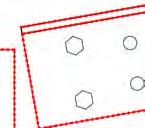
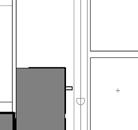
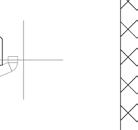
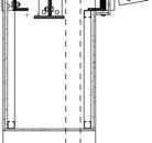
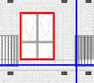
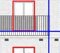
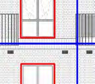
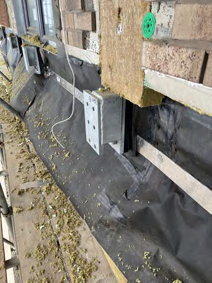
The site is located within a significant flood risk zone with the lowest point and most likely impact area being the front entry, therefore significant coordination with the civil engineer, structural engineer, flood risk assessor and landscape architect was required including detail specifications and design integration of demountable flood barriers for all GF openings.
Summary of my role:
• Architectural Designer under Project Architect
• BIM coordination
• Issue of complete CD package
• Updated design for entrance
• Design team meetings (participate & chairing)
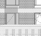
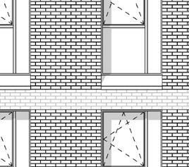
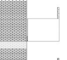
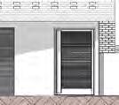
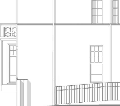
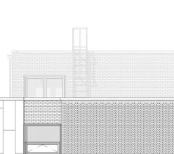
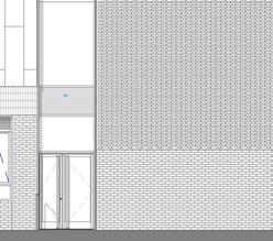
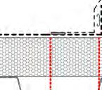
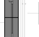
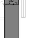
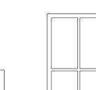
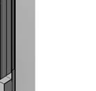
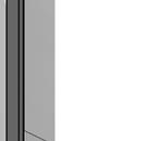
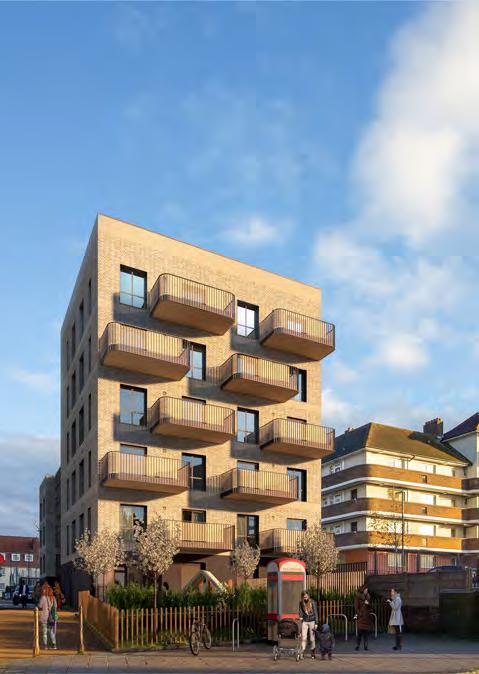
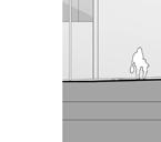
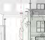
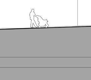
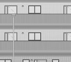
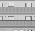
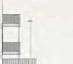
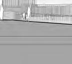
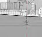
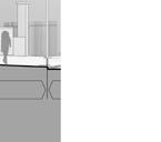
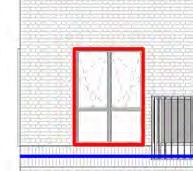
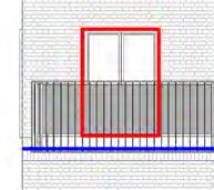
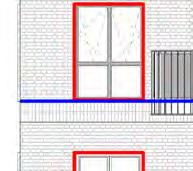
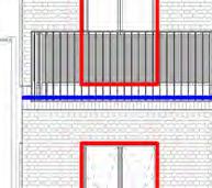
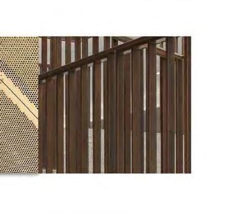
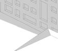
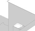
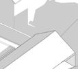
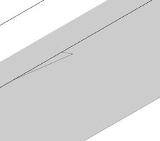
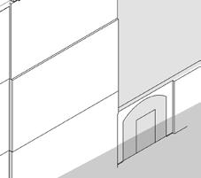
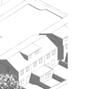
View from Woolands
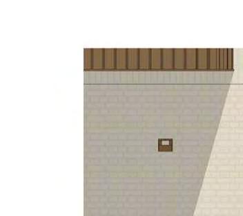
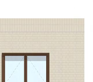
View from Golders Green Road
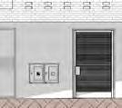
Car Park Entrance
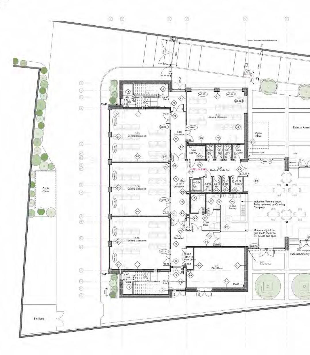
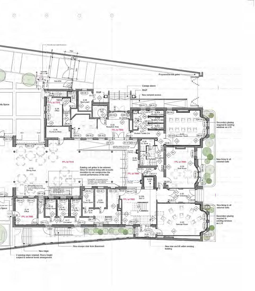
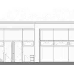
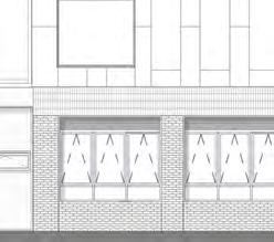
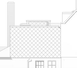
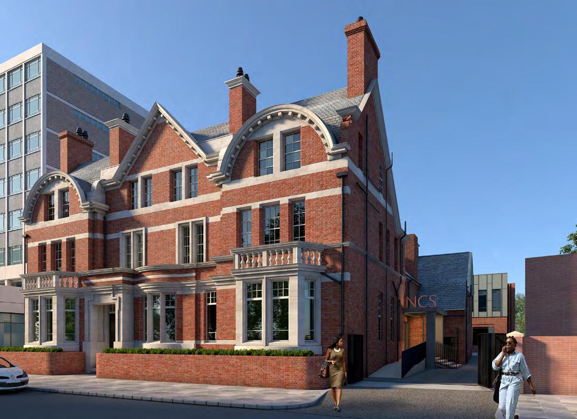
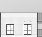
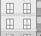
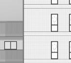
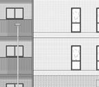
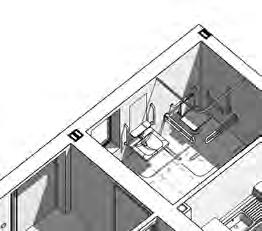
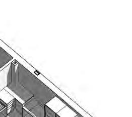
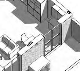
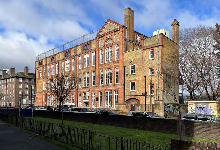
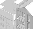
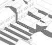
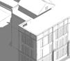
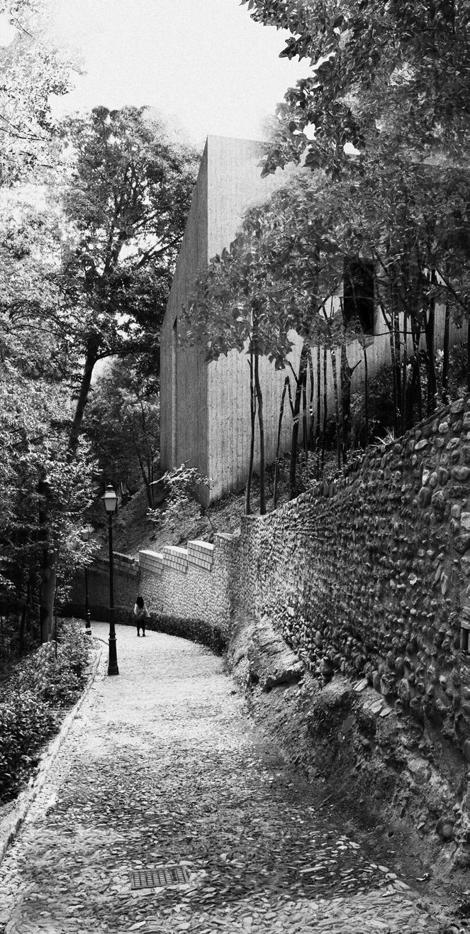
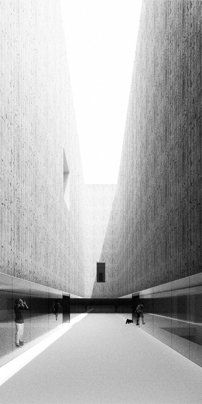
Newham Collegiate
Type: 6th Form College
Client: Department of Education
Location: Newham, London
GIA: 23,000 SF
Status: On-site
Cost: $9.4 million
Scope: Grade II Listed refurbishment, extension & new-build
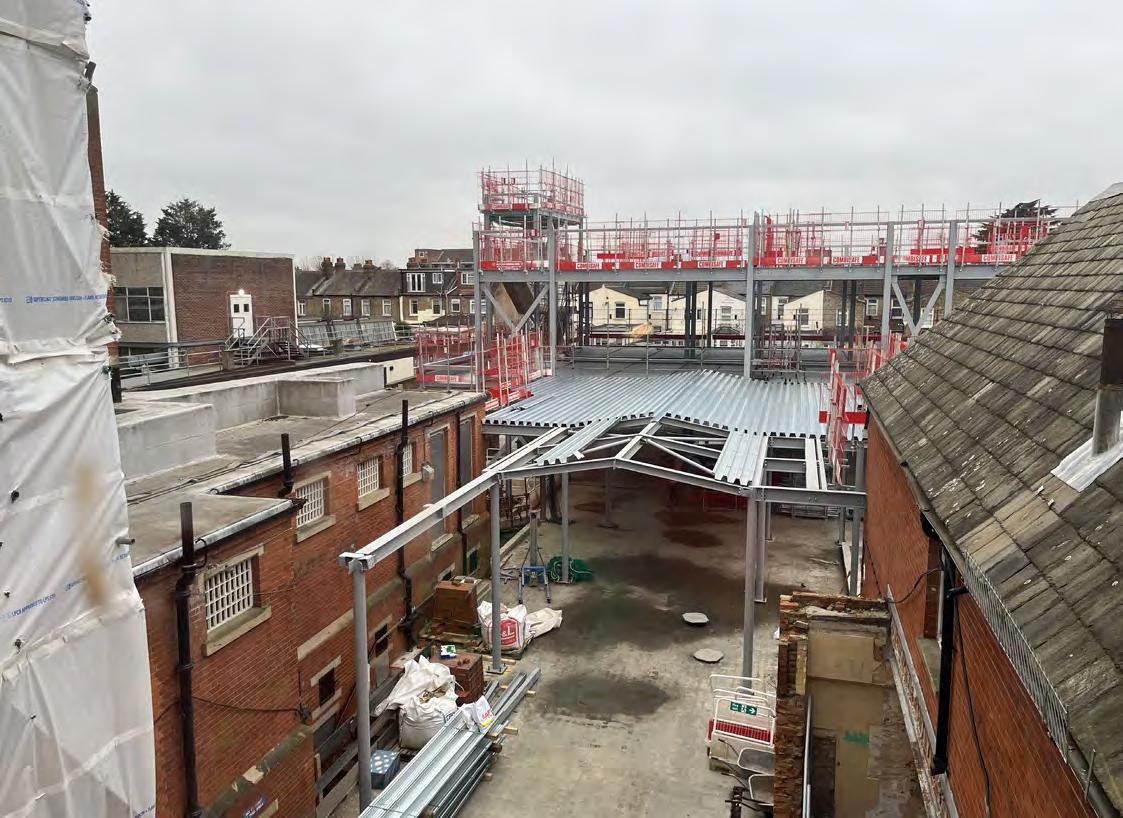
After the former Project Architect and their replacement left the company, I was resourced to the project at a critical stage. Working on site were well underway, with the primary structure of the new build started. Key detailed design was incomplete and in particular coordination between the new-build dining hall link and the existing structure were unresolved. The time pressures were significant as delays in design had the potential to prevent works on site continuing.
While not licensed I was tasked with preforming the duties of the Project Architect under supervision from the Director who was subsequently on maternity leave.
As such I was responsible for a complex set of tasks from commenting on consultant and sub-contractor shop drawings, design updates to key details including the dining hall roof which had drainage issues and weekly site visits to report on progress and respond to contract requests for information.
Summary of my role:
• Acting in role Project Architect (not licensed)
• BIM coordination
• Weekly design team meetings
• Weekly site visits & reporting
• Construction detailing and updates
• Consultant and shop drawing review and comments
• Responding for Request for Information
• Protect firm from Contractor EOT claims
2.
3.
6.
7.
8.
9.
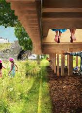
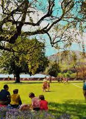
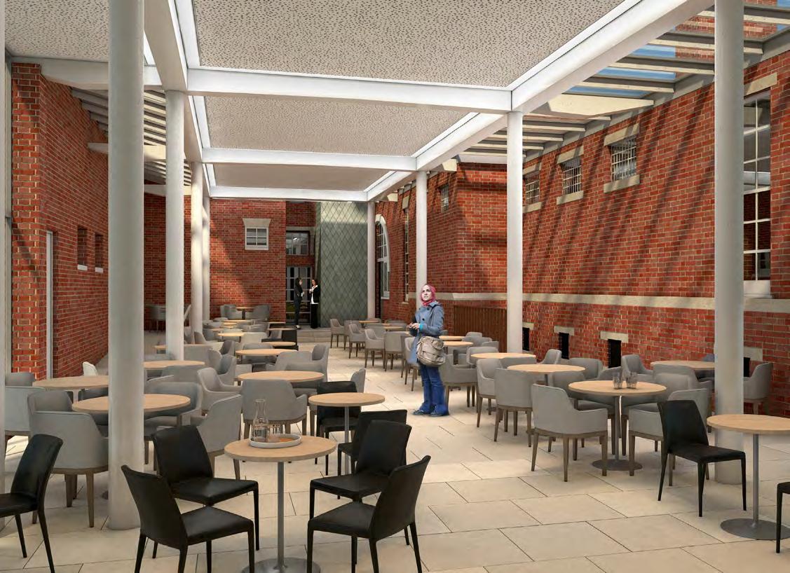
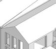
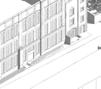
RSS Visualisation - Newham Collegiate 6th Form - Former Police Station grade II listed (credit Alexander Urkiza)
RSS Visualisation - Newham Collegiate 6th Form - dining hall link (credit Alexander Urkiza)
Newham Collegiate 6th Form - Dining Hall link structure underway - Feb 2024
Scheme Overview
Newham Collegiate Sixth Form
RSS Visualisation - Newham Collegiate 6th Form - dining hall link (credit Alexander Urkiza)
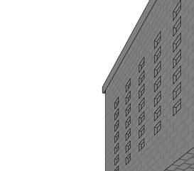
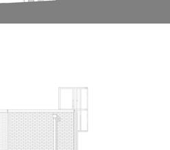
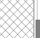
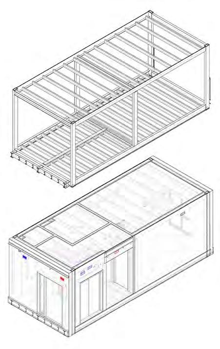
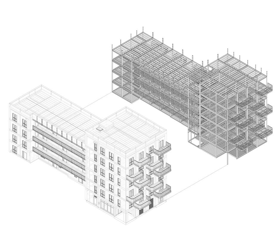
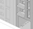
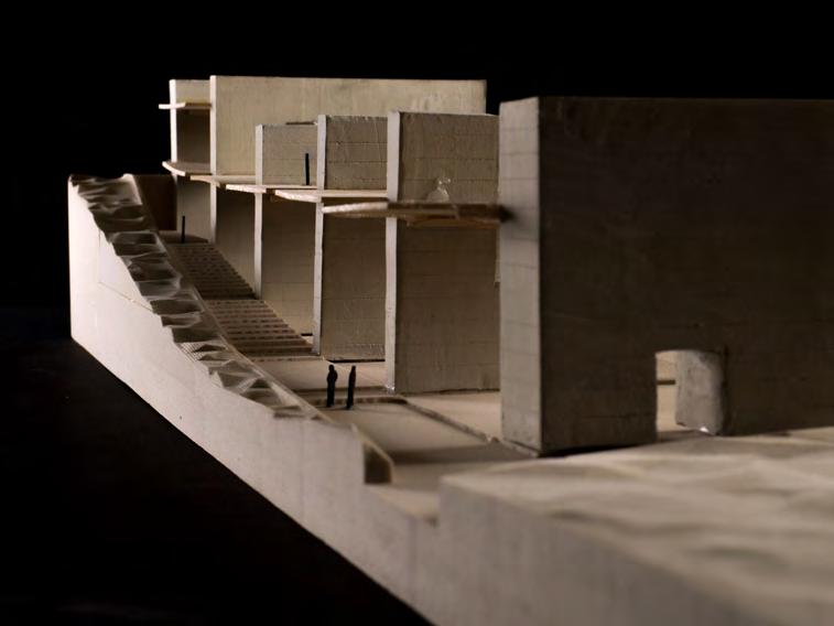
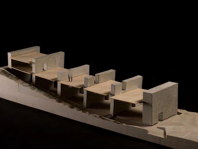
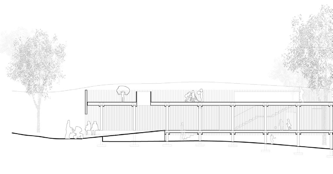
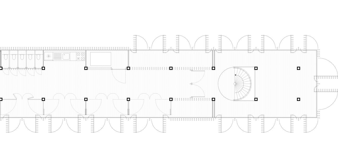
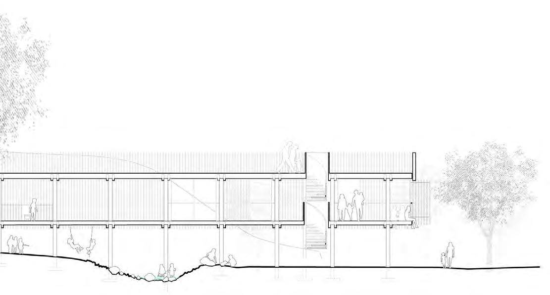
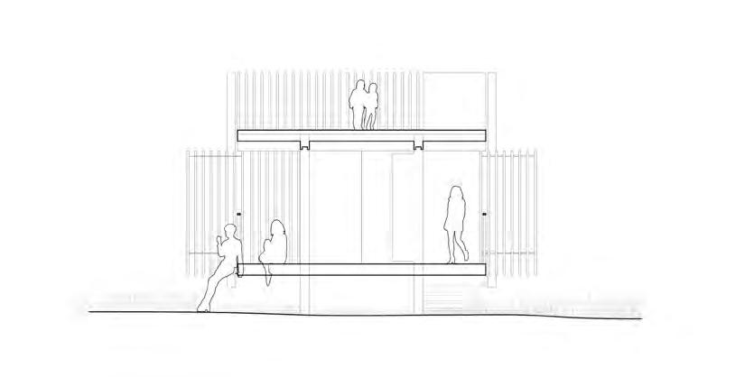
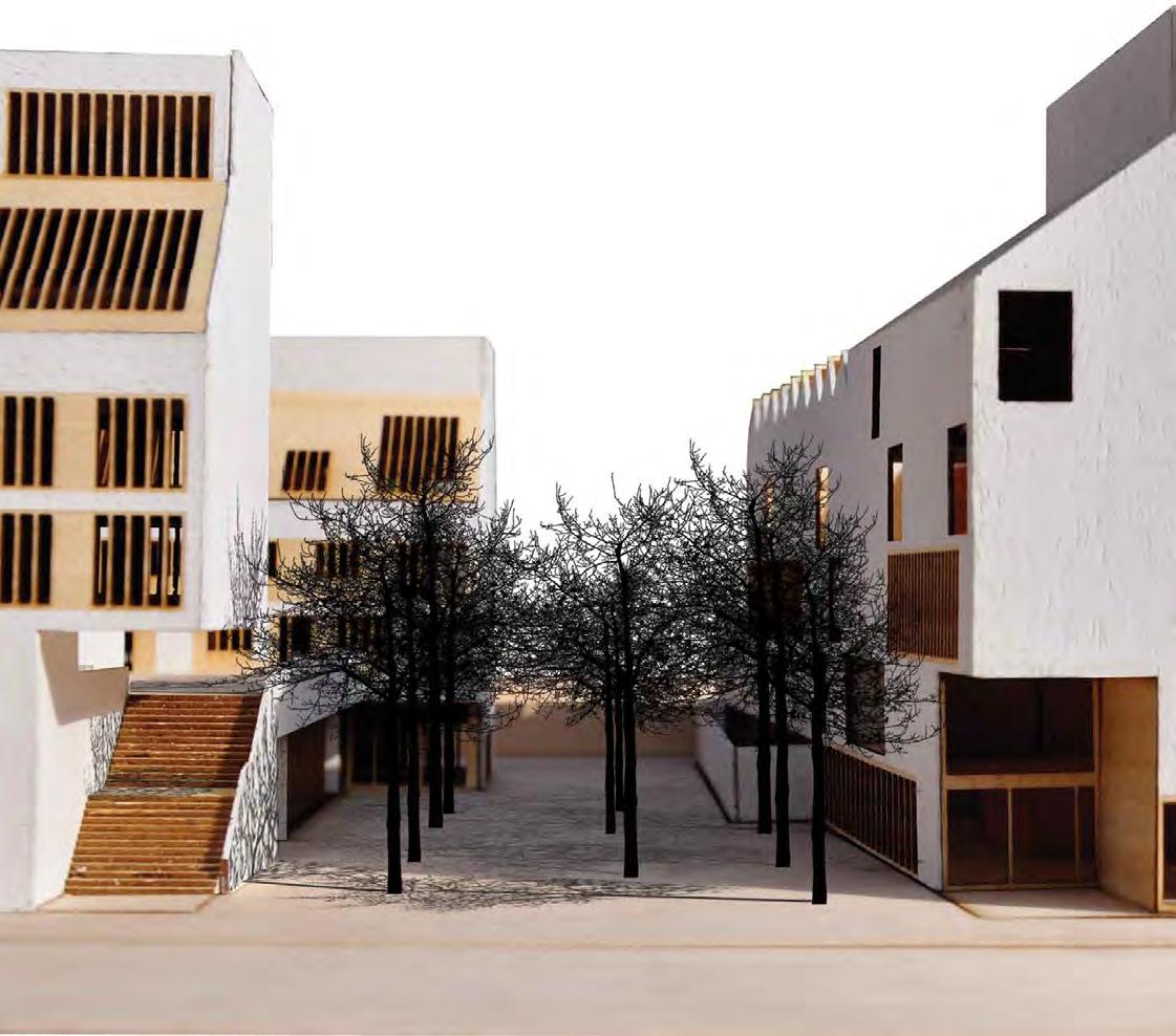
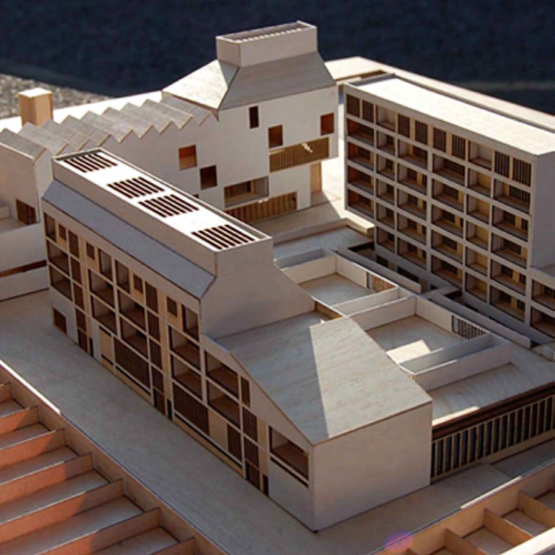
Type: Affordable Housing via MMC (Modular)
Client: Royal Borough of Greenwich
Location: Plumstead, London
GIA: 21,000 SF
Status: Granted Planning, Feb 2024
Cost: $12.5 million (estimate)
Scope: New-build modular construction
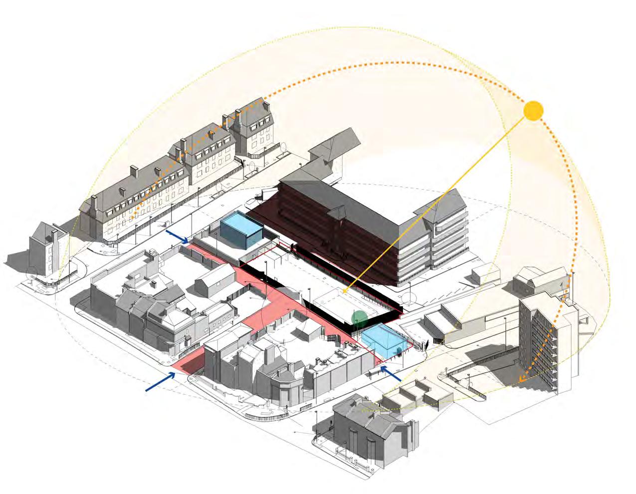
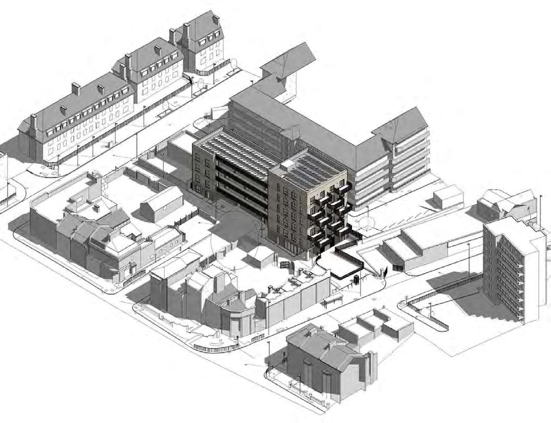
An urban infill project located adjacent to an affordable housing estate in south east London. The project is unique in the sense it was delivered via the UK’s MMC (Modern Methods of Construction) as a modular build. The employer was the city council while our client was the modular contractor who built modules in their factory for delivery and assembly on site.
As the primary architectural designer working with an experienced Project Architect, I developed the detailed design, and was responsible for BIM coordination and the Planning Design and Access Statement including all planning documents. Upon the Projects Architect’s retirement I became responsible for the scheme temporarily.
As an MMC contractor our client required construction documentation early to allow for “design freeze” on the assumption upon planning approval factory production could begin. Therefore significant work was carried out “at risk” to the employer if there was design changes required during planning.
Summary of my role:
• Architectural Designer under Project Architect
• BIM coordination
• Design team meetings (participate & chairing)
• Planning application
• Planning Committee Meetings
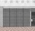
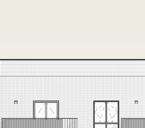
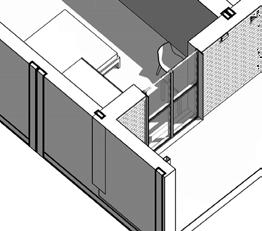
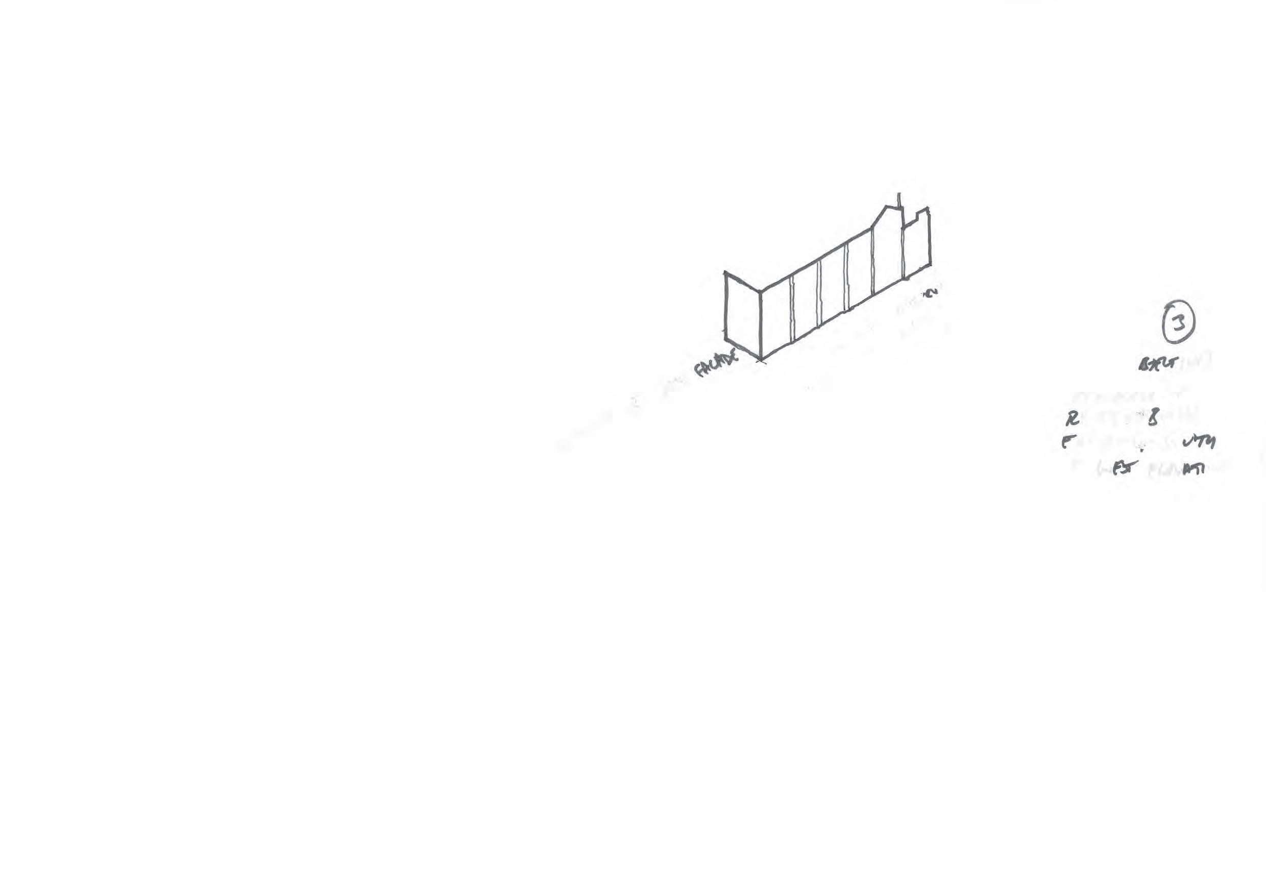
Barnfield
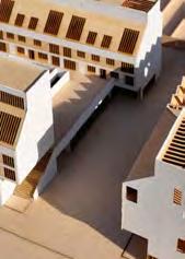
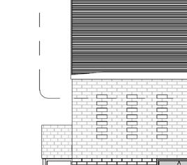
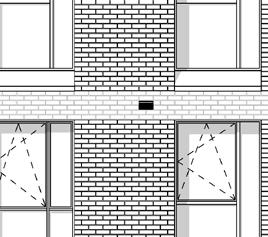
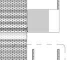
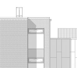
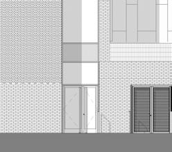
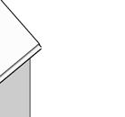
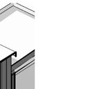
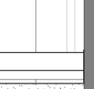
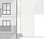
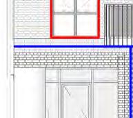
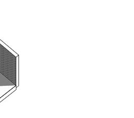
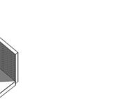
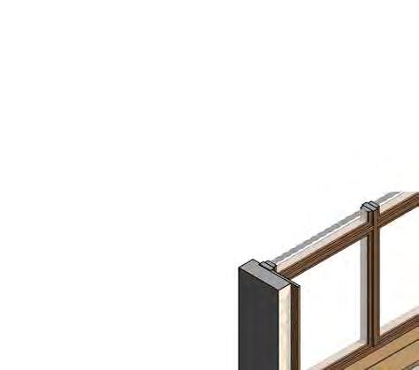
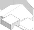
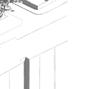
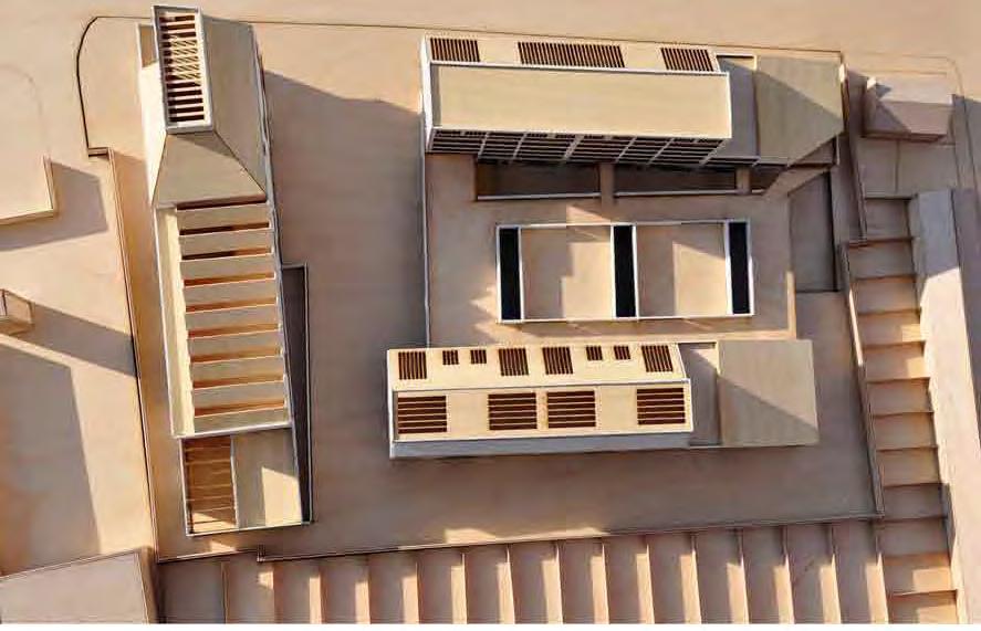
Axonometric View - Towards South East
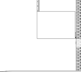
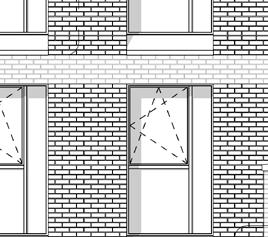
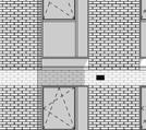
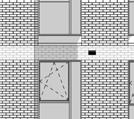
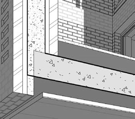
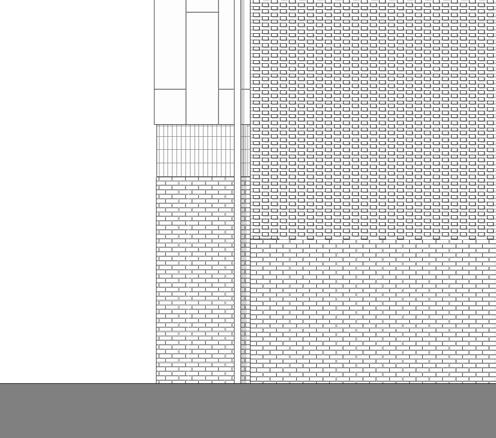
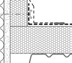
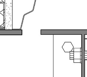
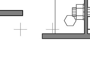
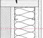
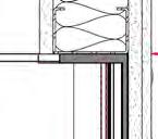
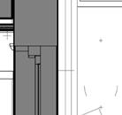
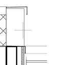
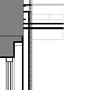
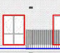
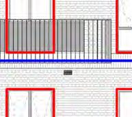
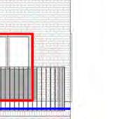
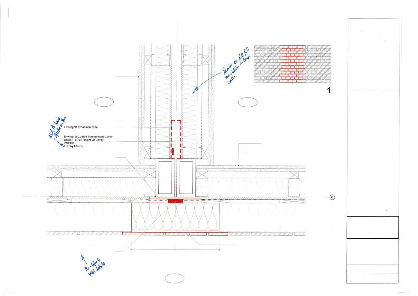
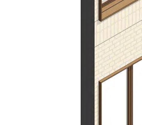
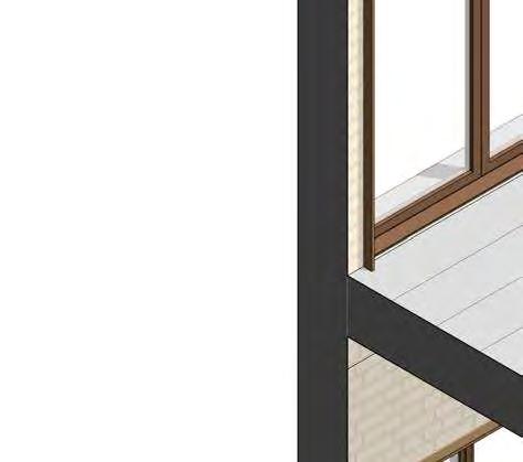
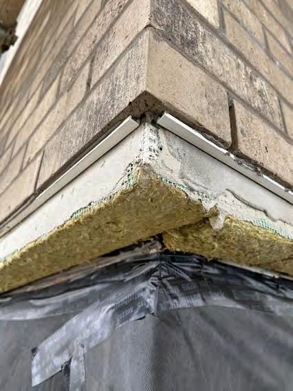
Compartmentation within fire strategy design, aligns with module bay junction
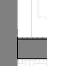
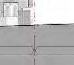
1:5 Plan Detail - module bay junction with MAR Design Manager comments
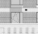
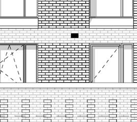
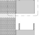
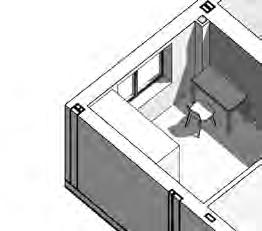
3D view of proposed flat with extracts from Greenwich Wheelchair Site Brief
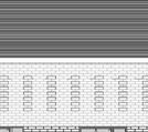
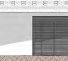
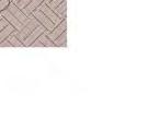
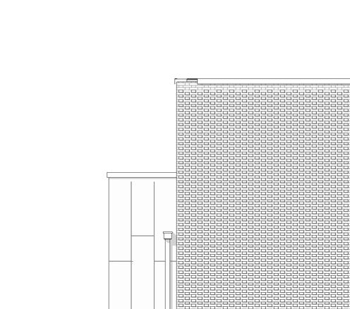
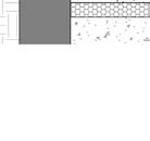
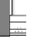
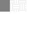
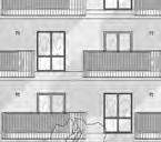
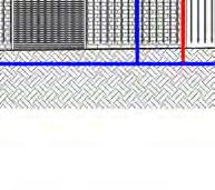
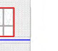
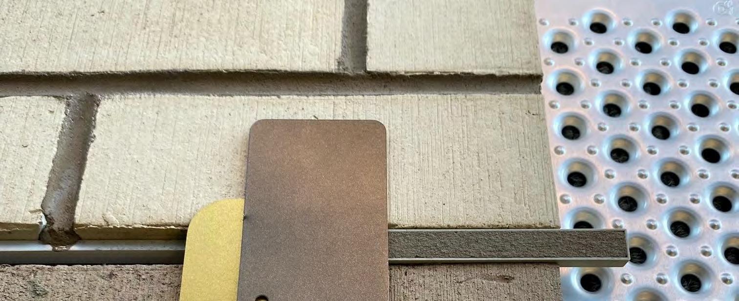
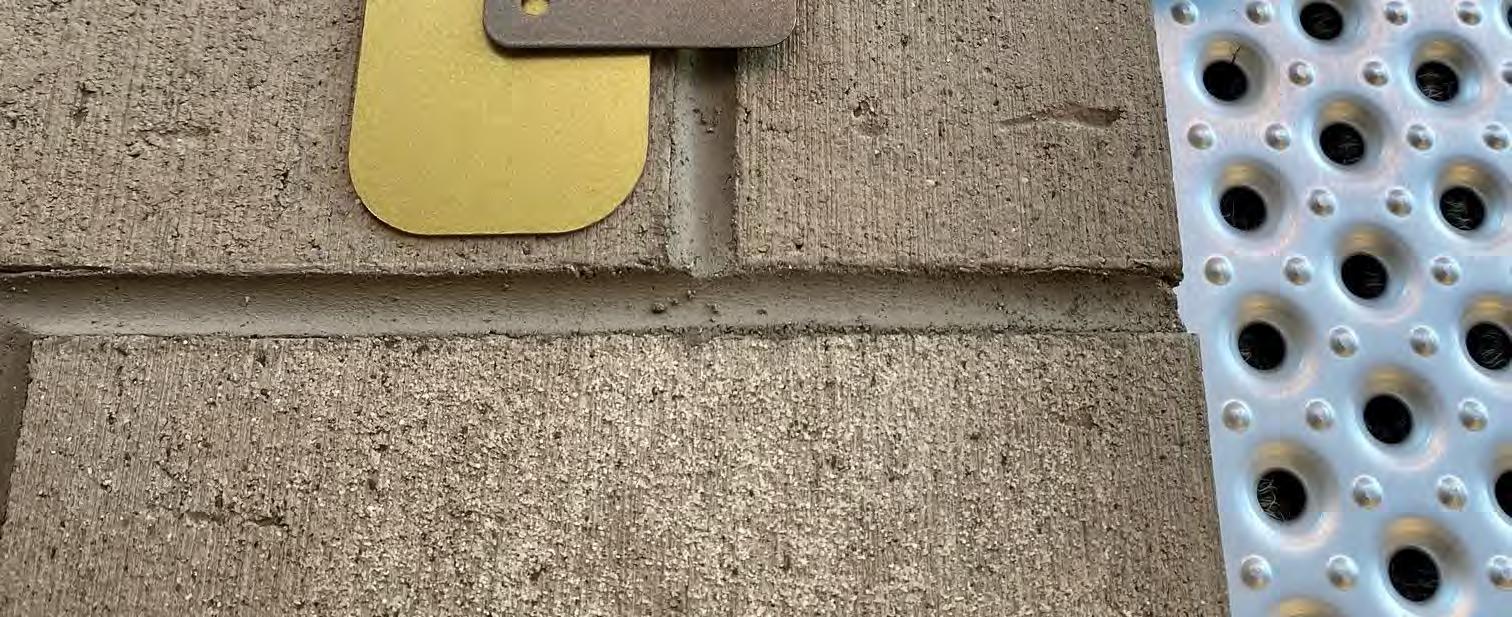
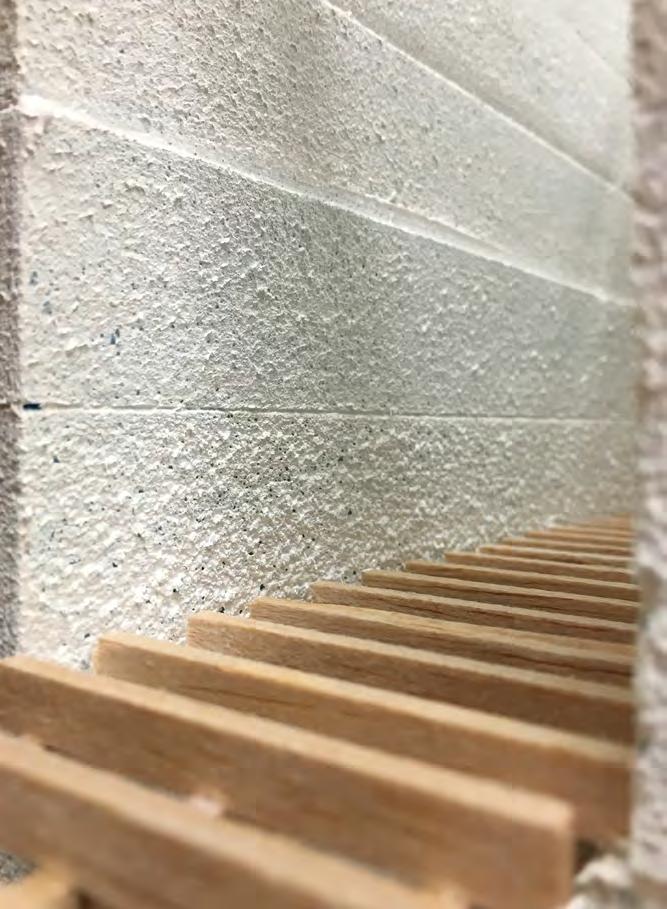
materials schedule
Location product, colour ref photo sample
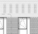
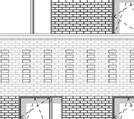
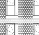
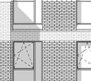
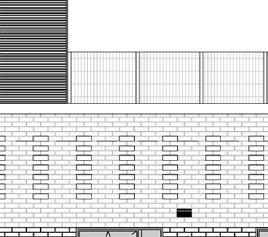
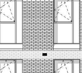
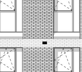
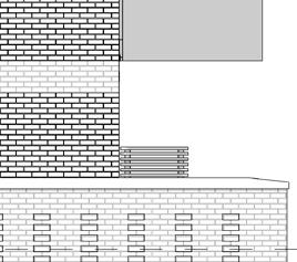
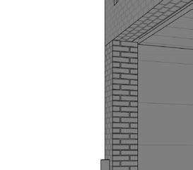
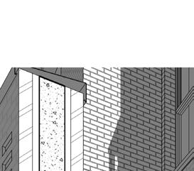
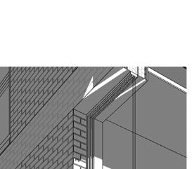
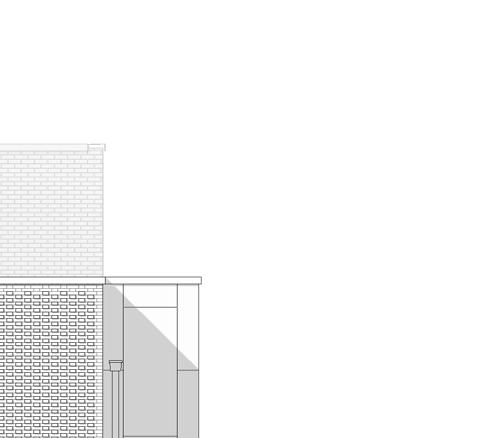
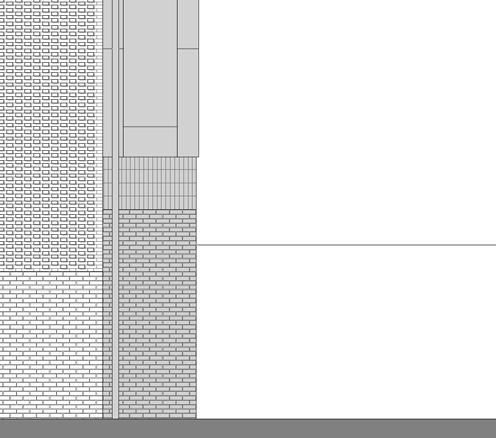
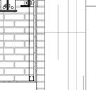
Façade cladding, upper floorsWetherby Lincoln Waterstruck Laid in English Bond, with soldier coursing at storey joints and parapet
Extract image from External Facing Materials Schedule (credit Simon Thorpe)
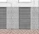
Façade cladding, ground floorWetherby Grey Multi
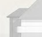
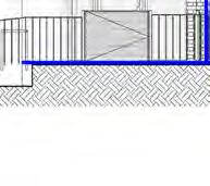
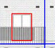
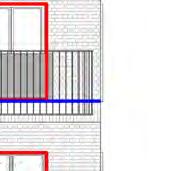
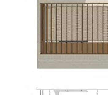
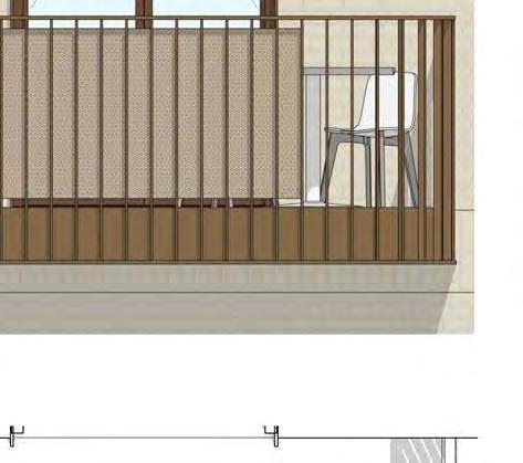
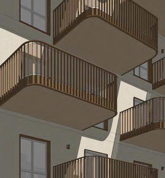
Balcony concept detail
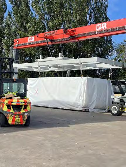
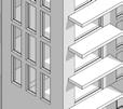
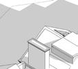
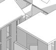
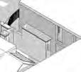
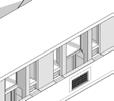
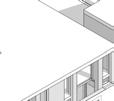
models for arch, structure and MEP for the building and individual modules. 64 Modules in total.
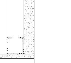
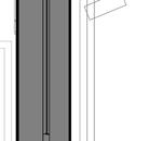
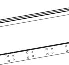
Module Chassis - Structure Only
Module Chassis
BIM
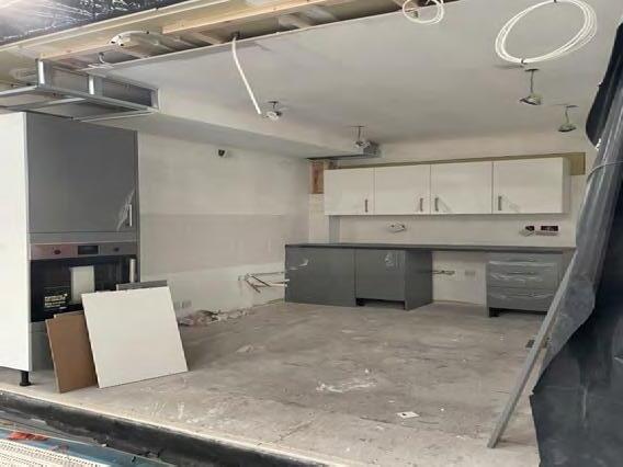
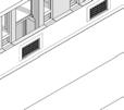
Completed Module wrapped for transport Module with kitchen installation underway
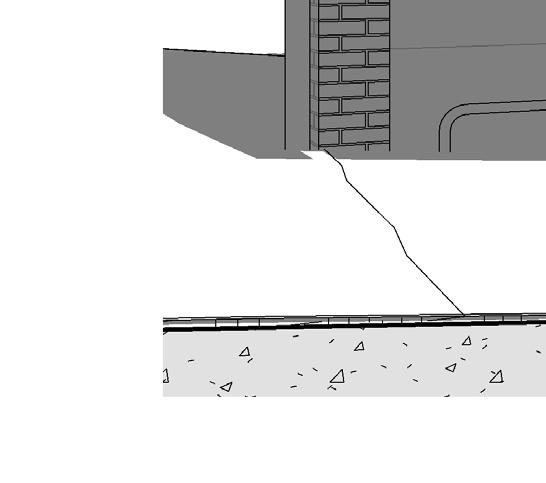
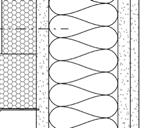
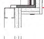
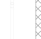
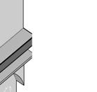
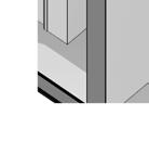
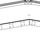
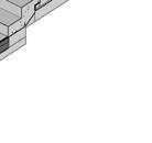
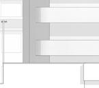
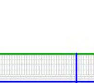
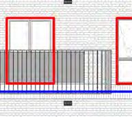
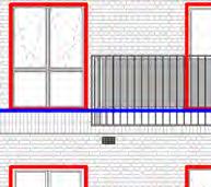
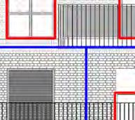
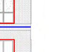
Module bay junction (horizontal at corner) Module bay junction (horizontal & vertical)
render view - west elevation
render view - Entry
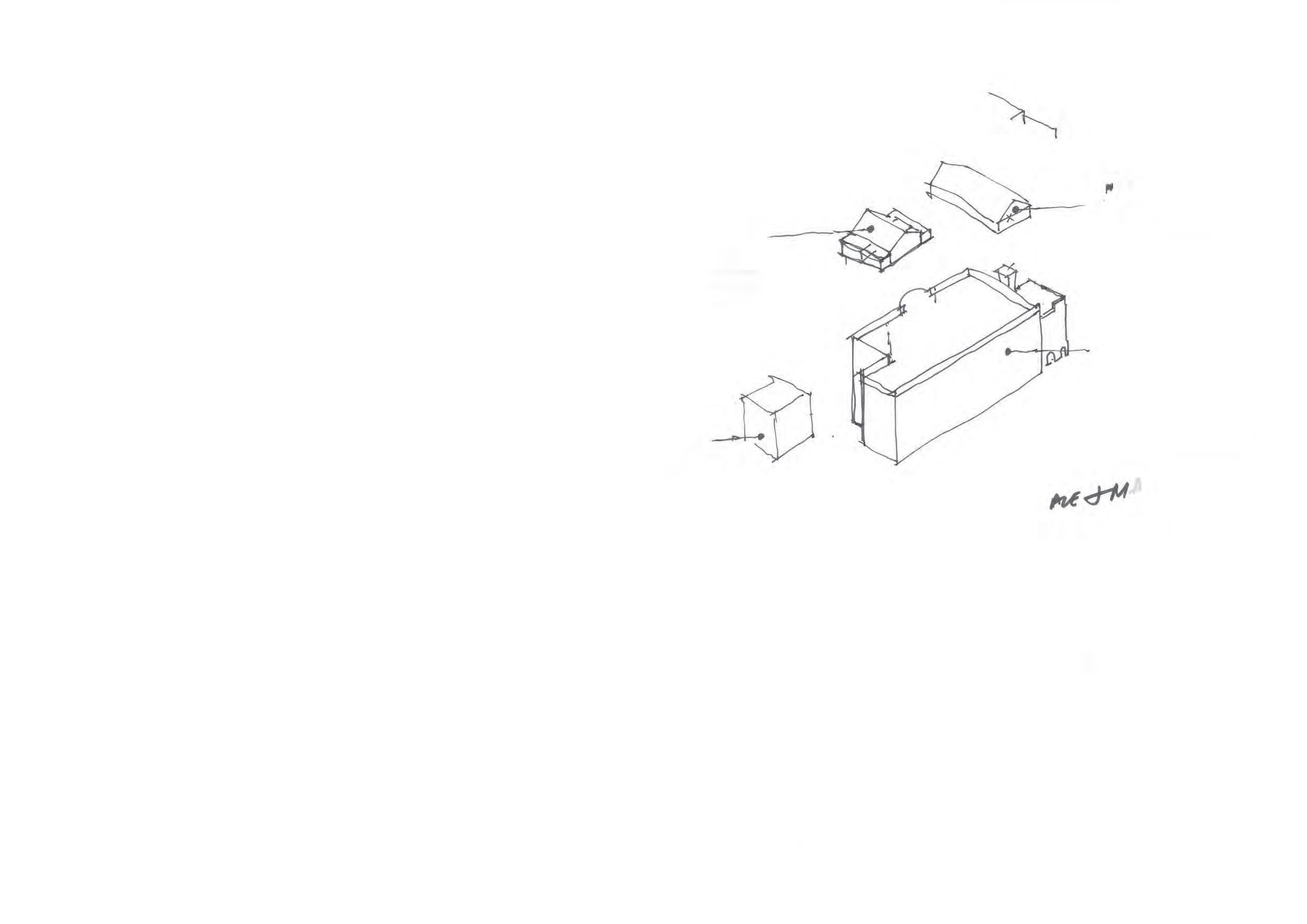
Sketch
Sketch
HUGH MAGEE
Sketch render view - Mayplace Lane to South
Sketch render view - Herbert Rd pedestrian mews to North
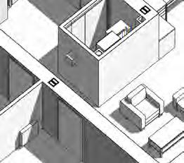
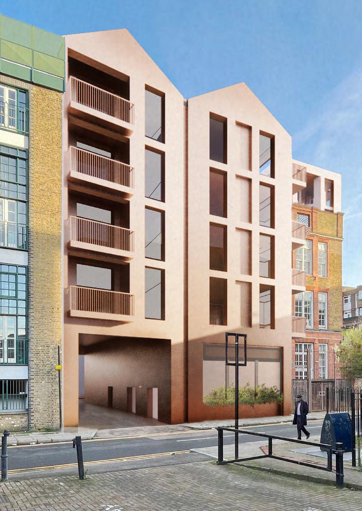
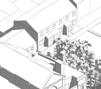
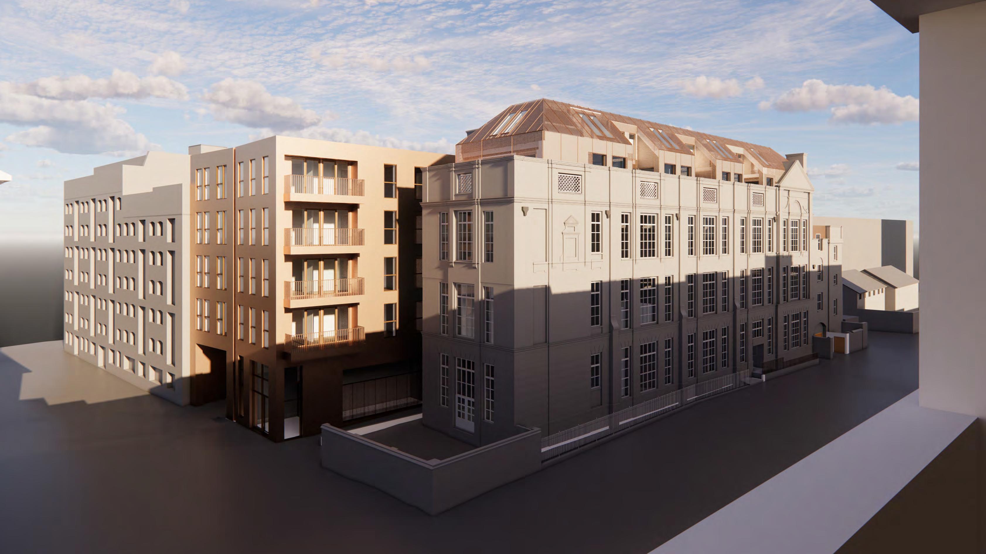
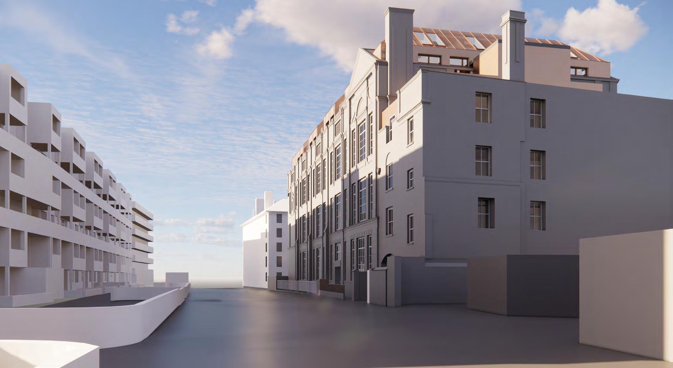
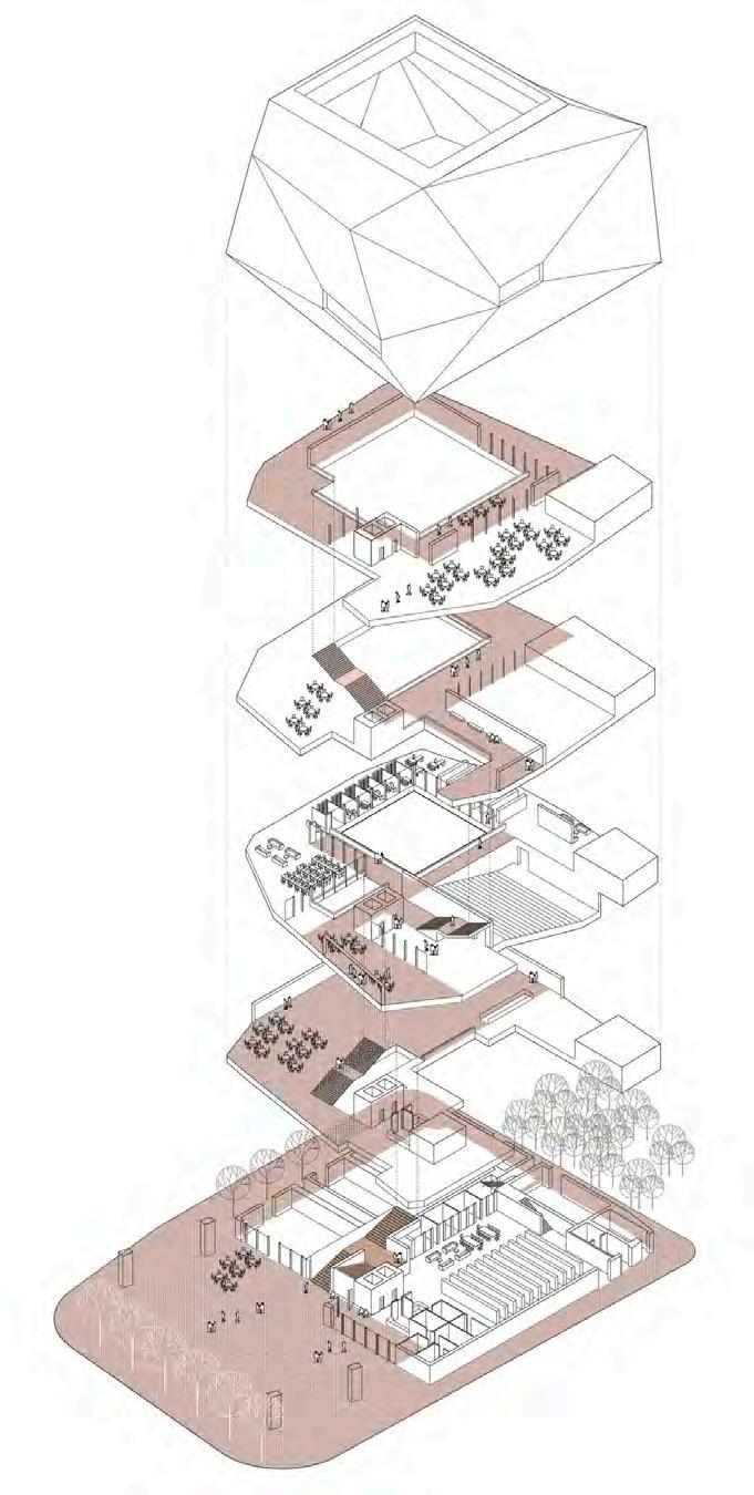
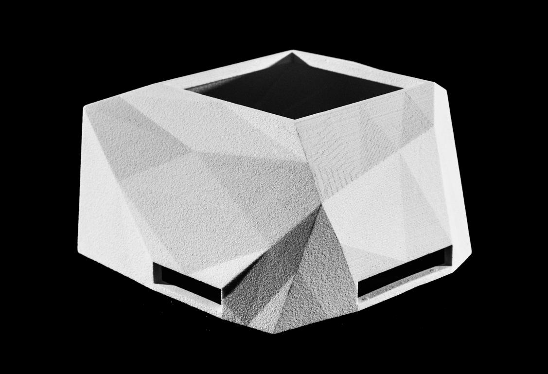
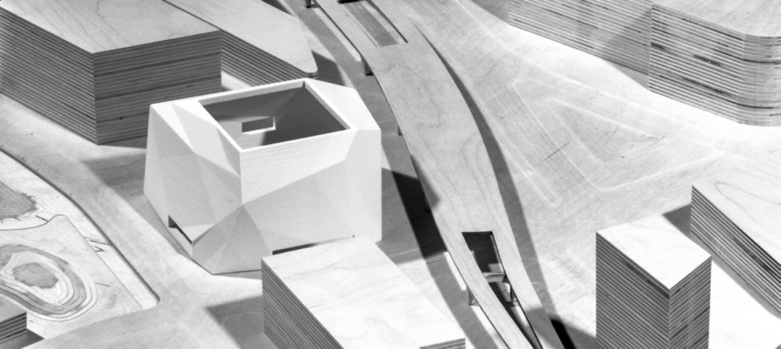
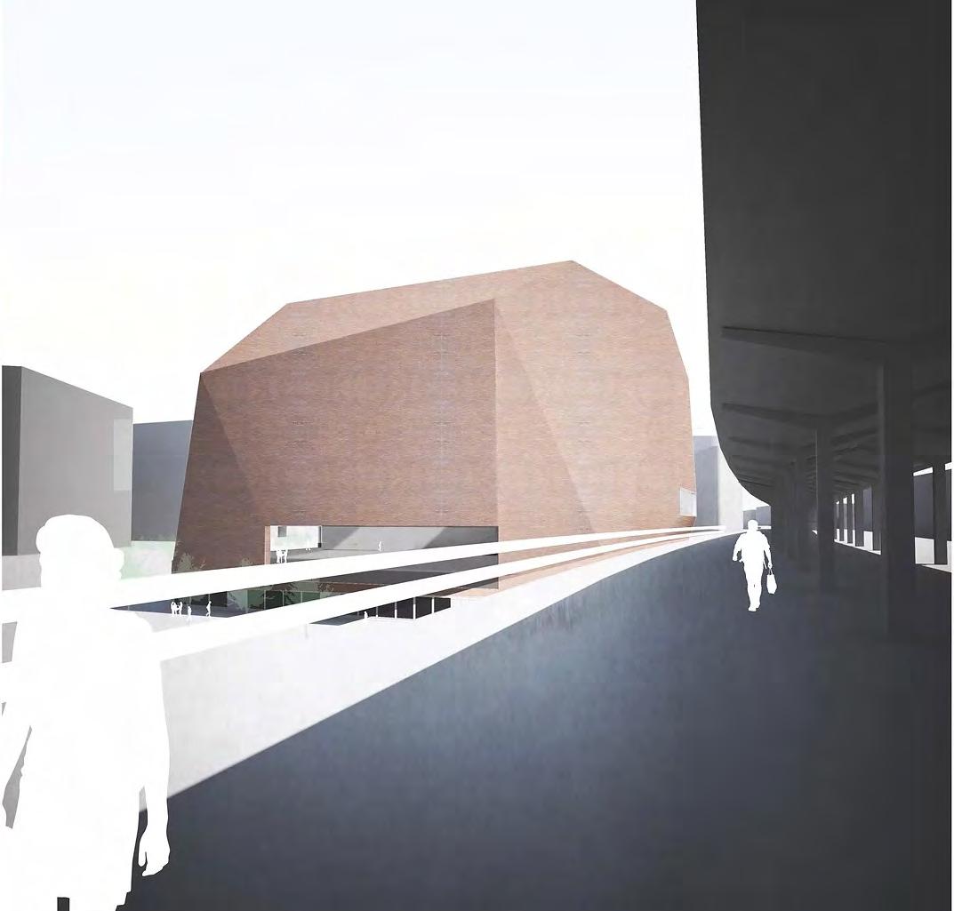
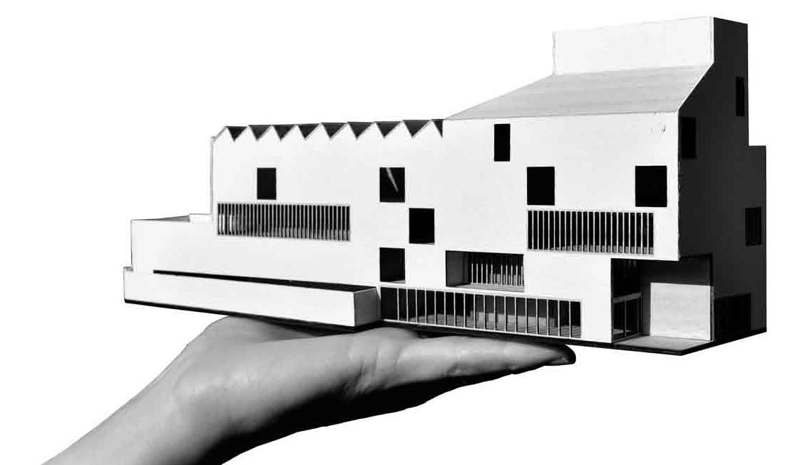
Montefiore Centre
Type: Affordable Housing & Commercial Refurb
Client: London Borough of Tower Hamlets
Location: Spitalfields, London
GIA: 13,500 SF
Status: Schematic Design (RIBA Stages 2-3)
Cost: $12.5 million (estimate)
Scope: Extensive Remodel, rooftop addition & new build
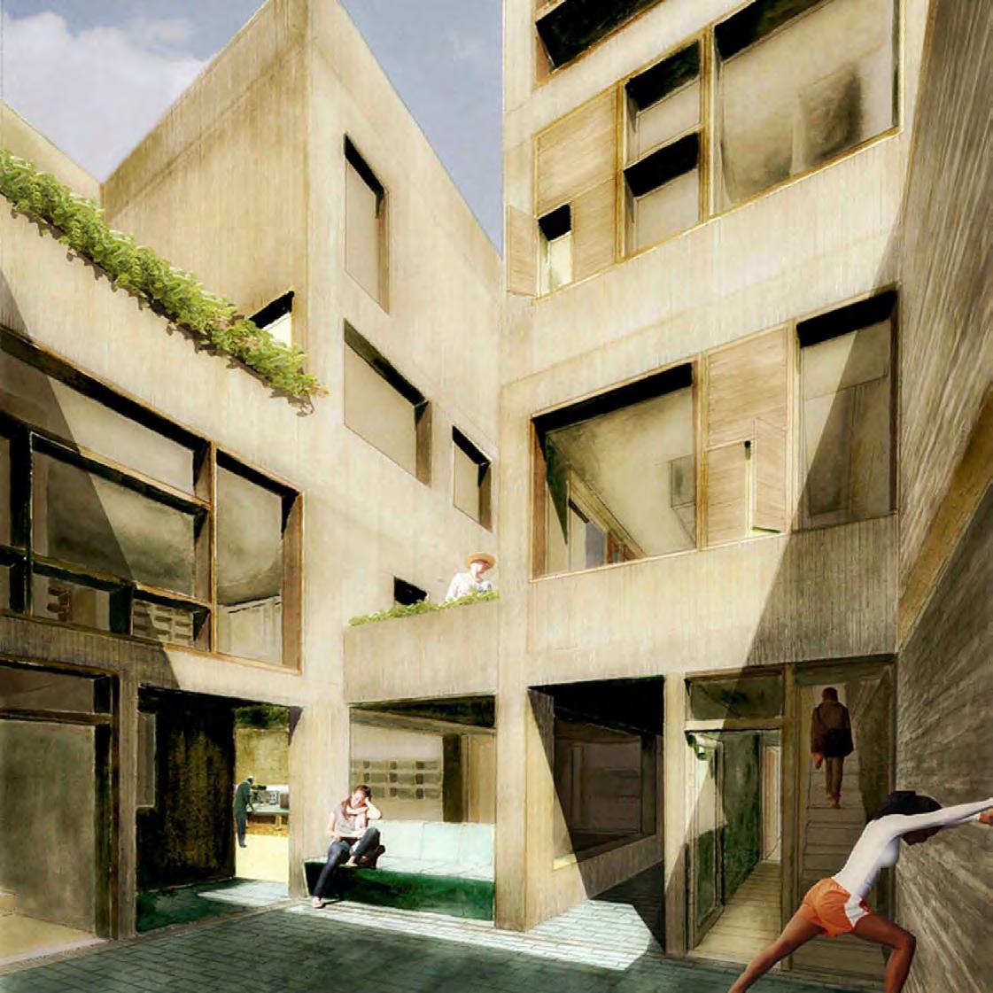
I had a central role in the project from the outset, attending all client and design team meetings and public consultation events. I chaired meetings with the design team and was responsible for managing the Project Data Environment and the compilation for planning documents.
As a heritage asset and a project that involves the extensive remodelling of its interior, I was central in ensuring RSS advised the client to invest in a detailed existing 3D survey, and subsequently I negotiated the fee for that work, wrote the survey specifications and issued comments for updates on a number of revisions.
I developed the model, assembling all drawings and images for the pre-application report and subsequent meetings with Planners.
Summary of my role:
• Architectural Designer under Project Architect
• BIM coordination
• BIM Survey specification & fee negotiation
• Design team meetings (participate & chairing)
• Planning reports & presentations
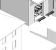
Montefiore Centre
Former Victorian School, now Council-operated Training Centre
Former caretaker’s house, now 3 storey vacant residential block
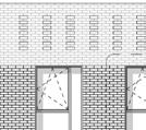
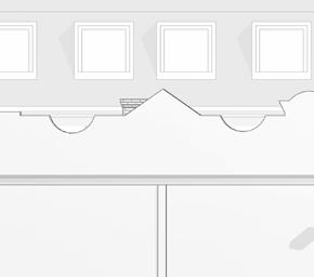
Montefiore Centre, Hanbury Street, Spitalfields - existing building
Main building mass spanning East-West pitched roof-top volumes
Caretaker’s House to the East later extension to the West
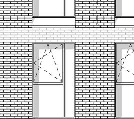
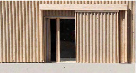
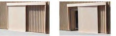
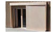
main building mass are two primary orders, being a rhythm of 5no. vertical, distinct bays which the main elevation is organised, and then main horizontal levels with a rooftop parapet that with the pitched roof volumes.
analysis highlights the prominence of the south façades; design development has sought strengthen and enhance these aspects of the building. Further design development has focused on weaving in a hierarchy of prominent areas, public and private amenity spaces, areas and balconies together with high quality and service zones to provide.
1. Massing Elements
2. Levels & Bays
3. Priority Façades
Montefiore Centre, Pre-Application
Collage - Hanbury Street towards
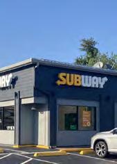
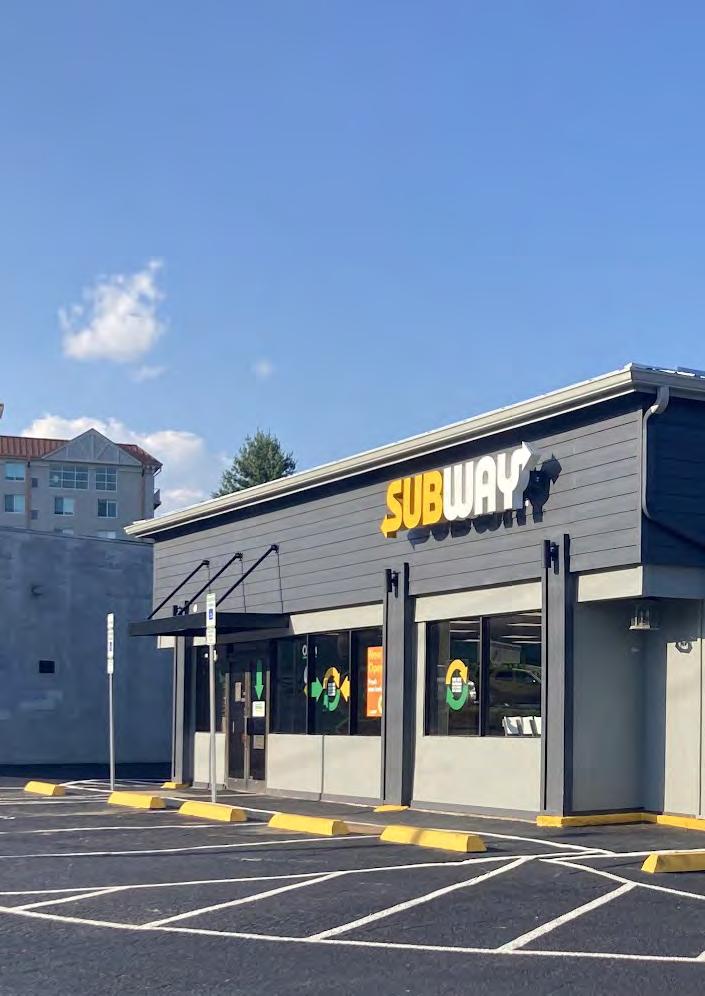
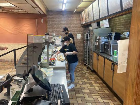
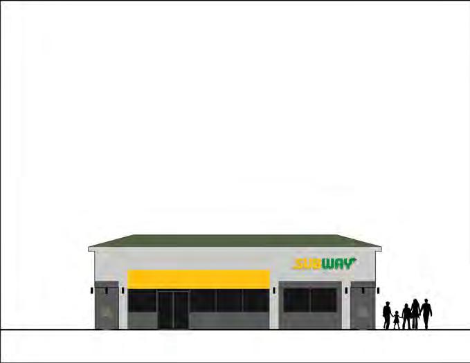
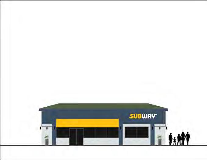
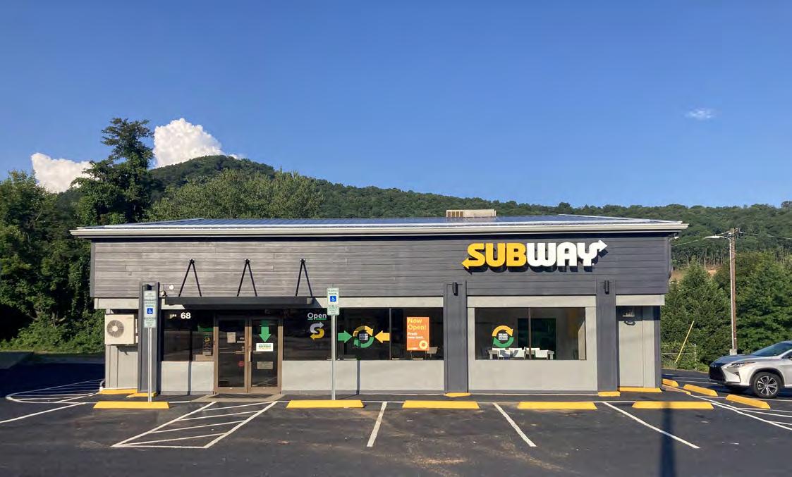
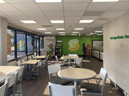
68 Tunnel Rd - Subway
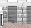
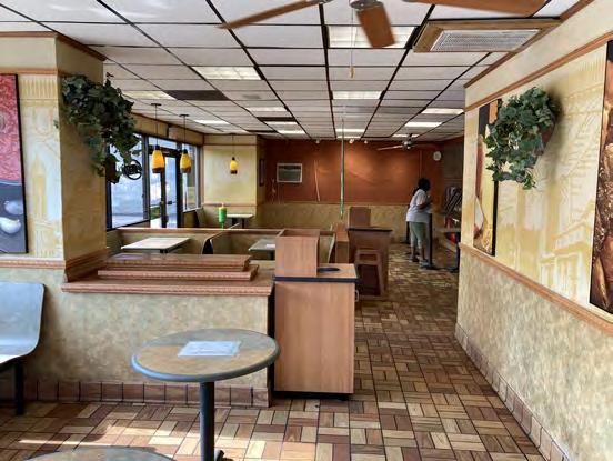
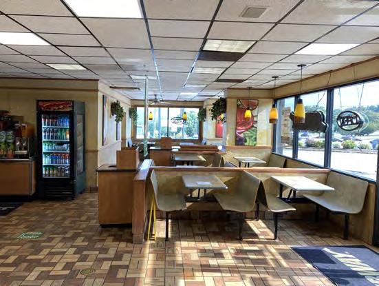
Type: Franchise Restaurant Remodel
Client: Subways of Asheville
Location: Asheville, NC
GIA: 2,100 SF
Status: Built
Scope: Interior remodel with exterior upgrades
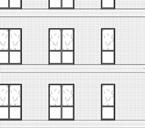
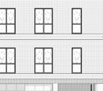
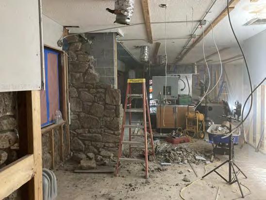
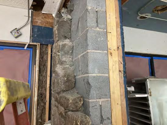
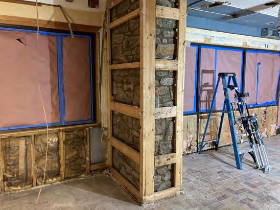
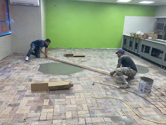
A Subway Franchise remodel should generally be minor and cosmetic, however in the case of 68 Tunnel Rd (one of five remodels I oversaw between 2020 and 2021) the existing building had significant defects that, left unaddressed, would have undermined future fixture and finishes. A leaking roof, constant issues with the HVAC, plumbing, water ingress at entry, dangerous wiring were the more serious issues. At the same time, historic remodels had cut corners leaving the floor unlevel in sections and walls not square and out of plumb, together with patched drywall and peeling wallpaper.
I developed the scope of work, coordinated with Subway corporate on FF&E requirements, managed the project with a local contractor, applied for permitting and determined the time-line and budget.
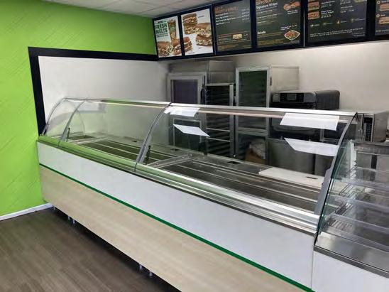
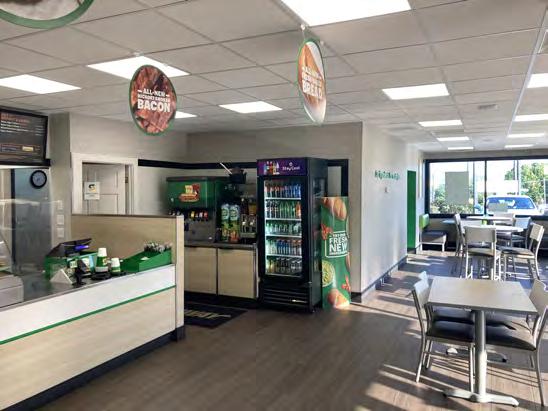
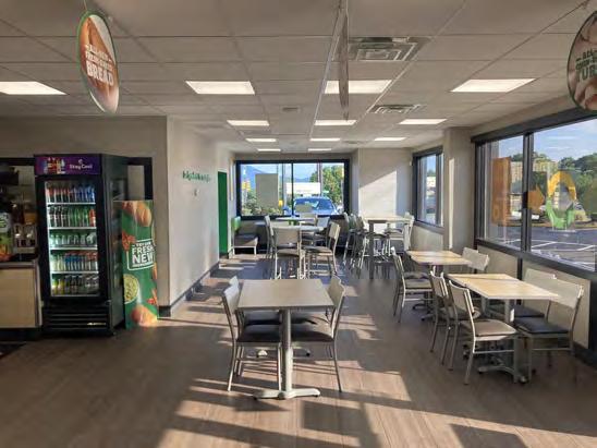
Full list of upgrades:
Exterior: Replacement TPO roof
New signage
Siding repairs
Parking lot repairs & layout updates
New entry awning
Interior: Demolition of non-structural walls and new:
Drop ceiling, lighting layout & wiring
Plumbing fixtures and hot water tank
Mini-split HVAC system
FF&E installation
New floor and wall finishes
KITCHEN
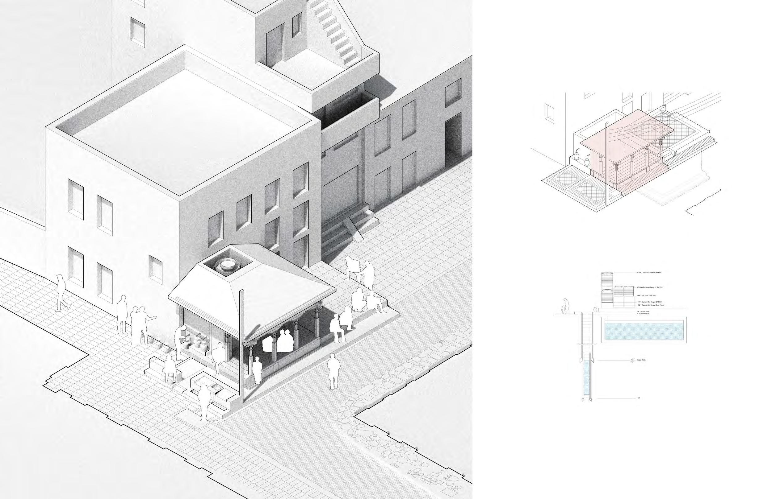
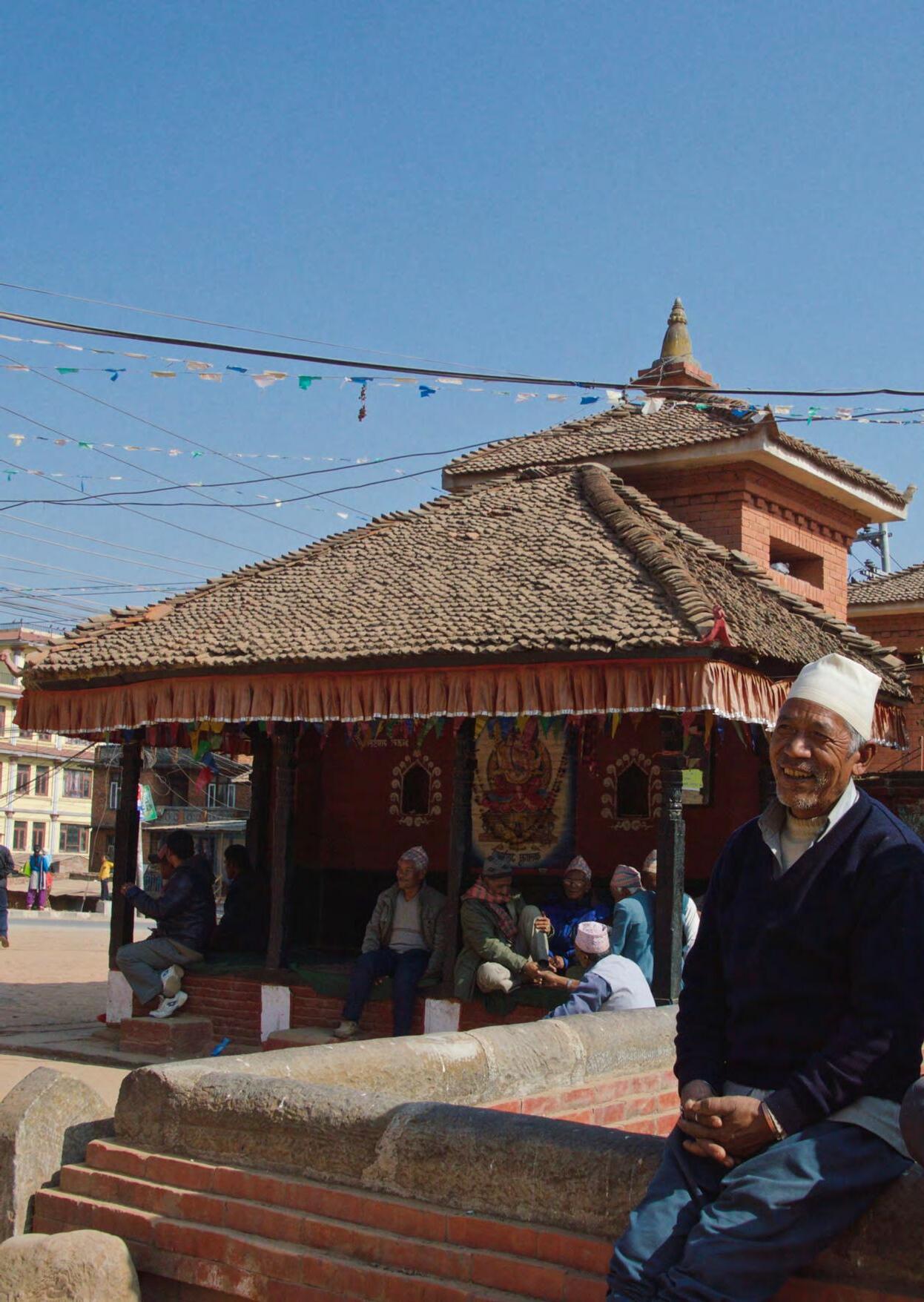
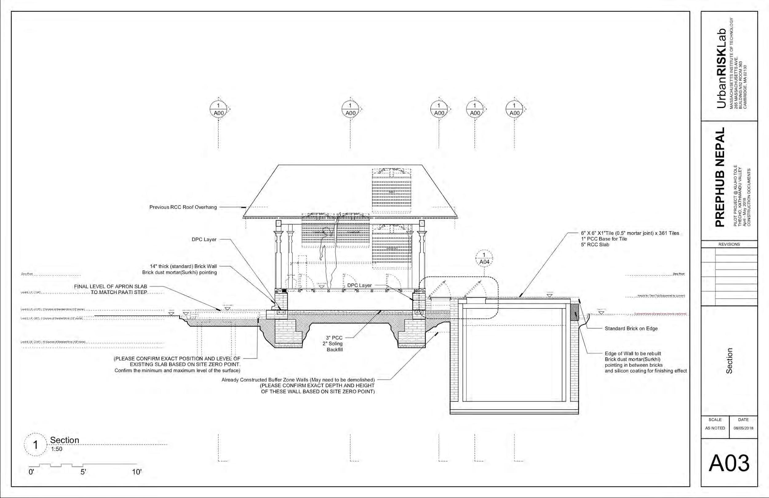
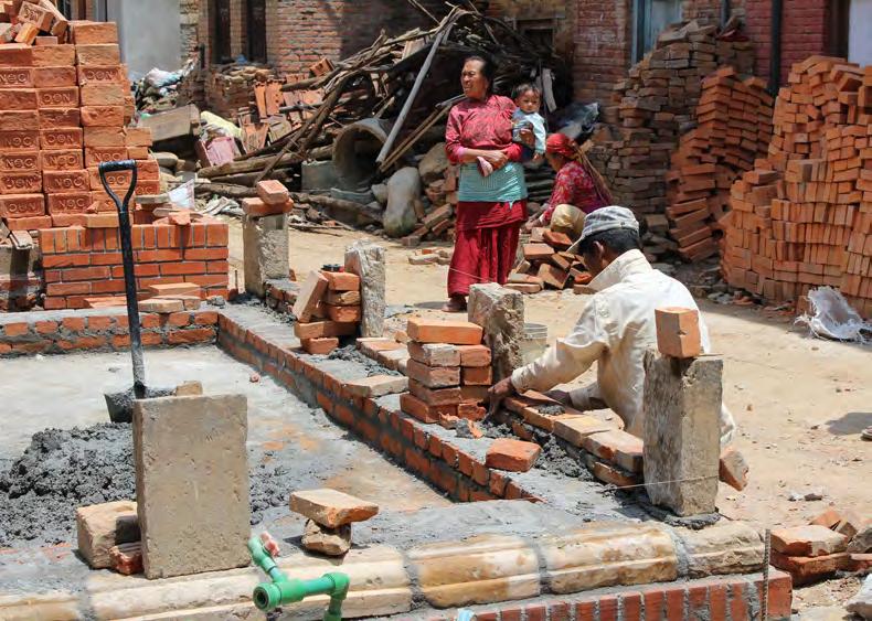
PrepHub Nepal
Type: Public Pavilion
Client: Thecho Women’s Cooperative
Location: Thecho, Kathmandu, Nepal
GIA: 350 SF
Status: Complete
Scope: Historic Preservation & Retrofit
Video: Youtube Link
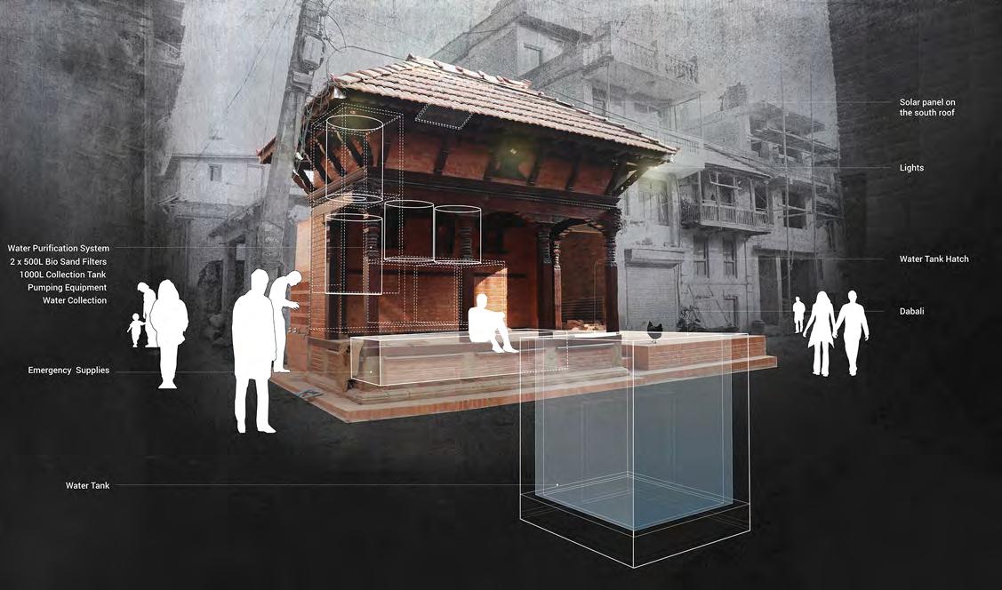
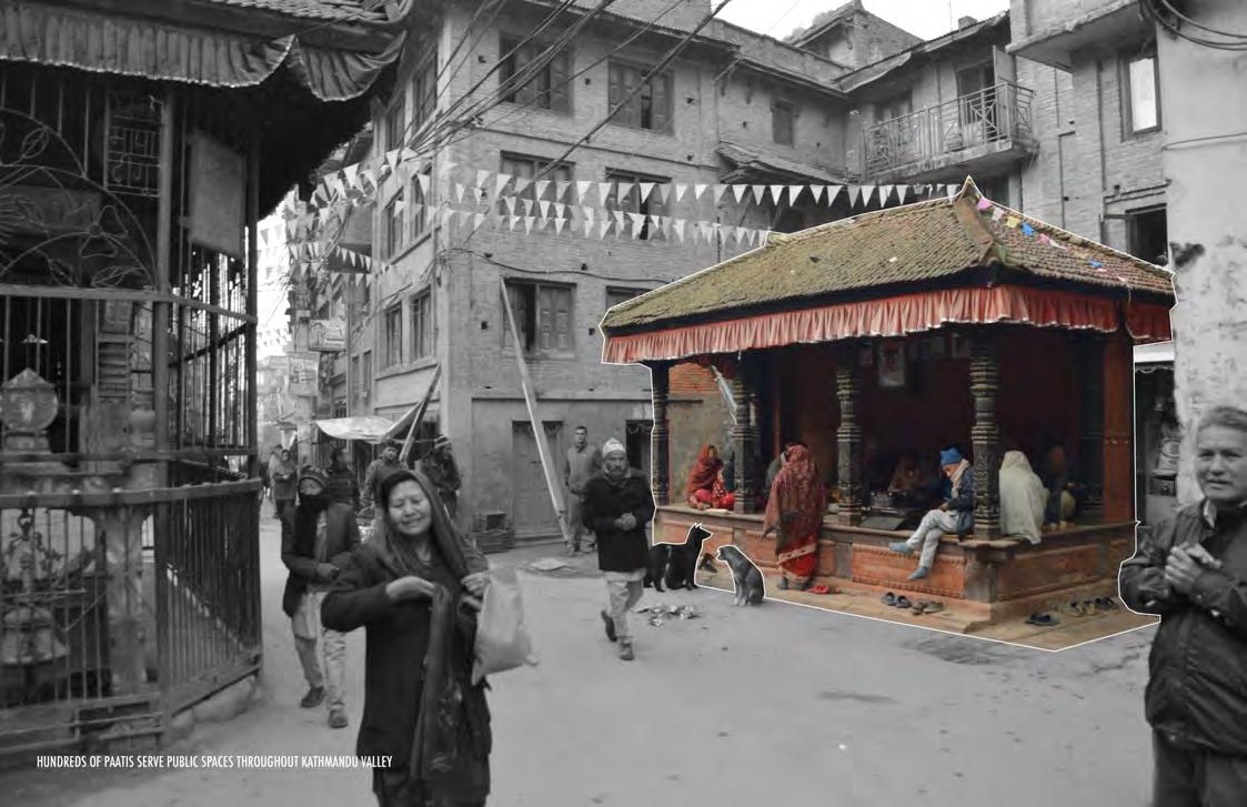
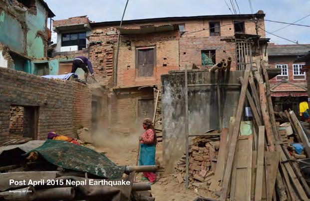
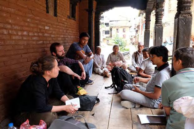
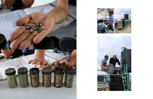
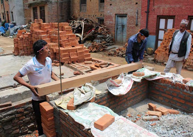
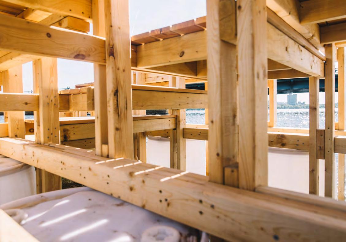
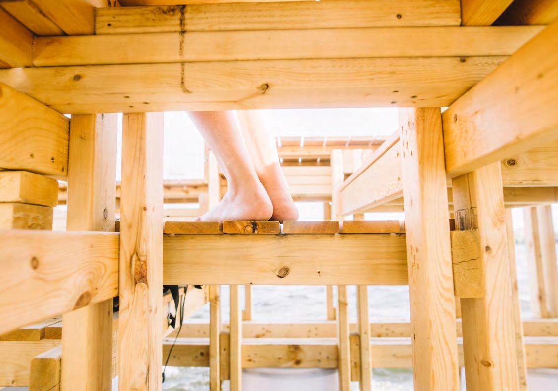
PrepHub Nepal is a prototype project located in the village of Thecho outside of Kathmandu, Nepal. The project developed ideas around open-space disaster preparedness, a central research theme at the Urban Risk Lab and relevant to Nepal after the 2015 earthquake there.
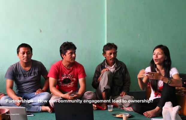
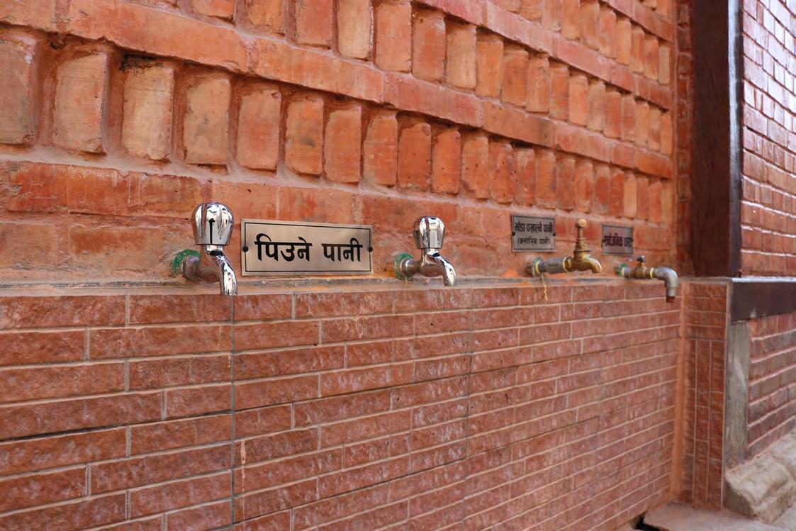
I was directly involved in the design, planning and construction of a prototype built within a common building know as a Patti, providing shelter, water storage, filtration & collection, with embedded disaster preparedness hard and “soft”- ware in the form of the local users group established to manage the building.
At the outset the research project was without a client, site, typology or budget. Only an loose programme was in place informed by the TATA Center’s aim of 2/3 years, and the URL’s research goals focused on disaster preparedness in a seismic zone. However at a high level the entire endeavour began with the speculative question:
“How might existing public spaces be retrofitted to better prepare communities for disaster?”
Summary of my role:
• Research Lead
• Brief development and site selection
• Grant application & competition presentations
• Field research to Nepal
• Partnership development
• Community consultation planning
Paati Typologies
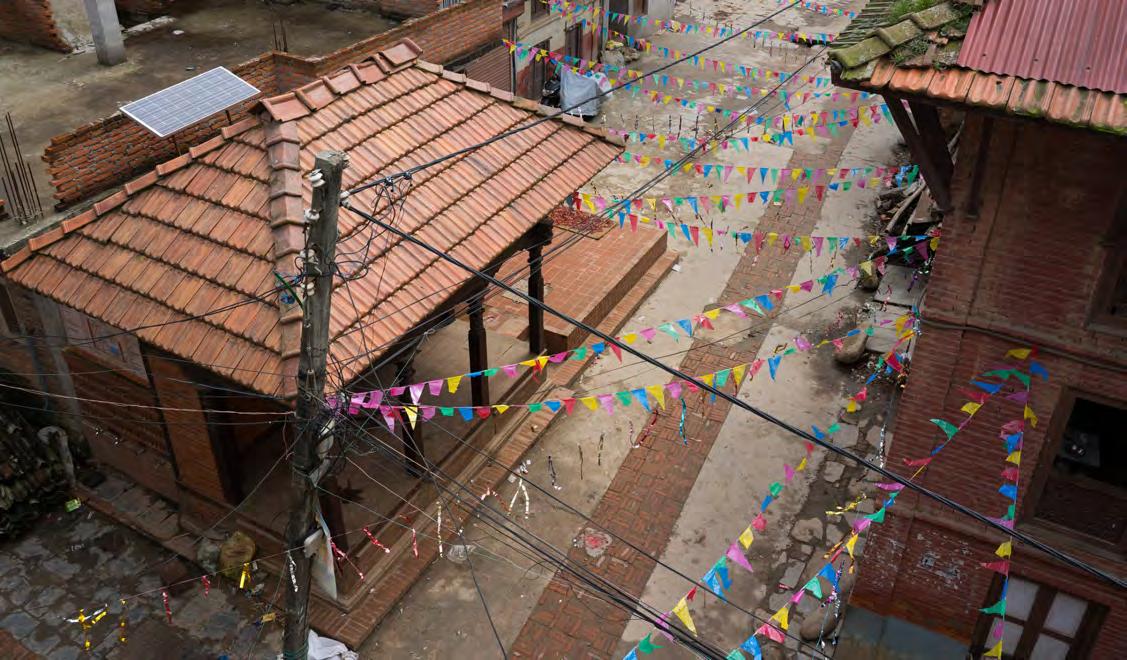
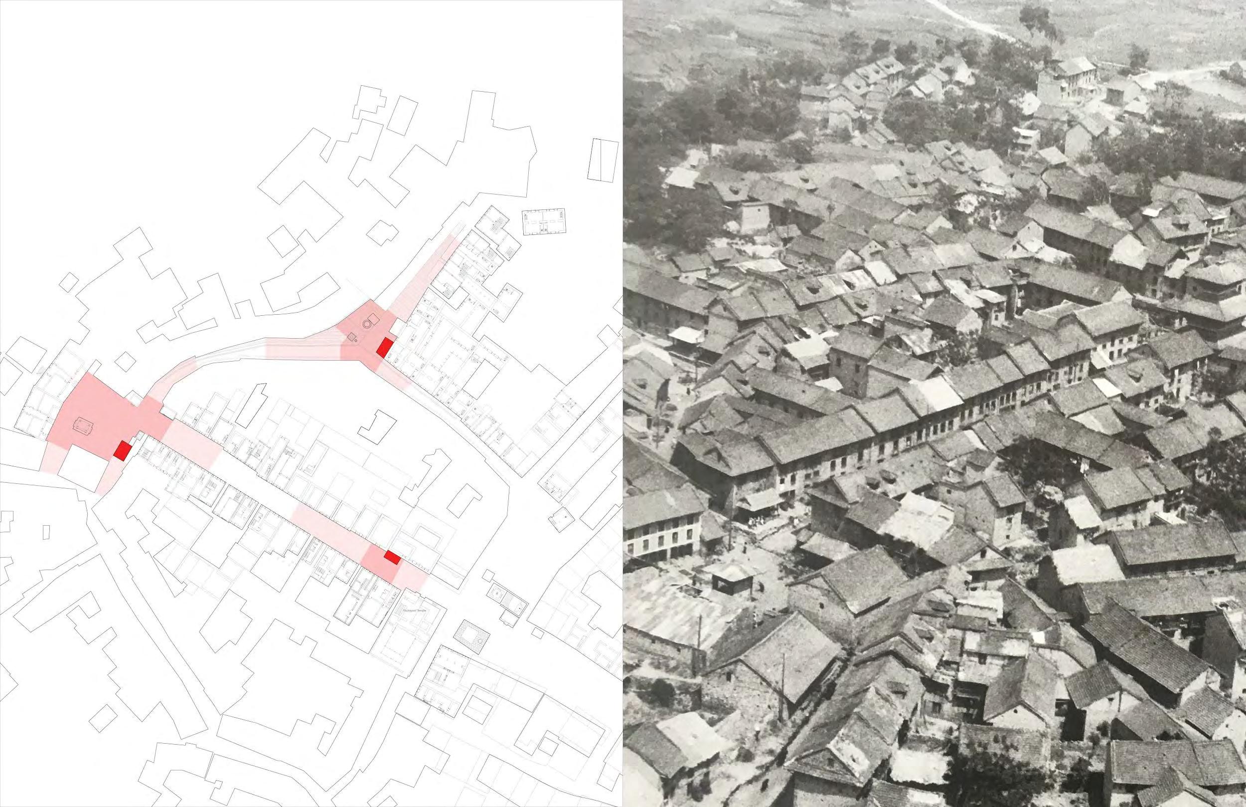
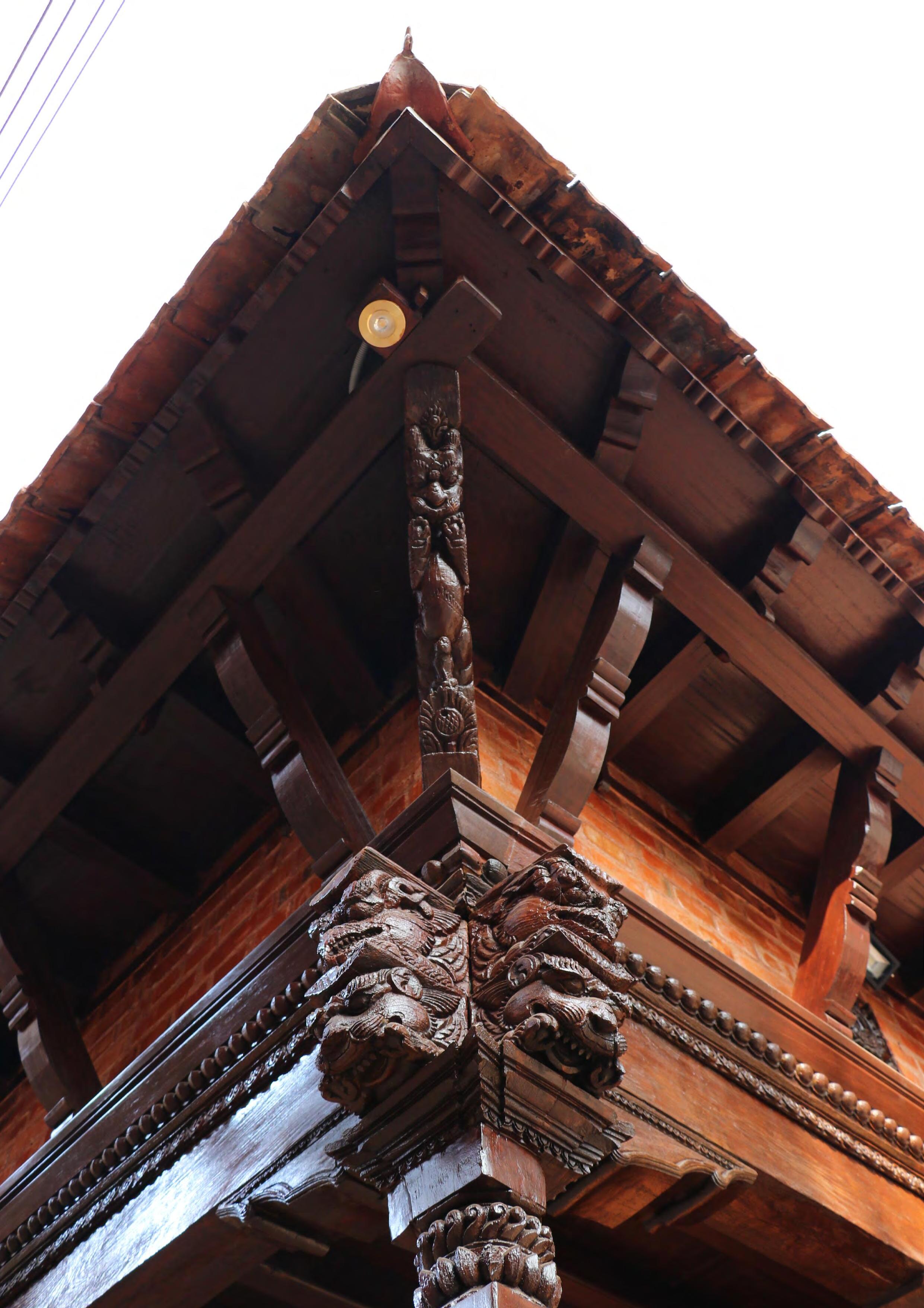
The Paati, a small open air pavilion, is a public infrastructure as old as the ancient settlements of Nepal. Originally built as a resting place for travellers walking between villages, Paatis are ubiquitous throughout the Kathmandu Valley; an inherent part of urban life. Paatis are a living example of co-operative management of public infrastructure with a historical and cultural legacy centuries old.
ARCHETYPAL PATI SITUATION
3. Long - usually in larger open spaces
1. Typical - open on 3 sides
2. Square - open on all sides
4. Two story (Sattal) - community activity above
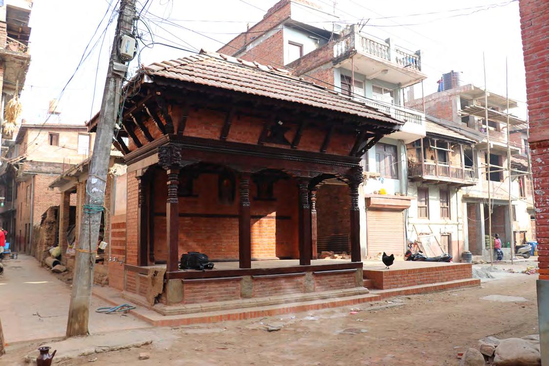
Completed Prototype
Completed build with explanatory diagram illustrating the water system and disaster preparedness features integrated into the prototype.
Summary diagram - water system shown over completed structure.
Completed - view from above.
Case Study Extracts
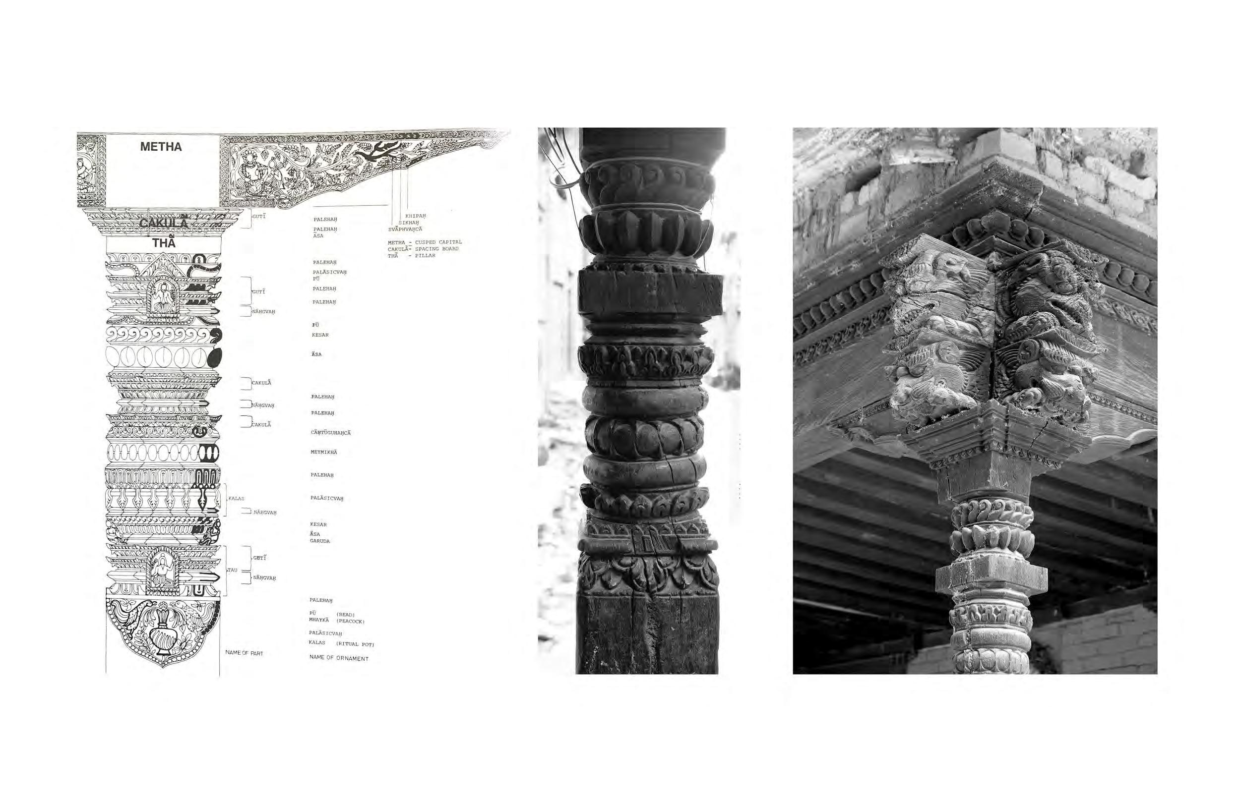
Field research carried out over multiple years on the Patti pavilion’s history, post disaster needs analysis, urban arrangement, water infrastructure & cultural heritage and more.
Case study extract - heritage mapping - paati pavilion within typical pedestrian context.
Case study extract - heritage mapping - carpentry hierarchies and levels of meaning.
Patti Pavilions - site plan showing numerous units within short walking distance.
1930’s Historic Photo - illustrating an unchanged urban arrangement including patti pavilions in same position.
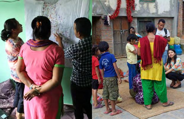
Field research - Community engagement meeting
Field research - Community engagement meeting
Case study extract - demolition after 2015 earthquake
Field research - water testing and collection observation
Field research - mapping & community consultation
Water filtration system research
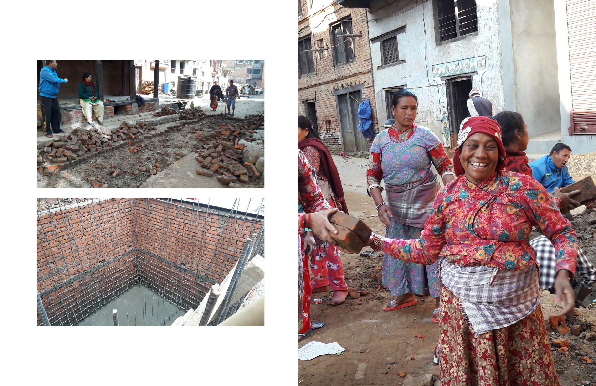
Paving removal ahead of civils work.
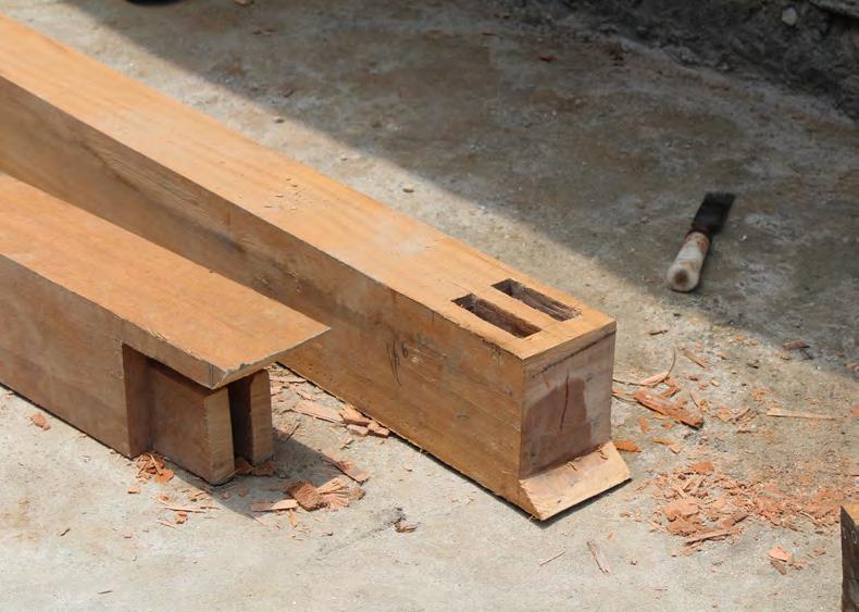
Heritage disassembly - key timber elements recorded and stored for repairs.
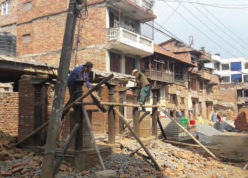
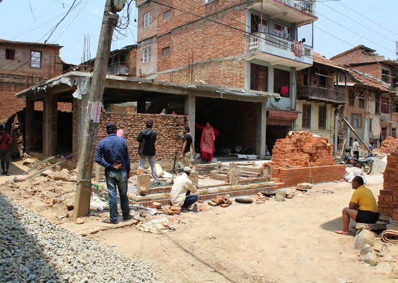
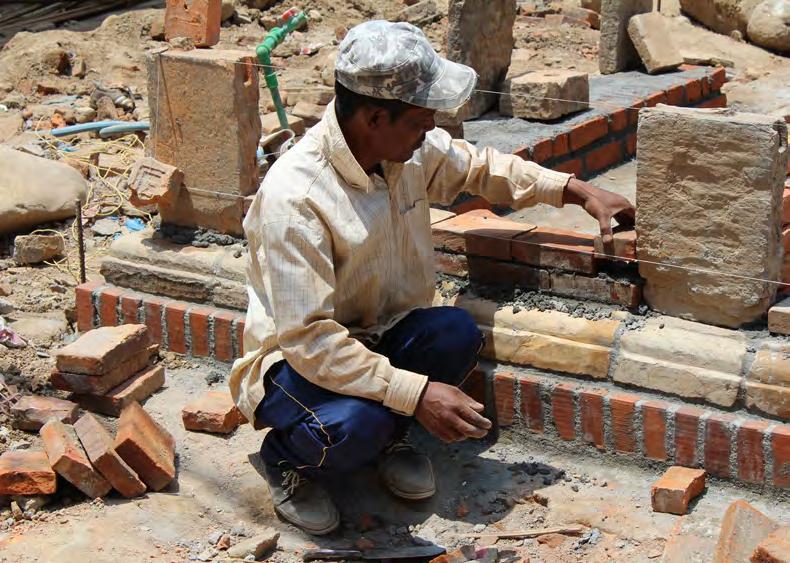
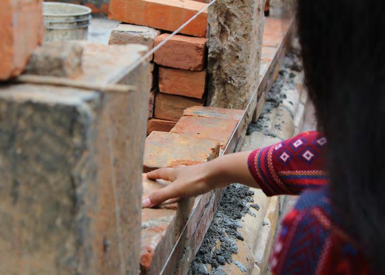
Site progress - foundations complete, plinth underway.
Site progress - local mason working on base plinth - stone piers reused.
Diagram of key timber elements to be conserved.
Reclaimed
These need to be labled and Additional Timber Elements Any elements which need should be identified and shown
Paati
Site progress - local mason working on base plinth - stone piers reused.
Site progress - masonry
Site progress - carpentry elements underway
Site progress - plinth ring beam setting out.
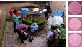
Completed build - New filtered water collection.
Completed build - “dabali” stage to right for events with storage tank below.
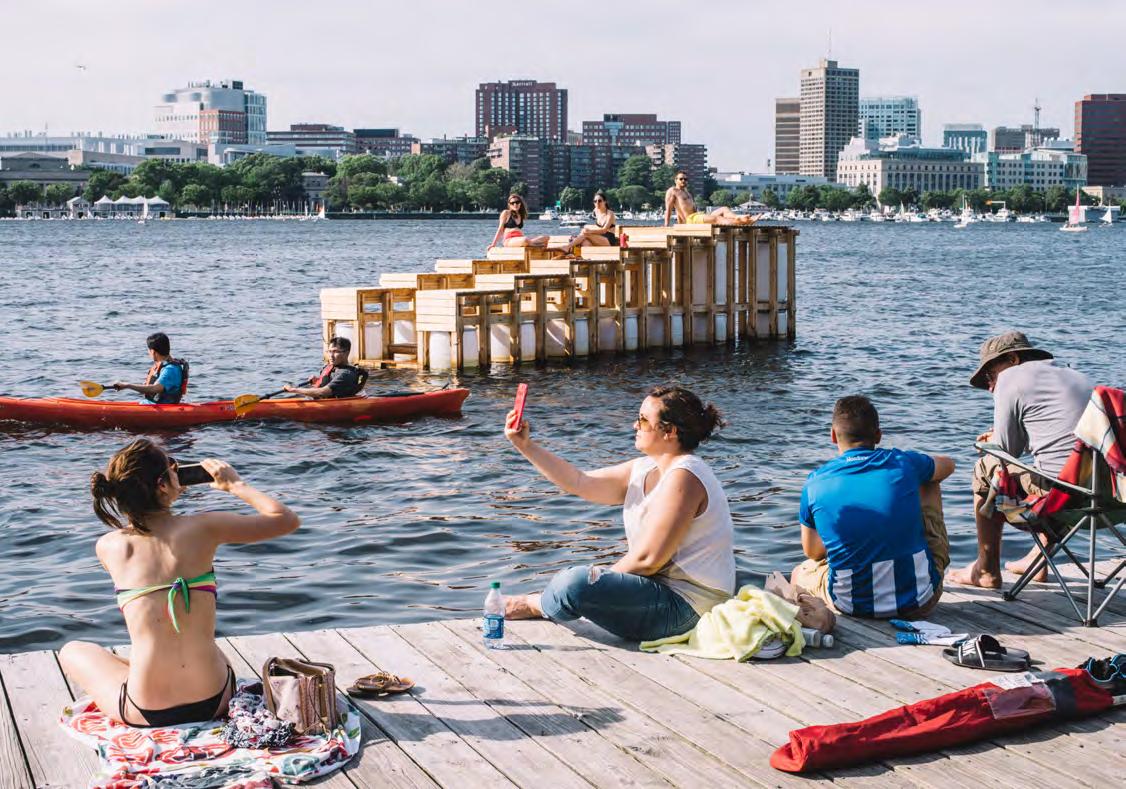
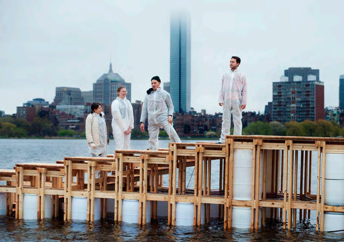
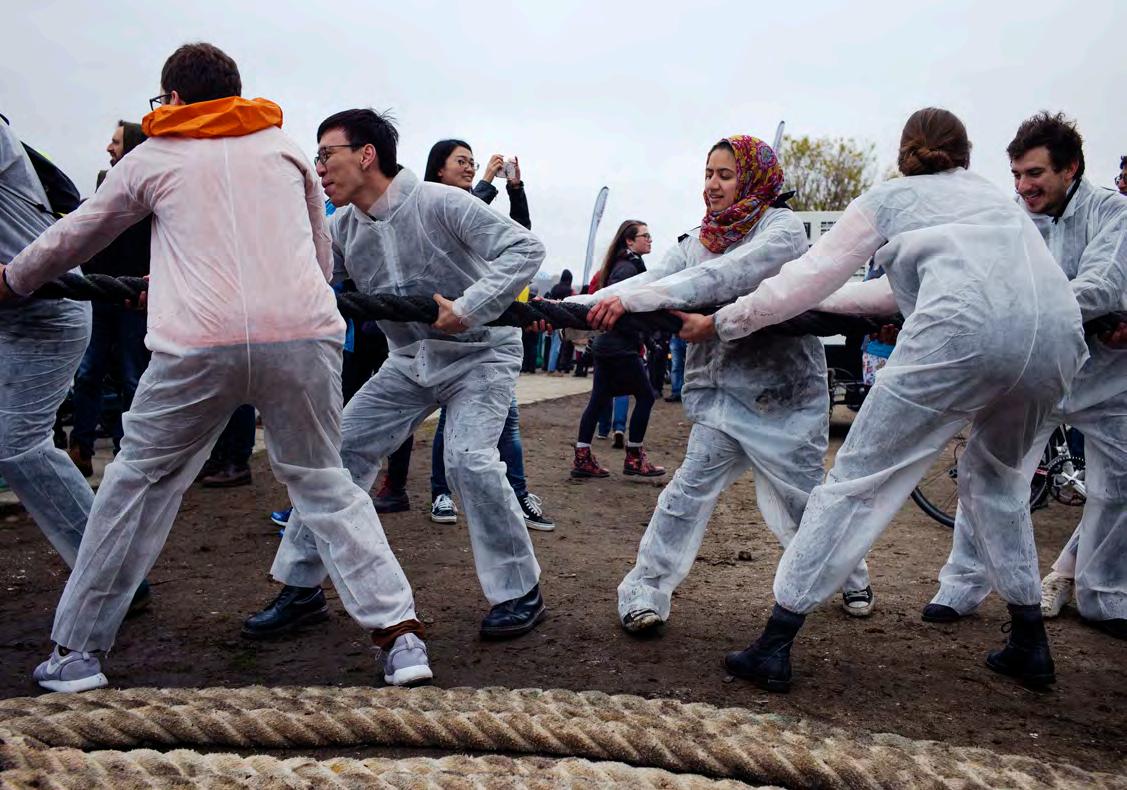
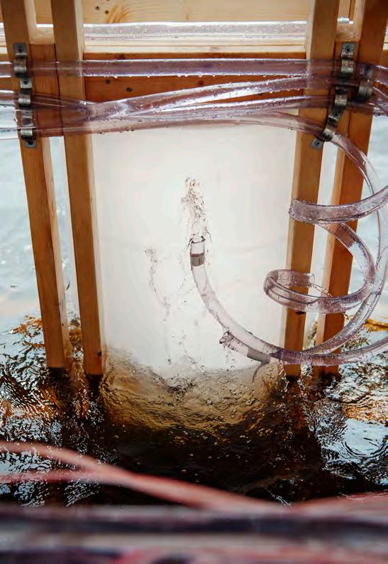
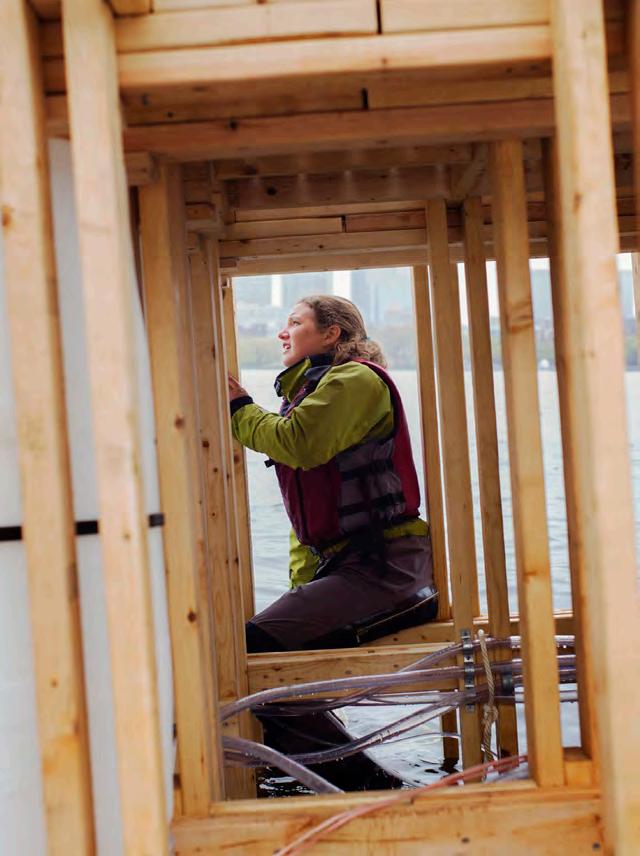
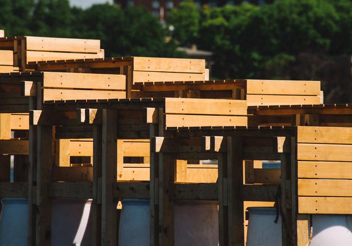
Communitas et Manus
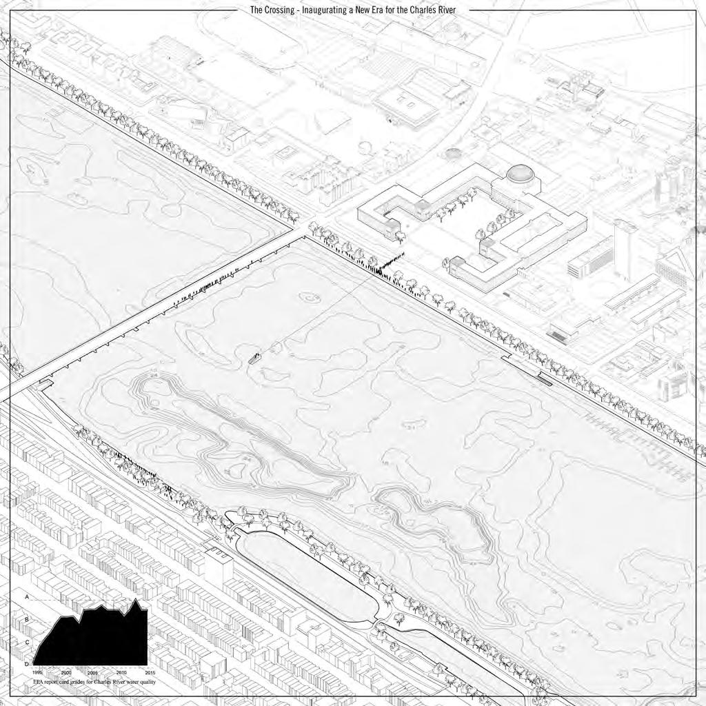
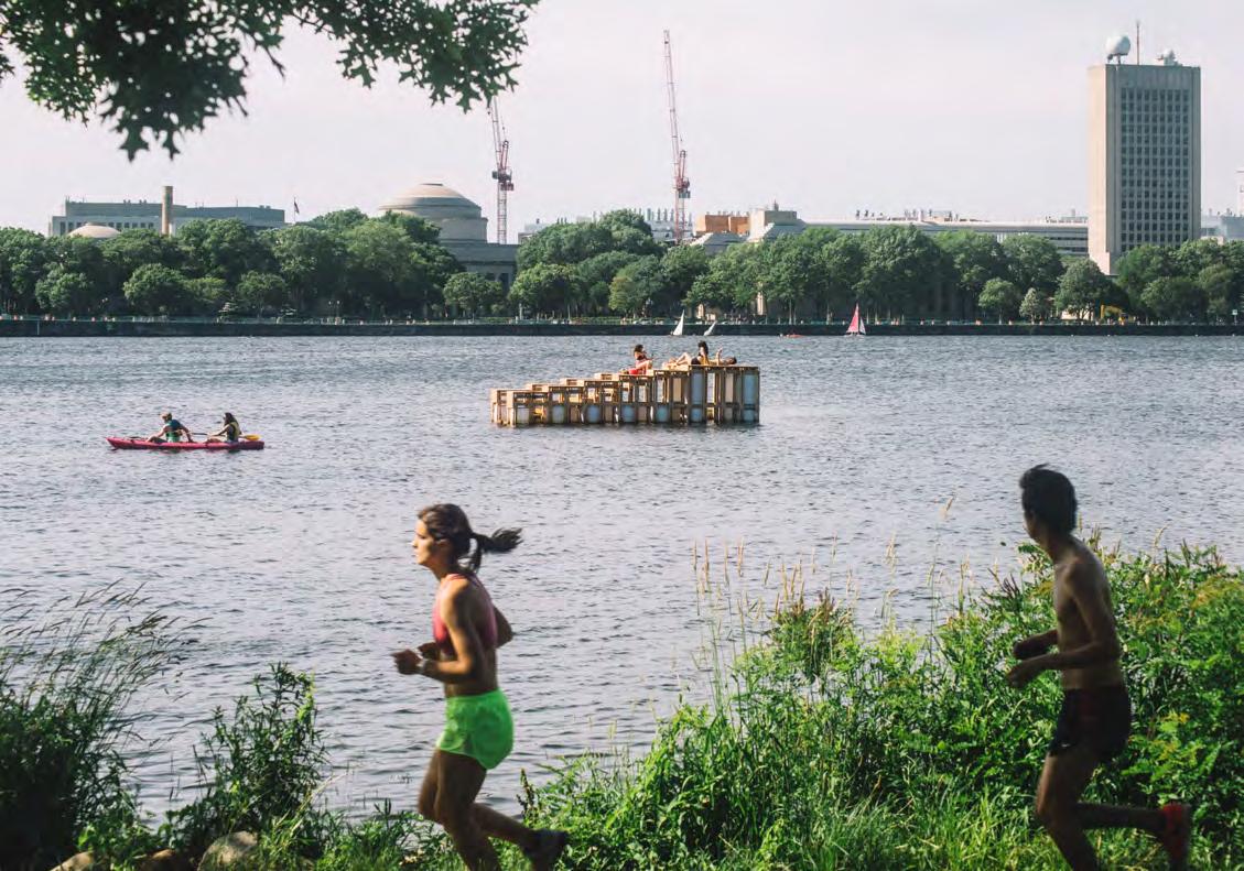
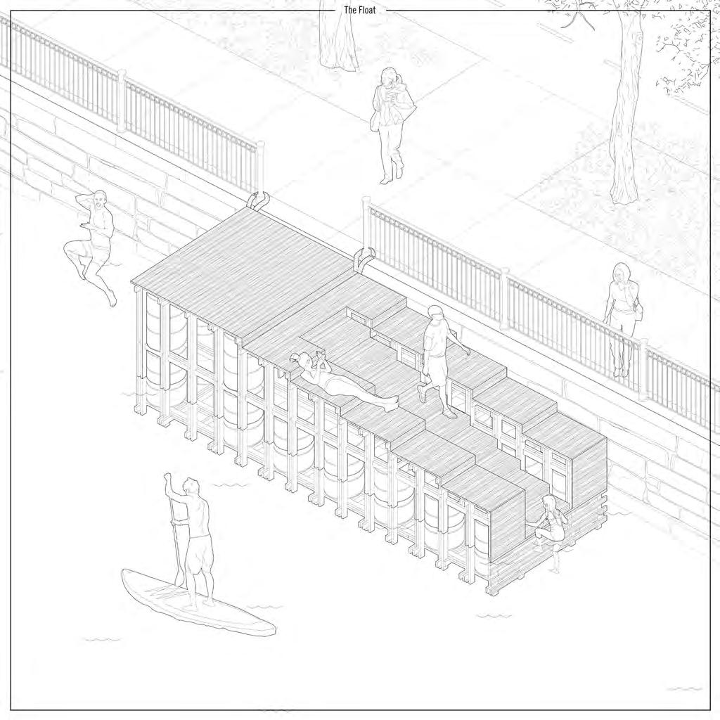
Type: Public Float & Art Installation
Client: Council for the Arts at MIT (CAMIT)
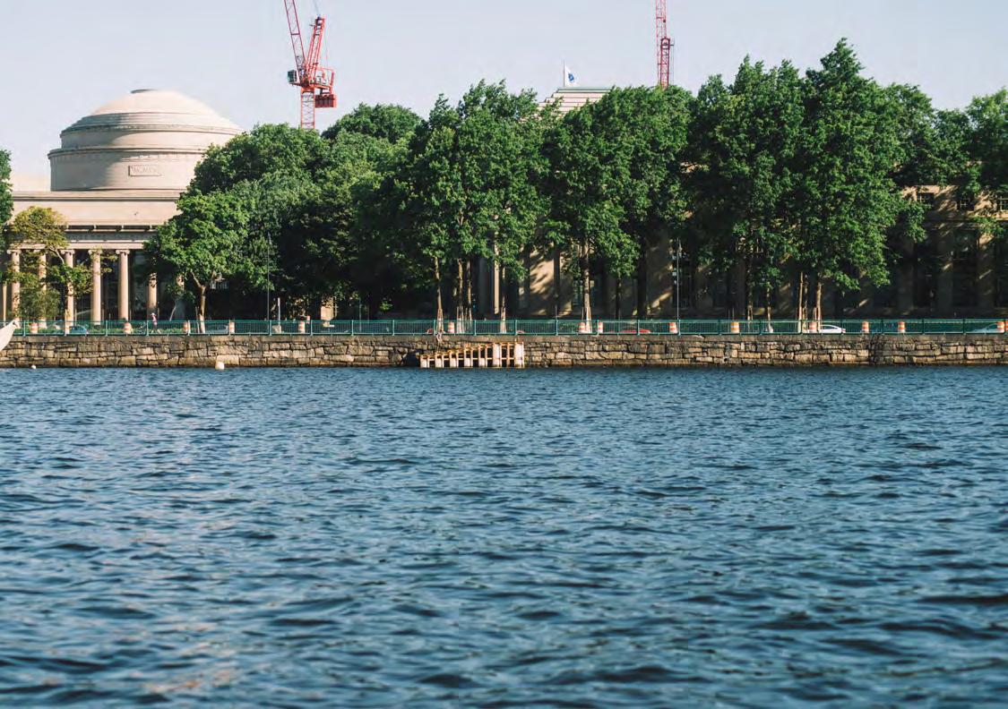
Location: Charles River, Cambridge / Boston, MA
GIA: 195 SF
Status: Built
Scope: Grant Funded Installation
Team: Sean Philips, Sam Schneider, Jorlyn le Garrec & Hugh Magee
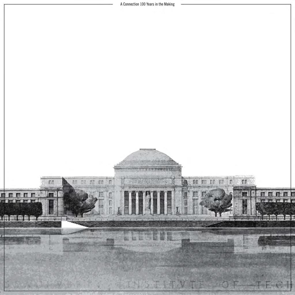
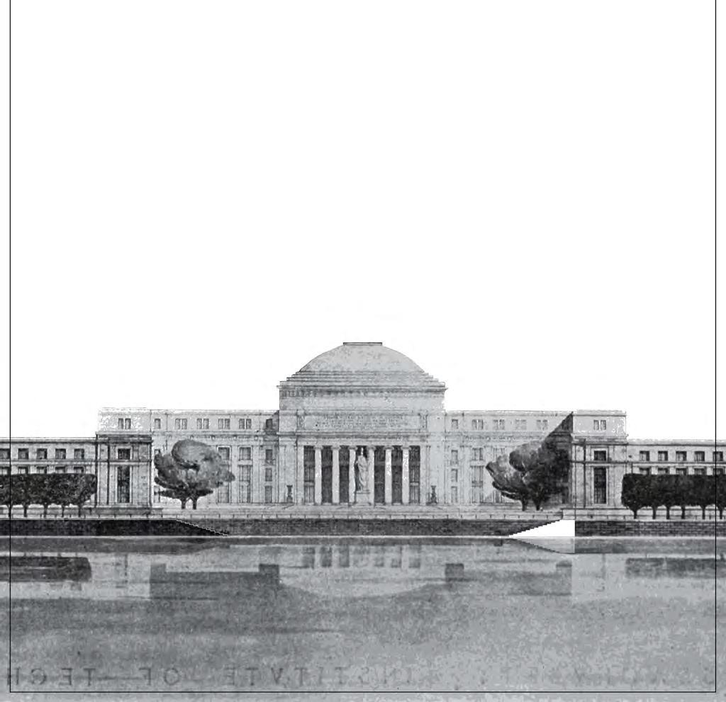
In 2016 with fellow students I applied for MIT CAMIT funding to design, build and launch a giant float as part of an institute-wide celebration of MIT’s move from Boston to Cambridge, named “Crossing the Charles”. The event was to commemorate the Institutes’s 100 years since it moved from Boston to Cambridge, with groups across the university building installations.
This was highly collaborative and physical experience, very much in keeping with MIT’s motto “mens et manus”. My experience has taught me the best projects are the outcome of many minds, and often enormous fun as a result.
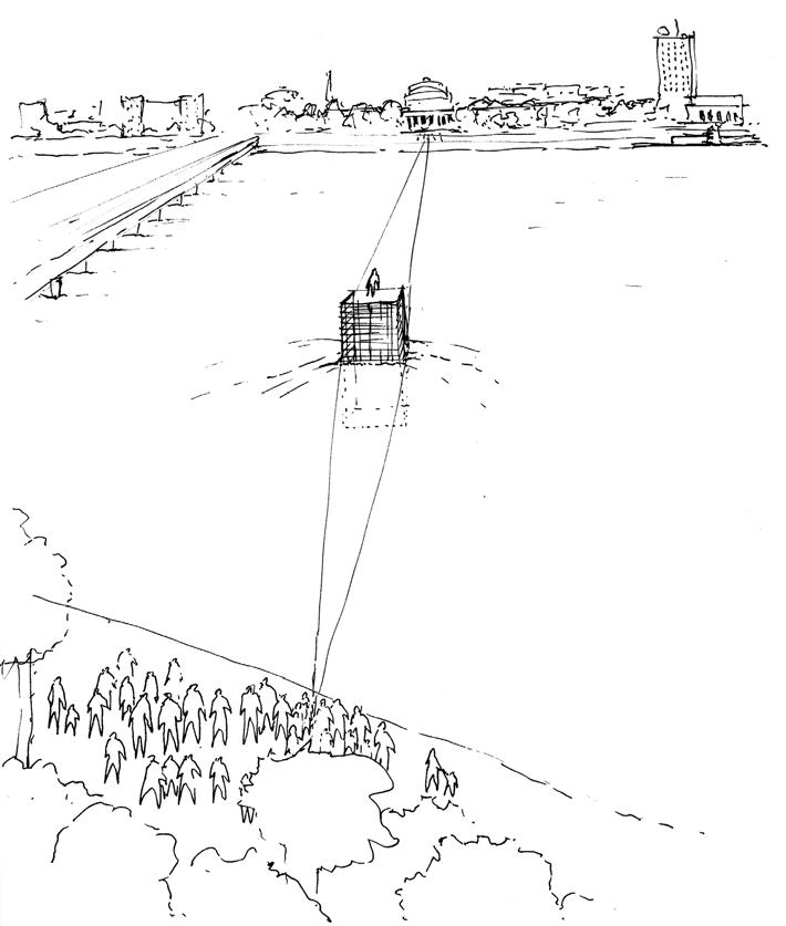
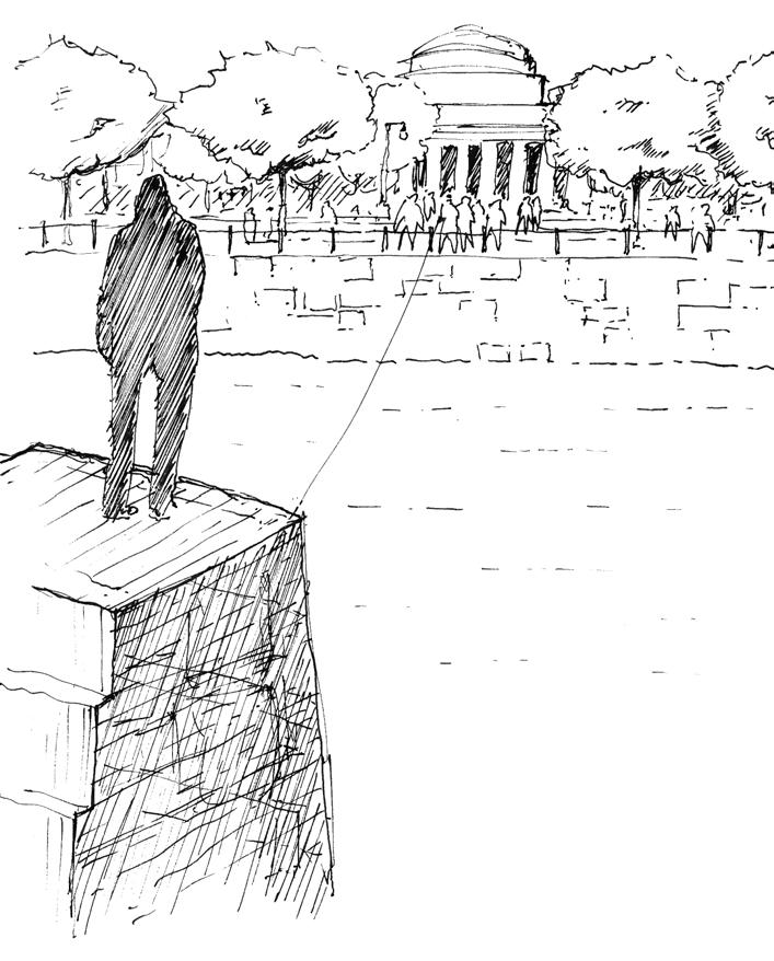
The idea was to use the temporary event of the crossing to deploy a (conceptually) permanent architecture in the form of a public space float at the point MIT campus meets the Charles. Original plans for the university included two sets of steps connecting the campus directly to the river, however transport planning subsequently placed a large road. Our idea sought to “complete” the original design.
With two friends, and supported by at least a dozen more for the event itself, I was exposed to:
• Designing to a budget (we had $5000 max)
• Waterways regulations, you can’t just launch a float in the Charles River without approval
• A rope can be so heavy it takes hours to transport - planning is everything.
• Buoyancy calculations are complicated and even MIT engineers can struggle.
HUGH MAGEE
Concept Elevation - Completing steps (image credit Sean Philips)
HUGH MAGEE
Axonometric - Float tugging (image credit Sean Philips)
HUGH MAGEE
Axonometric - Float in use (image credit Sean Philips)
Concept Sketch - Crossing
Concept Sketch - Arrival
View from Harvard Bridge
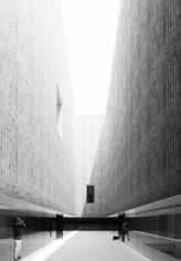
Stacked Landings Library
Type: Public Library
Client: City of Cambridge
Location: Cambridge, MA
GIA: 76,000 SF
Status: Studio Project
Scope: New build
Public libraries have become hybrid centres of activity for a diverse population, facilitating education for the young and immigrants, aiding adults with employment and skills, and providing a space for the elderly and the city in general where wifi has become as significant as the circulation of books.
In support of this increasingly vital role libraries play in the contemporary city, where commercial, civic and community meet, the project sets out to facilitate the spatial needs of these different kinds of “public”, while providing a space for their coalescence.
This Public Space is the actual and conceptual core of the project around which all other conditions exists, a void figure at the center of the site. Produced through the stacking of slab elements that both frame this void and organize program, the space is the accumulation of terraced landings connected by a circulation route.
The landings, operating at an urban scale and connected by similarly urban scale stairs, are an extension of the public realm; they respond to the contextual conditions of park, plaza and rail.
At the same time they tie together the civic, commercial and community functions of the library. The building is thus primarily concerned with the intersection of program at an urban scale.
STACKED FRAMES
STACKED LANDINGS
STACKED FRAMES
STACKED LANDINGS
STACKED FRAMES
STACKED LANDINGS
STACKED FRAMES
FIGURE OF THE VOID
FIGURE OF THE VOID
FIGURE OF THE VOID
FIGURE OF THE VOID
CONNECTED PUBLIC SPACE WITHIN A LIBRARY
CONNECTED PUBLIC SPACE WITHIN A LIBRARY
Brick Skin - 3D Print & plywood site model
AA - 1 /16″=1′ (scaled to fit)
HUGH MAGEE
Section
Section BB - 1 /16″=1′ (scaled to fit)
Brick skin - view from platform (rhino, vray, ps)
Interior void - view of public landing (rhino, vray, ps)
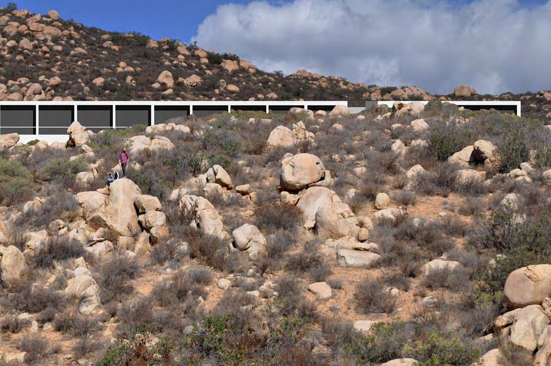
Future Graft
Type: Winery
Client: Encuentro de Guadalupe
Location: Valle de Guadalupe, Baja, Mexico
GIA: 35,800 SF
Status: Studio Project
Scope: New build
The intensifying drought conditions in the Valle de Guadalupe are threatening its wine industry and those that rely on it for work. In this context water-intensive agricultural practices are slowly changing, for example drip-irrigation has become widespread. Certain grape varieties however require significantly less water than others and small efforts have been made to transition the less intensive carignan grape by using the technique of grafting.
The practice requires up to two years and as a result only those larger vineyards can afford to make the change, for the smaller farmer this transition is all but impossible.
The project adopts a co-operative winery model to address this challenge, those vineyards actively grafting and therefore without work are welcomed to the co-op as resident workers, with accommodation provided for those traveling long distances, while a larger collective facility allows the co-op to produce and market its wine to a wider customer base.
The building comprises a series of monolithic walls deployed across a rugged landscape providing shade, water collection and the definition of distinct spaces along the east / west axis, with a continuous connection to the wider landscape to the north / south. At times walls grow in thickness to moderate the internal climate, acting as solar chimneys, at others they project into the hillside creating shaded micro climates like those around the enormous boulders found throughout the site.
Collage - View from south to north
Diagrammatic Location Plan - inverted to highlight location of boulders
0'
Cross Section AA - single storey residence
Cross Section CC - duplex residence
Cross Section DD - visitor arrival yard
Cross Section FF - fermentation with direct vine access
0' 10'
50' 25'
1:50 model study - view south - open
1:50 model study - solid walls to open floor - light study in solar chimney
1:50 model study - view south - louvered panel
1:50 Model Studies
HUGH MAGEE
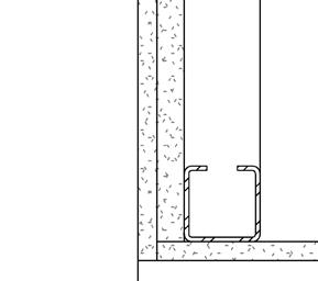
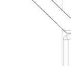
Detail A - Roof to curtain glazing
Detail B - Glazing to retaining wall
Detail C - Retaining wall to floor
Presentation conceptual model seeking to distill primary idea of stacked walls with fixed top datum emerging from undulating landscape.
1:250 Concept Model
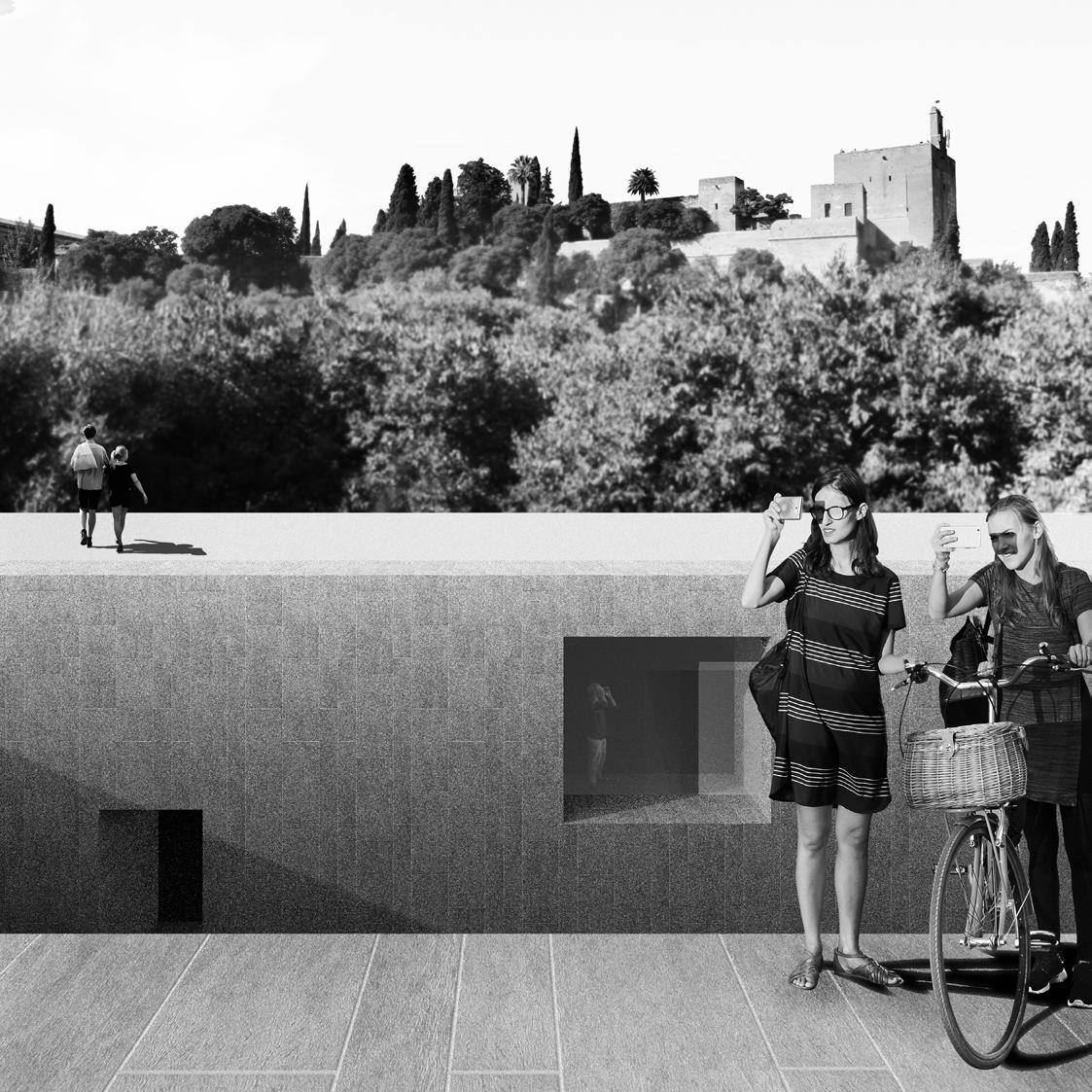
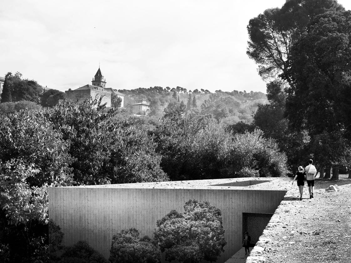
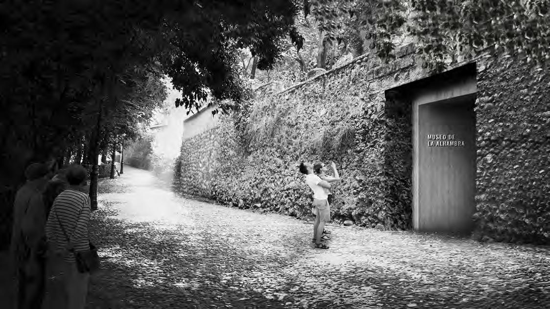
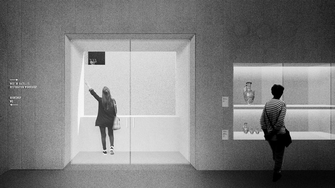
Alhambra Museum
Type: Museum
Client: Council of the Alhambra and the Generalife
Location: Granada, Andalusia, Spain, GIA: 41,000 SF
Status: Studio Project
Scope: New build
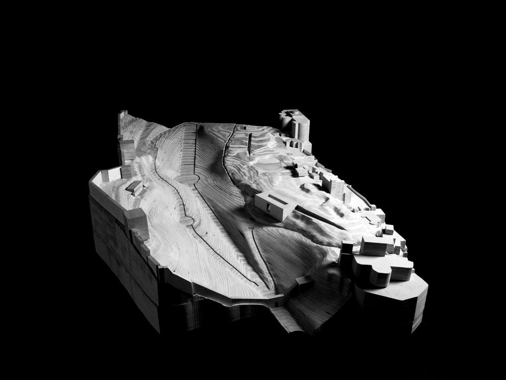
Museums present the opportunity to act as civic spaces in addition to serving their institutional directives, the New Museum of the Alhambra acts as a gateway to Carmen de los Cantalones, an ancient garden, previously closed to the public and within a UNESCO World Heritage site within the wider Alhambra environs.
The New Museum is situated with the Carmen with two primary goals: minimize the impacts the substantial programme has on the garden’s unique features, and provide a shared point for visitors of both the museum and the park.
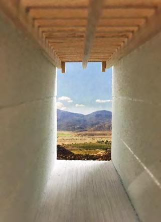
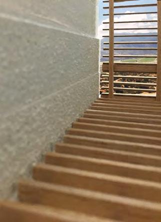
At site’s northern most point, where the existing topography is most extreme, the museum is oriented towards the arrival point of thousands of visitors to the Alhambra complex, configured to allow for direct public access to the historic garden while benefiting from the friction this provides between visitors to both the park and museum.
The unique geological conditions of the Sierra Nevada region has made earthwork carving a common; caves and below ground excavations can be found both within the park and the adjacent neighborhoods.
Continuing this construction tradition, the museum exists as the end of a carved tunnel through an ancient boundary wall, leading to a public courtyard, open to the elements around which the museum program and public access is arranged; exhibits are presented as a collection of objects carved into a homogeneous whole.
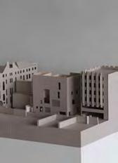
Site Model - birch plywood
HUGH MAGEE
View from park towards Alhambra
Alhambra Museum_Barozzi Studio_2016
New Museum
Alhambra Palace
HUGH MAGEE
View of Lower Entry
HUGH MAGEE
View
Ahah Haha
Type: Daycare Pavilion
Client: Boston Public Schools
Location: The Arnold Arboretum, Boston, MA
GIA: 2,250 SF
Status: Studio Project
Scope: New Build
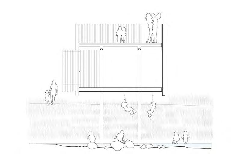
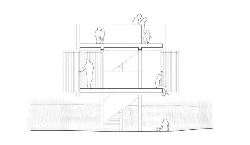
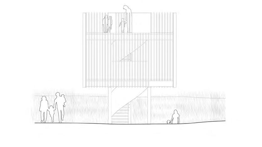
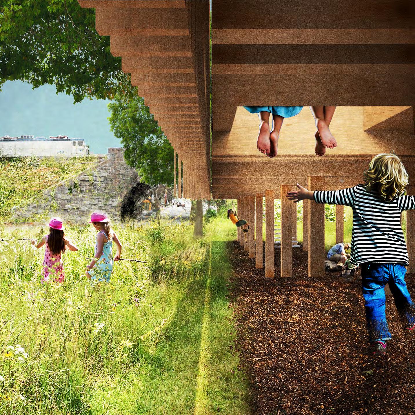
Ah Ah Ha Ha Kindergarten sits on the edge of a clearing in the Arnold Arboretum in Boston, surrounded on all sides by a hill.
Nestled between trees and lower than the surrounding path, the school acts similar to the picturesque Ha Ha, a construction designed to allow for a continued view across a landscape. Placed on a steep part of the surrounding hill, the building acts as both a viewing platform while offering a means to climb and descend the hill on which it sits.
Placed on the periphery of the clearing, the school merges with its landscape in two ways; by providing a means to view below (Passive), and by framing a space to climb and descend a hill (Active). Ah Ah Ha Ha, offers a space where kids can engage with the challenge of their environment. A steep hill offers something more interesting to children than architecture might; the role of the school in this site is therefore to frame this space.
Section CC
Section BB
South Elevation
Section DD
1:50 balsa & plywood model
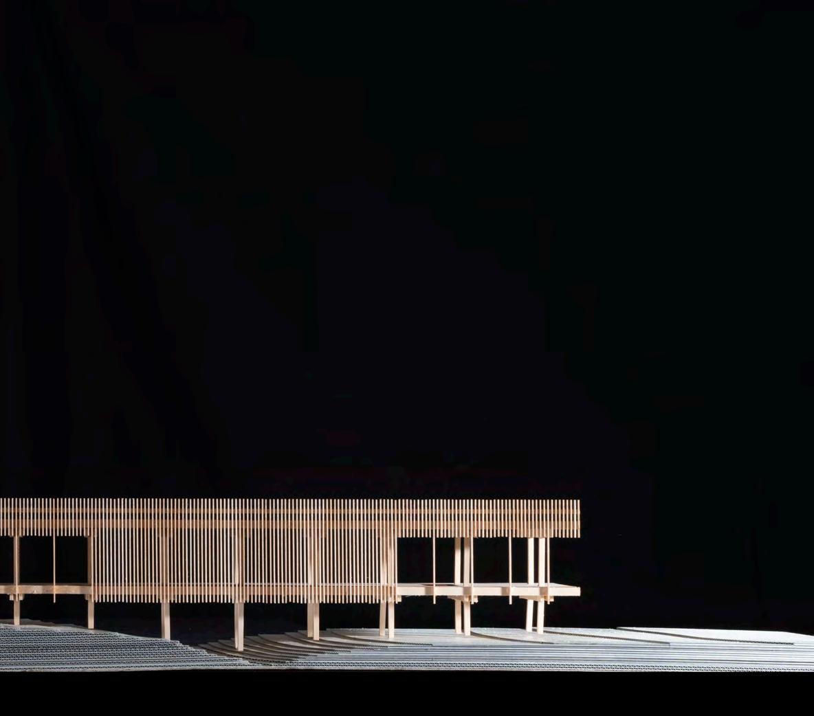
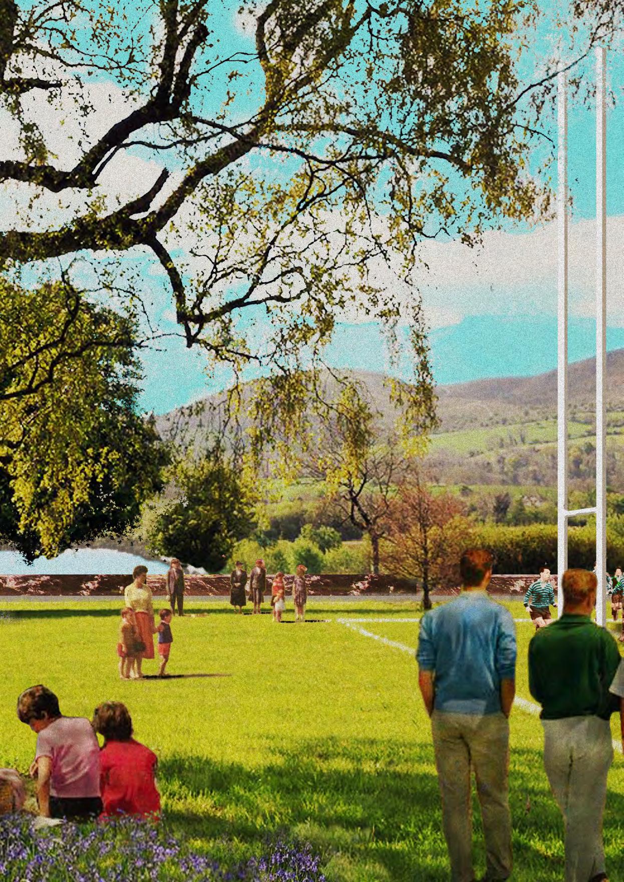
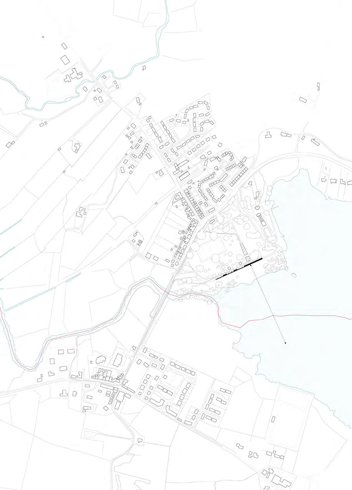
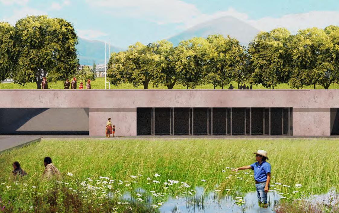
Belcoo Centre
Type: Community Center
Client: Town of Belcoo / UK Border Force
Location: Belcoo, Fermanagh, Northern Ireland
GIA: 27,500 SF
Status: Studio Project
Scope: New Build
The towns of Belcoo and Blacklion sit on opposite sides of the Lough McNean Upper and Lower. Divided by a small river and connected by a bridge, the distance between both towns is a function of the flood plain. Situated at the only crossing point for many miles, the bridge is the only link between Northern Ireland and the Republic of Ireland.
These two towns are familiar with the risks of BREXIT. At the height of the Troubles in Northern Ireland, when border crossings were limited by British Forces, the Belcoo Black Lion crossing was one of the “approved roads”. At best, such checkpoints delayed people simply crossing to buy milk, at worst, direct conflict with a number of murders taking place.
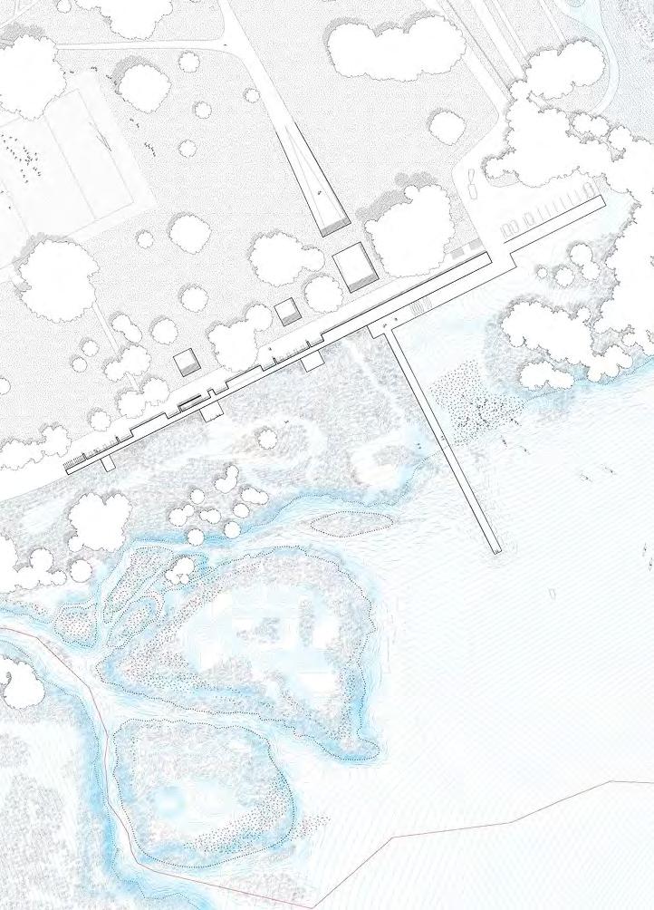
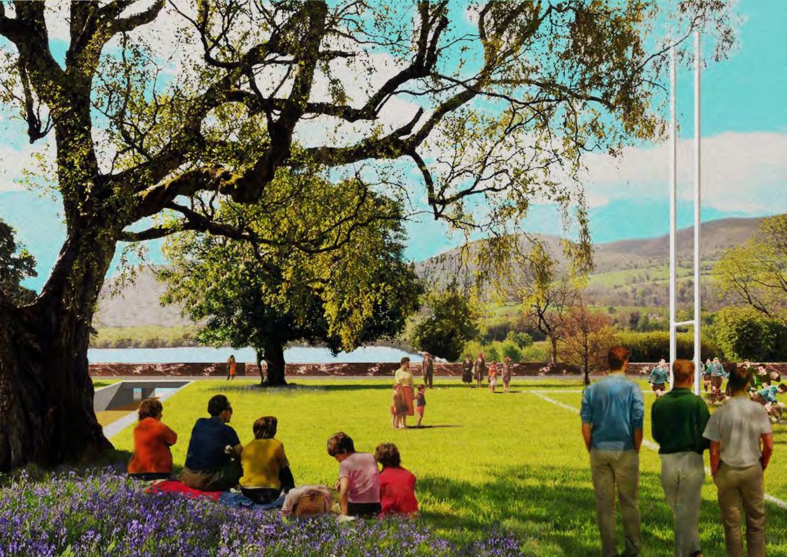
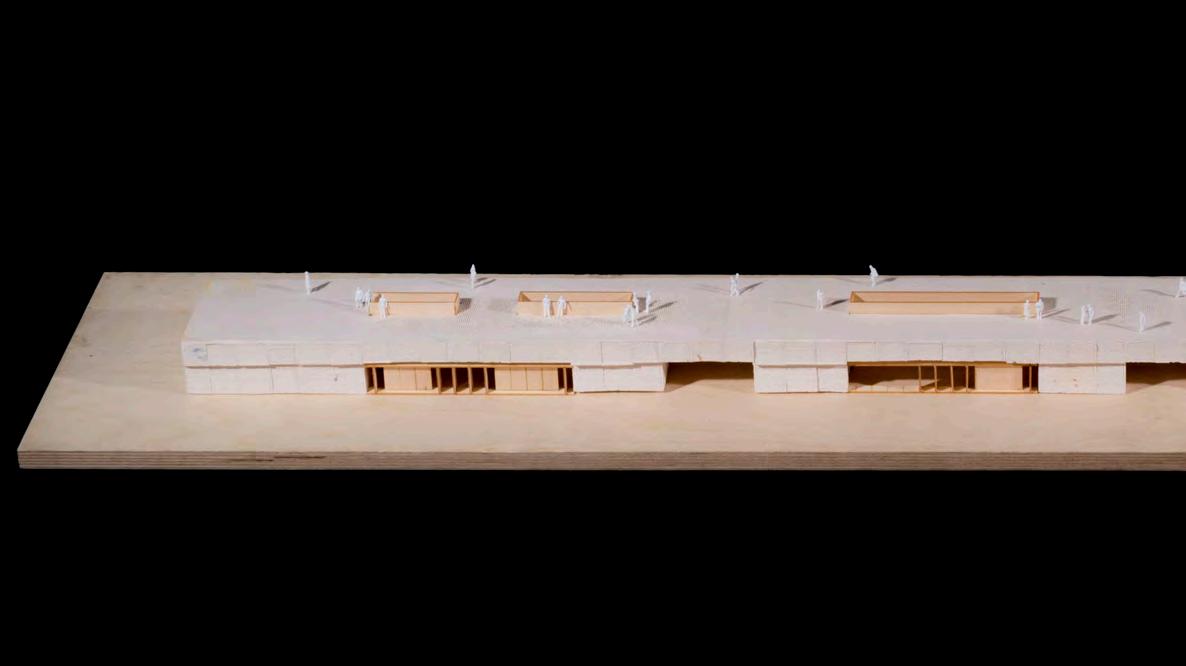
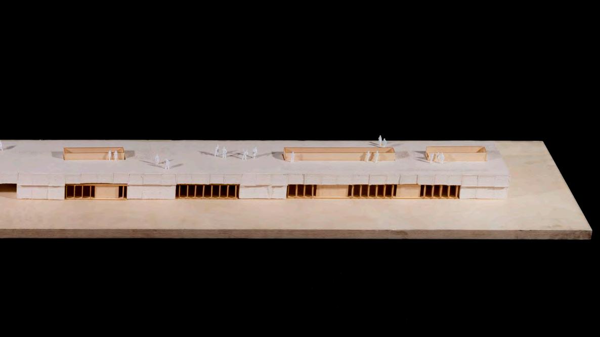
In the center of Belcoo town on the Northern Irish side is the Belcoo Park and playing field. A large open space that connects the town to the Lough McNean, lake goers on paddle boats, canoes and small power boats enter the lake via the park.
The Belcoo Park and Community Center approaches the site of Belcoo Park as an opportunity to reinforce the connection between urban life and the lake. Sighted at the historic flood line the building simultaneously provides a fixed edge to the park [offering a vista to the landscape beyond] and a continuity between those arriving from the lake side to the park and vice versa, as well as those following the EU funded walking path that loops between Belcoo and Blacklion.
View
Section AA - Restaurant
Section BB - Court yard
Cross Sections
View
Presentation Model (cast plaster with balsa)
Presentation Model (cast plaster with balsa)
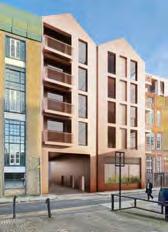
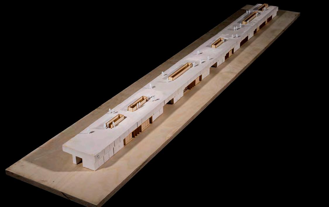
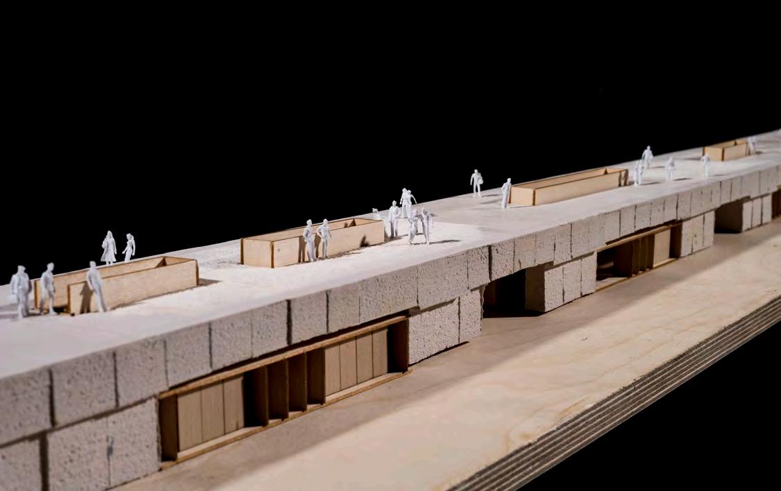
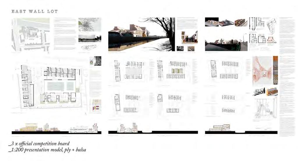
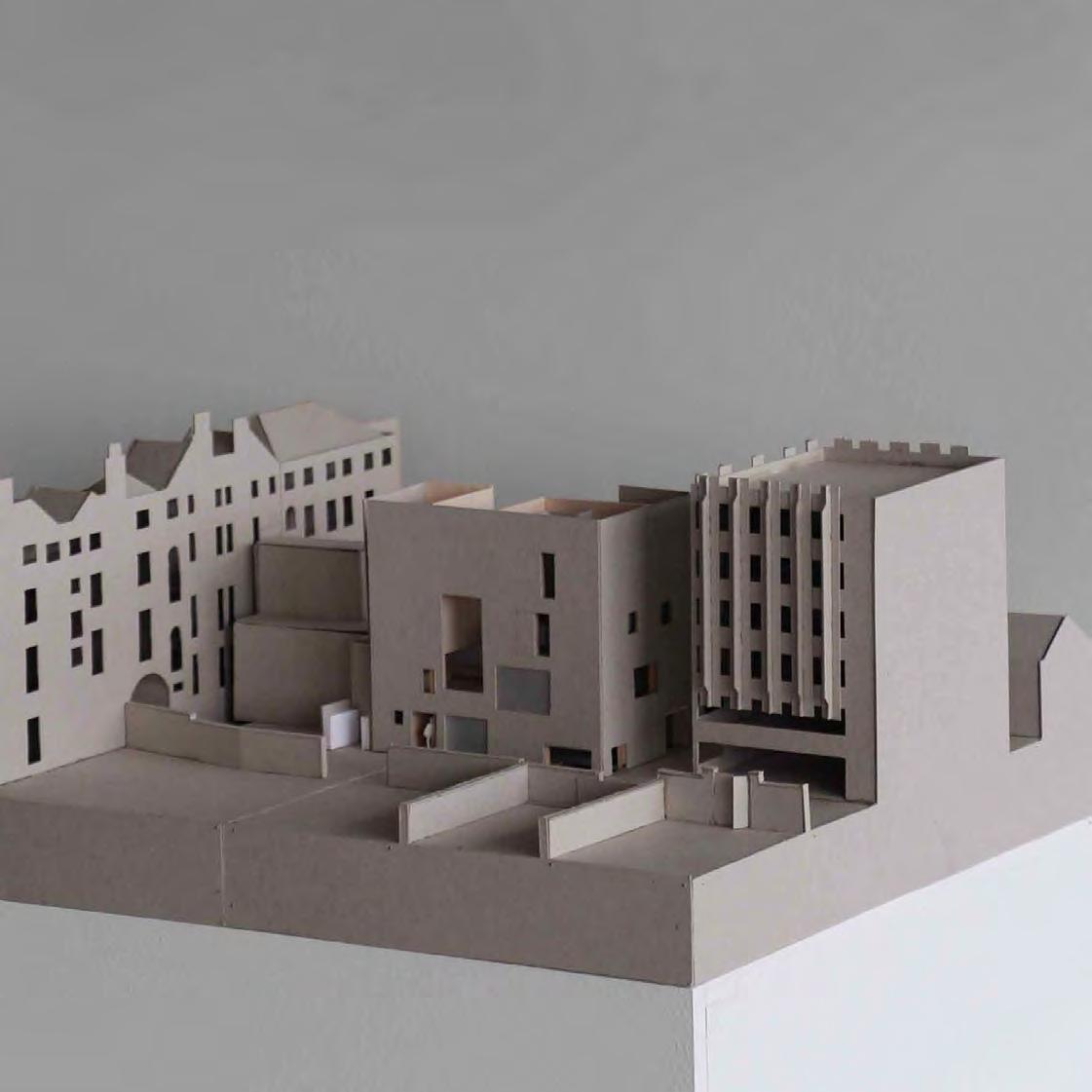
East Wall Lot
Type: Housing
Client: Competition for EUROPAN 11
Location: East Wall Canal, Dublin Ireland
Status: Runner-Up in Ideas Competition
Scope: New Build
On a team of three I was tasked with the building of a 1:200 plywood presentation model and creation of collage views for an entry into the EUROPAN 11 competition.
Collage view - towards main entrance
View from south - housing surrounding raised garden
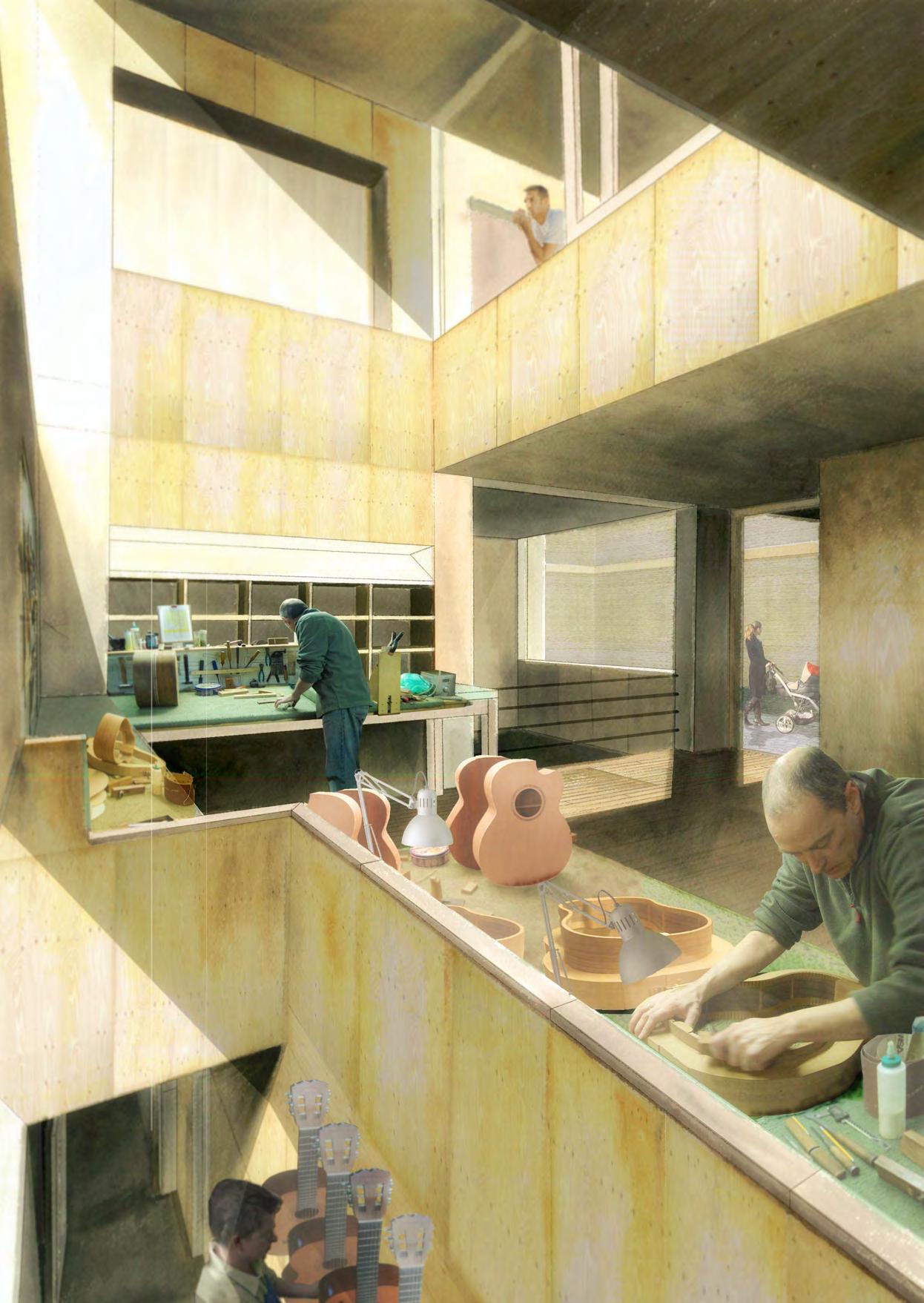
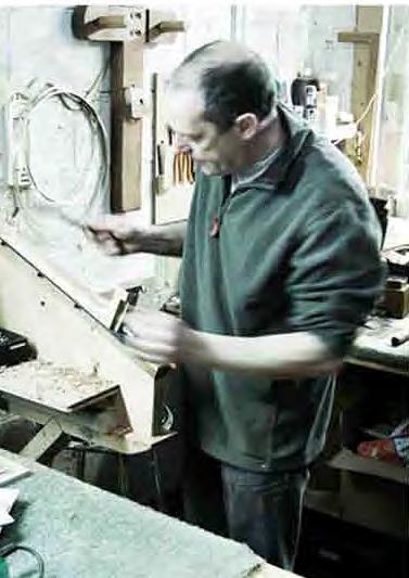
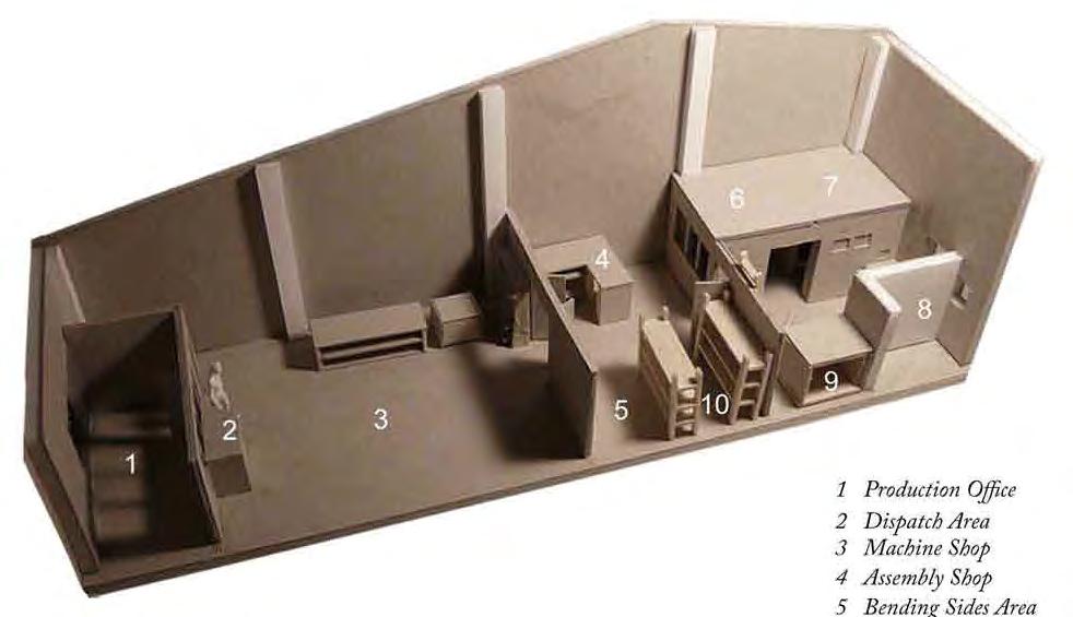
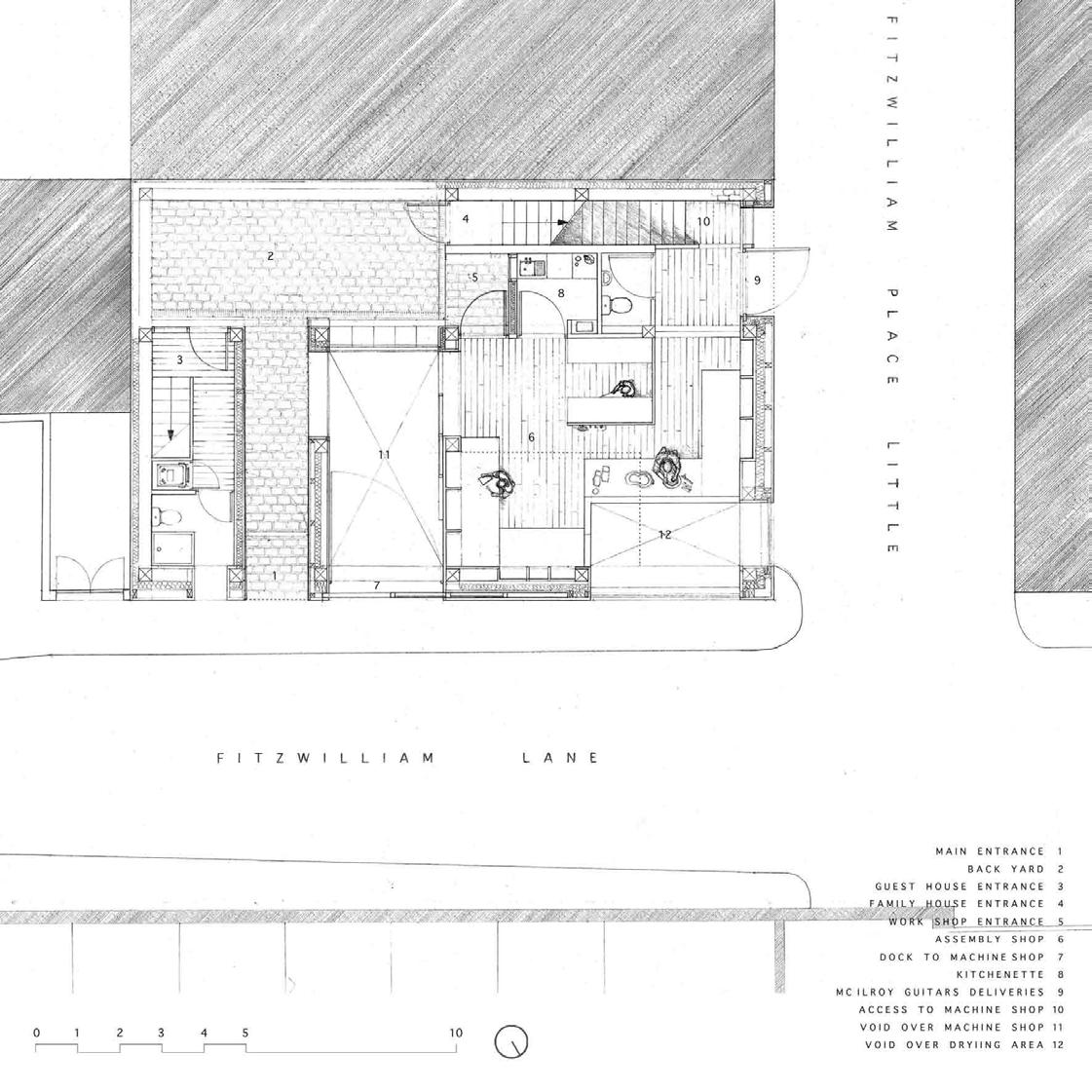
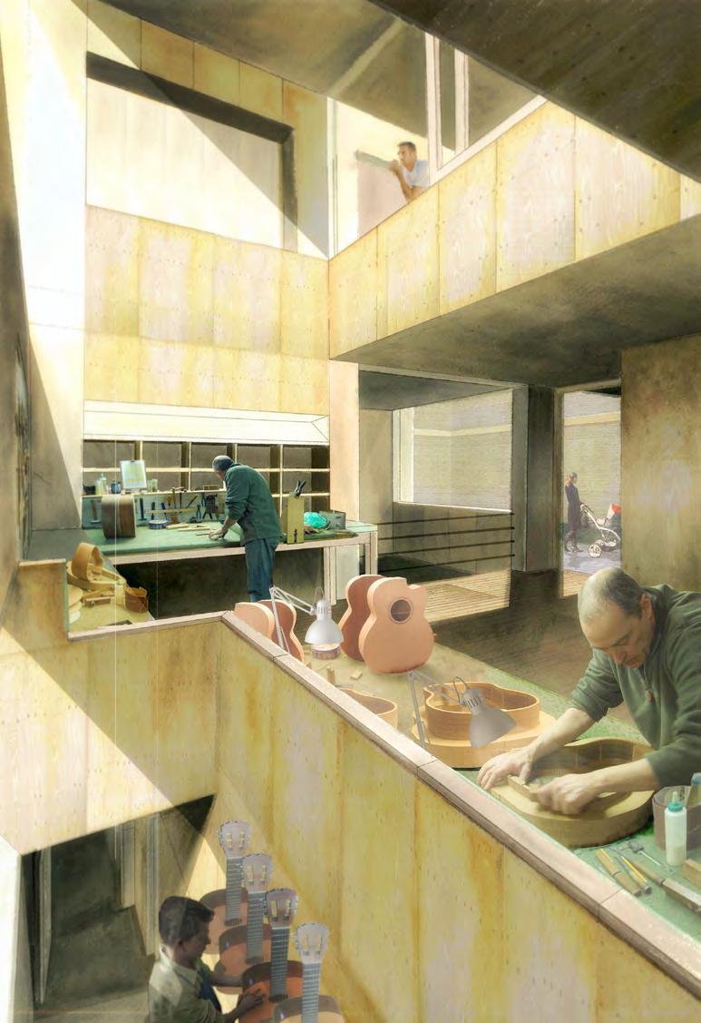
Luthier’s House
Type: Single Family House & Workshop
Client: Luthier
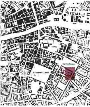
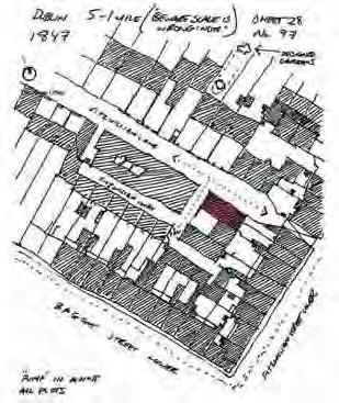
Location: Dublin, Ireland
GIA: 6,500 SF
Status: Undergraduate Final Year Project
Scope: New Build - urban infill
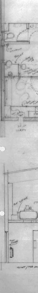
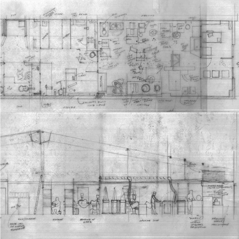
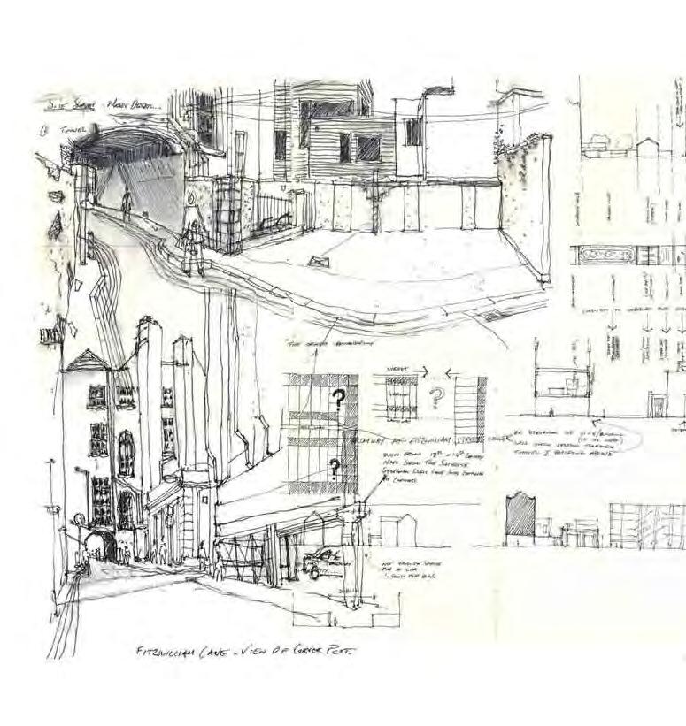
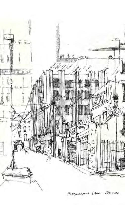
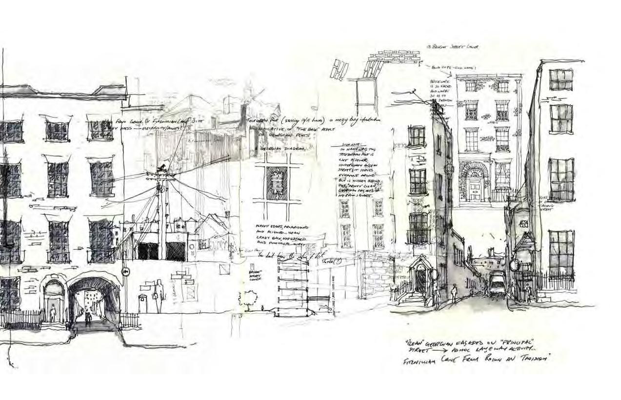
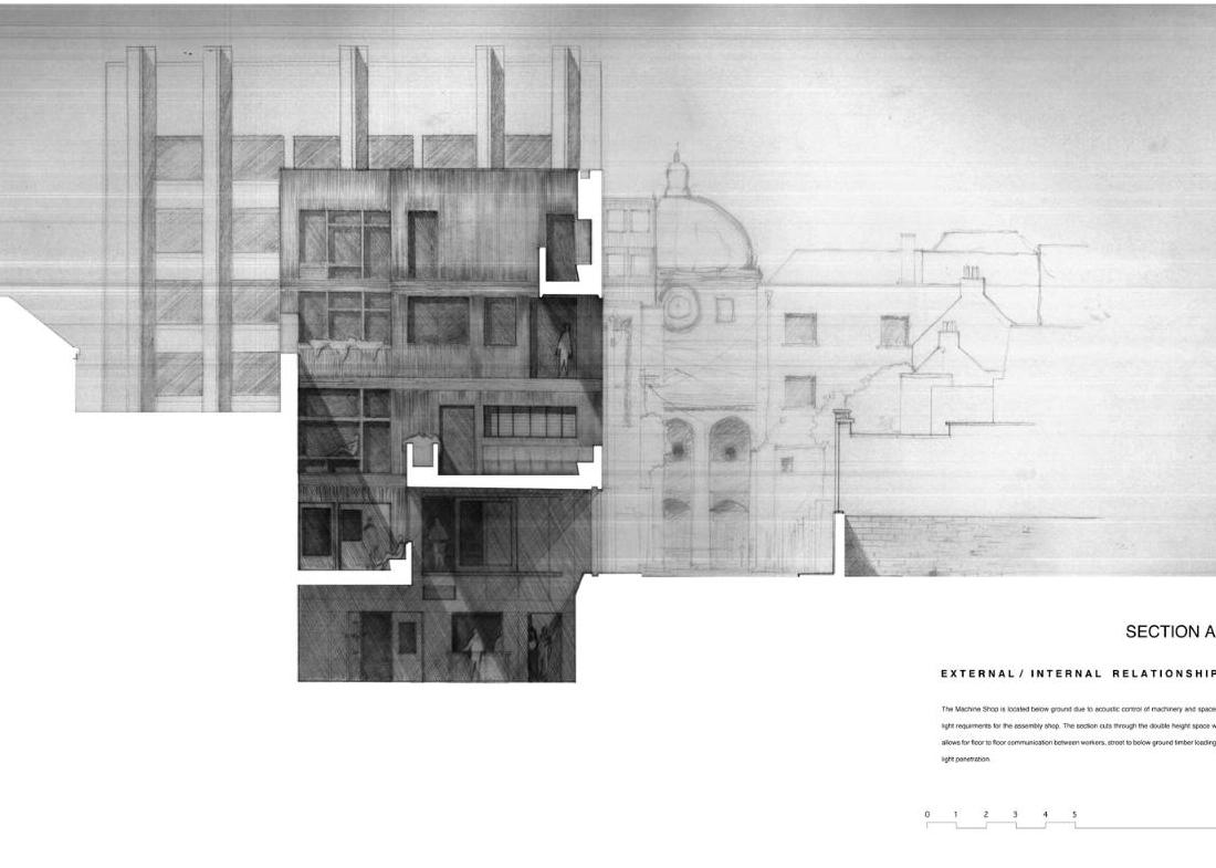
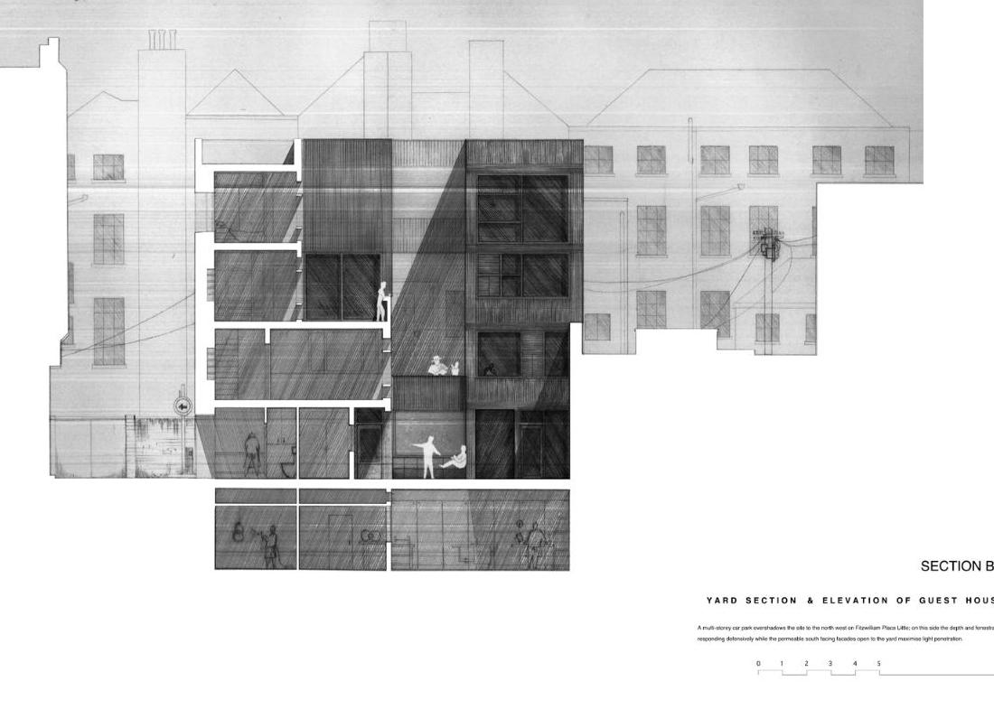
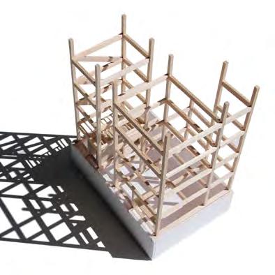
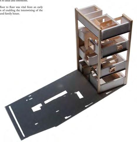
The brief required the design a workshop, house and guest-house on Fitzwilliam Lane, an old stable lane on Dublin’s south side, for Dermot McIlroy, a world-class Luthier based in Northern Ireland.
Northern façades protect while southern openings orientate focus internally. Carved earth and building mass create voids. Light penetrates tight spaces. Volumes stitch together at various levels.
Direct communication between users, potential for ad hoc encounters and passive visual opportunities were drivers for the program arrangement. A view of the sky from below ground, a wave from a workbench to a family member, a sense of privacy from, yet connection to, the city all add to the spatial experience.
A back yard acts as a kind of decompression chamber between city and home, functioning in a similar manner to the entrance yards of typical mew houses.
An aesthetic that eschewed ideas of cleanliness in favour of durability, weathering and ease of maintenance also relate to the gritty urban grain of the stable lane, a place in a state of continuous change contrasted by the surrounding refrigerated façades of Georgian Dublin.
Site sketches - collage of pen & ink wash
HUGH MAGEE
Section AA - pencil collage
Section BB - pencil collage
Court Yard View - pencil, water colour & photoshop