Backroads & Detours
LEE ATKINSON
I M ATE
Backroads & Detours ULT
AUSTRALIA
LEE ATKINSON
Introduction
I love road trips, but I hate traffic and the high-speed cut and thrust of freeways. For me, the best trips are all about getting out of town, rather than motoring from one city to another. Sure, I’ve done my share of commutes between capitals, but as far as I’m concerned it’s the backroad trips and detours that take you to out-of-the-way places that are the best fun, and most memorable. This book is a collection of 35 of Australia’s best backroad trips. Some of the road trips are well known and some are new takes on old favourites.
There are remote road trips like the Road to Nowhere in Tasmania/Lutruwita (see p.204), that starts just before you reach the Edge of the World (yes, there really is a place called that) and winds through the heart of one of the world’s largest cool-temperate rainforests. It’s a trip through magnificent wilderness that you can do in a day, and doesn’t need a 4WD,
and yet for reasons I don’t really understand it remains one of Tassie’s least-travelled roads, despite linking two of the island state’s most popular holiday spots.
The Old Grafton Road (see p.18) in northern NSW is another off-the-radar backroad, following what was once the highway from the mountains to the sea, but is now just an abandoned road through a forgotten valley full of ghost towns. More than just a road trip, it’s a pathway back to another time when travelling by road, even in the middle of the 20th century, was a true adventure. Wonderfully scenic, with some of the best wild swimming spots and riverside camping in the state, it’s truly spectacular, but hardly anyone seems to know about it.
When it comes to seriously underrated road trips, few compare to the Silo Trail in western Victoria (see p.47). Billed as the country’s largest outdoor art gallery, this road trip meanders
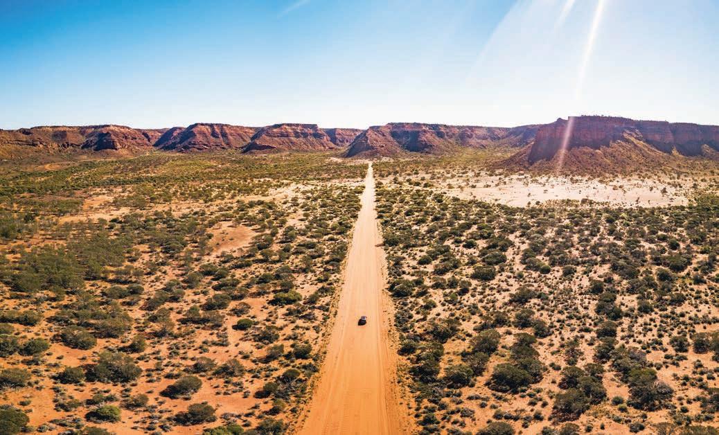
Kennedy Range National Park, Western Australia
between classic country towns that feel as if they are on the cusp of becoming ghost towns, or at least they were before the giant murals adorning disused silos, grain bins, sheds and churches began breathing new life into the communities. It’s an Australian version of America’s famous Route 66. Maybe one day it will become as well known as its US counterpart but until it does, the best time to drive it is now if you want to experience some authentic Aussie country style (and Australia’s best vanilla slice).
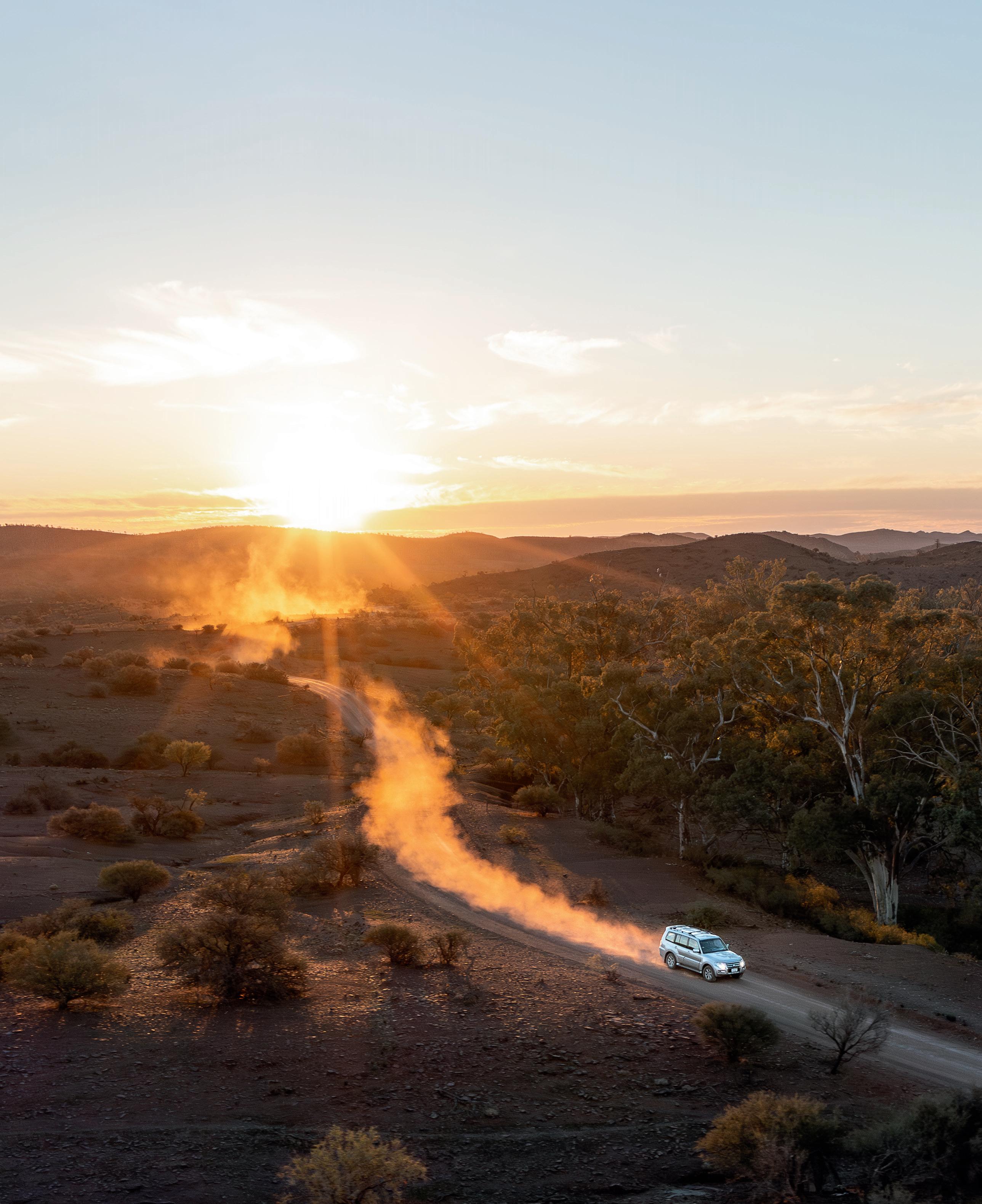
The Mereenie Loop Road in Central Australia (see p.142), is an unforgettable adventure drive across the Traditional lands of the Western Aranda/Arrernte, Anangu and Matutjara Peoples that takes you to three of the most famous places in the Australian outback: Alice Springs/Mparntwe, Kings Canyon/ Watarrka and Uluru. It’s a classic drive that has appeared in two of my previous Ultimate Road Trip books, but it’s too good not to include here because it really is the ‘ultimate’ backroad. If you’ve never been to the outback before this is the road trip for you – although, be warned: if you’re anything like me, once that red dust gets under your fingernails, and through your hair, it’s in your soul and you’ll want to return again and again.
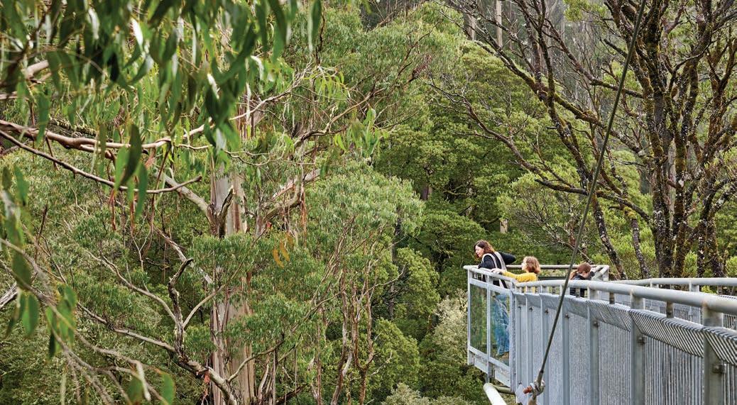
There are also famous road trips with a difference, like the often-overlooked hinterland of the Great Ocean Road (see p.61), a cool, green wonderland of tall trees, waterfalls and fern-filled rainforests that most of the 5.5 million travellers that drive the celebrated coastal road each year don’t detour for.
Covering every state and territory across the country, from the Top End to Tasmania and the west coast to the east, this collection of backroad trips will help you discover
out-of-the-way natural wonders, small communities, magnificent landscapes, and literally ‘the road less travelled’. It is also proof that you don’t need a heavy-duty 4WD to see the best of Australia. The roads might not all be smooth-as-silk ribbons of bitumen, and some might be best suited to an SUV with a bit of clearance rather than a compact hatchback, but the trips featured are on roads that anyone can drive.
In this guide you’ll find everything you need to know to help you plan the perfect backroad trip. Each road trip itinerary includes information on things to see and do, route maps and helpful tips such as advice on the best time to go, how long it will take, family-friendly attractions, and, for those living the vanlife dream, a selection of some of the best caravan parks and camping spots. If you’re a little nervous about heading off the highway, there’s a drive rating for each trip detailing whether it’s easy with sealed roads all the way or slightly more challenging with dirt roads or narrow bends, for example.
A lap of Highway 1 connecting Australia’s capital cites is the dream of many a road tripper, but this collection of driving routes takes you on the backroads. And the best part about road tripping in Australia is that it never takes very long to get off the beaten track.
Whether you’re hitting the road for the first time, or embarking on a second or third Big Lap, there are trips here for everyone. Happy road tripping and detouring!
Lee Atkinson
ACKNOWLEDGEMENT OF COUNTRY
I’d like to acknowledge the Traditional Owners of the many different Countries across Australia that I visited while researching this book, and their continuing connection to the their lands, waters and cultures. I’d also like to acknowledge the Traditional Owners of the Country on which this book was written, the Dja Dja Wurrung People, and pay respect to Elders past and present.
Helpful information
BUSY TIMES AND SCHOOL HOLIDAYS
Summertime is holiday time in Australia. Peak season in most coastal areas is the month from Christmas to Australia Day – 25 December to 26 January – which roughly coincides with summer school holidays too. Easter and long weekends are also peak getaway times popular with holidaying locals. During these periods it can be hard to secure accommodation or a campsite, and prices are generally higher too. For a full list of school holiday dates, which vary between states/territories, check online (australia.com and search for ‘school holidays’).
EMERGENCY CONTACTS
The emergency number to call in Australia is 000 (triple zero) –for ambulance, police or fire.
If you are a member of an auto club, the number for roadside assistance is 13 11 11.
The local ABC radio is your best place to keep up to date with emergency weather and bushfire or flood warnings, or visit it online (abc.net.au/emergency).
BUSHFIRES AND FLOODS
Summertime is not just a busy holiday time, it’s also bushfire season. If you’re road tripping in summer be aware of the Fire Danger Rating each day and download the appropriate fire emergency app – there’s a different one for each state/ territory – for safety alerts.
In recent years, flooding has inundated many Australian towns and devastated some communities. It’s always good to check ahead with local authorities before travelling to impacted areas to ensure that towns, attractions and roads are open, and that national parks are operational – and ready to welcome travellers back.
NATIONAL PARKS
Many of the road trips in this book include national parks. While some national parks are free to visit, many have entry fees and camping fees. Pre-booking a campsite – either by phone or online – is mandatory in all national parks in Queensland, New South Wales, Northern Territory and South Australia, and in selected parks in other states. Be aware that there may not be mobile (cell) phone coverage in most national parks, so you’ll need to book before you arrive. Some coastal
parks in Victoria have a ballot system for securing a campsite during peak holiday times.
If you are planning on spending more than a few days or nights in national parks, buying a Parks Pass will save you money. To book a Parks Pass or campsite or get updates on park or walking track closures, visit the relevant state or territory website or call the national park authority, as listed here:
• NSW (nationalparks.nsw.gov.au); 1300 072 757
• Vic (parks.vic.gov.au); 13 19 63
• SA (parks.sa.gov.au); (08) 8207 7700 (business hours only)
• WA (exploreparks.dbca.wa.gov.au); (08) 9219 9000
• NT (nt.gov.au/parks); 1300 281 121
• Qld (parks.des.qld.gov.au); 13 74 68
• Tas (parks.tas.gov.au); 1300 827 727
Uluru Kata Tjuta National Park in the Northern Territory is run by Parks Australia (parksaustralia.gov.au).
BUDGETING FOR THE UNFORESEEN
We all know that holidays cost money and making a road trip budget can be a useful exercise as there are many costs, including food, fuel, vehicle insurance and accommodation. However, when you’re exploring backroads and taking detours, there can also be other potential costs such as extra charges if you need to be towed or if a spare part for your vehicle needs to be transported to a remote location. Being a member of a roadside assistance organisation, such as your state automobile associations (NRMA, RACV or RAC), is a good idea as not only will they get you out of trouble, if you have a ‘premium’ subscription, your accommodation and car hire costs while your vehicle is out of action will be covered too.
MAPS AND APPS
Taking the right maps or a good sat nav is key to a successful and happy road trip – as fighting over which is the right way to go is a major cause of holiday (and relationship) breakdown. There is a range of free apps, like Google Maps, available to help you navigate country roads, but don’t rely on them if you are heading away from towns, into remote areas, or national parks, because phone coverage outside of most urban areas is unreliable. Invest in a good sat nav that doesn’t rely on a phone signal – we use Hema Navigator – but it pays to also carry paper maps in your car because sometimes you need to see the bigger picture, rather than just the next couple
of turns. If you’re a member of an automobile association, maps produced by your state association (NRMA, RACV, RAC, etc) are accurate, as are Hema maps. The automobile associations also produce trustworthy apps for finding fuel and EV chargers, too.
If you’re camping, Wikicamps is a handy app when looking for somewhere to pitch for a night. Hipcamp is a network of campsites on private property. It’s particularly useful if you don’t fancy caravan parks, roadside rest stops or national parks, which are off limits if you’re travelling with pets. And just as I’d never leave home without Google Maps or a sat nav, I can’t even imagine setting up camp without checking out a reliable weather app like BoM Weather (bom.gov.au/app) first – life’s too short to camp in the rain.
PHONES AND PLBS
Mobile (cell) phone access is non-existent in the outback, and even on many country roads once you’ve left the town limits. And despite what salespeople might tell you, Telstra’s the only network that reliably works in most country towns outside of capital cities. Personal Locator Beacons (PLBs) are recommended in remote areas, especially when hiking on longer trails.
If you are driving into really remote areas, hire a satellite phone so you can stay in touch – or phone for help if needed. They receive their signal from satellites that are orbiting the Earth, and as long as there is a clear line of sight between the satellite phone’s antenna and the sky you can make phone calls. Some tourist information centres in remote areas have sat phones you can hire, or check online (satellitehire.com.au or rentasatphone.com.au).
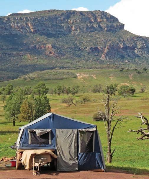
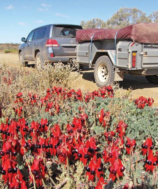
Left Rawnsley Park Station, Flinders Ranges, South Australia Right Sturt’s desert pea in the Flinders Ranges
ROAD TRIPPING WITH PETS
Our pets are part of our family and nobody likes to leave family members behind. In recent years more holiday houses and even some hotels have begun to welcome pets, but it’s not universal so you’ll need to seek out pet-friendly accommodation when planning your road trip. Websites such as Holidaying With Dogs (holidayingwithdogs.com.au) can be useful.
Many caravan parks will accept well-behaved pets on a leash, and there is an increasing amount of pet-friendly cabins available if you don’t have your own van, but always check before you book rather than on arrival. Some caravan parks only accept pets out of peak season.
Pets are not allowed in national parks, even for day visits or picnics.
When travelling with your dog in the car, ensure you have its leash, food and water accessible for quick stops to stretch or toilet.
If you’re travelling on the Spirit of Tasmania ferry between Geelong in Victoria and Devonport in Tasmania or return, you can pre-book to take your pets in kennels. The Spirit of Tasmania’s new ships, due in 2027, will have pet-friendly cabins too. There are biosecurity import requirements for dogs entering Tasmania so check online and with your vet well ahead of travel.
Pet insurance gives good peace of mind when travelling.
Driving tips
10 STEPS FOR BEING ROAD READY
1. Get your vehicle serviced by a licensed mechanic before you hit the road.
2. Treat your engine to a lube as engines like fresh oil, and check it regularly while on your road trip to make sure it doesn’t get low.
3. Keep your cool – check your radiator coolant level and top it up if necessary. If you’re heading a long way from help (away from towns), carry some spare hoses and a bottle of coolant with you.
4. Carry a spare battery. You’d be amazed how many people get stranded with a flat battery, especially if they are running portable fridges, chargers or night lights. Carry a spare and turn off appliances overnight.
5. Check tyre pressure. Carry, and use, a tyre gauge. Before you leave, check the tread and make sure you carry a spare in good condition – and know how to change a tyre.
6. Pack the right tools – and know how to use them. A basic tool kit should include a jack, jacking plate and wheelreplacement tools, spare tyre, fire extinguisher, emergency fuel supplies if heading off-the-beaten track, engine oil, coolant, jumper leads, spare radiator hoses and fan belts –and the tools you’ll need to replace them.
7. Never travel without a first-aid kit, including bandages and Band-aids, tape, scissors, antiseptic cream, cold/heat packs, pain relief and allergy medications, as well as your usual medications, sunscreen and insect repellent.
8. Always carry extra drinking water – both in your vehicle and when out walking. Potable water isn’t available at some campsites.
9. Don’t overload your car or carry unrestrained items in the back seat – even a flying book can cause serious injury in a crash. If it won’t fit in the boot, don’t take it. If you’re travelling in a wagon or 4WD, install a cargo barrier.
10. Play it safe – make sure your vehicle (car and caravan) insurance is up to date. Join your state auto club, such as the RAA, RAC or NRMA, to help you out in the event of a breakdown.
DRIVING ON UNSEALED ROADS
Many of the roads in country areas across Australia are unsealed: they can be bumpy and dusty but unless otherwise signposted are generally fine for conventional two-wheeldrive (2WD) vehicles when conditions have been dry. After
heavy rains, roads may take a few days to dry out, and getting stuck or bogged is never fun. Travelling on roads that have a ‘closed road’ sign, even if you are in a four-wheel-drive (4WD) vehicle, not only damages the road for future users but could be dangerous. It is also illegal and you’ll incur a substantial fine.
Above Rawdon Vale, near Gloucester Tops on Thunderbolts Way, New South Wales Opposite Parachilna Gorge Road, Flinders Ranges, South Australia
10 TIPS FOR DRIVING IN THE OUTBACK
Outback driving can be challenging and potentially hazardous, but the following tips should help you plan and stay safe.
1. The most important thing to remember when driving on remote tracks in the outback is to ensure you are carrying enough water, basic spare parts, food and fuel. Fuel and supply outlets in remote areas are seldom open at night or on weekends, and distances between them can be vast.
2. If you do get into trouble, never, ever leave your vehicle. Most people who have perished in the outback have died while trying to walk to help. Wait until help comes to you.
3. Cattle and sheep station properties are often unfenced in the outback, so watch for cattle and wildlife on roads and avoid driving at dawn, dusk or night. Always leave gates as you found them.
4. When driving over sandhills or through drifts of sand, lower your tyre pressure to around 15 psi to help avoid getting bogged (but don’t go below 10 psi, as it’s very easy to roll the tyre off the rim when making turns or stake the tyre on sharp wood hidden in the sand).
5. Bulldust is a superfine sand a bit like red talcum powder and it’s everywhere in the outback. It’s slippery and hard to see, so you’ll often hit a patch when you least expect it. Aside from handling difficulties, it can make following,
overtaking or passing oncoming vehicles very difficult as your windscreen will be swamped by dust. Shift down a gear quickly if you hit a patch and steer carefully. Watch for the end of the dust patch because a sudden hard edge can deflate your tyres or even bend rims.
6. Do not enter dips at high speed. Brake on entry and accelerate again as you exit to gain maximum clearance.
7. Check tracks across creeks for clear passage and also water depth.
8. Do not camp in dry creek beds. Flash floods can occur without warning, even when there has been no rain.
9. Give road trains – trucks with two or more trailers that can often be more than 50 metres in length – a wide berth. Slow down and, if there is an escort vehicle, watch for signals. If you move off the road, reduce speed and watch for guide posts and soft edges. If you want to overtake a road train, keep in mind that you will need lots of empty road ahead to do it safely (you’ll be surprised how long it can take) and beware of sway from the wind as you do so.
10. Consider your safety and carry a first-aid kit and a satellite phone or Personal Locator Beacon (PLB, also see p.vii). Make sure family members or friends know your intended route and travel timeframe so they can alert authorities if anything goes awry.
DRIVING IN SNOW
Unlike in Europe and North America, very few vehicles on Australian roads fit winter tyres. Snow chains must be carried on certain roads between 1 June and 10 October in the alpine areas of NSW and Victoria. Unless you intend to do a lot of driving in snow- and ice-affected regions, the best option is to hire chains, which are widely available in these areas – from ski hire shops and service stations – in winter. Make sure you check the size of the chains and ask for a demonstration of how to correctly fit them before you leave.
ROAD CLOSURES
Some roads and walking tracks in national parks and outback areas can close due to seasonal weather conditions or for maintenance. National park authority websites will show park alerts for closures, and state and territory authorities will have information about other road closures.
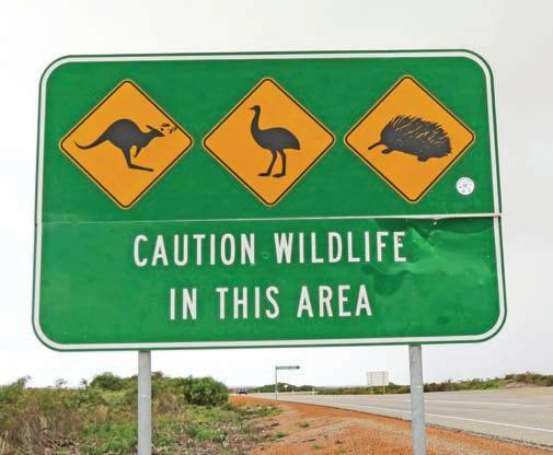
ENCOUNTERING WILDLIFE
One of the delights of getting off the highway and driving on backroads is the opportunity to see iconic Australian wildlife, like kangaroos, emus, wombats, koalas and even Tasmanian devils, in their natural habitat. Outside of urban areas wildlife is prolific, particularly around dawn and dusk when they are most active. Unfortunately, Aussie animals have absolutely no road sense, often darting out in front of your car when you least expect it. Encountering the remains of animals that have been hit by a vehicle on the road is very common. It’s not just animals you need to watch out for – roadkill attracts big carrion birds such as wedge-tailed eagles who feed on the carcasses. They can be very slow to fly away when a vehicle approaches, so it’s always a good idea to give a quick toot of the horn to scare them off before you reach them. Avoid driving at dawn, dusk or after dark on country roads if possible, particularly in outback areas where roaming camels and grazing stock (cattle and sheep) are unfenced, as your chances of having a collision with an animal are much higher than they are during daylight hours. You can find out how to help injured animals, or report them to state and territory wildlife or wildcare authorities, or local councils, by searching online. Hitting an animal in your car can be distressing, and can also damage your car or cause injuries to you or your passengers so travel slowly and carefully.
FILLING UP
The joy of backroads and detours is that you’re often away from large towns and crowds but this can mean that fuel stations are few and far between, and are sometimes closed at night and on weekends. Be organised and plan your fuel stops ahead of time – there are good apps for this – and know that it might be more expensive to fill up in country areas than in cities as fuel has to travel further and there will likely be less competition. Budget accordingly.
TOWING A CARAVAN
Unless otherwise noted in the text, most of the roads covered in this book are suitable for caravans, but road conditions can and do change, so always check local conditions before setting out, particularly if it has been raining recently.
Be aware of your van’s length, height and weight – you’ll often come across low-level bridges in country areas. Before you leave home, measure the height of your van or motorhome, including any rooftop air conditioners and so on, and put it on a sticker on your windscreen to remind you. Do the same with your total laden weight, as some bridges have a three-tonne limit, as do some country roads after rain.
Right Avoid driving at night when there’s wildlife about Opposite Mount Augustus, Western Australia
10 TIPS FOR HIRING A CAR OR CAMPERVAN
It pays to shop around when hiring a car, campervan or motorhome. There are plenty of online comparison sites that will find you the cheapest price available but check what is and what isn’t included. Always read your contract carefully.
1. Many car hire companies do not allow their vehicles to be driven on unsealed roads. If you do not follow the rental agreement, you risk having your insurance voided completely and being charged the maximum damage amount.
2. Cheaper is not always better, and the old adage that ‘you get what you pay for’ is true when it comes to car rentals. Global and Australia-wide brands are usually more trustworthy as far as services go – the cars are normally recent models and roadside assistance tends to be included. Customer service phone lines are generally operational 24 hours a day, so in an emergency you can contact them. Smaller companies might have better prices but they often give you older vehicles, less service and fewer options such as having to return the car to the same location.
3. Hiring a campervan or motorhome can cut accommodation costs, although you do need to be aware of hidden expenses. Don’t leap at the advertised price of rental without looking at what it does – and doesn’t – include. You may end up having to pay extra for essential gear such as bedding and kitchen equipment, not to mention additional insurance costs and extra kilometre penalties. All-inclusive prices usually offer the best value for money as they cover comprehensive insurance, replacement costs and equipment.
4. Before signing up for extra insurance, check to see if you’re already covered by your travel insurance.
5. When you pick up the vehicle do a complete inspection, taking photographs on your phone and making a note on the paperwork of any damage – no matter how minor.
6. While it can be hard to put a price on convenience, picking up your vehicle from an airport is always more expensive. If it suits your travel plans, consider catching a shuttle into the nearest city and pick up your vehicle from there.
7. Many companies will charge additional relocation fees for a one-way trip, rather than returning to your departure point.
8. Ask the hire company for the height, width, length and weight of the vehicle. You’ll need to know for narrow roads and low bridges, as well as campsites.
9. Make sure you know how to reverse your vehicle, especially if you haven’t driven a campervan, motorhome or caravan before. You can ask the hire company people for tips and even do a few try-outs in the hire company carpark.
10. Check that everything works before you leave too, such as the stove and fridge.
DRIVING ON THE ‘WRONG’ SIDE OF THE ROAD
International visitors are allowed to drive in Australia using their foreign drivers’ licence if it is in English –for up to three months. If your licence doesn’t have a photo on it, carry your passport with you when you drive.
If your licence is not in English you’ll need an International Driving Permit (IDP) which you’ll need to get before you leave home. They are issued by your local automobile association or driving licence office. If you are intending on driving in Australia for more than three months, you will need to convert your drivers’ licence to a local one – in most cases (unless you’re under 25) you will not have to undertake a driving test.
Driving in Australia is on the left-hand side of the road, and the most important thing to remember if it’s your first time driving on Australian roads, is to always keep left, even when driving on multi-lane freeways (unless overtaking) – you can be fined for ignoring this rule.
Many international visitors from Europe and North America, where everyone drives on the right-hand side of the road, are (understandably) nervous about driving on the left-hand side of the road. It’s not as hard as you might think, particularly when there’s other traffic to follow. But there are times when you need to pay extra attention to override the habits of a lifetime, like turning out of side streets or driveways, especially if there are no lane markings. Always look both ways when turning at an intersection or entering a roundabout because muscle memory will have you checking for traffic and pedestrians in the wrong direction. Opt for an automatic vehicle, because the gear stick will be on the opposite side to what you’re used to, and it’s something you reach for without thinking.
Be extra careful in carparks: it can be very easy to revert to the wrong side when you’re intent on finding a place to park rather than concentrating on staying left. The last thing you want to be is where other carpark users, and pedestrians, will not be expecting you to be, particularly when they are also more focused on parking – or walking – than driving.
The other thing to remember is that Australia is vast, and distances between towns can be long, so always allow plenty of time to get where you’re going.
TOURING IN AN ELECTRIC VEHICLE
Can you do long and backroad road trips in an EV? Of course you can, but there are two major limitations that require considerable extra time and patience compared with hybrid, petrol or diesel vehicles.
The first is range. EV makers typically claim that their vehicles will travel 400–650km or so between charges. That may be the case in city driving, but on the highway an EV might cover only 60 per cent or so of its claimed maximum range, because at higher speeds the electric motor draws a lot more power from the battery. So you will likely have to recharge the battery more often than you would have to fill up a conventional vehicle at a service station.
The second is that EV chargers are still relatively thin on the ground, especially in country areas, so unless you plan your trip carefully around the availability of charging facilities, you may find yourself stranded. Sure, you can charge an EV from a household power point, but it can take a long time. Even the so-called ‘fast chargers’ can take a couple of hours to top up your battery. And because there are still relatively few public EV fast chargers, you may find yourself in a queue of vehicles waiting to plug in, especially during holiday periods and on weekends. What takes five minutes in a petrol/hybrid or diesel vehicle may take hours in an EV.
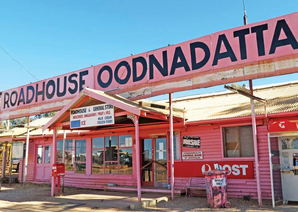
Oodnadatta‘s famous Pink Roadhouse, outback South Australia
Family road trip survival guide
Road tripping with kids can be great fun but driving distances in Australia can be long so it’s good to plan ahead and be prepared with in-car activities and leg-stretch stops along the way. There are endless activities and attractions around the country that are kid friendly and they need not be expensive, as well as a high standard of family-friendly campgrounds, holiday parks and other accommodation options. Wherever your road trip takes you, whatever your budget, watching the kids make new friends, explore new places and build life-long memories is priceless. Here are 10 tips to make sure everyone enjoys the drive.
1. PLAN AHEAD
The secret to successful road tripping with kids is not to be too ambitious in terms of how far you think you can get in one session. Allow twice as long for the journey as you normally would – especially if your kids are pre-school age, allocating plenty of time for rest breaks and planning them in advance.
Take the time to get off the highway and research ahead to stop at a park or swimming pool, rather than a roadhouse. It goes without saying that wherever you choose to stop should have toilets but try and choose places with playgrounds or an expanse of grass where the kids can run around and burn off some energy. Bring games to play with at park stops (inflatable balls are a good space saver).
2. MAP IT OUT
Get the kids involved in planning your trip – ask them to make a plan of your trip before you leave home (older kids might like to map a route using Google Maps) and let them pick out things they’d like to see and do along the way. Decorating the map with drawings or stickers of what they see or encouraging them to keep a journal/scrapbook of places you go to (they can glue in postcards and ticket stubs, etc), is a great way to keep them occupied. Collect postcards at each town you drive through –buy a book of stamps before you leave home and the kids can
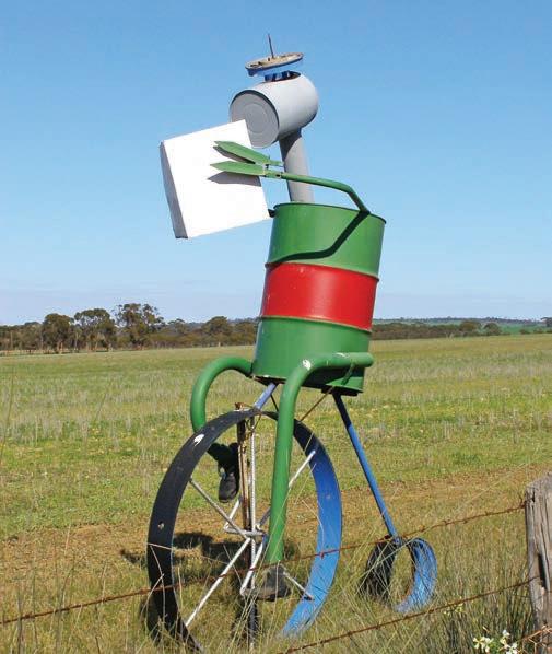
Above Great Otway National Park, Victoria Opposite Tin Horse Highway, Western Australia
post them off on the spot. Another option is to create a treasure list of things to find at each stop. If the kids are old enough, let them navigate and then they can answer your ‘are we there yet?’ questions.
3. STAY HEALTHY
Make sure you have medication for if your kids get car sick. Carry a plastic bucket (with a lid) and plenty of wet wipes just in case. Roadhouse food is often atrocious, unhealthy and expensive. Pack a bag of healthy snacks, including water bottles.
4. KEEP KIDS AMUSED
Pack some toys and games; older kids might take joy in packing their own bag of activities. Books can be great for long car trips; read younger kids a book (if you’re the passenger!) or listen to an audio book or podcast.
5. PLAY ROAD TRIP GAMES
Don’t underestimate the power of old-fashioned games like I-spy, spelling bees, word games, ‘who am I’ and so on; storytelling competitions can be fun too, where each person adds a line. The internet is full of quirky suggestions, just search ‘road trip games’.
6. CREATE A FAMILY PLAYLIST
Older kids might like to download their own music before a road trip or create a ‘family playlist’ on your phone. If all else fails, put movies on to an iPad or portable DVD player – don’t forget headphones.
7. PACK A SURVIVAL BAG
Put a change of clothes, towel, swimmers, jumpers, torch and pyjamas in a bag to carry in the car to save repacking the boot every time you need something.
8. AVOID DRIVING AT NIGHT
In theory, the idea that driving through the night will mean the kids sleep while you motor in peace is a tempting proposition, but in reality you’ll just end up dog tired the next day while they are full of beans. Driving in the dark on country roads also means that the chance of colliding with wildlife is high.
9. CHOOSE FAMILY-FRIENDLY ACTIVITIES
Theme parks exist, sure, and are great fun, but there are wildlife encounters to be had, great bushwalks for families, zoos, museums and galleries that often have activities for kids, cultural tours to learn about First Nations culture, tours with national park rangers, lighthouses to climb, beachcombing, swimming with marine life, stargazing activities, whale watching boat tours, fishing, surfing lessons, boat cruises to islands, dinosaur digs, pony rides, gardens and parks to roam in, and towns to explore.
10. PRE-BOOK ACCOMMODATION
Many caravan parks are family-friendly, with playgrounds, jumping pillows and activities like go-karts and games rooms. Even better, you don’t need a van, because most have multiroomed cabins with cooking facilities, for less than the cost of staying in a ritzy resort. Many are pet-friendly, too.
Map of Australia
NEW SOUTH WALES
QUEENSLAND
VICTORIA
SOUTH AUSTRALIA
TASMANIA
(Qld-NT-WA)...224
(Vic-NSW)...235
(NSW-Qld)...240


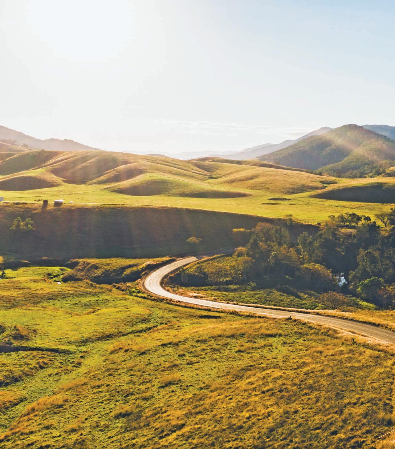
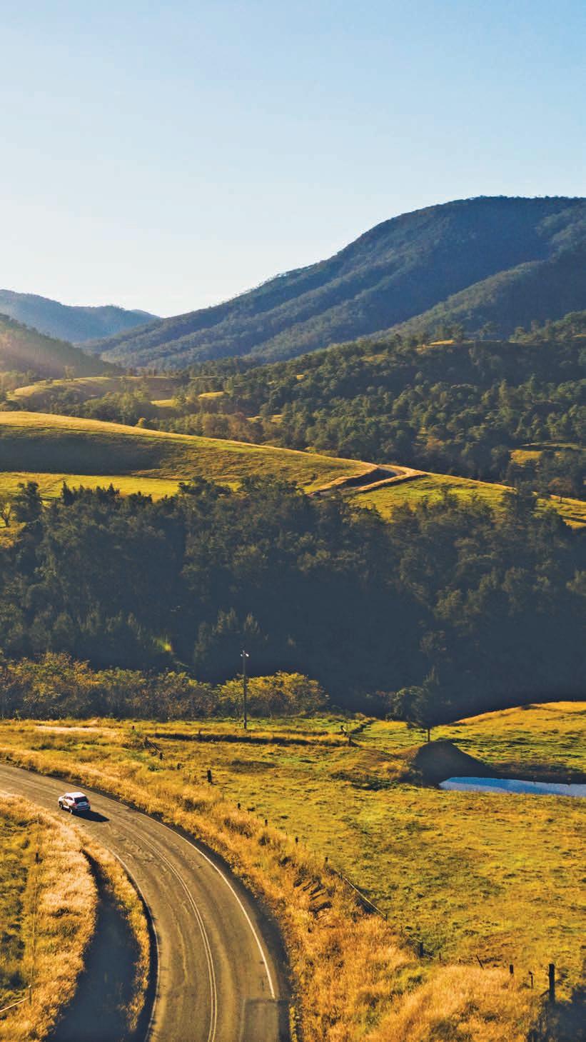
Thunderbolts Way
Follow in the footsteps of one of Australia’s most charismatic outlaws, Captain Thunderbolt, on this winding road through the heart of the New England Tablelands.
HOW
LONG?
One to two days.
WHEN TO GO
The New England region is famous for its crisp winters –dustings of snow are not unusual in mid-winter – and beautiful autumn colours. Summer is mild. Weather conditions can change quickly, so always be prepared for the worst, particularly if you are camping.
NEED TO KNOW
With so many curves winding through such spectacular scenery, it’s no surprise that the Thunderbolts Way is one of NSW’s most popular motorcycle touring routes. Keep an eye on your rear-view mirror as motorcyclists may approach quickly, and in tighter corners keep well left of the centre line to give oncoming riders room to manoeuvre. Always check your blind spot before overtaking and leave a gap of at least half a dozen car lengths between you and the car in front to allow motorcyclists to safely overtake.
SNAPSHOT
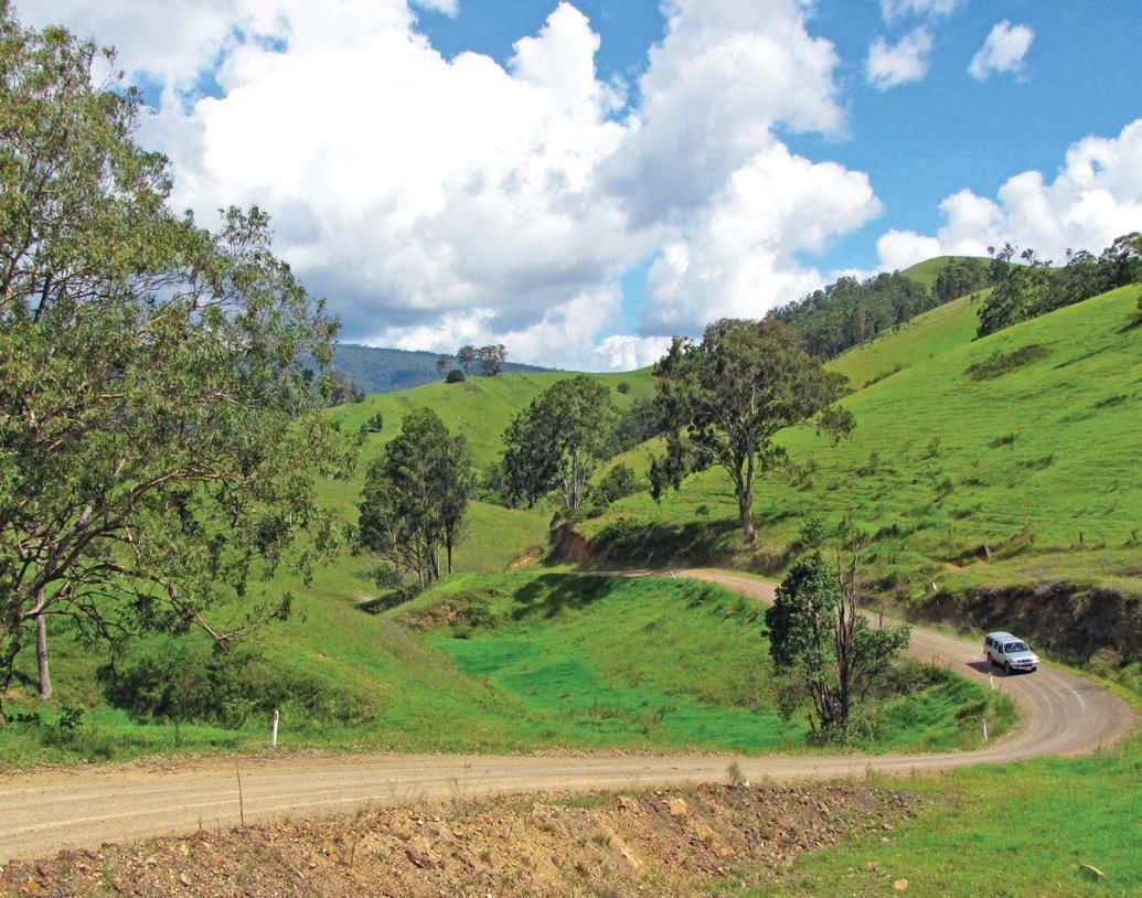
Wind your way through the foothills of the Barrington Tops near Gloucester along the edge of the Great Dividing Range through the New England Tablelands to Armidale and Inverell, aka the Sapphire City. Like the ‘Gentleman Bushranger’ called Captain Thunderbolt it’s named after, this road trip is a wild escape through some truly majestic landscapes that include lush rainforests and undulating high country plains.
Previous Driving Thunderbolts Way, near Gloucester
Drive rating
Moderate: sealed, but narrow and winding roads.
Acknowledgement of Country
This is the Traditional land of the Wonnarua, Kamilaroi, Anaiwan and Nganyaywana Peoples.
Total distance
Starting point, Gloucester, is 270km north-west of Sydney/Warrang. Gloucester to Inverell via Armidale is 336km. Inverell is around a 5hr drive south of Brisbane/Meanjin.
Average temperatures
• January: 14–30°C
• July: 4–15°C
More information newenglandhighcountry.com.au

Gloucester to Uralla, 189km
Gloucester is your quintessential country town, where the locals are friendly, the streets are wide and holidays are very much of the get-back-to-nature kind. Captain Thunderbolt (aka Fred Ward: see box, p.5) hid out at Gloucester Tops, in what is now Barrington Tops National Park, in the mid 1860s. His wife, Mary Ann Bugg – one of the few female bushrangers in NSW – was a Worimi woman from Gloucester. It is believed that the nearby hamlet of Wards River is named after the dashing outlaw, so it’s the perfect place to start this road trip.
The road begins to twist and turn almost as soon as you leave Gloucester heading north to the blink-and-you’ll-miss-it hamlet of Nowendoc and continues to do so until you get to Walcha, a 2hr drive up the road. Motorcyclists love it, but if you’ve got kids or passengers that suffer from travel sickness this might not be the best trip to do.
Below Frosty morning at Petersons Winery Opposite A life-size statue of Captain Thunderbolt watches over Uralla
DETOUR
Barrington Tops Forest Road is one of the state’s most scenic mountain roads and a must-do daytrip when in the area. It runs from Gloucester along Tourist Drive 29 up over the mountains and through the national park to emerge on the western side of the range at Moonan Flat, not far from Scone. Although sections of the road are unsealed, it is fine for 2WD. Sitting at one of the highest points of the Great Dividing Range, it’s often dusted with snow in winter and has some of the last remaining remnants of cool temperate rainforest in Australia, earning the Gondwana Rainforests of Barrington Tops National Park World Heritage status. The national park is a place of craggy cliffs, misty forests, high-altitude lookouts and beautiful riverside camping spots, where lyrebirds wander through the scrub and kangaroos and wombats graze the grassy flats. The panoramic scenery along the route is breathtaking as you pass from the grassy foothills into the rainforest and up onto the plateau. There are numerous places along the way to stop at lookouts for short walks and picnics, including an easy 20min stroll through snow gums and Antarctic beech to Thunderbolts Lookout for a spectacular view on the edge of the escarpment. Call into Moonan Flat Pub around two-thirds of the way along the drive. Legend has it that there’s a bullet hole in the wall from one of Thunderbolt’s hold ups, but the existing pub was built in 1895 – although some of the surrounding buildings date back to the 1860s, when the pub’s stables were used as a Cobb & Co Staging Post. Like many of the tales that surround the charismatic bushranger, it’s difficult to sort fact from fiction. It’s still a nice place to stop for a cold drink though.
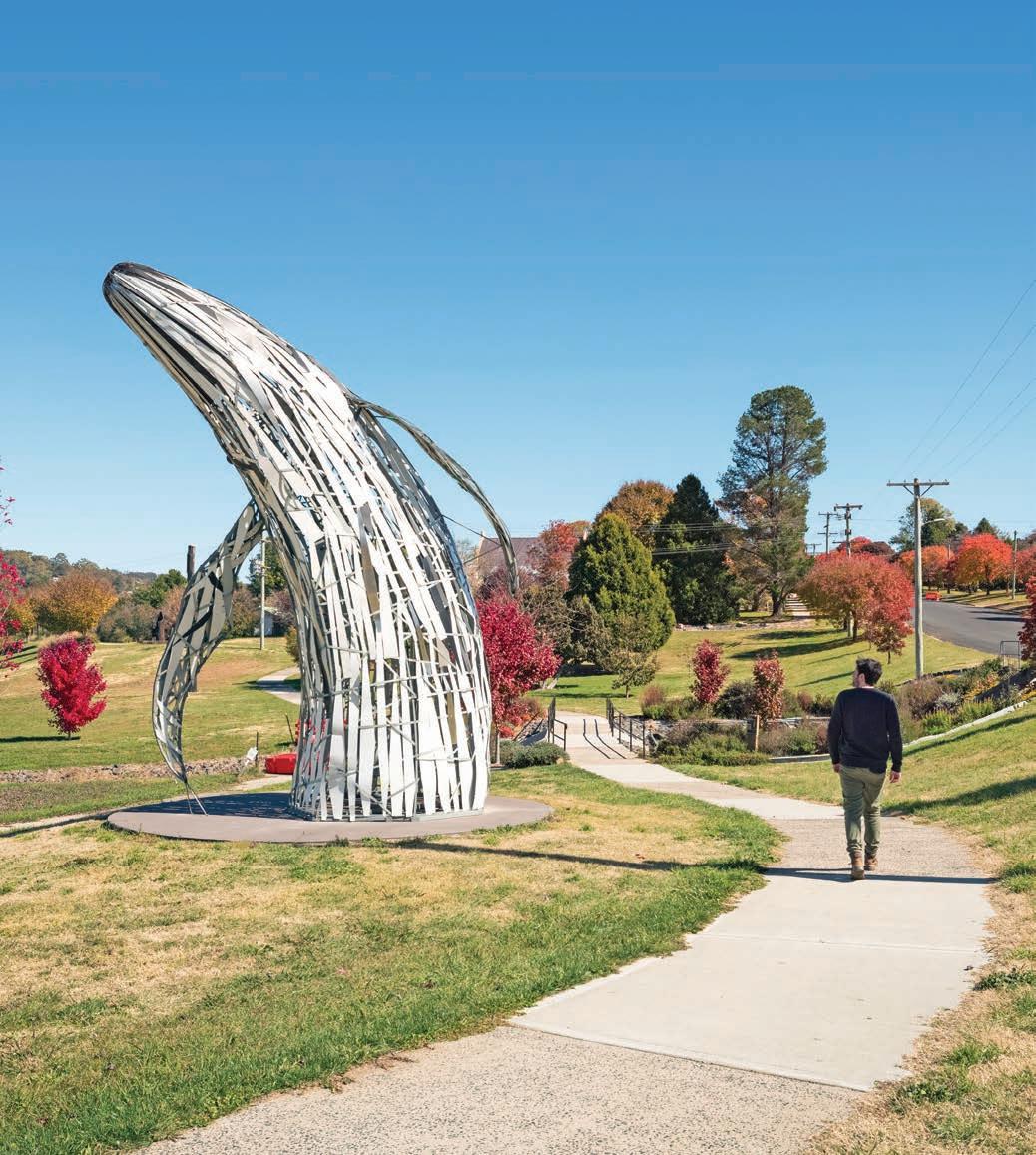
Roughly halfway between Sydney/Warrang and Brisbane/ Meanjin and perched atop the Great Dividing Range beside the Apsley River, Walcha is also high enough to receive the occasional sprinkling of snow during winter. It’s a pretty town, with lots of deciduous trees that blaze with colour in autumn, but it’s the street art that sets it apart. Walcha has the most public art per head of population in Australia and is one of the largest open-air galleries in the country with more than 55 sculptures dotted around town, including the carved verandah poles along the main street, mosaics in the footpaths, art installations in the roundabouts, in the parks and along the riverside walkway, like the life-sized whale breaching in the grasslands, and the tin warriors guarding the bridge across the river. If it’s a little too cold to be wandering around outside, the WGoA (Walcha Gallery of Art) showcases a range of changing exhibitions of contemporary art throughout the year, and you’ll also find some imaginative industrial art – much of it repurposed into furniture – in the courtyard of the Royal Café, an old pub that’s been transformed into a cafe full of motorcycle memorabilia.
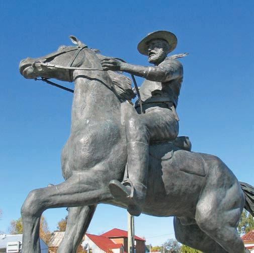
WHO WAS CAPTAIN THUNDERBOLT?
Known as the ‘Gentleman Bushranger’, Captain Thunderbolt, whose real name was Fred Ward, was an expert bushman, horseman and horse thief. He was famous (or infamous, depending on your point of view) for being the longest-roaming bushranger in Australian history, escaping from the gaol on Sydney’s Cockatoo Island by swimming across a shark-infested Sydney Harbour and evading the authorities for more than six and a half years in the 1860s. He committed more than 200 crimes while on the run, robbing coaches, travellers, stores and farms across northern NSW, but avoided violence: he was never known to actually shoot or kill anyone, preferring instead to make his getaway on stolen racehorses, although the same can’t be said of the rest of his ‘gang’. If it was a pub or an inn he was robbing, he often bought his victims a round of drinks with the money he had just stolen from them; if other victims complained they were poor, he would take their postal address and send them money a few months later. He was eventually shot by police near Uralla in 1870, although there are rumours, that, just like Elvis, he survived and someone else was buried in his grave. There were several unconfirmed sightings of the (now respectable) bushranger in the goldfields of California and across Canada in the 1880s and 1890s.
DETOUR
Walcha sits on the edge of the Great Escarpment, a place of dizzyingly deep gorges and thundering waterfalls. Oxley Wild Rivers National Park – the sixth-largest wilderness area in NSW and part of the Gondwana Rainforests of Australia World Heritage Area – is just a short drive to the east, on the Oxley Hwy (another popular motorcycling road). Apsley Gorge and Falls are just 19km from Walcha and there is an easy walk around the rim of the gorge to two lookout platforms where you can gaze out at the 85m-high waterfall. Tia Falls (pronounced Tye-ah) is also just off the Oxley Hwy and particularly impressive after rain. In spring the bushland is carpeted in beautiful white and yellow everlasting daisies and other wildflowers.
From Walcha, the Thunderbolts Way rolls across the Salisbury Plains towards Uralla, where you have as much chance of escaping the clutches of the cavalier bushranger as the police had of capturing him when he roamed the surrounding countryside in the 1860s. You can’t miss the life-size statue of Thunderbolt astride a racehorse in the centre of town, and almost every business in town promotes the Thunderbolt connection with pies, motels and cafes all proudly sporting the outlaw’s name. There are all sorts of Thunderbolt artefacts, including his pistols and saddles, in the McCrossin’s Mill Museum, which has an excellent exhibition about his life and the legends he inspired, along with lots of other local history displays.
The cluster of granite boulders Thunderbolt used as a lookout are 6km south of Uralla on the New England Hwy, although sadly they now sport quite a lot of ugly graffiti. Look to the west and you’ll see a line of trees on the horizon marking the course of Kentucky Creek, where Thunderbolt was killed by police in 1870: there’s a small monument to Constable Walker, who shot the bushranger’s horse out from beneath him before shooting him in the chest, near the Thunderbolt statue. Thunderbolt was buried in the Uralla cemetery … unless of course you believe the stories that say the grave is empty, or that the police shot his brother Harry and not Fred himself, and the highwayman escaped yet again.
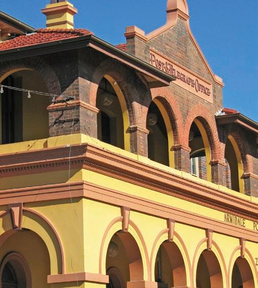
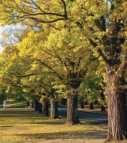
Top Grand architecture in Armidale Bottom Elm trees Opposite Open Air Gallery, Walcha
The New England Brewery on Uralla’s main street is a good place for a cold drink (once you’ve worked out who is the designated driver, of course) or if you’d prefer something a little more glamourous, continue south another couple of kilometres to the village of Kentucky and call into Dobsons Distillery and craft brewery, where the Belle Epoque Speakeasy will transport you straight back to the Jazz Age. Either way, I’m sure the Captain, who was known to enjoy a night of singing and dancing in pubs, would approve.
Uralla to Inverell, 147km
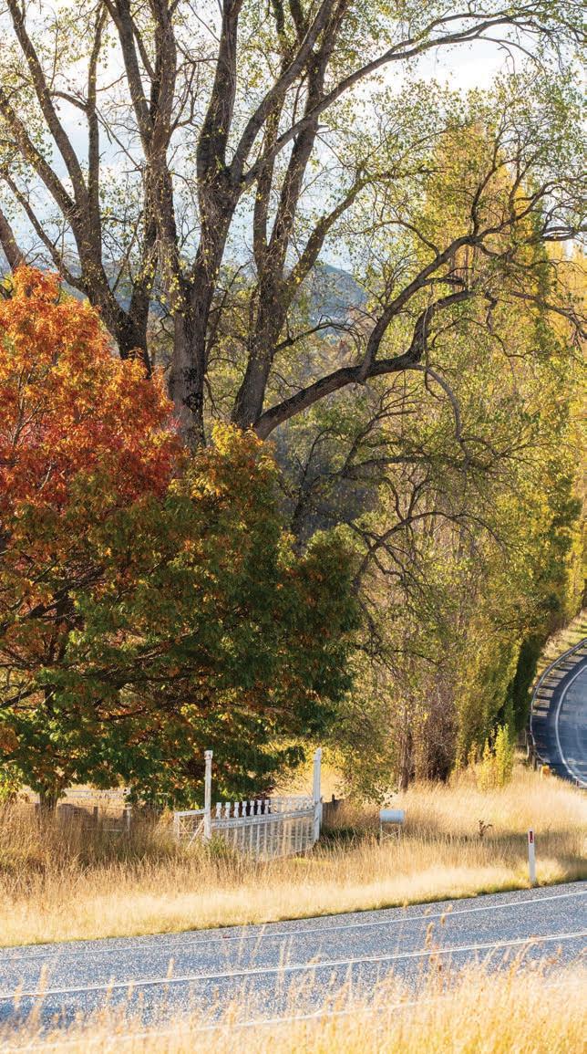
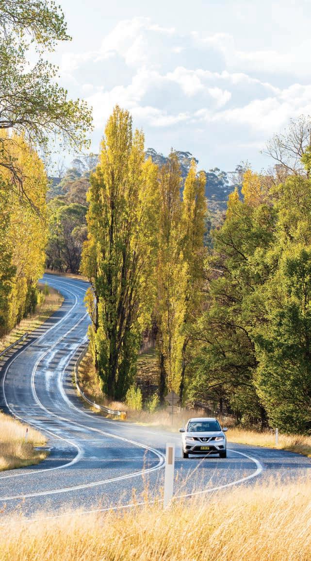
The Thunderbolts Way follows the New England Hwy to Armidale, about 22km north-east of Uralla. Australia’s highest city is a picturesque university town, especially in Autumn (mid to late April), when the turning leaves of the deciduous trees in the many parks and avenues paint the town red, yellow and orange.
If you’re an art lover, make sure you visit NERAM (New England Regional Art Museum). Like the plot of a Charles Dickens’ novel or a Hollywood movie script, a mysterious man called Howard Hinton, living in a tiny room in a dingy boarding house in Sydney during the height of the Great Depression, sent a fortune in art, piece by piece, from 1929 until 1948, to a fledgling teachers’ college in Armidale, a country town he had never even visited. In doing so, he gave away and created one of the country’s greatest collections of late 19th- and early 20th-century Australian art. The collection now forms the basis of the museum.
Also worth a visit is Saumarez Homestead, a beautiful 10acre property out near the airport that was established in the 1830s. In a quirky tradition, each room was left exactly as it was when the owners left town, got married or passed away, leaving behind a 30-room snapshot of Edwardian life and times, full of original furniture and clutter that volunteer guides bring to life with juicy tales of gossip about the original inhabitants.
DETOUR
This 50km backroad sidetrack off the New England Hwy between Uralla and Armidale is a gorgeous little drive across beautiful countryside and makes for a great daytrip. Highlights include the picture-perfect church covered by ivy in Gostwyck, and peering down into the depths of Dangars Gorge from the viewing platform above Dangars Falls, where Salisbury Waters tumbles more than 120m onto the rocks below in Oxley Wild Rivers National Park. While you’re there, spare a thought for the flamboyant Signor Vertelli who crossed the deep ravine on
a tightrope in 1866. Not content with making the dangerous crossing once, the fearless funambulist (the Latin name for wire walker) crossed it again with a wheelbarrow and then, rather spectacularly, crossed it a third time doing somersaults. The crowd was so appreciative, according to newspaper reports of the day, that Vertelli collected £11 for his troubles, and there’s a sculpture of him in Curtis Park, in Armidale. Stop to taste some wines at Petersons Winery on Dangarsleigh Rd. The magnificent house here, which is now a luxurious guesthouse, was originally called Palmerston and was the summer home of the Dangar family.
From Armidale, the Thunderbolts Way continues 147km northwest to Inverell via Bundarra, a charming town celebrated for its historic streetscapes, with many of the buildings dating back to the 1860s. Today it’s home to around 400 or so people, but back when Thunderbolt was terrorising the locals (or entertaining, depending on whose version of events you believe) and stealing the police inspector’s horses and, on a separate occasion, robbing one of the banks, it was a thriving place, thanks to a local gold rush. The bridge over the Gwydir River is a good spot to see platypus in the early morning and late afternoon.
Thunderbolt’s Way finishes in Inverell, on the banks of the Macintyre River. Famous for sapphires (see Fossickers Way, p.11) back in the day, it was a favourite haunt of Thunderbolt’s. According to newspaper reports of the time, Thunderbolt was often found in the town’s bars and billiard saloons, and, much to the consternation of the local constabulary, ‘had more friends than enemies’ and ‘always knows where the police are, and the police never know where he is’. The billiard saloons might be long gone, but the friendly welcome and country hospitality, all along this route, really hasn’t changed much.
KIDS’ SPOT
If your kids like running around in parks, they’ll love Armidale, which boasts many beautiful parklands in and around the city centre. They are particularly beautiful in autumn – late April and early May – when the deciduous trees are at their most colourful, and there are piles of fallen leaves on the ground, perfect for kicking about and playing in. Curtis Park has a new playground which includes trampolines, a sky tower, lots of slides, sensory equipment and a wheelchair-accessible swing, as well as barbecues and a picnic shelter, and a creek for duck and turtle spotting. Keep an eye out for the sculpture of the wire-walking Signor Vertelli (see Detour section). Armidale Bicentennial Arboretum also has a good playground and even has a waterfall that starts with a push of a button.
VANLIFE
There are lots of great camping spots in Barrington Tops National Park. One of the most popular, particularly with families, is the Gloucester River campground. Just off Gloucester Tops Rd, it is a lovely spot where you can cool off in the shallow river, and if you are lucky you may see a platypus or two. Also good is Polblue picnic area and campground. It’s one of the highest points on the range, so make sure you have warm clothing – and a good supply of firewood – before setting up camp because at 1450m above sea level it can get chilly at night and snow is not unusual. One of the best camping areas
in the national park, there’s lots of room to move, and a good picnic shelter if the weather gets really grim. There are also plenty of good camping sites within walking distance of waterfalls in Oxley Wild Rivers National Park, at Dangars Gorge, Apsley Falls and Tia Falls. All three are suitable for smaller vans, but remember to bring your own firewood, as you can’t collect any in the park and it gets cold at night up there too.
If you prefer to park the van somewhere with flushing toilets and hot showers, all the towns along the route have commercial caravan parks.
Rawdon Vale, near Gloucester Tops
Fossickers Way
If you’ve always wanted to fossick and maybe strike it rich, head along this country drive through the heart of the New England and northwest regions of NSW.
HOW LONG?
Two to three days.
WHEN TO GO
The New England region is famous for its crisp winters –dustings of snow are not unusual in mid-winter – and beautiful autumn colours. Summer is mild. Weather conditions can change quickly though so always be prepared for the worst, particularly if you are camping.
NEED TO KNOW
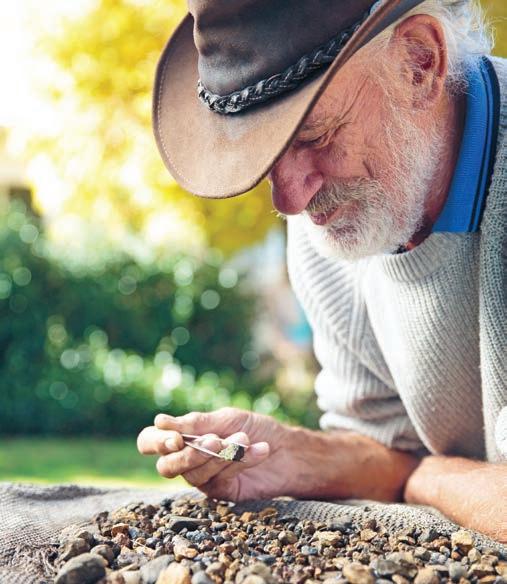
You don’t need a licence for recreational fossicking in NSW, but there are certain rules to follow. Always ask permission if you are on private land, and use hand-held implements such as picks, shovels, sieves and gold pans. Never excavate more than a cubic metre and always fill in any holes you make, never use explosives and never damage or remove bush rocks. Fossickers’ guidelines are available from visitor centres in most fossicking areas, along with equipment – sieves, picks, shovels and buckets – for hire and/or purchase. Local jewellers will offer advice on the purchase of local stones, cut or uncut. They’ll also be more than happy to value your rock when (if) you strike it lucky. Fossicking is not allowed in national parks.
SNAPSHOT
19th-century Australia was a nation built on the dreams of eager treasure hunters who flocked to the tent cities at gold-rush diggings. Some struck it rich, many more struck out, but the spirit of the hopeful fossicker still lives on. The Fossickers Way, from Glen Innes and Inverell in the north-west of NSW, to Nundle south of Tamworth, snakes its way along the western slopes of the New England plateau and passes through some of the world’s richest gem areas. Along the way, you can fossick for treasure, enjoy historic towns and interesting festivals, and visit Australia’s Country Music Capital.
Drive rating
Easy: sealed roads.
Acknowledgement of Country
This is the Traditional land of the Kamilaroi, Ngoorabul, Gumbainggir and Nganyaywana Peoples.
Total distance
Glen Innes to Nundle, via Inverell and Warialda, 379km. Starting point, Glen Innes, is 647km north-west of Sydney/Warrang, or 368km south-west of Brisbane/ Meanjin. Nundle is 360km north-west of Sydney.
Average temperatures
• January: 14–30°C
• July: 4–15°C
More information newenglandhighcountry.com.au
Glen Innes to Warialda, 128km
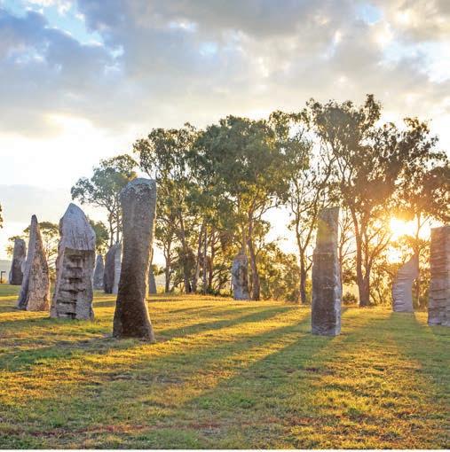
Our starting point, Glen Innes – a prosperous regional hub with several stately colonial-era buildings lining its main street – dubs itself as the heart of ‘Celtic Country’. The first European settlers to the district, which is on Ngoorabul land, were predominately Scots and Glen Innes has traded on its Celtic connections ever since. On the first weekend in May, the annual Australian Celtic Festival is held at the Australian Standing Stones on the outskirts of town. These standing stones, the only ones erected outside the British Isles in the past 3000 years, were placed in 1992 as a National Monument to the Celts. According to the information board at the site, the main feature is a circle of 24 stones, representing the 24 hours of the day, and outside the circle four stones mark true north, east, south and west, which along with a single stone just inside the circle, form the Southern Cross, symbolising the link between the old and new worlds. Other stones mark the summer and winter solstices, the longest and shortest days of the year.
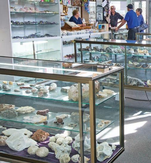
Glen Innes is also home to Minerama, the biggest fossicking and gem show in NSW, each March, and a great opportunity to see the type of gemstones you might be lucky enough to find. It’s also a good place to polish up your fossicking skills, if you’ll excuse the pun, with workshops and demonstrations, and to buy unique jewellery at great prices.
The area around Glen Innes really is fossicking heaven. The bonus is that you don’t need a lot of expensive equipment because most of the stones, which include deep blue sapphires, as well as colourful topaz and zircon, red garnets and smoky quartz, are found in a layer of earth called ‘wash’ – often exposed in creek beds and gullies – which means you don’t have to dig very deep. All you really need is a shovel, bucket and sieve and maybe a pair of tweezers.
Join one of the local fossicking tours (ask for details and buy sieves at the Glen Innes Visitors Information Centre), or head to the fossicking park at Fossickers Caravan Park which provides beginner’s lessons. There is a fossicking reserve at the village of Glencoe where you might be lucky enough to find sapphires, topaz, quartz and crystals. If you’re a history buff, head to the nearby town of Emmaville to the Emmaville Mining Museum, which has more than 4000 mineral and gem specimens and lots of vintage mining equipment, housed in a beautiful old general store, as well as a fossicking area.
Right New England Highway, near Glen Innes Opposite top Fossicking for gemstones, Glen Innes Opposite bottom Browse thousands of mineral specimens at Emmaville Mining Museum
Torrington – especially Torrington State Conservation Area – also has a good fossicking area. Ask for a free fossicking map at the Glen Innes Visitors Information Centre.
But it is at Inverell, the next major town along the route, where most people find their lucky gems. A staggering 70 per cent of the world’s sapphires come from Australia, and almost 70 per cent of those come from the Inverell area. There’s a mining museum at Inverell Visitor Information Centre, which has a large collection of gems and minerals and a working model of a sapphire mine. You can also hire fossicking equipment here and there is a free sapphire fossicking site at Nullamanna, 20km north of Inverell. Most of the alluvial sapphires are found in or near a creek bed.
KIDS’ SPOT
Most kids love playing around in the dirt on a real-life treasure hunt, but sometimes attention spans can falter. While you’re not guaranteed to unearth a treasure, the chances are a bit higher than in the wild at the Inverell Pioneer Village, where good quality sapphire wash is regularly added to the fossicking area and wash pond. And if all else fails, you can keep kids entertained exploring the historic buildings in this outdoor museum and heritage park, which include old school buildings, an historic pub, a general store, lots of antique tractors and a blacksmith. There’s a great display of historic photography,
too. If you or your kids happen to be mad about old trucks –or motorbikes or cars or even gramophones (a bit random, I know) – you’ll enjoy the National Transport Museum, which is just down the road and has more than 250 classic and vintage vehicles on display.
DETOUR
Like most 19th-century gem and goldfields there was, at the peak of the mining boom, a large community of Chinese miners in this region. In 1881 Inverell storekeeper Ah Lin opened a general store – stocking just about everything you can imagine, including hard-to-find Chinese goods popular with the Chinese tin miners – in tiny Tingha, 20min south of Inverell via Bundarra Rd. It operated until the late 1980s and is still stocked with a colourful array of goods, although it’s now called Wing Hing Long Museum, and is the closest you get to a Chinatown west of the Great Dividing Range.
From Inverell, continue west on the Gwydir Hwy to Warialda where you hook up with the section of the road actually signposted as the Fossickers Way.
Warialda to Tamworth, 193km
Fossicking around Warialda is good at Tiger’s Gap, 5km east of town on the Gwydir Hwy. Look for opalised and petrified wood. There are also several old gravel quarries near town where you could find jasper quartz, agate and even amethyst. You can pick up mud maps of the sites from the tourist office next door to the library. Fossicking can be hot and dusty work in summer, so head to Ezzy’s Crossing, about 15min west of town on the Gwydir Hwy, and cool off at the sandy beach on the Gwydir River, a popular camping and fishing spot. You’ll also find treasures of a more artistic kind on show at the Ceramic Break Sculpture Park, 15km south of Warialda.
If you’re not having much luck striking it rich on your own, visit the Three Creeks Gold Mine at Bingara. Here you can learn the correct techniques to pan for gold and sieve for gemstones, take a metal-detecting class and check out the display of nuggets and old artefacts. Call (02) 6783 2224 for opening times, and make sure you have some cash, as they don’t take credit cards. There are also gold detecting tours available in Bingara; ask at the information centre for details. While you’re there, pop into the beautifully restored Art Deco Roxy Theatre next door, which still has its original fixtures and decorations from the 1930s, and also houses the Roxy Greek Museum, showcasing the heritage and culture of the Greek cafe, once a ubiquitous feature of country towns
across Australia. Many of the streets in Bingara are lined with orange trees. Resist the temptation to pick one or you might find yourself in some serious trouble. They were planted in the 1950s as a living memorial to those that died in the two world wars and are fiercely guarded by the local school children (known as the Orange Police), who harvest them during the annual Orange Festival in July, with much fanfare and ceremony. It’s a fabulous community festival, one worth planning your trip around.
The next stop, Barraba, sits on a geological fault line, known as the Peel Fault, and the surrounding area is rich in fossicking sites. Once a rich gold, copper and asbestos mining centre, there is still a diatomite mine (used in the making of kitty litter, among other things) on the northern outskirts of town. Try your luck fossicking around Ironbark Creek, about 18km to the east of town, where you can look for gold, pyrites, malachite, jasper, and red, brown and yellow quartz.
From Barraba, continue south to Manilla. Take a wander down the main street, which is lined with grand, Federationera buildings and beautiful wrought-iron verandahs. Manilla is also the gliding capital of the country, and Mount Borah is celebrated as one of the world’s best paraglider and hangglider launch spots. It’s a great place to watch the windriders in action, particularly during one of the many worldclass competitions. If you prefer to stay closer to the ground, Warrabah National Park offers some great swimming and camping beside the Namoi River, but remember fossicking is not allowed in national parks.
Above Gwydir River, Bingara Opposite Australian Standing Stones, Glen Innes
Tamworth to Nundle, 58km
The bustling city of Tamworth is the Country Music Capital of Australia. It’s hard to escape country music in this town –there’s a giant golden guitar, guitar-shaped swimming pools, halls and walks of country music fame, memorials and museums dedicated to the music and its makers and, of course, the annual Country Music Festival held in January.
If the Tamworth twang all gets a bit much, the Tamworth Regional Gallery is worth a look – the Tamworth Textile Triennial showcases the best contemporary textile art from around the country, but if you miss that there’s always a temporary exhibition on show. Head up to Oxley Scenic Lookout for a superb view of the town, take a stroll through the Regional Botanic Gardens, or if you’re a fan of motorcycling, visit the Powerhouse Motorcycle Museum, a private collection of more than 50 motorbikes, all in working order. Trivia fans take note: in 1888 Tamworth was the first Australian city to have electric streetlights and you can learn all about it at the Powerstation Museum, which includes two operating steam-driven engines, as well as a huge collection of antique electrical items, from vintage vacuums to radios and hair dryers.
KIDS’ SPOT
The clear skies and lack of light pollution of the central west and Northern Tablelands of NSW offer some fabulous stargazing, but if you really want to impress the kids, take them to Tamworth Regional Astronomy Centre. Home to one of the largest privately-owned telescopes in Australia, there is also a planetarium and displays of meteorites (or bits of them), megafauna and all sorts of fascinating scientific stuff.
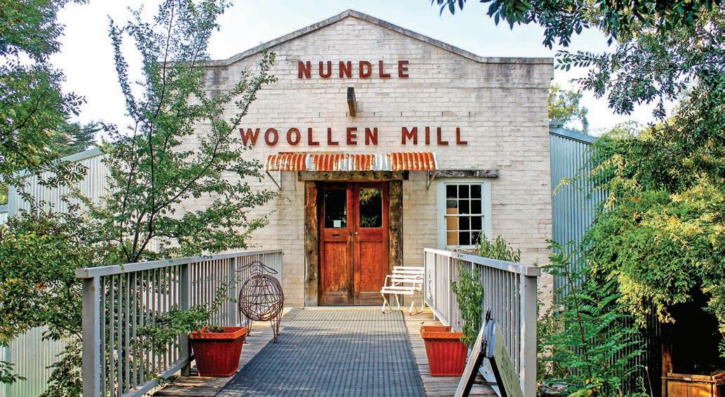
From Tamworth, follow the Peel River to Nundle at the foot of the Great Dividing Range. Originally a gold-rush town, it retains much of its heritage in the buildings of the main street. The most impressive building as you come into town is the Peel Inn, a two-storey pub built in the 1860s. Local legend has it that the family of the current owners, the Schofields, won the hotel in a card game not long after it opened its doors. The second storey is built entirely of Wunderlich tin, and the decorative pressed metal lines the 6ft-wide verandah as well as many of the attic-style rooms. Inside is a beautiful cedar staircase and there are extensive gardens (including a shady courtyard leading off the restaurant) out the back. Another must-see spot is the Nundle Woollen Mill, one of the oldest wool spinning mills operating in Australia: some of the machinery is more than a century old. Guided tours are available on weekdays.
But it is the gold-rush history and the spectacular mountain scenery that is the star attraction in Nundle. There are several fossicking sites around the town area, mainly on the flats of the Peel River. Gold panning is popular at Bowling Alley Point, at Chaffey Dam, and in the nearby village of Woolomin. You can see remnants of the early mining days in the hills and there are still some working gold mines in the mountains above the town, towards Hanging Rock.
For a taste of what the mines once were, visit Mount Misery Gold Mine Museum across the road from the pub (the Peel Inn). Formally a coffin factory, the museum is packed with mining and gold-rush memorabilia and features a 150m-long underground mine tunnel.
After almost 400km of country backroads and dozens of secret and not-so-secret fossicking sites and reserves spread out along the Fossickers Way, if you haven’t struck it rich, at least you’ve had a chance to explore a part of the Australian countryside that is just as rich in history and country hospitality as it is rich in minerals under the ground.
VANLIFE
For a campsite with a view, you can’t go past Hanging Rock, 11km from Nundle and 1100m above sea level. You can camp at Sheba Dams Reserve, built by miners in 1888, and in the state forests further along the road (summer is best, it can be punishingly cold in winter). The fossicking is right on your doorstep at – or in the creek bed – beside the Blatherarm Creek campground in Torrington State Conservation Area. There are good camping areas on many of the rivers, including the Namoi in Warrabah National Park near Manilla – of the two campgrounds, Gum Hole is the prettiest, with sites right on the riverbank, but it’s 4WD only. Sites at the main campground are set amongst the trees and are a few minutes’ stroll from the river’s edge, although neither are suitable for caravans or large trailers. Another favourite spot is the free camping area beside the Gwydir River in Bingara, within easy walking distance of the town.
There are caravan parks in almost every town along the route but Reflections Copeton Waters Holiday Park at Lake Copeton is a nice place to stay if you have a boat or enjoy fishing. It’s also dog-friendly and has a good kids’ playground and a mountain bike track.
Opposite top Nundle Woollen Mill Opposite bottom The Tamworth Country Music Festival always draws a crowd in January
Old Grafton Road
HOW LONG?
Allow at least 4hr to travel the road without stopping, but add on a few extra days if you wish to travel the World Heritage Way (see p.22).
WHEN TO GO
Some sections of the road could be tricky after rain and the valley is prone to flooding, so check weather forecasts. Best time to go is in summer when you can swim.
NEED TO KNOW
This unsealed road is fine for conventional vehicles (as long as it has been dry), although river access and some free campsites are 4WD only. This road trip is not suitable for caravans, and was undergoing extensive roadworks at the time of research; check for updates at livetraffic.com before travelling. There are no petrol stations or food stores along the route, so make sure you have plenty of fuel, firewood (season permitting), food and water before you travel.
SNAPSHOT
Old Grafton Road, as it’s popularly known (unless you come from Grafton, where it’s called Old Glen Innes Road) is a road trip back to another time, when travelling was an adventure, traffic was scarce, and you never quite knew what was around the next bend. Highlights include a ghost town, hand-hewn rock tunnel, and sensational riverside picnic and camping spots.
Drive rating
Moderate: unsealed, with some steep and narrow sections.
Acknowledgement of Country
This is the Traditional land of the Ngarabal and Gumbaynggirr Peoples.
Total distance
Old Grafton Road begins 35km east of Glen Innes –or 9km west of South Grafton if travelling east to west – and is 177km in length.
Average temperatures
• January: 13–28°C
• July: 5–12°C
More information gleninneshighlands.com/old-grafton-road
Above Gibraltar Range National Park Opposite Jacaranda trees bloom beside the Clarence River in Grafton
Glen Innes to the Boyd River, approx. 105km
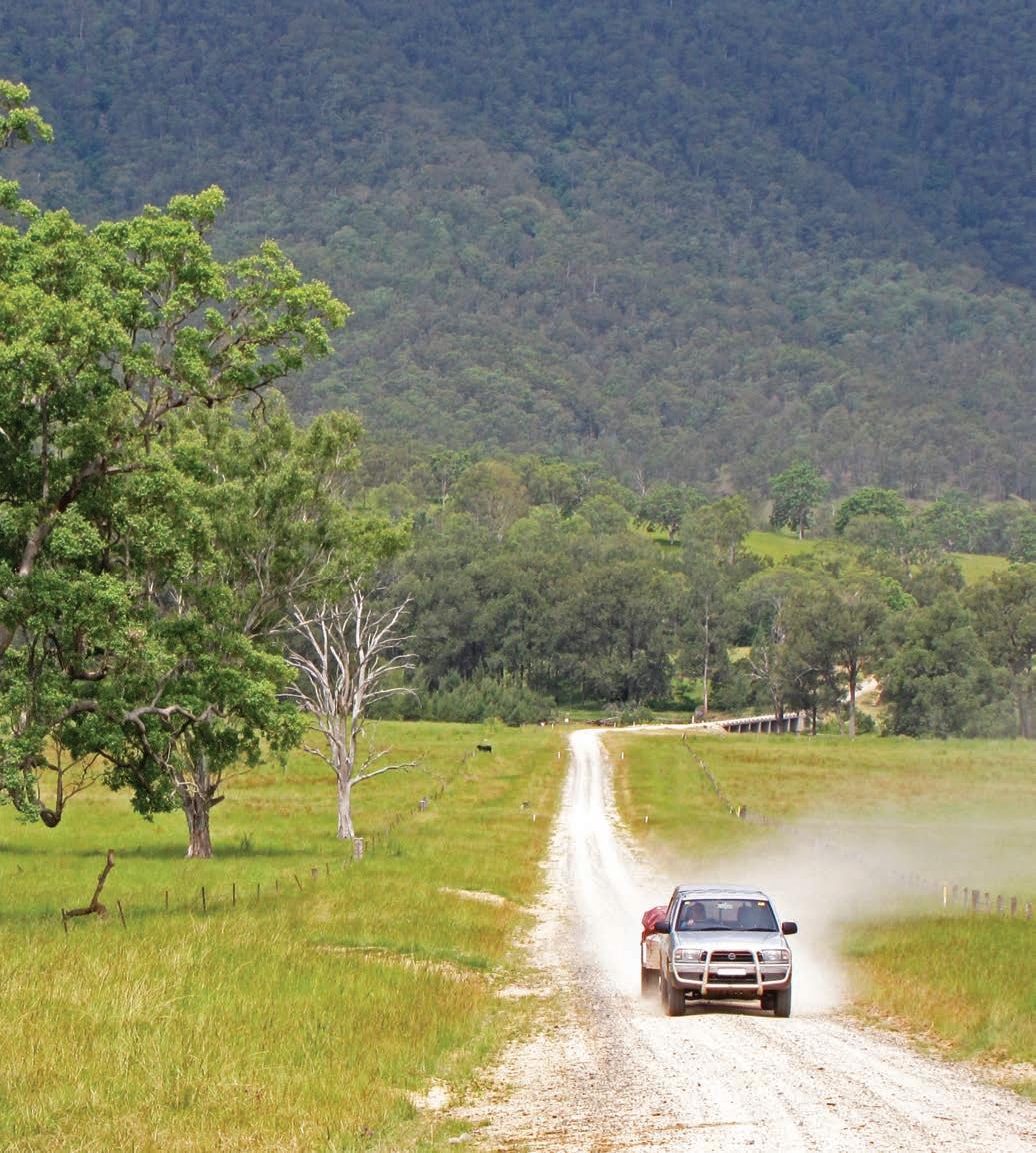
Today, if you want to travel from the inland towns of Moree, Inverell or Glen Innes in the Northern Tablelands of NSW to the coast, you take the Gwydir Hwy; driving from Glen Innes to Grafton will take you around 2hr. But before the highway opened in 1962, the only way to get from the mountains to the sea was by the rough bush road cut into the side of the mountains and the twisting dirt track that follows the winding course of the Mann and Boyd (or Little River as it was then called) rivers and it took days – a week if you were travelling by horse.
The first way through was a rough and ready bullock track, back when the area was first settled in the 1840s by timber getters and sheep and cattle farmers. In the 1860s gold was discovered in the valley. As prospectors flooded into the valley, townships sprang up along the way, Cobb & Co coaches trundled along the track and bushrangers roamed the hills. In 1867, the road was built.
There’s a bit of myth surrounding the road’s construction; you’ll find plenty of books and websites that will tell you it was built by convicts. It wasn’t, although the poorly-paid contract labourers probably felt like they were working in a chain gang. It was hailed at the time as an engineering marvel, with its steep descents (some more than 1000m), 40km of cuttings and a 20m-long hand-hewn tunnel through the rock.
You’ll appreciate their labours immediately as you begin your journey in a lush ferny rainforest not far from the town of Glen Innes (featured in the Fossickers Way road trip, see p.11) with a steep series of narrow switchback turns down the mountain; whoever called it ‘The Big Hill’ was obviously prone to understatement. It’s a slow enough trip in our 4WD ute towing a camper trailer, and would be even slower coming up, but it must have taken days when all they had was four-legged horse power.
At the bottom of The Big Hill is the Mann River Nature Reserve, where the town of Mitchell one stood. Or at least that’s what we assume, as it’s called the Town Of Mitchell Rest Area, but any trace of any settlement has long since disappeared. Now it’s a great place to camp, have a picnic and go for a swim in one of the large waterholes, although the water can be surprisingly cold and is very deep.
The road trundles on across seriously remote farmlands and remnant pockets of rainforest, as we rattle across wooden bridges accompanied by a twinkling chorus of bellbird calls.
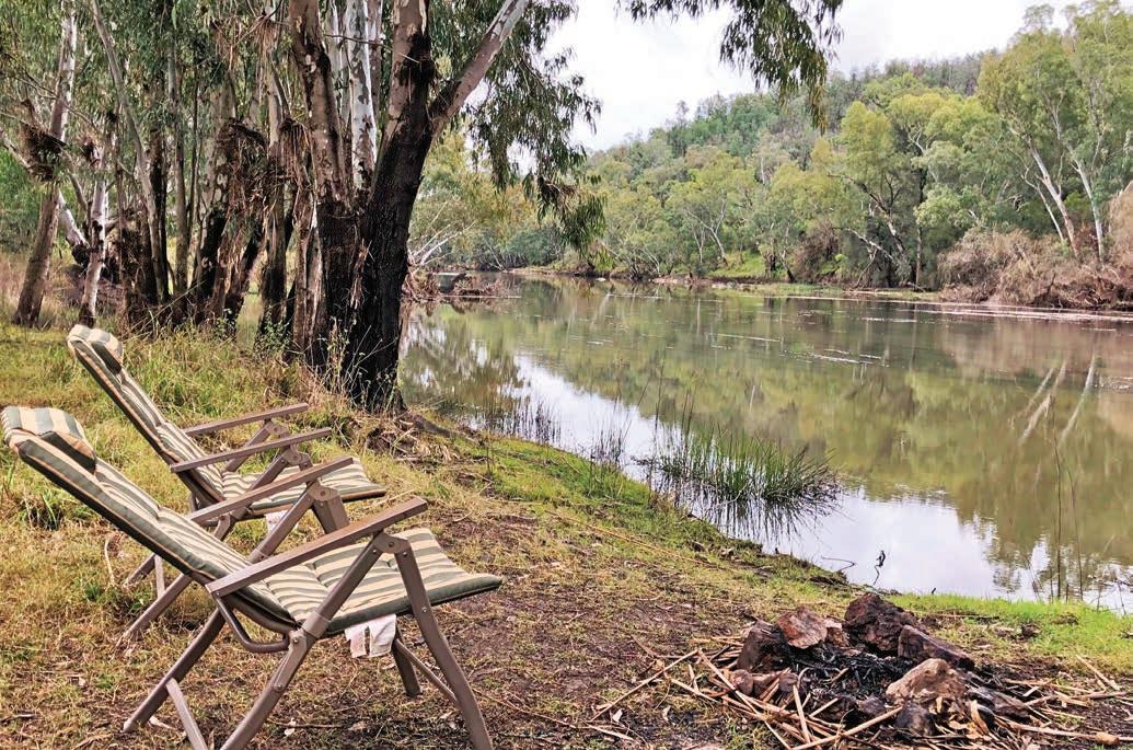
At Newton Boyd we stop to read the moving memorial –30 young men from the now-vanished village went off to fight in World War I, and only one came home. Not long after, we start to follow the course of the Boyd River and pull over to camp in a grassy riverside clearing. We haven’t passed another vehicle since we left the highway.
Boyd River to Grafton, approx. 72km
Next morning, after an early morning swim in the surprisingly warm river, we continue east along narrow unfenced sections of road carved into the cliff high up on the northern bank. A brush-tailed rock-wallaby bounds up the rock face as we approach the historic hand-carved Dalmorton Bluff Tunnel, which is just wide enough for our 4WD to squeeze though. It’s worth pulling over either before or after you go through it to peer up at the graffiti on the tunnel roof, most of it dating from the 1880s, but watch where you put your feet as there’s almost always a big puddle in the middle of the tunnel.
It’s a very scenic, but slow, trip as we make our way towards the coast, and once again find ourselves marvelling at the fortitude of those early travellers and pioneers, especially when we wander around the ghost town of Dalmorton, where the lives and times of past residents are wonderfully brought to life on storyboards. When the gold rush was in full swing in the 1860s, there were more than 5000 diggers camped in the valley, and by the 1890s the township of Dalmorton boasted four stores, a post office, school, two butchers and two bakers, coach station, police station, five hotels and was home to 3000 people. Today, all that’s left is the police stables and lock up, a disintegrating butcher’s shop, a crumbling cottage and a few forlorn foundations.
You’ll know you’re getting close to modern civilization when you reach the Orara River, and cross the Bawden Bridge, around 20km west of Grafton near Chambigne. Built in 1874, it’s one of the oldest lattice truss design bridges still carrying vehicles in NSW. Given how many floods it has weathered since then, it’s also a marvel of engineering. Close your eyes and you can practically hear the creaking of the coaches and the cracking of the bullocky’s whips as they rattled over the bridge when the road through the valley thrummed with traffic.
The end point of our trip, Grafton, is famous for the annual
Opposite You’ll rarely encounter much (if any) traffic on the old Glen Innes to Grafton Road
Grafton Jacaranda Festival held in late October that paints the riverside city purple with carpets of fallen blooms. There’s also grand avenues of shady Moreton Bay fig trees, several lovely riverside parklands for picnics and the Grafton Regional Gallery to visit. A walk across Grafton’s ‘Bendy Bridge’ which spans the Clarence River – the double-decked bridge has a bend at each end to accommodate trains – is a great way to stretch the legs while admiring what was, when it was built in 1932, considered another marvel of engineering.
Like the Bendy Bridge, a drive down Old Grafton Road is more than a scenic backroad; it’s a journey back in time.
DETOUR
If you have a couple of extra days at your disposal, and enjoy bushwalking and camping, turn this backroad into a loop by heading back up the Gwydir Hwy to Glen Innes via the Gibraltar Range. It’s a steep, windy, but sealed section of very pretty road through lush forest, where road signs warn you to keep your eyes open for spotted quolls along the way.
Also known as the World Heritage Way, it passes through two very different national parks that straddle the top of the range. On the northern side is Washpool National Park, home to some of the most beautiful cool temperate rainforest in the country. Largely a wilderness area, the national park features steep gorges, clear boulder-strewn creeks with tumbling waters, mosscovered trees, lush ferns and some of the most diverse and least-disturbed forest in NSW, including the world’s largest stand of coachwood trees and beautiful specimens of old-growth red cedar. A highlight is the 4hr Washpool Walk, a mini-wilderness trek through gorgeous other-worldy rainforest that follows the twists and turns of a beautiful fern-lined creek, before heading deep into the forest to emerge at a lovely waterfall before circling
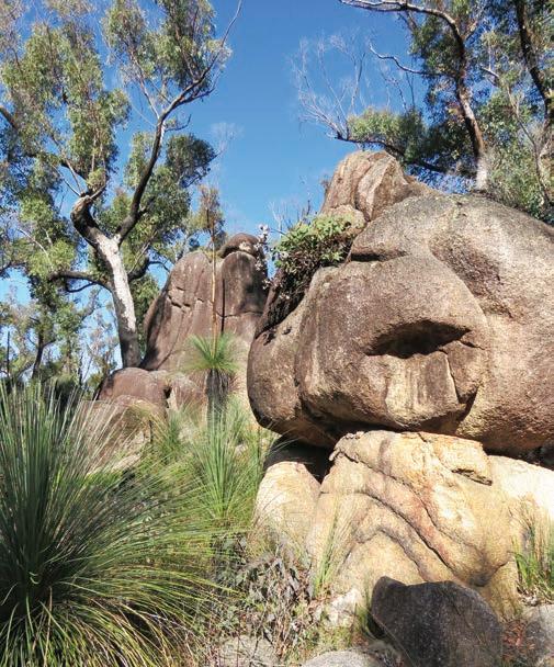
back again. There’s a campground here, called Bellbird, with good drive-in sites but they can be a bit damp as they don’t get much sun: a better bet is to head across the road to Gibraltar Range National Park. It may only be a few minutes’ drive from the lush, cool rainforests of Washpool, but because Gibraltar’s on the eastern side of the range, and subjected to a different set of weather patterns, it is granite country and a spectacular contrast to its neighbouring park. Here, deep-sided valleys and striking granite outcrops are the main attraction, many of which form fantastic shapes with balancing rocks that give rise to descriptive names such as Anvil Rock, Old Mans Hat and the Needles. The outcrops are actually the exposed tops of the New England Batholith, a huge underground mass of rock that stretches some 400km from Tamworth to Stanthorpe in Queensland.
There are a number of pretty waterfalls and scenic lookouts –Gibraltar Range National Park’s highest point is Summit Mountain, 1175m above sea level – including Raspberry Lookout and Vinegar Hill, both of which offer great views over the surrounding wilderness. If you’re camping, head to Mulligans (named after William Mulligan who surveyed the area for a proposed hydroelectric scheme in the 1920s), where there is a large picnic shelter with free gas barbecues surrounded by grass trees and a good campground with cold showers and flush toilets. It’s also within easy stroll of Little Dandahra Creek, a nice place to swim in summer, and Barra Nula Cascades. Boundary Falls, on the site of an old sawmill, is a little more basic, but close to some lovely waterfalls. If you’re towing a caravan, there is a very narrow bridge on the road into Mulligans and the sites really only suit smaller vans. Larger vans should opt for Boundary Falls campground and picnic area, where there is more room to manoeuvre.
VANLIFE
The most popular campsite along the Old Grafton Road is Mann River Nature Reserve, at the foot of ‘The Big Hill’. Facilities are basic – just a few picnic tables and wood-fired barbecues (BYO wood) and a toilet, but the price is right (free). Dalmorton Camping Area is part of Guy Fawkes River State Conservation Area. It’s beside the Boyd River in a wooded area not far from the ghost town; facilities include toilets and picnic tables. There are a number of free riverside camping areas east and west of the Dalmorton Bluff tunnel, although most are 4WD access only. Look for side tracks and obey the ‘no littering’ signs. It’s true bush camping and there are no facilities at these sites, so you’ll need to bury all toilet waste if you don’t have a toilet on board.
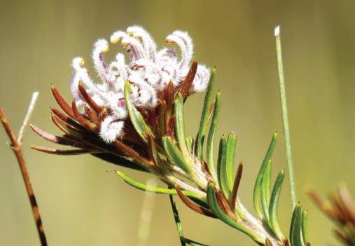
Left Grevillea, Gibraltar Range National Park Opposite top Grass trees in Gibraltar Range National Park Opposite bottom left Old butcher’s shop in the ghost town of Dalmorton Opposite bottom right Dalmorton Tunnel
The Bucketts Way
This pretty backroad tour of the mid-north coast hinterland between Newcastle and Port Macquarie is also a great way to avoid traffic on the Pacific Hwy.
HOW LONG?
You can drive The Bucketts Way in half a day if you are in a hurry, but you could also turn it into a holiday road trip and also spend two to three days exploring the hinterland.
WHEN TO GO
Any time is a good time to do this drive, as winters are mild, although summer can be wet.
LOCAL SECRET
The pastures of the green hills behind Port Macquarie grow some of the best fresh produce on the coast, much of which is sold at the monthly Wauchope Farmers Markets on the fourth Saturday of the month in Wauchope. Look out for the fabulous soft ripened cheeses, organic meats, local strawberries, macadamia nuts, olives and oil, loads of fresh fruit and vegetables, hand-made soaps, jams, pickles, sauces and delicious Dutch pancakes.
SNAPSHOT
Swap A1 Pacific Hwy traffic and roadhouses for World Heritage–listed rainforests, green rolling hills, national parks full of old-growth forests and charming riverside country towns big on heritage and artisan food. It puts the fun back into the holiday season road trip.
Drive rating
Moderate: mostly sealed roads with some winding sections.
Acknowledgement of Country
This is the Traditional land of the Awabakal, Worimi, Geawegal and Biripi Peoples.
Total distance
Raymond Terrace to Port Macquarie, 260km.
Average temperatures
• January: 18–27°C
• July: 7–19°C
More information barringtoncoast.com.au; portmacquarieinfo.com.au
Fertile pastures around Comboyne
Raymond Terrace to Gloucester, 95km
If you’ve ever driven the A1 Pacific Hwy up – or down – the mid-north coast of NSW during summer or Easter holidays, or even on a long weekend, you’ll know it can be a long and infuriating slow journey, thanks to heavy traffic. Even in less frenetic times, contending with the many trucks that use the highway can be nerve wracking, and it can also be a bit of a boring trip with few reasons to stop beyond roadhouses and petrol stations.
The good news is that there is a much more pleasant way to get to Port Macquarie, and while The Bucketts Way does have a few more twists and turns, it really doesn’t add that much time to the trip … unless of course you get distracted by the stunning scenery and natural attractions along the way.
The Bucketts Way is signposted off the Pacific Hwy just a few kilometres north of the town of Raymond Terrace, near Newcastle. This is a country road in its truest sense – there are
sections that are more like a goat track than a highway, but most of the time there’ll be little traffic and the scenery is some of the prettiest you’ll find in country NSW.
First stop is the historic village of Stroud, home of the International Brick and Rolling Pin Throwing Competition held each July, when competitors from four towns called Stroud (one in England, Canada, USA, and the Aussie one) gather to see who can toss bricks, throw rolling pins and hurl rubber chickens the furthest, although there’s also a street parade and plenty of other festivities. It’s a lot of fun. If you miss the competition, it’s still worthwhile taking a stroll down the main street, where most of the buildings date from the 1830s and many are convict built.
As you head towards Gloucester – around a half-hour’s drive north of Stroud – you’ll start to see the jaggedy silhouette of Buccan Buccans (the Bucketts Mountains), the mountains behind the town that give the road its name.
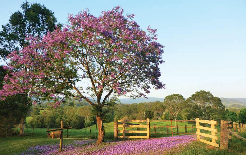
Just a 3hr drive from Sydney/Warrang, and the gateway to the World Heritage–listed Barrington Tops National Park, Gloucester is a popular place for a country weekend getaway, and holidays are very much of the get-back-to-nature kind. The green foothills that surround the town are studded with wilderness retreats that offer extensive horse riding and bushwalking trails, and the rivers have some great whitewater sections good for kayaking and rafting when water levels are high enough. It’s also home to one of the best mountain drives in the state, the beautiful Barrington Tops Forest Road, aka Tourist Drive 29, up over the range to Scone. In winter, the rainforest is often dusted with snow (see the Thunderbolts Way road trip, p.2 for more details).
If outdoor adventure is not your thing, the Gloucester Museum is jam-packed with local history and there are also some good cafes and wineries in town. A favourite lunch spot is Roadies Café, full of vintage bikes and memorabilia reflecting that the twists and turns of The Bucketts Way are popular with touring motorcyclists. Roadies food is the real drawcard though, with great pizzas, pastas, salads, burgers and cakes. And much better coffee than you’ll find on the highway.
Gloucester to Port Macquarie, 165km
From Gloucester, The Bucketts Way continues on to the hamlet of Tinonee on the banks of the Manning River. One of the earliest settlements in the Manning Valley, Tinonee is now a centre for local arts and crafts and a great place to pick up some souvenir gifts.
DETOUR
It’s not often I’ll suggest taking a detour from a backroad to the main highway, but if you’re a motorcycle fan, or just a lover of beautiful vintage machinery, you’ll enjoy the National Motorcycle Museum of Australia at Nabiac. The purposebuilt complex houses more than 800 motorcycles and an enormous array of motorcycle memorabilia, toys, and a library of motorcycle books and magazines. Many of the motorcycles are on loan to the museum for display, but the majority of the collection is owned by the Kelleher family and almost all of the motorcycles still run. The main wing houses pre-1960s bikes, and includes speedway, road racing and early Australian machines, while an adjacent wing is home to the more modern bikes. It’s the ultimate bike shed.
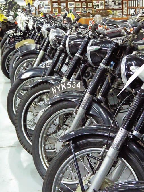
Tucked away in the hinterland around 13km north-west of Taree, Wingham, also on the banks of the Manning River, has quietly avoided the rush of coastal development and growth of most other mid-north coast towns. It’s full of National Trust–listed Federation-era buildings that surround the English-style town green. It’s a sleepy time-stands-still type of place, where, on first glance, the main attractions appear to be the RAAF Vampire Jet precariously balanced atop a pole in the park – it commemorates the 50th anniversary of the Royal Australian Air Force – and the cavernous Wingham Museum full of local memorabilia. It seems like nothing new might have happened here in the past 50 years or so, but stop and take a closer look, because many of the historic buildings now house smart guesthouses and good cafe-cum-food stores. Wingham’s other great surprise is Wingham Brush Nature Reserve right in the heart of the town. It protects a rare patch of remnant subtropical floodplain rainforest which has been regenerated by the local community. It is also one of
Right National Motorcycle Museum of Australia, Nabiac
Opposite Morning light, Byabarra, between Wauchope and Comboyne
the state’s most significant maternity sites for the endangered grey-headed flying fox. There’s a boardwalk inside the dense thicket of rainforest that winds around huge fig trees and underneath thousands of grey-headed flying foxes hanging upside down from the canopy branches overhead. Take a brolly, as the chances of getting splattered with goo as you wander underneath are fairly high! Don’t let that put you off though, as it’s an amazing place.
The road starts to get seriously winding now, as you twist and turn through lush subtropical forests, through tiny mountaintop communities that are no more than three or four houses and a general store, towards Comboyne. Some sections are unsealed but are fine for 2WDs, although you do need to take care on turns as the road can be narrow in places and is not recommended for large vans.
DETOUR
Follow the signs to Ellenborough Falls, near Elands. Reputed to be the largest single drop waterfall in the Southern Hemisphere (the devil’s in the detail, as Wollomombi Falls near Armidale makes the same claim – it all depends on where the water is considered to really ‘fall’), you can take the 642 steps to the bottom or follow the much easier walk through the rainforest to view the falls from the other side of the gorge. There are picnic and barbecue tables and a lookout at the top where local thrill-seekers abseil down the side of the falls.
The forested hills of the hinterland have always been a haven for hippies and conservationists, and there are several oldgrowth reserves hidden away that even half the locals might not know about. Boorganna Nature Reserve, around 6km from Comboyne (a half-hour drive south-west of Wauchope) was established in 1904 and is the second-oldest nature reserve in NSW. Full of old-growth cedar and subtropical rainforest, it’s a reminder of what the landscape must have been like before the timber getters and dairy farmers moved in. It’s a steep 5km track from the top down to Rawson Falls, but worth it for the chance to swim beneath the 40m-high waterfall without another soul in sight (usually).
Wind your way down from Comboyne past giant tree ferns and across the Thone River valley to Wauchope, stopping at the tiny village of Byabarra on the way for a coffee or cold drink at The Byabarra cafe & bar: the views across the valley from the deck are spectacular.
From Wauchope, it’s an easy 20min drive to the coastal holiday town of Port Macquarie. The Bucketts Way may not be quite as direct as the A1, but I can guarantee it’s a lot more fun.
DETOUR
Escape the heat in the sub-alpine Werrikimbe National Park, a vast tract of World Heritage–listed wilderness between Wauchope and Walcha that seldom gets crowded – most times you’ll be the only ones here. At 1100m above sea level it can get a bit chilly at night, and it’s a bit of a long and winding dirt road to get there which can be challenging with a large caravan, but it’s worth the effort – this is a sublimely beautiful place. Walking through the Antarctic Beech rainforest on one of the walks near Plateau Beech Campground and picnic area (the 2km-long King Fern Walk is a corker), it’s easy to imagine what the world would have looked like 70 million years ago. And unlike many national parks in NSW, Werrikimbe is both free to visit and free to camp at.
KIDS’ SPOT
Three attractions at Wauchope will appeal especially to children. Timbertown is a re-creation of a 19th-century timber-getting village, complete with steam train rides, horse and carriage rides, and whip-and timber-cutting displays. Bago Maze and Winery has the largest hedge maze in NSW, and kids love discovering the giant musical chimes, recycled bells (made from gas cylinders) and marimba (a cross between a piano and a xylophone) along the way. And just before you hit the ‘donut’ interchange where the Oxley Hwy crosses the Pacific Hwy, Billabong Zoo is a koala and wildlife park that has a koala breeding facility, as well as cheetahs, meerkats, red pandas, snow leopards, monkeys and lots of native wildlife.
VANLIFE
Most of the towns along this route, including Gloucester, Wingham, Comboyne and Wauchope, have commercial caravan parks and more basic camping areas (mostly without showers) in the town’s showgrounds. Wingham Riverside Reserve, on the Manning River, is a lovely free camping spot but has a 24hr limit. For those that like camping in the wild, there are lots of great spots to park the van or pitch a tent in Barrington Tops National Park (see p.4), although it can be cold in winter. There are also some lovely camping spots with great access to rainforest trails in Werrikimbe National Park: top spots include Brushy Mountain and Plateau Beech campgrounds.
Opposite top left Stylish accommodation in Wingham Opposite top right Bago Maze and Winery, Wauchope Opposite bottom Hastings River, Wauchope

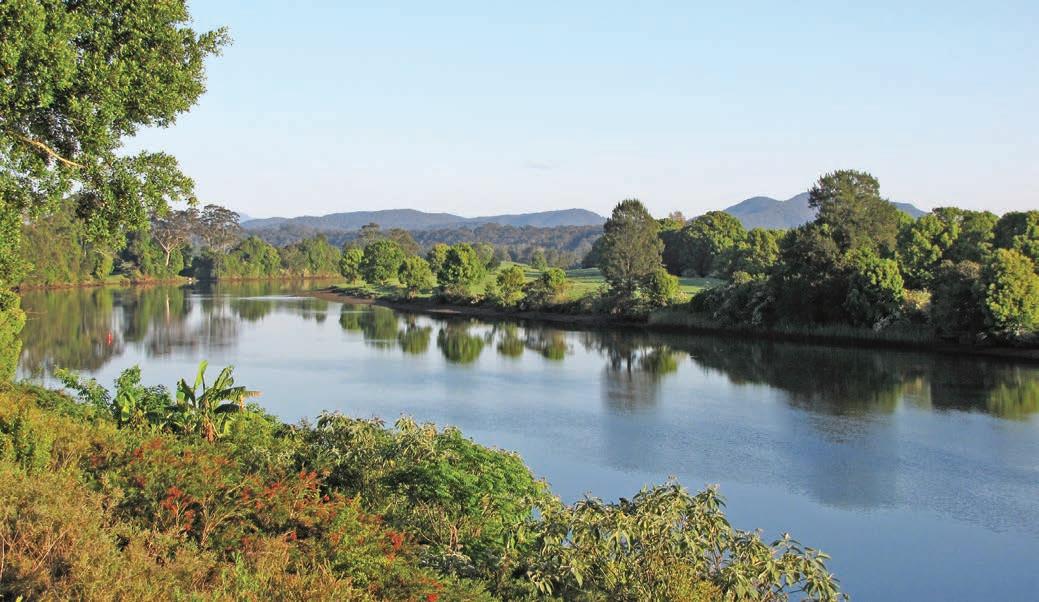
Kidman Way
This road trip is a great introduction to the outback, particularly for those who prefer to stay on the bitumen.
HOW LONG?
3–5 days.
WHEN TO GO
Summer can be very hot and dry; winter nights can get close to freezing but daytime temperatures are very pleasant.
LOCAL SECRET
You might have come for a taste of the outback, but you’ll also find plenty of great wines to taste in and around Griffith. The Riverina area produces 70 per cent of NSW’s wine. Semillon, shiraz, chardonnay, cabernet sauvignon and merlot are the main varieties, although the most famous are the sweet dessert wines. Head online (visitgriffith.com.au) for details of cellar door open for tastings.
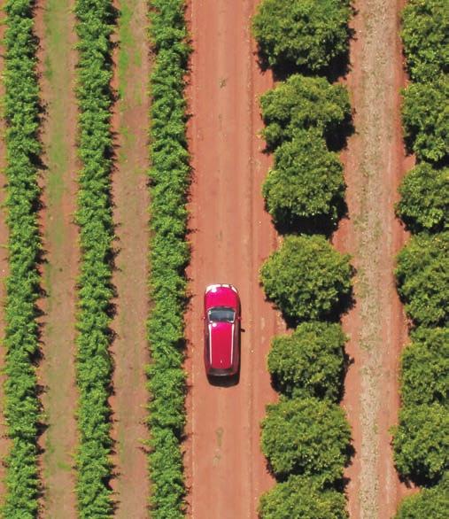
SNAPSHOT
Named after the larger-than-life outback ‘cattle king’, Sidney Kidman (1857–1935), who once had a chain of cattle stations that stretched from the southern seaports as far north as the Gulf of Carpentaria, the Kidman Way runs almost due north through western NSW from Jerilderie (35km north of Finley on the Newell Hwy) to Bourke, not that far south of the Queensland border.
Drive rating
Easy: on sealed roads.
Acknowledgement of Country
This is the Traditional land of the Wiradjuri, Wangaaypuwan and Barranbinya Peoples.
Total distance
Jerilderie to Bourke, 659km.
Average temperatures
• January: 18–34°C
• July: 4–18°C
More information kidmanway.org.au
Catania Fruit Salad Farm, near Griffith

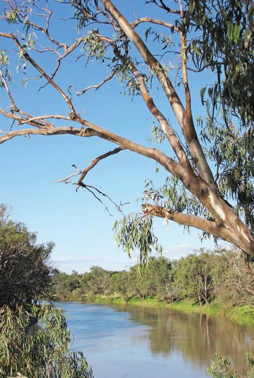
Jerilderie to Hillston, 244km
There’s not much to the tiny township of Jerilderie (170km north-west of Albury-Wodonga), but its claim to fame is being the only town in NSW made (in)famous by bushranger Ned Kelly. There are 16 sites with interpretive boards that you can visit in and around town that are linked to the notorious outlaw, including the post office (now a museum) where Ned penned his now-famous Jerilderie letter in 1879 – an account of his bushranging activities and his mistreatment at the hands of the Victorian police, who he memorably described as ‘big ugly, fat necked, wombat headed, big bellied, magpie legged, narrow hipped splaw-footed sons of Irish bailiffs or English landlords’ – before he escaped with the rest of the gang. Pick up a free brochure detailing the self-guided walking trail at the Sticky Fingers Candy Shop and visitor information centre.
Head north from Jerilderie and enjoy the stately gardens, wineries and Italian restaurants of Griffith and the surrounding Riverina region. Along the way are small towns and stops of interest such as in Merriwagga where you can learn about the true story behind the legend of the ‘black stump’. Then, just under a half-hour’s drive north, you can chill out with a picnic or waterfront camp on the banks of the Lachlan River near Hillston. Hillston, like most of the towns along the Kidman Way, has a main street lined with historic shopfronts and overhanging verandahs that look like not much has changed since Kelly and his gang were around.
Hillston to Bourke, 415km
Beyond Hillston it starts to really feel like you are in the outback, a long straight stretch of road that runs through mallee and semi-arid woodlands to Cobar, once famous for its copper mine. Sidney Kidman (see ‘Snapshot’ p.30) had one of his first business ventures here when he set up a butcher’s shop to supply meat to the hungry miners in the first heady days of the Cobar copper strike in the 1870s. The Great Cobar Museum, which also houses the information centre, is perched on the edge of the open-cut mine on the Barrier Hwy on the eastern side of town and has 13 themed exhibitions that relate the stories of the Wangaaybuwaan People and local history, mining and geology. Cobar also makes a great base to explore two wonderful rock-art sites, the Ngiyampaa rock art at Mount Grenfell Historic Site (40km west of Cobar on the Barrier Hwy, then 30km further along a signposted unsealed road) and the Yapa (Mulgowan) Aboriginal art site in Gundabooka National Park, 50km south of Bourke.
The last section of the drive, between Cobar and Bourke, has the closest association with Kidman. Before he started his Cobar butcher’s shop, Kidman freighted supplies by bullock wagon from the river port of Bourke to Cobar and, in turn, returned to Bourke with copper ingots to be transported down the Darling River. Bourke has symbolised the edge of the outback since the days of Henry Lawson and has entered into the Australian vernacular with the phrase ‘back o’Bourke’. It is this remoteness that has shaped the frontier spirit of the town, and today draws visitors to Bourke, and beyond: for reasons to stay longer than you might have originally planned to and details on things to see and do in Bourke, see the Matilda Highway road trip, p.177 for more details.
From Bourke, the Kidman Way continues 160km to Barringun (with a population of seven at the last census, don’t blink or you’ll miss it) and the Queensland border, where the road becomes the Matilda Hwy, cutting through western
Queensland to reach Normanton on the Gulf of Carpentaria, passing through more Kidman country and uncovering more outback legends.
VANLIFE
You’ll find good value, if a little rustic, caravan parks in almost every town along the Kidman Way, as well as camping areas offering free overnight stays for self-contained vehicles. Murrumbidgee Valley National Park near Narrandera offers dozens of superb riverside camping spots, as does the Darling River near Bourke and Gundabooka National Park, just south of Bourke.
Below Cobar Opposite top Darling River, Bourke Opposite bottom If you’re back o’Bourke, you’re outback
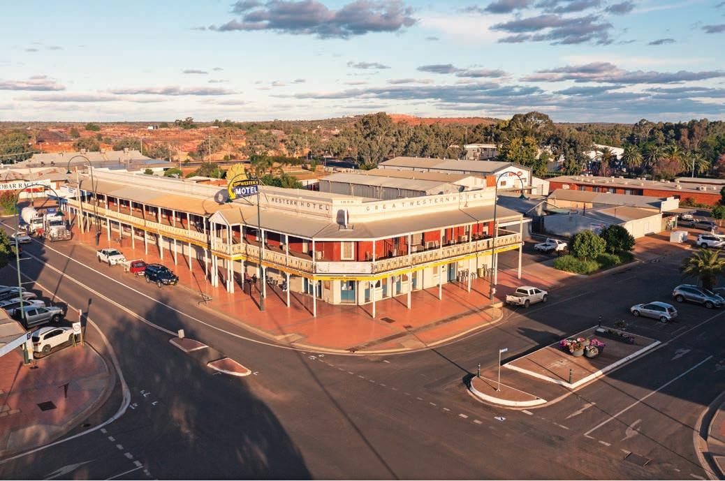
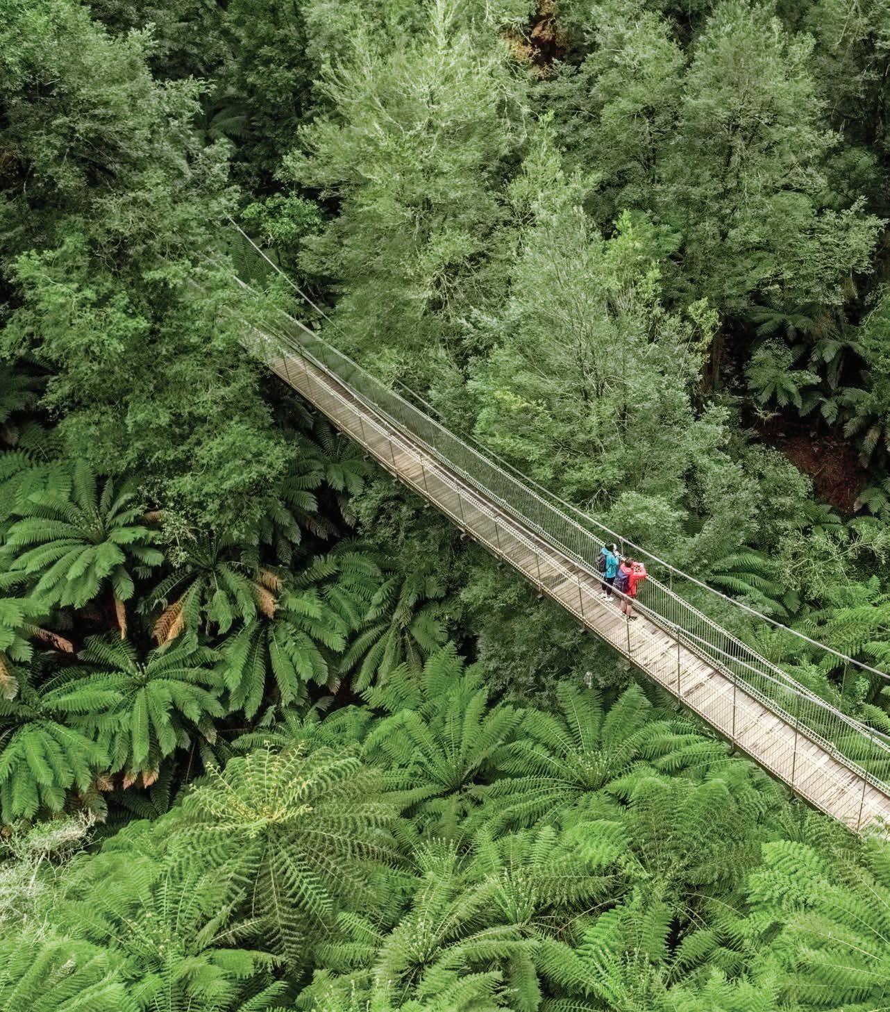
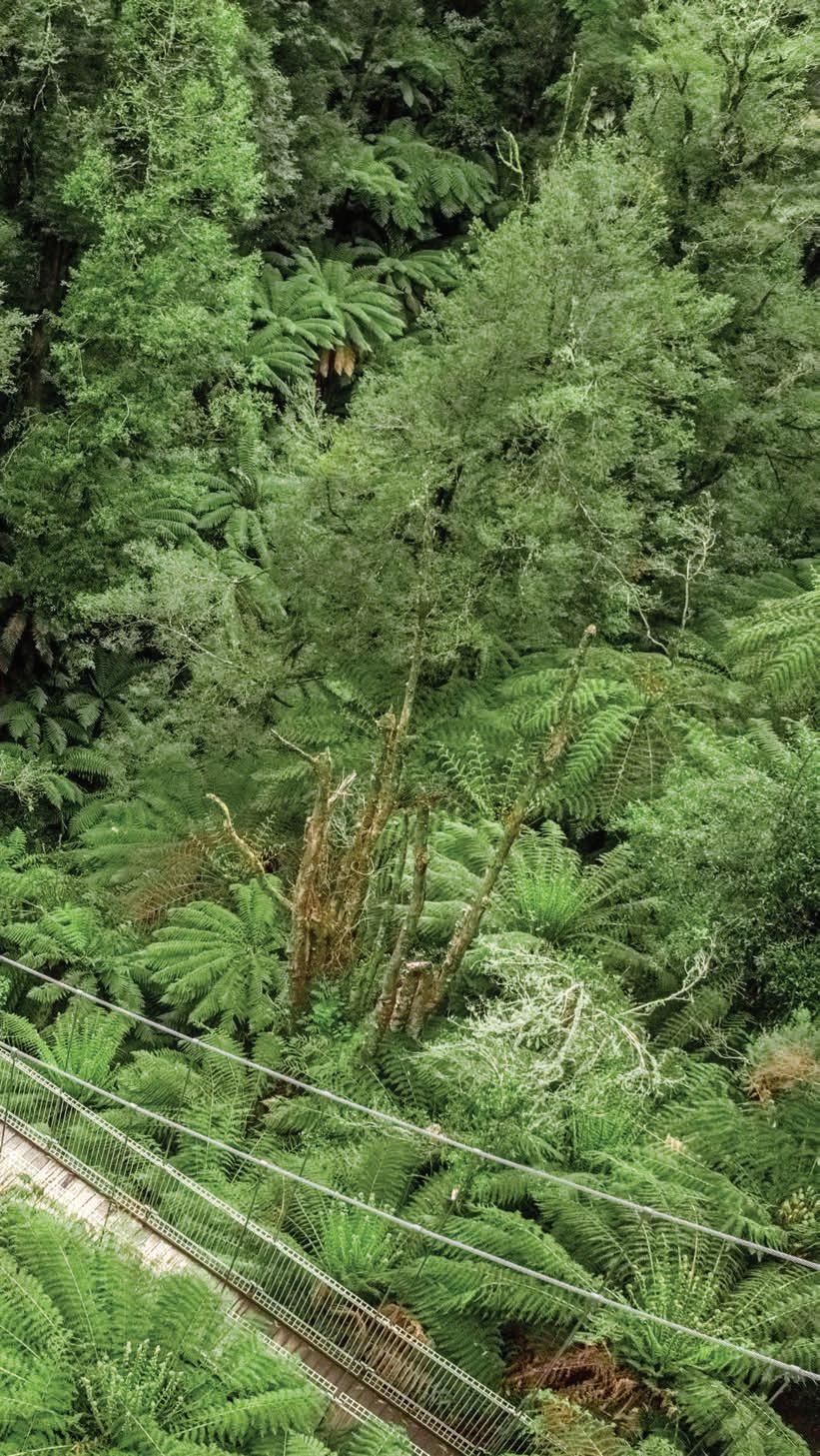
Goldfields Loop Discover
grand streetscapes and forgotten villages on this backroad loop through the historic gold-rush towns of the Victorian goldfields.
HOW LONG?
An easy daytrip from Melbourne/Naarm but it makes for a lovely weekend away. Allow a few extra days if you’d like to explore the regional cities of Ballarat and Bendigo as well.
WHEN TO GO
Any time is a good time to do this drive: local gardens are lovely in spring, autumn colours are spectacular and winters are crisp, so rug up in a coat, hat and scarf. Many of the shops, cafes and attractions in the smaller towns are closed during the week, so it’s best to visit on the weekend.
LOCAL SECRET
If you want to sound like a local rather than a tourist when talking about Castlemaine, make sure you say it the right way. Locals say casselmaine, not carselmaine, and just in case you forget you’ll see plenty of bumper stickers on the cars around town reminding you that ‘there is no R in Castlemaine’.
SNAPSHOT
The gold rushes of the mid-19th century have left a rich legacy of grand hotels and public buildings all around central Victoria, but it’s the way the history is brought alive in the galleries and outdoor museums that makes it a place worth spending a while exploring. If you’re lucky, you may even unearth your own piece of treasure – the world’s largest gold nugget still in existence (a whopping 27.21kg nugget called the Hand of Faith) was found near Bendigo in 1980 by two lucky tourists.
Drive rating
Easy: sealed roads.
Acknowledgement of Country
This is the Traditional land of the Dja Dja Wurrung, Taungurung and Wadawurrung Peoples.
Total distance
Loop from Castlemaine, 219km.
Average temperatures
• January: 10–25°C
• July: 3–10°C
More information visitballarat.com.au; bendigoregion.com.au
Statue of Queen Victoria, located in Ballarat
Ridge Road
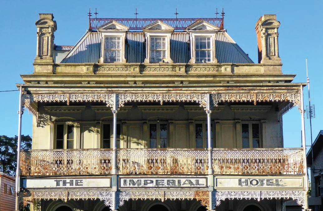
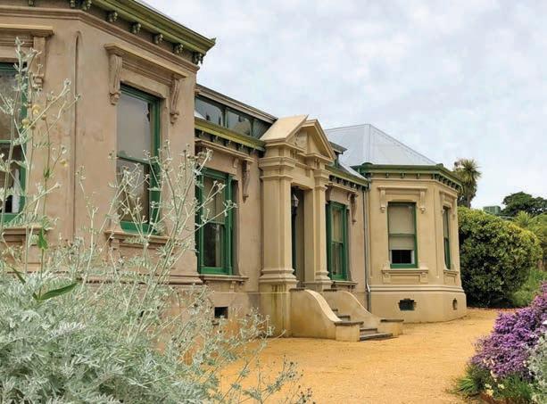
Castlemaine to Creswick,
via Daylesford, 74km
The classic goldfields touring route is the signposted Goldfields Way between the two regional cities of Ballarat and Bendigo. It’s a fabulous drive, but in the spirit of keeping to the backroads – and because I’m a goldfields resident and this is my favourite road trip when I’m looking for a Sunday drive that includes a good lunch along the way – this itinerary is a loop of the smaller towns and villages that often get overshadowed by the grander streetscapes of Ballarat and Bendigo. It’s a loop, so you could start anywhere along the route – or base yourself in Ballarat or Bendigo as both cities are near the loop – but in this instance, we’re going to kick off from Castlemaine, a half-hour drive south of Bendigo, and a 90min trip from Melbourne/Naarm via the Calder Fwy (M79).
Originally known as Forest Creek, gold was discovered in present-day Castlemaine in 1851 and it soon became the richest shallow alluvial goldfield in the world, attracting more than 60,000 hopeful fossickers and miners to the district in the first year alone. Many of the grand buildings and pubs in town were built in the first 10 years of the rush and have changed little since. Castlemaine Art Museum was one of the first Art Deco buildings in Victoria to be built outside Melbourne and is home to a good collection of Australian art, with works by many of the big names, such as Tom Roberts, Frederick McCubbin, Arthur Streeton, Margaret Preston and Jeffrey Smart on show. Opposite the lovely Botanic Gardens – a stroll around the lake is a great way to stretch the legs – a former woollen mill, The Mill has been transformed into a food and arts hub with furniture makers, blacksmiths, art spaces, a vintage bazaar, artisan smokehouse, craft brewery and coffee roaster, and speciality ice-creamery. Don’t miss Buda Historic Home & Garden. Built in 1861, it was the home of silversmith Ernest Leviny, but it was his five unmarried daughters who lived in the house until the 1980s who filled it with stunning art and craft, much of which they made.
DETOUR
Bendigo has one of the finest collections of Victorian buildings of any inland city in Australia. If you’re staying here, take a stroll after dark as most of the grand architecture in the centre of town is beautifully illuminated at night. Bendigo is built on gold – quite literally, as more gold has been found in Bendigo than anywhere else in Victoria. To get to the source of all this wealth, take the mine tour at the Central Deborah Mine. The 75min tour gives a good first-hand glimpse of the life of the miners and the huge efforts to extract the gold; book online (central-deborah.com).
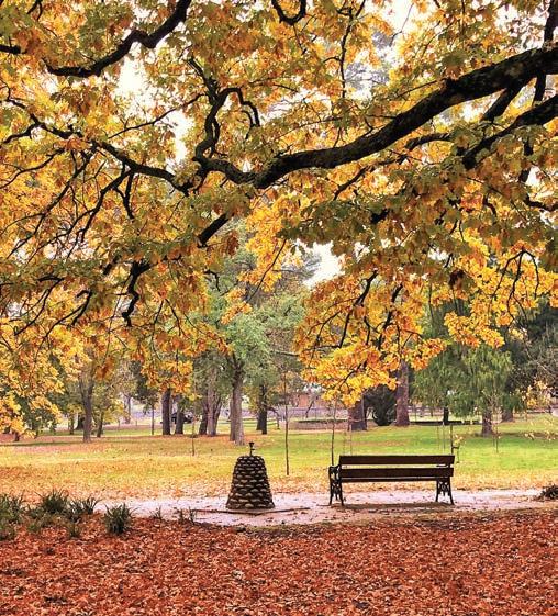
Like most of the Australian goldfields, the Bendigo diggings attracted thousands of Chinese prospectors and the city is home to five ceremonial dragons, displayed in the Golden Dragon Museum, which explores the Chinese history and culture of the city and surrounding goldfields. Other attractions include Bendigo Pottery – operating since 1858 there is a museum beside the showroom, built around the old kilns, that details the history of the pottery and the current production processes with an interesting display of old products – and the Bendigo Joss House Temple, built during the rush and still a working temple.
A fun way to get to the temple is to ride the vintage tram, a hop-on, hop-off tour with recorded commentary that visits all of the major tourist attractions in the city, including the tram depot, the oldest operating one in the country, where old trams salvaged from around the world are being painstakingly restored. The Bendigo Art Gallery is outstanding with an impressive collection of Australian art and hosts travelling blockbuster art shows from Europe and the UK. The Bendigo Writers Festival (bendigowritersfestival.com.au) is well worth attending if you happen to be in town in late winter.
Above Autumn gold in Castlemaine Botanic Gardens Opposite top Faded elegance, Castlemaine Opposite bottom left Buda Historic Home & Garden, Castlemaine Opposite bottom right Alexandra Fountain, Bendigo

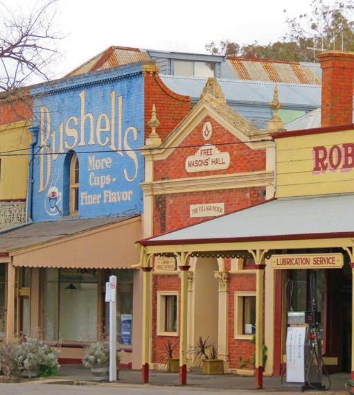
The Castlemaine Diggings National Heritage Park in Chewton, 4km east of Castlemaine, is full of relics and ruins, including old mines and engine houses, Pennyweight Flat children’s cemetery from the gold rush, as well as ingenious water races and the pyramid stone supports of the 22m-high Garfield Water Wheel, the largest ever built in Victoria. The area is one of the best surviving examples of a 19th-century gold rush and is currently being examined for World Heritage status.
From Chewton head south through the heritage park, past mining relics such as the imposing Duke of Cornwall Engine House near the tiny town of Fryerstown – now no more than a clutch of old brick and stone houses, but in the 1850s it was home to 20,000 people – and crumbling ghost towns like Irishtown and the Chinese cemetery overlooking one of the richest spots on the goldfields at Vaughan, where Fryers Creek joins the Loddon River. Although there’s little left of what was once one of the biggest Chinese diggings’ sites in the goldfields at Guildford, also on the Loddon River, 17km from Chewton, it is home to a beautifully restored goldfields-era music hall attached to Guildford Family Hotel, one of the oldest pubs in the region – it does great food and the shady garden is a lovely place to listen to live music in summer.
KIDS’ SPOT
Vaughan Mineral Springs is one of my favourite picnic spots, with ornate wooden gazebos for shelter and free electric barbecues. Sample some of the mineral water from one of the water pumps and enjoy a paddle in the river in the pool built in the 1920s, when the picnic grounds were a popular place to enjoy brass bands and bathing beauty contests. The real hit with kids, though, is the vintage giant slide. It’s made of metal, so if you’re visiting in summer it can get a bit hot so bring a towel to sit on while sliding. The deciduous trees put on a colourful show in autumn.
It’s around a 20min drive to our next stop, deep in spa territory. The area around Daylesford and Hepburn Springs has Australia’s richest concentration of mineral springs. Discovered by goldminers in the 1850s the waters are, if you believe the locals, so rich in therapeutic powers that they can relieve just about any ill you can imagine. There are a number of springs (with lovely old-fashioned hand-operated pumps) in the Hepburn Mineral Springs Reserve where you can fill
Top Golden Dragon Museum, Bendigo Bottom Maldon’s historic streetscape Opposite Lake Daylesford
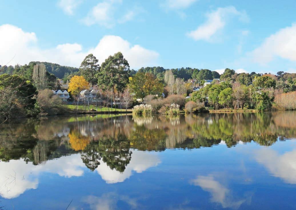
up as many water containers as you can carry, for free. If you’d prefer to soak in the waters rather than drink them, there are lots of day spas in Daylesford and the historic Hepburn Bathhouse has been going since 1895.
If you’re not in the mood for a hot bath, don’t despair. Daylesford is a shopper’s paradise: the main street is lined with restaurants and cafes, cluttered antique shops, a cavernous bookstore, eclectic artist’s studios and modern art galleries.
One not to miss, just a few streets away from the main shopping area, is the Convent Gallery, housed in the beautifully restored 1860s Holy Cross Convent. There are three levels and room after room of sculpture, jewellery, ceramics and fine art, as well as a restaurant and bar. Walk off lunch with a lap around Lake Daylesford, or explore the beautiful Wombat Hill Botanic Gardens.
If you need a break from the shopping, Lavandula Swiss Italian Farm is about a 10min drive from Daylesford or Hepburn Springs in the hills and farmland of Shepherd’s Flat. It’s a lovely place to sit or walk and smell the flowers in the extensive lavender fields and gardens. It’s at its most mauve in January. There’s a trattoria here too – try the lavender scones or perhaps a glass of lavender champagne.
The next section of our road trip follows the main A300 to Creswick (and Ballarat), rather than one of the many backroads, and the reason is because the potatoes grown in Newlyn, about 18km south-west of Daylesford, are the best: stop by one of the roadside stalls and pick up a bag. If you are determined to stay on backroads, detour to Smeaton where the potatoes are equally delicious.
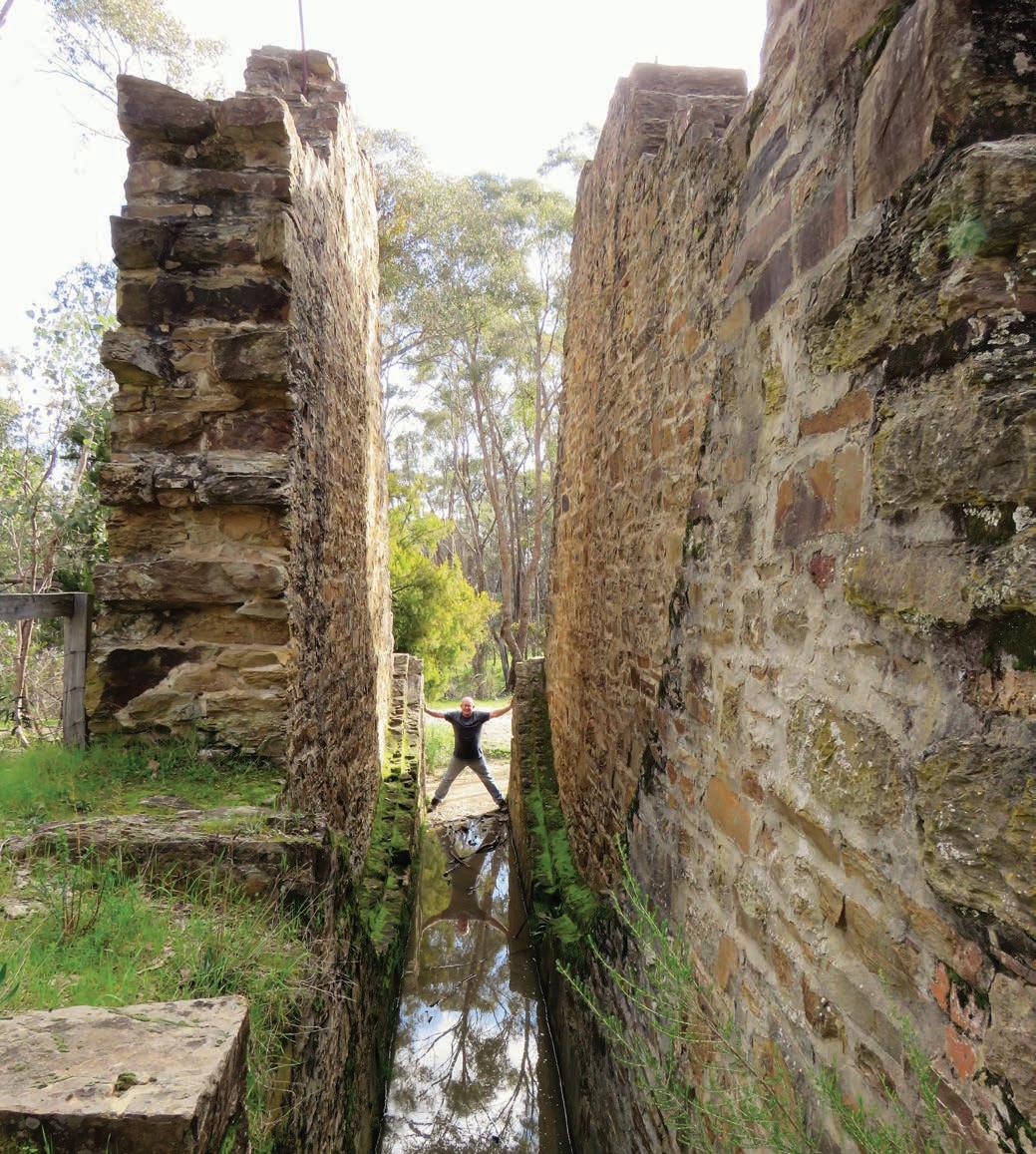
Victoria
Creswick to Castlemaine, via Dunolly, 145km
A fun way to explore Creswick is to follow in the footsteps of Creswick’s famous five, on the Lindsay Art Trail. Dr Robert Lindsay arrived in town at the height of the gold rush in 1864 and together with his musician wife Jane they produced 10 very talented children. The most famous five are writer and artist Norman (of Magic Pudding, naked nymph and saucy satyr fame), and his artist siblings Lionel, Percy, Ruby and Daryl, who each made a huge impact on the art world. There are 24 related sites scattered around town on the trail, each with an illustrated storyboard, and they paint a fascinating picture of what life was like here for the Lindsays and how the town inspired their art and writing. There’s a collection of Lindsay watercolours, etchings and photographs on display at the American Hotel (built in 1858) and in the museum in the old Creswick Town Hall, along with a giant Magic Pudding. If it’s warm, cool off with a dip in the Calembeen Park swimming basin that used to be the Chinese miners’ camp, and also a favourite spot for the Lindsay lads to hide when they were wagging school. If it’s cold, pick up a jumper at the Creswick Woollen Mill, one of the oldest working woollen spinning mills in the country. Tours run throughout the day.
DETOUR
Ballarat is just 18km south of Creswick and, like Bendigo, is full of grand Victorian-era buildings and extensive parklands, as well as the greatest concentration of public statuary in any Australian city. The city is most famous, though, for a 15min skirmish known as the Eureka Stockade – the event is considered by many to be the birth of Australian democracy. You can see the rather tattered original Eureka Flag – a symbol of rebellion and defiance since it was first unfurled on Bakery Hill in 1854 – at the Eureka Centre in the Eureka Stockade Memorial Park, where the rebellion took place. Ballarat is also famous for Sovereign Hill, a huge outdoor museum complete with costumed volunteers that sets out to re-create what Ballarat would have been like in the 1850s, when the gold rush was in full swing. It’s a fun family daytrip and there’s panning for gold, gold-smelting demonstrations, old-fashioned shops to visit, and night-time sound and light shows. The Australian Centre for Gold Rush Collections holds more than 150,000 artefacts. It’s closed to the public, but they do run back of house tours – check online (sovereignhill.com.au) for tour dates. Back in the centre of town on grand Lydiard St, the Art Gallery of Ballarat is Australia’s largest and oldest regional art gallery and has one of the best collections of Australian art outside of a capital city. If you’re in Ballarat in March, the Ballarat Begonia Festival at the Botanic Gardens has beautiful floral displays.
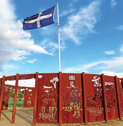
Top Eureka Circle monument on the site of the Eureka Stockade, Ballarat Bottom The Magic Pudding, Creswick Museum Opposite Garfield Water Wheel
From Ballarat head north to Clunes, where the first gold in Victoria was found in 1850. At the height of the rush it was the fifth-largest town in the colony. Forgotten rather than preserved, Clunes is one of the country’s most original and intact gold-rush towns. It’s somewhat quieter today than it was back in the rush, unless you arrive during the annual Booktown Festival (dates vary, see clunesbooktown.org.au), when streets are closed to traffic and booksellers and traders from all around the country set up stalls and the old buildings are host to a program of literary events and writers’ workshops.
Like Clunes, Talbot (18km north of Clunes), was also once a much busier place, with 100 pubs and sly grog shops. Go there on a weekday and you’ll be hard pressed to find any sign of life at all but on the third Sunday of the month, you’ll be rubbing shoulders with more than 2000 others at the farmers markets (9am–1pm), one of the best in Victoria.
Continue north for 14km to Maryborough. Take a stroll through the centre of town to admire the stately streetscape, including the historic railway station, a grand monument to a golden age – it’s so large that writer Mark Twain declared, in 1895, that ‘you can put the whole population of Maryborough into it, and give them a sofa apiece, and have room for more’. Today it houses a nice cafe and antiques store.
The world’s biggest gold nugget ever found, the 69kg Welcome Stranger, was picked up at the base of a tree at Moliagul just north of Dunolly in 1869. Legend has it that it had to be broken on an anvil before it could fit on the scales at the bank in Dunolly. The said anvil has since been mounted on a plinth outside the Dunolly Museum, where you’ll also find replicas of locally found nuggets, including the Welcome Stranger. It’s run by volunteers and opening hours vary, so if it’s closed when you get there console yourself with a vanilla slice from the nearby Dunolly Bakery, although they do tend to sell out fast. History buffs will enjoy the historic precinct which includes the 1884 town hall and the 1863 courthouse, stables and lock up. The surrounding district is a popular spot for fossicking, with several huge nuggets found in recent years, including a 2.5kg one in 2022. To fossick or pan for gold in Victoria you must hold a current ‘Miners Right’ which you can get online (service.vic.gov.au/services/earth-resources).
It’s an easy half-hour drive to Maldon, a town, like Clunes, that time seems to have been bypassed: miners’ cottages stand cheek-by-jowl with restored mansions, and the shopfronts along the crooked main street look like they have come straight from a movie set. It’s so unchanged that it was classified by the National Trust as ‘Australia’s first notable town’ back in 1965.
Today, Maldon’s historic buildings host a number of cafes, galleries, antiques stores and other shops, and the town is very popular with browsing shoppers on weekends.
On the eastern outskirts of town (on the Bendigo-Maldon Rd) is the rusting remains of an abandoned gold dredge. It’s just past Porcupine Village, a re-created gold-rush town with many authentic buildings relocated from around the goldfields that are currently being restored and brought back to life.
KIDS’ SPOT
If your kids are still young enough to believe in the Easter Bunny, take them for a drive up to the lookout atop Mount Tarrengower. Built as a fire lookout in 1923 from a repurposed poppet head from a Bendigo mine, it has been illuminated every Easter since 1926, originally by lanterns, now by electric globes, and the lights can be seen for quite some distance. Someone, way back when, started a story that it was the Easter Bunny’s house, and generations of kids have grown up believing the tale. Bunny or no bunny, the views from the top are worth the climb.
Maldon is a 15min drive from Castlemaine, where we started this loop around the goldfields. You’ll drive back through box ironbark forests that, in spring, glow with flowering wattle and an understory of yellow wildflowers. Yet another reason why they call this region the goldfields.
VANLIFE
You can camp at Vaughan Mineral Springs in Castlemaine Diggings National Heritage Park, and there is a camping and caravan area (unpowered) at Mount Franklin (Lalgambuk) Camping Area in Hepburn Regional Park, with basic facilities. There are several good caravan parks in Ballarat, including the NRMA Ballarat Holiday Park which is just 300m from Sovereign Hill. If you prefer to set up camp somewhere a little wilder, Slaty Creek in nearby Creswick Regional Park is a good option, and you can pan for gold in the creek. There are three basic bush camping areas here but Number 1 is the only one with toilets. In the heart of Clunes you can set up camp on the grass in Clunes Caravan Park beside Creswick Creek – and stroll to the pub for dinner. If you’re lucky, you may even spot the resident platypus in the creek. Butts Reserve, near Maldon, is part of the Maldon Historic Area full of old gold mining relics, and is a roomy, free campground with flush toilets.
Opposite Flowers bloom in Castlemaine Botanic Gardens
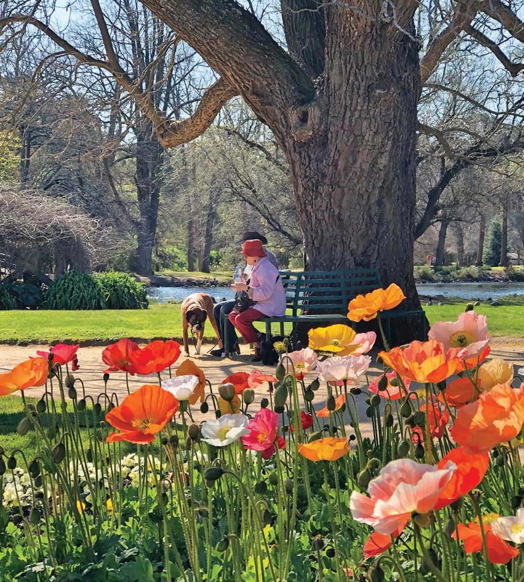
Silo Trail Explore Australia’s largest outdoor art gallery on this road trip through the forgotten towns of the Wimmera.
HOW LONG?
Between three and five days, depending on how many silos you want to see.
WHEN TO GO
Any time is a good time to do this drive. Summer can be very hot and dry. Although it can vary due to seasonal conditions, most wheat is harvested in spring and summer. Most of the painted silos are adjacent to operational grain storage sites so you’ll need to give way to grain trucks on the roads, which can be sealed for the width of just a single lane.
LOCAL SECRET
Bridgewater Bakehouse – 35km north-west of Bendigo – has won the Great Australian Vanilla Slice Triumph several times over the past few years, so it can officially claim to make the best vanilla slices in the country. The town might be home to only 300 people or so but there have been days, according to Bakehouse Manager Rob Bayliff, when more than 900 of the sweet custard sandwiches have been carried out the doors. Either the locals are seriously addicted, or there are plenty of people happy to make the trip.
SNAPSHOT
It’s not a real Aussie road trip without at least one big roadside attraction, and this trip across the Wimmera wheatbelt in western Victoria features dozens. Giant artworks from some of the most-celebrated street artists adorn disused silos, mobile grain bins, sheds, shop walls and churches, forming the largest outdoor gallery in the country. Beyond the colourful paintings, this road trip takes you past pink salt lakes and through the heart of classic small-town Australia.
Drive rating
Easy: sealed roads.
Acknowledgement of Country
This is the Traditional land of the Dja Dja Wurrung, Jardwadjali and Wergaia Peoples.
Total distance
Loop from Bendigo, 723km.
Average temperatures
• January: 13–30°C
• July: 4–14°C
More information siloarttrail.com; australiansiloarttrail.com
Bendigo to Dimboola, 251km
In 2016 Australian artist Guido van Helten painted a supersized mural of four farmers across six defunct silos in the blink-and-you’ll-miss-it hamlet of Brim, in the middle of the Wimmera, around 360km north-west of Melbourne/Naarm. The 30m-high monochromatic portraits, so detailed they almost look like photographs, sparked a mini-tourism boom to the tiny town, population 100, and inspired towns across the district – and across the country – to look at their disused grain stores in a new light.
Fast forward a few years, and at the time of research there were more than 214 painted silos and water towers around the country, with more than 20 in the Wimmera-Mallee region of western Victoria, although by the time you read this there will probably be a few more. Each one is a striking piece of art in its own right, but these murals have done much more than beautify crumbling concrete eyesores – they have breathed new life into the region, enticing travellers into towns that were slowly dying as farming methods change, banks close branches, services relocate and shops unable to compete with chains in larger regional centres close.
We’re starting this loop in the gracious gold-rush city of Bendigo (see p.39 for things to see and do while you’re there) but you can pick it up anywhere along the route, including Horsham if you are coming from the Grampians.
KIDS’ SPOT
The Silo Trail is a great road trip to do with kids, as most stops are about half an hour apart and seeking out the murals in the towns can be a bit like a treasure hunt. Many of the silos in the towns also have playgrounds and picnic tables beside the viewing areas. Pack some paper and coloured pencils, just in case all the painted silos inspire the kids to make their own artworks along the way.
St Arnaud is an old gold mining town, around a 90min drive west of Bendigo and like many of the artworks that feature on the silos and murals, the black and white paintings here tell a story specific to the town’s history. The faces of the hopeful gold miner looking for gold in his pan and his wife and child hoping for better times, are powerful. Created by St Arnaud local, Kyle Torney, they are called ‘Hope’ and you’ll see several more of his murals, which look rather like they have stepped out of a Renaissance frame, throughout the town. The town itself features many well-preserved historic buildings that date back to the gold-rush days of the late 19th century. If you’re
a garden lover take a stroll around Pioneer Park – the only remaining public park designed by legendary Australian landscape gardener, Edna Walling.
Our next silo, at Rupanyup a 45min drive west on the Wimmera Hwy, is also monochromatic and finely detailed. By Russian mural artist, Julia Volchkova, it features two local teenagers dressed in their AFL and netball gear, a reflection of how important team sports are to small-town life.
KIDS’ SPOT
If your kids are anything like my nephew, Amos, who as a two-year-old was obsessed with tractors, take them to Wood’s Heritage Museum in Rupanyup. Aside from a replica street of old shops, re-created farmhouses, displays of old household appliances and tools and a large collection of wedding dresses and ball gowns, it houses more than 90 tractors, some dating back to 1910.
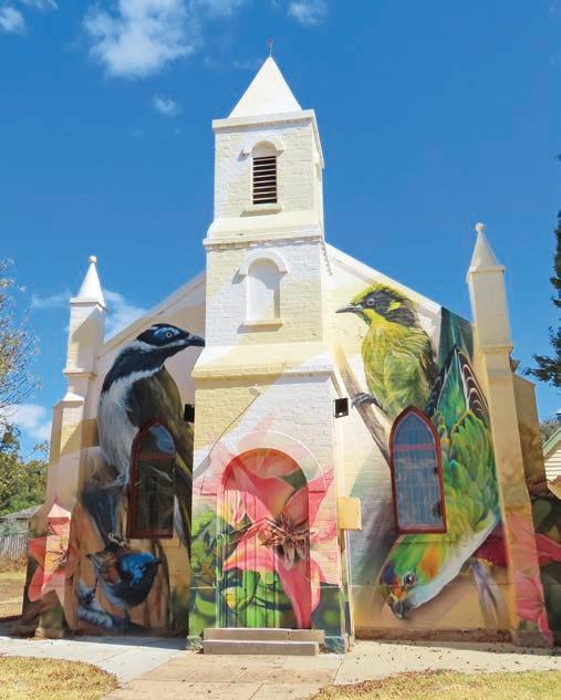
Above Wedderburn Uniting Church Opposite Pink Lake, Dimboola
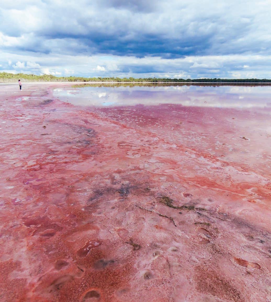
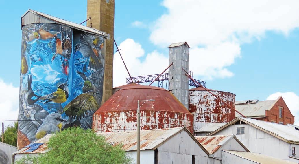
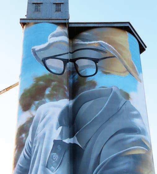
Nearby Murtoa’s silo is a blast of colour, with a flock of native birds by street artist Smug (Sam Bates). Look closely and you’ll see one glowing bird among the 30 coloured ones, representing the 1 in 30 Australians who experience a mental health illness. Surrounded by the rusting remains of the disused railway station and flour mill, the best photo spot is opposite the Water Tower Museum, which houses, among other artefacts in the four-storey-high tower built in 1886 to provide water for the railway’s steam engines, the collection of 700 taxidermied birds that inspired Smug’s painting.
But the real treasure of Murtoa is a different kind of silo.
Originally called the Murtoa No. 1 Grain Store, but now known as The Stick Shed, it is the only emergency grain store built during World War II left standing in Australia. Hand built by local farmers in 1942 (in just four months) to temporarily house wheat that couldn’t be exported due to the war, it is big enough to hold more than 92,500 tonnes of grain and was still in use until 1989. It is 265m long, 60m wide and 19m high, and made of 560 hand-milled poles of mountain ash (sticks), in 56 parallel rows braced by hoop iron to reduce the use of nails (and to allow the shed to move in the wind and withstand the pressure of the grain) beneath a tin roof. Inside, wandering along the dimly-lit corridors of timber, it feels more like a wooden cathedral than a silo, albeit one held together with fencing wire
Horsham’s silo, which was also painted by Smug, tells the story of Yanggendyinanyuk, a Wotjobaluk man renowned for his work as a ‘tracker’ – he was instrumental in finding three young children lost in the bush for nine days in 1864 – and celebrated for his skill as a cricketer. A talented fielder, he was a member of the first Aboriginal Australian cricket team to tour England in 1868. The black cockatoo on the adjacent flour mill is Yanggendyinanyuk’s totem, and they are often seen in the area.
Horsham is the largest town in the Wimmera, with lots of accommodation choices, but the smaller town of Dimboola, a half-hour’s drive north, is also a good place to use as an overnight stop. Immortalised in paint by artist Sidney Nolan, and on stage and screen in the hilarious play by Jack Hibbard about the country wedding from hell (called Dimboola, it’s the second-longest running play in Australia), Dimboola doesn’t have a painted silo, but it does have a coloured lake. Known as the Pink Lake, it’s 6km from town on the road to Nhill. It’s a salt lake that gets its pretty pink hue from algae living in the salt crust and is most colourful after rain; in summer it can dry up, and the colour fades to a dazzling white. There’s a parking spot signposted beside the road and it’s only a short walk to the edge of the lake.
Dimboola is also the gateway to Little Desert National Park, the Traditional Land of the Wotjobaluk People. Victoria’s not often associated with outback desert wilderness, but Little Desert – not actually so little given it stretches from Dimboola all the way to the South Australian border almost 100km away – is an expanse of unforgiving and mostly untouched terrain that also has some of the best wild swimming spots in western Victoria. You’ll need a 4WD to tackle the tracks that roll across the dunes, but the dirt road to the two camping areas on the Wimmera River (see ‘Vanlife’, p.53) is fine for 2WDs in dry weather and the sandy beaches make getting wet easy.
DETOUR
It’s a 38km (each way) detour from Dimboola to Nhill on the Western Hwy/A8, but worth it if you have a sweet tooth and/or a penchant for preserves or pinball. Hidden away beside the Oasis Motel on the eastern approach to town, the Australian Pinball Museum is the only one of its kind in Australia. Showcasing the evolution of the once popular arcade game, from its beginnings during Prohibition in the USA when they were banned as a ‘moral menace’, to the glory days in the 1950s, through to the high-tech games of today, there are more than 70 machines on display at any one time, and apart from a few of the early ones from the 1930s you can play them all. It’s run by volunteers, and the machines are swapped out regularly which means there’s always a new one to play. The other reason to go to Nhill is to stock up on home-made treats at Lowana Cottage Crafts (if you need to ask a local for directions, tell them you’re looking for Aunty Lowana) on the main street. Famous for its sponges, slices, biscuits, pickles and conserves, it’s also volunteer run.
Dimboola to Sea Lake, via Patchewollock, 260km
It’s flat big sky country out here and the silos are the biggest thing in the landscape; you’ll see a silo shimmering in the distance like a mirage long before you get there. Not all are painted – yet – and some, like the one at Arkona on the Dimboola-Rainbow Rd, are really just a siding in the middle of wheatfields. Another work of art by SMUG, the silo features a surreal portrait of an Arkona local playing tennis, without a body. There’s not much at Albacutya, 9km north of Rainbow, either, but the silo here, by Melbourne artist Kitt Bennett, is a playful painting about growing up in the bush, riding bicycles and catching yabbies.
Opposite top Murtoa silo, by Smug Opposite bottom left Murtoa Stick Shed Opposite bottom right The silo in Arkona was also painted by Smug
Almost all of the people featured on the silos are locals, including the farmer in a blue flanny, painted by Fintan Magee on the silo at Patchewollock, which has a pub and a post office and that’s about it, apart from the giant Mallee Fowl made from corrugated-iron by artist Phill Rigg across the road from the pub. Lascelles, 50km to the south-east, also features a local farming couple on the silo, the work of another of Australia’s most well-known street artists, Rone.
In Woomelang it’s the portable field bins that steal the show with a mini silo trail of eight grain containers around town, each decorated with local birds and reptiles. Don’t miss the Woomelang Shearing Shed on the southern edge of town. Built in the 1950s when metal was in short supply after World War II, it’s made from flattened egg tins.
DETOUR
The original Wimmera Silo Trail stretched for 200 or so kilometres from Patchewollock to Rupanyup, and you can pick it up at Hopetoun by heading south on the B200. Silos to see include the Mallee farmers at Rosebery by Kaff-eine, the original painted silo by Guido van Helten that sparked the trail in Brim, and the moving portraits of Wergaia and Wotjobaluk Elders and children framed by the night sky painted by Adnate in Sheep Hills
Veer north-east from Woomelang towards the town of Sea Lake, home to Lake Tyrrell, Victoria’s largest salt lake. It’s not always dry – there was water in it last time we visited, and it occasionally turns pink (usually between Sept and Dec) – but there’s a viewing platform here that will take you out over the lake, and it’s a fantastic place to watch the sunrise or sunset when the colourful reflections on the mirror-like surface can put on a very photogenic show. It’s also a dazzling spot for star gazing. In town, you’ll find murals on many of the old buildings that are being repurposed into galleries and cafes, and the silo sports a colourful image of a young Boorong girl swinging from a Mallee eucalyptus, gazing out over the lake. It, and the murals around town, are by street artists Drapl (Travis Vinson) and The Zookeeper (Joel Fergie).
Sea Lake to Bendigo, 212km
Nullawil, 50km down the Calder Hwy from Sea Lake, is another of those Wimmera towns that feels well on the way to becoming a ghost town, but if you are fond of dogs you’ll love the silo here. Another artwork by SMUG, it features a farmer with his kelpie, but just how the artist managed to smooth the farmer’s checked shirt around the aging silo’s curves without losing perspective is a mindbender.
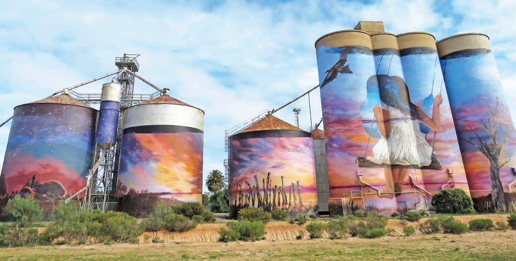
In a road trip that’s all about super-sized things, it’s nice to find something small sometimes. Mount Wycheproof is the smallest registered mountain in the world. From the summit, 43m above the surrounding plains, you can see only a little bit more than you can on Wycheproof’s main street, but it’s still worth driving to the lookout at the top just to boast you have climbed the world’s smallest mountain. Be on the lookout when you get back to town if you want to cross the street because Wycheproof is one of the last towns in the country where freight trains still run down the middle of the main street.
As you head back towards Bendigo, the landscape starts to rise and rumple as you leave the flat wheatfields behind to enter the more heavily-wooded goldfields. Gold diggers had no need for silos, but that hasn’t stopped the silo art craze from colonising many of the walls of Wedderburn with brightly painted murals of native birds, created by Andrew J. Bourke, Jimmy DVate and Bryan Itch. The most spectacular of all is the façade of the Uniting Church which features a fairy wren, lorikeet and two honeyeaters.
Inglewood is a great place to pick up a piece of old Australiana in one of the many antiques and vintage stores, and the Bridgewater Bakehouse is officially home to the best vanilla slice in the country (see p.47).
A few years ago there wasn’t really much reason, beyond a morbid curiosity to see ghost towns in the making, to visit most of the places featured in this itinerary. Now, the silo art trail is the perfect excuse for a road trip.
VANLIFE
The grassy caravan and camping spots overlooking Lake Marma in Murtoa are within walking distance of the town centre. You can also enjoy waterfront views beside the Wimmera River in Dimboola, either in the Riverside Holiday Park in town or at Horseshoe Bend or Ackle Bend in Little Desert National Park, just a few kilometres away: book sites through Parks Victoria (parks.vic.gov.au). Lake Lascelles in Hopetoun is another fabulous waterfront camping spot: there are powered sites here, but if you don’t need power the camping is free, and there are hot showers and a laundry too, along with a colourful animal mural on the Hopetoun Ski Club wall. There are two free camping areas in Woomelang, and Sea Lake Caravan Park in Sea Lake. No camping is allowed at Lake Tyrrell.
Top Hay bales off Dimboola-Rainbow Road Bottom The Australian Pinball Museum Opposite Sea Lake’s silos, painted by street artists Travis Vinson and Joel Fergie (aka Drapl and The Zookeeper)
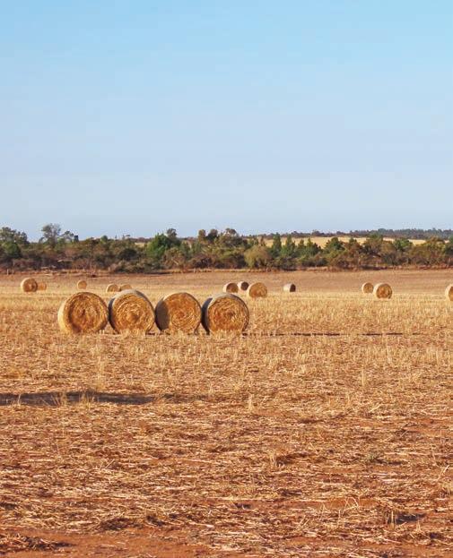
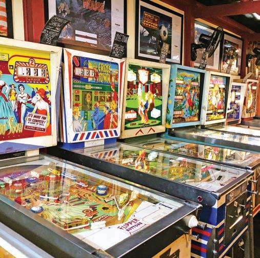
Grand Ridge Road
Grand ridgetop views, lush rainforest and the world’s tallest flowering plants along the spine of the Strzelecki Ranges.
HOW LONG?
Allow a day for driving, including stopping for a bushwalk.
WHEN TO GO
The road is accessible year-round, but some sections could be very slippery after rain.
NEED TO KNOW
Some sections of the Grand Ridge Road, which is very winding and narrow, are not suitable for caravans. You don’t need a 4WD, but it does make the drive a little easier: an SUV would be ideal. The road is also used by forestry vehicles so be mindful that you may encounter a loaded logging truck coming around blind bends. There is also little or no mobile phone reception along most of the route so if you are using a navigation app (like Google Maps or Waze), rather than an embedded sat nav, make sure you have downloaded the route into your device before you set off.
Opposite Most of Grand Ridge Road is signposted as Tourist Route 93
SNAPSHOT
This exceptionally scenic road winds through the Strzelecki Ranges in Central Gippsland, before diving deep into one of Victoria’s largest areas of cool temperate rainforest and towering forests of mountain ash. Take your time, because even though it’s only 132km, it will take the best part of a full day. It’s a fairly demanding drive that needs a bit of concentration – and not a great one if you have passengers prone to travel sickness as it’s very curvy – but it repays the effort with some of the state’s prettiest scenery: think green rolling hills peppered with black and white cows, lush fern-filled gullies and trees so high that it can sometimes be hard to see their tops.
Drive rating
Challenging: narrow, winding roads with some gravel sections.
Acknowledgement of Country
This is the Traditional land of the Gunaikurnai People.
Total distance Seaview to Carrajung: 132km.
Average temperatures
• January: 11–24°C
• July: 2–11°C
More information visitsouthgippsland.com.au
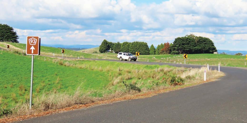
Seaview to Mirboo North, 43km
Starting and finishing more or less in the middle of nowhere, and signposted as Tourist Route 93, the Grand Ridge Road can be quite difficult to find on small-scale maps, including Google Maps. Linking the C425 (Korumburra-Warragul Rd) with the C482 (the Hyland Hwy between Traralgon and Yarram), it’s quite a remote road, with just one town (Mirboo North) and a handful of tiny communities along the route. This is a trip that’s all about the drive, rather than the destination, offering sweeping views and some great forest walks, but if you’re after bright lights and town attractions, this is probably not the road trip for you. If you’re not in a rush, it makes a great alternative to the M1 if you’re travelling between Melbourne/Naarm and the East Gippsland Coast.
The western end of the Grand Ridge Road is an intersection not far from the locality of Seaview, 18km south of Warragul or 23km north of Korumburra. For the most part the route is well signposted, although there are some places deep in the forest where the road is criss-crossed with a network of forestry tracks when you’ll need to confirm your location with your sat nav.
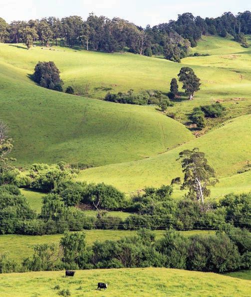
It doesn’t take long before the reasons for the road’s name become clear as it snakes along the ridgeline of the Strzelecki Ranges, and you’re treated to truly grand views on either side of the road. When you’re not up on the ridge, marvelling at the majestic outlooks that the inhabitants of the lonely farmhouses get to wake up to every day, you’re tunnelling through pockets of tree ferns and past trees festooned with streamers of bark.
The first few kilometres are gravel but most of the road to Mirboo North is sealed, although at the time of writing some sections were under repair after landslips caused by storms in the summer of 2024 that impacted the road surface.
With scenery this good – and because it’s a very curvy stretch of road with some rough sections of bitumen – you’ll want to take it slow. We averaged around 40km/hr, and when you add in some extra time for photo stops, it takes around 1.5hr to get to Mirboo North.
Mirboo North is the only township of any size on the route, so it makes a good place to stock up on picnic supplies or satisfy any caffeine cravings. Encircled by a forest of mountain ash –growing up to 100m high, these white-flowering eucalypts are the tallest flowering plant on the planet and were prized by timber getters in the late 19th century – the township was moved several times while a viable railway line was being constructed. Today the now defunct railway is a popular rail trail – the Grand Ridge Rail Trail – that runs from the township north to Boolarra, along an old branch line to Morwell. It’s a great place to stretch the legs, either on the rail trail or in nearby Mirboo North Regional Park (see Kids’ spot, below), which is only a few minutes’ drive from town on the Strzelecki Hwy.
KIDS’ SPOT
With so many bends, this is not a great road trip for kids if they are prone to being car sick. But if your kids are good road trippers, they’ll enjoy being able to burn off some energy in the playground and skate park at Baromi Park in Mirboo North. The 13km-long Grand Ridge Rail Trail cuts through the middle of the park and is perfect for family-friendly cycling and walking with prams or strollers. The Lyrebird Forest Walk in nearby Mirboo North Regional Park is also suitable for small legs and weaves though beautiful banksia and fern forests with lots of birdlife, and a fascinating variety of weird and colourful fungi (look-but-don’teat though, because most are very poisonous!).
Left Enjoy bucolic pastoral views on Grand Ridge Road Opposite Stately forests are a highlight of the route
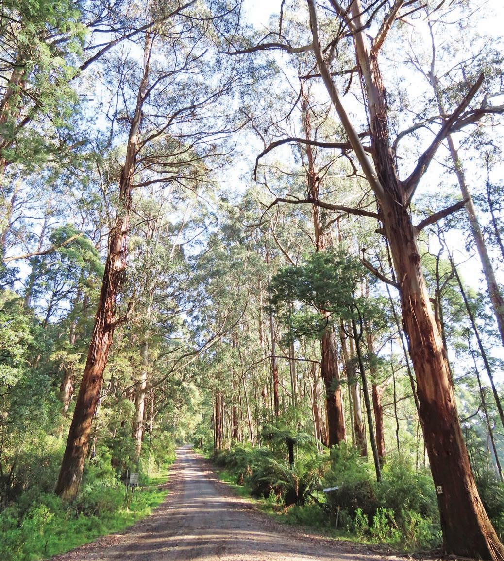
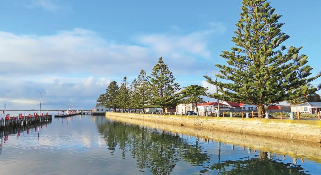
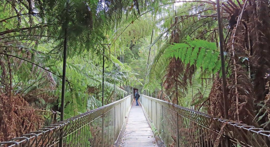
Mirboo North to Carrajung, 89km
Allow 3hr or even 4hr driving for this next stretch, which is mostly unsealed. Deep in the forest the road gets little sunshine, so even when it hasn’t rained recently it may be damp, and loose gravel spread on the surface to help with the mud can spell disaster if you suddenly need to swerve to avoid wildlife. You’ll see lots of chubby dark wallabies, probably a wombat or two, and possibly an echidna or koala. Yellow-tailed black cockatoos, crimson rosella and other colourful parrots flit between the trees. If you’re really lucky, you may even catch a glimpse of the elusive lyrebird, although chances are you’ll hear one and not even notice, because they are superb mimics and copy just about any sound you can think of – from chainsaws to car alarms and crying babies, as well as other birds.
The southern arc of the road winds through extensive pine plantations, although mostly you’ll only catch glimpses of the pine forests hidden from view behind native vegetation. The area is actively logged, so be on the lookout for logging trucks, and keep an eye on your map or sat nav, because some of the intersections can be a little confusing. It’s a beautiful drive, through cool and misty rainforest full of giant tree ferns, myrtle beech and sassafras, as well as the ubiquitous mountain ash. There are not many drives like this where you can really immerse yourself in the landscape: think of it as forest bathing on four wheels.
DETOUR
Take a short side trip down Tarra Valley Rd to see Cyathea and Tarra falls. Both cascades, which are framed by lush ferns and dripping with mosses, are easy to get to from the roadside carparks. Cyathea Falls has a lovely short rainforest walk and picnic tables, as does the Tarra Valley Picnic Area, which is roughly halfway between the two falls. Even in the middle of summer, these falls are delightfully cool. If you want to see the falls in full sun, plan your visit for the afternoon.
Tarra-Bulga National Park, about 5km east of Balook (despite being a solid dot on the map Balook is little more than an intersection) is a highlight of the trip. On Brataualung Country, and an integral part of the Gunaikurnai creation story of Borun, the pelican, who travelled across the landscape with a canoe from the mountains to Tarra Warackel (now known as Port Albert) on the coast, the park is very important to the Gunaikurnai Traditional Owners and jointly managed by them.
Opposite top Port Albert, Gippsland’s oldest port Opposite bottom Corrigan Suspension Bridge, Tarra-Bulga National Park
The national park is named after Charlie Tarra, a Gundungurra Burra Burra man, who guided Prussian explorer Count Strzelecki through the ranges in 1840. The forest, full of ‘fern gullies unequalled in any part of Victoria’ (as described by the local Alberton Shire Council in 1903 when lobbying the State Government for the formation of the reserve) and colossal mountain ash, was made into a reserve in 1909, making it one of the state’s first national parks. The historic Tarra Bulga Guesthouse opposite the entrance to the park has been hosting guests since 1934, when intrepid tourists made the journey to visit the famous fern forests, and, four years later, to walk across the Corrigan Suspension Bridge for a bird’s-eye view of the ferns. The original bridge was built in 1938 (it was rebuilt in 1982), and the views are fantastic. There are several other good short walking tracks in the park, ranging from easy 15min strolls and the 45min wheelchair-accessible Lyrebird Ridge Track to more challenging 90min hikes. There’s also an expansive grassy picnic area.
Once you pass the intersection of C483 (Traralgon-Balook Rd), just beyond the entrance to the national park, the road is sealed apart from a few short sections of gravel here and there.
The Grand Ridge Road officially ends when it meets the Hyland Hwy a few kilometres north-east of the tiny village of Carrajung. If you’re doing this trip on a weekend, or a Friday, Carrajung Estate offers wine tastings and upmarket dining overlooking the vineyard, as well as luxe cottage accommodation (book well ahead: carrajung.com.au).
From there, you have plenty of options. Head north towards Traralgon to hook up with Hwy 1 to Sale and beyond.
Or, if you want to stay on backroads and like the idea of staying in half-forgotten places, follow the path of Borun to Port Albert. Port Albert is Gippsland’s oldest port, and while there’s not much going on – apart from fishing off the jetties, walking along the shoreline, birdwatching and kayaking – the historic waterfront buildings are charming. It’s so quiet we saw only one other car on the road during our overnight stay, although admittedly that was in winter: it may be a trifle busier during summer holidays. It’s the perfect way to finish off one of Victoria’s ultimate backroad trips.
VANLIFE
No camping is allowed in either Mount Worth State Park or Tarra Bulga National Park, but you can set up camp at Tarra Valley Retreat (tarravalleyretreat.com.au) on the edge of the national park. You can also camp at the privately-run Milleara Gardens (book through Hipcamp) in Mirboo North.
Otways Explore the secret side of the Great Ocean Road on this backroad detour through the cool green wonderland of the Otway Ranges.
HOW LONG?
This drive is an enjoyable daytrip from a town along the Great Ocean Road, such as Apollo Bay or Lorne.
WHEN TO GO
A great drive to do year-round; winter can be cold and wet, but there’s also a lot less traffic on the road, particularly if you go mid-week. Summertime brings beautiful weather but can mean crowded carparks at waterfalls and some congested roads, especially if you’re darting in and out of the holiday towns along the Great Ocean Road.
LOCAL SECRET
Just a 10min drive south-east of the town of Forrest, Lake Elizabeth – which appeared rather suddenly in June 1952 when a natural landslide blocked the Barwon River – is one of the best places in Victoria to see platypuses in the wild. Your best chance is at dusk or early in the morning. Even if you miss the platypuses, the lake still offers a scenic walk.
SNAPSHOT
Victoria’s Great Ocean Road needs no introduction –it’s one of the world’s great coastal drives and one of the country’s most popular road trips, attracting more than 5.5 million travellers each year. They come for the sea-forever views and the photogenic rock formations, but many have no idea that the hinterland hides some of the state’s most beautiful fern-filled rainforests, lacy waterfalls and cloud-reflecting lakes, deep inside Great Otway National Park. Ranging from tall eucalypt and towering mountain ash – the world’s tallest flowering plant – to giant ferns, lush rainforest glades and gullies full of 300-year-old beech trees.
Drive rating
Moderate. Sealed roads, but narrow and winding.
Acknowledgement of Country
This is the Traditional land of the Gulidjan and Gadubanud Peoples.
Total distance
Lavers Hill to Birregurra, 79km
Average temperatures
• January: 16–33°C
• July: 5–19°C
More information visitgreatoceanroad.org.au
Lavers Hill to Forrest, 54km
The coastal route might get all the glory, but this little daytrip through the rainforest is an absolute corker of a drive, and one that gets overlooked by all the tourists on bus tours. If you’re making a loop from Melbourne/Naarm or Geelong on your Great Ocean Road trip, this is a fantastic way to get back.
Take the C155 from Lavers Hill on the Great Ocean Road (around a 40min drive east of the Twelve Apostles or a 50min drive north-west from Apollo Bay) and wind your way northeast through the forests and onto the C159 from Ferguson to the hamlet of Beech Forest, and then take the C119 north to the township of Forrest.
It’s less than 60km and sealed all the way but will take you twice as long as you expect because it’s very narrow – take it slow and be prepared to move over if you meet an oncoming vehicle – but it’s worth the concentration, because it is incredibly scenic. Most of it is deep within the rainforest.
One of the most popular attractions en route is the Otway Fly, a 1hr rainforest walk that includes an elevated boardwalk through the rainforest canopy, 25m above the ground. If you have a head for heights, climb the 47m-high lookout tower for stunning views. Thrill-seekers can join a 2.5hr zip-line tour that flies through the treetops. It’s well signposted, 12km from Lavers Hill. But there are also plenty of free attractions, including several waterfalls: favourites include Hopetoun Falls – there’s a platform that looks out over the 30m-high falls, and a good walking track that leads to a fern-fringed pool at their base – and Beauchamp Falls, although the walk to the viewing platform is a bit steeper than the one to Hopetoun Falls and can be very slippery.
Below Beer garden at Forrest Brewing Company Opposite top Canoeing on Lake Elizabeth Opposite bottom The Redwoods, Great Otway National Park
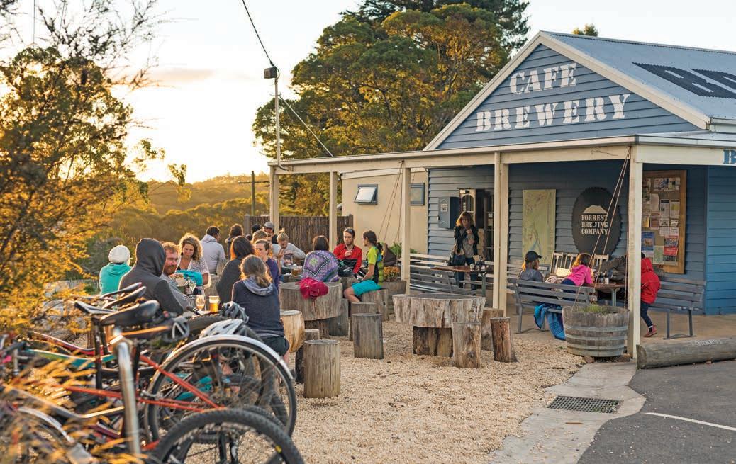
Another don’t-miss place that used to be under the radar but is now popular as a photo hotspot, is the stunning Redwood Forest beside the Aire River in Aire Valley Reserve. This forest of massive Californian Redwoods was planted in 1936 but has never been logged, and some of the trees are now more than 60m tall.
The former logging town of Forrest – named for a state MP, not the trees – has a network of forest and waterfall walking trails and is a magnet for mountain bikers with 15 purposebuilt trails – join them up and you’ve got a rather epic 65km track – that wind through the tall forest and mist-filled fern gullies. Bike hire is available from Forrest Bike Hire (forrestbikehire.com.au). Forrest can be a good lunch or coffee spot, with the choice of Forrest Brewing Company and the Forrest General Store. There’s also a fabulous walking track along the edge of Lake Elizabeth (see p.61), just a few minutes’ drive from Forrest.
Forrest to Birregurra, 25km
From just past Forrest you can either head south-east to the holiday town of Lorne via Deans Marsh Road (C151), which twists through thick forest, and hook up with the Great Ocean Road (allow around 45min), or continue a further 20min north to Birregurra, a tiny town that punches way above its weight when it comes to food. The village’s main street is lined with cafes and bakeries, and the surrounding countryside is littered with farm gate stalls, but it’s most famous as being home to one of Australia’s best restaurants, Brae, where you’ll need to set aside three or four hours to enjoy the degustation menu of 14 or 15 small courses. There are also six suites onsite if you want to stay overnight. It’s a bucket-list experience worth every cent but you’ll need to book several weeks in advance (braerestaurant.com). More proof that some of the Great Ocean Road’s best experiences have nothing to do with the sea.
VANLIFE
There are lots of commercial caravan parks on the Great Ocean Road, but the unpowered campground at Lake Elizabeth near Forrest is the perfect place to stay overnight if you plan to do a little platypus watching early in the morning or late in the afternoon; it’s run by Parks Victoria, but dogs are allowed on leads and you don’t need to book, although it’s first in gets the best site and suitable for tents only. If you have a van – or prefer to glamp – book a site at Forrest Holiday Park (forrestholidaypark.com.au), which has also recently introduced pet-friendly cabins. You can also bush camp at Beauchamp Falls, which is suitable for smaller vans and trailers.
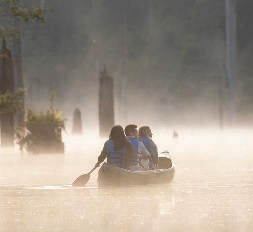
Great River Road
HOW LONG?
Daytrip or weekender.
WHEN TO GO
Roads can be subject to frost and ice in winter, so this is a road trip best done in the milder months.
LOCAL SECRET
The Courthouse Hotel – aka the Top Pub – in Corryong’s main street does a killer steak, from locally grown beef. They’re so good that when thieves broke in and robbed the pub in 2019, they made away with a haul of porterhouses, rather than the standard loot of cigarettes and booze.
SNAPSHOT
The Great River Road, which traces a loop along the Victorian/NSW border from Albury-Wodonga to Corryong through the foothills of the Victorian High Country and back along the Murray River, is one of those trips that you do for the sheer joy of driving (or riding) through beautiful scenery. Like an inland version of the much more famous Great Ocean Road on Victoria’s southern coastline, it’s a road trip that’s more about the landscape than towns or attractions. It’s doable in half a day if you don’t stop, but if you take your time you’ll find plenty of pretty little spots to enjoy a picnic or walk, or simply park the van for a day for two to enjoy the view.
Drive rating
Easy: sealed roads.
Acknowledgement of Country
This is the Traditional land of the Jaitmathang, Dhudhuroa and Ngarigo Peoples.
Total distance
Loop from Albury-Wodonga, 285km
Average temperatures
• January: 13–31°C
• July: 2–11°C
More information visituppermurray.com.au/the-great-river-road
Above Celebrate the legend of The Man From Snowy River in Corryong Opposite Morning mist, Corryong
WALES


Albury to Corryong, 128km
You can drive this trip in either direction, but in the spirit of saving the best views till last, head south from Albury – a pretty regional city on the NSW side of the Murray River with lovely Botanic Gardens and a great art gallery called MAMA (Murray Art Museum Albury) that has a strong focus on photography. Take the lower leg of this loop – the Murray Valley Hwy – and head towards Tallangatta, skirting the shoreline of Lake Hume for the first 45min or so.
Stop at Bonegilla along the way. Built as an army camp during World War II, the complex of unlined corrugated-iron huts became a staging place for refugees after the war and then, from 1947 until 1971, some 300,000 assisted migrants from Europe. Intended only as a temporary place to stay, conditions were rudimentary. It’s now a museum known as the Bonegilla Migrant Experience, and an audio tour plays residents’ stories as you wander around the austere buildings. It’s a fascinating look at Australia’s immigration policies from the inside out.
Six times the size of Sydney Harbour, work began on building the dam that ultimately formed Lake Hume just after World War I. When it was finished in 1936 it was the biggest dam in
the Southern Hemisphere and one of the largest in the world, although it’s now overshadowed by the engineering feats of the Snowy Mountains Scheme a few hours’ drive up the road. As part of the construction, the township of Tallangatta was moved in the 1950s to higher ground and, depending on water levels in the dam, you can still see some of the original town’s foundations from the Old Tallangatta Lookout 8km east of the current township.
The road snakes towards the Snowy Mountains, through forests, past crumbling old wooden trestle railway bridges (now part of the 80km High Country Rail Trail) and across valleys where cattle graze the knee-high grasses. This is cowboy country, or rather The Man from Snowy River country.
The man – Jack Riley – that many believe inspired Banjo Paterson’s famous poem is buried in Corryong, and the Man from Snowy River Museum in Corryong tells the story of the legendary bushman that has since been immortalised in verse and film. The museum also features displays, tools and other items of cultural significance to the Traditional Owners: the Jaitmathang, Dhudoroa, Ngarigo and the Wolgal Peoples, as well as early European settlers, including a fascinating collection of historic skis. Each year, in April, thousands of riders, horse lovers, bush poets and whip crackers gather in
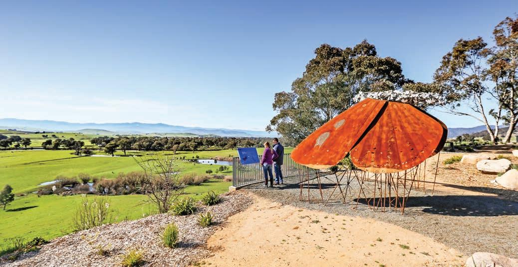
Corryong to compete in a series of bushcraft competitions in The Man From Snowy River Festival. Tip: if you want to blend in make sure you’re wearing jeans and a big hat.
Corryong to Albury, via Jingellic, 157km
From Corryong, head north to Tintaldra on Murray River Rd which, like many of the historic border crossing towns on this trip, is little more than a general store and a pub. For the next 100km or so the Murray is seldom out of sight and there are several lookouts along the way, many of which feature large sculptures as well as great views, including a giant murray cod and a bogong moth in Tintaldra, and a wedge-tailed eagle stealing a hat at Mount Alfred Gap. The 18km-long road over the mountains between Granya and Bullioh, known as Granya Gap, is a favourite with motorcyclists and cyclists. From Granya, the water views get wider as the Murray spreads out into Lake Hume. Stop one last time at the lookout near Bellbridge for a view of Bethanga Bridge, before driving over the historic nine-span steel-truss bridge over Lake Hume that crosses the state border. Trivia buffs take note: the Bethanga Bridge is the only built structure shared by both NSW and Victoria, as all other structures in the river, which forms the border, are considered to be in NSW.
It doesn’t matter which state you’re in, or if you do this trip on two wheels or four, it’s one of the country’s ultimate backroads.
VANLIFE
All along the route you’ll find waterfront bush camping reserves with knockout views, particularly along the stretch of road between Tintaldra and Bellbridge. A favourite spot is the pretty reserve on the Murray River behind Jingellic Pub at Jingellic Reserve (on the NSW side of the river), where camping is free, and you can have a hot shower at the pub for $4. Another lovely spot for those that want facilities such as powered sites, camp kitchens, showers and laundry etc, is the pet-friendly Colac Colac Caravan Park (locals call it Clack Clack), 6km west of Corryong, which has lots of shade and overlooks Nariel Creek, a popular spot for trout fishing and swimming. You can also park the van or trailer beside Lake Hume as there are commercial caravan parks, both operated by Discovery Parks (discoveryholidayparks.com.au), in Ebden on the Victorian side and Lake Hume Village in NSW. They’re not the cheapest sites around, but both parks feature waterfront van spots, all the usual facilities and good playgrounds for kids.
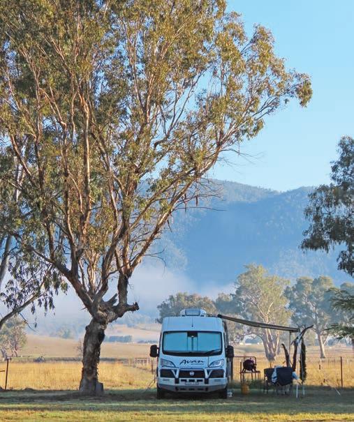
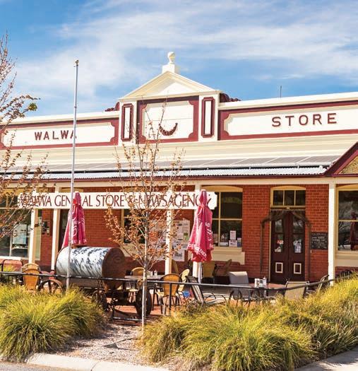
Top Corryong Bottom Walwa General Store Opposite Bogong moth, Jim Newman’s Lookout, Tintaldra
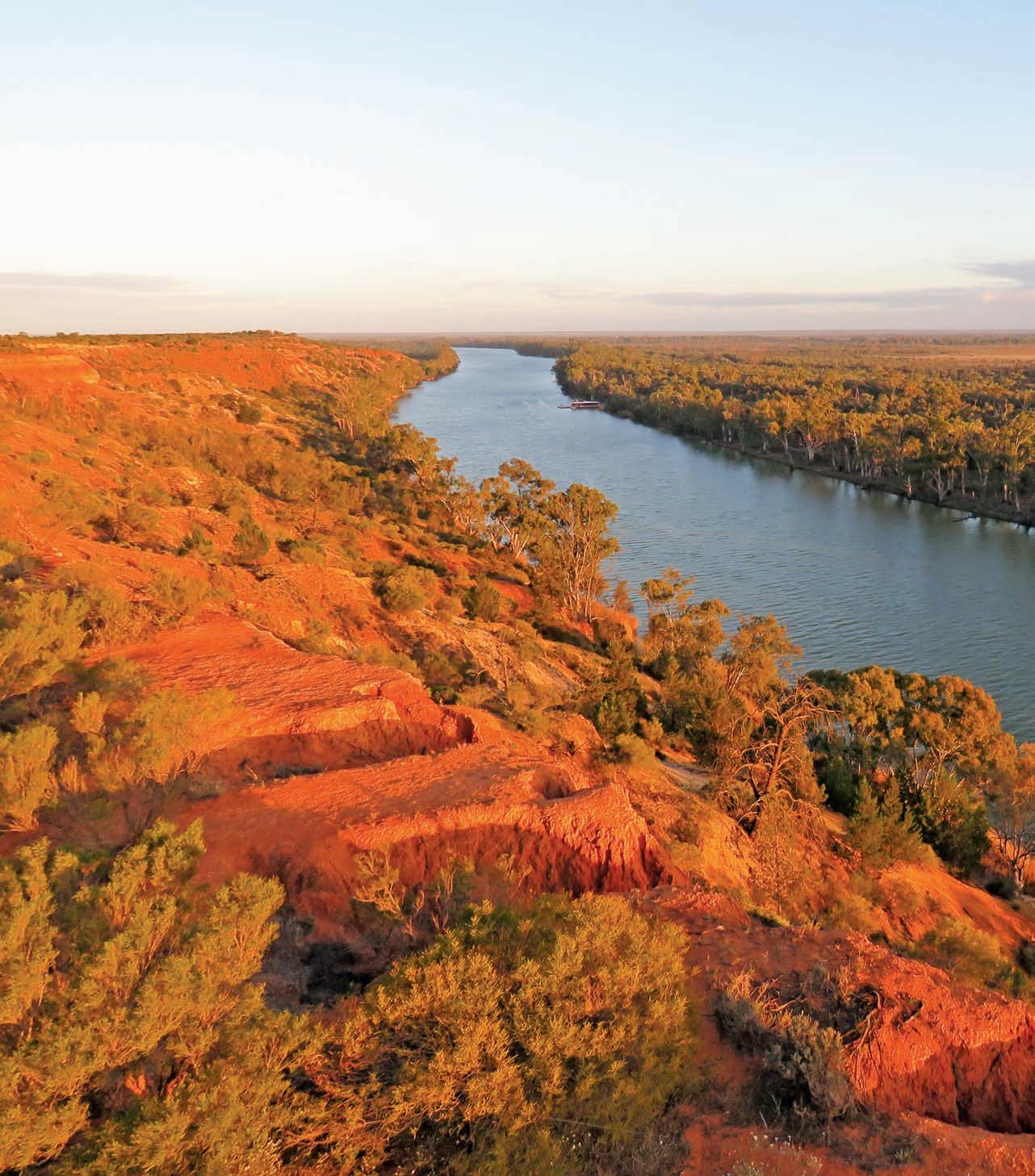
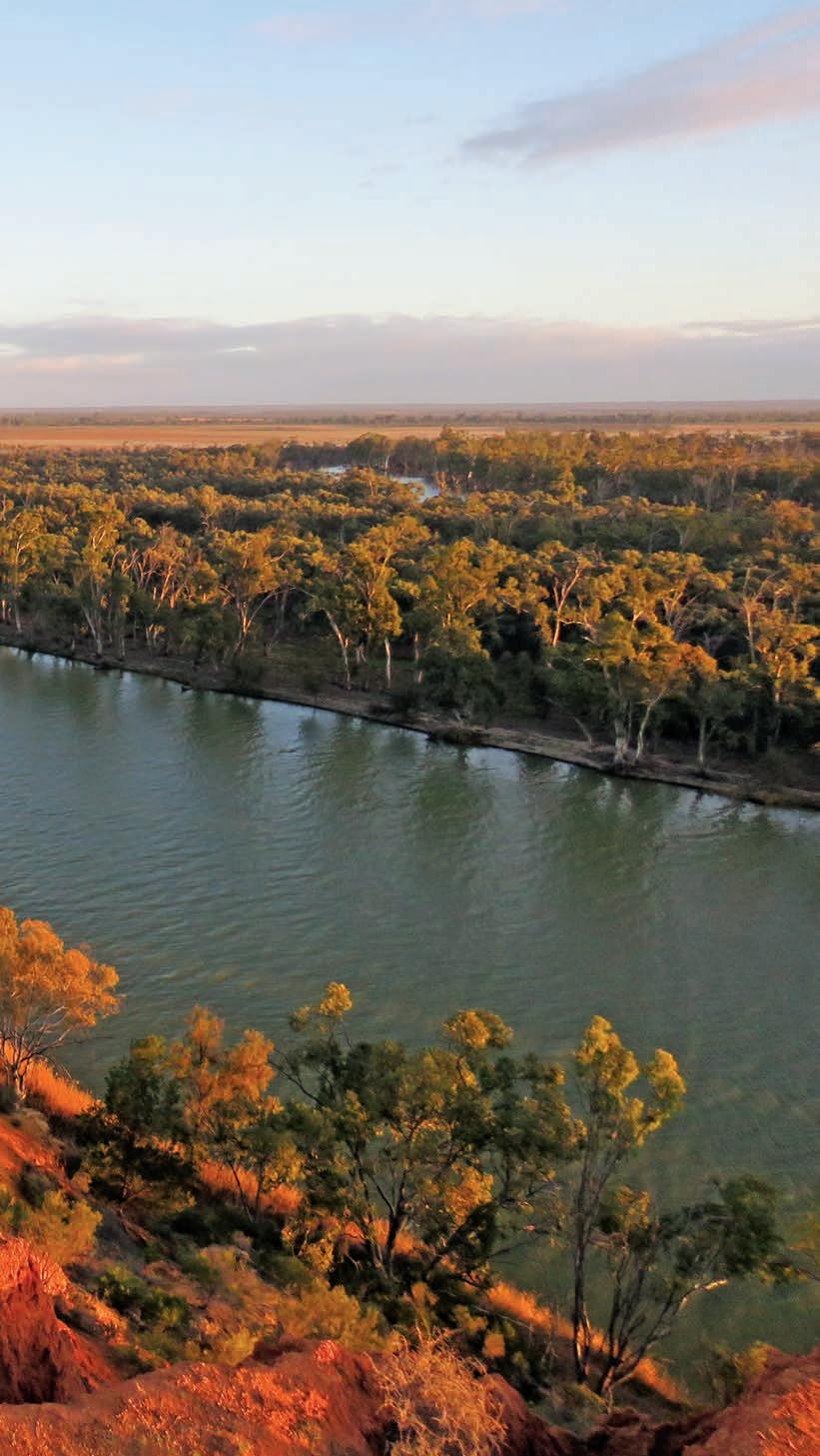
Limestone Coast
A backroad trip between Adelaide and Melbourne with scenic coastline, charming towns, caves, sinkholes, wineries and great seafood.
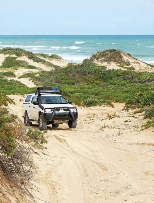
HOW LONG?
Allow two to three days.
WHEN TO GO
This is a good summertime road trip because access to the more remote sections of the Coorong can be difficult in winter, which also tends to have more wet days than during summer. Lobster season is from October through to May and the Blue Lake at Mount Gambier is at its bluest during summer.
LOCAL SECRET
If you fancy a lunch of fresh lobster (or fish and chips), head to Lacepede Seafood in Kingston SE. You’ll find it beside the jetty in the park on Marine Pde, and it’s open daily (Oct–May). Eat in the shady waterfront park opposite – although you’ll have to fend off the hungry seagulls.
SNAPSHOT
The rugged eastern coastline of South Australia, known as the Limestone Coast, is a popular holiday destination with a string of pretty seaside towns renowned for their fishing and rock lobster. It’s a place of mysteries and wonder, with some of Australia’s youngest volcanoes, magical sinkhole gardens, fossil-filled caves, and mystifying lakes that change colour virtually overnight. It’s also home to Australia’s first saint and the country’s most-celebrated red wine. Spend your days walking clifftop trails, taking scenic seaside drives or tackling sandy 4WD tracks through dunes and along beaches.
Drive rating
Easy: mostly sealed roads with a couple of optional challenging 4WD sections.
Acknowledgement of Country
This is the Traditional land of the Peramangk, Bunganditj/Boandik, Bindjali and Ngarrindjeri Peoples.
Total distance
Adelaide/Tarndanya to Mount Gambier, 552km.
Average temperatures
• January: 14–23°C
• July: 9–14°C
More information visitlimestonecoast.com.au
Above Nora Creina Track, between Beachport and Robe Previous Headings Cliff overlooking the Murray River
Adelaide/Tarndanya to Robe, via Goolwa, 423km
There are lots of ways you can drive between Adelaide/ Tarndanya and Melbourne/Naarm. If you’re in a rush, you can get from one city to the other in around 8hr, via the A8 Western Hwy. But if you have plenty of time, this coastal route – which I admit is rather the long way round and includes a few detours – is a lot more fun.
Start your drive at McLaren Vale, a quick 45min drive from Adelaide via the Southern Expressway and Main South Rd. You can easily spend a couple of days here tasting the wines at more than 60 cellar doors. It’s a pretty area, a patchwork of vineyards in a snug valley wedged between the tail end of the Mount Lofty ranges and the coast.
McLaren Vale is one of the few wine regions in South Australia that is close to the sea, and the cool ocean breezes and sandy soils produce great shiraz, cabernet sauvignon and chardonnay. It’s also one of the oldest wine-growing regions in Australia –the first vines were planted in 1841 – and many of the wineries feature beautiful stone and timber cellar-door tasting areas.
For a wine tasting with a view, head to the tasting rooms at the top of the d’Arenberg Cube, a five-storey complex that looks like a giant Rubik’s Cube floating above the grapevines and is a bit like Disneyland for wine lovers. Entry includes a self-guided tour of the Alternate Realities Museum which includes a wine aroma room and a virtual fermenter, as well as an art gallery and wine making displays. Wine tasting masterclasses and blending sessions are also available and there is a very good restaurant as well. Book ahead (darenberg.com.au).
It’s not just the fabulous wines that make this area so popular with foodies – it’s the almonds and olives planted by immigrant farmers from Greece and Italy in the late 1800s, and newer farming ventures that focus on venison, handmade cheeses, berries, beef, lamb, organic vegetables, trout and marron. All of these, plus freshly baked breads and tempting pies and pastries, homemade jams and preserves and delicious cakes, are piled high upon tables and trestles at the weekly Saturday morning farmers markets in Willunga. On the second Saturday of the month the stalls spill over into the Quarry Markets across the road, where you can browse bric-a-brac, second-hand books and handmade jewellery and clothes.
From Willunga, cut across the centre of the Fleurieu Peninsula, through the Mount Compass and Currency Creek wine regions, to Goolwa, a drive that will take around half an hour unless you get distracted at a cellar door or two along the way.
Oozing history at almost every turn, Goolwa has many beautiful sandstone buildings, some of them now housing art galleries and restaurants. Situated near the mouth of the Murray River, Goolwa was once a thriving river port. Take a walk along the river’s edge, past historic boatsheds and slipways, where paddlesteamers unloaded their cargo on to the country’s first railway, which ferried the goods to the seaports of Port Elliot and Victor Harbor. Now known as the The Cockle Train it’s been a popular tourist route since 1887, earning its rather quaint name from the large cockles found on the sandy surf beaches of Goolwa. The train usually runs on weekends and Wednesdays, and daily during school holidays or on long weekends; book online (steamrangerheritagerailway.org). If you miss the train an enjoyable alternative is the 30km Encounter Bikeway, a dedicated sealed bike path between Goolwa Wharf and Victor Harbor along the edge of Encounter Bay (between May and Oct you may even be lucky enough to spot whales as you ride). Only a 10min drive west of Goolwa is the charming town of Port Elliot and a great spot to stop and get a coffee and cake from the famous Port Elliot Bakery.
DETOUR
Victor Harbor (the reasons why it’s spelt in the American way without the ‘u’ seem to have been lost in time), also on Encounter Bay, is a whale watching hot spot in July and August and you can learn about them at the South Australian Whale Centre. In 1802, Matthew Flinders, sailing around Australia, met the French explorer Nicholas Baudin, who was also circumnavigating the continent. Although England and France were at war at the time, their meeting was friendly and Flinders commemorated it by naming the bay Encounter Bay: you can find out more, along with lots of local history, at the National Trust Museum in the old Customs House near the causeway. You can also ride the country’s only horse-drawn tram out to Granite Island.
If you want to explore this coast in greater depth, there is a long-distance walking track that follows the shoreline from Cape Jervis on the southern tip of the Fleurieu Peninsula to Goolwa. It’s part of the 1200km-long Heysen Trail, which continues north to the Flinders Ranges. You don’t have to walk it all though as there are plenty of places where you can access the trail – such as Parsons Beach or Waitpinga Beach in Newland Head Conservation Park, or at the Bluff on the outskirts of Victor Harbor – and simply wander along the cliffs for as long and far as you please.
Opposite top Driving the Nora Creina Track Opposite bottom left Goolwa is full of historic charm Opposite bottom right Cape Jaffa Lighthouse, Kingston SE
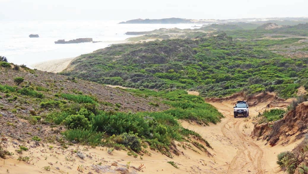
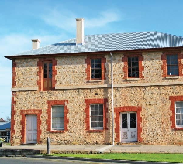
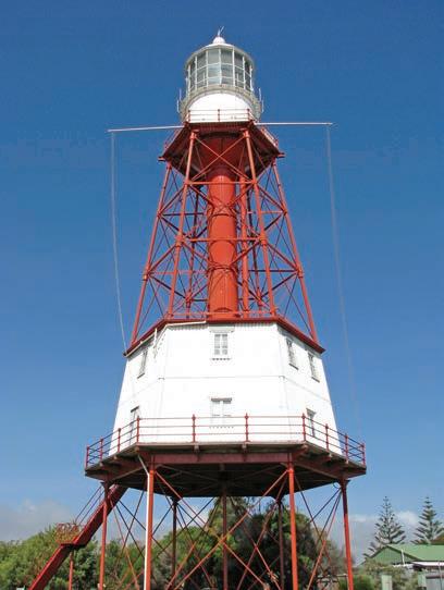
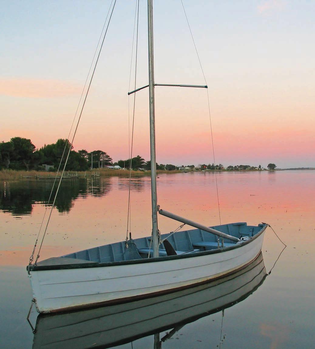
Australia’s longest river, the Murray, seeps rather than spills into the sea at the Murray Mouth around 13km east of Goolwa. To get there cross the bridge to Hindmarsh Island, where you’ll find a lookout platform and you can usually walk along the beach unless the area has been recently dredged, which occasionally happens during times of low water flows to prevent its closure. The Murray might be Australia’s mightiest river, flowing more than 2500km from the mountains to the sea, but its end point is not as dramatic as you might expect.
Backtrack to Currency Creek and head to Milang and follow the shoreline of Lake Alexandrina – the original name of Queen Victoria before she took the throne – east to Wellington. Formed by the Murray River it’s the largest freshwater lake in South Australia, wide and shallow, ringed with reeds and bursting with birdlife. Ignore the signs pointing to Meningie via the Princes Hwy and continue driving around Lake Albert via one of the free car ferries (no need to book, they operate on demand) that cross the Murray River at Narrung (birthplace of David Unaipon, the Ngarrindjeri man featured on the Australian $50 note, with the Raukkan church in the background). From Narrung, drive to Meningie to meet up with the Princes Hwy – it’s about 45min longer than sticking to the B1 from Wellington, but this is after all a road trip celebrating the delights of the long way rather than the direct route.
The next 150km or so of this road trip skirts the edge of the Coorong, a long lagoon and windswept beach known as Kurangk (‘long narrow neck’) by the Ngarrindjeri People. Today much of it is protected by Coorong National Park and the wealth of cultural sites – shell middens and evidence of campsites used over thousands of years – record the significance of the coastal wetlands. The waterways attract an enormous variety of birds, and the area was made famous by the 1976 movie made from Colin Thiele’s children’s novel, Storm Boy, about a young boy who befriends a pelican called Mr Percival. One of the largest breeding colonies of the Australian pelican is at Jack Point. It’s also a great spot for kayaking, boating and fishing, and the Spirit of the Coorong has a range of full- and half-day sightseeing and adventure tours. Book ahead (spiritofthecoorong.com.au).
DETOUR
If you have a 4WD you can ditch the bitumen and drive along the narrow ribbon of sand called the Younghusband Peninsula for 150km, from the mouth of the Murray River to Granites near Kingston SE. Separated from the mainland by a chain of saltwater lagoons, the peninsula has huge flocks of waterbirds, gorgeous beaches and tall dunes, but you need to be wary of wind and tide conditions and the route should not be attempted in winter.
Once you leave the Coorong, the landscapes change as you enter the Limestone Coast, called this due to the limestone beneath the soil and famous for the many curious sinkholes because of it. The area is also famous for its southern rock lobster, and the Big Lobster, a 17m-high spiny red crustacean, is a roadside attraction that’s hard to miss at Kingston SE. Legend has it that the original lobster was only meant to be 17ft tall, but the builder misread the plans and used metres instead. There are plenty of places in town you can buy real lobster, as well as fish and chips. The lobster season is from October through to May.
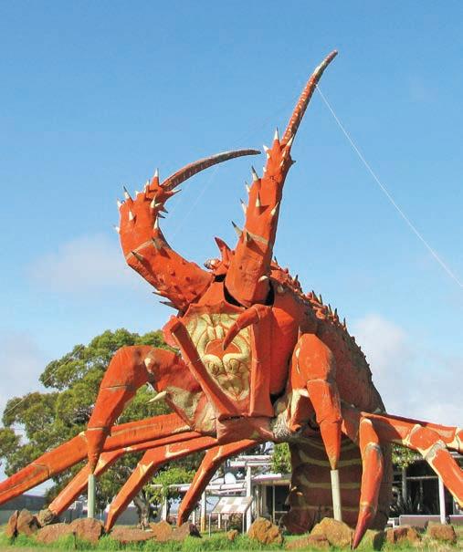
Right Larry the Lobster, Kingston SE Opposite Birks Harbour, Goolwa
Home to around 1500 or so people, Robe – around a 30min drive from the big lobster – is the Limestone Coast’s most popular coastal holiday town. It is quite small and can still feel somewhat sleepy, but its beaches, walking trails, shops and cafes attract plenty of holidaymakers in the warmer months. In the 1850s it was South Australia’s second-busiest international port and there are more than 80 historic buildings and sites around town; you can pick up a heritage walking trail map at the visitor centre near the beach. Robe’s popularity in the mid 19th century was partly the result of a £10 landing tax imposed on all gold seekers arriving in Victoria during the gold rush. For many, particularly the Chinese gold seekers, that was more than the cost of their voyage to Australia, so they chose to arrive in Robe instead and head overland to the diggings on foot. There’s a monument near the Customs House museum to the 16,000 Chinese who walked the 320km to Ballarat and Bendigo.
Robe to Mount Gambier, 129km
The next port of call is the charming town of Beachport, where you’ll find one of the longest jetties in South Australia and some great fresh lobster shops. Despite having some lovely coastal views and waterfront caravan parks, the town seems to fly under the tourist radar compared to the more popular town of Robe 50km to the north. The Bowman Scenic Drive is a short but scenic coastal drive that sweeps around the beaches and dunes south of the town centre, taking in several lookouts along the way. It skirts the edge of the Pool of Siloam, a salt lake seven times saltier than the sea reputed to cure all manner of aches and pains, particularly those of an arthritic or rheumatic kind. The high salt content makes the water very buoyant, and on a hot day it’s a great place for a soak and a float.
DETOUR
A favourite with four-wheel-drivers, the Beach Run between Robe and Beachport via Nora Creina is a challenging drive – think soft sand, sharp rocks and some wickedly steep dunes – but it is an exciting alternative to the blacktop if you’re up for a bit of adventure. It’s less than 60km but will take you half a day. Check the tides carefully before you go, air down your tyres to around 15-20 psi and be prepared to get stuck at least once or twice, so ensure you have recovery kit and ideally travel with another vehicle for towing. It’s also easy to lose the track, so ask at the visitor’s centre in Robe or Beachport for the 4WD trip notes.
There’s no shortage of fantastic seaside walking trails on the Limestone Coast, but one not to miss is the Seaview Walk in Canunda National Park south of Southend. It starts near the carpark at Cape Buffon near Southend and takes around 3hr return. It’s cliff-top almost the entire way, and the name just about sums it up – one jaw-dropping sea view after another.
From Southend the road veers inland as you head towards Mount Gambier via Millicent, around a 1hr drive. Keep an eye out for the prowling tiger on the roof of the Tantanoola Tiger Hotel. In the 1880s, after the discovery of a number of mauled sheep, locals became convinced that a Bengal tiger had escaped from a travelling circus. In 1895, several hundred sheep and a lot of hysteria later, a beast was shot by bushman
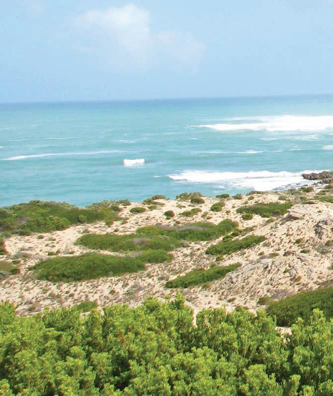
Bowman Scenic Drive, Beachport
Tom Donovan. It turned out that it was not a tiger, but an Assyrian wolf, thought to have stowed away on a boat that was shipwrecked off the coast – and that the real culprit responsible for most of the missing sheep was a local thief called Charlie Edmondson. The wolf-tiger was stuffed and is still on display inside the hotel.
DETOUR
Known as Australia’s answer to Bordeaux, the Coonawarra is celebrated for its red wines, particularly cabernet sauvignon, thanks to a legendary 12km-long, 2km-wide cigar-shaped strip of rich terra-rossa soil. According to the experts, this soil, which sits atop a white limestone base that was once the ocean floor, is one of the most-productive terroirs outside Europe. More than
20 Coonawarra wineries have cellar door sales and most are open seven days a week. The heart of the Coonawarra is the tiny township of Penola, which is full of antique stores, galleries and boutiques. Petticoat Lane, the oldest residential part of Penola, still has redgum kerbing and is lined with original timberand-stone cottages. The township’s most famous past resident is undoubtedly Mary MacKillop, Australia’s first saint. Together with Father Julian Tenison Woods, Mary MacKillop founded the religious order of the Sisters of St Joseph in Penola in 1866. You can learn all about Mary MacKillop’s life and times and her many good works in the Mary MacKillop Penola Centre, which has historic displays, a Mary MacKillop shrine, an old schoolhouse and a gift shop packed full of every type of Mary MacKillop memento you can imagine.
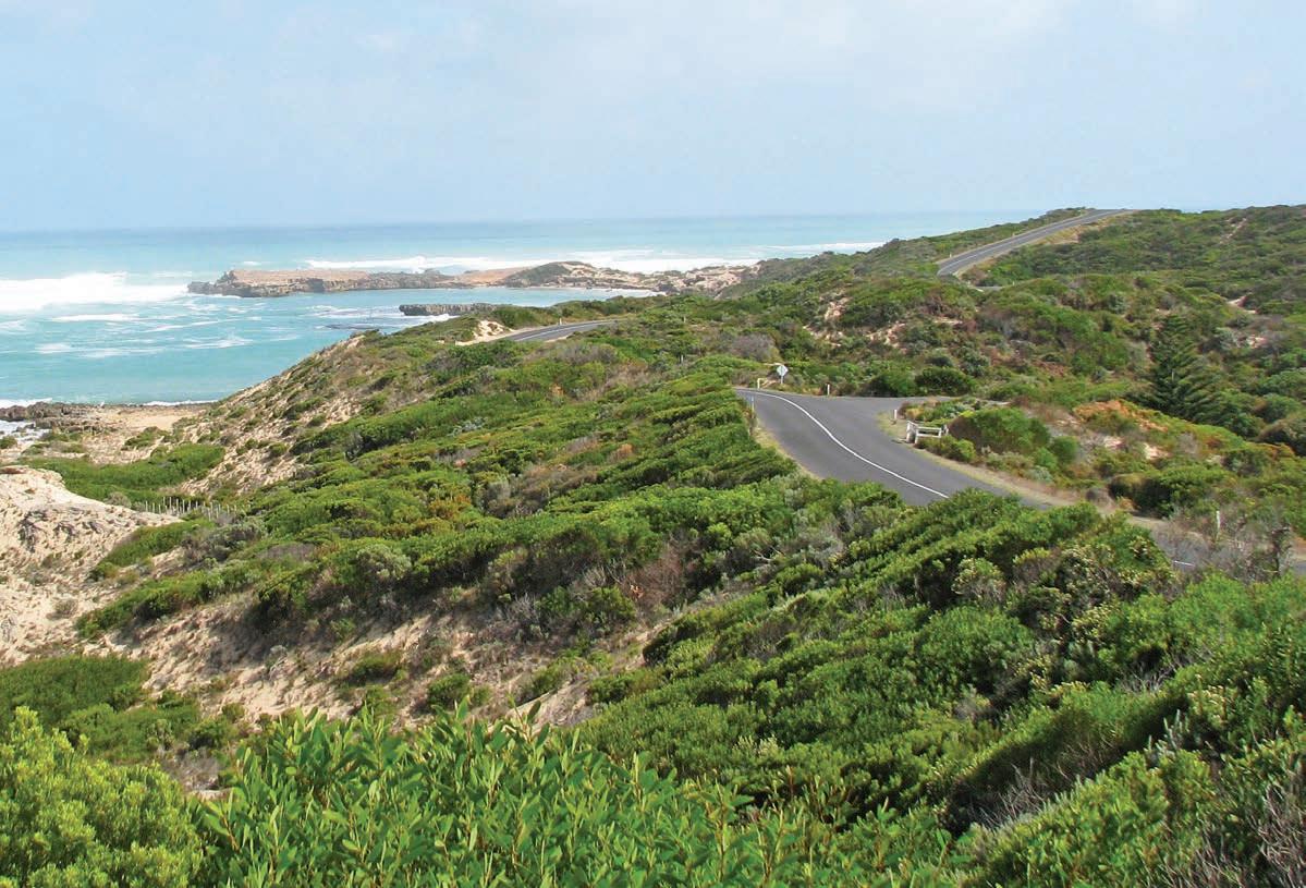
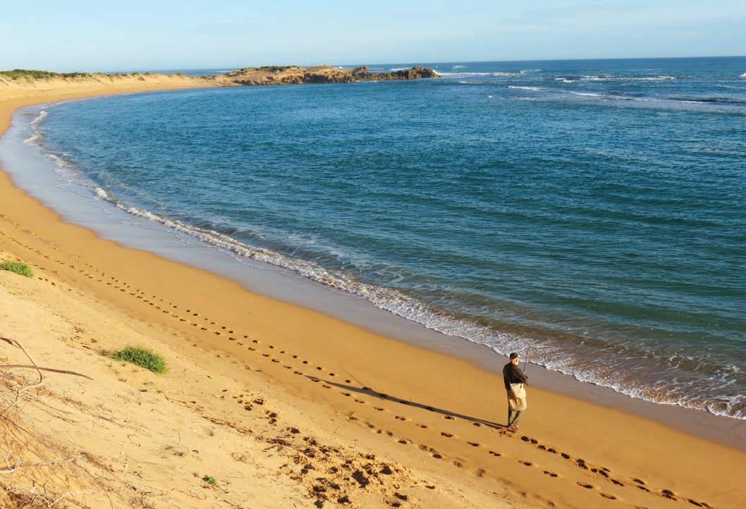
KIDS’ SPOT
It’s a bit of a detour, but if you’re interested in fossils, or you’ve got youngsters with a fascination for dinosaurs and big critters like zygomaturus, marsupial lions and giant kangaroos, Naracoorte Caves, South Australia’s only World Heritage Site, is worth the hour or so drive from Mount Gambier. The caves have acted as pitfall traps, collecting animals unlucky enough to fall through the holes in the ground for more than 800,000 years, and consequently preserving the bones of a range of prehistoric megafauna. There are 28 known caves in the park, and four are open for tours, including adventure caving and behind-thescenes tours of working fossil digs and the fossil lab, as well as the above ground Wonambi Fossil Centre. Book ahead for tours (naracoortecaves.sa.gov.au).
South Australia’s second-largest city, Mount Gambier is home to some of Australia’s youngest volcanoes and lots of crater lakes, caves and sinkholes, but is best known for
its Blue Lake/Warwar, a 75m-deep lake inside an extinct volcanic crater on the edge of town. There are actually three lakes here, but only one changes colour each year: in winter, the lake is a steely grey, but over the course of a few days in November the water changes to a brilliant cyan blue and stays that way until March. Although there are lots of theories, no one is really quite sure why this happens. You can drive (or walk) around the rim of the volcano, and there are several lookouts that enable you to peer down into it. You can also take a glass-panelled lift down into the crater for a close-up view during a 45min Aquifer Tour (aquifertours.com).
The ground beneath Mount Gambier’s streets is a labyrinth of limestone caves. The most accessible is Engelbrecht Cave, which extends under seven city streets. Once used as a dump by one of the city’s whisky distilleries, it’s now open for tours. Book online (engelbrechtcave.com).
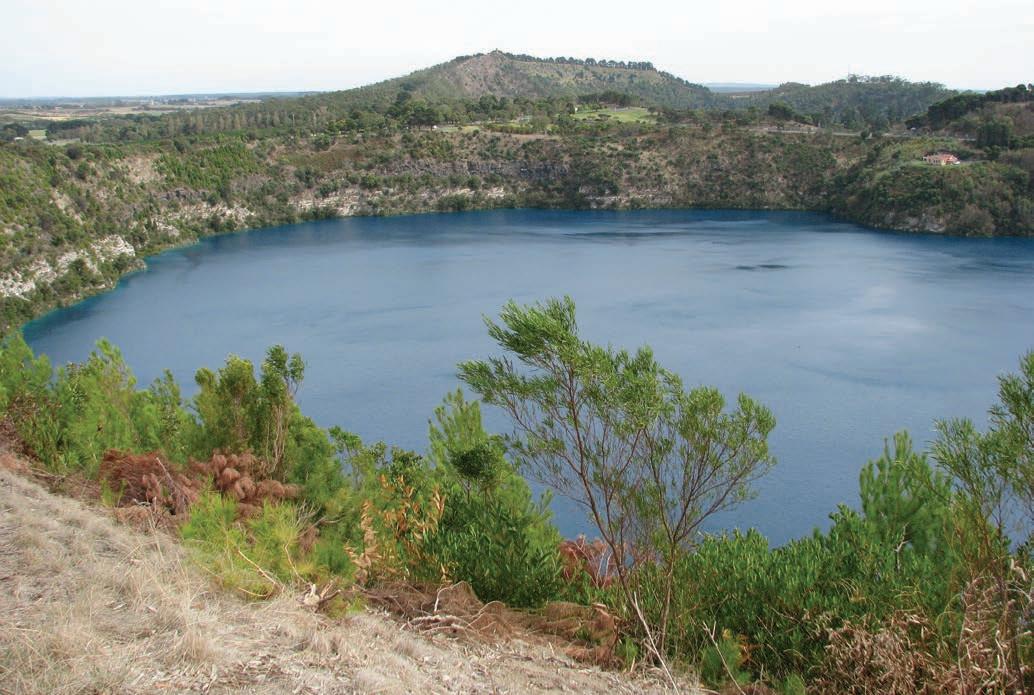
Other must-see spots in Mount Gambier include two sunken sinkhole gardens. The Cave Garden/Thugi – a State Heritage Area – is in the middle of town (Watson Dr) and has a free 15min sound-and-light show every night at around 8pm. Umpherston Sinkhole/Balumbal, around 2km from the town centre (Jubilee Hwy East) has a magnificent sunken garden complete with trailing vines, and is also worth visiting at night when possums descend in large numbers to feed – BYO torch. Both are open 24 hours and are free to enter.
Located just west of the SA–Victoria border, Mount Gambier is roughly halfway between Adelaide and Melbourne. If you take the highway, it’s around a 5hr drive to Melbourne – or stretch the good times out a little longer and take the Great Ocean Road, proving yet again that when it comes to backroad trips the slow way is very often the best way.
VANLIFE
There are a number of beachside campsites in the Coorong –42 Mile Crossing, Parnka Point, Long Point and Mark Point are suitable for caravans but do not have power. Almost every seaside town on the Limestone Coast has a good caravan park, often right on the waterfront. A favourite is Beachport Southern Ocean Tourist Park but there are also several good ones in Robe. The lakeside campsites at Three Mile Bend in Beachport Conservation Park are just a few kilometres from Beachport town centre. You can also camp at Kotgee and Nal-a-wort at the end of the Seaview Walk hiking path in Canunda National Park, which are accessible by road from Southend. Naracoorte Caves Campground has powered caravan sites. There are several commercial caravan parks in Mount Gambier.
Above The Blue Lake/Warwar, Mount Gambier Opposite Fishing near Beachport
Flinders Ranges
Explore the stark and ancient beauty of the Flinders Ranges, where roads through the weather-beaten hills lead to dramatic rocky gorges and ancient rock-art galleries.
HOW LONG?
Allow at least four or five days from Quorn, plus a day each way to get to and from Adelaide/Tarndanya.
WHEN TO GO
The best time to visit is in spring, when the ragged hills and valley floors are carpeted with wildflowers. The Flinders Ranges is fairly dry all year, with rain most likely during the summer months. Many businesses are closed during January and February, which can be uncomfortably hot.
LOCAL SECRET
The Flinders Ranges is famous for its quandongs, a native fruit a bit like a tart peach or apricot, and the General Store in the former copper-mining town of Blinman is home to the best quandong pies in the country (in my opinion, and I’ve spent a lot of time taste-testing them), although the ones from the Quandong Café in Quorn, and Flinders Food Co in Hawker are pretty good too. If they have sold out by the time you get there, grab some quandong jam instead – it’s perfect on toast.
NEED TO KNOW
Ikara Wilpena Pound – and much of the rest of this road trip –is in Ikara-Flinders Ranges National Park, so you’ll need a park entry permit (buy one online before you get to the park at parks.sa.gov.au or from the visitor information centre at the resort) and don’t forget, pets aren’t permitted in the park.
SNAPSHOT
The Flinders Ranges in central South Australia is a landscape of extreme cultural importance to the Adnyamathanha Peoples whose Dreaming stories around the formation of these weathered landforms and gorges have been passed on for more than 40,000 years. The countryside – mauve mountains, red rock gorges and sandy dry riverbeds – is one of the oldest on Earth: the mountains, once higher than the Himalayas, are more than 600 million years old and form one of the richest geological areas in the country.
Drive rating
Moderate: mostly gravel roads with some optional challenging 4WD sections. SUV recommended.
Acknowledgement of Country
This is the Traditional land of the Adnyamathanha People.
Total distance
Quorn to Arkaroola, 454km.
Average temperatures
• January: 20–34°C
• July: 3–16°C
More information
flindersandoutback.com.au
Ranges
Quorn to Ikara Wilpena Pound, 169km
The classic Flinders Ranges road trip forms a loose loop around the range, heading north from Quorn to Arkaroola via Ikara Wilpena Pound and back via Parachilna – or vice versa. Much of the southern section of the loop, south of Blinman and Leigh Creek, is sealed, and fine for 2WD vehicles and standard caravans and trailers. The north-east half of the loop is gravel, and is usually fine for 2WDs as well, although the rocky roads can be tough on tyres, so it pays to carry a spare tyre or two. If you have an SUV though – and a robust offroad van or trailer if you’re towing – the network of side roads following the usually dry creek beds that cut east–west across the range offer some truly spectacular road tripping, so buckle up for a zig-zag drive across one of the country’s most ravishing landscapes. It’s a stunning road trip through a stark and ancient landscape, the outback at its most photogenic – just ask the many cinematographers who have filmed here.
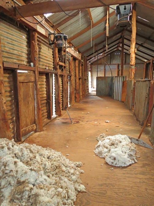
Kick off your adventure in Quorn, 337km north of Adelaide/ Tarndanya via the A1, around a 4hr drive. This historic town was once a busy railway hub, a crossroads where all the trains travelling across the country from east to west (Sydney to Perth) and south to north (Adelaide and Alice Springs, before the rail link to Darwin was completed in 2004) passed through. The historic railway station and other rather grand brick buildings around town make for great photographs.
KIDS’ SPOT
The Pichi Richi Railway is one of Australia’s best-known steam-train journeys. The rail line, originally known as the Port Augusta–Quorn Railway, opened in 1879; it closed 77 years later in 1956 and was restored in 1974 by the Pichi Richi Preservation Society. The line runs through deep rock cuttings, past stone-wall embankments and across iron bridges. Steam train trips depart most weekends from Quorn and Port Augusta. Book tickets online (prr.org.au).
From Quorn, head north to Hawker, the last town of any size before the ranges, which provide a picturesque backdrop as you drive. Along the way, stop at the Kanyaka ruins. In 1856 the Kanyaka Station leases totalled 945sqkm and the property housed up to 70 workers and their families. Look for the grave of Hugh Proby, the third son of the Earl of Carysfort and past owner of the station, who was swept away by floodwaters in 1852 while mustering sheep. His family shipped the huge, 1.5-tonne granite tablet from Scotland to mark his burial place.
The road forks at Hawker: the Outback Hwy follows the western side of the ranges to Parachilna and beyond to Leigh Creek; the Flinders Ranges Way goes to Ikara Wilpena Pound and Blinman and runs along the eastern side of the range. Both roads offer sensational views of the rocky ranges, but this road trip heads up the Outback Hwy for 43km before turning off onto the signposted Moralana Scenic Drive. This 28km unsealed road (fine for 2WDs) connects the Blinman and Leigh Creek roads and is one of the best drives through the Flinders Ranges. It reveals stunning scenery, including the southern wall of Ikara Wilpena Pound, the Black Gap Lookout, the Red Range and the Elder Range, and is especially colourful during spring and in the late afternoon.
The Moralana Scenic Drive reconnects with the sealed Flinders Ranges Way around 23km north of Hawker. Head north towards Ikara Wilpena Pound, stopping to take in the views at the Elder Range Lookout, including the outer ramparts of Ikara Wilpena Pound. One of the Flinders Ranges’ iconic landforms, Ikara is a crater-like pile of rock covering 83sqkm that rises sharply from the surrounding flat
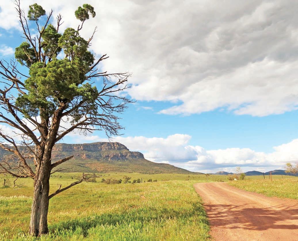
plains. The rim is formed by the eroded stumps of massive mountains. The wooded interior – accessible through just one gorge – is 11km long and 8km across. The first European settlers in the area were farmers who established sheep runs inside the pound in the 1850s. The word ‘pound’ was used because the farmers were struck by the formation’s resemblance to traditional enclosures for sheep, then known as pounds. It’s impressive at ground level, but the best way to really get a sense of what the pound looks like is from the air, and 20- and 30-minute flights are available at Wilpena Pound Resort – they are worth the splurge.
The visitor centre at Wilpena Pound Resort has maps of the many walking tracks, including the Hills Homestead track, a 2hr walk to the ruins of the old Wilpena Homestead. The resort has motel accommodation and permanent hard-floored safari tents, a campground, pool, licensed restaurant, fuel, a basic shop, mountain bike hire and a range of tours including cultural tours with Adnyamathanha guides, guided bushwalks and 4WD trips. Book online (wilpenapound.com.au).
Above The road to Station Hill Lookout on Rawnsley Park Station Opposite Woolshed, Rawnsley Park Station
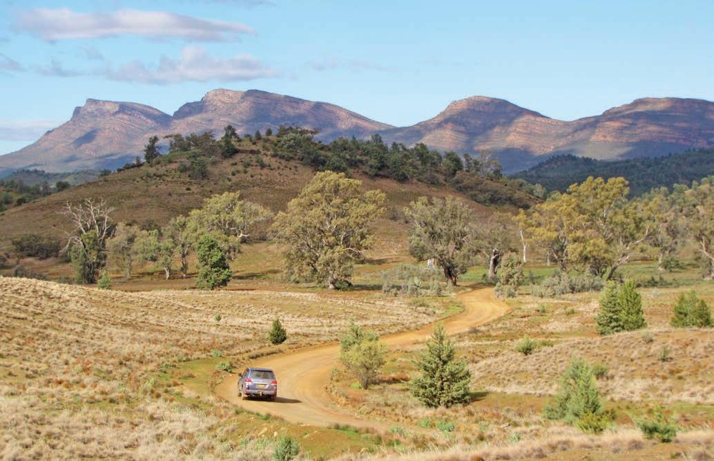
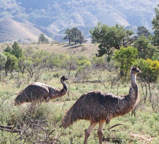
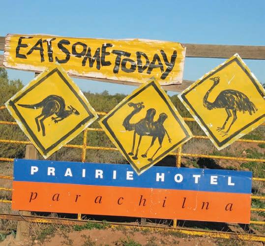
Ikara Wilpena Pound to Parachilna, 88km
If the countryside on this leg of the road trip seems oddly familiar, chances are you’ve seen it hanging on a wall somewhere. Less than a kilometre up the road from the turn-off to Wilpena Pound Resort is one of Australia’s most famous trees, the red river gum that featured in an image called the ‘Spirit of Endurance’ by celebrated photographer Harold Cazneaux in 1937, who described it as his ‘most Australian picture’. Now known as the Cazneaux Tree, it’s signposted from the road and a popular attraction with keen photographers, although to be honest, just about every other tree in the park is equally photogenic.
The ranges were also immortalised by one of Australia’s best-known landscape painters, Hans Heysen, on 11 trips between 1926 and 1949. The quintessentially Australian rocky ranges and monumental gums that he painted are instantly recognisable. Gazing out across the smudged purple peaks from one of the many roadside lookouts, it can sometimes feel like you have slipped inside the frame of one of the artist’s famous paintings.
It’s around a 30min drive north from Wilpena Pound Resort to our next turn-off but there are several lookouts along the way, so allow a bit of extra time before heading west across the range again on Brachina Gorge Rd. This very scenic unsealed road passes through 130 million years of Earth’s history as it follows dry creek beds and ancient gorge lines deep into the heart of the ranges, but make sure you have a good spare tyre – punctures are common on these rocky roads. If you’re interested in geology you’ll love the signposts along the way that point out the geological age of the rocks, which are mindbogglingly old.
The area is also a refuge for the rare yellow-footed rockwallaby and if you are at Brachina Gorge early in the morning or late in the afternoon, there’s a good chance you’ll see them perched on rocky outcrops or scree slopes in the section of the drive between Brachina East campground and Teamsters campground.
DETOUR
It’s an excursion that will mean a bit of backtracking, but it’s worth it because Bunyeroo Rd, which spears off Brachina Gorge Rd just east of Brachina East campground, is another very scenic detour. It twists its way south along the gum-lined creek beds between the ridges and through the rocky Bunyeroo Gorge to hook up with Flinders Ranges Way, 9km north of Wilpena Pound Resort. A highlight is the panoramic view of the road snaking across the Heysen Range (named after the painter) from the top of Razorback Lookout. It’s less than 50km one way but not a trip to rush – you’ll find plenty of nice picnic spots along the way (BYO folding chairs and picnic rug) – and it makes a good daytrip from either Wilpena Pound Resort or one of the campgrounds on Brachina Gorge Rd.
Brachina Gorge Rd joins the Outback Hwy approximately 20km south of Parachilna. There’s not much to Parachilna –a disused railway station and pub and that’s about it – but a clever renovation of the rooms and an innovative menu has put the Prairie Hotel firmly on the road tripping map and it’s a favourite with visiting movie stars and film crews, who often use the Flinders Ranges as a backdrop for movies. Keep an eye out for the distinctive road signs advertising the menu on the way into the town but don’t let the colourful ‘Road Kill: Eat Some Today’ signs put you off. The pub’s restaurant is celebrated for its creative use of native foods and spices. The ‘feral mixed grill’ of emu, kangaroo, goat and camel is the signature dish, although there are plenty of meat-free dishes as well. No visit to the Flinders Ranges is complete without stopping in this authentic outback pub for a drink and something to eat. Book ahead for dinner or lunch (prairiehotel.com.au).
Parachilna to Arkaroola, 197km
Opposite top Heysen Range, as seen from Razorback Lookout
Opposite bottom left Emus in Brachina Gorge Opposite bottom right
The Prairie Hotel is famous for its use of bush foods
Like the other gravel roads that run east–west across the ranges, the road through Parachilna Gorge to Blinman is another dramatically picturesque drive, past rock walls and majestic river gums, with several good lookouts along the way. The first half of this 32km trip is a little rough and dusty with some sandy sections as you wind through the gorge towards Angorichina Tourist Village – roughly the halfway point –but as long as it’s been dry for a while it’s usually okay for most SUVs or high-clearance AWDs. The second half is a little easier but has a bit of a climb as you head towards the former copper mining town of Blinman. At an elevation of 610m, it claims to be the highest town in SA. With a population of 43, it’s also one of the smallest, although at the height of the copper boom at the end of the 19th century it was home to more
than 1500 people. Browse the contemporary Adnyamathanha art on sale at the Wadna gallery space and book a guided cultural tour (wadna.com.au) to see and learn about the many cultural sites on Adnyamathanha Land. The historic pub here – the North Blinman Hotel, opened in 1869 – does decent meals, and if you arrive early in the day you might also be lucky enough to get one of the fabulous quandong pies (see p.81) from the General Store before they sell out. For a taste of what mining used to be like in the 1860s, take an underground tour of the Blinman Heritage Mine: book ahead (heritageblinmanmine.com.au).
The road turns to gravel north of Blinman but is fine for 2WDs with a bit of clearance (with the usual proviso that the road is dry). It’s 165km to Arkaroola but can be slow going so allow the best part of three hours, and avoid driving in the late afternoon when there are lots of kangaroos on the road and your chances of colliding with one are high.
DETOUR
Mount Chambers Gorge – or Marlawadinha Inbiri as it has been known by for millennia in the Adnyamathanha language – is down a 10km rough and rocky side road (fine for most vehicles except after rain) approximately 60km north-east of Blinman. It’s worth the bumps, because the rock walls of the gorge are
covered in Adnyamathanha rock engravings and petroglyphs. The best time to visit is in the afternoon, when the lowering sun turns the walls of the gorge a deep, dark red. In early spring, the area is often carpeted with masses of Sturt’s desert pea.
DETOUR
If you’ve got a 4WD, take the track to out to Lake Frome in Vulkathunha–Gammon Ranges National Park (signposted at Balcanoona). Frome is the seventh-largest lake in Australia –not that it ever has much water in it. Like Lake Eyre, it’s just one huge expanse of blinding white salt that only periodically fills with brackish water. The only access is via the 4WD track through Vulkathunha, and note that it’s closed to the travelling public between 3pm and 5am when it’s reserved for cultural use by the Traditional Owners. The road out is not particularly challenging, but the sense of loneliness once you’ve crossed the sand dunes and are out on the salt can be quite confronting.
Another great detour for those that like off-road adventures is the section of Vulkathunha–Gammon Ranges National Park on the western side of the main road. Being roughly halfway between Wilpena Pound Resort and the accommodation at Arkaroola Wilderness Sanctuary, it tends to be ignored by most travellers to the area, which is a shame because it’s home to one of the best 4WD tracks in the region and has some fantastic gorge-side camping spots. The Wurtupa Loop track is an 80km one-way loop through the centre of the park that takes around 5hr to
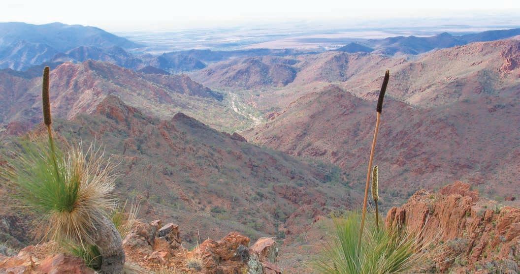
drive, and is definitely not for novices. It’s quite difficult, with very steep sections that take you up to lookouts where it really does feel as if you can see forever, even if you can’t actually see the track once it disappears over the edge of the crest.
Arkaroola, a privately owned 610sqkm wilderness sanctuary at the far-northern tip of the Flinders, features saw-toothed granite peaks, deep gorges and magical waterholes. It is also home to more than 160 species of birds and the yellow-footed rock wallaby. The 4hr 4WD Ridgetop Tour that travels along the spine of the mountains to the stunning Sillers Lookout is a must, but you can also follow one of the many self-drive 4WD tracks – although, be warned: they are not for novices. Arkaroola is a Dark Sky Sanctuary, and the lack of light pollution makes it an excellent place to view the night sky. There are three astronomical observatories at Arkaroola Wilderness Sanctuary and a range of astronomy experiences available. You can also book scenic flights, guided 4WD trips and sunset canape tours. There’s a variety of accommodation, a restaurant and bar, swimming pool, fuel supplies and mechanical repair workshop that sells possibly the country’s most expensive tyres, as we discovered when we needed to replace one of ours after a day on Arkaroola’s self-guided 4WD tracks. Book ahead for tours and accommodation (arkaroola. com.au), and allow at least a couple of days to explore this
amazing property, which many road trippers declare is a highlight of their time in the Flinders Ranges – no small claim when you consider just how striking this part of the country is.
Allow around 5hr to get back to Quorn via Blinman, or if you are heading further north on another outback adventure you can head west to Copley and north to Marree where you can tackle either the Birdsville or Oodnadatta tracks (see p.88).
VANLIFE
Rawnsley Park Station, Wilpena Pound Resort and Arkaroola Wilderness Sanctuary all have powered caravan sites and unpowered bush camping sites. There are 10 campgrounds scattered throughout Ikara–Flinders Ranges National Park The best are those spread along Brachina Gorge Rd, where facilities include toilets and small water tanks, although you’ll still need to carry your own water as the tanks may be empty if it has been dry. There are several camping areas within Vulkathunha–Gammon Ranges National Park (Weetootla Gorge is a great spot); hot showers are available at Balcanoona Shearers Quarters for just a few dollars.
Below Camping in Weetootla Gorge Opposite The view from Sillers Lookout in Arkaroola Wilderness Sanctuary
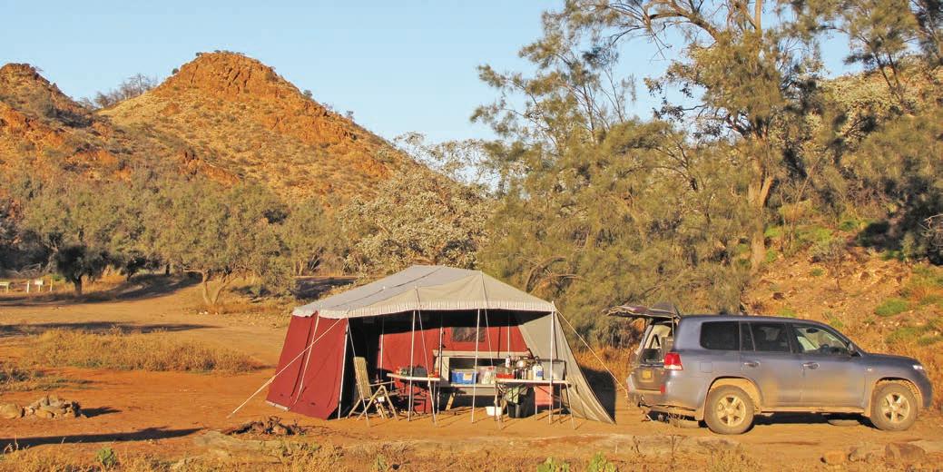
Oodnadatta Track
The Oodnadatta Track is one of outback Australia’s legendary tracks, and a fascinating journey to outback stations, bore springs, classic pubs and a famed salt lake.
HOW LONG?
At least three days.
WHEN TO GO
Summer can be extremely hot and high temperatures make travel in this area a dangerous proposition. Best time to travel is during the winter months when days are dry and warm although nights are very cold, but at least there aren’t as many flies in winter.
NEED TO KNOW
You can get very basic supplies – tinned essentials, long-life milk and frozen meat – in Marree and Oodnadatta, but you should bring everything you need with you from either Alice Springs/Mparntwe to the north or Port Augusta in the south. That includes drinking water, which is not always available in communities out here, so if you are towing make sure your trailer or caravan water tanks are full before you hit the track and carry a few jerry cans for top-ups and emergencies.
SNAPSHOT
The Oodnadatta Track traverses some of South Australia’s most remote country. It can be a bumpy, dusty trip, but nothing like the horror stretch it once was in the early days of outback motoring. Today, with care, it’s easily done in an SUV or an AWD with a bit of clearance. Explore historic train carriages in Marree, have a beer at the iconic William Creek Hotel, visit the white salt vastness of Kati Thanda-Lake Eyre, see bubbling mound springs, old telegraph stations, abandoned railway sidings and homestead ruins, and the outback outpost of Oodnadatta.
Opposite Experience big skies and vast horizons on the Oodnadatta Track
Drive rating
Challenging: remote unsealed roads.
Acknowledgement of Country
This is the Traditional land of the Kuyani, Arrernte and Arabana Peoples.
Total distance
Marree to Marla, 636km. Marree is 642km north of Adelaide/Tarndanya; Marla is 429km south of Alice Springs/Mparntwe and 235km north of Coober Pedy.
Average temperatures
• January: 21–45°C
• July: 4–19°C
More information
pinkroadhouse.com.au, southaustralia.com, parks.sa.gov.au.
For up-to-date road conditions, head online to dpti.sa.gov.au/OutbackRoads or call the Traffic S.A Hotline on 1300 361 033, or the Pink Roadhouse in Oodnadatta on 1800 802 074.
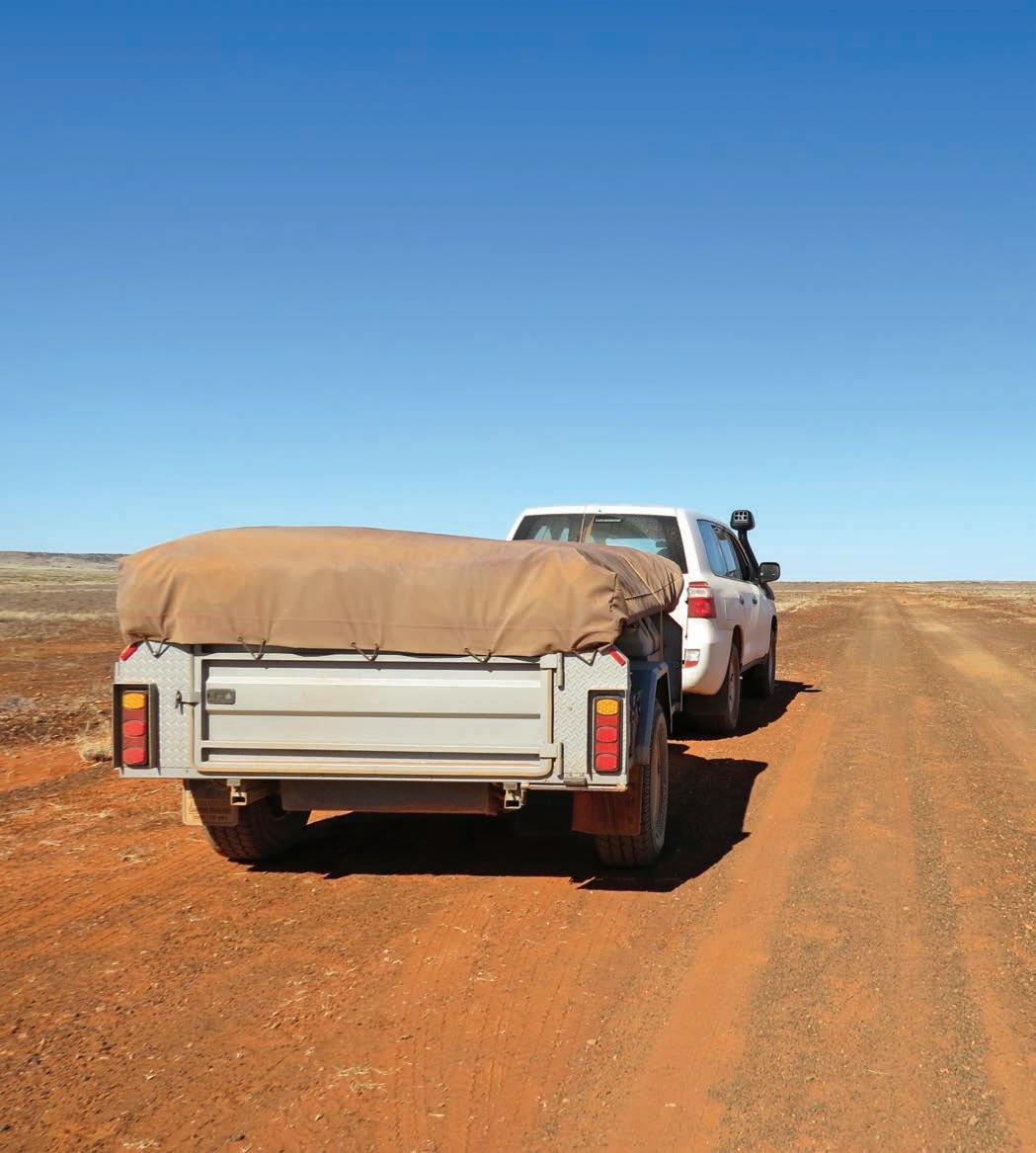
Marree to William Creek, 204km
The Oodnadatta Track, stretching around 620km from Marree in the south to Marla in the north, largely follows the footsteps of explorer John McDouall Stuart, who crossed the continent from Adelaide/Tarndanya to a point near Darwin/ Garramilla in 1862. The Overland Telegraph Line was built along his route just 10 years later, which was followed by the now abandoned original Ghan railway line, which opened in 1929. The Oodnadatta Track is a fun alternative to the sealed Stuart Hwy which runs north from Adelaide to Alice Springs/ Mparntwe, particularly if you include the Flinders Ranges in your road trip (see p.81), and is a wonderful way to really explore the outback.
The road is unsealed, but apart from a few corrugations here and there, and the occasional patch of bulldust, it’s usually in reasonable condition – rugged enough to feel like an adventure, but suitable for first-time desert trippers. Unless of course, it has rained recently, when it becomes a boggy mess of very sticky mud and impassable to all vehicles. Even when the rains stop, creek crossings can be tricky until the landscape has dried out so also check road conditions before you travel. For more outback driving tips, see p.ix.
The track officially begins at Marree, 114km north of Copley at the northern tip of the Flinders Ranges. Today Marree is
at the junction of two of the country’s most popular outback tracks – the Birdsville and Oodnadatta – but the tiny settlement began life as a major railhead. Before the railway opened in 1884, supplies were transported by Afghan cameleers (the Ghan train is named after them), and the remains of the oldest mosque in Australia, built in 1861, can still be seen in the centre of town. You can also check out the old train carriages still waiting at the end of the line and the crumbling vestiges of the old mail truck which Tom Kruse used to transport mail from Marree to Birdsville along the Birdsville Track, made famous in the 1954 film The Back of Beyond. There’s an exhibition dedicated to Kruse, who was awarded an MBE for his heroic ‘services to the outback’, inside the Marree Hotel. Marree is also home of the mysterious Marree Man, a 4kmlong image of a man holding a stick or a boomerang carved into the earth that mysteriously appeared in 1998, and to date no one has claimed responsibility for its creation. It’s one of the world’s largest geoglyphs and was restored in 2016, and is best seen from the air – tours, which can include flying over Kati Thanda-Lake Eyre, are available at the hotel. You can also fly over Kati Thanda-Lake Eyre from William Creek (see p.95), but you’ll need to book ahead if there’s water in the lake.
The trip to William Creek (one of the smallest towns in South Australia) only takes a few hours, but there are several places to stop on the way.
KIDS’ SPOT
A great spot to stretch the legs for half an hour or so, Mutonia, 30km west of Marree, is a quirky outdoor gallery in the middle of nowhere and you can’t miss it – you’ll see the big dog made from an old water tank beside the road long before you get there. The work of mechanic-turned-artist Robin Cooke, these gigantic sculptures are made from industrial waste – old planes, car bodies, windmills, rusted bits of metal and recycled rubbish. Close the Kombi gate when you leave.
Shimmering on the horizon to the right of the track as you drive north-west from Marree towards William Creek is the southern section of Kati Thanda-Lake Eyre (see p.95 ‘Detour’ for more about the lake). The normally dry lake is a vast expanse of dazzling white salt that contrasts sharply with the surrounding desert dunes. There’s a lookout by the side of the road.
Left Lake Eyre from the south Opposite top left Mutonia Sculpture Park Opposite top right Old Ghan locomotive in Marree Opposite bottom This former mosque in Marree is thought to be the oldest in the country
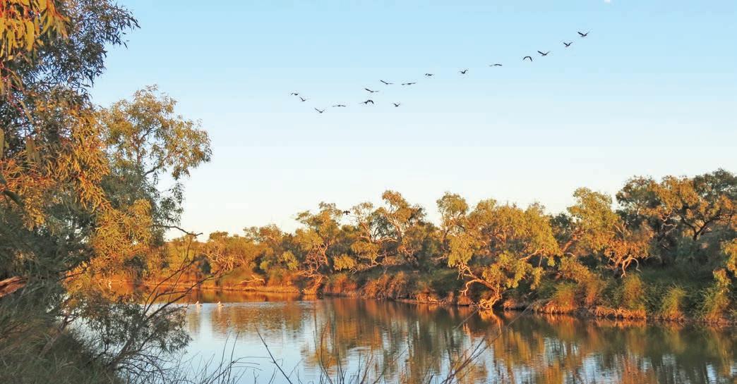
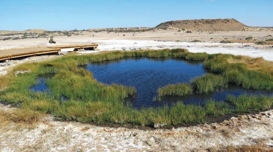
Top Algebuckina Waterhole Bottom The Blanche Cup, Wabma Kadarbu Mound Springs
Reminders of the railway are never far away as you pass through places like Curdimurka Siding (101km from Marree), a deserted but well-preserved stretch of rail, with fettlers’ cottages, a water tower and water softener tower still intact. It’s named after one of the most culturally significant Aboriginal stories in the Arabana culture associated with nearby Kati Thanda-Lake Eyre. The rather savage Kudimudra is a bunyip-like beast that eats anybody who strays onto the salt pans of the normally dry lake – it is notoriously soft and beneath the salty crust, a quicksand-like quagmire that can and does swallow vehicles that attempt to drive on it.
Just 35 or so kilometres further on from Curdimurka you’ll find the Bubbler and Blanche Cup, one of several mound springs where waters from the Great Artesian Basin bubble to the surface, creating a small oasis in the midst of red sandhills scattered along the track. Part of Wabma Kadarbu Mound Springs Conservation Park, these ones are off limits for swimming, but the wetlands are home to a large variety of waterbirds, and there is a nice little boardwalk that winds around the fountains.
Built in 1888, Coward Springs – a 10min drive up the road from the mound springs – was once a bustling community with a railway station, hotel, stone-built railway workers’ cottages and a hot artesian spa pool surrounded by date palms. The pub and pool made it a popular place to stop, and even though the pub was demolished in 1965, and the townsite was abandoned in 1980, nothing much has changed – the soothing warm mineral waters of the natural spa pool are still a magnet for weary travellers, although these days they are travelling the track in private vehicles, rather than on a train. Derelict in the desert for years, Coward Springs is now privately owned, and the owners are restoring the historic buildings using traditional methods and the original plans. The old stone Engine Drivers Cabin is now a small but fascinating museum, the hot artesian spa pool is perfect for a soak and the bore has created a wetland haven for birdlife. It’s a great spot for a picnic, or to camp, in the shade of the date palms, many planted by Afghan cameleers early last century.
William Creek is 75km up the road and no journey along the Oodnadatta Track is complete without a cold drink at the William Creek Hotel, one of the outback’s iconic pubs. William Creek is home to 17 people, according to the latest Census (2021), and is inside the boundaries of Anna Creek Station, the largest cattle station in the world at more than 15,000sqkm. The tiny township was first built to service the Overland Telegraph and the railway, but now all you’ll find is a character-filled pub built of corrugated-iron, a caravan park
with some new-ish cabins and a general store. You can also take scenic flights from here over nearby Kati Thanda-Lake Eyre during the winter months, although if the lake has water in it ensure that you book your flight well ahead with Wrights Air (wrightsair.com.au); on our last trip we turned up at the booking office beside the hotel and were told there were no flights available for at least two weeks, and no waiting list.
DETOUR
You’ll need a 4WD if you want to get a closer look at Kati Thanda-Lake Eyre, which is not only the country’s largest lake (144km long and 77km wide), but also the lowest natural point on the continent, 15.2m below sea level. Most of the time, the ‘lake’ is a vast, shimmering plain of bright, white salt. The lake fills with water, on average, around once every eight years, when it becomes a breeding ground for masses of waterbirds that have flown thousands of kilometres to the newly arrived body of water – and an influx of travellers come to see it. It has filled to capacity only four times in the last 160 years. There’s a bumpy, rocky 64km-long 4WD track to a campground on Halligan Bay on the lake: the turn-off is approximately 7km south-east of William Creek. It’s a great spot with endless views over the lake and desert plains, but make sure you have plenty of water, even if there is water in the lake: it’s too salty to drink. Full or not, it’s an incredibly beautiful place that will linger in your imagination for many years. This is about as remote as it gets. You must be self-sufficient with gas stoves and supplies and it’s not suitable for caravans. If something goes wrong, under no circumstances should you leave your vehicle; people have perished out here in summer walking to find help after a breakdown. Although the lakebed looks firm and safe to drive on, it is only a thin crust that covers quicksand-like mud, so always keep to the track. At the time of writing, South Australia has just announced a ban on recreational access to the lake, including walking on it. You’ll need a Kati Thanda-Lake Eyre National Park Entry Permit and to prebook your campsite (parks.sa.gov.au).
William Creek to Marla, 432km
You are now deep in dune country which was once an ancient floodplain and the next section of track runs past yet more ruins of railway sidings and long-abandoned settlements. Wander around the ruins of Old Peake Telegraph Station and Homestead. An historic site, the explorer Ernest Giles made his base here on his western surveys – there is a memorial to him nearby; it was an important centre for the Old Telegraph Line; and until the early 1900s there was a small copper mining community here.
From Old Peake to Oodnadatta you’ll begin to see slight changes to the landscape, as creeks run down from the
Davenport Range and you cross the channels of the Neales River. During dry times the half-kilometre-wide Algebuckina Bridge (147km from William Creek) looks a little excessive, but during floods the river bursts its banks and inundates the surrounding countryside, making the large bridge a necessity when the railway line was operational. Built in 1892, it was the longest bridge in South Australia until 2014 (robbed of its glory by a new bridge over the Onkaparinga River on the outskirts of Adelaide). The railway line closed in 1981, so you don’t need to worry about trains, but those 125-year-old-sleepers may or may not be solid, so climb it at your own risk. Just downstream of the bridge is a waterhole that rarely dries up, which makes for pretty decent fishing and even swimming, but beware of unseen snags.
From the bridge there is 58km to go, across more red dunes and gibber (rounded rocks and pebbles) plains, before you finally reach Oodnadatta.
Like Marree to the south, Oodnadatta was also once a busy railway town. This was where the Great Northern Railway stopped and camels took over as the transport of choice heading to the outback cattle stations and beyond to Alice Springs/Mparntwe. When camels were replaced by trucks
and road trains, and the railway was moved 200km to the west, the town’s fortunes dwindled. There is a museum in the disused railway station and the landmark Pink Roadhouse is the place for basic supplies, road information and a pretty good hamburger – called an Oodnaburger – should you be missing fast food. There is a memorial just outside of the settlement marking the spot where the Overland Telegraph changed course.
DETOUR
An alternative to the Oodnadatta Track is to head west from Oodnadatta across the empty expanse of the Moon Plain to Coober Pedy on the Stuart Hwy. A highlight on the way is the Painted Desert, a rather spectacular area of treeless, eroded, multi-coloured sandy hills that really do look as if they have been hand-painted in swirls of red, yellow, ochre and orange. They are impressive at any time of the day, but at their most spectacular at sunrise and at sunset, when the colours take on a surreal glow. The road is suitable for conventional cars, although a 4WD or SUV is recommended for the Painted Desert.
Famous for both its opals – 70 per cent of the world’s opals are found here – and its underground homes, Coober Pedy is outback SA’s largest town and the largest opal mining
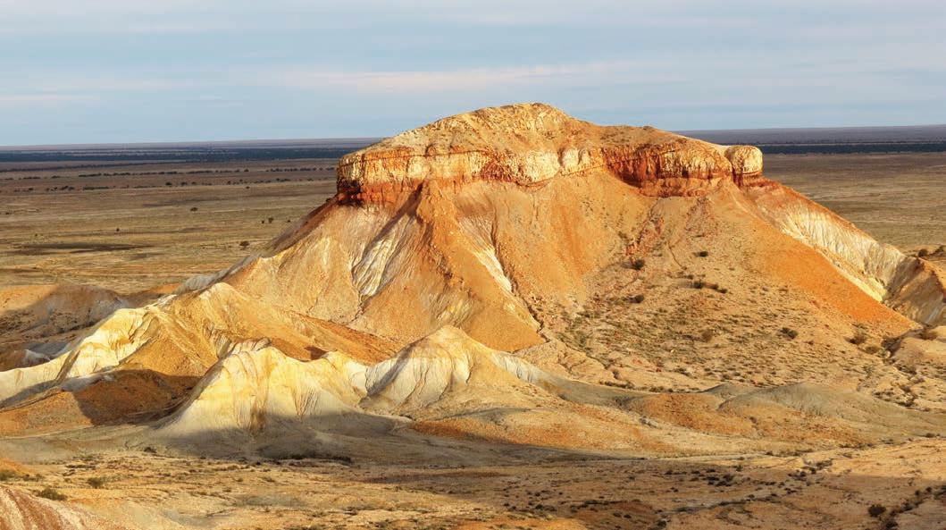
town in the world. The intense summer heat – and because the residents are pretty handy when it comes to excavating underground passages – has created the biggest subterranean town in Australia. In summer, when outside temperatures can reach a sizzling 50°C, underground homes (called dugouts) remain a constant 22–26°C. Get a taste of the underground life with a drink in the bar of the Desert Cave Hotel, at one of the five underground churches in town, or one of the many underground opal showrooms – most are located along the main street.
The road between Oodnadatta and Marla is usually well graded, although it can get rocky in sections and there are a number of dry creek crossings. During winter, if there has been some rain, the gibber plains become covered in wildflowers. Keep your eyes open for the distinctive waxy, red Sturt desert pea.
The Oodnadatta Track meets the Stuart Hwy bitumen at the roadhouse-cum-store at Marla. It’s roughly halfway between Coober Pedy and the Lasseter Hwy, which runs west to Uluru, so if the red dust has gotten under your skin (as opposed to just about every other nook and cranny you can think of), you can keep the outback adventure going and drive into the Red Centre (see the Mereenie Loop Road road trip, p.142).
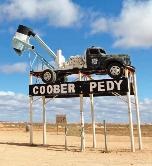
VANLIFE
There are two caravan parks in Marree, and you can free camp beside the hotel and use the hotel’s hot showers for a gold coin donation. Campsites at Coward Springs are unpowered, but there are toilets and hot showers – although you’ll need to heat the water yourself on the wood-fired heater (BYO wood) –and pets are okay. There is a basic campground behind William Creek Hotel and across the road at William Creek Caravan Park and there’s also a caravan park behind the Pink Roadhouse at Oodnadatta, and one at Marla. The old railway bridge at Algebuckina is a popular spot to bush camp, but if you are craving somewhere with a little more solitude follow the track downstream of the bridge to Algebuckina Waterhole where you’ll find several very pleasant riverside clearings that make good camping spots. There are also some good unmarked bush campsites beside the creeks running from the Alberga River, which runs parallel to the track for a while near Todmorden Station, roughly halfway between Oodnadatta and Marla.
Bottom left Coober Pedy celebrates its opal mining heritage with a blower truck above the town sign Bottom right Underground church, Coober Pedy Opposite The Painted Desert, near Arckaringa
Outback Lakes Way Bypass the Stuart Hwy and explore the shoreline of Lake Gairdner, Australia’s ‘other’ great salt lake.
HOW LONG?
Two to three days.
WHEN TO GO
Summer can be very hot, with lots of flies, making travel uncomfortable. During late winter and spring, Lake Gairdner National Park is covered with blooming wildflowers. Autumn and winter are great times for bushwalking, while the weather is cool. Unless you want to join in the fun avoid March, when the area hosts the Dry Lake Racers land speed trials.
LOCAL SECRET
Kingoonya Hotel is the quintessential bush pub in the middle of nowhere, although it’s actually right beside the transcontinental railway line, and a great place to watch trains as around 70 pass right by the pub each week. Join the locals around the campfire out the front and try their signature dish, kangaroo schnitzel – it’s the best I’ve ever had (because it’s the only one I’ve ever had).
SNAPSHOT
Lake Gairdner, in the northern reaches of South Australia’s Gawler Ranges, is the third-largest salt lake in the country (behind Kati Thanda-Lake Eyre and Lake Torrens, both also in South Australia). It’s immensely impressive, a vast empty expanse of sun-baked white salt that stretches from horizon to horizon under a huge cloudless sky, the desert shoreline a deep blood red.
Drive rating
Moderate: all roads north of the Eyre Hwy are unsealed but the roads in this itinerary are fine for high-clearance SUVs in dry weather, although they are remote.
Acknowledgement of Country
This is the Traditional land of the Banggarla, Wirangu and Kokatha Peoples.
Total distance
Port Augusta to Glendambo via Mount Ive Station, 469km.
Average temperatures
• January: 15–33°C
• July: 4–18°C
More information parks.sa.gov.au/parks/lake-gairdner-national-park
Port Augusta to Mount Ive Station,
194km
Aside from the annual Dry Lake Racers land speed event held in March, when motor enthusiasts from all around the world hit the flats in the hope of setting a new world record, Lake Gairdner is a relatively unvisited area, which, if you’re like me and like to have your wilderness pretty much yourself, is rather a good thing.
Lake Gairdner is also a surprisingly easy area to visit; you don’t need a big 4WD, there’s plenty of places to camp (many of them free) and lots of interesting ruins to explore, and yet it still feels remote enough to make you feel as if you are really out there in the outback – which, of course, you are. It offers a fascinating alternative to the well-travelled Stuart Hwy if you want to get from Port Augusta to Coober Pedy or the Red Centre.
Turn off the A1 Eyre Hwy onto Nonning Rd at Iron Knob, 70km west of Port Augusta. (If coming from the west take the Gawler Ranges Rd from Wirrulla, also on the Eyre Hwy, 93km east of Ceduna.)
On the map, the unsealed road that skirts the edge of Lake Gairdner looks about as remote as it gets, with no towns, no services and only a few lonely sheep stations. While the area is certainly remote, the road when we drove it was unexpectedly good – a wide red ribbon of well-graded dirt. It follows the route of an old travelling stock route and you’ll pass by abandoned wool wagons and the crumbling stone ruins of old station buildings, an indication of just how harsh this country can be. You’ll also pass by stockyards with rustic fences built from gnarled mallee posts and thatched shade shelters made from spinifex grass, probably built 100 years ago but still in use.
Lake Gairdner itself is a national park, but to get there you need to travel through private property. According to the map there is a public access route about 25km north of Pondanna Ruins – a short 2.5km track off the road that leads to the lake and a bush camping area – but it’s not signposted and can be hard to find (we missed it despite being on the lookout!). A much easier way to get to the lake is via Mount Ive Station. You can’t miss that turn-off: just look for the big black submarine (made from old boiler bits) emerging from the red desert dirt at the entrance. Take a short walk out into the middle of the lake where all you can see is white salt in all directions. It’s a surreal experience and the contrast of blue sky against the white lake makes for some great photo opportunities (tip: wear your darkest sunglasses because it can be dazzling!). You can also camp at Mount Ive Station (see ‘Vanlife’ below).
Mount Ive Station to Glendambo, 275km
From Mount Ive the road meanders north to the pub at Kingoonya, where you can get fuel (but not much else) if you need it. This is arid country, and dew tanks positioned along the track are a reminder of how scarce water in these parts can be where there are no natural springs or artesian water supplies. Built in the 19th century, these ingenious water collection points are simply a large expanse of iron that collects the heavy winter-time dews and channels the water into underground tanks, so stock can be watered. These watering stops became resting stops for both stock and drovers in the days before motorised transport, and if you look around you’ll usually find a good bush camping site nearby.
Kingoonya is 43km west of the Glendambo junction on the Stuart Hwy 252km south of Coober Pedy.
This little backroad adventure might be twice as far and take three times as long as the highway, but if you like getting off the beaten track and out into the outback it beats the bitumen any day of the week.
Mount Ive Station has powered and unpowered sites as well as a few bush campsites if you’d prefer to camp without neighbours: book online (mtive.com.au). You can bush camp for free along the travelling stock route: most of the wells and dew tanks are near traditional stock camps.
VANLIFE
Top Pondanna Ruins Bottom Desert bush near Skull Camp Tanks Opposite Salt crust on Lake Gairdner
Grape Riverland Escape Wine, history and splendid river landscapes.
HOW LONG?
Two to three days, depending on how many wineries you want to visit.
WHEN TO GO
Anytime is a good time to do this drive, although some riverside camping spots may be closed after heavy rain, which falls mostly during the cooler months. The canola fields around Clare bloom from August to September.
LOCAL SECRET
The early copper miners, many of them from Cornwall, brought more than just their mining skills when they settled in Burra in the 1840s – they also brought their favourite miner’s fare, the Cornish Pastie. The traditional turnover was filled with meat and potato with a thick crimped crust that served as a throwaway handle so dirty fingers wouldn’t contaminate the food. You’ll find some of the best pasties this side of Cornwall in Waters Burra Bakery.
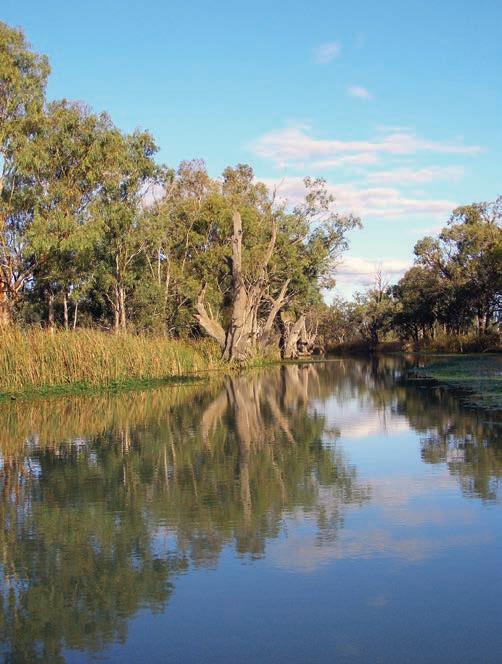
Drive rating
Easy: sealed roads.
Acknowledgement of Country
This is the Traditional land of the Ngadjuri and Meru Peoples.
Total distance
Auburn to Border Cliffs, via Renmark, 295km.
Average temperatures
• January: 16–34°C
• July: 4–17°C
More information clarevalley.com.au; visitriverland.com.au
SNAPSHOT
It might not be as famous as the Barossa Valley, but the Clare Valley, a 90min drive from Adelaide/Tarndanya, has more than 50 wineries, all within a 15min drive from each other. If you’re a wine buff, it’s the perfect weekend away. But what about the driver, who has to sit by and watch you enjoy tasting after tasting? Well, if your designated driver enjoys a little heritage or shopping, then you’re both in luck. The Clare Valley has both in abundance – wine and history!


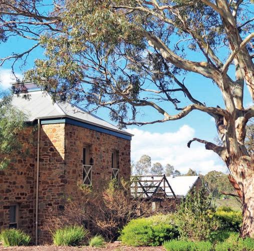
Right Pikes Wines, Clare Valley Opposite Murray River, Renmark
Auburn to Burra, via Clare, 65km
On Ngadjuri land, the Clare is one of Australia’s oldest wine regions. The first settlers to the area were from England, Ireland and Poland, producing a rich architectural heritage, most of which remains, although the original village houses now tend to house restaurants and galleries. The first vines in the area were planted in 1842 and while all sorts of grapes are grown here, the valley is most celebrated for its crisp, dry rieslings. The Riesling Trail is a 27km sealed walking and cycling path that links the villages of the valley between Auburn and Clare. It’s a great way to get out of the car for a while (a good idea if both the driver and the passengers are tasting) and really explore the valley. Highlights along the way – whether you go by car, bicycle or on foot – include the charming historic streetscape of Auburn, and Sevenhill Cellars, where you can taste wine in the old monastery cellars, established in the mid-19th century by Jesuit settlers. While you’re in Clare, stop into the Clare Valley Wine, Food and Tourism Centre, a good spot to stock up on local wines and find out about wine tasting tours, which are a good option if no one in the car is keen on being the designated driver. From Clare head east for 43km to historic Burra. This charming little town is one of the world’s best-preserved colonial-era mining communities. Drop into the Burra & Goyder Visitor Information Centre and purchase a Burra Heritage Passport. It’s a detailed guidebook and key to 11 locked sites along an 11km driving trail around the town, including historic cottages, the gaol, churches, museums and, of course, the Monster Mine, which made the town famous. If that all sounds like too much serious history, spend a couple of hours browsing the many antique shops in town. After all that exploring and shopping, don’t forget to sample one of the famous Cornish Pasties (see p.102).
Burra to the border, 230km
Make your next stop Morgan on the Murray River, about a 1hr drive from Burra. Like many of the riverports that boomed in the early years of the 20th century, it’s full of Art Deco architectural gems. Call into the pub at Overland Corner (can’t miss it, it’s the only building there) for a cold drink. Built in 1859, it’s the oldest surviving building in the Riverland region.
Nearby and also worth a few hours of your time is Banrock Station, near the tiny township of Kingston-on-Murray. Banrock Station is one of the country’s leading producers
of table wine but it is in the area of conservation and wetland management that the wine company is really making a splash, creating what has to be one of the world’s first truly eco-friendly wines. In 1925, when locks were being established along the Murray for irrigation, Lock 3 was built adjacent to Banrock Station, permanently flooding the Banrock Station main lagoon and producing the wetland that is now renowned as one of the most significant worldwide – listed by Ramsar as a Wetland of International Importance – brimming with swooping pelicans and other birdlife. However, before the flooding of the lagoon, the plains experienced periodical cycles of flood and dry and the wetlands have been restored to their natural state. Visit for lunch or a wine tasting on the deck overlooking the wetlands, enjoy some birdwatching or join a guided tour of the wetlands. Book ahead (banrockstation.com.au).
Continue heading east for about half an hour, via pretty Renmark, situated on the Murray River, where you’ll find more elegant Art Deco buildings and a lovely riverside park. Then meander on for another half hour or so towards the state border between South Australia and the northernmost point in Victoria, stopping along the way to revel in the panoramic views from signposted lookouts like the one at Headings Cliffs. It’s a dead-end detour, but a very scenic one, as you follow the twists and turns of the Murray River, past vineyards, through olive groves and pistachio and almond orchards. Call into Wilkadene Woolshed Brewery for a cook-your-own barbecue lunch or picnic with a water view.
Back in Renmark you can hook up with the Sturt Hwy (National Hwy A20) and either drive 1.5hr east to Mildura, or head back to Adelaide, around a 3hr drive.
VANLIFE
Discovery Parks – Clare (discoveryholidayparks.com.au) is a couple of kilometres from the town centre, but it’s next door to the Clare Valley Wine, Food and Tourism Centre, and the park has good facilities for kids, too. Burra Caravan Park is on the banks of Burra Creek in the centre of town. Morgan Riverside Caravan Park (morganriversidecaravanpark.com.au) is a lovely shady camping area on the banks of the Murray, and there are several riverfront caravan parks in Renmark. Favourite spots for bush camping are those in Murray River National Park, particularly Katarapko, which has more than 50 sites strung out along a chain of river bends near Berri.
Opposite top Campsite with a view at Katarapko in Murray River National Park Opposite bottom left Wine barrels at Shut the Gate Wines, Clare Valley Opposite bottom right Sevenhill church, Clare Valley
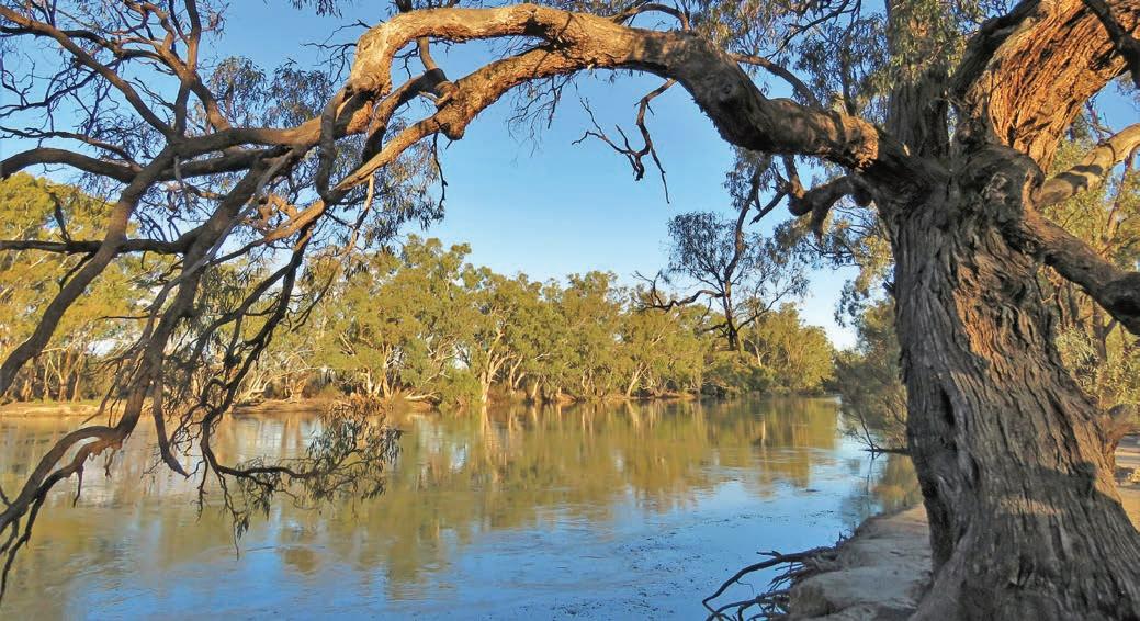
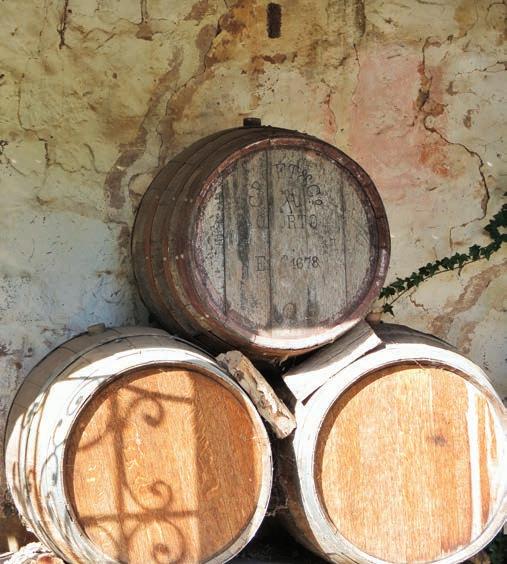
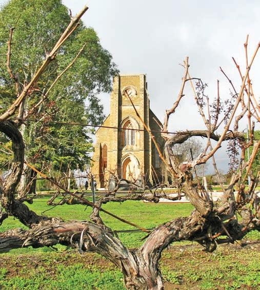
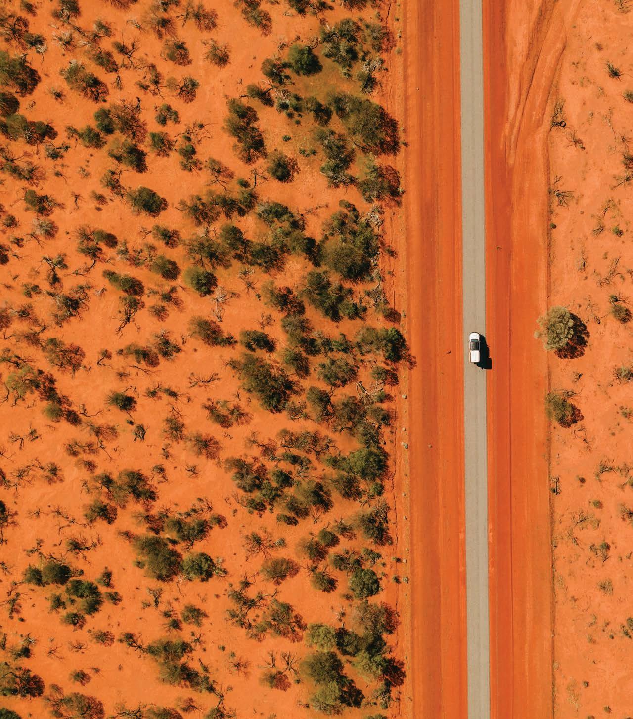
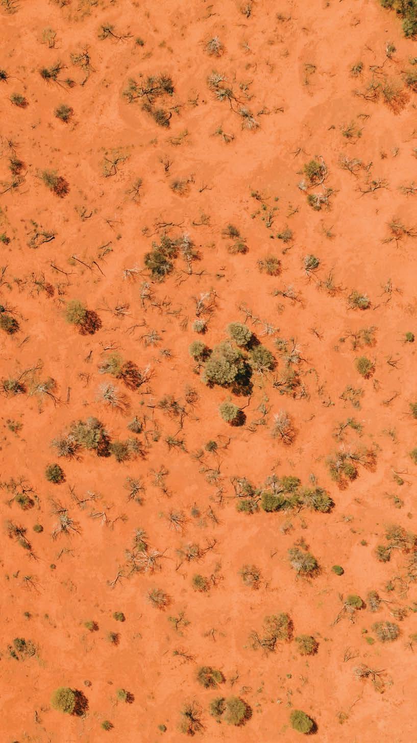
Wild West
Marvel at the way the landscapes shift from the wildflowers of the Gascoyne Murchison to the wild expanse of the Pilbara and see unsung natural wonders, including the world’s largest rock.
HOW LONG?
Allow at least two weeks, longer if you want to explore the many walking trails in the national parks along the way.
WHEN TO GO
Summer in the mid-west and Pilbara can be hot and unpleasant. Many of the national parks featured in this itinerary often close during cyclone season in summer and temperatures can soar above 45°C for days at a time. Best time to visit is during the cooler months or in spring (Sept–Nov) for the wildflowers.
LOCAL SECRET
The Gascoyne Murchison region is one of the state’s wildflower hot spots. During spring you’ll see fluffy purple mulla mulla around Mount Augustus and vivid displays of native corn flower, flannel bush, everlastings, scarlet Sturt desert pea, vast swathes of golden billy buttons, mauve velleia, magenta parakeelya and blue pincushions in and around Murchison. For more information on where and when to see wildflowers, check online (wildflowercountry.com.au).
SNAPSHOT
Most road trippers either hug the coast or follow Hwy 1 as they make their way up (or down) the western side of the country but veer a little inland and you’ll discover not only some of the state’s most impressive wildflower displays, but also some of the country’s most photogenic gorges and extraordinary rock formations. It’s not a real Aussie road trip without at least one ‘Big Thing’; this one includes the world’s biggest rock, two and a half times bigger than Uluru.
Previous En route to Murchison Settlement
Drive rating
Moderate: many of the roads in this region are unsealed. They are dusty but generally in reasonable condition, although some river crossings may be tricky after rain. An AWD vehicle or an SUV – and an off-road caravan or camper trailer if you are towing –is recommended.
Acknowledgement of Country
This is the Traditional land of the Whadjuk, Balardung, Yuat, Kalaamaya, Watjarri, Yinggarda, Yinhawangka, Banyjima, Yindjibarndi, Innawonga, Kariyarra and Kurrama Peoples.
Total distance
Perth/Boorloo to Karijini National Park, 1708km.
Average temperatures
• January: 24–41°C
• July: 9–23°C
More information australiasgoldenoutback.com and click on ‘Discover’ and ‘Gascoyne Murchison’; australiasnorthwest.com
Perth/Boorloo to Mullewa, 445km
With so much to see and do on this rather epic backroad adventure, it can be tempting to spend the first day on the road just trying to get a bit of distance between you and Perth/ Boorloo as you head north on the Tonkin and Great Northern highways towards Mullewa. That would be a shame though, because there are some great diversions along the way, including the wineries of the Swan Valley.
The Swan Valley, Western Australia’s oldest wine growing region, is often overlooked in favour of its celebrity southern sibling in the wine stakes, Margaret River. But the 40 or so wineries in this pretty valley dissected by the Swan River, less than a half-hour’s drive from the city centre, produce some very good sparkling, chardonnay, shiraz, chenin blanc, verdelho and fortified wines. Because many of the wineries are family run, rather than large corporate affairs, you’ll often be the only ones in the tasting room, chatting to the winemaker rather than elbowing your way through the wine-tour-bus crowds that are common in some of the wineries down south.
Start in Guildford, which is 15km from Perth via the Great Eastern Hwy. Browse the antique shops that line the main street and visit Guildford Village Potters, a co-op of 21 potters who display and sell a wide range of beautiful pots, vases, platters and sculptures. At the visitor centre next door you can pick up a free map detailing all the wineries and attractions in the valley, which also includes a few distilleries, several breweries and many good restaurants; most are open daily except Mondays and Tuesdays. If you only have time to visit one winery make it Sandalford Wines in Caversham, which
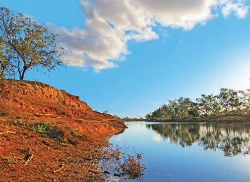
offers an educational winery tour and wine blending classes, a restaurant, wine river cruises from Perth and regular concerts on the river flats below the cellar door. Book tours online (sandalford.com) and for more details about the region, see the Swan Valley website (swanvalley.com.au).
KIDS’ SPOT
The Swan Valley might be famous for its adult beverages (think craft beer, gin and wine) but there’s plenty to interest kids too. Many of the valley’s farms offer pick-your-own-fruit adventures, including at some of the vineyards such as Padbury Pickings and Swan Street Vineyard, where you can pick your own table grapes (for eating rather than drinking) straight from the vines. Other family-friendly foodie attractions in the valley include the Margaret River Chocolate Factory, the House of Honey with its live bee display and sweet treats from the onsite Sticky Spoon Café, and artisan ice-cream at SubZero Gelato. If you’d rather keep all that sugar a secret, the Academy of Taxidermy at the Museum of Natural History in Guildford is sure to enthral with hundreds of stuffed Australian animals and life-size models of dinosaurs. Whiteman Park is another great spot to take the kids; they’ll love the vintage train and bus rides, Motor Museum of WA, Tractor Museum of WA and Revolutions Transport Museum, Caversham Wildlife Park and four playgrounds, including the free mini water playground with wading pool and waterspouts.
DETOUR
Head north through the Avon Valley, winding your way through the extensive woodlands and around the granite outcrops of Walyunga and Avon Valley national parks. The Traditional lands of the Whadjuk People, Walyunga is closed during the hot summer months (Dec–early April) but during the milder months both parks are great places for kayaking (the annual two-day 124km-long adventure river race between Northam and Bayswater – the Avon Descent – is held on the Avon River in August), picnicking and bushwalking.
Between July and October – if there have been good rains –the roadsides and surrounding countryside on this next stretch, around Muchea, Chittering, Bindoon, Wannnamal and New Norcia, are often covered in wildflowers. Look for golden wattles and wispy featherflowers, purple flags, scarlet kangaroo paw, several varieties of banksias, foxtails and orchids.
Left Murchison River Opposite top Chittering Valley Opposite bottom left Wreath lechenaultia Opposite bottom right Carpets of wildflowers, Mullewa
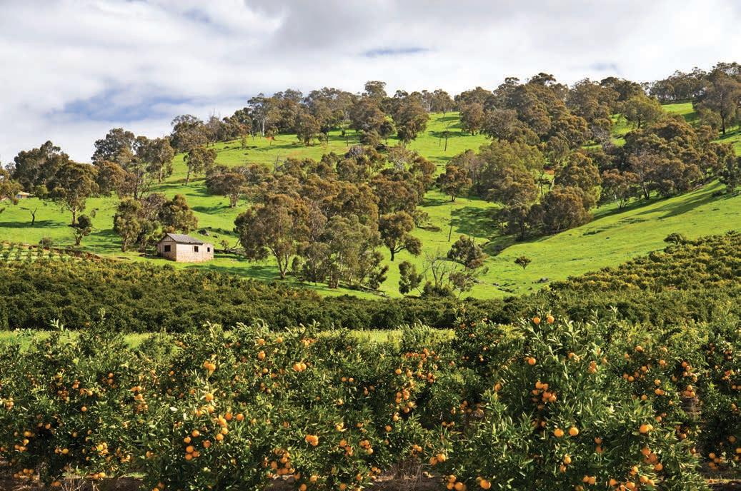
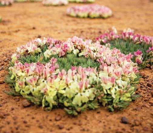
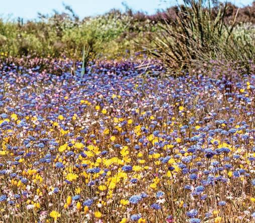
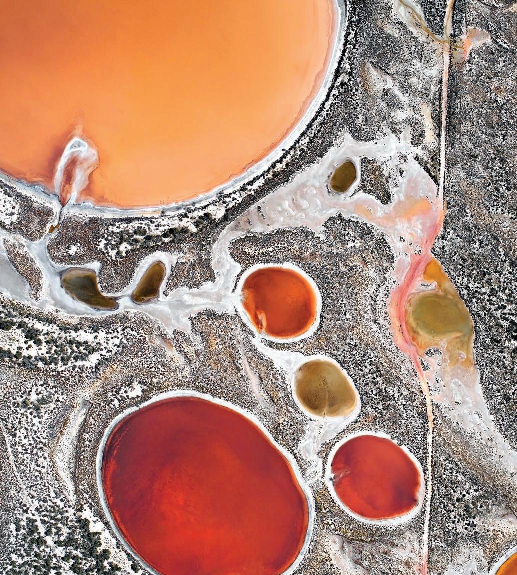
Shimmering on the horizon like a Spanish mirage, New Norcia (around a 90min drive north of Guildford) is Australia’s only privately-owned monastic town. It was founded in 1846 by Spanish Benedictine monks, just 17 years after the establishment of Perth, with the aim to create a largely self-sufficient village based on agriculture. More than 175 years later it is still a working monastery, with a handful of Benedictine monks in residence who adhere strictly to the abbey rules; prayer seven times a day; work or study in between; silence after 8pm. With its traditional Spanish architecture, and one of the best religious art collections in Australia and paintings by Spanish and Italian masters, including a tapestry cartoon by Raphael, not to mention the delicious New Norcia bread, rich nut cakes and slightly sinful pan chocolatti that are cooked in a traditional wood-fired oven in the abbey bakery, it’s a beautiful place to visit, but also one that hides an evil past. For more than a century New Norcia ran a boarding school and ‘orphanages’ for Noongar and other First Nations children from all over WA who were forcibly removed from their families. The schools closed in 1974, and in 2017 the religious community was named as one of the country’s worst historical offenders by the Royal Commission into Institutional Responses to Child Sexual Abuse. Survivors are still battling for justice.
The further north you drive, the sparser the landscape becomes, and it begins to feel much more like the outback with its vast wheatfields, dry grasslands, distant horizons and big sky. Keep an eye out for the intriguing salt lakes near Pithara (106km north of New Norcia). Depending on the time of year and the season, they change colours from pink to yellow to fire engine red. There are hundreds of salt lakes, and not all of them are easy to see from the ground but if you have a drone you’ll get quite a good view – and some amazing photographs.
Dalwallinu (Dally, a 10min drive north of Pithara), is the start of the signposted Wildflower Way, which stretches north almost 250km to Mullewa. You’ll see lots of interpretive signs along the way, highlighting cultural and historical points of interest. Visitor centres in towns along the route can also provide information about what’s flowering when in wildflower hot spots, but plants to keep an eye out for are orchids, wattles, everlastings, and the wreath flower (Lechenaultia macrantha), highly prized by wildflower hunters.
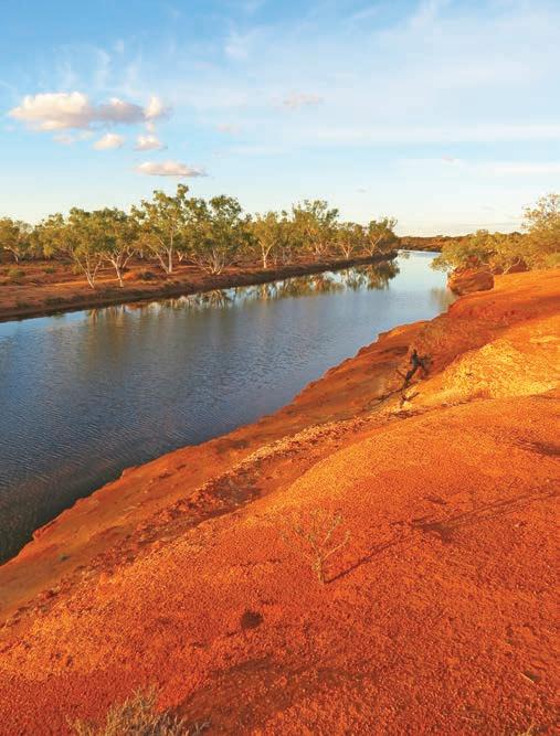
Mullewa to Kennedy Range National Park, 593km
From Mullewa it will take around 2.5hr to get to Wooleen Station, via Carnarvon-Mullewa Rd. Established in 1886 as a sheep station, the 152,000ha property is magnificent but was once overgrazed and now runs cattle and is slowly being restored back to an ecologically stable and productive landscape by the young leaseholders, Frances Jones and David Pollock (the couple have featured several times on ABC’s Australian Story). It features heritage-listed wetlands teeming with birdlife, vast mulga scrub rangeland and 36km of the Murchison River. The station offers accommodation in the National Trust–listed homestead or self-contained guesthouses, and at four different campgrounds scattered around the property, including on the banks of the Murchison River, where the sunsets have to be seen to be believed and the toilets would qualify as being some of the most stylish long-drop dunnies in the country.
Right Murchison River, Wooleen Station Opposite Pithara Salt Lakes, Dalwallinu
Wooleen Station is a wildflower hot spot too, and if there have been good winter rains the spring displays of yellow, white and mauve everlastings and pom poms – as well as patches of Sturt desert peas, mulla mulla, corn flowers and pink parakeelya –are spectacular. There is enough to see and do here that you could easily spend a couple of days exploring the historic buildings and the self-drive, mountain bike and walking trails whatever time of year you visit. Book your visit ahead of travel (wooleen.com.au).
Back on the road, fill up at the roadhouse in Murchison –it’s the only shire in the country that doesn’t have a town, and the fuel is some of the cheapest in the outback. Head north through the newly rebuilt town of Gascoyne Junction – it was devastated by floods in late 2010 – on to Kennedy Range National Park but stop along the way at Bilung Pool (between Murchison and Gascoyne Junction). Rarely dry, this picturesque waterhole on Bilung Creek is sacred to the Wajarri People, who call it Birlungardi, the resting place of Gujida (the rainbow serpent). Tradition decrees that you throw a handful of sand into the pool to show respect to Gujida when you first arrive. It’s a lovely spot for a picnic.
Another stunning natural wonder that remains relatively ignored by many travellers, the sandstone plateau of the Kennedy Range in Kennedy Range National Park (free entry) is between 12 and 25km wide and about 75km long and is riddled with dramatic gorges and rather fantastic rock formations. There are a number of walking trails that lead from the campground into the canyons, as well as a climb to the top of the range. You’ll need to get up early, and it’s a bit of a steep scramble in sections, but watching the sun come up from the Sunrise View platform at the top of the escarpment is a magical thing to do. Allow 2–3hr return, depending on your fitness, and take plenty of water. If that sounds a little too energetic, the shorter Temple Gorge Trail leads through a boulder-strewn gorge to a small rockpool. The road into the national park is unsealed but fine for 2WD, although some causeway crossings may be tricky after rain.
Kennedy Range National Park to Karijini National Park, 670km
Ask an Aussie to name the world’s biggest rock and chances are they’ll grin and say Uluru. They are wrong. Uluru may get all the glory, but the world’s biggest rock is actually two and a half times bigger – a whopping 717m high and almost 8km long. Called Burringurrah by the Wajarri People, but also known as Mount Augustus in Mount Augustus National Park (free entry), it’s 268km to the north-east of Kennedy Range National Park. You can climb to the top and back in around 6hr (the Summit Trail is seasonal and open in late autumn/winter), or take the easy way and drive around it. The road that encircles its base is 49km long, which gives you an idea of its massive size. Like Uluru, it’s a place of deep cultural significance and many of the rocky overhangs are covered with petroglyphs. Best place to see them – easily – is at Mundee, on the south side. If you fancy a dip, Goolinee (Cattle Pool), a permanent waterhole opposite the western end of Mount Augustus Rd, is a great place for a swim and a fabulous birdwatching spot, where sacred kingfishers and blue winged kookaburra are commonly seen.
You’re in the Pilbara now and if you’ve never been here before, prepare to be impressed. Everything seems bigger in the Pilbara, including the distances between settlements. The road trains are twice as long (four trailers is not unusual), the railway trains seem to stretch forever (many are several kilometres long), the mines are the largest in the world, the machinery is supersized, the colours are brighter, and the ground, which is mostly iron ore, is the hardest in the country – forget about trying to bash tent or awning pegs into the ground out here. The roads are also dustier, and while you don’t technically need a 4WD to drive this next section, it will be a more comfortable ride if you have one, although an AWD or SUV will be fine as long as the road is dry. If you are towing
Left Kennedy Range National Park Right Bilung Pool, between Murchison and Gascoyne Junction
you’ll need an off-road van or trailer. Allow a full day to get from Mount Augustus to Karijini, and ensure you refuel (and pick up food supplies if you are camping) at the iron ore mining town of Tom Price (trivia buffs take note, at 747m Tom Price is the highest town above sea level in WA).
Karijini National Park, 80km from Tom Price, and on the Traditional lands of the Banyjima, Innawonga and Kurrama Peoples, is one of the Pilbara’s must-see spots, and once you get there it’s easy to see why this national park is on so many
bucket lists. There are half a dozen gorges here, and all of them are gorge-ous (sorry, couldn’t resist!). But really, all bad puns aside, it is an amazing place. The colours are extraordinary –red rock canyons and green moss-covered walls surrounded by golden spinifex-studded plains and weathered flat-topped mountains. Photographers are in their element here! Plan to spend at least a couple of days in the park, and even then you’ll only scratch the surface.
To see the best of the gorges, you need to get down into them (and ultimately climb back up again), so you need good knees and a fair level of agility and fitness – many of the paths are quite narrow and you often need to cling to rock ledges and do quite a bit of rock hopping over sometimes slippery rocks. Don’t miss Fortescue Falls (Jubula) in Dales Gorge – it’s one of the park’s most popular spots and a great spot to swim if you don’t mind cold water. Continue on to the end of the 90min trail to Circular Pool, a rather ethereal plunge pool surrounded by hanging gardens of moss. Staying dry can be tricky in some gorges, such as at the other-wordly Kalamina Gorge (Nhamurrunha) where rock hopping back and forth across the river is the order of the day. In places like Weano Gorge, where if you go all the way to the end of the gorge you’ll be wading through water, you’ll just have to accept you’re going to get wet feet! Don’t let that deter you though as these gorges are worth every bit of the effort. Check ahead at Karijini Visitor Centre for swimming hole safety tips (hypothermia is a threat here), walking track conditions, and cultural information. Note that the visitor centre is closed in summer and it can be dangerous to walk in the park due to soaring summer temps. At any time of year, carry plenty of water and stay well away from cliff-edges.
The walks might be challenging, but you don’t have to rough it if you don’t want to: the Karijini Eco Retreat, owned and operated by the Gumala Aboriginal Corporation, is glamping at its best, with a hard-floored ensuite safari tent complete with a king-sized bed, hot shower, lanterns and power outlets for keeping your camera and other gadgets charged. The tent also has a private deck, perfect for watching the setting sun paint the sky or stargazing at night. The menu in the licensed restaurant features native ingredients – lamb with bunya nut pesto, for example, or wild barramundi with munthari berries and desserts flavoured with bush honey, desert limes and wattleseed. You’ll need to book both the accommodation and the restaurant – it’s popular with campers who want a night off from cooking (karijiniecoretreat.com.au).
It’s roughly a half-hour’s drive from Karijini Visitor Centre to the junction of the Great Northern Hwy. From there, you can
turn around and make your way south to Perth via Newman and Meekatharra. Or, keep the adventure going and head north to Port Hedland on the north-west coast and beyond to the Kimberley and Broome (see the Kimberley Coast road trip, p.136 for more details). Either way, the Pilbara gets my vote as one of Australia’s most underrated landscapes; grander, more expansive, more mountainous and much more majestic than most people ever imagine. It really is the wild west.
VANLIFE
Most of the towns and remote roadhouses along this route have commercial caravan parks and camping areas. You can also camp in most of the national parks mentioned in this itinerary, including at Walyunga and Avon Valley national parks, but don’t forget, you can’t take your pets into a national park. The remote riverside camping spots on Wooleen Station (see p.113) are some of my absolute favourites, with views so good it can be hard to leave. Temple Gorge campground in Kennedy Range National Park at the foot of the escarpment has toilets and a communal fire-pit and around a dozen sites, all with spectacular views. At sunrise and sunset the rocky ramparts glow red in the soft light and it’s quite a sight to behold: a bonus is that you can watch the early morning light show from the comfort of your camp. It’s not bookable, so it’s first-in gets the best site. No camping is allowed in Mount Augustus National Park but there are powered sites at Mount Augustus Tourist Park. It’s not the flashiest caravan park around, but all the sites have great views of the rock and there’s plenty of room.
There are two campgrounds in Karijini National Park: Dales has toilets but no showers but is much closer to most of the gorges than the privately-run Karijini Eco Retreat. In peak season (June, July and August), both Dales and Karijini Eco Retreat get very busy, so book well ahead with WA Parks and Wildlife (exploreparks.dbca.wa.gov.au).
Opposite top Dales Gorge, Karijini National Park Opposite bottom Fortescue Falls
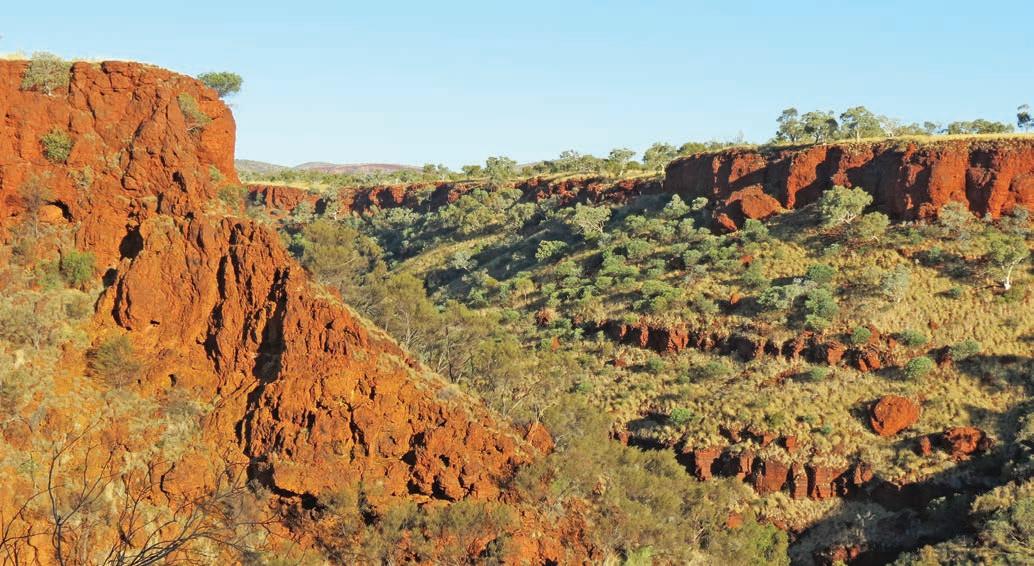
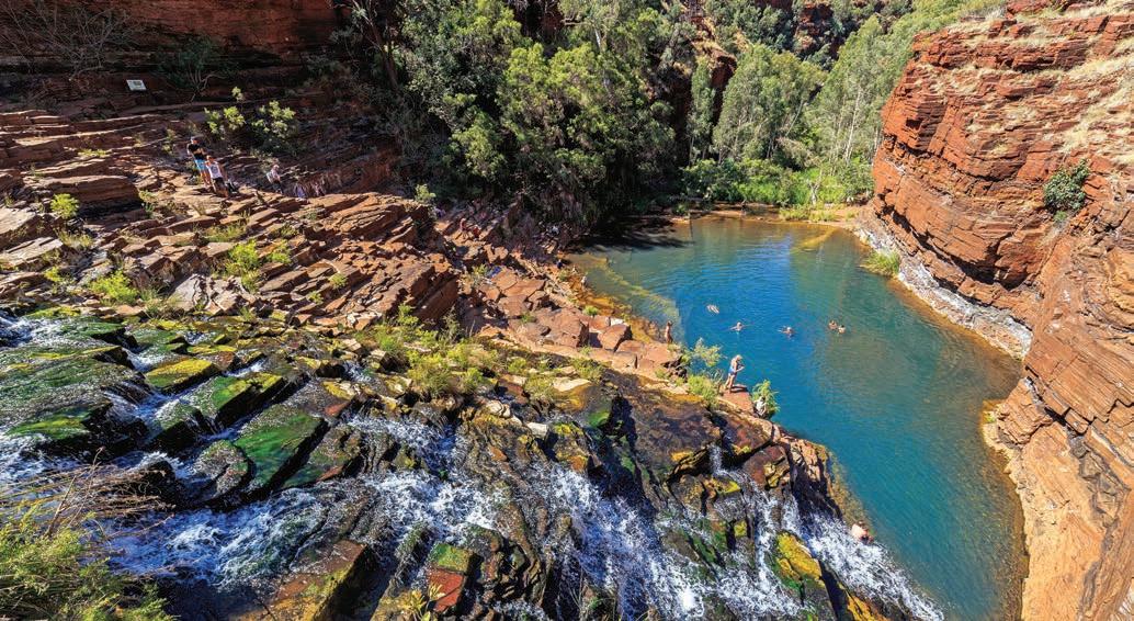
PORONGURUPS
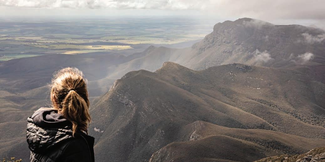
Stirling Ranges
Take a scenic drive across WA’s highest peaks. Highlights include more wildflowers than you can count and sensational views.
HOW LONG?
It will only take around half a day to drive across the range, unless you decide to spend some time on one of the many walks or get distracted photographing the wildflowers.
WHEN TO GO
Prime time to go is October to December, when the stunning wildflower show is at its best.
LOCAL SECRET
One of few truly rugged mountain ranges in the west, the Stirling Range is one of the few areas in WA that is high enough, and cold enough, to get dustings of snow in winter, sometimes as much as 5cm on the highest peaks.
NEED TO KNOW
Stirling Range National Park is around an hour’s drive northeast of Albany on the south-west coast. The closest towns are Cranbrook, 330km south-east of Perth/Boorloo, and Mount Barker (our base for this itinerary) which is a further 37km south of Cranbrook. Stirling Range Dve is a scenic unsealed road that cuts through the heart of the range for 42km, linking up with Chester Pass Rd. Drive west to east for the best mountain views. The road is a bit bumpy and dusty in sections, but traffic is usually pretty scarce so chances are you’ll have it all to yourself.
SNAPSHOT
Not all great wilderness journeys need to be about slogging it out on foot or by tiny paddle-powered canoe –there are some remarkably wild journeys that you can do by car. The short but very scenic drive across the Stirling Range, in southern Western Australia, is one of them.
Opposite The view from Bluff Knoll
Drive rating
Moderate: mostly gravel roads but fine for 2WD vehicles.
Acknowledgement of Country
This is the Traditional land of the Goreng and Minang Peoples.
Total distance
Return loop from Mount Barker, 146km.
Average temperatures
• January: 13–26°C
• July: 6–15°C
More information
exploreparks.dbca.wa.gov.au; mountbarkerwa.com.au
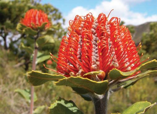
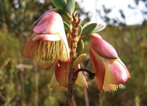
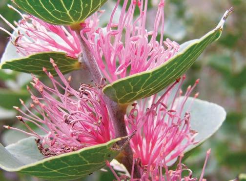
Mount Barker to Chester Pass Rd, 78km
Around 100km north-east of Albany, the 65km-long Stirling Range rises abruptly from the surrounding farmland plains, floating with what sometimes seems like a mysteriously brooding presence above the endless paddocks of green wheat and golden canola. The jagged blue peaks reach more than a kilometre into the sky and they dominate the landscape long before you actually reach them. Called Koi Kyenunu-ruff (‘places of mist moving around the mountains’) by the Traditional Owners, the Goreng and Minang Peoples, the range is famous for spectacular cloud formations that cling to the granite peaks like a gauzy veil, even when the rest of the sky is clear and blue.
The township of Mount Barker, roughly 30km south-west of the range, makes a good base to explore the mountains with a range of accommodation options and, as part of the celebrated Great Southern Wine Region, several wineries. Classified as a cool climate growing area, it’s best known for its riesling and pinot noir, although chardonnay and shiraz grapes also thrive here. As far as I’m concerned, there’s nothing better than curling up with a good glass of wine after a day in the misty wilderness, so Mount Barker is the perfect place to start and finish this loop, which can easily be done in a day.
From Mount Barker, head north out of town towards Kendenup and hook up with Red Gum Pass Rd, which will lead you into Stirling Range National Park, and eventually to the signposted Stirling Range Dve.
Sighted by Matthew Flinders in 1802, and named after the first Governor of WA, Sir James Stirling, almost the entire range is protected by national park and Stirling Range Dve snakes through the heart of the park for 42km.
The park is one of the world’s most important areas for wildflowers, with an astonishing 1500 species (many of which grow nowhere else) packed within its boundaries. According to the national parks leaflet, more species occur in the Stirling Range than in the entire British Isles and 87 plant species found here occur nowhere else on Earth.
Unlike other areas in Western Australia that are famous for their carpets of springtime wildflowers that stretch from horizon to horizon, the Stirling Range blooms in patches, hidden behind the prickly scrub that lines the road.
Top Scarlet banksia Centre Qualup bell Bottom Hood leaved hakea Opposite Stirling Range Drive
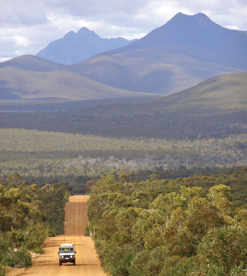
Follow any of the paths that lead off Stirling Range Dve and within a few metres you’ll stumble across thickets of exquisite ground-hugging flowers and stands of flowering trees, like the brilliant red domed scarlet banksia, masses of orchids, the white star-like flowers of the southern cross, spiky yellow dryandra, fluffy pink pom-pom-ish pixie mops and red mountain bells.
It’s lucky there aren’t many cars on Stirling Range Dve because, if you’re anything like us, you’ll probably manage to drive just a few kilometres at a time, pulling over again and again, distracted by flashes of colour, and finding yourselves wildflower hunting on the side of the road.
Peak after peak rises up beyond each twist and turn of the road, the unfolding grandeur of the scenery quite mesmerising as brightly coloured rosellas dart across the road and wedge-tailed eagles ride the thermals high above.
Despite being so easily accessed by road, these mountains are seriously wild and not to be taken lightly. In almost all of the
Noongar stories told about Koi Kyenunu-ruff, the mountains are referred to as dangerous and it’s easy to see why as you stare up at the rocky cliff-faces. Weather changes suddenly, and a bright sunny day can be shattered by rain and hail in an instant, and always the clouds come and go, shrouding the summits in an air of impenetrable mystery. Walking trails spear left and right leading up to the many peaks and are all categorised as difficult and demanding and best left for experienced and well-equipped hikers.
If you do decide to hike in Stirling Range National Park, be prepared and plan ahead for all possible types of weather; check track and fire ratings; dress appropriately and carry necessary water, food, first-aid and gear; and always stay on track. Note: mobile phone coverage isn’t available in certain parts of the park so you might need to carry a Personal Locator Beacon (PLB).
You don’t have to hit the trails to enjoy the stunning landscape, however, as there are lots of places where you can pull over to admire the view as you drive across the range. A lovely
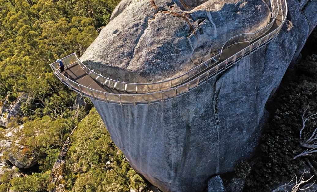
spot to stop for a picnic lunch is the wonderfully named Mount Magog, approximately 15km from the start of Stirling Range Dve.
With such spectacular scenery, this is not a road to do in a hurry, so take your time as you meander your way along the remaining 27 or so kilometres of road before you meet up with Chester Pass Rd.
Chester Pass Rd to Mount Barker, 68km
Bisecting the range from north to south, the sealed Chester Pass Rd is almost as scenic as Stirling Range Dve, although it doesn’t take long before the mountains recede into the distance as the landscape flattens out into a green and gold chequerboard of wheat and canola, which usually flowers in late winter and early spring.
DETOUR
Before you leave the national park, take a short side trip (15km) out to the park’s most popular attraction and highest peak, Bluff Knoll/Bular Mial. Stop on the way at Eastern Lookout, just before you get to Bular Mial, to read the interpretive story boards detailing the cultural significance of the rocky peak to the Minang and Goreng Peoples. There’s a boardwalk at the top of the winding road that leads out towards the 6km track that climbs up to the summit, 1095m above sea level. It’s a tough 4hr-return hike to the summit, and you need to be well prepared to tackle it, but if you’re not feeling that energetic you can just spend an hour or so getting high enough to look down on the peaks and plains below, although be aware that the mist can descend when you least expect it. There’s an undercover picnic area at the start of the trail and three easily accessible lookout platforms.
It will take around 45min to get back to Mount Barker, but ignore your sat nav if it tells you to go via Woogenellup Rd and instead take the slightly longer way, via Porongurup, stopping at Porongurup National Park on the way. If your knees are up for it, and you have a good head for heights, you won’t want to miss the Granite Skywalk. It’s a 2km walk from the picnic area and involves a bit of scrambling over rocks and climbing a 6m ladder at the end, but the views from the suspended steel and glass lookout platform atop a massive 670m-high granite monolith known as Castle Rock, stretch, on a clear day, all the way to the coast, and back across the ranges you’ve just driven through. You really will feel like you’re king – or queen – of the castle.
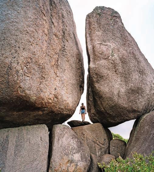
KIDS’ SPOT
If your kids like the idea of a treasure hunt, there’s some larger-than-life public art in Mount Barker that can be fun to find. It’s hard to miss the giant redback spider climbing the wall at 89 Lowood Rd, the ute full of big rocks parked outside Mount Barker Bakery, or the many colourful murals around town – a favourite is the Kids and the Magpie at 61 Lowood Rd, depicting a couple of swooping birds and a racing billycart. Another hit with kids is the playground at Wilson Park, which has a tractor and boat to climb on, and a skate park for older kids.
VANLIFE
The campground at Moingup Springs in Stirling Ranges National Park was destroyed by bushfires and at the time of writing has still not reopened, but you can camp at Stirling Range Retreat (stirlingrange.com.au) on the boundary of the park opposite the Bluff Knoll turn-off or at Mount Trio Bush Camp & Caravan Park (mttrio.com.au). Both have powered and unpowered sites, hot showers and laundry facilities and Mount Trio allows small dogs on request. Porongurup Range Tourist Park (poronguruprangetouristpark.com.au) is very close to Porongurup National Park. Mount Barker Holiday Park (mtbarkerholidaypark.com) is located in the centre of town and welcomes tent camping as well as caravans and trailers.
Right Castle Rock, Porongurup National Park Opposite Granite Skywalk atop Castle Rock
Indian Ocean Drive
If it’s
your
first time road tripping Australia’s west coast, get ready to be blown away by the dazzling colours of the aquamarine sea and white sandy beaches.
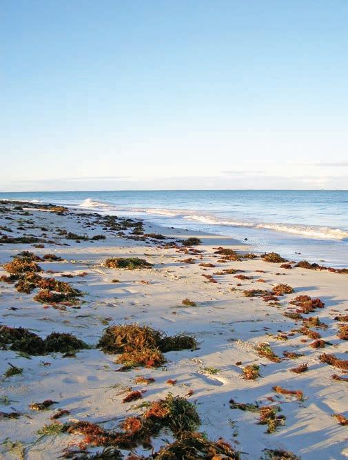
HOW LONG?
You can drive from Perth/Boorloo to Geraldton in less than 5hr, but it’s worth spending a few days beachcombing along the way. Allow two to three days one way.
WHEN TO GO
It doesn’t rain much in this region compared to the southwestern coast, but when it does it’s almost always during the winter months.
LOCAL SECRET
Between early July and late November the coastal plains burst into bloom with more than 800 species of native flowers and flowering shrubs. Get the latest wildflower news from the locals online (wildflowercountry.com.au), and look for the regularly updated wildflower hot spot page.
SNAPSHOT
The Indian Ocean Drive runs north along an extraordinarily beautiful coastline from Perth/Boorloo to Geraldton, through a string of seaside towns edged by powder-fine white sand beaches lapped by turquoisecoloured water. Other reasons to go, if you still need some, include amazing wildflowers in spring and feasting on crayfish at bargain prices from local fish and chip shops.
Drive rating Easy: sealed roads.
Acknowledgement of Country
This is the Traditional land of the Whadjuk, Juat, Amangu and Yamatji Peoples.
Total distance
Perth/Boorloo to Geraldton, around 419km
Average temperatures
• January: 21–36°C
• July: 12–30°C
More information australiascoralcoast.com and click on ‘Destinations’ and ‘Indian Ocean Drive’; visitgeraldton.com.au
Thirsty Point, Cervantes
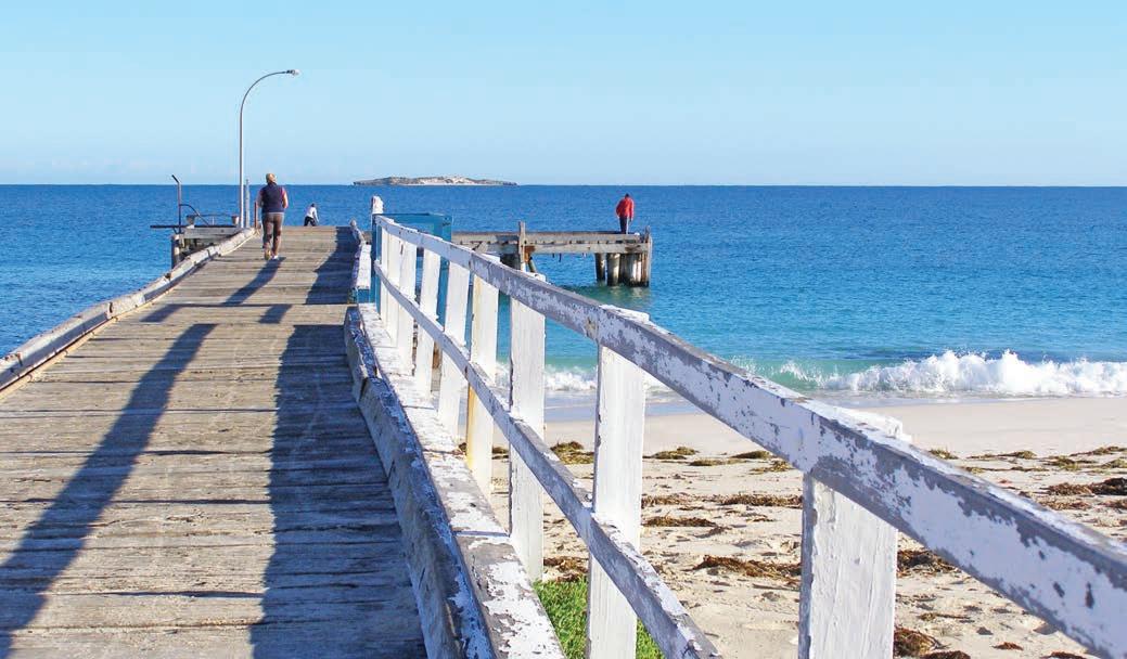
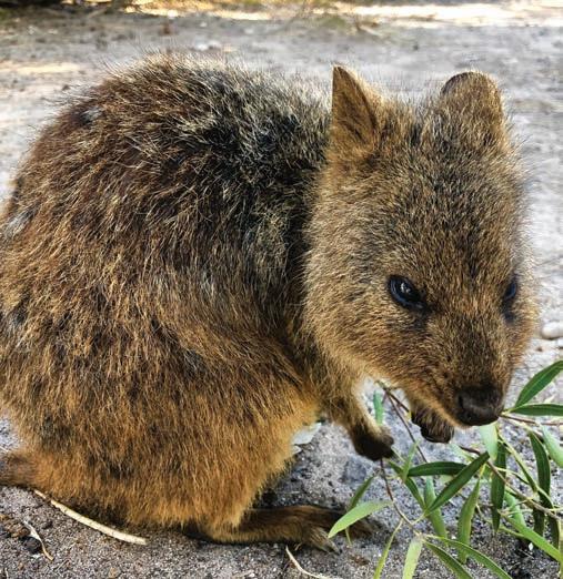
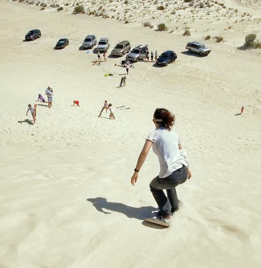
Perth/Boorloo to Cervantes, 197km
Driving around Australia on Hwy 1 is the ultimate ‘Big Lap’, but there’s a section of it called the Brand Hwy that runs north from Perth to Dongara south of Geraldton that’s best bypassed – not because it’s busy with road trucks, or in bad repair, or longer or shorter than other roads – as the coastal alternative is so much more scenic and a lot more fun. Known as the Indian Ocean Drive (SR60), it links a succession of small coastal townships north of Perth. Given how spectacular this part of the western coastline is, it’s no surprise that the Indian Ocean Drive instantly became a ‘must do’ section of many peoples’ road trip bucket lists when it opened in 2010, so it hardly qualifies as a backroad, but it certainly makes a very memorable detour. And the good news is it’s only 1km longer than the Hwy 1 route!
From the centre of Perth, head north but resist the urge to follow the SR60 straight away and instead meander your way along the city’s northern beaches. A 20min drive west of the city centre, Cottesloe Beach is Perth’s answer to Bondi, lined with cafes, restaurants, bars – including the iconic Indiana Tea House at the edge of the sand – and surf shops. It’s even host to an annual Sculpture by the Sea exhibition each March, just like the hugely popular one held between Bondi and Tamarama on the east coast each spring. With pictureperfect white sands, Cottesloe makes for a good starting point for this drive up the Indian Ocean Coast, because it’s just one of half a dozen gorgeous beaches in Perth’s northern outskirts. If Cottesloe is too busy for your liking, head north to Scarborough, Trigg, or if you’d prefer snorkelling to surfing, check out the natural lagoon of Mettams Pool.
KIDS’ SPOT
Before you leave Perth, check out the diversity of marine life that exists in the waters of Western Australia at AQWA –The Aquarium of Western Australia in Hillarys Boat Harbour
One of Australia’s largest aquariums, it features only marine life found in WA waters, but with more than 12,000km of coastline to cover, there’s plenty of variety – from the cold southern waters to the coral reefs and tropical seas of the far north. There are 45 exhibits, including one of the largest living coral reef exhibits in the world, a moving underwater tunnel, behind-the-scenes tours, snorkelling and diving with shark encounters, glass-bottom boat trips and lots of kids’ activities too.
DETOUR
Called Wadjemup by the Whadjuk Noongar People, no trip to Perth/Boorloo is complete without a trip out to Rotto (Rottnest Island), the favourite holiday destination for many westcoasters. It’s only 18km off the coast from Perth and you can catch a fast ferry from Hillarys Boat Harbour with Rottnest Fast Ferries (rottnestfastferries.com.au). The island is renowned for superb snorkelling, diving, surfing, fishing, boating and swimming in crystal bays. Rotto is car-free, so the best way to get around is on a bus tour or hire a bike on arrival.
A visit to the Wadjemup Museum is a good way to start your time on the island to understand the island’s horrific, dark history. Used as a prison for Noongar People from the mainland, many Aboriginal People sent there had committed petty crimes – or no crimes at all, confessing to accusations only to avoid physical brutality by colonists. Many of the historic buildings on the island, including some that are now luxury hotels, were built by prison labour. The Wadjemup Project is assessing how to memorialise the burial ground and prison buildings.
The wildlife is the main attraction of the island, because the one photo everyone wants is a selfie with a quokka. These naturally inquisitive animals that always appear to be smiling are actually small wallabies. There are 12,000 quokkas on Rotto, so you are pretty much guaranteed to see some, particularly in the morning or late afternoon. Getting a selfie is a little harder: for best results you’ll need to be at quokka level, belly down on the ground – but don’t feed or touch them.
The beautiful beaches continue as you head north out of Perth. For a change of scene, head underground into the Crystal Cave, a richly decorated cave full of stalactites, stalagmites and helictites in Yanchep National Park (book your guided tour at exploreparks.dbca.wa.gov.au). There’s also a raised boardwalk in the park where you can view koalas – even though they are not native to WA there has been a colony here since 1938, originally transferred from Perth Zoo.
Lancelin, about a 1hr drive up the road from Yanchep, is popular with surfers – Back Beach is celebrated for its big swells – windsurfers and sandboarders, who love the threestorey-high white powdery dunes. If you’re keen to give sandboarding a go, you can hire a sandboard at several spots around town or book this or a quad bike tour of the dunes online (lancelin.com.au).
Lancelin is also one of your first opportunities to try the famous crayfish (western rock lobster). You can buy them live straight off the boat from the fishers down at the jetty for a whole lot less than you’d pay in a fancy restaurant, although the boats only bring in what’s been pre-sold, so you need to order online a day or two ahead (lancelin.com.au).
Opposite top Jurien Bay Opposite bottom left Quokka Opposite bottom right Sandboarding on the dunes of Lancelin
If you don’t fancy cooking a live lobster, the Lobster Shack in Cervantes (lobstershack.com.au), does lobster all sorts of ways for lunch, including chilli lobster fritters and a wickedly good lobster roll, as well as tours through their lobster processing plant.
There aren’t many places in Australia where you can see the sea from the middle of the desert, but in the Pinnacles Desert near Cervantes you can. Thousands of huge limestone pillars rise out of the stark landscape of yellow sand in Nambung National Park which is on the Traditional land of the Yued People. Some are jagged, sharp-edged columns, rising to a point; others squat and rounded like a gravestone, some are little more than triangular-shaped boulders emerging from the dunes. In places they reach up to 3.5m tall. All of them are totally surreal. The towers formed from seashells that were compacted and dissolved inside the surrounding dune system, which in turn eroded away leaving the crazy spikes that exist today. The 4km Pinnacles Loop Drive through the park is a great way to really appreciate the landscape. It’s fine for 2WDs, but if you’re towing a van or a trailer you’ll need to unhitch in the carpark at the visitor centre.
Also worth seeing are the thrombolites (living fossils) at Lake Thetis, also in Nambung National Park. Similar to the more well-known stromatolites of Hamelin Pool in Shark Bay (about 500km to the north), this is one of the few places in the world where you can see thrombolites. They might just look like rocks, but they actually contain the oldest evidence of life on Earth. And if you’re wondering about the difference between thrombolites and stromatolites, the latter are formed in salt lakes by layers of cyanobacteria over millennia, while the thrombolites at Lake Thetis are clustered structures and much bigger. Both are very, very, very old.
Cervantes to Geraldton, 222km
Another top spot for crayfishing – and fishing of all sorts from the beaches, jetty or offshore – Jurien Bay is also a great place to see some of the world’s rarest sea lions. Found only in Western Australia and South Australia, more than 20 per cent of WA’s population of the endangered Australian Sea Lion live and breed in Jurien Bay Marine Park, and you can often see them on the beaches. If you want to get a closer look, take a tour (turquoisesafaris.com.au and jurienbayoceanic.com.au) where you can jump in the water and snorkel with them.
The Pinnacles Desert, Nambung National Park
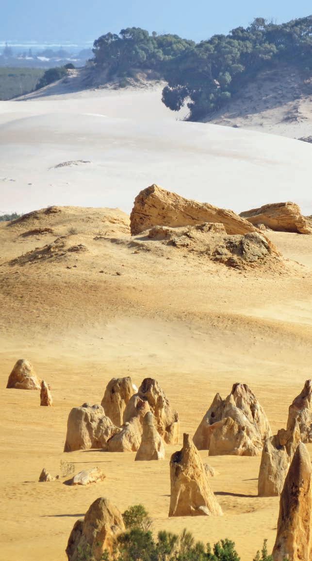
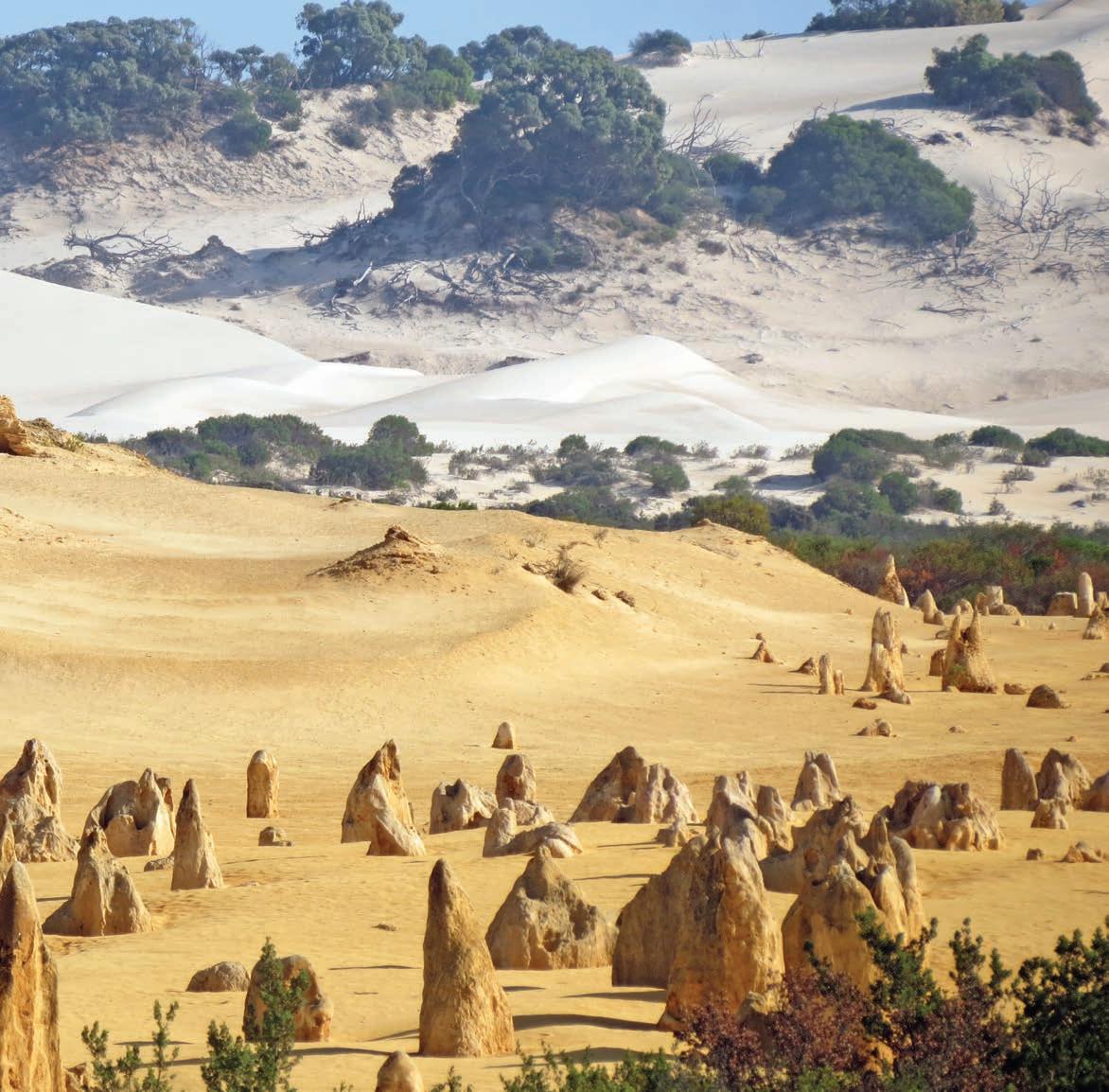
If you have a bike – or don’t mind the longer walk – the 14km-long Turquoise Way Trail is a car-free sealed cycling trail that stretches from the centre of Jurien Bay township south along the coast to the mouth of Hill River and offers one stunning view after another. There are more than 20 access points to beaches along the way, as well as several nice picnic spots near Dobbyn Park. If you don’t feel like doing it all, the northern half of the trail is reasonably flat. There are no prizes for guessing how it got its name either – the colours are truly dazzling. You can hire bikes from Jurien Bay Adventure Tours: call 1300 462 383.
DETOUR
Western Australia is renowned for its stunning wildflower displays, when inland areas explode into a riot of colour between July and November and roadsides are lined with flowers of all descriptions, including smokebush, black kangaroo paw, cats paw, scarlet feather flower, scholtzia, thryptomine, cowslip
orchids, woody pear and banksia and wreath flower. Lesueur National Park is a good spot for variety. You can also see black and yellow varieties of kangaroo paw along the 2km nature trail through Badgingarra National Park. Further north, if it’s been a good season, you’ll see carpets of everlastings in Coalseam Conservation Park
The stunning vistas of stunning beaches just don’t stop on this road trip, with more in store in the twin towns of Port Denison and Dongara – head to Fishermans Lookout for sweeping views, and one of the three jetties on the marina for good fishing. The breezes here attract windsurfers and kitesurfers from around the world, especially in summer. South Beach is a good place to see them in action (or to join in the fun); it’s also a popular surfing spot and if you have a 4WD, you can drive on the beach.
Don’t miss the National Trust village of Greenough, 24km south of Geraldton, a collection of 11 restored buildings
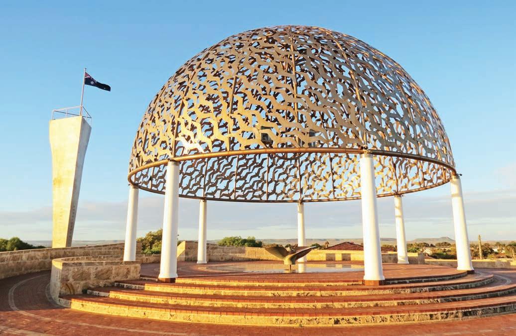
including a gaol, courthouse, police station, churches, and a school in what was once a vibrant country town of more than 1000 but became a (very solidly built) ghost town in the 1930s when wheat production in the area declined. Keep an eye out along the way for the surreal leaning trees, growing sideways thanks to the prevailing winds beside the road on the drive there.
DETOUR
Ellendale Pool is a beautiful deep freshwater pool on the Greenough River encircled by tall sandstone cliffs near the ghost town of Greenough, around 47km east of Geraldton via Ellendale Rd. It’s a popular location for picnics during the day, with good swimming in summer.
Learn about one of the continent’s first major crimes at the Museum of Geraldton – the massacre of the survivors of the Batavia shipwreck, which took place some 80km off this coast, 150 or so years before the British arrived in Botany Bay on the other side of the continent. Apart from the riveting shipwreck story, the museum also houses a large gallery focusing on another equally famous maritime mystery: the disappearance of HMAS Sydney in 1941 after a battle with the German warship HSK Kormoran. The wreck of the Sydney was finally discovered off Dirk Hartog Island in 2008. A memorial to the crew has been built on Mount Scott overlooking Geraldton. The silver dome of seagulls represents the 645 lost sailors, and a southern wall displays ghostly photographs of the ships and the names of the crew, while a bronze statue of a woman gazes desperately out to sea as if awaiting news. Visit at sunset or in the early morning and you can’t help but be moved by this striking piece of art.
Another work of art in Geraldton is St Francis Xavier Cathedral, with its Californian Mission–style twin towers, a Brunelleschi-ish cupola like the one in Florence and a mix of Romanesque, French Renaissance, Eastern Orthodox and even Islamic design elements inside. It was designed by the famous architect-priest Monsignor John Cyril Hawes in 1915, who also built other remarkable chapels and churches in places such as Mullewa, Morawa and Perenjori, as well as in the Bahamas. Completed in 1938, it’s one of the most original and unusual cathedrals in Australia and worth a look even if you don’t usually care for churches.
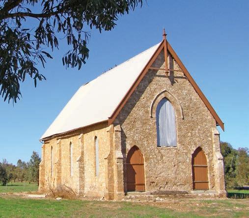
KIDS’ SPOT
Kids of all ages love splashing about in the waterpark in the middle of the Geraldton Foreshore, and parents love the fact that it’s free. There’s a variety of fountains, a fenced toddler area and a playground. For those that like their fun on two wheels there’s a pump and jump track in Spalding Park, and an 11km mountain bike track that runs along the Chapman River.
Finish off your Indian Ocean drive watching the sun slip into the sea at Separation Point Lookout or beneath the red-andwhite striped lighthouse at Point Moore. Paired with a glass of bubbles – or whatever your drink of choice is – it’s the perfect way to end one of the country’s ultimate coastal road trips.
VANLIFE
You can tent camp on Rottnest Island/Wadjemup at Stay Rottnest Campground (rottnestisland.com/stay) near Pinky’s Beach, and Discovery Resort (discoveryholidayparks.com.au) has eco-tents for glamping and a pool. Lancelin offers a couple of caravan parks including Lancelin Holiday Park (lancelincaravanpark.com.au) and BIG4 Lancelin (big4.com.au). There are no camping facilities near the Pinnacles at Nambung National Park but the best caravan park option is RAC Cervantes Holiday Park (parksandresorts.rac.com.au), which has grassy sites with beach access. Cliff Head, 38km south of Dongara, has three bush camping areas with toilets overlooking the sea. There are commercial caravan parks in most of the larger towns along the coast, and several in Geraldton, and you can also camp beside Ellendale Pool, east of Geraldton.
Right Former church in the ghost town of Greenough Opposite HMAS Sydney Memorial, Geraldton
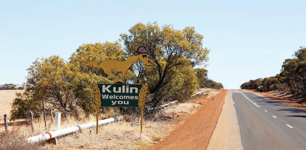
Gnarming
Kulin
HILLS WEDENIN
Rock Jilakin
tin horses
Whoppa & West Kulin
SALT
KONDININ HOPKINS
Lake Jilakin
Tin Horse Highway
Drive through one of the country’s quirkiest roadside art galleries in the WA wheatbelt.
HOW LONG?
Depending on how many times you stop to take a photo, driving the Tin Horse Hwy is a fun way to spend an hour or so.
WHEN TO GO
The Kulin Bush Races are held annually in late September or early October: check online (kulinbushraces.com.au) for dates. The tin horses are a year-round attraction.
NEED TO KNOW
Kulin is 280km east of Perth/Boorloo. The Tin Horse Hwy stretches to the east and west of Kulin, with most tin horses to be found on the eastern side of town, although you will find them scattered around other roads in the district as well. The road’s official name is Gorge Rock-Lake Grace Rd.
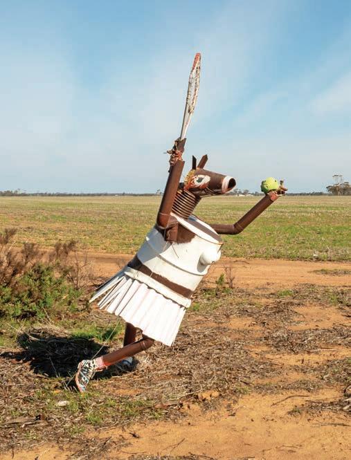
SNAPSHOT
You see some strange things beside the road in country Australia, but Western Australia’s Tin Horse Highway is about as weird, wacky and wonderful as it gets. Here, on a stretch of road near the tiny southern wheatfields town of Kulin, the local farmers have spent the past three decades trying to outdo each other by decorating the roadside with tin horses. At last count, there were almost 100, each bigger, better and more outlandish than the last.
Drive rating
Easy: sealed roads.
Acknowledgement of Country
This is the Traditional land of the Njaki Njaki People.
Total distance
Approximately 26km, although you’ll need to get to Kulin from a larger centre such as Perth/Boorloo.
Average temperatures
• January: 16–33°C
• July: 5–15°C
More information visitkulin.com.au
Above Fancy a hit of tennis? Opposite Welcome to Kulin
West Kulin to Jilakin Rock, 34km
The wheatbelt of WA – a vast swath of lightly forested, gently undulating agricultural land that stretches, roughly, from the western end of the Great Australian Bight north to Geraldton and west to the Goldfields – produces not only two-thirds of the state’s wheat, but half its wool and most of its fresh produce. It might be the agricultural heartland of WA, but it’s also a region that’s strong on community: out here, the locals know how to make their own fun, particularly when it comes to community events.
When we last drove the Tin Horse Hwy, there was a tin horse sitting on an outback dunny, reading a copy of Playhorse magazine. Just down the road was a sprightly tin filly called Fillypoussis brandishing a tennis racket with intent, another equine wonder made from emu lager cans, yet another being rescued from the top of a water tank and four huge heavy metal
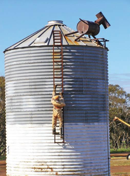
beasts pulling a wagon, also made of tin. Ben Horse, a Charlton Horseton Epic looked set to burn up the bitumen at any minute and there was even a tin horse flying a full-sized aeroplane.
The first tin horse, a rather modest affair made from a few old bits of tin welded together, mysteriously appeared at the turn-off to the Jilakin race track in 1994, pointing the way to the annual Kulin Bush Races. It’s a community fundraising event that transforms the normally somnolent town of Kulin, home to 400 people on a good day, into party central for the 4000 or so race fans that flock to the tiny town in late September or October, kicking up their heels over three days with plenty of live entertainment, gymkhanas, fireworks and, of course, the horse race – open to amateurs only – that stops a village.
By the time the next bush races came around, several of the local farmers had gotten in on the act, determined to prove that their tin horse could be bigger and better than the others. It wasn’t long before it was no longer good enough just to have one horse, when four or five could do, with bigger and more elaborate props, such as full-sized police cars and decommissioned aircraft. The largest tin horse is now more than 10m high with a body the size of your average caravan.
The friendly rivalry has now grown into a fully-fledged competition that attracts eight or nine new entrants each year, competing for a small pool of prize money and instant fame, at least around Kulin. Made in secrecy behind closed shed doors and erected under cover of darkness in the middle of the night, new horses begin to appear on the roadside in spring in the lead up to the September or October bush races. It makes for a fun and quirky road trip and gives a whole new meaning to horsing around.
VANLIFE
Kulin has a pet-friendly caravan park – outside of the Kulin Bush Races event period you can set your own price for up to five nights – as well as a free 72hr RV parking area: go online for details of both (visitkulin.com.au). You can also camp (unpowered sites only) when the races are on, but you’ll need to book well ahead (kulinbushraces.com.au).
Left Now how did he get up there? Opposite top left Giddy-up to Kulin Bush Races Opposite top right Wheely good horse Opposite bottom Tin Horse Highway is full of character
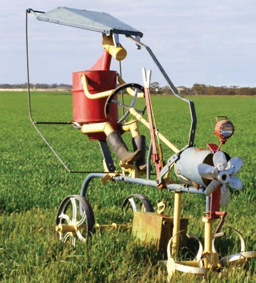
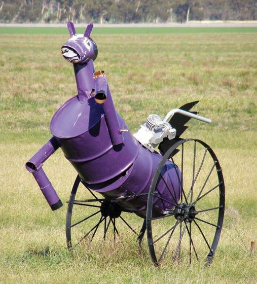
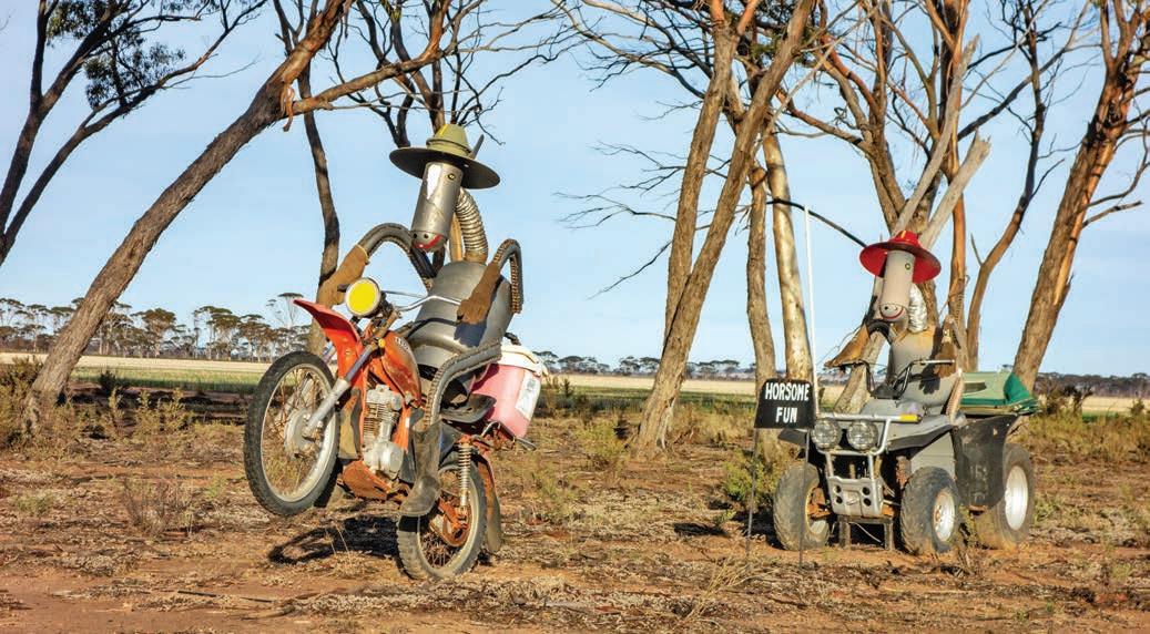
Kimberley Coast Remote,
wild and ridiculously scenic, the Dampier Peninsula north of Broome/Rubibi is one of Australia’s most undeveloped coastal wonderlands.
HOW LONG?
It’s only 220km from Broome/Rubibi to the northern tip of the Dampier Peninsula, but this is a road trip worth doing slowly because it’s all about getting to know the country, people and culture in the beachside communities along the way. Trust me, no matter how long you spend here, you’ll want to stay longer: allow at least a week.
WHEN TO GO
Best time to travel is May through to October but note that caravan parks can be very busy during winter school holidays (June–July). Some attractions are closed during the wet season during summer.
NEED TO KNOW
Pick up everything you need in Broome/Rubibi before exploring the Dampier Peninsula. Fuel is available at Beagle Bay, Djarindjin Roadhouse and Ardyaloon/One Arm Point (closed on weekends), and both communities have small general stores if you run out of basics. Note: you’ll need to buy a permit at the respective community office to enter both Ardyaloon and Beagle Bay.
SNAPSHOT
The Kimberley Coast is a wild, pristine and beautiful region, thanks largely to its inaccessibility: roads are few and far between in the remote north-west, and much of the coastline is only accessible by sea or air, apart from the Dampier Peninsula – a special place where First Nations culture and truly beautiful beaches combine to make it a unique destination. The good news is that, despite its remoteness, it’s actually quite easy to get to if you fly into Broome/Rubibi and hire a car for a week or two.
Drive rating
Moderate: the main south–north road on the Dampier Peninsula – Cape Leveque Rd – is now a sealed all-weather road, but a 4WD or high-clearance SUV is still required to access many locations along this road trip route which remain unsealed.
Acknowledgement of Country
This is the Traditional land of the Yawuru, Jukun, Bardi, Nyunyul, Nimanburr and Jabirr Jabirr/ Ngumbarl Peoples.
Total distance
Broome to Ardyaloon, around 270km
Average temperatures
• January: 24–37°C
• July: 11–33°C
More information australiasnorthwest.com
Broome/Rubibi to Beagle Bay, 146km
Most people have heard of the Dampier Peninsula, thanks to the fame of the Horizontal Falls, which are the most popular daytrip from Broome/Rubibi, but nothing prepares you for the dazzling colours of the landscape: blood-red pindan soil and white sandy beaches washed by turquoise seas.
Before you go, you’ll want to spend a few days in Broome. Highlights include the 23km expanse of Cable Beach – riding a camel along the beach at sunset is a must-do – learning about the pearling industry at Pearl Luggers museum, visiting working pearl farms and shopping for pearls in the many jewellery showrooms (or at least trying a few pieces on!). Watching stars under the stars is the perfect way to enjoy Broome’s balmy dry season climate and Sun Pictures, in the middle of the main street, claims it is the world’s oldest ‘picture garden’ – it has been showing films in its alfresco theatre since 1916.
A highlight for many travellers on this road trip is a visit to Sacred Heart Church in the tiny community of Beagle Bay on Nyul-Nyul Country, 180km north of Broome. From the outside the white-washed, bell-towered tin-roofed chapel doesn’t look all that impressive, although step inside and you’ll be dazzled by a lustrous interior of silvery pearls and shells, with a luminous grand altar made entirely from mother-ofpearl that glows silver in the sunlight that streams through the shell-framed windows overlooking the sea. There’s nothing quite like it anywhere else in the country. Beagle Bay was established in the 1890s by French Trappist monks as a mission for First Nations children from across the north-west who had been stolen from their families, as per the government policy at the time. It is now a self-governing community, so you’ll need to get an entry permit from the community centre when you arrive in the township.
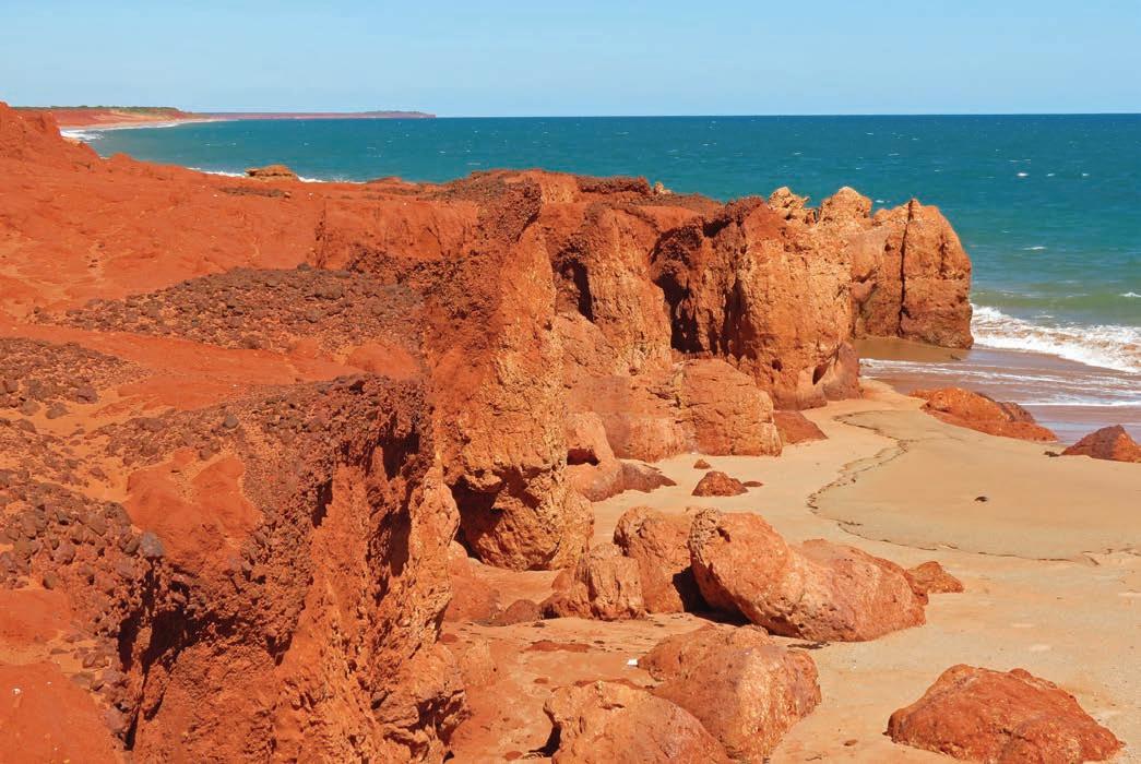
Beagle Bay to Ardyaloon/One Arm Point, 124km
Several small family-based First Nations communities on the Dampier Peninsula welcome travellers to their land for camping and day visits. One of my favourite spots to camp on the peninsula, Middle Lagoon is a beautiful spot on a grassy headland between two glorious beaches that are, according to the owners, safe for swimming. Djarindjin/Lombadina is another community that welcomes travellers. Like at Beagle Bay, you’ll need to call into the community office on arrival to buy a day pass before visiting the beach or village, and plan ahead because the community is closed to visitors on weekends.
Cygnet Bay Pearl Farm is a great place to taste pearl meat and learn how pearls are grown on a guided tour of the family-run pearl farm. It has a restaurant offering pearl meat prepared half a dozen ways, but there are also bistro classics like pasta, seafood and grills if you’re not feeling so adventurous. Check out the display cabinet with the world’s largest South Sea pearl. The farm has a mix of accommodation, from simple cabins to comfortable glamping and the opulent Master Pearlers Private Retreat. Book online (cygnetbaypearlfarm.com.au).
Ardyaloon/One Arm Point is the northernmost community on the peninsula. The community day pass, available from the community office, includes access to the beaches as well as a guided tour of the trochus shell hatchery. You’ll also learn about Bardi-Jawi culture, meet the resident sea turtle and see tidal whirlpools produced by one of the highest tides in the world.
The picture-perfect beaches may be the Dampier Peninsula’s drawcard, but it’s the cultural connections you’ll make in the communities along the way that make it so memorable.
VANLIFE
There are half-a-dozen caravan parks in Broome, and during the middle of the holiday season, in July, they can all be full to capacity. Broome Caravan Park (gdayparks.com.au) has a large overflow section – a big grassy paddock at the back of the park – and you can almost always find a spot there, even if you haven’t booked ahead. It has a fabulous resort-style pool with a 25m lap pool, and bathroom and laundry facilities that manage to cope with the crowds. For something simpler, you can bush camp overlooking the sea at Quondong Point, James Price Point and Coulomb Point. You can also camp in the community-run campground at Middle Lagoon and at Cygnet Bay Pearl Farm
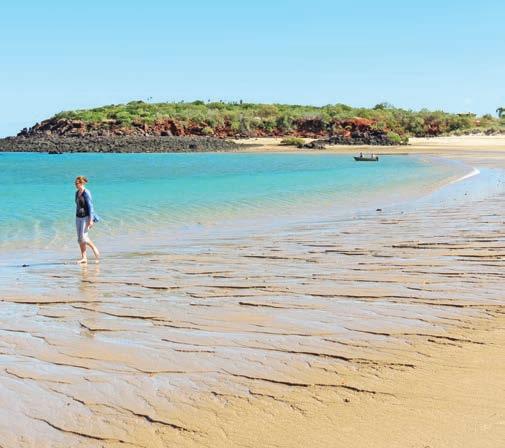
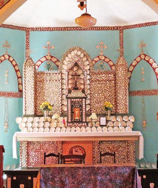
Top Middle Lagoon Bottom Pearl shell altar, Sacred Heart Church, Beagle Bay Opposite Stunning colours at Coulomb Point Nature Reserve
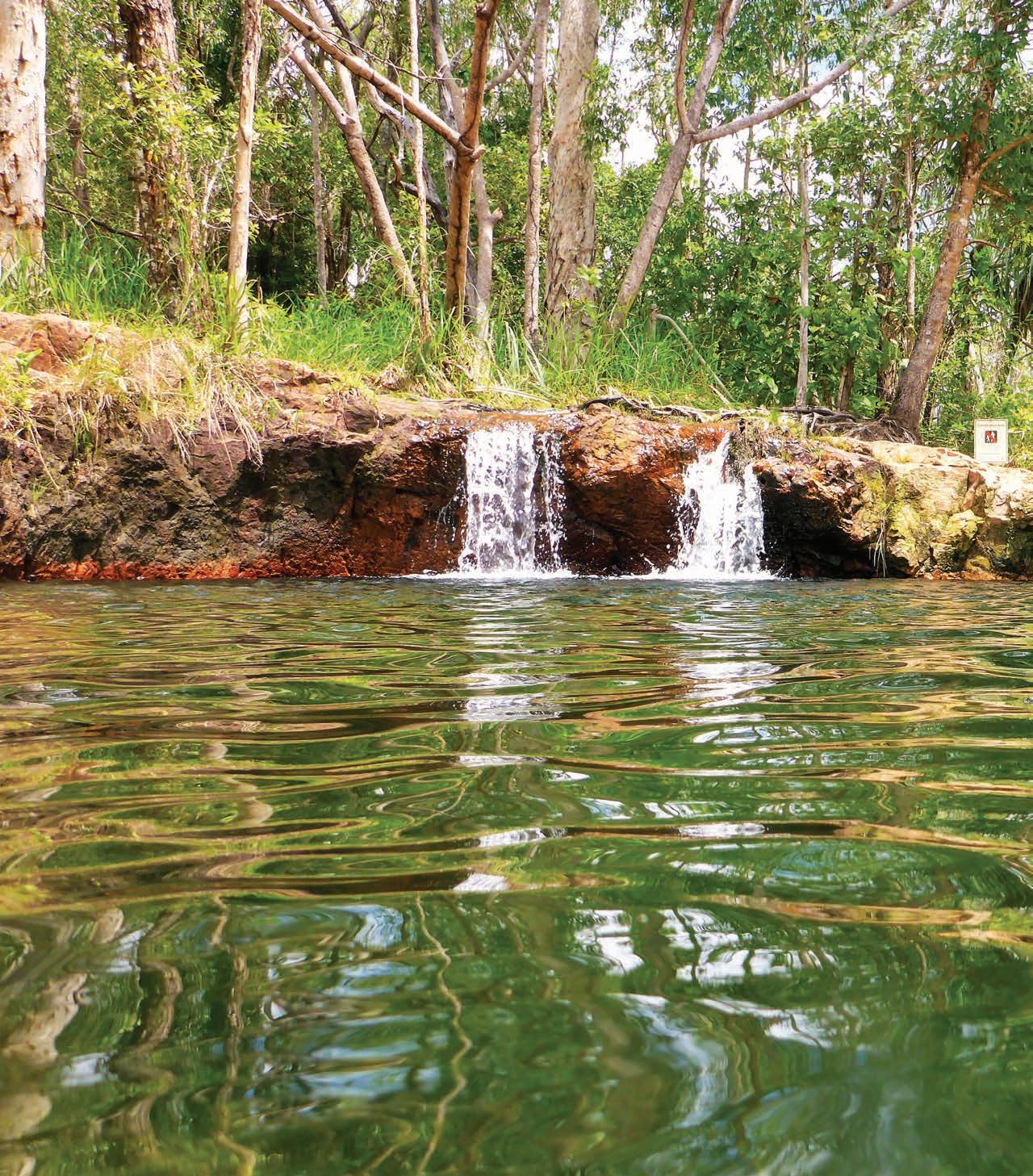
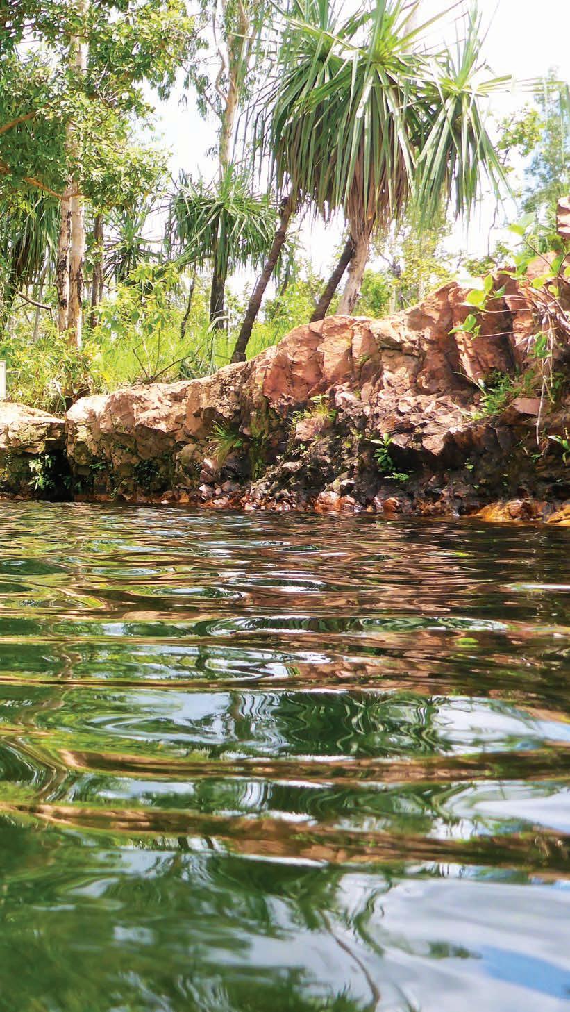
Mereenie Loop Road
This adventure drive will take you to three of the most famous places in the outback:
HOW LONG?
There’s about four days of driving on this road trip, but there is so much to see and do in the Red Centre that you should plan to spend at least two or three days in each place.
WHEN TO GO
The temperature range is extreme and travelling through the Red Centre in summer can be uncomfortable, with lots of flies. The best time to go is April through to October. Winter days may be warm, but nights (and early mornings) can be very cold, so take a warm jacket.
NEED TO KNOW
Much of the land you’ll travel through on this road trip is owned by First Nations People, so you need a permit to travel through it. This costs $5 and is available from the visitor information centres in Alice Springs/Mparntwe, Hermannsburg, Kings Canyon Service Station or the Central Land Office in Alice Springs (27 Stuart Hwy). The permit must be carried with you at all times while travelling through Aboriginal land. No alcohol is permitted in Aboriginal communities.
You’ll need to purchase a Parks Pass online before you travel to the national parks on this road trip (nt.gov.au/parks/parks-pass) and Uluru Kata Tjuta requires a separate pass to other NT parks which you can book through Parks Australia (parksaustralia.gov.au/uluru/plan/passes).
SNAPSHOT
The Red Centre is a place of endless surprises. The bush stories and legends of Australia’s harsh outback fail to prepare most people for its stark beauty; similarly, tales of starving pioneers and dying explorers mean many are surprised by the feast of bush tucker available. These days, staying in the desert can be as luxurious, or as rough, as you want to make it.
Previous Buley Rockhole, Litchfield National Park
Drive rating
Moderate: some unsealed roads with corrugations and bulldust. The Mereenie Loop Rd, also known as the Red Centre Way, is unsealed for 197km. A 4WD or SUV is recommended, but it’s fine for novice four-wheel-drivers if you’re hiring a vehicle in Alice Springs/Mparntwe. Some sections are not suitable for caravans.
Acknowledgement of Country
This is the Traditional land of the Western Aranda/ Arrernte, Anangu and Matutjara Peoples.
Total distance
Return loop from Alice Springs/Mparntwe: around 1080km.
Average temperatures
• January: 22–37°C
• July: 4–19°C
More information
discovercentralaustralia.com
Alice Springs/Mparntwe to Kings Canyon/Watarrka, 330km
Alice Springs/Mparntwe is the gateway to Uluru, but many people are surprised to discover once they get there that Uluru is still a 5hr drive away. It’s an easy enough drive on the bitumen, via the Stuart and Lasseter highways, but if you don’t mind a little dust and a few bumps, there’s a much more exciting – not to mention scenic – alternative, called the Mereenie Loop Rd, also known as the Red Centre Way.
Before you head off, spend a couple of days exploring ‘The Alice’. Must-see attractions include Alice Springs Desert Park, a zoo, botanic garden and museum all wrapped up in one superb arid-landscape park. Another highlight is the Old Telegraph Station beside the original Alice Springs waterhole 4km north of town via the Stuart Hwy. The Araluen Arts Centre has several galleries of central Australian Aboriginal
Art, as well as one of the country’s largest collection of works by Albert Namatjira. If you’re here in September or October, don’t miss the annual Desert Mob exhibition. Just next door is the Museum of Central Australia which focuses on the geology of the regions and has some fascinating exhibits on the megafauna that once roamed the landscape.
Take a tour of the Kangaroo Sanctuary set up by TV’s Kangaroo Dundee (by guided tour only; book at kangaroosanctuary.com); watch the sunrise over the desert in a hot air balloon (outbackballooning.com.au); and visit the Royal Flying Doctor Service Tourist Facility where you see inside a flying doctor plane. Allow a little time to see the Olive Pink Botanic Garden, a fascinating example of a desert garden that features more than 2500 plantings of almost 500 central Australian plants, as well as a sculpture trail. It was founded by local character and Aboriginal Rights Activist Olive Pink, at the ripe old age of 72.
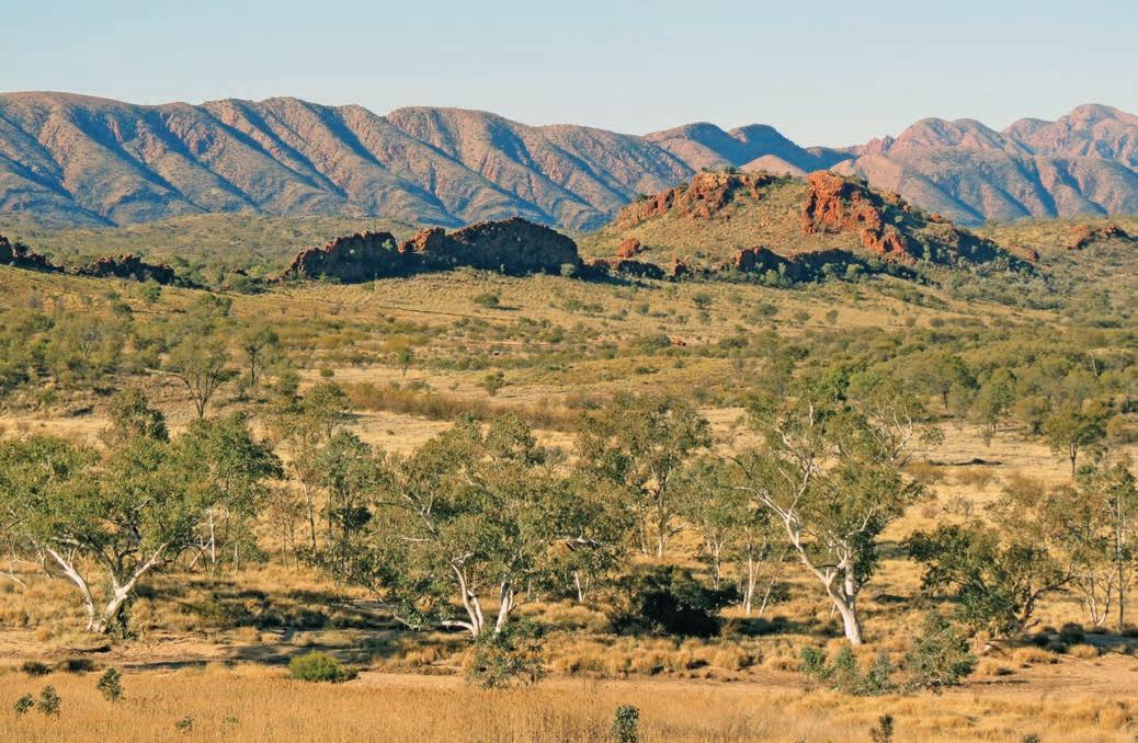
KIDS’ SPOT
The Red Centre offers heaps of fabulous activities for kids, including walking with kangaroos and watching the free-flying bird-of-prey shows at Alice Springs Desert Park. Kids can also learn how lessons are done for kids living in remote communities or on stations at the School of the Air
From the Alice, head west on Larapinta Drive, driving across the desert plains beside the ancient Tjoritja/West MacDonnell Ranges, also known as the West Macs. The landscape here is all about colour – red rocks and sand, blue sky, yellow spinifex and purple hills. Just 18km from Alice Springs is Simpsons Gap/Rungutjirpa, a spectacular cleft in the red rocky range and a few kilometres further on is Standley Chasm/Angkerle Atwatye, less than 9m wide and towering to a height of 80m. The best time to see it is at midday, when the sun is directly overhead and lights up the walls and floor of the rocky chasm. Don’t leave without trying the mango ice-cream at the kiosk cafe.
Continue south-west on Larapinta Drive. Travelling this road, also known as Mereenie Loop Road, it feels as if you have stepped inside the frame of a classic outback landscape painting. Appropriately, you’ll pass by the birthplace and home of Arrernte artist Albert Namatjira (1902–59) at the former Lutheran mission of Hermannsburg, now called Hermannsburg Historic Precinct, which adjoins the township of Ntaria. Namatjira’s paintings of red rocks and dunes, hazy purple mountains and tall desert oaks are some of the most familiar images of outback Australia. His tiny tworoom house is just a kilometre or two west of Hermannsburg Historic Precinct and is open for self-guided tours; you can also tour the old mission buildings in Hermannsburg, including the church and school, mess house, manse and sleeping quarters.
From Hermannsburg/Ntaria to Kings Canyon/Watarrka, the road is unsealed and not suitable for caravans (off-road camper trailers are fine, but there are a lot of corrugations), and an SUV or 4WD is recommended.
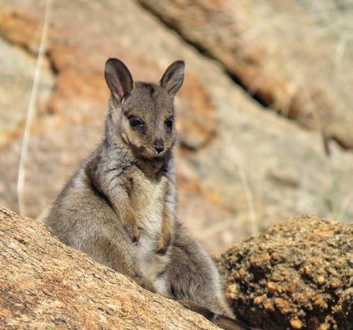
Top Rock-wallaby, Alice Springs Telegraph Station Historical Reserve Bottom Mulla Mulla in the West Macs Opposite The view from Mount Sonder/Rutjupma Lookout
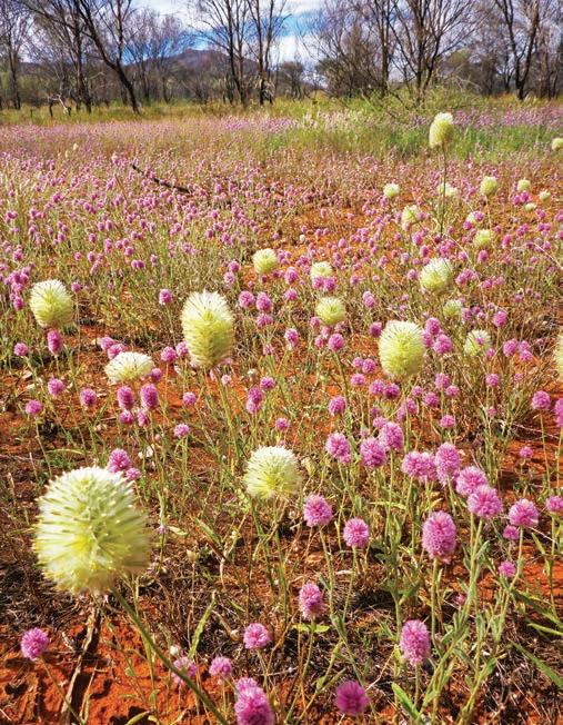
DETOUR
An alternative route is to drive deeper into the West Macs along Namatjira Drive and link up with the Mereenie Loop Rd 21km west of Hermannsburg/Ntaria. The Namatjira Drive turn-off is a few kilometres west of Standley Chasm/Angkerle Atwatye; the road is sealed to Glen Helen Gorge, but beyond there you’ll need an SUV or 4WD. It’s a stunning drive, one of the outback’s best. Highlights include a number of waterholes framed by red rocky gorge walls, including Ellery Creek Big Hole – a wonderful spot for a swim; Serpentine Gorge; the Ochre Pits, where Arrernte people have long mined ochre for ceremonies and trade; Ormiston Gorge/Kwartatuma; Glen Helen Gorge and Redbank Gorge/Yarretyeke. South-west of the ranges, Tnorala (Gosse Bluff) is a huge crater formed by a comet more than 130 million years ago. The Western Arrernte creation Dreaming story for the crater involves a group of women were dancing across the sky as the Milky Way, when a mother put her baby in a wooden baby-carrier. The carrier toppled over the edge of the dancing area and crashed to earth, where it was transformed into the circular rock walls of Tnorala. There is a good lookout over the crater at Tylers Pass or you can drive (4WD only) into the crater reserve. There’s so much to see and do along this stretch of road that you might want to consider overnighting along the way at one of the gorge campgrounds. Discovery Resorts –Glen Helen is another option, although at the time of research it was temporarily closed due to water supply issues.
DETOUR
Just south of Hermannsburg/Ntaria is Finke Gorge National Park, where the highlight is Palm Valley, a beautiful oasis-like pocket of around 3000 red cabbage palm trees. The last 16km of the road into the park follows the sandy bed of the usually dry Finke River, which means it may be inaccessible after heavy rains. This track can be hard going and is only for experienced 4WD tourers who have a high-clearance vehicle or a robust off-road motorhome (if you have a trailer, don’t try to take it all the way into Palm Valley: unhitch it at the campground). The 2hr Mpaara Walk takes you up onto rocky ridgetops for fantastic views of a natural amphitheatre; storyboards along the way recount an Arrernte legend told to young children to discourage them from walking in these hills alone. A shorter 45min walk takes you to Kalarranga Lookout for similar views of the amphitheatre from the opposite side. In Palm Valley, you can walk through an oasis of palm trees and cycads on the 2hr Mpulungkinya Walk, or the shorter, 1hr Arankaia Walk
Ormiston Gorge/Kwartatuma
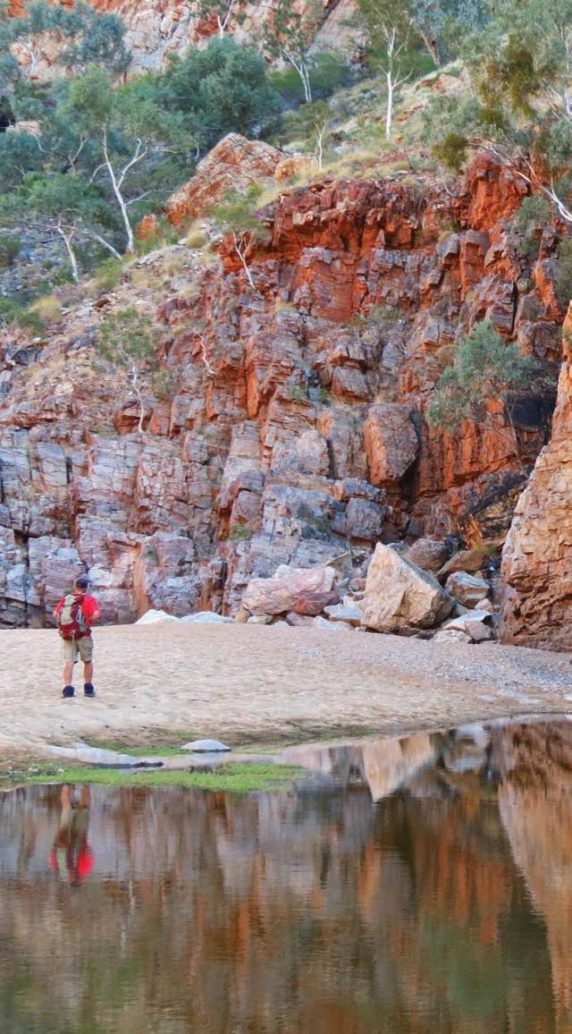
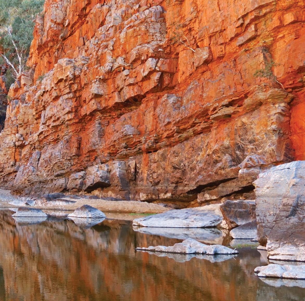
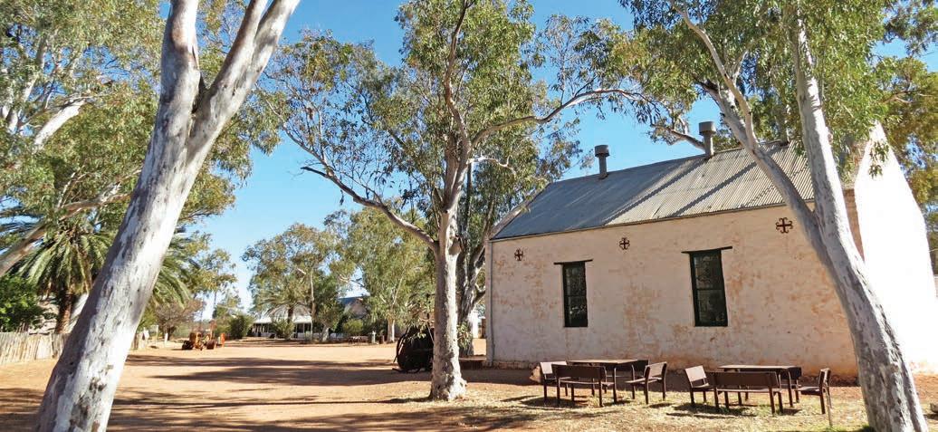
From the Finke Gorge turn-off, continue west, then south to Watarrka National Park, which is about a 3hr drive. The park protects Kings Canyon/Watarrka and its breathtaking 300m-high sheer cliffs. The 3hr, 6km-long walk around the rim of the canyon through spectacular rock formations, such as the Lost City, is a must. The best time to tackle it is either early in the morning, before the heat and flies begin to fray tempers, or late in the afternoon, when the setting sun lights up the sheer sandstone walls of the canyon to their best advantage. The first half-hour or so is a lung-busting, muscle-destroying climb up the side of the canyon, but, if you can make it that far, the remainder of the walk is an easy stroll around the rim. A less-strenuous alternative is the 1hr Kings Creek Walk into the floor of the canyon.
Kings Canyon to Uluru, 326km
From Kings Canyon it’s bitumen all the way to Uluru, and it’s about a 3.5hr drive. Look out along the way for Mount Conner, a huge flat-topped mesa rising from the desert plains that is so often mistaken for Uluru by first-time visitors that tour guides have nicknamed it ‘fooluru’. You’ll start to see your first glimpses of Uluru around 50km or so from Yulara, the resort village near the rock. And it doesn’t matter how many times you’ve seen it before, it’s always mesmerising.
For the Traditional Owners, the Anangu People, Uluru and nearby Kata Tjuta are of extreme cultural significance and you can learn about the creation stories and ceremonies associated with the land at the Cultural Centre inside Uluru–Kata Tjuta National Park. The climbing route to the top of Uluru was closed in accordance with the wishes of the Anangu People, in October 2019 – for both cultural and safety reasons – but there are many walks, waterholes and rock-art galleries around its base that are worth exploring. Allow 3.5hr to walk the track that circumnavigates the rock and carry plenty of water.
KIDS’ SPOT
Kids love riding the camels at Uluru, and learning about First Nations culture with the family-friendly activities (many of them free) at Ayers Rock Resort, including dot-painting art and culture workshops, Traditional storytelling and stargazing.
The most spectacular times to visit Uluru are sunrise and sunset, when the red rock takes on different colours in the changing light. There are special viewing areas inside the park and at various locations around Ayers Rock Resort. Tours and other activities are available, including guided walks, camel rides (ulurucameltours.com.au), stargazing tours, special breakfasts and dinners served outdoors in sight of the rock. The Field of Light gives you the after-dark experience of seeing 50,000 glass blooms light up the desert in a stunning
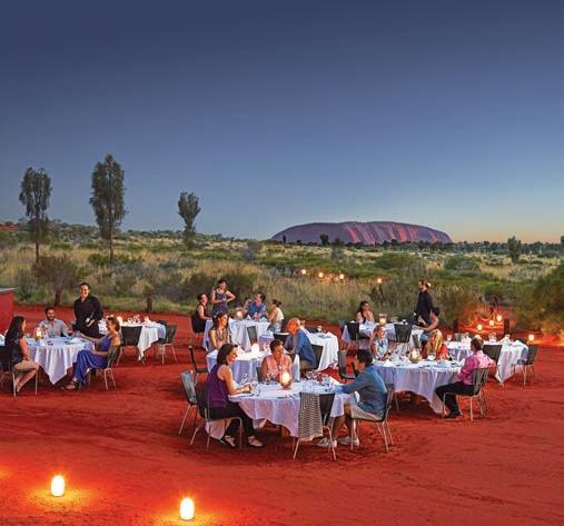
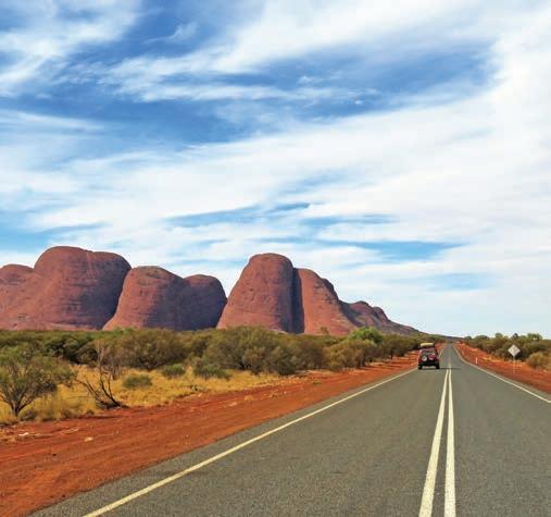
installation by artist Bruce Munro. The Wintjiri Wiru is a thrilling retelling of the ancestral Mala story using more than 1000 drones as well as lasers, projections and sound in a choregraphed show. Book ahead through Ayers Rock Resort (ayersrockresort.com.au).
The huge, weathered domes of Kata Tjuta, which lie 53km from Yulara, are just as impressive as Uluru. The 8km Valley
FABULOUS FEASTS
of the Winds Walk winds along a rocky trail past sheer rock faces and unusual rock formations to a magnificent lookout, but if that’s too long the Walpa Gorge Walk is an easy 1hr-return hike into a serene canyon.
If you are returning to Alice Springs/Mparntwe, it’s an easy run of around 445km on an all-sealed road. However you travel back, the memories will linger of some of Australia’s most iconic sights.
VANLIFE
The Sounds of Silence dinner atop a sand dune near Ayers Rock Resort is not your average bush barbecue: after a buffet dinner of fresh barramundi, lamb, kangaroo or emu steaks and delicious desserts, the lanterns are dimmed, the port poured and the legends of the southern sky explained by a local astronomer. For a more intimate experience, the Tali Wiru dinner (April–Oct) caters for just 20 guests at a time, serving champagne and a four-course table d’hôte dinner with matching wines, followed by port and cognac served around a fire while a First Nations storyteller shares culture and history. Nights are very cold in the desert, so dress warmly. Both experiences are expensive, but they are absolutely worth the splurge. Neither is recommended for children under 10. Book ahead by phoning 1300 134 044 or online (ayersrockresort.com.au). Top left Sounds of Silence dinner in the desert Top right Kata Tjuta Opposite Hermannsburg Historic Precinct
There are camping and caravan facilities at Discovery Resorts –Glen Helen (check first to see whether it has reopened), Kings Canyon Resort and Ayers Rock Resort Curtin Springs Hotel, around a 1hr drive east of Yulara, has free camping and caravan sites. There are also basic camping facilities at Ellery Creek Big Hole and Redbank Gorge/Yarretyeke in Tjoritja–West MacDonnell National Park, and you can bush camp at Serpentine Chalet and Finke River 2 Mile (also in Tjoritja/ West MacDonnell National Park but 4WD only), but there are no facilities. Ormiston Gorge/Kwartatuma has camping and caravan facilities with showers and toilets, and Palm Valley campground beside the Finke River in Finke Gorge also has hot showers – neither campground has power, however.
The East Macs Discover rock art, a ghost town and crowdfree gorges in the East MacDonnell Ranges east of Alice Springs/ Mparntwe.
HOW LONG?
This backroad trip makes for a great daytrip from Alice Springs/Mparntwe, although if you enjoy bushwalking you can easily spend a couple of days exploring the East Macs.
WHEN TO GO
The temperature range is extreme and travelling through the Red Centre in summer can be uncomfortable, with flies in plague proportions. The best time to go is April through to October. Winter days may be warm, but nights (and early mornings) can be frosty, so take a warm jacket.
NEED TO KNOW
Before you go, you’ll need to purchase a Parks Pass to visit the parks and reserves on this trip, including Arltunga Historical Reserve. Passes are only available online (nt.gov.au/parks/parks-pass). Pets are not permitted in the reserve, even on day visits.
SNAPSHOT
The rugged ranges, red gorges and icy waterholes of the Tjoritja/West MacDonnell Ranges (aka the West Macs) that stretch west of Alice Springs/Mparntwe towards Kings Canyon/Watarrka are one of the Red Centre’s most popular spots. But the East Macs, on the other side of Alice Springs/Mparntwe, are every bit as spectacular, and without the tourist buses. See sacred rock art at Yeperenye/Emily and Jessie Gaps Nature Park and thousands of engravings at N’Dhala Gorge (Ilwentje); walk around the rim of the majestic Trephina Gorge and explore the spooky remains of Arltunga – the first official town in central Australia post colonisation.
Drive rating
Easy: mostly sealed roads with some optional 4WD sections.
Acknowledgement of Country
This is the Traditional land of the Eastern Arrernte People.
Total distance
Alice Springs/Mparntwe to Arltunga, 126km.
Average temperatures
• January: 22–37°C
• July: 4–19°C
More information discovercentralaustralia.com; nt.gov.au/parks
Alice Springs/Mparntwe to Trephina Gorge, 77km
For reasons I’ve never really understood, the East MacDonnell Ranges (East Macs) on the eastern side of Alice Springs/ Mparntwe – part of the same weathered rocky range that unfurls to the west of the town, known as Tjoritja/West MacDonnell Ranges (the West Macs) – are largely overlooked by most travellers, despite being just as scenic, and easy to get to via mostly sealed roads. If you’re like me and you don’t relish the idea of battling it out with slow-moving busloads of sightseers when you hit the walking trails or pitch a tent, then the East Macs make for a great road trip.
Head south out of Alice Springs on the Stuart Hwy following the usually dry Todd River through the water-carved gap in the MacDonnell Ranges called Ntaripe in the Arrernte language,
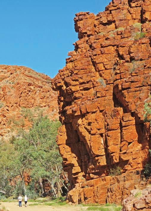
and Heavitree Gap by the Europeans, although most people just call it The Gap. If it looks familiar it’s because it has been painted by many of Australia’s most celebrated artists, most famously Albert Namatjira, a groundbreaking Arrernte painter who immortalised much of the landscape of central Australia in watercolours: his house is on the outskirts of the Hermannsburg Historic Precinct, adjoining the township of Ntaria, a 90min drive west of Alice Springs. Once through The Gap, head east on the Ross Hwy.
The area around modern-day Alice Springs is associated with the Yeperenye (Caterpillar Dreaming) story and there are several sacred sites around the city centre and outskirts, but one of the most important – and the easiest to find – is the amazing rock art painted on the red gorge walls at Emily Gap in Yeperenye/Emily and Jessie Gaps Nature Park, around 10km from town. The Yeperenye story tells how the caterpillar beings of Mparntwe originated here in this rocky gap in the range called Anthwerrke before travelling across the land forming many of the topographic features of the landscape. It’s a sacred site, and the Traditional Owners request that you do not take photos inside the gap or of the rock art. Jessie Gap is just a few minutes’ drive down the road, although you can walk (or cycle) between the two sites on the 8km Yeperenye Trail. With fire-pits and tables, it’s a lovely spot for a picnic.
Keep heading east and you’ll pass the mini-mountain called Antanangantana (signposted as Corroboree Rock) another site of cultural importance to the Eastern Arrente People. There’s a walking track that encircles the 800 million-yearold column of dolomite and you can get some stunning photographs in the late afternoon light. There are picnic facilities here as well.
A highlight of this trip, Trephina Gorge Nature Park –known as Alherrkentye to the Eastern Arrernte People –is just 30km further east. The last 5km of the drive, between the Ross Hwy and the picnic/camping area, is unsealed, but is fine for conventional cars if the weather has been dry. Actually two gorges that intersect – the wide basin-like Trephina and the narrow John Hayes with sheer walls of rock that tower above you – Trephina Gorge is one of my favourite places in the red centre. If you enjoy hiking you can set up camp at one of the three sites and easily spend three days or so here, as there are several fantastic walking trails.
Left Trephina Gorge Opposite The East Macs offers fabulous views at every turn
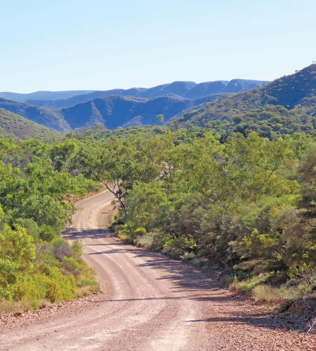
A favourite walk is the Trephina Creek Ramble along the sandy riverbed lined with majestic red river gums at the bottom of Trephina Gorge or, if you’re feeling fit, you can climb up to the top of the semi-circular canyon and walk around the rim on the Trephina Gorge Walk, where you’ll be rewarded with one mesmerising view after another of the surrounding ranges. It can be tough going though, particularly if it’s hot, so carry lots of water and wear long pants to protect your legs from the prickly spinifex. If you’ve visiting early in the season, in April, or even early May, it can also be easy to lose the track, so always keep an eye out for the track markers as you hike.
There are also some wild swimming spots here that are meant to be great for swimming, like the one at John Hayes Rockhole, but the best time to visit Trephina Gorge is midwinter when night-time temperatures can fall below zero, so the water would be freezing.
Trephina Gorge to Arltunga, 49km
Alice Springs/Mparntwe might be the largest town in the Red Centre, but it’s not the oldest. Arltunga sprung up following the 1887 gold rush, and was the first official town in Central Australia and the largest European settlement in the Red Centre back when Alice Springs was just a station on the Overland Telegraph Line. In its heyday, Arltunga was home to hundreds of people, although the rush didn’t last for long and it was finally abandoned in the 1920s. Most of the buildings were constructed with local stone, and it’s now one of the country’s best-preserved ghost towns and officially called Arltunga Historical Reserve. It became an historical reserve in 1975 and these days it’s an outdoor museum and you can wander around the government battery, cyanide works, old police station, mines and homes and even fossick for gold in the adjacent reserve. The last 33km of the road to the reserve is gravel, but it’s fine for conventional 2WD vehicles.
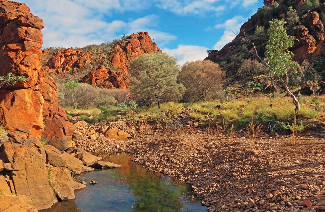
It’s an easy 90min drive from Arltunga back to Alice Springs/ Mparntwe, which means you could do the whole trip in a day. But why rush? There are not many places where you can enjoy the outback in relative isolation without needing a 4WD. It really is one of the country’s ultimate backroads.
KIDS’ SPOT
If your kids are keen for time by a pool, rather than swimming in an icy waterhole, you’ll find one at the rustic Ross River Resort (rossriverresort.com.au), about 12km from the turn-off to Trephina Gorge (and halfway to N’Dhala Gorge, see Detour below). The lodging is basic – the cabins are small but do have an ensuite – but the restaurant in the historic 1890s homestead is a welcoming spot and the hamburgers are legendary. There’s also plenty of wildlife to entertain the kids, including brumbies, chickens and peacocks. The campground is also pet friendly, unlike the national parks and nature reserves.
DETOUR
If you have a 4WD, N’Dhala Gorge – known to the Eastern Arrente People as Ilwentje – is one of the largest rock-art sites in the Red Centre, with more than 5900 petroglyphs decorating the rocks and shelters that have been used for ceremonies for thousands of years. There are two distinct styles of engravings –some have been pecked using stones as a chisel and hammer, others were pounded with a single pointed stone – that represent two time periods, somewhere between 2000 and 10,000 years ago. The gorge is only a short walk (about 1.5km) from the campground. It’s also a good place to see the rather rare undoolyana wattle and a great spot for birdwatching. The turnoff is just before Ross River Resort and there is a deep water crossing on the way in – it can get tricky if there have been recent rains.
VANLIFE
There are four campgrounds in Trephina Gorge Nature Park: John Hayes Rockhole is 4WD only but the others are okay for caravans. At N’Dhala Gorge (Ilwentje), you’ll need a 4WD to negotiate the creek crossings on the way in, but chances are you’ll be the only campers in the basic bush campground where there are toilets but you’ll need to bring your own drinking water and firewood. You’ll need to book online for both Trephina and N’Dhala before you travel (parkbookings.nt.gov.au). You can also camp at Ross River Resort: call (08) 8956 9711 to book, and the new campground at Arltunga Bush Pub & Eco Retreat (arltunga.com.au).
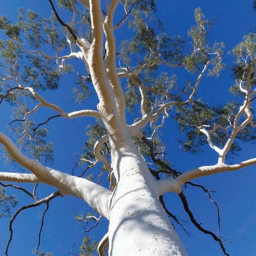
Top Ghost gum, Trephina Gorge Bottom Old lock up, Arltunga Historical Reserve Opposite N’Dhala Gorge (Ilwentje)
Kalkarindji Visit the birthplace of Aboriginal Land Rights.
SNAPSHOT
In 1966, 200 Gurindji stockmen and their families working – mostly for rations rather than a wage – on Lord Vestey’s Wave Hill Station, around 460km south-west of Katherine, decided to strike for fair pay and better working and living conditions. Led by Vincent Lingiari and other Elders, they walked off the cattle station and set up camp on their ancestral homeland at Wattie Creek. Known as the Wave Hill Walk-Off, the protest lasted nine years and was the catalyst for the Aboriginal Land Rights Act of 1976, allowing, for the first time, First Nations People to claim title for their Traditional land.
HOW LONG?
2–3 days.
WHEN TO GO
The dry season is early May to late October. Although the Buntine Hwy is an all-weather road it can be closed by flooding during the wet season. The Freedom Festival is in August.
NEED TO KNOW
Kalkarindji is a dry community, which means you cannot bring alcohol into the township or consume it while staying in the caravan park. Alcoholic drinks are served at the Warnkurr Sports and Social Club, but all patrons are breathalysed at the door on arrival and will not be admitted if they register any alcohol in their system.
There are actually two communities here: travellers and visitors are welcome in Kalkarindji, while nearby Daguragu (previously known as Wattie Creek) is a Gurindji community; visitors are requested to stay within the Kakarindji settlement unless explicitly invited by a Daguragu resident.
Drive rating
Moderate: the Buntine Hwy is sealed, but only for the width of a single lane. Move off the road if you see a road train approaching and allow it plenty of space.
Acknowledgement of Country
This is the land of the Gurindji People.
Total distance
Katherine to Kalkarindji, 464km
Average temperatures
• January: 24–37°C
• July: 9–27°C
More information victoriadaly.nt.gov.au/kalkarindji-daguragu; freedomday.com.au
Old Wave Hill Station
Katherine to Top Springs, 293km
The image of Australian Prime Minister Gough Whitlam pouring a handful of red sand into the hands of Gurindji Elder Vincent Lingiari is one of the most iconic photographs in Australian history. Taken in 1975 near what is now the outback community of Daguragu/Kalkarindji, the gesture, immortalised in song, film, books and art, has come to be synonymous, for many, with Aboriginal Land Rights in Australia.
It’s a 6hr drive to get to Kalkarindji from Katherine, via the Victoria Hwy (Hwy 1) and the Buntine Hwy. Add another day or two to this road trip if you want to explore Katherine and the stunning and worthwhile Nitmiluk National Park, and get supplies and fill up in Katherine before you head to Kalkarindji. Stop along the way for a cold drink – and more fuel if you need it – at Top Springs Hotel, around two-thirds of the way there.
Top Springs to Kalkarindji, 171km
On the banks of the Victoria River, Kalkarindji is home to around 400 people, and not really on the way to anywhere, so it doesn’t get a lot of visitors, apart from the annual threeday Freedom Festival in August when thousands make the pilgrimage across the outback to celebrate the anniversary of the famous Wave Hill Walk-Off. Events include a moving Welcome to Country, re-enactment of the Walk-Off, lots of live music featuring many big-name Australian performers and, because it’s the NT where footy (AFL, aka Aussie Rules) is more of a religion than a sport, several football games. Unlike many remote First Nations communities across Australia, you don’t need a permit to visit Kalkarindji but the Gurindji People do ask that you obtain permission from one
of the Elders before heading out to the heritage sites on Wave Hill Station, which is still a working cattle farm. Ask at the Kalkarindji Council Office for who to see for permission and directions. There’s not much in the way of interpretation, so if you can organise a local guide to go with you you’ll learn a lot more about what happened where.
While you’re at the council office, ask if you can see the gallery of portraits of the key players in the Wave Hill Walk-Off and the struggle for equal pay and land rights, including the famous portrait of Elder Vincent Lingiari, in the council hall. They were drawn by writer Frank Hardy (of Power Without Glory fame), who was instrumental in helping the Gurindji People by publicising their plight in his 1968 book, The Unlucky Australians, as well as lobbying political leaders, such as Whitlam, on behalf of the Gurindji. There are also some fabulous original behind-the-scenes photographs of Whitlam’s visit on display in the council hall.
The Karungkarni Art and Culture Centre is owned and operated by the artists of Kalkarindji and Daguragu and showcases and sells their work, many of which tell the stories of the famous Walk-Off and what life was like on the station. Opening hours vary, so contact the centre before you arrive in Kalkarindji to organise a visit: see Facebook and search for ‘Karungkarni Art’ for up-to-date contact details.
The Gurindji People were finally granted Native Title over 5000sqkm of Wave Hill Station land in September 2020, 54 years after they began their protest in 1966. As the wellknown song about the strike by Kev Carmody and Paul Kelly, From Little Things Big Things Grow, says, the Gurindji ‘know how to wait’. It’s the perfect soundtrack for this backroad trip.
VANLIFE
There are various campgrounds and caravan parks if you decide to stay in Katherine en route to Kalkarindji, including Nitmiluk Campground for access to the national park. Top Springs Hotel has ensuite rooms and campsites for tents and vans. There is no tourist accommodation in Kalkarindji, although there are rustic cabins in Kalkarindji Caravan Park, which also has powered and unpowered sites. It’s opposite the general store and service station, and tends to be flood-lit at night, so if you’re in a tent, an eye mask and ear plugs might come in handy.
Left Kalkarindji is proudly Gurindji Country Opposite top Follow in the footsteps of the Gurindji People on the Wave Hill Walkoff Trail Opposite bottom Portraits of some of the leaders of the movement, painted by author Frank Hardy, are on display in the Kalkarindji council hall
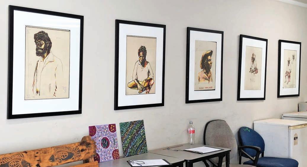
The Top End’s Waterfall Way
HOW LONG?
1–2 days.
WHEN TO GO
The dry season is early May to late October. Litchfield National Park is open all year, although most 4WD tracks are closed during the wet season (Nov–April). Some swimming areas such as Wangi Falls become unsafe after heavy rain.
LOCAL SECRET
You see so many crocodile warning signs across the Top End that it’s easy to become blasé, but never enter the water unless you know it’s safe. Most fatal crocodile attacks in the NT in the past 20 years have occurred when people have entered the water outside of designated swimming areas.
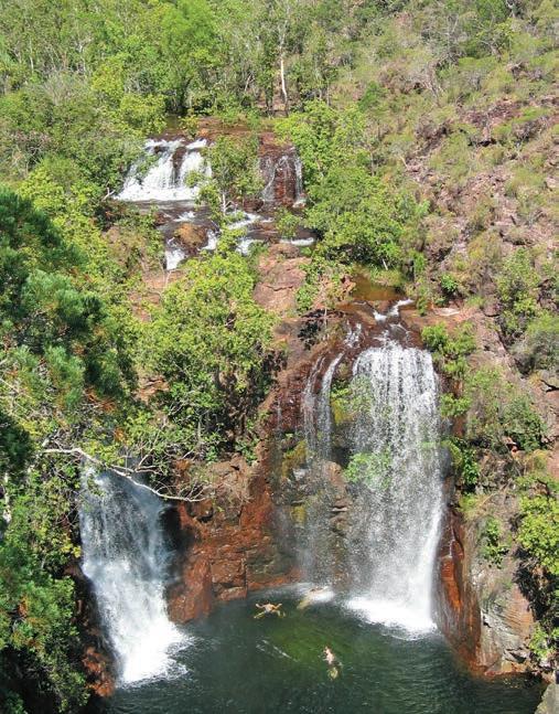
SNAPSHOT
Litchfield National Park is one of the Top End’s truly special places. Around a 90min drive south-west of Darwin/Garramilla, it’s also one of the Top End’s most popular spots, and it’s easy to see why with its thundering waterfalls, shady monsoon forests, prolific birdlife and gigantic termite mounds, although the reason most people come here is to swim. Even better, you can explore all of this on a day drive loop from Darwin and almost all of the best spots are linked with a sealed road.
Drive rating
Easy: sealed roads.
Acknowledgement of Country
This is the Traditional land of the Koongurrukun, Mak Mak Marranunggu, Werat and Warray Peoples.
Total distance
Darwin/Garramilla to Adelaide River, 230km.
Average temperatures
• January: 24–33°C
• July: 18–32°C
More information tourismtopend.com.au
Florence Falls
Darwin/Garramilla to Wangi Falls, 130km
To get to Litchfield National Park, head south out of Darwin/ Garramilla to Berry Springs. The Territory Wildlife Park, operated by the Parks and Wildlife Commission of the Northern Territory, is here and is a great introduction to the native plants and animals of the region. Highlights include the Flight Deck Presentation featuring free-flying birds, the Nocturnal House and the Aquarium, which includes a 4m saltwater crocodile – hopefully the only one you’ll see on this trip.
Continue west, following the signs to Litchfield National Park. The first attraction in the park is also its most popular: Wangi Falls. Here, two waterfalls cascade into a very large plunge pool set amidst lush forest. It is the most accessible of the swimming holes and includes wheelchair access into the water.
Wangi Falls to Adelaide River, 100km
If you can tear yourself away from the pool at Wangi, continue on the loop through the park, stopping at Tolmer Falls, where a short walk leads to a viewing platform looking out over the very steep waterfall.
DETOUR
If you have a 4WD take the turn-off from Litchfield Park Rd signposted to the Lost City, a group of fantastically shaped sandstone towers formed by thousands of years of wind and rain erosion. The 10km track is fairly easy going, but narrow and oneway for the most part; you’ll need to watch for oncoming vehicles and be prepared to pull off the track to let them pass.
Back on the main road through the park, you’ll begin to climb the Tabletop escarpment, making access to the waterfalls that plunge over its edge relatively simple. Buley Rockhole is the first turn-off, a chain of spa-like pools linked by small waterfalls, another of the park’s swimming hot spots. There is a walking track from the rockholes that leads to Florence Falls (90min-return walk from Buley Rockhole or you can drive), where you can walk to a platform that looks out over another set of twin falls and a waterhole, or descend the stairs to reach the base of the falls. When you’re ready to leave, you can return to the carpark via the circuit track that winds through the monsoon forest if you don’t fancy climbing back up the stairs.
Just 6km on is a large group of magnetic termite mounds –2m-high thin towers, all aligned north–south to keep the
inside of the mound cool against the heat of the sun. There is a boardwalk that winds around the nests and interpretive boards explaining how the tiny insects engineer their amazing homes. From here it is roughly 20km to the edge of the park, which is a short drive from Batchelor, a shady, tree-lined town that services some of the nearby mining operations.
Once back on the Stuart Hwy, it’s around 100km back to Darwin, about an hour’s drive. But before heading back, take a 10min detour south to the township of Adelaide River. During World War II, it was the military headquarters of the northern war effort after the bombing of Darwin in 1942. The tiny pub-and-servo-and-not-much-else community is home to Australia’s largest war cemetery – the resting place for 54 civilians and 434 service men and women killed in the air raids on Darwin. Also remembered are 287 service personnel lost in Timor and other northern regions, but who have no known grave. It’s a sobering reminder of just how close the Top End was to the front line in World War II.
VANLIFE
Wangi Falls is the most popular camping spot in Litchfield National Park for good reason and it’s also the best camping site for those that don’t want to go off-road. It’s handy to the swimming area and there’s also a kiosk here, and flush toilets with hot showers. You can also camp at Florence Falls. Most other campgrounds within the national park, including Tjaynera Falls (Sandy Creek) and Surprise Creek Falls, are accessible by 4WD only and only during the dry season. All four spots offer great swimming.
Opposite top left Buley Rockhole Opposite top right Cathedral termite mound, Litchfield National Park Opposite bottom Wangi Falls, during the wet season
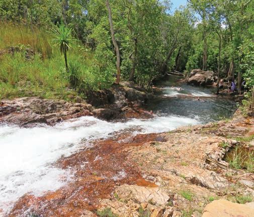
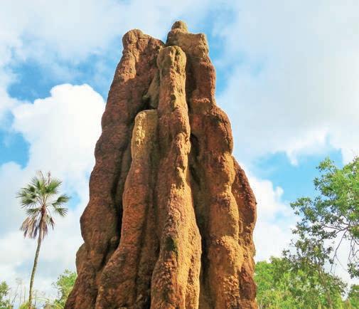
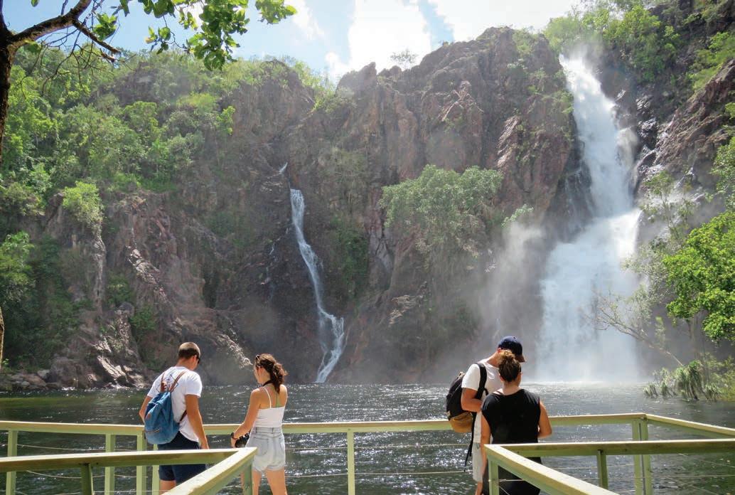
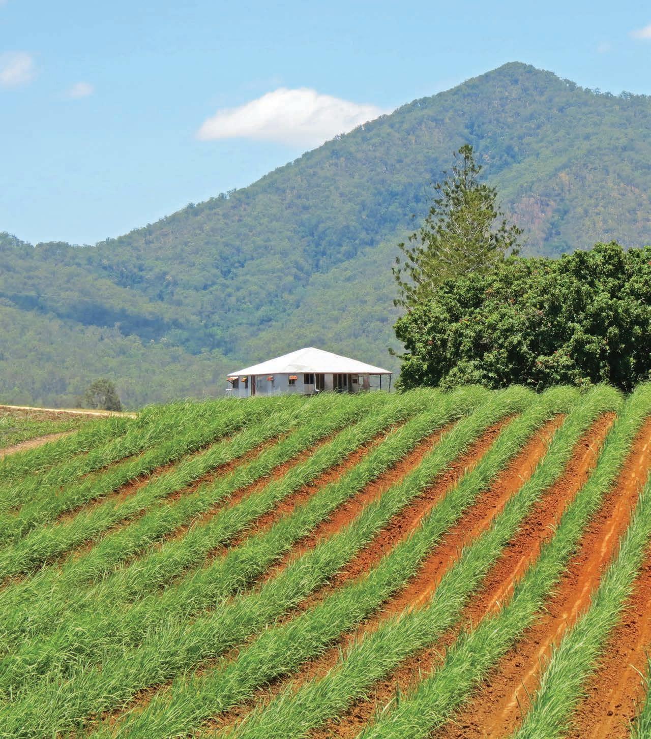
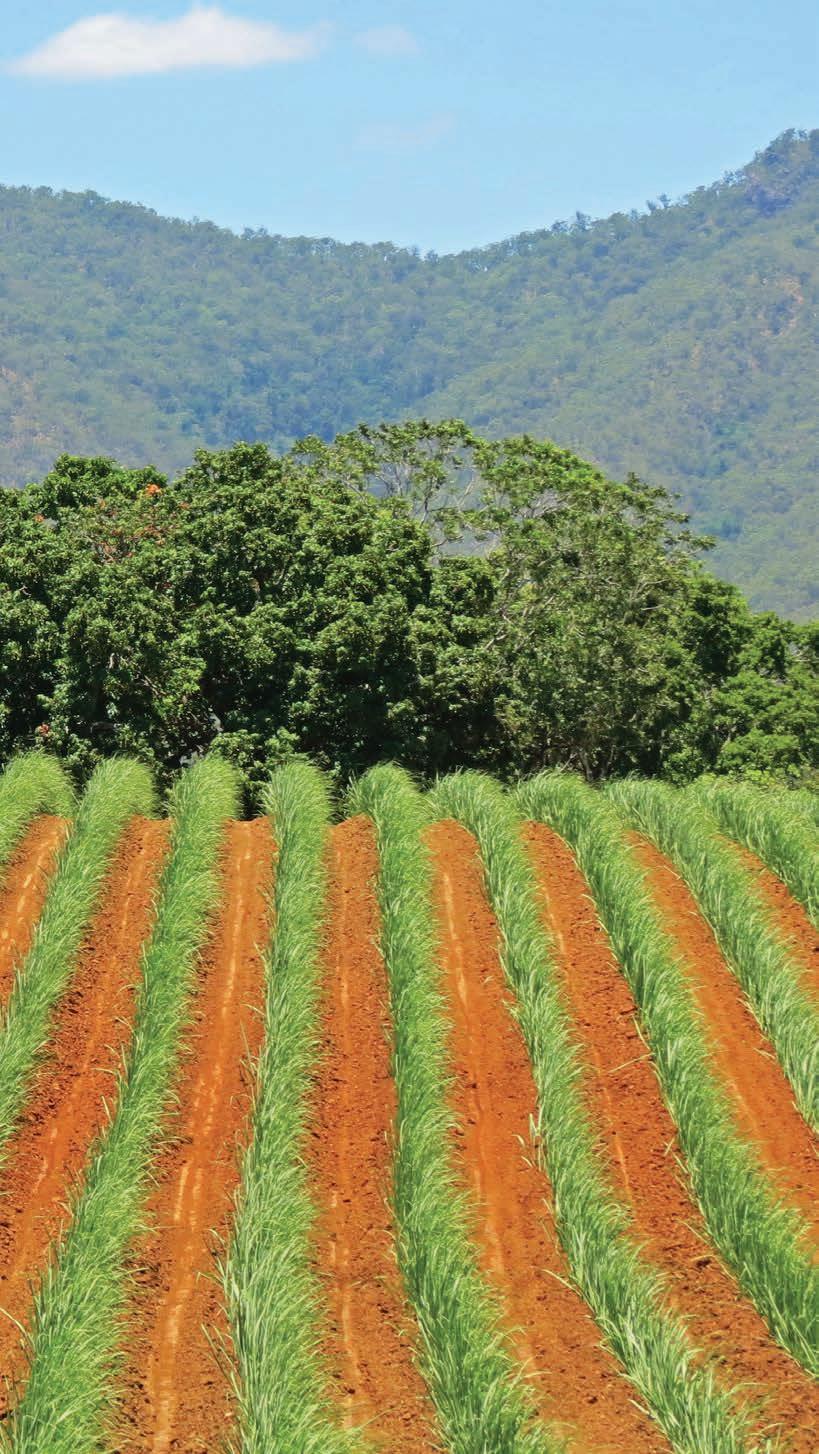
Great Inland Way
Heading north to the tropics? Take the back way through western Queensland and you’ll discover a unique part of Australia, brimming with history and beautiful landscapes.
HOW LONG?
Allow a week.
WHEN TO GO
Summer can be hot in western Queensland, and wet and stormy in the tropics, so this is a trip best done in the cooler months. Night-time temperatures in winter can be cold so pack for all seasons.
NEED TO KNOW
Carnarvon Gorge is an unforgettable must-see highlight of this road trip, and worth spending at least two days exploring, but because it’s in a national park it’s off-limits to domestic animals. If you’re travelling with pets, Sandstone Park is the only pet-friendly accommodation option in the Carnarvon Gorge region and has kennels you can hire for the day while you explore the park. It’s camping/caravanning only with no powered sites or showers. You’ll need to book well ahead (sandstonepark.com.au).
SNAPSHOT
Escape the traffic snarls and the holiday crowds and take the back way through western Queensland from Brisbane/Meanjin to Townsville. While most people tend to head north (or south) via the coast, this series of roads marketed as the Great Inland Way is a great alternative, particularly for those who have a taste for pioneering history and enjoy natural attractions and wide, open spaces but prefer to stay on sealed roads.
Previous Sugar cane in the Pioneer Valley, west of Mackay
Drive rating
Easy: sealed roads.
Acknowledgement of Country
This is the Traditional land of the Yuggera, Bigambul, Kooma, Mandandanji, Garingbal, Gayiri, Wangan, Yambina, Yangga, Yilba and Gugu-Badhun Peoples.
Total distance
Brisbane/Meanjin to Townsville via Charters Towers, 1844km.
Average temperatures
• January: 22–34°C
• July: 10–23°C
More information greatinlandway.com.au
Brisbane/Meanjin to Nindigully, 507km
If you’re starting in Brisbane/Meanjin, your first day on the road is a big one as you clock up the kilometres winding up and over the range to Toowoomba in the Darling Downs – if you’re coming from western NSW you can pick up this road trip in Goondiwindi at the junction of the Newell Hwy. Queensland’s largest inland city, Toowoomba is celebrated for its parks and springtime gardens. The month-long Toowoomba Carnival of Flowers in September features parades, live music, food and wine events and lots of garden and flower-themed events.
KIDS’ SPOT
Much of this trip follows an old Cobb & Co route that linked the once-thriving western towns, and Toowoomba is home to Australia’s finest collection of horse-drawn vehicles at the Cobb & Co Museum. Part of the Queensland Museum, there are 47 carriages on show, three Cobb & Co coaches, and a wide range of vehicles from the horse-drawn era, from farm wagons, hawker barrows, delivery carts and buggies to an elegant landau: the Rolls Royce of carriages. Kids love the play area with replica coaches and life-size horses to climb on. They can even dress up in old-fashioned clothes.
You’ll soon leave the traffic behind as you drive south-west to Goondiwindi, where the sky seems to get larger and the landscape begins to flatten and empty. Five highways intersect at Goondiwindi, making it a popular stopover spot. Stretch your legs on the shady riverside walk along the banks of the Macintyre River, where a large statue of the famous racehorse, Gunsynd, otherwise known as the Goondiwindi grey, takes pride of place. Stroll around town and admire the grand wooden architecture and Art Deco buildings that line the main streets in the centre of town. If you have half a day to spare, join a tour of a working cotton farm with Goondiwindi Cotton and visit a cotton gin: book the 3.5hr tour online (goondiwindicotton.com.au).
DETOUR
If, like me, you enjoy collecting holiday snaps of silo art you’ll love the giant mural that adorns the silos at Yelarbon, around 50km east of Goondiwindi. This vast artwork, created by Brisbanebased Brightsiders, stretches across eight silos, and depicts a young boy sailing a paper boat at the edge of Yealarbon Lagoon. Symbolising hope in dry times, it’s called ‘When the Rain Comes’.
From Goondiwindi, continue west along the Barwon Hwy to the tiny town of Nindigully set beside the Moonie River. There’s not much here except the historic Nindigully Pub,
a disused general store, three houses and nine local residents and that’s about it, but it’s a magnet for travellers who come here for the genuine outback hospitality, the inch-thick steaks at the pub (if you’re really hungry order the ‘Road Train Burger’, Australia’s largest burger with a 1.2kg beef patty that easily feeds four) and friendly banter around the bar. The pub is Queensland’s oldest (built in 1864 and still in its original condition and original position), and was once a Cobb and Co coach changeover station. It was made over as the Boomerang Café in the 1999 Hugh Jackman and Claudia Karvan film, Paperback Hero. The bar and dining room are decorated with hundreds of Akubra hats, historic photos and all sorts of outback paraphernalia.
Nindigully to Carnarvon Gorge, 478km
From Nindigully, point your vehicle north and follow the Carnarvon Hwy through vast cotton fields and a succession of somnolent outback towns, their rather grand – and sometimes forlorn – architecture a testament to bygone times when the ‘bush’ was a much livelier place than it is today. If you’re a keen angler, the Balonne River at St George is a fishing hot spot – in fishing circles St George is known as the ‘Inland Fishing Capital of Queensland’ – for yellowbelly, jewfish and Murray cod. If you’d rather just sit by the banks and watch the river flow by, head instead to Riversands Wines, Queensland’s most western winery for a wine tasting or coffee and cake in the leafy courtyard. You can also enjoy the tranquillity of the Balonne River on a Sandytown River Cruise (sandytownrivercruises.com). And it doesn’t have to be summertime to enjoy a dip at the St George swimming pool, which features a thermal hot pool heated by natural artesian water at a muscle-soothing 34°C.
Before car travel took off, Cobb and Co coaches trundled across a network of 39 routes criss-crossing Queensland. By the turn of the 20th century, 9000 horses travelled more than 31,000km every week. Surat was the last section of the old coach route to be replaced with motor vehicles, and by 1924 the coaching days were over but Surat’s Cobb & Co Changing Station preserves the memories in a museum dedicated to local history. A 14-seater Cobb & Co coach is the prize exhibit, but there’s also a huge freshwater aquarium.
Opposite top Silo art in Yelarbon by Jordache Castillejos and Jordon Bruce of Brightsiders, alongside Steve Falco from Procreative Opposite bottom left Inside Nindigully Pub Opposite bottom right Cobb & Co Museum in Surat
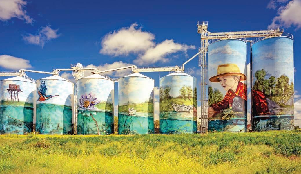
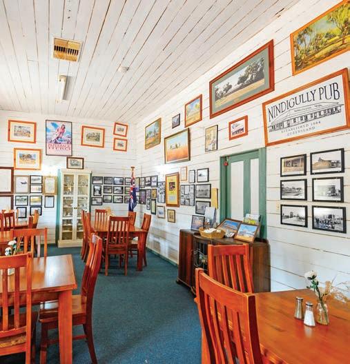
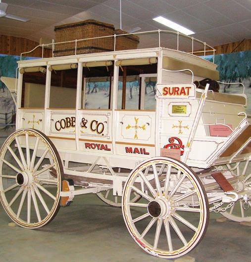
Make Roma your next stop. For a small town of less than 7000 people, Roma seems to claim more than its fair share of firsts: it was the first gazetted settlement after Queensland separated from NSW in 1859; it was home to the state’s first winemaking venture in 1863; and it was the site of the first natural gas strike in Australia in 1900. But for all this, it’s what the townspeople didn’t do – refusing to convict one of the country’s most famous cattle thieves, that really made it famous. In 1870, Harry Redford, aka Captain Starlight, stole a mob of
cattle and walked them to Adelaide, 1287km through country where explorers Burke and Wills had perished just 10 years before. The jury were so overawed by his skills as a bushman and so impressed with his heroic efforts in establishing a new stock route (now known as the Strzelecki Track, it’s a popular 4WD route across the Strzelecki Desert from Lyndhurst to Innamincka in outback South Australia) through the uncharted outback, that they judged him not guilty. Despite being famous as the town that forgave the country’s most
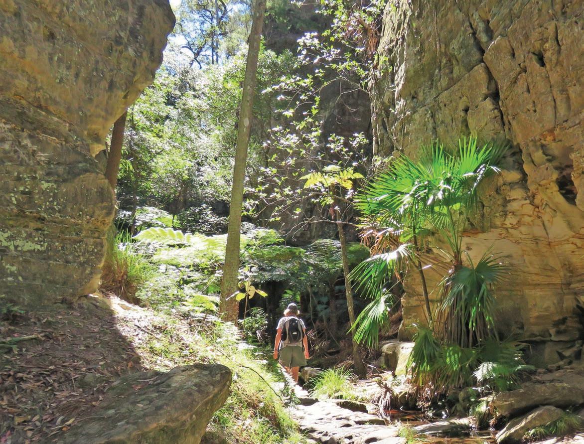
notorious cattle duffer, or perhaps in atonement, Roma is today home to the largest cattle sales in Australia, the Roma Saleyards, held on Tuesday mornings. You can book a free tour of the sales at the Roma Saleyards Interpretative Centre. The raised walkways around the yards provide an excellent vantage point over the proceedings as anything up to 12,000 head of cattle are bought and sold. It’s enough to make the ghost of Redford turn in his grave. If you miss the Tuesday sales, the interpretive centre is open daily.
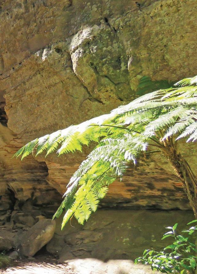
Many of the streets of Roma are lined with bulbous bottle trees. Hero’s Avenue consists of more than 100 bottle trees, each representing a local soldier who lost his life during World War I. The largest bottle tree is at the end of Edwardes St off McDowall St and has a girth of almost 9m!
No country town seems complete without the mandatory ‘Big Thing’, and in Roma that’s the Big Rig. Roma was the very first site where oil and gas were discovered in Australia, and the museum will take you on a journey from Australia’s first discovery of petroleum, through the boom-and-bust years of oil and gas exploration. Kids love climbing over some of the huge equipment and there is a night show telling the story of the local oil discovery back in 1900 when they were actually hoping for water, not gas. You can’t miss the Big Rig on Riggers Rd on the southern edge of town.
It’s around a 2.5hr drive from Roma to Carnarvon Gorge, a deeply significant place to the Karingbal, Bidjara, and Kara Kara Peoples of Central Queensland. Rich in rock art, and sublimely beautiful, it’s one of western Queensland’s unsung treasures, an unforgettable place where you can sit in a hanging garden of mosses and ferns, or wander through sinuously curved ravines with walls so close you can reach out and touch both sides of the gorge at once, or marvel at the artists who covered rocky overhangs with hundreds of hand stencils thousands of years ago. There are 21 kilometres of walking tracks inside the palm-filled canyon. The Main Gorge Walk track criss-crosses the boulder-strewn Carnarvon Creek that winds through the gorge and is around 14km one-way. Half-a-dozen side tracks, such as the 300m-long Art Gallery Walk and the 1.3km-long Moss Garden Walk, spear off every few kilometres to rock-art galleries, caves and hidden waterholes and side gorges. Each and every one is worth doing. The park visitor centre advises on choosing how far you want to go on your walk, heading to the furthest point, and then exploring the side tracks on the way back, but by the end of the day, with some 20km of walking behind you, you can be tempted to miss some of the highlights, such as the moss garden, if you are footsore or tired. I suggest exploring them on the way in, and coming back a second day if you don’t see them all. That said, it’s a relatively flat and easy walk, just long, if you do the whole thing, so make sure you carry plenty of drinking water. If you feel like a swim, the only safe spot is The Rock Pool, about a 90min walk from the visitor area.
Wards Canyon, Carnarvon Gorge
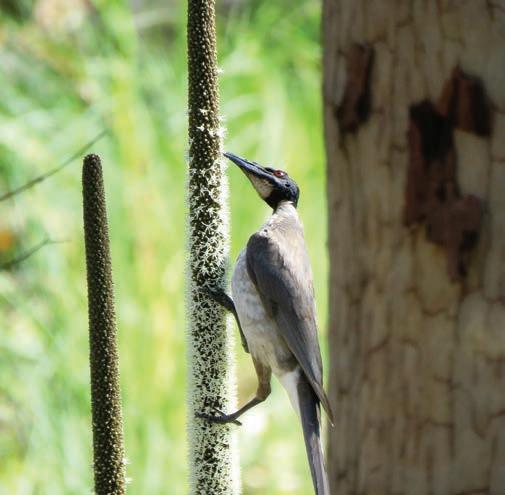
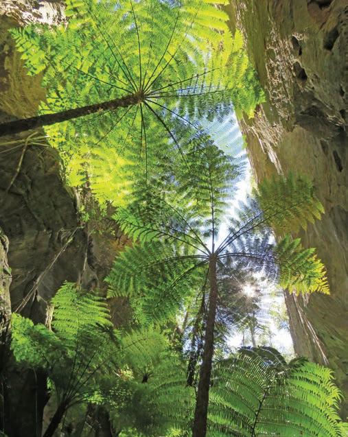
Carnarvon Gorge to Clermont, 350km
It’s a long haul – around 850km – from Carnarvon Gorge to Townsville, but there are several quirky stops along the way. Keep an eye out for Virgin Rock as you drive through the whistle-stop town of Springsure. It’s a rocky outcrop that is meant to have a naturally formed likeness of the Virgin Mary – a lot of imagination and a little bit of squinting is required. A 45min drive further up the road at Emerald, you’ll find another ‘Big Thing’ – this time it’s the world’s biggest Van Gogh sunflower painting at 25 metres high and made of more than 13 tonnes of steel. It’s in the park beside the visitor information centre and hard to miss! Best not to question why it’s there ... it probably seemed like a good idea at the time, although locals say it celebrates the region’s reputation as a major sunflower producer. It’s a good excuse, at least, to stretch the legs and there are free barbecues.
The discovery of gold at Hood’s Lagoon in 1861 sparked one of Queensland’s first gold rushes and Clermont became the first inland settlement in the tropics. You can still fossick for gold in the area (you’ll need to get a fossicking licence online from qld.gov.au before fossicking), and the boardwalk around the lagoon is a pleasant place for a stroll and a session of duck feeding. You can get a sense of the town’s history as you admire the many murals at the old railway station. In 1916 most of the town was washed away in a flood that claimed 65 lives and the remaining buildings were moved – using winches, steam engines and tractors – to higher ground. Keep an eye out for the Flood Memorial and the piano in the tree in Capricorn St which gives a sense of just how high the waters were.
Clermont to Townsville, 509km
It’s around 4hr or so of driving from Clermont to Charters Towers, which was once Queensland’s second-largest city. Gold was discovered here in 1871, sparking one of the largest gold rushes in Queensland history, and giving birth to one of the most beautiful inland cities in the country. Back then, the town was known, rather grandiosely, as ‘The World’ because it was said that ‘anything one might desire could be had in the Towers, leaving no reason to travel elsewhere’.
Top Noisy friarbird Bottom Tree ferns in Wards Canyon, Carnarvon Gorge Opposite top Bottle tree outside Roma Courthouse Opposite bottom left Charters Towers Opposite bottom right Clermont
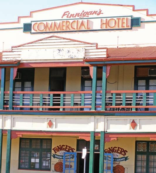
Take a walk through One Square Mile in the centre of town, where most of the historic buildings are clustered together. The showpiece is the Stock Exchange Arcade that was built in 1890 and was one of Australia’s first few regional stock exchanges. Local miners and entrepreneurs would meet here three times a day, six days a week, to buy and sell shares in gold mines – and fortunes were made and lost in minutes. The Zara Clark Museum is crammed full of local history and memorabilia and is a good stop if you like gossip and ghost stories. Chat to one of the volunteer guides and they’ll tell you about many of the people that stare out of the sepia-toned photographs, tragic stories such as those of love-struck 29-yearold Bridget Clancy, who committed suicide in 1904 after hearing of her brother-in-law’s death in a mine disaster, and whose anguished cries can still be heard, they say, at the Park Hotel. Don’t miss the Venus Gold Battery on the outskirts of town (Millchester Rd), which gives a fascinating insight into how the gold was extracted from the ore. The tour includes a hologram-and-film presentation projected onto a water screen.
From Charters Towers it’s an easy 90min drive to the small city of Townsville. Often overlooked by travellers in their rush to get further north to busy tourist hot spots like Cairns/ Gimuy, Townsville is much less touristy, but still has plenty of things to entertain you for a few days. Top spot is The Strand, a 2.5km-stretch of inner-city beachfront lined with cafes, parks, playgrounds, swimming enclosures, picnic and barbecue areas. Drive to the top of Castle Hill for views of the city (nighttime views are spectacular) and nearby Magnetic Island/ Yunbenun (see Detour this page).
KIDS’ SPOT
If you can resist the lure of the water or the playground and water park at The Strand, steer the kids in the direction of the Queensland Museum Tropics, which has a big focus on shipwrecks. There’s a range of kid-focused activities and events during school holidays, including the interactive Sciencentre with 20 discovery stations. Adults, as much as kids, will enjoy the fascinating exhibit on the wreck of the HMS Pandora, the ship sent to find the Bounty and her mutinous crew in 1790. On her return voyage, having captured 14 of the mutineers in Tahiti, the Pandora struck the Great Barrier Reef. The wreck was discovered in 1977 and has been carefully excavated, with the artefacts on show at the museum. The story of the mutineers, their capture and subsequent fight for survival after the wrecking is fascinating.
You don’t have to drive very far from the city centre of Townsville before you find a string of gloriously empty beaches (the best are just north of the city). If you’re a diver, don’t miss The Museum of Underwater Art (MOUA), a series
of underwater sculptures created by artist Jason deCaires Taylor. You can see one of them, Ocean Siren, which changes colour according to the water temperature, rising out of the sea beside the Strand Jetty. Check online (moua.com.au) for details of local dive operators who run trips to the art sites.
DETOUR
Jump aboard the car ferry to Magnetic Island, known as Yunbenun by its Traditional Owners the Wulgurukaba People. Just over half this large island is surrounded by marine park waters and fringing reefs and is a national park. Features include rocky granite headlands dotted with hoop pines, sandy bays and pockets of rainforest. You can snorkel to coral and wrecks direct from the beach and there is a network of walking tracks. The most popular is the 4km Forts Walk, a bit of a steep slog, but the view from the historic World War II forts is worth the effort. You’ve also got a good chance of seeing koalas and rock wallabies. If you want some rest and relaxation after all that outback driving, you can stay on the island for a few days and soak up this tropical haven.
The Great Inland Way trip from Brisbane to Townsville may not be the shortest or quickest way to get there, but you’ll always remember the authentic outback towns and natural wonders in a part of Australia most travellers never see.
VANLIFE
You can camp for free along the banks of the Moonie River in front of the Nindigully Pub and use the toilet and shower facilities inside the hotel. There are several caravan parks in Roma, but the free camp beside Judds Lagoon, around 60km east of town on Warrego Hwy, is a nice spot to spend a day or two if you like birdwatching, fishing, swimming or kayaking. You can camp at the day-use area at Carnarvon Gorge during the Easter, June/July and Sept/Oct Queensland school holidays, but there aren’t many sites and they can book out months ahead (bookings essential qpws.usedirect.com/qpws). The BIG4 Breeze Holiday Parks – Carnarvon Gorge (previously Takarakka Bush Resort), has powered sites on a pretty loop of Carnarvon Creek, glamping and cabins. Book ahead (breezeholidayparks.com.au). A popular spot with locals who come to water ski and fish for golden perch, jewfish, barramundi and red claw, Theresa Creek Dam is 22km south-west of Clermont. There are no designated campsites and it’s first-in gets the best pitch, but there’s good shade and facilities including flushing toilets and hot showers. There are commercial caravan parks in both Charters Towers and Townsville, and you can camp on Magentic Island/Yunbenun in designated spots (check ahead with City of Townsville).
Opposite top The Strand’s water park in Townsville Opposite bottom The Museum of Underwater Art (MOUA), near Townsville

Matilda Highway
See the best of western Queensland and uncover the stories behind outback legends in some of the country’s most iconic country towns.
HOW LONG?
This road trip is long – almost 2000km – and to really explore the region and its many museums and attractions you should allow two weeks.
WHEN TO GO
The best time to travel is between April and September, when the roads in the far north are open, temperatures are less extreme in outback areas and there are fewer flies. Daytime temperatures in winter are very pleasant, but nights can be cold.
NEED TO KNOW
Most of the unsealed roads in the outback will quickly become impassable after rain. Check road conditions before travelling by calling 13 19 40 or going online (qldtraffic.qld.gov.au and livetraffic.com).
SNAPSHOT
The Matilda Hwy is the name of a collection of sealed roads that spear through the heart of outback Queensland, from Bourke, south of the NSW–Queensland border, north to Karumba on the shores of the Gulf of Carpentaria. Along the route you’ll travel through areas where dinosaurs once roamed; discover the inspiration for Australia’s unofficial national anthem, Waltzing Matilda; and visit the birthplaces of Qantas, the Royal Flying Doctor Service and the ALP.
Drive rating
Easy: mostly sealed roads with some optional gravel roads; all roads suitable for caravans.
Acknowledgement of Country
This is the Traditional land of the Ngemba/Ngiyaampa, Paakandji, Kunja, Kullilli, Murrawarri, Gunggari, Dharawala, Kuungkari, Iningai, Guwa, Mayi, Kukatj and Kuthant Peoples.
Total distance
Bourke, NSW, to Karumba, Queensland: 1929km. Bourke is 764km north-west of Sydney/Warrang and 924km south-west of Brisbane/Meanjin.
Average temperatures
• January: 23–37°C
• July: 7–23°C
More information
visitbourke.com.au; outbackqueensland.com.au
Bourke to Cunnamulla, 257km
This road trip travels the length of Queensland, although it actually starts in Bourke, one of the last towns in NSW, around a 90min drive south of the border. You don’t know Australia until you’ve been to Bourke, or at least so wrote writer and poet Henry Lawson, who was sent to Bourke by The Bulletin newspaper in the 1890s to sober up. Back then Bourke was a thriving port on the Darling-Baaka River. These days, however, Bourke is most famous for being just in front of the middle of nowhere: if you’re ‘back o’ Bourke’ then you’re definitely in the outback.
In Lawson’s day more than 100 paddlesteamers plied the river, ferrying more than 40,000 bales of wool down the DarlingBaaka to coastal seaports each year. There’s only one remaining paddlesteamer on this section of the river these days, the tourist cruiser PV Jandra, but follow the track through the Maritime Heritage Park on the north side of the river and you’ll pass by the rusting ruins of others such as the PS Wave, left to decay high on the riverbank where it was stranded by floods back in 1929 after water levels dropped overnight. A 24km self-drive tour lined with interpretive boards and detailed in an excellent leaflet called Back o’ Bourke Mud Map Tours, available free at the visitor centre, takes in this and other historic sites, including the North Bourke Bridge, one of the oldest lift bridges in NSW, and one that allowed paddlesteamers to pass underneath. Despite the local legend that the bridge was bent to skirt around the North Bourke Pub (sadly since burnt down), the long sweeping approach was actually curved because the bullock teams carting loads of wool could not execute a sharp turn.
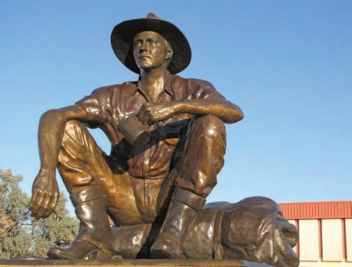
Also worth seeing is the Back o’ Bourke Information and Exhibition Centre. Less a collection of historical artefacts and more a gallery of stories and legends, it will give you a look at the town and outback through the eyes and words of writers such as Breaker Morant, Henry Lawson and Will Ogilvie, the poet who actually coined the phrase ‘back o’ Bourke’.
DETOUR
One of the most accessible rock-art sites in outback NSW is 50km south of Bourke in Gundabooka National Park. It’s an important place for the Ngemba and Paakandji Peoples, who traditionally gathered here in groups to dance up a storm, in this place they called ‘stone country’, and you can almost hear their ceremonies reverberate and echo around the shallow cave as you gaze at the dancing figures painted in white on the red rock wall in the Mulareenya Creek rock-art site. Wakakirri is the Ngemba word for dance, and dances were performed as part of ceremonies over millennia with the rust-red Gundabooka Ranges as the backdrop. But this rock-art gallery includes depictions outside of dancing: the walls hold a record of other items of cultural significance for the First Peoples of western NSW. Tools such as boomerangs and spears, and stencils of stone axes decorate the wall of the cave, along with white emus, hand stencils, and mysteriously swirling circular paintings. To get there it’s a 20min walk from the car parking area across a pretty stone-strewn valley, rock-hopping across dry creek beds and skirting small waterholes.
Take the Mitchell Hwy north out of Bourke and allow around 3hr to drive to Cunnamulla. You’ll cross the NSW–Queensland border about halfway into the drive, just after Barringun. On the banks of the Warrego River, Cunnamulla is in the heart of wool country and is typical of the down-toearth country towns – with their two-storey verandah’d pubs, grand post offices and imposing bank buildings – that you will pass through on this trip. Don’t leave town without a float and a soak in the just-opened Cunnamulla Hot Springs
The riverside bathing facility might be brand new, but the naturally-heated water, pumped up from the Great Artesian Basin, is more than a million years old. There are several free-flowing pools of different temperatures, including chilled plunge pools. Head online (cunnamullatourism.com.au) to book your bathing experience of choice.
Country music fans will know of the Cunnamulla Fella,
Left The Cunnamulla Fella Opposite The historic North Bourke Bridge
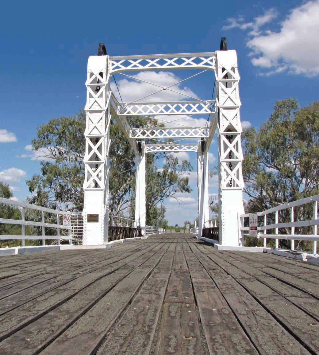
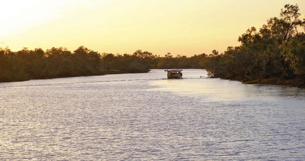
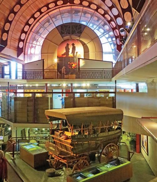
featured in the song by Slim Dusty and covered by artists such as the Screaming Jets and Lee Kernaghan, but even if you’ve never heard the songs you can’t drive past the super-sized bronzed stockman outside the Regional Art Gallery and Museum without snapping a selfie before heading north across the plains.
DETOUR
Fossickers keen to try their luck should detour 67km west of Cunnamulla to Eulo, home of the boulder opal. The Artesian Mud Baths are reason enough to make the trek. Rich in zinc, magnesium, potassium, calcium and iron, the mud is scooped up from the natural mud springs that bubble out of the ground, and the thermally heated water is pumped up directly from the Great Artesian Basin into a brightly painted, claw-footed bath in a rustic open-air bathhouse. (Sessions last 90min and bookings are essential; artesianmudbathseulo.com.au.) Pop into the Eulo Queen Hotel for a cold drink afterwards and learn about the outrageous exploits of the Eulo Queen, the legendary thricemarried beautiful Mauritian sly-grog dealer, opal trader and larger-than-life character who lived here from 1886 until the late 1920s and liked to adorn herself in opals and shells.
Cunnamulla to Longreach, 714km
Leaving Cunnamulla, head to Yowah, 90km up the road from Eulo, where you can watch local miners cut and polish the unique Yowah Nuts – mini ironstone boulders that, if you’re lucky, reveal a centre of solid opal when cut open – and take a look at one of the mines and ferret around the fossicking area. The road is sealed, but only for the width of one lane, so you’ll need to move over onto the verge for oncoming vehicles and give trucks plenty of space. To get back to the main highway you’ll need to either retrace your steps to Cunnamulla before heading north to Charleville, or take the longer way continuing north from Yowah to Charleville via Quilpie.
Take a break at Charleville, where the clear night skies over the plains make for near-perfect stargazing conditions and the Charleville Cosmos Centre has observatory sessions most nights (check times at cosmoscentre.com). This is bilby country and if you’ve never seen a live one before, join a Bilby Experience tour (book at the visitor information centre in Charleville or at savethebilbyfund.org.au) to get to know these cute desert-dwelling bandicoots that until recently were on the brink of extinction. Thanks to the hard work of The Save the Bilby Fund, based here in Charleville, who have established a successful breeding centre in Charleville and built predatorproof sanctuaries in the wild, like the one in Currawinya National Park north of Hungerford, Queensland, the
populations are beginning to recover. All proceeds from the tours and the gift store go directly to the Fund.
From Charleville continue north across the plains through Tambo to Blackall, where shearing legend Jack Howe set a world record in 1892 by shearing 321 sheep in 7hr, 40min with blade shears. It took another 58 years before anyone could match his feat and that was with machine shears. Blackall Woolscour is the only steam-driven woolscour remaining out of the 52 that once operated across the country. Colourful local characters lead guided tours that explain each stage of wool processing. Book online (blackallwoolscour.com.au).
From Blackall it’s around a 1hr drive to Barcaldine where, just outside the railway station under a ghost gum (sadly killed a few years ago), striking shearers met in 1891 and the Australian Labor Party (ALP) was formed. Known as the Tree of Knowledge, the trunk has been preserved under a wooden canopy as a memorial, and it looks particularly impressive when it’s lit up at night. Nearby, the Australian Workers Heritage Centre examines the roles of Australian workers of all kinds, from outback shearers to nurses and teachers.
Longreach, the largest town along the Matilda Hwy, is a good place to stay for a couple of days. With a population of around 3600 people, Longreach looks like a classic western Queensland town where you could be forgiven for assuming there’s not much going on, but there’s much more to see and do here than in most country towns of this size. You can easily spend half a day or more at the Australian Stockman’s Hall of Fame, a huge museum depicting all aspects of outback life (not just the lives of stockmen – the name is a trifle misleading). There are three interconnecting levels, with exhibits on everything from explorers to bush sports and droving, transport and the Royal Flying Doctor Service.
Just across the road at the airport is the Qantas Founders Museum, where you can take a walk onto the wing of a 747, and tour a fully equipped jumbo jet and a 707 that once belonged to a sheik – keep an eye out for the gold-plated seatbelt buckles. If you ever wanted to know what goes on behind the scenes while you’re cruising at 30,000 feet, this is the place to find out. Don’t miss the unique chance to ride a replica Cobb & Co coach at full gallop or take a sunset cruise on the Thomson River (bookings for both at outbackpioneers.com.au).
Opposite top Thomson River, Longreach Opposite bottom left Stockman’s Hall of Fame, Longreach Opposite bottom right Currawinya National Park is home to a bilby sanctuary

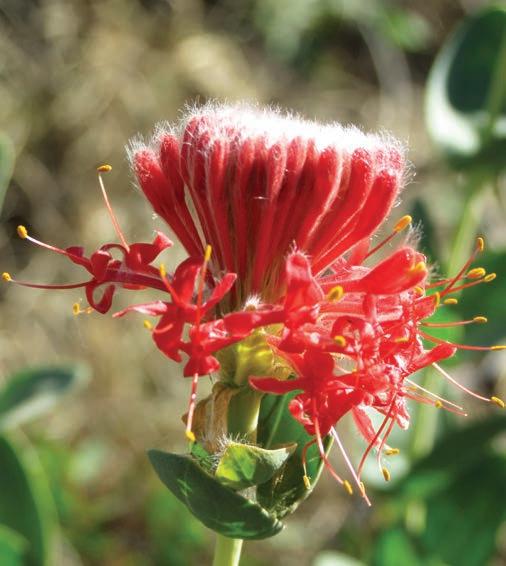
Longreach to Winton, 179km
Winton is around a 2hr drive north-west of Longreach via the sealed Landsborough Hwy. The Australian Age of Dinosaurs museum on the outskirts of town houses the skeletons and bones of three dinosaurs found in the area. The star attraction is Australovenator wintonensis, found on a local property in 2006. Nicknamed Banjo (Andrew ‘Banjo’ Paterson wrote ‘Waltzing Matilda’ while visiting friends near Winton in 1895), it’s the largest carnivorous dinosaur and the most complete theropod skeleton yet found in Australia, and you’ll learn all about it on a guided tour of the museum and adjacent fossil preparation lab. Also on display are the bones of the 15m-long plant-eating dinosaur Matilda (Diamantinasaurus matildae) and a recently unearthed titanosaur (Savannasaurus elliottorum, nicknamed Wade) which is believed to be bigger still.
KIDS’ SPOT
The Dinosaur Trail, a themed self-driving route from Winton to Richmond that takes in a number of dinosaur and fossil-themed stops, is great for kids, particularly those with a fascination for dinosaurs. However, distances between attractions are vast (by bored-kid-in-the-back-seat-standards), with an average of two hours between towns, so arm yourself with plenty of dinosaur jokes (Which dinosaur slept all day? The dino-snore!). There’s a direct (dirt) road from Winton to Richmond that will take around 3hr but it’s often in rough shape, so unless you’ve got a 4WD take the Flinders Hwy via Hughenden (allow around 4hr if going this way). Stop to check out the 7m-high model of the dinosaur Muttaburrasaurus, fondly known as Mutt, in Hughenden’s main street and the replica skeleton in the Flinders Discovery Centre along the way. In Richmond, visit Kronosaurus Korner, home of Kronosaurus and the Richmond Pliosaur, the best-preserved marine vertebrate skeleton in Australia. Not dinosaurs, as such, these were massive marine reptiles, as big as 12m long with teeth as long as a school ruler and a head twice the size of a T-Rex’s head. The whole area was once an inland sea, and the museum has one of the state’s best collections of marine fossils. You can also try your hand at finding fossils at a fossil hunting site 12km from town (look for the fish-shaped ‘fossil hunting’ signs high on a pole beside Richmond Woolgar Rd): all you need is a small pick or a chisel and hammer, and if you don’t have those you can buy them for a few dollars in the museum gift shop, along with a fossil hunting permit. Museum staff at Kronosaurus Korner will identify any finds and you can take your fossils home, unless of course, you’ve unearthed a new discovery.
Top North Gregory Hotel, Winton Bottom Flinders poppy is endemic to the area between Hughenden, Winton and Julia Creek Opposite The Australian Age of Dinosaurs museum
DETOUR
About 95 million years ago, a large meat-eating dinosaur chased a horde of much smaller dinosaurs on the muddy shores of a lake. The Dinosaur Trackways at Lark Quarry is the world’s only known site of a dinosaur stampede. About 3300 or so footprints made in the mud have been fossilised, and the paleontologists believe there were at least 150 dinosaurs involved, some the size of chickens, others the size of emus; the hunter was a large theropod, probably about 8 or 9m long, with sharp claws and even sharper teeth. Lark Quarry Conservation Park is 110km south-west from Winton via Winton–Jundah Rd –approximately 65km is unsealed, but fine for 2WD.
Winton has long been celebrated as the birthplace of Australia’s favourite song, ‘Waltzing Matilda’. Its first public performance is believed to have taken place on 6 April 1895 at the North Gregory Hotel in Winton, and it is celebrated at the town’s Waltzing Matilda Centre, which includes an indoor billabong where a holographic ghost tells the story behind the
famous song, as well as an extensive museum on various aspects of outback life. The song was inspired by the suicide in 1895 of a striking shearer in the Diamantina River. Banjo Paterson, picnicking at Combo waterhole with his fiancée, Sarah Riley, and Bob and Christina MacPherson from Dagworth Station, penned the words of a poem about a swagman camped by a billabong. Christina added some music, adapted from a Scottish marching song called ‘The Bonnie Wood of Craiglea’, and Australia’s national song, ‘Waltzing Matilda’, was born.
DETOUR
Today Combo Waterhole is little more than a large muddy puddle baking under a relentless sun, but a ring of coolabah trees, also known as Eucalyptus coolabah, usually swarming with bright green budgerigars, provides welcome shade, and is a pleasant picnic spot. To get there, you follow a dirt road (4WD recommended) that branches off the Landsborough Hwy near the pub-and-petrol station town of Kynuna, about 150km north-west of Winton.
Winton to Karumba, 779km
Cloncurry is about a 4hr drive north-west of Winton on the Landsborough Hwy, and the birthplace of the Royal Flying Doctor Service, founded by John Flynn (aka Flynn of the Inland) in 1928. There’s a museum, called John Flynn Place, dedicated to the visionary’s life and the famous flying doctor service that transformed outback life and still saves hundreds of lives today.
Cloncurry also marks the beginning of Gulf Savannah country. The next part of the Matilda Hwy, which runs north to the
coast, is also called Burke Developmental Rd. It’s named after explorer Robert O’Hara Burke who, together with William John Wills, Charles Gray and John King, passed through the rugged country to the west of here in 1861, the first Europeans to cross Australia from the south to north. It’s a bit of a long haul between Cloncurry and Normanton across seemingly endless savannah grasslands, so break the drive with a stop at the roadhouse named after the explorers at The Burke and Wills Junction (aka Four Ways) around halfway.
Normanton is a blink-and-you’ll-miss-it type of place that is most famous for its purple pub, which is famous for being
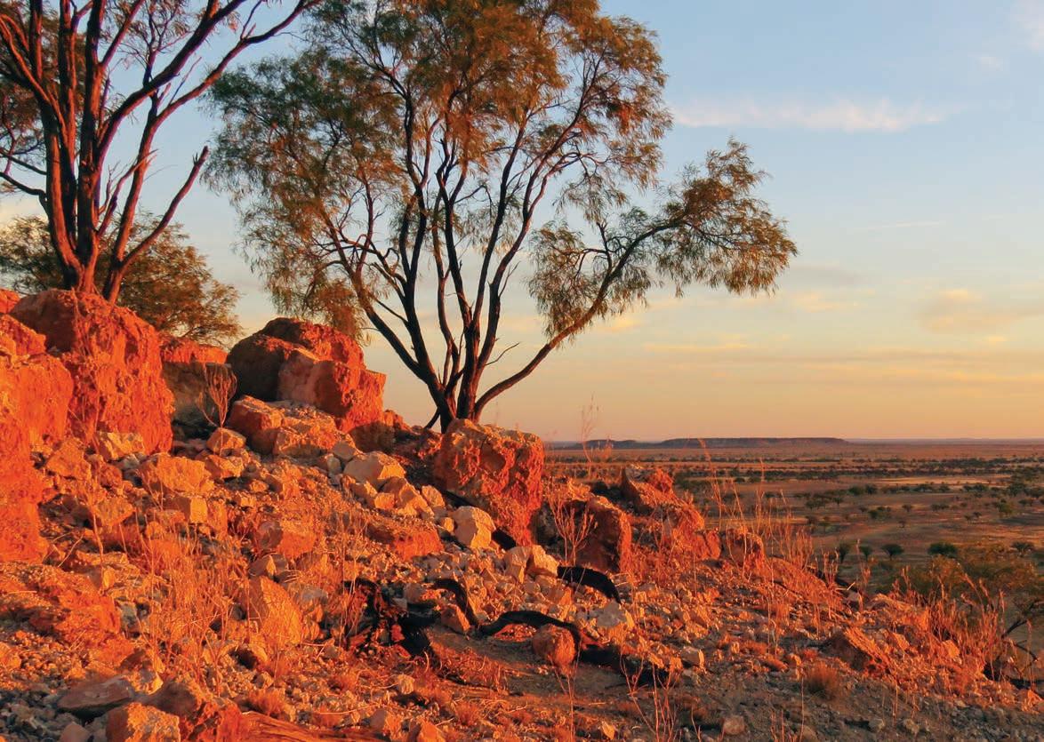
purple and not much else, although it is a good spot for a cold drink and maybe a burger. Don’t leave town without checking out Krys the crocodile, a full-size replica of the largest crocodile ever shot, an 8.63m-long saltwater crocodile with a girth of almost 4m. The real croc was shot by a 30-year-old crocodile hunter renowned for wearing jungle greens and bright red lipstick, Krystina Pawloski, in the Norman River in 1957. Krys ‘one shot’ Pawloski, together with her husband, claimed to have shot and killed 10,000 crocodiles – the local legend is that she only missed three times – before becoming conservationists in the 1960s.
The Matilda Hwy ends less than a 1hr drive from Normanton at Karumba, one of the few towns actually on the Gulf waters. As ill-fated explorers Burke and Wills found – to their dismay –large areas of the Gulf’s coastline are impenetrable because of the dense mangrove swamps. The town is surrounded by flat wetlands which extend inland for approximately 30km, the meandering saltwater tidal estuaries home to huge saltwater crocodiles and a vast array of bird life such as pelicans, cranes, brolgas and black swans. The landscape has changed little since Burke and Wills set up their last campsite just west of Normanton before heading south to Cooper Creek in 1861. You’ve come a long way to get here, so spend a day or two fishing (but be croc safe) – good places include Karumba Point and the river beaches, or let the experts show you their secret spots on a fishing charter – or exploring the river on a birdwatching and croc-spotting cruise: ask at the visitor centre, or the Barra Centre (see below) for details of both the best fishing spots and cruises. Make at least one visit to the Sunset Tavern on the point to watch the sun sink into the sea while tucking into fresh barramundi and chips. If you want to learn more about northern Australia’s most prized fish, visit Les Wilson Barramundi Discovery Centre, a barramundi hatchery and interpretative centre that also has a cafe overlooking a saltwater lagoon.
If this adventure drive across western Queensland from the bottom to the top has inspired you to keep going, from Karumba you can link up with the trans-continental Savannah Way and head east to Cairns, or west to Katherine and Darwin, another epic road trip adventure.
VANLIFE
There are lots of commercial caravan parks and free RV overnight parking areas in most towns along the route, which is handy because there aren’t really a lot of places to bush camp along the way. That said, there are some top spots to bush camp at May’s Bend, beside the Darling-Baaka River at Bourke, and Bough Shed Waterhole (a lovely swimming hole) in Bladensburg National Park, 24km from Winton. No water supplies are provided, and you must be self-sufficient at both campsites in Bladensburg.
Sunset from the top of The Rangeland Rifts, near Winton
Scenic Rim
Leave the coast and explore south-east Queensland’s wilder side in the rainforest-clad mountains and valleys of the Scenic Rim hinterland.
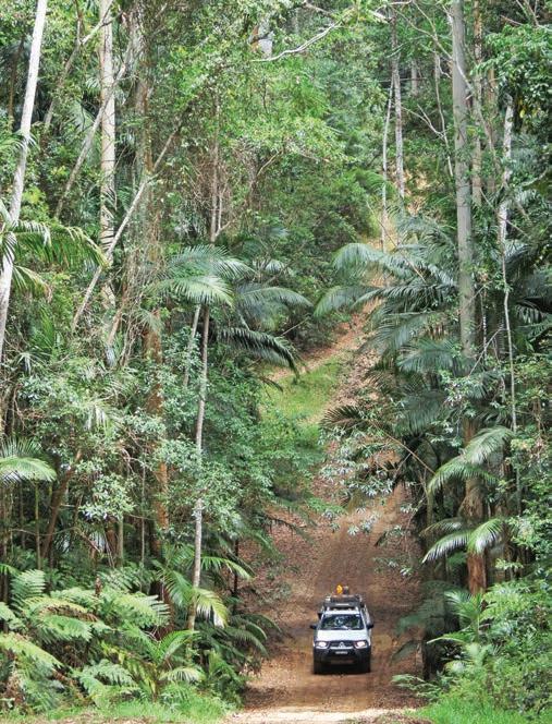
HOW LONG?
This can be a two- or three-day drive, but there’s plenty of things to do and see along the way so you could easily stretch it out over a week.
WHEN TO GO
Summer is temperate, with the ranges being much cooler than the coast, but the area is prone to storms in that season. Winter is more likely to be dry and sunny.
NEED TO KNOW
Some of the steep, narrow roads around Nerang and Canungra are unsuitable for caravans or trailers. Check with local visitor information centres before travelling.
SNAPSHOT
The beauty of south-east Queensland is that no matter where you are, even if it’s in the middle of the Brisbane/Meanjin CBD or the high-rise strip of the Gold Coast, you’re never very far from the wilder side of life. Only a 1hr drive from Brisbane, and a half-hour’s drive from the Gold Coast, is an altogether different world: mountains, rainforest, valleys, wide plains and World Heritage wilderness – the green behind the gold. Known as the Scenic Rim, this region is a chain of craggy mountains and high tablelands cut through with rich, fertile river valleys and dotted with historic townships and magnificent rainforests.
Drive rating
Moderate: mostly sealed roads with some steep and winding sections.
Acknowledgement of Country
This is the Traditional land of the Bundjalung, Yuggera, WakaWaka, Gubbi Gubbi and Butchulla Peoples.
Total distance
Gold Coast to Hervey Bay, via the hinterland, 532km.
Average temperatures
• January: 17–26°C
• July: 8–17°C
More information visitscenicrim.com.au; visitsunshinecoast.com
Scenic driving in Conondale National Park


Surfers Paradise to Boonah, 112km
The M1 Pacific Hwy/Bruce Hwy is a quick and easy way to get from the Gold Coast to Hervey Bay in just a few hours along mostly dual-lane freeway, so it’s easy to see why it’s the road most travelled. This backroad adventure through the mountainous rainforest-clad hinterland will certainly take a lot longer, but it’s also certainly a lot more scenic.
Your first stop should be Tamborine Mountain, about a 45min drive from Surfers Paradise via the Nerang–Broadbeach/ Beaudesert–Nerang Rd (State Rd 90). The air up here is cooler than the coast and the views from the plateau are fantastic, but the drive is steep, winding and narrow: if you’re towing a van take route 95 from Oxenford instead. Stop and explore the villages of Tamborine Mountain, Tamborine, North Tamborine and Eagle Heights. Shoppers should head for Gallery Walk on Long Rd, a string of galleries, craft shops, antique stores, cafes and eateries.
Queensland’s first national park was established at Witches Falls in 1908, and since then additional reserves of subtropical rainforest on the Tamborine Plateau have been added to it, making up what is now known as Tamborine National Park. There are 22km of graded walking tracks, with most walks taking less than half a day and almost all easily reached from Tamborine Mountain township. Most are either wheelchair accessible or graded as easy, so they are also great for kids and families with strollers. Palm Grove, Witches Falls and The Knoll have spectacular views, and Zamia Grove has ancient cycads – relics of plants that flourished 150 million years ago. There are also lovely waterfalls and rockpools throughout the park, including Curtis Falls, one of the prettiest – and most popular – waterfalls on the mountain, an easy 1.5km-return walk from the carpark on Dapsang Dr at Eagle Heights.
Tamborine Rainforest Skywalk is a privately-owned steel canopy walk with a 40m-long cantilevered bridge suspended 30m above the forest floor. It’s a great way to get a bird’seye view of the rainforest and is suitable for wheelchairs and strollers.
DETOUR
If you’d like to really give your hiking boots a workout, head further south to Lamington National Park. This World Heritage–listed park has more than 160km of walking tracks, some up to 20km long. Highlights include waterfalls and stands of 15,000-year-old Antarctic beech trees. There is also a tree-top canopy walk: it might seem a little tame by today’s standards but when it was built in 1987 it was the first of its kind in Australia.
It’s located at O’Reilly’s Rainforest Retreat in the Green Mountains section of the park. There are two entrances to Lamington: the Green Mountains entrance is 115km south of Brisbane/Meanjin via Canungra, or 70km from Surfers Paradise via Nerang and Canungra, while the Binna Burra section is 107km from Brisbane via Canungra, and 55km from the Gold Coast. Both routes are fully sealed, but the road to Green Mountains is too steep and winding for caravans.
KIDS’ SPOT
The Eco Rangers school holiday program at O’Reilly’s Rainforest Retreat, for kids over five, includes twice-daily activities such as campfire cookouts, rainforest art, scavenger hunts and after dark wildlife spotting, as well as eco-detective games, wacky chemistry classes, adventure racing and kidfriendly bush survival courses. Afternoon activities include dinner. Book ahead (oreillys.com.au).
Keep following the main road west, through Beaudesert, for another 45min or so to Boonah. It’s full of classic Queensland architecture (think lots of white-washed wood, big verandahs and ornate trims), country pubs and cafes serving local produce. Surrounded by the peaks of Main Range National Park, and with two lakes – Lake Moogerah and Lake Maroon – just a short drive away, Boonah’s a pretty place to base yourself for a couple of days if you like outdoor pursuits like bushwalking and horse riding.
Boonah to Maleny, 206km
Continue west along the SR90 through the Fassifern Valley and hook up with the Cunningham Hwy to head north, sidestepping Ipswich (unless you’re a railway buff, because if so you won’t want to miss the Queensland Museum Rail Workshops with beautifully restored locomotives and carriages and the state’s largest model railway). Skirt the shores of Lake Wivenhoe and Somerset Dam, where you can picnic and camp beside the water, and head to the town of Kilcoy.
Kilcoy, at the head of the ‘valley of the lakes’, is, according to local legend, the home of the yowie, Australia’s version of the Himalayan yeti or the North American Big Foot. It is said to be a half-ape/half-human covered in dark fur with long arms who scavenges in the forest, breaking trees and leaving huge footprints. The legend was born in 1979 when two 16-year-old Brisbane boys stumbled across a mass of hair, bone, fangs and a memorable stench at Sandy Creek, 4km north of town. Since then there have been hundreds of ‘sightings’ and Kilcoy has dedicated a park to the creature, erecting a 3m-tall wooden statue in its honour.
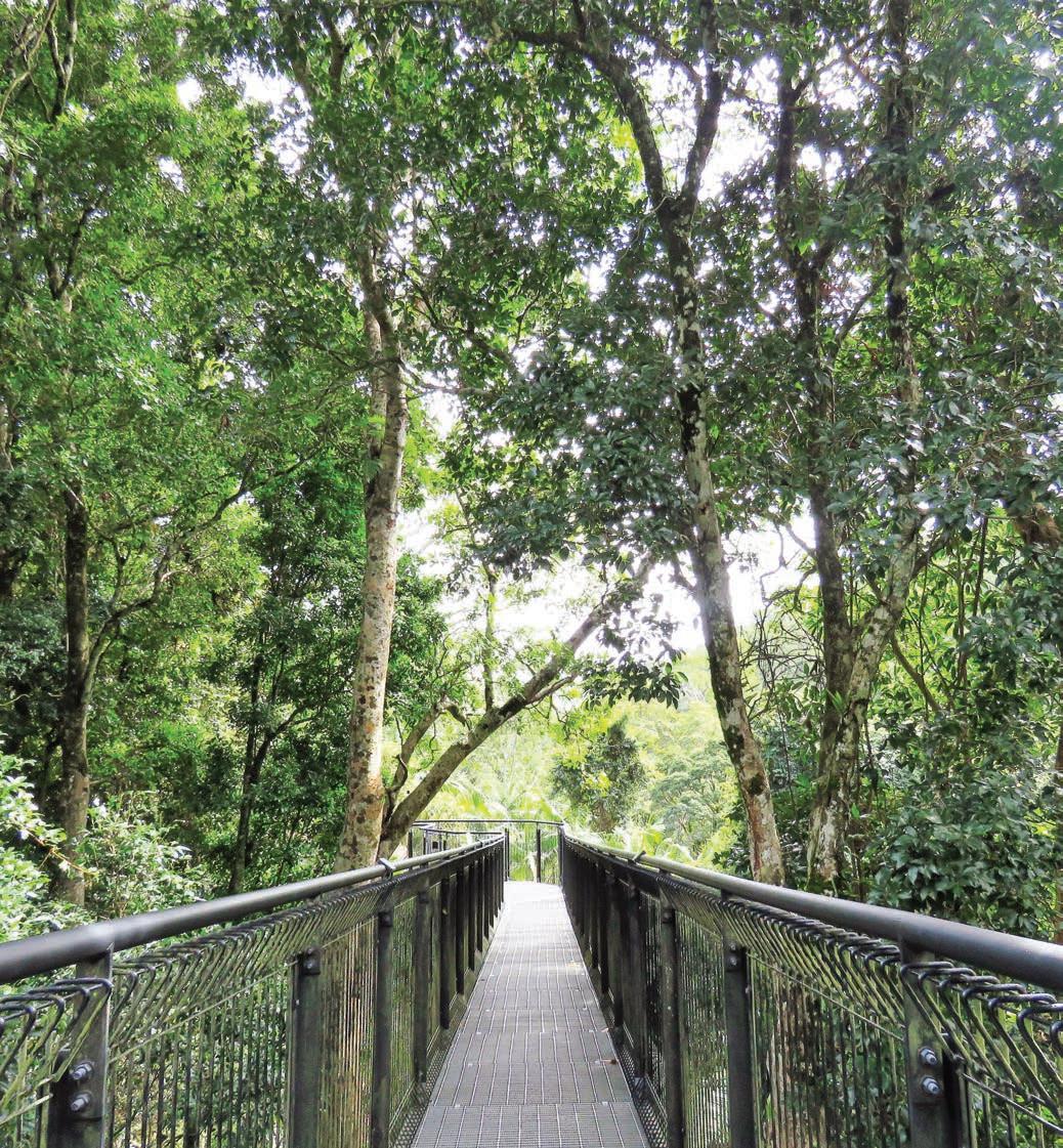
Tamborine Rainforest Skywalk, Tamborine Mountain
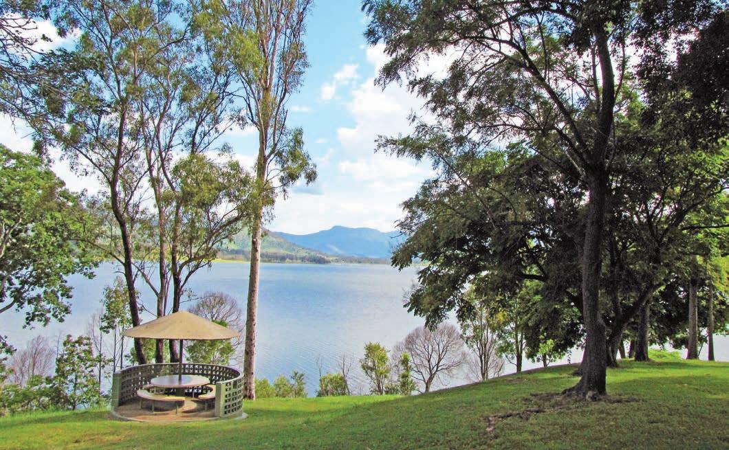
DETOUR
This little backroad detour along the eastern side of Lake Wivenhoe and beyond is a scenic drive along the spine of mountains in D’Aguilar National Park on the Northbrook Parkway (SR31). The Parkway twists its way up the mountain through dense dark rainforest and stands of palm trees in a steep climb that is not suitable for caravans. For knockout views, stop at Wivenhoe Lookout which looks west over Lake Wivenhoe and the valley floor below. The blink-and-you’ll-miss-them villages of Mount Glorious and Mount Nebo both have cafes where you can sit outside admiring the scenery while being serenaded by the colonies of bellbirds that live in the tall forest trees. Stop at Jolly’s Lookout for views of the eroded volcanic plugs of the Glass House Mountains and, on a clear day, Brisbane city, Caloundra and the Moreton Bay islands. There are picnic tables, barbecues and a cooking shelter at Jolly’s if you want to stop for a picnic. Either retrace your steps, or turn the trip into a loop and circle back towards Woodford via Mount Mee for more top-ofthe range views.
If you’re a folk music fan, you’ll probably already know all about Woodford, home to one of the biggest folk festivals in the country, where more than 2000 performers and 125,000 festival goers sing, dance and celebrate for six days between Christmas and New Year each year. When the town’s not thrumming with festival goers it’s a quiet place to go for a stroll down the main street lined with turn-of-the-century buildings.
The Sunshine Coast hinterland around Maleny has a hippy trippy back-to-nature vibe and is home to an assortment of villages where eco and organic is the flavour of the day, along with more art galleries, gift stores and boutiques than you can count. Don’t miss Mary Cairncross Reserve near Maleny, a remnant of the subtropical rainforest that once covered the ranges that teems with birds and other rainforest animals –if you’re lucky you may even spot a red-legged pademelon. There’s a network of easy walking trails, a playground, picnic shelters, barbecues and a cafe that has great views of the Glass House Mountains.
Above Lake Moogerah Opposite top Birdlife at O’Reilly’s Rainforest Retreat Opposite bottom Strangler Cairn, by artist Andy Goldsworthy, on the Artists Cascades Walk in Conondale National Park
KIDS’ SPOT
Kids (and adults) love watching the crocodiles and other Australian wildlife at Australia Zoo in Beerwah. Made famous by the Crocodile Hunter – the late Steve Irwin – the wildlife park is still owned by the Irwin family, with a strong focus on conservation and animal research. There’s a range of shows, presentations and behind-the-scenes experiences on offer every day, including the popular crocodile show. Kids can feed various animals and get up close to snakes, Komodo dragons, wombats, meerkats, quokkas and koalas. And it’s not all Australian animals – you’ll also see cheetahs, zebras, elephants and giraffes, among many others. Book tickets online (australiazoo.com.au).
Maleny to Hervey Bay, 214km
Wind your way down the mountains along Maleny–Kenilworth Rd via Conondale. Conondale National Park, near Kenilworth, has several great wild freshwater swimming spots – some are beside camping and picnic areas, others, like the very pretty Booloumba Falls, are a nice reward at the end of a hot walk. The 4hr hike to Artists Cascades winds through subtropical rainforest with towering bunya trees to a lovely plunge pool beneath a small waterfall, but the real highlight is Strangler Cairn, around 3km from the start of the track. Stumbling across this 3.7m-high sculpture by artist Andy Goldsworthy, which is crowned by a small strangler fig and hidden away in the rainforest, is like finding a secret treasure.
Pick up some artisan cheese and other picnic supplies at Kenilworth Dairies cheese factory in Kenilworth and then take your time as you drive across the Mary Valley towards Gympie because the rural scenery is delightful.
The Regional Art Gallery and Gold Mining and Historical Museum are both good ways to while away a rainy afternoon in Gympie, but if the weather is pleasant head to one of the heritage town’s lovely parks, like Memorial Park in the centre of town, which is gorgeous during spring and early summer when the jacarandas are in bloom. A 3hr ride on the Mary River Rattler steam train (runs on Wed and Sat–Sun) is a popular way to explore the valley. Book tickets online (maryvalleyrattler.com.au).
It’s roughly a 1hr drive from Gympie to Maryborough, another stately town full of classic 19th-century Queensland architecture with several riverside parks. If you need a ‘comfort stop’, this is the place because Maryborough is also home to one of the grandest public toilets in the country: check out the ornately decorated Cistern Chapel in the Town Green next to
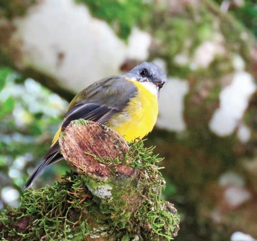
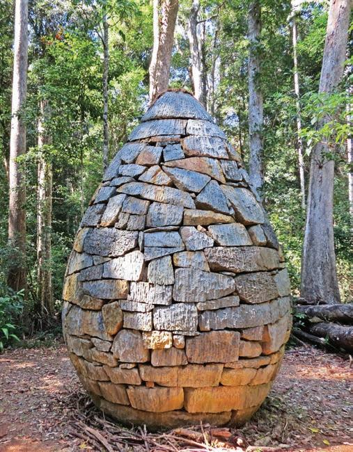
Maryborough City Hall, complete with chandeliers, floor-toceiling frescoes, stained-glass windows, gilded mirrors and a golden ‘throne’. It’s all the work of local artists who are, quite rightly, flush with pride at the makeover.
KIDS’ SPOT
Although the book was set in London’s Cherry Tree Lane, the creator of Mary Poppins was actually from Maryborough. Pamela Travers, the author of the famous children’s books, was born here in 1899, and local legend has it that Travers was inspired by an old-fashioned Maryborough local who carried an umbrella with a bird’s head carved into the handle. There’s a life-sized statue of the famous nanny outside the old bank where the author’s father was bank manager (corner of Richmond and Wharf streets), and you can follow the Magical Mary Discovery Trail around the city. The annual Mary Poppins Festival is held during the June/July school holidays (marypoppinsfestival.com.au).
The end point of our road trip, Hervey Bay is less than a halfhour’s drive east of Maryborough. Humpback whales stop in the bay for a rest on their annual migration from Antarctica, taking advantage of the calm waters in the shelter provided by K’gari. You can get very close to them on whale watching tours – there are almost a dozen operators who run cruises in the bay during the whale watching season, June through to November. Best time to see them is August, September and October.
Back on shore, celebrate with a feast of local Hervey Bay scallops and fresh Mooloolaba prawns at one of the waterfront restaurants like Enzo’s On The Beach, Banksia Seafood and Grill or from one of the many takeaways, and eat down near the Scarness Jetty on The Esplanade. Much like the scenery on this backroad trip, the sunset view and seafood don’t get much better than this.
VANLIFE
You can’t camp in Tamborine Mountain National Park but nearby Thunderbird Park offers caravan and tent sites and glamping (thunderbirdpark.com). Camping is permitted in the Green Mountains section of Lamington National Park Binna Burra Lodge has resort accommodation as well as powered and unpowered caravan sites (binnaburralodge.com.au). There is a caravan park on the shores of Lake Moogerah and the grassy campsites run down to the water’s edge, so if you prebook (moogerah.com) you might be lucky enough to secure yourself the ultimate water view. The park has powered and unpowered sites for both tents and vans, and facilities include boat ramps, a playground, laundry, kiosk, barbecues and all amenities. There are three campgrounds at Booloumba Creek in Conondale National Park around halfway between Kenilworth and Conondale townships. There are a couple of creek crossings to get in, so a 4WD is recommended, but not strictly necessary if it hasn’t rained for a while. Book sites online through Queensland Parks (parks.desi.qld.gov.au). There are dozens of commercial caravan and holiday parks – some more like a resort than a campground – in and around Maleny, Gympie and Hervey Bay, but if you’d like a quieter bush camp head to Wongi Waterholes in Wongi State Forest 25km north-west of Maryborough and set up camp beside the paperbark-fringed string of waterholes near Lenthalls Dam. On still mornings the reflections in the dark tannin-stained waters are quite magical. Book sites through Queensland Parks (parks.desi.qld.gov.au).
Left Maryborough’s Mary Poppins statue Opposite Booloumba Falls, Conondale National Park
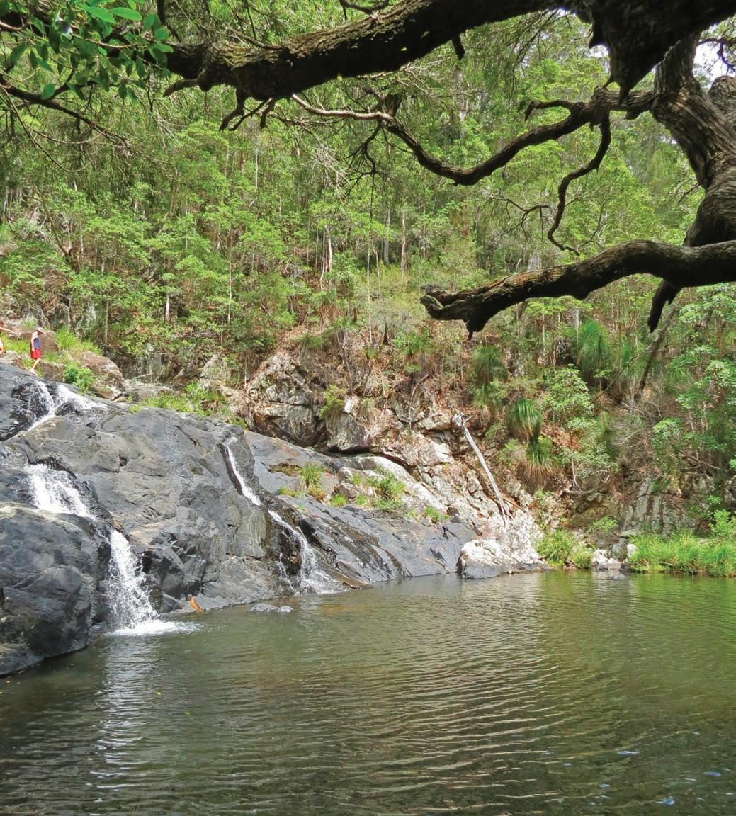
Tropical Tablelands
Escape the heat as you drive through lush rainforest and ranges to see waterfalls and fascinating heritage villages and sample locally grown coffee.
HOW LONG?
1–2 days.
WHEN TO GO
Summer is the wet season and while waterfalls can be spectacular when in flood, it’s also cyclone season. Winter is warm but dry.
LOCAL SECRET
If you’re craving a decent doppio you’re in luck because almost all Australian-grown coffee comes from the Mareeba area. Skybury coffee plantation and papaya farm at Paddy’s Green has a terrific cafe – taste some of their delicious own-grown coffee on the deck, which has views that seem to stretch forever. You can learn about how coffee is roasted at Coffee Works in Mareeba, which has a winning combo of a chocolaterie as well as an espresso bar.
SNAPSHOT
Most visitors to Cairns/Gimuy want to see the reef and the rainforest, and when they think rainforest it’s often a quick trip up to Kuranda on the Skyrail Rainforest Cableway or the historic Kuranda Scenic Railway, and a look at the Kuranda village markets or some of the other attractions (see p.196), and then back down to the coast again. There’s no arguing that this all makes for a fantastic day out, but Kuranda can be a bit touristy and there’s so much more to the Atherton Tablelands. On this road trip you can immerse yourself in rainforest walks, see cascading waterfalls, visit a National Trust–listed Chinese temple from the gold rush, and stroll through heritage villages, all the while enjoying locally grown coffee. The best way to explore it is by car on a daytrip or overnighter from Cairns.
Drive rating
Moderate: winding sealed roads with some steep sections.
Acknowledgement of Country
This is the Traditional land of the Dyirbal, Mbabaram, Djabugay and Kuku-Yulanji Peoples.
Total distance
Loop from Cairns/Gimuy, 293km
Average temperatures
• January: 23–37°C
• July: 16–30°C
More information tropicalnorthqueensland.org.au
Cairns/Gimuy to Atherton, via Mareeba, 99km
This trip starts from Cairns/Gimuy with a steep but scenic climb up into the range via a series of twisty curves through thick rainforest to Kuranda. If you want to spend a day there, add another day or half-day on to the road trip and visit the Kuranda Markets, Australian Butterfly Sanctuary, Birdworld Kuranda or the Kuranda Koala Gardens. From Kuranda, continue west along the Kennedy Hwy for 50km, leaving the rainforest behind as the country opens up into fields of sugar cane, past paddocks of macadamia, mango and papaya trees and other exotic tropical fruits. The rich soils of the Atherton Tablelands will grow just about anything and Mareeba was once the centre of a thriving tobacco industry, although these days coffee (see p.195), sugar and fruit have largely taken over from tobacco – there are even a couple of wineries using the tropical fruits grown in the area. You can visit the cellar doors of Golden Drop Winery that makes wine from mangoes and Mount Uncle Distillery that produces a range of fruity liqueurs, including gin with native botanicals, rum and agave spirit – tropical north Queensland’s answer to tequila.
The township of Atherton is 33km south of Mareeba. A century or so ago, this little town had a flourishing Chinatown which had sprung up during the 19th-century gold rushes. Today, the only sign of this gold-rush community is the small timber and iron Hou Wang Temple, built in 1903, that has somehow managed to survive, while all around it buildings were demolished and carted away for scrap. The temple is now protected by the National Trust and houses a very good museum crammed with innovative, interactive displays and artefacts. Free guided tours run on demand and are well worth the hour or so it takes to explore the old Chinatown area and the interior of the temple which is still fitted out with the original elaborate carvings, bell and metal vessels brought from China last century. Just outside of town is the Atherton Forest Mountain Bike Park with 18 trails of varying ability.
Atherton to Cairns/Gimuy, via Ravenshoe, 194km
If you’ve been on the Scenic Railway or the Skyrail Rainforest Cableway to Kuranda, you’ll have seen the spectacular Din Din Barron Falls. Due to its hydroelectric potential, the waterflow of the Barron River above Barron Falls is controlled by timed releases, allowing water to go over the falls when
the Kuranda train passes. The Atherton Tablelands are also home to several other dramatic falls. Head south on the highest road in Queensland (Tumoulin Rd) towards Ravenshoe. Millstream Falls, 3km from town, are the widest falls in Australia. They spill over an old basalt lava flow and are best seen during the wet season when they are at their most spectacular. Millaa Millaa, a half-hour’s drive northeast of Ravenshoe, is the centre of the Waterfall Circuit, which includes Mungalli Falls, the popular swimming spot at Millaa Millaa Falls, Zillie Falls and Ellinjaa Falls. Malanda Falls, 4km north of Millaa Millaa, is another good swimming spot with an artificial built pool at the base of the falls and two half-hour rainforest walks.
Having taken the plunge at one or more of the falls, continue north to pretty Yungaburra with its heritage-listed wooden buildings, past the Curtain Fig Tree where you can do a 20min boardwalk around the tableland’s most photographed tree, and the Yungaburra Platypus Viewing Platform. If you’re still in the mood for some wild swimming, the maars of Crater Lakes National Park – Lake Barrine and Lake Eacham – are both more than 65m deep. Formed by volcanic eruptions sometime between 10,000 and 2 million years ago, they are good spots to cool off with lots of wildlife watching opportunities thrown in. The historic timber and tin Lake Barrine Teahouse has been dishing up delicious Devonshire teas for almost a century.
Finish off the loop winding your way back down the range along the twisty Gillies Range Rd to Gordonvale and north to Cairns. Now you’ve seen the rainforest, you can head to the reef.
VANLIFE
The shady camping area at the edge of the forest near the creek at the bottom of Tall Timbers Roadhouse in Ravenshoe is almost as good as being in the bush – if you’ve been in the tropics for a while you’ll enjoy the cool change. Book ahead (talltimbersroadhouse.com.au). There are some lovely lakeside camping spots at Lake Tinaroo in Danbulla National Park near Yungaburra and the adjoining state forest, and the lake is good for swimming and kayaking. If you are looking for commercial caravan parks with all the usual facilities, you’ll find at least one, sometimes two or three, in most of the towns in the tablelands.
Opposite top The Atherton Tablelands always look lush, yearround Opposite bottom left Curtain Fig Tree, near Yungaburra Opposite bottom right Cooling off at Millaa Millaa Falls
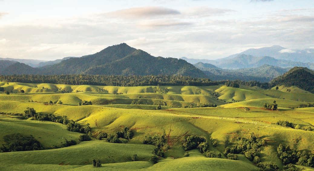
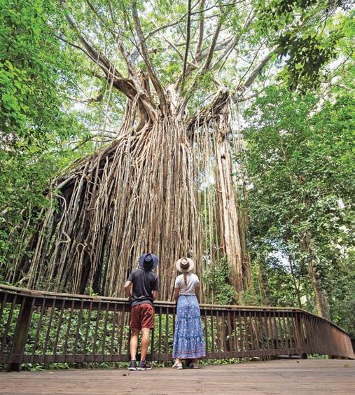
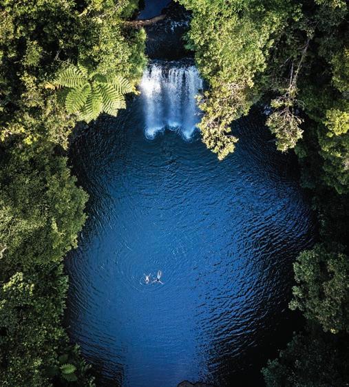
Mackay Highlands
HOW LONG? 1–2 days.
WHEN TO GO
The best time to visit is during the drier, cooler months between April and October, although the mountaintop section of Eungella National Park is a lovely place to escape the heat and the swimming at Finch Hatton Gorge is a summer-only proposition. The best time to see platypuses at Broken River is in the early morning or late afternoon.
LOCAL SECRET
Don’t drive past the Pinnacle Family Hotel without stopping in for one of the historic pub’s famously good meat pies. There are several steak and meat varieties on offer, including glutenfree and vegetarian options, and sweet ones for dessert. Many Mackay locals make the 50min drive out here just to get one. Be warned: they’re bigger than your average pie, so you’ll need an appetite.
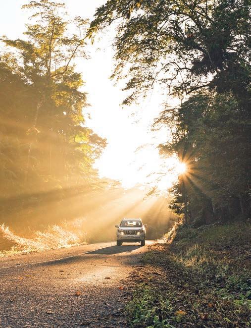
Drive rating
Moderate: winding sealed roads with some steep sections not suitable for caravans.
Acknowledgement of Country
This is the Traditional land of the Yuwibara and Widi Peoples.
Total distance
Mackay to Broken River, 86km.
Average temperatures
• January: 23–32°C
• July: 11–25°C
More information mackayisaac.com; queensland.com
SNAPSHOT
Sometimes life really is stranger than fiction. When British scientists saw their first platypus, sent back, stuffed, from the colonies in 1790s, they thought it was a hoax. And you can’t blame them because an animal that combines an otter’s body and beaver’s tail with a duck’s bill and webbed feet, lays eggs like a reptile but feeds its young milk like a mammal, has no stomach but has venomous spurs on their legs and glows in the dark, really is an improbable beast. Australia’s weirdest animal is also its shyest, and notoriously hard to spot in the wild. Unless you go to Broken River. It is, as the locals will tell you, the best place ‘on the planet’ to see platypuses in the wild. Getting there, through vast fields of sugar cane and sub-tropical rainforest, is pretty cool, too.
Right Eungella National Park is one of the best places in the country to see a platypus Opposite Driving through Eungella National Park
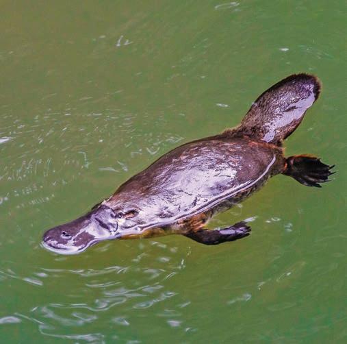
Mackay to Finch Hatton, 63km
Broken River is in Eungella National Park (pronounced yun-galah), about 85km or a 1hr drive west of Mackay in the hinterland of the Whitsunday Coast, and getting there is a very pretty road trip through the Pioneer Valley.
One of Australia’s richest sugar cane–growing areas, the road follows the Pioneer River as it travels through a patchwork of cane fields past sugar mills and cane railways and through charming country towns like Pleystowe, home to one of Queensland’s oldest sugar mills (sadly closed in 2009), and Melba House in Marian, the former family home of opera singer Dame Nellie Melba. The visitor information centre is housed inside Melba House and has a collection of memorabilia tracing the majestic diva’s brilliant career. If you’re a history buff, you’ll enjoy the displays of historical sugar processing equipment at the Pioneer Valley Museum and the impressive National Trust timber-and-iron railway station, both at Mirani.
Eungella National Park, Australia’s longest stretch of subtropical rainforest, is split into two sections – above and below the ranges – and both sections are well worth visiting. Finch Hatton Gorge, just a few minutes’ drive west of Pinnacle (the go-to place for hot pies: see p.198), is part of the lowlands
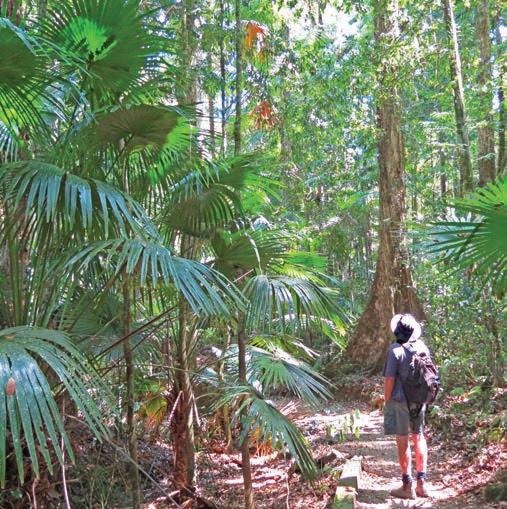
section. Stretch your legs on a 3km hike through the rainforest to two delightfully icy swimming holes fed by waterfalls in the gorge, but be warned: the rocks can be slippery and don’t jump or dive into the water as there may be submerged rocks; there have been quite a few serious injuries here. It’s a pretty detour but be careful after rain as the road in involves crossing several low-level causeways.
Finch Hatton to Broken River, 23km
Back in the valley, the road winds steeply up the Clarke Range to the tiny township of Eungella atop the plateau and then on to the highland sections of the national park.
Drawing its name from a Biri word meaning ‘Land of the Clouds’, Eungella’s mist-shrouded and rainforest-clad plateau is usually several degrees cooler than the coast and has some fantastic short walks, most of which feature spectacular views. If you only have time for one, make it the 10min walk to the Sky Window that leads to a stunning lookout over the valley below. The adjacent picnic area has wheelchair-accessible toilets and picnic tables.
The main reason most people come to Eungella is to see the platypuses at Broken River. There are several viewing platforms strung out along the river near the picnic area, or you can, as we did, simply find a comfortable rock and perch for as long as you like.
Broken River Mountain Resort offers comfortable motelstyle cabins within easy walking distance of platypus viewing areas, as well as a pool and licensed restaurant. It also has a range of guided activities – half-day canoeing adventures, spotlighting for nocturnal animals and 4WD pick-ups for longer bushwalks – should the delights of communing with wild platypuses wane. For my money though, a day spent with one of the world’s most mysterious monotremes is hard to beat.
VANLIFE
There is a small bush camp near Broken River; sites are small and there are no toilet facilities – the closest are in the day-use area around 200m away, but it’s your best bet if you want to see platypus early in the morning. A nice alternative is Crediton Hall, 15km south-east of Eungella village on Crediton Loop Rd. It’s a wide open grassy riverside spot beside the crumbling old hall and you can often spot platypuses here too.
Left Walking trail near Broken River in Eungella National Park Opposite Finch Hatton Gorge
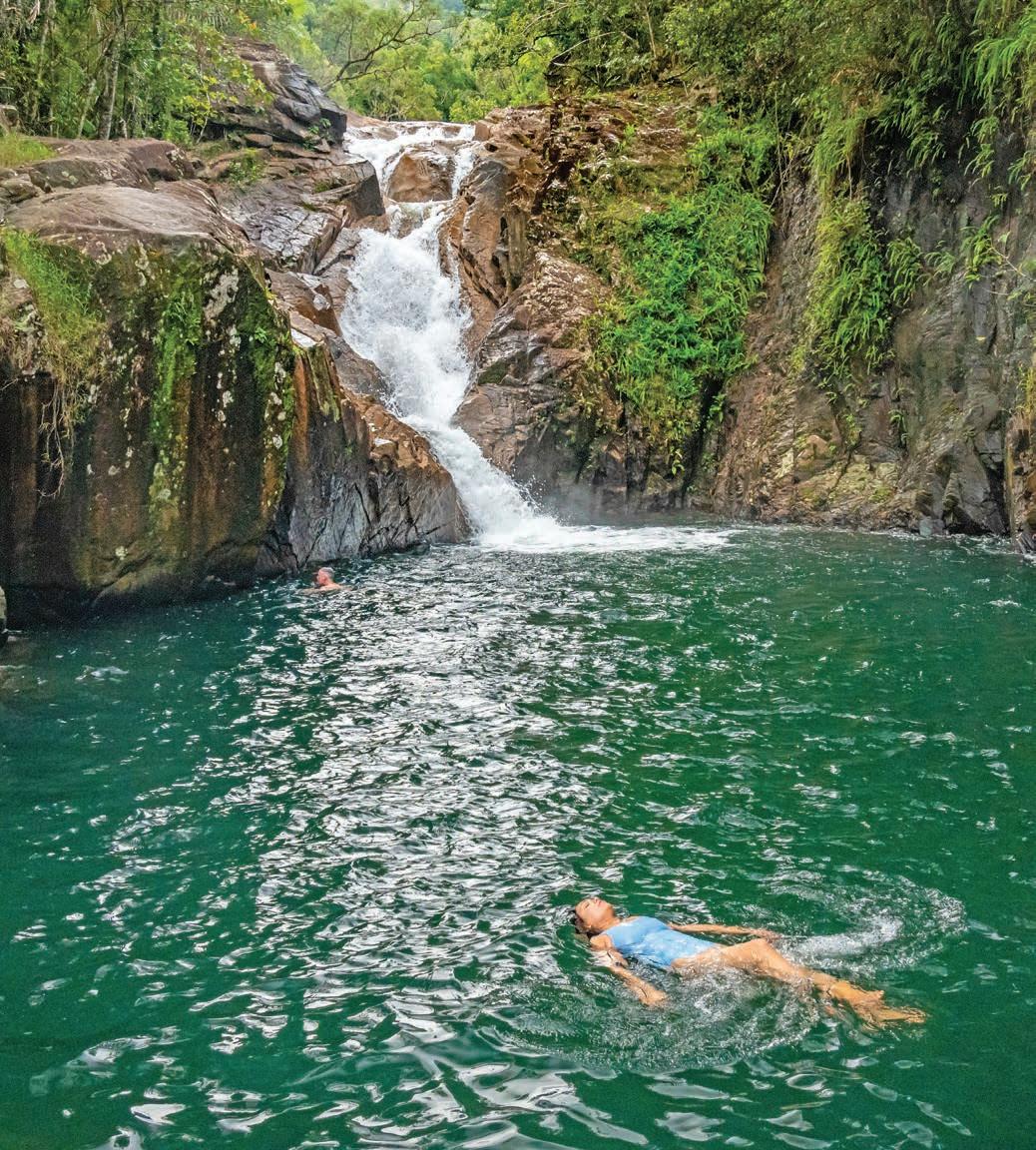
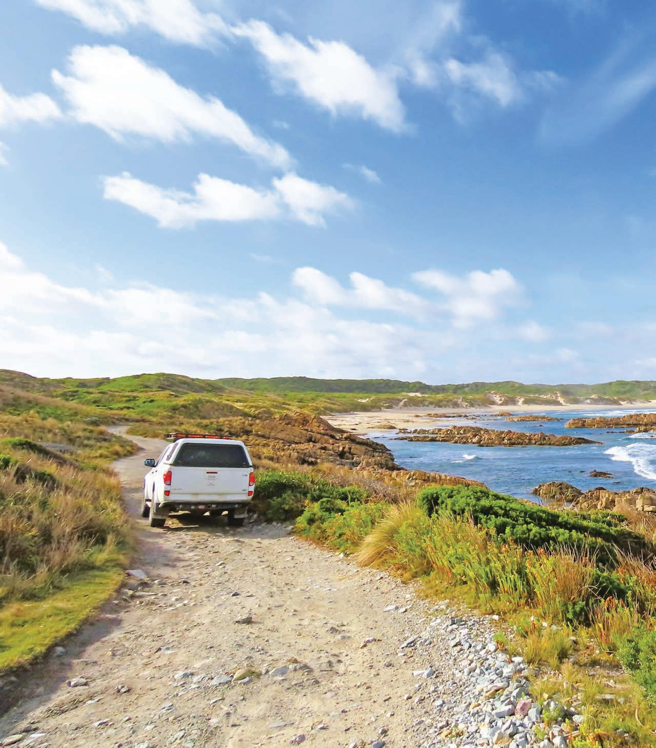
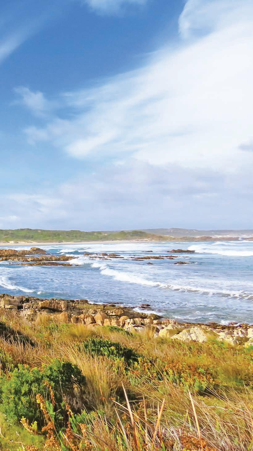
Road to Nowhere Take the road less travelled through the heart of takayna/ Tarkine, one of the world’s largest temperate rainforests.
HOW LONG?
Allow a full day for the drive, plus a couple of days to explore the area around Corinna.
WHEN TO GO
Tasmania’s west coast is notoriously wet, so expect rain. Corinna is open all year, although the Tarkine Hotel restaurant is closed during winter. Cabins have well-equipped kitchenettes so you can self-cater, and ready-to-heat meals are available for purchase from the pub.
LOCAL SECRET
Smithton’s Tarkine Fresh Oysters are arguably the best in the state. Take a tour of the onshore farm (book at tarkinefreshoysters.com.au) or treat yourself to a dozen in the cafe beside the processing shed, and if you have an esky or fridge in your car buy another shucked dozen to take away. Pick up some Cape Grim beef from Perry’s Quality Meats in Smithton, some La Cantara cheese at Duck River Dairy (tours are available: book at duckrivermeadowsdairy.com.au) and a bottle of Tassie wine, and you have all the makings for a sensational gourmet feast.
SNAPSHOT
This backroad trip links two of Tassie’s most popular tourist destinations, the village of Stanley in the northwest corner of the state, and the village of Strahan in the south-west. Officially called the Western Explorer Hwy, the controversial C249 was nicknamed the Road to Nowhere by protesters when it was built in 1995, but it goes past the also evocatively named Edge of the World to somewhere very special – one of Tasmania’s most beautiful ghost towns in the middle of the takayna/ Tarkine rainforest.
Previous Nungu/West Point State Reserve, near Marrawah
Drive rating
Moderate: remote, unsealed roads. The Fatman Barge at Corinna has a maximum combined wheelbase length of 9m, which means some larger motorhomes and caravans cannot be carried.
Acknowledgement of Country
This is the Traditional land of the Palawa People.
Total distance
Stanley to Strahan, via the Western Explorer Hwy: 287km.
Average temperatures
• January: 11–21°C
• July: 5–13°C
More information stanleyandtarkine.com.au; corinna.com.au
Stanley to Edge of the World (Arthur River),
87km
The most popular way to get from Stanley to Strahan is via the A10, which snakes inland, east via Burnie and then south through the forested highlands near Waratah. It takes just over 3hr to drive, unless you get distracted with a detour to Cradle Mountain along the way. This trip is a more direct way to get there, tracking west along the north coast before spearing south through the middle of the Arthur Pieman Conservation Area on one of the most isolated, unsealed roads in Tasmania. Don’t let that put you off, though – it might be gravel, but you don’t need a 4WD.
Our starting point is the pretty town of Stanley, its main street lined with picturesque candy-coloured historic buildings, many now housing accommodation, galleries, wine bars and restaurants. It’s about a 90min drive west of Devonport, where the Spirit of Tasmania ferry arrives from Geelong (see box below).
Stanley is famous for its big ‘nut’ – a 143m-high flat-topped headland officially called Circular Head but known simply as The Nut – that you’ll see long before you get there. It’s actually the stump of a volcano, and you can climb to the top on the steep zig-zag walking path, or opt for the much easier way and ride the chairlift. There’s a 40min loop track up to the top with great coastal and ocean views. Some 30,000 shearwaters (muttonbirds) nest on The Nut during the summer months and when they all take off to go out to sea at once it’s an amazing sight. They’re not the only birds to watch in town, though. Godfrey’s Beach below The Nut is home to a sizeable colony of little penguins and there is a free viewing platform on the
GETTING YOUR CAR TO TASMANIA
The Spirit of Tasmania has two car ferries that cross Bass Strait between Geelong on the mainland and Devonport in Tasmania, in both directions. The journey takes around ten hours and departs from both ports in the evening, arriving early the following morning; during peak holiday time (mid-Dec to mid-March and during Easter), there is also a daytime sailing. Onboard accommodation ranges from airline-style reclining seats to private cabins with an ensuite, with kennels available for your pets. You’ll find several lounges and dining options, a cinema and games arcade and there’s often live entertainment. There is limited space for caravans and motorhomes, so book well ahead (spiritoftasmania.com.au).
beach where you can watch them as they toddle out of the sea and back to their burrows at dusk (Nov–March).
The only Australian prime minister from Tasmania and Australia’s 10th PM (he held office 1932–39), ‘Honest Joe’ Lyons, was born in Stanley in 1879. The cottage he grew up in on Alexander Tce is furnished as it was when he lived there, and has a collection of photographs and memorabilia that relate to both him and his equally influential wife, Dame Enid Lyons, the first woman elected to the Federal House of Representatives.
Many of Stanley’s historic cottages feature plaques detailing who once lived there and it’s lovely to simply stroll around town and discover stories of the previous residents, all the while admiring the view of The Nut and the sea.
For more history, take a drive up the hill to tour Highfield, a beautiful Regency-era home that was originally built for Edward Curr, chief agent of the Van Diemen’s Land Company not long after the company first established Stanley as the base for its sheep-farming enterprise in 1826. The views across to The Nut and Bass Strait are sensational.
If you like seafood, you’ll love Stanley. It is renowned for its local lobsters and abalone – the Stanley Hotel is a good place to try some. If Tasmania has a signature dish it’s the scallop pie, and no trip to Tassie is complete until you’ve consumed at least one. You’ll find them on menus in almost every eatery in town. Smithton, the next town to the west (around a 20min drive), is the place to go for excellent oysters (see ‘Snapshot’, p.204).
From Smithton head due west towards the north-western tip of the island (on the C215, rather than the A2) to breathe in the world’s freshest air at Kennaook/Cape Grim. Blowing in from across the longest uninterrupted stretch of ocean on the planet it is, according to the CSIRO, 1000 times cleaner than the air in Melbourne. The cape, home to one of the country’s largest dairy farms and a wind farm, is on private property (Van Diemen’s Land Company) but tours are available (book at woolnorthtours.com.au).
Tasmania’s westernmost town, Marrawah, is your last chance to fuel up until you get to Zeehan (173km south). Take your time as you make your way south down the coast, pausing along the way to watch the massive waves slam into the rocky coast in reserves such as nungu/West Point State Reserve, before making your way to the Edge of the World.
Opposite top The Nut, Stanley Opposite bottom left Stanley’s charming main street Opposite bottom right Kitchen garden at Highfield Historic Site in Stanley
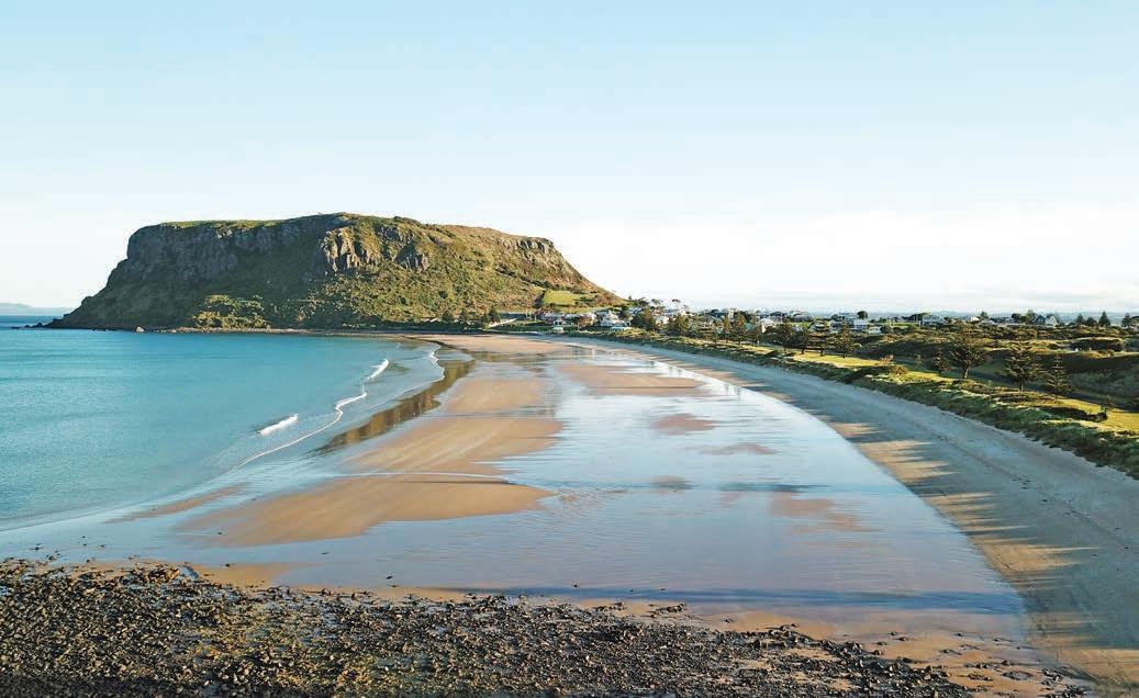
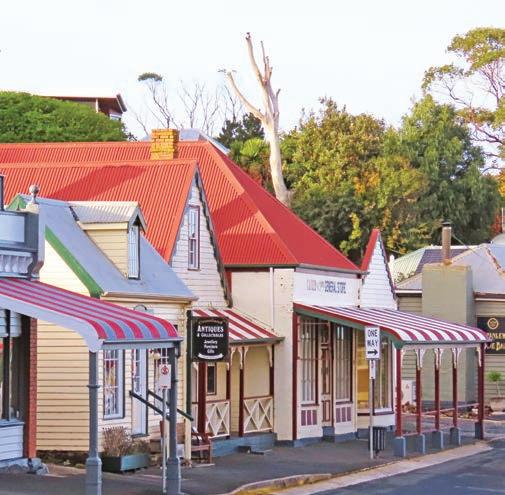
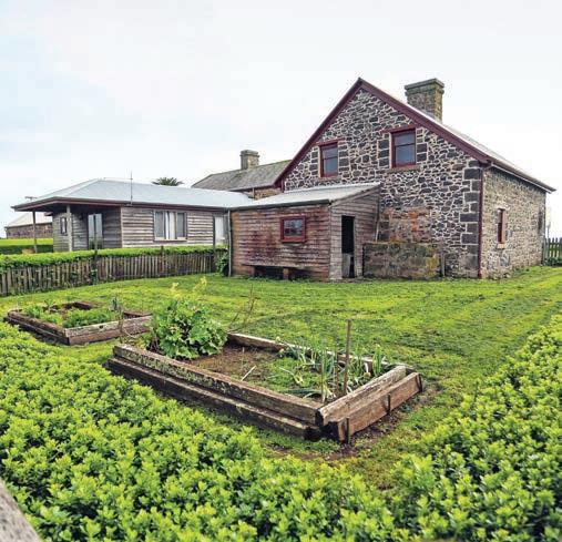
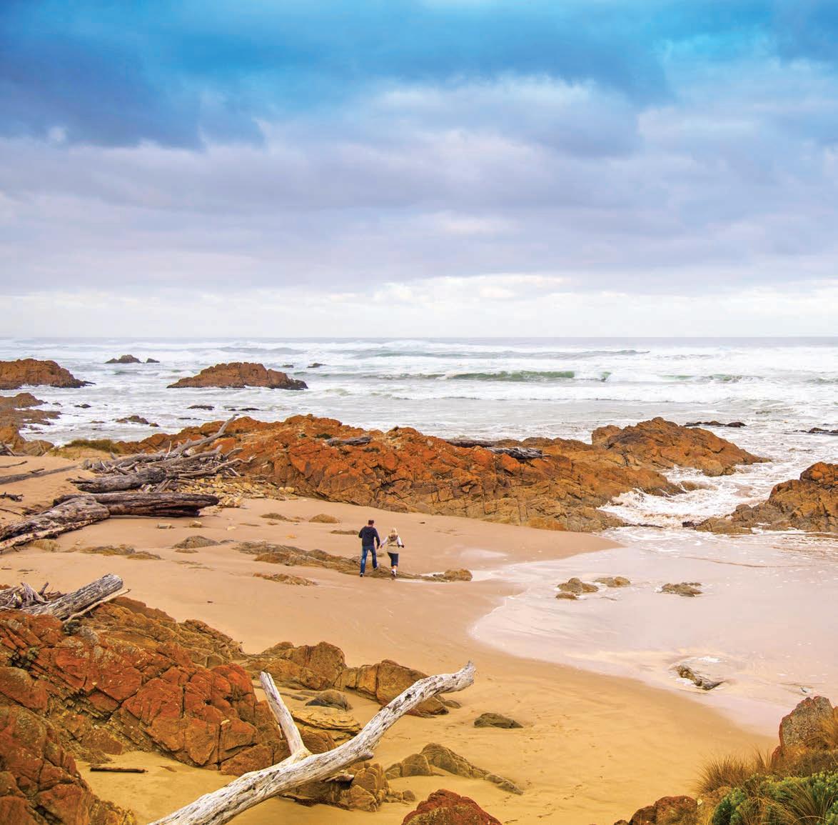
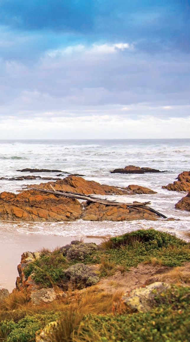
Brave the breeze (it always seems to be blowing a gale here) at the aptly-named Edge of the World lookout at the stormy mouth of the Arthur River. Perched above a wave-wracked beach littered with gigantic sun-bleached logs, it really does feel like you are standing at the edge of the world. Good luck finding a signpost for your selfie though, as they seem to be stolen as soon as they are put up, and I suspect the locals have grown tired of the expense and effort.
There’s not much to the township of Arthur River, but in summer you can take a cruise up the Arthur River deep into the forest. Even in bad weather it’s a serene journey into an untouched wilderness, where sea eagles and kingfishers swoop and reflections dance in the light (when the sun shines). Book at Arthur River Cruises (arthurrivercruises.com.au).
Edge of the World (Arthur River) to Corinna, 108km
As you continue driving south, stretch your legs along the rocky kelp-strewn shorelines of tiny, ramshackle shack communities, such as Nelson Bay and Couta Rocks, admiring the dramatic rock formations battered by wild waves. It’s hard to imagine that anyone could ever be brave enough to take a boat out to sea from here but given how many shacks have boats in their front yards, they obviously do.
The road is sealed until you get to the beginning of the Western Explorer Hwy, around 30km south-east of Arthur River, and takes around 90min from Smithton depending on how often you stop along the way.
DETOUR
If you don’t fancy been blown about by the wind on the coastal route, you can get to the start of the Western Explorer Hwy on the Tarkine Drive via Edith Creek and Lake Chisholm on the C218. This tourist drive starts 50km from Smithton and loops through ferny reserves and working forests (so don’t be surprised if you encounter a logging truck or two). It has signposted lookouts over wild rivers and water-filled sinkholes with mirror-like reflections, and picnic spots in Tolkien-esque rainforests and forests of towering gum trees. It’s roughly 98km, but allow a few hours as there are several short walks and lookouts along the way. If you only do one of the walks, make it the half-hour (return) one to the spectacular Trowutta Arch – formed when a cave between sinkholes collapsed.
The windswept Edge of the World
Whatever you want to call the C249 – Road to Nowhere or the Western Explorer – it’s hardly a highway. You don’t need a 4WD to tackle the white gravel road to Corinna, which takes around 2hr to drive, but it is a bit rough and potholed so you do need to drive carefully – an SUV would be a much more comfortable drive than a hatchback. This section of the road is deep inside the Arthur-Pieman Conservation Area. There are no petrol stations, no shops, no mobile phone reception. We passed just one other vehicle all day.
There are no shops in Corinna either; in fact, there’s not much at all, except a pub and some rustic-looking cabins. But it wasn’t always this sleepy. When a gold nugget weighing 7.5kg (the biggest ever found in Tasmania) was discovered nearby in 1883, it sparked a huge gold rush and Corinna boomed. The town boasted more than 30 buildings, including two pubs. The gold rush was short lived, however,
and by the early 1900s the town was abandoned, forgotten in the depths of the rainforest.
Fast forward a century and the ghost town, the only surviving remote area historic mining settlement in Tasmania, was reborn as a wilderness resort, a decade after the Road to Nowhere was built. Three of the original buildings remain –the old pub, the butcher’s shop and a cottage – and are available as accommodation, along with 14 self-contained cottages built to blend in with the originals. The social hub of the village is the cosy Tarkine Hotel, which also looks like it’s been there for a century or more – even though it dates from 2008 – but it closes over winter.
There is a network of walking trails that fan out around the old town through a forest of myrtle, sassafras, Huon pine and fairy-tale fungi. One of the best is the 1hr Whyte River Walk
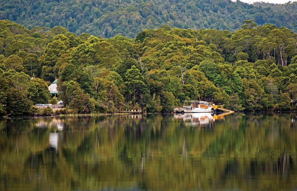
Cruise Pieman River on the Arcadia II at Corinna
through a magical forest, although it can be a bit slippery underfoot, so wear good boots and if you have a trekking pole take it for extra balance. If you’re a keen photographer you’ll want to carry a tripod as it’s quite dark in the forest, but it’s easy to spend hours photographing the extraordinary array of coloured mushrooms and weird fungi. An easier alternative that still leads you deep into the rainforest is the 20min Huon Pine Walk. It’s a boardwalk, so you don’t need to worry about getting muddy, and many of the trees are labelled. It’s a great opportunity to get a close-up look at some rare Huon pine.
You can also hire kayaks and paddle to waterfalls or cruise the Pieman River out to the stormy river mouth on the handsome Arcadia II, built in 1939 from Huon pine. It’s every bit as beautiful as the Gordon River in Strahan (see p.212) but is a much more intimate experience without busloads of other tourists.
Corinna to Strahan, 92km
There might be a road to Corinna now but there’s still no bridge across the Pieman River, and the only way to cross it is on the Fatman Barge. It goes on demand during daylight hours but can only carry one vehicle at a time and is too small for long caravans or motorhomes. It’s the only cable-driven vehicular barge remaining in Tasmania, and the crossing takes around 5min. You don’t need to book and can buy your ticket ($28 per vehicle at the time of writing) at the Tarkine Hotel in Corinna (or from the barge operator if you are coming from the south).
From there, it’s around a 1hr drive through rainforest to the small mining town of Zeehan on mostly sealed roads. If you’re a history buff, you’ll love West Coast Heritage Centre with its array of exhibits, vintage trains and extensive photographic
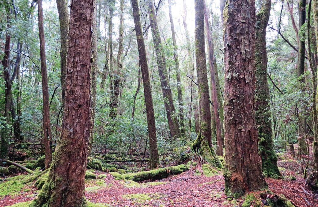
Whyte River Walk, Corinna
galleries – it’s larger than it looks from the outside with 30 themed exhibits. A highlight is watching an Edwardian film in the Gaiety Theatre, once one of Australia’s largest concert halls but now part of the museum. Also worth a look is the Spray Tunnel a couple of kilometres from town. Shaped like a keyhole, the abandoned railway tunnel that once led to a silver mine is 100m long and the ceiling is festooned with glow worms.
The end point of this road trip, Strahan, is an easy half-hour drive south of Zeehan but before you get there take a quick detour to Ocean Beach (signposted on the northern edge of Strahan). Stretching for more than 30km from Macquarie Heads in the south to Trial Harbour in the north, Ocean Beach is the longest beach in Tasmania. Thousands of shearwaters (muttonbirds) breed here during summer and provide an amazing wildlife spectacle each night at dusk as they return from their feeding forays over the ocean. There is a walkway over the dunes to a viewing platform.
Situated beside the sea at the mouth of Macquarie Harbour –the second-biggest natural harbour in Australia – Strahan is a quaint village set on a pretty harbour and backed by rainforest. It’s the jumping-off place for Gordon River Cruises and worth doing if you haven’t already done the Pieman River cruise in Corinna. This serenely beautiful riverine wilderness is largely untouched and inaccessible except by air, on foot or via the river. It was preserved thanks to the efforts of conservationists in the early 1980s, who fought against a proposed hydro-electric
dam on the Gordon River. Over three months about 6000 protesters blockaded the river and construction roads, mostly at Warners Landing, 6km from the junction of the Franklin and Gordon rivers. The protest not only saved two of the world’s most beautiful rivers, but effectively kick-started the Greens movement in Australia. There are two companies that offer cruises – Gordon River Cruises and World Heritage Cruises – and most tours include the former convict settlement of Sarah Island. Book online (gordonrivercruises.com.au or worldheritagecruises.com.au).
KIDS’ SPOT
It’s not just kids that love riding on the West Coast Wilderness Railway, a historic Apt (rack and pinion) steam train trip around tight curves and spectacular bridges through dense rainforest and steep gorges between Strahan and Queenstown. There’s a variety of trips available: book online (wcwr.com.au).
Both Stanley and Strahan are favourite stops on the wellworn traveller’s circuit of the state, but the Road to Nowhere between the two seems to have remained well and truly under the radar. As far as road trips go, this is the ultimate backroad adventure: about as wild and remote as you can get without a 4WD. From Strahan to Hobart/Nipaluna, it’s about a 4.5hr drive on the Lyell Hwy, or you can head back to Devonport via the Murchison Hwy which will take just under 3hr, depending on how many stops you make.
VANLIFE
Enjoy great views of The Nut at BIG4 Stanley Holiday Park. Montagu Park Campground is a council-run camping reserve 20km from Smithton which has great views to Robbins Island, although facilities are pretty basic. There are three campgrounds at Arthur River in Arthur-Pieman Conservation Area – Manuka, Prickly Wattles and Peppermint – and you can camp with your dog. See the Tasmania Parks website (parks.tas.gov.au) for camping information. There are also a handful of campsites at Corinna but you’d have to be pretty hardy – it’s a rainforest, so it rains, a lot. There’s a caravan park in Strahan, but the rustic Macquarie Heads Camping Ground on the northern end of Macquarie Harbour, 13km south of Strahan, is a nice alternative if you prefer to stay out of town. It’s a large level grassy clearing beside the water with a boat ramp and walking distance to Ocean Beach.
Left West Coast Pioneers Museum, Zeehan Opposite top Strahan’s historic waterfront Opposite bottom left Ride the West Coast Wilderness Railway through the rainforest Opposite bottom right Fungi on the Whyte River Walk
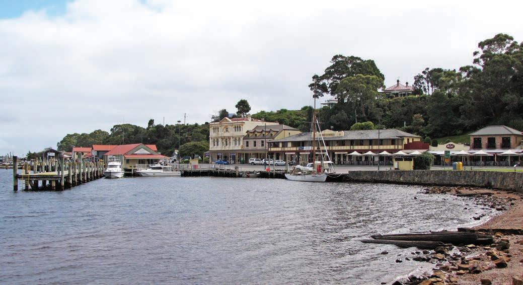
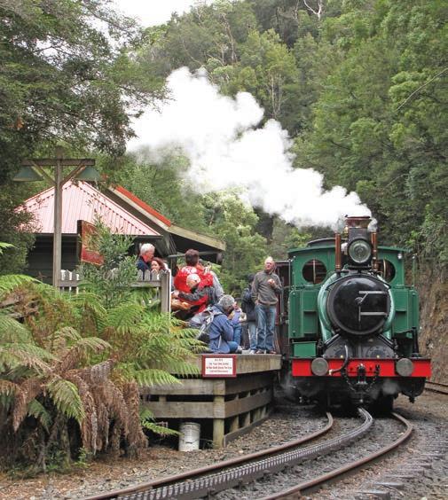
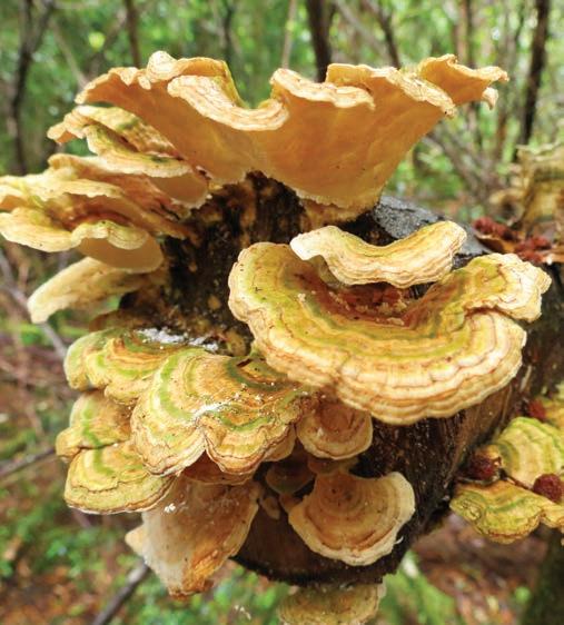
LAUNCESTON
Grand Estates Find
HOW LONG?
This little loop through the Esk Valley south of Launceston is drivable in less than 1.5hr, but if you want to visit each of the four estates in this itinerary, it’s best to stretch it out over a couple of days or a weekend.
WHEN TO GO
Any time of the year is a good time to visit, although the gardens will be most spectacular in spring. Some estates are not open early in the week so check ahead before visiting.
LOCAL SECRET
If you really want to get a feel for life on a country estate, both Brickendon and Woolmers offer accommodation in restored convict-built cottages, most dating from the 1830s, that were originally home to servants and farm workers.
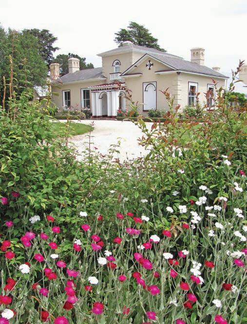
SNAPSHOT
It may only be 90km or so, but this is a road trip back in time as you peek inside the lives of the former colonialera masters and their servants and convicts-made-good in these beautiful heritage-listed Georgian mansions including two on the outskirts of Longford that are UNESCO World Heritage Sites.
Drive rating
Easy: sealed roads.
Acknowledgement of Country
This is the Traditional land of the Palawa People.
Total distance
Loop from Launceston 88km.
Average temperatures
• January: 12–25°C
• July: 2–13°C
More information entallyestate.com.au; brickendon.com.au; woolmers.com.au; nationaltrust.org.au/places/clarendon-estate
Woolmers Estate
Launceston to Longford, 31km
Our first stop is Entally Estate, a 15min drive south of the charming city of Launceston, near the village of Hadspen. It was built in 1819 by Thomas Haydock Reibey, who was the son of Mary Reibey, an orphan who was convicted of horse stealing when she was 13 and, disguised as a boy, sentenced to transportation in 1791. Proving that anyone can reinvent themselves, she now graces the Australian $20 note – thanks to her charitable good works and sharp business acumen in later life. Her son, Tom Reibey, managed to rid himself of the ‘convict stain’ and position himself as a country squire, and Entally is a fantastic example of a colonial gentlemen’s residence. The stunning gardens are more than 150 years old and include the oldest conservatory and cricket grounds in Australia. Since 1855 grapes have been grown at Entally Estate; book ahead for wine tastings (entallyestate.com.au).
Only a 5min drive away is Carrick Mill Antiques store housed in an 1846 mill built by convict labour. It’s a treasure trove of china, books, furniture and household items from times past, and the historic building alone is a worthy little detour.
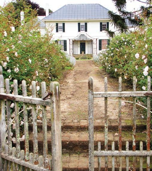
Head next to the historic town of Longford and drive through town to Brickendon, still owned by the family of William Archer, who built the farm and convict village in 1824. One of the five World Heritage–listed convict sites in Tasmania, at its peak up to 30 assigned convicts lived and worked on the farm at any one time. Kids love the farm animals, and the Gothic chapel, barns, blacksmiths shop and cottages that show just how self-sufficient early settlers needed to be. There are some interesting stories about convict life told on storyboards in the cottages, including the particular hardships women convicts faced. Across the road and down a long driveway is the Georgian homestead where the family still live. The house is not open for tours, but you can wander around the beautiful gardens.
Just a 5min drive up the road, Woolmers Estate – established by Thomas Archer (brother to William at neighbouring Brickendon) in 1817 – is also World Heritage–listed and is one of the best-preserved colonial-era gentry houses in Australia, largely because the succeeding six generations of Archers left the house exactly as it was. All the furniture is original and most dates from the 1850s. The 45min tour is a must do, and the only way you can see inside the house. You can wander around the gardens and through the farm buildings on your own though – don’t miss the antique cars in the imposing sandstone stables that look like a mansion. Also here is the National Rose Garden – visit in spring and the perfume from the 6000 blooms is intoxicating.
Longford to Launceston, via Clarendon, 57km
The entire village of Evandale, 13km east of Woolmers Estate, is classified by the National Trust, and almost all of the buildings date back to the 1820s, making it one of the most well-preserved Georgian villages in the country. Today, most have been converted into B&B accommodation or house antique shops. There is a weekly Sunday morning bric-a-brac market in Falls Park, and Clarendon Arms historic inn has a beer garden and serves meals made from seasonal produce. The National Penny Farthing Championships, one of Australia’s most unusual carnivals, is held here in February.
Our last grand country pile, Clarendon Estate, is a 10min drive south of Evandale. Built in 1838 for James Cox, a wealthy woolgrower and merchant, and son of William Cox who pioneered the first road over the Blue Mountains in NSW, Clarendon was the grandest house in the colony when it was built and is one of the grandest Georgian houses still standing in Australia. You can take a tour of the fully furnished house,
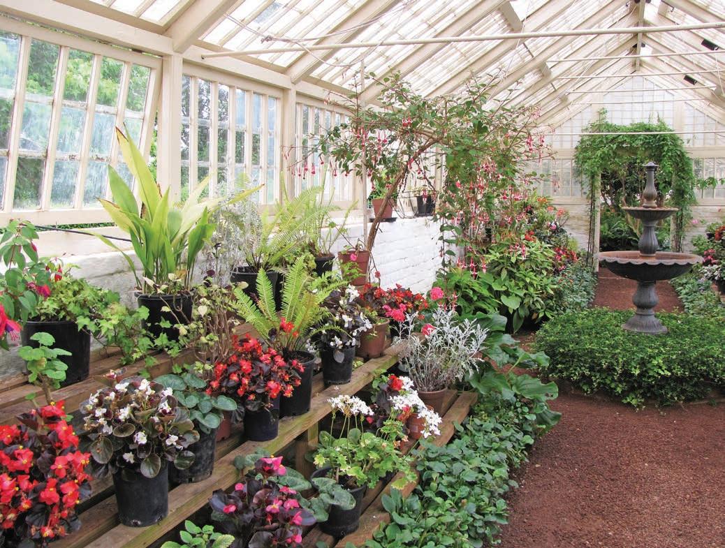
which is decorated with paintings by some of Tasmania’s mostcelebrated artists, including several originals by John Glover, as well as an extensive collection of colonial costumes, from ballgowns and wedding dresses to day frocks. If coaches and carriages are more your thing, head to the grand stone barn out the back. Spend some time wandering around the extensive gardens, and if you’re a keen angler, you’ll not want to miss the Australian Fly Fishing Museum, which is also here.
From here, it’s less than a half-hour drive north back to Launceston, unless of course you decide to stop for a tasting or lunch with a view overlooking the vines and century-old garden at Josef Chromy Wines. It’s a grand way to bring yourself back from the past.
VANLIFE
There are commercial caravan parks in Launceston and Longford, and free overnight camping at Falls Park and Honeysuckle Banks beside the South Esk River in Evandale, although there are no facilities so you must be self-contained.
Above Entally Estate Opposite Brickendon
Gordon River Road Exploring the wilderness is easy on this trip along the scenic roads of the remote south-west.
HOW LONG?
You can do this drive as a daytrip from New Norfolk, about a 40min drive from Hobart/Nipaluna.
WHEN TO GO
The road is subject to ice and occasional snow in winter, so this is a trip best done in the milder months. The weather can change rapidly at any time of the year though, so always be prepared with wet and cold weather gear.
LOCAL SECRET
If you are planning on spending more than 24 hours in national parks on your trip to Tassie, a National Parks Pass will save you money: for most travellers the eight-week holiday pass, which covers all parks, offers the best value. You can buy a Parks Pass at national park visitor centres, most Tasmanian visitor centres, on board the Spirit of Tasmania ferry, or online at Tasmania Parks & Wildlife Service (parks.tas.gov.au).
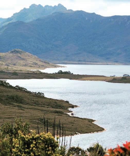
SNAPSHOT
Part of the Tasmanian Wilderness World Heritage Area, Southwest National Park is the largest reserve in Tasmania, a special – but remote – place with untouched rivers and rainforests, jagged mountain ranges and undulating buttongrass plains. But unlike most wilderness areas, you don’t have to slug it on foot on a hiking trail or paddle a kayak to see it because the Gordon River and Scotts Peak roads both wind through sections of the park.
Drive rating
Easy: sealed roads with some winding sections.
Acknowledgement of Country
This is the Traditional land of the Palawa People.
Total distance
New Norfolk to Gordon Dam, 135km.
Average temperatures
• January: 10–19°C
• July: 3–9°C
More information discovertasmania.com.au
Above Water views from Scotts Peak Road Opposite Gordon Dam
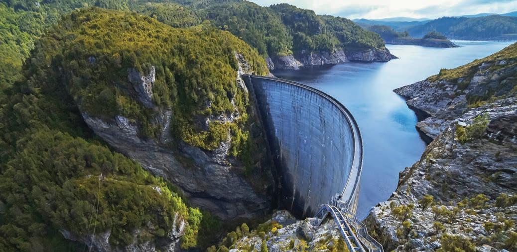
New Norfolk to Mount Field National Park, 38km
To get to your starting point, head north-west out of Hobart/ Nipaluna on the A10 to the town of New Norfolk (35km from Hobart). Once you’re done browsing through New Norfolk’s antiques and collectibles stores, turn off onto the B62 towards the village called National Park, gateway to Mount Field National Park, Tasmania’s oldest national park.
Split into two sections, the lower area of the park is home to immense tree ferns and some of the world’s tallest trees (also called mountain ash, they are the tallest flowering plant on Earth) and rainforest. At the top of the mountain – a popular skiing area in winter – you’ll find beautiful alpine tarns. The two sections are linked by a 16km unsealed road. A highlight in the lower section is the easy 25min walk through a forest of swamp gum and lush rainforest full of stunning tree ferns to the three-tiered Russell Falls. It’s also wheelchair-accessible for wheelchair users who have someone to assist them, and pram friendly. For a longer walk, the 1hr, 45min Lady Barron Falls Circuit includes Russell Falls, Horseshoe Falls, Lady Barron Falls and Tall Trees Walk. In the alpine area, the 40min Pandani Grove Walk circles Lake Dobson and, as the name suggests, features many of the unique pandani (not to be mistaken with pandanus) plants. Keep an eye out for platypuses in the lake, especially at dusk and dawn.
Mount Field National Park to Gordon Dam, 97km
Back on the road, continue west on the B61 – Gordon River Rd – through Maydena (your last chance to refuel) towards Strathgordon. This road, and the unsealed Scotts Peak Rd which turns off Gordon River Rd at Frodshams Pass (30km west of Maydena), were both built in the late 1960s and early 1970s as part of the controversial Middle Gordon hydro-electric power scheme which flooded the original Lake Pedder
Highlights on Scotts Peak Rd include the 10min boardwalk though the rainforest called Creepy Crawly Nature Trail –you’ll need to duck under a few branches and clamber over a couple of logs, but it is very pretty – it’s 2km from the junction with Gordon River Rd. If you’re up for a challenge and are an experienced hiker and well prepared, plan ahead for the 8hr Lake Judd Walk to a deep, ice-carved lake surrounded by peaks or the 5hr trek to Eliza Plateau, a steep climb that delivers spectacular views – both walks are signposted from Scotts Peak Rd.
There are numerous lookouts along both roads, which are lined with rainforest trees such as myrtle, sassafras and celery top pine. In season you will also see wildflowers, silver wattle, leatherwood, Tasmanian waratah and snow berries, and birdlife is prolific.
Strathgordon was the main construction village for the development of the hydro-electric power scheme, although these days the workers’ camp has been transformed into Pedder Wilderness Lodge. It’s a nice spot for a fireside lunch overlooking the lake, but there are no shops or services. The Gordon Dam is just a 10min drive from Strathgordon. This massive 140m-high curved wall of concrete, constructed
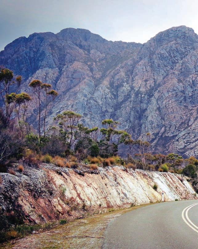
in 1974, is the tallest dam in Tasmania and the fifth tallest in Australia. If you have a good head for heights you can climb down the steel mesh steps that lead out onto the dam wall and walk across it, but be warned, it’s not for people who suffer from vertigo! Holding the equivalent water of more than 30 Sydney Harbours, Lake Gordon is the largest in Tasmania. It’s a popular place for trout fishing, as is nearby Lake Pedder.
Gordon Dam is the end of the road, so you’ll need to go back to Hobart the way you came, but the scenery is just as good heading east on the 2.5hr drive. That’s the great thing about Tassie – real wilderness is never very far away.
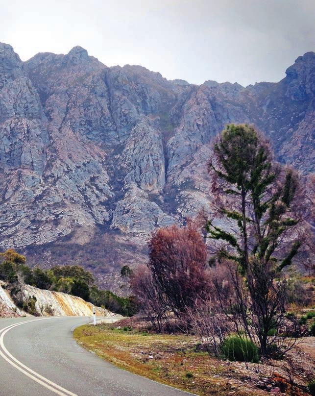
VANLIFE
There are three good campsites on – or close to – the shore of Lake Pedder in Southwest National Park: Teds Beach is beside Gordon River Rd. On the opposite side of the lake, off Scotts Peak Rd, Edgar Campground is a lovely spot with large grassy sites, and the nearby Huon Campground is set in the rainforest a short walk from the lake. Powered sites are available near the entrance to Mount Field National Park.
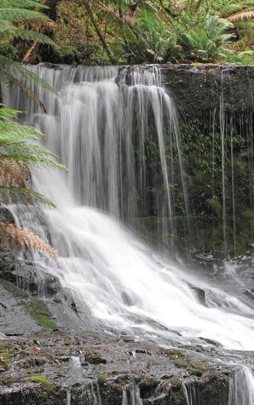
Left Mountain views on the road to Strathgordon Right Horseshoe Falls, Mount Field National Park
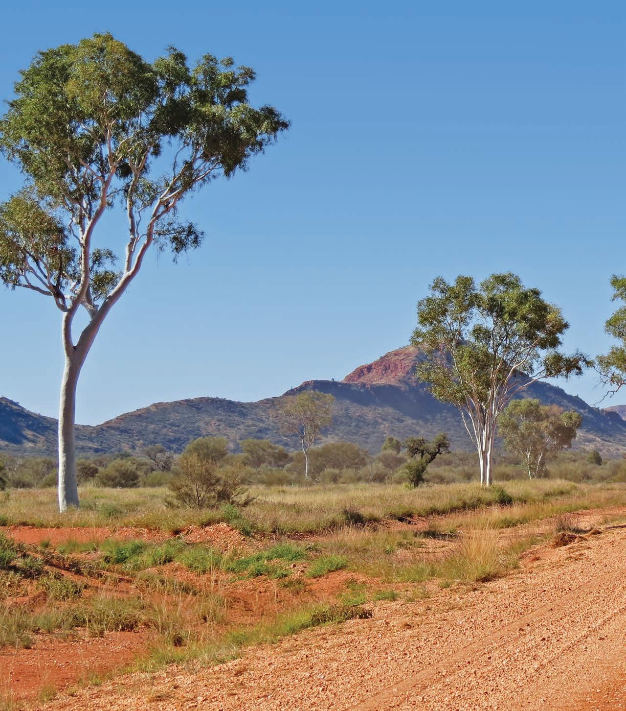
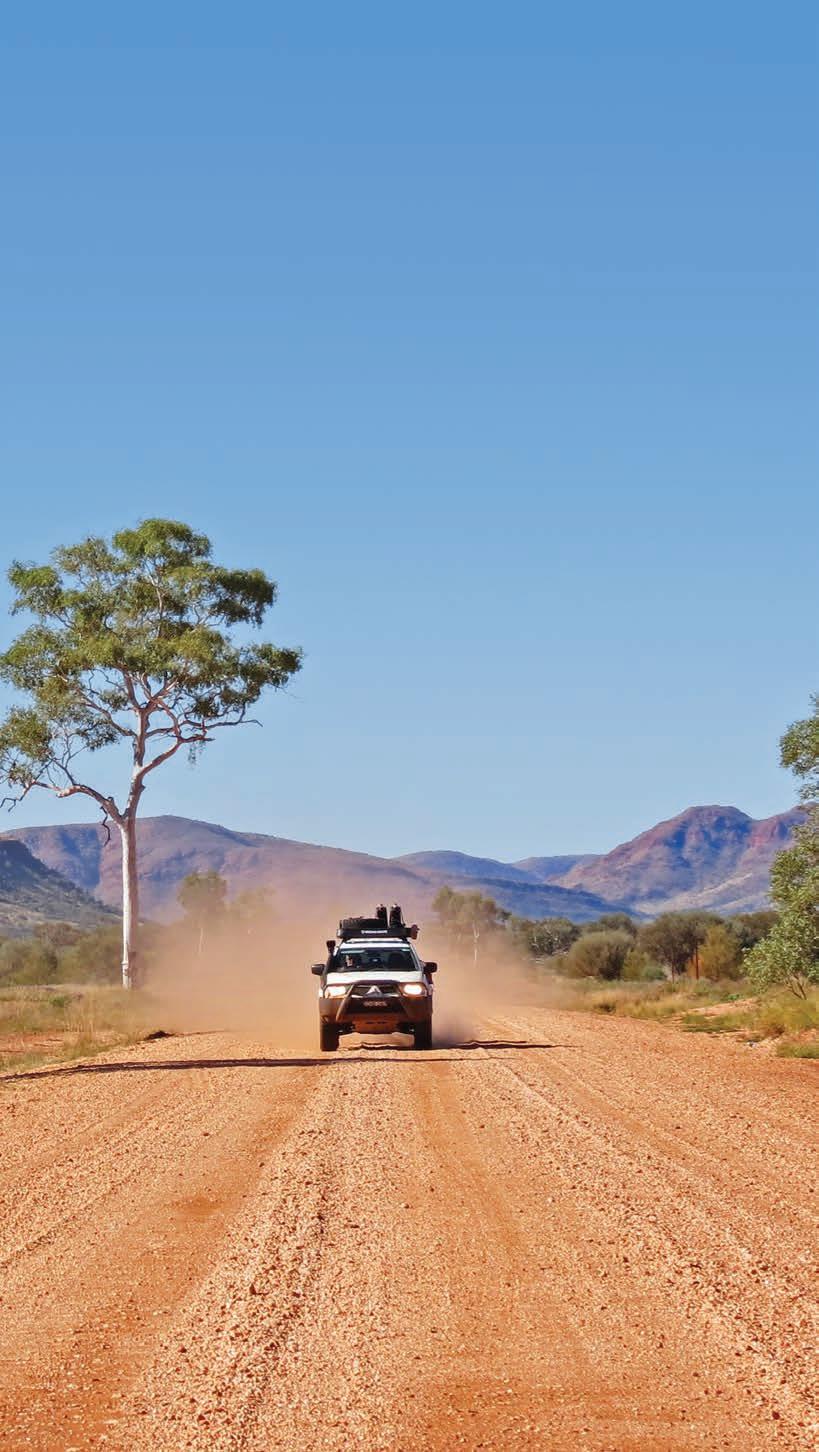
The Outback Way, QueenslandNT-WA
The Barry Way, Victoria-NSW .
224
. 235 Lions Road, NSW-Queensland . . . 240
The Outback Way, Queensland-NT-WA
The Outback Way is not just the quickest and most direct route from the far northeast to the far southwest of the country, it’s also a truly amazing journey and the ultimate backroad adventure.
SNAPSHOT
Nicknamed ‘Australia’s longest shortcut’, for those heading from Cairns/Gimuy to Perth/Boorloo (or vice versa), the Outback Way is one of the world’s truly great trans-continental journeys. The Outback Way is off the radar for most Australian road trippers, even though you don’t need a 4WD, you don’t have to camp because there’s plenty of motel accommodation, there are lots of places to fuel up along the way and, as long as it hasn’t been raining, it’s fine for off-road caravans. Cutting out around 1000km or so compared to driving Highway 1 and other main roads between Cairns and Perth, it’s not so much one road as a network of wellmaintained dirt roads such as the Great Central Rd and the Plenty Hwy. It might be the granddaddy of shortcuts, but with so many Australian icons such as Uluru, Kata Tjuta and Kings Canyon/Watarrka, and some of our most fascinating outback towns including Winton, Alice Springs/Mparntwe and Kalgoorlie on the route, this is not a road trip to do in a hurry.
HOW LONG?
The Outback Way officially stretches from Winton in outback Queensland to Laverton in the Western Australia goldfields. Allow at least a couple of weeks to drive the whole way, more if you start in Cairns/Gimuy and finish in Perth/Boorloo. Driving on unsealed roads is tiring – don’t overestimate how far you can travel in a day (six hours per day is enough for us but you might find less suits you better). Avoid travelling at night as your chances of colliding with a camel, kangaroo or wandering stock is very high.
WHEN TO GO
The temperature range is extreme and travelling through the central deserts in summer can be dangerous, with flies in plague proportions. The best time to go is April through to October. Winter days may be warm, but nights (and early mornings) can be very cold, so take a warm jacket.
Drive rating
Moderate: some unsealed roads with corrugations and bulldust. You don’t need a heavy-duty 4WD, although a high-clearance all-wheel drive or SUV will give you a more comfortable ride. While you need to exercise care it’s not a difficult drive, although it is extremely remote.
Acknowledgement of Country
This is the Traditional land of many First Nations People, including the Djabuganjdji, Gugu-Badhun, Yirandali, Guwa, Pitta-Pitta, Wangkamana, Western Aranda/Arrernte, Anangu, Luritja, Pitjantjatjara and Western Desert People, Wangkathaa, Kalaamaya and Wajuk Peoples.
Total distance
It’s 2800km if you’re travelling from Winton, the official start of The Outback Way, to Laverton, or 4754km if you go all the way from Cairns/Gimuy to Perth/Boorloo as this road trip describes.
Average temperatures
• January: 10–40°C
• July: 4–25°C
More information outbackway.org.au
NEED TO KNOW
You need two Aboriginal Land permits to drive the Outback Way – one to travel between Laverton to the WA/NT Border from the Department of Indigenous Affairs (phone 08 6551 8024) and another from the Central Land Council to travel the NT section of the road from the border to Yulara (phone 08 8951 6320 or go online to clc.org.au).
Sizeable sections of the trip are sealed – more than a third all up (around 1100km) – and more is being done every year: the whole thing should be a ribbon of blacktop by 2030, if all goes to plan and future governments honour their funding commitments.
The longest distance between fuel stops is 300km – from Laverton to Tjukayirla Roadhouse – but carry extra fuel as sometimes roadhouses in First Nations communities are closed for cultural reasons.
Most of the roadhouses along the route offer motel-style accommodation – it may not be five-star flash but rooms are comfortable with air-conditioning and ensuites, and if they don’t serve meals there’s usually a shared kitchen where you can rustle up your own from supplies sold in the roadhouse store.
Above Great Central Road, east of Warburton/Milyirrtjarra in Western Australia Previous Petermann Ranges, west of Uluru


Cairns/Gimuy to Winton, 805km
Although the Outback Way officially starts at Winton, if you are doing the ‘drive-across-Australia’ adventure dream – or just looking for a more exciting alternative to the standard ‘big lap’ that sticks to the coastal highways – and starting in Cairns, head up over the range across the Atherton Tablelands (see the Tropical Tablelands road trip, p.195 for more details) to Ravenshoe, Queensland’s highest town and home of Millstream Falls, the widest waterfall in the country.
DETOUR
If you have time to spare, take a short 1.5hr detour to Undara to explore some of the world’s longest lava tubes. These extend more than 160km and were formed around 190,000 years ago, when a large volcano erupted violently, spewing molten lava over the surrounding landscape. The lava, which has been estimated at 233 cubic kilometres or enough to fill Sydney Harbour in just six days, flowed rapidly down a dry riverbed. The top outer layer cooled and formed a crust while the molten lava below drained outwards leaving behind a series of hollow tubes.
Undara’s also a good place to overnight, but keep in mind that some tours do not operate during the Green Season, (Dec–April). Book online (undara.com.au).
Head south from Ravenshoe on Kennedy Development Rd and drive for about 4.5hr to Porcupine Gorge on the Traditional land of the Yirendali People. The vast Mitchell grass plains of western Queensland can feel a bit flat and monotonous at times, so coming across Porcupine Gorge, a massive sandstone-walled canyon with a string of deep permanent waterholes at the bottom of it, around 60km north of Hughenden, is a welcome diversion. In some sections the gorge is 150m deep. It is stunning after rain or late in the day when the reflections are at their best. There is a swimming hole at the base of the rock formation known as the Pyramid but it’s a bit of a steep walk back up (allow around 90min return). An easier option is the 10min stroll to the lookout over the gorge.
From Hughenden, one of the stops on the Dinosaur Trail (see p.182) that winds through outback Queensland, it’s around a 2.5hr drive to the outback town of Winton. It’s easy to spend a day or two exploring the attractions, including the Waltzing Matilda Centre – the famous ballad was written and performed for the very first time in 1895 in Winton and is based on events that happened in a nearby billabong – and the dinosaur stampede site at Lark Quarry and the Australian Age of Dinosaurs Museum.
Winton to Alice Springs/Mparntwe, 1234km
The road (State Route 62) is sealed between Winton and Boulia and is a fairly easy 4hr drive across what seems like oceans of golden Mitchell grass. There’s not much to Boulia, other than a pub and a couple of houses, but it’s most well known for the mysterious Min Min lights which appear after dark – floating balls of light that are said to follow travellers for some kilometres before disappearing. Depending on who you ask – and everyone you meet in Boulia will have a Min Min story to tell – the lights are clouds of bioluminescent insects, flocks of fireflies, foxes’ eyes, fluorescent gases, spirits or even UFOs. According to the legend, anyone who chases the light and manages to catch it will disappear. Learn all about them at the Min Min Encounter Centre where the ageing, retro animatronics, decked out in 1980s fashion, are so daggy they are good.
There are also some very impressive fossilised Plesiosaurs in Boulia, hidden away in a room behind the Stonehouse Museum, part of the Boulia Heritage Complex. If you’re in Boulia in July, the Boulia Camel Races are one of outback Queensland’s big events. Book tickets online (bouliacamelraces.com.au).
It’s a long and sometimes dusty drive between Boulia and Alice Springs/Mparntwe on the Plenty Hwy but forget any notions of paved freeway – despite the rather grand name it’s mostly gravel, although it’s usually in fairly good condition unless there has been recent rain. (If you’re using a sat nav or Google Maps, ignore any instructions that send you north from Boulia to Mount Isa and Tennant Creek: the apps always default to the quicker but boring sealed routes, even if they are much longer.) It’s around 860km on the Plenty Hwy, so if you share the driving you could do this stretch in one very long day, but it’s better to break the drive at one of the stations – Tobermorey, Jervois or Gemtree – along the way. All three offer camping and basic accommodation; Gemtree, which is closest to Alice Springs/Mparntwe, also has fossicking, gem cutting displays and entertaining Camp Oven Dinner shows (bookings essential for accommodation or camping: gemtree.com.au).
It’s also worth allowing an extra day or two to explore the East MacDonnell Ranges (East Macs) and the gold rush ghost town of Arltunga on the way (see p.154). There is plenty to do in Alice Springs/Mparntwe if you want to have a break from driving and relax for a few days (see the Mereenie Loop Road road trip, p.142 for more details), and it’s a good spot to stock up on food and fuel before your next leg to Uluru.
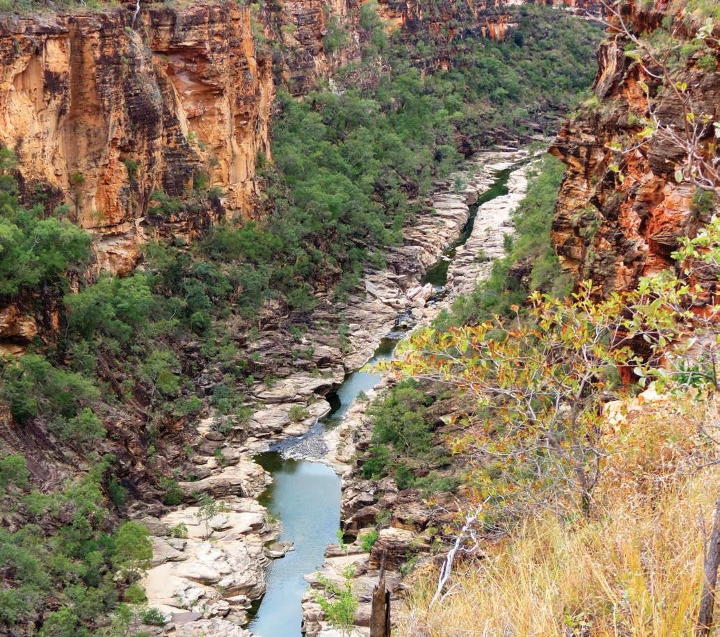
KIDS’ SPOT
The Outback Way claims to be the world’s longest treasure hunt. It’s a geocache trail, where small items – key rings, novelty toys or small mementos, usually in a lunchbox or small tin –are hidden along the route and you find them using longitude and latitude coordinates from your GPS. You’re expected to ‘take a trinket out, put a trinket in’, and leave a note in the
logbook before replacing the cache exactly where you found it. You can also record your find and compete with others online (geocaching.com). There are 35 cache locations, each in a site of special natural, cultural, historic, or scientific interest. Download the locations before you travel (outbackway.org.au). This treasure hunt might just keep kids occupied on long stretches of Australia’s longest shortcut.
Porcupine Gorge, north of Hughenden
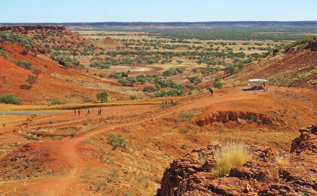
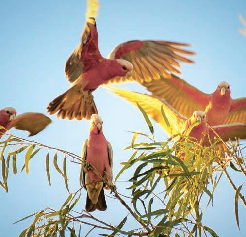
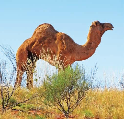
Alice Springs/Mparntwe to Yulara and Uluru, 656km
There are two ways you can get to Yulara, the resort complex closest to Uluru. The easy way is to head south from Alice Springs/Mparntwe on the Stuart Hwy to Erldunda Roadhouse and then west on the Lasseter Hwy. It’s fully sealed and will take around 5hr driving.
The scenic alternative is the Red Centre Way, also known as the Mereenie Loop Rd through the gorges of the beautiful Tjoritja/West MacDonnell Ranges and Kings Canyon/ Watarrka. It’s unsealed for large sections, and to do it justice you really need to allow several days, but it’s one of the country’s most spectacular outback drives (see the Mereenie Loop Road road trip, p.142 for more details). Note: you’ll need a separate permit for the Mereenie Loop Road, too (see p.142).
Yulara to Laverton, 1107km
Before you leave Yulara allow at least half a day to do one of the walks at Kata Tjuta, such as the Walpa Gorge Walk (see p.149), which you’ll drive right past as you head west on The Outback Way. This red dirt road between Yulara and Warburton/Milyirrtjarra via Kaltukatjara (Docker River) and Warakurna can be very dusty and a bit bumpy in sections but it’s proof that you don’t always need a 4WD to get off the beaten track – it’s also being progressively sealed with new sections of bitumen added every year.
Although it can look benign after rain when the countryside is speckled with delicate wildflowers, this is harsh country. Lots of people – explorers, gold diggers and adventurers – have died out here, including Harold Bell Lasseter, of the ‘lost reef of gold’ fame. The cave where he sheltered for 21 days in the summer of 1931 before he perished is signposted just east of Kaltukatjara near the NT/WA border.
Other highlights of this section of the trip include the stunning rocky ramparts of the weathered Petermann and Rawlinson ranges and the Schwerin Mural Crescent (another rocky range).
You’re now in the heart of the western deserts – the Gibson Desert is to the north, Great Victoria Desert to the south. Warakurna is home to the Giles Weather Station, which was set up in 1956 to forecast weather conditions suitable for nuclear weapons testing and rocket testing programs at Woomera. You can watch the daily release of the weather balloon at 8.45am (CST – South Australian – time) from the weather station carpark, just up the hill from the roadhouse at Warakurna. The site was selected by legendary surveyor and road builder Len Beadell who, with the help of his Gunbarrel Road Construction Party, bulldozed more than 6500km of roads through virgin and sometimes unexplored territory to service the Woomera rocket range and Maralinga nuclear bomb test sites between 1947 and 1963. His grader, which trundled across more than 30,000km making these roads, is on display beside the weather station, which is open for self-guided tours during business hours and features original murals painted by Beadell on the walls.
Almost every small community between Alice Springs/ Mparntwe and Kalgoorlie has a First Nations art gallery or co-operative art centre. Some sell direct to the travelling public, others to commercial galleries in the cities, but Tjulyuru Regional Arts Gallery inside the Tjulyuru Cultural and Civic Centre in the tiny community of Warburton/Milyirrtjarra –home to a roadhouse with a few motel units, a caravan park and not much else – was set up in 1989 by the Ngaanyatjarra People to collect and retain the best works of local artists, rather than sell them, as a way to help keep their culture strong. Fast forward three decades and there are now more than 1000 contemporary works in the impressive museum and gallery space, the largest collection of First Nations art under the direct ownership of Aboriginal People in the country. It’s also one of the most remote galleries – the nearest big town, Kalgoorlie, is 900km to the south-west, Alice Springs/ Mparntwe is 1000km away in the other direction. There are around 900 paintings in the collection, but it’s the large textile pieces and contemporary glass art – produced in a kiln onsite – that really steal the show, including glass bowls and large panels featuring Traditional designs originally drawn in sand before being transformed into glass.
Opposite top View from Cawnpore Lookout, between Middleton and Boulia, in Queensland Opposite bottom left Galahs Opposite bottom right Feral camel
Laverton’s officially the end of the Outback Way, although most people continue on to Kalgoorlie and beyond to Perth, which is sealed all the way. Before you leave Laverton take a stroll around the unrestored historic heart of the old mining town and spend some time at the Great Beyond Visitors Centre and Explorers Hall of Fame which has lots of First Nations and pioneer artefacts on display, and also serves the best coffee west of Uluru.
Laverton to Perth/Boorloo, 952km
Just an hour or so down the road from Laverton, and near the town of Leonora, is the beautifully-preserved ghost town of Gwalia, established in the 1890s. When the Sons of Gwalia Mine – once one of the largest gold mines in the country –closed in 1963, the population shrunk from 1200 to less than 40 in just three weeks. As you wander through deserted streets full of grand old buildings and into abandoned houses that seem snap frozen in time, it’s easy to imagine that the townsfolk have simply left home for the day. The first mine manager was a young American engineer named Herbert Hoover, who later became the 31st President of the United States and you can visit his house (which is also a B&B; book at gwalia.org.au), peer into the open-cut mine, wander through more than 18 houses, mine offices and old shops. The Gwalia Museum tells the story of the town’s boom and bust. A tip: it’s pronounced Gworlia, not Gwarlia.
Menzies, 106km south of Gwalia and 132km north of Kalgoorlie, is also a ghost of its former self. In 1905 it had a bustling population of 10,000, thanks to the gold rush that was
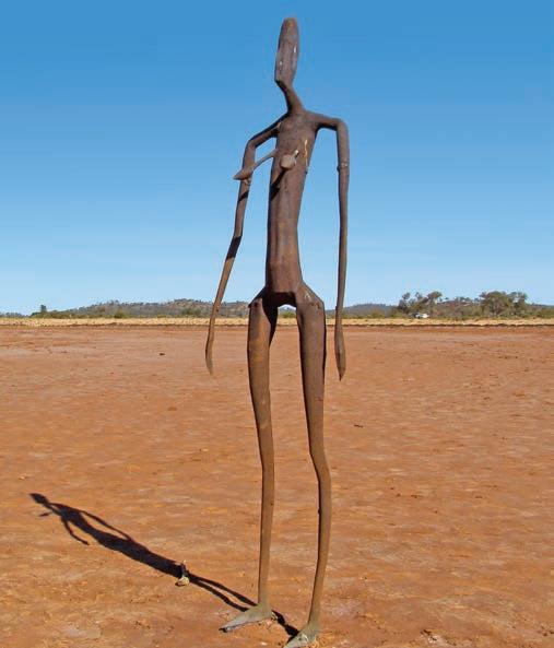
in full swing at the time, and it’s now just one of several small or deserted towns littered throughout the goldfields, although it has fared better than most with many stately buildings remaining, including the town hall with its 8.5m-high clock tower and railway station. At last count Menzies had a population of 500 or so, and the pub is still operating, but don’t expect to find a big supermarket, although you can buy a few tinned supplies at the hotel. The atmospheric cemetery, where many of the tombstones are made of tin, provides a sobering glimpse into just how harsh life was on the goldfields.
DETOUR
Lake Ballard, a large white salt lake in an otherwise featureless semi-desert near the tiny township of Menzies, is home to one of the country’s most intriguing and otherworldly art installations. Here, scattered across the vast saltpan, flickering in the heat like a mirage, are 51 spectral sculptures of people – the work of internationally renowned artist Antony Gormley. Gormley made laser body-scans of 51 of the Menzies locals and then made casts life-size in height but two-thirds in width. The resulting stick-like statues, now rusted and pocked by the harsh salt air, are scattered over 10sqkm of the lake, each one standing alone about 750m apart from its neighbour so that wherever you turn, there’s another on the horizon. Gormley called it Inside Australia It’s spooky and eerie, and once you are out on the saltpan everything seems to shimmer, shimmy and shake in the heat haze. The last 55km section of the road from Menzies to the lake is unsealed but fine for 2WD cars when dry.
Kalgoorlie is around a 90min drive from Menzies. Gold was first discovered in this region in 1892 and in a few months the rush was in full swing, with thousands of men swarming to the outback to try their luck. The towns along this stretch –Kalgoorlie–Boulder, Coolgardie and Southern Cross – are full of grand gold-rush-era buildings that testify to the riches that were found. In Kalgoorlie, keep an eye out for the statue of Paddy Hannan outside the Town Hall on the corner opposite the Kalgoorlie Hotel. After he and his mates Tom Flanagan and Daniel Shea were forced to camp out when their horse lost a shoe in 1893, they stumbled across some alluvial gold nuggets, sparking the gold rush to beat all other gold rushes.
Western Australia still supplies the vast majority of Australia’s total gold production. A lot of it is dug from the ground along Kalgoorlie’s Golden Mile, which has more than 3000km of old underground workings and has yielded more than 49,000,000 ounces of gold so far. You can see the workings of the modern-day mining industry from the lookout over the Super Pit on the outskirts of Kalgoorlie. Australia’s largest open-pit gold mine, it is 3km long, 1.4km wide and 330m deep
and makes the huge trucks that carry the ore – which are more than 6m high and 7m wide – look like tiny toys.
It’s almost 600km from Kalgoorlie to Perth/Boorloo, through the wheatbelt and goldfields, following, for much of the drive, the Goldfields Pipeline. An incredible feat of engineering, the pipeline was the vision of Charles Yelverton O’Connor, Chief Engineer of Western Australia from 1891 to 1902, who managed what many people considered was impossible –pumping 22,700 cubic metres of water from Mundaring Weir near Perth, lifting it 355m using only eight pumping stations, and delivering it to the thirsty goldfield towns 600km away. Sadly, both the pipeline and his work were subjected to prolonged criticism and scepticism by parliament and the press, and he took his own life in March, 1902 – just before the water was turned on.
By the time you reach Perth, there’s a good chance you’ll have seen wild camels lope across the horizon, been stared at by belligerent emus, watched by wary kangaroos and screamed at by what sounds like a million cockatoos. More than likely you’ll have seen sunsets that set the sky alight, peered over the rim of dizzyingly deep canyons, floated in icy water, hiked into gorges where mythical beasts are said to sleep, and gazed up into night skies so full of stars that it’s hard to find the spaces between the lights. The Outback Way is definitely epic.
VANLIFE
Many of the caravan and camping sites along this route are covered in other chapters: Matilda Highway (see p.177), the Mereenie Loop Road (also known as the Red Centre Way) (see p.142) and East Macs (see p.151). Undara Experience (undara.com.au) has powered caravan and camping sites. Bush camping is available at Pyramid camping area Porcupine Gorge National Park near Hughenden. Boulia has a riverside caravan park or bush camp at the free riverside camping area near the racecourse and if you’re there in July you’ll probably see the camels from the Boulia Camel Races going through their paces at the track in the early morning. On the Plenty Hwy section of The Outback Way there are caravan sites and camping areas at Tobermorey, Jervois and Gemtree stations: facilities include hot showers. On the Western Australian leg of The Outback Way, there are caravan and camping facilities with toilets and showers beside the roadhouses in Warrakurna, Warburton/Milyirrtjarra, Tjukayirla and Laverton, and there is a free RV site near the museum at Gwalia. You can also bush camp at Lake Ballard: BYO drinking water.
Top Bush humour in Middleton Bottom Abandoned house in the ghost town of Gwalia Opposite Gormley’s surreal art installation, Lake Ballard

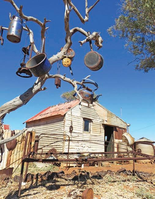


The Barry Way, Victoria-NSW
A wilderness drive through the foothills of the Snowy Mountains. For those with a sense of adventure, it’s a great backroad alternative to the Hume Hwy.
HOW LONG?
This is not a long drive, but it’s not a quick one either: allow the best part of a full day as the going is slow and there are some lovely lookouts and picnic spots to stop at along the way.
WHEN TO GO
The road can be subject to snow and ice so summer is the best time to travel, but check fire danger and bushfire warnings before setting off.
NEED TO KNOW
There is no fuel available between the start and finish point of this trip, nor are there any shops or cafes so pack a picnic lunch and a filled thermos. Almost all of this road trip is within national parks so you’ll need to leave your pets at home.
SNAPSHOT
Follow the twists and turns of the legendary Snowy River – immortalised in poetry, film, fiction and folklore –on this one-day drive through two of the country’s iconic wilderness parks, Snowy River National Park and Kosciuszko National Park. Called the Snowy River Rd in Victoria, and the Barry Way once it crosses the border into NSW, it’s a back-to-nature adventure drive that can be a bit dusty and bumpy, but the views are well and truly worth the effort. It’s about as wild as you get on four wheels.
Drive rating
Challenging: much of the route is unsealed and (depending on recent weather) some sections, particularly in the NSW half, are quite potholed, rutted and rough. The road is not suitable for caravans, but fine for off-road camper trailers and solidly-built campervans with decent clearance, and an SUV is recommended.
Acknowledgement of Country
This is the Traditional land of the Gunaikurnai and Ngarigo Peoples.
Total distance
Buchan, Victoria, to Jindabyne, NSW, 172km
Average temperatures
• January: 13–25°C
• July: 3–11°C
More information parks.vic.gov.au; nationalparks.nsw.gov.au
Buchan to Victoria–NSW border, 98km
Kick off this High Country road trip underground. The hilltop town of Buchan, around a 4.5hr drive east of Melbourne/ Naarm (55km north of Lakes Entrance), is home to Victoria’s largest cave system and you can join guided tours to two show caves, both richly decorated with stalactites and stalagmites at Buchan Caves Reserve, just on the western outskirts of town.
Once you hit the road – the C608 towards Gelantipy, otherwise known as the Snowy River Rd – it doesn’t take long before you find yourself immersed in the bush as you snake your way north, admiring the expansive views of mist-filled valleys and roadside waterfalls, like W Tree Falls. Just a little further north is the signposted dirt road to Tulloch Ard Gorge, where a 1hr-return walk through the forest leads to a viewing platform with fabulous views – depending on the day all you might see is the inside of a cloud, but it’s a lovely little side trip even when the view is obscured. Also worth a stop is Little River Gorge, a 15min detour off the Snowy River Rd on McKillips Rd, and subject to seasonal closures in winter, but don’t be misled by the name – at 600m deep, it’s the deepest gorge in Victoria.
From here the road becomes even more adventurous, with hairpin turns and narrow sections without a guardrail that would be rather exciting if you met an oncoming car: the advantage of travelling south to north is you’re on the inside of the track. Luckily, this is a road that doesn’t get much traffic, but you do need to be careful.
Catch your breath at the ghost town of Suggan Buggan, just 8km south of the state border, where you can peek inside a restored schoolhouse. The wooden slab-and-shingle schoolhouse was built in 1865, and it’s easy to imagine how cold and draughty the lessons must have been for the 11 children taught there, or for the tutor who slept there. If the weather is mean, there’s a picnic table inside the schoolroom, otherwise Willis Campground on the Victorian side of the border is a beautiful spot for lunch and a swim or paddle in the Snowy River.
Below Overlooking the township of Buchan Opposite top Lake Jindabyne Opposite bottom left Buchan Caves Reserve Opposite bottom right Slab and shingle classroom at Suggan Buggan
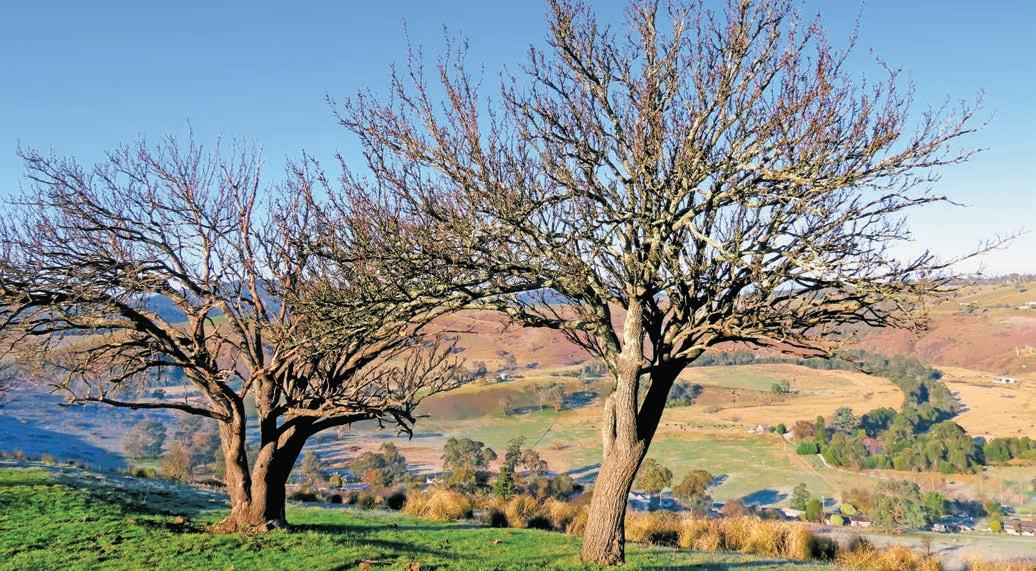
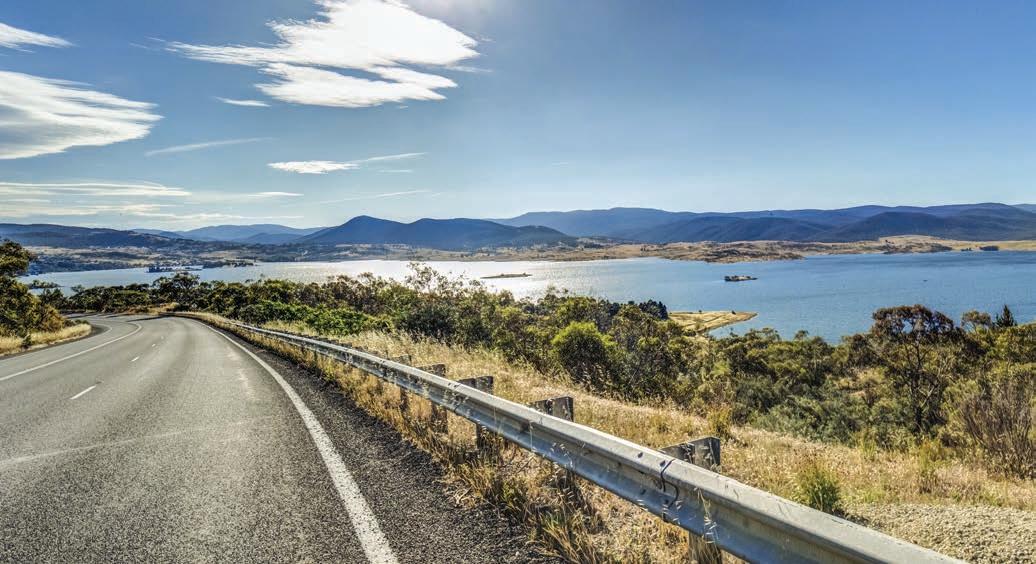
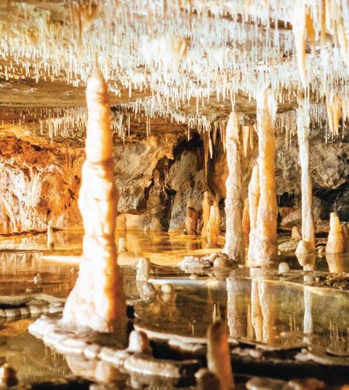
Victoria–NSW border to Jindabyne, 74km
Once you cross the Victoria–NSW border you’re on the Barry Way, named after the councillor who pushed for the road’s construction in the 1960s. Sadly, the road surface deteriorates once you hit NSW and it gets increasingly rougher and tighter, but the scenery is spectacular as you follow the twists and turns of the Snowy River, which is seldom out of sight. In terms of views, the one overlooking the river winding through the valley and across the Southern Alps at Jacks Lookout in Kosciuszko National Park, about a 1hr, 15min drive from Suggan Buggan, is hard to beat.
You’ll pass by a string of campsites and picnic areas, almost all of which offer opportunities for getting wet if it’s warm, which are good spots for a picnic or a cup of tea – if you remembered the thermos. It’s prime fishing country too, and almost all the rivers in the valley are well-stocked with bass and trout. (Don’t forget to get your Victorian and NSW fishing licences before you go).
Once you cross Jacobs River just after you pass by the Jacobs River–Tongaroo campground (just beyond the junction of the Snowy River), the road begins the long climb out of the valley. Stop for one last look back at the rugged landscape you’ve just driven through at Wallace Cragie Lookout before driving across the vast golden Monaro grasslands to the alpine hub town of Jindabyne. As far as backroads go, this really is a wild road trip.
VANLIFE
Although you can easily do this trip in a day, if you want to stay a little longer – and with scenery this good you’d be mad not to – this is a great trip for campers. There are half-a-dozen bush campsites along the route. They are rustic, which means facilities are limited to toilets: the ones in Victoria do not need to be pre-booked but those in Kosciuszko National Park on the NSW side do. Pick of the campgrounds are Suggan Buggan which has some pretty sites beside the river, and the Victorian side of Willis – it straddles the state border and there are campgrounds on both sides which overlook the Snowy River. Pinch River campground has plenty of space and while the sites at Jacobs River–Tongaroo have great water views, the track into the campground is very rough. You can also camp at Buchan Caves Reserve in Victoria, and there are commercial caravan parks beside the lake in Jindabyne in NSW.
Jindabyne, on the shores of Lake Jindabyne
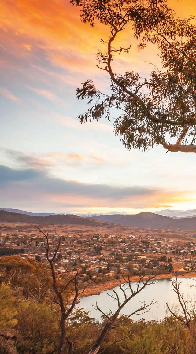
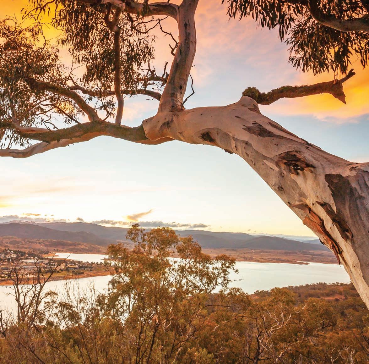
Lions Road, NSW-Queensland
Also known as the Rainforest Way, this privately maintained road is a scenic shortcut between NSW and Queensland across the Richmond Range.
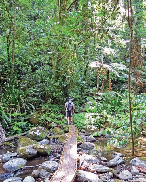
Walking in Border Ranges National Park
HOW LONG?
This road trip is less than 100km, but with scenery this good you’ll probably get distracted, so camp for a few days if you want. It’s also a great day drive from Brisbane/Meanjin, the Gold Coast or Lismore.
WHEN TO GO
Summer can be wet and stormy; floods are becoming increasingly more frequent so check road conditions before you travel.
NEED TO KNOW
Lions Rd is not suitable for caravans and there is a height limit at rail bridges and the state border.
SNAPSHOT
Build it and they will come. Or at least that’s what the locals in Kyogle believed back in the 1960s. After years of unsuccessfully lobbying the authorities to construct a road between Kyogle in northern NSW and Rathdowney in Queensland in order to cut travel times to Brisbane, the Kyogle and Beaudesert branches of the volunteer community service organisation, the Lions Club, joined forces and built what is now one of the country’s most scenic shortcuts.
Drive rating
Moderate: the road is sealed and fine for 2WD vehicles, but very narrow in sections, sometimes little wider than one-way. Most roads in the hinterland rainforest parks are unsealed.
Acknowledgement of Country
This is the Traditional land of the Bundjalung and Githabul Peoples.
Total distance
Kyogle, NSW to Beaudesert, Queensland, 95km
Average temperatures
• January: 20–27°C
• July: 10–19°C
More information therainforestway.com.au


Kyogle to Cougal, 38km
Completed in 1970 and known as Lions Rd (Gradys Creek Rd on some maps), this privately maintained community-built road through the Richmond Gap in the McPherson Range is 30km shorter than the Summerland Way/Mount Lindesay Hwy route. Criss-crossing the Richmond River and several creeks, and winding through the heart of World Heritage–listed rainforest, the road punches way above its weight when it comes to knockout views and scenery.
The area is actually the crater of a massive volcano –technically a caldera – more than a kilometre deep and 40km wide and long since extinct. You can explore it by car on the Tweed Scenic Drive, a mostly unsealed 64km loop that spears off Lions Rd and follows the edge of the caldera most of the way. A highlight is the 30min Pinnacle Walk in Border Ranges National Park, on the Traditional land of the Githabul People, which leads to a lookout platform perched
at the edge of the escarpment. From here you have spectacular views of Wollumbin/Mount Warning and the Tweed Valley 1000m below. Other good walks in the park include the 3hr Brindle Creek Walking Track, the 30min Red Cedar Loop and the 6km Rosewood Loop, which all wind through beautiful rainforest – the Red Cedar loop leads to a giant red cedar tree thought to be around 1000 years old.
A highlight for train buffs is the chance to see the Border Loop, aka the Cougal Spiral, in action. Considered a marvellous feat of railway engineering when it was completed in 1930, and now heritage-listed, it’s a series of tunnels and a spiral loop that passes under itself to enable the trains to climb the steep range. There’s a lookout and picnic area signposted off Lions Rd a few kilometres north of Cougal. There’s also a lovely nature walk here from the picnic area, with many of the rainforest trees identified – thanks yet again to the hardworking members of the Lions Club.
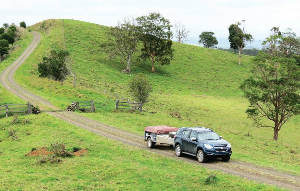
Cougal NSW to Beaudesert Queensland, 57km
You’ll cross the state border between NSW and Queensland around 5km north of the Cougal Spiral, and link up with the road to Beaudesert and beyond to Brisbane (the Mount Lindesay Hwy) 8km north of Rathdowney. As you admire the views of Mount Lindesay that dominate the skyline as you drive westwards across the green hills, give a nod of thanks to the hardworking volunteers of the local communities who wouldn’t take ‘no’ for an answer and built their own road and still maintain it today. And pop a few dollars into one of the ‘honorary toll’ donation boxes on your way past.
VANLIFE
There are two campgrounds in Border Ranges National Park –Sheepstation Creek, which has camping decks for tents and is also designated as suitable for campervans and camper trailers,
but they would need to be small and preferably with a hard floor as finding a level site large for a soft-floored trailer is tricky – and Forest Tops, which is for tents only. Both campgrounds have toilets and barbecues, but you’ll need to bring your own drinking water. Book through NSW Parks (nationalparks.nsw.gov.au and select ‘Camping and accommodation’).
Many landholders in the district around Kyogle and surrounding villages have opened up their rural properties for camping for a small fee: head online (visitkyogle.com.au and hipcamp.com) for details. A favourite spot to stay is Hidden Valley, a privatelyowned camping area roughly halfway along Lions Rd near Cougal. It’s a large grassy area beside a pretty creek with good swimming holes. There’s no power but it has cold showers and flushing toilets and lots of friendly wildlife, including wallabies that will nibble your shoelaces if you let them, and platypuses in the creek. Call 0407 808 840 or search for it online (hipcamp.com), but there’s no need to book outside of peak holiday times.
Below The view from Pinnacle Lookout in Border Ranges National Park Opposite The perennially lush Richmond Range
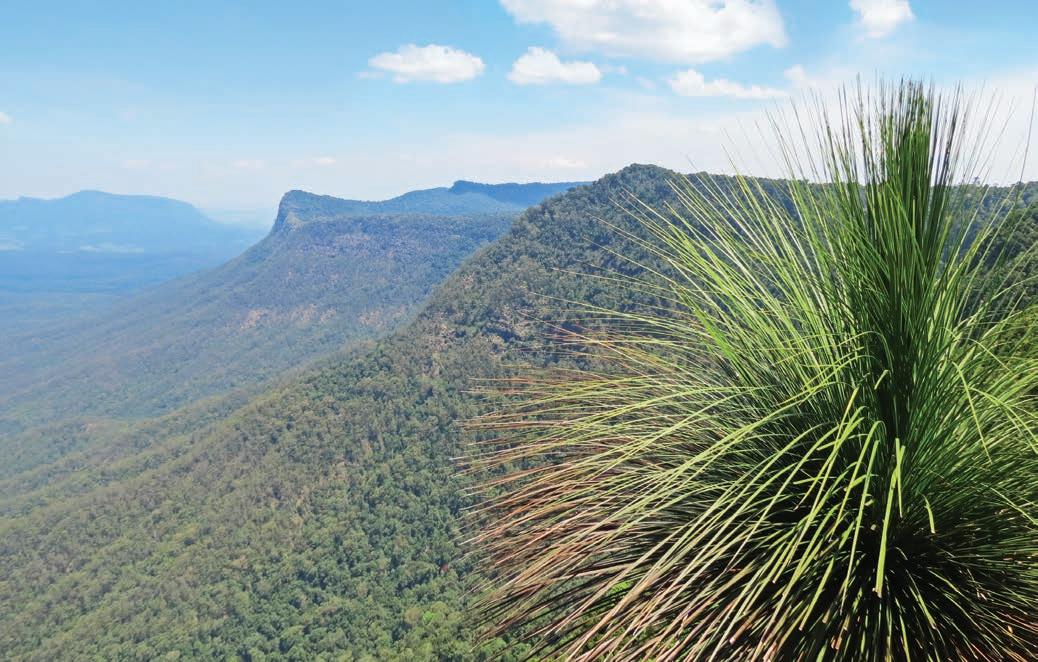
INDEX
4WD Ridgetop Track, Arkaroola SA 87
Aboriginal Land Rights, birthplace 156, 158
Academy of Taxidermy at the Museum of Natural History, Guildford WA 110
Ackle Bend campground, Little Desert National Park Vic. 53
Adelaide/Tarndanya SA 72
Adelaide River NT 162
Adnyamathanha People 81, 86
Aire Valley Reserve Vic. 63
Albacutya Vic. 51
Alberga River SA 97
Albury NSW 66
Algebuckina SA 97
Algebuckina Bridge SA 96
Algebuckina Waterhole SA 97
Alherrkentye NT 152
Alice Springs/Mparntwe NT 142, 144, 145, 152, 228, 231
Alice Springs Desert Park NT 144, 145
Alternate Realities Museum, McLaren Vale SA 72
Amangu People 124
American Hotel, Creswick Vic. 43
Anaiwan People 2
Anangu People 142, 148, 224
Angorichina Tourist Village SA 85
Anna Creek Station SA 95
Antanangantana NT 152
Apsley Gorge and Falls, Oxley Wild Rivers National Park NSW 7, 9
Aquifer Tour, Mount Gambier SA 78
AQWA – The Aquarium of Western Australia, Hillarys Boat Harbour WA 127
Arabana People 88
Araluen Arts Centre, Alice Springs NT 144
Arankala Walk, Palm Valley, Finke Gorge National Park NT 146
Arcadia II Pieman River cruise, Corinna Tas. 211
Ardyaloon/One Arm Point WA 136, 139
Arkaroola SA 87
Arkaroola Wilderness Sanctuary SA 87
Arkona Vic. 51
Arltunga NT 154–5, 228
Arltunga Bush Pub & Eco Retreat NT 155
Arltunga Historical Reserve NT 151, 154
Armidale Bicentennial Arboretum NSW 8
Armidale NSW 2, 8
Arrernte People 88
Art Deco buildings, Goondiwindi Qld 168
Art Gallery of Ballarat Vic. 43
Art Gallery Walk, Carnarvon Gorge Qld 171
Artesian Mud Baths, Eulo Qld 181
Arthur-Pieman Conservation Area Tas. 210, 212
Arthur River Tas. 209, 212
Arthur River Cruises Tas. 209
Artists Cascades, Conondale National Park Qld 191
Atherton Qld 196
Atherton Forest Mountain Bike Park Qld 196
Atherton Tablelands Qld 196
Auburn SA 104
Australia Zoo, Beerwah Qld 191
Australian Age of Dinosaurs Museum, Winton Qld 182, 228
Australian Butterfly Sanctuary, Kuranda Qld 196
Australian Celtic Festival, Glen Innes NSW 12
Australian Centre for Gold Rush Collections, Ballarat Vic. 43
Australian Fly Fishing Museum, Clarendon Tas. 217
Australian Pinball Museum, Nhill Vic. 51
Australian Standing Stones, Glen Innes NSW 12
Australian Stockman’s Hall of Fame, Longreach Qld 181
Australian Workers Heritage Centre, Barcaldine Qld 181
Avon Descent WA 110
Avon Valley National Park WA 110, 116
Awabakal People 25
Ayers Rock Resort NT 148, 149
Back o’ Bourke Information and Exhibition Centre Qld 178
Back o’ Bourke Mud Map Tours Qld 178
Badgingarra National Park WA 130
Bago Maze and Winery, Wauchope NSW 28
Balardung People 108
Ballarat Vic. 43
Ballarat Begonia Festival, Botanic Gardens, Ballarat Vic. 43
Balook Vic. 59
Banggarla People 99
Banksia Seafood and Grill, Hervey Bay Qld 192
Banrock Station SA 104
Banyjima People 108, 115
Barcaldine Qld 181
Bardi People 136, 139
Baromi Park, Mirboo North Vic. 56
Barra Nula Cascades, Gibraltar Range National Park NSW 24
Barraba NSW 15
Barranbinya People 30
Barrington Tops Forest Road NSW 5, 27
Barrington Tops National Park NSW 2, 4, 5, 9, 27, 28
Barringun NSW 33
Barry Way NSW-Vic. 235–9
Batchelor NT 162
Beach Run, Robe to Beachport SA 76
Beachport SA 76
Beachport Conservation Park SA 79
Beachport Southern Ocean Tourist Park SA 79
Beagle Bay WA 136, 138, 139
Beauchamp Falls, Great Otway National Park Vic. 62, 63
Beaudesert Qld 188, 240, 243
Beech Forest Vic. 62
Beerwah Qld 191
Bellbird campground, Gibraltar Range National Park NSW 24
Bellbridge Vic. 67
Bendigo Vic. 36, 39, 48
Bendigo Art Gallery Vic. 39
Bendigo Joss House Temple Vic. 39
Bendigo Pottery Vic. 39
Bendigo Writers Festival Vic. 39
Bendy Bridge, Grafton NSW 22
Berry Springs NT 162
Bethanga Bridge, Bellbridge Vic. 67
Bidjara People 171
Big Hill, The, Glen Innes NSW 21
Big Lobster, Kingston SE SA 75
Big Rig, Roma Qld 171
BIG4 Breeze Holiday Parks –Carnarvon Gorge Qld 175
BIG4 Stanley Holiday Park Tas. 212
Bigambul People 166
Bilby Experience, Charleville Qld 181
Billabong Zoo, Wauchope NSW 28
Bilung Pool WA 114
Bindjali People 70
Bindoon WA 110
Bingara NSW 14, 15, 16
Binna Burra Lodge, Beechmont Qld 192
Binna Burra section, Lamington National Park Qld 188
Birdworld Kuranda Qld 196
Biripi People 25
Birregurra Vic. 63
Blackall Qld 181
Blackall Woolscour Qld 181
Bladensburg National Park Qld 185
Blanche Cup mound spring SA 95
Blatherarm Creek campground, Torrington State Conservation Area NSW 16
Blinman SA 85
Blinman Heritage Mine SA 86
Blue Lake/Warwar, Mount Gambier SA 78
Bluff Knoll/Bular Mial, Stirling Ranges National Park WA 123 bogong moths 67
Bonegilla Vic. 66
Bonegilla Migrant Experience Vic. 64
Booktown Festival, Clunes Vic. 44
Boolarra Vic. 56
Booloumba Creek campground, Conondale National Park Qld 192
Booloumba Falls, Conondale National Park Qld 191
Boonah Qld 188
Boorganna Nature Reserve, Comboyne NSW 28
Border Loop, Border Ranges National Park NSW 242
Border Ranges National Park NSW 242, 243
Botanic Gardens, Albury NSW 66
Botanic Gardens, Ballarat Vic. 43
Botanic Gardens, Castlemaine Vic. 39
Bough Shed Waterhole, Bladensburg National Park Qld 185
Boulia Qld 228, 233
Boulia Camel Races Qld 228
Boulia Heritage Complex Qld 228
Boundary Falls, Gibraltar Range
National Park NSW 24
Bourke NSW 32, 33, 177, 178, 185
Bowling Alley Point, Chaffey Dam NSW 16
Bowman Scenic Drive SA 76
Boyd River NSW 21
Brachina Gorge, Flinders Ranges SA 85
Brachina Gorge Rd, Flinders Ranges SA 85
Brae, Birregurra Vic. 63
Brickendon Tas. 216
Bridgewater Bakehouse Vic. 47, 53
Brim Vic. 48, 52
Brindle Creek Walking Track, Border Ranges National Park NSW 242
Brisbane/Meanjin Qld 166, 168
Broken River Qld 198, 199, 200
Broken River Mountain Resort Qld 200
Broome/Rubibi WA 136, 138, 139
Broome Caravan Park WA 139
Brushy Mountain campground, Werrikimbe National Park NSW 28
Bubbler mound spring SA 85
Buchan Vic. 236
Buchan Caves Reserve Vic. 236, 238
Bucketts Way, The, NSW 25–9
Buda Historic Home & Garden, Castlemaine Vic. 39
Buley Rockhole, Litchfield National Park NT 162
Bundarra NSW 8
Bundjalung People 186, 240
Bunganditj/Boandik People 70
Bunyeroo Gorge, Flinders Ranges SA 85
Bunyeroo Rd, Flinders Ranges SA 85
Burke and Wills Junction, The Qld 184
Burra SA 102, 104
Burra & Goyder Visitor Information Centre SA 104
Burra Caravan Park SA 104
Burringurrah WA 114
Butts Reserve, Maldon Historic Area Vic. 44
Byabarra cafe & bar NSW 28
Cable Beach WA 138
Cairns/Gimuy 195, 196, 224, 228
Calembeen Park swimming basin, Creswick Vic. 43
camel rides 138, 148
Canunda National Park SA 76, 79
Cape Grim beef, Perry’s Quality Meats, Smithton Tas. 204
Captain Thunderbolt 2, 5
Carnarvon Gorge Qld 166, 171, 172, 175
Carrajung Vic. 59
Carrajung Estate Vic. 59
Carrick Mill Antiques, Carrick Tas. 216
Castle Hill, Townsville Qld 175
Castle Rock, Porongurup National Park WA 123
Castlemaine Vic. 36, 39
Castlemaine Art Museum Vic. 39
Castlemaine Diggings National Heritage Park, Chewton Vic. 40, 44
Cave Garden/Thugi, Mount Gambier SA 79
Caversham WA 110
Caversham Wildlife Park, Whiteman WA 110
Cazneaux Tree, Wilpena Pound SA 85
Central Deborah Mine, Bendigo Vic. 39
Ceramic Break Sculpture Park, Warialda NSW 14
Cervantes WA 128
Charleville Qld 181
Charleville Cosmos Centre Qld 181
Charters Towers Qld 172, 175
Chester Pass Rd, Albany WA 123
Chewton Vic. 40
Chinese cemetery, Vaughan Vic. 40
Chittering WA 110
Circular Pool, Karijini National Park WA 116
Cistern Chapel, Maryborough Qld 191
Clare SA 102, 104
Clare Valley SA 103
Clare Valley Wine, Food and Tourism Centre SA 104
Clarendon Arms, Evandale Tas. 216
Clarendon Estate, Evandale Tas. 216–17
Clermont Qld 172
Cliff Head WA 131
Cloncurry Qld 184
Clunes Vic. 44
Clunes Caravan Park Vic. 44
Coalseam Conservation Park WA 130
Cobar NSW 32, 33
Cobb & Co Changing Station, Surat Qld 168
Cobb & Co coach, Longreach Qld 181
Cobb & Co Museum, Toowoomba Qld 168
Cockle Train, The, Goolwa SA 72
Coffee Works, Mareeba Qld 195
Colac Colac Caravan Park Vic. 67
Combo Waterhole, Kynuna Qld 183
Comboyne NSW 28
Conondale National Park Qld 191, 192
Convent Gallery, Daylesford Vic. 41
Coober Pedy SA 96–7
Coonawarra SA 77
Coorong SA 70, 75, 79
Coorong National Park SA 75
Corinna Tas. 204, 210–11, 212
Corrigan Suspension Bridge, TarraBulga National Park Vic. 59
Corroboree Rock NT 152
Corryong Vic. 64, 66, 67
Cottesloe Beach WA 127
Cougal NSW 242, 243
Cougal Spiral, Border Ranges National Park NSW 242
Coulomb Point, Waterbank WA 139
Country Music Festival, Tamworth NSW 16
Courthouse Hotel, Corryong Vic. 64
Couta Rocks Tas. 209
Coward Springs SA 95, 97
Crater National Park – Lake Barrine and Lake Eacham Qld 196
Crediton Hall Qld 200
Creepy Crawly Nature Trail, Southwest Tas. 220
Creswick Vic. 43
Creswick Regional Park Vic. 44
Creswick Town Hall Vic. 43
Creswick Woollen Mill Vic. 43
Crystal Cave, Yanchep National Park WA 127
Cunnamulla Qld 178, 181
Cunnamulla Fella Qld 178
Cunnamulla Hot Springs Qld 178
Curdimurka Siding SA 95
Currawinya National Park Qld 181
Currency Creek SA 72
Curtain Fig Tree, Yungaburra Qld 196
Curtin Springs Hotel NT 149
Curtis Falls, Tamborine National Park Qld 188
Curtis Park, Armidale NSW 8
Customs House, Robe SA 76
Cyathea Falls, Tarra–Bulga National Park Vic. 59
Cygnet Bay Pearl Farm, Dampier Peninsula WA 139
D’Aguilar National Park Qld 190
Daguragu NT 156, 158
Dales campground, Karijini National Park WA 116
Dales Gorge, Karijini National Park WA 115
Dalmorton NSW 21
Dalmorton Bluff Tunnel NSW 21, 24
Dalmorton Camping Area, Guy Fawkes River State Conservation Area NSW 24
Dalwallinu WA 113
Dampier Peninsula WA 136, 138, 139
Danbulla National Park Qld 196
Dangars Gorge and Falls, Oxley Wild Rivers National Park NSW 8, 9
d’Arenberg Cube, McLaren Vale SA 72
Dark Sky Sanctuary, Arkaroola SA 87
Darling River NSW 33
Darwin/Garramilla NT 162
Daylesford Vic. 40, 41
Desert Cave Hotel, Coober Pedy SA 97
Desert Mob exhibition, Araluen Arts Centre, Alice Springs NT 144
Dharawala People 177
Dhudhuroa People 64, 66
Dimboola Vic. 51, 53
Din Din Barron Falls Qld 196
Dinosaur Trackways, Lark Quarry Qld 183
Dinosaur Trail, The, Winton to Richmond Qld 182, 228
Discovery Parks – Clare SA 104
Discovery Resorts – Glen Helen NT 146, 149
Discovery Resorts – Rottnest Island WA 131
Dja Dja Wurrung People 36, 47
Djabuganjdji People 224
Djabugay People 195
Djarindjin/Lombadina, Dampier Peninsula WA 139
Djarindjin Roadhouse WA 136
Dobsons Distillery, Kentucky NSW 8
Dongara WA 130
Driving tips ix
Dry Lake Racers, Lake Gairdner SA 99, 100
Duck River Dairy, Smithton Tas. 204
Duke of Cornwall Engine House, Fryerstone Vic. 40
Dunolly Vic. 44
Dunolly Bakery Vic. 44
Dunolly Museum Vic. 44
Dyirbal People 195
Eagle Heights Qld 188
East Macs (East MacDonnell Ranges) NT 151–5, 228, 233
Eastern Arrernte People 151, 152
Eastern Lookout, Stirling Ranges National Park WA 123
Edge of the World (Arthur River) Tas. 204, 209
Edge of the World lookout Tas. 209
Elder Range Lookout, Flinders Ranges SA 82
Eliza Plateau Tas. 220
Ellenborough Falls, Elands NSW 28
Ellendale Pool, Greenough WA 131
Ellery Creek Big Hole NT 146, 149
Ellinjaa Falls Qld 196
Emerald Qld 172
Emily Gap, Yeperenye/Emily and Jessie Gaps Nature Park NT 152
Emmaville NSW 12
Emmaville Mining Museum NSW 12
Encounter Bikeway SA 72
Engelbrecht Cave, Mount Gambier SA 78
Engine Drivers Cabin, Coward Springs SA 95
Entally Estate, Hadspen Tas. 216
Enzo’s On The Beach, Hervey Bay Qld 192
Eulo Qld 181
Eulo Queen Hotel Qld 181
Eungella Qld 200
Eungella National Park Qld 198, 200
Eureka Flag, Eureka Centre, Ballarat Vic. 43
Evandale Tas. 216, 217
Ezzy’s Crossing NSW 14
Falls Park, Evandale Tas. 217
Family road trip survival guide xiv
Fassifern Valley Qld 188
Fatman Barge, Corinna Tas. 211
Field of Light, Uluru NT 148
Finch Hatton Gorge Qld 198, 200
Finke Gorge campground, Finke Gorge National Park NT 149
Finke Gorge National Park NT 146, 149
Finke River 2 Mile NT 149
Fishermans Lookout, Port Denison WA 130
Flinders Discovery Centre, Hughenden Qld 182
Flinders Food Co, Hawker SA 81
Flinders Ranges SA 72, 81–7
Flood Memorial, Clermont Qld 172
Florence Falls, Litchfield National Park NT 162
Forest Tops campground, Border Ranges National Park NSW 243
Forrest Vic. 61, 62, 63
Forrest Bike Hire Vic. 63
Forrest Brewing Company Vic. 63
Forrest General Store Vic. 63
Forrest Holiday Park Vic. 63
Fortescue Falls (Jubula), Karijini
National Park WA 115
Forts Walk, Magnetic Island Qld 175
Fossickers Caravan Park, Glen Innes NSW 12
Fossickers Way NSW 11–17 fossicking
NSW 12, 14, 15, 16 NT 228 Qld 172, 181 Vic. 44
fossil hunting sites 182
Freedom Festival, Kalkarindji NT 158
Fryerstone Vic. 40
Gadubanud People 61
Gaiety Theatre, Zeehan Tas. 212
Gallery Walk, Tamborine Mountain Qld 188
Garfield Water Wheel, Castlemaine Diggings National Heritage Park, Chewton Vic. 40
Garingbal People 166
Gascoyne Junction WA 114
Gascoyne Murchison WA 108
Gayiri People 166
Geawegal People 25
Gemtree station NT 228, 233
Geraldton WA 131
Geraldton Foreshore WA 131 giant murray cod 67
Gibraltar Range National Park NSW 24
Giles Weather Station, Warakurna WA 231
Githabul People 240, 242
Glass House Mountains Qld 190
Glen Helen Gorge NT 146
Glen Innes NSW 11, 12, 18, 21, 24
Glen Innes Visitors Information Centre NSW 12, 14
Glendambo SA 101
Gloucester NSW 2, 4, 5, 26, 27
Gloucester Museum NSW 27
Gloucester River campground, Barrington Tops National Park NSW 9
Gloucester Tops NSW 4
Godfrey’s Beach, Stanley Tas. 206
Gold Coast Qld 186, 188
Gold Mining and Historical Museum, Gympie Qld 191
Golden Dragon Museum, Bendigo Vic. 39
Golden Drop Winery, Kuranda Qld 196
Goldfields Loop Vic. 36–45
Goldfields Pipeline WA 232
Goolinee (Cattle Pool), Mount Augustus National Park WA 114
Goolwa SA 72
Goondiwindi Qld 168
Goondiwindi Cotton Qld 168
Gordon Dam, Strathgordon Tas. 220–1
Gordon River Cruises, Strahan Tas. 212
Gordon River Road Tas. 218–21
Goreng People 115, 120, 123
Gostwyck NSW 8
Grafton NSW 18, 21, 22
Grafton Jacaranda Festival NSW 22
Grafton Regional Gallery NSW 22
Grand Estates Tas. 215–17
Grand Ridge Rail Trail Vic. 56
Grand Ridge Road Vic. 54–9
Granite Skywalk, Porongurup National Park WA 123
Granya Gap Vic. 67
Grape Riverland Escape SA 102–5
Great Beyond Visitors Centre and Explorers Hall of Fame, Laverton WA 231
Great Cobar Museum NSW 32
Great Inland Way Qld 166–75
Great Northern Hwy WA 116
Great Ocean Road Vic. 61, 62, 63
Great Otway National Park Vic. 61
Great River Road Vic. 64–7
Great Southern Wine Region WA 120
Green Mountains section, Lamington National Park Qld 188, 192
Greenough WA 130–1
Griffith NSW 30, 32
Gubbi Gubbi People 186
Gugu-Badhun People 166, 224
Guildford Vic. 40
Guildford WA 110
Guildford Family Hotel Vic. 40
Guildford Village Potters WA 110
Gulidjan People 61
Gum Hole campground, Warrabah National Park NSW 16
Gumbainggir People 11, 18
Gunaikurnai People 54, 235
Gundabooka National Park NSW 32, 33, 178
Gunggari People 177
Gunsynd (racehorse sculpture), Goondiwindi Qld 168
Gurindji People NT 156, 158
Guwa People 177, 224
Guy Fawkes River State Conservation Area NSW 24
Gwalia WA 232
Gwalia Museum WA 232
Gympie Qld 191, 192
Gywdir River campground, Bingara NSW 16
Hadspen Tas. 216
Halligan Bay, Kati Thanda-Lake Eyre SA 95
Hamelin Pool, Shark Bay WA 128
Hanging Rock, Nundle NSW 16
Hawker SA 72, 81
Headings Cliffs SA 104
Helpful information vi
Hepburn Bathhouse Vic. 41
Hepburn Mineral Springs Reserve Vic. 40–1
Hepburn Regional Park Vic. 44
Hepburn Springs Vic. 40
Hermannsburg Historic Precinct NT 145, 152
Hero’s Avenue, Roma Qld 171
Hervey Bay Qld 192
Heysen Trail SA 72
Hidden Valley camping, Loadstone NSW 243
High Country Rail Trail Vic. 66
Highfield, Stanley Tas. 206
Hillarys Boat Harbour, Hillarys WA 127
Hills Homestead track, Wilpena Pound SA 83
Hillston NSW 32
Hindmarsh Island SA 75
Honeysuckle Banks, Evandale Tas. 217
Hood’s Lagoon Qld 172
Hopetoun Vic. 52, 53
Hopetoun Falls, Great Otway National Park Vic. 62
Horizontal Falls, Talbot Bay WA 138
horse-drawn tram 72
Horseshoe Bend campground, Little Desert National Park Vic. 53
Horseshoe Falls, Mount Field National Park Tas. 220 Horsham Vic. 51
hot air ballooning 144
Hou Wang Temple, Atherton Qld 196
House of Honey, Herne Hill WA 110
Hughenden Qld 182, 228
Huon Campground, Southwest Tas. 221
Huon Pine Walk, Corinna Tas. 211
Ikara-Flinders Ranges National Park SA 81, 87
Ikara Wilpena Pound SA 81, 82–3, 85
Ilwentje NT 151, 155 Indian Ocean Drive WA 124–31
Indiana Tea House, Cottesloe WA 127
Inglewood Vic. 53
Iningal People 177
Innawonga People 108, 115 Inside Australia (sculptures), Lake Ballard WA 232
International Brick and Rolling Pin Throwing Competition, Stroud NSW 26
Inverell NSW 2, 8, 11, 14
Inverell Pioneer Village NSW 14
Inverell Visitor Information Centre NSW 14
Irishtown Vic. 40
Iron Knob SA 100
Ironbark Creek NSW 15
Jabirr Jabirr/Ngumbarl People 136
Jack Point, Coorong National Park SA 75
Jacks Lookout, Kosciuszko National Park NSW 238
Jacobs River-Tongaroo NSW 238
Jaitmathang People 64, 66
James Price Point, Waterbank WA 139
Jardwadjali People 47
Jerilderie NSW 30, 32
Jervois station NT 228, 233
Jessie Gaps Nature Park NT 152
Jindabyne NSW 238
Jingellic Pub NSW 67
Jingellic Reserve Vic. 67
John Flynn Place, Cloncurry Qld 184
John Hayes Rockhole, Trephina Gorge Nature Park NT 153, 155
Jolly’s Lookout Qld 190
Josef Chromy Wines, Relbia Tas. 217
Judds Lagoon Qld 175
Jukun People 136
Jurien Bay WA 128, 130
Jurien Bay Adventure Tours WA 130
Jurien Bay Marine Park WA 128
Kalaamaya People 108, 224
Kalarranga Lookout, Finke Gorge National Park NT 146
Kalgoorlie WA 232
Kalgoorlie Golden Mile WA 232
Kalkarindji NT 156–9
Kalkarindji Caravan Park NT 158
Kalkarindji Council Office NT 158
Kaltukatjara (Docker River) NT 231
Kamilaroi People 2, 11
Kangaroo Sanctuary, Alice Springs NT 144
Kanyaka ruins, Hawker SA 82
Kara Kara People 171
Karijini Eco Retreat WA 116
Karijini National Park WA 115–16
Karijini Visitor Centre WA 116
Karingbal People 171
Kariyarra People 108
Karumba Qld 177, 185
Karumba Point Qld 185
Karungkarni Art and Culture Centre NT 158
Kata Tjuta 148–9
Katarapko, Murray River National Park SA 104
Katherine NT 158
Kati Thanda-Lake Eyre SA 92, 95
Kenilworth Qld 191
Kenilworth Dairies Qld 191
Kennaook/Cape Grim Tas. 206
Kennedy Range WA 114
Kennedy Range National Park WA 114, 116
Kentucky NSW 8
Kidman Way NSW 30–3
Kilcoy Qld 188
Kimberley Coast WA 136–9
King Fern Walk, Werrikimbe National Park NSW 28
Kingoonya Hotel SA 99
Kings Canyon/Watarrka NT 142, 145, 148, 231
Kings Canyon Resort NT 149
Kings Creek Walk, Kings Canyon/ Watarrka NT 148
Kingston SE SA 70, 75
Knoll, The, Tamborine National Park Qld 188
Koi Kyenunu-ruff WA 120, 122
Kokatha People 99
Kooma People 166
Koongurrukun People 161
Kosciuszko National Park NSW 235, 236
Kronosaurus Korner, Hughenden Qld 182
Kukatj People 177
Kuku-Yulanji People 195
Kulin WA 133, 134
Kulin Bush Races WA 133–4
Kullilli People 177
Kunja People 177
Kuranda Qld 195, 196
Kuranda Koala Gardens Qld 196
Kuranda Markets Qld 196
Kurrama People 108, 115
Kuthant People 177
Kuungkari People 177
Kuyani People 88
Kyogle NSW 240, 242, 243
La Cantara cheese, Duck River
Dairy, Smithton Tas. 204
Lacepede Seafood, Kingston SE SA 70
Lachlan River NSW 32
Lady Barron Falls, Mount Field National Park Tas. 220
Lake Albert SA 75
Lake Alexandrina SA 75
Lake Ballard WA 232
Lake Barrine Qld 196
Lake Barrine Teahouse Qld 196
Lake Barron Falls Circuit, Mount Field National Park Tas. 220
Lake Copeton NSW 16
Lake Daylesford Vic. 41
Lake Dobson Tas. 220
Lake Eacham Qld 196
Lake Elizabeth Vic. 61, 63
Lake Frome SA 86
Lake Gairdner SA 99, 100–1
Lake Gairdner National Park SA 99
Lake Gordon Tas. 221
Lake Hume Vic. 66, 67
Lake Judd Walk, Southwest Tas. 220
Lake Lascelles Vic. 53
Lake Marma Vic. 53
Lake Maroon Qld 188
Lake Moogerah Qld 188, 192
Lake Pedder Tas. 220
Lake Thetis WA 128
Lake Tinaroo Qld 196
Lake Tyrrell Vic. 52, 53
Lake Wivenhoe Qld 188
Lamington National Park Qld 188
Lancelin WA 127
Lancelin Holiday Park WA 131
Lark Quarry Conservation Park Qld 183, 228
Lascelles Vic. 52
Launceston Tas. 215, 216, 217
Lavandula Swiss Italian Farm, Shepherd’s Flat Vic. 41
Lavers Hill Vic. 62
Laverton WA 224, 231, 232, 233
Les Wilson Barramundi Discovery Centre, Karumba Qld 185
Lesueur National Park WA 130
Limestone Coast SA 70–9
Lindsay Art Trail, Creswick Vic. 43
Lions Road NSW-Qld 240–3
Litchfield National Park NT 161
Little Dandahra Creek, Gibraltar Range National Park NSW 24
Little Desert National Park Vic. 51
Little River Gorge Vic. 236
Lobster Shack, Cervantes 128
Longford Tas. 216, 217
Longreach Qld 181, 182
Lorne Vic. 63
Lost City, Kings Canyon/Watarrka NT 148
Lost City, Litchfield National Park NT 162
Lowana Cottage Crafts, Nhill Vic. 51
Luritja People 224
Lyrebird Forest Walk, Mirboo North Regional Park Vic. 56
Lyrebird Ridge Track, Tarra-Bulga National Park Vic. 59
McCrossin’s Mill Museum, Uralla NSW 7
Mackay Qld 200
Mackay Highlands Qld 198–201
McLaren Vale SA 72
Macquarie Harbour Tas. 212
Macquarie Heads Camping Ground, Strahan Tas. 212
Magical Mary Discovery Trail, Maryborough Qld 192
Magnetic Island/Yunbenun Qld 175
magnetic termite mounds 162
Main Gorge Track, Carnarvon Gorge Qld 171
Main Range National Park Qld 188
Mak Mak Marranunggu People 161
Malanda Falls Qld 196
Maldon Vic. 44
Maldon Historic Area Vic. 44
Maleny Qld 190, 191, 192
MAMA (Murray Art Museum Albury) NSW 66
Man From Snowy River Festival, The, Corryong Vic. 67
Man from Snowy River Museum, Corryong Vic. 66
Mandandanji People 166
Manilla NSW 15
Mann River Nature Reserve NSW 21, 24
Manuka campground, ArthurPieman Conservation Area Tas. 212
Mareeba Qld 195, 196
Margaret River Chocolate Factory, West Swan WA 110
Maritime Heritage Park, Bourke NSW 178
Marla SA 97
Marrawah Tas. 206
Marree SA 88, 92, 97
Marree Hotel SA 92
Marree Man SA 92
Mary Cairncross Reserve, Maleny Qld 190
Mary MacKillop Penola Centre SA 77
Mary Poppins (sculpture), Maryborough Qld 192
Mary Poppins Festival, Maryborough Qld 192
Mary River Rattler, Gympie Qld 191
Maryborough Qld 191–2
Maryborough Vic. 44
Maryborough City Hall Qld 192
Matilda Highway Qld 33, 177–85, 233
Matutjara People 142
Maydena Tas. 220
Mayi People 177
May’s Bend, Bourke NSW 185
Mbabaram People 195
Melba House, Marian Qld 200
Memorial Park, Gympie Qld 191
Menzies WA 232
Mereenie Loop Road NT 142–9, 231, 233
Merriwagga NSW 32
Meru People 102
Mettams Pool WA 127
Middle Lagoon, Dampier Peninsula WA 139
Mill, The, Castlemaine Vic. 39
Millaa Millaa Qld 196
Millaa Millaa Falls Qld 196
Milleara Gardens, Mirboo North Vic. 59
Millstream Falls, Ravenshoe Qld 196, 228
Min Min Encounter Centre, Boulia Qld 228
Min Min lights, Boulia Qld 228
Minang People 115, 120, 123
Minerama, Glen Innes NSW 12
Mirani Qld 200
Mirboo North Vic. 56, 59
Mirboo North Regional Park Vic. 56
Monster Mine, Burra SA 104
Montagu Park Campground Tas. 212
Moon Plain SA 96
Moonan Flat Pub NSW 5
Moralana Scenic Drive, Flinders Ranges SA 82
Morgan SA 104
Morgan Riverside Caravan Park SA 104
Morwell Vic. 56
Moss Garden Walk, Carnarvon Gorge Qld 171
Motor Museum of WA, Whiteman WA 110
Mount Augustus WA 110, 114, 115
Mount Augustus National Park WA 114
Mount Augustus Tourist Park WA 116
Mount Barker WA 120, 123
Mount Barker Holiday Park WA 123
Mount Borah NSW 15
Mount Chambers Gorge, Flinder Ranges SA 86
Mount Compass SA 72
Mount Conner NT 148
Mount Field National Park Tas. 220, 221
Mount Franklin (Lalgambuk) Camping Area, Hepburn Regional Park Vic. 44
Mount Gambier SA 78, 79
Mount Glorious Qld 190
Mount Grenfell Historic Site NSW 32
Mount Ive Station SA 101
Mount Magog, Stirling Range National Park WA 122
Mount Mee Qld 190
Mount Misery Gold Mine Museum, Nundle NSW 16
Mount Nebo Qld 190
Mount Scott, Geraldton WA 131
Mount Torrengower Vic. 44
Mount Trio Bush Camp & Caravan Park, North Stirlngs WA 123
Mount Uncle Distillery, Kuranda Qld 196
Mount Wycheproof Vic. 53
Mpaara Walk, Finke Gorge National Park NT 146
Mpulungkinya Walk, Palm Valley, Finke Gorge National Park NT 146
Muchea WA 110
Mulareenya Creek rock-art site, Gundabooka National Park Qld 178
Mullewa WA 113
Mulligans, Gibraltar Range National Park NSW 24
Mundee, Mount Augustus National Park WA 114
Mungalli Falls Qld 196
Murchison WA 114
Murrawarri People 177
Murray Mouth SA 75
Murray River National Park SA 104
Murrumbidgee Valley National Park NSW 33
Murtoa Vic. 51
Museum of Central Australia, Alice Springs NT 144
Museum of Geraldton WA 131
Museum of Underwater Art (MOUA), The, Townsville Qld 175
Mutonia SA 92
Nabiac NSW 27
Namatjira Drive NT 146
Nambung National Park WA 128
Naracoorte Caves SA 78
Naracoorte Caves Campground SA 79
Narrung SA 75
National Motorcycle Museum of Australia, Nabiac NSW 27
National Rose Garden, Woolmers Estate, Longford Tas. 216
National Transport Museum, Inverell NSW 14
National Trust Museum, Victor Harbor SA 72
N’Dhala Gorge (Ilwentje) NT 151, 155
Nelson Bay Tas. 209
NERAM (New England Regional Art Museum), Armidale NSW 8
New England Brewery, Uralla NSW 8
New Norcia WA 110, 113
New Norfolk Tas. 220
Newcastle NSW 25
Newlyn Vic. 41
Newton Boyd NSW 21
Ngaanyatjarra People 231
Ngadjuri People 102, 104
Nganyaywana People 2, 11
Ngarabal People 18
Ngarigo People 64, 66, 235
Ngarrindjeri People 70, 75
Ngemba/Ngiyaampa People 177, 178
Ngiyampaa rock art, Mount Grenfell Historic Site NSW 32
Ngoorabul People 11
Nhill Vic. 51
Nimanburr People 136
Nindigully Qld 168
Nindigully Pub Qld 168, 175
Nitmiluk Campground NT 158
Nitmiluk National Park NT 158
Njaki Njaki People 133
Noongar People 127
Normanton Qld 184–5
North Blinman Hotel SA 86
North Bourke Bridge Qld 178
North Gregory Hotel, Winton Qld 183
North Tamborine Qld 188
Northbrook Pathway Qld 190
Nowendoc NSW 4
NRMA Ballarat Holiday Park Vic. 44
Ntaria NT 145, 152
Nullamanna NSW 14
Nullawil Vic. 52
Nundle NSW 11, 16
Nundle Woollen Mill NSW 16
nungu/West Point State Reserve Tas. 206
Nut, The, Stanley Tas. 206 Nyunyul People 136
Ocean Beach Tas. 212
Ochre Pits NT 146
Old Grafton Road NSW 18–23
Old Peake Telegraph Station and Homestead SA 95
Old Tallangatta Lookout Vic. 66
Old Telegraph Station, Alice Springs NT 144
Olive Pink Botanic Garden, Alice Springs NT 144
One Square Mile, Charters Towers Qld 175
Oodnadatta SA 88, 96
Oodnadatta Track SA 88–97
Orange Festival, Bingara NSW 15
O’Reilly’s Rainforest Retreat, Green Mountain section, Lamington National Park Qld 188
Ormiston Gorge/Kwartatuma NT 146, 149
Otway Fly Vic. 62
Otways Vic. 61–3
Outback Lakes Way SA 99–101
Outback Way, Qld-NT-WA 224–33
Overland Corner SA 104
Oxley Scenic Lookout, Tamworth NSW 16
Oxley Wild Rivers National Park NSW 7, 8, 9
Paakandji People 177, 178
Padbury Pickings, Herne Hill WA 110
Painted Desert SA 96
Palawa People 204, 215, 218
Palm Grove, Tamborine National Park Qld 188
Palm Valley, Finke Gorge National Park NT 146, 149
Pandani Grove Walk, Mount Field
National Park Tas. 220
Parachilna SA 85
Parachilna Gorge SA 85
paragliding/hang gliding 15
Patchewollock Vic. 52
pearl farms 138
Pearl Luggers museum, Broome WA 138
Pedder Wilderness Lodge, Strathgordon Tas. 220
Peel Inn, Nundle NSW 16
Pennyweight Flat, Castlemaine
Diggings National Heritage Park, Chewton Vic. 40
Penola SA 77
Peppermint campground, ArthurPieman Conservation Area Tas. 212
Peramangk People 70
Perry’s Quality Meats, Smithton Tas. 204
Perth/Boorloo WA 108, 127, 224
Petermann Ranges NT 231
Petersons Winery, Armidale NSW 8
petroglyphs 114, 155
Pets, road tripping with viii
Petticoat Lane, Penola SA 77
Pichi Richi Railway, Quorn SA 82
Pilbara WA 108, 115
Pinch River campground NSW 238
Pink Lake, Dimboola Vic. 51
Pink Roadhouse, Oodnadatta SA 96, 97
Pinnacle Qld 198, 200
Pinnacle Family Hotel Qld 198
Pinnacle Walk, Border Ranges National Park NSW 242
Pinnacles Desert, Nambung National Park WA 128
Pinnacles Loop Drive, Nambung National Park WA 128
Pioneer Park, St Arnaud Vic. 48
Pioneer Valley Museum, Mirani Qld 200
Pithara WA 113
Pitjantjatjara and Western Desert People 224
Pitta-Pitta People 224
Plateau Beech campground, Werrikimbe National Park NSW 28
platypus 8, 44, 61, 198, 199, 200, 220, 243
Pleystowe Qld 200
Point Moore WA 131
Polblue campground, Barrington Tops National Park NSW 9
Pondanna Ruins SA 101
Pool of Siloam, Beachport SA 76
Porcupine Gorge Qld 228, 233
Porcupine Village, Maldon Vic. 44
Porongurup National Park WA 123
Porongurup Range Tourist Park WA 123
Port Albert Vic. 59
Port Augusta SA 82, 100
Port Denison WA 130
Port Elliot SA 72
Port Elliot Bakery SA 72
Port Macquarie NSW 25
Powerhouse Motorcycle Museum, Tamworth NSW 16
Powerstation Museum, Tamworth NSW 16
Prairie Hotel, Parachilna SA 85
Prickly Wattles campground, Arthur-Pieman Conservation Area Tas. 212
PV Jandra, Bourke NSW 178
Pyramid camping area, Porcupine Gorge National Park Qld 228
Qantas Founders Museum, Longreach Qld 181
Quandong Café, Quorn SA 81 quandong pies 86
Quandong Point, Waterbank WA 139
quandongs 81
Quarry Markets, Willunga SA 72
Queensland Museum Rail Workshops, Ipswich Qld 188
Queensland Museum Tropics, Townsville Qld 175
Queenstown Tas. 212 quokkas 127
Quorn SA 81, 82
RAAF Vampire Jet, Wingham NSW 27
RAC Cervantes Holiday Park WA 131
Rainforest Way NSW-Qld 240–3
Rathdowney Qld 240, 243
Raukkan church, Narrung SA 75
Ravenshoe Qld 196, 228
Rawlinson Ranges WA 231
Rawnsley Park Station SA 87
Rawson Falls, Boorganna Nature Reserve NSW 28
Raymond Terrace NSW 26
Red Cedar Loop, Border Ranges National Park NSW 242
Red Centre NT 142–55
Red Centre Way (Mereenie Loop Road) NT 142–9, 231, 233
Redbank Gorge/Yarretyeke NT 146, 149
Redwood Forest, Aire Valley Reserve Vic. 63
Reflections Copeton Waters Holiday Park, Lake Copeton NSW 16
Regional Art Gallery, Gympie Qld 191
Regional Art Gallery and Museum, Cunnamulla Qld 181
Regional Botanic Gardens, Tamworth NSW 16
Renmark SA 104
Revolutions Transport Museum, Whiteman WA 110
Richmond Qld 182
Riesling Trail, The SA 104
Riversands Wines, St George Qld 168
Riverside Holiday Park, Dimboola Vic. 53
Road to Nowhere Tas. 204–13 Roadies Café, Gloucester NSW 27
Robe SA 76
Rock Pool, The, Carnvarvon Gorge Qld 171
rock-art sites
NT 148, 151, 152, 155 Qld 171, 178
Roma Qld 170–1, 175
Roma Saleyards Qld 171
Rosebery Vic. 52
Rosewood Loop, Border Ranges
National Park NSW 242
Ross River Resort NT 155
Rottnest Fast Ferries WA 127
Rottnest Island/Wadjemup WA 127, 131
Roxy Greek Museum, Bingara NSW 14
Roxy Theatre, Bingara NSW 14
Royal Flying Doctor Service Tourist Facility, Alice Springs NT 144
Rupanyup Vic. 48
Russell Falls, Mount Field National Park Tas. 220
Sacred Heart Church, Beagle Bay WA 138
St Arnaud Vic. 48
St Francis Xavier Cathedral, Geraldton WA 131
St George Qld 168
St George swimming pool Qld 168
Sandalford Wines, Caversham WA 110
Sandstone Park, Carnarvon Gorge Qld 166
Sandytown River Cruise, St George Qld 168
Saumarez Homestead, Armidale NSW 8
Scarborough WA 127
Scarness Jetty, Hervey Bay Qld 192
Scenic Rim Qld 186–92 School of the Air, Alice Springs NT 145
Schwerin Mural Crescent WA 231
Scone NSW 5
Sculpture by the Sea, Cottesloe Beach WA 127
Sea Lake Vic. 52
Sea Lake Caravan Park Vic. 53
Seaview Vic. 56
Seaview Walk, Canunda National Park SA 76
Separation Point Lookout, Beachlands WA 131
Serpentine Chalet NT 149
Serpentine Gorge NT 146
Sevenhill Cellars, Sevenhill SA 104
Shark Bay WA 128
Sheba Dams Reserve NSW 16
Sheep Hills Vic. 52
Sheepstation Creek campground, Border Ranges National Park NSW 243
Sillers Lookout, Arkaroola SA 87 silo art, Yelarbon Qld 168
Silo Trail Vic. 47–53
Simpsons Gap/Rungutjirpa NT 145
Sky Window, Eungella National Park Qld 200
Skybury coffee plantation, Paddy’s Green Qld 195
Skyrail Rainforest Cableway (to Kuranda) Qld 195, 196
Slaty Creek campground, Creswick Regional Park Vic. 44
Smeaton Vic. 41
Smithton Tas. 204, 206
Snowy River NSW-Vic. 238
Snowy River National Park Vic. 235
Snowy River Rd Vic. 235, 238
Somerset Dam Qld 188
Sounds of Silence dinner, Yulara NT 149
South Australian Whale Centre, Victor Harbor SA 72
South Beach, Port Denison WA 130
Southwest National Park Tas. 218, 221
Sovereign Hill, Ballarat Vic. 43
Spalding Park, Geraldton WA 131
Spirit of the Coorong SA 72
Spray Tunnel, Zeehan Tas. 212 Springsure Qld 172
Standley Chasm/Angkerle Atwatye NT 145
Stanley Tas. 206
Stanley Hotel Tas. 206
Stick Shed, The, Murtoa Vic. 51
Sticky Spoon Café, Herne Hill WA 110
Stirling Range National Park WA 119, 120, 122
Stirling Range Retreat, Amelup WA 123
Stirling Ranges WA 119–23
Stock Exchange Arcade, Charters Towers Qld 175
Stonehouse Museum, Boulia Qld 228
Strahan Tas. 204, 212
Strand, The, Townsville Qld 175
Strangler Cairn, Conondale National Park Qld 191
Strathgordon Tas. 220
stromatolites 128
Stroud NSW 26
Strzelecki Ranges Vic. 54–9
Strzelecki Track SA 170
SubZero Gelato, Henley Brook WA 110
Suggan Buggan Vic. 236, 238
Summit Mountain, Gibraltar Range National Park NSW 24
Summit Trail, Mount Augustus National Park WA 114
Sun Pictures, Broome WA 138
Sunrise View platform, Kennedy Range National Park WA 114
Sunset Tavern, Karumba Qld 185
Super Pit, Kalgoorlie WA 232
Surat Qld 168
Surfers Paradise Qld 188
Surprise Creek Falls, Litchfield National Park NT 162
Swan Street Vineyard, Henley Brook WA 110
Swan Valley WA 110
takayna/Tarkine Tas. 204, 210
Talbot Vic. 44
Tali Wiru dinner, Yulara NT 149
Tall Timbers Roadhouse, Ravenshoe Qld 196
Tall Trees Walk, Mount Field National Park Tas. 220
Tamborine Qld 188
Tamborine Mountain Qld 188, 192
Tamborine National Park Qld 188
Tamborine Rainforest Skywalk Qld 188
Tamworth NSW 11, 16
Tamworth Regional Astronomy Centre NSW 16
Tamworth Regional Gallery NSW 16
Tamworth Textile Triennial NSW 16
Tantanoola Tiger Hotel SA 76
Tarkine Drive Tas. 209–11
Tarkine Fresh Oysters, Smithton Tas. 204
Tarkine Hotel, Corinna Tas. 204, 210, 211
Tarra Bulga Guesthouse, Balook Vic. 59
Tarra-Bulga National Park Vic. 59
Tarra Falls, Tarra–Bulga National Park Vic. 59
Tarra Valley Picnic Area, Tarra–Bulga National Park Vic. 59
Tarra Valley Retreat, Tarra Valley Vic. 59
Taungurung People 36
Teds Beach, Southwest Tas. 221
Temple Gorge campground, Kennedy Range National Park WA 116
Temple Gorge Trail, Kennedy Range National Park WA 114
Territory Wildlife Park, Berry Springs NT 162
The Big Hill, Glen Innes NSW 21
The Bucketts Way NSW 25–9
The Burke and Wills Junction Qld 184
The Cockle Train, Goolwa SA 72
The Dinosaur Trail, Winton to Richmond Qld 182, 228
The Gap, Alice Springs NT 152
The Knoll, Tamborine National Park Qld 188
The Man From Snowy River Festival, Corryong Vic. 67
The Mill, Castlemaine Vic. 39
The Museum of Underwater Art (MOUA), Townsville Qld 175
The Nut, Stanley Tas. 206
The Riesling Trail SA 104
The Rock Pool, Carnvarvon Gorge Qld 171
The Stick Shed, Murtoa Vic. 51
The Strand, Townsville Qld 175
Theresa Creek Dam Qld 175
thrombolites 128
Thunderbird Park, Tamborine Mountain Qld 192
Thunderbolts Lookout, Barrington Tops National Park NSW 5
Thunderbolts Way NSW 2–9
Tia Falls, Oxley Wild Rivers National Park NSW 7, 9
Tiger’s Gap, Warialda NSW 14
Timbertown, Wauchope NSW 28
Tin Horse Highway WA 133–5
Tingha NSW 14
Tinonee NSW 27
Tintaldra Vic. 67
Tjaynera Falls (Sandy Creek), Litchfield National Park NT 162
Tjoritja/West MacDonnell Ranges NT 145–6, 151, 231
Tjukayirla WA 231
Tjulyuru Regional Arts Gallery, Warburton/Milyirrtjarra WA 231
Tnorala (Gosse Bluff) NT 146
Tobermorey station NT 228, 233
Tolmer Falls, Litchfield National Park NT 162
Tom Price WA 115
Toowoomba Qld 168
Top End’s Waterfall Way NT 161–3
Top Springs Hotel NT 158
Torrington NSW 14
Torrington State Conservation Area NSW 14, 16
Townsville Qld 166, 175
Tractor Museum of WA, Whiteman WA 110
Tree of Knowledge, Barcaldine Qld 181
Trephina Creek Ramble NT 153
Trephina Gorge NT 152, 154
Trephina Gorge Nature Park NT 151, 152–4, 155
Trephina Gorge Walk NT 153
Trigg WA 127
Tropical Tablelands Qld 195–7
Trowutta Arch Tas. 209
Tulloch Ard Gorge Vic. 236
Turquoise Way Trail, Jurien Bay WA 130
Tweed Scenic Drive NSW 242
Twelve Apostles Vic. 62
Uluru NT 142, 144, 148
Uluru Kata Tjuta National Park NT 142, 148–9
Umpherston Sinkhole/Balumbal, Mount Gambier SA 79
Undara Qld 228
Undarra Experience Qld 233
Uniting Church, Wedderburn Vic. 53
Uralla NSW 7, 8
Valley of the Winds Walk, Kata Tjuta NT 149
Vaughan Vic. 40
Vaughan Mineral Springs Vic. 40, 44
Venus Gold Battery, Charters Towers Qld 175
Victor Harbor SA 72
Virgin Rock, Springsure Qld 172
Vulkathunha–Gammon Ranges National Park SA 86, 87
W Tree Falls Vic. 236
Wabma Kadarbu Mound Springs Conservation Park SA 95
Wadawurrung People 36
Wadjemup Museum, Rottnest Island WA 127
Wadna gallery, Blinman SA 86
Wajarri People 108, 114
Wajuk People 224
WakaWaka People 186
Walcha NSW 5
Wallace Cragie Lookout, Kosciuszko National Park NSW 238
Walpa Gorge Walk, Kata Tjuta NT 149
Waltzing Matilda Centre, Winton Qld 183, 228
Walyunga National Park WA 110, 116
Wangaaypuwan People 30, 32
Wangan People 166
Wangi Falls, Litchfield National Park NT 161, 162
Wangkamana People 224
Wangkathaa People 224
Wannamal WA 110
Warakurna WA 231, 233
Warburton/Milyirrtjarra WA 231, 233
Warialda NSW 14
Warnkurr Sports and Social Club, Kalkarindji NT 156
Warrabah National Park NSW 15, 16
Warray People NT 161
Washpool National Park NSW 24
Washpool Walk NSW 24
Watarrka National Park NT 148
Water Tower Museum, Murtoa Vic. 51
Waters Burra Bakery SA 102
Wauchope NSW 25, 28
Wauchope Farmers Markets NSW 25
Wave Hill Station NT 158
Wave Hill Walk-Off NT 156, 158
Weano Gorge, Karijini National Park WA 116
Wedderburn Vic. 53
wedge-tailed eagle 67
Weetootla Gorge, Vulkathunha–Gammon Ranges National Park SA 87
Werat People 161
Wergaia People 47
Werrikimbe National Park NSW 28
West Coast Heritage Centre, Zeehan Tas. 211–12
West Coast Wilderness Railway Tas. 212
West Kulin WA 134
West Macs (Tjorita/West
MacDonnell Ranges) NT 145–6, 151, 231
Western Aranda/Arrernte People 142, 224
WGoA (Walcha Gallery of Art), Walcha NSW 5
Whadjuk Noongar People 127
Whadjuk People 108, 124
whale watching tours 72, 192
Whiteman Park, Whiteman WA 110
Whyte River Walk, Corinna Tas. 210–11
Widi People 198
Wild West WA 108–17
Wildflower Way WA 113
wildflowers WA 108, 110, 113, 114, 119, 120–1, 124, 130
Wilkadene Woolshed Brewery, Murtho SA 104
William Creek SA 95
William Creek Caravan Park SA 97
William Creek Hotel SA 95, 97
Willis Campground Vic. 236, 238
Willunga SA 72
Wilpena Pound Resort SA 83, 87
Wilson Park, Mount Barker WA 123
Wimmera River Vic. 53
Wing Hing Long Museum, Tingha NSW 14
Wingham Brush Nature Reserve NSW 27
Wingham NSW 27
Wingham Museum NSW 27
Wingham Riverside Reserve NSW 28
Wintjiri Wiru, Yulara NT 149
Winton Qld 182, 183, 184, 224, 228
Wiradjuri People 30
Wirangu People 99
Wirrulla SA 100
Witches Falls, Tamborine National Park Qld 188
Wivenhoe Lookout Qld 190
Wolgal People 66
Wombat Hill Botanic Garden, Daylesford Vic. 41
Wonambi Fossil Centre, Naracoorte Caves SA 78
Wongi Waterholes, Wongi State Forest Qld 192
Wonnarua People 2
Woodford Qld 190
Wood’s Heritage Museum, Rupanyup Vic. 48
Wooleen Station WA 113–14, 117
Woolmers Estate, Longford Tas. 216
Woolomin NSW 16
Woomelang Vic. 52, 53
Woomelang Shearing Shed Vic. 52
Worimi People 25
World Heritage Cruises, Strahan Tas. 212
World Heritage Way NSW 24
world’s longest treasure hunt 229
Wrights Air 95
Wulgurukaba People 175
Wurtupa Loop track, Vulkathunha–Gammon Ranges National Park SA 86–7
Wycheproof Vic. 53
Yamatji People 124
Yambini People 166
Yanchep National Park WA 127
Yangga People Qld 166
Yapa (Mulgowan) Aboriginal art site, Gundabooka National Park NSW 32
Yawuru People 136
Yelarbon Qld 168
Yeperenye/Emily and Jessie Gaps Nature Park NT 151, 152
Yeperenye Trail NT 152
Yindjibarndi People 108
Yinggarda People 108
Yinhawangka People 108
Yirandali People 224, 228
Younghusband Peninsula SA 75
Yowah Qld 181
Yued (Juat, Yuat) People 108, 124, 128
Yuggera People 166, 186
Yulara NT 148, 149, 231
Yungaburra Qld 196
Yungaburra Platypus Viewing Platform Qld 196
Yuwibara People 198
Zamia Grove, Tamborine National Park Qld 188
Zara Clark Museum, Charters Towers Qld 175
Zeehan Tas. 211–12
Zillie Falls Qld 196
ABOUT THE AUTHOR
One of Australia’s most experienced travel writers, and twotime winner of the prestigious Australian Society of Travel Writers Best Adventure Story Award, Lee Atkinson has been writing about her adventures on and off the road for Australian newspapers, magazines and travel guides since 1991. A selfconfessed road trip junky who loves getting away from the crowds in wild and remote places, she believes ‘that any excuse to hit the road is a good one’, and readily admits that given the choice of a highway or a backroad she’d choose the road less travelled each and every time, even if it takes twice as long to get where she wants to go.
Lee is the author of 16 travel books and two smartphone apps about travelling in and around Australia and co-editor of two anthologies of travel writing, as well as a contributor to Explore Australia’s Camping Around Australia guide and the road tripping bible, Explore Australia. Her most recent books published by Hardie Grant Travel are Ultimate Road Trips, Ultimate Coastal Road Trips Australia, and Ultimate Road Trips Australia. See leeatkinson.com.au
ACKNOWLEDGEMENTS
I’d like to thank the many people that helped me out along the road while researching this book, with particular thanks to my husband, Bill McKinnon, who is always up for a road trip, especially if it includes camping, and never complains about spending long hours behind the wheel. I’d also like to thank the team at Hardie Grant Explore for their support for this book and, once again, to Alice Barker for her advice and suggestions.
Photo credits
All images © Lee Atkinson, with the exception of the following: Front cover xxx; iii Dom Stuart/Stocksy; iv Rob Mulally/Tourism Australia; xiv Cameron Murray/Assemble Agency/Visit Victoria; xviii Guy Williment/ Destination NSW; 6, 33 Daniel Tran/Destination NSW; 12 Simon Scott/ Destination NSW; 13 (top) Kate Nutt/Destination NSW; 13 (bottom), 14 Ellen Dewar/Destination NSW; 17 (top) Emma Ryan/Destination NSW; 17 (bottom) Anna Warr/Destination NSW; 19 (bottom) Alex Cimbal/ Shutterstock; 23 (bottom left) OZSHOTZ/Alamy Stock Photo; 30 David Collins/Destination NSW; 34 Luminaire Pictures/Visit Victoria; 56 Josie Withers/Visit Victoria; 62 Robert Blackburn/Visit Victoria; 63 (top) Mark Watson/Visit Victoria; 66 TNE/Visit Victoria; 67 (bottom) Robert Blackburn/ Visit Victoria; 106, 111, 112, 115, 118 (bottom), 122, 123 Tourism Western Australia; 117 (bottom) Ryan Hoi/Shutterstock; 126 (bottom right) Belle Hung/Shutterstock; 132 (bottom) Julie Mowbray/Alamy Stock Photo; 133
South Australia
Emma Jones/Shutterstock; 135 (bottom) Mino Surkala/Shutterstock; 149 (left) Ayers Rock Resort Sounds of Silence ; 169 (top) Alexander Cimbal/ Alamy Stock Photo; 169 (bottom left) Genevieve Vallee/Alamy Stock Photo; 174 (top) berm_teerawat/Shutterstock; 174 (bottom) Descent Productions/ Tourism and Events Queensland; 183 (ChameleonsEye/Shutterstock); 192 (Paul Harding 00/Shutterstock); 197 (top) James Vodicka/Tourism and Event Queensland; 197 (bottom left and bottom right) Courtney Atkinson/ Tourism and Events Queensland; 198 Gareth McGuigan/Tourism and Events Queensland; 199 (bottom) Jewels Lynch Photography/Tourism and Events Queensland; 201 Mark Fitz/Tourism and Events Queensland; 207 (top) feelcoffee/Shutterstock; 207 (bottom right) Graham Freeman/ Tourism Australia; 208 Rob Burnett/Tourism Tasmania; 210 Rob Burnett/ Tourism Tasmania; 219 (bottom) crbellette/Shutterstock; 237 (top) Murray Vanderveer/ Destination NSW; 237 (bottom left) Ben Savage/Visit Victoria; 239 Richard A Stanley/Destination NSW; 252, 253 Bill McKinnon
Opposite Bowman Scenic Drive, near Beachport on the Limestone Coast,
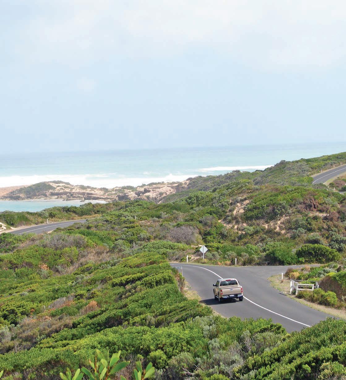
Published in 2025 by Hardie Grant Explore, an imprint of Hardie Grant Publishing
Hardie Grant Explore (Melbourne)
Wurundjeri Country
Level 11, 36 Wellington Street Collingwood, Victoria 3066
hardiegrant.com/explore
Hardie Grant Explore (Sydney)
Gadigal Country
Level 7, 45 Jones Street Ultimo, NSW 2007
All rights reserved. No part of this publication may be reproduced, stored in a retrieval system or transmitted in any form by any means, electronic, mechanical, photocopying, recording or otherwise, without the prior written permission of the publishers and copyright holders.
The moral rights of the author have been asserted.
Copyright text © Lee Atkinson 2025
Copyright concept, maps and design © Hardie Grant Publishing 2025
The maps in this publication incorporate data © Commonwealth of Australia (Geoscience Australia), 2006. Geoscience Australia has not evaluated the data as altered and incorporated within this publication, and therefore gives no warranty regarding accuracy, completeness, currency or suitability for any particular purpose.
Incorporates or developed using [Roads May 2023, Hydrology Nov 2012] © Geoscape Australia for Copyright and Disclaimer Notice see geoscape.com.au/legal/data-copyright-and-disclaimer
Maps contain parks and reserves data which is owned by and copyright of the relevant state and territory government authorities. © Australian Capital Territory. www.ACTmapi.act.gov.au Creative Commons Attribution 4.0 International (CC BY 4.0) © State Government of NSW and NSW Department of Climate Change, Energy, the Environment and Water CC BY 4.0 DEED, Attribution 4.0 International © State of New South Wales (Spatial Services, a business unit of the Department of Customer Service NSW) CC BY 4.0 DEED, Attribution 4.0 International © State of New South Wales (Department of Primary Industries) CC BY 4.0 DEED, Attribution 4.0 International © State of Victoria (Department of Environment, Land, Water and Planning) CC BY 4.0 DEED, Attribution 4.0 International © State of South Australia (Department for Environment and Water) CC BY 4.0 DEED, Attribution 4.0 International © City of Adelaide CC BY 4.0 DEED, Attribution 4.0 International © State of Western Australia (Department of Biodiversity, Conservation and Attractions) CC BY 4.0 DEED, Attribution 4.0 International © Northern Territory Government (Parks and Wildlife Commision) CC BY 4.0 DEED, Attribution 4.0 International © State of Queensland (Department of Environment and Science) CC BY 4.0 DEED, Attribution 4.0 International © Brisbane City Council © Commonwealth of Australia (Great Barrier Reef Marine Park Authority) Creative Commons Attribution 4.0 International (CC BY 4.0) © State of Tasmania Creative Commons Attribution 3.0 Australia (CC BY 3.0 AU) © City of Hobart
Maps contain Indigenous Protected Areas and Aboriginal Land data and which is owned and copyright of the relevant state and territory government authorities. © Northern Territory Government (Department of Infrastructure, Planning and Logistics) © State of Western Australia (Department of Planning, Lands and Heritage) © Government of South Australia (Department for Energy and Mining) Creative Commons Attribution 3.0 Australia (CC BY 3.0 AU) © State of New South Wales (Department of Planning, Industry and Environment) Creative Commons Attribution 4.0 International (CC BY 4.0) © State of Queensland (Department of Resources) Creative Commons Attribution 4.0 International (CC BY 4.0) © Department of Climate Change, Energy, the Environment and Water and National Indigenous Australians Agency, 2023 Attribution 3.0 Australia (CC BY 3.0 AU)
Hardie Grant acknowledges the Traditional Owners of the Country on which we work, the Wurundjeri People of the Kulin Nation and the Gadigal People of the Eora Nation, and recognises their continuing connection to the land, waters and culture. We pay our respects to their Elders past and present.
For all relevant publications, Hardie Grant Explore commissions a First Nations consultant to review relevant content and provide feedback to ensure suitable language and information is included in the final book. Hardie Grant Explore also includes traditional place names and acknowledges Traditional Owners, where possible, in both the text and mapping for their publications.
Traditional place names are included in palawa kani, the language of Tasmanian Aboriginal People, with thanks to the Tasmanian Aboriginal Centre.
Ultimate Backroads & Detours: Australia
ISBN 9781741178845
10 9 8 7 6 5 4 3 2 1
Publisher Amanda Louey
Editor Alice Barker
Proofreader Danielle Norton
Editorial assistance Siena O’Kelly
First Nations consultant Jamil Tye, Yorta Yorta
Cartography Claire Johnston, Emily Maffei
Design Andy Warren
Typesetting Susanne Geppert
Index Max McMaster
Production manager Simone Wall
Colour reproduction by Megan Ellis and Splitting Image Colour Studio
Printed and bound in China by LEO Paper Products LTD.
The paper this book is printed on is from FSC® certified forests and other controlled sources. FSC® promotes environmentally responsible, socially beneficial and economically viable management of the world’s forests.
Disclaimer: While every care is taken to ensure the accuracy of the data within this product, the owners of the data do not make any representations or warranties about its accuracy, reliability, completeness or suitability for any particular purpose and, to the extent permitted by law, the owners of the data disclaim all responsibility and all liability (including without limitation, liability in negligence) for all expenses, losses, damages (including indirect or consequential damages) and costs which might be incurred as a result of the data being inaccurate or incomplete in any way and for any reason.
Publisher’s Disclaimers: The publisher cannot accept responsibility for any errors or omissions. The representation on the maps of any road or track is not necessarily evidence of public right of way. The publisher cannot be held responsible for any injury, loss or damage incurred during travel. It is vital to research any proposed trip thoroughly and seek the advice of relevant state and travel organisations before you leave.
Publisher’s Note: Every effort has been made to ensure that the information in this book is accurate at the time of going to press. The publisher welcomes information and suggestions for correction or improvement.