

Education
September 2018 - June 2023, Bachelors of Landscape Architecture, Cal Poly San Luis Obispo 3.5 GPA average, 6 time Dean’s List recipient
Work Experience
November 2023 - January 2025, Wood Rodgers Inc., Assistant Planner
• Worked at Wood Rodgers, a multi-disciplinary engineering firm, as an Assistant Planner for the Land Development and Planning teams. Assistance provided to the Landscape Architecture, Water Resources and Civil teams in addition to Planning responsibilities within a fast paced, collaborative environment.
• Demonstrated the ability to ideate design concepts, draft schematic designs and prepare full project submittals independently on a self-managed timeline within a year of beginning the position, despite having no prior experience in either Planning or Multi-disciplinary project work.
• Responsibilities include the design and submittal of Master Planned Community, Mixed Use and Urban Infill housing projects, coordination with clients / project team members and the creation of Illustrative plans / supporting graphics both digitally and by hand.
June 2022 - June 2023, Terra Ferma Landscapes, Intern and Designer 1
• Worked at Terra Ferma Landscapes, a high end residential Design-Build Landscape Architecture firm, as a Summer Intern and Designer 1 remotely after completion of Internship. Position was based in the design office, with assistance provided both to the Design team and the Construction team in the field.
• Responsibilities included preparing full Construction Documentation sets, working with civil, construction and architecture plans, drafting plans and details, designing hard-scape and planting concepts, and preparing graphics for presentations.
• Demonstrated the ability to work independently on complex tasks by the conclusion of the internship, leading to continued remote part-time employment while concluding my final year of college.

Every public space is an opportunity to strengthen ecological resilience and promote social equity.
My draw to Landscape Architecture stems from the desire to design a better future for all. Over the past 7 years, I have utilized my educational and professional experiences to explore both Landscape Architecture and Planning, with the goal of designing public spaces that promote ecological resilience and social equity within urban contexts. To me, design is at its best if it is taking steps to help others. This collection of work showcases the pursuit of my ideals.

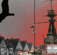
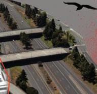
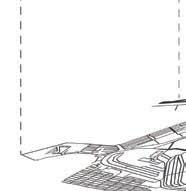
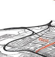
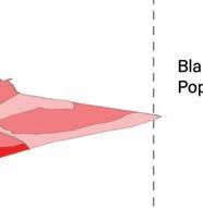
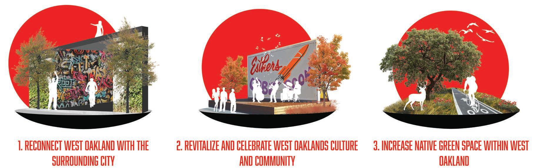
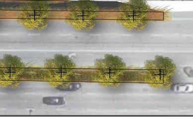
Freeways for the People
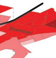
The Skybridge, Freeways for the People
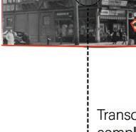
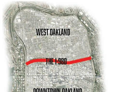
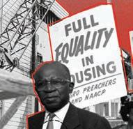
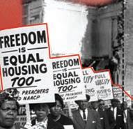
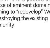
The construction of the I-980, combined with numerous other urban planning decisions, nearly drove the historically Black community of West Oakland into ruin, causing access issues to the greater city and destroying numerous households and businesses. Freeways for the People adaptively reuses the corridor and physical structure of the freeway by transforming the space into an elevated central park, reconnecting and revitalizing the community of West Oakland.


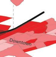
and Site Context, Freeways for the People


Timeline


Goal Identification, Freeways for the People
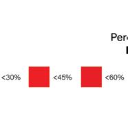
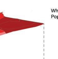
GIS Inventory Maps, Freeways for the People

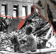
In order to create the I-980, 2,900,000 square feet of neighborhood was destroyed. The Red line Memorial was designed to immortalize what came before, discuss what happened, and inform where we go from here. Red glass separates the space in two, symbolically representing the division of West Oakland through redlining.
Red line Memorial, Freeways for the People
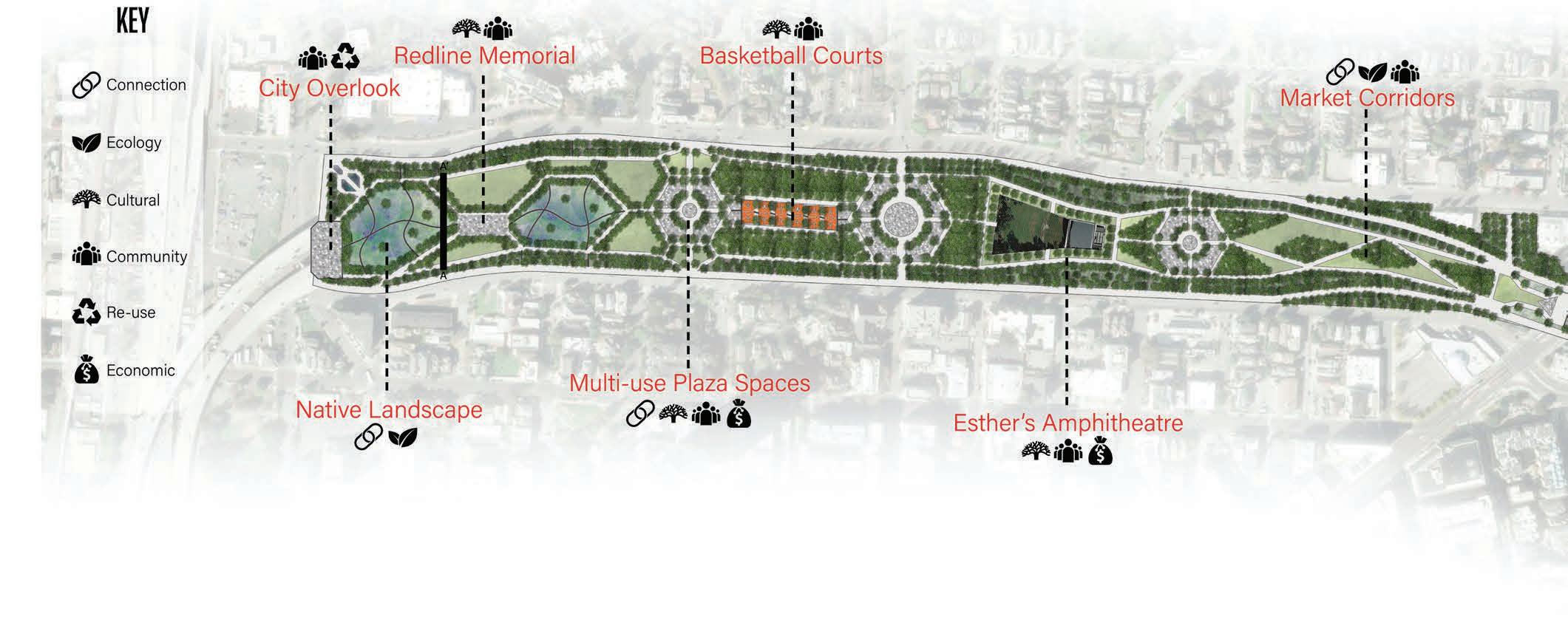
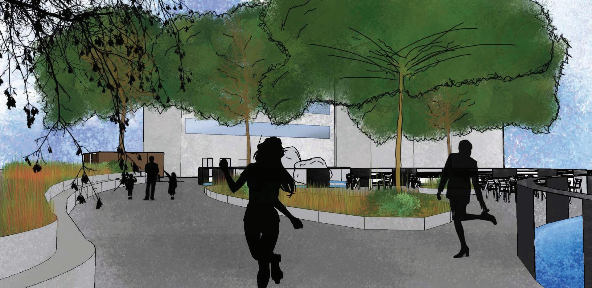
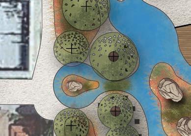
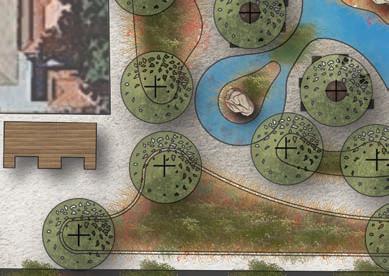
Master Plan, Freeways for the People


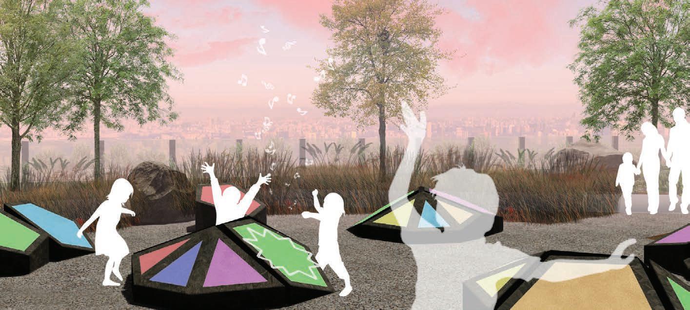
NPlaza, Freeways for the People
The Play Plazas are composed of multiple colored steel pan drums, each tuned to a different note that corresponds to a color. This creates an tactile and engaging space for children, redefining how we learn and experience music, all while encouraging exploration in the same vein as the jazz artists that came before Oakland’s youth.
Perlman Park
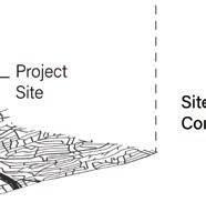
Fourth Year Fall Quarter (Santa Maria, CA)
The City of Santa Maria asked our Natural Environments Focus Studio to create a new downtown core for the city. The site was surrounded by eight lanes of traffic, with little to no pedestrian infrastructure. This design, inspired by vernal pools, places a central pond in the park that captures and filters storm water while also providing a natural touch to the area. Pedestrian paths, bike lanes and a completely redesigned scramble crosswalk help to reclaim the area for pedestrians.


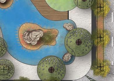


Master Plan, Perlman Park
Key
Vernal Pool
Cafe seating areas
Bathroom
Multi-use Stage
Lawn Gathering Area
Bike Buffer Lanes 7. Scramble Crosswalk
8. Central Storm Drain
9. Vernal Reflection Pool
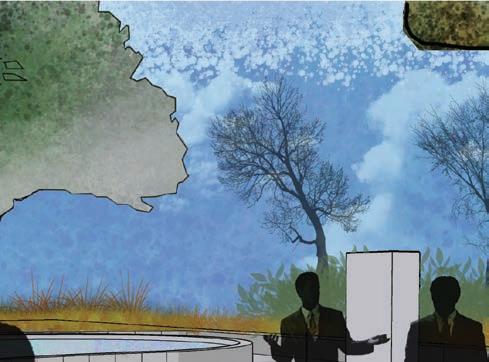

The City of Santa Maria wanted to preserve the Firefighter’s memorial that existed on site, but incorporate a new design that tied in to the redesigned space across the street. This design incorporates a reflection pool that mimics the forms found in the vernal pool across the street, but refines the form to be symmetrical, and create a space of reflection.
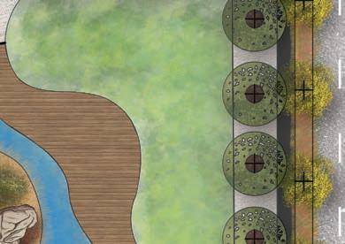
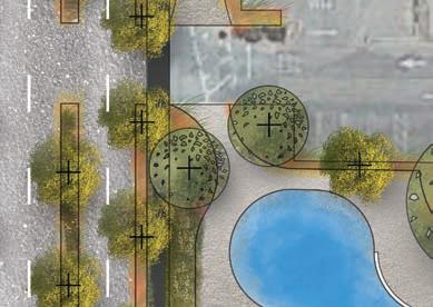
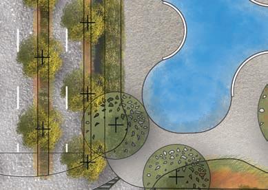
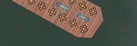
Providing a social, multiuse gathering space was a pivotal design must for the new downtown core of Santa Maria. In order to accommodate this, a board walk with sloped grass seating area was incorporated into the design, allowing for concerts, farmers markets and outdoor activities, as well as passive use.

Boardwalk and Pond Perspective, Perlman Park
Perlman Park’s redesign adds 69 additional trees, increasing downtown Santa Maria’s urban tree cover. Urban Forestry
Restored ecological habitat allow a spot of rest for migratory birds, such as the Sandhill Crane, that may be traveling over the city.
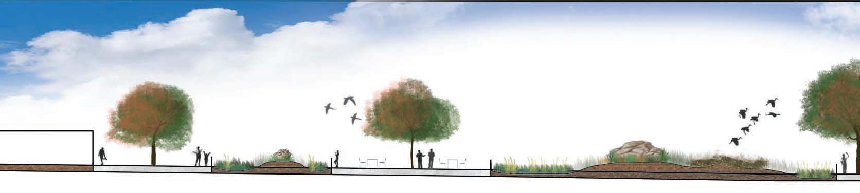
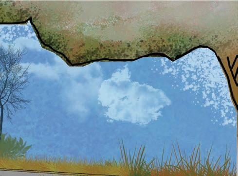
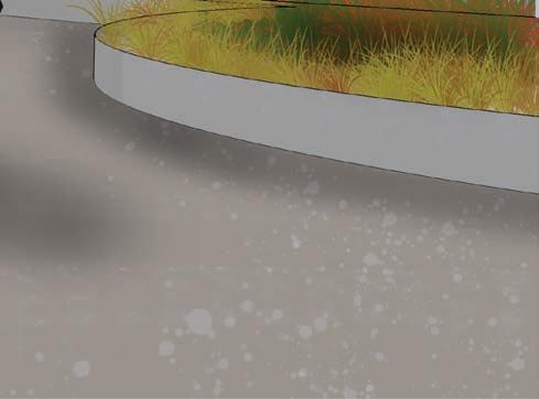
Entire Site Section, Perlman Park
Pool Inspired
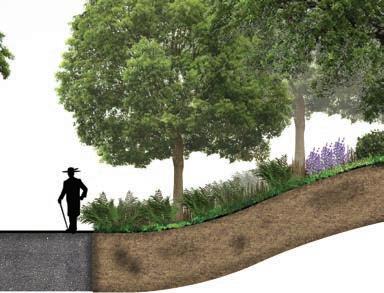
The form of the central pool was inspired by Vernal Pools in nearby Carrizo plains. Natural undulations carve out passive spaces for social gathering.
Ecological Function
The central vernal pool collects and sequesters storm run-off as a way of filling, allowing polluted water to clean and percolate before reentering the watershed.
Vernal
Urban Island
Flexible Typologies
The vernal pool form was adapted to create a reflection pool for the existing firefighters memorial, continuing existing design language into differently programmed space.

Native plantings provide a screening wall from the nearby intensive road infrastructure prevalent in Santa Maria, reclaiming the space for pedestrians.
Green Transportation
New bike lanes provide a new mode of transportation for Santa Maria residents, pivoting away from the prevalent car culture found there.
Native buffer
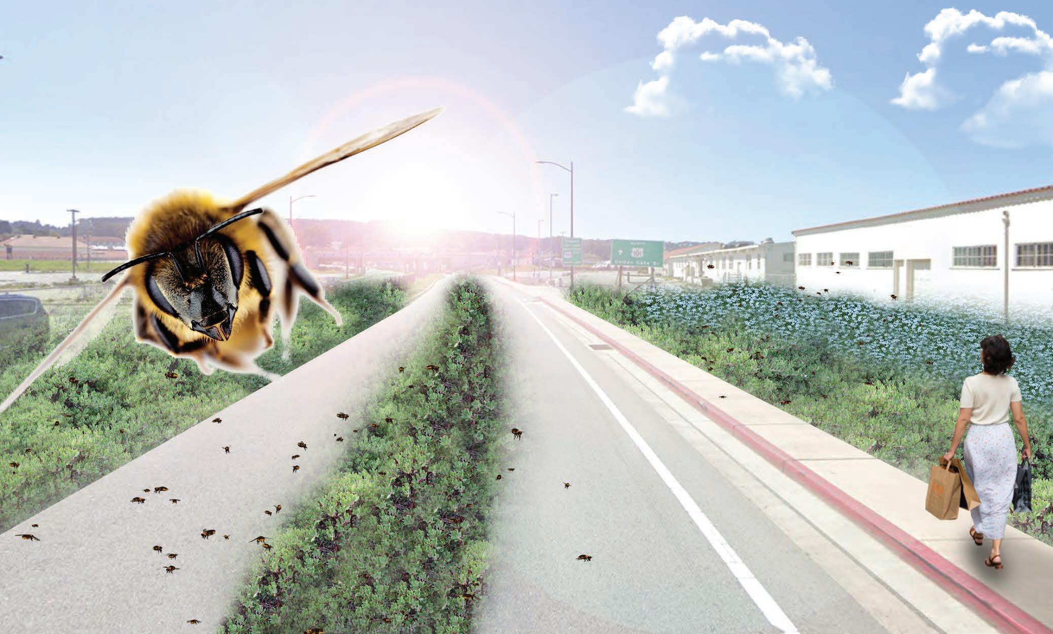
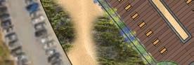
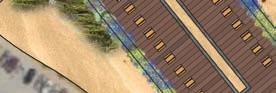
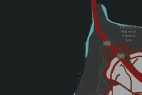
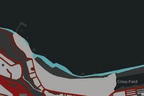
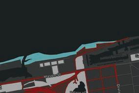
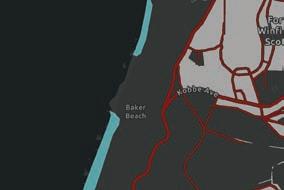
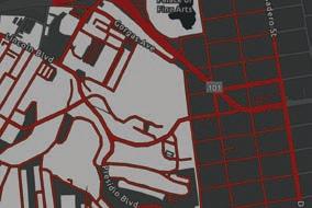
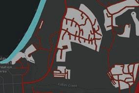
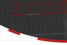
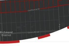
Pollinationscapes looked to incorporate more native green-space and pollinator friendly plantings within the urban fabric of San Francisco to ensure the survival of an endangered native pollinator endemic to San Francisco’s coastal dunes. The first phase developed a boardwalk that restored habitat for the bee while the second phase retrofitted the whole city with pollinator friendly design solutions through use of GIS analysis.
“Dunewalk” Focus Plan, Pollinationscapes


Native Plant Restoration Palette, Pollinationscapes


Mock Heather
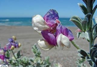
Beach Pea
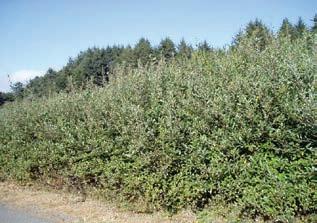
Hooker’s Willow
Coyote Bush
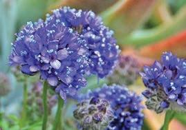
Dune Gilia
San Francisco Campion
Chamisso’s Lupine
Sand Verbena
Focus Area Analysis Maps Composite Solution Map, Pollinationscapes
= Unideal foraging conditions


Lawn Space


= Restored coastal dune habitat
= Urban road flower buffer
= Green space flower buffer


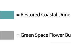


Paved Roads
Coastal Beach

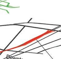
Pangaea
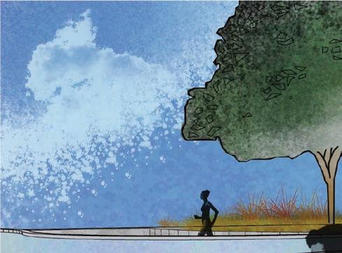
Third Year Fall Quarter (Fresno, CA)
The solution was a freeway “cap” park, that acts as a bridge to reconnect the community, provides abundant green-space for the neighborhood through a carbon sink hiking trail, and works to mitigate noise, visual and particulate pollution generated by freeway. Pangaea would also provide new economic stimulus and housing to community through means of a “live-work” community situated in the heart of the park.
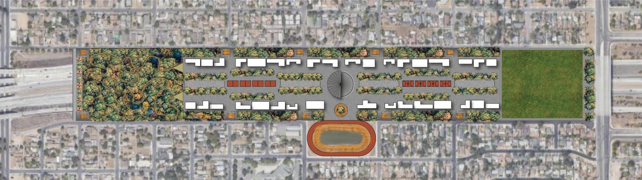


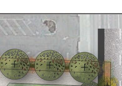
Master Plan, Pangaea
3d Section of Carbon Sink Hiking Trail, Pangaea


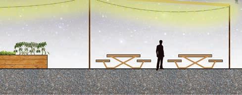

Freeway Overpass Path Section, Pangaea
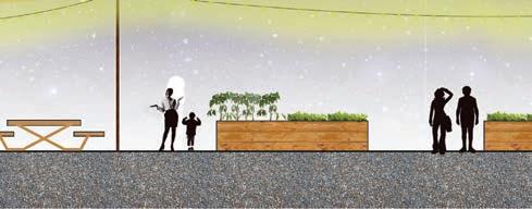
Community Garden and Courtyard, Pangaea
Walkway
Walkway
Seating Area
Seating Area
Community Gardens
Viewpoint
Pedestrian Walkway
Carbon Sink Hiking Trail

Harrison Oldershaw 114 Pfeiffer Street San Francisco, CA 94133 (510) 541 - 8275
harryoldershaw@gmail.com