PRODUCT WATCH
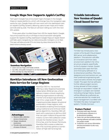
Google Maps Now Supports Apple’s CarPlay Tech giant Google has announced major changes in the Google Maps on Apple platforms, which will change how the navigation app works for cars. Google Maps will now work with the dashboard view on Apple’s CarPlay screens, allowing users to see maps and media controls side by side. The feature will start rolling out with the next iOS update.
Trimble Introduces New Version of Quadri Cloud-based Server
Three years after it pulled Maps from iOS for Apple Watch, Google has announced the return of Maps to the smartwatch alongside support for Apple’s CarPlay dashboard. Google Maps on Apple Watch will help users navigate by car, bike and public transport, or on foot. The app will also provide ETA and step-by-step directions for the destinations already saved.
Seamless Navigation
• Users can see maps and media controls • Car, bike, and public transport or on foot navigation • ETA and step-by-step directions
HawkEye Introduces All New Geolocation Data Service for Large Regions
Advantages
• Massive data collection across a broad area • Deeper situational awareness • Periodic data and analytics of areas of interest
HawkEye 360 Inc. has started offering a daily Regional Awareness Subscription (RAS) service, which delivers mission-critical insights by allowing organizations to identify, monitor and analyze signal behavior over time. Large-scale RF signal mapping provides deeper situational awareness in these regions, with the datasets enabling trend analysis using traditional and Artificial Intelligence algorithms. HawkEye 360 will work with customers to define a RAS that can span millions of square kilometers. Current RAS collection areas include the Mediterranean, South China Sea, and the Korean Peninsula. HawkEye 360 curates a collection plan that routinely gathers a combination of high-demand signals.
6 | www.gwprime.geospatialworld.net | July-Aug 2020
Trimble has introduced a new version of its Quadri Cloud-based BIM server and collaboration platform. This solution will offer an innovative common data environment platform for infrastructure projects, specifically to the European market. Quadri promotes both open formats and third-party software in a bi-directional workflow. Planners, designers and contractors can use their preferred engineering software and add a shared, live project model. The open format software further allows project owners to stay abreast of their project through an equivalent model. All changes in a project are tracked including change history. Quadri will be offered as a software-asa-service solution for model and issue management, bundled with Trimble’s file data management system, Trimble Connect.
Feature Packed
• Promotes both open formats and third-party software in a bi-directional workflow • Users can use their preferred engineering software and add a shared, live project model • Customers can access information and documentation to all or any participants