EXPERT OPINION
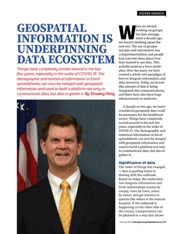
GEOSPATIAL INFORMATION IS UNDERPINNING DATA ECOSYSTEM Things have completely turned around in the last few years, especially in the wake of COVID-19. The demographic and statistical information in Excel spreadsheets can now be merged with geospatial information and used to build a platform not only to communicate data, but also to gather it. By Timothy Petty
W
hen we started working on geospatial data management a decade ago, we weren’t thinking about the new era. The use of geospatial data and information was compartmentalized, and people had concrete ideas about how they wanted to use data. This actually acted as a force multiplier. Over the years, we have created a whole new paradigm of how to integrate information and data resources. Today, an incredible amount of data is being integrated into communications, and there have also been huge advancements in medicine. A decade or two ago, we never considered geospatial data could be necessary for the healthcare sector. Things have completely turned around in the last few years, especially in the wake of COVID-19. The demographic and statistical information in Excel spreadsheets can now be merged with geospatial information and used to build a platform not only to communicate data, but also to gather it.
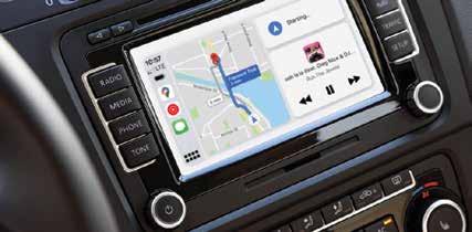
Significance of data The order of things has changed — data is guiding states in dealing with the outbreak. Based on maps, the authorities can integrate information and form relationships county by county, town by town, street by street, and get answers to queries like where is the nearest hospital. If the outbreak is happening on the other side of the county, transportation can be planned in a way that allows July-Aug 2020 | www.gwprime.geospatialworld.net | 39
