Empowering the subsea survey industry www.hydro-international.com
Issue 1 2026 Volume 30
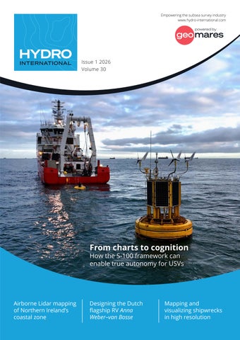
From charts to cognition How the S-100 framework can enable true autonomy for USVs
Airborne Lidar mapping of Northern Ireland’s coastal zone
Designing the Dutch flagship RV Anna Weber–van Bosse
Mapping and visualizing shipwrecks in high resolution