INTERGEO
Outdoor demo flight in the Intergeo flight zone.
world and how digitALisation would contribute to the construction sector by increasing productivity and cost saving. A NEW PHASE OF INNOVATION As the geospatial sector has been engaged in various forms of innovation for years, the characteristic of Intergeo was the effort to adapt to the new requirements of a digitalised world. The innovative geo-technologies at the trade fair and the presentations, which provided a concise summary of best practices at the conference, show that the sector is in transition from the phase of providing solutions with tightly integratedsystems of hardware and software to a phase of collaboration and sharing in understanding, monitoring and managing the multifaceted problems of today’s society from security to the digitalised administration of urban areas, and from autonomous navigation to the smart sensor web. NEW SERVICES AND NEW INFRASTRUCTURES Germany’s new open data programme and the first open data products in the OpenStreetMap format, as well as generalised data from cadastre (ALKIS) to topographic (ATKIS) models, were presented by the German BKG (the Federal Agency for Cartography and Geodesy) and AdV (Working
Committee of the Surveying Authorities of the Länder). BGIC (Bundeswehr Geoinformation Centre) introduced a fully equipped battlefield mobile mapping vehicle with multiple sensors, including laser scanning and image capture, to support soldiers in real-time with a 3D model of the battlefield. German SDI (GDI-DE) presented a new administration team to strengthen the initiatives of INSPIRE, UN-GGIM and GSDI with registry, geoportal, metadata, and interface to geodata services. The Copernicus Program of the European Commission and partner companies introduced the wide use of free satellite data services comprising multispectral imagery and radar for the purpose of environmental protection, agriculture and security. VIRTUAL REALITY Virtual Reality (VR) is becoming a new media for visual communication, measurement and design in the geomatics sector, although it has been used in the gaming and filming industry for a long time. With the enabling laser scanning technology, mobile mapping or 3D point clouds from any source, a properly prepared 3D model may leverage VR and AR (Augmented Reality) as a new form of visual language and permit interaction between the real
world and a digital model allowing robotic access to environments of interest. VR systems attracted many visitors from different backgrounds and were presented by various companies such as UVM and Leica Geosystems. The well-established geo-technology sector with its legislative limitations and precise standards, and surveyors with their traditional way of working, will ultimately need to put further effort into transforming the surveyor’s working environment into a 3D digital twin of the real world. DIGITALISATION OF URBAN MODELLING The increase in the number of geosolutions for BIM and smart cities by geoinformation sector leaders such as Esri, Autodesk, Bentley (Microstation), and Pitney Bowes (Mapinfo), with their core solutions and more sector-oriented solutions from their partners and resellers, proves that the market for BIM and Smart Cities is increasing as well. Many professionals and companies interested in the business digitalisation of urban modelling visited the booths of the companies providing these services. GEOMATICS FOR OTHER SECTORS Geospatial technology has been traditionally helping urban
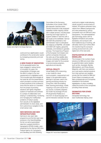
Intergeo 2017 was all about digitalisation.
24 November / December 2017
23-24-25_intergeo.indd 24
01-11-17 12:14