JULY / AUGUST 2018 Issue No 5 • Volume 26
WWW.GEOMATICS-WORLD.CO.UK
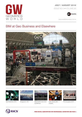
BIM at Geo Business and Elsewhere
Geo Business 2018
Singapore in 3D
RICS Built Environment Conference
Earth Observation Evolved
FIG Congress 2018
FREE DIGITAL SUBSCRIPTION FOR PROFESSIONAL SURVEYORS SEE PAGE 3
01_cover.indd 1
02-07-18 10:51