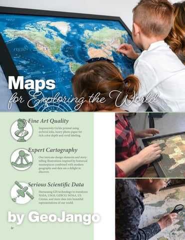
Maps for Exploring the World Fine Art Quality
Impressively Giclée printed using archival inks, heavy photo paper for rich color depth and vivid labeling.
Expert Cartography Our intricate design elements and storytelling illustrations inspired by historical masterpieces combined with modern geography and data are a delight to discover.
Serious Scientific Data Harnessing GIS technology to transform NASA, USGS, GEBCO, NOAA, US Census, and more data into beautiful representations of our world.
by GeoJango iv

