1 minute read
APPROACH + METHODOLOGY


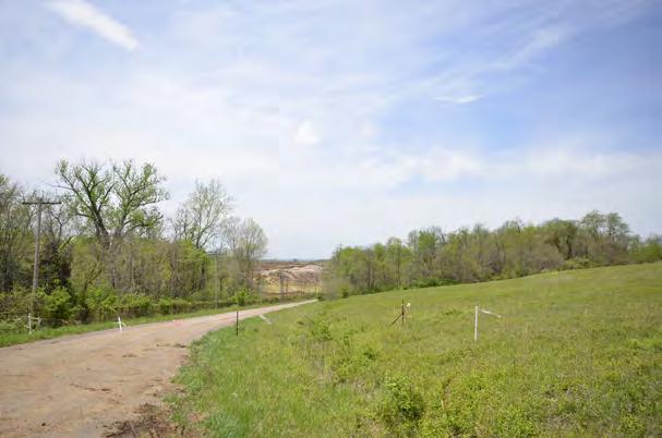
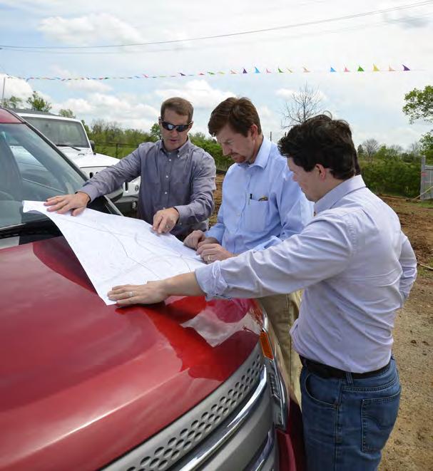
The scope for this effort was comprehensive and included detailed field studies and an exhaustive analysis of the existing conditions of the site. The project team toured and analyzed the entire RRCC site to understand the varying degrees of character and condition of the property, and a more detailed evaluation of the Gateway Planning Area was also completed. This portion of the site contains some of the most significant existing natural systems in RRCC - including conservation areas, watersheds, stream bodies, and a significant amount of topographic change; all features which should be embraced and protected.
In addition to the field studies, a real estate market study was completed to better understand current market trends on local, regional, and national levels prior to recommending any specific land uses. The Project Team also reviewed a series of site and architectural comparables with the RRDA to better understand various development approaches and scales.
Advertisement
Building upon the existing conditions evaluation and other consultant studies completed to date, the Project Team utilized all available data to analyze the varying natural and infrastructural systems found within the planning area (PA). Layering manual survey and LIDAR data, a GIS-based digital elevation model of the site was constructed upon which analysis would be run.
The various analysis processes evaluated bedrock depth, soil classification, karst feature location, extent and description of existing vegetative systems, landform, slope degree and aspect, and watershed delineation and flow-line plotting. When overlaid, the findings from the multiple analysis products revealed the physical opportunities and constraints of the site, such as sensitive natural systems which should be protected. This information better informed the developable area and potential compatible uses which respond both to the market and the site constraints.


