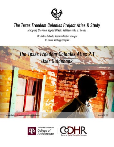
The Texas Freedom Colonies Project Atlas & Study Mapping the Unmapped Black Settlements of Texas Dr. Andrea Roberts, Research Project Manager MJ Biazar, Web app designer
The Texas Freedom Colonies Atlas 2.1 User Guidebook
www.thetexasfreedomcoloniesproject.com
March 2019