
Urban Planning & design PORTFOLIO
CREST, DROME, FRANCE

Education
Bachelor of Urban Planning-2019-2025
DAAP, School of Planning, University of Cincinnati Bachelor of Science-Urban Planning (2020-2025) Minor of Political Science (2019-2025)
Florence Q. Montecalvo
Cincinnati, Ohio | monteccw@mail.uc.edu | +1 330 697 4803
https://issuu.com/florencemontecalvo/docs/montecalvo_florence_ portfolio_24
I am a recent Urban Planning graduate with a deep interest in how the built environment shapes our individual and collective lives. I began my academic journey studying Political Science, but soon realized that while we are influenced by the policies governing space, we also have the power to shape a sense of place through design. This realization led me to the University of Cincinnati’s Bachelor of Urban Planning program where I came to understand that policy and design are not separate forces. Thoughtful design can drive meaningful policy. To me, design is more than aesthetics; it’s the materials we touch, the sounds that surround us, and the people who bring a space to life.
Work Experience
Pelican Studio, Cincinnati, OH-Intern August 2023-November 2023
• Supported rendering production for internal design proposals and client presentations.
AutoCAD
Rhinoceros
Adobe Illustrator
Adobe Photoshop
Adobe InDesign
ArcGIS Pro
ArcGIS Online
SketchUp
Site Planing & Design
Hand Drafting
Microsoft Office
Excel
Zoning & Code Research
Construction Document Coordination
Hobbies
Travel
Language Learning
Sketching
Sewing
Pattern Drafting
Digital Software Learning
Languages Skills
English (Native)
French (Fluent)
Spanish (Conversational)
• Assisted in land survey coordination and documentation.
• Reorganized and streamlined the firm’s CAD block library, introducing a clear visual hierarchy to improve drafting efficiency and consistency across projects.
Ricondo, Cincinnati, OH-Intern May 2023-August 2023
• Contributed to the drafting and refinement of landside and airside planning documents for multiple airport projects.
• Created presentation materials, diagrams, and reports to support client engagement and convey master planning concepts.
• Participated in operational analyses for a major airport, synthesizing data into charts, maps, and graphics to inform design decisions and rationalize proposed infrastructure changes. Cincinnati Recreation Commission Cincinnati, OH-Intern August 2022-December 2022
• Produced site layouts and conceptual plans for parks, playgrounds, and landscaped areas using AutoCAD and Adobe Illustrator.
• Assisted in field surveys and monitored project progress during construction.
• Contributed to office renderings and visual materials used for internal and public-facing communications.
ColeJenest & Stone (Bolton & Menk), Charlotte NC-Intern January 2022-May 2022
• Supported landscape architecture and urban design teams by developing conceptual designs and renderings both by hand and digitally.
• Utilized AutoCAD and Excel to prepare cost estimates and planning diagrams for client proposals.
• Created graphic materials and schematic studies to visualize site planning strategies and enhance stakeholder presentations.


Hillside
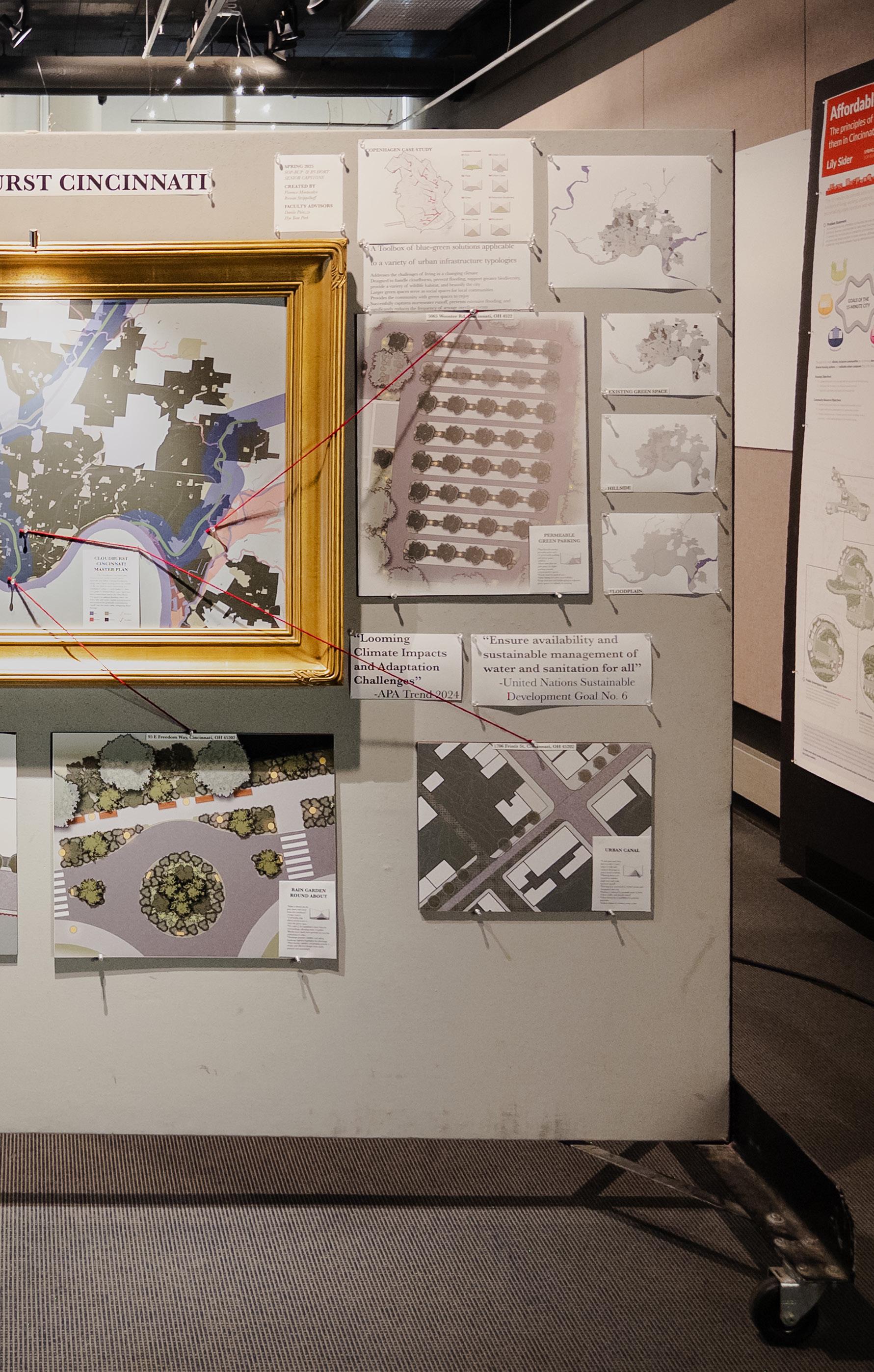
CLOUDBURST CINCINNATI
DAAPworks CAPSTONE
Year: 2025
Team: Florence Montecalvo and Rowan Strippelhoff

Descriptions:
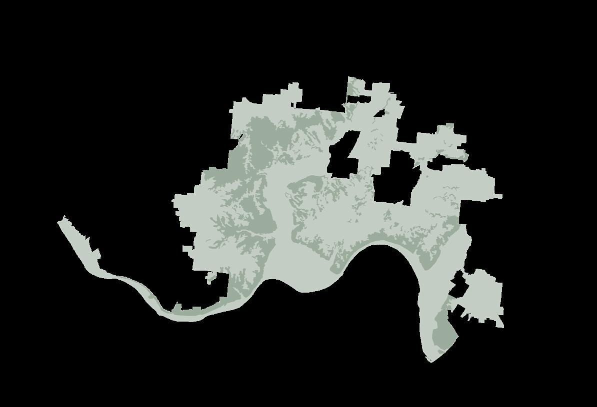
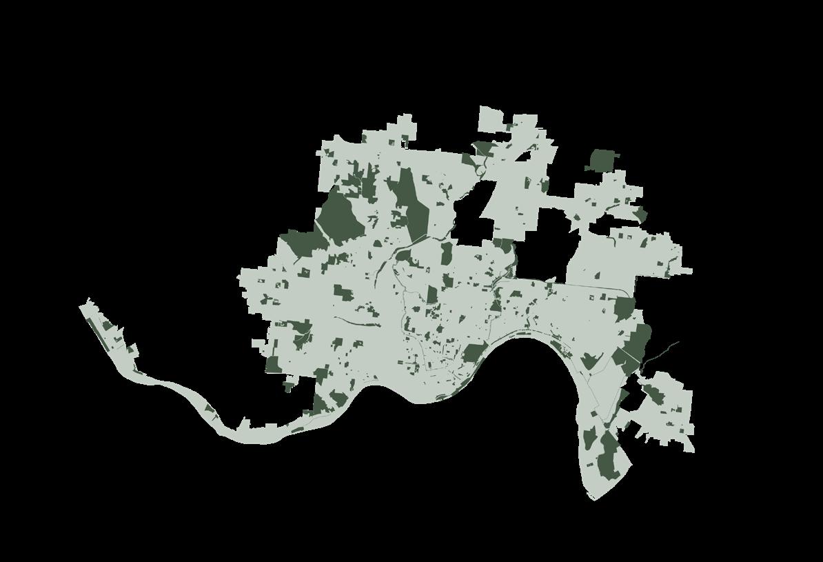
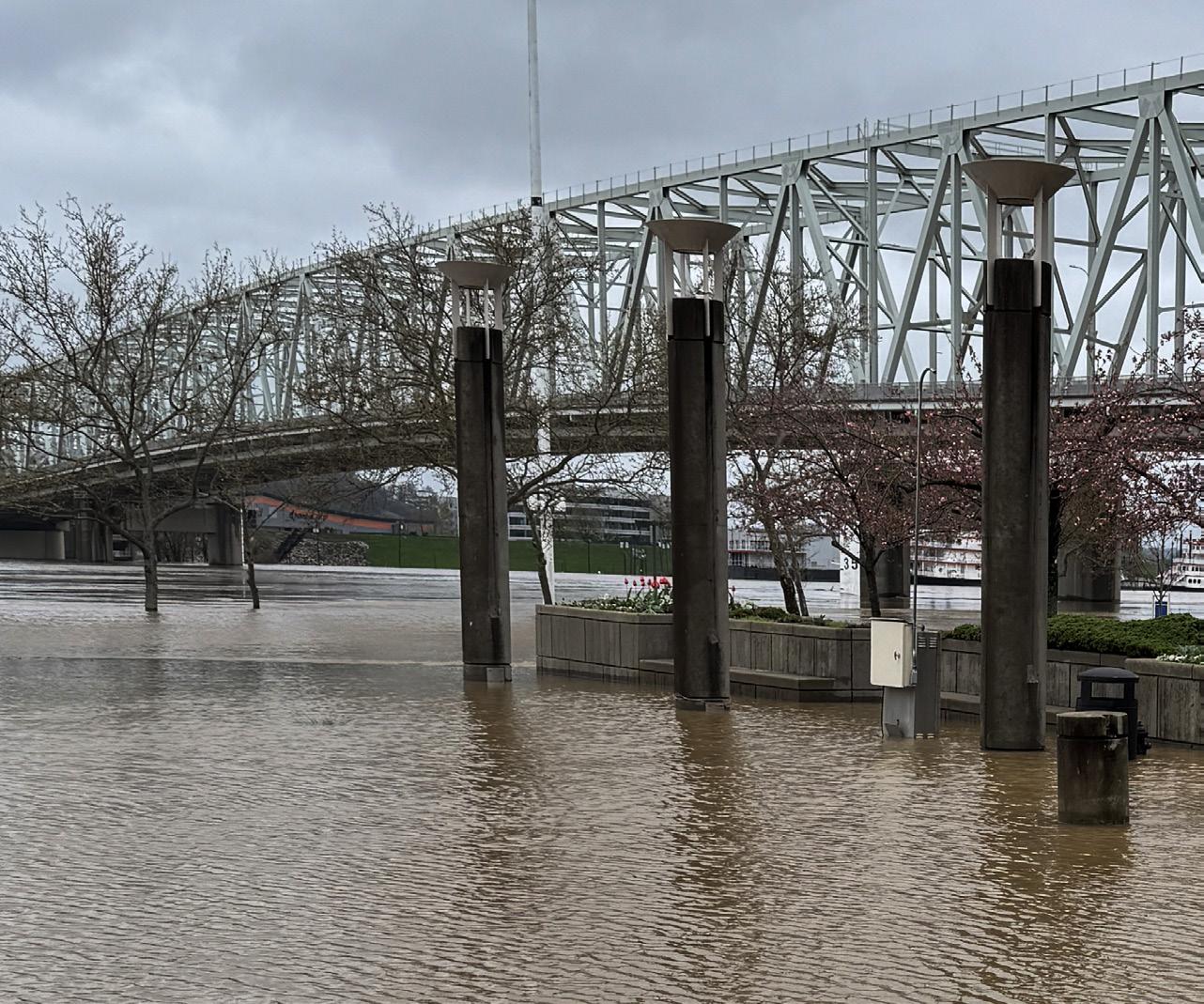
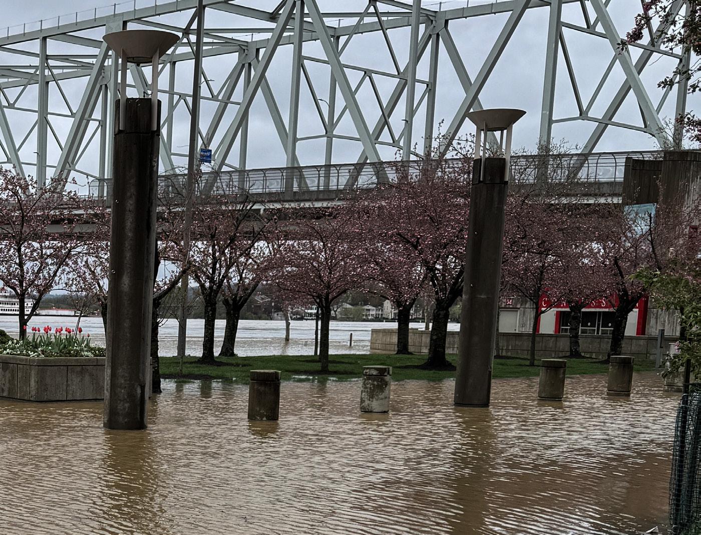
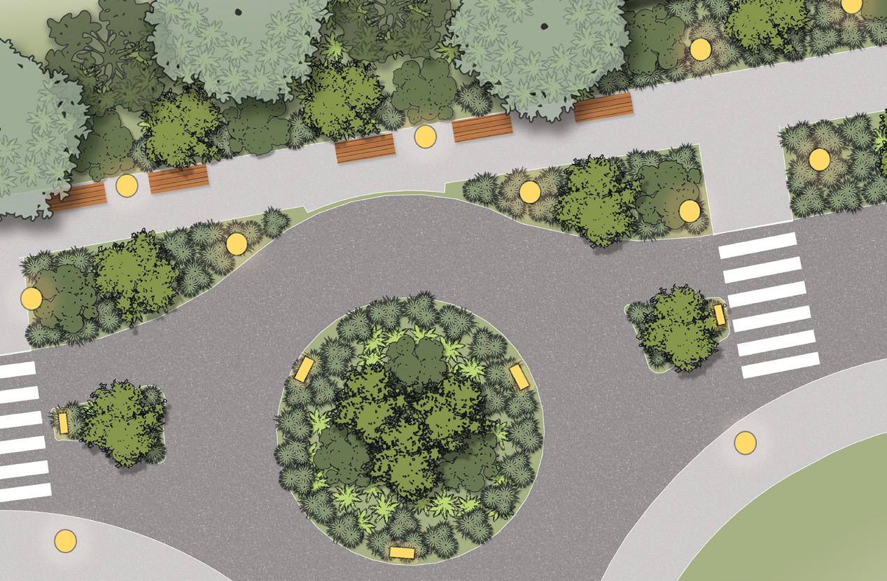
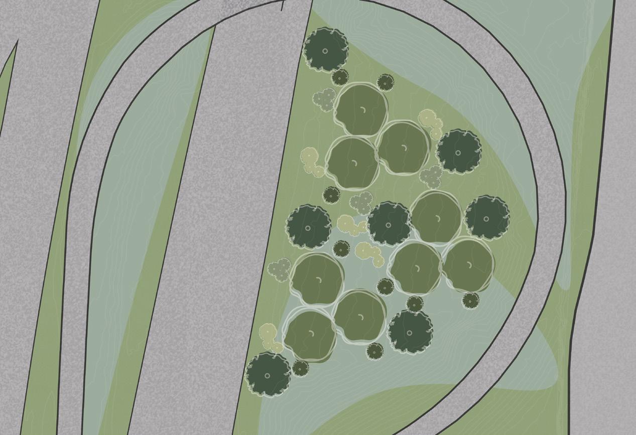
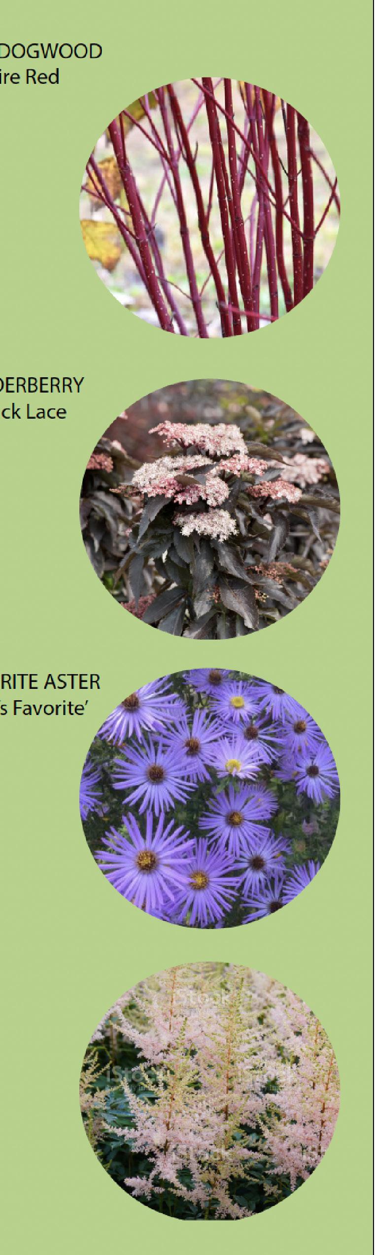
Cincinnati faces increased heavy rainfall due to climate change, overwhelming its sewer system and causing untreated sewage to pollute local waterways. The “Cloudburst Cincinnati” project focuses on addressing flooding at its source as to lessen its impact on the combined sewer system. Cloudburst Cincinnati has created six unique typologies and integrated them into a cloudburst system recommendation for both the City of Cincinnati and the Midwest writ-large.
This project was a combined Urban Planning and Horticultural Science effort, focusing largely on nonstructural intervention for flood mitigation and floodplain naturalization. Utilizing Olmested’s idea of ecological function rather than a specific species focus, the planting typologies address form and functionality with adaptable planting recommendations that are conditions specific rather than a specific plant schedule.


Hillside

Project outcome
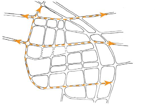
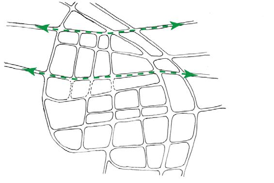
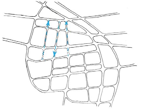
The Cloudburst Cincinnati plan focuses on two north-to-south green networks that follow existing floodplains, along with a third running down the middle of the city. East-towest connections are established within a one mile buffer of these core paths to channel flood water back into these connections and to the Ohio River. The goal is to address flooding where the water falls and create mainly nonstructural interventions for gradually reintroducing runoff into the water table, mitigating flood damage.
Cloudburst Cincinnati establishes a Master Plan (that can be viewed from the QR Code on the previous page) for a large scale integration of the six design typology solutions in order to mitigate combined sewage overflow risk. Existing park systems and green spaces are integrated into this plan.
These solutions improve pedestrian safety and access, biodiversity, and water filtration, while mitigating significant amounts of storm water runoff to protect the public and environment alike.
Applied on a larger scale throughout the city, we would see a significant reduction in combined sewage overflow events. Large rainfall events could become an asset to the city, providing more diverse ways to interact with ones surroundings, rather than a hazard.
Research began with GIS analysis. This data was exported to Autocad for drafting. The buildable layouts were then brought from AutoCAD to Adobe Illustrator in order to create full-color, plantable renderings with a consistent visual style. The project’s ArcGIS Storymap contains further planting and design details along with descriptions of their function.
green street refuge
social basin boulevard

CONCEPT MAP
CAP THE GAP
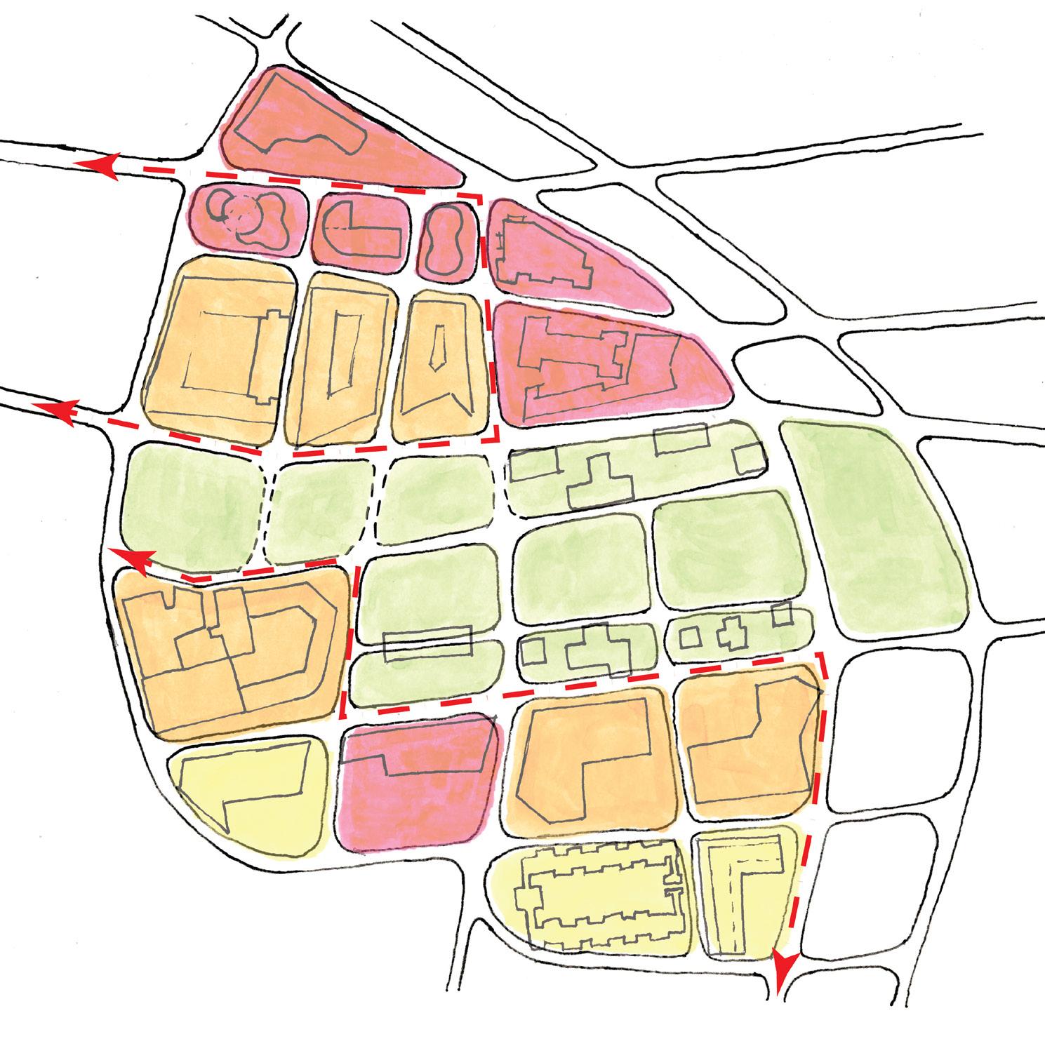
Cap The Gap aims to create a Queensgate for everyone by promoting connectivity, environmental remediation, and equity through design. By implementing a linear park system, diverse housing and office stock, and adaptive reuse paired with infill, this multi-phase project will rejuvenate the Queensgate neighborhood after decades of neglect.
Connectivity/Mobility
-Linear park spine
-Bus and train connections and hubs
-Small block sizes
Equity
-Diverse housing stock and options
-Diverse office stock
-Mixed-use
Environmental remediation
-Site clean-up
-Adaptive reuse and infill
Summer studio ‘24 Queensgate
Cap the gap
Instructor: Sangyong Cho
Year: 2024
Team: Abdullah Al-Wahaibi, Mohamed Alobaidani Florence Q. Montecalvo, Lillian Sider
Descriptions:
Cap The Gap was a group project to connect the Queensgate Neighborhood of Cincinnati with the rest of the city. The project was done in cooperation with Bridge Forward, a local advocacy group interested in using the Build Back Better funding Cincinnati received to cap part of the highway, slim the Spencer Bridge, and create more land for future development.
Our project aimed to do so in a way that protects the 125 residents of Queensgate who live in the long-term housing units provided by Homeless Resources Program while restoring the historic community network that has been destroyed by the construction of I-71 and I-75.
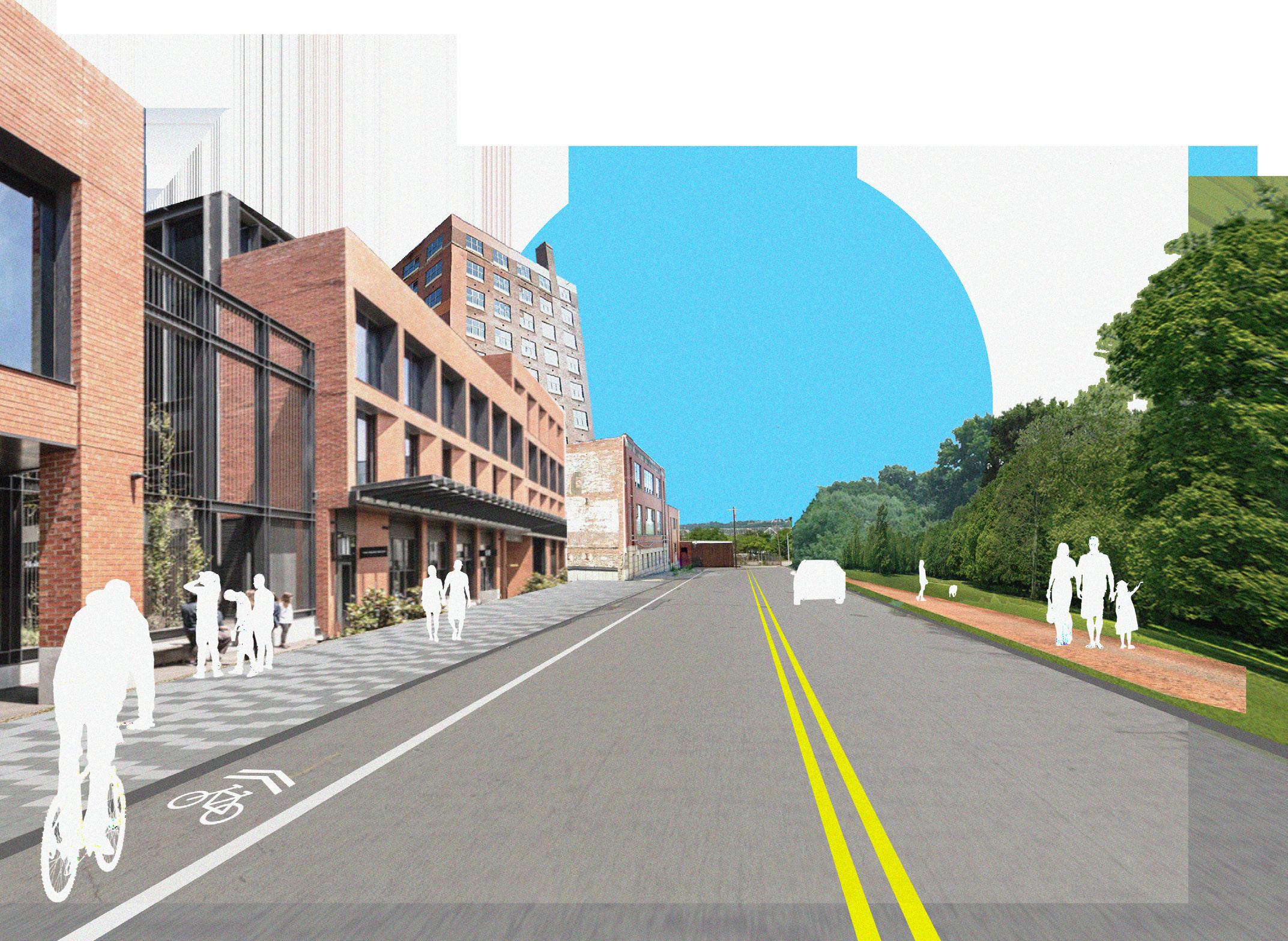
The figure to the left illustrates basic use, new street networks, basic massing, and activated streets, combining hand drafting, Photoshop, and Illustrator. The streetscape plan was seen as a conceptual model, illustrating our goals of using infill to protect landmarks such as the Hudepohl Brewery while also offering mixed-use housing and commercial opportunities. We believe that design can be used to protect communities, improve quality of life, and provide new opportunities for community care.
.02
I led both the hand drafting and digital rendering of said design into AutoCAD for my group. While my partners focused on policy, I performed a project manager and design based role.
This was a challenging semester, but one that felt deeply rewarding as we were able to present this to city council members and received overwhelmingly positive feedback.

Drafting and rendering work
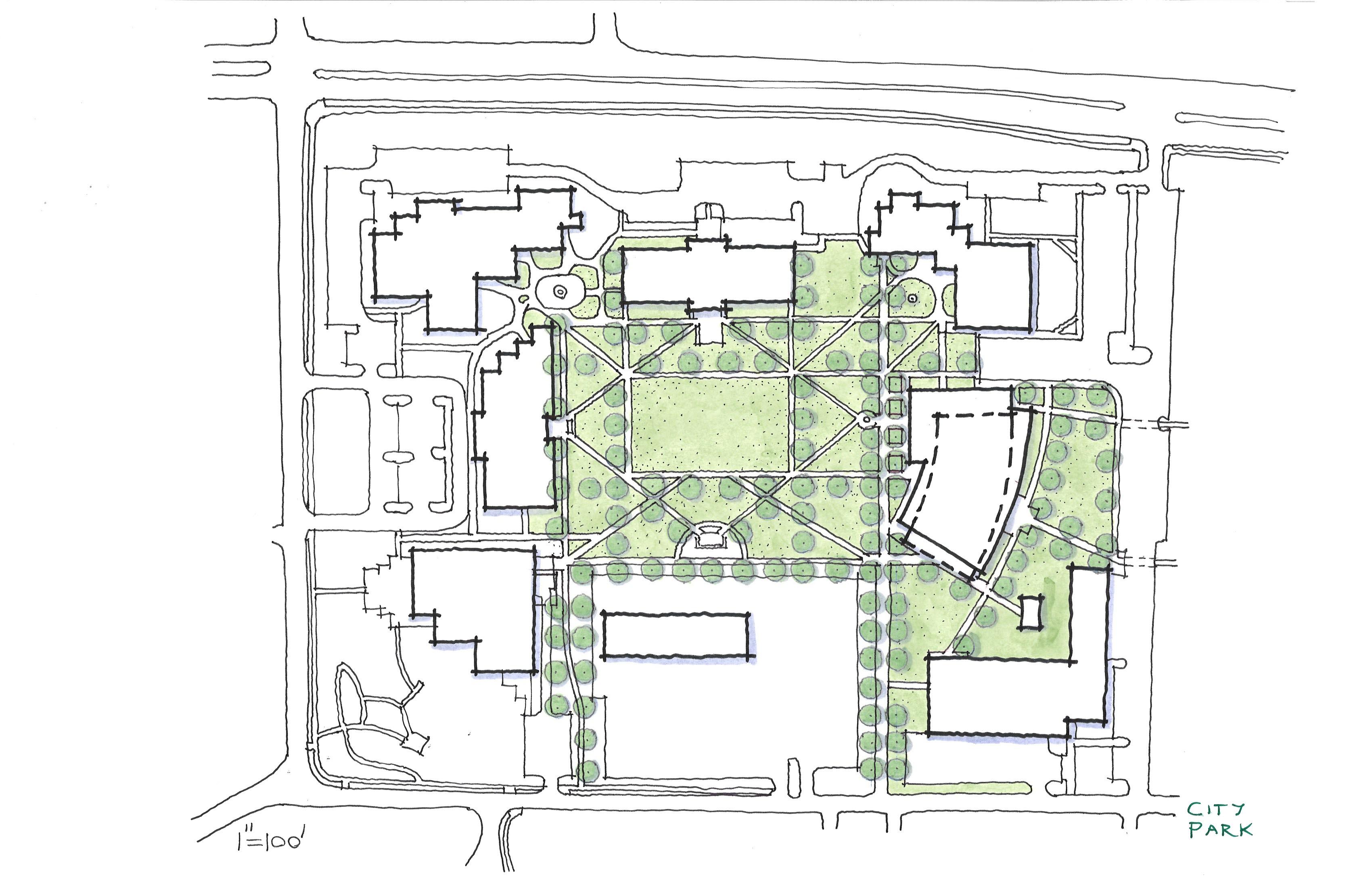
Descriptions:
The University Square project was a collection of 15 designs for a community college quad in North Carolina. I worked under my supervisor, Michael Copeland, to translate his designs from a CAD drawing into diagrams for the clients. I spent 15 hours in a single day drafting each layer from CAD into a separate sheet of draft paper so I could then manipulate them independently in Photoshop and create a greater sense of visual hierarchy. I believe graphic communication and the ability to be understood through graphics alone, letting the work speak for itself, is essential in any design related field. Creating a consistent visual language is paramount for to its success.
University Square
Firm: ColeJenest & Stone
Year: 2022
Team: Michael Copeland, Florence Q. Montecalvo


Landscape Architecture .04
Descriptions:
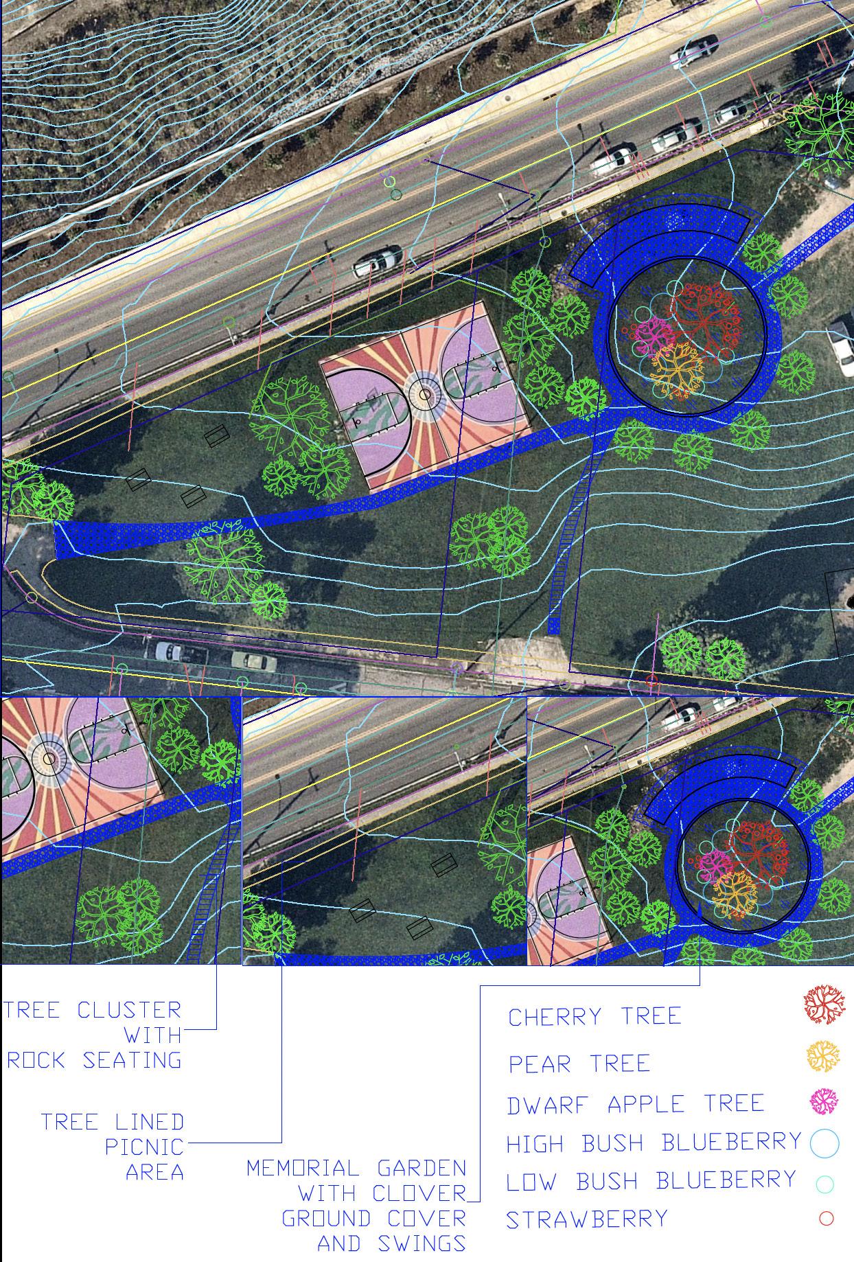
Cincinnati recreation commission
Client: City of Cincinnati
Year: 2022
Team: Whitney Huver, Florence Q. Montecalvo
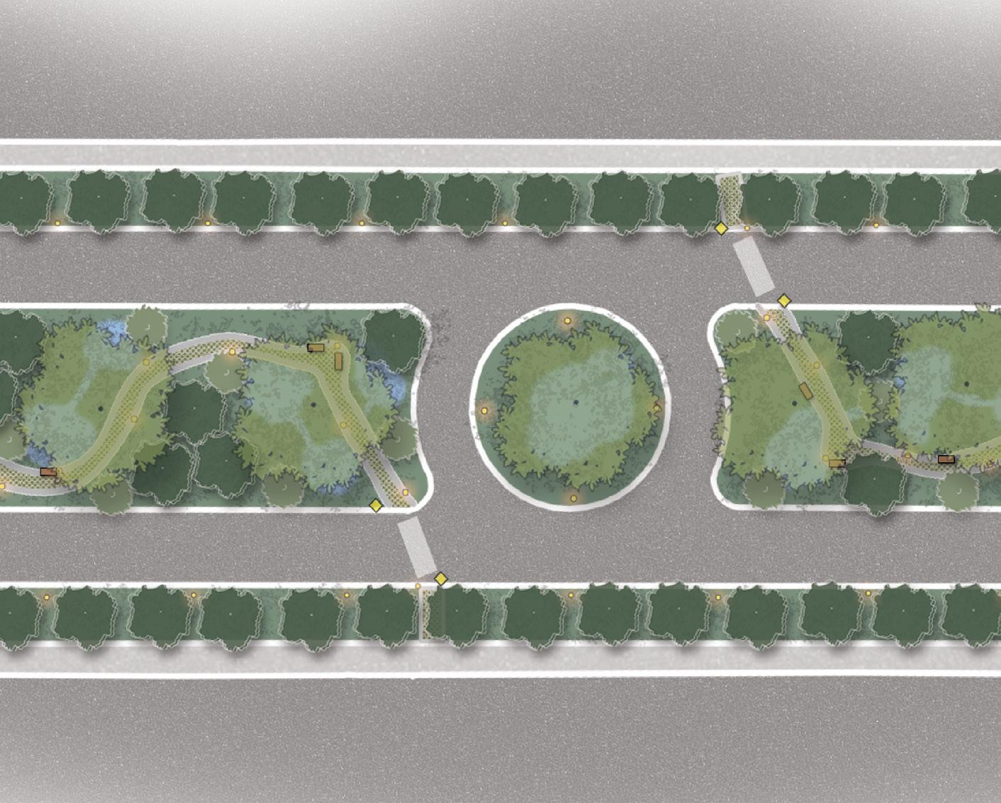
While working for the CRC, I was tasked with two self-led projects that still stand as some of my favorite work throughout my studies. The construction document on the left is a park I designed for a corner lot memorial park next to the Cincinnati Zoo, mainly meant to be conceptual and for internal use. The figure to the right was the first planting diagram I designed myself and deeply shaped how I render digitally. If a project is meant for clients, I prefer to export my CAD design to Illustrator to have greater control over color, hatching, and line hierarchy than in CAD alone. I have found an aesthetically pleasing diagram is easier to get approved than solely including build documents.
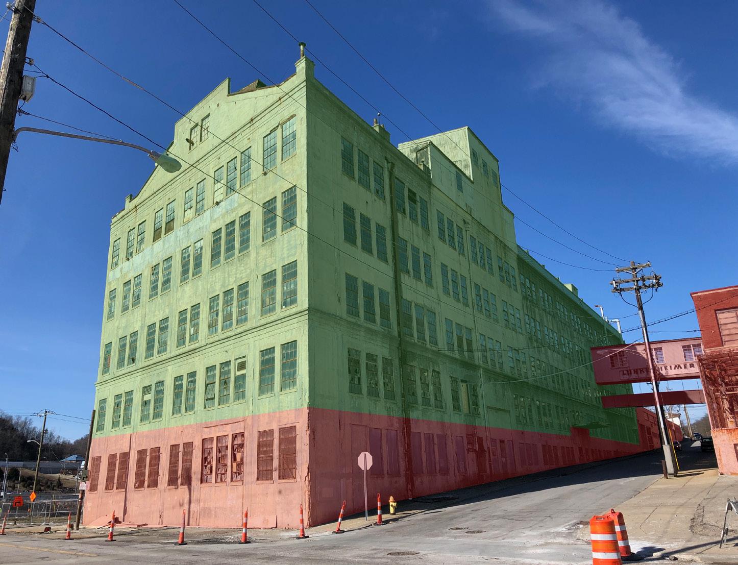
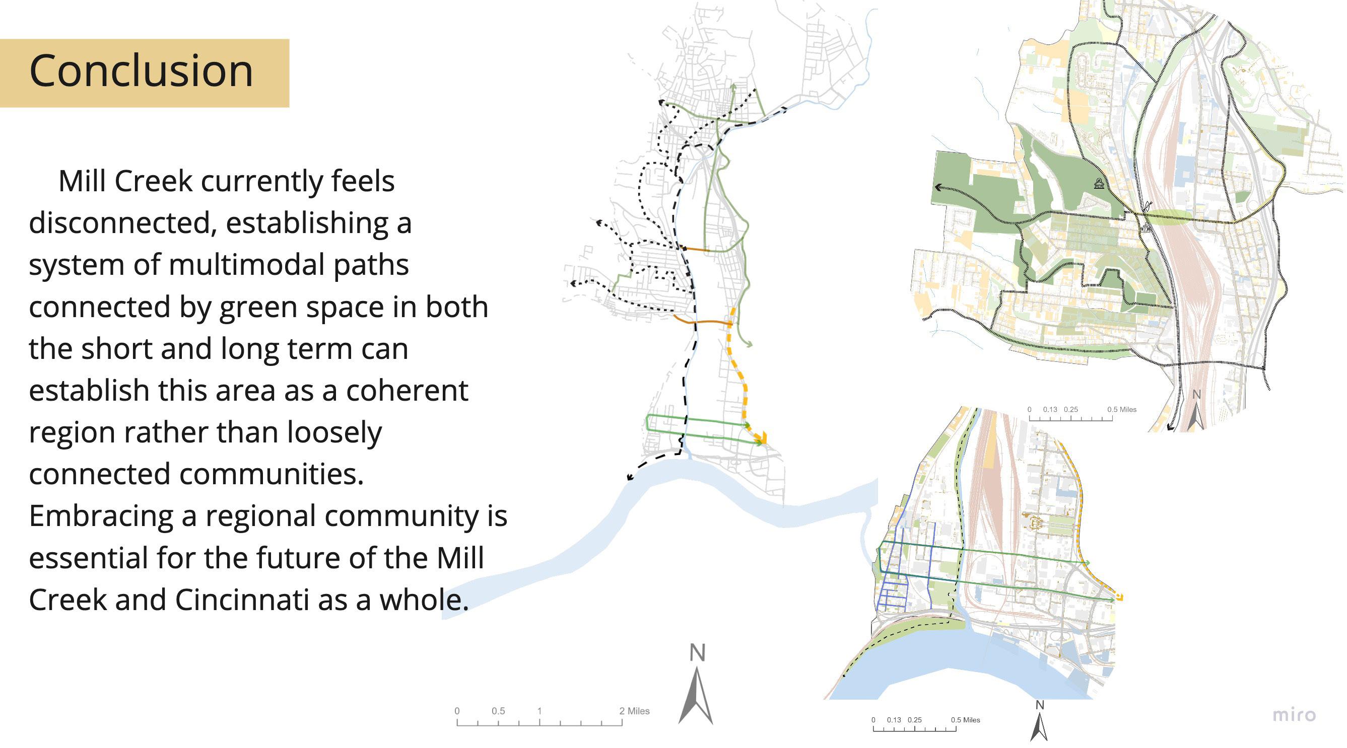
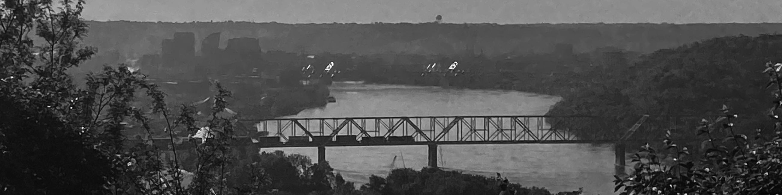
Connecting mill creek
Instructor: Shilpa Mehta
Year: 2022
Team: Arika Browning, Emily Jackson, Florence Q. Montecalvo
Summer studio ‘22 Mill creek alliance .05
This summer studio focussed largely on GIS analysis and master planning rather than a site specific scale. Most of the project was concerned with zoning changes, identifying and establishing pedestrian and bike connections, and identifying areas of opportunity for green uses and education.
This semester long project helped me to establish my proficiency in ArcGIS Pro and explore ArcGIS Online and Storymap as a means for editing and publishing work collaboratively.
While my graphics work as well as my use of GIS has evolved considerably from this project, the experience showed me that it is often more important to know how to find the answer to a technical question than to have the answer.