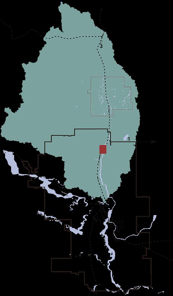
Thank you for taking the time to explore my portfolio. The coastal, historic city where I grew up is the initial point where my appreciation for landscape starts from. In the wooden houses scattered among newly built neighborhoods, the winding alleys, and the humid subtropical rainy seasons, new coexists with the old, each is filled with possibilities, sparking my curiosity about their past and future. Through my designs, I try to explore the processes of urban and rural landscapes, uncovering unique graphic patterns and embracing the site stories in a way that is vibrant, sustainable, unique and forward-thinking. This portfolio begins with the riverfront explorations, moves through post-industrial reflections, climate adaptations, creek morphology, finally ends with Calgary’s urban observations. It is beyond being a collection of designs, it represents observations and ideals inspired by the regions and landscapes I have experienced while living and studying.
Design Projects
CONTENT
The Interwoven Spaces
Transitional space as a place of Tranquility for Connectivity, Memorial, defense, and Recreation
Academic | Individual Design
Embroidery On The Terrain
Memorizing and retrofitting the abandoned coal mining heritage
Academic | Individual Design
Axis Of Green
Climate positive landscape design for underutilized urban spaces
Academic | Team Work
Curve In Motion
Nose Creek watershed restoration & educational trail
Grasshoppers mapping - Reshaping industrial spaces for urban growth in Mexico City
Academic | Individual
Under Shelter
Photography series of urban infrastructure
Academic Individual
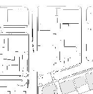
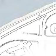
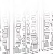
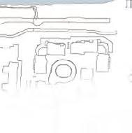
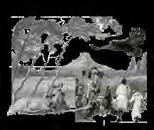
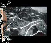
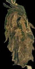
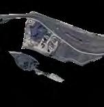
Hand sketch of a view of small alley in the historical residential area in Fuzhou China by Feiyuan Lin
THE INTERWOVEN SPACES
TRANSITIONAL SPACE AS A PLACE OF TRANQUILITY FOR CONNECTIVITY, MEMORIAL, DEFENSE, AND RECREATION
Academic | Individual Work
LAND 604 Landscape Architecture Studio I
Winter 2022
School of Architecture, Planning + Landscape, University of Calgary
Instructor: Tawab Hlimi & Tanya Goertzen
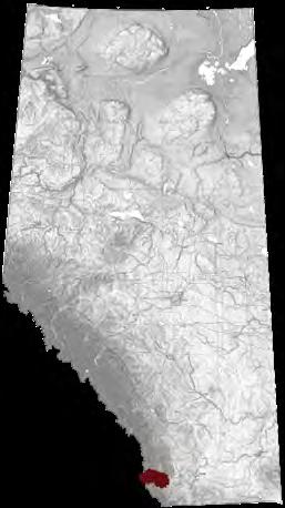
Location: Calgary, AB
Duration: 3 weeks
Software used
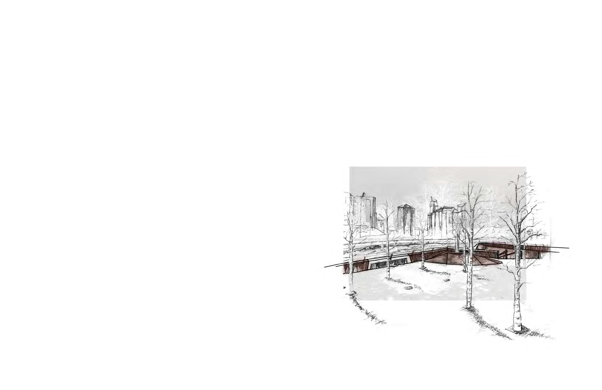
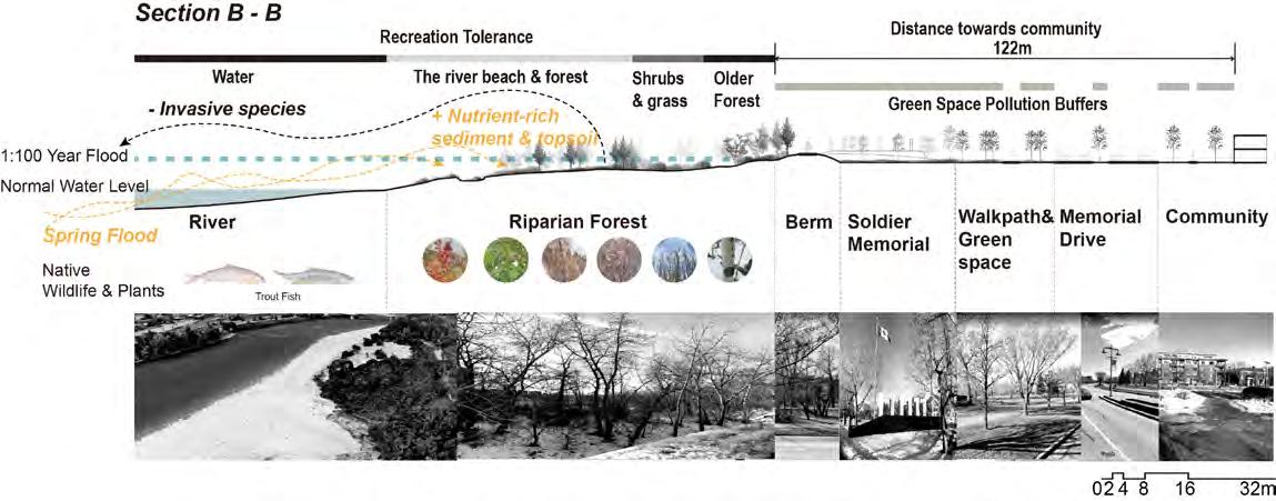
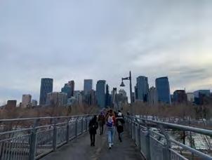
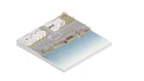
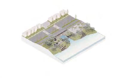
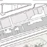
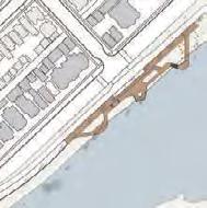
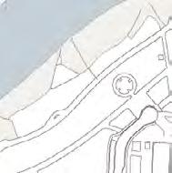
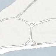
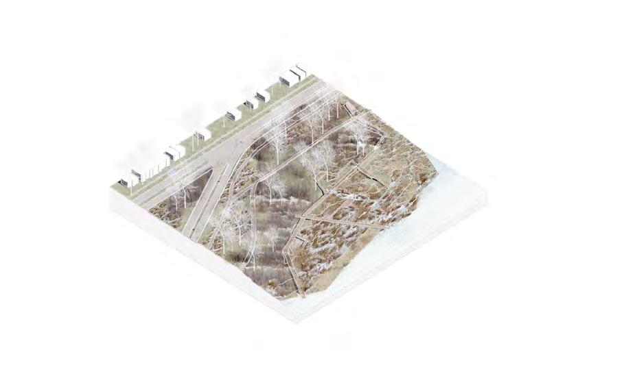
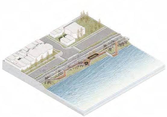
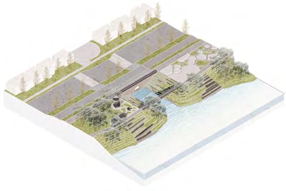
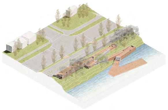
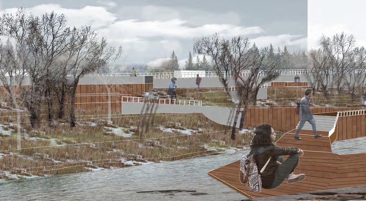
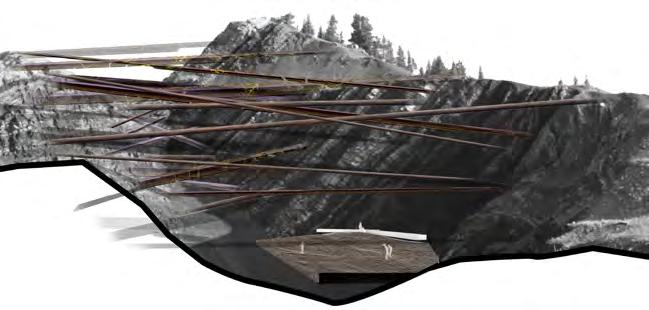
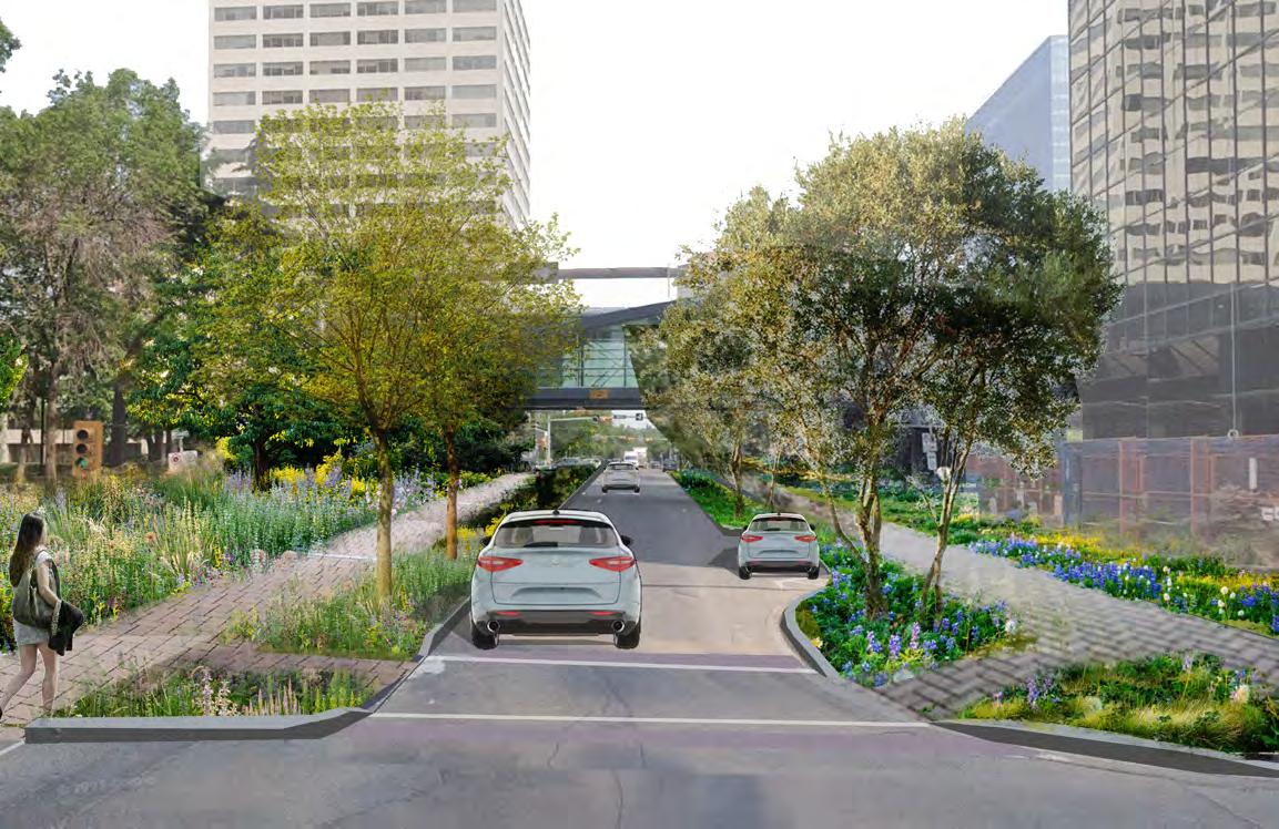
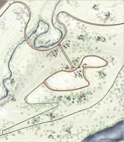
The project aims to enhance the transition and connection between riverfront community and river nature by integrating riparian natural, flood management, soldier memorial cultural, and spatial dimensions. It captures five key moments to create a continuous, safe east-west riverfront path and improve north-south river access for the community. New and existing flood control berms act as thresholds, shaping the experience and managing flows of pedestrians and cyclists, while also representing flood mitigation standards. Graded paths blend with the site-sensitive landscape to enrich the contemplative experience.
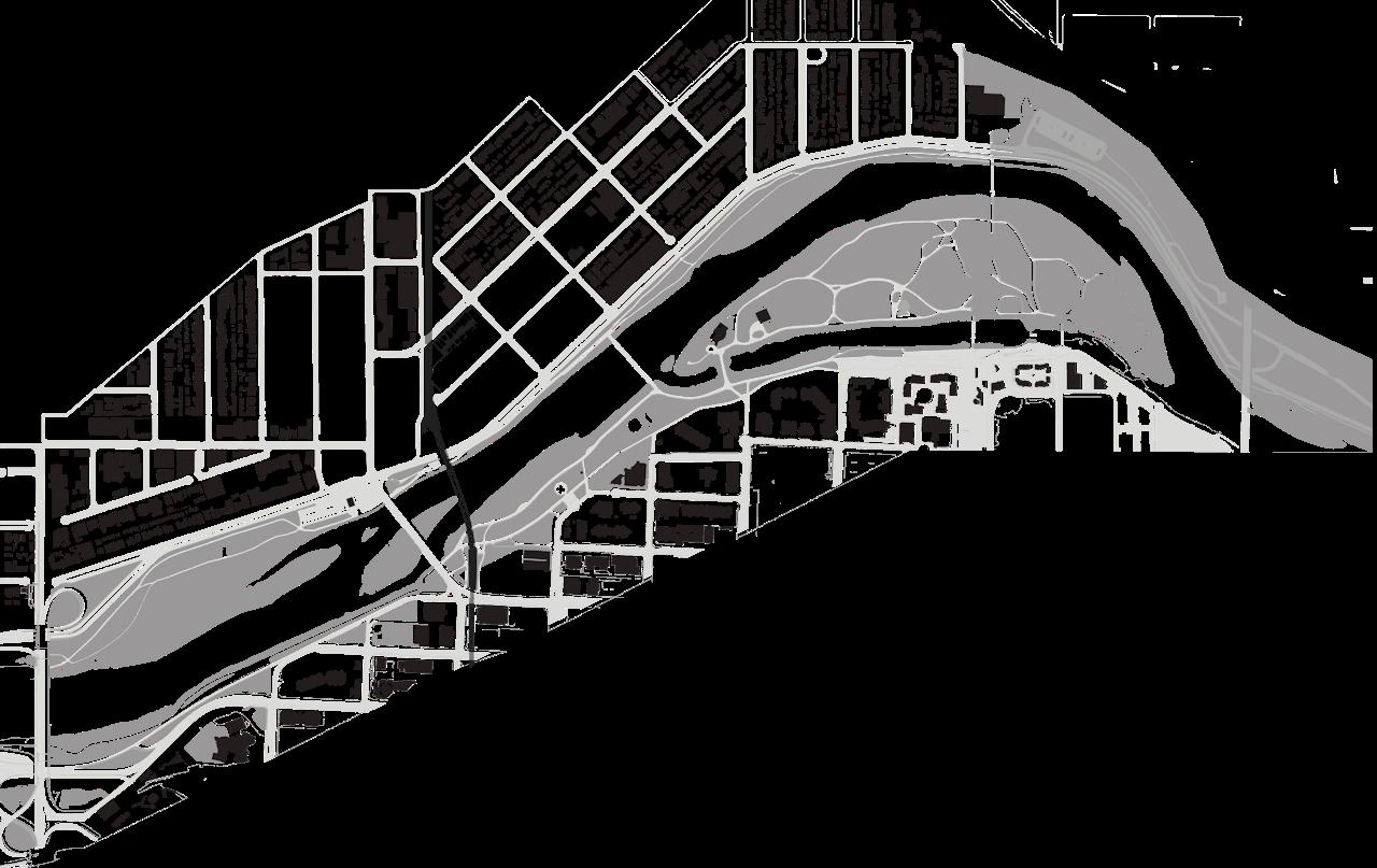
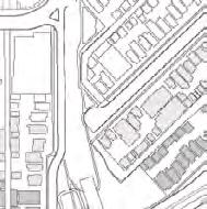
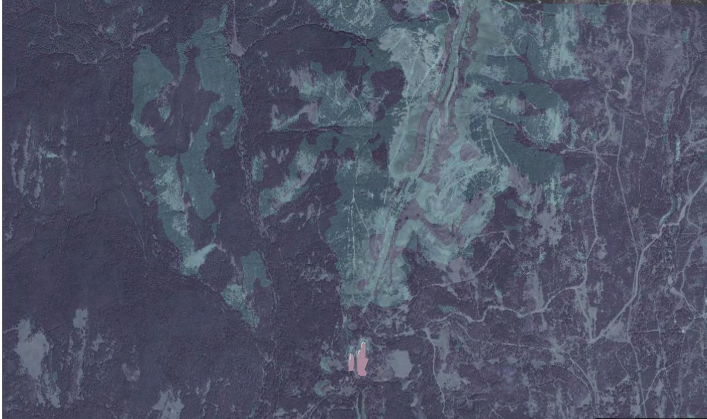
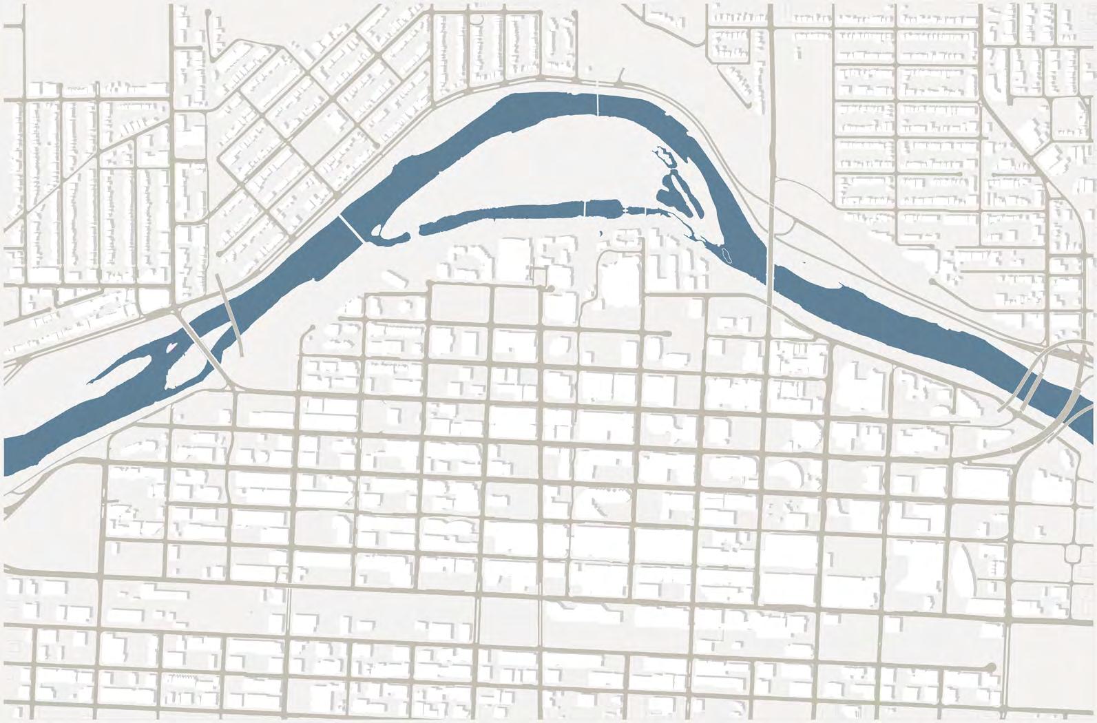
CONTEXT
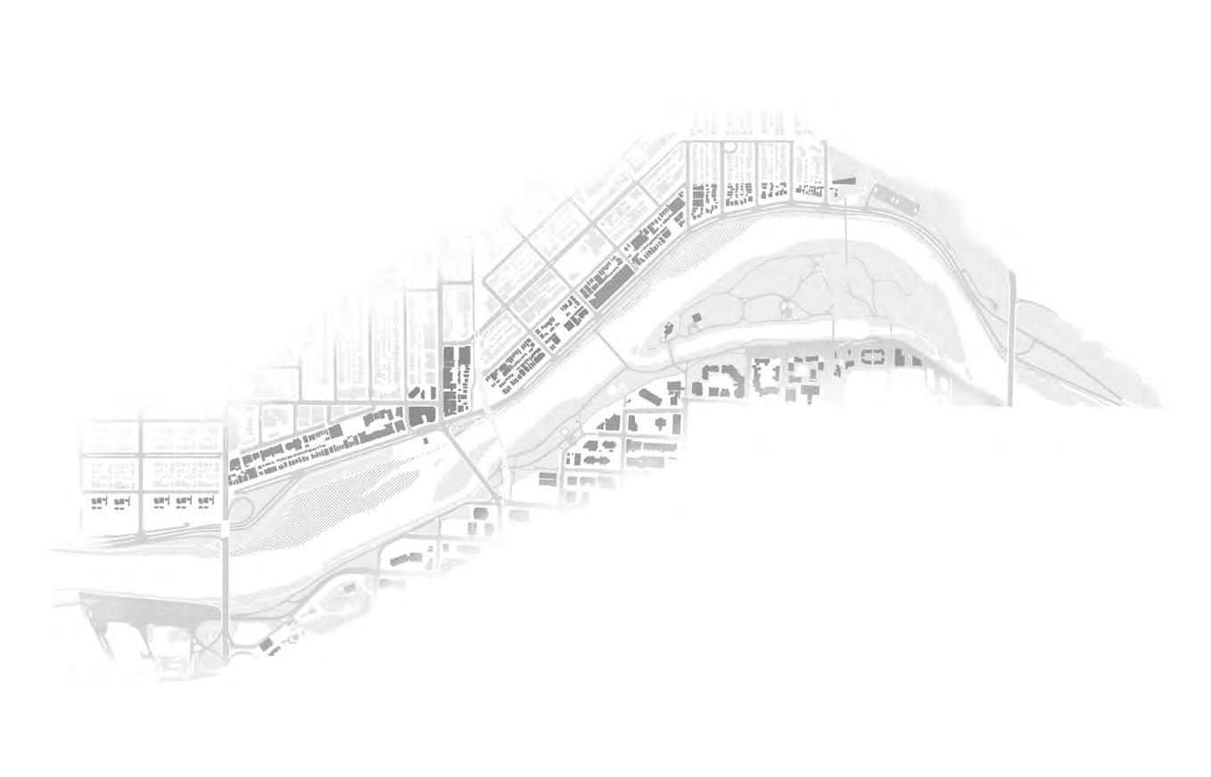
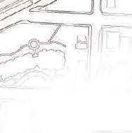
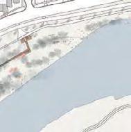
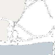
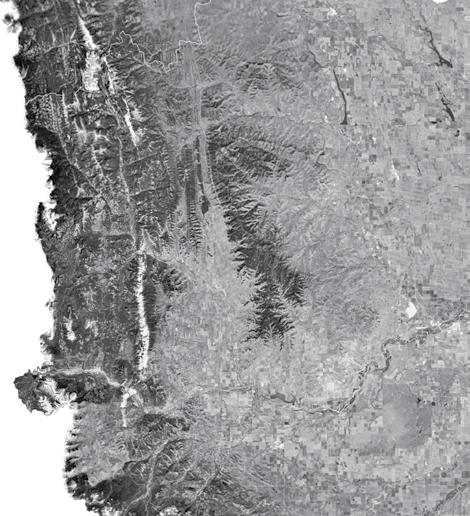
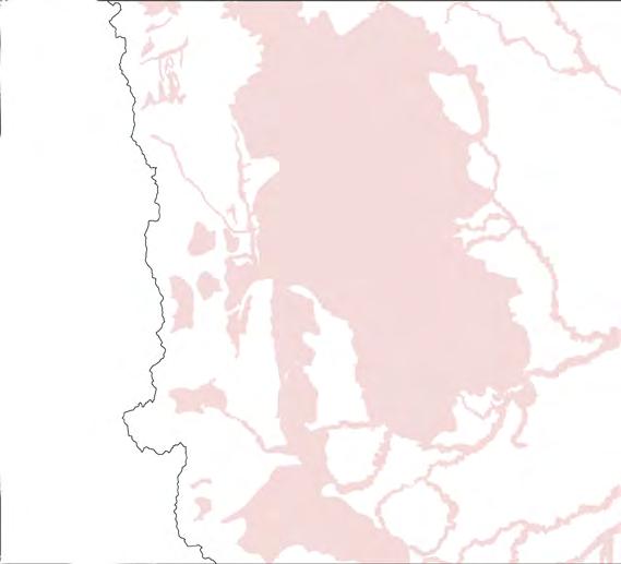
The site is situated in the north bank riverside of Bow River in Calgary surrounded by Hillhurst and Sunnyside communities and Memorial Drive. The space in between urban and natural locations are transforming due to the passage of time, altered with natural conditions, and a continual human imprint. Several locations in the Bow Riverside are uncredited or neglected and unsafe and seek to be transformed.
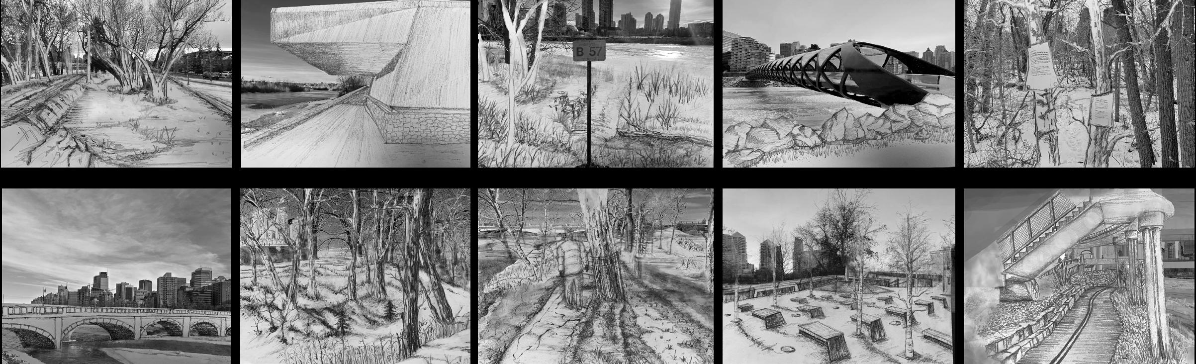
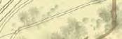
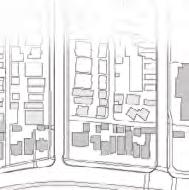
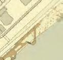
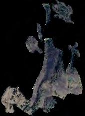
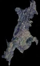
The 10 images below are Hybrid drawings showing the observation, interpretation of the existing site conditions of the transitional spaces with both urban and natural characteristics. (Hand sketches over photographs)
BowRiver MemorialDr.
Downtown
Hillhurst Sunnyside
Site analysis phase group work with Eti Borah
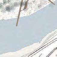
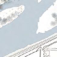
The riparian to the east of Lousie Bridge is identified as prone to urban disturbance and has more stormwater outlets. And the riverside and the surrounding community are prone to flood because the space is narrower and the slope of the riverbank is getting steeper toward eastwards.
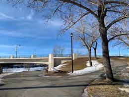
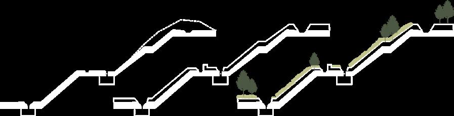
The sections investigate various spots of the Bow Riverfront adjacent to the Hillhurst and Sunneyside communities, study the interactions among riverfront slope, space users and riverfront activities, and reveal the issues and the hidden identities and cohesion of these spots (moments).
Section 1-1’: Flooding, riparian analysation and unseen Soldier Memorial feature
Section 2-2’: Narrow riverside and conflicted paths
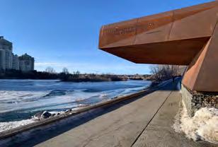
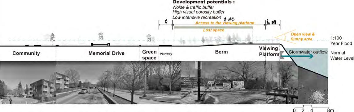
Section 3-3’: Lost space and the unseen storm water outflow viewing platform
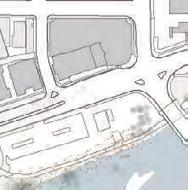
DESIGN CONCEPT & MASTERPLAN
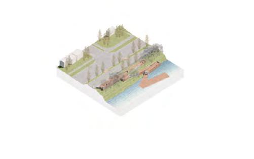
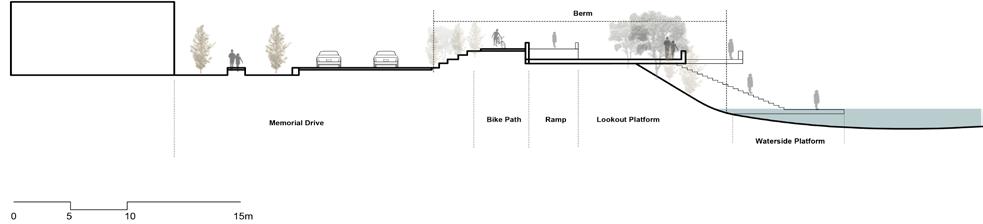
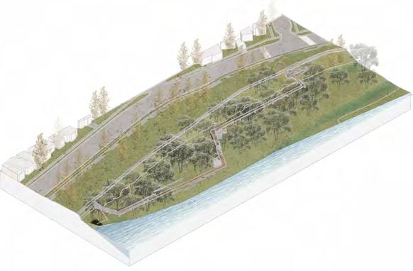
The design closes one lane of the memorial drive between Louise bridge and Pedestrian bridge to form a community lane vibe to provide spaces for berm and path. The existing flood berm is raised by 1.5m, and integrates earth berm with flood wall, river path, and space enhancements. The 5 moments capture the sites’ special identities which could also be seen as a part of the bigger picture masterplan.
1. Spatial Connection: the pathway; river & community & berm
2. Cultural Connection: memorial features
3. Natural Connection: flood, riparian ecology
Moment 1 - An Axis of Culture and Nature (14th St
Bridge - Louise Bridge)
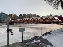
Moment 2 - Walking Along the River Edge (10 St - Peace Bridge )
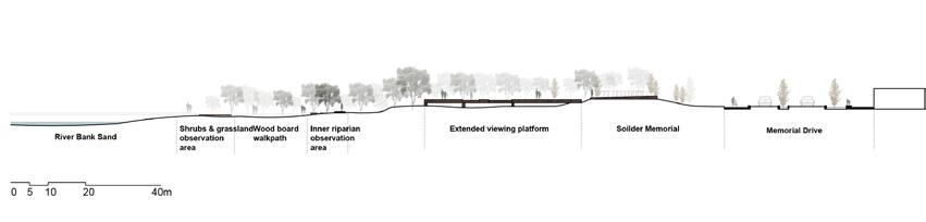
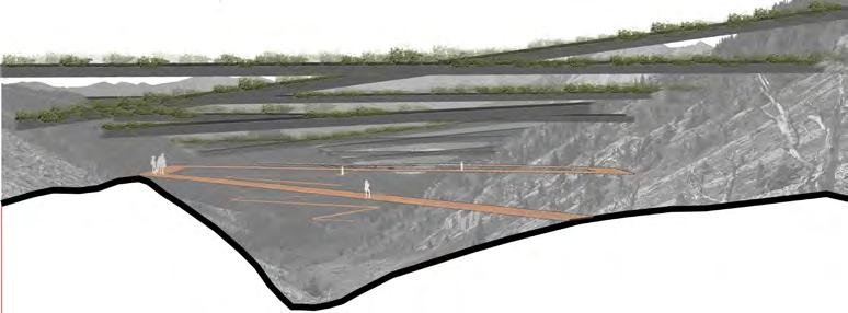
The design connects the Soldier Memorial Sculpture to the riparian forest through a path. A viewing platform extends from the memorial, aligning with the Military Museum across the river to form a visual memorial axis. A secondary path leads to an educational walk through the riparian forest.
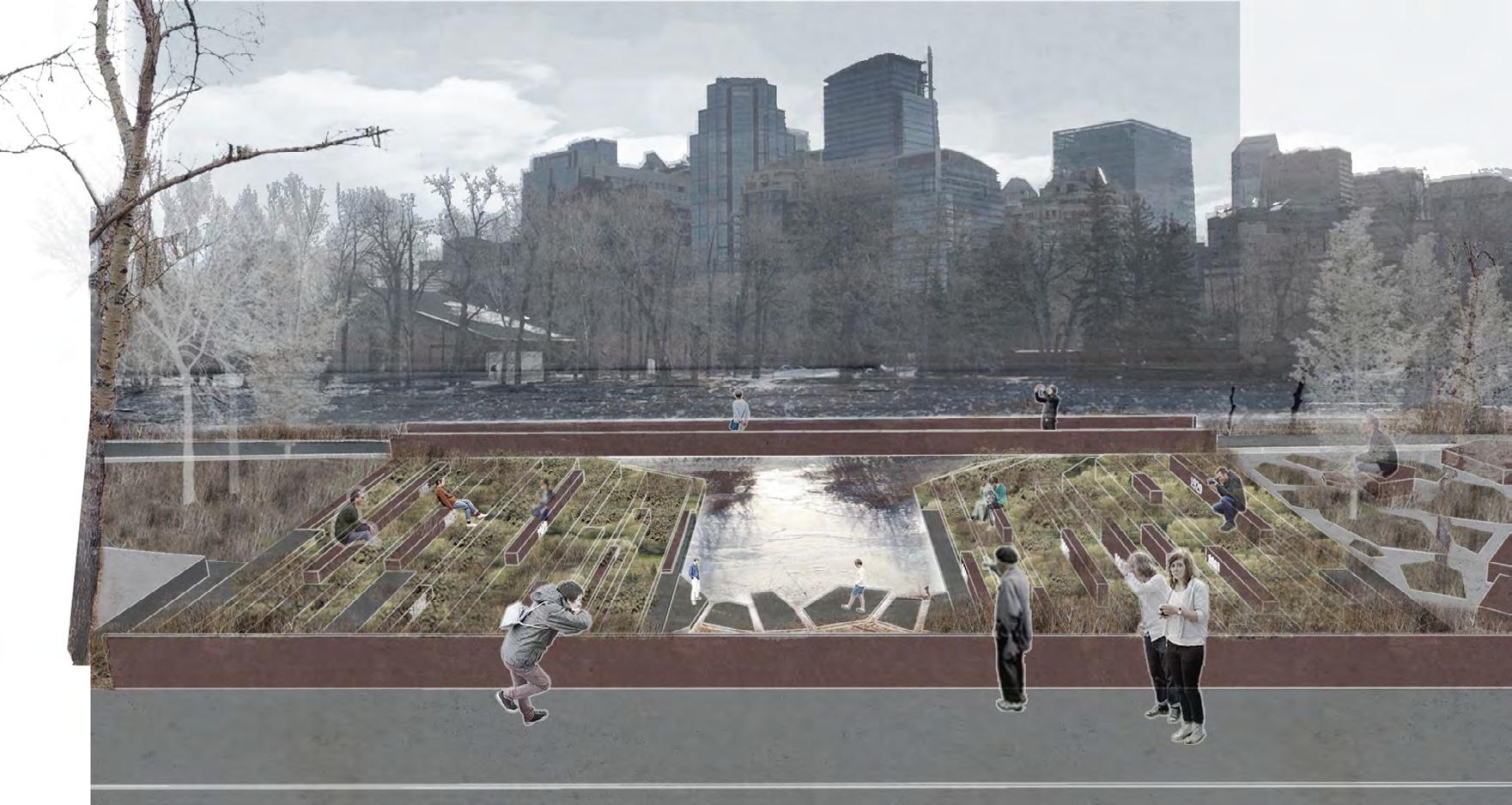
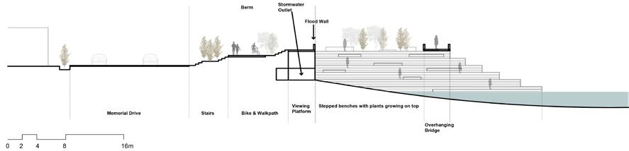
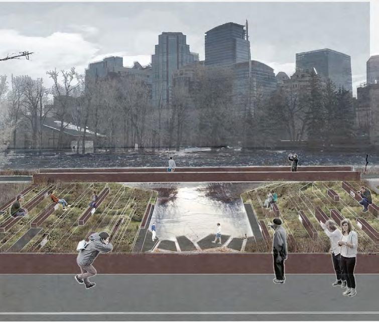
Moment 3 - The Big Opening (7th St Crossing, Old Stormwater Outflow & Viewing Platform Renovation
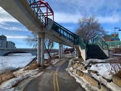
features a flood wall and ramp to separate cyclists and pedestrians. It includes an extended viewing platform and riverfront boardwalk to enhance the waterfront experience and visual access to downtown while creating a pause point for the Peace Bridge.
of the main entrance from community to the riverfront. The design removes the existing viewing platform to improve visual accessibility of the downtown through opening the space and transforming the stormwater outflow space into stepped seating areas with historical flood level marks and planted plazas.
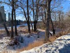
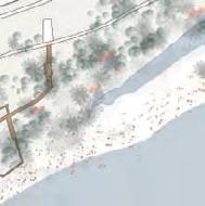
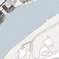
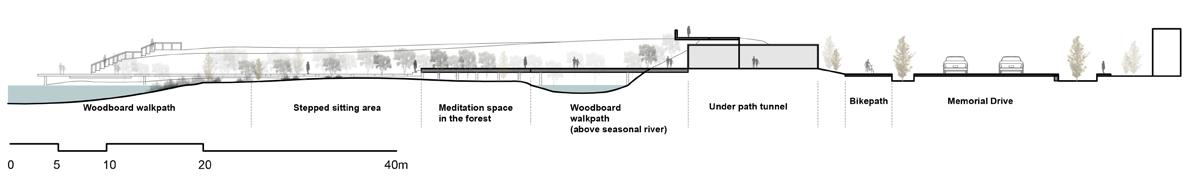
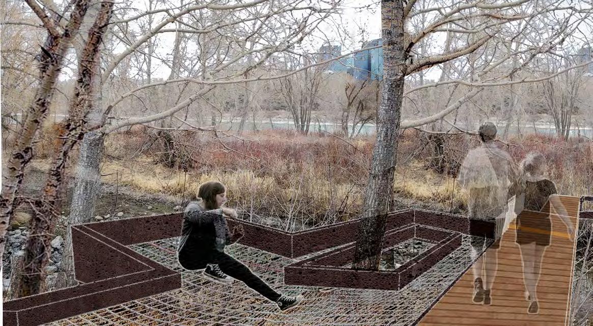
Moment 4 - Tranquility Meditation in the Forest
Connection between community & riparian nature
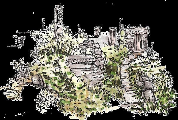
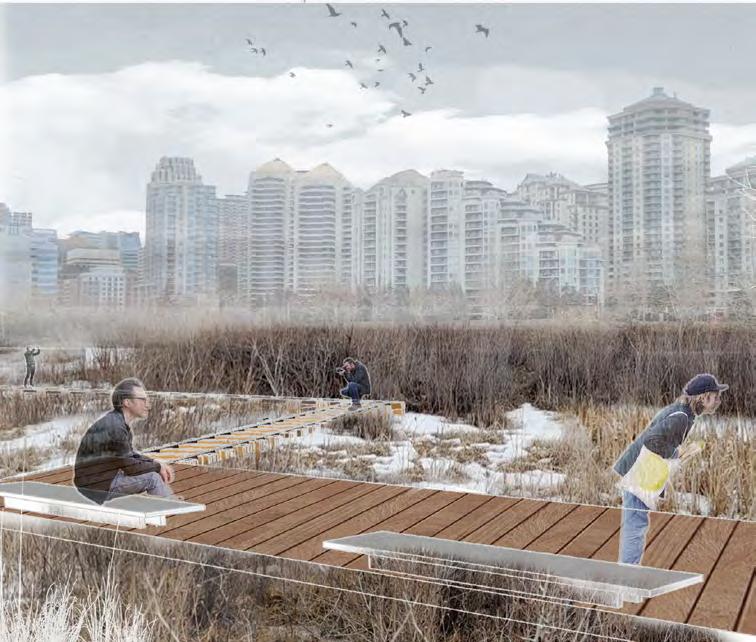
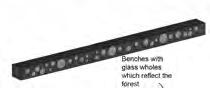
This riparian area, situated on lower, more environmentally sensitive terrain than Moment 1, features a raised flood berm with a tunnel near 5 Street NW to enable access to the riparian path. It is designed for passive activities, which offers a peaceful experience with a boardwalk along an ephemeral stream, hammocks for meditation, and distinctive benches incorporating glass elements to reflect light and forest scenes.
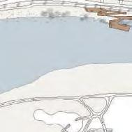
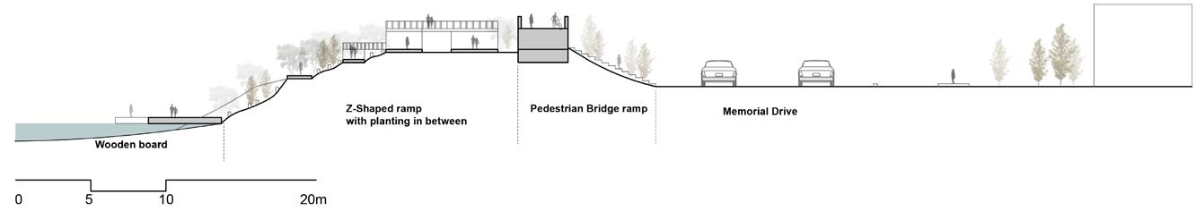
Moment 5 - Landing (Bow River Pathway Bridge, Lazy Day Raft Rentals)
Connection between community & river & topography
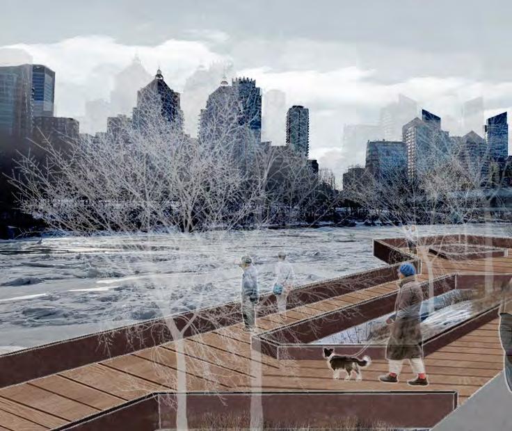
As the pedestrian bridge leading people to the riverfront path, visitors experience a shift from height to water level. The zigzag path and the lookout platform and the floating board enhance the sense of destination. The floating board also offers close interaction with the water and serves as a temporary landing for Bow River boating activities.
Woodboard
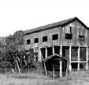
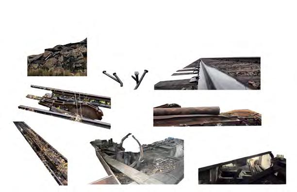
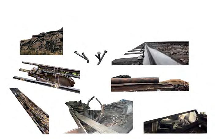
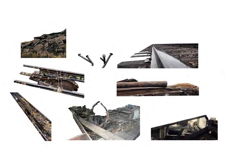
EMBROIDERY ON THE TERRAIN
MEMORIZING AND RETROFITTING THE ABANDONED COAL MINING HERITAGE
Academic | Individual Work
LAND 700 LAND700 Regional Landscape Systems Studio Winter 2023
School of Architecture, Planning + Landscape, University of Calgary
Instructor: Kris Fox
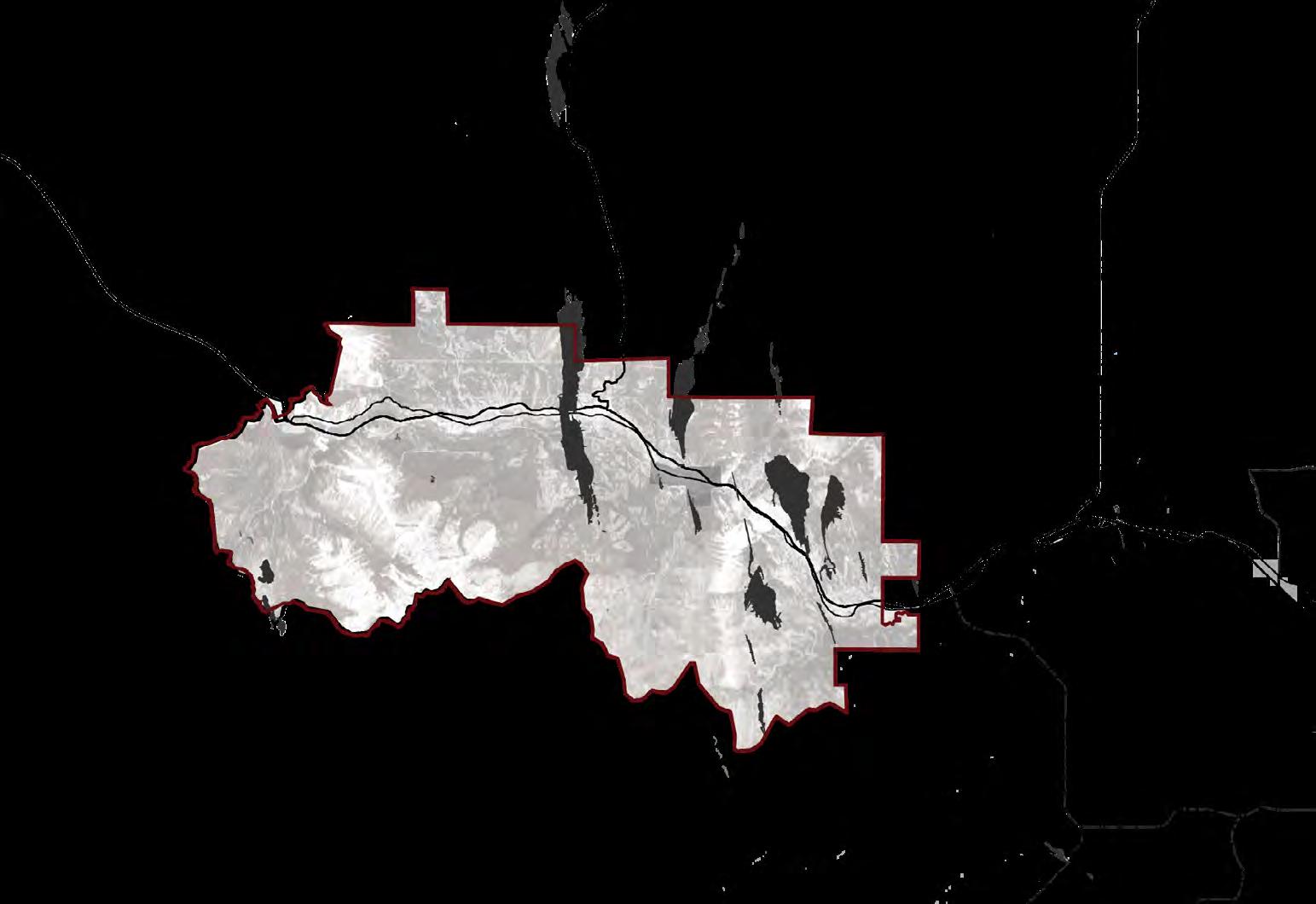
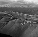
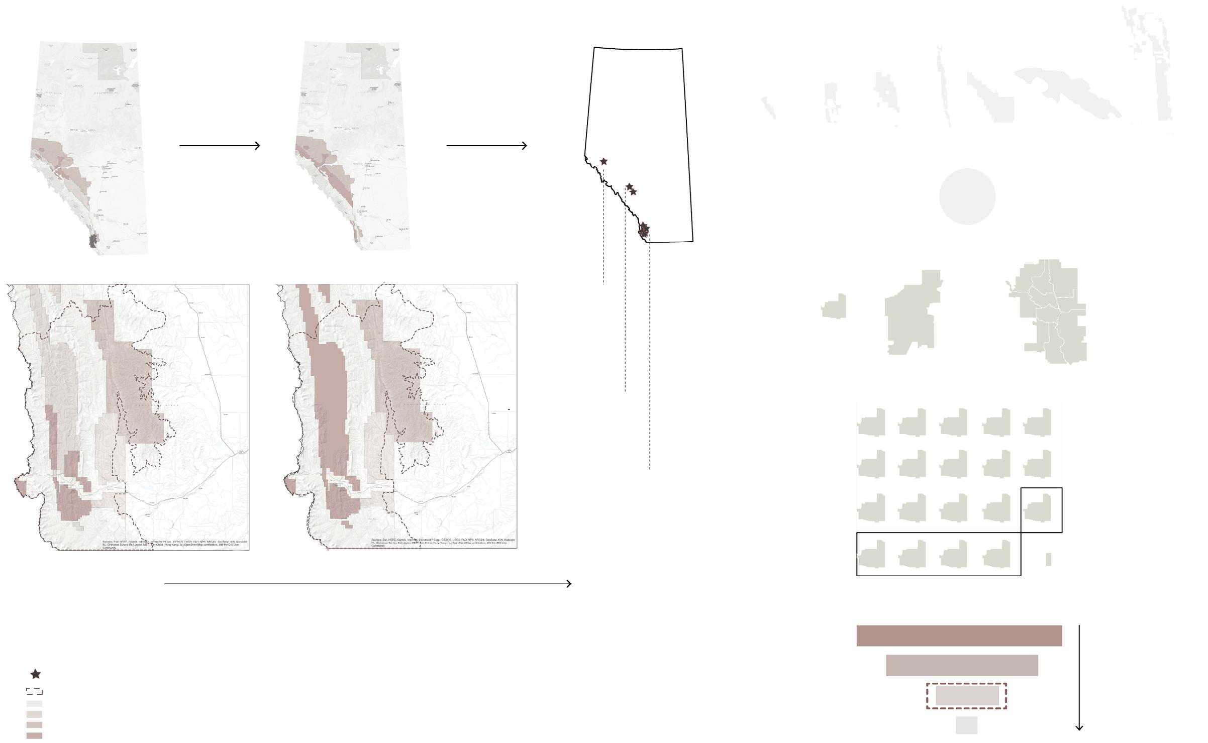
Location: Crowsnest Pass, AB
Duration: 3 weeks
Software used
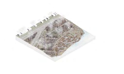
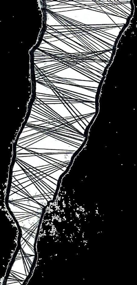
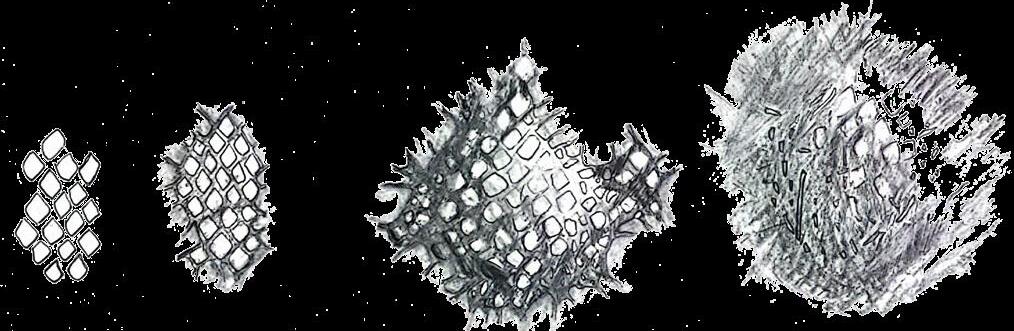
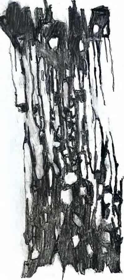
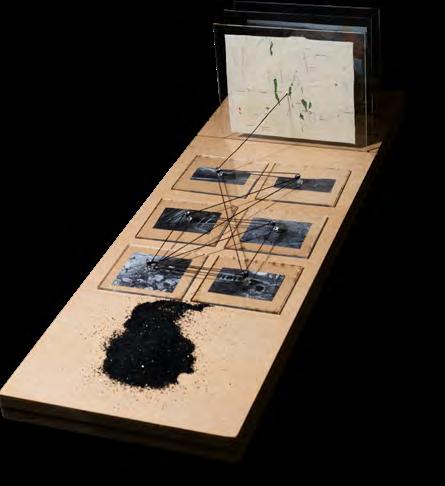
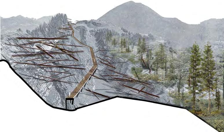
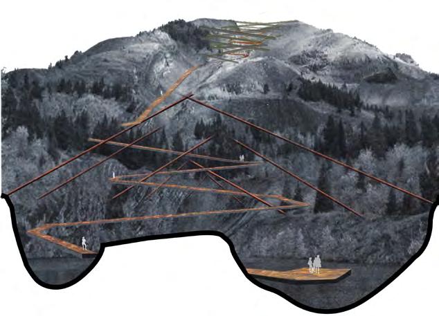
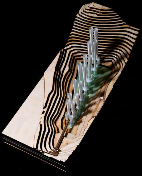
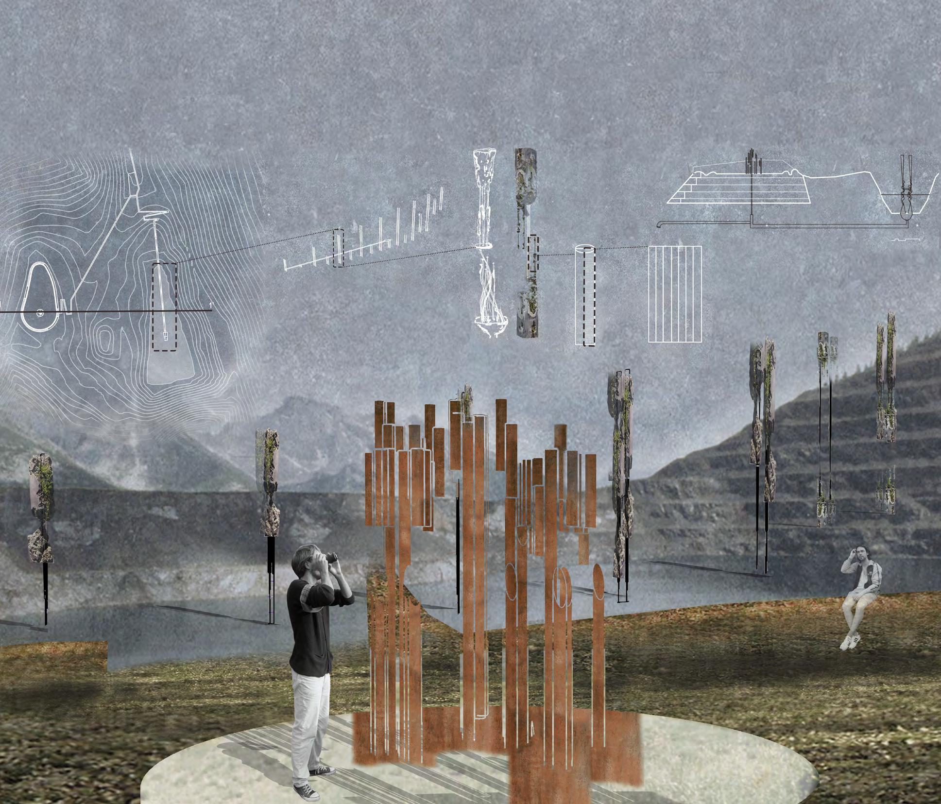
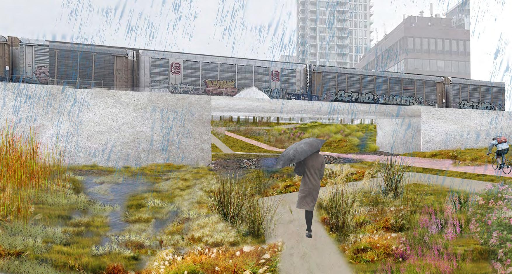
The project selected two abandoned coal mining sites in Crowsnest Pass to highlight land scars left by different historical mining activities. Through three monumental and restoration strategies, ‘Stitching, Grafting, and Pinning’, the design amplifies these scars instead of concealing them. The three strategies visually showcase the interference strategy ‘Embroidery on the Terrain’ on both plan and elevated view of the land, offering a fresh perspective on postindustrial landscapes. This approach aims to raise societal awareness about the economic and environmental challenges of coal mining.
Pinning
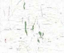
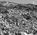
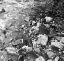
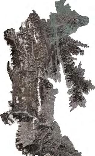
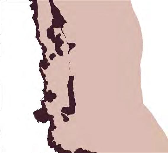
The site is situated in the Crowsnest Pass, on the eastern slopes of the Rocky Mountains at the British Columbia–Alberta border.
Crowsnest Pass was historically a hub for coal mining leaving abandoned mining pits, coal mine processing shops and ghost towns. Although there are mining-related tourist attractions, large areas of land remain disturbed and unmanaged, suffering from topographic changes, stream pollution, fragmentation, and abandoned infrastructure. With Alberta transitioning away from coal, addressing these scars has become a priority. With Alberta's energy economy transition away from coal, addressing these lasting scars has become a priority.
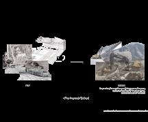
The box construction below represents the transformation of Crowsnest Pass, from its natural terrain to the fragmented landscape caused by coal mining. It embodies the design concept of symbolic 'Embroidery', restoring scarred lands and linking past destruction with future possibilities.
Frank Slide Blairmore Grassy mountain
Crowsnest Pass
Grassy Mountain
Tent Mountain
Coleman Blairmore
Bellevue
Leitch Collieries
Burmis
Lundbreck Cowley Frank Slide
Future mining expansions could negatively impact the health of the Subalpine and Montane natural ecosystems of the eastern Rocky Mountains, threatening key wildlife habitats including Mountain Goat, Sheep, and Grizzly Bear. Mining exploration routes overlap with critical aquatic habitats in headwater areas, which contaminates streams and affects water quality for downstream towns, exacerbating water stress in prairie communities.
Mountain Goat & Sheep
Grizzly Bear
Key Wildlife Habitat Zone & Biodiversity Area
Coal Exploration routes & disturbed streams
Disturbance of Coal Exploration to Fish Habitats & Downstream Towns
Site Boundary
Disease Buffer
Mountain Goat & Sheep Habitat Area
Abandoned Coal Mining Pit
Coal Mining Lease
Site Boundary
Grizzly Bear Habitat Linkage
Grizzly Bear Core Access Management Area
Grizzly Bear Support Zone
Abandoned Coal Mining Pit
Coal Mining Lease
Site Boundary
Key Wildlife and Biodiversity Zones
Abandoned Coal Mining Pit
Coal Mining Lease
Historical Old Coal Exploration Route
New Coal Exploration Route
Site Boundary
Main Waterbody
Critical Habitat of Aquatic Species
Coal Exploration Area
Abandoned Coal Mining Pit
Coal Mining Lease
City/Town
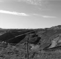
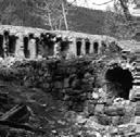
Section 2-2': "Along the cliff"
A walkpath along the cliff caused by mining. View of the exposed long cliff wall and the Grafting Revegetation.
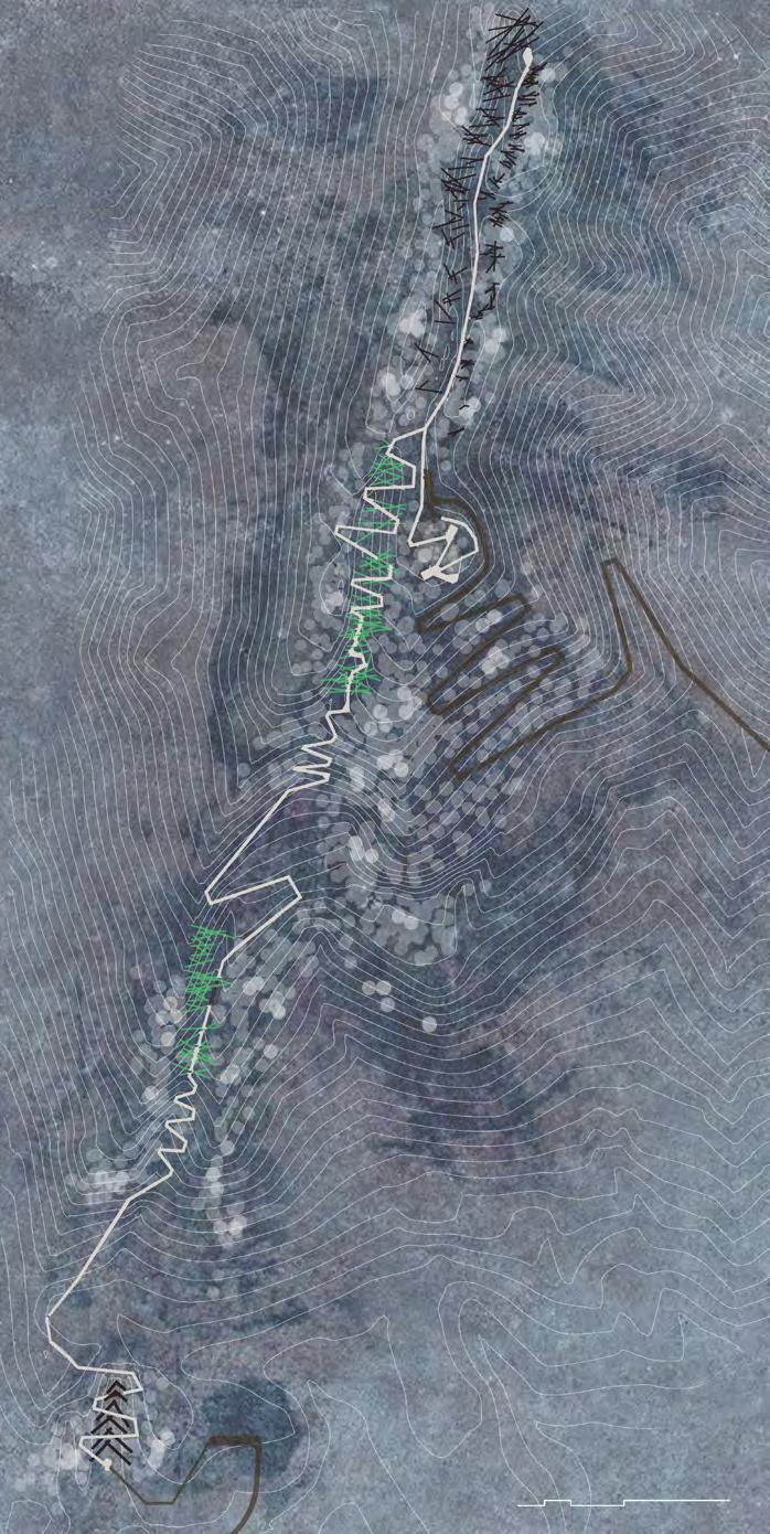
The design creates an east-west route connecting existing tourist sites, such as the Frank Slide and Blairmore Underground Mining Museum, with two new locations. On Grassy Mountain, the path follows a narrow scar, highlighting land damage and unique “nodes” along the way. The stitching concept repurposes abandoned mining materials, using rod structures to create open and enclosed spaces. The central viewing platform divides two tourist directions: the north, with hard material rods, represents past mining impacts, while the south, with vegetated rods, guides visitors to the pit lake, symbolizing future regeneration.
Recycling Materials
Section 1-1': "Be caught in"
Section 3-3': " Through the tunnel"
A walkpath slopes down of the hill covered by planted "stiching" metal rods. View of the shadow of the metal rods. With the growth of the vegetation planted on the historical metal rods, the path becomes more shaddy, and feels more enclosed.
A viewing platform in a deep pit. View of the soil and geology exposed by mining.
Section 4-4': "Look back at the bottom"
A walkpath and viewing platform on the pit lake. The viewing platform at the center of the pool invites reflection by looking back at the stiching landscape on the hillside.
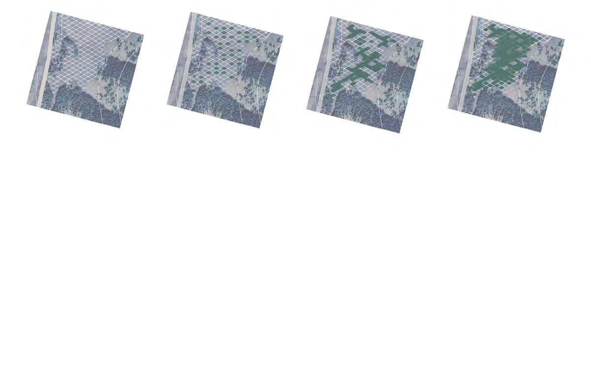
Slope Analysis and Revegetation Soil Box Structure Design Degradation
Soil Slope<30
Slope>30 - 75
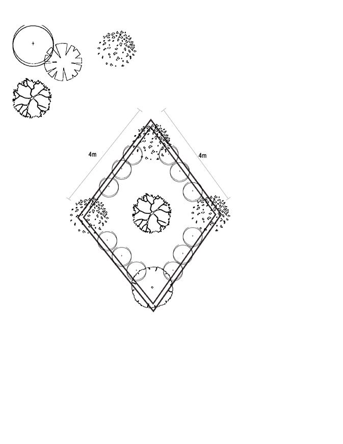
Phase 1: Install the grid of unit planting bed
Restoring the soil for planting are the priority for this strategy. The Soil Box is used to regenerate soil disturbed by coal mining. Slope analysis identifies areas for Soil Box application. Coal scum and ore soil are removed from the larger slopes and recycled as the base for the infrastructure. Only a small amount of planting soil is initially introduced, with the grid containing a purification structure for decontamination. Over time, the plants and Soil Box work together to further regenerate the soil.
Phase 2: 2-10 years plant growing
Phase 3: 10-20 years plant growing
Phase 4: 20-50 years plant growing
Early Succession
Early Succession
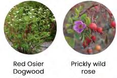
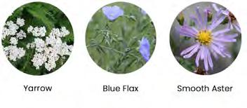
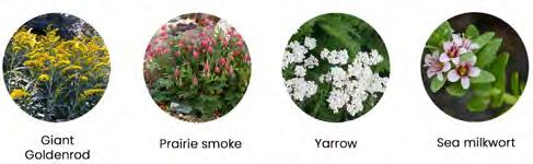
Green alder(Alnus crispa)
White spruce (Pinus glauca) Pine grass
(Calamagrostis rubescens)
Hairy wild rye (Leymus innovatus)
Paper birch (Betula papyrifera)
Lodgepole pine (Pinus contorta)
Douglas fir (Pseudotsuga menziesii)
Old-growth
Old-growth
Modular Soil Box planting
ENERGY SCULPTURE
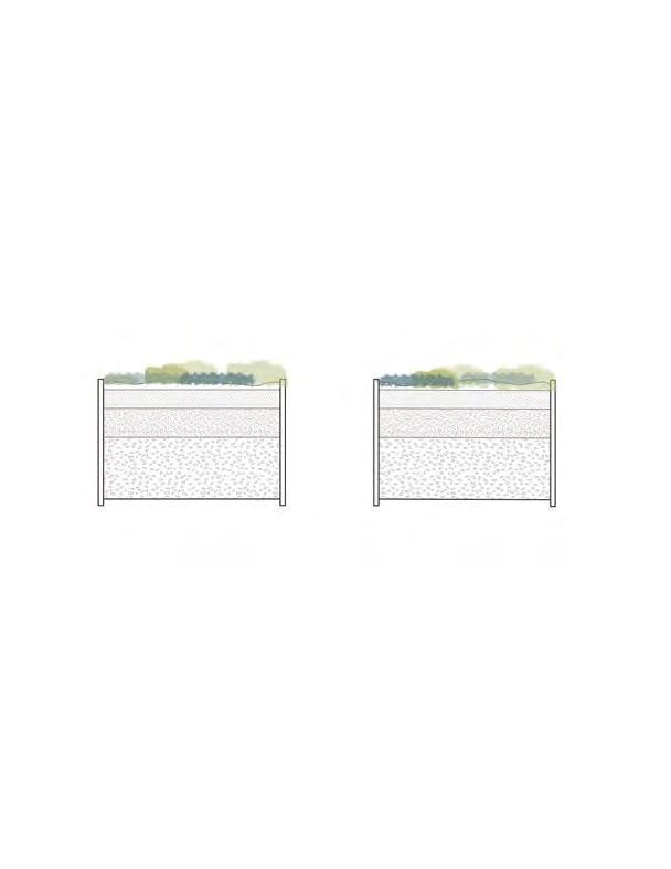
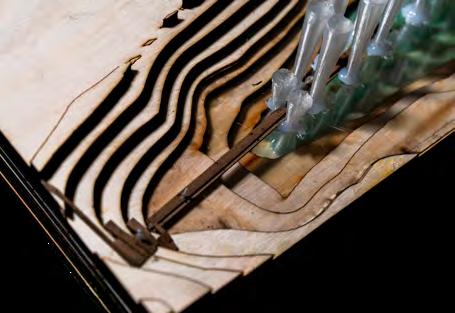
Tent Mountain has a pit lake and cliffs left by open-pit mining. The "Pinning" strategy incorporates a recent conceptual hydropower installation proposal. The infrastructure serves as both water treatment and energy generation, using pillars that filter water with membrane techniques before directing it to the hydropower inlet. These towering pillars also act as monumental sculptures, symbolizing vertical Embroidery that connect the land back together, blending environmental restoration with sustainable energy.
AXIS OF GREEN
CLIMATE POSITIVE LANDSCAPE DESIGN FOR UNDERUTILIZED URBAN SPACES
Academic | Team Work
Team: Eti Borah, Feiyuan Lin
LAND 620 Synthesis Landscape System Studio
Winter 2024
School of Architecture, Planning + Landscape, University of Calgary
Instructor: Matt Williams, Katelyn Dunning (O2 Planning + Design)
Location: Calgary, AB
Duration: 4 Weeks
Software used
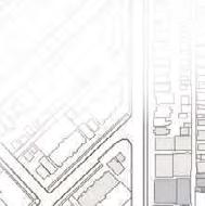
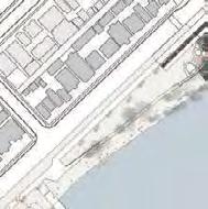
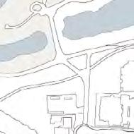
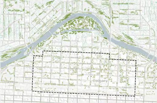
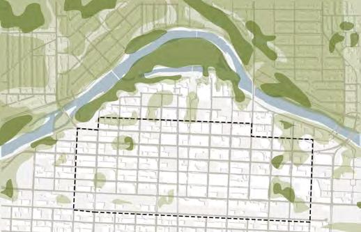
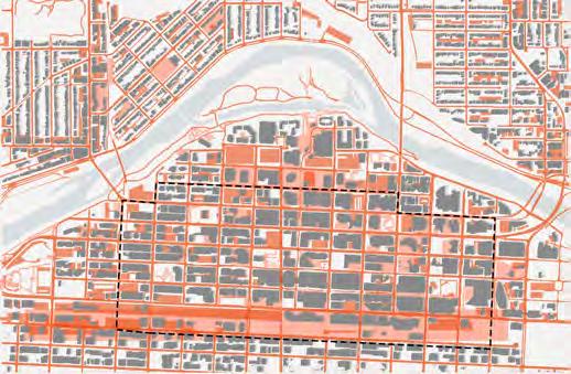
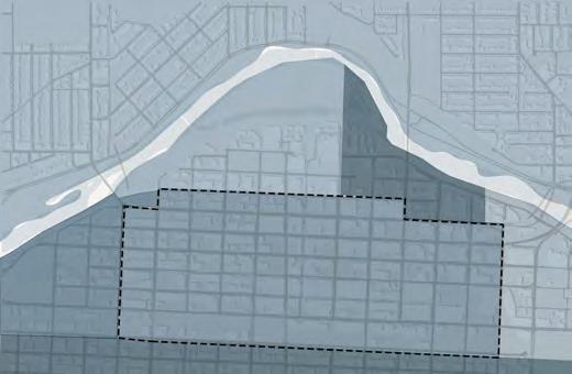
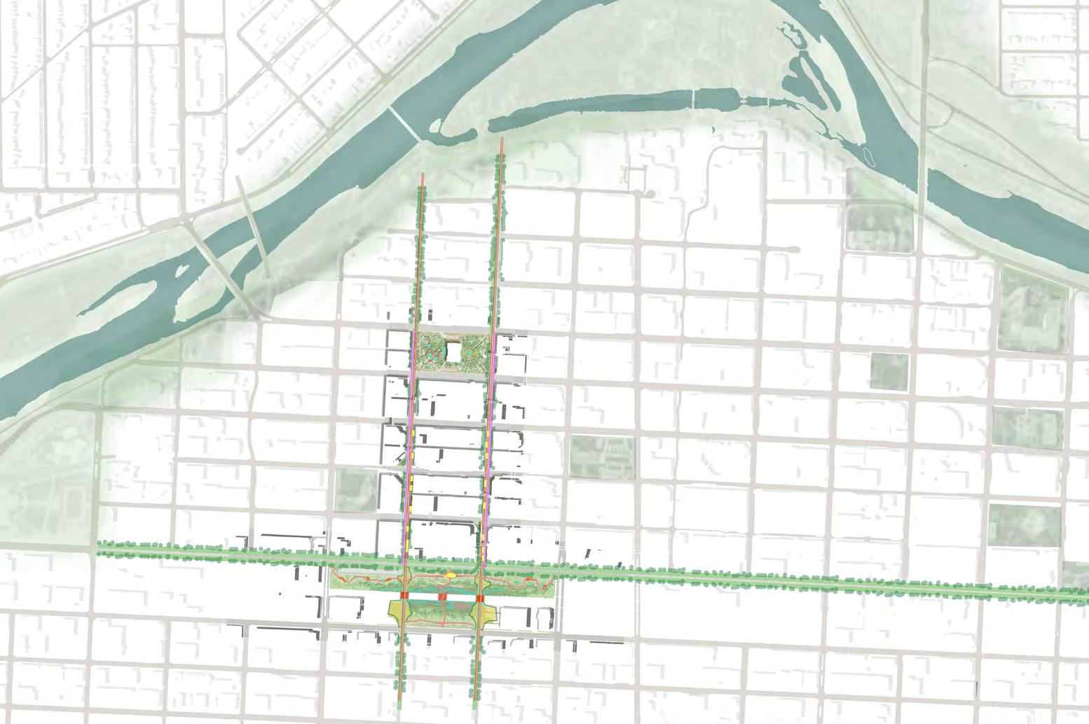
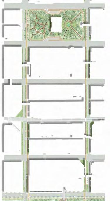
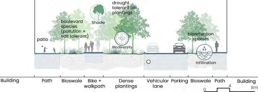
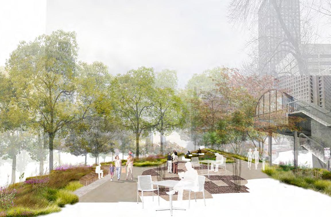
Calgary downtown is threaten by climate change and prone to flood, extreme heat. The project proposes a comprehensive approach to address social, environmental and economical challenges in Calgary 's downtown core area centered by 9 Ave SW which is identified as a key urban axis and transitional area in downtown core. By Highlighting downtown greenspace accessibility, tree coverage and ground permeability, the project aims to integrate climate-positive strategies, greenway, shared street, urban forest and LID infrastructures, with placemaking to promote downtown residence's greenspace equities and land utilization and value. Using the climate positive nature based solutions toolkits developed in the research and report stage, the design re-establishes connections between downtown and its riverine landscape, creating a vibrant, sustainable urban oasis.
View of the 9 Ave SW crossing and urban park
CONTEXT AND CLIMATE ISSUES
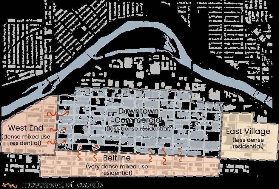
The site situates in the Calgary downtown core area centered by 9 Ave SW parking lot and the two streets 6 & 7 St SW. This location acts as a threshold, marking the transition between active daytime and quieter evenings. In daytime, the Downtown commercial core bustles with activity as people from various directions, including the West End, East side, and Beltline, commute to workplaces. However, in the evening, the area often becomes isolated.
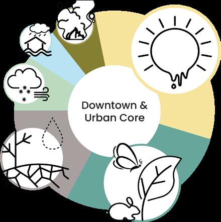
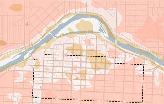
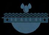
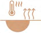
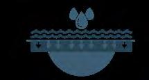
key climate issues include the extent of impermeable land cover which contributes to the heat island effect, polluted stormwater runoff coupled with the high level risk of flood inundation in the area. Urban street trees and vegetation have high mortality rates due to poor soil conditions, high pollution and extreme weather conditions.
Urban Heat Map Open Spaces Map
Wheel of Risk
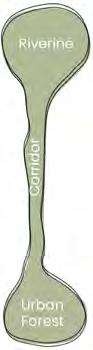
The concept Greenway
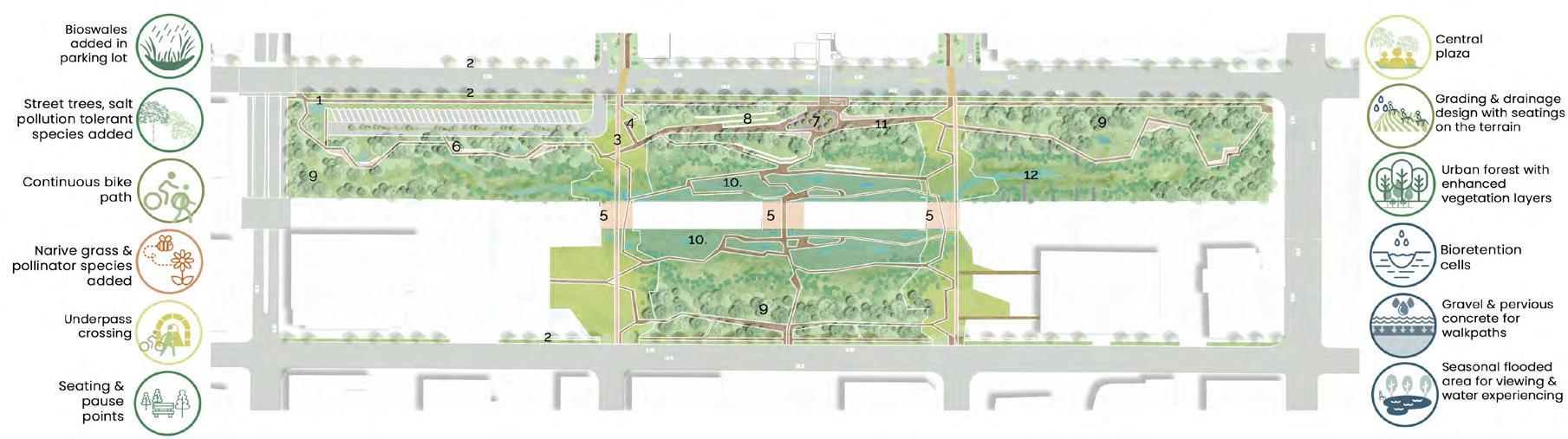
Emphasizes reconnecting downtown commercial areas with green spaces, aiming to reintroduce nature and provide a source of fresh air for urban residents.
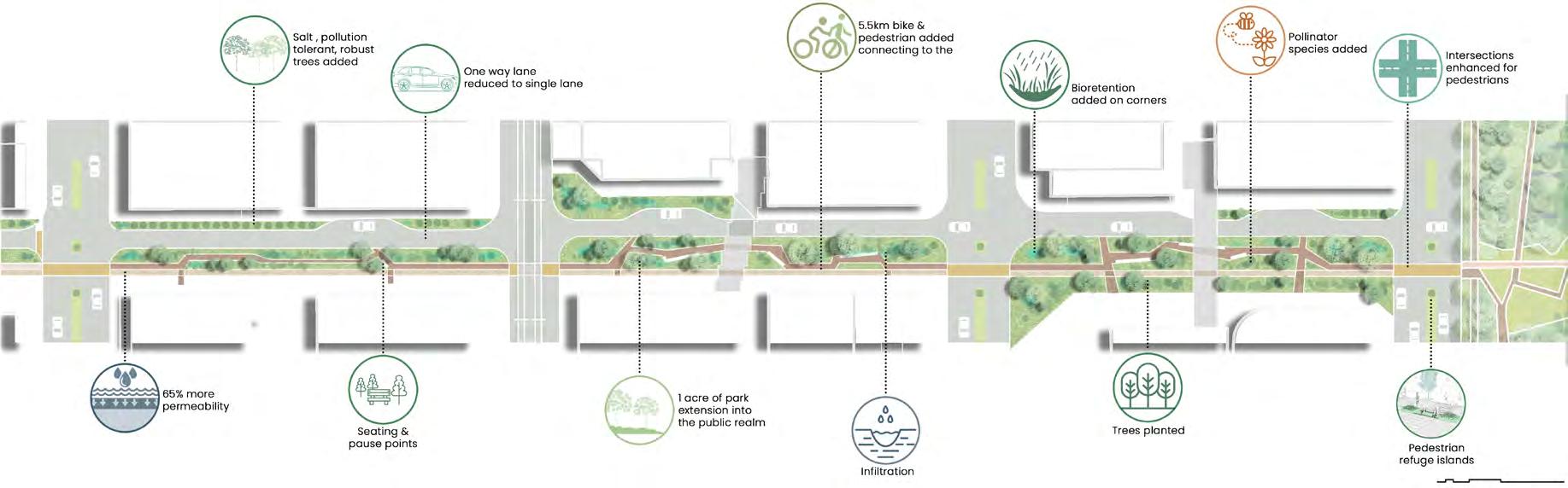
The focuses are: first, pedestrianizing the 6th and 7th St SW, vibrancy with a continuous green corridor; second, having a urban forest in downtown core giving a feel of being near the riverine landscape.
1. Mcdougall Center activition
2 & 3. Pedestrian & Bikepath with Social Spaces
4. Green Corridors along 6 and 7 St SW & 9 Ave SW
5. Central Gathering Plaza
6. Bioretention Cells & Urban Forests
7. Underpass crossing
Parking lot & green corridor
(drought tolerant)
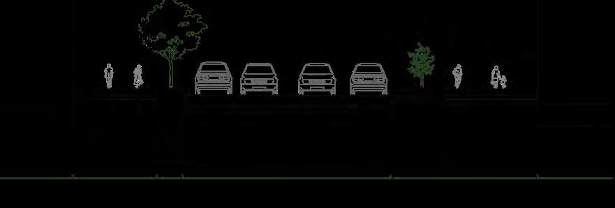
Boulevard species (Salt & pollution tolerant, Robust) Parking
Park
6th and 7th Street SW
5.5km bike & pedestrian added connecting to the river Bioretention added on corners
5 Ave SW, 6 Ave SW, and 8 Ave will still function same
6th & 7th street pedestrianized and reduced to one vehicular lane 9 Ave SW will remain same except the woonerfs for intersection
9 Ave SW
2. Street trees, salt pollution tolerant species added
8. Grading & drainage design with seating area on the slope 3. Continuous bike path
9. Urban forest with enhanced vegetation layers 4. Native grass & pollinator species added
10. Bioretention cells
11. Gravel & pervious concrete for walkpath
DESIGN OF +15 ENTRANCE PLAZA AT 9 AVE SW
Section of the +15 Center Plaza
View of the +15 Center Plaza
View of the proposed street and the enhanced and extended McDougall Park
Soil cell for flowering trees; Gravel paved plaza
Shorter trees & shrubs (Wet tolerant species)
Center plaza Seating area
Swale
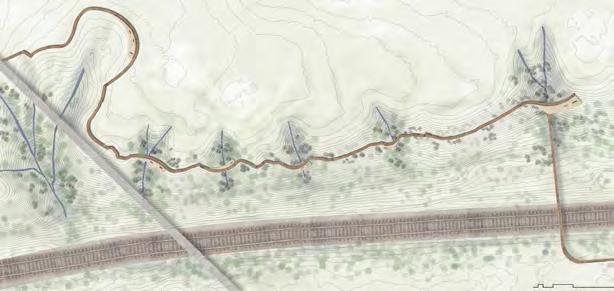
CURVE IN MOTION
NOSE CREEK WATERSHED RESTORATION & EDUCATION TRAIL
Academic | Individual Work
LAND 702 Landscape Architecture Studio III - Advanced Winter 2022
School of Architecture, Planning + Landscape, University of Calgary
Instructor: Beverly Sandalack
Location: Nose Creek, Calgary, AB
Duration: 4 weeks
Software used
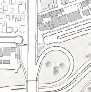
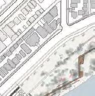
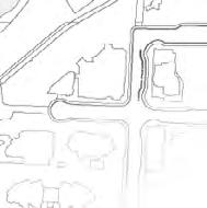
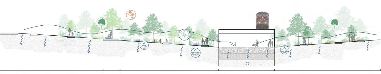
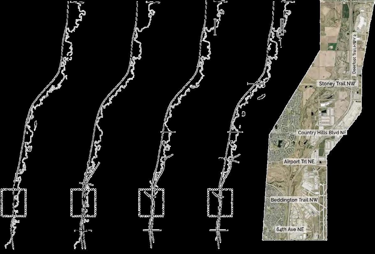
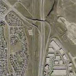
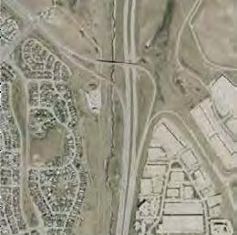
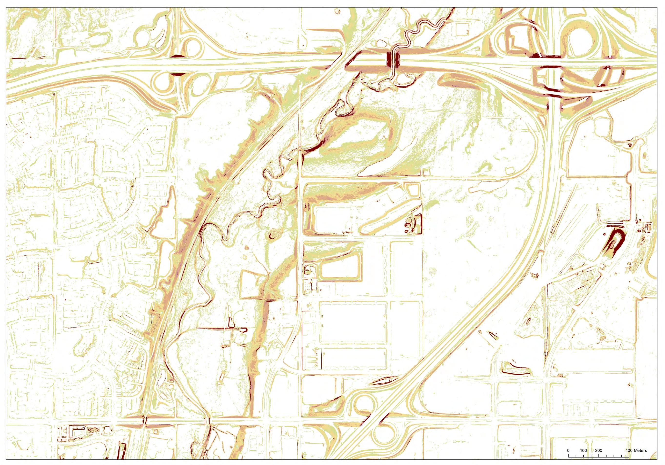
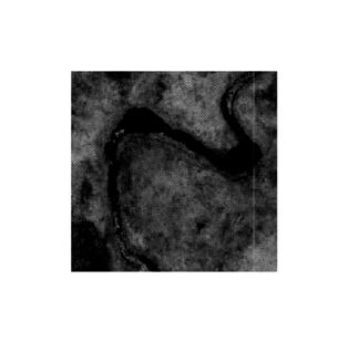
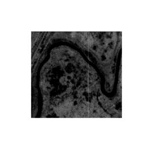
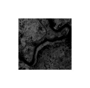
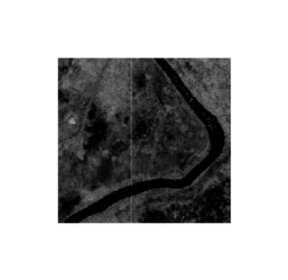
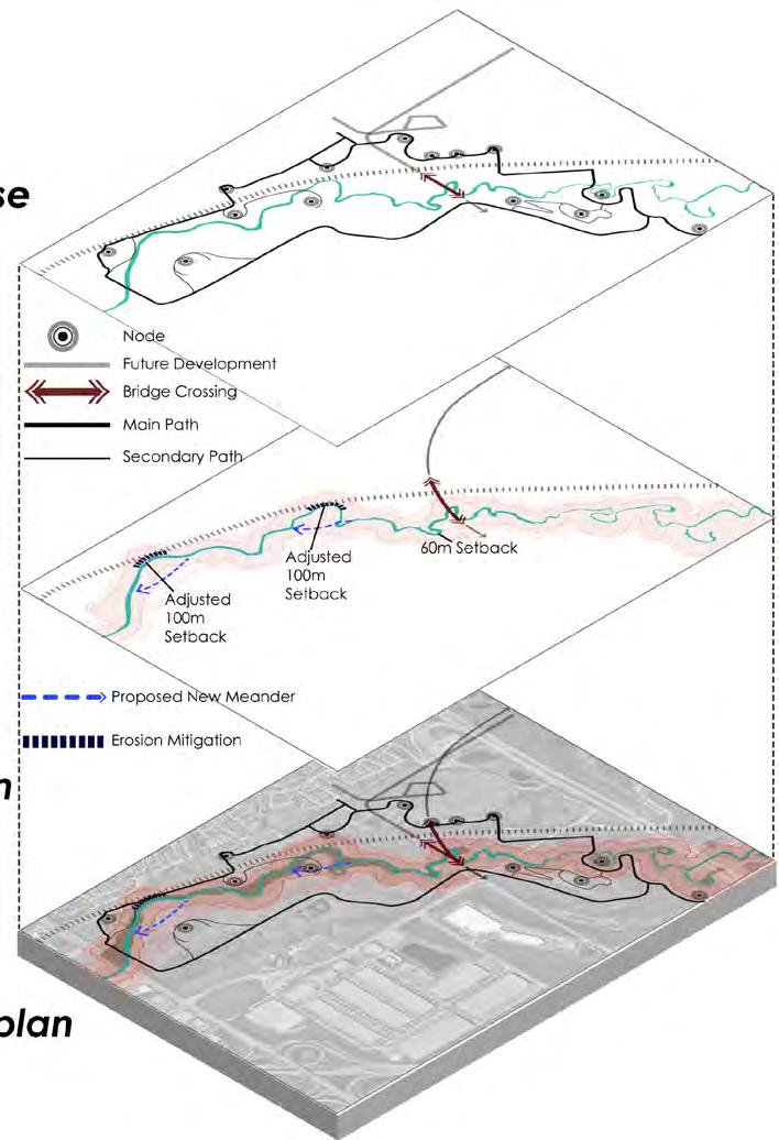
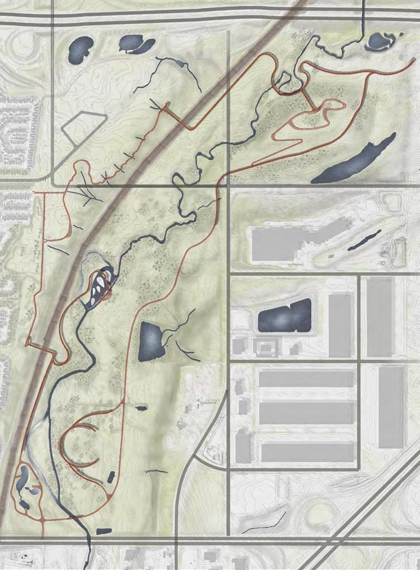
The project explores the morphology and dynamics of the Nose Creek headwater in northern Calgary influenced by urban, industrial, and agricultural growth. It proposes refinements of the city’s creek development setback guideline to create a self-sustaining public park and trail system. The design aims to protect the creek’s natural meander, reduce downstream stormwater pressure, resolve conflicts between the creek and urban development, and offer educational entertainment in harmony with nature.
CONTEXT
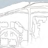
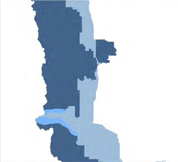
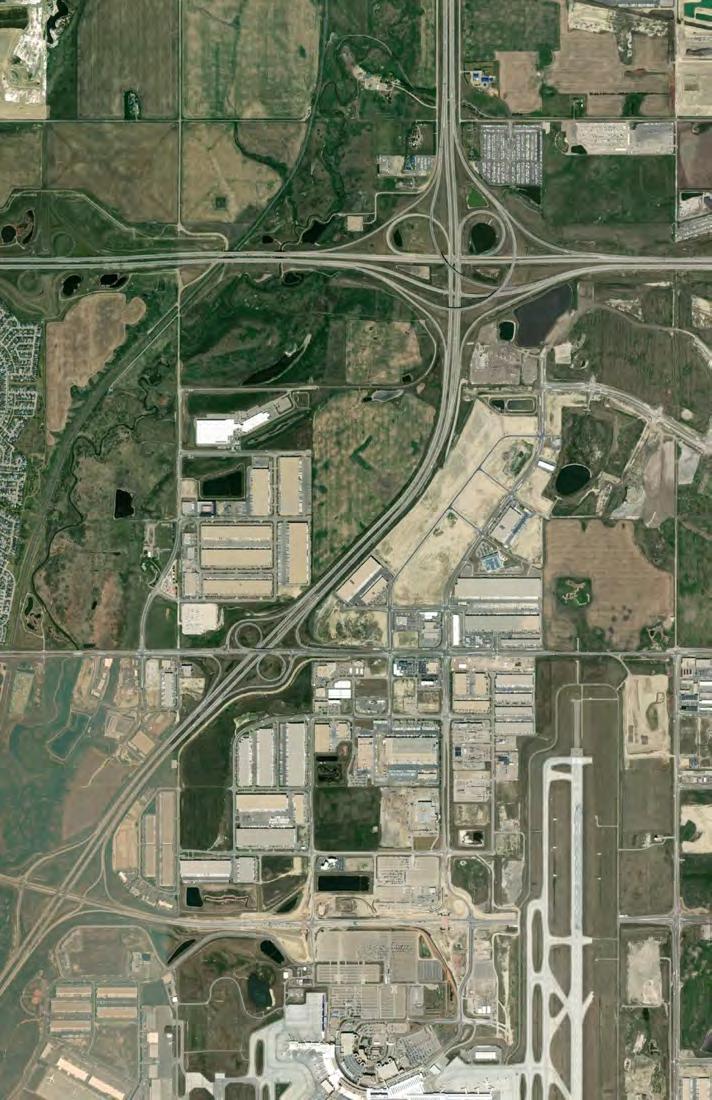
The site is situated in the Nose Creek in northern Calgary surrounded by Coventry Hills and Livingston communities, Industrial Storage area and the Airport. And the site is framed by several main roads, Stony Trail NE, Dearfoot Trail, Country Hill Blvd NE, and the CP Rail.
At the creek in between Balzac and 64th ave Calgary, there is an increase in wetland and ponds along Nose Creeks watershed as road crossings over and around the creek increase since 1920. With the increasing industrial and urban development, Nose Creek appears to be channelized with deeper, wider and straighter, with less sandbars and channels. Besides, the urban development will further disrupt and fill the natural drainage system, which will increase downstream flood pressure.
1920 1972 2006 2020
Airdrie
Town of Crossfield
Balzac Site Calgary
Nose Creek drainage basin
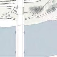
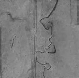
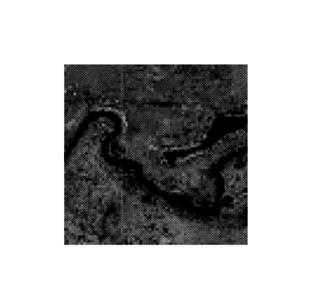
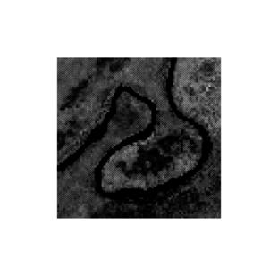
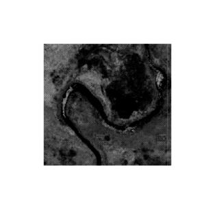
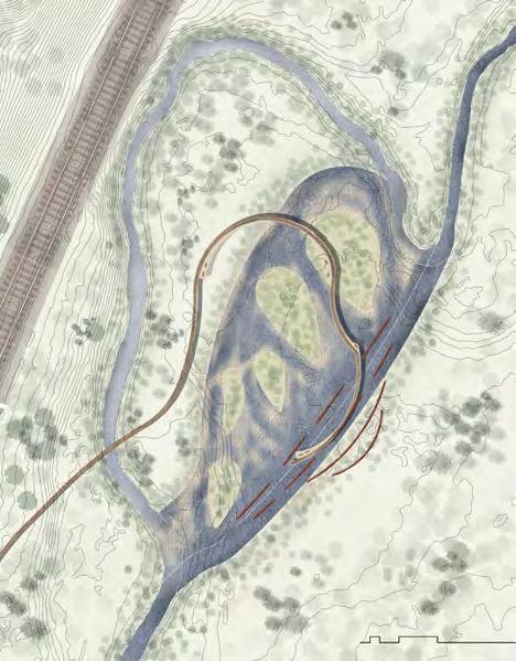
CREEK DEVELOPMENT SETBACK ADJUSTMENT AND CREEK MORPHOLOGY STUDY
The study of slope was conducted to analysis and adjust the creek development setback. The current 6m setback is not enough according to the NCWWMP. A new 60m setback adjustment refinement is made based on integrating calculation with the ArcGIS mappings. Through overlapping the slope, riparian zones and flood maps with the new 60m setback, it identified the red circle conflicted zones, and the 60m setback was updated accordingly. Based on
tendency of stream flow direction
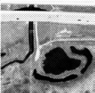
Potential oxbow lake Valley is widened by lateral erosion
DESIGN
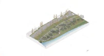
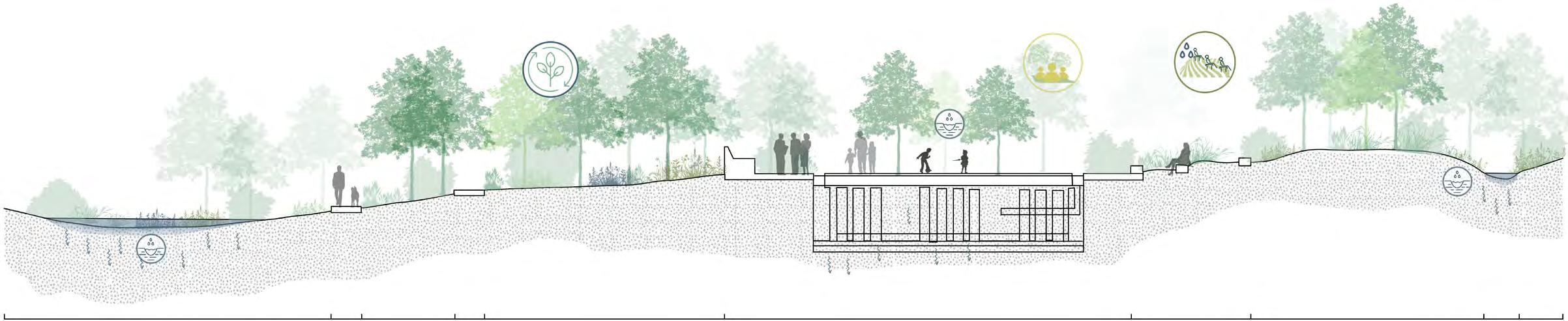
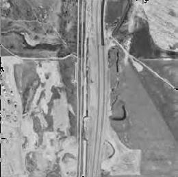
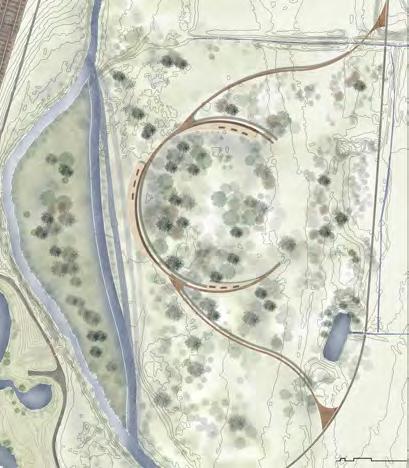
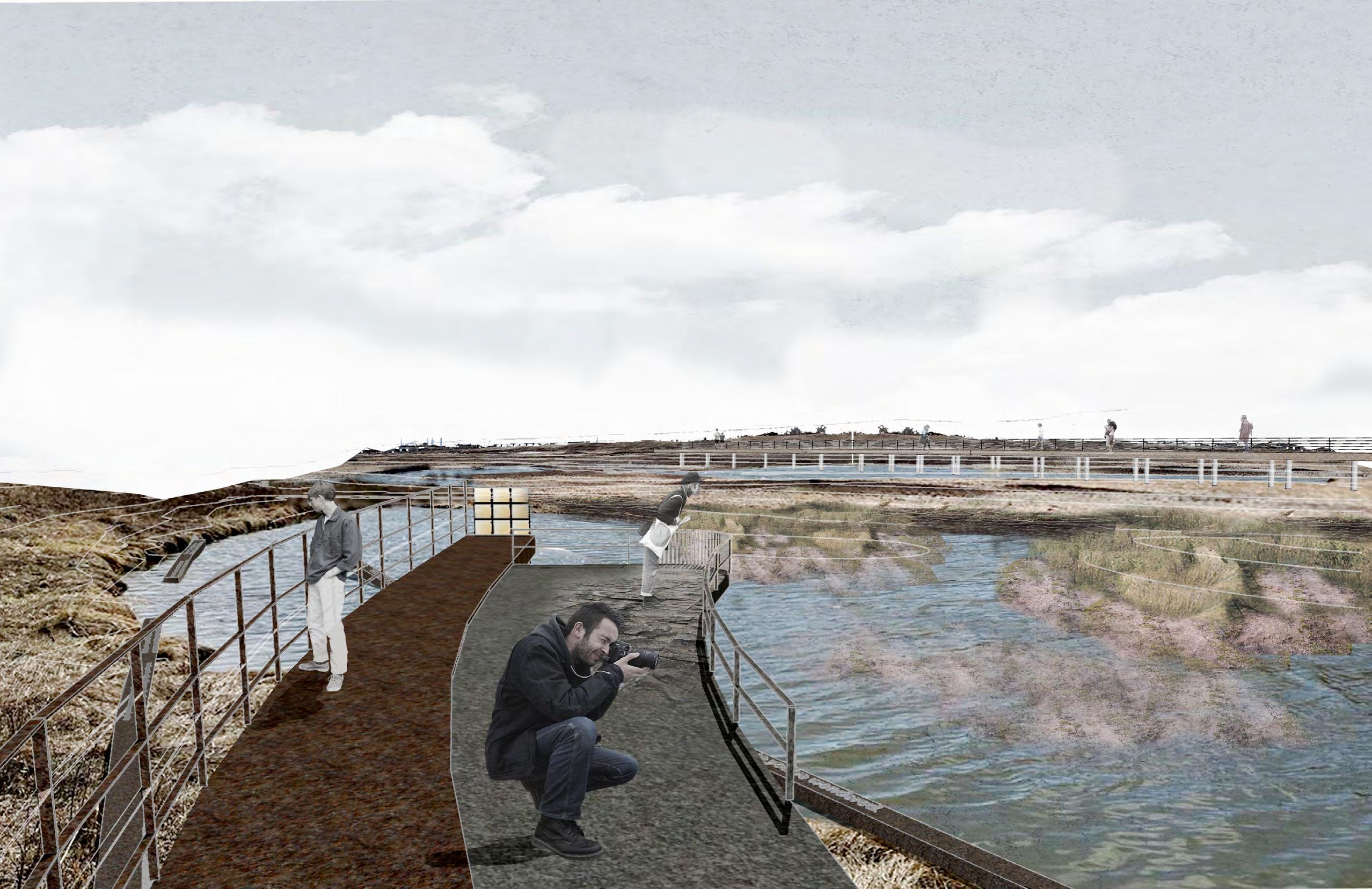
The design includes a sustainable infrastructure with the constructed islands to direct the stream flow to reinforce the erosion on the SE bank to naturally change the meander and form oxbow lake and mitigate the conflict with the railway. Gravel piles at the SE eroded bank will be demolished gradually. An elevated trail and viewing platforms provide educational engagement on these changes.
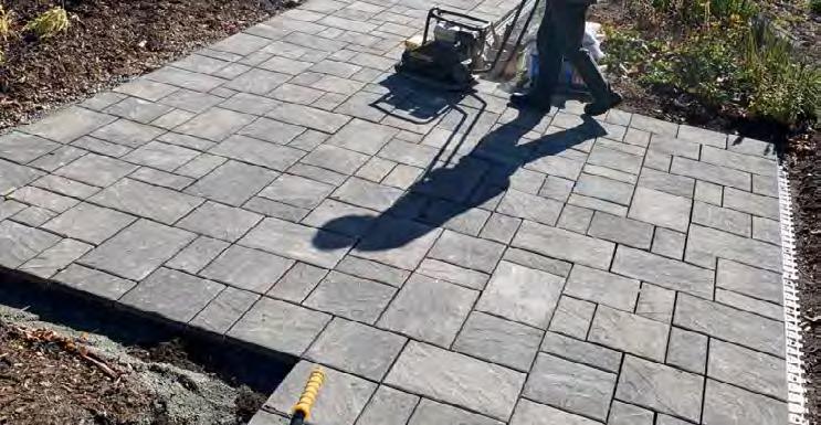
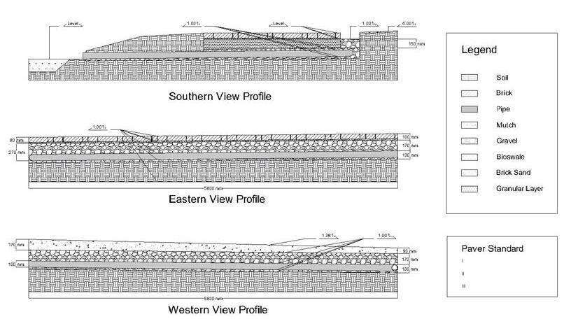
The project aims to improve path winter safety and drainage by replacing the old paver with thicker ones, deepening and sloping the pathway for better runoff flow, and extending turf area to protect plant beds. More native species were selected to enhance biodiversity. Drainage pipes were installed and connected to the catchment basin to efficiently handle melting snow for optimal water management. The project includes all aspects of project delivery and project management and construction, and was collaborated by students from Landscape Architecture and Landscape Horticulture programs.
Before After
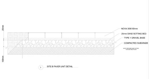
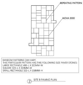
Walkpath paver unit detailed construction drawing
Walkpath paver unit detailed construction plan view drawing
Walkpath base preparation detailed construction sections
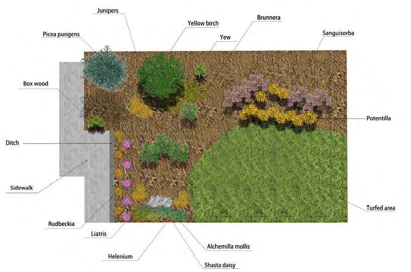
DRAFTING DRAWINGS OF RESIDENTIAL PROJECT
RESIDENTIAL AREA DESIGN & DETAILED DRAWINGS 6
Academic | Individual Work
LARC 4000 Construction and Detailing, Winter 2020 Department of Plant, Food, and Environmental Sciences, Dalhousie University
Instructor: Edward Versteeg
Location: Truro, NS
Duration: 3 weeks
Software used
The project aims to design a residential house plan layout and the surrounding outdoor landscape grading and drainage based on site analysis. The design provide a parking space, vehicle turn around, and an accessible path to a main entrance of the building. A site design, grading plan, construction details and design development drawing set were developed to document the design.
FROM BARRIERS TO BUFFERS
RESHAPING INDUSTRIAL SPACES FOR URBAN GROWTH IN MEXICO CITY
Academic | Individual Work
LAND 670.1 Representing the City: Computational Winter 2022
School of Architecture, Planning + Landscape, University of Calgary
Instructor: Philip Belesky, Tawab Hlimi
Location: Mexico City, Mexico
Duration: 5 days
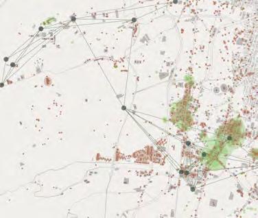
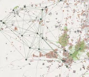
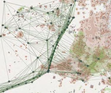
The project utilized Grasshopper techniques to analyze the spatial impact of industrial development on urban fragmentation and wealth disparity in Mexico City. Grasshopper Coordinating Change technique was used to visualize the potential transformation of underutilized industrial areas into green spaces. The simulations show that these green spaces act as stepping stones, breaking industrial barriers, promoting westward urban expansion, and creating a buffer to adapt to urban sprawl.
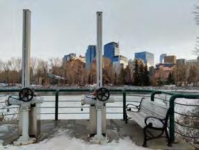
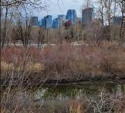
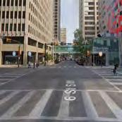
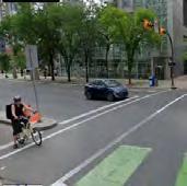
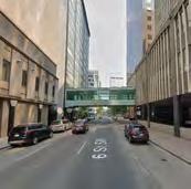
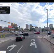
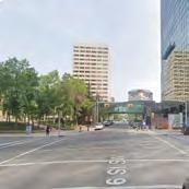
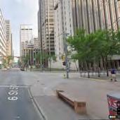
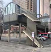
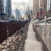
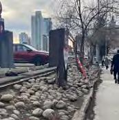
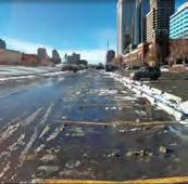
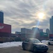
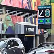
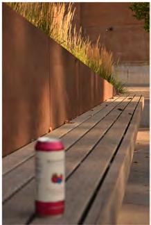
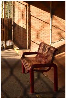
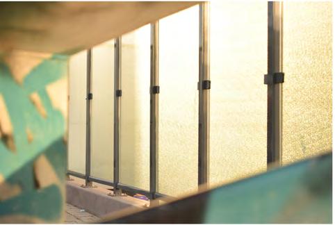
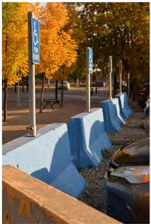
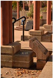
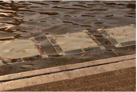
UNDER SHELTER
PHOTOGRAPHY SERIES OF URBAN INFRASTRUCTURE
Academic | Individual Work
LAND 670.2 Representing the City: Landscape Photography, Fall 2022
School of Architecture, Planning + Landscape, University of Calgary
Instructor: Luca Nostri, Enrica Dall'Ara
Location: Calgary, AB
Duration: 5 days
Equipment used: Reflex digital camera + 50mm lens + Tripod
This photography series captures the urban scenes of downtown Calgary through a framed perspective that highlights the city's public infrastructure. The images try to create a rhythmic visual flow by emphasizing linear extensions, either horizontal or vertical. Light illuminates the focal points while intertwining with the passage of time, giving a sense of movement to the static structures. Each image is sheltered by a frame seeking to tell a story, provoking thought on the design, arrangement, and utilization of urban infrastructure, inviting viewers to re-imagine their interaction with the built environment. The sequence was later exhibited at the department Gallery.