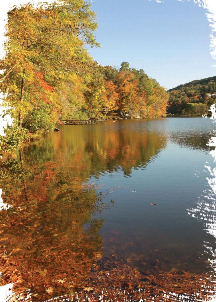
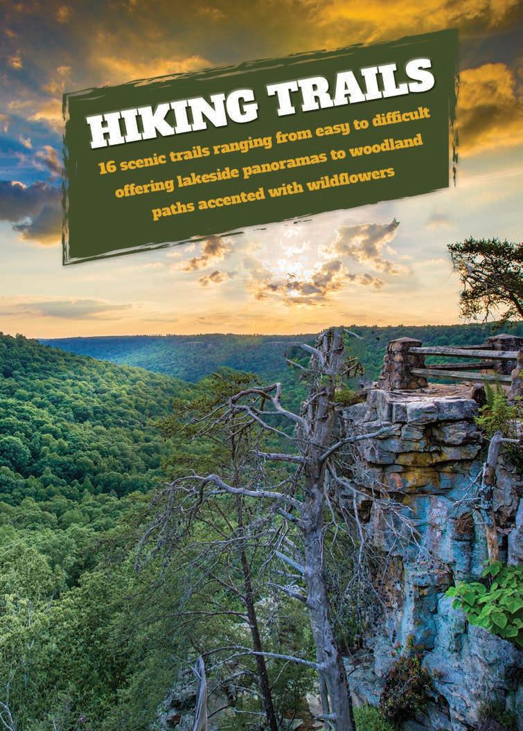
With 69,000-acre Lake Guntersville surrounded by three state parks and more than 70 miles of hiking and biking trails, the outdoors is just a step or paddle away, making this North Alabama destination the perfect outdoor adventure.
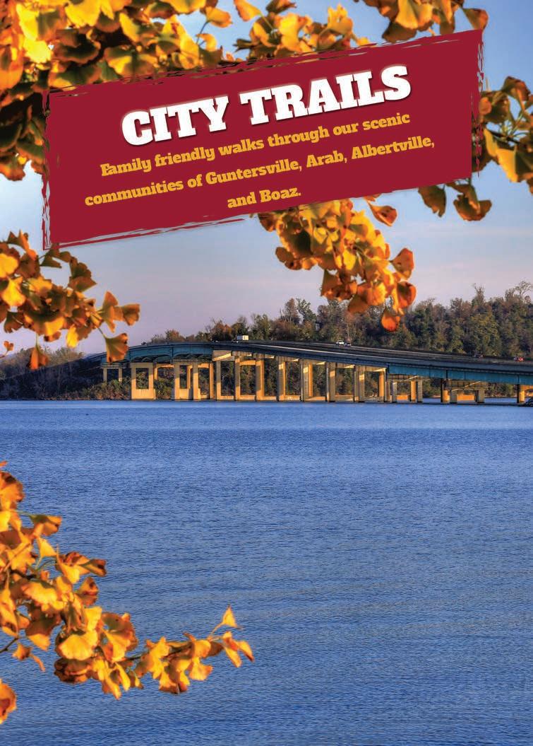
Off the trails catch a concert, enjoy a meal with a water view, or do a little shopping. Lake Guntersville, located in Marshall County, Alabama has four cities – all interconnected with the lake at their center and offering unique shopping and dining experiences.
Visit explorelakeguntersville.com for information on lodging and camping options as well as events happening around the lake year-round. Or scan this QR code and let us help you plan your next outdoor adventure.

Offering great views of the lake for almost the entire trail, Seales is a great option in any season. This 2.25-mile trail begins at Town Creek Bridge or in Lake Guntersville State Park Campground. Winding along the lake, hikers will have the chance to see eagles, osprey, otters and other species while hiking over limestone outcrops.
Location Lake Guntersville State Park
Difficulty Easy/Moderate
Length 2.25 miles - one way
Trail Head Located to the left of the Town Creek Bridge on AL Hwy 227 just prior to the Town Creek Fishing Center
Parking Town Creek Fishing Center. Limited parking on gravel pull-off to the left of bridge
Accessibility No
Restrooms Town Creek Fishing Center
Camping Lake Guntersville State Park Campground
Dog Friendly Yes, on leash
Fees No
Beginning at Short Creek, located on AL Hwy 227, the trail follows the lake along an old coal road that is lined with wildflowers and Oak Leaf Hydrangeas in the spring and summer. Large boulders mark the edge of the path in some places and turtles and certain species of fish can be spotted in the shallow waters of the lake.
Location Lake Guntersville State Park
Difficulty Easy/Moderate
Length 2.25 miles - one way
Trail Head Located just down from the Ranger Cabin at Short Creek on AL Hwy 227, or trail can be picked up at the parking lot of the Ranger Cabin near water’s edge.
Parking Short Creek Ranger Cabin and boat launch, AL Hwy 227
Accessibility No
Restrooms No
Camping Lake Guntersville State Park Campground
Dog Friendly Yes, on leash
Fees No
This .7 mile hike leads to one of Lake Guntersville State Park’s family cemeteries located on park grounds. Containing over 40 historic grave sites, this cemetery provides a glimpse back in time to the families that lived on the land before it became a state park. It can be enjoyed on foot or by bike.
Location Lake Guntersville State Park
Difficulty Easy
Length .7 miles - one way
Trail Head Enter Lake Guntersville State Park, turn left at the guard shack onto Aubrey Carr
Scenic Drive. The trail head is located across from the first gravel lot on the right.
Parking Gravel lot across from trail head
Accessibility No
Restrooms Lake Guntersville State Park Lodge
Camping Lake Guntersville State Park Campground
Dog Friendly Yes, on leash
Fees No
Lake Guntersville State Park
The Loop Trail begins across the street from the Lake Guntersville State Park Campground store and is intertwined with the more difficult Lodge Trail. Hikers will begin at the trailhead for the Lodge Trail and will turn right at the first trail intersection, following the Loop Trail out and back. The Loop Trail follows the base of Taylor Mountain and offers many opportunities to view limestone outcrops and even deer. Note: The Lodge Trail continues up the mountain at a steep incline and ends at the lodge.
Location Lake Guntersville State Park
Difficulty Easy
Length 1.5 miles - one way
Trail Head Located across the street from the Campground Store
Parking Campground store
Accessibility No
Restrooms Lake Guntersville State Park Campground
Camping Lake Guntersville State Park Campground
Dog Friendly Yes, on leash
Fees No
As the second longest hike in Lake Guntersville State Park, the Golf Course Loop Trail wraps around the golf course and offers opportunities to view bald eagles nesting throughout the park. Traveling over many small streams, this trail also offers opportunities to see other wildlife including turtles and deer. It can be enjoyed on foot or by bike.
Location Lake Guntersville State Park
Difficulty Moderate
Length 3.8 miles
Trail Head Located across the street from Lake Guntersville State Park Lodge. Follow the paved walkway to the trailhead.
Parking Utilize Lodge left parking lot
Accessibility No
Restrooms Lake Guntersville State Park Lodge
Camping Lake Guntersville State Park Campground
Dog Friendly Yes, on leash
Fees No
This trail begins at the base of Bucks Pocket Canyon and ends some 800 feet above the canyon floor on a sandstone formation called Point Rock. Natural features include Little Sauty Creek, varied plant life including wildflowers and ferns, and special geologic formations estimated to be between 200-250 million years old. The trail starts across the Little Sauty Bridge just outside the campground and terminates with a spectacular view of the canyon.
Location Bucks Pocket State Park
Difficulty Hard/ Difficult
Length 1.1 miles - one way
Trail Head Located just prior to the entrance of Bucks Pocket State Park Campground on the right
Parking Gravel parking lot on left side of road at entrance to Bucks Pocket State Park Campground
Accessibility No
Restrooms Bucks Pocket State Park Campground
Camping Bucks Pocket State Park Campground
Dog Friendly Yes, on leash
Fees $5 day use
Venture to the scenic overlook for a view of Point and the canyon below. Historically, the Cherokee Indians frequently occupied the rock overhangs at the trail’s end. Wildflowers and rhododendrons are abundant along this trail and bloom early spring.
Location Bucks Pocket State Park
Difficulty Easy/Moderate
Length .5 miles - one way
Trail Head Located on Alabama County Rd. 173, just before entering the park. The road curves to the right and the trailhead is on the left.
Parking Very limited. Small pull-off on right across from the trailhead
Accessibility No
Restrooms Bucks Pocket State Park Campground
Camping Bucks Pocket State Park Campground
Dog Friendly Yes, on leash
Fees $5 day use
Bucks Pocket State Park
A short trail with giant boulders that line the top of the canyon wall. There is a huge beech tree in front of the overhang which is of historical significance. A small stream is located next to the overhang which flows during the fall and winter months.
Location Bucks Pocket State Park
Difficulty Moderate
Length .5 miles - one way
Trail Head Located on Alabama County Rd. 173 on left in the first curve going down the mountain
Parking A circular gravel turnaround on the left, just before the trailhead
Accessibility No
Restrooms Bucks Pocket State Park Campgrounds
Camping Bucks Pocket State Park Campground
Dog Friendly Yes, on leash
Fees $5 day use
This short, 15-minute hike showcases the beauty of the caverns. Leaving from behind the Welcome Center, the hike will pass by many different plant species that call the park home and stunning rock features.
Location Cathedral Caverns State Park
Difficulty Easy
Length .25 miles
Trail Head Located behind the Cathedral Caverns State Park Welcome Center
Parking Welcome Center lot
Trail Color Red
Accessibility No
Restrooms Cathedral Caverns State Park Welcome Center
Camping Cathedral Caverns State Park Campground
Dog Friendly Yes, on leash
Fees No
The perfect trail to experience the forest without a climb, the blue trail meanders through the forest and hikers can most often spot deer and birds.
Location Cathedral Caverns State Park
Difficulty Easy
Length 1.2 miles
Trail Head Located across the street from the trail parking lot, which can be found at the intersection of Cathedral Caverns Rad and Cave Road
Parking Gravel lot at trailhead entry
Trail Color Blue
Accessibility No
Restrooms Cathedral Caverns State Park Welcome Center
Camping Cathedral Caverns State Park Campground
Dog Friendly Yes, on leash
Fees No
This trail shares a trailhead with the blue trail yet offers a more difficult climb, rising up Pisgah Mountain to an elevation of around 1,100 feet above sea level. This trail leads to one of the back country campsites offered to guests staying at Cathedral Caverns State Park and showcases the forests of North Alabama.
Location Cathedral Caverns State Park
Difficulty Moderate
Length 1.8 miles
Trail Head Located across the street from the trail parking lot, which can be found at the intersection of Cathedral Caverns Rd and Cave Road
Parking Gravel lot at trailhead entry
Trail Color Green
Accessibility No
Restrooms Cathedral Caverns State Park Welcome Center
Camping Cathedral Caverns State Park Campground
Dog Friendly Yes, on leash
Fees No
This trail begins with the green trail and continues up Pisgah Mountain to the peak and offers a more strenuous climb than the green trail. The quiet of the forest will open up, and several small caves are visible from the trail.
Location Cathedral Caverns State Park
Difficulty Moderate/Difficult
Length 1.5 miles
Trail Head Located across the street from the trail parking lot, which can be found at the intersection of Cathedral Caverns Rd and Cave Road
Parking Gravel lot at trail head entry
Trail Color Yellow
Accessibility No
Restrooms Cathedral Caverns State Park Welcome Center
Camping Cathedral Caverns State Park Campground
Dog Friendly Yes, on leash
Fees No

A short 1-mile hike looping through the valley of Cathedral Caverns State Park, this trail showcases the flora and fauna living in the forest while never getting too far from the cabins that are located near the campground area.
Location Cathedral Caverns State Park
Difficulty Easy
Length 1.1 miles
Trail Head Located across the street from the trail parking lot, which can be found at the intersection of Cathedral Caverns Rd and Cave Road
Parking Gravel lot at trailhead entry
Trail Color Gray
Accessibility No
Restrooms Cathedral Caverns State Park Welcome Center
Camping Cathedral Caverns State Park Campground
Dog Friendly Yes, on leash
Fees No
This moderately challenging trail includes a historic cave that was used during the Civil War to mine saltpeter, a base ingredient of gunpowder. Another highlight is the hardwood swamp that attracts waterfowl. The tupelo gum swamp provides habitat for waterfowl, dragonflies, frogs and salamanders.
Location Guntersville Dqm This trail is on the south side of Guntersville Dam about 6.5 miles north of Guntersville, Ala., off of Hwy. 69
Difficulty Moderate
Length 1.5 miles
Trail Head Located at gravel parking lot on the left at the entrance to the dam
Parking Located at gravel parking lot on the left at the entrance to the dam
Accessibility No
Restrooms TVA Dam Public Restrooms
Camping TVA Public Land
Dog Friendly Yes, on leash
Fees No
This is a good endurance building trail to pursue on foot, by bike or on horseback. There are two standing chimneys along this trail from old homesites that were in existence before the dam was built. The trail also provides access to some great fishing sites for those who like to fish from the shore.
Location This trail is on the south side of Guntersville Dam about 6.5 miles north of Guntersville, Ala., off of Hwy. 69
Difficulty Moderate
Length 6 miles - one way
Trail Head Located at gravel parking lot on the left at the entrance to the dam
Parking Located at gravel parking lot on the left at the entrance to the dam
Accessibility No
Restrooms TVA Dam Public Restrooms
Camping TVA Public Land
Dog Friendly Yes, on leash
Fees No
Five bluff overlooks provide amazing views on this trail, with opportunities to explore the lake’s edge. Watch for bald eagles and ospreys.
Location Honeycomb Campground Hwy. 431
Difficulty Moderate/Hard
Length 9.3 miles
Trail Head Located to the right before entering Honeycomb Campground
Parking Gravel lot on the right before entering the campground
Accessibility No
Restrooms TVA Dam Public Restrooms
Camping No
Dog Friendly Yes, on leash
Fees No
The Lake Guntersville State Park boasts more than 6,000 acres of wooded lands as well as more than 30 miles of hiking trails.
From City Harbor, this trail follows the bend in the lake and curves around the peninsula, providing breathtaking views of Lake Guntersville and the famous river bridge. Benches located along the path provide the perfect spots for viewing sunrises and sunsets. The trail is paved, lit at night and stretches for almost four miles. An eagle’s nest is located along the trail as well as three other birding stops on the Alabama Birding Trail. This trail is pedestrian and bike friendly.
Location City of Guntersville, along Sunset Drive
Difficulty Easy
Length 4 miles
Accessibility Yes
Restrooms Located along footpath
Camping No
Dog Friendly Yes, on leash
Fees No
Parking Any public lots located along trail; City Harbor; Lake Guntersville Chamber of Commerce
This 1.6 mile loop winds through Arab’s shaded city park and up through the Arab Historic Village, where more than 10 buildings depict life in Alabama during the Great Depression. The historic village features a self-guided tour available using cell service. The trail is paved and well lit at night. There is a playground adjacent to the trail and is pedestrian and bike friendly.
Location 844 Shoal Creek Trail, Arab
Difficulty Easy
Length 1.6 miles
Accessibility Yes
Restrooms Yes, parking area of main lot
Camping No
Dog Friendly Yes, on leash
Fees No
Parking Any public lots
The Southernmost point of the Tennessee River is located at the Sunset Drive Walking Trail just at the base of the Guntersville River Bridge.

This paved trail circles the multi-field sports complex, amphitheater and waterpark providing 3.5 miles of mostly flat trail with water features and playgrounds adjacent to the trail as well as a dog park. This is the perfect trail to stretch your legs in between games or to bring the entire family. Catch a game or enjoy the playgrounds, even play a round of disc golf. This trail is pedestrian and bike friendly.
Location 1325 SMPA Blvd., Albertville
Difficulty Easy
Length 3.5 miles
Accessibility Yes
Restrooms Yes, at each ball field, the amphitheater and the main recreation center
Camping Yes
Dog Friendly Yes, on leash
Fees No
Parking Any public lots
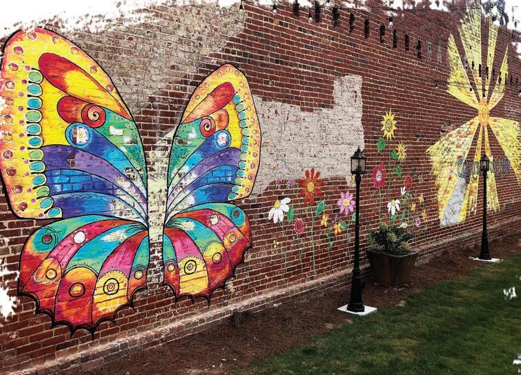
This paved trail sits in the center of Boaz and makes a quarter mile loop. Within the park is an amphitheater as well as a splash pad and water play area for children. This is the perfect place on a hot summer day and is within walking distance of the downtown and Boaz’s many murals, which are included on the North Alabama Mural Trail.
Location 10315 AL Hwy 168, Boaz
Difficulty Easy
Length .25 miles
Accessibility Yes
Restrooms Yes
Camping No
Dog Friendly Yes, on leash
Fees No
Parking Any public lots surrounding the park.
The perfect place for a leisurely paddle, Morgan’s Cove, offers a mild current and the option for two different paddles. Once launching from the boat ramp, heading right, travel up South Sauty Creek, a part of Bucks Pocket State Park. This is roughly a 2-mile out and back paddle. Head left from the boat ramp and travel 3-miles one way. Both of these paddles offer abundant views of wildlife with minimal current to paddle.
Location Morgan’s Cove (Bucks Pocket State Park)
Type of Water Class I/Leisurely float
Type of Launch Boat Ramp
Distance 5 miles
Accessibility No
Restroom No
Camping Bucks Pocket State Park
Fees No
Rentals No
Town Creek Fishing Center offers a kayak launch free to the public, and has rentable kayaks, canoes, and boats. For this paddle, travel upriver into Town Creek as far as 2.5 miles. Along the way, spot Great Blue Herons nesting in the trees, otters chatting along the river banks, and bald eagles soaring high above.
Location Town Creek Fishing Center
Type of Water Class I/Leisurely float
Type of Launch Kayak launch
Distance 2.5 miles - one way
Accessibility No
Restroom Town Creek Fishing Center
Camping Lake Guntersville State Park
Fees No
Rentals Kayaks, canoes, and boats
Lake Guntersville is one of the most popular locations to see Bald Eagles nesting, with one of the nests located along the Sunset Drive Walking Trail and several located within Lake Guntersville State Park.
Lake Guntersville State Park offers kayak rentals at the Beach Pavilion located in the day use area. Kayaks are rented by the hour and can be taken along the shores of the campground or just along the banks of the park. Both offer beautiful views of the park with amazing sunsets!
Location Lake Guntersville State Park Beach
Type of Water Class I/Leisurely float
Type of Launch Sand launch
Distance 1 mile - one way
Accessibility No
Restroom No
Camping Lake Guntersville State Park Beach Pavilion
Fees No
Rentals Kayaks
Paddling back to Dry Creek and inflow into Short Creek, pass along a sandbar where the cattails grow rampantly making great habitat for Red-Wing Blackbirds. The water along the shoreline is quite shallow creating many opportunities to view turtles and other species in the water. The kayak launch is located directly behind the ranger station at end of the fishing dock.
Location Short Creek Boat Ramp, Alabama Highway 227
Type of Water Class I/Leisurely float
Type of Launch Kayak launch
Distance 2.5 miles - one way
Accessibility No
Restroom Short Creek Ranger Station
Camping Lake Guntersville State Park
Fees No
Rentals No
Paddling along Sunset Drive offers beautiful views of the lake and many opportunities to view different types of wildlife, even paddling right by a bald eagle’s nest! This paddle can be a bit choppy depending on the wind, so be prepared for some waves. Put in at the Civitan Park Boat Launch and paddle along Sunset Drive’s shoreline.
Location Guntersville Civitan Park
Type of Water Class I and Class II
Type of Launch Boat launch
Distance 2.6 miles - one way
Accessibility No
Restroom Civitan Park
Camping No
Fees No
Rentals No
Launch on the north side of Guntersville Dam to paddle to Hambrick Bat Cave. The water can be choppy here depending on the water flow through the dam so be cautious. From launch it is about a 30-minute paddle upriver to reach the bat cave. Signs that signify the bat cave, “Gray Bat Sanctuary,” will be visible. Be prepared and bring a red-light head lamp in case it is dark. Bats can only be seen emerging from April to October, and the cave is not accessible by land.
Location Guntersville Dam Boat Launch, north side off of U.S. Hwy. 431
Type of Water Class I, Class II, & Class III
Type of Launch Boat launch
Distance 2 miles - round trip
Accessibility No
Restroom Guntersville Dam
Camping TVA Public Land
Fees No
Rentals No
For guided kayak and boat tours to Hambrick Bat Cave, visit the Things to Do section on our website www.ExploreLakeGuntersville.com