This copy of the County of Dufferin Official Plan, Citizen’s Guide, provides users with a points-of-interest version of the Official Plan Policies in effect for the County of Dufferin. This Guide is provided for convenience purposes, for accurate reference, please consult the original Official Plan, and applicable approval authority decisions, and/or Ontario Land
Growth in the County will be managed by focusing and promoting growth within settlement areas, thereby optimizing the use of existing infrastructure, developing complete communities, and protecting the natural environment and agricultural areas. The majority of future growth will be directed to the urban settlement areas with full municipal services, and to a lesser extent to the community settlement areas which are able to accommodate additional growth on partial, or private servicing.
The County’s settlement areas will be the focus of growth and accommodate a range of land uses and opportunities for intensification, infill and redevelopment that can accommodate the anticipated growth. The intent of this section is to establish the policy framework that will provide the basis for coordinating and managing growth in the County.
GROWTH FORECASTS
The County’s population and employment growth forecasts guide planning decisions over the planning horizon.
By 2051, the County and local municipalities shall plan to accommodate:
100,700 residents 40,900 jobs
MINISTRY OF FINANCE GROWTH PROJECTIONS
Under new directive by the Province of Ontario, all growth projections for the County of Dufferin must be based on projections published by the Ministry of Finance. The County, therefore, will be undertaking an amendment to the Official Plan to update the existing growth projections as a means to more accurately align with the Ministry of Finance projections. The currently illustrated growth projections will likely be subject to change once the Ministry of Finance projections are utilized.
GROWTH ALLOCATIONS
Population by Municipality (2021
Number of Jobs by Municipality (2021 estimate and forecasted allocations to 2051)
Economic Development
This Plan focuses on specific types and scale of economic activity in the local environment best suited to their success, and relies on the local municipal official plans to identify and protect for areas of economic development activity.
LOCATIONS OF ECONOMIC ACTIVITY
Focus new industrial and employment-related development in settlement areas, while also permitting appropriate rural industrial and commercial growth in accordance with the policies of this Plan.
Promote the growth of tourism throughout the County in appropriate locations, where they cannot be accommodated within settlement areas.
EMPLOYMENT LAND CONVERSIONS
It is the policy of the County that:
a) Proposals to convert lands within an employment area designation of the County Official Plan to another type of land use will require an Official Plan Amendment.
b) Local municipalities, in consultation with Dufferin County, may remove lands from employment areas only where it has been demonstrated that:
Promote major commercial, retail and office employment uses in the urban settlement areas and encourage the creation of strong central business district environments.
Promote commercial uses, which support agricultural uses, on rural lands, where proximity to agriculture operations is necessary.
Support the long-term protection of employment areas within the County, which include employment areas in proximity to major goods movement facilities and corridors and along major transportation corridors.
i. There is an identified need for the removal and the land is not required for employment area uses over the long term;
ii. The proposed uses would not negatively impact the overall viability of the employment area by:
1. Avoiding or where avoidance is not possible, minimizing and mitigating potential impacts to existing or planned employment area uses in accordance with policy 3.5 of the Provincial Planning Statement, 2024;
2. Maintaining access to major goods movement facilities and corridors;
iii. Existing planned infrastructure and public service facilities are available to accommodate the proposed uses; and,
iv. The municipality has sufficient employment lands to accommodate the projected employment growth to the horizon of the approved official plan.
Housing & Affordability
ADDITIONAL RESIDENTIAL UNITS AND GARDEN SUITE
Up to two Additional Residential Units shall be permitted within a single-detached house, semi-detached house, and townhouse; or
Up to one Additional Residential Unit shall be permitted within an accessory structure secondary to a single-detached house, semi-detached house or townhouse provided there is no more than one Additional Residential Unit within the primary house;
Additional Residential Units shall be subject to all Building Code, Fire Code, and sewer and water servicing requirements;
Additional Residential Units shall generally be permitted wherever single-detached dwellings, semi-detached dwellings, and/or townhouse dwellings are permitted.
Prime Agricultural Areas
Lands designated as Prime Agricultural Area are intended to preserve and strengthen the continued viability of the agricultural community. Agricultural Areas are to be protected from incompatible uses, while accommodating a diverse range of agricultural uses, agriculture-related uses and on-farm diversified uses.
PERMITTED USES
All types, sizes and intensities of agricultural uses and normal farm practices will be promoted and protected in accordance with provincial standards.
The primary use of land is for agricultural uses including:
i. The growing of crops, including nursery, biomass and horticultural crops;
ii. Raising of livestock;
iii. Raising of other animals for food, fur or fibre, including poultry and fish;
iv. Aquaculture;
v. Apiaries;
vi. Agro-forestry;
vii. Maple syrup production; and,
viii. Associated on-farm buildings and structures, including, but not limited to livestock facilities, manure storage, value retaining facilities, and accommodation for full-time farm labour when the size and nature of the operation requires additional employment.
Other permitted uses include:
i. One single residential dwelling is permitted per lot, subject to the policies of the local municipal official plan and zoning by-law.
ii. Agriculture-related uses
iii. On-farm diversified uses
iv. Home occupations
v. Home industries
vi. Forestry, conservation uses, wildlife and fisheries management uses, passive recreational uses are permitted.
vii. Watershed management and flood and erosion control projects carried out or supervised by a public agency are permitted.
PRIME AGRICULTURAL AREA LOT CREATION AND ADJUSTMENT
a) Lot creation in the Prime Agricultural Area will generally be discouraged and only permitted in accordance with provincial policy and the policies of the local municipal official plan.
b) For agricultural uses, provided that the lots are of a size appropriate for the type of agricultural use(s) common in the area and are sufficiently large enough to maintain flexibility for future changes in the type or size of agricultural operations. For prime agricultural areas within the Greenbelt Plan Protected Countryside, the minimum lot size will be 40 hectares (100 acres).
c) Where a previous or current farm acquisition has rendered a residence surplus to a farming operation, a consent may be permitted subject to the following conditions:
i. The retained farm parcel will be zoned so as to prohibit the construction of any additional dwellings;
ii. The new lot will be limited to a minimum size needed to accommodate the use and appropriate sewage and water services; and,
iii. The surplus dwelling parcel will be subject to Minimum Distance Separation I setback provisions, and be zoned to recognize the non-farm residential use, as required.
d) For agriculture-related uses, the lot created will be limited to a minimum size needed to accommodate the use and appropriate sewage and water services.
e) Lot adjustments may be permitted for legal or technical reasons. Lot line adjustments will be interpreted to prohibit the creation of new residential or non-farm parcels.
f) For the creation of a lot to permit new infrastructure uses where the facility or corridor cannot be accommodated through the use of easements or rights-of-way.
g) The creation of new residential lots shall not be permitted.
100 ACRE LOT
ACRE LOT
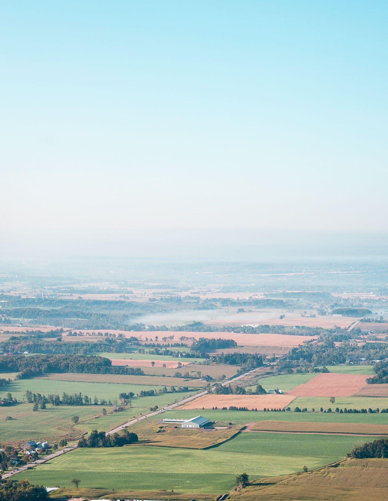
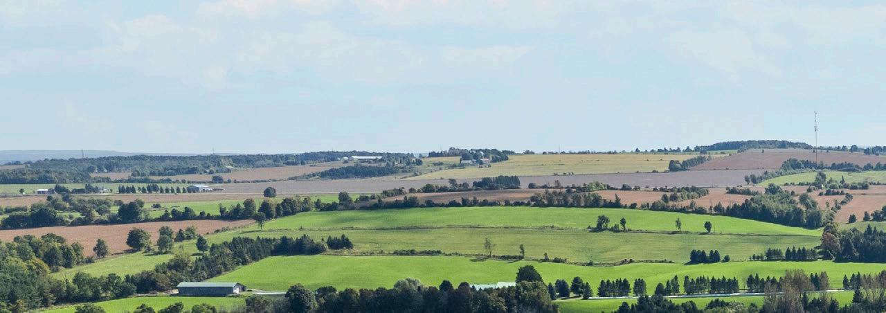
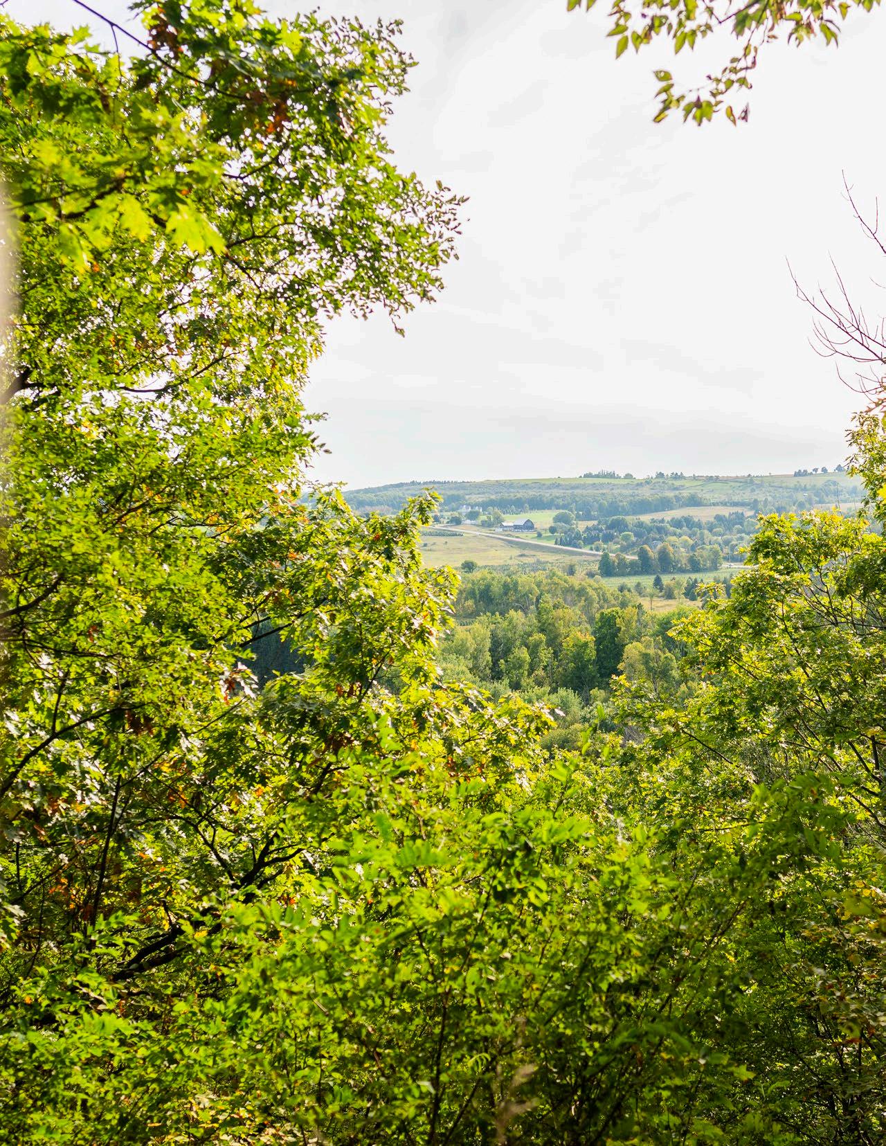
Rural Lands
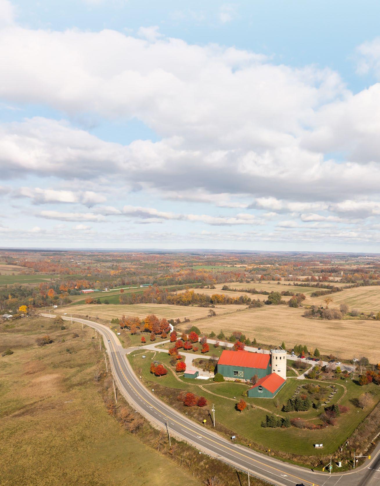
Rural lands are intended to protect the natural amenities and rural character of the County while providing opportunities for rural and other agricultural uses and resource-based activities, and recreational and tourism opportunities.
PERMITTED USES
The primary use of land will be for:
i. The management or use of resources, such as forestry and mineral aggregate operations;
ii. Resource-based recreational uses (including recreational dwellings);
iii. Limited residential development, which includes no more than three new lots or units;
iv. Home occupations and home industries;
v. Cemeteries;
vi. Agricultural uses, agriculture-related uses, onfarm diversified uses and normal farm practices as permitted in Section 4.2.2; and,
vii. Other similar rural land uses that cannot be located in settlement areas.
Other permitted uses include:
i. Rural industrial/commercial uses which are resource-based and forestry uses, may be permitted without an amendment to this Plan, subject to the policies of Section 4.2.3, the local municipal official plan, and may be subject to a site-specific rezoning.
ii. Recreational and tourist commercial uses
iii. Publicly-owned open spaces
iv. Limited residential development in the form of single detached dwellings, which includes no more than three new lots, may be permitted in rural lands without requiring an amendment to this Plan, but may be subject to a rezoning, and provided the use is permitted in the local municipal official plan, and meets the criteria established within the local municipal official plan.
Notwithstanding the foregoing, within rural lands, existing uses that may be zoned for residential or tourist commercial type uses are permitted to continue as such.
Lot creation in the rural lands will only be permitted in accordance with the policies of this Plan and the local municipal official plan.
Where rural industrial/commercial uses, are proposed, the following must be met:
i. The proposed use will not create or add to a negative impact on the environment, adjacent or nearby sensitive land uses, or traffic patterns;
ii. The proponent will demonstrate how outside storage, if any, and the storage and removal of on-site generated waste is to be accommodated;
iii. The proponent will demonstrate how the traffic generated from the proposed use will impact the existing roads and how much will be generated;
iv. For a use that may have the ability to compromise or contaminate the subject lands, the proponent will submit a remediation plan to be used upon the discontinuation of use to the satisfaction of the municipality, County, and the applicable Ministry(ies); and,
v. The proponent will submit a study that not only justifies the proposed use of land but also demonstrates how the foregoing and any other requirements set out in this Plan and the local municipal official plan will be met.
MARKET FRESH
R.I.P.
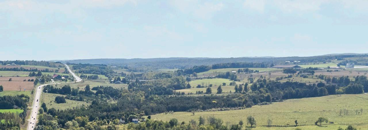
Natural Heritage System
AND ITS FEATURES AND FUNCTIONS
A Natural Heritage System has been mapped to support a comprehensive, integrated, and long-term approach to planning for the protection of the County’s natural heritage and biodiversity.
The County encourages the protection, restoration, or where possible, enhancement of natural heritage features and associated functions. While the location and significance of these features has yet to be determined in some cases, all of these features need to be considered when applications for development and site alteration are being evaluated. It is recognized that additional natural heritage features may be identified by the County, local municipalities, applicable Conservation Authority’s and/or the Ministry of Natural Resources and Forestry.
The responsibility for determining the significance of significant wetlands, significant areas of natural and scientific interest, and habitat of endangered species and threatened species, rests with the Province of Ontario.
Natural Heritage Features
SCHEDULE E
Schedule E is intended to reflect Provincially Significant Wetlands, Provincially Significant Areas of Natural and Scientific Interest (ANSI), Woodlands, and Unevaluated wetlands and locally or regionally significant wetlands.
Provincial PlanAreas (S.2.0)
PlanAreas (S.2.0) Greenbelt Plan Protected Countryside Area (S. 2.1)
Greenbelt Plan Protected Countryside Area (S. 2.1)
Provincial PlanAreas (S.2.0) Greenbelt Plan Protected Countryside Area (S. 2.1) Oak RidgesMoraine ConservationPlanArea(S. 4.2.2)
Oak RidgesMoraine ConservationPlanArea(S. 4.2.2)
RidgesMoraine ConservationPlanArea(S. 4.2.2)
Escarpment PlanArea (S.
Significant Wetlands (S. 5.3.1)
Wetlands (S.5.3.6)
(S. 5.3.8)
Natural Heritage System
SCHEDULE E1
Schedule E1 illustrates the County-wide Natural Heritage System, which includes the Provincial Plan natural heritage systems, as well as the natural heritage features and areas that are identified on Schedule E, in addition to watercourses, and associated flooding hazards, steeps slopes, unstable soils and erosion hazards, which establish linkages between the natural heritage features and areas.