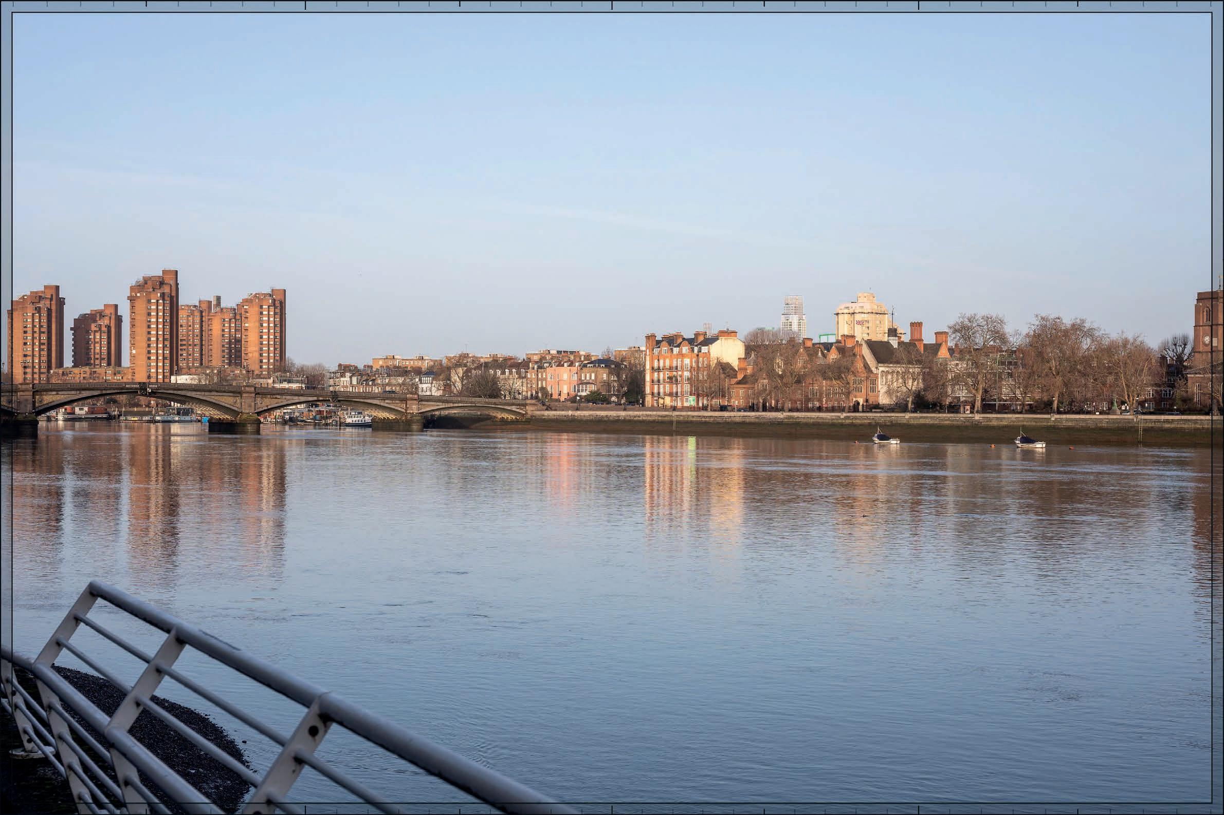
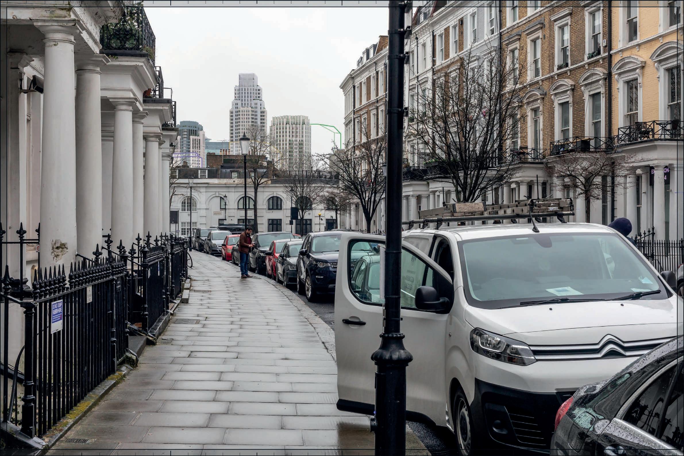
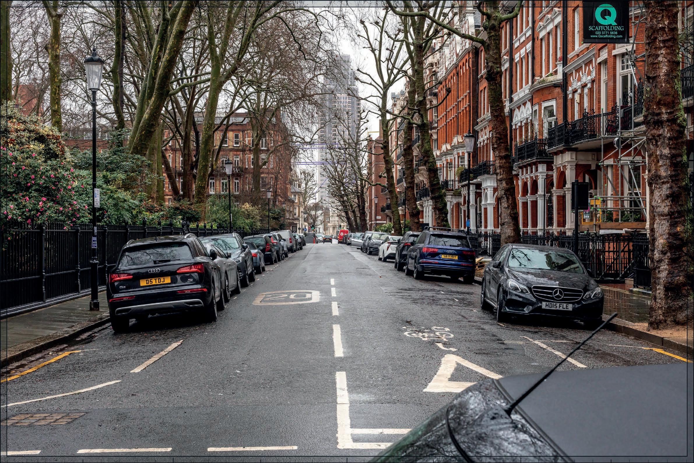
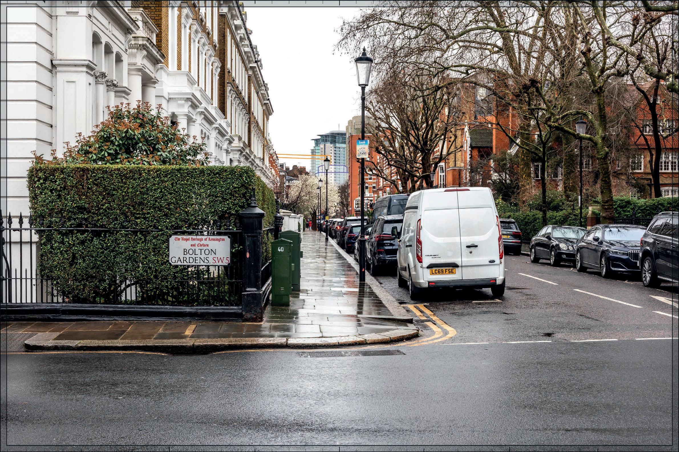
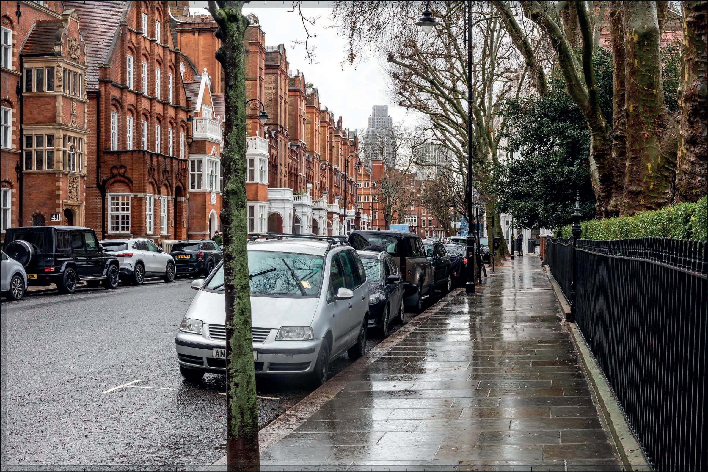
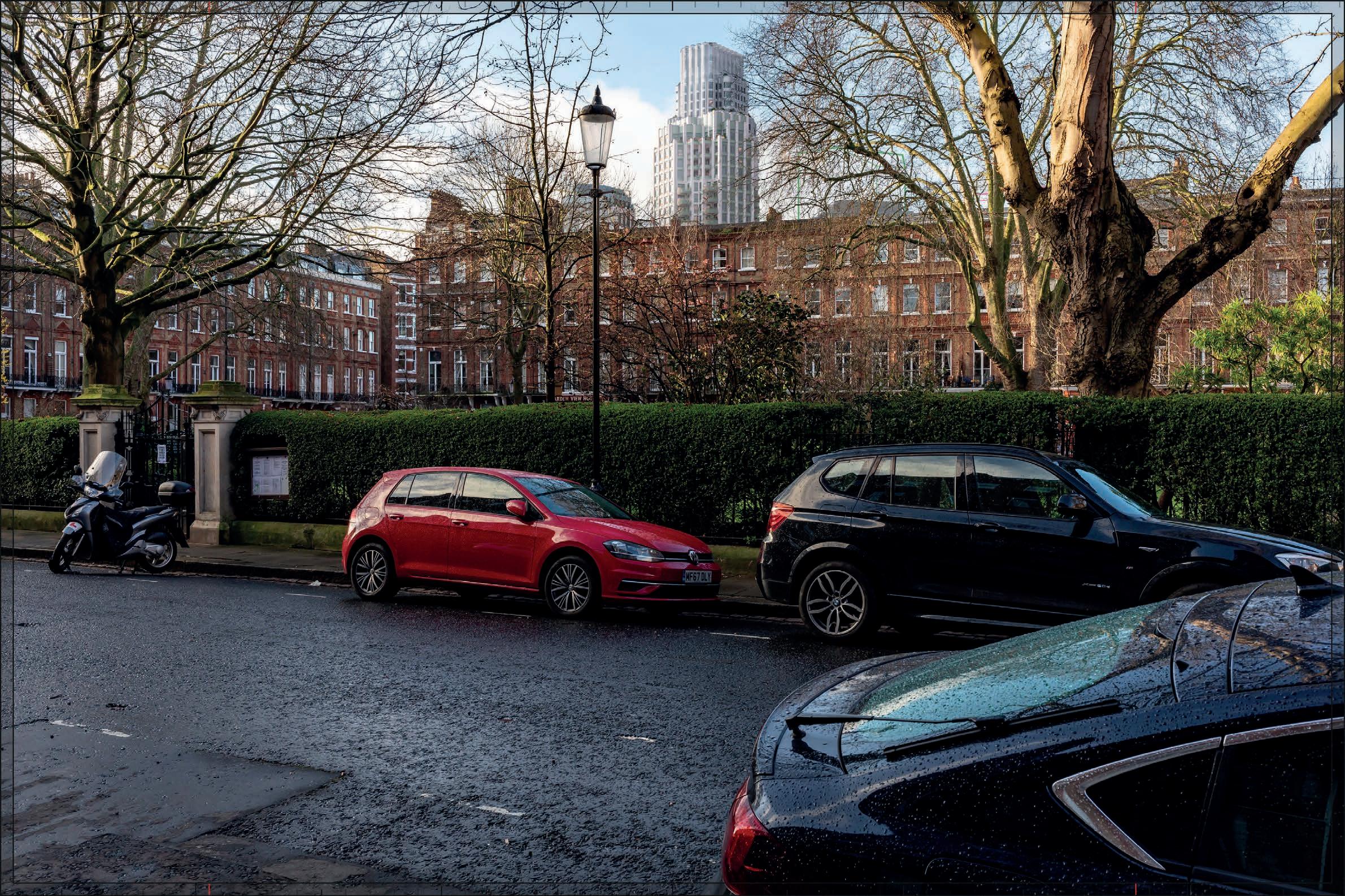
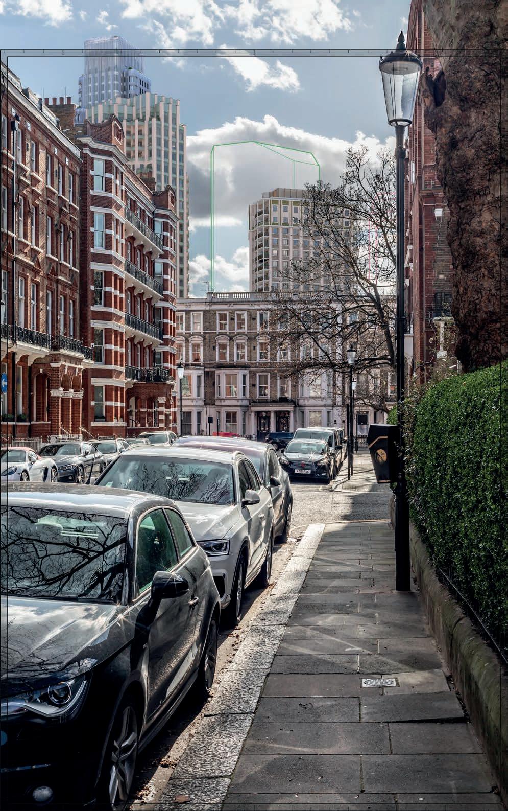
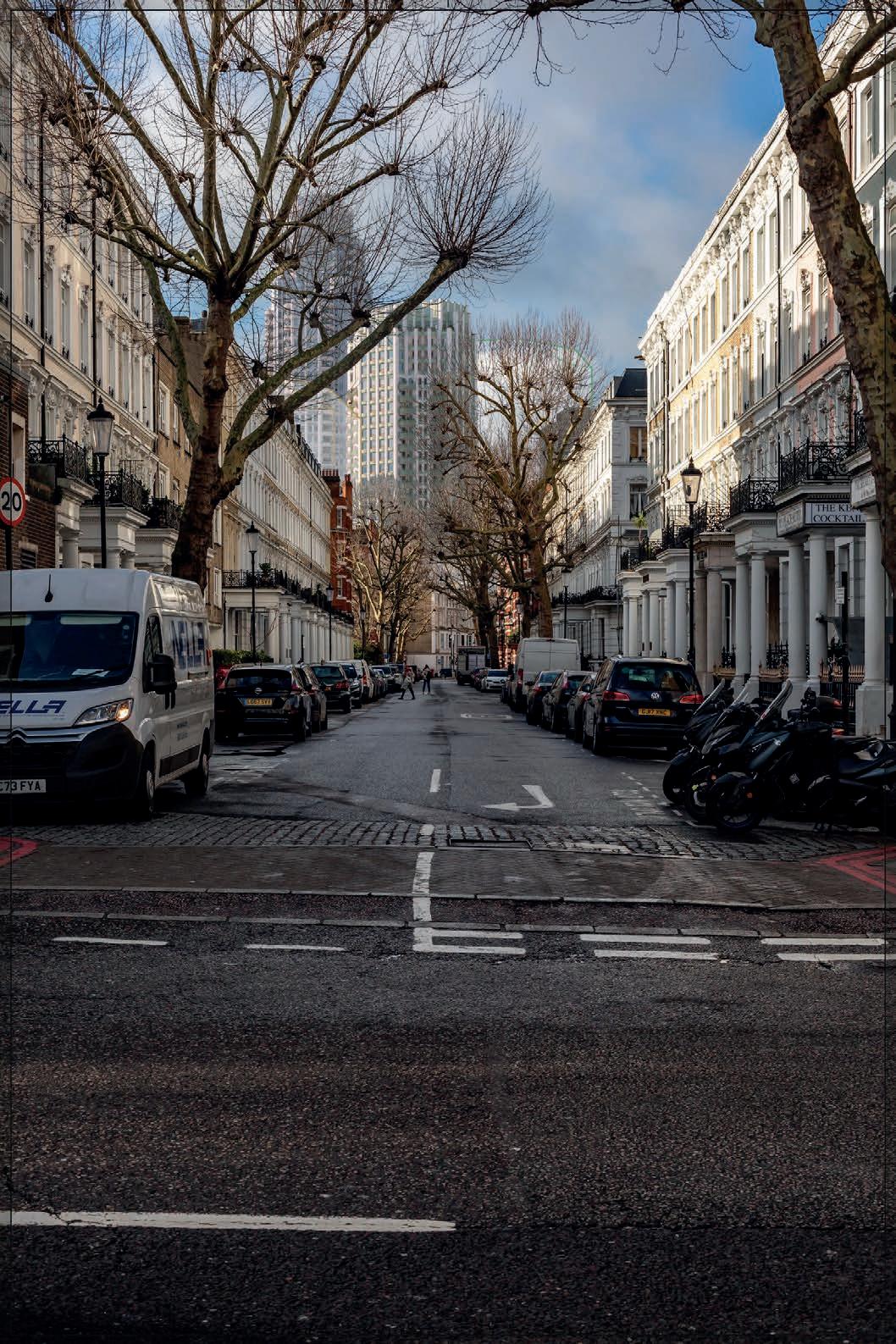
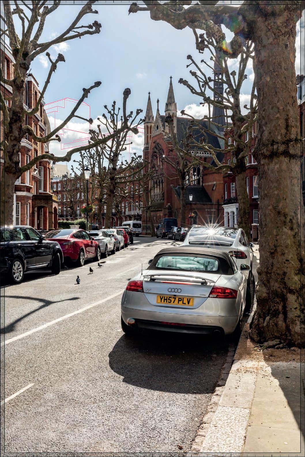
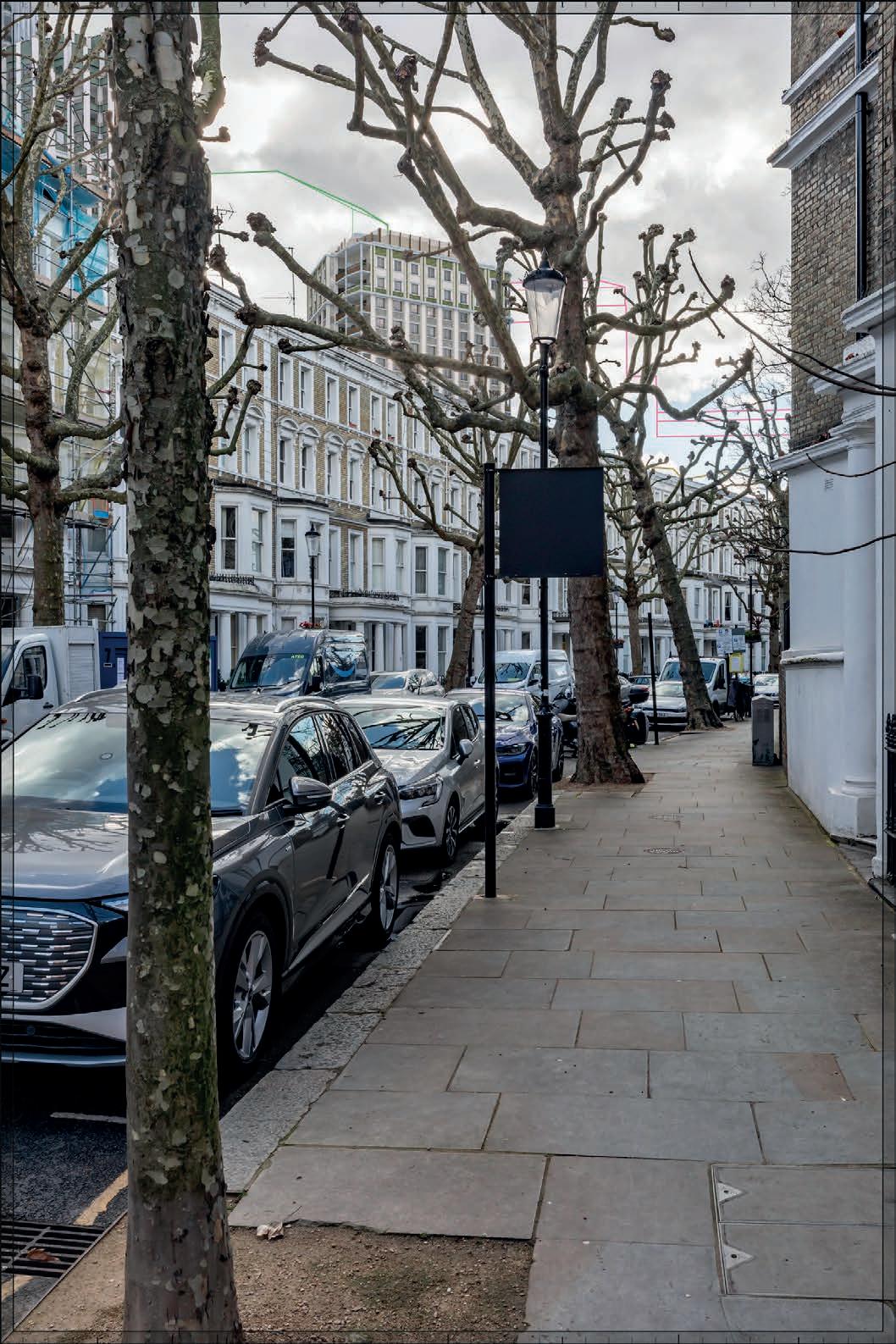
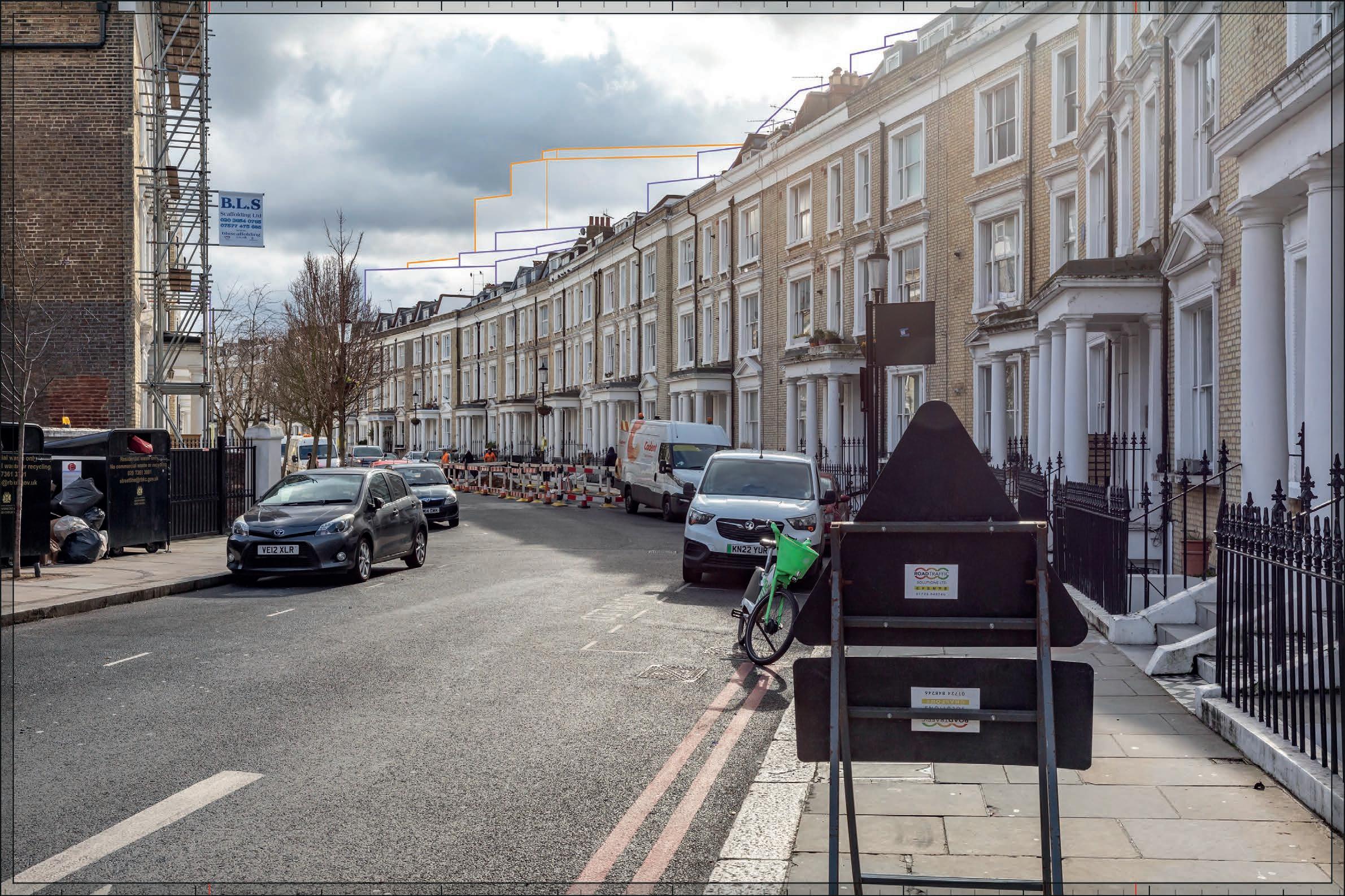
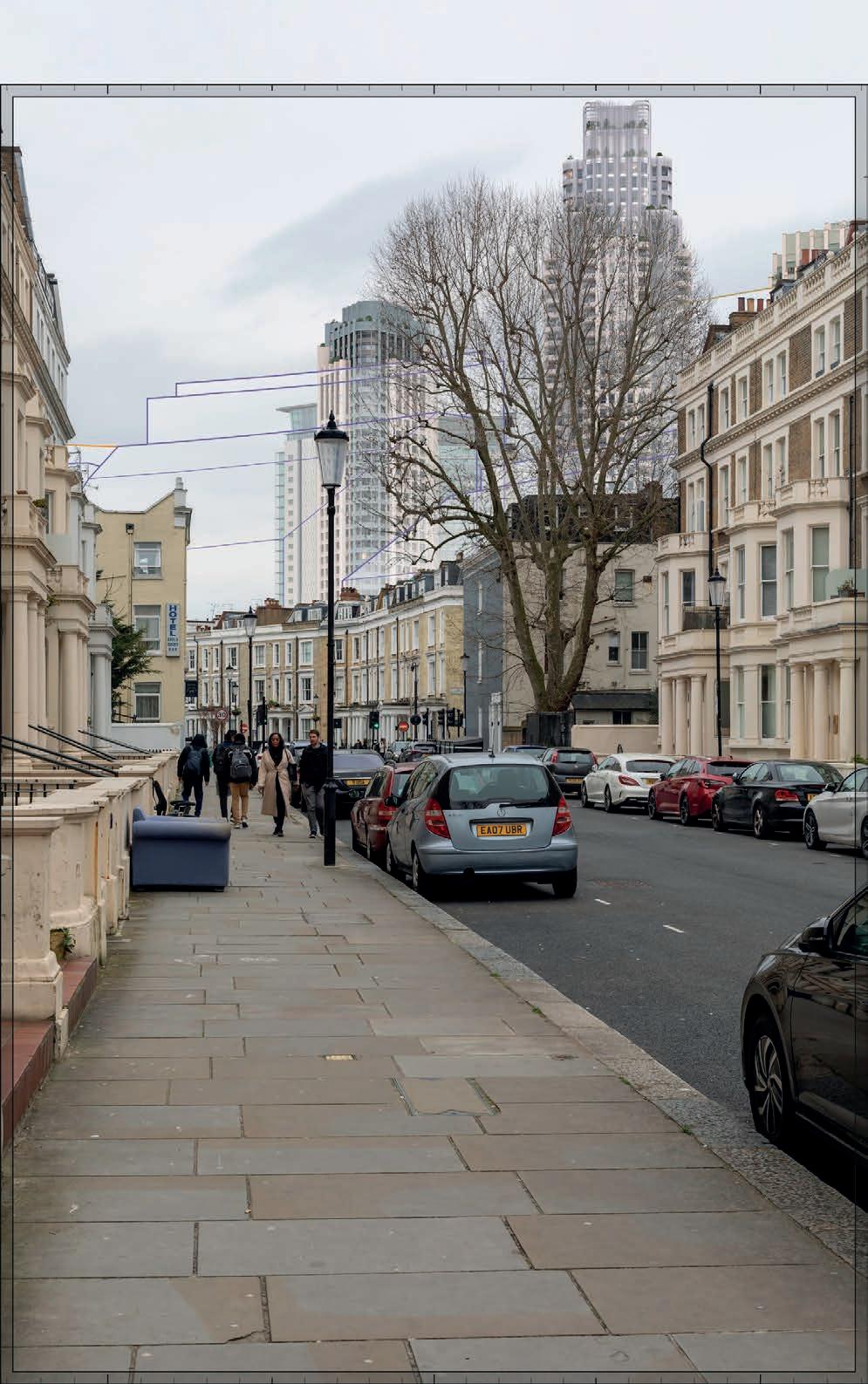
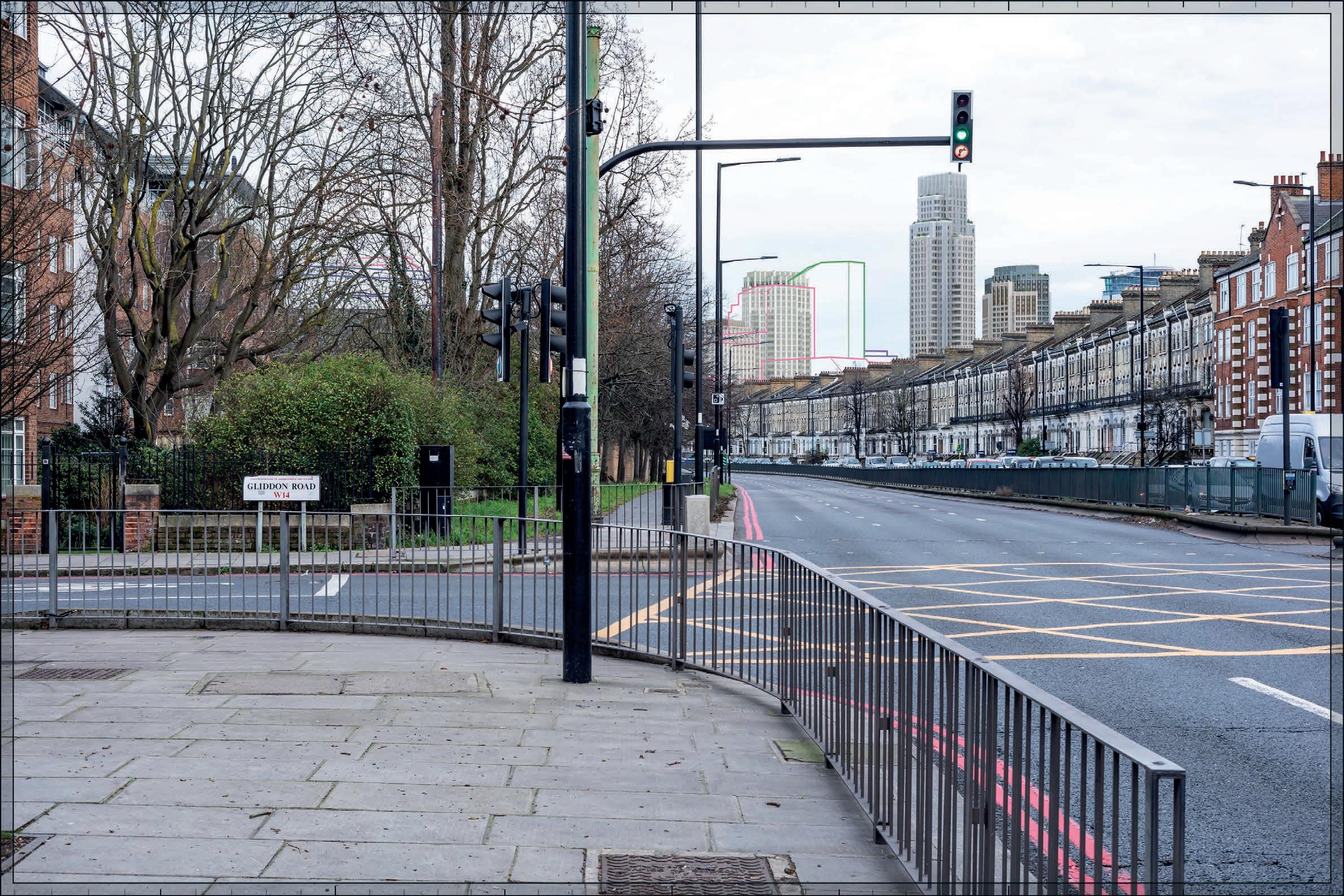
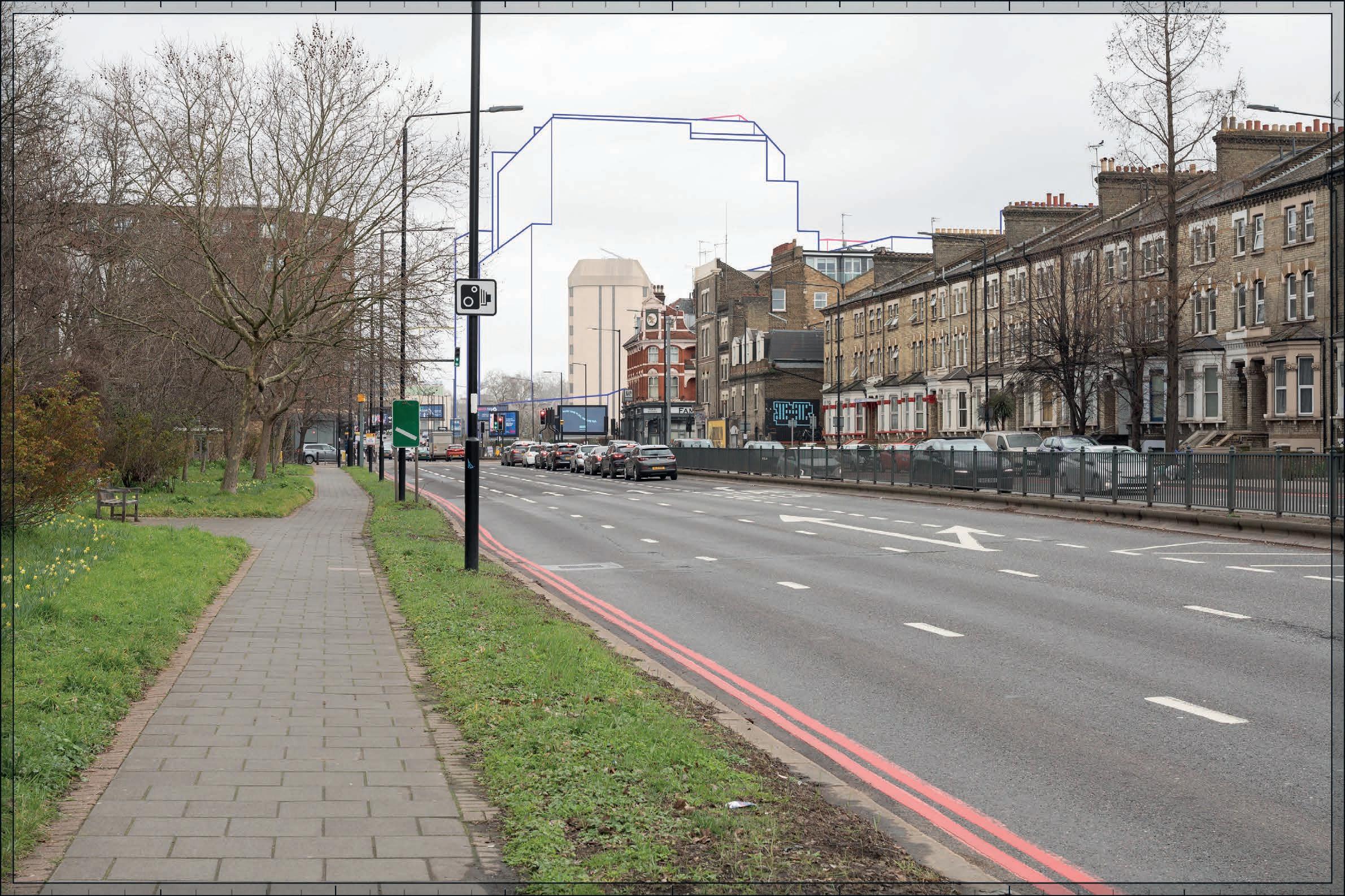
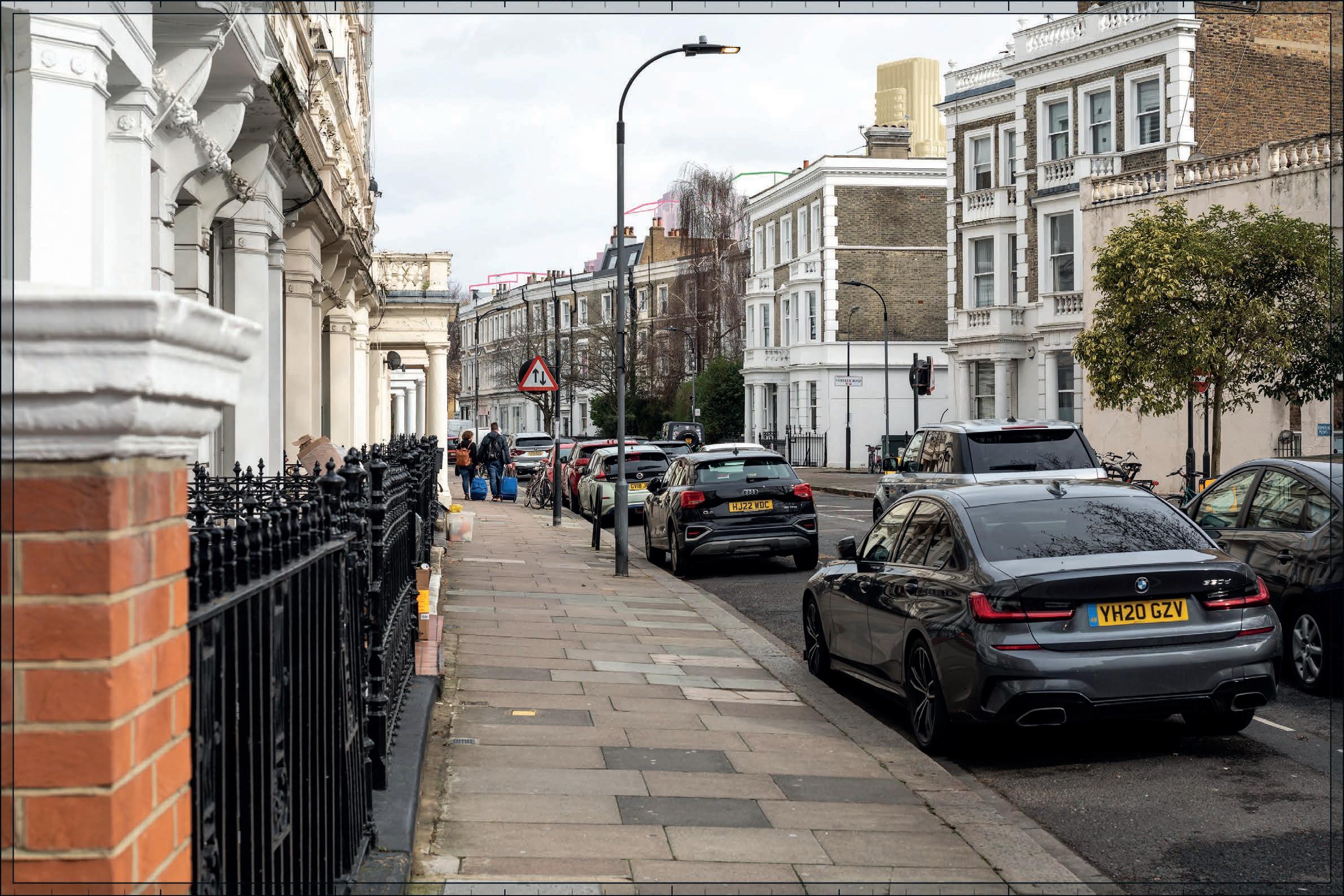
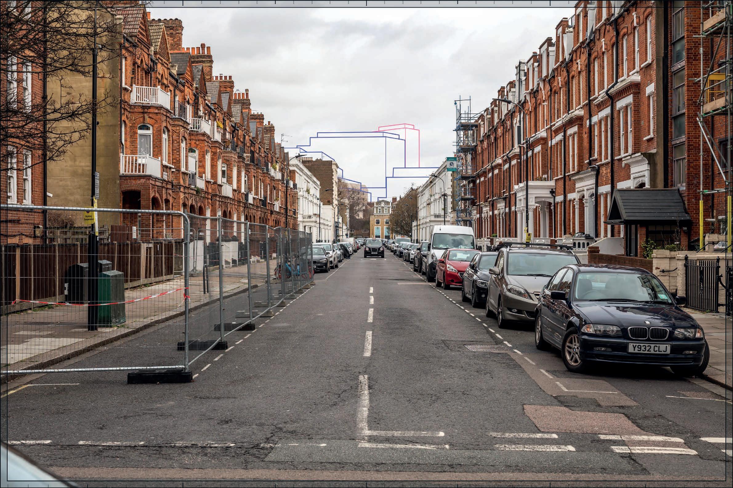
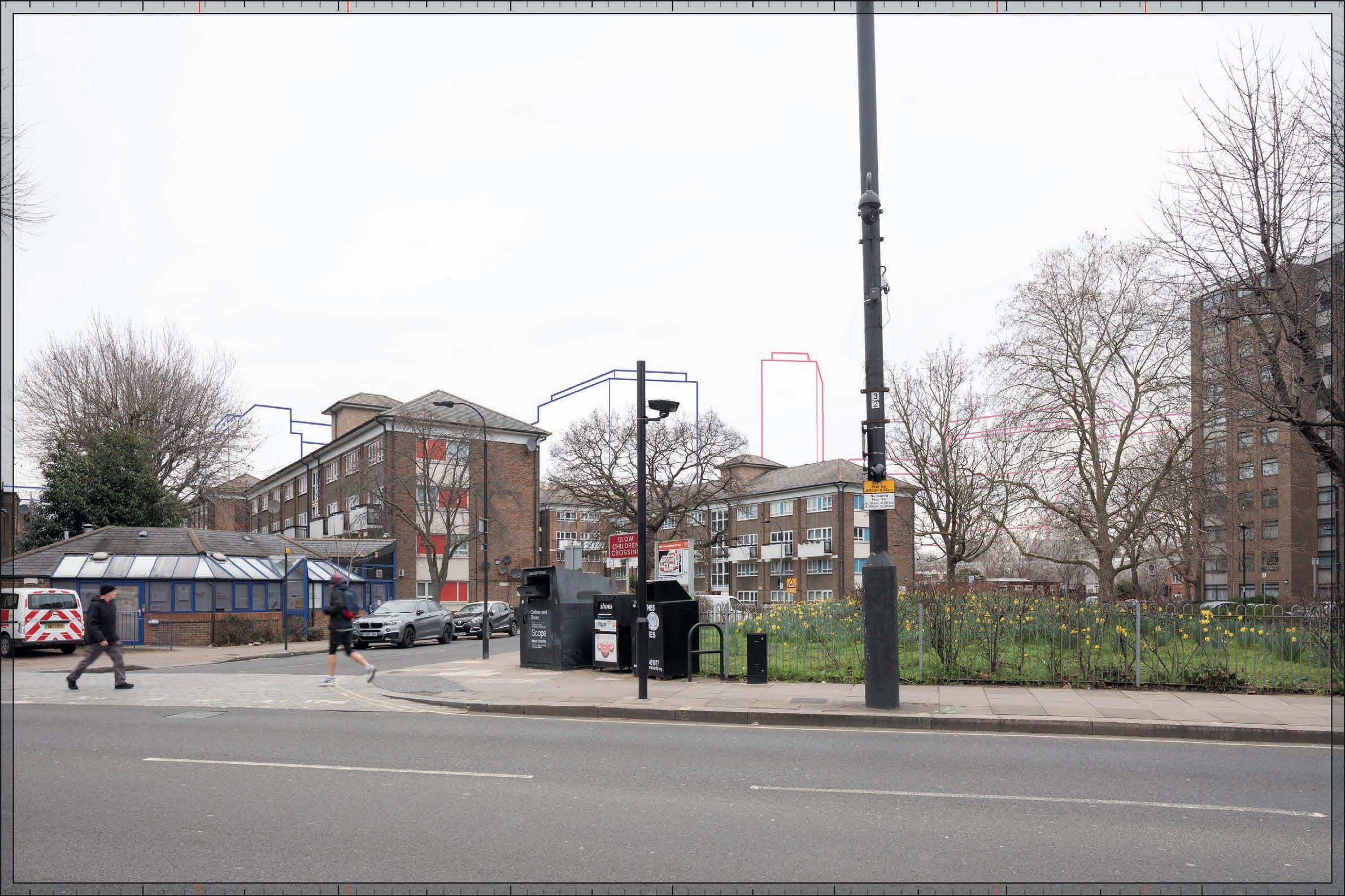
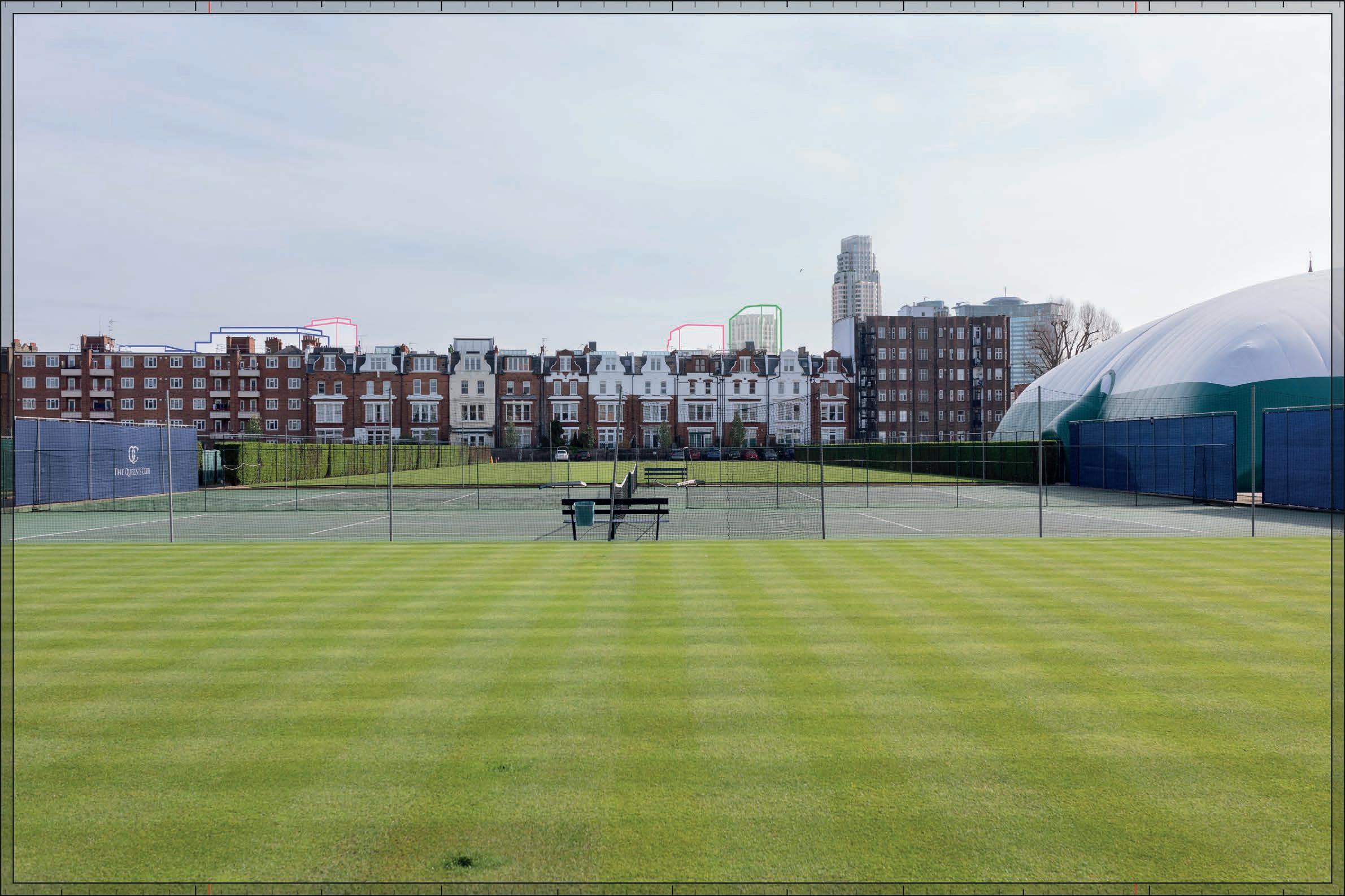
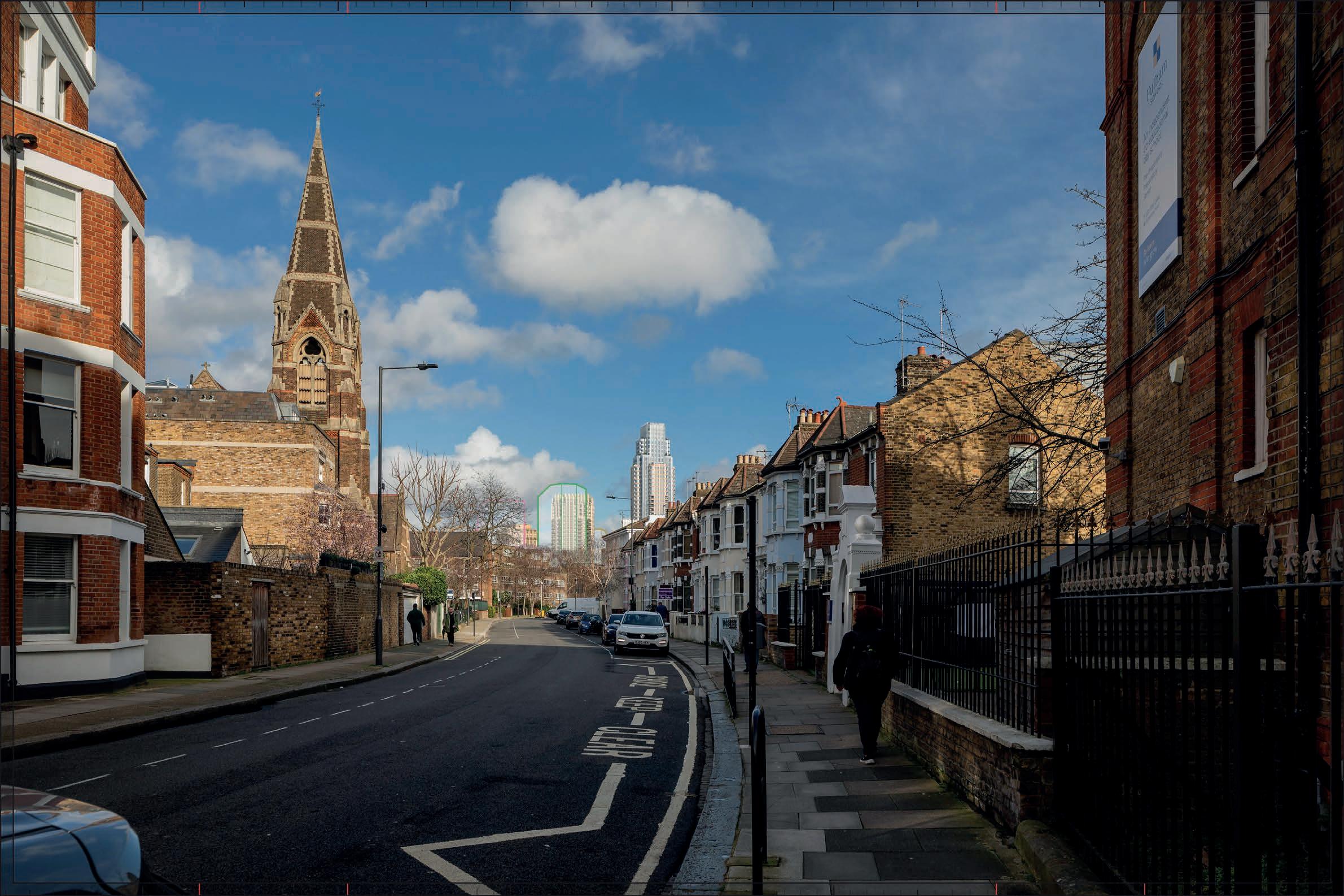
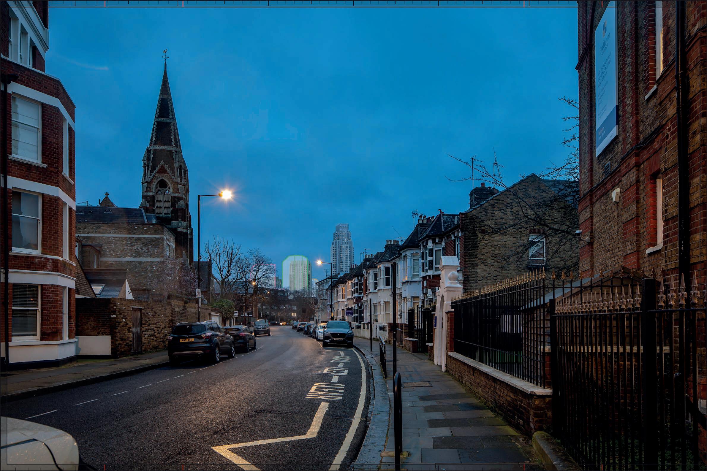
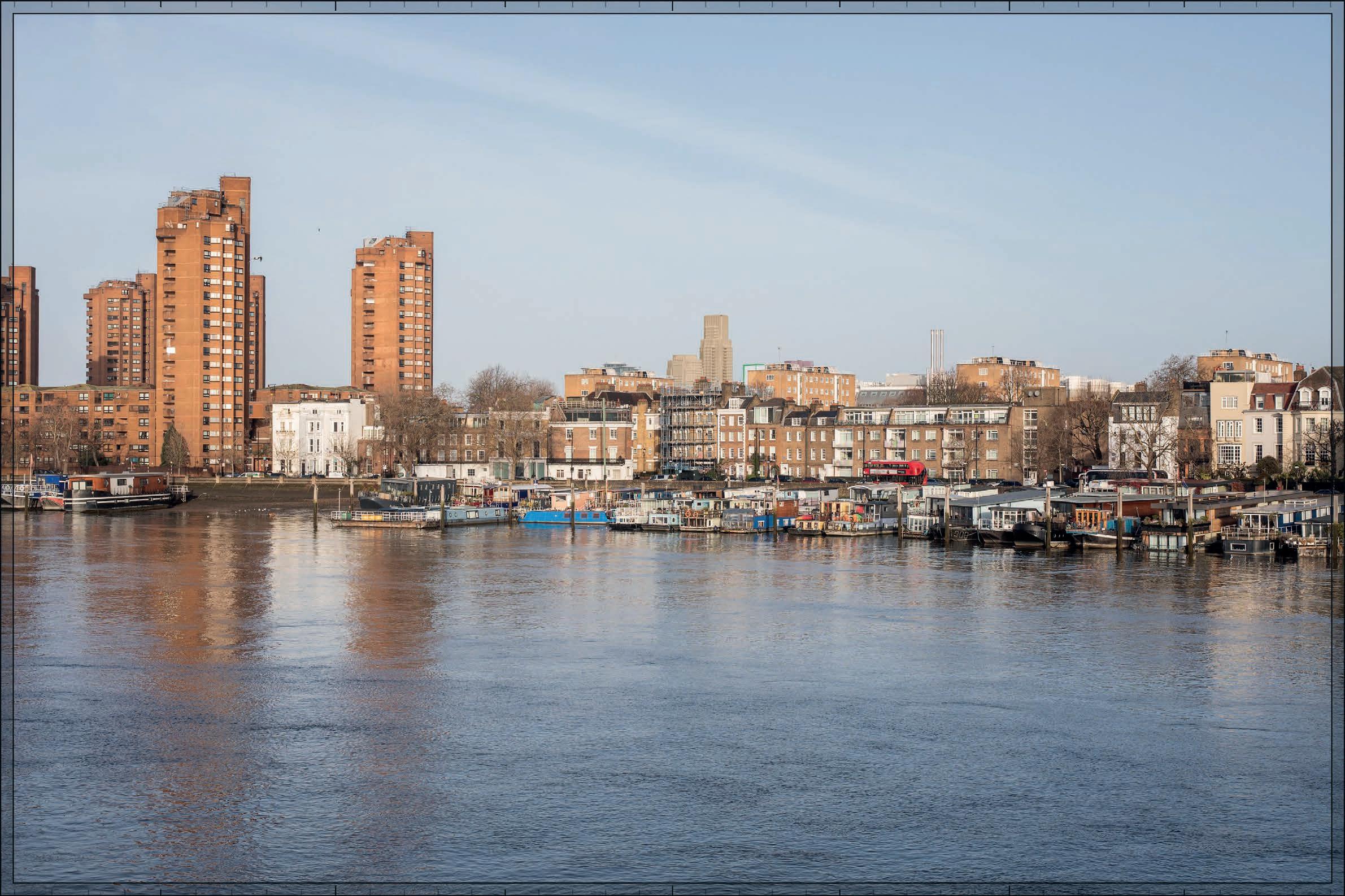
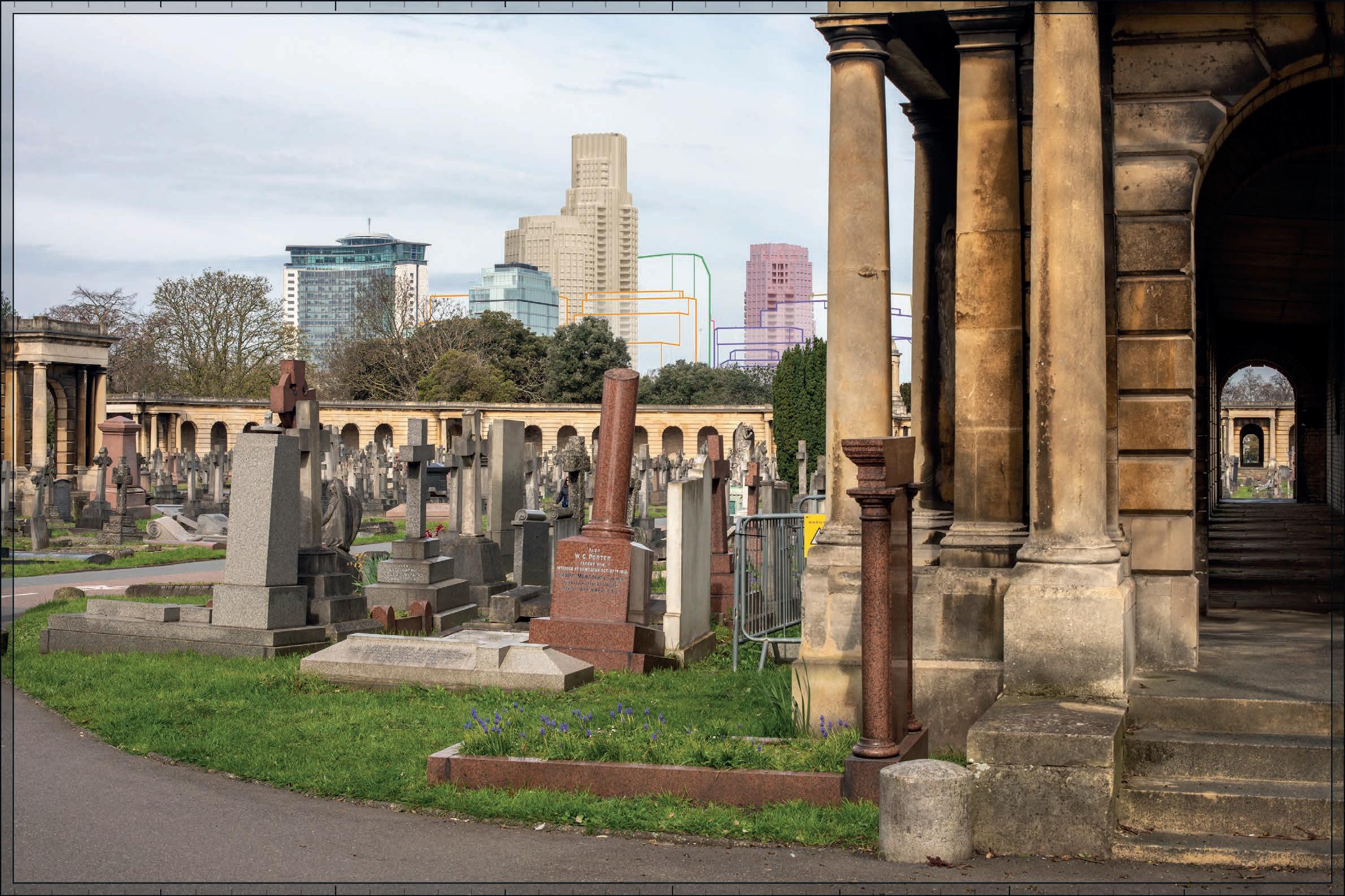
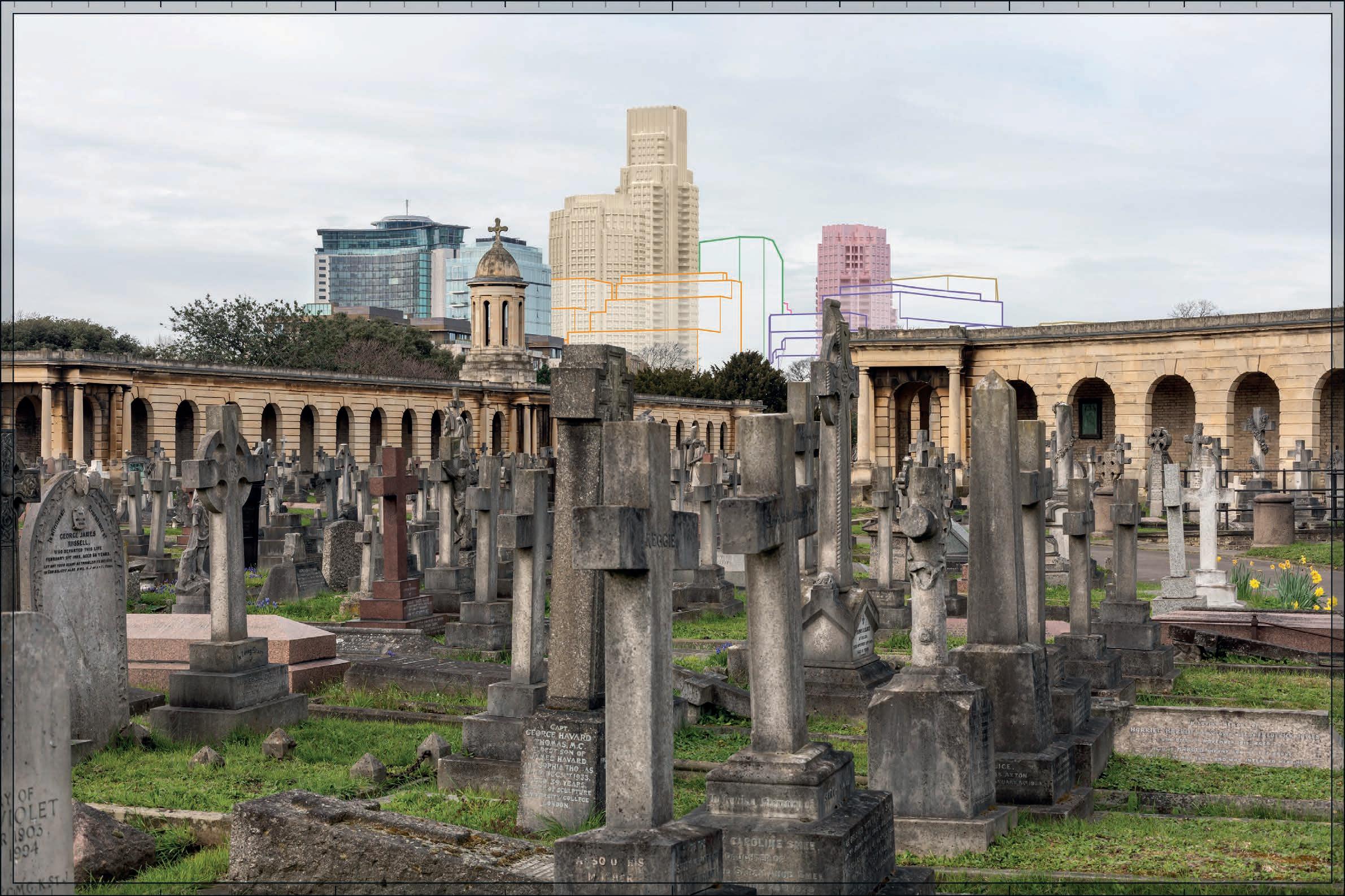
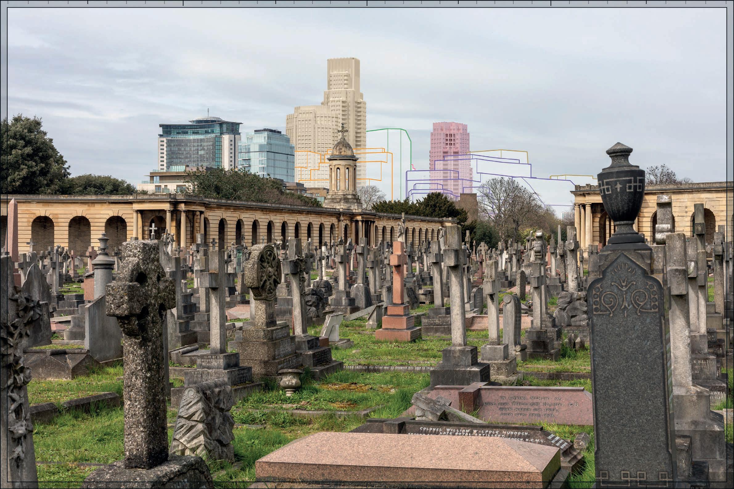
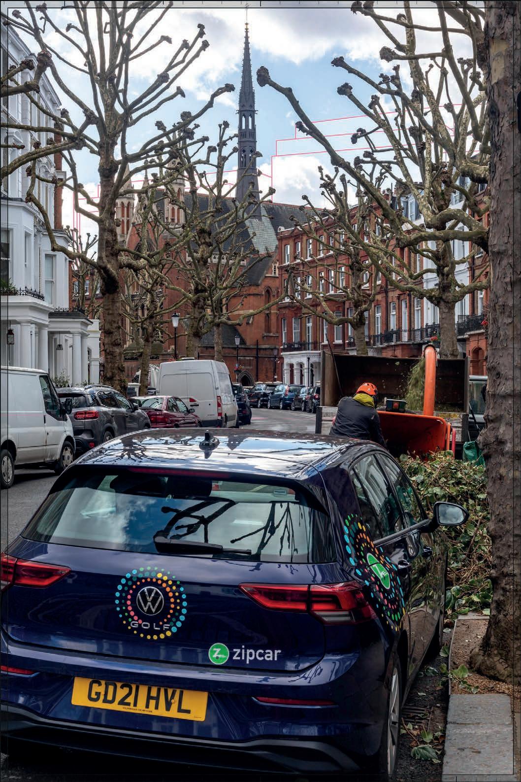
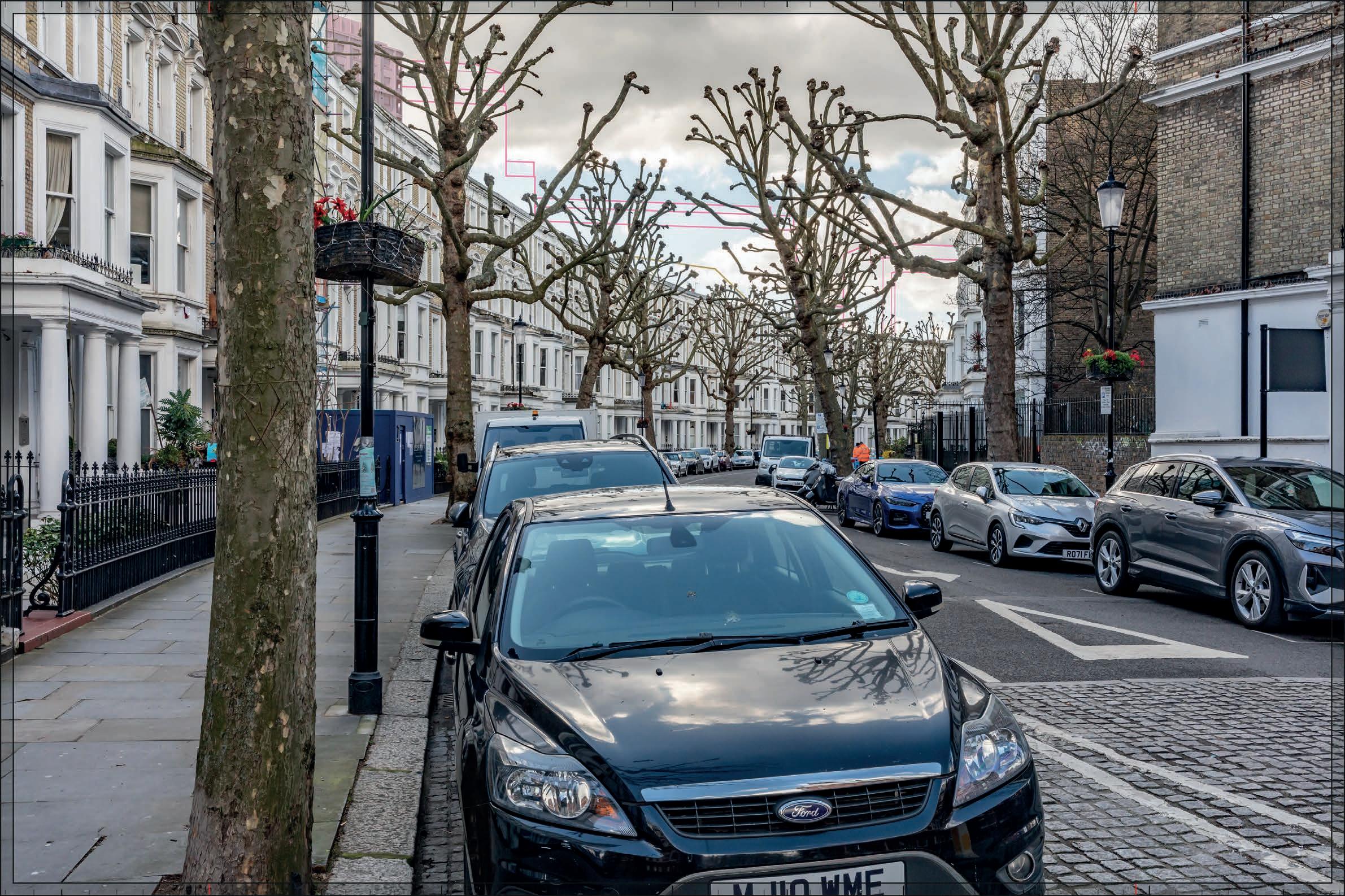
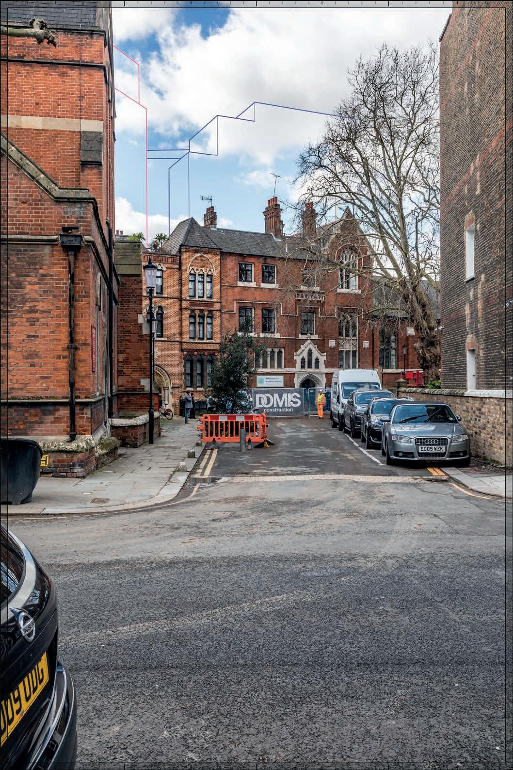
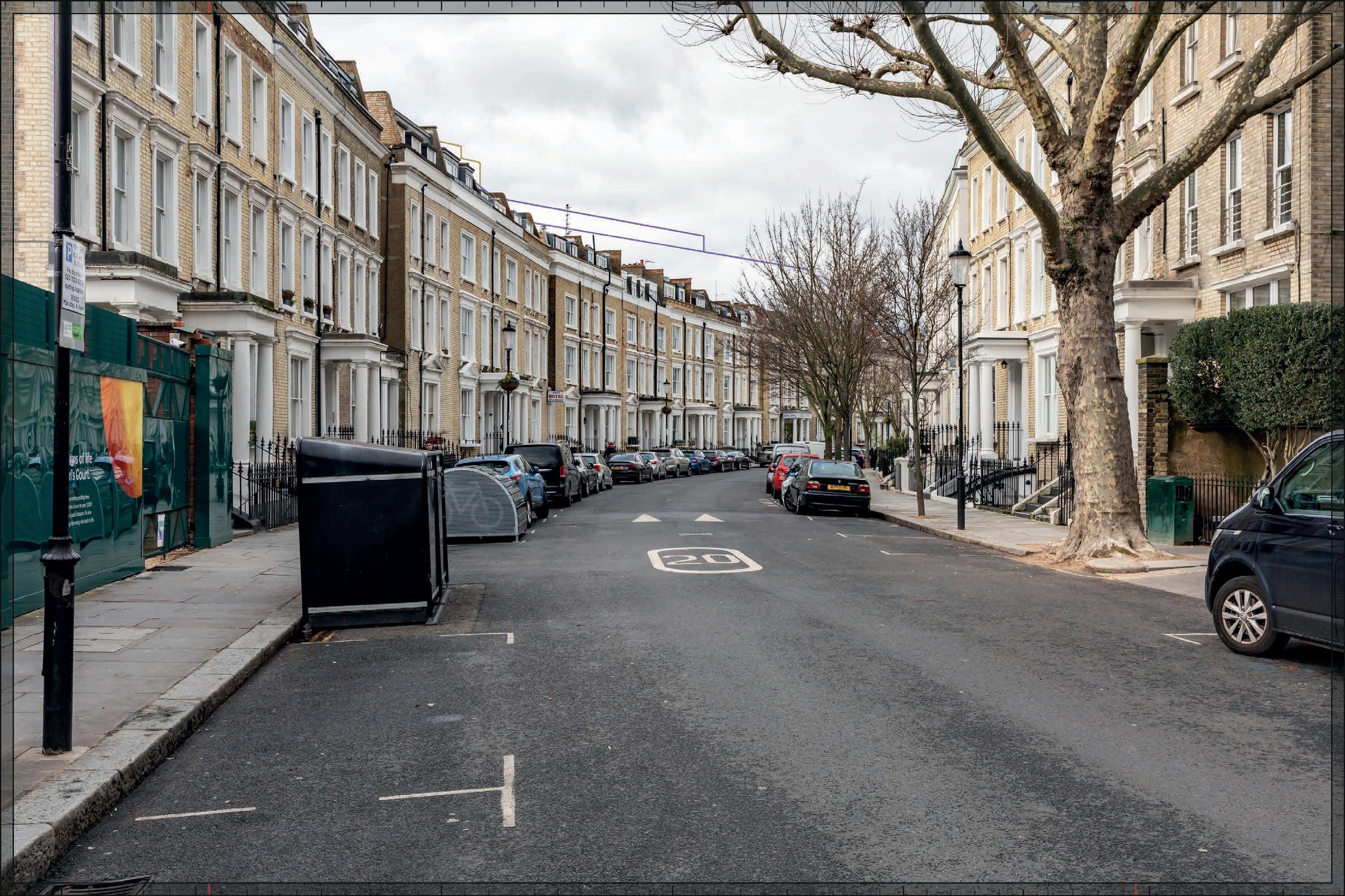
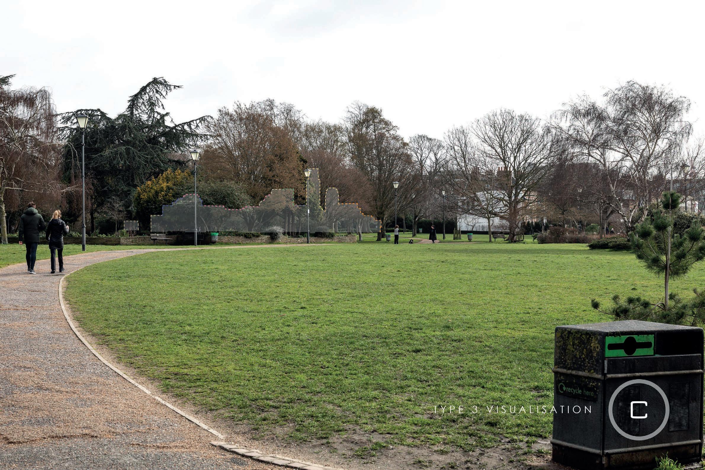
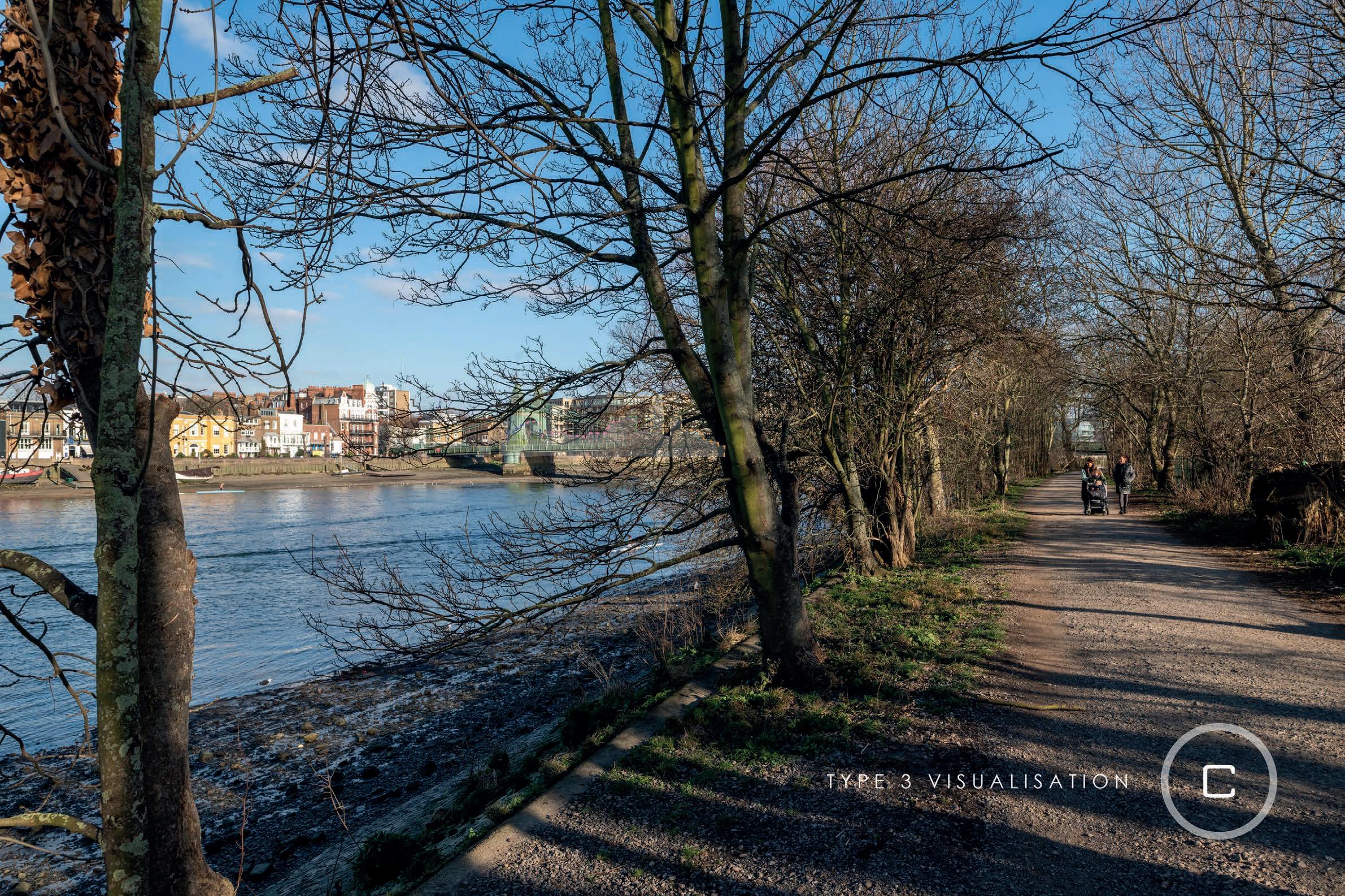
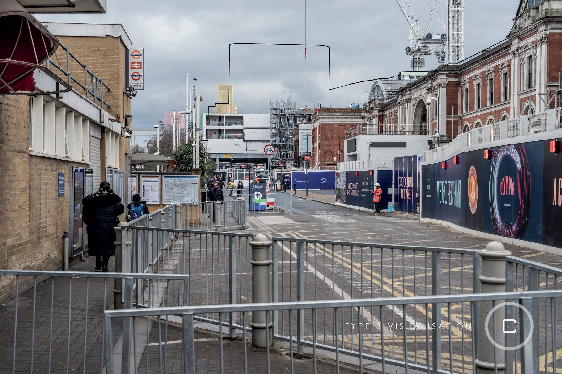
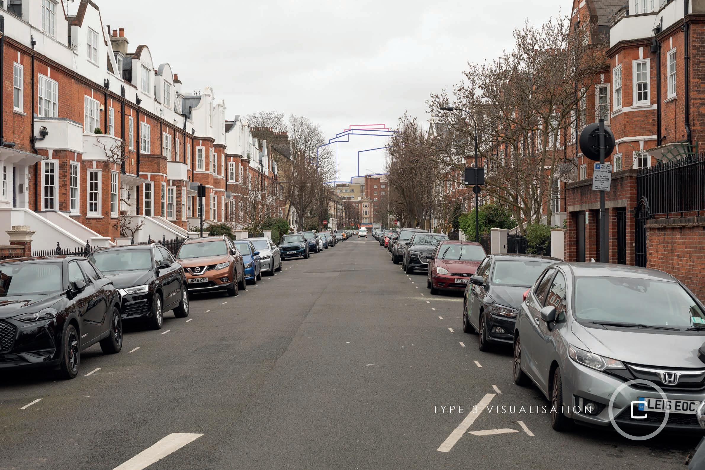
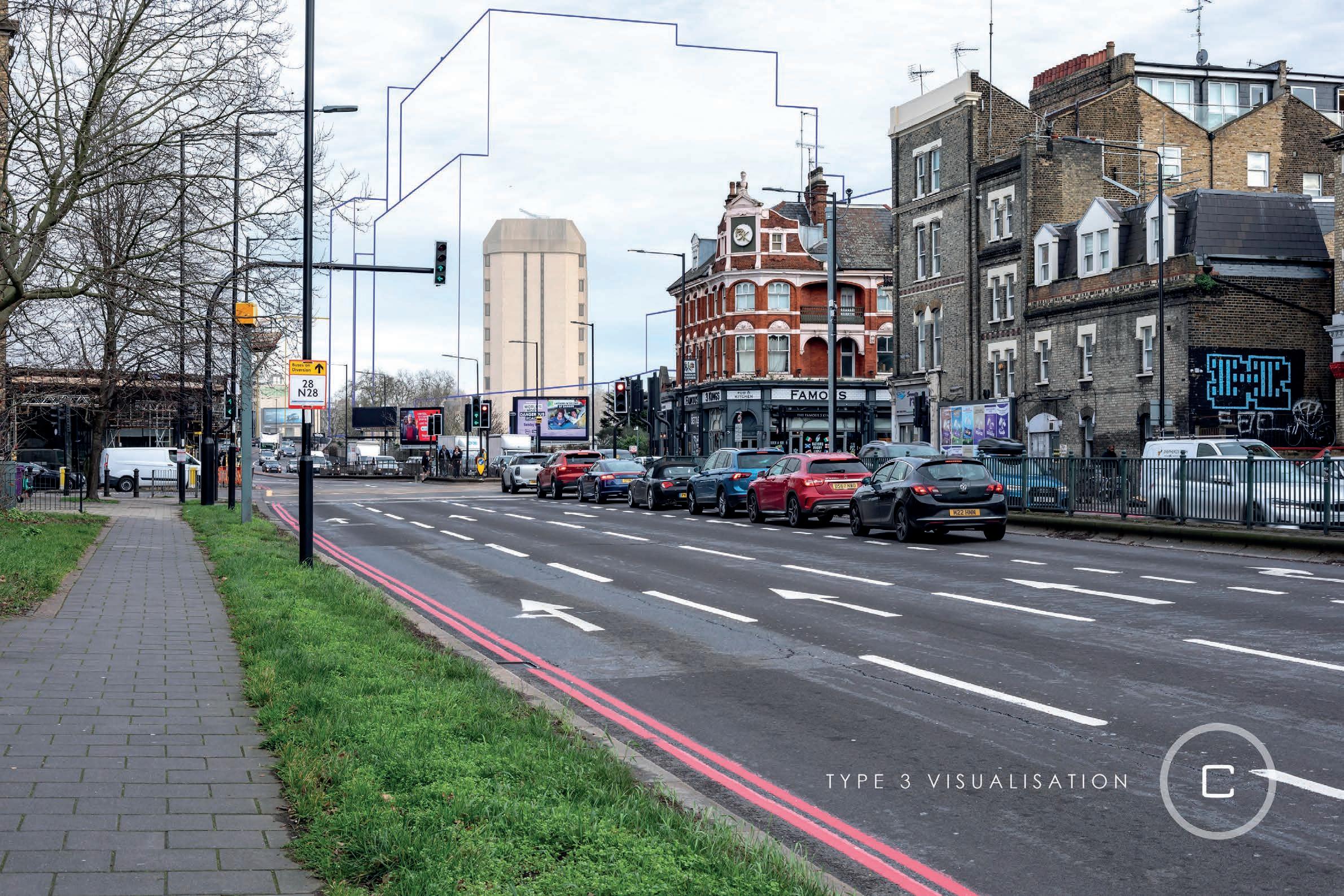
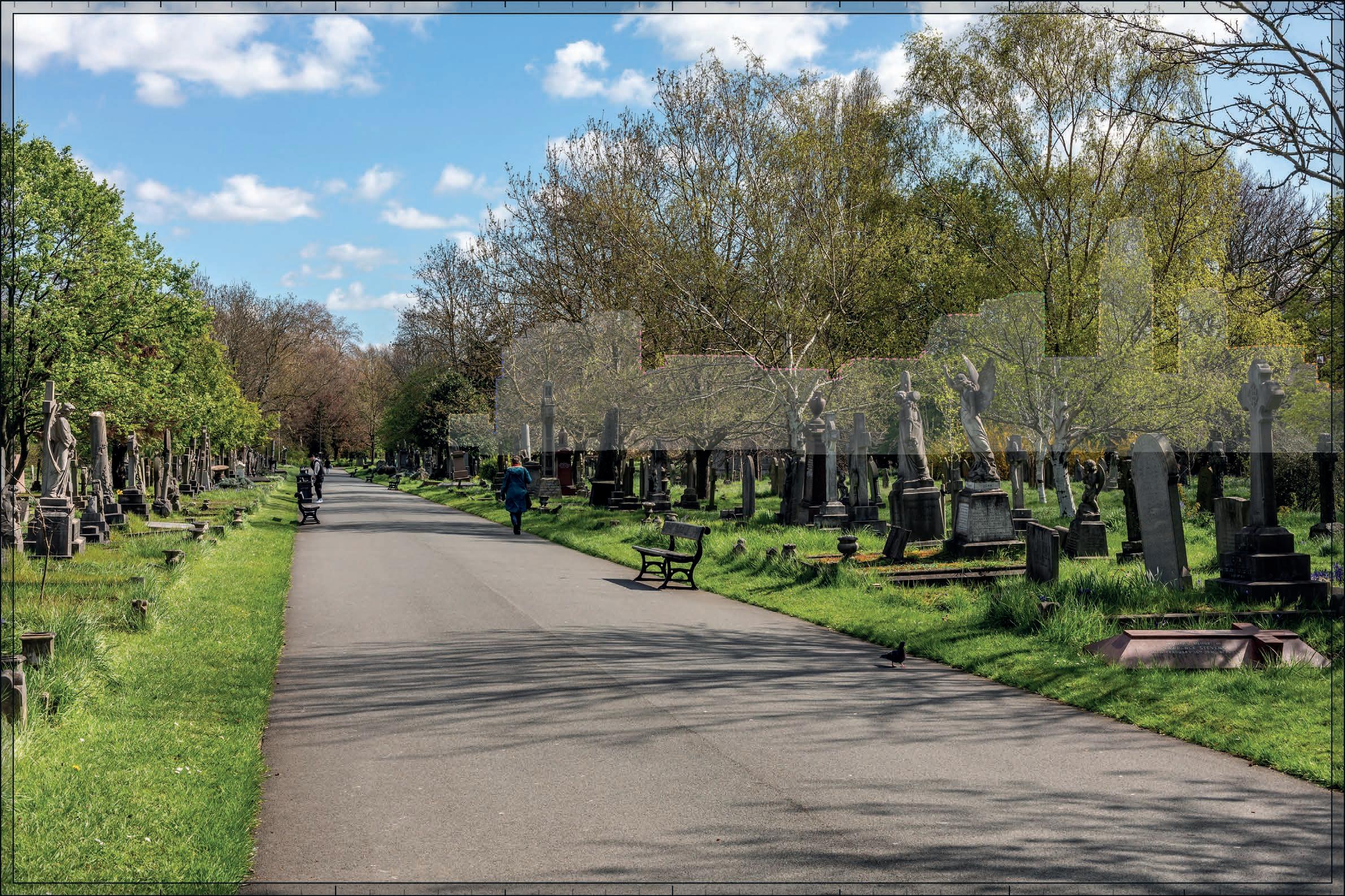
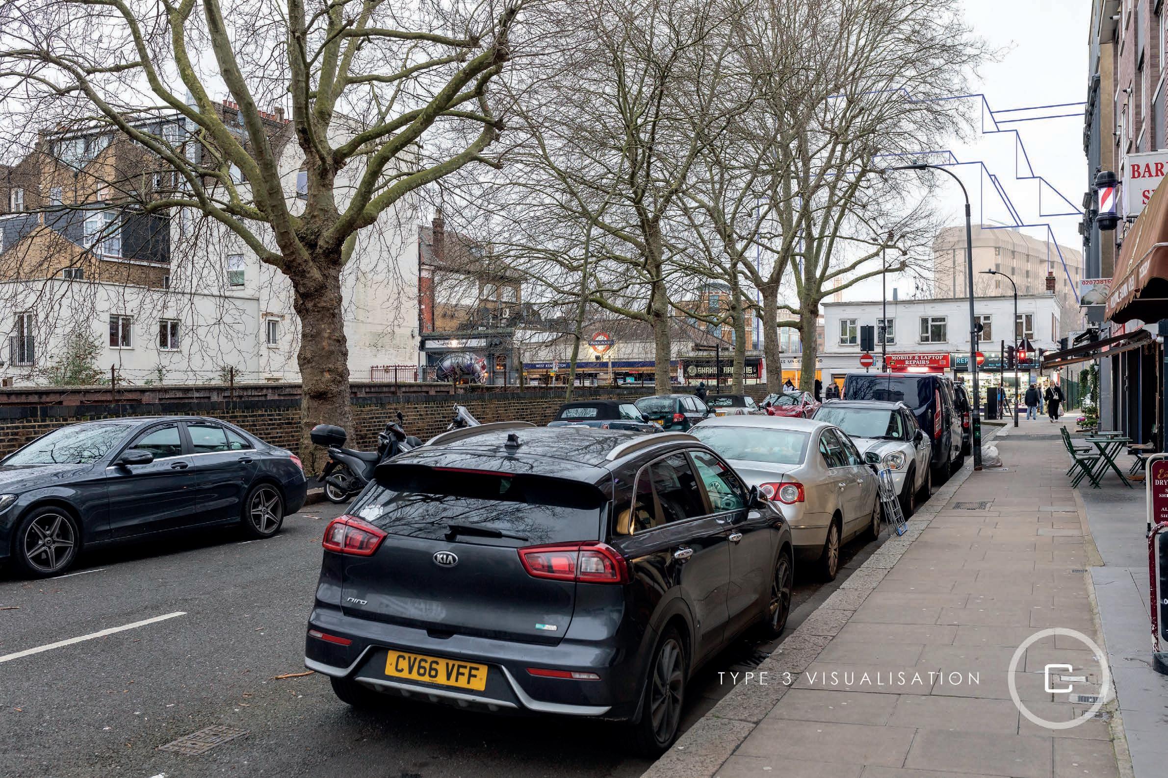
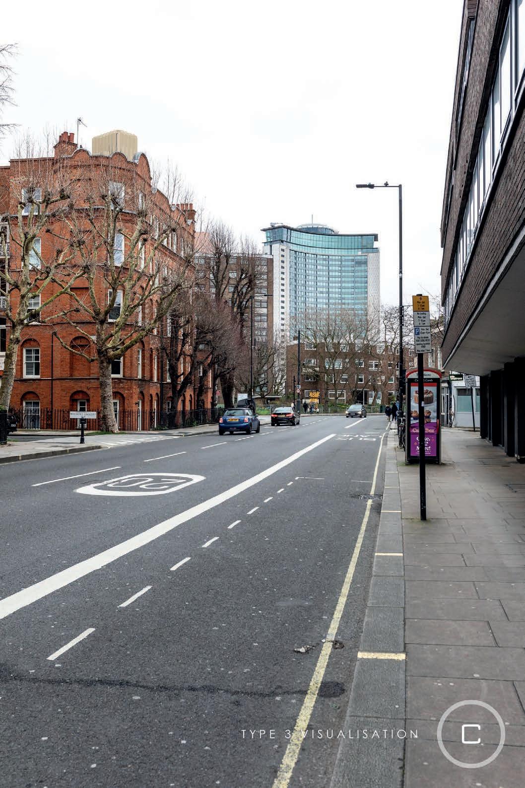
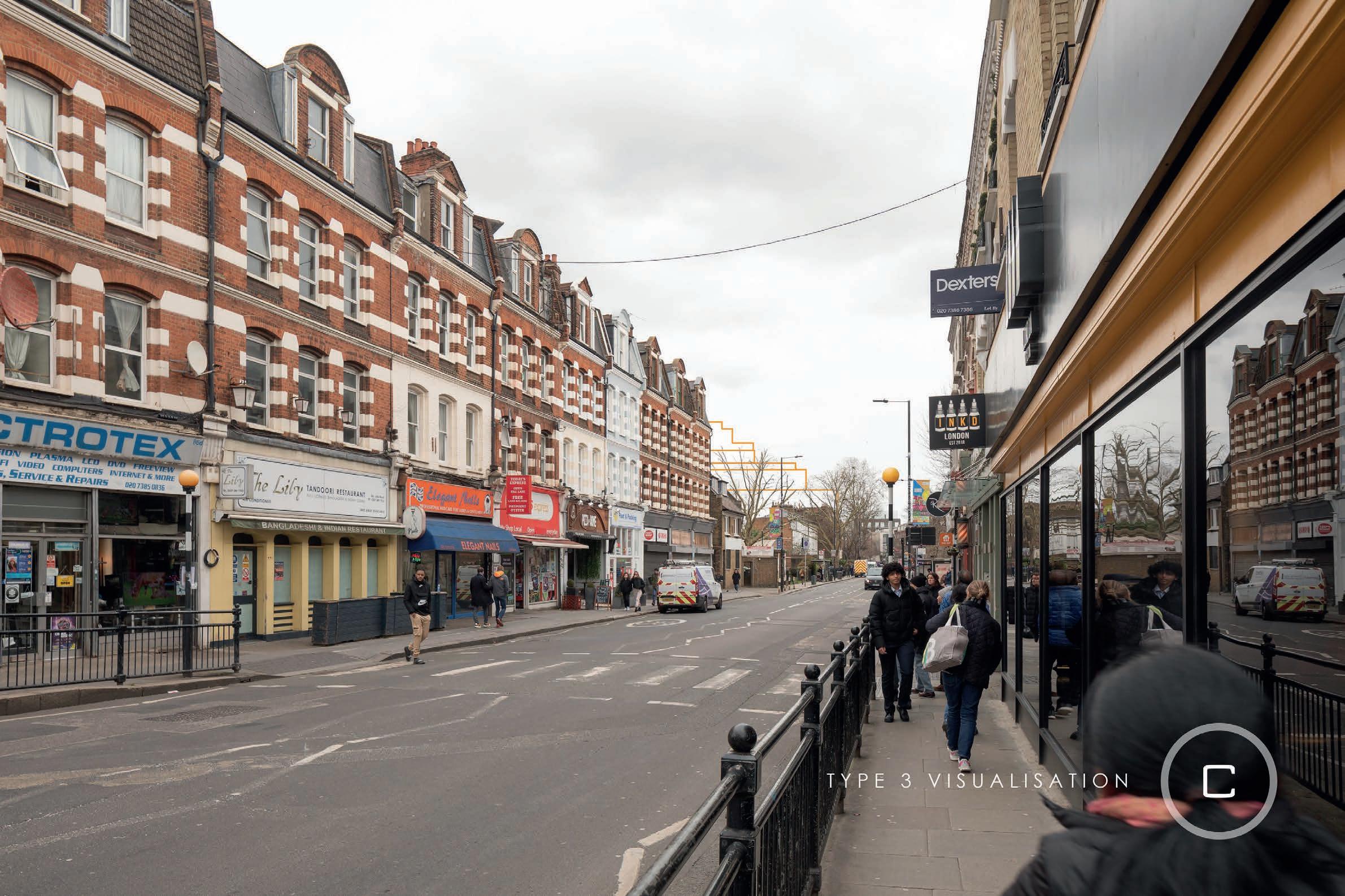
Selected views


This appendix compiles a list of sources which informed the baseline research of this report at Sections 5.0 and 6.0.
• Greater London Historic Environment Record (GLHER);
• London Metropolitan Archives;
• Corporate Transport for London Archives;
• Layers of London;
• British History Online Survey of London;
• Historic England Archives;
• Historic England National Heritage List for England (NHLE);
• Cherry and Pevsner, The Buildings of England London 3: North West (2002);
• Old Maps Online;
• National Library of Scotland: Historic Ordnance Survey Maps Collection;
• British Library Maps Collection;
• Royal Parks, Brompton Cemetery: https://www.royalparks.org.uk/visit/ parks/brompton-cemetery;
• London Picture Archive;
• London Canals;
• Heritage Gateway;
• Geograph, Empress State Building, Lillie Road (2016): https://www. geograph.org.uk/photo/4934595;
• 'Earl's Court Village and Earl's Court Gardens area', in Survey of London: Volume 42, Kensington Square To Earl's Court, (London, 1986);
• 'South Kensington Museums Area’, in Survey of London: Volume 38, (London, 1986) pp. 49-73;
• Victoria County History of England, Middlesex, vol. I, 116-7;
• RBKC, Brompton Cemetery Conservation Area Appraisal (2017);
• RBKC, Philbeach Conservation Area Appraisal (2017);
• RBKC, The Boltons Conservation Area Appraisal (2015);
• RBKC, Nevern Square Conservation Area Appraisal (2018);
• RBKC, Earl’s Court Village Conservation Area Appraisal (2016);
• RBKC, Earl’s Court Square Conservation Area Appraisal (2016);
• RBKC, Courtfield Conservation Area Appraisal (2015);
• RBKC, Holland Park Conservation Area Appraisal (2017);
• LBHF, Olympia and Avonmore Conservation Area Character Profile (2010);
• LBHF, Baron’s Court Conservation Area Character Profile (2005);
• LBHF, Sedlescombe Road Conservation Area Character Profile (2000);
• LBHF, Queen’s Club Gardens Conservation Area Character Profile (2005); and
• LBHF, Bishops Park Conservation Area Character Profile (1998).
aPPENDIX 9: G a ZE ttEEr oF all PHa sE s t Va
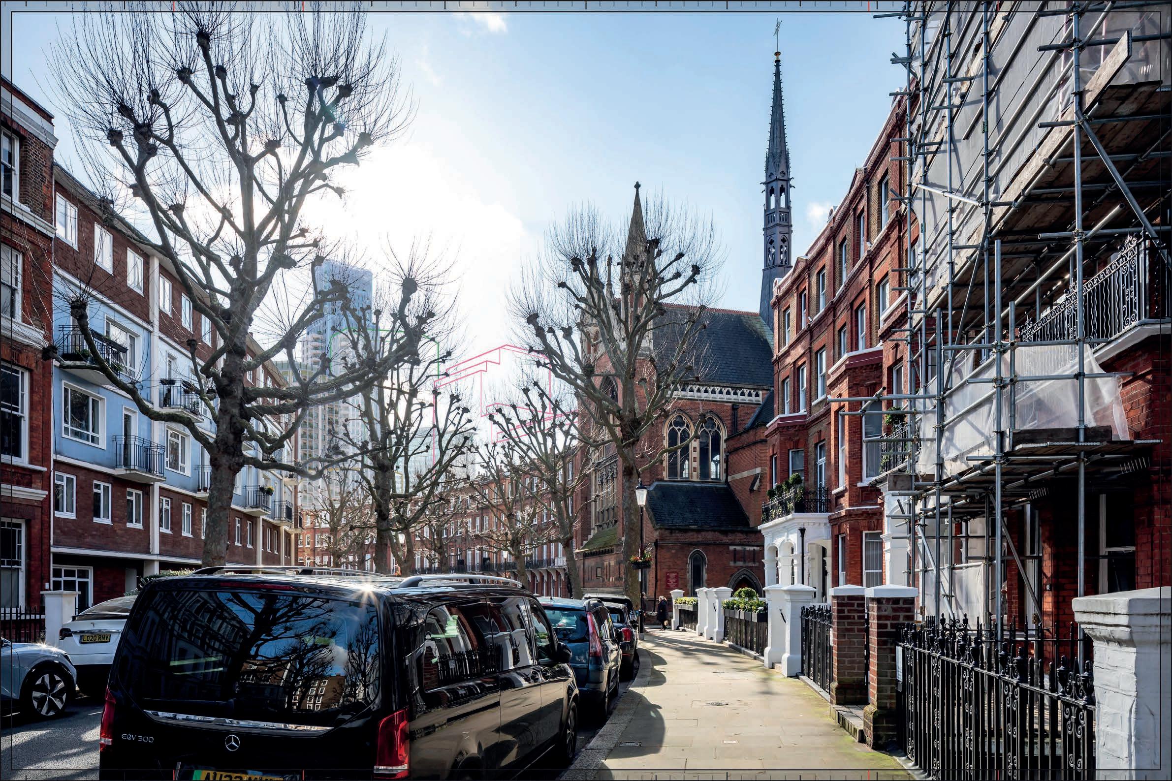
Earls Court
t Va VIEW 3: HollaND ParK rPG (03.183); HollaND ParK C oNsErVatIoN arE a (03.t); KENsINGtoN G arDENs rPG (09.01).
t Va VIEW 4: HollaND ParK rPG (03.183); HollaND ParK C oNsErVatIoN arE a (03.t); KENsINGtoN G arDENs rPG (09.01).
t Va VIEW 6: CHElsE a olD CHurCH (07.01); lINDsE y HousE (0 7.2); CHE yNE WalK GrouP (07.03-07.10).
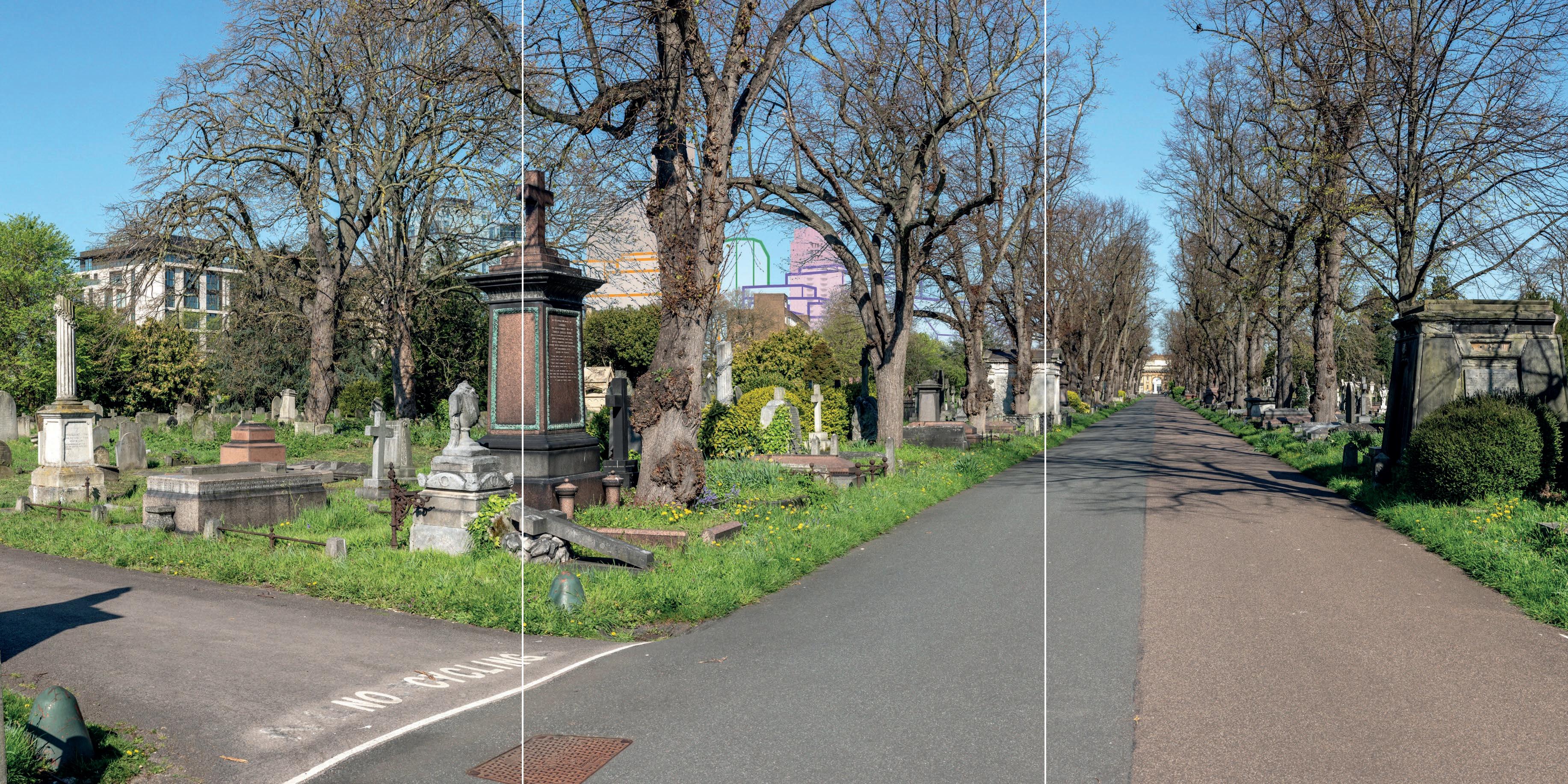
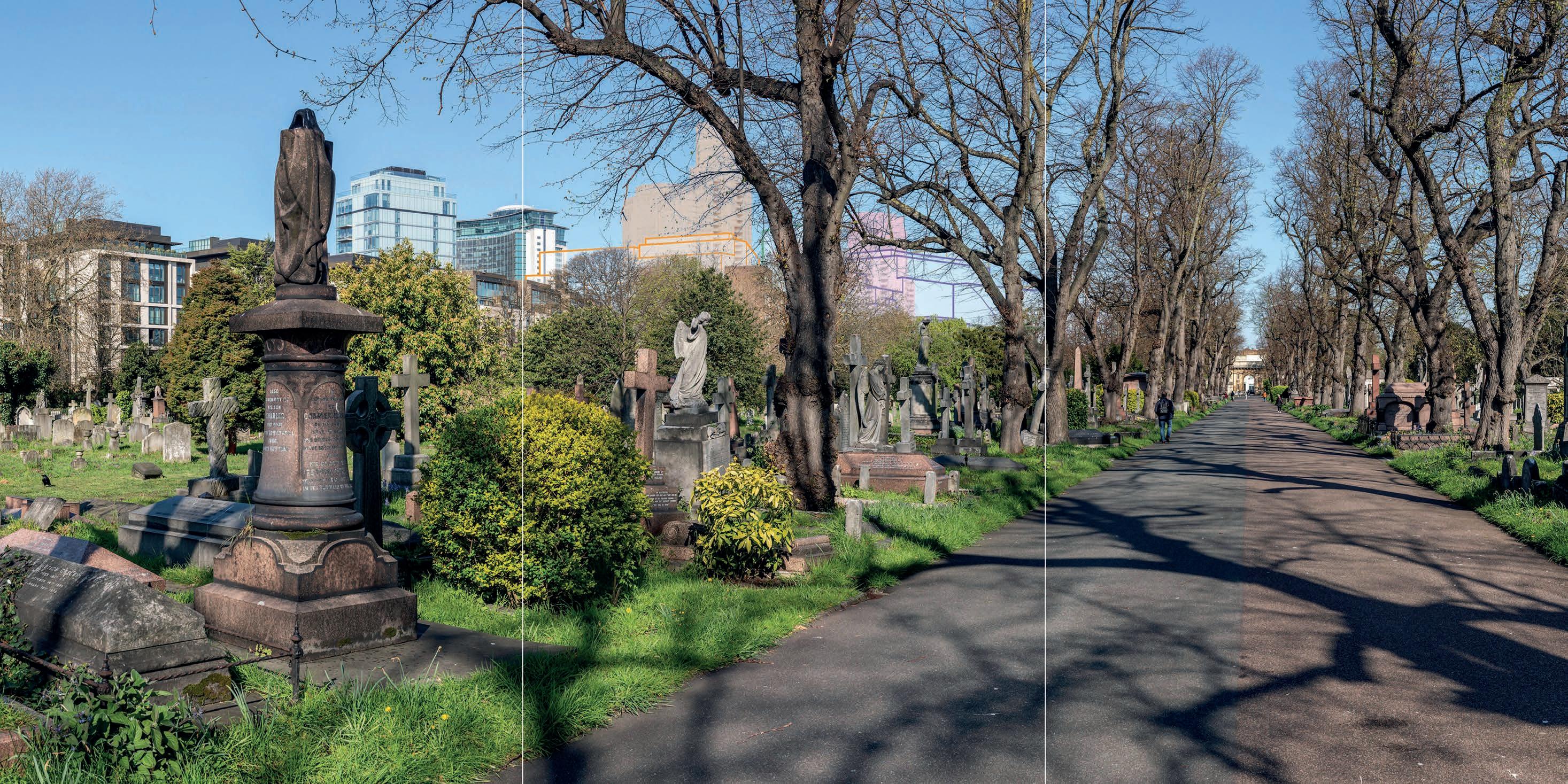
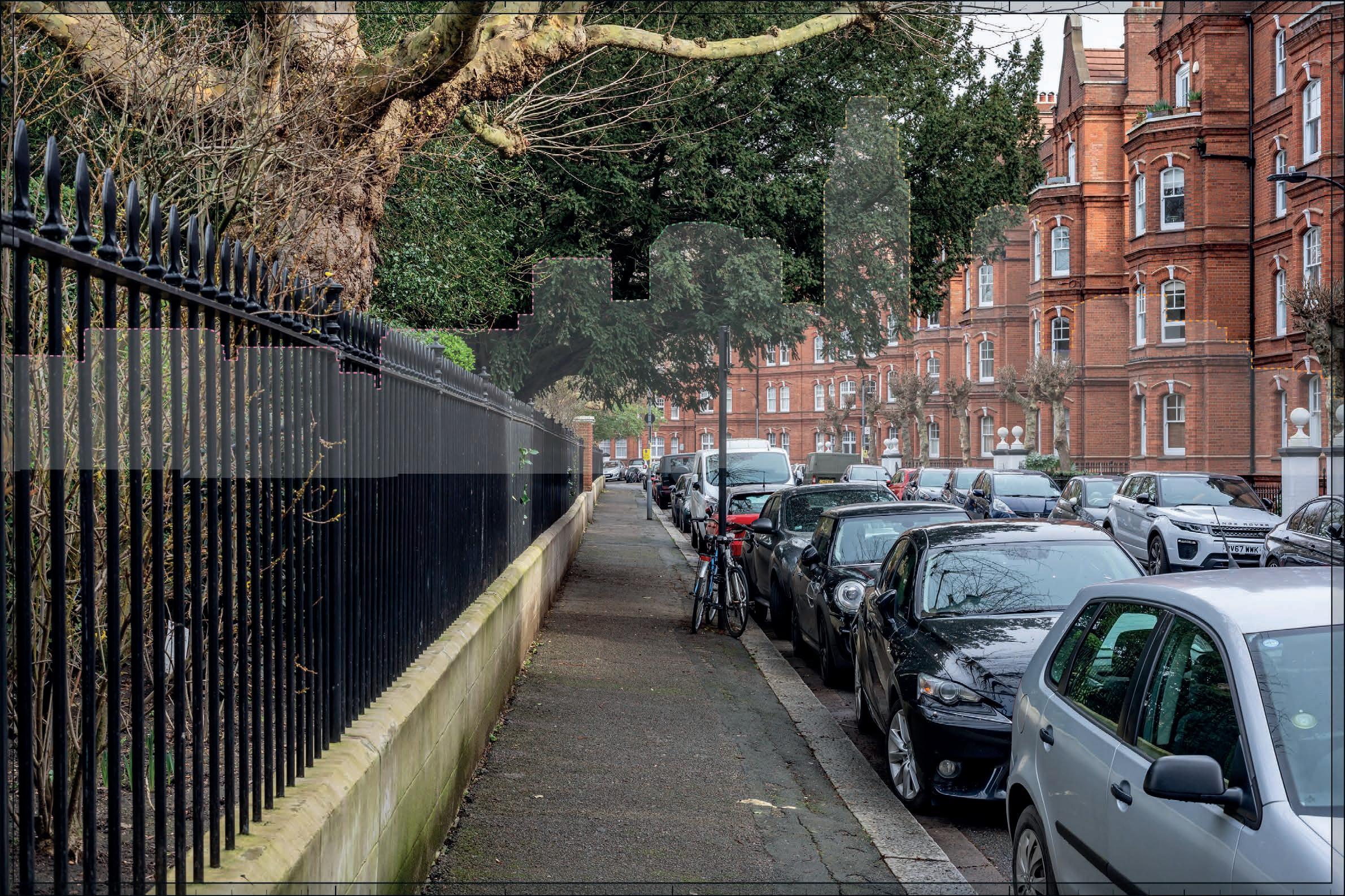
t Va VIEW 7: BroMPtoN CEME tEry rPG (01.35); BroMPtoN CEME tEry C oNsErVatIoN arE a (01.H); arCaDE ForMING NortH WE st QuartEr oF CIrClE aND aVENuE (02.3); arCaDE ForMING NortH E ast QuartEr oF CIrClE aND aVENuE (02.3).
t Va VIEW 8: BroMPtoN CEME tEry rPG (01.35); BroMPtoN CEME tEry C oNsErVatIoN ar
t Va VIEW 9: BroMPtoN CEME tEry rPG (01.35); BroMPtoN CEME tEry C oNsErVatIoN arE a (01.H); arCaDE ForMING NortH WE st QuartEr oF CIrClE aND aVENuE (02.3); arCaDE ForMING NortH E ast QuartEr oF CIrClE aND aVENuE (02.3).
t Va VIEW 10: BroMPtoN CEME tEry rPG (01.35); BroMPtoN CEME tEry C oNsErVatIoN arE a (01.H).
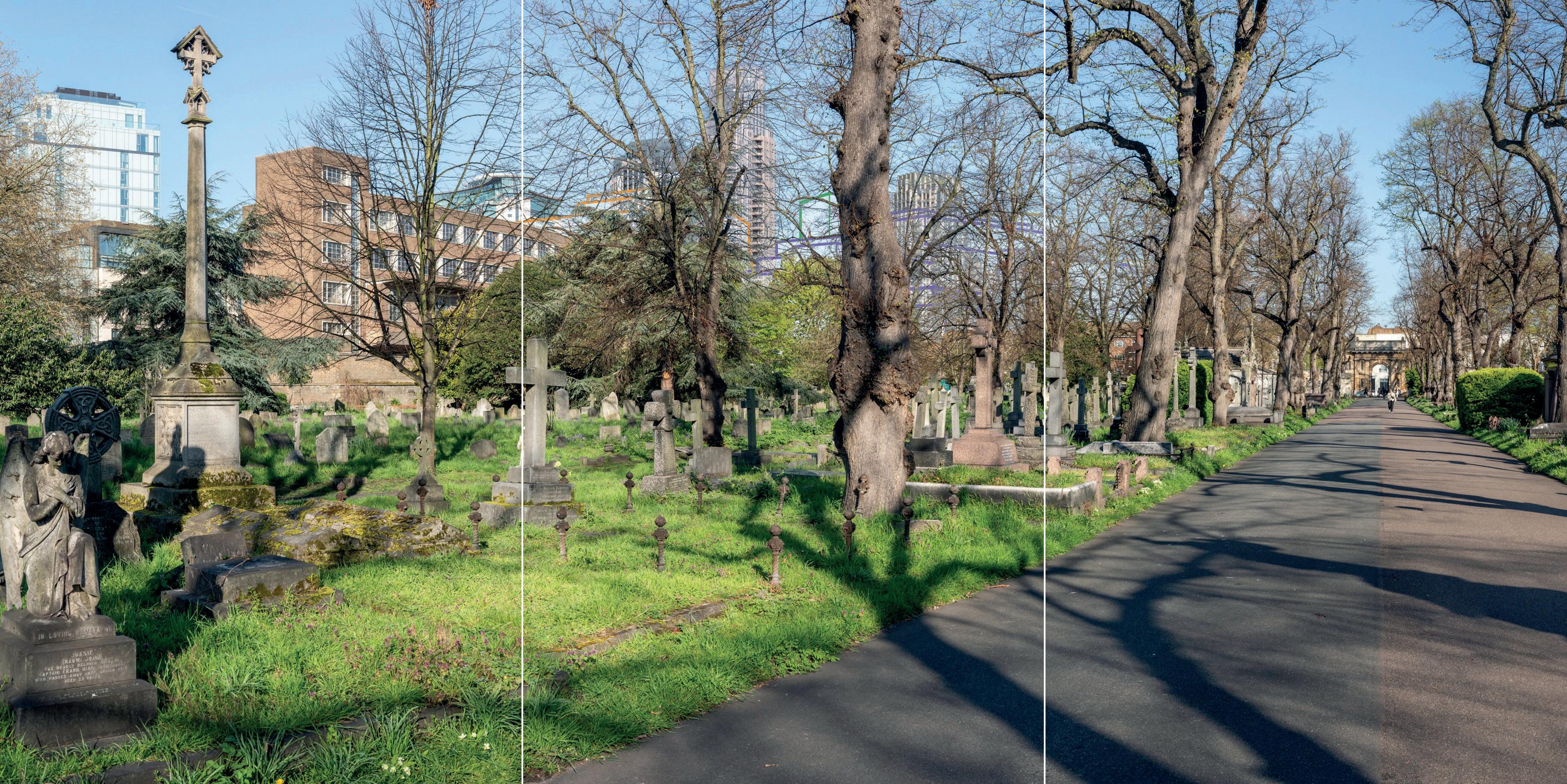
Va VIEW 11: BroMPtoN CEME tEry rPG (01.35); BroMPtoN CEME tEry C oNsErVatIoN arE a (01.H); CHurCH oF ENGlaND CHaPEl (02.8).
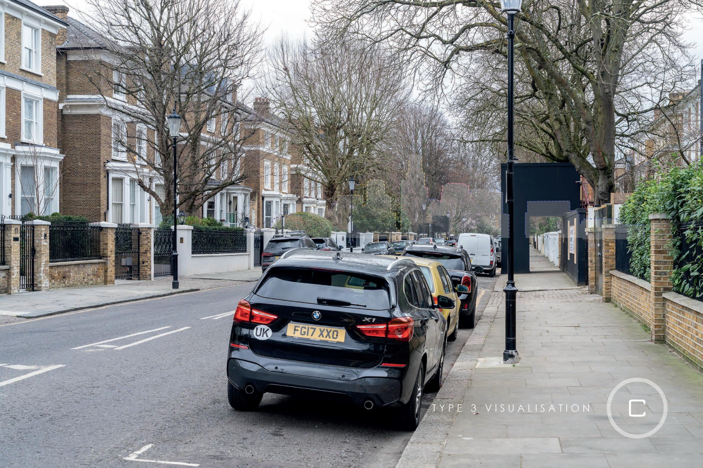
t Va VIEW 14: E arls tErraCE (02.35); EDWarDE s sQuarE rPG (02.121).
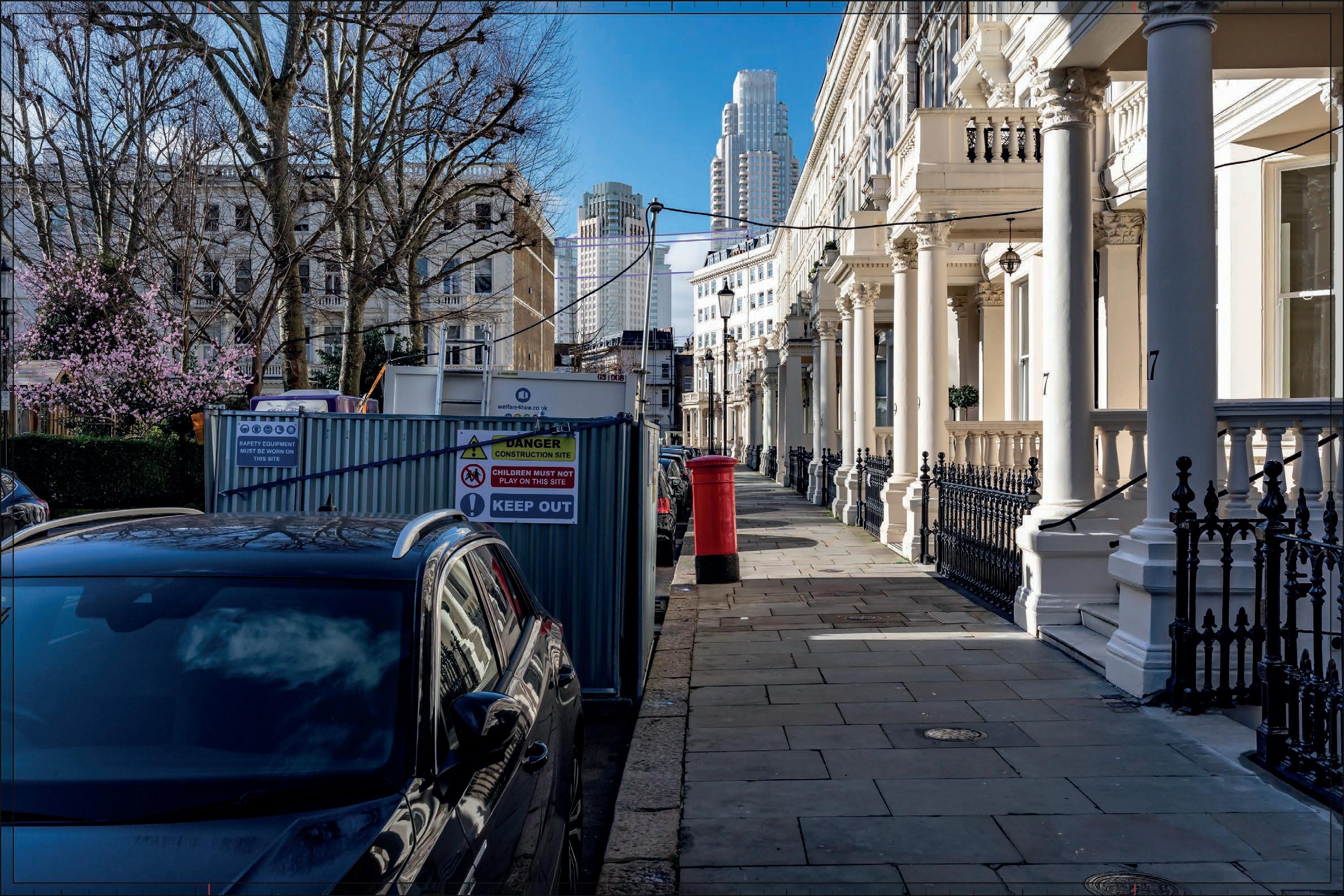
t Va VIEW 16: E arl’s C ourt VIllaGE C oNsErVatIoN arE a (01.C).
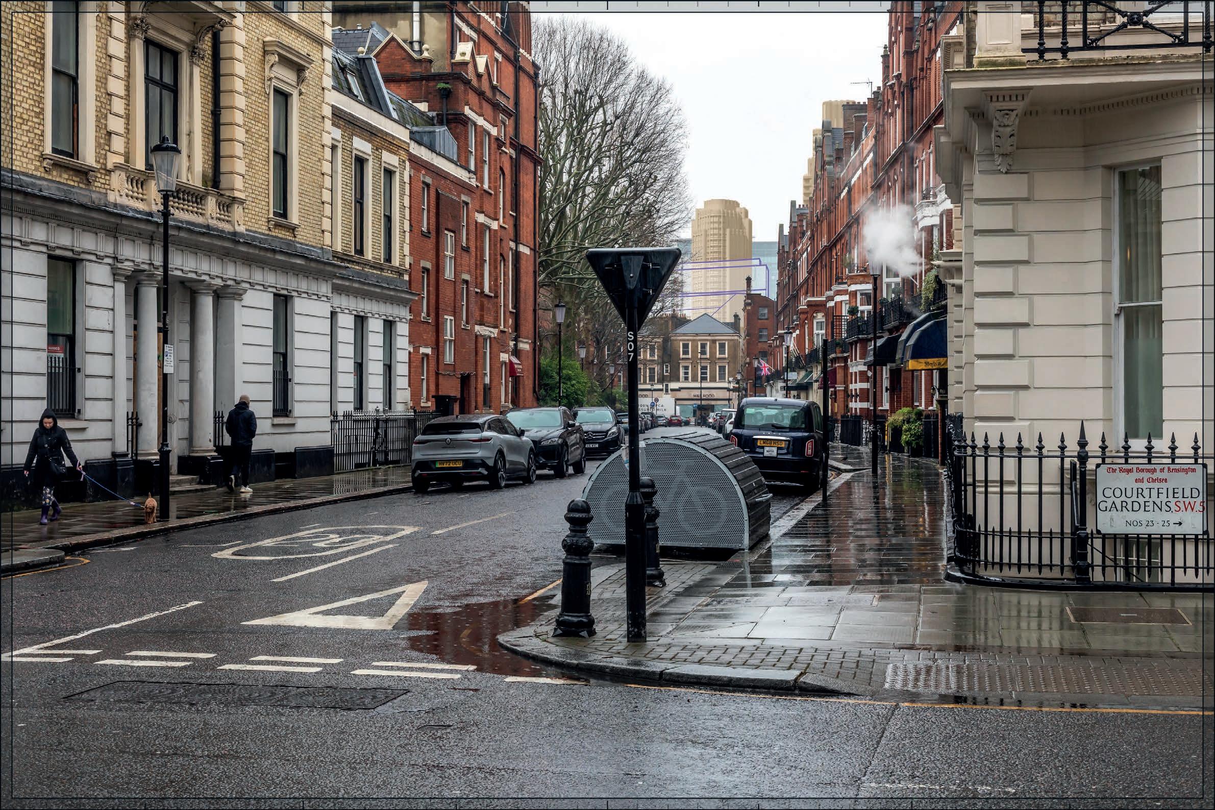
t Va VIEW 17: C ourtFIElD C oNsErVatIoN arE a (01.J).
Va VIEW 18: C ourtFIElD C oNsErVatIoN arE a (01.J).
Va VIEW 19: C ourtFIElD C oNsErVatIoN arE a (01.J).
t Va VIEW 20: C ourtFIElD C oNsErVatIoN arE a (01.J); 35 aND 37 HarrINGtoN G arDENs sW7 (02.14); 39 HarrINGtoN G arDENs sW7 (02.14); 41 HarrINGtoN G arDENs sW7 (02.14); 43 HarrINGtoN G arDENs sW7 (02.14); 45, HarrINGtoN G arDENs sW7 (02.14).
Va VIEW 21: NEVErN sQuarE C oNsErVatIoN arE a (01.B); HollaND ParK C oNsErVatIoN arE a (03.t).

Va VIEW 25: PHIlBE aCH C oNsErVatIoN arE a (01.a ); CHurCH oF st CutHBErt aND st Mat tHIa s.
Va VIEW 26: PHIlBE aCH C oNsErVatIoN arE a (01.a ); CHurCH oF st CutHBErt aND st Mat tHIa s.
t Va VIEW 29: PHIlBE aCH C oNsErVatIoN ar
t Va VIEW 30: 30-52 E arls C ourt sQuarE sW5 (01.13); E arls C ourt sQuarE C oNsErVatIoN arE a (01.G).
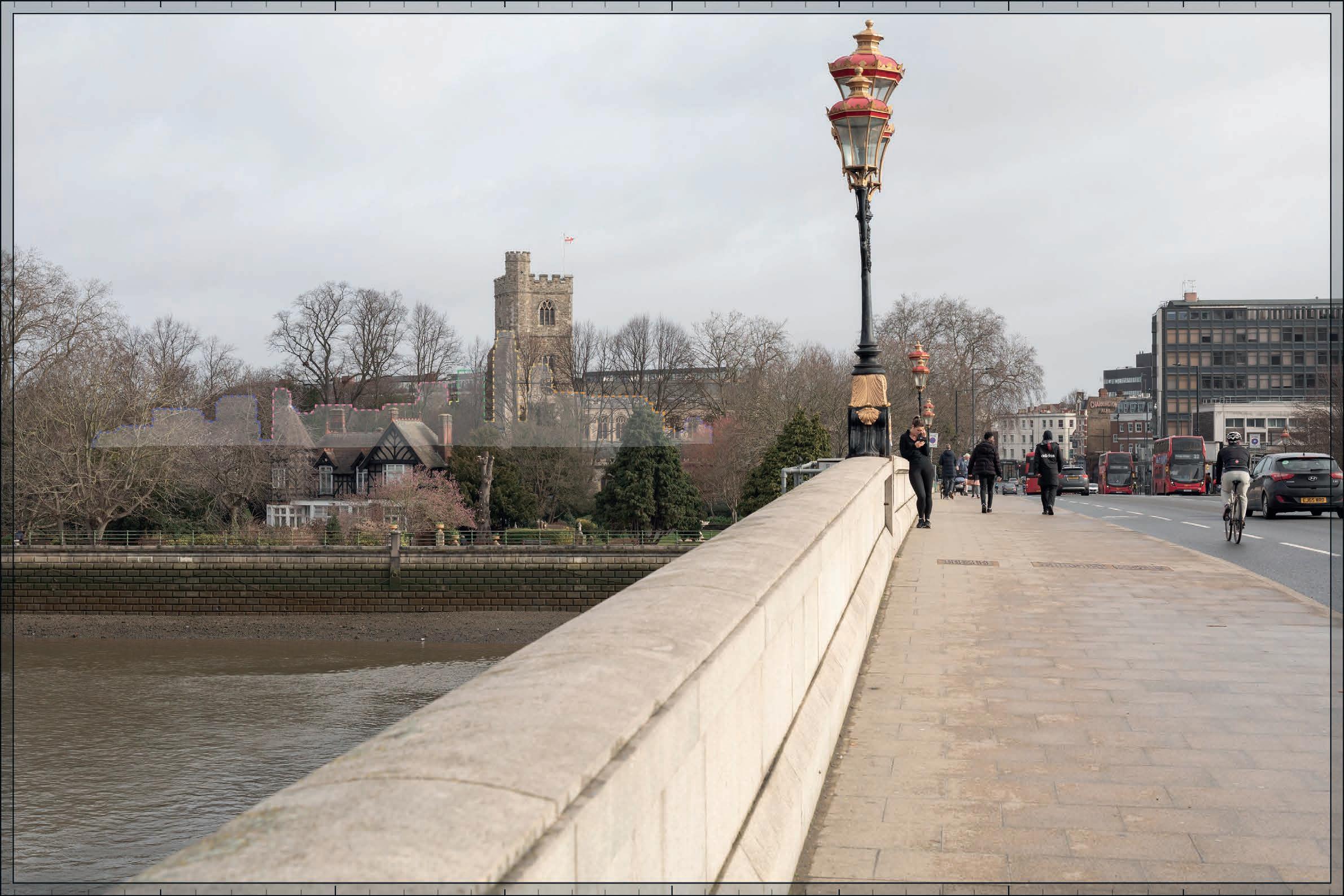
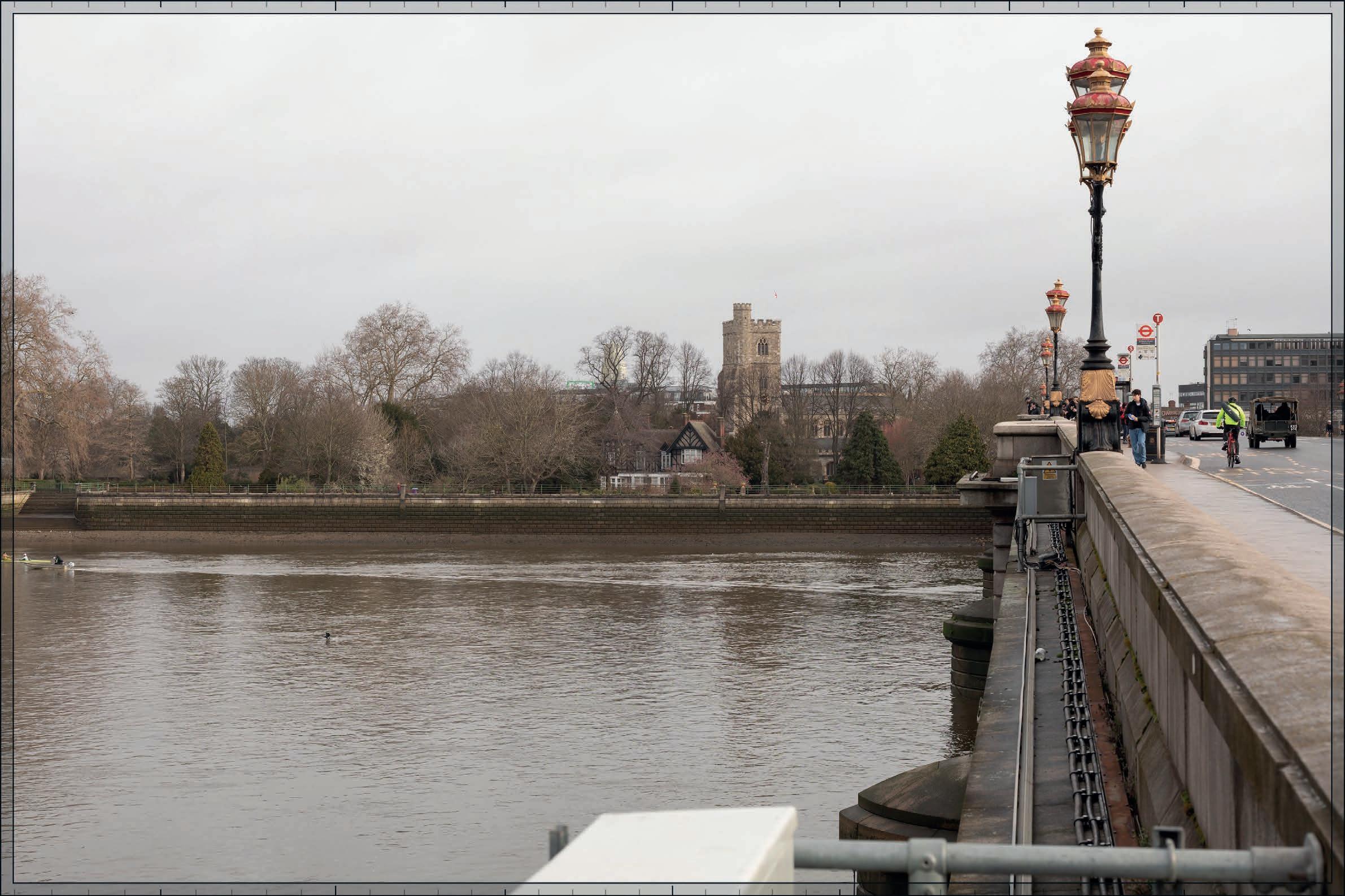
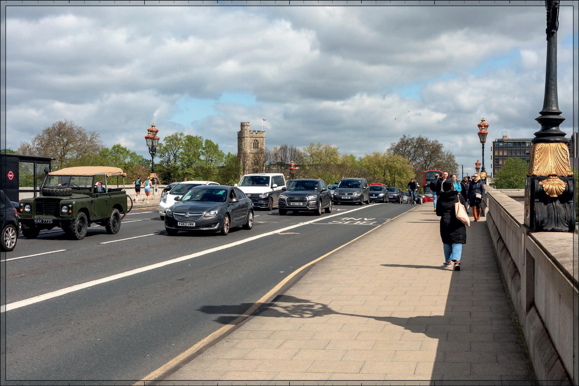
t Va VIEW 31: HaMMErsMItH BrIDGE (06.1); loWEr Mall GrouP (06.2-06.7); tHE Mall C oNsErVatIoN arE a (06.a ).

t Va VIEW 31N: HaMMErsMItH BrIDGE (06.1); loWEr Mall GrouP (06.2-06.7); tHE Mall C oNsErVatIoN arE a (06.a ).
t Va VIEW 32: HaMMErsMItH BrIDGE (06.1); loWEr Mall GrouP (06.2-06.7); tHE Mall C oNsErVatIoN arE a (06.a ).
t Va VIEW 33: ParIsH CHurCH oF all saINts (8.02).
t Va VIEW 35: 30-52 E arls C ourt sQuarE sW5 (01.13); E arls C ourt sQuarE C oNsErVatIoN arE a (01.G); CraBtrEE C oNsErVatIoN arE a (1.aM).
t Va VIEW 36: FulHaM Pal aCE (8.01); FulHaM Pal aCE rPG (8.03); BIsHoPs ParK rPG (8.04); BIsHoPs ParK C oNsErVatIoN arE a (8.a ).
t Va VIEW 40, olyMPIa aND aVoNMorE C oNsErVatIoN arE a (01.D); olyMPIa aND aVoNMorE GrouP (01.39-01.41).
t Va VIEW 46: BaroNs C ourt C oNsErVatIoN arE a (01.F); BaroNs C ourt GrouP (01.43-01.53).
t Va VIEW 47: BaroNs C ourt C oNsErVatIoN arE a (01.F); BaroNs C ourt GrouP (01.43-01.53).
t Va VIEW 48: BaroNs C ourt GrouP (01.43-01.53).
t Va VIEW 50: st aNDrEW ’s CHurCH (01.17); QuEEN’s CluB G arDEN C oNsErVatIoN arE a (01.P).
t Va VIEW 51: st aNDrEW ’s CHurCH (01.17); QuEEN’s CluB G arDEN C oNsErVatIoN arE a (01.P).
t Va VIEW 51N: st aNDrEW ’s CHurCH (01.17); QuEEN’s CluB G arDEN C oNsErVatIoN arE a (01.P).
t Va VIEW 53: turNEVIllE aND CHE ssoN C oNsErVatIoN arE a (01.N).
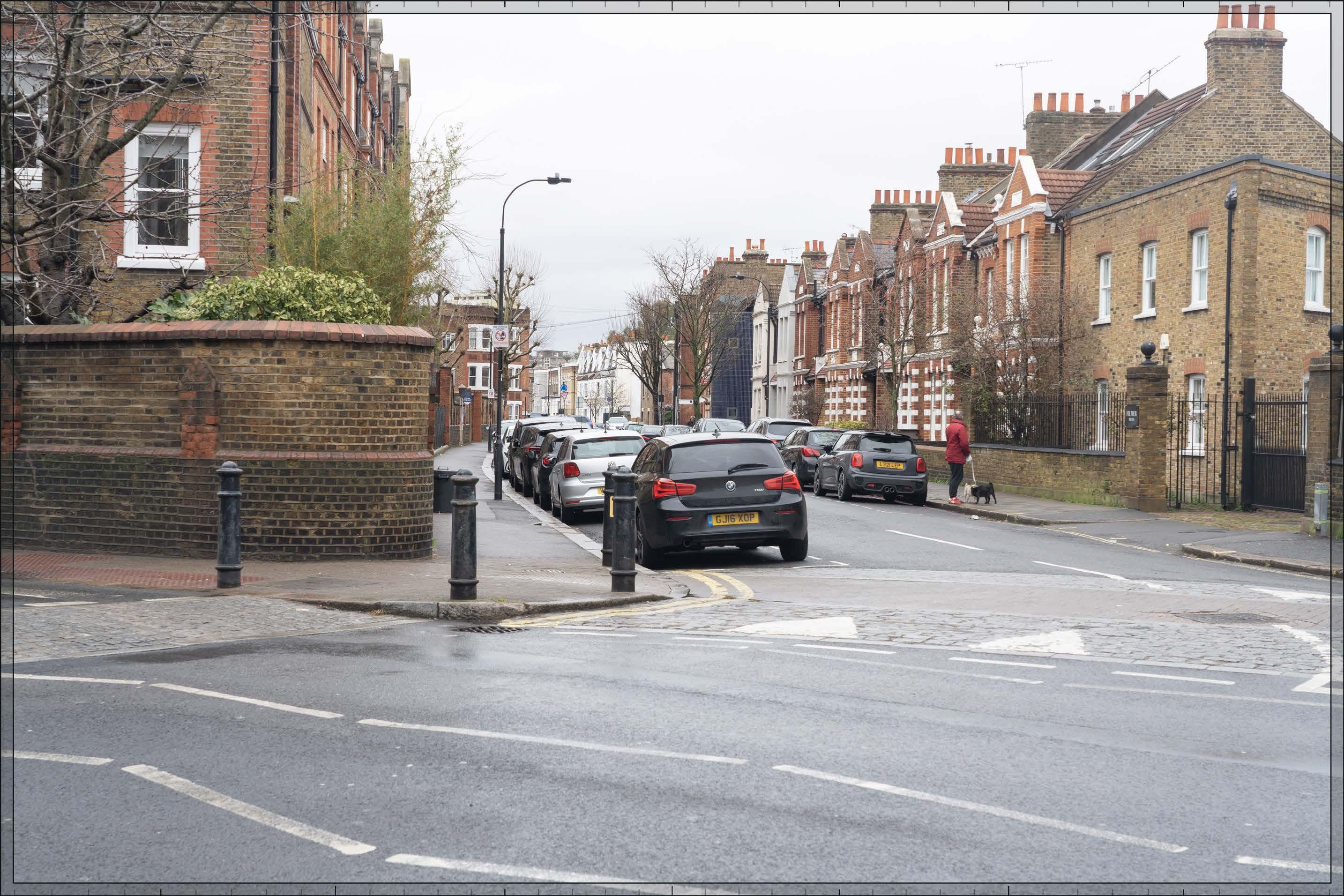
t Va VIEW 56: 62-68 lIllIE roaD (01.07).
t Va VIEW a4: CHElsE a olD CHurCH (07.01); lINDsE y HousE (0 7.2); CHE yNE WalK GrouP (07.03-07.10).
t Va VIEW a5: BroMPtoN CEME tEry rPG (01.35); BroMPtoN CEME tEry C oNsErVatIoN arE a (01.H); arCaDE ForMING NortH WE st QuartEr oF CIrClE aND aVENuE (02.3); arCaDE ForMING NortH E ast QuartEr oF CIrClE aND aVENuE (02.3); arCaDE ForMING soutH WE stErN QuartEr oF CIrClE aND aVENuE (02.6); arCaDE ForMING soutH E ast QuartEr oF CIrClE aND aVENuE (02.6).
t Va VIEW a6: BroMPtoN CEME tEry rPG (01.35); arCaDE ForMING NortH WE st QuartEr oF CIrClE aND aVENuE (02.3); arCaDE ForMING NortH E ast QuartEr oF CIrClE aND aVENuE (02.3).
t Va VIEW a7: BroMPtoN CEME tEry rPG (01.35); BroMPtoN CEME tEry C oNsErVatIoN arE a (01.H); arCaDE ForMING NortH WE st QuartEr oF CIrClE aND aVENuE (02.3); arCaDE ForMING NortH E ast QuartEr oF CIrClE aND aVENuE (02.3).
t Va VIEW a8: BroMPtoN CEME tEry rPG (01.35); BroMPtoN CEME tEry C oNsErVatIoN arE a (01.H).
t Va VIEW a9: BroMPtoN CEME tEry rPG (01.35); BroMPtoN CEME tEry C oNsErVatIoN arE a (01.H).
t Va VIEW a10: C ourtFIElD C oNsErVatIoN arE a (01.J).
t Va VIEW a13: PHIlBE aCH C oNsErVatIoN arE a (01.a ); CHurCH oF st CutHBErt aND st Mat tHIa s (01.1).
Va VIEW a15: PHIlBE aCH C oNsErVatIoN arE a (01.a ); CHurCH oF st CutHBErt aND st Mat tHIa s (01.1); st CutHBErt ’s ClErGy HousE (01.6).
Va VIEW a16: PHIlBE aCH C oNsErVatIoN arE a (01.a ).
t Va VIEW a17: E arls C ourt sQuarE C oNsErVatIoN arE a (01.G).
t Va VIEW a19: ParIsH CHurCH oF all saINts (8.02); BIsHoPs ParK C oNsErVatIoN arE a (8.a ).
t Va VIEW a20: ParIsH CHurCH oF all saINts (8.02); BIsHoPs ParK C oNsErVatIoN arE a (8.a ).
t Va VIEW a2 1: ParIsH CHurCH oF all saINts (8.02); BIsHoPs ParK C oNsErVatIoN arE a (8.a ).
t Va VIEW a2 7: CraBtrEE C oNsErVatIoN arE a (1.aM).
t Va VIEW a2 9: olyMPIa aND aVoNMorE C oNsErVatIoN arE a (01.D); olyMPIa aND aVoNMorE GrouP (01.39-01.41).
t Va VIEW a30: BaroNs C ourt C oNsErVatIoN arE a (01.F); BaroNs C ourt GrouP (01.43-01.53).
t Va VIEW a31: QuEEN’s CluB G arDENs C oNsErVatIoN arE a (01.P).
t Va VIEW a32: QuEEN’s CluB G arDENs C oNsErVatIoN arE a (01.P).
Va VIEW B3: PHIlBE aCH C oNsErVatIoN arE a (01.a ); CHurCH oF st CutHBErt aND st Mat tHIa s (01.1).
t Va VIEW B4: BroMPtoN CEME tEry rPG (01.35); BroMPtoN CEME tEry C oNsErVatIoN arE a (01.H); arCaDE ForMING soutH WE stErN QuartEr oF CIrClE aND aVENuE (02.6); arCaDE ForMING soutH E ast QuartEr oF CIrClE aND aVENuE (02.6); CHurCH oF ENGlaND CHaPEl (02.8).
t Va VIEW B7: loWEr Mall GrouP (06.2-06.7); tHE Mall C oNsErVatIoN arE a (06.a ).
t Va VIEW B8: HaMMErsMItH BrIDGE (06.1); tHE Mall C oNsErVatIoN arE a (06.a ).
t Va VIEW B15: BaroNs C ourt C oNsErVatIoN arE a (01.F); BaroNs C ourt GrouP (01.43-01.53).
t Va VIEW B16: BaroNs C ourt C oNsErVatIoN arE a (01.F); BaroNs C ourt GrouP (01.43-01.53).
t Va VIEW B17: BaroNs C ourt C oNsErVatIoN arE a (01.F); BaroNs C ourt GrouP (01.43-01.53).
t Va VIEW B20: 62-68 lIllIE roaD (01.07).

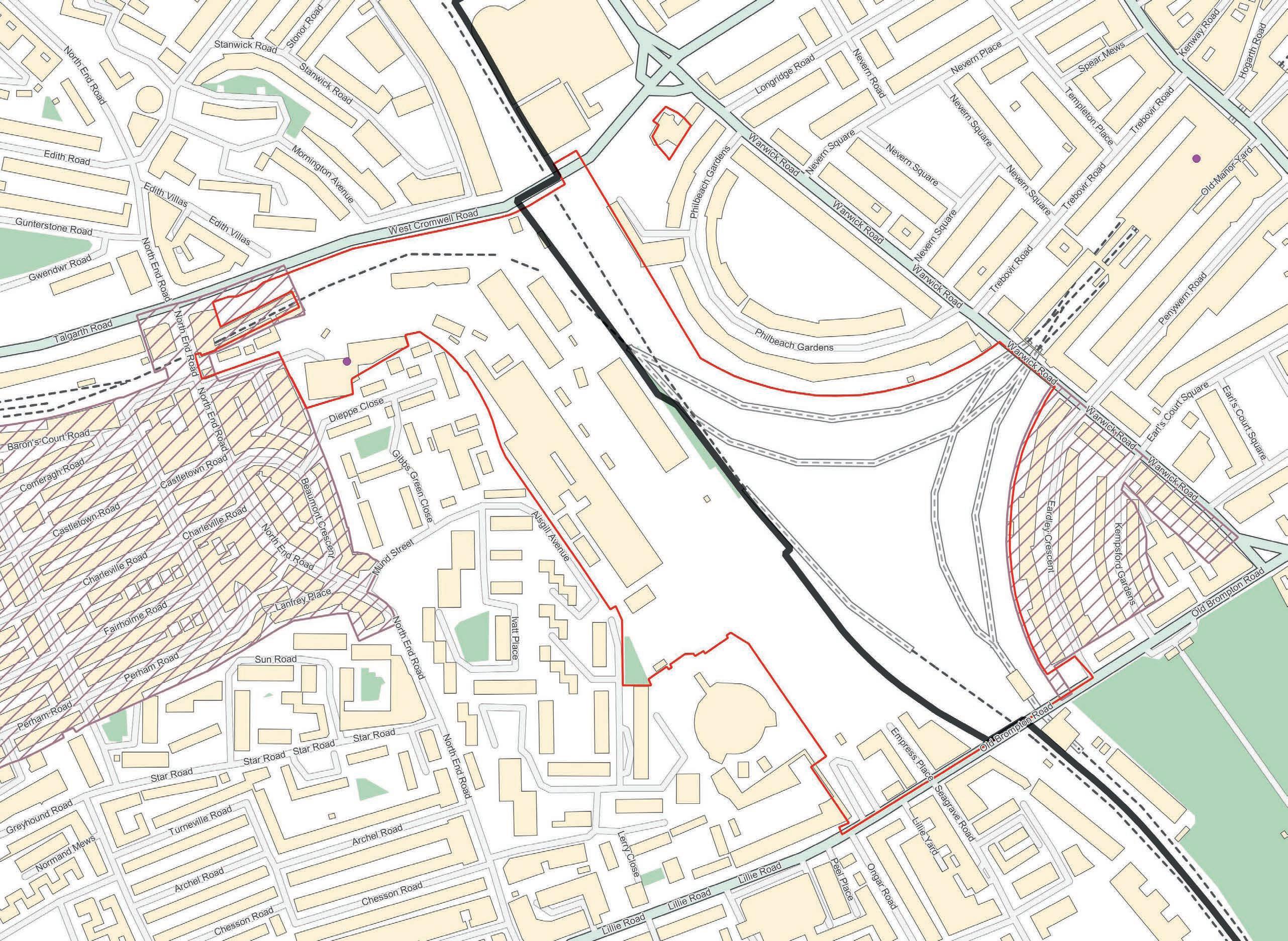
Technical Appendix 1.2: Maps of Heritage Study Area
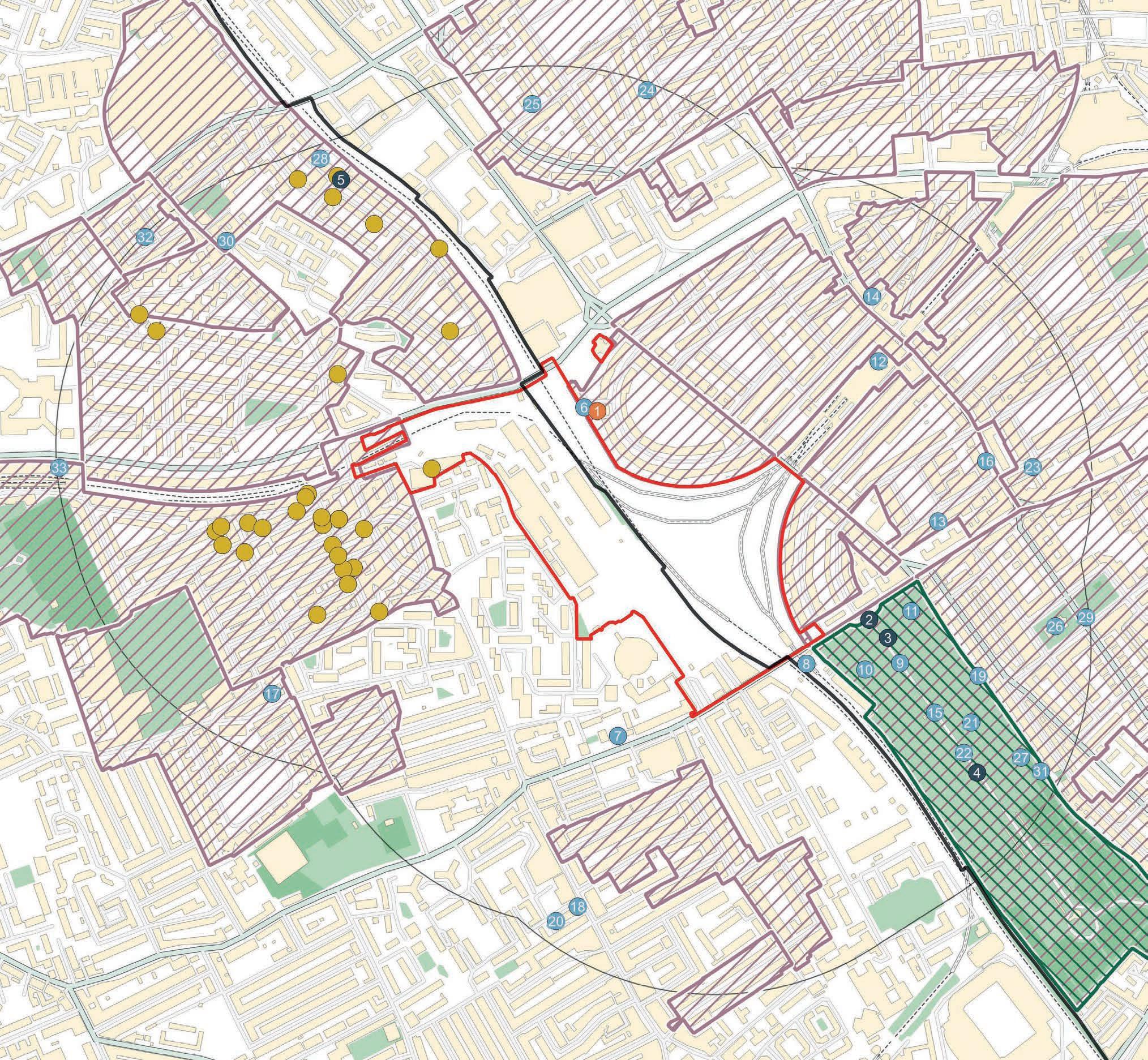
House 7. 62-68, Lillie Road SW6
8. West Brompton Station including Booking Hall and Train Shed and Staircases and Retaining Wall
9. Tomb of Benjamin Golding, Tomb of Henry Pettit, Burnside Monument, and Mausoleum of James Mcdonald, Brompton Cemetery
Chelsea Pensioners Monument, Brompton
Tomb of Emily Adney Bond, Brompton
12. Earls Court Station 13. 30-52, Earls Court Square Sw5 14. Prince of Teck Public House 15. Mausoleum of Colonel William Meyrick, Mausoleum of Harvey Lewis, Tomb of Herbert Fitch, and Tomb of George Godwin, Brompton Cemetery
16. K2 Telephone Kiosk Near Earls Court Square
17. St Andrews Fulham Fields
18. Gate Piers To No 282
19. Tomb of Peter Borthwick and Family, Brompton Cemetery
282, North End Road
Guards Memorial North West of Circle No 4 at The Brompton Cemetery 22. Tomb of Alfred Mellon, Tomb of Joseph Bonomi, Tomb of Clement Family, Tomb of Barbe Marie Theresa Sangiorgi, Tomb Chest of Valentine Cameron Prinsep, and Tomb of Elizabeth Moffat, Brompton Cemetery
23. Entrance Arch From Bolton Gardens
24. 24-32, Pembroke Square W8
25. Pembroke Studios, and Pillar Box Outside No 27
26. Church of St Luke
27. Tomb of John Jackson


Technical Appendix 1.4: Initial Heritage Scoping Tables
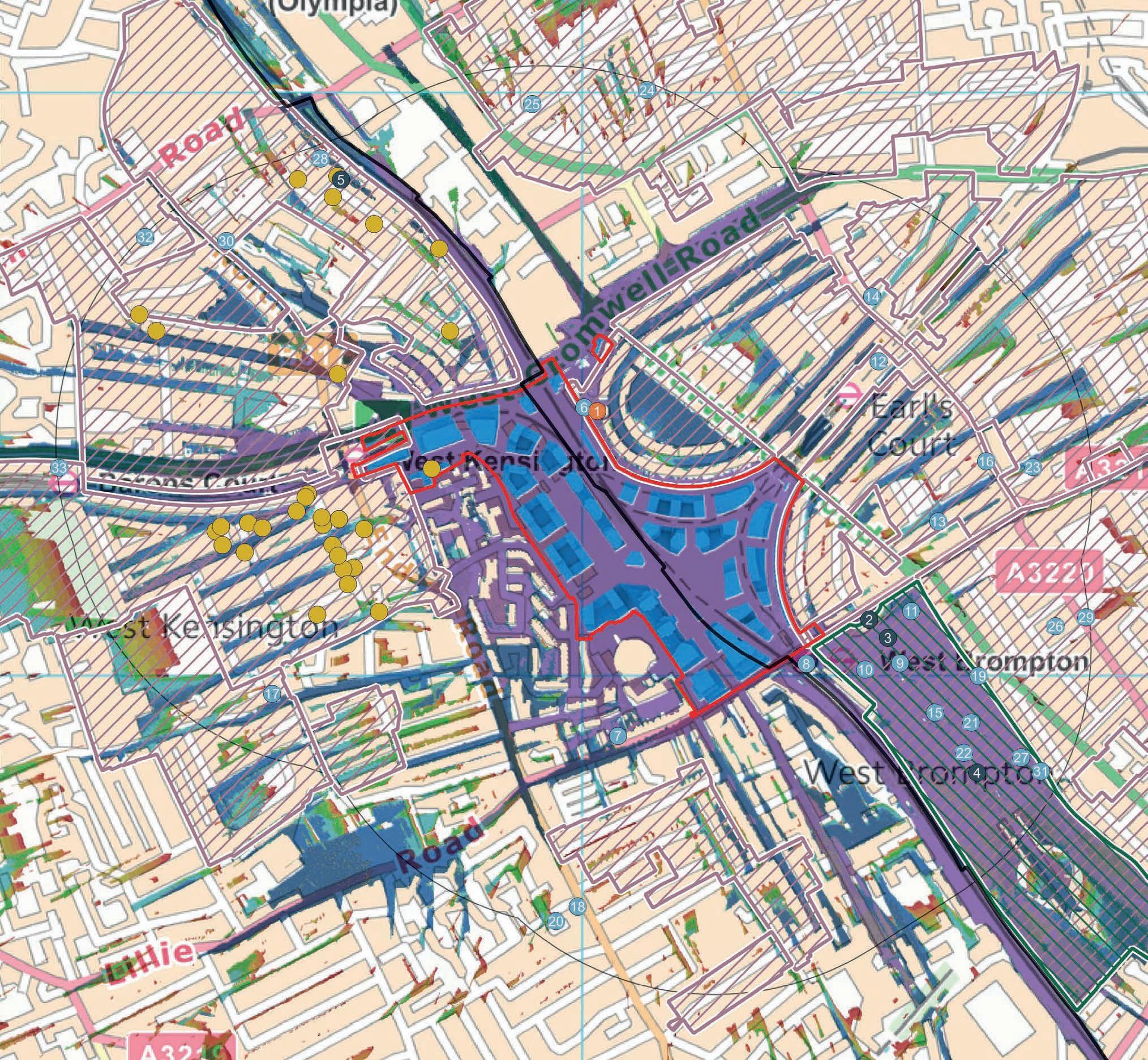
HERITAGE ASSET PLAN – MAP 01 – 500M RADIUS
Stage 1 – ZTV REVIEW
Heritage assets scoped out based on no intervisibility/change to setting indicated by ZTV (17x assets):
• 01.16 K2 Telephone Kiosk Near Earls Court Square
• 01.18 Gate Piers To No 282
• 01.25 Pembroke Studios
• 01.25 Pillar Box Outside Number 27
• 01.26 Church of St Luke
• 01.28 2 and 3 and Area Railings
• 01.28 Bollards set into Pavement outside No 7
• 01.28 No 5 and Area Railings
• 01.28 Bollard set into Pavement outside No 8
• 01.28 4 and Area Railings
• 01.28 Bollard set into Pavement outside No 9 Addison Bridge Place
• 01.28 Bollards set into Pavement outside No 7
• 01.28 6-9, Addison Bridge Place W14
• 01.29 Telephone Kiosk Opposite St Luke’s Church
• 01.32 West London Magistrates Court
• M Dorcas Estate Conservation Area
• Q Walham Grove Conservation Area
Stage 2 – DESK-BASED ANALYSIS
Further review based on likely intervisibility indicated by ZTV.
Listed Buildings
01.1 Church of St Cuthbert and St Matthias 1266119 I High Yes No It was upgraded to Grade I on account of the interior.
Local The church addresses Philbeach Gardens to the east. The Site comprises the land immediately west of the church, and development may appear in None. Intervisibility from Philbeach Gardens and new views from within the Site.
Low / Medium One of the key heritage assets driving design development. 15, 16 In
Grade ES Value Does it draw significance from setting Does it draw significance from the Site
Comment Distance Orientation and Aspect Functional Relationship Nature of Potential Impact Potential Scale of Impact
Comment Reference Test View No. the backdrop in views from Philbeach Gardens. No connectivity between the church and the Site because of the railway lines.
01.2 Entrance Gates and Screen on Old Brompton Road 1225715 II* High Yes No N/A Local It provides the north entrance to Brompton Cemetery. When entering the Cemetery, the Site would be behind you.
None. Change to the setting of the listed building on Brompton Road, which will form an entrance to the Site. Intervisibility in views looking north from within the Cemetery.
01.3 Tomb of Emmeline
1225716 II* High Yes No
01.4 Tomb of Frederick R
Brompton Cemetery 1225750 II* High Yes No
The Cemetery makes the primary contribution to significance.
Wider context does not contribute to appreciation of the listed building as a tomb.
The Cemetery makes the primary contribution to significance.
Wider context does not contribute to appreciation of
The listed building is appreciated in its immediate surroundings of the Cemetery and the development of the Site would not change that experience.
Nil The listed building is appreciated in its immediate surroundings of the Cemetery and the development of the Site would
Grade ES Value Does it draw significance from setting Does it draw significance from the Site
Comment Distance Orientation and Aspect Functional Relationship Nature of Potential Impact Potential Scale of Impact
Comment Reference Test View No. the listed building as a tomb. not change that experience.
01.5 22 and 22a, Avonmore Road W14 1079838 II* High Yes No
Included for deskbased consideration because of high grading. Setting is well-defined by immediate residential development (captured by the Olympia and Avonmore CA) and no particular contribution from the wider surrounding area including the Site.
01.6 St Cuthbert’s Clergy House 1421478 II High Yes No N/A
Local Primary elevations face south-west into Avonmore Road.
None Glimpsed view of upper storeys from rear gardens and as new taller development in wider setting to the south.
01.7 62-68, Lillie Road SW6 1079787 II High Yes No N/A
Local The listed building faces the church and Philbeach Gardens to the east. The Site is immediately to the west of the building though there is no access or connectivity because of the railway line.
Local The listed buildings face Lillie Road to the south and are not oriented towards to the Site.
None. Intervisibility from Philbeach Gardens and new views from within the Site.
01.8 West Brompton Station including Booking Hall and Train Shed and 1385365 II High Yes Yes There is a relationship between the station and the
None. Oblique views of the Proposed Development along Lillie Road. Very Low / Nil
Local The station is oriented to Old Brompton Road and The Site was historically developed with railway New buildings on the former railway land
for assessment because of proximity to the Site.
Map Ref. Asset Reference No. Grade ES Value Does it draw significance from setting Does it draw significance from the Site Comment Distance Orientation and Aspect
Staircases and Retaining Wall
01.9 Tomb of Benjamin Golding TBC if required II High Yes No
Site because of the railway infrastructure. The Site does not otherwise contribute to the setting of the listed building.
The Cemetery makes the primary contribution to significance. Wider context does not contribute to appreciation of the listed building as a tomb.
Tomb of Henry Pettit TBC if required II High Yes No
Burnside Monument TBC if required II High Yes No
The Cemetery makes the primary contribution to significance. Wider context does not contribute to appreciation of the listed building as a tomb.
The Cemetery makes the primary contribution to significance. Wider context does not contribute to appreciation of the listed building as a tomb.
Mausoleum of James McDonald TBC if required II High Yes No The Cemetery makes the primary contribution to significance.
directly faces the Site. infrastructure and contains railway lines in the present day that travel in and out of the station. in the immediate setting of the asset.
The listed building is appreciated in its immediate surroundings of the Cemetery and the development of the Site would not change that experience.
The
building is appreciated in its immediate surroundings of the Cemetery and the development of the Site would not change that experience.
The listed building is appreciated in its immediate surroundings of the Cemetery and the development of the Site would not change that experience.
Map Ref. Asset Reference No. Grade ES Value Does it draw significance from setting Does it draw significance from the Site
01.10 Chelsea Pensioners Monument, Brompton Cemetery
01.11 Tomb of Emily Adney Bond, Brompton Cemetery
TBC if required II High Yes No
TBC if required II High Yes No
Comment Reference Test View No.
Wider context does not contribute to appreciation of the listed building as a tomb. surroundings of the Cemetery and the development of the Site would not change that experience.
The Cemetery makes the primary contribution to significance.
Wider context does not contribute to appreciation of the listed building as a tomb.
The Cemetery makes the primary contribution to significance.
Wider context does not contribute to appreciation of the listed building as a tomb.
01.12 Earls Court Station 1358162 II High Yes TBC Part of the station platforms (subterranean) are within the Site boundary. Discussion is required with local planning officers and Historic England on the extent of listing and whether these subterranean features are sensitive fabric.
Local The primary frontage addresses Earls Court Road facing north-east. Yes – the Site has railway lines that connect to the station. The proposals appearing in the backdrop of the main station entrance in close views from the east. Potential direct impact on fabric.
The listed building is appreciated in its immediate surroundings of the Cemetery and the development of the Site would not change that experience.
Nil The listed building is appreciated in its immediate surroundings of the Cemetery and the development of the Site would not change that experience.
Map Ref.
01.13 30-52, Earls Court Square SW5
Grade ES Value Does it draw significance from setting Does it draw significance from the Site
1293797 II High Yes No N/A
Local Frontages face north into the square. The Site is located to the west.
None. The proposals would appear together with the listed buildings in the oblique views from Earls Court Square looking west towards the Site. This view already includes Empress State Building.
01.14 Prince
1031501 II High Yes No N/A
01.15
1403336 II High Yes No
The Cemetery makes the primary contribution to significance. Wider context does not contribute to appreciation of the listed building as a tomb.
Local The listed building faces south to Earls Court Road.
None. The proposals would not backdrop or affect the important setting of the listed building, which is defined by the development on Earls Court Road.
Local N/A None. None. Nil The listed building is appreciated in its immediate surroundings of the Cemetery and the development of the Site would N/A Out
Mausoleum of Harvey Lewis, Brompton Cemetery
ES Value Does it draw significance from setting Does it draw significance from the Site
1403348 II High Yes No
Tomb of Herbert Fitch, Brompton Cemetery
1403331 II High Yes No
The Cemetery makes the primary contribution to significance. Wider context does not contribute to appreciation of the listed building as a tomb.
The Cemetery makes the primary contribution to significance.
Wider context does not contribute to appreciation of the listed building as a tomb.
Tomb of George Godwin
01.17 St Andrews Fulham Fields
1235110 II High Yes No
1393119 II High Yes No
The Cemetery makes the primary contribution to significance. Wider context does not contribute to appreciation of the listed building as a tomb.
The spire is visible from Queens Club Gardens. Local The church addresses Greyhound Road to the south. No orientation or aspect to the site.
Change to the appreciation of the spire in the views from surrounding area. Oblique views from
The listed building is appreciated in its immediate surroundings of the Cemetery and the development of the Site would not change that experience.
The listed building is appreciated in its immediate surroundings of the Cemetery and the development of the Site would not change that experience.
The listed building is appreciated in its immediate surroundings of the Cemetery and the development of the Site would not change that experience.
01.19 Tomb of Peter Borthwick and Family, Brompton Cemetery TBC if required II High Yes No
01.20 282, North End Road 1358561 II High Yes No
The Cemetery makes the primary contribution to significance. Wider context does not contribute to appreciation of the listed building as a tomb.
The context is much changed on North End Road, but it provides views and a domestically scaled context.
Local The building addresses North End Road to the east. Faces the direction of the Site but no intervisibility or planned visual relationship. Considerable separating distance and interposing development. None. The mid-part of the proposed development could appear in the views of the building from the west in Coomer Place. This location is not where the listed building is appreciated, however.
building is appreciated in its immediate surroundings of the Cemetery and the development of the Site would not change that experience.
01.21 Guards Memorial North West of Circle No 4 at The Brompton Cemetery TBC if required II High Yes No
The Cemetery makes the primary contribution to significance. Wider context does not contribute to appreciation of the listed building as a tomb.
01.22 Tomb of Alfred Melton TBC if required II High Yes No The Cemetery makes the primary contribution to significance.
listed building is appreciated in its immediate surroundings of the Cemetery and the development of the Site would not change that experience.
building is appreciated in its immediate
Ref.
Tomb of Joseph
Reference No. Grade ES Value Does it draw significance from setting Does it draw significance from the Site
TBC if required II High Yes No
Tomb of Clement Family TBC if required II High Yes No
Tomb of Barbe
Tomb Chest of
TBC if required II High Yes No
TBC if required II High Yes No
Comment Reference Test View No.
Wider context does not contribute to appreciation of the listed building as a tomb. surroundings of the Cemetery and the development of the Site would not change that experience.
The Cemetery makes the primary contribution to significance.
Wider context does not contribute to appreciation of the listed building as a tomb.
The Cemetery makes the primary contribution to significance.
Wider context does not contribute to appreciation of the listed building as a tomb.
The Cemetery makes the primary contribution to significance.
Wider context does not contribute to appreciation of the listed building as a tomb.
The Cemetery makes the primary contribution to significance. Wider context
The listed building is appreciated in its immediate surroundings of the Cemetery and the development of the Site would not change that experience.
The listed building is appreciated in its immediate surroundings of the Cemetery and the development of the Site would not change that experience.
The listed building is appreciated in its immediate surroundings of the Cemetery and the development of the Site would not change that experience.
building is appreciated in its immediate surroundings of N/A Out
Map Ref.
Asset Reference No.
Grade ES Value Does it draw significance from setting Does it draw significance from the Site
Tomb of Elizabeth Moffat TBC if required II High Yes No
01.23 Entrance Arch from Bolton Gardens
01.24 33a, 34a and 35a, Pembroke Square W8, 24-32, Pembroke Square W8
01.27
Comment Distance Orientation and Aspect Functional Relationship Nature of Potential Impact Potential Scale of Impact
Comment Reference Test View No. does not contribute to appreciation of the listed building as a tomb. the Cemetery and the development of the Site would not change that experience.
The Cemetery makes the primary contribution to significance. Wider context does not contribute to appreciation of the listed building as a tomb.
1227156 II Medium Yes No Its setting is wholly defined by the residential development on Bolton Gardens and Wetherby Mews. Local Not orientated towards the Site.
1266095 II High Yes No
Setting is defined by Pembroke Square.
Local The listed buildings face into the square to the east. Not oriented towards the Site.
None. The ZTV indicates that the upper parts of the tallest buildings in the proposals might be glimpsed from the square or rear gardens. This would not disturb your appreciation of the buildings.
building is appreciated in its immediate surroundings of the Cemetery and the development of the Site would not change that experience.
Map Ref. Asset Reference No. Grade ES Value Does it draw significance from setting Does it draw significance from the Site
Comment Distance Orientation and Aspect Functional Relationship Nature of Potential Impact Potential Scale of Impact
Comment Reference Test View No. contribution to significance.
Wider context does not contribute to appreciation of the listed building as a tomb. appreciated in its immediate surroundings of the Cemetery and the development of the Site would not change that experience.
01.30 Former West London County Court 1192446 II High Yes No
The context is changed by modern development however North End Road provides opportunity to appreciate main facade which faces south-west to it.
Local The Site is located south of the listed building. North End Road orients towards the Site.
None. Potential for oblique views of taller elements of the proposals along North End Road.
Nil The listed building is experience in the context of mixed development and the distance/nature of the potential intervisibility means that its significance would not be affected.
01.31 Tomb of Philip Nowell, Brompton Cemetery TBC if required II High Yes No The Cemetery makes the primary contribution to significance.
Wider context does not contribute to appreciation of the listed building as a tomb.
01.33 135-149, Talgarth Road W6 1079780 II High Yes No
Registered Park and Garden
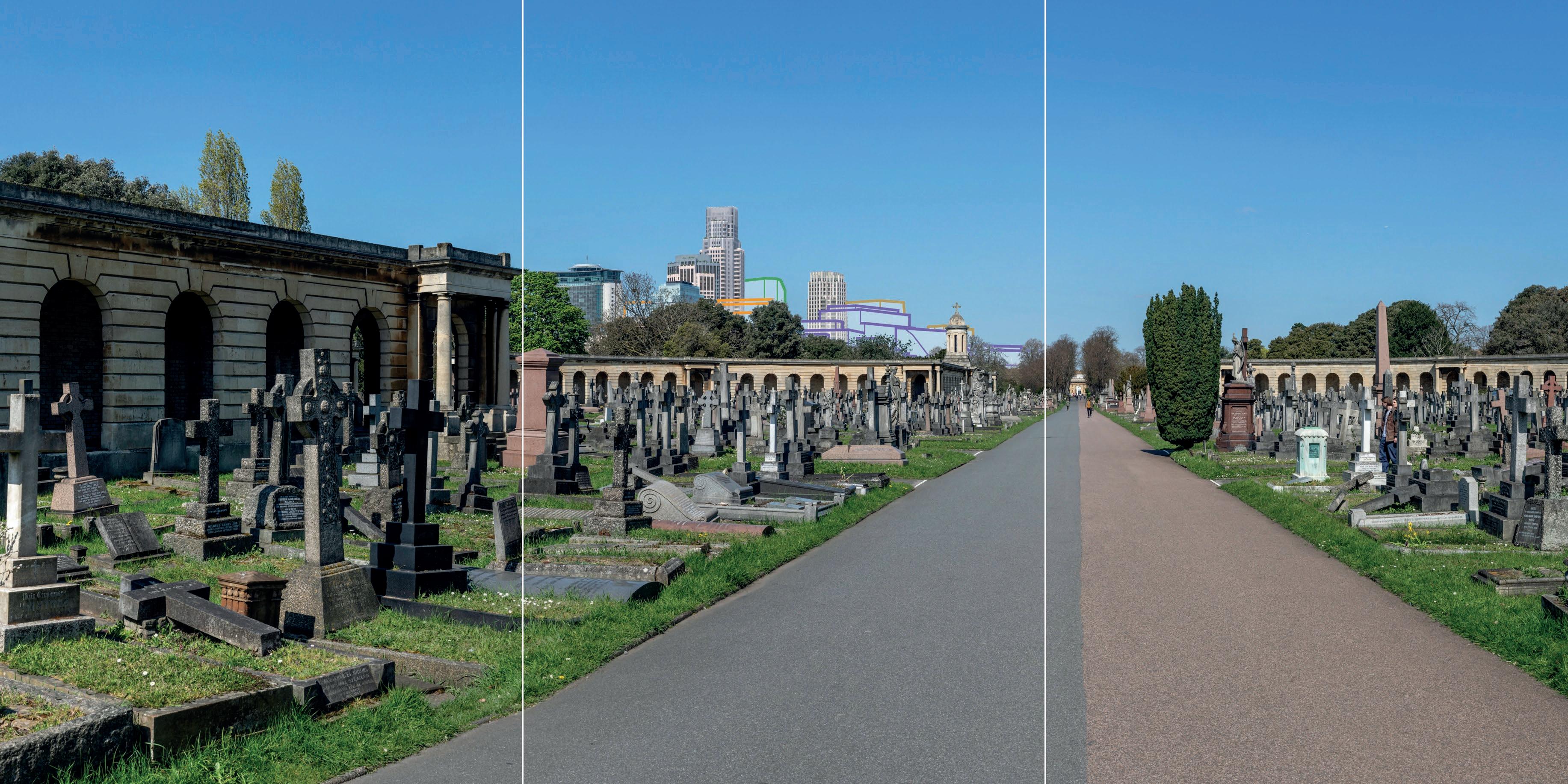
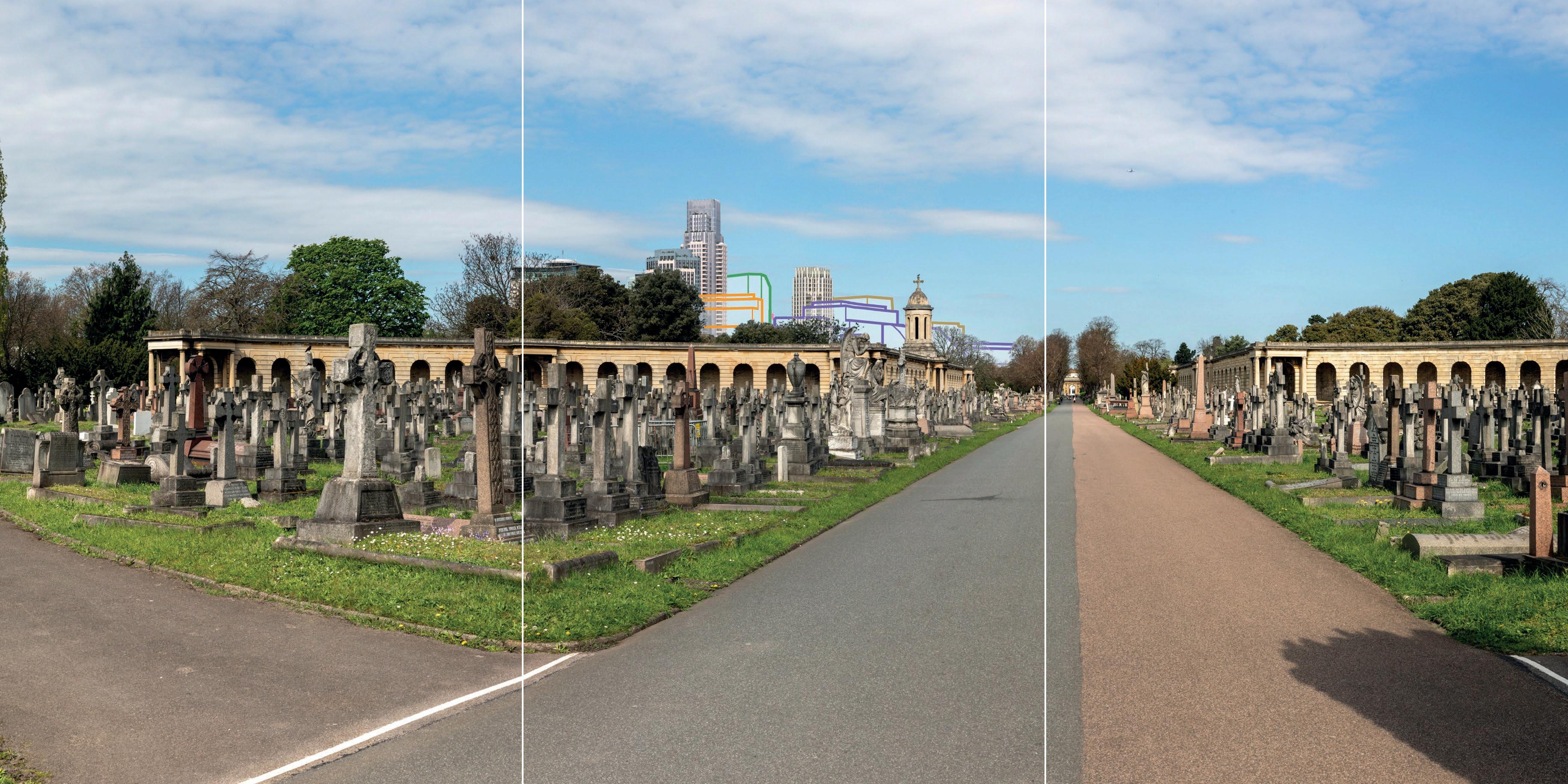
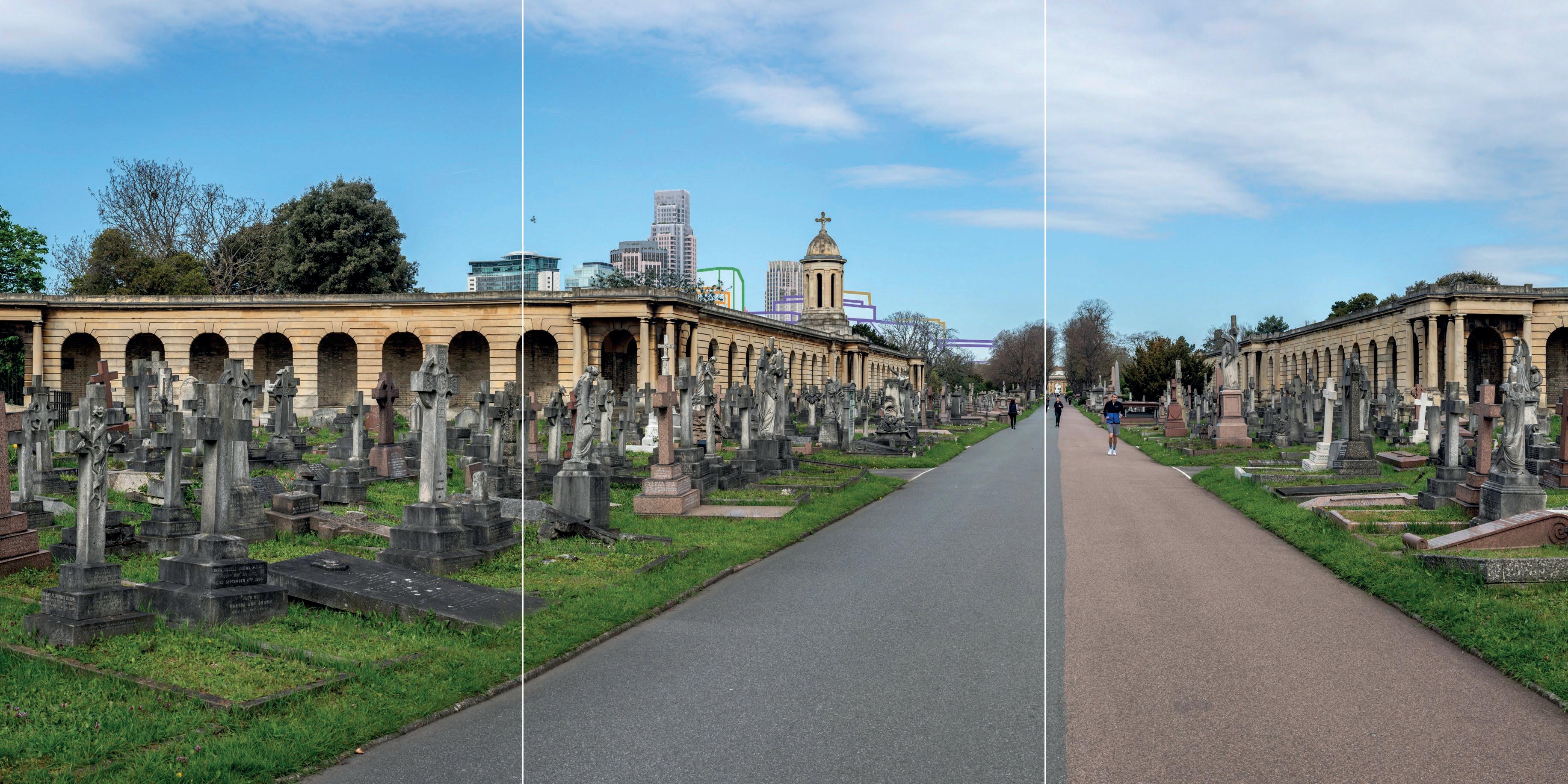
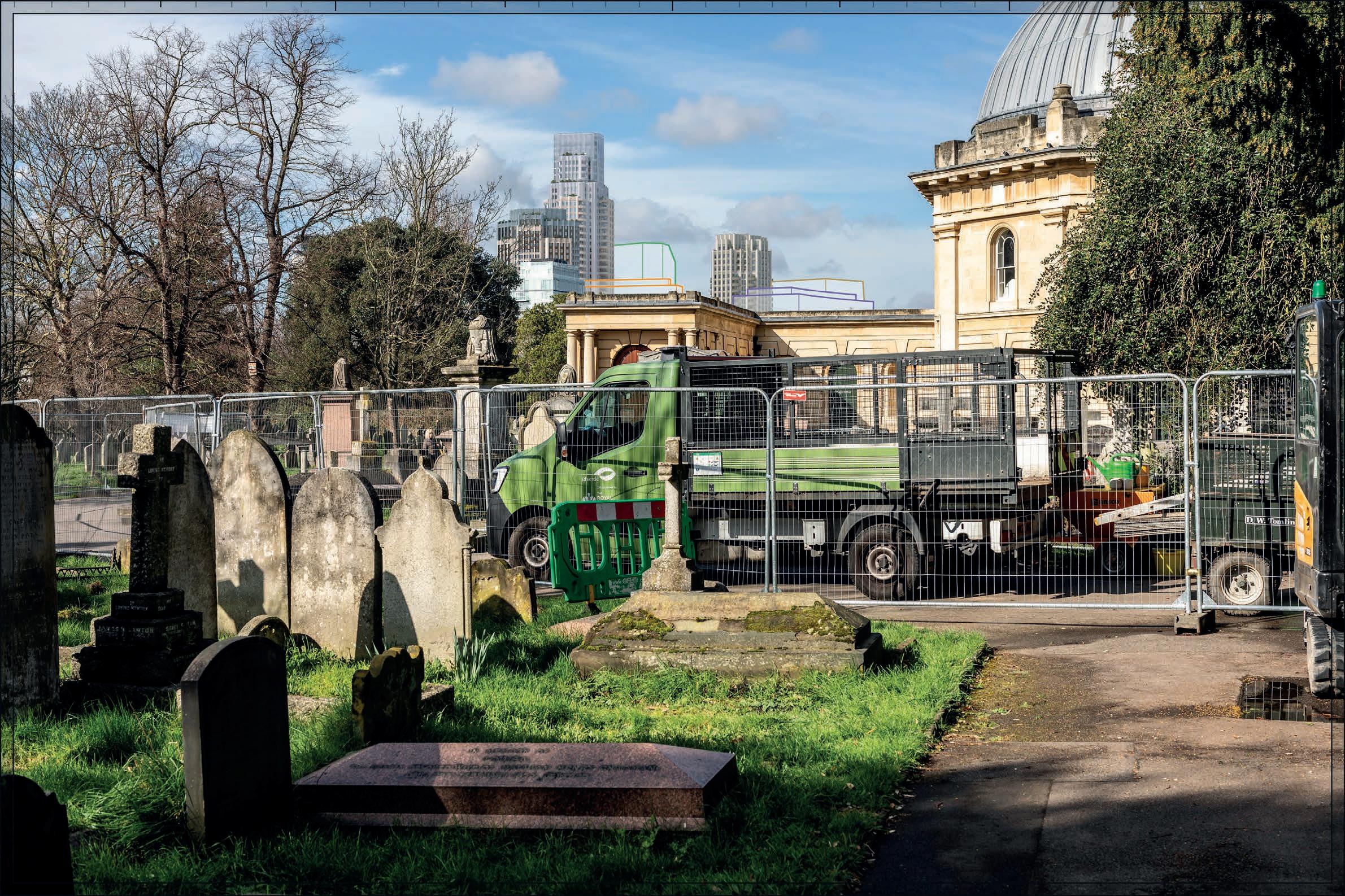
01.34 Brompton Cemetery 1000248 I High No No N/A Local The Cemetery has a strong axial arrangement and the primary, designed view looks north to
The listed building is appreciated in its immediate surroundings of the Cemetery and the development of the Site would not change that experience.
Visibility of tall buildings in views looking north from within the heritage asset. Very Low / Low One of the key heritage assets driving design development. 33-36, A-D In
Map Ref. Asset Reference No.
BASELINE INFORMATION
Grade ES Value Does it draw significance from setting Does it draw significance from the Site
RELATIONSHIP TO SITE
Comment Distance Orientation and Aspect Functional Relationship Nature of Potential Impact Potential Scale of Impact
Comment Reference Test View No. south towards the Chapel. The Site is located north of the Cemetery and would not appear in that primary view.
Conservation Areas
A Philbeach N/A N/A Medium Yes No
B Neverne Square N/A N/A Medium Yes No
The CA is experienced in the context of other CA that represent the interest of 19th century residential development. This contributes to the understanding of the historic context of development in the CA.
The CA is experienced in the context of other CA that represent the interest of 19th century residential development. This contributes to the understanding of the historic context of development in the CA.
Local No direct orientation to the Site.
None. Views of new development from within the CA. Medium One of the key heritage assets driving design development. 15, 16, 29 In
Local Streets oriented towards the Site.
from within the CA.
C Earl’s Court Village N/A N/A Medium Yes No
The CA is experienced in the context of other CA that represent the interest of 19th century residential development. This contributes to the understanding of
Local Streets oriented towards the Site.
None. Views of new development from within the CA.
Map Ref. Asset Reference No.
Grade ES Value Does it draw significance from setting Does it draw significance from the Site
D Olympia and Avonmore N/A N/A High Yes No
Comment Distance Orientation and Aspect
Comment Reference Test View No. the historic context of development in the CA.
The CA is experienced in the context of other CA that represent the interest of 19th century residential development. This contributes to the understanding of the historic context of development in the CA.
Local Streets oriented towards the Site.
Views of new development from within the CA.
of Impact
E Gunter Estate N/A N/A Medium Yes No
F Barons Court N/A N/A Medium Yes Yes
The CA is experienced in the context of other CA that represent the interest of 19th century residential development. This contributes to the understanding of the historic context of development in the CA. Local Streets oriented towards the Site.
A very small part of the Site falls within the CA.
Local Streets oriented towards the Site. Part of the CA falls within the Site.
of
development from within the CA.
One of the key heritage assets driving design development.
54, 103, 107, 111 In
G Earl’s Court Square N/A N/A Medium Yes No
The CA is experienced in the context of other CA that represent the interest of 19th century residential development. This contributes to the
Local Streets oriented towards the Site.
Direct change to the CA and views of new development from within CA
Views of new development from within the CA.
N/A
Map Ref. Asset Reference No.
BASELINE INFORMATION
Grade ES Value Does it draw significance from setting Does it draw significance from the Site
RELATIONSHIP TO SITE
Comment Distance Orientation and Aspect Functional Relationship Nature of Potential Impact Potential Scale of Impact
Comment Reference Test View No. understanding of the historic context of development in the CA.
H Brompton Cemetery N/A N/A High No No N/A Local The Cemetery has a strong axial arrangement and the primary, designed view looks north to south towards the Chapel. The Site is located north of the Cemetery and would not appear in that primary view.
I The Boltons N/A N/A High Yes No The CA is experienced in the context of other CA that represent the interest of 19th century residential development. This contributes to the understanding of the historic context of development in the CA.
None. Visibility of tall buildings in views looking north from within the heritage asset. Very Low / Low One of the key heritage assets driving design development. 33-36, A-D In
Local No orientation towards the Site. None. Glimpsed views only. Nil N/A N/A Out
J Courtfield N/A N/A Medium Yes No The CA is experienced in the context of other CA that represent the interest of 19th century residential development. This contributes to the understanding of the historic Local Streets oriented towards the Site.
None. Views of new development from within the CA. Low N/A 22, 23 In
Map Ref.
Reference No.
ES Value Does it draw significance from setting Does it draw significance from the Site
K Edwards Square/Scarsdale & Abingdon N/A N/A High Yes No
context of development in the CA.
The CA is experienced in the context of other CA that represent the interest of 19th century residential development. This contributes to the understanding of the historic context of development in the CA.
L Fitzgeorge and Fitzjames N/A N/A Medium Yes No
The CA is experienced in the context of other CA that represent the interest of 19th century residential development. This contributes to the understanding of the historic context of development in the CA.
N Turneville/Chesson N/A N/A Medium Yes No The CA is experienced in the context of other CA that represent the interest of 19th century residential development. This contributes to the understanding of the historic context of development in the CA.
O Sedlescombe Road N/A N/A Medium Yes No The CA is experienced in the context of other
No orientation towards the Site.
Streets oriented towards the Site.
oriented
Map Ref. Asset Reference No.
BASELINE INFORMATION
Grade ES Value Does it draw significance from setting Does it draw significance from the Site
Comment Distance Orientation and Aspect Functional Relationship Nature of Potential Impact Potential Scale of Impact
Comment Reference Test View No.
CA that represent the interest of 19th century residential development. This contributes to the understanding of the historic context of development in the CA. towards the Site. from within the CA.
N/A N/A Medium Yes No The CA is experienced in the context of other CA that represent the interest of 19th century residential development. This contributes to the understanding of the historic context of development in the CA.
Local Streets oriented towards the Site and views across Queens Club. None. Views of new development from within the CA. Low N/A 43, 44, 45
HERITAGE ASSET PLAN – MAP 02 – 500m to 1km RADIUS
Stage 1
Heritage assets scoped out based on no intervisibility/change to setting indicated by ZTV ( 73 assets):
• 02.4 1-8, Collingham Gardens SW5
• 02.5 Church of St Thomas of Canterbury
• 02.11 Grand Hall and Pillar Hall, Olympia Exhibition Centre
• 02.13 Fulham Town Hall (Original Building and 1904-5 Extension)
• 02.15 Commonwealth Institute
• 02.17 Linley Sambourne House
• 02.18 Church of Holy Trinity
• 02.19 32a, Pembroke Square W8, and The Hansom Cab Public House
• 02.22 Entrance Arch from Laverton Place
• 02.23 1-20, Pembroke Square W8
• 02.34 Lodge at South West of Earl's Terrace
• 02.36 St Thomas' Presbytery
• 02.37 South Bolton Gardens SW5
• 02.41 Harwath Mausoleum, and Tombstone to Warrington Taylor, and War Memorial, St Thomas of Canterbury Churchyard
• 02.45 9-15, and 17, 17a and 19, Jerdan Place Sw6
• 02.47 Letter Box Outside Numbers 276-280
• 02.48 Lodge at North East End of Earl's Terrace
• 02.49 16-21, The Boltons SW10
• 02.50 Olympia National and Olympia Central, Olympia Exhibition Centre
• 02.51 20-30, Holland Park Road W14
• 02.52 99-119, Hammersmith Road W14
• 02.54 Entrance Arch from Courtfeld Gardens
• 02.55 Roman Catholic Church of Our Lady of Victories, including The Entrance Screen
• 02.57 Pair of Gatepiers to North Entrance at St Mary Abbot's Hospital
• 02.59 47, Addison Road W14
• 02.60 Entrance Arch from Courtfeld Gardens
• 02.61 22-28, The Boltons SW10
• 02.63 Fulham Broadway Underground Station: Former Entrance Building and Trainshed
• 02.69 2b, Melbury Road W14
• 02.70 47, Melbury Road W14
• 02.71 Kensington Congregational Chapel
• 02.72 Church of St Mary
• 02.73 Stonehall Outpatients Clinic, St Mary Abbot's Hospita
• 02.75 Cheniston Lodge, and The Kensington Register Offce
• 02.78 Masters Lodge and Porters Lodge, Boundary Walls and Circular Garden Building to St Pauls School
• 02.81 Church of St Barnabas
• 02.82 West Kensington Post Offce and Delivery Office
• 02.84 9-15, The Boltons Sw 10
• 02.85 Olympia Garage
• 02.86 Drayton Arms Public House
• 02.87 Hollywood Arms Public House
• 02.88 Two K2 Telephone Kiosks
• 02.89 Cornwall House, Garden House, and Pillar Box Adjacent to Cornwall House
• 02.90 Church of Our Lady of Dolours Roman Catholic
• 02.93 Blythe House (Former Post Offce Savings Bank Headquarters)
• 02.94 2-16 and 20-28 (Even) Stafford Terrace
• 02.95 4-56, Drayton Gardens SW10
• 02.96 55-82, Cornwall Gardens SW7
• 02.97 Drayton Terrace
• 02.98 17-44, Cornwall Gardens SW7
• 02.99 Colet Court School
• 02.100 Railings to East of Cornwall House and Garden House
• 02.101 Chapel, and Octagon, at College of St Mark and St John
• 02.103 1-39, Drayton Gardens SW10
• 02.104 St Joseph's Almshouses
• 02.106 Pair of Gatepiers to Roman Catholic Servite Prima ry School
• 02.107 West Entrance Arch from Grenville Place
• 02.108 Fulham Fire Station
• 02.109 The Sloane School at The Hortensia Road Centre
• 02.110 246, Fulham Road
• 02.112 10-23, Hereford Square SW7
• 02.113 Entrance Arch from Harrington Gardens, with Flanking Pavilions and Numbers 1 and 3 including Basement Area Railings
• 02.114 2 K2 Telephone Kiosks
• 02.116 Carlyle Building at The Hortensia Road Centre
• 02.117 56, Brook Green W6
• 02.118 Main Building, with Frontage on Brook Green, St Pauls Girls' School
• M Dorcas Estate Conservation Area
• Q Walham Grove Conservation Area
• X Barclay Road Conservation Area
• AB Sloane/Stanley Conservation Area
• AC Thurloe/Smith's Charity Conservation Area
• AE Cornwall Conservation Area
• AF De Vere Conservation Area
STAGE 2 – DESK-BASED ANALYSIS
Further review based on likely intervisibility indicated by ZTV.
Map Ref. Asset Reference No. Grade ES Value Does it draw significance from setting Does it draw significance from the Site
02.2 9-18,11a and 18a, Collingham Gardens SW5
II* High Yes No
02.3 Arcade Forming North West Quarter of Circle and Avenue, and Arcade Forming North East Quarter of Circle and Avenue
II* High Yes No
530m Principal façade faces west. Located on corner of Bramham Gdns and Collingham Gdns. Bramham Gdns follows axial trajectory in relation to Site
No Glimpsed, oblique intervisibility from Bramham Gardens and Collingham Gardens.
Very Low / Nil The proposals do not have the potential to impact principal views of the receptor due to orientation and aspect. Any glimpsed intervisibility would be incidental and experienced in the wider setting of the receptor, heavily filtered by tree cover in the square. The heritage value of the receptor would be preserved
View 23 Out
02.6 Arcade Forming South Western Quarter of Circle and Avenue, and Arcade
II* High Yes No
Located within Brompton Cemetery, with with it shares group value and derives significance as part of the planned cemetery
550m Part of planned composition set on northwestsoutheast axial Avenue through Brompton Cemetery. No
Located within Brompton Cemetery, with which it shares group value and derives significance
550m Part of planned composition set on northwestsoutheast axial No
Visual –views of proposals to northwest
Low / Very Low Further interrogation of the nature and scale of the impact is required
Views A; A01; B; B01; C; D; 33A; 33B; 33C In
Visual -views of proposals to northwest
Low / Very Low Further interrogation of the nature and scale of the impact is required
Views A; A01; B; B01; C; D; 33A; 33B; 33C In
Map Ref. Asset Reference No.
BASELINE INFORMATION
Grade ES Value Does it draw significance from setting Does it draw significance from the Site
Comment Distance Orientation and Aspect Functional Relationship Nature of Potential Impact
Forming South East Quarter of Circle and Avenue as part of the planned cemetery Avenue through Brompton Cemetery.
02.7 Church of St Jude II* High Yes No
02.8 Church of England Chapel II* High Yes No
Set within leafy square with vicarage adjacent. This, and surrounding Courtfield CA, contributes to its heritage value.
670m No
02.9 Leighton House II* High Yes No
Located within Brompton Cemetery, with with it shares group value and derives significance as part of the planned cemetery
550m Part of planned composition set on northwestsoutheast axial Avenue through Brompton Cemetery.
No
Visual –glimpsed views of proposals to west from vicinity of the building, not from the building itself. Would not affect views of the church spire.
Scale of Impact
Comment Reference Test View No.
Nil ZTV indicates that the proposals would not be glimpsed from the church or against the silhouette of the church / church spire. Oblique views in wider setting would have no impact on the heritage value of the building.
View 21B; 22 Out
Derives significance from surroundings in Holland Park CA
800m Faces south onto Holland Park Road. Enclosed by surrounding buildings and trees.
No
Visualviews of proposals to northwest
Low / Very Low Further interrogation of the nature and scale of the impact is required
Views A; A01; B; B01; C; D; 33A; 33B; 33C In
Glimpsed views of proposals from areas to the rear (north) of the building
Very Low / Nil Any intervisibility from the rear of the building would be glimpsed and heavily filtered by trees. Would not impact principal Out
Map Ref.
02.10 55 and 57, Melbury Road W14
Reference No. Grade ES Value Does it draw significance from setting Does it draw significance from the Site Comment Distance Orientation and Aspect
II* High Yes No
02.12 8, Melbury Road W14
02.14 35 and 37 Harrington Gardens SW7
II* High Yes No
Derives significance from surroundings in Holland Park CA
800m Faces east onto Melbury Road, an axial road towards the site No Glimpsed views of the proposals from Melbury Road, seen across a considerable distance. Very Low / Nil Any intervisibility would be glimpsed and heavily filtered by trees. Would not impact principal views of the building
High Yes No
Derives significance from surroundings in Holland Park CA
800m Faces northwards onto Melbury Road. Proposals may be glimpsed in backdrop of building from Melbury Road and Abbotsbury Road
significance from Courtfield CA
Located south side of Harrington Gardens, northeastsouthwest axial route
02.14 39 Harrington Gardens SW7 II* High Yes No
Derives significance from Courtfield CA
02.14 41 Harrington Gardens SW7 II* High Yes No
Derives significance from Courtfield CA
Located south side of Harrington Gardens, northeastsouthwest axial route
Located south side of Harrington Gardens,
views from Harrington Gardens from and in conjunction with receptor
views from Harrington Gardens from and in conjunction with receptor
views from Harrington Gardens
Map Ref. Asset Reference No. Grade ES Value Does it draw significance from setting Does it draw significance from the Site Comment Distance Orientation and Aspect
02.14 43 Harrington Gardens SW7 II* High Yes No
02.14 45, Harrington Gardens SW7 II* High Yes No
02.16 Commonwealth Institute II* High Yes No
02.20 21, 22 and 23, Pembroke Square W8 II High Yes No
02.20 1 and 2, Pembroke Cottages II High Yes No
02.21 Nos 2 and 3 and area railings and II High Yes No
Reference
View No. northeastsouthwest axial route from and in conjunction with receptor
Derives significance from Courtfield CA 840m Located south side of Harrington Gardens, northeastsouthwest axial route
Derives significance from Courtfield CA
Derives significance from surroundings in Holland Park CA
Derives significance from surroundings in Edwards Square/Scarsdale & Abingdon CA
Derives significance from surroundings in Edwards Square/Scarsdale & Abingdon CA
Derives significance from immediate, enclosed setting. Wider setting is mixed and includes infrastructure to immediate east.
Located south side of Harrington Gardens, northeastsouthwest axial route
800m Faces southwards onto Melbury Road.
c.500m Faces eastwards onto Pembroke Square. Does not orientate towards Site
c.500m Faces eastwards onto Pembroke Square. Does not orientate towards Site
Glimpsed views from Harrington Gardens from and in conjunction with receptor
Glimpsed views from Harrington Gardens from and in conjunction with receptor
views from Melbury Road
Glimpsed views from Pembroke Square
/
/
views from Pembroke Square
c.500m Faces northeast onto Addison Bridge Place. Does not orientate towards Site. No Glimpsed views, heavily filtered by extensive tree cover along Very Low / Nil
Map Ref. Asset Reference No. Grade ES Value Does it draw significance from setting Does it draw significance from the Site
Comment Distance Orientation and Aspect Functional Relationship Nature of Potential Impact
Scale of Impact
Comment Reference Test View No. Addison Bridge Place
02.21 no 4 and area railings II High Yes No
02.24 The temple (in the gardens in middle of south side) II High Yes No
Derives significance from immediate, enclosed setting. Wider setting is mixed and includes infrastructure to immediate east.
c.500m Faces northeast onto Addison Bridge Place. Does not orientate towards Site. No Glimpsed views, heavily filtered by extensive tree cover along Addison Bridge Place
Very Low / Nil Out
02.25 1-23 Edwardes Sq. II High Yes No
Derives significance from Edwardes Square RPG
c.700m Located at south entrance of Edwardes Square, appreciated in views from within the square None Glimpsed views of proposals in wider setting of receptor, potentially appearing against silhouette of LB in southerly views
Very Low ZTV indicates lack of direct intervisibility, however View 12 illustrates that the proposals would be visible in wider setting of the LB Further interrogation of impact required.
View 12 In
02.26 Queen Victoria Monument II High No No
Derives significance from Edwardes Square RPG / Edwardes Square and Scarsdale and Abingdon CA
c.700m Faces westwards onto Edwardes Square, appreciated in direct easterly views of its principal façade and kinetic views through the square
None Glimpsed views of proposals in wider setting of the receptor to the southeast. Would have no impact on direct views of receptor
Very Low / Nil Out
Does not derive significance from setting.
c.700m Located in centre of Warwick Gardens at north end
None None Nil The listed building doesn’t derive significance Out
Map Ref. Asset Reference No.
BASELINE INFORMATION
Grade ES Value Does it draw significance from setting Does it draw significance from the Site
02.27 1-9 Warwick Gardens II High Yes No
RELATIONSHIP TO SITE
Comment Distance Orientation and Aspect Functional Relationship Nature of Potential Impact
Scale of Impact
02.28 Tomb of Flight Sub Lieutenant Reginald Warneford VC on Northern approach to Great Circle, Brompton Cemetery
II High Yes No
Derives significance from Edwards Square/Scarsdale & Abingdon CA, in particular surrounding contemporary buildings on Warwick Gardens
c.700m Faces southwest onto Warwick Gardens. Best appreciated in views along Warwick Gardens in conjunction with surrounding terrace
None Glimpsed intervisibility of proposals in wider setting of the receptor to the south, in indirect views peripheral to the receptor
The Cemetery makes the primary contribution to significance. Wider context does not contribute to appreciation of the listed building as a tomb.
Comment Reference Test View No. from its setting. It is a monument best appreciated in closerange views.
Very Low / Nil ZTV indicates glimpsed intervisibility along Warwick Avenue Out
N/A None. None. Nil The listed building is appreciated in its immediate surroundings of the Cemetery and the development of the Site would not change that experience.
N/A Out
02.29 25-48 Edwardes Sq II High Yes No
Derives significance from Edwardes Square RPG / Edwardes Square and Scarsdale and Abingdon CA
c.700m Faces east onto Edwardes Square. Best appreciated in direct westerly views or kinetic views in vicinity
None Glimpsed intervisibility from the north of the proposals in the wider setting, not in direct views of the receptor
Very Low / Nil ZTV indicates glimpsed intervisibility to rear / north of property which would not impact an appreciation of the receptor Out
Map Ref. Asset Reference No. Grade ES Value Does it draw significance from setting Does it draw significance from the Site Comment Distance Orientation and Aspect
Relationship Nature of Potential Impact
02.29 Edwardes Place II High Yes No
02.30 Cast iron railings to gardens II High Yes No
Derives significance from Edwardes Square RPG / Edwardes Square and Scarsdale and Abingdon CA
c.700m Faces north onto Edwardes Place. Best appreciated in direct southerly views from Edwardes Place.
None Glimpsed intervisibility of proposals to the south of the receptor. May appear in silhouette of receptor.
Scale of Impact
Comment Reference Test View No. from Edwardes Square
Very Low Further interrogation of nature of visual impact required In
02.31 Entrance arch to Harcourt Terrace II High Yes No
Derives significance from Edwardes Square RPG. Does not derive significance from wider setting.
Derives significance from immediate surroundings and wider Boltons CA.
c.700m Surrounds the Edwardes Square gardens None None Nil Proposals do not have the potential to impact the heritage value of the building Out
c.700m Fronts onto Harcourt Terrace
02.32 The Cock Public House II High Yes No
Derives significance from Walham Green CA
c.700m Faces west onto North End Road
None Views of the proposals from North End Lane in conjunction with receptors when travelling northwards
Nil Proposals do not have the potential to impact the heritage value of the building Out
Very Low / Nil ZTV indicates intervisibility along North End Road which would affect the experience when travelling northwards. This has been interrogated by analysis of View A141 which indicates that the proposals
Map Ref.
Asset Reference No.
BASELINE INFORMATION
Grade ES Value Does it draw significance from setting Does it draw significance from the Site
RELATIONSHIP TO SITE
Comment Distance Orientation and Aspect Functional Relationship Nature of Potential Impact
02.32 Fulham Baths Entrance Block II High Yes No Derives significance from Walham Green CA
c.700m Faces west onto North End Road
None Views of the proposals from North End Lane in conjunction with receptors when travelling northwards
Scale of Impact
Comment Reference Test View No. would be seen in the wider setting to the north of the receptor and would not affect the silhouette of the receptor in direct views. The proposals would also be substantially filtered by vegetation.
Very Low / Nil ZTV indicates intervisibility along North End Road which would affect the experience when travelling northwards. This has been interrogated by analysis of View A141 which indicates that the proposals would be seen in the wider setting to the north of the receptor and would not affect the
BASELINE INFORMATION
Map Ref. Asset Reference No. Grade ES Value Does it draw significance from setting Does it draw significance from the Site
RELATIONSHIP TO SITE
Comment Distance Orientation and Aspect Functional Relationship Nature of Potential Impact
Scale of Impact
Comment Reference Test View No. silhouette of the receptor in direct views. The proposals would also be substantially filtered by vegetation.
02.33 Church of St John II High Yes No Derives significance from Walham Green CA
c.700m Located in island between North End Road, Vanston Place and Farm Lane. None Views of the proposals from North End Lane in conjunction with receptors when travelling northwards Very Low / Nil ZTV indicates intervisibility along North End Road which would affect the experience when travelling northwards. This has been interrogated by analysis of View A141 which indicates that the proposals would be seen in the wider setting to the north of the receptor and would not affect the silhouette of the receptor in direct views. The proposals would also be substantially
A141 Out
Map
Reference No.
ES Value Does it draw significance from setting Does it draw significance from the Site
02.35 Earls Terrace II High Yes No
02.38 Pillar Box, and Pillar Box
High No No
Derives significance from Edwardes Square RPG / Edwardes Square and Scarsdale and Abingdon CA
c.700m Faces north onto Earls Terrace. Best appreciated in direct southerly views from Earls Terrace
None Glimpsed intervisibility of proposals from the south of the receptor. Very Low ZTV indicates that the proposals would not be visible in direct, principal views of the terrace from the north. However, it indicates intervisibility in the rear plots of the receptor and to the east. Further interrogation of nature of impact required.
proposals do not have the potential to affect the heritage value of the receptor
02.39 Entrance Arch from Collingham Road II High Yes No
Derives significance from local setting
c.700m Entrance arch to Colbeck Mews. Best appreciated from Collingham Road in northwesterly views, and from Colbeck Mews
None Glimpsed intervisibility of proposals in wider setting, limited to axial view which would be very limited and heavily filtered by trees
Very Low / Nil Wider setting of receptor does not contribute to its heritage value. Potential views would be glimpsed and very limited.
Map Ref. Asset Reference No. Grade ES Value Does it draw significance from setting Does it draw significance from the Site
02.40 135-149, Talgarth Road W6 II High Yes No
Terrace has group value and also derives significance from wider Barons Court CA.
500m Located on south side of large thoroughfare. Best appreciated in kinetic views along Talgarth Road.
None Glimpsed intervisibility , in which the proposals may be glimpsed in easterly views in wider setting. Would not be visible in principal close-range views or westerly / southerly views.
Very Low / Nil Wider setting of receptor does not contribute to its heritage value. Glimpsed intervisibility in easterly views would have no impact on the heritage value of the receptor
02.42 36-39 Addison Road W14 II High Yes No
Derives significance from wider setting within Holland Park CA
c.700m Faces northeast onto Addison Road. Surrounded by large flat blocks to southeast and south
None Glimpsed intervisibility from Addison Road in axial views
Very Low / Nil Glimpsed views of proposals in wider setting from Addison Road may be experienced in southerly views. However, the setting of the receptor is enclosed and already characterise d by tall and large scale development . Glimpsed views would have no impact on the heritage value of the receptor.
Map Ref. Asset Reference No. Grade ES Value Does it draw significance from setting Does it draw significance from the Site
02.42 40,41-46, Addison Road W14 II High Yes No
02.43 Bousfeld School, including Water Tower II High No No
Derives significance from wider setting within Holland Park CA
c.700m Faces northeast onto Addison Road. Surrounded by large flat blocks to southeast and south
None Glimpsed intervisibility from Addison Road in axial views
Very Low / Nil Glimpsed views of proposals in wider setting from Addison Road may be experienced. However, the setting of the receptor is enclosed and already characterise d by tall and large scale development . Glimpsed views would have no impact on the heritage value of the receptor. Out
02.44 Brass
II High Yes No
20th century school building surrounded by development of differing character and scale. Low-scale and surrounded by a boundary wall and mature trees. Does not draw significance from setting.
c.700m Principal entrance on east side. Enclosed by boundary wall and mature trees. Not interconnected to wider setting
None Glimpsed views from Old Brompton Road, in which the significance of the school cannot be appreciated due to boundary wall
The Cemetery makes the primary contribution to significance. Wider context does not contribute to appreciation of the
Nil The listed building is appreciated in its immediate surroundings of the N/A Out
Map Ref.
Asset Reference No.
Grade ES Value Does it draw significance from setting Does it draw significance from the Site
Comment Distance Orientation and Aspect Functional Relationship Nature of Potential Impact
Scale of Impact
02.46 Barons Court Underground Station
II High No No
02.53 14, Holland Park Road W14 II High Yes No
Comment Reference Test View No.
listed building as a tomb. Cemetery and the development of the Site would not change that experience.
The listed building’s significance is in its inherent architectural and historic interest in connection with the history of the London Underground Electric Railway. Its wider setting is incidental and does not contribute to an appreciation of its value.
Derives significance from surroundings in Holland Park CA
Faces onto Gliddon Road railway bridge. Best appreciated in direct westerly views from the bridge, and from the junction with Margravine Gardens.
800m Faces north onto Holland Park Road. Enclosed by surrounding buildings and trees. No Glimpsed views of proposals from areas to the rear (north) of the building
Very Low / Nil Any intervisibility from the rear of the building would be glimpsed and heavily filtered by trees. Would not impact principal views of the building Out
02.56 Tomb of Percy
II High Yes No
The Cemetery makes the primary contribution to significance. Wider context does not contribute to appreciation of the listed building as a tomb.
N/A None. None. Nil The listed building is appreciated in its immediate surroundings of the Cemetery and the N/A Out
Map Ref.
Asset Reference No.
BASELINE INFORMATION
Grade ES Value Does it draw significance from setting Does it draw significance from the Site
RELATIONSHIP
Comment Distance Orientation and Aspect Functional Relationship Nature of Potential Impact
02.58 Church of St Alban II High Yes No Only immediate setting contributes to heritage value.
c.700m Faces southwest onto Margravine road. Enclosed setting with mid-scale 20th century residential development blocks abutting to the east
Scale of Impact
Comment Reference Test View No. development of the Site would not change that experience.
None Glimpsed views of proposals in wider setting. Though there is not a viewpoint adjacent to the listed building, View 601: Bayonne Park illustrates the visual impact from an open space to the southwest of the listed building. Owing to the orientation of the listed building in relation to the street, and its immediate setting, glimpsed views may be afforded from axial streets in conjunction with the listed building (eg Gastein Road). Further interrogation of nature of
601 In
Map Ref. Asset Reference No.
Grade ES Value Does it draw significance from setting Does it draw significance from the Site Comment Distance Orientation and Aspect Functional Relationship Nature of Potential Impact
02.59 47, Addison Road W14 II High Yes No
02.62 10 and 10a, Holland Park Road II High Yes No
Derives significance from wider setting within Holland Park CA
c.700m Faces northeast onto Addison Road. Surrounded by large flat blocks to southeast and south. Enclosed by mature trees on Addison Road.
None Glimpsed intervisibility from Addison Road in axial views
Scale of Impact
02.64 16, 18 and 18a, Melbury Road W14 II High Yes No
Derives significance from surroundings in Holland Park CA
c.800m Faces south onto Holland Park Road. Enclosed by surrounding buildings and trees.
None Glimpsed views of proposals from areas to the rear (north) of the building
Comment Reference Test View No. visual impact required
Very Low / Nil Glimpsed views of proposals in wider setting from Addison Road may be experienced. However, the setting of the receptor is enclosed and already characterise d by tall and large scale development . Glimpsed views would have no impact on the heritage value of the receptor. Out
Very Low / Nil Any intervisibility from the rear of the building would be glimpsed and heavily filtered by trees. Would not impact principal views of the building Out
Derives significance from surroundings in Holland Park CA
c.800m Faces south onto Melbury Road. Enclosed by surrounding
None Glimpsed views of proposals from areas to the rear
Very Low / Nil Any intervisibility from the rear of the building Out
Map Ref.
Asset Reference No.
BASELINE INFORMATION
Grade ES Value Does it draw significance from setting Does it draw significance from the Site
RELATIONSHIP TO SITE
Comment Distance Orientation and Aspect Functional Relationship Nature of Potential Impact
Scale of Impact
Comment Reference Test View No. buildings and trees. (north) of the building would be glimpsed and heavily filtered by trees. Would not impact principal views of the building
02.65 24 and 26, Harrington Gardens SW7
II High Yes No
02.66 1-8, The Boltons
II High Yes No
Derives significance from surrounding Courtfield CA and from Gloucester Park in locale
c.750 Faces south onto Harrington Gardens. Located at west side of Gloucester Park, enclosed by trees
None Glimpsed intervisibility of proposals from Harrington Gardens in conjunction with the receptor –not affecting its silhouette
Very Low / Nil ZTV indicates intervisibility from Harrington Gardens. This would comprise glimpsed views where the proposals would be seen in wider setting of the receptor but not directly in conjunction. Would not impact principal views of the LB.
Derives significance from the Boltons (RPG) with which it has group value
c.800m Faces southwest onto the Boltons, an elliptical terrace
None Glimpsed visibility of the proposals to the west, in wider setting of the LB.
Very Low / Nil ZTV indicates flashes of intervisibility from the Boltons. This has been interrogated through View 406, which shows that the upper storeys of View 406 Out
Map Ref. Asset Reference No.
BASELINE INFORMATION
Grade ES Value Does it draw significance from setting Does it draw significance from the Site
RELATIONSHIP TO SITE
Comment Distance Orientation and Aspect Functional Relationship Nature of Potential Impact
Scale of Impact
02.67 Gateway Opposite Earls
II High Yes No Derives significance from immediate setting of Holland Park. Wider setting does not contribute to significance
c.800m Southern gateway to Holland Park forming junction with Earls Court Road. Site lies to the southwest
None Glimpsed views from Holland Park Drive
Comment Reference Test View No. the proposals would be seen above and beyond the roofscape of houses in the wider Boltons CA. This would have no impact on views of the receptor or the way it is experienced, in which the proposals would not be visible
Nil The proposals do not have the potential to impact the value of the receptor, which is not derived from its wider setting. The site is located a considerable distance to the southwest, and would not affect principal or axial views of the receptor
Map Ref. Asset Reference No. Grade ES Value Does it draw significance from setting Does it draw significance from the Site Comment Distance Orientation and Aspect
02.68 Reception House, Hammersmith Cemetery II High Yes No
Derives significance from Barons Court CA and Hammersmith Cemetery. Group value with 17, St Dunstan's Road W6 and Street Wall, Railings and Gates to Number 17
c.700m Situated at corner of Hammersmith Cemetery (north) with St Dunstan’s Road. Site located to the west
None Glimpsed views from receptors from within the cemetery.
ZTV indicates there would be intervisibility throughout Hammersmit h Cemetery. In reality, it is densely treed and any glimpsed views would be heavily filtered and peripheral to the receptor, as illustrated by View 49A. Notwithstan ding, the receptor does not derive significance from its wider setting
View 49A is situated within the cemetery to the southwest of the receptor Out
02.68 17, St Dunstan's Road W6 II High Yes No
Derives significance from Barons Court CA and Hammersmith Cemetery. Group value with Reception House and Street Wall, Railings and Gates to Number 17
c.700m Situated at corner of Hammersmith Cemetery (north) with St Dunstan’s Road. Site located to the west
None Glimpsed views from receptors from within the cemetery. ZTV indicates there would be intervisibility throughout Hammersmit h Cemetery. In reality, it is densely treed and any glimpsed views would be heavily filtered and peripheral to the receptor, as illustrated by View 49A. Notwithstan
View 49A is situated within the cemetery to the southwest of the receptor Out
Map Ref.
Asset Reference No.
BASELINE INFORMATION
Grade ES Value Does it draw significance from setting Does it draw significance from the Site
02.68 Street Wall, Railings and Gates to Number 17
II High Yes No
RELATIONSHIP TO SITE
Comment Distance Orientation and Aspect Functional Relationship Nature of Potential Impact
Scale of Impact
02.74 Monument to S L Sotheby, and Tomb of
II High Yes No
Derives significance from Barons Court CA and Hammersmith Cemetery. Group value with Reception House and 17, St Dunstan's Road W6
c.700m Situated at corner of Hammersmith Cemetery (north) with St Dunstan’s Road. Site located to the west
Comment Reference Test View No. ding, the receptor does not derive significance from its wider setting
None Glimpsed views from receptors from within the cemetery. Very Low ZTV indicates there would be intervisibility throughout Hammersmit h Cemetery. In reality, it is densely treed and any glimpsed views would be heavily filtered and peripheral to the receptor, as illustrated by View 49A. Notwithstan ding, the receptor does not derive significance from its wider setting
View 49A is situated within the cemetery to the southwest of the receptor Out
The Cemetery makes the primary contribution to significance. Wider context does not contribute to appreciation of the listed building as a tomb.
N/A
None. None. Nil The listed building is appreciated in its immediate surroundings of the Cemetery and the development of the Site would not
N/A Out
Map Ref. Asset Reference No. Grade ES Value Does it draw significance from setting Does it draw significance from the Site
Comment Distance Orientation and Aspect Functional Relationship Nature of Potential Impact
02.77 East House, and West House II High Yes No
Derives significance from surroundings in Holland Park CA
c.800m Faces south onto Melbury Road. Enclosed by surrounding buildings and trees.
None Glimpsed views of proposals from areas to the immediate southeast of the building on Melbury Road
Scale of Impact
02.79 Blake's Munitions War Memorial, Margravine Cemetery II High
02.80 Tomb of George Broad approx. 160 metres East of West Gate, Hammersmith Cemetery II High Yes No
The Cemetery makes the primary contribution to significance. Wider context does not contribute to appreciation of the listed building as a tomb.
The Cemetery makes the primary contribution to significance. Wider context does not contribute to appreciation of the listed building as a tomb.
Comment Reference Test View No. change that experience.
Very Low / Nil Any intervisibility from Melbury Road would be glimpsed and in wider setting of LB to the southwest. Would not impact principal views of the building
The listed building is appreciated in its immediate surroundings of the Cemetery and the development of the Site would not change that experience.
N/A None. None. Nil The listed building is appreciated in its immediate surroundings of the Cemetery and the development of the Site would not change that experience.
N/A Out
N/A Out
N/A Out
Map Ref. Asset Reference No. Grade ES Value Does it draw significance from setting Does it draw significance from the Site Comment Distance Orientation and Aspect Functional Relationship Nature of Potential Impact Scale of Impact
02.83 20 and 22, Harrington Gardens SW7 II High Yes No
02.91 308-328, Fulham Road SW10 II High Yes No
Derives significance from surrounding Courtfield CA and from Gloucester Park in locale
c.750 Faces south onto Harrington Gardens. Located at west side of Gloucester Park, enclosed by trees
None Glimpsed intervisibility of proposals from Harrington Gardens in conjunction with the receptor –not affecting its silhouette
Comment Reference Test View No.
Very Low / Nil ZTV indicates intervisibility from Harrington Gardens. This would comprise glimpsed views where the proposals would be seen in wider setting of the receptor but not directly in conjunction. Would not impact principal views of the LB.
02.92 Brompton Cemetery Ironwork Piers, Gates and Screen on Fulham Road II High Yes No
Group value with terrace. Brompton Cemetery to rear contributes to value. The Boltons CA to east contributes to value.
c.800m Faces south onto Fulham Road.
Cemetery to rear. Does not orientate towards site
None Glimpsed views only from rear of the properties, not in principal views of the listed building Nil Glimpsed views would be potentially afforded from entrance to Brompton Cemetery. Would not impact the special value of the LB.
The Cemetery makes the primary contribution to significance. Wider context does not contribute to appreciation of the listed building.
N/A
None. None. Nil The listed building is appreciated in its immediate surroundings of the Cemetery and the N/A Out
02.92 Westernmost K2 Telephone Kiosk and Easternmost K2 Telephone Kiosk Outside Brompton Cemetery
02.92 Easternmost K2 Telephone Kiosk Outside Brompton Cemetery
02.102 Tombs of Abraham Smith, and Frederick Harold Young, Hammersmith Cemetery
ES
Does it draw significance from setting Does it draw significance from the Site
High No No
High No No
II High Yes No
02.105 J Lyons and Company First World War Memorial, Margravine Cemetery II High Yes No
The Cemetery makes the primary contribution to significance. Wider context does not contribute to appreciation of the listed building as tombs.
The Cemetery makes the primary contribution to significance. Wider context does not contribute to appreciation of the listed building as a war memorial.
The listed building is appreciated in its immediate surroundings of the Cemetery and the development of the Site would not change that experience.
Map Ref. Asset Reference No. Grade ES Value Does it draw significance from setting Does it draw significance from the Site
02.106 Pair of Gatepiers to Roman Catholic Servite Primary School II High Yes No
02.111 27-35, Hereford Square SW7 II High Yes No
The Catholic Primary School makes the primary contribution to significance. Wider context does not contribute to appreciation of the listed building.
N/A
02.115 Original School Building and Chapel at Former College of St Mark and St John II High Yes No
Derives significance from the Courtfield CA and particularly from Hereford Square
c.800m Faces southwards onto Hereford Square. Site is located to west
None. None. Nil The listed building is appreciated in its immediate surroundings of the Cemetery and the development of the Site would not change that experience.
None Glimpsed views facing westwards from Hereford Square
Very Low / Nil ZTV indicates intervisibility from Hereford Square as it axial to the Site. Glimpsed views would be oblique to the square and would not impact relationship with the square. In reality, trees would heavily filter views.
Designed around formal square to immediate south, forming U shape. Coleridge Square to east contributes to value, as do associated LBs. within Coleridge Square.
c.1km Principal elevation faces north onto Coleridge Square. Enclosed by Benham House and mature trees in the gardens. Southern
None Glimpsed views from Coleridge Square, to the east of the LB
Very Low / Nil ZTV indicates flashes of intervisibility from Coleridge Square. In reality the views would be heavily filtered by trees and at Out
Map Ref. Asset Reference No.
BASELINE INFORMATION
Grade ES Value Does it draw significance from setting Does it draw significance from the Site
Comment Distance Orientation and Aspect Functional Relationship Nature of Potential Impact
Scale of Impact
Registered Park and Garden s
Brompton Cemetery I High No No
Comment Reference Test View No.
elevation faces into U-shaped formal square. Site is located to the north. considerable distance of almost 1km. Would not impact principal views of the LB and would not impact way it is appreciated.
Scoped in due to combination of proximity to Site and considerable intervisibility identified by ZTV
Views A; A01; B; B01; C; D; 33A; 33B; 33C; 34B; 35C; 36C In
121 Edwardes Square II* High No No
c.500m700m Inward looking square with central rectangular garden
None Intervisibilit y of proposals beyond rooftops of buildings on the south side of the square
Very Low ZTV indicates considerable intervisibility within north part of RPG. View 12 illustrates that the proposals would be visible in wider setting of the RPG to the rear of properties on the south side of the square, albeit heavily filtered by trees. Further interrogation View 12 In
Map Ref.
Asset Reference No.
BASELINE INFORMATION
Grade ES Value Does it draw significance from setting Does it draw significance from the Site
122 Holland Park See Scoping for Map 03: 1km-1.5km
123 The Boltons II High Yes No
Conservation Areas
J Courtfield Conservation Area
See Scoping for Map 03: 1km-1.5km
See Scoping for Map 03: 1km-1.5km
RELATIONSHIP TO SITE
Comment Distance Orientation and Aspect Functional Relationship Nature of Potential Impact
Located in The Boltons CA, which contributes to its heritage value
750m Does not orientate to site
None
Glimpsed views only from north part
Scale of Impact
Comment Reference
Test View No. of impact required.
Nil ZTV indicates flashes of intervisibility from the Boltons. This has been interrogated through View 406, which shows that the upper storeys of the proposals would be seen above and beyond the roofscape of houses in the wider Boltons CA but not in the RPG. This would have no impact on views of the receptor or the way it is experienced, in which the proposals would not be visible
View 406; 212 Out
Map Ref. Asset Reference No. Grade ES Value Does it draw significance from setting Does it draw significance from the Site
Conservation Area
S Walham Green Conservation Area N/A N/A Mediu m No No
Comment Distance Orientation and Aspect Functional Relationship Nature of Potential Impact Scale of Impact
Comment Reference Test View No.
T Holland Park Conservation Area See Scoping for Map 03: 1km-1.5km
Y Moore Park Conservation Area
See Scoping for Map 03: 1km-1.5km
Z The Billings Conservation Area N/A N/A Mediu m No No
The CA is experienced in the context of other CAs that represent the interest of 19th century residential development. This contributes to the understanding of the historic context of development in the CA.
c.500900m Streets oriented towards the Site.
None. Glimpsed views only. Nil ZTV indicates glimpsed views from North End Road. View A141 illustrates nature of such views. Elsewhere in CA either no intervisibility or very limited glimpsed
AA The College of St Mark & St John Conservation Area
AG Kensington Conservation Area
See Scoping for Map 03: 1km-1.5km
See Scoping for Map 03: 1km-1.5km
The CA is experienced in the context of other CAs that represent the interest of 19th century residential development, as well as alongside Brompton Cemetery to the immediate north. This contributes to the understanding of the historic context of development in the CA.
c.700m One axial road in relationship to site None Glimpsed views only from axial road Nil N/A Out
Map Ref. Asset Reference No.
BASELINE INFORMATION
Grade ES Value Does it draw significance from setting Does it draw significance from the Site
R Lexham N/A N/A Mediu m No No
RELATIONSHIP TO SITE
Comment Distance Orientation and Aspect Functional Relationship Nature of Potential Impact
The CA is experienced in the context of other CAs that represent the interest of 19th century residential development. This contributes to the understanding of the historic context of development in the CA.
03: 1km-1.5km
500m800m
One road that is axial to the site
None Glimpsed views from part of one axial road
Scale of Impact
Comment Reference Test View No.
Nil ZTV indicates very limited intervisibility from southwest corner (see View 13) and from one axial road
View 13 Out
HERITAGE ASSET PLAN – MAP 03 – 1-1.5km RADIUS
Stage 1 – ZTV REVIEW
Heritage assets scoped out based on no intervisibility/change to setting indicated by ZTV (134 assets):
• 03.5 Church of St Sarkis (Armenian Church)
• 03.6 Church of St Stephen
• 03.8 Kensington Central Library including adjoining pylons
• 03.9 Marks and Spencers, British Home Stores and The Roof Garden
• 03.10 Sandford Manor House
• 03.11 Church of St Peter (Armenian Church)
• 03.12 Parish Church of St Mary Abbot and Railings to Churchyard
• 03.13 1-3, 4-13, 14 and 15, 16 and 17, 18 -27 and 28 and 29 Kensington Gate W8
• 03.14 Church of St Augustine
• 03.15 10 Palace Gate SW7
• 03.16 1 and 2 Palace Green W8
• 03.18 Convent and School of The Sacred Heart
• 03.19 Former Odeon Cinema
• 03.20 167 Queen’s Gate SW7
• 03.21 No. 1a including area railings
• 03.22 170 Queen’s Gate SW7
• 03.24 Chapel of St Luke, Brompton Hospital
• 03.26 1-27 Stafford Terrace W8
• 03.28 East Entrance Arch from Grenville Place
• 03.29 Gloucester Road Underground Station
• 03.30 Christ Church
• 03.32 Eldon Lodge
• 03.33 23, 24, 25, 26, 27 and 27b, 28, 29, 30, 31, 32, 33, 34, 35 Kensington Square W8
• 03.34 83-93 Cornwall Gardens SW7
• 03.35 East and West Entrance Arch from Launceston Place and 5-22 and 23-34 Launceston Place W8
• 03.36 Entrance Arch from Cromwell Road
• 03.37 6-16 Cromwell Gardens SW7
• 03.38 Fulham Library including Area Railings
• 03.39 53-56 and 57-62 Stanhope Gardens SW7
• 03.41 11 and 12, 14, 15, 16, 17, 18, 19, 20 Kensington Square W8, Chapel of T he Assumption Convent and St James’ House
• 03.42 36 and 36a, 37, 38, 40, 41 and 41a, 42, 43 and 44 and 45 Kensington Square W8
• 03.43 Vine Cottages
• 03.44 68-86 Cromwell Road SW7
• 03.45 41-52 Queen’s Gate Gardens SW7
• 03.46 Entrance Arch from Gloucester Road
• 03.47 Bank Melli Iran, Formerly Public Library and Drinking Fountain Outside No. 98a
• 03.48 5 and 15 and 17 Park Walk SW3
• 03.49 Cast Iron Area Railings to Three Sides of Communal Garden
• 03.50 108 and 110 Old Brompton Road SW7
• 03.51 2-54 Cranley Gardens SW7
• 03.52 8-46 Rowan Road W6
• 03.53 3, 4, 5, 6, 7, 8, 9 and 10 Kensington Square W8 and Abbot’s Court and 18, 20, 22, 24 and 26 Thackeray Street and The Greyhoun d Public House
• 03.54 59-79 Cromwell Road
• 03.55 49-77 Onslow Gardens SW7
• 03.56 12-54 Hornton Street
• 03.57 Our Lady of Victories RC Primary School including Covered Play Area and Boundary Wall
• 03.58 Messers Barkers’ Store
• 03.59 Gustav Holst Music Wing, St Paul's Girls School, Railings to St Paul's Girls School, and High Mistress's House
• 03.60 12 and 13, 14 and 15, 16 and 17, Addison Road W14
• 03.61 188 Hammersmith Road
• 03.62 16 Young Street W8
• 03.63 Cranley Gardens, Entrance Arch and Screen Wall on Cranley Gardens, and 1a and 1-11 Cranley Gardens SW7
• 03.64 35 Launceston Place W8
• 03.65 11-23 Queen’s Gate Gardens SW7
• 03.66 19-31 and 33 and 35 Park Walk SW3
• 03.67 Melcome Primary and Infants School
• 03.68 54-66 Cromwell Road SW7
• 03.69 St Mary Abbot’s Church of England Primary School and Parish Office and Tomb of Elizabeth Johnstone and War Memorial St Mary A bbot Church Yard
• 03.70 21-31 Stanhope Gardens
• 03.72 3-15, 16-21 and 22-25 Kensington Court W8
• 03.73 88-99 Queen’s Gate SW7
• 03.74 Entrance Arch from Victoria Grove and 6-13, 18, 19-26, 27, 28 and 29 Victoria Grove W8 and The Gloucester Public House
• 03.75 Entrance Arch from Queen’s Gate and 100-107 Queen’s Gate SW7
• 03.76 50-78 Onslow Gardens SW7
• 03.77 47-52 and 53-64 Queens Gate SW7, 24-39 Queen’s Gate Gardens SW7, 16, 17 and 18 and 19, 20 and 21 Queen’s Gate Place SW7 and Entrance Arch from Queen’s Gate Place
• 03.78 Queen Elizabeth College and Queen Mary Hall
• 03.79 Nurse’s Home on North Side of Lochaline Street
• 03.81 6 Bollards at Entrance to Beaconsfield Walk
• 03.82 68-87 Queen’s Gate SW7
• 03.83 37 and 39 Park Walk SW3 and Church of St Andrew
• 03.84 9 Young Street
• 03.85 Entrance Arch and Screen Wall on Onslow Gardnes and 80-92 Onslow Gardens SW7
• 03.86 56 and 58 Queen’s Gate Terrace SW7
• 03.87 Entrance Arch from Cromwell Road
• 03.88 1-10 Canning Place W8
• 03.89 De Vere Mews
• 03.90 1,3, 5 and 5a, 7, 7a and 7b, 9, 11, 13 and 15, 17 and 17d Kensington Church Street W8
• 03.91 108-113 and 114-116 Queen’s Gate SW7
• 03.92 127-134 Queen’s Gate SW7
• 03.94 Letter Box (on corner with Old Brompton Road)
• 03.95 11-19 Cranley Place SW7
• 03.97 123-126 Queen’s Gate SW7
• 03.98 9 and 11, 10 and 12, 14, 16, 18 -26 Holland Street W8 and The Old House and Railings
• 03.99 The Anglesea Public House and 1-13, 10-14 and 14-17, 18 Selwood Terrace SW7
• 03.100 1, 1a, 1b, 2-9 and 10-14 Elm Place SW7
• 03.101 16, 17 and 18 and 19 and 20 Selwood Terrace SW7
• 03.102 3, 5 and 7, 9 and 11 Bute Gardens W6
• 03.103 46 and 48 Kensington Court W8
• 03.104 Furse House
• 03.105 2 x K2 Telephone Kiosk at Junction with Cromwell Road
• 03.106 St Augustine’s Vicarage
• 03.107 130 and 132 Fulham Road SW7
• 03.108 Worlds End Distillery Public House
• 03.109 2-54 Queen’s Gate Terrace SW7
• 03.110 1 Campden Hill
• 03.111 Entrance Arch from Cranley Place x 2
• 03.112 Kensington Fire Station
• 03.113 Park Walk Primary School
• 03.114 10 De Vere Gardens
• 03.116 36-41 and 44, 45 and 46 Queen’s Gate SW6
• 03.117 1 Kensington High Street W8
• 03.118 Entrance Arch from Elvaston Place
• 03.119 1-9 Selwood Terrace
• 03.120 1-14 Neville Terrace SW7
• 03.121 Gates and Gatepiers
• 03.122 Carmelite Priory and Roman Catholic Church of Our Lady of Mount Carmel
• 03.123 1-8, 17a and 18-24, 25-34, 35-48 Onslow Gardens SW7
• 03.124 Kingswood Road Block Henry Compton School
• 03.125 Lodge west of the Natural History Museum
• 03.126 The Milestone Hotel and Milestone Hotel
• 03.128 77-109 Onslow Square SW7
• 03.129 3-15 Palace Gate W8
• 03.130 Entrance Gates to Kensington Palace and K6 Telephone Kiosk by the south west entrance to Kensington Gardens
• 03.131 2, 4, 6, and 6a and 8 Palace Gate SW7
• 03.132 9-12 and 13-16 Onslow Gardens SW7
• 03.133 Belfield House and Lady Margaret School and Elm House
• 03.134 Pair of Telephone Kiosks Outside No. 30 Kensington Church Street
• 03.135 War Memorial, Offce Building at The Former Imperial Gas Works, and Former Laboratory at The Imperial Gas Works
• 03.136 1-14 and 14-26 Neville Street SW7
• 03.137 The French Institute
• 03.138 27-35 Queen’s Gate SW7 and 1-9 Queen’s Gate Terrace SW7
• 03.139 Bradmore House, Queen Caroline Street
• 03.140 3-12 and 13-23 Sumner Place SW7
• 03.141 27 and 28 Hyde Park Gate SW7
• 03.142 3-29 The Vale SW3
• 03.143 1-14 Foulis Terrace
• 03.144 The Glass House
• 03.145 Carnegie Central Library
• 03.146 Hammersmith Fire Station
• 03.147 4 x Tombs at St Paul’s Churchyard
• 03.149 The George Public House
• 03.150 Sloane House and Forecourt Wall to Sloane House
• 03.151 Temple Lodge
• 03.152 92-102 Campden Hill Road W8
• 03.153 20-24 and 26 Queen’s Gate SW7
• 03.154 5 Mulberry Walk SW3
• 03.155 Mulberry Court
• 03.156 Entrance Arch from Sumner Place
• 03.158 Thorpe Lodge
• 03.159 The Swan Public House
• 03.160 381 King’s Road SW3
• 03.161 K2 Telephone Kiosk
• 03.162 Hammersmith Police Station
• 03.163 Bolton Lodge
• 03.164 44-54 Onslow Square SW7 and Church of St Paul
• 03.165 Brompton Hospital (north block)
• 03.166 Fire Station
• 03.168 41-75 Onslow Square SW7
• 03.169 28 Mallard Street
• 03.170 125 Old Church Street SW3
• 03.171 19 and 23 Mulberry Walk SW3
• 03.173 Hop Poles Public House
• 03.174 291-301 King’s Road SW4 and Forecourt Wall and Gatepiers to No. 350
• 03.176 Enclosing Walls to Moravian Burial Ground
• 03.177 113 and 118 and 119 Cheyne Walk SW3
• 03.179 109 and 110 Cheyne Walk SW3
• 03.180 Lamp Standard, Railing, Pier and Gatehouse with Gate on Right Hand Side of Entrance to Rear of No. 184
• AB Sloane / Stanley
• AC Thurloe / Smith's Charity
• AE Cornwall
• AF De Vere
• AH Kensington Square
• AI Kensington Court
• AJ Hammersmith Broadway
• AK Hammersmith Odeon
• AL
• AQ Sands End
• AS Chelsea Park / Carlyle
• AT Cheyne
• I The Boltons
• K Edwardes Square / Scarsdale and Abingdon
Further review based on likely intervisibility indicated by ZTV.
BASELINE INFORMATION
Map Ref. Asset Reference No. Grade ES Value Does it draw significance from setting Does it draw significance from the Site
Listed Buildings
03.1 Gate Piers to Forecourt TBC if required I High Yes No
03.2 Holland House TBC if required I High Yes No
Derives significance from immediate, setting of Holland House only and not from wider setting. Not in original location.
Derives significance from setting of Grade II RPG Holland Park which was the former parkland of the country house and from the wider Holland Park CA.
RELATIONSHIP TO SITE
c.1.1km The gate piers provide the southern entrance to Holland House with the Site to the south.
None None Nil Proposals do not have the potential to impact the heritage value of the receptor 01 Out
c.1.1km The principal façade of the building faces south towards the Site and is enclosed within a courtyard to the north of an expanse of open space forming part of Holland Park.
None Visual – ZTV indicates views of the proposals to the south from the building, seen across a substantial intervening distance.
Very Low / Nil Any intervisibility from the front of the building would be glimpsed and appear as part of a townscape which already features taller modern development at a much closer range. Would not impact principal views of the building which are viewed looking north away from the Site. Dense tree coverage within the park will also mitigate impact. 01 Out
03.3 Debenham House TBC if required I High Yes No
03.4 Church of St John the Baptist TBC if required I High Yes No
Derives some significance as a notable feature within Holland Park CA.
c.1.25km The principal façade of the building faces west within a tree lined avenue surrounded by large villas.
None Glimpsed –ZTV indicates some intervisibility with the proposals long the axis of Addison Road although this will likely be mitigated by dense tree coverage to the south and substantial intervening distance.
Nil The heritage value of the receptor will not be impacted by the proposals which will be experienced peripherally, at a substantial distance with much intervening tree cover.
03.7 Stanley House TBC if required II* High Yes No
Derives significance from its immediate setting within a landscaped churchyard and from the wider Holland Park CA.
c.1.5km Principal elevation faces west onto heavily trafficked Holland Road. Site sits at a considerable distance to the south of the receptor.
None Glimpsed –ZTV indicates some intermittent intervisibility with proposals along the axis of Holland Road with the proposals appearing at a substantial distance to the south.
Very Low / Nil Any intervisibility would not impact principal views of the building or an appreciation of its significance. The proposals would be viewed peripherally and at a substantial distance when looking to the south.
Derives significance from Coleridge Square and from the wider Conservation Area of The College of St Mark and St John
c. 1km Faces into formal courtyard, enclosed in nature. North elevation faces out towards Coleridge Square.
None Glimpsed –ZTV indicates intervisibility from Coleridge Square and views in conjunction with listed building.
Very Low / Nil The only potential intervisibility would be afforded from Coleridge Square which is densely treed and very enclosed even N/A Out
Map Ref.
BASELINE INFORMATION
Asset Reference No.
Grade ES Value Does it draw significance from setting Does it draw significance from the Site
03.17 Gasholder No. 2 Fulham Gasworks TBC if required II* High Yes No
RELATIONSHIP TO SITE POTENTIAL EFFECT
Comment Distance Orientation and Aspect
03.23 Church of St Paul, Hammersmith TBC if required II* High Yes No
Derives significance from being a focal point of the Imperial Square and Gasworks CA and from the wider gasworks site.
c.1.3km Sits to the south of the Site within an open expanse of land comprising the historic gasworks and bounded to the east by the railway. To the south is tall residential development.
Functional Relationship Nature of Potential Impact
Scale of Impact
Comment Reference Test View No. in winter months. Given this, and the considerable separating distance of 1km, it is scoped out from further assessment.
None Visual – ZTV indicates intervisibility with proposals. However views from the south of the proposals in conjunction with the receptor will be mitigated by interposing existing tall development.
Very Low / Nil
Derives significance from its immediate setting of St Paul’s Green and from the wider Hammersmith Broadway CA.
c.1.3km Principal entrance to the church and campanile are oriented to the east towards the Site.
Receptor sits on an island within St Paul’s Green bounded by heavily trafficked roads including the
None Glimpsed –ZTV indicates some flashes of intervisibility with the proposals along Talgarth Road. Principal elevation of the building is generally obscured by
Very Low / Nil
The only potential intervisibility of the proposals in conjunction with the receptor will likely be from the open gasworks site which is currently not publicly accessible as a site for major redevelopment as part of the King’s Road Park development.
The listed building is best appreciated in its immediate surroundings of the church yard and the development of the Site would not change that experience.
N/A Out
N/A Out
BASELINE INFORMATION
Map Ref. Asset Reference No.
Grade ES Value Does it draw significance from setting Does it draw significance from the Site
03.25 Fulham Cross School and School Keeper’s House TBC if required II High No No
RELATIONSHIP TO SITE
Comment Distance Orientation and Aspect Functional Relationship Nature of Potential Impact
Hammersmith Flyover and Talgarth Road to the east and Hammersmith Bridge Road to the north and west. heavily trafficked road and dense tree coverage but would be viewed facing away from the Site and therefore receptor is not seen in conjunction.
Scale of Impact Comment Reference Test View No.
03.27 Marshall War Memorial TBC if required II High No No
Receptor does not derive significance from wider setting as it is intrinsic to the schoolyard within the boundary of the listed building designation.
c.1.1km The receptor is bounded by a brick wall with limited visibility due to interposing modern development on the school Site. It sits at the junction of Munster Road, Dawes Road and Chaldon Road and is bounded to the west by Fulham Cemetery. The receptor sits to the south west of the Site.
None ZTV shows intervisibility with the proposals along the axial route of Chaldon Road which terminates with a view of the receptor. The receptor will therefore not be seen in conjunction with the proposals and there will be no impact on the ability to appreciate its significance.
Very Low/ Nil Proposals do not have the potential to impact the heritage value of the receptor. N/A Out
03.31 Lodge TBC if required II High Yes No
Receptor does not derive significance from wider setting as it is intrinsic.
Receptor derives significance
c.1.1km N/A
c.1km Principal elevation is set back and faces
Proposals do not have the potential to impact the heritage value of the receptor.
ZTV indicates some glimpsed Nil Proposals do not have the potential to N/A Out
Map Ref.
BASELINE INFORMATION
Asset Reference No.
Grade ES Value Does it draw significance from setting Does it draw significance from the Site
03.40 Stanhope Court Hotel TBC if required II High Yes No
RELATIONSHIP TO SITE POTENTIAL EFFECT
Comment Distance Orientation and Aspect
Functional Relationship Nature of Potential Impact
intervisibility in axial views along Abbotsbury Road, however the proposals do not have the potential to impact principal views of the receptor due to orientation, aspect, dense tree coverage and substantial intervening distance.
Scale of Impact
Comment Reference Test View No. from immediate setting of the Grade II RPG Holland Park and wider Holland Park CA. west onto Abbotsbury Road. Receptor sits on the western boundary line of Holland Park although appears as part of the residential streetscape of the road. Significant tree coverage surrounds the receptor. Site sits at a substantial distance to the south.
Derives Significance as part of wider Stanhope Gardens late 19th century planned Victorian development and from wider Queensgate CA.
c.1.05km Sits in the northwest corner of Stanhope Gardens development. Principal façade faces east towards green pace of the square. Site sits at a substantial distance to the west.
None ZTV indicates some intervisibility along the east-west axis of Stanhope Gardens which would affect only the southern flanking wall of the receptor. No intervisibility is shown on the ZTV from the northsouth axis of Stanhope Gardens therefore the principal façade is not affected.
impact the heritage value of the receptor.
Nil Proposals do not have the potential to impact the heritage value of the receptor N/A Out
Map Ref.
Reference No. Grade ES Value Does it draw significance from setting Does it draw significance from the Site
03.40 Entrance Arch from Stanhope Gardens TBC if required II High Yes No
03.40 32-45 Stanhope Gardens SW7 TBC if required II High Yes No
Derives significance from immediate setting of Stanhope Gardens and as a feature of wider Queensgate CA.
Derives Significance as part of wider Stanhope Gardens late 19th century planned Victorian development and from wider Queensgate CA.
c.1.05km The entrance arch marks access to Stanhope Mews West at the junction with Stanhope Gardens. Site sits at a substantial distance to the west.
c.1.05km Receptor fronts onto the southern side of Stanhope Gardens orientated towards the open green space of the Square and forming the southern boundary which creates a sense of enclosure. Site sits at a substantial distance to the west.
None None Nil Proposals do not have the potential to impact the heritage value of the receptor N/A Out
None ZTV indicates some intervisibility along the east-west axis of Stanhope Gardens which the receptors fronts onto. Glimpsed views would possibly be seen in conjunction with the receptor when viewed peripherally and travelling along the road. Views of the principal frontage would not be affected. The road bends slightly to the south which when combined with the substantial
Very Low / Nil Any intervisibility would not impact principal views of the building or an appreciation of its significance. The proposals would be viewed peripherally and at a substantial distance when looking south to the principal frontage of the receptor.
N/A Out
ES Value Does it draw significance from setting Does it draw significance from the Site
03.40 Pair of K6 Telephone Kiosks TBC if required II High No No
03.71 Fulham and South Kensington Institute (Munster Branches) including Caretakers House and Walls to Munster Road and Filmer Road
TBC if required II High Yes No
Receptor does not derive significance from wider setting as it is intrinsic.
Derives an element of significance as part of the wider Central Fulham CA and has relationship with surrounding planned Victorian residential development as a former school.
c.1.05km N/A
intervening distance makes any possible impact very low.
03.80 18 and 19 Brook Green W6
TBC if required II High Yes No
Derives an element of significance as part of the wider Brook Green CA.
c.1.3km Sites in a triangular plot bounded by Munster Road, Bishops Road and Filmer Road to the east onto which the principal elevation faces. Building stands prominently within a lower rise residential area. Site is at a substantial distance to the northeast.
None ZTV indicates some glimpsed intervisibility in axial views along Filmer Road, however the proposals do not have the potential to impact principal views of the receptor due to orientation, aspect and substantial intervening distance.
c.1.05km Principal frontages face northeast onto the open space of Brook Green within enclave of Georgian / Victorian residential development.
None ZTV indicates some glimpsed intervisibility in the open space of Brook Green in front of the receptor.
Proposals do not have the potential to impact the heritage value of the receptor.
Nil Any intervisibility would not impact principal views of the receptor or an appreciation of its significance. The proposals would be viewed peripherally, if at all, and at a substantial distance to the northeast when looking north to the principal frontage of the receptor.
Very Low/ Nil Proposals do not have the potential to impact the heritage value of the receptor as evidenced by the minor glimpsed intervisibility
Out
BASELINE INFORMATION
Map Ref. Asset Reference No. Grade ES Value Does it draw significance from setting Does it draw significance from the Site
03.93 5-15 Queen’s Gate Place SW7 TBC if required II High Yes No
RELATIONSHIP TO SITE POTENTIAL EFFECT
Comment Distance Orientation and Aspect
03.96 Nos 71-77 including Iron Railings TBC if required II High Yes No
Draws significance as part of planned Victorian development centred around Queen’s Gate Gardens within wider Queensgate CA.
Functional Relationship Nature of Potential Impact
Scale of Impact
Comment Reference Test View No.
Site sits at a substantial distance to the southeast. of View 101B. Proposals would be viewed peripherally when viewing the principal frontage of the receptor.
c.1.35km Principal frontages face south onto Queen’s Gate Place with Site at a substantial distance to the south west.
None ZTV indicates flashes of glimpsed intervisibility across Queen’s Gate Gardens and to the east of Queen’s Gate Place.
Very Low / Nil Any intervisibility with the proposals will be glimpsed in the distance and experienced peripherally to the receptors. Proposals would not be visible when appreciating the principal frontage of the receptors and do not impact an appreciation of the asset within its setting of planned development. N/A Out
Draws significance from the wider Studdridge Street CA.
c.1.25km Principal façade faces northwest across New King’s Road onto the open space of Eel Brook Common bordered by trees. Sits within a wider
None Visual – ZTV indicates intervisibility with the proposals across Eel Brook Common but proposals would be seen
Very Low / Nil Any intervisibility with the proposals will be glimpsed in the distance and experienced peripherally to the receptors. Proposals 38 – view from Eel Brook Common which is informative but not entirely representative of the receptor as Out
BASELINE INFORMATION
Map Ref. Asset Reference No. Grade ES Value Does it draw significance from setting Does it draw significance from the Site
Comment Distance Orientation and Aspect
Functional Relationship Nature of Potential Impact
Scale of Impact
Comment Reference Test View No.
03.115 Statue of Lord Holland TBC if required II High No No
03.127 113 and 115 New King’s Road SW6 TBC if required II High Yes No
Receptor does not derive significance from wider setting as it is intrinsic.
Draws significance from the wider Studdridge Street CA.
residential area of terraced housing within CA. Site located at a substantial distance to the north east. peripherally to receptor. would not be visible when appreciating the principal frontage of the receptors and do not impact an appreciation of the asset within its setting. taken from a viewpoint further to the northwest within the Common.
c.1.35km N/A
c.1.3km Principal façade faces northwest across New King’s Road onto the open space of Eel Brook Common bordered by trees. Sits within a wider residential area of terraced housing. Site located at a substantial distance to the north east.
None None Nil Proposals do not have the potential to impact the heritage value of the receptor. N/A Out
None Visual – ZTV indicates intervisibility with the proposals across Eel Brook Common but proposals would be seen peripherally to receptor.
Very Low / Nil Any intervisibility with the proposals will be glimpsed in the distance and experienced peripherally. Proposals would not be visible when appreciating the principal frontage of the receptor and do not impact an appreciation of the asset within its setting. N/A Out
03.127 117 New King’s Road SW6 TBC if required II High Yes No
Draws significance from the wider
c.1.3km Principal façade faces northwest across New
None
Visual – ZTV indicates intervisibility with the
Very Low / Nil Any intervisibility with the proposals will N/A Out
BASELINE INFORMATION
Map Ref. Asset Reference No. Grade ES Value Does it draw significance from setting Does it draw significance from the Site
03.127 119 and 121 New King’s Road SW6 TBC if required II High Yes No
RELATIONSHIP
Comment Distance Orientation and Aspect
03.148 St Dionis' Mission Hall
TBC if required II High Yes No
Studdridge Street CA. King’s Road onto the open space of Eel Brook Common bordered by trees. Sits within a wider residential area of terraced housing. Site located at a substantial distance to the north east.
Functional Relationship Nature of Potential Impact
proposals across Eel Brook
Scale of Impact
Comment Reference Test View No.
Common but proposals would be seen peripherally to receptor. be glimpsed in the distance and experienced peripherally. Proposals would not be visible when appreciating the principal frontage of the receptor and do not impact an appreciation of the asset within its setting.
Draws significance from the wider Studdridge Street CA.
c.1.3km Principal façade faces northwest across New King’s Road onto the open space of Eel Brook Common bordered by trees. Sits within a wider residential area of terraced housing. Site located at a substantial distance to the northeast.
None Visual – ZTV indicates intervisibility with the proposals across Eel Brook
Common but proposals would be seen peripherally to receptor.
Very Low / Nil Any intervisibility with the proposals will be glimpsed in the distance and experienced peripherally. Proposals would not be visible when appreciating the principal frontage of the receptor and do not impact an appreciation of the asset within its setting.
Out
Draws significance from the wider Parsons Green CA and
c.1.45km Principal façade faces east onto heavily treed Parsons Green. Site is located
None Glimpsed –ZTV indicates flashes of intervisibility seen in axial
Very Low / Nil Any intervisibility would not impact principal views N/A Out
BASELINE INFORMATION
Map Ref. Asset Reference No. Grade ES Value Does it draw significance from setting Does it draw significance from the Site
03.157 Church of St Dionis TBC if required II High Yes No
RELATIONSHIP TO SITE
Comment Distance Orientation and Aspect
Functional Relationship Nature of Potential Impact
Scale of Impact
Comment Reference Test View No. relationship with the church and vicarage within its immediate setting. at a substantial distance to the northeast. views looking north along Parsons Green Lane. of the building or an appreciation of its significance. The proposals would be viewed peripherally and at a substantial distance when looking to the north.
Draws significance from the wider Parsons Green CA and relationship with the Mission Hall and Vicarage within its immediate setting
c.1.5km Principal façade faces east onto heavily treed Parsons Green. Site is located at a substantial distance to the northeast.
None Glimpsed –ZTV indicates flashes of intervisibility seen in axial views looking north along Parsons Green Lane.
Very Low / Nil Any intervisibility would not impact principal views of the building or an appreciation of its significance. The proposals would be viewed peripherally and at a substantial distance when looking to the north.
Out
03.157 St Dionis Vicarage TBC if required II High Yes No
Draws significance from the wider Parsons Green CA and relationship with the Mission Hall and Church within its immediate setting
c.1.5km Principal façade faces east onto heavily treed Parsons Green. Site is located at a substantial distance to the northeast.
None Glimpsed –ZTV indicates flashes of intervisibility seen in axial views looking north along Parsons Green Lane.
Very Low / Nil Any intervisibility would not impact principal views of the building or an appreciation of its significance. The proposals would be viewed peripherally and at a
Out
Map
Reference No. Grade ES Value Does it draw significance from setting Does it draw significance from the Site Comment Distance Orientation and Aspect
03.167 3, Holland Park W11 TBC if required II High Yes No
03.167 4, Holland Park W11 TBC if required II High Yes No
Derives significance as part of planned development of Holland Park and from wider Holland Park CA.
c.1.5km Principal frontage faces north to Holland Park (road) and is bounded by heavily treed green space of Holland Park to the south and east. Site is located at a substantial distance to the south.
Relationship Nature of Potential Impact
None ZTV indicates very minor flashes of glimpsed intervisibility to the rear of the plot. No intervisibility along Holland Park (road) affecting the principal frontage.
Scale of Impact
Comment Reference Test View No. substantial distance when looking to the north.
Nil Any intervisibility to the rear of the receptor will likely be mitigated by dense tree coverage in Holland Park even in winter views.
03.167 5, Holland Park W11 TBC if required II High Yes No
Derives significance as part of planned development of Holland Park and from wider Holland Park CA.
c.1.5km Principal frontage faces north to Holland Park (road) and is bounded by heavily treed green space of Holland Park to the south and east. Site is located at a substantial distance to the south.
None ZTV indicates very minor flashes of glimpsed intervisibility to the rear of the plot. No intervisibility along Holland Park (road) affecting the principal frontage.
Nil Any intervisibility to the rear of the receptor will likely be mitigated by dense tree coverage in Holland Park even in winter views.
Derives significance as part of planned development of Holland Park and from wider Holland Park CA.
c.1.5km Principal frontage faces north to Holland Park (road) and is bounded by heavily treed green space of Holland Park to the south and east. Site is
None ZTV indicates very minor flashes of glimpsed intervisibility to the rear of the plot. No intervisibility along Holland Park (road) affecting the
Nil Any intervisibility to the rear of the receptor will likely be mitigated by dense tree coverage in Holland Park even in winter views.
BASELINE INFORMATION
Map Ref. Asset Reference No. Grade ES Value Does it draw significance from setting Does it draw significance from the Site
RELATIONSHIP TO SITE
Comment Distance Orientation and Aspect Functional Relationship Nature of Potential Impact
Scale of Impact Comment Reference Test View No. located at a substantial distance to the south. principal frontage.
03.167 6, Holland Park W11 TBC if required II High Yes No
03.167 7, Holland Park W11 TBC if required II High Yes No
Derives significance as part of planned development of Holland Park and from wider Holland Park CA.
c.1.5km Principal frontage faces north to Holland Park (road) and is bounded by heavily treed green space of Holland Park to the south and east. Site is located at a substantial distance to the south.
None ZTV indicates very minor flashes of glimpsed intervisibility to the rear of the plot. No intervisibility along Holland Park (road) affecting the principal frontage.
Nil Any intervisibility to the rear of the receptor will likely be mitigated by dense tree coverage in Holland Park even in winter views.
Out
03.167 8, Holland Park W11 TBC if required II High Yes No
Derives significance as part of planned development of Holland Park and from wider Holland Park CA.
c.1.5km Principal frontage faces north to Holland Park (road) and is bounded by heavily treed green space of Holland Park to the south and east. Site is located at a substantial distance to the south.
None ZTV indicates very minor flashes of glimpsed intervisibility to the rear of the plot. No intervisibility along Holland Park (road) affecting the principal frontage.
Nil Any intervisibility to the rear of the receptor will likely be mitigated by dense tree coverage in Holland Park even in winter views. N/A Out
Derives significance as part of planned development of Holland Park and from wider Holland Park CA.
c.1.5km Principal frontage faces north to Holland Park (road) and is bounded by heavily treed green space of Holland Park to the south and east. Site is
None ZTV indicates some glimpsed intervisibility to the rear of the plot and flashes of intervisibility along Holland Park (road) through
Nil Any intervisibility to the rear of the receptor will likely be mitigated by dense tree coverage in Holland Park even in winter views. Any N/A Out
BASELINE INFORMATION
Map Ref. Asset Reference No.
Grade ES Value Does it draw significance from setting Does it draw significance from the Site
03.167 9, Holland Park W11 TBC if required II High Yes No
RELATIONSHIP TO SITE
Comment Distance Orientation and Aspect Functional Relationship Nature of Potential Impact
located at a substantial distance to the south.
03.167 10, Holland Park W11 TBC if required II High Yes No
Derives significance as part of planned development of Holland Park and from wider Holland Park CA.
c.1.5km Principal frontage faces north to Holland Park (road) and is bounded by heavily treed green space of Holland Park to the south and east. Site is located at a substantial distance to the south.
Scale of Impact Comment Reference Test View No.
building breaks. intervisibility along Holland Park (road) will not affect the heritage value of the asset as intervisibility is so fleeting, peripheral and at a substantial distance.
None ZTV indicates some glimpsed intervisibility to the rear of the plot and flashes of intervisibility along Holland Park (road) through building breaks.
Nil Any intervisibility to the rear of the receptor will likely be mitigated by dense tree coverage in Holland Park even in winter views. Any intervisibility along Holland Park (road) will not affect the heritage value of the asset as intervisibility is so fleeting, peripheral and at a substantial distance.
N/A Out
Derives significance as part of planned development of Holland Park and from wider Holland Park CA.
c.1.5km Principal frontage faces north to Holland Park (road) and is bounded by heavily treed green space of Holland Park to the south and east. Site is located at a
None ZTV indicates some glimpsed intervisibility to the rear of the plot and flashes of intervisibility along Holland Park (road) through
Nil Any intervisibility to the rear of the receptor will likely be mitigated by dense tree coverage in Holland Park even in winter views. Any intervisibility
N/A Out
BASELINE INFORMATION
Map Ref. Asset Reference No. Grade ES Value Does it draw significance from setting Does it draw significance from the Site
RELATIONSHIP TO SITE
Comment Distance Orientation and Aspect
Functional Relationship Nature of Potential Impact
Scale of Impact
Comment Reference Test View No. substantial distance to the south.
building breaks. along Holland Park (road) will not affect the heritage value of the asset as intervisibility is so fleeting, peripheral and at a substantial distance.
03.167 11, Holland Park W11 TBC if required II High Yes No
Derives significance as part of planned development of Holland Park and from wider Holland Park CA.
c.1.5km Principal frontage faces north to Holland Park (road) and is bounded by heavily treed green space of Holland Park to the south and east. Site is located at a substantial distance to the south.
None ZTV indicates some glimpsed intervisibility to the rear of the plot and flashes of intervisibility along Holland Park (road) through building breaks.
Nil Any intervisibility to the rear of the receptor will likely be mitigated by dense tree coverage in Holland Park even in winter views. Any intervisibility along Holland Park (road) will not affect the heritage value of the asset as intervisibility is so fleeting, peripheral and at a substantial distance.
03.167 12, Holland Park W11 TBC if required II High Yes No
Derives significance as part of planned development of Holland Park and from wider Holland Park CA.
c.1.5km Principal frontage faces north to Holland Park (road) and is bounded by heavily treed green space of Holland Park to the south and east. Site is located at a substantial
None
ZTV indicates some glimpsed intervisibility to the rear of the plot and flashes of intervisibility along Holland Park (road) through building breaks.
Nil Any intervisibility to the rear of the receptor will likely be mitigated by dense tree coverage in Holland Park even in winter views. Any intervisibility along Holland
N/A Out
BASELINE INFORMATION
Map Ref. Asset Reference No. Grade ES Value Does it draw significance from setting Does it draw significance from the Site
RELATIONSHIP TO SITE
Comment Distance Orientation and Aspect
Functional Relationship Nature of Potential Impact
Scale of Impact
Comment Reference Test View No. distance to the south. Park (road) will not affect the heritage value of the asset as intervisibility is so fleeting, peripheral and at a substantial distance.
03.167 13, Holland Park W11 TBC if required II High Yes No
03.167 14, Holland Park W11 1191253 II High Yes No
Derives significance as part of planned development of Holland Park and from wider Holland Park CA.
c.1.5km Principal frontage faces north to Holland Park (road) and is bounded by heavily treed green space of Holland Park to the south and east. Site is located at a substantial distance to the south.
None ZTV indicates some glimpsed intervisibility to the rear of the plot and flashes of intervisibility along Holland Park (road) through building breaks.
Nil Any intervisibility to the rear of the receptor will likely be mitigated by dense tree coverage in Holland Park even in winter views. Any intervisibility along Holland Park (road) will not affect the heritage value of the asset as intervisibility is so fleeting, peripheral and at a substantial distance.
Out
Derives significance as part of planned development of Holland Park and from wider Holland Park CA.
c.1.5km Principal frontage faces north to Holland Park (road) and is bounded by heavily treed green space of Holland Park to the south and east. Site is located at a substantial
None ZTV indicates some glimpsed intervisibility to the rear of the plot and flashes of intervisibility along Holland Park (road) through building breaks.
Nil Any intervisibility to the rear of the receptor will likely be mitigated by dense tree coverage in Holland Park even in winter views. Any intervisibility along Holland Park (road) will
N/A Out
BASELINE INFORMATION
Map Ref. Asset Reference No.
Grade ES Value Does it draw significance from setting Does it draw significance from the Site
03.167 15, Holland Park W11 TBC if required II High No
RELATIONSHIP TO SITE
Comment Distance Orientation and Aspect
03.167 16, Holland Park W11 TBC if required II High No
Derives significance as part of planned development of Holland Park and from wider Holland Park CA.
Functional Relationship Nature of Potential Impact
Scale of Impact
Comment Reference Test View No. distance to the south. not affect the heritage value of the asset as intervisibility is so fleeting, peripheral and at a substantial distance.
c.1.5km Principal frontage faces north to Holland Park (road) and is bounded by heavily treed green space of Holland Park to the south and east. Site is located at a substantial distance to the south.
None ZTV indicates some glimpsed intervisibility to the rear of the plot and flashes of intervisibility along Holland Park (road) through building breaks.
Nil Any intervisibility to the rear of the receptor will likely be mitigated by dense tree coverage in Holland Park even in winter views. Any intervisibility along Holland Park (road) will not affect the heritage value of the asset as intervisibility is so fleeting, peripheral and at a substantial distance.
N/A Out
Derives significance as part of planned development of Holland Park and from wider Holland Park CA.
c.1.5km Principal frontage faces north to Holland Park (road) and is bounded by heavily treed green space of Holland Park to the south and Abbotsbury Roaf to the east where flank wall is visible. Site is located
None Visual – ZTV indicates intervisibility with the proposals along Abbotsbury Road and a flash of intervisibility in the building break between 1516 along
Nil Any intervisibility along Abbotsbury Road will be transient and peripheral only to the flank wall of the receptor with the principal façade remaining unaffected. Any
242C – view from Holland Park (road) which is informative but not entirely representative of the receptor as taken from a viewpoint further to the north. However Out
BASELINE INFORMATION
Map Ref. Asset Reference No. Grade ES Value Does it draw significance from setting Does it draw significance from the Site
RELATIONSHIP TO SITE POTENTIAL EFFECT
Comment Distance Orientation and Aspect
03.172 15-18, Cromwell Place SW 1190156 II High Yes No
at a substantial distance to the south.
Functional Relationship Nature of Potential Impact
Scale of Impact
Comment Reference Test View No.
03.175 London County Council Pumping Station TBC if required II High Yes No
Derives significance as part of Cromwell Place planned development.
c.1.5km Located on junction corner of Cromwell Place and Harrington Road. Principal façade faces east onto Cromwell Place with flank wall visible to the south along Harrington Road.
Holland Park (road). intervisibility along Holland Park (road) will not affect the heritage value of the asset as intervisibility is so fleeting, peripheral and at a substantial distance. helps to illustrate the sense of distance, peripheral nature of the proposals and mature tree coverage along this road.
None Glimpsed –ZTV indicates some minor intervisibility with proposals in axial views along Harrington Road.
Nil Any intervisibility along Harrington Road will be peripheral only to the flank wall of the receptor with the principal façade remaining unaffected, and therefore will not affect the heritage value of the asset.
N/A Out
Derives significance from relationship with the Thames which contributed to the design and historic function of the receptor and is within the immediate setting. Also derives significance
c.1.5km Principal frontage faces north onto Lots Road with southern elevation bounded by Battersea Reach. Sits within area of historic industry at a substantial distance to the southeast of the Site.
None Visual – ZTV indicates some intervisibility with the proposals in axial views along Ashburnham Road and behind the receptor on the north bank of the Thames.
Very Low / Nil Any intervisibility along Ashburnham Road will affect only the eastern flank wall of the receptor. The principal façade will remain unaffected and is appreciated when turned away from the
N/A Out
BASELINE INFORMATION
Map Ref. Asset Reference No. Grade ES Value Does it draw significance from setting Does it draw significance from the Site
RELATIONSHIP TO SITE
Comment Distance Orientation and Aspect
Functional Relationship Nature of Potential Impact
Scale of Impact
Comment Reference Test View No. from wider Lots Village CA. Site. It therefore will not affect the heritage value of the asset.
03.178 No. 184 and Attached Wall 1079760 II High No No N/A
Conservation Areas
AA The College of St Mark & St John N/A N/A High No No
AD Queensgate N/A N/A High No No
Significance of the Conservation Area is derived from the associated listed buildings within the boundary and their green setting.
c.1.4km Principal façade faces east onto Brook Green and is bounded to the west by the railway line and railway infrastructure.
None Glimpsed –ZTV indicates intervisibility with the proposals across Brook Green to the east of the receptor.
Distant Small CA bounded to the west by the railway, to the north by Brompton Cemetery and to the east and south by streets of terraced residences. Site is located at a substantial distance to the north west of the CA.
None Glimpsed –ZTV indicates intervisibility from Coleridge Square to the south east of the CA.
Nil Proposals do not have the potential to impact the heritage value of the receptor as this is intrinsic.
Very Low / Nil The only potential intervisibility would be afforded from Coleridge Square which is densely treed and very enclosed even in winter months. Given this, and the considerable separating distance of 1km, it is scoped out from further assessment.
N/A Out
Significance of the Conservation Area is derived from residential buildings that range from grand terraces to
Distant Large CA bounded by Hyde Park to the most northern boundary with the heavily trafficked thoroughfare of Cromwell
None Glimpsed –ZTV indicates minimal glimpsed views from open space of Queen’s Gate Gardens.
Very Low/Nil No intervisibility from majority of large Conservation Area. Glimpsed view from Queen’s Gate Gardens will not affect the
20 Out
Map Ref.
BASELINE INFORMATION
Asset Reference No.
Grade ES Value Does it draw significance from setting Does it draw significance from the Site
AG Kensington N/A N/A High No No
RELATIONSHIP TO SITE
Comment Distance Orientation and Aspect
Functional Relationship Nature of Potential Impact
mews houses with uniform appearance and materiality. Road running east to west through the CA. Site is located at a substantial distance to the south west of the CA.
Significance of the Conservation Area is derived from variety of building types from Georgian development to modern residences. It is the largest CA in RBKC.
Distant CA bordered to the west by Holand Park and to the east by small enclave of residential development close to Hyde Park. To the north is bounded by the railway and to the south by the thoroughfare of Kensington High St. Site is located at a substantial distance to the south west of the CA.
None ZTV indicates some flashes of intervisibility in axial views along a small portion of Campden Hill Road, around Holland Park School and outside of the northeastern corner of Holland Park.
Scale of Impact
Comment Reference Test View No.
heritage value of the CA.
Very Low / Nil No intervisibility from majority of large Conservation Area. Glimpsed views from along a small portion of Campden Hill Road will not affect the heritage value of the CA.
N/A Out
AL Fulham Reach N/A N/A High Yes No
Significance of the CA is derived from its relationship with the Thames and the historic development of the riverside.
Distant CA follows the contour of the River Thames south and encompasses the shoreline and some built development to the north. The Site sits at a substantial distance to the east.
None Glimpsed: ZTV indicates flashes of minor intervisibility contained to the open space of Frank Banfield Park.
Very Low / Nil
Heavily treed nature of the park and changing levels of topography will mitigate any glimpsed views. Given this, and the considerable separating distance of 1km, it is scoped out
125, 128 Out
Map Ref.
BASELINE INFORMATION
Asset Reference No.
Grade ES Value Does it draw significance from setting Does it draw significance from the Site
AM Crabtree N/A N/A High No No
RELATIONSHIP TO SITE
Comment Distance Orientation and Aspect
Functional Relationship Nature of Potential Impact
Significance of the CA is derived from its character as a speculative Victorian and Edwardian residential development laid out in a rectilinear street pattern.
Distant The CA is bounded to the west by the shoreline of the River Thames and to the east by a grid layout of residential development including and Lillie Road Recreation Ground which borders the CA,
None ZTV indicates some intervisibility in axial views along streets oriented eastwest and flares of in the open spaces of Fulham Cemetery
Scale of Impact
Comment Reference Test View No. from further assessment.
Very Low Intervisibility in axial views will have no impact on the CA but scoped in for further assessment on the impact on Fulham Cemetery. N/A In
Green N/A N/A High No No
Significance of the Conservation Area is derived from Victorian street layout and the provision of a public park.
Distant Area of formal Victorian street planning set around a public park. Enclosed to the north by the railway line and by surrounding roads.
None Glimpsed Views from Eel Brook Common.
Very Low ZTV indicates intervisibility in Eel Brook Common. View 38 illustrates the likely nature of the intervisibility and that the proposals would be visible in the wider setting to the north seen in conjunction with the Empress State building. Intervening distance and visual impact contained to the open space. No intervisibility from majority of Conservation
38 Out
BASELINE INFORMATION
Map Ref. Asset Reference No. Grade ES Value Does it draw significance from setting Does it draw significance from the Site
Comment Distance Orientation and Aspect
AO Studdridge Street N/A N/A High No No
AP Imperial Square &
N/A N/A High No No
Significance of the Conservation Area is derived from its formation as a large swath of 19th century residential estate development that covers a significant part of Fulham.
Significance of the Conservation Area is derived from two interrelated areas: Victorian residential area with Imperial Square at its core and the rare early
Distant CA borders Eel Brook Common to the north west and is bounded to the west by New Kings Road. To the east is residential development. The Site sits at a substantial distance to the north.
Distant CA surrounded by residential development except to east side where is borders the wider historic gasworks site.
Functional Relationship Nature of Potential Impact
Scale of Impact
Comment Reference Test View No. Area. View 38 illustrates proposals would appear at a significant distance away and form part of emerging taller skyline next to Empress State building. Therefore there is no impact on the heritage value of this receptor.
No. Glimpsed intervisibility in axial views along Watersway Road. Nil Glimpsed views of proposals over a substantial distance in axial views along one road within a larger CA. Therefore there is no impact on the heritage value of this receptor.
None Glimpsed views in construction site under development in the eastern part of the CA. However views from the south of the proposals in conjunction
Very Low / Nil Proposals will be seen over a significant distance and ZTV shows the existing visibility with a Site that is under construction and will evolve.
Map Ref.
BASELINE INFORMATION
Asset Reference No. Grade ES Value Does it draw significance from setting Does it draw significance from the Site
AR Lots Village N/A N/A High No No
RELATIONSHIP TO SITE POTENTIAL EFFECT
Comment Distance Orientation and Aspect
Functional Relationship Nature of Potential Impact
Scale of Impact
Comment Reference Test View No. survival of the Imperial Gasworks. with the receptor will be mitigated by interposing existing tall development.
Significance of the Conservation Area is derived from its Victorian planned development on a grid layout. Distant
None Minor glimpsed intervisibility in axial views along Ashburnham Road and possible flashes of intervisibility in Westfield Park.
Nil Glimpsed views of proposals over a substantial distance in axial views along one road within a larger CA. Visibility in Westfield Park will be mitigated by tree cover even in winter months, Therefore there is no impact on the heritage value of this receptor.
N/A Out
T Holland Park N/A N/A High No No
Significance of the Conservation Area is derived from Grade I Holland House, its parkland and surrounding speculative development.
Distant Bounded to the west by Holland Road and railway line and to the north by the primary route of the A402 and to the south by Hammersmith Road. Is a large CA which is located at a substantial distance to the northeast of the Site.
None ZTV indicates intervisibility in axial views along Abbotsbury Road, Addison Road and Holland Villas Road and from within Holland Park.
Very Low / Medium Flare of intervisibility predominantly affects the RPG of Holland Park although this will be mitigated by dense tree coverage even in winter months. Glimpsed views of proposals over a substantial distance in some axial
01, A101A In
BASELINE INFORMATION
Map Ref. Asset Reference No. Grade ES Value Does it draw significance from setting Does it draw significance from the Site
RELATIONSHIP TO SITE
Comment Distance Orientation and Aspect
Functional Relationship Nature of Potential Impact
U Lakeside/Sinclair/Blythe Road N/A N/A High No No
V Brook Green N/A N/A High No No
Significance of the Conservation Area is derived from it being an example of Victorian planned residential development.
Distant Bounded to the east by the railway line and to the west by primary route of Shepherd’s Bush Road. Located at a substantial distance to the northwest of the Site.
None Some minor flashes of intervisibility predominantly contained in axial views along Sinclair Road.
Scale of Impact
Comment Reference Test View No. views within a larger CA will not affect the overall heritage value.
Very Low / Nil Glimpsed views of proposals over a substantial distance in some axial views within a larger CA will not affect the overall heritage value. N/A Out
W Central Fulham N/A N/A High No No
Significance of the Conservation Area is derived from small, attractive open space of Brook Green which development centres around.
Distant Bounded to the south by Hammersmith Road and surrounded by wider residential development. Located at a substantial distance to the northwest of the Site.
None ZTV shows some intervisibility predominantly contained within the open space of Brook Green and the grounds of St Paul’s Girls School.
Very Low Proposals do not have the potential to impact the heritage value of the receptor as evidenced by the minor glimpsed intervisibility of View 101B. Any intervisibility within Brook Green will be mitigated by tree coverage and only affects a small portion of a larger CA.
Significance of the Conservation Area is derived from it being an area of Victorian
Distant Spans an area between Dawes Road and Fulham Palace Road in the setting of wider
None Glimpsed intervisibility in axial views along Filmer Road.
Nil Glimpsed views of proposals over a substantial distance in axial views along one road
403 Out
Map Ref.
BASELINE INFORMATION
Asset Reference No.
Grade ES Value Does it draw significance from setting Does it draw significance from the Site
Moore Park N/A N/A High No No
RELATIONSHIP TO SITE POTENTIAL EFFECT
Comment Distance Orientation and Aspect
Functional Relationship Nature of Potential Impact
Scale of Impact
Comment Reference Test View No. planned residential development. residential development. Located at a substantial distance to the southwest of the Site. within a larger CA. Therefore there is no impact of the significance of this receptor.
Significance of the Conservation Area is derived from variety of built form, open space of Hammersmith Cemetery and the irregular grid pattern of the streets. Relatively unaltered planned Victorian development –first planned estate in Fulham.
183 Holland Park II High Yes No Derives significance from the wider Holland Park CA and with the listed building of Holland House as former parkland.
Distant Borders football stadium to the north and bounded by railway line to the east. Site is located at a substantial distance to the north west.
None Glimpsed intervisibility in axial views along Waterford Road, Maxwell Road and Britannia Road.
Very Low / Nil Glimpsed views of proposals over a substantial distance in axial views where taller modern development can already be seen such as Stamford Bridge in the setting of the CA and does not impact the heritage value of the CA.
Out
Distant Bordered to the north and west by speculative development of terraced housing. To the south bordered by Victorian development and Hammersmith Road. Forms an important open green space in the area. Site sits at a
None
Visual – ZTV indicates intervisibility with upper storeys of tallest elements of proposals over the majority of the RPG,
Proposals will be seen at a substantial distance away and likely mitigated by dense tree coverage even within winter months. Due to proposals being substantially taller than existing built form and visible in both 01, A101A In
Map Ref.
BASELINE INFORMATION
Asset Reference No.
Grade ES Value Does it draw significance from setting Does it draw significance from the Site
Comment Distance Orientation and Aspect
RELATIONSHIP TO SITE POTENTIAL EFFECT SCOPE
Functional Relationship Nature of Potential Impact
Scale of Impact
Comment Reference Test View No. substantial distant to the south with much intervening built form. Heavily treed. tested locations this receptor is scoped in for further assessment.
This map identifies the listed buildings in the area at Wormwood Scrubs/Kensal Green where visibility of the Proposed Development is indicated by the ZTV. It has been considered whether the views from Wormwood Scrubs would change the contribution of this setting to the listed buildings at HMP Wormwood Scrubs (all Grade II* and Grade II). The listed buildings are part of a secure complex which has limited functional relationship with the surrounding area. The listed buildings are not readily visible, nor do they present have a special skyline presence in views from the north. It is for this reason that no heritage assets are scoped in as a result of the potential visibility from Wormwood Scrubs. The same analysis applies to the Grade II listed Burlington Danes School including attached Caretaker's House which is on the south edge of Wormwood Scrubs and is appreciated in its immediate setting and does not have an important skyline presence that could be affected by intervisibility with new tall buildings on the Site.
The ZTV also indicates visibility from across Kensal Green Cemetery, a Grade I RPG, which contains a high number of listed tombs, monuments and buildings associated with the cemetery use. The St Mary’s Cemetery adjacent is a conservation area. It is noted that the ZTV has been prepared without trees and the likely visibility across the cemetery appears greater than it would be in reality. The characteristics of the cemetery, sense of enclosure and limited contribution that setting makes to its significance means that the cemeteries would not be affected the Proposed Development.
There are no other sensitive heritage assets on Map 04.
The map identifies the listed buildings around Stamford Brook station/Goldhawk Road where visibility of the Proposed Development is indicated by the ZTV. It is proposed to scope in the following heritage assets at the junction of Stamford Brook Road and Stamford Brook Avenue, and Goldhawk Road:
• Stamford Brook House Wall to Stamford Brook House, Grade II
• The Brook, Grade II
• 9 and 11, Stamford Brook Road W6, Grade II
• 15, Stamford Brook Road W6, Grade II
• 17 and 19, Stamford Brook Road W6, Grade II
• 21 and 23, Stamford Brook Road W6, Grade II
• Administration Block to Queen Charlotte’s Maternity Hospital, Grade II
There are no other sensitive heritage assets on Map 05.
This map identifies the listed buildings at the riverside between Barnes and Fulham where visibility of the Proposed Development is indicated by the ZTV. The relevant test views from the Hammersmith Riverside are nos. 11, 116 and 602. It is proposed to scope in the following assets based on those views and the likely visibility of the Proposed Development in the backdrop of listed buildings at the riverside:
• Hammersmith Bridge, Grade II*
• Listed buildings on Lower Mall near Hammersmith Bridge:
o 6, Lower Mall W6, Grade II
o 7, Lower Mall W6, Grade II
o 8, Lower Mall W6, Grade II
o 9, Lower Mall W6, Grade II
o No. 10 (Kent House) including railings and gate, Grade II
o 11 and 12, Lower Mall W6, Grade II
The Mall Conservation Area, which contains the listed buildings listed above, is not scoped in because its character and appearance is defined by the river and the development at its edges, and in the river views there is already visibility of modern developments of greater scale. The visibility of the Proposed Development from within the conservation area, illustrated by views 11, 116 and 602 has contributed to the conclusion that significant effects would not occur and the conservation area can be scoped out.
There are no other sensitive heritage assets on Map 06.
This map identifies the listed buildings at the riverside between Chelsea Bridge and Battersea Bridge where visibility of the Proposed Development is indicated by the ZTV. The relevant test views are nos. 4, 5 and 6. It is proposed to scope in the following assets based on those views and the likely visibility of the Proposed Development in the backdrop of listed buildings at the riverside:
• Listed buildings on Cheyne Walk on the north bridgehead of Battersea Bridge:
o Lindsey House, Grade II*
o 91, Cheyne Walk SW3, Grade II
o 92, Cheyne Walk SW3, Grade II
o 93 and 94, Cheyne Walk SW3, Grade II
o 107 and 108, Cheyne Walk SW3, Grade II
o 109, Cheyne Walk SW3, Grade II
o 110, Cheyne Walk SW3, Grade II
o 113, Cheyne Walk SW3, Grade II
o 118 and 119, Cheyne Walk SW3, Grade II
There is visibility from across Battersea Park (a Grade II* RPG and conservation area) however it is noted that the ZTV was prepared without trees, and the park is a well-contained area of planned, Victorian recreational landscape within an urban environment. It is experienced in the context of built development at its edges, and the introduction of new built development, including tall buildings, over a separating distance of approximately 3km would not have the potential to affect its significance. In the views looking north from Battersea Park towards Chelsea there would be heritage assets visible – mostly in the summer months when the trees that line the riverside and screen the road are not in leaf. In these views, the Proposed Development would be seen to the left and not immediately backdropping any of these heritage assets. It is for this reason they are not considered for scoping in.
There are no other sensitive heritage assets on Map 07.
HERITAGE ASSET PLAN – DISTANT – MAP 08
This map identifies the listed buildings at the riverside between Putney/Wandsworth riverside where visibility of the Proposed Development is indicated by the ZTV. The relevant test views at Putney Bridge are nos. 9b, A150a and A150b. It is proposed to scope in the following assets based on those views and the likely visibility of the Proposed Development in the backdrop of listed buildings at the riverside:
• Parish Church of All Saints, Grade II*
• Bishop’s Park RPG, Grade II
• Bishop’s Park Conservation Area
There are no other sensitive heritage assets on Map 08.
It is proposed to scope in 26 distant heritage assets on the basis of initial ZTV and visual analysis.
Technical Appendix 1.5: Initial Summary List of Sensitive Assets
Heritage asset plan – Map 01: 500m radius from the Site
Scoping draft v1 29/09/2023
Stage 1
Heritage assets scoped out based on no intervisibility/change to setting indicated by ZTV:
• 01.16 K2 Telephone Kiosk Near Earls Court Square
• 01.18 Gate Piers To No 282
• 01.25 Pembroke Studios
• 01.25 Pillar Box Outside Number 27
• 01.26 Church of St Luke
• 01.28 2 and 3 and Area Railings
• 01.28 Bollards set into Pavement outside No 7
• 01.28 No 5 and Area Railings
• 01.28 Bollard set into Pavement outside No 8
• 01.28 4 and Area Railings
• 01.28 Bollard set into Pavement outside No 9 Addison Bridge Place
• 01.28 Bollards set into Pavement outside No 7
• 01.28 6-9, Addison Bridge Place W14
• 01.29 Telephone Kiosk Opposite St Luke’s Church
• 01.32 West London Magistrates Court
• M Dorcas Estate Conservation Area
• Q Walham Grove Conservation Area
= 17 assets
Stage 2
Further review based on likely intervisibility indicated by ZTV.
Heritage assets scoped out:
• 01.3 Tomb of Emmeline Pankhurst
• 01.4 Tomb of Frederick R Leyland, Brompton Cemetery
• 01.5 22 and 22a, Avonmore Road W14
• 01.9 Tomb of Benjamin Golding
• 01.9 Tomb of Henry Pettit
• 01.9 Burnside Monument
• 01.9 Mausoleum of James McDonald
• 01.10 Chelsea Pensioners Monument, Brompton Cemetery
• 01.11 Tomb of Emily Adney Bond, Brompton Cemetery
• 01.14 Prince of Teck Public House
• 01.15 Mausoleum of Colonel William Meyrick, Brompton Cemetery
• 01.15 Mausoleum of Harvey Lewis, Brompton Cemetery
• 01.15 Tomb of Herbert Fitch, Brompton Cemetery
• 01.15 Tomb of George Godwin
• 01.19 Tomb of Peter Borthwick and Family, Brompton Cemetery
• 01.20 282, North End Road
• 01.21 Guards Memorial North West of Circle No 4 at The Brompton Cemetery
• 01.22 Tomb of Alfred Melton
• 01.22 Tomb of Joseph Bonomi
• 01.22 Tomb of Clement Family
• 01.22 Tomb of Barbe Marie Theresa Sangiorgi
• 01.22 Tomb Chest of Valentine Cameron Prinsep
• 01.22 Tomb of Elizabeth Moffat
• 01.23 Entrance Arch from Bolton Gardens
• 01.24 33a, 34a and 35a, Pembroke Square W8, 24-32, Pembroke Square W8
• 01.27 Tomb of John Jackson
• 01.30 Former West London County Court
• 01.31 Tomb of Philip Nowell, Brompton Cemetery
• 01.33 135-149, Talgarth Road W6
• I The Boltons Conservation Area
• K Edwards Square/Scarsdale & Abingdon Conservation Area
• L Fitzgeorge and Fitzjames Conservation Area
= 32 assets
Heritage assets scoped in:
• 01.1 Church of St Cuthbert and St Matthias
• 01.2 Entrance Gates and Screen on Old Brompton Road
• 01.6 St Cuthbert’s Clergy House
• 01.7 62-68, Lillie Road SW6
• 01.8 West Brompton Station including Booking Hall and Train Shed and Staircases and Retaining Wall
• 01.12 Earls Court Station
• 01.13 30-52, Earls Court Square Sw5
• 01.17 St Andrews Fulham Fields
• 01.34 Brompton Cemetery
• 01.35 Lillie Road Depot
• A Philbeach Conservation Area
• B Neverne Square Conservation Area
• C Earl’s Court Village Conservation Area
• D Olympia and Avonmore Conservation Area
• E Gunter Estate Conservation Area
• F Barons Court Conservation Area
• G Earl’s Court Square Conservation Area
• H Brompton Cemetery Conservation Area
• J Courtfield Conservation Area
• N Turneville/Chesson Conservation Area
• O Sedlescombe Road Conservation Area
• P Queen’s Club Gardens Conservation Area
= 22 assets
Heritage asset plan – Map 02: 500m -1km radius from the Site
Scoping draft v1 29/09/2023
Stage 1
Heritage assets scoped out based on no intervisibility/change to setting indicated by ZTV (134 assets):
• 02.4 1-8, Collingham Gardens SW5
• 02.5 Church of St Thomas of Canterbury
• 02.11 Grand Hall and Pillar Hall, Olympia Exhibition Centre
• 02.13 Fulham Town Hall (Original Building and 1904-5 Extension)
• 02.15 Commonwealth Institute
• 02.17 Linley Sambourne House
• 02.18 Church of Holy Trinity
• 02.19 32a, Pembroke Square W8, and The Hansom Cab Public House
• 02.22 Entrance Arch from Laverton Place
• 02.23 1-20, Pembroke Square W8
• 02.34 Lodge at South West of Earl's Terrace
• 02.36 St Thomas' Presbytery
• 02.37 South Bolton Gardens SW5
• 02.41 Harwath Mausoleum, and Tombstone to Warrington Taylor, and War Memorial, St Thomas of Canterbury Churchyard
• 02.45 9-15, and 17, 17a and 19, Jerdan Place Sw6
• 02.47 Letter Box Outside Numbers 276-280
• 02.48 Lodge at North East End of Earl's Terrace
• 02.49 16-21, The Boltons SW10
• 02.50 Olympia National and Olympia Central, Olympia Exhibition Centre
• 02.51 20-30, Holland Park Road W14
• 02.52 99-119, Hammersmith Road W14
• 02.54 Entrance Arch from Courtfeld Gardens
• 02.55 Roman Catholic Church of Our Lady of Victories, including The Entrance Screen
• 02.57 Pair of Gatepiers to North Entrance at St Mary Abbot's Hospital
• 02.59 47, Addison Road W14
• 02.60 Entrance Arch from Courtfeld Gardens
• 02.61 22-28, The Boltons SW10
• 02.63 Fulham Broadway Underground Station: Former Entrance Building and Trainshed
• 02.69 2b, Melbury Road W14
• 02.70 47, Melbury Road W14
• 02.71 Kensington Congregational Chapel
• 02.72 Church of St Mary
• 02.73 Stonehall Outpatients Clinic, St Mary Abbot's Hospital
• 02.75 Cheniston Lodge, and The Kensington Register Off ice
• 02.78 Masters Lodge and Porters Lodge, Boundary Walls and Circular Garden Building to St Pauls School
• 02.81 Church of St Barnabas
• 02.82 West Kensington Post Office and Delivery Office
• 02.84 9-15, The Boltons SW 10
• 02.85 Olympia Garage
• 02.86 Drayton Arms Public House
• 02.87 Hollywood Arms Public House
• 02.88 Two K2 Telephone Kiosks
• 02.89 Cornwall House, Garden House, and Pillar Box Adjacent to Cornwall House
• 02.90 Church of Our Lady of Dolours Roman Catholic
• 02.93 Blythe House (Former Post Office Savings Bank Headquarters)
• 02.94 2-16 and 20-28 (Even) Stafford Terrace
• 02.95 4-56, Drayton Gardens SW10
• 02.96 55-82, Cornwall Gardens SW7
• 02.97 Drayton Terrace
• 02.98 17-44, Cornwall Gardens SW7
• 02.99 Colet Court School
• 02.100 Railings to East of Cornwall House and Garden House
• 02.101 Chapel, and Octagon, at College of St Mark and St John
• 02.103 1-39, Drayton Gardens SW10
• 02.104 St Joseph's Almshouses
• 02.106 Pair of Gatepiers to Roman Catholic Servite Primary School
• 02.107 West Entrance Arch from Grenville Place
• 02.108 Fulham Fire Station
• 02.109 The Sloane School at The Hortensia Road Centre
• 02.110 246, Fulham Road
• 02.112 10-23, Hereford Square SW7
• 02.113 Entrance Arch from Harrington Gardens, with Flanking Pavilions and Numbers 1 and 3 including Basement Area Railings
• 02.114 2 K2 Telephone Kiosks
• 02.116 Carlyle Building at The Hortensia Road Centre
• 02.117 56, Brook Green W6
• 02.118 Main Building, with Frontage on Brook Green, St Pauls Girls' School
• M Dorcas Estate Conservation Area [captured on Map 01]
• Q Walham Grove Conservation Area [captured on Map 01]
• X Barclay Road Conservation Area
• AB Sloane/Stanley Conservation Area
• AC Thurloe/Smith's Charity Conservation Area
• AE Cornwall Conservation Area
• AF De Vere Conservation Area
= 71 assets
Stage 2
Further review based on likely intervisibility indicated by ZTV.
Heritage assets scoped out:
• 02.1 The Tower House
• 02.2 9-18,11a and 18a, Collingham Gardens SW5
• 02.7 Church of St Jude
• 02.9 Leighton House
• 02.10 55 and 57, Melbury Road W14
• 02.16 Woodlands House
• 02.20 21, 22 and 23, Pembroke Square W8
• 02.20 1 and 2, Pembroke Cottages
• 02.21 Nos 2 and 3 and area railings and
• 02.21 no 4 and area railings
• 02.25 1-23 Edwardes Sq.
• 02.26 Queen Victoria Monument
• 02.27 1-9 Warwick Gardens
• 02.28 Tomb of Flight Sub Lieutenant Reginald Warneford VC on Northern approach to Great Circle, Brompton Cemetery
• 02.30 Cast iron railings to gardens
• 02.31 Entrance arch to Harcourt Terrace
• 02.32 The Cock Public House, and Fulham Baths Entrance Block
• 02.33 Church of St John
• 02.34 Lodge at South West of Earl's Terrace
• 02.38 Pillar Box, and Pillar Box (Corner Courtfeld Gardens)
• 02.39 Entrance Arch from Collingham Road
• 02.40 135-149, Talgarth Road W6
• 02.42 36-39 Addison Road W14
• 02.42 40 ,41-46, Addison Road W14
• 02.43 Bousfeld School, including Water Tower
• 02.44 Brass Family Tomb, and Tomb of Blanche Roosevelt Macchetta, Brompton Cemetery
• 02.45 9-15, and 17, 17a and 19, Jerdan Place Sw6
• 02.46 Barons Court Underground Station
• 02.53 14, Holland Park Road W14
• 02.54 Entrance Arch from Courtfeld Gardens
• 02.56 Tomb of Percy Lambert, Brompton Cemetery
• 02.59 47, Addison Road W14
• 02.62 10 and 10a, Holland Park Road
• 02.64 16, 18 and 18a, Melbury Road W14
• 02.65 24 and 26, Harrington Gardens SW7
• 02.66 1-8, The Boltons SW10
• 02.67 Gateway Opposite Earls Court Road
• 02.68 Reception House, Hammersmith Cemetery
• 02.68 17, St Dunstan's Road W6
• 02.68 Street Wall, Railings and Gates to Number 17
• 02.74 Monument to S L Sotheby
• 02.74 Tomb of Robert Coombes, Brompton Cemetery
• 02.76 Sir Oswald Stoll Foundation Southern Block, Gates, Gate Piers, Wing Walls and Railings Facing Fulham Road
• 02.77 East House, and West House
• 02.79 Blake's Munitions War Memorial, Margravine Cemetery
• 02.80 Tomb of George Broad approx. 160 metres East of West Gate, Hammersmith Cemetery
• 02.83 20 and 22, Harrington Gardens SW7
• 02.91 308-328, Fulham Road SW10
• 02.92 Brompton Cemetery Ironwork Piers, Gates and Screen on Fulham Road
• 02.92 Westernmost K2 Telephone Kiosk Outside Brompton Cemetery
• 02.92 Easternmost K2 Telephone Kiosk Outside Brompton Cemete ry
• 02.102 Tombs of Abraham Smith, and Frederick Harold Young, Hammersmith Cemetery
• 02.105 J Lyons and Company First World War Memorial, Margravine Cemetery
• 02.106 Pair of Gatepiers to Roman Catholic Servite Primary School
• 02.111 27-35, Hereford Square SW7
• 02.115 Original School Building and Chapel at Former College of St Mark and St John
• S Walham Green Conservation Area
• Z The Billings Conservation Area
• R Lexham
= 32 assets
Heritage assets scoped in:
• 02.3 Arcade Forming North West Quarter of Circle and Avenue
• 02.6 Arcade Forming North East Quarter of Circle and Avenue
• 02.6 Arcade Forming South Western Quarter of Circle and Avenue
• 02.6 Arcade Forming South East Quarter of Circle and Avenue
• 02.8 Church of England Chapel
• 02.12 8, Melbury Road W14
• 02.14 35 and 37 Harrington Gardens SW7
• 02.14 39 Harrington Gardens SW7
• 02.14 41 Harrington Gardens SW7
• 02.14 43 Harrington Gardens SW7
• 02.14 45, Harrington Gardens SW7
• 02.24 The temple (in the gardens in middle of south side)
• 02.29 Edwardes Place
• 02.35 Earls Terrace
• 02.58 Church of St Alban
• 02.120 Brompton Cemetery [captured on Map 01]
• 02.121 Edwardes Square
= 16 assets
Heritage asset plan – Map 03: 1-1.5km radius from the Site
Scoping draft v1 29/09/2023
Stage 1
Heritage assets scoped out based on no intervisibility/change to setting indicated by ZTV:
• 03.5 Church of St Sarkis (Armenian Church)
• 03.6 Church of St Stephen
• 03.8 Kensington Central Library including adjoining pylons
• 03.9 Marks and Spencers, British Home Stores and The Roof Garden
• 03.10 Sandford Manor House
• 03.11 Church of St Peter (Armenian Church)
• 03.12 Parish Church of St Mary Abbot and Railings to Churchyard
• 03.13 1-3, 4-13, 14 and 15, 16 and 17, 18 -27 and 28 and 29 Kensington Gate W8
• 03.14 Church of St Augustine
• 03.15 10 Palace Gate SW7
• 03.16 1 and 2 Palace Green W8
• 03.18 Convent and School of The Sacred Heart
• 03.19 Former Odeon Cinema
• 03.20 167 Queen’s Gate SW7
• 03.21 No. 1a including area railings
• 03.22 170 Queen’s Gate SW7
• 03.24 Chapel of St Luke, Brompton Hospital
• 03.26 1-27 Stafford Terrace W8
• 03.28 East Entrance Arch from Grenville Place
• 03.29 Gloucester Road Underground Station
• 03.30 Christ Church
• 03.32 Eldon Lodge
• 03.33 23, 24, 25, 26, 27 and 27b, 28, 29, 30, 31, 32, 33, 34, 35 Kensington Square W8
• 03.34 83-93 Cornwall Gardens SW7
• 03.35 East and West Entrance Arch from Launceston Place and 5-22 and 23-34 Launceston Place W8
• 03.36 Entrance Arch from Cromwell Road
• 03.37 6-16 Cromwell Gardens SW7
• 03.38 Fulham Library including Area Railings
• 03.39 53-56 and 57-62 Stanhope Gardens SW7
• 03.41 11 and 12, 14, 15, 16, 17, 18, 19, 20 Kensington Square W8, Chapel of The Assumption Convent and St James’ House
• 03.42 36 and 36a, 37, 38, 40, 41 and 41a, 42, 43 and 44 and 45 Kensington Square W8
• 03.43 Vine Cottages
• 03.44 68-86 Cromwell Road SW7
• 03.45 41-52 Queen’s Gate Gardens SW7
• 03.46 Entrance Arch from Gloucester Road
• 03.47 Bank Melli Iran, Formerly Public Library and Drinking Fountain Outside No. 98a
• 03.48 5 and 15 and 17 Park Walk SW3
• 03.49 Cast Iron Area Railings to Three Sides of Communal Garden
• 03.50 108 and 110 Old Brompton Road SW7
• 03.51 2-54 Cranley Gardens SW7
• 03.52 8-46 Rowan Road W6
• 03.53 3, 4, 5, 6, 7, 8, 9 and 10 Kensington Square W8 and Abbot’s Court and 18, 20, 22, 24 and 26 Thackeray Street and The Greyhound Public House
• 03.54 59-79 Cromwell Road
• 03.55 49-77 Onslow Gardens SW7
• 03.56 12-54 Hornton Street
• 03.57 Our Lady of Victories RC Primary School including Covered Play Area and Boundary Wall
• 03.58 Messers Barkers’ Store
• 03.59 Gustav Holst Music Wing, St Paul's Girls School, Railings to St Paul's Girls School, and High Mistress's House
• 03.60 12 and 13, 14 and 15, 16 and 17, Addison Road W14
• 03.61 188 Hammersmith Road
• 03.62 16 Young Street W8
• 03.63 Cranley Gardens, Entrance Arch and Screen Wall on Cranley Gardens, and 1a and 111 Cranley Gardens SW7
• 03.64 35 Launceston Place W8
• 03.65 11-23 Queen’s Gate Gardens SW7
• 03.66 19-31 and 33 and 35 Park Walk SW3
• 03.67 Melcome Primary and Infants School
• 03.68 54-66 Cromwell Road SW7
• 03.69 St Mary Abbot’s Church of England Primary School and Parish Office and Tomb of Elizabeth Johnstone and War Memorial St Mary Abbot Church Yard
• 03.70 21-31 Stanhope Gardens
• 03.72 3-15, 16-21 and 22-25 Kensington Court W8
• 03.73 88-99 Queen’s Gate SW7
• 03.74 Entrance Arch from Victoria Grove and 6-13, 18, 19-26, 27, 28 and 29 Victoria Grove W8 and The Gloucester Public House
• 03.75 Entrance Arch from Queen’s Gate and 100 -107 Queen’s Gate SW7
• 03.76 50-78 Onslow Gardens SW7
• 03.77 47-52 and 53-64 Queens Gate SW7, 24-39 Queen’s Gate Gardens SW7, 16, 17 and 18 and 19, 20 and 21 Queen’s Gate Place SW7 and Entrance Arch from Queen’s Gate Place
• 03.78 Queen Elizabeth College and Queen Mary Hall
• 03.79 Nurse’s Home on North Side of Lochaline Street
• 03.81 6 Bollards at Entrance to Beaconsfield Walk
• 03.82 68-87 Queen’s Gate SW7
• 03.83 37 and 39 Park Walk SW3 and Church of St Andrew
• 03.84 9 Young Street
• 03.85 Entrance Arch and Screen Wall on Onslow Gardnes and 80-92 Onslow Gardens SW7
• 03.86 56 and 58 Queen’s Gate Terrace SW7
• 03.87 Entrance Arch from Cromwell Road
• 03.88 1-10 Canning Place W8
• 03.89 De Vere Mews
• 03.90 1,3, 5 and 5a, 7, 7a and 7b, 9, 11, 13 and 15, 17 and 17d Kensington Church Street W8
• 03.91 108-113 and 114-116 Queen’s Gate SW7
• 03.92 127-134 Queen’s Gate SW7
• 03.94 Letter Box (on corner with Old Brompton Road)
• 03.95 11-19 Cranley Place SW7
• 03.97 123-126 Queen’s Gate SW7
• 03.98 9 and 11, 10 and 12, 14, 16, 18 -26 Holland Street W8 and The Old House and Railings
• 03.99 The Anglesea Public House and 1-13, 10-14 and 14-17, 18 Selwood Terrace SW7
• 03.100 1, 1a, 1b, 2-9 and 10-14 Elm Place SW7
• 03.101 16, 17 and 18 and 19 and 20 Selwood Terrace SW7
• 03.102 3, 5 and 7, 9 and 11 Bute Gardens W6
• 03.103 46 and 48 Kensington Court W8
• 03.104 Furse House
• 03.105 2 x K2 Telephone Kiosk at Junction with Cromwell Road
• 03.106 St Augustine’s Vicarage
• 03.107 130 and 132 Fulham Road SW7
• 03.108 Worlds End Distillery Public House
• 03.109 2-54 Queen’s Gate Terrace SW7
• 03.110 1 Campden Hill
• 03.111 Entrance Arch from Cranley Place x 2
• 03.112 Kensington Fire Station
• 03.113 Park Walk Primary School
• 03.114 10 De Vere Gardens
• 03.116 36-41 and 44, 45 and 46 Queen’s Gate SW6
• 03.117 1 Kensington High Street W8
• 03.118 Entrance Arch from Elvaston Place
• 03.119 1-9 Selwood Terrace
• 03.120 1-14 Neville Terrace SW7
• 03.121 Gates and Gatepiers
• 03.122 Carmelite Priory and Roman Catholic Church of Our Lady of Mount Carmel
• 03.123 1-8, 17a and 18-24, 25-34, 35-48 Onslow Gardens SW7
• 03.124 Kingswood Road Block Henry Compton School
• 03.125 Lodge west of the Natural History Museum
• 03.126 The Milestone Hotel and Milestone Hotel
• 03.128 77-109 Onslow Square SW7
• 03.129 3-15 Palace Gate W8
• 03.130 Entrance Gates to Kensington Palace and K6 Telephone Kiosk by the south west entrance to Kensington Gardens
• 03.131 2, 4, 6, and 6a and 8 Palace Gate SW7
• 03.132 9-12 and 13-16 Onslow Gardens SW7
• 03.133 Belfield House and Lady Margaret School and Elm House
• 03.134 Pair of Telephone Kiosks Outside No. 30 Kensington Church Street
• 03.135 War Memorial, Offce Building at The Former Imperial Gas Works, and Former Laboratory at The Imperial Gas Works
• 03.136 1-14 and 14-26 Neville Street SW7
• 03.137 The French Institute
• 03.138 27-35 Queen’s Gate SW7 and 1-9 Queen’s Gate Terrace SW7
• 03.139 Bradmore House, Queen Caroline Street
• 03.140 3-12 and 13-23 Sumner Place SW7
• 03.141 27 and 28 Hyde Park Gate SW7
• 03.142 3-29 The Vale SW3
• 03.143 1-14 Foulis Terrace
• 03.144 The Glass House
• 03.145 Carnegie Central Library
• 03.146 Hammersmith Fire Station
• 03.147 4 x Tombs at St Paul’s Churchyard
• 03.149 The George Public House
• 03.150 Sloane House and Forecourt Wall to Sloane House
• 03.151 Temple Lodge
• 03.152 92-102 Campden Hill Road W8
• 03.153 20-24 and 26 Queen’s Gate SW7
• 03.154 5 Mulberry Walk SW3
• 03.155 Mulberry Court
• 03.156 Entrance Arch from Sumner Place
• 03.158 Thorpe Lodge
• 03.159 The Swan Public House
• 03.160 381 King’s Road SW3
• 03.161 K2 Telephone Kiosk
• 03.162 Hammersmith Police Station
• 03.163 Bolton Lodge
• 03.164 44-54 Onslow Square SW7 and Church of St Paul
• 03.165 Brompton Hospital (north block)
• 03.166 Fire Station
• 03.168 41-75 Onslow Square SW7
• 03.169 28 Mallard Street
• 03.170 125 Old Church Street SW3
• 03.171 19 and 23 Mulberry Walk SW3
• 03.173 Hop Poles Public House
• 03.174 291-301 King’s Road SW4 and Forecourt Wall and Gatepiers to No. 350
• 03.176 Enclosing Walls to Moravian Burial Ground
• 03.177 113 and 118 and 119 Cheyne Walk SW3
• 03.179 109 and 110 Cheyne Walk SW3
• 03.180 Lamp Standard, Railing, Pier and Gatehouse with Gate on Right Hand Side of Entrance to Rear of No. 184
• I The Boltons Conservation Area [captured on Map 01]
• K Edwardes Square / Scarsdale and Abingdon Conservation Area [captured on Map 01]
• AB Sloane / Stanley Conservation Area [captured on Map 02]
• AC Thurloe / Smith's Charity Conservation Area [captured on Map 02]
• AE Cornwall Conservation Area [captured on Map 02]
• AF De Vere Conservation Area [captured on Map 02]
• AH Kensington Square Conservation Area
• AI Kensington Court Conservation Area
• AJ Hammersmith Broadway Conservation Area
• AK Hammersmith Odeon Conservation Area
• AL Fulham Reach Conservation Area
• AQ Sands End Conservation Area
• AS Chelsea Park / Carlyle Conservation Area
• AT Cheyne Conservation Area
= 165 assets (excluding duplicates on other maps)
Stage 2
Further review based on likely intervisibility indicated by ZTV.
Heritage assets scoped out:
• 03.1 Gate Piers to Forecourt
• 03.2 Holland House
• 03.3 Debenham House
• 03.4 Church of St John the Baptist
• 03.7 Stanley House
• 03.17 Gasholder No. 2 Fulham Gasworks
• 03.23 Church of St Paul, Hammersmith
• 03.25 Fulham Cross School and School Keeper’s House
• 03.27 Marshall War Memorial
• 03.31 Lodge
• 03.40 Stanhope Court Hotel
• 03.40 Entrance Arch from Stanhope Gardens
• 03.40 32-45 Stanhope Gardens SW7
• 03.40 Pair of K6 Telephone Kiosks
• 03.71 Fulham and South Kensington Institute (Munster Branches) including Caretakers House and Walls to Munster Road and Filmer Road
• 03.80 18 and 19 Brook Green W6
• 03.93 5-15 Queen’s Gate Place SW7
• 03.96 Nos 71-77 including Iron Railings
• 03.115 Statue of Lord Holland
• 03.127 113 and 115 New King’s Road SW6
• 03.127 117 New King’s Road SW6
• 03.127 119 and 121 New King’s Road SW6
• 03.148 St Dionis' Mission Hall
• 03.157 Church of St Dionis
• 03.157 St Dionis Vicarage
• 03.167 3, Holland Park W11
• 03.167 4, Holland Park W11
• 03.167 5, Holland Park W11
• 03.167 6, Holland Park W11
• 03.167 7, Holland Park W11
• 03.167 8, Holland Park W11
• 03.167 9, Holland Park W11
• 03.167 10, Holland Park W11
• 03.167 11, Holland Park W11
• 03.167 12, Holland Park W11
• 03.167 13, Holland Park W11
• 03.167 14, Holland Park W11
• 03.167 15, Holland Park W11
• 03.167 16, Holland Park W11
• 03.172 15-18, Cromwell Place SW
• 03.175 London County Council Pumping Station
• 03.178 No. 184 and Attached Wall
• U Lakeside/Sinclair/Blythe Road Conservation Area
• V Brook Green Conservation Area
• W Central Fulham Conservation Area
• Y Moore Park Conservation Area
• AA The College of St Mark & St John Conservation Area
• AD Queensgate Conservation Area
• AG Kensington Conservation Area
• AL Fulham Reach Conservation Area
• AN Parson’s Green Conservation Area
• AO Studdridge Street Conservation Area
• AP Imperial Square & Gasworks Conservation Area
• AR Lots Village Conservation Area
= 54 assets
Heritage assets scoped in:
• 183 Holland Park RPG
• AM Crabtree Conservation Area
• T Holland Park Conservation Area
= 3 assets
Heritage asset plan – Maps 04-08: Distant (1.5km+)
Scoping draft v1 29/09/2023
Heritage assets scoped in:
• Stamford Brook House Wall to Stamford Brook House, Grade II
• The Brook, Grade II
• 9 and 11, Stamford Brook Road W6, Grade II
• 15, Stamford Brook Road W6, Grade II
• 17 and 19, Stamford Brook Road W6, Grade II
• 21 and 23, Stamford Brook Road W6, Grade II
• Administration Block to Queen Charlotte’s Maternity Hospital, Grade II
• Hammersmith Bridge, Grade II*
• 6, Lower Mall W6, Grade II
• 7, Lower Mall W6, Grade II
• 8, Lower Mall W6, Grade II
• 9, Lower Mall W6, Grade II
• No. 10 (Kent House) including railings and gate, Grade II
• 11 and 12, Lower Mall W6, Grade II
• Lindsey House, Grade II*
• 91, Cheyne Walk SW3, Grade II
• 92, Cheyne Walk SW3, Grade II
• 93 and 94, Cheyne Walk SW3, Grade II
• 107 and 108, Cheyne Walk SW3, Grade II
• 109, Cheyne Walk SW3, Grade II
• 110, Cheyne Walk SW3, Grade II
• 113, Cheyne Walk SW3, Grade II
• 118 and 119, Cheyne Walk SW3, Grade II
• Parish Church of All Saints, Grade II*
• Bishop’s Park RPG, Grade II
• Bishop’s Park Conservation Area
= 26 assets
Technical Appendix 1.6: Maps of Heritage Assets Scoped in for Assessment
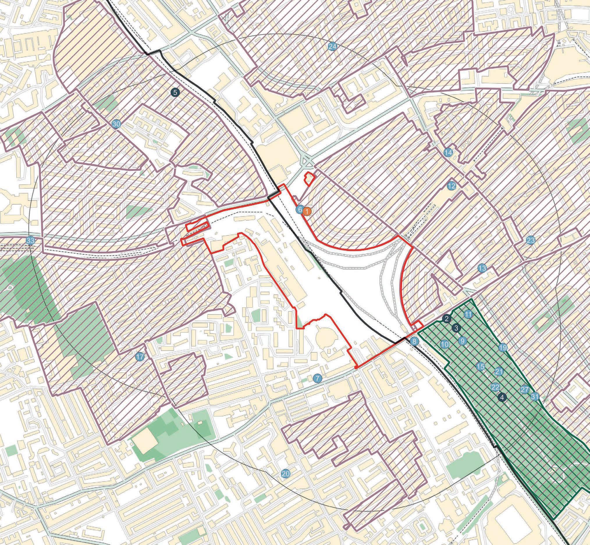


Ramboll EC.PA.12B July 2024
2.1 This chapter of the ES reports on the likely townscape and visual effects to arise from the demolition and construction stage and the completed development stage of the Proposed Development. It forms Chapter 2 of ES Volume 2: Built Heritage, Townscape and Visual Assessment (the ‘BHTVA’).
2.2 The chapter describes the townscape and visual amenity policy context; the methods used to assess the potential impacts and likely effects; the baseline conditions at the Site and within the study area; the likely townscape and visual effects taking into consideration embedded mitigation; the need for additional mitigation and enhancement; the significance of residual effects; and inter-project cumulative effects.
2.3 The townscape and visual assessment (the ‘TVA’) should be read together with:
• ES Volume 1: Main Environmental Statement Report –
– ES Chapter 1: Introduction which provides a general summary of the Site;
– ES Chapter 2: EIA Process and Methodology which provides a summary of the EIA scoping outcomes, the general approach adopted in the EIA and the list of cumulative schemes;
– ES Chapter 3: Alternatives and Design Evolution which provides a summary of the masterplan design evolution process and the Illustrative Masterplan consulted upon, which has informed the basis for the Detailed Component and the Outline Component of the Proposed Development;
– ES Chapter 4: Proposed Development Description, which provides a complete summary of the completed Proposed Development assessed in the EIA as a whole;
– ES Chapter 5: Demolition and Construction Description, which provides a complete summary of the development programme, demolition and construction works and embedded mitigation management measures and controls assessed in the EIA as a whole;
• ES Volume 2: BHTVA, Chapter 1: Built Heritage which reports on the likely effects on heritage assets that would arise from the Proposed Development; and
• ES Volume 3: Technical Appendices associated with relevant chapters of ES Volume 1.
2.4 The TVA is informed by verified views with Accurate Visual Representations (AVRs) of the Proposed Development prepared by the specialist visualisation company, Cityscape Digital.
2.5 The TVA is supported by the following technical appendices at the end of this chapter:
• Technical Appendix A – Baseline Townscape Character Area Table
• Technical Appendix B – Assessment Townscape Character Area Table
• Technical Appendix C – Supplementary Verified Views (A1-A33)
• Technical Appendix D – Supplementary Non-Verified Views (B1-B22)
• Technical Appendix E – Illustrative Scheme
• Technical Appendix F – 50mm Equivalent Images
• Technical Appendix G – Zone of Visual Influence (ZVI)
• Technical Appendix H – Cityscape Verified View Methodology.
2.6 It is noted that following completion of the assessment, a height parameter of Outline Development Zone R was reduced. This amendment does not affect the methodology or conclusions as reported in this chapter of the ES.
2.7 The TVA has been informed by the following legislation, policies and published guidance:
• National Legislation, Policy and Guidance:
– Planning (Listed Buildings and Conservation Areas) Act (1990 (as amended)) (Ref. 2-1);
– EIA Regulations 2017 (Ref. 2-2)
– NPPF (2023) (Ref. 2-3), in particular the following section:
– Chapter 12, Achieving well-designed and beautiful places;
– PPG (Ref. 2-4)
– Historic England Advice Note 4:Tall Buildings (2022) (Ref. 2-5);
• Regional Policy and Guidance:
– The London Plan (2021) (Ref. 2-6) in particular the following policies:
– ‘SD1 - Opportunity Areas’;
– ‘D1 - London’s form, character and capacity for growth’;
– ‘D3 - Optimising site capacity through the design-led approach’;
– ‘D4 - Delivering good design’;
– D8 - Public realm;
– ‘D9 - Tall buildings’;
– ‘HC3 - Strategic and Local Views’; and
– ‘HC4 - London View Management Framework’;
– London View Management Framework (LVMF) SPG (2012) (Ref. 2-7);
– Character and Context SPG (2014) (Ref. 2-8);
– Optimising Site Capacity: A Design-led Approach (2023) (Ref. 2-9);
• Local Policy and Guidance:
– LBH Local Plan (2018) (Ref. 2-10) in particular the following policies:
– ‘FRA - Fulham Regeneration Area’;
– ‘FRA1 - Earl’s Court and West Kensington Opportunity Area’;
– ‘OS1 - Parks and Open Spaces’;
– ‘DC1 - Built environment’;
– ‘DC2 - Design of New Build’;
– ‘DC3 - Tall buildings’;
– ‘DC7 - Views and landmarks
– LBH Background Paper: Tall Buildings (2016) (Ref. 2-11);
– RBKC Local Plan (2019) (Ref. 2-12) in particular the following policies:
– ‘CR5 - Parks, Gardens, Open Spaces and Waterways’;
– ‘CL1 - Context and character’;
– ‘CL2 - Design Quality’;
– ‘CL11 - Views’;
– ‘CL12 - Building heights’;
– ‘CV8 - Vision for Earl’s Court in 2028’; and
– ‘CA4 - Earl’s Court Exhibition Centre’;
– RBKC New Local Plan Review (2022) (Ref. 2-13) incorporating Main and Minor Modifications (2023), and Main Modifications (January 2024) in particular the following emerging polices:
– ‘GB16 - Parks, Gardens and Open Spaces’;
– ‘CD1 - Context and Character’;
– ‘CD2 - Design Quality, Character and Growth’;
– ‘CD7 - Tall Buildings’;
– ‘CD14 - Views’;
– ‘T4 - Streetscape’;
– ‘PLV2 - Earl’s Court Opportunity Area’;
– ‘PLV14 - Earl’s Court’;
– ‘SA2 - Earls Court Exhibition Centre’;
– RBKC Building Height in the Royal Borough SPD (2010) (Ref. 2-14)
– Earls Court and West Kensington Joint SPD (2012) (Ref. 2-15) (only relevant to RBKC part of Proposed Development);
– Earls Court Placemaking Framework SPD (2023) (Ref. 2-16);
• Topic Specific Guidance and Industry Standards:
– National Design Guide (2021) (Ref. 2-17);
– Guidelines for Landscape and Visual Impact Assessment Third Edition (GLVIA) (2013) (Ref. 2-18); and
– Landscape Institute, Technical Guidance Note 06/19, Visual Representation of Development Proposals (2019) (Ref. 2-19)
2.8 Table 2.1 summarises the consultation that has been undertaken with respect to the TVA including the EIA Scoping Process.
Consultee and Form / Date of Consultation Summary of Comments
Where in this Chapter Comments are addressed Views scoping meetings with LBHF officers held on 13 June 2023 and 14 November 2023
The following additional views were requested:
• From the east pavement of Putney Bridge;
• From Hammersmith Bridge;
• Of Hammersmith Bridge from south bank of the River Thames;
• From local public open spaces;
• From Wormwood Scrubbs;
• From Ravenscourt Park; and
• From Shepherd’s Bush Green.
RBKC EIA Scoping Opinion (including Waterman report) received 8 December 2023
LBHF letter dated 13 December 2023
Scoped in Impacts and Effects to assess were confirmed on page 34.
The guidance used for the townscape and visual assessment was considered acceptable. It was also suggested to consider the Landscape Institute guidance on Visual Representation of Development Proposals Technical Guidance Note 06/19 for visualisations.
The proposed study areas were confirmed as acceptable noting that views will need to be considered outside of the proposed study area due to the potential height of the emerging proposals.
The suggestion to model the illustrative scheme and present the results in a technical appendix was welcomed, as it will aid understanding of the likely effects. Officers requested that this modelling is done.
“We also discussed the likely impact of increased massing in views from Mornington Avenue within the Olympia and Avonmore Conservation Area and consider the assessment of likely impact has the potential to be higher than the low impact currently identified. It is noted however that the assessment of these viewpoints and others will be subject to further clarification in view of the evolving masterplan parameters, which are currently under discussion.”
The requested views have been assessed in the following accurate verified representations (AVRs):
• From the east pavement of Putney Bridge: Views 33, A21;
• From Hammersmith Bridge: View 32;
• Of Hammersmith Bridge from south bank of the River Thames: View B8;
• From local public open spaces: Views 34, 38, 54, A23;
• From Wormwood Scrubbs: View B9;
• From Ravenscourt Park: View B10; and
• From Shepherd’s Bush Green: View A26.
Assessment as a whole presented in this chapter.
The AVRS have been prepared in accordance with the Landscape Institute (LI) Guidance as presented in the Methodology section of this chapter and the AVR methodology presented in Technical Appendix H
Longer range views have been assessed outside the 500 m radius of the built heritage study area as set out in the Methodology section of this chapter
Modelled views of the Illustrative Scheme in key views are provided in Technical Appendix E.
An AVR from Mornington Avenue has been included as View 41 and assessed. Three additional views from the Olympia and Avonmore Conservation Area have also been assessed (Views 40, A29 and B12).
LBHF EIA Scoping Opinion (including Waterman Report) received on 13 December 2023
Same comment as raised in the RBKC Scoping Opinion.
Scoped in Impacts and Effects to assess were confirmed on page 31.
Approval of the Candidate View Study (CVS) and view schedule dated 2 January 2024
Meeting at Brompton Cemetery with HE and the GLA in February 2023
Views scoping meetings and workshops with RBKC officers on 15 April 2023, 13 June 2023, 14 November 2023, 26 February 2024, and 16 April 2024.
Officer final comments on Candidate Views Study (CVS) provided in email dated 31 January 2024 and on views individually on an attached spreadsheet
The AVRs have been prepared in accordance with the LI Guidance as presented in the Methodology section of this chapter and the AVR methodology presented in Technical Appendix H.
Assessment as a whole presented in this chapter.
Same comment as raised in the RBKC Scoping Opinion. Longer range views have been assessed outside the 500 m radius of the built heritage study area as set out in the Methodology section of this chapter
LBHF and RBKC confirmed that the submitted documents accurately reflected the agreed views for submission based on previous discussions and the views workshop held on 14 November.
Additional views were requested from the cemetery.
“AVR type: the fact that much of the applications are expected to be in outline is outwith the Council’s control and cannot be used to justify the use of wireline AVRs rather than montages. For the particularly sensitive and / or close views, wireline views do not provide an adequate impression of the scale and bulk of the proposed buildings and we would insist on montages based on the maximum parameter volumes to enable an understanding of the worst-case impacts.”
“We also strongly recommend that many of these most sensitive views are supplemented by visualisations using the illustrative scheme (these could be in the appendix). This would be in the applicant’s interest as it would create a more favourable impression of the development than that given by the parameter volumes.”
“Where lens sizes other than 50 mm are proposed, we previously asked for justification for the choice of lens. There are brief comments to this end in the schedule, however what we require on this is for the same views to be provided using 50mm lenses as well. These can go in the appendix but will demonstrate and (hopefully) provide robust justification for the choice of another lens size for the main view, and allow for a comparison between the two.
Assessment of Likely Effects – Visual section of this chapter.
The following additional views have been included in the assessment: Views 11, A5, A6, A7, B4.
The Detailed Components have been rendered in selected views as agreed with RBKC officers including those highlighted in RBKC comments.
Outline Component Development Zones and Plots have not been modelled in render because detailed design is not available at this stage of the planning process.
Wireline colours for the Outline Component Plots were agreed with RBKC officers on 26 February 2024.
Modelled views of the Illustrative Scheme in key views are provided in Technical Appendix E.
Wider focal lengths have been used where a 50 mm lens cannot capture the full extent of the Proposed Development or particularly relevant aspects of the wider context. Lens selection for each view was justified and agreed with officers using a CVS and view schedule.
Where it has been agreed with officers that a 50 mm lens would not be suitable for assessment a version of the modelled view cropped to 50 mm equivalent has been provided to demonstrate in Technical Appendix F.
2.1: Summary of Consultation
Consultee and Form / Date of Consultation Summary of Comments
Where in this Chapter Comments are addressed
The proposed view from the centre of Nevern Square garden was requested as a rendered AVR. View A12 in Appendix C has been upgraded from wireline to full render and is presented in Assessment of Likely Effects - Visual section of this chapter.
Views review meeting on 16 April 2024 LBHF officers requested that the view from the east pavement of Putney Bridge be included in the Visual Assessment in preference to a view from the west pavement.
RBKC Pre-application Technical Advice Note 11 Townscape and Heritage 30 April 2024
Meeting at Brompton Cemetery with HE and the GLA in February 2023
Waterman, RBKC and LBHF Post- EIA Scoping Opinions Discussion Meeting (March 2024) and Correspondence (April 2024) (Technical Appendix 2.6).
RBKC requested that the preparation of views complies with RBKC advice and associated LI guidance. For example, RBKC require use of a 50 mm lens for all views, and that the use of other lens sizes need to be clearly justified in the supporting text.
Vu City testing of the model as presented in March 2024 has indicated that the tallest element of the proposals is likely to be seen rising from behind the Ismaili Centre in views looking westwards on the southern side of Brompton Road, just east of Brompton Oratory... further testing of this view should take place and should form the basis of consideration of this location for inclusion as an Appendix viewpoint.
Additional views were requested from the cemetery.
No relevant comments
View 33 from the east pavement has been included in the Assessment of Likely Effects - Visual section of this chapter.
Where it has been agreed with officers that a 50 mm lens would not be suitable for assessment a version of the modelled view cropped to 50 mm equivalent is provided to demonstrate in Appendix F.
A view from the location described has been included as View A34 in Technical Appendix C
The following additional views have been included in the assessment: Views 11, A5, A6, A7, B4.
2.9 Townscape and visual assessments are separate, although related. The townscape baseline analysis contributes to the scope of the baseline for the visual assessment and the visual assessment of change to the content and character of views in turn informs the assessment of likely effects on townscape. Although the assessment of townscape and views is clearly inter-related, each topic has been set out separately within this chapter. While aboveground heritage assets are considered in this chapter insofar as they inform the sensitivity of townscape and views, the effect of the Proposed Development on the significance of heritage assets is not assessed; this assessment is provided in Chapter 1: Built Heritage in this ES Volume 2.
2.10 The assessment of townscape effects considers how the Proposed Development would affect the aesthetic and perceptual aspects of the townscape and its distinctive character. The visual assessment considers the composition and character of views, including both protected views and representative views and how change is likely to be experienced by people within the townscape.
2.11 The methodologies for the townscape and visual assessments have been set out separately below. They have been discussed and agreed through the pre-application process with RKBC and LBHF. These assessments have taken into account the nature of the existing physical fabric of the Site and study area, the settings of designated heritage assets in the study area, the appropriateness of the form of the Proposed Development and the architectural character and quality of its design. Structured, informed and reasoned professional judgement has been used to take account of quantitative and qualitative factors. This is widely accepted as best practice and has been based on an analysis of desk research and field assessment. It is recognised that the townscape character of London is one of contrasts, of historic and modern buildings, and that modern buildings of high design quality do not necessarily or by definition harm the character of historic townscape or views including historic townscape.
2.12 The technical scope of the assessment has considered the following during the demolition and construction stage, as well as the completed development stage:
• Changes to the immediate townscape character and the settings of townscape character areas (TCAs) within the study area;
• Changes to views resulting from the Proposed Development; and
• Changes to the visual amenity of the viewer.
2.13 In accordance with standard practice, the townscape and visual study areas have been defined in relation to the scale and massing of the Proposed Development and the scale, character, layout and
sensitivity of the existing townscape context within the study area, and through discussion with Local Planning Authorities (LPAs). Using computer modelling to determine the theoretical Zone of Visual Influence (ZVI) of the Proposed Development, with site observation and more detailed testing of potential impacts within the ZVI, a study area for each assessment topic has been defined within which significant effects may be likely on the identified townscape and visual receptors. It is standard practice to identify a potential study area informed by a ZVI, but especially in built-up urban environments, the actual area within which there may be potentially significant effects is usually much more contained due to the screening effects of existing development.
2.14 The ZVI in Technical Appendix G, which does not include trees, shows the potential for widespread visual impacts within approximately 3 km of the Site boundary. More detailed testing of views in the 3D model (including the test views modelled in Technical Appendices C and D) has demonstrated that there would be potential for significant townscape and visual impacts within a radius of approximately 1 km of the Site boundary. Beyond this distance, while tall development on the Site could be visible, impacts would not generally be ‘significant’. However, there are more distant areas of potential higher visibility, for example along aligned streets or across open spaces, which vary in their potential for significant effects according to the sensitivity of the intervening townscape, and which reduce in scale with distance from the Site. This has informed the extent of the study area which is considered to be sufficient to understand the range of likely significant effects of the Proposed Development for each topic. Each study area is considered to be reasonable and proportionate in relation to the anticipated effects of the Proposed Development and the sensitivity to change of its townscape and visual context.
2.15 As a result of site visits and ZVI testing, the townscape study area was defined within a range of approximately 1-2 km from the Site boundary as presented in Figure 2-7 later in this chapter. This is the area within which it was judged that there may be significant townscape effects and, due to the differing scale and form of development within the local area and the consequent variation in the potential for significant effects as a result of the Proposed Development, the distance it extends from the Site in different directions varies.
2.16 The visual assessment study area, which has been informed by site observation and testing of visual changes as a result of the Proposed Development, has not been defined by a set radius from the Site boundary because differences in the scale and alignment of the existing townscape result in variation in the distance from which the Proposed Development would be visible - for example there is usually greater visibility along aligned routes and across open spaces. A total of 59 verified views for assessment as shown in Figure 2.9 were selected in consultation with LBHF and RBKC officers through the EIA scoping process and pre-application discussion.
2.17 The detailed location of each assessment viewpoint has been carefully considered to be typical or representative of the view likely to be experienced by a visual receptor in the location.
2.18 Views have been carefully selected in order to consider effects on specific designated views and representative views that demonstrate the range of ways in which the Proposed Development would be seen and the resultant visual effects on “the general amenity experienced by people” described in the GLVIA (paragraph 2.21). The agreed viewpoints cover well visited areas, local communities, users of important open spaces and footpaths, and designated areas that fall within the ZVI.
2.19 The views selected allow a methodical 360 degree view analysis of near, middle and distant views of the Proposed Development on representative visual receptors in the area likely to be affected by the visibility of the Proposed Development. The visual assessment is not an exhaustive assessment of all potential visual effects but an assessment of a sufficient number of views from a variety of distances and directions that allow a proportionate and representative assessment of changes to visual amenity.
2.20 A further 33 verified views that have not been individually assessed are included in Technical Appendix C, and a further 20 non-verified views that have not been individually assessed are included in Technical Appendix D. They have not been verified because the potential effects were not considered significant or because other viewing positions were selected in preference to demonstrate the likely visual or townscape effects, but they may be referred to in the assessments.
2.21 The assessment has considered impacts arising during the demolition and construction stage which would be expected to be temporary and short (0-5 years) to medium term (5-10 years) and from the completed development stage which would be expected to be long-term (i.e. more than 10 years). While demolition and construction works are anticipated to be undertaken over 13 years for the Early Phases and 19 years for the All Phases development scenarios respectively (considering works commencing Q4 2024), which includes early infrastructure works which may be carried out ahead of the grant of consent under separate approvals), the duration of impacts at development plots and development zones would be temporary and short (0-5 years) to medium-term (5-10 years).
2.22 The indicative development programme is based on the assumption that planning permission is secured in Q3 2025. It is noted that elements of infrastructure works are expected to commence prior to Q3 2025. Where applicable, separate applications have already been submitted or may be submitted for these works as described in ES Chapter 5: Demolition and Construction Description. The impacts of these works have been considered as part of this assessment for completeness and robustness.
2.23 The assessment has been undertaken against an existing baseline which includes a number of consented schemes at an advanced stage of construction and which have therefore been treated as completed. These comprise:
• Land to the rear of 1 Cluny Mews and 51-63 Philbeach Gardens
• 257-265 Kensington High Street, and 4-10 and 24 Earls Court Road
• Fulham Gasworks, Imperial Road (Phase 1, detailed element)
• Olympia Exhibition Centre, Hammersmith Road
• Maclise Multi-Storey Car Park, Olympia Exhibition Centre
• Former West London Magistrate’s Court, 181 Talgarth Road
2.24 The demolition and construction assessment has considered the following scenarios:
• Scenario 1: Existing Baseline;
• Scenario 2: Existing Baseline + Proposed Development (Early Phases);
• Scenario 3: Existing Baseline + Proposed Development (All Phases);
• Scenario 4: Existing Baseline + Proposed Development (Early Phases) + Cumulative Schemes; and
• Scenario 5: Existing Baseline + Proposed Development (All Phases) + Cumulative Schemes.
Completed Development Stage
2.25 The completed development assessment has considered the following scenarios:
• Scenario 1: Existing Baseline;
• Scenario 2: Existing Baseline + Proposed Development (Early Phases);
• Scenario 3: Existing Baseline + Proposed Development (All Phases);
• Scenario 4: Existing Baseline + Proposed Development (Early Phases) + Cumulative Schemes; and
• Scenario 5: Existing Baseline + Proposed Development (All Phases) + Cumulative Schemes.
2.26 The desk study of the townscape and visual baselines comprised an account of the following:
• The history of the Site and study area;
• The character of the townscape within the Site and study area;
• The existing characteristics of the agreed views; and
• The sensitivity of the townscape and views, based on an understanding of their ‘value’ and the ‘susceptibility to change’ of the receptors.
2.27 The baseline assessment of townscape character and visual amenity has been informed by an understanding of the history of the Site and its context. The baseline assessment has therefore included an account of the history of the Site and study area, having referenced historic maps and archival material. This historical study has informed the analysis of the existing character of the Site, the Site context, and the character of the views.
2.28 In order to establish baseline townscape in the study area, relevant data was reviewed and assessed. Data was obtained from the following sources:
• National heritage list for England (NHLE) (online resource) (Ref. 2-20);
• Online maps and street photography;
• Historic maps; and
• Archival research.
2.29 The set of 59 views was selected following ZVI testing of the developing proposal in a three-dimensional digital model. The viewpoints were mapped onto the ZVI so that the relationship between the areas of visibility and representative viewpoints could be seen. The views were agreed with LBHF and RBKC officers as part of a full CVS at pre-application stage.
2.30 The Accurate Visual Representations (AVRs) were prepared in accordance with the LI Guidance as described in detail within Technical Appendix H. Details on the lens selection for verified views are provided under the Visual Assessment Method below.
2.31 Public views are generally attributed greater value than views from private property because they are experienced by a greater number of people and therefore represent a greater proportion of the visual receptor community. All verified views have therefore been taken from publicly accessible land. Changes to visual amenity from inside buildings that are not publicly accessible or from private land have not been considered in this assessment except where private views from the Queen’s Club and the private shared garden squares of Queen’s Club Gardens and Nevern Square have been identified as important views from conservation area. The scope of the assessment has been agreed with the Boroughs through preapplication and EIA Scoping processes as set out in Table 2.1.
2.32 Baseline photographs were taken during the winter where foliage might obscure visibility towards the Site in spring, summer and autumn (photography dates are included in Table 2.14: Views list and data).
2.33 Numerous site visits by members of the team have been undertaken between 2019 and 2024 to consider townscape impacts and views. Site visits to confirm the characterisation of townscape specifically were undertaken in February 2024.
2.34 As outlined in ES Volume 1, ES Chapter 2: EIA Process and Methodology the assessment of effects has been considered for two development scenarios: Early Phases and All Phases.
2.35 The assessment has been informed by verified views based on relevant Hybrid Planning Applications’ document, as well as the information presented in ES Volume 1, ES Chapter 4: Proposed Development Description and ES Chapter 5: Demolition and Construction Description.
2.36 Given the hybrid nature of the Hybrid Planning Applications (part Detailed and part Outline), the assessment of the Outline Component has been based on the maximum footprint and height of each development zone representing the maximum envelope parameters (‘maximum parameters’) within which the buildings could be constructed (which are represented in wireline form within the AVRs). The assessment of the Detailed Component has been based on the detailed drawings submitted for approval as part of the Hybrid Applications.
2.37 The worst-case scenario has been derived from referring to the Proposed Maximum Heights Parameter Plan of the Outline Component, which are represented in the AVRs, and the Demolition Parameter Plan which shows the potential for full demolition of all buildings on the Site (including the non-designated heritage receptors in the west and north-western parts of the Site), with the exception of the 3 storey annex at Cluny Mews and the Table.
2.38 The GLVIA provides advice on good practice in relation to the requirements of the EIA Regulations and, although developed for the assessment of landscape impacts, is broadly applicable to all forms of landscape (including townscape). The GLVIA states that an assessment should address potential effects on the character and distinctiveness of the landscape. The methodology employed for this assessment has been based on approaches recommended in the GLVIA. It should be noted that the guidance states that its methodology is not prescriptive in that it does not provide a detailed universal methodology that can be followed in every situation (paragraph 1.20); the assessment should be tailored to the particular circumstances in each case with an approach that is in proportion to the scale of the project that is being assessed and the nature of its potential effects. The guidance recognises that much of the assessment must rely on professional judgement (paragraphs 2.23-2.26).
2.39 As required by the EIA Regulations, this assessment considers the likely significant effects that result directly from the Proposed Development itself (direct) or from consequential change (indirect) and whether likely significant effects would be caused by the Proposed Development in isolation or in the context of other consented developments, ’cumulative schemes’.
2.40 The same assessment approach and method have been applied to both the Early Phases and All Phases development scenarios, and the same receptors have been assessed for both scenarios.
2.41 The assessment of the demolition and construction stage effects of the Proposed Development has taken into account the works and processes set out in ES Volume 1, ES Chapter 5: Demolition and Construction Description. The assessment has considered the same receptors as the assessment of the completed development stage by utilising the same methodology set out below.
2.42 The assessment considers the temporary changes to townscape character arising from demolition and construction activities, including the use of machinery and the appearance of buildings at an advanced stage of construction, without the complete application of external cladding. The extent and detail of the assessment is proportionate to the temporary nature of the effects and is focused on potentially significant effects. The assessment is based on the maximum potential effect on each townscape character area (TCA) across the demolition and construction stage, Early Phases and All Phases, as a whole.
2.43 The assessment of effects on townscape has been carried out through a process which is summarised below:
1. Appraise the existing townscape character in the study area and divide into areas of broadly similar character and quality to derive TCAs which are the townscape receptors for assessment;
2. For each townscape receptor consider its value and susceptibility to change and combine those judgements to assess its Sensitivity;
3. For each townscape receptor consider the size and scale of the change and its geographic extent to assess the Magnitude of Impact as a result of the Proposed Development;
4. Combine the judgements of Sensitivity of the receptor and Magnitude of Impact as a result of the Proposed Development to assess the Scale of the Effect; and assess the qualitative Nature of the Effect
2.44 Simple word scales have been used as a means of summarising judgements at each stage of the assessment sequence described above, with detailed narrative describing the reasoning for each judgement in the accompanying text. The word scales for each step of the assessment contain between three and five categories, and in each case a mid-point between two categories may also be chosen (e.g. ‘low-medium’ could be chosen as a mid-point between ‘low’ and ‘medium’). As stated in the GLVIA (paragraph 3.29) combining judgements, (e.g. of sensitivity and magnitude to assess the scale of effect), should be as transparent as possible. This assessment uses sequential combination. For unweighted judgments the criteria are simply combined e.g. a townscape receptor of low value with high susceptibility to change would have
medium sensitivity. For weighted judgements a matrix is used; in this assessment sensitivity is weighted in the combination of sensitivity and magnitude of impact as shown in the matrix in Table 2.5.
2.45 The townscape assessment considers the Proposed Development’s effect on the identified TCAs. The cumulative townscape assessment considers the effect of the Proposed Development on TCAs in addition to those effects that would arise from cumulative schemes i.e. the effect of the Proposed Development if ‘cumulative’ schemes were already in place and formed a ‘cumulative baseline’.
2.46 The cumulative schemes relevant to the TVA are listed in Section 8 of this TVA. In the cumulative assessment narrative, the cumulative schemes have been named and described where relevant to the assessment of the Early Phases or All Phases in the cumulative scenario.
2.47 Cumulative schemes that have commenced construction onsite and have been progressed to a material degree, have been included in the existing baseline.
2.48 The criteria that have been used to assess if an effect is significant or not are set out in subsequent sub-sections. This has been determined by consideration of the sensitivity of the receptor, magnitude of impact and scale of the effect. In considering the significance of an effect, consideration has been given to the type of effect, duration of the effect, the geographical extent of the effect and the application of professional judgement.
2.49 The identification of the TCAs is based on desk top research and site survey, and has been made with reference to guidance in the GLVIA and the GLA’s Character and Context SPG document. The RBKC Character Study Consultation document has been consulted and drawn on where appropriate in the characterisation of the TCAs within RBKC. It should be noted that townscape character almost invariably forms part of a continuum and that character area boundaries are often not distinct. In Section Baseline Conditions, Baseline Townscape Summary, the extent of each character area has been identified in Figure 2.7 and its character described in summary in Table 2.12 and in full in Appendix A.
2.50 The criteria for assessing townscape value is based on any designation of the townscape and individual features within it, and qualitative aspects of the townscape character. Attributes which are generally agreed to influence the aesthetic and perceptual quality of the townscape are described in the GLVIA (Box 5.1). Townscape value has been allocated to one of five categories as presented in Table 2.2.
Table 2.2: Townscape Value Criteria
Value Criteria
Very high A site of acknowledged international townscape importance likely to be designated as a World Heritage Site; an internationally recognisable designated conservation area with exceptional distinctiveness, coherence and integrity, exhibiting unity, richness and harmony, and an exceptionally strong sense of place and likely to contain a high proportion of Grade I listed buildings; or an internationally recognisable Grade I registered landscape with associated Grade I listed structures.
High A designated conservation area of outstanding townscape interest with a strong townscape structure, considerable attractiveness and coherence and a high proportion of listed buildings.
Medium Good quality townscape. Designated conservation areas or undesignated townscapes of local importance with notable coherence and integrity and listed or unlisted buildings that contribute to an attractive townscape with distinctive character and sense of place.
Low Ordinary quality townscape; typical, unremarkable undesignated areas of townscape with distinguishable structure but modest integrity, architectural character or distinctiveness. That may include some individual buildings of heritage interest, but also potentially detracting features.
Very low Poor quality townscape of negligible architectural or historic merit, lacking legible townscape structure and coherence and likely to contain significant detracting or intrusive features.
2.51 As the GLVIA states, a highly valued designated townscape does not automatically or by definition have a high sensitivity. Townscape susceptibility to change, as defined in the GLVIA (paragraphs.5.40-5.42), is the ability of the townscape receptor to accommodate the Proposed Development without “undue consequences for the maintenance of the baseline situation” (paragraph 5.40); in other words, a judgement as to whether the townscape could absorb the Proposed Development without harming its baseline character and quality with specific reference to the particular type of development that is being proposed. As noted at paragraph 5.42 of the GLVIA, the assessment of susceptibility relates specifically to the type of development proposed as townscape effects are “…particular to both the specific landscape in question and the specific nature of the proposed development…” Judgements of susceptibility to change are described for each townscape character area and recorded on a simple scale of High, Medium or Low as shown in Table 2.3.
Susceptibility to change Criteria
High The TCA has limited ability to accommodate change of the type proposed without undue consequences for its character.
Medium The TCA has some ability to accommodate change of the type proposed without undue consequences for its character.
Low The TCA can accommodate change of the type proposed without undue consequences for its character.
2.52 While the factors relevant to the assessment of susceptibility will vary for each TCA, guidance as to the likely characteristics for each category is provided below:
• High susceptibility to change is likely to arise where townscape character is of high quality and consistency or where the townscape has high quality elements which are defining features of the TCA, and where the type of development proposed has the potential to significantly erode the consistency and/or quality of the townscape character and/or reduce the presence of key features.
• Medium susceptibility to change is likely to be where townscape character is mixed in quality and consistent in a number of attributes in only part of the TCA or with limited consistency in character across the TCA; or where the townscape character is of good quality and consistency overall but the type of development proposed is an established aspect of the townscape. Parts of the TCA may be more able to accommodate the type of change proposed than others, and some characteristics of the TCA may be more able to accommodate change than others.
• Low susceptibility to change is likely to arise where townscape character is mixed in character and low in quality overall (with detracting features and lacking coherence or distinctiveness) and where planning policy encourages change of the type proposed and/or the type of development proposed is in keeping with that of the TCA.
2.53 These criteria are combined (in an unweighted manner) based on professional judgement to produce an assessment of the overall sensitivity of the TCA as Very High, High, Medium, Low or Very Low.
2.54 The planning applications for the Proposed Development are both hybrid applications, comprising some Plots submitted in detail and some in outline. Those Plots submitted in outline are not yet designed in detail, and the following Control Documents define the way in which they could be developed:
• Parameter Plans: the parameter plans are a series of drawings that establish rules for the development, controlling the layout and scale of future development plots;
• Development Specification: this document defines and describes the principal components of the development (akin to an elongated description of development including maximum development quantum and uses); and
• Design Code: this document provides a set of design guidelines that establish standards for how buildings will form streets, give enclosure to public spaces and deliver design quality.
2.55 Parameter Plans set out the maximum footprint and height of each development zone and plots within, representing the maximum envelope parameters (‘maximum parameters’) within which the buildings could be constructed. The assessment of the magnitude of impact of the Outline Component plots, and the subsequent scale and nature of effect, has been based on these maximum parameters (which are represented in wireline form within the AVRs). The assessment of effects on TCAs takes into account the ways in which the other Control Documents, especially the Design Code, would influence the form of the Outline plots in question.
2.56 The overall magnitude of impact (change) resulting from the Proposed Development on each TCA has been assessed as High, Medium, Low, Very Low or None. This assessment takes into account a number of factors (with reference to guidance in the GLVIA) which are likely to include some or all of the following:
• The extent to which existing townscape features within the Site boundary would be lost, and their contribution to the character of that townscape (whether positive or negative);
• The overall size and scale of the Proposed Development (including in relative terms compared to that of existing developments);
• The geographic extent of the Proposed Development’s impact;
• The urban design changes introduced by the Proposed Development;
• How far the Proposed Development integrates with the surrounding townscape character (including how consistent it is with existing relationships between different areas of townscape);
• The duration and reversibility of the Proposed Development’s effect; and
• The degree to which the aesthetic or perceptual aspects of the townscape would be altered as a result of the above.
2.57 This assessment is informed by consideration of changes to representative views of or from the TCA in question. A broad summary of the magnitude criteria is presented in Table 2.4.
Magnitude of Impact Criteria
High A change to townscape character which would be immediately apparent.
Medium A clear change that would not dominate townscape character and/or features which would be noticeable.
Low A slight change to townscape character and/or features that may not be immediately noticeable.
Very Low A change to townscape character and/or features that would be barely perceptible.
None No change to townscape character.
2.58 For the assessment of the completed development stage effects the duration of all change has been assumed to be long-term (more than ten years) and, in terms of reversibility, it has been assumed to be permanent. For the assessment of demolition and construction effects the duration of change has been considered to be short-term to medium-term and, in terms of reversibility, it has been assumed to be temporary.
2.59 The geographical area over which the changes would be experienced, i.e. how widely the townscape character area would be affected by the Proposed Development, has been considered. In most cases the size or scale of change would not be experienced consistently across the extent of the character area. Where the changes to a TCA as a result of the Proposed Development would be localised to one part of the townscape character area or would vary across the extent of the character area, the magnitude of impact has been expressed as a range for that TCA.
2.60 The final assessment of the scale of the townscape effect on each of the TCAs is based on the combination of the judgements of sensitivity of the TCA and the magnitude of impact as a result of the Proposed Development. The rationale for the judgement is clearly and transparently explained in the narrative to demonstrate how the assessment has been derived, and is summarised based on the broad categories set out in Table 2.5. No matter the sensitivity of the TCA, no magnitude of impact would result in ‘no effect’ in respect of scale of effect.
2.61 The matrix in Table 2.5 provides an explanation, in line with GLVIA paragraph 5.53, of how the magnitude of impact has been combined with sensitivity to produce an assessment of the scale of effect. The matrix is weighted at both the upper and lower ends such that it moderates the resulting scale of effect for lower magnitude impacts on lower sensitivity receptors, and amplifies that of higher magnitude impacts on higher sensitivity receptors. Where the scale of effects are given a range in the table above, professional judgement has been used to choose either of the categories shown, or a mid-point between them e.g. a low magnitude impact on a receptor of high sensitivity could result in a minor scale of effect, a minor-moderate scale of effect, or a moderate scale of effect. These broad categorisations have been accompanied by a narrative that describes the effects in more detail.
2.62 As outlined in ES Volume 1, ES Chapter 2: EIA Process and Methodology, effects that are lower than moderate in scale (i.e. negligible, negligible-minor, minor or minor-moderate) are not considered ‘significant’, and effects that are moderate or greater in scale (i.e. moderate, moderate-major, major, major-very major or very major) are, subject to professional judgement, considered to be significant in EIA terms.
2.63 The qualitative nature of each effect has been assessed as beneficial, adverse or neutral (in line with Table 2.6) using professional judgement and considering each TCA on a case-bycase basis.
Nature of effect Description
Adverse
Neutral
Beneficial
The quality of the townscape is diminished.
The quality of the townscape is preserved or there is a balance of adverse and beneficial effects.
The quality of the townscape is improved.
2.64 In the qualitative assessment of the nature of effects, there are likely to be a number of different positive and / or negative impacts that contribute to an overall assessment of effect. A neutral effect may result from a balance of positive and negative impacts, or may reflect a situation in which there is no appreciable beneficial or adverse effect.
2.65 The nature of effect has been described in the detailed narrative. While the exact form of the qualitative effect will vary from TCA to TCA, and the following is by no means exhaustive, some examples of the form that beneficial, adverse and neutral effects could take are provided below.
2.66 A beneficial effect could arise, for example, from the manner in which the form and appearance of the Proposed Development positively reinforce high quality aspects of the TCA’s existing character, or from the Proposed Development’s provision of significant urban design benefits such as enhanced permeability and legibility.
2.67 An adverse effect could arise, for example, from the removal of an element on the Site that contributes positively to the quality of the existing townscape, or from the introduction of a form of development that disrupts high quality aspects of the existing townscape’s character.
2.68 A neutral effect could arise in a situation in which both beneficial and adverse effects such as those noted above are evident in a manner which balance each other; it is therefore capable of being applied to effects which are either significant or non-significant in ES terms.
2.69 The scale of effect and nature of effect are separate judgements; this is different to other parts of the ES, in which the scale and nature of effect are presented as a single assessment. This is because the assessment of the nature of effect for townscape involves judgements on qualitative matters (such as architectural quality or townscape composition) which are based on professional opinion and are not necessarily related to the size of the impact. The scale and nature of effect therefore do not qualify each other and an effect that is, for example, of ‘major’ scale with an ‘adverse’ nature of effect is not necessarily ‘majorly adverse’, because an impact could be very large in scale but only adverse to a small degree.
2.70 As outlined in ES Volume 1, ES Chapter 2: EIA Process and Methodology the assessment of effects has been considered for two development scenarios: Early Phases and All Phases.
2.71 The assessment has been based on the area schedule and planning application drawings (detailed and outline), as well as the information presented in ES Volume 1, ES Chapter 4: Proposed Development Description and ES Chapter 5: Demolition and Construction Description.
2.72 Given the hybrid nature of the Hybrid Planning Applications (part Detailed and part Outline), the assessment of the Outline Component has been based on the maximum footprint and height of each development zone and plots within, representing the maximum envelope parameters (‘maximum parameters’) within which the buildings could be constructed (which are represented in wireline form within the AVRs).
2.73 The GLVIA provides advice on good practice in relation to the requirements of the EIA Regulations and, although developed for the assessment of landscape impacts, is broadly applicable to all forms of landscape (including townscape). The GLVIA states that an assessment should address potential effects on the character and distinctiveness of the landscape and effects on observers through their experience of views. The methodology employed for this assessment has been based on approaches recommended in the GLVIA. It should be noted that the guidance states that its methodology is not prescriptive in that it does not provide a detailed universal methodology that can be followed in every situation (paragraph 1.20); the assessment should be tailored to the particular circumstances in each case with an approach that is in proportion to the scale of the project that is being assessed and the
nature of its potential effects. The guidance recognises that much of the assessment must rely on professional judgement (paragraphs 2.23-2.26).
2.74 The LVMF SPG identifies and sets out policy to protect a number of strategic views within London and provides guidance on the qualitative visual assessment of the designated views. It is also applicable to the assessment of effects on undesignated views within London more generally.
2.75 As required by the EIA Regulations, this assessment considers the likely significant effects that result directly from the Proposed Development itself (direct) or from consequential change (indirect) and whether likely significant effects are caused by the Proposed Development in isolation or in the context of other consented development, ’cumulative schemes’.
2.76 Views have generally been assessed using photographs taken during the winter where foliage might obscure visibility towards the Site in spring, summer and autumn (photography dates are included in Table 2.14: View data) and the baseline assessment describes how the composition and quality of the view would vary with seasonal change, and changes in atmospheric conditions where applicable. Views are often kinetic or sequential, therefore where appropriate, consideration and explanation of how a view would change as the observer moves around or through the viewing position is included in the baseline description.
2.77 The same assessment approach and method have been applied to both the Early Phases and All Phases development scenarios, and the same receptors have been assessed for both scenarios.
2.78 The assessment of the effects of demolition and construction stage of the Proposed Development has taken into account the works and processes set out in ES Volume 1, ES Chapter 5: Demolition and Construction Description. However, due to the complexity in accurately predicting the constantly evolving numerous different visual changes during the demolition and construction process, and the temporary nature of the effects, verified views have not been prepared to inform the assessment and receptors have been assessed in broad qualitative terms.
2.79 The assessment considers the temporary changes to views that would arise from demolition and construction activities, including the use of machinery and the appearance of buildings at an advanced stage of construction, without the complete application of external cladding. The extent and detail of the assessment is proportionate to the temporary nature of the effects and is focused on potentially significant effects. The assessment is based on the maximum potential effect on each view across the demolition and construction stage, Early Phases and All Phases, as a whole.
2.80 The assessment of visual effects has been carried out through the following process:
1. Identify the visual effects to be assessed through identification of a range of views, including sensitive and representative views, and the people who would experience them (the visual receptors);
2. For each view consider its value and the susceptibility to change of the visual receptor and combine those judgements to assess the Sensitivity;
3. For each view consider the size and scale of the change and its geographic extent to assess the Magnitude of Impact as a result of the Proposed Development;
4. Combine the judgements of Sensitivity of the receptor and Magnitude of Impact as a result of the Proposed Development to assess the Scale of the Effect; and assess the qualitative Nature of the Effect
2.81 Simple word scales have been used as a means of summarising judgements at each stage of the assessment sequence described above, with detailed narrative describing the reasoning for each judgement in the accompanying text. The word scales for each step of the assessment contain between three and five categories, and in each case a mid-point between two categories may also be chosen (e.g. ‘low-medium’ could be chosen as a mid-point between ‘low’ and ‘medium’). As stated in the GLVIA (paragraph 3.29) combining judgements, (e.g. of sensitivity and magnitude to assess the scale of effect), should be as transparent as possible. This assessment uses sequential combination. For unweighted judgments the criteria are simply combined e.g. a view of low value with high susceptibility to change would have medium sensitivity. For weighted judgements a matrix is used; in this assessment sensitivity has been weighted in the combination of sensitivity and magnitude of impact as presented in the matrix in Table 2.10.
2.82 In order to demonstrate the change to visual amenity as a result of the Proposed Development and inform the assessment of the magnitude of impact, five separate AVR images have been prepared from each viewing location selected as follows:
1. Existing – the view as it exists currently (with materially progressed cumulative schemes inserted in grey wireline at their completed massing);
2. Proposed – Early Phases. The Existing Baseline view with the Detailed Component Plots within the Early Phases inserted in render or chalk render form, and the Outline Component Plots within the Early Phases in wireline form (various colours as set out below);
3. Proposed – All Phases The Existing Baseline view with the Detailed Component Plots within All Phases inserted in render or chalk render form, and the Outline Component Plots within All Phases in wireline form (various colours as set out below);
4. Cumulative – Early Phases. The Proposed View: Early Phases, with consented cumulative schemes inserted as black wirelines; and
5. Cumulative – All Phases. The Proposed View: All Phases, with consented cumulative schemes inserted as black wirelines.
2.83 The five images for each viewpoint are intended to inform the assessment of change to visual amenity that would result from the Proposed Development. The assessment in this chapter in respect of views is not of the effect on the images, which are restricted in terms of what they can show as noted in the consideration of the lens selection set out below; rather, they are assessments of the effects of the Early Phases and All Phases as they would be experienced by a viewer at the relevant viewpoint location, informed by the images, as well as by site visits.
2.84 The Early Phases and All Phases have been shown fully ‘rendered’ or as a chalk render (for the Detailed Component) or as a coloured ‘wireline’ (for the Outline Component) in the proposed and cumulative views. A ‘wireline’ image shows the scale and massing of the Outline Component represented as a coloured outline within the existing baseline photograph; a ‘chalk render’ shows the form and articulation of the Detailed Component Plots, as well as their scale and massing, using an off-white ‘chalk’ model representation; and a ‘render’ image illustrates the Detailed Component in photorealistic form, showing the detailed articulation and materials that are proposed, as well the Detailed Component’s scale and massing. Where the Proposed Development would not be visible, its position relative to the foreground of the existing view may be shown with a dashed outline, and a light fill where this helps to aid legibility. The colours used for the Outline Component Plots are as follows; they correspond to character areas identified in the Design Code, as noted in brackets –
• Green – Plot WK06 (the Table);
• Yellow – Plots WB01, WB02, WB03, WB04, WBO7, WB08, WB09, WB10 (West Brompton);
• Purple – Plots EC01. EC02, EC03, EC08, EC09, EC10, EC11, EC12, EC13, EC14, EC15, EC16 (Empress Place);
• Beige – Plots EC04, EC17, EC18, EC19, EC20, EC21 (Warwick Crescent);
• Pink – Plots WK05, WK07, WK08, WK09, WK10, WK11, WK12 (Lillie Sidings); and
• Blue – Plots EC19, WK01, WK02, WK03, WK04 (West Kensington).
2.85 The visual assessment has been based on the images prepared by the Applicant’s visualisation consultant Cityscape Digital, and the methodology employed by them is provided in Technical Appendix H. The images are, in turn, based on the computergenerated model of the Proposed Development prepared by the Applicant’s architect teams, who have confirmed the accuracy of the visualisations in relation to their design proposals ahead of the assessment being undertaken.
2.86 Dusk views from four viewpoints, including renders of the Detailed Component, have been included to allow an assessment of the illuminated Early Phases and All Phases after dark. The internal lighting of the Detailed Plots within the Proposed Development as shown in these views is indicative.
2.87 In addition to the five images assessed for each viewpoint, a set of AVRs have been prepared for the Illustrative Scheme and are provided in Appendix E for information purposes, representing one version of how the parameters of the Outline Component could be built out on-site.
2.88 As acknowledged by the LI’s Technical Guidance Note, Visual Representation of Development Proposals, in reality no static photography is able to fully capture the richness and depth of the human viewing experience. Only the central 6-10 degrees of a view is seen in detail by the human eye but the scene beyond this can be appreciated in peripheral vision without moving the eyes – or by moving the eyes or rotating the head so the focal point of the view can be changed. Both the clarity of the focal point, or multiple focal points of a view, and the appreciation of the wider context, contribute to our appreciation of the environment and for most urban views both aspects need to be equally well understood for a view to be robustly assessed.
2.89 Perspective is uniquely determined by the viewpoint position and direction of view, so cannot be altered by the use of different camera lenses. The scale of the buildings in a photographic image is a factor only of the size of the print or the image on screen. The choice of lens used to photograph a view, and consequently the horizontal field of view (HFoV), is therefore made on the basis of the requirements for assessment, which may vary from view to view. The human eye has a HFoV of about 110 °. ‘Normal’, or ‘Standard’ lenses (36–60 mm in 35 mm film format) cover between 62 ° and 40 ° so in an urban situation frequently do not provide the necessary context for a full appreciation of the human experience of the view.
2.90 Where the wider context of the view should be considered – and in most situations a viewer would naturally make use of peripheral vision in order to understand the whole – it is logical to use a wider angle lens (24–35 mm in 35 mm film format) which would cover a FoV between 84 ° and 64 °. The LI Technical Guidance Note states that “A ‘standard’ lens (50mm FL on a FFS Camera) typically captures a HFoV of just under 40 degrees. This may be suitable for some purposes, but a single-frame photograph based on this FoV may not convey the breadth of visual information required to represent a Proposed Development and relevant context… the general requirement is to capture enough of the scene to represent the landscape/townscape setting and the likely visibility of the proposal” (Appendix 4, paragraphs. 4.2.3-4.2.5).
2.91 Where the viewing point is studied at rest and the eye is free to roam over a very wide field of view and the whole setting of the view can be examined by turning the head, it may be appropriate to provide a panorama comprising a number of photographs placed side by side to cover an even wider field of view. It has also been necessary to provide a wider HFoV for close viewpoints in order to capture the entire Proposed Development; as stated in the LI Technical Guidance Note “Views should include the full extent of the site/development and show the effect that it has upon the receptor location” (Appendix 4, paragraph 4.1.5).
2.92 The composition of each view has been carefully considered to ensure that a 50mm lens is used where appropriate. If the full extent of the Proposed Development and/or critical elements of the existing context could not be captured using a 50mm lens (based on testing in the 3-d digital model), an alteration to the viewing position was considered, then a 50mm lens in portrait configuration, then an alternative 35mm or 24mm lens, in accordance with the Landscape Institute guidance. Where a 50mm or 35mm lens has been used for the verified view a 24mm reference photograph may also be included to convey the breadth of the context outside the narrower image. Where a 50mm lens was not considered appropriate, an image cropped to 50mm equivalent has been provided in Appendix F to demonstrate the limitations of the 50mm lens. Where an alternative to the 50mm lens has been used in views from RBKC, where the RBKC guidance states the preference for use of a 50mm lens, the use of an alternative lens was justified and agreed in advance with RBKC officers.
2.93 Para.3.8.4 of the LI Technical Guidance Note states that “A ‘mathematically correct’ image is established for a 50 mm FL [Focal Length] approximately 39.6 Horizontal Field of View (HFoV) image, printed at a size of 390 mm x 260 mm on an A3 sheet, and held at 542 mm from the eye.” In reality 500-550 mm is approximately at arm’s length. Both the Proposed Development and cumulative images in the Visual Assessment are provided in A3 landscape format with crop marks to indicate the extent of a 50 mm focal length if the image has been shot with a larger focal length. This enables the reader to view an image on screen at approximately arm’s length and zoom in to the 50 mm view digitally if desired, while also being able to appreciate the peripheral parts of the view which are relevant to the appreciation of the townscape context outside the narrow area of focus.
2.94 The visual assessment considers the Proposed Development’s effect on the identified views. The cumulative visual assessment contained in Section 8 considers the additional effect of the Proposed Development on views, in addition to those effects that would arise from ‘cumulative’ schemes that have been proposed or consented i.e. the effect of the Proposed Development if the cumulative schemes were already in place and formed a ‘cumulative baseline’.
2.95 The cumulative schemes relevant to this assessment are listed in Section 8 of this TVA. In the cumulative assessment narrative, the cumulative schemes are named and described where relevant to the assessment of the Early Phases or All Phases in the cumulative scenario.
2.96 Cumulative schemes that have commenced construction onsite and have been progressed to a material degree, have been included in the existing baseline.
2.97 The criteria that have been used to assess if an effect is significant or not are set out in subsequent sub-sections. This has been
determined by consideration of the sensitivity of the receptor, magnitude of impact and scale of the effect. In considering the significance of an effect, consideration has been given to the duration of the effect, the geographical extent of the effect and the application of professional judgement.
2.98 The baseline characteristics of each view, including the attributes described in the GLVIA (paragraph 6.24) and the LVMF SPG (p.8), and the contributions of any heritage assets to the view have been described where relevant. The value of each view has been assessed on a case by case basis, and using professional judgement as appropriate. The assessment has taken account of any designation of the view in planning policy, the quality of the townscape seen in the view including heritage assets that may be visible in or from the viewing position, and the composition and scenic quality of the view. Table 2.7 sets out broad guidance on the categories that different types of view are likely to fall under; exceptions to this guidance are explained in the narrative accompanying the view in question.
Very high Designated views of national or international importance; elements of a World Heritage Site within designated WHS views; the Protected Vista or Protected Silhouette of a designated LVMF view.
High Designated views of regional importance: LVMF or Borough views.
Medium Valued local views noted in planning policy or conservation area appraisals; significant views of designated heritage assets or noted local landmarks; well composed representative views though townscape of good or high value.
Low Representative views through townscape of ordinary or low value and incidental views through townscape of good or high value.
Very low Incidental views through townscape of low or very low value.
2.99 The assessment of sensitivity, as recommended in the GLVIA has considered the visual receptors to be the people experiencing each view. The susceptibility to change of the visual receptors to changes in their visual amenity, and the value of the view, are combined to give a judgement of the view’s sensitivity.
2.100 The assumptions made in the GLVIA do not cover an exhaustive range of the visual receptors. There are limitations to this approach: the GLVIA defines ‘visual effects’ as “effects on specific views and on the general visual amenity experienced by people” (paragraph 2.21). The glossary of the GLVIA defines ‘visual amenity’ as “the overall pleasantness of the views people enjoy of their surroundings, which provides an attractive visual setting or backdrop for the enjoyment of activities of the people living, working, recreating, visiting or travelling through an area”. It does
not expand on what might amount to ‘pleasantness’ or what might be conducive to the ‘enjoyment of activities’, presumably because the measuring of psychological effects such as these are inevitably beyond the scope of the landscape/townscape professional. The ‘pleasantness’ of the view and ‘enjoyment’ of the viewer is influenced by individual perception and taste, which is hard to judge, may vary dramatically from person to person and therefore has limited validity.
2.101 The GLVIA advises that the baseline visual assessment should include “the type and relative number of people (visual receptors) likely to be affected, making clear the activities that they are likely to be involved in” (Paragraph 6.24) and goes on to categorise the susceptibility to change of these types of people to changes in their visual amenity (Paragraphs 6.32-4). Furthermore, the assessment of susceptibility to change should consider the extent to which the attention of any likely visual receptors would be focused on views and visual amenity. Assessing visual effects is not a quantitative process and in a busy urban townscape context it is not practical to provide even approximate numbers of visual receptors; the relative busyness of a viewing position is however described where appropriate.
2.102 Assumptions as to the susceptibility to change of various groups of visual receptors are described in paragraphs 6.33-6.36 of the GLVIA. For the assessment of the Proposed Development, the susceptibility of change of visual receptors has been described for each view and recorded on a scale of low, medium or high, as presented in Table 2.8.
Susceptibility to change Criteria
High The receptor has limited ability to accommodate change without altering their visual amenity.
Medium The receptor has some ability to accommodate change without altering their visual amenity.
Low The receptor can accommodate change without altering their visual amenity.
2.103 While the factors relevant to the assessment of susceptibility will vary for each view, guidance as to the likely characteristics for each category of receptor is provided below:
• High susceptibility to change is likely to include residents at home (although private visual amenity is not assessed within this document so will rarely apply) and in shared private amenity space; people engaged in outdoor recreation relating to landscape and/or views; visitors to a heritage asset, visitor attraction or landscape/townscape where views are important to the experience; people in communities where views contribute considerably to the landscape or townscape setting enjoyed by residents; and travellers on scenic routes where awareness of views is high.
• Medium susceptibility to change is likely to include people travelling through townscape where views make some contribution to the experience but are not a key part
of or purpose of the travel; people in communities where views contribute to a limited extent to the landscape or townscape setting enjoyed by residents; and visitors to a heritage asset, visitor attraction or landscape/ townscape where views may contribute to the experience incidentally but are not a key part of or purpose of the visit.
• Low susceptibility to change is likely to include people engaged in outdoor sport, at their place of work, or moving through townscape where views do not contribute to the enjoyment of townscape.
2.104 Judgements of susceptibility to change of the visual receptors are combined with a judgement on the value of a view to arrive at the overall sensitivity of the view, which is categorised as Very High, High, Medium, Low or Very Low.
2.105 The planning application for the Proposed Development is a hybrid application, comprising some Plots submitted in detail and some in outline. Those Plots submitted in outline are not yet designed in detail, and the following Control Documents define the way in which they could be developed:
Parameter Plans: the parameter plans are a series of drawings that establish rules for the development, controlling the layout and scale of future development plots;
Development Specification: defines and describes the principal components of the development (akin to an elongated description of development including maximum development quantum and uses); and
Design Code: a set of design guidelines that establish standards for how buildings will form streets and give enclosure to public spaces.
2.106 Parameter Plans set out the maximum footprint and height of each Plot, representing the maximum envelope parameters (‘maximum parameters’) within which the buildings could be constructed. The assessment of the magnitude of impact of the Outline Plots, and the subsequent scale and nature of effect, is based on these maximum parameters which are represented in wireline form within the AVRs. The assessment set out in the narrative text alongside the views also takes into account the ways in which the other Control Documents, especially the Design Code, would influence the form of the Plots in question.
2.107 The overall magnitude of change resulting from the Proposed Development with respect to each view has been assessed as High, Medium, Low, Very Low or None. The judgement on the magnitude of change to a view has been based on a professional appraisal of interrelated factors set out in paragraph 6.39 of the GLVIA, which have been described in the narrative accompanying the proposed view where relevant. Consideration has been given to the size and scale of the effect, including factors such as the loss or addition of features, changes in view composition, the proportion of the view occupied by the Proposed Development, the extent of its visibility, and the consistency or contrast of the
Proposed Development with the existing townscape character in the view; the geographical extent of the visual effect, which reflects the distance of the viewing position from the visible parts of the Proposed Development and any kinetic or seasonal changes to its visibility from this distance; and the duration and reversibility of the Proposed Development’s effect. A broad summary of the magnitude criteria is presented in Table 2.9.
2.108 For the assessment of the completed development stage effects the duration of all change is assumed to be long-term and in terms of reversibility, it is assumed to be permanent. For the assessment of demolition and construction stage effects the duration would be short-term to medium-term and in terms of reversibility it is assessed as temporary.
Magnitude of Impact Criteria
High An immediately apparent change to the view.
Medium A clear change to the view.
Low A slight change to the view.
Very low A barely perceptible change to the view.
None No change to the view.
2.109 Each overall assessment of the magnitude of change has resulted from a combination of different factors of varying levels of relevance, and it is likely that no two assessments will be the same. It is nonetheless possible to provide broad guidance on some of the main features that may be found at each level of magnitude of change, and this is set out below:
• High magnitude of change is likely to arise in views where the Proposed Development creates new focal points, removes key features from the existing view and/or results results in substantial changes in composition in which the proposal would become dominant. The Proposed Development is likely to be extensively visible, at a scale as large or larger than existing elements within the view, or forming a considerable contrast with the existing character of the view. The high change may also reflect the close distance of the viewpoint from the site where there is likely to be no or little intervening development.
• Medium magnitude of change is likely to arise in views where there is a noticeable loss or addition of features, a change in composition, or the degree of integration/contrast, but in which the Proposed Development would not dominate the view in the proportion of the view it occupies or due to its effects on the composition. The Proposed Development is likely to be visible partially and/or visible at a comparable apparent scale to existing elements within the view, or to form a noticeable contrast with the existing character of the view. The medium change may also reflect the medium range distance of the viewpoint from the site and its part obscuration by other elements in the view.
• Low magnitude of change is likely to arise in views where the Proposed Development results in limited loss or addition
of features, changes in composition, and degree of integration/contrast in the view. The Proposed Development is likely to be visible to a small extent, and/or at a lesser apparent scale than existing elements in the view, or at a similar or greater apparent scale but echoing the prevalent character of other elements in the view such that it may not be immediately noticeable. The slight change may also reflect the distance of the viewpoint from the Proposed Development and its part obscuration by other elements in the view.
• Very low magnitude of change is likely to relate to the negligible loss or addition of features, changes in composition, or degree of integration/contrast in the view. The Proposed Development is likely to be visible to a minimal extent, appearing fleetingly, or in a part of the view that is peripheral/ not the focus. A change may reflect the significant distance of the viewpoint from the Proposed Development and its part obscuration by other elements in the view.
2.110 The final assessment of the scale and nature of the visual effect with reference to each of the verified views has been based on the combination of the judgements of sensitivity of the baseline view (as experienced by a visual receptor) and magnitude of impact as a result of the Proposed Development. The rationale for the judgement has been clearly and transparently explained to demonstrate how the final assessment has been derived, and has been summarised based on the broad categories set out in Tables 2.10 and 2.11. No matter the sensitivity of the view, a Proposed Development with no magnitude of impact would result in ‘no effect’ in respect of scale of effect. The nature of effect has been assessed using professional judgement, considering each view on a case by case basis, and has been described in the detailed narrative.
2.111 The views in the visual assessment have been used to inform the assessment of effects townscape, where relevant.
2.112 The matrix in Table 2.10 provides an explanation, in line with GLVIA paragraph 6.42, of how the magnitude of impact has been combined with sensitivity to produce an assessment of the scale of effect. The matrix is weighted at both the upper and lower ends such that it moderates the resulting scale of effect for lower
magnitude impacts on lower sensitivity receptors, and amplifies that of higher magnitude impacts on higher sensitivity receptors.
2.113 Where the scale of effects are given a range in the table above, professional judgement has been used to choose either of the categories shown, or a mid-point between them e.g. a low magnitude impact on a receptor of high sensitivity could result in a minor scale of effect, a minor-moderate scale of effect, or a moderate scale of effect. These broad categorisations have been accompanied by a narrative that describes the effects in more detail. As outlined in ES Volume 1, ES Chapter 2 EIA Process and Methodology, effects that are lower than moderate in scale (i.e. negligible, negligible-minor, minor or minor-moderate) are not considered ‘significant’, and effects that are moderate or greater in scale (i.e. moderate, moderate-major, major, major-very major or very major) have been, subject to professional judgement, considered to be potentially significant in terms of EIA.
Nature of Effect Criteria
2.114 The qualitative nature of each effect has been assessed as beneficial, adverse or neutral (in line with Table 2.11) using professional judgement and considering each view on a case by case basis.
Nature of effect Description
Adverse The quality of the visual amenity is diminished.
Neutral The quality of the visual amenity is preserved or there is a balance of adverse and beneficial effects.
Beneficial The quality of the visual amenity is improved.
2.115 In the qualitative assessment of the nature of effects, there are likely to be a number of different positive and / or negative impacts that contribute to an overall assessment of effect. A neutral effect may result from a balance of positive and negative impacts, or may reflect a situation in which, while there is change to the view, there is no appreciable beneficial or adverse effect.
2.116 The nature of effect has been described in the detailed narrative. While the exact form of the qualitative effect will vary from view to view, and the following is by no means exhaustive, some examples of the form that beneficial, adverse and neutral effects could take are provided below.
2.117 A beneficial effect could arise from the Proposed Development, for example, removing a negative aspect of the view, or from it positively consolidating the compositional qualities of a view, or through its introduction of high quality new architecture to the view.
2.118 An adverse effect could arise, for example, from the removal of an element on the Site that contributes positively to a view, or from the introduction to the view of new development of low visual quality, or that detracts from an existing high quality composition or element/ feature of the composition.
2.119 A neutral effect could arise in a situation in which both beneficial and adverse effects such as those noted above are evident in a manner which balance each other; it is therefore capable of being applied to effects which are either significant or non-significant in ES terms.
2.120 The scale of effect and nature of effect are separate judgements; this is different to other parts of the ES, in which the scale and nature of effect are presented as a single assessment. This is because the assessment of the nature of effect for visual amenity involves judgements on qualitative matters (such as architectural quality or visual composition) which are based on professional opinion and are not necessarily related to the size of the impact. The scale and nature of effect therefore do not qualify each other and an effect that is, for example, of ‘major’ scale with an ‘adverse’ nature of effect is not necessarily ‘majorly adverse’, because an impact could be very large in scale but only adverse to a small degree.
2.121 The assessment of effects is informed by relevant policy and guidance and also by professional judgement. Judgements on the scale and nature of effects, while they follow the clear process of sub-assessments set out in this methodology, are always subjective to an extent, as acknowledged in the GLVIA (paragraphs 2.232.25). The visual assessment narratives in this volume have been set out as clearly and transparently as possible with descriptions of the factors and judgements that have informed the assessment.
2.122 The cumulative assessment is an assessment of the likely effects of the Proposed Development in the context of the cumulative schemes. It assumes that all cumulative schemes are of high quality because they have been approved or submitted following a period of design development in consultation with LBHF or RBKC officers (or the relevant LPA officers where cumulative schemes are located outside of the LBHF or RBKC).
2.123 The identification of relevant heritage assets and their heritage interest (insofar as this is relevant to townscape and visual assessment only) is based on publicly available records maintained by Historic England, LBHF and RBKC, and it has been assumed that the information contained in these records is accurate.
2.124 The urban development of London has resulted from a combination of careful foresight and planning, and a pragmatic, sometimes expedient response to opportunities and events. Consequently, it is a city of many distinctive parts that have combined to create a rich urban environment. Through complex interactions London’s fabric has become highly stratified and is represented by a great variety of architectural styles and building types. These have been built over many centuries in response to changing opportunities, and to the expectations and demands of London’s citizens.
2.125 London has not been defined physically by any single overriding architectural idea or stylistic era. It represents a blend of many architectural periods – Georgian, Victorian, Edwardian and Modern – which have all added to its building stock within an existing or altered framework of streets and public spaces. Moving outwards from London’s early twin cities of the City of London and Westminster, each London Borough has its own recognisable character and its own architectural and stylistic high and low points.
2.126 The western part of the Site falls within the manor of Fulham. Fulham Palace was the country estate of the Bishops of London from about the 11th century onwards. Fulham developed as a number of settlements separated until the 19th century by open fields or meadows and woodland. The eastern part of the Site was within the manor of Earls Court, which comprised meadow, pasture, woodland, and vineyards.
2.127 Counter’s Creek, a tributary of the River Thames, formerly crossed the Site, following a course from north to south similar to that of the present railway line. It functioned as a natural border, with few recorded crossing points. It is probable that, during the medieval period, the Site itself was largely open ground or pasture. During the early 18th century there were cultivated fields on either side of Counters Creek, with small road-side settlements at Earls Court, North End, and Walham Green, as shown in Roque’s map of 1746 (Figure 2.1). In the 1820s, part of Counter’s Creek was widened and canalised by the second Lord Kensington. However, the Kensington Canal did not bring in the revenue that had been anticipated and in 1836, the canal was bought by what was to become, the West London Railway Company, and a rail track was laid from the canal basin at Counter’s Bridge northwards to the Great Western and the London and Birmingham railways at Willesden. In the late 1850s the canal was infilled and the railway extended southwards past Earls Court towards the Thames. The new line, which opened in 1863, was known as the West London Extension Railway. The map of 1841 (Figure 2.2) shows the route of the railway crossing the Site. At that time the Site lay within an extensive area of market gardens, with some buildings along the western and southern boundaries and in the extreme north-eastern corner. With the construction of the railway, the character of the area to its east changed dramatically, as it was systematically
developed for housing, followed by a similar transformation in the land to its west. The line of Counter’s Creek has remained legible into the current day as a seam of large scale buildings and nonresidential uses that have located along the canal and the railway, including the former Earls Court Exhibition Centres 1 and 2 on the Site, Olympia to the north and Stamford Bridge football stadium to the south.
2.128 Urban development came slowly; systematic residential development did not begin until the mid- 19th century. The Site remained outside the urban edge of London with little new development evident in the land between Kensington High Street and Fulham Road even by 1841 (Figure 2.2). North End Road, Earls Court Road (Earls Court Lane), Old Brompton Road (Brompton Lane and The New Road), Lillie Road (Crown Lane) are shown connecting the villages of Brompton, Earls Court, North End and Walham Green; only The New Road bridges the canal.
2.129 The Gunter family owned a substantial area of land in Kensington both north and south of Old Brompton Road. In 1846 Robert Gunter appointed George Godwin as his architect and by 1851, a layout for the Gunter Estate land south of Old Brompton Road had been agreed and building operations had begun on The Boltons. By 1852 the Kensington Canal was still in place but some residential development had appeared between the Fulham and Old Brompton Roads extending westwards, including the Church of St Mary and houses on the eastern side of The Boltons. Ten years later by 1863 a continuous band of development stopping just north of Cromwell Road and completion of The Boltons and some of streets to its south had arrived. In the following 15 years the land to the east of the Site became almost continuously developed with a dense gridded layout of terraced streets and garden squares. The Gunter Estate land north of Old Brompton Road approximately covered what is now the Courtfield Conservation Area and this was laid out as essentially a continuation of the Gunter Estate development south of Old Brompton Road, overseen by George Godwin and his younger brother Henry. The layout differed in some respects from that south of Old Brompton Road. The repetitive arrangement and orthodox street layout was preserved, but with the characteristic Kensington garden squares and mews developments much more in evidence.
2.130 The boom in residential development in the late 19th century was supported by the arrival of the London Underground. The first station on the Metropolitan District Railway, West Brompton Station, opened in 1866 and the line, which passes under the Site, is first shown on the Ordnance Survey in 1871 (Figure 2.3), the year in which the original Earls Court Station was built. The Piccadilly Line also passed under the Site, bored at a deeper level; its platforms opened later at Earls Court in 1906. The same map shows this part of the Site now entirely within a wider cutting occupied by the tracks of the West London Extension Railway. The Lillie Bridge Works, comprising two large warehouses, carriage shed, and a smaller office building are shown in the eastern part of the Site. The central area of the Site is still within open fields, while the area to its west is gradually being built up with residential development.
2.131 By 1879 the railway was in place with stations at West Brompton and Earls Court and the crescent forms of Eardley Crescent and
Philbeach Gardens appear in direct response to the layout of the railway lines. Elsewhere a regular grid followed the orientation of the pre-existing roads and field patterns. The irregular triangular layout of Earls Court Village is apparent within the new more regular layout that encircles it. Undeveloped parcels of land remained in places: Nevern Square, the northern end of Philbeach Gardens, the southern part of the Courtfield Conservation Area (which is still occupied by Earls Court House), the southern edge of Earls Court Square, and the land to the north of Redcliffe Square (which was still occupied by older country dwellings Coleherne Court and Hereford House). This pattern of development is visible today in the development of terraces and mansion blocks in the Queen Anne style from the 1880s onwards, which occupies these later development parcels.
2.132 Residential development to the west of the Site followed. The OS map of Fulham dated 1871 (Figure 2.3), shows that the character of the land to the west of the Site still un-developed; North End and Walham Green remain distinct villages although there is now fairly continuous development along the connecting road. Between them are fields, orchards and brick fields. However, dramatic residential development took place over the next 20 years. Subsequent development was in the form of tight streets of modest ‘respectable’ terraces designed to house workers in the industries springing up along the river at this time. The 1894 OS map (Figure 2.4) shows almost continuous development extending west from the railway as far as Fulham Palace Road. Buildings at The Queen’s Club are shown to the west of an open cricket ground. To its south is an undeveloped parcel of land on what is now Queen’s Club Gardens. The site of Beaufort House (now the Sedlescombe Road Conservation Area) remains undeveloped as does Beaumont Crescent. The Lillie Bridge Cricket Ground occupies the Seagrave Road car park site and to its south the Stamford Bridge Athletic Club (now the site of Chelsea Football Club’s stadium). Stations at West Kensington and West Brompton are shown, but that at Barons Court has yet to be built. To the north of the Site older country houses such as North End House sit amongst new developments of residential terraces. The new layout does not entirely obscure the less regular pattern of village centres and the rural lanes that connected them. By the OS map of 1913 (Figure 2.5) the remaining open parcels of land had been infilled and there was now continuous development to the river.
2.133 In the last decades of the 19th century, Kensington became renowned as a place of public entertainment. The use of the Site for exhibitions and events began in 1887 when J. R. Whitley opened an entertainment ground on derelict land between the two railway lines; it was initially built for an American trade exhibition, which by the time the event took place also included popular entertainments, notably Buffalo Bill’s ‘Wild West’ show. Initially temporary halls were built to accommodate such events. An arena was built on the main triangular plot, and a large iron and glass exhibition hall on another piece of land, in the central area of the Site, with gardens and two band stands. The Ordnance Survey map of 1894 (Figure 2.4) shows this layout, with the Midland Railway’s coal sidings to the west of the exhibition hall. A new railway cutting and sidings have been constructed and a considerable part of the Site was by now covered by the tracks of the West London Railway. West
Kensington Station is shown in the north-west corner of the Site. Beaumont Avenue had been laid out and rows of houses are shown in this area of the Site within a small network of streets (Dieppe Street, Hilmer Street, Eli Street and Mund Street). Extensive development over the former agricultural landscape is evident, including the construction of Philbeach Gardens to the north-east.
2.134 The Earls Court lease was bought in 1894 by a Hungarian showman, Imre Kiralfy, who rebuilt the Site. The Empress Theatre (located in the southern part of the Site, along Lillie Road) hosted a number of shows, and a large Ferris wheel was built in 1894–5 in the north-western part of the Site on the model of the first such wheel, in Chicago in 1893. In the eastern, triangular plot four exhibition halls were ranged around monumental water features. The remainder of the Site was occupied by railway sidings, the Midland Coal Depot. Exhibitions continued until 1914 when, during the First World War, the grounds were used to accommodate Belgian refugees. After the War the Site was partly derelict, but in 1935 the lease was granted to Earls Court Ltd. The former Earls Court Exhibition Centre 1 (demolished between 2015 and 2017) was designed by C. Howard Crane and opened in 1937. It was at the time the largest reinforced concrete building in Europe. It comprised exhibition and assembly spaces on the ground floor and an upper floor, a basement, and a partial lower basement. The centre of the building was an uninterrupted open space, where the floor could be lowered to form a swimming pool; this space was surrounded on three sides by movable tiers of seats on two levels. The West Cromwell Road, forming a vital link as a main road west out of London, was constructed along the northern boundary of the Site in 1941. The exhibition centre basement was apparently reconstructed in the late 1940s, when additional walls, columns, ground beams, piles, and column pads were inserted.
2.135 However, Second World War bomb damage (Figure 2.6) created new voids. There was damage and demolition at Philbeach Gardens opposite St Cuthbert’s Church and on the northern edge of Nevern Square, which was repaired to replace the terraces in the original style. Bomb damage is also shown north of the Boltons on the Site of what is now the Grade II listed Bousfield School. To the east there was more extensive bomb damage to the south of Queen’s Club Gardens where terraces were destroyed to the north and south of Lillie Road. Normand Park was created in 1952 on one such site.
2.136 Following the war, high-rise residential development on bomb sites and railway sidings was in response to post-war housing need. To the south of Normand Park the Clem Atlee Estate designed by J. Pritchard Lovell dates from 1955. At the time it was considered model post-war development and the three 11-storey, Y-shaped point blocks were the highest in Fulham when built. The taller slab blocks to the south were added later. More unusual was the local authority development of housing (1970-76) above the Kensington Central Depot to the north of Cromwell Road, by Arup Associates.
2.137 Height was not restricted to housing estates; the Empress State Building, designed by Stone, Toms and Partners was built in 1962; it was one of the first tall office towers in London. The 27-storey London Forum (now Holiday Inn) was built further east in 1963 at 97 Cromwell Road. The bulky Hotel Ibis (formerly the Ramada Inn)
also dates from this period. The 17-storey Charing Cross Hospital to the west of Hammersmith Cemetery designed by Ralph Tubbs was completed in 1973. The cantilevered steel framed east stand of Chelsea Football ground designed by Darbourne and Darke was built in 1972-4. All these taller buildings form local landmarks. Earls Court Exhibition Centre 2, designed by RMJM, was completed in 1991 (now demolished) and the extension and refurbishment of the Empress State Building by Wilkinson Eyre took place in 2003, when three floors were added and the building reclad.
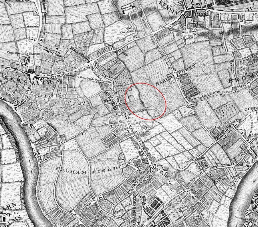
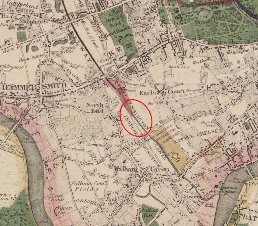
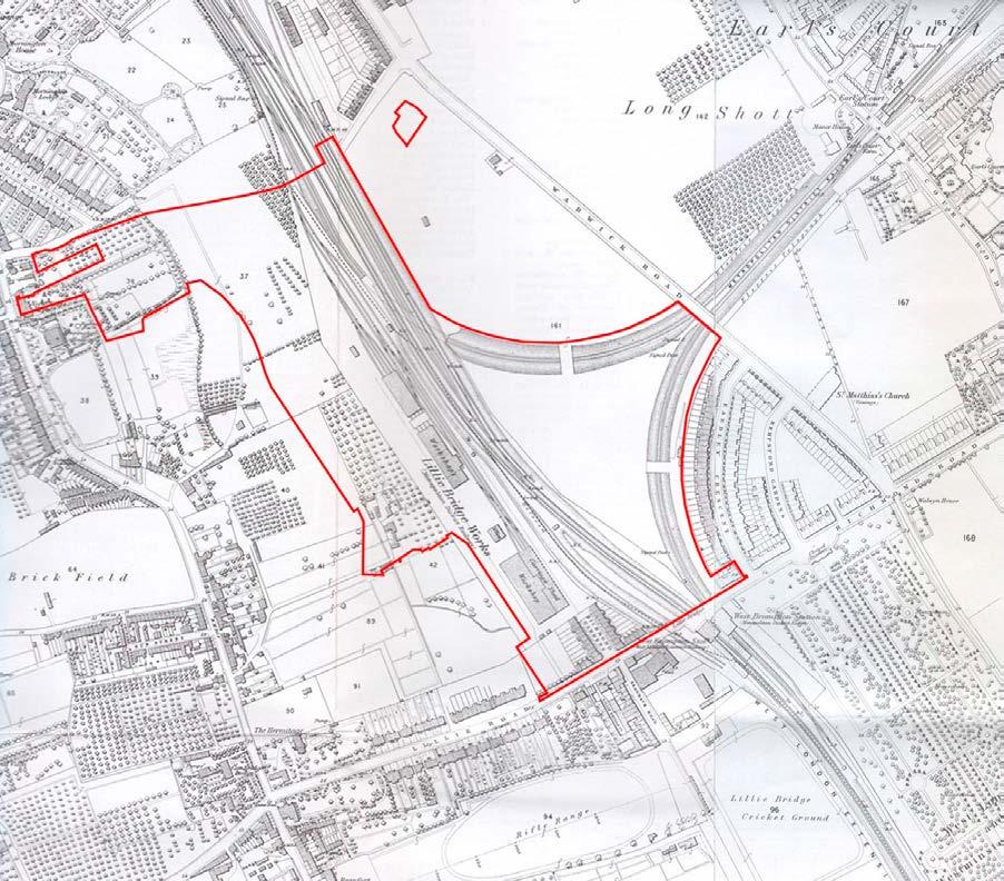
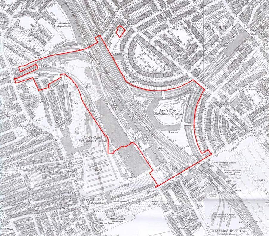
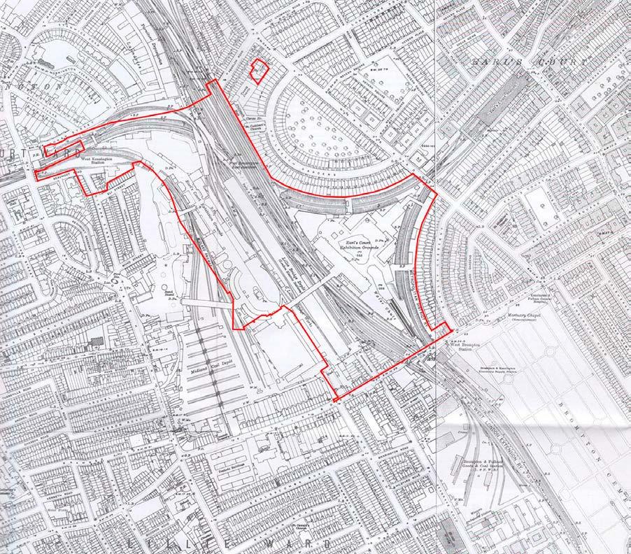
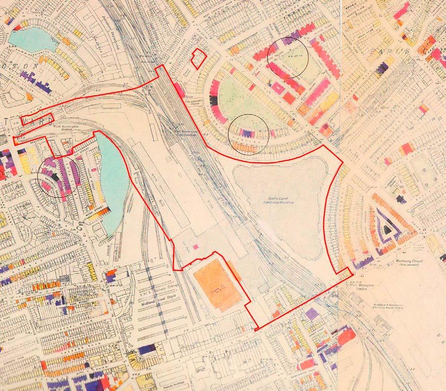
Existing Site and Study Area
Townscape Character
2.138 The Site is a large brownfield site with railway infrastructure and comprises the following:
• Cluny Mews - The far northeastern part of the Site comprises an office building at approximately 4 storeys, an annex building which comprises 3 storeys of residential flats and associated paved roads with parking. This is currently activated as a temporary meanwhile use.
• Land formerly home to the Earls Court Exhibition CentresThe eastern and southeastern parts of the Site (roughly triangular shaped and to the east of the WLL) and the southwestern part of the Site (to the west of the WLL) comprise extensive areas of open hardstanding. These areas of hardstanding were previously occupied by the Earls Court Exhibition Centres which were demolished between 2015 and 2017. The Table spans the WLL between the hardstanding areas. Beneath is an extensive network of railway infrastructure including the District Line and Piccadilly Line. Parts of this element of the Site are currently activated with temporary meanwhile uses.
• Empress Place - The southern and southwestern parts of the Site comprise 3-4 storey terrace buildings fronting Empress Place and Lillie Road. These are currently activated with temporary meanwhile uses.
• Bus Facility - To the west of Empress Place is a bus turning and waiting facility accessed from Lillie Road. This area comprises a bus layover area with capacity for up to four buses and a small standalone structure that includes welfare facilities for bus drivers.
• Lillie Bridge Depot (LBD) - The western, northern and northwestern part of the Site comprise the LBD. The LBD is currently used as a maintenance facility by London Underground Ltd (LUL) and as a TfL training facility. The LBD uses and on-Site structures comprise office buildings, rail tracks, road to rail vehicle (RRV) delivery and access point, articulated lorry access and delivery area, carpenter/ rail workshops, storage buildings, train stabling box, associated infrastructure and parking.
• 9 Beaumont Avenue - A 2 storey building located in the far northwestern part of the Site. This is currently activated as a temporary meanwhile use.
2.139 In respect of townscape character, much of the Site is vacant and appears as a large gap site, in particular that part to the east which is formed of the cleared site of the former Earls Court Exhibition Centres, which acted as major landmarks on the West London skyline until their demolition between 2015 and 2017. The remaining built form on the Site is characteristically different to the pre-war residential terraces and mansion blocks in the surrounding area. The Site has limited permeability and lacks strong connections into the surrounding area. The Transport for London LBD covers a substantial area of 7.3 ha comprising marshalling
yards, engineering workshops and Ashfield House, a 9 storey training facility on the northern boundary of the Site.
2.140 In terms of the immediate surroundings of the Site, the Empress State Building lies adjacent to the south-western part of the Site, off Lillie Road. It was built in 1962 to a height of 28 storeys and after being empty from 1997 it was refurbished and increased in height to 31 storeys to designs by Wilkinson Eyre in 2001–2003. It is now occupied as offices for the Mayor’s Office for Policing and Crime (MOPAC). As a result of its height and distinctive concave frontages, the Empress State Building forms a landmark within the local and wider area. A Certificate of Immunity from Listing (CoIL) was granted for the building in 2014.
2.141 Lillie Road, to the south of the Site, is of varied character, with 19th century terraced and apartment block development located in close proximity to larger scale post-war and modern development, including the 14 storey ILEC conference centre and Ibis Hotel. West Cromwell Road, to the north of the Site, is a major inner London east-west route, forming part of an important route between central London and the West. It is lined by a mixture of development, some of lower scale and 19th century in origin and some more modern and larger scale development, such as the Tesco and adjoining housing at the junction of Warwick Road.
2.142 Low to mid-rise local authority development at Gibbs Green, comprising seven mid-rise blocks completed in 1961, lies adjacent to the north-eastern part of the Site. The West Kensington Estate, to the south of Gibbs Green and immediately west of the Site, was the borough’s first Design and Build development between 197274 on former Coal Sidings to the WLL. The 9-11 storey brick-clad buildings were a reaction to changes in construction following the Ronan Point failure. The estate also includes a mix of low-rise flats, maisonettes and terraced houses.
2.143 The backs of 19th century houses and the associated gardens along Philbeach Gardens and Eardley Crescent address the Site to its immediate east, with the eastern ‘prow’ of the Site extending to Warwick Road.
2.144 The designation of the baseline townscape character areas (TCA) within the study area is based on historic research and site investigation. It is informed by, but does not follow the same boundaries as, the RBKC Character Study Consultation (Ref. 2-21). It should be noted that townscape character almost invariably forms part of a continuum and that character area boundaries are often not distinct. The detailed baseline assessment of each TCA is included in Technical Appendix A, with a broad overview of the townscape quality of the study area described below. The baseline assessment of Sensitivity for each TCA is summarised in Table 2.12 below. The TCAs are shown in Figure 2.7.
2.145 The townscape to the east of the railway line within RBKC largely comprises historic residential townscape with a fine grain, arranged in a regular highly legible and well-connected layout of streets and garden squares (TCAs 2, 5, 6, 7, 8, 9). The townscape dates predominantly from the mid to late 19th century. It is largely within
conservation area designations through there are relatively few individually listed buildings.
2.146 To the west of the WLL in LBHF the townscape is more varied. As to the east, there are large areas of attractive historic residential townscape reflecting the 19th century westward expansion of London’s suburbs (TCAs 12, 14 and 15). Much of the historic residential townscape is within designated conservation areas, but again with relatively few individually listed buildings. To the west of the railway the historic townscape tends to be later 19th century in date, less formally laid out with fewer set piece garden squares and is generally more modest in scale and quality. Large pockets of discontinuous post-war redevelopment (TCAs 11 and 16) punctuate the more regular historic street layout.
2.147 West Cromwell Road is a broad busy highway (A4) with an elevated section to the north of the Site, which is an important route into central London from the west. It forms a significant detracting feature running east-west through both boroughs creating strong visual and physical separation between the townscape to its north and south, particularly to the west of Earls Court Road. Lillie RoadOld Brompton Road, the east west route passing to the south of the Site, is less heavily trafficked and creates less severance in the townscape.
2.148 Much of the townscape lining the railway line forms part of a seam of industrial and post-industrial townscape containing larger scale modern development that extends well beyond the study area, and includes the Site itself (TCAs 1A and 1B). To the north and south of the Site are ribbons of taller or larger scale modern development on former railway land along the railway (TCA 4A and 13). The Site itself is occupied by railway land in the north and north-west and the cleared site of the Earls Court Exhibition Centres to the east, south and south-east and adjacent to the Site is the 31-storey Empress State Building.
2.149 The quality of the historic residential townscape is generally good, with strong townscape structure, coherence, integrity and attractiveness; and this is reflected in the values assessed for the TCA. Susceptibility to change in relation to the capacity of the townscape to integrate the scale and form of development envisaged on the Site varies depending on the character of the existing setting and proximity to the Site. The gridded street layout of the historic townscape creates aligned views towards the Site from the east and west of the Site in which development of the scale and density proposed would be potentially highly visible, though the existing Empress State Building is already an established taller modern contrasting element of the townscape where views align with it.
2.150 The tall modern 20th and 21st century townscape on former railway land along the railway line and the townscape of the postwar developments is of lower townscape value than the historic residential townscape, and is generally denser and larger scale with less susceptibility to change. The townscape on and adjacent to the Site in TCAs 1A and B is of very low quality, with no existing permeability or connectivity east-west or north-south, fragmented edges, and making no material contribution to the quality of the townscape of the wider area. It has low susceptibility to change and considerable capacity for enhancement.
2.151 The Site is within an area designated as the Earls Court West Kensington Opportunity Area (ECWKOA) and is designated as suitable for tall development in local planning policy by both RBKC and LBHF.
Figure 2.7: Map of TCAs
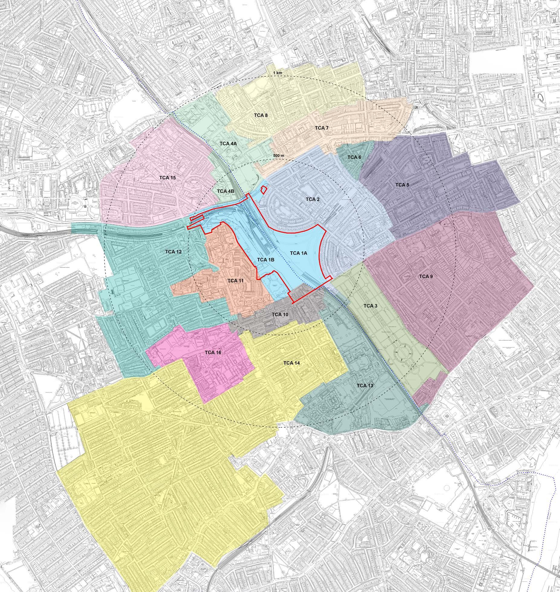
TCA Summary Description
RBKC
1A Cleared site of Earls Court Exhibition Centre 1 and land adjacent to the WLL, within the Site boundary
2 Coherent 19th century residential townscape largely within conservation area (CA) designations, adjacent to the east of the Site with streets that align with views towards the Site, whose setting includes some existing tall modern development.
3 Brompton Cemetery, a highly listed 19th century landscape with open views towards the Site, whose setting includes some existing tall modern development.
4A Tall modern townscape within the ECWKOA
5 Highly coherent 19th century residential townscape largely within Courtfield CA, not adjacent to the Site but with streets that align with views towards the Site, whose setting includes some existing tall modern development.
6 Pocket of 19th century residential townscape within Earls Court Village CA, with a character distinct from the surrounding townscape and an established taller more modern setting.
7 Somewhat coherent 19th and 20th century residential townscape partly covered by CA designations, close to the north-east of the Site, separated by Cromwell Road
8 Coherent 19th century residential townscape largely within Edwardes Square, Scarsdale and Abingdon CA, not adjacent to the Site, whose setting includes some existing tall modern development.
9 Highly coherent 19th century residential townscape largely within Boltons CA, with a well-preserved setting
1B Railway land and cleared site of Earls Court Exhibition Centre 2, within the Site boundary, plus the Empress State Building
4B Somewhat coherent coarse grained late-19th century industrial townscape with 20th century additions within the Avonmore and Olympia CA, adjacent to the north of the Site, separated by the elevated West Cromwell Road
10 Varied generally unremarkable townscape, adjacent to the Site, lining Lillie Road, outside designated CAs and with significant detracting features.
11 Pocket of poor to ordinary quality post-war redevelopment adjacent to the Site and to the west of North End Road
12 Somewhat coherent 19th century residential townscape largely within CA designations, partly adjacent to the Site, with streets that align with views towards the Site, whose setting includes some existing tall modern development.
13 Varied undesignated townscape of generally large scale and grain
14 Somewhat coherent 19th century residential townscape largely within CA designations
15 Somewhat coherent 19th century residential townscape largely within CA designations partly adjacent to the Site, with streets that align with views towards the Site
16 Pocket of poor to ordinary quality post-war redevelopment
2.152 The study area is generally flat and densely built-up such that the greatest visibility towards the Site is at short to medium range, and there are limited opportunities for long range views towards it, other than from streets aligned on the Site and areas of open space such as Brompton Cemetery, Normand Park and some points along the River Thames. Mature street trees are common within the study area, and these frequently screen short and medium range views towards the Site to a considerable extent.
Designated London Views
2.153 The LVMF SPG was updated and published in March 2012. It was created to provide additional clarity and detail to the sections of The London Plan that deal with the management of important London views.
2.154 The LVMF SPG includes thirteen Protected Vistas - of St Paul’s Cathedral, the Palace of Westminster and the Tower of London. The Protected Vistas are geometrically defined and place additional consultation and referral requirements on development which exceeds the defined threshold plane. The Protected Vistas are included within views from a total of twenty-seven Viewing Places identified in the LVMF SPG. The views are separated into four categories ‘London Panoramas’, ‘River Prospects’, ‘Townscape Views’ and ‘Linear Views’. All of the views in the LVMF SPG are subject to Qualitative Visual Assessment, as outlined in the Management Plan for each designated view provided in the Framework.
2.155 The Proposed Development would not impact on any of the LVMF views. The Site is well to the west of the London Panoramas from the north and south. The closest Protected Vista is from LVMF Assessment Point 9A.1, King Henry VIII’s Mound, Richmond Park to St Paul’s Cathedral; this narrow linear view passes well to the south of the Site and would not be impacted by the Proposed Development. Due to the alignment of the Site, tall development on the Site would be potentially visible in the River Prospect upstream from Blackfriars Bridge (Assessment Point 14A.1). The height of the Proposed Development on the Site has been limited to avoid visibility in this view and a verified view to demonstrate the lack of impact has been provided as View 1 in the Visual Assessment.
Borough views
2.156 RBKC Building Height in the Royal Borough SPD (2010) identifies viewing corridors for townscape and linear borough views in Figure 06, listed on pages 28-29. The following views identified in the SPD have been provided in the Visual Assessment as testing has indicated the potential for visibility of the Proposed Development in these views:
• View LP2 from Holland Park (View 3: Holland Park in this assessment);
• View TV1 from the Round Pond (View 4: The Round Pond in this assessment);
• View RP1 towards Chelsea Embankment and the setting of Chelsea Old Church (View 5 in this assessment) and views from the Thames Bridges (Views 6 and 6N: Albert Bridge in this assessment);
• View LP4 from Brompton Cemetery (View 9: Brompton Cemetery, Central Avenue, centre of Arcade in this assessment); and
• View LP3 from the Royal Hospital (View 12: Royal Hospital Chelsea in this assessment).
2.157 LBHF Local Plan, Borough-wide policy DC7 Views and Landmarks states that the council will protect important local views. The following views identified in Policy DC7 have been provided in the Visual Assessment as testing has indicated the potential for visibility of the Proposed Development in these views:
• View A - From Hammersmith Bridge, the view along the river, foreshore, and riverside development and landscape between Hammersmith Terrace to the west and Fulham Football Ground to the south (View 32: Hammersmith Bridge in this assessment);
• View B - From Putney Bridge, the views along the river, foreshore and riverside, extending upstream from All Saints Church and its environs, along Bishops Park as far as Fulham Football Ground, and from Putney Railway Bridge the view downstream to the grounds of the Hurlingham Club (View 33: Putney Bridge in this assessment, and Appendix A views A19, A20, A21);
• Landmark a - Upper and Lower Mall. The richness, diversity and beauty of the historical waterfront which includes Hammersmith Terrace, Kelmscott House and neighbouring group of listed buildings, and the open space of Furnivall Gardens allowing views of the skyline of Hammersmith and the spire of St. Paul’s Church (View 31 and 31N: Thames Path west of Hammersmith Bridge in this assessment).
• Landmark d – Hammersmith Bridge (View 32: Hammersmith Bridge and View 31 and 31N: Thames Path west of Hammersmith Bridge in this assessment)
• Landmark e - Putney Bridge and the adjacent All Saints Church (View 33: Putney Bridge in this assessment and Appendix A views A19, A20, A21).
Other important local views
2.158 Important local views are described in some conservation area statements and appraisals. The baseline character, value and susceptibility of these and other views agreed for assessment is described in the Visual Assessment where relevant.
2.159 The receptors identified as sensitive to the Proposed Development and which have been ‘scoped-in’ to the assessment are the TCAs, as set out above in Table 2.12 and Figure 2.7, and views as experienced by visual receptors, assessed respectively in Views 1-59 in Section Assessment of Visual Effects.
2.160 As an introduction to the assessment of the townscape and visual effects of the Early Phases and All Phases, a description of the Early Phases Site and All Phases Site in its existing state in terms of townscape, visual amenity and urban design, and a description of the relevant aspects of the Early Phases and All Phases are provided.
The Existing Early Phases Site and All Phases Site
2.161 The Early Phases Site and All Phases Site are within the Earls Court West Kensington Opportunity Area (ECWKOA). They are brownfield sites straddling the boundary of LBHF and RBKC and are allocated as a site considered appropriate for development including tall buildings within both Boroughs.
2.162 The Early Phases Site and All Phases Site extend from West Cromwell Road to the north, to Lillie Road at the south. They principally comprise land previously occupied by the Earls Court Exhibition Centres (demolished in 2015-17) to the south and east and land to the north, largely occupied within the All Phases Site by the Lillie Bridge Depot (LBD) and which includes Ashfield House. The Early Phases Site and All Phases Site also includes Empress Place at their southern end and an office building at approximately 4 storeys with an annex building comprising 3 storeys of residential flats in the north-eastern corner fronting Cluny Mews. The All Phases Site includes buildings at the junction of North End Road and Beaumont Avenue at its north-west edge, and a small industrial building to the south of Beaumont Avenue at No.9 Beaumont Avenue.
2.163 The Early Phases Site and All Phases Site are dissected by the rail infrastructure associated with the London Underground Limited (LUL) District Line and Piccadilly Line and the National Rail (NR) West London Line (WLL). Due to its railway related history, they have historically been disconnected from the finer grain surrounding streetscape in all directions and lack any public permeability. Their edge conditions are poor. There is a level change of up to 3.5 m across the Early Phases Site and All Phases Site.
2.164 The LBD is accessed from Beaumont Avenue and is not accessible to the public. LBD is a training facility and maintenance depot on the LUL Piccadilly and District lines. It was constructed in 1871 and has been reconfigured several times since. Part of LBD was demolished in the mid-20th century and then occupied by Earls Court Exhibition Centre 2. The modern LBD comprises railway sidings and sheds. Long railway sheds generally run north-south through the LBD. There is an area of surface car parking to the north. Ashfield House is located at the eastern end of Beaumont Avenue to the south of the elevated West Cromwell Road. The LBD land includes some informal planting along WLL that runs northsouth through the site on its eastern edge, which is not accessible to the public. The northern edge to West Cromwell Road is defined by a high security fence and informal planting. Off-Site the northern
edge of Beaumont Avenue is defined by a high security fence and informal planting. The western edge of LBD to the adjacent West Kensington and Gibbs Green Estates is defined by a wall and level change and some informal planting; utilitarian railway sheds on the LBD are visible from Aisgill Avenue with some informal planting. The southern edge of the LBD is defined by hoardings to the cleared sites of the former Earls Court Exhibition Centres to the south.
2.165 No.9 Beaumont Avenue includes a collection of formerly industrial buildings of unremarkable quality dating from 1930-1960s.
2.166 The former Exhibition Centre parts of the Early Phases Site and All Phases Site are not generally accessible to the public although there are meanwhile uses accessed from Empress Place that are currently in operation on part of the land and which are accessible to the public. They are bounded to the west by the Empress State Building, now occupied by MOPAC, with Empress Place and parts of Lillie Road to the south. Houses on Eardley Crescent and Philbeach Gardens back onto their eastern boundary. The WLL runs north-south through the former Exhibition Centre parts of the Early Phases Site and All Phases Site. A raised structure known as ‘the table’ covering part of the WLL sits up to 8 m above the level of the cleared site. The WLL passes under both West Cromwell Road to the north and Lillie Road to the south. Any planting at the edges of the cleared Exhibition Centre sites and along the WLL is informal and not accessible to the public. Where the cleared part of the Early Phases Site and All Phases Site meets Lille Road to the west of the Lillie Road Bridge there is a substantial level change. The Lille Road Bridge itself is narrow with narrow pavements but provides long clear views northwards along the WLL and across the cleared site of the Exhibition Centres. To the east of the bridge the cleared part of the Early Phases Site and All Phases Site is defined by hoardings and gates. The former entrance to Earls Court Exhibition Centre 1 on Warwick Road is hoarded.
2.167 Empress Place is characterised by short terraces of now disused two-storey late 19th century houses. Originally named Richmond Place, Empress Place was built in 1864-1865 and designed by architect and City of London surveyor John Young. The late 19th century townscape turns the corner for short terraces of three storey terraces with shops at ground floor fronting Lillie Road. Empress Place also includes at its northern end the former engineering headquarters of the Brompton & Piccadilly Railway Company dating from 1907. On the east side of the junction with Lillie Road the Prince of Wales pub, dating from 1937, is set back from the predominant building line. Adjacent to the west is a modern bus facility.
2.168 The part of the Early Phases Site and All Phases Site to the northeast is occupied by a modern four storey commercial building dating from the early 2000s with a small piece of public realm known as Cluny Mews Gardens adjacent to it. It is located to the south of West Cromwell Road and accessed from Cluny Mews to the north of Philbeach Gardens.
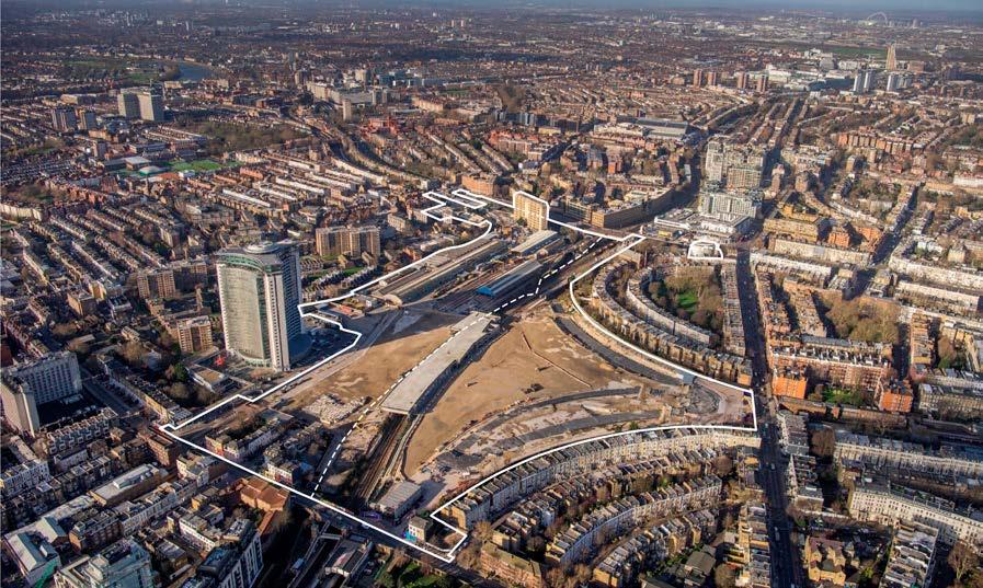
2.169 The layout and density of the Early Phases and All Phases has been carefully tested during the pre-application design development to ensure that it would respond to the existing character of the Early Phases Site and All Phases Site and their surrounding context through the identification of special and valued character and features. Visual impact testing has contributed to the iterative design development of the scale and massing of the Early Phases and All Phases, the detailed design of the Detailed Component Plots and the Design Code for the Outline Component Plots. Visual impact testing presented to stakeholders during the pre-application design development period from 2021 onwards has contributed to the consultation on the developing design proposals. The design development process has included recognition of, and reduction or minimisation of, potentially adverse effects on townscape character and visual amenity identified during design development, including the measures set out under Embedded Mitigation in this section of the TVA. These considerations have been balanced with the strategic requirements for the Early Phases Site and All Phases Site to optimise their capacity to deliver new homes and jobs.
2.170 Special or distinctive existing features of the Early Phases Site and All Phases Site – the existing structure of the Lillie Bridge Depot, frontages along Empress Place and the existing structure of the WLL ‘table’– may be retained and reused. All other buildings and structures on the Early Phases Site and All Phases Site, which are or little or no aesthetic value, are proposed to be demolished.
2.171 The townscape and visual assessments consider the effects of the detailed design of buildings in the Detailed Component (which have been shown fully rendered in selected views) and the maximum parameter envelope within which buildings on later phases could come forward for Outline Component development zones and plots. The scale and mass of Outline Component Plots is controlled by the maximum parameter envelope which has been modelled in the views. The design of buildings coming forward in the future under applications for Reserved Matters Approval (RMA) on Outline Component Plots will be further controlled by a Design Code. The mandatory requirements of the Design Code have also been taken
into account in the assessment of the potential townscape and visual effects of the Outline Component Plots.
2.172 In a selection of views an illustrative design for buildings on the Outline Component Plots has been fully rendered to demonstrate the detailed architectural treatment that could come forward for the designs of buildings within the maximum parameter envelopes in compliance with the Design Code. The illustrative renders have not been assessed but are included for information in Appendix E. Layout,
2.173 The landscape-led layout of the Early Phases and All Phases has evolved iteratively as a result of testing and consultation during the period. The existing Early Phases Site and All Phases Site are impermeable and increasing its connectivity both north-south, and east-west across the borough boundary, has been an important principle of the design of the Early Phases and All Phases.
2.174 The Early Phases and All Phases would deliver an extensive public realm, as presented in the Development Zones, Maximum Building Lines and Public Realm Parameter Plan, to create clear legible north-south routes from Lillie Road via Empress Place and West Brompton Square on its southern edge that would connect into Beaumont Avenue and then North End Road to the north (in the All Phases). From Warwick Road to the east an east-west route would connect to Aisgill Avenue to the west. These routes, which prioritise walking and cycling, would intersect at the central landscaped open space, known as the Table Park, marked by the location of the tallest buildings, and with a multi-use auditorium to its south. The elevated Table Park would work with the existing Early Phases Site and All Phases Site levels, located partly on the retained table structure. If retained within the All Phases, the surviving northern part of the early 20th century Train Maintenance Shed (which once extended to Empress Place), within the Lillie Bridge Depot would form the focal point of a second public open space, known as Lillie Sidings Square. A landscape feature, known as the Cascades, would provide a level change between the two primary public spaces where site levels are the most challenging.
2.175 Smaller gateway open spaces would mark points of entry into the Early Phases and All Phases and improve public realm quality at the interfaces of the Early Phases and All Phases with its wider townscape context, as presented in the Proposed Public Realm Typologies Parameter Plan and the Proposed Urban Design Parameter Plan.
2.176 As set out in the Design Code, the All Phases would comprise seven distinct character areas each informed by the character of its context and anchored by its own public open space (five of these would be within the Early Phases).
Scale and Massing
2.177 The Early Phases and All Phases aim to optimise site capacity through a design-led approach in accordance with London Plan Policy D3. Their scale and massing have been informed by iterative visual impact testing and analysis throughout the design development process. The Early Phases Site and All Phases Site
are within an opportunity area and, in accordance with London Plan Policy D9, both boroughs’ emerging or adopted Local Plans identify the Early Phases Site and All Phases Site as appropriate for tall buildings.
2.178 In the adopted RBKC 2019 Local Plan, the part of the Early Phases Site and All Phases Site within RBKC is allocated as Site CA4: Earls Court Exhibition Centre. In the new RBKC New Local Plan Review the part of the Early Phases Site and All Phases Site within RBKC is allocated as Site SA2: Earls Court Exhibition Centre and is considered to be a suitable location for tall buildings. The draft policy for Site Allocation SA2 provides guidance on “Appropriate Height Parameters” (MM284, MM294) with “Precise locations and heights for tall buildings will be the subject of a full and proper testing process through detailed masterplanning work taking into account those parts of the site within the London Borough of Hammersmith and Fulham, and an assessment of impact in line with Policy D9 (C and D) of the London Plan, the need to take into account site constraints and other factors such as legibility, sunlight and daylight.” (MM283). In the adopted LBHF Local Plan (2018), the part of the Early Phases Site and All Phases Site in LBHF is within the Fulham Regeneration Area and is identified as Strategic Site Policy FRA1 and it is noted that “In principle, some tall buildings may be appropriate” (5.93). Local Plan Policy DC3 Tall Buildings notes that in the ECWKOA “tall buildings may be appropriate” and sets out the criteria against which tall buildings on the part of the Early Phases Site and All Phases Site within LBHF will need to be assessed.
2.179 As presented in the Proposed Maximum Heights Parameter Plan, the tallest buildings are proposed in a central cluster close to the existing Empress State Building anchored by the destination Table Park, with a lower secondary cluster of commercial buildings at the northern edge of the All Phases Site on West Cromwell Road. Elsewhere the scale of the Early Phases and All Phases would transition in height from their edges to manage the change in scale and visually mediate between the existing lower surrounding townscape context of the Early Phases Site and All Phases Site and the proposed tall building clusters. The tall building clusters would form part of a seam of taller development emerging on major redevelopment sites located along the railway corridor than runs south from Old Oak and White City to meet the River Thames at Chelsea Harbour.
2.180 The tallest proposed building Detailed Component Plot WB04, at 42 residential storeys in height, would be taller than the Empress State Building. Four lower tall buildings (Detailed Component Plots WB03, WB05, EC05 and EC06) and one Outline Component Plot that could accommodate a tall building (Outline Component Plot WB06), would be broadly equivalent in height to the Empress State Building. The maximum height of Plot WB04 would be limited by the LVMF River Prospect from Assessment Point 14.1 on Blackfriars Bridge, in which the Proposed Development would not be visible, and has been further refined in scale and articulation by impacts on local views in particular from the Grade I listed landscape of Brompton Cemetery. The heights of lower tall buildings in the central cluster have been shaped to integrate the existing Empress State Building, allow Plot WB04 to read as a singular focal point in views from all directions for ease of wayfinding, and create an attractive cluster form on the skyline.
2.181 The clustering of greatest height close to the existing Empress State Building would integrate its tall broad form within the new cluster, where there is already a point of greater height within the townscape. The location of the proposed tall buildings within the Early Phases and All Phases would mark the intersection of new north-south and east-west routes through the Early Phases Site and All Phases Site and the location of the new public open space, reinforcing the legibility of the Early Phases and All Phases.
2.182 The tall building plots have been located to minimise their impacts on views from the Grade I listed landscape of Brompton Cemetery and views of the Grade I listed Church of St Cuthbert at the northeast edge of the Early Phases Site and All Phases Site.
2.183 A second group of Outline Component Plots that could accommodate predominantly commercial tall buildings, lower in height than those in the primary central cluster, would be located immediately to the south of West Cromwell Road (A4) and would be visible from this major approach into central London from the west. The scale and form of these Outline Component Plots has been defined by potential impacts on views of the Grade I listed Church of St Cuthbert from Philbeach Gardens to the east of the Early Phases Site and All Phases Site, views through the townscape of conservation areas to the north of West Cromwell Road and views from the west along aligned streets within the Baron’s Court Conservation area to the west of the Early Phases Site and All Phases Site. A legible gap between Outline Component Plots WK03 and WK04 would be created by their proposed maximum parameter envelopes that would minimise coalescence when seen from the north.
2.184 Elsewhere on the Early Phases Site and All Phases Site the Early Phases and All Phases would comprise a mix of heights and typologies with opportunities for taller structures at key focal points and clustered around the proposed tall building clusters and lowerrise accommodation to mediate to the scale of sensitive existing edge conditions and enhance typological variety.
Detailed Component Design
2.185 To the west of the WLL within LBHF, Detailed Component Plots WB03, WB04 and WB05 have been submitted in detail. They comprise three tall buildings located to the west of Table Park and a lower building at the interface with the existing West Kensington Gibbs Green Estate. To the east of the WLL within RBKC, Detailed Component Plots EC05 and EC06 have been submitted in detail and comprise a pair of tall buildings to the north of Table Park. The detailed design of buildings in the Detailed Component of the Early Phases and All Phases has been fully rendered in selected verified views (and elsewhere modelled as a chalk massing) so that the detailed articulation and materiality of the buildings can be assessed. Key aspects of the detailed design of the plots in the Detailed Component are described below.
Proposed Development at 42 storeys, and the focal point of the central tall building cluster. It would be located at a pivotal point in the Early Phases and All Phases where new east-west and northsouth routes cross at the Table Park.
2.187 The plinth shared by Plots WB03 and WB04 would have strong horizontal expression, that would act as a counterpoint to the verticality of the tall buildings and continue the height datum of the existing Empress Place streetscape.
2.188 The mass of Plot WB04 has been sculpted through the erosion of the outer corners to create verticality and slenderness. Soft curved edges to all the corners would make a smooth transition between the different faces. Its body would be clad in smooth reconstituted stone, with deep punched windows and ribbed reconstituted stone spandrels.
2.189 Stepping terraces at the upper nine levels would create a more slender top with symmetry on the east and west axes. The steps would gradually reveal a more expressive crown in lighter materials that would reflect the colours of the sky throughout the day and year and create the illusion of the building dematerialising against the sky. Lighting from within would illuminate the crown after dark.
Building WB03
2.190 Detailed Component Plot WB03, housing student accommodation, designed by Serie, would be lower to its south. At 33 storeys it would be equivalent in height to but more slender than the existing Empress State Building. The appearance of Plot WB03, in particular, its curved forms, verticality and stepped crown would be complementary to that of Plot WB04 -- but Plot WB03 would also have its own distinctive character.
2.191 To create a slender form the corners of Plot WB03 would be chamfered and the resulting facades articulated with deep vertical shadow gaps. A slate blue tone to the cladding at the curved prows of the building (containing the shared living spaces), would contrast with the light stone colour of the cladding to the main façade areas, also breaking up the form.
2.192 At the upper levels the form would step back to create a legible crown, with a curved profile and use of the contrasting slate blue colour, that would echo the curved prows of the shared living spaces at the lower levels
Building WB05
Building WB04
2.186 Detailed Component Plot WB04, a residential-led block, designed by Sheppard Robson, would be the tallest building within the
2.193 Detailed Component Plot WB05, designed by dRMM, would be to the west of WB04 at the western edge of the Early Phases and All Phases. It would comprise two residential-led buildings of 17 (Plot WB05-T1) and 9 (Plot WB05-T2) storeys with a shared courtyard between them, and a community centre (in outline). The scale of the buildings, stepping down dramatically from the height of Plot WB04, would create a transition in scale to the existing West Kensington Gibbs Green Estate to the west. The buildings would be anchored by the new public open space of Aisgill Gardens at the entrance into the Early Phases and All Phases from the west. The community
building would replace the existing shear 4m tall brick wall to the edge of the Empress State Building. The design of buildings WB05 would mediate between the estates and the Early Phases and All Phases to the East through their massing and this would be reinforced by their architectural treatment. Existing homes on the estate are a dark brown brick, while the masonry of the WB03 and WB04 are light oyster in colour. Plot WB05 would mediate between the two conditions, using brick with a darker colour at its base, that would graduate to a lighter tone at the upper levels. Plot WB05-T1 would, in common with Plots WB03 and WB04, reference the Art Deco language of the Earls Court Exhibition Centre that formerly occupied the Early Phases Site and All Phases Site; it would have a strong vertical emphasis through its expressed vertical piers and curved metal corner balconies. Plot WB05- T2 would reference the mid-rise Art Deco mansion block typology, with a strong horizontal articulation.
Building EC05 and EC06
2.194 Detailed Component Plots EC05 and EC06, designed by Maccreanor Lavington, would be located on Warwick Crescent to the north of Table Park, managing the change in Early Phases Site and All Phases Site level between the Table and the Crescent. Between Plots EC05 and EC06 the park would extend to Warwick Crescent via generous landscaped steps, and a public lift, between the levels. The design and articulation for both buildings has evolved in parallel to ensure the buildings read cohesively from both crescent and park side.
2.195 Plot EC05 would be a residential-led block with an octagonal plan, designed with a clearly articulated base middle, and crown and a sculpted form. At its base Plot EC05 would provide active café use onto the upper ground level of Table Park. The residential entrances would be from the lower ground level on Warwick Crescent, which is proposed as a calm, tree-lined residential street. Like Plots WB03, 04 and 05, its design has been informed by Art Deco tower typologies, referencing the language of the Earls Court Exhibition Centre that formerly occupied the Early Phases Site and All Phases Site. Slenderness would be emphasised through the limestone piers with green toned balconies and spandrels creating a secondary horizontal grid that is carried through into the midrise shoulder part of building in buff brick.
2.196 Plot EC06 would also be a residential-led block, clad predominantly in brick, with a triangular plan, forming the prow of development at the northern end of Warwick Crescent. It would provide community uses at the ground level to Warwick Crescent. It would provide community uses at the lower ground level to Warwick Crescent. Like Plot EC05 it would have a sculpted form and familial Art Deco language. The articulation of base, middle and crown would be accentuated through material changes. Balconies would be grouped on three of the five faces creating a contrasting rhythm of balcony, wall, balcony, which would differentiate the various faces of the building, accentuating the building’s slenderness.
2.197 The Parameter Plans control the layout and maximum scale of the Outline Component Plots within the Early Phases and All Phases. The maximum parameter envelope of the Outline Component Plots of the Early Phases and All Phases has been modelled in the verified views contained in the visual assessment and supplementary views in Appendices C and D. The Outline Component Plots have been subdivided by their character areas with different wireline colours. The townscape and visual assessments, informed by the modelled views, consider the impacts and effects of the maximum parameter envelope within which future buildings on the outline plots could come forward.
2.198 The Design Code is a set of design rules that would guide the design of buildings on the Outline Component Development Zones and Plots at RMA stage. The rules provide clarity on how subsequent RMAs would achieve acceptable design standards and quality. Its purpose is not to be overly prescriptive but instead to secure specific design requirements that are essential to creating the character, identity and form of the Early Phases and All Phases. The Design Code has been developed with townscape and heritage input to ensure that potential impacts on the wider townscape are appropriately considered in any future RMA. The requirements of the Design Code have therefore been taken into account in the assessment of the likely townscape and visual impacts and effects of the Outline Components of the Early Phases and All Phases.
2.199 A selection of key views have been prepared that show an illustrative design that would comply with the requirements of the Parameter Plans and the Design Code, and these are included in Appendix E for information.
2.200 The design quality of the Detailed Component Plots and the detailed requirements of the Design Code in relation to the wider townscape demonstrate that future buildings on the Outline Component Development Zones and Plots would have a character and high quality appropriate to their potential impacts and effects on townscape and visual amenity.
2.201 Key embedded mitigation measures undertaken during the design development period, that are of relevance to the townscape and visual assessments, include the following:
• Refinement of height and massing considering views from Brompton Cemetery (as well as other key views) in response to stakeholder feedback: pulling tall buildings to the west, lowering the height of the tallest buildings and lowering buildings seen beyond the belltower on the west arcade, lowering Plot EC05 to avoid skyline competition with the bell tower;
• Lowering buildings adjacent to Lillie Sidings Square to reduce the height of the Proposed Development seen adjacent to the Church of St Cuthbert from Philbeach Gardens;
• Changing the alignment of the tall buildings in the central cluster to relate more strongly to Empress Place and to appear more slender and with reduced coalescence in aligned views from conservation areas to the east;
• Reinforcing the east-west route through the Early Phases Site and All Phases Site;
• Altering the skyline composition of the central tall building cluster to increase the height of WB04 and lower the remaining tall buildings in the cluster to be equivalent in height to Empress State Building; this would create a stronger singular focal point on the skyline of the cluster and mitigate coalescence of the tall buildings in a number of views;
• Removal of one of the tall buildings in the central cluster to increase the spacing of the tall buildings and reduce the density and coalescence of the cluster on the skyline;
• Lowering the height of Plot WK06 to reduce impacts on views of the Church of St Cuthbert;
• Reducing three plots on West Cromwell Road to two in the location of Plots WK03 and WK04 allowing a larger gap to be created between plots and reduce coalescence of northern end of masterplan seen in views from conservation areas to the north of the Early Phases Site and All Phases Site;
• Increasing the set back shoulders at the southern edges of Plots WB01 and WB08 to better respond to the existing townscape of Lillie Road;
• Enlargement of the Table Park to open up the centre of the Early Phases Site and All Phases Site and reduce sense of density; and
• Redesign of the crown of WB04 to create a stronger more distinctive focal point on the skyline seen from all directions.
2.202 As outlined in ES Volume 1, Chapter 2: EIA Process and Methodology, the assessment of effects has been considered for two development scenarios: Early Phases and All Phases.
Demolition and Construction Effects
2.203 The proposed demolition and construction works are set out in ES Volume 1, Chapter 5: Demolition and Construction Description.
2.204 The demolition and construction works of the Early Phases would have the potential to affect townscape character and views as a result of the following:
• Erection of construction infrastructure e.g. scaffolding, site lighting and siting of workers welfare facilities;
• Demolition and deconstruction, including crushing and breaking up activities;
• Ground work excavations, including construction of foundations, and cut and fill activities;
• Movement of heavy plant and material both within, to and from the Early Phases Site and All Phases Site; and
• Construction of infrastructure, buildings and landscaping.
2.205 In accordance with standard practice, mitigation measures relevant to effects on townscape character and views would be employed, including hoarding and other measures to be set out in a CEMP. An outline of these measures is presented in ES Volume 1, Chapter 5: Demolition and Construction Description and in the Framework Construction Management Plan (CMP) that accompanies the Hybrid Planning Applications.
2.206 The likely significant effects on townscape character and visual amenity would vary according to the nature of the demolition and construction works over time and across the Early Phases Site and All Phases Site, with certain operations having more perceptible effects than others.The likely significant effects identified as part of this assessment represent a precautionary worst-case based on the maximum potential effect on each receptor across the construction process as a whole, including the assumption that under-construction buildings have the same magnitude of impact as that of the finished buildings. The appearance of under-construction buildings is taken to be without full external cladding, and therefore generally adverse in nature.
2.207 Due to the transient nature of demolition and construction activities, all related effects are considered to be temporary and would last for the duration of the construction programme only. While works are anticipated to be undertaken over 13 years for the Early Phases (considering works commencing Q4 2024, which includes early infrastructure works which may be carried out ahead of the grant of consent under separate approvals), the duration of impacts at development plots and development zones would be temporary and short (0-5 years) to medium-term (5-10 years). Adverse effects identified below would arise due to the detrimental appearance of demolition and construction activities, and under-construction buildings without external cladding, within townscape and views. Neutral effects would arise in those cases where the townscape or visual effect would not be noticeable and/or the townscape character/ quality would be preserved in the case of TCAs or visual amenity would be preserved in the case of views.
2.208 In terms of TCAs, the scale and nature of effect of the Early Phases demolition and construction stage would be as follows; RBKC
• Temporary, short-medium term, direct effect, Major in scale and Adverse in nature (significant) - TCA 2;
• Temporary, short-medium term, indirect effect, Major in scale and Adverse in nature (significant) - TCA 3.
• Temporary, short-medium term, direct effect, Moderate in scale, Adverse in nature (significant) – TCA 1A,
• Temporary, short-medium term, indirect effect, Moderate in scale, Adverse in nature (significant) - TCA 5;
• Temporary, short-medium term, indirect effect, Minor in scale, Adverse in nature (not significant) - TCA 6, TCA7, and TCA9;
• Temporary, short-medium term, indirect effect, NegligibleMinor in scale, Neutral in nature (not significant - TCA 4A); and
• Temporary, short-medium term, indirect effect, Negligible in scale, Neutral in nature (not significant) - TCA 8
LBHF
• Temporary, short-medium term, direct effect, Moderate in scale, Adverse in nature (significant) - TCA 1B, TCA 10, TCA 11;
• Temporary, short-medium term, indirect effect, Moderate in scale, Adverse in nature (significant) - TCA 12;
• Temporary, short-medium term, indirect effect, Minormoderate in scale, Adverse in nature (not significant) –TCA 15
• Temporary, short-medium term, indirect effect, Minor in scale, Adverse in nature (not significant) - TCA 4B, TCA 14, TCA 16; and
• Temporary, short-medium term, indirect effect, Negligibleminor in scale, Neutral in nature (not significant) – TCA 13
2.209 In terms of views, the scale and nature of effect of the demolition and construction stage would be as follows:
Non-RBKC/ LBHF views
• No effect (not significant) - View 1.
• Temporary, short-medium term, indirect effect, Minor in scale, Adverse in nature (not significant) - View 2.
RBKC
• Temporary, short-medium term, indirect effect, Major in scale, Adverse in nature (significant) – Views 7 (Brompton Cemetery, Central Avenue, southern end outside chapel), 8 (Brompton Cemetery, Central Avenue, southern end of Arcade), 9 (Brompton Cemetery, Central Avenue, centre of Arcade), 11 (Brompton Cemetery, south of the Anglican Chapel), 16 (Kenway Road), 17 (Collingham Place), 18 (Bramham Gardens), 22 (Nevern Square, northeast corner), 23 (Nevern Square, south side), 24 (Trebivor Road, including 24N dusk), 26 (Philbeach Gardens, outside No.61), 29 (Penywern Road).
• Temporary, short-medium term, indirect effect, Moderate in scale, adverse in nature (significant) - Views 3 (Holland Park), 4 (The Round Pond), 5 (Chelsea Bridge), 10 (Brompton Cemetery, Central Avenue, north of Arcade position 3), 19 (Bolton Gardens), 20 (Harrington Gardens), 27 (Philbeach Gardens, south end junction with Warwick Road), 30 (Outside No. 40 Earls Court Square).
• Temporary, short-medium term, indirect effect, Minormoderate in scale, Adverse in nature (not significant) - Views 6 (Albert Bridge including 6N dusk), 12 (Royal Hospital Chelsea), 28 (Eardley Crescent, junction with Warwick Road).
• Temporary, short-medium term, indirect effect, Minor in scale, Adverse in nature (not significant) - View 13 (Holland Park Avenue), 21 (Longridge Road), 25 (Philbeach Gardens, Outside No.65).
• No effect (not significant) - Views 14 (Edwardes Square), 15 (Cromwell Road, junction with Earls Court Road).
• Temporary, short-medium term, indirect effect, Major in scale, Adverse in nature (significant) – Views 49 (Ivatt Place), 52 (Queen’s Club Gardens, north side), 53 (Archel Road).
• Temporary, short-medium term, indirect effect, Moderate in scale, Adverse in nature (significant) - 31 (Thames Path west of Hammersmith Bridge including 31N dusk), 38 (Eel Brook Common), 39 (Kings Road), 40 (Avonmore Road), 42 (North End Road, near junction of Fitzjames ave), 44 (Talgarth Road, junction with Gliddon Road), 46 (Barons Court Road, junction with Barton Road), 50 (The Queen’s Club), 51 (Greyhound Road including 51N dusk), 54 (Normand Park), 58 (Farm Lane), 59 (Ongar Road).
• Temporary, short-medium term, indirect effect, Minormoderate in scale, Adverse in nature (not significant) –Views 33 (Putney Bridge, west pavement, southern end), 55 (Lillie Road, west of North End Road), 56 (Lillie Road, outside Beaufort Court).
• Temporary, short-medium term, indirect effect, Minor in scale, Adverse in nature (not significant) - Views 32 (Hammersmith Bridge), 34 (Lillie Road Recreation Ground), 35 (Stevenage Road, junction with Kenyon Street), 36 (Fulham Palace Gardens), 37 (Filmer Road), 41 (Mornington Avenue), 43 (Trevanion Road overlooking Gwendwr Gardens), 57 (North End Road, junction with Dawes Road).
• Temporary, short-medium term, indirect effect, Negligible in scale, Neutral in nature (not significant) - Views 45 (Talgarth Road A4, junction with Trevanion Road), 48 (North End Road, junction with Mund Street).
• No effect (not significant) – View 47 (Palliser Road, junction with Comeragh Road).
Completed Development Effects
Visual Effects
2.210 Assessment of the visual effects of the Early Phases development scenario is provided alongside the verified views at the Assessment of Visual Effects section of this chapter.
2.211 The Early Phases townscape assessment of each TCA is included in Appendix B, with a broad overview of the assessment described below. The assessment for each TCA is summarised in Table 2.13 below.
2.212 The Early Phases Site straddles the WLL and the borough boundary between RBKC and LBHF in the south and south-west. Although the townscape on the Early Phases Site on both sides of the borough boundary shares much in common, it has been subdivided into two TCAs (TCAs 1A and 1B) for the purposes of this assessment. Part of the Early Phases Site, Empress Place, is within TCA 10 and small parts of the Early Phases Site fall within other TCAs (2 and 11).
2.213 The Early Phases Site forms part of a seam of taller or larger scale coarse grained townscape on former railway land along the WLL. The townscape on and adjacent to the Early Phases Site (in TCAs 1A and B) is of very low quality, with no existing permeability or connectivity east-west or north-south, fragmented edges, and making no material contribution to the quality of the townscape of the wider area. It has Very Low to Low sensitivity and considerable capacity for enhancement. The Early Phases Site is within an area designated as the Earls Court West Kensington Opportunity Area (ECWKOA) and is identified as suitable for tall development in local planning policy by both RBKC and LBHF.
2.214 The Early Phases would make a wholesale change to the character and quality of TCA 1A and the south-western part of TCA 1B, and a considerable change to part of TCA 10.
2.215 Under a worst-case scenario all buildings at Empress Place and part of the table would be demolished as part of the Early Phases. New development on the existing cleared Earls Court Exhibition Centres 1 and 2 parts of the Early Phases Site would be introduced. A new route through the Early Phases Early Site would connect Warwick Road to the east, Lillie Road to the south and Aisgill Avenue to the west, enhancing the permeability and connectivity of the Early Phases Site by creating a new east west route across the railway line and the southern end of a new north-south link. New public open spaces would be created: the new Table park, and smaller gateway spaces at the entrances into the Early Phases, reinforcing the legibility of the Early Phases and enhancing the public realm within the Early Phases Site and at its interfaces with the surrounding townscape. The Early Phases would include new tall buildings located around the Table park, the tallest of which would be clustered with the existing Empress State Building. Outline Component Plots would step down in height to the east to manage the transition in scale from the existing four-storey terraces on Philbeach Gardens and Eardley Crescent (in TCA 2). The Early Phases would repair and reinforce the existing street edge of the Early Phases Site to Lillie Road, with plots at the southern edge of the Early Phases (outline Plots WB01, 02, 07 and 08) stepping down in scale to manage the transition from the existing townscape of Lillie Road (in TCA 10). The Detailed Component Plots WB03, WB04 and WB05 would also step down in scale at the interface with the West Kensington Gibbs Green Estate to the west to
manage the transition from the lower scale of the existing estate (in TCA 11).
RBKC Townscape Character
2.216 Outside the Early Phases Site, the Early Phases would have significant effects on the settings of some areas of townscape within its wider context to the east within RBKC, notably TCAs 2, 3 and 5, which include designated historic townscape to the west of the Early Phases Site and the Grade I listed landscape of Brompton Cemetery.
2.217 The effects on the historic townscape of TCA 2 close to the east of the Early Phases Site would be particularly pronounced as a result of the proximity of this TCA to the Early Phases Site, the relatively low scale and sensitivity of the townscape and the alignment of streets that creates numerous views towards the Early Phases. The enhanced permeability and connectivity provided by the Early Phases and the new gateway public open space on Warwick Road stitching the Early Phases Site into its wider context, the deliberate layering and mediation of the scale towards the edges of the Early Phases and the anticipated high quality of the Early Phases would mitigate the potentially adverse effects of the Early Phases on the townscape of TCA 2 to an extent. Nonetheless, on balance, due to the scale and proximity of the Early Phases, the effect would be significant, and it is considered that the potential for an adverse effect would not be completely mitigated and the nature of the effect would therefore be adverse.
2.218 Effects on the historic townscape of TCA 5, which is more distant and separated from the Early Phases by the intervening townscape of TCA 2 would be of a lesser scale but still significant. As demonstrated in the Visual Assessment from some locations within TCA 5, the Early Phases would be a prominent new addition or would intensify the existing tall building impact of the Empress State Building. However, the change in character would be relatively localised to channelled aligned views, and more distant from the Early Phases than TCA 2, the impacts would decrease further with greater distance from the Early Phases Site. The effects on TCA 5 as a whole would therefore be neutral.
2.219 From TCA 3 (Brompton Cemetery) the Early Phases would make an immediately noticeable change to the scale and character of the north-westerly setting of the TCA, extending and amplifying the tall modern character of the north westerly setting of the TCA created by the established visibility of the existing Empress State Building with a significant effect. The skyline composition of the Early Phases with taller buildings located towards the west of the Early Phases Site and the high quality of the architectural treatment, would mitigate the visual impact of the Early Phases on the openness of the main axial route through the TCA and on the appreciation of the formal layout of the historic cemetery. While the taller modern character of the visual backdrop to the cemetery would be intensified this would not alter the experience of the cemetery as a tranquil pocket of landscape within a clearly urban context and the nature of the effect would be neutral.
LBHF Townscape Character
2.220 Outside the Early Phases Site, the Early Phases would have significant effects on the settings of some areas of townscape within its wider context to the west within LBHF, notably TCAs 10, 11, and 12 which include designated historic townscape to the west of the Early Phases Site and the more varied townscape to the immediate south and west of the Early Phases Site.
2.221 The historic townscape of TCA 12 to the west would be largely separated from the Early Phases by the LBD and the intervening post-war townscape of TCA 11. As demonstrated in the Visual Assessment from some locations within TCA 12, the Early Phases would be a prominent new addition or would intensify the existing tall building impact of the Empress State Building. However, the potentially adverse effects on visual amenity would be localised. A new east-west route to Warwick Road stitching the Early Phases Site into its wider context, which is marked by the new tall buildings within the Early Phases, the deliberate layering and mediation of the scale of development towards the edges of the Early Phases and the anticipated high quality of the Early Phases would mitigate the localised potentially adverse effects of the Early Phases and the effect on the TCA as a whole would be neutral.
2.222 TCAs 10 and 11 immediately adjacent to the Early Phases are of low existing sensitivity. Here the Early Phases would greatly increase the connectivity of the TCAs and enhance their public realm and legibility. The tall building cluster of the Early Phases would integrate the existing Empress State Building, immediately adjacent to the TCAs, within a more extensive modern backdrop. Lower plots on the edges of the Early Phases would create a softer transition in scale that would help to mitigate the impact of the tall building cluster on the immediate setting of the TCA. The architecture of the detailed buildings in the Early Phases would be of high quality, with a shared elegance and familial Art Deco style appearance, and the Design Codes would ensure that the Outline Component Plots would be expected to be of similarly high quality. The nature of the effects would be beneficial.
2.223 The demolition and construction proposed works are set out in ES Volume 1, Chapter 5: Demolition and Construction Descriptions.
2.224 The construction of the Proposed Development would have the potential to affect townscape character and views as a result of the following processes:
• Ground work excavations, including construction of foundations, and cut and fill activities;
• Movement of heavy plant and material both within, to and from the site;
• Erection of construction infrastructure e.g. scaffolding, site lighting and siting of workers welfare facilities; and
• Construction of the buildings.
2.225 In accordance with standard practice, mitigation measures relevant to effects on townscape character and views would be employed, including hoarding and other measures to be set out in a CEMP. An outline of these measures is presented in ES Volume 1, Chapter 5: Demolition and Construction Description and in the Framework Construction Management Plan (CMP) that accompanies the Hybrid Planning Applications.
2.226 The likely significant effects on townscape character and visual amenity would vary according to the nature of the demolition and construction works over time, with certain operations having more perceptible effects than others. The likely significant effects identified as part of this assessment represent a precautionary worst-case based on the maximum potential effect on each receptor across the construction process as a whole, including the assumption that under-construction buildings have the same magnitude of impact as that of the finished buildings. The appearance of under-construction buildings is taken to be without full external cladding, and therefore generally adverse in nature.
2.227 Due to the transient nature of demolition and construction activities, all related effects are considered to be temporary and would last for the duration of the construction programme only. While demolition and construction works are anticipated to be undertaken over 19 years for the All Phases development scenario (considering works commencing Q4 2024, which includes early infrastructure works which may be carried out ahead of the grant of consent under separate approvals), the duration of impacts at development plots and development zones would be temporary and short (0-5 years) to medium-term (5-10 years). Adverse effects identified below would arise due to the detrimental appearance of demolition and construction activities, and under-construction buildings without external cladding, within townscape and views. Neutral effects would arise in those cases where the townscape or visual effect would not be noticeable to an extent that would materially affect townscape character/ quality in the case of TCAs or visual amenity in the case of views.
2.228 In terms of TCAs, the scale and nature of effect of the demolition and construction process would be as follows –
• Temporary, short-medium term, direct effect, Major in scale and Adverse in nature (significant) - TCA 2;
• Temporary, short-medium term, indirect effect, Major in scale and Adverse in nature (significant) - TCA 3;
• Temporary, short-medium term, direct effect, Moderate in scale, Adverse in nature (significant) – TCA 1A;
• Temporary, short-medium term, indirect effect, Moderate in scale, Adverse in nature (significant) - TCA 5;
• Temporary, short-medium term, indirect effect, Minor in scale, Adverse in nature (not significant) - TCA 6, TCA7, TCA9;
• Temporary, short-medium term, indirect effect, NegligibleMinor in scale, Neutral in nature (not significant - TCA 4A); and
• Temporary, short-medium term, indirect effect, Negligible in scale, Neutral in nature (not significant) - TCA 8.
LBHF
• Temporary, short-medium term, direct effect, ModerateMajor in scale, Adverse in nature (significant) - TCA 12;
• Temporary, short-medium term, direct effect, Moderate in scale, Adverse in nature (significant) - TCA 1B, TCA 10, TCA 11;
• Temporary, short-medium term, indirect effect, Moderate in scale, Adverse in nature (significant) - TCA 4B, TCA 15;
• Temporary, short-medium term, indirect effect, Minor in scale, Adverse in nature (not significant) - TCA 14, TCA 16; and –
• Temporary, short-medium term, indirect effect, Negligibleminor in scale, Neutral in nature (not significant) - TCA 13.
Visual Effects
2.229 In terms of views, the scale and nature of effect of the demolition and construction process would be as follows –
Non-RBKC/ LBHF views
• No effect (not significant) – View 1
• Temporary, short-medium term, indirect effect, Minor in scale, adverse in nature (not significant) – View 2
RBKC
• Temporary, short-medium term, indirect effect, Major in scale, adverse in nature (significant) – Views 7 (Brompton Cemetery, Central Avenue, southern end outside chapel), 8 (Brompton Cemetery, Central Avenue, southern end of Arcade), 9 (Brompton Cemetery, Central Avenue, centre of Arcade), 11 (Brompton Cemetery, south of the Anglican Chapel), 16 (Kenway Road), 17 (Collingham Place), 18 (Bramham Gardens), 21 (Longridge Road), 22 (Nevern Square, north-east corner), 23 (Nevern Square, south side), 24 (Trebivor Road, including 24N dusk), 26 (Philbeach Gardens, outside No.61), 29 (Penywern Road).
• Temporary, short-medium term, indirect effect, ModerateMajor in scale, adverse in nature (significant) – View 25 (Philbeach Gardens, outside No. 65)
• Temporary, short-medium term, indirect effect, Moderate in scale, adverse in nature (significant) – Views 3 (Holland Park), 4 (The Round Pond), 5 (Chelsea Bridge), 10 (Brompton Cemetery, Central Avenue, north of Arcade position 3), 19 (Bolton Gardens), 20 (Harrington Gardens), 27 (Philbeach Gardens, south end junction with Warwick Road), 30 (Outside No. 40 Earls Court Square).
• Temporary, short-medium term, indirect effect, Minormoderate in scale, adverse in nature (not significant) – Views 6 (Albert Bridge including 6N dusk), 12 (Royal Hospital Chelsea), 15 (Cromwell Road, junction with Earls Court Road), 28 (Eardley Crescent, junction with
Warwick Road).
• Temporary, short-medium term, indirect effect, Minor in scale, adverse in nature (not significant) – View 13 (Holland Park Avenue).
• No effect (not significant) – View 14 (Edwardes Square).
LBHF
• Temporary, short-medium term, indirect effect, Major in scale, adverse in nature (significant) – Views 47 (Palliser Road, junction with Comeragh Road), 49 (Ivatt Place), 52 (Queen’s Club Gardens, north side), 53 (Archel Road).
• Temporary, short-medium term, indirect effect, ModerateMajor in scale, adverse in nature (significant) – Views 41 (Mornington Avenue), 45 (Talgarth Road A4, junction with Trevanion Road).
• Temporary, short-medium term, indirect effect, Moderate in scale, adverse in nature (significant) – Views 31 (Thames Path west of Hammersmith Bridge including 31N dusk), 38 (Eel Brook Common), 39 (Kings Road), 40 (Avonmore Road), 42 (North End Road, near junction of Fitzjames ave), 43 (Trevanion Road overlooking Gwendwr Gardens), 44 (Talgarth Road, junction with Gliddon Road), 46 (Barons Court Road, junction with Barton Road), 48 (North End Road, junction with Mund Street), 50 (The Queen’s Club), 51 (Greyhound Road including 51N dusk), 54 (Normand Park), 58 (Farm Lane), 59 (Ongar Road).
• Temporary, short-medium term, indirect effect, Minormoderate in scale, adverse in nature (not significant) –Views 33 (Putney Bridge, west pavement, southern end), 55 (Lillie Road, west of North End Road), 56 (Lillie Road, outside Beaufort Court).
• Temporary, short-medium term, indirect effect, Minor in scale, adverse in nature (not significant) – Views 32 (Hammersmith Bridge), 34 (Lillie Road Recreation Ground), 35 (Stevenage Road, junction with Kenyon Street), 36 (Fulham Palace Gardens), 37 (Filmer Road), 41 (Mornington Avenue), 57 (North End Road, junction with Dawes Road).
Completed Development Effects
Visual Effects
2.230 Assessment of the visual effects of the All Phases development scenario is provided alongside the verified views at the Assessment of Visual Effects section of this chapter.
Townscape Effects
2.231 The All Phases townscape assessment of each TCA is included in Appendix B, with a broad overview of the assessment described below. The assessment for each TCA is summarised in Table 2.13 below.
All Phases Site Townscape Character
2.232 The All Phases Site straddles the railway and the borough boundary between RBKC and LBHF. Although the townscape on and adjacent to the All Phases Site on both sides of the borough boundary shares much in common, it has been subdivided into two TCAs (TCAs 1A and 1B) for the purposes of this assessment. Part of the All Phases Site, Empress Place, is within TCA 10 and small parts of the All Phases Site fall within other TCAs (2, 11 and 12).
2.233 The All Phases Site forms part of a seam of taller or larger scale coarse grained townscape on former railway land along the West London Line. The townscape on and adjacent to the All Phases Site (in TCAs 1A and B) is of very low quality, with no existing permeability or connectivity east-west or north-south, fragmented edges, and making no material contribution to the quality of the townscape of the wider area. It has Very Low to Low sensitivity and considerable capacity for enhancement. The All Phases Site is within an area designated as the Earls Court West Kensington Opportunity Area (ECWKOA) and is identified as suitable for tall development in local planning policy by both RBKC and LBHF.
2.234 The All Phases would make a wholesale change to the character and quality of TCA 1A, TCA 1B and part of TCA 10.
2.235 Under a worst-case scenario all buildings at Empress Place, at LBD, at the corner of Northend Road and Beaumont Avenue and parts of the table would be demolished within the All Phases.
2.236 New routes through the All Phases Site created in the Early Phases would be extended northwards to connect to Beaumont Avenue and North End Road, enhancing the permeability and connectivity of the All Phases Site by creating a new north-south link. Additional new public open spaces would be created: the new Sidings Square adjacent to the Outline Component Plots WK08 and WK09, and smaller gateway spaces at the entrances into the Proposed Development, reinforcing the legibility of the All Phases and enhancing the public realm at the All Phases Site edges. The All Phases would repair and reinforce the existing street edge of the All Phases Site to West Cromwell Road creating a landmark for the All Phases visible from the important approach into London along the A4. The All Phases would step down in scale at the interface with the West Kensington Gibbs Green Estate to the west to manage the transition from the lower scale of the existing estate (in TCA 11) and stitching into the existing townscape on Beaumont Avenue and at the northern end of North End Road (in TCA 12).
2.237 The All Phases would make a wholesale change to the character and quality of TCAs 1A and 1B and part of TCA10 that would be significant and wholly beneficial in nature.
2.238 Outside the All Phases Site itself, the All Phases would have significant effects on the settings of some areas of townscape within its wider context to the east within RBKC, notably TCAs 2, 3 and 5, which include designated historic townscape to the west of the All Phases Site and the Grade I listed landscape of Brompton Cemetery. There would be limited townscape impacts arising from the later phases of the All Phases on townscape in RBKC, and the
scale and nature of effects would be the same overall for each TCA as those set out previously for the Early Phases scenario.
LBHF Townscape Character
2.239 Outside the All Phases Site itself, the All Phases would have significant effects on the settings of some areas of townscape within its wider context to the west within LBHF. In addition to the significant effects on TCAs 10, 11 and 12 assessed for the Early Phases scenario, TCAs 4B and 15 would also have notable significant effects under the All Phases scenario. These TCAs include designated historic townscape to the north-west of the All Phases Site.
2.240 The effects of the All Phases on the historic townscape of TCAs 4B and 15 close to the north and north-west of the All Phases Site would be significant as a result of the proximity of these TCAs to the northern end of the All Phases, the relatively low scale and sensitivity of the townscape and the alignment of streets that creates numerous views towards the All Phases. The Outline Component Plots within the All Phases lining West Cromwell Road would replace the existing Ashfield House with a more continuous street frontage to West Cromwell Road close to the south of the TCAs, which has been designed to minimise coalescence of future buildings and create an incremental transition in scale along West Cromwell Road with a beneficial effect.
2.241 The historic townscape of TCA 12 to the west is largely separated from the All Phases by the intervening post-war townscape of TCA 11. As demonstrated in the Visual Assessment from some locations within TCA 12, the All Phases would be a prominent new addition or would intensify the existing tall building impact of the Empress State Building. Under the All Phases, the later phases would intensify the effect in respect of the northern part of TCA 12. However, as with the Early Phases, the potentially adverse effects on visual amenity would be localised.
2.242 A new east-west route to Warwick Road stitching the All Phases Site into its wider context, which is marked by the new tall buildings within the All Phases, the deliberate layering and mediation of the scale of development towards the edges of the All Phases and the anticipated high quality of the All Phases would mitigate the localised potentially adverse effects of the All Phases and the effect on the TCA as a whole would be neutral.
2.243 TCAs 10 and 11 immediately adjacent to the All Phases are of low existing sensitivity. Here the All Phases would greatly increase the connectivity of the TCAs and enhance their public realm and legibility. The tall building cluster of the All Phases would integrate the existing Empress State Building, immediately adjacent to the TCAs, within a more extensive modern backdrop. Lower plots on the edges of the All Phases would create a softer transition in scale that would help to mitigate the impact of the tall building cluster on the immediate setting of the TCA. The architecture of the detailed buildings in the All Phases would be of high quality, with a shared elegance and familial Art Deco style appearance, and the Design Codes would ensure that the Outline Component Plots would be expected to be of similarly high quality. The nature of the effects would be beneficial.
2.13: summary of townscape effects
1A Very low to low Early Phases
Wholesale change to the townscape character of the entire TCA High Permanent, long-term, direct Scale: Moderate
Nature: Beneficial Significant
All Phases
Wholesale change to the townscape character of the entire TCA
2 High Early Phases
Permanent, long-term, direct Scale: Moderate Nature: Beneficial Significant
No change to the fabric of the TCA. Considerable change to the scale and character of the close westerly setting of the TCA. Medium to high Permanent, long-term, direct Scale: Major Nature: Adverse Significant
All Phases
No change to the fabric of the TCA. Considerable change to the scale and character of the close westerly setting of the TCA.
3 High Early Phases
No change to the fabric of the TCA. Considerable change to the scale and character of the close north westerly setting of the TCA.
All Phases
No change to the fabric of the TCA. Considerable change to the scale and character of the close north westerly setting of the TCA.
4 Low Early Phases
Medium to high
long-term, direct. Scale: Major Nature: Adverse Significant
Medium to high Permanent, long-term, indirect Scale: Major Nature: Neutral Significant
Medium to high Permanent, long-term, indirect. Scale: Major Nature: Neutral Significant
Repair to townscape of West Cromwell Road in the south-westerly setting Low Permanent, long-term, indirect Scale: Negligible-Minor
Beneficial
All Phases
Repair to townscape of West Cromwell Road in the south-westerly setting
Permanent, long-term, indirect. Scale: Negligible-Minor
Nature: Beneficial Not significant
5 Medium to high Early Phases
Noticeable change to aligned south-westerly mid-distance views only Medium
long-term, indirect Scale: Moderate Nature: Neutral Significant
All Phases
Noticeable change to aligned south-westerly mid-distance views only
6 Medium Early Phases
Noticeable change to aligned south-westerly mid-distance views only
All Phases
Noticeable change to aligned south-westerly mid-distance views only
7 Medium Early Phases
Repair to townscape of West Cromwell Road in the south-westerly setting
All Phases
Repair to townscape of West Cromwell Road in the south-westerly setting
8 Medium to high Early Phases Almost no impact
All Phases
Almost no impact
long-term, indirect. Scale: Minor
Neutral Not significant
long-term, indirect
Minor Nature: Beneficial Not significant
long-term, indirect.
Minor
Beneficial Not significant
low Permanent, long-term, indirect Scale: Negligible Nature: Neutral Not significant
long-term, indirect. Scale: Negligible
Nature: Neutral Not significant
2.244 A total of 59 views, selected in consultation with RBKC and LBHF officers, have been assessed. A further 33 verified views that have not been individually assessed are included in Appendix A, and 20 supplementary unverified views are included in Appendix B.
2.245 As noted in the Methodology section, five separate AVR images have been prepared from each viewing location selected as follows:
1. Existing– the view as it exists currently (with materially progressed Cumulative Schemes inserted in grey wireline at their completed massing);
2. Proposed – Early Phases. The Existing Baseline view with the Detailed Component Plots within the Early Phases inserted in render or chalk render form, and the Outline Component Plots within the Early Phases in wireline form (various colours as set out below);
3. Proposed – All Phases. The Existing Baseline view with the Detailed Component Plots within All Phases inserted in render or chalk render form, and the Outline Component Plots within All Phases in wireline form (various colours as set out below);
4. Cumulative – Early Phases. The Proposed View: Early Phases, with consented Cumulative Schemes inserted as black wirelines; and
5. Cumulative – All Phases. The Proposed View: All Phases, with consented Cumulative Schemes inserted as black wirelines.
2.246 The five images for each viewpoint are intended to inform the assessment of change to visual amenity that would result from the Proposed Development. The assessment in this chapter in respect of views is not of the effect on the images, which are restricted in terms of what they can show as noted in the consideration of the lens selection set out below; rather, they are assessments of the effects of the Early Phases and All Phases as they would be experienced by a viewer at the relevant viewpoint location, informed by the images, as well as by site visits.
2.247 The Early Phases and All Phases have been shown fully ‘rendered’ or as a chalk render (for the Detailed Component) or as a coloured ‘wireline’ (for the Outline Component) in the proposed and cumulative views. A ‘wireline’ image shows the scale and massing of the Outline Component represented as a coloured outline within the existing baseline photograph; a ‘chalk render’ shows the form and articulation of the Detailed Component Plots, as well as their scale and massing, using an off-white ‘chalk’ model representation; and a ‘render’ image illustrates the Detailed Component in photorealistic form, showing the detailed articulation and materials that are proposed, as well the Detailed Component’s scale and massing. Where the Proposed Development would not be visible, its position relative to the foreground of the existing view may be shown with a dashed outline, and a light fill where this helps to aid legibility. The colours used for the Outline Component Plots are as follows; they correspond to character areas identified in the Design Code, as noted in brackets –
• Green - Plot WK06 (the Table);
• Yellow – Plots WB01, WB02, WB03, WB04, WBO7, WB08, WB09, WB10 (West Brompton);
• Purple – Plots EC01. EC02, EC03, EC08, EC09, EC10, EC11, EC12, EC13, EC14, EC15, EC16 (Empress Place);
• Beige – Plots EC04, EC17, EC18, EC19, EC20, EC21 (Warwick Crescent);
• Pink – Plots WK05, WK07, WK08, WK09, WK10, WK11, WK12 (Lillie Sidings); and
• Blue – Plots EC19, WK01, WK02, WK03, WK04 (West Kensington).
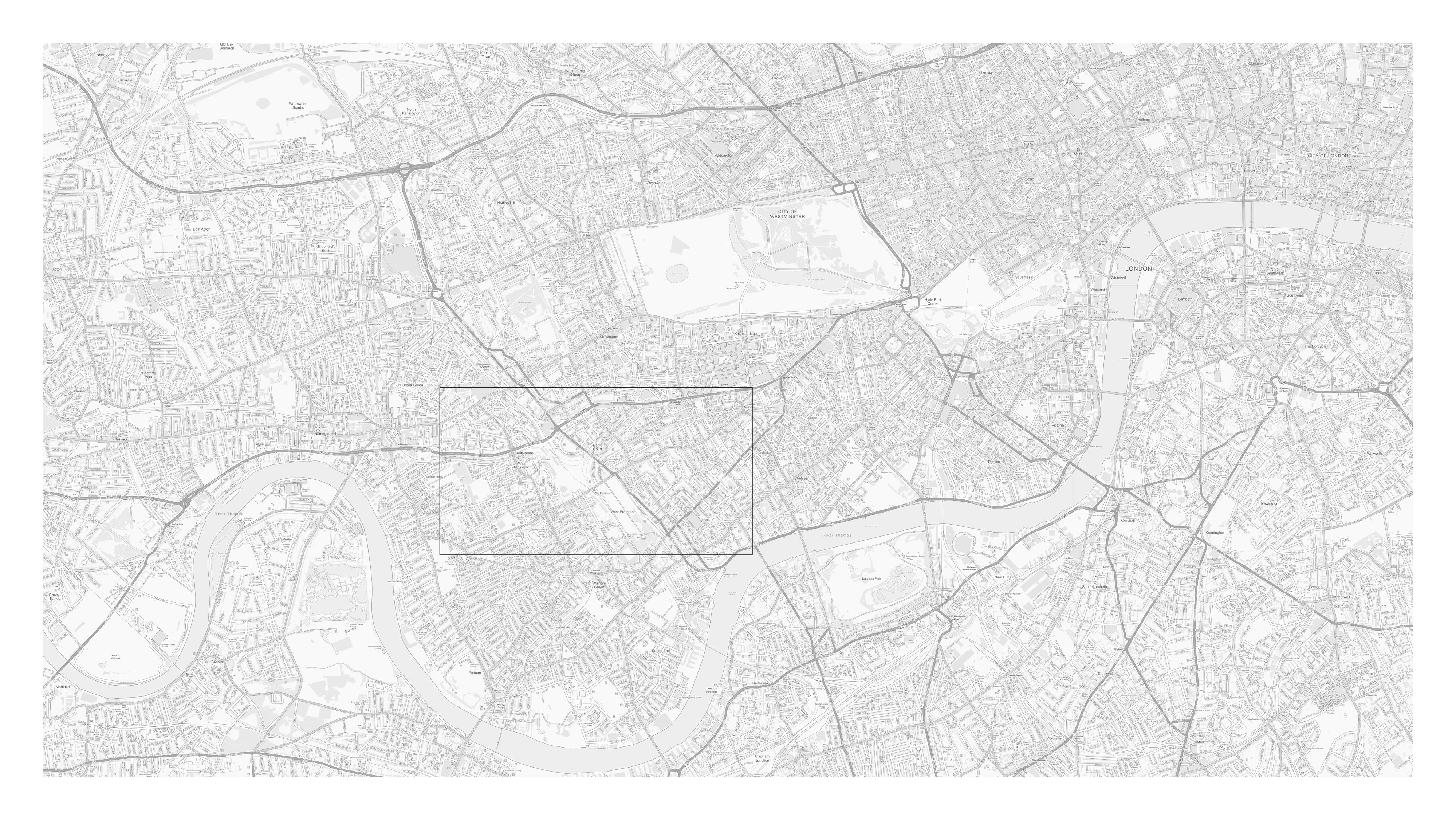
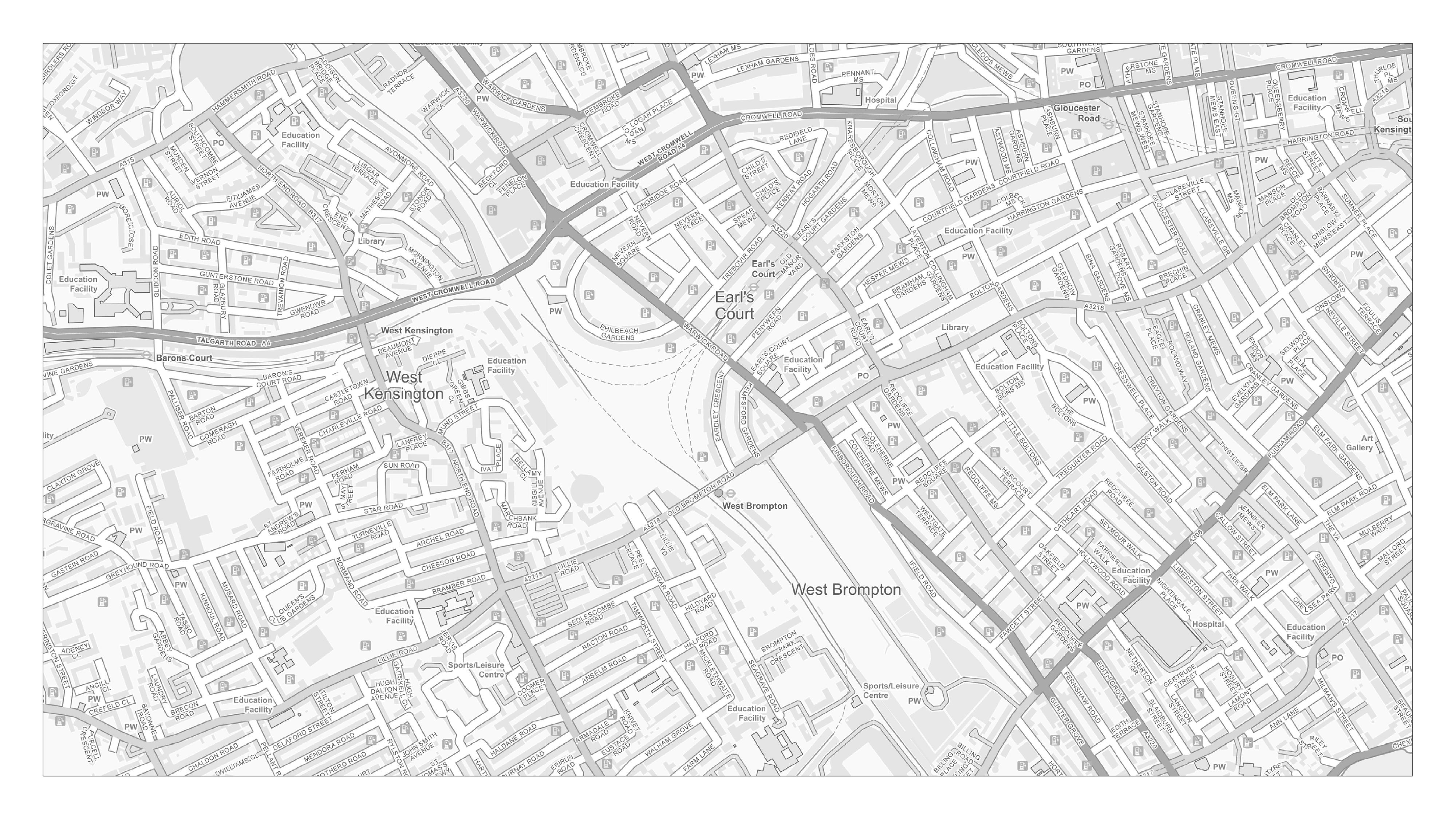
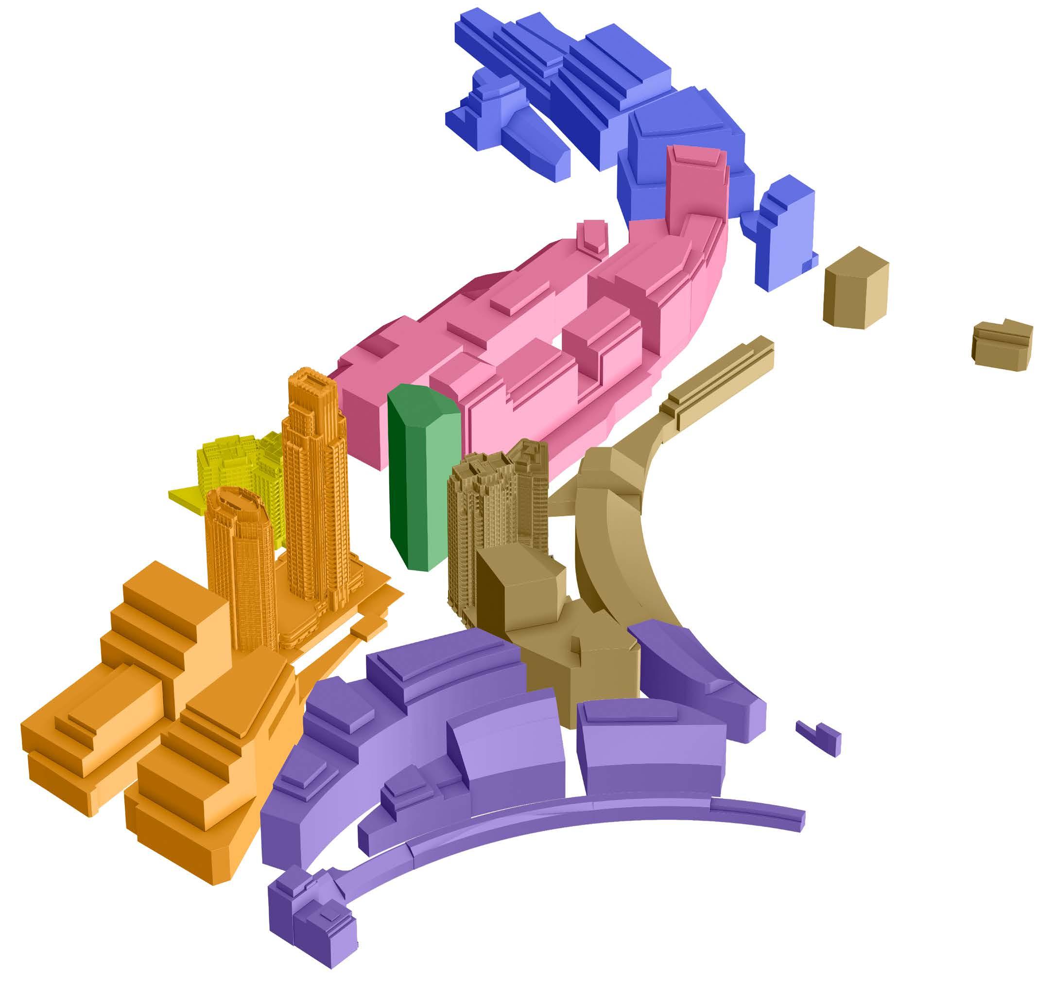
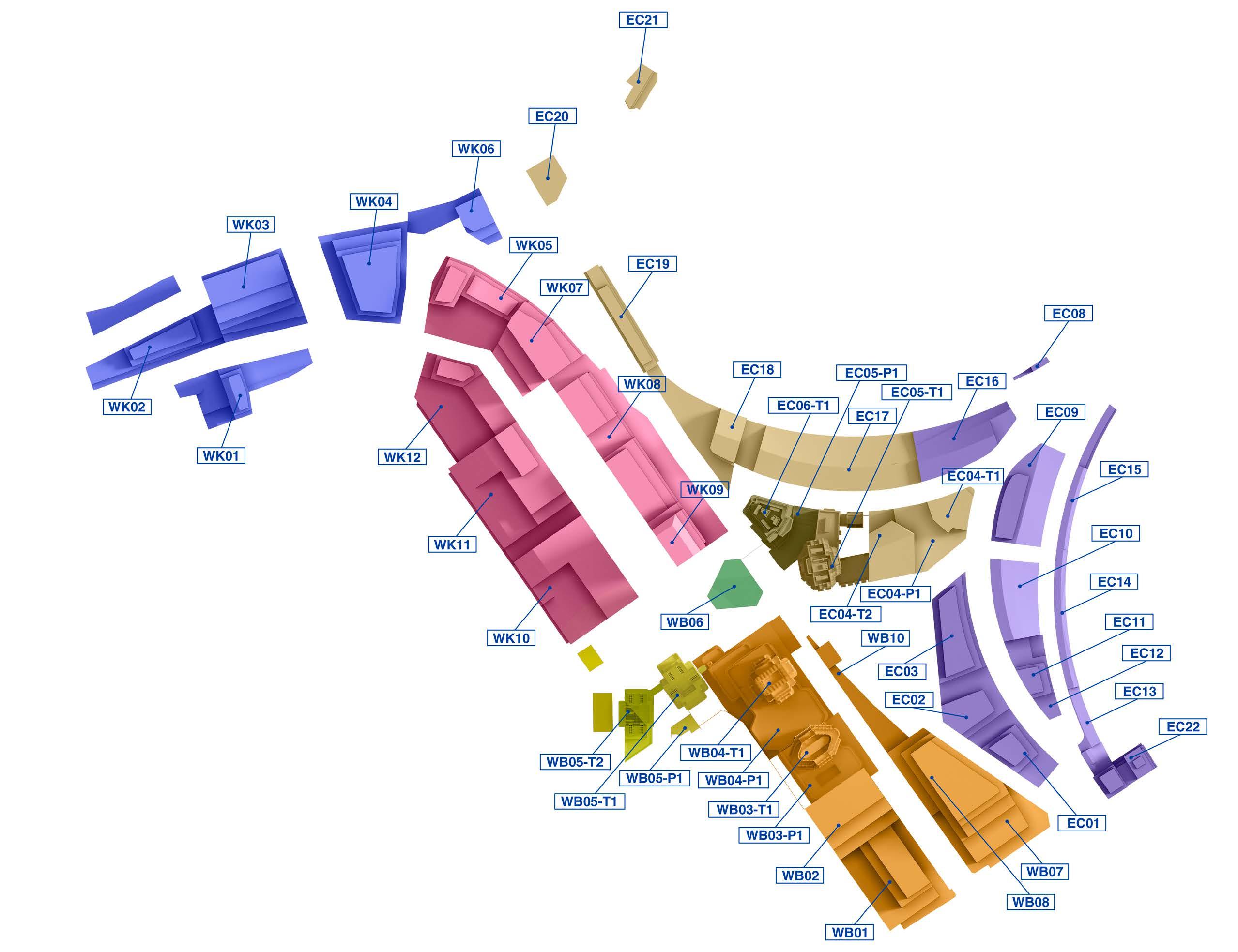
D27568Lx50 24mm 08/04/23 / 09:04
This viewpoint is located at the centre of Blackfriars Bridge, at LVMF Assessment Point 14A.1. The view is looking west (upstream) in the direction of the Site.
Blackfriars Bridge is Victorian (built in 1869 to designs by Joseph Cubitt and H. Carr) and has five segmental (not elliptical) arches, built of iron, with piers of granite. The architectural style is Gothic. Each pier is faced with a polished red granite shaft of massive proportions, having a richly sculpted capital of Portland stone, upon which rests an abacus of sorts, surrounded by sunk quatrefoil panels. It is Grade II listed. Blackfriars Bridge is the only vehicular bridge in London to span so precisely north south across the River Thames, connecting the City of London and Southwark, and it is one of the busiest bridges in London.
The River Thames occupies much of the foreground and middle ground of the view, providing it with an open quality. The South Bank of the river close to the viewpoint is lined by large scale buildings in the form of Sea Containers House and Oxo Tower Wharf to its west. The LTVC (ITV) tower (under scaffold in this photograph) and the National Theatre (Grade II*) appear further west on the South Bank. Waterloo Bridge can be seen to traverse the River Thames in the middle distance, on the right side of the image, with development on the North Bank appearing behind it, including Whitehall Court (Grade II*), a mansion block of 1884 designed by Thomas Archer. Whitehall Court’s distinctive skyline of gabled dormers, finials rising in tiers and ornamental chimney stacks is seen in the backdrop of the South Bank and Waterloo Bridge against the open sky from this position.
The LVMF notes, in regard to the background of the view (p130, paragraph 244), that any development on sites on or behind the river frontage “… should be mindful of the contribution made by the prominent buildings within the view, their prevailing scale and height, and their relationship with the river. It should also contribute to the richness of the skyline. It should not dominate the relationship that buildings have with the river.”
Value attached to the view: This is a view identified in the LVMF, taking in highly graded heritage assets, and it is of High value.
Visual receptors affected: The viewpoint would be frequented by a high number of visitors, workers passing through the area, and some residents of the local area moving along this main thoroughfare.
Susceptibility to change of visual receptors: Visitors would likely be focused on the view along the River looking west and, while workers and local residents on the move may not be focused on views generally, this mid-point of the Bridge forms a natural point of orientation. The susceptibility to change is considered to be High
Sensitivity: High
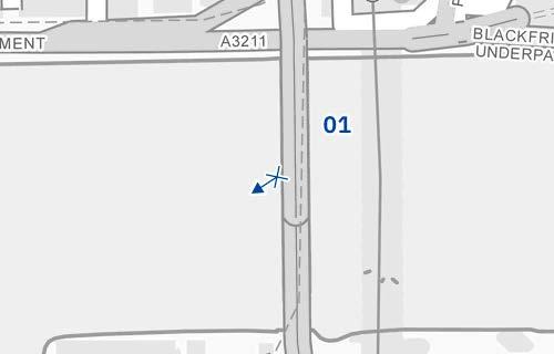
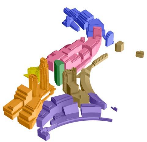
D27568Lx50 50mm 08/04/23 / 09:04
Existing
See assessment text on previous page.

Bridge: upstream
D27568Lx50 50mm 08/04/23 / 09:04
Completed Development - Early Phases
The Early Phases, shown as a dotted line lying behind Whitehall Court, would be completely obscured from sight. It would have No effect on the view.
Magnitude of impact: None
Effect: No effect (not significant)
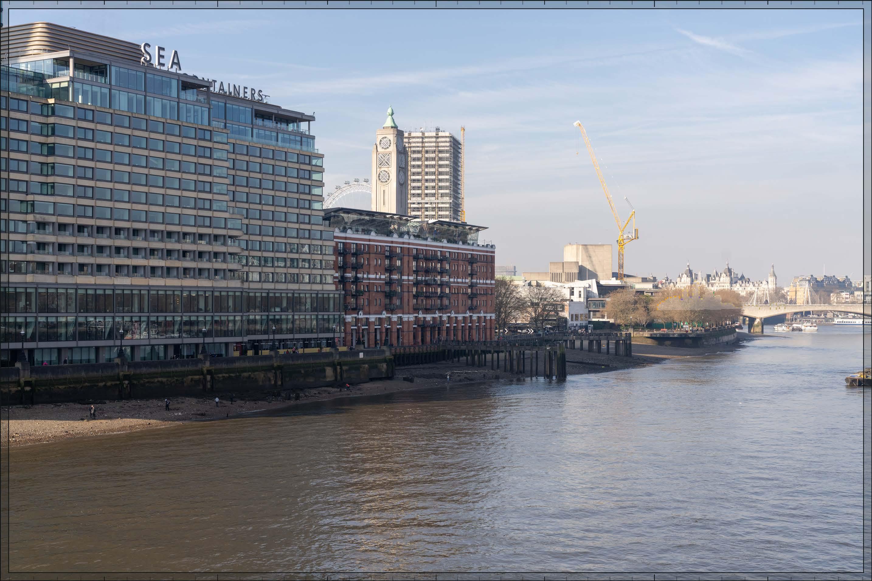
D27568Lx50 50mm 08/04/23 / 09:04
Completed Development - All Phases
All Phases, shown as a dotted line lying behind Whitehall Court, would be completely obscured from sight. It would have No effect on the view.
Magnitude of impact: None
Effect: No effect (not significant)

D27568Lx50 50mm 08/04/23 / 09:04
Completed DevelopmentEarly Phases and cumulative schemes
There would no cumulative schemes visible, and it would remain the case that the Early Phases, shown as a dotted line lying behind Whitehall Court, would be completely obscured from sight. It would have No effect on the view in the cumulative scenario.
Magnitude of impact: None
Effect: No effect (not significant)
D27568Lx50 50mm 08/04/23 / 09:04
Completed DevelopmentAll Phases and cumulative schemes
There would no cumulative schemes visible, and it would remain the case that All Phases, shown as a dotted line lying behind Whitehall Court, would be completely obscured from sight. It would have No effect on the view in the cumulative scenario.
Magnitude of impact: None
Effect: No effect (not significant)
D28149x50 / 24mm 12/03/23 17:28
Barn Elms Playing Fields were originally the grounds of the medieval manor house, Barn Elms, which was replaced by a late 17th century mansion, itself demolished in 1949. Some large plane trees, including one said to be the oldest and largest specimen in London, and an ornamental pond, date from the late 17th century landscaped grounds of the mansion. The grounds were acquired for playing fields in 1949 and now contain sports pitches and a fishing lake and are home to several sports clubs. The view looks east from the western edge of the playing fields close to Rocks Lane, over the perimeter railing and across football pitches, with trees on the edges of the playing fields behind them. A single storey sports pavilions is visible in the middle ground, towards the right edge of the view. In the centre of the view, the skyline of Fulham to the east, including the Empress State Building, is visible through the trees at a distance of approximately 2.5km. To its left is the Kensington Forum hotel on Cromwell Road, approximately 4km distant, and the Rosebank apartment block in Hammersmith to its left, approximately 1.2km distant.
Value attached to the view: this is a representative viewpoint from the playing fields; it is not taken from a specific viewing position of recognised importance; the playing fields is not a designated historic landscape and contains no listed structures; the value of the view is judged to be Low
Visual receptors affected: moderate numbers of visitors engaged in outdoor recreation, mainly using the playing fields for sports and fitness activities.
Susceptibility to change of visual receptors: the playing field is generally used for recreational activities that do not involve or depend on appreciation of views of the surroundings, the attention of receptors is focused on the activity rather than the view, and the susceptibility to change of the receptors is therefore considered to be Low
Sensitivity: Low
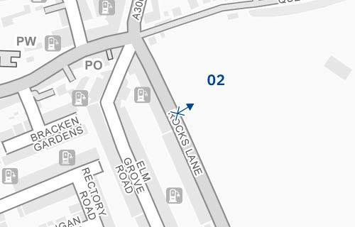
D28149x50 / 50mm 12/03/23 17:28 View 02
Existing
See assessment text on previous page.

D28149x50 / 50mm 12/03/23 17:28
The Early Phases would appear in the distance through a gap in the treeline, to the left of the existing Empress State Building, and at a similar distance from the viewpoint of approximately 4km. It would be partly screened by trees around the park, and there would be a clear sense of separation from the open space of the park in the foreground. While slightly less of the Early Phases would be visible in summer due to tree foliage, this would not be to the extent that the magnitude of impact would be altered. Moving to the left or right of this viewing position the Early Phases would be more obscured by the middle ground trees reducing its impact.
The most visible Detailed Component Plots within the Early Phases would be WB04, EC05 and, to a lesser extent, EC06. Outline Component Plot WB06 would appear in front of Plot EC05 and EC06, at a similar apparent height at maximum parameters to Plot EC05. A small part of Outline Component Plot EC04 would be visible between Plots WB04 and EC05.
Plot WB04 would appear as the tallest building within the Early Phases, and the focal point for it. There would be a balanced composition to either side of it from this viewpoint, with Plots EC05, WB06 and EC06 stepping down progressively in height to its left and the Empress State Building stepping down to its right. Plots EC05 and WB06 would have a similar apparent height to the Empress State Building which would become a well-integrated part of a coherent skyline composition together with the Early Phases.
Plot WB04 would have slender proportions and a visually interesting form, with a series of shoulders stepping up symmetrically to a central ‘crown’. The reduction in massing would be reinforced by the change in materiality, from stone-like solid materials, to lighter, more transparent and reflective materials at the crown. The stepped crown, curved corners and vertical emphasis would provide Plot WB04 with an elegant, Art Deco-inspired appearance. The lower Plot EC05 to its left would have a visually interesting form based on an octagonal plan, and a stepped crown. While different in their detailed articulation and treatment, each of the tall buildings designed in detail would share a familial Art Deco-inspired appearance.
D28149x50 / 50mm 12/03/23 17:28
Completed DevelopmentEarly Phases (continued)
The magnitude of impact would be Low-medium. While the Early Phases would intensify the urban character of the tree-lined edge of the playing fields, which could potentially have a negative effect on the quality of their visual amenity, this would be balanced by the positive impact of the formation of a coherent composition on the skyline, the relatively fleeting distant nature of the effect, and the high architectural quality of its component parts (either designed in detail or Outline Component Plots to be developed in line with the Design Codes, and expected to achieve the same level of quality). The Early Phases would not therefore alter the quality of the visual amenity in the setting of the playing fields. The resulting effect would be Neutral in nature.
Magnitude of impact: Low-medium
Effect: Minor in scale, Neutral in nature (not significant)
Completed Development - All Phases
In addition to the plots visible in the Early Phases scenario, Outline Component Plot WK09 would appear further north of Outline Component Plot WB06 (left). It would have a lower apparent height than Plot WB04 and WB06, contributing to a coherent progressive stepping down in height from the peak of Plot WB04. The overall magnitude of impact and the scale and nature of the effect would not alter in comparison to the assessment of the Early Phases.
Magnitude of impact: Low-medium
Effect: Minor in scale, Neutral in nature (not significant)
D28149x50 / 50mm 12/03/23 17:28
Completed DevelopmentEarly Phases and cumulative schemes
There would be no cumulative schemes visible, and the effect of the Early Phases in the cumulative scenario would remain as set out above for the Early Phases considered in isolation.
Magnitude of impact: Low-medium
Effect: Minor in scale, Neutral in nature (not significant)

D28149x50 / 50mm 12/03/23 17:28 View 02
Completed DevelopmentAll Phases and cumulative schemes
There would be no cumulative schemes visible, and the effect of All Phases in the cumulative scenario would remain as set out above for All Phases considered in isolation.
Magnitude of impact: Low-medium
Effect: Minor in scale, Neutral in nature (not significant)

D27764x50 / 24mm 06/03/23 10:30
The view is taken from the steps of the Grade listed Holland House looking south, across an open sports pitch beyond a fence, with a tree prominent in the foreground and trees that enclose the southern edge of Holland Park seen in the middle distance. One of the seven to nine storey Holland Green residential blocks by OMA (completed in 2016) is visible at the left edge of the image. Two nine storey post-war apartment blocks on Park Close are visible against the sky towards the centre of the view at a similar scale, providing strong definition to the southern end of the park. The Empress State Building is distantly visible behind and to the left of the right-hand block on Park Close. Because of the Empress State Building’s distance, approximately 1.5km from the viewing position, it appears as a recessive form in comparison to the foreground blocks on Park Close. During summer, trees in leaf would screen some of the skyline beyond the cricket ground.
Value attached to the view: this is representative of views from the northern part of Holland Park, which are valued RBKC borough panoramic views identified in the Building Height in the Royal Borough SPD and the draft RBKC Local Plan. The park is a Grade II listed RPGSHI within the Holland Park Conservation Area and forms the setting for the Grade I listed Holland House behind the viewing position and the Grade II* listed former Commonwealth Institute, now the Design Museum, out of shot on the left in the middle ground of the view. The value of the view is judged to be High
Visual receptors affected: moderate numbers of visitors to the Design Museum, Holland House, and Holland Park; moderate numbers of local residents engaged in outdoor recreation, mainly using the park for sports and fitness activities, dog walking and children’s play.
Susceptibility to change of visual receptors: although the northern part of the park is often used for outdoor recreation that does not depend on appreciation of views, the setting of Holland Park contributes to the visual experience of visitors to the Design Museum and Holland House. Susceptibility to change is therefore judged to be High
Sensitivity: High
D27764x50 / 50mm 06/03/23 10:30
Existing
See assessment text on previous page.
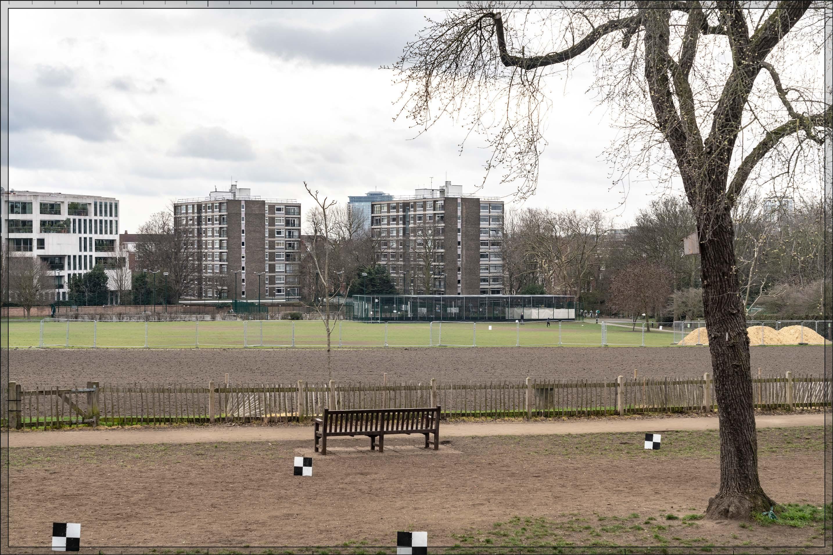
D27764x50 / 50mm 06/03/23 10:30
The Early Phases would appear in the middle distance, in front of and to the left of the Empress State Building and between the two post-war Park Close apartment blocks further in the foreground. It would be seen in relation to the established modern backdrop to the south of the park and would not affect views northwards towards the Grade I listed Holland House, which is the focal point of views from this location. It would be partly screened by trees within the park, and there would be a clear sense of separation between it and the open space of the park in the foreground. While slightly less of the Early Phases would be visible in summer due to tree foliage, the change to the skyline would still be clearly visible and this would therefore not be to the extent that the magnitude of impact would be altered.
The most visible Plots within the Early Phases would be Detailed Component Plots WB04, WB03, EC05 and EC06, and Outline Component Plot WB06. Plot WB04 would appear as the tallest building within the Early Phases, and the focal point for it. It would have slender proportions and a visually interesting form, with a series of shoulders stepping up symmetrically around a central ‘crown’. The reduction in massing would be reinforced by the change in materiality, from stone-like solid materials, to lighter, more transparent and reflective materials at the crown. The stepped crown, curved corners and vertical emphasis would provide Plot WB04 with an elegant, Art Deco-inspired appearance.
Plot EC05, to the left of WB04, would have the next greatest apparent height. Plot EC05 would have a visually interesting form, based on an octagonal plan, and a stepped crown. Plot WB03 would be seen to small extent behind Plots WB04 and EC05, and Plot EC06 would be seen at a lower apparent height and largely screened by trees, both with forms and appearances that would differ from the other visible buildings, while having a familial resemblance to them. Outline Component Plot WB06 would appear at a similar apparent height to Plot EC05.
The arrangement of heights within the central cluster would create a well-articulated skyline, with Detailed Component Plot WB04 appearing as a singular landmark building at its centre, legibly taller and with a distinctive strongly modelled crown. While the individual buildings would overlap in this view, their forms and different architectural expressions would ensure that they would be distinguishable from each other minimising the effect of coalescence. The Empress State Building, seen partially to the right of Plot WB04, would be drawn into the cluster, appearing consistent with the range of heights apparent within the Proposed Development and adding to the cluster’s overall coherent form.
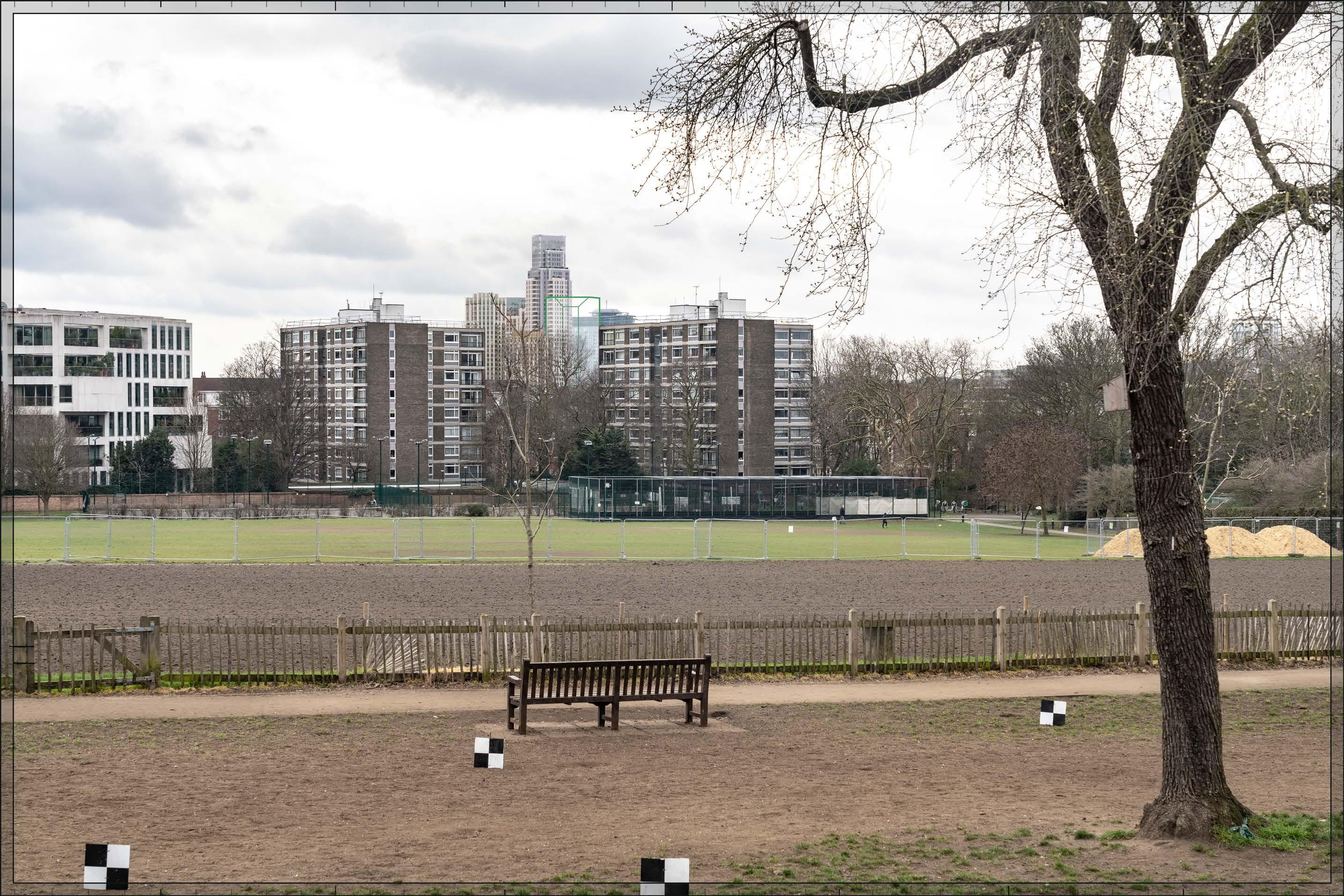
D27764x50 / 50mm 06/03/23 10:30
The magnitude of impact would be Medium. While the Early Phases’s visibility in and above the sky gap between the Park Close blocks would intensify the urban character to the south of the park and could potentially have a negative effect on the quality of the visual amenity of the park, this would be balanced by the positive impact of the formation of a coherent composition on the skyline, the visibility of the Early Phases in relation to a backdrop that is already modern in character, and the high architectural quality of its component parts (either designed in detail or Outline Component Plot to be developed in line with the Design Codes and expected to achieve the same level of quality). The Early Phases would not therefore alter the quality of the visual amenity of Holland Park. The overall effect would be Neutral
Magnitude of impact: Medium
Effect: Moderate in scale, Neutral in nature (significant)
In addition to the plots visible in the Early Phases scenario, Outline Component Plots WK09, WK04, WK05 and WK06 would be visible. Outline Component Plot WK09 would be visible to a small extent, adjacent to Outline Component Plot WB06 and at a lower apparent height. The other Outline Component Plots WK05, WK06 and WK04 would appear at a lower apparent height to that of the central tall buildings of Plots WB04, WB03, EC05 and WB06 within the Proposed Development, stretching to the right across the image. The Outline Component Plots would each have a massing at maximum parameters that would step down in the direction of the viewpoint. In other respects, the assessment as set out in the Early Phases scenario would remain valid. The overall magnitude of impact and the scale and nature of the effect would not alter in comparison to the assessment of the Early Phases.
Magnitude of impact: Medium
Effect: Moderate in scale, Neutral in nature (significant)
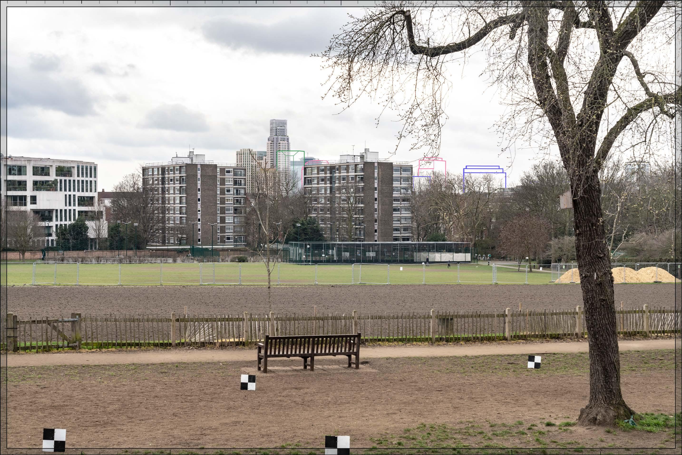
D27764x50 / 50mm 06/03/23 10:30
Completed DevelopmentEarly Phases and cumulative schemes
The cumulative scheme at 100 West Cromwell Road would appear in the distance, behind and to the right of one of the Park Close blocks. The tower within that cumulative scheme would have a similar apparent height to that of Plot WB04 within the Early Phases, and would form a dramatic visual relationship with Plot WB04 on the skyline. The lower blocks within 100 West Cromwell Road would appear at a lower apparent height to the right of the existing Park Close block, adding coherently to a background of large-scale modern development in the distance. The scale and nature of the effect of the Early Phases would remain the same in this cumulative scenario as set out above for the Early Phases considered in isolation.
Magnitude of impact: Medium
Effect: Moderate in scale, Neutral in nature (significant)

D27764x50 / 50mm 06/03/23 10:30 View 03
Completed DevelopmentAll Phases and cumulative schemes
As in the Early Phases scenario, the tower within 100 West Cromwell Road would have a similar apparent height to that of Plot WB04, and would form a dramatic visual relationship with it on the skyline. The lower blocks within 100 West Cromwell Road would appear at a lower apparent height than Outline Component Plots WK04, WK05 and WK06, in front of them, and adding coherently to a layered background of large scale modern development in the distance. While 100 West Cromwell Road would partly obscure those Outline Component Plots from sight, the scale and nature of the effect of the All Phases would remain the same overall in this cumulative scenario as set out above for the All Phases considered in isolation.
Magnitude of impact: Medium
Effect: Moderate in scale, Neutral in nature (significant)
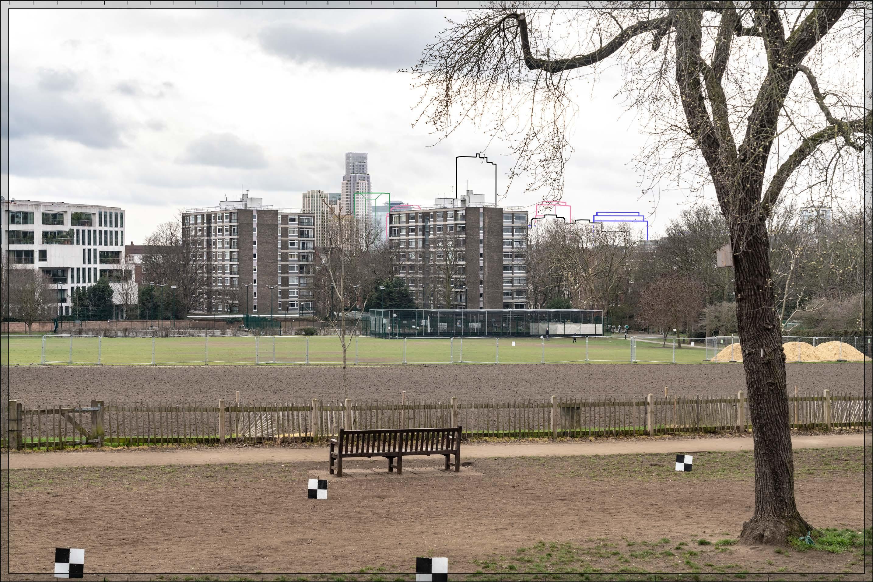
D27765x50 / 24mm 06/03/23 12:28
The view looks south-west from the north-west edge of the Round Pond where it meets Budge’s Walk. Long views towards Earls Court from here are created by the open expanse of water but elsewhere the park is heavily tree-ed. An almost continuous tree line is visible beyond the pond with an articulated skyline of buildings visible through and above the trees. To the left of centre in the view is the 12-storey Royal Garden Hotel on Kensington High Street designed by Richard Seifert and Partners in 1965, reclad in 1997. This viewing position was selected because the Empress State Building adjacent to the Site is visible through a gap in the treeline, to the left of the Royal Garden Hotel. To the right of the hotel is the cupola of 36-38 Kensington High Street, the tops of two glazed stairwells with projecting flag poles of the Grade II listed former Barker’s department store on Kensington High Street, and the tall spire of St Mary Abbotts on Kensington Church Street (listed Grade II*) which punctuates the skyline. On the right-hand edge of the view is part of the Grade I listed Kensington Palace visible through a gap in the trees. In the left-hand half of the view buildings along Kensington Road are glimpsed through the trees.
Value attached to the view: this is representative of views from the east side of the Round Pond, which are valued RBKC borough townscape views identified in the Building Height in the Royal Borough SPD and the RBKC draft Local Plan. Kensington Gardens is a Grade I listed historic landscape, mainly within the City of Westminster’s Royal Parks Conservation Area and forms the setting for the Grade I listed Kensington Palace. The value of the view is judged to be High
Visual receptors affected: moderate numbers of visitors to Kensington Palace and Kensington Gardens; moderate numbers of local residents engaged in outdoor recreation, mainly using the park for sports and fitness activities, dog walking and children’s play.
Susceptibility to change of visual receptors: although the park is often used for outdoor recreation that does not depend on appreciation of views, views do contribute to the scenic experience of the park for many visitors and the setting of Kensington Gardens contributes to the visual experience of visitors to Kensington Palace. Susceptibility to change is therefore judged to be High
Sensitivity: High
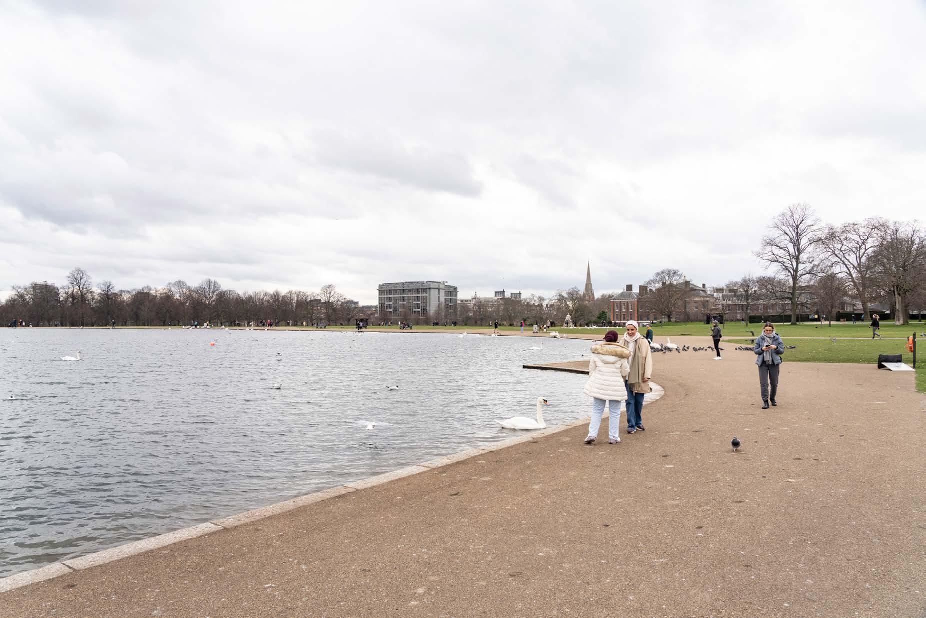
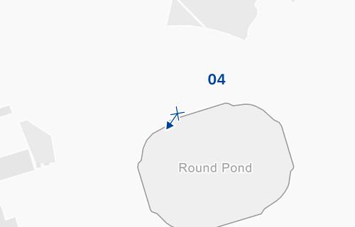
D27765x50 / 50mm 06/03/23 12:28
See assessment text on previous page.
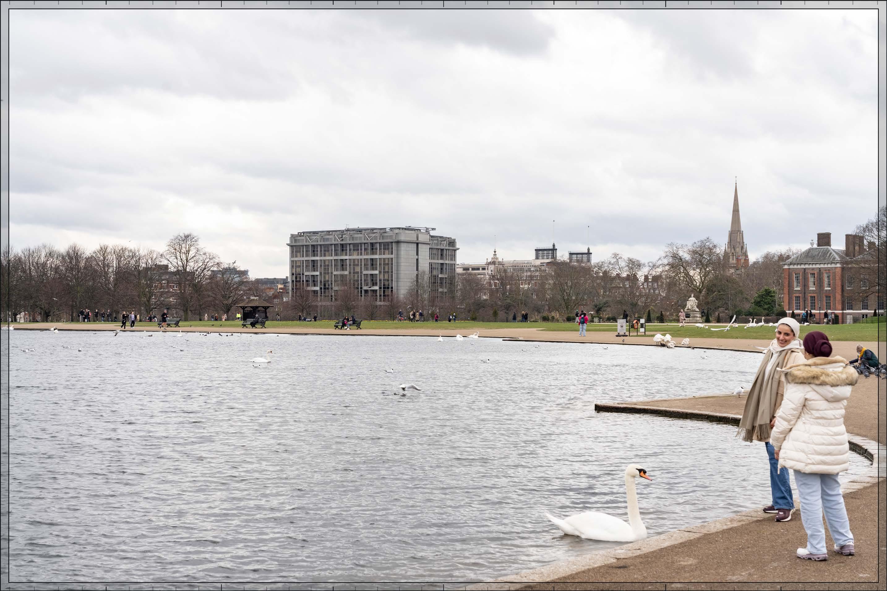
D27765x50 / 50mm 06/03/23 12:28
The Early Phases would appear in the middle distance, more than 2 km away, in front of the Empress State Building and behind other buildings beyond Kensington Gardens. It would be partly screened by trees within the park, and more integrated within the treeline from other locations around the Round Pond. There would be a clear sense of separation between it and the open space of the park and the buildings, monuments and landscape features within it in the foreground. While less of the Early Phases would be visible in summer due to tree foliage, due to the gap in the treeline, this would not be to the extent that the magnitude of impact would be altered. Due to the alignment of the Site in relation to the park, the Early Phases would not be visible in the backdrop of Kensington Palace or the other skyline features to the right of the Royal Garden Hotel from other positions around the Round Pond.
Detailed Component Plot WB04 would be the most visible and tallest plot within the Early Phases. Its apparent height would be lower than that of the large-scale Royal Garden Hotel closer to the viewpoint. Plot WB04 would have slender proportions and a visually interesting form, with a series of shoulders stepping up symmetrically to a central ‘crown’. The reduction in massing would be reinforced by the change in materiality, from stone-like solid materials, to lighter, more transparent and reflective materials at the crown. The stepped crown, curved corners and vertical emphasis would provide Plot WB04 with an elegant, Art Deco-inspired appearance.
Detailed Component Plot EC05 would appear at a lower apparent height in front of Plot WB04. It would have a visually interesting form, based on an octagonal plan and a stepped crown. Detailed Component Plot WB03 would be seen to a small extent to the left of Plots WB04 and EC05, at a lower apparent height and largely screened by trees such that it would have little visual impact. Outline Component Plot WB06 would be seen to the right of Plot WB04, at a similar height to Plot EC05. To the limited extent that they would be seen, the arrangement of heights would result in a varied skyline within the cluster, arranged around a clear taller focal point in the form of Plot WB04 with a distinctive, strongly modelled crown.
The magnitude of impact would be Low-medium. While the Early Phases would form a coherent composition and would include high quality buildings, its limited visibility at this distance, in relation to the established modern backdrop to the Round Pond in this location created by the closer Royal Garden Hotel, would not materially alter the quality of the visual amenity of views from the Round Pond, and the nature of effect is therefore assessed as Neutral
Magnitude of impact: Low-medium
Effect: Moderate in scale, Neutral in nature (significant)
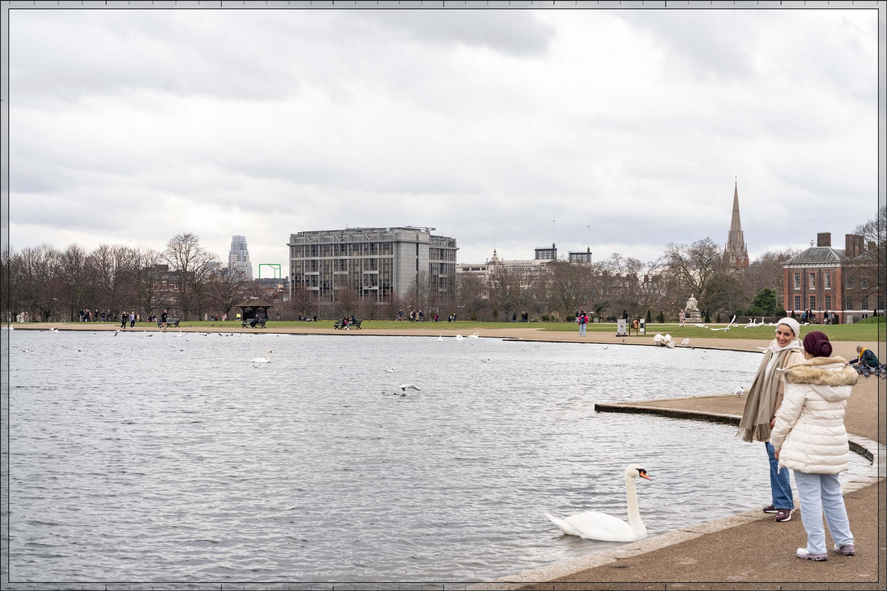
D27765x50 / 50mm 06/03/23 12:28
Completed Development - All Phases
No further Plots would be visible in the All Phases scenario compared to the Early Phases scenario. The magnitude of impact and the scale and nature of the effect would not alter in comparison to the assessment of the Early Phases.
Magnitude of impact: Low-medium
Effect: Moderate in scale, Neutral in nature (significant)

D27765x50 / 50mm 06/03/23 12:28
Completed DevelopmentEarly Phases and cumulative schemes
The cumulative scheme at 100 West Cromwell Road would appear to the right of the Royal Garden Hotel, at a similar apparent height to that of Plot WB06 and Plot EC05 within the Early Phases. It would be seen at a similar distance from the viewpoint as the Early Phases and would add to a background layer of tall modern development in the distance, although the separation between it and the Early Phases on the skyline would be such that there would not be a strong visual relationship between them. The scale and nature of the effect of the Early Phases would remain the same in this cumulative scenario as set out above for the Early Phases considered in isolation.
Magnitude of impact: Low-medium
Effect: Moderate in scale, Neutral in nature (significant)

D27765x50 / 50mm 06/03/23 12:28
Completed DevelopmentAll Phases and cumulative schemes
As no further Plots would be visible in the All Phases scenario compared to the Early Phases, the assessment of effect of All Phases in the cumulative scenario would remain as set out above for the Early Phases in the cumulative scenario.
Magnitude of impact: Low-medium
Effect: Moderate in scale, Neutral in nature (significant)

D28539x50 / 24mm 09/05/23 16:54
Trees lining Chelsea Embankment dominate the view of the north bank of the River Thames between Chelsea Bridge and Albert Bridge, which is within the RBKC Thames Conservation Area. The buildings lining Chelsea Embankment are seen through the trees. The grounds of the Grade I listed Royal Hospital, within the Royal Hospital Conservation Area, appear to the right of centre, with Kensington Forum Hotel on Cromwell Road, designed by Richard Seifert and Partners (1971-2), seen further in the distance, behind the tower of the Church of St. Luke’s and Christ Church. The very top of the Empress State Building is visible above the roofs of terraces on Cheyne Walk towards the left of centre in the view and further to the left is the stepped profile of the 15-storey tower at 355 King’s Road designed by Chamberlin, Powell and Bon, completed in 1970. Further to the left, the distinctive towers of the World’s End Estate punctuate the skyline beyond the Grade II* listed Albert Bridge.
Value attached to the view: this is representative of views upstream from the Grade II listed Chelsea Bridge, which are valued RBKC borough townscape views identified in the Building Height in the Royal Borough SPD and the draft RBKC Local Plan. The view is also representative of river views from the northern edge of the Grade II* listed landscape of Battersea Park within the London Borough of Wandsworth’s Battersea Park Conservation Area. The value of the view is judged to be High
Visual receptors affected: high numbers of residents, workers and visitors using the Thames Path and Chelsea Bridge to travel between destinations; small numbers of visitors engaged in outdoor recreation, walking the scenic route of the Thames Path.
Susceptibility to change of visual receptors: the Thames Path is a recognised scenic route through London. River bridges are important points of orientation at which views of the surroundings contribute to the scenic experience of the viewer. Susceptibility to change is therefore judged to be High
Sensitivity: High
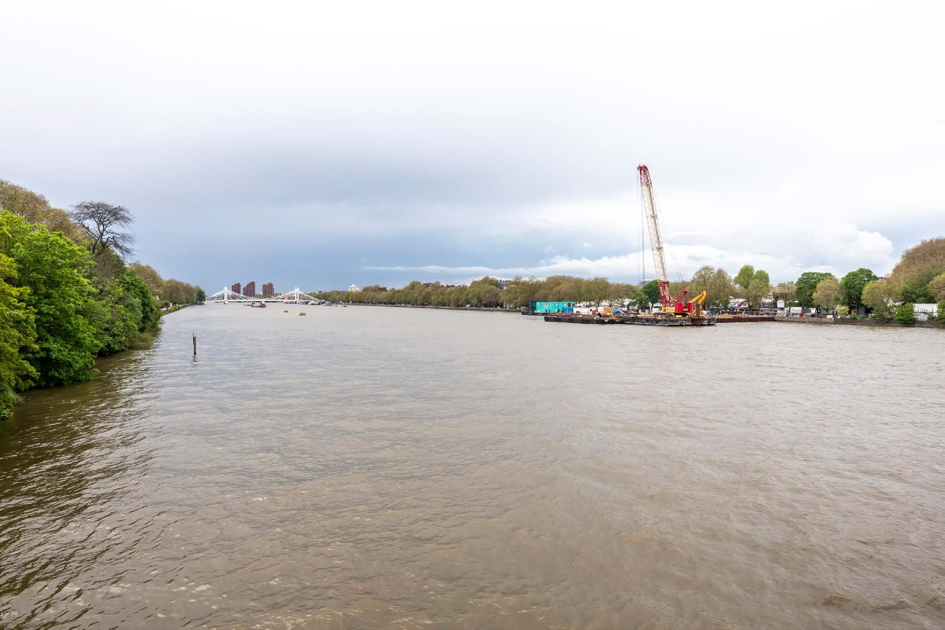
View 05
D28539x50 / 50mm 09/05/23 16:54
Existing
See assessment text on previous page.
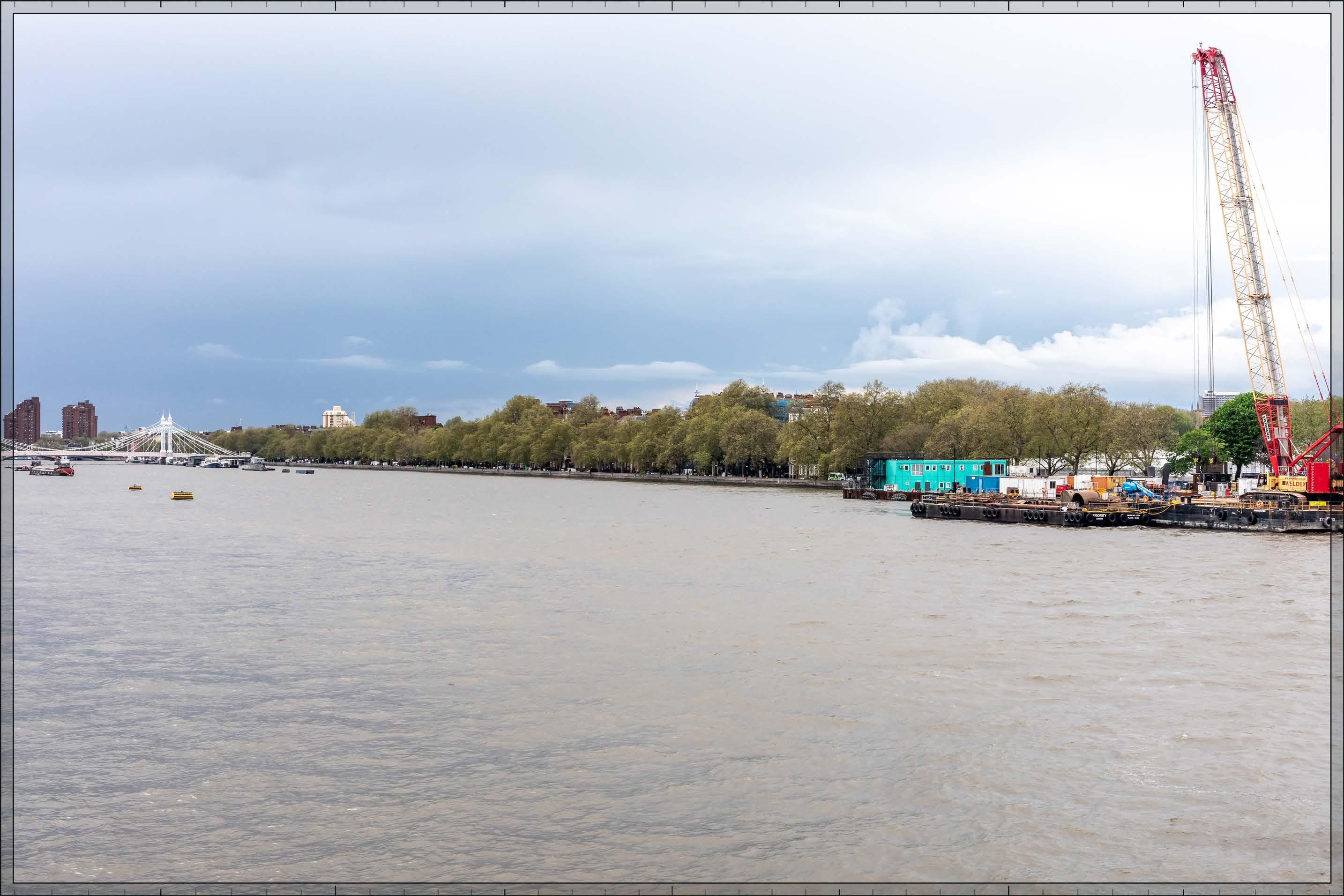
D28539x50 / 50mm 09/05/23 16:54
The upper part of Detailed Component Plot WB04 within the Early Phases would be visible at a distance of more than 3 km. A small part of the top of Detailed Component Plot WB03 would be visible to the left of Plot WB04, and a small part of Detailed Component Plot EC05 and Outline Component Plot WB06 would be visible to the right of Plot WB04. They would all appear as part of a background layer of townscape, beyond and separate from buildings within the Cheyne Conservation Area and the Thames Conservation Area, well to the west (left) of the Royal Hospital and seen in relation to other tall buildings that also punctuate the secondary skyline beyond the river frontage. The Detailed Component of the Early Phases is modelled as a chalk render, which shows the scale form and articulation of the Detailed Component Plots, but not the proposed materials or the effects of distance on their visibility. Plots WB03 and EC05, and Plot WB06, would have a similar apparent height to each other equivalent to that of the existing Empress State Building, 355 King’s Road and the towers of the World’s End Estate. They would be seen to a minor extent, consistent with the existing character of the background of the view. Due to the alignment of the view, from this position the scale of Plot WB04 would appear relatively prominent above the foreground, with greater apparent height than other tall buildings on the secondary skyline, as a distant focal point within the view. It would appear as a singular landmark building with a distinctive, strongly modelled crown, legibly marking Earls Court from the River Thames. However, it would appear visibly distant in comparison to the foreground and would shift in relation to the foreground and recede in height moving westwards along the River Thames as demonstrated by View 6, creating clear separation from the historic foreground. Plot WB04 would have slender proportions and a visually interesting form, with a series of shoulders stepping up symmetrically to a central ‘crown’. The reduction in massing would be reinforced by the change in materiality, from stone-like solid materials, to lighter, more transparent and reflective materials at the crown. The stepped crown, curved corners and vertical emphasis would provide Plot WB04 with an elegant, Art Deco-inspired appearance.
The magnitude of impact would be Medium. While the Early Phases would alter the skyline and introduce a further modern element on the secondary skyline, which could potentially have a negative effect on the quality of the visual amenity of the Thames Path, this would be mitigated by the distant nature of the effect and the established taller modern development visible in the backdrop of the Thames, and balanced by the positive impact of the high architectural quality of Plot WB04. The Early Phases would not therefore alter the quality of the visual amenity of this part of the Thames Path. The resulting effect would be Neutral in nature.
Magnitude of impact: Medium

D28539x50 / 50mm 09/05/23 16:54 View 05
No further Plots would be visible in the All Phases scenario compared to the Early Phases scenario. The overall magnitude of impact and the scale and nature of the effect would not alter in comparison to the assessment of the Early Phases.
Magnitude of impact: Medium
Effect: Moderate in scale, Neutral in nature (significant)
D28539x50 / 50mm 09/05/23 16:54 View 05
The Edith Summerskill House cumulative scheme would be visible in the distance, to the left of 355 King’s Road and at a lower apparent height than it. The appearance of this cumulative scheme would be consistent with the existing character of the background of the view, and it would be set well to the side of the Early Phases on the skyline, having no meaningful visual interaction with it. The effect of the Early Phases in the cumulative scenario would remain as set out above for the Early Phases considered in isolation. Magnitude of impact: Medium
Effect: Moderate in scale, Neutral in nature (significant)
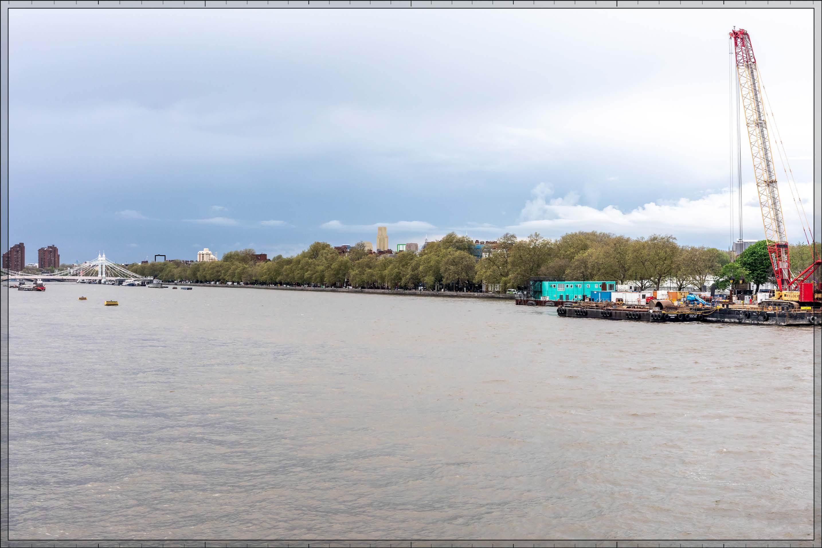
D28539x50 / 50mm 09/05/23 16:54 View 05
Completed DevelopmentAll Phases and cumulative schemes
As no further Plots would be visible in the All Phases scenario compared to the Early Phases, the assessment of effect of All Phases in the cumulative scenario would remain as set out above for the Early Phases in the cumulative scenario.
Magnitude of impact: Medium
Effect: Moderate in scale, Neutral in nature (significant)
In the foreground of the view is the broad expanse of the River Thames, with buildings lining Cheyne Walk and Chelsea Embankment within the Thames Conservation Area and Cheyne Conservation Area seen through the trees in the middle ground of the view. The Grade II* listed Albert Bridge is out of view to the right. Clearly visible through a gap in the trees at the right edge of the view is the tower of the Grade I listed Chelsea Old Church (All Saints Chelsea), which was rebuilt in the 1950s following bomb damage. Further left in red brick with gables facing the embankment is the Grade II* listed Crosby Hall, moved from its original site in Bishopsgate (City of London) to its present location in 1910 by Patrick Geddes. The red-brick apartment block of More’s Garden lies to its left. Projecting above the rooftops and trees in the centre of the view is the lighter chamfered profile of the 15-storey tower at 355 King’s Road designed by Chamberlin, Powell and Bon, completed in 1970. To its left on the distant horizon the very top of the Empress State Building is almost completely concealed by treetops and chimneys. Three taller slim flues, part of the Chelsea and Westminster Hospital on Fulham Road, are visible to the left of the Empress State Building. The distinctive brown brick towers of the World’s End Estate, designed by Eric Lyons, Cadbury-Brown and Metcalf and Cunningham, completed in 1977, are visible beyond the Grade II listed Battersea Bridge to the left.
Value attached to the view: this is representative of river views from the south side of the Thames into the Thames Conservation Area, which are valued RBKC borough townscape views identified in the Building Height in the Royal Borough SPD and the draft RBKC Local Plan. Chelsea Old Church is Grade I listed. The value of the view is judged to be High
Visual receptors affected: high numbers of residents, workers and visitors using the Thames Path to travel between destinations; small numbers of visitors engaged in outdoor recreation, walking the scenic route of the Thames Path.
Susceptibility to change of visual receptors: the Thames Path is a recognised scenic route through London and views from it make an important contribution to its character.
Susceptibility to change is therefore judged to be High.
Sensitivity: High
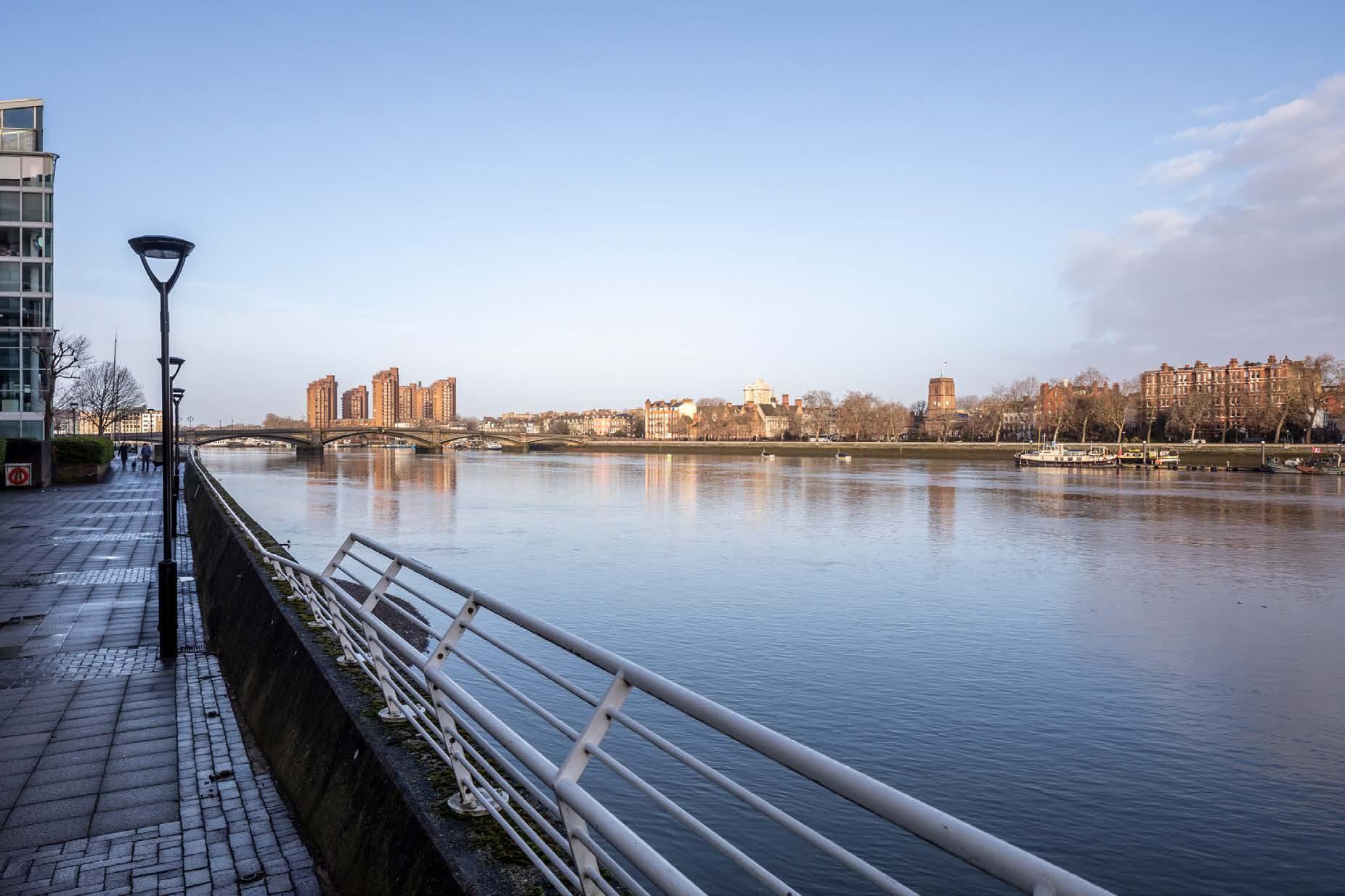
D28145x50 / 50mm 12/03/23 07:24 View 06
Existing
See assessment text on previous page.
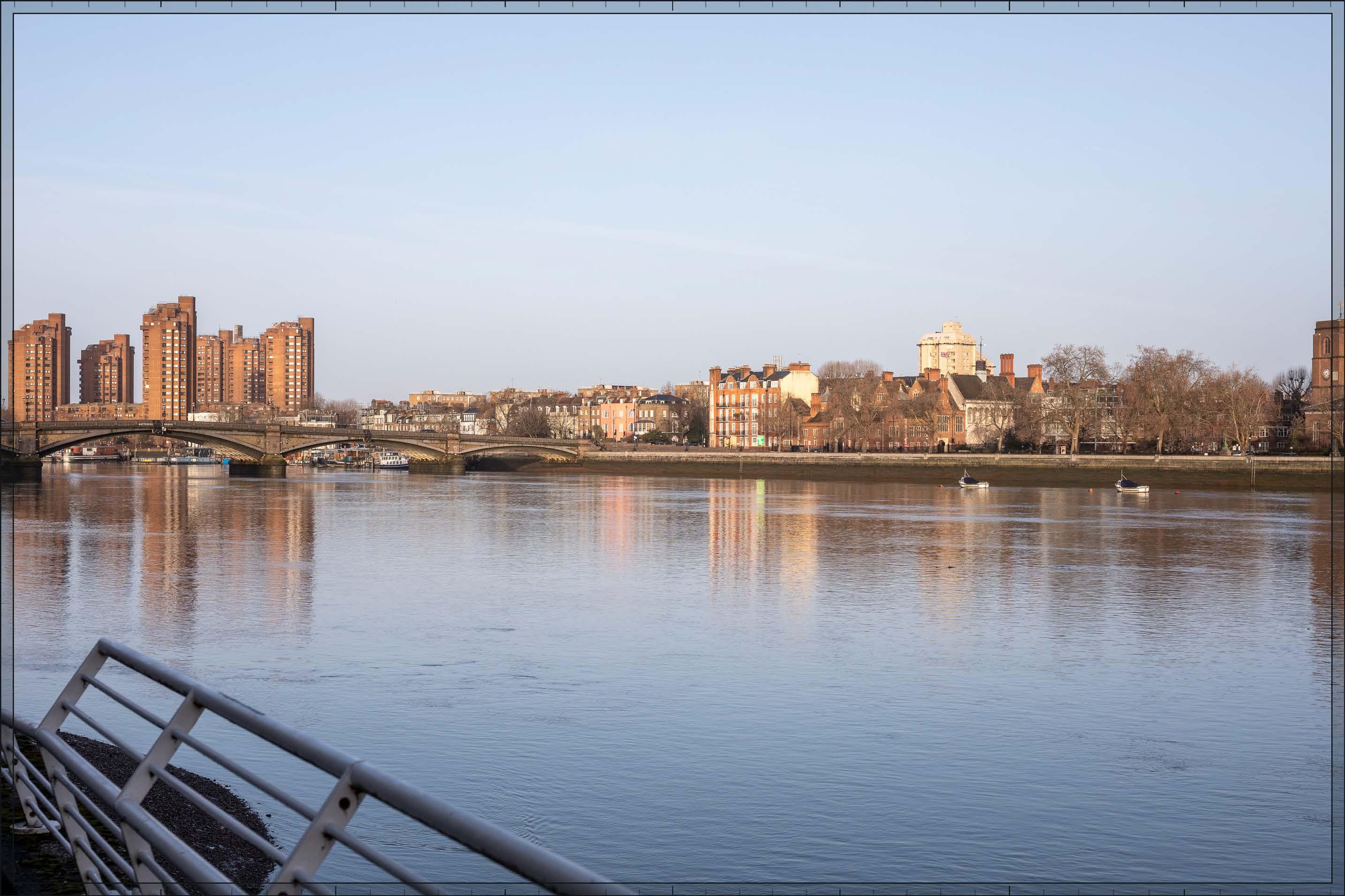
D28145x50 / 50mm 12/03/23 07:24
The upper part of Detailed Component Plot WB04 within the Early Phases would be visible at a distance of more than 2 km, at a similar apparent height to that of the existing 355 King’s Road to its right and lower than that of the existing towers of the World’s End estate to its left, all of which lie closer to the viewpoint. A small part of the top of Detailed Component Plot WB03 would be visible to the left of Plot WB04, to an extent that would be barely noticeable, and a small part of the top of Outline Component Plot WB06 would be visible to the right of Plot WB04. They would all appear as part of a background layer of townscape, beyond and separate from buildings within the Cheyne Conservation Area and the Thames Conservation Area, seen in relation to other tall buildings that also punctuate the secondary skyline beyond the river frontage.
Plot WB04 would be visible behind the Grade II* listed Crosby Hall, in a similar manner to 355 King’s Road, and appearing beyond and separate from Crosby Hall. Plot WB04 would appear equivalent in height to 355 Kings Road but more distant and it would have slender proportions and a visually interesting form, with a series of shoulders stepping up symmetrically to a central ‘crown’. The reduction in massing would be reinforced by the change in materiality, from stone-like solid materials, to lighter, more transparent and reflective materials at the crown. The stepped crown, curved corners and vertical emphasis would provide Plot WB04 with an elegant, Art Deco-inspired appearance. The other visible plots would be secondary features on the skyline, consistent with the existing character of the background of the view.
The magnitude of impact would be Low. While the Early Phases would alter the skyline and introduce a further modern element on the secondary skyline, which could potentially have a negative effect on the quality of the visual amenity of the Thames Path, this would be mitigated by the distant nature of the effect and the established taller modern development visible in the backdrop of the Thames, and balanced by the positive impact of the high architectural quality of Plot WB04. The Early Phases would not therefore alter the quality of the visual amenity of this part of the Thames Path. The resulting effect would be Neutral in nature.
Magnitude of impact: Low
Effect: Minor-moderate in scale, Neutral in nature (not significant)

D28145x50 / 50mm 12/03/23 07:24
No further Plots would be visible in the All Phases scenario compared to the Early Phases scenario, and the assessment of effect as set out above would remain valid. The magnitude of impact and the scale and nature of the effect would not alter in comparison to the assessment of the Early Phases.
Magnitude of impact: Low
Effect: Minor-moderate in scale, Neutral in nature (not significant)

View 06
D28145x50 / 50mm 12/03/23 07:24
The Edith Summerskill House cumulative scheme would be visible in the distance, to the right of the World’s End Estate and at a lower apparent height than the towers within that existing development. The cumulative scheme at 100 West Cromwell Road would appear to the right of 355 King’s Road, at a lower apparent height and substantially obscured by trees. The appearance of these cumulative schemes would be consistent with the existing character of the background of the view, and each would be set well to the side of the Proposed Development on the skyline, and having no meaningful visual interaction with it. The effect of the Early Phases in the cumulative scenario would remain as set out above for the Early Phases considered in isolation.
Magnitude of impact: Low
Effect: Minor-moderate in scale, Neutral in nature (not significant)

D28145x50 / 50mm 12/03/23 07:24
Completed DevelopmentAll Phases and cumulative schemes
As no further Plots would be visible in the All Phases scenario compared to the Early Phases, the assessment of effect of All Phases in the cumulative scenario would remain as set out above for the Early Phases in the cumulative scenario.
Magnitude of impact: Low
Effect: Minor-moderate in scale, Neutral in nature (not significant)

D29852x50 / 50mm 03/03/24 18:34
This view is as previously described but taken at night. Streetlights form the most notable source of light within the view, with their reflections on the surface of the River Thames creating a picturesque quality. The Grade I listed Chelsea Old Church (All Saints Chelsea) is subtly floodlit on the right edge of the image. Internal illumination of apartments within the 15-storey tower at 355 King’s Road and the distinctive brown brick towers of the World’s End Estate, provide randomised light patterns on the skyline.
Value attached to the view: this is representative of river views from the south side of the Thames into the Thames Conservation Area, which are valued RBKC borough townscape views identified in the Building Height in the Royal Borough SPD and the draft RBKC Local Plan. Chelsea Old Church is Grade I listed. The value of the view is judged to be High
Visual receptors affected: high numbers of residents, workers and visitors using the Thames Path to travel between destinations; small numbers of visitors engaged in outdoor recreation, walking the scenic route of the Thames Path.
Susceptibility to change of visual receptors: the Thames Path is a recognised scenic route through London and views from it make an important contribution to its character. Susceptibility to change is therefore judged to be High
Sensitivity: High

D29852x50 / 50mm 03/03/24 18:34
As by day, the Early Phases would make a noticeable but visibly distant change to the visual amenity of the river view, albeit that the architectural treatment of the Detailed Component Plots would be less clearly seen after dark. This dusk view is indicative, and levels of lighting would change with time and by season depending on the occupation of the buildings after dark. The apartments within the Detailed Component Plots would be internally illuminated, with the inconsistent levels of illumination between the windows, reflecting their predominantly residential use. The dominance of streetlights and their picturesque reflections on the River within the view would be unaffected.
Magnitude of impact: Low
Effect: Minor-moderate in scale, Neutral in nature (not significant)
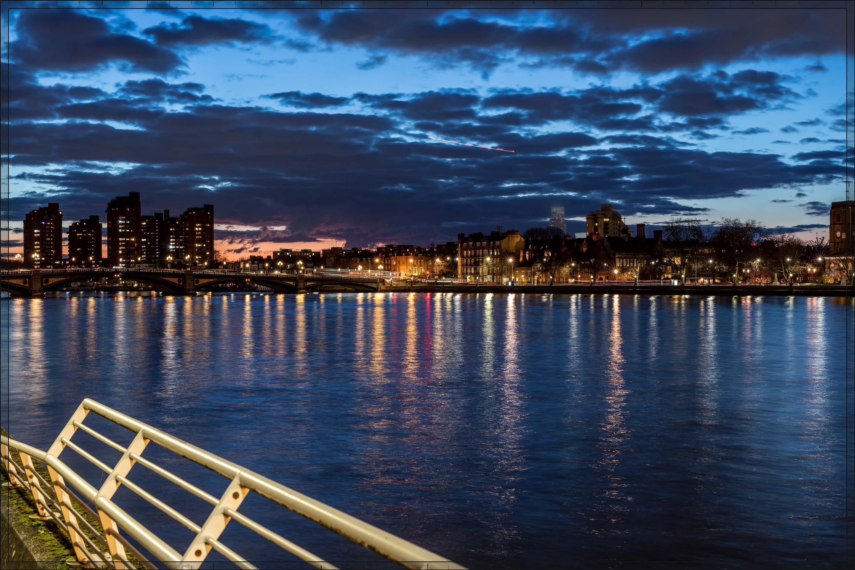
D29852x50 / 50mm 03/03/24 18:34
Completed Development - All Phases
No further Plots would be visible in the All Phases scenario compared to the Early Phases scenario. The magnitude of impact and the scale and nature of the effect would not alter in comparison to the assessment of the Early Phases.
Magnitude of impact: Low
Effect: Minor-moderate in scale, Neutral in nature (not significant)

D29852x50 / 50mm 03/03/24 18:34
Completed DevelopmentEarly
The Edith Summerskill House cumulative scheme would be visible in the distance, to the right of the World’s End Estate and at a lower apparent height than the towers within that existing development, and the cumulative scheme at 100 West Cromwell Road would appear to the right of 355 King’s Road, at a lower apparent height and substantially obscured by trees. The appearance of these cumulative schemes would be consistent with the existing character of the background of the view at night, and each would be set well to the side of the Early Phases on the skyline, and having no meaningful visual interaction with it. The effect of the Early Phases in the cumulative scenario would remain as set out above for the Early Phases considered in isolation.
Magnitude of impact: Low
Effect: Minor-moderate in scale, Neutral in nature (not significant)

D29852x50 / 50mm 03/03/24 18:34
Completed DevelopmentAll Phases and cumulative schemes
As no further Plots would be visible in the All Phases scenario compared to the Early Phases, the assessment of effect of All Phases in the cumulative scenario would remain as set out above for the Early Phases in the cumulative scenario.
Magnitude of impact: Low
Effect: Minor-moderate in scale, Neutral in nature (not significant)
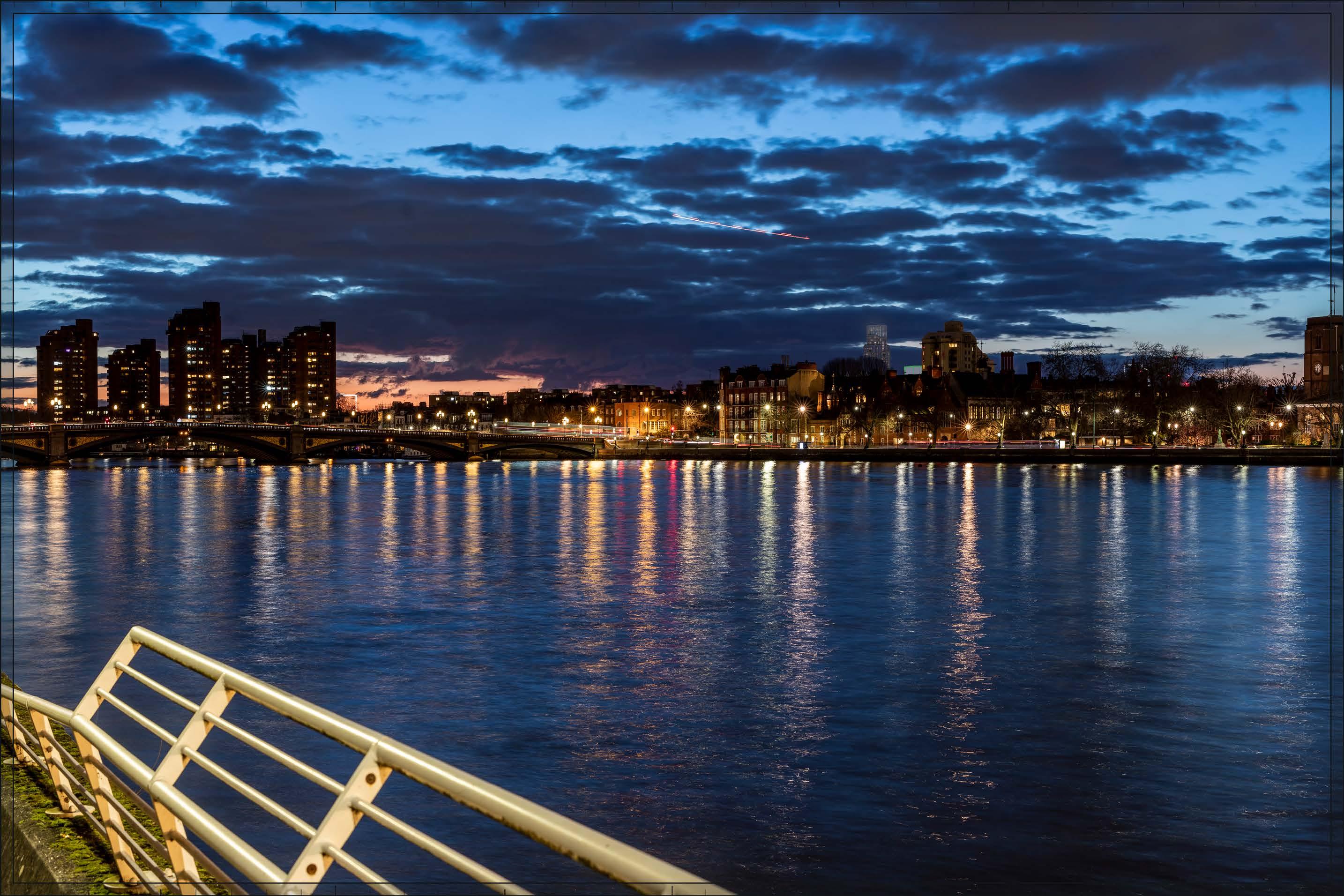
2.248 Views 7, 8, 9, 10 and 11, which are individually assessed in the following pages, Views A8 and A9, which are provided as supplementary verified views in Appendix C, and View B4, a nonverified supplementary view in Appendix D, illustrate the baseline, proposed (Early Phases and All Phases) and cumulative conditions from a number of key views along the Central Avenue of the cemetery and other representative positions within Brompton Cemetery. These include views requested by the GLA following an interactive townscape workshop. The effect of the Proposed Development on the heritage significance of the Cemetery is separately assessed in the Built Heritage Assessment.
2.249 Brompton Cemetery is a Grade I listed Registered Park and Garden of Special Historic Interest, contains individual listed structures and tombs, and is covered by a Conservation Area designation. It has a formally designed layout, with cemetery plots set to either side of a long axial route, ‘the Central Avenue’, which runs in an approximately north-west to south-east direction. A Grade II* listed entrance though a triumphal arch lies at the northern end of the Central Avenue and the Grade II* Church of England Chapel lies towards its southern end. An avenue of lime trees lines the northern section of the Central Avenue; a symmetrical arrangement of arcades (Grade II* listed), including a central circular section known as the Great Circle, is located a short distance after the southern end of the avenue of trees, signalling the final stage of the approach to the Anglican Chapel from the north. A bell tower topped by a cupola set within the northern section of the western arcade is a notable feature within the overall composition (but there is no bell tower on the eastern arcade).
2.250 A panoramic RBKC Borough View looking in all directions is identified by RBKC in its Building Height in the Royal Borough SPD and the draft RBKC Local Plan, and in the Brompton Cemetery Conservation Area Appraisal, from the centre of the circular part of the arcade, reflecting the primary importance of the close-range appreciation of this composition to the appreciation of the cemetery as a whole. This is shown as View 9 within this assessment. The existing panoramic view from this position includes substantial large scale and modern development seen beyond the cemetery and in some cases seen directly behind the arcades or the chapel or in relation to the northern triumphal arch. Such development includes the Empress State Building and Lillie Square tower to the north-west, in the direction of the Site; the Stamford Bridge football stadium to the south-west; the Kings Tower and Chelsea Harbour tower to the south-west; and the Lots Road tower to the south-east.
2.251 The contrast between the Cemetery with the clearly modern setting beyond makes a strong contribution to its modern scenic quality, visual amenity and sense of separateness and tranquillity. As the inspector noted in the Lots Road Inquiry in 2005 “…it is important to remember that the cemetery, for all its inherent value, is nowadays an oasis of open space in a heavily built-up city… it is in part the contrast of character and atmosphere with the city around that gives the cemetery its value.” (Ref. 2-33, para.19.79).
2.252 Views 7, 8, 9 and 10 (supplemented by Views A8 and A9 in Appendix C) describe a journey moving north along the Central
Avenue, beginning at a point outside the Chapel, moving through the Great Circle, and concluding at a point within the lime tree lined northern part of the Central Avenue. Views 11 and B4 illustrate views from the area to the south of the Church of England Chapel.
2.253 The following Design Codes are relevant to the consideration of these views – they have been taken into account in the assessment of the effect of the Proposed Development in the individual views but, to avoid unnecessary duplication, they are not repeated in the narrative text accompanying those views. In relation to the visual impacts on the visual amenity of the Cemetery, the Design Code requires that of the Outline Component Plots:
• Must contribute to the formation of a clearly defined skyline to ensure an appreciation of depth in the massing (Design Code SW.B.55);
• Should contribute to the creation of a calmed backdrop to minimise distraction from the Cemetery (Design Code SW.B.56);
• Should mediate between the existing context and taller proposed buildings through vertical expression to minimise the perceived scale of development; and
• Should be distinguishable from the foreground, contrasting with the bell tower, to preserve its legibility in the view.
2.254 The design of the Proposed Development (and the Early Phases in particular as virtually all the visual impact arises from the Early Phases) has been informed by its potential impact on views from the cemetery. In response, the design of the Proposed Development clusters the tallest proposed plots with the existing Empress State Building and limits height on the eastern part of the Site where it would appear closest to the formal axial route through the cemetery. Height to the east has also been limited to avoid the Proposed Development appearing behind the cupola of the western bell tower in the views from that part of the Central Avenue passing through the Great Circle and arcades. This is in response to the perceived adverse effect of this raised by Historic England at preapplication stage -- albeit that the consented 100 West Cromwell Road will appear behind the cupola in the future.
2.255 The height and form of the central cluster of tall buildings has been composed to minimise coalescence by creating a strongly articulated cluster form, with clear differences in height and/or sky gaps between buildings, that deliberately reduces in height to the east – towards the central axis though the cemetery in views from the cemetery. The tallest buildings designed in detail would have a familial quality and the tallest building on Plot WB04 has been designed with a distinctive slender crown that would form the focal point of the cluster. The Design Code specifically addresses the impact of Outline Component Plots on the visual amenity of the cemetery by requiring an appropriate balance of contrast and familiarity between the individual buildings that would limit coalescence but still result in a calm appearance to the backdrop, minimising the visual competition of the Proposed Development with the cemetery itself.
2.256 As Views 7, 8 and 9 from the arcades to the north of the chapel demonstrate, the Early Phases of Proposed Development would
be visible from the heart of the cemetery in the middle distance. The majority of the Early Phases, including the tallest elements of the composition, would appear to the left of the western bell tower and cupola, peripheral to the designed axial views along the Central Avenue. The central cluster within the Early Phases has been deliberately clustered with the existing Empress State Building and from the cemetery would also been seen with the closer Lillie Square tower in the foreground. From the Central Avenue within the Great Circle the Proposed Development would be visible behind the western arcade and the western arcade’s bell tower, visibly more distant within the background of the view, distinct and separate from the historic arcade in the foreground. Trees within the Cemetery would screen lower parts of the Early Phases and provide an added green buffer and sense of separation. The perceived scale of the Early Phases would recede moving north reducing its prominence beyond the western arcade so that, by View 9, only Plot WB04 would remain taller than the bell tower on the skyline.
2.257 As Views A8, A9 and 10 demonstrate, moving northwards closer to the Proposed Development within the avenue of trees that line the northern end of the central axial path, the Proposed Development would be heavily screened by foreground trees (even in winter) reducing its visual impact from the northern end of the cemetery considerably.
2.258 As the views demonstrate, the urban setting to the north-west of the cemetery would be intensified. However, given the existing contrasting character of the setting and its contribution to the distinctive visual amenity of the cemetery, this is not judged to have an inherently adverse effect on the visual amenity of the cemetery and the nature of effects on visual amenity would be dependent on the design quality of the Proposed Development.


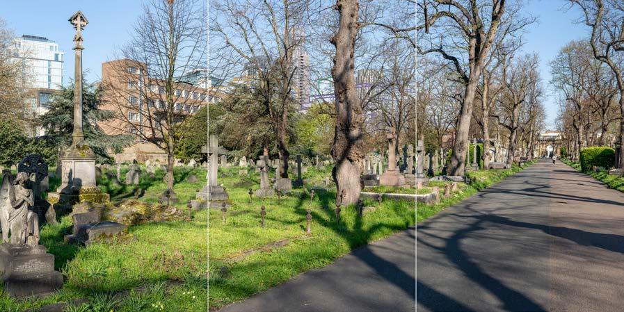

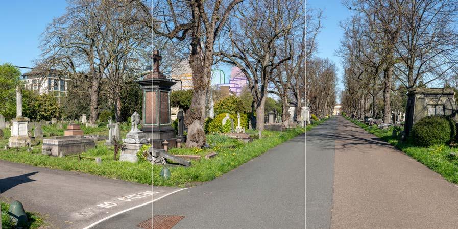
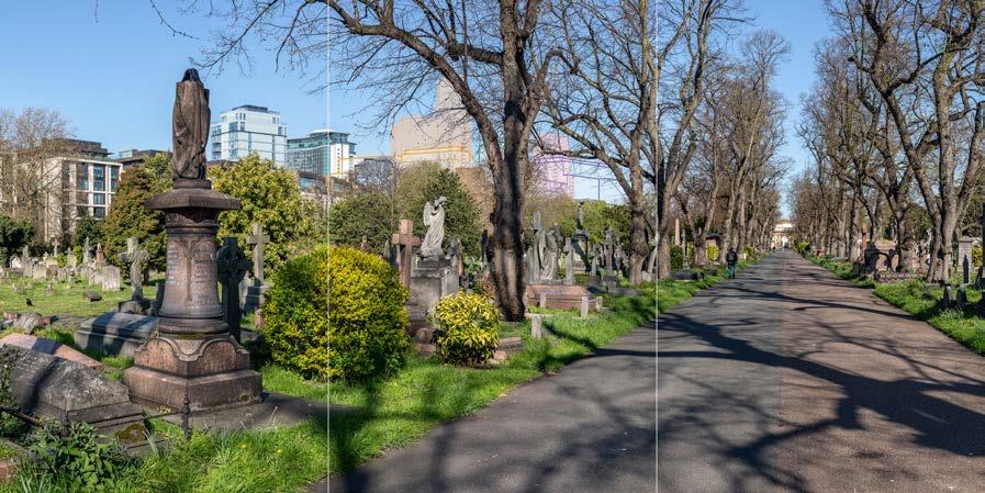
D29412x360 50mm 20/04/23 / 11:29
Brompton Cemetery is a conservation area and Grade I listed Registered landscape. The viewing position is to the north of the Grade II* listed Church of England Chapel (behind the viewing position) and looks north-west across the western arcade, also Grade II* listed. The tops of mature trees on the western edge of the Cemetery are visible above the arcade. The chapel and the arcades that form the Great Circle were constructed between 183940. The original design for the Cemetery relied on architectural drama for its impact to overcome the perceived constraints of its (then) rural setting, and focuses inwards on a formal Central Avenue that connects the Chapel and Great Circle to a triumphal arch at the northern entrance. Pevsner notes the “impressive composition” (Ref. 2.34). In the foreground is the southern end of the central avenue, which widens out in front of the chapel. Gravestones and tombs in a variety of designs and materials are set within grass and enclosed by the arcades of the Great Circle.
In the centre of the view the contrasting form of the Empress State Building is visible above the western arcade, through and above the trees beyond it, more than 800m away. To its right closer to the viewing position is the top of the 16-storey tower within the Lillie Square development which also rises above the tree line. Prior to its demolition the Earls Court Exhibition Centre roof was also visible to its right. As described in more detail in the Built Heritage Assessment, Brompton Cemetery is a highly-graded heritage asset of exceptional heritage and scenic value and formal landscape character. However, the scene and setting of the Cemetery are distinctly urban; it has a very varied setting in its scale, age and form, which includes tall modern buildings to the south, west and north-west.
Value attached to the view: this well composed view is representative of views from Brompton Cemetery. Brompton Cemetery is a Grade I listed Registered Landscape, within the Brompton Cemetery Conservation Area. The value of the view is judged to be Medium.
Visual receptors affected: low numbers of visitors to Brompton Cemetery as a place of burial and as a historic landscape; moderate numbers of local residents engaged in outdoor recreation.
Susceptibility to change of visual receptors: views contribute to the scenic experience of the Cemetery for many visitors. Susceptibility to change is therefore judged to be High
Sensitivity: Medium-high
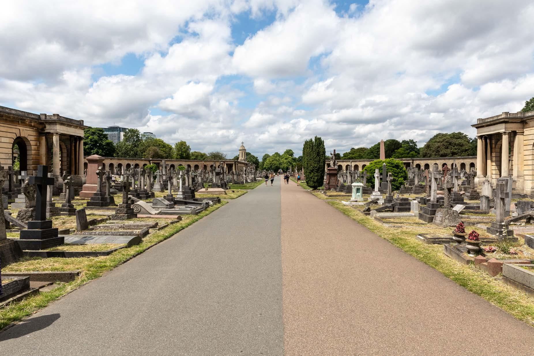
Brompton Cemetery, Central Avenue, southern end outside chapel
D29412x360 50mm 20/04/23 / 11:29
See assessment text on previous page.
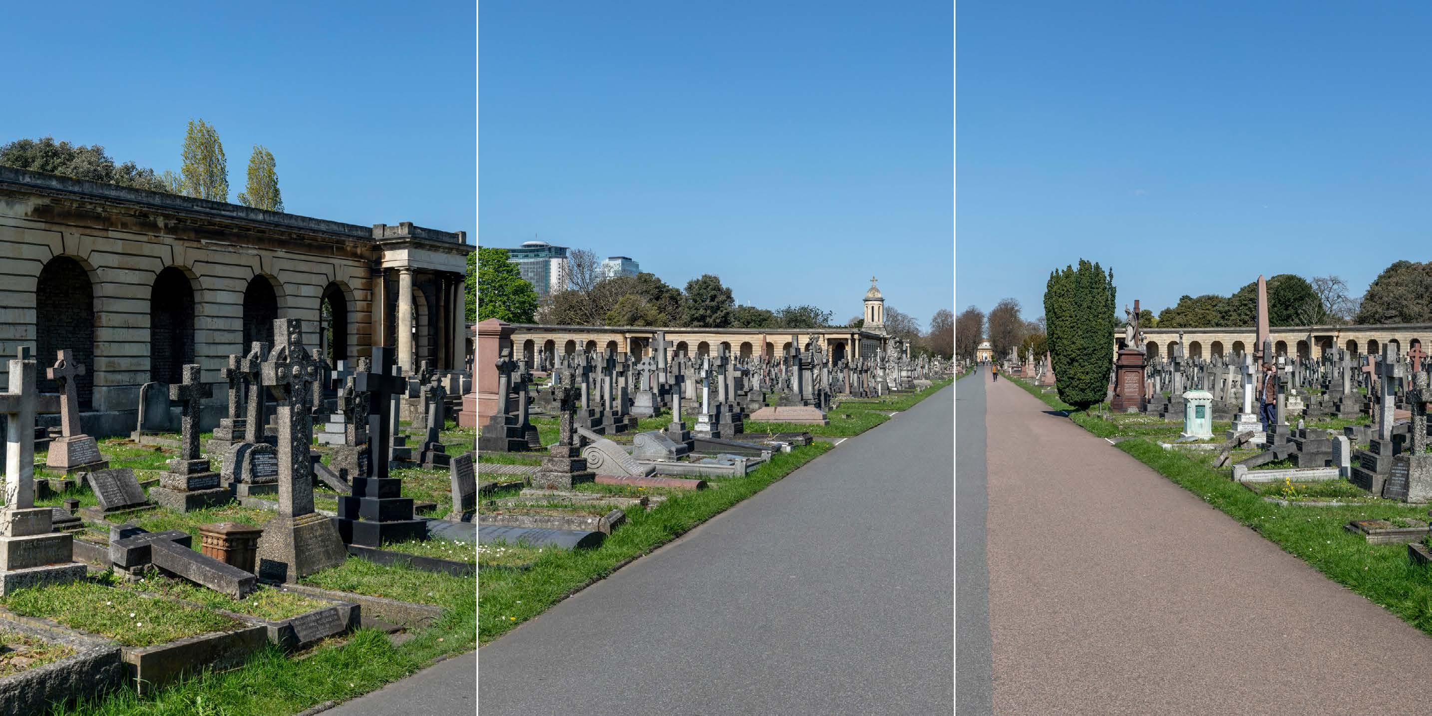
D29412x360 50mm 20/04/23 / 11:29
The Early Phases would appear in the middle distance, approximately 650 m from the viewing position, clustered with the existing Empress State Building and the closer Lillie Square tower, and to the left of the axial view along the Central Avenue within the cemetery.
While the Early Phases would be visible behind the western arcade within the Great Circle and the western arcade’s bell tower, it would be visibly more distant within the background of the view, distinct and separate from the Cemetery further in the foreground, and the cupola of the bell tower would remain seen against the sky. Trees within the cemetery (and beyond the arcade) would screen the Early Phases to some extent and provide an added sense of separation between it and the Grade II* listed arcade.
A cluster of several tall buildings set within the central part of the Site would alter the skyline of the cemetery’s backdrop. The lower, broader forms of the buildings on Outline Component Plots WB01/02, WB07/08, EC02, EC03, EC09 and EC10 would appear to the south and east of this central group of tall buildings, and each of these would have a stepped form reducing in height towards the Site’s southern and eastern boundaries. As a result, the Early Phases would be seen to step down towards the cemetery in the foreground, helping to mediate the change in scale between the Early Phases and the Western Arcade.
The tall building on Detailed Component Plot WB04 would appear as the tallest building and would form a distinct focal point for the Early Phases (and the Proposed Development as a whole). It would form part of a group with other, lower tall buildings to the west of the railway lines on Detailed Component Plot WB03 and Outline Component Plot WB06; these would appear in front of and behind Plot WB04 respectively in this view. The existing Empress State Building and Lillie Square towers would appear at a similar height to the buildings on Plots WB03 and WB06, and would be well integrated with them, appearing as a coherent part of an overall cluster.
Detailed Component Plot EC05 would appear set slightly to the right (east) of this group, to the east of the railway lines and with a clear sky gap between them marking the location of the new Table Park above the WLL on the boundary between RBKC and LBHF. It would have an apparent height intermediate between that of Plots WB03 and WB06. The top of Outline Component Plot EC04 would be set at a lower height to its right (east), such that they would form a second lower distinct group of tall buildings within the overall composition.
The maximum parameter envelopes of Outline Component Plots EC09, EC10 and EC04 would appear directly behind the western arcade’s bell tower. Their massing, as defined by the Parameter Plans and Design Code, would result in these plots having horizontally emphasised proportions and a lower apparent height than the bell
tower from this position (where seen directly behind it), and this would help to ensure they would form a complementary backdrop for this vertical feature within the arcade. The illustrative scheme (not assessed but shown for reference in Appendix E) shows an architectural approach to the Outline Component Plots, designed in accordance with the Design Codes, resulting in a regular and ordered elevational approach with articulated massing within these Plots that would form a calm layered backdrop for the bell tower, and the arcade more generally, that would minimise visual competition with the historic foreground features of the Cemetery.
Considering the appearance of the Detailed Component, Plot WB04 would have a visually interesting form, with a series of shoulders stepping up symmetrically to a central ‘crown’. The reduction in massing would be reinforced by the change in materiality, from stone-like solid materials, to lighter, more transparent and reflective materials at the crown. The stepped crown, curved corners and vertical emphasis would provide Plot WB04 with an elegant appearance, inspired by the Art Deco architecture of the now-demolished Exhibition Centre. Plot EC05 would have a vertically emphasised expression, with fluted cladding and a well-articulated top. Plot WB03, visible in front of Plot WB04, would have a vertically emphasised appearance, fluted cladding and a distinct crown that would share a familial Art Deco-style appearance with Plots WB04 and EC05. The illustrative design for Outline Component Plot WB06 (not assessed but shown for reference in Appendix E) shows that, designed in accordance with the requirements of the Parameter Plans and Design Codes, the building within Plot WB06 could have a distinctive three-sided form and a familial Art Deco style character with the other tall buildings within the Early Phases.
Overall, the Early Phases would represent a noticeable and prominent change to the background of the view, in the medium distance setting of the cemetery. The magnitude of impact would be High.
The Early Phases would appear distinct and separate from the cemetery. Although the existing contrast between the historic character of the formal cemetery landscape and its taller modern westerly urban setting would be intensified, the scenic quality of the cemetery itself would remain intact. Given the existing contrasting character of the setting and its contribution to the distinctive visual amenity of the cemetery, the intensification of the urban backdrop is not judged to have an inherently adverse effect. The nature of the effect would therefore be dependent on the design quality of the Early Phases.
The Early Phases would provide a varied skyline, with a composed quality including two distinct groups of tall buildings to the east and west of the Table Park, with the tall building on Plot WB04 as the focal point of the composition as a whole. The composition of the Early Phases with taller buildings located towards the west, would mitigate its visual impact on the openness of the main axial route through the cemetery and on the appreciation of its formal layout. The architectural quality of the Detailed
Component would be high, and the Outline Component Plots, to be developed in line with the Design Codes, would be expected to achieve the same level of quality. While the taller modern character of the visual backdrop to the cemetery would be intensified this would not alter the experience of the cemetery as a tranquil pocket of landscape within a clearly urban context. The nature of the effect would be Neutral
Magnitude of impact: High
Effect: Major in scale, Neutral in nature (significant)
Brompton Cemetery, Central Avenue, southern end outside chapel
D29412x360 50mm 20/04/23 / 11:29
Completed Development - Early Phases
See assessment text on previous page.
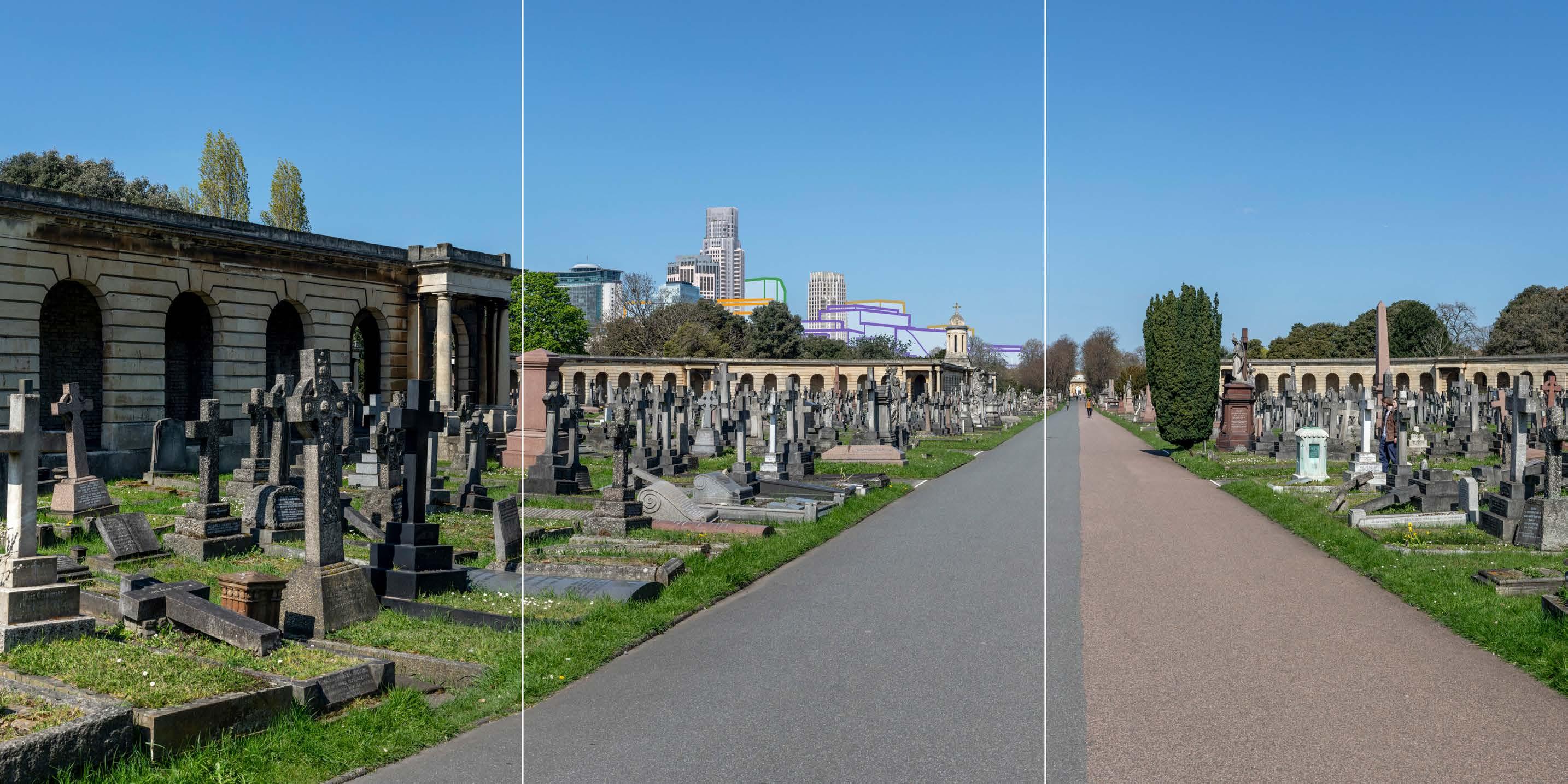
Brompton Cemetery, Central Avenue, southern end outside chapel
D29412x360 50mm 20/04/23 / 11:29
Completed Development - All Phases
No further Plots would be visible in the All Phases scenario compared to the Early Phases. The magnitude of impact and the scale and nature of the effect would not alter in comparison to the assessment of the Early Phases.
Magnitude of impact: High
Effect: Major in scale; Neutral in nature (significant)
D29412x360 50mm 20/04/23 / 11:29
Completed DevelopmentEarly Phases and cumulative schemes
The cumulative scheme at 100 West Cromwell Road would appear behind part of Outline Component Plot EC04 within the Early Phases, and partly behind the bell tower and cupola set within the western arcade within the Cemetery. 100 West Cromwell Road would appear taller than the bell tower and cupola, and taller than the elements of the Early Phases which lie in front of it within the view. The effect of the Early Phases in the cumulative scenario would remain as set out above for the Early Phases considered in isolation.
Magnitude of impact: High
Effect: Major in scale; Neutral in nature (significant)

Brompton Cemetery, Central Avenue, southern end outside chapel
D29412x360 50mm 20/04/23 / 11:29
Completed DevelopmentAll Phases and cumulative schemes
As no further Plots would be visible in the All Phases scenario compared to the Early Phases, the assessment of effect of All Phases in the cumulative scenario would remain as set out above for the Early Phases in the cumulative scenario.
Magnitude of impact: High
Effect: Major in scale; Neutral in nature (significant)
D29413x360 50mm 20/04/23 / 10:55
This viewpoint is located at the southern end of the Great Circle formed by the Grade II* listed east and west arcades. It is positioned in the middle of the central avenue through the cemetery, the axial nature of which can be appreciated; the triumphal arch at the Grade II* listed northern entrance to the Cemetery is visible at its northern termination to the right of centre in the view, framed by the arcades and mature trees lining the central avenue. The top of the contrasting form of the Empress State Building appears peripheral to the axial view northwards along the central avenue, on the left side of the image and visible at a distance of approximately 750 m. It is partly hidden by evergreen trees from this point, and would be further obscured by trees in summer. The top of the completed tower within the Lillie Square development on the former exhibition centre car park on Seagrave Road is visible to a small extent to its right, also largely obscured by evergreen trees. Prior to its demolition, the Earls Court Exhibition Centre roof was also visible above the treeline further to its right.
Brompton Cemetery is a highly designated heritage asset of exceptional heritage and scenic value and formal landscape character. However, the scene and setting of the Cemetery are distinctly urban; it has a very varied setting in its scale, age and form, which includes tall modern buildings to the south, west and north-west.
Value attached to the view: Brompton Cemetery is a Grade I listed historic landscape, within the Brompton Cemetery Conservation Area and forms the setting for the Grade II* listed Chapel and Great Circle. The value of the view is judged to be Medium.
Visual receptors affected: low numbers of visitors to Brompton Cemetery as a historic landscape; moderate numbers of local residents engaged in outdoor recreation.
Susceptibility to change of visual receptors: views contribute to the scenic experience of the Cemetery for many visitors. Susceptibility to change is therefore judged to be High
Sensitivity: Medium-high
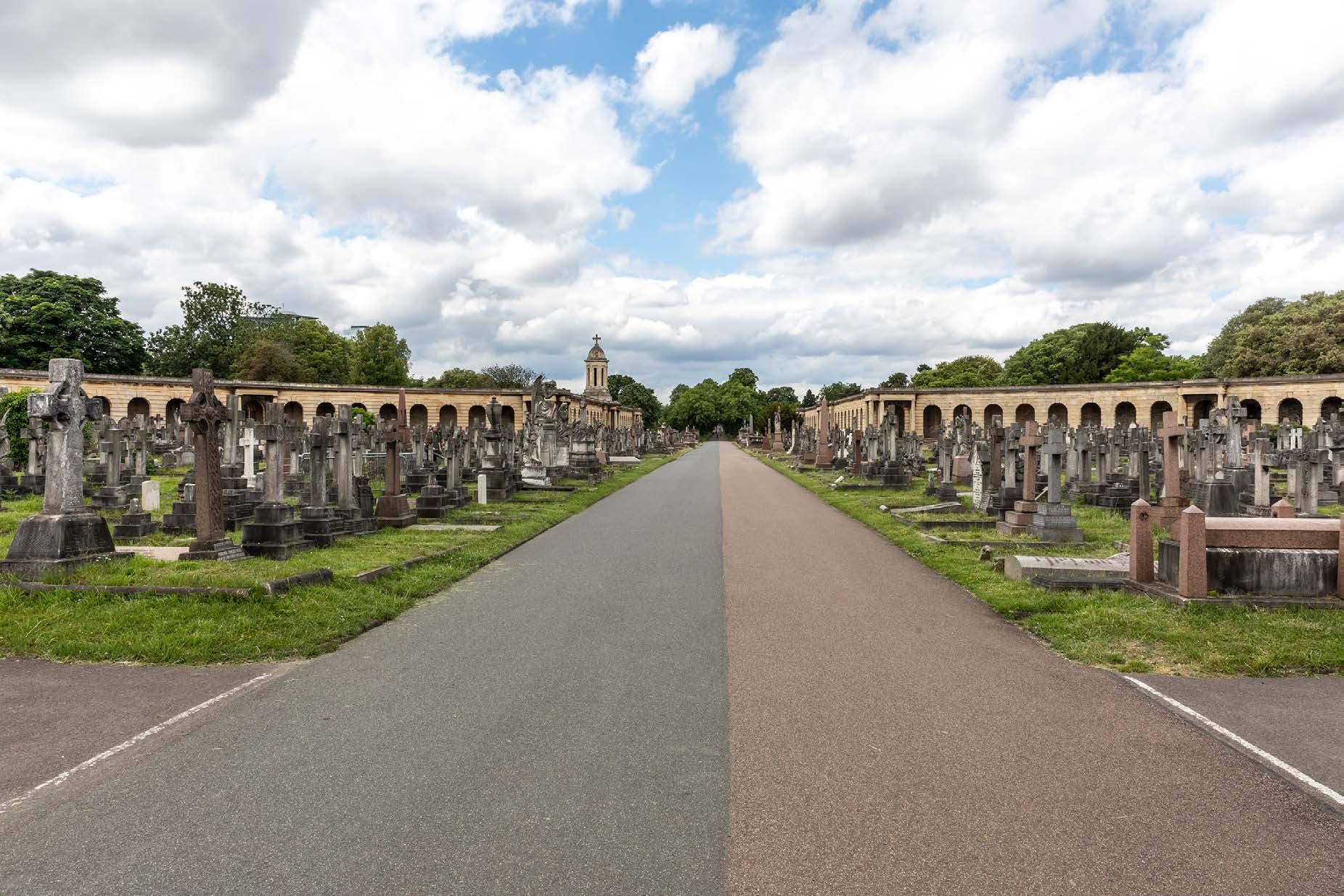
Brompton Cemetery, Central Avenue, southern end of arcade
D29413x360 50mm 20/04/23 / 10:55
See assessment text on previous page.
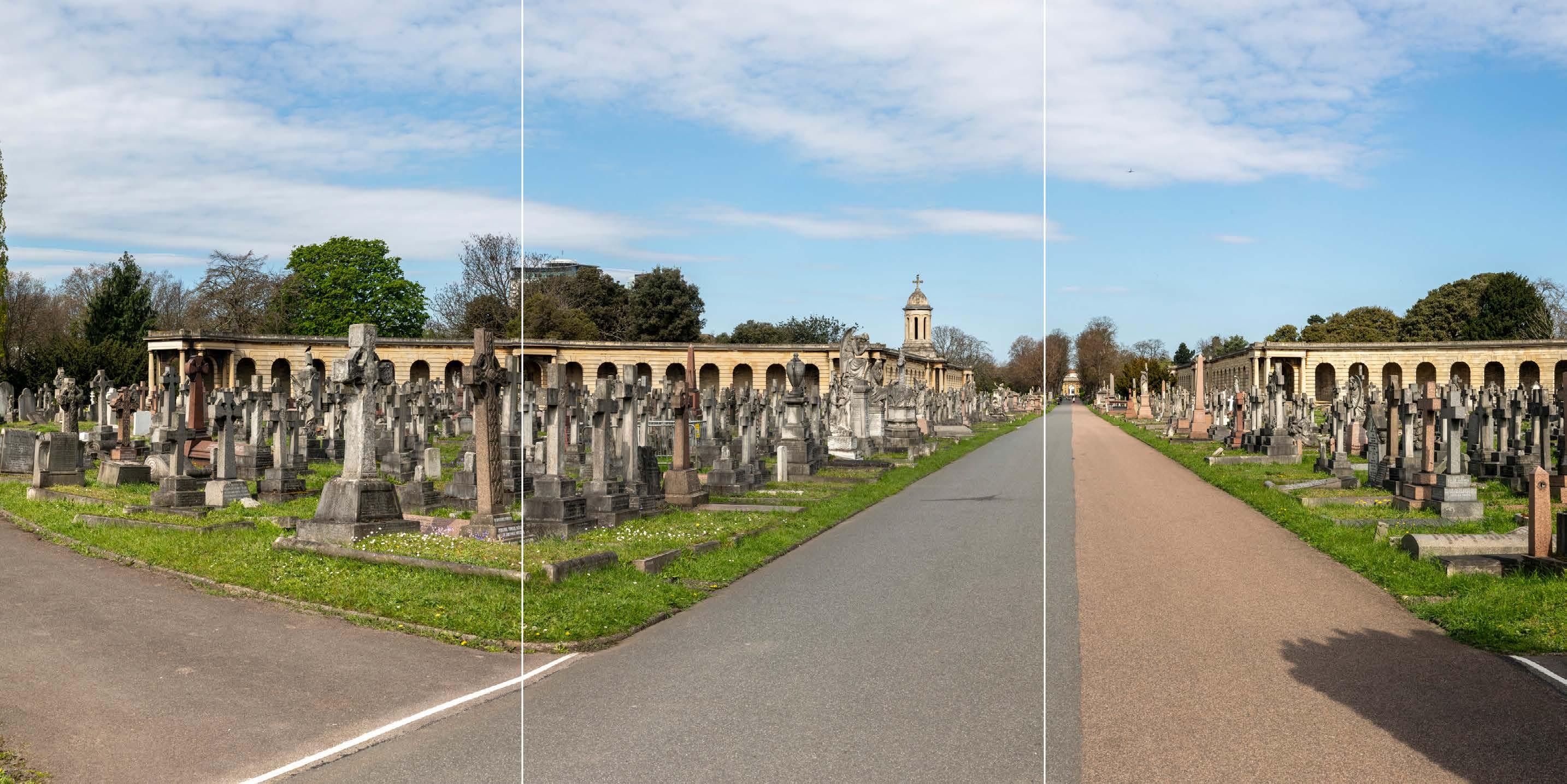
D29413x360 50mm 20/04/23 / 10:55
The Early Phases would appear in the middle distance, approximately 600 m from the viewing position, clustered with the existing Empress State Building and the Lillie Square tower, and to the left of the axial view along the Central Avenue within the cemetery.
While the Early Phases would be visible behind the western arcade within the Great Circle and the western arcade’s bell tower, it would clearly lie within the background of the view, distinct and separate from the cemetery in the foreground and the bell tower’s cupola would remain seen against the sky. Trees within the cemetery (and beyond the arcade) would screen the Early Phases to some extent and provide an added sense of separation between it and the Grade II* listed arcade.
A cluster of several tall Detailed and Outline Component Plots within the Early Phases would be visible beyond the cemetery. The lower, broader forms of the buildings on Outline Component Plots WB07/08, EC02, EC03, EC09 and EC10 would appear to the south and east of this central group of tall buildings, reducing in height towards the southern edge of the Early Phases. As a result, the Early Phases would be seen to step down towards the cemetery in the foreground, helping to mediate the change in scale between the Early Phases and the Western Arcade.
Detailed Component Plot WB04 would appear as the tallest building in the cluster and would form a distinct focal point for the Early Phases as a whole. It would form part of a group with other, lower tall buildings to the west of the railway lines on Detailed Component Plot WB03 and Outline Component Plot WB06; these would appear in front of and behind Plot WB04 respectively in this view. The Empress State Building and Lillie Square towers would appear at a similar height to the buildings on Plots WB03 and WB06, and would be well integrated with them, appearing as a coherent part of an overall cluster.
Detailed Component Plot EC05 would appear set slightly to the right (east) of this group, to the east of the railway lines and with a clear sky gap between them marking the location of the new Table Park above the WLL on the boundary between RBKC and LBHF.
Detailed Component Plot EC05 would have an apparent height intermediate between that of Plots WB03 and WB06. The top of the tall building on Outline Component Plot EC04 would be set at a lower height to its right (east), such that they would form a second lower distinct group of tall buildings within the overall composition.
Outline Component Plots EC09, EC10 and EC04 would be seen most directly behind the arcade’s bell tower, and their height relative to the bell tower would recede in comparison to View 7 (where seen directly behind it). The taller Outline Plot EC03 would appear to the left (west) of Plot EC10 and the lower plot of EC09 would appear to
its right (north-east). The illustrative scheme (not assessed but shown for reference in Appendix E) shows an architectural approach to the Outline Component Plots, designed in accordance with the Design Codes, resulting in a regular and ordered elevational approach with articulated massing within these Plots that would form a calm layered backdrop for the bell tower, and the arcade more generally, that would minimise visual competition with the historic foreground features of the cemetery.
Considering the appearance of Detailed Component Plot WB04, it would have a visually interesting form, with a series of shoulders stepping up symmetrically to a central ‘crown’. The reduction in massing would be reinforced by the change in materiality, from stone-like solid materials, to lighter, more transparent and reflective materials at the crown. The stepped crown, curved corners and vertical emphasis would provide Plot WB04 with an elegant appearance, inspired by the Art Deco architecture of the now-demolished Exhibition Centre. Plot EC05 would have a vertically emphasised expression, with fluted cladding and a well-articulated top. Plot WB03, visible in front of Plot WB04, would have a vertically emphasised appearance, fluted cladding and a distinct crown that would share a familial Art Deco-style appearance with Plots WB04 and EC05. The illustrative design for Outline Component Plot WB06 (not assessed but shown for reference in Appendix E) shows that, designed in accordance with the requirements of the Parameter Plans and Design Codes, a building coming forward within Plot WB06 could have a distinctive three-sided form and a familial Art Deco style character with the other tall buildings within the Early Phases.
The Early Phases would represent a noticeable and prominent change to the background of the view, in the medium distance setting of the cemetery. The magnitude of impact would be High
The Early Phases would appear distinct and separate from the cemetery. Although the contrast between the historic character of the formal cemetery landscape and its taller modern westerly urban setting would be intensified, the scenic quality of the cemetery itself would remain intact. Given the existing contrasting character of the setting and its contribution to the distinctive visual amenity of the cemetery, the intensification of this urban backdrop is not judged to have an inherently adverse effect. The nature of the effect would therefore be dependent on the design quality of the Early Phases.
The Early Phases would provide a varied skyline, with a composed quality including two distinct groups of tall buildings to the east and west of the Table Park, with the tall building on Plot WB04 as the focal point of the composition as a whole. The composition of the Early Phases with taller buildings located towards the west, would mitigate its visual impact on the openness of the main axial route through the cemetery and on the appreciation of its formal layout. The architectural quality of the Detailed Components would be high, and the Outline Component Plots, to be developed in line with the Design Codes, would be expected to achieve
the same level of quality. While the taller modern character of the visual backdrop to the cemetery would be intensified this would not alter the experience of the cemetery as a tranquil pocket of landscape within a clearly urban context. The nature of the effect would be Neutral
Magnitude of impact: High
Effect: Major in scale, Neutral in nature
Brompton Cemetery, Central Avenue, southern end of arcade
D29413x360 50mm 20/04/23 / 10:55
Completed Development - Early Phases
See assessment text on previous page.

Brompton Cemetery, Central Avenue, southern end of arcade
D29413x360 50mm 20/04/23 / 10:55
Completed Development - All Phases
The All Phases scenario would be almost exactly the same as the Early Phases, with the only difference arising from virtually indiscernible visibility of a part of Outline Component Plot WK09. The magnitude of impact and the scale and nature of the effect would not alter in comparison to the assessment of the Early Phases.
Magnitude of impact: High
Effect: Major in scale; Neutral in nature
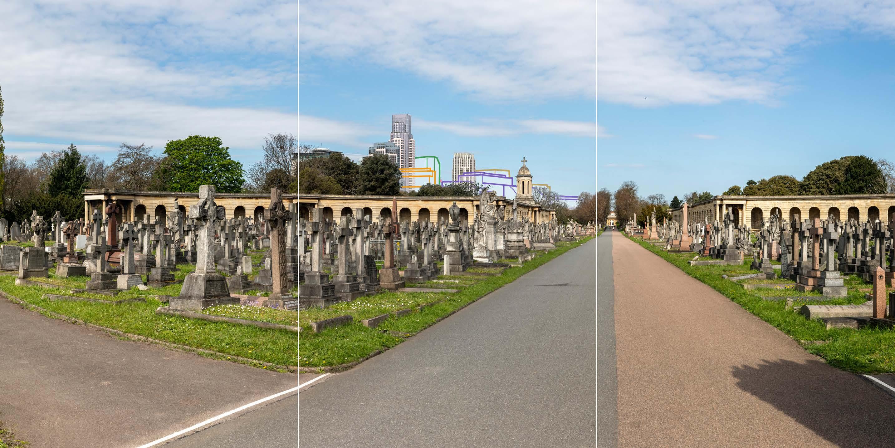
D29413x360 50mm 20/04/23 / 10:55
Completed DevelopmentEarly Phases and cumulative schemes
The cumulative scheme at 100 West Cromwell Road would appear behind part of Outline Component Plot EC04 within the Proposed Development, and partly behind the bell tower and cupola of the western arcade within the Cemetery. 100 West Cromwell Road would appear at a lower apparent height than the bell tower and cupola, and taller than the closer elements of the Early Phases in front of it within the view. In terms of the general composition of the background of the view, the scheme at 100 West Cromwell Road would sit well within the varied skyline formed by the Early Phases. In respect of the cemetery, the Early Phases would appear at an intermediate scale between that of 100 West Cromwell Road and the bell tower and cupola, thereby mitigating the change of scale that the 100 West Cromwell Road scheme would represent.
Parts of the cumulative schemes at 1-9 Lillie Square and the Car, Coach and Lorry Park and 20 Seagrave Road would appear in front of the Empress State Building and Outline Component Plots WB07/08 within the Early Phases, at a lower apparent height than both, and adding to a layered background of development stepping down coherently towards the cemetery.
Overall, the effect of the Early Phases in the cumulative scenario would remain as set out above for the Early Phases considered in isolation.
Magnitude of impact: High
Effect: Major in scale, Neutral in nature (significant)

Brompton Cemetery, Central Avenue, southern end of arcade
D29413x360 50mm 20/04/23 / 10:55
Completed DevelopmentAll Phases and cumulative schemes
As no further Plots would be visible in the All Phases scenario compared to the Early Phases, other than a virtually indiscernible part of Plot WK09, the assessment of effect of All Phases in the cumulative scenario would remain as set out above for the Early Phases in the cumulative scenario.
Magnitude of impact: High
Effect: Major in scale, Neutral in nature (significant)

D29414x360 50mm 20/04/23 / 10:32
The viewing position, designated as an RBKC borough view (Ref. 2-10, p.28) is at the centre of the Great Circle formed by the Grade II* listed east and west arcades. The triumphal arch at the Grade II* listed northern entrance to the Cemetery is visible at the northern termination of the Central Avenue on the right of the view, framed by the arcades and mature trees lining the central avenue. Peripheral to the axial view northwards along the central avenue, is the contrasting form of the Empress State Building visible at a distance of approximately 750m. The top of the completed tower within the Lillie Square development on the former exhibition centre car park on Seagrave Road is visible lower and more slender to its right, also integrated within the existing tree line. Prior to its demolition, the Earls Court Exhibition Centre 1 roof was also visible above the treeline further to its right.
Brompton Cemetery is a highly designated heritage asset of exceptional heritage and scenic value and formal landscape character. However, the scene and setting of the Cemetery are distinctly urban; it has a very varied setting in its scale, age and form, which includes tall modern buildings to the south, west and north-west.
Value attached to the view: panoramic views from the centre of the Great Circle are valued RBKC borough views identified in the Building Height in the Royal Borough SPD and the draft RBKC Local Plan. Brompton Cemetery is a Grade I listed historic landscape, within the Brompton Cemetery Conservation Area and forms the setting for the Grade II* listed Chapel and Great Circle. The value of the view is judged to be High
Visual receptors affected: low numbers of visitors to Brompton Cemetery as a historic landscape; moderate numbers of local residents engaged in outdoor recreation.
Susceptibility to change of visual receptors: views contribute to the scenic experience of the cemetery for many visitors. Susceptibility to change is therefore judged to be High.
Sensitivity: High
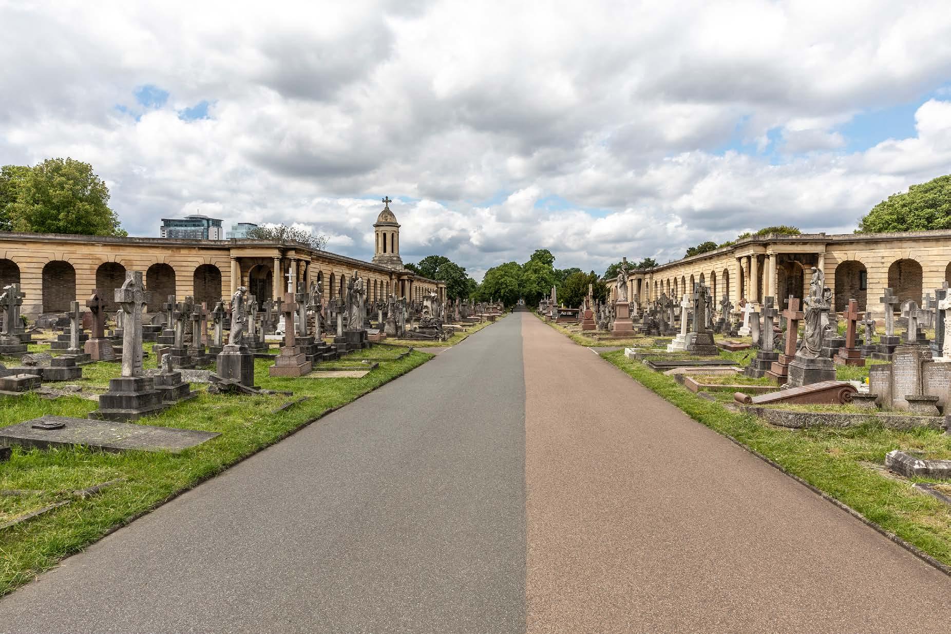
Brompton Cemetery, Central Avenue, centre of arcade
D29414x360 50mm 20/04/23 / 10:32
See assessment text on previous page.
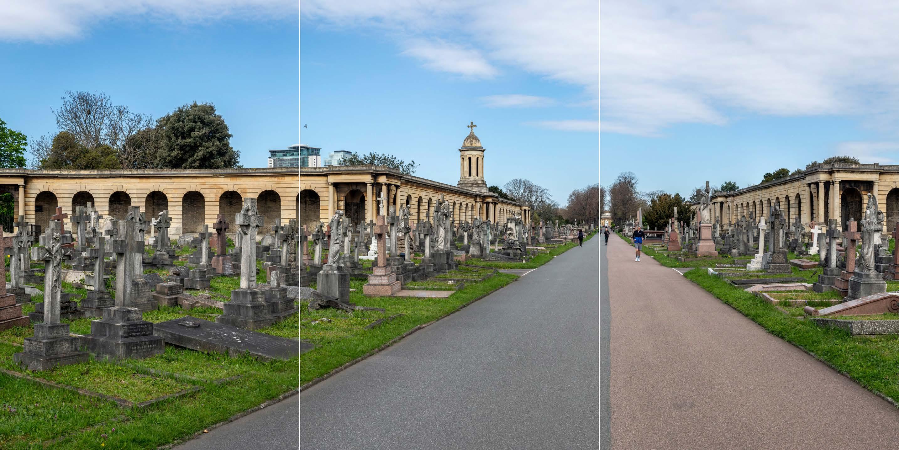
D29414x360 50mm 20/04/23 / 10:32
The Early Phases – primarily Detailed Component Plots WB04, WB03 and EC05, and Outline Component Plots WB06, WB07/08, EC02, EC03, EC04, EC09, and EC10 - would appear in the middle distance, approximately 580 m from the viewing position, and set to the left of the axial view along the Central Avenue within the cemetery. The tall central cluster within the Early Phases would appear clustered with the existing Empress State Building and the Lillie Square tower.
The Early Phases would be visible behind the western arcade within the Great Circle, with Outline Component Plots EC02, EC03, EC04 and EC10, and Detailed Component Plot EC05, seen behind and to the side of the bell tower on the Western Arcade, with the bell tower’s cupola remaining visible against clear sky. The Early Phases would clearly lie within the background of the view, distinct and separate from the cemetery in the foreground. Outline Component Plots EC02, EC03, EC04, EC05 and EC10 would have a lower apparent height than the bell tower’s cupola in the foreground, and would be visibly distant from it, such that the bell tower would retain its prominence on the skyline. The Outline Component Plots EC02, EC03, EC09 and EC10 would have horizontally emphasised proportions, and this would help to ensure they would form a complementary backdrop for this vertical feature within the arcade.
Detailed Component Plot WB04 would appear as the peak of a coherent group of tall buildings including Detailed Component Plots WB03 and EC05, and the existing Empress State Building and Lillie Square tower, which would appear at a slightly lower apparent height than Plots WB03 and EC05. Detailed Plot WB04 would appear as the tallest of the buildings within the Early Phases and would form a distinct focal point for it. It would have a visually interesting form, with a series of shoulders stepping up symmetrically to a central ‘crown’. The reduction in massing would be reinforced by the change in materiality, from stone-like solid materials, to lighter, more transparent and reflective materials at the crown. The stepped crown, curved corners and vertical emphasis would provide Plot WB04 with an elegant, Art Deco-inspired appearance echoing that of the now-demolished Exhibition Centre 1. Plot EC05 would have a vertically emphasised expression, with fluted cladding and a well-articulated top. Plot WB03, visible in front of Plot WB04, would have a vertically emphasised appearance, fluted cladding and a distinct crown that would share a familial Art Decostyle appearance with Plots WB04 and EC05. Detailed Component Plot EC05 would sit well to the side of the bell tower and cupola, it would have a lower apparent height than the bell tower and cupola and would be separated from it within the background of the view by the lower forms of the Outline Component Plots, such that the bell tower and cupola would remain dominant. In accordance with Design Codes the Outline Component would contribute to a calmed, layered townscape backdrop that would minimise visual
competition with the historic foreground features of the cemetery.
Overall, the Early Phases would represent a noticeable and prominent change to the background of the view, in the medium distance setting of the cemetery. The magnitude of impact would be High
The Early Phases would appear distinct and separate from the cemetery. Although the contrast between the historic character of the formal cemetery landscape and its taller modern westerly urban setting would be intensified, the scenic quality of the cemetery itself would remain intact. Given the existing contrasting character of the setting and its contribution to the distinctive visual amenity of the cemetery, the intensification of the urban backdrop is not judged to have an inherently adverse effect. The nature of the effect would therefore be dependent on the design quality of the Early Phases.
The Early Phases would provide a varied skyline, with a composed quality including two distinct groups of tall buildings to the east and west of the Table Park, with the tall building on Plot WB04 as the focal point of the composition as a whole. The composition of the Early Phases with taller buildings located towards the west, would mitigate its visual impact on the openness of the main axial route through the cemetery and on the appreciation of its formal layout. The architectural quality of the Detailed Component would be high, and the Outline Component Plots, to be developed in line with the Design Codes, would be expected to achieve the same level of quality. While the taller modern character of the visual backdrop to the cemetery would be intensified this would not alter the experience of the cemetery as a tranquil pocket of landscape within a clearly urban context. The nature of the effect would be Neutral
Magnitude of impact: High
Effect: Major in scale; Neutral in nature (significant)
Brompton Cemetery, Central Avenue, centre of arcade
D29414x360 50mm 20/04/23 / 10:32
Completed Development - Early Phases
See assessment text on previous page.
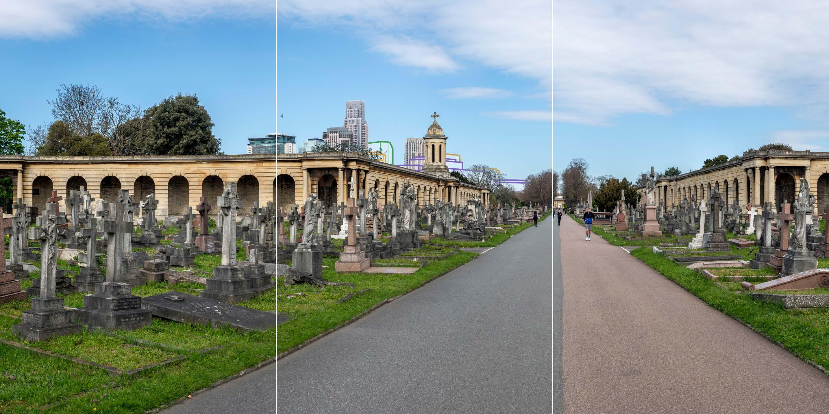
Brompton Cemetery, Central Avenue, centre of arcade
D29414x360 50mm 20/04/23 / 10:32
Completed Development - All Phases
The All Phases scenario would be almost exactly the same as the Early Phases, with the only difference arising from virtually indiscernible visibility of a part of Outline Component Plot WK09. The magnitude of impact and the scale and nature of the effect would not alter in comparison to the assessment of the Early Phases.
Magnitude of impact: High
Effect: Major in scale, Neutral in nature

D29414x360 50mm 20/04/23 / 10:32
Completed DevelopmentEarly Phases and cumulative schemes
The cumulative scheme at 100 West Cromwell Road would appear behind a lower part of Outline Component Plot EC04 within the Early Phases, to the side of the bell tower and cupola on the western arcade within the Cemetery. 100 West Cromwell Road would appear at a lower apparent height than the bell tower and cupola, at a similar apparent height to elements of the Early Phases. The scheme at 100 West Cromwell Road would sit well within the varied skyline formed by the Early Phases, forming part of a background layer of development separate and distinct from the cemetery. A very small part of the cumulative scheme at the Car, Coach and Lorry Park and 20 Seagrave Road would appear in front of the Empress State Building, with minimal additional visual impact. The effect of the Early Phases in the cumulative scenario would remain as set out above for the Early Phases considered in isolation.
Magnitude of impact: High
Effect: Major in scale, Neutral in nature (significant)

Brompton Cemetery, Central Avenue, centre of arcade
D29414x360 50mm 20/04/23 / 10:32
Completed DevelopmentAll Phases and cumulative schemes
As the visual effect of the further Plot visible in the All Phases scenario would be minimal compared to the Early Phases scenario, the assessment of effect of All Phases in the cumulative scenario would remain as set out above for the Early Phases in the cumulative scenario.
Magnitude of impact: High
Effect: Major in scale, Neutral in nature

D29415x360 50mm 20/04/23 / 08:48
This viewing position is to north of View 9, within the part of the Central Avenue lined by lime trees. The triumphal arch at the Grade II* listed northern entrance to the cemetery is visible at the end of the central avenue on the right of the view, framed by the mature lime trees. The foreground of the view is otherwise largely occupied by graves set within the grassed western side of the cemetery. Peripheral to the axial view towards the triumphal arch are a mid-20th century brick building associated with the adjacent electricity substation, the Empress State Building and the Lillie Square development on the former exhibition centre car park, seen through the trees lining the Central Avenue and within the western part of the cemetery.
Value attached to the view: this well composed view is representative of views from Brompton Cemetery. Brompton Cemetery is a Grade I listed RPGSHI, within the Brompton Cemetery Conservation Area and forms the setting for the Grade II* listed Chapel and Great Circle. The value of the view is judged to be Medium
Visual receptors affected: low numbers of visitors to Brompton Cemetery as a historic landscape; moderate numbers of local residents engaged in outdoor recreation.
Susceptibility to change of visual receptors: views contribute to the scenic experience of the cemetery for many visitors. Susceptibility to change is therefore judged to be High
Sensitivity Medium-high
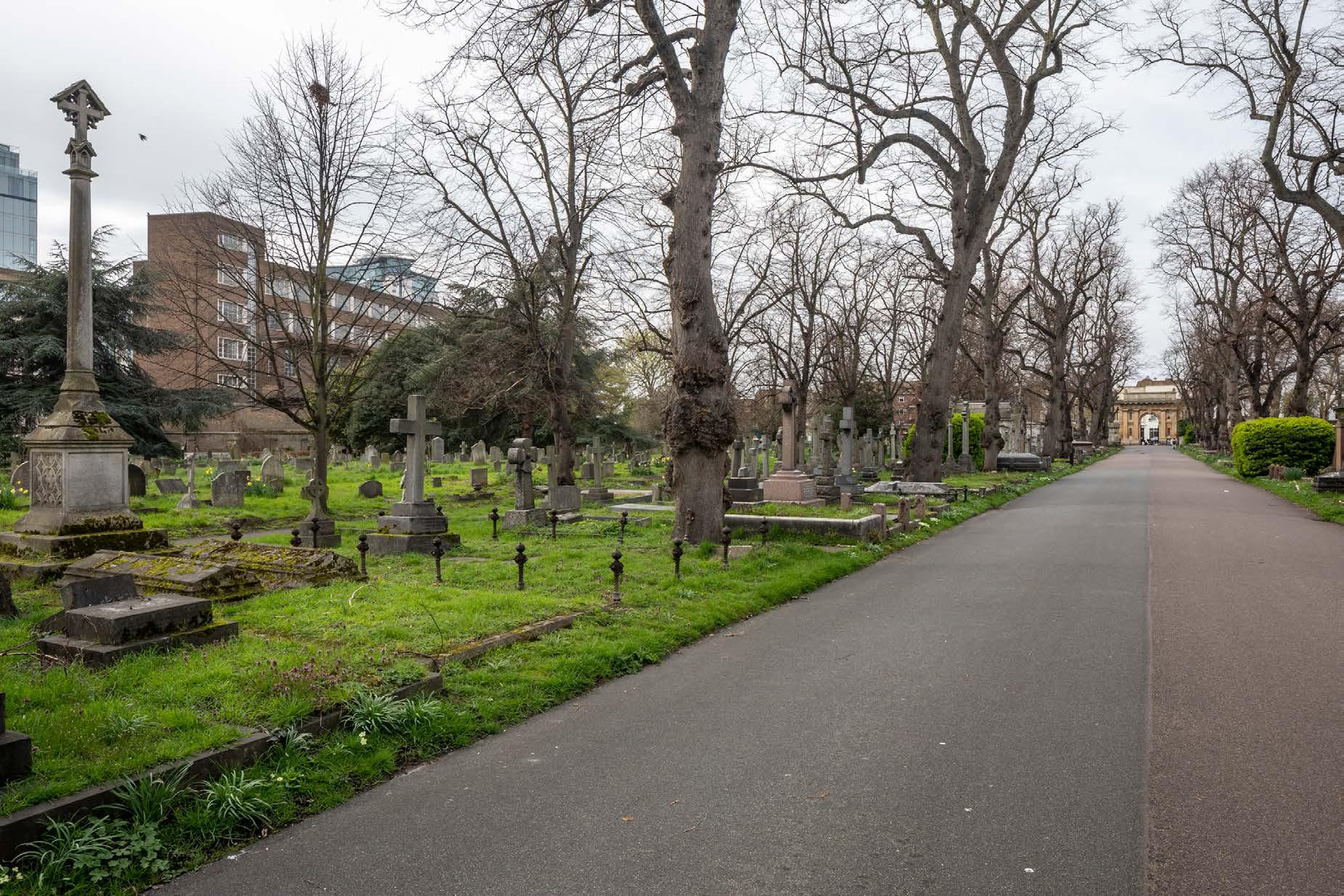
Brompton Cemetery, Central Avenue, north of Arcade position 3
D29415x360 50mm 20/04/23 / 08:48
See assessment text on previous page.
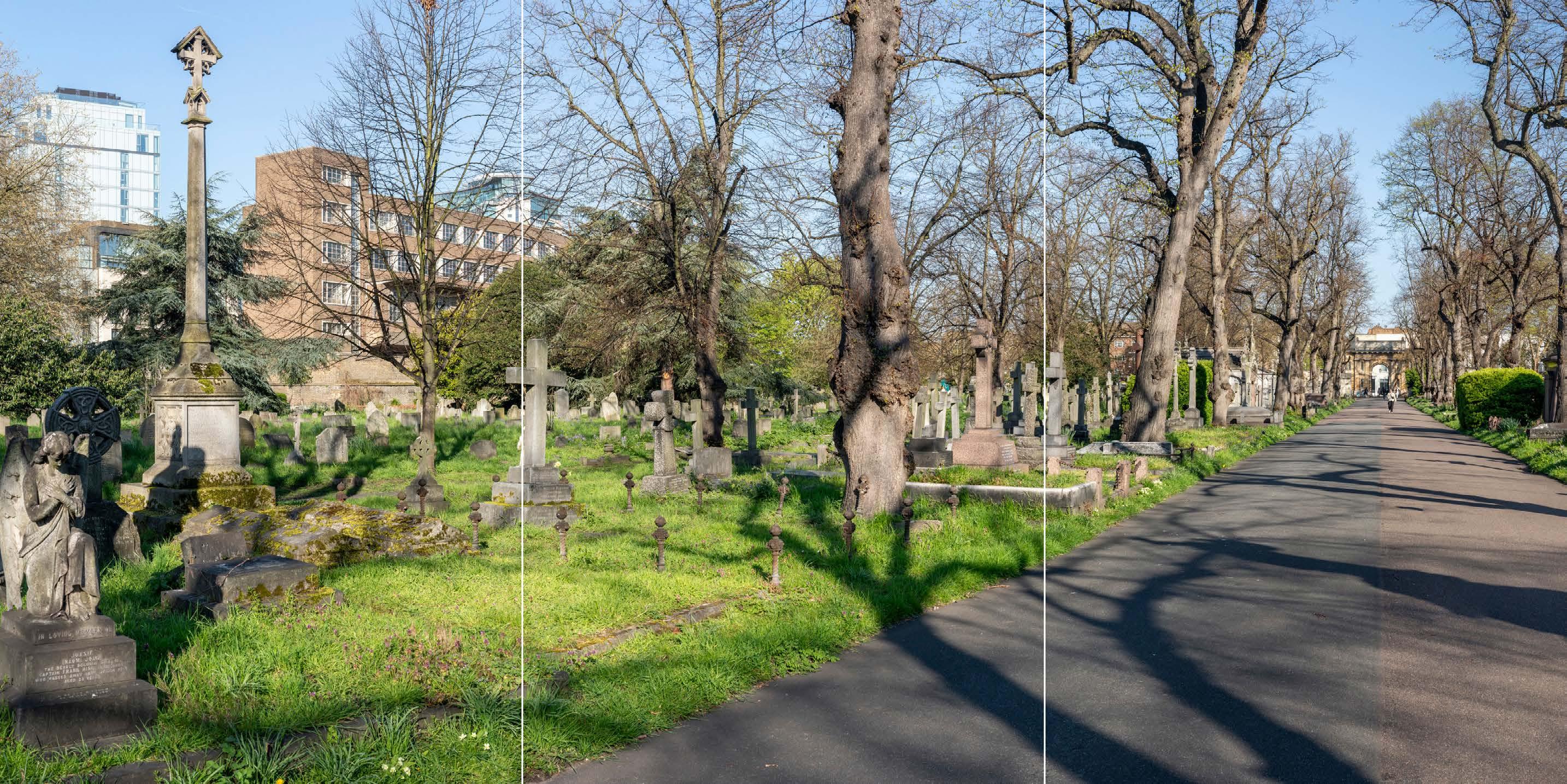
D29415x360 50mm 20/04/23 / 08:48
The Early Phases – Detailed Component Plots WB04, WB03 and EC05, and Outline Component Plots WB06, WB07, WB08, EC04, EC01, EC02, EC03, EC09, EC10, EC11 - would appear in the middle distance, approximately 280 m from the viewing position, grouped with the existing Empress State Building and further north of the Lillie Square tower. They would be screened from view to a considerable extent by tree branches in this winter view, and it is likely that they would be virtually indiscernible through the trees in summer, spring and autumn, as from within the tree-lined part of the avenue the Proposed Development would not rise above the treeline.
The aforementioned plots within the Early Phases would be visible behind the western part of the cemetery and to the left of the axial view along the Central Avenue within the cemetery. The Early Phases would clearly lie within the background of the view, distinct and separate from the cemetery in the foreground. Multiple layers of planting would provide a considerable buffer between the Central Avenue and the Early Phases, though amongst the tombs in the grassed area to the west of the avenue the Early Phases would be more visible. The Early Phases would be seen in relation to an established taller modern backdrop to the cemetery that includes the long mid-20th century brick building on the eastern side of the railway line, adjacent to the cemetery.
Plot WB04 would appear as the peak of a coherent group of tall buildings including Plots WB03 and EC05, and the existing Empress State Building, which would appear at a slightly lower apparent height than Plots WB03 and EC05. Plot WB04 would appear as the tallest of the buildings within the Proposed Development and would form a distinct focal point for it. It would have a visually interesting form, with a series of shoulders stepping up symmetrically to a central ‘crown’. The reduction in massing would be reinforced by the change in materiality, from stone-like solid materials, to lighter, more transparent and reflective materials at the crown. The stepped crown, curved corners and vertical emphasis would provide Plot WB04 with an elegant, appearance, inspired by the Art Deco architecture of the former Exhibition Centre 1. Plot EC05 would have a vertically emphasised expression, with fluted cladding and a well-articulated top. Plot WB03, visible in front of Plot WB04, would have a vertically emphasised appearance, fluted cladding and a distinct crown that would share a familial Art Deco-style appearance with Plots WB04 and EC05.
The magnitude of impact from the tree-lined part of the Central Avenue would be Medium in winter, and Very low in summer due to the dense tree coverage. When visible, the Early Phases would appear distinct and separate from the cemetery, and the scenic quality of the cemetery itself would remain intact, though the contrast between the historic character of the formal cemetery
landscape and its taller modern westerly urban setting would be intensified. Given the existing contrasting character of the setting and its contribution to the distinctive visual amenity of the cemetery, this is not judged to have an inherently adverse effect. The architectural quality of the Detailed Component would be high and the Outline Component Plots, to be developed in line with the Design Codes, would be expected to achieve the same level of quality. The Early Phases would be screened and softened in the views, even in winter and the quality of the visual amenity to this part of the cemetery would not be materially affected. The nature of the effect would therefore be Neutral
Magnitude of impact: Very low (spring, summer, autumn) to Medium (winter)
Effect: Negligible (spring, summer, autumn) to Moderate (winter) in scale, Neutral in nature (significant)
Brompton Cemetery, Central Avenue, north of Arcade position 3
D29415x360 50mm 20/04/23 / 08:48
Completed Development - Early Phases
See assessment text on previous page.
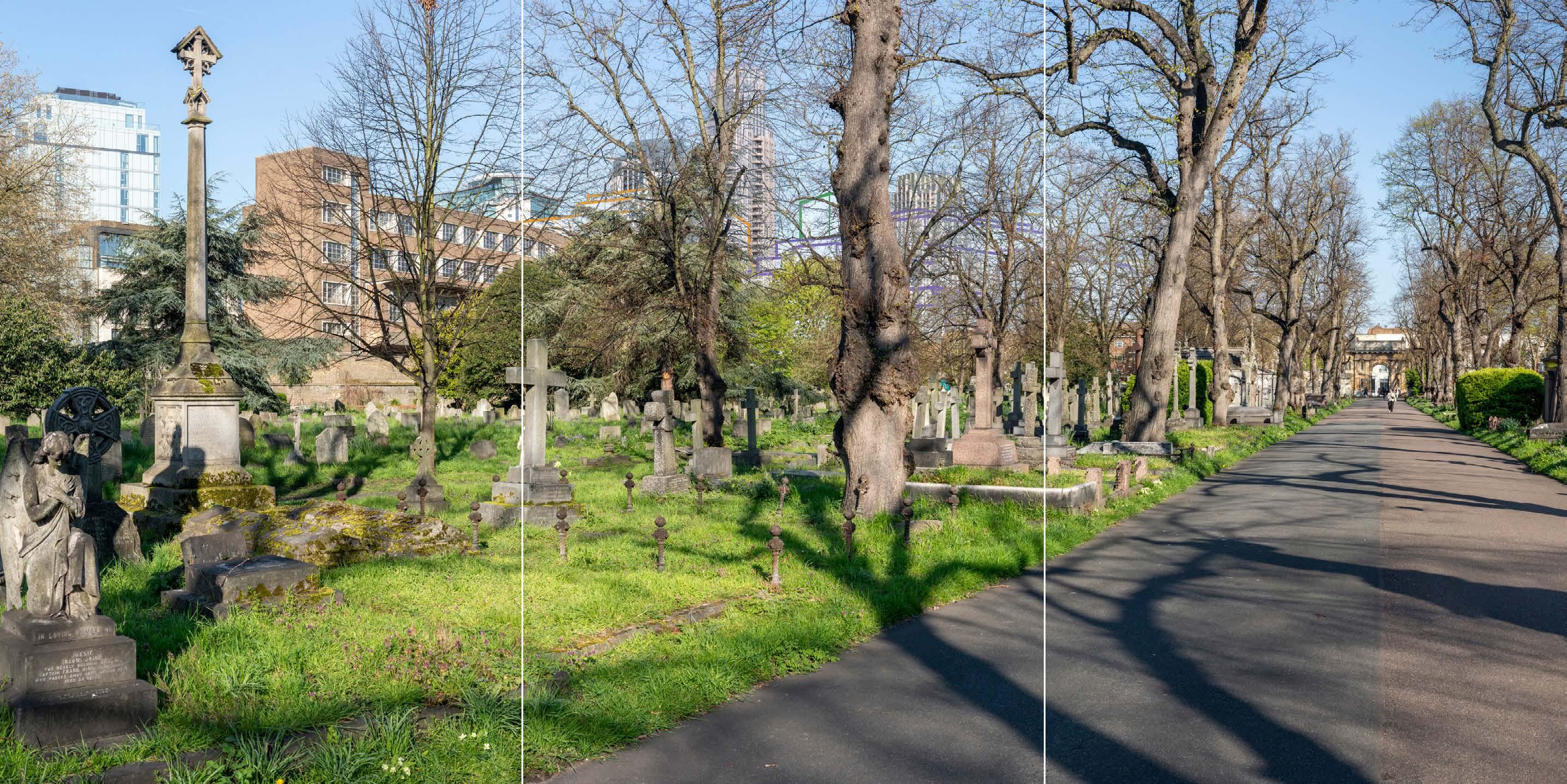
Brompton Cemetery, Central Avenue, north of Arcade position 3
D29415x360 50mm 20/04/23 / 08:48
Completed Development - All Phases
No further Plots would be visible in the All Phases scenario compared to the Early Phases. The magnitude of impact and the scale and nature of the effect would not alter in comparison to the assessment of the Early Phases.
Magnitude of impact: Very low (spring, summer, autumn) to Medium (winter)
Effect: Negligible (spring, summer, autumn) to Moderate (winter) in scale, Neutral in nature (significant)
Cemetery, Central Avenue, north of Arcade position 3
D29415x360 50mm 20/04/23 / 08:48
Completed DevelopmentEarly Phases and cumulative schemes
A very small part of the cumulative scheme at 1-9 Lillie Road would appear in front of the Empress State Building, with minimal visual impact. Overall, the effect of the Early Phases in the cumulative scenario would remain as set out above for the Early Phases considered in isolation.
Magnitude of impact: Very low (spring, summer, autumn) to Medium (winter)
Effect: Negligible (spring, summer, autumn) to Moderate (winter) in scale, Neutral in nature (significant)
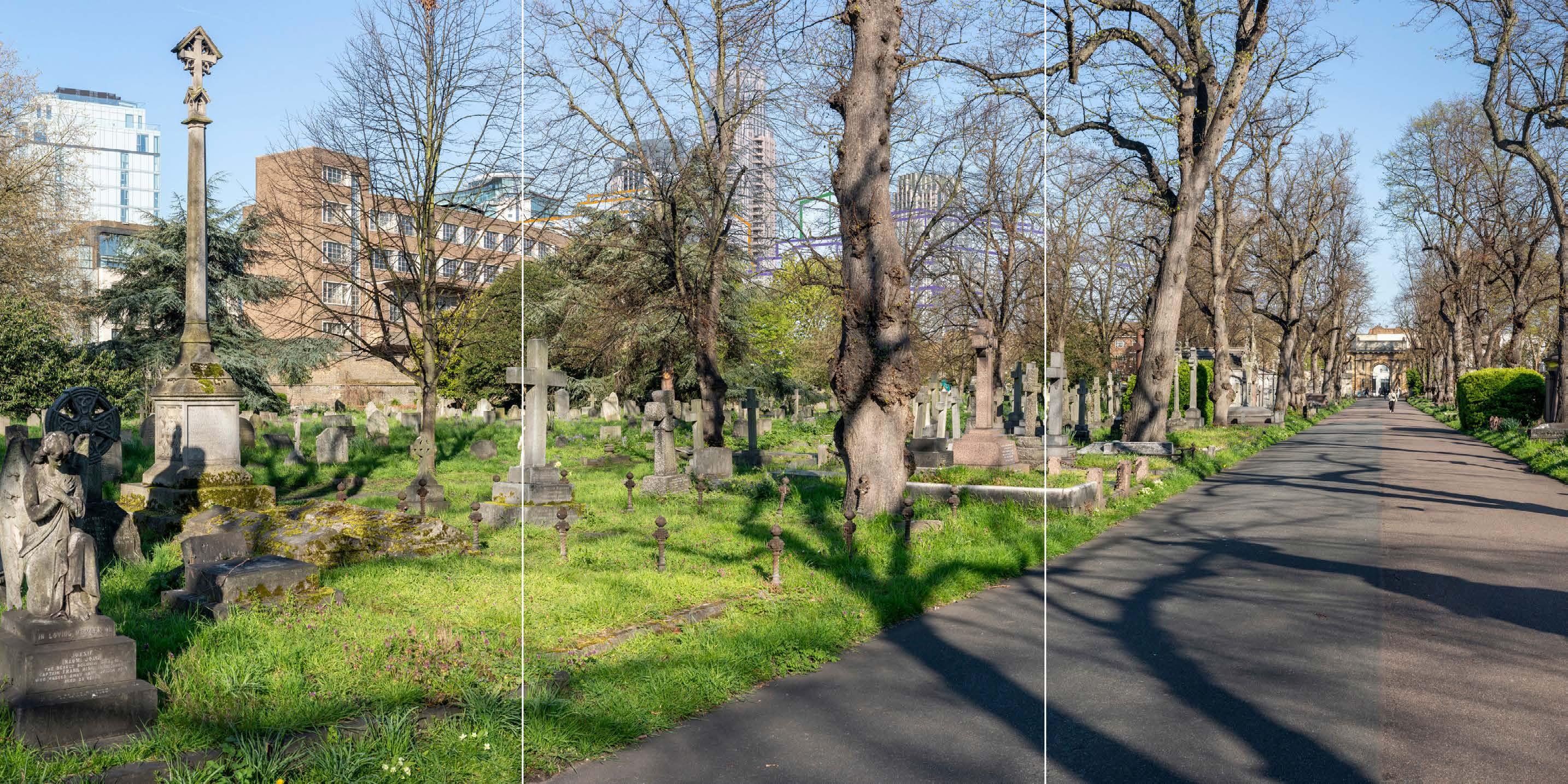
Brompton Cemetery, Central Avenue, north of Arcade position 3
D29415x360 50mm 20/04/23 / 08:48
Completed DevelopmentAll Phases and cumulative schemes
As no further Plots would be visible in the All Phases scenario compared to the Early Phases, the assessment of effect of All Phases in the cumulative scenario would remain as set out above for the Early Phases in the cumulative scenario.
Magnitude of impact: Very low (spring, summer, autumn) to Medium (winter)
Effect: Negligible (spring, summer, autumn) to Moderate (winter) in scale, Neutral in nature (significant)
D29853x50 / 24mm 03/03/24 12:33
This viewpoint is located within Brompton Cemetery, on that part of the central path within the cemetery that lies to the south of the Church of England Chapel. The view is looking north-west in the direction of the Site. Brompton Cemetery is a Grade I listed RPGSHI and the Chapel is Grade II* listed, and this viewpoint also lies within the Brompton Cemetery Conservation Area.
Beyond the path and gravestones in the foreground of the view, the Church of England Chapel is prominent and forms a strong landmark, on the right side of the image. This was built in 183940 to the designs of Benjamin Baud and has an octagonal plan with flanking lower blocks, and it is built in stone with a lead dome and Roman Doric pilaster decoration. Mature trees further in the middle distance screen views out of the cemetery to a considerable extent, although the tower within the recently built Lillie Square development can be seen, appearing behind the flanking block of the Chapel from this position. It appears as a distinct townscape element in the background of the view. A small part of the top of the Empress State Building is seen further to the left, behind trees.
Value attached to the view: this is a well-composed representative view from the Grade I listed Brompton Cemetery, within the Brompton Cemetery Conservation Area and including the Grade II* listed Church of England Chapel. The value of the view is judged to be Medium
Visual receptors affected: low numbers of visitors to Brompton Cemetery as a historic landscape; moderate numbers of local residents engaged in outdoor recreation.
Susceptibility to change of visual receptors: views contribute to the scenic experience of the cemetery for many visitors. Susceptibility to change is therefore judged to be High
Sensitivity: Medium-high
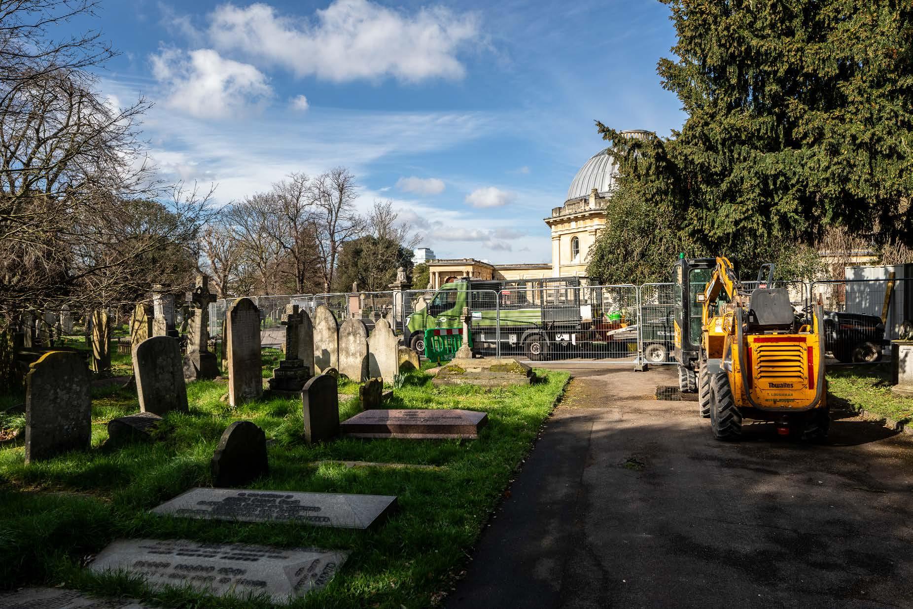
Brompton Cemetery, south of the Anglican Chapel
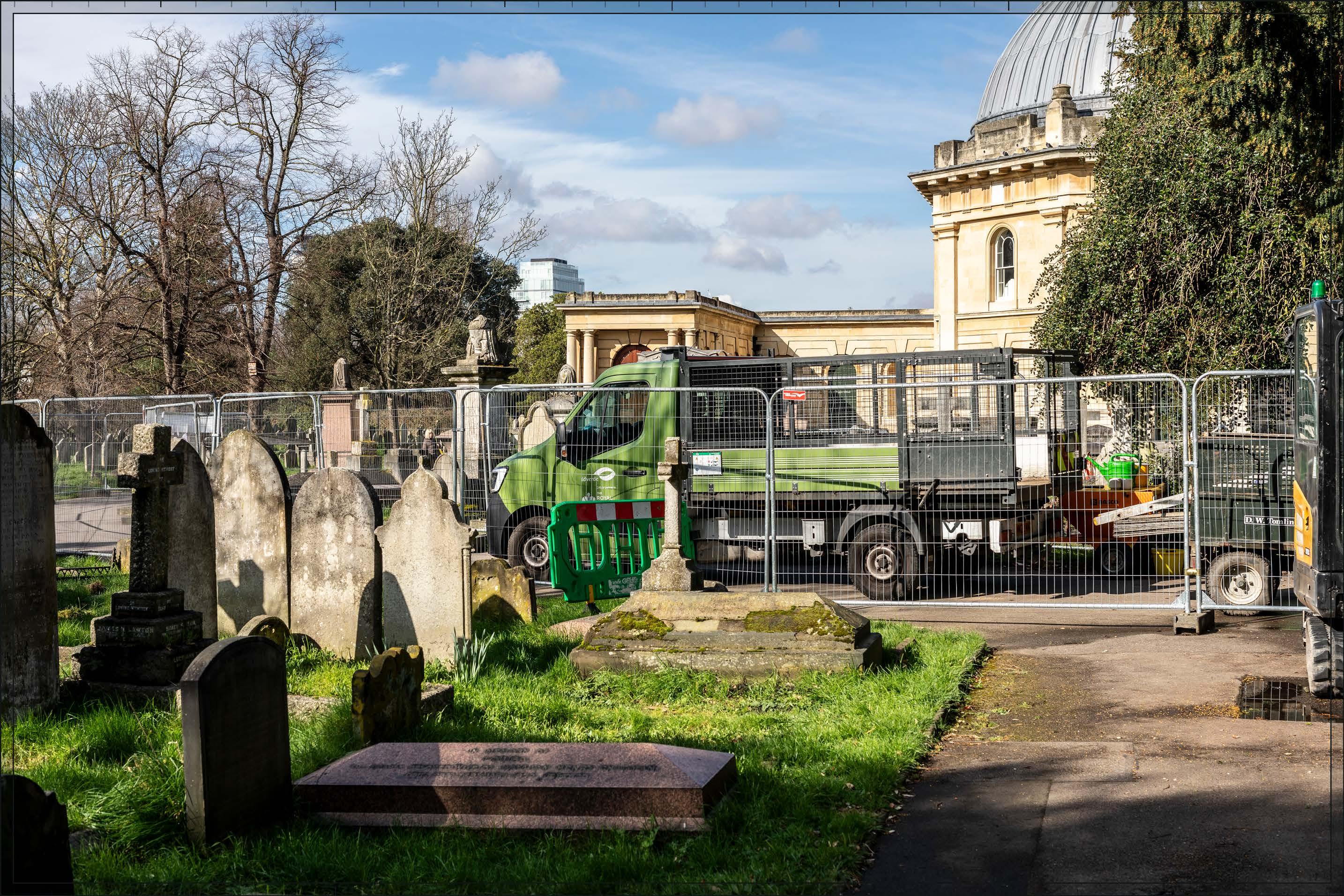
D29853x50 / 50mm 03/03/24 12:33
The Early Phases – Detailed Component Plots WB04, WB03 and EC05, and Outline Component Plots WB06, WB08, EC04 and EC03 - would appear in the middle distance, approximately 700 m from the viewpoint, and clustered with the existing Lillie Square tower, and the Empress State Building to the very limited extent it is seen.
The Early Phases would be visible behind the single-storey western flank of the chapel. It would clearly lie within the background of the view, distinct and separate from the cemetery, and the listed chapel in particular. The apparent height of the Early Phases would be considerably lower than that of the dome of the chapel, which would retain its prominence in the foreground of the view. Nonetheless, the extensive visibility of the Early Phases directly behind the single storey flank of the Chapel would create a distraction from the chapel’s prominence in views from this area.
Plot WB04 would appear as the peak of a coherent group of tall buildings including Plots WB03 and EC05, and the existing Lillie Square tower, which would appear at a lower apparent height than Plots WB03 and EC05. Within the tall cluster, there would be a stepping down in height from Plot WB04 and towards the cemetery, helping to mediate the change in scale in the background of the view. The lower Plots WB08 and EC03 would continue this pattern with their lower maximum heights.
Considering the appearance of the Phase 1 Detailed Component Plots, Plot WB04 would have a visually interesting form, with a series of shoulders stepping up symmetrically to a central ‘crown’. The reduction in massing would be reinforced by the change in materiality, from stone-like solid materials, to lighter, more transparent and reflective materials at the crown. The stepped crown, curved corners and vertical emphasis would provide Plot WB04 with an elegant, Art Deco-inspired appearance, inspired by the Art Deco architecture of the now-demolished Exhibition Centre. Plot EC05 would have a vertically emphasised expression, with fluted cladding and a well-articulated top. Plot WB03, visible in front of Plot WB04, would have a vertically emphasised appearance, fluted cladding and a crown-like top. While different in their detailed articulation and treatment, each of the tall buildings designed in detail would share a familial Art Deco-inspired appearance.
Overall, the Early Phases would represent a noticeable and prominent change to the backdrop of the chapel in this view, in the medium distance setting of the cemetery. The magnitude of impact would be High
The proximity and high level of contrast in scale and form with the designated historic townscape in the foreground and the loss of clear sky above the base of the chapel, has the potential to produce an adverse nature of effect on the viewer. Potential mitigation of
adverse effects on visual amenity has therefore been considered during the design development process. The architectural quality of the Detailed Component of the Early Phases would be high. The Parameter Plans and Design Codes for the Outline Component Plots would ensure that the form and architectural treatment of the Outline Component Plots would respond appropriately to the sensitive historic context in the foreground and the character of the Early Phases. Through these measures, adverse effects on visual amenity have therefore been reduced and minimised. Nonetheless, on balance, due to the scale and proximity of the Proposed Development, and the high level of sensitivity, it is considered that the potential for an adverse effect on the viewer would not be completely mitigated by these factors and the nature of the effect would be Adverse.
Magnitude of impact: High
Effect: Major in scale, Adverse in nature (significant)
Brompton Cemetery, south of the Anglican Chapel
Completed Development - Early Phases
See assessment text on previous page.

Brompton Cemetery, south of the Anglican Chapel
D29853x50 / 50mm 03/03/24 12:33
Completed Development - All Phases
No further Plots would be visible in the All Phases scenario compared to the Early Phases. The magnitude of impact and the scale and nature of the effect would not alter in comparison to the assessment of the Early Phases.
Magnitude of impact: High
Effect: Major in scale, Adverse in nature (significant)

D29853x50 / 50mm 03/03/24 12:33
Completed DevelopmentEarly Phases and cumulative schemes
The cumulative scheme at 100 West Cromwell Road would appear to the side of Outline Component Plots EC04 and EC03 within the Proposed Development, adjacent to the chapel within the cemetery on the skyline. 100 West Cromwell Road would appear at a substantially lower apparent height than the chapel, at a similar apparent height to elements of the Early Phases. The scheme at 100 West Cromwell Road would sit well within the varied skyline formed by the Proposed Development, forming part of a background layer of development separate and distinct from the cemetery. Overall, the effect of the Early Phases in the cumulative scenario would remain as set out above for the Early Phases considered in isolation.
Magnitude of impact: High
Effect: Major in scale, Adverse in nature (significant)
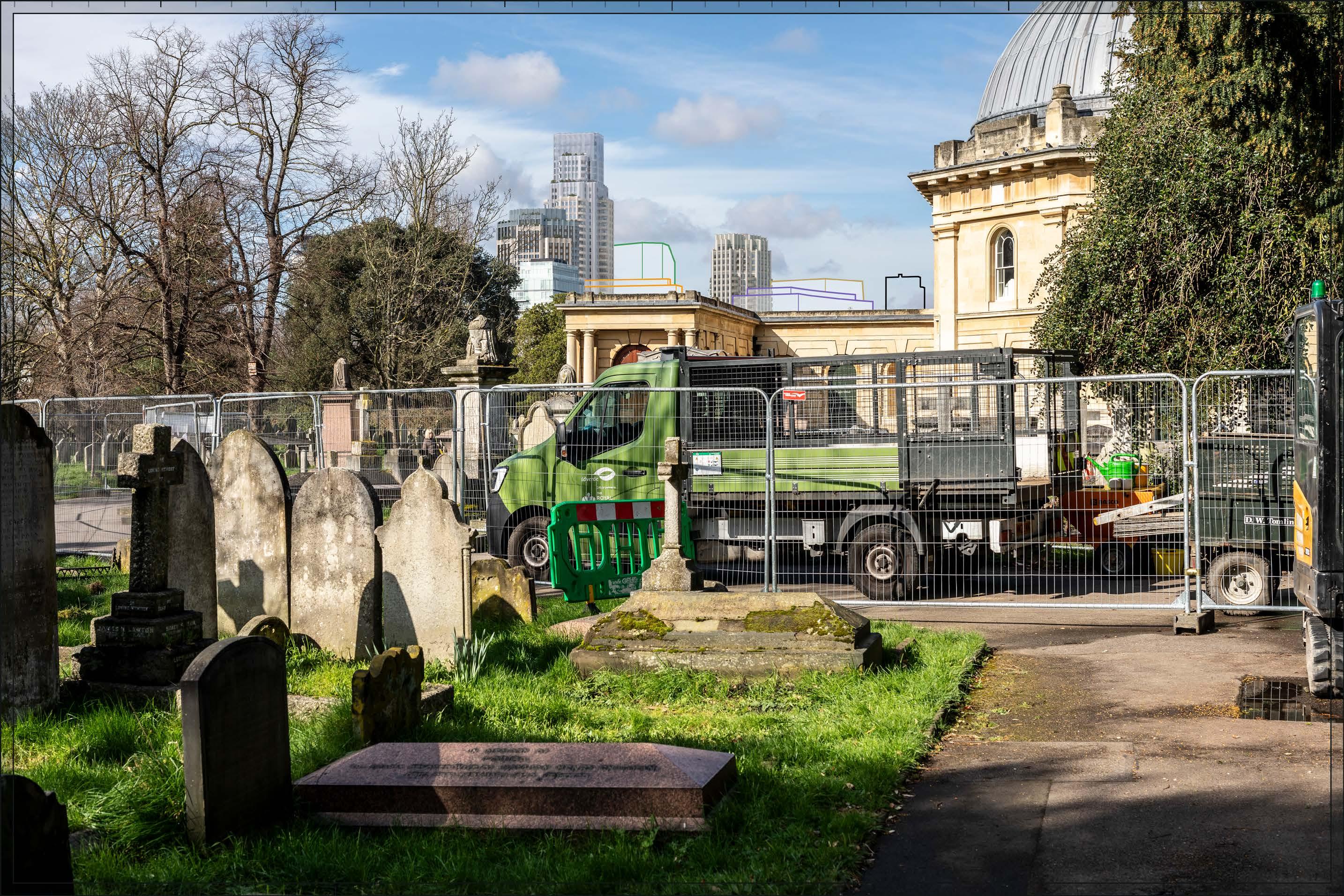
Brompton Cemetery, south of the Anglican Chapel
D29853x50 / 50mm 03/03/24 12:33
Completed DevelopmentAll Phases and cumulative schemes
As no further Plots would be visible in the All Phases scenario compared to the Early Phases, the assessment of effect of All Phases in the cumulative scenario would remain as set out above for the Early Phases in the cumulative scenario.
Magnitude of impact: High
Effect: Major in scale, Adverse in nature (significant)

This viewpoint is located towards the south-eastern corner of the South Grounds of Royal Hospital Chelsea which, together with the more wooded Ranelagh Gardens to the east of this position, is a Grade II Registered Park and Garden of Special Historic Interest. The view is looking north-west in the direction of the Site. The viewpoint lies within the Royal Hospital Conservation Area (RBKC).
The gardens were originally laid out in the 17th century, with significant remodelling in the 19th century which has shaped their current form. They have a formal layout, with lawned areas set around a central route, aligned approximately north-west to southeast, and surrounded by perimeter routes. This view looks across the lawns and towards the central route, which is punctuated by a Grade II listed Memorial Obelisk dating from the mid-19th century.
The Grade I listed Royal Hospital Main Hospital Buildings, designed by Christopher Wren, are visible to the north of the gardens. These provide the view with a strong sense of enclosure albeit buildings beyond the Royal Hospital gardens are visible, particularly beyond the lower scale buildings on the western part of the complex. The National Army Museum and its large projecting circulation areas are noticeable in this part of the view, and appear behind part of the Memorial Obelisk as well as the Hospital buildings. Trees to the south of the main hospital buildings were removed in 2015 as part of the restoration of the South Terrace, revealing more of the northwesterly setting beyond the hospital in views from the south-east.
Value attached to the view: this is a well-composed representative view from the Grade II listed Royal Hospital Chelsea grounds and including the Grade listed main Royal Hospital Buildings. The view from this location towards the central Royal Hospital Main Hospital Buildings is identified as an important view in the Conservation Area Appraisal (Ref. 2-35) and a RBKC borough view identified in the Building Height in the Royal Borough SPD and the draft RBKC Local Plan. The value of the view is judged to be High.
Visual receptors affected: low to moderate numbers of visitors to Royal Hospital Chelsea as a historic landscape and local residents engaged in outdoor recreation. During May the South Grounds and Ranelagh Gardens are the location for the annual Chelsea Flower Show.
Susceptibility to change of visual receptors: views contribute to the scenic experience of the grounds for many visitors. Susceptibility to change is therefore judged to be High.
Sensitivity: High
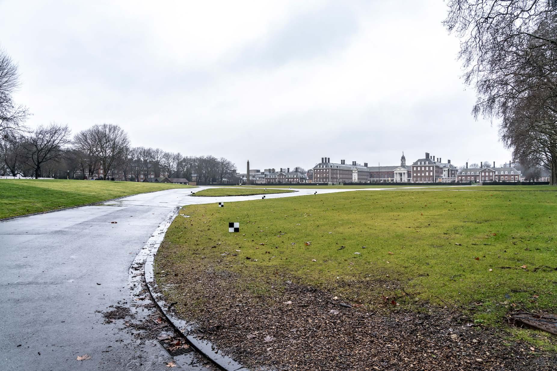
D28045x50 / 50mm 09/03/23 10:04
Existing
See assessment text on previous page.

D28045x50 / 50mm 09/03/23 10:04
Detailed Component Plot WB04 of the Early Phases would be partially visible behind the Grade II listed Memorial Obelisk, at a distance of approximately 3 km, with the top of Plot WB03 visible to its south (left). Both Plots would be visibly in the distance in the background of the view, separate and distinct from the Royal Hospital grounds and the Royal Hospital Buildings further in the foreground. They would also be seen beyond the National Army Museum, which lies beyond the Royal Hospital grounds but considerably closer to the viewpoint than the Site. Where visible the Early Phases would be peripheral to views of the listed Wren buildings.
While Plot WB04 would lie directly behind the Obelisk from this particular point, this would be fleeting and more generally from the south-east part of the South Grounds Plot WB04 would be seen at a considerably lower apparent height than the Obelisk, and clearly lying in the distance. It would not detract from the prominence of the Obelisk in the view or the relationship of the Obelisk to the formal layout of the gardens.
The Early Phases would be a small addition to the view, visibly distant and seen in relation to the modern roofscape of the closer National Army Museum as a barely noticeable addition to the varied backdrop. The magnitude of impact would be Low. While the Early Phases would not add positively to the view, neither would it detract from the quality of the visual amenity of this part of the Royal Hospital grounds. The nature of effect would be Neutral
Magnitude of impact: Low
Effect: Minor-moderate in scale, Neutral in nature (not significant)
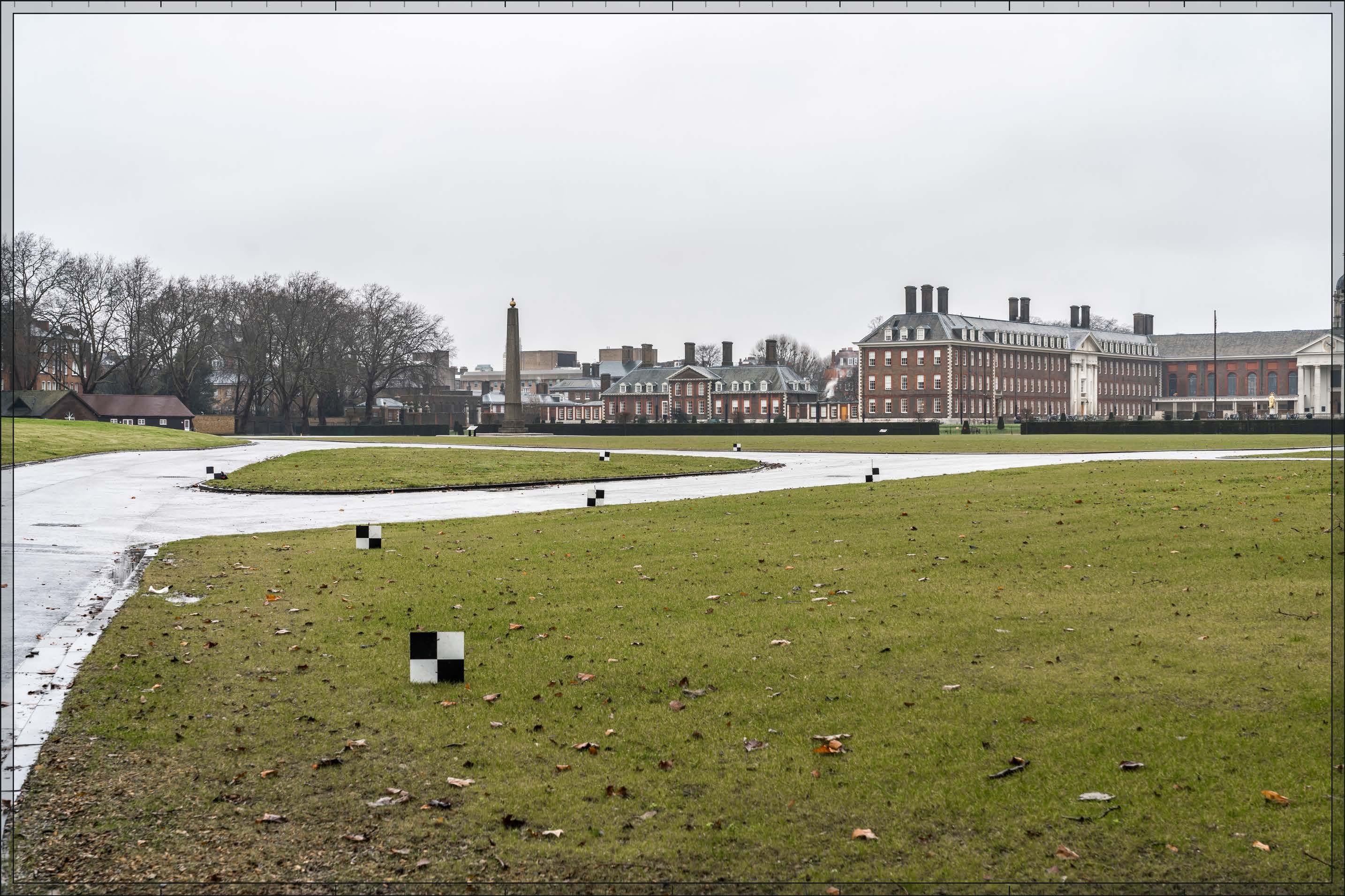
D28045x50 / 50mm 09/03/23 10:04
Completed Development - All Phases
No further Plots would be visible in the All Phases scenario compared to the Early Phases. The magnitude of impact and the scale and nature of the effect would not alter in comparison to the assessment of the Early Phases.
Magnitude of impact: Low
Effect: Minor-moderate in scale, Neutral in nature (not significant)
D28045x50 / 50mm 09/03/23 10:04
Completed DevelopmentEarly Phases and cumulative schemes
There would be no cumulative schemes visible, and the effect of the Early Phases in the cumulative scenario would remain as set out above for the Early Phases considered in isolation.
Magnitude of impact: Low
Effect: Minor-moderate in scale, Neutral in nature (not significant)
D28045x50 / 50mm 09/03/23 10:04
Completed DevelopmentAll Phases and cumulative schemes
There would be no cumulative schemes visible, and the effect of All Phases in the cumulative scenario would remain as set out above for All Phases considered in isolation
Magnitude of impact: Low
Effect: Minor-moderate in scale, Neutral in nature (not significant)
D27767x50 / 24mm 06/03/23 13:36
This viewpoint is located on the northern side of Holland Park Avenue and the view is looking south along Holland Park and Abbotsbury Road in the direction of the Site. The viewpoint is located within the Holland Park Conservation Area (RBKC).
Holland Park Avenue is a busy east-west route, connecting Shepherd’s Bush and Notting Hill Gate. Holland Park leading to Abbotsbury Road runs south past the open space of Holland Park (beyond the visible part of the view). The section of Holland Park in the foreground to middle ground has a straight alignment and is lined by stucco detached villas, four storeys above basement, which are all Grade II listed. Those on the western side of the street (right in this image) have their main frontage addressing the street, while those on the eastern side of the street (left) present side frontages. There is nonetheless a high degree of coherence and enclosure within the view, and a directional quality to it. Mature street trees line both sides of the street along Holland Road and, in the middle distance, dense tree branches overlap to form a strong enclosure of the view even in winter.
Value attached to the view: this is a well-composed representative view from the Holland Park Conservation Area which includes many Grade II listed buildings. The value of the view is judged to be Medium
Visual receptors affected: low numbers of local residents on Holland Park and others on the move along Holland Park Avenue.
Susceptibility to change of visual receptors: local residents in a community where views contribute to the setting of a high-quality designated townscape have a high susceptibility to change. Susceptibility to change is therefore judged to be High.
Sensitivity: Medium-high
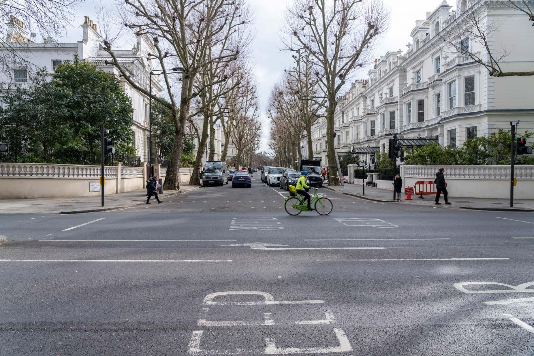
D27767x50 / 50mm 06/03/23 13:36
See assessment text on previous page.
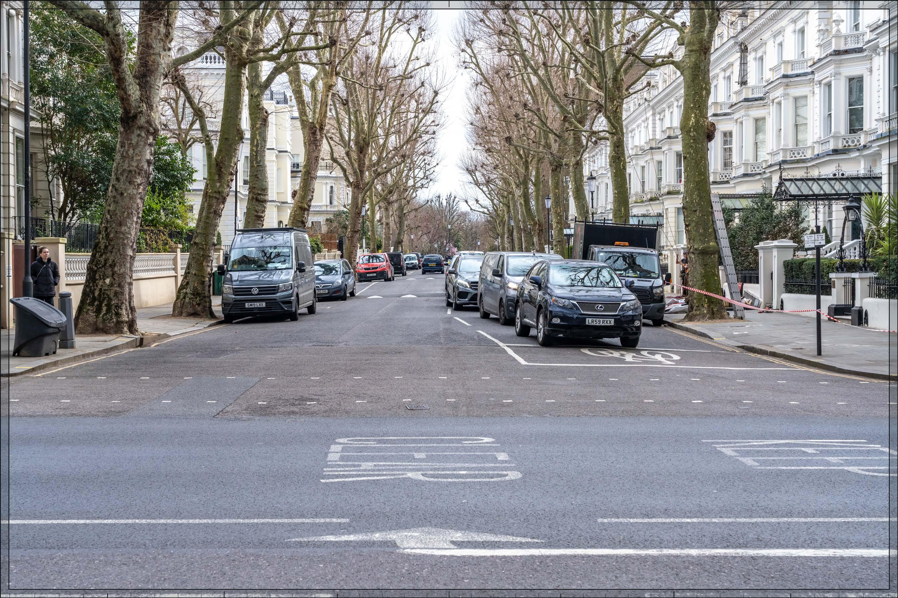
D27767x50 / 50mm 06/03/23 13:36
The top of Detailed Component Plot WB04 of the Early Phases would be visible at a distance of more than 2 km, with Outline Component Plot WB06 appearing at a much lower height in front of it. They would both lie in the background of the view, and beyond the dense treeline that sits in the middle distance, such that they would appear visibly distant, distinct and separate from the foreground Grade II listed buildings within the Holland Park Conservation Area in winter when the foreground trees are bare of leaves. The Detailed Component of the Early Phases is modelled as a chalk render, which shows the scale form and articulation of the Detailed Component Plots, but not the proposed materials or the effects of distance on their visibility.
The visually interesting form of Plot WB04, with a series of shoulders stepping up symmetrically to a central ‘crown’, could be appreciated to some limited extent at this distance and through the trees. The reduction in massing would be reinforced by the change in materiality, from stone-like solid materials, to lighter, more transparent and reflective materials at the crown. The stepped crown, curved corners and vertical emphasis would provide Plot WB04 with a slender, elegant, Art Deco-inspired appearance. Plot WB06 would be seen to a lesser extent, and highly screened by trees, such that it would have a barely discernible visual presence, even in winter.
The Early Phases would be screened significantly by trees, such that it would be visible only in the winter months. In winter the magnitude of impact would be Low. In summer spring and autumn, it is likely that the Early Phases would be considerably less visible due to tree foliage, with a Very low magnitude of impact. Due to its contrasting architectural character seen in relation to an area of historic architectural homogeneity, the Early Phases is not considered to contribute positively to visual amenity. However, although it would change the character of the distant backdrop in long aligned views southward, the Early Phases would represent a relatively minor and distant feature of the views, and when visible would be screened and softened by foreground trees. Neither therefore would it detract from the quality of the visual amenity of this part of the conservation area. The nature of effect would be Neutral
Magnitude of impact: Very low (spring, summer, autumn) to Low (winter)
Effect: Negligible (spring, summer and autumn) to Minor (winter) in scale, Neutral in nature (not significant)

D27767x50 / 50mm 06/03/23 13:36
No further Plots would be visible in the All Phases scenario compared to the Early Phases. The magnitude of impact and the scale and nature of the effect would not alter in comparison to the assessment of the Early Phases.
Magnitude of impact: Very low (spring, summer, autumn) to Low (winter),
Effect: Negligible (spring, summer and autumn) to Minor (winter) in scale, Neutral in nature (not significant)

D27767x50 / 50mm 06/03/23 13:36
Completed DevelopmentEarly Phases and cumulative schemes
The cumulative scheme at 100 West Cromwell Road would appear in front of Detailed Component Plot WB04 and Outline Component Plot WB06, obscuring much of those Plots from sight and largely replacing Plot WB04 as the focus of the view in its background. The reduction in the visibility of the Early Phases in the cumulative scenario would reduce its magnitude of impact when the trees are not in leaf, and consequently its scale of effect.
Magnitude of impact: Very low
Effect: Negligible in Scale, Neutral in Nature (not significant)
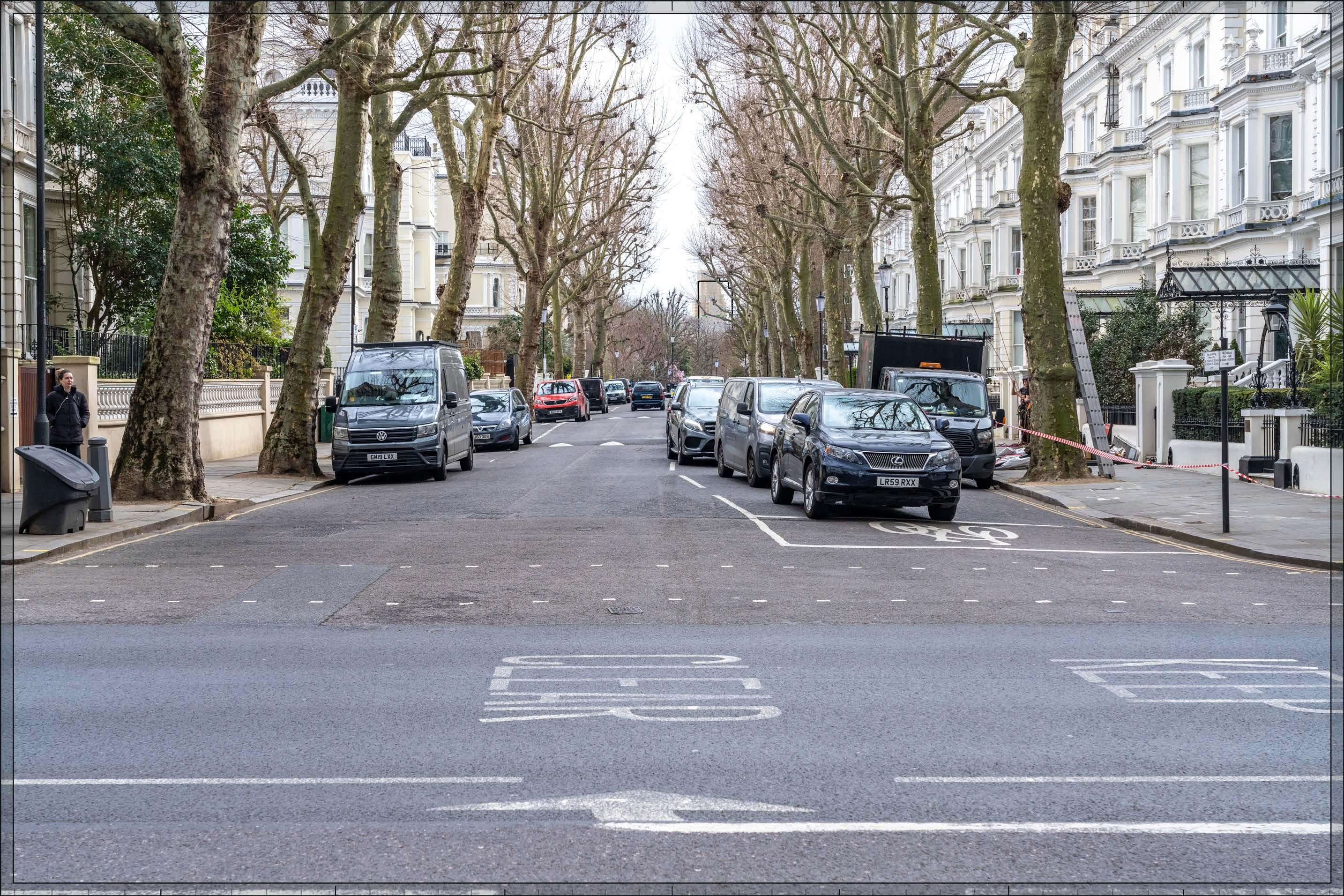
D27767x50 / 50mm 06/03/23 13:36
Completed DevelopmentAll Phases and cumulative schemes
As no further Plots would be visible in the All Phases scenario compared to the Early Phases, the assessment of effect of All Phases in the cumulative scenario would remain as set out above for the Early Phases in the cumulative scenario.
Magnitude of impact: Very low
Effect: Negligible in Scale, Neutral in Nature (not significant)

D28090x50 / 24mm 12/03/23 16:34
The view from the north-eastern corner of Edwardes Square looks south-west across the garden square through mature winter trees. Edwardes Square was laid out around 1811 and Earls Terrace, the back of which forms the northern edge of the square (behind the viewing position), was constructed first between 1800-1810, followed by the east and west terraces. Little survives of the stables and mews that formed the southern edge. The garden in the centre of the square is a Grade II* RPGSHI and was originally laid out in 1820. The 19th century iron railings visible in the foreground are Grade II listed. Trees and a mixed shrubbery within the railings screen the garden from the surrounding roads and filter views from within the square. From this point, evergreen foliage prevents any meaningful visibility into the garden and beyond.
Value attached to the view: this is a representative view point from the north side of Edwardes Square within the Edwardes Square/Scarsdale and Abingdon Conservation Area. It is not taken from a specific viewing position of recognised importance and the CAPS does not identify any specific views of importance. Edwardes Square is a Grade II* listed historic landscape and the terraces forming the north, east and west edges, and the railings enclosing the garden square are Grade II listed. The value of the view is judged to be Medium.
Visual receptors affected: low numbers of local residents living around the square and using the shared private garden.
Susceptibility to change of visual receptors: local residents in a community where views contribute to the setting of a high-quality designated townscape have a high susceptibility to change. Susceptibility to change is therefore judged to be High.
Sensitivity: Medium-high
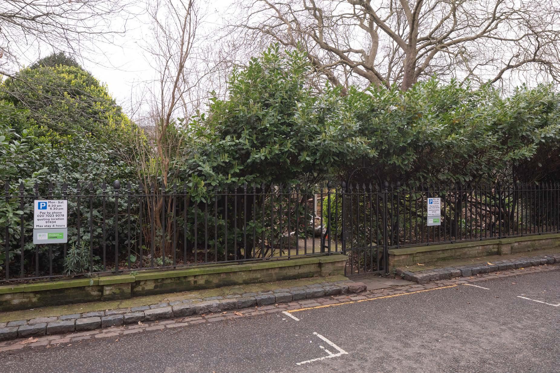
Proposed Development key
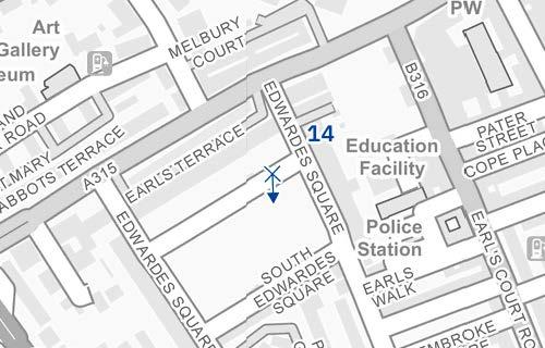
D28090x50 / 50mm 12/03/23 16:34
Existing
See assessment text on previous page.
D28090x50 / 50mm 12/03/23 16:34
Completed Development - Early Phases
The Early Phases would not be visible in this view.
Magnitude of impact: None
Effect: No effect (not significant)
D28090x50 / 50mm 12/03/23 16:34
Completed Development - All Phases
All Phases would not be visible in this view.
Magnitude of impact: None
Effect: No effect (not significant)
D28090x50 / 50mm 12/03/23 16:34
Completed DevelopmentEarly Phases and cumulative schemes
There would be no cumulative schemes visible, and the effect of the Early Phases in the cumulative scenario would remain as set out above for the Early Phases considered in isolation.
Magnitude of impact: None
Effect: No effect (not significant)
D28090x50 / 50mm 12/03/23 16:34
Completed DevelopmentAll Phases and cumulative schemes
There would be no cumulative schemes visible, and the effect of All Phases in the cumulative scenario would remain as set out above for All Phases considered in isolation.
Magnitude of impact: None
Effect: No effect (not significant)
D27697x50 / 24mm 10/03/23 14:02
This viewpoint is located on the central pedestrian crossing at the junction of Cromwell Road and Earls Court Road and the view is looking west. The junction occupies the foreground and West Cromwell Road can be seen to stretch westward from it into the middle distance. The view is dominated by road infrastructure. On the left-hand side of the image are terraces at the northern end of Nevern Road, within the Nevern Square Conservation Area and just visible further west on the southern side of West Cromwell Road is the post-war Ashfield House, which is within the Site boundary. On the right of the view lining the northern side of West Cromwell Road are undesignated Victorian terraced houses outside any conservation area. Projecting forward at the western end of the terrace and terminating the view is the Whiteley’s Furniture Depository, a LBHF locally listed Building of Merit within the Olympia and Avonmore Conservation Area.
Value attached to the view: this is a representative viewpoint from West Cromwell Road; it is not taken from a specific viewing position of recognised importance. The view is not taken from a conservation area and does not include any listed buildings. Although the rears of terraces within the Nevern Square Conservation Area are visible and the CAA (Ref. 2-22) notes that there are east-west views along West Cromwell Road that include the Conservation Area, this is an incidental view of the edge of the Conservation Area. The value of the view is judged to be Low
Visual receptors affected: a mixture of moderate numbers of local residents, local workers and travellers using the busy A4 route into and out of central London.
Susceptibility to change of visual receptors: the identified receptors would generally be travelling on foot or in a vehicle and this view would therefore be experienced as part of a continuous dynamic with the noise and views of traffic an intrusive element of the scene; awareness of views is not likely to be high. Susceptibility to change is therefore judged to be Low.
Sensitivity: Low
Cromwell Road, junction with Earl’s Court Road
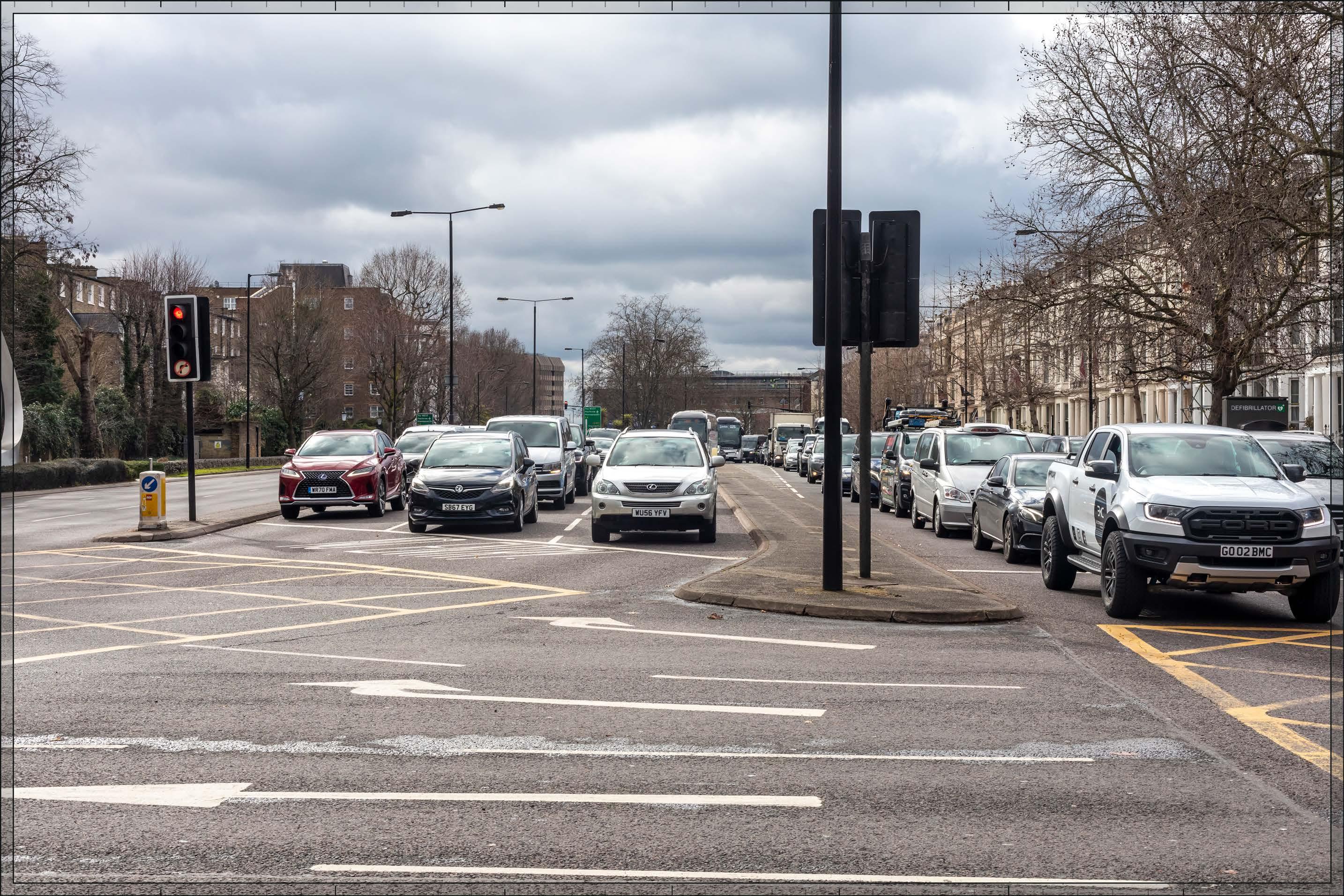
15
Cromwell Road, junction with Earl’s Court Road
D27697x50 / 50mm 10/03/23 14:02
Completed Development - Early Phases
The Early Phases would not be visible in this view.
Magnitude of impact: None
Effect: No effect (not significant)

D27697x50 / 50mm 10/03/23 14:02
Outline Component Plots at the northern end of the Proposed Development would appear in the middle distance, to the left of centre in the image. The most visible plots within it would be Outline Component Plots WK03, WK04, WK05, WK06, and WK07. They would be seen to better define West Cromwell Road and mark the Proposed Development from this important route westwards out of central London when seen from the east.
The massing of the visible plots, as set out in the Parameter Plans and Design Codes, would create a secondary cluster of taller development (the taller central cluster is not visible from this position) with heights stepping down to the east and west along West Cromwell Road, resulting in a coherent composition across All Phases as seen from this viewpoint. Plot WK05 would appear as the tallest element, and it would have slender proportions creating a focal point on the skyline from the east. The lower broader plots would have stepped shoulders incorporated into their forms at maximum parameters and through the Design Codes, further breaking down their apparent scale in response to their context to the north.
The illustrative schemes for these Plots (not assessed but provided for information in Appendix E) show an architectural approach developed in line with the Design Codes. In respect of Plots WK03 and WK04, for example, there are harmonising architectural features that would allow them to be read as part of familial cluster of buildings (WK.B.17), with a continuous intermediate shoulder (WK.B.13), tripartite composition (WK.B.26) and distinct articulation of the building crown (WK.B.14).
The Proposed Development would appear at a somewhat larger scale than existing buildings in the middle distance, and would represent an impact of Medium magnitude. The coherent massing arrangement of the Plots, combined with high quality architecture which can be expected as a result of the Design Codes, and the manner in which they would define and repair the edge to West Cromwell Road, would ensure that the nature of the effect on the view would be Beneficial
Magnitude of impact: Medium
Effect: Minor-moderate in scale, Beneficial in nature (not significant).
15
D27697x50 / 50mm 10/03/23 14:02
Completed DevelopmentEarly Phases and cumulative schemes
The cumulative scheme at 100 West Cromwell Road would appear prominently on the northern side of West Cromwell Road. As the Early Phases would not be visible, it would continue to have No effect in the cumulative scenario.
Magnitude of impact: None
Effect: No effect (not significant)
15
D27697x50 / 50mm 10/03/23 14:02
Completed DevelopmentAll Phases and cumulative schemes
The cumulative scheme at 100 West Cromwell Road would appear prominently on the northern side of West Cromwell Road, opposite All Phases. The tower element of 100 West Cromwell Road would appear at a considerably greater apparent height than the All Phases, forming a clear focal point for the view. The lower parts of 100 West Cromwell Road would have a similar apparent scale to the visible parts of All Phases, such that they would complement each other and balance the scale of development on both sides of the street. The scheme at 100 West Cromwell Road would partly block Outline Component Plot WK03 from sight, although not to the extent that the overall magnitude of impact would be altered compared to that of All Phases considered in isolation. The overall effect of All Phases would remain the same in the cumulative scenario as for the All Phases considered in isolation.
Magnitude of impact: Medium
Effect: Minor-moderate in scale, Beneficial in nature (not significant).

D27685x50 / 24mm 10/03/23 15:52
This viewpoint is located on the southern side of Kenway Road and the view is looking south-west in the direction of the Site. Kenway Road lies within the Earls Court Village Conservation Area. The conservation area has an informal ‘village’ character which contrasts with the wider later Victorian urban townscape outside the conservation area. Earls Court Village is a tranquil pocket of less formal townscape, set apart from the surrounding legibly taller later Victorian close townscape setting. Some of the smaller scale early 19th century workmen’s cottages of the original village, on the north side of Kenway Road survive, visible on the right-hand side of the view. The terrace of three-storey cottages is in brick with chimneys providing strong rhythm and articulation of the roofline. On the left of the view are modest, two storey, Victorian, terraces with shop fronts onto the street. The street splits in the centre of the view at the unlisted King’s Head public house, established in the 17th century but rebuilt in 1937, with a hipped roof and two tall white chimneys. Kenway Road continues towards Earls Court Road on the right and the narrower Hogarth Place is on the left. The Empress State Building, approximately 800m to the south-west, is prominent in many views from Kenway Road and is here seen in the background of the view, to the right of the Kings Head Pub with its contrasting taller modern form.
Value attached to the view: this is a well-composed representative street view from the Earls Court Village Conservation Area; views south along Kenway Road are noted in Figure 4.1 and paragraph 4.15 of the CAA (Ref. 2-23). The value of the view is judged to be Medium
Visual receptors affected: low numbers of local residents living on the street or from the wider local area using the local shops.
Susceptibility to change of visual receptors: local residents in a community where views contribute to the setting of a high-quality designated townscape have a high susceptibility to change. Susceptibility to change is therefore judged to be High
Sensitivity: Medium-high
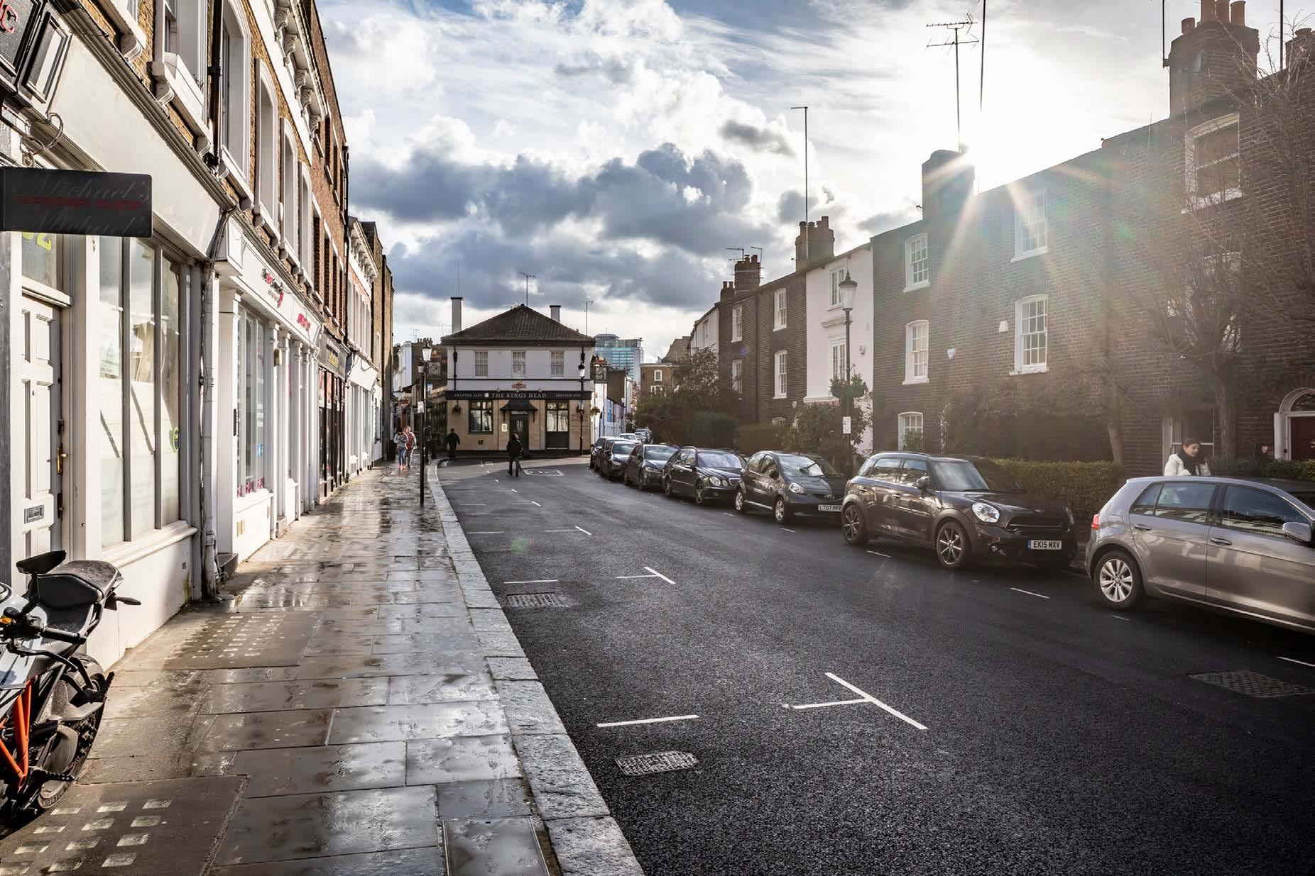
D27685x50 / 50mm 10/03/23 15:52
See assessment text on previous page.
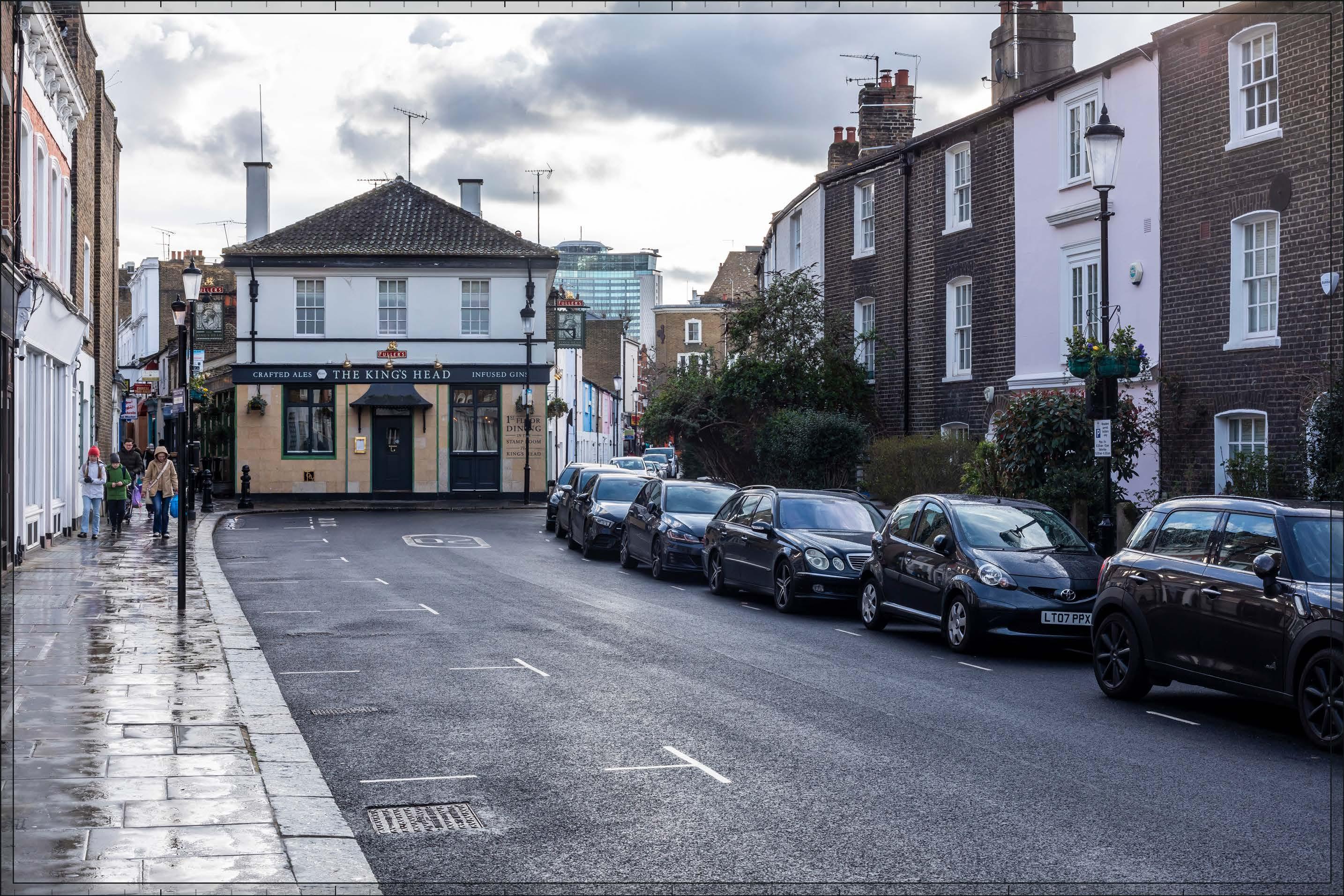
D27685x50 / 50mm 10/03/23 15:52
The Early Phases would appear at a distance of approximately 600m, with Detailed Component Plots WB04, WB03 and EC05, and Outline Component Plot EC04, the most visible plots. A small part of Outline Component Plot WB06 would also be visible behind Plot EC05.
The Early Phases would appear in front of the Empress State Building (almost completely obscuring that existing building from sight) and it would form a background layer of townscape within the view, distinct and separate from the smaller scale conservation area buildings in the foreground. Plot WB04 would appear as the peak of a coherent group of tall buildings including Plots WB03 and EC05.
Plot WB04 would form a distinct focal point, with a visually interesting form comprising a series of shoulders stepping up symmetrically to a central ‘crown’. The reduction in massing would be reinforced by the change in materiality, from stone-like solid materials, to lighter, more transparent and reflective materials at the crown. The stepped crown, curved corners and vertical emphasis would provide Plot WB04 with an elegant, Art Deco-inspired appearance. Plot EC05, to the right of WB04, would have the next greatest apparent height. It would have a vertically emphasised expression, with fluted cladding and a multi-stage top. Plot WB03, seen to the left of Plot WB04, would have a faceted plan incorporating ‘bullnose’ elements on the eastern and western frontages, and a stepped crown would provide a distinctive top for the building. Plot EC04 would complete the downward cascade of the massing from the peak of the cluster at WB04 to mediate the scale of the central cluster in relation to the lower existing context to the east.

D27685x50 / 50mm 10/03/23 15:52
Overall, the Early Phases would represent a noticeable change to the composition and character of the visual amenity from Kenway Road. The magnitude of impact would be High. Due to its contrasting scale and architectural character seen in relation to an area of historic architectural homogeneity, the Early Phases is not considered to contribute positively to visual amenity. However, neither is the visibility of tall modern development in a historic context considered to have an inherently adverse effect on visual amenity. The Early Phases would appear distinct and separate from the lower scale townscape of the conservation area and would be seen in relation to an existing taller modern context to the west and the taller scale and more formal character of the later Victorian townscape that surrounds the conservation area. The view is representative of townscape that is generally inward focused and set apart from the surrounding taller more urban context. The Early Phases would therefore have a relatively more limited impact on the quality of the visual amenity from this area. The Early Phases would provide a coherent cascading composition on the skyline to replace the broad form of the Empress State Building as a focal point in the middle distance. The high architectural quality of its component parts (either as part of the Detailed Component or the Outline Component Plots to be developed in line with the Design Codes, and expected to achieve the same level of quality), would mitigate any potential negative impact. The overall effect would be Neutral.
Magnitude of impact: High
Effect: Major in scale, Neutral in nature (significant)
No further Plots would be visible in the All Phases scenario compared to the Early Phases. The magnitude of impact and the scale and nature of the effect would not alter in comparison to the assessment of the Early Phases.
Magnitude of impact: High
Effect: Major in scale, Neutral in nature (significant)

D27685x50 / 50mm 10/03/23 15:52
Completed DevelopmentEarly Phases and cumulative schemes
There would be no cumulative schemes visible, and the effect of the Early Phases in the cumulative scenario would remain as set out above for the Early Phases considered in isolation.
Magnitude of impact: High
Effect: Major in scale, Neutral in nature (significant)
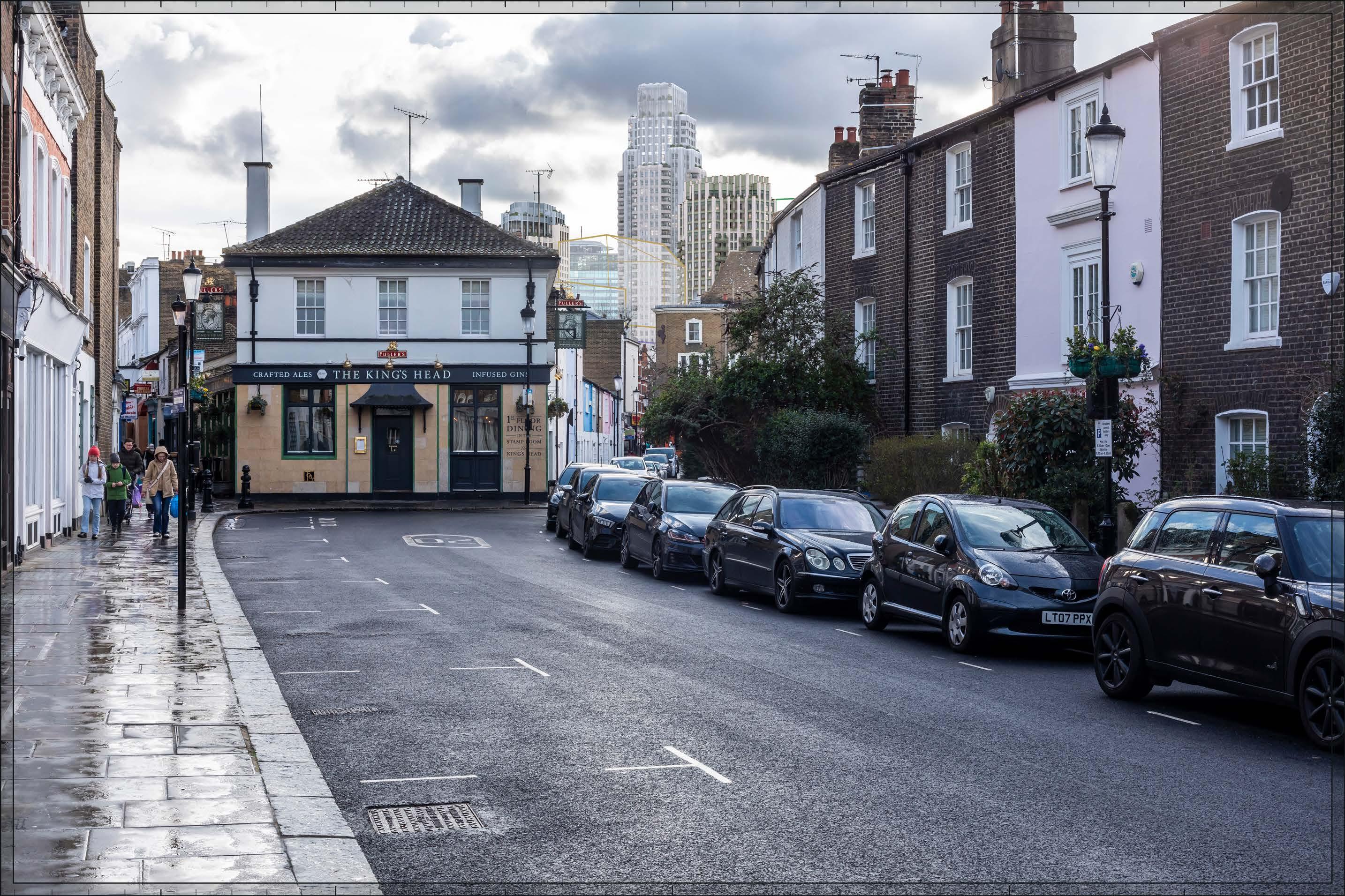
D27685x50 / 50mm 10/03/23 15:52 View 16
Completed DevelopmentAll Phases and cumulative schemes
There would be no cumulative schemes visible, and the effect of All Phases in the cumulative scenario would remain as set out above for All Phases considered in isolation.
Magnitude of impact: High
Effect: Major in scale, Neutral in nature (significant)
D27687x50 / 24mm 09/03/23 13:52
The view is taken from the northern edge of the Courtfield Conservation Area and looks south-west between the gently curving terraces of Collingham Place from the southern side of the street. The long terraces lining Collingham Place are of consistent appearance in stock brick with stucco window surrounds and projecting porches. Terminating the view at low level is the two-storey rear of Morton Mews in white stucco at the junction with Courtfield Gardens/ Knaresborough Place. Projecting above the parapet line of Morton Mews an attic extension is visible and, behind that, the triangular end of the train shed of the Grade II listed Earls Court Station. The taller Empress State Building is seen as a distant form on the skyline approximately 1km away, framed by the densely articulated elevations and strong curving parapet lines of Collingham Place.
Value attached to the view: this is a well-composed representative street view from the Courtfield Conservation Area. Views in both directions along Collingham Place are noted in Figure 5.1 of the CAA (Ref. 2-25). The value of the view is judged to be Medium.
Visual receptors affected: low numbers of local residents living on the street or in the wider local area.
Susceptibility to change of visual receptors: local residents in a community where views contribute to the setting of a high-quality designated townscape have a high susceptibility to change. Susceptibility to change is therefore judged to be High
Sensitivity: Medium-high
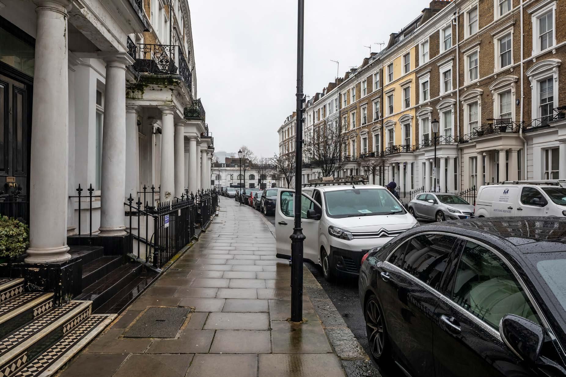
D27687x50 / 50mm 09/03/23 13:52
See assessment text on previous page.
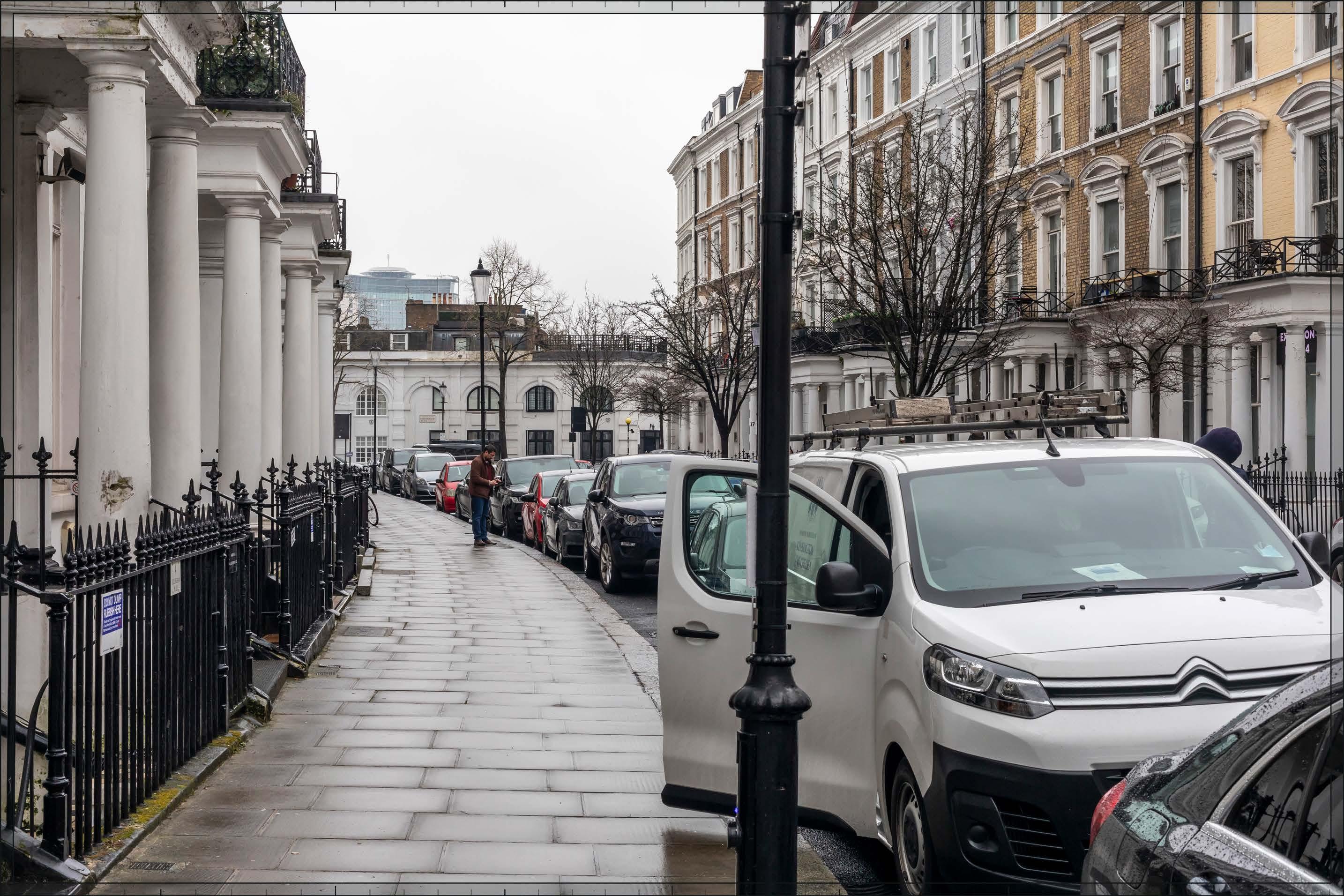
D27687x50 / 50mm 09/03/23 13:52
The Early Phases would appear in the middle distance, approximately 800m away, beyond the buildings along Morton Mews. Detailed Component Plots WB04, WB03, and EC05, together with Outline Component Plot WB06, would be the most visible plots, with lower Outline Component Plots EC03 and EC04, and Detailed Component Plot EC06, visible to a smaller extent.
The Early Phases would appear in front of the Empress State Building, and together with it would form a background layer of townscape within the view, distinct and separate from the smaller scale townscape of the conservation area in the foreground.
Plot WB04 would appear as the peak of a coherent group of tall buildings also including lower Plots WB03, WB06 and EC05, and there would be a distinct stepping down of height within the Early Phases towards the east, with Plots EC03, EC04 and EC06 appearing at a lower apparent height closer to the viewpoint. The skyline of the cluster would be well articulated by the changes in height and legible gaps between individual buildings.
Plot WB04 would form a distinct focal point, with a visually interesting form comprising a series of shoulders stepping up symmetrically to a central ‘crown’. The reduction in massing would be reinforced by the change in materiality, from stone-like solid materials, to lighter, more transparent and reflective materials at the crown. The stepped crown, curved corners and vertical emphasis would provide Plot WB04 with an elegant, Art Deco-inspired appearance. Plot EC05, to the right of WB04, and Plot WB03 would each have a subtly different plot specific form and articulation, based on an octagonal plan in the case of the former and a faceted plan incorporating ‘bullnose’ elements on the eastern and western frontages in the case of the latter, which would preserve a familial Art Deco quality to the group as a whole. Each would have a stepped crown forming a distinctive recessive top. Plot WB06, to the right of Plot EC05, would contribute to the tall central cluster. Other Outline Component Plots seen lower in front of the central cluster would help to manage the scale of the central cluster in relation to the lower existing context to the east.
The Early Phases would represent a noticeable change in the scale and character of this channelled view, introducing a broader cluster of tall buildings to the south-west, although remaining lower in apparent height than the buildings lining Collingham Place in the foreground. The magnitude of impact would be High
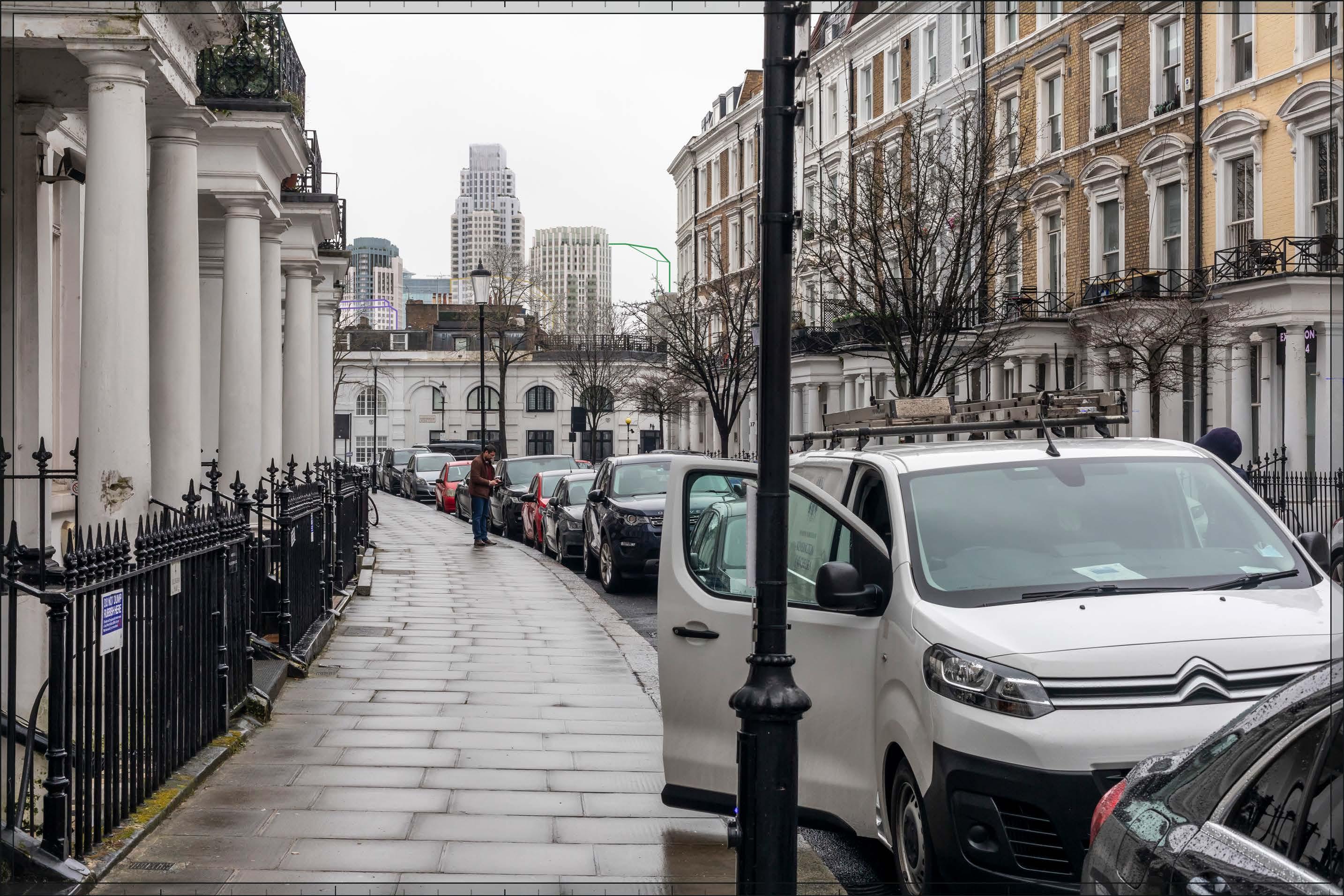
D27687x50 / 50mm 09/03/23 13:52
Due to its contrasting scale and architectural character seen in relation to an area of historic architectural homogeneity, the Early Phases is not considered to contribute positively to visual amenity. However, neither is the visibility of tall modern development in a historic context considered to have an inherently adverse effect on visual amenity. The Early Phases would appear distinct and separate from the conservation area in the foreground and would be seen at a distance of approximately 800m in relation to the existing Empress State Building. The Early Phases would form a coherent composition on the skyline and would include high quality buildings (either as part of the Detailed Component or Outline Component Plots to be developed in line with the Design Codes, and expected to achieve the same level of quality), which would mitigate any potential adverse effect. The nature of effect is therefore assessed as Neutral
Magnitude of impact: High
Effect: Major in scale, Neutral in nature (significant)
No further Plots would be visible in the All Phases scenario compared to the Early Phases. The magnitude of impact and the scale and nature of the effect would not alter in comparison to the assessment of the Early Phases.
Magnitude of impact: High
Effect: Major in scale, Neutral in nature (significant)
D27687x50 / 50mm 09/03/23 13:52
Completed DevelopmentEarly Phases and cumulative schemes
There would be no cumulative schemes visible, and the effect of the Early Phases in the cumulative scenario would remain as set out above for the Early Phases considered in isolation.
Magnitude of impact: High
Effect: Major in scale, Neutral in nature (significant)
D27687x50 / 50mm 09/03/23 13:52
Completed DevelopmentAll Phases and cumulative schemes
There would be no cumulative schemes visible, and the effect of All Phases in the cumulative scenario would remain as set out above for All Phases considered in isolation.
Magnitude of impact: High
Effect: Major in scale, Neutral in nature (significant)
D27689x50 / 24mm 09/03/23 14:25
This viewpoint is located on the eastern pavement of Collingham Gardens at the north-east corner of Bramham Gardens within the Courtfield Conservation Area. The Grade II* terrace of Nos.9-18 Collingham Gardens is behind the viewing position. The construction of Bramham Gardens was begun in 1883, designed in the Queen Anne style that distinguishes the late 19th century phase of developments in the conservation area. On the left of the view is the garden square; mature London plane trees line its perimeter and the northern edge of the street screening views beyond and creating a very leafy scene in summer. Little development is visible through the square or along Bramham Gardens through the trees, especially in summer. Although modern development beyond the conservation area is not apparent in this view, moving to the north along Collingham Gardens, the Empress State Building comes into view.
Value attached to the view: this is a well-composed representative street view from the Courtfield Conservation Area. The value of the view is judged to be Medium.
Visual receptors affected: low numbers of local residents living on the street or in the wider local area.
Susceptibility to change of visual receptors: local residents in a community where views contribute to the setting of a high-quality designated townscape have a high susceptibility to change. Susceptibility to change is therefore judged to be High
Sensitivity Medium-high
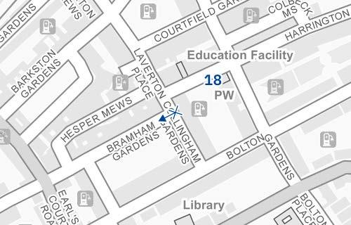
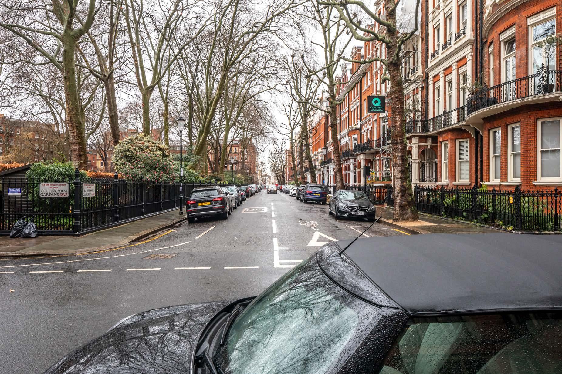
D27689x50 / 50mm 09/03/23 14:25
Existing
See assessment text on previous page.
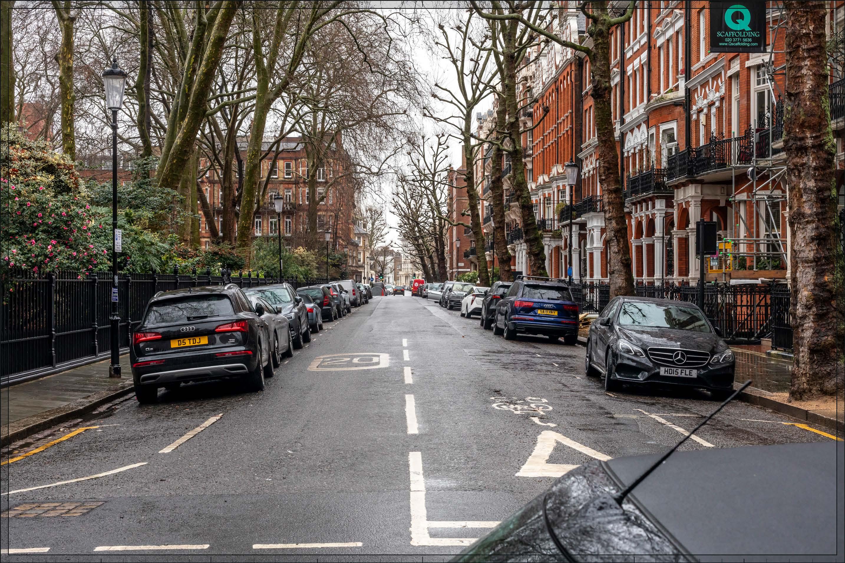
D27689x50 / 50mm 09/03/23 14:25
Detailed Component Plot WB04 within the Early Phases would appear in the centre of the image, and lower Outline Component Plots EC03 and EC10 would appear in front of it. A small, barely noticeable part of the tops of Detailed Component Plot WB03 and Outline Component Plot EC04 would appear to the left and right of the sky-gap in the centre of the view. The Early Phases would appear in the middle distance, approximately 800 m away, and screened to some extent by trees even in winter, and it would be appreciated as being distinct and separate from the townscape of the conservation area in the foreground of the view.
The appearance of Plot WB04 as a slender tall building with vertically emphasised proportions, appearing directly on the alignment of the street in the foreground, is such that it would form a strong termination of this channelled view. It would have a visually interesting form comprising a series of shoulders stepping up symmetrically to a central ‘crown’. The reduction in massing would be reinforced by the change in materiality, from stone-like solid materials, to lighter, more transparent and reflective materials at the crown. The stepped crown, curved corners and vertical emphasis would provide Plot WB04 with an elegant, Art Deco-inspired appearance. Plots EC03 and EC10 would have a considerably lower apparent height as a result of a distinct step down in scale towards the Site’s eastern boundary; from this position they would visually align with the enclosure of the square in the foreground and help to mediate the change in scale between Plot WB04 and the existing townscape in the foreground of the view
The Early Phases would represent a noticeable change to this channelled view, changing the scale and character of the townscape at the termination of the view. The magnitude of impact would be High. The Early Phases would be screened to a considerably greater degree when the trees are in leaf, reducing the magnitude of impact to Very low

D27689x50 / 50mm 09/03/23 14:25
(continued)
Due to its contrasting scale and architectural character seen in relation to an area of historic architectural homogeneity, the Early Phases is not considered to contribute positively to visual amenity. However, neither is the visibility of tall modern development in a historic context considered to have an inherently adverse effect on visual amenity. The Early Phases would appear distinct and separate from the conservation area in the foreground and would be seen at a distance of approximately 800 m and in relation to the existing Empress State Building when moving further north of the viewpoint. The Early Phases would form a coherent composition on the skyline and would include high quality buildings (either within the Detailed Component or Outline Component Plots to be developed in line with the Design Codes, and expected to achieve the same level of quality), which would mitigate any potential negative impact. The nature of effect is therefore assessed as Neutral
Magnitude of impact: Very low (spring, summer, autumn) to High (winter)
Effect: Negligible (spring, summer, autumn) to Major (winter) in scale, Neutral in nature (significant)
No further Plots would be visible in the All Phases scenario compared to the Early Phases. The magnitude of impact and the scale and nature of the effect would not alter in comparison to the assessment of the Early Phases.
Magnitude of impact: Very low (spring, summer, autumn) to High (winter)
Effect: Negligible (spring, summer, autumn) to Major (winter) in scale, Neutral in nature (significant)
D27689x50 / 50mm 09/03/23 14:25
Completed DevelopmentEarly Phases and cumulative schemes
There would be no cumulative schemes visible, and the effect of the Early Phases in the cumulative scenario would remain as set out above for the Early Phases considered in isolation.
Magnitude of impact: Very low (spring, summer, autumn) to High (winter)
Effect: Negligible (spring, summer, autumn) to Major (winter) in scale, Neutral in nature (significant)
D27689x50 / 50mm 09/03/23 14:25
Completed DevelopmentAll Phases and cumulative schemes
There would be no cumulative schemes visible, and the effect of All Phases in the cumulative scenario would remain as set out above for All Phases considered in isolation.
Magnitude of impact: Very low (spring, summer, autumn) to High (winter)
Effect: Negligible (spring, summer, autumn) to Major (winter) in scale, Neutral in nature (significant)
D27690x50 / 24mm 09/03/23 15:29
This viewpoint is located on the junction of Bolton Gardens, Collingham Gardens and Weatherby Gardens, within the Courtfield Conservation Area. The southern ends of the flamboyant Grade II* listed red brick and terracotta terraces at Nos.1-8 and 9-18 Collingham Gardens, designed by Ernest George and Harold Peto between 1881-4, are seen through street trees on the right of the view. Opposite them, on the southern side of the street, are unlisted substantial semi-detached villas in stock brick with stucco ground floors constructed in around 1865 at the eastern end of Bolton Gardens. The Empress State Building is visible approximately 1 km away as a contrasting modern building at the termination of the view behind the ten-storey, late 20th century red brick Park House hostel on Earls Court Road.
Value attached to the view: this is a well-composed representative street view from the Courtfield Conservation Area, and a secondary view of the Grade II* listed terraces on Collingham Gardens. The value of the view is judged to be Medium.
Visual receptors affected: low numbers of local residents living on the street or in the wider local area.
Susceptibility to change of visual receptors: local residents in a community where views contribute to the setting of a high-quality designated townscape have a high susceptibility to change. Susceptibility to change is therefore judged to be High
Sensitivity Medium-high
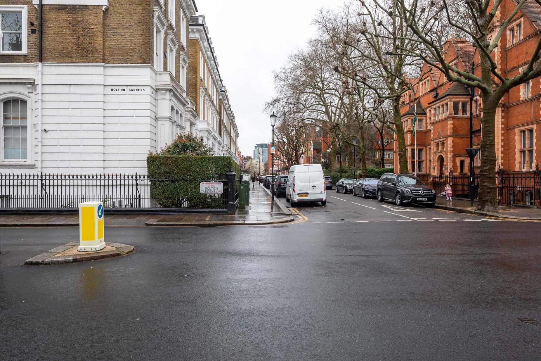
D27690x50 / 50mm 09/03/23 15:29 View 19
Existing
See assessment text on previous page.
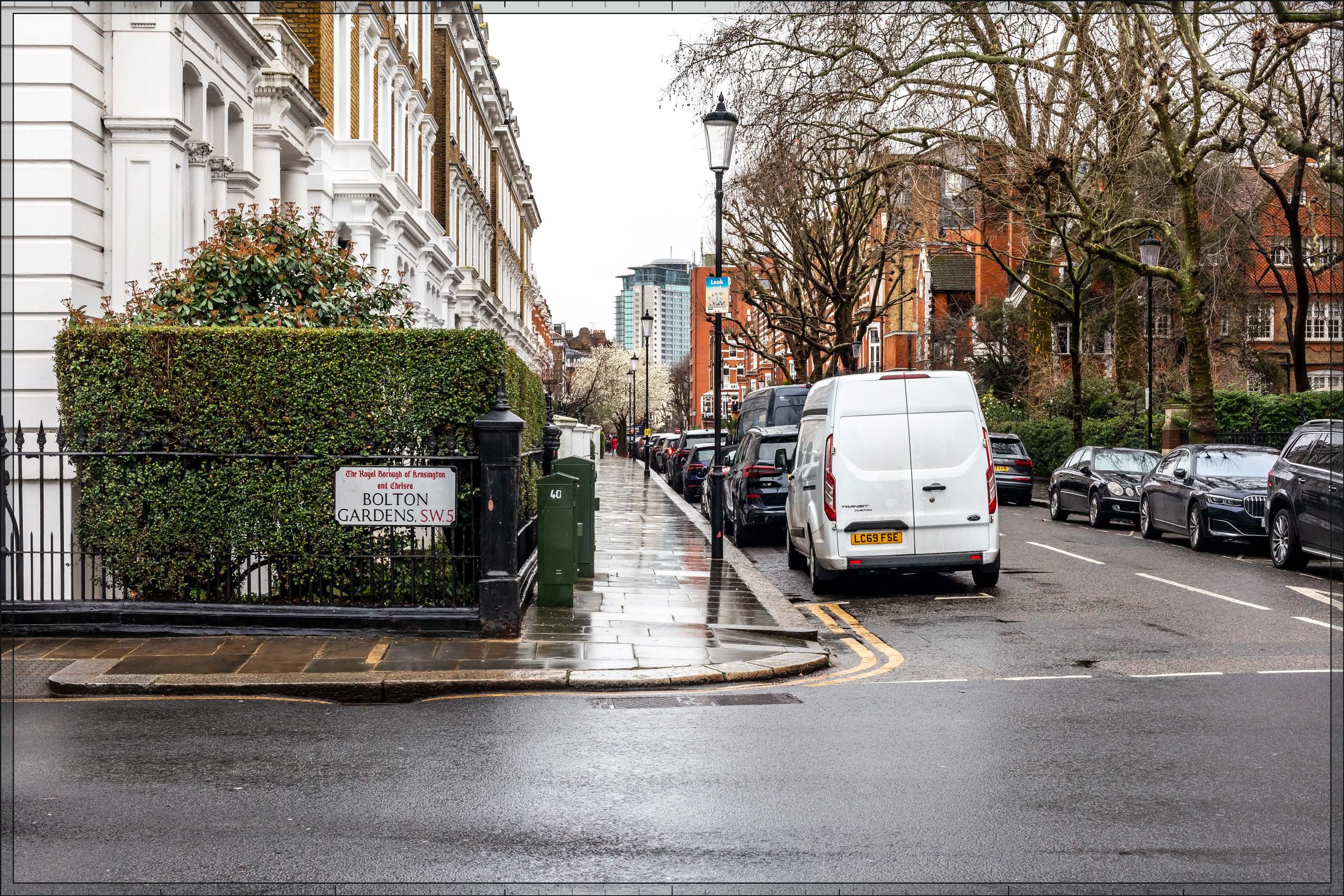
D27690x50 / 50mm 09/03/23 15:29
Detailed Component Plots WB04 and WB03, and Outline Component Plots WB07 and EC02, would each be partially visible in the middle distance, in a similar manner and at a similar distance from the viewpoint to the existing Empress State Building (approximately 1 km). They would appear as part of a distinct background layer of townscape together with the Empress State Building, beyond and separate from the townscape of the conservation area and listed buildings in the foreground. The Detailed Component of the Early Phases is modelled as a chalk render, which shows the scale form and articulation of the Detailed Component Plots, but not the proposed materials or the effects of distance on their visibility.
Plot WB04 would appear as the tallest building within the Early Phases, to the right of centre in the view, albeit heavily screened by trees and difficult to discern, even in this winter view. Plot WB03 would appear to its south at a lower apparent height, behind the late 20th century Park House hostel building and partly concealing the Empress State Building. The Plots WB07 and EC02 would appear lower to the south of Plot WB03 (left), concealing the lower levels of the Empress State Building. There would be a legible stepping down in height from north to south across the Early Phases in this view, providing its skyline composition with a coherent quality. The existing Empress State Building would be well integrated within this background skyline grouping and the visual impact of the singular broad building mitigated by the lower plots in its foreground.
The form and architecture of Plot WB04 would be difficult to discern through the dense tree branches. Enough of Plot WB03 would be visible for its slender proportions and a distinct crown to be appreciated. Plots WB07 and EC02 would have horizontally emphasised proportions and massing that would step down towards the east, in the direction of the viewpoint, helping to mediate the change of scale in the background of the view.
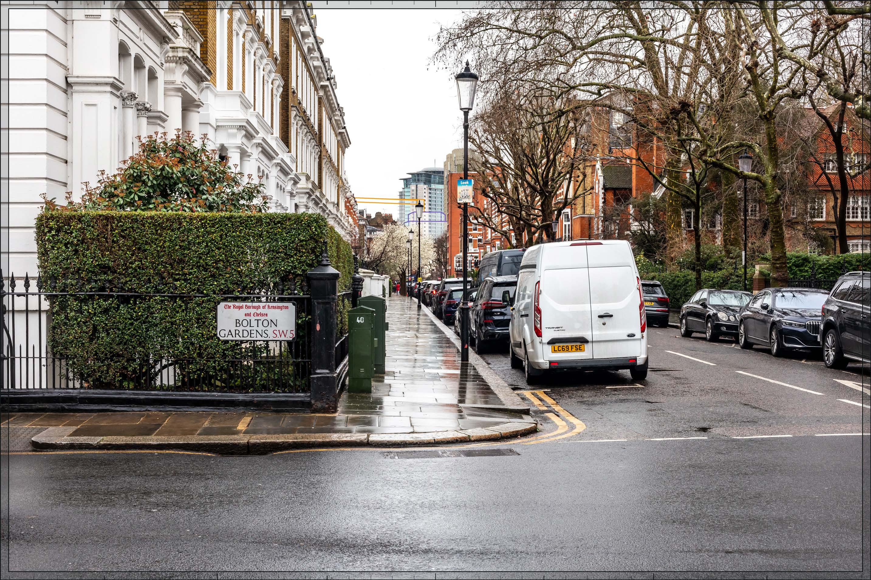
D27690x50 / 50mm 09/03/23 15:29
The Early Phases would add to the existing visibility of large scale and tall modern development in the background of the view, resulting in a Low-medium magnitude of impact to the view. The Early Phases would be consistent with the existing character of the background of the view and would appear separate and distinct from the townscape of the conservation area in the foreground. While the Early Phases would intensify the contrasting taller modern backdrop, it would help to mitigate the singular effect of the existing Empress State Building by integrating it in a layered backdrop of buildings. The Early Phases would form a coherent composition on the skyline and would include high quality buildings (either within the Detailed Component or Outline Component Plots to be developed in line with the Design Codes and expected to achieve the same level of quality), which would mitigate any potential negative impact. The nature of effect is therefore assessed as Neutral
Magnitude of impact: Low-medium
Effect: Moderate in scale, Neutral in nature (significant)
No further Plots would be visible in the All Phases scenario compared to the Early Phases. The magnitude of impact and the scale and nature of the effect would not alter in comparison to the assessment of the Early Phases.
Magnitude of impact: Low-medium
Effect: Moderate in scale, Neutral in nature (significant)
D27690x50 / 50mm 09/03/23 15:29
Completed DevelopmentEarly Phases and cumulative schemes
There would be no cumulative schemes visible, and the effect of the Early Phases in the cumulative scenario would remain as set out above for the Early Phases considered in isolation.
Magnitude of impact: Low-medium
Effect: Moderate in scale, Neutral in nature (significant)
D27690x50 / 50mm 09/03/23 15:29
Completed DevelopmentAll Phases and cumulative schemes
There would be no cumulative schemes visible, and the effect of All Phases in the cumulative scenario would remain as set out above for All Phases considered in isolation.
Magnitude of impact: Low-medium
Effect: Moderate in scale, Neutral in nature (significant)
D27691x50 / 24mm 09/03/23 14:43
This viewpoint is located on the northern side of Harrington Gardens and the view is looking west in the direction of the Site channelled between buildings on the south side of Harrington Gardens to the left and the enclosed garden square ‘Gloucester Park’ on the right. On the southern side of the road, left side of the image, are the Grade II* listed terraces of Nos.41-45 (odd) Harrington Gardens, part of a longer terrace between Nos. 35-45, designed by Ernest George and Harold Peto between 1881-4 (visible to a viewer in this location). The listed buildings are exuberant, individually commissioned houses with flamboyant decoration and lively rhythm. Beyond the listed houses to their west is a terrace of simpler unlisted red brick houses with projecting white porches. There is an incidental partial view of Collingham Gardens, also by Ernest George, and also Grade II* listed further to the west. Street trees and those in the garden square on the right obscure views further west. Looking northwards across the garden square (to the right of the view) the 29-storey former Kensington Forum Hotel (Richard Seifert and Partners, 1972) is visible rising above the roofline of the rear of the terrace fronting Courtfield Road.
Value attached to the view: this is a well-composed representative street view from the Courtfield Conservation Area, and one of the best street views of the listed Nos. 35-45 Harrington Gardens. The value of the view is judged to be Medium
Visual receptors affected: low numbers of local residents living on the street or in the wider local area.
Susceptibility to change of visual receptors: local residents in a community where views contribute to the setting of a high-quality designated townscape have a high susceptibility to change. Susceptibility to change is therefore judged to be High
Sensitivity Medium-high
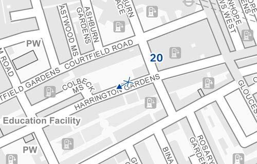
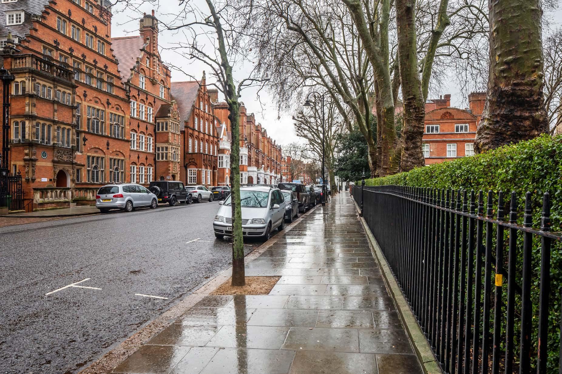
D27691x50 / 50mm 09/03/23 14:43
Existing
See assessment text on previous page.
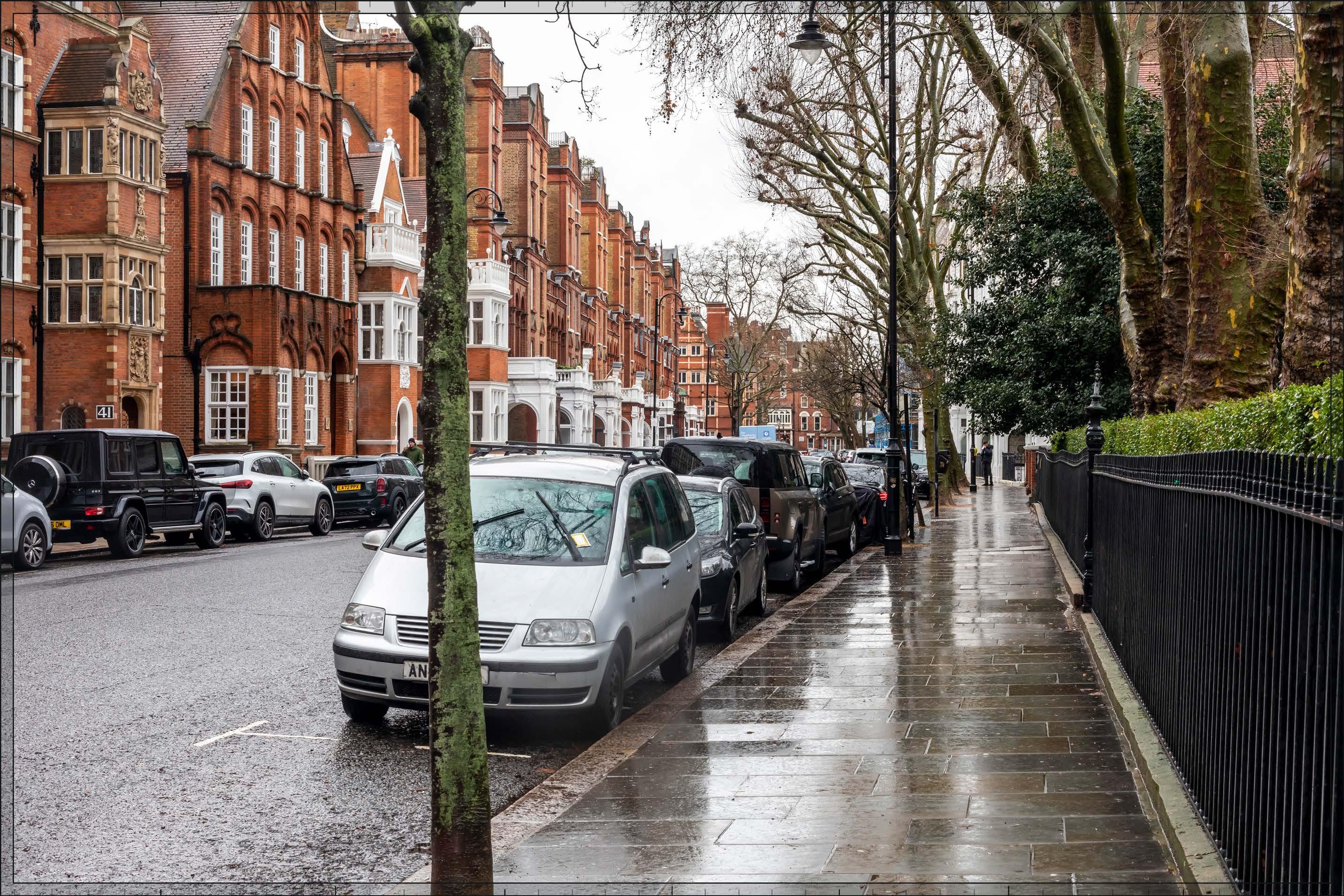
D27691x50 / 50mm 09/03/23 14:43
The Early Phases would be the visible in the middle distance, beyond the buildings along Collingham Gardens, and screened and softened to some extent by foreground trees, even in winter. Detailed Component Plots WB04 and EC05 would be the most visible plots, with Outline Component Plots WB06 and EC04 visible to a lesser extent, and Detailed Component Plot EC06 visible to a barely discernible extent.
The Early Phases would appear in the background of the view, changing the character of the westerly termination of the view but seen at a distance of over 1 km and distinct and separate from the townscape of the conservation area in the foreground. Plot WB04 would appear as the clear peak within a cluster of tall buildings, with a broad stepping up in height of buildings towards the south evident, resulting in a coherent composition on the skyline.
Plot WB04 would have a visually interesting form comprising a series of shoulders stepping up symmetrically to a central ‘crown’. The reduction in massing would be reinforced by the change in materiality, from stone-like solid materials, to lighter, more transparent and reflective materials at the crown. The stepped crown, curved corners and vertical emphasis would provide Plot WB04 with an elegant, Art Deco-inspired appearance. Plot EC05, lower to its right, would have a vertically emphasised expression, with fluted cladding and an articulated top, sharing a familial, Art Deco-inspired appearance.
The Early Phases would make a noticeable change to the view, introducing a tall modern backdrop to the westward views along Harrington Gardens, though from this position a taller modern context is already appreciated in views to the north. The magnitude of impact would be Medium in winter, and would be reduced to Low in summer, spring and autumn as a result of the screening effect of tree foliage.
Due to its contrasting scale and architectural character seen in relation to an area of historic architectural homogeneity, the Early Phases is not considered to contribute positively to visual amenity. However, neither is the visibility of tall modern development in a historic context considered to have an inherently adverse effect on visual amenity. The Early Phases would appear distinct and separate from the historic townscape in the foreground and would be seen at a distance of approximately 1 km. The Early Phases would form a coherent composition on the skyline and would include high quality buildings (either within the Detailed Component or Outline Component Plots to be developed in line with the Design Codes and expected to achieve the same level of quality), which would mitigate any potential negative impact. The nature of effect is therefore assessed as Neutral
Magnitude of impact: Low (spring, summer, autumn) to Medium (winter)
Effect: Minor (spring, summer, autumn) to Moderate (winter) in scale, Neutral in nature (significant)

D27691x50 / 50mm 09/03/23 14:43
No further Plots would be visible in the All Phases scenario compared to the Early Phases. The magnitude of impact and the scale and nature of the effect would not alter in comparison to the assessment of the Early Phases.
Magnitude of impact: Low (spring, summer, autumn) to Medium (winter)
Effect: Minor (spring, summer, autumn) to Moderate (winter) in scale, Neutral in nature (significant)
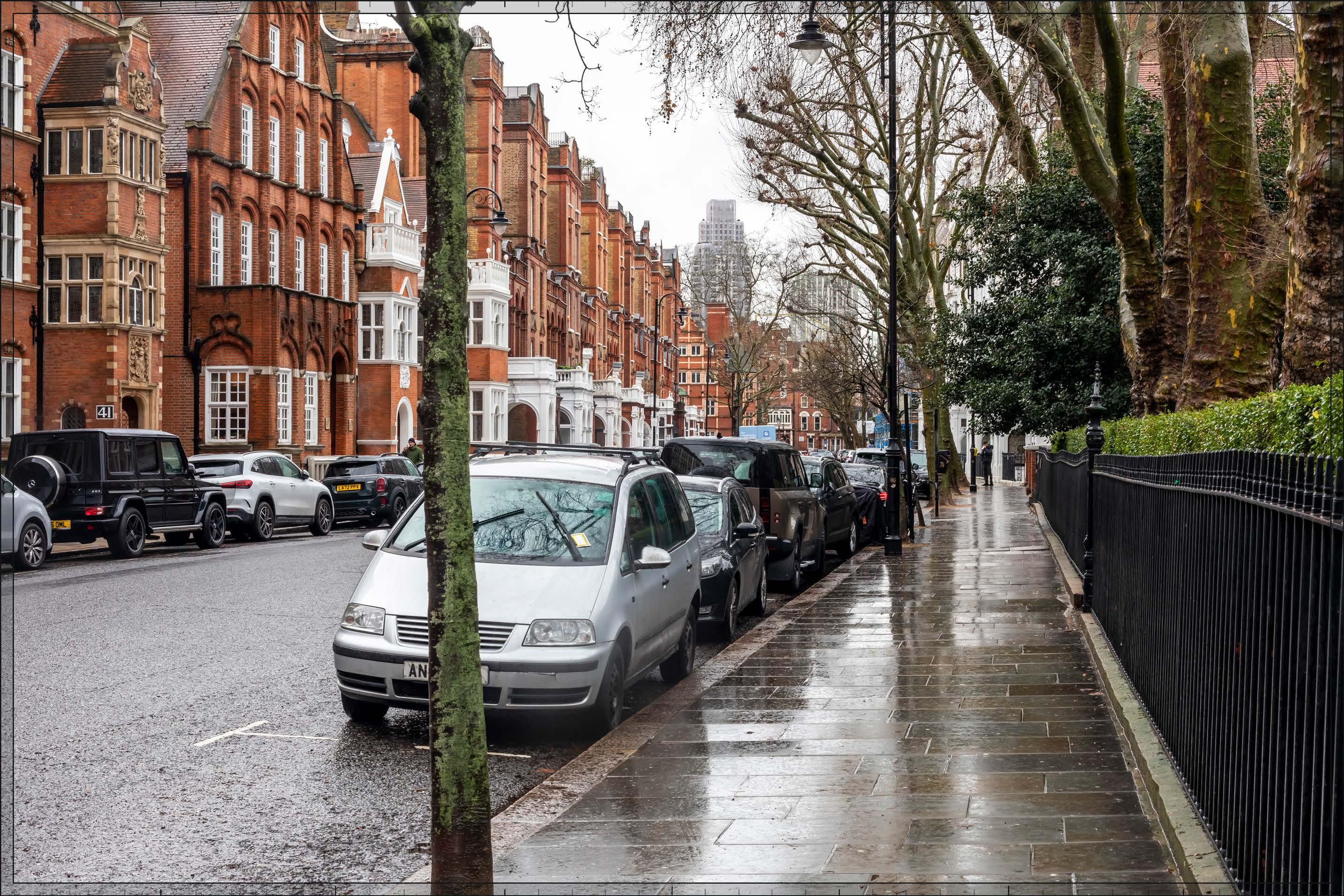
D27691x50 / 50mm 09/03/23 14:43
Completed DevelopmentEarly Phases and cumulative schemes
There would be no cumulative schemes visible, and the effect of the Early Phases in the cumulative scenario would remain as set out above for the Early Phases considered in isolation.
Magnitude of impact: Low (spring, summer, autumn) to Medium (winter)
Effect: Minor (spring, summer, autumn) to Moderate (winter) in scale, Neutral in nature (significant)
D27691x50 / 50mm 09/03/23 14:43
Completed DevelopmentAll Phases and cumulative schemes
There would be no cumulative schemes visible, and the effect of All Phases in the cumulative scenario would remain as set out above for All Phases considered in isolation.
Magnitude of impact: Low (spring, summer, autumn) to Medium (winter)
Effect: Minor (spring, summer, autumn) to Moderate (winter) in scale, Neutral in nature (significant)
D29814x50 / 24mm 28/02/24 17:25
This viewpoint is taken from the northern side of Longridge Road, at its junction with Nevern Road, next to the flank of No. 11 Nevern Road on the right-hand edge of the view. The view is looking west in the direction of the Site. None of the buildings in the view are listed but all are within the Nevern Square Conservation Area. The layout of Longridge Road was approved by the Metropolitan Board of Works in 1872 and building began at the eastern end in 1873. To the west of Nevern Road, development took place later between 1877-81. Unlike the terraces to the east which have brick elevations, the terrace on the southern side of Longridge Road, left side of the image, is finished in stucco, carefully scored to resemble stone jointing. Visible at the termination of the channelled view are three and four storey terraces on Warwick Road which are within the Philbeach Conservation Area. There are some small street trees on both sides of Longridge Road. In the summer view the trees in leaf in the foreground become more prominent and the existing terrace is heavily screened and recedes into the background. Looking in the other direction eastwards along Longridge Road, views are terminated by the taller post-war red brick building Sullivan Court, which marks the junction of Earls Court Road with West Cromwell Road.
Value attached to the view: this is a well-composed representative viewpoint from the Nevern Square Conservation Area. Figure 4.1 of the CAA (Ref. 2-22) notes street views from the western end of Longridge Road as views within the conservation area. The value of the view is judged to be Medium
Visual receptors affected: low numbers of local residents living on the street or in the wider local area.
Susceptibility to change of visual receptors: local residents in a community where views contribute to the setting of a high-quality designated townscape have a high susceptibility to change.
Susceptibility to change is therefore judged to be High
Sensitivity: Medium-high
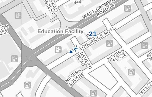
D29814x50 / 50mm 28/02/24 17:25
See assessment text on previous page.

D29814x50 / 50mm 28/02/24 17:25
The top of Outline Component Plot EC20, seen at a distance of approximately 250 m, would rise beyond the roofline of existing buildings lining Warwick Road. It would have a lower apparent height than the foreground terrace on the southern side of Longridge Road and would be screened to a considerable extent by trees, even in winter. It would not be a noticeable new feature of the views from Longridge Road with a Low magnitude of impact in winter and would be almost completely hidden by tree foliage in spring summer and autumn with a Very low magnitude of impact. Due to its contrasting architectural character seen in relation to an area of historic architectural homogeneity, the Early Phases is not considered to contribute positively to visual amenity. However, although it would slightly change the character of the backdrop, the Early Phases would represent a minor feature and would be almost entirely screened by foreground trees for the majority of the year. Neither therefore would it detract from the quality of the visual amenity of this part of the conservation area. The nature of effect would be Neutral
Magnitude of impact: Very low (spring, summer, autumn) to Low (winter)
Effect: Negligible (spring, summer, autumn) to Minor (winter) in scale, Neutral in nature (not significant)
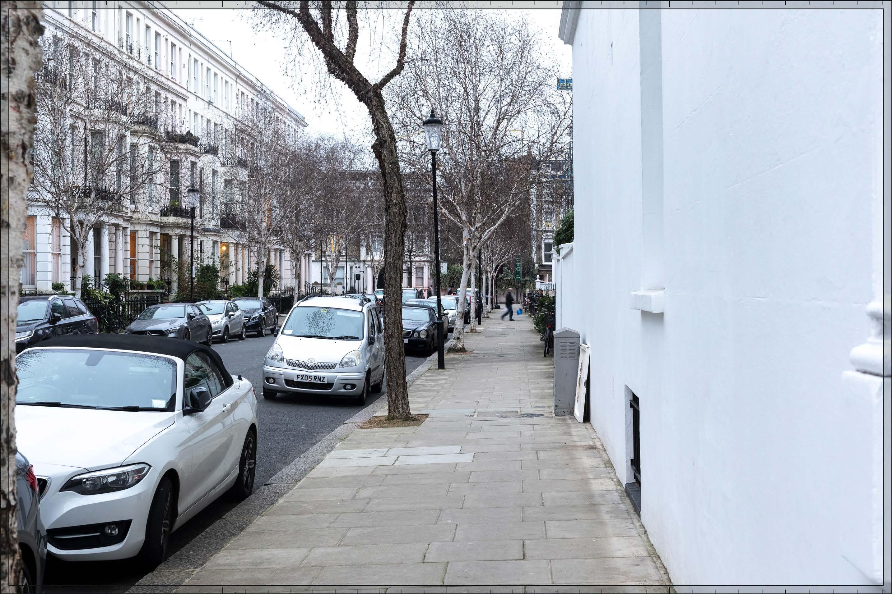
D29814x50 / 50mm 28/02/24 17:25
Outline Component Plots WK04, WK05 and WK06 of the Proposed Development would be visible beyond the Early Phases at a distance of approximately 360 m, beyond the buildings along Warwick Road, and screened to some extent by small foreground trees. The Proposed Development would appear distinct and separate from the historic townscape in the foreground. The massing would step down from the highpoint of Plot WK05 towards the existing context to the east of the Site to create a well-articulated skyline and layered townscape at the termination of the views from Longridge Road. At this close proximity, due to the contrast in scale with the foreground, All Phases would appear as a dominant new element of the views, with the potential for adverse effects on the quality of the visual amenity.
The most visible Plot would be Plot WK05, which would appear as a well-proportioned vertical element within the view at maximum parameters. It would have a predominantly residential use and is identified as a ‘transitional’ block within the Design Codes. The illustrative scheme (not assessed but provided for information in Appendix E) shows a scheme developed in line with the Design Codes, for example in the creation of a harmonising familial group of buildings (LB.B.29) with design of prominent corners of richer detail (Design Code LS.B.26), and the massing being broken down into clear, legible volumes of a residential scale (LS.B.31). Plot WK06 would step down in scale from WK05, contributing to a varied skyline composition within the view. Plot WK06 would have a predominantly residential use. The illustrative scheme for Plot WK06 (not assessed but provided for information in Appendix E) shows a scheme developed in line with the Design Codes, which identify it as a ‘stand-alone’ building with facades designed in the round.

D29814x50 / 50mm 28/02/24 17:25
DevelopmentAll Phases (continued)
The Early Phases would represent a noticeable change to the view, introducing a large scale modern backdrop to the view. The magnitude of impact would be High in winter and Medium when the trees are in leaf, due to the screening effect of foliage. The proximity and high level of contrast in scale and form with the designated historic townscape in the foreground, the loss of clear sky, and the consistent nature of the impact from this aligned route has the potential to produce an adverse nature of effect on the viewer. Potential mitigation of adverse effects on visual amenity has therefore been considered during the design development process. The architectural quality of the Detailed Component of the Early Phases would be high. The Parameter Plans and Design Codes for the Outline Component Plots would ensure that the form and architectural treatment of the Outline Component Plots would respond appropriately to the sensitive historic context in the foreground and the character of the Proposed Development as a whole. Through these measures, adverse effects on visual amenity have therefore been reduced and minimised. Nonetheless, on balance, due to the scale and proximity of the Proposed Development, and the high level of sensitivity, it is considered that the potential for an adverse effect on the viewer would not be completely mitigated by these factors and the nature of the effect in winter would be Adverse (but Neutral in spring summer and autumn when there is greater screening by foliage).
Magnitude of impact: Medium (spring, summer, autumn) to High (winter)
Effect: Moderate (spring, summer, autumn) to Major (winter) in scale, Adverse in nature (significant)
Completed DevelopmentEarly Phases and cumulative schemes
There would be no cumulative schemes visible, and the effect of the Early Phases in the cumulative scenario would remain as set out above for the Early Phases considered in isolation.
Magnitude of impact: Very low (spring, summer, autumn) to Low (winter)
Effect: Negligible (spring, summer, autumn) to Minor (winter) in scale, Neutral in nature (not significant)
D29814x50 / 50mm 28/02/24 17:25
Completed DevelopmentAll Phases and cumulative schemes
There would be no cumulative schemes visible, and the effect of All Phases in the cumulative scenario would remain as set out above for All Phases considered in isolation.
Magnitude of impact: Medium (spring, summer, autumn) to High (winter)
Effect: Moderate (spring, summer, autumn) to Major (winter) in scale, Adverse in nature (significant)
2.259 Views 22 and 23, which are individually assessed in the following pages, and View A12 which is provided as a supplementary verified view in Appendix C, illustrate the baseline, proposed and cumulative conditions from a number of key and representative positions on Nevern Square.
2.260 Nevern Square is within the Nevern Square Conservation Area (RBKC). It was designed by architect Walter Graves and construction began in 1880 in a red brick Domestic Revival style. The houses have basements, three main storeys and an attic, with the ends of each range accentuated by an extra storey and pavilion-like roof. None of the buildings in the sequence of views is listed but all are noted as positive contributors to the conservation area in the CAA (Ref. 2-22, Figure 2.7). The central garden square gives the townscape of Nevern Square an inward focus. This is accentuated by planting in the square which screens the buildings beyond in views across the square itself.
2.261 Views 22, 23 and A12 show views from various parts of the square to demonstrate the range of visual effects that would be experienced from the square. The sequence of three views also gives a dynamic appreciation of what would be seen as a pedestrian moves through the square.
2.262 View 22 is a long view from its north-east corner of the square, showing the maximum visual impact of the Proposed Development on views across the square. From here the top of the central cluster of the Proposed Development would be visible above the roofline on the western edge of the square. The top of the tallest building, on Detailed Component Plot WB04, would be clearly visible and a noticeable addition to the skyline of the square. The lower plots would sit close to the roofline on the east side of the square and would be visually integrated within its chimney stacks and mansards. Although Plot WB04 would contrast in scale and character with the historic townscape of Nevern Square, the visible top of the building would appear slender and well composed, acting as an attractive marker for the redevelopment in the Opportunity Area beyond. While clearly visible in winter, the Proposed Development would remain below the foreground treeline and would be screened and softened in winter and largely concealed in summer, spring and autumn. Moving forward from this position the height of the cluster would gradually recede as demonstrated by View A12.
2.263 As demonstrated by View A12 from the central garden square, the visual impact from this part of Nevern Square, which is noted for its important panoramic views of the square in the CAA (Ref. 2-22, Figure 4.1), would be significantly reduced such that only the very top of the tallest building on Plot WB04 would be visible. At this perceived height above the foreground roofline, the recessive crown of the building on Plot WB04 would be visually integrated and lost within the chimney stacks and mansards of the roofline to the east side of the square – and screened by foreground trees even in winter – and would not be a noticeable element of the skyline of the square.
2.264 Where the streets on the north and south sides of Nevern Square align with the Site, there are longer more consistent views towards the Proposed Development. As demonstrated by View 23, the Proposed Development would make a noticeable change to the character of the termination of these views, particularly to the southern edge of the square where the view would be terminated by the tallest buildings in the Proposed Development’s central cluster. Although the cluster has been well composed and its individual elements are considered to be of high architectural quality, the cluster of tall modern buildings seen at close range would contrast strongly with the existing townscape character of the historic square, appearing dominant and with potentially adverse effects on visual amenity from parts of Nevern Square.
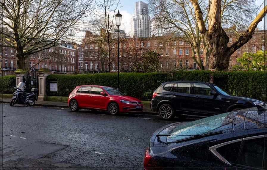
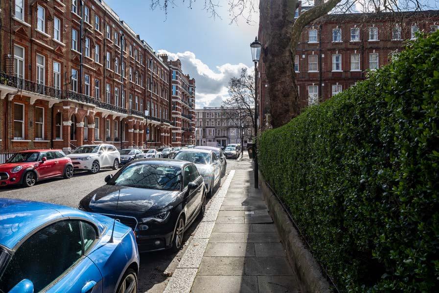
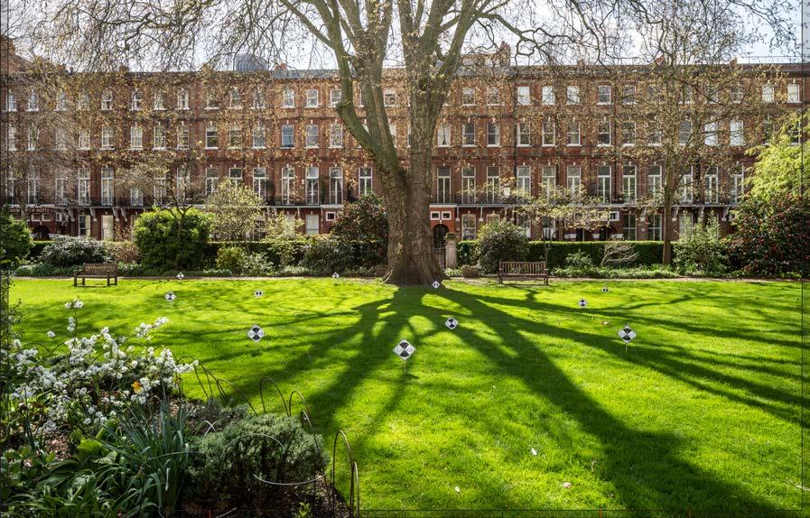
D29713x35 / 24mm 16/02/24 08:46
The square, within the Nevern Square Conservation Area, was designed by architect Walter Graves and construction began in 1880 in a red brick Domestic Revival style. The houses have basements, three main storeys and an attic, with the ends of each range accentuated by an extra storey and pavilion-like roof. None of the buildings in the sequence of views is listed but all are noted as positive contributors to the conservation area in the CAA (Ref. 2-22, Figure 2.7). Within the private shared garden square mature London plane and chestnut trees, and at lower level a privet hedge, provide a leafy screen which screens views across the square, particularly in summer – but also in spring and autumn to a large extent. This view looks across the garden from the eastern side of the square towards its north-eastern corner. The trees in the square screen views of the terraces enclosing it to some extent.
Value attached to the view: this is a well-composed, representative views from the Nevern Square Conservation Area. The value of the view sequence is judged to be Medium.
Visual receptors affected: low numbers of local residents living on the square or in the wider local area.
Susceptibility to change of visual receptors: local residents in a community where views contribute to the setting of a high-quality designated townscape have a high susceptibility to change. Susceptibility to change is therefore judged to be High
Sensitivity Medium-high
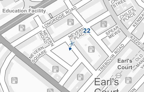
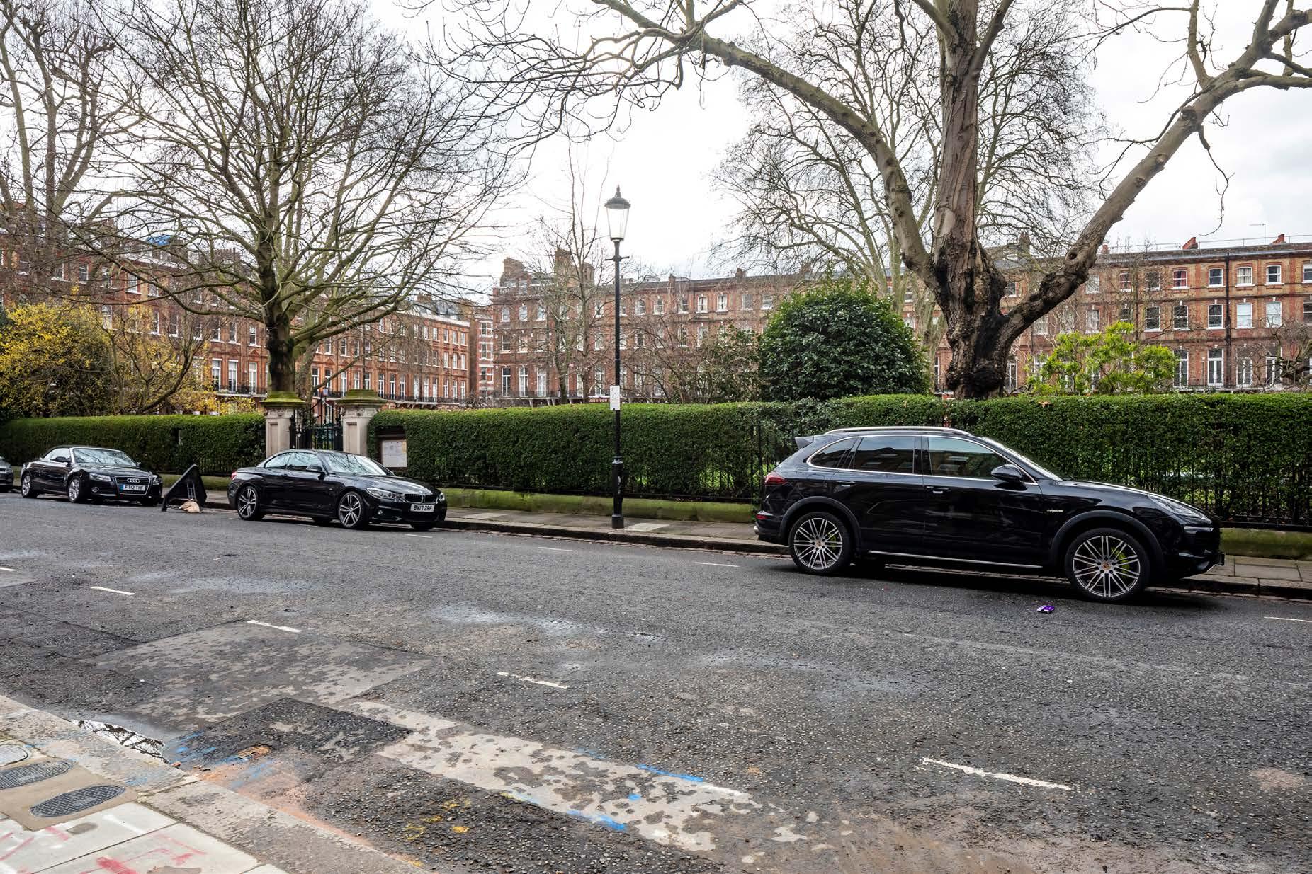
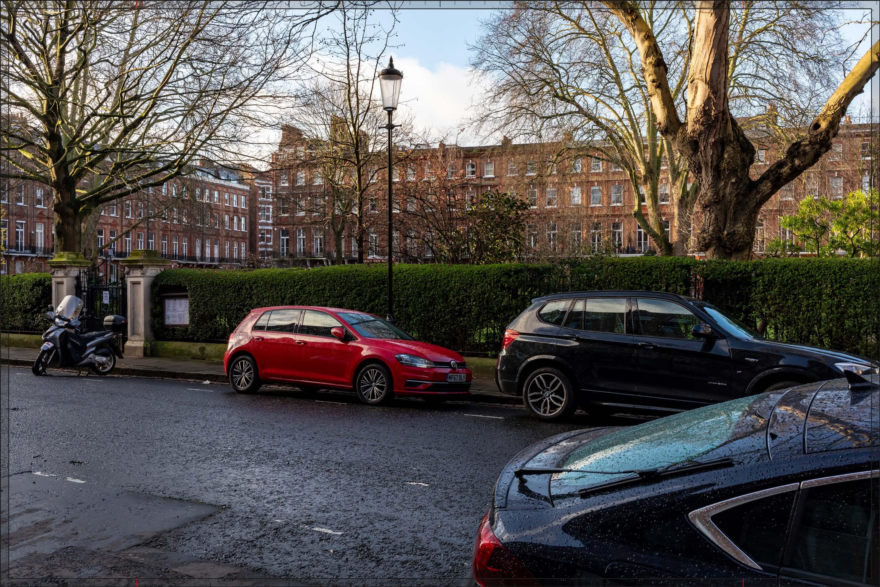
D29713x35 / 35mm 16/02/24 08:46
The upper parts of Detailed Component Plots WB04, WB03, EC05 and EC06 would be visible, beyond the terrace on the western side of Nevern Square, together with the upper part of Outline Component Plot WB06, albeit this would be screened by tree branches to a considerable extent. The upper parts of Outline Component Plots EC04 and EC03 would also be visible to the left of Plot EC05, to a very small extent and largely hidden by trees. The Early Phases would appear in the background of the view, with a form and appearance that would contrast with the foreground historic buildings on Nevern Square; they would appear distinct and separate from the townscape of the conservation area, in the foreground of the view.
Plot WB04, seen at a distance of approximately 470 m, would appear as the tallest building within the Early Phases, with Plot EC05 at a lower apparent height in front of it, and Plots WB03, EC06 and WB06 appearing lower still to either side of Plots WB04 and EC05. Plot WB04 would be clearly visible and a noticeable addition to the skyline of the square. The lower plots would sit close to the foreground roofline on the east side of the square, visually integrated within its chimney stacks and mansards, and would not be immediately noticeable. Moving forwards from this viewing position, the lower plots would disappear below the foreground roofline and the height of Plot WB04 would gradually recede so that it would become much less prominent, as demonstrated by View A12 taken within the shared garden square.
Plot WB04 would have a distinctive, visually interesting form comprising a series of shoulders stepping up symmetrically to a central ‘crown’. The reduction in massing would be reinforced by the change in materiality, from stone-like solid materials, to lighter, more transparent and reflective materials at the crown. The stepped crown, curved corners and vertical emphasis would provide Plot WB04 with an elegant, Art Deco-inspired appearance. The remaining plots would be much less noticeable, but to the extent they would be seen, they would have well-articulated recessive tops.
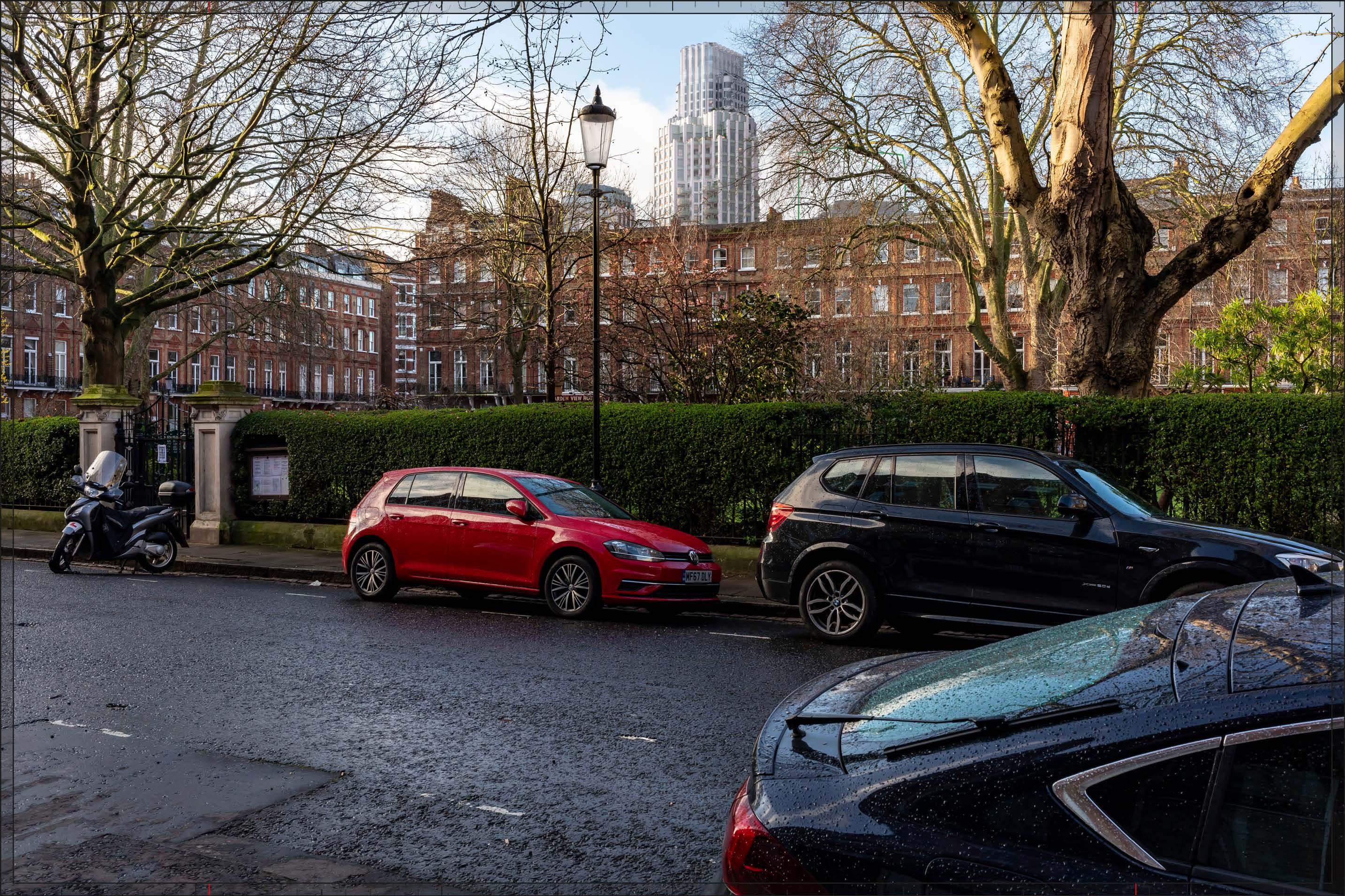
D29713x35 / 35mm 16/02/24 08:46
The Early Phases would represent a noticeable change in the background of the view, with a High magnitude of impact. The proximity and high level of contrast in scale and form with the designated historic townscape in the foreground, has the potential to produce an adverse nature of effect on the viewer. However, only Plot WB04 would noticeably change the skyline of the views from this part of Nevern Square and its height would recede moving forward. The tops of lower plots would be effectively lost in the foreground roofline. As a result, the change to the roofline of the east side of the square would be relatively limited. The architectural quality of Plot WB04 would be high: although it would contrast in scale and character with the historic townscape of Nevern Square, the visible top of the building would appear slender and well composed, acting as an attractive marker for the redevelopment in the Opportunity Area beyond. While the Early Phases is not considered to definitively enhance the quality of the view, it is judged that the potential for an adverse effect on the viewer would be mitigated by these factors and the nature of the effect would be Neutral
Magnitude of impact: High
Effect: Major in scale, Neutral in nature (significant)
In addition to the Plots visible under the Early Phases scenario, a small part of Outline Component Plot WK09 would be visible on the right side of the image, screened by trees to a substantial extent, even in this winter view. It would not be easily noticed and would have a negligible additional impact on the view. The magnitude of impact and the scale and nature of the effect would not alter in comparison to the assessment of the Early Phases.
Magnitude of impact: High
Effect: Major in scale, Neutral in nature (significant)

D29713x35 / 35mm 16/02/24 08:46
Completed DevelopmentEarly Phases and cumulative schemes
There would be no cumulative schemes visible, and the effect of the Early Phases in the cumulative scenario would remain as set out above for the Early Phases considered in isolation.
Magnitude of impact: High
Effect: Major in scale, Neutral in nature (significant)

D29713x35 / 35mm 16/02/24 08:46
Completed DevelopmentAll Phases and cumulative schemes
There would be no cumulative schemes visible, and the effect of All Phases in the cumulative scenario would remain as set out above for All Phases considered in isolation.
Magnitude of impact: High
Effect: Major in scale, Neutral in nature (significant)
D27719x50 / 24mm 14/03/23 14:45
This viewpoint is located on the southern side of Nevern Square and the view is looking west in the direction of the Site. It is located within the Nevern Square Conservation Area. None of the buildings enclosing the square are listed but all are noted as positive contributors to the conservation area in the CAA (Ref. 2-22, Figure 2.7). That part of the 50mm image above the frame is an unverified sky extension, added to allow the full height of the Proposed Development to be appreciated.
Nevern Square was designed by architect Walter Graves and construction began in 1880 in a red brick Domestic Revival style. The houses on the southern side of the square, seen on the left side of the image, have basements, four storeys and an attic. The garden square, seen obliquely on the right side of the image, includes mature London plane and chestnut trees, and at lower level a privet hedge. Further west, two blocks of Nevern Mansions, completed in 1890 in red brick with white stone banding, mark the junction with Warwick Road, with the block on the southern side of the road most visible. A four storey terrace in brick and stone on Warwick Road, within the Philbeach Conservation Area, appears beyond them.
Value attached to the view: this is a well-composed representative view from the south side of Nevern Square at the heart of the Nevern Square Conservation Area. Views in both directions along the southern edge of the square are noted as views that make a contribution to the experience of the conservation area in the CAA (Ref. 2-22, Figure 4.1). The value of the view is judged to be Medium
Visual receptors affected: low numbers of local residents living on the square or in the wider local area.
Susceptibility to change of visual receptors: local residents in a community where views contribute to the setting of a high-quality designated townscape have a high susceptibility to change.
Susceptibility to change is therefore judged to be High.
Sensitivity: Medium-high
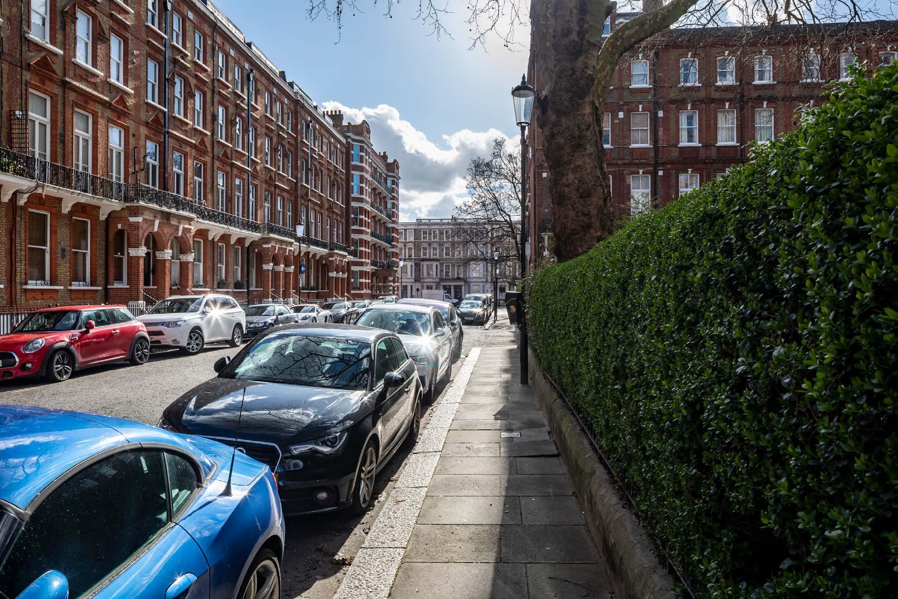
D27719x50 / 50mm 14/03/23 14:45
Existing
See assessment text on previous page.
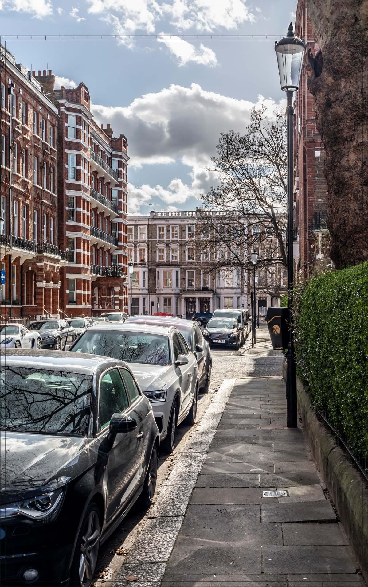
D27719x50 / 50mm 14/03/23 14:45
The Early Phases would appear in the background of the view, behind the terrace on Warwick Road and Nevern Mansions. The most visible elements of the Early Phases would be the tall buildings on Detailed Component Plots WB04, EC05 and EC06 and Outline Component Plot WB06, seen at a distance of approximately 300 m.
The Early Phases would form a noticeable contrast in form, scale and appearance with the townscape of the Nevern Square and Philbeach Conservation Areas in the foreground. Detailed Component Plot WB04 would appear as the tallest building within the Early Phases, though with only its top visible from this viewpoint behind Plot EC05. The ‘crown’ element of Plot WB04, with its stepped shoulders, would appear as an elegant skyline feature. Plot EC05 would have a visually interesting form, based on an octagonal plan, and a distinctive stepped crown. The use of pilasters would provide a vertical emphasis to its appearance, and balconies would contribute depth and articulation. Plot EC05 would have a different appearance from that of Plot WB04, such that the two would be distinct and mitigating the potential for visual coalescence, but they would share a familial Art-Deco style appearance.
The buildings on Plot WB06 and Plot EC06 would appear at a lower apparent height legibly stepping down from the high point of the cluster to create a well-articulated, composed skyline form and helping to manage the change in scale closer to the historic foreground. Plot EC06 would have a broadly triangular form and its architecture would have an ordered and regular quality, with a clearly defined double-height top seen above the middle part of the building. The illustrative design for Plot WB06 (not assessed but shown for information in Appendix E) shows a design developed in accordance with the requirements of the Parameter Plans and Design Codes, with a distinctive three-sided form and a familial Art Deco style character.
The Early Phases would introduce a new contrasting modern tall building cluster in the backdrop to the square seen at relatively close proximity, which would be very prominent from this aligned route along the southern edge of Nevern Square, and would result in a High magnitude of impact.
The proximity and high level of contrast in scale and form with the designated historic townscape in the foreground, the loss of clear sky, and the consistent nature of the impact from this aligned route has the potential to produce an adverse nature of effect on the viewer. Potential mitigation of adverse effects on visual amenity has therefore been considered during the design development process. The architectural quality of the Detailed Component Plots of the Early Phases would be high. The Parameter Plans and Design Codes for the Outline Component Plots would ensure that the form and architectural treatment of the Outline Component Plots would respond appropriately to the sensitive historic context in the foreground and
the character of the Early Phases as a whole. As a result, the Early Phases would achieve a good balance of familial character, local distinctiveness and architectural coherence, and enough visual variety to minimise any potential visual coalescence between the individual plots. Through these measures, adverse effects on visual amenity have therefore been reduced and minimised. Nonetheless, on balance, due to the scale and proximity of the Early Phases, and the high level of sensitivity, it is considered that the potential for an adverse effect on the viewer would not be completely mitigated by these factors and the nature of the effect would be Adverse
Magnitude of impact: High
Effect: Major in scale; Adverse in nature (significant)

D27719x50 / 50mm 14/03/23 14:45
In addition to the Early Phases described above, a small part of Outline Component Plot WK09 would be visible on the right side of the image, at a similar apparent height to the Detailed Component Plot EC06 and significantly screened by trees. To the extent it would be visible, it would relate well to the composition of the group of tall buildings within the Early Phases, and its articulated envelope (as set out by the Parameter Plans and Design Codes) would break up its apparent scale. The overall magnitude of impact and the scale and nature of the effect would not alter in comparison to the assessment of the Early Phases.
Magnitude of impact: High
Effect: Major in scale; Adverse in nature (significant)

D27719x50 / 50mm 14/03/23 14:45
Completed DevelopmentEarly Phases and cumulative schemes
There would be no cumulative schemes visible, and the effect of the Early Phases in the cumulative scenario would remain as set out above for the Early Phases considered in isolation.
Magnitude of impact: High
Effect: Major in scale; Adverse in nature (significant)
Completed Development - Early Phases and cumulative schemes
D27719x50 / 50mm 14/03/23 14:45
Completed DevelopmentAll Phases and cumulative schemes
There would be no cumulative schemes visible, and the effect of All Phases in the cumulative scenario would remain as set out above for All Phases considered in isolation.
Magnitude of impact: High
Effect: Major in scale; Adverse in nature (significant)
D29714x50 / 24mm 16/02/24 09:54
This viewpoint is located on the eastern pavement of Earls Court Road, just outside the Nevern Square Conservation Area, looking westwards into the conservation area along Trebovir Road. Earls Court Road is a busy route and local shopping street whereas Trebovir Road is a quieter residential road.
Two mature London plane trees frame the eastern entrance to the street, with further trees lining the street moving west along it. Both sides of Trebovir Road in the foreground and middle ground of the view are lined by brick and stucco terraces, four storeys above basement, which are unlisted but noted as positive contributors to the conservation area in the CAA (Ref 2-22, Figure 2.7), except for the lower height post-war block of Orpen House, which is noted as a neutral contributor, and No. 206, which is noted as negative (a small part of this brick building appears at the left edge of the 50mm image). This section of the road is straight and, combined with the consistent building line and enclosure to both sides of the street, this lends the view a directional quality. The top of the Empress State Building is just visible above the southern side of the terrace seen from this position – with greater visibility unfolding from the northern pavement of Trebovir Road moving forward into the view. The red brick buildings further into the view mark a change in architectural character from mid-19th century Italianate to later 19th century red brick Queen Anne style to the west that is characteristic of Nevern Square itself, with an Italianate terrace beyond marking the southern end of Philbeach Gardens.
Value attached to the view: this is a well-composed representative street view looking into the Nevern Square Conservation Area. Views in both directions along Trebovir Road are noted as views that make a contribution to the experience of the conservation area in the CAA (Ref 2-22, Figure 4.1). The value of the view is judged to be Medium
Visual receptors affected: a mixture of medium numbers of local residents, local workers and travellers using the busy thoroughfare.
Susceptibility to change of visual receptors: While local residents in a community where views contribute to the setting of a high-quality designated townscape have a high susceptibility to change, receptors shopping, travelling on foot or in a vehicle along Earls Court Road would have a low susceptibility to change and the noise and views of traffic an intrusive element of the scene; awareness of views is likely to be reduced. Susceptibility to change overall is therefore judged to be Medium
Sensitivity: Medium
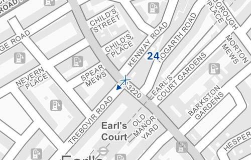
Existing
See assessment text on previous page.
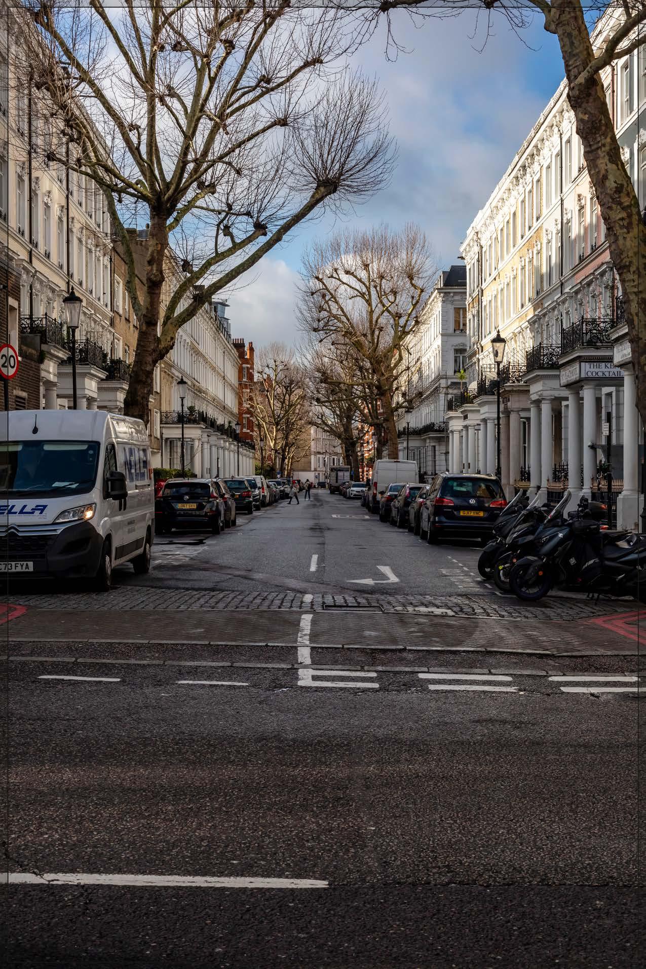
D29714x50 / 50mm 16/02/24 09:54
The Early Phases would appear in the background of the view, in the centre of the image, and partly screened by trees, seen at a distance of approximately 450 m. The most visible elements of the Early Phases would be the tall buildings on Detailed Component Plots WB04, EC05, and EC06, and Outline Component Plots WB06 and EC04, with the lower Outline Component Plot EC17 seen in front of them. While the Early Phases would form a noticeable contrast in form, scale and appearance with the buildings on Trebovir Road in the foreground, it would appear clearly beyond and separate from them. It would act as a new focal point for views along Trebovir Road, with a coherent architectural character and well-articulated composed skyline, which would reinforce the directional quality of the view.
Plot WB04 would appear as the tallest building within the Early Phases, and from this viewpoint Plots EC05, WB06 and EC06 would be seen to step down progressively to the north (right) from it, together forming a coherent cluster composition. While these Plots would appear to overlap from this particular point, their different heights, forms and differences in the architectural treatment of the Detailed Component Plots would ensure that they would be readily distinguishable from each other, minimising potential visual coalescence.
Plot WB04, which would form the focal point of the cluster, would have a visually interesting form, with a series of shoulders stepping symmetrically to a central ‘crown’. The reduction in massing would be reinforced by the change in materiality, from stone-like solid materials, to lighter, more transparent and reflective materials at the crown. The stepped crown, curved corners and vertical emphasis would provide Plot WB04 with an elegant, Art Deco-inspired appearance. The form of Plot EC05 would be derived from its octagonal plan, with a stepped crown providing a distinctive top for the building. The use of pilasters would provide a vertical emphasis to its appearance and balconies, including round ‘opera box’ balconies, would contribute depth and articulation. While different in their detailed articulation and treatment, each of the tall buildings designed in detail would share a familial Art Deco-inspired appearance.
Plot WB06, as defined by the Parameter Plans and Design Code, would sit within a triangular shaped envelope and is defined as a ‘pivot’ plot (Design Code SW.B.6): “a marker building which can be viewed in the round and is strongly integrated with the landscape.” As a ‘tall building’ within the Design Code it must also
be part of a harmonious tall building cluster (Design Code SW.B.48) and be attractive from all angles (SW.B.49) with a clearly articulated top (Design Code SW.B.51) The illustrative design for Plot WB06 (not assessed but shown for reference in Appendix E) shows that, designed in accordance with the requirements of the Parameter Plans and Design Codes, a building coming forward within Plot WB06 could have a distinctive three-sided form and a familial Art Deco style character in line with the tall Detailed Component Plots within the Early Phases.
The Early Phases would introduce a new contrasting modern tall building cluster seen at relatively close proximity, which would be very prominent from the length of this aligned route, and would result in a High magnitude of impact.
The proximity and high level of contrast in scale and form with the designated historic townscape in the foreground, the loss of clear sky, and the consistent nature of the impact from this aligned route has the potential to produce an adverse nature of effect on the viewer. Potential mitigation of adverse effects on visual amenity has therefore been considered during the design development process. The architectural quality of the Detailed Components within the Early Phases would be high. The Parameter Plans and Design Codes for the Outline Component Plots would ensure that the form and architectural treatment of the Outline Component would respond appropriately to the sensitive historic context in the foreground and the character of the Early Phases as a whole. As a result, the Early Phases would achieve a good balance of familial character, local distinctiveness and architectural coherence, and enough visual variety to minimise any potential visual coalescence between the individual plots. Through these measures, adverse effects on visual amenity have therefore been reduced and minimised. Nonetheless, on balance, due to the scale and proximity of the Early Phases, and the high level of sensitivity, it is considered that the potential for an adverse effect on the viewer would not be completely mitigated by these factors and the nature of the effect would be Adverse.
Magnitude of impact: High
Effect: Major in scale; Adverse in nature (significant)
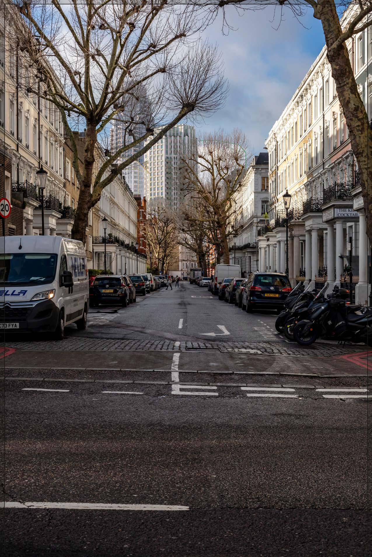
D29714x50 / 50mm 16/02/24 09:54
No further Plots would be visible in the All Phases scenario compared to the Early Phases. The magnitude of impact and the scale and nature of the effect would not alter in comparison to the assessment of the Early Phases.
Magnitude of impact: High
Effect: Major in scale; Adverse in nature (significant)
D29714x50 / 50mm 16/02/24 09:54
Completed DevelopmentEarly Phases and cumulative schemes
There would be no cumulative schemes visible, and the effect of the Early Phases in the cumulative scenario would remain as set out above for the Early Phases considered in isolation.
Magnitude of impact: High
Effect: Major in scale; Adverse in nature (significant)
D29714x50 / 50mm 16/02/24 09:54
Completed DevelopmentAll Phases and cumulative schemes
There would be no cumulative schemes visible, and the effect of All Phases in the cumulative scenario would remain as set out above for All Phases considered in isolation.
Magnitude of impact: High
Effect: Major in scale; Adverse in nature (significant)
This view is as previously described but taken at night. Streetlights form the most notable source of light within the view, together with the lighting of porches.
Value attached to the view: this is a well-composed representative street view looking into the Nevern Square Conservation Area. Views in both directions along Trebovir Road are noted as views that make a contribution to the experience of the conservation area in the CAA (Ref 2-22, Figure 4.1). The value of the view is judged to be Medium
Visual receptors affected: a mixture of medium numbers of local residents, local workers and travellers using the busy thoroughfare.
Susceptibility to change of visual receptors: While local residents in a community where views contribute to the setting of a highquality designated townscape have a high susceptibility to change, receptors travelling on foot or in a vehicle would have a low susceptibility to change and this view would be experienced as part of a continuous dynamic with the noise and views of traffic an intrusive element of the scene; awareness of views is likely to be reduced. Susceptibility to change overall is therefore judged to be Medium
Sensitivity Medium
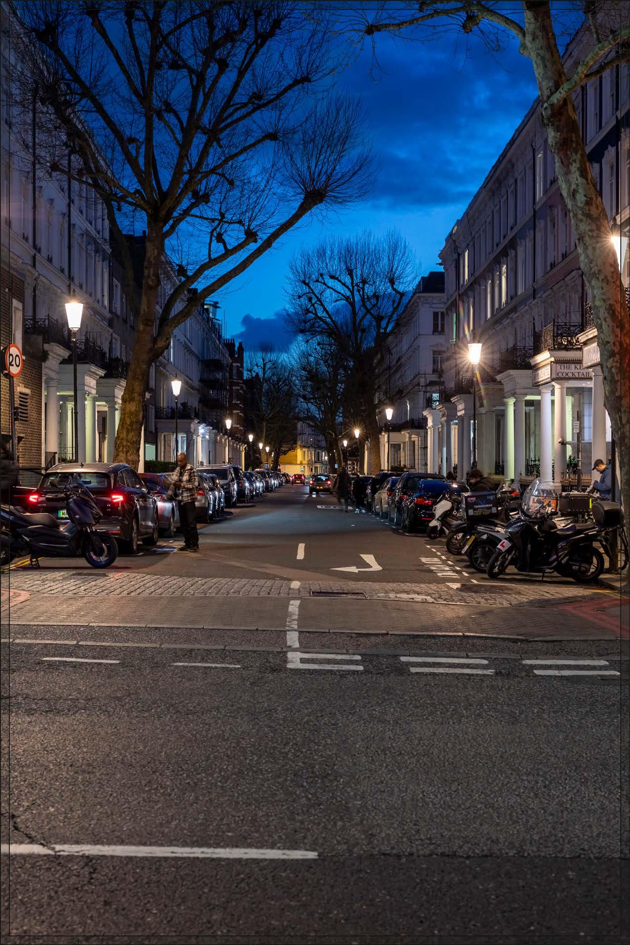
As by day, the Early Phases would make a noticeable change to the visual amenity of Trebivor Road, and would have a similar effect after dark to that during the daytime as described for View 24, albeit the architectural treatment of the Detailed Component Plots would be less clearly seen after dark. This dusk view is indicative, and levels of lighting would change with time and by season depending on the occupation of the building after dark. The apartments within the Detailed Component Plots would be internally illuminated, with the inconsistent levels of illumination between the windows, reflecting their predominantly residential use. The streetlights and porch lighting in the foreground would remain the dominant source of lighting within the view.
Magnitude of impact: High
Effect: Major in scale; Adverse in nature (significant)
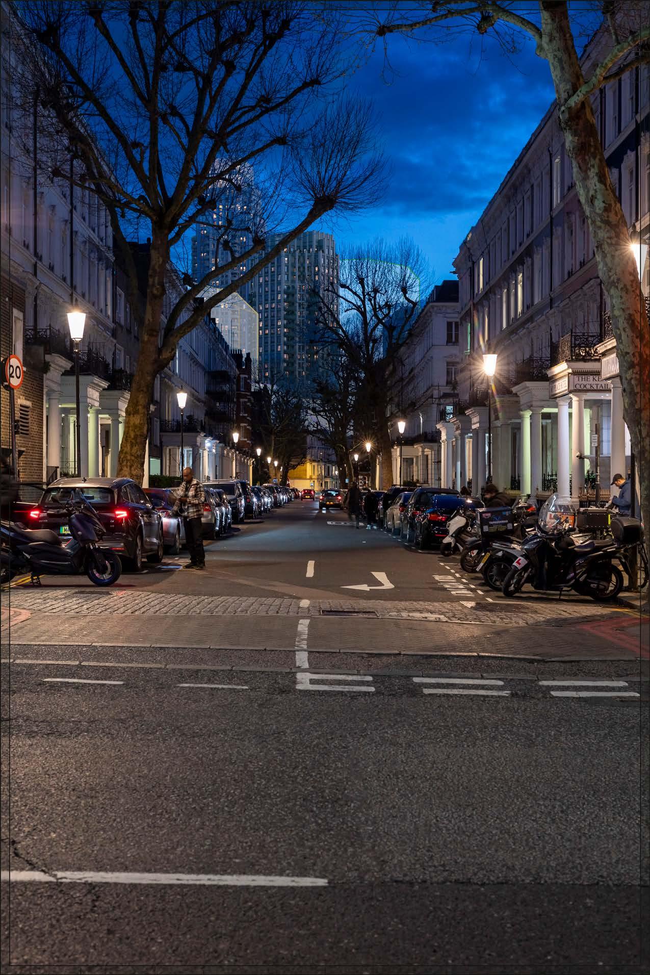
No further Plots would be visible in the All Phases scenario compared to the Early Phases. The magnitude of impact and the scale and nature of the effect would not alter in comparison to the assessment of the Early Phases.
Magnitude of impact: High
Effect: Major in scale; Adverse in nature (significant)
Completed DevelopmentEarly Phases and cumulative schemes
There would be no cumulative schemes visible, and the effect of the Early Phases in the cumulative scenario would remain as set out above for the Early Phases considered in isolation.
Magnitude of impact: High
Effect: Major in scale, Adverse in nature (significant)
Completed DevelopmentAll Phases and cumulative schemes
There would be no cumulative schemes visible, and the effect of All Phases in the cumulative scenario would remain as set out above for All Phases considered in isolation.
Magnitude of impact: High
Effect: Major in scale, Adverse in nature (significant)
2.265 Views 25, 26 and 27 which are individually assessed in the following pages, Views A13 and A14 which are provided as supplementary verified views in Appendix C, and View B3 which is provided as a supplementary unverified view in Appendix D, illustrate the baseline, proposed and cumulative conditions from a number of key and representative positions along Philbeach Gardens.
2.266 Philbeach Gardens is covered by the Philbeach Gardens Conservation Area (RBKC). Philbeach Gardens was built between 1876 and 1891; building began at the southern end in an Italianate style in stock brick but after 1884 the northern part of the terrace was continued in Domestic Revival style in two-tone red brickwork. The Grade I listed Church of St Cuthbert, built in 1884-8 towards the end of a Victorian church building boom in Kensington, provides the primary architectural and historic interest of the crescent and is the focal point of views from the north and south along the crescent.
2.267 Views A13, 25 and 26 describe a journey moving south along Philbeach Gardens, beginning at a point towards its northern end at the junction with Warwick Road, and moving towards the Church of St Cuthbert. Views 27, A14 and B3 describe a journey moving northwards from the southern end of the crescent at its junction with Warwick Road towards the Church of St Cuthbert. These views demonstrate the range of visual effects that would be experienced from the crescent. The sequence of views also gives a dynamic appreciation of what would be seen as a pedestrian walks along the crescent in both directions focussing on the Church of St Cuthbert as a key landmark and contributor to the visual amenity of the street.
2.268 View 25 is an important view of the Church of St Cuthbert in which its design and relationship to the terraces lining Philbeach Gardens can be appreciated. The picturesque roofline of the church, rising above the roofline of the crescent of terraced houses, contributes to its landmark quality within the street scene. It has been a key principle of the design of the Proposed Development that the roofline of the church should therefore remain clear, seen against the open sky, and legible from this position with any part of the Proposed Development visible beyond remaining below the height of the roofscape of the church and therefore clearly subservient to the church on the skyline. In view A13 taken further north at the junction with Warwick Road, where views of the church are more screened by street trees, parts of the Proposed Development would be visible beyond the roofline of the church but moving forward from this position their heights would recede and at View 25 there would be no visibility beyond its roofline. Moving forward of View 25 as the crescent curves to the south, the existing Empress State Building is revealed on the skyline to the south-west approximately 400 m to the south-west.
2.269 As demonstrated by View 26 the central cluster of the Proposed Development would be prominently visible in views from the central part of the crescent concealing the Empress State Building. The Proposed Development would not impact on the skyline of the church, which would still be seen against clear sky but now
juxtaposed with a taller contrasting backdrop to the south-west. The central cluster of the Proposed Development would achieve a wellcomposed skyline form, a good balance of familial character, local distinctiveness and architectural coherence, and enough visual variety to minimise any potential visual coalescence between the individual plots.
2.270 Due to its curving alignment, in views from the southern end of Philbeach Gardens the Church of St Cuthbert is not visible. In Views 27 and A14 taken from both sides of the junction with Warwick Road, the top of the buildings on Detailed Component Plots EC05 and EC06 at the northern end of the Proposed Development would be visible beyond the roofline of the crescent filling much of the clear sky beyond and altering the character of the crescent. Moving northwards towards the church, the height of these plots would recede and, as demonstrated by View B3, from the central part of the crescent the Proposed Development would have no impact on views of the Church of St Cuthbert.
2.271 The visibility of the Proposed Development would be greatest looking south from the central part of the crescent where the central cluster would be juxtaposed dramatically with the Church of St Cuthbert on the skyline. From the northern end of the crescent the Proposed Development would be visible beyond the roofline of the church but this would quickly recede so that, in the best views of the church, its roofline would be seen against clear sky and would maintain strong landmark legibility within the crescent. While potentially adverse effects on visual amenity have been considered, reduced and minimised by embedded mitigation during design development, the proximity of the Proposed Development and high level of contrast in scale and form with the designated historic townscape in the foreground would result in adverse visual effects from parts of Philbeach Gardens.
2.272 The following Design Codes are relevant to the consideration of these views – they have been taken into account in the assessment of the effect of the Proposed Development in the individual views but, to avoid unnecessary duplication, they are not necessarily repeated in the narrative text accompanying those views. The expression of the building tops of Plots WK07/08/09 (Design Code LS.B.39), the ability to distinguish Plots WK08/09 from the historic foreground to maintain the legibility of the buildings on Philbeach Gardens, (LS.B.40), the visual richness of the façade design of Plots WK08/09 (Design Code LS.B.41) and breaks in massing to minimise coalescence (Design Code LS.B.42) have all been included in response to the potential visual effects of the Proposed Development on the visual amenity of Philbeach Gardens.
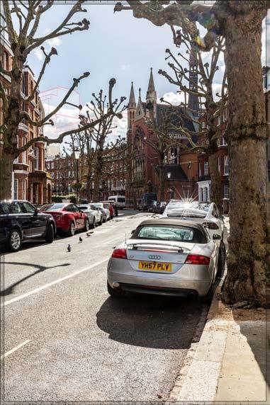
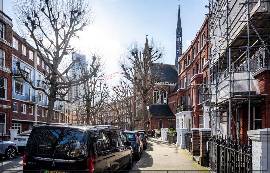
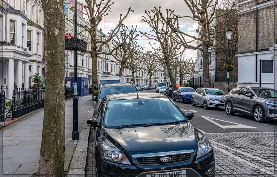
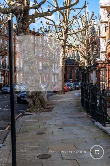
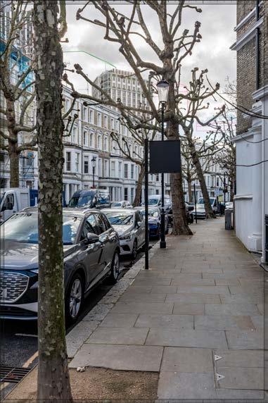
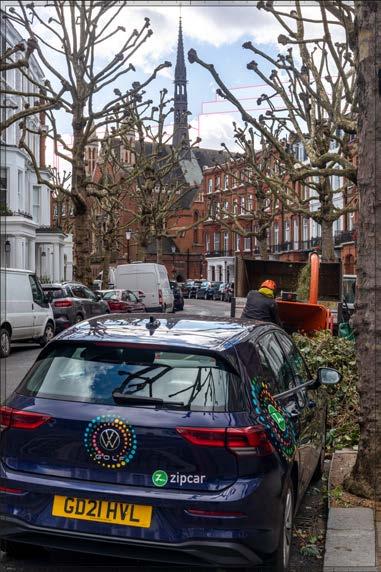
This viewpoint is on the western side of Philbeach Gardens, and it is located within the Philbeach Conservation Area. The view, in portrait format to include the full height of the church, looks south along the sweep of the crescent of Philbeach Gardens towards the Grade I listed Church of St Cuthbert. Philbeach Gardens was built between 1876 and 1891; building began at the southern end in an Italianate style in stock brick but after 1884 the northern part of the terrace was continued in Domestic Revival style in two-tone red brickwork. The Grade I listed Church of St Cuthbert, built in 1884-8 towards the end of a Victorian church building boom in Kensington, provides the primary architectural and historic interest of the crescent and is the focal point of views from the north and south along the crescent. The profile of the church – the tall flèche over the crossing, which rises from the ridge of the steeply pitched roof, and the pinnacles on either side of the east-facing gable – breaks the otherwise consistent parapet line of the crescent. The Philbeach Conservation Area CAA notes the majority of the houses as positive contributors to the conservation area (Ref. 2-36, Figure 2.7). It identifies views from this part of Philbeach Gardens towards the Church as making an important contribution to the way the conservation area is experienced, and identifies the Church as a landmark building (Ref. 2-36, Figure 4.1). At paragraph 4.10, the CAA notes that “the curving nature of most of the streets in the conservation area offer dynamic views that change as one travels around them...”. The Empress State
Building is to the left out of sight, but visible above the roof line of the terrace from positions further south (as demonstrated by View 26). Street trees generally filter the view significantly, even in winter (though the trees have been recently pollarded in this photography), and completely obscure the view of the church, and much of the backdrop beyond, in summer.
Value attached to the view: this is a well-composed view of the Grade I listed St Cuthbert’s Church from Philbeach Gardens and is judged a good position from which to appreciate the significance of the church’s exterior and relationship to the crescent. The value of the view is judged to be Medium
Visual receptors affected: low numbers of local residents living on the street or in the wider local area and low numbers of visitors to the church.
Susceptibility to change of visual receptors: local residents in a community where views contribute to the setting of a high-quality designated townscape have a high susceptibility to change. Susceptibility to change is therefore judged to be High
Sensitivity: Medium-high
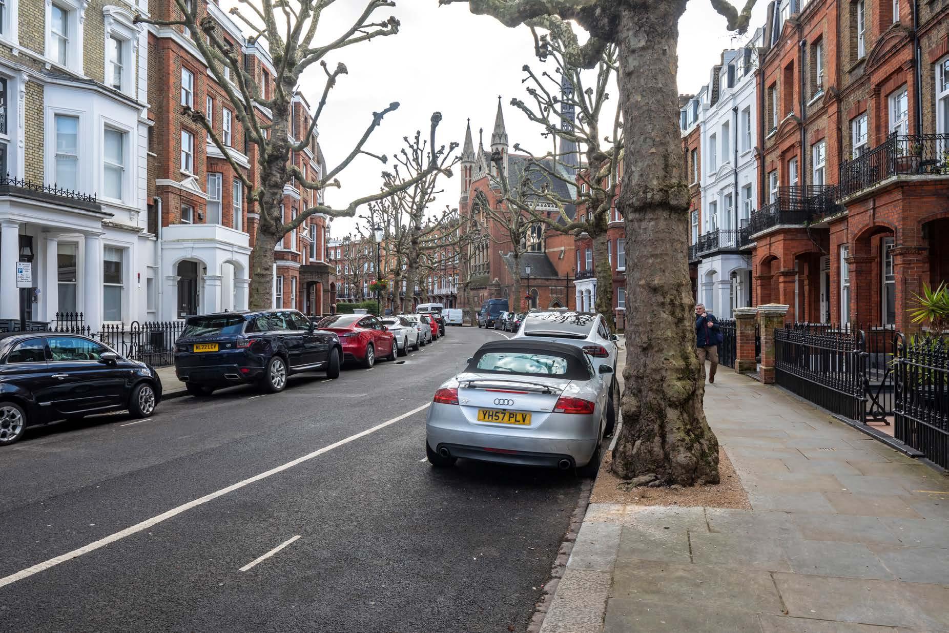
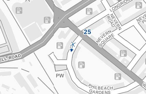
Existing
See assessment text on previous page.

The top of Detailed Component Plot EC06 would be visible to the left of centre within the view, above the roofline of the crescent. It would be seen to a relatively small extent, well to the left of the Church of St. Cuthbert and would not be an immediately noticeable feature of the view. It would appear distinct and separate from the buildings along Philbeach Gardens (within the conservation area). To the very limited extent it would be seen, its architecture would have an ordered and regular quality, with a clearly defined top on the skyline.
The Early Phases would introduce a relatively small new element within the background of the view, with a Low magnitude of impact. It would be recessive on the skyline, and the appreciation of the foreground buildings as a coherent piece of townscape would remain intact, such that the nature of effect would be Neutral.
Magnitude of impact: Low
Effect: Minor in scale, Neutral in nature (not significant)

Outline Component Plots in the later phases of the Proposed Development would appear to the south and west of Philbeach Gardens, to the left of the Church of St Cuthbert and visible above the roofline of the crescent. The most visible elements of the Proposed Development would be the upper parts of the Outline Component Plots WK08 and WK09, which would obscure Plot EC06 of the Early Phases from sight.
The maximum parameter height of Plot WK08 has been limited to ensure that future development on this Plot would not rise higher than the base of the pinnacles of the church in the foreground and would not therefore compete with the church’s picturesque roofline, seen against open sky from this important viewing position. Outline Component Plots EC18, EC19 and WK07 behind the church have also been limited in height to ensure that buildings coming forward on these Plots would remain invisible in this view and maintain the view of the reading of the church’s distinctive silhouette against open sky. Plot WK09 further to the south (left) of Plot WK08 would step up in height but would appear equivalent in scale to the foreground terrace on the left of the view and would recede in height as the viewer moves forward to ensure that the roofline of the church remains the tallest element in the view.
Plots WK09 and WK08 would have a stepped maximum parameter envelope that would break up the mass and skyline of buildings coming forward in these plots. The architecture of the illustrative scheme (not assessed but shown for information in Appendix E) shows a response in line with the Design Codes, comprising a calm and ordered elevational approach. The materiality would echo the tone to the conservation area, but would appear lighter and therefore recessive in appearance and clearly separate and distinct from the foreground. As a result, Plots WK08 and WK09 as illustrated in line with the Design Code, would form a complementary backdrop for the robust brick buildings on Philbeach Gardens in the foreground.
There would be a noticeable change to the visual amenity of this part of Philbeach Gardens in winter with a Medium-high magnitude of impact which would be reduced to Low by foreground foliage in summer. The proximity and high level of contrast in scale and form with the designated historic townscape in the foreground, and the loss of clear sky behind the crescent, has the potential to produce an adverse nature of effect on the viewer. However, the Parameter Plans and Design Codes for the Outline Component Plots would ensure that All Phases would maintain the legibility, prominence and landmark quality of the Church of St Cuthbert on the skyline and that the form and architectural treatment of the Outline Component Plots would respond appropriately to the sensitive historic context in the foreground. As a result, while the Proposed Development is not considered to definitively enhance the quality of the view, it is
judged that the potential for an adverse effect on the viewer would be mitigated by these factors and the nature of the effect would be Neutral
Magnitude of impact: Low (summer) to Medium-high (winter)
Effect: Minor (summer) to Moderate-major (winter) in scale, Neutral in nature (significant)

Completed DevelopmentEarly Phases and cumulative schemes
There would be no cumulative schemes visible, and the effect of the Early Phases in the cumulative scenario would remain as set out above for the Early Phases considered in isolation.
Magnitude of impact: Low
Effect: Minor in scale, Neutral in nature (not significant)
Completed DevelopmentAll Phases and cumulative schemes
There would be no cumulative schemes visible, and the effect of All Phases in the cumulative scenario would remain as set out above for All Phases considered in isolation.
Magnitude of impact: Low (summer) to Medium-high (winter)
Effect: Minor (summer) to Moderate-major (winter) in scale, Neutral in nature (significant)
The viewpoint is located on the western side of Philbeach Gardens, within the Philbeach Conservation Area, and the view looks south towards the Church of St Cuthbert (Grade I) designed by Hugh Roumieu Gough between 1884-8. The viewing position is forward of View 25, at a point at which the existing Empress State Building rises above the roofline of the crescent and is clearly visible as a contrasting modern building in the setting of the conservation area. As in View 25, the Church is the focus of the view, set within the crescent of Philbeach Gardens. The profile of the church –the tall flèche over the crossing, which rises from the ridge of the steeply pitched roof, and the pinnacles on either side of the eastfacing gable – breaks the otherwise consistent parapet line of the crescent. The original houses in the crescent are identified as positive contributors to the conservation area in the CAA (Ref. 2-36, Figure 2.7). On the left in this view the postwar infill, ‘Beach House’ at No.77, directly opposite the church, despite its contrasting architectural treatment, is identified as a neutral contributor. The Philbeach Conservation Area CAA identifies views from this part of Philbeach Gardens towards the Church as making an important contribution to the way the conservation area is experienced, and identifies the Church as a landmark building (Ref. 2-36, Figure 4.1).
As in View 25 street trees filter the view significantly, even in winter, and substantially obscure the view of the church in summer.
Value attached to the view: this is an informal view within the conservation area noted in the CAA (Ref. 2-36, para 4.12), which demonstrates the relationship between the Grade I listed church and its ancillary buildings. The value of the view is judged to be Medium
Visual receptors affected: low numbers of local residents living on the street or in the wider local area and low numbers of visitors to the church.
Susceptibility to change of visual receptors: local residents in a community where views contribute to the setting of a high-quality designated townscape have a High susceptibility to change.
Sensitivity: Medium-high
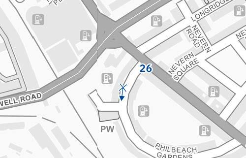
D29718 24mm 16/02/24 / 11:55
See assessment text on previous page.
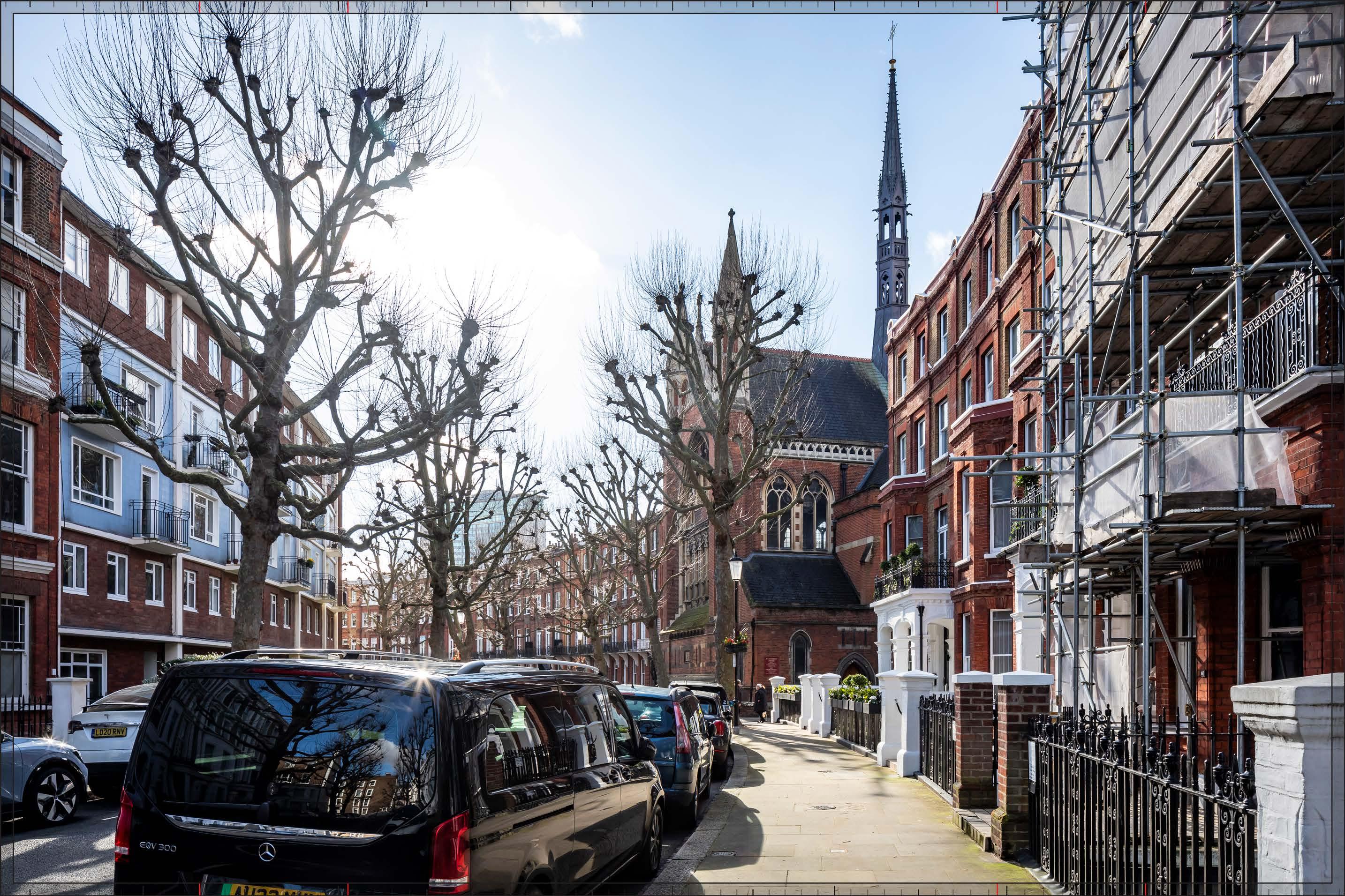
D29718 24mm 16/02/24 / 11:55
The Early Phases would appear to the south and west of Philbeach Gardens, to the left of the Church of St Cuthbert, visible above the roofline of the crescent. The tall buildings on Detailed Component Plots WB04 and EC05, and EC06, and on Outline Component Plot WB06, would form a cluster to the south (left) of the church, partly concealing the top of the existing Empress State Building and creating a contrasting and dramatic juxtaposition with the historic townscape. The tall building on Detailed Component Plot WB04, which would form the focal point of the cluster, would have a visually interesting form, with a series of shoulders stepping up symmetrically to a central ‘crown’. The reduction in massing would be reinforced by the change in materiality, from stone-like solid materials, to lighter, more transparent and reflective materials at the crown. The stepped crown, curved corners and vertical emphasis would provide Plot WB04 with an elegant, Art Deco-inspired appearance echoing the architecture of the former Exhibition Centre 1. Plot EC06, legibly stepping down in scale from Plot WB04, would have an ordered and regular quality, with a clearly defined crown and a familial Art Deco appearance. A building coming forward on Plot WB06, as defined by the Parameter Plans and Design Code, would sit within a triangular shaped plot and its height would step down in scale from Plot WB04. With Plots WB04 and EC06, it would create a well composed cluster form. Plot WB06, as defined by the Parameter Plans and Design Code, would sit within a triangular shaped envelope and is defined as a ‘pivot’ plot (Design Code SW.B.6): “a marker building which can be viewed in the round and is strongly integrated with the landscape.” As a ‘tall building’ within the Design Code it must also be part of a harmonious tall building cluster (Design Code SW.B.48) and be attractive from all angles (SW.B.49) with a clearly articulated top (Design Code SW.B.51). The illustrative design for Plot WB06 (not assessed but shown for reference in Appendix E) shows that, designed in accordance with the requirements of the Parameter Plans and Design Codes, the building within Plot WB06 could have a distinctive three-sided form and a familial Art Deco style character shared with the other tall buildings within the Early Phases.
The Early Phases would introduce a new contrasting tall building cluster seen at relatively close proximity, which would be very prominent from this part of the crescent, and would result in a High magnitude of impact in winter, reduced to Low by foreground foliage in summer.
Although the central cluster of tall buildings within the Early Phases would be well composed and would appear well to the left of the church, preserving open sky around its distinctive roofline, the proximity and high level of contrast in scale and form with the designated historic townscape in the foreground, has the potential to produce an adverse nature of effect on the viewer. Potential mitigation
of adverse effects on visual amenity has therefore been considered during the design development process. The architectural quality of the Detailed Component of the Early Phases would be high. The Parameter Plans and Design Codes for the Outline Component Plots would ensure that the form and architectural treatment of the Outline Component Plots would respond appropriately to the sensitive historic context in the foreground and the character of the Early Phases as a whole. As a result, the Early Phases would achieve a good balance of familial character, local distinctiveness and architectural coherence, and enough visual variety to minimise any potential visual coalescence between the individual plots. Through these measures, adverse effects on visual amenity have therefore been reduced and minimised. Nonetheless, on balance, due to the scale and proximity of the Early Phases, and the high level of sensitivity, it is considered that the potential for an adverse effect on the viewer would not be completely mitigated by these factors and the nature of the effect would be Adverse
Magnitude of impact: Low (summer) to High (winter) Effect: Minor (summer) to Major (winter) in scale, Adverse in nature (significant)
D29718 24mm 16/02/24 / 11:55
Completed Development - Early Phases
See assessment text on previous page.

D29718 24mm 16/02/24 / 11:55
The Proposed Development would appear to the south and west of Philbeach Gardens, to the left of the Church of St Cuthbert, visible above the roofline of the crescent. As described for the Early Phases, the tall buildings on Detailed Component Plots WB04 and EC06, and on Outline Component Plot WB06, would form a cluster to the south (left) of the church. In addition, the upper parts of the Outline Component Plots WK08 and WK09 would be visible closer to the left of the church. These Plots WK08 and WK09 would progressively step down in height from the tall building cluster in the Early Phases, helping to mediate the change in scale towards the church. The Empress State Building would be obscured from sight by the later phases of the Proposed Development.
The maximum parameter height of Plots WK08 and 09 has been limited to ensure that future development on these plots would not rise higher than the base of the pinnacles of the church and would not therefore compete with the church’s picturesque roofline, seen against open sky. Plot WK09 to the south (left) of Plot WK08 would step up in height compared to Plot WK08 but would appear equivalent in scale to the foreground terrace on the left of the view.
Plots WK09 and WK08 would have a stepped maximum parameter envelope that would break up the mass and skyline of buildings coming forward in these plots. The architecture of the illustrative scheme (not assessed but provided for information in Appendix E) shows a response in line with the Design Code, comprising a calm and ordered elevational approach. The materiality would echo the tone of the conservation area, but appear lighter and therefore recessive in appearance and clearly separate and distinct from the foreground. As a result, Plots WK08 and WK09 as designed in accordance with the Design Code, would form a complementary backdrop for the robust brick buildings on Philbeach Gardens in the foreground of the view.
The Proposed Development would introduce a backdrop of development seen beyond the crescent including a contrasting modern tall building cluster, seen at relatively close proximity, which would be very prominent from this part of the crescent, and would result in a High magnitude of impact in winter which would be reduced to Low by foreground foliage in summer.
The proximity and high level of contrast in scale and form with the designated historic townscape in the foreground, the loss of clear sky behind the crescent and the scale of development seen together with the church, has the potential to produce an adverse nature of effect on the viewer. Potential mitigation of adverse effects on visual amenity has therefore been considered during the design development process. The Parameter Plans and Design Codes for the Outline Component Plots WK08 and 09 would ensure that the Proposed Development would maintain the clear legibility and
landmark quality of the church on the skyline. The Parameter Plans and Design Codes for the Outline Component Plots would ensure that the form and architectural treatment of buildings coming forward within the Outline Component Plots would respond appropriately to the sensitive historic context in the foreground and the character of the Proposed Development as a whole. The composition and architectural quality of the Detailed Component Plots that form the central cluster of tall buildings within the Proposed Development would be high. As a result, the Proposed Development would achieve a good balance of familial character, local distinctiveness and architectural coherence, and enough visual variety to minimise any potential visual coalescence between the individual plots. Nonetheless, on balance, due to the scale and proximity of the Proposed Development, and the high level of sensitivity, it is considered that the potential for an adverse effect on the viewer would not be completely mitigated by these factors and the nature of the effect would be Adverse
Magnitude of impact: Low (summer) to High (winter)
Effect: Minor (summer) to Major (winter) in scale; Adverse in nature (significant)
D29718 24mm 16/02/24 / 11:55
Completed Development - All Phases
See assessment text on previous page.
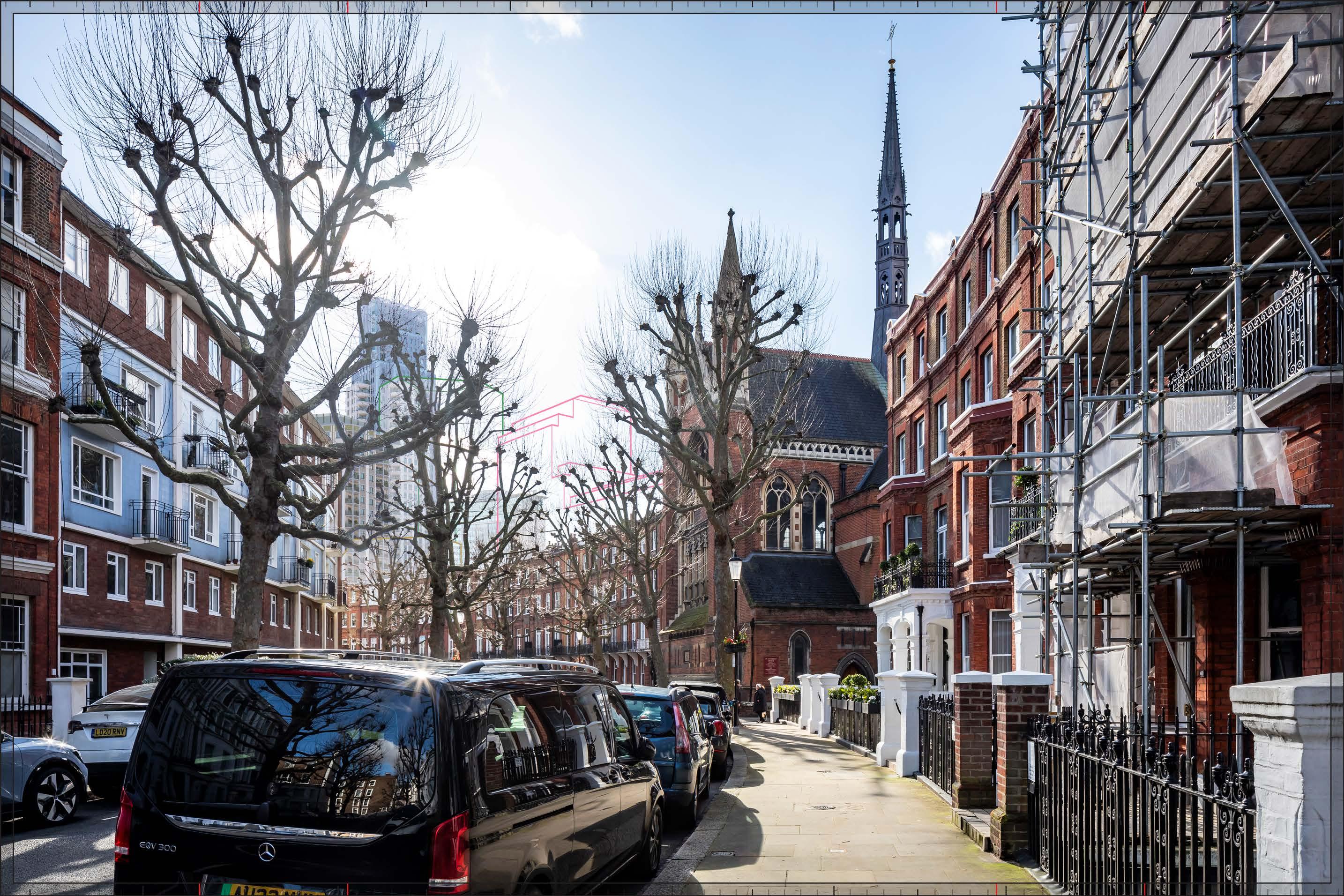
D29718 24mm 16/02/24 / 11:55
Completed DevelopmentEarly Phases and cumulative schemes
There would be no cumulative schemes visible, and the effect of the Early Phases in the cumulative scenario would remain as set out above for the Early Phases considered in isolation.
Magnitude of impact: Low (summer) to High (winter)
Effect: Minor (summer) to Major (winter) in scale, Adverse in nature (significant)
D29718 24mm 16/02/24 / 11:55
Completed DevelopmentAll Phases and cumulative schemes
There would be no cumulative schemes visible, and the effect of All Phases in the cumulative scenario would remain as set out above for All Phases considered in isolation.
Magnitude of impact: Low (summer) to High (winter)
Effect: Minor (summer) to Major (winter) in scale, Adverse in nature (significant)
D27720x35 / 24mm 14/03/23 14:06
This viewpoint is located on the eastern side of Philbeach Gardens at its southern end, and it is located within the Philbeach Conservation Area. The view, in portrait format to ensure that the Proposed Development will be captured, looks north along the sweep of the crescent of Philbeach Gardens. Philbeach Gardens was built between 1876 and 1891; building began at the southern end seen here in an Italianate style in stock brick but after 1884 the northern part of the terrace was continued in Domestic Revival style in two-tone red brickwork (out of shot in this image). The Philbeach Conservation Area CAA (Ref. 2-36, Figure 4.1) identifies views along the crescent of Philbeach Gardens from positions such as this as being important and at paragraph 4.10 it notes that “the curving nature of most of the streets in the conservation area offer dynamic views that change as one travels around them...”. Street trees filter the view significantly, even in winter, and completely obscure the view of the church in summer though the trees have been recently pollarded at the time of this photography.
Value attached to the view: this is a well-composed view of Philbeach Gardens, identified as important in the Philbeach CAA. The value of the view is judged to be Medium
Visual receptors affected: low numbers of local residents living on the street or in the wider local area and low numbers of visitors to the church.
Susceptibility to change of visual receptors: local residents in a community where views contribute to the setting of a high-quality designated townscape have a High susceptibility to change. Sensitivity Medium-high
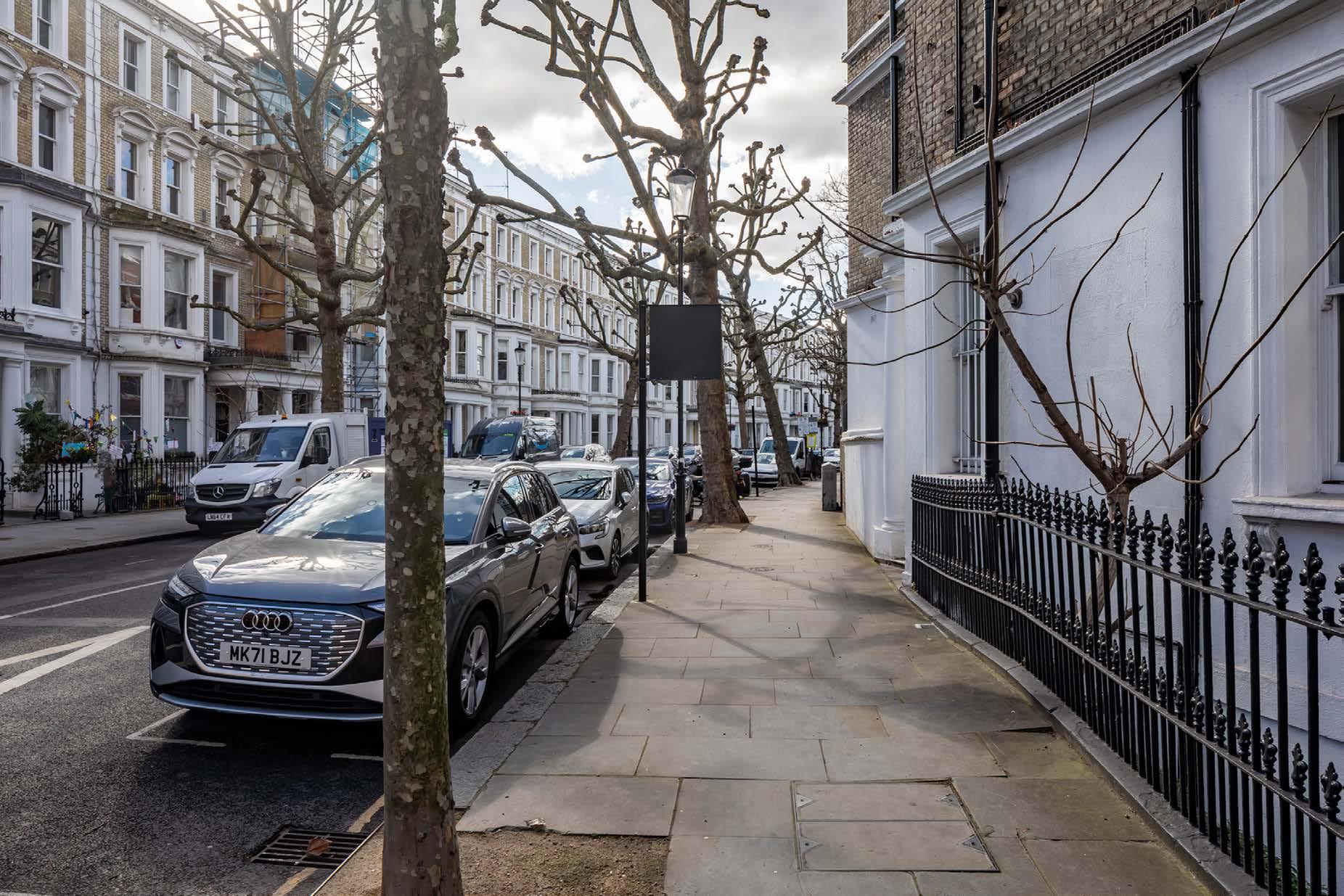
Philbeach Gardens, south end junction with Warwick Road D27720x35 / 35mm 14/03/23 14:06
Existing
See assessment text on previous page.
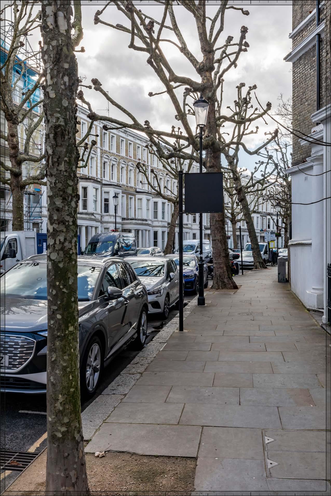
D27720x35 / 35mm 14/03/23 14:06
Detailed Component Plots EC05 and EC06, and Outline Component Plot WB06, would be the most visible plots within the Early Phases. The top of Detailed Component Plot WB04 would be visible to a small extent on the very left of the image, and would be more visible to a greater extent to a viewer in this location looking up and around at the viewing position. The upper parts of these plots would appear behind the crescent of Philbeach Gardens, with which they would contrast in form, scale and appearance. The different orientations, heights, forms and detailed appearances of the visible Plots would result in them being readily distinguishable from each other, helping to break up the overall scale of the Early Phases, and providing visual variety.
Plot EC05 would have a visually interesting form, based on an octagonal plan, and a stepped crown would provide a distinctive top for the building. The use of pilasters would create vertical emphasis and balconies would provide depth and articulation with Art Deco inspiration. Plot EC06 would have a broadly triangular form and its architecture would have an ordered and regular quality, with a clearly defined double-height crown.
A building coming forward within Plot WB06, as defined by the Parameter Plans and Design Code, would sit within a triangular shaped plot. As a ‘tall building’ within the Design Code a building coming forward on Plot WB06 must be part of a harmonious tall building cluster (Design Code SW.B.48) with a clearly articulated top (Design Code SW.B.51) The illustrative design for Plot WB06 (not assessed but shown for reference in Appendix E) shows that, designed in accordance with the requirements of the Parameter Plans and Design Codes, the building within Plot WB06 could have a distinctive three-sided form and a familial Art Deco style character with the other tall buildings within the Early Phases.
A very small part of Outline Component Plot EC04 would appear to the right of the more visible Plots described previously; it would sit at an apparent height only slightly higher than that of the foreground crescent, and obscured by trees, such that it would have minimal visual impact.
The Early Phases would form a secondary layer of contrasting modern townscape, making an immediately noticeable change but not dominating the townscape of Philbeach Gardens and with a Medium magnitude of impact in winter that would be reduced to Low by summer foliage.
The proximity and high level of contrast in scale and form with the designated historic townscape in the foreground, and the loss of clear sky behind the crescent has the potential to produce an adverse nature of effect on the viewer. Potential mitigation of adverse effects on visual amenity has therefore been considered during the design development process. The Parameter Plans
and Design Codes for the Outline Component Plots would ensure that the form and architectural treatment of the Outline Component would respond appropriately to the sensitive historic context in the foreground and the character of the Early Phases as a whole. As a result, the Early Phases would achieve a good balance of familial character, local distinctiveness and architectural coherence, and enough visual variety to minimise any potential visual coalescence between the individual plots. Nonetheless, on balance, due to the scale and proximity of the Early Phases, and the high level of sensitivity, it is considered that the potential for an adverse effect on the viewer would not be completely mitigated by these factors and the nature of the effect would be Adverse
Magnitude of impact: Low (summer) to Medium (winter)
Effect: Minor (summer) to Moderate (winter) in scale, Adverse in nature (significant)
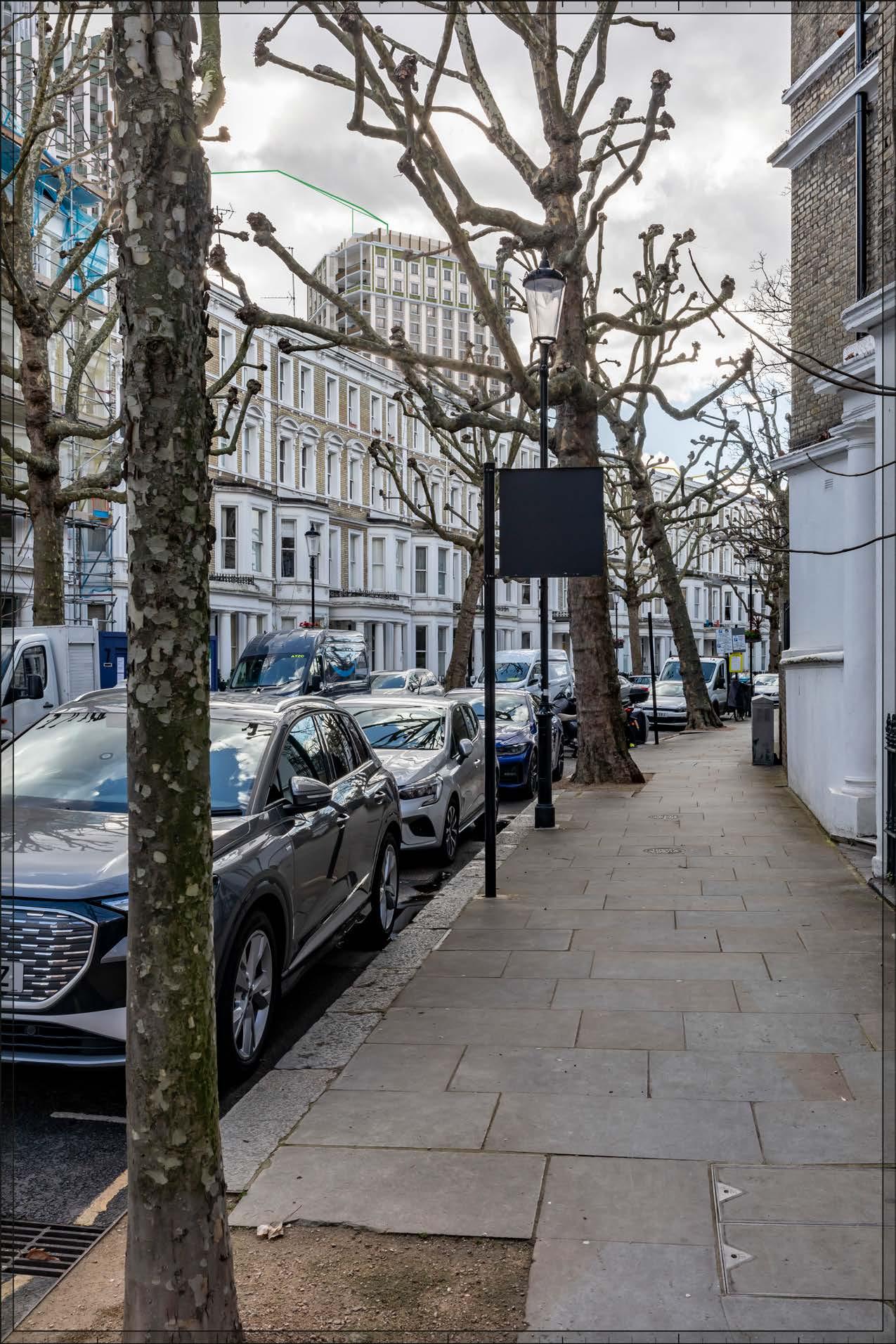
D27720x35 / 35mm 14/03/23 14:06
As with the Early Phases scenario, Plots WB04, EC05, EC06, and WB06 of the Proposed Development would be visible beyond the roof line of the crescent to the left. In addition, the Outline Component Plots WK08 and WK09 on the northern part of the Site would be visible to their right, progressively stepping down in height from the taller building cluster to their south, increasing the visibility of the secondary layer of modern townscape beyond the crescent but contributing to a coherent composition on the skyline. The illustrative scheme for these Plots (not assessed but provided for information in Appendix E), shows that, designed in accordance with the requirements of the Parameter Plans and Design Codes, these plots could have an ordered appearance and use materials with a light quality, such that it would form a calm, complementary and recessive backdrop for the brick buildings in the foreground.
Design Code SW.B.61 states that “Building Plots WK08 and WK09 (in Development Zone T) must consider visual impacts on setting in relation to View 27 and related viewing position. There must be legible separation between Plots WK08 and WK09.” The illustrative scheme for these Plots (not assessed but provided for information in Appendix E), shows that, designed in accordance with the requirements of the Parameter Plans and Design Codes, these plots could have an ordered appearance and use materials with a light quality, such that it would form a calm, complementary and recessive backdrop for the brick buildings in the foreground.
As for the Early Phases, while the Parameter Plans and Design Codes for the Outline Component Plots would ensure that the form and architectural treatment of the Outline Component Plots would respond appropriately to the sensitive historic context in the foreground and the Proposed Development as a whole would achieve a good balance of familial character, local distinctiveness and architectural coherence, and enough visual variety to minimise any potential visual coalescence between the individual plots, the potential for an adverse effect on the viewer would not be completely mitigated by these factors and the nature of the effect would be Adverse
Magnitude of impact: Low (summer) to Medium (winter)
Effect: Minor (summer) to Moderate (winter) in scale, Adverse in nature (significant)

Philbeach Gardens, south end junction with Warwick Road
D27720x35 / 35mm 14/03/23 14:06
Completed DevelopmentEarly Phases and cumulative schemes
There would be no cumulative schemes visible, and the effect of the Early Phases in the cumulative scenario would remain as set out above for the Early Phases considered in isolation.
Magnitude of impact: Low (summer) to Medium (winter)
Effect: Minor (summer) to Moderate (winter) in scale, Adverse in nature (significant)
Philbeach Gardens, south end junction with Warwick Road
D27720x35 / 35mm 14/03/23 14:06
Completed DevelopmentAll Phases and cumulative schemes
There would be no cumulative schemes visible, and the effect of All Phases in the cumulative scenario would remain as set out above for All Phases considered in isolation.
Magnitude of impact: Low (summer) to Medium (winter)
Effect: Minor (summer) to Moderate (winter) in scale, Adverse in nature (significant)
D27701x35 / 24mm 10/03/23 14:38
The view looks south from the northern end of Eardley Crescent close to the junction with Warwick Road. The form of Eardley Crescent is directly related to the radius of the railway lines adjacent to the plot, however the terraces are not constructed as continuous curves but straight sections and the angles between sections varies. Eardley Crescent, the parallel smaller crescent, Kempsford Gardens, and the terrace at Nos. 1-51 Warwick Road were built together as a single development between 1867-72 beginning at the southern end. The architectural treatment of the crescent takes the form of consistent houses at three storeys faced in stock brick with cement dressings and paired plain Doric porticos. A variety of modern raised party walls, mansard roof extensions and chimneys are visible above the consistent original parapet line. The Lillie Square tower is visible in views southwards from Eardley Crescent from positions to the south of View 28. Until its demolition the roof of the Earls Court Exhibition Centre 1 was visible beyond the roof line on the left-hand side.
Value attached to the view: this is a well-composed representative street view from the Philbeach Conservation Area. The value of the view is judged to be Medium
Visual receptors affected: low numbers of local residents living on the street or in the wider local area.
Susceptibility to change of visual receptors: local residents in a community where views contribute to the setting of a high-quality designated townscape have a High susceptibility to change. Sensitivity Medium-high
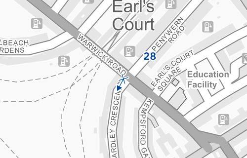
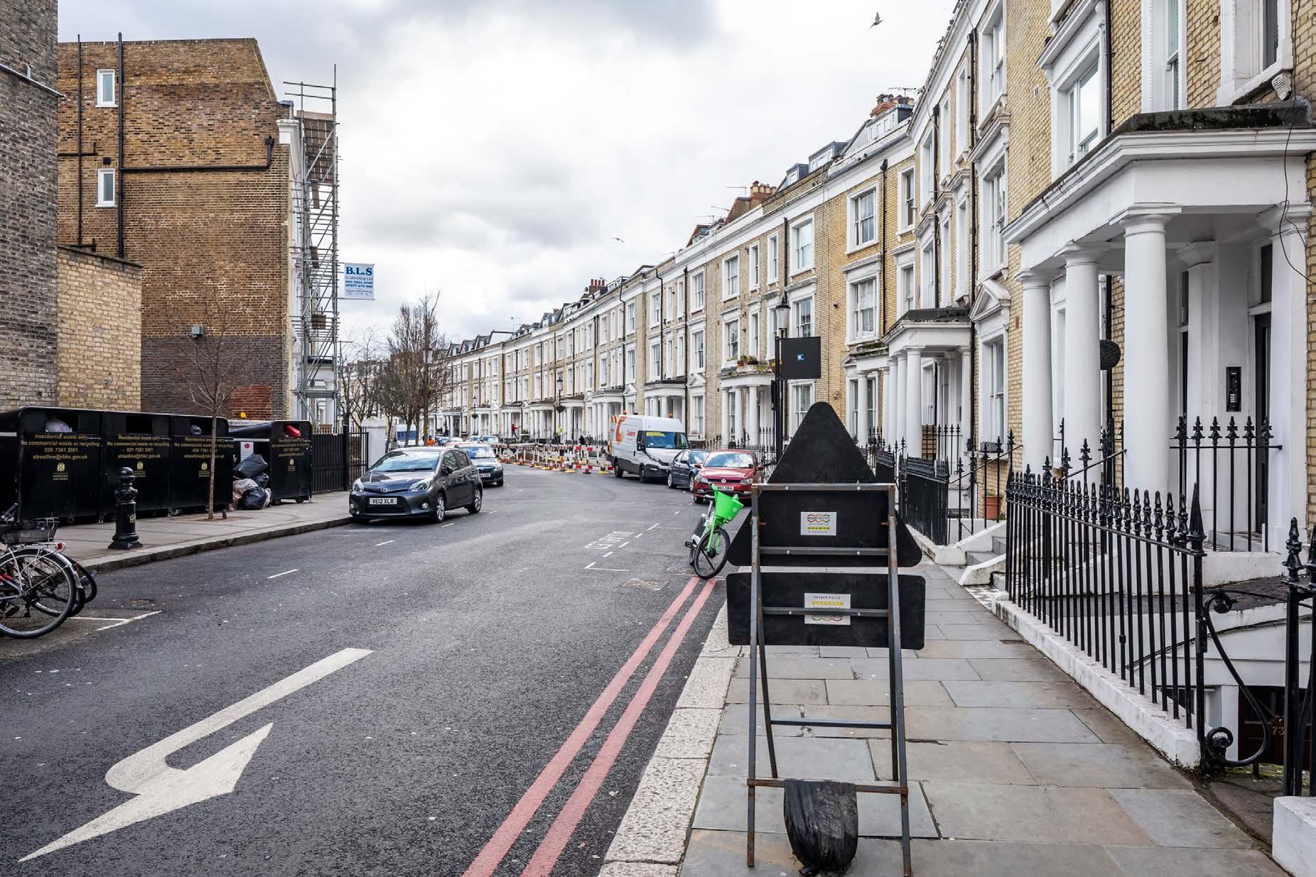
Eardley Crescent, junction with Warwick Road
See assessment text on previous page.
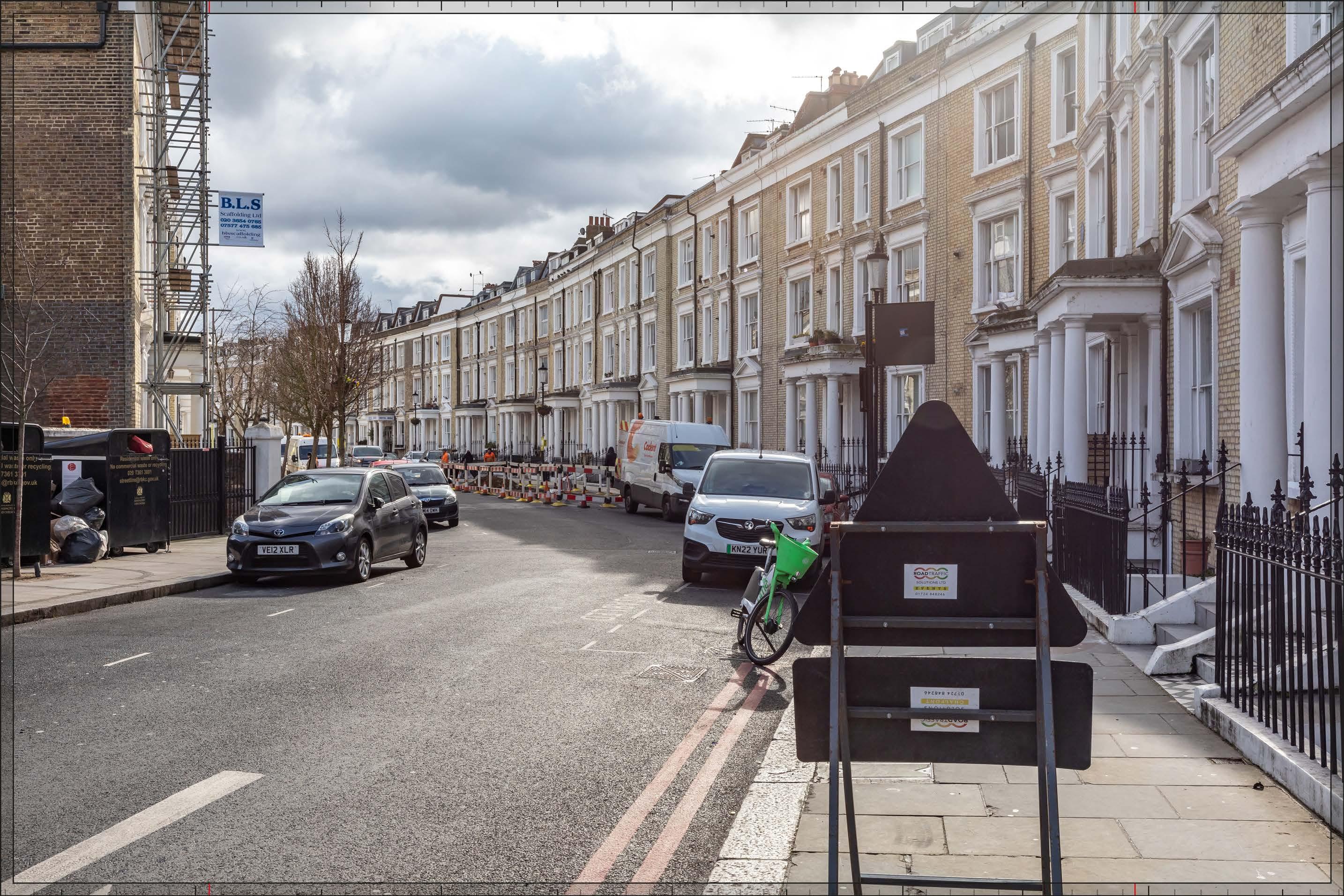
D27701x35 / 35mm 10/03/23 14:38
The upper parts of Outline Component Plots EC01, EC03, EC02, EC11, EC12 and WB07 and WB08 would be visible behind Eardley Crescent. With the exception of Plots WB07 and WB08, their visibility would be limited, and it is likely that buildings coming forward within these plots would have limited if any impact. The massing of the Early Phases would be seen to step down coherently towards Eardley Crescent, such that the change in scale between the houses of Eardley Crescent and the larger scale development to the west would be effectively mediated. Outline Component Plots WB07 and 08 would have the tallest apparent height of the visible plots, with Plot EC01 seen to step down in height from them and towards Eardley Crescent in the foreground. Plots WB07 and WB08 would have a large footprint typology and predominantly commercial use, in line with the Parameter Plans.
The Early Phases would form a secondary layer of townscape, much of which would be well integrated in the existing foreground roofline of mansards and chimney stacks and not a dominant feature of the townscape of Eardley Crescent, with a Low-medium magnitude of impact.
The proximity and high level of contrast in scale and form with the designated historic townscape in the foreground, and the loss of clear sky behind the crescent, has the potential to produce an adverse nature of effect on the viewer. However, the degree of visibility of the Early Phases seen from here would be limited and Parameter Plans and Design Codes for the Outline Component would ensure that the form and architectural treatment of the Outline Component Plots would respond appropriately to the sensitive historic context in the foreground and the character of the Early Phases as a whole. As a result, while the Early Phases is not considered to definitively enhance the quality of the view, it is judged that the potential for an adverse effect on the viewer would be mitigated by these factors and the nature of the effect would be Neutral
Magnitude of impact: Low-medium
Effect: Minor-moderate in scale, Neutral in nature (not significant)

Eardley Crescent, junction with Warwick Road
D27701x35 / 35mm 10/03/23 14:38
Completed Development - All Phases
No further Plots would be visible in the All Phases scenario compared to the Early Phases. The magnitude of impact and the scale and nature of the effect would not alter in comparison to the assessment of the Early Phases.
Magnitude of impact: Low-medium
Effect: Minor-moderate in scale, Neutral in nature (not significant)
Crescent, junction with Warwick Road
D27701x35 / 35mm 10/03/23 14:38
Completed DevelopmentEarly Phases and cumulative schemes
The cumulative scheme at 1-9 Lillie Road would be visible behind Eardley Crescent, to the left of the Early Phases and with a clear sky gap between them. It would have a similar apparent height to Outline Component Plot EC01, and together with the Early Phases, it would appear as part of a distinct background layer of townscape. The effect of the Early Phases in this cumulative scenario would remain the same as that for the Early Phases considered in isolation.
Magnitude of impact: Low-medium
Effect: Minor-moderate in scale, Neutral in nature (not significant)
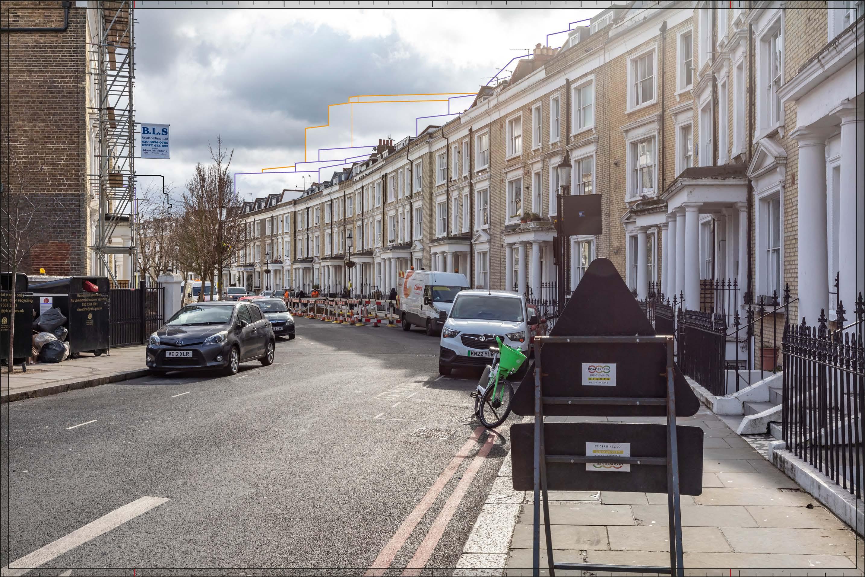
Eardley Crescent, junction with Warwick Road
D27701x35 / 35mm 10/03/23 14:38
Completed DevelopmentAll Phases and cumulative schemes
As no further Plots would be visible in the All Phases scenario compared to the Early Phases, the assessment of effect of All Phases in the cumulative scenario would remain as set out above for the Early Phases in the cumulative scenario.
Magnitude of impact: Low-medium
Effect: Minor-moderate in scale, Neutral in nature (not significant)

D28237x50 / 24mm 05/04/23 16:25
This viewpoint is located on the southern side of Penywern Road, and the view is looking west in the direction of the Site. It lies on the northern edge of the Earl’s Court Square Conservation Area. Both sides of Penywern Road are lined by Italianate brick and stucco terraced houses dating from the 1870s, such that the foreground and middle ground of the view have a balanced and coherent character. The houses lining the street are unlisted but noted as positive contributors to the conservation area in the CAA (Ref. 2-23, Figure 2.7). Eardley Crescent, with its curved form, can be seen further in the middle distance (within the Philbeach Conservation Area). The Empress State Building rises above Eardley Crescent and the end of Penywern Road, forming a distinctly contrasting taller modern townscape element in the background of the view visible from the length of the street. That part of the 50mm image above the frame is an unverified sky extension, added to allow the full height of the Proposed Development to be appreciated.
Value attached to the view: this is a well-composed representative street view from the Earl’s Court Square Conservation Area. Views in both directions along Penywern Road are noted as important views on Figure 5.1 in the CAA (Ref. 2-23). The value of the view is judged to be Medium.
Visual receptors affected: low numbers of local residents living on the street or in the wider local area.
Susceptibility to change of visual receptors: local residents in a community where views contribute to the setting of a high-quality designated townscape have a High susceptibility to change.
Sensitivity Medium-high
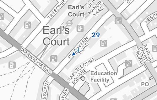
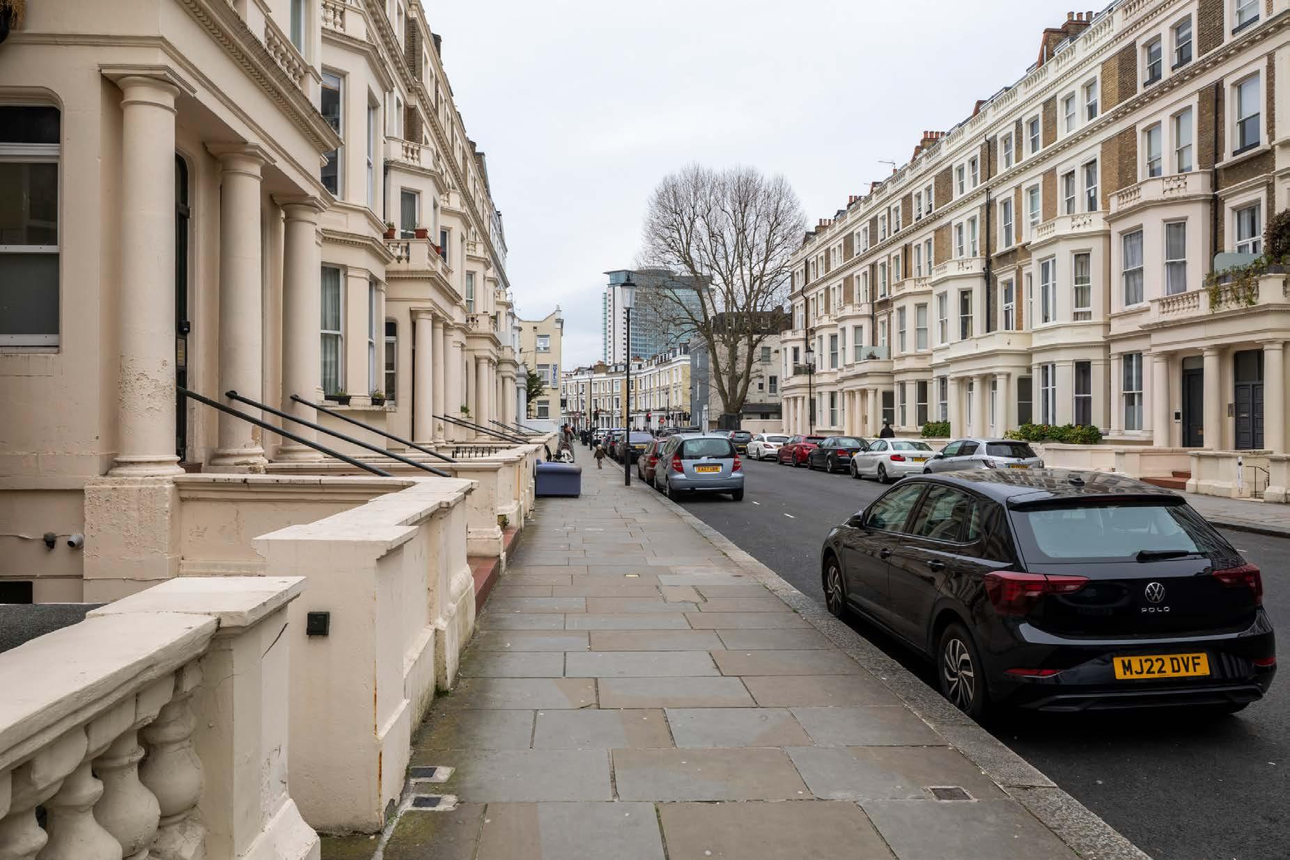
Existing
See assessment text on previous page.
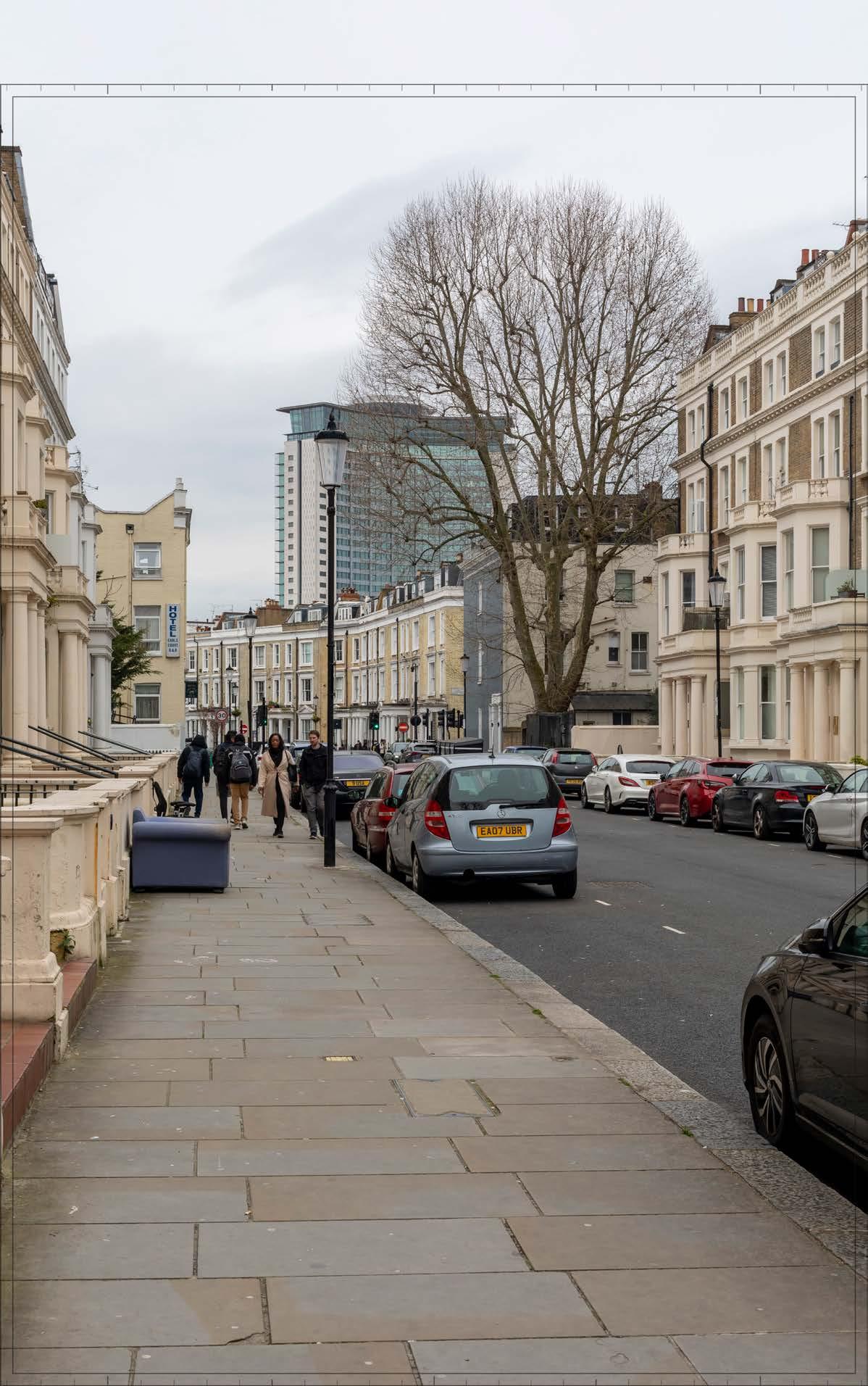
D28237x50 / 50mm 05/04/23 16:25
The Early Phases would been seen at a distance of approximately 350 m, in front of and almost completely obscuring the existing Empress State Building. It would be screened to some extent by trees in this winter view, and to a greater extent when the trees are in leaf. The most visible parts would be the buildings on Detailed Component Plots WB04 and WB03, and on Outline Component Plots EC03, EC10 and EC09. A small part of Detailed Component Plot EC05 and Outline Component Plot EC04 would be visible towards the right edge of the 50mm image, and a small part of Outline Component Plots EC02 and WB08 would be visible towards the left edge of the 50mm image.
The building on Plot WB04 would appear as the tallest building within the Early Phases, and as a distinctive focal point for its central cluster. The stepped crown, curved corners and vertical emphasis would provide Plot WB04 with an elegant, Art Decoinspired appearance echoing that of Exhibition Centre 1, prior to its demolition. The top of Plot WB03, visible to the left of Plot WB04 behind Plot EC03, would have a form, based on a faceted plan incorporating ‘bullnose’ elements on the eastern and western frontages, which would be visible to some extent in the part of it visible behind Plot EC03. A stepped crown would provide a distinctive top for the building. While different in their detailed articulation and treatment, each of the tall buildings designed in detail would share a complementary familial Art Deco-inspired appearance.
Plots EC09 and EC10 would appear behind the terraced houses on Eardley Crescent, and the top of Plot EC03 would be seen behind Plot EC10. The maximum height of these plots would reduce in scale towards the east and Eardley Crescent, such that they would form an intermediate step in scale between the existing foreground and the taller buildings in the central cluster of tall buildings to the west.
The Design Code states that the design of buildings with in Plots EC09/10 should reflect and complement the grain and typologies of existing buildings in the foreground (Design Code WB.B.29) and provide an intermediate layer between the existing foreground and proposed taller development behind (Design Code WB.B.31). The illustrative schemes for Plots EC09 and EC10 (not assessed but shown for information in Appendix E) show a design in line with the Design Codes which have an ordered approach to the architecture, echoing historic mansion blocks with a regular rhythm of windows and bays articulated by projecting vertical features, and a brick materiality and light tone, which would complement the appearance and materiality of the foreground and create an intermediate layer both in scale and architectural treatment between the tall building cluster and the historic townscape in the foreground. The top of Plot EC03, which has a predominantly commercial use,
would appear as a separate building beyond it further to the west.
The Early Phases would introduce a new contrasting modern tall building cluster seen at relatively close proximity, which would be very prominent from the length of this aligned route, and would result in a High magnitude of impact. While parts of the Early Phases would be more heavily screened in summer, the magnitude of impact in summer would remain High
The proximity and high level of contrast in scale and form with the designated historic townscape in the foreground, the considerable intensification of the taller modern backdrop to the view, and the consistent nature of the impact from this aligned route has the potential to produce an adverse nature of effect on the viewer. Potential mitigation of adverse effects on visual amenity has therefore been considered during the design development process. The architectural quality of the Detailed Component of the Early Phases would be high. The Parameter Plans and Design Codes for the Outline Component Plots would ensure that the form and architectural treatment of the Outline Component would respond appropriately to the sensitive historic context in the foreground. As a result, the Early Phases would create a layering of townscape, managing the increase in scale, and would achieve a good balance of familial character, local distinctiveness and architectural coherence, and enough visual variety to minimise any potential visual coalescence between the individual plots. Through these measures, adverse effects on visual amenity have therefore been reduced and minimised. Nonetheless, on balance, due to the scale and proximity of the Early Phases, and the high level of sensitivity, it is considered that the potential for an adverse effect on the viewer would not be completely mitigated by these factors and the nature of the effect would be Adverse
Magnitude of impact: High
Effect: Major in scale, Adverse in nature (significant)
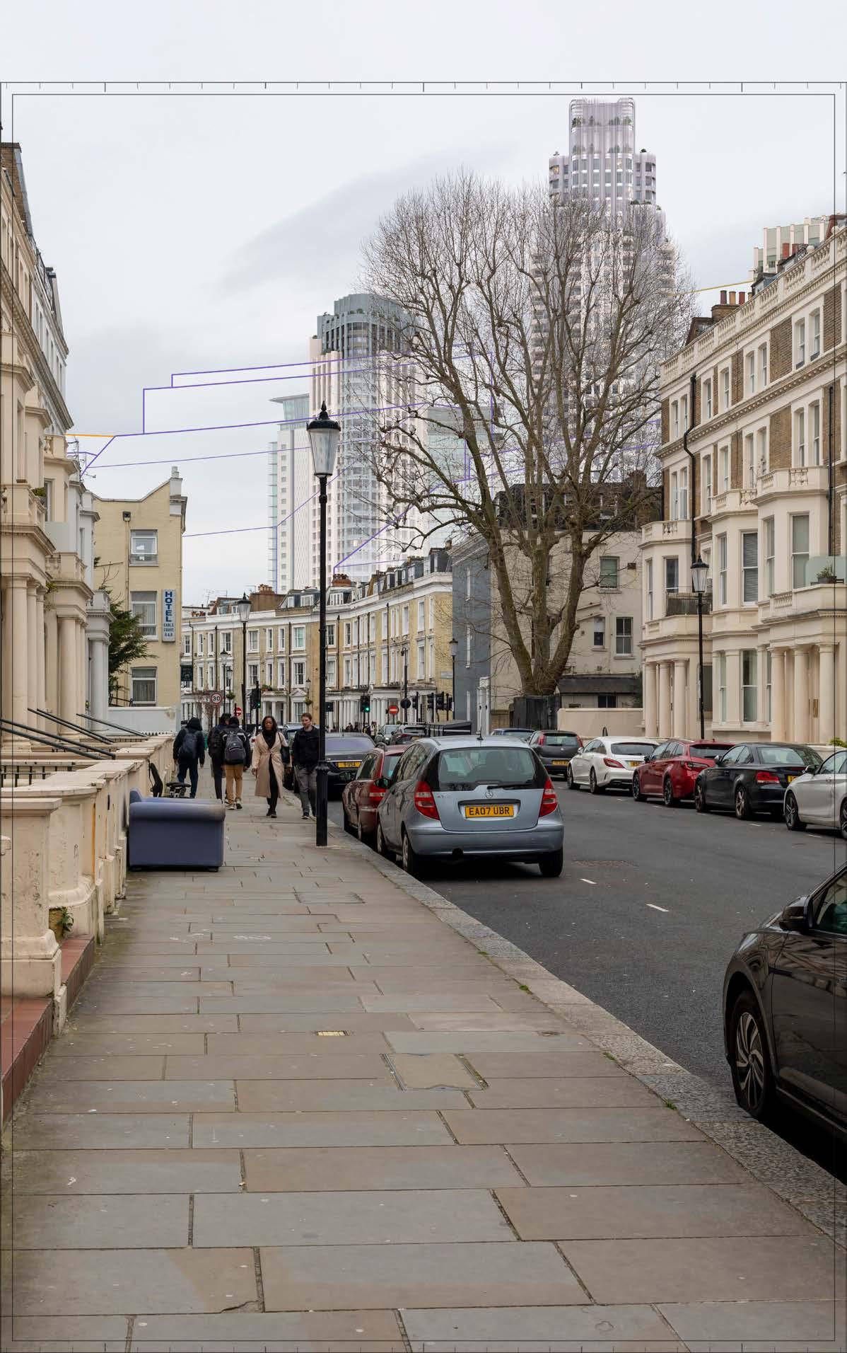
D28237x50 / 50mm 05/04/23 16:25
Completed Development - All Phases
No further Plots within the Proposed Development would be visible, compared to the Early Phases. The magnitude of impact and the scale and nature of the effect would not alter in comparison to the assessment of the Early Phases.
Magnitude of impact: High
Effect: Major in scale, Adverse in nature (significant)
Completed Development - All Phases
D28237x50 / 50mm 05/04/23 16:25
Completed DevelopmentEarly Phases and cumulative schemes
There would be no cumulative schemes visible, and the effect of the Early Phases in the cumulative scenario would remain as set out above for the Early Phases considered in isolation.
Magnitude of impact: High
Effect: Major in scale, Adverse in nature (significant)
Completed Development - Early Phases and cumulative schemes
D28237x50 / 50mm 05/04/23 16:25
Completed DevelopmentAll Phases and cumulative schemes
There would be no cumulative schemes visible, and the effect of All Phases in the cumulative scenario would remain as set out above for All Phases considered in isolation.
Magnitude of impact: High
Effect: Major in scale, Adverse in nature (significant)
Completed Development - All Phases and cumulative schemes
D29716x35 / 24mm 16/02/24 10:13
This viewpoint is located on the southern side of Earl’s Court Square and the view is looking west along the southern edge of the Square, in the Earls Court Square Conservation Area. The garden square is on the right side of the image. The stucco western terrace seen through mature trees in the garden square (along with the east and north terraces, not seen in this view) was built between 1863 and 1879 in the high Victorian Italianate style. The Grade II listed southern terrace on the left of the view was constructed later, in around 1890, in the Queen Anne style that distinguishes much of the later 19th century housing. Seen at the western end of the terrace and slightly taller is the ornate five storey Langham Mansions, on the junction with Warwick Road, in red brick with brown stone dressings, completed during the 1890’s. Part of the terrace comprising Nos. 1-51 Warwick Road, built as part of the Eardley Crescent development in the late 1860’s and lying within the Philbeach Conservation Area, is visible looking between the south and west terraces of the square, its roofline articulated by a number of modern roof extensions. Behind it the broad form of the Empress State Building is clearly visible, seen as a singular focus on the skyline approximately 500 m from the viewpoint, and contrasting with the lower scale and finer grain of the 19th century buildings on Earls Court Square.
Value attached to the view: this is a well-composed representative street view from the Earls Court Square Conservation Area. Views along the southern side of the square are shown as important on Figure 5.1 in the CAA and views across the square are noted in paragraph 5.3 of the CAA (Ref. 2-23). The value of the view is judged to be Medium
Visual receptors affected: low numbers of local residents living on the street or in the wider local area.
Susceptibility to change of visual receptors: local residents in a community where views contribute to the setting of a high-quality designated townscape have a High susceptibility to change.
Sensitivity: Medium-high
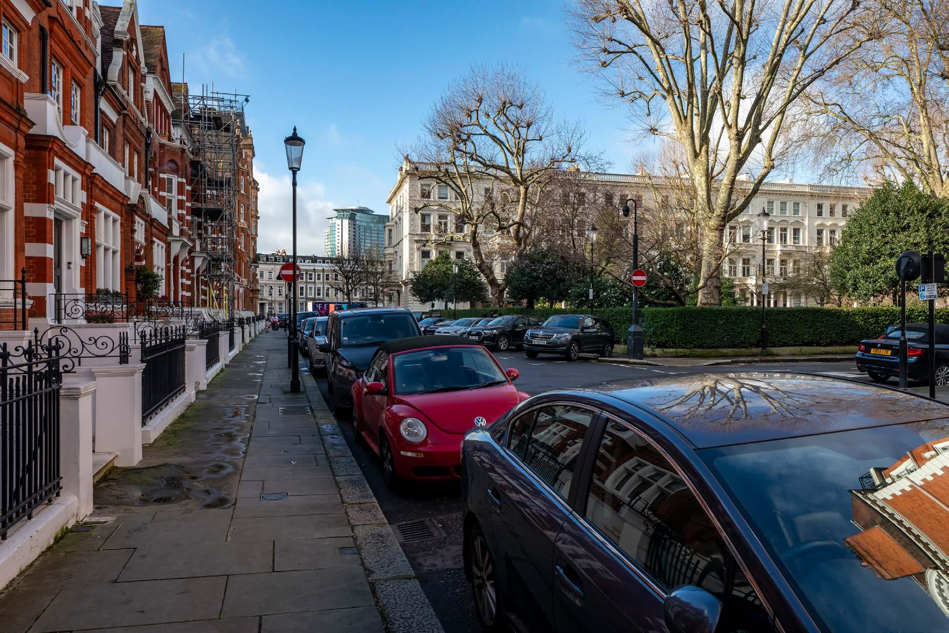
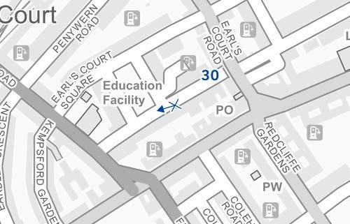
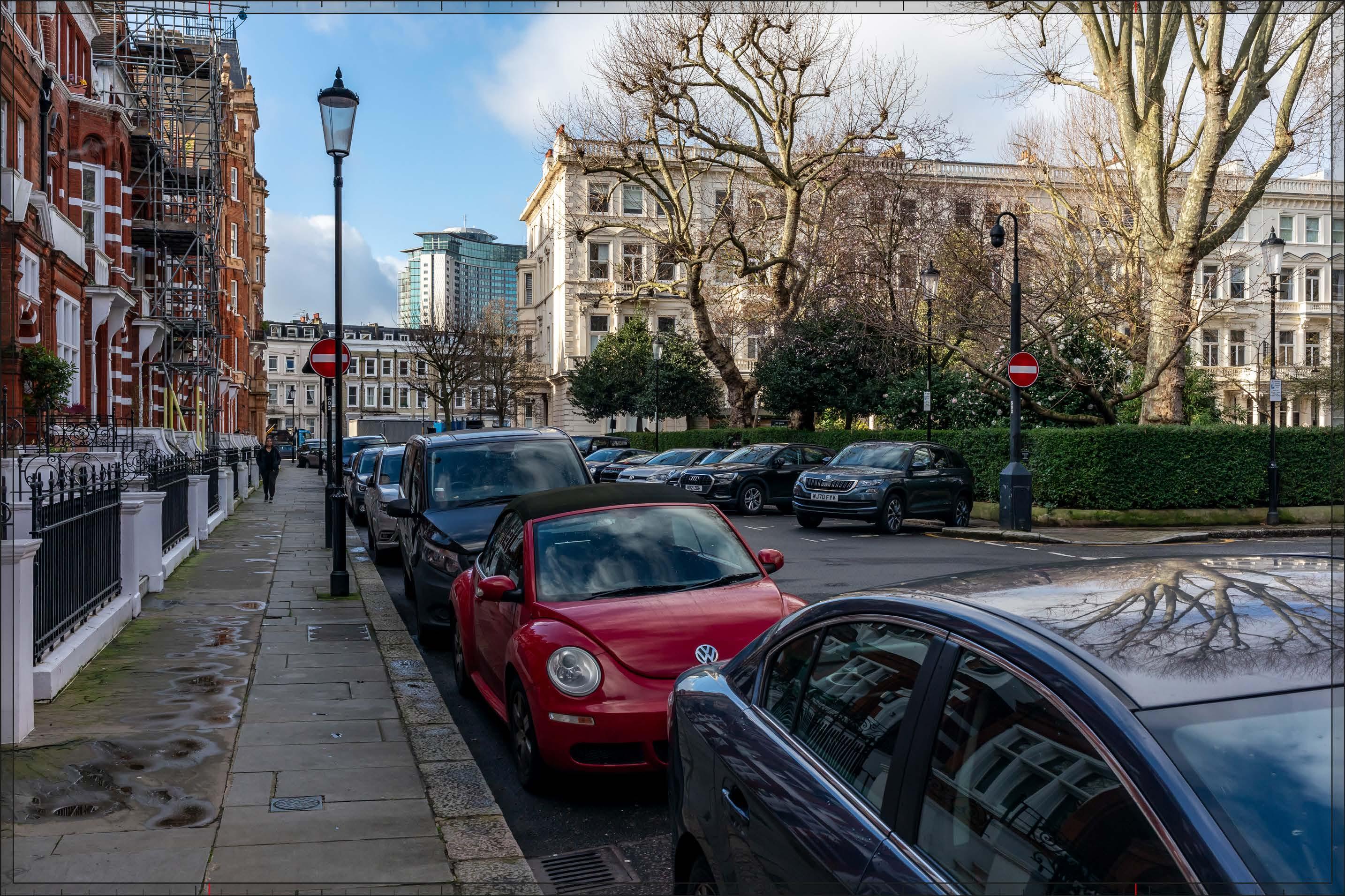
D29716x35 / 35mm 16/02/24 10:13
Detailed Component Plots WB04 and WB03, and Outline Component Plots WB08 and EC01/02, would each be partially visible in the middle distance, approximately 300-500 m from the viewpoint. They would appear as part of a distinct background layer of townscape together with the existing Empress State Building, beyond and separate from the conservation area and listed buildings in the foreground. The Detailed Component of the Early Phases is modelled in chalk render, which shows the scale form and articulation of the Detailed Component Plots, but not the proposed materials or the effects of distance on their visibility.
Plot WB04 would appear as the tallest building within the Early Phases, to the right of centre in the view and behind the western terrace on the western edge of Earl’s Court Square, albeit screened by trees to a considerable extent. Plot WB03 would appear to its south at a lower apparent height, behind the western terrace and partly in front of the Empress State Building. The Plots WB08 and EC01/02 would appear to the south of Plot WB03 (left), in front of the Empress State Building and at a considerably lower apparent height than that existing building and Plot WB03. There would be a general stepping down in height from north to south across the Early Phases in this view, providing its skyline composition with a coherent quality.
The form and architecture of Plot WB04 would be difficult to discern through the dense tree branches but the slender stepped form of the top would be legible. Enough of Plot WB03 would be visible to appreciate its visually interesting form, based on a faceted plan incorporating ‘bullnose’ elements on the eastern and western frontages, and its stepped crown which would provide a distinctive top for the building. The use of pilasters and fluted cladding would create a vertical emphasis and modulation of the elevations.
Plots WB08 and EC01/02 would have horizontally emphasised proportions and massing at maximum parameters that would step down towards the east, in the direction of the viewpoint, helping to mediate the change of scale in the background of the view. The existing Empress State Building would remain partly visible, well integrated within this background skyline grouping and the visual impact of its singular broad form mitigated by the lower plots in its foreground.
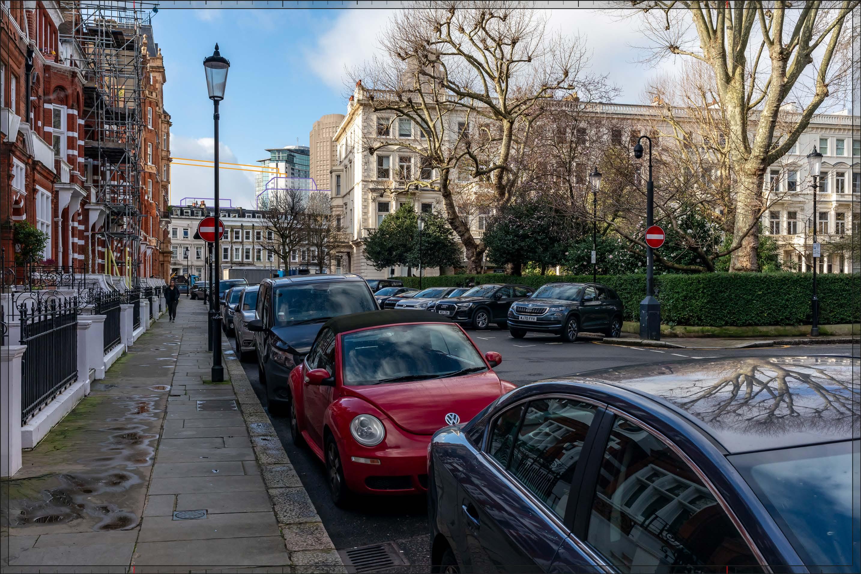
D29716x35 / 35mm 16/02/24 10:13
The Early Phases would add to the existing visibility of large scale and tall modern development in the background of the view, resulting in a Medium magnitude of impact. It would be consistent with the existing character of the background of the view, and would appear separate and distinct from the townscape of the conservation area in the foreground. While the Early Phases would intensify the contrasting taller modern backdrop to the square, it would help to mitigate the singular effect of the existing Empress State Building by integrating it in a layered backdrop of development. The Early Phases would form a coherent composition on the skyline and would include high quality buildings (either within the Detailed Component or the Outline Component Plots to be developed in line with the Design Codes and expected to achieve the same level of quality), which would mitigate any potential negative impact. The nature of effect is therefore assessed as Neutral
Magnitude of impact: Medium
Effect: Moderate in scale, Neutral in nature (significant)
No further Plots within the Proposed Development would be visible compared to the Early Phases. The magnitude of impact and the scale and nature of the effect would not alter in comparison to the assessment of the Early Phases.
Magnitude of impact: Medium
Effect: Moderate in scale, Neutral in nature (significant)
D29716x35 / 35mm 16/02/24 10:13
Completed DevelopmentEarly Phases and cumulative schemes
There would be no cumulative schemes visible, and the effect of the Early Phases in the cumulative scenario would remain as set out above for the Early Phases considered in isolation.
Magnitude of impact: Medium
Effect: Moderate in scale, Neutral in nature (significant)

D29716x35 / 35mm 16/02/24 10:13
Completed DevelopmentAll Phases and cumulative schemes
There would be no cumulative schemes visible, and the effect of All Phases in the cumulative scenario would remain as set out above for All Phases considered in isolation.
Magnitude of impact: Medium
Effect: Moderate in scale, Neutral in nature (significant)
D29848x50 / 24mm 01/03/24 15:22
Looking east along the River Thames from Upper Mall on the northern bank of the river, the foreshore and river dominate the foreground and middle ground of the view. The south bank of the river on the right of the view is densely planted contrasting with the urban character to the north (left) and east (middle) of the view
LBHF Local Plan (Ref. 2-6) Policy DC7 Views and Landmarks states that “Applications will also not be permitted if it would cause unacceptable harm to the view from within the Thames Policy Area of any of the following important local landmarks identified on the Policies Map, or their settings: a. Upper and Lower Mall. The richness, diversity and beauty of the historical waterfront which includes Hammersmith Terrace, Kelmscott House and neighbouring group of listed buildings, and the open space of Furnivall Gardens allowing views of the skyline of Hammersmith and the spire of St. Paul’s Church; d. Hammersmith Bridge. This fine example of a suspension bridge is particularly dominant, and is an important landmark along this stretch of the river;”
The existing scene has multiple focal points. On the left of the view are buildings lining Upper Mall within The Mall Conservation Area, a number of which are Grade II listed. The terraces on Lower Mall are visible beyond the trees on Furnival Gardens and the conservation area ends at the northern landing of Hammersmith Bridge in the centre of the view. The Grade II* listed Hammersmith Bridge and the Fulham Reach Conservation Area line the River Thames in the centre of the view.
Several more distant buildings project above the height of the general roofline. The most prominent is the bulky form of the Charing Cross Hospital, to the right of centre, seen behind Hammersmith Bridge and the Hammersmith riverside. The three lower parallel blocks to its right are located to the south of the hospital are also within the hospital campus.
To the left of centre in the view, the Empress State Building projects above the rooftops of mansion blocks lining Hammersmith Bridge Road, which are within The Mall Conservation Area. The slab block visible to its left is Joanna House within the Queen Caroline Estate to the east of Hammersmith Bridge Road. Further left, the top of the Ark to the south of Hammersmith Flyover is visible above the trees in Furnival Gardens, with the development at the Former West London Magistrate’s Court shown with a grey wireline at its completed massing behind the Ark.
Value attached to the view: this is representative of river views from the west of Hammersmith Bridge of Upper and Lower Mall and of the bridge itself, which are valued LBHF borough views identified in Hammersmith and Fulham Local Plan Borough-wide policy DC7 Views and Landmarks. The historic waterfront of Upper and Lower Mall has high historic value and scenic quality. The value of the view is judged to be High.
Visual receptors affected: high numbers of residents, workers and visitors using the Thames Path to travel between destinations; small numbers of visitors engaged in outdoor recreation, walking the scenic route of the Thames Path.
Susceptibility to change of visual receptors: although many users of the Thames Path will not be focused on their surroundings, the Thames Path is a recognised scenic route through London and views from it make an important contribution to its character. Susceptibility to change is therefore judged to be High
Sensitivity to change: High
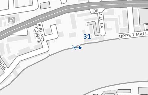
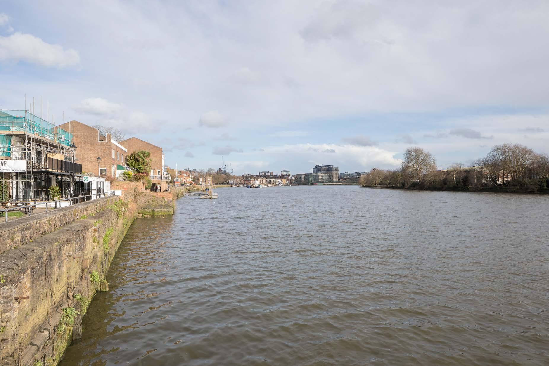
Thames Path west of Hammersmith Bridge
D29848x50 / 50mm 01/03/24 15:22
See assessment text on previous page.
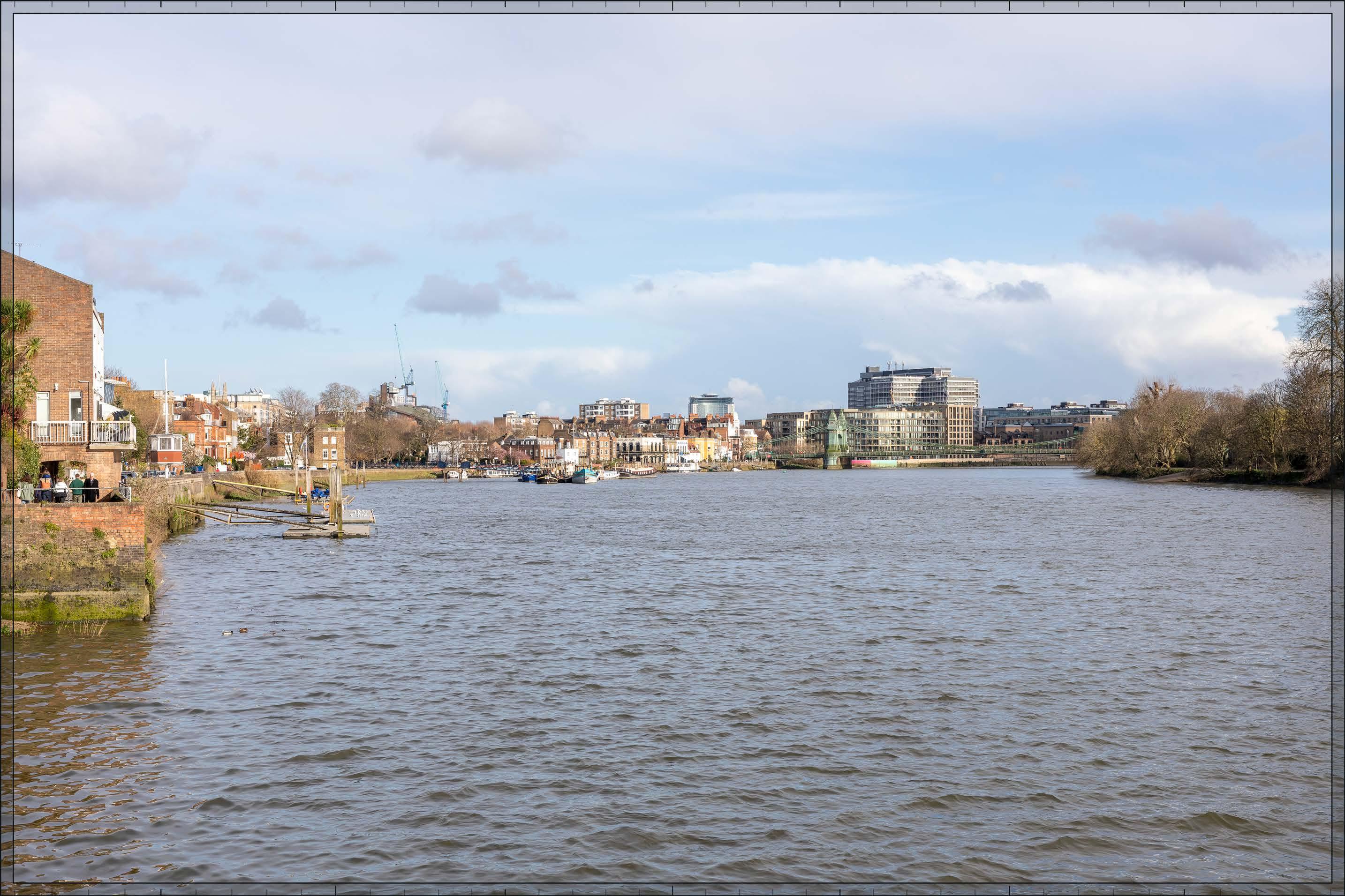
D29848x50 / 50mm 01/03/24 15:22
Detailed Component Plots WB04, WB03, EC05 and EC06 and Outline Plot WB06 of the Early Phases would appear at a distance of approximately 3km, behind the post-war Joanna House and to the left of the existing Empress State Building. The Early Phases would form part of a secondary, background layer of taller more distant townscape that already includes the existing Joanna House and Empress State Building, with the Ark further to the left and the closer broader Charing Cross Hospital further to their right, all of which are distinct and separate from the River Thames and the historic development lining its northern bank.
Plot WB04 would appear as the tallest building within the Early Phases and there would be a balanced composition of secondary tall plots to either side of it from this viewpoint, with Detailed Plot WB03 stepping down in height to its right next to the Empress State Building and Detailed Plot EC05, Outline Plot WB06 and Detailed Plot EC06 stepping down to its left. Plot WB03 would have a similar height to that of the Empress State Building, and the latter would be well integrated within a coherent new skyline composition together with the Early Phases.
The building on Plot WB04 would appear as a focal point in the background of the view. It would have elegant proportions and a visually interesting form, with a series of shoulders stepping up symmetrically to a central ‘crown’. The reduction in massing would be reinforced by the change in materiality, from stone-like solid materials, to lighter, more transparent and reflective materials at the crown. The stepped crown, curved corners and vertical emphasis would provide Plot WB04 with an elegant, Art Deco-inspired appearance that could be appreciated to a large extent even at this distance. The upper parts of Plots WB03 and EC05, visible to the right and left of Plot WB04 respectively, would both have a vertically emphasised appearance and well-articulated tops that, while different in their detailed articulation and treatment, would share a familial Art Decostyle appearance with Plot WB04. As a ‘tall building’ within the Design Code, Outline Plot WB06 must form part of a harmonious tall building cluster with the Detailed Component Plots (Design Code SW.B.48).

D29848x50 / 50mm 01/03/24 15:22
The Early Phases would change the skyline composition of the view’s backdrop adding a new distant focal point with a Low-medium magnitude of impact. Although the composition of the distant skyline would be altered by the Early Phases, its scale and character would appear broadly consistent with the existing taller modern secondary backdrop of the view. As for the existing modern backdrop the Early Phases would appear visibly distant and distinct and separate from the historic riverside in the foreground and middle ground. It would not obscure or distract from views of the historic riverside or alter the legibility of Hammersmith Bridge in the foreground. It is therefore not considered that the Early Phases would have an inherently adverse effect on visual amenity. The Early Phases would form a balanced and coherent composition on the secondary skyline and would contribute an attractive high quality new landmark focal point to the scene in Plot WB04, set within a coherent well-articulated cluster that would integrate the Empress State Building and Joanna House in the secondary skyline. The nature of the effect would be Beneficial
Magnitude of impact: Low-medium
Effect: Moderate in scale, Beneficial in nature (significant)
In addition to the plots visible in the Early Phases, Outline Component Plots WK09, WK07/08, and WK04 would appear lower to the north (left) of the central tall building group within the Proposed Development, partly behind the post-war Joanna House. As for the Early Phases, the Proposed Development as a whole would form part of a visibly distant secondary background layer of townscape. Outline Plot WK09 would obscure most of Detailed Plot EC06 and part of Detailed Plot EC05, although the top of the latter would remain visible. Outline Plots WK07/08 and WK04, which are located to the south of West Cromwell Road, would appear further north (left) on the skyline, behind and with a lower apparent height than the existing Ark Building. The impact of the additional plots would be relatively minor, well integrated in the existing skyline of the scene, slightly reinforcing the cluster form seen beyond Joanna House in the Early Phases, and marking the location of the A4 at the northern end of the Site. The magnitude of impact and the scale and nature of the effect would not alter in comparison to the assessment of the Early Phases.
Magnitude of impact: Low-medium
Effect: Moderate in scale, Beneficial in nature (significant)

D29848x50 / 50mm 01/03/24 15:22
Completed DevelopmentEarly Phases and cumulative schemes
The cumulative scheme at 100 West Cromwell Road would appear to the north of the Early Phases on the skyline, to the left in this image. With the Ark it would reinforce the legibility of the route of the A4 parallel to the River Thames. The cumulative scheme at Landmark House would appear closer to the viewpoint, towards the left edge of the image, and with no strong visual relationship with the Early Phases. The effect of the Early Phases in this cumulative scenario would be the same as that for the Early Phases considered in isolation.
Magnitude of impact: Low-medium
Effect: Moderate in scale, Beneficial in nature (significant)
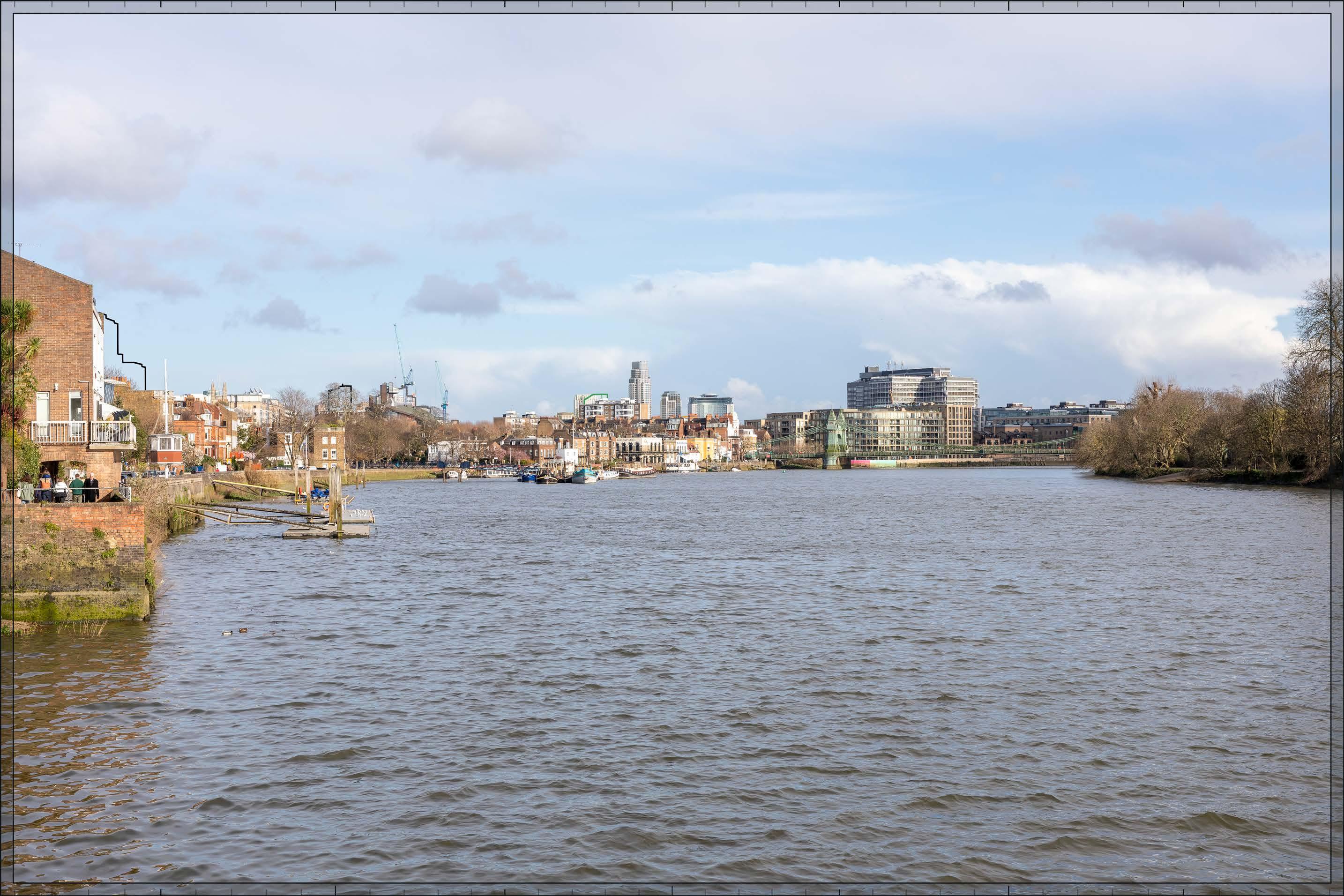
D29848x50 / 50mm 01/03/24 15:22
Completed DevelopmentAll Phases and cumulative schemes
The cumulative scheme at 100 West Cromwell Road would appear to the north of the Proposed Development on the skyline, to the left in this image. With the Ark and the visible Plots at the northern end of the Proposed Development it would reinforce the legibility of the route of the A4 parallel to the River Thames. The cumulative scheme at Landmark House would appear closer to the viewpoint, towards the left edge of the image, and with no strong visual relationship with the Proposed Development. The effect of All Phases in the cumulative scenario would remain as set out above for All Phases considered in isolation.
Magnitude of impact: Low-medium
Effect: Moderate in scale, Beneficial in nature (significant)

D29812x50 / 50mm 27/02/24 18:00
After dark streetlights on Hammersmith Bridge contribute the most notable source of light within the view, with their reflections on the surface of the River Thames creating a picturesque quality. Buildings within the view, including the Charing Cross Hospital, are partly illuminated. The composition of the view remains clearly legible.
Value attached to the view: this is representative of river views from the west of Hammersmith Bridge, which are valued LBHF borough views identified in Hammersmith and Fulham Local Plan (Ref. 2-6), Borough-wide policy DC7 Views and Landmarks. The historic waterfront of Upper and Lower Mall has high historic value and scenic quality. The value of the view is judged to be High
Visual receptors affected: high numbers of residents, workers and visitors using the Thames Path to travel between destinations; small numbers of visitors engaged in outdoor recreation, walking the scenic route of the Thames Path.
Susceptibility to change of visual receptors: although many users of the Thames Path will not be focused on their surroundings, the Thames Path is a recognised scenic route through London and views from it make an important contribution to its character. Susceptibility to change overall is therefore judged to be High.
Sensitivity: High

D29812x50 / 50mm 27/02/24 18:00
As by day, the Early Phases would make a noticeable but visibly distant change to the visual amenity of the river view, albeit that the architectural treatment of the Detailed Component Plots would be less clearly seen after dark. This dusk view is indicative, and levels of lighting would change with time and by season depending on the occupation of the buildings after dark. The apartments within the Detailed Component Plots would be internally illuminated, with the inconsistent levels of illumination between the windows, reflecting their predominantly residential use. The streetlights on Hammersmith Bridge in the middle ground would remain the dominant illuminated feature of the view, and their picturesque reflection in the River Thames would be unaffected.
Magnitude of impact: Low-medium
Effect: Moderate in scale, Beneficial in nature (significant)

D29812x50 / 50mm 27/02/24 18:00
Completed Development - All Phases
As by day, the impact of the additional plots would be relatively minor, well integrated in the existing skyline of the scene and slightly reinforcing its composition. The illumination of Outline Component Plots cannot be assessed. The magnitude of impact and the scale and nature of the effect would not alter in comparison to the assessment of the Early Phases.
Magnitude of impact: Low-medium
Effect: Moderate in scale, Beneficial in nature (significant)
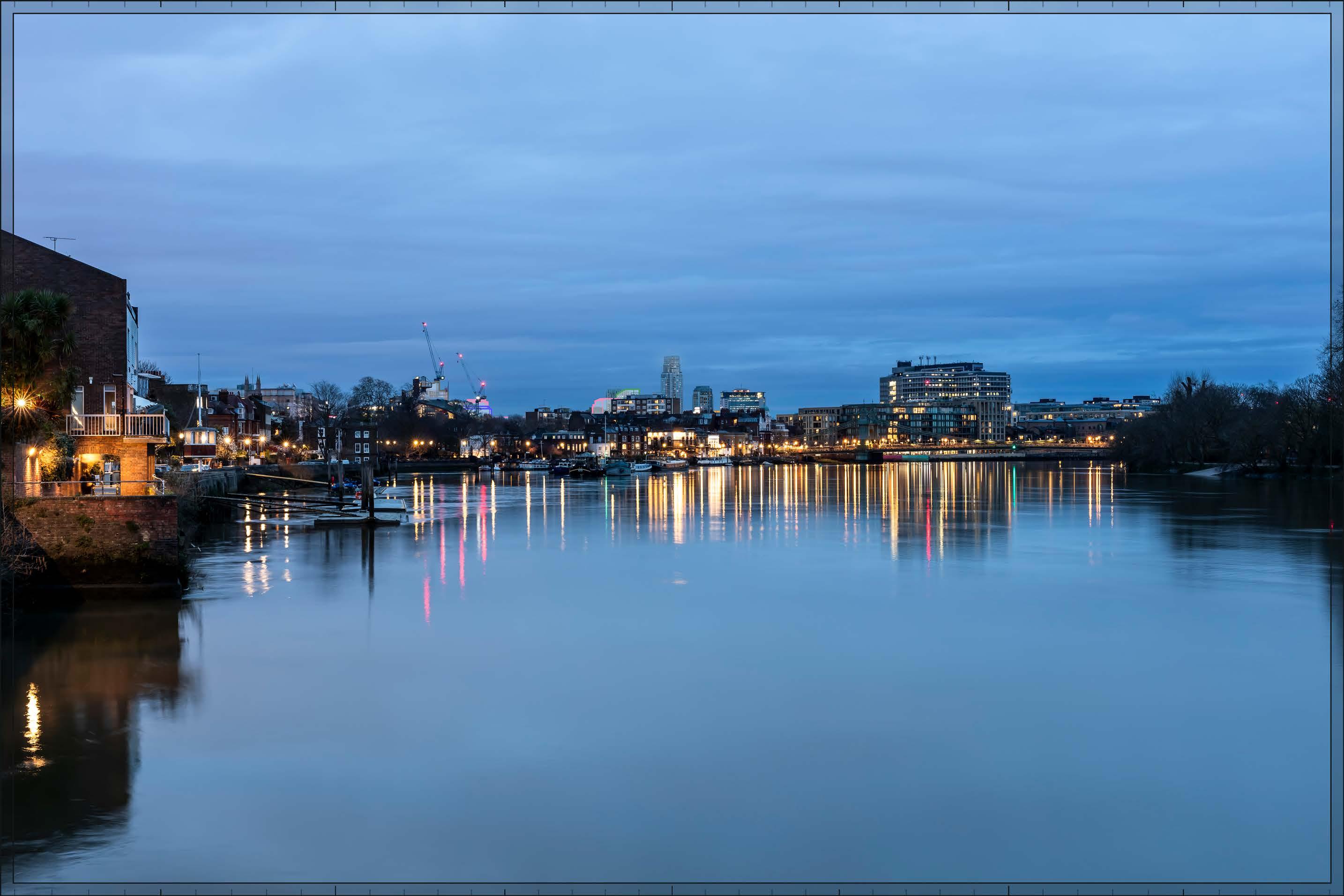
D29812x50 / 50mm 27/02/24 18:00
Completed DevelopmentEarly Phases and cumulative schemes
As by day, the cumulative scheme at 100 West Cromwell Road would appear to the north of the Early Phases on the skyline, to the left in this image. With the Ark it would reinforce the legibility of the route of the A4 parallel to the River Thames. The cumulative scheme at Landmark House would appear closer to the viewpoint, towards the left edge of the image, and with no strong visual relationship with the Early Phases. The effect of the Early Phases in this cumulative scenario would be the same as that for the Early Phases considered in isolation.
Magnitude of impact: Low-medium
Effect: Moderate in scale, Beneficial in nature (significant)
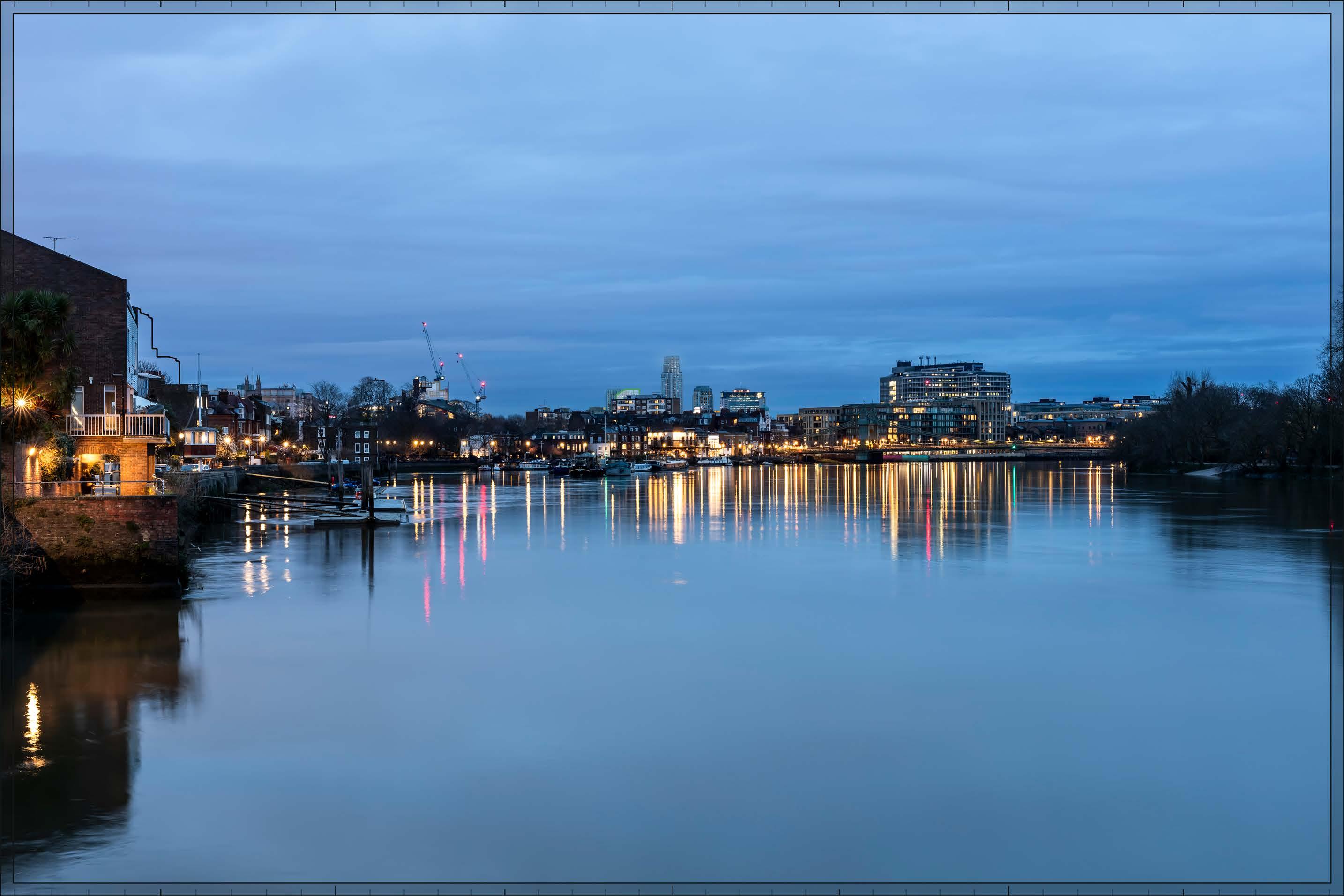
D29812x50 / 50mm 27/02/24 18:00
Completed DevelopmentAll Phases and cumulative schemes
As by day, the cumulative scheme at 100 West Cromwell Road would appear to the north of the Proposed Development on the skyline, to the left in this image. With the Ark and the visible Plots within the northern end of the Proposed Development it would reinforce the legibility of the route of the A4 parallel to the River Thames. The cumulative scheme at Landmark House would appear closer to the viewpoint, towards the left edge of the image, and with no strong visual relationship with the Proposed Development. The effect of All Phases in the cumulative scenario would remain as set out above for All Phases considered in isolation.
Magnitude of impact: Low-medium
Effect: Moderate in scale, Beneficial in nature (significant)

D29787x50 / 24mm 15/02/24 10:44
This viewpoint is located on the east pavement of the Grade II listed Hammersmith Bridge and the view is looking north-east in the direction of the Site. The viewpoint is located within the Castelnau Conservation Area (LB Richmond) and is looking towards the Fulham Reach Conservation Area (LBHF) lining the River Thames to the east of the bridge. LBHF Local Plan (Ref. 2-6) Policy DC7 Views and Landmarks, states that “Applications within the Thames Policy Area will not be permitted if it would cause unacceptable harm to the view from the following points: a. from Hammersmith Bridge, the view along the river, foreshore, and riverside development and landscape between Hammersmith Terrace to the west and Fulham Football Ground to the south.”
The foreground of the view is occupied by the River Thames, such that it has an open quality. Modern residential buildings dominate the north bank of the Thames in the middle distance; while lying within the Fulham Reach Conservation Area, these buildings are largely modern in origin. They include the seveneight storey Queen’s Wharf development on the left side of the image, the three-four storey buildings on Chancellors Wharf in the middle of the image, and the Distillery Wharf development at the right edge of the image. Together these buildings present a good degree of enclosure to the view. Charing Cross Hospital is visible further into the middle distance, behind Distillery Wharf, appearing separate from the River Thames and the buildings addressing it.
Value attached to the view: this is representative of river views from Hammersmith Bridge, which are valued LBHF borough views identified in the LBHF Local Plan. The value of the view is therefore judged to be High.
Visual receptors affected: residents from the local area, workers, and commuters walking across the bridge.
Susceptibility to change of visual receptors: London’s river bridges are important points of orientation and susceptibility to change is therefore judged to be High.
Sensitivity to change: High
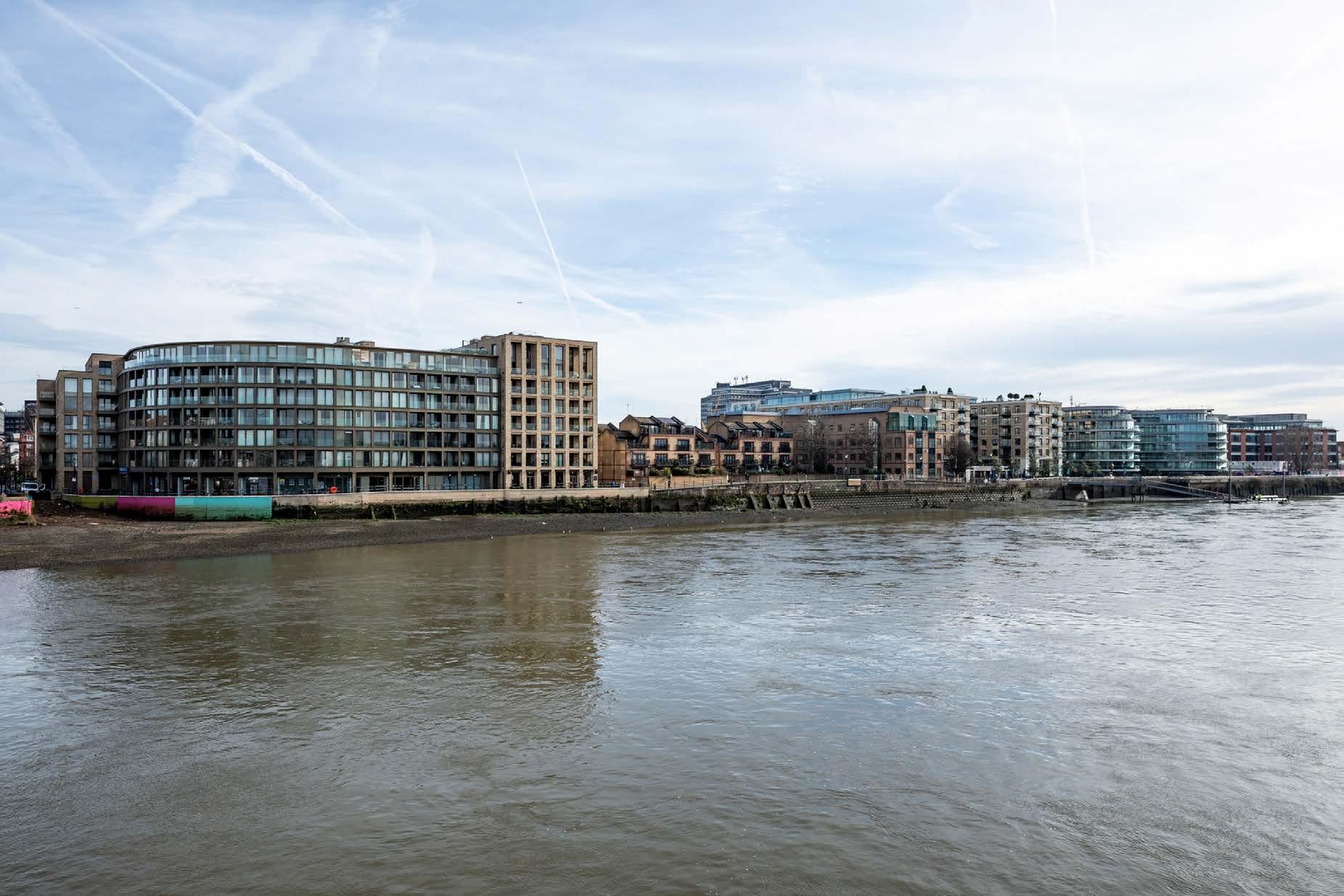
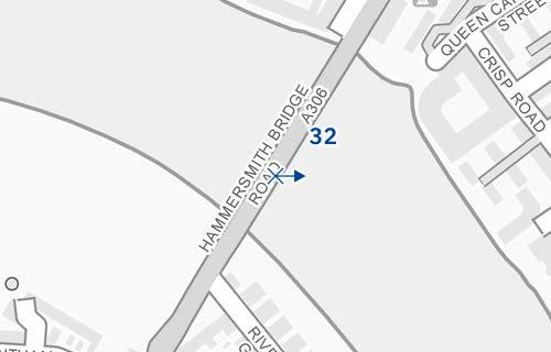
Hammersmith Bridge - middle of the bridge east pavement
D29787x50 / 50mm 15/02/24 10:44
See assessment text on previous page.

D29787x50 / 50mm 15/02/24 10:44
The top of Detailed Component Plot WB04 would be visible behind the four-storey riverside apartment block, towards the centre of the image. The tops of Outline Plot WB06 and Detailed Plot EC05 would be visible to its left at a considerably lower height and would be virtually indiscernible at this distance. The Detailed Component of the Early Phases is modelled in chalk render, which shows the scale form and articulation of the Detailed Component Plots, but not the proposed materials or the effects of distance on their visibility. Plot WB04 would be seen to lie in the distance, distinct and separate from the buildings within the Fulham Reach Conservation Area, in the foreground. It would have a slender visually interesting form and detailed appearance which could be appreciated to some extent at this distance, with a series of shoulders stepping up symmetrically to a central ‘crown’. The reduction in massing would be reinforced by the change in materiality, from stone-like solid materials, to lighter, more transparent and reflective materials at the crown. The Early Phases would result in a small, barely noticeable and visually distant addition to the background of the view, representing a Low magnitude of impact. While the high quality architecture of Plot WB04 would be evident, the partial and incidental manner of its visibility would result in a Neutral nature of effect overall.
Magnitude of impact: Low
Effect: Minor in scale, Neutral in nature (not significant)
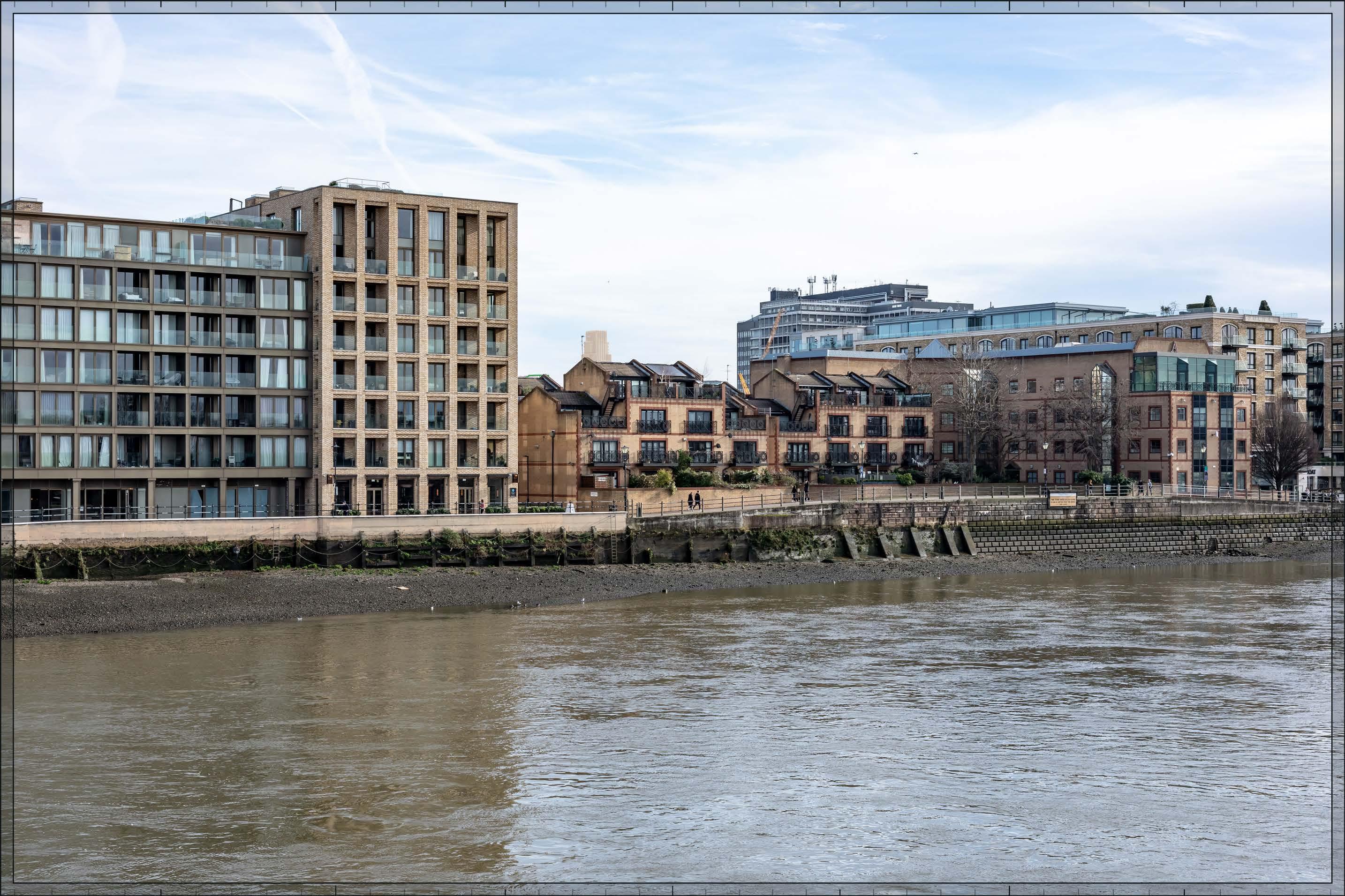
Bridge - middle of the bridge east pavement
D29787x50 / 50mm 15/02/24 10:44
Completed Development - All Phases
No further Plots would be visible in the All Phases scenario compared to the Early Phases scenario. The magnitude of impact and the scale and nature of the effect would not alter in comparison to the assessment of the Early Phases.
Magnitude of impact: Low
Effect: Minor in scale, Neutral in nature (not significant)
Bridge - middle of the bridge east pavement
D29787x50 / 50mm 15/02/24 10:44
Completed DevelopmentEarly Phases and cumulative schemes
There would be no cumulative schemes visible, and the effect of the Early Phases in the cumulative scenario would remain as set out above for the Early Phases considered in isolation.
Magnitude of impact: Low
Effect: Minor in scale, Neutral in nature (not significant)
Bridge - middle of the bridge east pavement
D29787x50 / 50mm 15/02/24 10:44
Completed DevelopmentAll Phases and cumulative schemes
There would be no cumulative schemes visible, and the effect of All Phases in the cumulative scenario would remain as set out above for All Phases considered in isolation.
Magnitude of impact: Low
Effect: Minor in scale, neutral in nature (not significant)
2.273 View 33 is individually assessed on the following pages, and Views A19, A20 and A21, which are provided as a supplementary verified views in Appendix C, and View B21, which is provided as a supplementary unverified view in Appendix D, illustrate the baseline, proposed and cumulative conditions of views from a number of representative positions along both pavements of Putney Bridge.
2.274 LBHF Local Plan (Ref. 2-6) Policy DC7 Views and Landmarks states that “Applications within the Thames Policy Area will not be permitted if it would cause unacceptable harm to the view from the following points: b. from Putney Bridge, the views along the river, foreshore and riverside, extending upstream from All Saints Church and its environs, along Bishops Park as far as Fulham Football Ground.” And “Applications will also not be permitted if it would cause unacceptable harm to the view from within the Thames Policy Area of any of the following important local landmarks identified on the Policies Map, or their settings: e. Putney Bridge and the adjacent All Saints Church.”
2.275 Putney Bridge (Grade II listed) was designed by Sir Joseph Bazalgette and completed in 1884. The southern half lies within the Putney Embankment Conservation Area (London Borough of Wandsworth (LBW). The Bishops Park Conservation Area (LBHF) lies to the west (left) of the northern end of Putney Bridge, with the Putney Bridge Conservation Area (LBHF) lying to the east (right). Historic churches are located at either end of the bridge acting as local landmarks: the Parish Church of All Saints to the north on the LBHF bank and the Church of St Mary the Virgin on Putney High Street to the south in LBW are both Grade II* listed. The Parish Church of All Saints on the LBHF bank is adjacent to Bishop’s Park RPGSHI (Grade II) and Fulham Palace RPGSI (Grade II*), all within the Bishop’s Park Conservation Area (LBHF).
2.276 The selected views demonstrate the range of visual effects that would be experienced from the bridge and help to give a dynamic appreciation of what would be seen by a pedestrian moving northwards across the bridge towards Earls Court.
2.277 The visual relationship between the churches at either end of the bridge, which contributes strongly to its distinctiveness and visual amenity, would not be altered by the Proposed Development more than 2km to the north-east of Putney Bridge. Views from the west pavement of the bridge provide the clearest views of the Parish Church of All Saints; views from the east pavement are partly obscured by the bridge itself and there is visual distraction from foreground traffic.
2.278 Moving northwards across the bridge on the west pavement, as shown by Views A20, and A19 to its north, the Proposed Development would initially appear within the foreground treeline well to the left of the church and then move right towards it on the skyline, to a point in the centre of the bridge at which the tallest buildings would be behind the tower of the church (illustrated by View A19) before passing behind the church tower and appearing to the right of the tower and receding in height towards the LBHF bank. For the majority of the sequence the Proposed Development would be screened by the foreground trees. At points to the south
of the centre of the bridge the tallest element of the Proposed Development on Plot WB04 would appear fleetingly on the skyline to the left of the tower, and again to its right, its top rising above lower parts of the undulating foreground treeline, visibly distant, lower and more slender than the tower and seen at a distance of approximately 2.5km. Due to the distant and fleeting nature of the visual impacts, the tower of the landmark church would retain its prominence in views from the west pavement of the bridge and the Proposed Development would not have an inherently adverse effect on the visual amenity of the bridge for those moving northwards across it into Fulham, even in winter.
2.279 Similarly, from the east pavement the Proposed Development would move left to right across the scene behind the church. Towards the southern end of the bridge (illustrated by View 33) the tallest element of the Proposed Development would be fleetingly visible to the left of the tower, its top rising above a lower part of the foreground treeline, visibly distant, lower and more slender than the tower and seen at a distance of approximately 2.5km. Moving further north to the centre of the bridge (illustrated by view A21), the tallest element would appear to the right of the church within the taller treeline, mostly obscured even in winter. Moving further north still the Proposed Development would be concealed within the treeline further to the right of the church and would be more to the right of the church’s landmark tower. As for views from the western pavement, due to the distant and fleeting nature of the visual impacts, the tower of the landmark church would retain its prominence in views from the east pavement of the bridge and the Proposed Development would not have an inherently adverse effect on the visual amenity of the bridge for those moving northwards across it into Fulham, even in winter.
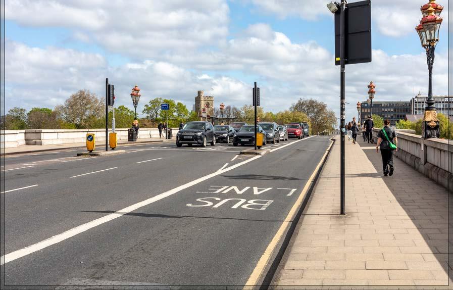
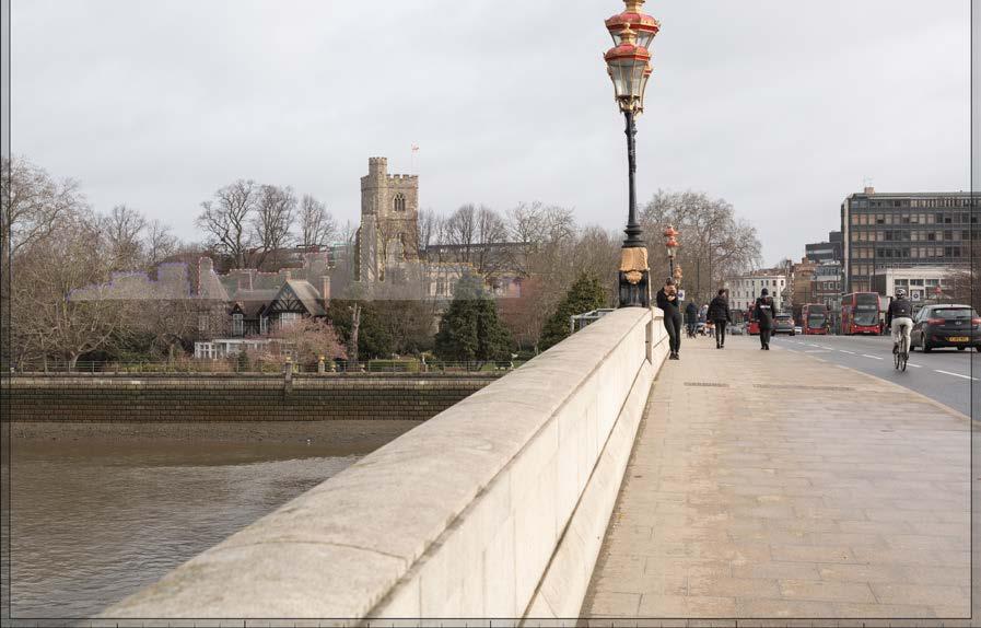
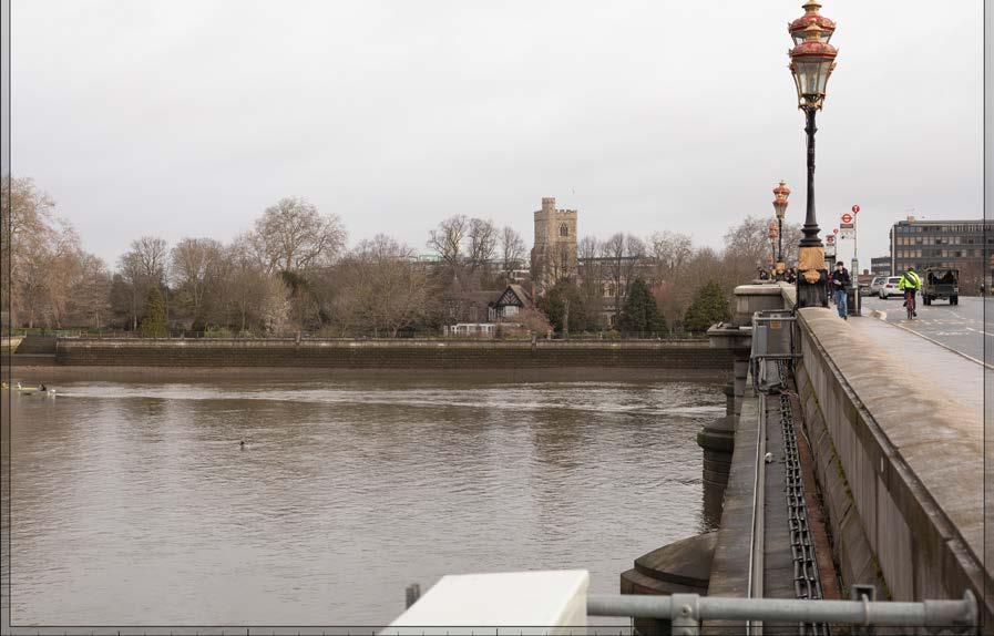
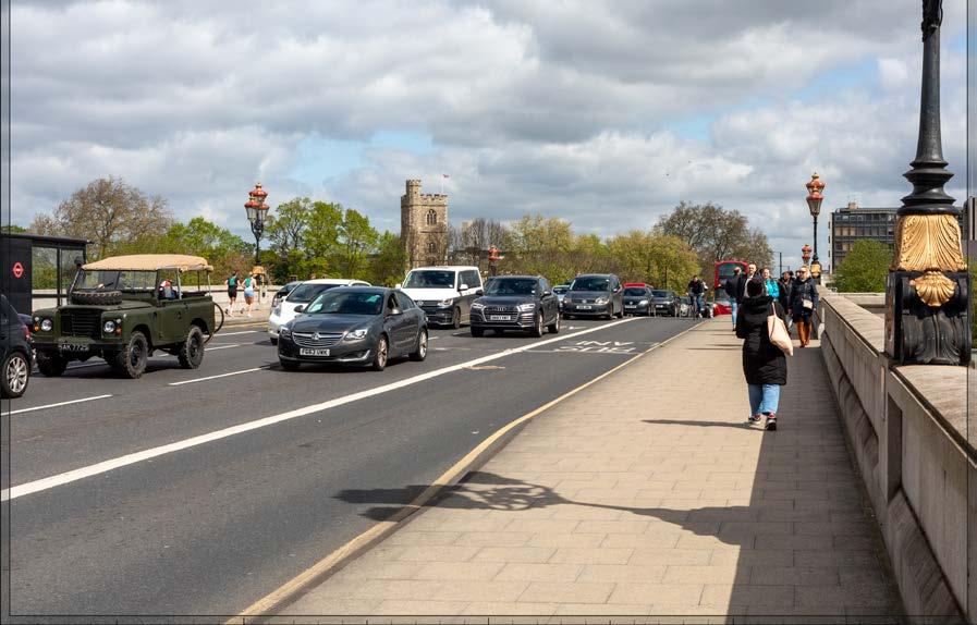
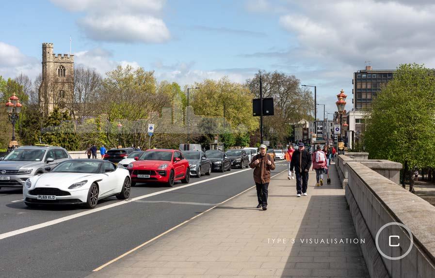
D30236x50 / 24mm 21/04/24 10:28
This viewpoint is located at the southern end of Putney Bridge and the view is looking north in the direction of the Site. It lies within the Putney Embankment Conservation Area (Wandsworth), and the Bishops Park Conservation Area (LBHF) lies to the west (left) of the northern end of Putney Bridge, with the Putney Bridge Conservation Area (LBHF) lying to the east (right) of it (largely out of shot in this image). The Parish Church of All Saints which is visible within the view is Grade II* listed. Although its nave is largely obscured by foreground trees even in winter, the tower with distinctive corner turret, is an important landmark in views north across the bridge.
The foreground of the view is largely occupied by the road surface and pavements on Putney Bridge (Grade II) which runs north-south across the River Thames. A post-war commercial building, Riverbank House, appears in the middle distance beyond the northern end of the bridge, on the right side of the view. The upper part of the tower of the Parish Church of All Saints (Grade II*) appears prominently on the northern side of the river in the middle distance, to the left of centre in the image. The tower of the Church appears clear against the skyline where it rises above the canopy height of the trees.
LBHF Local Plan (Ref. 2-6) Policy DC7 Views and Landmarks states that “Applications within the Thames Policy Area will not be permitted if it would cause unacceptable harm to the view from the following points: b. from Putney Bridge, the views along
the river, foreshore and riverside, extending upstream from All Saints Church and its environs, along Bishops Park as far as Fulham Football Ground.” And “Applications will also not be permitted if it would cause unacceptable harm to the view from within the Thames Policy Area of any of the following important local landmarks identified on the Policies Map, or their settings: e. Putney Bridge and the adjacent All Saints Church.” The Putney Embankment Conservation Area Appraisal (Ref. 2-37) also notes such views as being attractive and important.
Value attached to the view: this is representative of river views from Putney Bridge of the Parish Church of All Saints, which are valued LBHF borough views identified in the LBHF Local Plan. The value of the view is therefore judged to be High.
Visual receptors affected: residents from the local area, workers, and commuters walking across the bridge.
Susceptibility to change of visual receptors: London’s river bridges are important points of orientation and susceptibility to change is therefore judged to be High.
Sensitivity to change: High
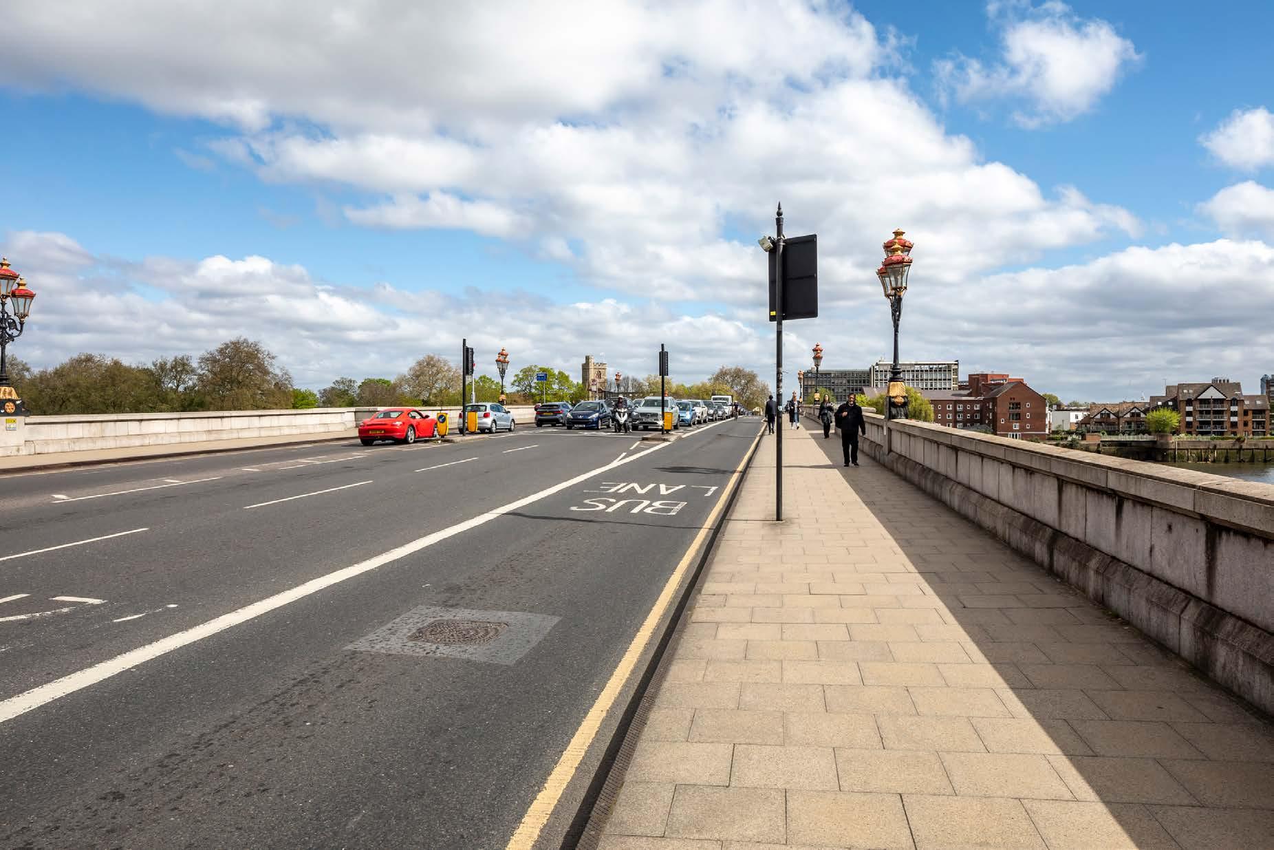
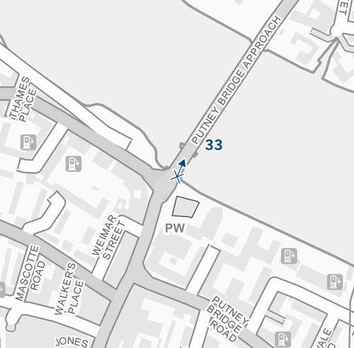
33
Putney Bridge, west pavement, southern end
D30236x50 / 50mm 21/04/24 10:28
See assessment text on previous page.

D30236x50 / 50mm 21/04/24 10:28
Part of Detailed Component Plot WB04 within the Early Phases would appear behind the landmark tower of the Parish Church of All Saints, its top rising above the foreground tree line so visible in summer and winter. A small part of the top of Outline Plot WB06 would be seen to its left, at a considerably lower apparent height, and screened by trees, such that it would be barely noticeable even in winter and screened completely by tree foliage in summer.
The slender top of Detailed Plot WB04 would be seen at a distance of more than 2.5km and would appear considerably lower in height than the church tower, separate and distinct from it in the background of the view. Plot WB04 would be a secondary visual presence and at the proposed scale and distance from the viewing position would not compete with the church tower in terms of prominence on the skyline.
The visibility of Plot WB04 in conjunction with the church tower would be experienced fleetingly. It would be hidden completely by the tower moving north of this position, before reappearing to its right within the taller tree line to the right of the church (as demonstrated by View A21). The fleeting limited visibility of the Early Phases would be incidental and the tower of the landmark church would retain its prominence in views looking northwards.
To the limited extent that it would be appreciated, the top of Plot WB04 would have a distinctive, visually interesting form, with a series of shoulders stepping up symmetrically to create a slender central ‘crown’. The reduction in massing would be reinforced by the change in materiality, from stone-like solid materials, to lighter, more transparent and reflective materials at the crown. Due to the fleeting and distant nature of the impacts the Early Phases would not be an immediately noticeable element of the scene and the magnitude of impact would be Low. The limited incidental visibility of the Early Phases would preserve the visual amenity of Putney Bridge and the nature of the effect would therefore be Neutral
Magnitude of impact: Low
Effect: Minor-moderate in scale, Neutral in nature (not significant)

33
Putney Bridge, west pavement, southern end
D30236x50 / 50mm 21/04/24 10:28
Completed Development - All Phases
No further Plots would be visible in the All Phases scenario compared to the Early Phases. The magnitude of impact and the scale and nature of the effect would not alter in comparison to the assessment of the Early Phases.
Magnitude of impact: Low
Effect: Minor-moderate in scale, Neutral in nature (not significant)
Putney Bridge, west pavement, southern end
D30236x50 / 50mm 21/04/24 10:28
Completed DevelopmentEarly Phases and cumulative schemes
There would be no cumulative schemes visible, and the effect of the Early Phases in the cumulative scenario would remain as set out above for the Early Phases considered in isolation.
Magnitude of impact: Low
Effect: Minor-moderate in scale, Neutral in nature (not significant)
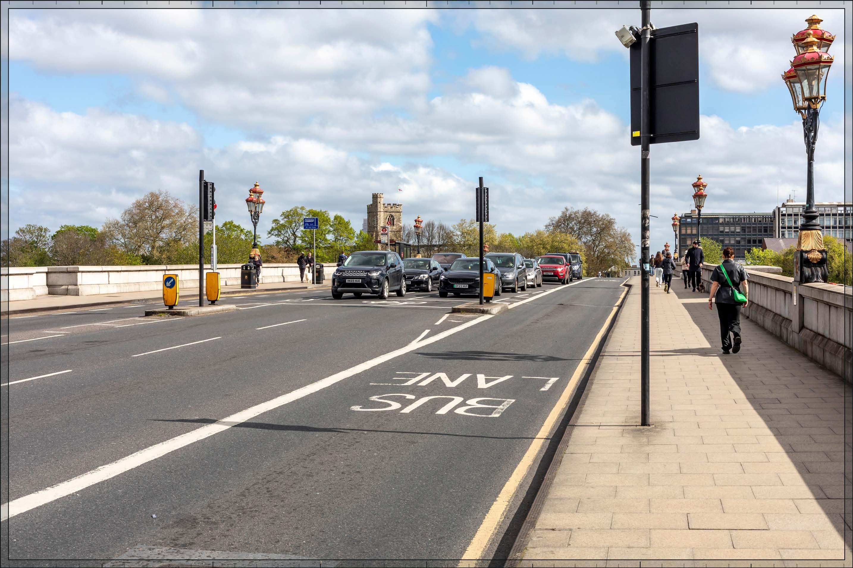
33
Putney Bridge, west pavement, southern end
D30236x50 / 50mm 21/04/24 10:28
Completed DevelopmentAll Phases and cumulative schemes
There would be no cumulative schemes visible, and the effect of All Phases in the cumulative scenario would remain as set out above for All Phases considered in isolation.
Magnitude of impact: Low
Effect: Minor-moderate in scale, Neutral in nature (not significant)
D28048x50 / 24mm 09/03/23 13:26
This viewpoint is located in Lillie Road Recreation Ground, an open space in Fulham immediately to the north of Fulham Cemetery. The view is taken from the north-west corner of the recreation ground and is looking west in the direction of the Site. The recreation ground is to the east of and outside the Crabtree Conservation Area.
An open grassed area which covers most of the recreation ground occupies the foreground of the view, lending it an open quality. In the middle ground, a low scale building in use as a fitness centre can be seen at the edge of the park, together with mature trees around the perimeter of the grassed area and providing the open space with a partial sense of enclosure. Buildings beyond the recreation ground are visible through gaps in the tree line, most noticeably the modern apartment building of Mackenzie House. The Empress State Building appears further in the background of the view and is visibly distant in this view.
Value attached to the view: this is a representative view from an open space outside a conservation area, with no strong compositional qualities. It is of Low value.
Visual receptors affected: users of the open space for recreational purposes, including sports and dog walking.
Susceptibility to change of visual receptors: visual receptors engaged in recreation would not be particularly focused on views and would have a Low susceptibility to change.
Sensitivity: Low
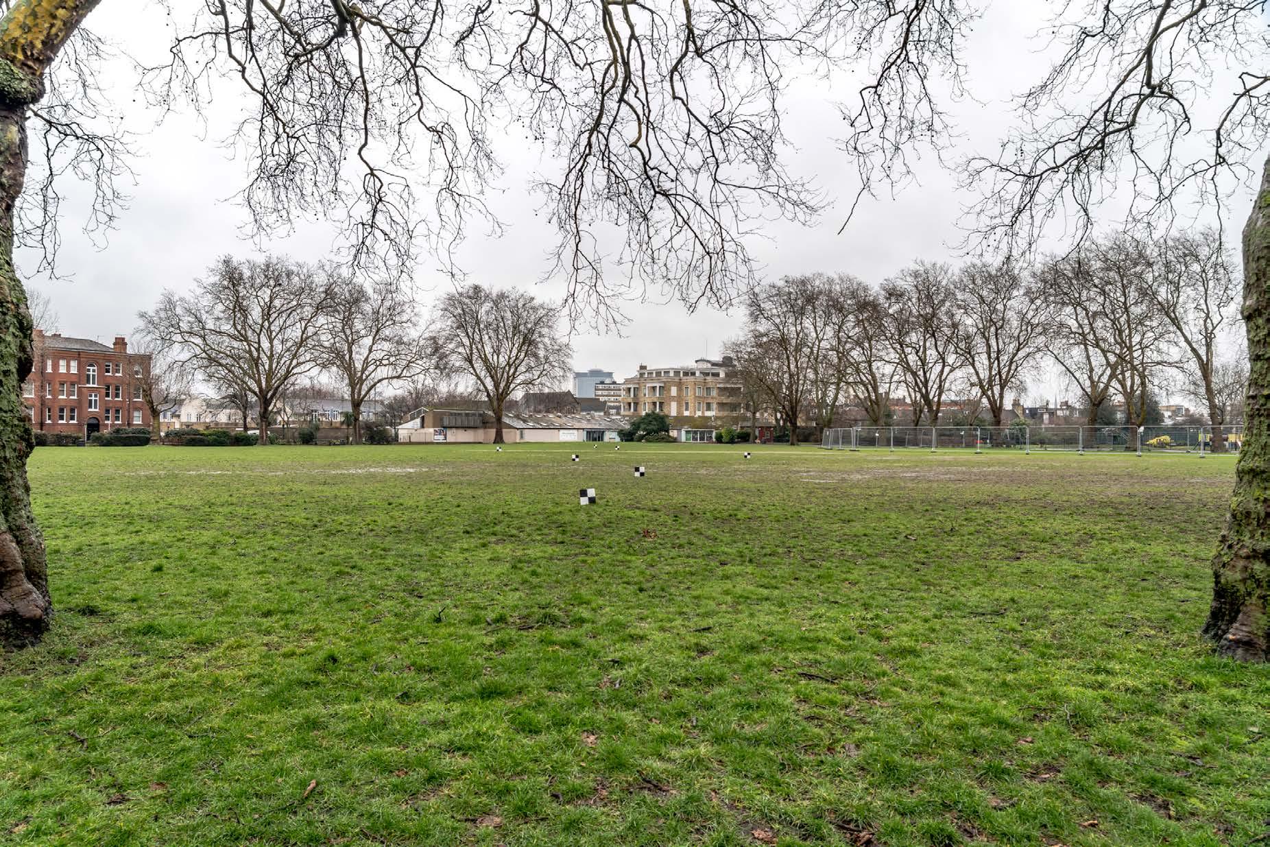
D28048x50 / 50mm 09/03/23 13:26
See assessment text on previous page.
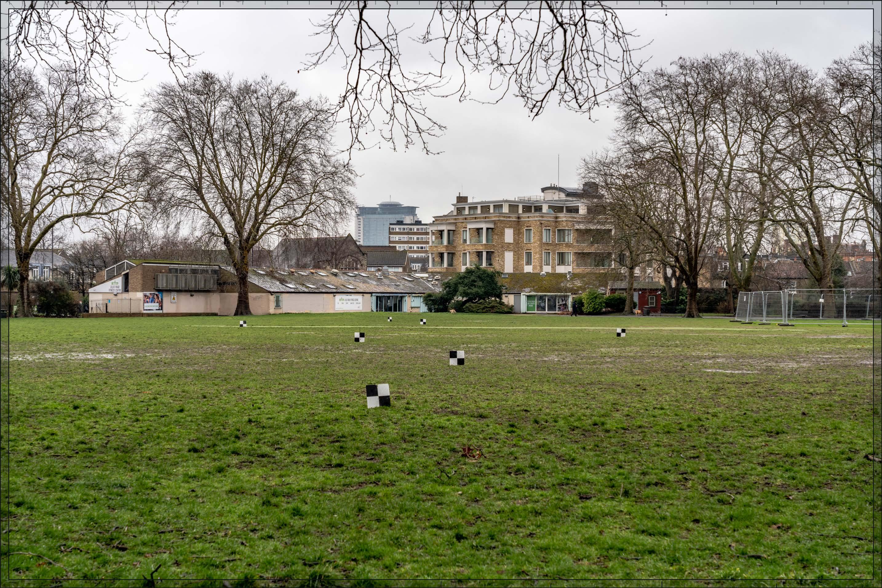
D28048x50 / 50mm 09/03/23 13:26
Detailed Component Plots WB04, EC05 and EC06 within the Early Phases would appear in the middle distance, approximately 1.4km away, to the left of the Empress State Building, as would Outline Plot WB06. The very top of Detailed Plot WB05 would appear behind the Empress State Building. Together with the Empress State Building, the Early Phases would form part of a background layer of townscape, distinct and separate from the park and its immediate enclosure to the east in the foreground, and screened to some extent by trees even in winter. It is likely that in summer the Early Phases would be barely, if at all, visible through the tree foliage from this position and from the recreation ground as a whole would come in and out of view according to the gaps in the tree line.
Plot WB04 would appear as the tallest building within the Early Phases and there would be a balanced composition to either side of it from this viewpoint, with Plots EC05 and EC06 stepping down in height to its left and the Empress State Building stepping down to its right. Plot EC05 would have a similar height to that of the Empress State Building, and the latter would become part of a coherent skyline composition together with the Proposed Development.
Plot WB04 would have slender elegant proportions and a visually interesting form, with a series of shoulders stepping up symmetrically to a central ‘crown’. The reduction in massing would be reinforced by the change in materiality, from stone-like solid materials, to lighter, more transparent and reflective materials at the crown. The stepped crown, curved corners and vertical emphasis would provide Plot WB04 with an elegant, Art Deco-inspired appearance that could be appreciated to some extent through the trees. The lower Plot EC05 to its left would be less visible through the trees but to the extent it would be seen, and it would share a familial Art Deco-style appearance with Plot WB04. The other Plots, EC06 and WB06, would not be noticeable to any significant extent.
The Early Phases would increase the secondary taller modern backdrop seen to the east of the recreation ground with a Lowmedium magnitude of impact in winter, which would be reduced to Very low by tree foliage in summer. It would be consistent with the existing character of the backdrop to the view and would form a coherent composition integrating the existing Empress State Building and marking the location of Earls Court to the east. The Detailed Components are of high architectural quality and would contribute positively to local legibility and distinctiveness. The nature of effect is therefore assessed as Beneficial
Magnitude of impact: Very low (spring, summer, autumn) to Low-medium (winter)
Effect: Negligible (spring, summer, autumn) to Minor (winter) in scale, Beneficial in nature (not significant)
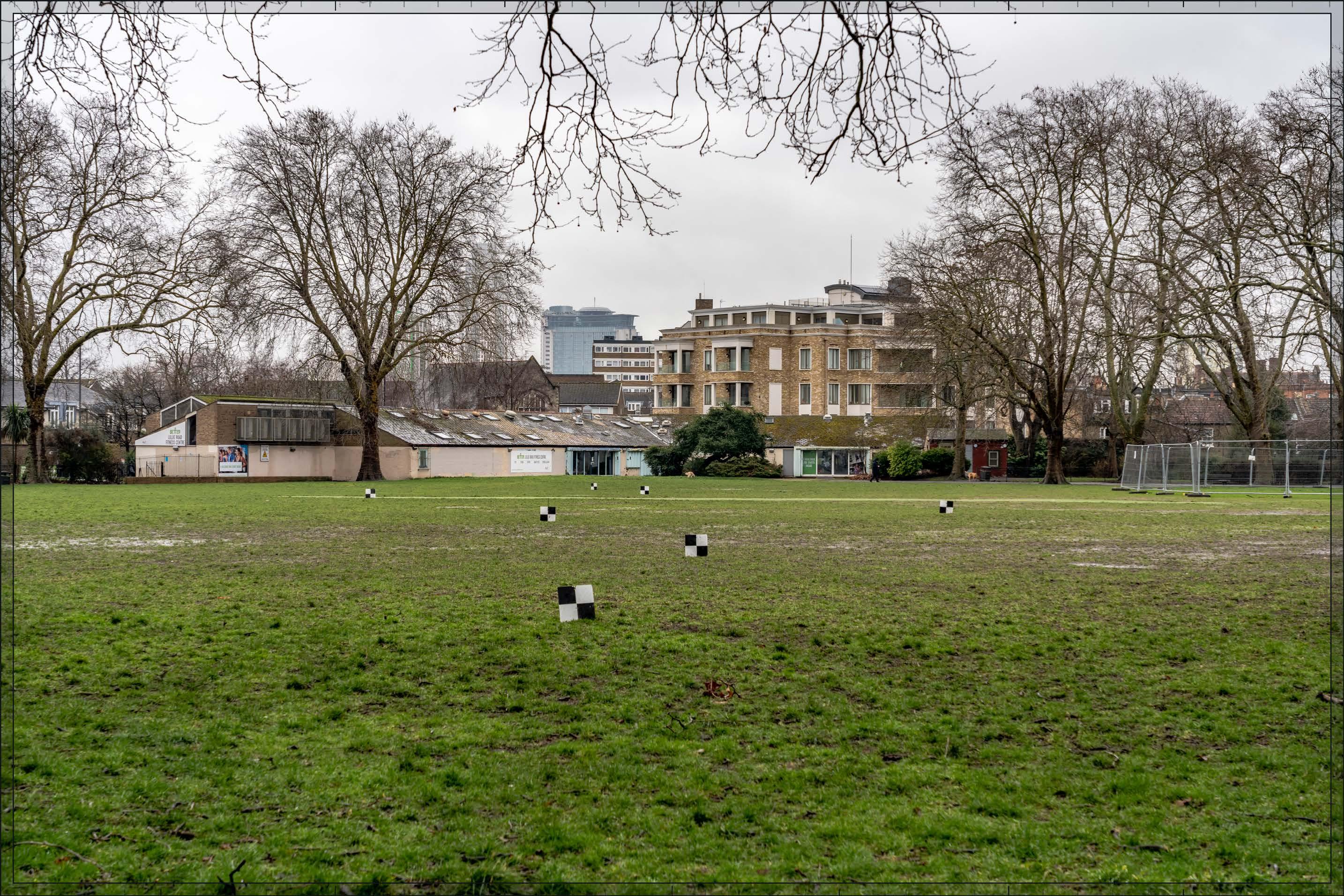
D28048x50 / 50mm 09/03/23 13:26
In addition to the Early Phases, Outline Component Plots
WK07/08/09 would be seen to the north of Plot WB06 (left), at a lower apparent height and screened to a large extent by trees, such that they would have little visual presence in winter and would be concealed by foreground foliage in spring summer and autumn. The magnitude of impact and the scale and nature of the effect would not alter in comparison to the assessment of the Early Phases.
Magnitude of impact: Very low (spring, summer, autumn) to Low-medium (winter)
Effect: Negligible (spring, summer, autumn) to Minor (winter) in scale, Beneficial in nature (not significant)

D28048x50 / 50mm 09/03/23 13:26
Completed DevelopmentEarly Phases and cumulative schemes
There would be no cumulative schemes visible, and the effect of the Early Phases in the cumulative scenario would remain as set out above for the Early Phases considered in isolation.
Magnitude of impact: Very low (spring, summer, autumn) to Low-medium (winter)
Effect: Negligible (spring, summer, autumn) to Minor (winter) in scale, Beneficial in nature (not significant)
D28048x50 / 50mm 09/03/23 13:26
Completed DevelopmentAll Phases and cumulative schemes
There would be no cumulative schemes visible, and the effect of All Phases in the cumulative scenario would remain as set out above for All Phases considered in isolation.
Magnitude of impact: Very low (spring, summer, autumn) to Low-medium (winter)
Effect: Negligible (spring, summer, autumn) to Minor (winter) in scale, Beneficial in nature (not significant)
D29792x50 / 24mm 15/02/24 09:37
This viewpoint is located on Stevenage Road in Fulham, and looks north-east along Kenyon Street towards Earl’s Court. It is located within the Fulham Reach Conservation Area looking into the Crabtree Conservation Area. While it has a relatively well composed character, it is not of any particular significance or exceptional visual quality. None of the terraced houses on Kenyon Street are listed or locally listed.
Stevenage Road runs parallel to the River Thames, with numerous roads such as Kenyon Street leading further inland from it to form a grid of contemporary residential streets of similar character between it and Fulham Palace Road. Kenyon Street has a straight alignment and is lined by terraced housing of a consistent height, scale and appearance. The view has a directional and enclosed quality as a result. Street trees partly screen the foreground houses and obscure any development beyond to some extent, even in this winter image. Part of the Empress State Building is discernible through the trees, seen at a distance of almost 2km, above the roofline of the terraced houses.
Value attached to the view: this is a representative characterising view from a conservation area. It is of Medium value.
Visual receptors affected: low numbers of local residents living on the street or in the wider local area.
Susceptibility to change of visual receptors: local residents in a community where views contribute to the setting of a high-quality designated townscape have a High susceptibility to change.
Sensitivity: Medium-high
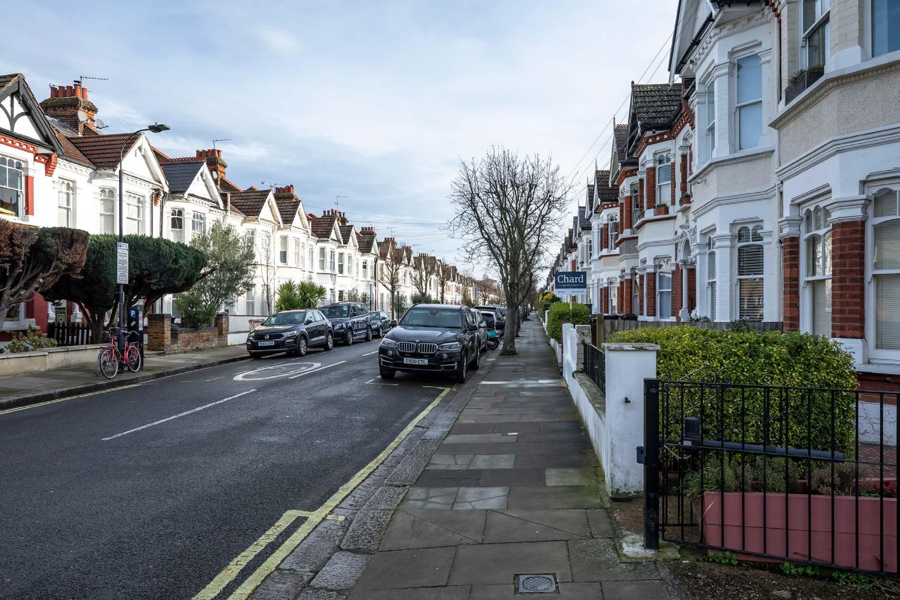
Stevenage Road, junction with Kenyon Street
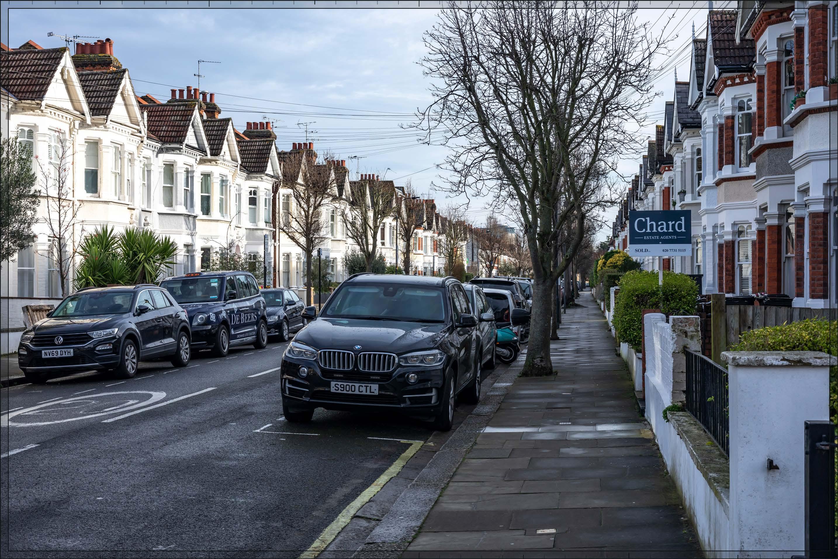
D29792x50 / 50mm 15/02/24 09:37
The upper part of Detailed Component Plot WB04 would appear in the distance, beyond the foreground terrace on Kenyon Street, and to the left of the Empress State Building. It would be screened to some extent by tree branches, and considerably more so in summer.
Like the Empress State Building Plot WB04 would be visibly distant and would form part of a background layer of townscape together with the Empress State Building, consistent with the existing character of the view, and distinct and separate from the conservation area in the foreground. The top of Plot WB04 would have a distinctive visually interesting form, with a series of shoulders stepping up symmetrically to a slender central ‘crown’. The reduction in massing would be reinforced by the change in materiality, from stone-like solid materials, to lighter, more transparent and reflective materials at the crown. The stepped crown, curved corners and vertical emphasis would provide Plot WB04 with an elegant, Art Deco-inspired appearance that could be appreciated to some extent at this distance in winter.
The magnitude of impact would be Low in winter, reducing to Very low in spring, summer and autumn due to foreground tree foliage. The limited incidental visibility of the Early Phases would preserve the visual amenity of Kenyon Street and the nature of the effect would therefore be Neutral
Magnitude of impact: Very low (spring, summer, autumn) to Low (winter)
Effect: Negligible (spring, summer, autumn) to Minor (winter) in scale, Neutral in nature (not significant)

35
D29792x50 / 50mm 15/02/24 09:37
Completed Development - All Phases
No further Plots would be visible in the All Phases scenario compared to the Early Phases. The magnitude of impact and the scale and nature of the effect would not alter in comparison to the assessment of the Early Phases.
Magnitude of impact: Very low (spring, summer, autumn) to Low (winter)
Effect: Negligible (spring, summer, autumn) to Minor (winter) in scale, Neutral in nature (not significant)

D29792x50 / 50mm 15/02/24 09:37
Completed DevelopmentEarly Phases and cumulative schemes
There would be no cumulative schemes visible, and the effect of the Early Phases in the cumulative scenario would remain as set out above for the Early Phases considered in isolation.
Magnitude of impact: Very low (spring, summer, autumn) to Low (winter)
Effect: Negligible (spring, summer, autumn) to Minor (winter) in scale, Neutral in nature (not significant)
D29792x50 / 50mm 15/02/24 09:37
Completed DevelopmentAll Phases and cumulative schemes
There would be no cumulative schemes visible, and the effect of All Phases in the cumulative scenario would remain as set out above for All Phases considered in isolation.
Magnitude of impact: Very low (spring, summer, autumn) to Low (winter)
Effect: Negligible (spring, summer, autumn) to Minor (winter) in scale, Neutral in nature (not significant)
D28097x50 / 24mm 03/03/23 09:10
This viewpoint is set within the grounds of Fulham Palace, dating from the early 16th century, with the Grade I listed Fulham Palace itself behind the viewer. Fulham Palace comprises two courtyards with the late 15th century great hall between them. The grounds of Fulham Palace are a Grade II* RPGSHI and Scheduled Monument. This viewpoint looks north-east from a path through the grounds, with lawn to either side of it, and mature trees and a hedge mark the boundary between Fulham Palace and The Warren, an area of allotments on former Fulham Palace grounds, in the middle ground. The roof tops of terraces on Fulham Palace Road are glimpsed through the trees, beyond the grounds. The very top of the Empress State Building is just visible through the trees but is not a noticeable feature of the backdrop.
Value attached to the view: this is an incidental viewpoint from the Fulham Palace grounds; it is not taken from a specific viewing position of recognised importance or a point of orientation within the grounds. The value of the view is judged to be Low.
Visual receptors affected: moderate numbers of visitors to Fulham Palace and its grounds.
Susceptibility to change of visual receptors: views make an important contribution to the visual experience for visitors to Fulham Palace and its grounds. Susceptibility to change is therefore judged to be High Sensitivity Medium
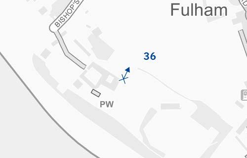
D28097x50 / 50mm 03/03/23 09:10
See assessment text on previous page.
D28097x50 / 50mm 03/03/23 09:10
The upper part of Detailed Component Plot WB04, seen at a distance of more than 2km, would appear above the middle ground treeline to the right of centre in the view. Part of Detailed Plot WB03 would technically be visible to its east (right), albeit heavily screened by trees in this winter view to the extent it would be barely discernible.
Detailed Plot WB04 would be visibly distant, distinct and separate from the Grade II* landscape in the foreground seen beyond the visual buffer of landscape in the middle ground. Its top would have a distinctive visually interesting form, with a series of shoulders stepping up symmetrically to a slender central ‘crown’. The reduction in massing would be reinforced by the change in materiality, from stone-like solid materials, to lighter, more transparent and reflective materials at the crown.
The slight visibility in the distance would not be immediately noticeable with a Low magnitude of impact and, while the screening of Plot WB04 would be heavier when the trees are in leaf, its top would be visible to a similar extent such that the overall magnitude of impact would be the same in summer. The limited incidental visibility of the Early Phases would preserve the visual amenity of Fulham Palace and the nature of the effect would therefore be Neutral
Magnitude of impact: Low
Effect: Minor in scale, Neutral in nature (not significant)

D28097x50 / 50mm 03/03/23 09:10
Completed Development - All Phases
The magnitude of impact and the scale and nature of the effect would not alter in comparison to the assessment of the Early Phases.
Magnitude of impact: Low
Effect: Minor in scale, Neutral in nature (not significant)

D28097x50 / 50mm 03/03/23 09:10
Completed DevelopmentEarly Phases and cumulative schemes
The cumulative scheme at Edith Summerskill House would appear in front of the Early Phases, at a lower apparent height than Plot WB04 and almost completely screened from sight by trees. The effect of the Early Phases in the cumulative scenario would remain as set out above for the Early Phases considered in isolation.
Magnitude of impact: Low
Effect: Minor in scale, Neutral in nature (not significant)

D28097x50 / 50mm 03/03/23 09:10
Completed DevelopmentAll Phases and cumulative schemes
The cumulative scheme at Edith Summerskill House would appear in front of the All Phases, at a lower apparent height than Plot WB04 and almost completely screened from sight by trees. The effect of All Phases in the cumulative scenario would remain as set out above for All Phases considered in isolation.
Magnitude of impact: Low
Effect: Minor in scale, Neutral in nature (not significant)

D28051x50 / 24mm 09/03/23 15:45
This viewpoint is located on Munster Road and the view is looking north-east along Filmer Road, in the direction of the Site. It is located within the Central Fulham Conservation Area. The junction between the two roads occupies the foreground of the view, with Filmer Road seen to extend on a slightly curved alignment north-east of the junction. The eastern side of the road (right side) is mostly lined by two storey terraced development of consistent scale and appearance. A Grade II listed former school, now the Fulham and South Kensington Institute, marks the junction on the western side of the road, at a slightly greater scale than the housing, which is unlisted; none of the buildings at the southern end of Filmer Road visible in this view are locally listed. The view is enclosed by housing further north-east along Filmer Road, with the tops of larger scale post-war apartment buildings appearing further in the distance.
Value attached to the view: this is a representative view from within a conservation area, but from a viewpoint location of no particular significance, not noted in the conservation area appraisal, and the view does not have any strong compositional or picturesque qualities. It is of Low-medium value.
Visual receptors affected: people in this location would be primarily local residents.
Susceptibility to change of visual receptors: local residents in a community where views contribute to the setting of a high-quality designated townscape have a High susceptibility to change.
Sensitivity Medium
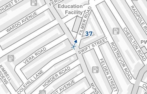
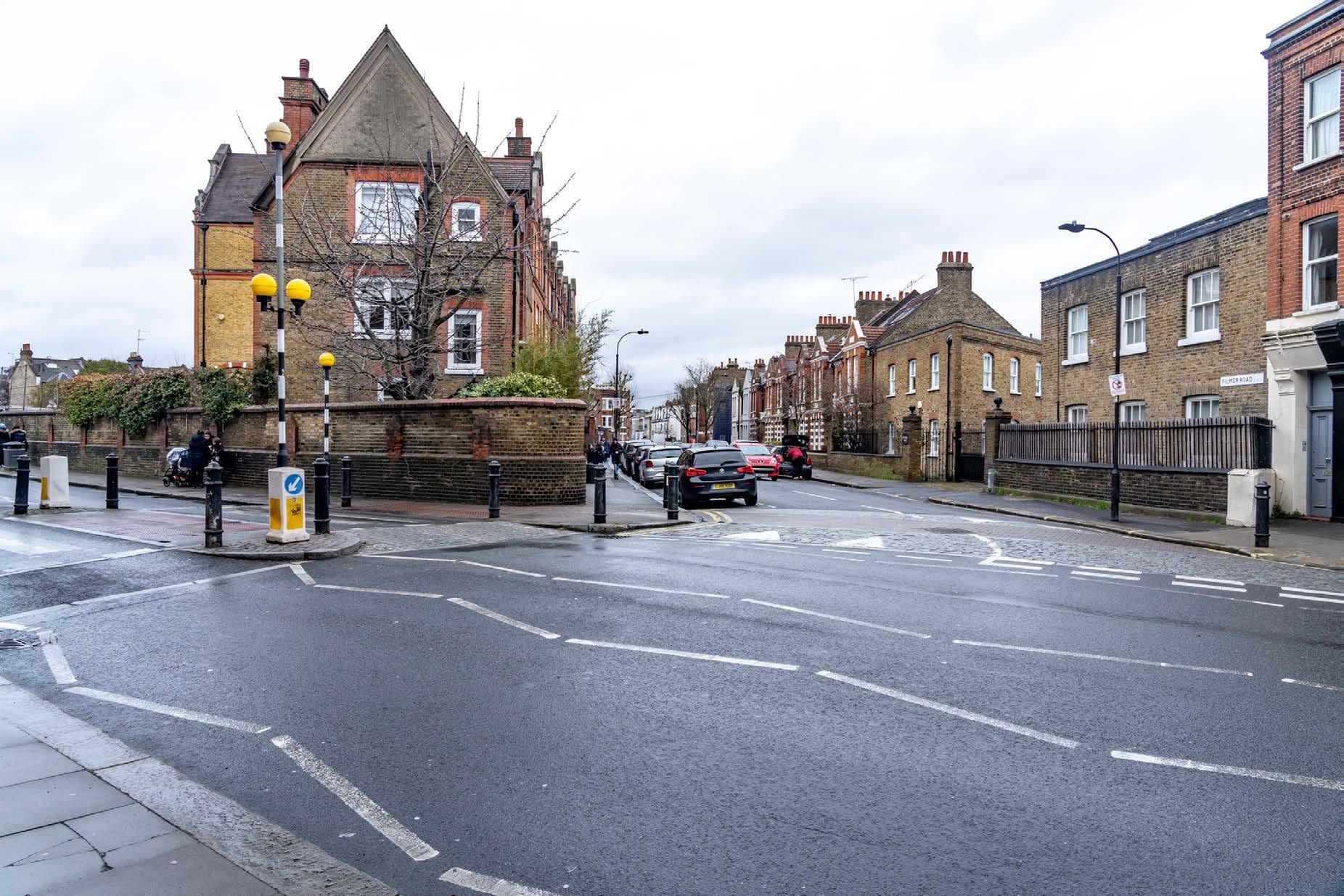
D28051x50 / 50mm 09/03/23 15:45
See assessment text on previous page.