DRONEX
Mapping the Future


Enhance Efficiency and Precision Across Solar, Wind, Roadways, Railways, Transmission Lines, Surveillance, and More!



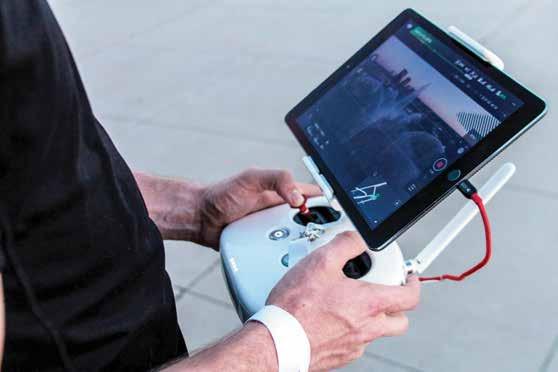
By combining innovation with expertise, DroneX is committed to transform the way industries operate, making data collection and visual documentation easier, faster, and more reliable for informed business decisions.

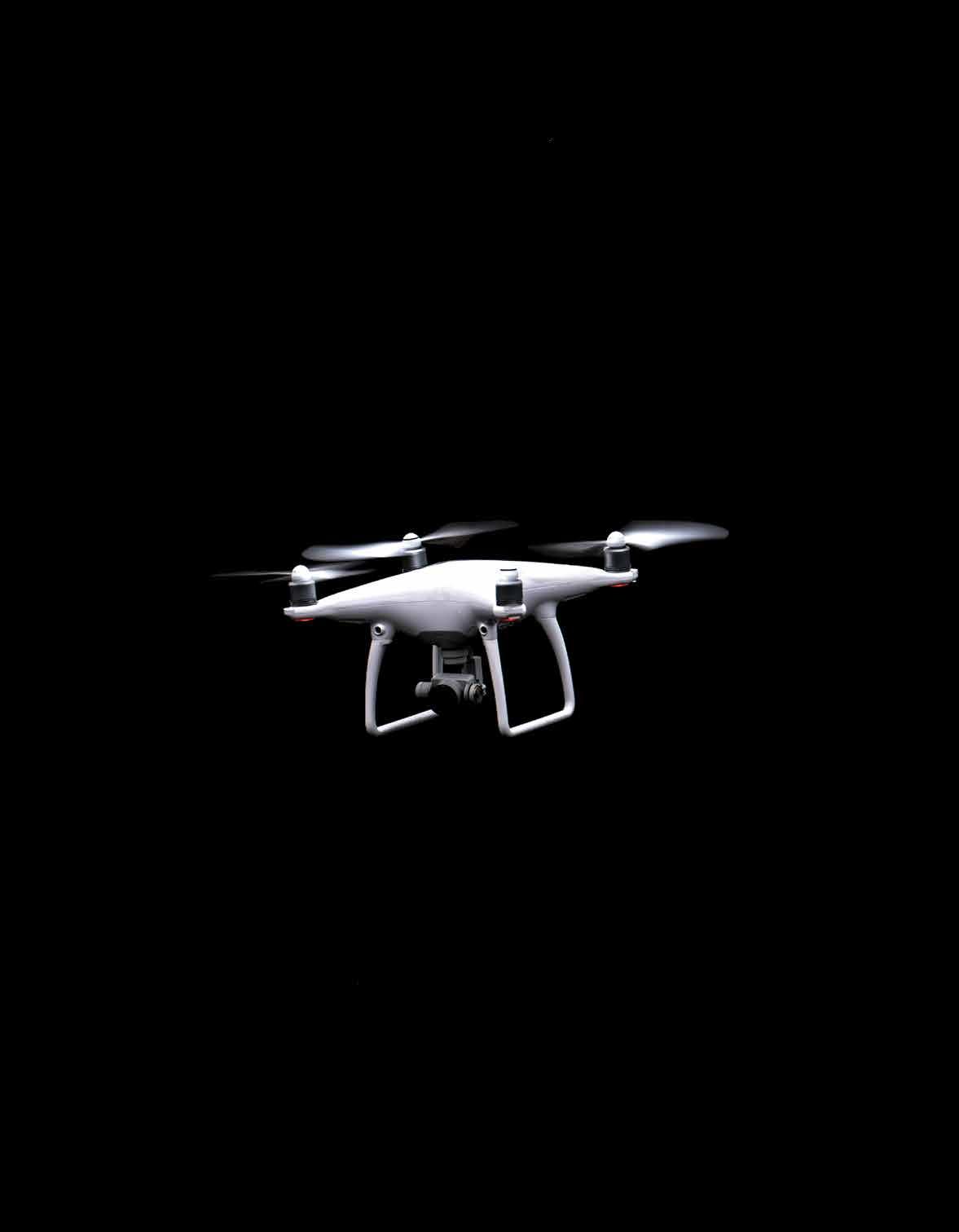


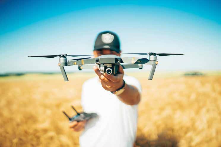
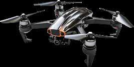
Elevate your perspective with DroneX, your preferred partner for professional aerial photography and videography. Our advanced drones, piloted by experienced and certified operators, capture stunning visuals from breathtaking heights and unique angles, delivering high-quality imagery that transforms your vision into reality.
THE DRONEX ADVANTAGE
Creative Precision Expert Pilots
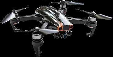
Cutting-Edge Technology
Real Estate
Photography & Videography
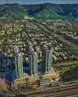
Safety First
Aerial 3600 Panorama
Development, Construction, Commissioning & Operation
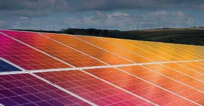
We deploy unmanned aerial vehicles equipped with high-resolution cameras and thermal sensors to inspect solar panels efficiently and safely. This method rapidly covers large areas, providing detailed images identifying issues like micro-cracks, hotspots, and shading. It reduces the time, labor, and costs associated with traditional inspection methods, ensuring the optimal performance and longevity of solar installations.

Our drone solar thermal inspection services leverage the latest in UAV technology to maintain and optimize your solar installations. By using drones equipped with thermal imaging cameras, we can efficiently and safely inspect solar panels, identifying temperature variations that signal potential issues like hotspots, defective cells, and shading problems.
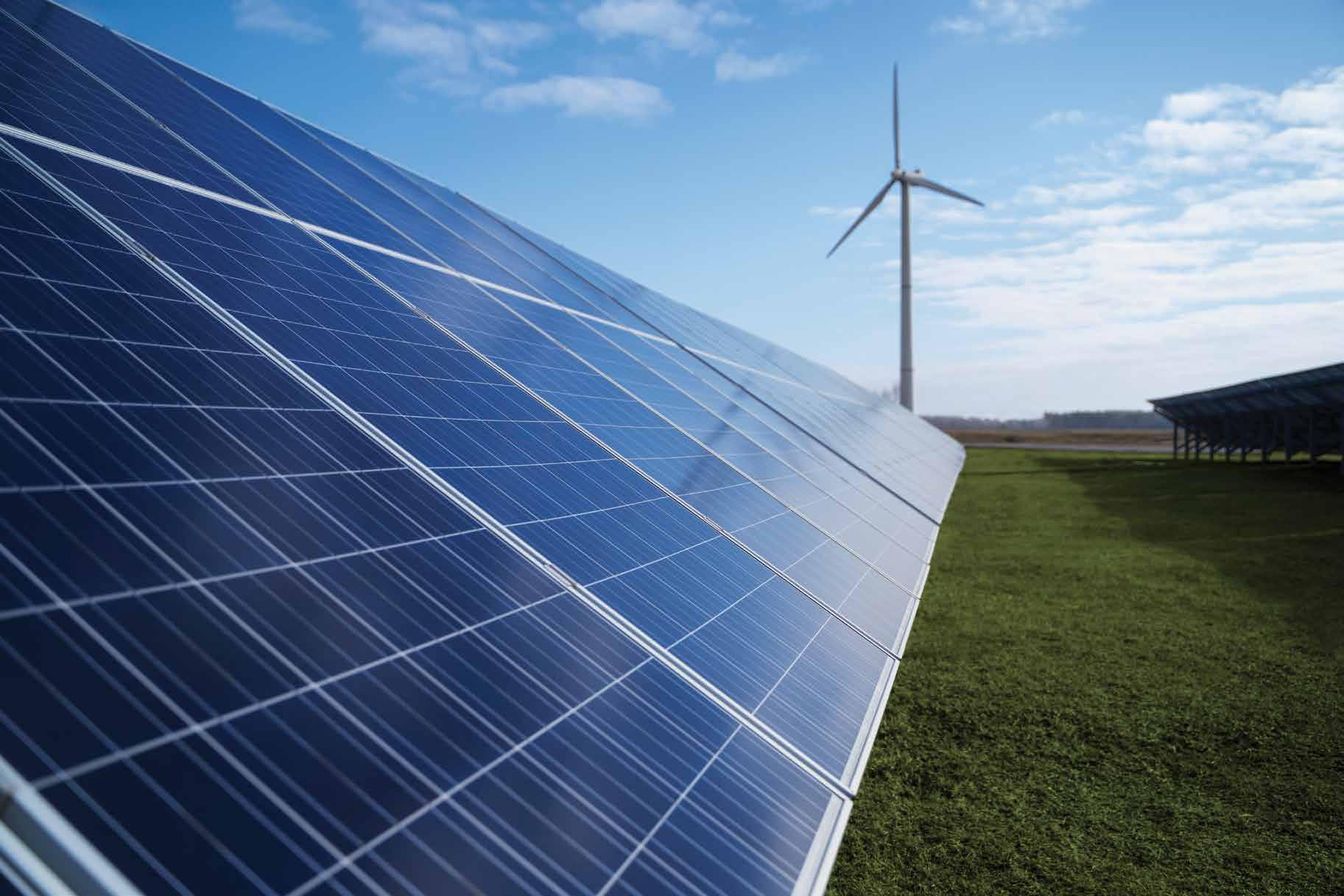


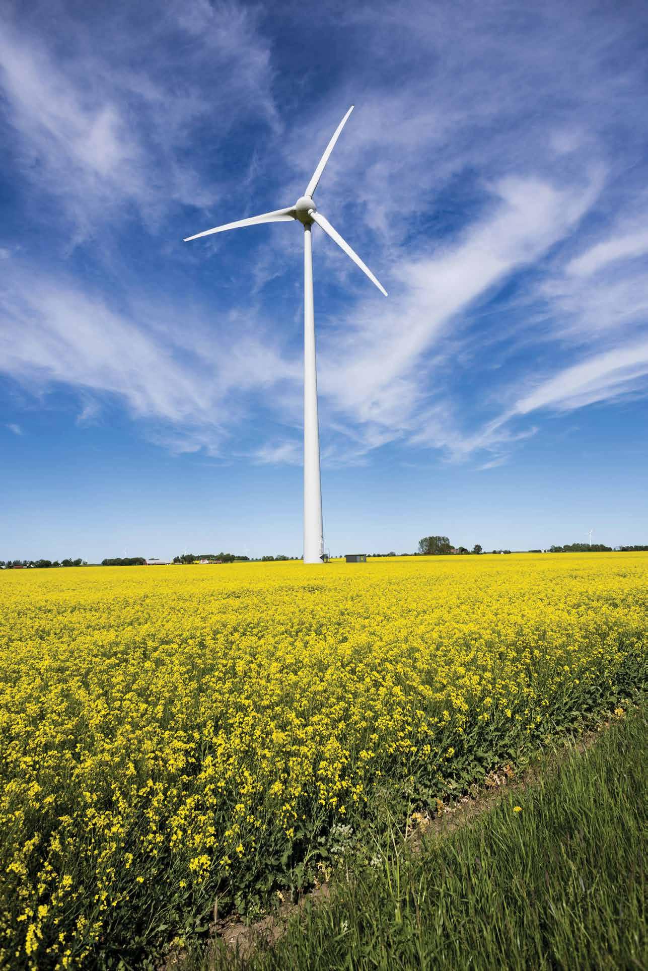
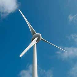
By leveraging our wind turbine inspection services, you benefit from reduced inspection time, minimized risks to personnel, and comprehensive data analysis that enhances the reliability and efficiency of your wind energy
The turbine inspection process enables rapid coverage of entire wind farms, capturing detailed images and data to identify potential issues such as blade erosion, cracks, lightning strikes, and other structural damages. Early detection through our inspection allows for timely maintenance, reducing the risk of costly repairs


Maintenance assistance for timely actions
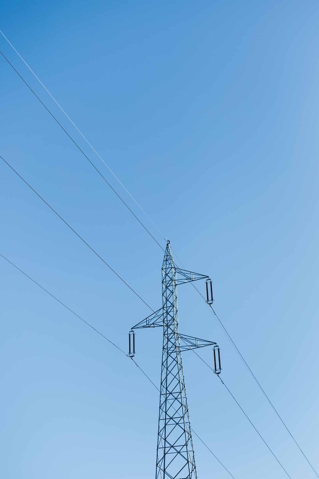
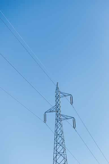
At DroneX, we ensure reduced inspection time and labor cost, while minimizing risks to personnel. With comprehensive data analysis, we provide actionable insights that support timely maintenance and repairs, enhancing the overall reliability and efficiency of your powerline infrastructure. Trust DroneX to keep your powerlines in optimal condition with precision and expertise.
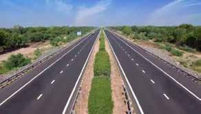
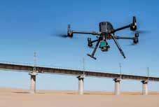
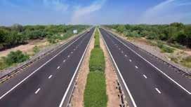
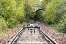
Our infrastructure inspection service is equipped with advanced UAV technology for comprehensive assessments of various structures including construction progress monitoring for railways and highways. With the help of inbuilt high-resolution cameras and specialized sensors, our drones conduct thorough inspections efficiently and safely, even in hard-to-reach or hazardous areas. Ensure reliable inspections through optimal condition and performance of your critical infrastructure with DroneX’s Infrastructure Inspection services.

Highways
Railways
Land Survey

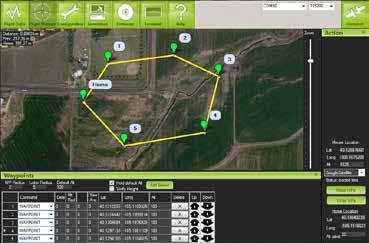
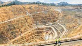
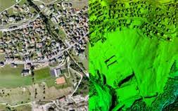
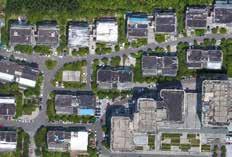
Our drone surveying and mapping services cover a wide range of applications, including land surveying, construction site monitoring, environmental assessments, and agricultural mapping. It helps in comprehensive overview of large areas, delivering high-quality data that enables better planning, analysis, and decision-making processes. By employing our services, you benefit from significantly reduced survey times, enhanced safety by eliminating the need for personnel in hazardous areas, and advanced insights.
Mining Survey
Road Survey
Railway Survey
Canal Survey
River Survey
Property Survey
Flood Water Visualization



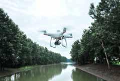
Inspect a wide range of infrastructure quickly and accurately, including canals, rivers, bridges, roads, buildings, and industrial facilities. Our drones capture detailed images and data to identify structural issues, cracks, corrosion, and other potential problems. Early detection through our inspections helps prevent costly repairs and ensures the safety and longevity of your infrastructure.
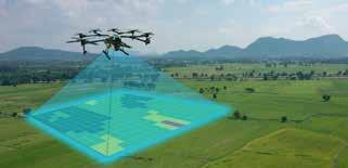

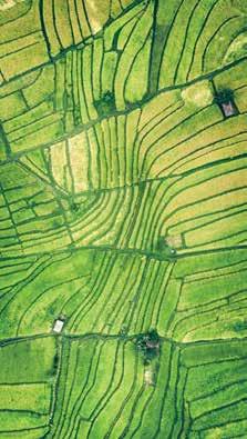
Monitor crop growth, detect early signs of disease or stress, and optimize pesticide and fertilizer application. By capturing precise data over large agricultural areas, we help maximize yields, reduce costs, while minimizing environmental impact.
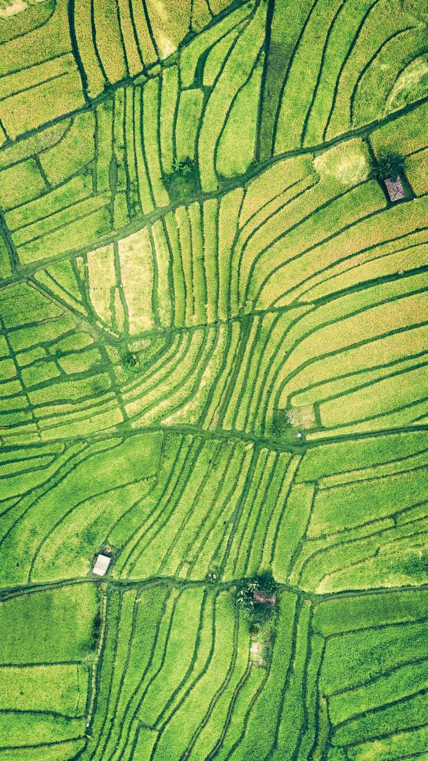

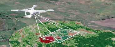
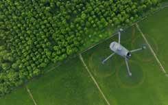

Monitoring & Surveillance services utilize advanced technologies such as drones, thermal imaging, and real-time data analytics to provide comprehensive coverage and swift response capabilities. By enhancing security, preventing illegal activities, and managing large-scale events for public safety and environmental conservation.
Border Surveillance
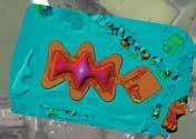
Police Surveillance

Event Surveillance
VIP Surveillance
Traffic Monitoring Wildlife & Forest Surveillance
