
WHY ACCURATE LAND AND DRONE SURVEYS ARE CRUCIAL
BEFORE STARTING ANY INFRASTRUCTURE PROJECT


Every successful infrastructure project starts from the ground up — and the foundation of that process is accurate land surveying. Whether it’s a road, a mine, a dam, or an industrial site, proper survey data prevents design flaws, cost overruns, and legal complications.
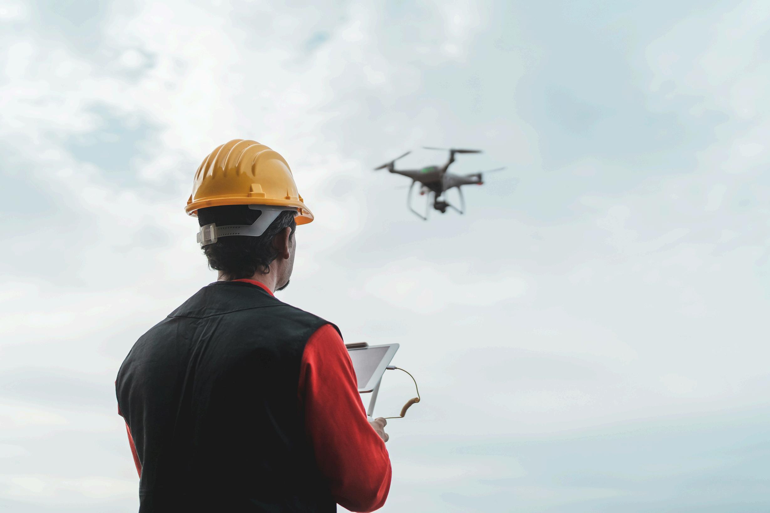
Here at Dolphin Engineers, our team of Jaipur land surveyors utilizes cutting-edge technology such as drones and GPSbased systems to provide accurate, real-time ground data to provide a firm foundation for each project.
Old-fashioned surveys may be slow and restrictive in difficult terrain. Enter Drone Surveys in Jaipur: Quicker and more secure data capture
Aerial mapping with high-resolution
3D topographic modeling
Real-time site progress monitoring for big sites From mineral site mapping to road construction, drones provide project managers with a bird's-eye perspective they can really build on.
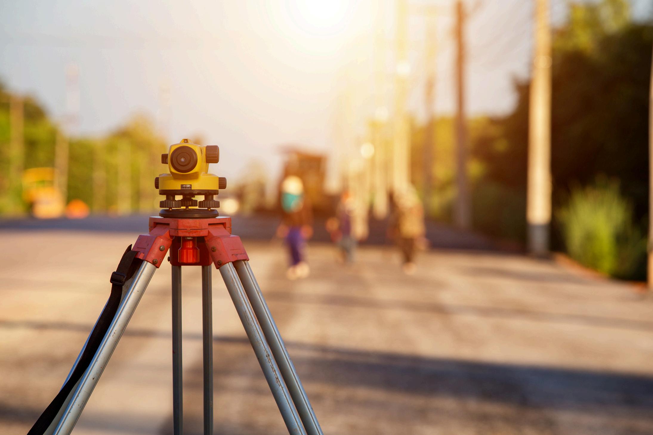
Accuracy matters in road construction surveys, where every centimeter makes a difference. Slope, elevation, or alignment errors can cost significant rework. Dolphin Engineers offers:
Contour mapping and longitudinal section surveys
Pavement condition and route alignment studies
Post-construction monitoring with drones
Our seasoned surveyors ensure roads are built to last — with safety, cost, and time efficiency aligned.

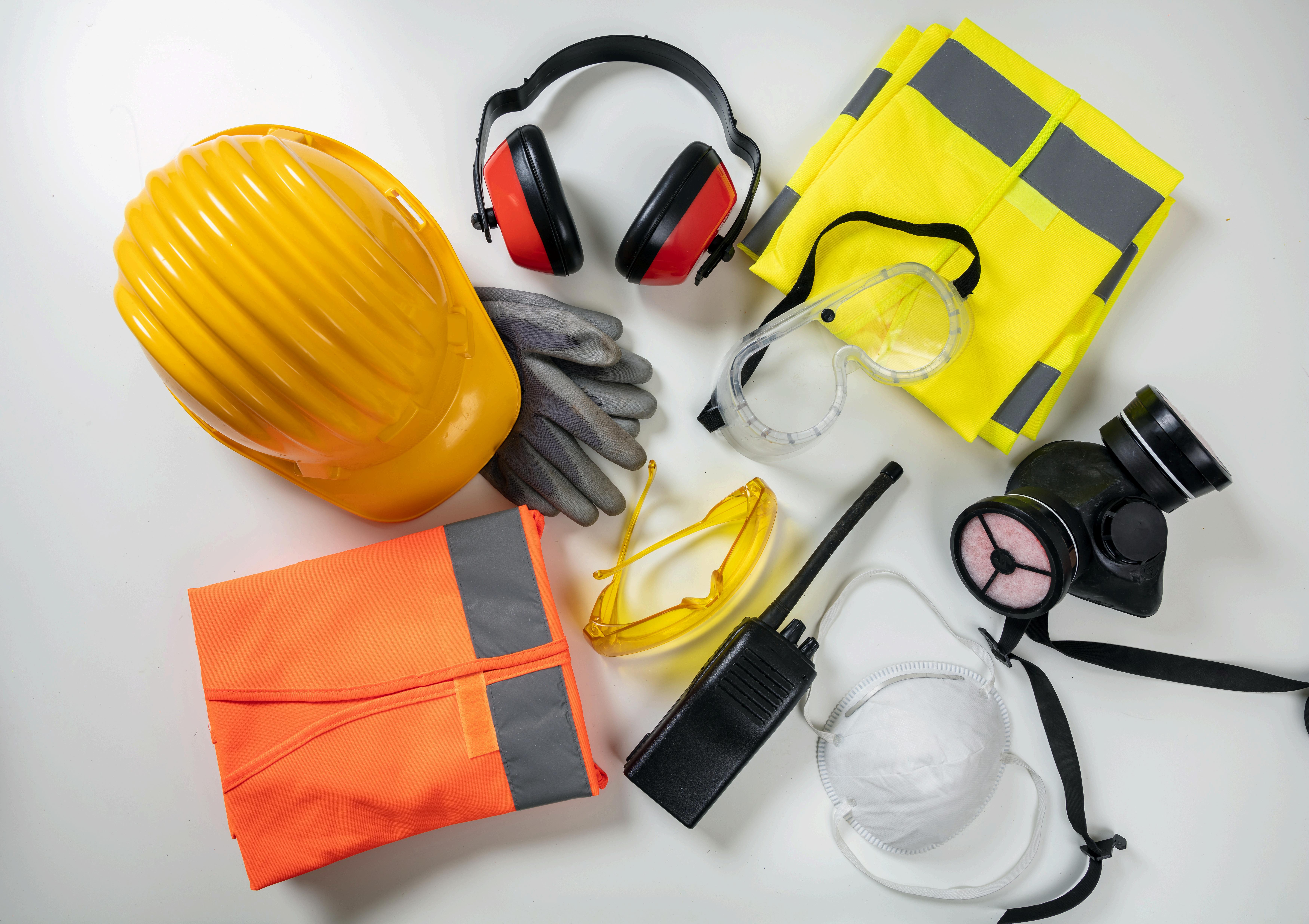
In mining, it is essential to understand underground layers. Our Mines Survey services in Jaipur offer:
Overburden and mineral volume calculations
Pit design validation and safety layout analysis
Drone-based monitoring for remote or hazardous areas
We assist mining operations in making better, safer decisions — while maximizing resource extraction.
Strong on-ground execution for Rajasthan's varied terrain
Prior to the laying of the first stone, precise surveys decide the way ahead. At Dolphin Engineers, we don't merely survey land — we survey certainty. If you're embarking on a new project in Rajasthan, allow us to assist you in starting it right.