
EMAIL:18271218861@163.COM
TEL:18271218861
EMAIL:18271218861@163.COM
TEL:18271218861
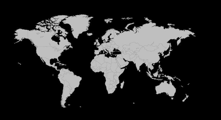
1980年,国际自然保护联盟(IUCN)首次提出“可持续发展”概念。1987年, 世界环境与发展委员会(WCED)在《我们共同的未来》报告中将其定义为: “既满足当代需求,又不损害后代满足其自身需求能力的发展。”
在当代语境下,这一理念进一步演化为以“再生设计(Regenerative Design)”为代表的设计思维,不仅关注减少环境负荷,更强调通过设计
主动修复生态系统,推动人与自然关系由“消耗与保护”走向“共生与再生”。
可持续设计作为一种实践路径,强调设计领域对人类发展与环境问题关系 的深入思考,并不断寻求变革。其本质是在生态哲学指导下,将设计行为 融入“人—技术—环境”系统,从而实现社会价值与自然价值的双重平衡。
在整体可持续设计框架下,本项目将可持续发展的理念划分为四个具体设 计方向:
项目一:生态保护
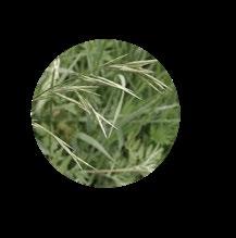
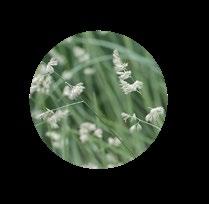
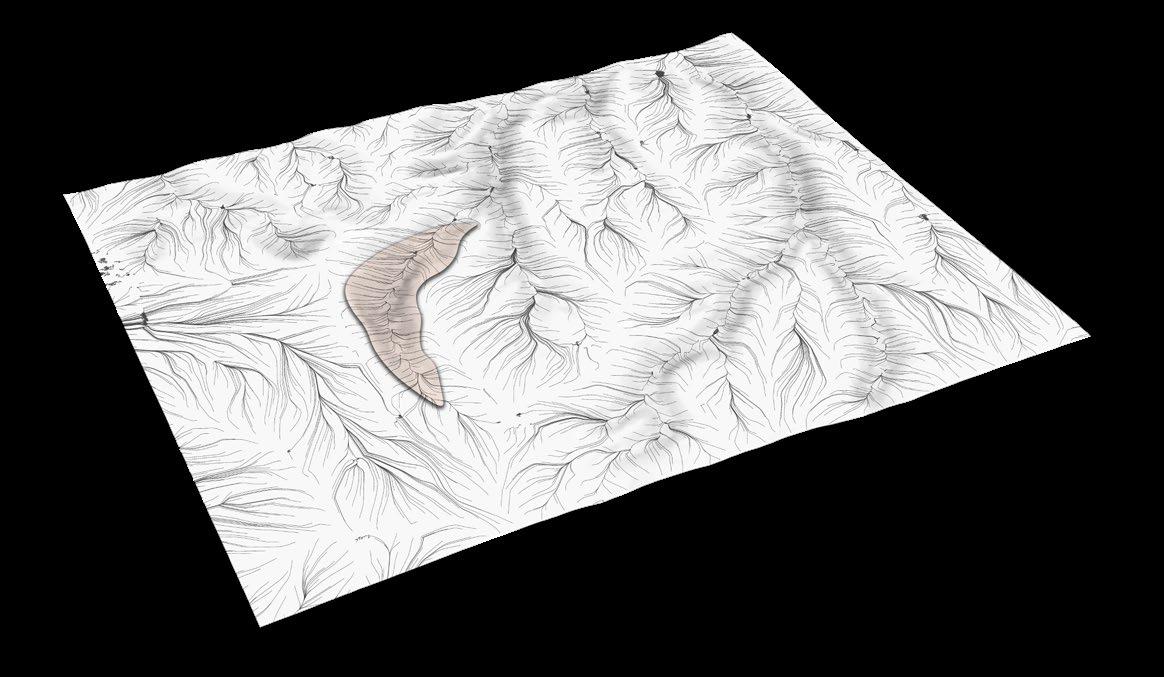
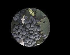
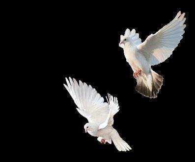
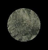
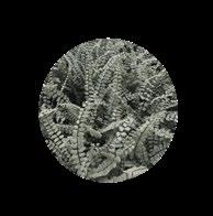
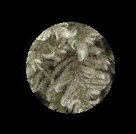
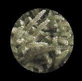
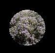
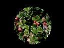
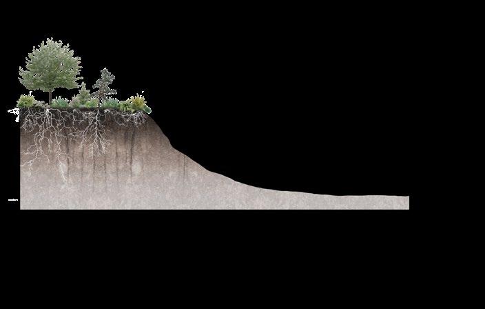
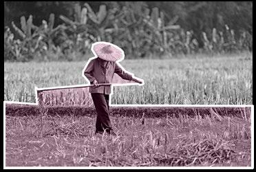
通过挖掘湿地内部的生态与农业资源,构建自维持、低干预的自我修复湿 地保护系统,以最大化发挥湿地“地球之肾”的净化功能。湿地保护同时 也意味着对候鸟、水资源及整体生态系统的保护。
项目二:自然遗产保护
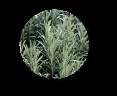
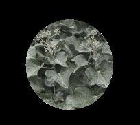
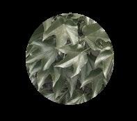
针对具有丰富生物多样性的自然地貌,保护其生态与文化价值。通过采用 局部特色地形(如“蜂窝式”景观结构),减少人为干预,优化汇水路径 设计,降低雨水与地表接触时间,从而减缓侵蚀。同时,在地下构建完善 的水循环与净化系统,实现水资源的可持续循环利用。
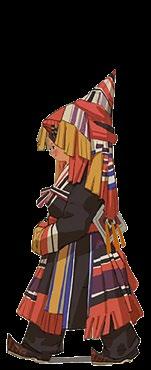
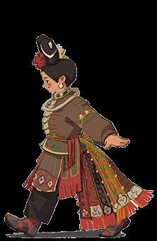
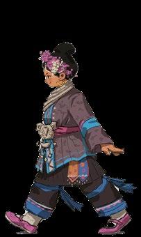
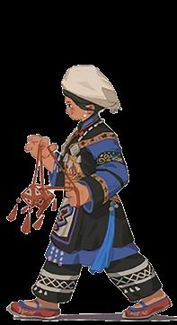
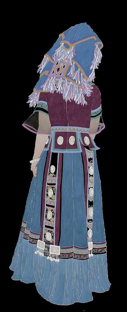
项目三:文化保护与参与式规划 在多民族共存的背景下,项目旨在缓解文化隔阂,促进民族融合。通过提 取少数民族的生活习惯与空间需求,改善其城市居住环境,增强归属感, 并推动文化认同与社会整合。
项目四:基础设施优化与低碳发展 通过优化城市交通系统,缓解交通压力、降低能源消耗与碳排放。采用以 TOD(公共交通导向开发)为核心的策略,构建覆盖商业、居住与休闲功 能的综合交通网络,提高办公人群、城市居民及特殊群体的出行效率,并 优化城市资源配置。
综上,这些城市与景观设计实践均以“可持续设计”为核心出发点,致力 于让人与生态系统共同参与城市与资源的管理与构建,实现共创、共享、 绿色与开放的未来城市愿景。该方向也将成为我长期的研究兴趣,以及未 来学术与职业发展的重要目标与驱动力。
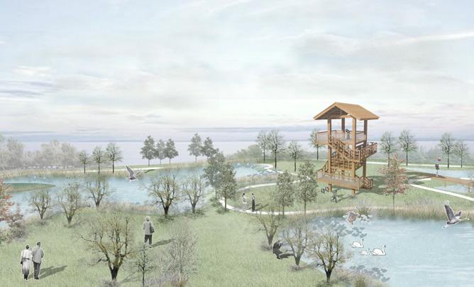
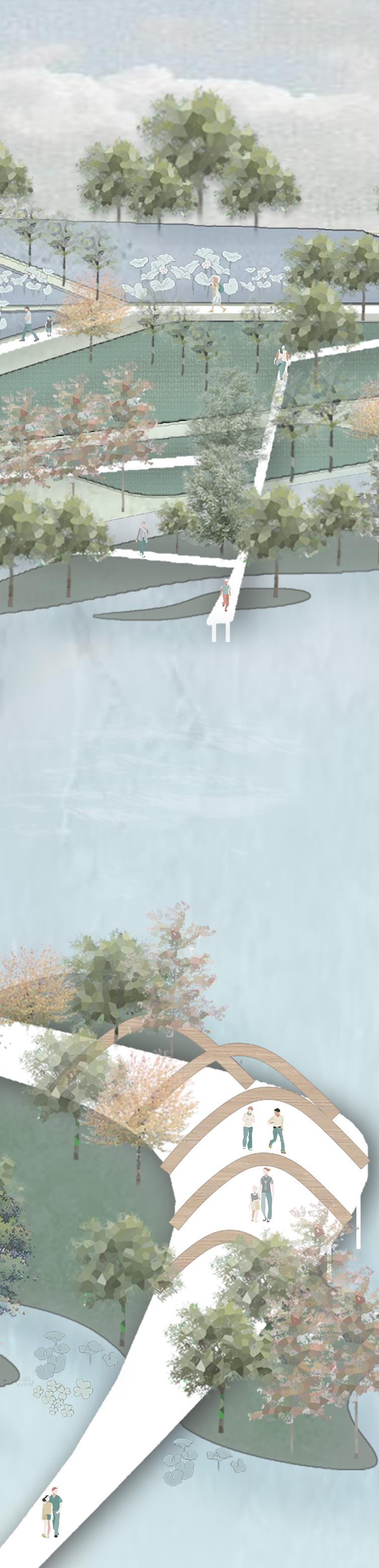
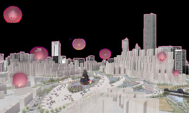
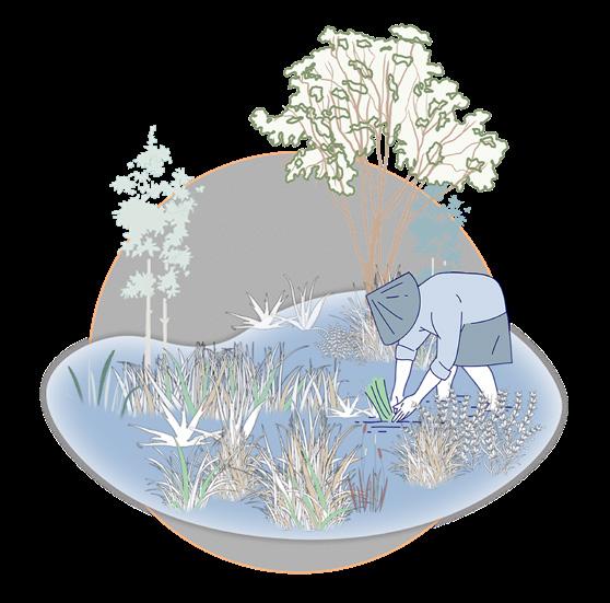
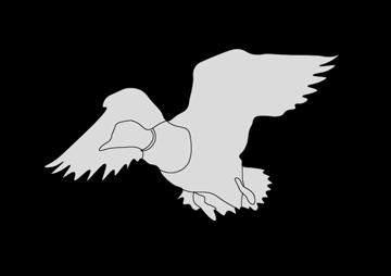
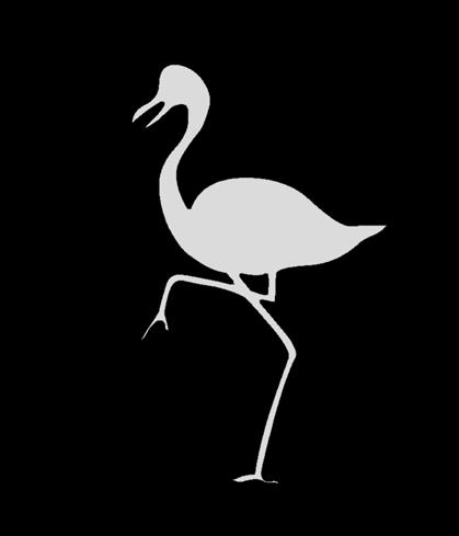
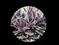
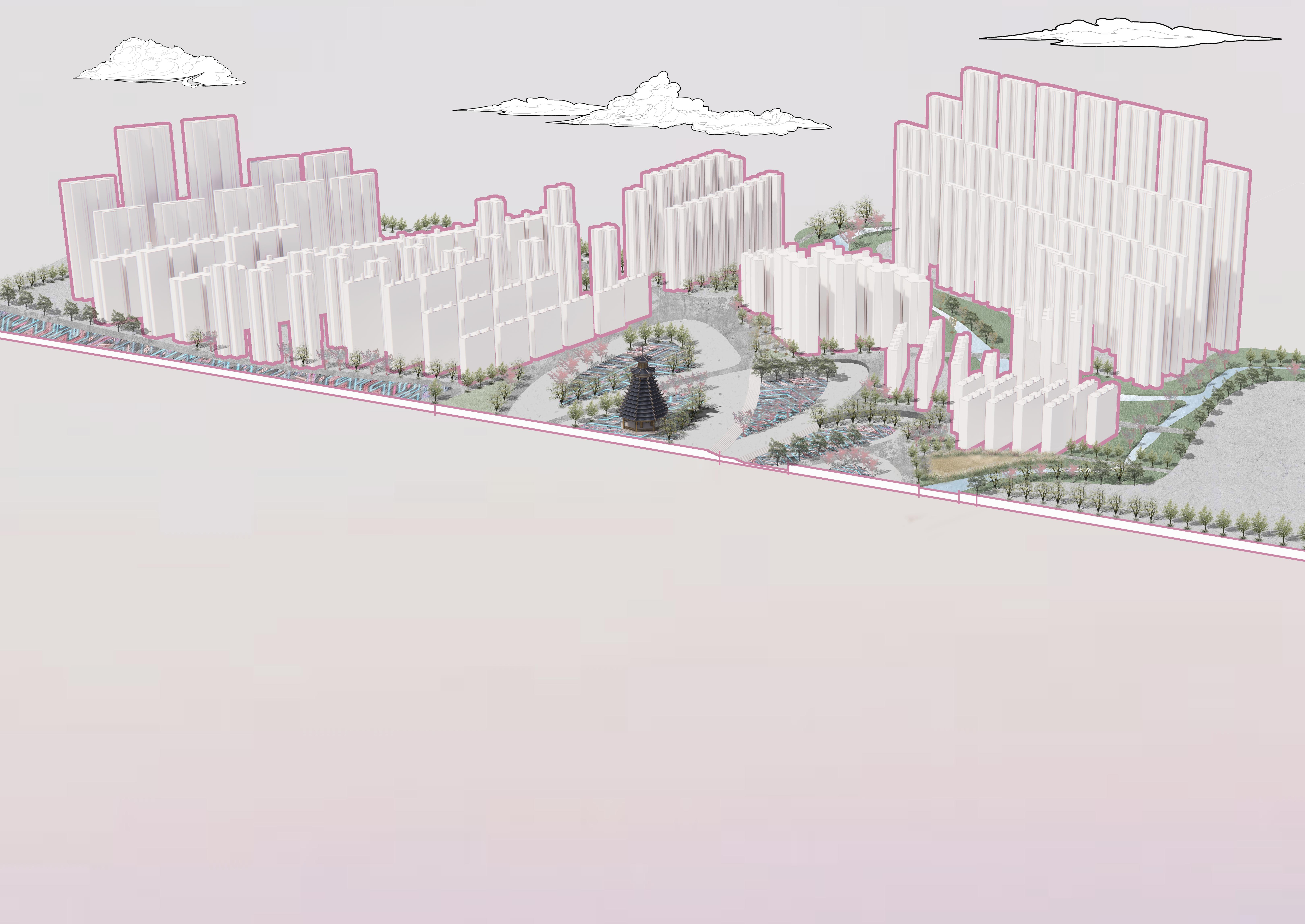
和谐栖境:生态农业湿地
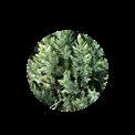
候鸟驿站——湿地生态再生设计 Individual Work:08.2023-10.2023
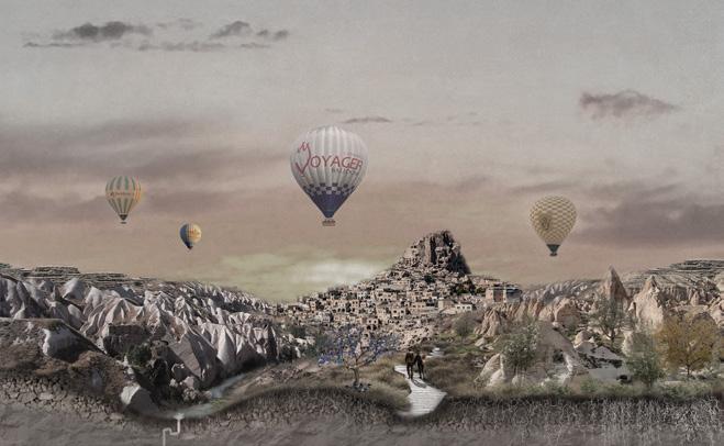
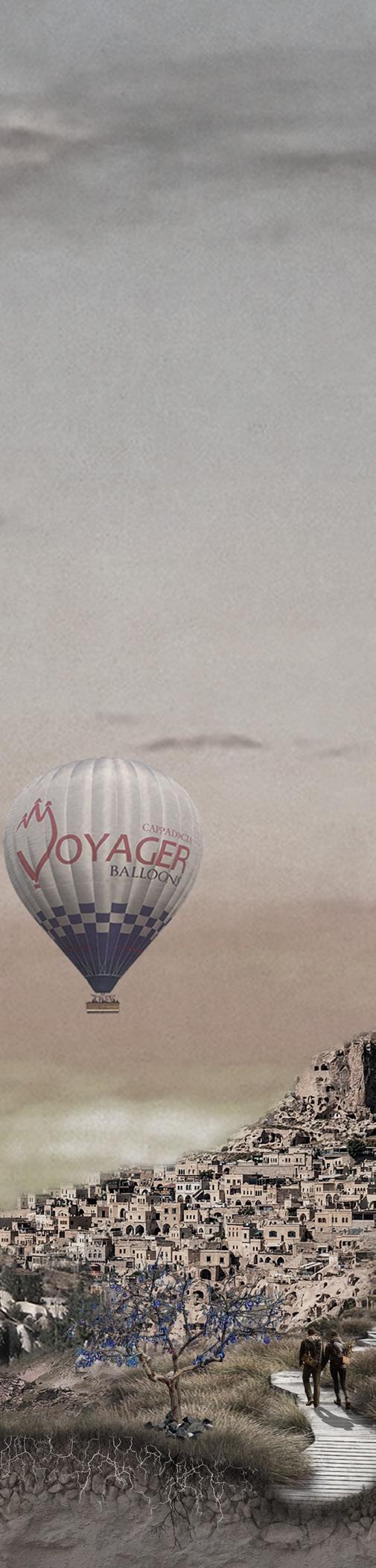
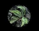
静翼:土耳其的复兴与再生 卡帕多奇亚景观遗产与地貌的保护与修复 Individual Work:12.2023-02.2024

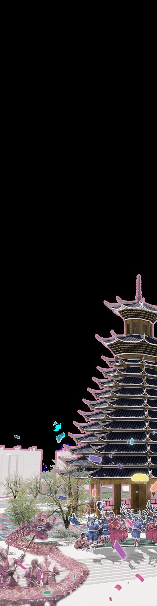
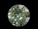
有安之处,便是家园 民族自治地区城市村落更新设计 Individual Work:02.2024-04.2024
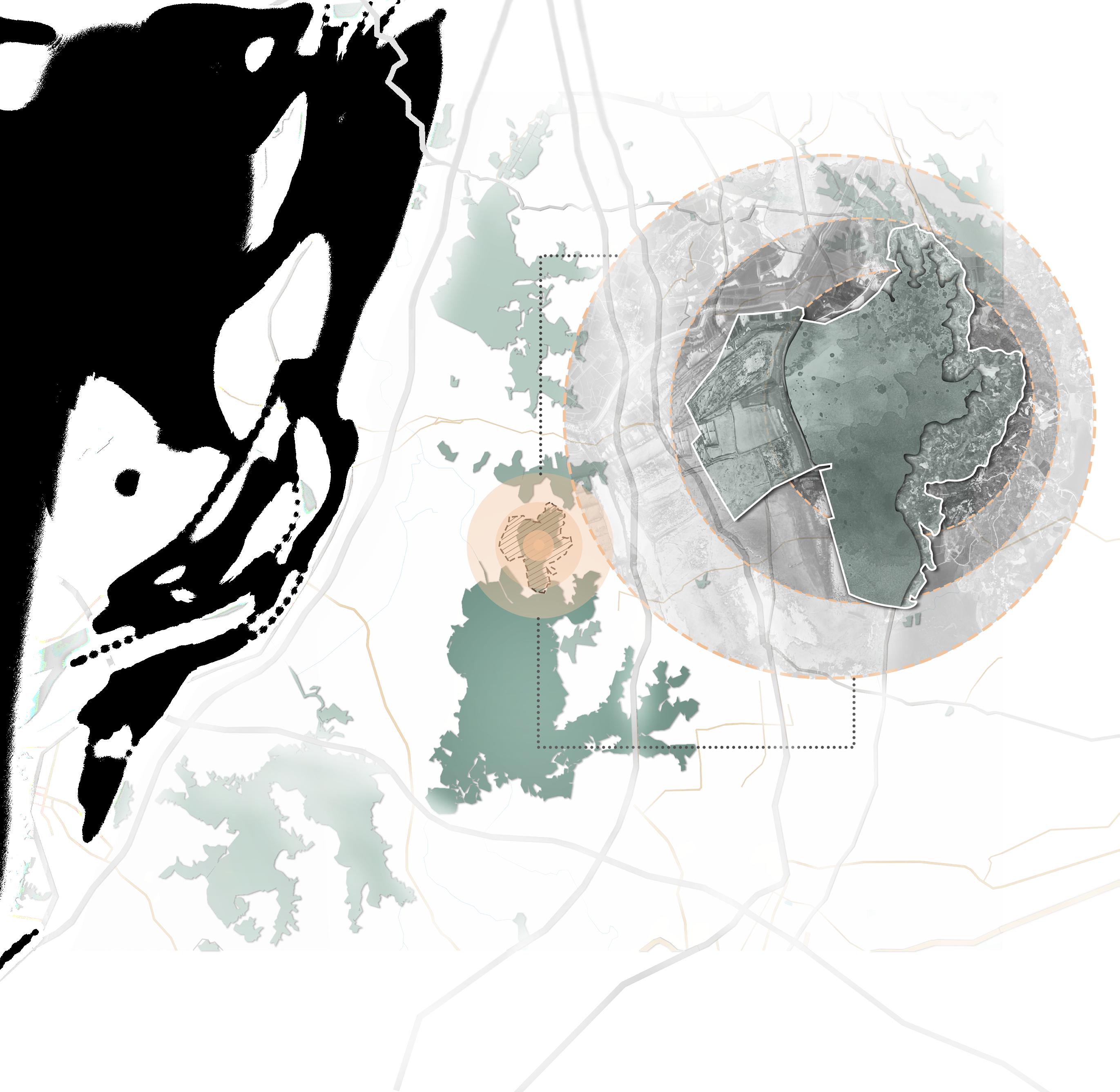
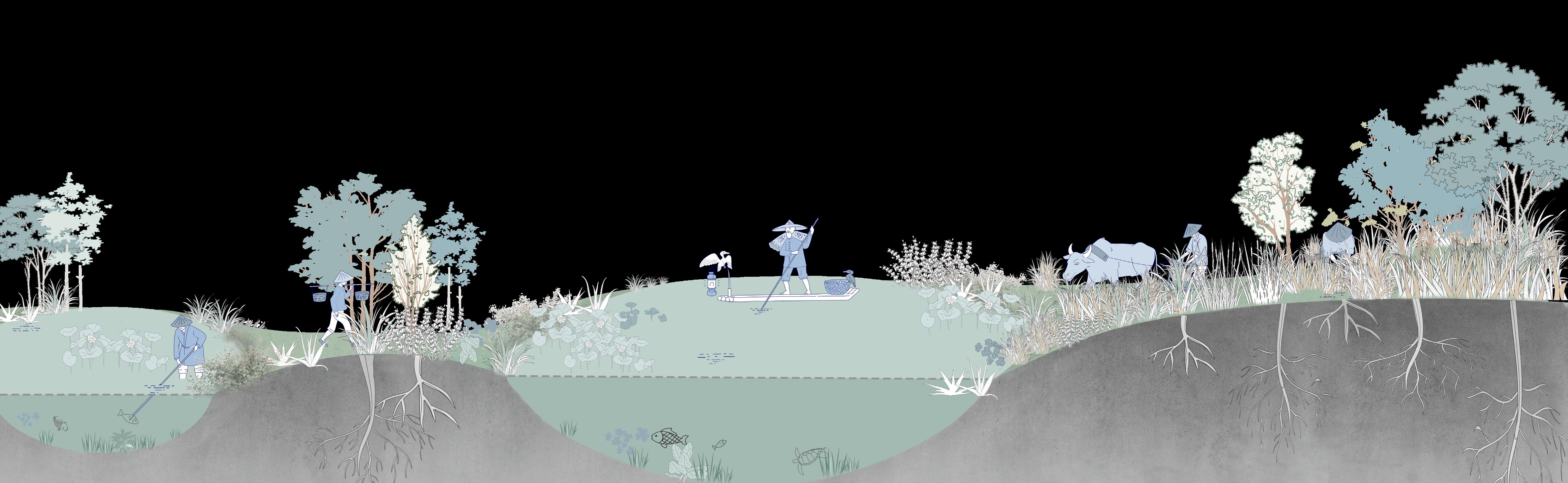
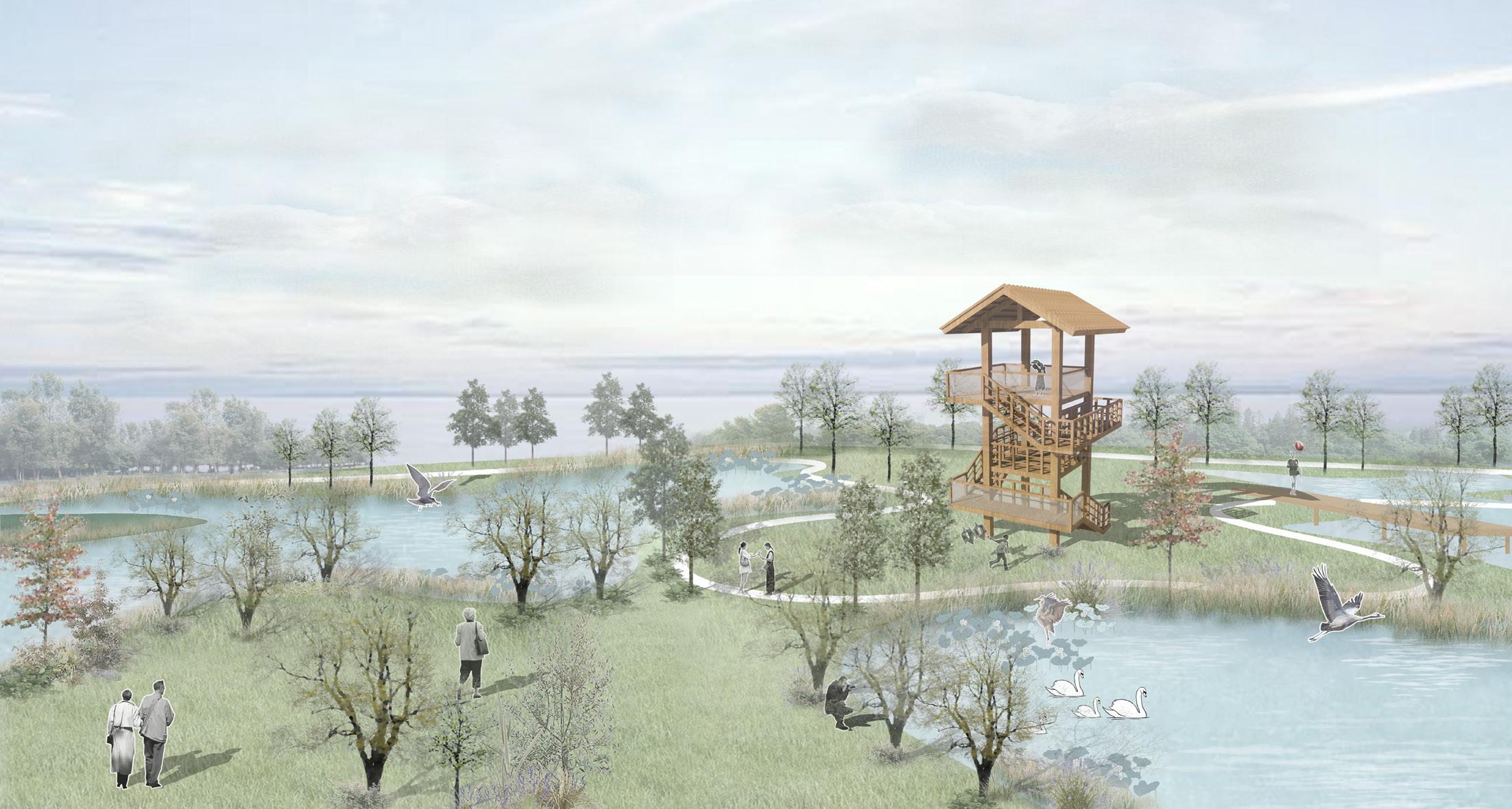
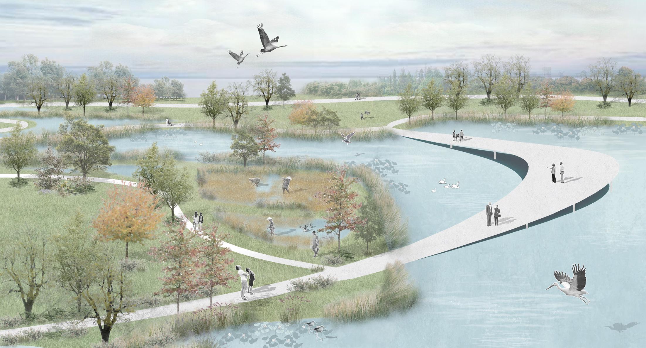
Migratory Bird Transit Station Wetland Ecological Regeneration Design Individual Work:08.2023-10.2023
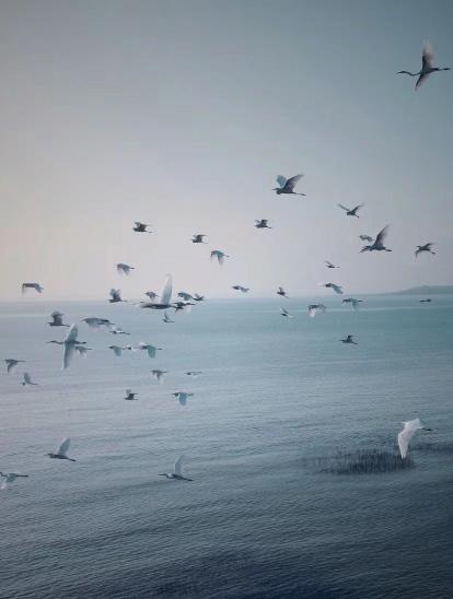
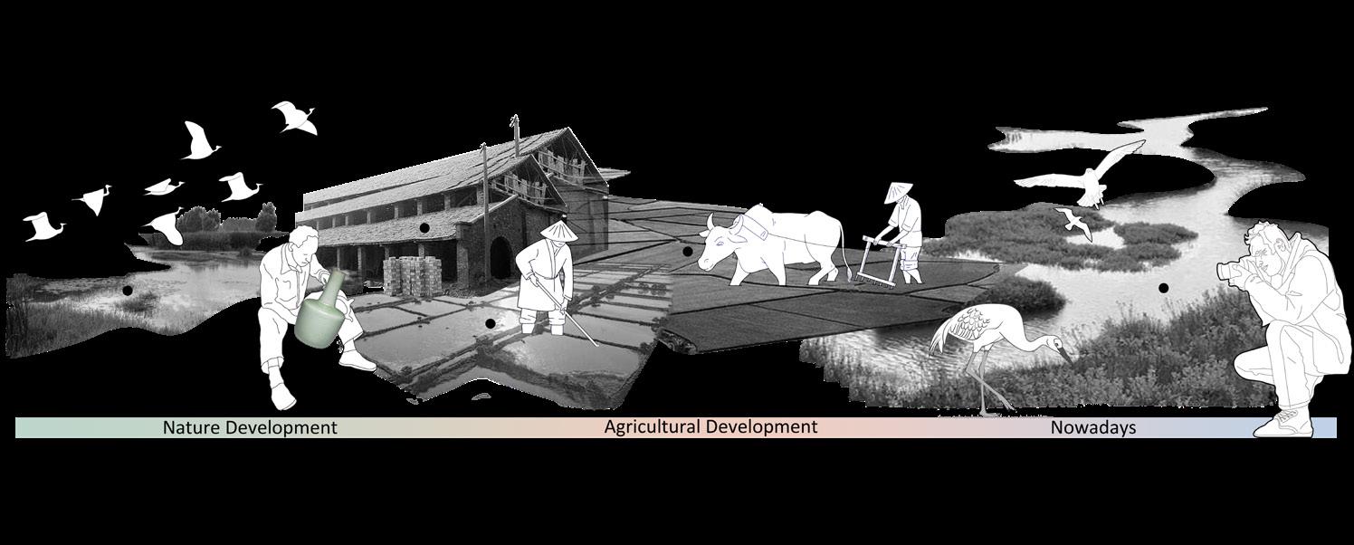
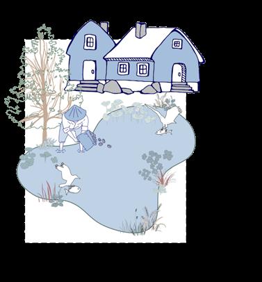
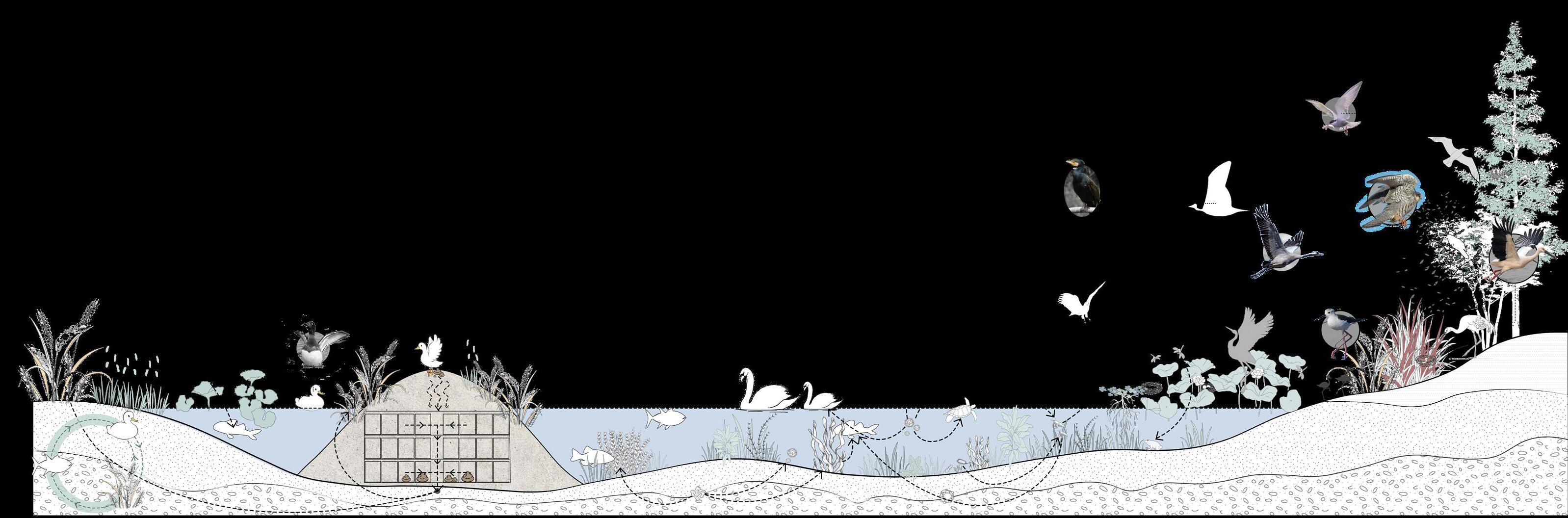
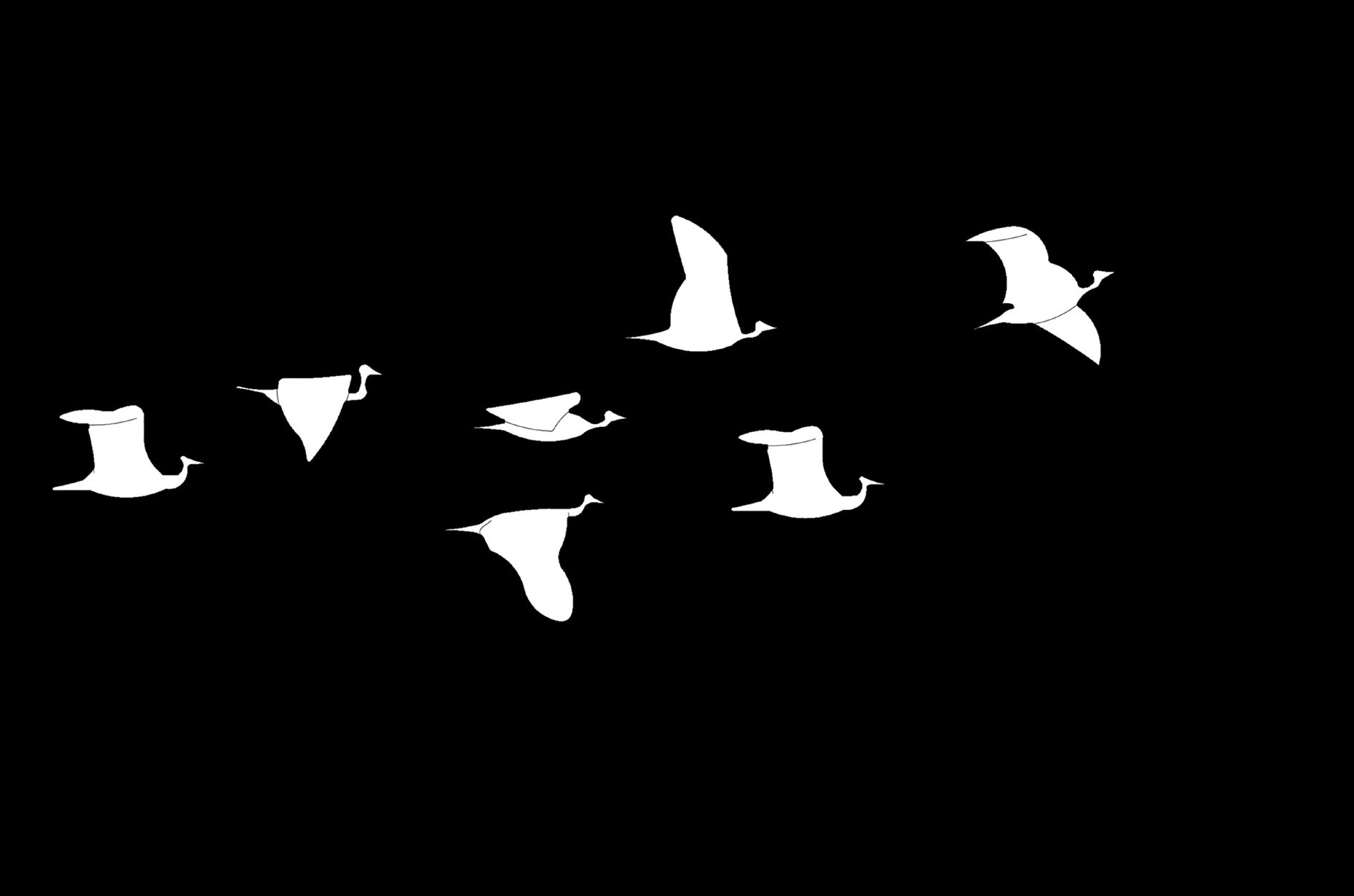
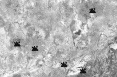
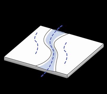
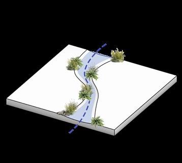
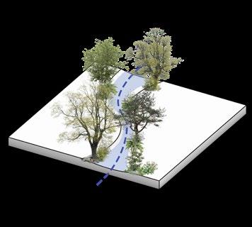
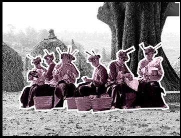
The Ramsar Convention mentions that people and the environment are interdependent. The basic ecological function of wetlands is to act as a regulator of hydrological conditions and a unique flora and fauna. It aims to protect wetlands, especially wetlands that serve as habitats for waterfowl.
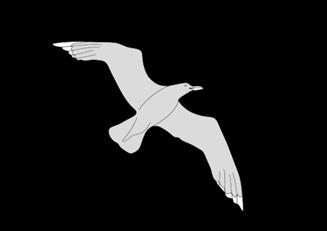
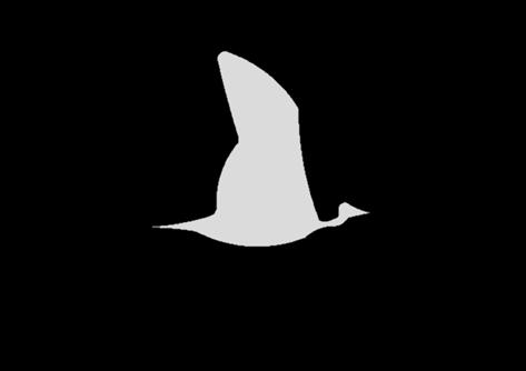
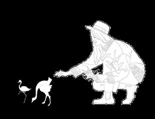
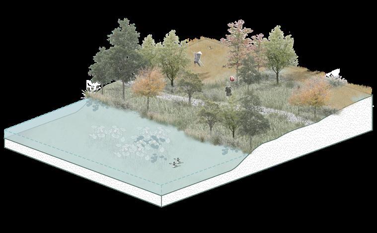
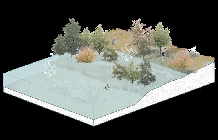
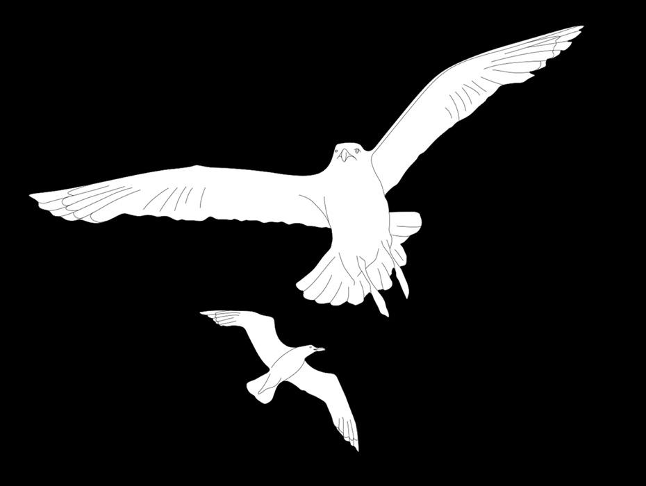
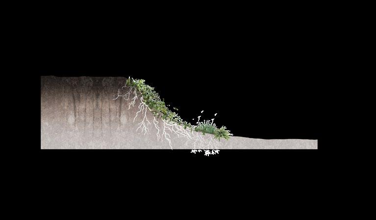
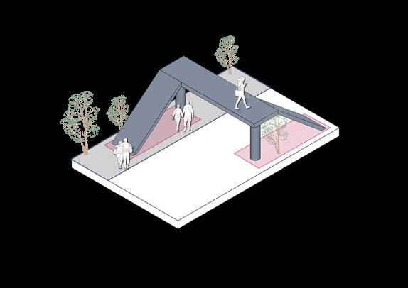
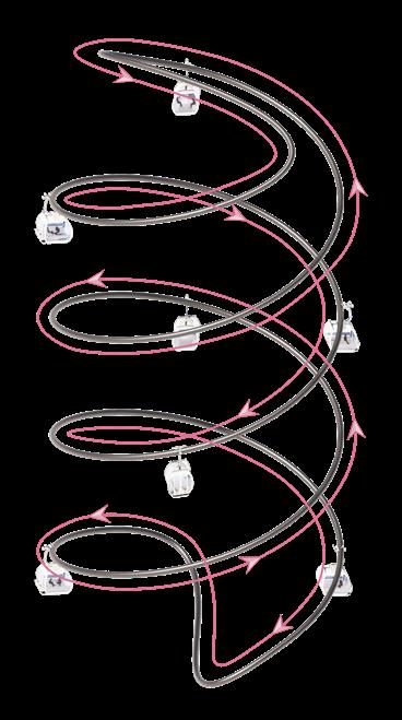
Wetlands serve as a transit point for migratory birds. In the past 50 years, people have lacked awareness of wetland protection, and the wetland land loss rate has been as high as 21.6%. Some migratory birds face the problem of having nowhere to live and die from fatigue during their migration. Therefore, protecting wetlands also invisibly protects migratory birds, water resources, and even the ecosystem.
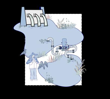
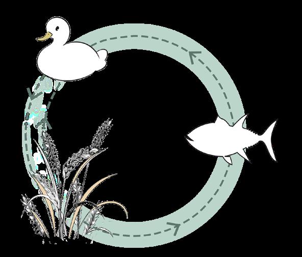
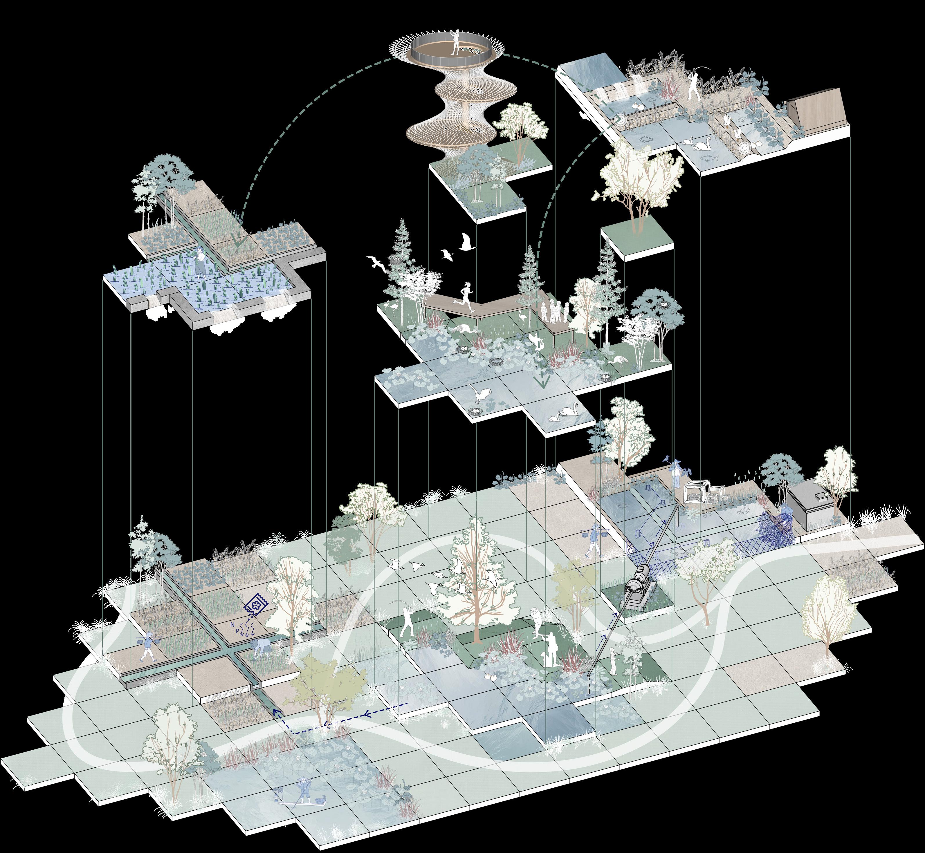
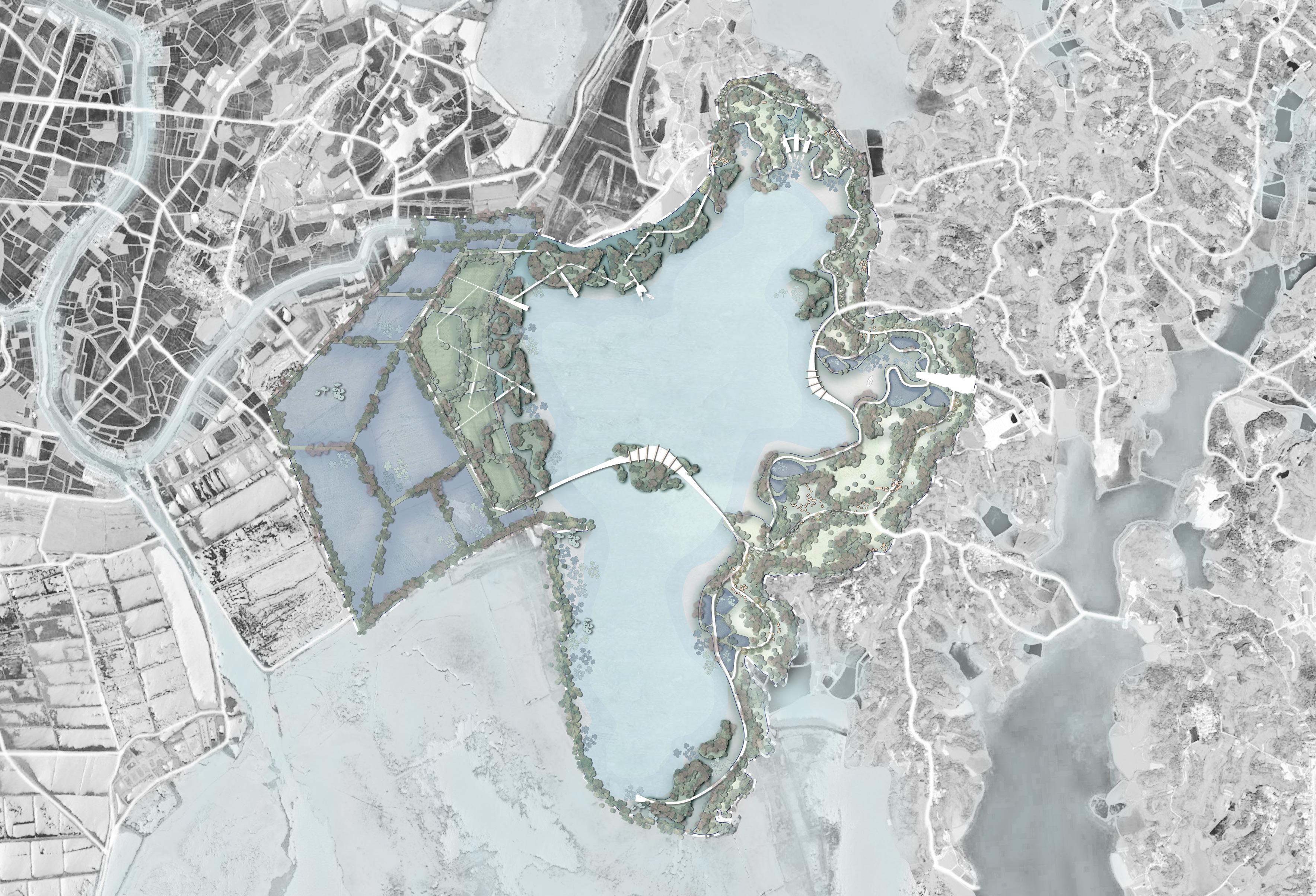
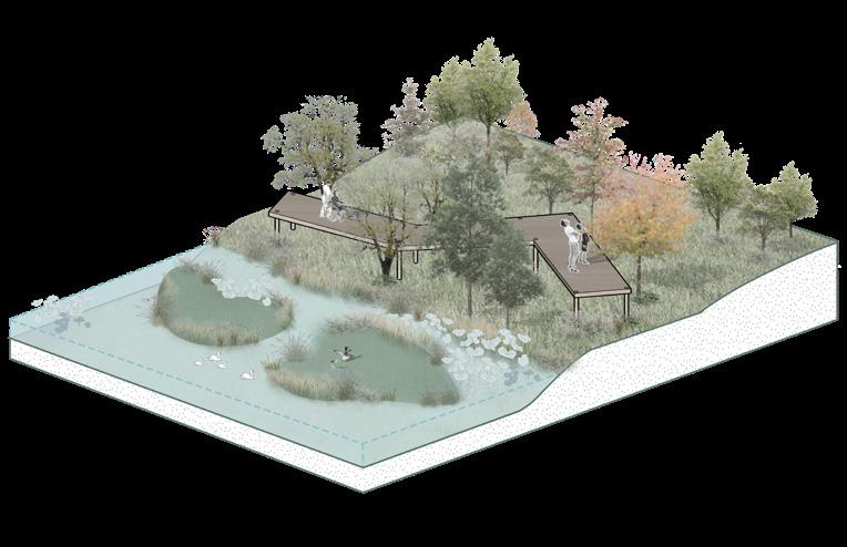
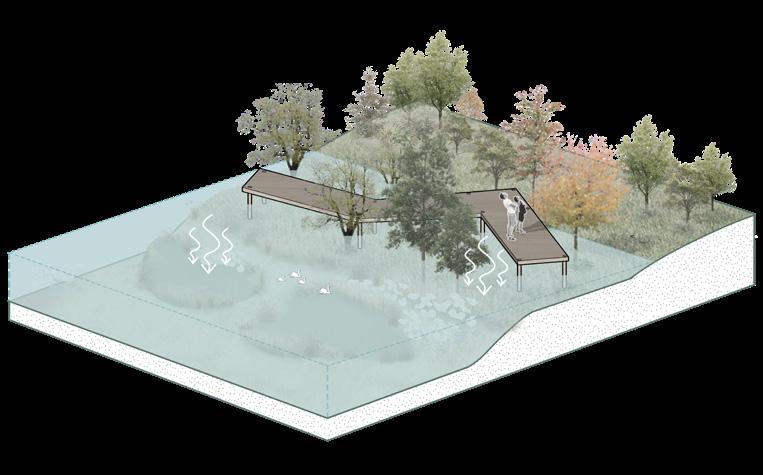
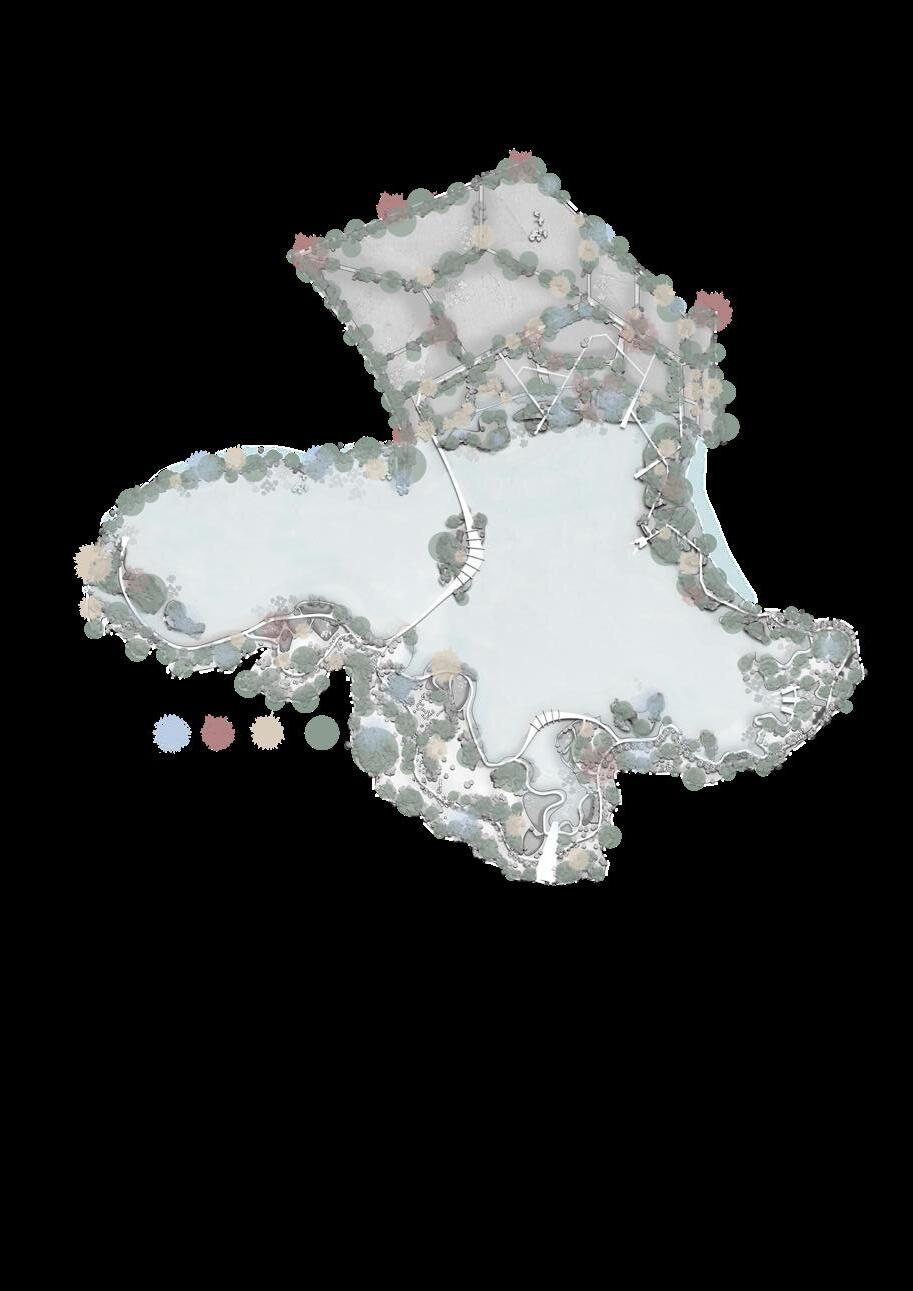
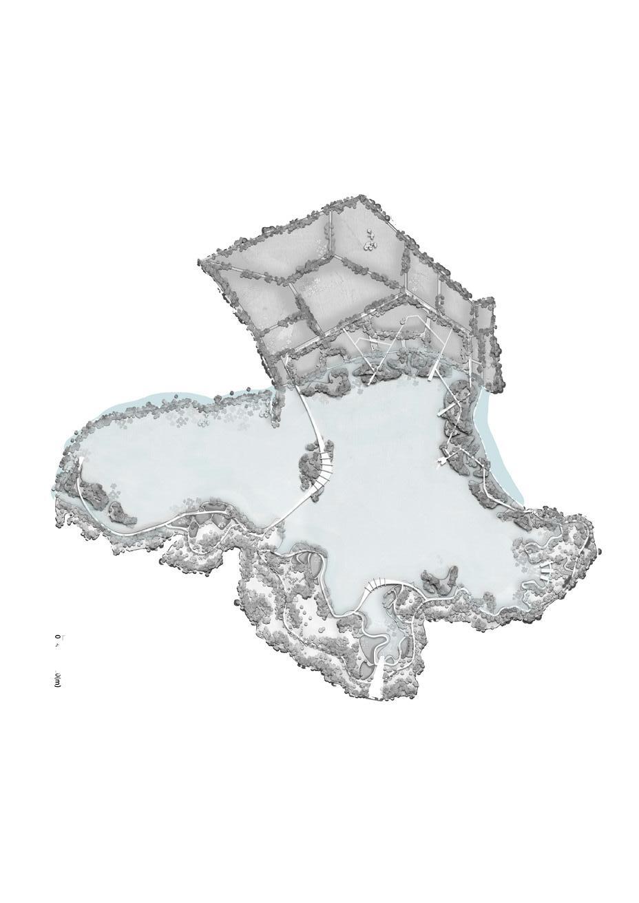
This project aims to design a self-sufficient, non-artificial intervention, self-healing wetland protection zone by excavating ecological and agricultural resources within the wetland, maximizing the purification ability of the "Kidney of the Earth."
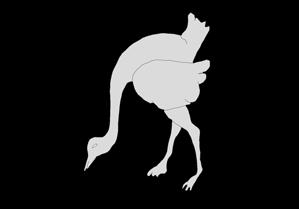
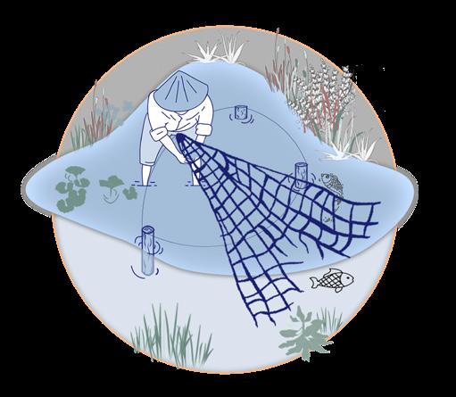
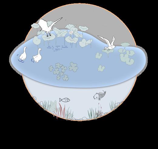
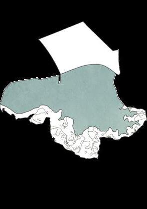
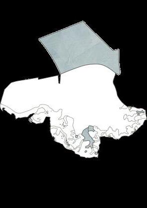
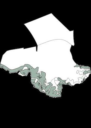
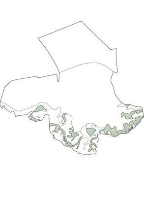
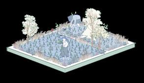
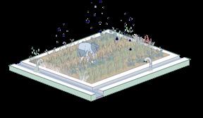
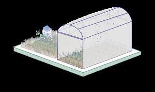
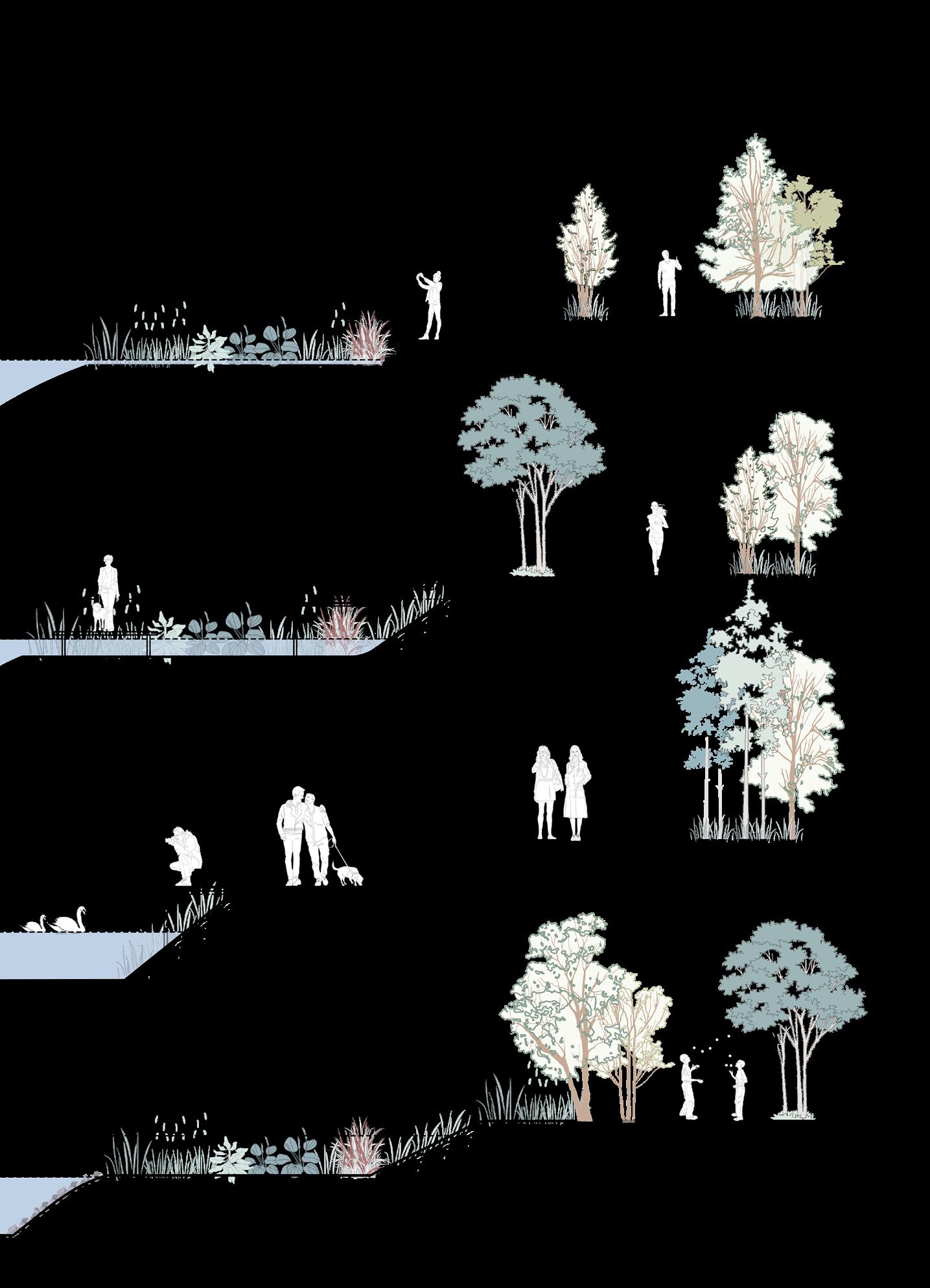
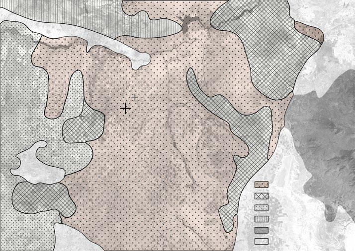
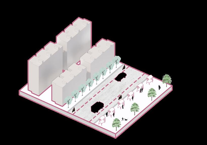
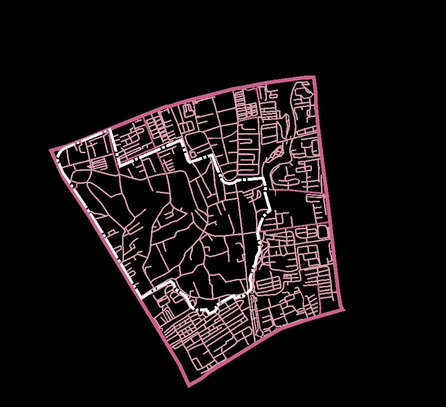
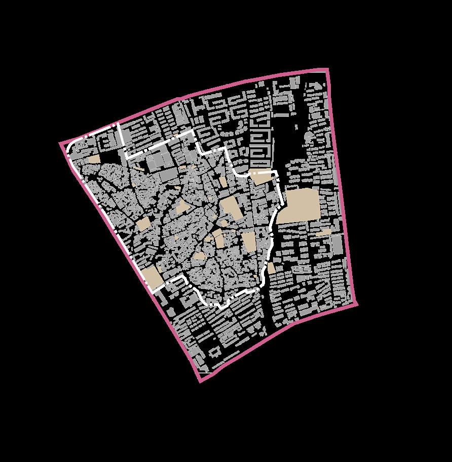
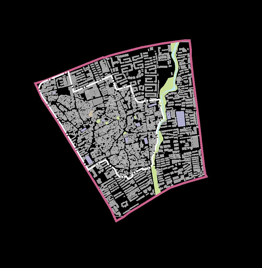
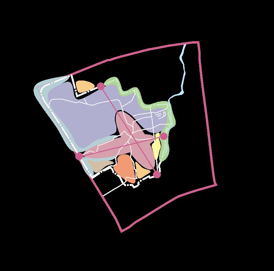
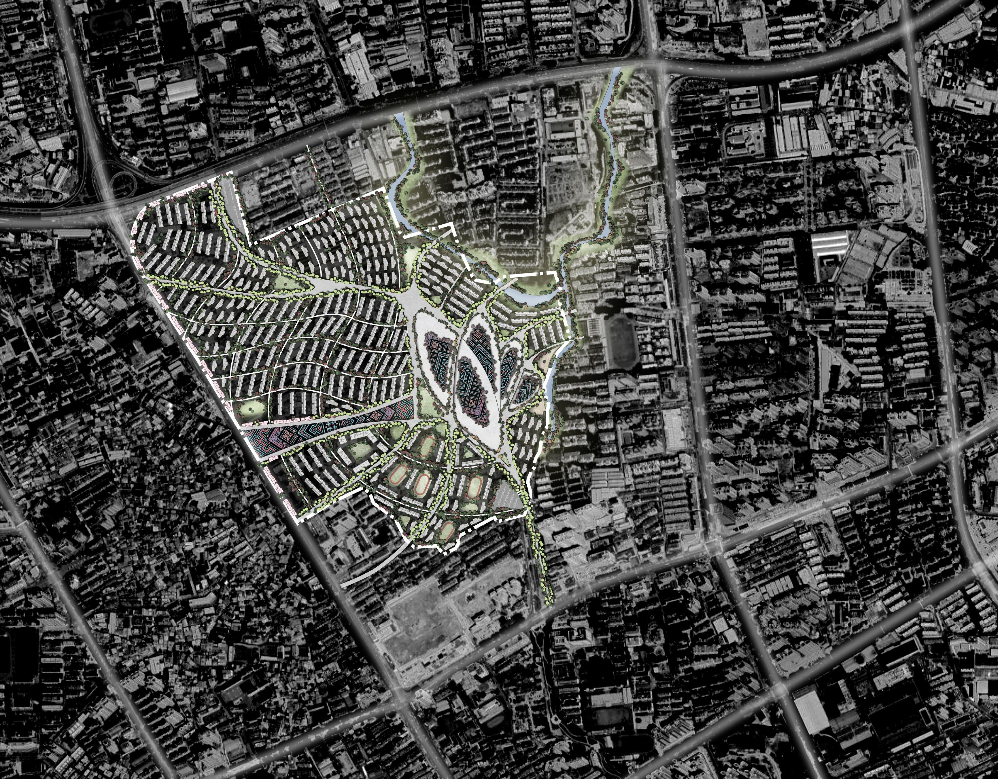
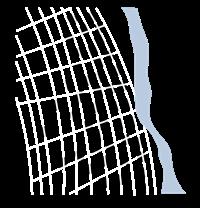
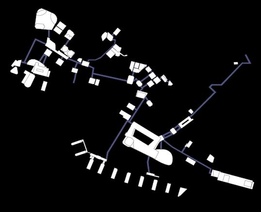
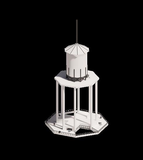
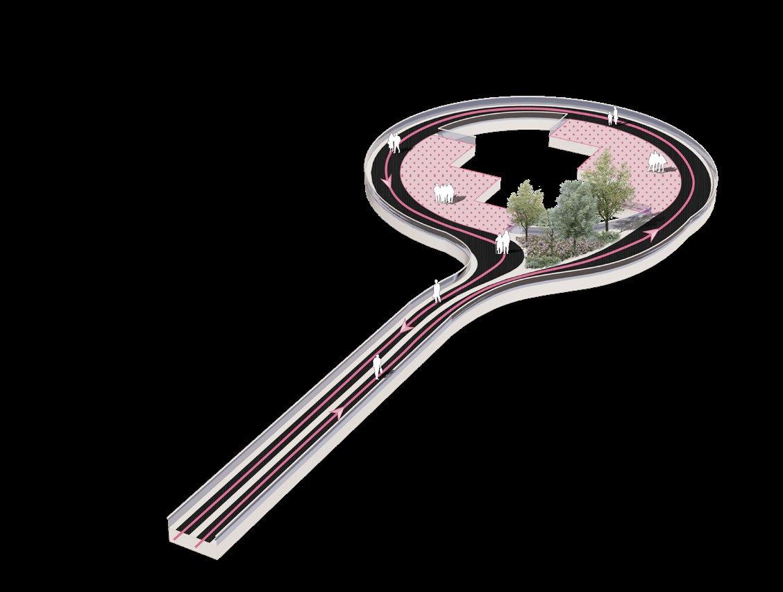
Wuhan Anshan Wetland Park is a comprehensive land parcel containing three land types: cultivated land, fish ponds, and wetlands. The site is located in the outer suburbs of the city, and the main internal problem is the destruction of migratory bird habitats.
This design aims to solve the conflict between humans and migratory birds, and organically combine agriculture and wetlands on the site with a method of creating ecologically sustainable development to improve the ecological chain and become selfsufficient.


8
7
5
4
3
2
1
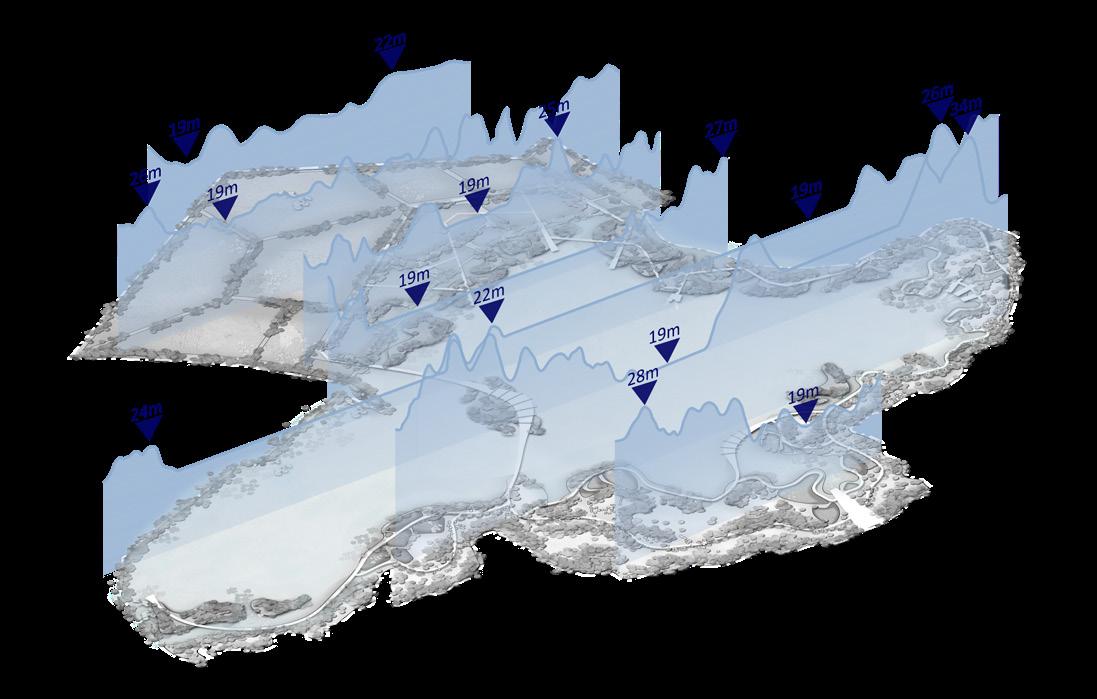
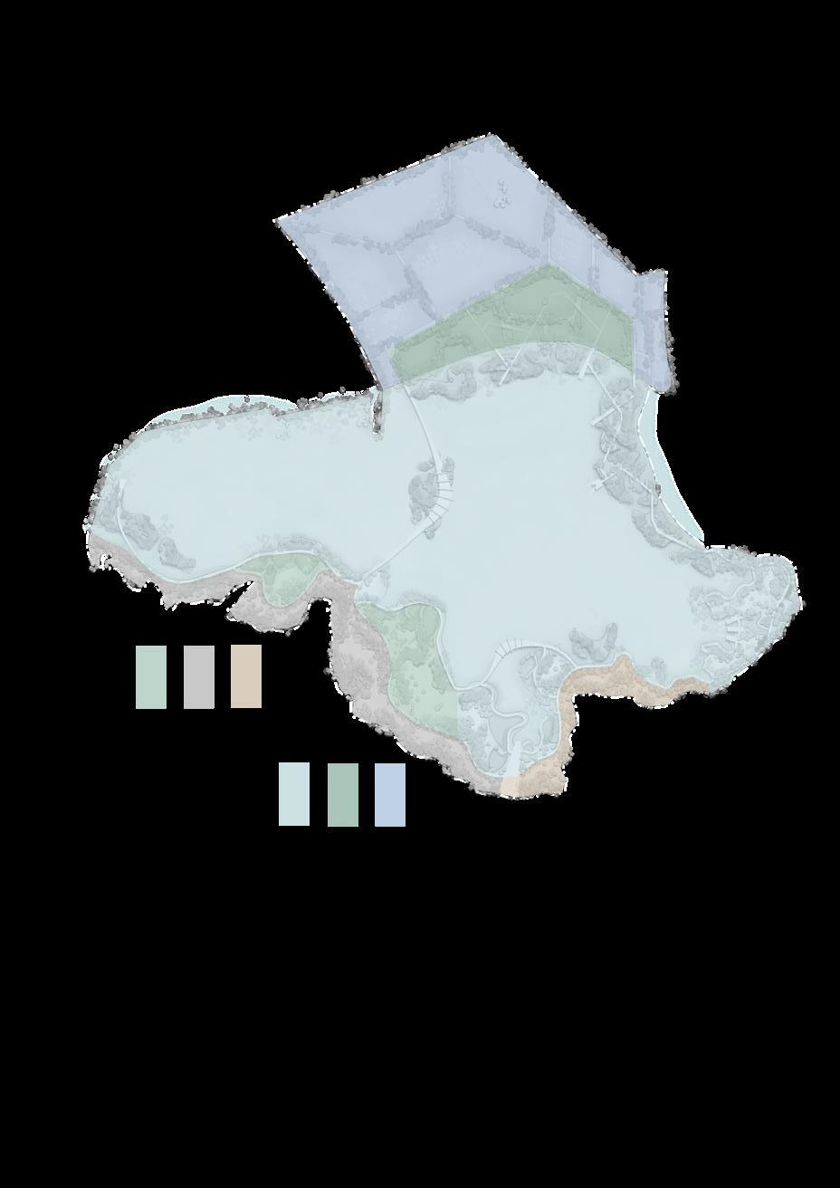
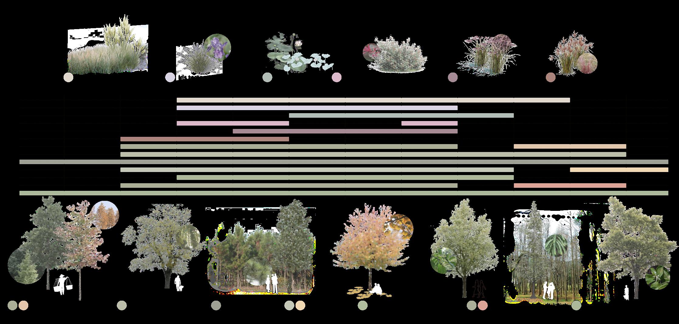
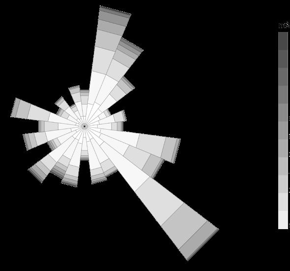
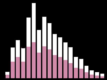
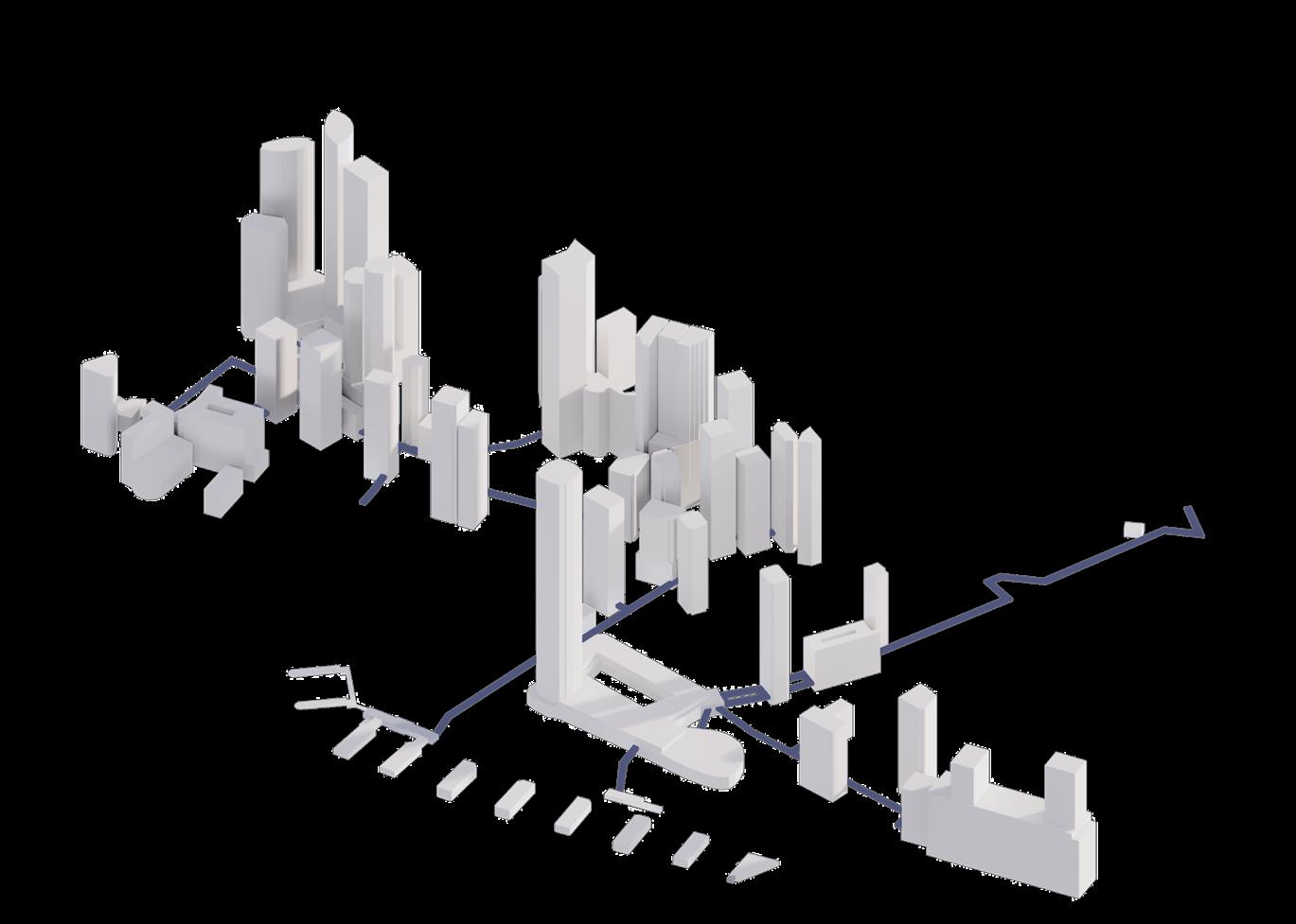
Fish pond area reduced by 30% converted into agricultural wetland.
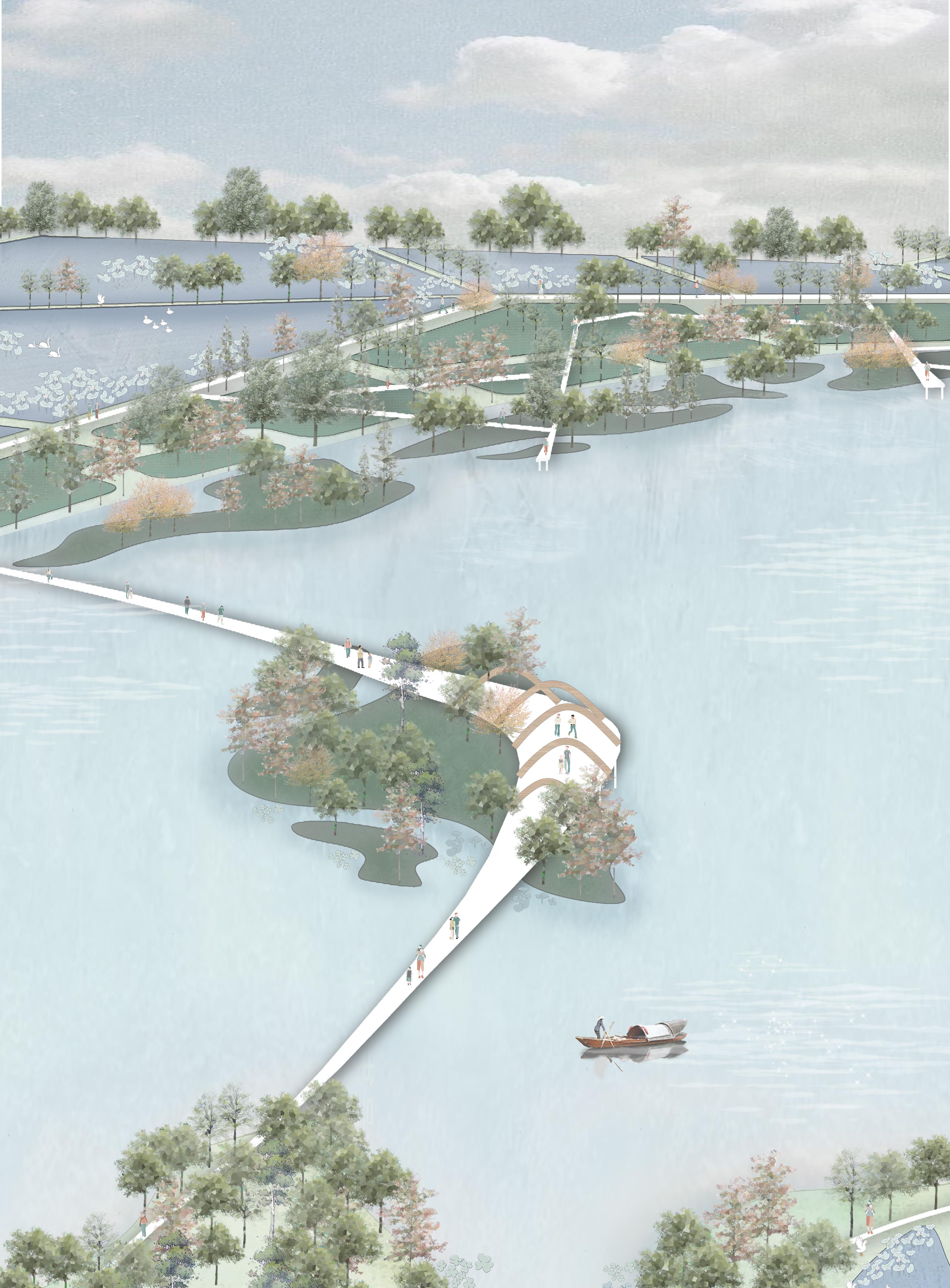
Increase the area of the fluctuation zone by 10%.
The ecological floating island area has been increased by approximately 50 hectares.
The wetland rate increased to 85%.
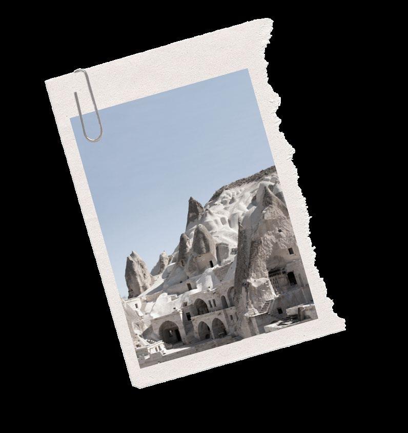
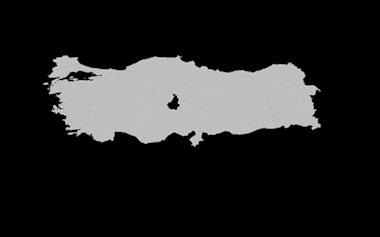
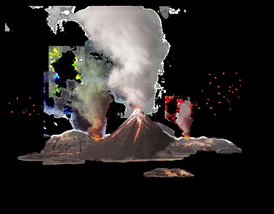
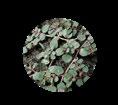
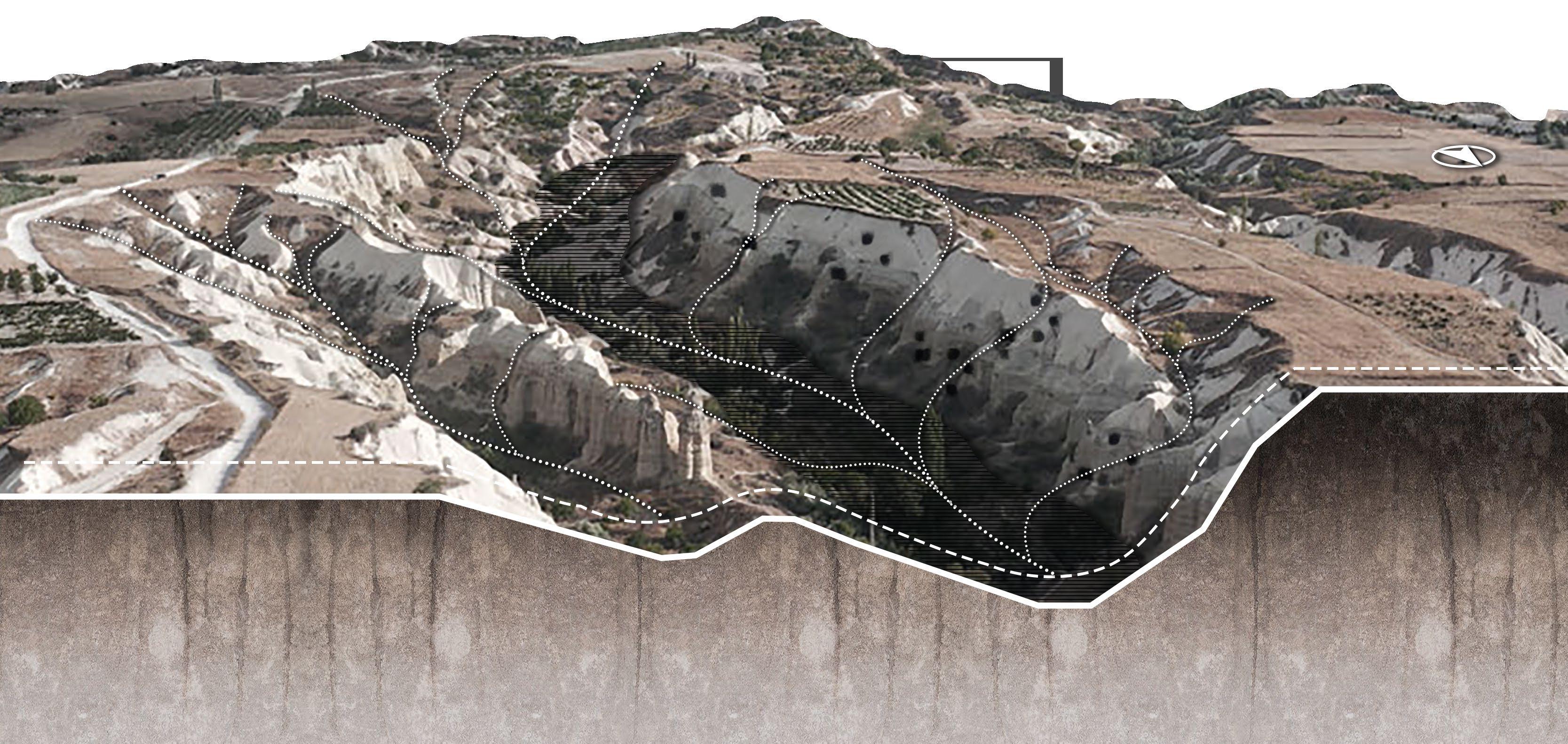
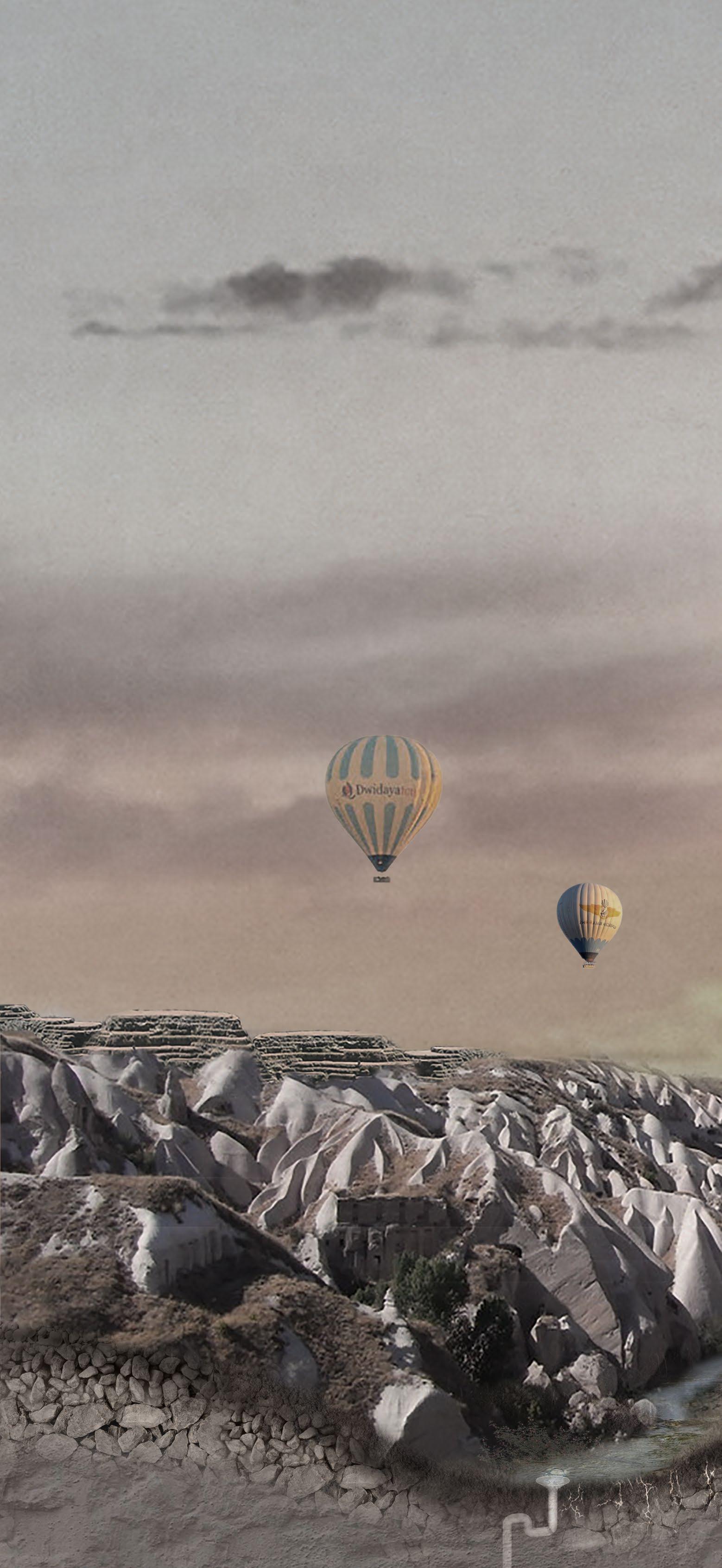
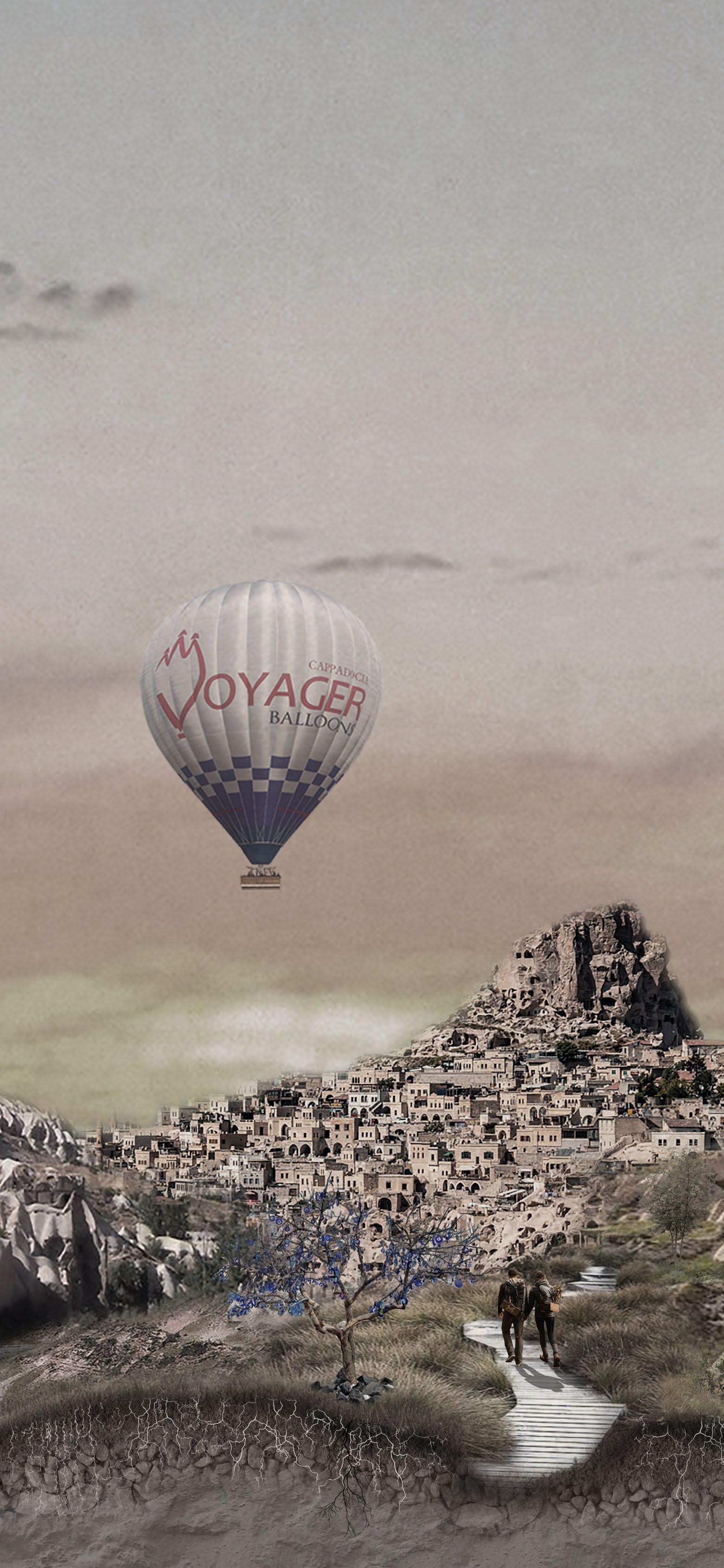
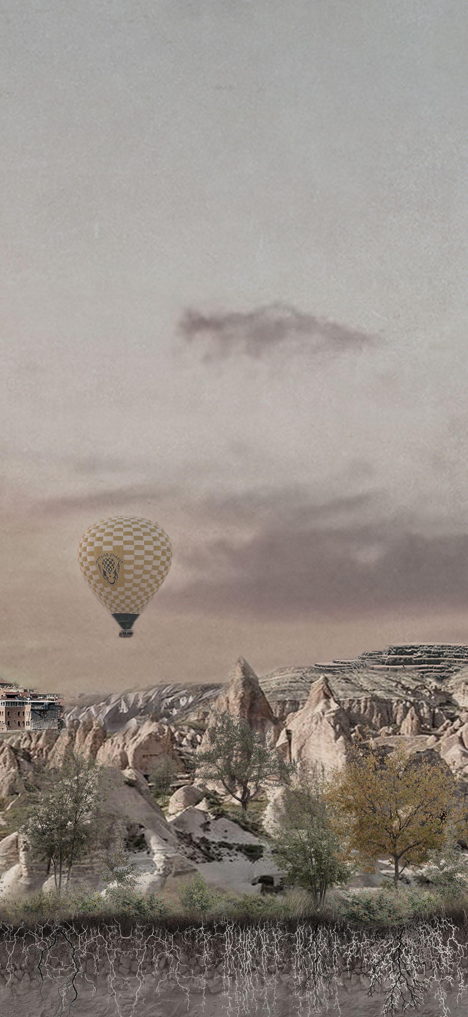
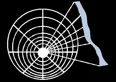
Cappadocia Landscape Heritage Geomorphological Conservation
Work:12.2023-02.2024
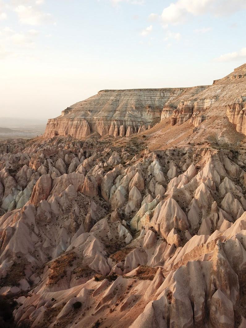
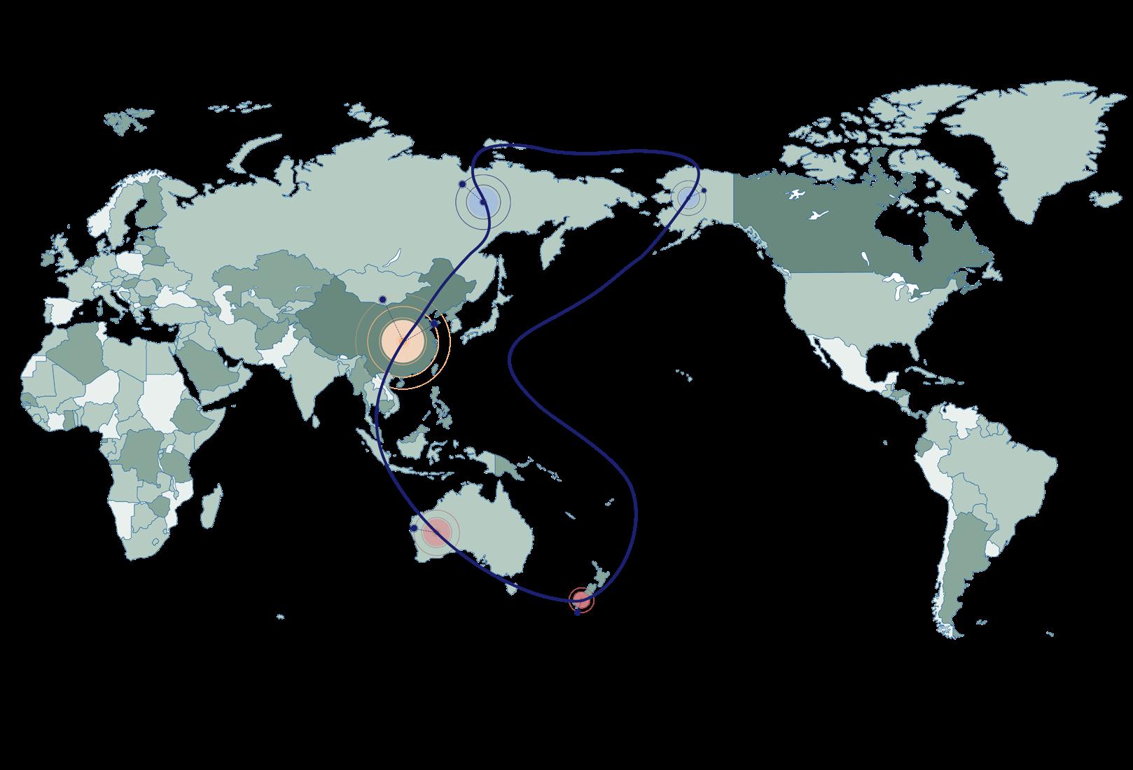
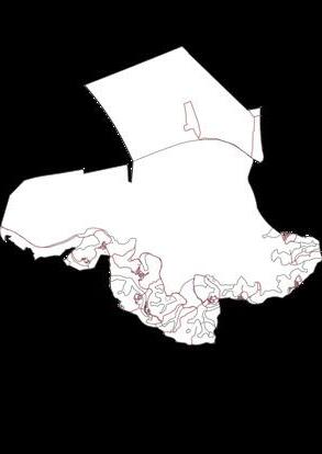
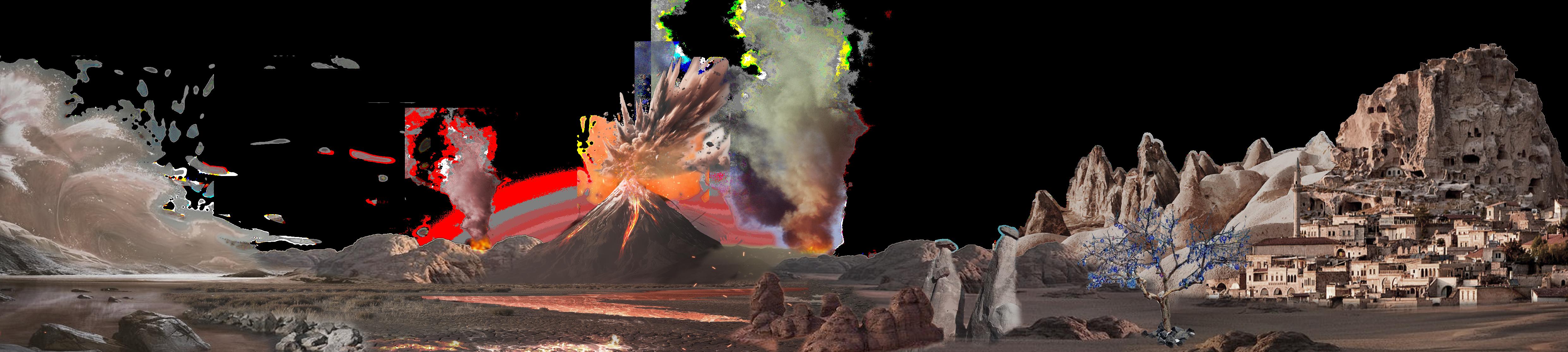
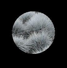
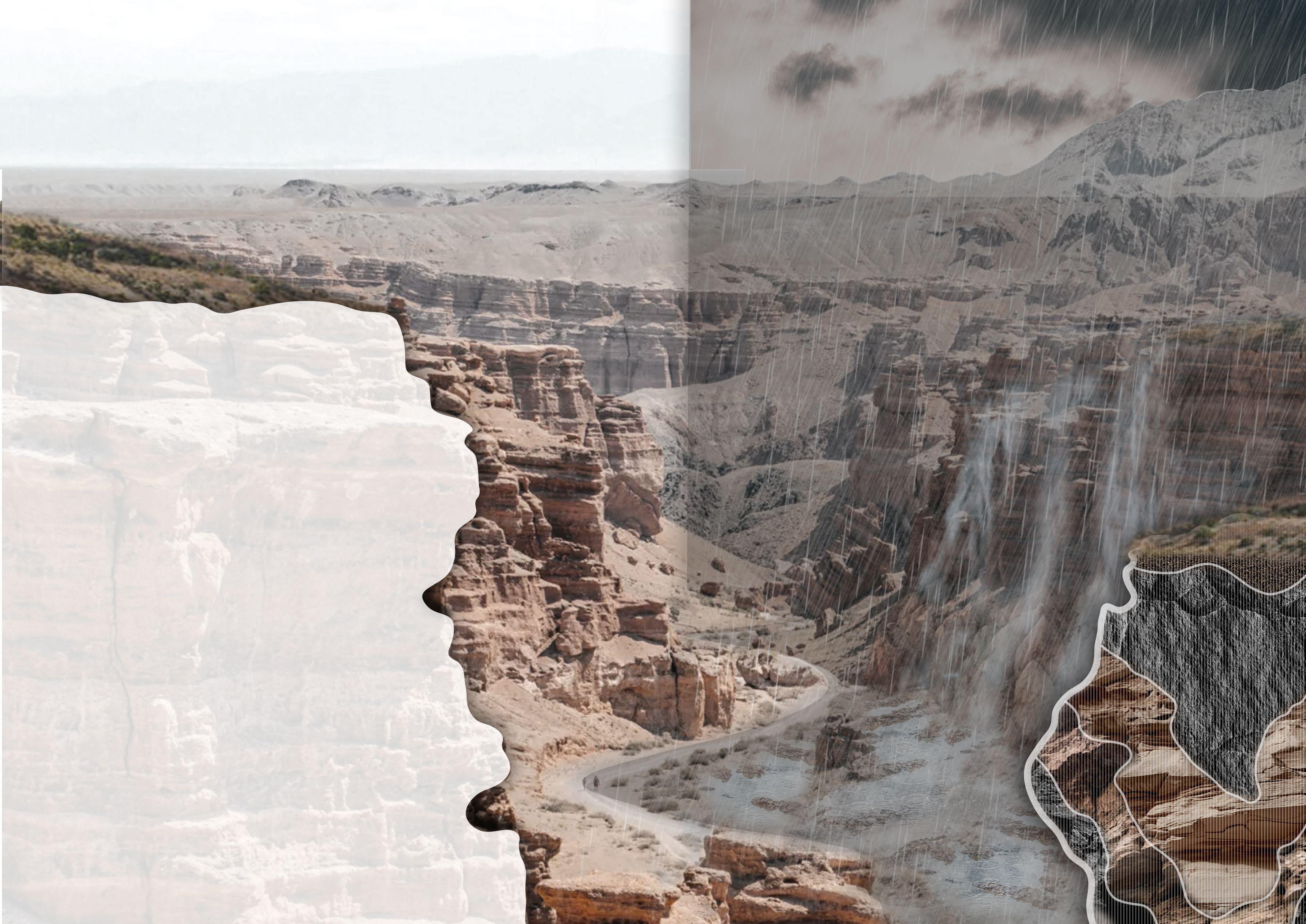
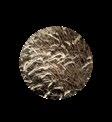
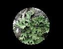
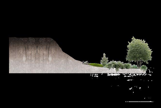
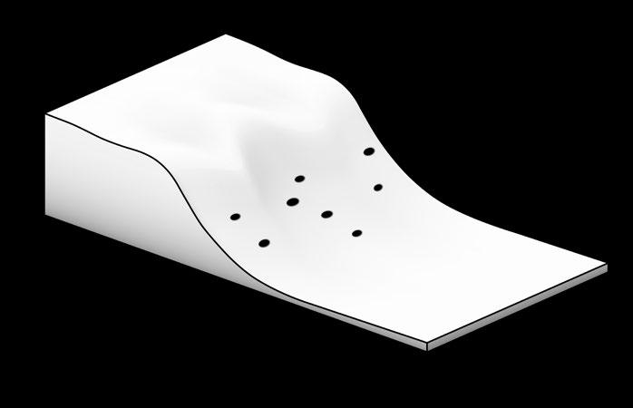
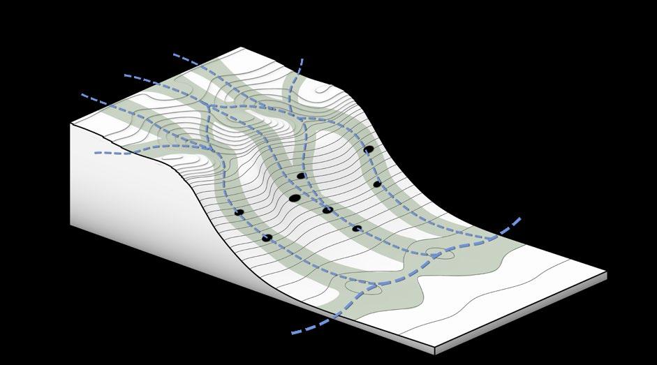
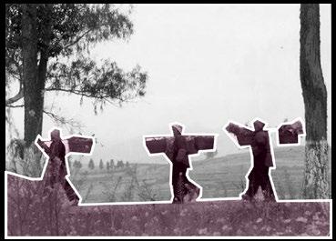
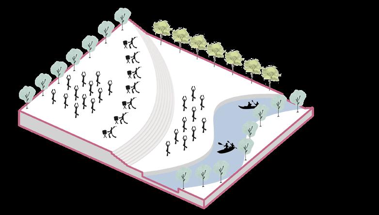
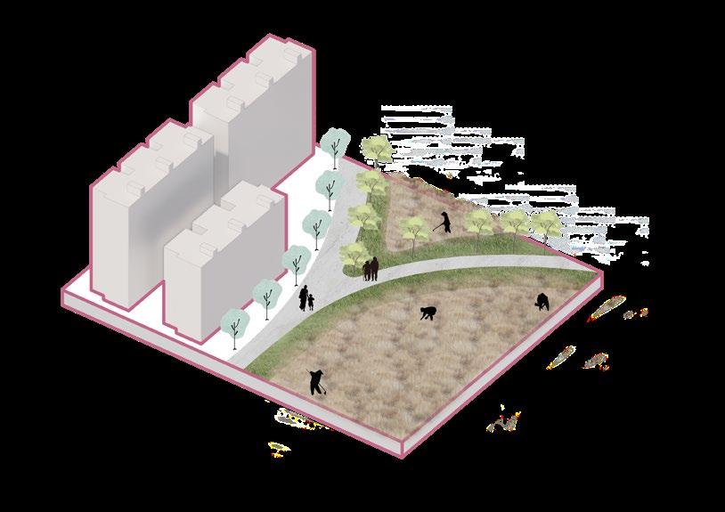
Natural features are a core component of natural landscape heritage, and by protecting them, the integrity and original nature of these beautiful landscapes can be ensured, so that they can be preserved forever. Many natural landforms are rich in biodiversity, and the protection of natural landforms is of great significance for maintaining the local ecological balance.
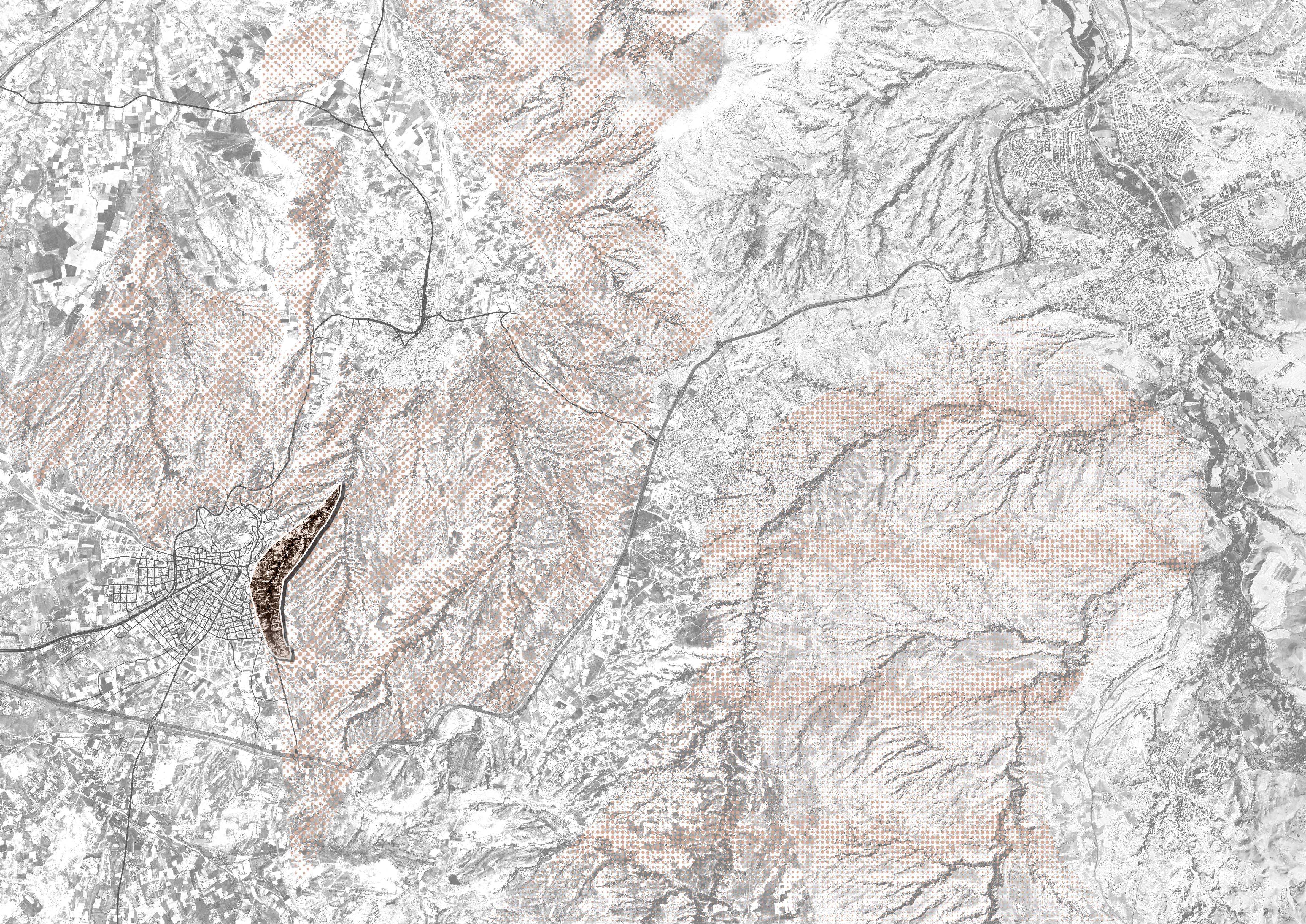
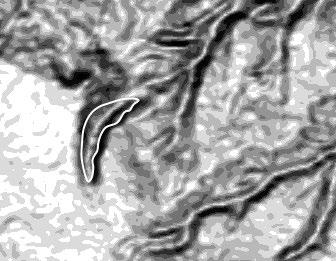
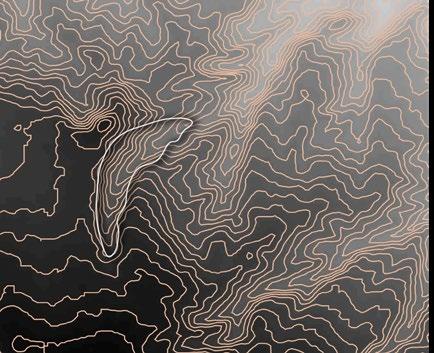
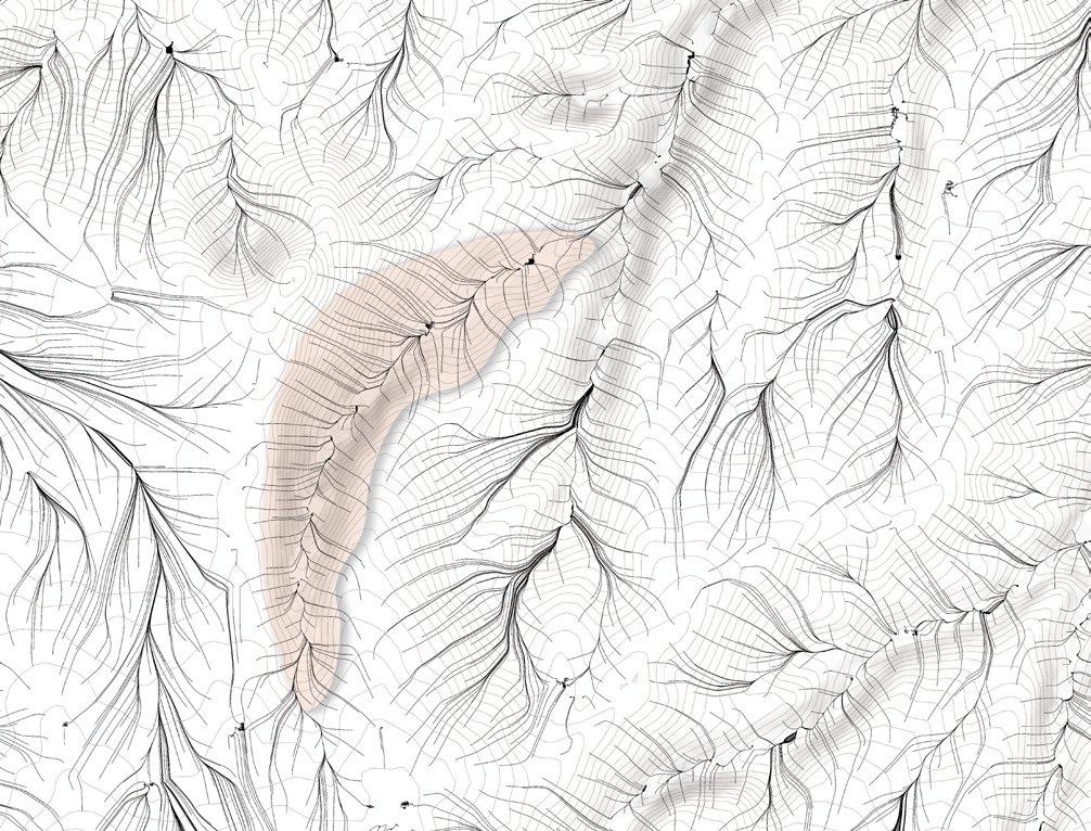
Rainfall, wind and natural disasters are the main factors that cause soil and water loss in natural landforms. According to the geological assessment of Pigeon Valley in Turkey, unstable rainfall factors have caused soil and water loss in the Pigeon Valley area.
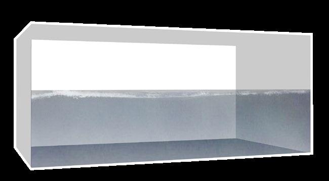
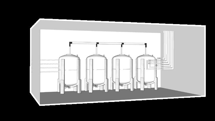
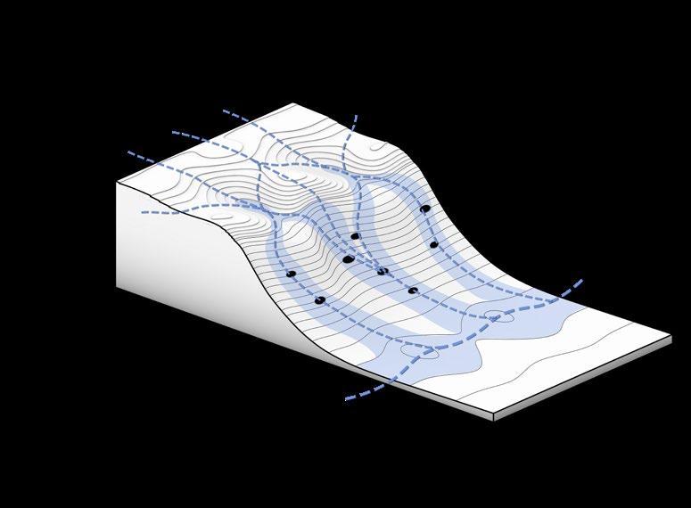
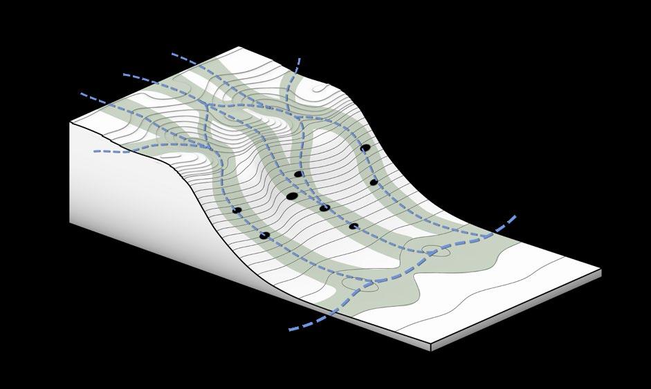
This project aims to reduce the contact time between rainwater and the surface by replanning and designing the catchment line through the use of Pigeon Cave, a local characteristic landscape. And a complete groundwater circulation system is built underground to supply water to the surrounding towns.
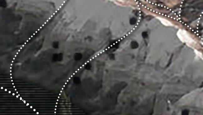
Cappadocia Landscape Heritage Geomorphological Conservation
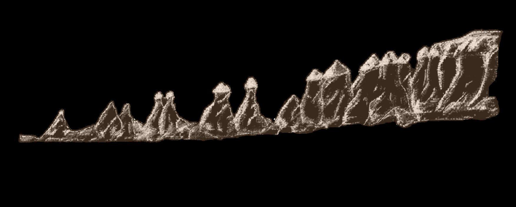
The Pigeon Valley, located in the Cappadocia region of Turkey, is renowned for its picturesque landscape characterized by an abundance of pigeon holes carved into the tuff rock formations. Over thousands of years, intricate volcanic activity has shaped the unique topography of Cappadocia, where tuff stands as one of the predominant geological features. Due to its malleable nature, local inhabitants have utilized tuff to construct cave dwellings; however, this soft composition also renders it susceptible to continuous erosion caused primarily by rainfall
This project aims to employ non-artificial interventions that leverage existing pigeonholes in order to reconfigure drainage patterns while simultaneously implementing localized planting initiatives and establishing a sustainable rainwater harvesting system. By doing so, we aspire to decelerate tuff erosion rates and thereby safeguard the extraordinary landscape of Cappadocia.


geologic derived history


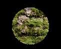


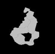
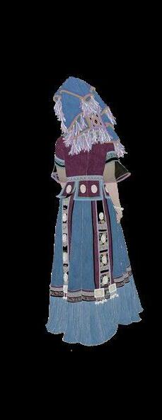
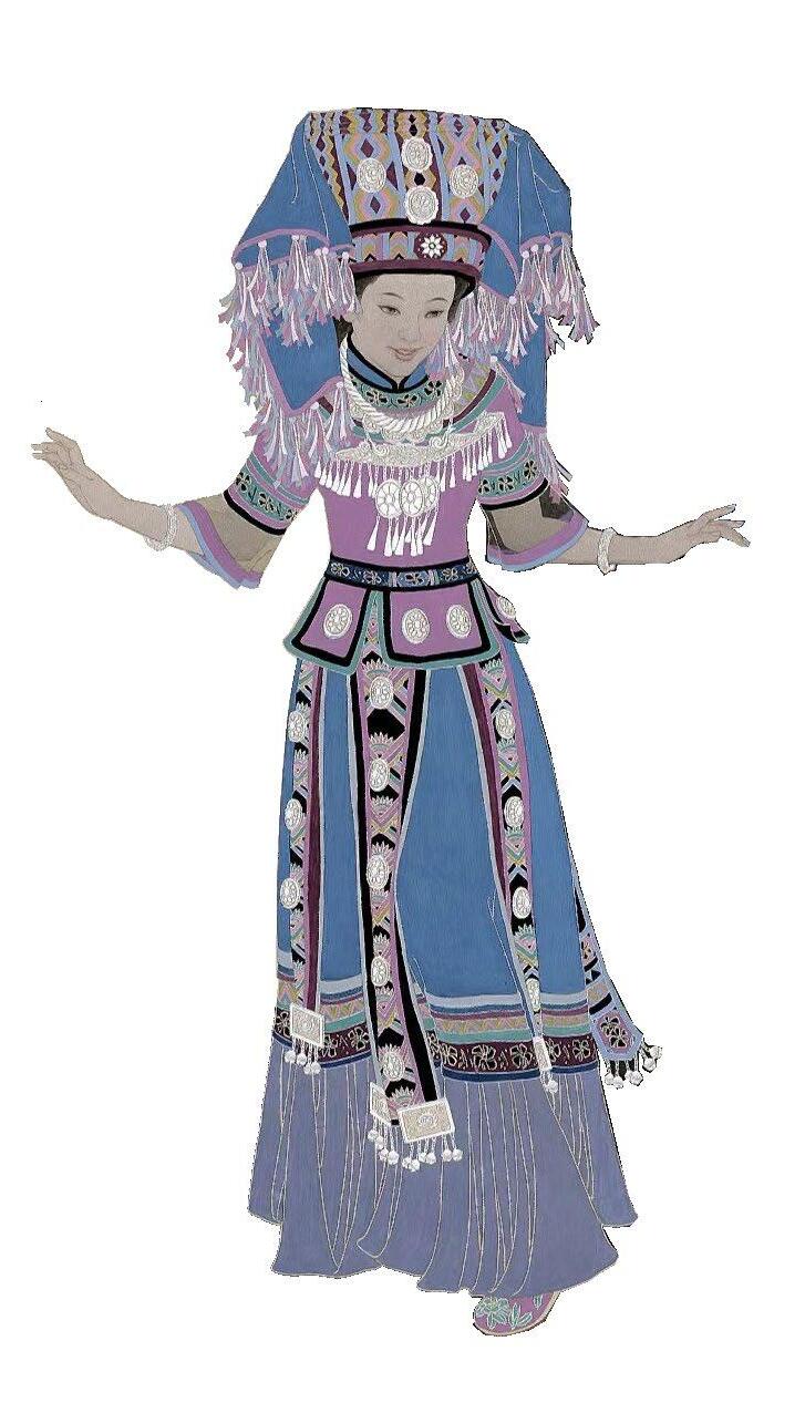
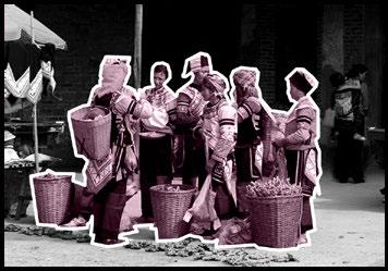
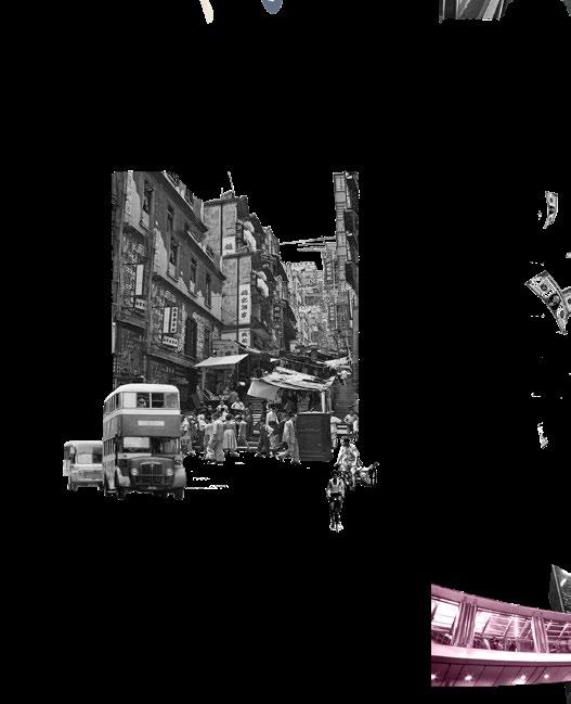
Renewal of urban villages in ethnic minority autonomous region
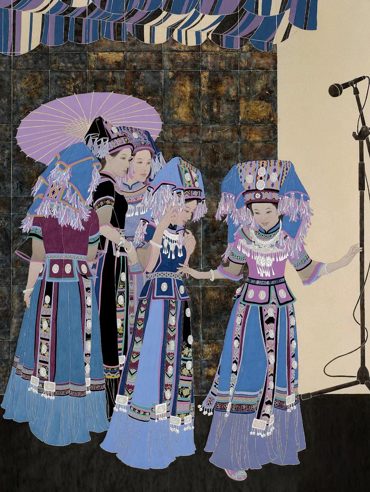
UNESCO research shows that there is a strong link between biological diversity and cultural diversity. We are witnessing urbanization, rapid growth in international tourism and mass migration, which result in an unprecedented mix of languages and cultures. There is indeed a gratifying fusion of cultures within cities, between countries and continents. However, in the process, local backward groups
and newcomers often feel alienated, while others suffer from anxiety over the loss of their identity.
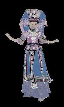
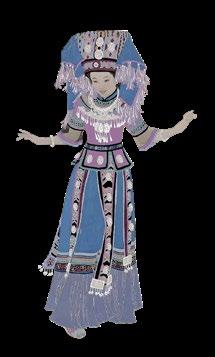
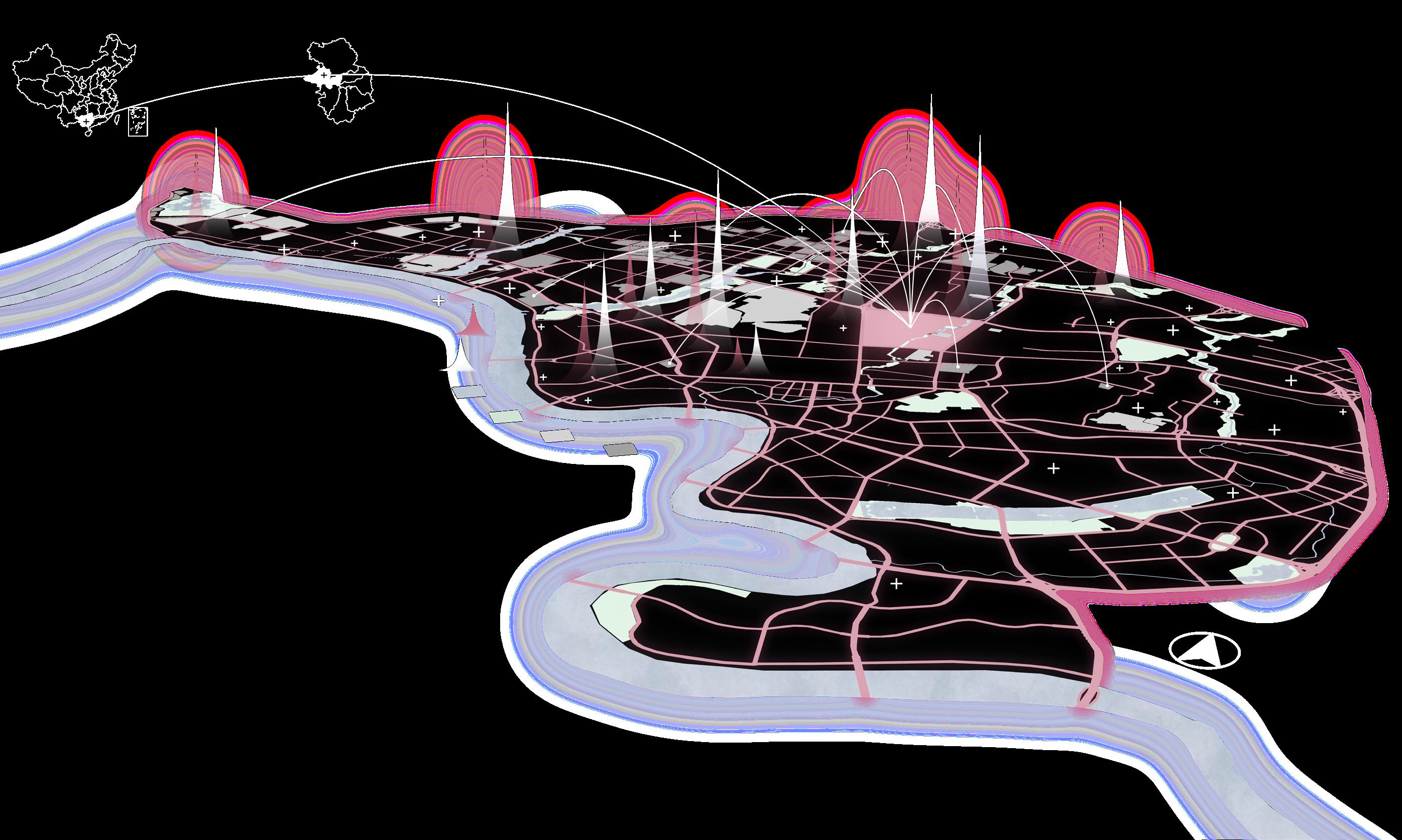
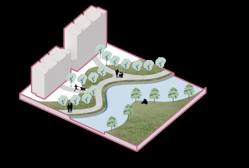
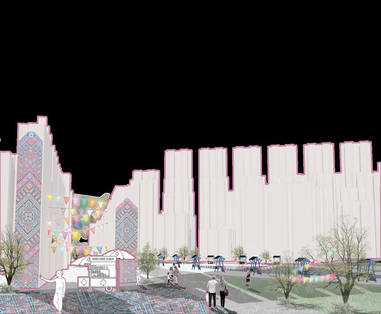
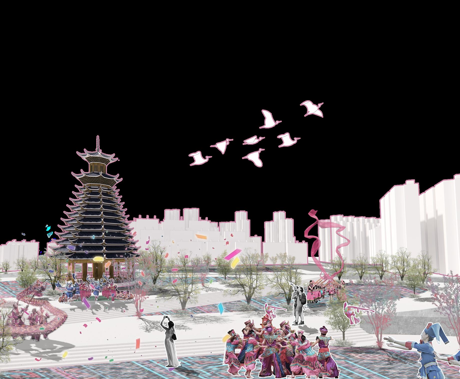
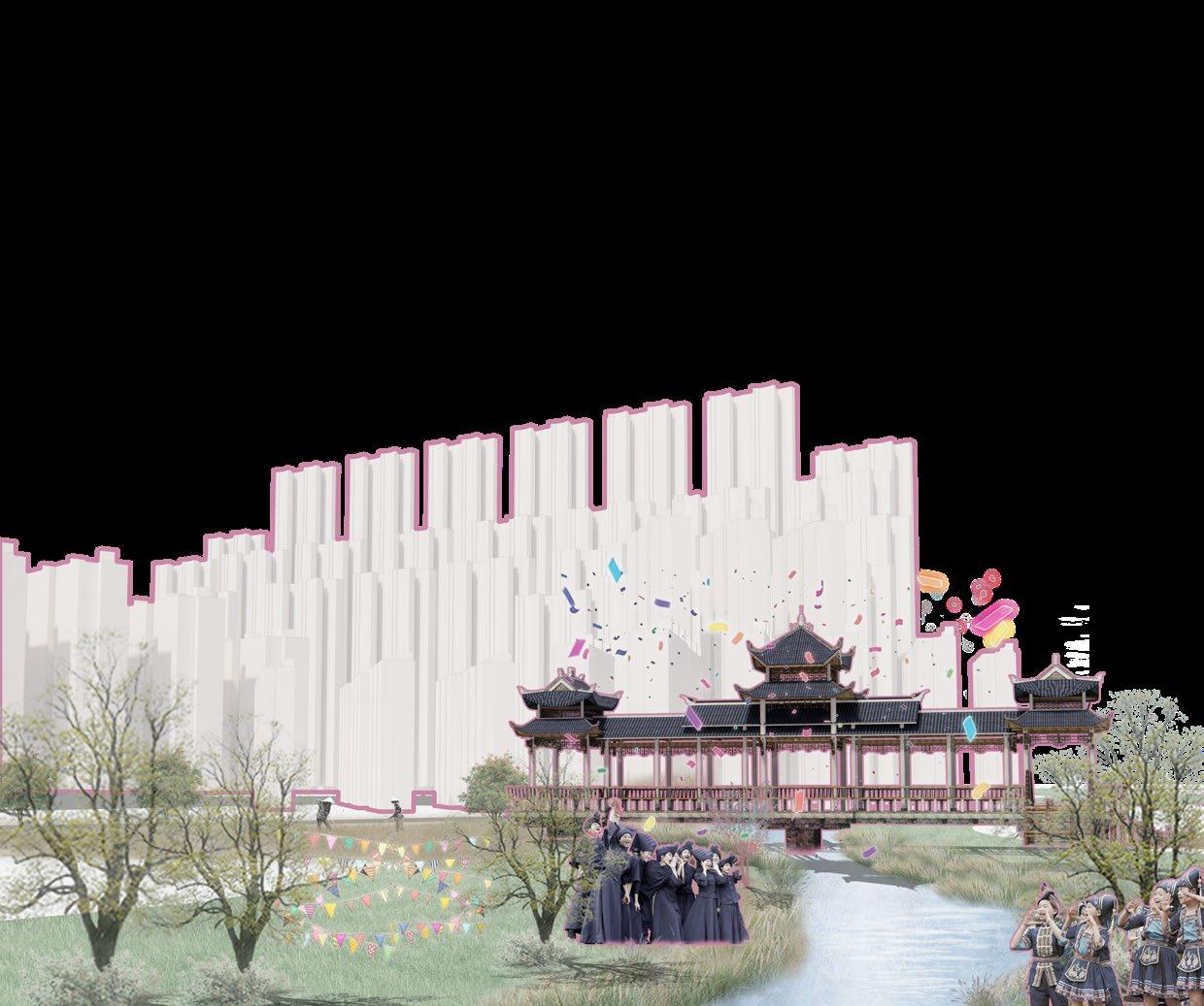
This project aims to dissolve the life barriers of ethnic minorities in more developed cities in Guangxi Minority Autonomous Region, China, help ethnic minorities make a living in cities to establish a sense of belonging, improve their living environment, and promote ethnic identity and ethnic integration.
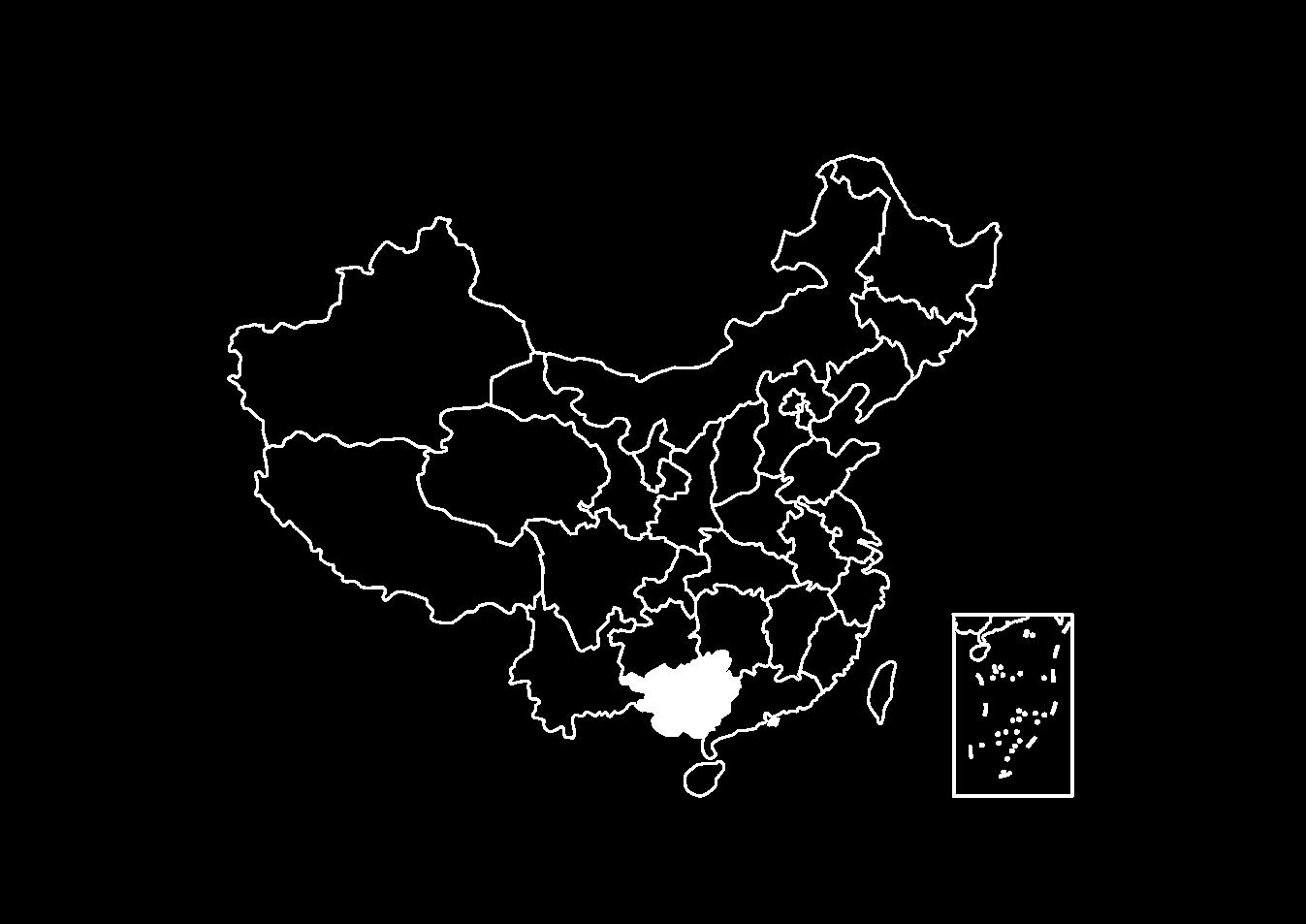
Guangxi is an ethnic minority autonomous region, headed by the Bourau people, with 11 ethnic minorities living here. Nanning, the provincial capital, has attracted more and more ethnic minorities living in towns and villages to live and make a living here. However, in the increasingly homogeneous urban construction , cities have gradually lost their characteristics. People from ethnic minorities have left their hometowns to make a living here, but they cannot integrate into the urban environment and gradually lose their sense of belonging.
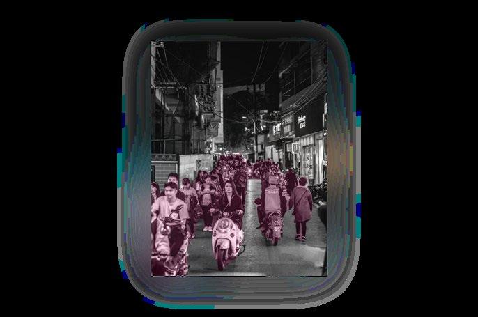
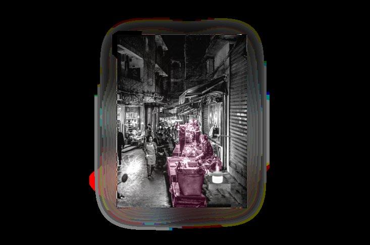
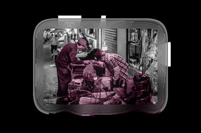
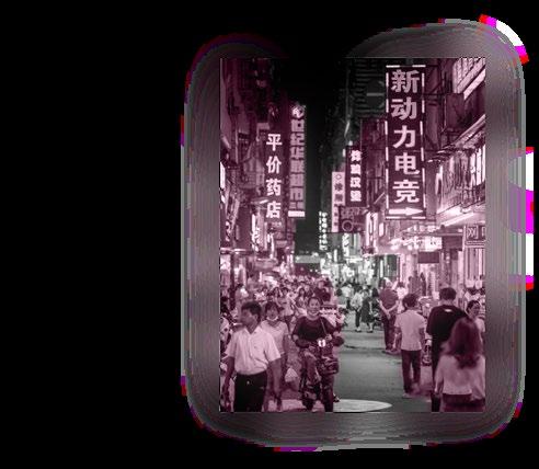
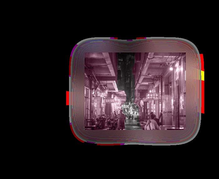
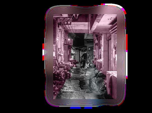
Wanxiu Village, located in Nanning, Guangxi Bourau Autonomous region, is the largest urban village with the largest floating population in the city. Ethnic minorities make up half of the population here.
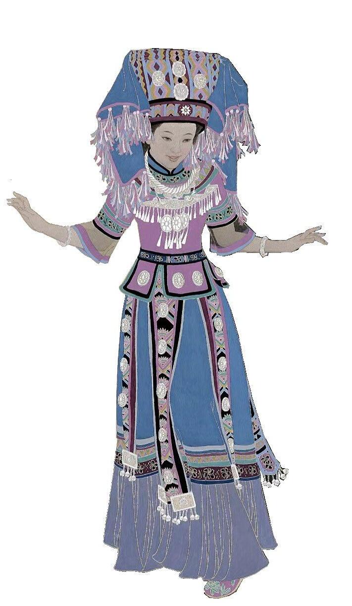
Xiao Qin, a recent college graduate from the Bourau ethnic group, has to live in an urban village with cheap rent in order to gain a foothold in the city. However, life here makes her feel overwhelmed...


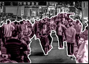


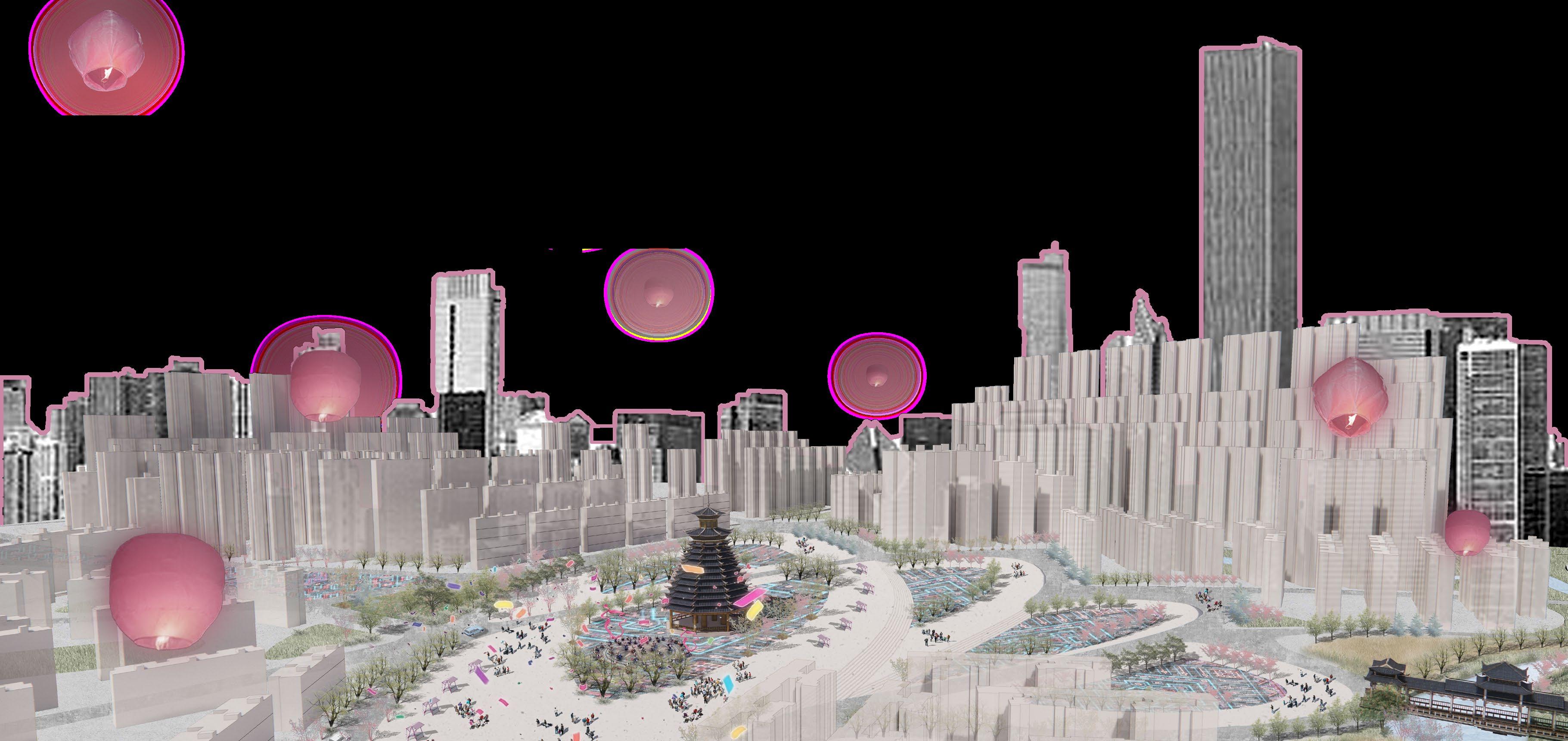
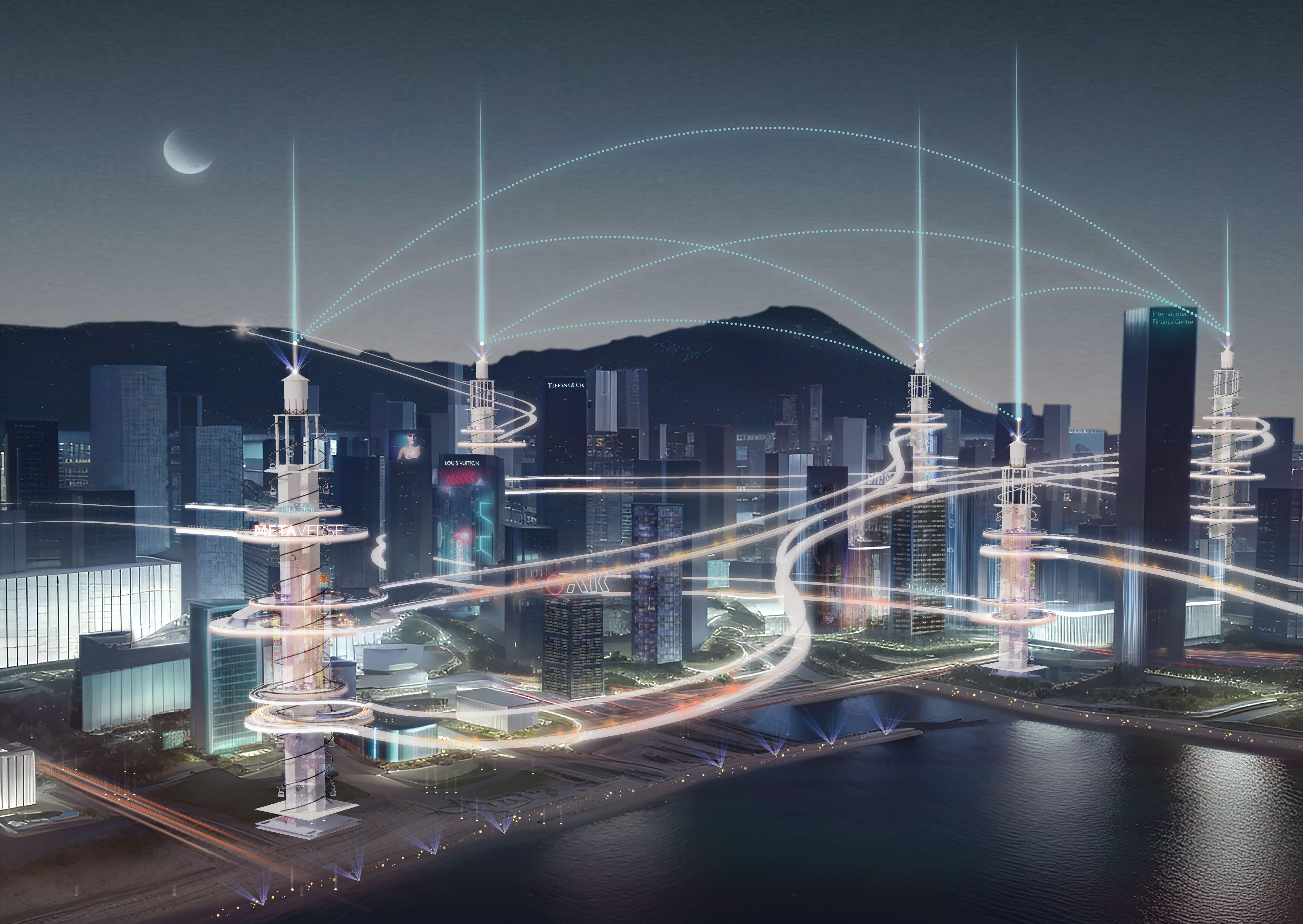
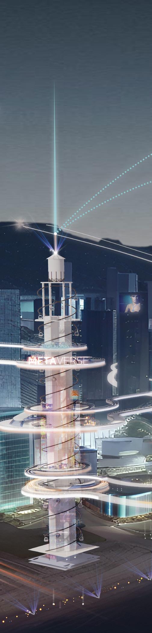
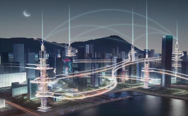
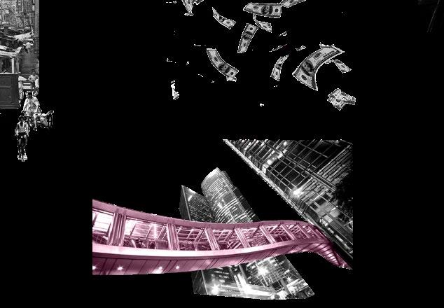
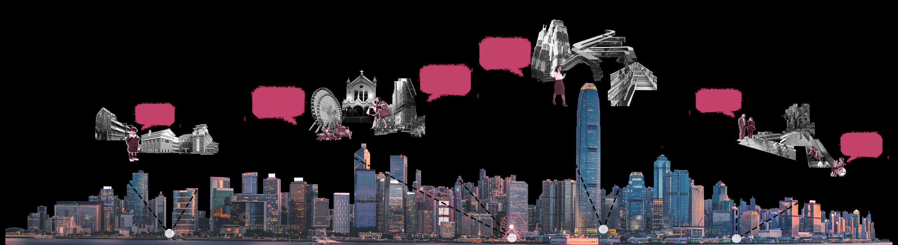
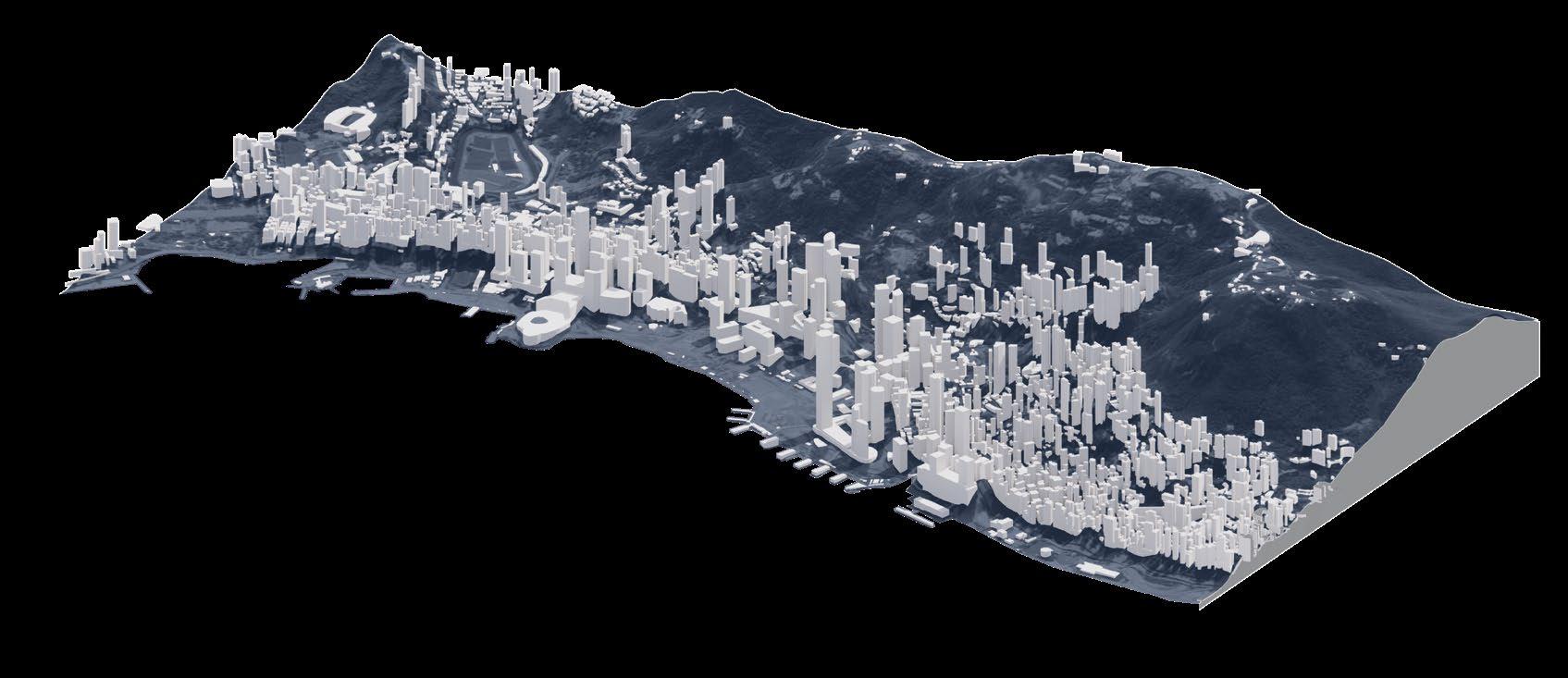
Urban Linkage Initiative: Bridging Tomorrow's Mobility
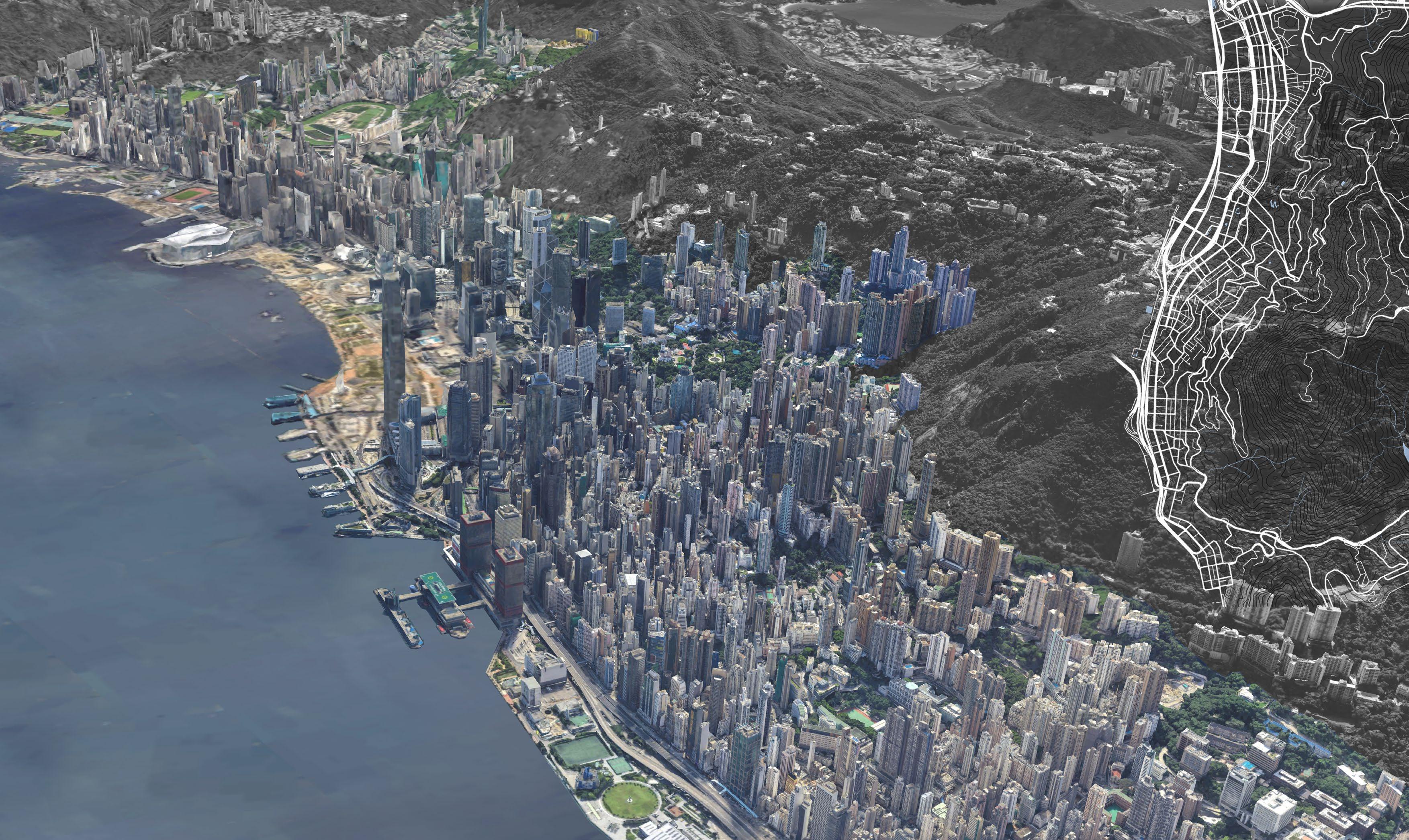
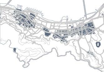
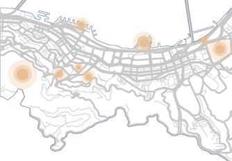
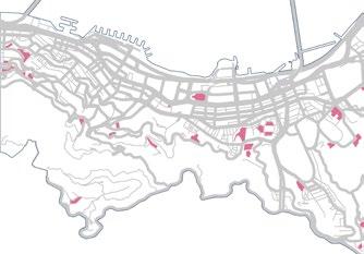
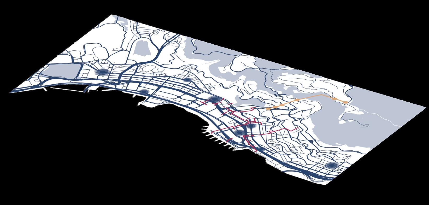
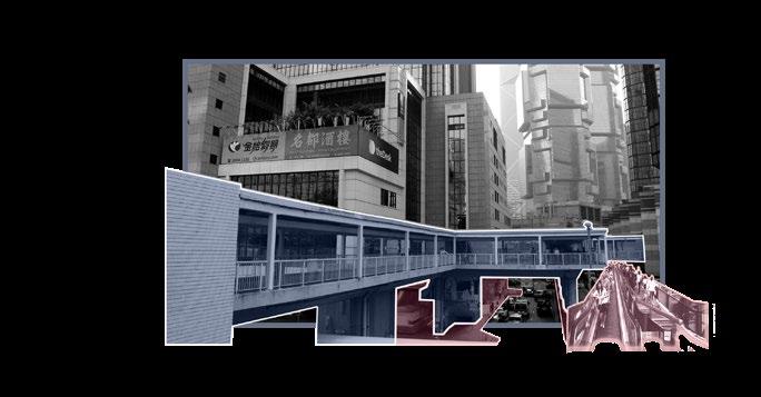
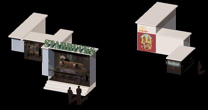
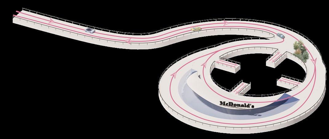
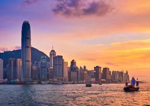
Optimization design of pedestrian bridge road system in Central, Hong Kong
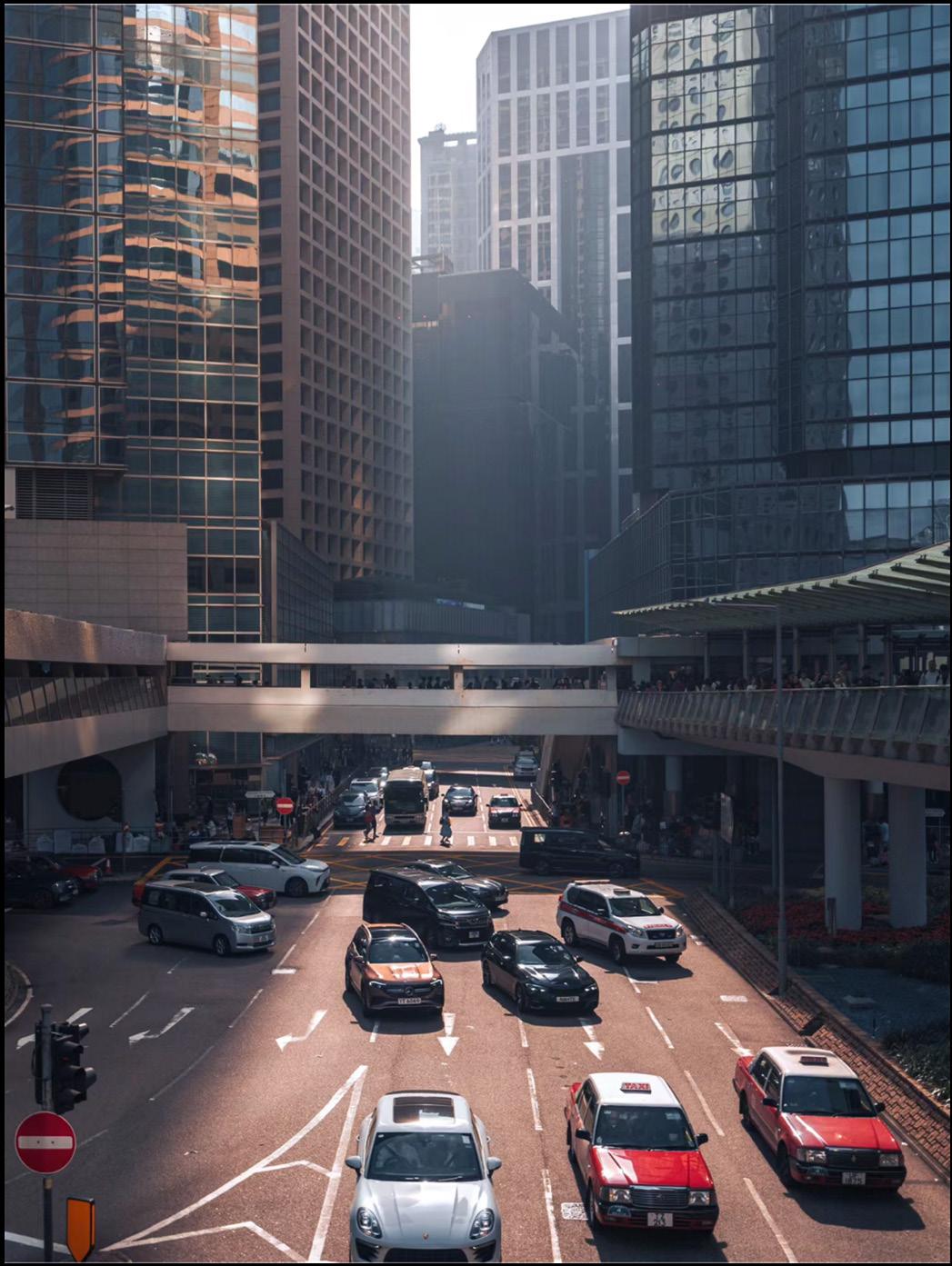
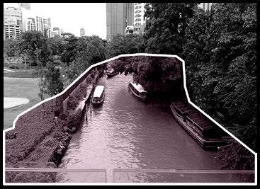
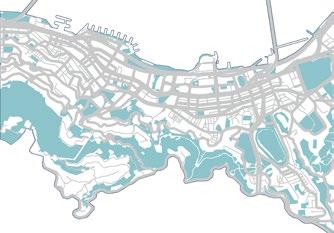
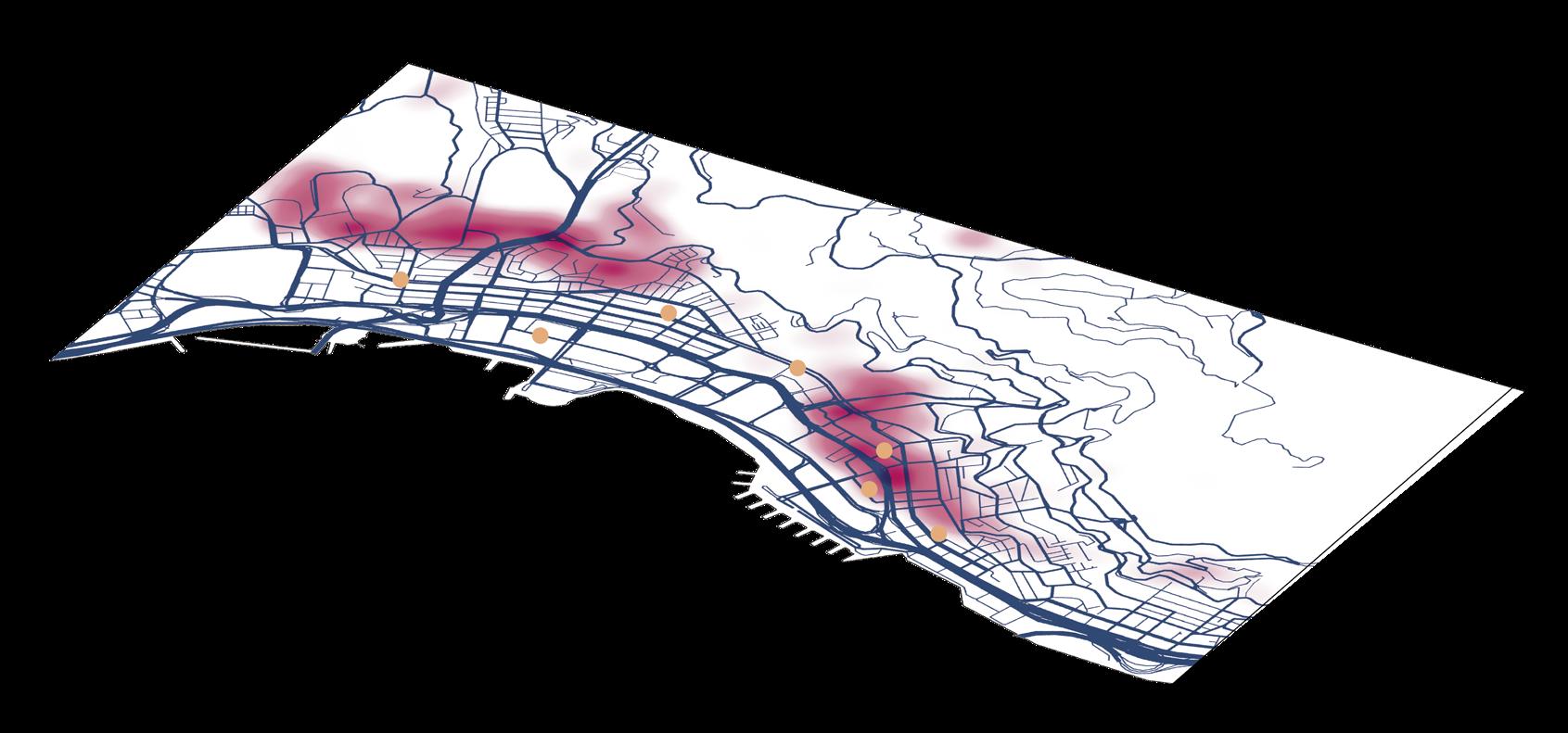
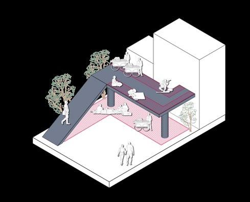
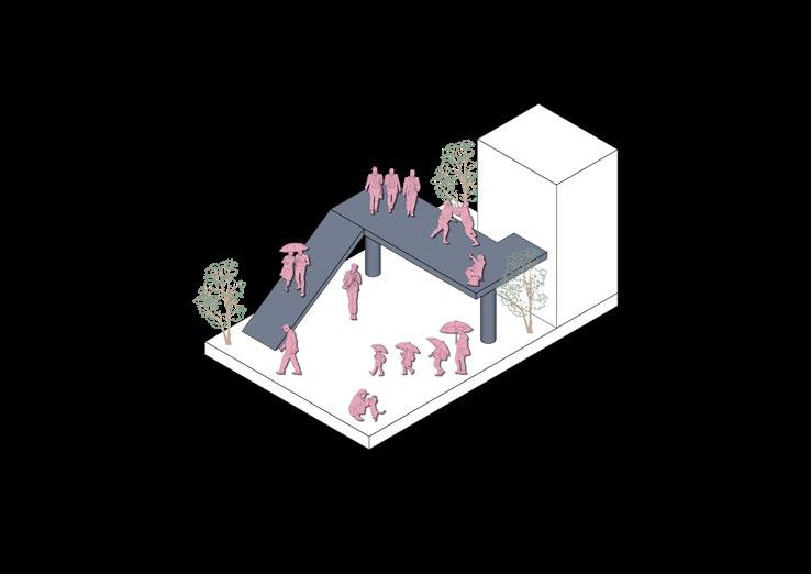
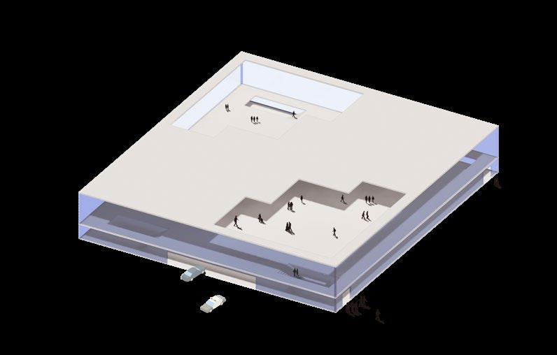
With the intensification of population, the trend of urban construction towards high-density development is intensifying, and traffic network congestion, air pollution, housing pressure, and the urban heat island effect have increased dramatically. Especially in Hong Kong, an international metropolis where land is at a premium, the pressure on infrastructure and land is increasing day by day, and the issue of "carbon neutrality" cannot be ignored.
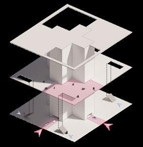
This project aims to revitalize the city, relieve traffic pressure, and save energy and reduce emissions by improving the transportation system network throughout the city center. Individual Work:10.2023-12.2023
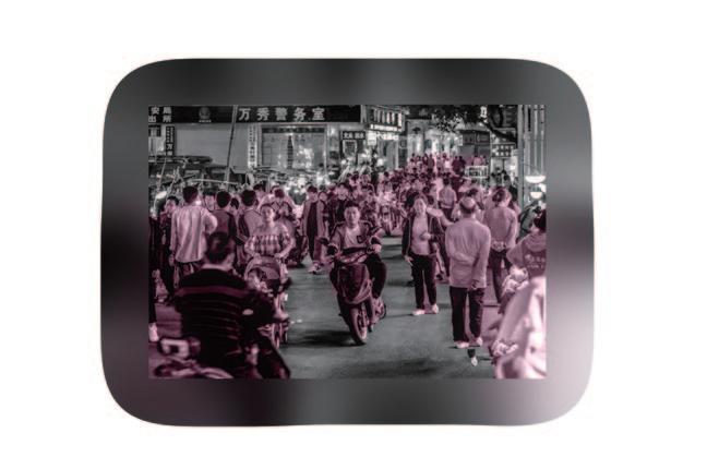
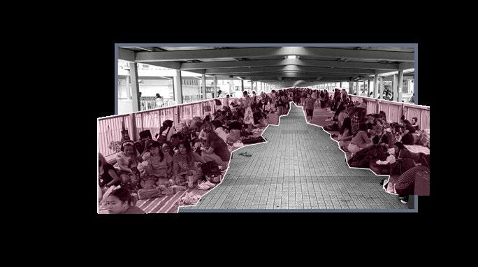
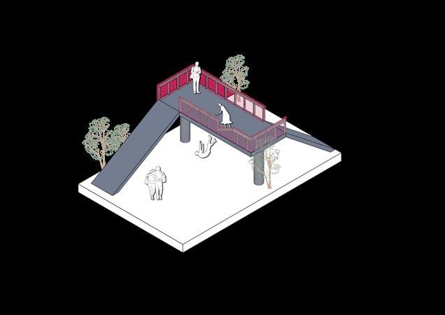
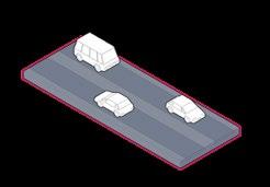
According to statistics, there are 458 pedestrian bridges and pedestrian subways in Hong Kong. These pedestrian bridges revitalized the economy between business districts at the end of the last century and improved the efficiency of citizens' going out. But today, many problems have been exposed. Pedestrian bridges occupy a large area, making the already high-density city more crowded; the space under the bridge is cramped and narrow, affecting urban greening; facilities are aging, and a large number of hard materials are exacerbating the urban heat island effect. There are also a large number of tourists pouring into Hong Kong, making commuters miserable.
This design aims to build a transportation network covering urban commerce, residences, and entertainment in the TOD mode, improve the travel efficiency of office workers, urban residents, and people with disabilities, and reshuffle urban resources.

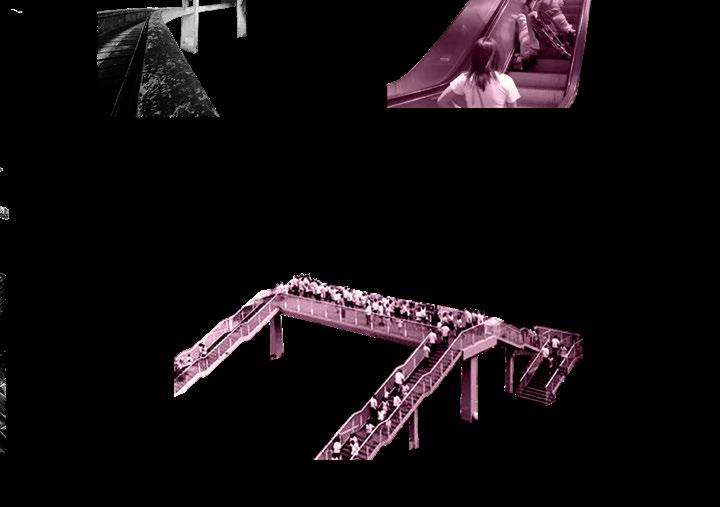


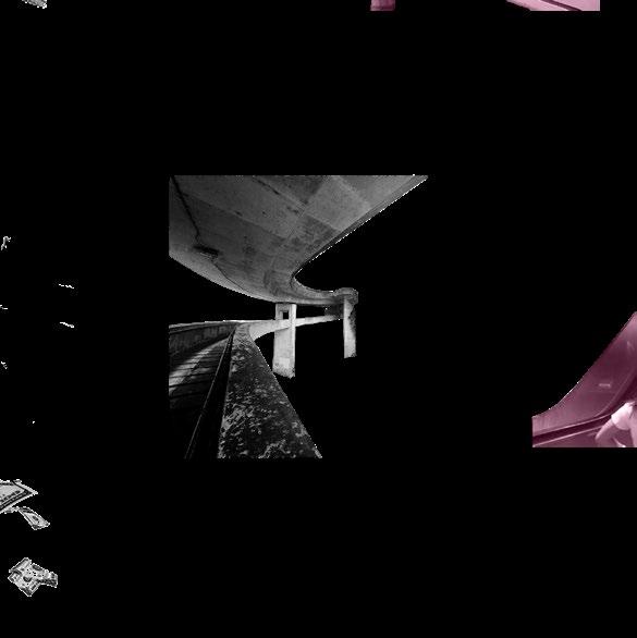


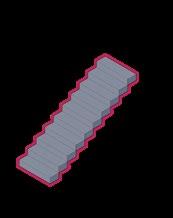
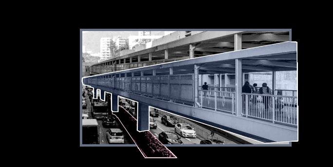
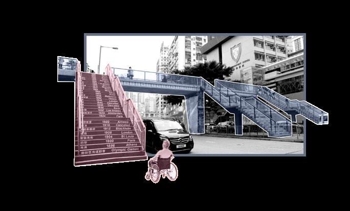
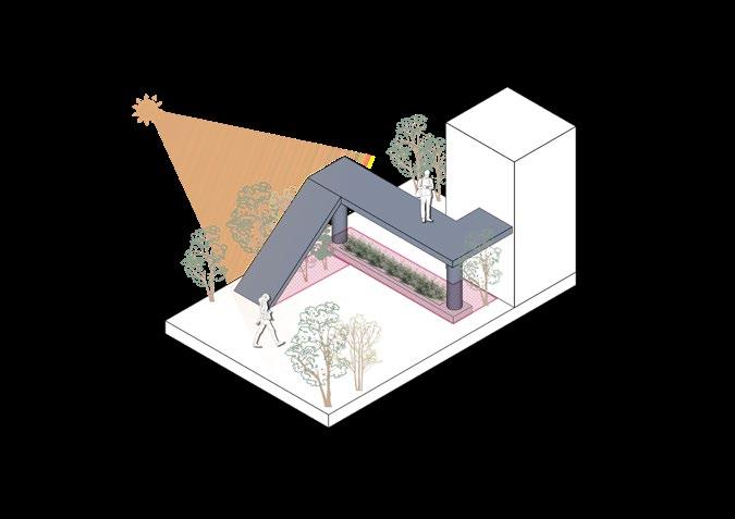
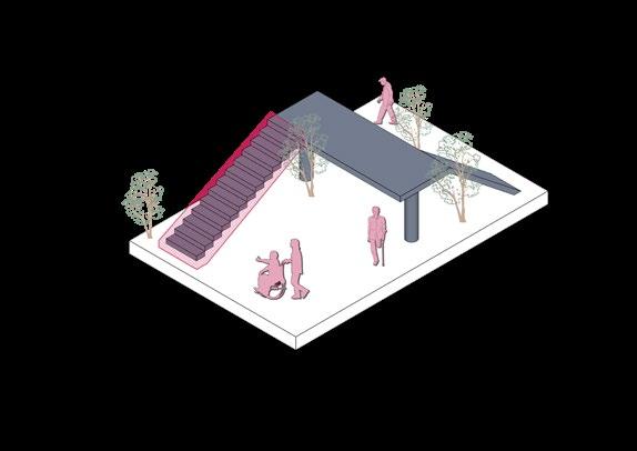
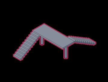
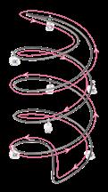
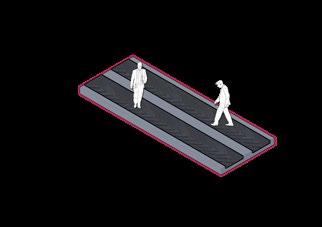
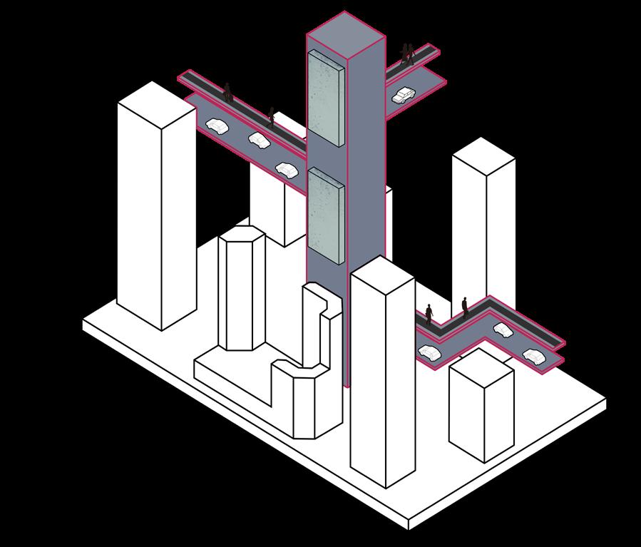
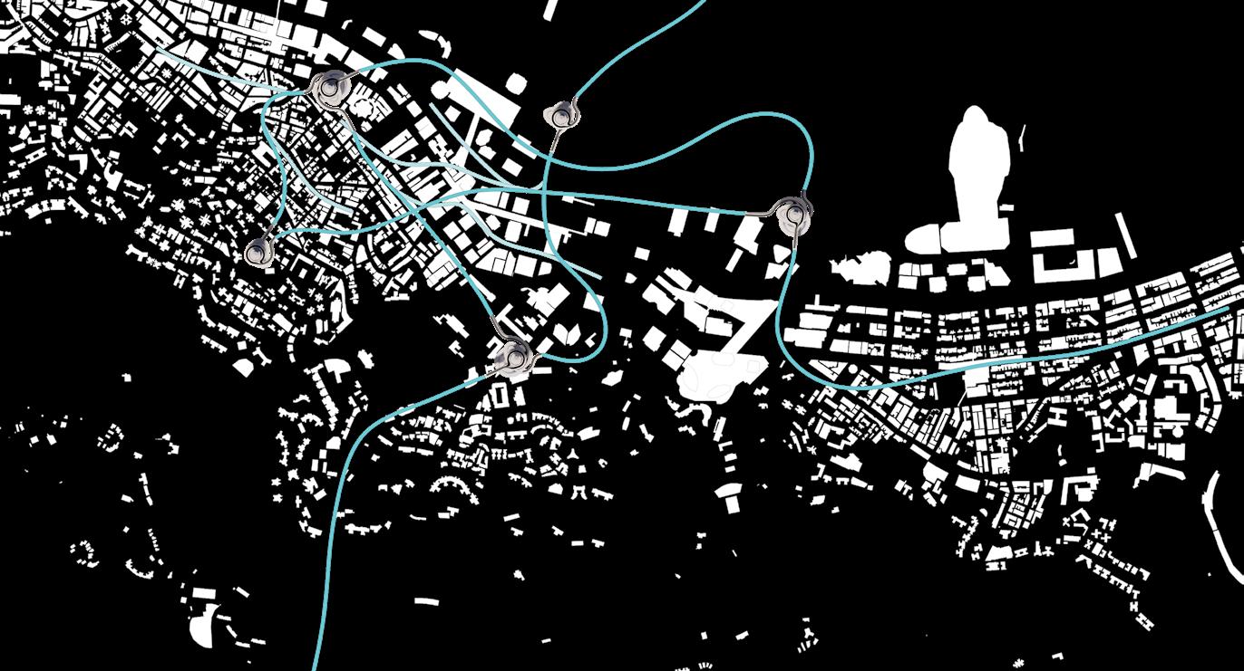
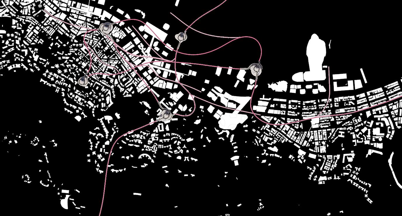


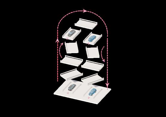

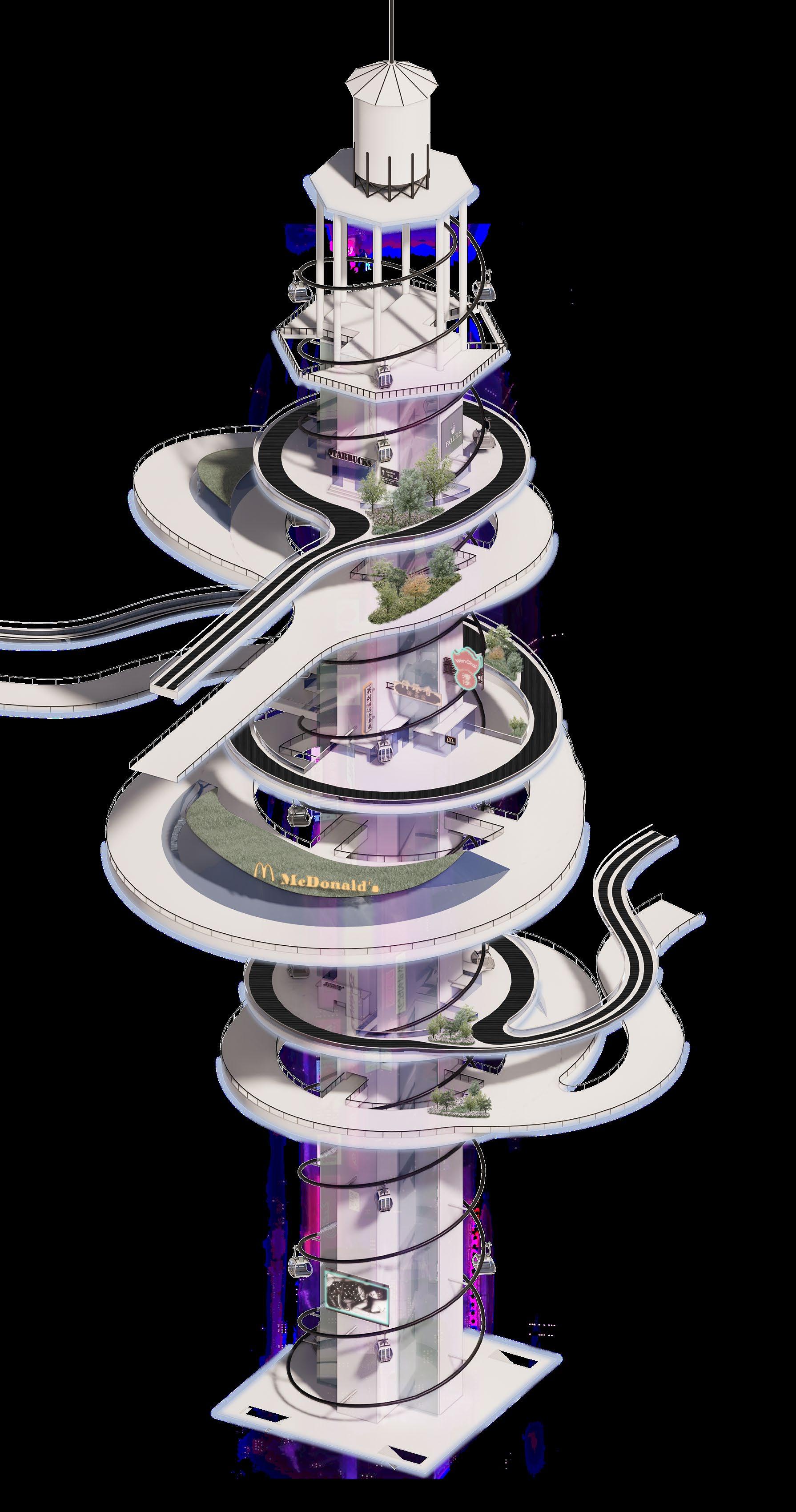
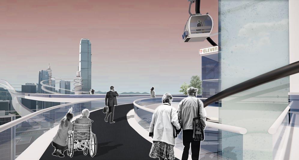
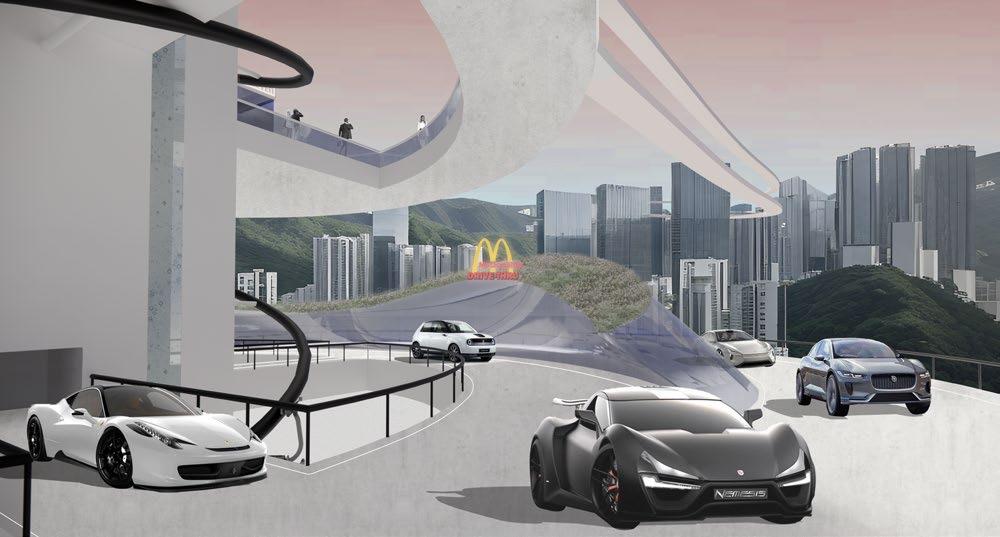
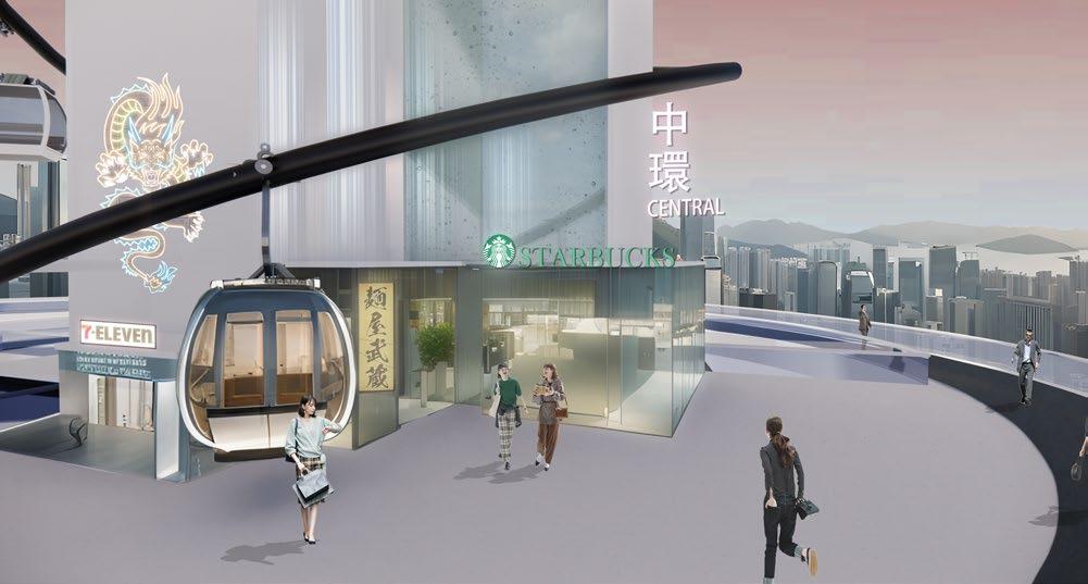
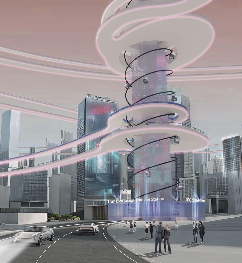
The pedestrian conveyor belt runs at a speed of 2 m/s