70
FRANKLIN COUNTY, MASSACHUSETTS
4
Miles 8
ASHFIELD CONWAY
SUNDERLAND
DEERFIELD
SHUTESBURY
WENDELL
ERVING
NORTHFIELD
LEVERETT
MONTAGUE
GILL
BERNARDSTON
GREENFIELD
LEYDEN
WHATELY
SHELBURNE
COLRAIN
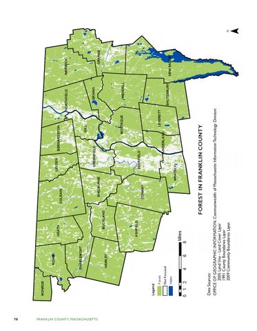
FOREST IN FRANKLIN COUNTY
BUCKLAND
HEATH
Data Sources: OFFICE OF GEOGRAPHIC INFORMATION, Commonwealth of Massachusetts Information Technology Division: 2005 Land Use - Land Cover Layer 1991 County Boundaries Layer 2009 Community Boundaries Layer.
0 1 2
Water
6
HAWLEY
CHARLEMONT
ROWE
Not TownForested Boundaries
Forest
Legend
MONROE
NEW SALEM
ORANGE
WARWICK
¯