

© MMXXV Coastal Partners
The contents of this publication are subject to copyright protection and reproduction in whole or in part, whether mechanical or electronic, is expressly forbidden without the prior consent of Coastal Partners. All details were correct at the time of going to press but may change at the publisher’s discretion.
© Coastal Partners: pp 2, 3, 4, 5, 7, 9, 13, 14, 15, 16, 18, 19, 20, 21, 22, 24, 25, 26, 28, 29, 30, 31, 32, 34, 35, 37, 40, 41, 42, 43
© iStock: pp12, 28
© Solent Seascape Project: p33
© Unsplash: p36 Matt Harday, p44 Brian Aitkenhead, p47 Historic Dockyard
© Coastal JJ, p46w
© MJ Photography: pp Front & Back
What a time to be a Coastal Engineer, balancing the needs of people and the environment where education and raising awareness will be vital to managing expectations whilst adapting to the changes ahead of all of us.
Reducing flood and erosion risk to our communities whilst making the right environmental choices has never been more challenging. As a coastal management Partnership covering a large region of southern UK
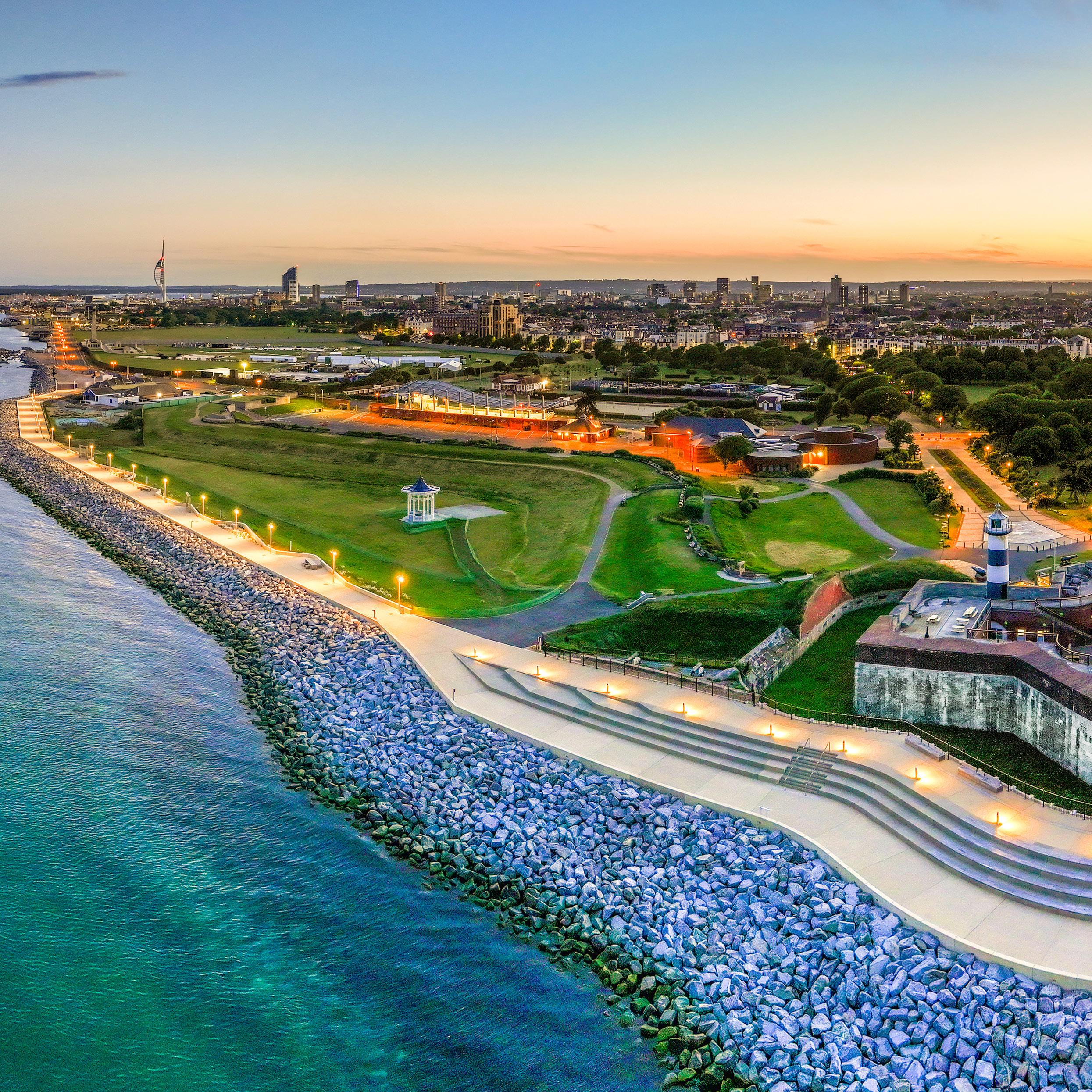
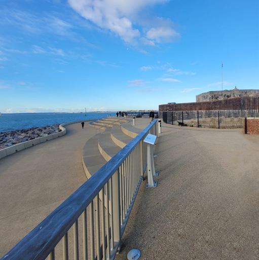
coastline, we are now dealing with soaring construction and management costs, high political and public expectations along with increased storminess on a more regular basis. Regardless of this, our team, partners and contractors have worked tirelessly to deliver some generational and innovative initiatives. 2024 saw the completion and public opening of Southsea Coastal Scheme’s “Theatre of the Sea” (pp 18 & 19). A groundbreaking project that focused on shaping a public space into an
Our vision at Coastal Partners is to manage coastlines, improve community resilience and enhance the natural environment
attractive and welcoming space whilst prioritising historic preservation and defending the coastline from ever-increasing tides. 2024 observed the adoption of the Hayling Island Coastal Management Strategy and Action Plan by Havant Borough Council Cabinet. The year also saw the completion of a 7 year Beach Management Plan at South Hayling, and the start of a new plan after successfully securing funding for a further 5 years, as identified in the Strategy.
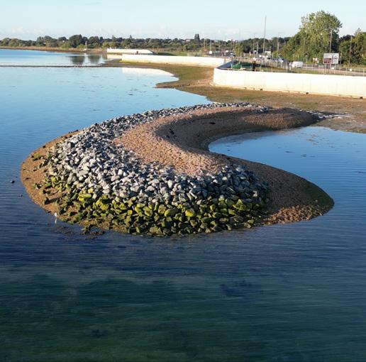
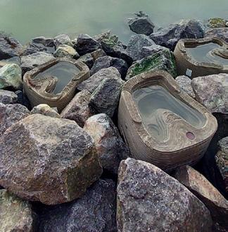
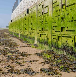
The North Portsea Coastal Scheme (pp 20 & 21) saw the completion of Phase 4, Eastern Road along with many integrating environmental improvements, such as the creation of a roosting island specifically to entice overwintering birds. Tidal pools were installed to encourage new habitats and ecosystems, as well a textured sea wall (Ecoformliner) creating opportunities for marine animals and plants to flourish.
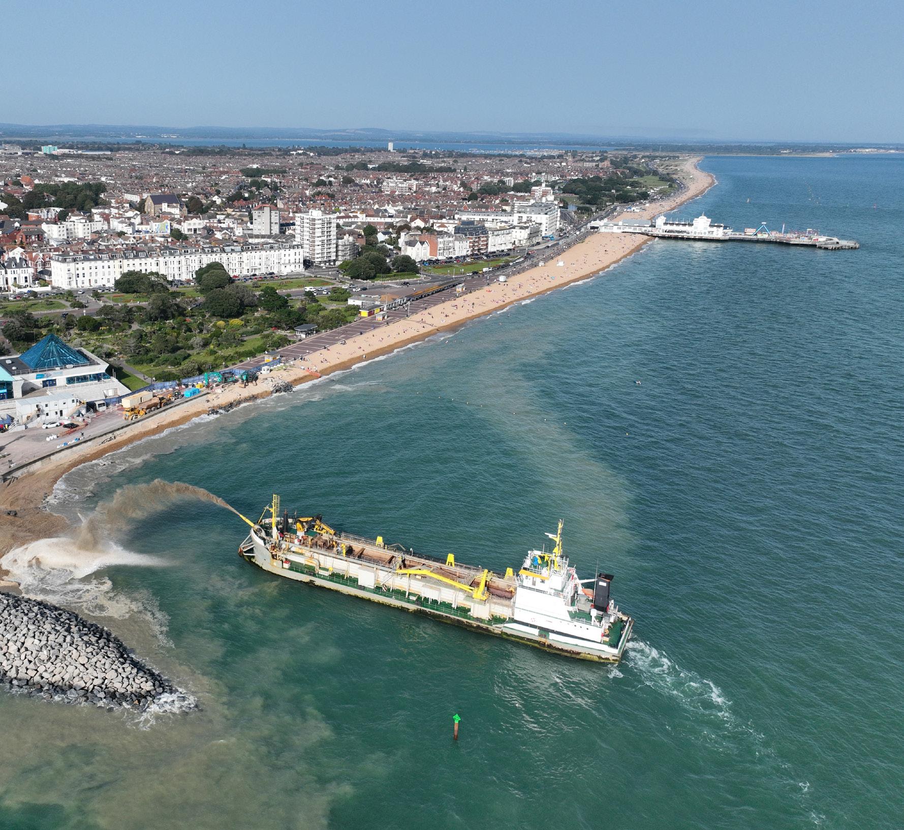
Stokes Bay, Gosport (p 24) witnessed the construction of a new 135m seawall, which was completed in December 2024. The original seawall was subject to significant damage during storm Eunice in 2022. Thanks to securing all the required funding, the new seawall has been finished to a very high standard.

defence scheme covers around 200m of coastal frontage and reduces tidal flood risk to 211 residential and 16 commercial properties in the area, including the local St Vincent College.
We were also awarded the funding for an outline design and options appraisal for Selsey. This means the cogs are now in motion for setting up Selsey Coastal Scheme (pp 12 & 13), working towards reducing the flood and erosion risk to this unique seaside community, which boasts a richness in history and diversity of wildlife.
Through collaborations with our partners, we have implemented pioneering initiatives aimed at strengthening natural resilience to rising sea levels. Many of our projects, highlight our dedication to developing thriving ecosystems in the face of growing environmental pressures. This environmentally focused approach is fundamental to our mission, and we take pride in working alongside others who share this.
Within our partnership, we continue to grow our own expert staff and actively encourage Science, Technology, Engineering & Maths (STEM) initiatives to lead us into the future.

Further to securing funding, the Forton Flood Defence Scheme became our second project at Gosport in 2024 (p 25). Now complete, the flood Lyall Cairns Executive Head of Service
I’m delighted to share our latest Coastal Partners Report with you...
Coastlines around the globe are under attack. Rising seas, more frequent and powerful storms and outdated, unserviceable sea defences are real challenges that communities and the environment are facing. With coastlines changing at an alarming rate and budgets harder to access, there is a need for practical, experienced and specialist coastal management.
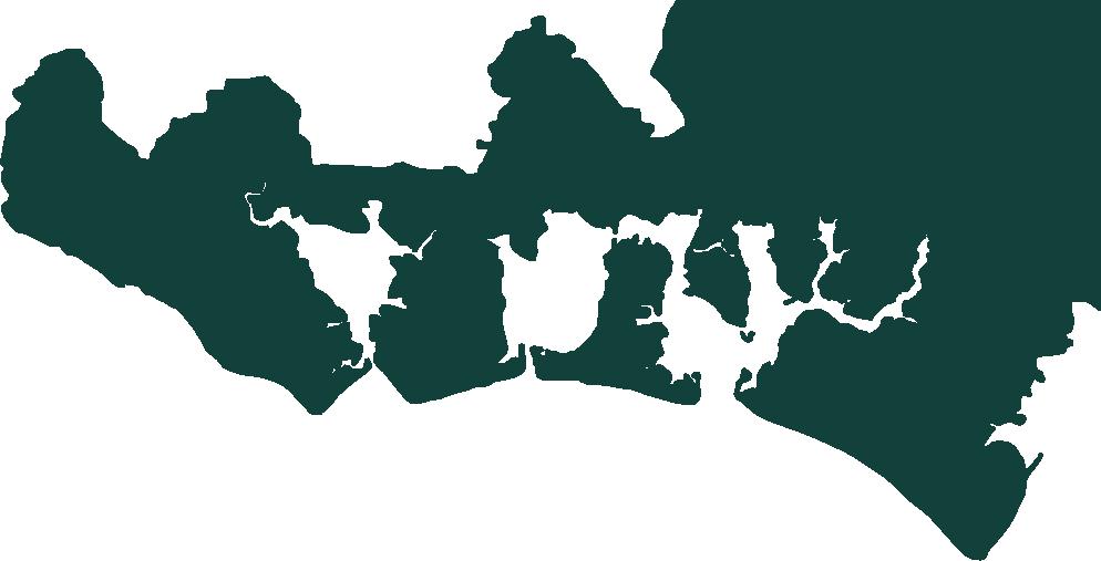
Coastal Partners is an innovative Partnership born from the reality that coastal risk and storms do not follow administrative boundaries. Our shared Coastal Management Service oversees a joined-up coastline across five Local Authority areas in Hampshire and West Sussex. By working this way, more can be achieved for coastal communities through cross-border efficiencies, combined expertise and budget control. Working side-by-side with our Partners in line with their corporate


strategies we help to reduce the risk to homes, communities, businesses, wildlife and infrastructure from coastal flood and erosion. Alongside this, we are continuously lobbying for a more cohesive approach centrally, nationally and locally that will help councils to deliver more realistic outcomes for coastal communities.
Our services extend further than our five Partners and we offer approaches that support the wider public sector. Our Tracer Pebble technology (p40) and Geomatics Division (p41) are serving Local Authorities with their Beach Management Plans, Coastal Schemes and engineering projects. Similarly, our NEC-qualified Project Managers and Environmental team are working with various public sector organisations on initiatives that will define our coastline for generations.



Thanks to all of our Partners and Organisations we are privileged to work alongside




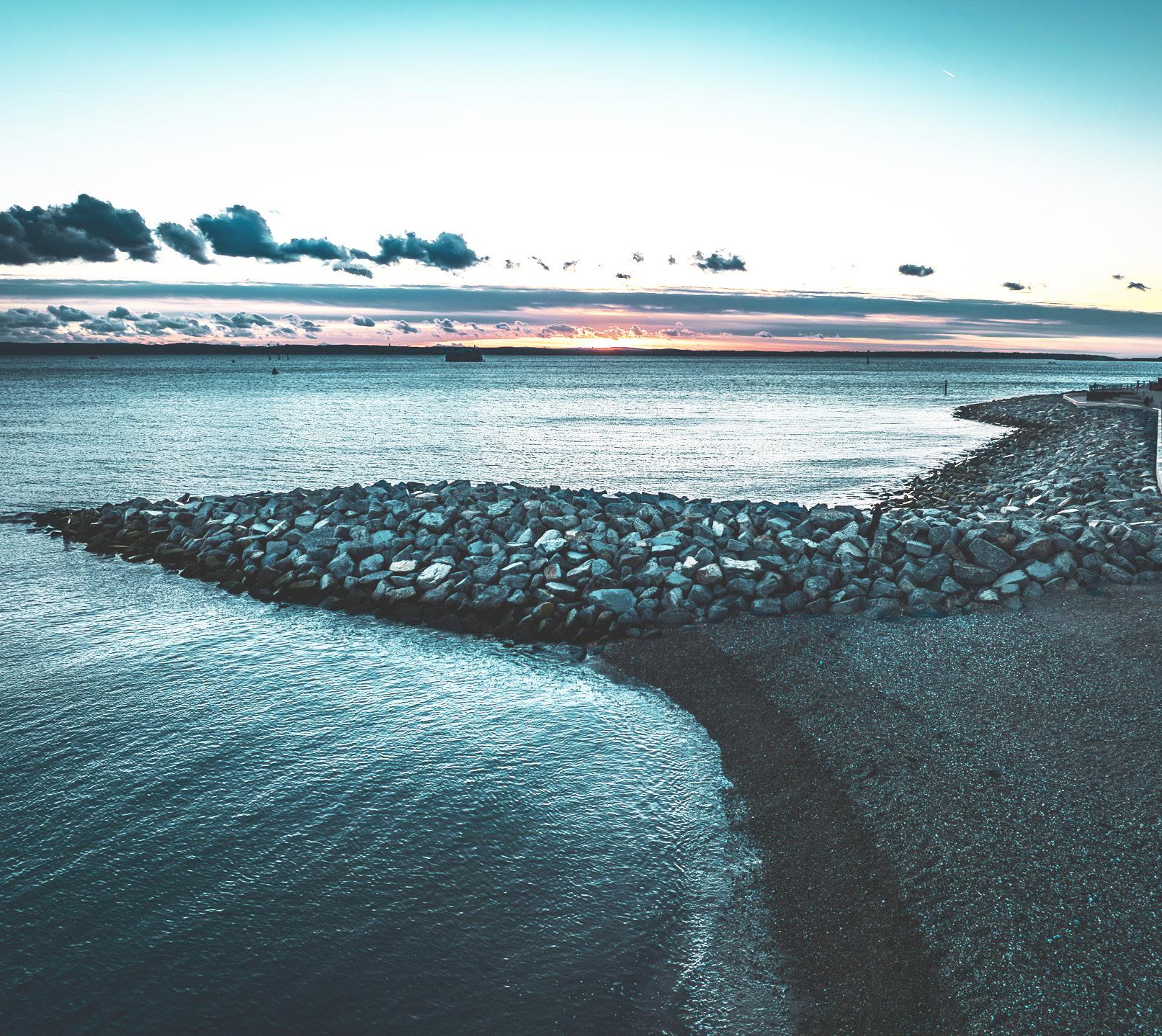
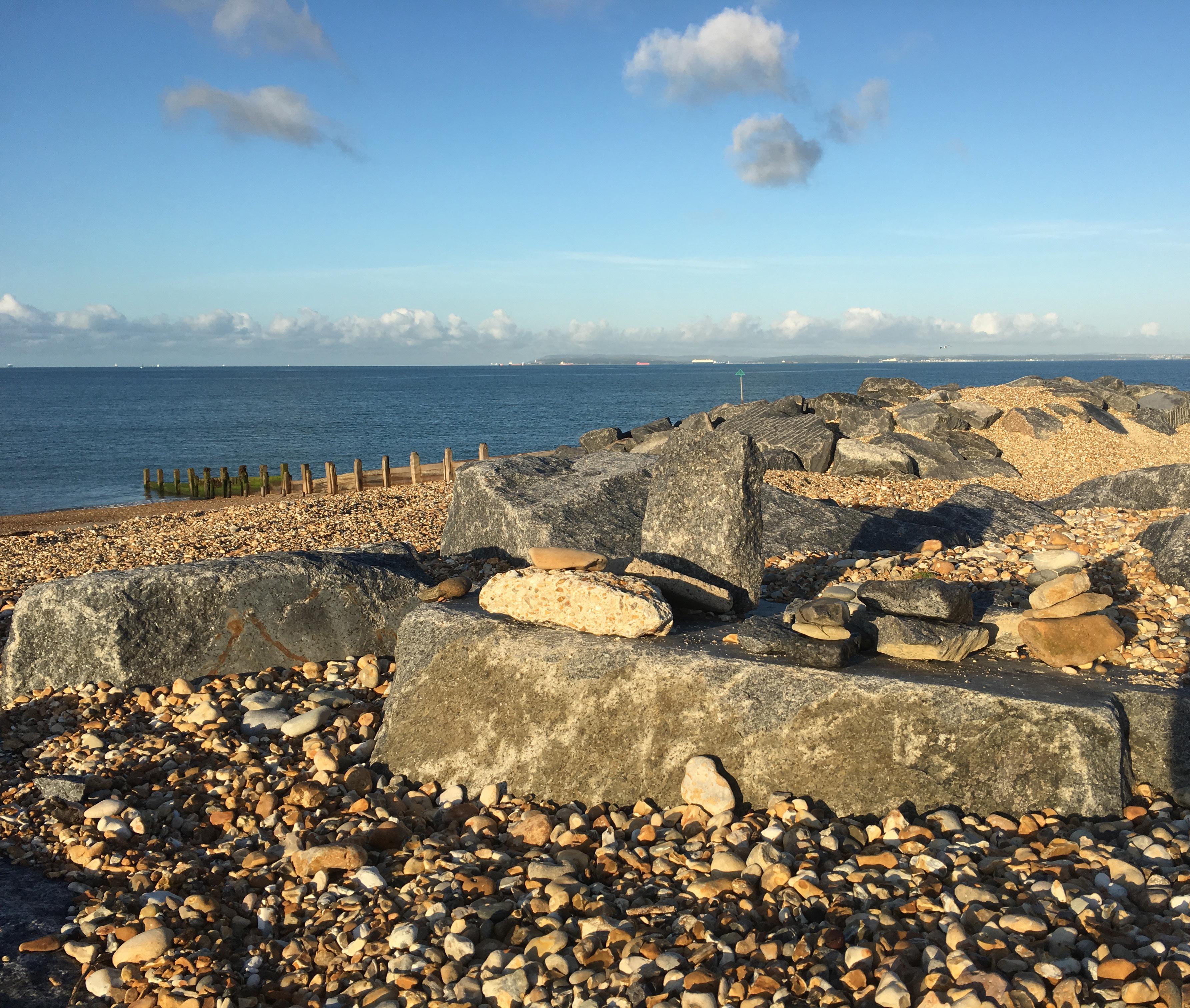
The coast is a dynamic environment, rich in natural resources and popular for development; in fact, most of the world’s population live close to coastal areas. Despite being considered prime real estate, human impact and climate change have created unprecedented challenges for coastal communities who are now experiencing accelerated coastal erosion and the increasing risk of flooding.
Our Coastal Engineers are responsible for designing and delivering civil engineering projects that help to protect coastal communities from flooding and erosion, while creating attractive places for leisure and amenity. It’s not possible to prevent all
flooding or erosion but there are actions that can be taken to manage these risks and reduce the impacts of climate change on coastal communities. Coastal defences can take the form of defence structures, such as breakwaters, seawalls, groynes and revetments or softer defence techniques such as beach renourishment, beach recycling and managed realignment of the coast to make space for nature. Ensuring the selection of the right coastal management techniques or defence structure is critical in achieving the goal of effective management of the coastline. Our ongoing inspection, repair and maintenance of these assets, then ensures they remain effective and provide their expected service life.
Management Scheme Repairs Study Strategy
Hook Lake Managed Realignment & Regulated Tidal Exchange
Stokes Bay Seawall Replacement
Fareham Quay & Alton Grove to Cador Drive FCERM Studies
North Portsea Island FCERM Scheme
Forton FCERM Scheme
Gosport
Hill Head to Portsmouth Harbour Coastal Management
Seafield FCERM Scheme
Alverstoke FCERM Scheme
Southsea FCERM Scheme
Old Portsmouth Flood Management
Havant
Broadmarsh Coastal Defences
Hayling Island Coastal Management Strategy
Langstone
FCERM Scheme
Mill Pond
Hayling
West Beach
Coastal Management
South Hayling Beach Management Plan
Selsey to Bracklesham Beach Management
FCERM Study

Since joining Coastal Partners, partnership working has gone from strength to strength in Chichester. As the largest local authority in West Sussex, with 303 square miles of territory and an iconic coastline, many of the issues Chichester faces are familiar to our other local authority partners. This has enabled the rapid transfer of skills and experience, through works to repair timber groynes, navigation beacons and respond to coastal flood incidents through to advice on coastal policy, the environment and planning applications. At Selsey, a seawall was found to be at risk of collapse and required rapid intervention with over £400k of emergency works to stabilise the wall and repair the damage.
Following the record-breaking wet weather in 2023/24 the team has been active in providing advice and support on complex land drainage issues.
Due to its exposed location, Selsey has always been subject to constant pressure from the sea, but now the age and condition of the existing sea defences coupled with climate change are intensifying its impact. Built in the 1950’s, the existing defences are reaching the end of their serviceable life, making it essential to upgrade them in order to safeguard the community. The outcome of a Feasibility Study completed in 2024 confirmed the viability of a new scheme and secured funding to start an ‘Options Appraisal and Outline Design’ stage.
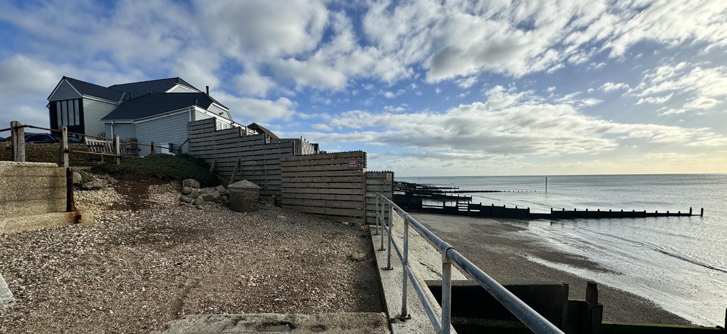
This stage has begun with the gathering and analysis of data to assess the current situation and conditions. This baseline understanding will help identify and evaluate potential flood and coastal defence management options for Selsey, focusing on options that are cost-effective, technically viable, environmentally acceptable, and sustainable. Once the leading options are determined, they will be developed into outline designs to support the business case for the next phase, detailed design. This phase is fully funded by Flood Defence Grant in Aid.
Some of the elements that will be delivered during this stage include:
Public and Stakeholder Engagement events
Topographic and bathymetric surveys
Environmental surveys and assessments
Ground and structural investigations
Development of a list of design options
Outline designs
Outline Business Case

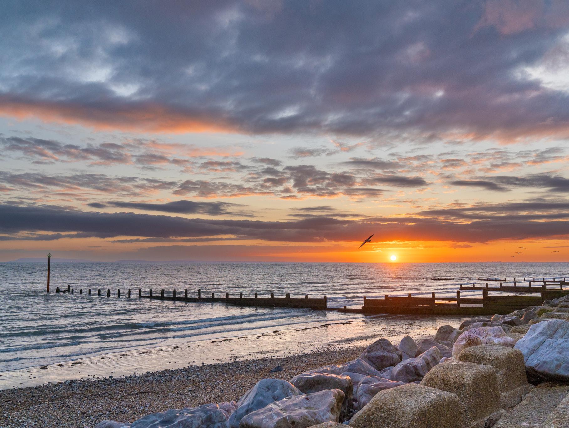
“Given the scale of the challenges facing our coastal communities and habitats from climate change impacts including sea level rise, more unpredictable weather and coastal squeeze, joining together with other councils along our coastline to pool resources has been one of the best decisions we have taken. We can effectively share expertise, local knowledge and the lessons from a range of projects to the benefit of us all.”
Cllr Jonathan Brown Deputy Leader and Cabinet Member for Environmental Strategy
The south coast of Hayling Island has around 8km of beaches, stretching between Hayling Island Sailing Club and Ferry Boat Inn. With a 1.7km section of the beach awarded Blue Flag status in 2024, its sandy lower beach and shingle upper beach make Hayling Island a popular destination for watersports, day trips and holidays.


Along the residential Eastoke peninsula, flooding has historically been a significant issue. Coastal defence policy here is to Hold the Line. This helps to reduce the risk of coastal flooding and erosion to the people and property within this densely populated peninsula. A Beach Management Plan (BMP) is in place at Eastoke and was first implemented in 1985. This has been successful at reducing flooding to Eastoke.
The previous Beach Management Plan began in 2017, with £3.3 million funding to maintain
the beach as the primary form of coastal defence. This funding ended in March 2024, so renewing the BMP started in 2022. This involved an assessment of changes to coastal processes along the South Hayling frontage, both on the beach and in the nearshore zone. Also a more detailed understanding of the hydrodynamics which affect Hayling Island.
One key element which was investigated was the impact of bimodal waves on the coastline, and how their presence affected the beach profile and design. A significant amount of

work was undertaken looking at these waves, which occur when long-period swell waves from the Atlantic combine with locally formed wind waves, creating high energy in the waves.
In December 2023 the new BMP was submitted to the Environment Agency, applying for funding to continue beach management works from April 2024 to March 2029. In June 2024 we received approval for the scheme, for the value of £5.1million over the next 5 years.
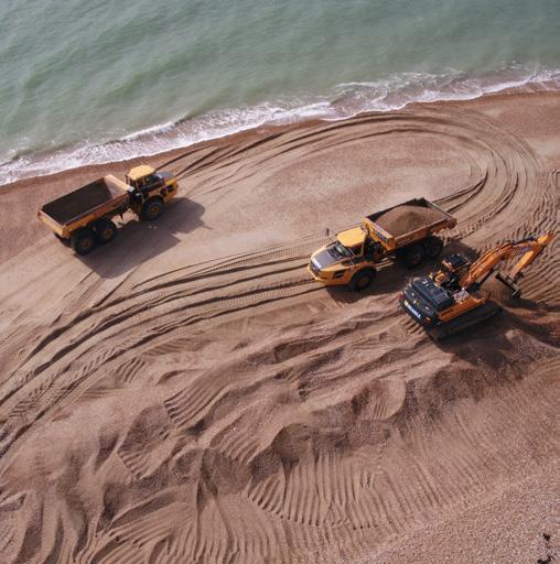
The most recent beach management campaign was undertaken during March 2025, it involved recycling beach material from the central beach where shingle built up with tidal movement and delivered to Eastoke to increase the profile of the beach after the winter storm period.

In 2018 a range of design options and viable solutions for the different frontages at Langstone were identified. Based on supporting design information, Havant Borough Council Cabinet approved procurement for professional services in 2020. These services were appointed in April 2021 for the Detailed Design stage.
AECOM were appointed as the Designer with Atkins Realis acting as the Cost Consultant, Wessex Archaeology the Heritage Consultant, and Mackley providing Early Contractor Involvement.
Ground and Structural Investigations, as well as Habitat Surveys have all been undertaken since, along with stakeholder group and community working events. Results of the investigations, surveys, and engagement feedback have all been used to refine the Outline Design.
In August 2024 the team received the good news from the Environment Agency that the current funding gap would be closed with further grant funding, a milestone that the team worked hard to achieve.
With the design complete and full funding available the next phase of the work to prepare the planning application and licence is underway and was submitted in March 2025.. The process of selecting the right specialist contractor for the works has also begun.
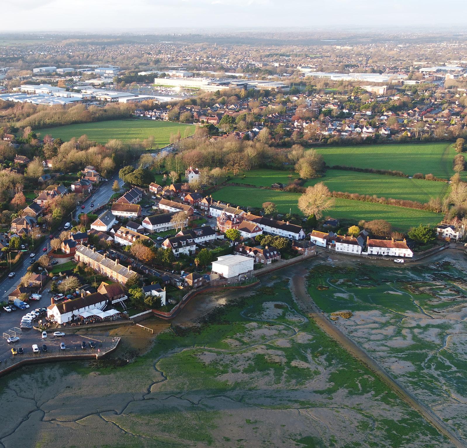
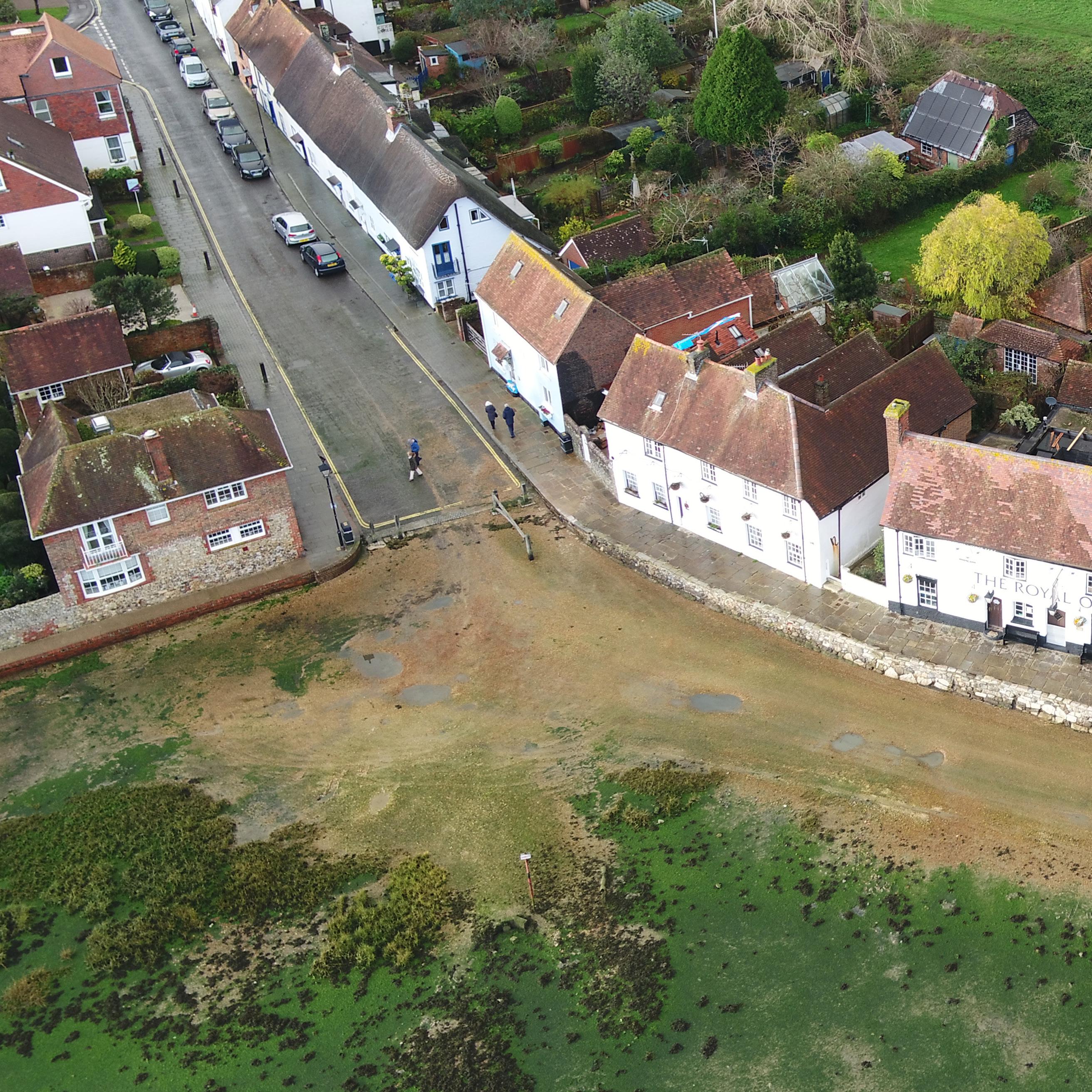
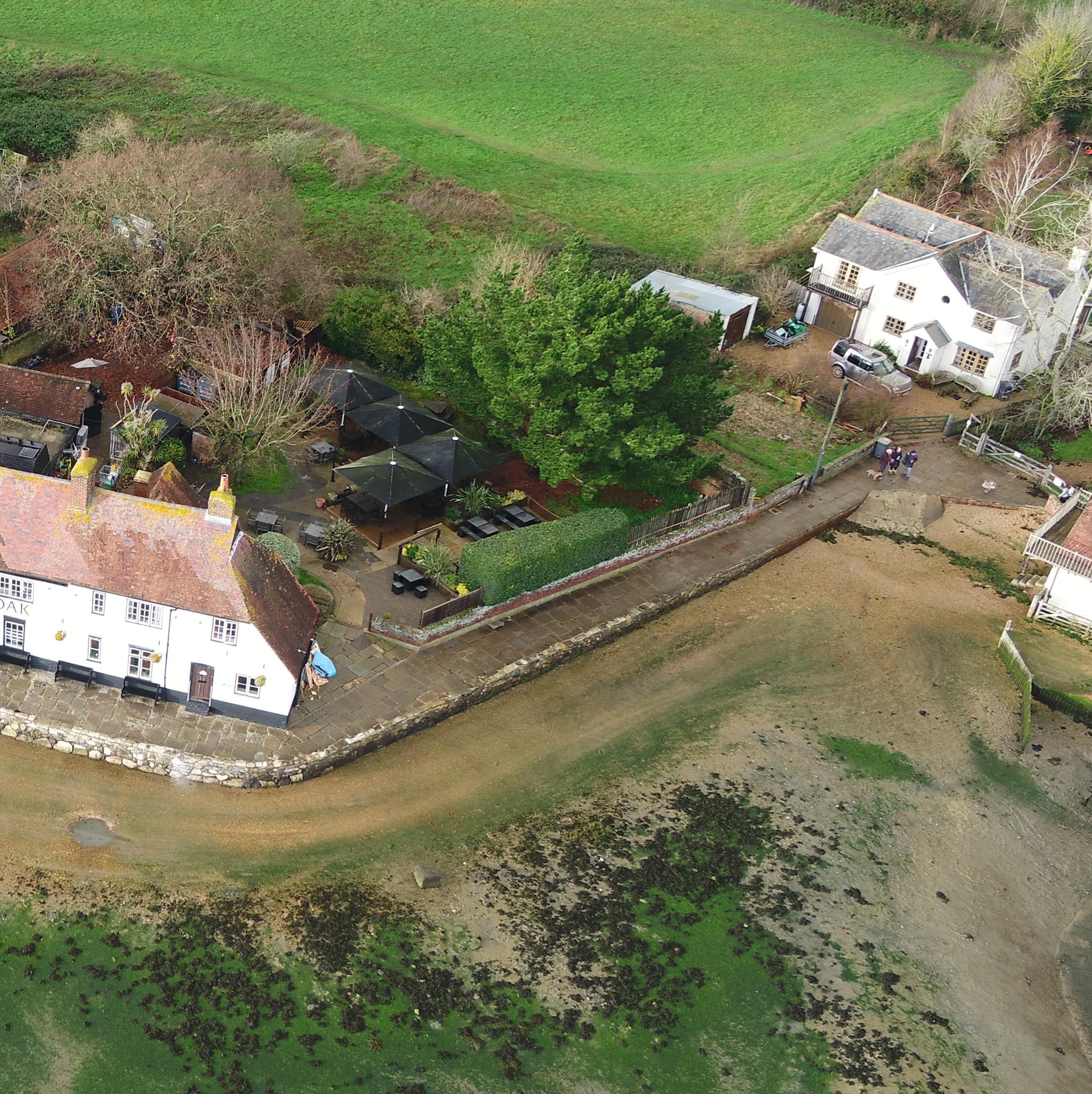
Langstone Village is a unique heritage asset with magnificent views across Chichester Harbour. To help protect the village from the effects of climate change, Coastal Partners has worked tirelessly to secure funding for upgraded sea defences. These will increase flood resilience for the village for the next 50 years.
Cllr Grainne Rason Cabinet Lead for Environment & Water Quality & Climate Change Champion
The multi-award-winning Southsea Coastal Scheme is the UK’s largest local authorityled coastal defences project, worth £180M. The Portsmouth City Council project will stretch for 4.5km from Old Portsmouth to Eastney and help to reduce the risk of flooding to more than 10,000 homes and 700 businesses.
Six frontages comprise the scheme, with one currently underway. Frontage 5 (Pyramids to Speakers’ Corner) opened on 19 December 2024, while Frontage 3 (Southsea Common) began on 21 October 2024 with a scheduled completion date of summer 2026.
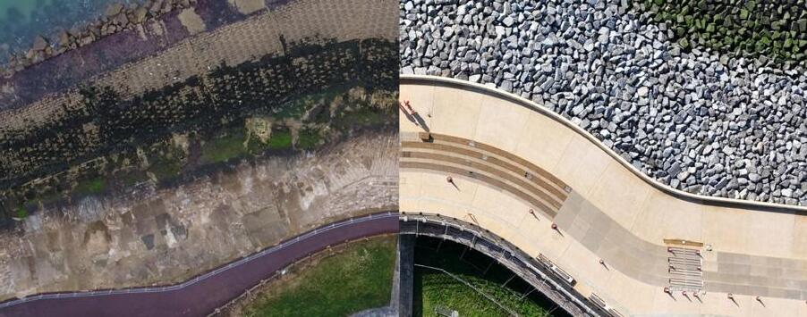
In May 2024 the second phase (of six) of the scheme around Southsea Castle opened. This popular area features a greatly enhanced promenade that has been dubbed the ‘Theatre of the Sea’ due to its new split-level terraced seating and amazing views across the Solent. The first phase of the scheme at historic Long Curtain Moat opened in February 2023 and is very popular with the public who are enjoying the way that historic finds and original-look materials have been seamlessly integrated with the sea defences.
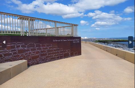


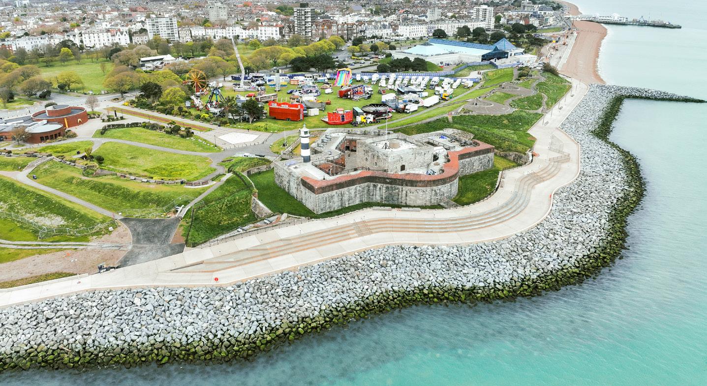
Respecting historic structures is a recurring theme throughout the Southsea Coastal Scheme, and the team works closely with Historic England and Wessex Archaeology. Where listed structures such as shelters, light columns and memorials are in the line of construction, they are respectfully dismantled before being refurbished and placed back in the completed area. Memorial benches are removed and have their plaques placed on new seating along the seafront close to their original locations.
Unearthed historic structures are incorporated into the works where possible. Around Southsea Castle, the promenade design was altered to include a historic triangular defence structure designed by the Dutch engineer Bernard De Gomme, uncovered during construction work. Visitors to Long Curtain Moat can see a section of the original 17th century city walls and defences, as well as original masons’ marks inscribed on the stones. Interpretation signage explains the historic elements.

Art and enhancements feature throughout the Southsea Coastal Scheme. A poem for the scheme, written by Poet Laureate Simon Armitage, entitled ‘Theatre of the Sea’ will be installed on the sea wall. A boulder garden for children, wildflower gardens, bee posts and enhanced lighting and seating, including full accessible seating, all make the area more attractive to the public.
A new shelter at Speakers’ Corner will provide shade, with the design incorporating some upstanding windbreaks underneath it which will be used by Portsmouth City Council to showcase art pieces. Iconic Grade II listed shelters and lamp columns have been restored to their former glory.
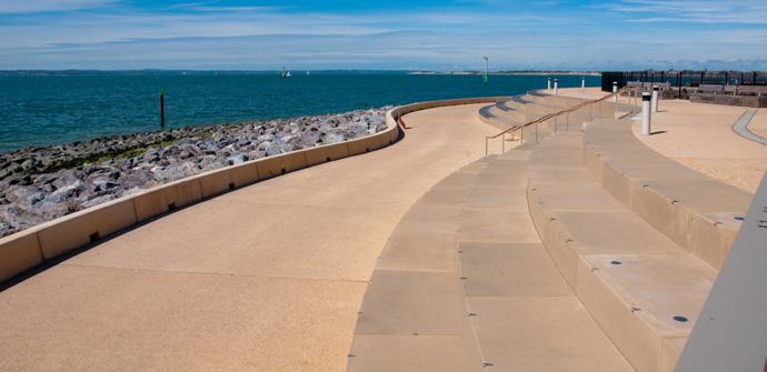
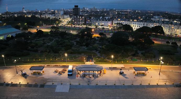


The Southsea Coastal Scheme aims to be a zero waste project and has set up a materials processing site where old materials are recycled to provide fill matter for new sea defences and road raising.
Marine life is protected with the installation of 250 tidal pools, which create ecosystems to mimic natural rock pools. The team works closely with Natural England on mitigation strategies for Brent Geese and Purple Sandpiper birds, both found near construction areas. Measures include providing alternate roosting spaces, restricting noisy work during roosting season, and planting ‘seed rocks’ to provide food for the birds.
“Just wanted to say, what a Stirling job you have all done with the sea defences, promenades and walkways all around Portsmouth. Big pat on the back to all involved it looks fantastic and has enhances our beautiful city!” - Julie
”Thank you for your excellent weekly updates and thank you for the marvellous work you have completed thus far. You are truly changing the face of Southsea...plus the rest of Portsmouth’s shoreline. Credit where credit is due.....impressive!” - Byron
”I have just had my third walk along the newly opened section from Southsea Castle to Speakers Corner. Impressive. Love the art installation at Speakers’ Corner.” - Anthony
Highlights of Frontage 4 (Southsea Castle)
145 000 tonnes of rock imported and placed to make up the new sea defences.
A 96m rock groyne constructed to reduce beach erosion.
Split-level promenade known as the ‘Theatre of the Sea’.


North Portsea Coastal Scheme at the northern coastline of Portsea Island covers 8.4km of coastline from Tipner through to Milton. Most of the area is low-lying and the existing coastal defences were approaching the end of their effective lives
The scheme is designed to a 1 in 500 year (plus allowance for climate change to 2100) Standard of Protection against flooding, reducing the risk of flooding from the sea to over 4,200 homes, 500 businesses, and critical infrastructure over the next 100 years. Construction of the scheme began in 2015, with four out of five phases now complete. The final phase at Ports Creek is due for completion in 2026.
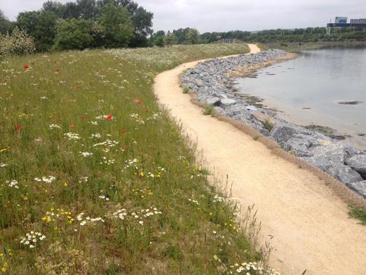

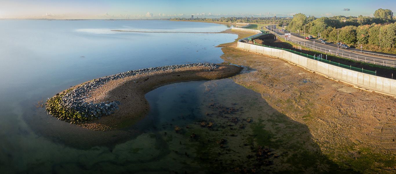
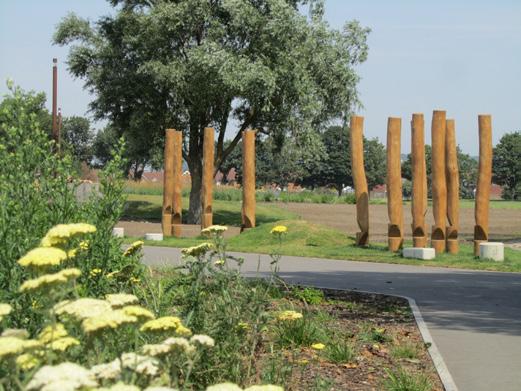
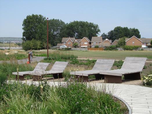

Since opening the completed four phases, the residents and visitors of Portsmouth have enjoyed the improved public realm that the scheme has offered alongside the improved flood protection from the sea.


Phase 5 of the North Portsea Coastal Scheme runs along Ports Creek and is the final phase of the North Portsea Coastal Scheme. Work started here in September 2024 with planned completion in 2026. The design of this phase is like the design of the adjacent phase one at Anchorage Park. This area is known for its green open spaces, so the focus is on retaining the natural feel, planting more trees and improving access to the coastal path along this frontage alongside providing the 1 in 500 year Standard of Protection.
There are many environmental mitigations and improvements as part of the scheme to protect and support the many plant and animal species present in the woodlands and along the moat and creek.
We know that this area is home to a range of native reptiles, such as slow worms and lizards. In summer 2024 the project team successfully relocated these from the area in preparation for construction works. This work moved the reptiles to designated safe zones in the area which will be untouched by construction work.

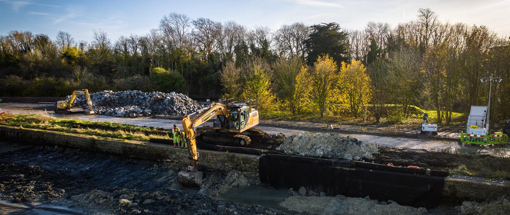
Ongoing works at Ports Creek The final phase of NPCS
Over 8,000 new shrubs and trees will be planted along the length of the phase to replace ones that had to be removed within the flood defence footprint and to increase the number of shrubs and trees from what was present before. Alongside this, coastal wildflower meadow habitat will be planted on the landward-facing slope of the revetment to increase the biodiversity of the overall structure and provide additional habitat for pollinators.
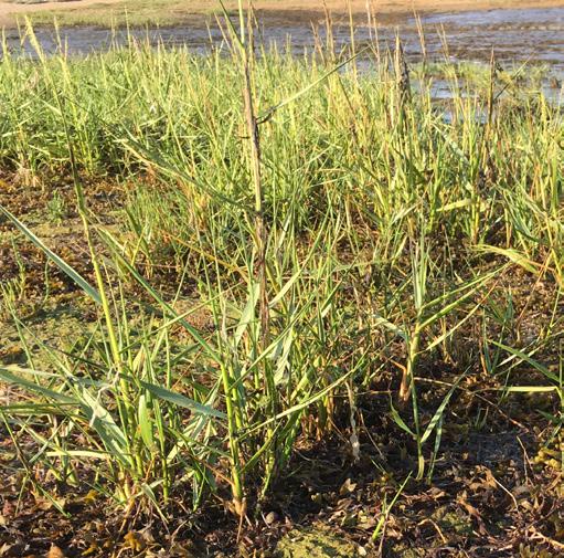
Excavated foreshore material that is removed during construction is being reinstated back over the face of the rock revetment to encourage saltmarsh and salt tolerant plant
colonisation on the rock face. This will provide all the benefits of saltmarsh habitat and encourage the saltmarsh habitat to rise with sea level rise.
New seating, play and viewing areas along the coastal path route will allow improved enjoyment of the public open space and a wider appreciation of the historic Hilsea Lines area. Benches and way finders will be like those used at previous phases at Tipner and Eastern Road.
As part of our work, signage and interpretation boards will be updated along the path at key locations. The creation of a widened raised viewing area at the east end of the frontage overlooking the eastern moat open space will provide interest, allowing a place to stop and appreciate the setting of the Hilsea Lines and moat.
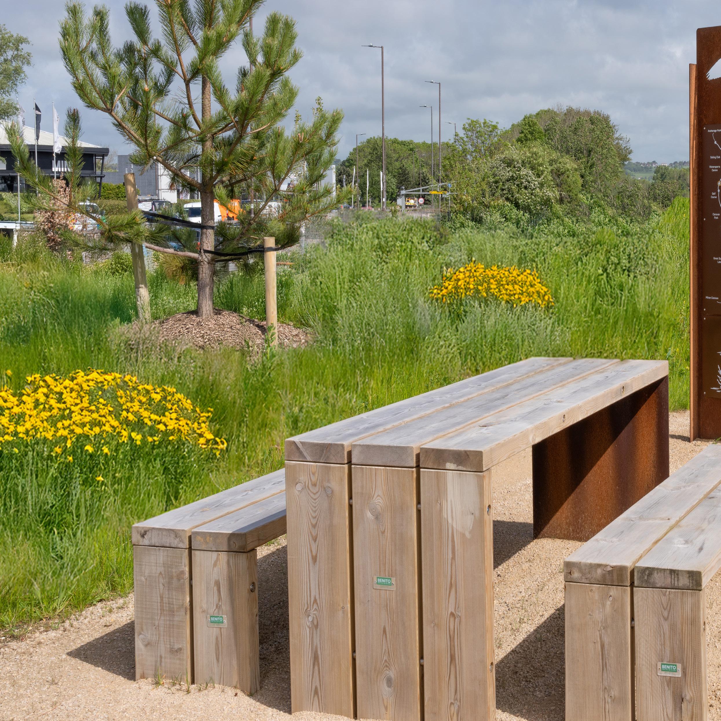

The shoreline along Eastern Road has been significantly enhanced by the North Portsea Coastal Scheme, both in terms of flood defences and beautification of the area for recreational use.
By spring 2025, when all the newly planted trees have started to establish and wildflowers are in full bloom, it will be a great spot for our community to walk along the coastal path and enjoy nature.”
Cllr Steve Pitt Leader of Portsmouth City Council
Gosport is a port town which lies on a peninsula between Portsmouth Harbour and The Solent, opposite the Isle of Wight. The 1970s built sea defences at Stokes Bay had reached the end of their serviceable life and after experiencing several storms, leading to substantial damage to the Stokes Bay seawall, a 135m long replacement section has been constructed.

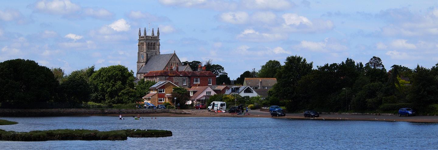
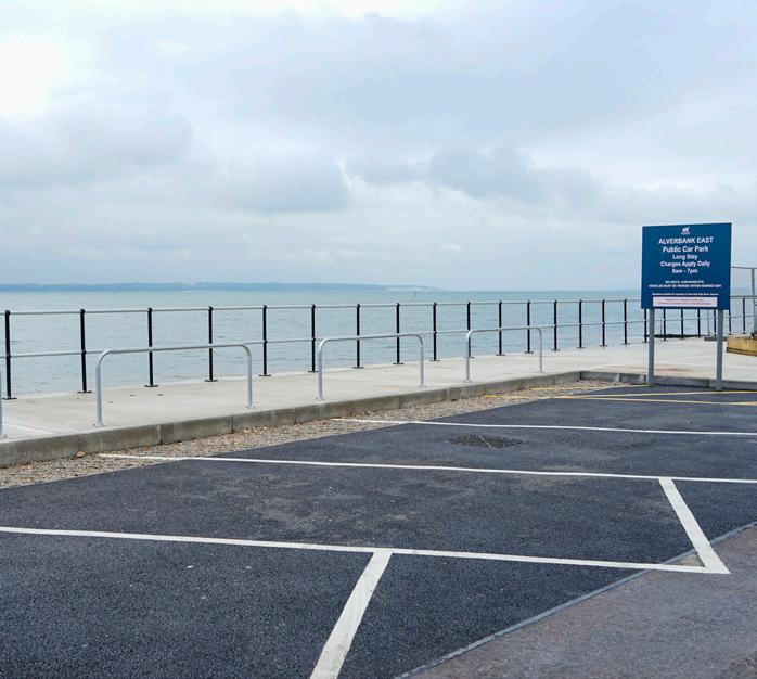
After a series of storms, the seawall in front of Alverbank East Car Park on Stokes Bay seafront experienced a significant failure, and a cost-effective replacement sea defence was designed to address this. In October 2023, a successful joint Local Levy bid by Gosport Borough Council and Hampshire County Council closed the funding gap, supplementing the contributions already made by both councils. Construction began in June 2024 and was completed in September 2024, allowing the car park to reopen.
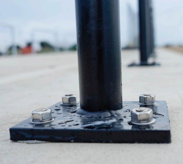
Stokes Bay Option Appraisal Study explored the most practical short and long-term solutions for protecting key infrastucture from flooding and erosion. This comprehensive approach aims to support both the community and the environment.
The replacement structure brings numerous benefits, including protecting vital road infrastructure (Stokes Bay Road is an important local road), addressing long-term health and safety concerns, and restoring
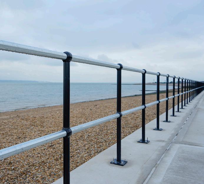
public amenities and access to strategic open space all in line with the Gosport Borough Council Local Plan. Additionally, the car park’s drainage system was upgraded to resolve persistent surface water issues.
Supplementary groyne maintenance and minor repairs to the adjacent seawall will be completed in summer 2025, aiming to improve the seawall’s resilience.

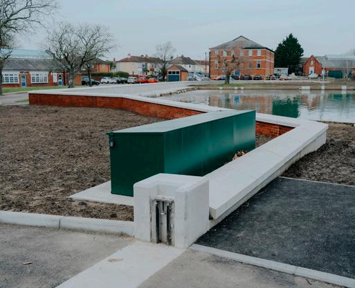
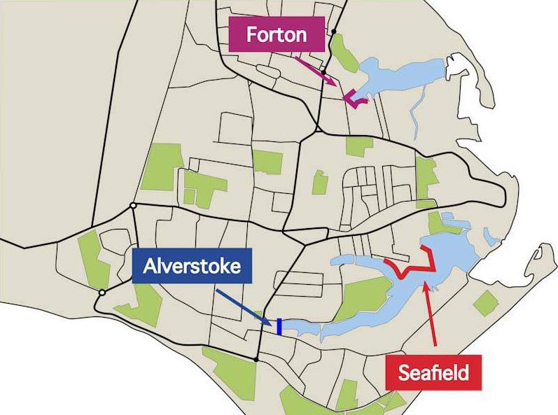
The western end of Forton Lake was highlighted as one of the three priority areas to reduce tidal flood risk in Gosport based on the River Hamble to Portchester Strategy. Since the strategy, a design was developed, and funding was gained from the Environment Agency, the Southern Regional Flood and Coastal Committee and the Department for Education.
Construction of the new sea defence commenced in April 2024 and were completed in December 2024.
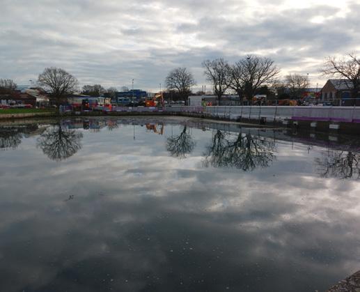

Following completion of the Forton coastal defence scheme in 2024, the remaining priority area which forms the Gosport Coastal Defence scheme and requires updated defences is Alverstoke. Improvements to existing flood defences in this area will help to mitigate the effects of sea level rise and climate change.
The two schemes are of key importance to the Borough as the areas are considered among of greatest flood risk in Gosport. The design measures across the locations are being developed in line with the River Hamble to Portchester Strategy which was adopted by Gosport Borough Council and the Environment Agency in 2015.
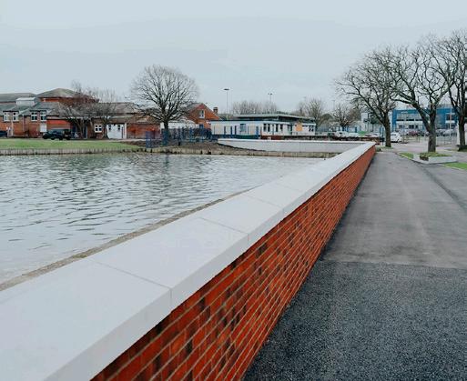
The new defences consist of a reinforced concrete flood wall finished with brickwork cladding and coping stones, removable flood defence barriers and two areas of road raising in the grounds of St Vincent College.
Now complete, the flood defence scheme covers around 200m of coastal frontage and reduces tidal flood risk to 211 residential and 16 commercial properties in the Forton area up to the year 2060.

“Successful partnership working with Coastal Partners is fortifying Gosport’s historic coastline, including major projects recently completed at Stokes Bay and Forton helping to protect homes and businesses.”
Cllr Peter Chegwyn
Leader
of Gosport Borough Council
Cabinet Lead for Environment, Water Quality & Climate Change Champion
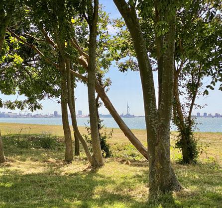
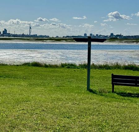
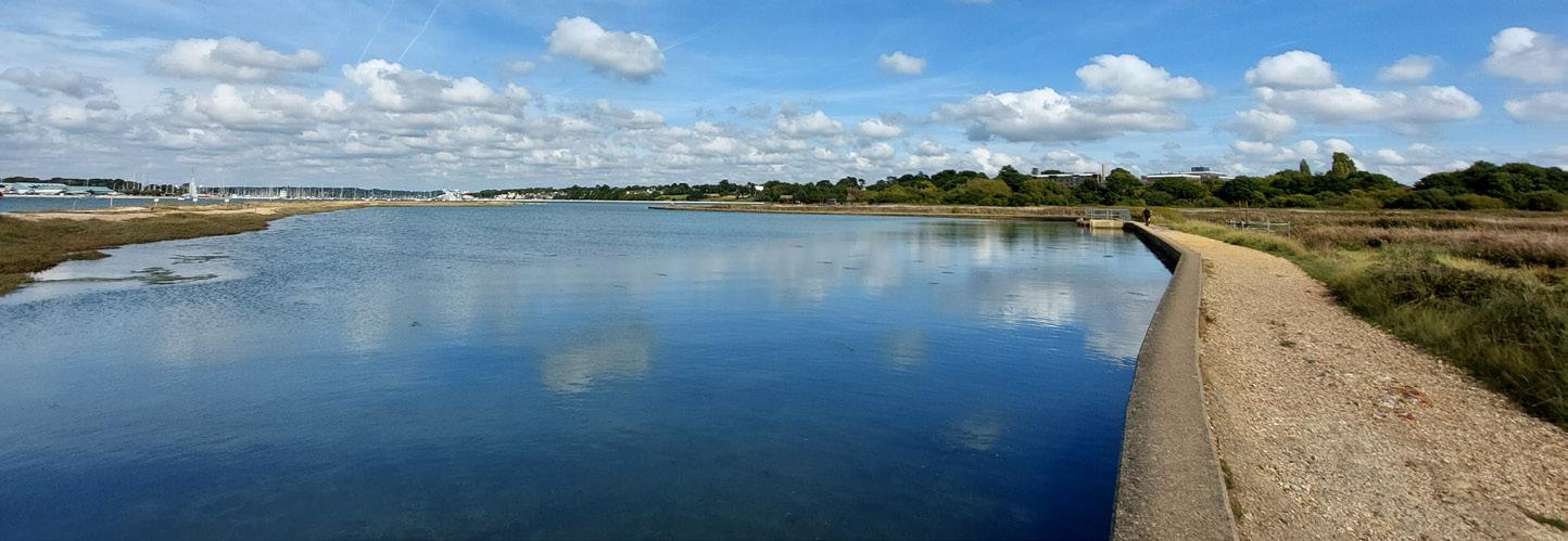
Fareham is situated at the northwest tip of Portsmouth Harbour. This market town provides a unique opportunity to explore a rich heritage of maritime and national history, with woodlands and conservation areas, whilst sitting on a distictive and picturesque coastline.

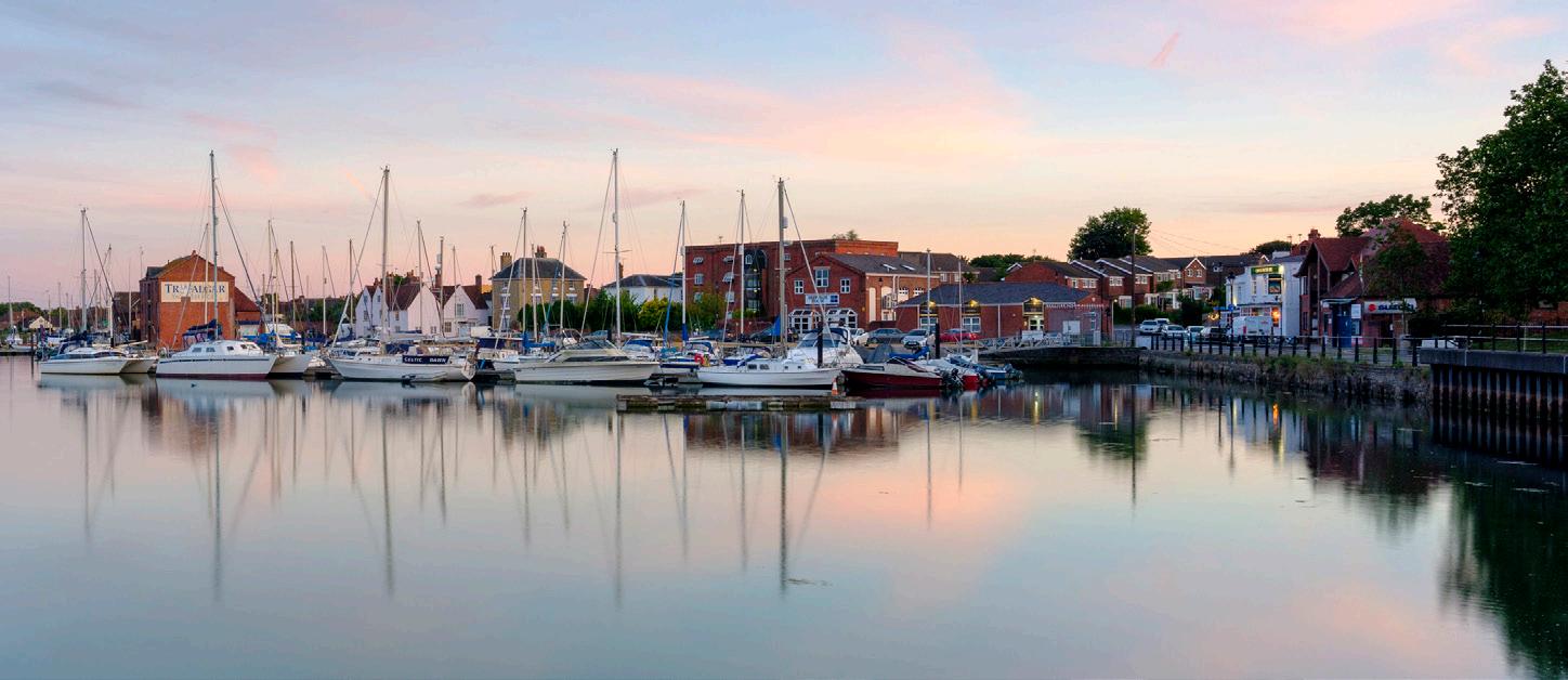
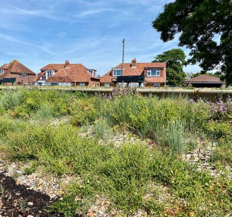
Both the Fareham Quay and Alton Grove to Cador Drive coastlines in Fareham currently have defences that are in poor condition and are at risk of tidal flooding if long-term solutions are not identified. Importantly, they also feature historic landfill sites at each location. Erosion of this material could make its way into Portsmouth Harbour and impact its environmental designations.To address these issues, Coastal Partners, on behalf of Fareham Borough Council and in collaboration with the engineering consultants AECOM, are developing long-term coastal management solutions to address future flood and coastal erosion risk at both sites.
“The risk of coastal flooding to some of our residents along the Fareham Quay & Alton Grove to Cador Drive fronts is increasing as sea levels rise. To counter this threat, it is positive to see that practical and cost-effective defence options are being developed by Coastal Partners in collaboration with leading industry consultants.”
Cllr Malcolm Daniells, Fareham Borough Council Executive Member for Planning and Development

As seas rise, important intertidal habitats along the coast are being lost as hard sea defences are restricting their natural development inland. Replacing and recreating the habitat that is lost in this way, is a legal requirement that helps to offset these losses both today and in the future from new defence schemes. Hook Lake was identified as a site with potential to create new coastal habitat.
The Hook Lake Coastal Management Study was commissioned to help understand the site, explore the potential for creating new intertidal habitats and develop preliminary designs for a scheme.
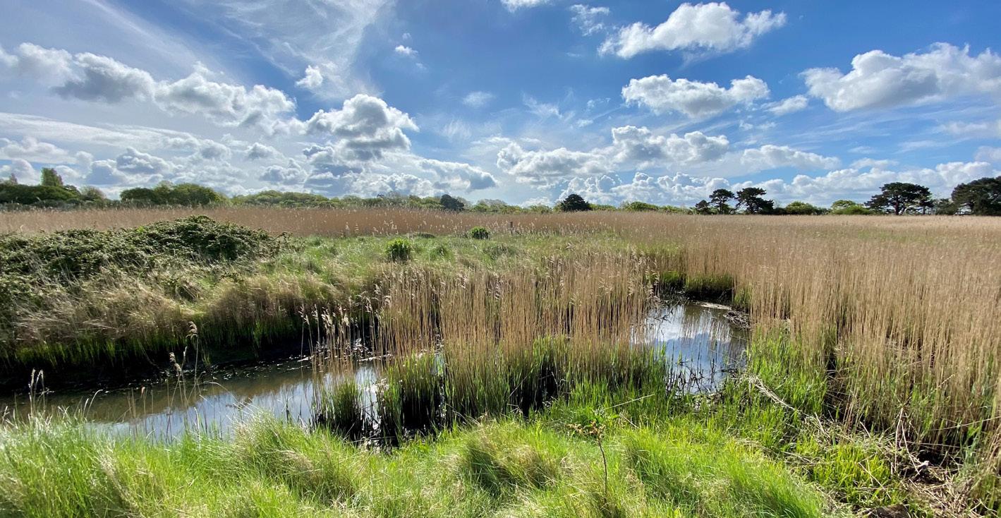
The study showed that the site has many of the characteristics which are needed for the development of a successful intertidal habitat creation scheme. In addition to establishing that a technically feasible scheme is possible, the study also identified some key challenges that significantly impact the viability of a future habitat creation scheme at Hook Lake. These challenges included freshwater habitat loss, biodiversity net gain requirements and increased flood risk to key infrastructure.
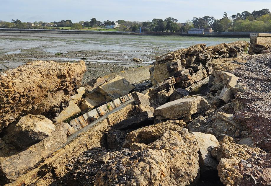
In April 2024, Storm Pierrick caused significant damage to the embankment wall at Hook Lake. Consequently, maintaining a defence at this site is no longer affordable or technically possible.
Considering this, the team have developed a series of adaptive pathways to help support with and communicate future management decisions at the site.
To aid these decisions we will continue to advocate focused discussions with our partners at both local and national levels on these key challenges to expediate future habitat creation schemes here and elsewhere.
Our projects impact the lives of thousands of people in the Solent region, while helping to shape environments for animals and plants to thrive for generations to come. We truly feel that the work we do makes a positive difference to the local communities and ecosystems that we represent and we actively seek out influential opportunities to support this. The endorsements we receive from awards act as a powerful tool in several places. Whether it is lobbying for changes in legislation or policy, sharing working practices with other organisations, or sourcing funding for innovation and growth.

The Southsea Coastal Scheme (pp 18 & 19) picked up the Environment Agency’s Flood and Coast Excellence award for ‘Climate Resilient Places’ for the Long Curtain Moat phase.
This frontage was seen as a firstclass example of improving the environment and the public area while providing resilience to flooding in a changing climate. Long-Curtain Moat is the first phase of six that are being developed in Portsmouth until 2028.
The Southsea Coastal Scheme and Long Curtain Moat were also subject to an award at the ICE awards. This time picking up the award for ‘Large Project’ and ‘Nature & People Positive’ categories. It was recognised as both an outstanding civil engineering achievement and having a decisive contribution to the engineering sector.

Working with the Isle of Wight Council and Mackley, we picked up the award for ‘Integration and Collaborative Working’ on the Ventnor Eastern Esplanade Sea defence project. This vital walking and cycling route on the Isle of Wight failed during a winter storm leaving homes and businesses at risk. Despite numerous challenges, the team worked in an exceptionally joined-up fashion to repair, improve, and reopen the route. These efforts made it stand out from the competition.

Despite its often crowded and built-up nature, the Solent coastline also holds a surprisingly rich diversity of wildlife, supporting a series of internationally important wetlands. The need to protect homes and businesses from coastal flooding and erosion exacerbated by sea level rise sometimes brings these two factors into conflict.
To avoid and reduce the potential for conflicts the partnership undertakes a rigorous process of investigation and assessment to identify potential impacts, develop solutions and identify opportunities for enhancement. In terms of biodiversity, most of these investigations, impact assessments and development of mitigation solutions are undertaken in-house by our team of experts.
Over the past year this has included surveys and mitigation strategies for breeding birds, over-wintering birds, water voles, bats, habitats, notable plant species, fish, marine mammals, reptiles and amphibians. Of particular note is successfully moving 109 reptiles to safe areas to allow the construction of new sea defences for the North Portsea Coastal Scheme, and the translocation of species rich grassland from the same location to enhance four different locations in Portsmouth.
This year has seen the introduction of mandatory Biodiversity Net Gain (BNG) for most capital projects. The concept of all development delivering a 10% uplift in biodiversity is welcomed but has created some challenges for coastal schemes and we are working with national bodies to develop solutions. The partnership has a long history of delivering novel environmental improvements through its projects. It has continued to develop solutions to green the grey, such as tidepools built into sea defences, creating rock pools with a rock muncher on rock armour, creation of a bird island and re-establishment of saltmarsh.
The partnership has continued to work on strategic programmes to compensate for potential harm caused by coastal management including the regional Habitat Compensation and Restoration Programme (HCRP). We have successfully secured funding for the HCRP studies; an update to the Solent Dynamic Coast Project and a study looking to identify options for Coastal Grazing Marsh restoration across the area. We have also been working in partnership with the Solent Seascape Project including restoring saltmarsh on the Hamble Estuary and undertaking fish surveys in Langstone Harbour.
Coastal Partners actively participates in partnerships and initiatives across the Solent, with the aim to reduce the increasing number of pressures on the coastal environment and create safe spaces for people and wildlife.


Hayling Island has a population of over 17,000, is located on the south Hampshire coast, within the Borough of Havant and has approximately 38km of coastline.
Being an island community, climate change is one of the largest challenges Hayling Island will face. It poses a significant threat to the economy, environment, health and way of life. Rising sea levels due to climate change are predicted to significantly increase the level of coastal flood and erosion risk on the island.
The way we manage tidal flood and erosion risk needs to change to meet the future challenges posed by sea level rise and climate change. So, a new Strategy for managing tidal flood and erosion risk on Hayling Island has been developed to safeguard the future of this community and promote sustainable development and prosperity, now and for the next 100 years.
The project was part funded by Defra Flood Defence Grant in Aid, administered by the Environment Agency, and part funded through Havant Borough Council’s Community Infrastructure Levy.
The Hayling Island Coastal Management Strategy reviews and sets out how to deliver the North Solent Shoreline Management Plan policies for Hayling Island at a local level
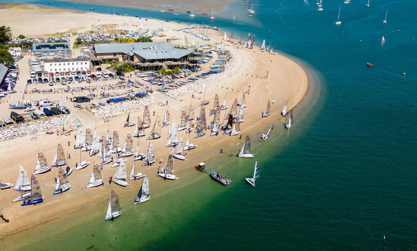
and identifies where and when coastal flood and erosion risk management works are required over the next 100 years and their likely cost.
With AECOM providing professional support to the project, the team have collated and assessed current data to establish our baseline; undertaken modelling to assess flood and erosion risk now and in the future and identified and appraised a range of management approaches for the Island. Engagement has been a key theme throughout Strategy development, through key stakeholder groups, regulators, landowners, and the public. Public consultation on the draft Strategy took place
over a three-month period at the end of 2022. The feedback received during this time was assessed and where applicable and relevant, used to update or amend the final Strategy.
A 10 year short-term priority programme of works for Hayling Island has been identified, including habitat restoration, beach management, coastal defence and adaptation schemes, along with longer-term actions to manage tidal flood and erosion risk over the next 100 years. To allow us flexibility, the Strategy has incorporated adaptation options and adaptive pathways for managing future coastal risk on the island as we respond to future coastal change.
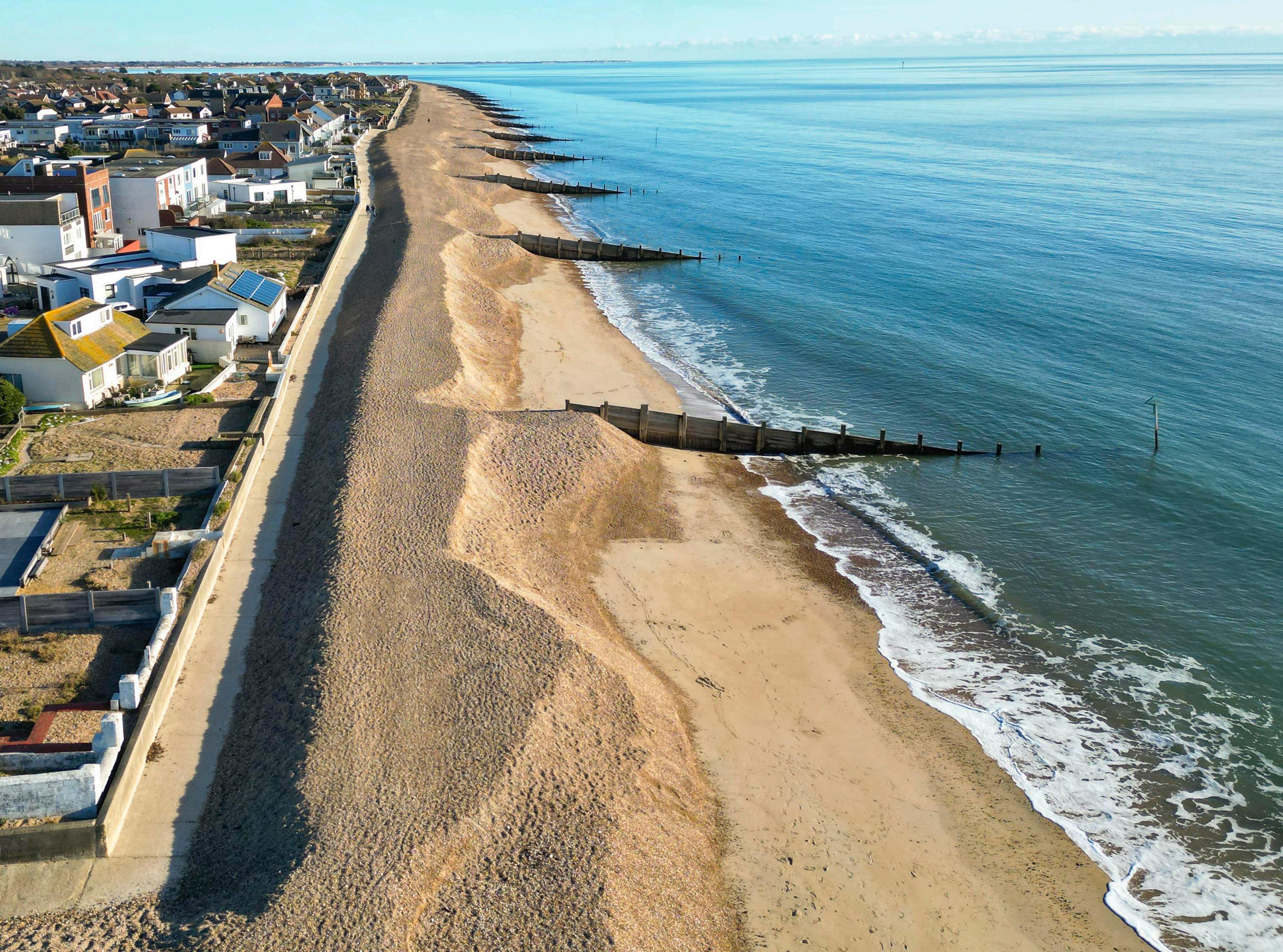
The Hayling Island Coastal Management Strategy was adopted, and its short-term action plan approved by Havant Borough Council Cabinet in December 2024.
Submission of the adopted Strategy to the Environment Agency for technical approval will take place in early 2025. Following this, subject to securing the required funding, we will begin to take forward priority actions in the action plan.

Within the national Flood & Coastal Erosion Risk Management (FCERM) sector, policy and guidance is a fundamental element that helps to shape the success and sustainability of future coastal management.
As such, Coastal Partners continue to play an active and positive role in ongoing lobbying and advocacy via several forums including the Local Government Association Coastal Special Interest Group (LGA Coastal SIG) the Coastal Group Network (CGN), and the Chartered Institute of Water & Environmental Management (CIWEM).
The purpose of the Coastal Group Call to Arms themes is to set out the scale of the challenges and bring together partners to formulate a plan with regards to tackling the issues identified.
The hope is to ultimately influence a positive change in the national policy on how the current challenges are dealt with and funded.
The Coastal Partners lead officer for the challenge of Historic Coastal Landfill was invited to sit on the Steering Group for a Defra national study to assess the scale and risk of coastal landfill across the UK shoreline. They also attended a briefing with the Under Secretary of State for Environment, Food and Rural Affairs alongside the LGA coastal SIG to discuss the challenges facing Local Authorities in this space and to suggest solutions which may help. Meetings like this help to shape the future direction of policy by highlighting the challenges being faced on the ground by risk management authorities.
As part of the Coastal Adaptation Call to Arms, Coastal Partners are actively involved in the LGA Coastal SIG Adaptation Working Group, specifically through the ‘Embedding Adaptation into Investment Plans’ work area. Aligned with this, Coastal Partners are directly challenging the current FCERM process to try and secure funding for an Investment and Adaptation Plan for Chichester Harbour, to directly help communities become more resilient and adapt to future coastal change.

Lobbying continues to raise the profile the profile of aging or failing sea defence structures. There remains a disparity between the Environment Agency (EA) who can draw on grant aid funding for their defence maintenance and local authorities who cannot. The call to arms continues to pull together an evidence base to support the case for change. This has informed feedback to Defra, the EA, Wessex Regional Flood & Coastal Committee (RFCC), Southern RFCC and the National Infrastructure Commission. The asset call to arms informed a Chartered Institute of Water & Environmental Management (CIWEM) Environment journal article and was presented as CIWEM priority theme at Flood & Coast 2024 Conference.
A major part of project delivery is ensuring adequate funding can be found for delivery. In recent years partnership funding has become incredibly difficult to achieve which is slowing down the implementation of much needed projects. Through various forums and workshops Coastal Partners raise these challenges and suggest positive changes which would help speed up project delivery. Recently, we took part in the annual Infrastructure Projects Authority’s review of the national FCERM Programme and were interviewed by Policy Connect who are collating views on what needs to change to inform the new Labour Government’s policies on FCERM funding. More recently, we fed into and helped steer the Policy Connect Bricks & Water: FCERM Policy for a New Government report, which sets out recommendations for the Government to more effectively manage Flood and Coastal Erosion risk in England. This included attending the House of Lords launch to set out how the recommendations of the enquiry align with the needs of Local Authorities.


As an established Coastal Management Partnership, we have long championed the notion that by working co-operatively much more can be achieved. Such broader thinking has been a principal factor in delivering FCERM projects that have multiple
benefits. At their core, they are initiatives that minimise flood and erosion risk, but because of their location and significance, they have far-reaching benefits for communities, businesses, and the environment. Benefits such as:
The gains of our portfolio of projects are being recognised both locally and regionally whilst having a telling influence on a national scale. The impact of this is helping to ensure a more sustainable future that has driving forces of people and nature.
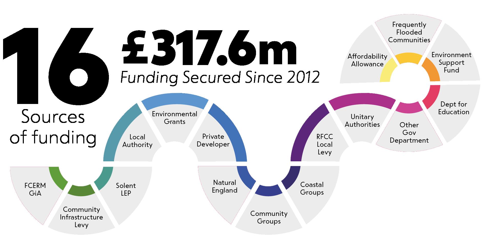
Alongside this, by working in partnership and aligning objectives with other organisations, we create the opportunity to attract alternative or additional funding towards schemes that might otherwise not progress due to funding shortfalls. Since 2012 we have endeavoured to utilise a broad range of investments to help address climate change. This inclusive philosophy has allowed us to be successful in securing over £317.6 million from 16 different sources of funding.
Significant time and effort are required to recognise the benefits of aligning multiple objectives and multiple funding partners. By doing so, we have delivered much more complete outcomes for the communities we serve.
To design and build fit-for-purpose sea defences, we are always looking to improve our understanding of coastal processes. To help us do this we have developed an innovative method to track the movement of sediment along our beaches.
A simple idea that delivers amazing results
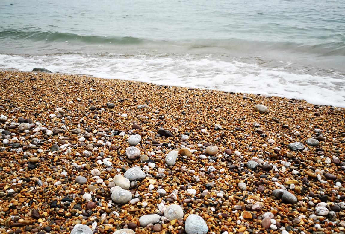
By fitting a locally sourced beach pebble with a unique Radio Frequency Identification tag we can gather very valuable information. The ‘Tracer Pebble’ broadcasts a unique ID number which is detected using Global Positioning System equipment and from this our engineers analyse trends in beach behaviour.
By deploying and tracking these pebbles, we collect critical date on patterns of drift which helps to inform local coastal management decisions, aids coastal defence scheme design and guides beach maintenance activities.
A recent tracer study was carried out at Southsea, where 700 native pebbles were deployed in the autumn of 2023. The tracer pebbles were tracked and evaluated to better understand sediment transport pathways along the frontage. This information, combined with analysis of data from the National Network of Regional Coastal Monitoring Programmes (NNRCMP), helped to inform the development of the Beach Management Plan which was established as part of the Southsea Coastal Scheme.

At West Bay 1,200 tracer pebbles were recently deployed in a study to help understand sediment transport pathways around the harbour entrance and provide estimates of sediment transport rate along the West Bay frontage. The study highlighted some key information, such as: the rock structures at West Beach are effective at holding material on the beach and material tended to circulate within each of these groyne bays.
Whilst no tracer pebbles were found to bypass the harbour entrance in either direction, the tracer pebbles did provide strong evidence to show that material was making its way eastward from East Beach at West Bay along to Burton Freshwater. Analysis of additional volumetric change data highlighted occasional westward movement along the frontage and suggested spatial and temporal patterns in erosion and accretion.
The study provided a wealth of useful insights. The information is being used by Dorset Council and the Environment Agency to inform the East and West Beach Management Plans.
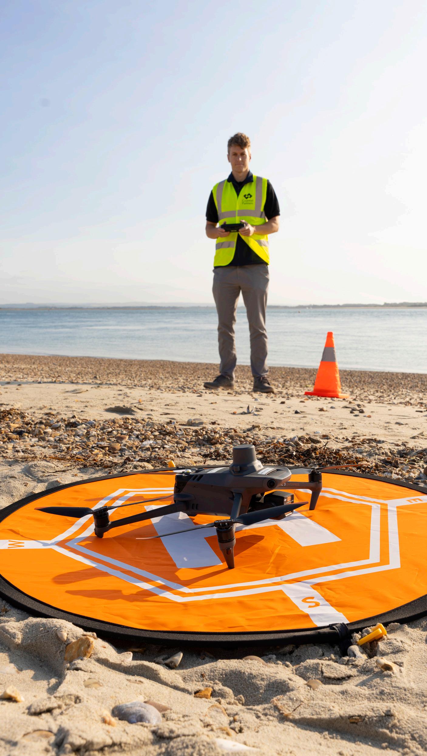
Geomatics Services provide professional Geospatial Mapping and Site Engineering capabilities to both Coastal Partners and other public sector and partner organisations across Southern England. Utilising the latest technology in the industry, we’re able to provide a 3D Data Capture service through use of UAV’s and laser scanners, as well as delivery of topographic, coastal, highway and infrastructure surveys through use of our total stations and GPS kits.
The team has continued to deliver a comprehensive service to all our projects over the past year, from Coastal Monitoring and construction site support, through to enhanced communications and engagement material to promote everything we do. In addition, this year has seen continued growth within the team, with the recruitment of a new Senior Surveyor to develop our technical capabilities, helping to ensure we deliver our works to the highest standards.
Ongoing marketing and engagement is being undertaken to build new relationships and open up new opportunities which will allow Geomatics Services to grow.
By investing in the latest pioneering equipment, we can extend the variety of survey services we can provide for projects to our partners, clients and beyond.



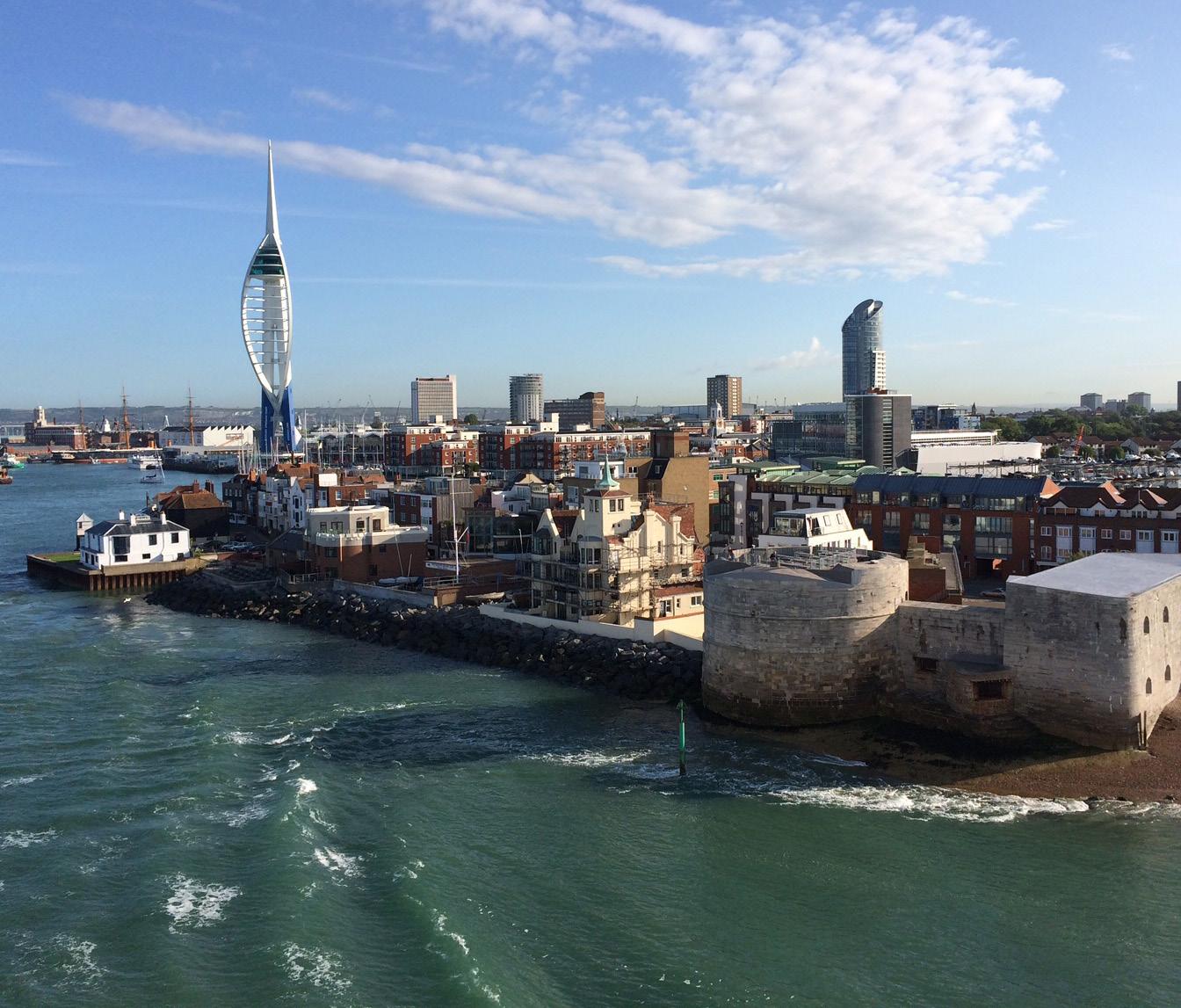
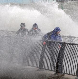
Currently, the National Risk Register of Civil Emergencies rates coastal flooding as amongst the highest risks to the UK. Additionally, the Environment Agency predicts that 1 million people in Britain will be exposed to annual coastal flooding by 2100, due to the effects of climate change.
Sea-level rise is an effect of climate change. As seas rise, so does their impact on sea defences and coastal erosion through increased water levels and waves carrying greater energy to the shore.
The stark reality of the future is that we must adapt. Within our work we do this by factoring in scientific, evidence-based projections. These help us to build future-proofed, industry-leading sea defences that are designed to withstand the increased likelihood of flooding and the severity of its impacts.
With UK Climate Projections 2018 (UKCP18) pointing to increased storminess and greater, more intense rainfall levels, our communities and ecosystems are facing pressures from climate change. A major flood event is happening almost every year in the UK with significant parts of the coastline eroding and extreme weather records frequently broken. These harsh truths lead to economic costs running into billions, severe impacts on peoples’ health with wellbeing and biodiversity encountering further pressure.
Although flooding is becoming a growing threat, we are rising to meet this challenge with innovative, fit-for-purpose coastal management solutions and by working alongside leading industry partners.
There is no doubt that coastal change is being accelerated by increased storminess, changing wave patterns and rising seas. For us to tackle the impacts of this sustainably and environmentally, we are working alongside the Environment Agency (EA) to implement how to adapt and mitigate climate change now and for decades to come.
The EA’s long-term Flood and Coastal Erosion Risk Management (FCERM) Strategy for England focusses on two main ways that we can do this. The first, mitigation, aims to reduce or limit the effects of greenhouse gases that bring about climate change. The second, adaptation, is through changing our lifestyles, economy, infrastructure and local places to make us more resilient and adaptable to future consequences.
Our projects along the Solent are helping to protect homes, businesses and the environment for future generations. We have many measures in place that are making a meaningful contribution to carbon reduction and becoming net zero:
Pioneering initiatives such as ‘Greening the grey’ to deliver carbon benefits by using features like Ecoformliners, Tidal Pools and BESE* Grids to encourage marine algae and plants such as seaweeds, sea grasses and saltmarsh, which are effective for carbon capture.
Reusing excavated material from existing structures to provide fill material for the new sea defences. This avoids sending thousands of tonnes of waste to landfill.
Using concrete containing a by-product called Ground Granulated Blast-furnace Slag which reduces the amount of cement required.
Keeping reusable material onsite helps to save thousands of tonnes of CO2 on the production of new material and the transportation of it.
Using biodiesel, a renewable, biodegradable fuel manufactured domestically from vegetable oils, on all construction equipment.
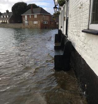
Sea level rise is the rising of the world’s seas and oceans as global temperatures increase. As the atmosphere gets warmer, glaciers and ice sheets melt, leading to more water introduced to the ocean. Alongside this, as the water gets warmer, so does the volume of it through expansion.
In the English Channel, sea levels are currently rising between 1.45 - 3mm each year. Government guidance based on UKCP18 recommends all projects include sea level rise of up to 1.2 – 1.6 metres in 100 years time. This accounts for worst case global warming of 3.2 – 5.4 °C in the future. Alongside this, the UK land surface is tilting. Scotland is rising and southern England sinking due to glacial isostatic adjustment, which is factored into the sea level rise projections.
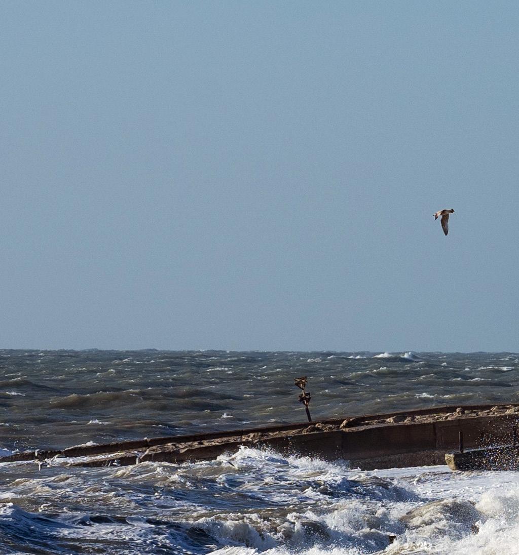
According to the SCOPAC Storm Analysis update, we are experiencing a trend of increased storminess and feeling those impacts at our coast. This is putting increasing strain on sea defences to withstand the extreme weather. With the combined efforts of the Environment Agency, Local Authority officers, and own team of officers, we have an excellent system to manage the growing threat of storminess.
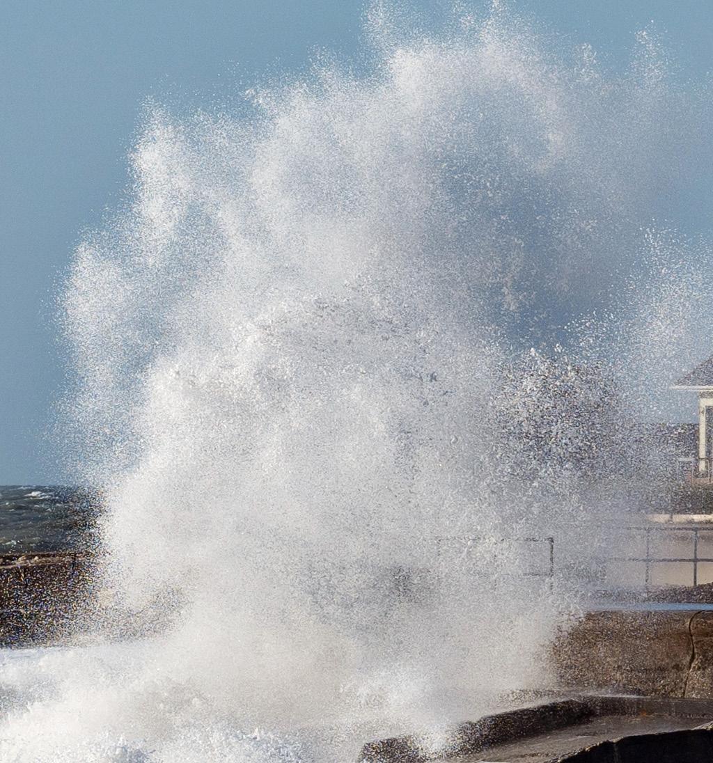
Coastal Incident Officers are our eyes and ears before and during storm events. They provide a first point of contact to our partner councils for the latest information on tide levels, beach, and weather conditions, provided to us by the Environment Agency. Then, when large tides are forecast, they check the installation and deployment of flood equipment which helps to limit the impact on our coastal communities.
Bathymetric Data
BMP
CGN
CHaPRoN
Cuspate Foreland
The underwater depth of ocean floors, lake floors, or river floors
Beach Management Plan
Coastal Group Network
Chichester Harbour Protection and Recovery of Nature Initiative
Features extending outwards from the shoreline in a triangular shape created primarily by longshore drift
EA
FCERM
Intertidal
IPCC
LGA SIG
Longshore Drift
HCRP
RMA
SCG
SCOPAC
Topographic Data
UAV
The Environment Agency
Flood and Coastal Erosion Risk Management
The area above water level at low tide and underwater at high tide
Intergovernmental Panel on Climate Change
Local Government Association Coastal Special Interest Groups
The transportation of beach material along a coast parallel to the shoreline.
Habitat Compensation and Restoration Programme
Risk Management Authorities
Southern Coastal Group
Standing Conference on Problems Associated with the Coastline
The forms and features of land surfaces
Unmanned Aerial Vehicle
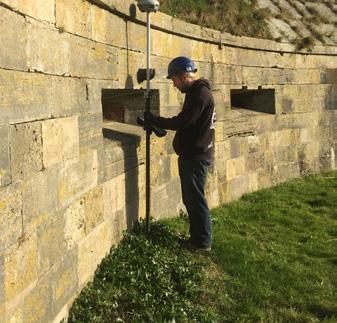
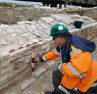
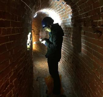
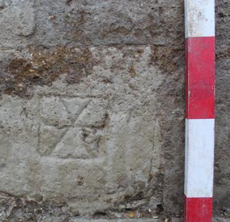

“The south coast of England is steeped in cultural heritage. By working alongside Coastal Partners, we have not only ensured that these special historic places can be enjoyed for generations to come, but also seen significant improvements made to the appearance of nationally important heritage assets.
Together we have seen that remarkable archaeological discoveries are preserved, offering fascinating insights into the continued adaptation of our coastal fortifications and renewing public interest in the historic landscape.”
Iain Bright Inspector of Ancient Monuments Historic England

