Page |1
Fareham Coastal Defence Study Fareham Quay and Alton Grove to Cador Drive (Portchester) Position Statement March 2026
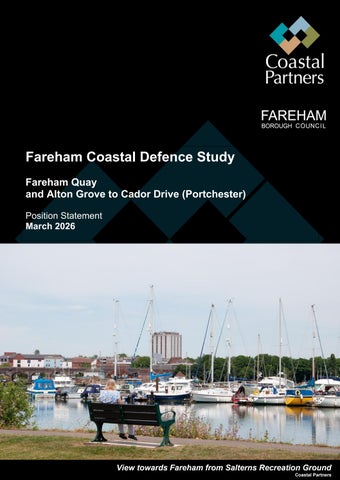
View towards Fareham from Salterns Recreation Ground Coastal Partners
Page |1
Fareham Coastal Defence Study Fareham Quay and Alton Grove to Cador Drive (Portchester) Position Statement March 2026
View towards Fareham from Salterns Recreation Ground Coastal Partners