Call Taking
Australian Map Gridding (AMG) System The grid system is composed of vertical and horizontal lines (grid lines) equally spaced and superimposed over a map. The distance between these lines is set at 1000 metres or 1 km. These lines are named as Eastings and Northings. Eastings: •
The horizontal lines which divide the map from WEST to EAST
•
Eastings are read from west to east (left to right) with the value increasing towards the east.
Northings: •
The vertical lines which divide the map from SOUTH to NORTH
•
Northings are read from south to north (bottom to top) with the value increasing towards the north.
Where the Eastings and Northings intersect, is known as a grid reference. Grid references are measured as 4, 6 or 8 figures.
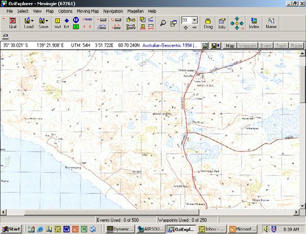
Grid Reference Numbers Grid reference numbers are marked around the border of a map and are read with the Easting first followed by the Northing (start at the left of the map and read across to the Easting and then up to the Northing). The following example shows the easting and northing references around the border of the map. 70 is the very top of the map Northing (horizontal line) and 63 is the first Northing up from the bottom of the map. 43 is the first Easting (vertical line) in from the left and 56 is the first Easting in from the right.
70
43
44
45
46
47
48
49
(A) 4768
69 68
50
51
52
53
54
55
56
4 Digit Rapid Number Easting = 47 Northing = 68 Accurate to 1000M (1km)
67 66 65 64
(B) 485664 6 Digit Rapid Number Easting = 485 Northing = 664 Accurate to 100M
(C)
8 Digit Rapid Number Divide these squares by another 10 x 10 block Accurate to 10M
63
© SA Ambulance Service - June 2021
38