
FLOOD CONTROL SYSTEM
INVESTING IN A STRONG FUTURE


The Cedar Rapids story is one of resilience and recovery. In 2008, a devastating flood crested more than 11 feet above any previous flood. The flood waters from the Cedar River covered 10 square miles of our city and resulted in more than $5.4 Billion in losses.
The 2008 Flood was catastrophic, but our recovery has been impressive by any standard. We have rebuilt our city facilities and adopted a flood protection plan, raised three bridges and taken measures to protect our damaged water system, pumps, and water facilities. One of our low-lying commercial districts now has immediate protection from flooding, and numerous additional preventative measures are underway on both sides of the river.
While much work has been done, we still have a vital need to complete construction on our Flood Control System (FCS). Permanent flood protection is critical for the entire community’s safety, economic security, and quality of life. Without it, the city continues to be vulnerable to human loss and financial risk. With both a master plan and a financial plan in place, we continue moving toward our goal of permanent flood protection on both sides of the river.
FUNDING
Total project cost estimate = $1.25 Billion
Funding is combination of Federal, State, City, and Private dollars
Secured
$199 Million Federal US Army Corps of Engineers
$269 Million State of Iowa Flood Mitigation Board
$74 Million federal grants secured as of Spring 2024
City Financial Plan Approved 9-11-18
$264 Million local funding plan
City leaders continue to explore options on closing the funding gap and accelerating the timeline for construction.
Disaster History
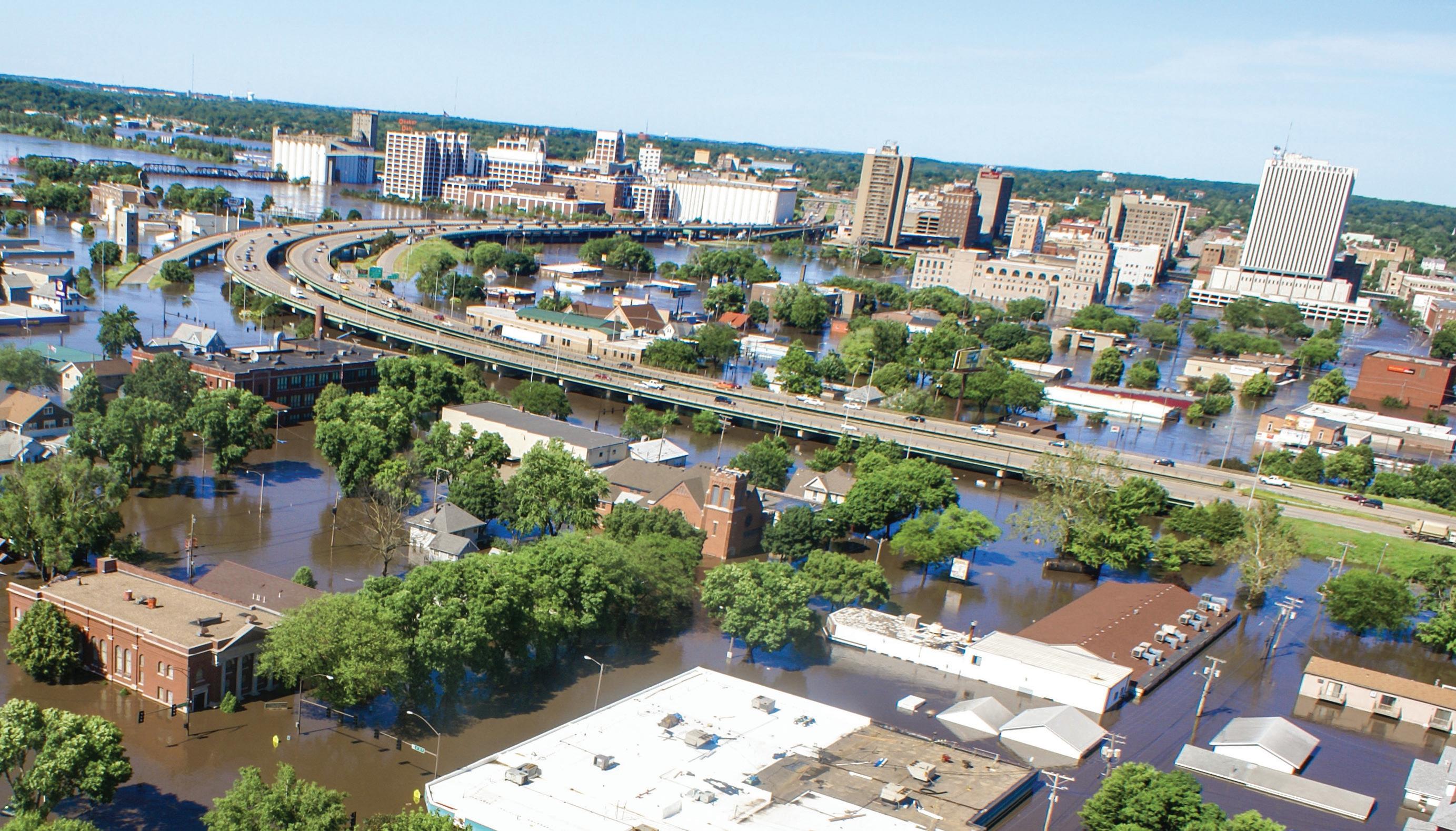
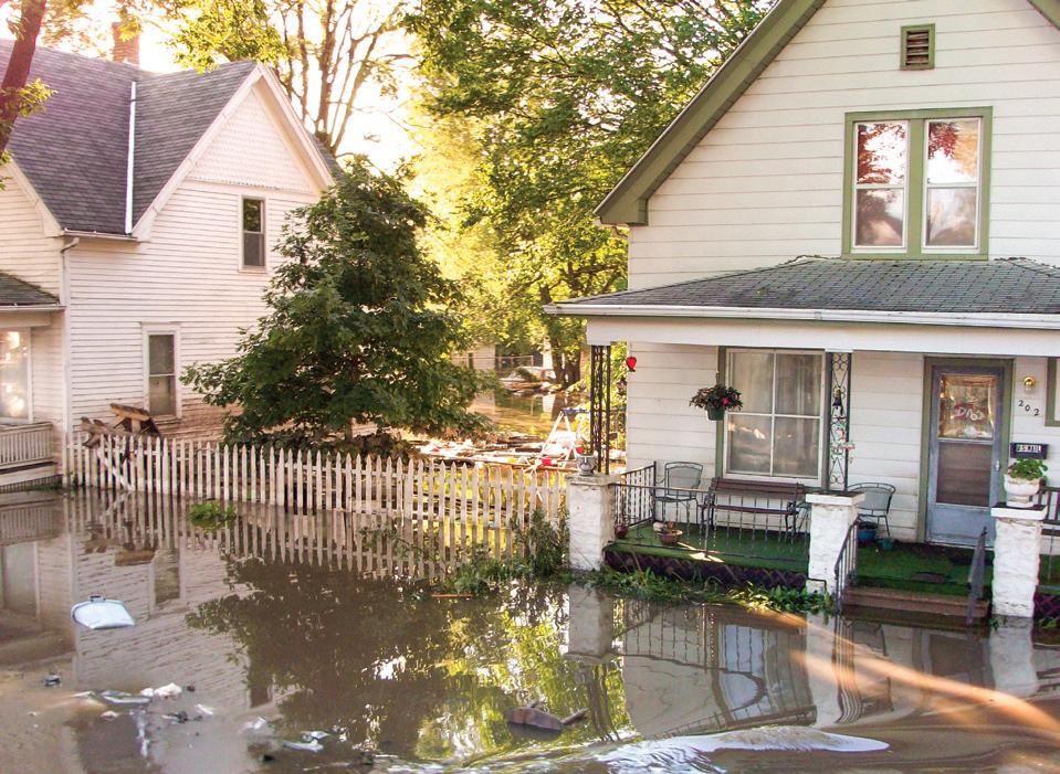
In June 2008, the community was engulfed by flood waters when the Cedar River crested at over 31 feet, 19 feet above flood stage.
• 1,126 blocks flooded
• More than $5.4 Billion in damages
• 10 square miles of impact
• 10,000 residents displaced
• No loss of life

Arts and cultural assets were displaced or destroyed, as were numerous faith institutions. The force of the event displaced 1,547 children from area child care centers.
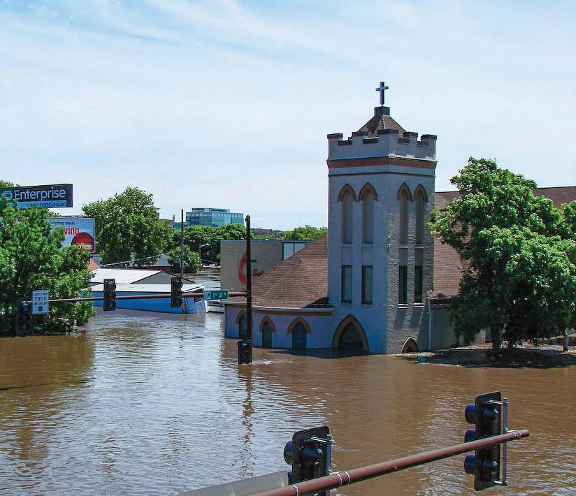
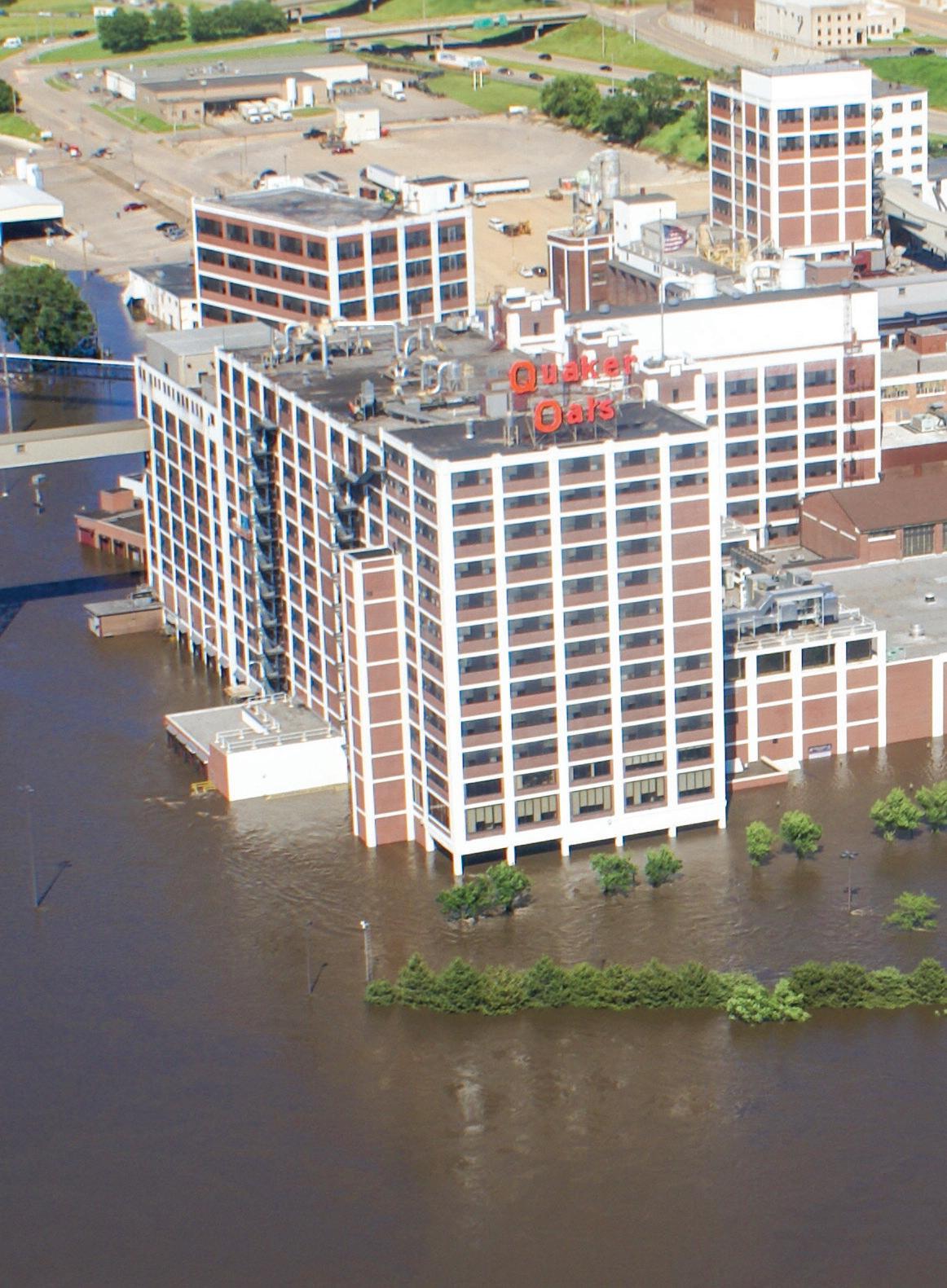
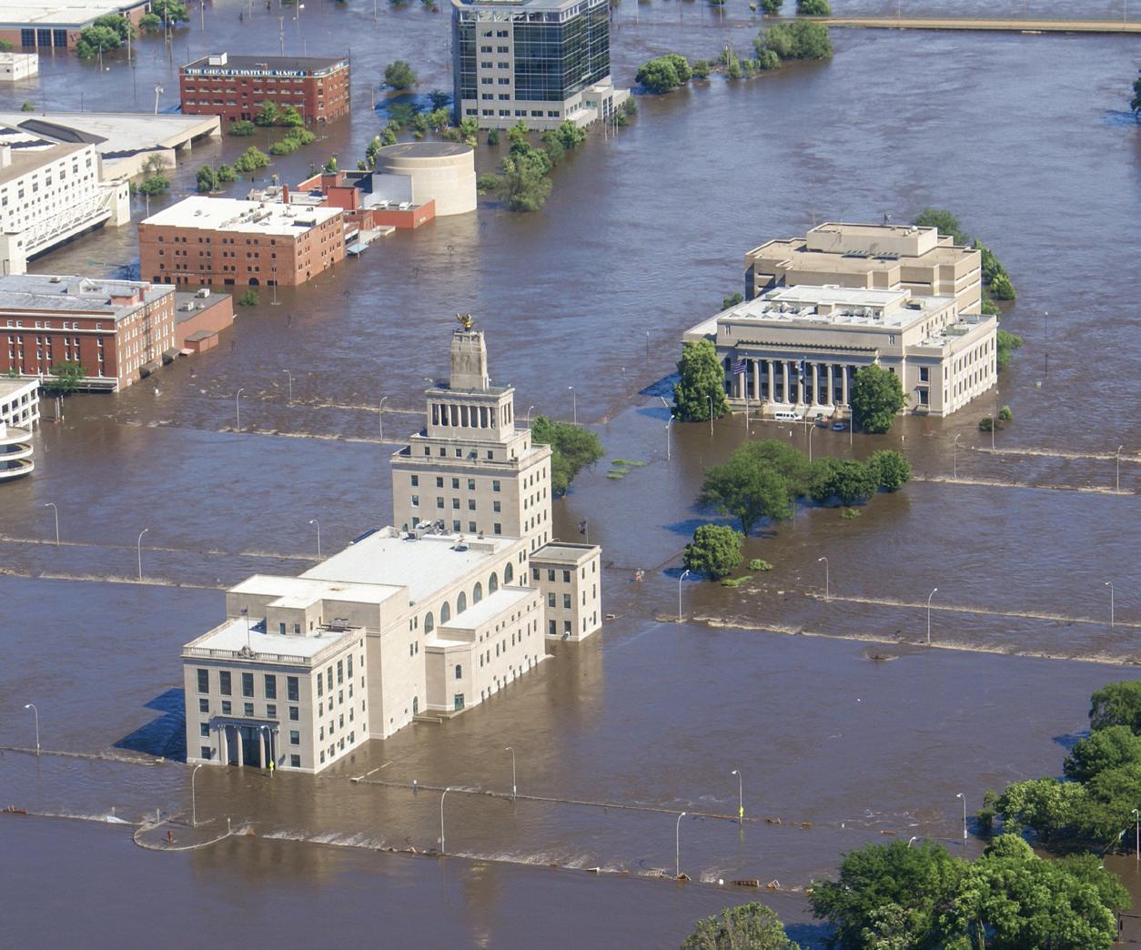
All local government facilities were crippled. The Central Fire Station, Police Station, City Hall, County Courthouse, County Administrative offices, and County Jail all required immediate relocation.
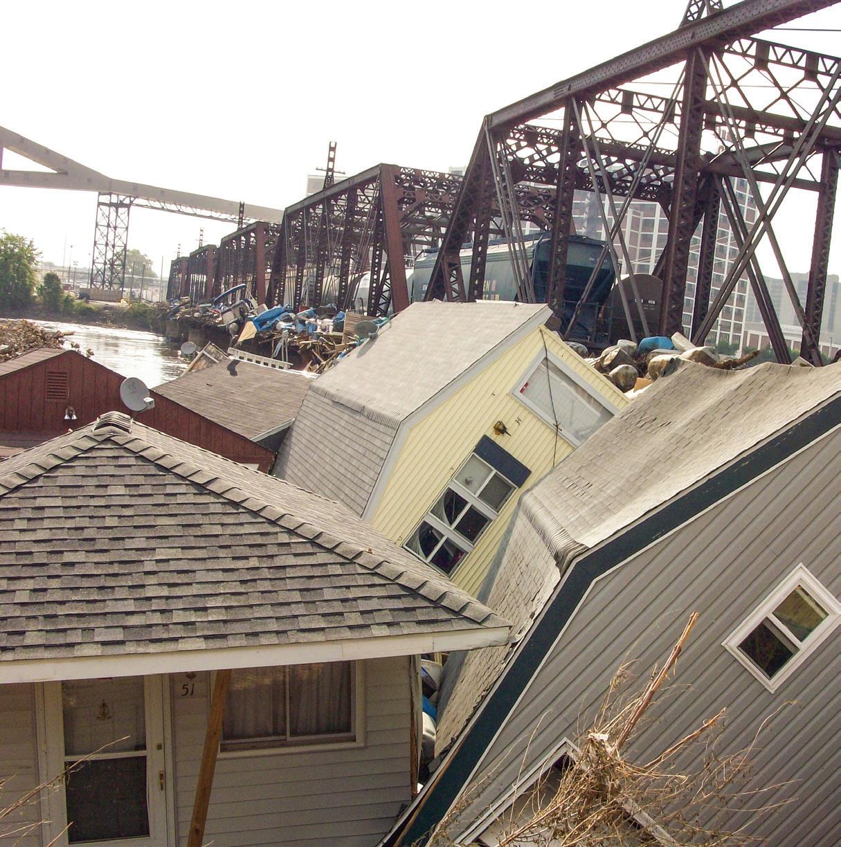
More than 300 public buildings and 900 businesses were damaged. 5,390 homes belonging to more than 18,000 citizens were affected, and 10,000 residents were displaced by the disaster.
Planning
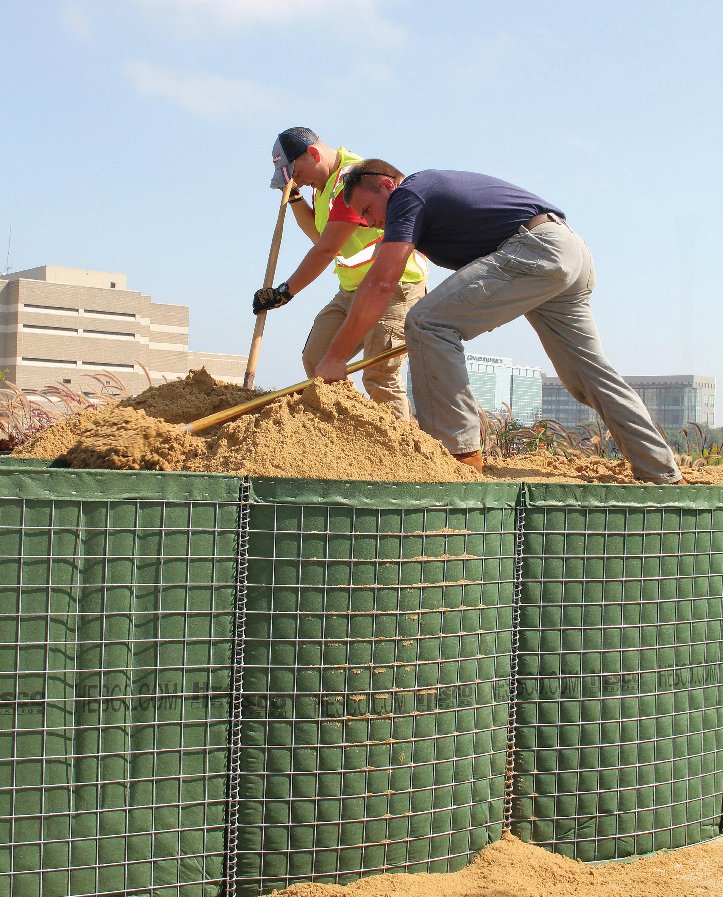
Six weeks after the 2008 flood, City officials reached out to the public to develop a flood management strategy.
Goals included addressing immediate needs, determining how to redevelop neighborhoods, and protecting against future disasters. The community drove this process to cast a vision for a system that would benefit all of Cedar Rapids — and both sides of the river.


Investing in a Strong Future
Just six weeks after the 2008 Flood, the City engaged the public to develop a flood-management strategy. The process included extensive outreach efforts across all sections of the community. Goals included addressing immediate needs, determining how to redevelop neighborhoods, and protecting against future disasters. The community drove this process to cast a vision for a system that would benefit all of Cedar Rapids — and both sides of the river.
2013 State of Iowa Flood Mitigation Board awarded Cedar Rapids with a 20-year, $263 Million commitment to flood protection
2014 City conceived a design concept for a permanent system on both sides of the river to include permanent walls, removable walls, gates, levees, and pump stations
2015 Plan for permanent flood protection formally adopted by Cedar Rapids City Council
Additional $5.5 Million in Iowa Flood Mitigation Board funding secured
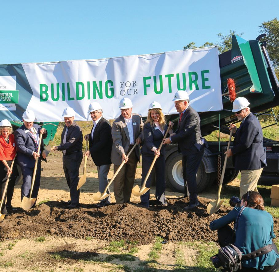
2016 City officials broke ground on the first main segment of permanent protection
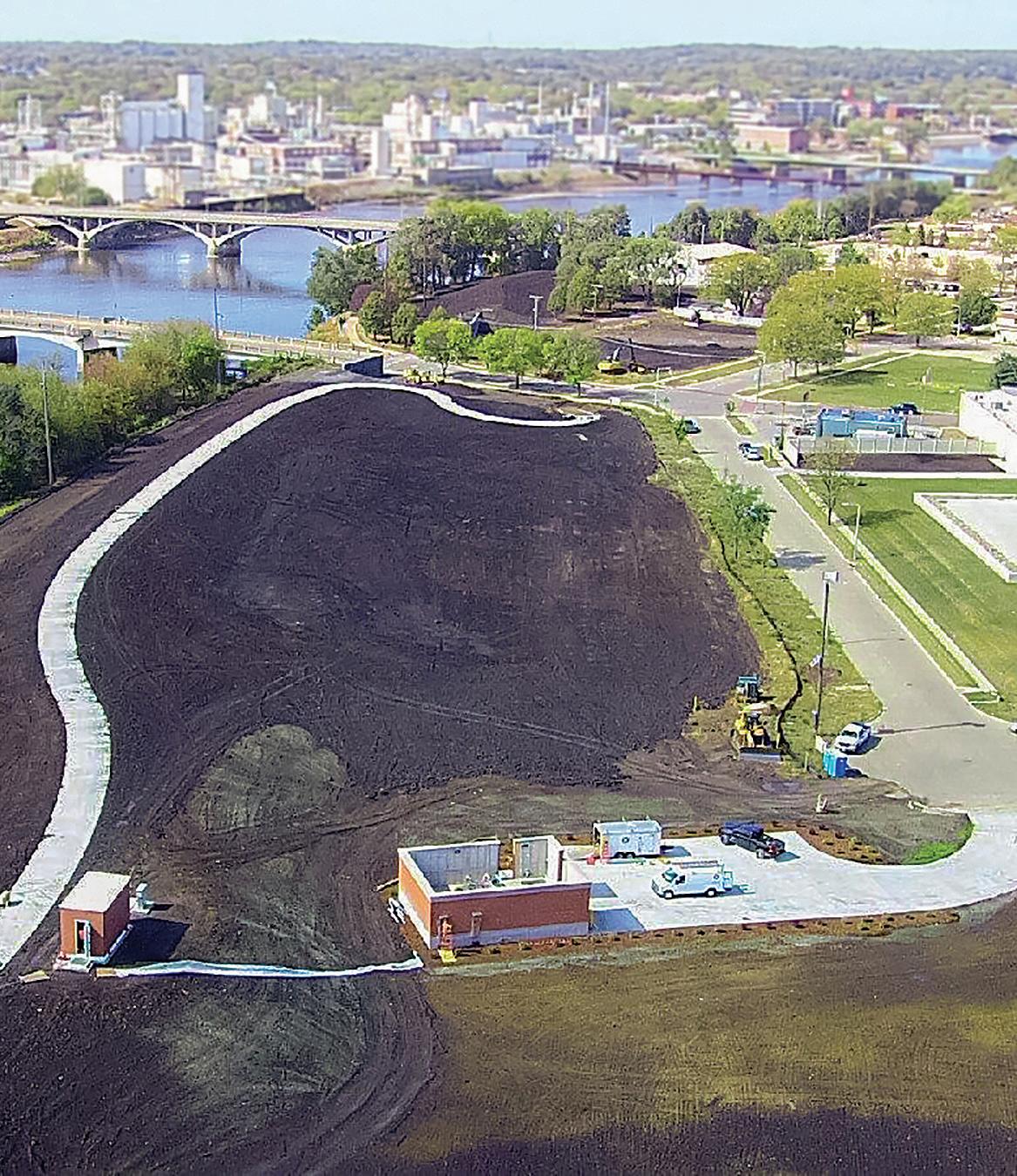
2017 First segment of east-side levee and first pump station completed
2018 $76 Million in U.S. Army Corps of Engineers (USACE) funding secured
2020 City of Cedar Rapids issued first municipal bonds for Flood Control System, in support of a funding plan anticipating a $264 Million local commitment
2023
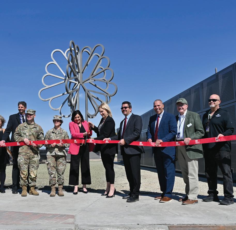
Additional $123 Million in USACE funding secured to complete east-side system
2024 $62.4 Million in Federal funding secured for 8th Avenue Bridge Replacement ($56.4 Million USDOT PROTECT Grant; $6 Million BIP Grant)
2025 Completed levee through Cedar Lake
Taking Action
BUILDING FLOOD PROTECTION
The Cedar River is a 338-mile-long river, stretching from Minnesota, through Iowa, and through the heart of Downtown Cedar Rapids.
After another major flood in September 2016, with crest predictions once again reaching record levels, the significance of this project has become increasingly critical for our community.
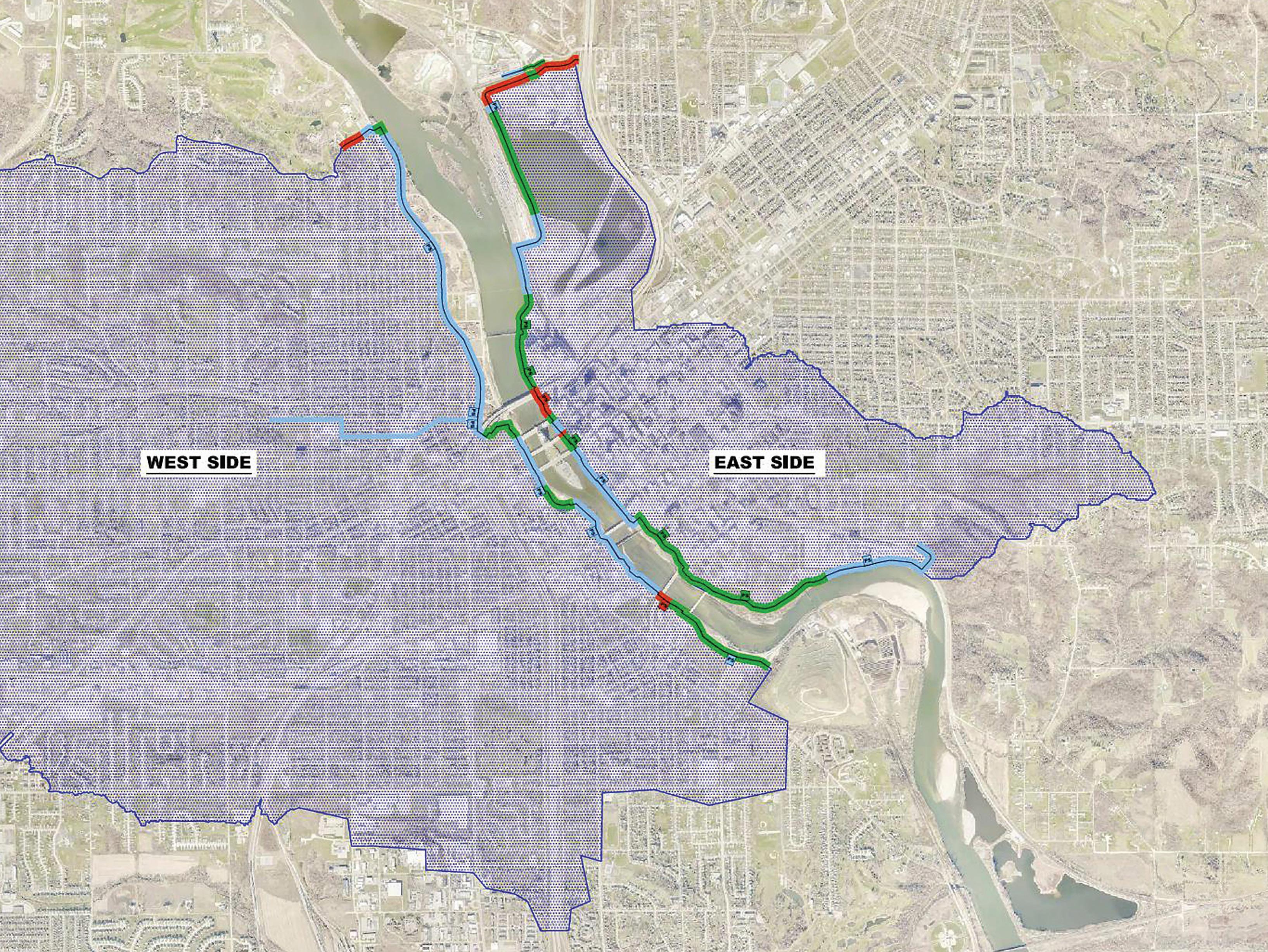
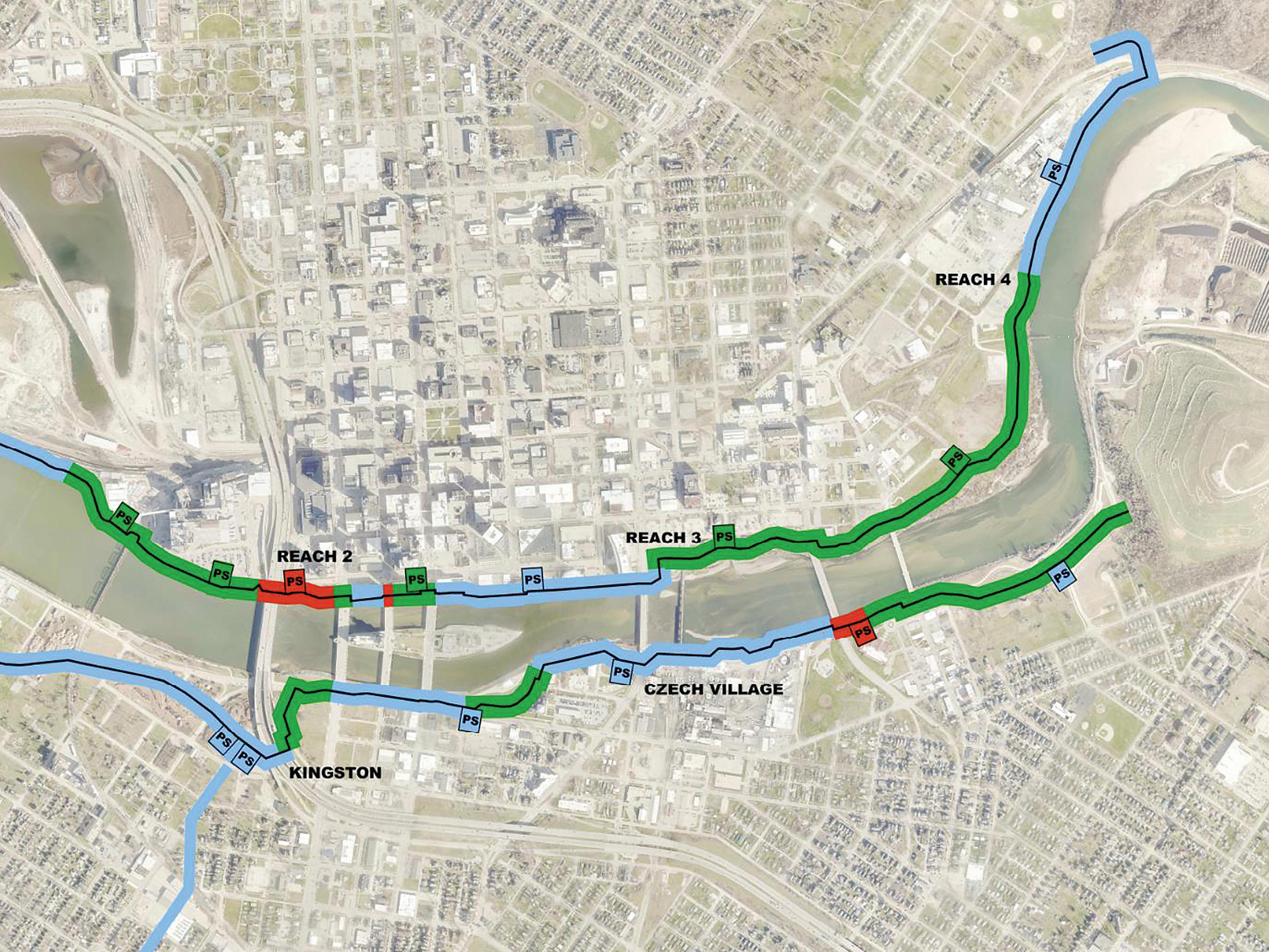
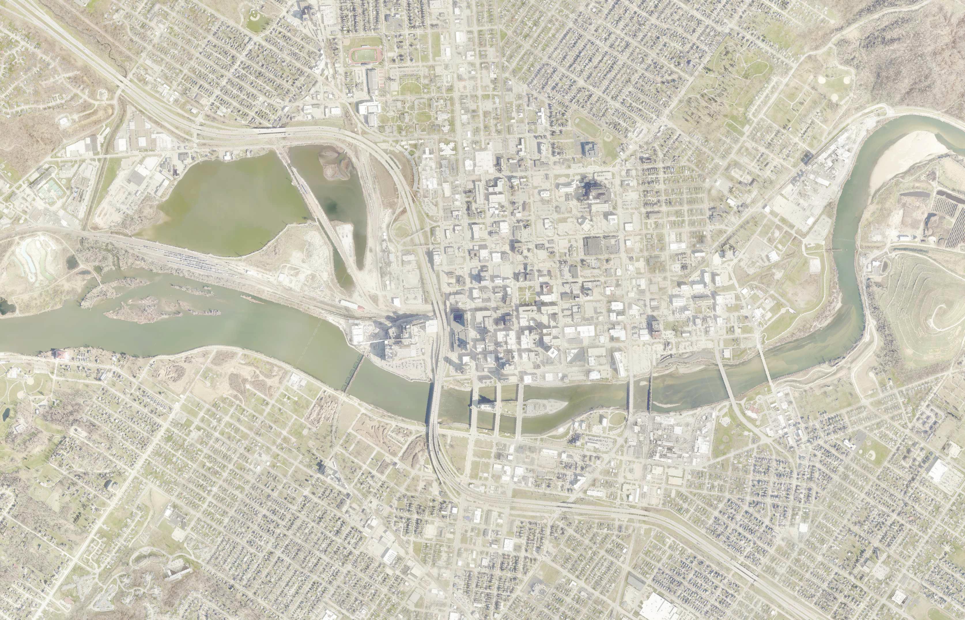
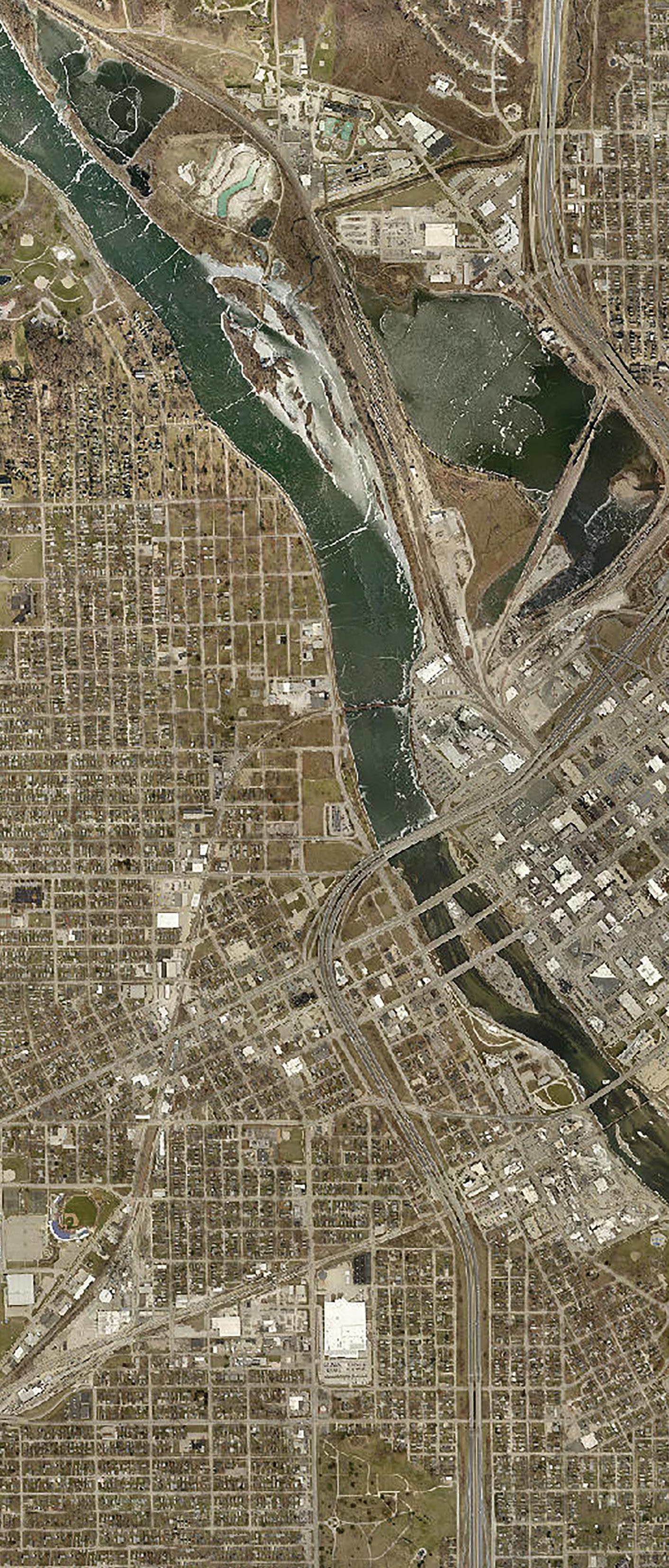
To date, the system’s West Side has 0.91 miles of protection in place, 0.16 miles under construction and 2.20 miles left to construct. The East Side has 1.58 miles of completed protection with 1.09 miles currently under construction and 1.55 miles left to complete. 2024 marks 35% completion of the total system. The system’s anticipated completion date is 2035, pending funding.
FCS PROJECT STATUS
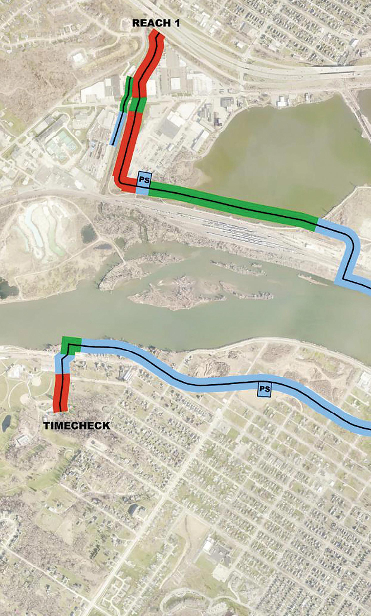

COMPLETED WORK UNDER CONSTRUCTION/ACTIVE PROCUREMENT FUTURE CONSTRUCTION PUMP STATION

As a result of Local, State and Federal investments — and the promise of flood protection on both sides of the river — areas that will be protected by the finished Flood Control System have seen substantial reinvestment. Since 2013, the public sector has invested $350 Million in flood control projects and the private sector has invested more than $500 Million in redevelopment.
Completed Projects
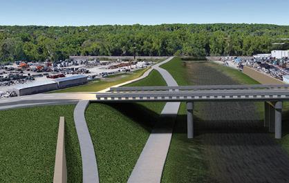
Shaver Road Bridge
New bridge that raises the existing roadway 8' to cross over the levee, improving the City’s overall flood response time. The Shaver Road Bridge is the longest three span continuous concrete slab bridge in Iowa. 1
2
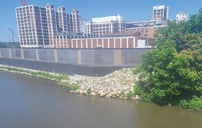
Quaker Oats Floodwall and Miter Gate
2,100 linear feet of floodwall protect portions of downtown, including one of the nation’s leading agriculture-processing facilities. This segment includes pump station upgrades, water main relocation, and a railroad-closure miter gate. The miter gate’s two leaves are each 22.5 feet long and weigh 11,000 pounds.
3
CRST Floodwall and Pump Station
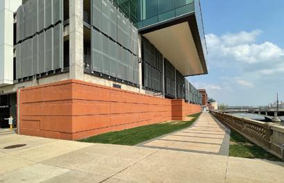
New development, such as the CRST Center, is designed to incorporate the Flood Control System. Intentional design choices, such as hiding a pump station within the building structure, are also being considered. The City refers to this as, “hiding flood control in plain sight,” keeping residents’ admiration for the river in mind and incorporating FCS features within new development when possible.
5
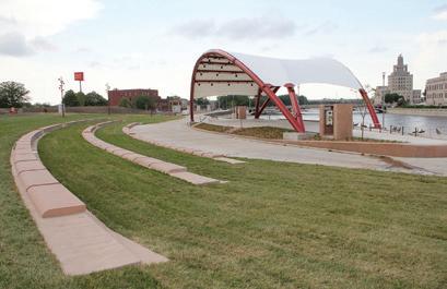
McGrath Amphitheatre, Levee, and Restrooms
Recreation blended with protection. Designed to take on water while also providing a signature outdoor concert and event venue, hiding flood protection within a levee and under a restroom and event-storage facility.
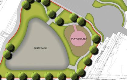
Riverside Park Detention Basin, Skatepark, and Playground
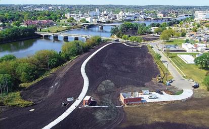
Detention Basin used to store excess rainwater until it can be pumped back into the river. This project includes a paved lot and a new skatepark and playground equipment in a new location.
6 NewBo
Pump Station at Parking Lot 44
Located between 8th and 12th Avenues; protects community from rain inundation. Pumping capacity is 12,000 gallons per minute, and expandable to 24,000 gallons per minute.
Levee
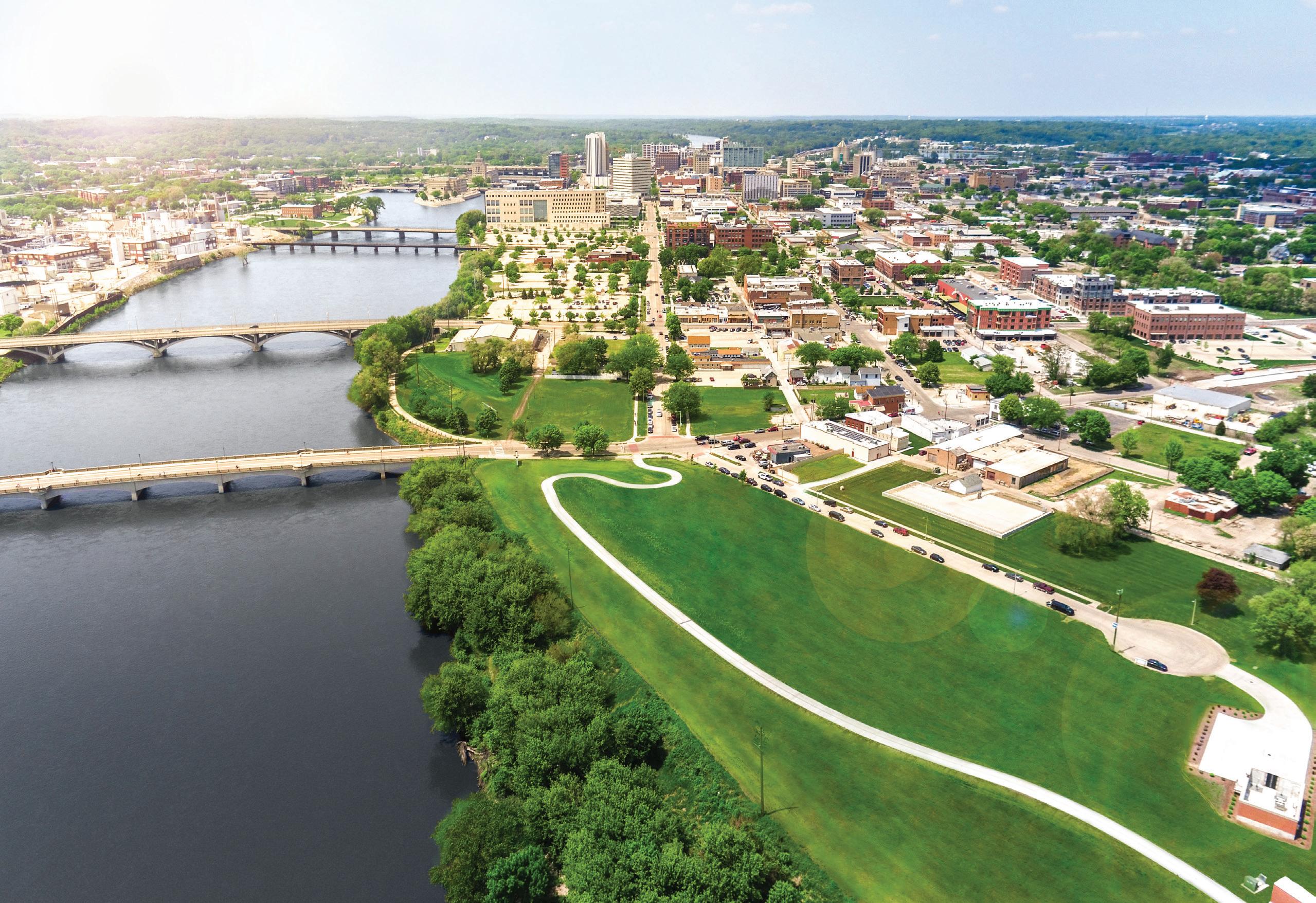
Half a mile long, ranges between 13 - 23 ft. tall on average; designed for 2008 Flood volume. Includes a 12 ft. wide concrete bike/pedestrian trail.
Detention Basin
4.4 acres used to store excess rain water until it can be pumped back into the river. Also includes paved lot for excess snow storage during winter snow removal efforts.
Pump Station at Sinclair
Used when underground flood gates are closed and rain water needs to be pumped back into the river. Capacity of 2,500 gallons per minute.
Czech Village Levee
Completed in 2020, this levee is approximately 16–20 feet tall and stretches a half mile, from the CR-Linn County Solid Waste Agency to 16th Avenue. Until it ties into the full system, the levee provides immediate protection up to a 19.5-foot river surge.
Cargill South Corn Facility Drainage Improvements
Precursor work to ensure permanent flood control structure can function to protect the City of Cedar Rapids from a future flood event. Continuing work will include the construction of a permanent flood wall, various types of flood gates, and a pump station. These features will help to separate the Cargill Corn Processing Plant from the east side of the Cedar River.
National Czech & Slovak Museum & Library
Floodwall, Gate, and Pump Station
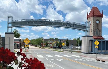
This segment of floodwall forms a connection between the Czech village levee downstream and the 12th Avenue Pump Station. A multi-level terrace was constructed to support events on the grounds of the National Czech & Slovak Museum & Library. Two gateway arches span across 16th Avenue on both sides of the Cedar River as a gateway between the New Bohemia District and Czech Village. Both arches have LED lighting with color schemes to celebrate various holidays throughout the year.
Current & Future Projects TAKING ACTION
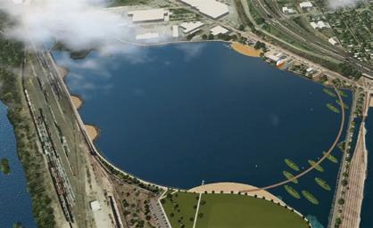
Cedar Lake Levee
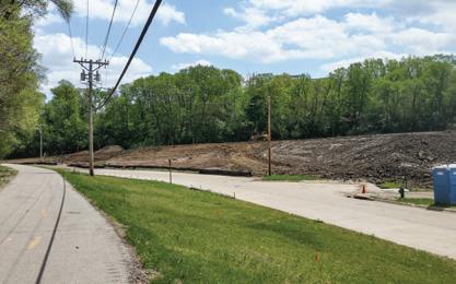
This 1-mile, natural levee will wrap around Cedar Lake, tying into high ground at I-380 near J Avenue, and protecting homes and businesses threatened when the Cedar River backs up into McLoud Run and Cedar Lake.
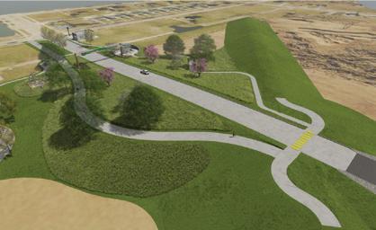
Cedar Valley Nature Trail
One mile of trail improvements around Cedar Lake including Lake Shore Trail, located on top of the Cedar Lake levee. Improvements include fishery trails, a pedestrian bridge crossing, scenic viewpoints, and a trail parking lot.
Cedar Lake Pump Station
Will be used when underground flood gates are closed, and rainwater needs to be pumped back into the river.
Time Check Levee Trail (West)
Trails and connectivity will be incorporated on top of the future levee in the Time Check area. The route includes a pedestrian bridge over a railroad and connects the Time Check area to the growing Kingston Village area on the west side and to Downtown on the east side via a new planned trail under the I-380 bridge over the Cedar River.
A new stormwater channel and culvert project will serve a large drainage area, reducing the need for oversized pump stations in the Time Check neighborhood on the west side of the river. The system will efficiently route and control stormwater flow into the Cedar River.

Vinton Ditch Bypass (West)
1 Cedar Lake
GATES
REMOVEABLE WALL
PERMANENT WALL
LEVEE
NORTH END INDUSTRIAL ALIGNMENT
STORMWATER CONVEYANCE IMPROVEMENT
DETENTION AREA

4
F Ave Levee & Roadway (West)
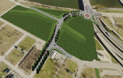
Will eliminate the complex geometry at the intersection where 1st Street NW, E Avenue NW, F Avenue NW, and the I-380 off-ramp all come together. The realignment will be a simplified, more intuitive design, accommodating future permanent flood control measures such as a levee and pump station. The levee design replaces the need for a floodgate, reducing the amount of time to deploy the system in times of high waters.
Tree of Five Seasons Park
5
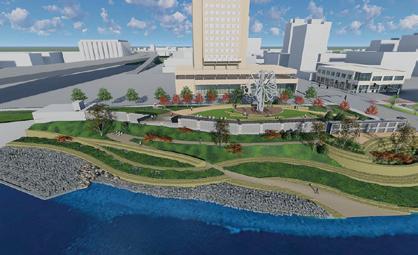
After the permanent floodwall is installed, the park will be elevated to allow views of the river. We relocated the Tree of Five Seasons monument to accommodate the FCS. New bike trail connecting E Avenue with downtown and a pump station will also be added.
6
4th Avenue Plaza (East)
A new combination flood wall will feature a low, permanent base with a removable top section. The “knee wall” will protect against the 100-year flood level at all times — keeping views of the river open — with extra panels that can be added to increase its height and protect downtown businesses during more severe events. The project includes a new public plaza for the community to enjoy.
7
5th Avenue Pump Station (East)
A future pump station will work in conjunction with the 5th Avenue Gatewell. We will incorporate the pump station into the design of a future Great America development project.
8 8th Avenue Bridge
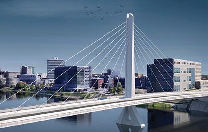
The new bridge design incorporates several key features to ensure its durability during times of flooding. Elevated 15 feet above the river, it will remain open even during flood conditions. Additionally, the bridge has been raised above the 2008 volume and will require fewer piers in the river. The project also incorporates a floodwall and pump station for added protection. The design also includes streetscaping and lighting, as well as indoor and outdoor public gathering spaces, making it a great complement to the nearby Amphitheatre. Finally, a trail component has been incorporated to encourage pedestrian and bike traffic.
Interior-Drainage Flooding
The primary purpose of the Flood Control System (FCS) is to protect against flooding from the Cedar River. In addition to above-ground walls, levees and gates, the system also protects against river water that would back up through underground storm sewers and drainageway outlets to the river, flooding neighborhoods.
When underground storm sewer and drainageway gates are closed due to river flooding, any rainwater that typically flows through the landscape and into the river no longer has an outlet. All this rainwater would become trapped behind the FCS, with a potential to cause a large area of Cedar Rapids to flood. The river’s west side faces the largest impact of this type of flooding, with a significant population affected.
This type of flooding is called interior-drainage flooding. The FCS includes storm sewer reconfigurations, detention basins, and pumping stations to protect against interior-drainage flooding. When underground floodgates are closed, rainwater on the protected side of the FCS gathers into the detention basins and is pumped over the flood walls and into the river.
For the West Side, protection against interior-drainage flooding is estimated at a higher percent of the cost (57%) than protecting against flooding from the Cedar River (43%). Conversely, for the East Side, the cost to protect against flooding from the Cedar River (68%) is greater than that of protecting against interior-drainage flooding (32%). In fact, the cost of protecting against interior-drainage flooding alone on the West Side is estimated to be approximately equal to the total cost of all protection measures needed on the East Side of the river, placing an undue burden to protect against flooding for those living on the river’s West Side.
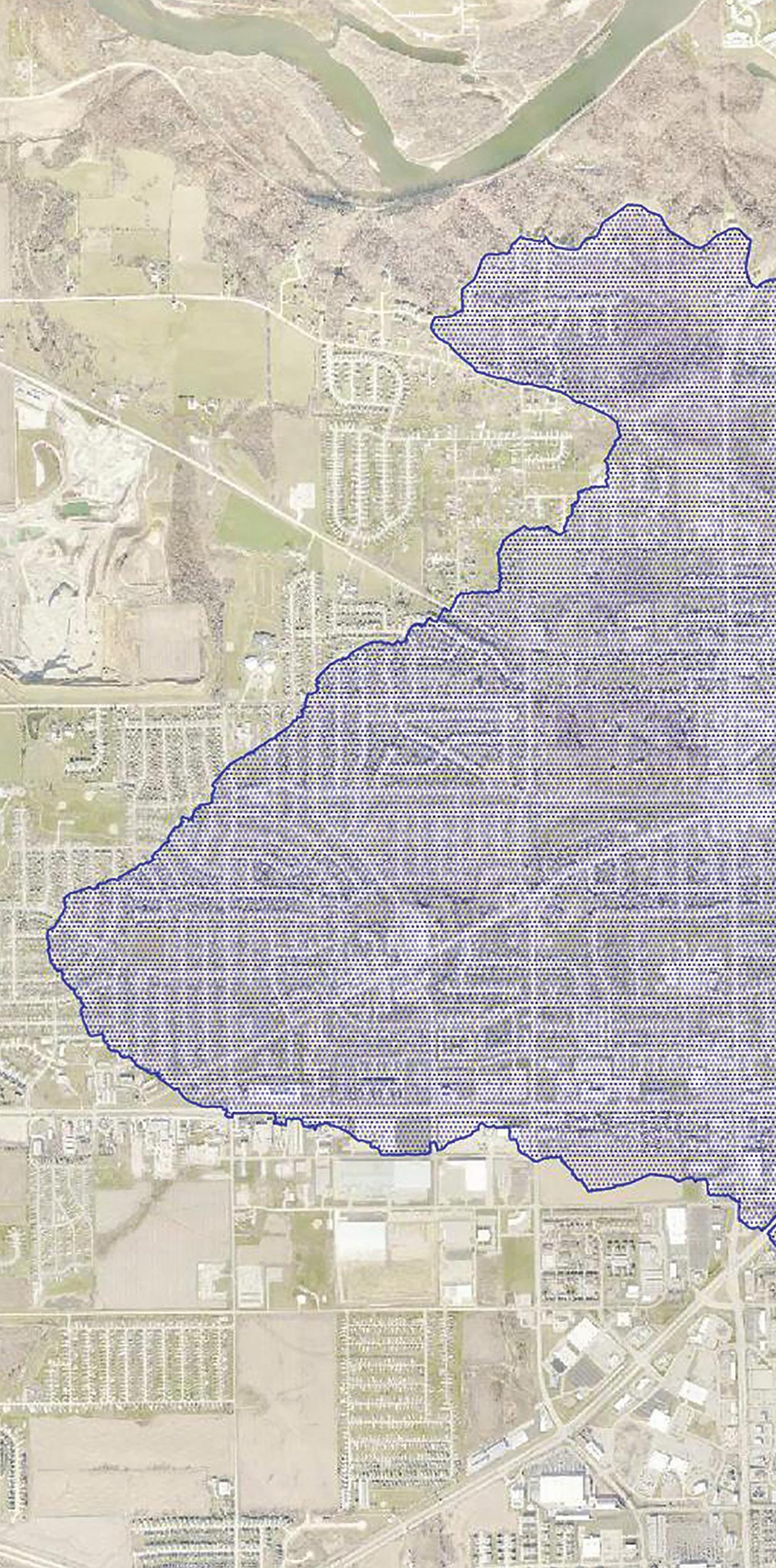

The cost of protecting against interior-drainage flooding alone on the West Side is estimated to be approximately equal to the total cost of all protection measures needed on the East Side of the river.
FCS PROJECT STATUS
COMPLETED WORK
UNDER CONSTRUCTION/ACTIVE PROCUREMENT FUTURE CONSTRUCTION


NATURAL DRAINAGE BLOCKED BY FLOOD CONTROL STRUCTURE (TO BE PUMPED)
PUMP STATION
