ARTIGO TÉCNICO Alfredo Martins, José Almeida, André Figueiredo, Filipe Santos, Domingos Bento, Hugo Silva, Eduardo Silva, Member, IEEE Autonomous Systems Laboratory Instituto Superior de Engenharia do Porto {aom, jma, abf, fsantos, dbento, hsilva, eaps}@lsa.isep.ipp.pt
SMALL FIXED WING AUTONOMOUS AERIAL VEHICLE FOR FOREST MANAGEMENT APPLICATIONS ABSTRACT In this work a forest management infrastructure solution using small autonomous aerial vehicles is proposed. The FALCOS unmanned aerial vehicle developed for remotemonitoring purposes is described. This is a small size UAV with onboard vision processing and autonomous flight capabilities. A set of custom developed navigation sensors was developed for the vehicle. Fire detection is performed through the use of low cost digital cameras and near-infrared sensors. This approach is extended to a radiometric forest inventory and forest fire danger characterization. Test results for navigation and ignition detection in real scenario are presented.
I. INTRODUCTION Aerial solutions have been used in forest fire detection, [1,2] ranging from human piloted planes (expensive and not efficient) to unmanned aerial vehicles.
Currently there is a crescent interest in the use of light small UAVs flying at low altitude for civilian applications, opposed to the HALE (High Altitude Long Endurance) or MALE (Medium Altitude Long Endurance) more expensive and operationally complex systems.
The result presented in this article concern the work that is being carried out on forest fire detection, radiometric forest inventory and forest fire danger characterization. Our approach is based on small fixed wing autonomous aerial vehicles with onboard image processing in visible and near infrared spectrum. Unmanned Aerial Vehicles (UAVs) are used for fire search in most cases to provide aerial imagery for the region of interest. Flight control is usually autonomous and it is achieved through custom design solutions [4] or by the use of commercial autopilots such as PiccoloTM [11] or MicroPilotTM systems. Sensors onboard range from visible light cameras to infrared thermal imagery systems. In the most simple cases, image feed is sent wirelessly to ground control station from video processing and user control. Thermal imagery through the use of infrared sensors provides good estimates for fire ignitions [2] and can be combined with visible spectrum image processing to discard false positives. Other approaches to fire detection do not rely in direct fire detection but in smoke plume identification [3]. Different types of UAVs are used, from dirigibles and moving wing systems [1], to fixed wing solutions [4]. Fixed wing UAVs have advantages in autonomy, range of operation and area covered. Several types of systems have been used in fire prevention with different capabilities and available payload. UAV technology has been driven mainly by military interest. One example of a spin off, is the use of Predator UAVs [5] in civilian forest fire prevention in the USA. This work has been partly supported by ISEP-IPP under project FALCOS and by Fundação de Ciência e Tecnologia under project BoaVista.
[ ]
robótica
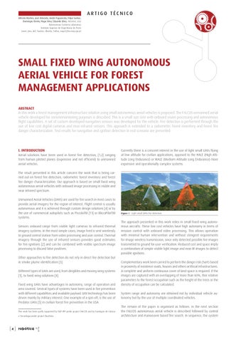
Figure 1 . Light small UAVs fire detection.
The approach presented in this work relies in small fixed wing autonomous aircrafts. These low cost vehicles have high autonomy in terms of mission control with onboard video processing. This allows operation with minimal human intervention and without stringent requirements for image wireless transmission, since only detected possible fire images transmitted to ground for user verification. Reduced cost and space imply a combination of simple visible light image and near IR images to detect possible ignitions. Complementary work been carried to perform the danger risk charts based in proximity of existence roads, houses and others artificial infrastructures. A complete and uniform continuous cover of land space is required. If the images are captured with an overlapping of more than 60%, ther relative parameters to the forest occupation such as the height of the trees or the density of occupation can be calculated. System range and autonomy are obtained not by individual vehicle autonomy but by the use of multiple coordinated vehicles. The remain of the paper is organised as follows: in the next section the FALCOS autonomous aerial vehicle is described followed by control architecture and manoeuvre based fire search. In sequence, the system