2 minute read
2.3 Riverline Equitable Framework


03
SITE CONTEXT
Advertisement
3.1 BACKGROUND
Buffalo was first settled in 1789 in an area previously occupied by the Iroquois (Haudenosaunee) confederacy of six nations: Cayuga, Mohawk, Oneida, Onondaga, Seneca, and Tuscarora. The city was founded in 1801 and incorporated in the early 1830s. Buffalo’s location at the convergence of the Niagara River with Lake Erie allowed for the city to establish itself as a transhipment hub for grains coming from the Midwest. During the Industrial Revolution, Buffalo was the eighth largest city in the United States and much of its success can be attributed to the Erie Canal, which was completed in 1825. Within the decade, the success of the canal was overshadowed by new railroad technologies as the steam locomotive emerged as the primary form of goods and livery transportation. 6 After World War II, the city of Buffalo was the second largest railroad hub in the U.S. and over 700 miles of track ran through the city. The railroad industry was booming and provided ample job opportunities, but this later changed. After the construction of the Interstate Highway System, automobiles became the preferred mode of transportation. Combined with outdated regulations and high taxes along with the exodus of downtown Buffalo residents, the railroad industry started to decline in the mid 1960s. Railroad corridors were abandoned and remained as unused spaces for decades until recent years. A movement started to transform the abandoned rail lines into public trails for recreational use. The Heath Street Block Club and Merrimac Street Block Club, along with other community members, were able to secure $1.7 million in federal funding to turn the Erie Lackawanna (EL) Railroad into a vibrant trail that people use for exercise, relaxation, and social activities. The shift from rail line to abandoned space to essential greenspace in the community exemplifies how we can transform forgotten spaces into dynamic multi-use spaces throughout the city, and thus help build community relations, connect various neighborhoods, and improve the local economy.7
3.2 EXISTING CONDITIONS
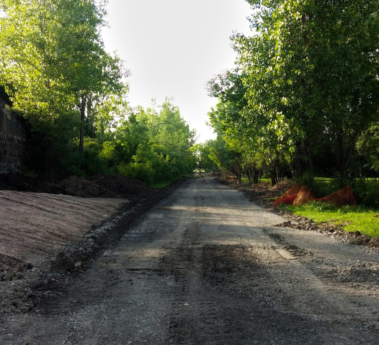
The site we will be discussing in this report is unofficially named the “Starin Nature Preserve.” It is an area consisting of approximately 17 acres of undeveloped land, formerly occupied by rail lines, adjacent to Minnesota Linear Park. The Starin Nature Preserve is bounded by neighborhoods to the north on St. Lawrence Avenue and Brinton Street, neighborhoods to the south on Taunton Place, the University Heights District to the east, and to the west by Starin Avenue. The eastern portion of the property intersects with the recently added Minnesota Linear Park, providing a linkage between neighborhoods that were previously separated by infrastructural barriers. To the west, the newly created Rachel Vincent Way is the location of a new housing development and is built along another abandoned portion of the former rail lines.
MAP 2. Starin Nature Preserve
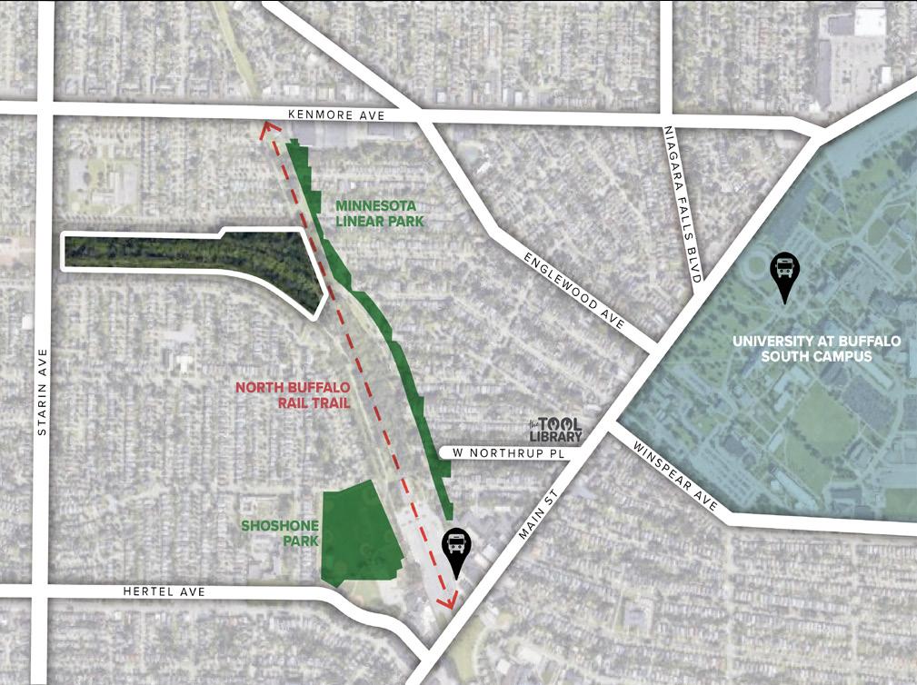
From Main Street, access to Starin Nature Preserve can be obtained by walking to the rear of the parking lot behind the LaSalle Metro Rail and
6 Early History of Buffalo (ca. 1790’s-1853). J. Walkowski. (2011). https://buffaloah.com/h/jw/bflo.html. 7 University Heights, Links to Buffalo Architecture and History Website. C. LaChiusa. (2016). https://buffaloah.com/h/u. html


