C A R I B B E A N ==
AUGUST 2025 NO. 350
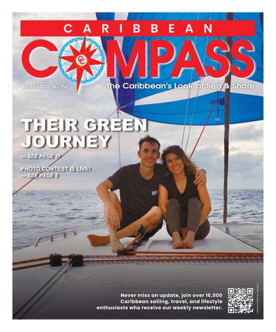
THEIR GREEN JOURNEY — SEE PAGE 11
PHOTO CONTEST IS LIVE! — SEE PAGE 5
COURTESY THE GREEN JOURNEY
Never miss an update, join over 16,000 Caribbean sailing, travel, and lifestyle enthusiasts who receive our weekly newsletter.