
Focus 21
JOURNAL OF THE CITY AND REGIONAL PLANNING DEPARTMENT
College of Architecture and Environmental Design
California Polytechnic State University, San Luis Obispo
Masthead
Focus is an annual publication of the City and Regional Planning Department, College of Architecture and Environmental Design, California Polytechnic State University San Luis Obispo.
Founded by Vicente Del Rio.
Copyright by City and Regional Planning Department, Cal Poly, San Luis Obispo. Reproduction permitted for educational purposes only.
Authors are soley responsible for the contents of their articles, including the permission to reproduce images.
Editor’s Overview
Focus 21 is an edition of change. Focus’s founder and editor, Vicente Del Rio, made Focus 20 is last, and this is my first time in the editor’s chair. Vicente’s shoes are impossible to fill, and I will do my best to continue his legacy of creating space within these pages for thoughtful articles about the field, planning education, and our own city planning department.
What a year CRP had in 2023-2024! Students engaged in studios across the
Cal Poly President
Jeffrey D. Armstrong
Interim Dean, CAED
Kevin Dong
CRP Department Head
Amir Hajrasouliha
Managing Editor Dave Amos
Editorial Board CRP Faculty
Student Writer Matthew Hernandez
state, from Silicon Valley to San Diego. They worked on projects as diverse as climate action plans and housing vision plans. You can read about these studios in this edition of Focus.
We are also covering faculty research in this edition, which includes exploring generative AI in city planning and the use of procedural modeling in policy development. Please enjoy this edition and appreciate the hard work of our students and faculty. DA
Note from the Department Head
It is with great pleasure that I introduce Volume 21 of Focus, the journal of the City and Regional Planning Department. You may have noticed that Focus has a new look this year. After two decades under the editorship of Dr. Vicente del Rio— whose vision shaped the journal —Dr. Dave Amos has taken over as the new editor. Dave has introduced new ideas and a revitalized design for the journal. I extend my gratitude to him and his team for their hard work in making this publication possible.
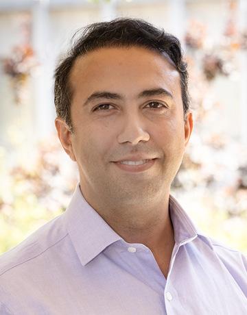
to highlight some key changes and initiatives in our department this academic year.
First, we are pleased to welcome Dr. Ryan Miller as a full-time lecturer. Dr. Miller specializes in climate gentrification, natural hazard risk mitigation, sustainable transportation, and geospatial analysis. His extensive background in teaching and research is a valuable addition to our faculty. This year, he is teaching courses in GIS, housing and economic applications, introduction to city planning, and graduate-level research methods.
Starting this year, Focus will place a greater emphasis on the activities and achievements of our students, faculty, and alumni. We hope you enjoy this new direction and invite you to share your thoughts with us. Our goal remains to showcase the outstanding work of our department while encouraging conversations that influence the future of planning education.
Continuing the tradition of the department head’s note in Focus, I’d like
At the same time, this marks the final year of teaching for Dr. Vicente del Rio and Dr. Hema Dandekar before their retirement. We are deeply grateful for their many contributions to our curriculum, particularly in urban design and physical planning. To continue our strong emphasis in these areas, we are currently recruiting a new faculty member in Urban Design and look forward to introducing this new addition to you next year.
Our department is also preparing for the transition to the semester system in Fall 2026. Both the BSCRP and MCRP semester curricula have been approved by Cal Poly’s Academic Senate. These curriculum updates reinforce our commitment to learn by doing and studio-based education while providing students with greater flexibility to explore unrestricted electives.
I also want to express my appreciation for our dedicated alumni, whose ongoing support strengthens our program. Many of our studio projects are inspired or sponsored by alumni, ensuring that our students engage in meaningful, real-world planning challenges. Our annual alumni mixer at the Cal APA Conference in Riverside in September
2024 was a great success, fostering connections across generations of planners. This event was sponsored by the City and Regional Planning Advisory Council (CiRPAC), which continues to provide valuable feedback on our studio projects and is helping us plan an even bigger mixer at Cal APA Monterey in 2025. We also welcomed four new CiRPAC members this year: Sara Allinder, Ryan Gohlich, Dave Javid, and Sue Peerson.
I invite you to explore the insights within these pages and hope they inspire meaningful discussions.
Amir H. Hajrasouliha, PhD
Department Head and Associate Professor, City and Regional Planning, Cal Poly
RESEARCH BRIEF
Undergraduates Explore the Role of Generative AI in Urban Planning
RESEARCHERS:
SAHANA KOTHA, BLYTHE WILSON, & ETHAN KELLER
In a field traditionally centered on human decision-making, community engagement, and public policy, the use of generative AI in urban planning is still in its infancy. However, two CRP students—Sahana Kotha and Ethan Michael Keller—are at the forefront of exploring its potential. Working under Dr. Amir Hajrasouliha, their research strives to understand how AI can augment rather than replace planners, with a specific focus on urban design, community engagement, and participatory planning.
“It’s really interesting because so much of what we’re reading is from just the
past year or two,” Ethan explained. “It’s exciting because no one really knows exactly where AI is going to stand in the planning field yet.”
Their work is part of a larger research effort to understand the future role of generative AI in planning that also includes CRP student Blythe Haven Wilson, who contributed to the project’s literature review and case study analysis.
The Research Process: Reviewing the Unknown
Sahana and Ethan’s research has been structured as a literature review, analyz-
ing over 30 case studies from around the world to assess how AI is currently being used in planning. Each student took on a different focus:
• Urban design applications – exploring AI’s role in visualizing streetscapes, simulating architectural forms, and proposing urban form adjustments.
• Community engagement and participatory planning – investigating how AI might enhance public input by simulating stakeholder feedback or generating visuals based on community preferences.
The team is currently in the process of drafting their paper, refining their analysis, and organizing their findings into a cohesive framework. Alongside their research, they are also preparing a presentation for the department and hope to submit an abstract to a conference to share their insights with the wider planning community.
AI in Urban Design
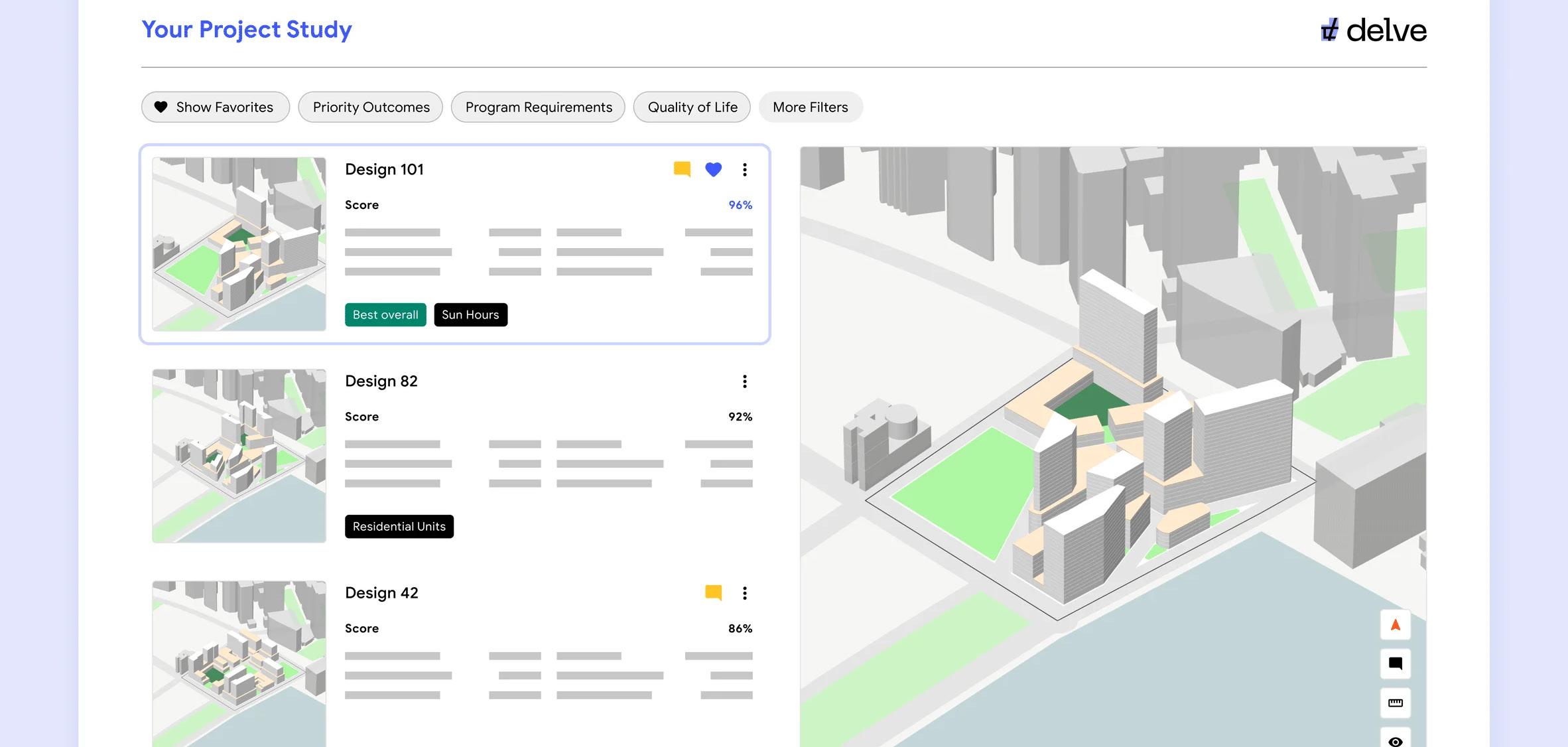
One of the most compelling urban design applications the students explored was how AI is shifting the way cities and planners approach visualization. AI-powered tools can generate street-
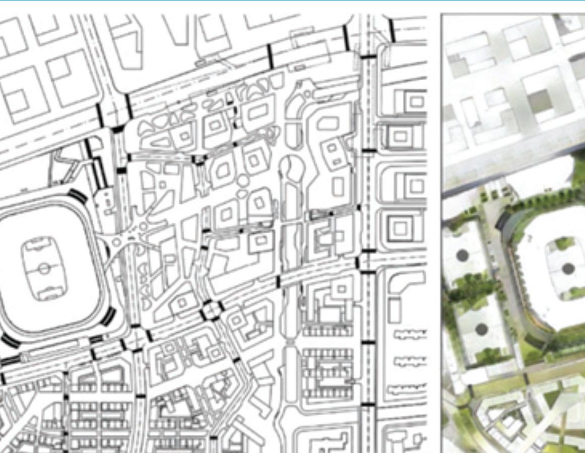

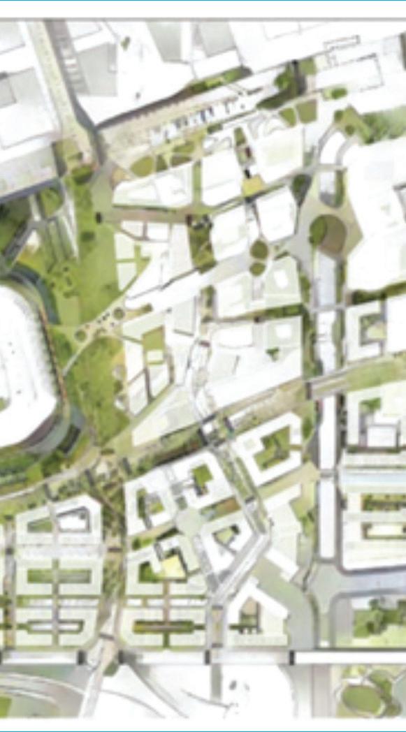
Delve by Sidewalk Labs, a machine-learning tool for designing cities (https://www. dezeen.com/2020/10/20/delve-sidewalk-labs-machine-learning-tool-cities/)
scape scenarios of community spaces based on prompts like “tree-lined streets with wide sidewalks” or “a mixed-use development with additional bike lanes.” However, the research emphasized that these tools should complement, not replace, human designers.
“There was one case study where small groups used ChatGPT to describe what they wanted in a street,” Ethan said. “They gave it input like ‘I want a street with trees, a futuristic look,’ and AI would generate images based on that. But once people actually saw those
images, they’d go, ‘Wait, I don’t like that,’ and make changes. So AI wasn’t deciding—it was helping them refine their own ideas.”
The Ethics of AI in Community Engagement
While AI has clear benefits in visualization and design, the research raised questions about how it should—or shouldn’t—be used in community engagement. Some case studies experimented with AI simulating stakeholder responses to different planning scenar-
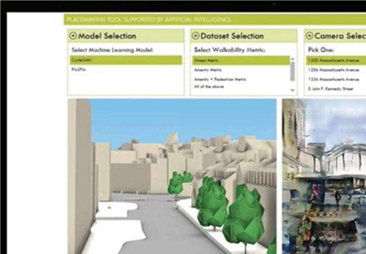


MasterplanGAN: Facilitating the smart rendering of urban master plans via generative adversarial networks. Source: Ye, X., Du, J., & Ye, Y. (2021). MasterplanGAN: Facilitating the smart rendering of urban master plans via generative adversarial networks. Environment and Planning B, 49(3), 794-814.
ios—a concept that the students found ethically murky.
“Planning is inherently people-oriented,” Sahana pointed out. “There’s a difference between using AI to facilitate engagement and using it to ‘replace’ real input. We need to be cautious about how much weight we give AI-generated perspectives.”
The biggest challenge, the students found, was determining where AI should step in and where human judgment must remain central. “It’s really about striking that balance,” Ethan added. “We don’t want AI making big planning decisions, but we do want it to be an assistive tool that makes the process more efficient and inclusive.”
A Rapidly Evolving Field
One of the biggest surprises in their research was how quickly the field is evolving. This rapid pace presents both opportunities and challenges. On one hand, it means that cities and researchers are actively experimenting with AI applications. On the other, it underscores the need for planners to stay adaptable as technology continues to evolve.
As they near the completion of their research, the students are grappling with the quickly evolving nature of AI and its long-term role in the planning profession. Will AI become as essential
as other fundamental planning tools and software in the coming decades, or will it remain a niche tool used only by select firms and researchers?
“I think it’ll be like GIS,” Ethan speculated. “At first, only large cities and well-funded agencies will have the resources to experiment with it. Over time, though, it’ll probably become a standard tool in planning offices.”
As the role of AI in planning continues to evolve, their work offers an early glimpse into how this technology might reshape the profession, only if planners are able and willing to embrace it.
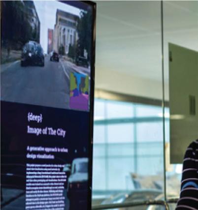
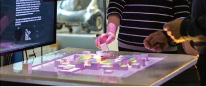

PlacemakingAI : Participatory Urban Design with Generative Adversarial Networks. Source: Kim, D., Guida, G., & García del Castillo y López, J. L. (2022).
PlacemakingAI: Participatory Urban Design with Generative Adversarial Networks. 485–494.

RESEARCH BRIEF
Assessing Project Readiness: A Multi-Disciplinary Approach to CERF Implementation
RESEARCHER: AMIR HAJRASOULIHA (CRP), ADRIENNE GREVE (CRP), HAMED GHODDUSI (FINANCE), JEONG WOO (CONSTRUCTION MANAGEMENT)
When major development projects receive funding, much of the focus is on their projected impact—how they will benefit local communities, improve infrastructure, or stimulate economic growth. However, an equally important but sometimes overlooked factor is whether these projects are truly ready for implementation.
At Cal Poly, Professor and Department Head of City and Regional Planning, Dr. Amir Hajrasouliha, led a research team in developing a Readiness Assessment Framework to evaluate the feasibility
of CERF-funded projects across three critical dimensions: planning, finance, and construction.
“This is not an impact assessment,” Dr. Hajrasouliha explained. “We’re not evaluating whether a project is good or bad in terms of outcomes. This is about feasibility—assuming a project has already met the program’s goals, is it actually ready to be implemented?”
The framework was developed in collaboration with state agencies, including the Governor’s Office of Land Use and
Photo by Scott Blake on Unsplash
Climate Innovation (formerly OPR) and the Governor’s Office of Business and Economic Development (GO-Biz).
Designed as a rubric, it helps determine whether projects have the necessary permits, financial stability, and logistical foundation to move forward.
Breaking Down Readiness: Planning, Finance, and Construction
The readiness framework recognizes that projects exist at different stages of development. Instead of a rigid checklist, the rubric scores projects based on their progress in three key areas:

• Planning Readiness: Does the project have control over the land? Have necessary permits and environmental clearances been secured, or is the process still underway? The framework assigns scores based on how far along a project is in securing regulatory approvals.
• Financial Readiness: Are funding sources reliable? Does the project have a clear cash flow projection, risk mitigation plan, and operational budget? A lower score might indicate financial uncertainty that needs to be addressed.
• Construction Readiness: Are detailed construction plans in place? Does the proposal include a safety plan, site logistics strategy, and a realistic project timeline? This section assesses whether a project can be executed efficiently once the groundwork is laid.
The research team created flowcharts and scoring models to help pinpoint areas where projects might face feasibility challenges.
“We started with fundamental questions,” Dr. Hajrasouliha explained. “Has the land been purchased? Have permits been secured? If not, what is the timeline for obtaining them? Our goal was to create a framework that could flag weak
Photo by Scott Graham on Unsplash

points and help project teams identify gaps before they become roadblocks.”
He also noted that the framework accounts for projects at different stages of their life cycle. “We know that proposals might be at varying levels of development. If a project has already received its permits, then we don’t need additional documentation. But if it’s still in progress, we assess what steps remain and whether they have a realistic path forward.”
Collaboration Across Disciplines
One of the defining aspects of the research was its interdisciplinary approach. The project required input from urban planning, construction management, and finance—three fields that often assess feasibility through different lenses.
“There was definitely a learning curve, especially in defining scoring criteria,” Dr. Hajrasouliha noted. “What does financial feasibility mean from a planner’s perspective versus an investor’s perspective? How do construction risks impact financial modeling? We had to break down those silos and map the lifecycle of a project across all three disciplines.”
To bridge these gaps, the team relied on visual tools like flowcharts and standardized scoring metrics rather than traditional spreadsheets.
“As soon as we started using visual tools, the conversation became much smoother,” Dr. Hajrasouliha said. “We developed a shared system of graphic communication that made it easier to translate concepts between disciplines. This was
Photo by Ted Balmer on Unsplash
critical in aligning the different ways planners, financiers, and construction experts approach risk.”
Lessons Learned and Future Applications
This research produced valuable insights, particularly regarding multi-disciplinary collaboration and policy-driven project assessment.
“The most valuable lesson was working across departments and understanding how each discipline approaches risk differently,” Dr. Hajrasouliha reflected. “It forced us to rethink how we define ‘readiness’ and what makes a project truly feasible.”
Additionally, the rubric offers a standardized method for ensuring that CERF-funded projects are logistically prepared for real-world implementation—not just conceptually strong.
“Ultimately, this project helped bridge the gap between theory and practice,” Dr. Hajrasouliha concluded. “Whether a project is community-driven, environmentally focused, or infrastructure-heavy, our framework ensures that no major feasibility concerns are overlooked before construction begins.”
RESEARCH BRIEF
How Procedural Modeling Can Help Planners Understand Housing Policy
RESEARCHERS: AMIR HAJRASOULIHA & DAVE AMOS
This Research Brief is a summary of a journal article by Amir Hajrasouliha and Dave Amos, titled “Procedural Modeling in Urban Digital Twins as a Tool for Visualization, Analysis, and Public Engagement: Examining a Housing Policy in California” The paper was published in the Journal of Planning Education and Research in 2024.
Over the last few years, California has become a legislative laboratory as the State Government attempts to pass bills aimed at building new homes to alleviate the housing crisis. It is not uncommon for a new year to bring with it a new law
targeting the construction of accessory dwelling units (ADUs), for example. This leaves local planners trying to understand the impact of these new laws, bring local codes and policies into compliance, and potentially develop new objective design standards. This article presents a new tool for local planners to iterate new local policy concepts, using California Senate Bill 9 (SB 9) (2022) as a backdrop.
What SB 9 Does
SB9 expands a property owner’s development rights in areas zoned exclusively for single-family homes throughout the state. SB9 allows either one additional
residence to be placed on a single-family lot or a single-family lot that meets size and location requirements to be split into two ministerially, and a residence is built upon the newly created vacant lot. If property owners also add an ADU, which is allowed through prior legislation (AB 68), it lays the groundwork for most single-family parcels in California to functionally hold four housing units, drastically increasing the potential housing stock throughout cities across the state. A few exceptions to the application of SB9 occur within historic districts, regions with high wildfire risk, and properties in which rental housing would be demolished. Cities can require aesthetic, landscaping, limited parking, and affordability components in SB9-created units. Otherwise, they are limited in their ability to regulate building characteristics, unable to preclude units of less than 800 square feet or require any setback greater than five feet on the side and rear sides of the lot.
The challenge of implementing SB 9 at the local level boils down to three factors: First, the policy has a direct impact on urban form, but the extent of this impact is not fully clear to all stakeholders, including state policymakers, local planners, developers, and the general public. The Terner Center study does not consider the geometric variations of lots and existing buildings in calculating the potential added units. Second, cities
have the option of establishing objective design standards that can ease or hinder the permission of new SB9 units. The design standards proposed by some communities are intended to reduce the number of lots that can be split, though those communities may have the tools to accurately identify exactly which properties may be affected. This would depend on the objective design standard chosen. Finally, local planners have no consensus on whether cities must permit at least 800 square foot units, even if that means violating the existing local land coverage and floor area ratio (FAR), or they can deny the permit request. Procedural modeling can analyze and visualize both interpretations and clarify the impacts of each option.
What Is Procedural Modeling and Urban Digital Twin?
Procedural modeling is a method used in computer graphics to craft virtual entities, landscapes, or settings by establishing rules and algorithms that produce the intended content’s geometry, textures, and additional features. Planners can use this to input initial parameters, like the adopted zoning code, and then make iterative changes to certain parameters, like the allowable size of an ADU unit, or the size or shape of a lot that can be split. This can be displayed visually if the local government has an urban digital twin. The concept of digital twinning is creating a virtual model
that parallels an object, system, or place in the physical world to predict future behaviors or plan for changes in that object, system, or place. Cities need to have a base 3D model with varying levels of detail within which these data inputs can be visualized. Local governments can use ESRI’s ArcGIS CityEngine software to generate massive, interactive, and immersive urban environments faster than traditional modeling techniques. It is a tool perfect for procedural modeling, and the one this article used for the proof-of-concept analysis of SB 9.
Case Study: San Luis Obispo
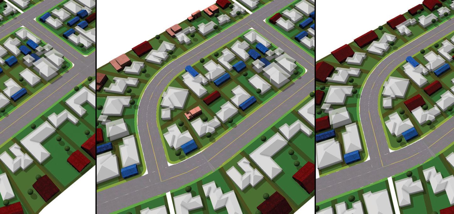
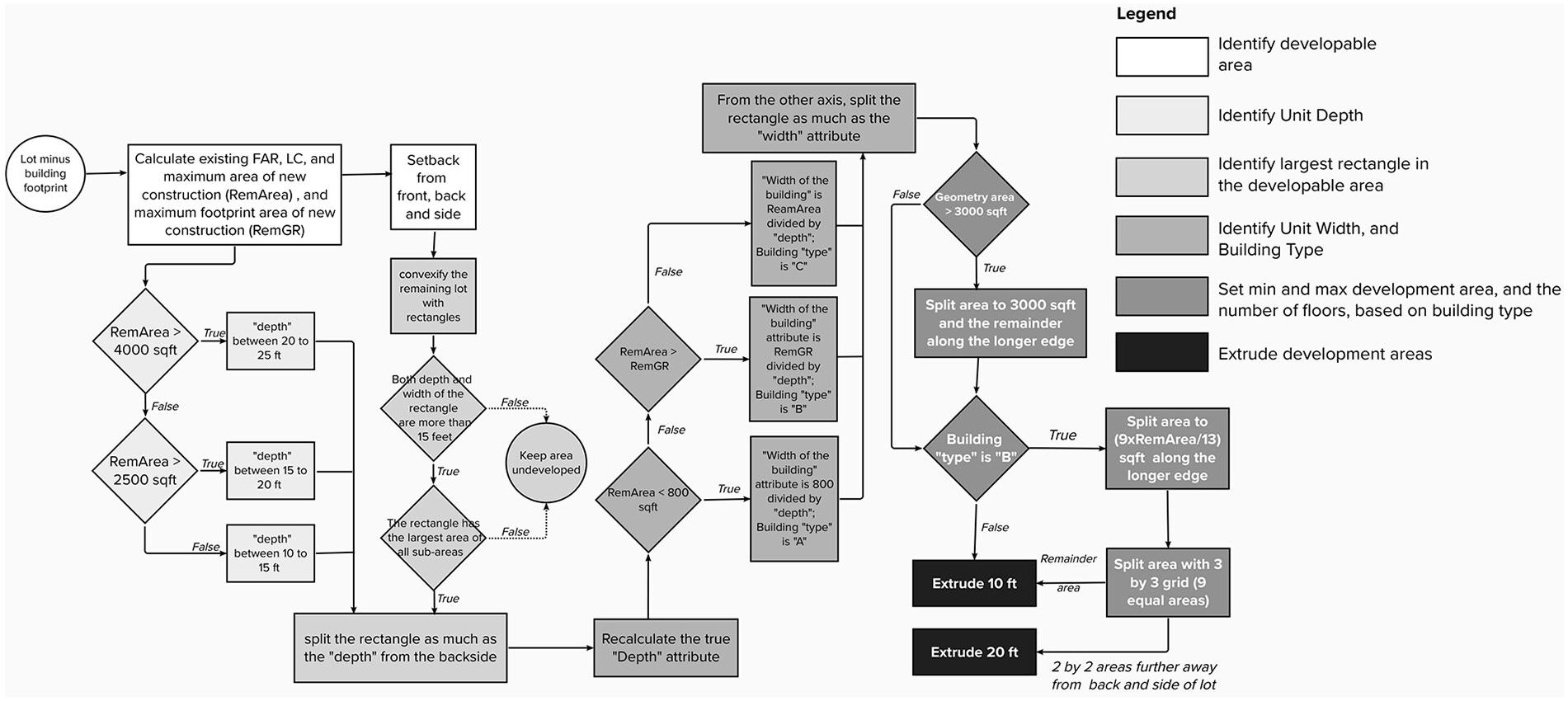
We developed a workflow in ArcGIS City Engine to convert a single-family lot into a lot with an additional SB 9 unit. We used San Luis Obispo as a case study, as they already had the data needed to create a digital twin in City Engine. To simplify the process, we focused on parts of the bill about the new building additions and not the conditions to split the lot into two. Very few lots are qualified for the lot split permission in San Luis Obispo; therefore, it was not a critical condition to include. The process requires three layers of GIS data: parcel, building footprint, and zoning (single-family zone), which are all publicly accessible from the city and county of San Luis Obispo websites.
We then created a modeling process that identified the developable area of each
lot, identified the depth of the housing unit, identified the largest developable rectangle, and placed an appropriately-sized one- or two-story ADU in the correct area. This process basically identifies lots that have enough area for an ADU and then chooses an appropriate sized unit if there is space available. CityEngine then allows us to change certain parameters and visualize the changes within San Luis Obispo’s urban digital twin. The parameters we changed were lot coverage (LC) and floor-to-area ratio (FAR) requirements.
Results of Dynamic Visualization
We tested three scenarios using procedural modeling with the goal of understanding how many ADUs may be constructed if certain zoning code parameters were changed.
• Scenario 1: SB 9 buildings are generated in compliance with the existing local zoning code.
• Scenario 2: SB 9 buildings are generated with an exemption from the local FAR (0.4), up to 800 square feet of construction.
• Scenario 3: Same as Scenario 2, increasing the local FAR and LC maximum to 0.5.
If the local FAR (0.4) and land cover (0.4) apply to the SB 9 units (Scenario 1), only
14.5% of single-family lots can potentially add a new unit. However, one interpretation of SB 9 is that each lot can add up to 800 square feet of construction, regardless of FAR limitation (Scenario 2). In that case, the number of qualified lots drastically increased to 53% of total
single-family lots. The third scenario was to comply with the local zoning but increase FAR and the percentage of land cover to 0.5. In that case, 58% of total single-family lots are qualified for adding SB9 units. The results are shown visually below.
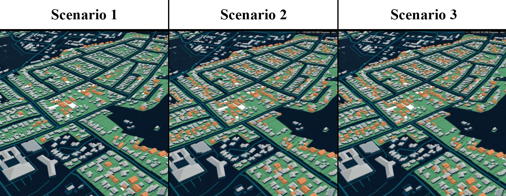
Green lots: Single-family lots, light gray buildings: Existing buildings, orange buildings: SB9 units that can be added based on scenario rules.
Workflow of parametric modeling of SB 9.
Students Develop Downtown District Plan in Morro Bay
CRP 341, SPRING 2023
While students in the City and Regional Planning program are no stranger to policy review and technical analysis, design principles and placemaking can present a more abstract challenge. The Urban Design Studio for third year undergraduates (CRP 341) aims to bridge this gap, challenging students to combine technical expertise with the often ambiguous and dynamic art of placemaking. Co-led by Prof. Ryan Sandwick and Dr. Beate von Bischopinck, the focus of the studio was on Morro Bay. Tasked with designing a downtown district plan, students worked to link the waterfront Embarcadero to downtown, while addressing
workforce housing and creating a distinct sense of place.
“This studio is about pushing students out of their comfort zone,” said Prof. Sandwick. “They tend to thrive in technical and policy-driven solutions, but when it comes to materiality and scale— the design elements of placemaking— there’s often a gap. “
Collaboration and Iteration
The studio unfolded in three key phases. Students began by conducting inventories of downtown Morro Bay, analyzing elements like pedestrian and
bike infrastructure, zoning, and public amenities. They then surveyed the area’s cultural identity and underutilized land, taking stock of the city’s existing assets and character. From there, they moved into iterative design phases, tackling key focus areas, including the downtown corridor, transitional zones such as aging hotel districts, and infill housing.
The studio regularly reshuffled student teams to foster collaboration, encourage new perspectives, and prevent students from settling into familiar routines. “Everyone had to approach problems from new angles and adapt to working with
different peers,” Dr. Sandwick noted.
Public Engagement: Communicating a Vision
From windshield surveys to meetings with city officials, a cornerstone of the studio was understanding the values and preferences of Morro Bay’s residents. Students organized multiple events at Morro Bay’s farmers market and conducted visual preference surveys, inviting residents to share input on bike safety, pedestrian circulation, and the city’s aesthetic identity. Community members also participated in midterm and final
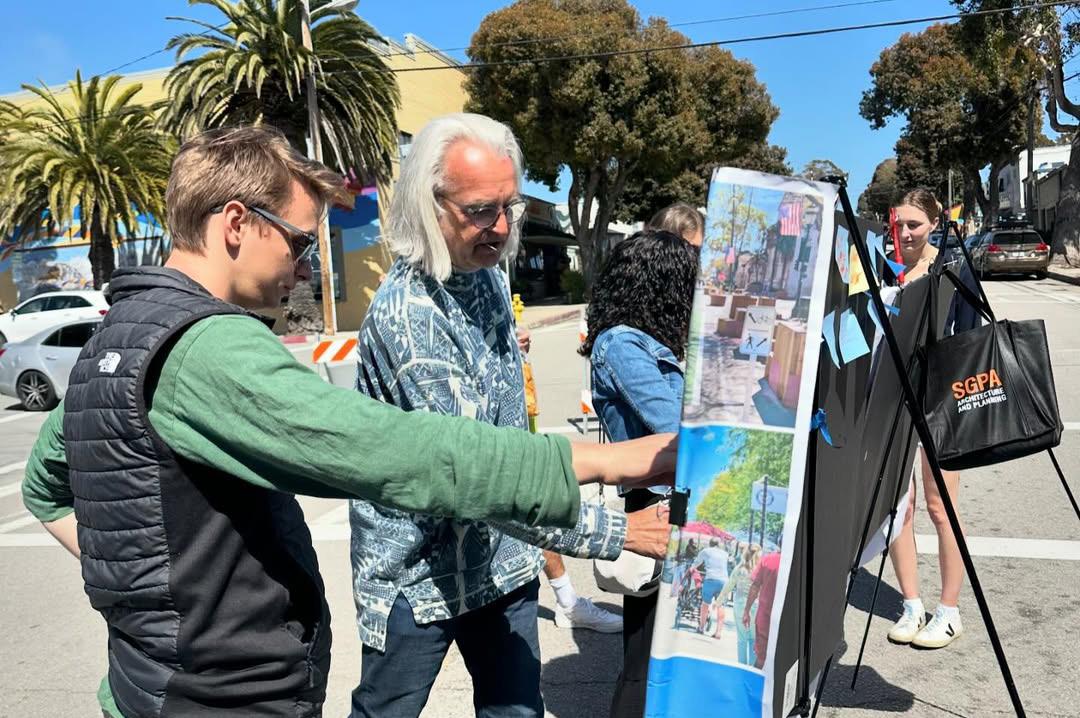
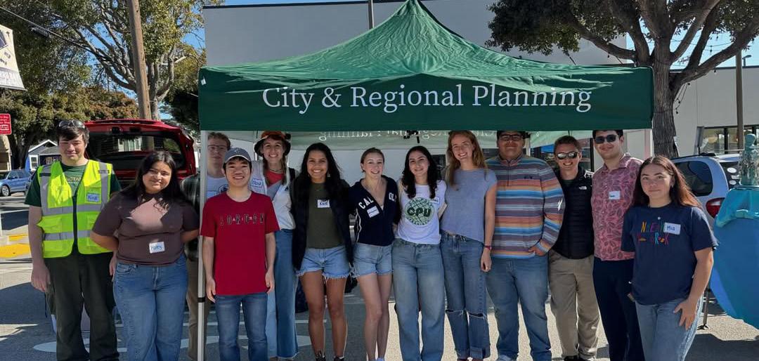
CRP 341 student Mitchell Moore engages with a Morro Bay resident at an outreach event.
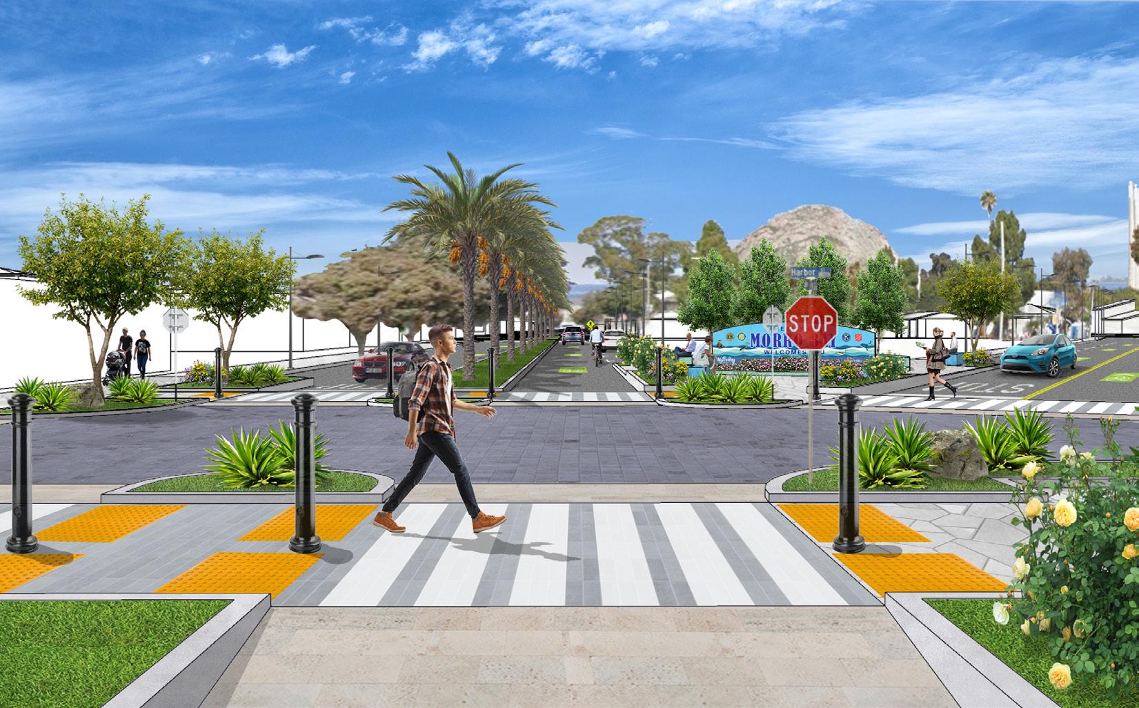
Students developed renderings of placemaking concepts and incorporated transportation improvements
presentations, providing feedback on the student’s evolving designs.
Prof. Sandwick acknowledged the challenges of directing public conversations, which were often focused on broader community issues, toward the specifics of downtown design. “Housing and larger issues like offshore wind and the smokestacks dominated many residents’ minds, so it was difficult to get them to focus on smaller-scale design elements.”
In terms of design, residents expressed a desire to preserve the city’s 1970s coastal California charm, embodying neither the palm-lined streets of Pismo Beach
nor the redwoods of Cambria, but something uniquely Morro Bay.
Bridging the Gap from Policy to Placemaking
The studio provided a unique opportunity for CRP students to shift from their typical policy-oriented training to the more ambiguous, nuanced work of placemaking. “Planning students understand the elements that make a good public space, but they often struggle with translating those elements into designs,” said Prof. Sandwick.
Students were encouraged to step away from viewing urban design as a ‘checklist’ exercise, where solutions are implemented without a deeper understanding of their context or broader impact. For instance, rather than simply adding a bike lane to a street, students were challenged to incorporate supportive elements that enhance the overall biking experience and make cycling a viable and attractive transportation option. This included innovative ideas such as bike repair kiosks and integrated street furniture- benches and trash receptacles with built-in wayfinding tools. These design concepts not only support functionality but also contribute to the streetscape’s character and sense of place.
The studio’s exploration of housing issues was similarly rooted in the principle of context-sensitive design. Students addressed workforce housing shortages by proposing mixed-use infill development that balanced increased density with the city’s small-town charm. One concept featured low-rise commercial facades with residential units set back on upper levels, maintaining the human scale of the downtown while introducing much needed housing.
Through their work, students grappled with the nuances of balancing policy objectives, like increasing housing stock and encouraging active transportation,
with the intangible qualities that make a place attractive and welcoming.
Public engagement, itertive collaboration, and real-world problem-solving provided students with valuable insights into the complexities of urban design. They emerged with a deeper understanding of how to bridge the gap between policy and placemaking, creating proposals that were both technically sound and rich with character. For Morro Bay, the students’ work produced creative and context-sensitive solutions to bridge the divide between the Embarcadero and downtown.


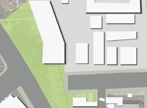




The final site plan for the Embarcadero area of Morro Bay

Bold Plan for More Housing in a Palo Alto Industrial District
CRP 410/411, FALL 2023–WINTER 2024
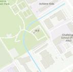
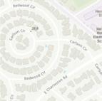
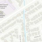
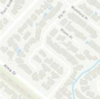
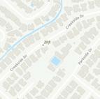
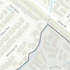
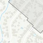
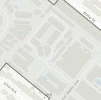
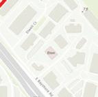
The city of Palo Alto, California might be best known for Stanford University and it’s central location in Silicon Valley. But, increasingly, it’s known for high housing prices and low available housing supply. The City adopted a draft Housing Element, a plan to identify new areas for housing development, but it was twice rejected by the State of California’s Department of Housing and Community Development for not going far enough to meet the area’s allocated housing goals. The city needed a bold strategy to find more space within its city limits to rezone for homes. They found X acres of low-density industrial uses near the bor-
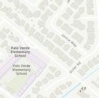
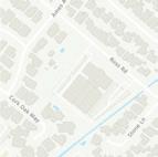
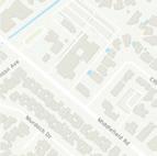
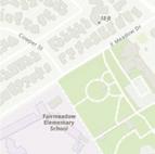
der of Mountain View along San Antonio Road that would provide space for 1,200 new housing units, putting a major dent in their housing needs. Palo Alto teamed up with Cal Poly’s Community Planning Studio (CRP 410/411) to envision what this new mixed-use neighborhood could look like.
The students began their process with a site visit to walk the corridor with planning staff and gather information about the site. Students noticed that the site consisted primarily of low-density industrial uses, auto shops, machine shops, and gas stations. There were areas of
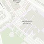
residential uses on the south end of the corridor. The area also included community and cultural uses such as The Foster Museum, Hatemi Mosque, and Taube Koret Campus for Jewish Life. The corridor is also home to an important historic site: Fairchild Semiconductor Corporation invented the first commercially-produced integrated circuit on Charleston Road just off of San Antonio Road. This invention kickstarted the computer industry and Silicon Valley.
Outreach to an Engaged Community
This initial visit provided students with the physical context for their work, but they needed to meet with residents and
workers to truly understand the existing conditions of the area. They hosted a tabling outreach event at three locations in the study area. Participants could engage with several activities, including a preference poll on potential new development and a map with opportunities to annotate it with issues, assets, and opportunities. Students immediately found Palo Alto residents to be engaged and knowledgable, with strong feelings about housing from both ends of the spectrum.
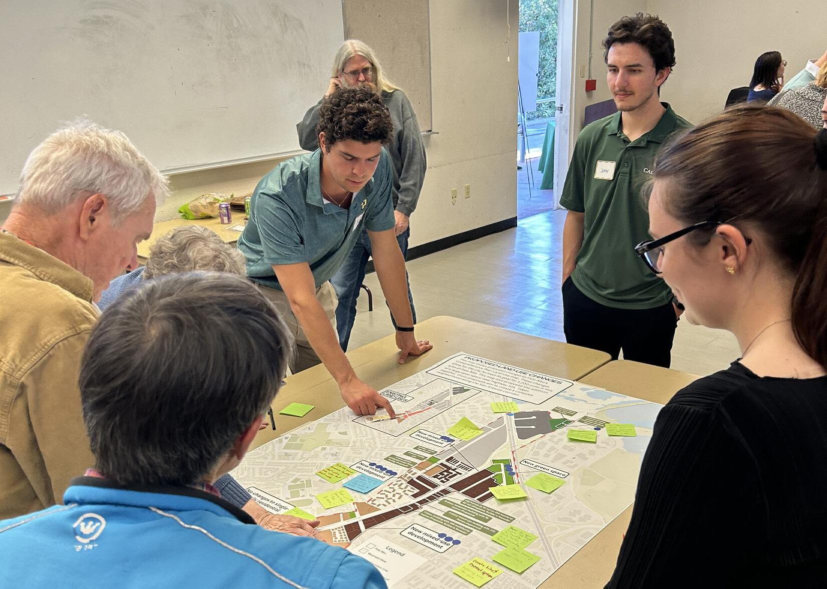
It was no surprise then that 47 participants attended a community workshop event in January 2024 to develop a vision for the area. Participants engaged in a “Mad-Libs” visioning activity for the

CRP 410 students at a Halloween-themed tabling outreach activity on the San Antonio Road corridor
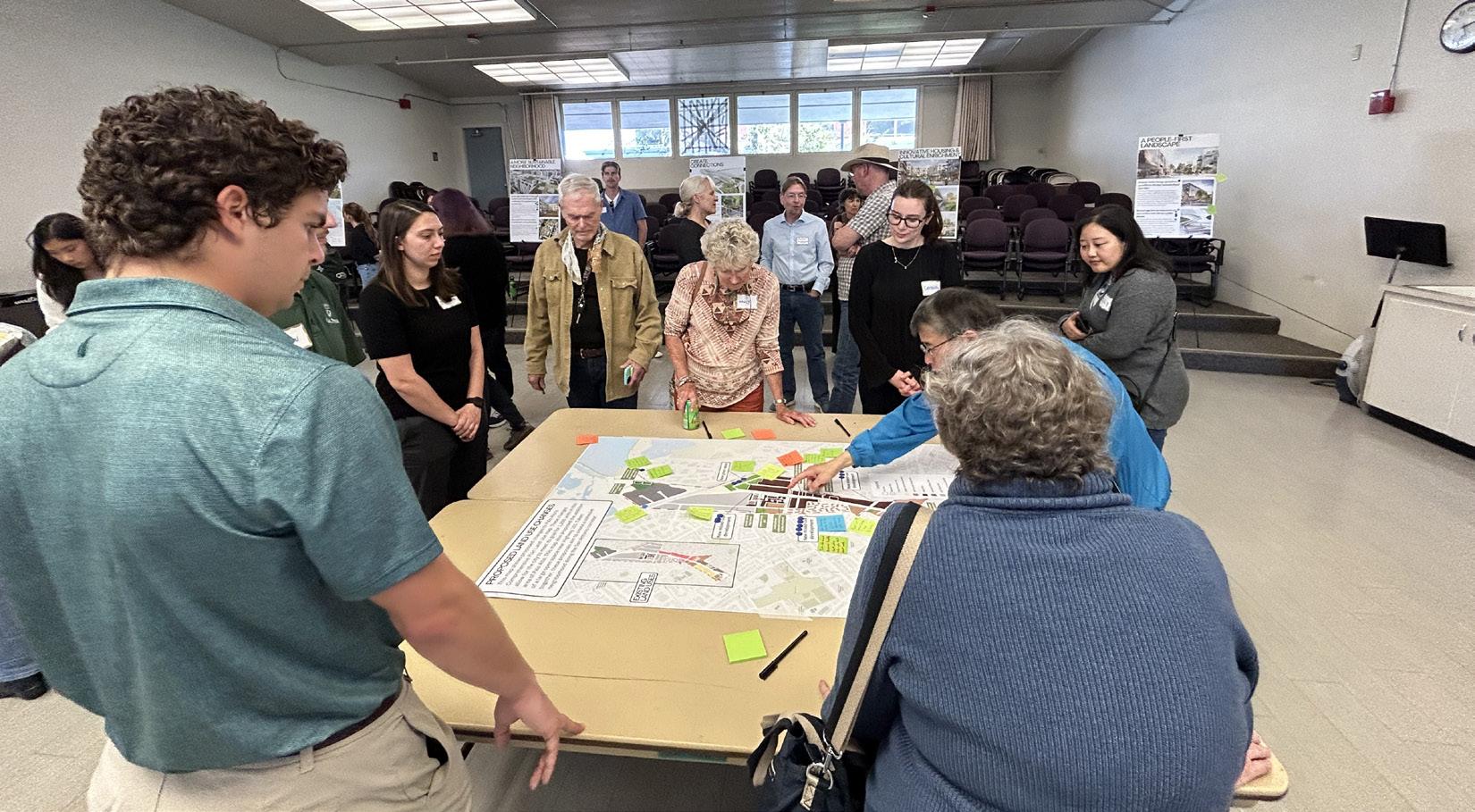
Community members provide input at a February Open House event in Palo Alto
site and used Lego bricks to allocate the 1,200 uses across the site at their desired densities. Students learned how to facilitate these conversations and mediate debate between participants with very different visions for the area.
Students returned to the community with draft concepts for land use changes and transportation improvements along the San Antonio Corridor in an open house event held in February. This event was also well attended and gave students an opportunity to showcase all of their strategic thinking and policy development skills. Students then took all the feedback and incorporated it into a final draft vision plan.
A New Vision for Palo Alto
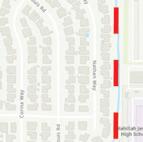
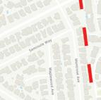
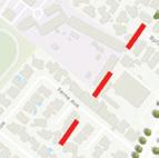
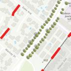
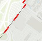
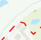
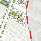
The students’ proposal for the San Antonio Road corridor featured mixed-use development with an eye to preserving and enhancing the natural environment. Much of the northern part of the site near U.S. Highway 101 is a flood zone and vulnerable to sea-level rise. Students left this area as a park and clustered density near existing intersections that provide connectivity and convenience. The corridor’s transportation plan features innovative dual two-way cycle-tracks to encourage cycling and reduce the number of times cyclists need to cross the busy street. Students also added crossings to turn a formidable barrier into a main street for a vibrant new district.
A Unique Learning Opportunity
The Palo Alto studio allowed students to dive into the complex world of housing politics in the San Francisco Bay Area. For many, it was an opportunity to work in a region they call home, a home that they know is often unaffordable and























unattainable for many. Students were eager to develop solutions to address a pressing need that the themselves may be affected by. The hope is that the City of Palo Alto takes the student recommendations and incorporates them into future plans for this opportunity area.
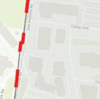
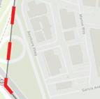
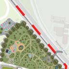

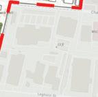






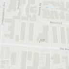

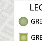
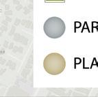


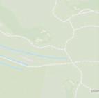
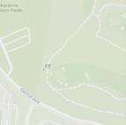
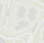
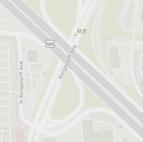

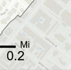
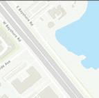
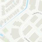
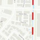
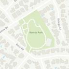
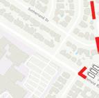
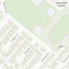
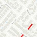
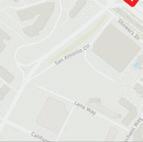
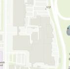
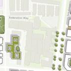
The proposed site plan includes new greenspaces, mixed-use development, and a redesigned San Antonio Road.

A
Climate Action Plan for Morro Bay’s Unique Challenges
In Fall of 2023, the second-year cohort of the MCRP program embarked on a two-quarter studio project under the guidance of Dr. Mike Boswell. Their objective was to design a comprehensive Climate Action Plan (CAP) tailored to meet the City of Morro Bay’s unique climate challenges and coastal context. Over several months, the students conducted extensive research, engaged in public outreach, and collaborated on complex problem-solving to develop a CAP that sets Morro Bay on a path toward greater sustainability and resilience.
A Three-Stage Approach to Climate Action Planning
The studio followed a three-stage approach, allowing students to gain a progressive and practical understanding of the climate action planning process. In the first stage, students focused on foundational research and data analysis, familiarizing themselves with Morro Bay’s environmental challenges, existing local policies, and regional context. Dr. Boswell explained, “The Fall portion of the course is largely about the background report and the initial public engagement activities, and then the winter quarter is about putting together the planning document.”
The second stage centered around community engagement; a critical component of the project that helped students craft their proposals around local priorities and address the concerns of residents. Outreach efforts included a roundtable kickoff meeting attended by over twenty residents, a farmers market booth for broader community input, and a presentation at Morro Bay High School, where students discussed climate impacts with local youth. An online survey further expanded outreach, offering another platform for residents to express concerns and aspirations. Dr. Boswell noted, “We had a very positive
experience working with the public and the community there. Residents were happy to see young people interested in their community and wanted to hear what they had to say.”
In the third and final stage, students synthesized their research and community input into a comprehensive CAP. This involved formulating detailed, evidence-based policies to meet both local needs and California’s ambitious climate targets. The plan proposes emissions reduction milestones every 5 years from 2030 to 2045, outlining a clear pathway to carbon neutrality for Morro Bay. Ad-

ditionally, students designed initiatives to expand renewable energy, enhance public transit, and protect natural habitats—balancing ambitious climate goals with practical interventions to improve residents’ lives.
Highlights of the CAP
In developing Morro Bay’s Climate Action Plan, the students prioritized strategies that would reduce greenhouse gas emissions while also delivering tangible co-benefits to the community.
For example, the CAP proposes a progressive approach to parking management, aiming to reduce environmental impact through measures like establishing Parking Benefit Districts (PBDs) in high-traffic areas such as Morro Rock and implementing demand-responsive pricing. By managing parking availability and encouraging infill development, the plan not only seeks to lower greenhouse gas emissions but also to generate local revenue for infrastructure projects.
Active transportation is also at the heart of the CAP, with goals to reduce vehicle miles traveled through enhanced cycling and pedestrian infrastructure. The plan suggests establishing a citywide e-bikeshare program and expanding bike lanes and pedestrian-friendly streetscapes, making local trips easier without relying on cars. Initiatives such as these aim to simultaneously reduce emissions in
Morro Bay while providing improvements in areas such as traffic flow, air quality, and resident health.
Adapting to New Challenges
With unexpected staffing changes and data limitations, the studio offered students a hands-on lesson on the importance of adaptability. Dr. Boswell noted, “Early on, we thought we were going to have much better greenhouse gas emissions inventory data…that turned out not to be the case.” This shift re-

Kolton Kladifko presents their draft Climate Action Plan to the Morro Bay Planning Commission
quired the students to problem solve in real time, digging deeper into available resources to produce robust emissions data for the city. Dr. Boswell commended their dedication, saying the students “went the extra mile and produced something… that was, in my opinion, the best inventory data that anybody had ever given them in recent history.”
Learning how to be resourceful in the face of shifting circumstances was a focal point of the student’s studio experience. “It’s one thing to teach planning theory in the classroom, but it’s another to see students apply it in the messy reality of a community setting,” Dr. Boswell emphasized, “that’s where they truly learn the value of being flexible and responsive.” By directly engaging in this complicated
reality of planning, students not only developed hands-on experience in community engagement, plan development, and resourceless, but also left the city with a thoughtfully crafted framework for future climate resilience.
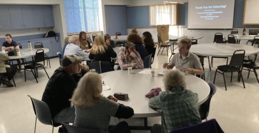
Students speak with Morro Bay residents at their roundtable kickoff event
MCRP Students Create Two Proposals for Paso Robles Greenfield Site
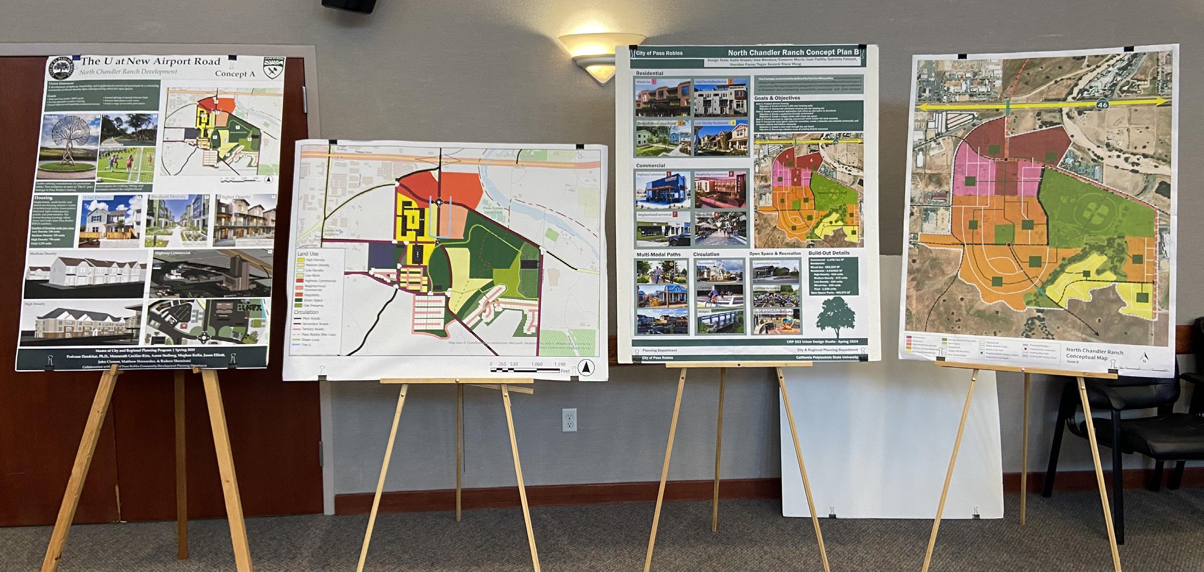
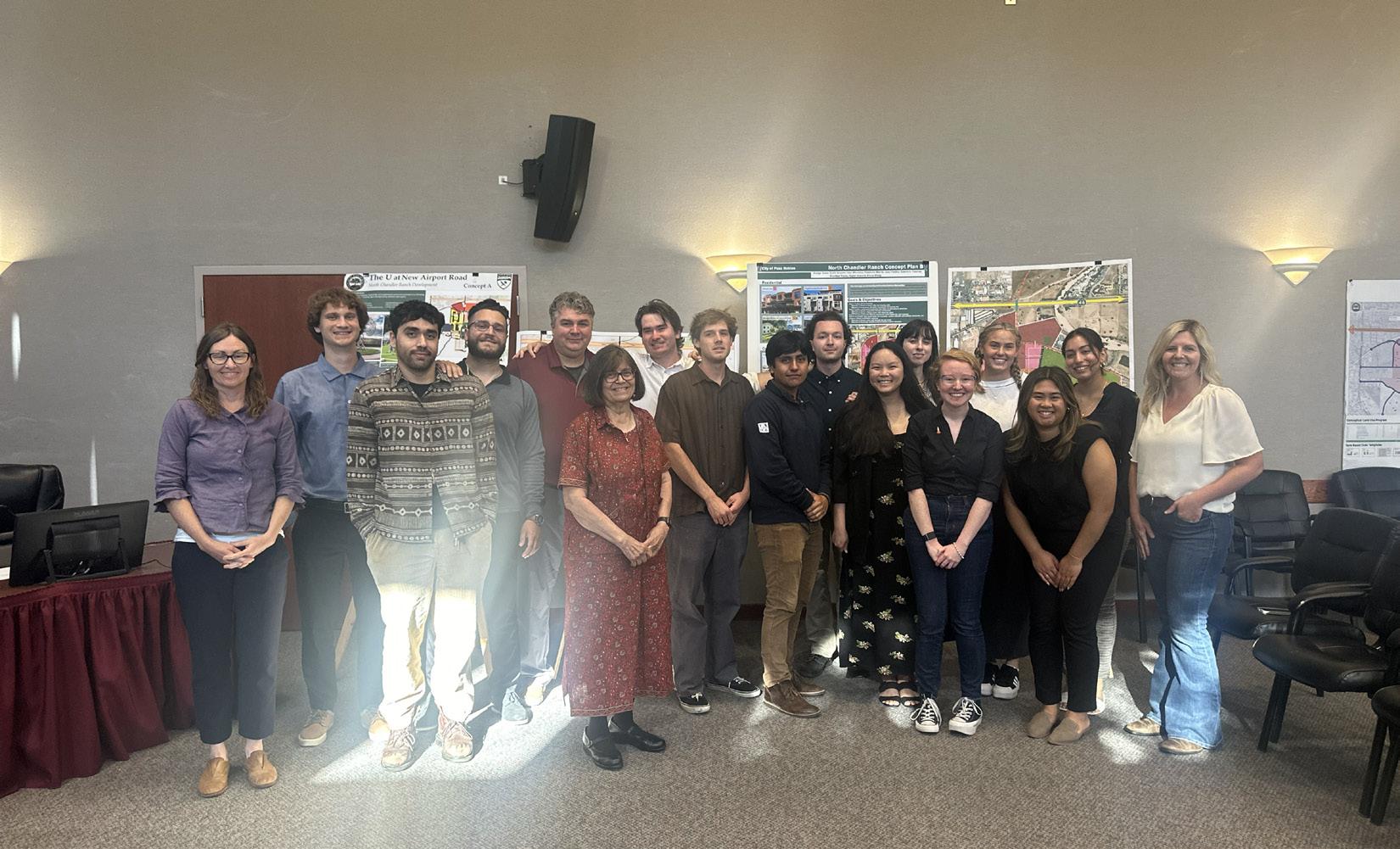
In Spring 2024, first-year students of the MCRP program embarked on a transformative design studio in partnership with the City of Paso Robles. Students were tasked with creating a conceptual development plan for North Chandler Ranch, an undeveloped greenfield site with the potential to meet the city’s future housing and commercial needs. Over the course of nine weeks, the students engaged in community interviews, geographic analysis, 3D modeling, and consultations with local experts to craft plans which reflected both the needs of the community and unique features of the site. Their efforts culminated in two
distinct design proposals, each focused on providing diverse housing options, expanding green spaces, and developing commercial corridors all while preserving the natural beauty of the area.
The Process: Site Visits, Community Engagement, and Conceptual Design
The studio kicked off with a site visit to North Chandler Ranch hosted by City staff where students familiarized themselves with the site’s unique features and surrounding development context. Students had the opportunity to explore the area’s contoured terrain and scenic
oak groves and proximity to Barney Schwartz Park. Following the visit, students engaged in preliminary mapping, SWOT analysis, and site assessments to understand the challenges and opportunities of the location.
As a greenfield site, North Chandler Ranch posed a unique challenge to students as they had to craft their conceptual plans largely from scratch, without surrounding context to build upon. This made community engagement and outreach efforts all the more crucial.
The outreach efforts revealed that
preserving the city’s unique character and not competing with the existing offerings of Paso Robles’ downtown was a top priority for both residents and local officials. Barney Schwartz Park, in particular, was regarded as a treasure community asset, and residents were eager to see expansions that would enhance its existing recreational offerings, including additional soccer fields and programmed green space.
Design Proposals: The U and The Canopy
Early into the design process, the studio
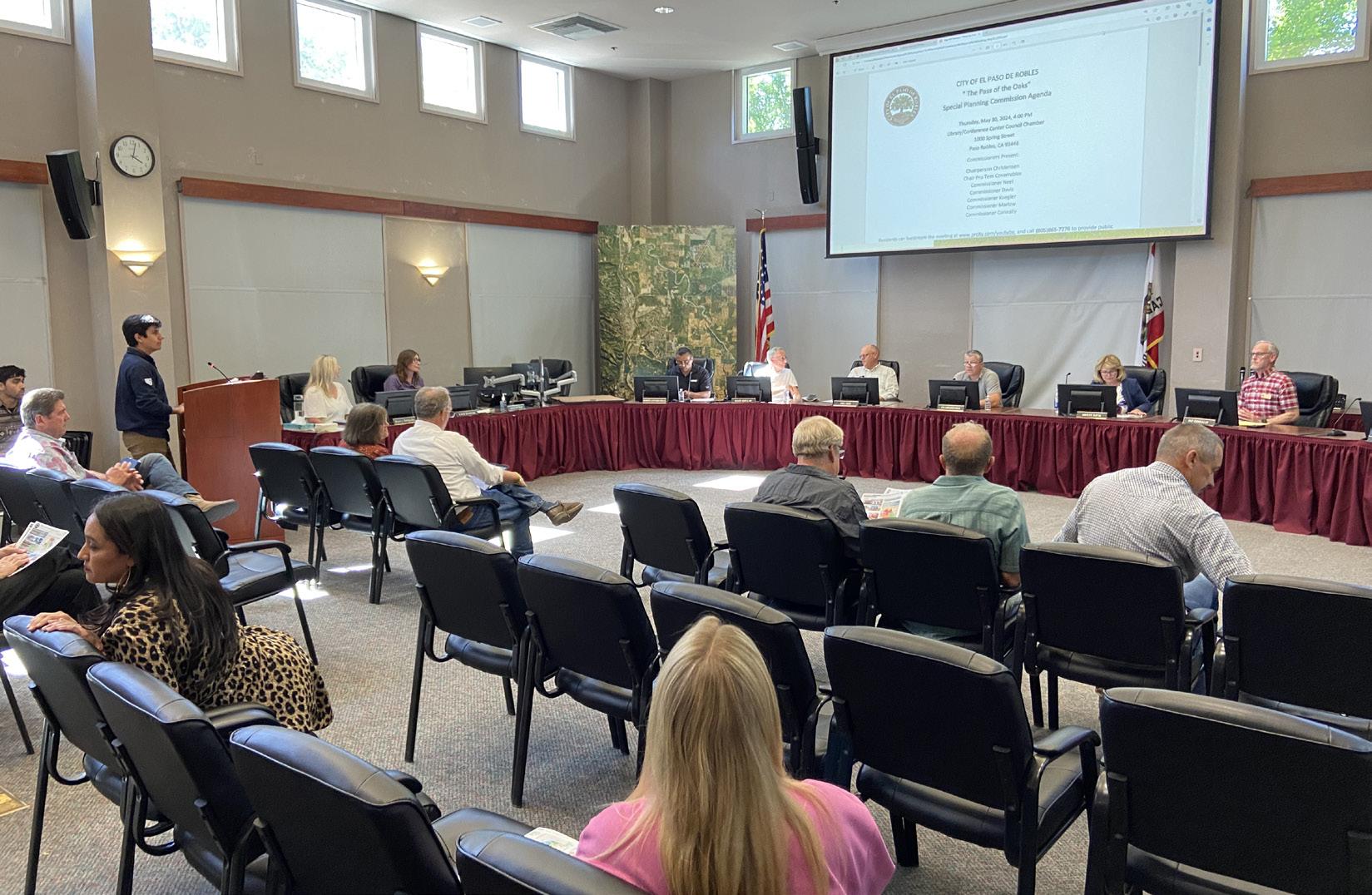
Students present their designs to the Paso Robles Planning Commission
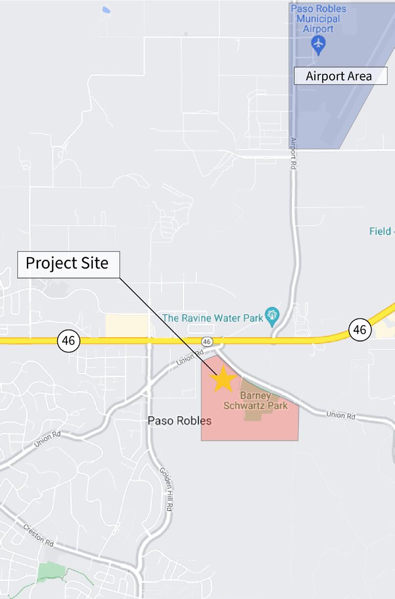
The project site was located on Highway 46 in Paso Robles, near The Ravine Water Park.
split into two teams to develop distinct visions for the site.
Team A’s design, ‘The U’ is centered around a high-density, mixed-use commercial core, with a U-shaped pedestrian pathway that prioritizes urban vibrancy and ease of access to public amenities and commercial offerings.
Team B’s ‘Canopy’ concept, on the other hand, proposed rerouting Airport Road to better protect the site’s open spaces and create a pedestrianized corridor through the commercial center. This plan emphasized the preservation of oak groves and natural features, while also proposing a range of housing options, from high-density apartments to single-family homes. The development was designed to be walkable, with bike-friendly routes and a central green loop, the “Oakwood Trail,” that connected residential areas to the park and commercial zones.
On May 30, 2024, the students presented their final designs to the Paso Robles Planning Commission along with other members of city staff and local landowners. Their proposals were well-received, with the Planning Commission praising how both plans addressed the city’s need for diverse housing and commercial offerings while preserving the character of the landscape and offering expansions of Barney Schwartz Park. The students’ ability to incorporate community feedback into their designs was a key element in the success of the project. The feedback loop established between city staff and the student teams allowed for iterative improvements to both designs, resulting in plans that were not only visionary but also practical and aligned with the city’s long-term goals.
A Lasting Impact
The North Chandler Ranch project was a valuable opportunity for Cal Poly’s MCRP students to apply the knowledge attained in the classroom to a real-world scenario. By the end of the studio, they had gained hands-on experience in urban planning, community engagement, and sustainable design. Their work on this project will continue to inform future planning efforts in North Chandler Ranch, providing a blueprint for how the city can grow responsibly while maintaining its unique natural beauty.
CRP 553 students with their instructor, Professor Hema Dandekar
FACULTY SPOTLIGHT
Vicente Del Rio Retires After 24-years at Cal Poly
Our department is sad to say farewell to Vicente Del Rio, who has taught in CRP for 24 years. Vicente has accomplished so much in that time, notably designing and structuring the undergraduate urban design studio series. Students who take the 200-level studios have Vicente to thank for the thoughtful progression of learning and skills building that happens throughout.
Before he was teaching and designing courses at Cal Poly, Vicente had a 22year career as a professor in Brazil.
While at the Universidade de São Paulo, he authored Percepção Ambiental: A Experiência Brasileira, a book that has been cited over 2,000 times, highlighting its importance in the field of urban design.
While Vicente has written or contributed to numerous publications, his most notable to students in CRP is Focus, the annual journal he published for 20 years. Focus both chronicled the major events of the department—studios, hires, publications—but also invited guests to publish thoughtful essays on a variety of urban planning topics.
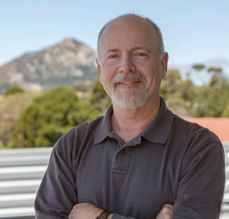
Vicente is also known for his love of travel, and he has shared that love with students over the years. Most recently, he has led summer trips to Portugal. Students who participated in those trips say it is one of the most valuable experiences in their planning education. “From my own experience,” says Del Rio, “ traveling is the best way to learn.”
Vicente himself will continue to travel in retirement, as well as play more tennis. He’s also not done thinking about cities, and may even continue publishing into the future.
FACULTY SPOTLIGHT
Hema Dandekar, Former CRP Department Head, Retires
Since joining Cal Poly’s City & Regional Planning Department in 2009, Dr. Hemalata Dandekar has leveraged her architectural and planning expertise to foster a dynamic learning environment that unites design sensitivity with policy awareness.
Dandekar is widely recognized for The Planner’s Use of Information, a seminal text that has guided generations of planning professionals on how to collect, interpret, and apply data effectively. Emphasizing the crucial role of evidence-based methodology, the book underscores how robust information gathering can shape more equitable and sustainable plans. She has also led student fieldwork in South Africa, bridging theory with on-the-ground practice in community development. Her other works, such as A House With a Door and A House With a Garden, offer vivid insights into evolving village life and women’s housing security in India, reflecting her passion for global engagement and cross-cultural understanding.
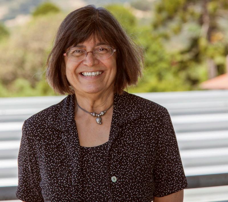
Reflecting on her tenure at Cal Poly, she praises the CRP program’s collegial culture and the dedication of its students, noting that while, “I’m not going to miss the grind of teaching, I’m going to miss the interactions with students and faculty…it’s a good bunch of people.” As she enters retirement, Dandekar looks forward to personal projects and further global pursuits, leaving behind a legacy rooted in practical insights, international fieldwork, and a conviction that successful planning demands both technical skill and cultural fluency.
FACULTY
SPOTLIGHT
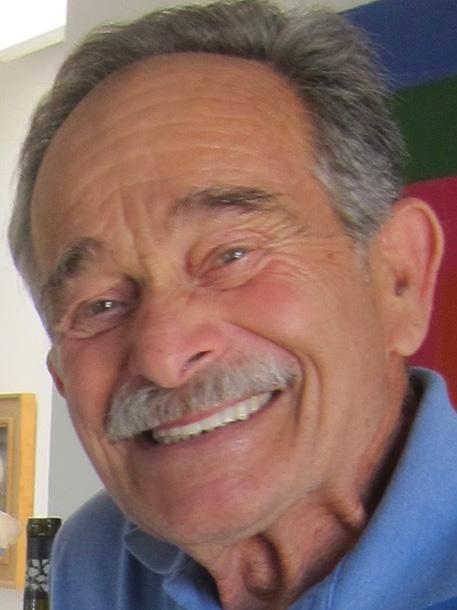
Remembering Longtime CRP Professor Emeritus Joe Kourakis
Joe Kourakis, Cal Poly Professor Emeritus, passed away on September 22nd, 2024. He served as a faculty member in the department of City and Regional Planning for nearly three decades. His tenure in San Luis Obispo began in 1970, after he earned a Masters in City and Regional Planning at the University of California, Berkeley. He went on to work at firms in the Bay Area doing transit and transportation infrastructure projects in the same region. He received an offer to teach at Cal Poly, and visited San Luis Obispo. He found it to be a delightful place and perfect for raising a family and accepted the position.
from the University of Illinois, Champaign-Urbana.
Joe encouraged his students to develop their potential through diligence, practice, and creativity. He went out of his way to make sure all students felt comfortable drawing and designing. He believed whimsy and fun could be helpful teaching tools. While he believed in “Learn by Doing” he also believed in allowing students to use their boundless creativity to inform their work.
During his time at Cal Poly, he taught nearly every planning course offered, though he primarily focused on the design courses, relying on his initial background in architecture. He earned his Bachelors and Masters in Architecture
Outside of the classroom, Joe was an avid member of the local SCUBA diving club. He also loved to do marathons and triathalons. His passion for making art, first developed as a boy, never waned; he sketched and used watercolors to depict scenes throughout the county, and created artwork continuously, using a variety of media, until his passing.
FACULTY SPOTLIGHT
New Instructor Ryan Miller Brings Wildfire Expertise and CSU Experience
Dr. Ryan Miller, the newest member of Cal Poly’s City and Regional Planning faculty, boasts a background that bridges planning, geography, and real world community engagement. A Chico State alumnus, Miller went on to earn a Master’s in Planning from the University of Washington, and a PhD in Geography at UC Davis, all the while cultivating a passion for issues of housing, transportation, and natural disasters.
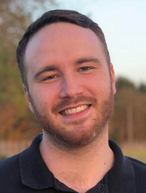
devastated his hometown, he began investigating how housing policy and spatial analysis could help communities rebuild safely and sustainably. As a new instructor, Miller teaches courses focusing on demographics, housing, and advanced GIS applications. He encourages students to see GIS not as just another software to learn but as an incredibly effective tool for telling powerful, data-driven stories that can shift policy and planning decisions.
“I’ve always loved the CSU system,” he says of his decision to join Cal Poly, noting that the San Luis Obispo campus’s culture of experiential learning was “perfectly aligned” with his interests in demographic research and hands-on GIS instruction. Miller’s fascination with how people inhabit spaces, especially in wildfire-prone areas, was shaped by a deeply personal event. When a wildfire
Outside the classroom, Miller is thrilled to explore San Luis Obispo’s coastal charms and vibrant downtown. An avid traveler, he’s on a quest to ride every light rail system west of the Mississippi. Above all, Miller looks forward to learning from colleagues and students alike, helping Cal Poly remain at the forefront of forward-thinking urban planning.
California APA Conference 2024


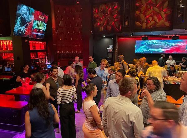
Thank you to everyone who made it to the Cal Poly CRP alumni mixer at the Cal APA Conference! It was such a great night catching up with old friends and meeting new faces. A special shoutout to our advisory board (CiRPAC) members for sponsoring the event—your support truly makes a difference in keeping our community strong. Looking forward to even more successful events in the future! #calpolyproud #calapa
Students Visit Cal Poly Pier
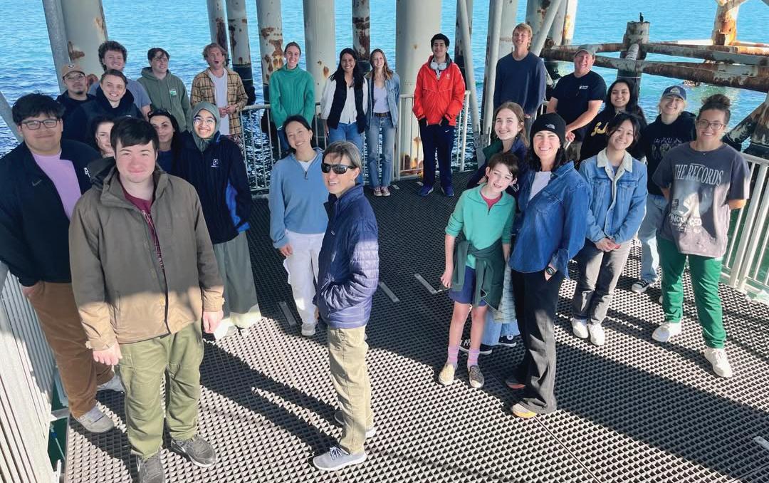
CRP 342 Environmental Planning Methods students celebrated the end of the quarter by visiting the Cal Poly Marine Research Pier at Avila Beach with Operations Director Tom Moyan and Professors Chris Clark, Adrienne Greve, and Jaime Hill. Students were given a tour of the pier and taught about the cleanup from the oil spill for their lessons on CEQA.


National Planning Conference 2024


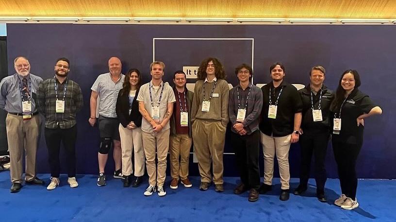
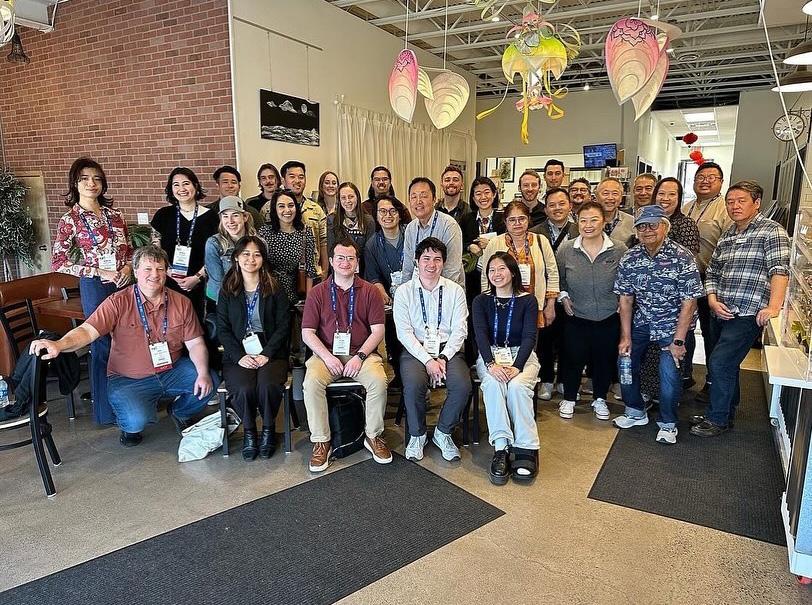
That’s a wrap on #NPC24! Accompanied by Professor Ryan Sandwick, 16 CRP graduate and undergraduate students attended the annual planning conference in Minneapolis from 4/13-4/16.
Students were able to explore the city, network with other students and planners, and attend educational sessions on a wide variety of planning topics. In addition, our very own Professor Keith Woodcock gave two presentations at the conference.
Thank you @americanplanningassociation, and we look forward to #NPC25 in Denver!
CRP Graduation 2024


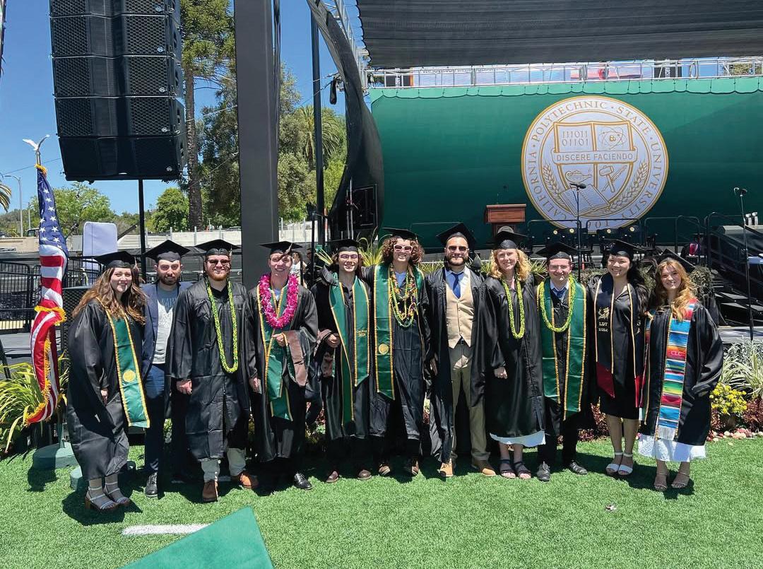
Congratulations, CRP Class of 2024! #calpolyproud #calpolycrp


Follow us on Instagram: @CalPolyCRP
CiRPAC: City and Regional Planning Advisory Council, Cal Poly
The City and Regional Planning Advisory Council (CiRPAC) was formed in 2015 to advise the department on the needs of industry and the profession; assist the department in meeting its advancement goals; and to promote the interests and activities of alumni.


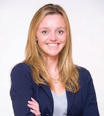
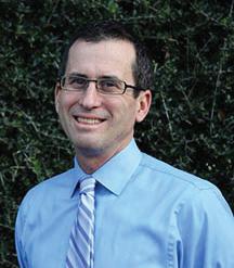

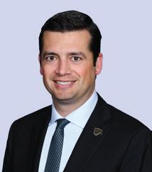
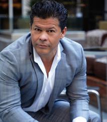
Sara Allinder Dave Javid
Ginger Anderson
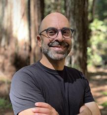
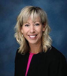
Geoff Bradley

John Donahoe
Ryan Gohlich
Paulo Hernandez
Pamela Johns


Lesley Lowe
Steve Lynch

Martin Magaña
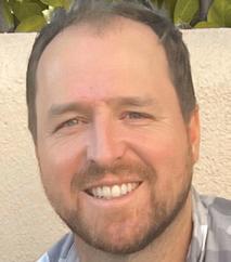
Dawn Marple
Sue Peerson
Rachael Raynor
Lisa Ring
Heidi Vonblum
Dave Yocke
Donate to the CRP Department
Thank you for reading the 21st volume of Focus Journal. If you’ve been inspired by the ideas, stories, and student work shared in these pages, we invite you to support our department’s mission of shaping the next generation of planners. If you invest in the City and Regional Planning program, we can do a lot of really substantial things that enhance our students’ education that are not supported with State funds. Your contribution has a direct and meaningful impact on student opportunities, faculty innovation, improved facilities, effective outreach, and creative educational practices. These include field trips, student travel to workshops and conferences, faculty creativity in the classroom, the parents’ reception, student participation in competitions, celebration of student scholarship awards, support of student senior projects, and many more worthwhile activities. I hope that you agree these activities help make an excellent program even better.
I invite you to contribute any amount that feels comfortable and invest in the continued success of this hallmark program. If giving online is more convenient, you can use a credit card. You can access the direct link to the City and
Regional Planning Fund for Excellence by scanning the QR code below.
I look forward to staying connected with you and encourage you to drop by the department whenever you’re in San Luis Obispo. It’s always a pleasure to hear from the CRP friends and supports and discuss how we can continue to enhance the program. If you’re unable to visit in person, feel free to reach out by phone at 805.756.1592 or email at ahajraso@ calpoly.edu.
Sincerely,
Amir Hajrasouliha Department Head, City and Regional Planning

FOCUS is a professional-oriented yearly journal. It highlights the work promoted, discussed, and produced in the City and Regional Planning Department, Cal Poly San Luis Obispo.
ISSN: 1549-3776
