A Sun Valley Insider’s Guide to Trails

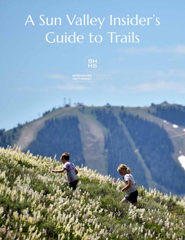
Maybe more than anything else, recreating outdoors binds our valley’s residents together.
This Sun Valley Insider’s Guide offers a look at popular and lesser-traveled areas and trails, starting at Galena Summit and going south to Bellevue. (The Sawtooths and Stanley Basin is a whole other world and is outside the scope of this Insider’s Guide.)
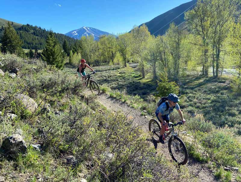
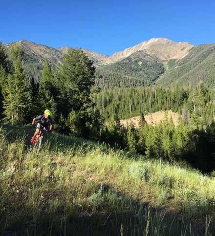
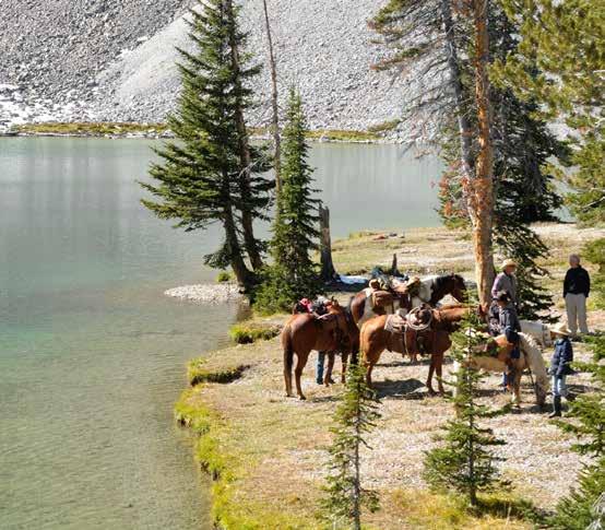
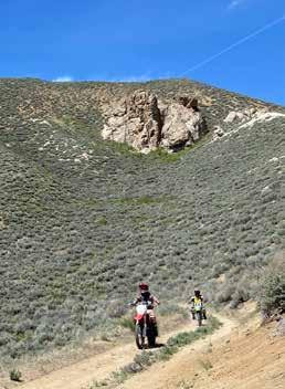
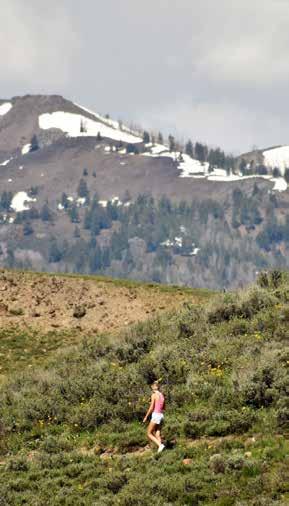
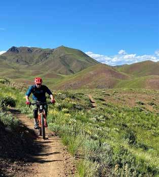
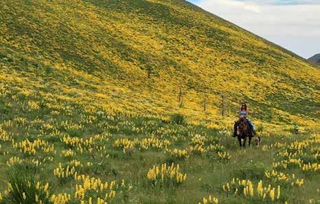
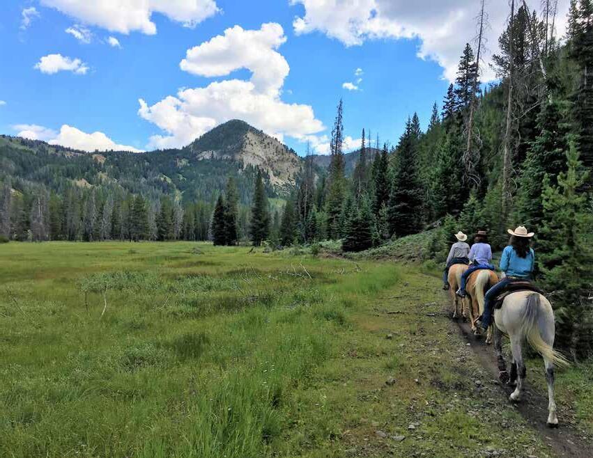
Many of the area’s trails are suitable for all pursuits, from hiking and running to mountain biking to horse riding and some even to motorized travel.
Whatever your experience and fitness level, here’s hoping this guide to trails in the Sun Valley area will put you in direct contact with some of the valley’s most beautiful spots. Just remember to check your gear, carry water and food and sunscreen, and explore with others. Central Idaho is still largely a wilderness, and as wonderful as the outdoors are, it’s easy to get yourself turned around or in trouble, so just be sure to stay safe!
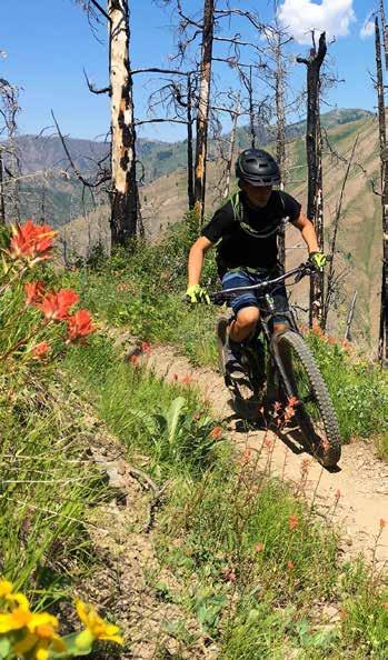
 Dollar Mountain Multi-use Trail | Elkhorn
Centerline | Hailey
Dollar Mountain Multi-use Trail | Elkhorn
Centerline | Hailey

 Indian Creek | Hailey
Corral Creek | Sun Valley
Bow Bridge Trail System | Hailey
Hyndman Peak Trail | East Fork
Carbonate Mountain | Hailey
Indian Creek | Hailey
Corral Creek | Sun Valley
Bow Bridge Trail System | Hailey
Hyndman Peak Trail | East Fork
Carbonate Mountain | Hailey
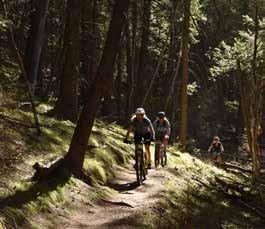
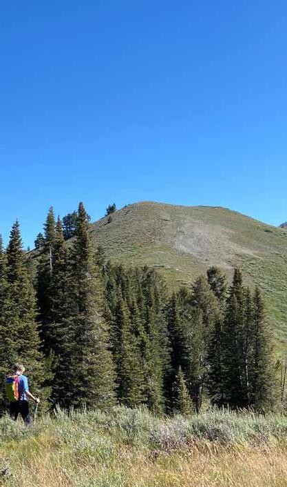
NORTH AND EAST OF KETCHUM
North of Ketchum offers so many options, including Titus, Baker, Norton, Prairie and Silver Lakes, Boulder City, the amazing Galena Trail System, and other endless (truly) options in all directions.
Closer but still north of town are the Oregon Gulch, Fox Creek, Lake Creek, Eagle Creek, and Adams Gulch trail systems which all see more traffic but allow for quick and highly rewarding adventures.
East out of Sun Valley is Trail Creek Road and Summit, which offers dozens of egress points, including the trailhead for ever-popular Pioneer Cabin.
Lakes, jagged peaks forests.... IT’S ALL RIGHT HERE!

 Oregon Gulch
Galena System
Norton Lake
Oregon Gulch
Galena System
Norton Lake


 Silver Lake
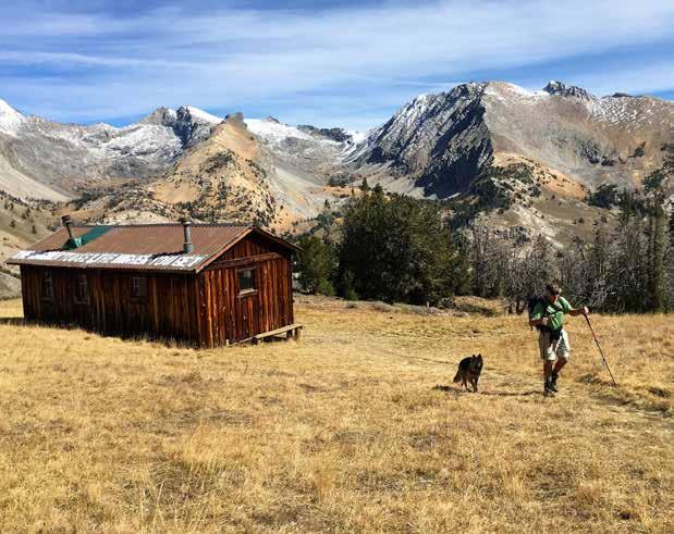
Pioneer Cabin
Taylor Canyon
Fox Creek
Corral Creek
Forbidden Fruit
Adams Gulch
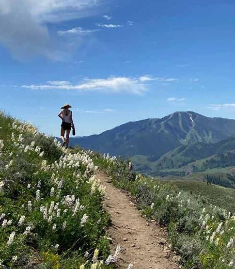
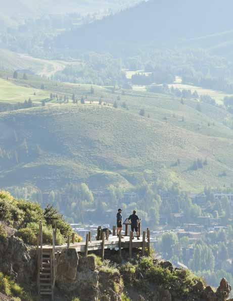
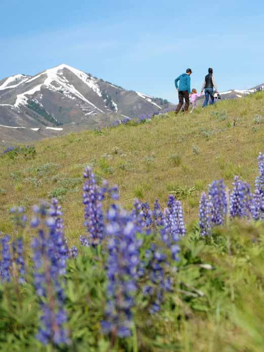
KETCHUM, WARM SPRINGS
Newcomers are astonished when they learn how much recreation is available right in the Resort Core. All of the photos on these two pages, for instance, can be accessed without driving or within about fewer than three minutes in a car.
In fact, one of Sun Valley’s defining features - a restriction on building on hillsides (which keeps the mountains looking like mountains!) - is one of the reasons we have so much instant access to trails right here in town.


 White Clouds
Heidelberg Trail
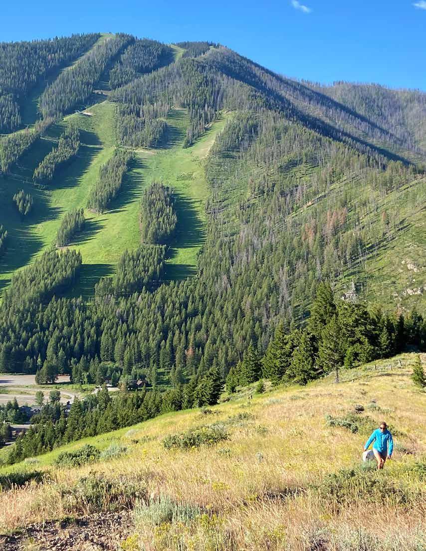
Bald Mtn
Corral Creek
White Clouds
Heidelberg Trail
Bald Mtn
Corral Creek
 Ketchum Overlook Trail on Bald Mtn
Warm Springs (Bald Mtn.)
Proctor Mountain
Ketchum Overlook Trail on Bald Mtn
Warm Springs (Bald Mtn.)
Proctor Mountain
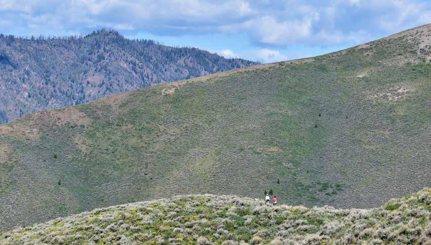
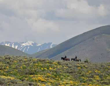
SOUTH OF KETCHUM
If you’ve driven Highway 75 between Hailey and Ketchum at least once, you know there are a plethora of roads that head east and west, up canyons and draws. If you’ve ever wondered where they go, stop wondering and start wandering!
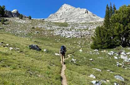
Just listen to the names of these roads: East Fork, Greenhorn Gulch, Ohio Gulch, Indian Creek, Deer Creek, Cove Creek... Truly, you can’t go wrong out here, whether you are on foot, bike, or hoof! East Fork Road is the access point to the Hyndman Basin trail system, which leads to the highest peaks in the entire valley (Hyndman Peak, below, is 12,009’).
 Federal Gulch


 Curran Trail in Deer Creek
The Narrows at Cove Creek
Greenhorn Gulch
Colorado Gulch Croy Canyon Side
Curran Trail in Deer Creek
The Narrows at Cove Creek
Greenhorn Gulch
Colorado Gulch Croy Canyon Side
HAILEY, BELLEVUE & THE SOUTH VALLEY
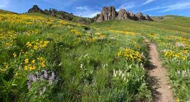
The trails in the South Valley open up much sooner in the spring due to the latitude as well as the more open landscape. As a result, these trails get a huge amount of activity in April and May, which is right when the flowers are at their peak. It’s almost as if the hillsides appreciate the attention, and so they put on their best show for all the hikers and riders!
Most of the trails in Hailey and Bellevue are within a minute or two of Hwy 75. The fewer trees make the vistas, once you get up high enough, incredible. Ascents are rewarded by views of the Pioneers and mountains west of the valley. Don’t forget about the jeep roads and trails that spur off of Broadford Road (Townsend and Lee’s Gulch) as well as the access to trails out Poverty Flats.

 Democrat Gulch
Star Gulch
Toe of the Hill Trail
Democrat Gulch
Star Gulch
Toe of the Hill Trail


 Townsend Gulch
Carbonate
Hidden Valley
Lamb’s Gulch
Croy Canyon
Two Dog in Croy Canyon
Poverty Flats
FOR FURTHER INFORMATION
IN NO WAY is this a guide book to help you find or navigate any of the trails. It should not be referred to for directions or as an accurate description or routes or difficulty.
There are so many great businesses and guides for exploring the trails in the Wood River Valley and beyond. Here are a few of the businesses we recommend for both advice as well as the necessary supplies and gear to make your outing - whether it’s a 1-hour stroll in Adams Gulch or a multi-day exploration in the Pios - a success.
Backwoods Sports | backwoodsmountainsports.com
Elephant’s Perch | elephantsperch.com
Pete Lane’s | sunvalley.com
Ryan’s Mountain Rentals (motor) | ryansmountainrentals.com
Sturtevant’s | sturtevants-sv.com
Sun Summit South | crankandcarve.com
Woodside Motorsports | woodsidemotorsports.net
Once you have the gear and info you need, having a guidebook, maps, and trail apps is also recommended. Here are some resources that the more experienced adventurers in the valley rely on to help them find their way and learn about new areas.
Websites and Apps
Blaine Cty Rec District | summertraillink.bcrd.org
Sawtooth Trails | sawtoothtrails.com
SNRA | fs.usda.gov/main/sawtooth/home
Sun Valley | sunvalley.com/
Visit Sun Valley | visitsunvalley.com
Books and Guides (purchase locally please)
The Day Hiker’s Guide to Sun Valley & Ketchum
Exploring Sun Valley (by Leidecker)
Good Dirt I and II (by McRoberts, mountain biking)
Sun Valley Idaho Trail Map (by Adventure Maps)
Chemeketan Trail (Salmon River Headwaters)
Finally,
Maude’s, Ketchum
Snow
Mahoney’s,
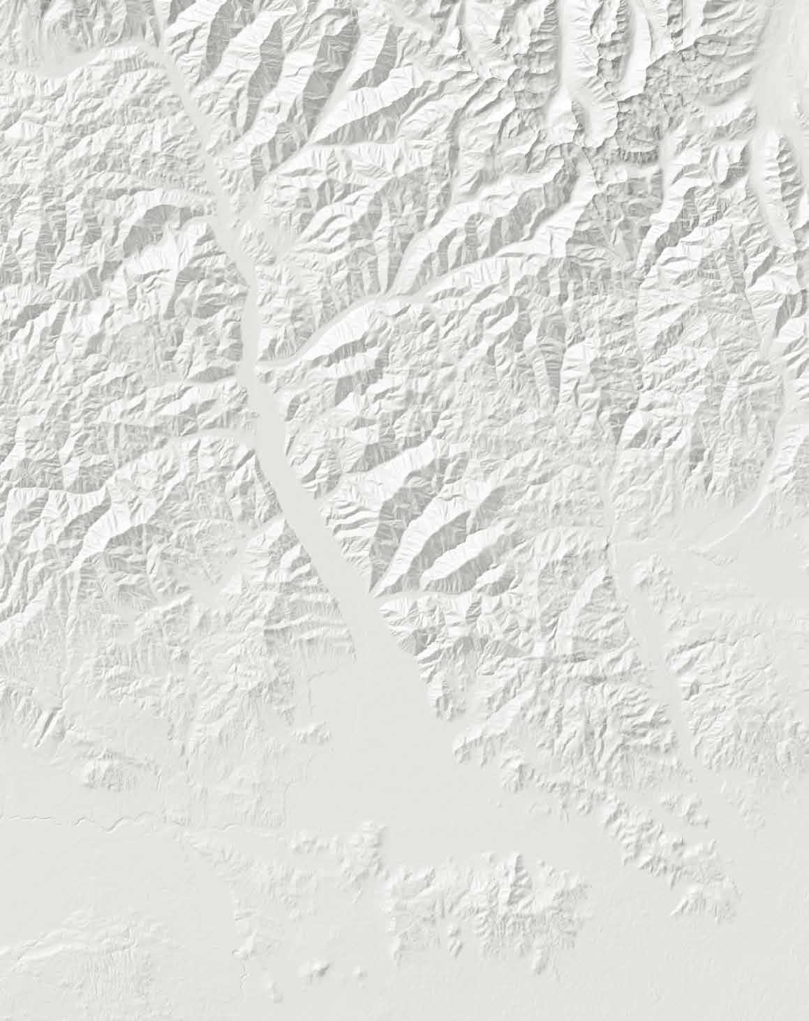
Big Wood R i v e r R o c k Creek Little Rock Cre e k Bullion Gul ch Croesus Gulch Townsend Gu lc h Sla u g ht e r ho u se Gulch Colo r ado Gulch Se a m a ns Gu l c h Big W o od R i v e r Grove Or ego n G u l ch Fo x C r e e k Ad a m s G u lch Big W o od Ri ver Wolftone Cr e e k De e r C r eek D e m o c r a t Gulch D e er C r e ek Croy Creek Ohio Gu l c h EastFork Big W o o d R i v e r Co v e C r e ek Hy n dm a n Cr e e k N o r t h F o r k H y n d m a n Cr H y ndman Cr e ek Ea st F o rk Big W o o d Rive r Kane Lake J o h n s t o n e C r e e k C o r r a l C r e e k Tra il Cr e e k Par ker Gul ch I nd e p e n d e n c e Cr ImperialGulch Gree n h o r n Gulch Mahoney C r e ek T i mb e r Gulc h R e d W a r r io r C r e e k W arm Spri n gs Cr B assett Gulch Lake Cr e e k Red Elephant Gulch K e ll y Gulch Martin Canyon S h arps Ca n yon W ildho r s e C r P Little Wood Reservoir ELKHORN ROAD S AWTOOTH N ATIONAL S.V. Lodge River Run Plaza Warm Springs Plaza Roundhouse GONDOLA FOREST Hyndman Peak 12,009 Bald Mountain Dollar Mountain HULEN MEADOWS Sawtooth National Recreation Area VISITOR CENTER CROY CREEK R O A D DEER C R E E K ROA D GREEN H O RN GULCH RD EAST FORK ROAD OHIO GULCH RD INDI A N CR R D Q U I GLEY GULCH ROAD Bellevue Hailey TWIN CREEKS WOODSIDE Richardson Summit BASELINE ROAD Gannett G L E N DAL E R D PI C A B O G A N N E T T RO A D THE VALLEY CLUB BRO A D F O RD M U L D O O N C A N Y O N ROAD LAKE CREEK EAGLE CREEK Ketchum Sun Valley Elkhorn Pioneer Cabin Triumph GIMLET LAKE CREE K R OAD Muldoon Summit FLYING HEART PERO RD P R I C E L A N BROWNING LN Friedman Memorial Airport Frenchman’s Bend EDGEWATER HEATHERLANDS STARWEATHER PIONEER MTN RANCH HYNDMAN PEAK ZINC SPUR RAINBOW BEND R O A D LOWER BOARD RANCH LANE RANCH R O C K C R E E K AOR D GOLDEN EAGLE INDIAN CREEK RANCHES GRIFFIN RANCH COVE RANCH CLIFFSIDE TRAIL CREEK ROAD DEERFIELD OLD CUTTERS GLASSFORD HEIGHTS CHOCOLATE GULCH MULDOON RANCH TO BOISE S M O K Y M O U N T A I N S P I O N E E R M O U N T A I N S St. Luke’s Hospital NORTHWOOD BEAVER SPRINGS ADAMS GULCH BELLEVUE FARMS Warm Springs 75 75 WAR M SPRINGS ROAD BROADFORD POLO TOWNSEND RANCH CHANTRELLE SAGE SPRINGS CROESUS CREEK SUNSET MEADOWS RANCHO CIELO RIVER GROVE BIGWOOD 0 1 2 3 4 5 miles
one of the best things
hike
ride
afterwards, right?):
here are some post-recreation spots we recommend (because
about a
or
is treating yourself
Valley
Cream,
The Konditeri, Sun
LeRoy’s Ice
Ketchum Lefty’s, Ketchum
& Hailey
Belly Ice Cream, Hailey
Bunny, Hailey
Bellevue EAST FORK COVE CR. HYNDMAN BASIN GREENHORN BALD MTN. LAKE, EAGLE & FOX CREEKS
OREGON & CHOCOLATE GULCHES TRAIL CR. SUMMIT CORRAL CR. DEER CR.
GULCH INDIAN CR. CROY CANYON GALENA SYSTEM SV SYSTEM DOLLAR MTN. DEMOCRAT & LAMB’S GULCH STAR, LEE’S & TOWNSEND GULCHES
Sawtooth Brewery, Ketchum
Yellow
ADAMS,
OHIO
208.726.3411 | info@bhhssunvalley.com A BETTER REAL ESTATE EXPERIENCE. “Dragon’s Back, in Warm Springs