Portfolio
Urban Design Selected Projects
Urban Design Selected Projects
Urban Planner &Designer

+1(825)449-7033
Azindinar.1999@gmail.com

@Azindinarvand.99

azindinarvand
Bachelor Degree (2017-2021)
Jundishapur University of Dezful, Iran
WORKSHOP
Urban Management (2020)
Jundishapur University of Dezful, Iran
Persian Native English IELTS
AutoCad ArcGIS
SketchUp
Photoshop
Revit Python
Shavadoon Magazine
•A Faculty Magazine in the Urbanism & Architecture department Link
•Role: Magazine Editor, presenter
D.Talks
• A public forum for conversation about Design and the built envorinment. (Calgary)
• Role: Community Planner/Social Media
I’m Azin Dinarvand, an urban planning professional with a Bachelor’s degree in Urban Studies from Jundi-Shapur University of Technology. My work focuses on sustainable development, with expertise in pedestrian-friendly design, spatial analysis, and community engagement. My thesis on enhancing pedestrian pathways in historic districts reflects my dedication to creating accessible, culturally rich public spaces.
With experience as a Research Assistant and an Ecotourism Specialist, I’ve developed strong skills in GIS, AutoCAD, and effective communication. Now based in Calgary, I am eager to contribute to projects that foster community connections, sustainability, and resilience in urban spaces.
• Crime Prevention Through Environmental Design (CPTED)
• ArcGIS Pro Basics by Esri
• integrated urban management by Shahre Danesh Academy
• Introductory course in ArcGIS software by Iran’s Architectural Center (IAC)
• AutoCAD(2D) by University of Jundi Shapur
• Project Management by Google Career Certificates
Global Shapers Community
Project Assistant
Ministry of Cultural Heritage
Ecoturism Specialist
Sadrab Puya Consulting Engineers/Intern
Junior Planner
(2024_Present) (2017_2021) (2021_2023)
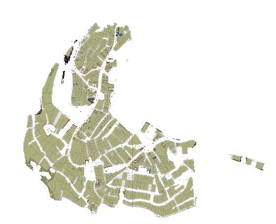
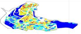
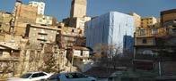
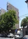
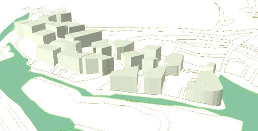
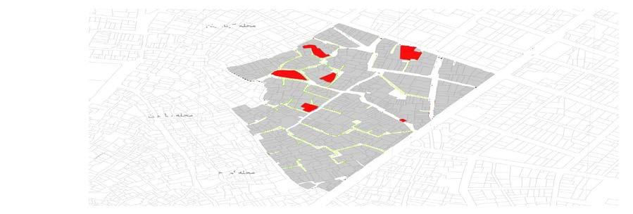
Urban design of Golabdarreh neighborhood
2021-2023
Company project
Academic Project
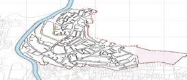
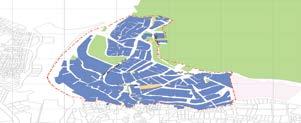
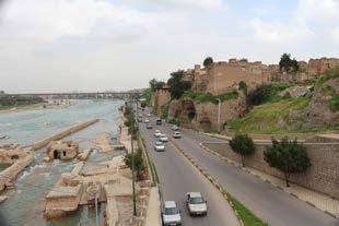
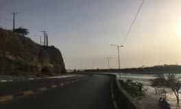
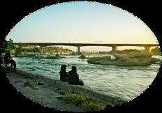
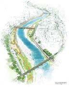
Urban design of Dezful River front
2018-2019
Individual project
Academic Project
Company project
Academic Project
2021
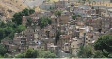
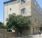
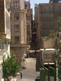
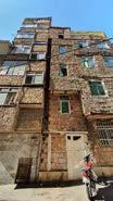
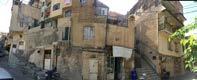
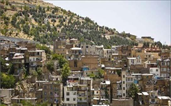
The northern and northwestern sections of the neighborhood are marked by informal construction, lacking official documentation and violating permits for economic gain. These areas suffer from inadequate services, limited parking, and poor physical conditions, including dilapidated, unsafe zones and abandoned green spaces along the Golabdarreh River valley.
Neglecting laws related to river valleys and urban fault lines worsens the situation.
However, the region boasts an old hiking trail, mature vegetation, and scenic views of Tehran. Its proximity to recreational spaces, like the tobogganing park, offers potential for tourism development.
A sustainable urban regeneration approach, focused on tourism, aims to improve conditions, create public benefits, and comply with regulations.

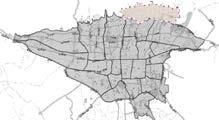
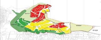
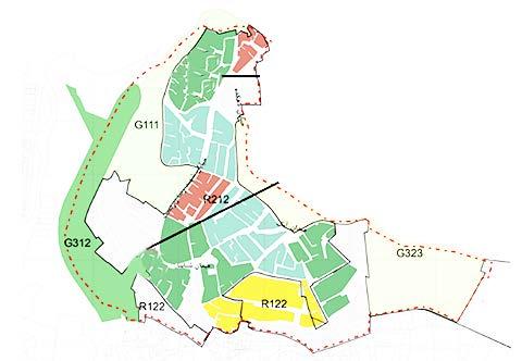
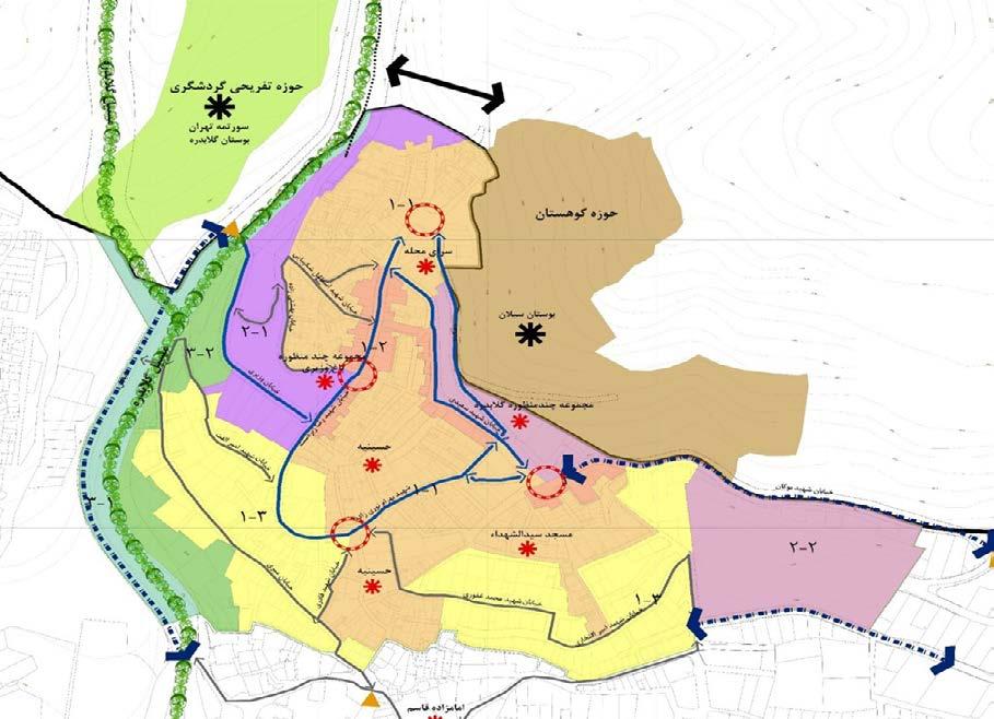
functional coverage radius
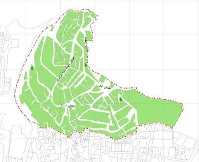
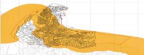

1. Development of activities related to recreation and tourism.
2. Protection of natural environmental features and elements (such as rivers-valleys, gardens, slopes of Alborz)
3. Protection of historical heritage of the region
4. Forecasting related and complementary service centers and areas with various functional levels in the entire region.
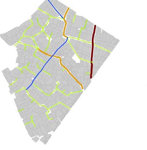
5. Compliance with the hierarchy of the communication network.
The development pattern of the area and its components : Cultural functional coverage radius Religious functional coverage radius
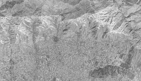
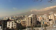
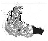
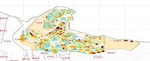
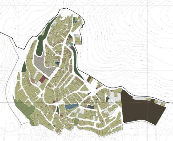
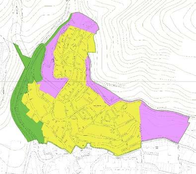
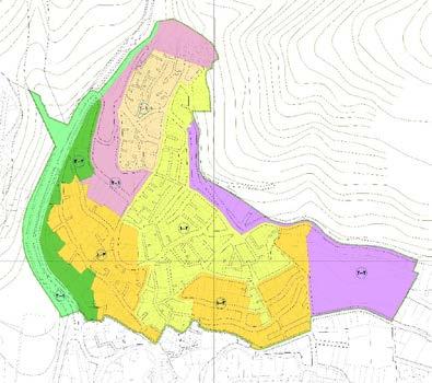
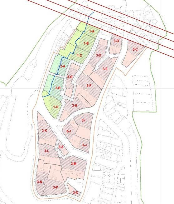
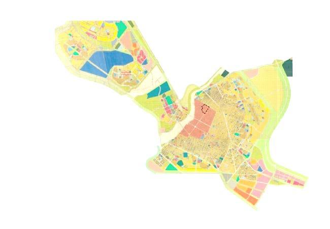
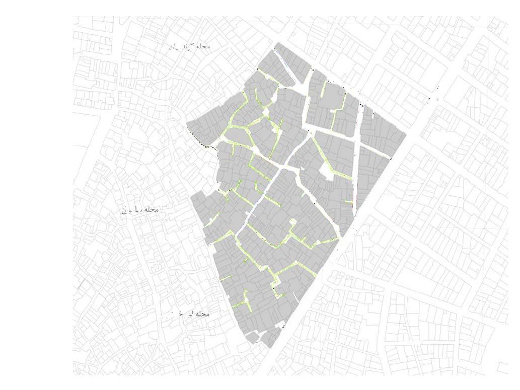
Introduction of the Area
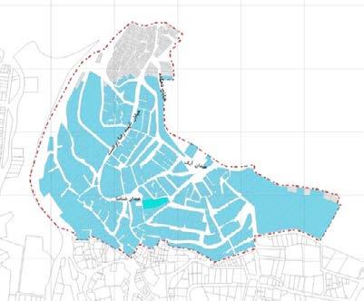
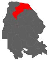
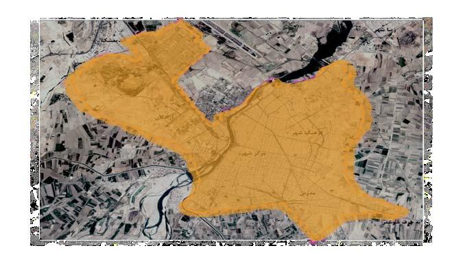
Area of Golabdareh Neighborhood
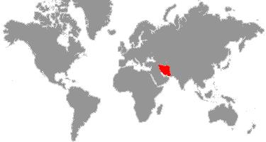
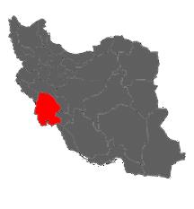
Location:District 1, Zone 3 of Tehran Municipality
Area of the Neighborhood:Approximately 56.9 hectares
Area of the Local Plan:38.7 hectares
Population of the Neighborhood (Statistics of 2016): 14,568 people
Population of the Local Plan (Statistics of 2016): 12,018 people
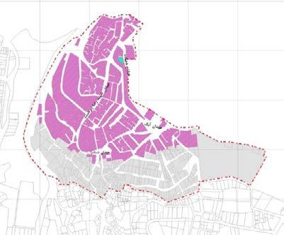
Area of Dilapidated Fabric:8.5 hectares
Number of Dilapidated Fabric Lots:678
Area of Lots Located on the Fault Line:21.4 hectares
Number of Lots Located on the Fault Line:939

Three Turkish ethnicities (Mishkinshahr, Saveh, Ardabil) live in the neighborhood with 40% frequency, Ler people (Hamadan, Kohdasht) with 30% frequency and Afghan immigrants with 30% frequency. The education of Lero Turks is often below diploma and most Afghans are considered illiterate. They are often engaged in labor and driving jobs and are scattered throughout the neighborhood. According to the existing social capital analysis, it can be said that there are conflicts between the old residents of Gulabdare neighborhood and the immigrants (Afghans, Turks, Lors, etc.).
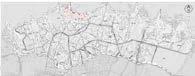
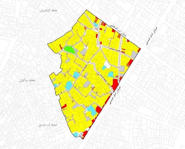
Examination of the construction status in the
Afghan migrants
Saveh, Qazvin people
Lorestan people
Meshkin shahr people
Toyserkani people
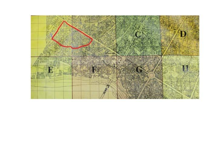
Aerial image related to the year 1956
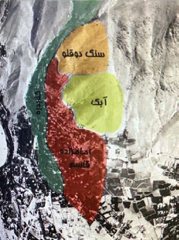

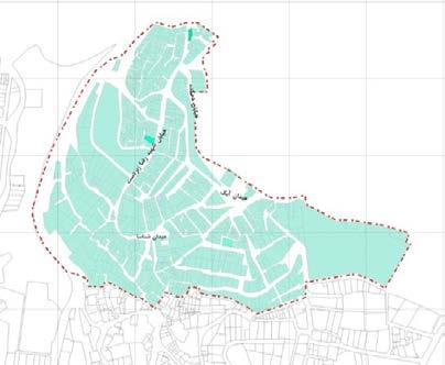
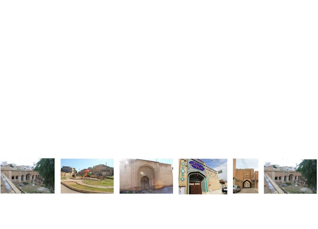
Historical and valuable characteristics of the Golabdar neighborhood
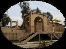
1. The area of the Twin Stone.
2. Imamzadeh Qasem.
3. Malek garden.
4. Etymology: The abundance of apple and rosewater trees.
5. Role in the past: The mountainous route of Golabdar.
6. Historical and valuable features: The large gardens of the past, such as Vaziri Garden and Malek Garden, the tomb of Imamzadeh Qasem, the Twin Stone, and the mountainous route.
7. History of settlement and the initial formation core: The migration of villagers to Imamzadeh Qasem for herding and agriculture.
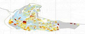
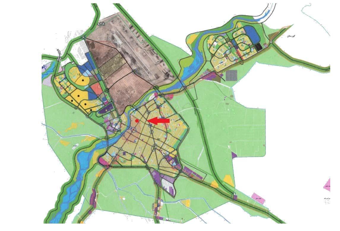
Proposed development model :
Current status in the special residential area :
Proposed Aggregation Model in the special residential zone_ R122-1 of the Twin stone area :
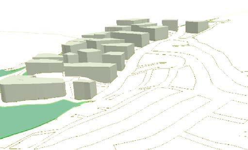
excavation area
Type 3 of the channel edge blocks, east-west or north-south building orientation. lighting of the building from the all four sides.
excavation area
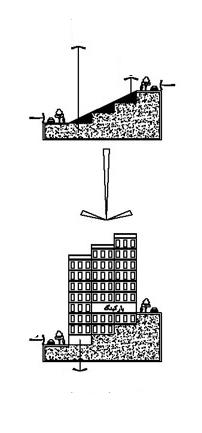
access from the roadway
Type 1 of the channel edge blocks, east-west building orientation. lighting of the building from the east and west.
excavation area
Type 2 of the channel edge blocks, east-west building orientation. lighting of the building from the east and west.
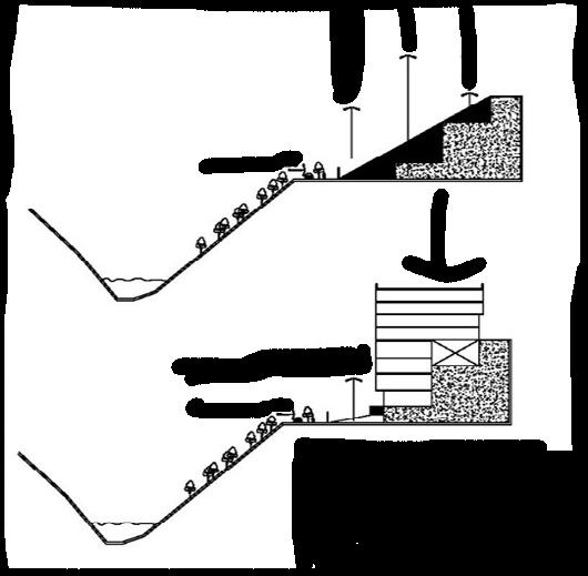
Parking ramp to compensate for the elevation difference between the street
Individual project
Academic Project
2018
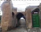
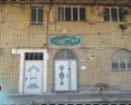
Paying attention to worn out and old tissues and fixing their instability has become a serious and central issue, in such a way that it has led the relevant organizations to try to organize and recreate the mentioned tissues and the need to intervene in these tissues in the periods It has been proposed at different times.
The master plan is being approved by Dezful

In order to validate the relationship between the subscales and the total score of the questionnaire, the realization of the community-oriented regeneration of Siahposhan neighborhood of Dezful,Pearson’scorrelationwasusedthatthetotal score of the questionnaire with the dimension of social potentials r=0.503 and with the dimension of physical characteristics - Space is r=0.377; which is reported as significant at the error level of 0.50. Cronbach’s alpha method was used to determine the reliability of the questionnaire. In this way, questionnaires were first distributed to 30 people of the community, which for the feasibility questionnaire of community-oriented regeneration of Siahposhan neighborhood of Dezful is equal to 0.767 and physical-spatial characteristic is 0.734 and because it is more than the value of 0.7 It can be considered desirable to continue the research with a larger sample of the society with the necessary results.


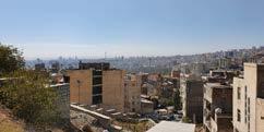
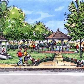
Vision for the Siyaposhan Neighborhood:
Over the next five years, the Siyaposhan neighborhood is expected to develop into a well-balanced and thriving community. The area is projected to maintain strong social interactions and a positive behavioral environment, fostering a sense of connection among residents. Additionally, improvements in sports and recreational facilities will align with national and international standards, enhancing the overall quality of life.
Furthermore, Siyaposhan Dez is set to become a key destination for tourism and handicrafts, contributing to local economic growth and cultural preservation. With these advancements, the neighborhood will continue to be a vibrant and socially engaging space for both residents and visitors.
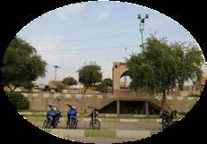
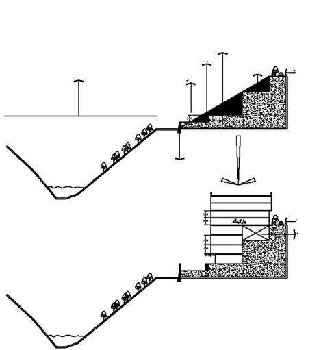
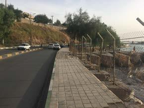
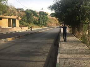
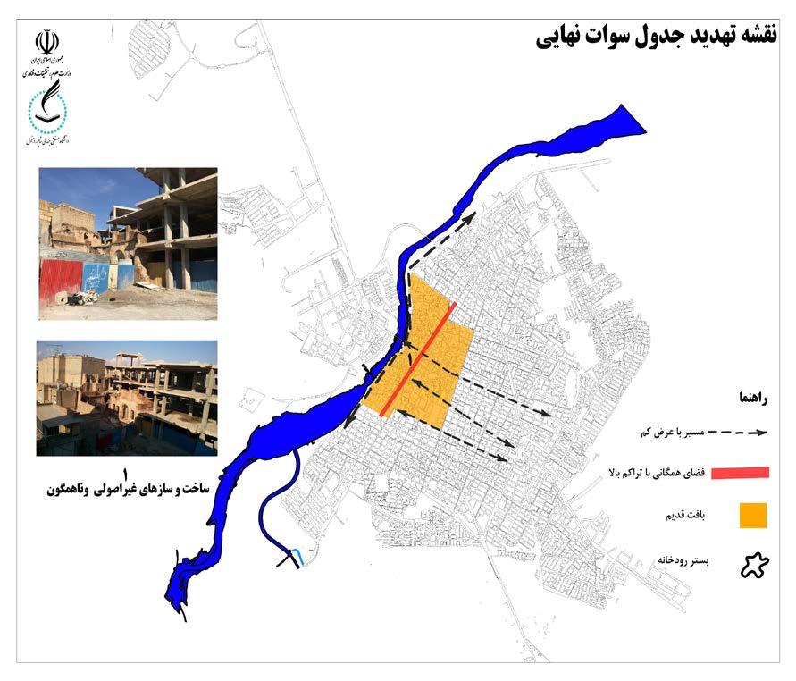
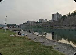
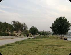
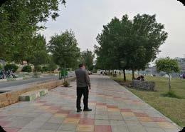
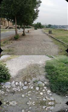
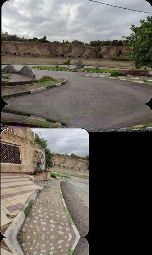
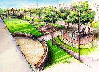
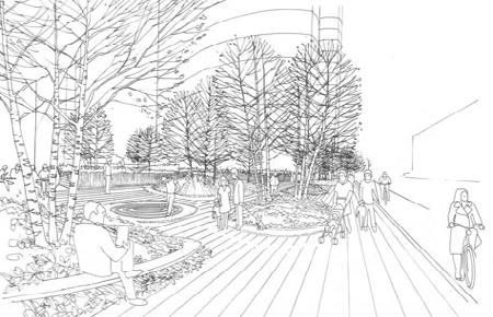
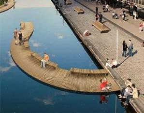
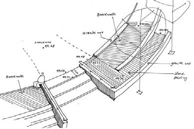
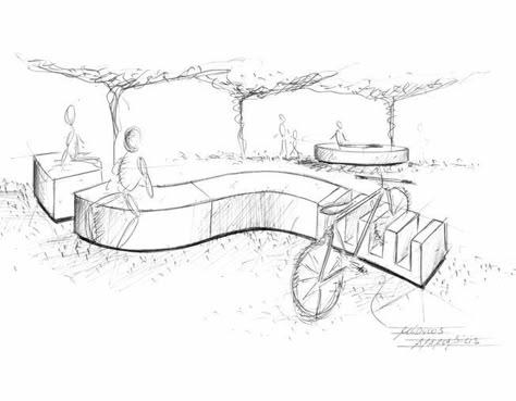
1.Lack of visual aesthetics (unpleasant and inappropriate scenery) due to the presence of retaining walls along the park and riverside boulevard.
2.Absence of proper design and spatial organization along the riverfront.
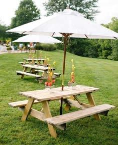
3.Lack of seating furniture for resting along the riverbank.
3.Insufficient shading and thermal comfort during the day.
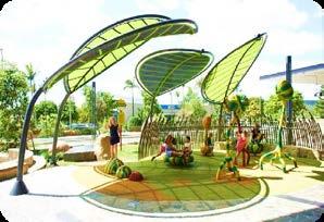
4.Limited accessibility to green spaces.
5.Inadequate tree coverage and lack of sufficient vegetation.
6.Poor lighting infrastructure along the riverfront, pedestrian pathways, and green spaces.
7.Lack of security at night.
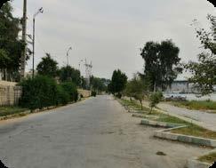
1.Presence of natural green spaces along the riverfront.
2.Adequate space and width for proper design and development.
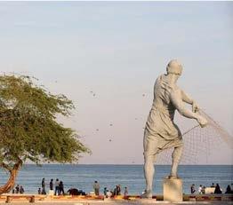
3.Pleasant visual and scenic views towards the river.
4.Continuous tree-lined pathways enhancing the pedestrian experience.
5.Improved walkability and increased social value of the area.
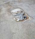
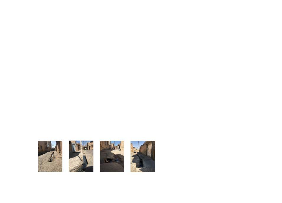
the primary problems identified by local residents in the neighborhood include the improper placement of electricity poles and inadequate lighting in certain passages, the need for repairs and improvements in most of the houses, the lack of a suitable sports environment for teenagers, and inadequate waste collection and management at the neighborhood level. These issues reflect the immediate concerns of the community and highlight areas that require urgent attention to improve overall living conditions.
According to the theoretical foundations of the research and the plans implemented during the regeneration process, the need to design a neighborhood center to be managed with the participation of the residents was raised by the social leaders. This neighborhood center can include an open or closed community center.

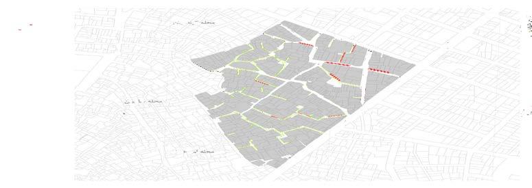
Location and consultations with government officials to implement the proposed plan
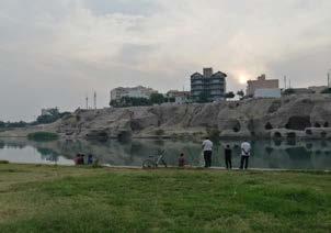
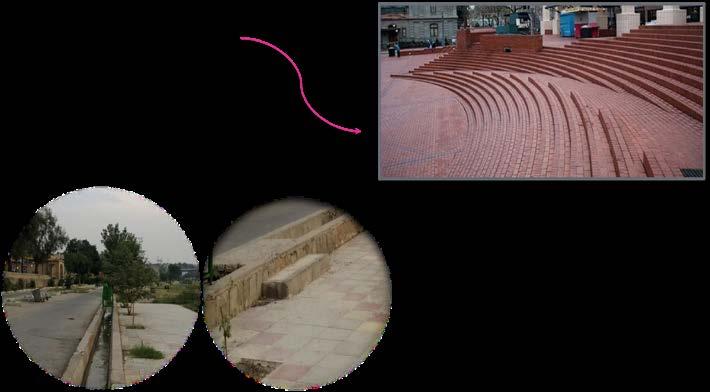
After the formation of social groups and the participation of the people of the neighborhood and as a result of the decisions made by the representatives of the groups, the priorities of the residents of the neighborhood were extracted and then with the help of the local people, the necessary follow-ups were done to solve these problems. The pictures below show the implementation stages of some of these projects that were implemented to solve the mentioned problems.
Plans implemented in the direction of neighborhood regeneration with the cooperation of residents
Urban Design Portfolio