The Collection of David and Marie Louise Wordsworth Peppermint Grove, Perth, Western Australia Auction • Sunday 13 July 2025
Issuu converts static files into: and more. Sign up and create your flipbook.
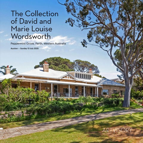
The Collection of David and Marie Louise Wordsworth Peppermint Grove, Perth, Western Australia Auction • Sunday 13 July 2025