


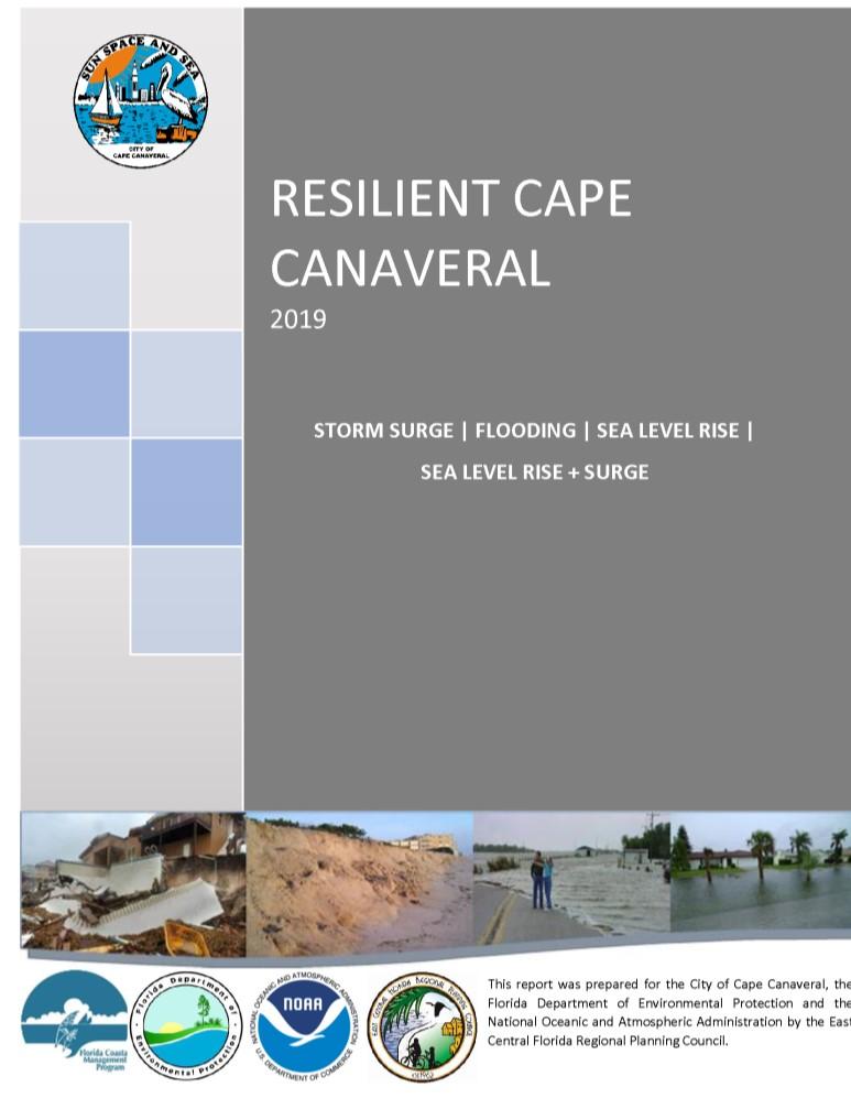
 Brenda DefoeSurprenant
Kelley Klepper, AICP
Macy Falcon, AICP, CFM
Kyle Harris
Zachary Eichholz
Brenda DefoeSurprenant
Kelley Klepper, AICP
Macy Falcon, AICP, CFM
Kyle Harris
Zachary Eichholz


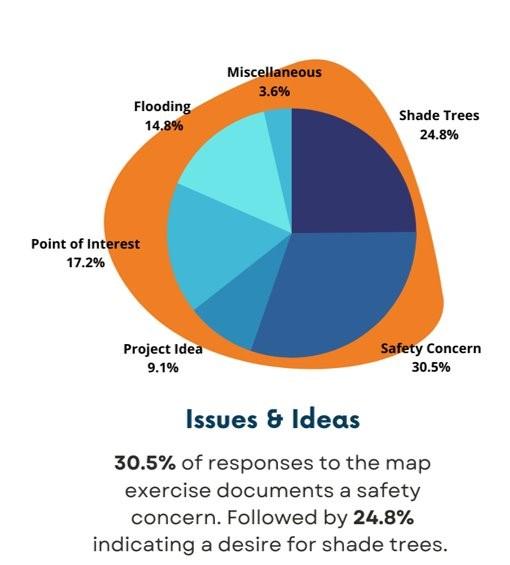
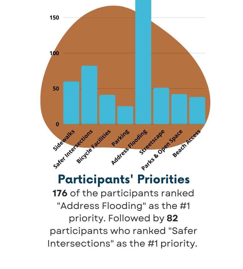
VULNERABILITY ASSESSMENT COMMUNITY ENGAGEMENT
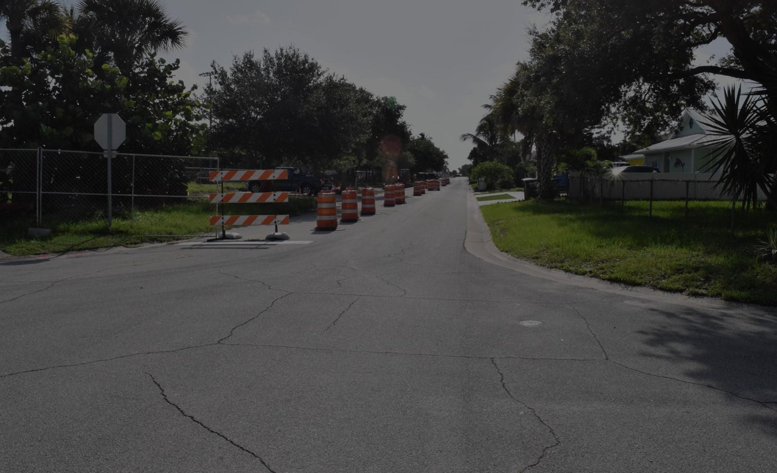
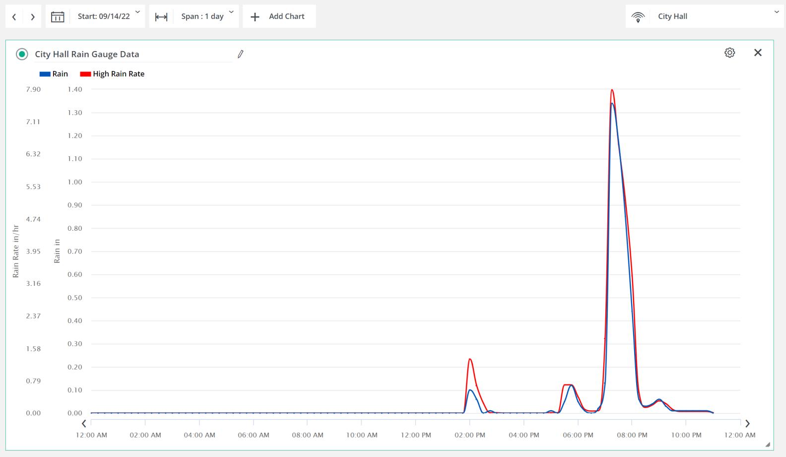
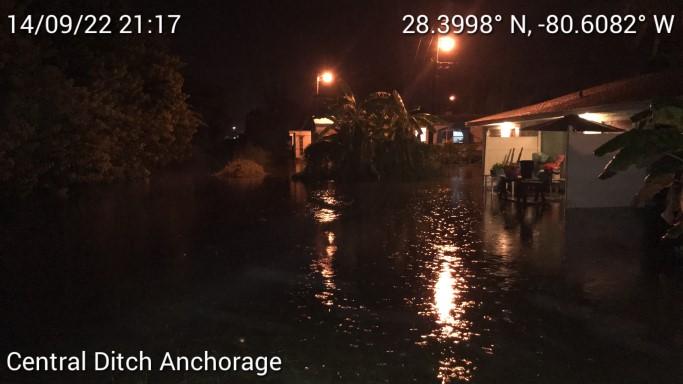
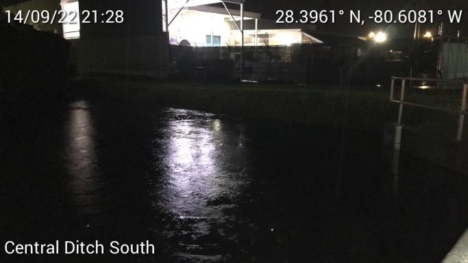
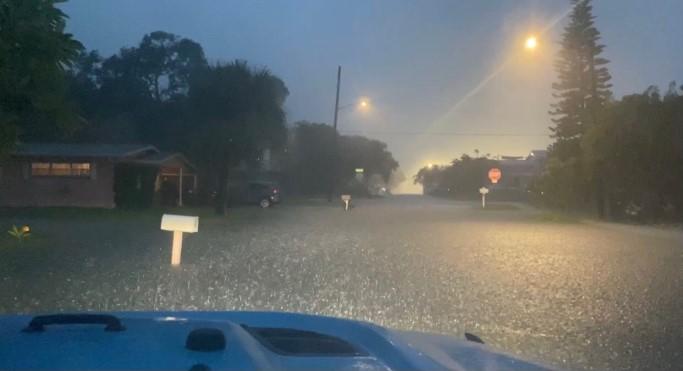
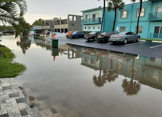
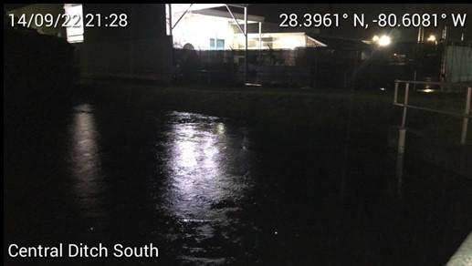
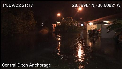
RECENT FLOODING
Critical Facilities
Flood Hazards & Storm Surge Risk
Transportation
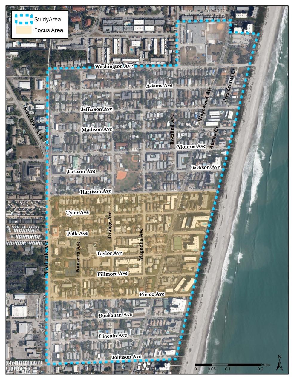
Characteristics & Facilities
Social Vulnerability
Transportation Improvements
Policy Solutions
TRANSPORTATION INFRASTRUCTURE
FLOOD HAZARDS
Green Infrastructure
SOCIAL VULNERABILITY
CRITICAL FACILITIES
Utilities Improvements
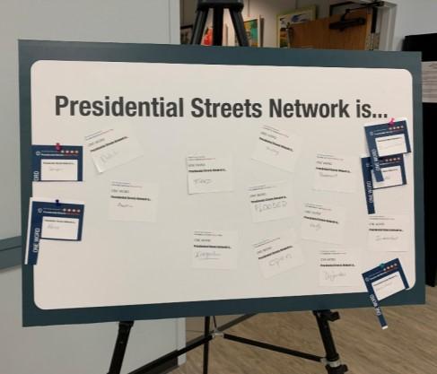
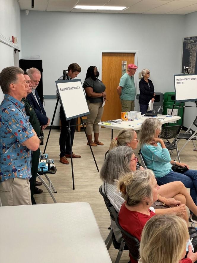
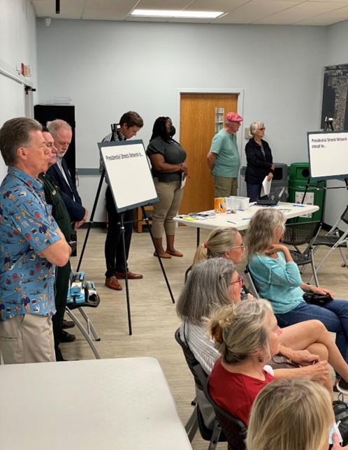
PUBLIC WORKSHOP
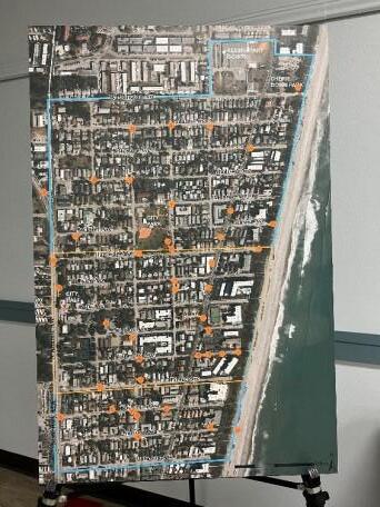
February 23, 2022
ONLINE SURVEY & MAP
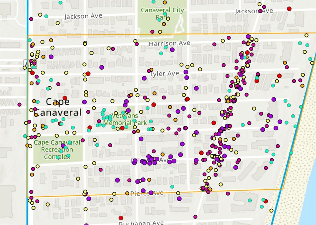
January 3 –
March 11, 2022
➢ Heat Mitigation and Adaptation Strategy
➢ Sea Level Rise Mitigation and Adaptation Strategy
➢ Urban Flooding Mitigation and Adaptation Strategy
➢ Air And Water Pollution Reductions
➢ Stormwater Runoff Controls
➢ Pedestrian Safety Improvements
➢ Multi-Modalism
➢ Biodiversity Increases (via LID)
➢ Economic Development
➢ Long-term Risk Reduction and Mitigation
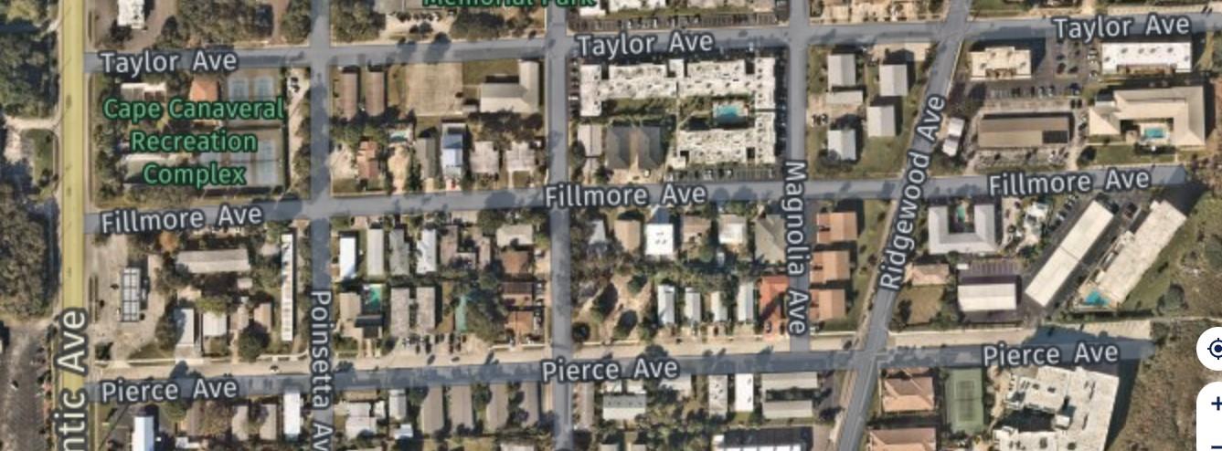
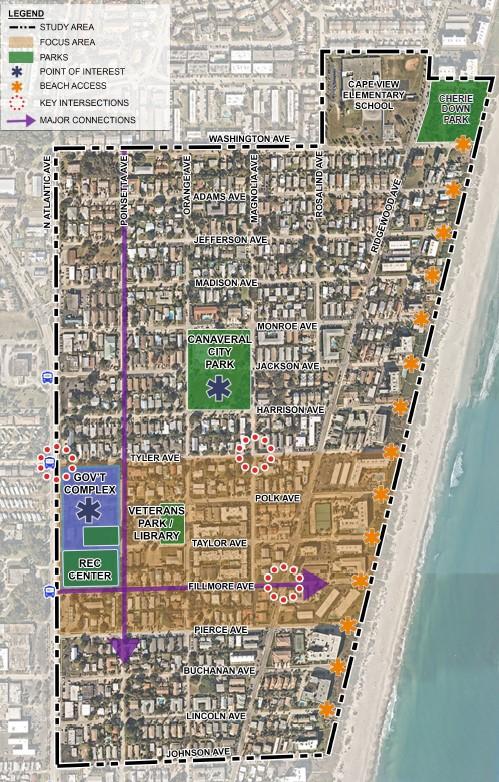
Intersections:
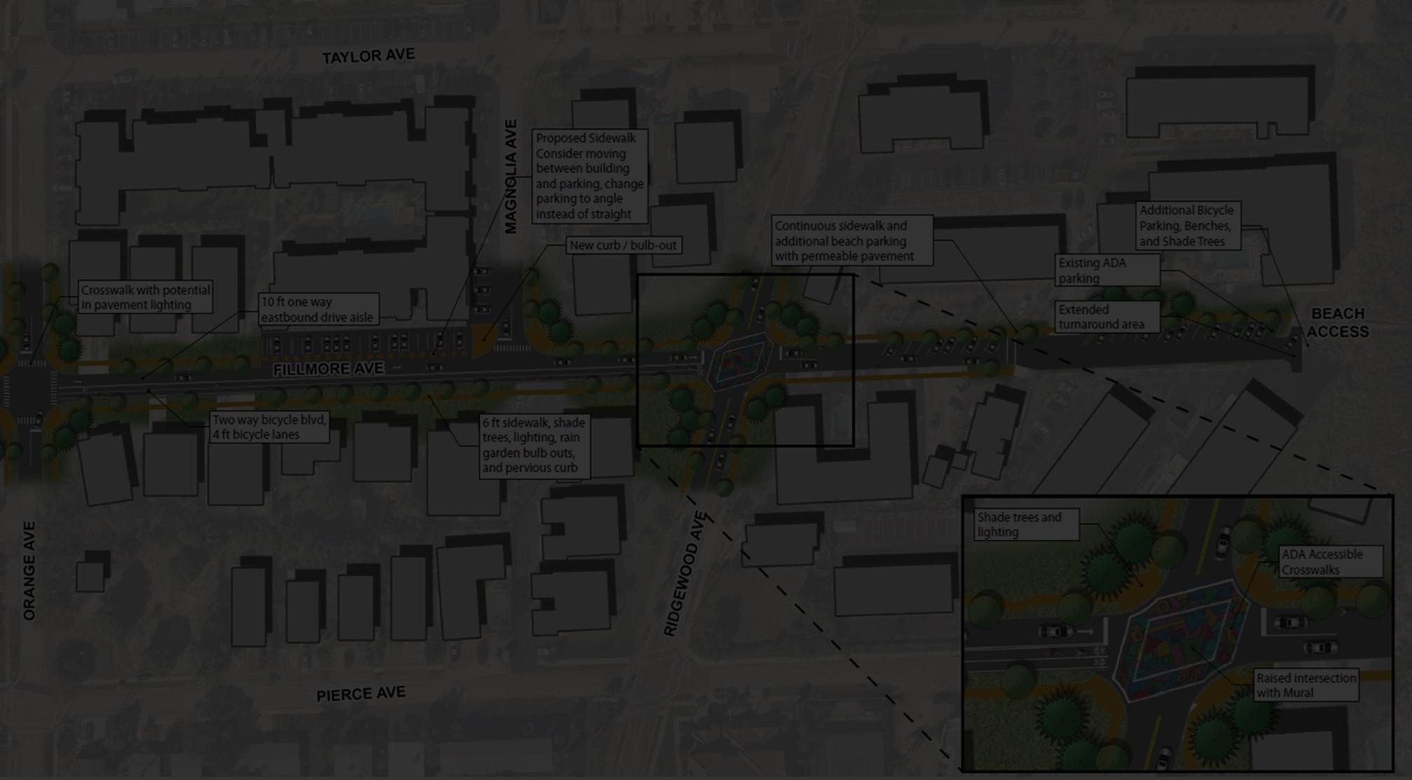
1. Ridgewood Ave at Fillmore Ave
2. N Atlantic Ave at Tyler Ave
3. Magnolia Ave at Tyler Ave
Streets:
4. Fillmore Ave (one-way option, two-way option, and beach end)
5. Poinsettia Ave
Pedestrian/Bicycle Improvements
Roadway Improvements
Intersection and Crossing Improvements
Placemaking Design Improvements
Traffic Calming Tools
Beach Ends
Stormwater Improvements
Resiliency Improvements