Portfolio
Urban Planning and Design
2024
Andrew Moore

Contact Information
913-952-7714 / amoore8614@gmail.com
I am a third year Urban Planning and Design student with a passion for analyzing the built and socioeconomic environment. I have a strong interest in guiding the healthy development of cities through land use planning, transportation planning, and urban design.
While my formal work experience in planning is just beginning, my academic project experience has provided me with valuable insights into the planning field and has solidified my commitment to this career path.
I am excited to bring my passion for urban planning to the world, where I aim to assist in the creation of meaningful projects and learn from experienced planners.
Bachelor of Arts (BA), Urban Planning and Design
University of Missouri-Kansas City | May 2025
Community Engagement
UMKC Center for Neighborhoods | February 2023 - April 2023
• Actively participated in bi-monthly community association meetings
• Engaged with political figures, community leaders, and residents to identify existing and desired community assets.
Ocean Prime | February 2023 - Current
• Expressed interpersonal and group communication during private dining service.
• Cultivated a loyal client base and repeat business through consistently positive interactions.
• Delivered exceptional service in a fast-paced environment with routine deadlines.
• Adobe Fresco
• Adobe Illustrator
• Adobe InDesign
• Adobe Photoshop
• ArcGIS Pro
• Google Earth Pro
• Tableau
• Attention to detail
• Collaboration
• Communication
• Multi-tasking
• Organization
• Time Management
• Writing
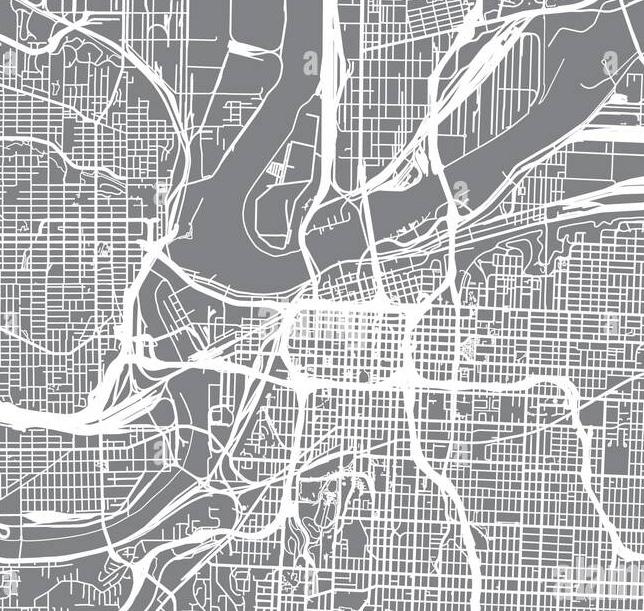
Subject Location: Kansas City, MO.
Year: 2023
Type: Urban Design
Skills Used: Adobe Fresco / Adobe Illustrator / ArcGIS Pro / Google Earth Pro
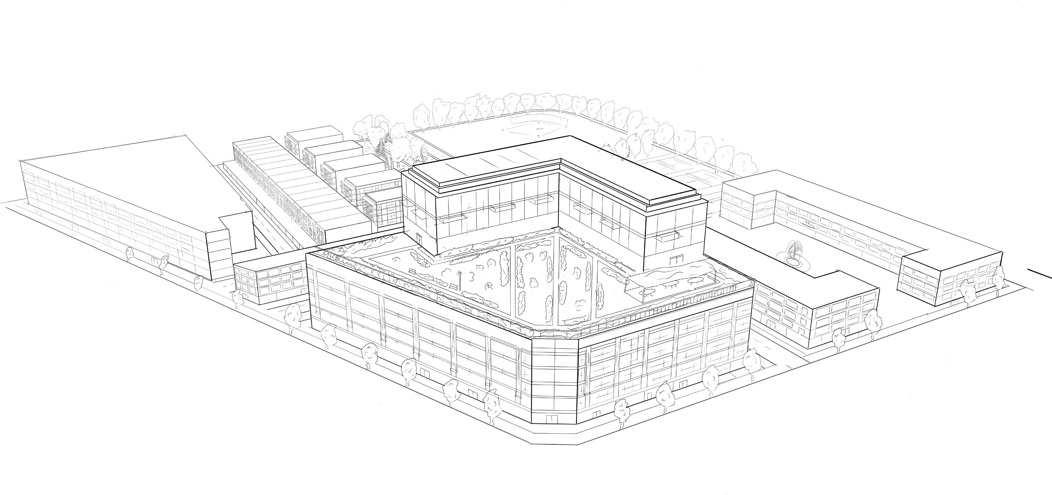
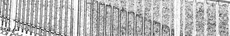
This work is a response to a proposed streetcar expansion on two intersecting arterial roads in Kansas City. The expansion includes a lengthened north-south route on Main St, along with a new east-west route along Linwood Blvd. The northwest corner of this intersection is currently occupied by several large, low density facilities.
The goal of the project is to imagine a redevelopment of the northwest corner that will compliment the future social and economic activity of the streetcar expansion.
Through the analysis of existing conditions, surrounding land use, and projected future activity, this project displays an innovative neighborhood concept.
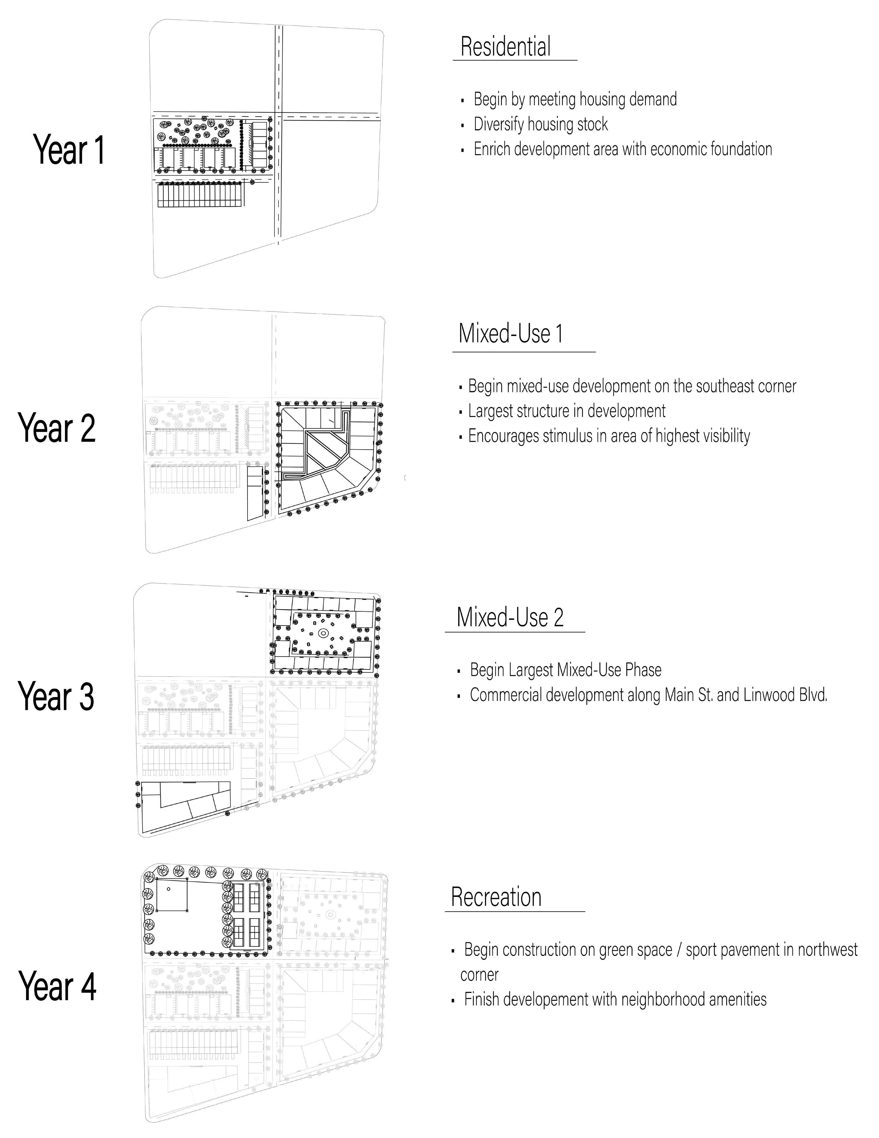
The site plan was created through Adobe Illustrator. The concept includes affordable housing, recreational areas, mixed use residential, and parking accommodations with a design emphasis on walkability and connections.
This perspective provides a northwest view of the proposed design. This image underwent a variety of hand drawn renderings before its digital creation in Adobe Fresco. Accurate angles were assisted by Fresco’s 3D perspective grid.
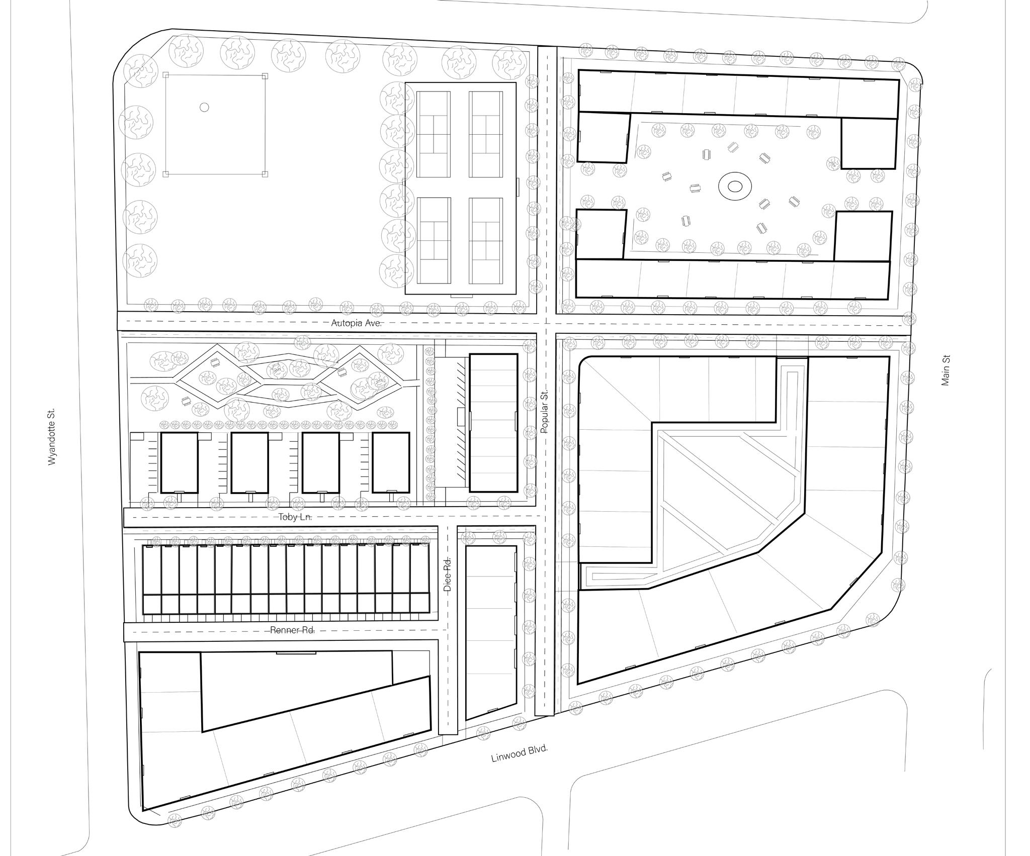
Six-Plex Colonnades Townhomes
Green Space
Tennis Court
Mixed Use
Mixed Use
Rooftop Terrace
Mixed Use
Elevated Residential
Plaza
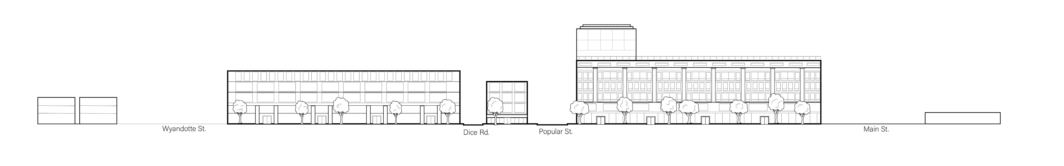
 Section B was created through Adobe Illustrator. Provides a view into the internal parking garage within the mixed use structure on the southeast corner.
Elevation A was created through Adobe Illustrator. Emphasizes architectural detail.
Section B was created through Adobe Illustrator. Provides a view into the internal parking garage within the mixed use structure on the southeast corner.
Elevation A was created through Adobe Illustrator. Emphasizes architectural detail.
Subject Location: Kansas City, MO metropolitan area
Year: 2024
Type: Data Visualization
Skills Used: Adobe Illustrator / ArcGIS Pro
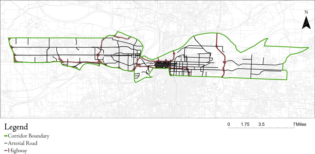
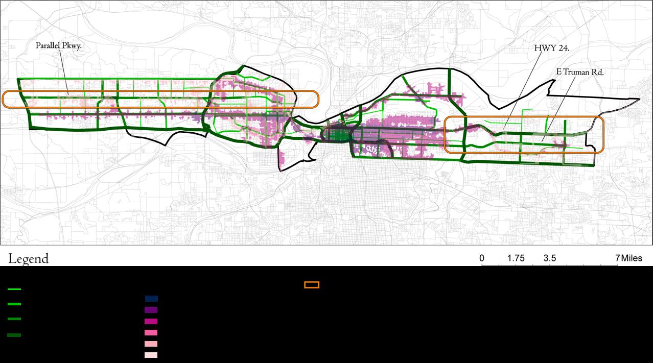
The goal of this collaborative project is to create an existing conditions analysis of a proposed Bi-State Corridor. Facilitated by the Mid-America Regional Council, the primary proposed investment is a zero-emissions transit system which will move commuters on an east-west route from Independence, MO, to Village West in Kansas City, Kansas.
Another colleague and I volunteered to present the existing transportation analysis. Others focused on other categories. The following displays the maps for which I was the sole creator.
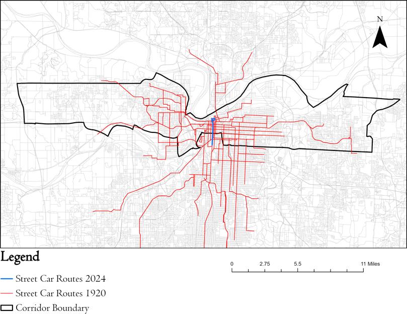
This map was made by georeferencing a historical Gallup map on ArcGIS Pro. Involved the creation of a new line feature class and manual tracing over historical routes in order to create a visually cleaner and spatially accurate map of the historic streetcar route.
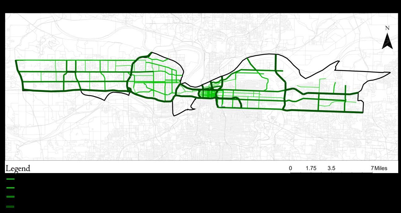
This graphic displays the AADT of major and some minor arterial roads. K-DOT and MO-DOT data was used to identify relevant roads. AADT volume lines were manually created using Adobe Illustrator with an imported GIS boundaries map.
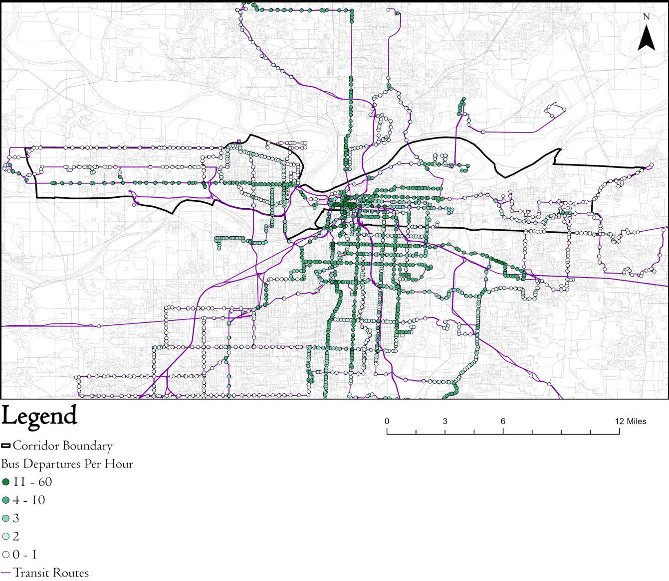
The Frequency by Stop map was made in ArcGIS Pro. Involved the creation of a Public Transportation Data Model using local GTFS data. Used the Calculate Public Transit Frequency tool to display the relevant data.
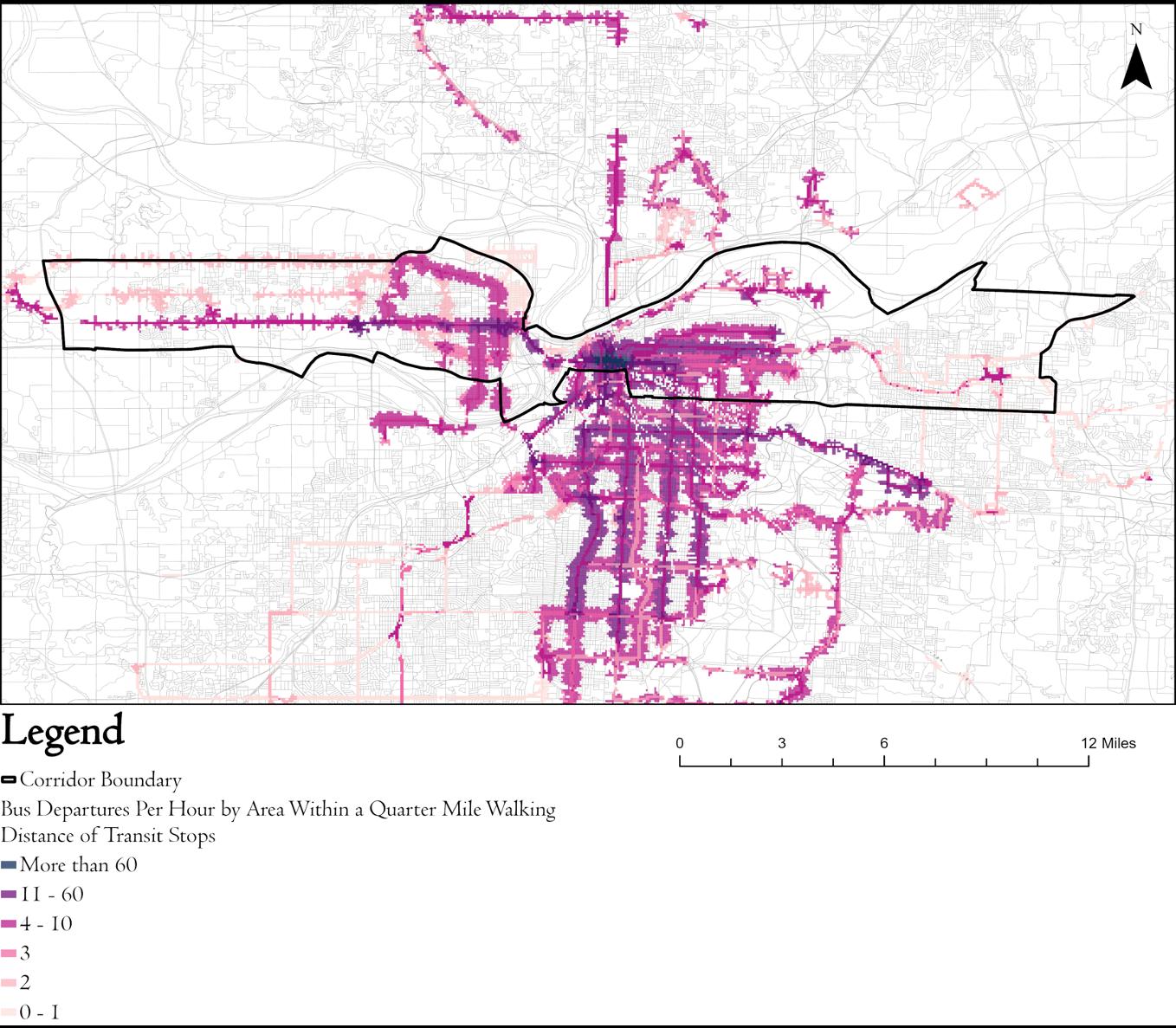
In addition to the previous steps that calculate the frequency by stop, this map required the creation of a Network Dataset for the transit frequency tool to accurately analyze existing pedestrian infrastructure. This displays the public transit frequency by area.
This final map identifies major arterial roads with a high AADT rate and low public transit frequency by area. Created by overlaying the respective data in Adobe Illustrator.
Subject Location: Kansas City, MO
Year: 2024
Type: Design Analysis
Skills Used: ArcGIS Pro / Adobe Illustrator / Adobe Photoshop
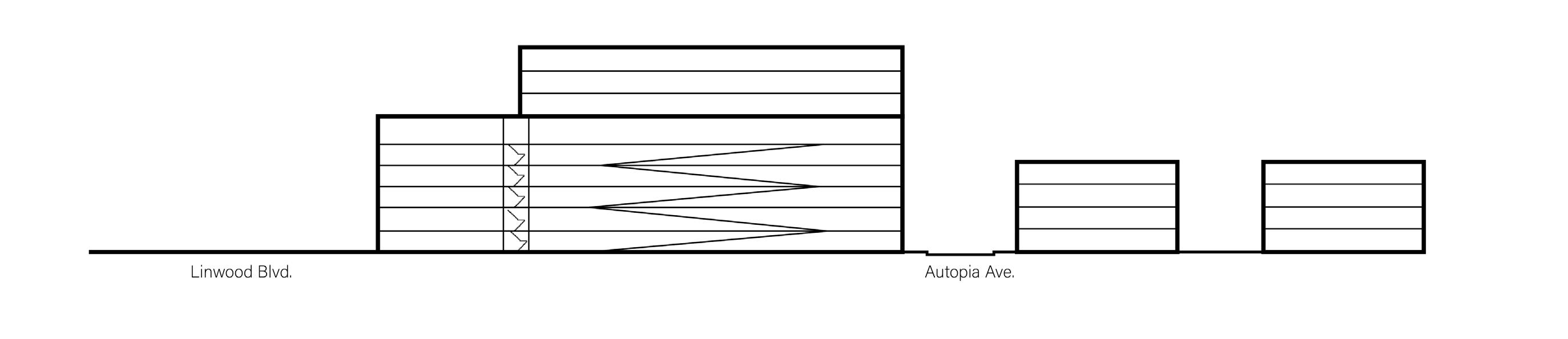
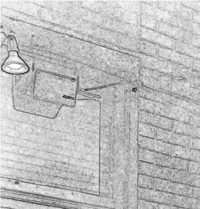
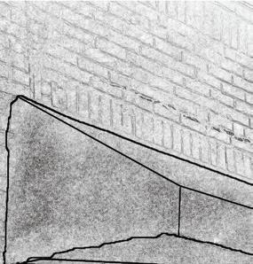
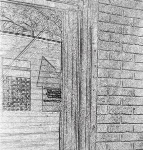
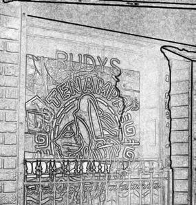
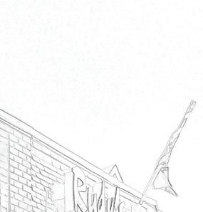
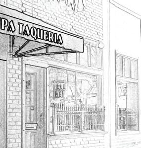
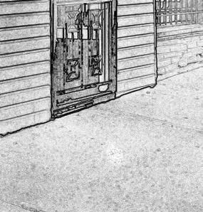
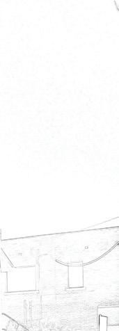
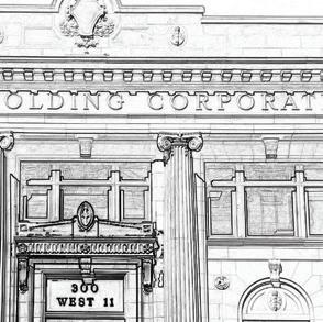
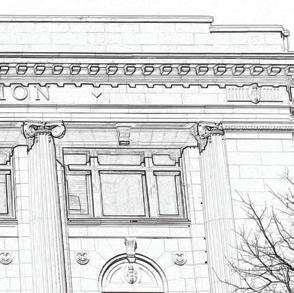
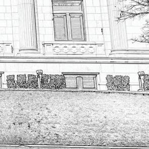
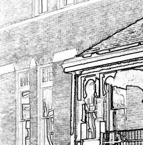
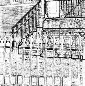
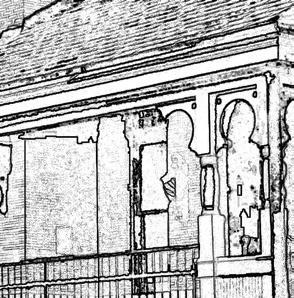
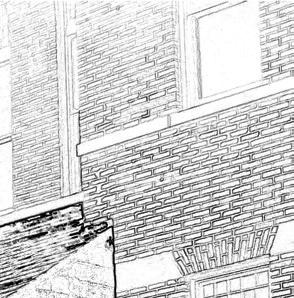
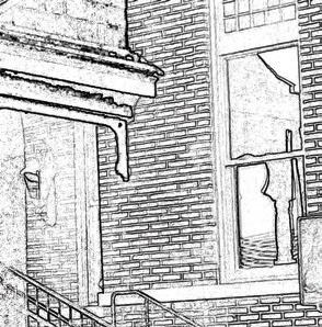
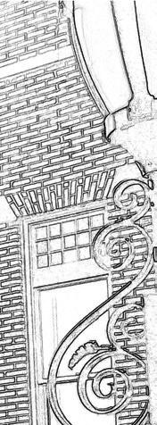
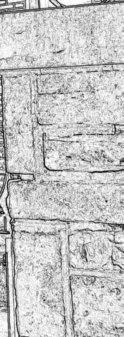
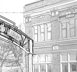
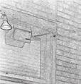
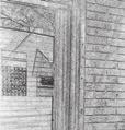
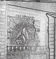
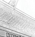
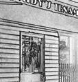
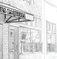
This project is a spatial and architectural analysis of building entrances. The goal of this project was to develop a theory that explains the role of entrances in the public realm. After the observation of various entrance types, two are selected for spatial analysis. One entrance is selected for design intervention.


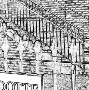


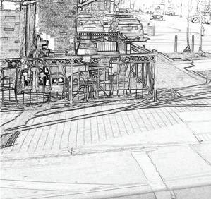


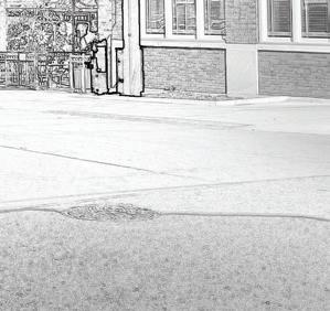


The residential analysis map was created firstly through ArcGIS Pro. Adobe Illustrator was then used to designate three transitional areas between the street and front door.
Section A was created through Adobe Illustrator. Used Google Earth Pro to measure structure length and height.
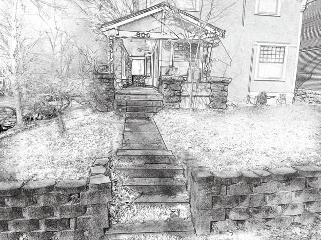


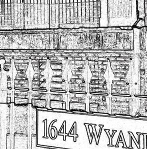
The commercial analysis map was created through ArcGIS Pro, finalized in Adobe Illustrator. Displays one transitional area between the street and the front door.
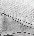
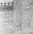

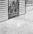


Elevation A was created with Adobe Illustrator. Used Google Earth Pro to measure structures and grade change. Displays a design intervention.
The entryway intervention was created through Photoshop. New design acknowledges the transitional qualities of strong public-private connections. Reflects the intervention in Elevation A.
Subject Location: Buenos Aires, Argentina / Reykjavik, Iceland
Year: 2024
Type: Writing
Skills Used: Writing / Research / Microsoft Office Suite
This paper provides a comparative analysis of two Climate Action Plans developed by Buenos Aires, Argentina, and Reykjavik, Iceland. Specifically, it identifies one common policy action from each plan and compares the policies through a lens of planning theory.
Research for this project required English versions of Climate Action Plans or the translation of them. Other publications such as Comprehensive plans and UNESCO Voluntary Reviews were analyzed for context.
The excerpt displayed introduces the main points of contention among the plans’ policy actions.
The key policy divergence lies within competing definitions of walkability.
Buenos Aires centers the conversation on pedestrian walkability as it presents ambitious ideas to implement pedestrianized zones. While Reykjavik does some of the same, it uniquely steers the conversation towards the significance of multimodal transit, as displayed by its urban growth boundary policy. The Reykjavik plan suggests that the access of overall mobility is just as significant of an element to walkability as pedestrianization is. In summary, the Buenos Aires plan defines walkability as the efficiency of traveling exclusively on foot, whereas the Reykjavik plan defines walkability as the efficiency of traveling on foot with the potential access of public transit options.
Beyond the differences of the policies themselves, larger differences emerge in the written presentations of each policy. The Buenos Aires policies are presented as a conceptual framework that works to display broad ideas for action, whereas the Reykjavik policy actions are presented as a framework for pragmatic implementation. To illustrate, while both plans cover the What , The Buenos Aires plan emphasizes the Why , and the Reykjavik plan emphasizes the How .