CLIMATE RESILIENT NEIGHBOURHOODS
Unlocking Co-Benefits By Designing For Climate Change
Alex Greenwood
Urban Design & City Planning MSc
Bartlett School of Planning, UCL


Unlocking Co-Benefits By Designing For Climate Change
Alex Greenwood
Urban Design & City Planning MSc
Bartlett School of Planning, UCL


As the world continues to warm, the impacts of climate change are becoming increasingly evident. Historically, mitigation rather than adaptation, has received the most research attention. However, despite the benefits of adaptation being felt at the local level there has been little research into design at the neighbourhood scale.
This project argues that through mainstreaming climate adaptation at the neighbourhood scale, not only can climate resilience be increased, but other core areas of the urban agenda can be progressed simultaneously.
The toolkit aims to offer accessible interventions which focus on the built environment and community, offering scope for both bottom-up and top-down action. Application is demonstrated through designs for Harlesden, a neighbourhood in Northwest London that is vulnerable to climate change related risks.
Type of project: Individual
Mark: Distinction (74%)
Based on the learnings from the literature and case studies a toolkit was produced to improve climate resilience of a neighbourhood whilst unlocking environmental, health & well-being, social and economic co-benefits. It has been developed with a series of overarching design principals which should underpin future use.


Design Principals
Many of these interventions are designed to be practical, pragmatic and not overly technical making them more accessible and achievable for individuals or community groups
To achieve optimum results a mix of bottom-up and top-down support is required, so the interventions in the tool kit require a range of levels of support but collaboration between residents, local businesses and local government will likely be
Speed is of the urgency with adaptation and therefore many of these interventions can be rolled out quickly and with limited expert knowledge
Many of the Replace interventions can be combined as part of the Space category to simplify roll out across a neighbourhood

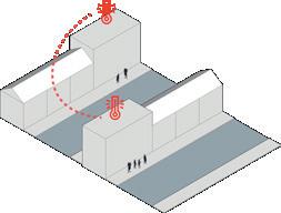


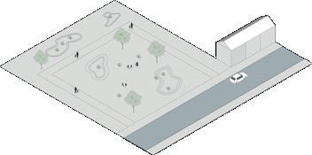




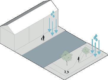
Harlesden was chosen for the project because the area is at high risk from the impacts of climate change due to a number of underlying vulnerabilities. It is also an example of an intensively developed urban area with higher than average density and little unused spaces.


Climate risk across the neighbourhood is high, especially in the western areas. Key markers such as deprivation levels, access to open space and tree canopy cover are all elevated. Analysis allowed tailoring of interventions such as surface water flood risk around Furness Road Primary School.


Based on the analysis, four areas were chosen within the wider neighbourhood as application areas, which were further analysed and toolkit demonstrated.
The neighbourhood contains a number of busy main roads, with cycle and walking routes limited. Access to open space is limited away from Roundwood Park in the north. Density higher than Brent average, with many properties converted terrace houses, limiting open space further.


Deficient in access to open space although Bramshill Open Space well used. mand. Areas around traffic barriers underused. Inactive wall along southern Harley Road, especially adjacent to Bramshill Road.


Existing road closures mean streets are quiet and little parking deedge inactive and currently fly tipping problem. Excellent shade along


• Promote local NbS projects

• Increased proximity to nature
• Encouraging active travel

• Promote local economy through connecting local businesses, residents and council

• Create development and training opportunities for local people


• Reduces health complications of extreme heat stress
• Reduce hospital costs associated with heat stress
• Promotes community cohesion

• Increase in biodiversity

• Increase in proximity to nature
• Encouraging active travel

• Inexpensive construction methods

• New social spaces
• Connects to existing Healthy Neighbourhood Streets


• Increased proximity to nature • Encouraging active travel


• Increase in biodiversity
• Increased proximity to nature
• Encourages active travel
• Contributes toward reducing longterm flood risk
• Extension of well used local park
• Increase in biodiversity • Air pollution improvements • Contributes toward reducing longterm flood risk • Inexpensive construction methods • Newly created social space and discourage flytipping through activating use


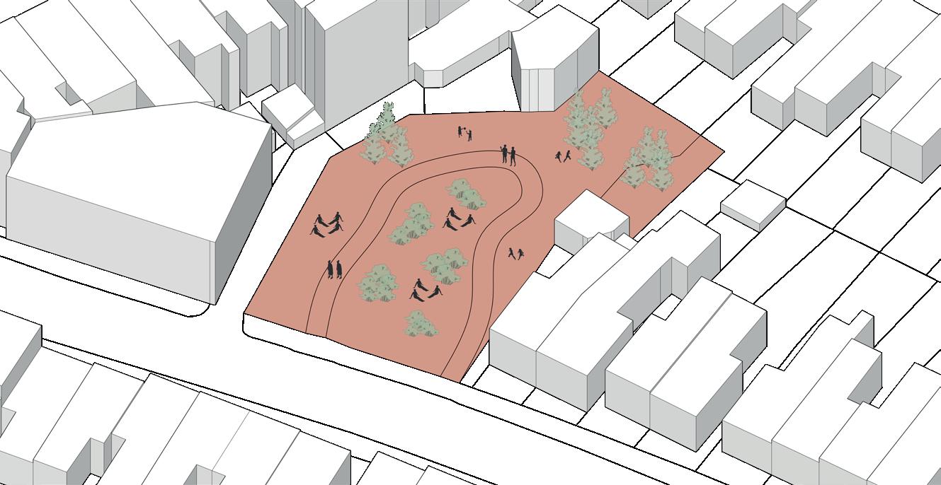


Current Condition
Area bounded by Harlesden High Street & Station Road. Avenue Road back alley behind houses opens out to Harlesden Council owned car park located on Wendover Road. Currently unused strip of land adjacent to railway in the southeast end of Honeywood Road.


With Site 1

High Street but underused. corner. Existing road closure at


• Increase in biodiversity

• Increased proximity to nature
• Promotes physical activity


Unused Railway Land


• Increase in biodiversity


• Air pollution improvements • Inexpensive construction methods • New social spaces
• Encourages active travel by creating car free route to Harlesden Town Centre

• Contributes toward reducing longterm flood risk
• Driver of sustainable development
• New social spaces
• New play spaces

• Reduces health complications of extreme heat stress


Community pride
• Air pollution improvements • Community cohesion

• Increase in biodiversity • Low carbon local food produce

• Increased proximity to nature • Promotes physical activity

• Opportunity to contribute toward local economy through food network

• Learning and education
• Reduce hospital costs associated with heat stress
• Promotes community cohesion
• Development of social networks


• Increase in biodiversity
Increased proximity to nature
Promotes


Inexpensive construction methods


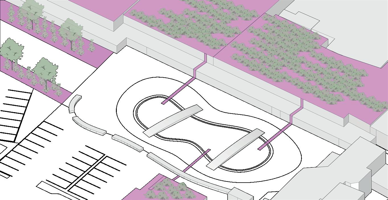
Condition


Harlesden Plaza dominated by large carpark and Street that runs through the site semi-pedestrianised
and supermarket buildings. Section of Harlesden High semi-pedestrianised and limited shading options.




• Reduces health complications of extreme heat stress

• Reduce hospital costs associated with heat stress

• Promotes community cohesion
• Development of social networks


• Increase in biodiversity
• Air and noise pollution improvements
• Wellbeing benefits from increased proximity to nature
• Promotes active travel
• Contributes toward reducing longterm flood risk
• Driver of sustainable development
• Increase footfall to high street businesses
• New social spaces
• Civic pride


• Increase in biodiversity
• Increased proximity to nature

• Contributes toward reducing longterm flood risk
• Driver of sustainable development
• Integrates businesses into community resilience planning

• Increase in biodiversity
• Air and water pollution improvements

• Increased proximity to nature
• Promotes active travel

• Contributes toward reducing longterm flood risk
• Driver of sustainable development

• New social and community spaces, focal point for Harlesden Town Centre


High surface flood risk at the junction of Furness Road and Palermo Road, putting Furness Road Primary School at risk. Predicated flow of flood water east to west, from Wrottesly Road, along Furness Road. Current Condition


• Increase in biodiversity
• Air pollution improvements next to school

• Increased proximity to nature
• Promotes active travel

• Reduces flood damage to school
• Driver of sustainable development

• New social and play spaces
• Promotes social interactions at school gates


• Promote local NbS projects

• Create opportunities for residents to have


• Create development and
•