1 minute read
bakeri City: masterplaN Of develOpmeNt zONe

from Portfolio AB

Site: Ahmedabat (India)
Project: Urban Planning
Advertisement
Concept: Residential Area
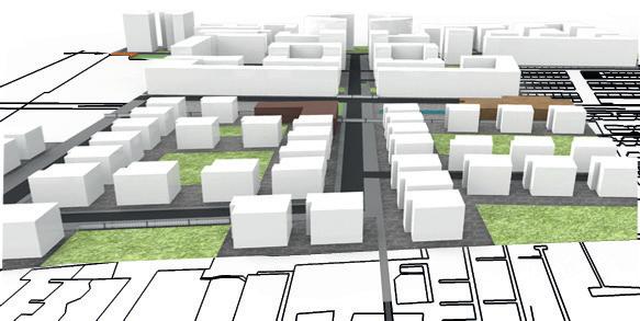
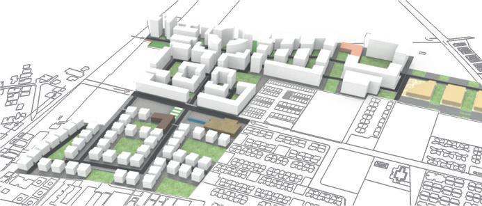
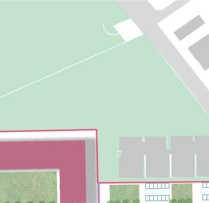
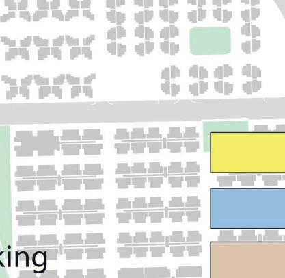
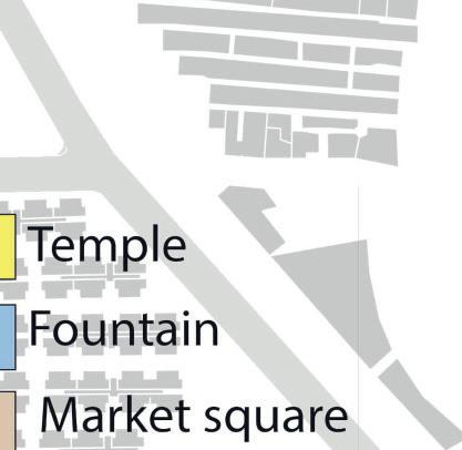
The site is located in Ahmedabat, in India. In This map we can see the opportunity and constrain. There is a wall that surrounds the boundaries of the site, that can be use for a division from the rest, because in India most of the residential communities have a personal gate access. Take into consideration when planning the residential project that the unit should be protected from south exposure, because having a house with a south exposure in India means that the house becomes uninhabitable. One of the constrain that we front is the Indian developing law that impose us to plan the distance between the building as the half of the total height.


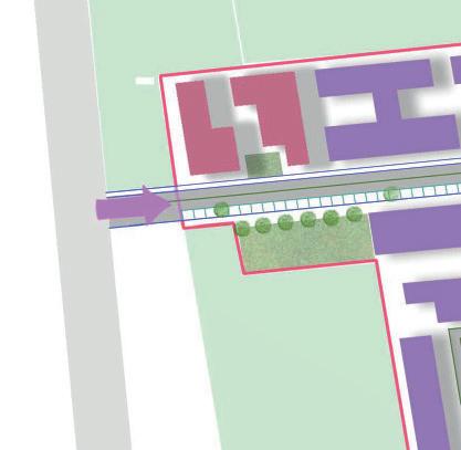
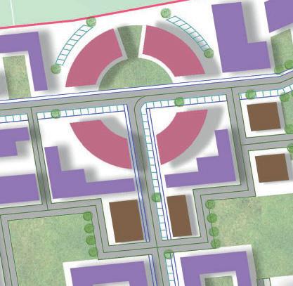
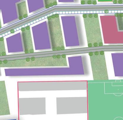
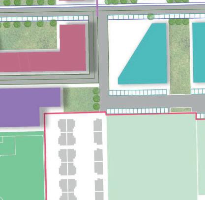
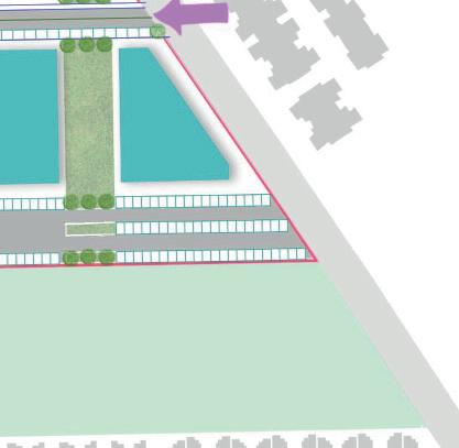
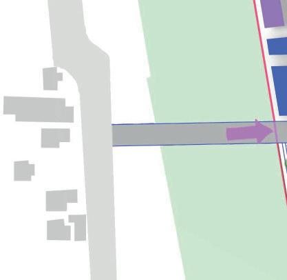
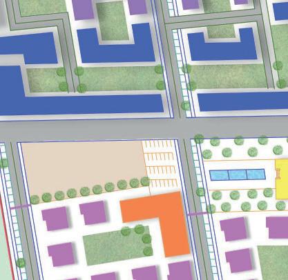
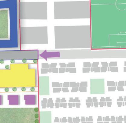
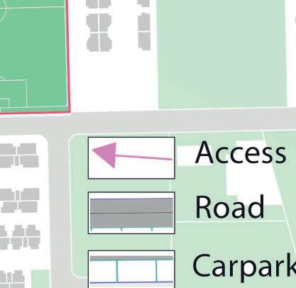
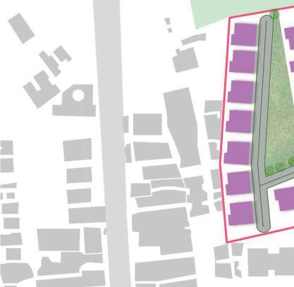
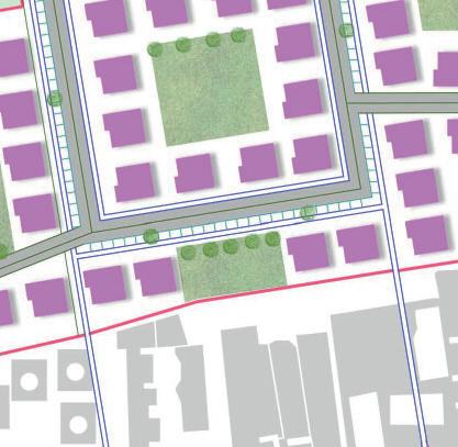
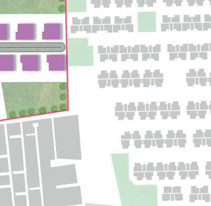
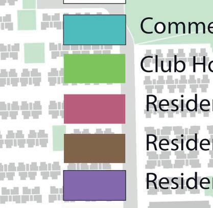
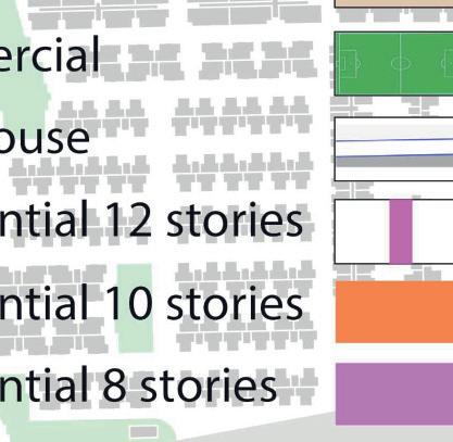
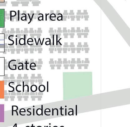

The masterplan shows there are four main entrances to this area, all connected to the local roads. The four main accesses are for cars, pedestrians and bicycles. The south area has a different configuration from the north one, the buildings are all the same, for better integration with its surrounding. In the north area we can find the medium and high density buildings, the geometric shape that help to repair from the sun. The tallest buildings are on the back to the area for a more interesting landscape, thanks to the use of lower density in the south area therefore to create a gradual visual grown. The green area in the south is semiprivate, just for a group of buildings. About the green space in the north area it is public, so no fences, but for a proximity it is assumed that it will be used by the buildings surrounding it. Most important of all about the green space is the use of the green corridors, the major once are used to made connection between the sport field and the club house, since their activities are compatible. Increase of the height, that represent an important node.