PUTAH CREEK RESERVE
Aleana Entera
Individual Analysis and Group Proposal
[Context] LDA120: Advanced Computer Graphics & LDA170: Site Planning and Design Studio
[Instructors] Victoria Mohr Ferron & Brett Milligan
[Location] Davis, CA
[Area] 37 acres
[Software] GIS - Rhino - Photoshop - Illustrator
[Year] Winter 2022-2023

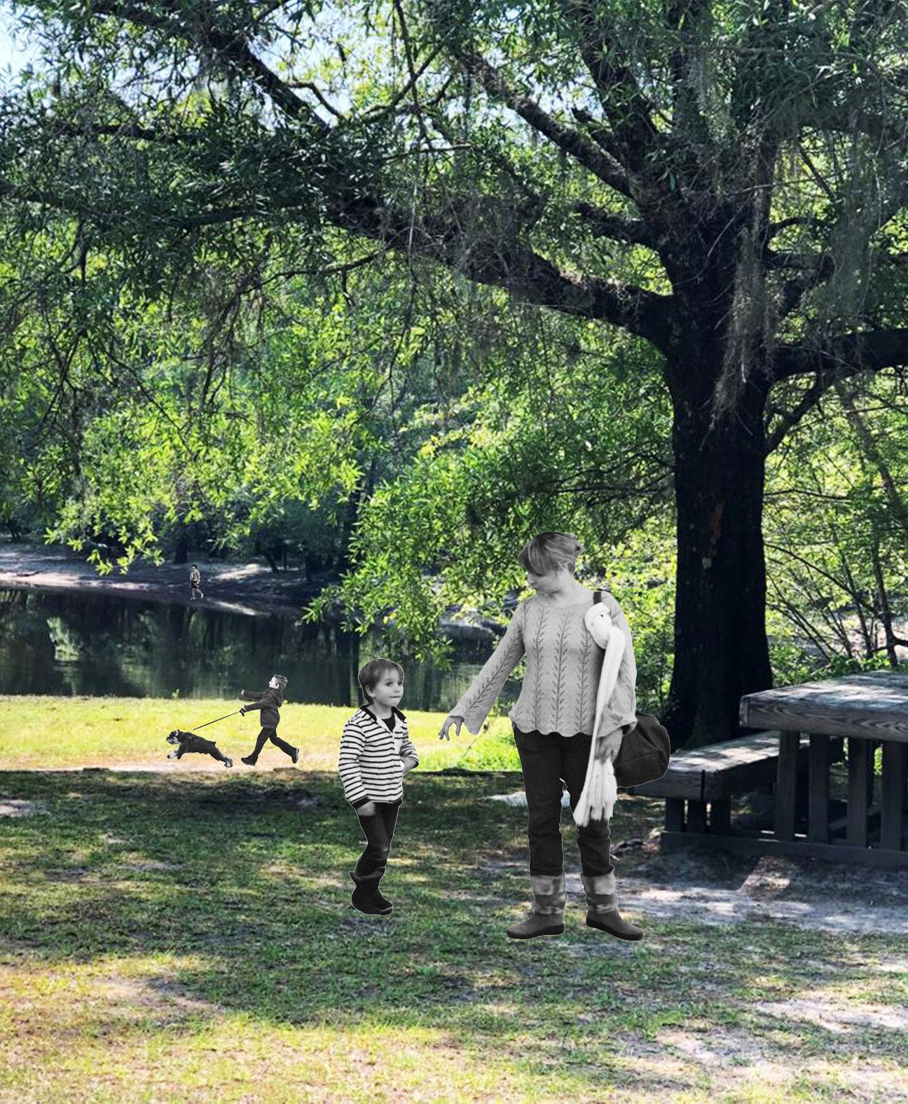
SITE ANALYSIS
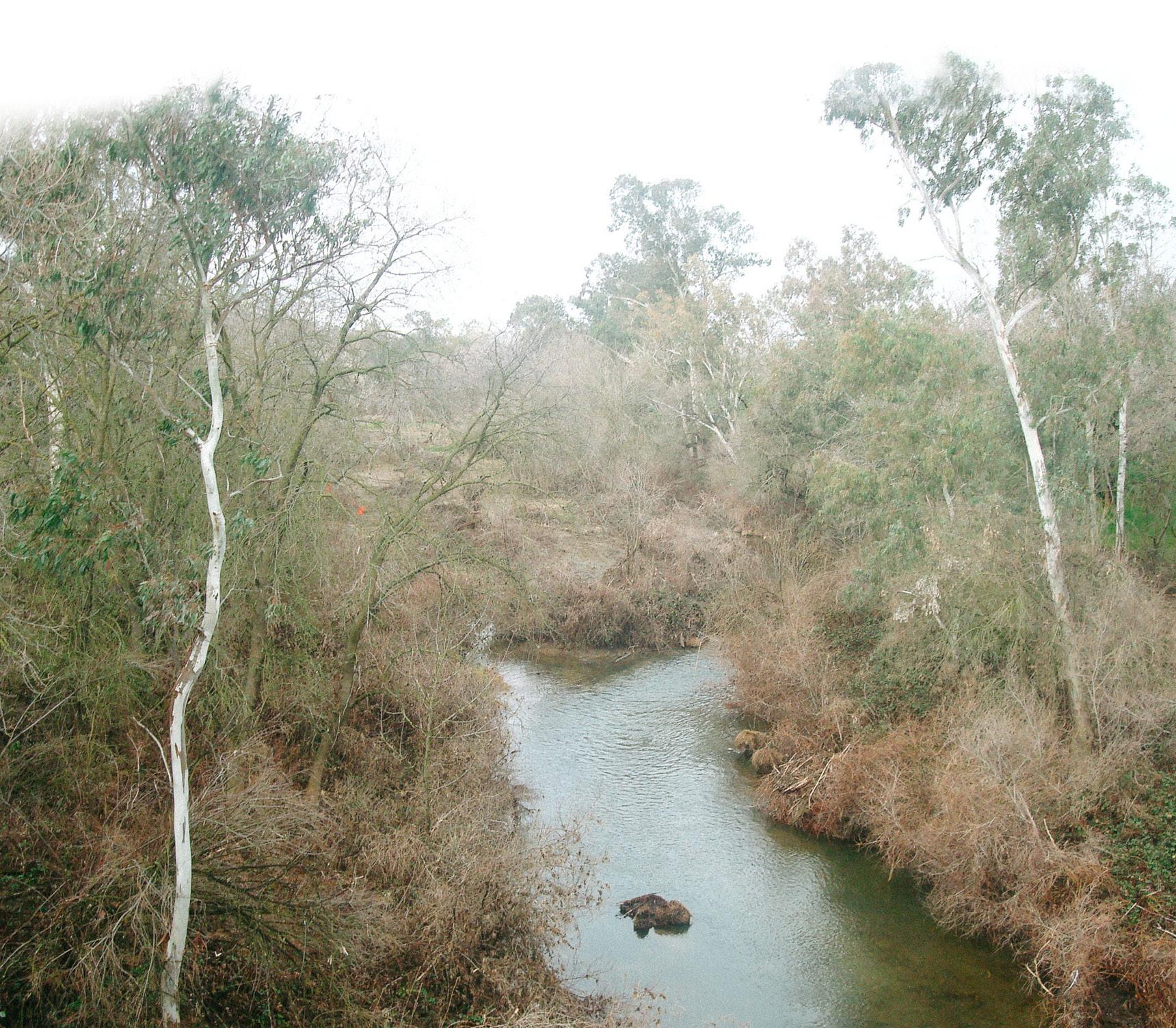
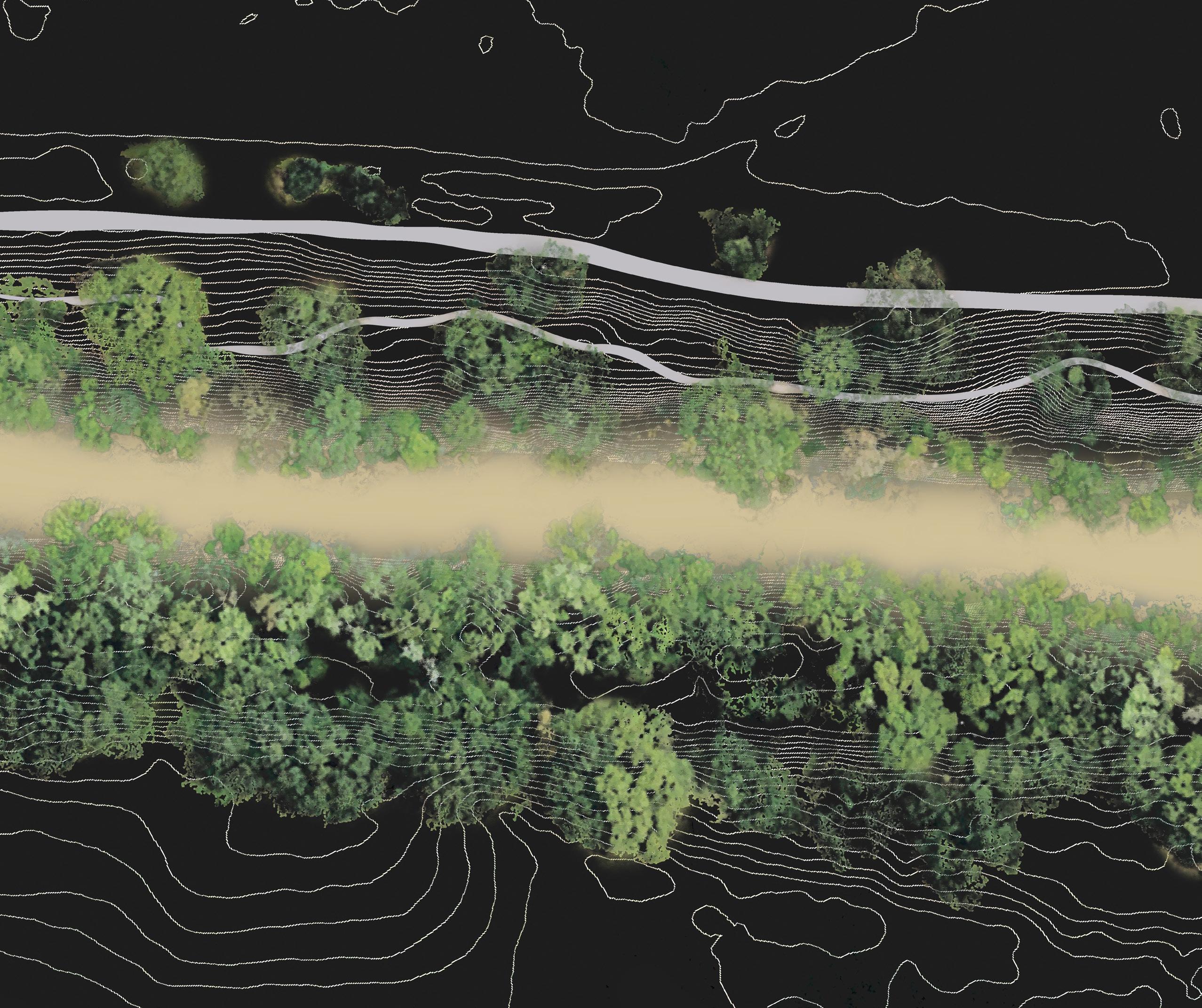
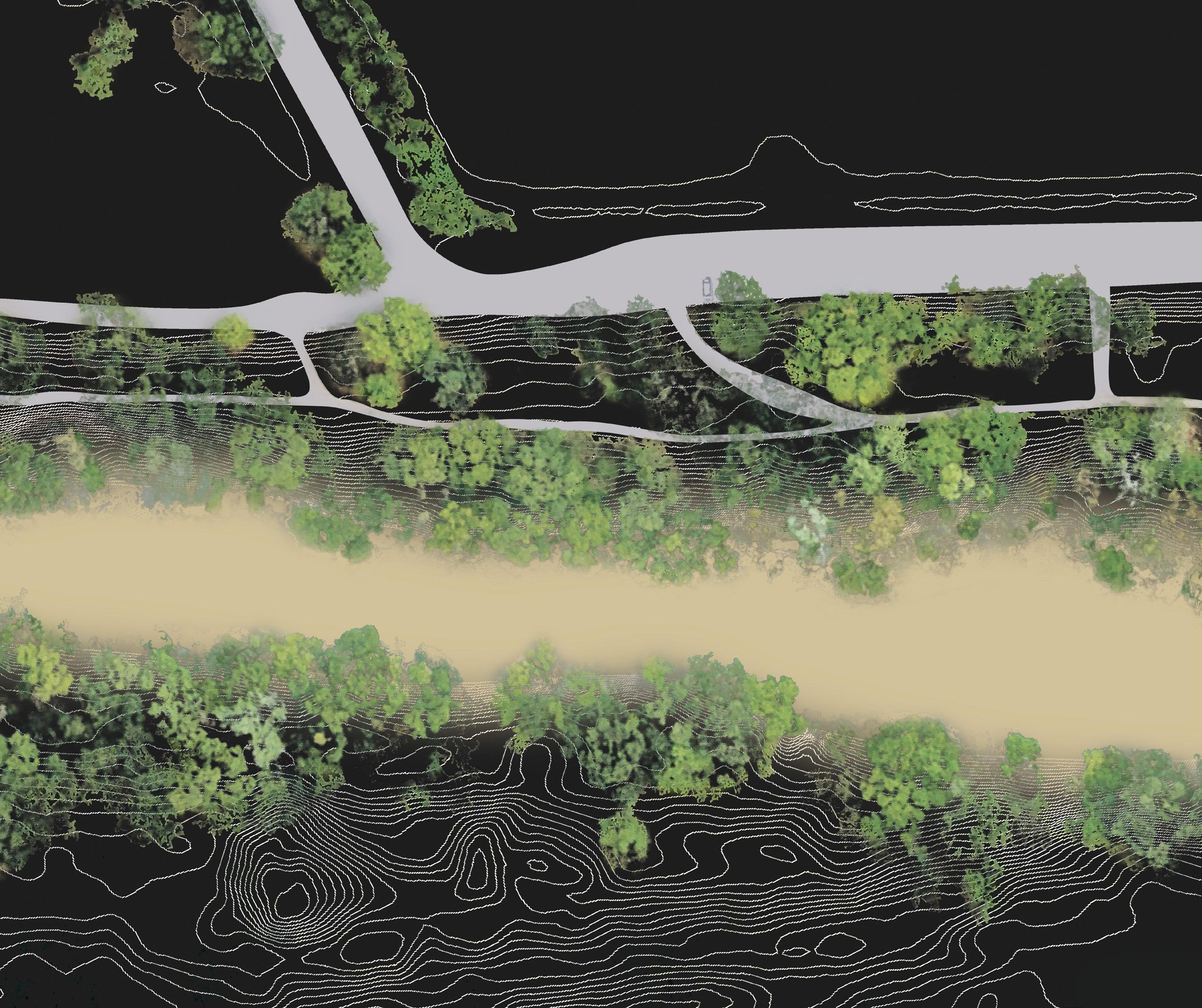
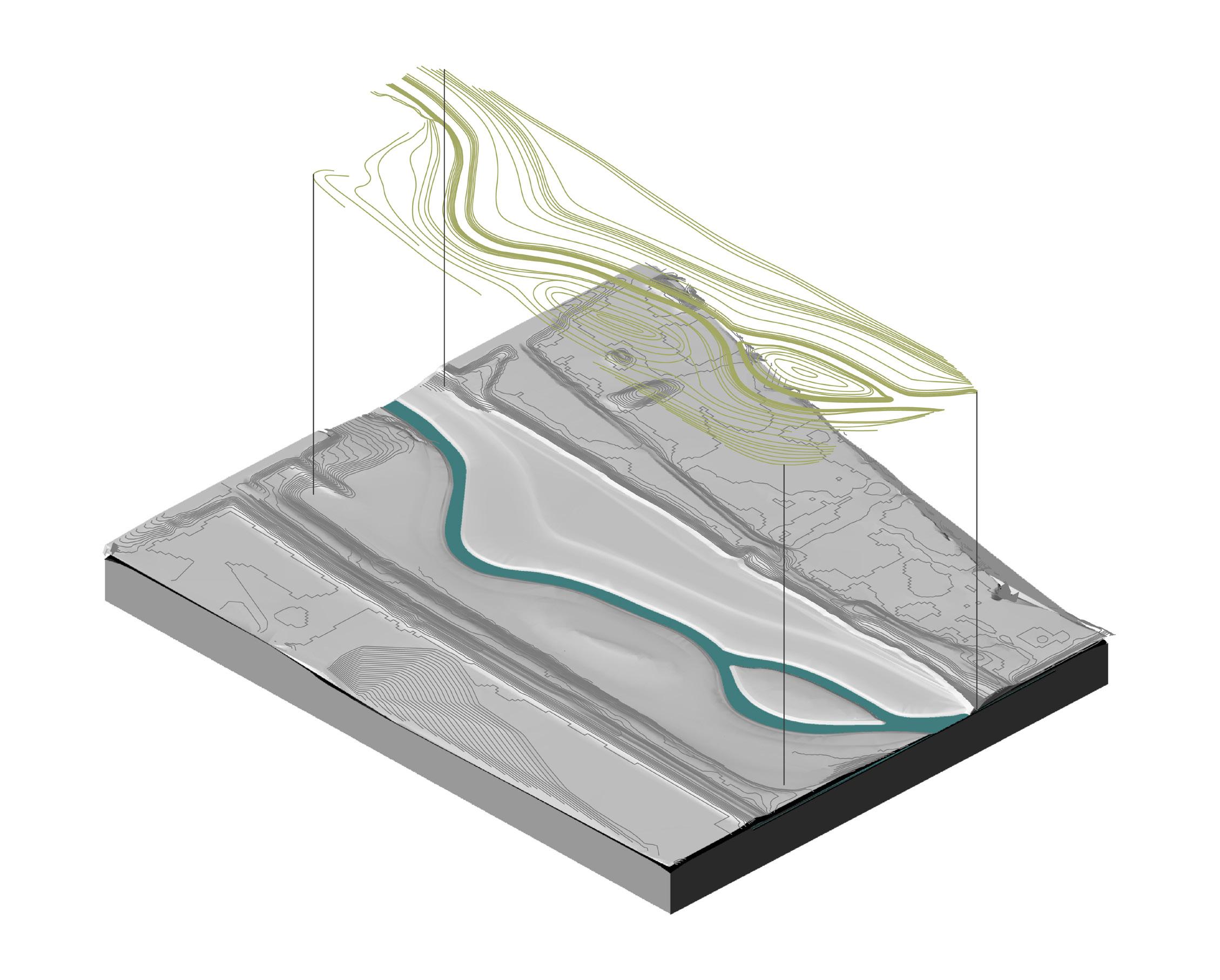
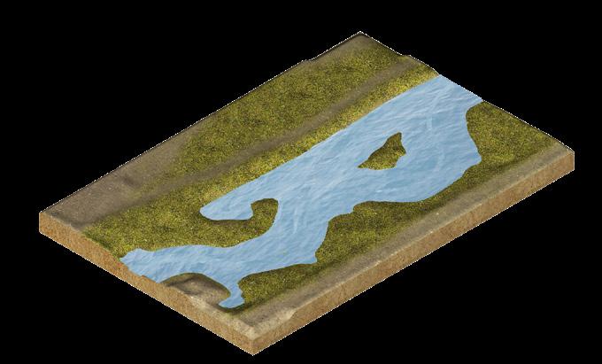
Putah Creek North Fork

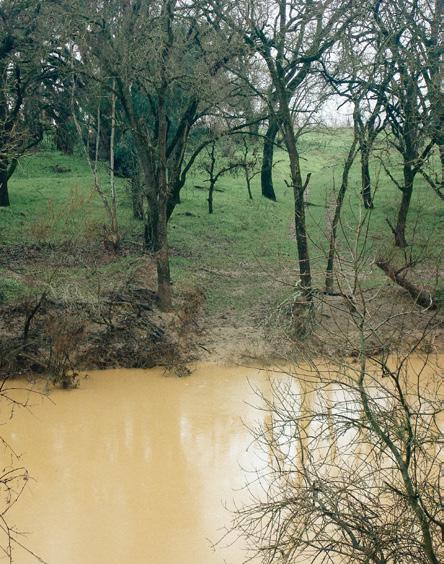
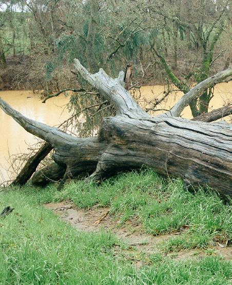
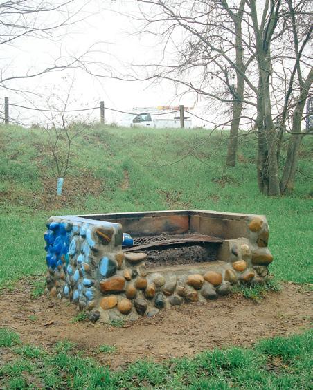
I analyzed the north fork of the creek shortly after a flooding period to see the flood’s effects on surrounding vegetation and trails. I also conducted surveys with community members on-site to help me better understand how the space is used recreationally. Through my observations and surveys, I concluded that future re-design of the creek should maintain a proper balance between wilderness and recreation, while encouraging stewardship and preservation of the creek’s natural habitats and ecosystems.


DESIGN PROCESS Sketches
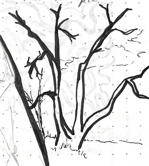
Below are a few of my preliminary sketches prior to designing the site. I have also included notes and sketches done during field observation.
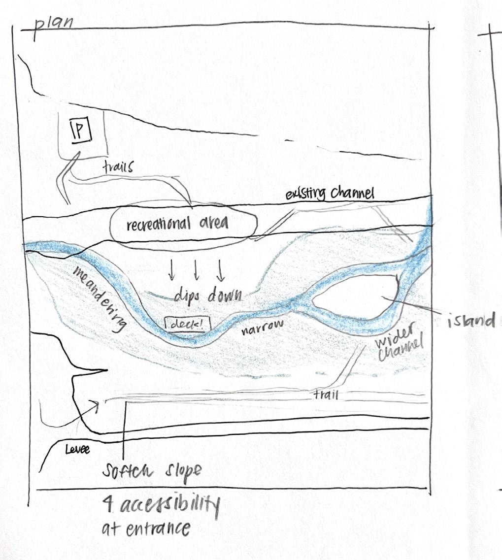


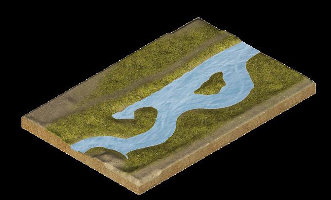
DESIGN PROPOSAL Individual Design
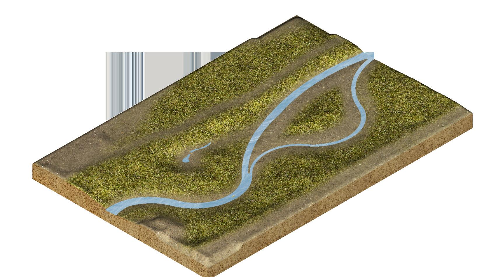
For my individual design, I proposed that the channel meander throughout the center of the site and split into two to create an island. The channel would be made narrower to allow for a greater floodplain and restoration of riparian habitats. In addition, slopes are softened for accessibility and recreational areas.
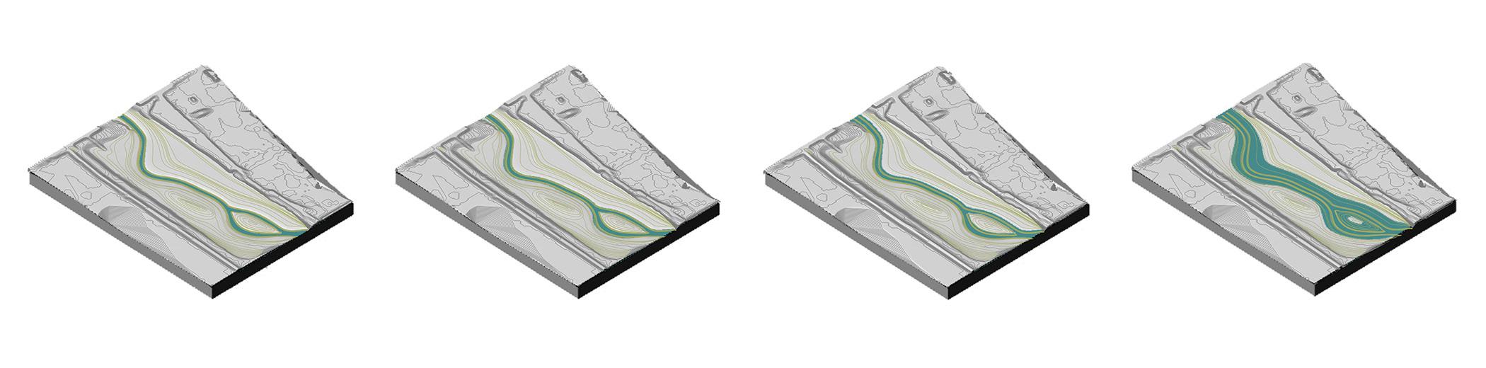
current channel level

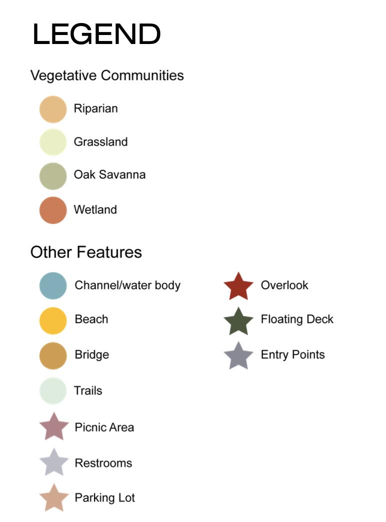
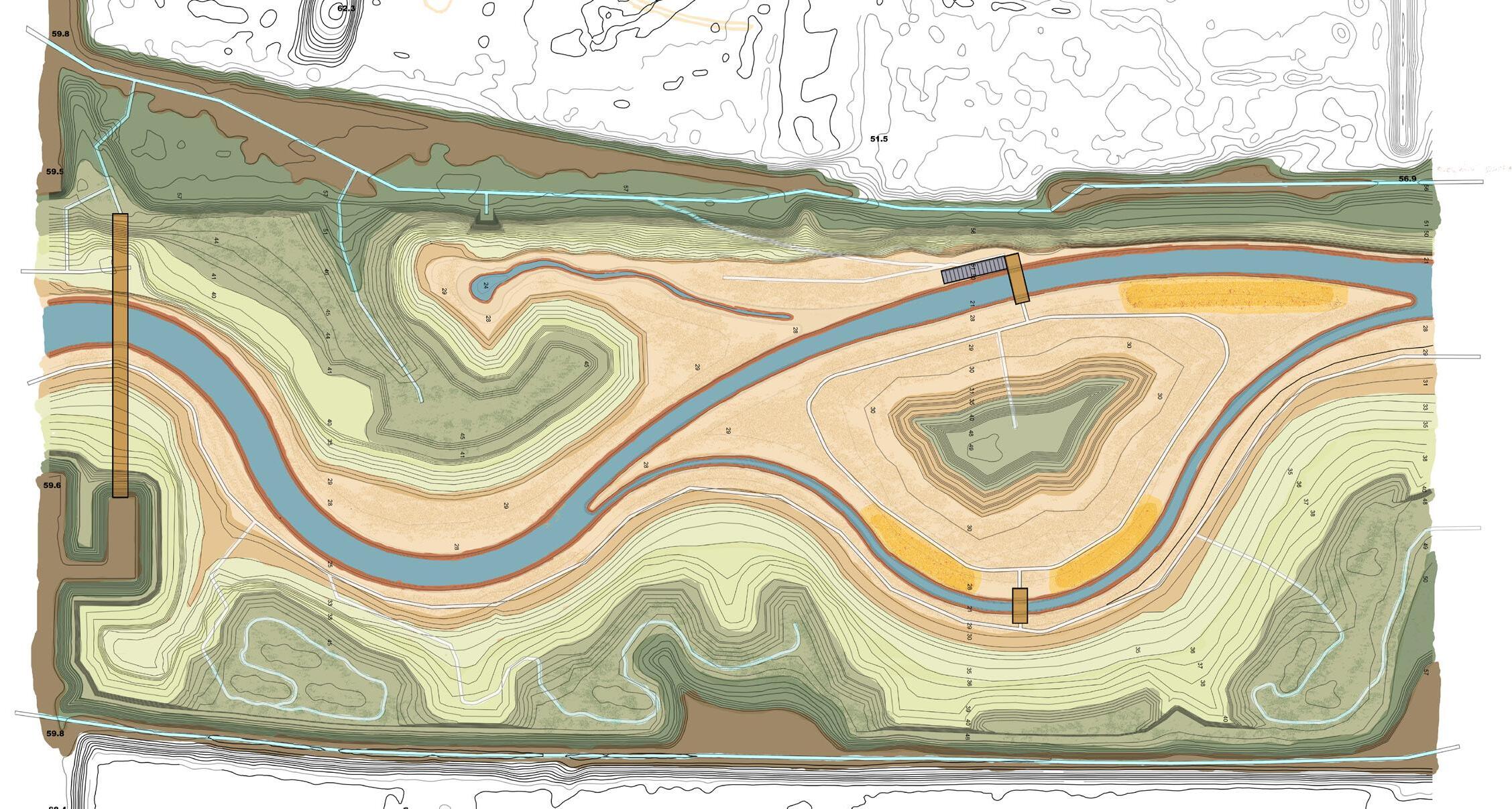

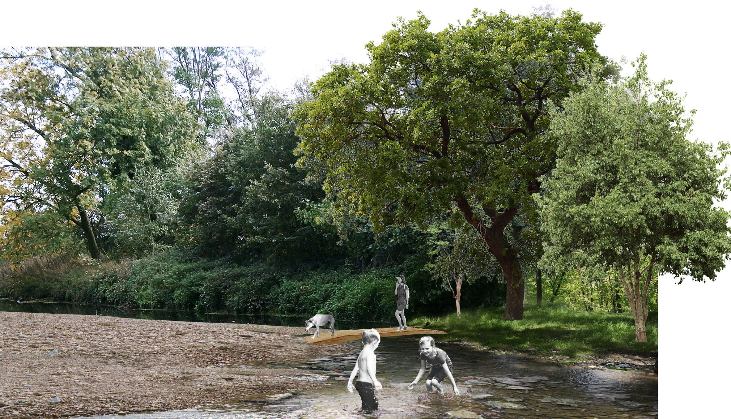
GROUP SITE PROPOSAL The Bend at Putah Creek
This final site proposal was created in collaboration with Jordan Lin and Phil Venegas. Our group aimed to maintain and enhance the health of the Putah Creek ecosystem. We call our design “The Bend at Putah Creek.” The site is characterized by the large meandering bend of the creek, which allows the creek to flood often and intensely, in turn repairing the riparian ecosystem that once thrived here. Site features include a side channel and backwater pond, beach and picnic areas, and an expansive trail and bridge system to encourage circulation throughout the 37-acre site. We also intend to foster an environment for recreation, education, and research. Our site provides a variety of opportunities for people to observe the creek as it changes over time.