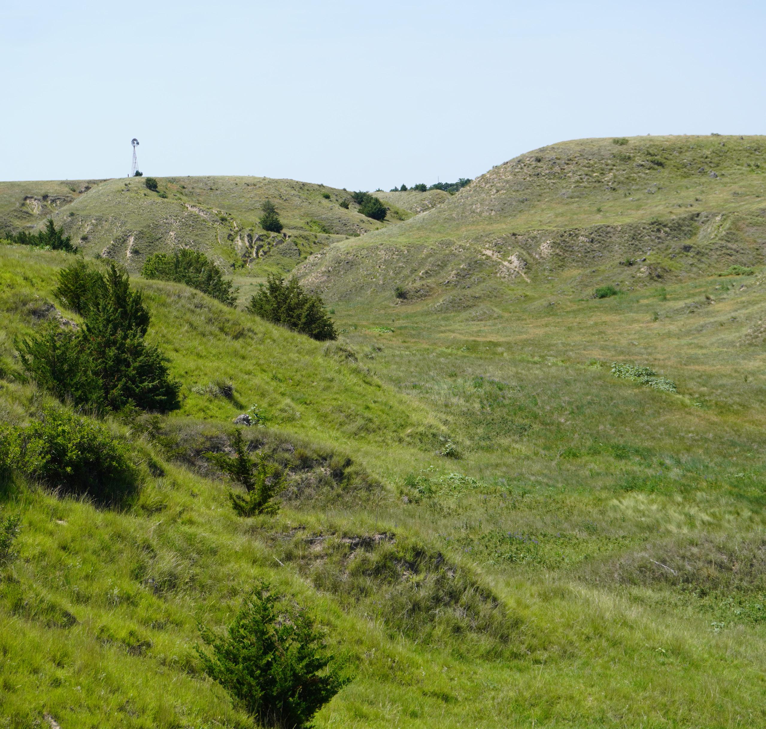


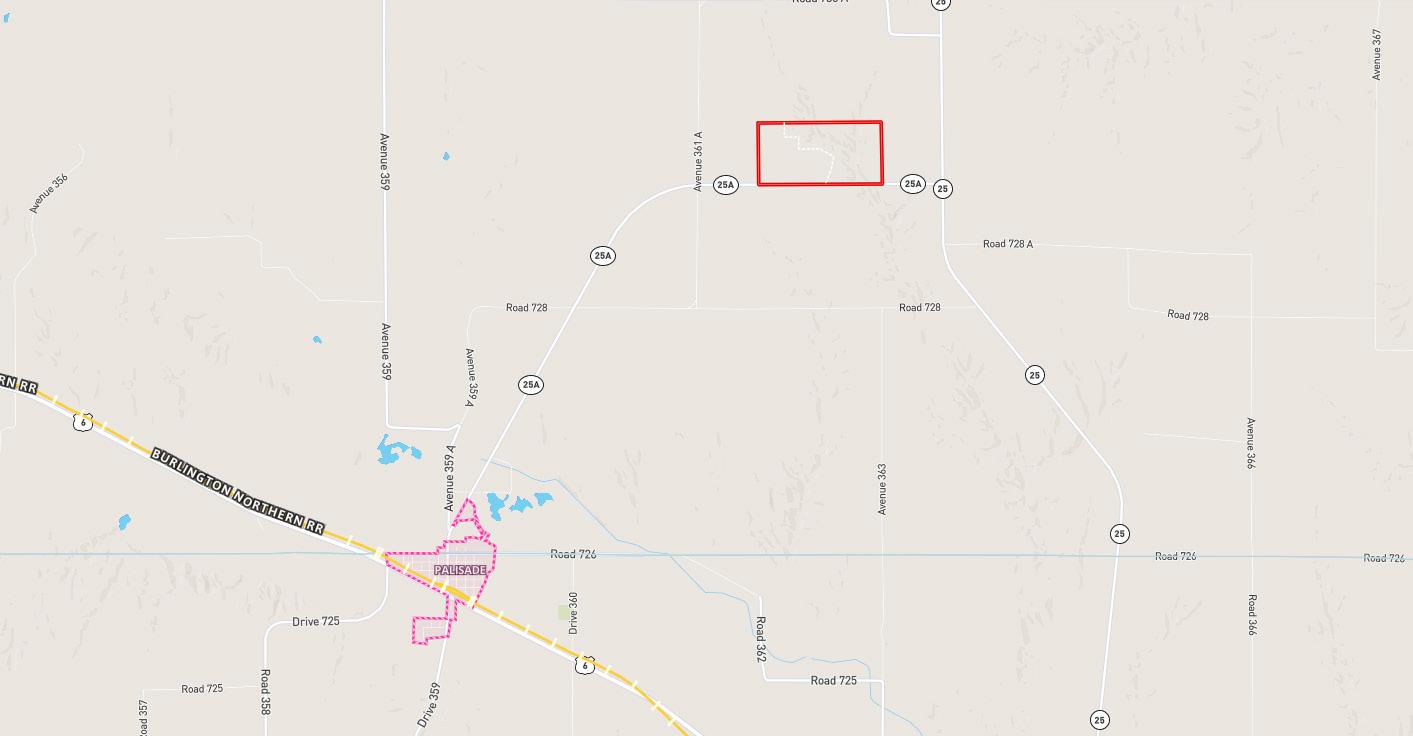


Property is located approximately 4¾ miles northeast of Palisade, NE via NE HWY 25A or 8¼ miles south of Hayes Center via NE HWY 25 and approximately 1 mile west via NE HWY 25A. Access is right off NE HWY 25A blacktop road.
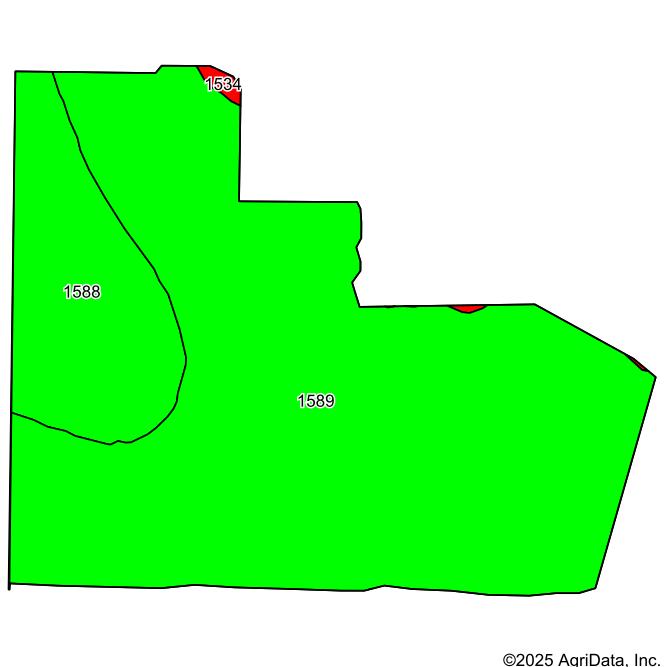
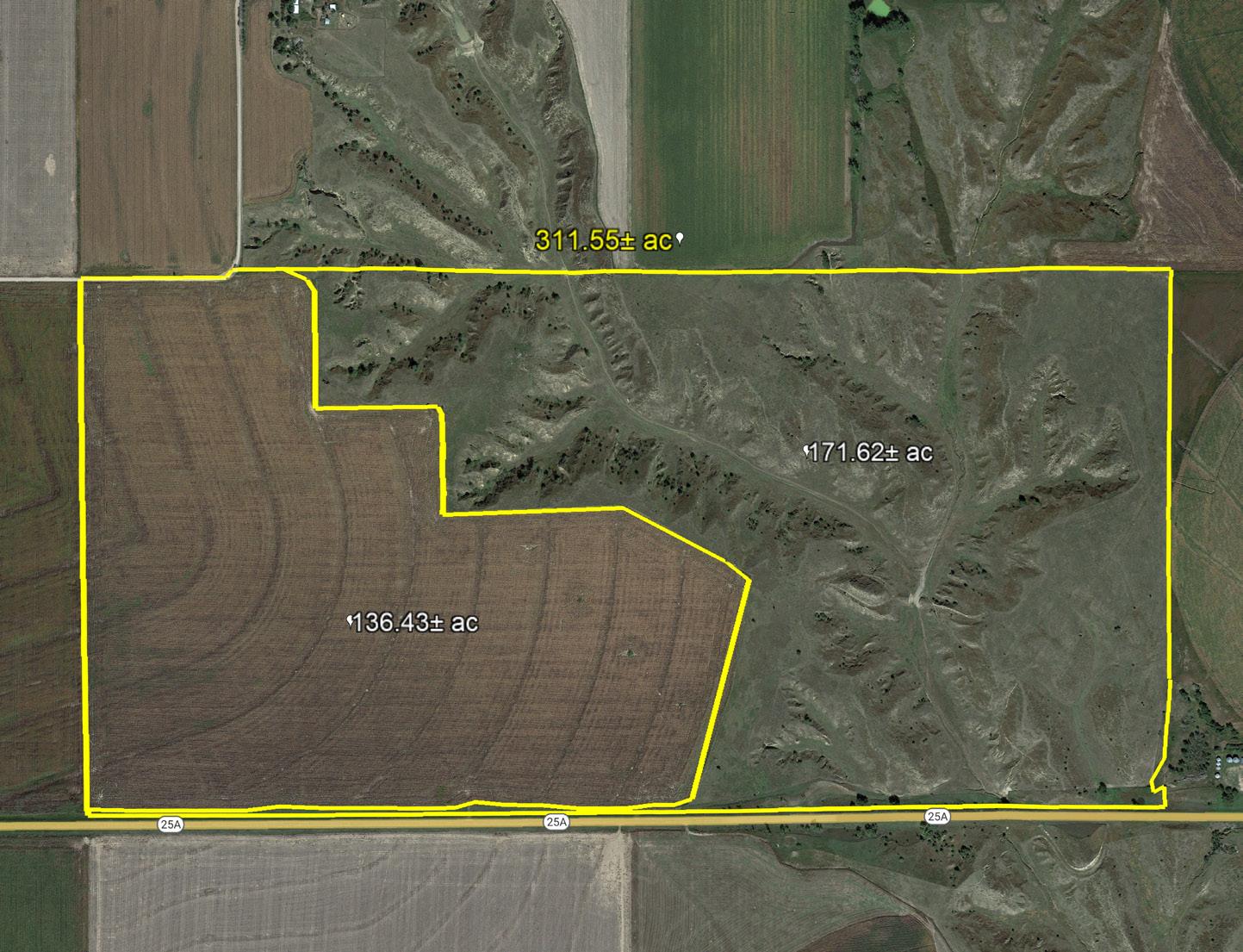
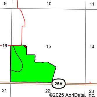
LEGAL DESCRIPTION: South ½ of Section 15, Township 5 North, Range 33 West of the 6th P.M. in Hayes County, Nebraska
ACRES & TAXES: 311.55 Total tax-assessed acres
ASSESSOR LAND USE:
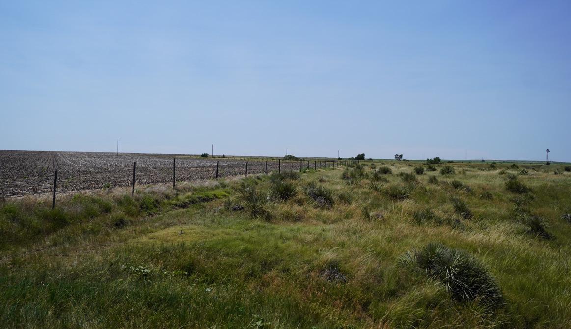
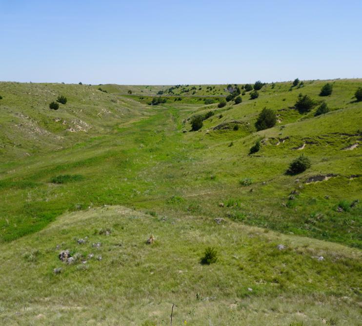
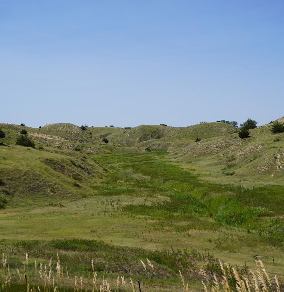
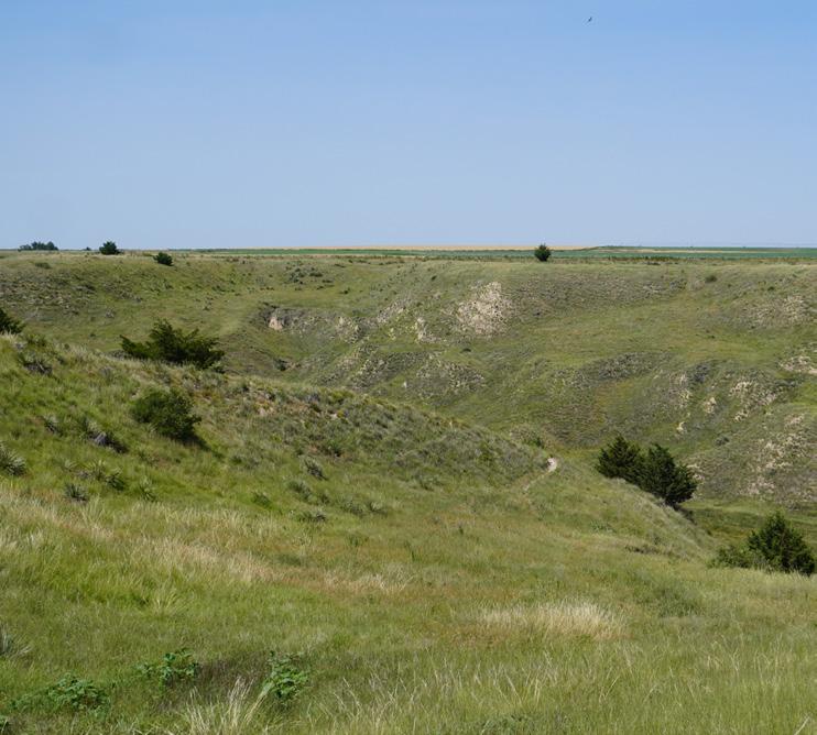
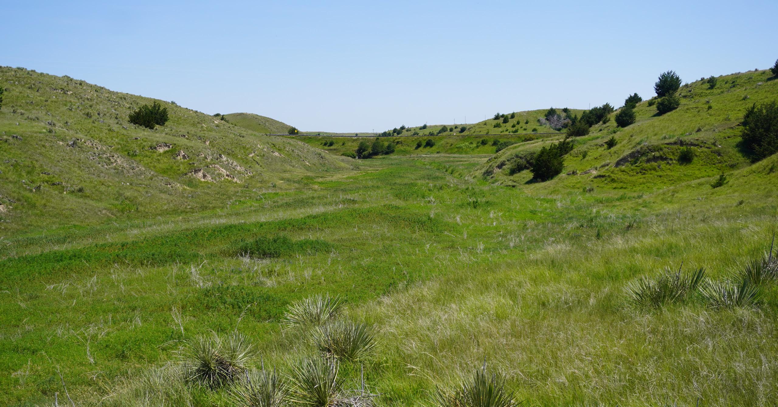
NATURAL RESOURCES
Total 2024 taxes due in 2025: $2,064.52
acres
DISTRICT: Middle Republican NRD
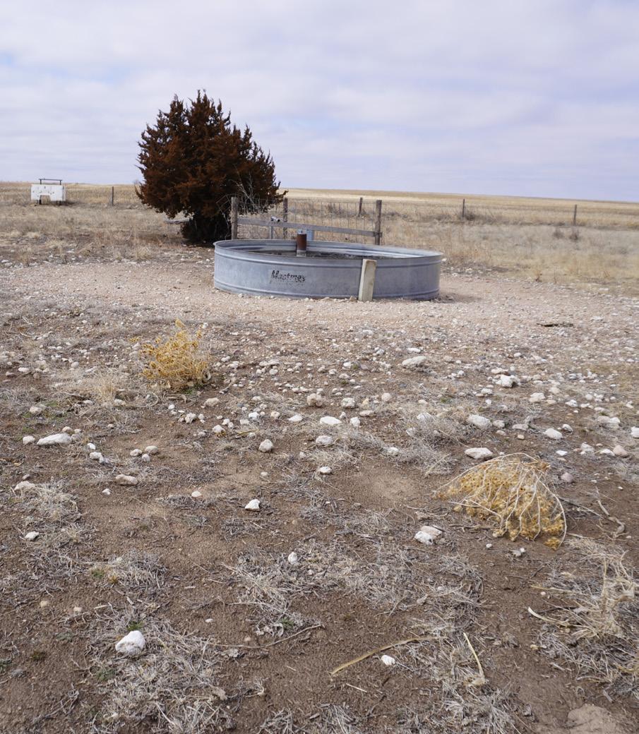
LIVESTOCK WELL INFORMATION: G-176307 completed 4/21/2015.
USDA-FSA INFORMATION:
Two Grassland CRP contracts, expiring 9/30/2038, with annual contract payments totaling $2,642.00.
EQUIPMENT: All owned windmills, electric submersible pumps, stock tanks, fences and stock handling equipment, corrals and gates on property; excluding the mineral storage container owned by tenant.
LEASE: Cash rent lease in place for summer grazing and cropland. Contact listing agent for details.
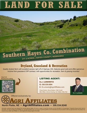
PRICE: $489,000