


LEGAL DESCRIPTION: SW1/4 of Section 16; All of Section 17; N1/2 of Section 20 all in Township 30 North, Range 45 West of the 6th P.M. in Sheridan County, Nebraska.
LOCATION: From Hay Springs: Travel south on Highway 87 for approximately 8 miles. Turn east onto Road 490 and continue for 3.5 miles. The property will be located on both the north and south sides of the roadway.
ACRES & TAXES: 1,120.02 Tax-assessed acres
2024 Real estate taxes payable in 2025: $14,886.94
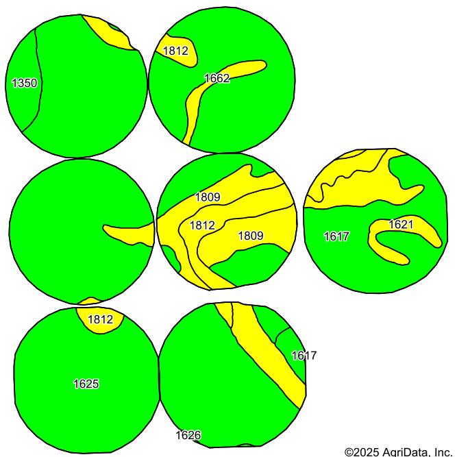
ASSESSOR LAND USE: 851.73 acres
acres
acres
acres
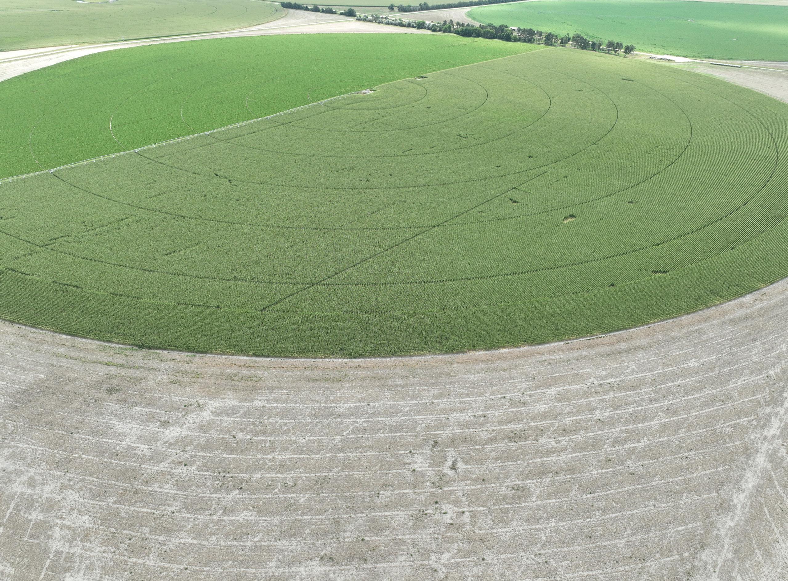
Irrigated Cropland
Dry Cropland Corners
USDA-FSA INFORMATION: 1,100.38 Total Farmland acres with 1,087.96 Cropland acres
Base Acres: 341.10 acres of Wheat base at 59 PLC yield; 3.80 acres of Oat base at 40 PLC yield; 410.40 acre of Corn base at 163 PLC yield; and 1.10 acres of Barley base at 36 PLC yield.
SOILS: 76.2% Class I Keith Loam, 18.2% Class II Satanta fine sandy loam with traces of Class I Bridget Loam and Class IV Lodgepole silt loam.
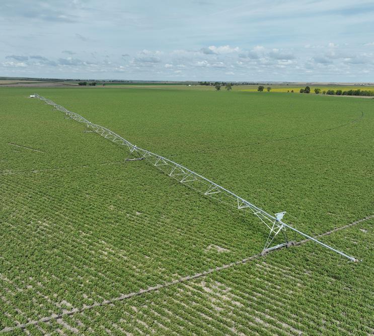
NRD: Contains 851.90 Certified Irrigated Acres in the Upper Niobrara-White Natural Resources District
WELL REGISTRATIONS:
Well registrations: G-021808, G-021809, G-132177, G-042648, G-042653, G-042758, & G-042759
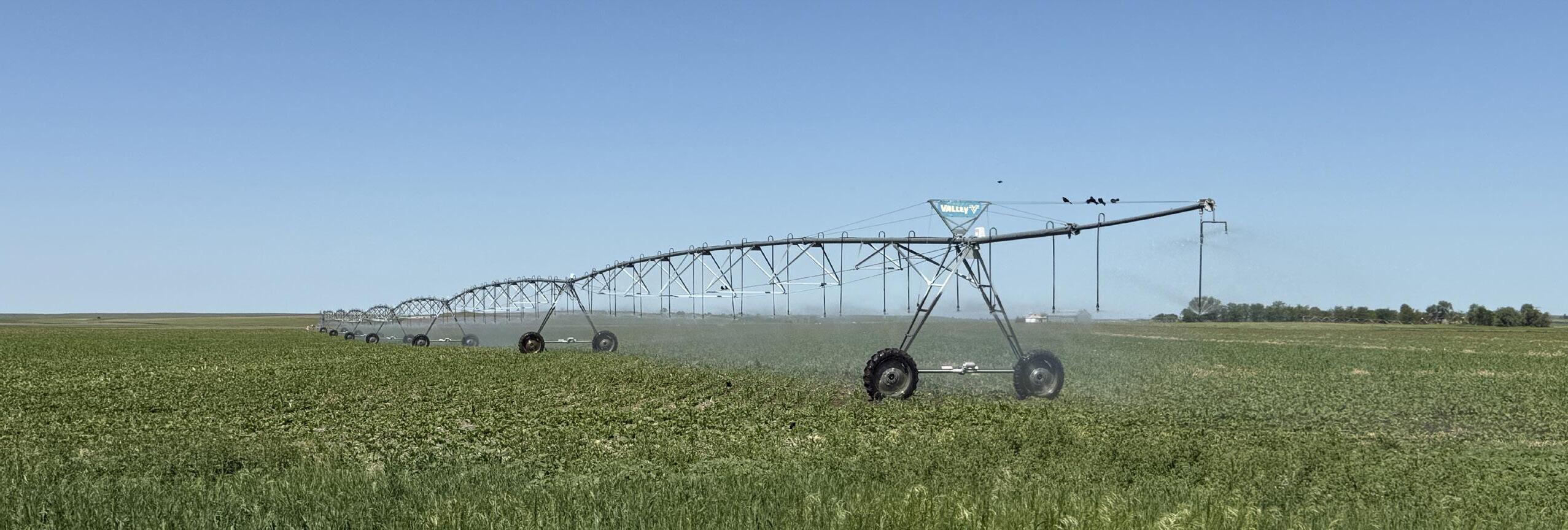
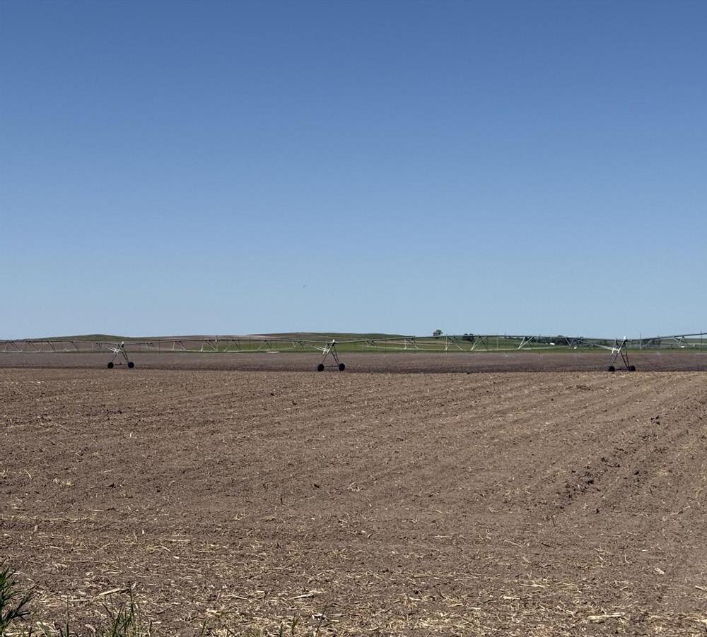
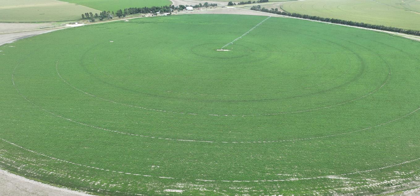
EQUIPMENT: Seven Valley 7-tower pivots, all with 40 hp electric motors.
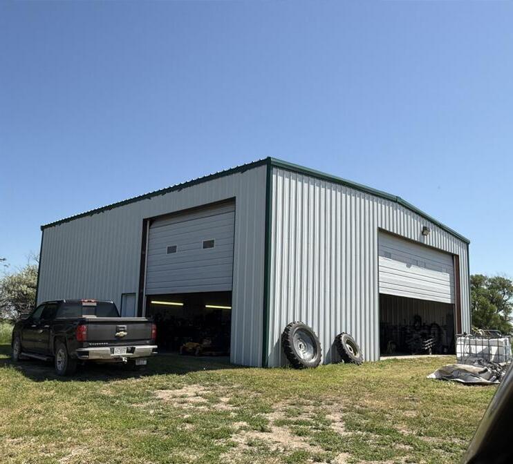
BUILDINGS & SITE: 2,500 sq. ft. machine shed with steel frame, siding, roof covering, and concrete floor built in 2009.
PRICE: $5,500,000