

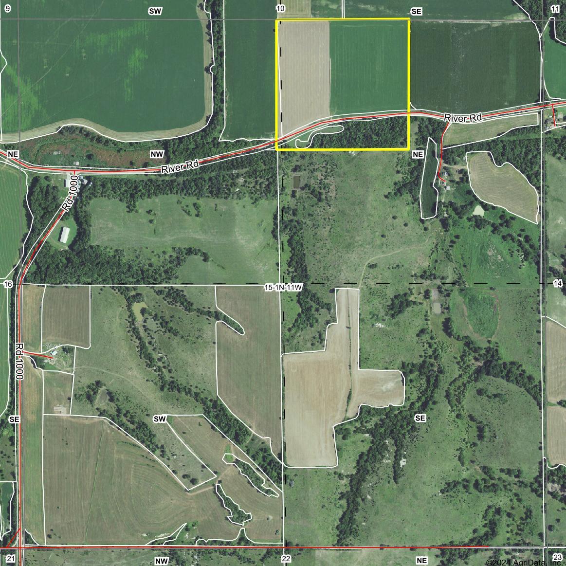
LEGAL DESCRIPTION:
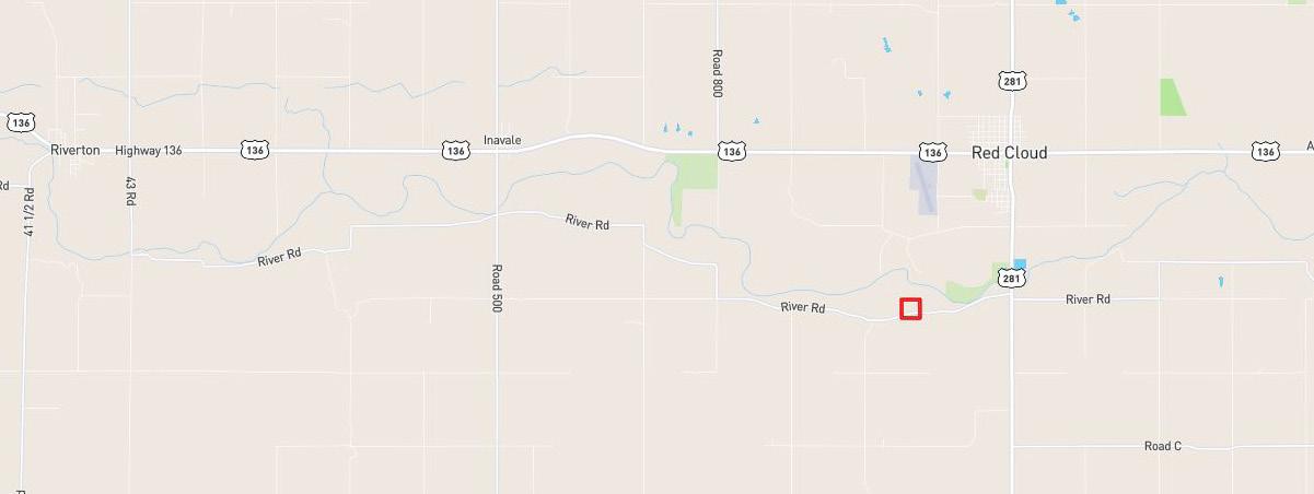
LOCATION:
PROPERTY INFORMATION
The Northwest Quarter of the Northeast Quarter (NW1/4NE1/4) of Section Fifteen (15), Township One (1) North, Range Eleven (11) West of the 6th P.M., Webster County, Nebraska.
From Red Cloud, Nebraska: Approximately 1 mile south on Highway 281, then 1 1/4 miles west on River Road, to the southeastern portion of the property.
ACRES & TAXES: Tax-assessed Acres | 39.91 acres
2023 Real Estate Taxes | $922.92
LEASES: Property subject to a lease for the 2025 growing season.
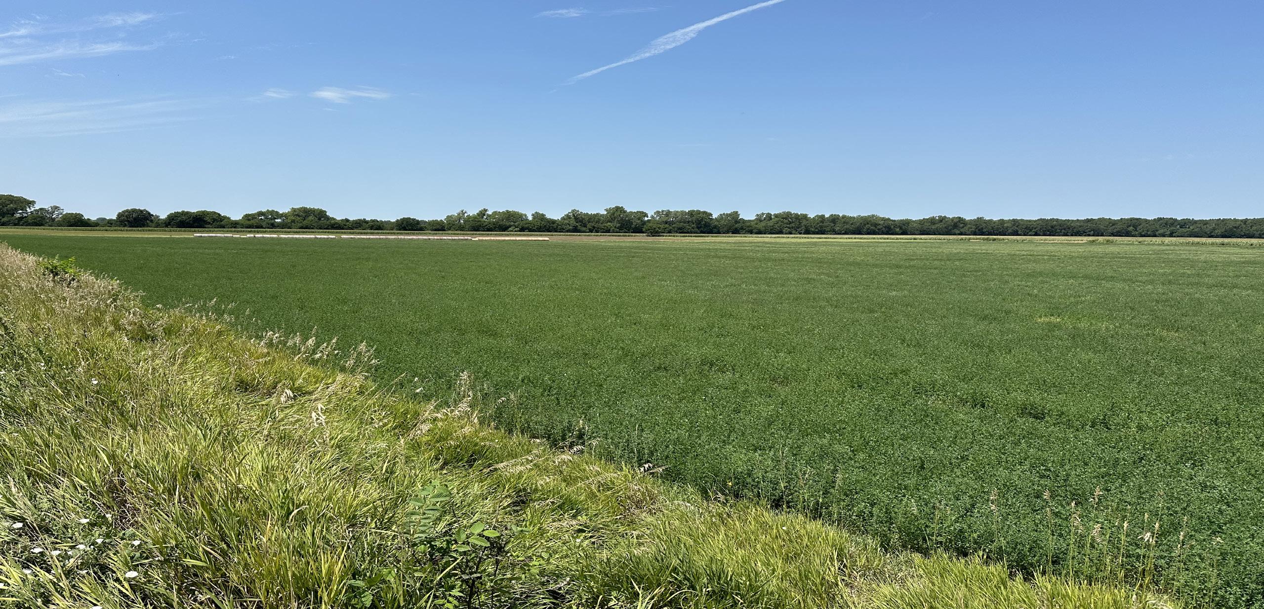
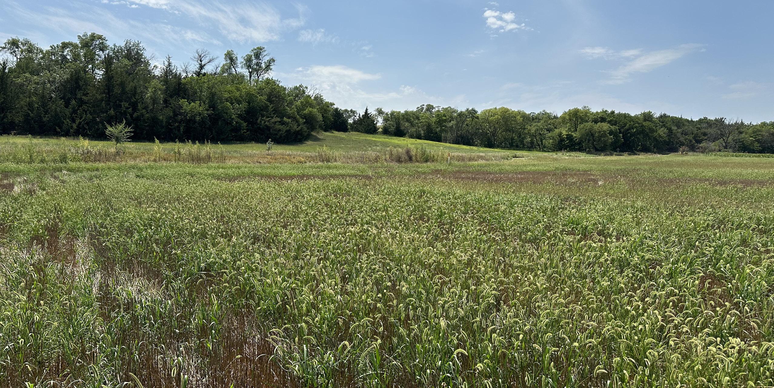
SOILS: Primary soils on the property consist of McCook silt loam and Kipson silt loam, with slopes ranging from 0-30%.
NRD: Lower Republican Natural Resources District.
FSA INFORMATION:
COMMENTS:
Total Farmland: 37.27 acres
Government Base Acres: Wheat - 7.56
Corn - 15.08
Soybeans - 7.56
Total Cropland: 30.20 acres
PLC Yields: Wheat - 43 bu
Corn - 141 bu
Soybeans - 35 bu
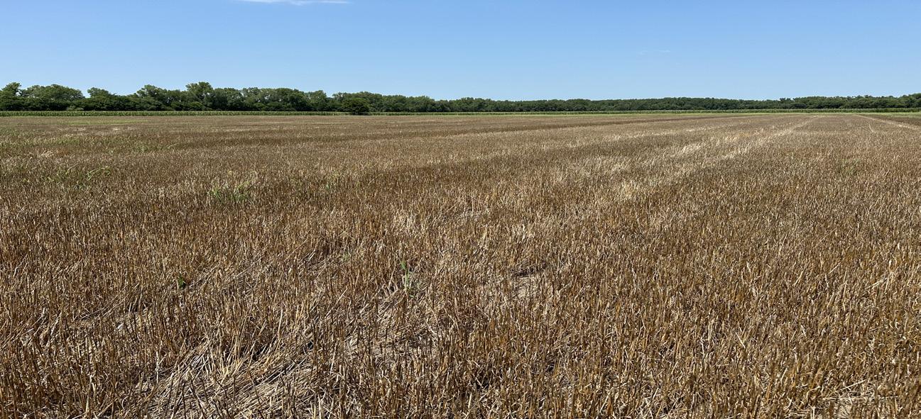
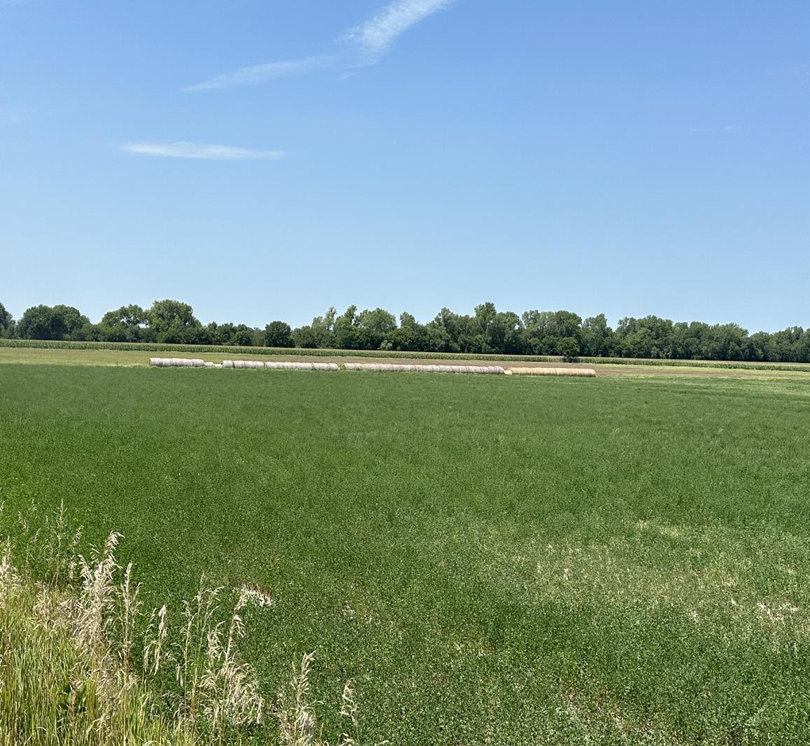
Productive cropland with an established stand of alfalfa, along with deep wheat stubble sitting across the road from a tract of rugged timber with exciting topography. All of this is only about 1,000 feet from the Republian River and all of the wildlife that pass through this corridor every year.
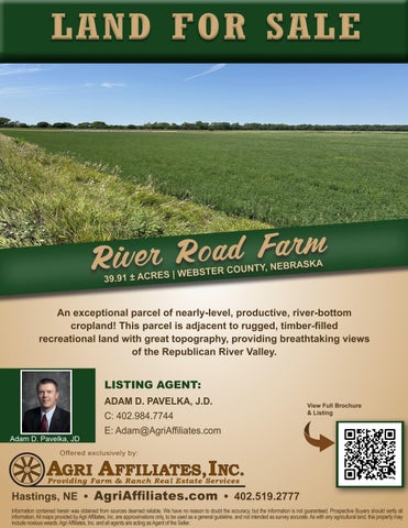
PRICE: $225,000.00


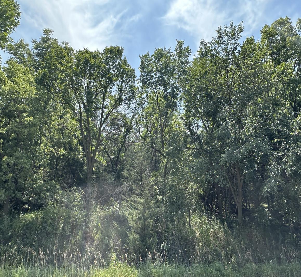
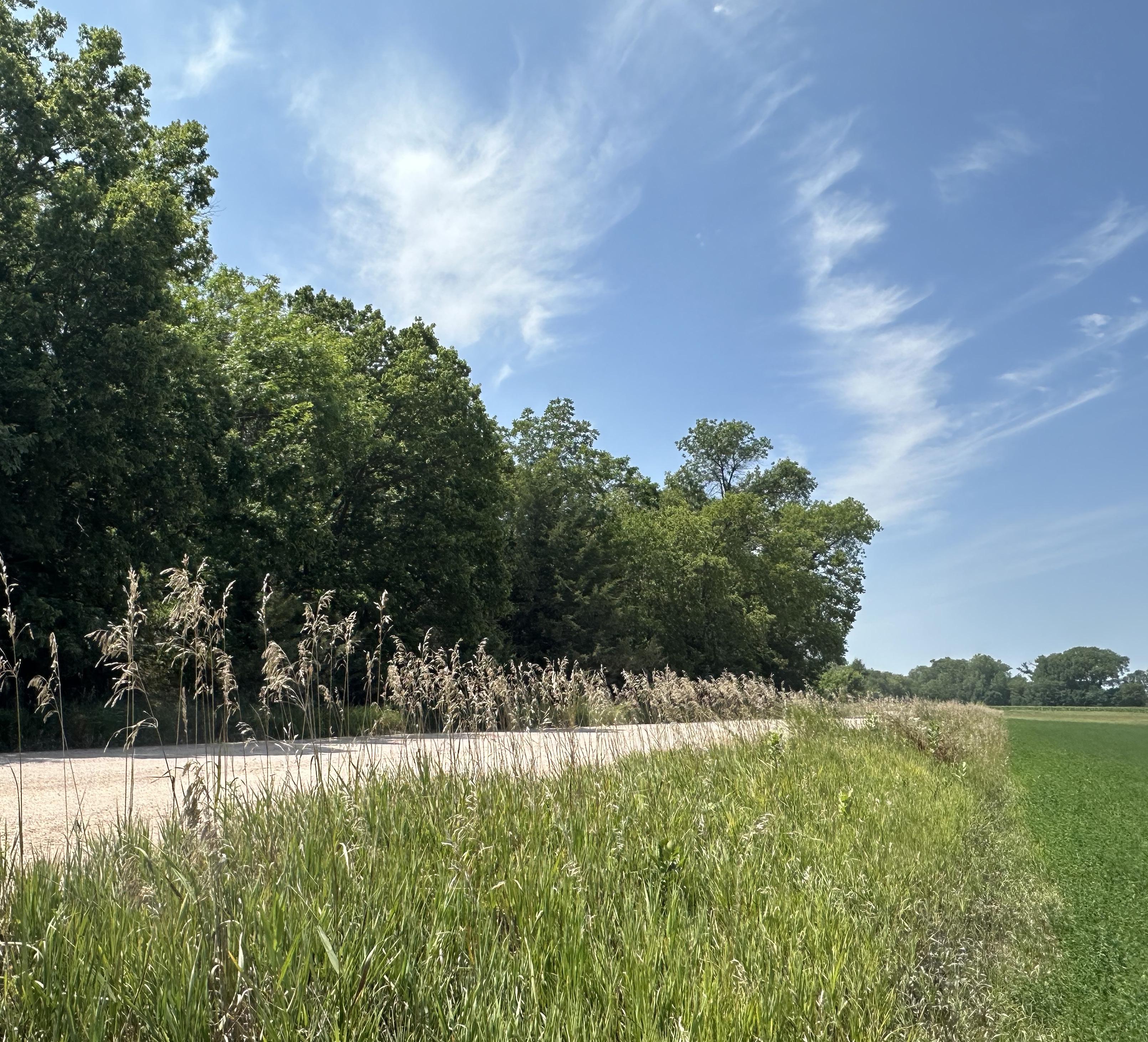
Productive river-bottom cropland and timber-filled recreational land, with breathtaking views of the Republican River Valley!